Trails near Fivizzano
170 hikes starting within 15 km, nearest first.
Nearest first, page 3 of 4
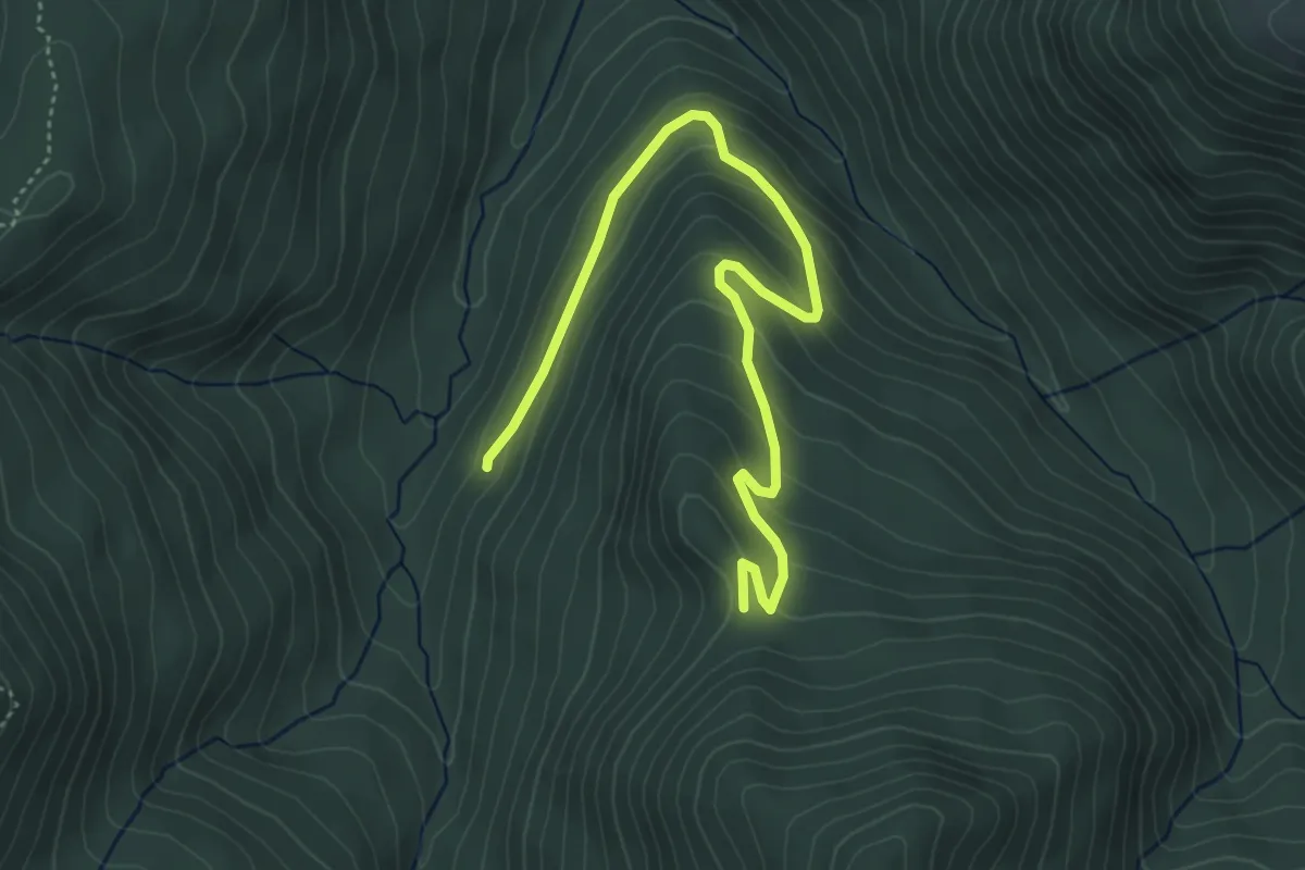
Easy · Trail
Percorso 647 – Passo del Lupo
5.4 km · ↑ 281 m · 1 h 54 min · 13 km away
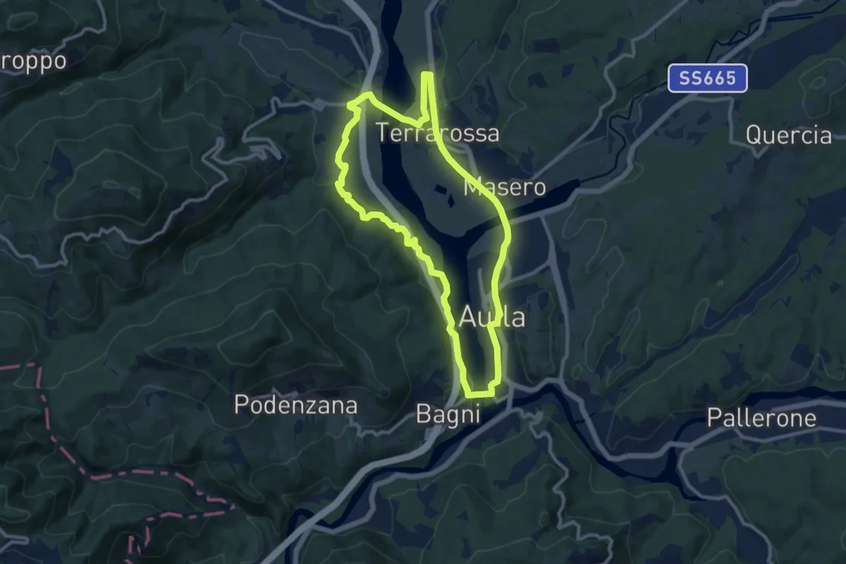
Medium · Trail
Greenway Fiume Magra
9.7 km · ↑ 134 m · 2 h 43 min · 13 km away
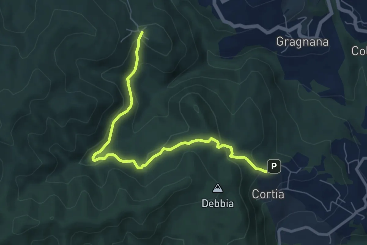
Easy · Trail
La Via dei Piastroni
6.8 km · ↑ 311 m · 2 h 16 min · 13 km away
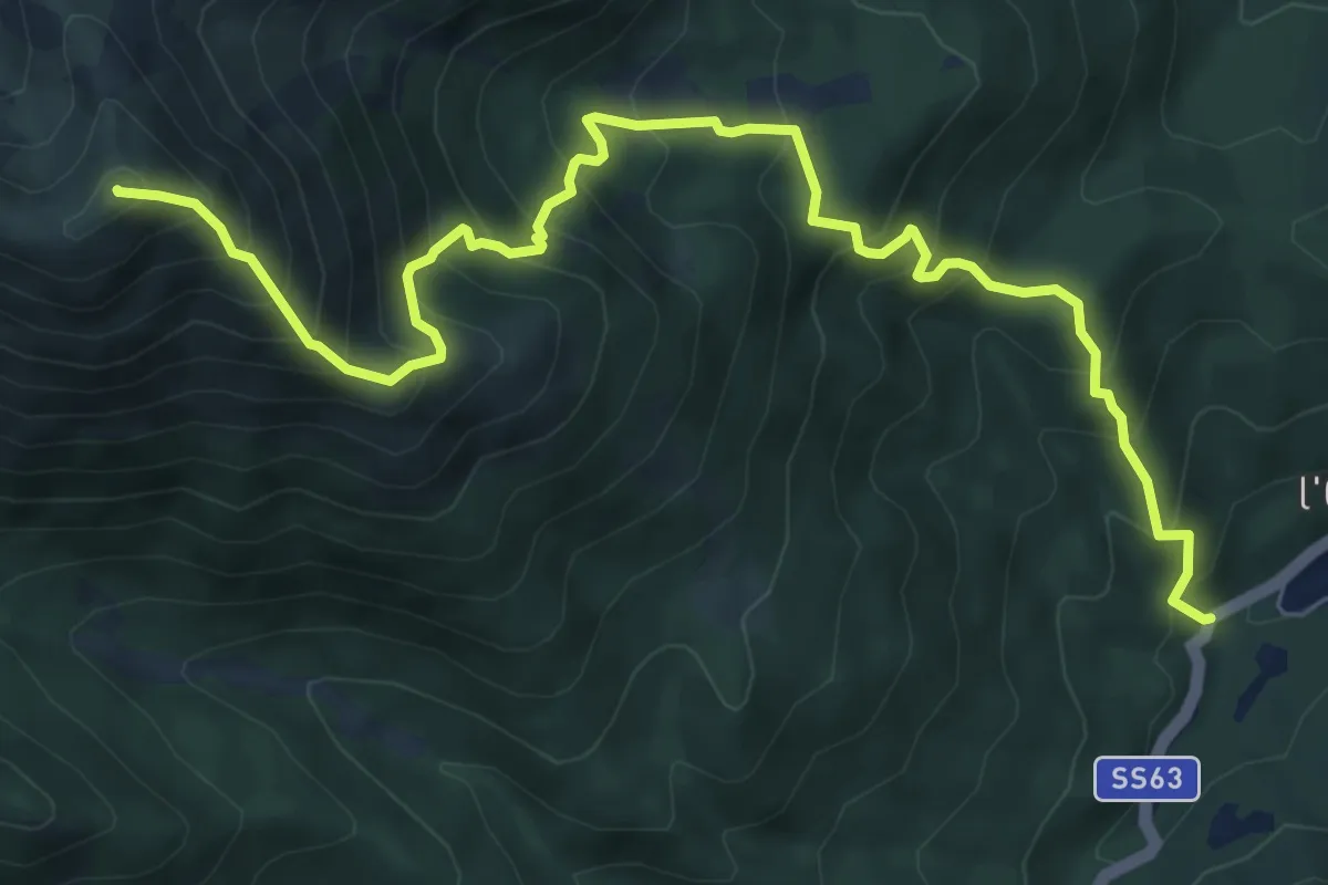
Demanding · Summit
Cerreto dell'Alpi – Monte Casarola
9.1 km · ↑ 1050 m · 4 h 26 min · 13 km away
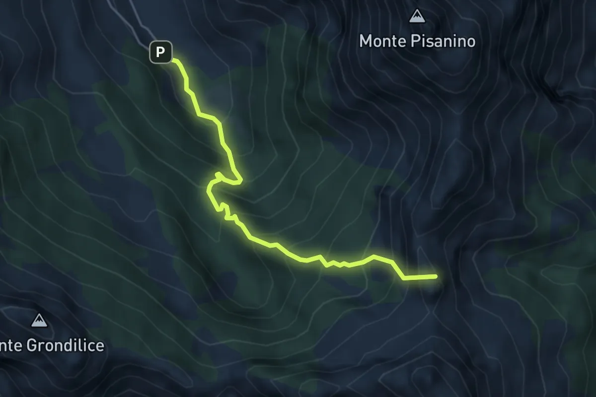
Demanding · Summit
Val Serenaia – Innesto Percorso 179 (Foce di Cardeto)
4.6 km · ↑ 565 m · 2 h 19 min · 13 km away
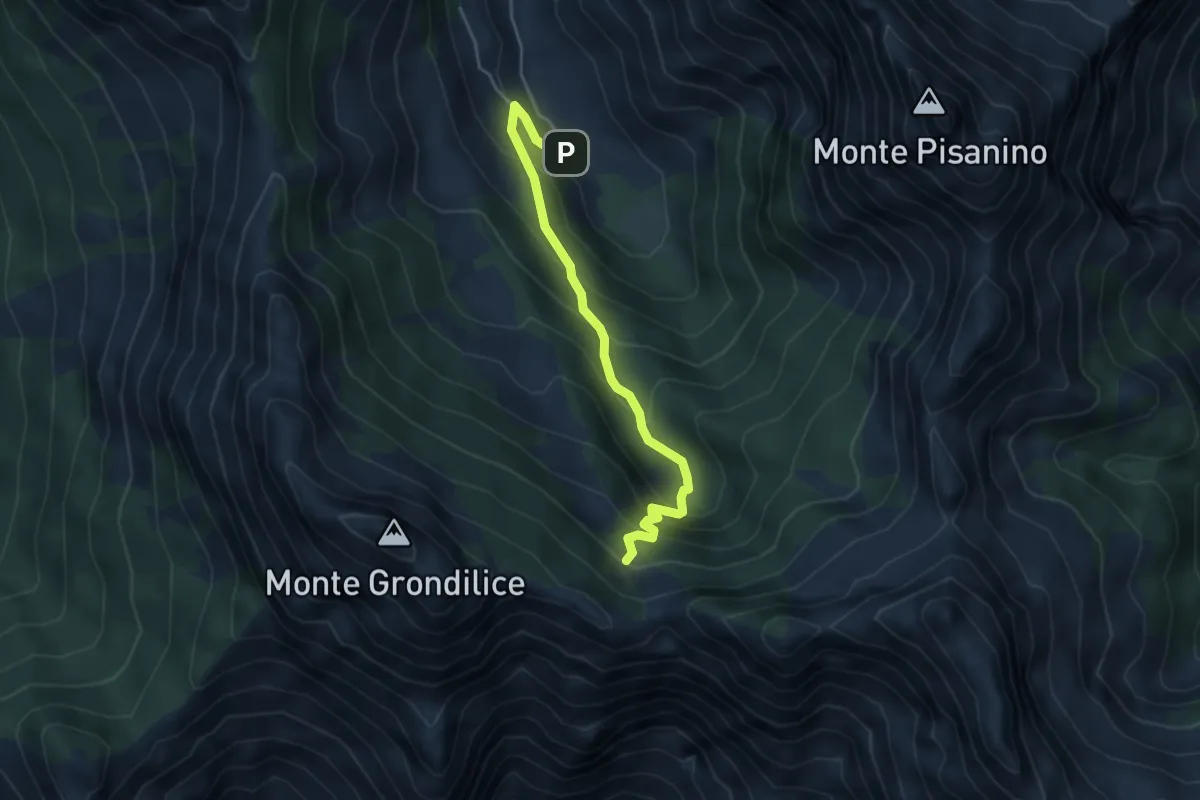
Medium · Cabin
Val Seranaia – Orto di Donna
4.4 km · ↑ 436 m · 1 h 59 min · 13 km away
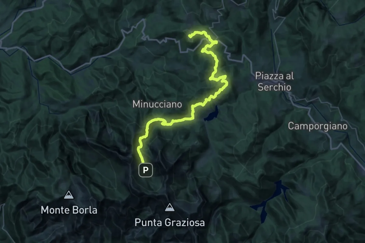
Demanding · Summit
Garfagnana Trekking - Tappa 5
39.5 km · ↑ 1668 m · 12 h 57 min · 13 km away
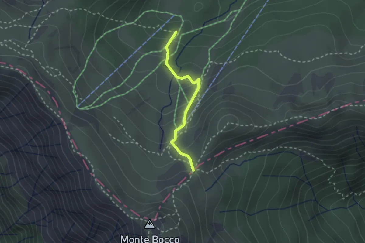
Medium · Trail
Capanna Biancani - Foce Banciola
2.0 km · ↑ 147 m · 47 min · 13 km away
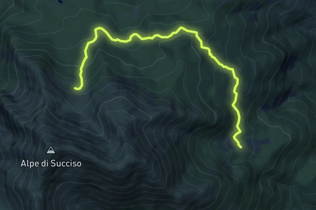
Medium · Cabin
Capiola – Rifugio Rio Pascolo
8.5 km · ↑ 474 m · 3 h 2 min · 13 km away
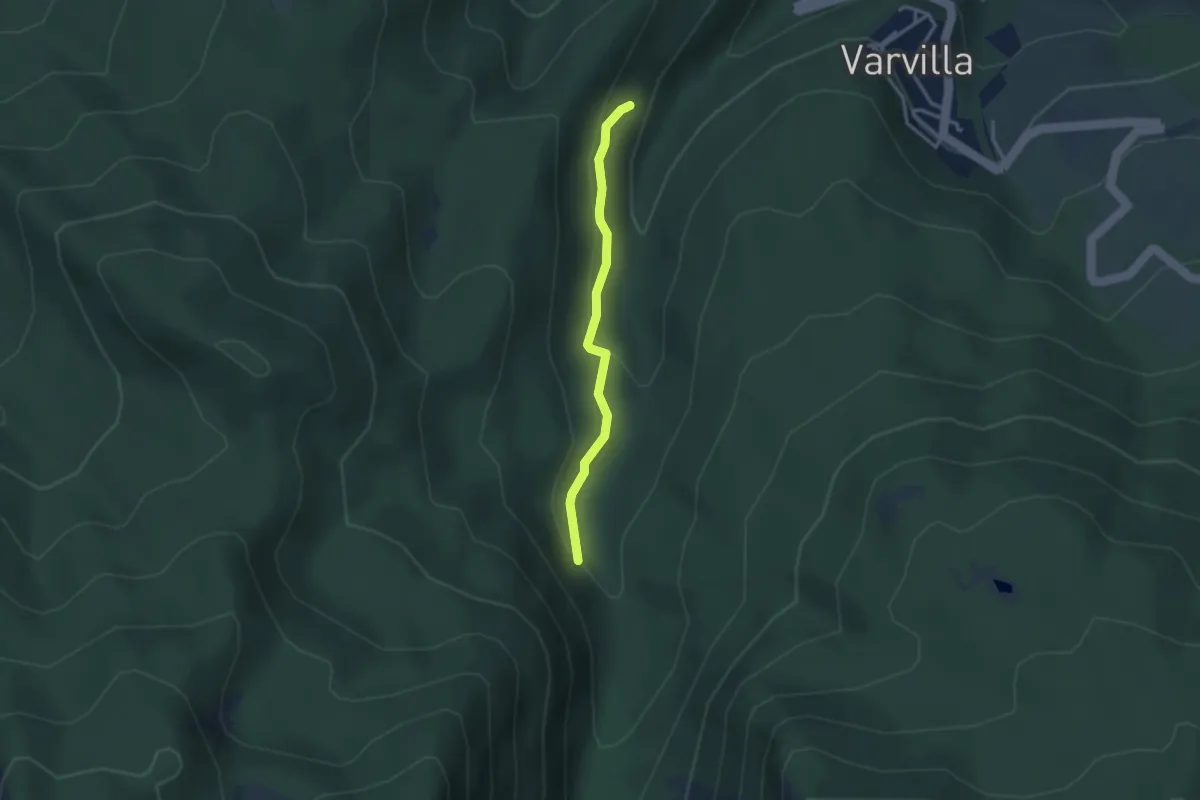
Easy · Trail
Percorso SD – Percorso 653
2.8 km · ↑ 107 m · 54 min · 13 km away
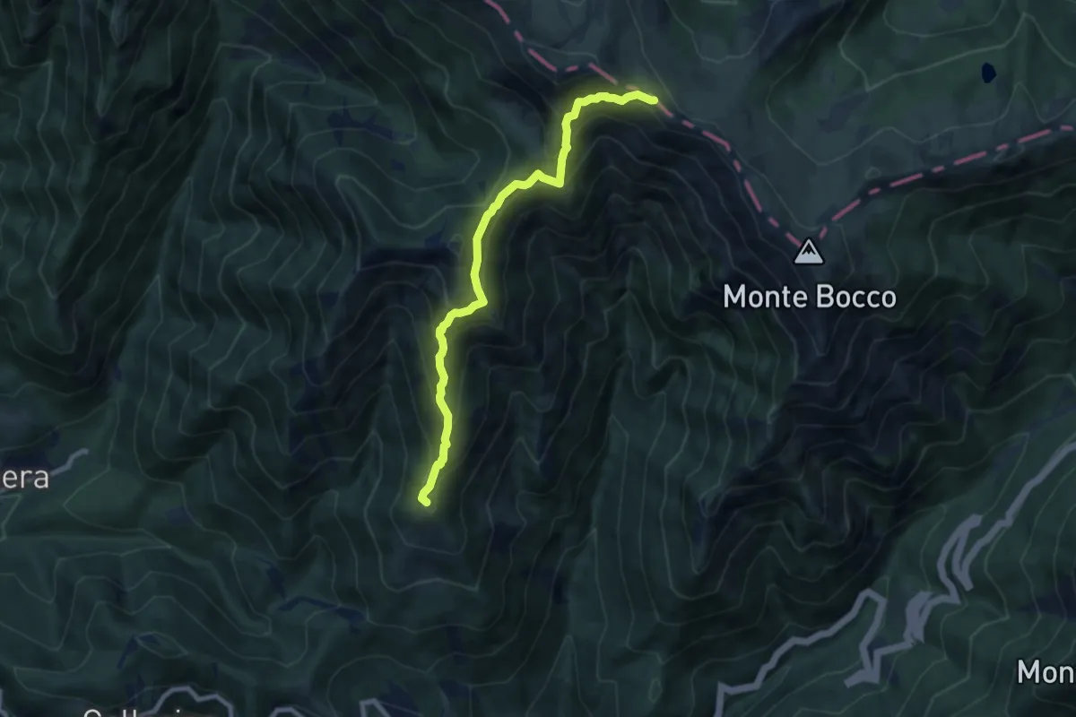
Demanding · Summit
Apella – Passo Giovarello
8.0 km · ↑ 805 m · 3 h 38 min · 13 km away
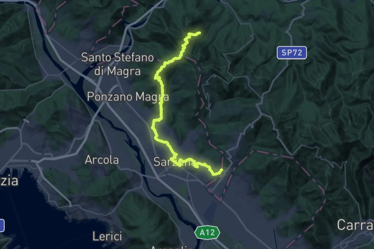
Demanding · Pilgrim path
Via Francigena - 05 Liguria
16.9 km · ↑ 476 m · 5 h 22 min · 13 km away
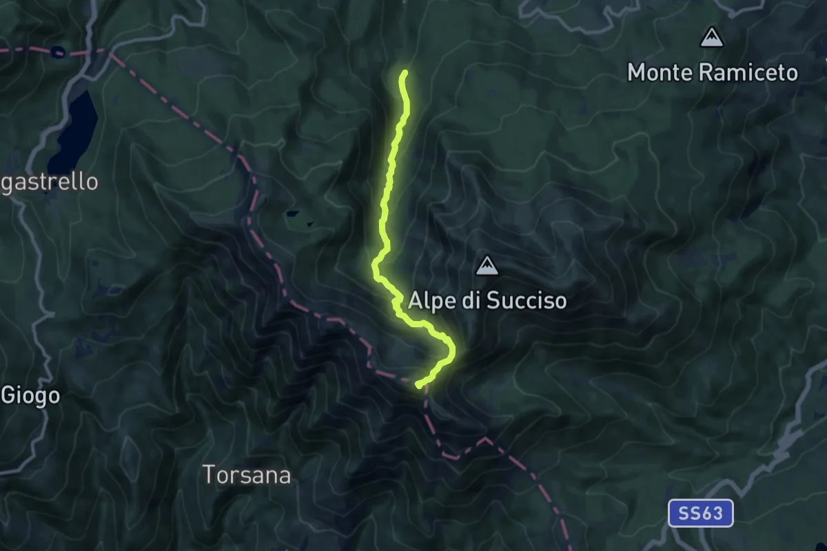
Demanding · Summit
Torrente Liocca – Monte Alto
9.0 km · ↑ 803 m · 3 h 52 min · 13 km away
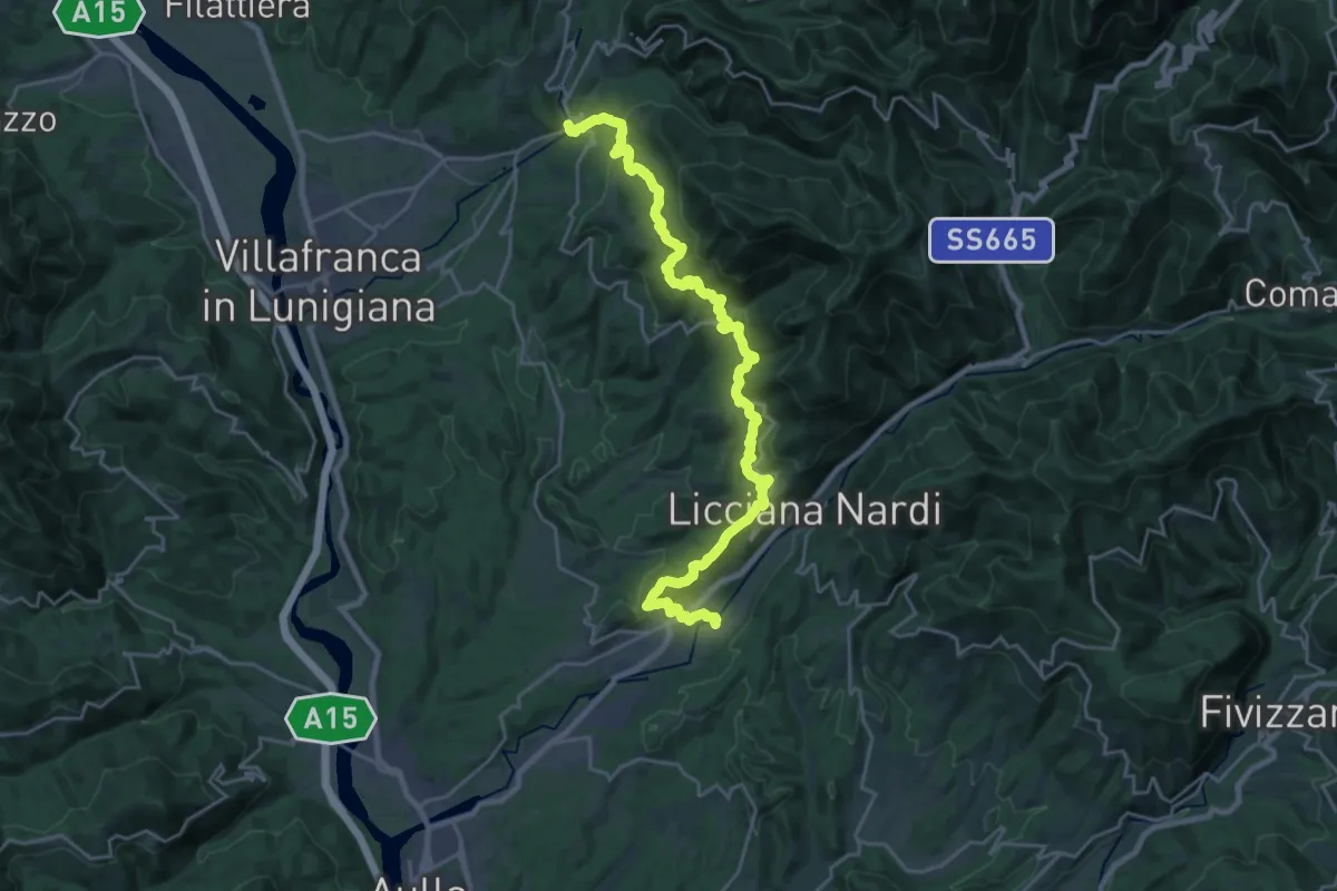
Medium · Trail
Via del Volto Santo 2a
13.9 km · ↑ 525 m · 4 h 40 min · 13 km away
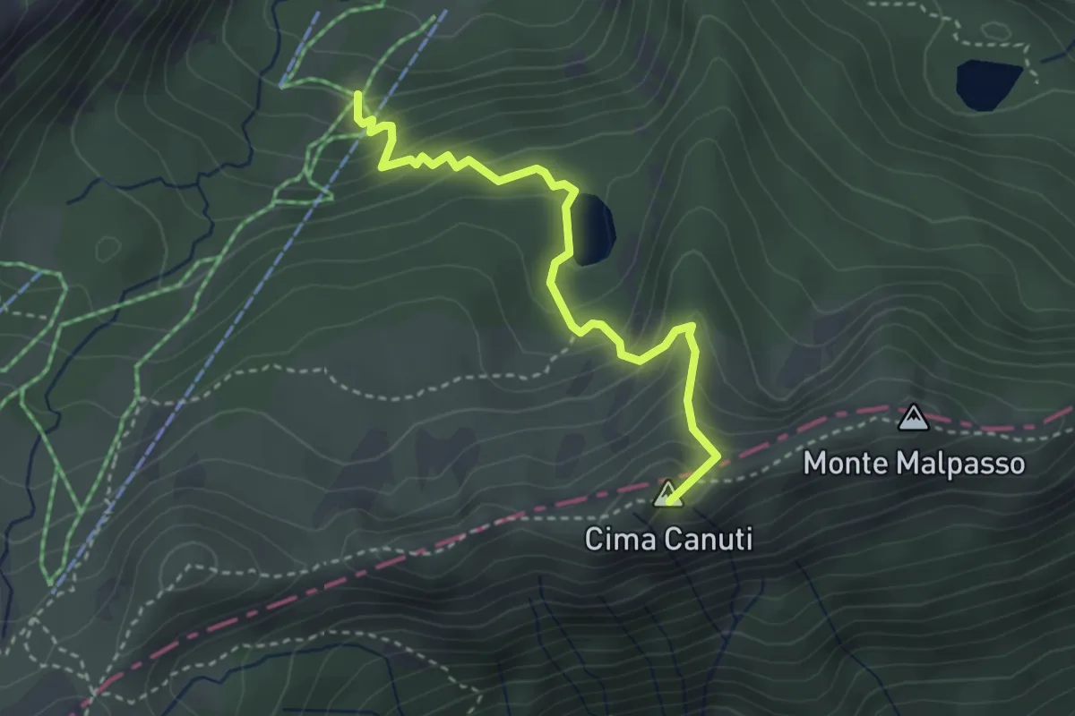
Medium · Summit
Percorso 705 – Monte Malpasso
3.4 km · ↑ 321 m · 1 h 30 min · 13 km away
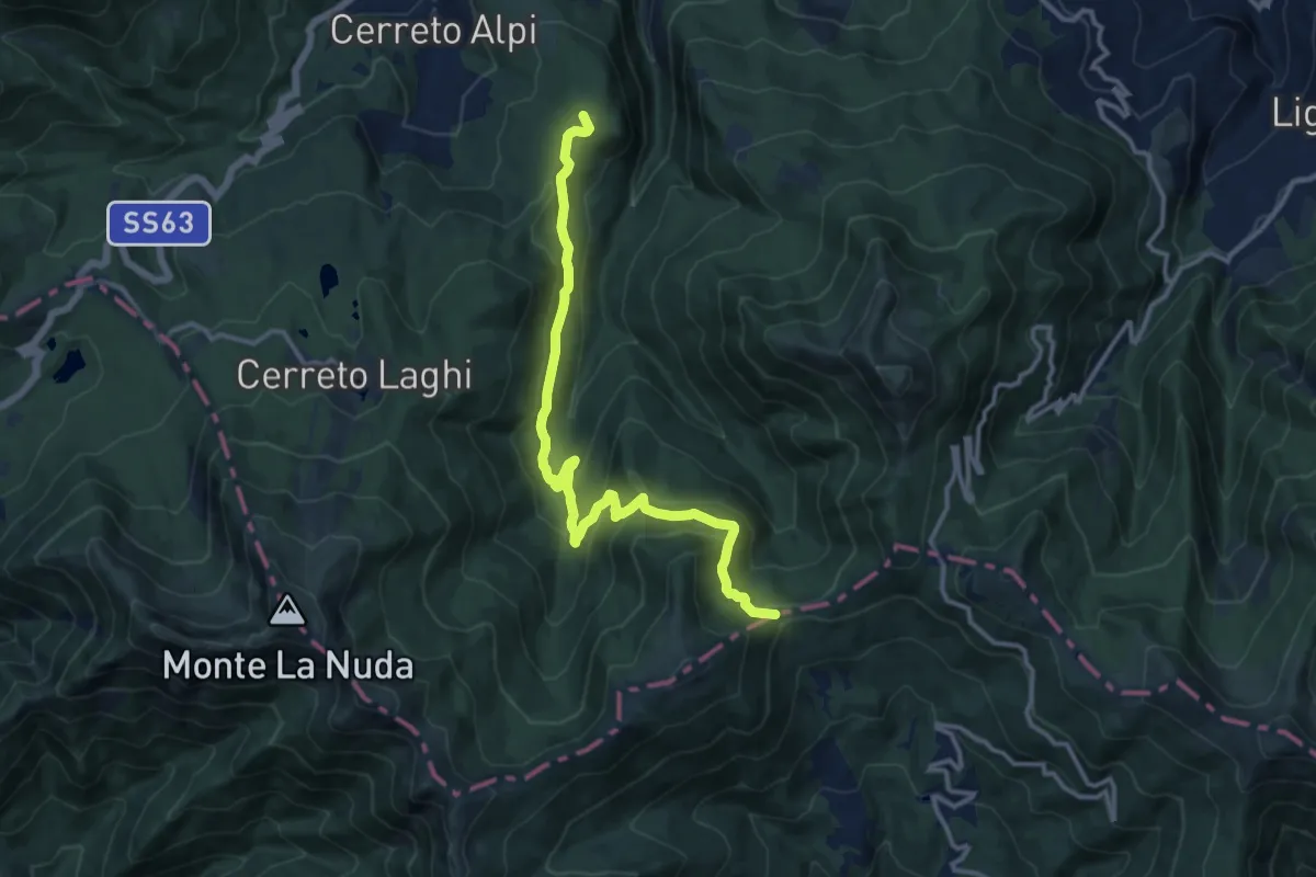
Medium · Summit
Cerreto Alpi – Passo di Cavorsella
13.7 km · ↑ 558 m · 4 h 27 min · 14 km away
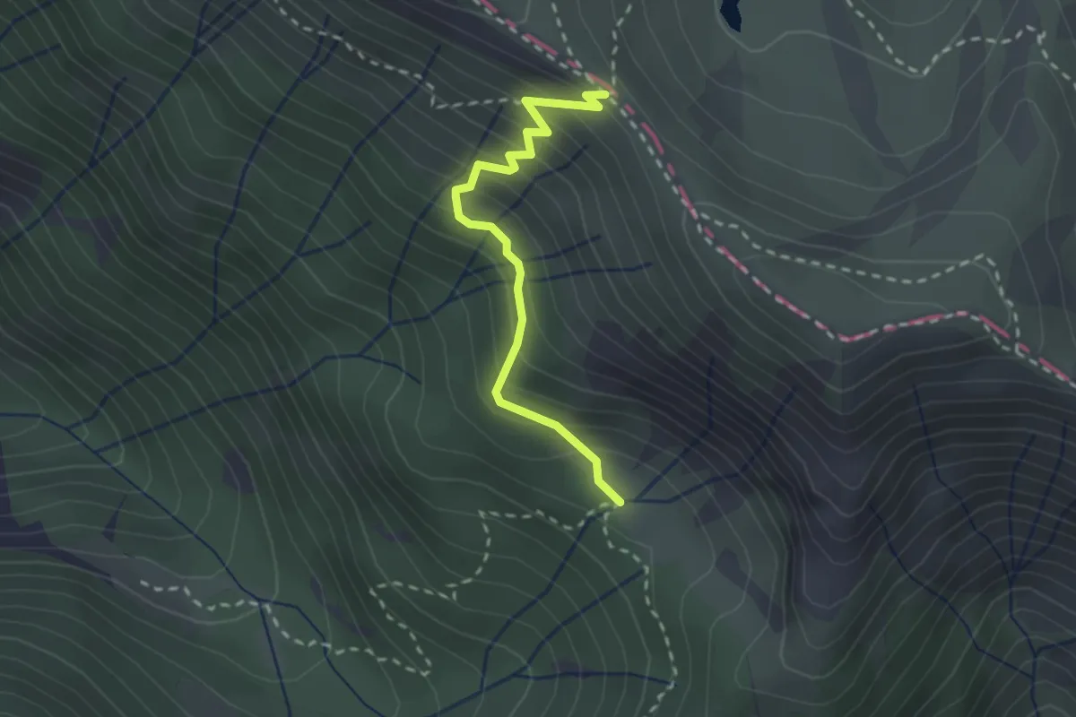
Easy · Trail
Iera – Passo di Compione
2.4 km · ↑ 260 m · 1 h 8 min · 14 km away
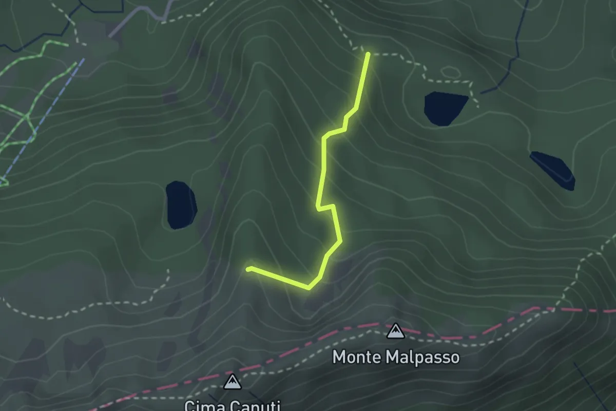
Easy · Trail
Lago Verdarolo – Percorso 703A
2.0 km · ↑ 212 m · 56 min · 14 km away
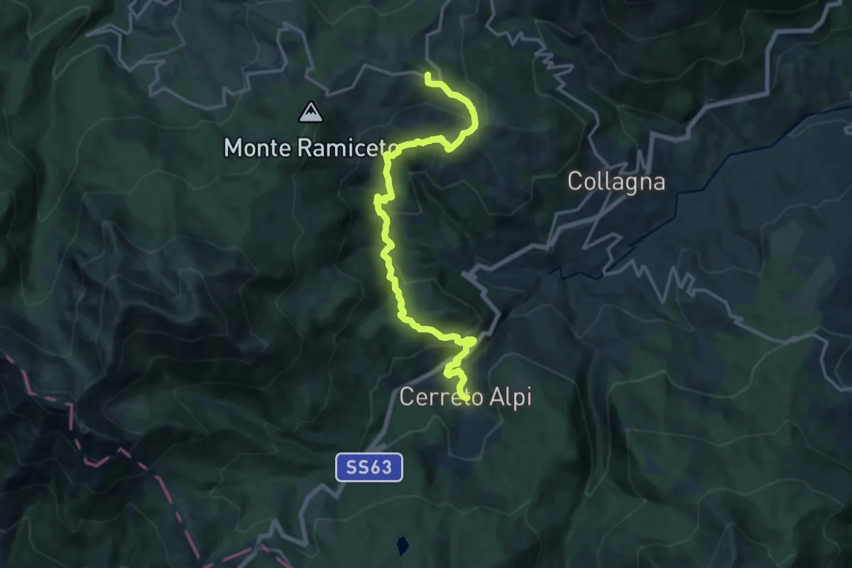
Demanding · Summit
Sentiero dei Pastori tappa 3
15.3 km · ↑ 829 m · 5 h 24 min · 14 km away
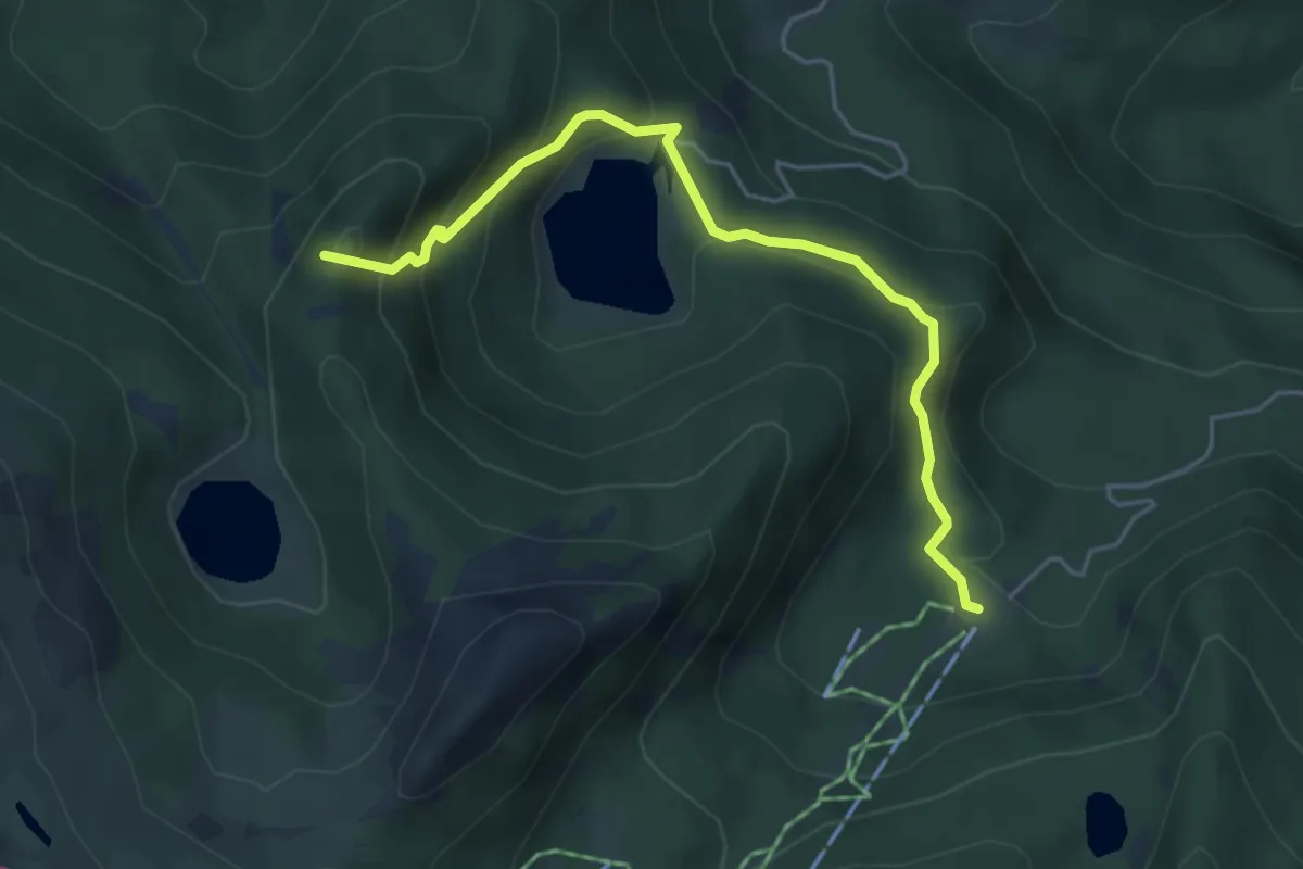
Medium · Summit
Pratospilla – Lago Martini
4.9 km · ↑ 329 m · 1 h 52 min · 14 km away
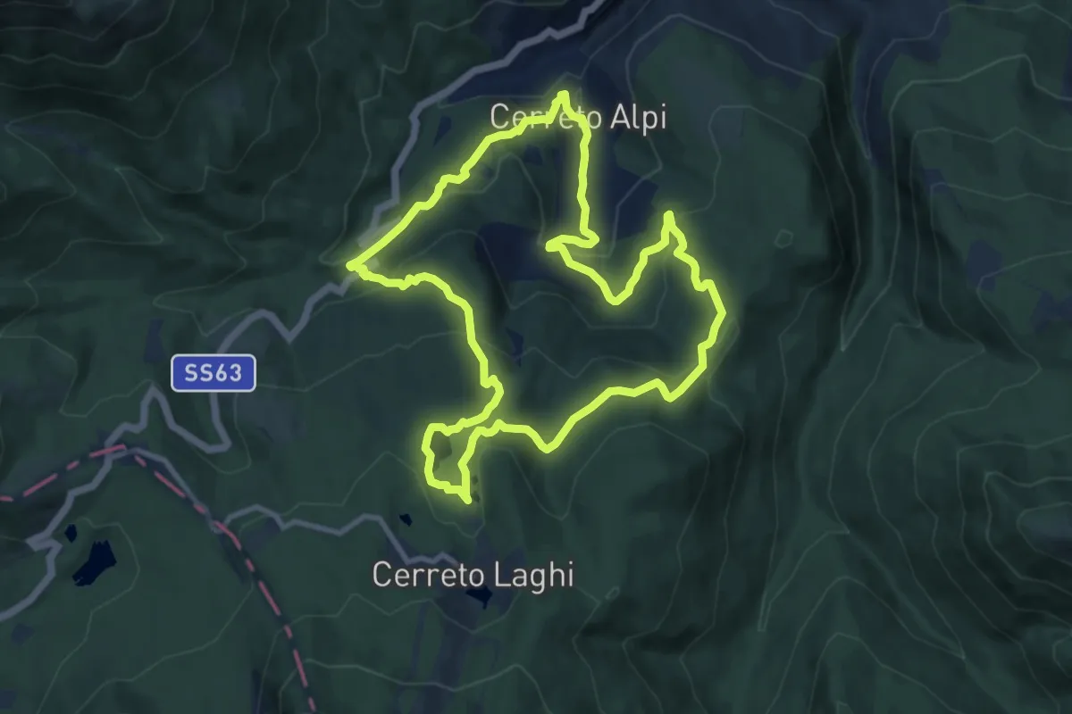
Medium · Summit
Percorso Blu
10.1 km · ↑ 441 m · 3 h 29 min · 14 km away
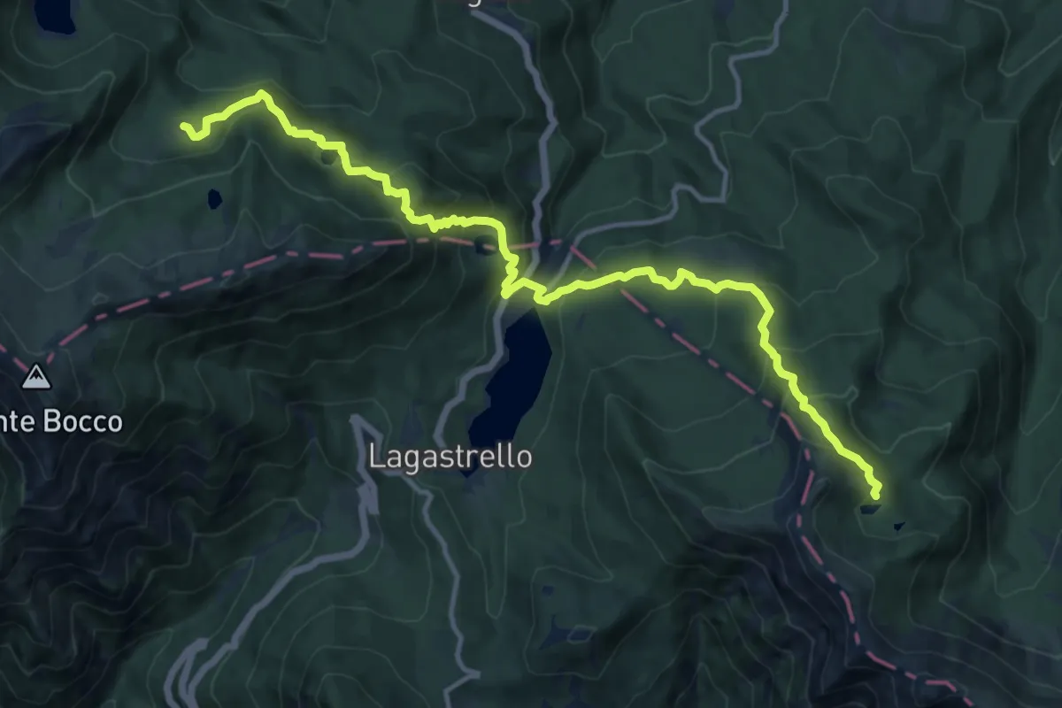
Demanding · Cabin
Rifugio Sarzana al Monte Acuto – Pratospilla
14.9 km · ↑ 1048 m · 5 h 48 min · 14 km away
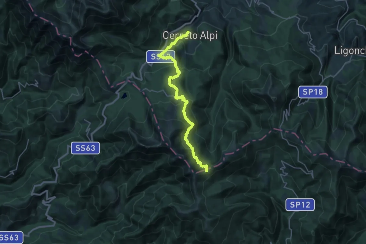
Demanding · Trail
Cerreto Alpi – Passo di Belfiore (sentiero 00)
19.7 km · ↑ 989 m · 6 h 48 min · 14 km away
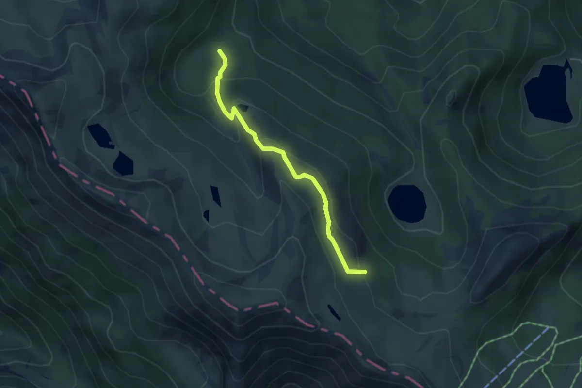
Easy · Trail
Percorso 707 - Lago Frasconi - Rio Frasconi
3.7 km · ↑ 203 m · 1 h 19 min · 14 km away
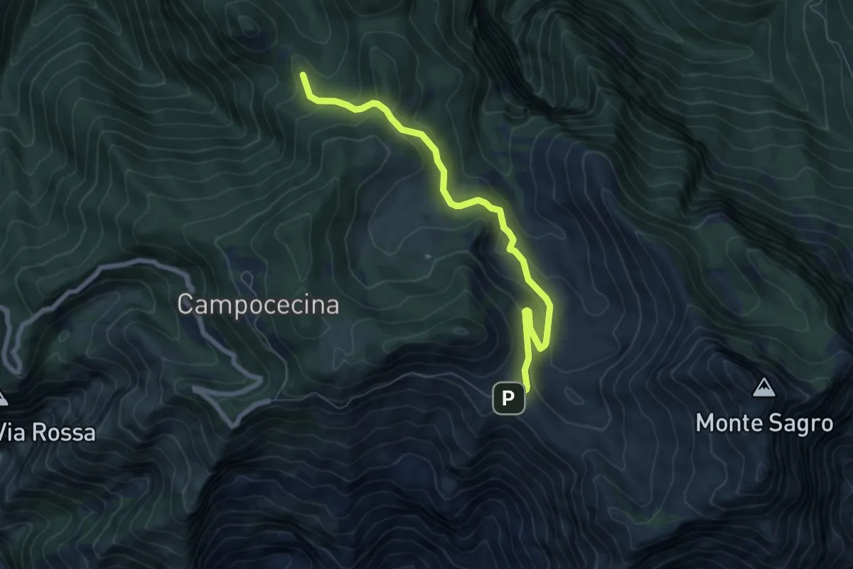
Medium · Trail
Foce di Pianza – Casa Cardeto
7.0 km · ↑ 327 m · 2 h 22 min · 14 km away
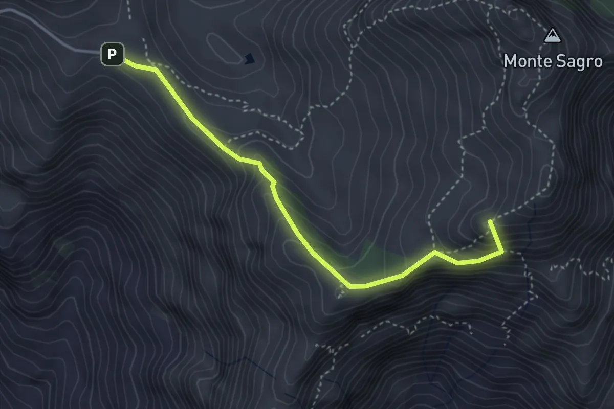
Demanding · Summit
Foce di Pianza – Foce Luccica
3.8 km · ↑ 302 m · 1 h 33 min · 14 km away
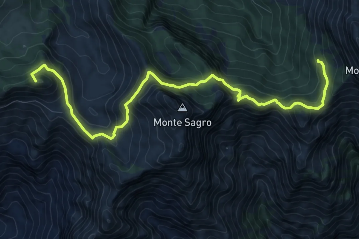
Demanding · Summit
Rifugio Carrara – Capanna Garnerone
12.4 km · ↑ 912 m · 4 h 54 min · 14 km away
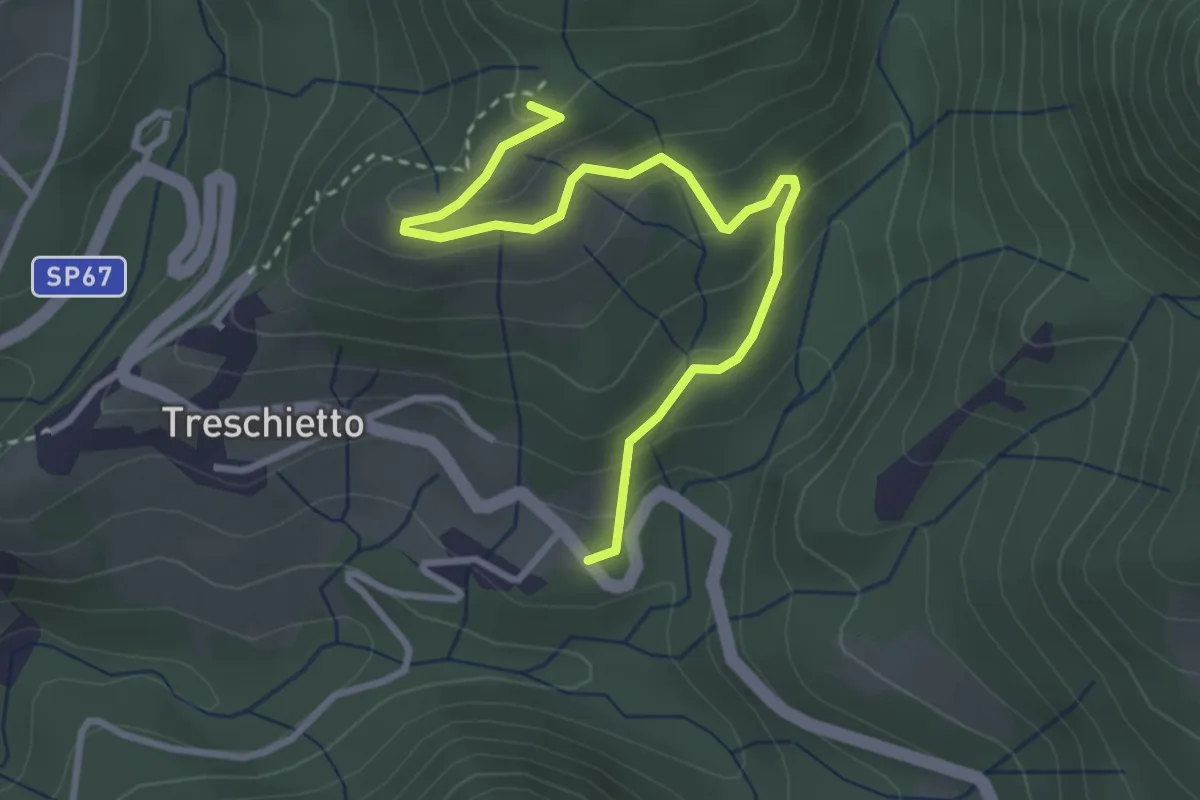
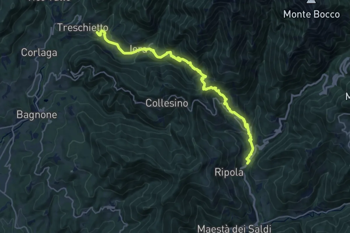
Easy · Summit
Treschietto – Percorso 118
3.5 km · ↑ 166 m · 1 h 11 min · 14 km away
Demanding · Trail
Trekking Lunigiana 7
18.4 km · ↑ 1102 m · 6 h 44 min · 14 km away
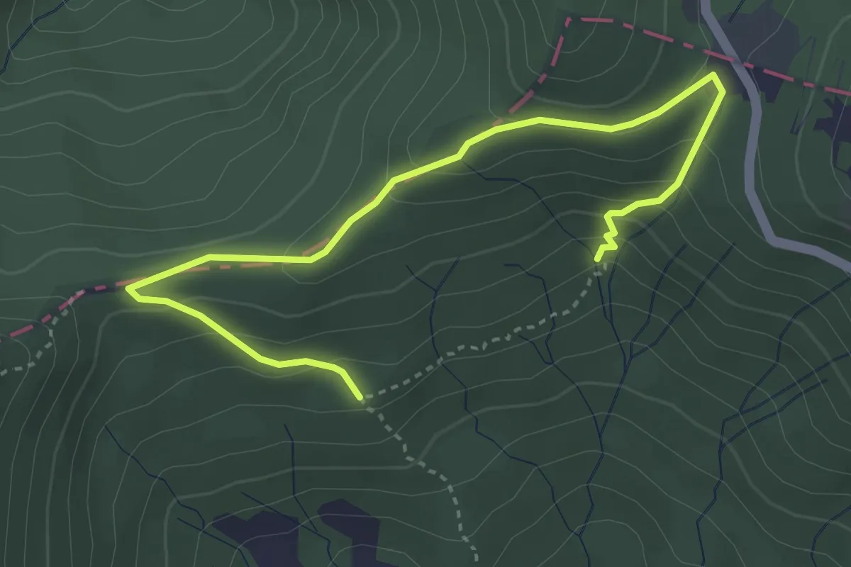
Easy · Trail
Anello della Contessa
4.6 km · ↑ 259 m · 1 h 39 min · 14 km away
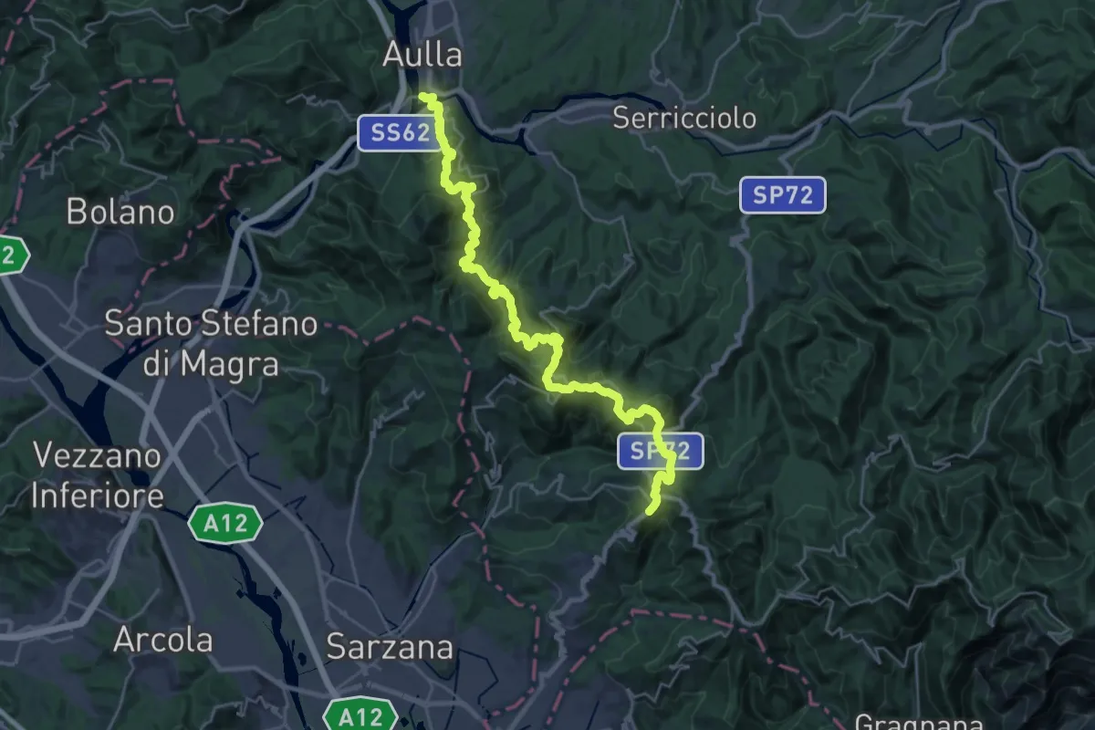
Demanding · Trail
Trekking Lunigiana 13
15.3 km · ↑ 597 m · 5 h 19 min · 14 km away
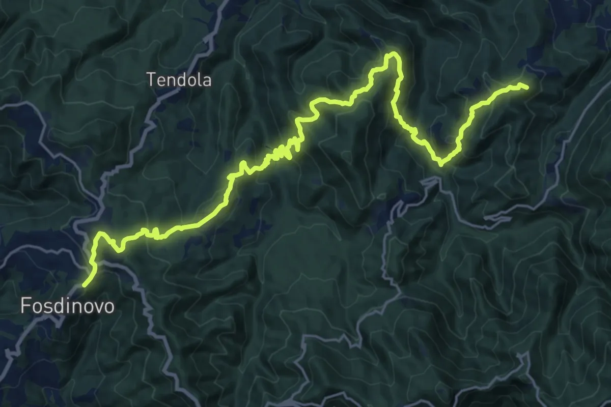
Demanding · Summit
Trekking Lunigiana 12
24.6 km · ↑ 1378 m · 8 h 48 min · 14 km away
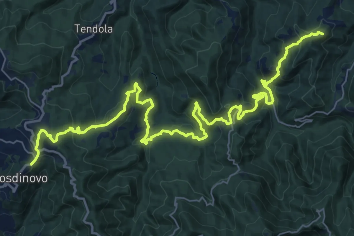
Demanding · Summit
Sentiero dei Ducati Tappa 11
28.7 km · ↑ 1420 m · 9 h 51 min · 14 km away
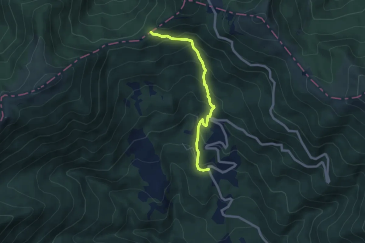
Medium · Trail
Laghetti di Lamastrone - Passo di Cavorsella
4.9 km · ↑ 346 m · 1 h 55 min · 14 km away
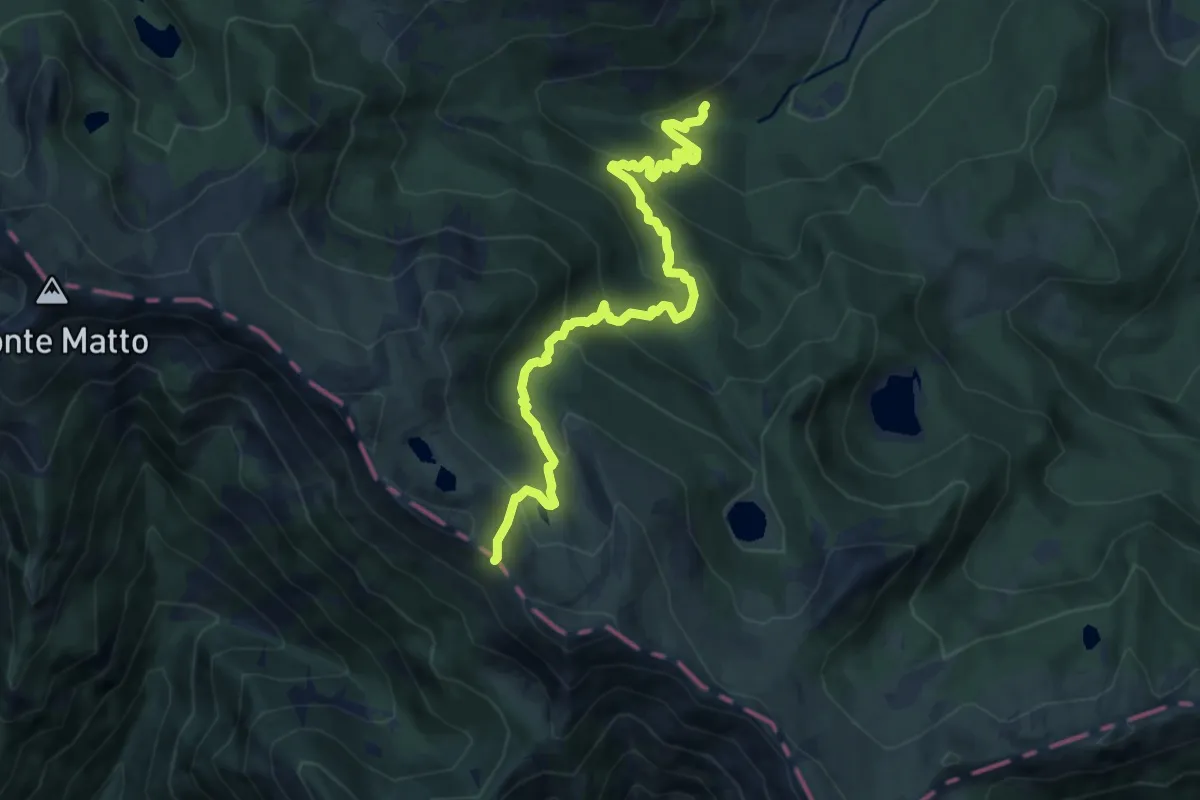
Medium · Trail
Torrente Colla – Passo di Compione
10.6 km · ↑ 744 m · 4 h 6 min · 14 km away
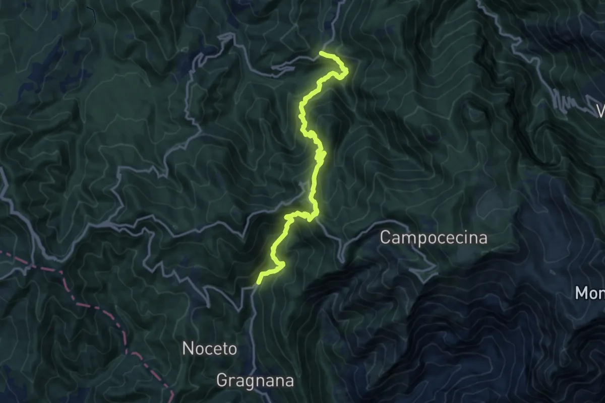
Demanding · Trail
Ponte Storto – Maestà della Villa
13.5 km · ↑ 1285 m · 5 h 58 min · 14 km away
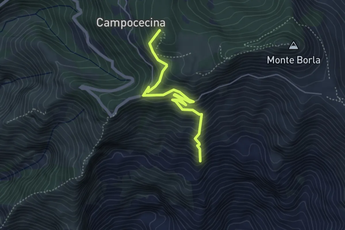
Medium · Summit
Torano – Rifugio Carrara
4.5 km · ↑ 586 m · 2 h 20 min · 14 km away
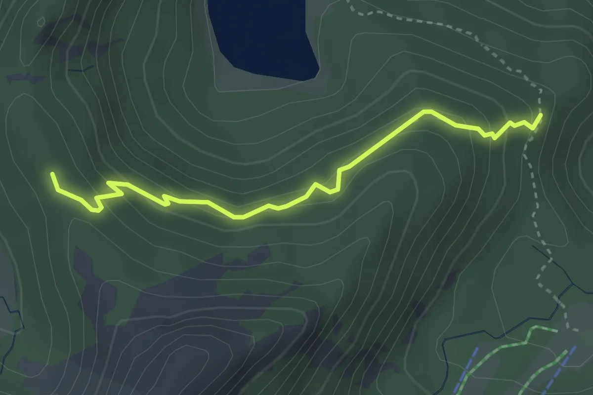
Easy · Trail
Percorso 707 - Lago Verde
3.3 km · ↑ 242 m · 1 h 18 min · 14 km away
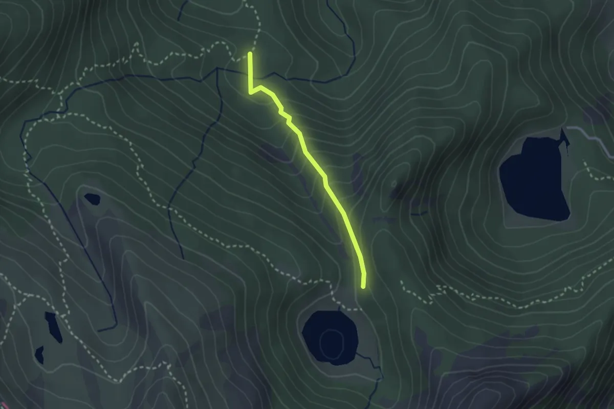
Easy · Trail
Percorso 709 – Lago Verde
2.3 km · ↑ 189 m · 57 min · 14 km away
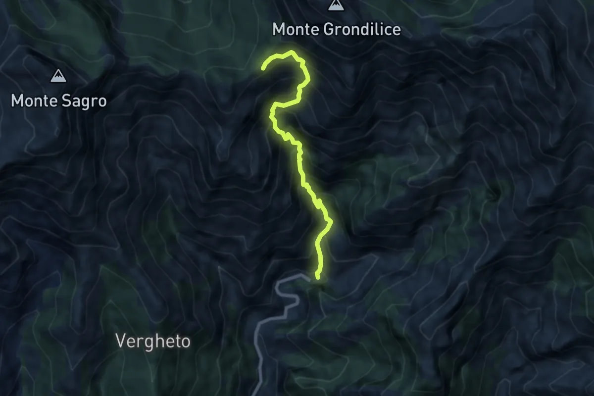
Demanding · Trail
Biforco – Foce Rasori
6.5 km · ↑ 1081 m · 3 h 53 min · 14 km away
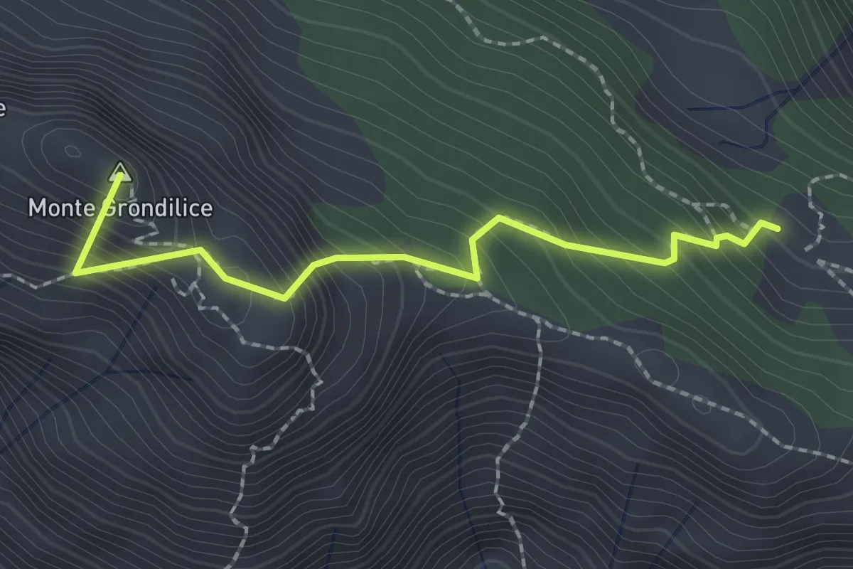
Demanding · Summit
Foce di Rasori – Orto di Donna
2.1 km · ↑ 266 m · 1 h 4 min · 14 km away
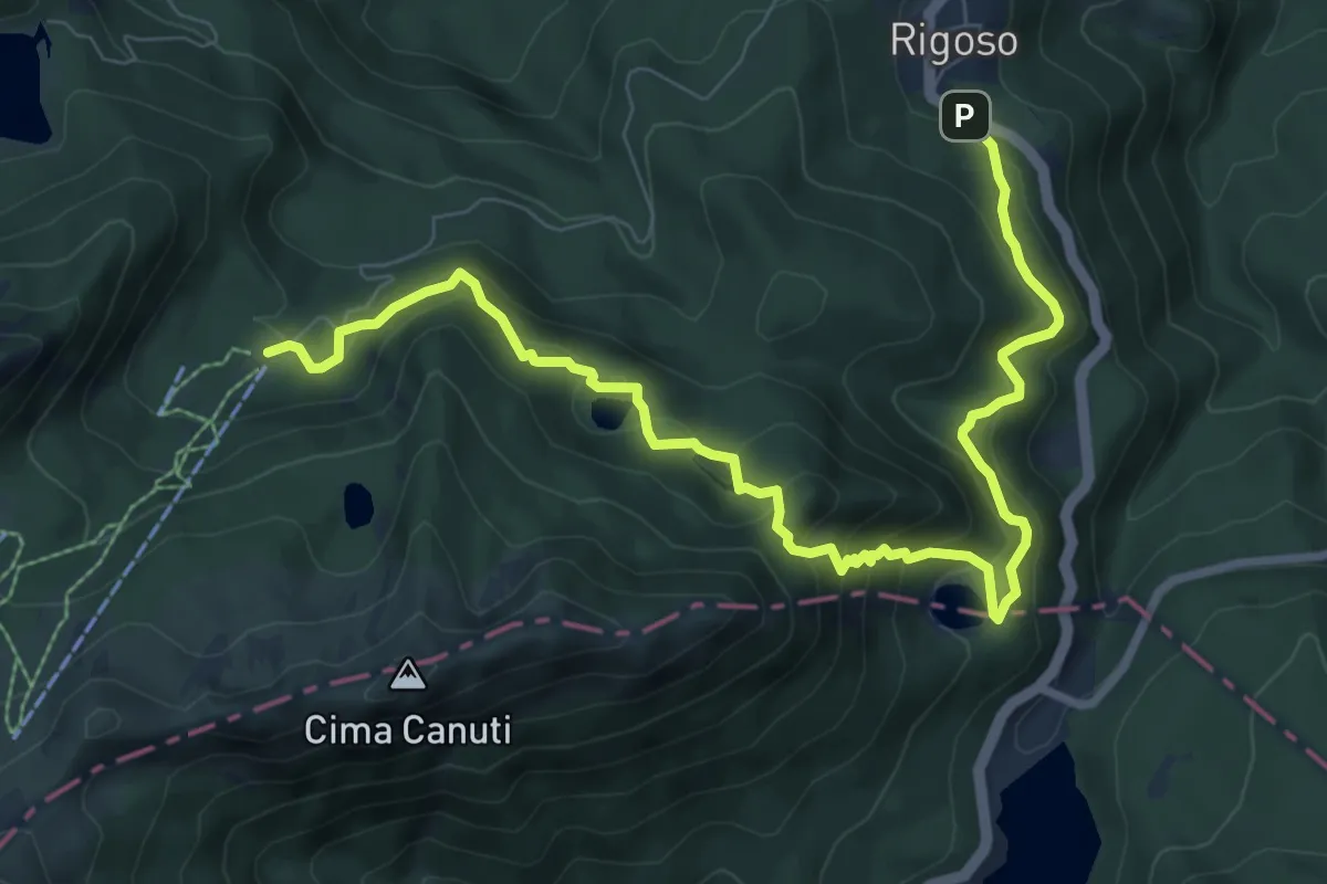
Medium · Cabin
Rigoso – Prato Spilla
10.4 km · ↑ 684 m · 3 h 57 min · 14 km away
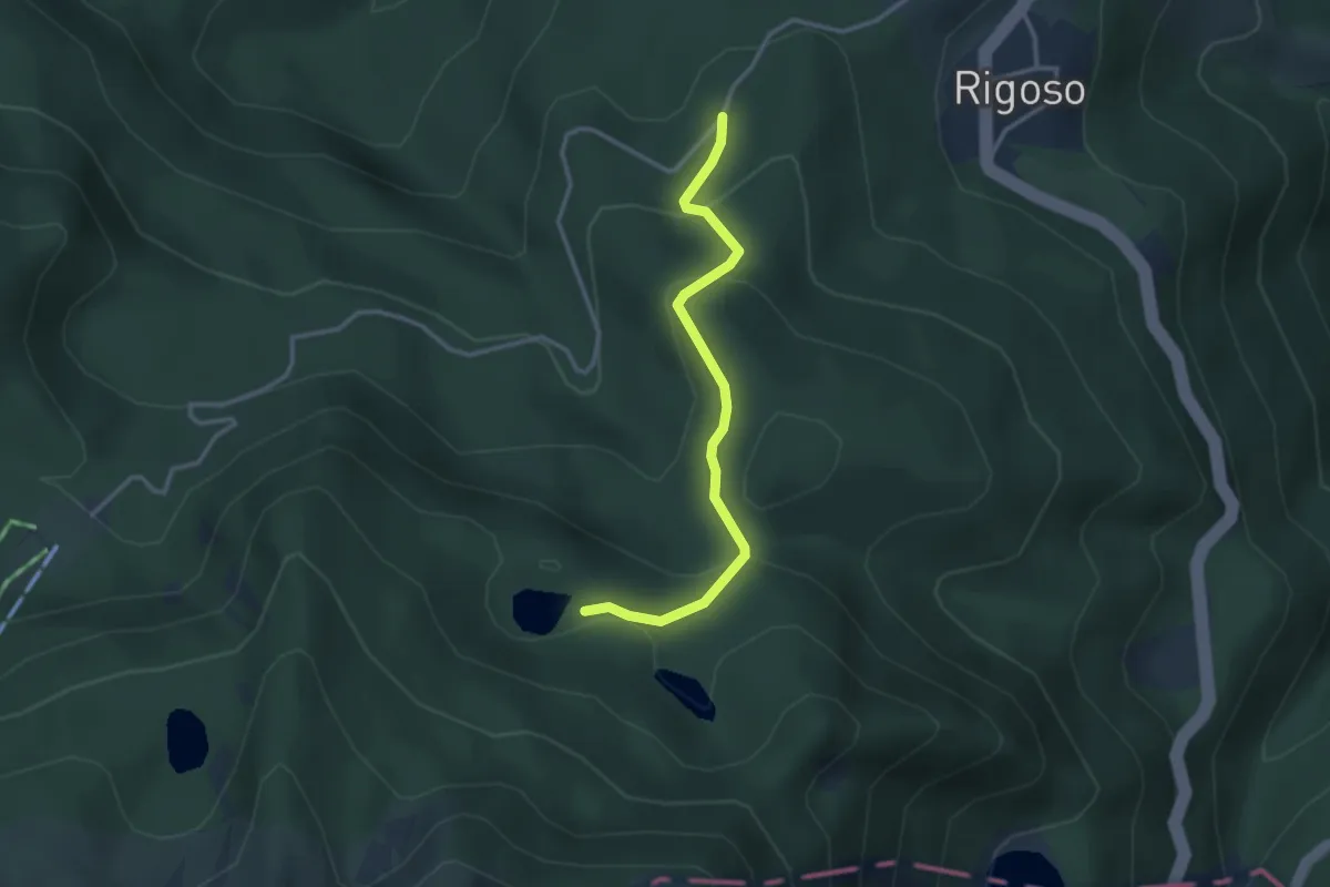
Easy · Trail
Strada di Prato Spilla - Lago Verdarolo
3.1 km · ↑ 178 m · 1 h 7 min · 15 km away
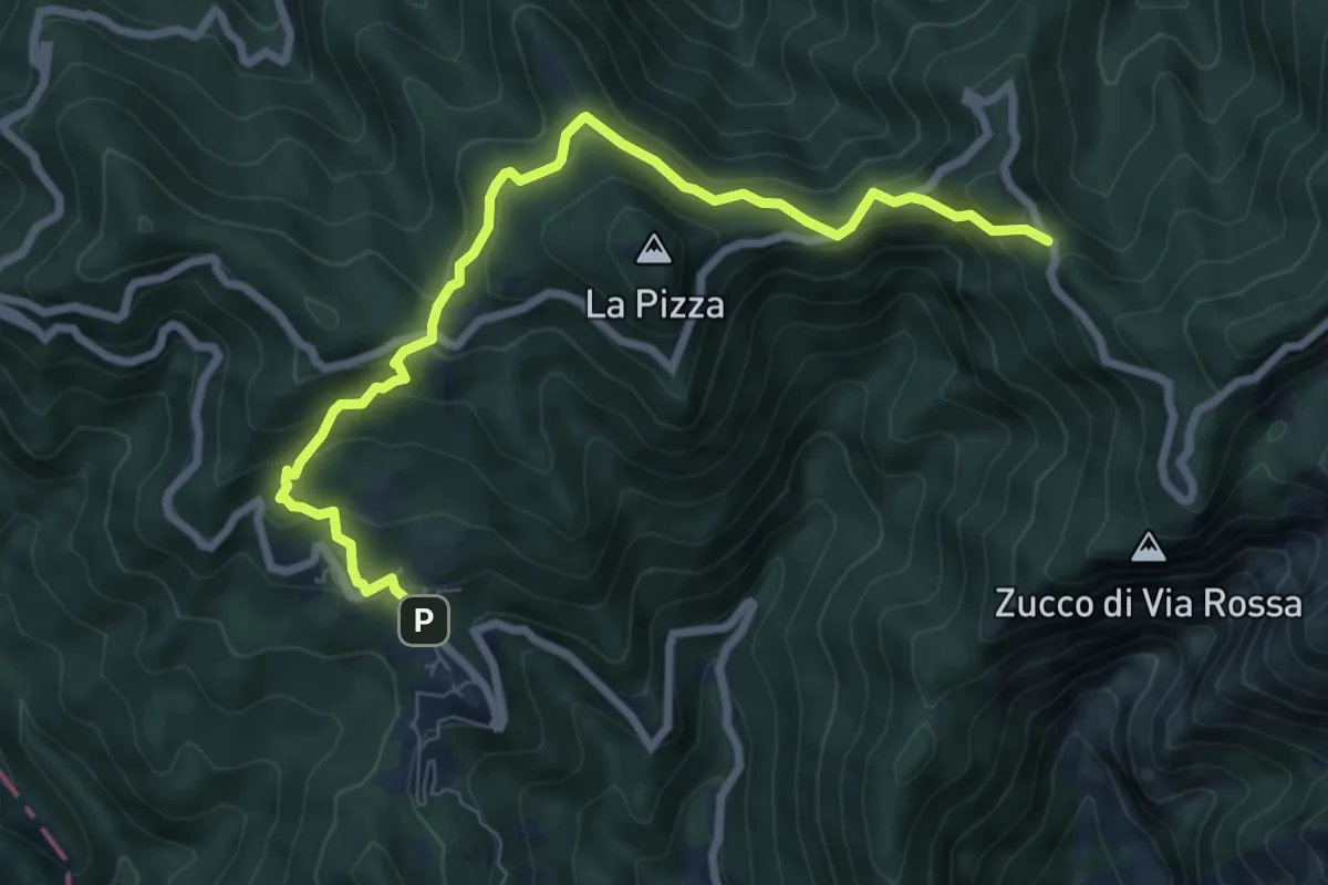
Medium · Trail
Castelpoggio – Gabellaccia
8.4 km · ↑ 454 m · 2 h 58 min · 15 km away
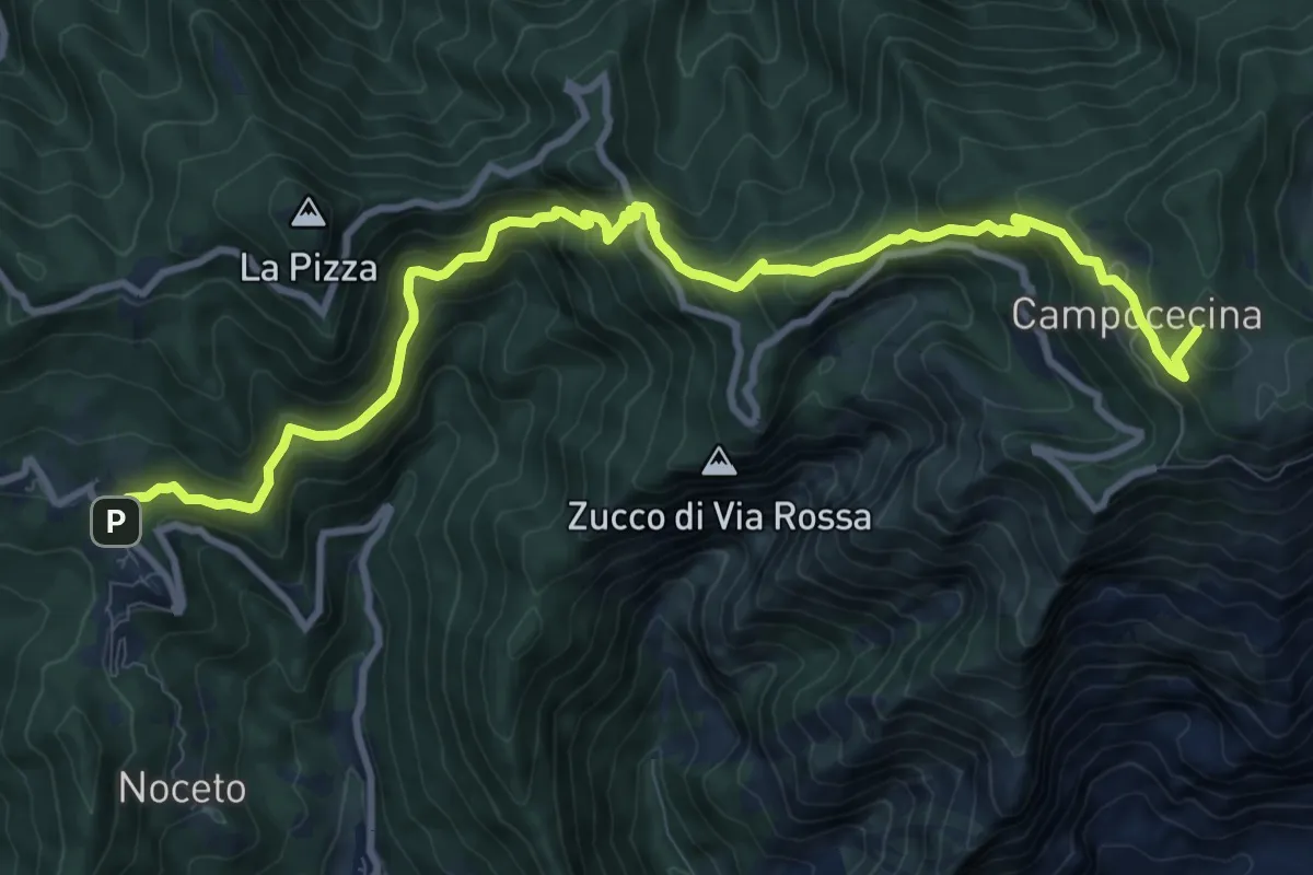
Demanding · Summit
Castelpoggio – Rifugio Carrara
12.1 km · ↑ 946 m · 4 h 55 min · 15 km away
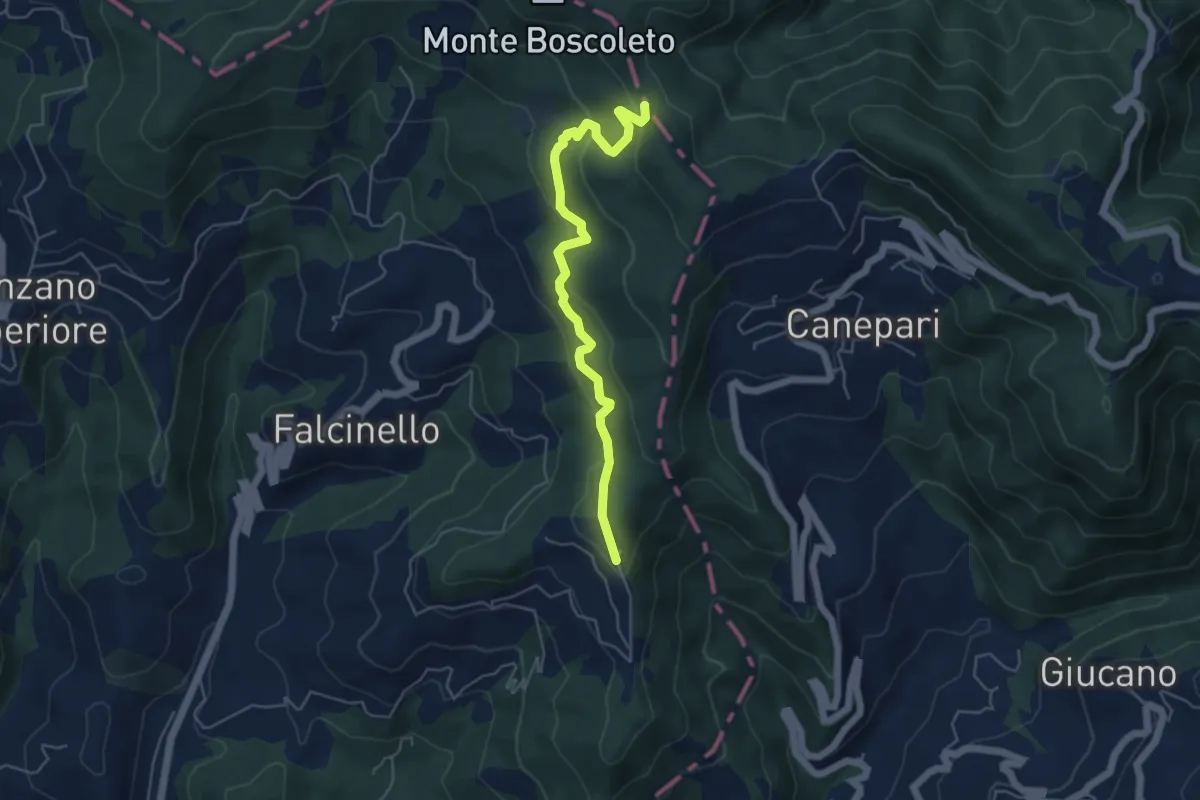
Easy · Trail
Percorso 325 – Percorso 290
5.3 km · ↑ 240 m · 1 h 47 min · 15 km away
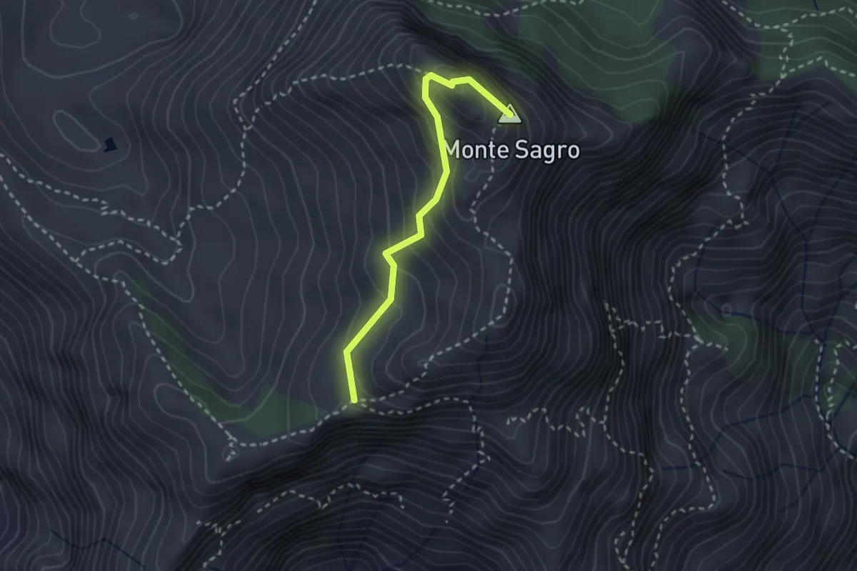
Medium · Summit
Via Normale al Sagro
2.5 km · ↑ 246 m · 1 h 8 min · 15 km away
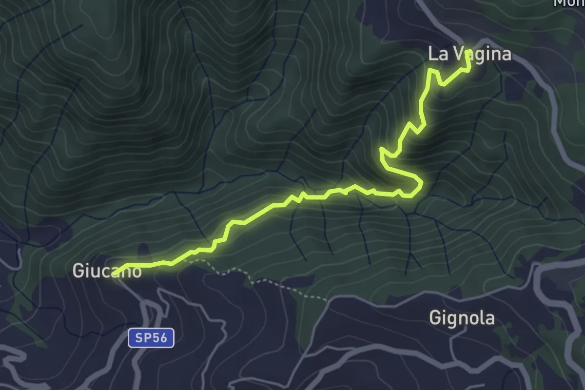
Medium · Trail
Giucano – Località La Vagina
5.1 km · ↑ 404 m · 2 h 5 min · 15 km away