Trails near Fivizzano
170 hikes starting within 15 km, nearest first.
Nearest first, page 4 of 4
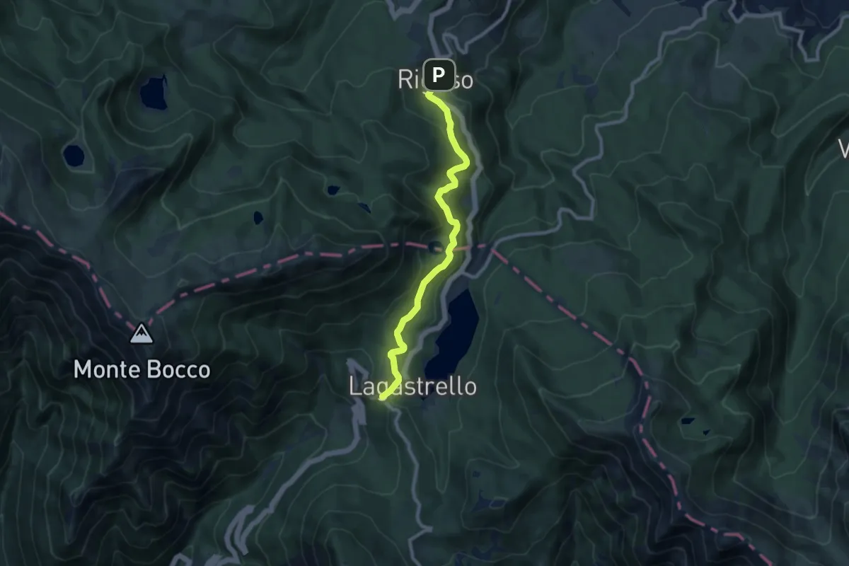
Medium · Trail
Via di Linari - tappa 8 - Rigoso - Linari (ruderi)
8.6 km · ↑ 315 m · 2 h 42 min · 15 km away
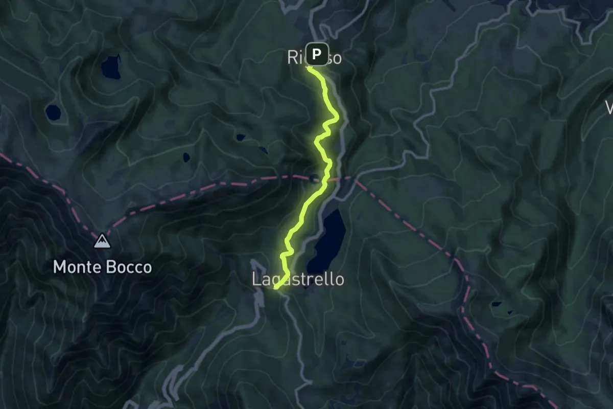
Medium · Trail
Sentiero dei Ducati Tappa 08
8.6 km · ↑ 315 m · 2 h 42 min · 15 km away
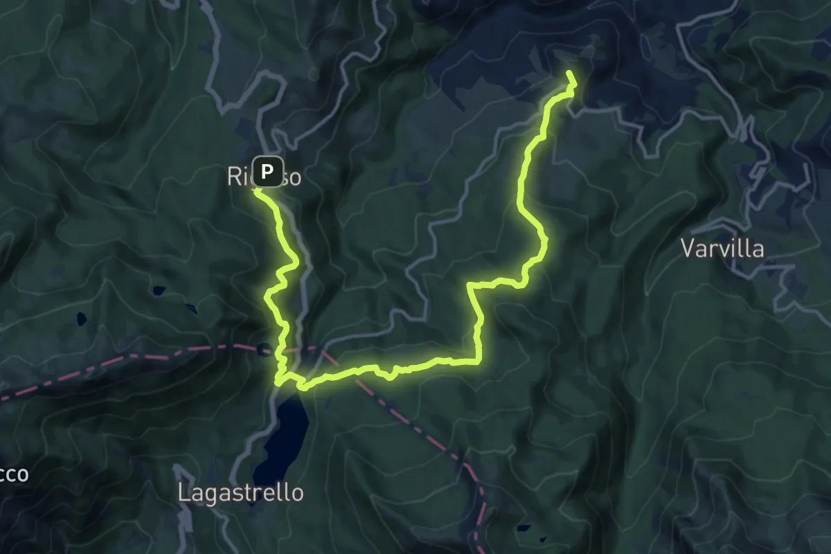
Demanding · Summit
Sentiero dei Ducati Tappa 07
18.3 km · ↑ 864 m · 6 h 11 min · 15 km away
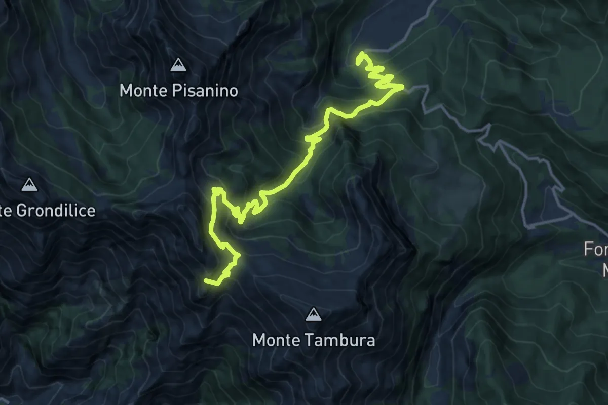
Demanding · Summit
Biforco – Gorfigliano
15.3 km · ↑ 1288 m · 6 h 24 min · 15 km away
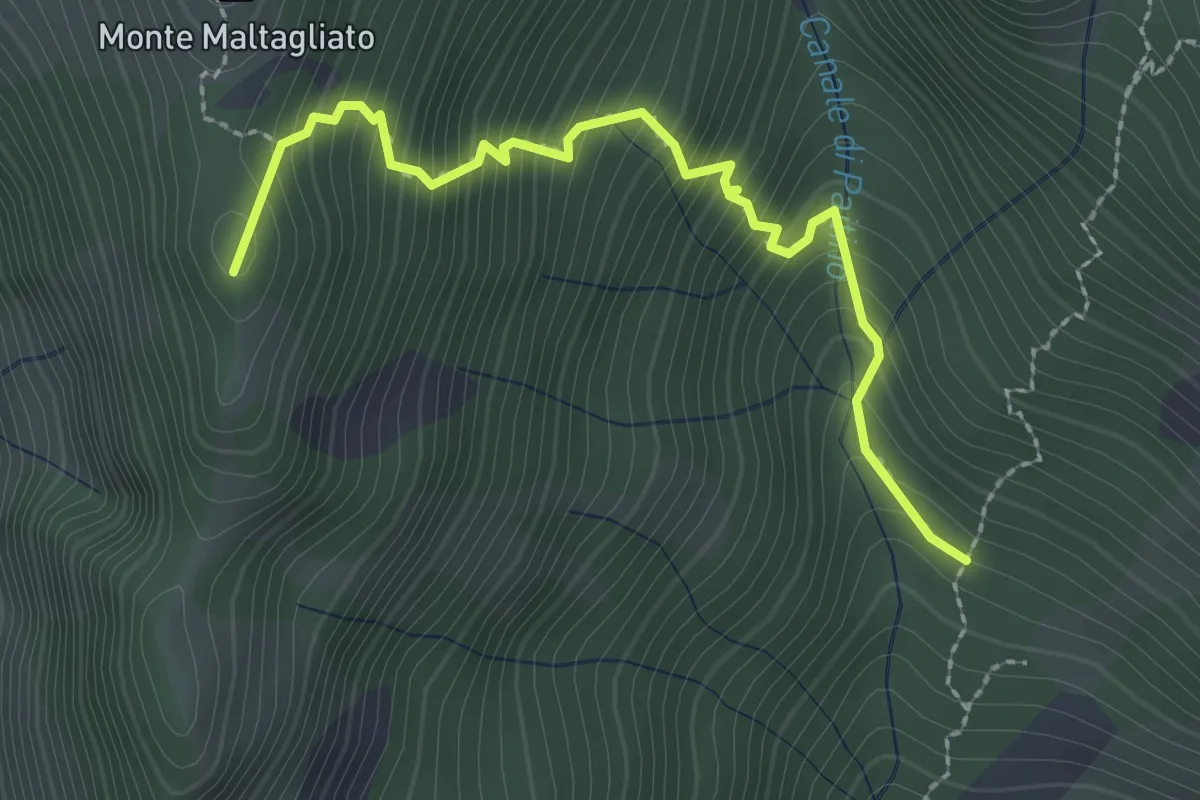
Medium · Summit
Capanne di Iera – Pianelli di Lola
2.7 km · ↑ 407 m · 1 h 31 min · 15 km away
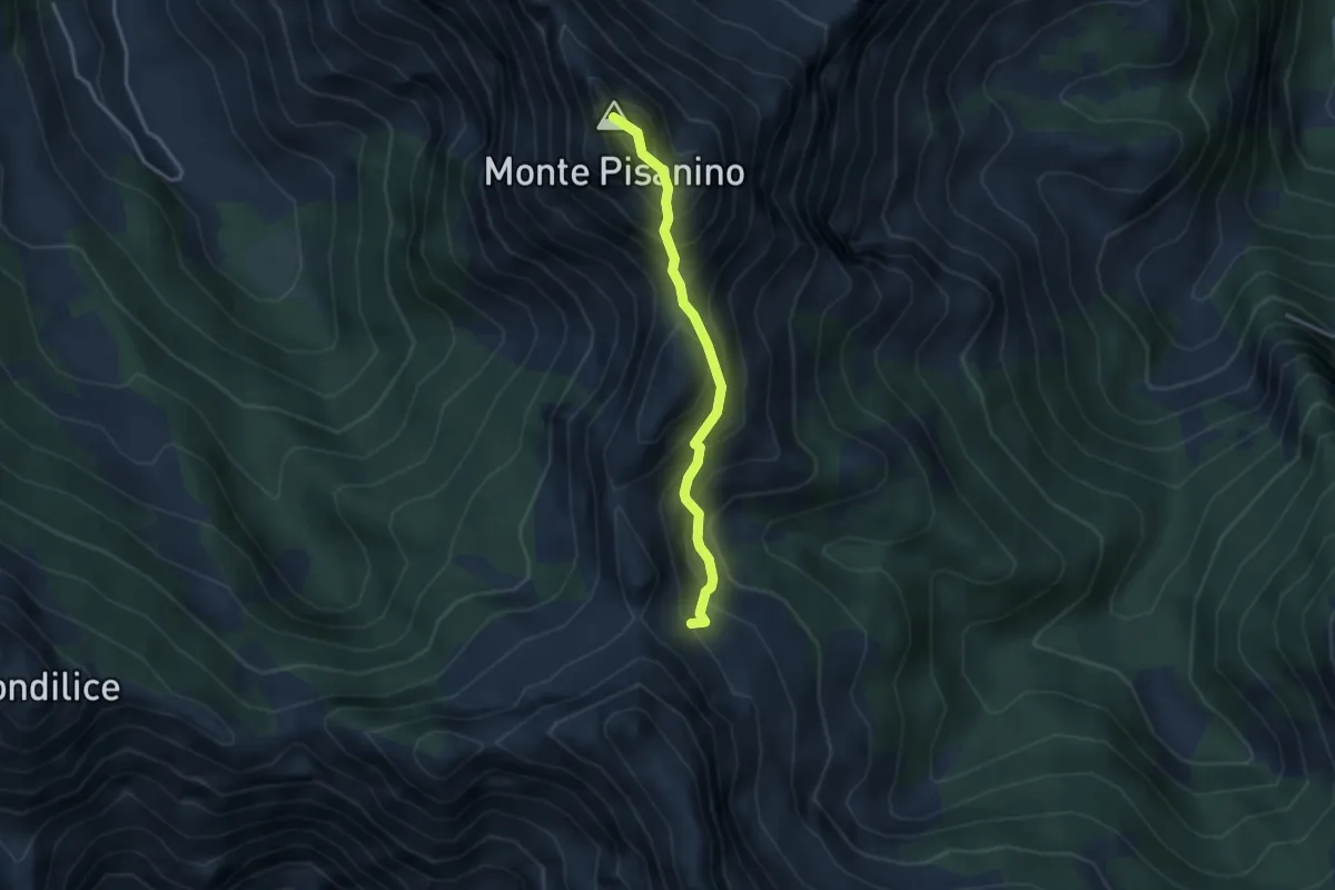
Expert · Summit
Via Normale Monte Pisanino
3.2 km · ↑ 467 m · 1 h 46 min · 15 km away
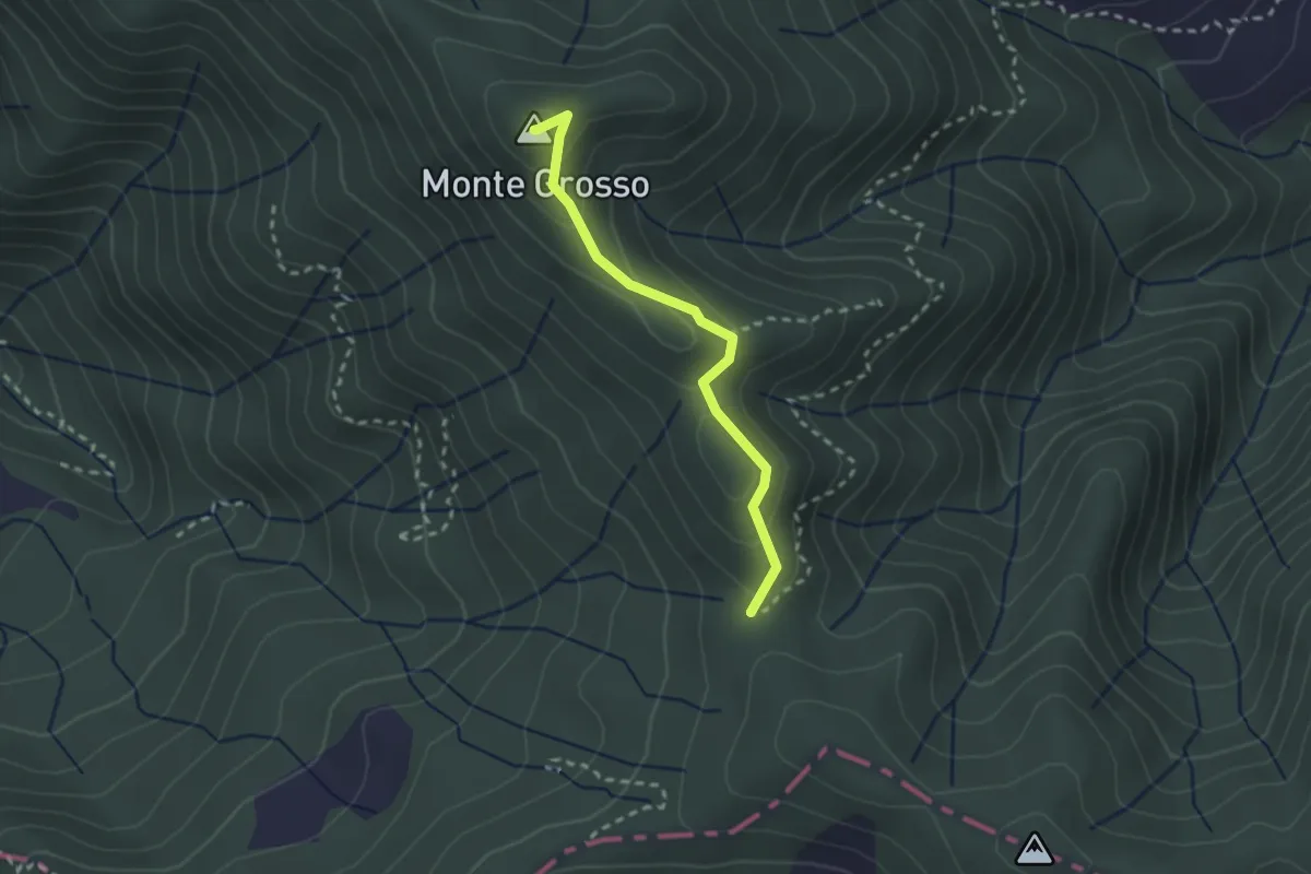
Easy · Summit
S5: Quattro Strade - Monte Grosso - La Tira
2.3 km · ↑ 113 m · 48 min · 15 km away
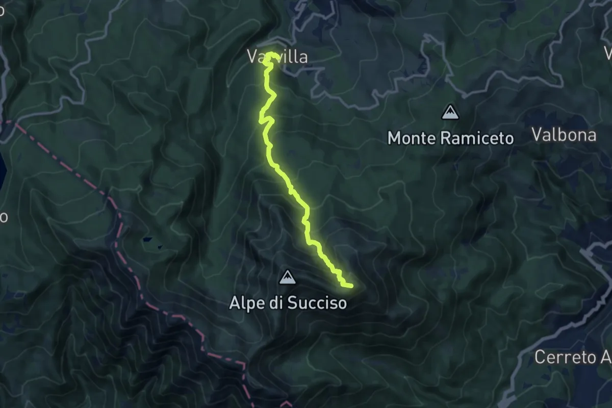
Demanding · Summit
Succiso Nuovo – Sella del Casarola
10.2 km · ↑ 996 m · 4 h 34 min · 15 km away
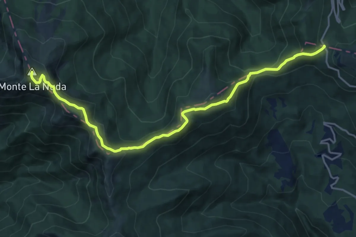
Medium · Summit
Alta via dei Parchi: Tappa 04
13.8 km · ↑ 774 m · 4 h 56 min · 15 km away
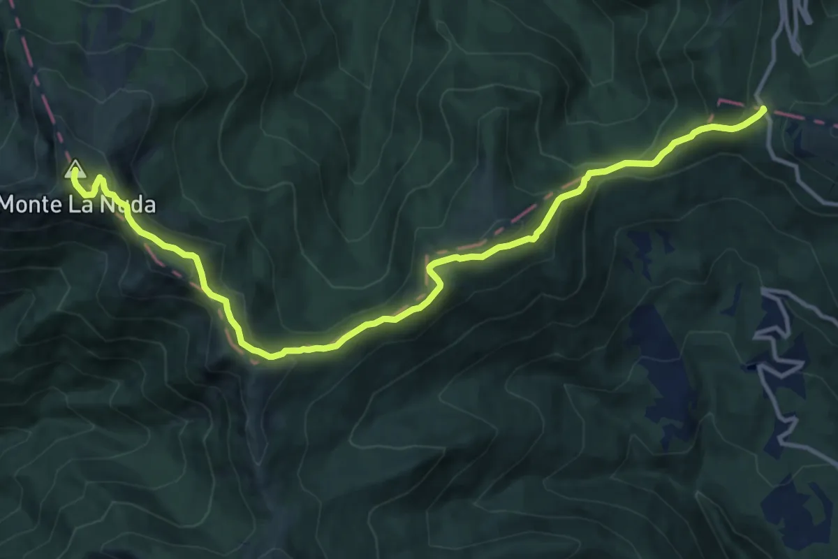
Medium · Summit
E1 Toscana 05 Passo del Cerreto - Passo di Pradarena
13.8 km · ↑ 774 m · 4 h 56 min · 15 km away
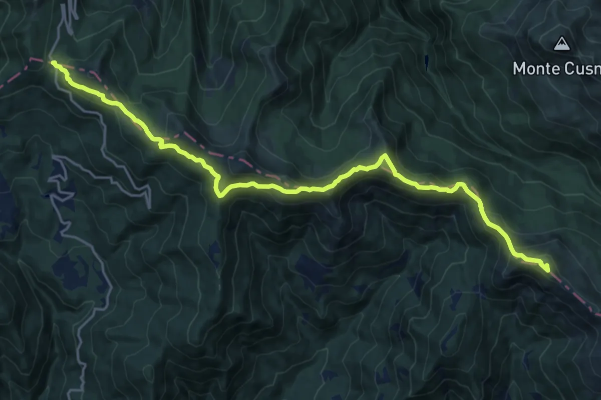
Demanding · Summit
Alta via dei Parchi: Tappa 05
18.8 km · ↑ 989 m · 6 h 35 min · 15 km away
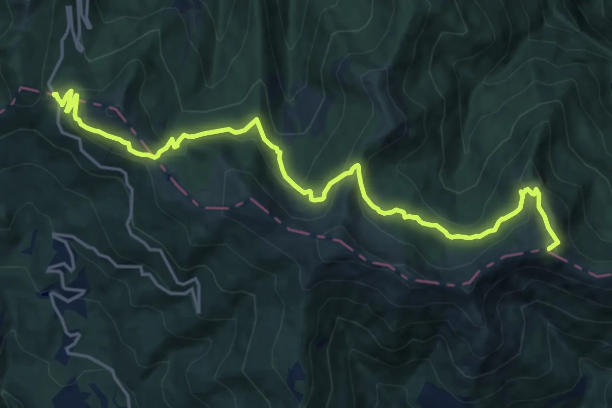
Medium · Summit
Passo di Lama Lite – Passo di Pradarena
15.5 km · ↑ 720 m · 5 h 14 min · 15 km away
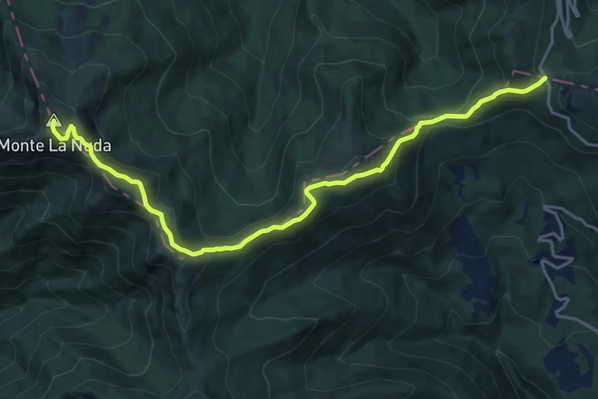
Medium · Summit
Grande Escursione Appenninica - Tappa 19
13.8 km · ↑ 741 m · 4 h 51 min · 15 km away
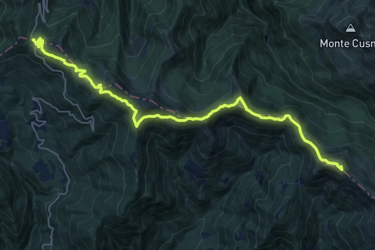
Demanding · Summit
Grande Escursione Appenninica - Tappa 18
21.2 km · ↑ 1002 m · 7 h 11 min · 15 km away
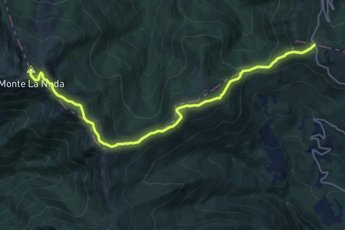
Medium · Summit
Passo di Pradarena – Passo del Cerreto
13.8 km · ↑ 741 m · 4 h 51 min · 15 km away
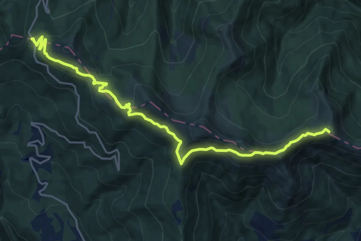
Medium · Summit
Garfagnana Trekking - Tappa 7
14.5 km · ↑ 593 m · 4 h 42 min · 15 km away
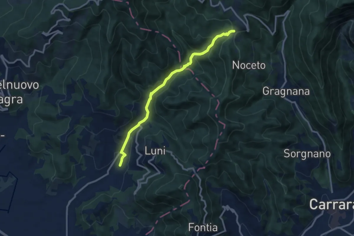
Medium · Trail
Casano – Castelpoggio
7.9 km · ↑ 432 m · 2 h 49 min · 15 km away
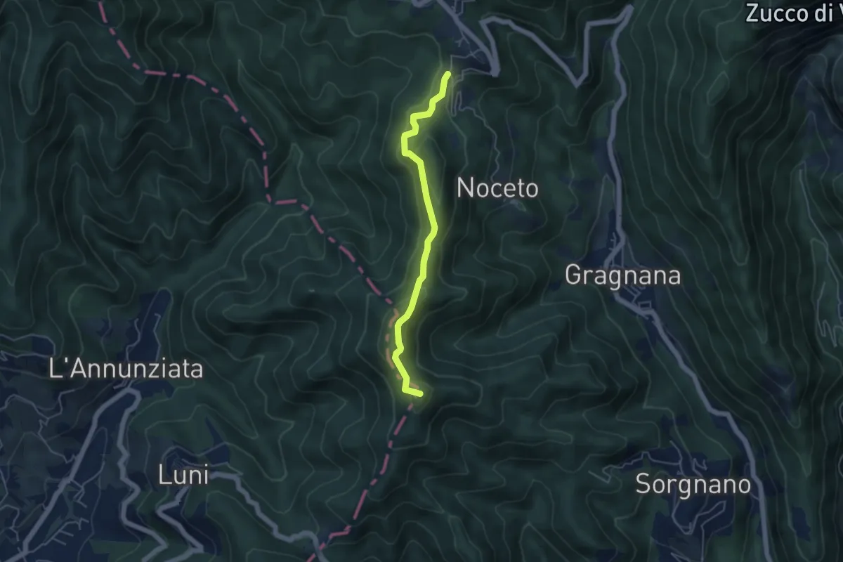
Easy · Summit
Ortonovo – Castelpoggio
4.5 km · ↑ 206 m · 1 h 30 min · 15 km away
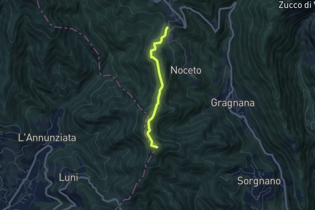
Easy · Summit
Cammino di Aronte - Tappa 2
4.5 km · ↑ 206 m · 1 h 30 min · 15 km away
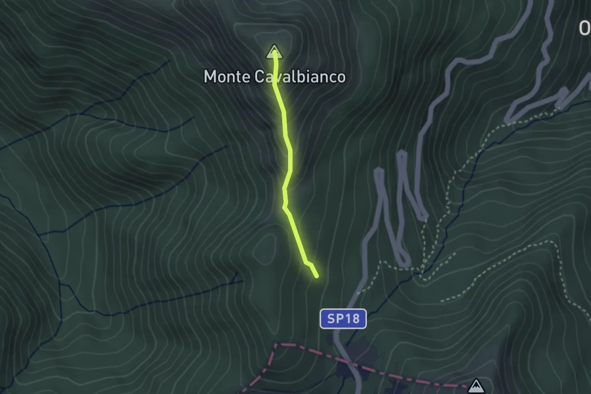
Easy · Summit
Percorso 643 – Monte Cavalbianco
2.1 km · ↑ 226 m · 59 min · 15 km away
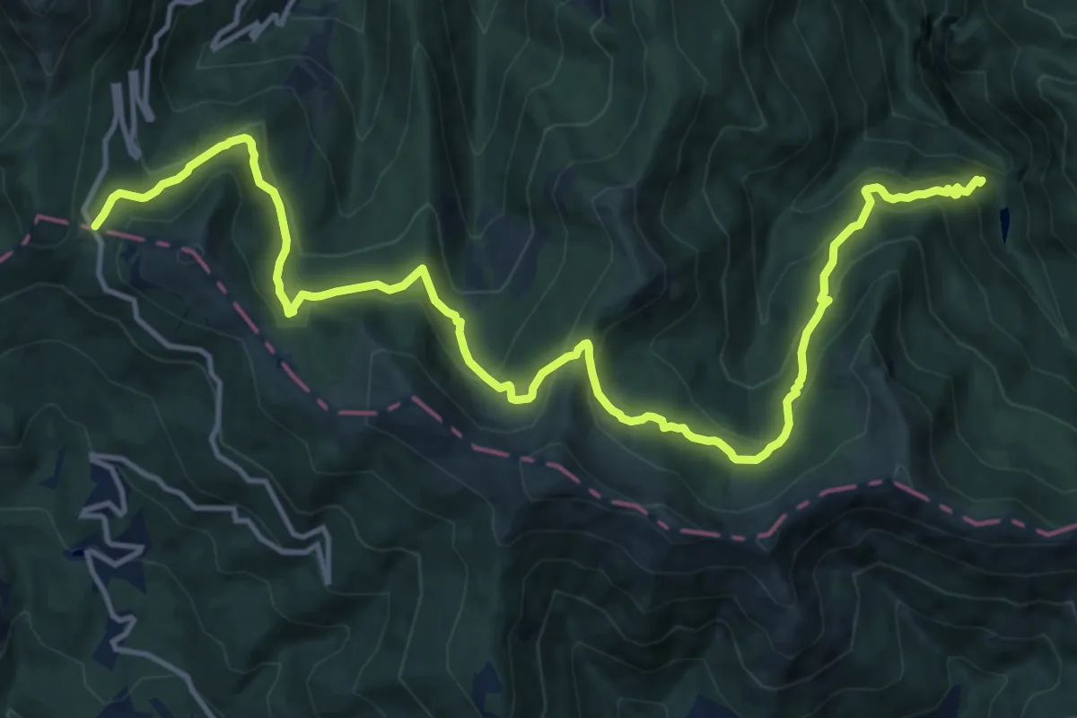
Demanding · Trail
Presa Alta – Passo di Pradarena
17.8 km · ↑ 962 m · 6 h 17 min · 15 km away
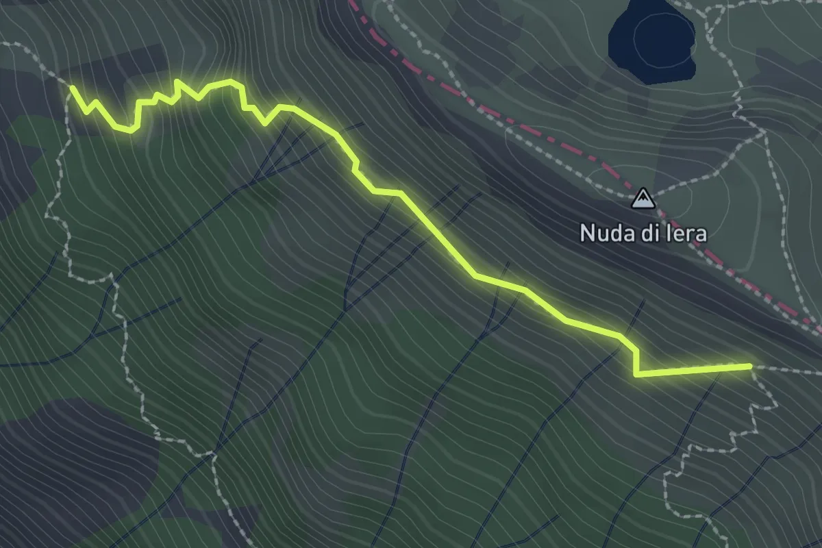
Medium · Trail
Capanne in Garbia – Passo Compione
2.5 km · ↑ 329 m · 1 h 18 min · 15 km away
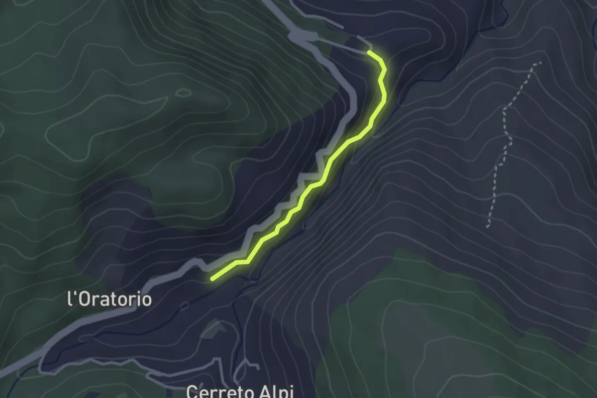
Easy · Trail
Sentiero degli Schiocchi
2.4 km · ↑ 163 m · 55 min · 15 km away
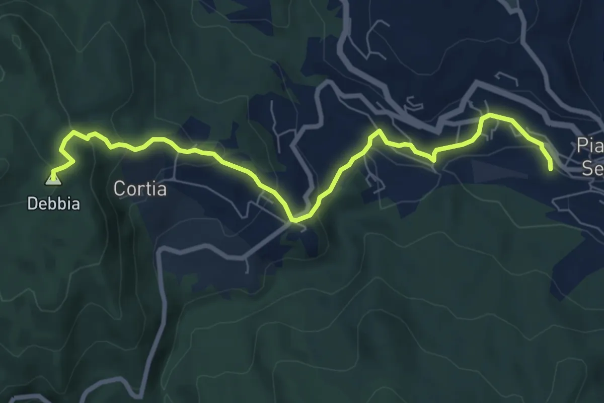
Medium · Summit
Garfagnana Trekking - Collegamento a Piazza al Serchio
7.4 km · ↑ 350 m · 2 h 30 min · 15 km away
Easy · Trail
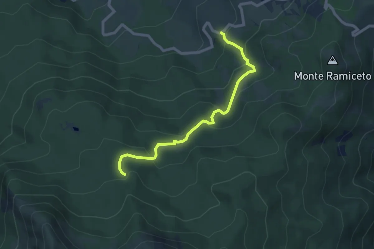
Codana – Percorso 669
5.0 km · ↑ 257 m · 1 h 44 min · 15 km away
Demanding · Trail
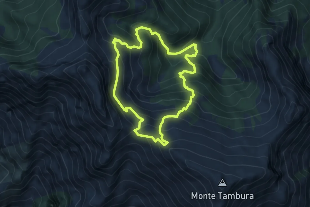
Sentiero dei meno mille
5.1 km · ↑ 514 m · 2 h 23 min · 15 km away