Trails near Gandino
271 hikes starting within 15 km, nearest first.
Nearest first, page 1 of 6
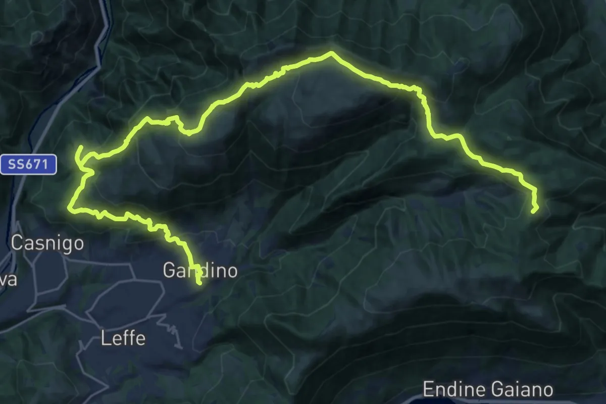
Demanding · Summit
Alta Via delle Grazie - Tappa 11
33.8 km · ↑ 1827 m · 11 h 57 min · under 1 km away
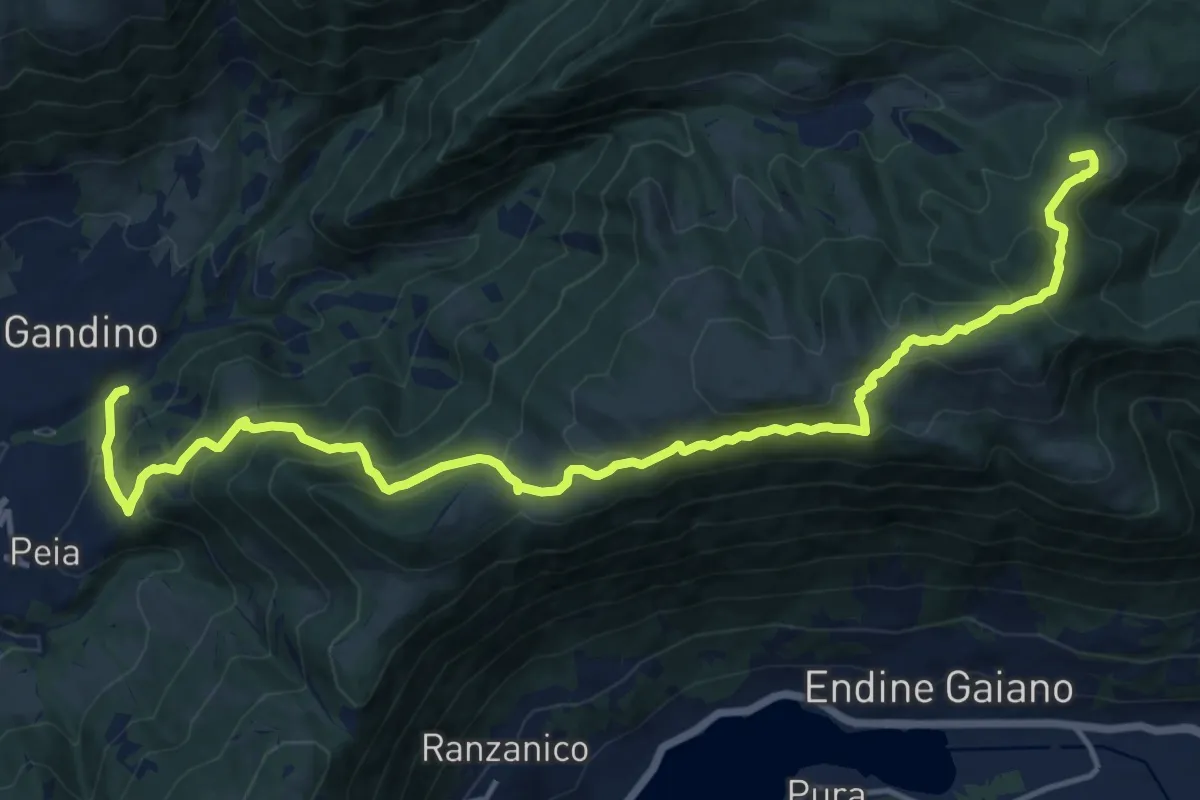
Demanding · Summit
Gandino – Monte di Sovere
17.9 km · ↑ 1135 m · 6 h 41 min · under 1 km away
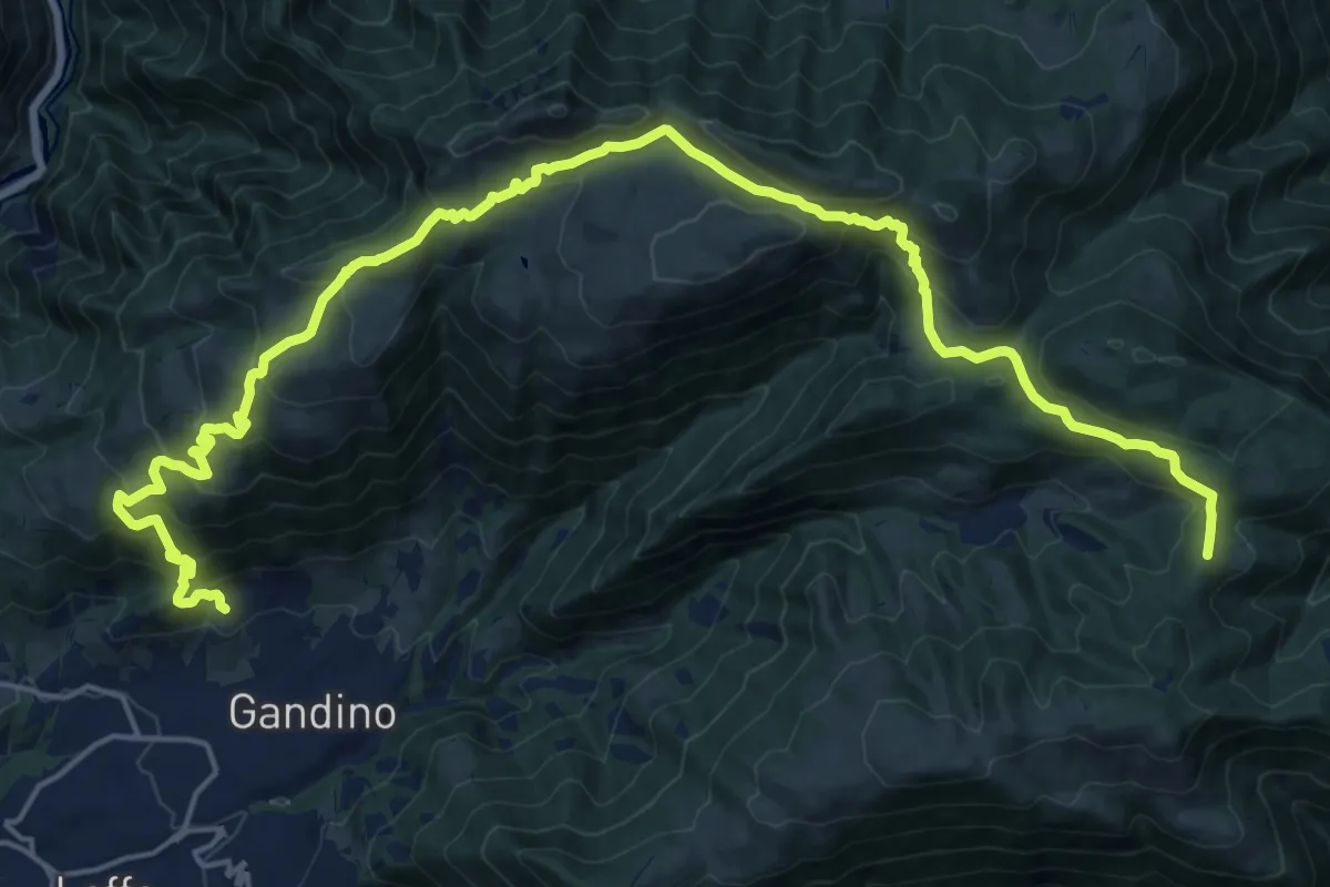
Demanding · Summit
Barzizza di Gandino – Monte di Sovere
25.5 km · ↑ 1497 m · 9 h 16 min · 1 km away
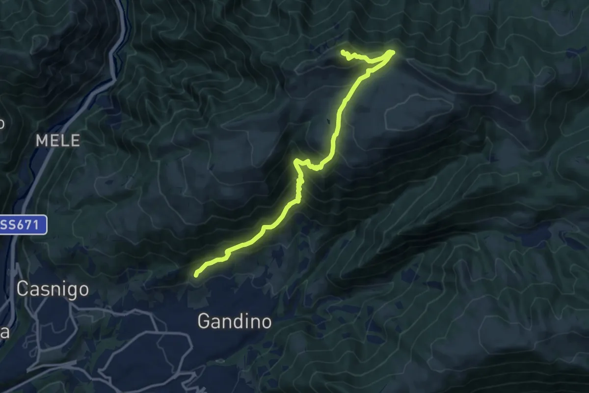
Demanding · Summit
Barzizza – Pizzo Formico
13.0 km · ↑ 1024 m · 5 h 18 min · 1 km away
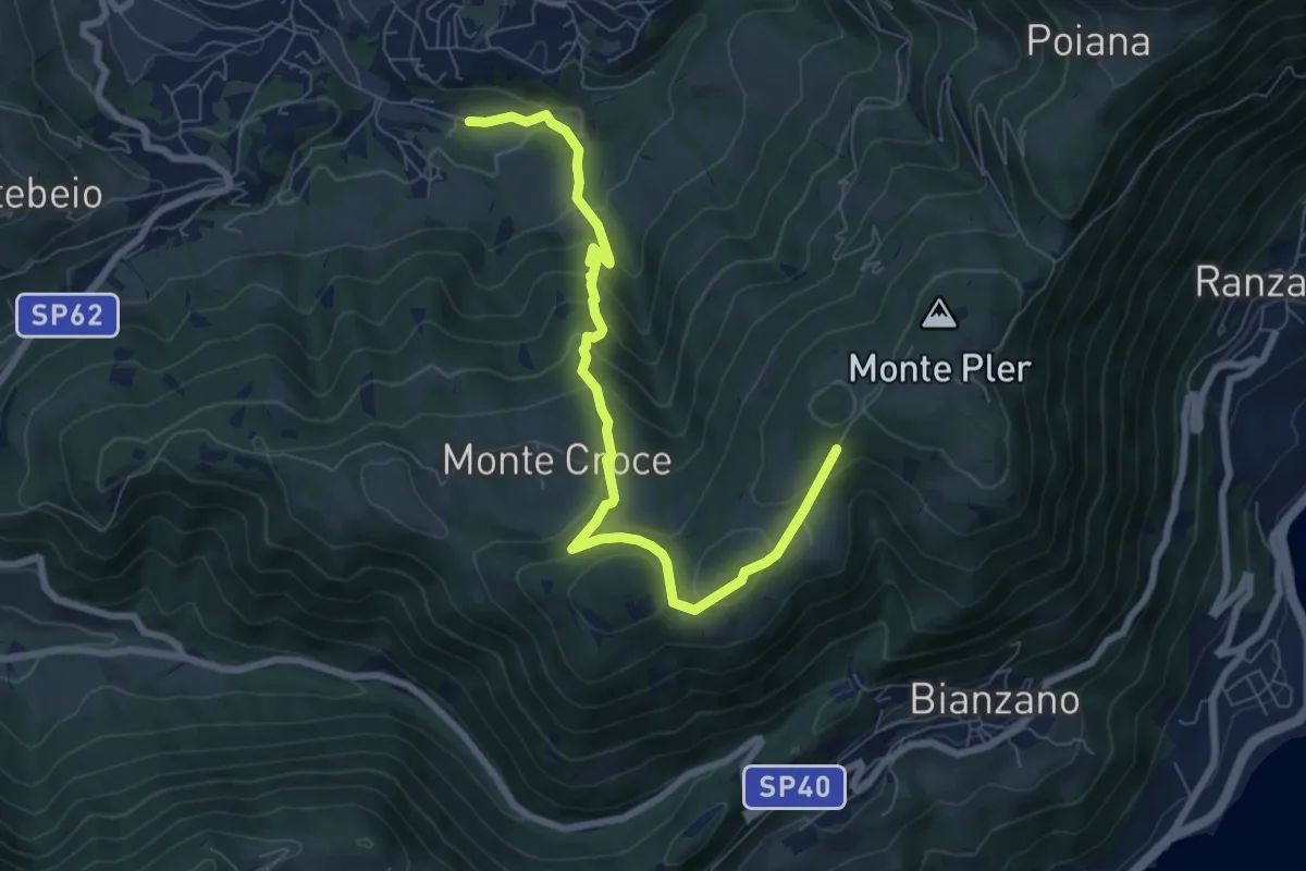
Medium · Trail
Leffe (campo sportivo) – Monte Croce (incrocio 513)
8.0 km · ↑ 567 m · 3 h 7 min · 2 km away
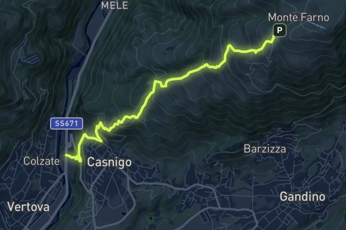
Demanding · Trail
Casnigo (SS. Trinità) – Monte Farno
10.1 km · ↑ 829 m · 4 h 10 min · 2 km away
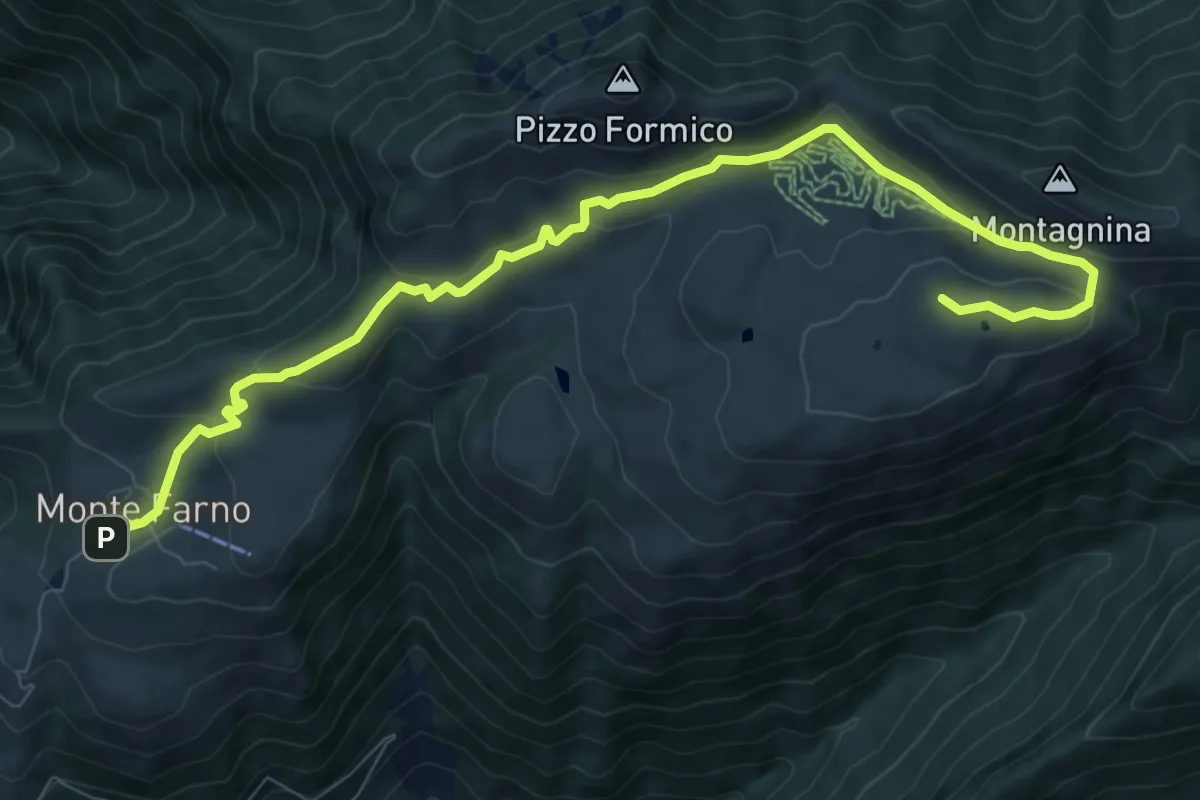
Medium · Cabin
Il percorso delle malghe
10.3 km · ↑ 395 m · 3 h 17 min · 2 km away
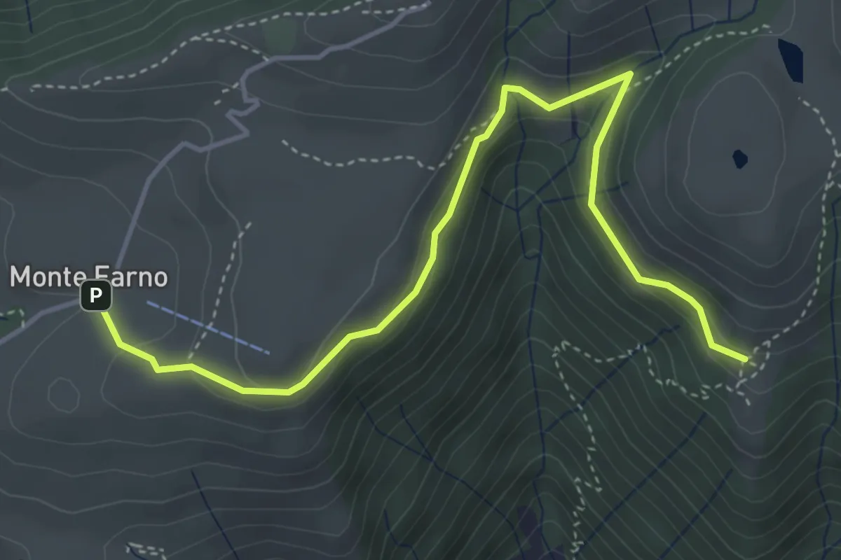
Easy · Cabin
Monte Farno – Tribulina di Guazza
4.7 km · ↑ 216 m · 1 h 35 min · 2 km away
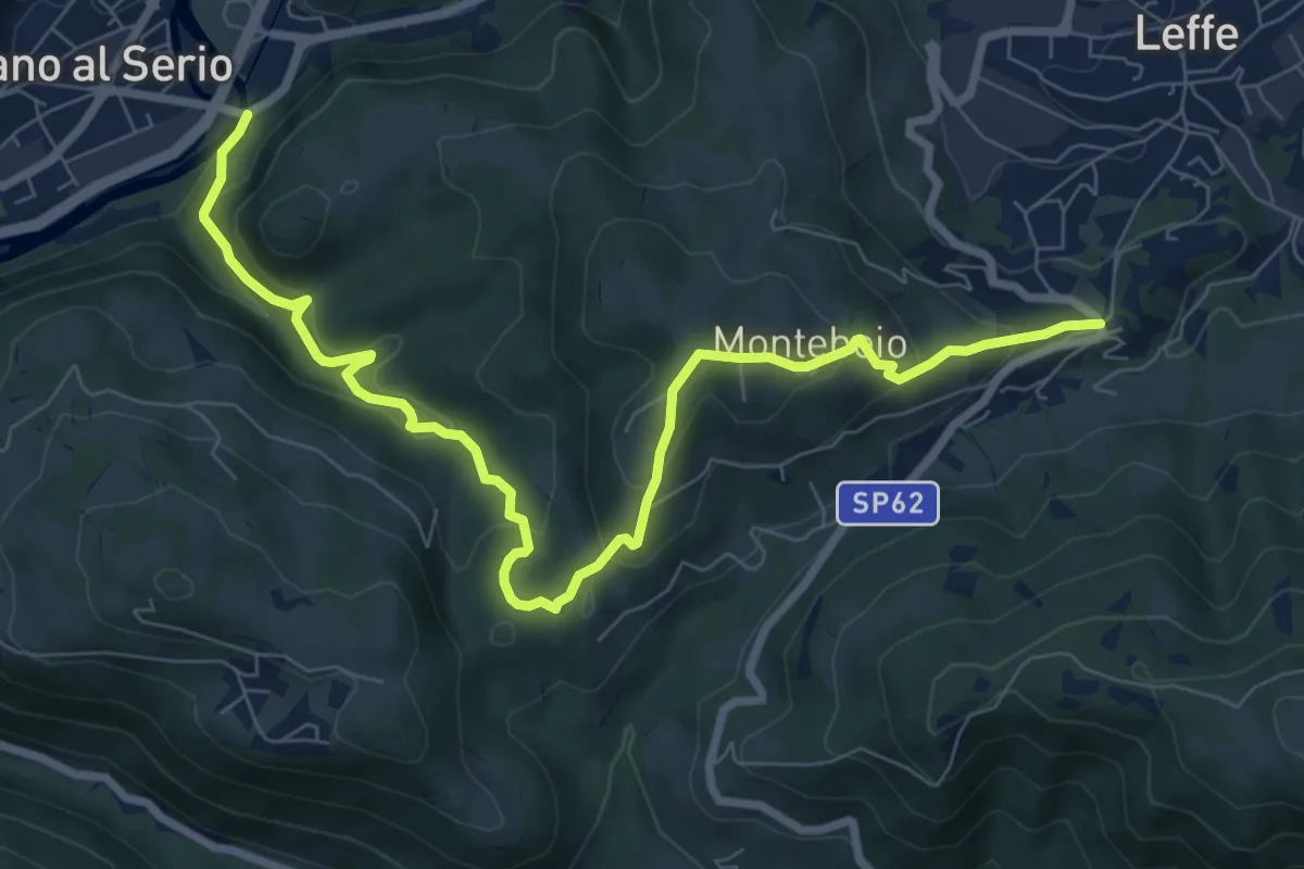
Medium · Trail
Ponte di Valgandino – S. Rocco di Leffe
9.6 km · ↑ 456 m · 3 h 15 min · 3 km away
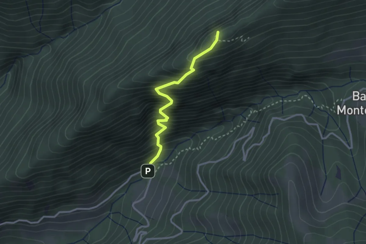
Demanding · Summit
Fontanei – Valle Piana
2.5 km · ↑ 482 m · 1 h 37 min · 3 km away
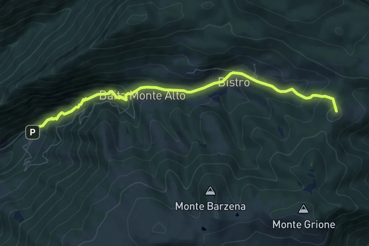
Demanding · Summit
Gandino – Monte di Sovere
7.9 km · ↑ 500 m · 2 h 57 min · 3 km away
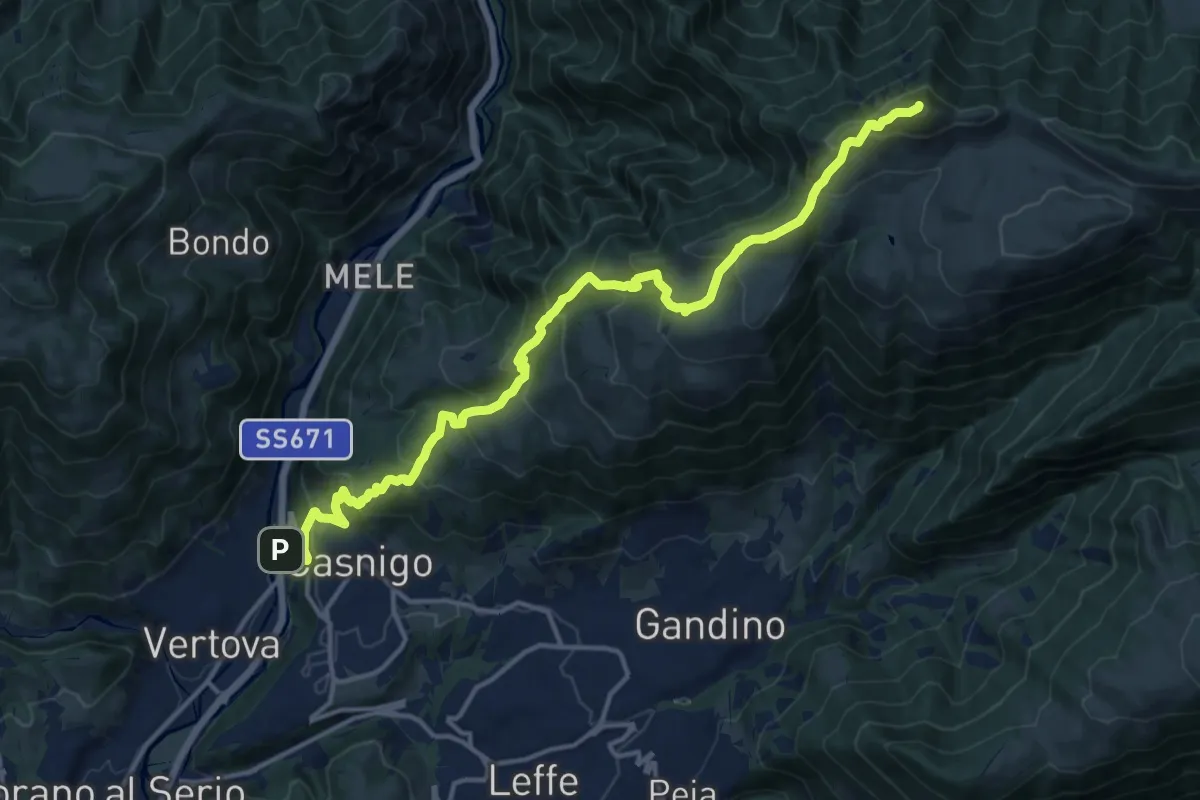
Demanding · Summit
Casnigo (SS. Trinità) – Pizzo Formico
16.7 km · ↑ 1289 m · 6 h 44 min · 3 km away
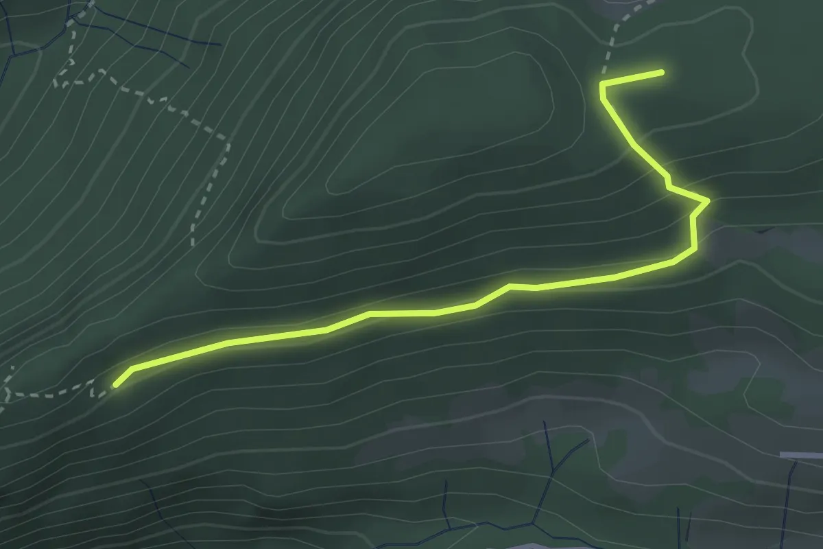
Medium · Summit
Croce di Corno – Campo d’Avene
3.0 km · ↑ 155 m · 1 h 3 min · 4 km away
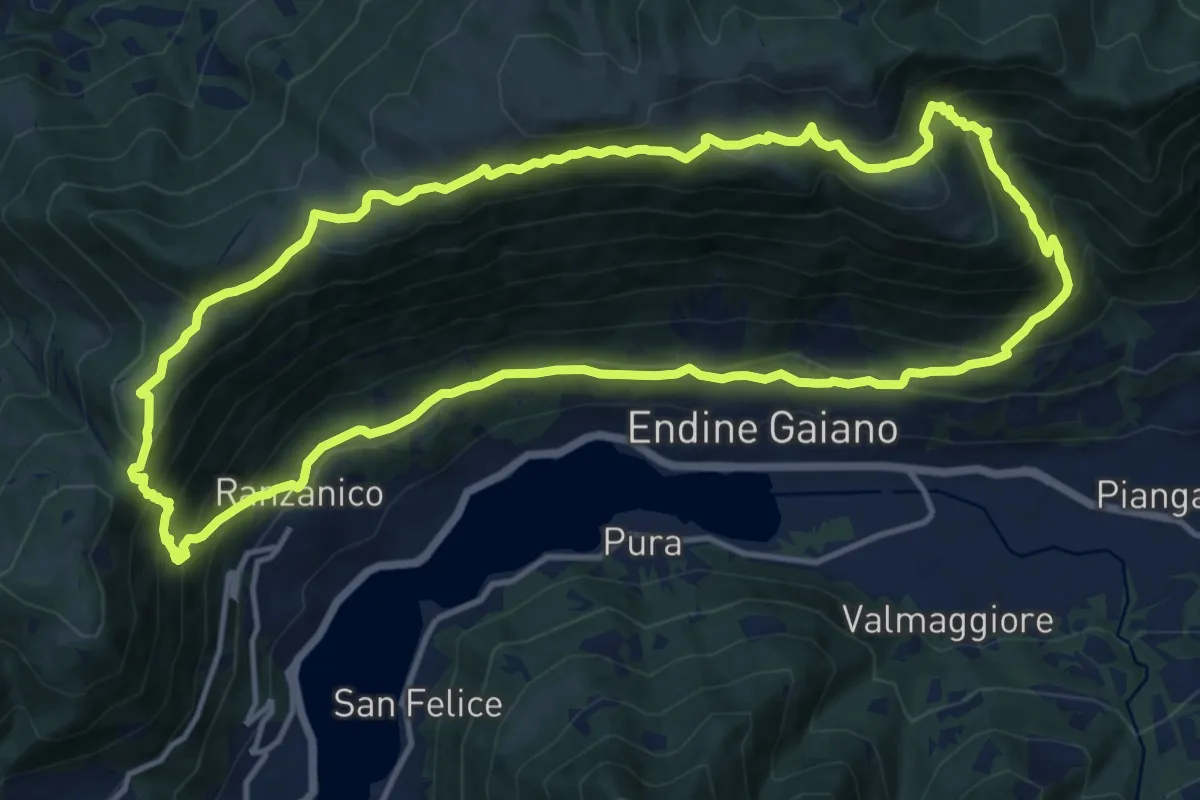
Demanding · Trail
Ranzanico – Ranzanico
14.3 km · ↑ 941 m · 5 h 37 min · 4 km away
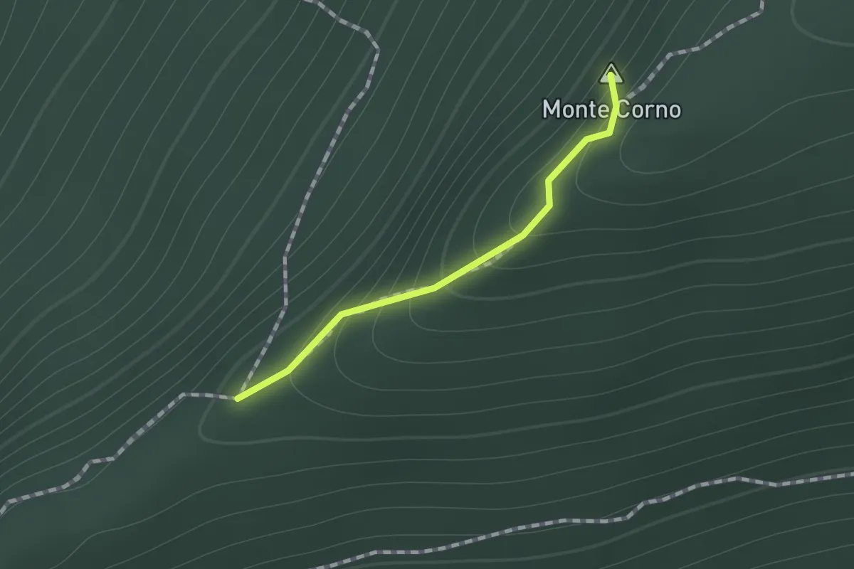
Easy · Summit
Sul percorso EE fra la Croce del Monte Corno ed il Campo d'Avene
0.7 km · ↑ 99 m · 23 min · 4 km away
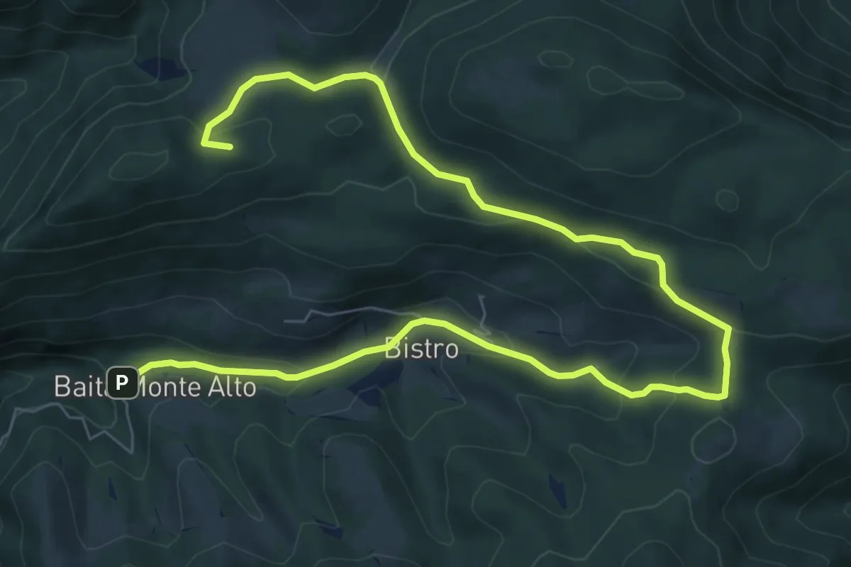
Medium · Summit
Il percorso del bosco
10.7 km · ↑ 385 m · 3 h 22 min · 4 km away
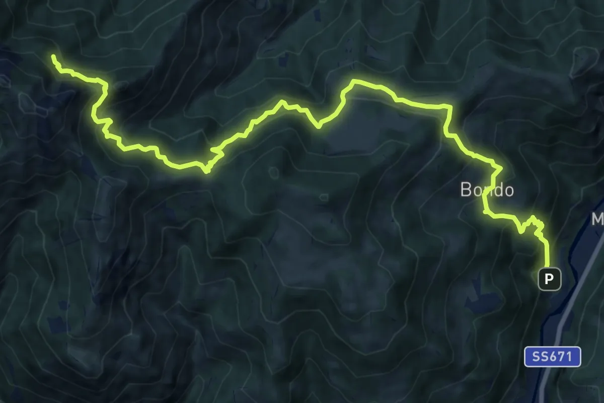
Expert · Cabin
Colzate – Bivacco La Plana
17.4 km · ↑ 1575 m · 7 h 31 min · 4 km away
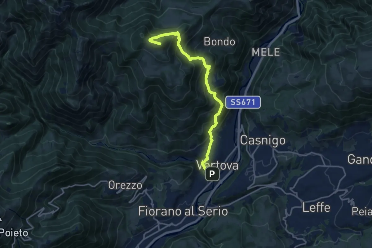
Demanding · Summit
Il Sentiero di San Patrizio
12.0 km · ↑ 934 m · 4 h 51 min · 4 km away
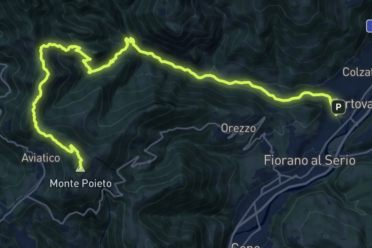
Demanding · Summit
Alta Via delle Grazie - Tappa 2
25.0 km · ↑ 1415 m · 8 h 59 min · 4 km away
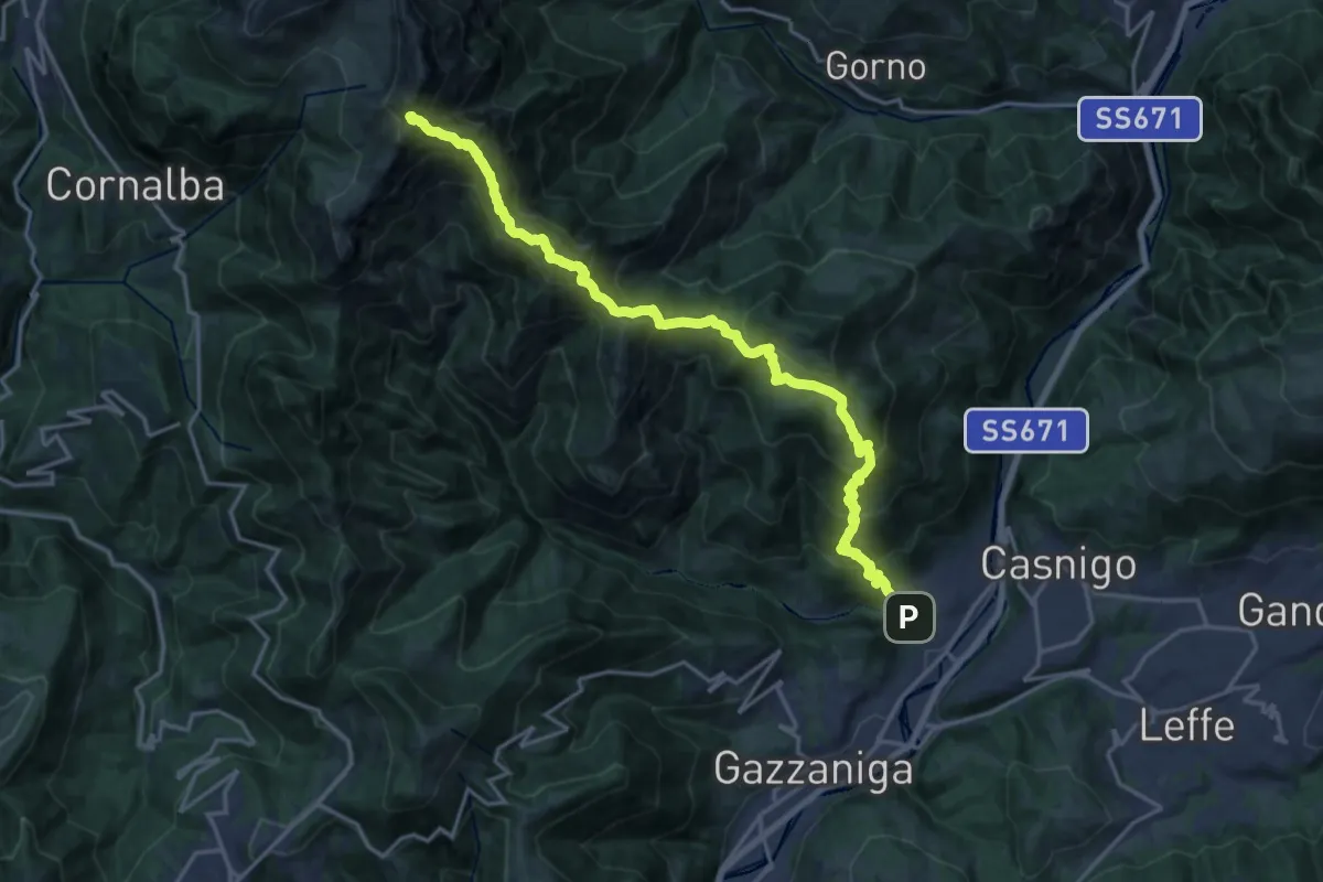
Demanding · Summit
Vertova – Cima Campelli
20.8 km · ↑ 1808 m · 8 h 50 min · 4 km away
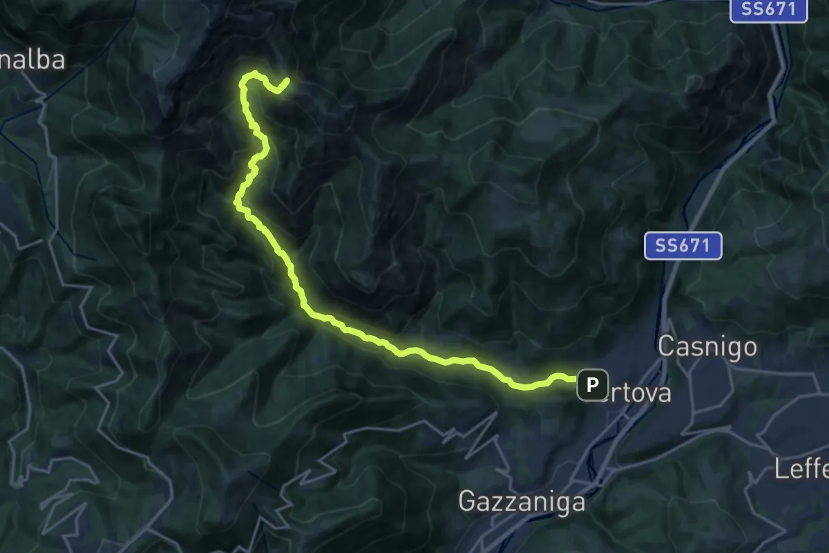
Demanding · Cabin
Vertova – Bivacco Testa
19.1 km · ↑ 1189 m · 7 h 5 min · 4 km away
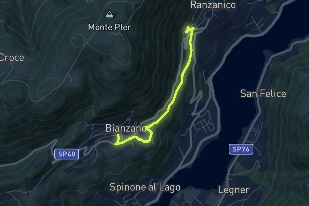
Easy · Trail
Bianzano – Ranzanico
5.3 km · ↑ 270 m · 1 h 50 min · 4 km away
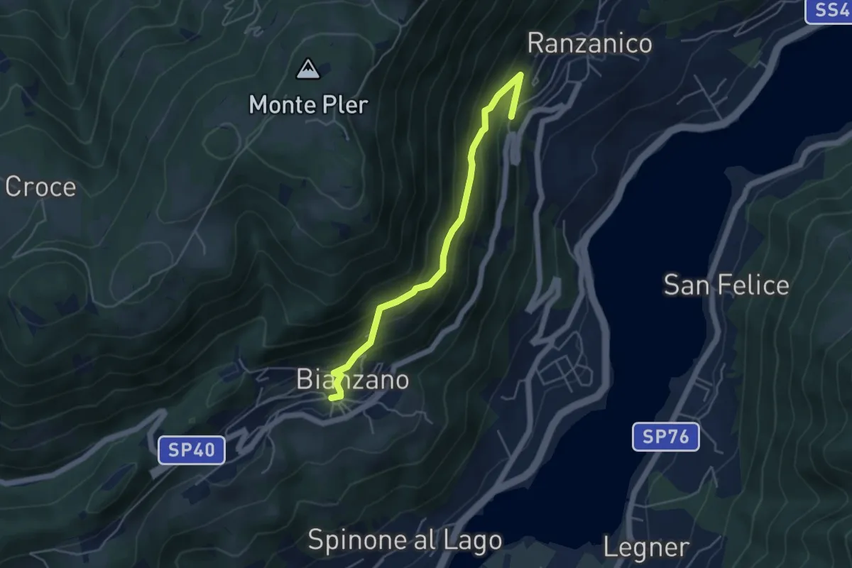
Medium · Trail
Ranzanico – Bianzano
4.5 km · ↑ 374 m · 1 h 52 min · 4 km away
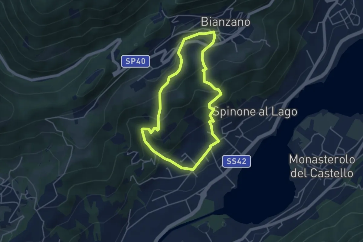
Easy · Trail
Spinone al Lago – Spinone al Lago
3.5 km · ↑ 261 m · 1 h 27 min · 5 km away
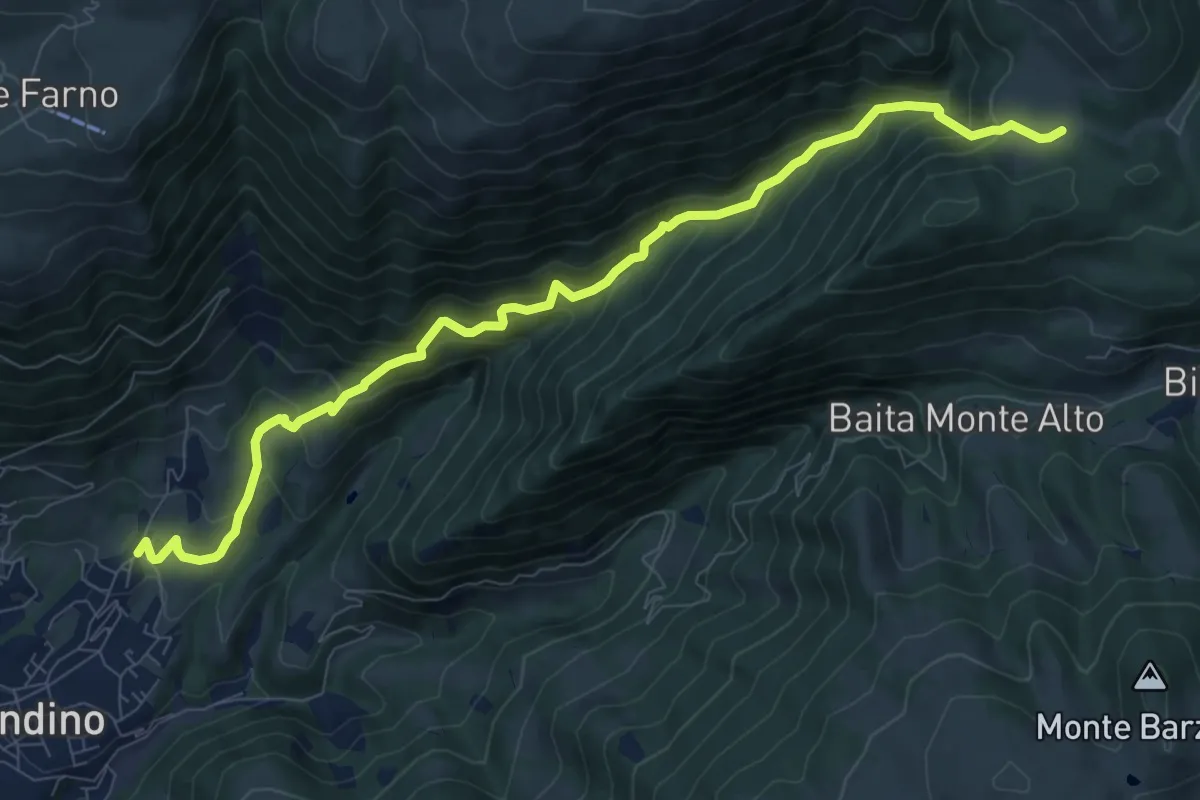
Demanding · Trail
Cirano (Gandino) – Campo d'Avene
10.2 km · ↑ 827 m · 4 h 11 min · 5 km away
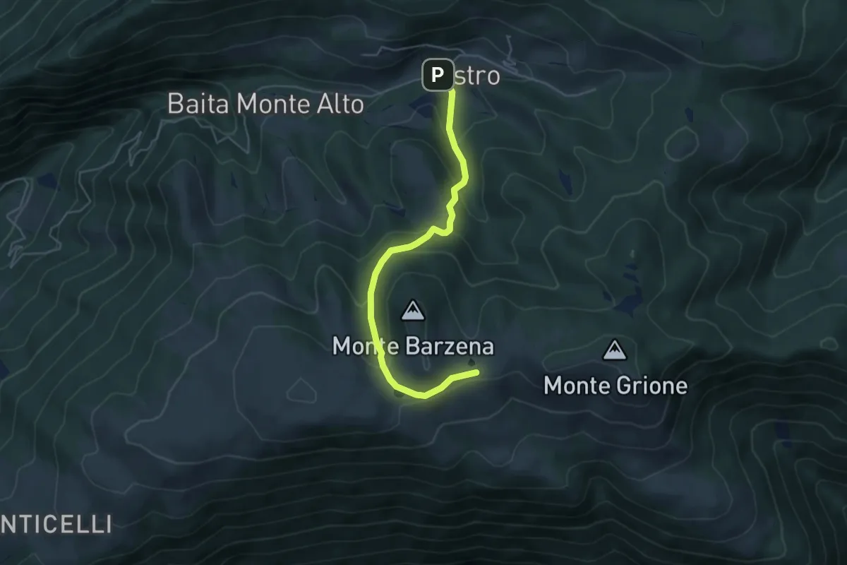
Easy · Trail
Chiesetta di Val Piana – Pozza dei Sette Termini
4.8 km · ↑ 263 m · 1 h 42 min · 5 km away
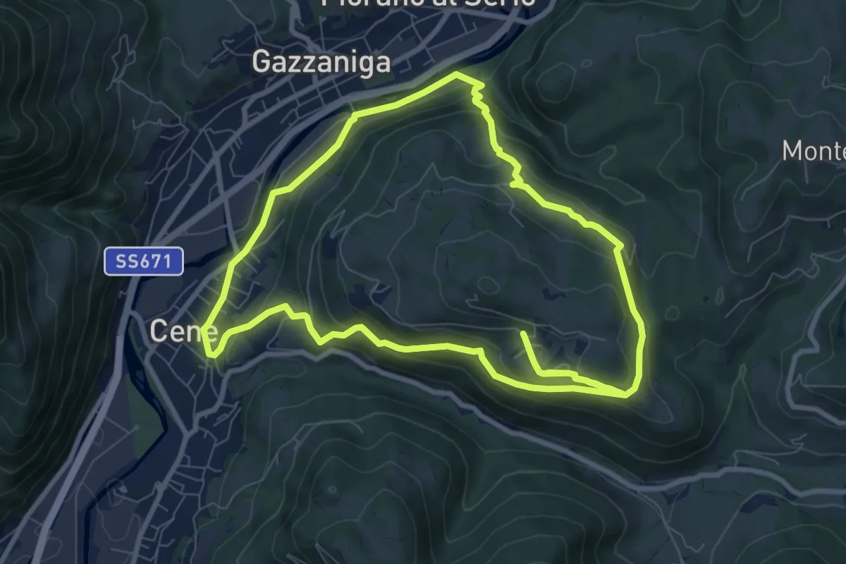
Medium · Summit
Giro del Monte Bue
8.9 km · ↑ 401 m · 3 h 6 min · 5 km away
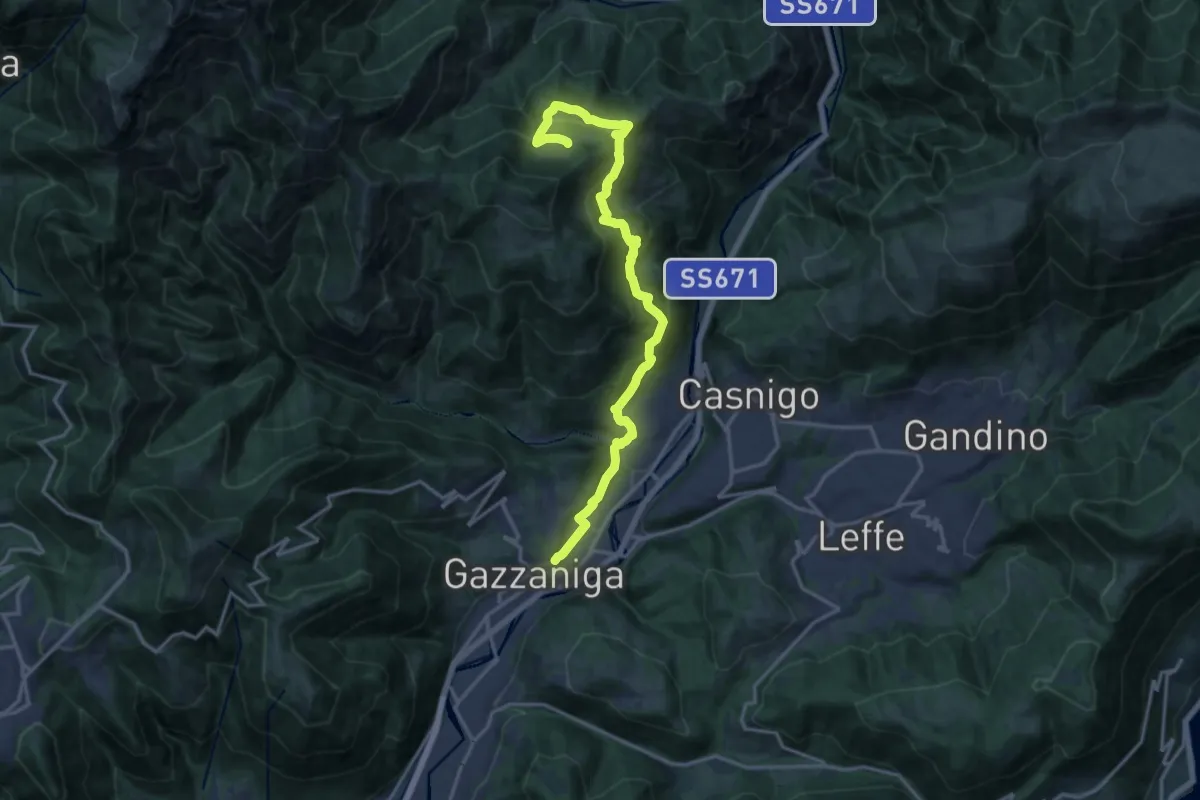
Demanding · Trail
Sentiero di Honio
17.7 km · ↑ 940 m · 6 h 13 min · 5 km away
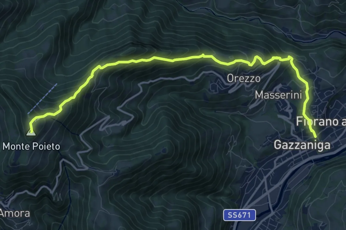
Demanding · Summit
Gazzaniga – Monte Poieto
12.6 km · ↑ 948 m · 5 h 2 min · 5 km away
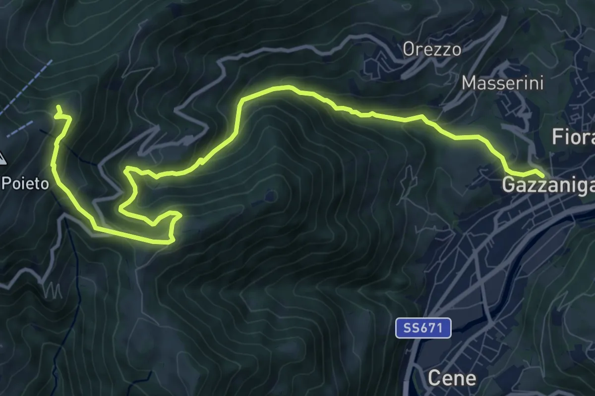
Demanding · Trail
Gazzaniga – Ca de Spi'
13.2 km · ↑ 890 m · 5 h 3 min · 6 km away
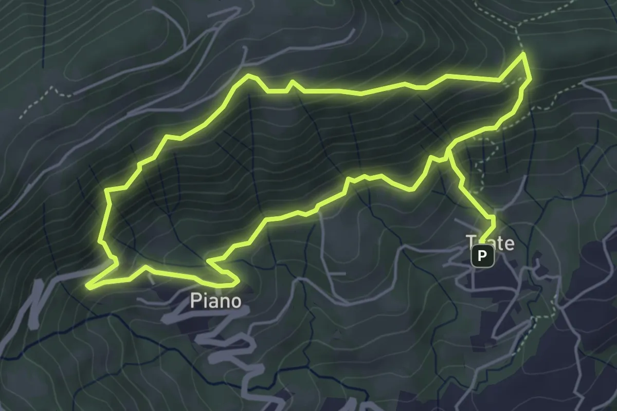
Medium · Trail
Trate (Gaverina Terme) – Trate (Gaverina Terme)
4.9 km · ↑ 435 m · 2 h 7 min · 6 km away
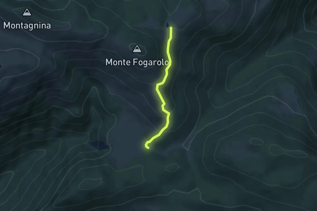
Easy · Trail
Campo d'Avene – Pozza del Fogarolo (incrocio 508)
2.7 km · ↑ 152 m · 58 min · 6 km away
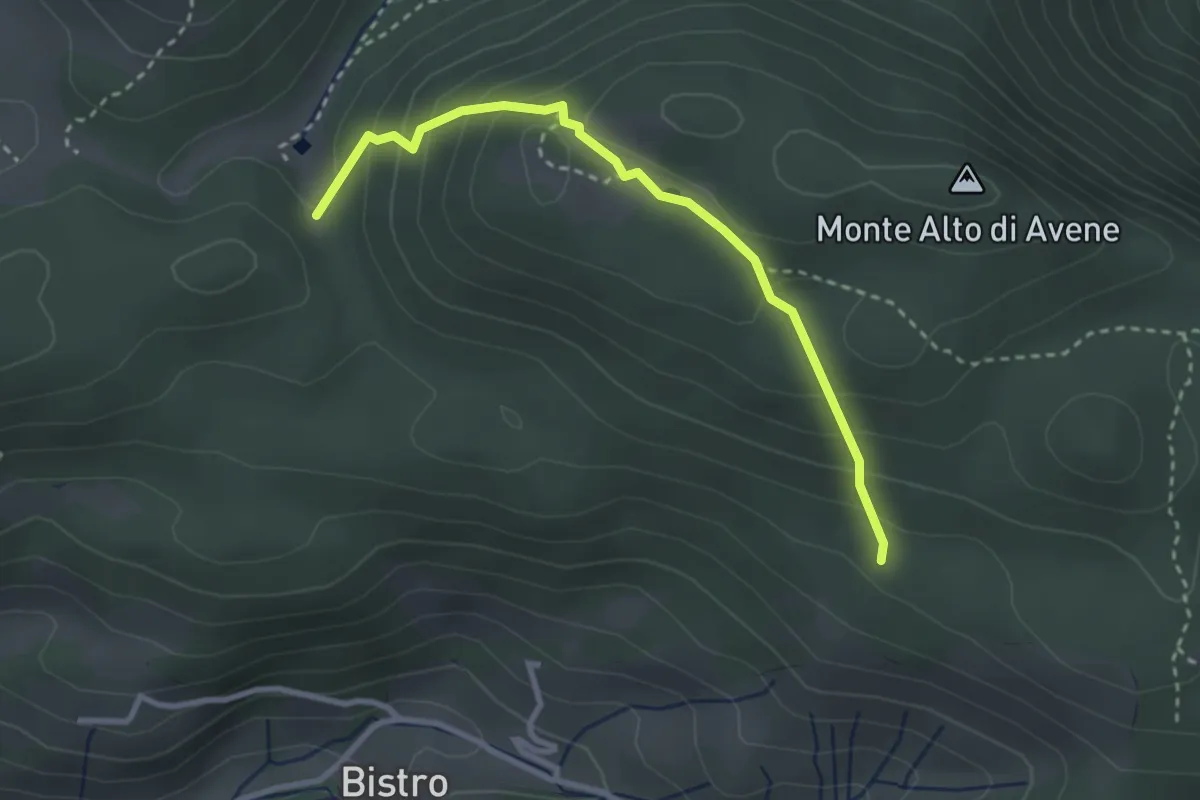
Medium · Trail
Monte di Sovere – Campo d'Avene
3.0 km · ↑ 230 m · 1 h 12 min · 6 km away
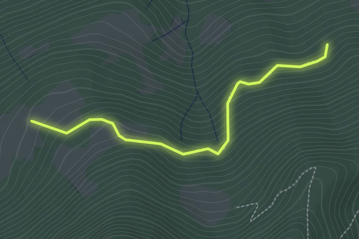
Medium · Trail
Rumignano – Pirola (S. Felice al Lago)
2.5 km · ↑ 204 m · 1 h 2 min · 6 km away
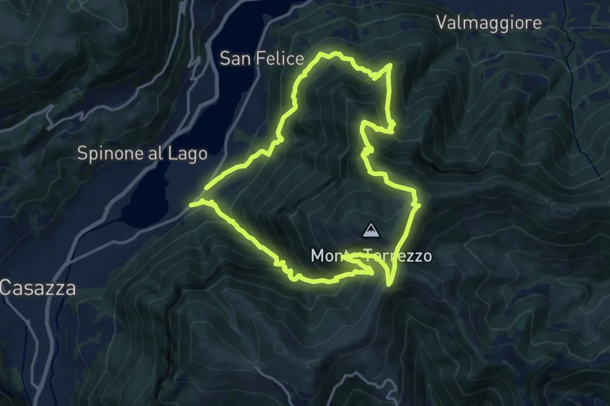
Demanding · Summit
Monasterolo del Castello – Monasterolo del Castello
12.8 km · ↑ 1048 m · 5 h 28 min · 6 km away
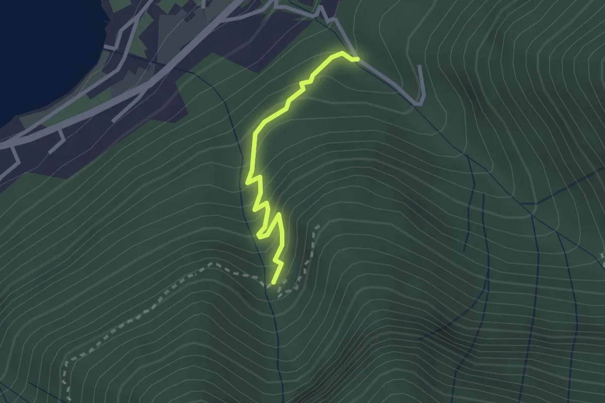
Easy · Trail
Monasterolo del Castello – Val Spirola
2.1 km · ↑ 224 m · 59 min · 6 km away
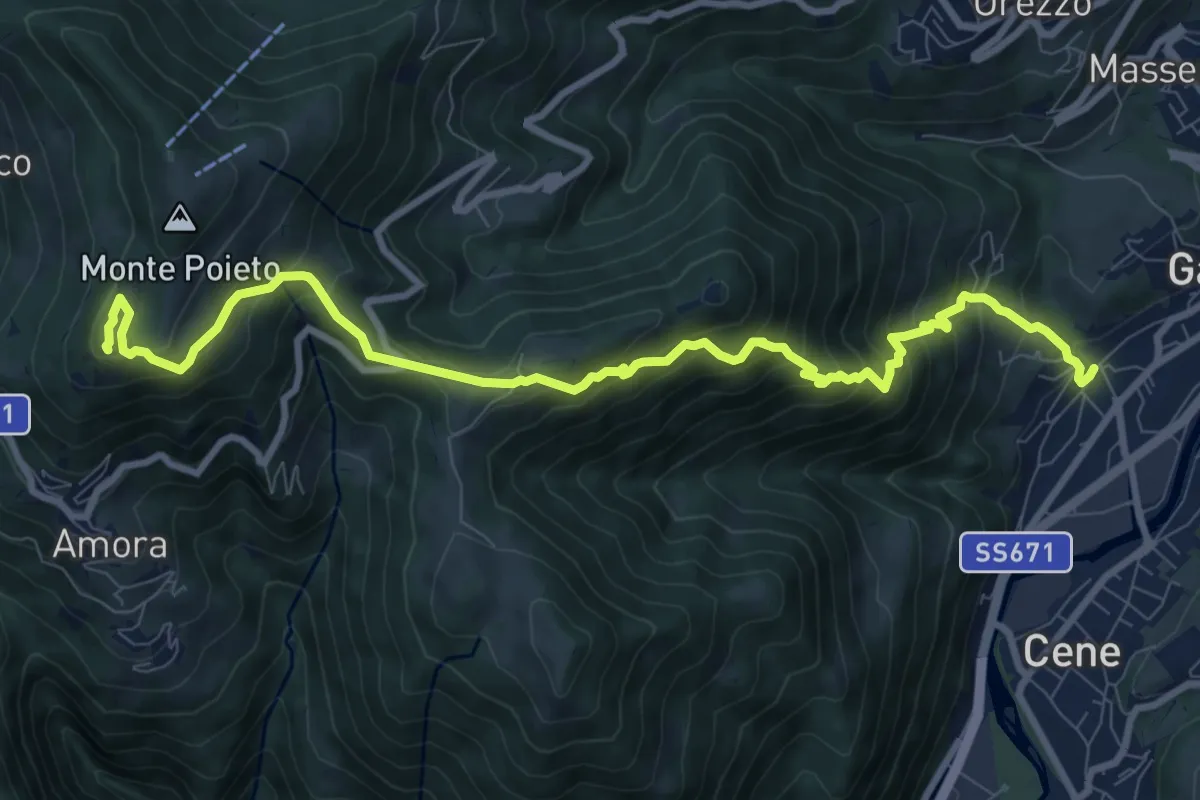
Demanding · Summit
Rova (Gazzaniga) – Monte Cornagera
10.9 km · ↑ 990 m · 4 h 43 min · 6 km away
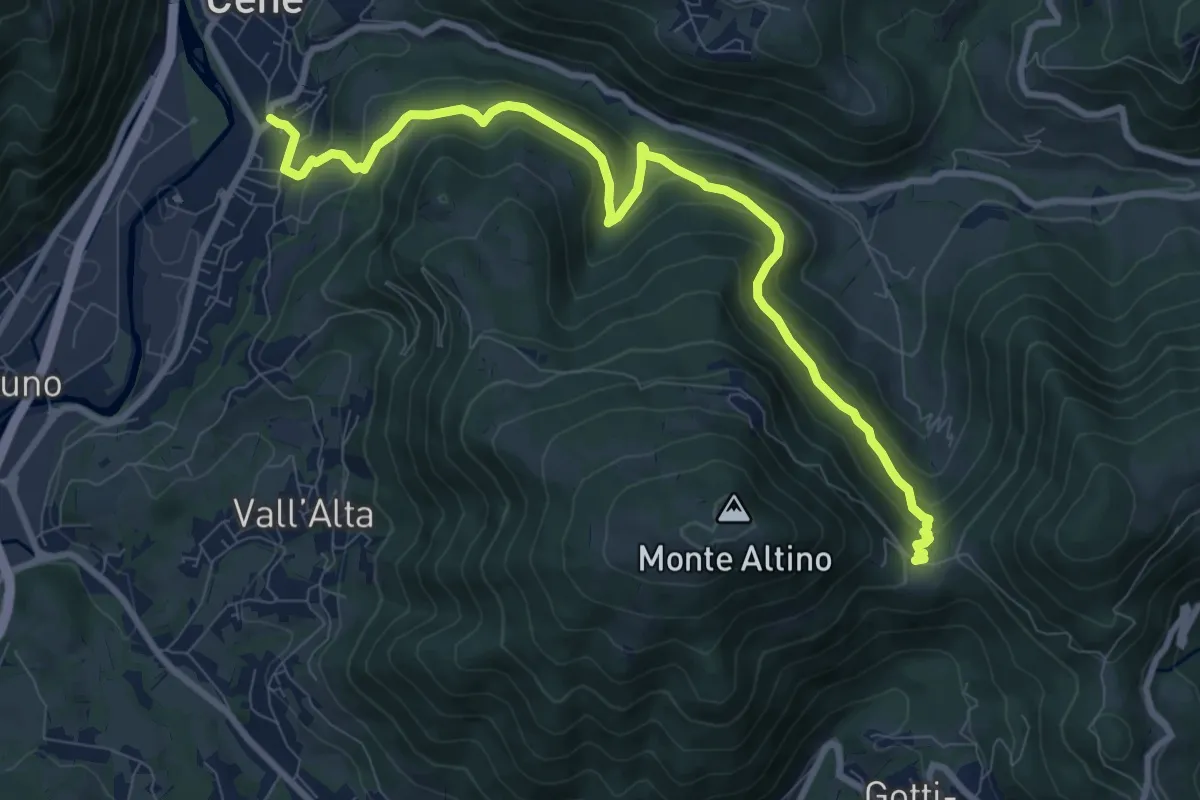
Medium · Trail
Cene – Pracc Molecc
10.3 km · ↑ 580 m · 3 h 41 min · 6 km away
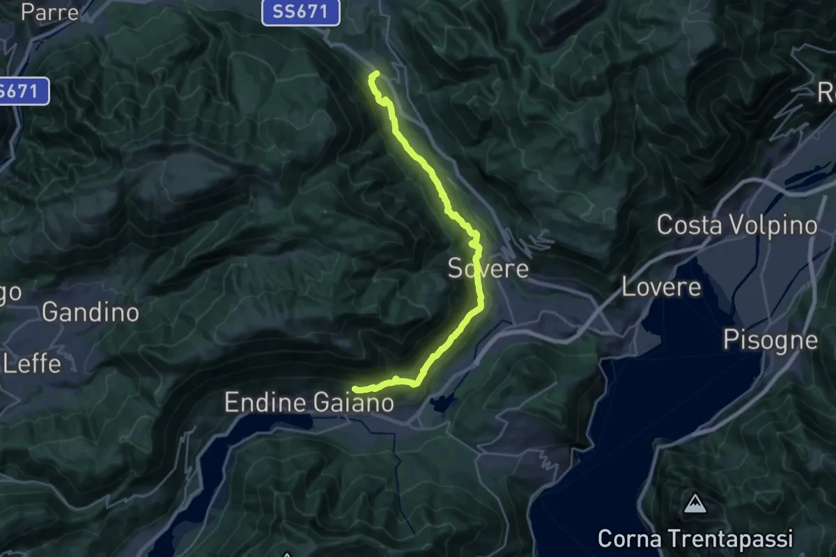
Demanding · Trail
Sentiero Flavio Tasca - Tappa 7
22.5 km · ↑ 824 m · 7 h 5 min · 6 km away
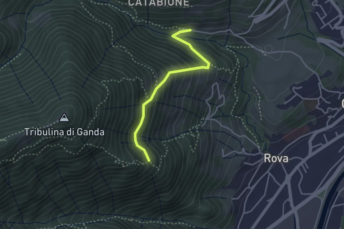
Medium · Trail
Incrocio 521 – Incrocio 522
2.9 km · ↑ 270 m · 1 h 16 min · 7 km away
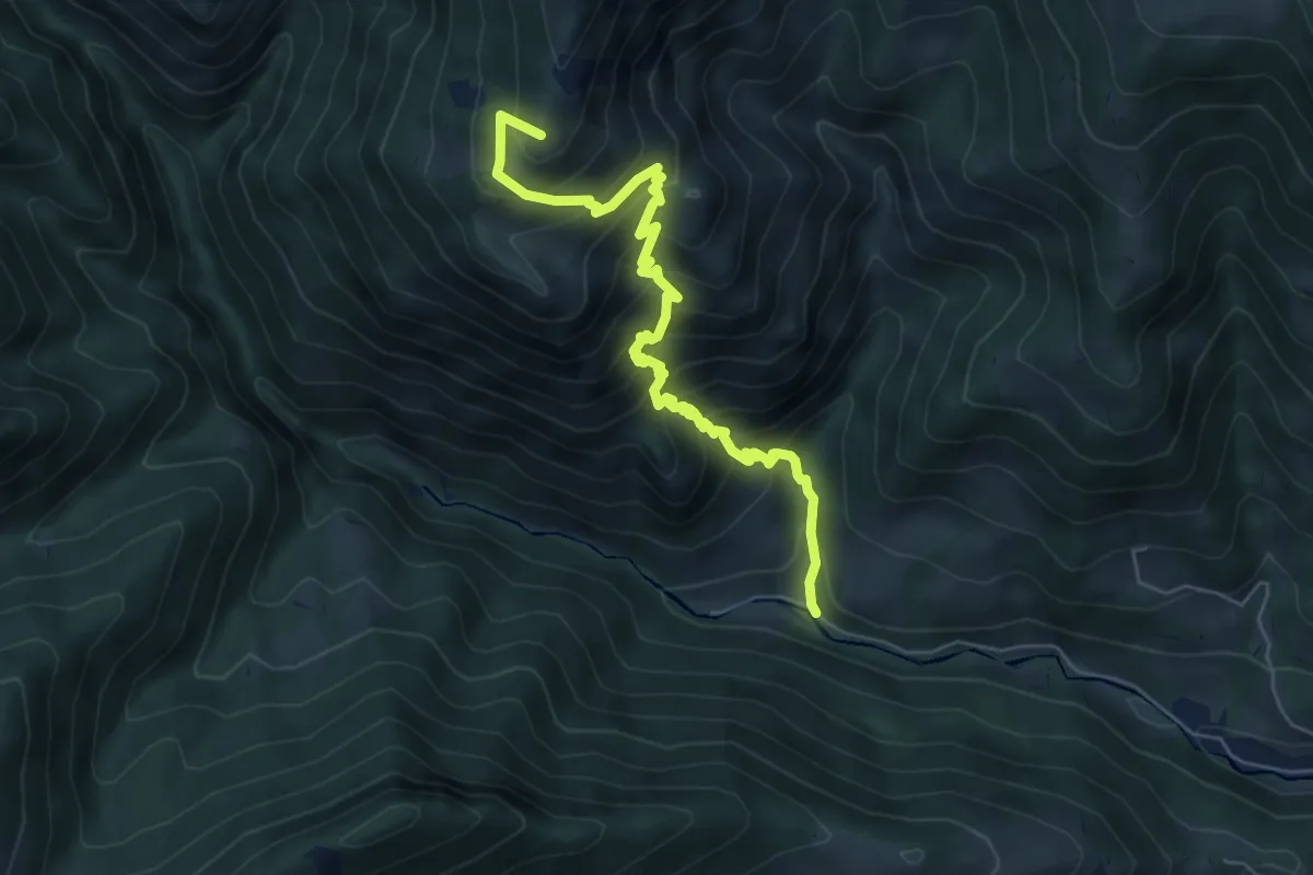
Medium · Summit
Vertova – Passo di Bliben
6.5 km · ↑ 709 m · 3 h 4 min · 7 km away
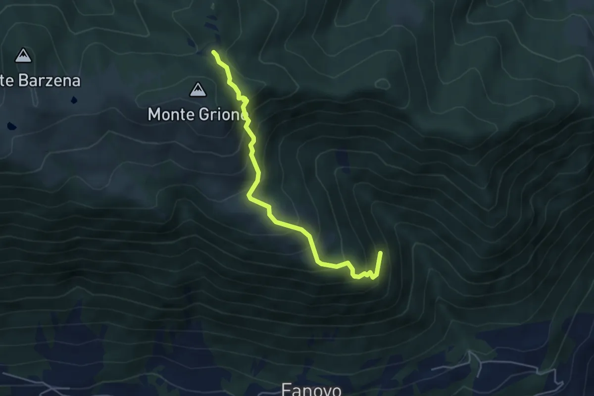
Medium · Trail
Valle di Palate (Endine) – Monte Grione (incrocio 547)
4.4 km · ↑ 456 m · 2 h 2 min · 7 km away
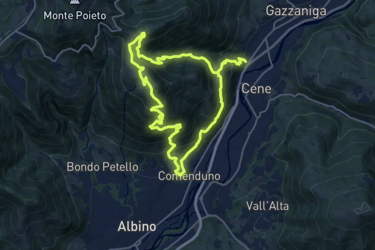
Demanding · Summit
Comenduno (Albino) – Comenduno (Albino)
11.1 km · ↑ 1121 m · 5 h 6 min · 7 km away
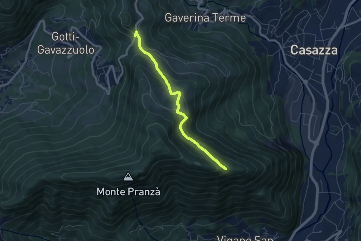
Easy · Trail
Colle Gallo (Gaverina Terme) – Cesulì
5.5 km · ↑ 257 m · 1 h 51 min · 7 km away
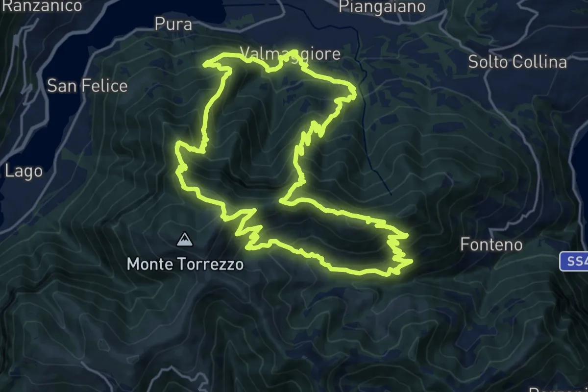
Demanding · Summit
Sentiero delle Grotte
19.1 km · ↑ 1528 m · 8 h 5 min · 7 km away
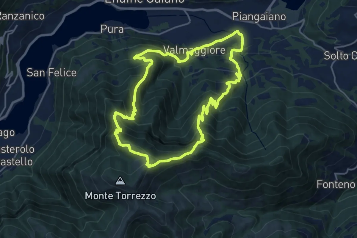
Demanding · Summit
Valmaggiore (Endine Gaiano) – Valmaggiore (Endine Gaiano)
12.6 km · ↑ 1053 m · 5 h 26 min · 7 km away
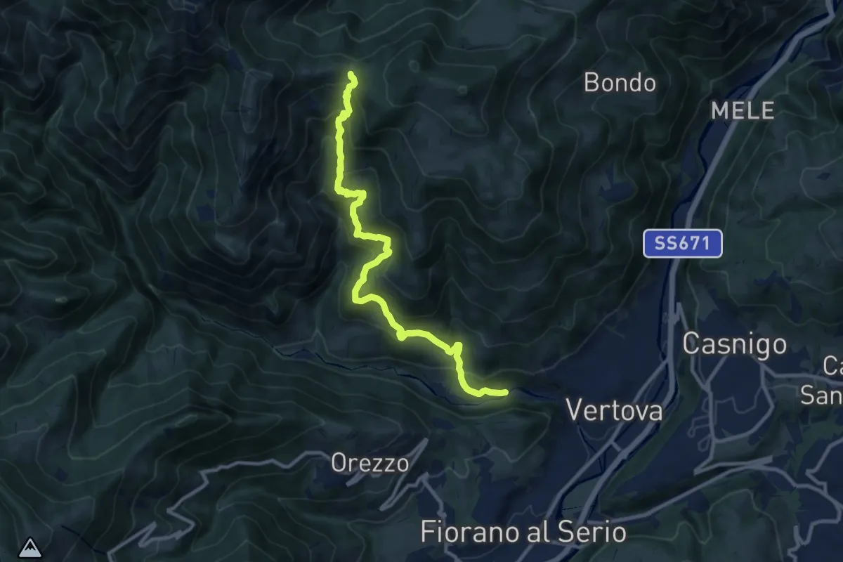
Demanding · Trail
Vertova – Dasla
10.8 km · ↑ 953 m · 4 h 36 min · 7 km away
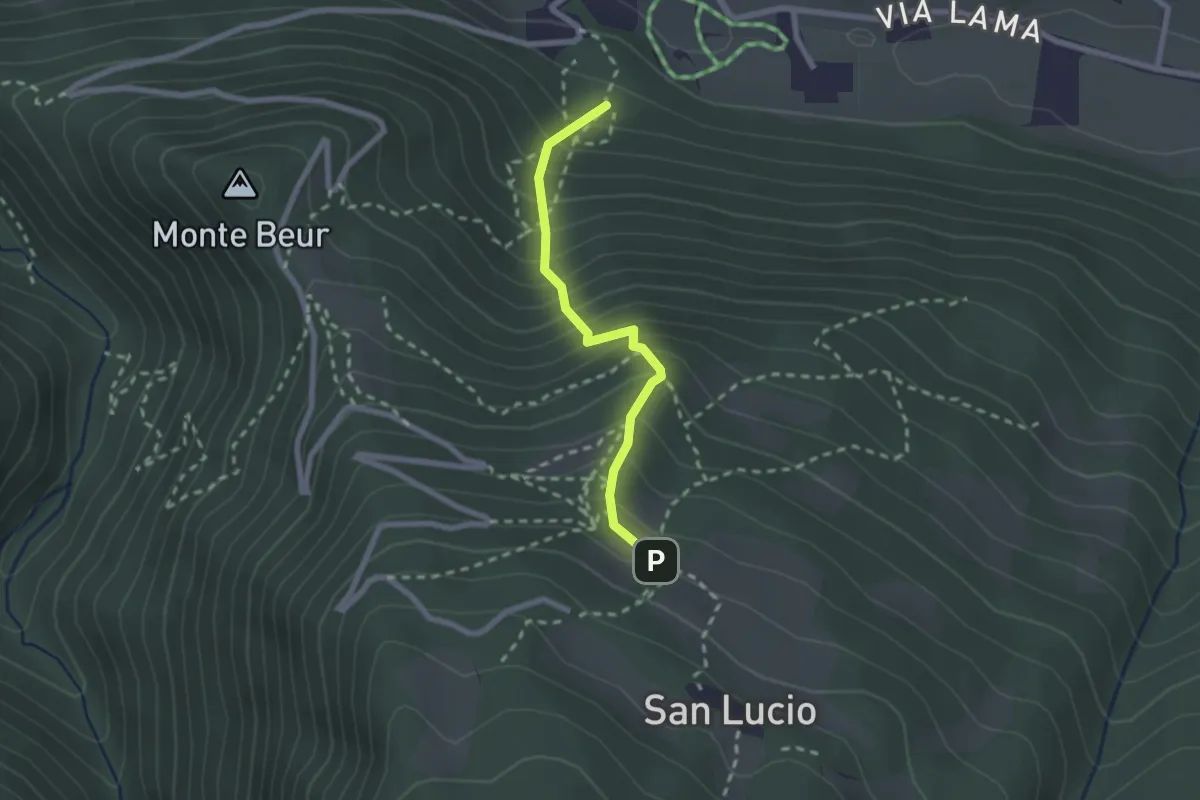
Medium · Trail
Sentiero Zuccone
2.1 km · ↑ 362 m · 1 h 17 min · 7 km away