Trails near Gandino
271 hikes starting within 15 km, nearest first.
Nearest first, page 2 of 6
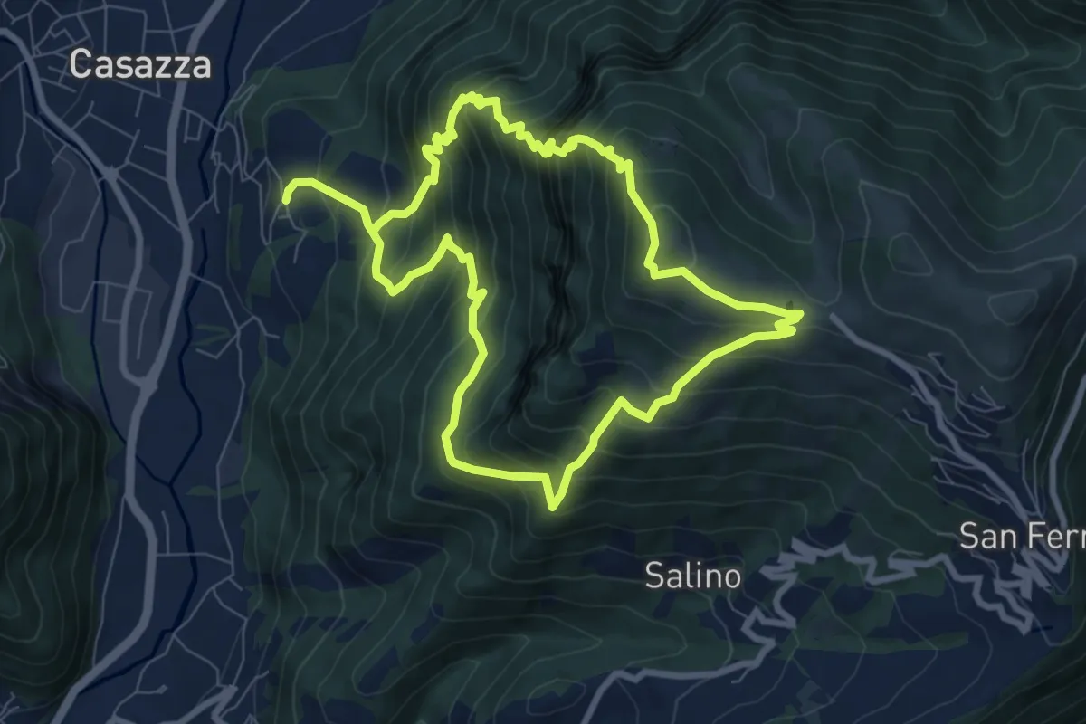
Demanding · Summit
Colognola (Casazza) – Colognola (Casazza)
7.6 km · ↑ 865 m · 3 h 44 min · 7 km away
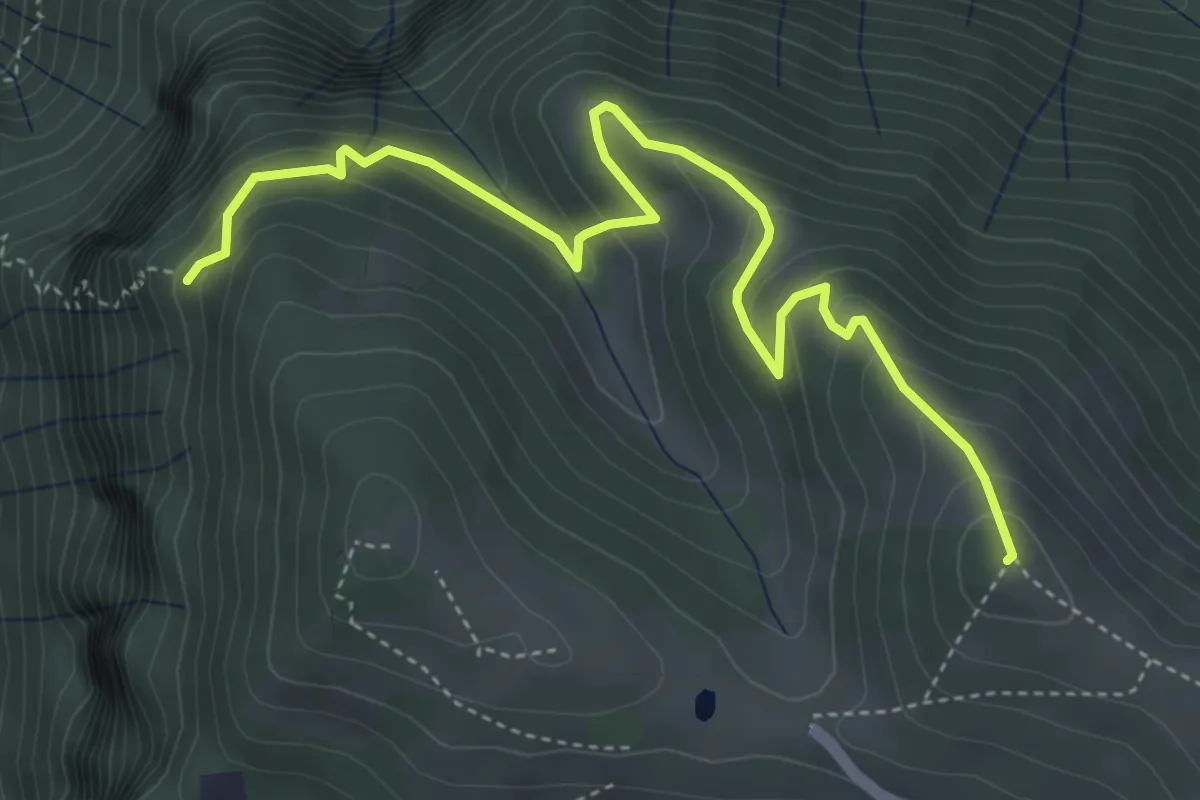
Medium · Summit
Colle di Caf – Foppalupo (Colli di San Fermo)
5.2 km · ↑ 372 m · 2 h 2 min · 7 km away
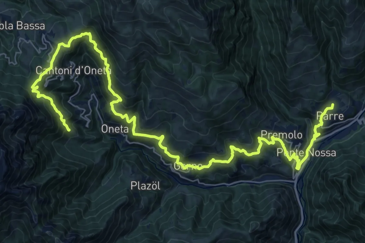
Demanding · Trail
Alta Via delle Grazie - Tappa 4
18.0 km · ↑ 1273 m · 7 h 6 min · 7 km away
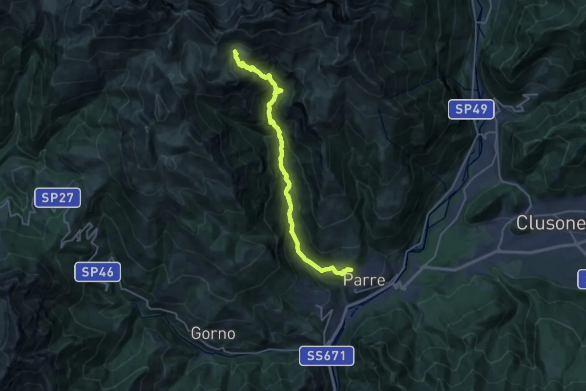
Demanding · Cabin
Ponte Nossa – Baita Santamaria in Leten
16.5 km · ↑ 1289 m · 6 h 41 min · 7 km away
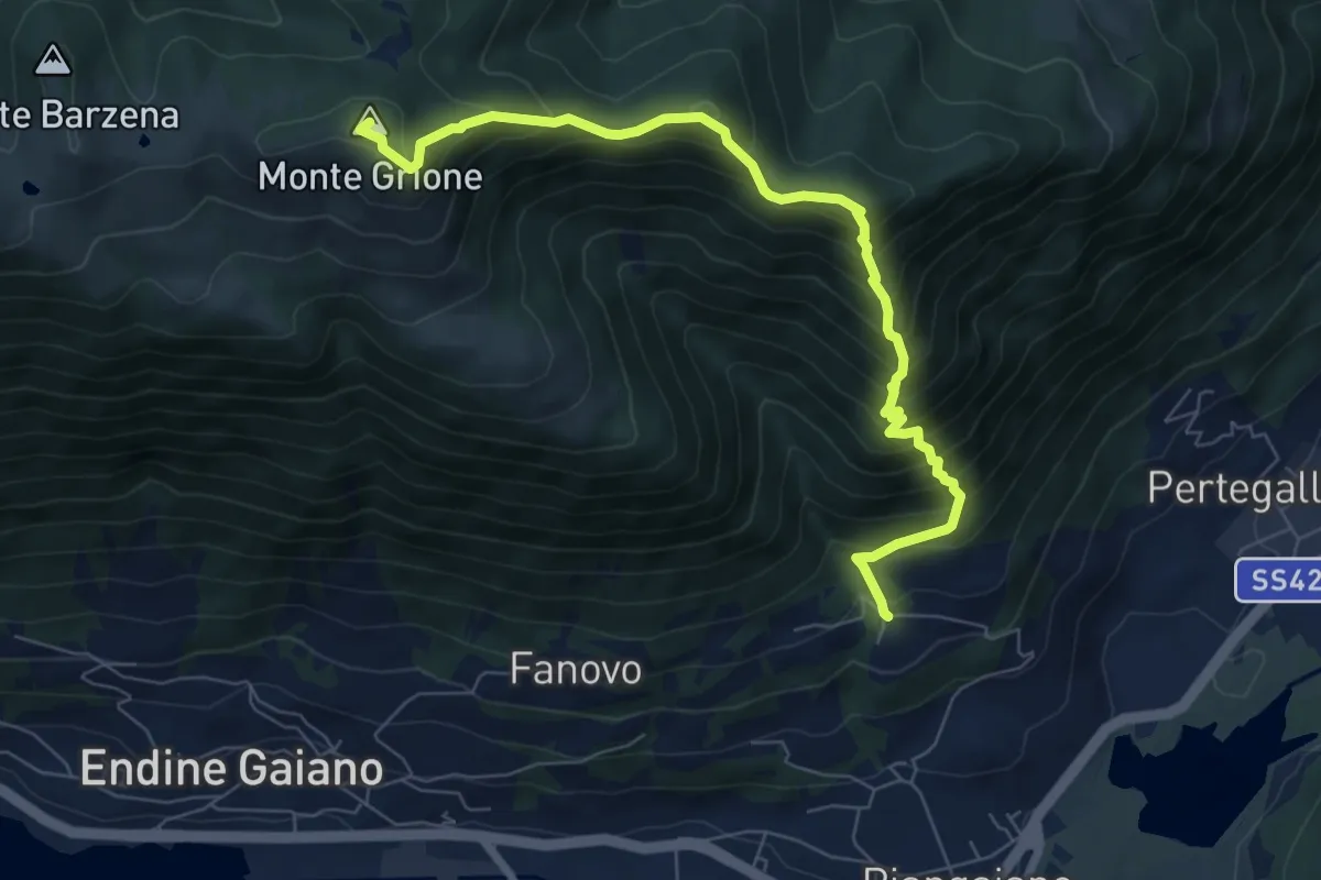
Demanding · Summit
Palate (Piangaiano) – Monte Grione
7.8 km · ↑ 910 m · 3 h 49 min · 7 km away
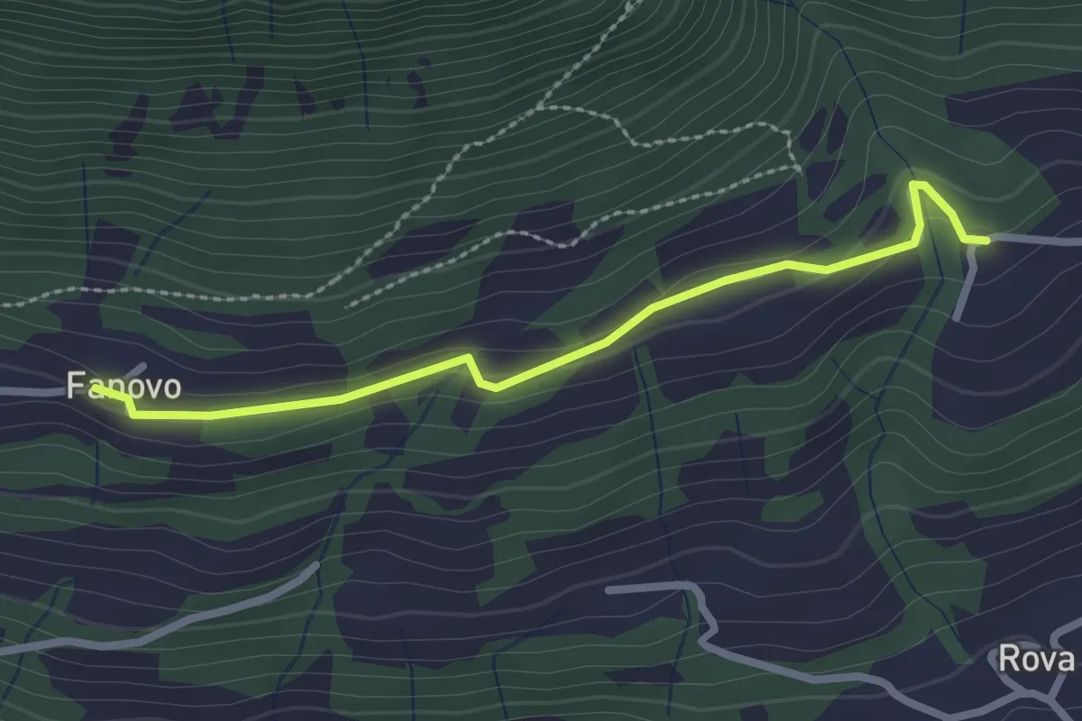
Easy · Trail
Fanovo (Endine Gaiano) – Palate
2.5 km · ↑ 94 m · 47 min · 7 km away
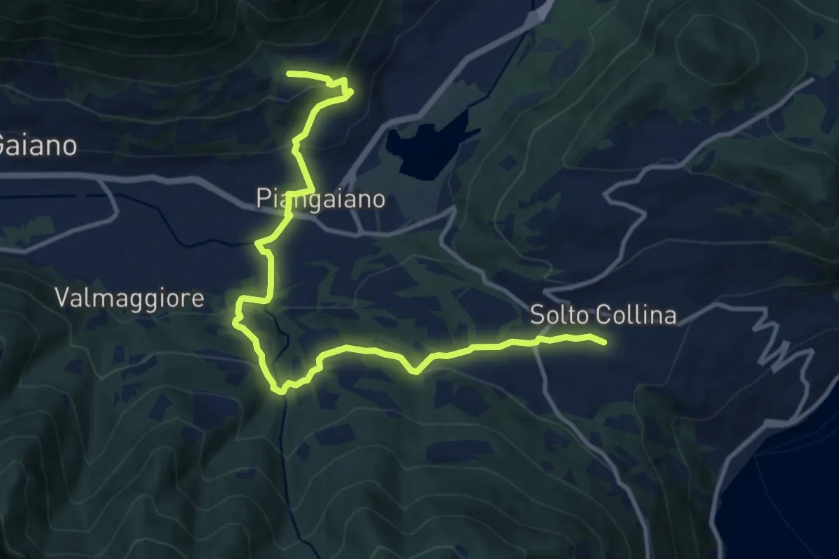
Medium · Trail
Sentiero Flavio Tasca - Tappa 2
12.3 km · ↑ 484 m · 3 h 57 min · 7 km away
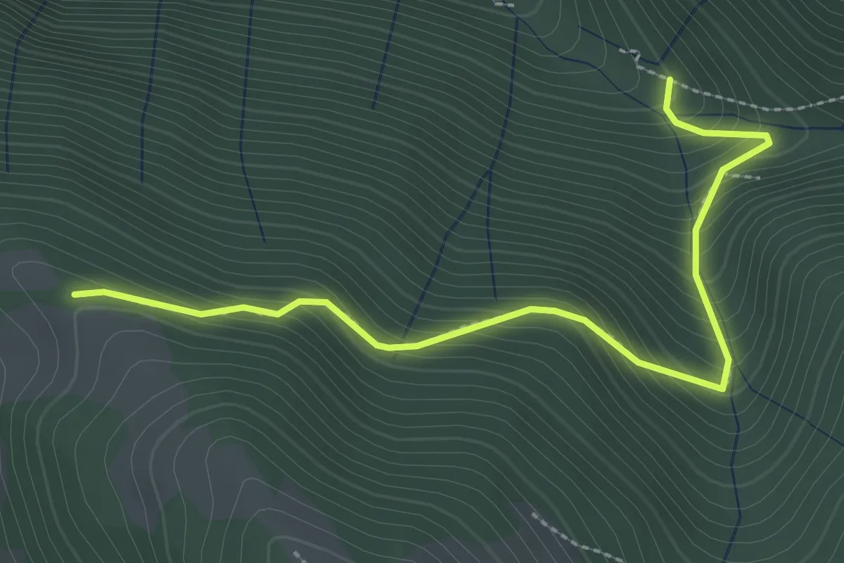
Easy · Trail
Incrocio 612 – Incrocio 612A
2.9 km · ↑ 301 m · 1 h 21 min · 8 km away
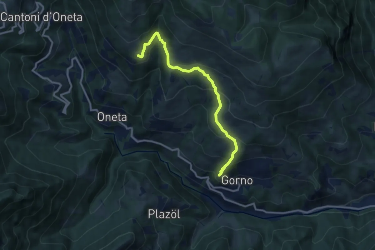
Medium · Trail
Gorno – Rifugio Baita Grem
7.2 km · ↑ 465 m · 2 h 43 min · 8 km away
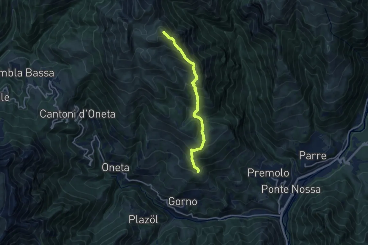
Demanding · Summit
Premolo – Rifugio Baita Golla
10.2 km · ↑ 978 m · 4 h 31 min · 8 km away
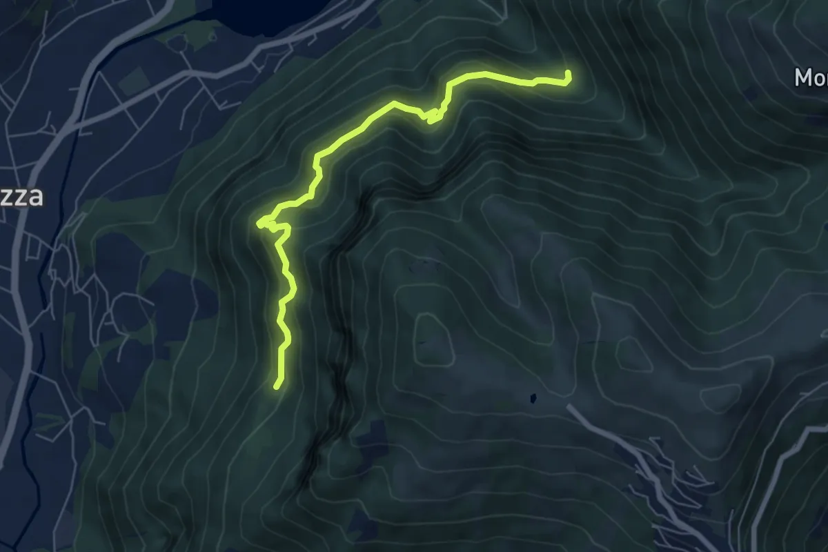
Medium · Trail
Cummia (Colognola di Casazza) – Fontanello
6.4 km · ↑ 498 m · 2 h 36 min · 8 km away
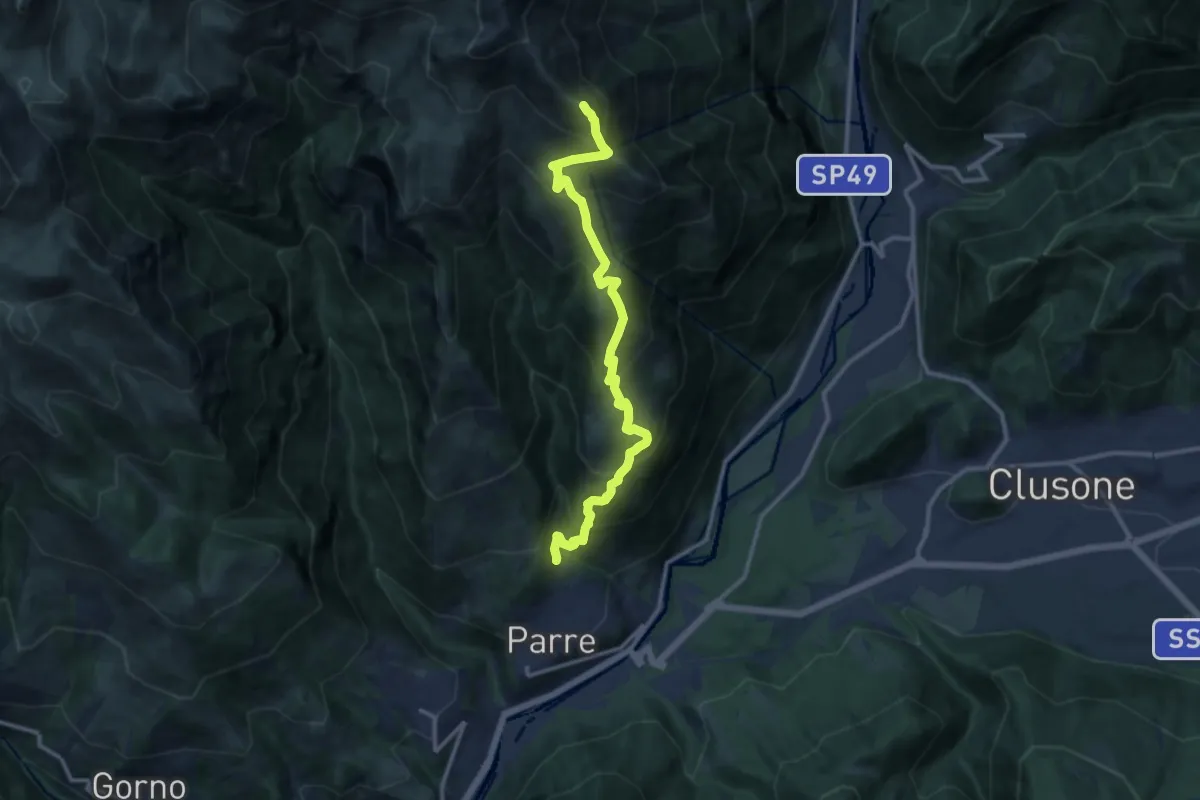
Demanding · Summit
Parre – Monte Vaccaro
12.6 km · ↑ 1312 m · 5 h 48 min · 8 km away
Demanding · Trail
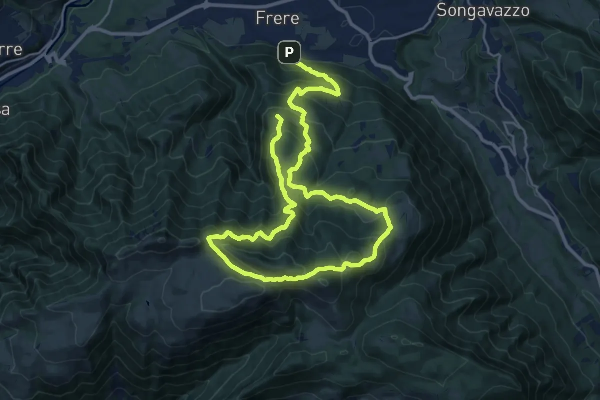
San Lucio - Forcella Larga - Fogarol - San Lucio
13.2 km · ↑ 1092 m · 5 h 27 min · 8 km away
Demanding · Trail
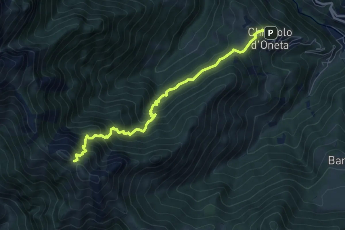
Chignolo (Oneta) – Passo di Pradaccio
7.5 km · ↑ 811 m · 3 h 32 min · 8 km away
Medium · Trail
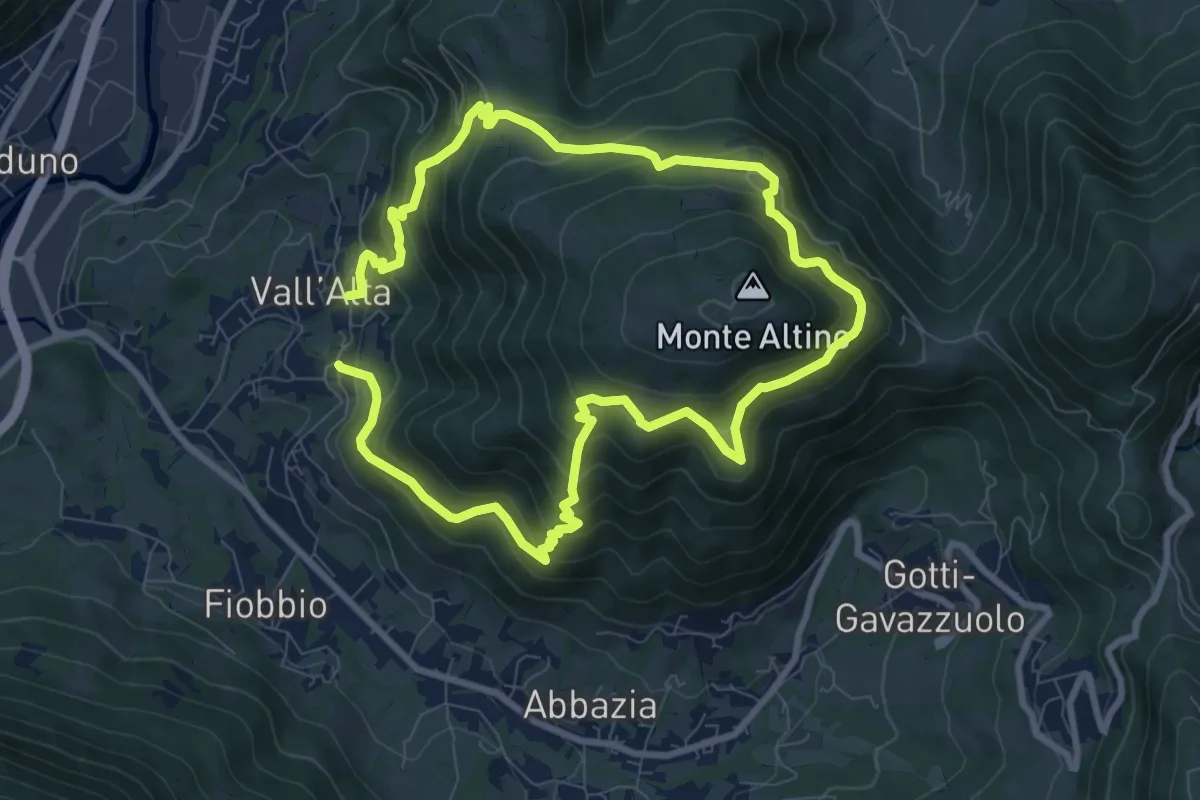
Vall'Alta (Albino) – Vall'Alta (Albino)
7.9 km · ↑ 605 m · 3 h 16 min · 8 km away
Demanding · Trail
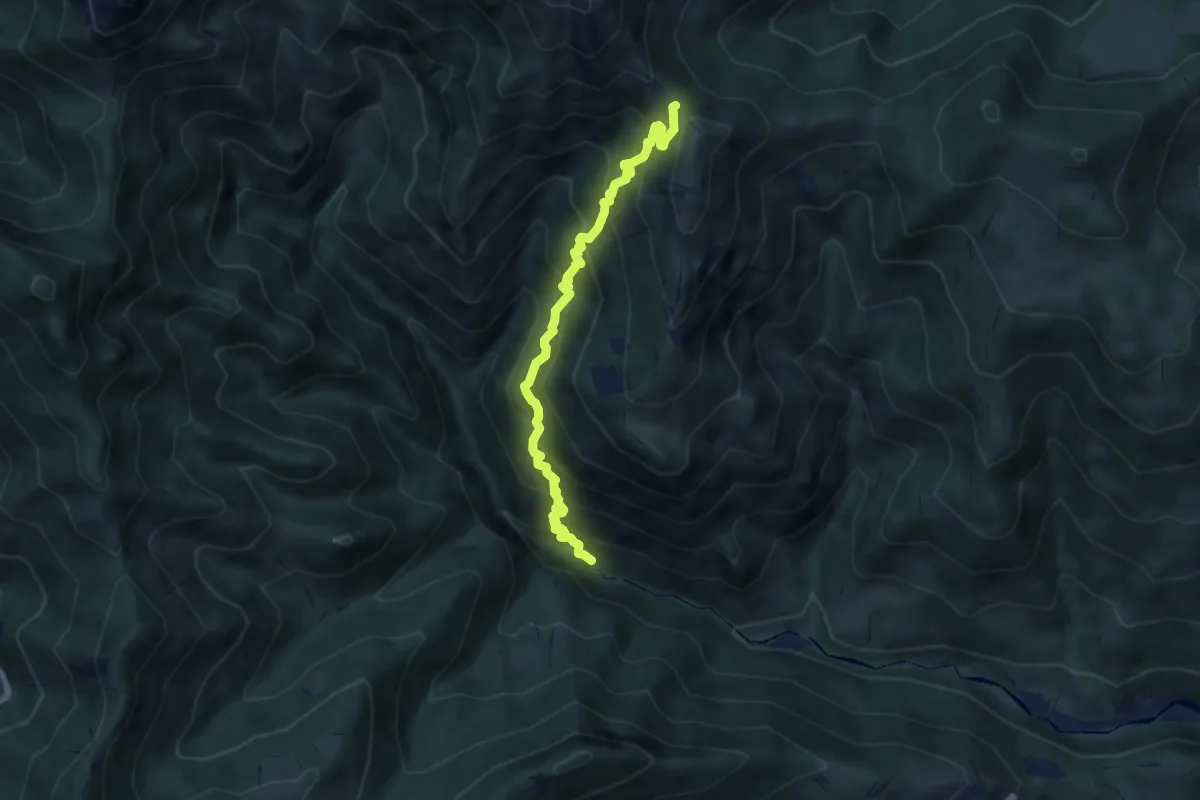
Gaernài (Val Vertova) – Passo di Bliben
7.3 km · ↑ 856 m · 3 h 35 min · 8 km away
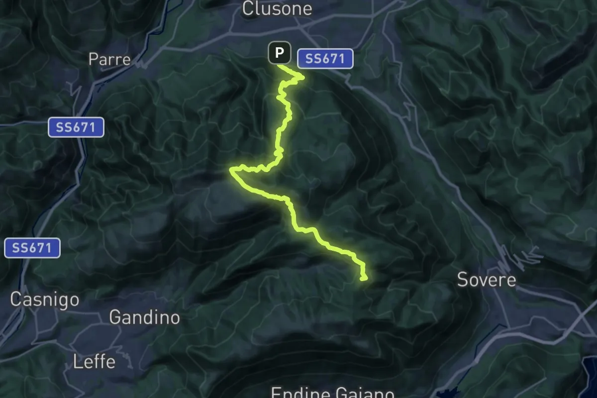
Demanding · Summit
Sentiero dei Laghi Basso - Tappa 9
24.0 km · ↑ 1579 m · 9 h 6 min · 8 km away
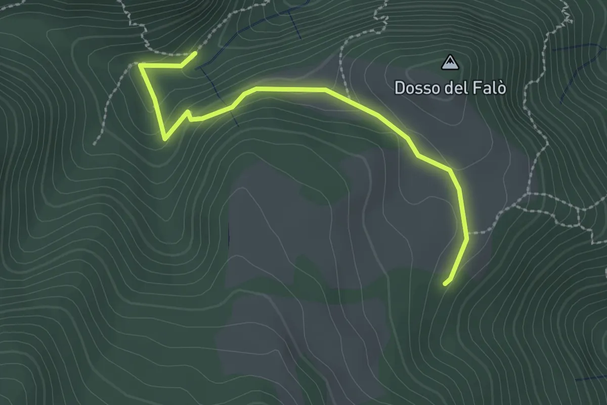
Easy · Trail
Possimo - Scale
2.6 km · ↑ 99 m · 49 min · 8 km away
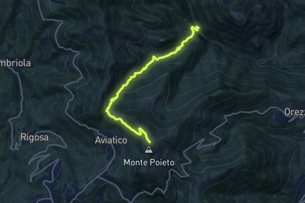
Demanding · Trail
Val Vertova – Monte Poieto
10.0 km · ↑ 782 m · 4 h 4 min · 8 km away
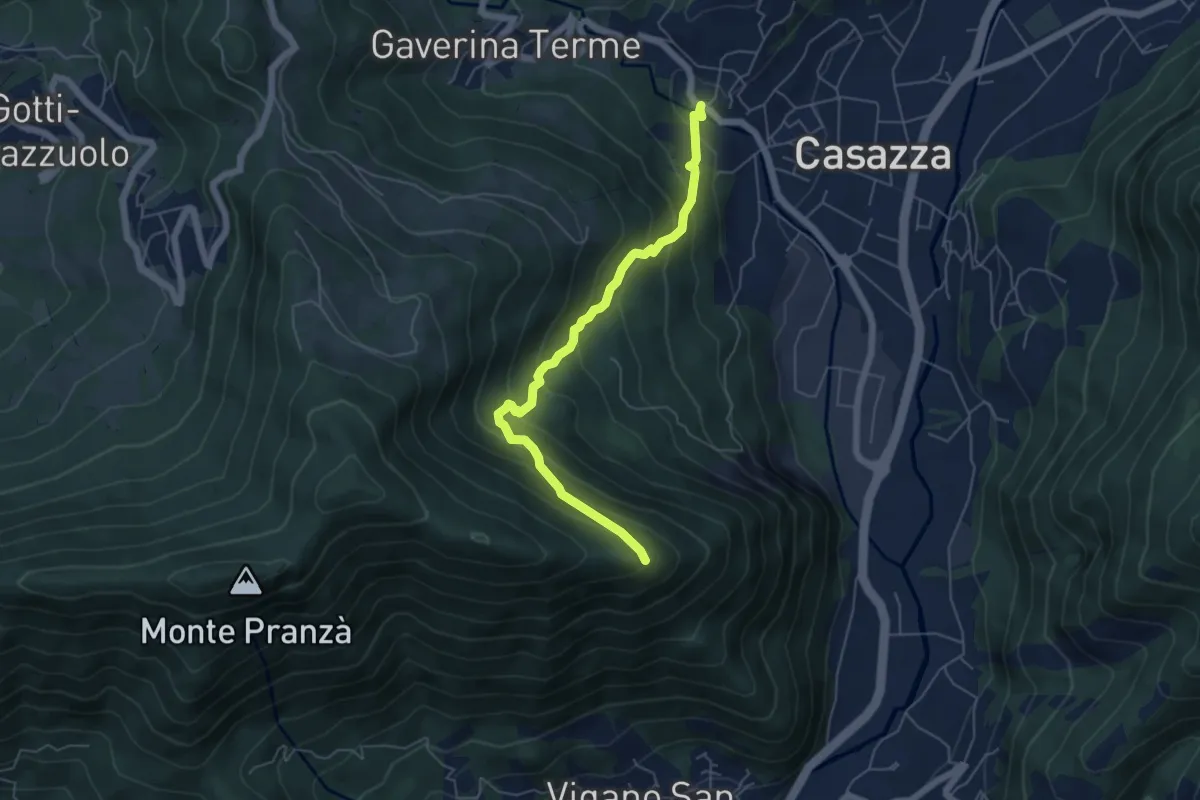
Expert · Trail
Mologno di Casazza – Cesulì
5.6 km · ↑ 492 m · 2 h 23 min · 8 km away
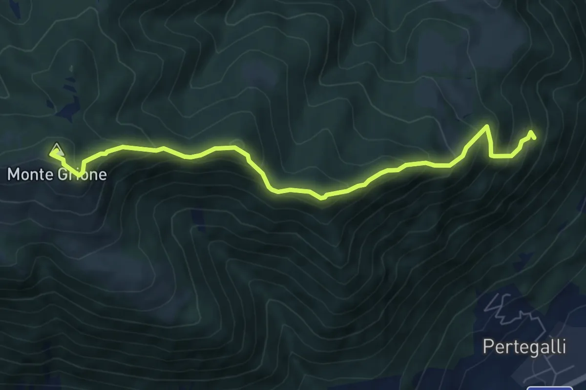
Medium · Summit
Sovere – Monte Grione (incrocio 547)
7.3 km · ↑ 654 m · 3 h 8 min · 8 km away
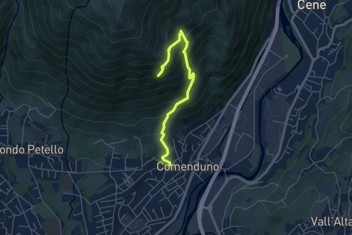
Demanding · Trail
Sentiero della Barchéssa Antonio Manganoni
4.6 km · ↑ 546 m · 2 h 16 min · 8 km away
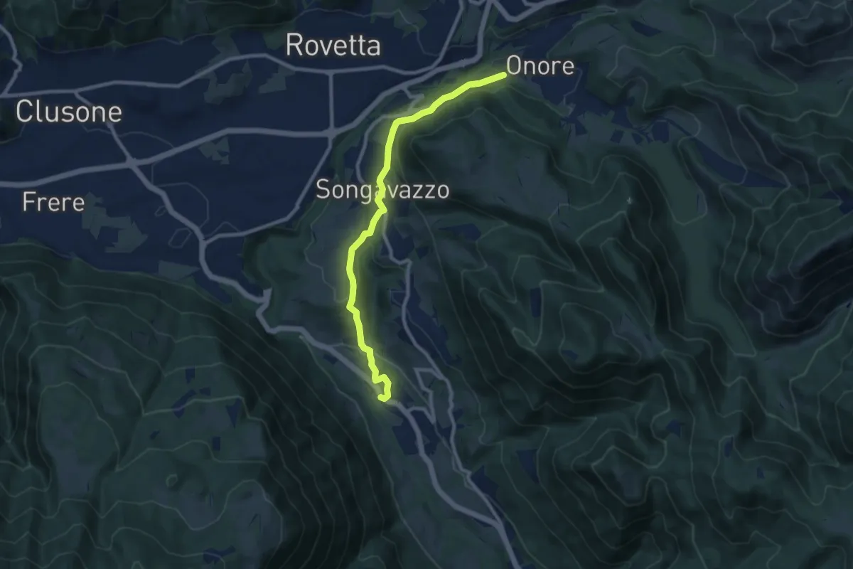
Medium · Trail
Sentiero Flavio Tasca - Tappa 4
8.9 km · ↑ 213 m · 2 h 33 min · 9 km away
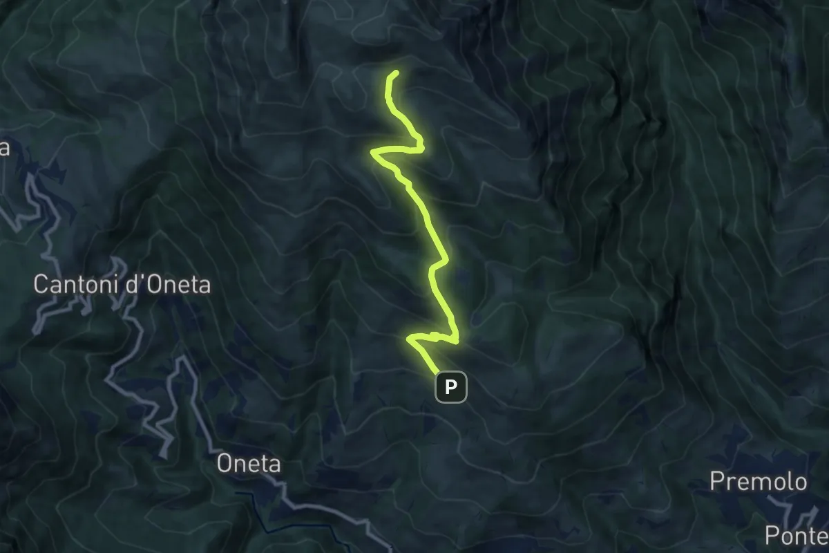
Medium · Cabin
Alpe Grina (Gorno) – Rifugio Baita Golla
8.4 km · ↑ 656 m · 3 h 24 min · 9 km away
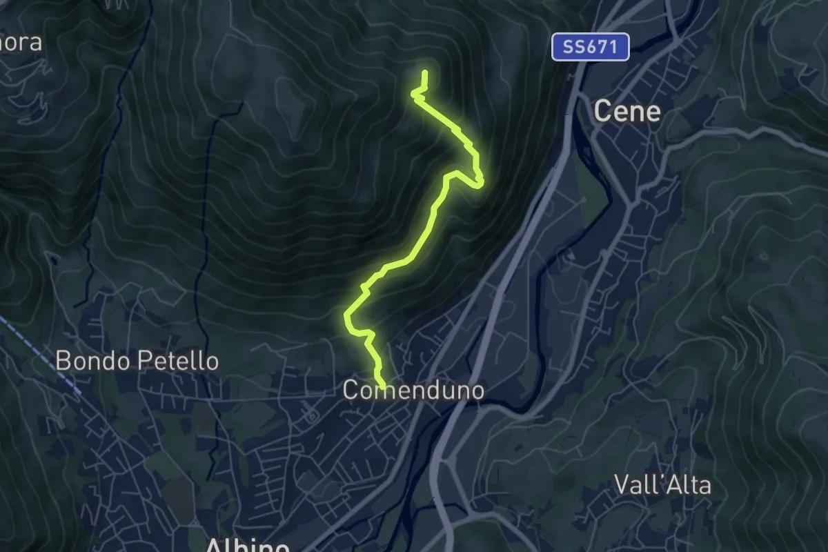
Medium · Summit
Comenduno (Albino) – Ganda
5.7 km · ↑ 511 m · 2 h 27 min · 9 km away
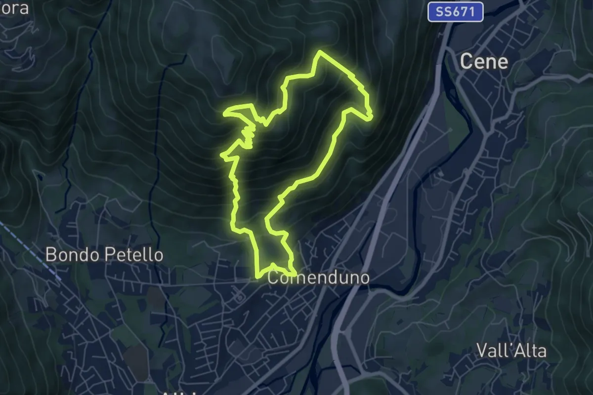
Demanding · Trail
Sentiero 2
6.4 km · ↑ 687 m · 3 h 5 min · 9 km away
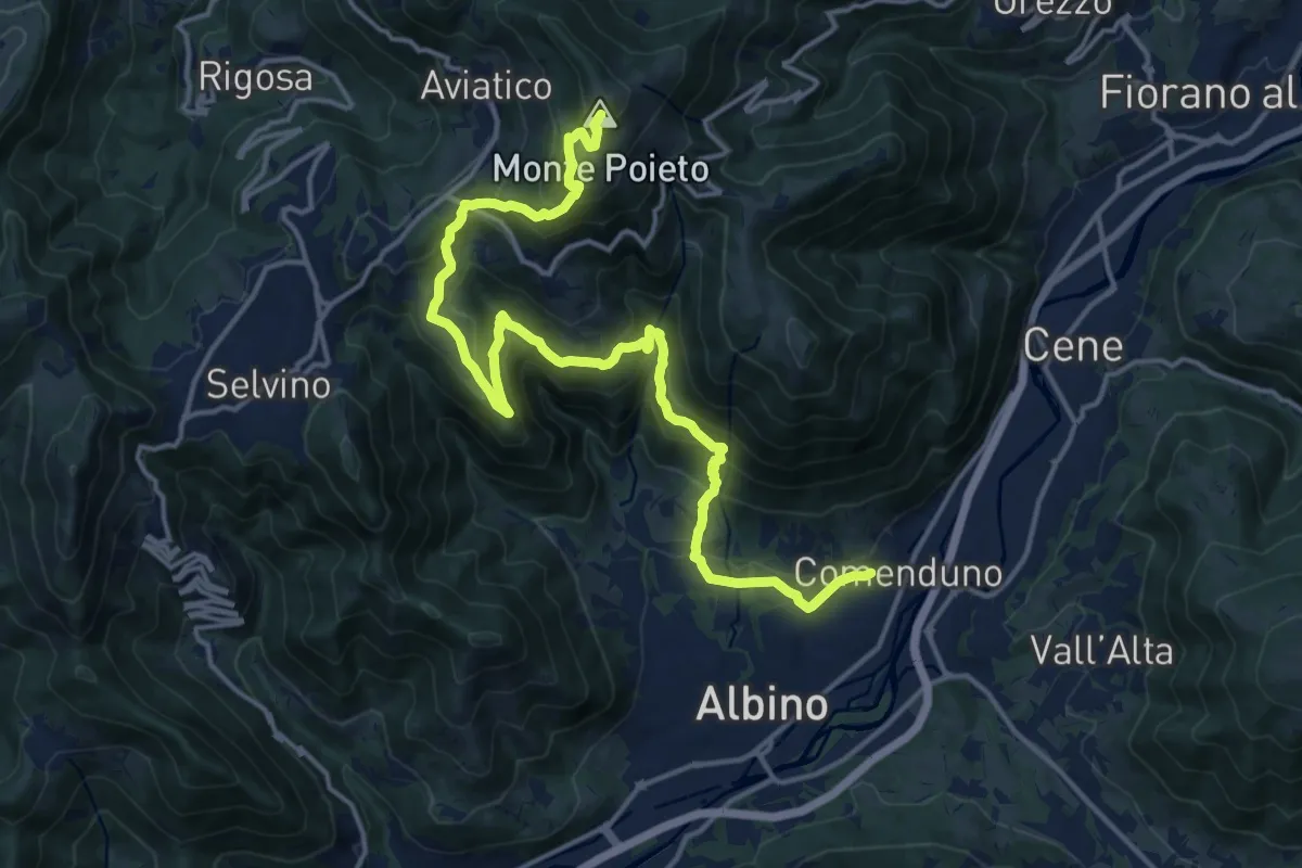
Demanding · Summit
Comenduno (Albino) – Monte Poieto
19.0 km · ↑ 1177 m · 7 h 3 min · 9 km away
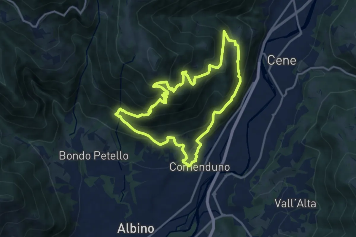
Demanding · Trail
Sentiero Agostino Noris
8.5 km · ↑ 767 m · 3 h 46 min · 9 km away
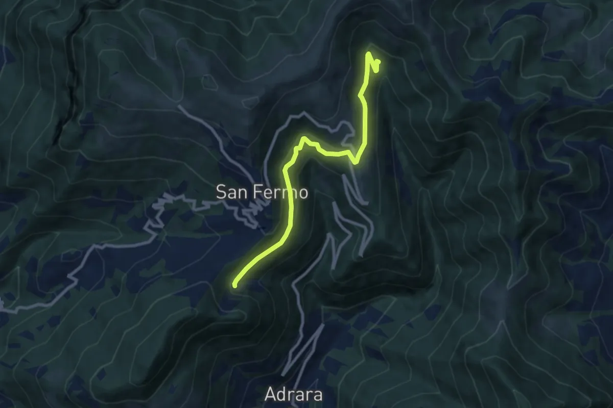
Medium · Trail
Adrara San Martino (incrocio 715) – Incrocio 744
8.2 km · ↑ 459 m · 2 h 55 min · 9 km away
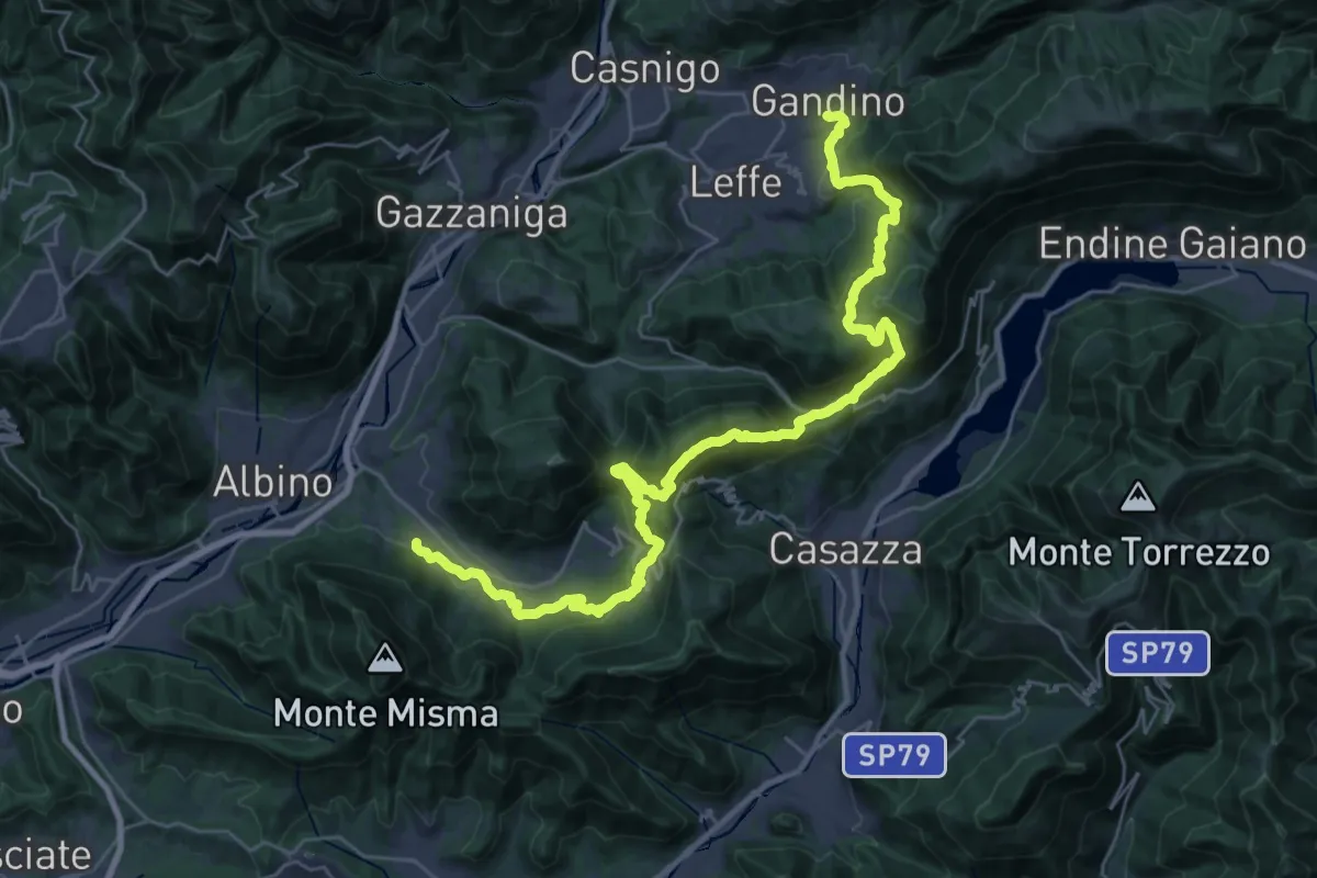
Demanding · Trail
Alta Via delle Grazie - Tappa 12
19.3 km · ↑ 1101 m · 7 h 8 min · 9 km away
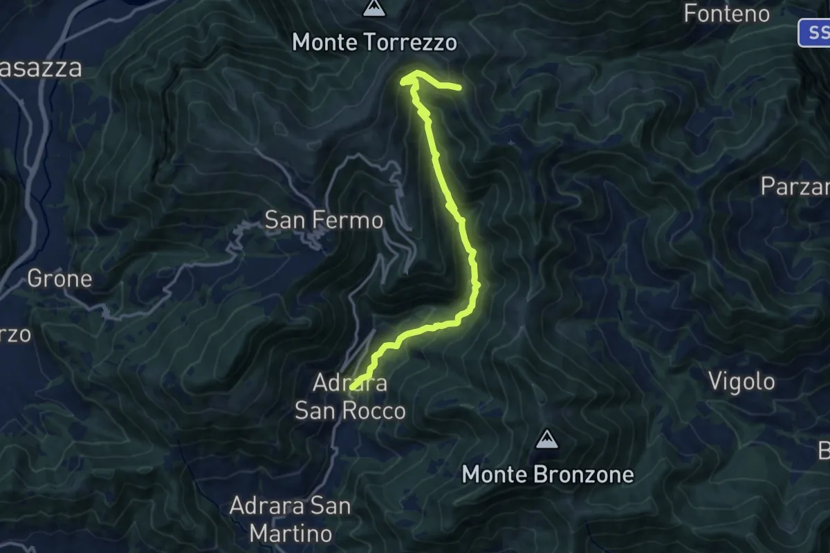
Demanding · Trail
Adrara San Rocco – Cucche
13.1 km · ↑ 886 m · 5 h 1 min · 9 km away
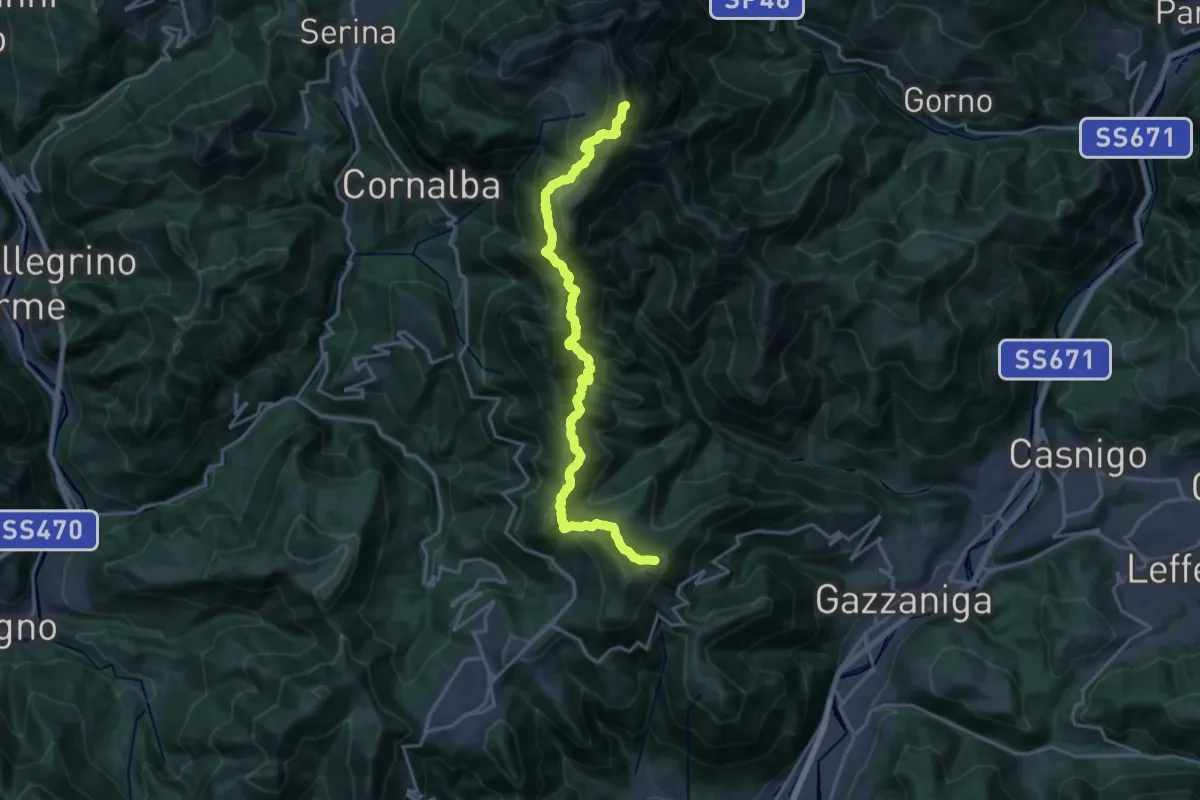
Expert · Summit
Ca' de Spi' (Gazzaniga) – Monte Alben
20.0 km · ↑ 1657 m · 8 h 19 min · 9 km away
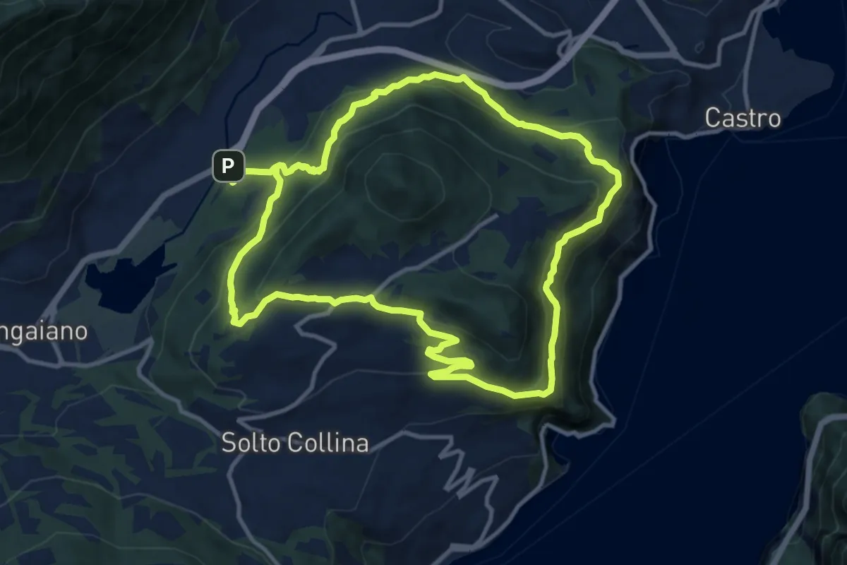
Medium · Trail
Periplo Monte Clemo
10.7 km · ↑ 549 m · 3 h 50 min · 9 km away
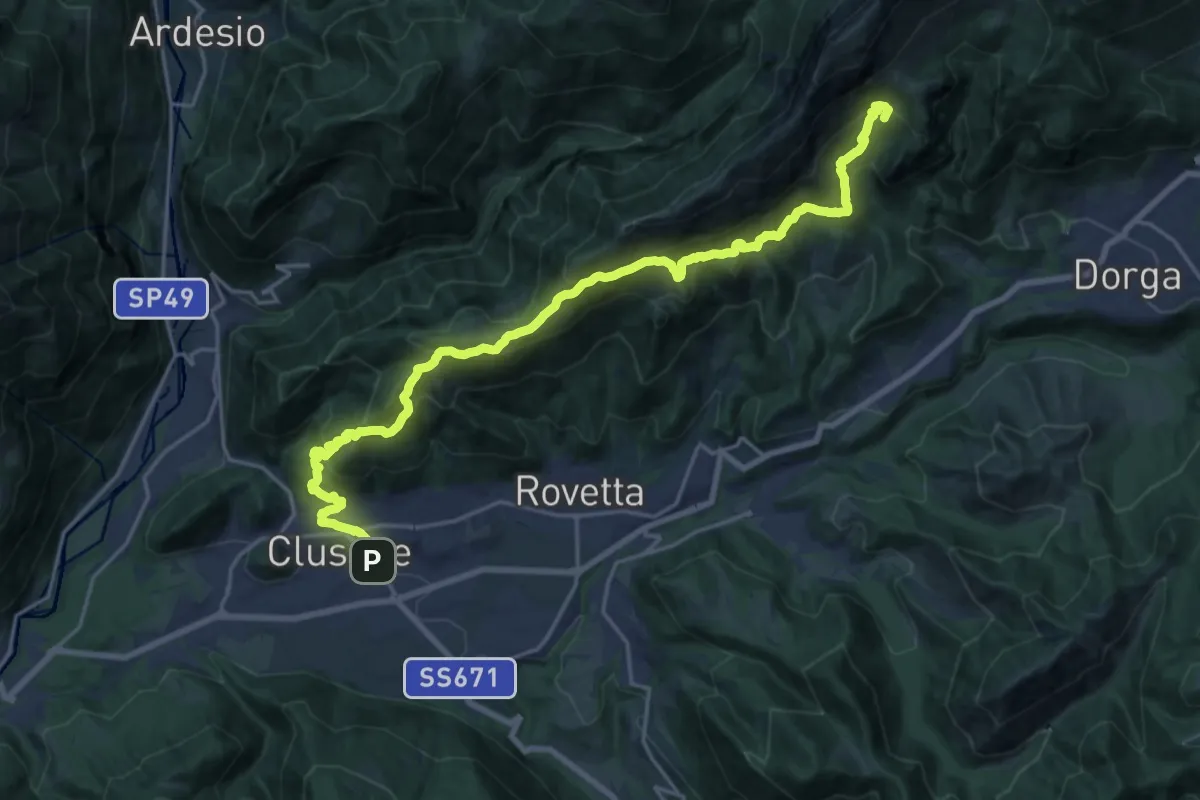
Expert · Summit
Trekking della Presolana - Tappa 5
23.3 km · ↑ 1627 m · 9 h 2 min · 9 km away
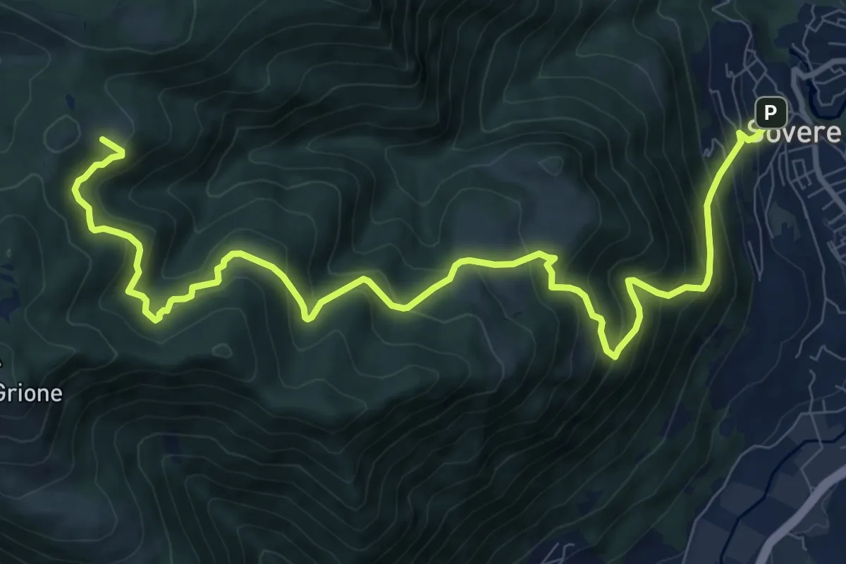
Demanding · Cabin
Sovere – Malga Lunga
12.4 km · ↑ 1024 m · 5 h 8 min · 9 km away
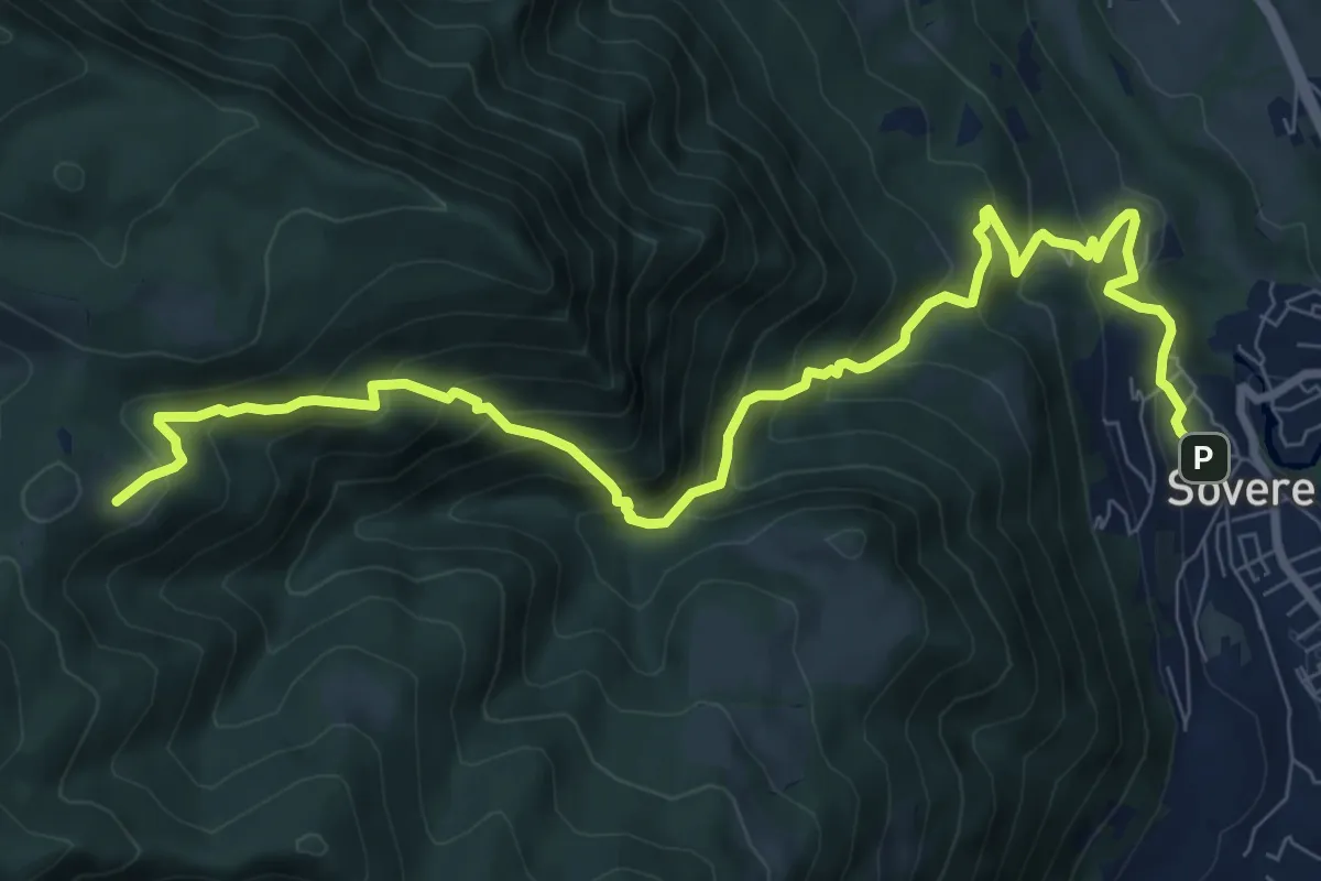
Demanding · Cabin
Sovere – Malga Lunga
5.4 km · ↑ 895 m · 2 h 51 min · 9 km away
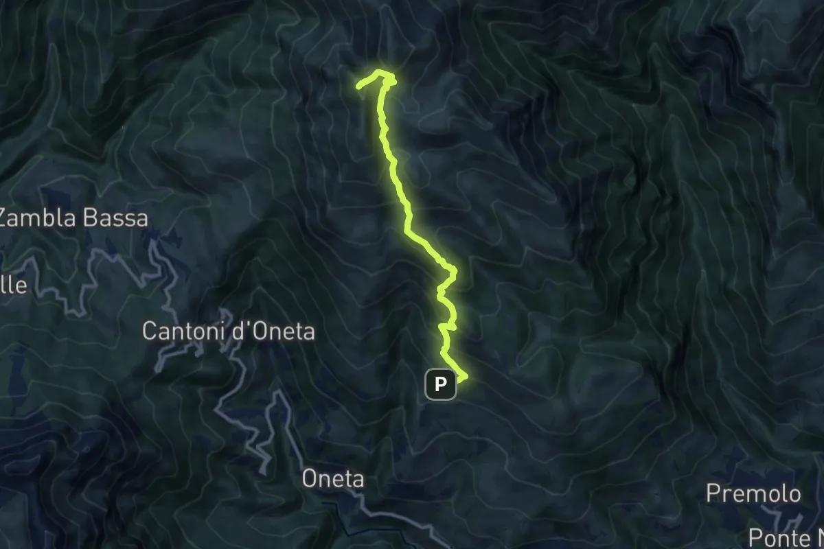
Demanding · Summit
Alpe Grina (Gorno) – Cima di Grem
9.5 km · ↑ 899 m · 4 h 11 min · 9 km away
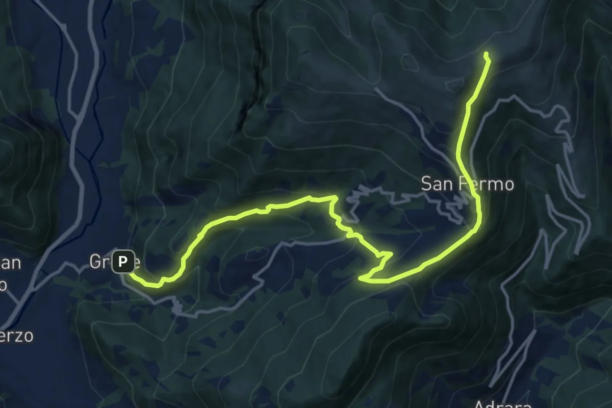
Demanding · Trail
Grone – Foppelle
14.1 km · ↑ 944 m · 5 h 22 min · 9 km away
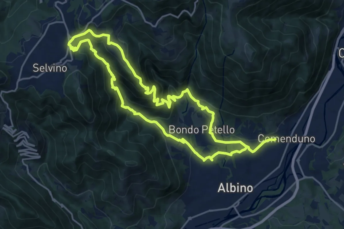
Medium · Summit
Sentiero 5
12.7 km · ↑ 702 m · 4 h 42 min · 9 km away
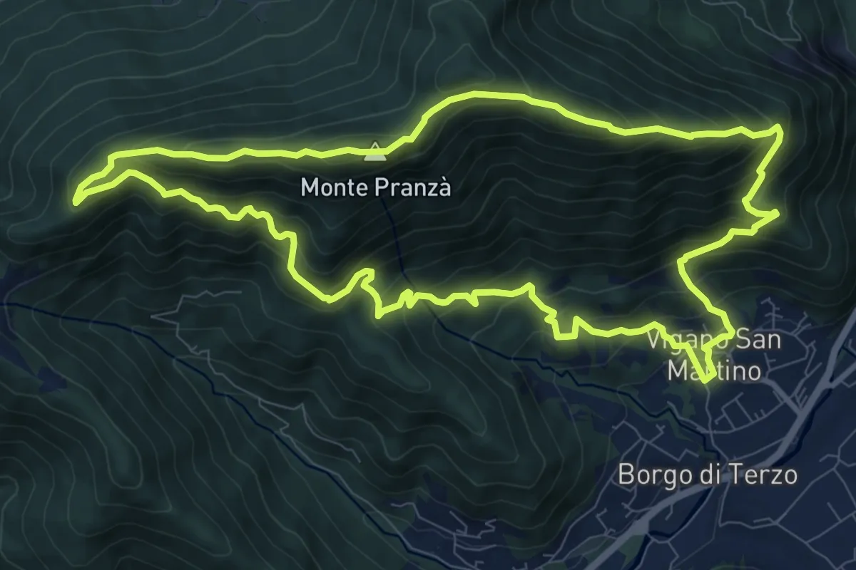
Demanding · Summit
Vigano San Martino – Vigano San Martino
10.4 km · ↑ 875 m · 4 h 29 min · 9 km away
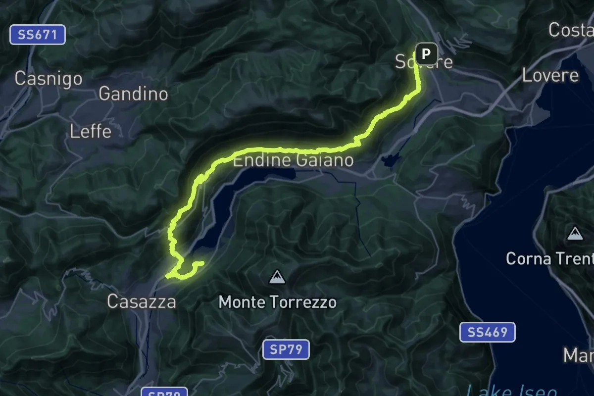
Demanding · Trail
Cammino dei tre laghi - Tappa 1
17.0 km · ↑ 852 m · 6 h 6 min · 9 km away
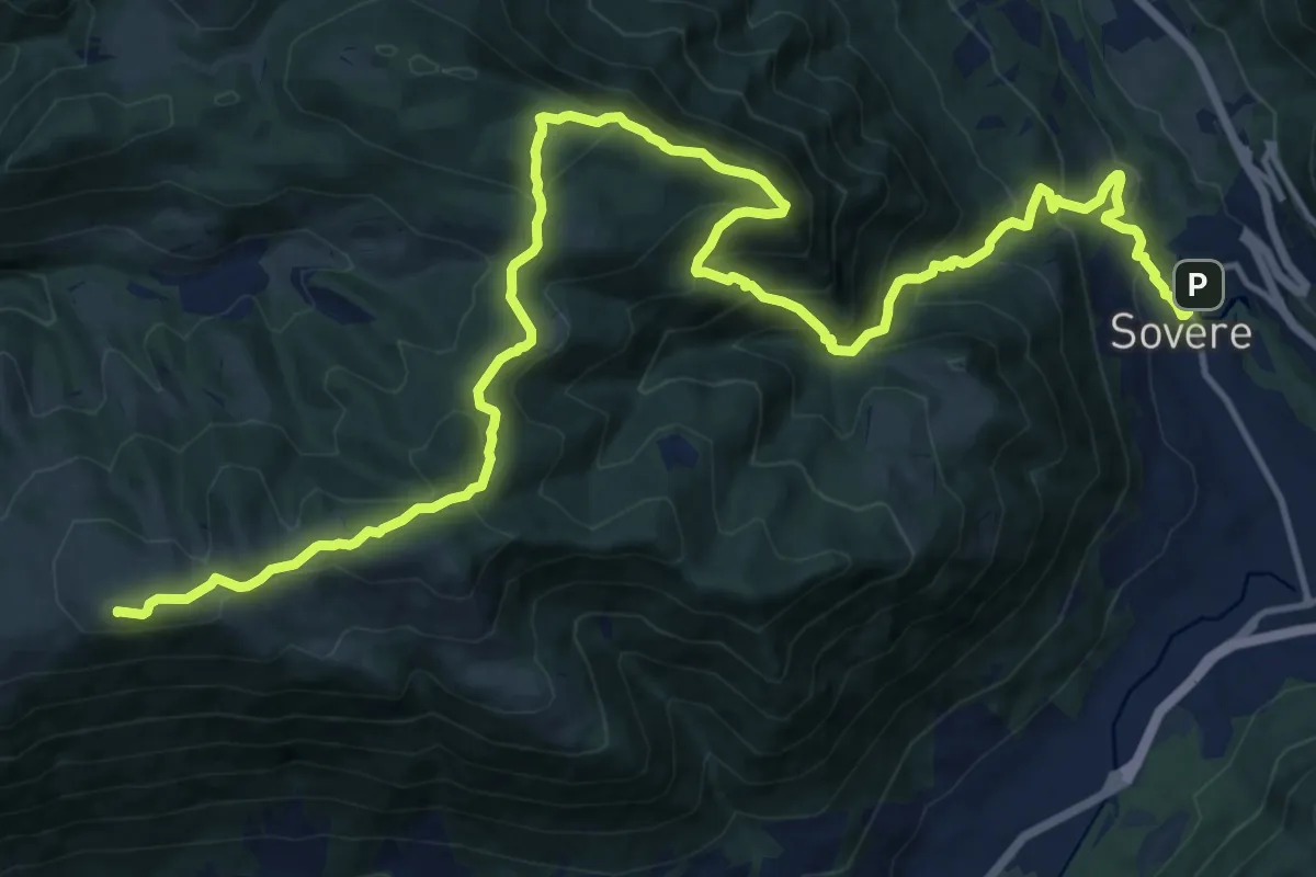
Demanding · Summit
Cammino dei tre laghi - Variante 1a + 6a Tappa
21.1 km · ↑ 1437 m · 8 h 5 min · 9 km away
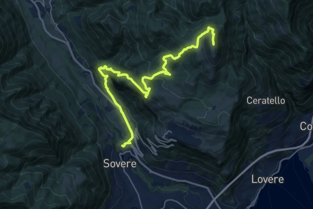
Expert · Summit
Cammino dei tre laghi - Tappa 5
18.5 km · ↑ 1259 m · 7 h 6 min · 9 km away
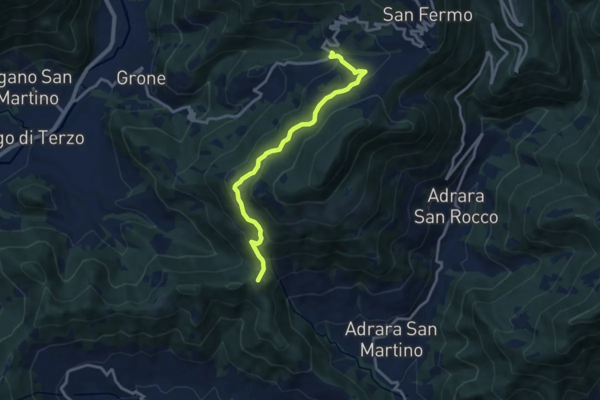
Medium · Summit
Sant'Antonio di Grone – Col Croce
8.3 km · ↑ 516 m · 3 h 4 min · 9 km away
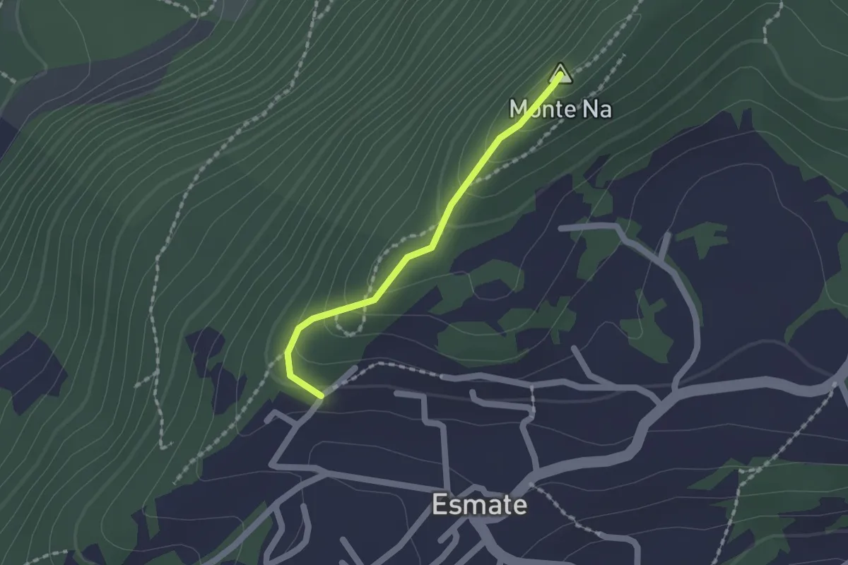
Easy · Summit
Incrocio 565 – Case del Cerrete
1.4 km · ↑ 84 m · 31 min · 10 km away
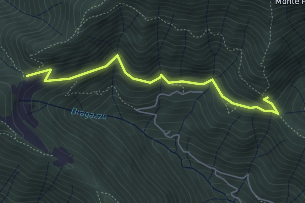
Medium · Trail
Fienile Piazzolo (Vigano San Martino) – Prati Alti
4.5 km · ↑ 340 m · 1 h 48 min · 10 km away
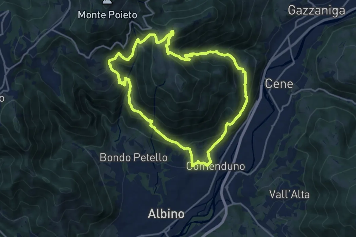
Demanding · Trail
Sentiero 3
10.6 km · ↑ 804 m · 4 h 23 min · 10 km away
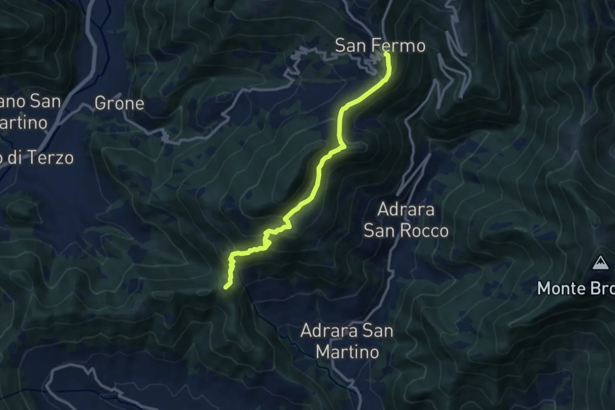
Medium · Summit
Adrara San Martino – Colli di San Fermo
9.2 km · ↑ 662 m · 3 h 37 min · 10 km away