Trails near Gandino
271 hikes starting within 15 km, nearest first.
Nearest first, page 3 of 6
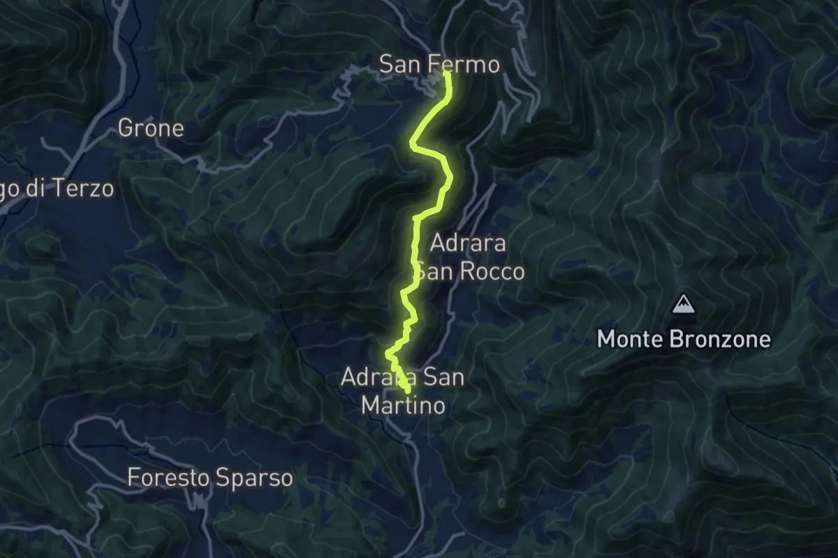
Demanding · Trail
Adrara San Martino – Colli di San Fermo
9.9 km · ↑ 812 m · 4 h 5 min · 10 km away
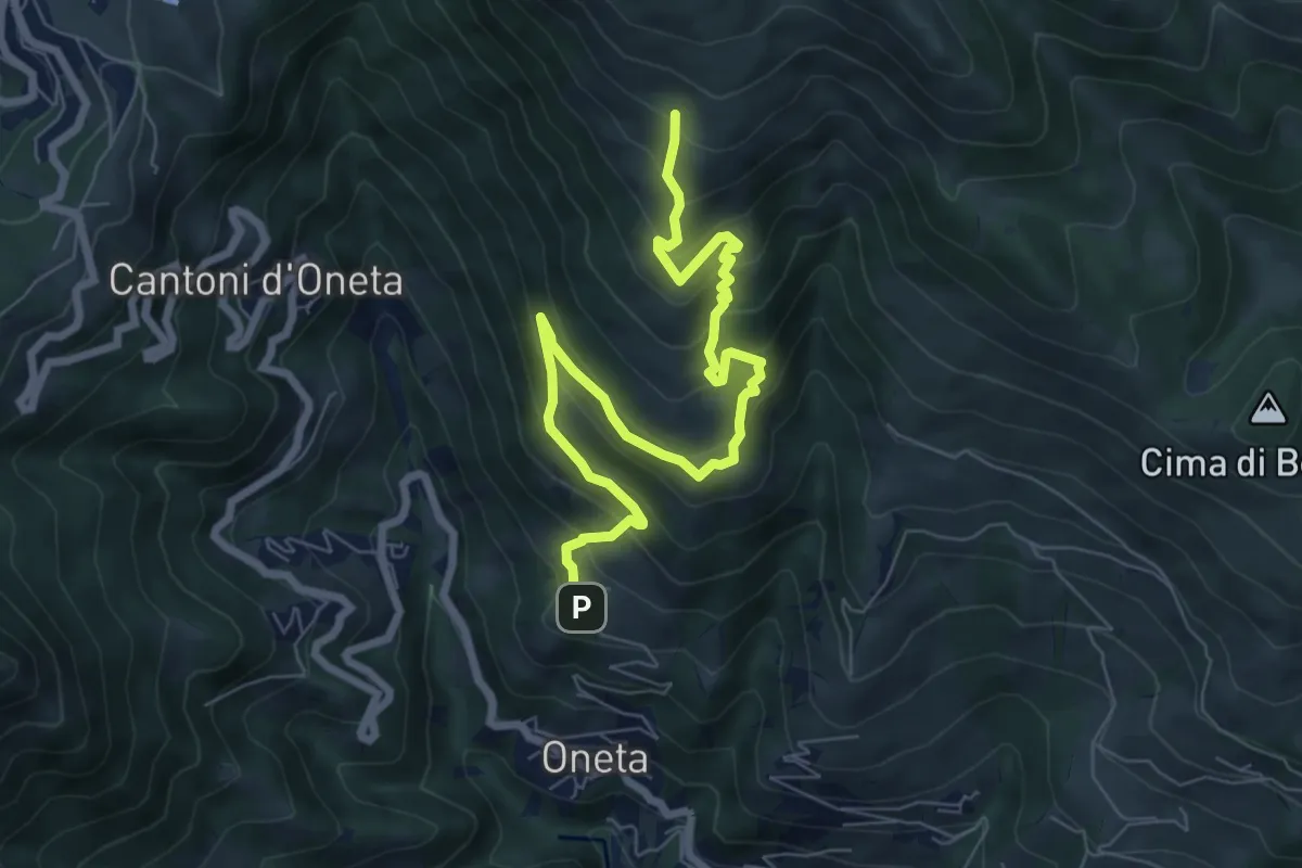
Medium · Trail
Oneta – Baita di Mezzo di Grem
8.4 km · ↑ 651 m · 3 h 24 min · 10 km away
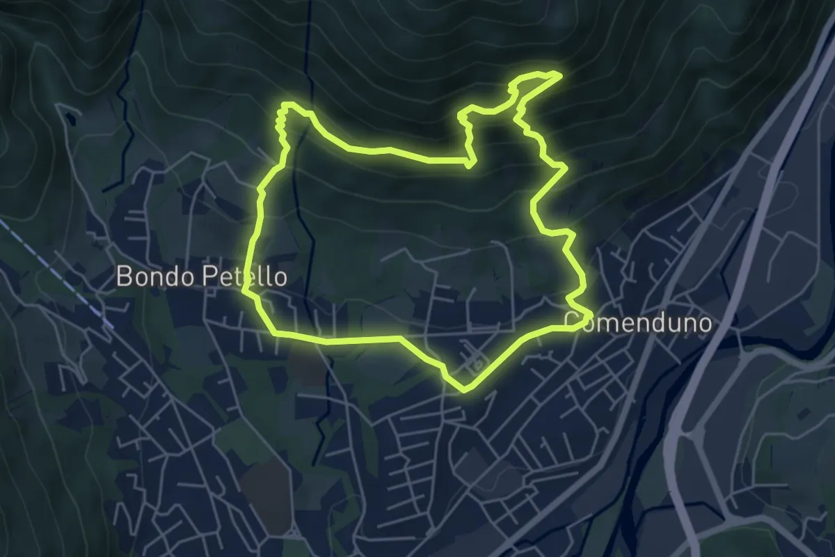
Demanding · Trail
Sentiero 1
5.2 km · ↑ 485 m · 2 h 21 min · 10 km away
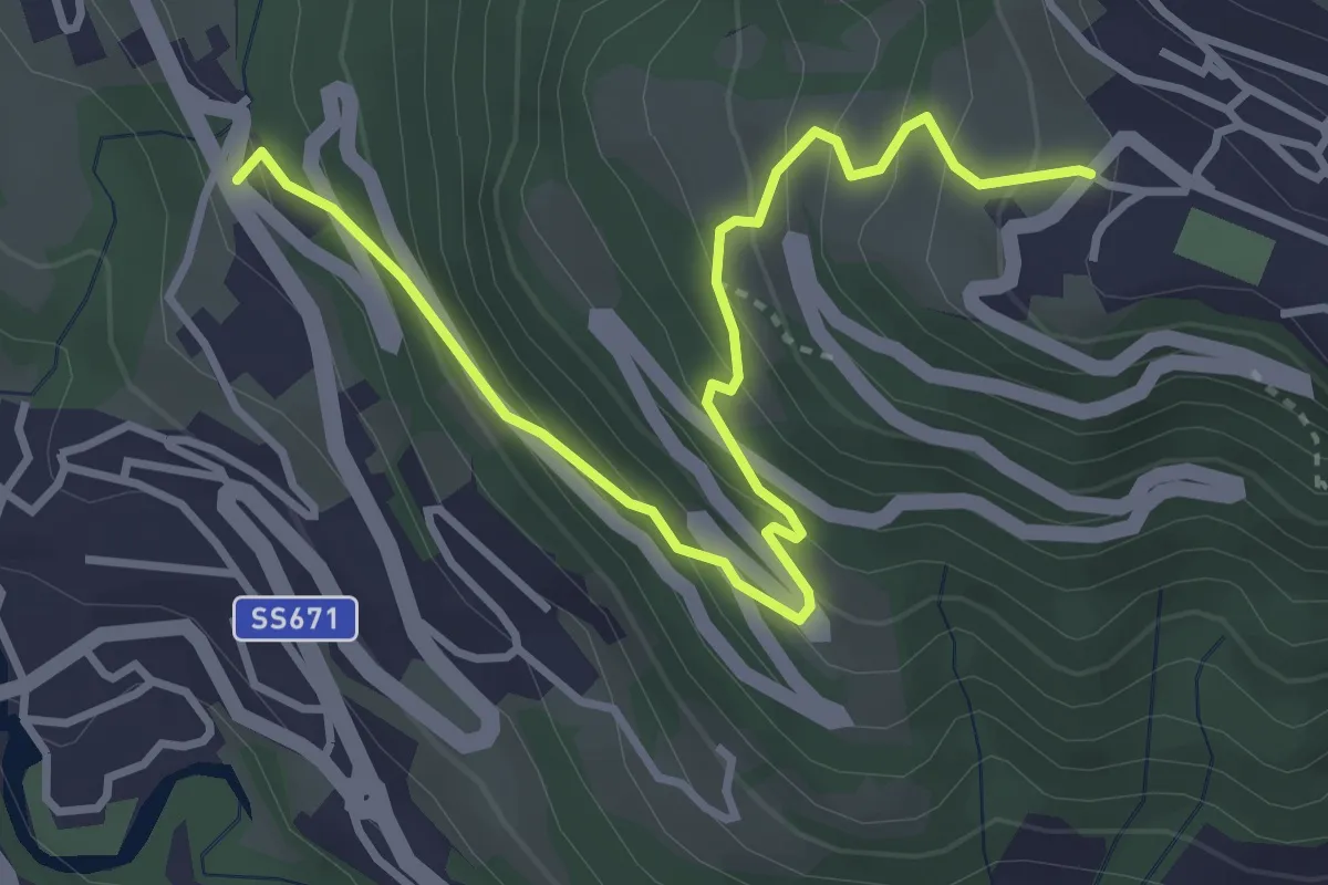
Medium · Trail
Castinic
4.1 km · ↑ 359 m · 1 h 45 min · 10 km away
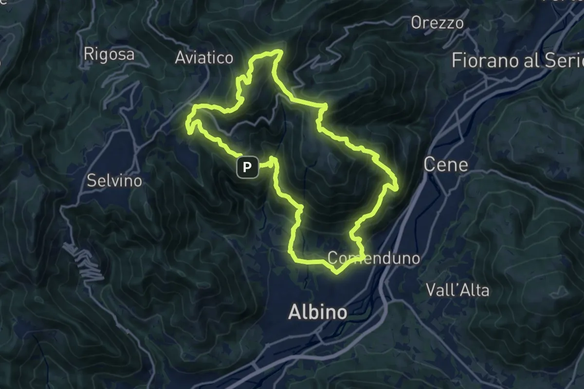
Demanding · Summit
Sentiero 4
15.2 km · ↑ 1092 m · 6 h 9 min · 10 km away
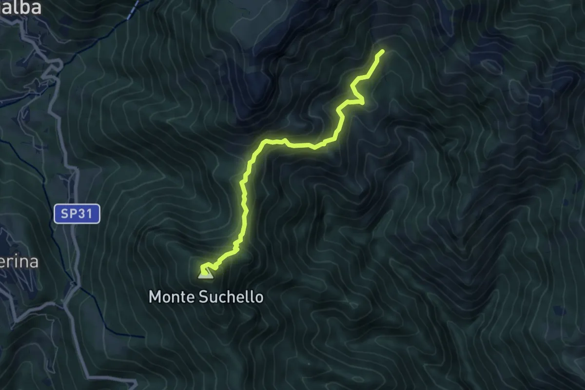
Medium · Summit
Aviatico – Sedernello
6.5 km · ↑ 548 m · 2 h 44 min · 10 km away
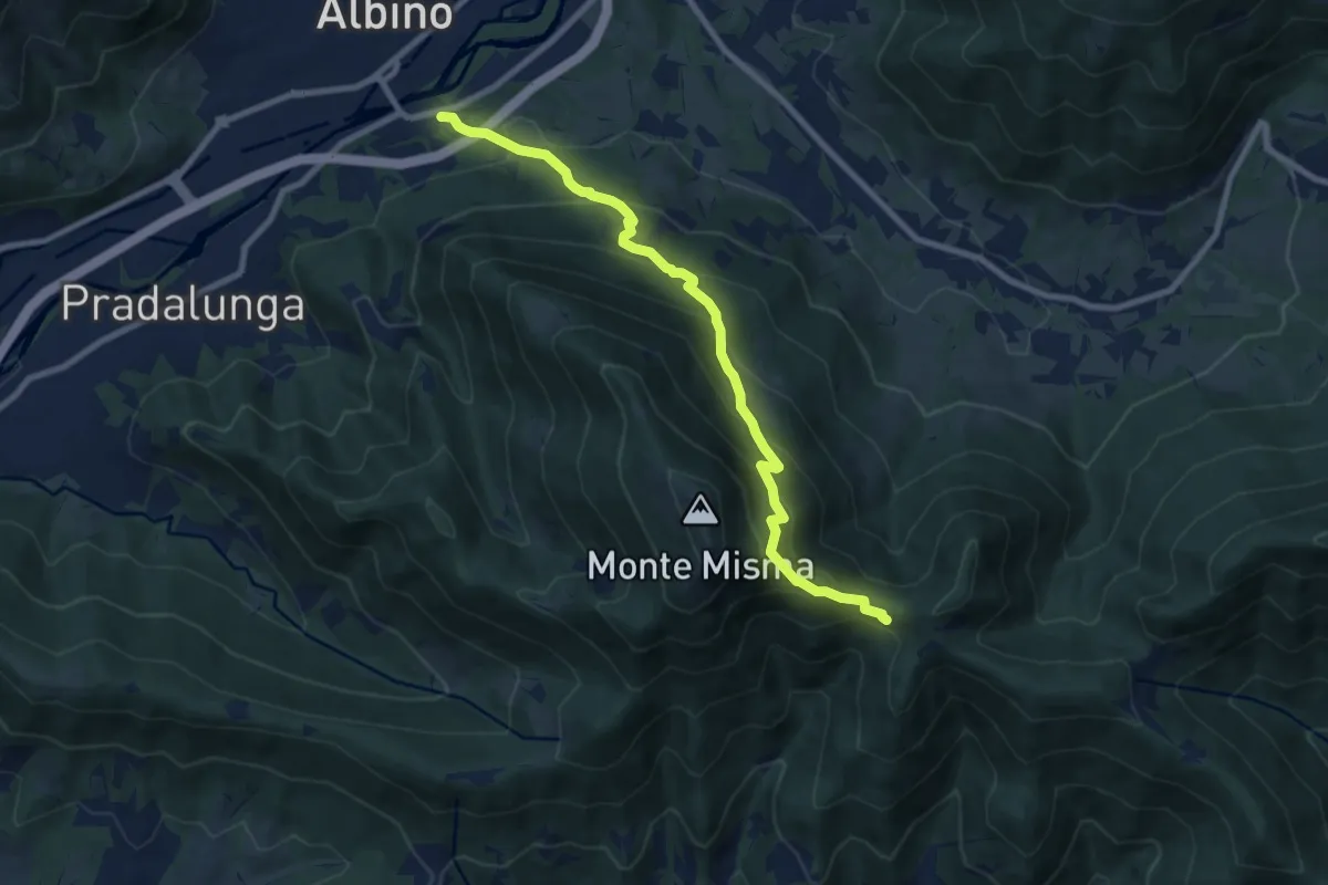
Medium · Cabin
Albino – S. Maria del Misma
8.8 km · ↑ 773 m · 3 h 45 min · 10 km away
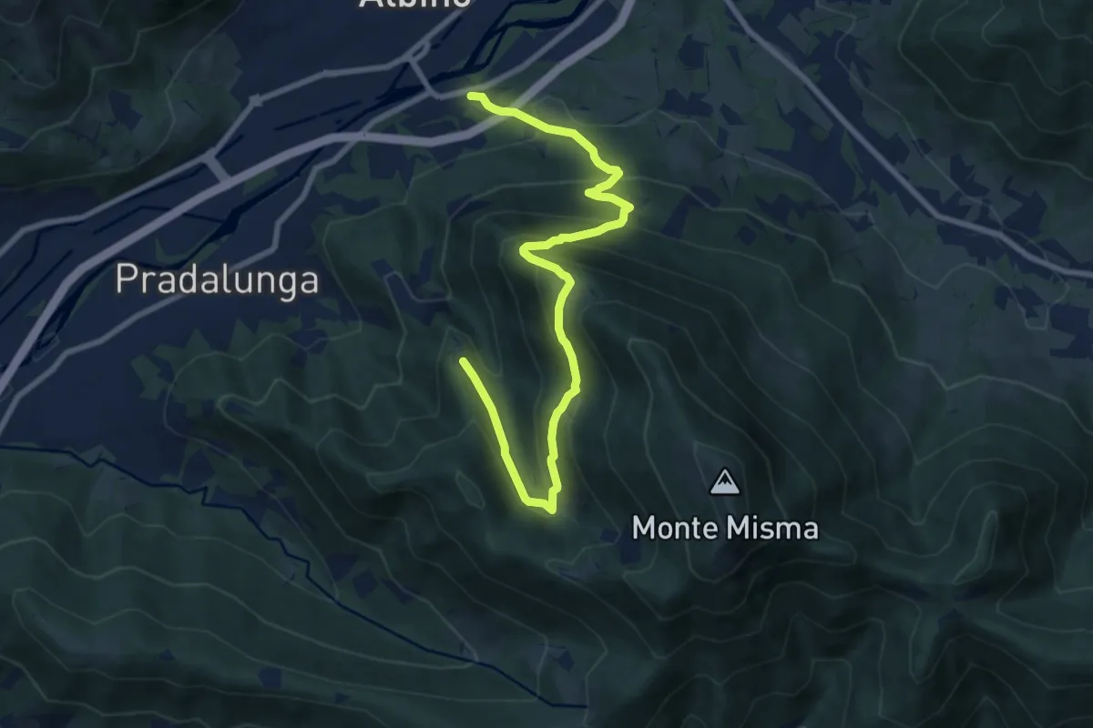
Medium · Trail
Albino – Forcella di Pradalunga
9.4 km · ↑ 747 m · 3 h 51 min · 10 km away
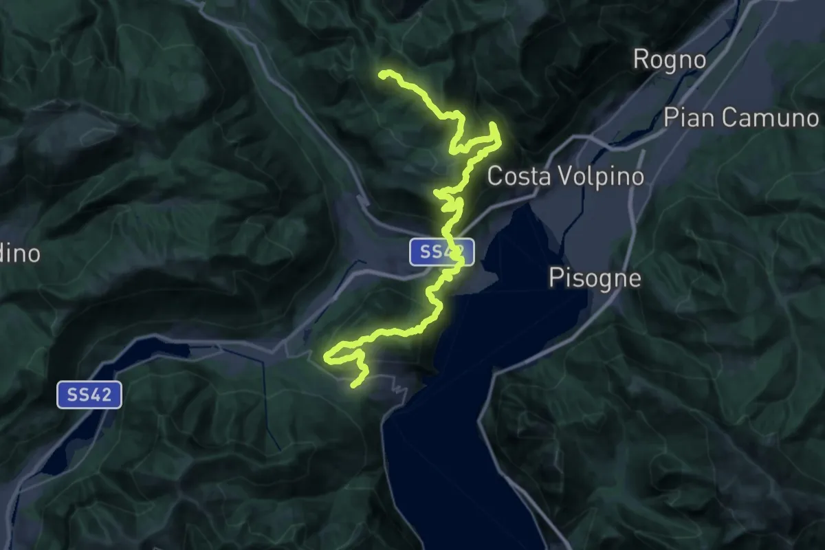
Expert · Summit
Sentiero Flavio Tasca - Tappa 3
41.4 km · ↑ 2341 m · 14 h 50 min · 10 km away
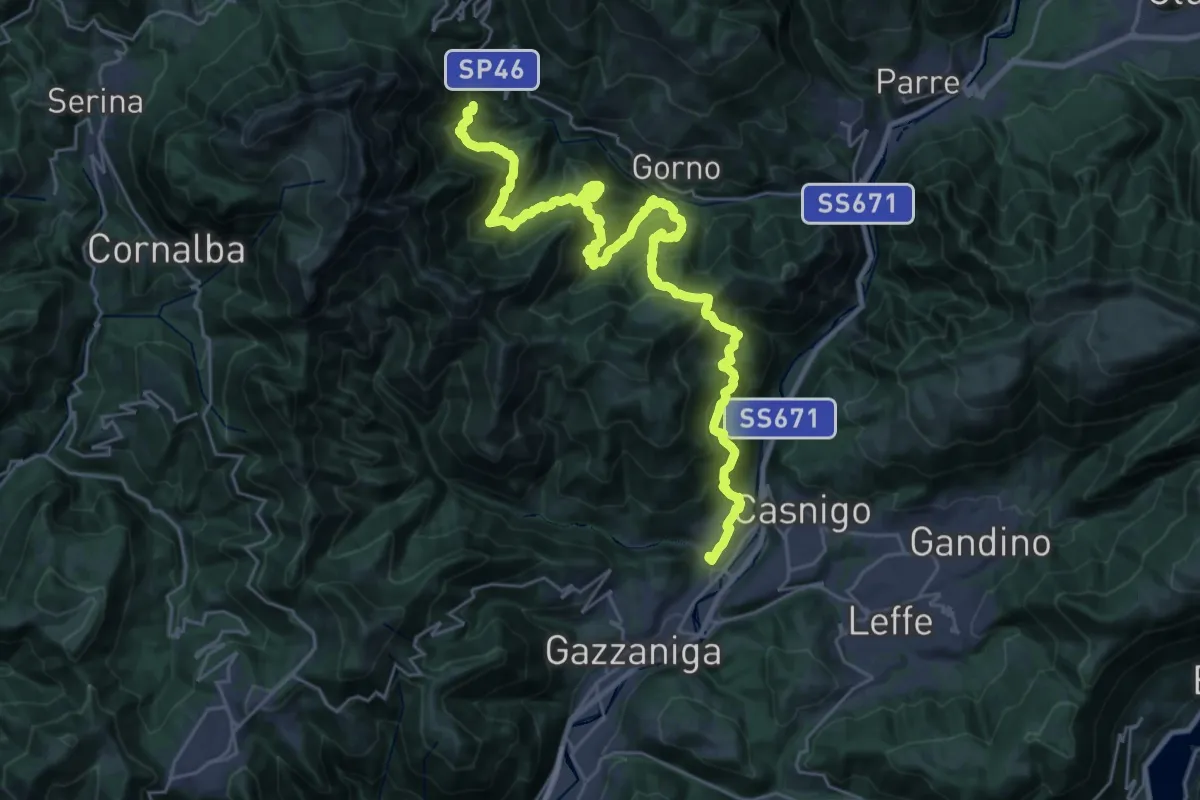
Demanding · Trail
Alta Via delle Grazie - Tappa 3
16.7 km · ↑ 807 m · 6 h 12 min · 10 km away
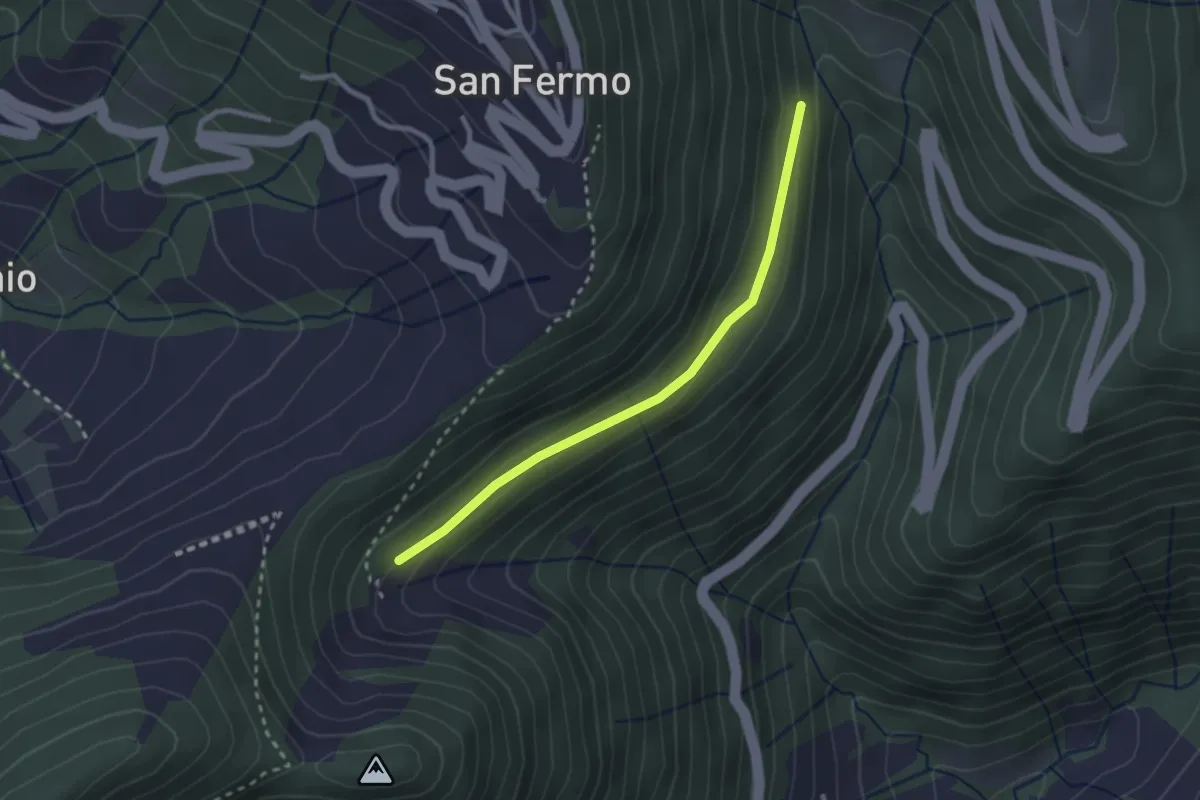
Easy · Trail
Incrocio 748 – Bondo (incrocio ASR02)
2.5 km · ↑ 83 m · 46 min · 10 km away
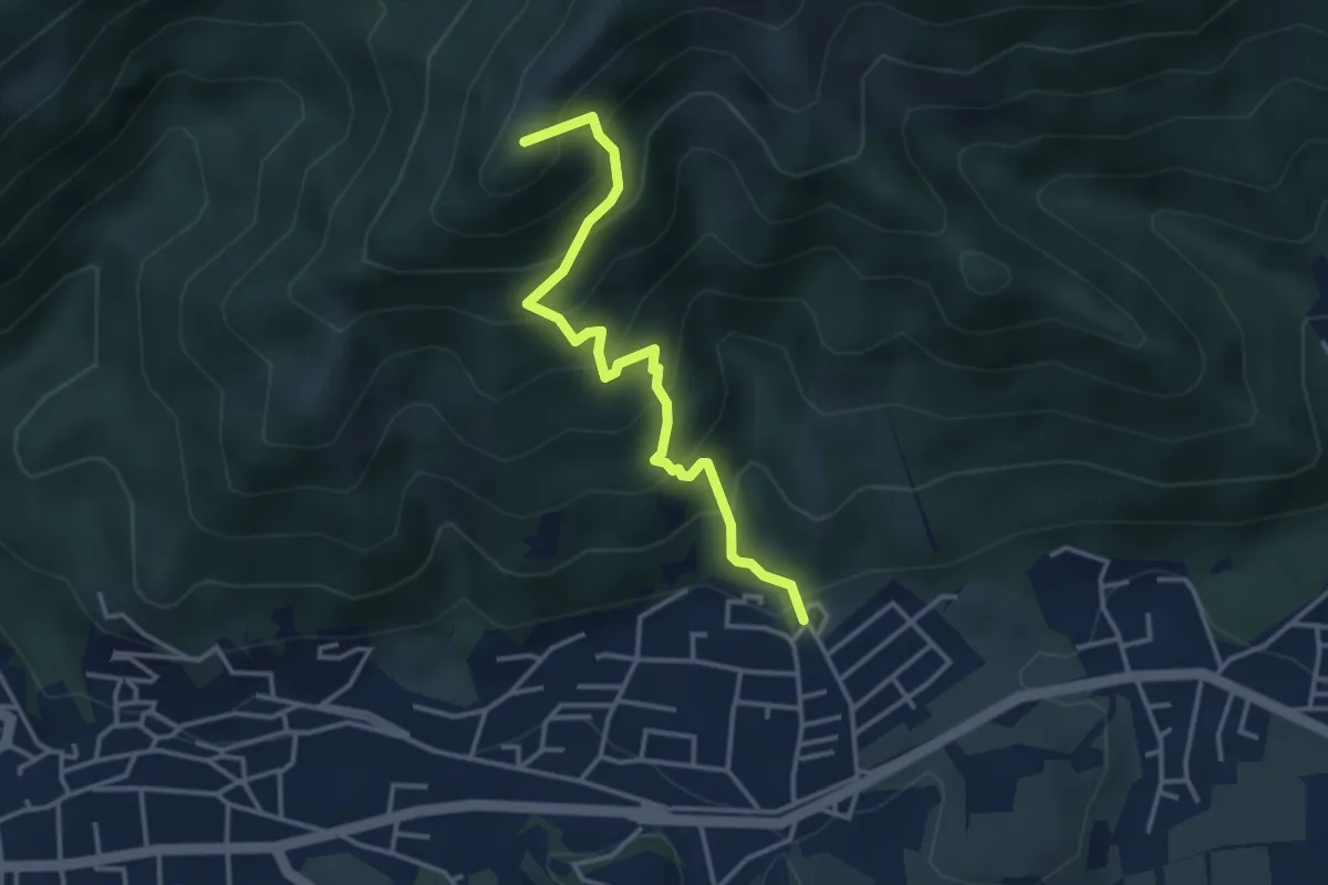
Medium · Summit
Clusone – Incrocio 317
3.6 km · ↑ 402 m · 1 h 44 min · 10 km away
Medium · Trail
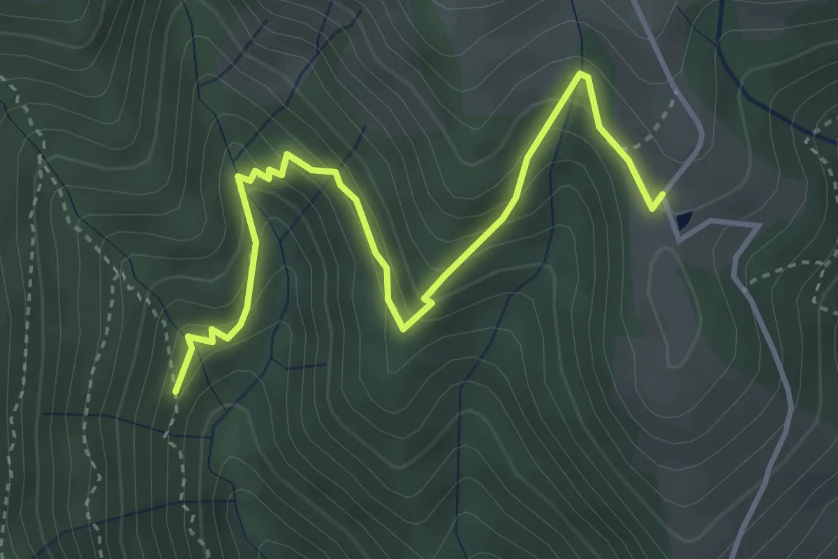
Incrocio 240 – Prima Baita Alpe Vaccaro (incrocio 241)
4.0 km · ↑ 382 m · 1 h 46 min · 10 km away
Demanding · Summit
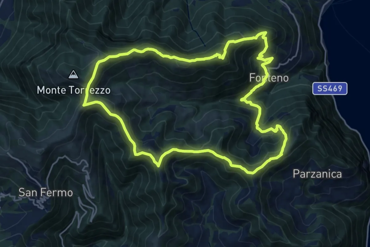
Fonteno – Fonteno
16.5 km · ↑ 1046 m · 6 h 23 min · 10 km away
Medium · Summit
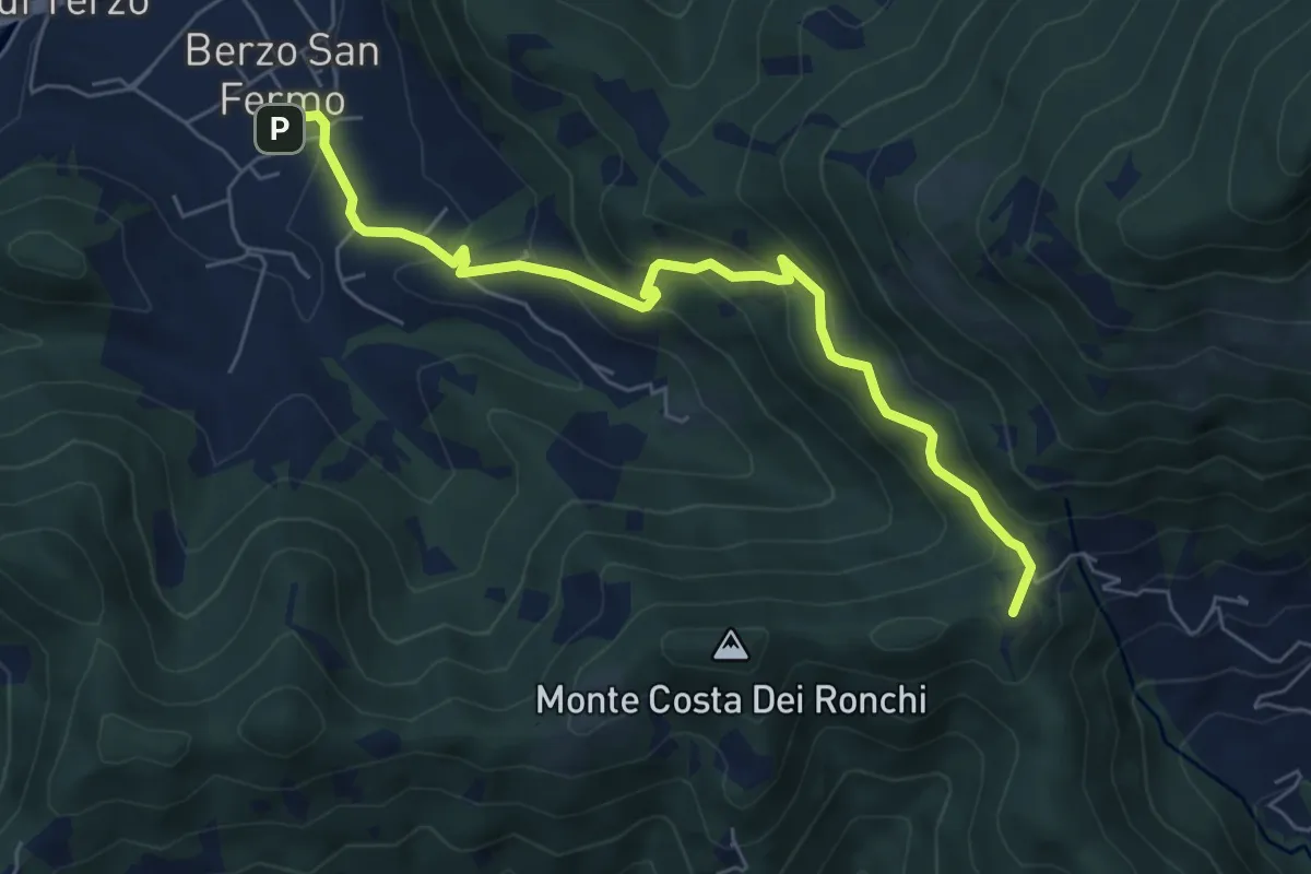
Berzo San Fermo – Col Croce
6.6 km · ↑ 444 m · 2 h 31 min · 10 km away
Medium · Summit
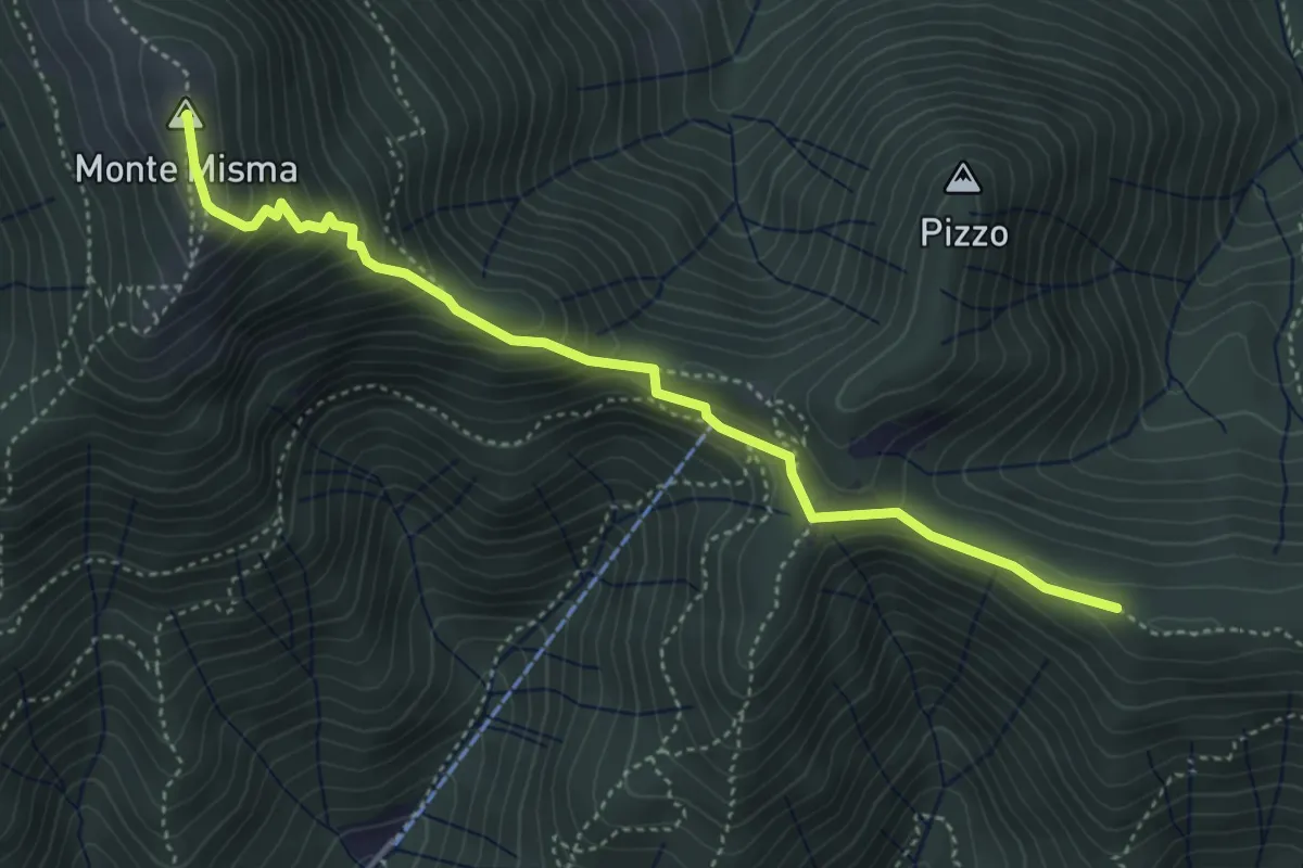
Bivio Corna Clima (Luzzana) – Monte Misma
4.5 km · ↑ 378 m · 1 h 53 min · 10 km away
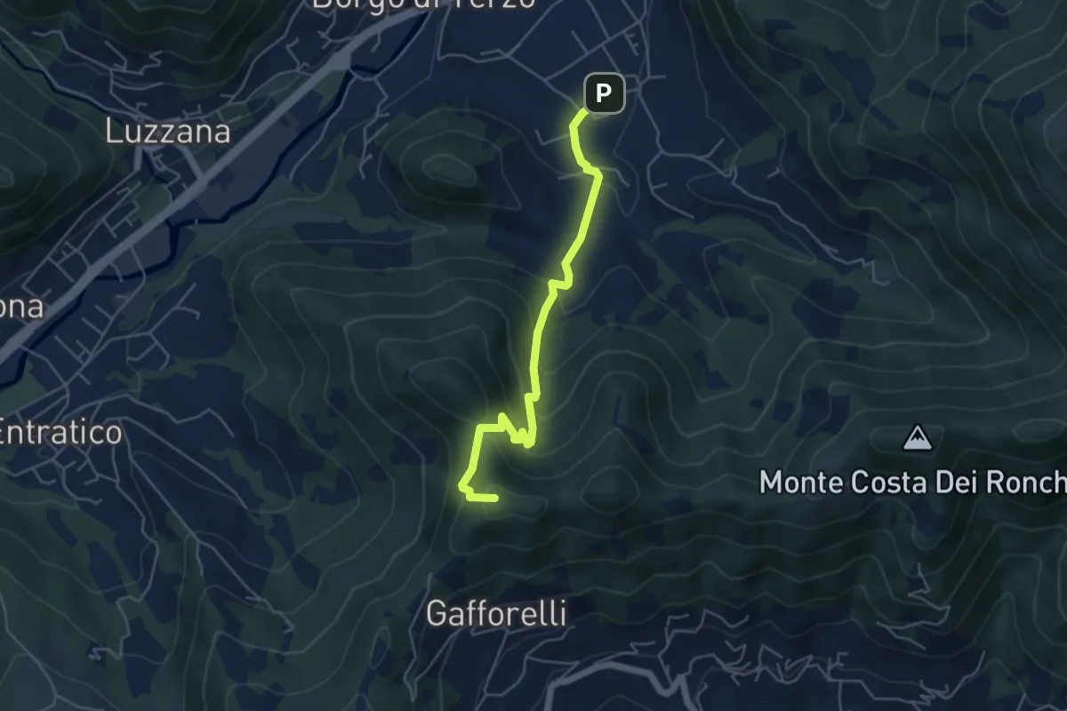
Medium · Summit
Berzo San Fermo – Il Casino
4.8 km · ↑ 328 m · 1 h 51 min · 10 km away
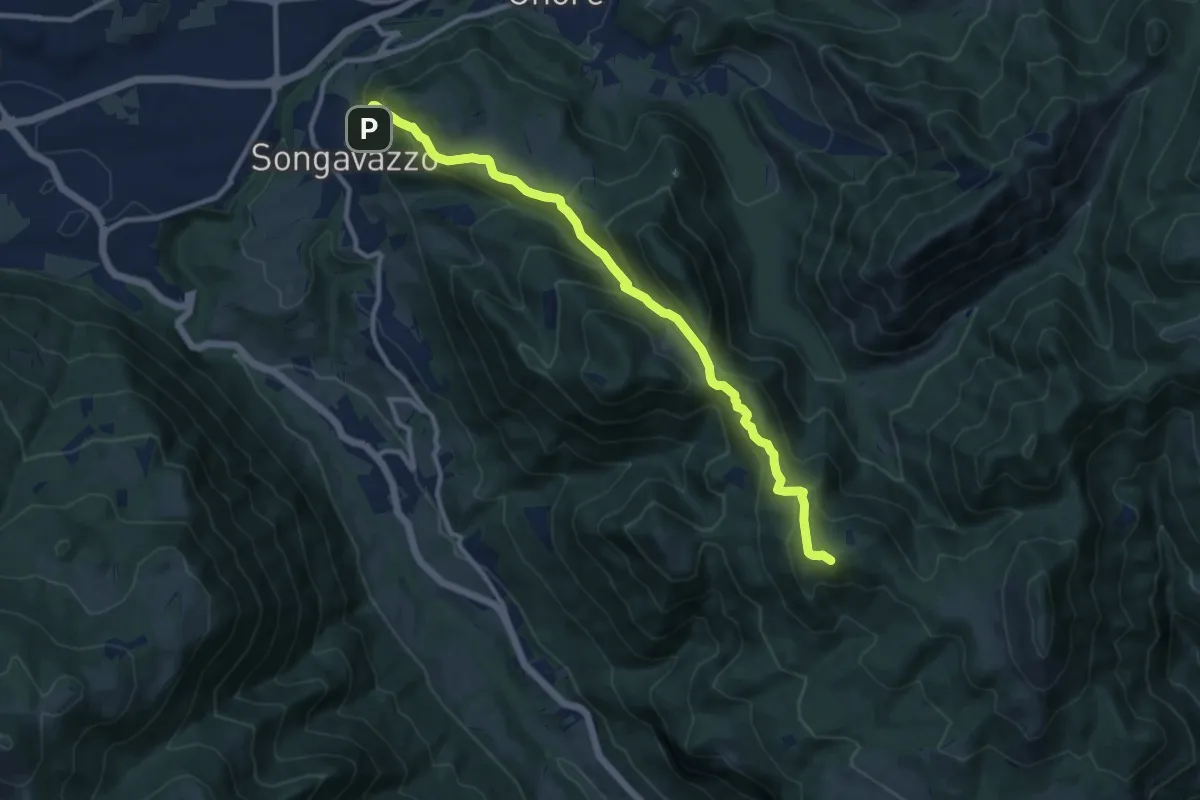
Medium · Summit
Songavazzo – Bossico (San Fermo)
11.2 km · ↑ 639 m · 4 h 2 min · 10 km away
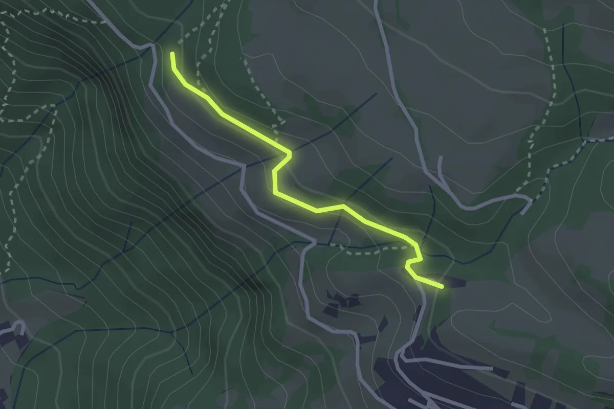
Easy · Trail
Via del Vacher
2.3 km · ↑ 82 m · 43 min · 10 km away
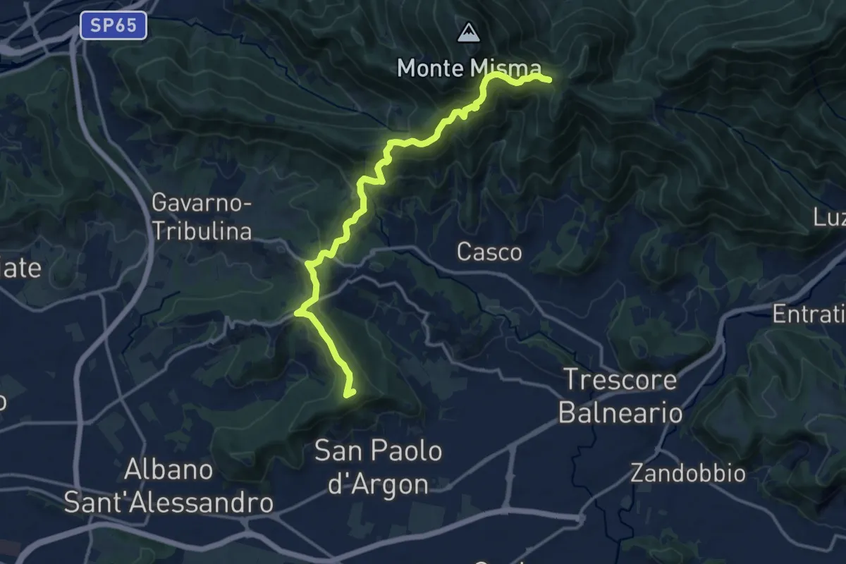
Medium · Summit
Albano S.A. – S. Maria del Misma
14.4 km · ↑ 770 m · 5 h 5 min · 10 km away
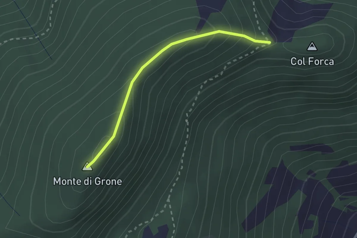
Easy · Summit
Cascina Fagiolo – Passo Colle Forca (Adrara San Martino)
2.0 km · ↑ 164 m · 50 min · 11 km away
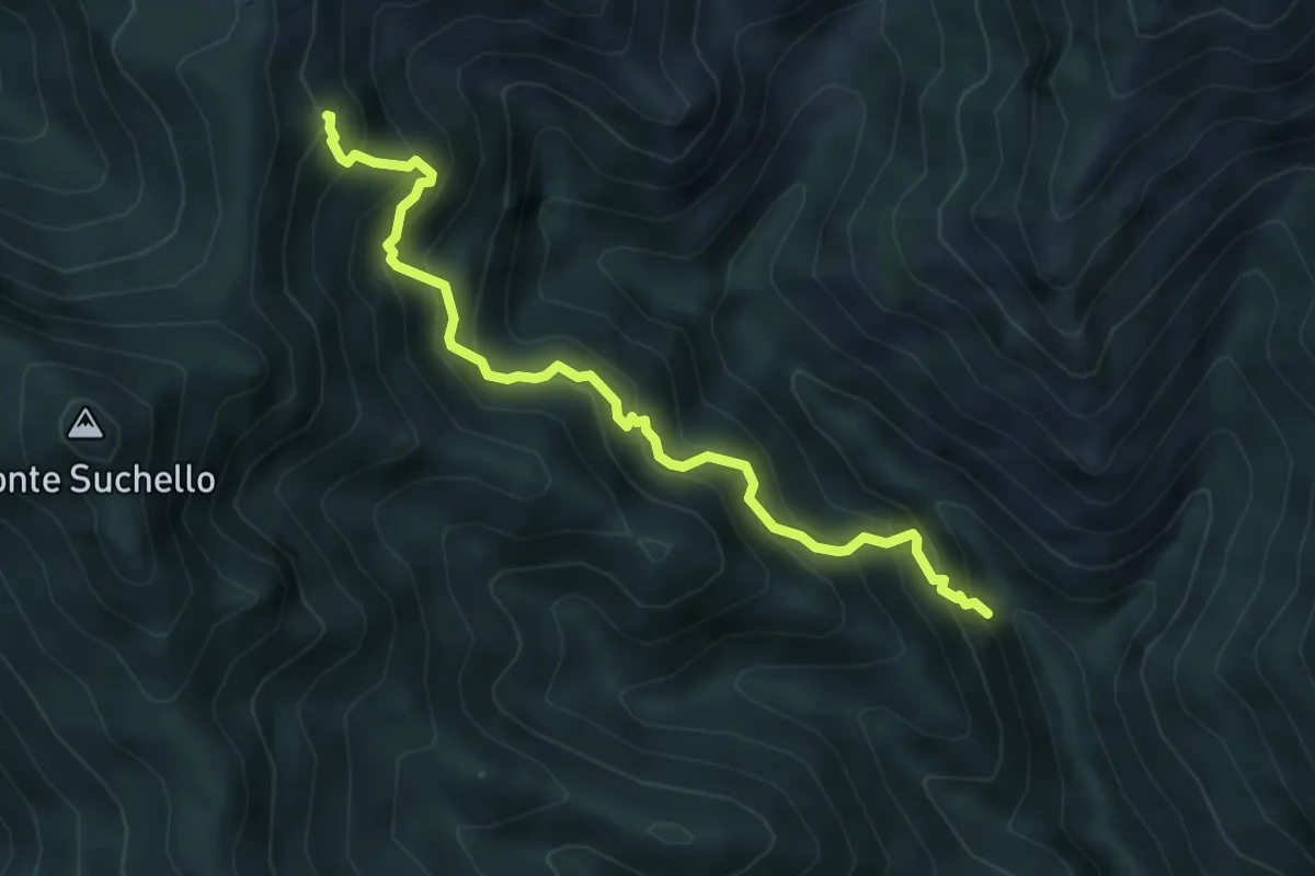
Medium · Trail
Val Vertova – Colle di Barbata
5.0 km · ↑ 660 m · 2 h 36 min · 11 km away
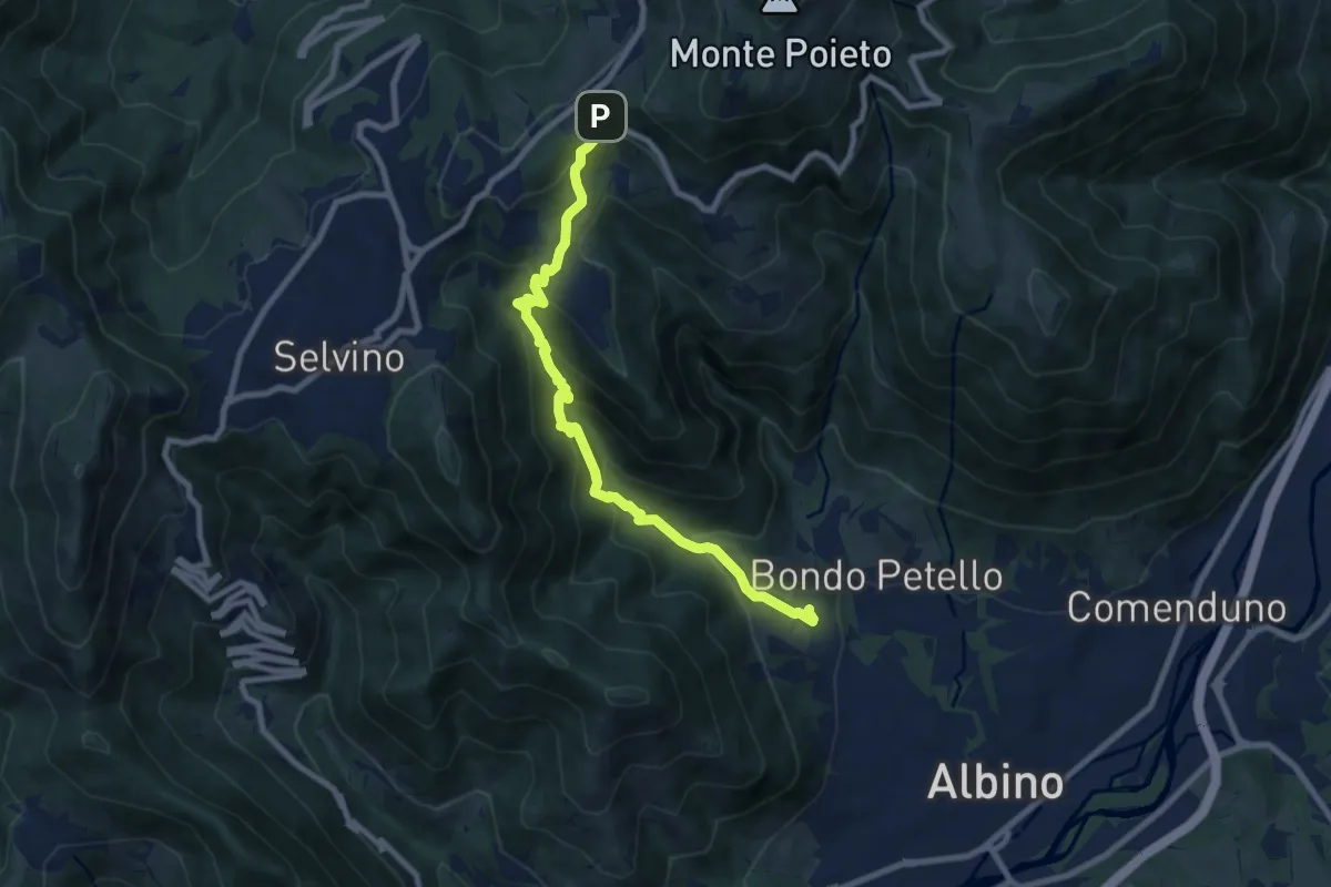
Medium · Trail
Albino – Ama (Aviatico)
8.7 km · ↑ 645 m · 3 h 27 min · 11 km away
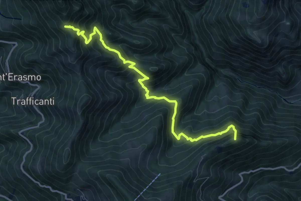
Demanding · Summit
Os-cioel (Orezzo) – Incrocio 519
10.4 km · ↑ 1063 m · 4 h 45 min · 11 km away
Medium · Summit
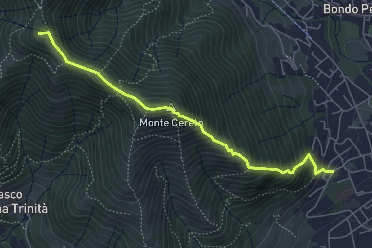
Albino – Selvino (Masu)
5.0 km · ↑ 625 m · 2 h 32 min · 11 km away
Medium · Trail
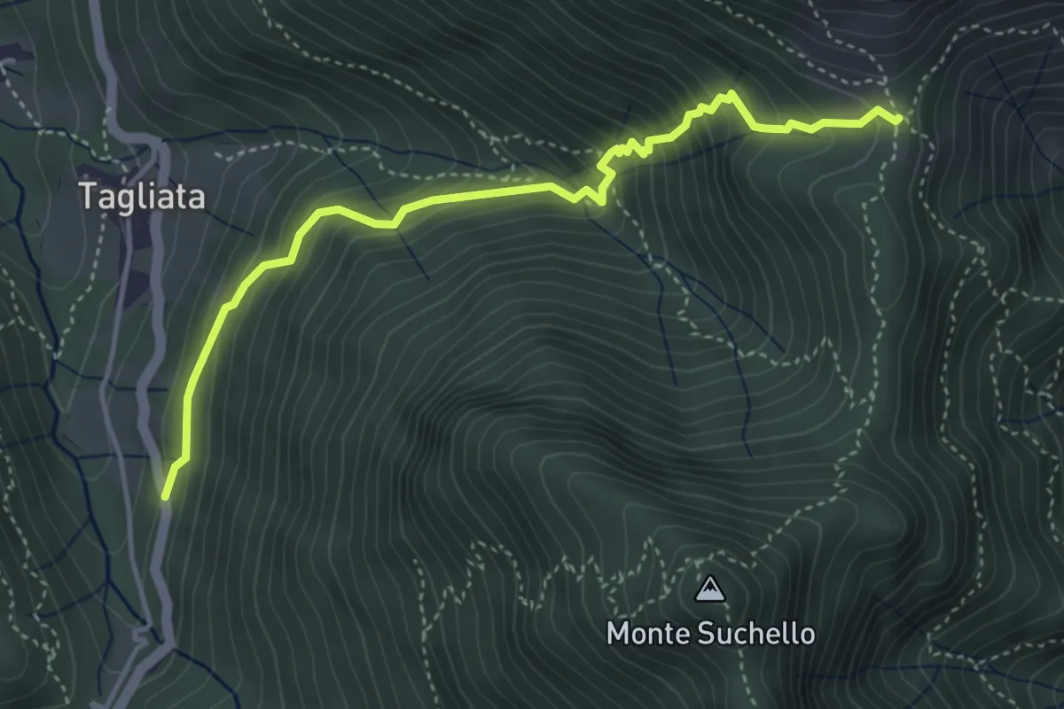
Costa di Serina – Passo Barbata (incrocio 525)
4.3 km · ↑ 508 m · 2 h 8 min · 11 km away
Easy · Trail
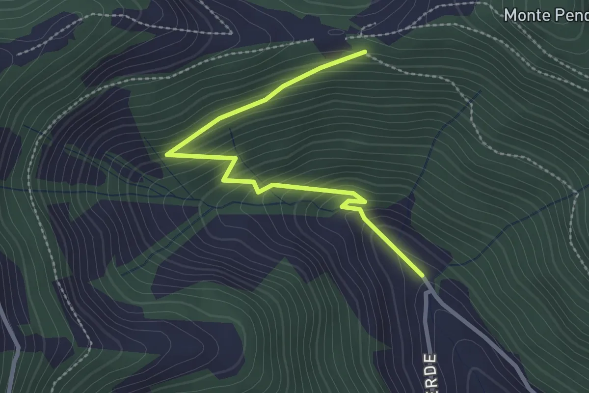
Bratta (incrocio 725) – Colle Cargadura (incrocio 704)
2.7 km · ↑ 216 m · 1 h 6 min · 11 km away
Medium · Summit
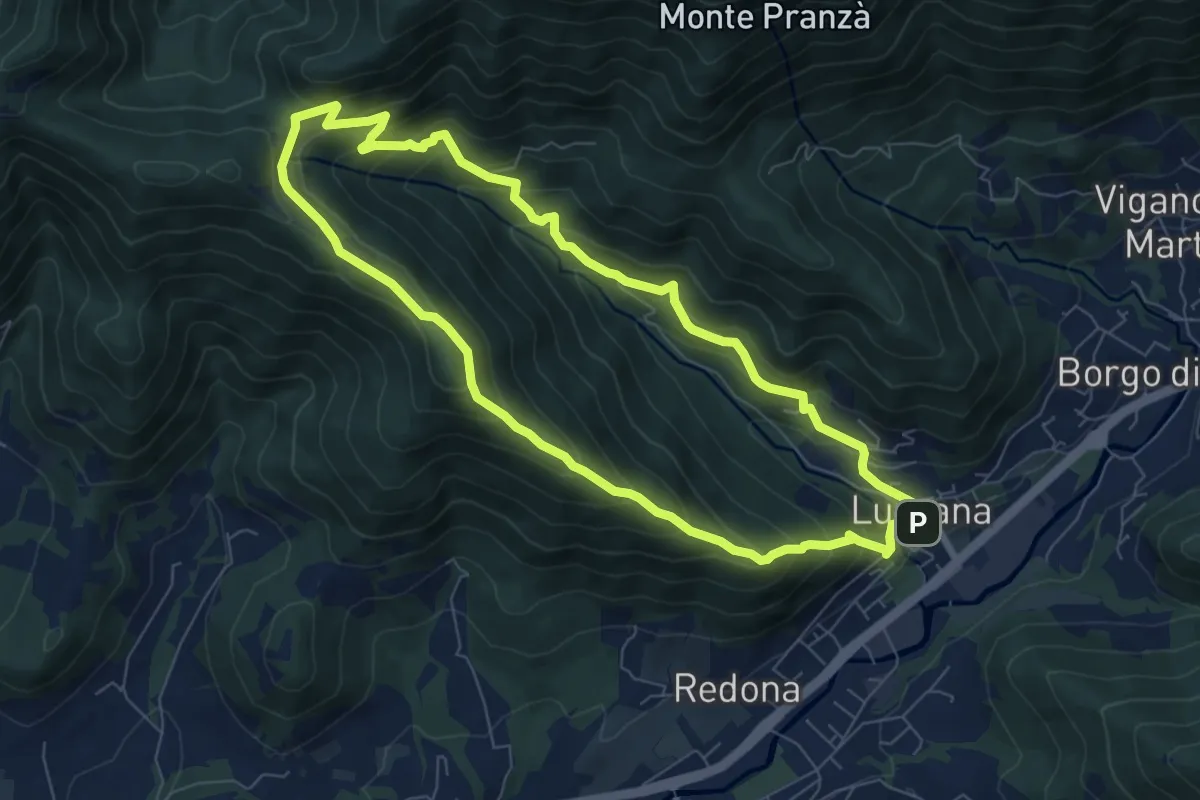
Luzzana – Luzzana
7.3 km · ↑ 506 m · 2 h 55 min · 11 km away
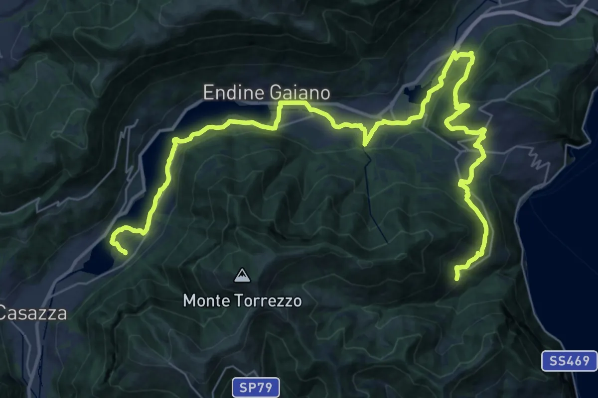
Demanding · Trail
Cammino dei tre laghi - Tappa 2
19.5 km · ↑ 378 m · 5 h 50 min · 11 km away
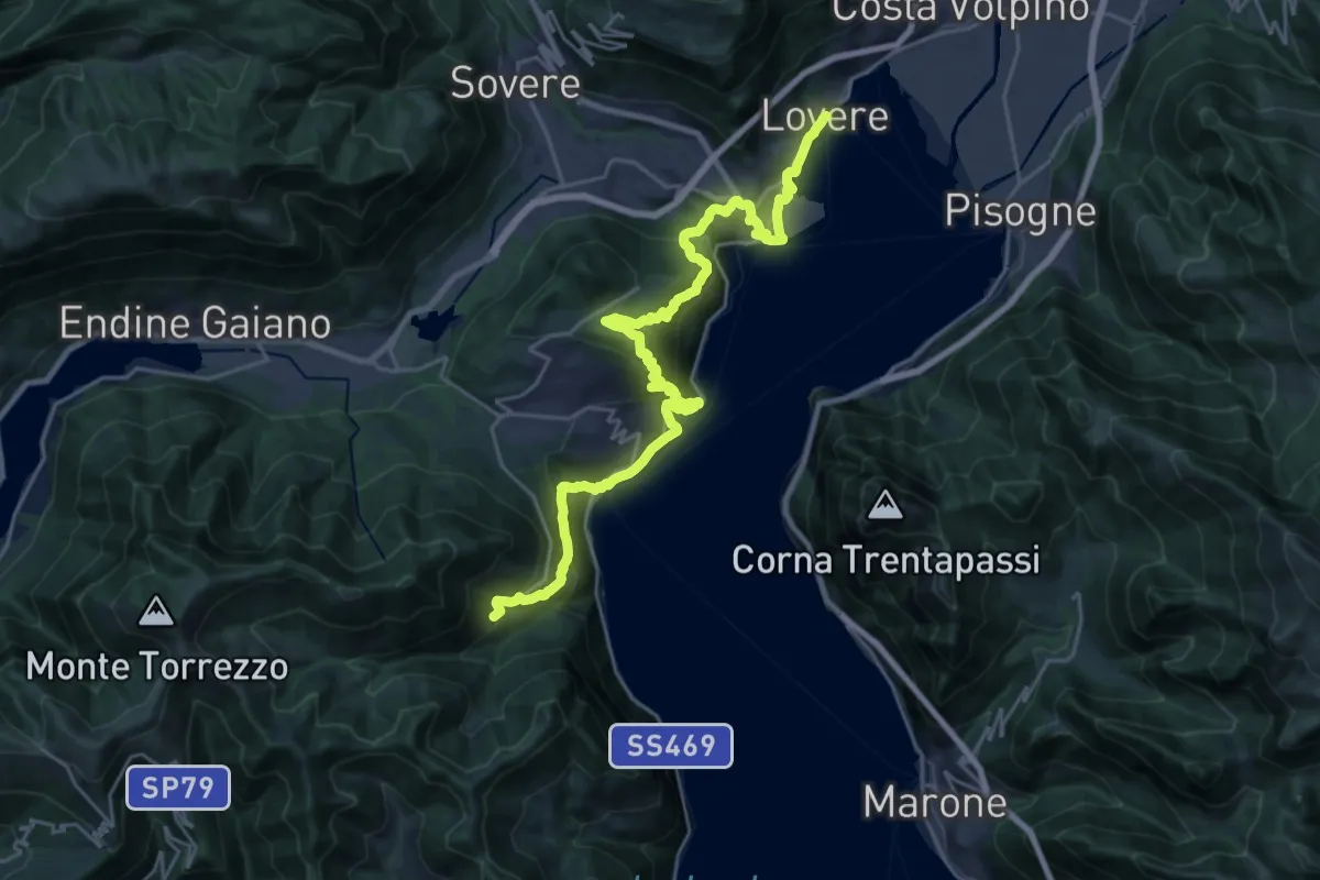
Medium · Trail
Cammino dei tre laghi - Tappa 3
14.3 km · ↑ 751 m · 5 h 26 min · 11 km away
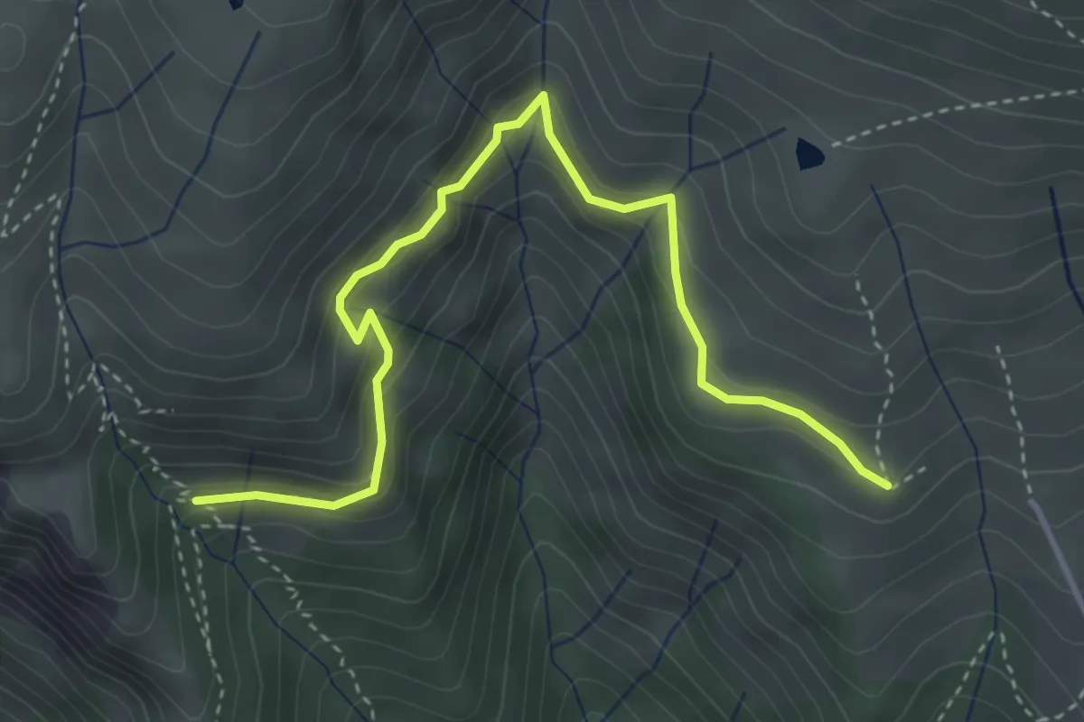
Medium · Cabin
Scala della Forcella (incrocio 240) – Rifugio Monte Vaccaro (incrocio 241)
4.2 km · ↑ 307 m · 1 h 40 min · 11 km away
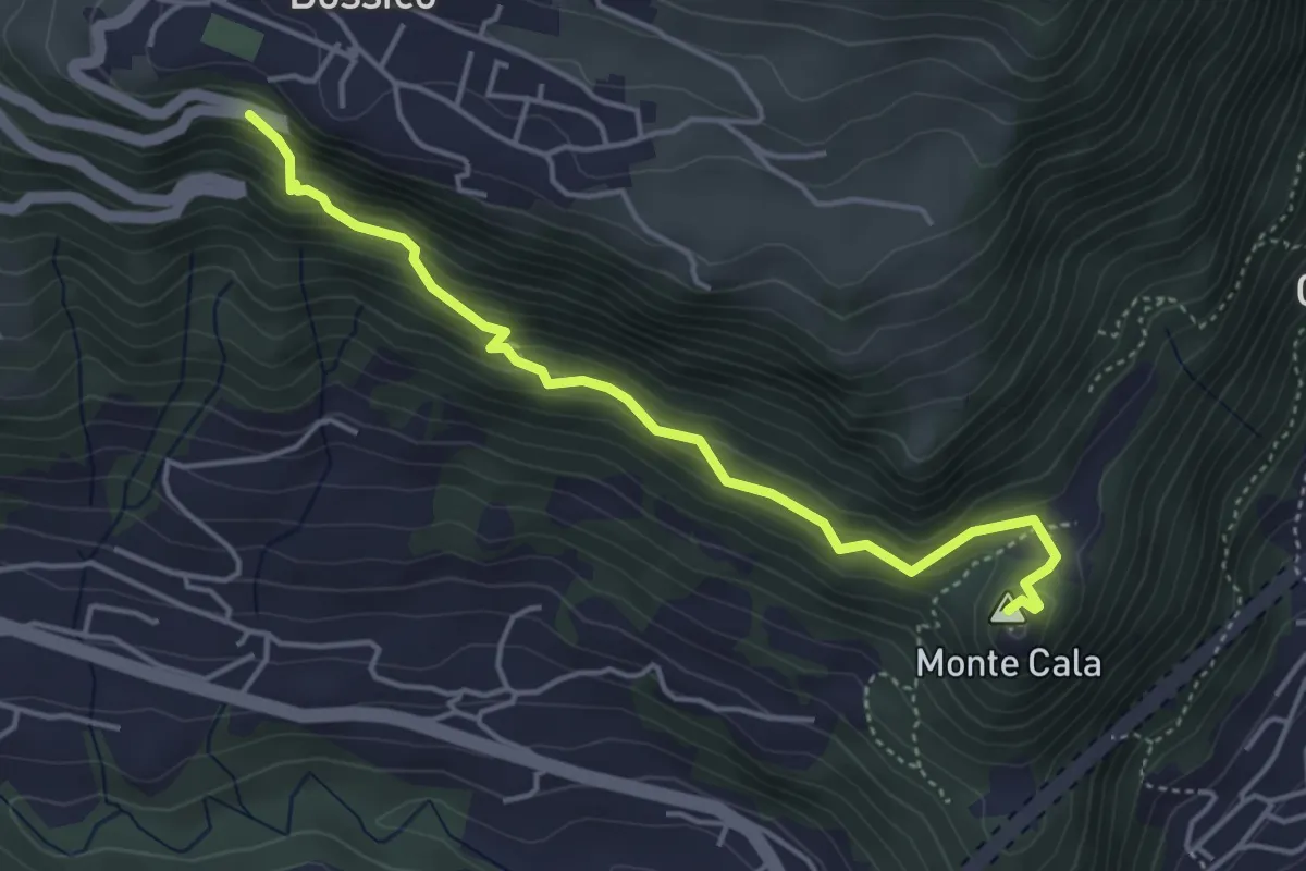
Demanding · Summit
San Giovanni
4.4 km · ↑ 380 m · 1 h 51 min · 11 km away
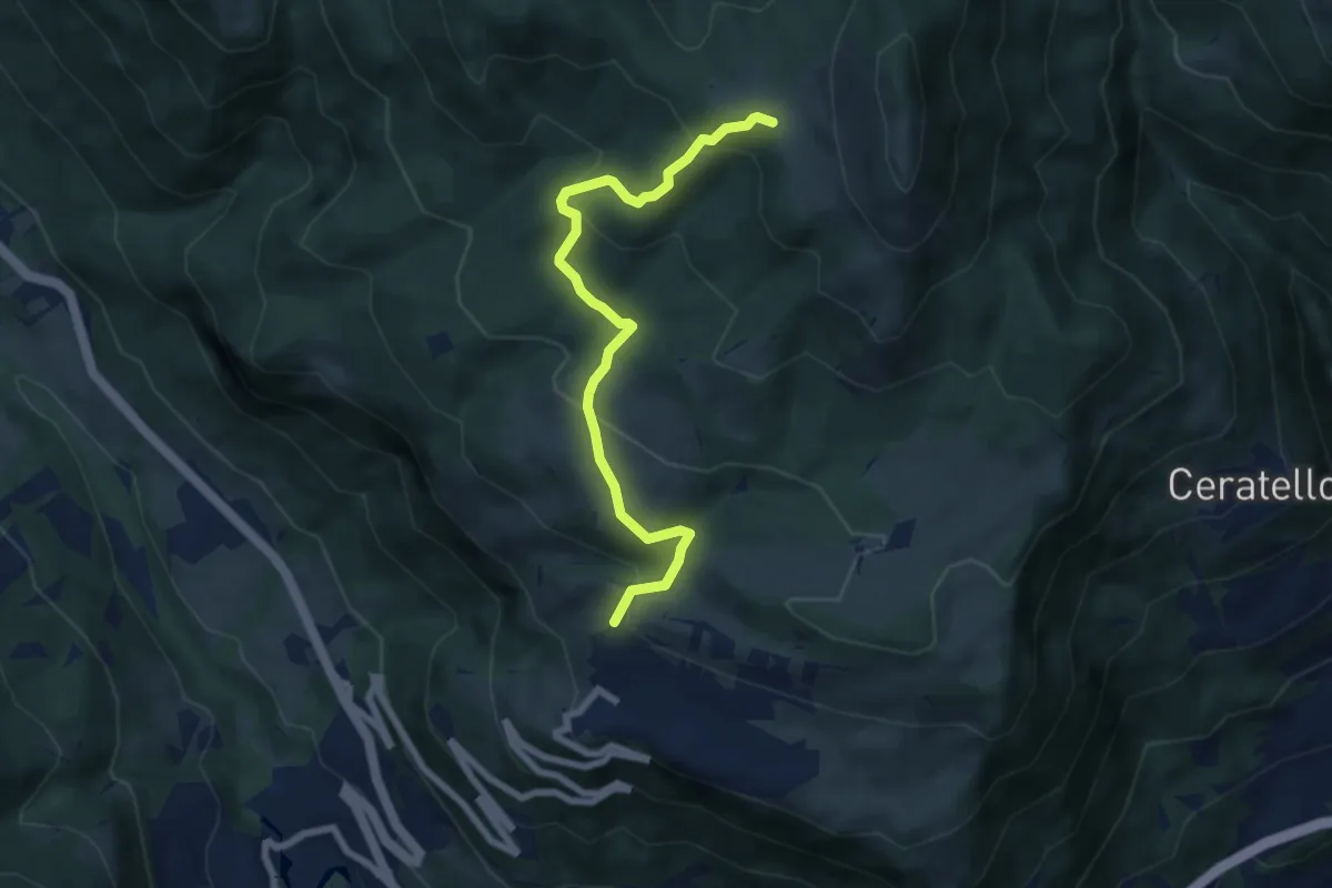
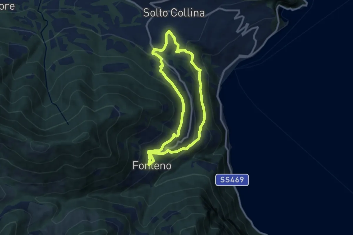
Medium · Trail
Bossico – Colle San Fermo
7.0 km · ↑ 391 m · 2 h 30 min · 11 km away
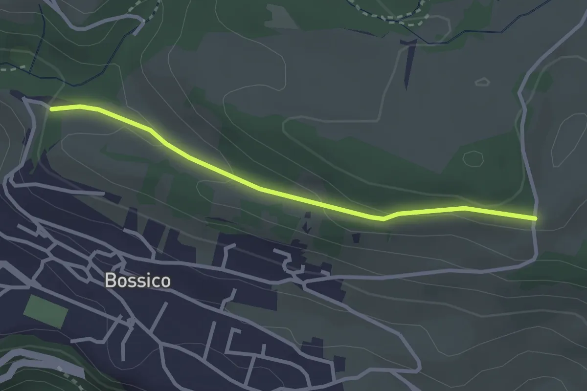
Medium · Trail
Riva di Solto – Riva di Solto
6.8 km · ↑ 410 m · 2 h 35 min · 11 km away
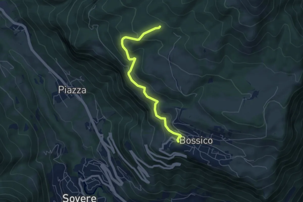
Easy · Trail
Levric
2.6 km · ↑ 88 m · 49 min · 11 km away
Medium · Trail
Tre Santelle
5.5 km · ↑ 324 m · 2 h · 11 km away
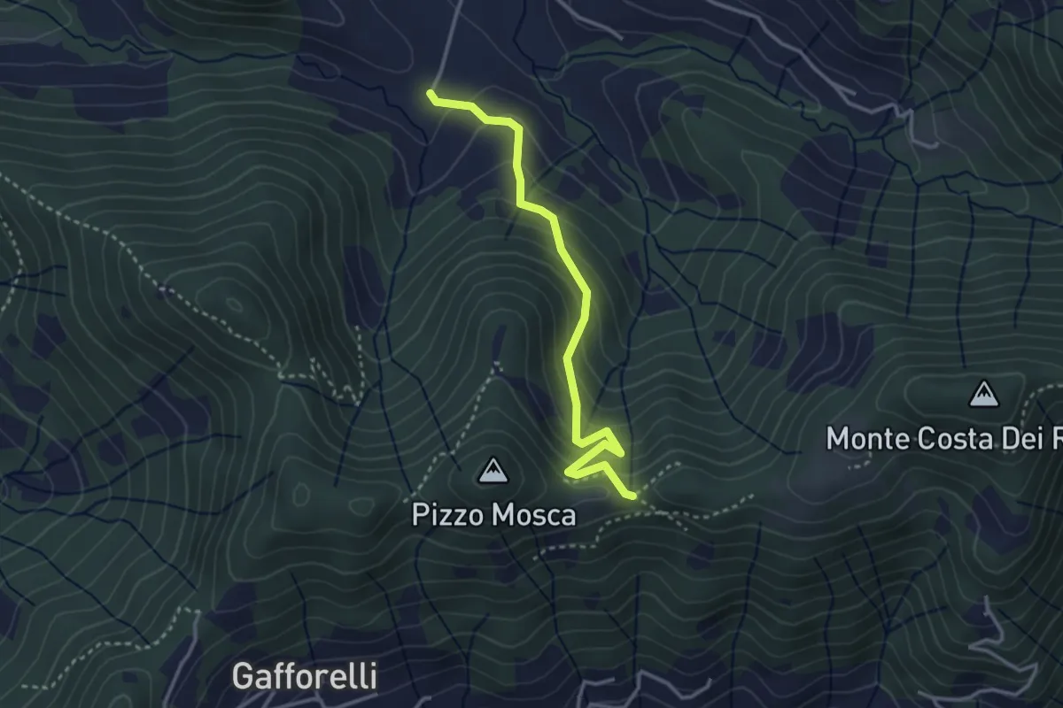
Medium · Trail
Cascina Barberino – Pizzo Mosca (Foresto Sparso)
3.2 km · ↑ 313 m · 1 h 26 min · 11 km away
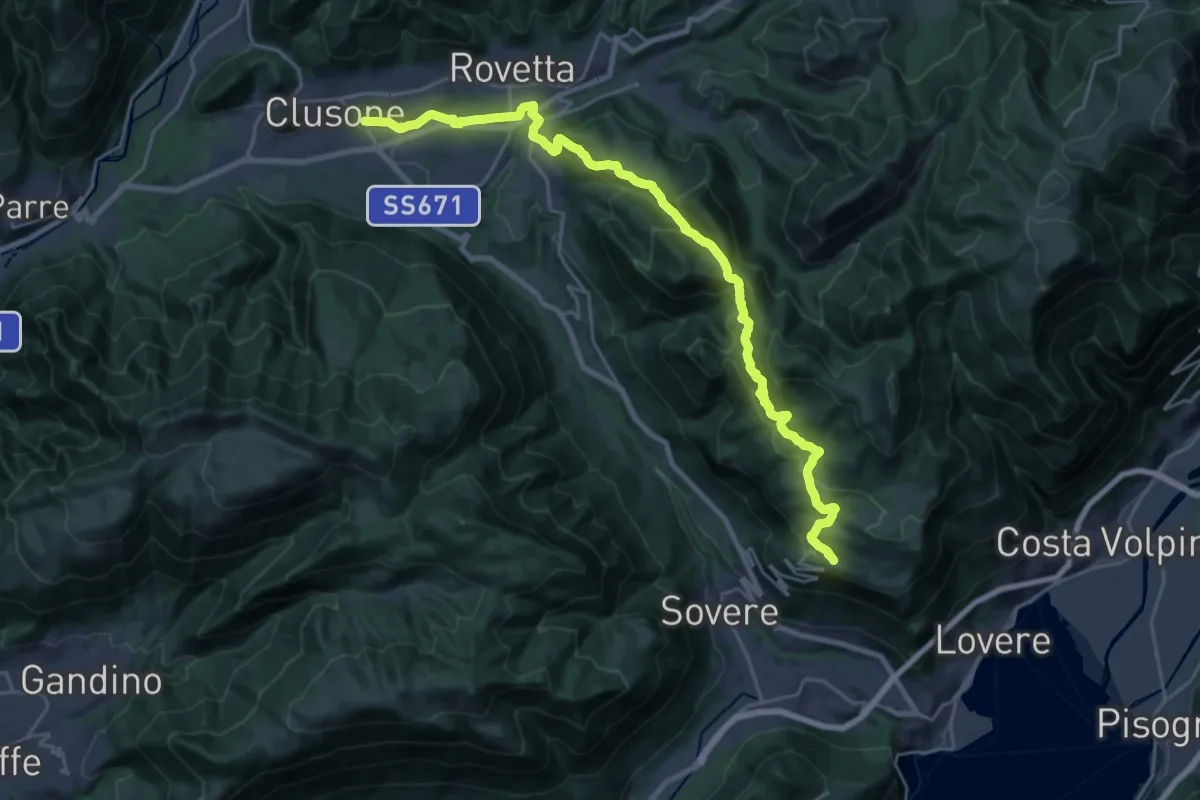
Medium · Trail
Trekking della Presolana - Tappa 1
13.4 km · ↑ 409 m · 4 h 21 min · 11 km away
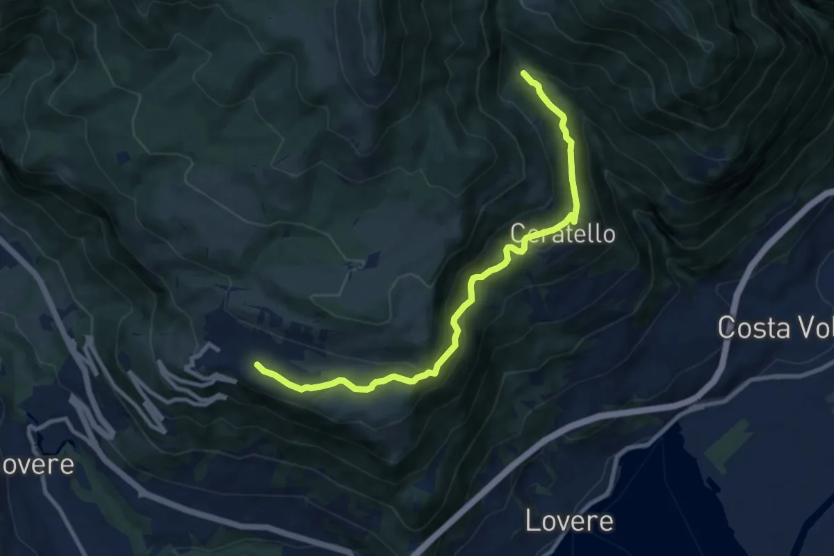
Medium · Trail
Bossico – I Ciar
9.3 km · ↑ 508 m · 3 h 18 min · 11 km away
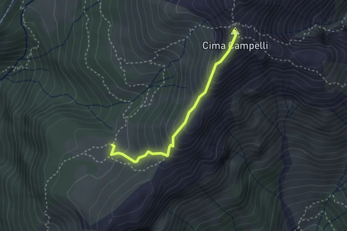
Demanding · Summit
Incrocio 525 – Incrocio 530
2.5 km · ↑ 274 m · 1 h 11 min · 11 km away
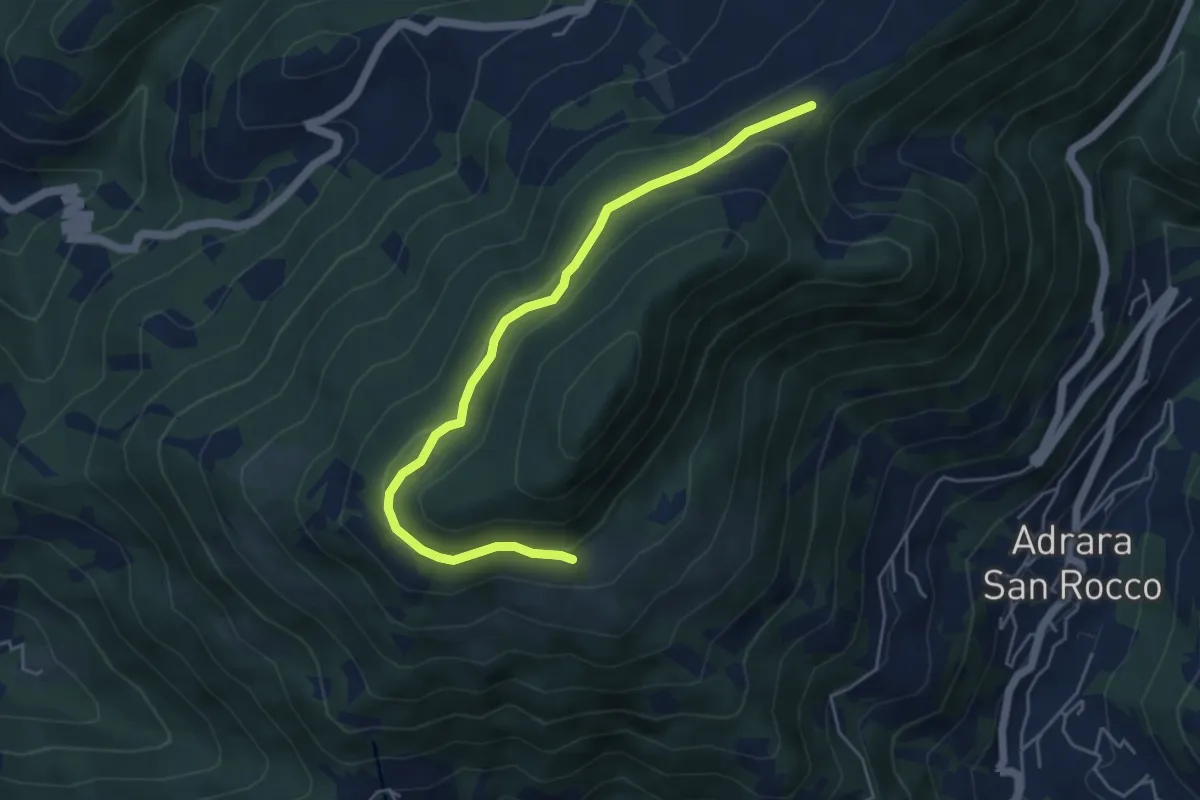
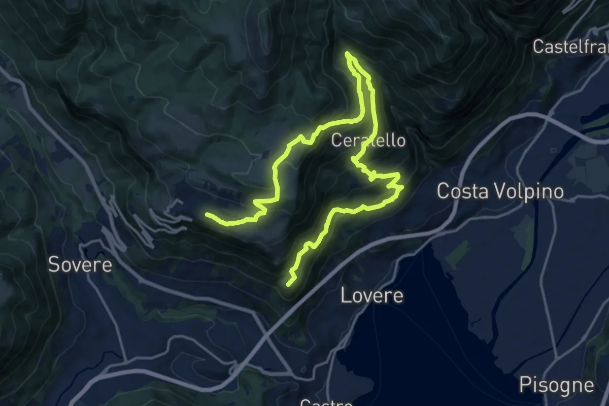
Medium · Trail
Incrocio 717 – Incrocio 717
5.2 km · ↑ 198 m · 1 h 39 min · 11 km away
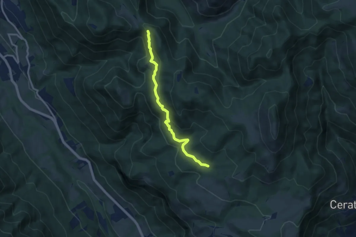
Demanding · Summit
Cammino dei tre laghi - Tappa 4
20.2 km · ↑ 1278 m · 7 h 33 min · 11 km away
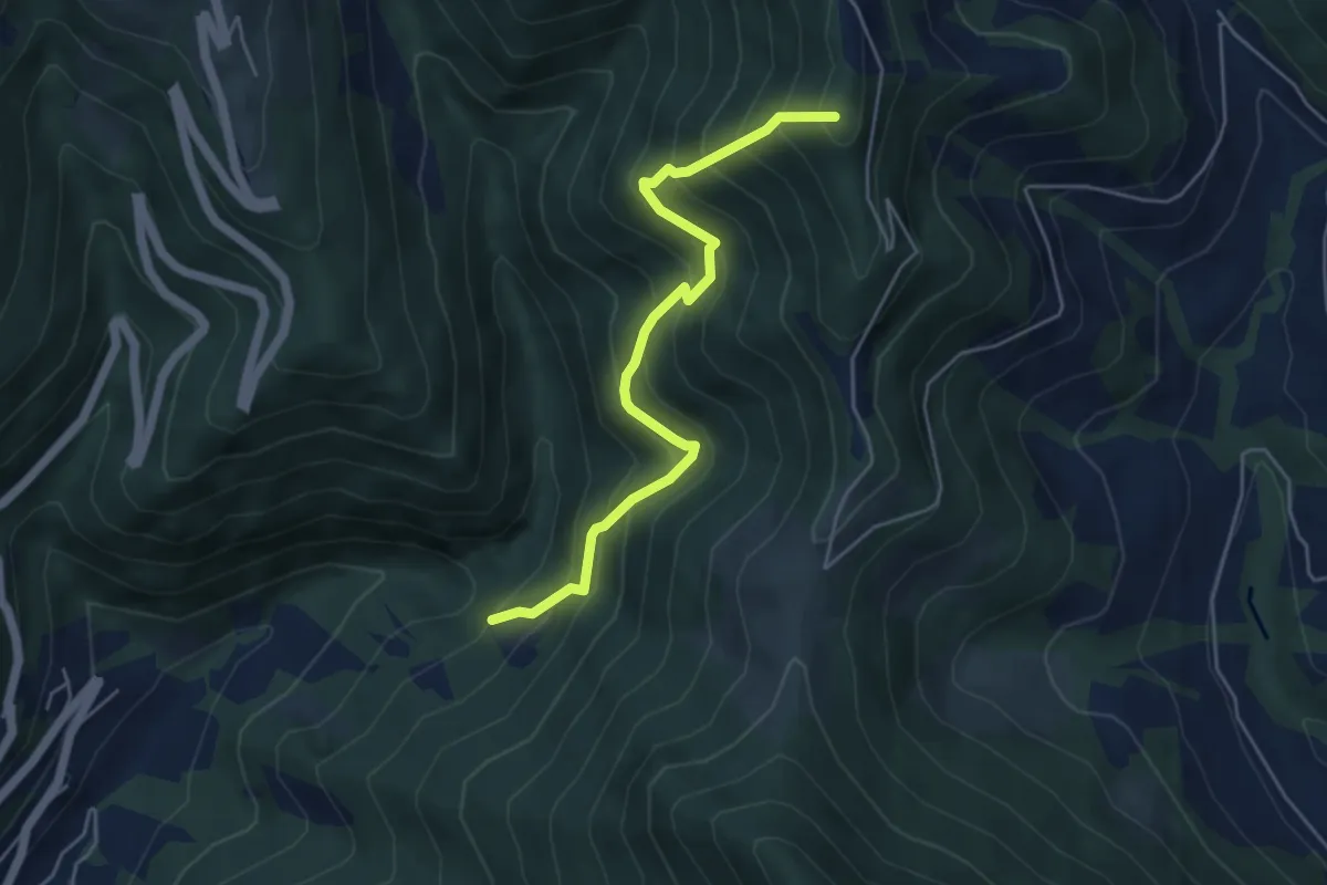
Medium · Trail
Pozza d'Ast – Incrocio 556
6.7 km · ↑ 298 m · 2 h 14 min · 11 km away
Medium · Summit
Incrocio 744 – Sella (incrocio 701)
4.9 km · ↑ 615 m · 2 h 29 min · 11 km away
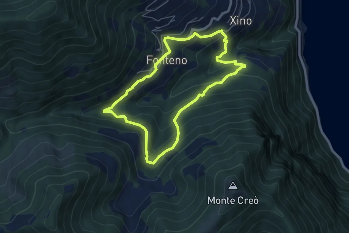
Medium · Trail
Alle Falde Del Creo
4.8 km · ↑ 392 m · 2 h 3 min · 11 km away
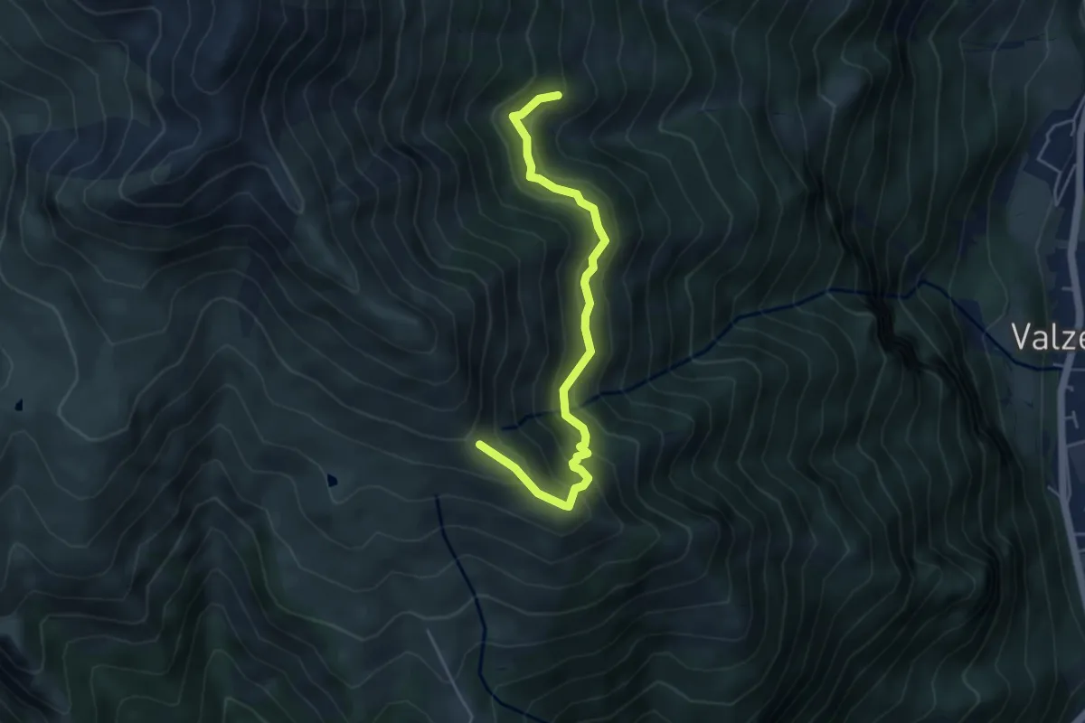
Medium · Trail
Baita inferiore di Monte Secco – Monte Vaccaro (incrocio 241)
4.8 km · ↑ 409 m · 2 h 1 min · 11 km away
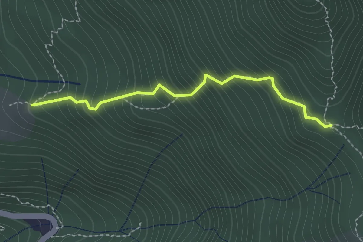
Easy · Trail
Stalla Aral – Incrocio sentiero 519
2.0 km · ↑ 300 m · 1 h 7 min · 11 km away
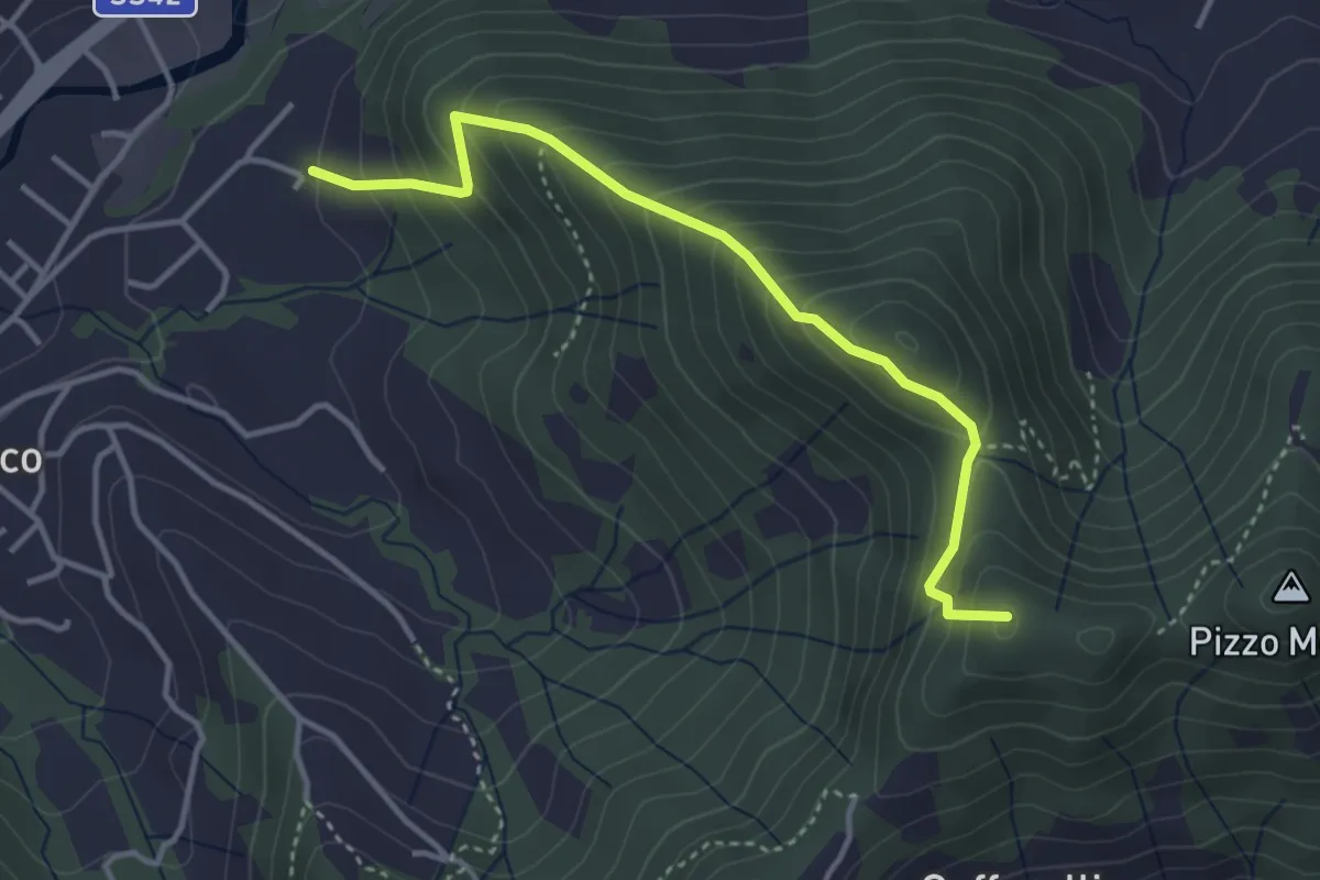
Medium · Summit
Maico (Entratico) – Il Casino (Foresto Sparso)
3.7 km · ↑ 394 m · 1 h 44 min · 11 km away