Trails near Gandino
271 hikes starting within 15 km, nearest first.
Nearest first, page 4 of 6
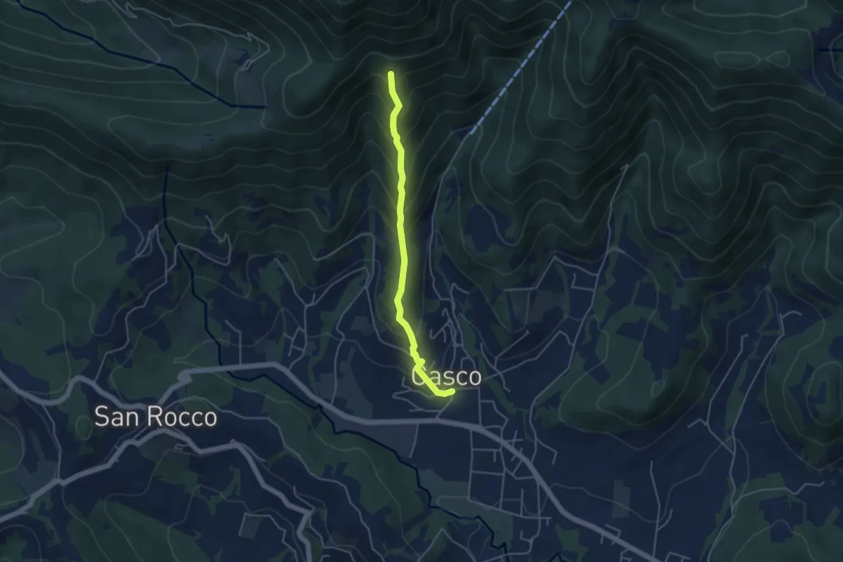
Medium · Trail
Cenate Sopra – Cà Muratori
4.0 km · ↑ 389 m · 1 h 47 min · 11 km away
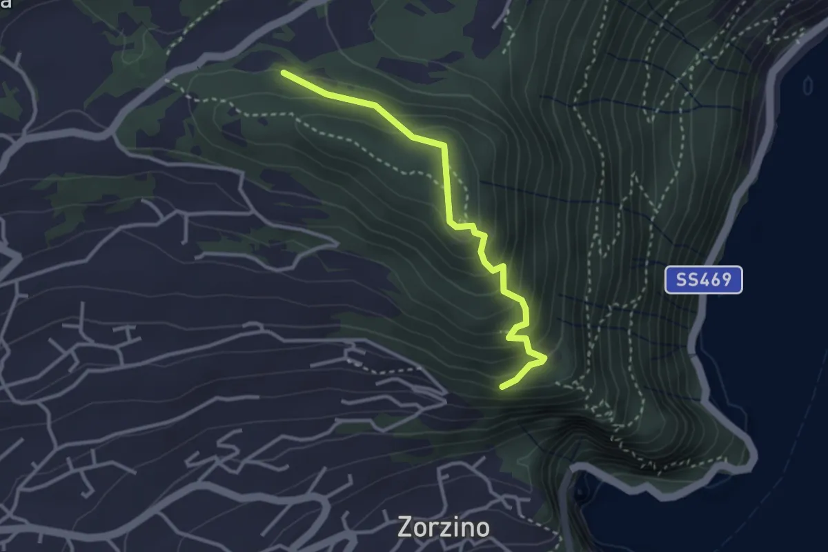
Medium · Trail
Chiesetta di S.Rocco – Incrocio 565
3.0 km · ↑ 233 m · 1 h 12 min · 11 km away
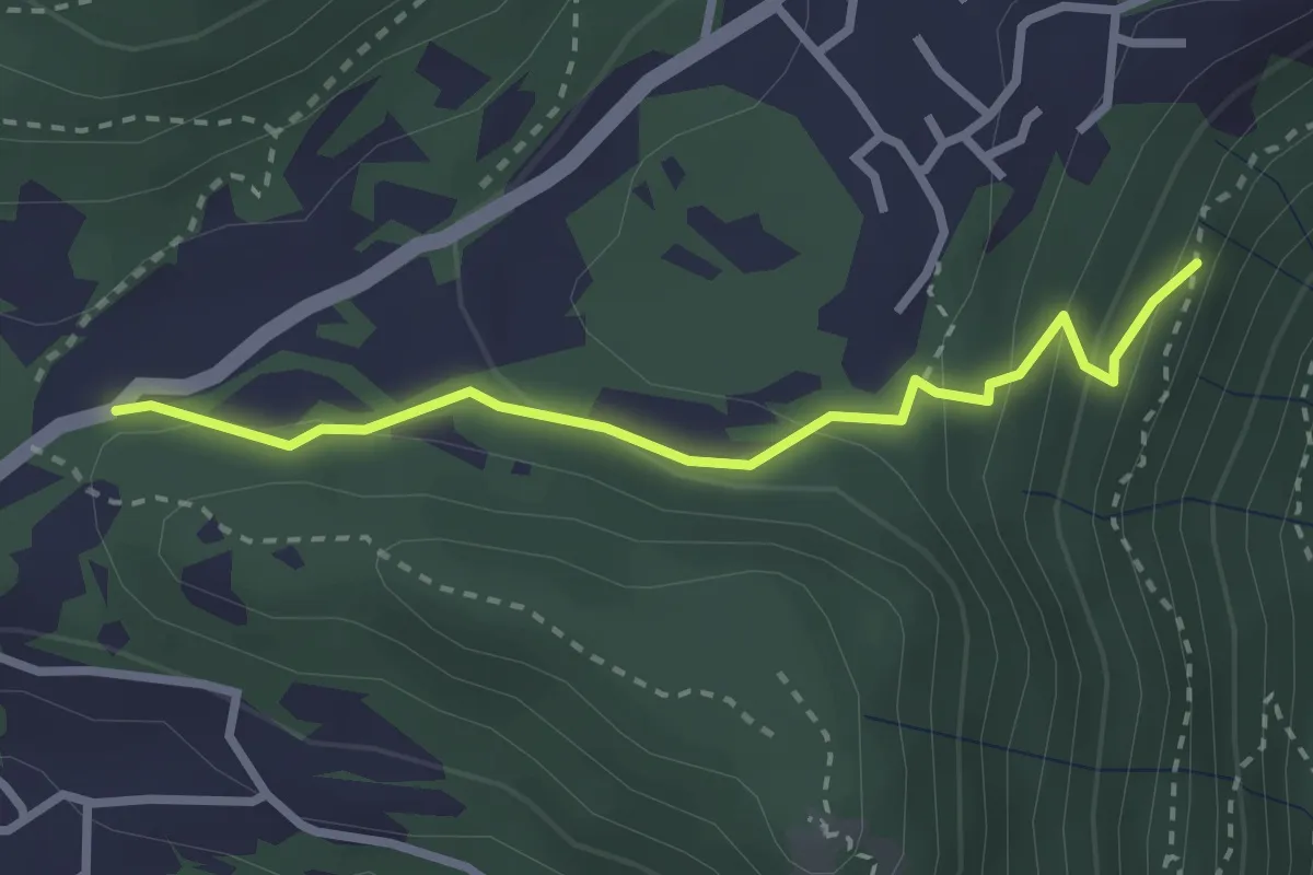
Easy · Trail
Chiesetta di S.Rocco – Incrocio 565
2.7 km · ↑ 158 m · 59 min · 12 km away
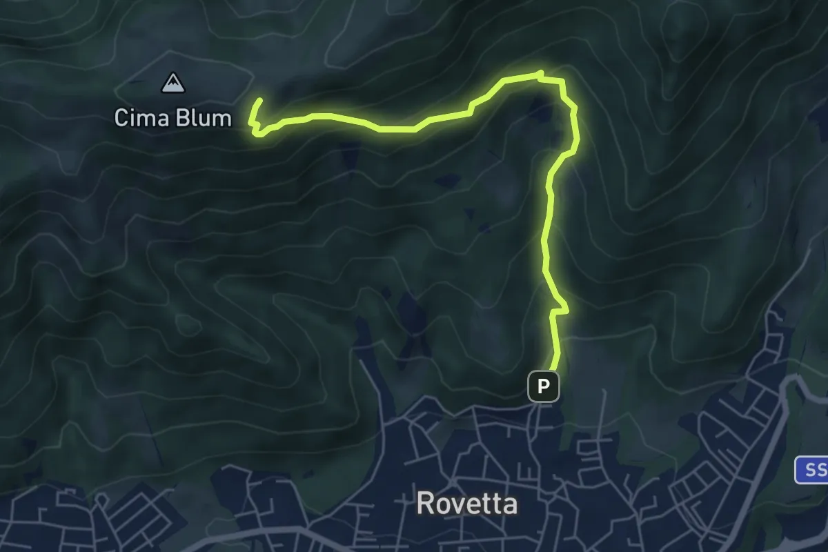
Medium · Trail
Castione - carrabile verso la Chiesetta degli Alpini sul colle Blum
5.8 km · ↑ 497 m · 2 h 27 min · 12 km away
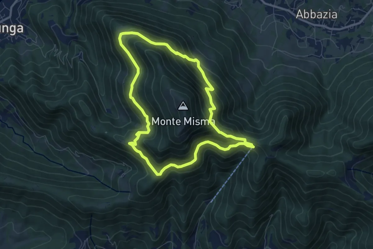
Medium · Trail
Le vie del Misma
7.5 km · ↑ 562 m · 3 h 5 min · 12 km away
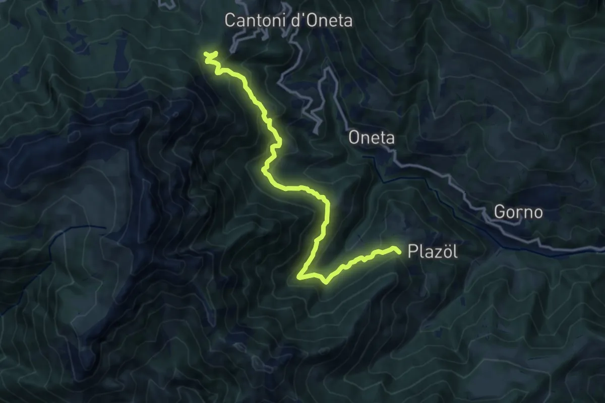
Demanding · Trail
Chignolo (Oneta) – Passo della Crocetta
12.5 km · ↑ 884 m · 4 h 52 min · 12 km away
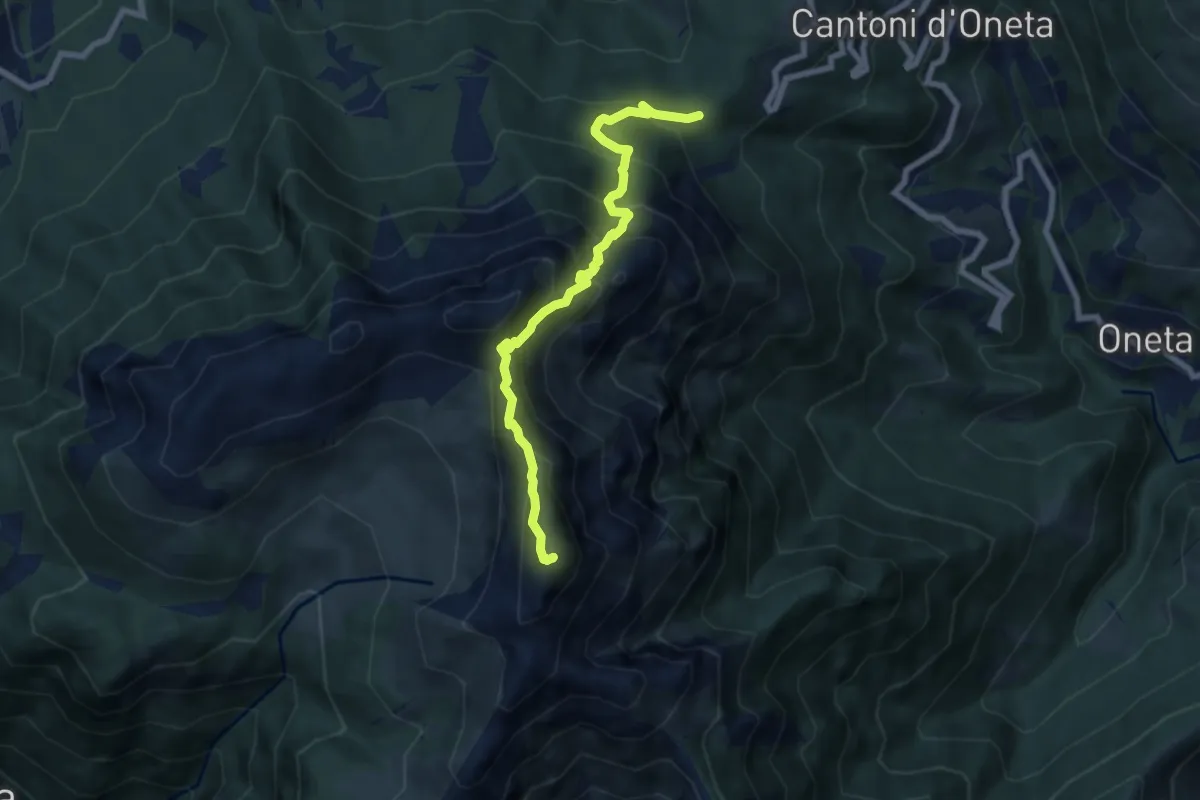
Expert · Summit
Passo della Crocetta – Monte Alben
7.1 km · ↑ 751 m · 3 h 19 min · 12 km away
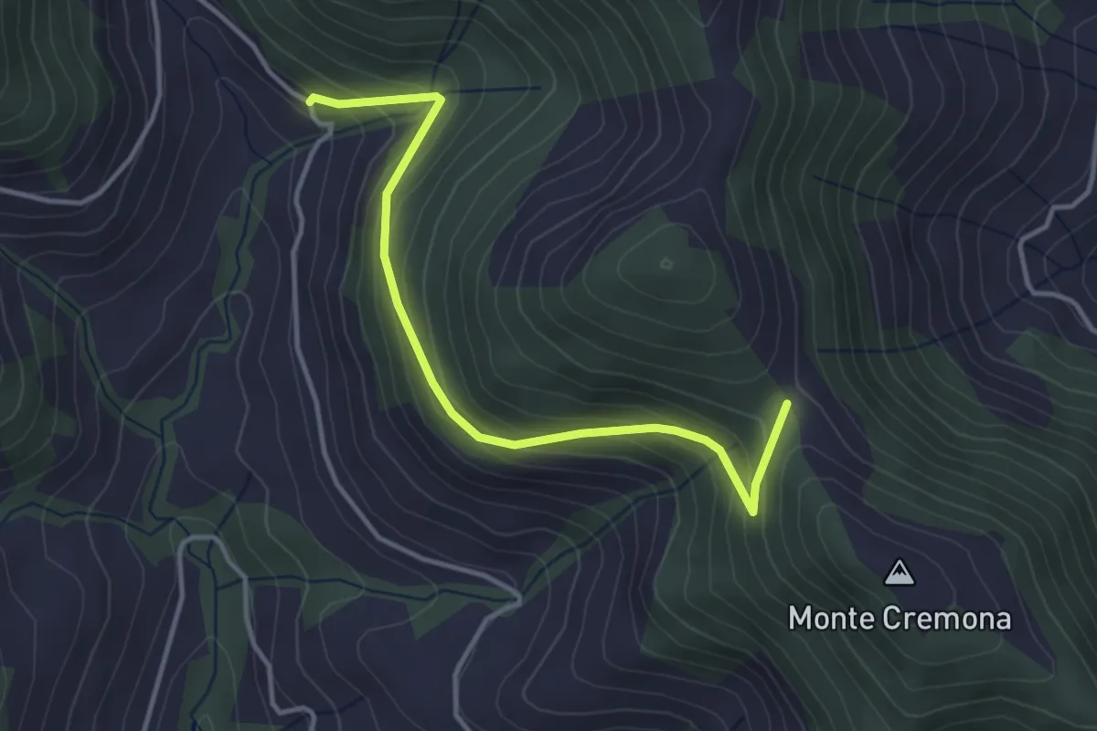
Easy · Trail
Bratta (incrocio 726) – Colderone (incrocio 724)
3.8 km · ↑ 249 m · 1 h 26 min · 12 km away
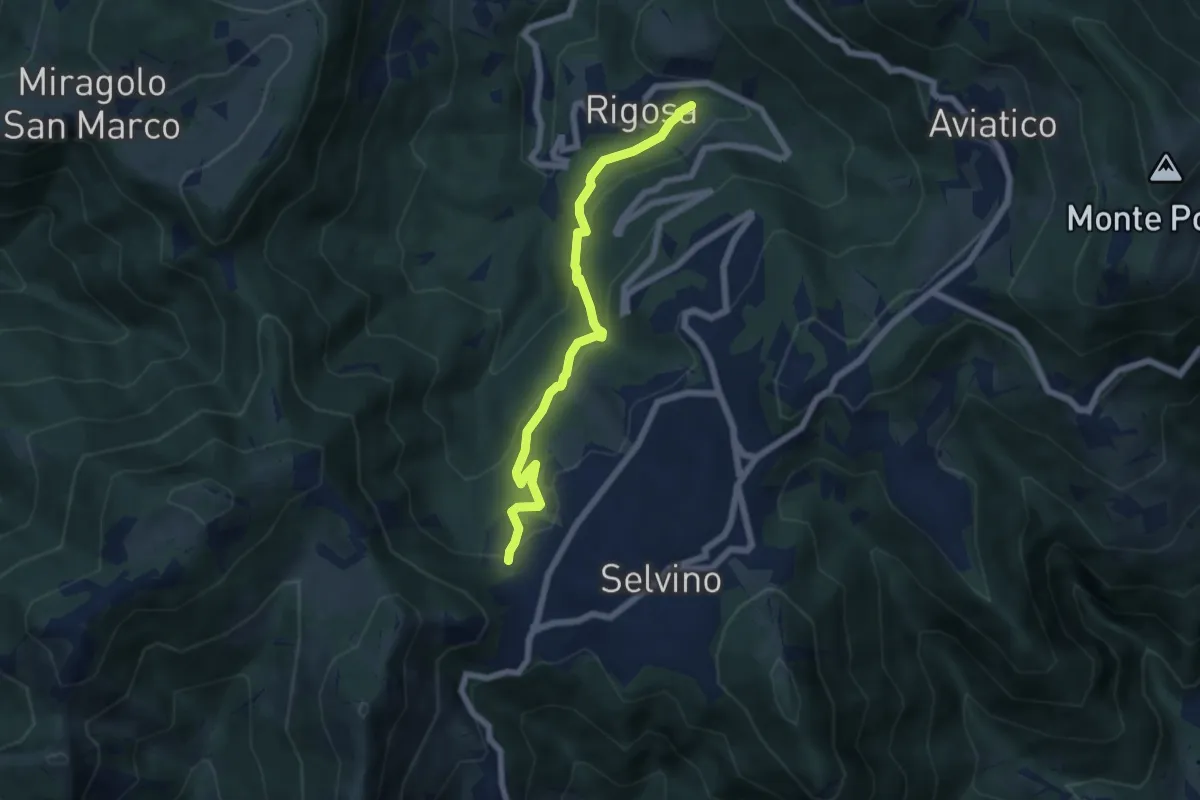
Medium · Trail
Rigosa (Vecchio Mulino) – Selvino
6.1 km · ↑ 392 m · 2 h 17 min · 12 km away
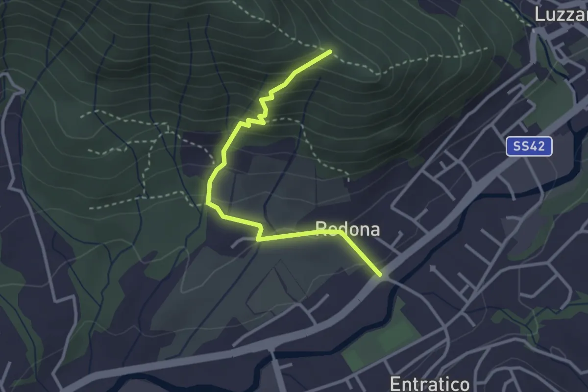
Medium · Trail
Redona (Entratico) – Costa del Colle (incrocio 611)
2.9 km · ↑ 245 m · 1 h 13 min · 12 km away
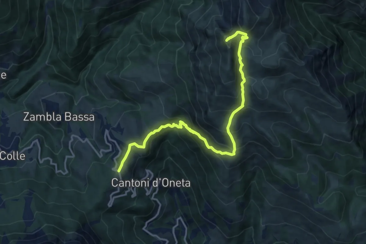
Demanding · Summit
Col di Zambla – Cima di Grem
12.0 km · ↑ 972 m · 4 h 56 min · 12 km away
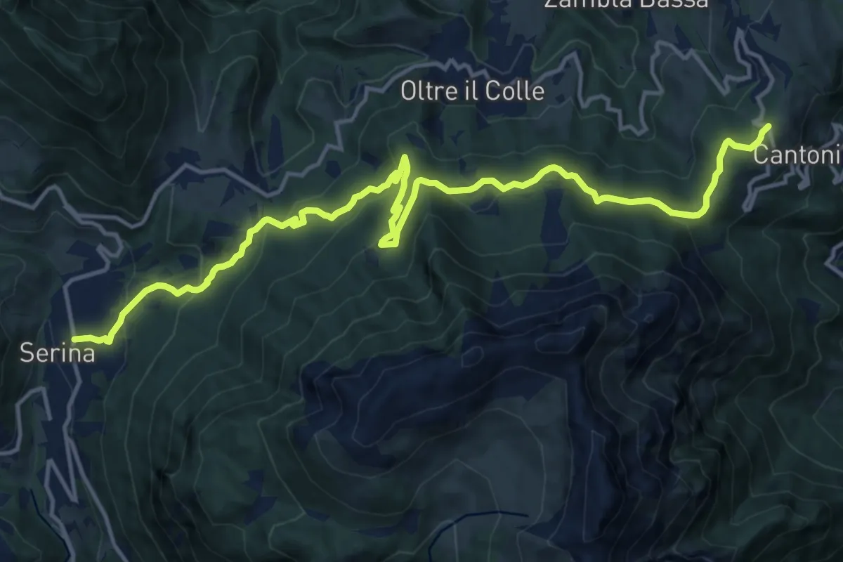
Medium · Trail
Sentiero dei Laghi Basso - Tappa 7
16.7 km · ↑ 750 m · 5 h 35 min · 12 km away
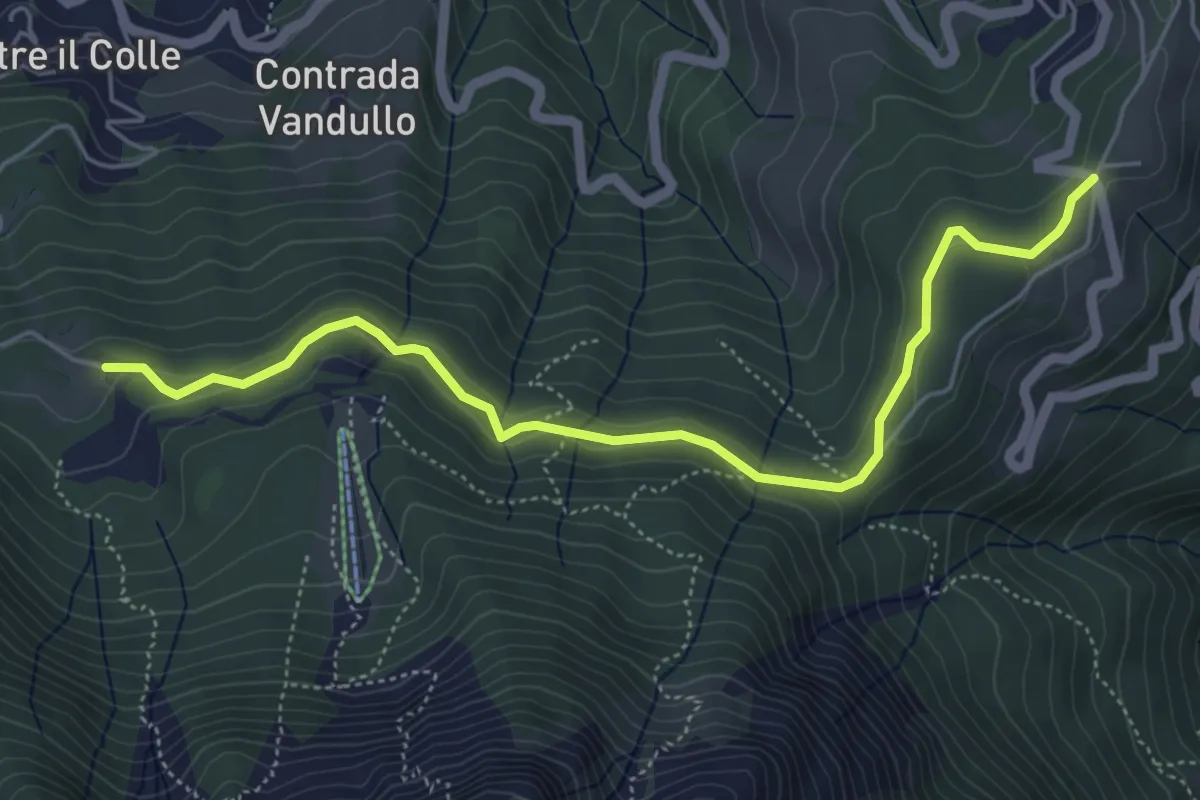
Easy · Trail
Pian della Palla – Passo di Zambla
5.7 km · ↑ 153 m · 1 h 41 min · 12 km away
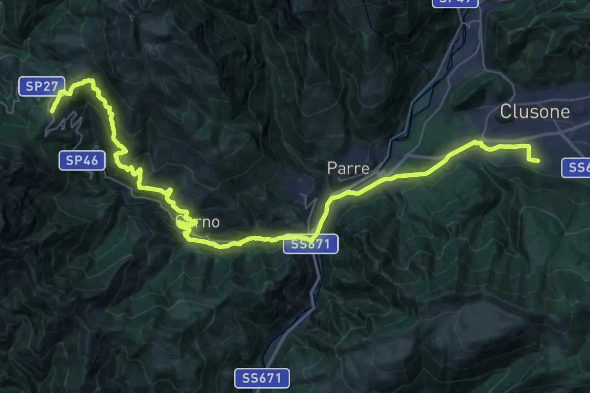
Demanding · Trail
Sentiero dei Laghi Basso - Tappa 8
19.0 km · ↑ 418 m · 6 h · 12 km away
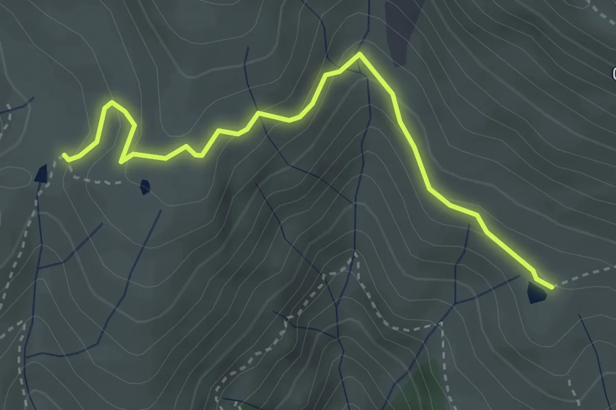
Easy · Trail
Terza Baita Alpe Vaccaro (incrocio 241) – Baita della Forcella (incrocio 240)
3.5 km · ↑ 212 m · 1 h 18 min · 12 km away
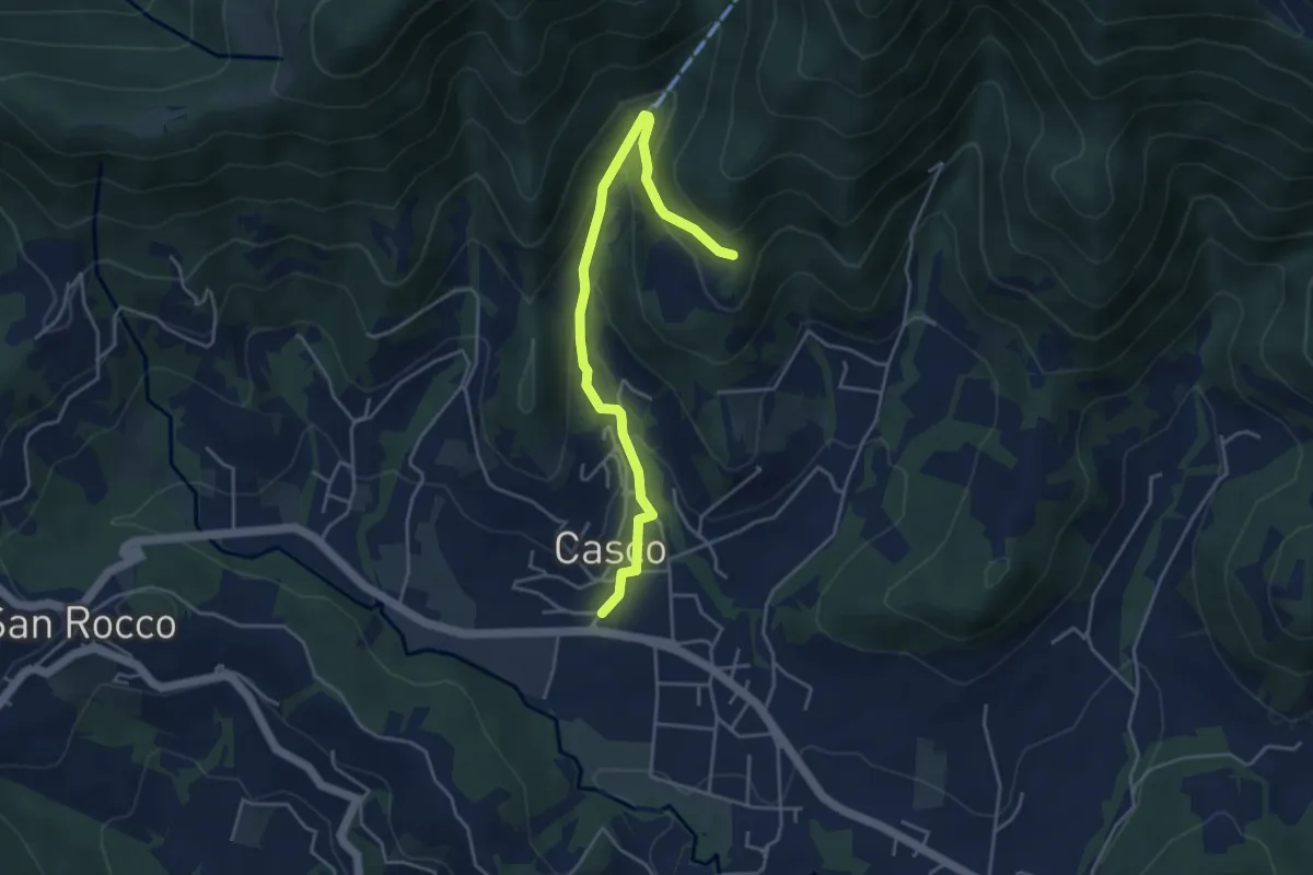
Easy · Trail
Cenate Sopra – Plasso
4.6 km · ↑ 234 m · 1 h 36 min · 12 km away
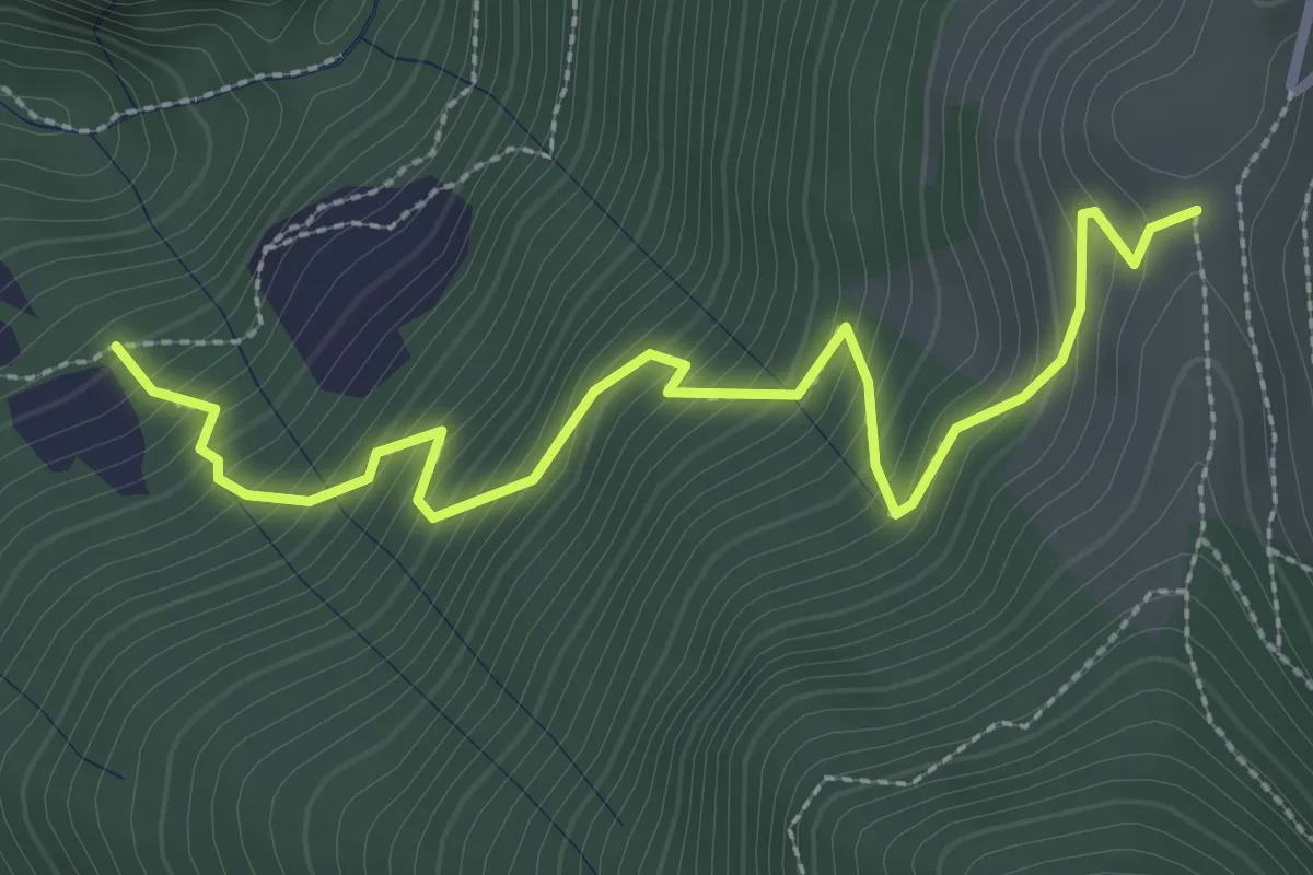
Medium · Trail
Pozzi (incrocio 744) – Colle Dedine
3.2 km · ↑ 397 m · 1 h 38 min · 12 km away
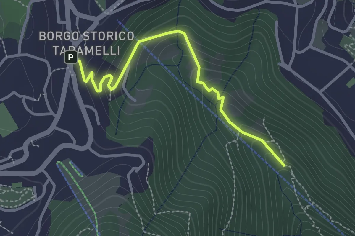
Easy · Trail
Incrocio 550 – Selvino
2.6 km · ↑ 160 m · 58 min · 12 km away
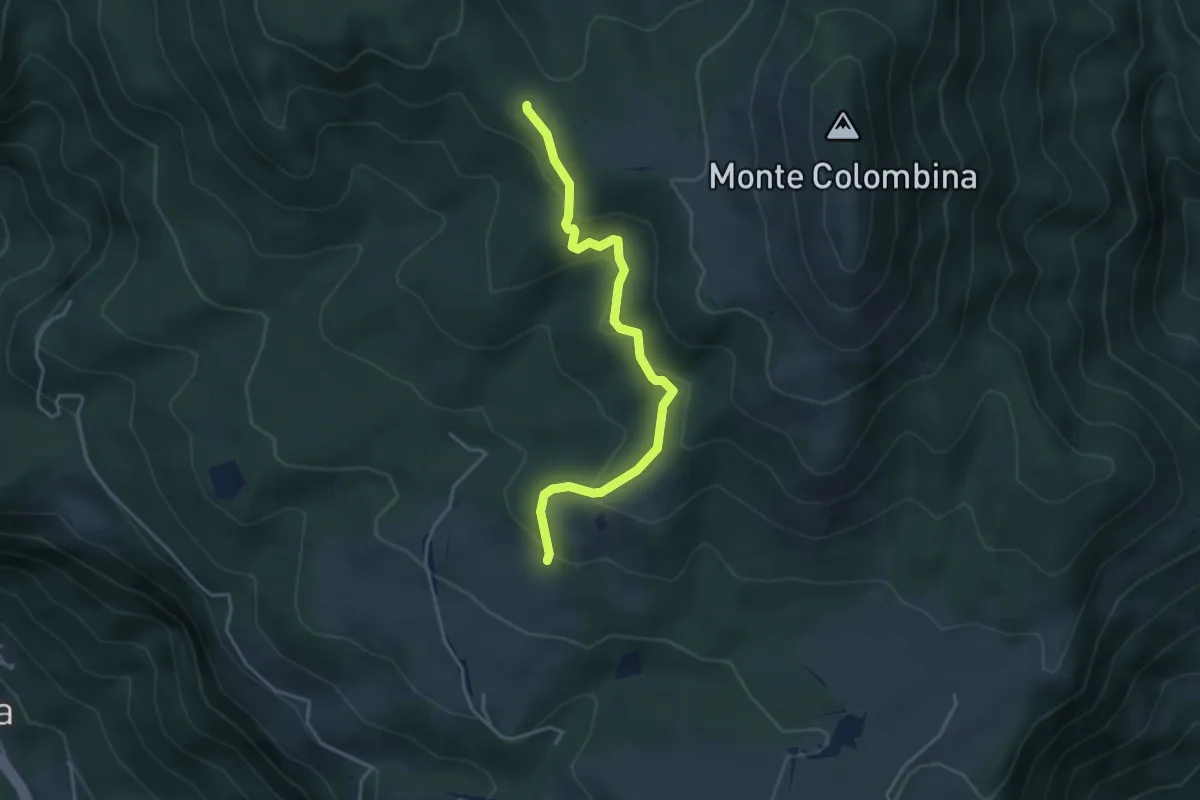
Easy · Trail
Martinel
3.9 km · ↑ 215 m · 1 h 24 min · 12 km away
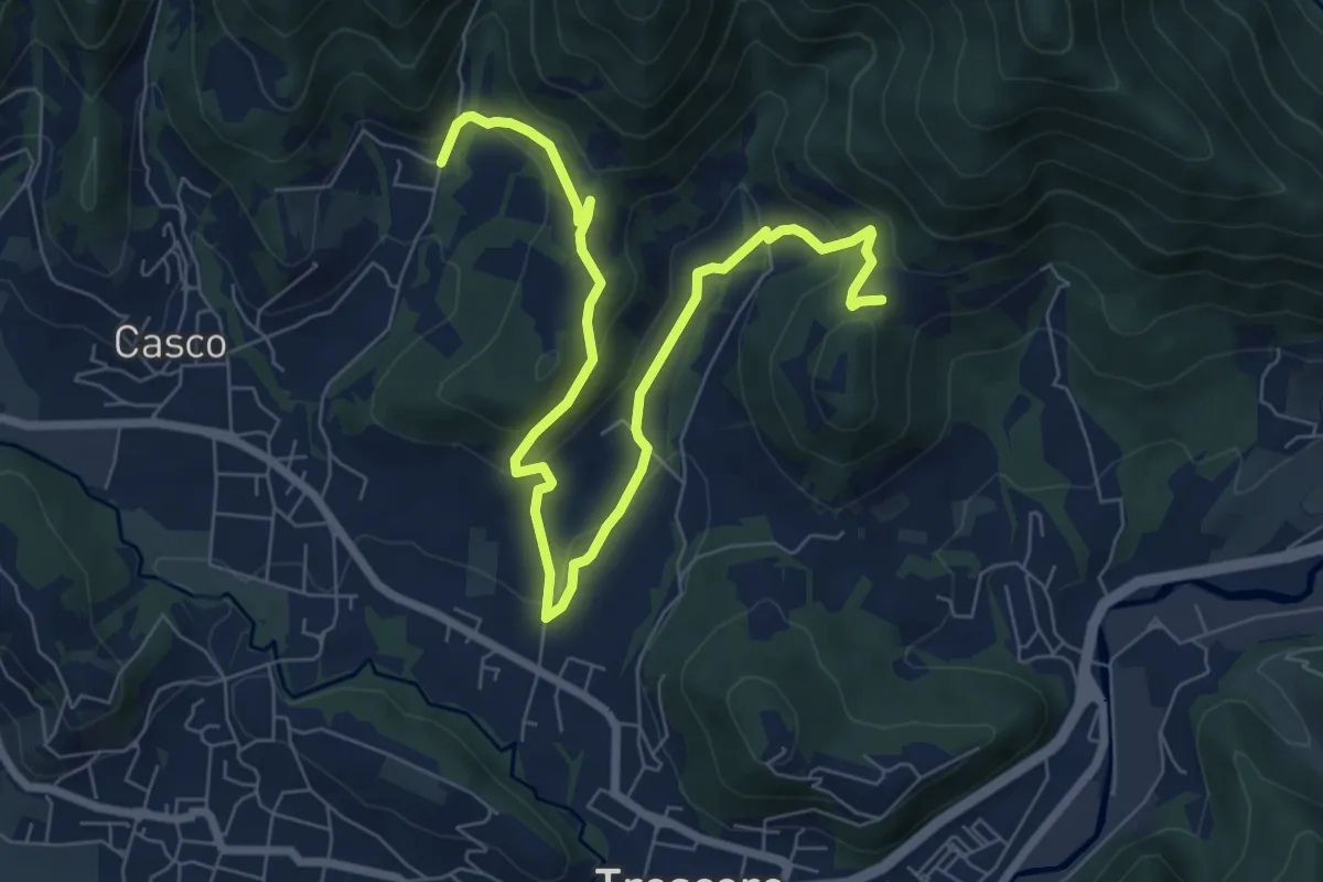
Medium · Trail
S. Ambrogio (Cenate Sopra) – Madonna del Mirabile (Luzzana)
9.2 km · ↑ 355 m · 2 h 56 min · 12 km away
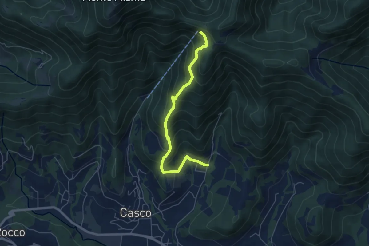
Medium · Cabin
S. Ambrogio (Cenate Sopra) – S. Maria del Misma
5.3 km · ↑ 477 m · 2 h 17 min · 12 km away
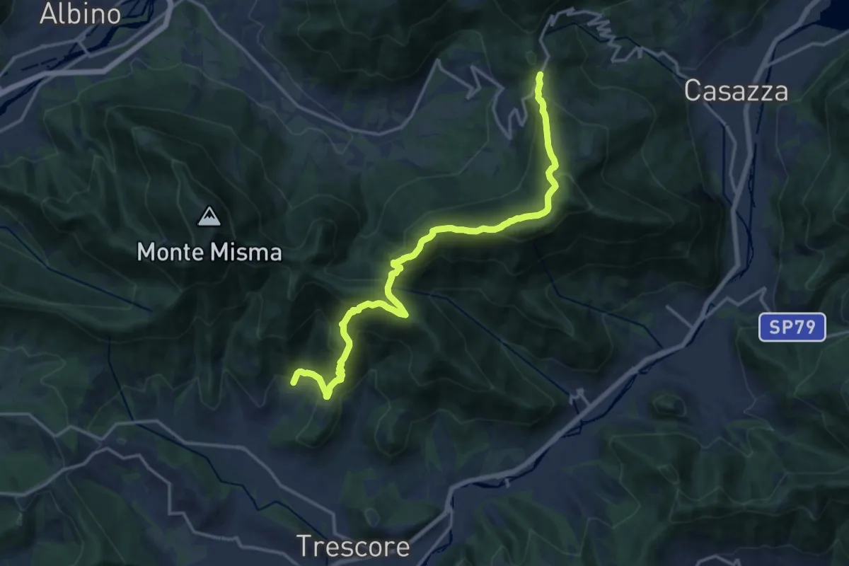
Demanding · Trail
S. Ambrogio (Cenate Sopra) – Colle Gallo
16.1 km · ↑ 1017 m · 6 h 1 min · 12 km away
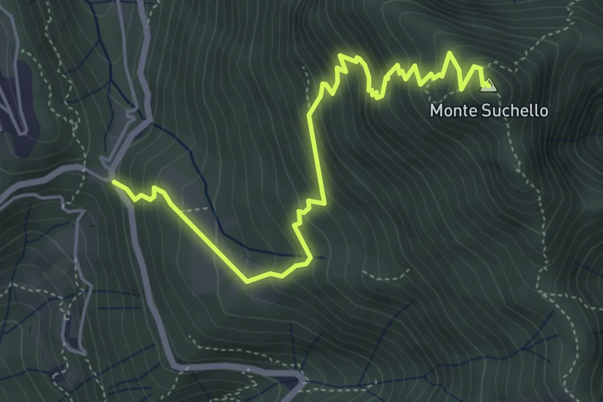
Medium · Summit
Costa Serina – Monte Suchello
5.5 km · ↑ 618 m · 2 h 39 min · 12 km away
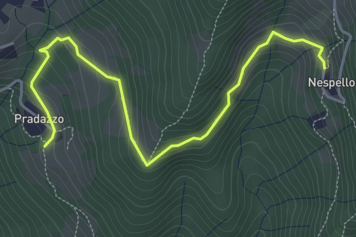
Medium · Trail
Via Mercatorum - Variante Ascensione
3.8 km · ↑ 188 m · 1 h 18 min · 12 km away
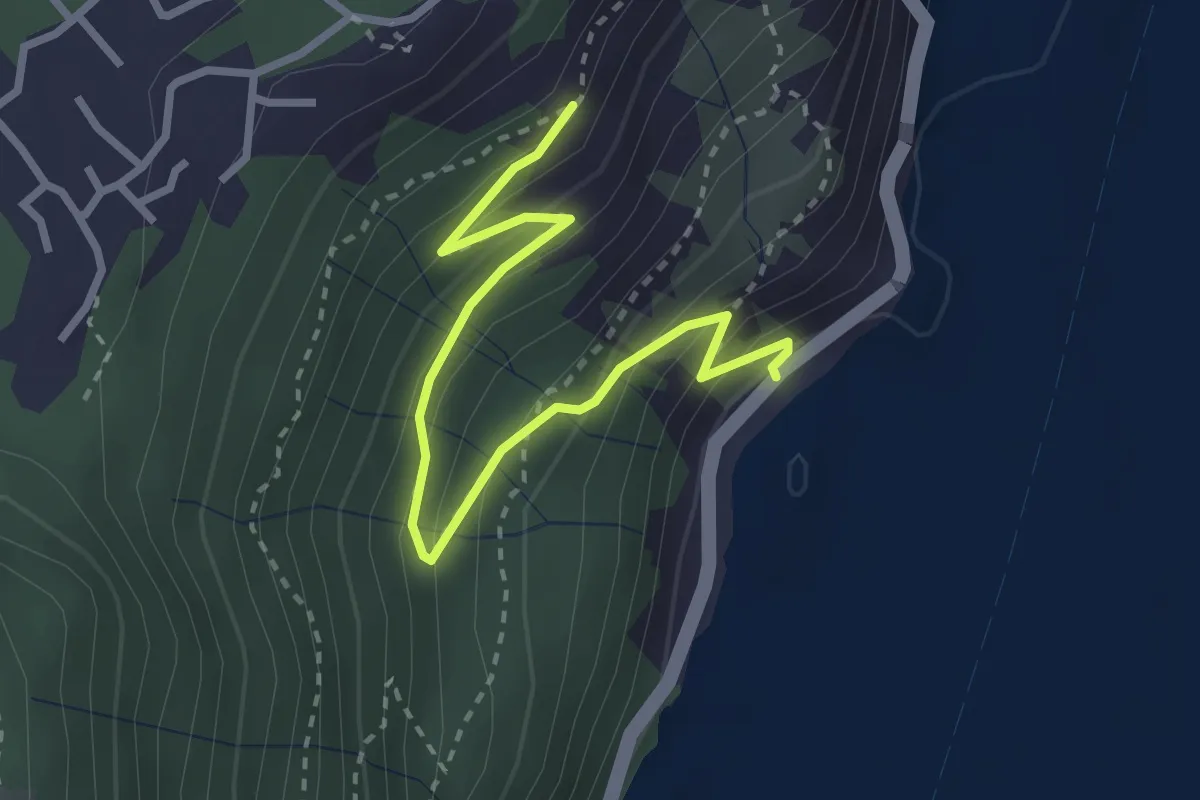
Medium · Trail
Gre' (Castro) – Incrocio 565
3.2 km · ↑ 251 m · 1 h 18 min · 12 km away
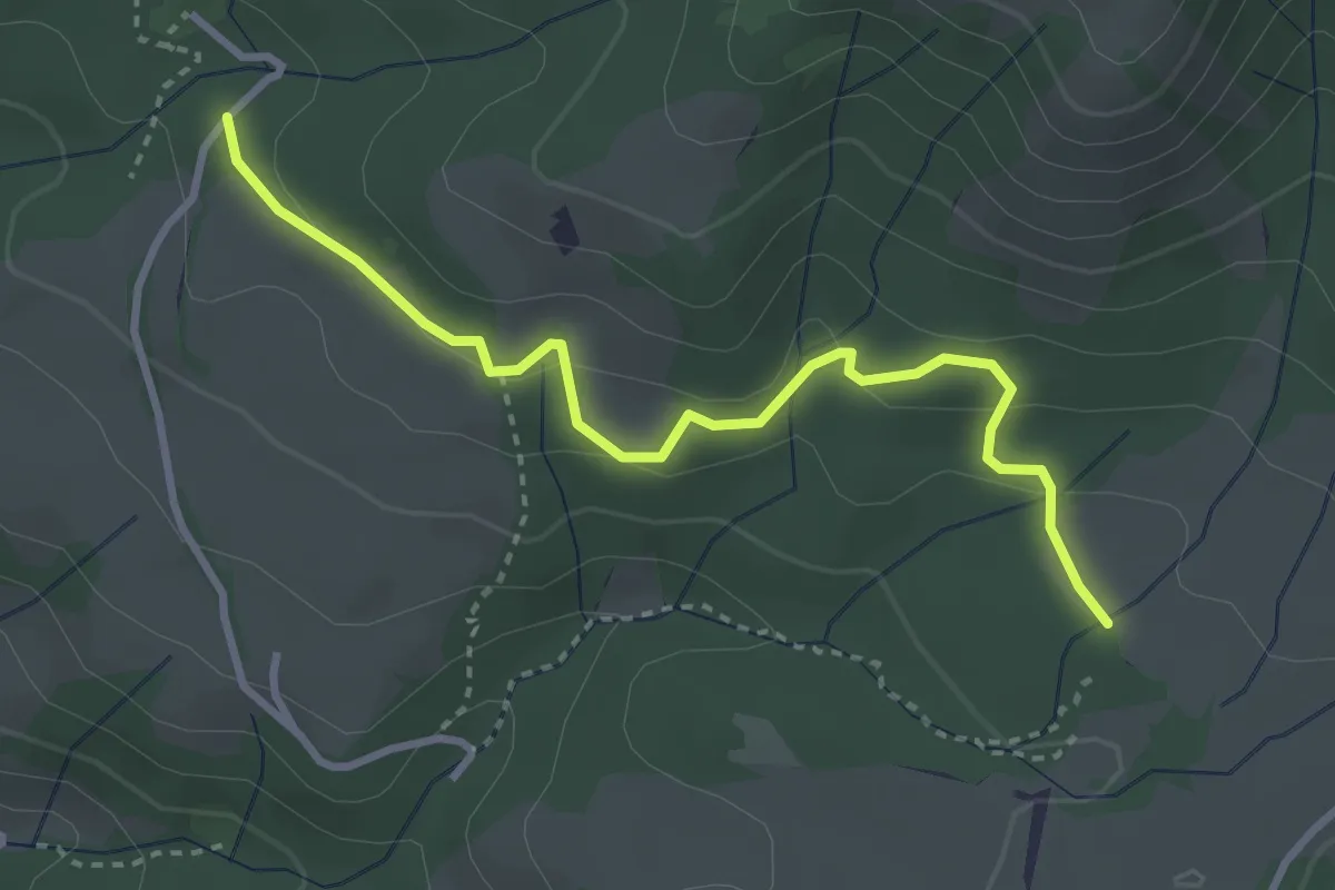
Easy · Trail
Dei Cavalli
3.4 km · ↑ 118 m · 1 h 4 min · 12 km away
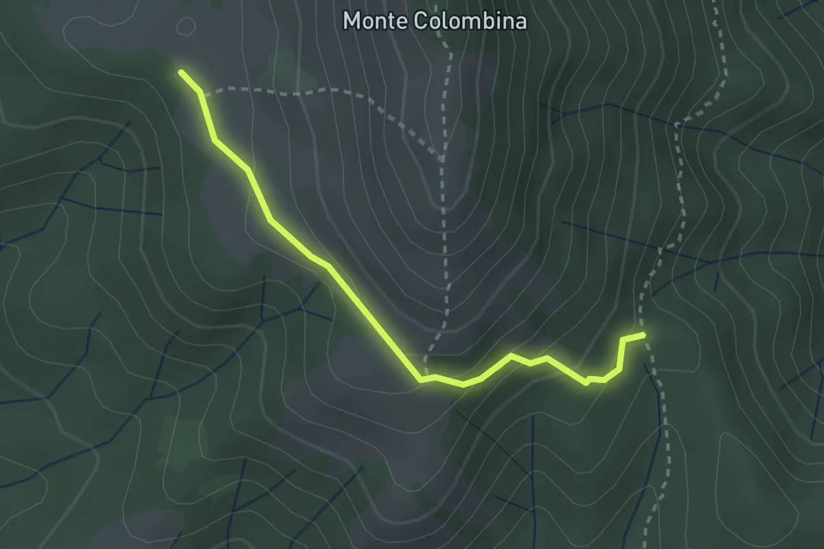
Expert · Trail
San Fermo (Bossico) – Forcellino di Bossico (incrocio 552)
2.6 km · ↑ 146 m · 56 min · 12 km away
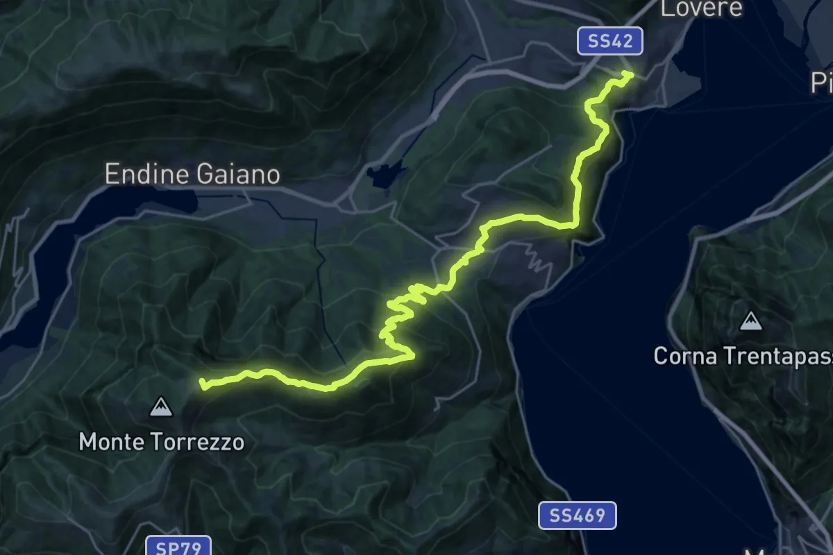
Demanding · Summit
Trans Padana Centrale
28.0 km · ↑ 1528 m · 9 h 55 min · 12 km away
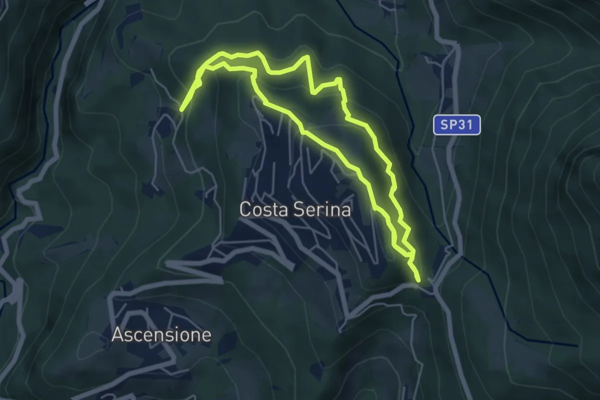
Medium · Trail
Sentiero Rosso
4.6 km · ↑ 352 m · 1 h 54 min · 12 km away
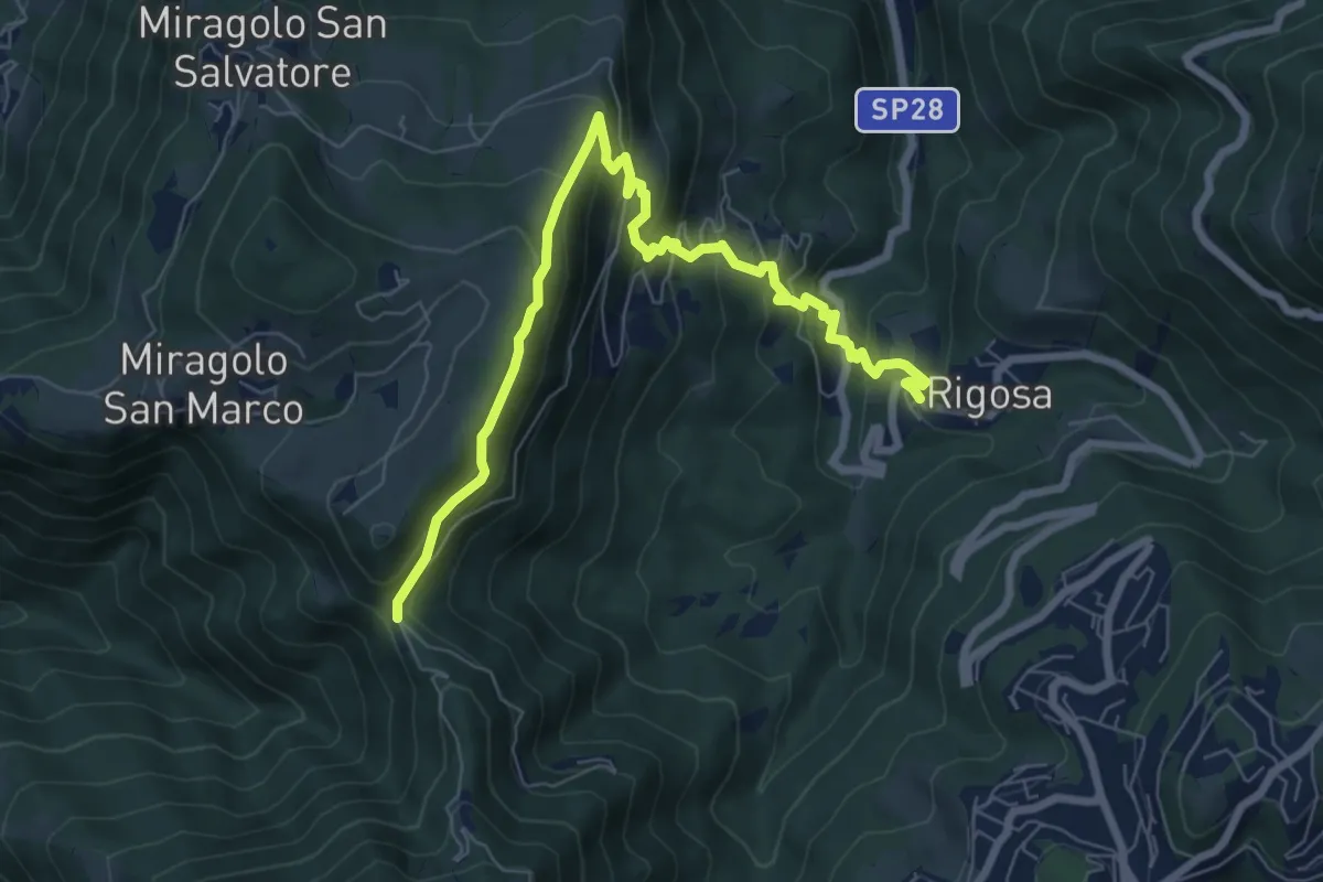
Medium · Trail
Rigosa – Passata
8.5 km · ↑ 576 m · 3 h 15 min · 12 km away
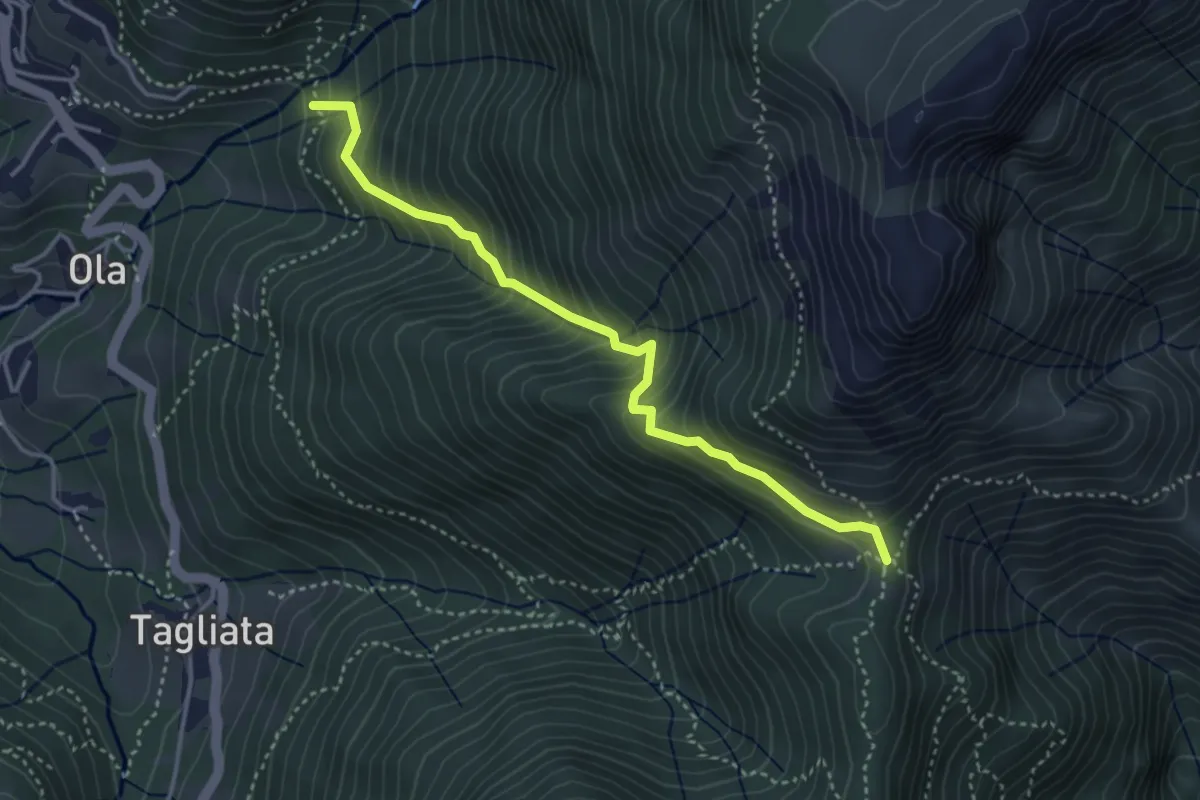
Medium · Trail
Incrocio H41 – Passo Barbata
3.8 km · ↑ 473 m · 1 h 56 min · 12 km away
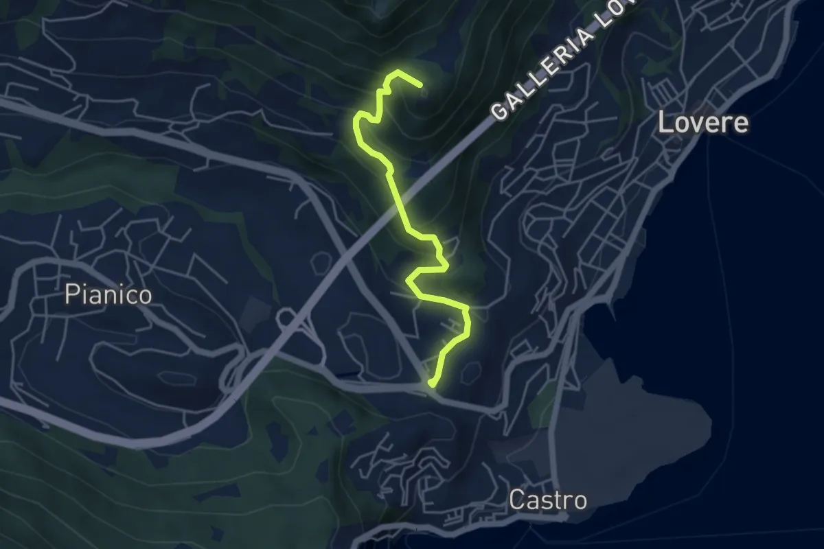
Medium · Summit
Lovere – Passo delle Croci
4.2 km · ↑ 331 m · 1 h 42 min · 12 km away
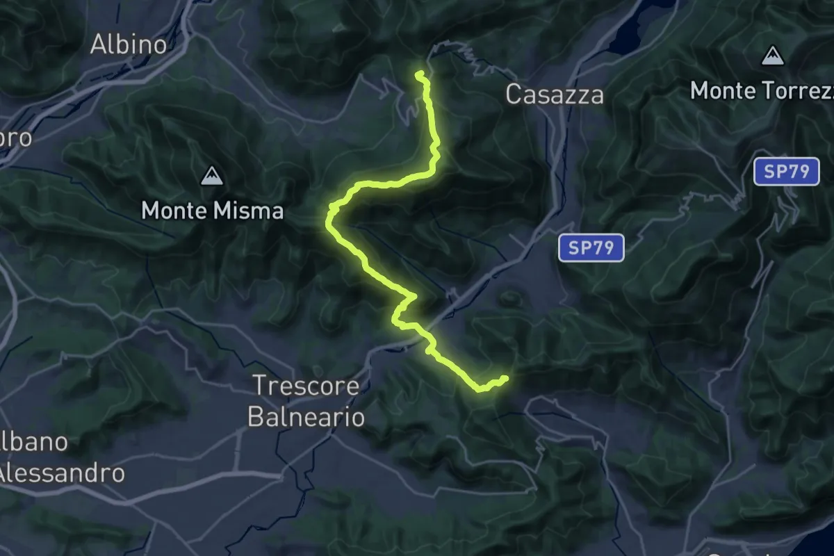
Demanding · Summit
Sentiero Flavio Tasca - Tappa 8
22.8 km · ↑ 1433 m · 8 h 29 min · 12 km away
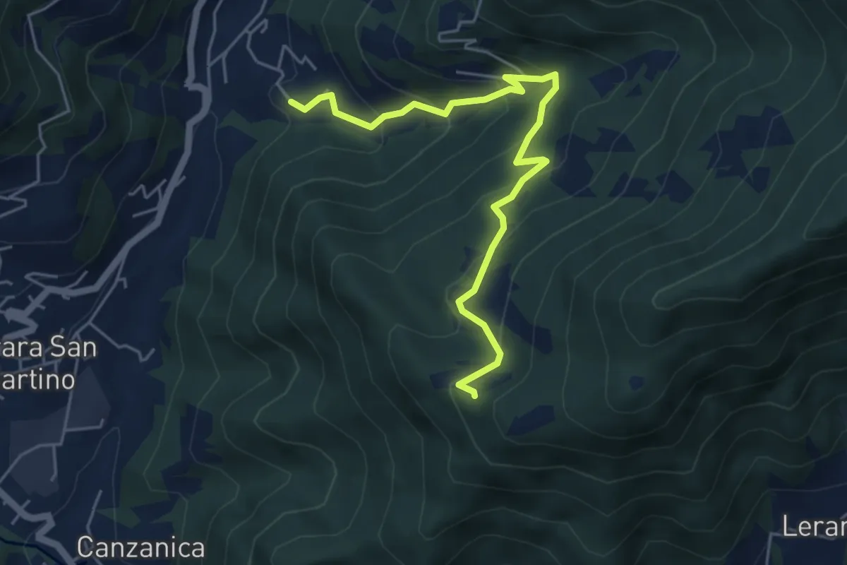
Medium · Trail
Madonna del Monte Uliveto (Adrara San Martino) – Incrocio 701
5.3 km · ↑ 391 m · 2 h 6 min · 12 km away
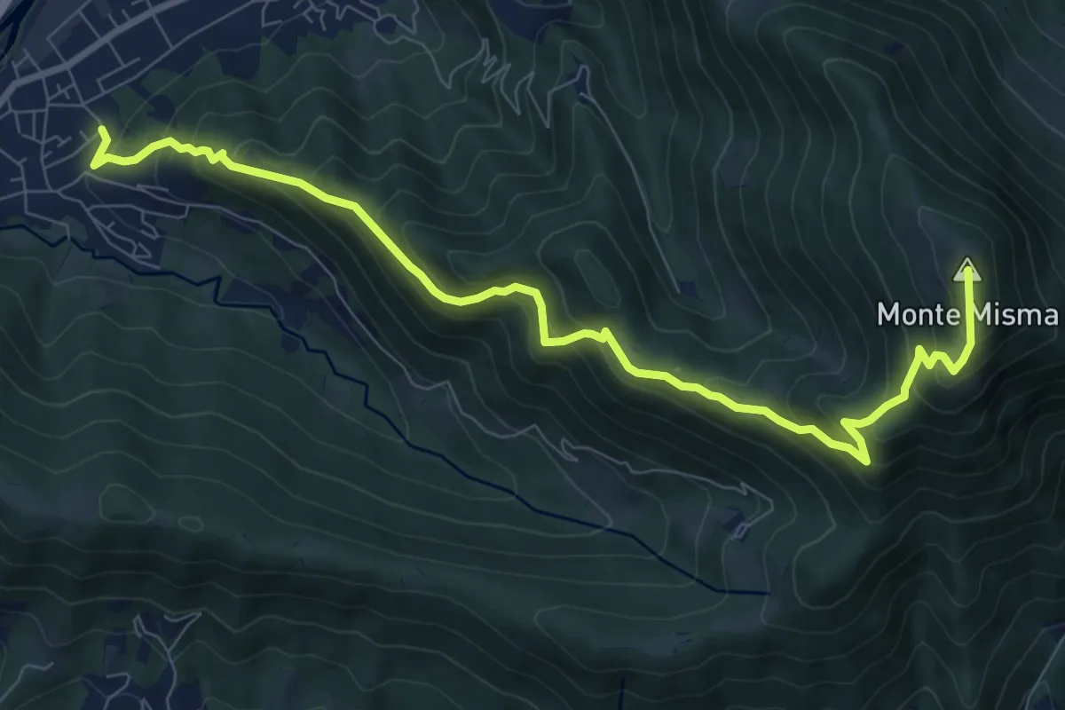
Demanding · Summit
Cornale – Monte Misma
9.9 km · ↑ 853 m · 4 h 11 min · 13 km away
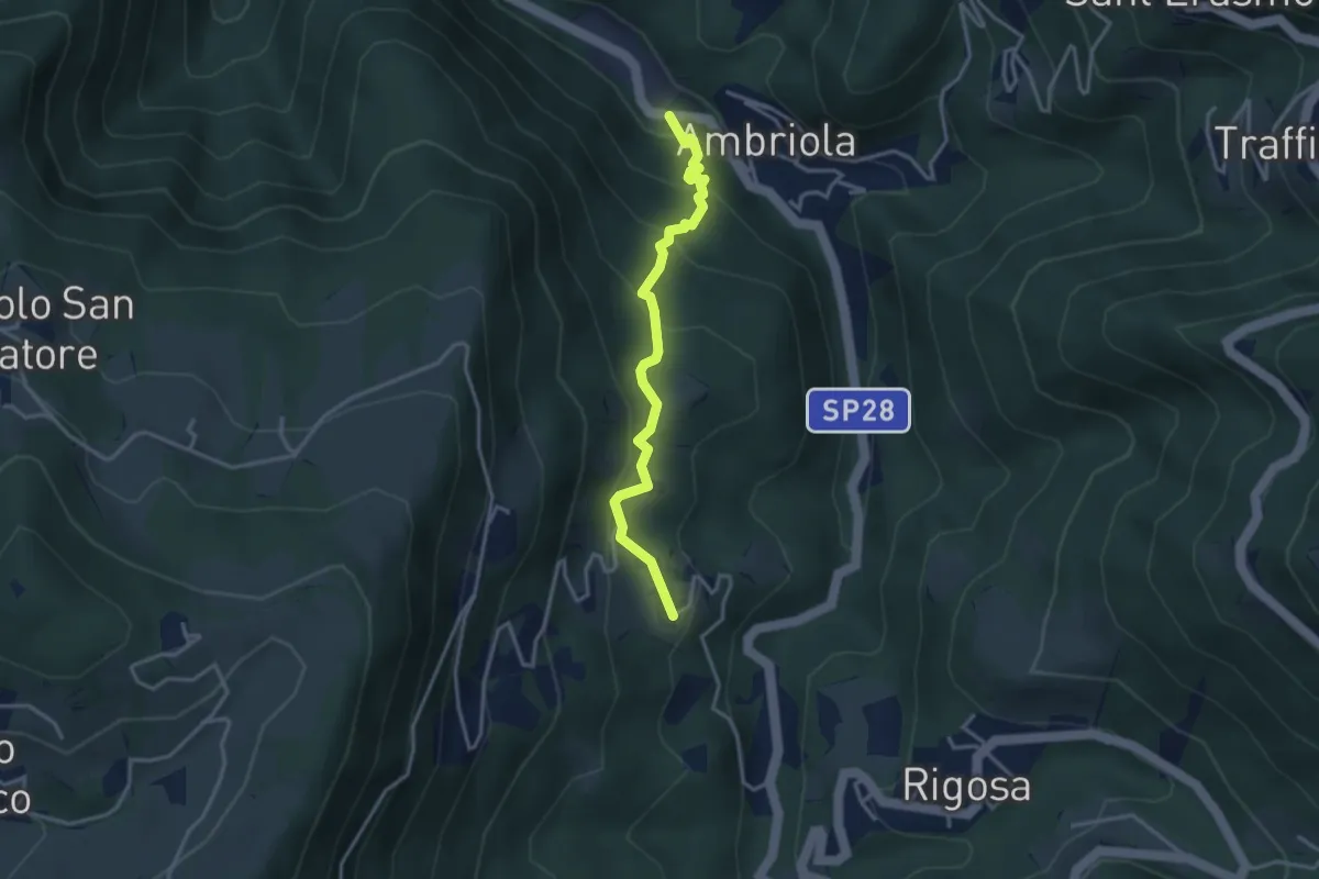
Medium · Trail
Ambriola – Sambusita (Chiesa)
3.3 km · ↑ 268 m · 1 h 21 min · 13 km away
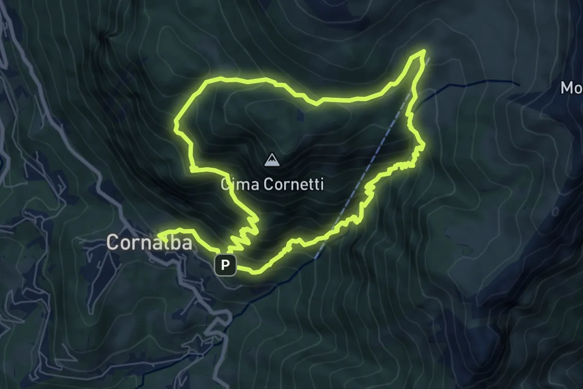
Medium · Trail
Cornalba – Cornalba
7.5 km · ↑ 759 m · 3 h 32 min · 13 km away
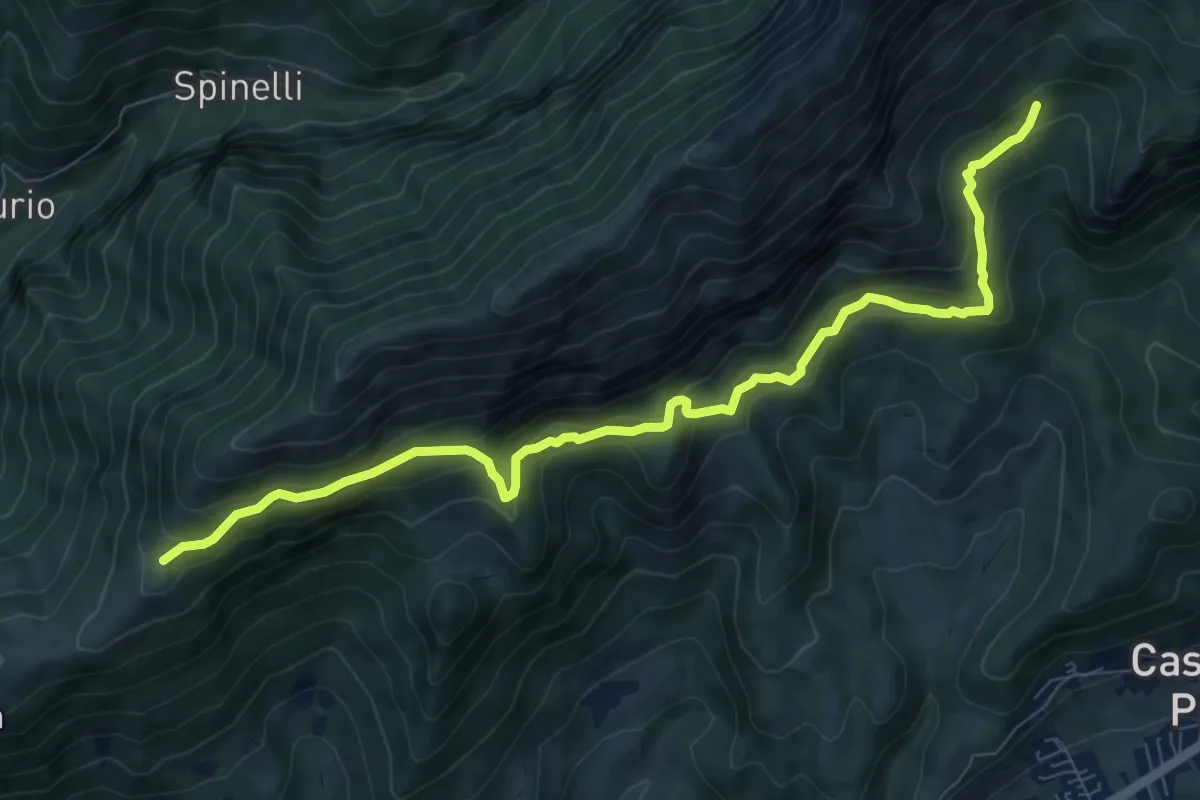
Expert · Trail
Cappella Alpini Monte Blum (incrocio 317) – Malga Spina (incrocio 317)
9.8 km · ↑ 702 m · 3 h 50 min · 13 km away
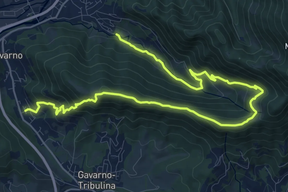
Demanding · Trail
Cornale (Pradalunga) – Gavarno
17.1 km · ↑ 933 m · 6 h 4 min · 13 km away
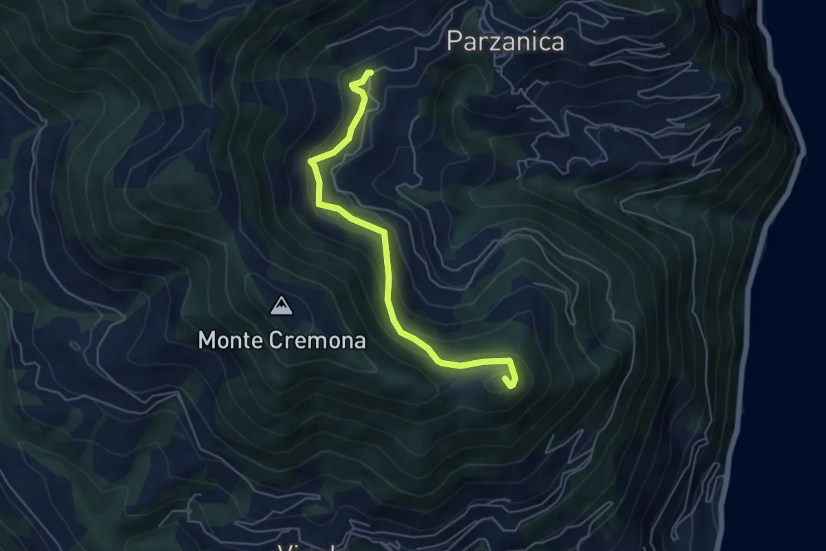
Medium · Summit
Gromolo (incrocio 722) – Monte Soresano (incrocio 724)
4.9 km · ↑ 337 m · 1 h 53 min · 13 km away
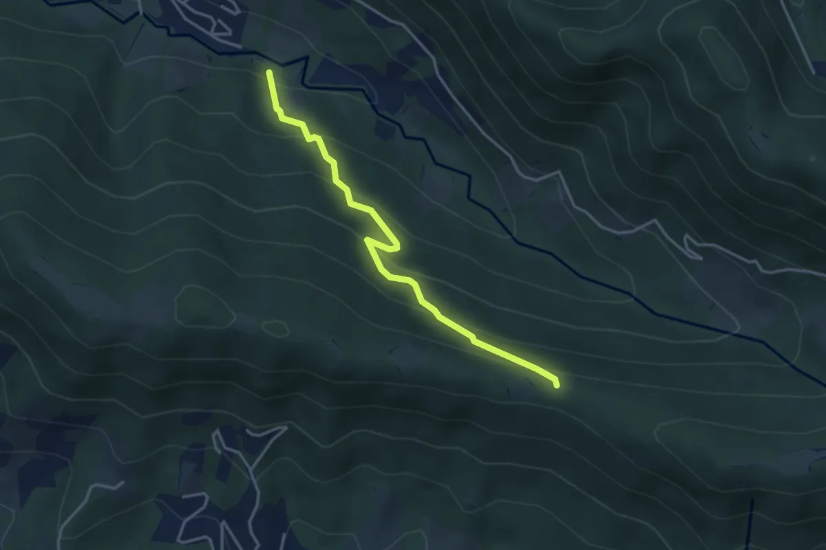
Easy · Trail
Cornale (Pradalunga) – Roccolo delle Pozzette (incrocio 539A)
3.6 km · ↑ 276 m · 1 h 26 min · 13 km away
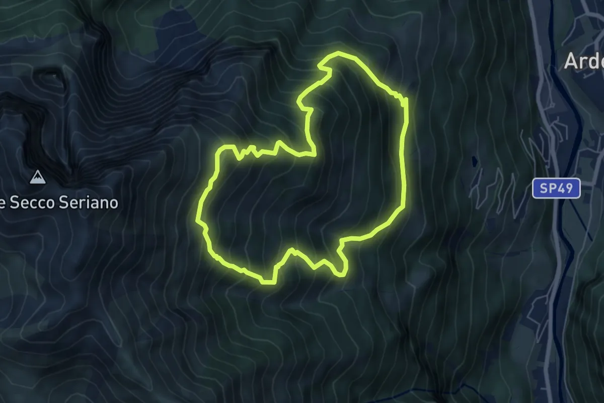
Medium · Trail
Cerete (Ardesio) – Cerete
5.8 km · ↑ 683 m · 2 h 56 min · 13 km away
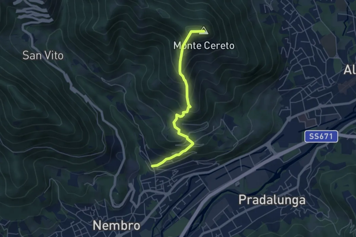
Medium · Summit
Trevasco (Nembro) – Monte Cereto
4.8 km · ↑ 563 m · 2 h 21 min · 13 km away
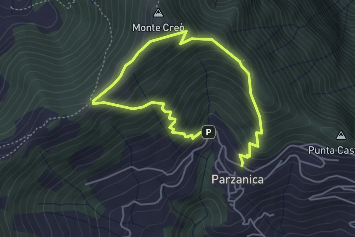
Easy · Trail
Parzanica – Parzanica
2.9 km · ↑ 278 m · 1 h 20 min · 13 km away
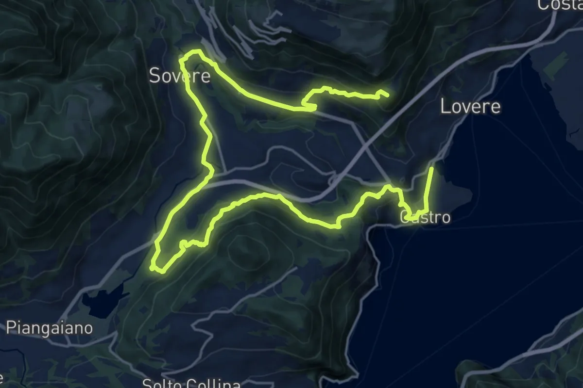
Demanding · Summit
CamminaForeste - Tappa 4A
27.2 km · ↑ 975 m · 8 h 32 min · 13 km away
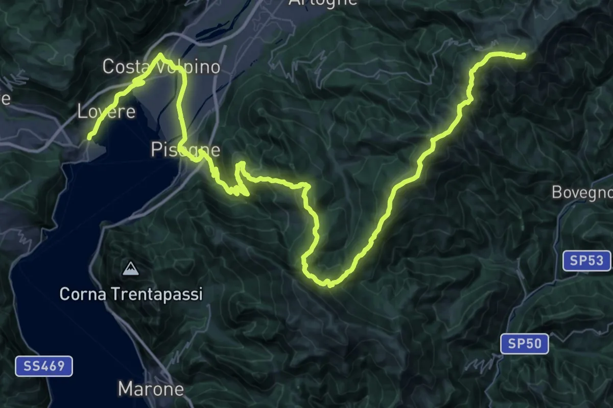
Demanding · Summit
CamminaForeste - Tappa 3D
65.3 km · ↑ 3089 m · 22 h 6 min · 13 km away
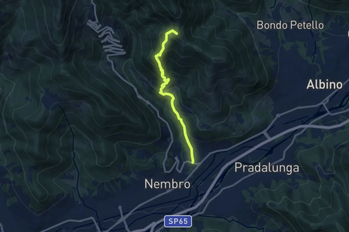
Medium · Summit
Trevasco (Nembro) – Selvino
6.8 km · ↑ 603 m · 2 h 55 min · 13 km away
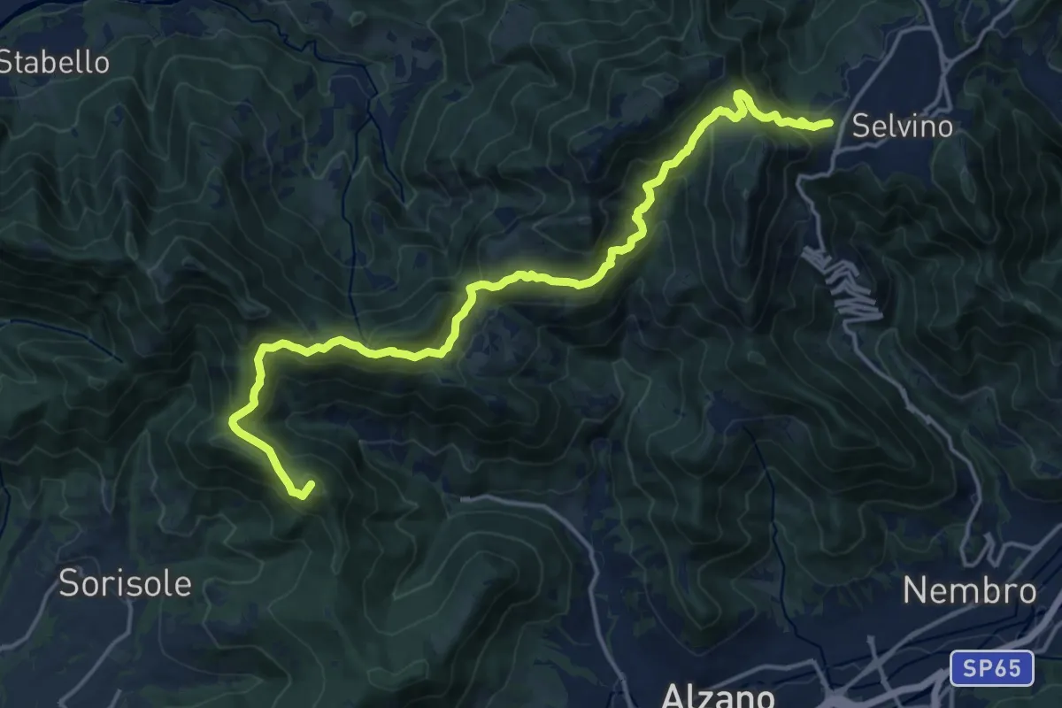
Demanding · Summit
Bergamo (Monterosso) – Selvino
18.3 km · ↑ 1015 m · 6 h 32 min · 13 km away