Trails near Gandino
271 hikes starting within 15 km, nearest first.
Nearest first, page 5 of 6
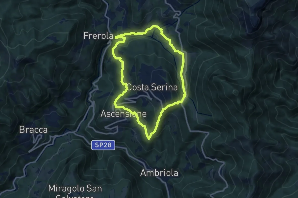
Medium · Trail
Sentiero Blu
7.8 km · ↑ 358 m · 2 h 44 min · 13 km away
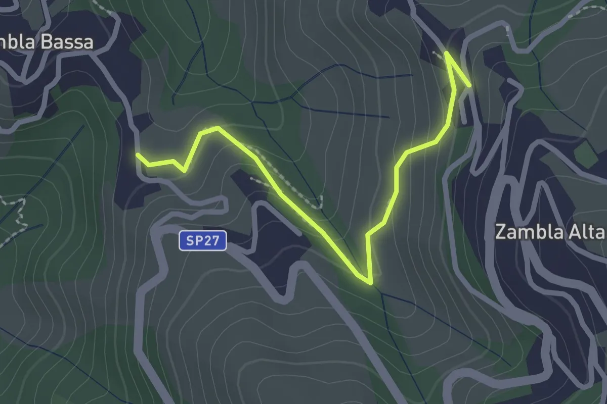
Easy · Trail
Zambla Bassa – Zambla Alta
2.3 km · ↑ 132 m · 49 min · 13 km away
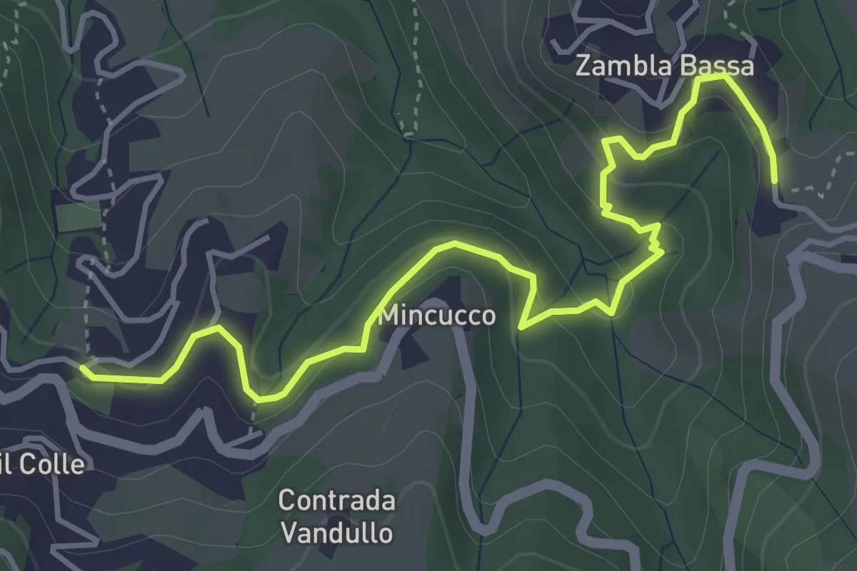
Medium · Trail
Oltre il Colle – Zambla Bassa
4.6 km · ↑ 236 m · 1 h 36 min · 13 km away
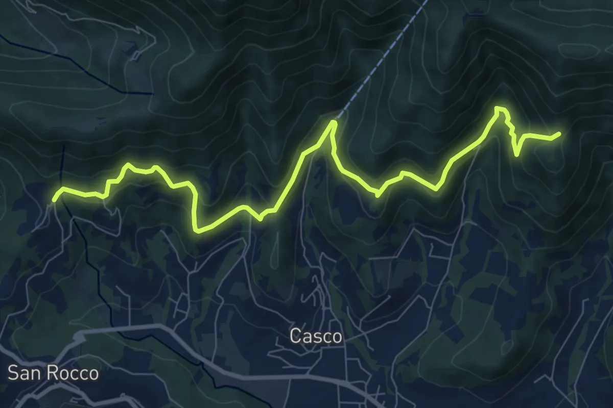
Medium · Trail
Sentiero Verde
10.0 km · ↑ 617 m · 3 h 42 min · 13 km away
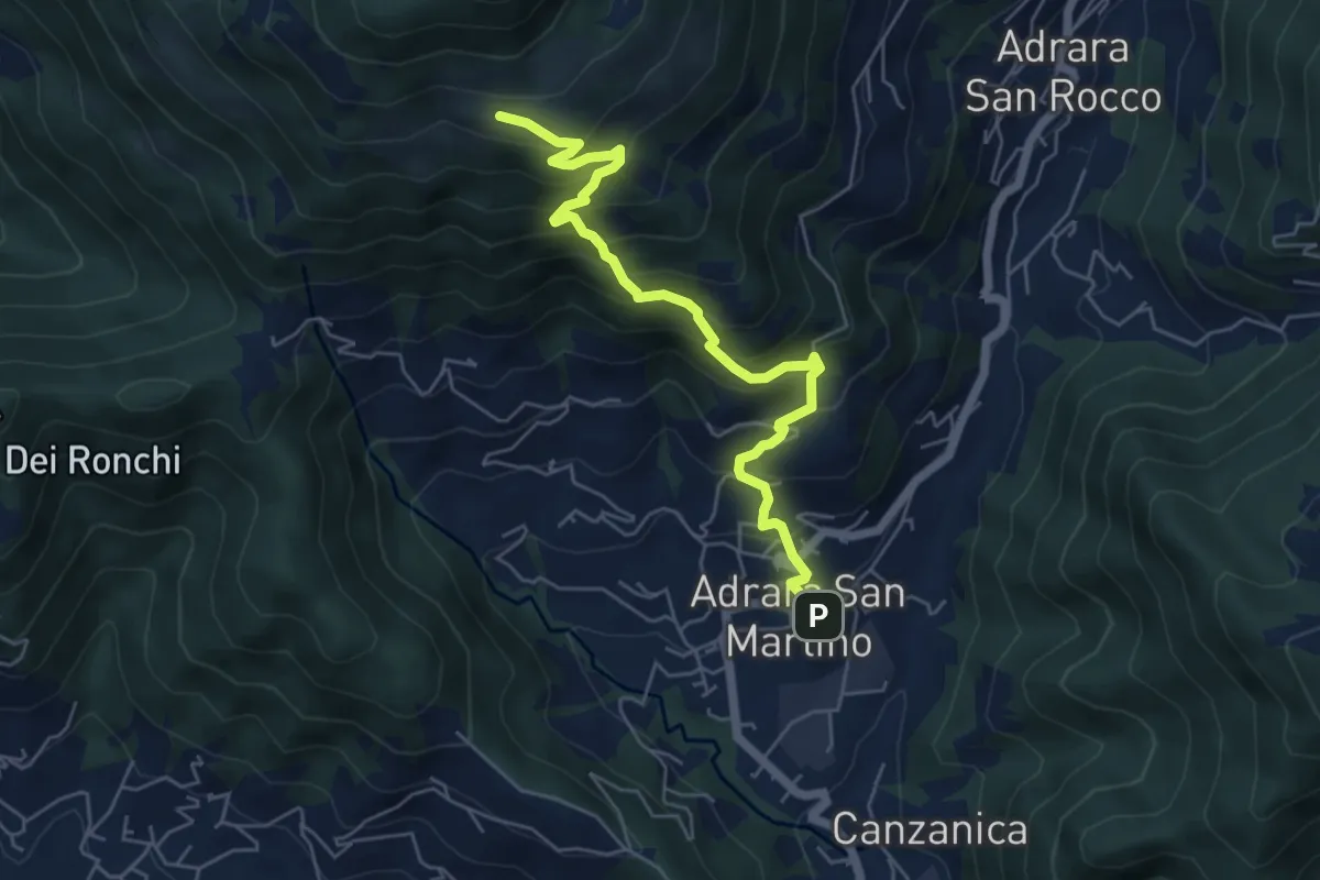
Medium · Cabin
Adrara San Martino – Fienili di Gaiana
6.0 km · ↑ 598 m · 2 h 43 min · 13 km away
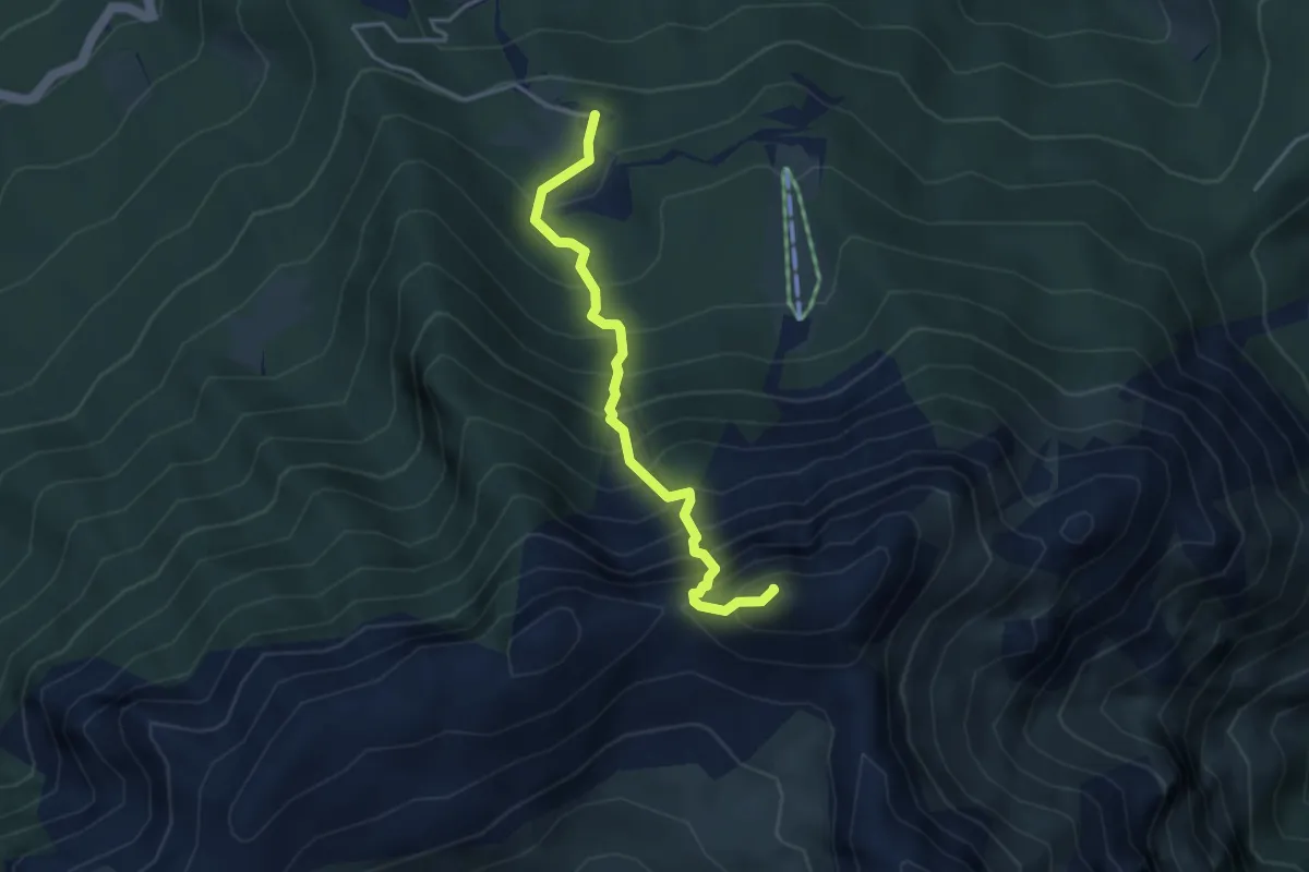
Demanding · Summit
Sentiero dell’Amicizia
3.7 km · ↑ 652 m · 2 h 17 min · 13 km away
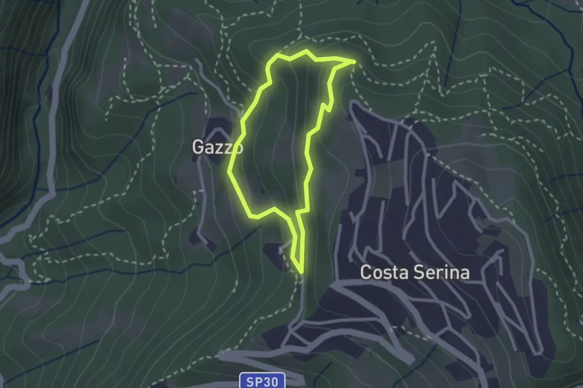
Medium · Trail
Sentiero Bianco
1.9 km · ↑ 122 m · 45 min · 13 km away
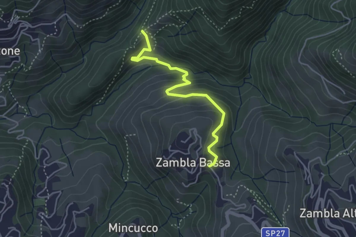
Medium · Trail
Cappella Forcella – Zambla Bassa
3.7 km · ↑ 227 m · 1 h 22 min · 13 km away
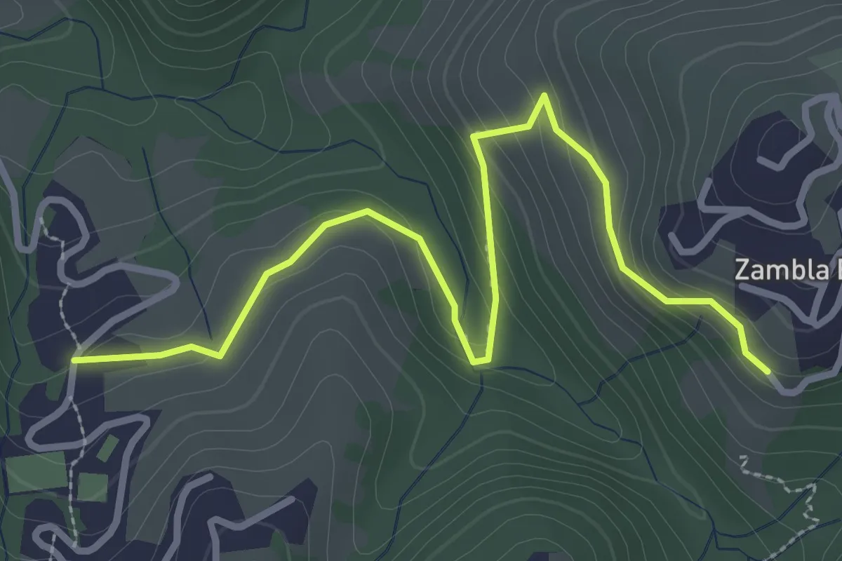
Medium · Trail
Oltre il Colle (incrocio H30) – Zambla Bassa (incrocio H24)
3.3 km · ↑ 154 m · 1 h 7 min · 13 km away
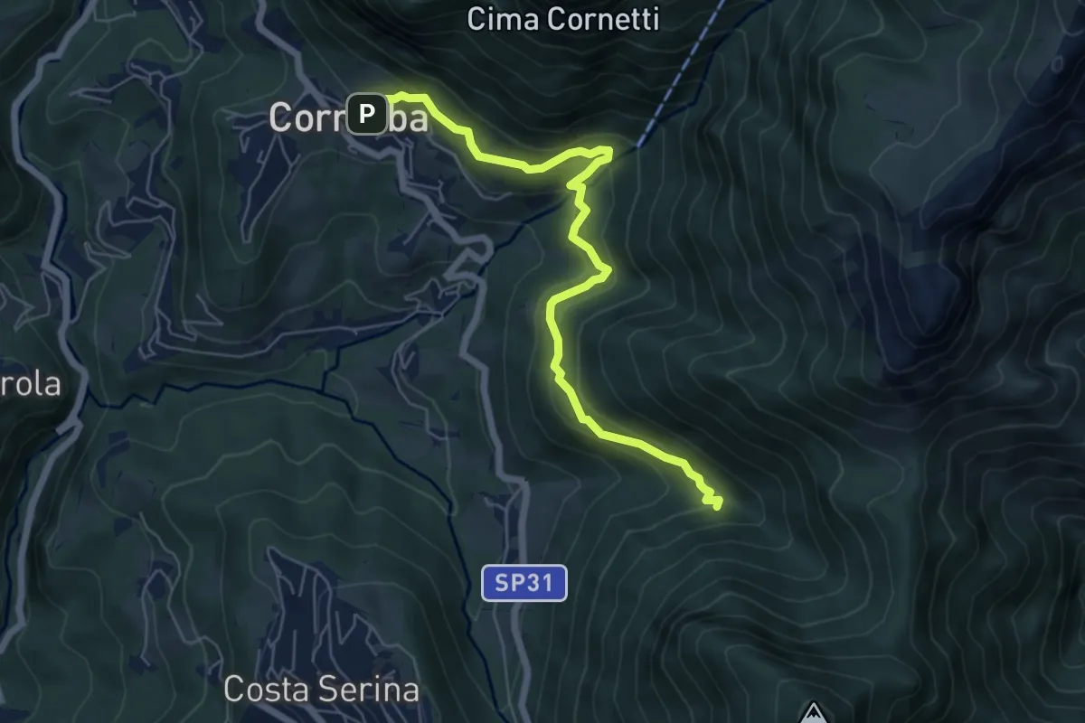
Medium · Trail
Cornalba – Incrocio 519B
6.4 km · ↑ 430 m · 2 h 26 min · 13 km away
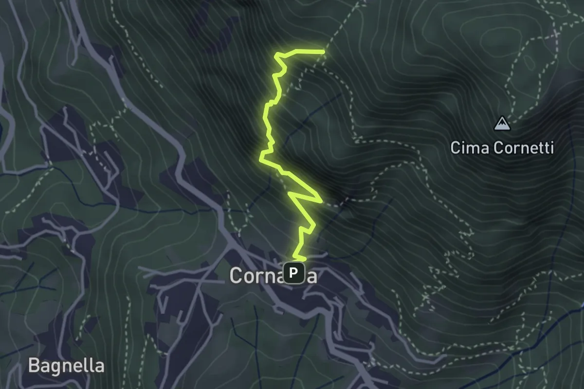
Demanding · Trail
Cornalba – Falesia Corna Bianca
2.9 km · ↑ 526 m · 1 h 49 min · 13 km away
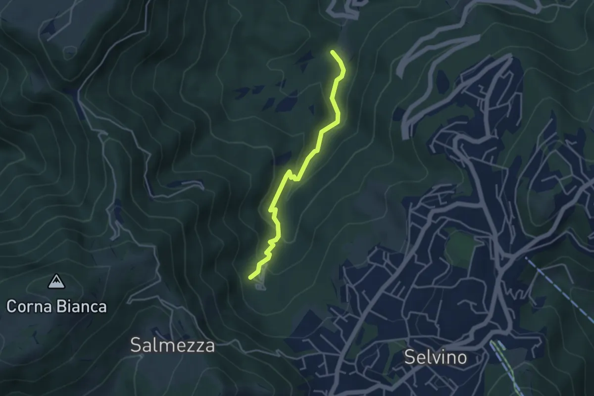
Medium · Trail
Rigosa (Loc. Fop) – Selvino (Sorgente Cantor)
3.4 km · ↑ 225 m · 1 h 18 min · 13 km away
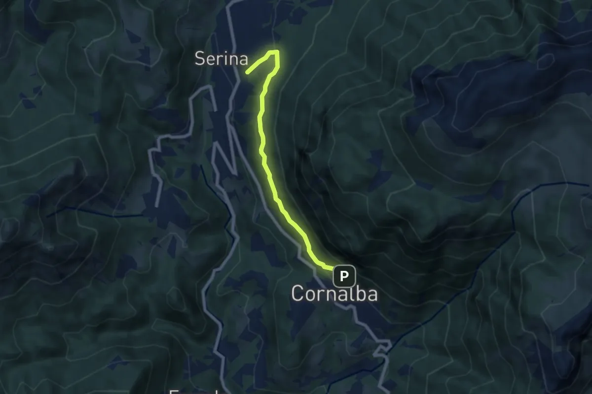
Medium · Trail
Variante Mercatorum
5.8 km · ↑ 297 m · 2 h 1 min · 13 km away
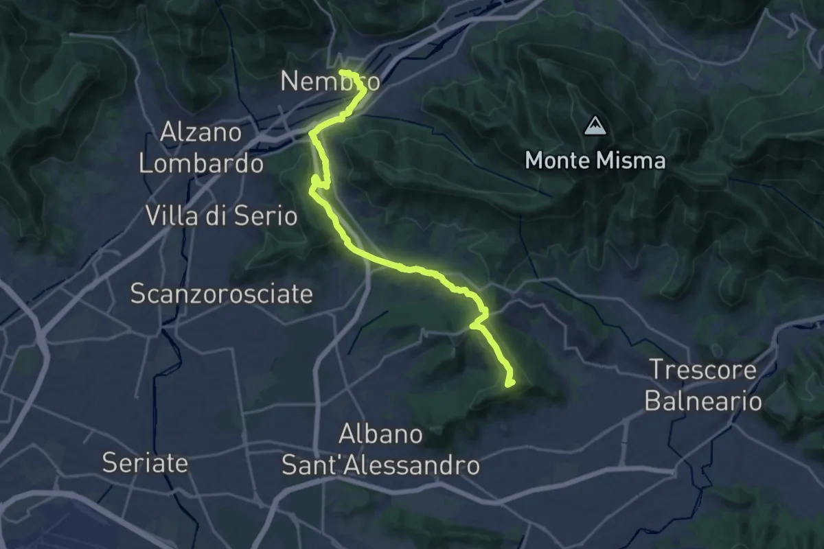
Medium · Summit
La Via delle Sorelle - Tappa 5
9.4 km · ↑ 284 m · 2 h 54 min · 13 km away
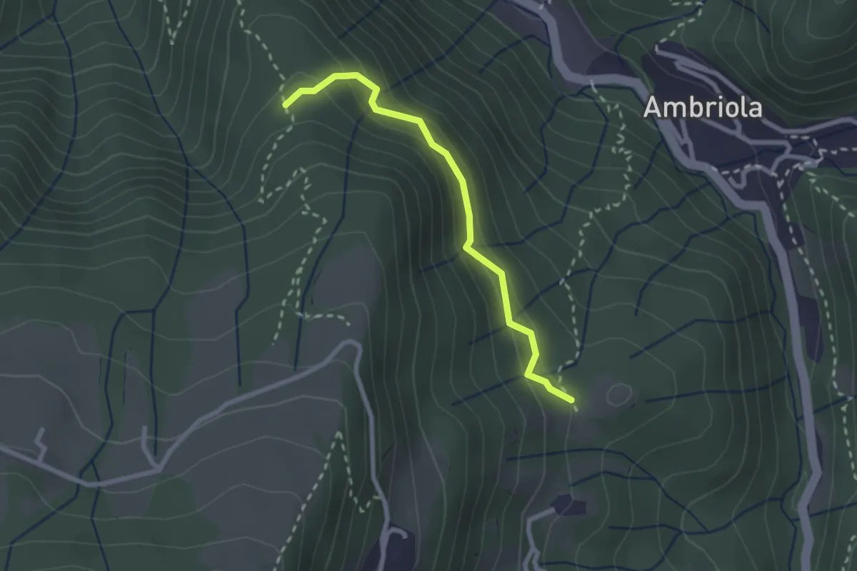
Demanding · Trail
Incrocio H51 – Incrocio H52
2.3 km · ↑ 197 m · 58 min · 13 km away
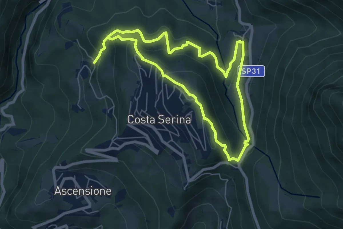
Medium · Trail
Sentiero Verde
4.9 km · ↑ 329 m · 1 h 58 min · 13 km away
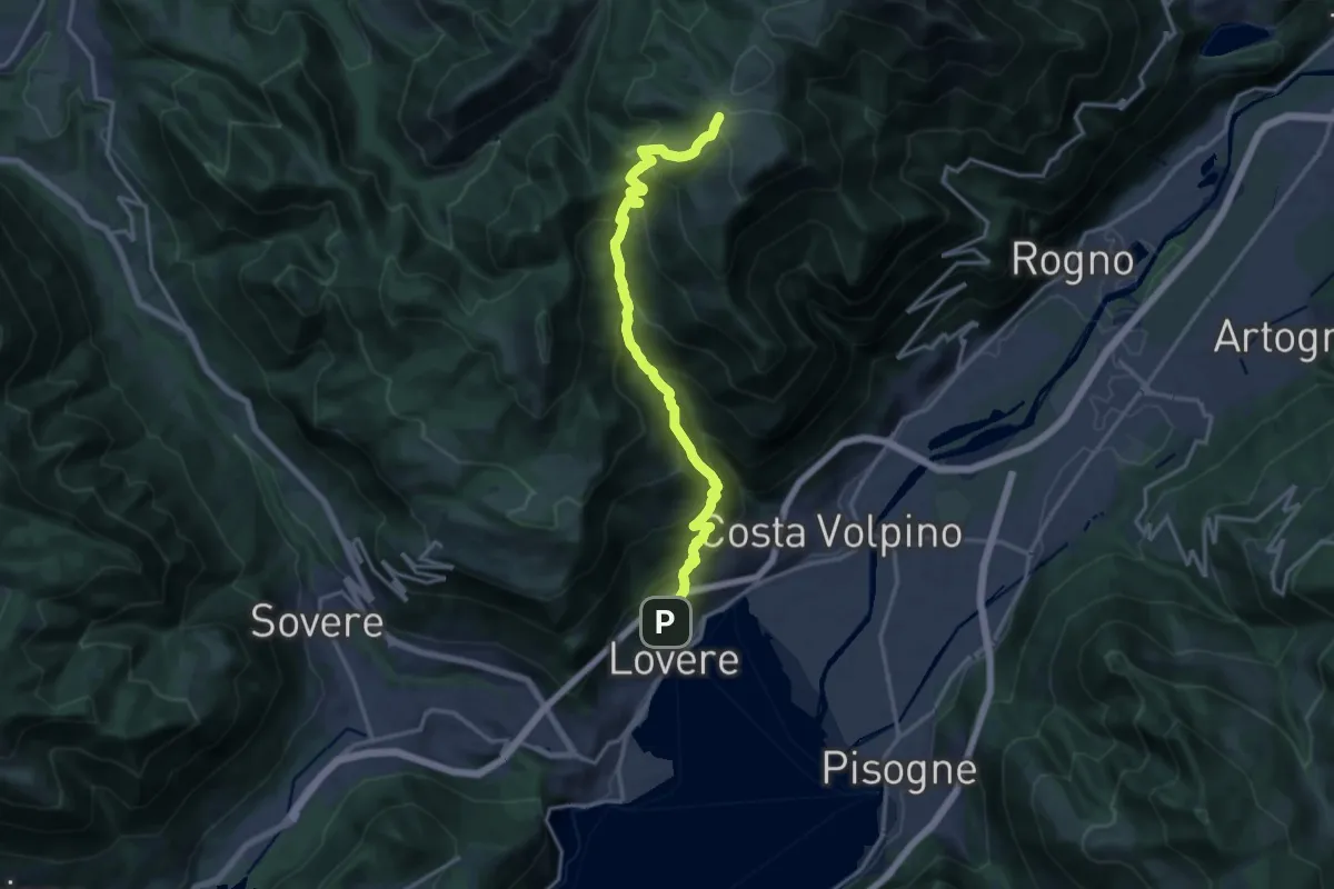
Expert · Cabin
Lovere – Rifugio Magnolini
16.7 km · ↑ 1493 m · 7 h 11 min · 13 km away
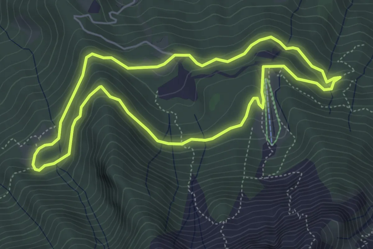
Easy · Trail
Anello Pista Conca dell’Alben
5.0 km · ↑ 198 m · 1 h 41 min · 13 km away
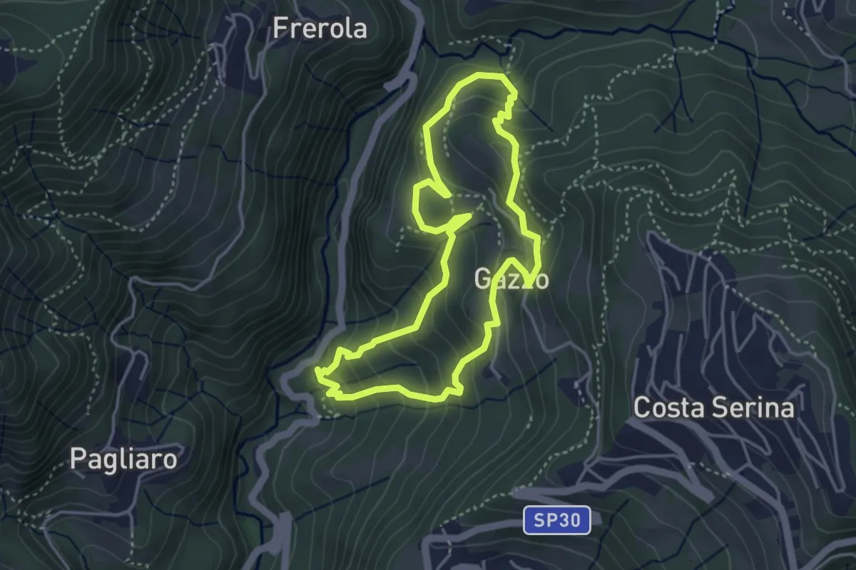
Medium · Trail
Sentiero Arancio
3.7 km · ↑ 280 m · 1 h 31 min · 13 km away
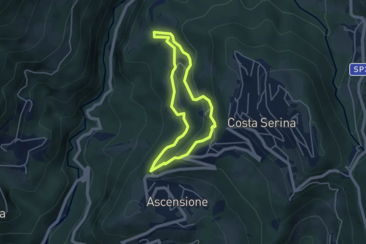
Medium · Trail
Sentiero Giallo
3.1 km · ↑ 159 m · 1 h 7 min · 13 km away
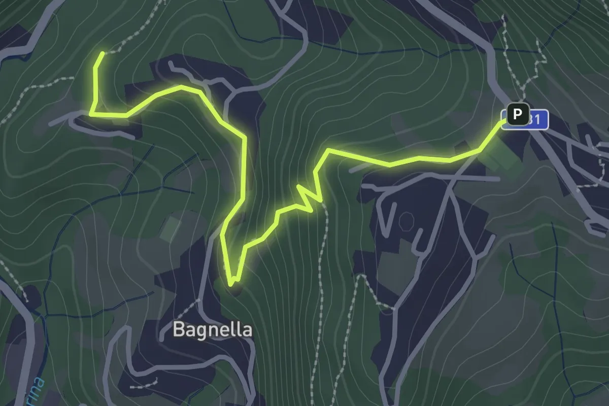
Easy · Trail
Rosolo – Cornalba
3.3 km · ↑ 235 m · 1 h 17 min · 13 km away
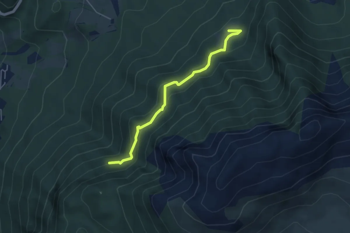
Medium · Trail
Pian della Mussa – Incrocio 502
3.8 km · ↑ 282 m · 1 h 31 min · 13 km away
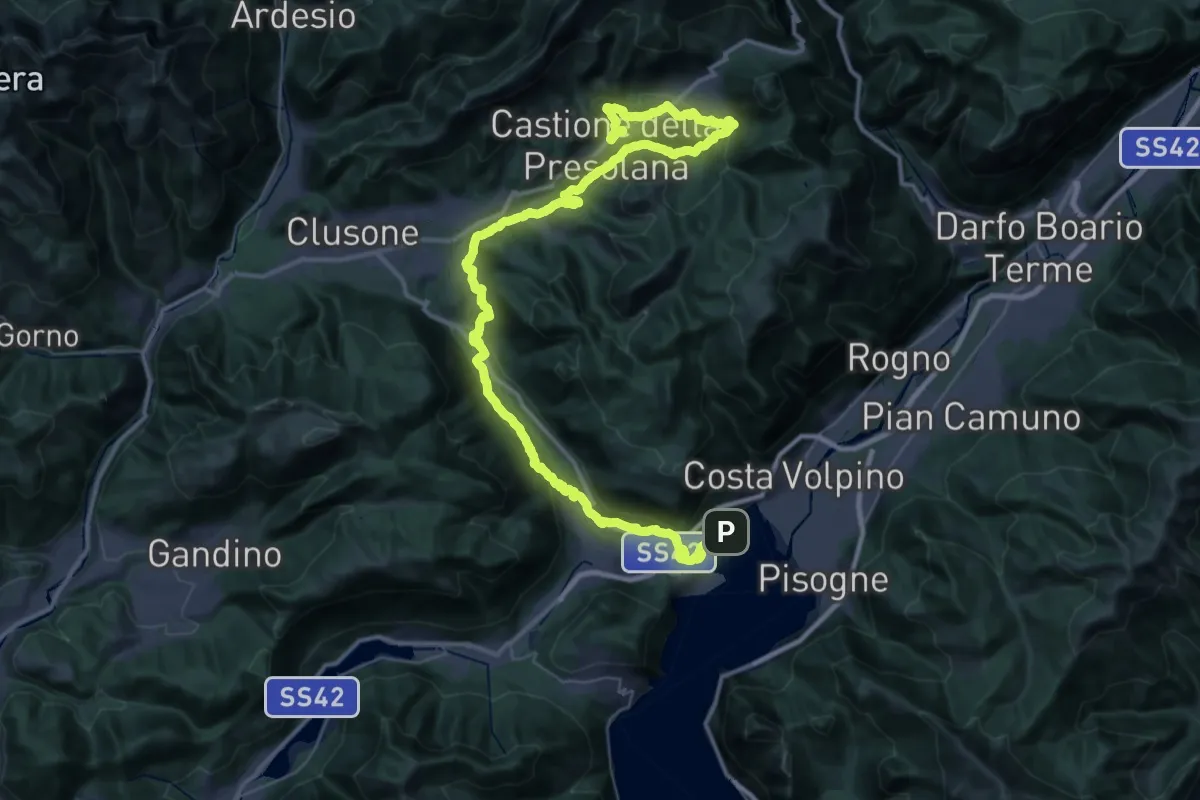
Demanding · Trail
Alta Via delle Grazie - Tappa 9
30.4 km · ↑ 1271 m · 10 h 1 min · 13 km away
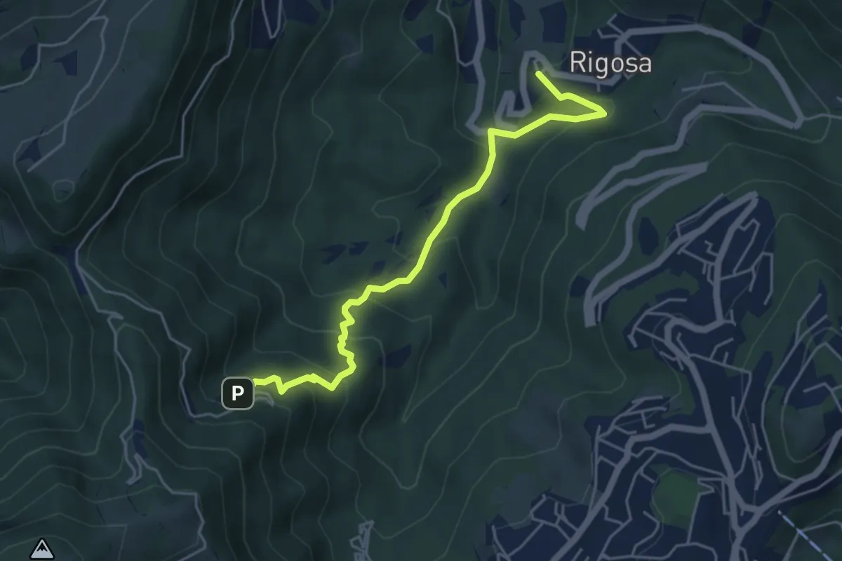
Medium · Trail
Rigosa – Santuario del Perello
5.0 km · ↑ 384 m · 2 h · 13 km away
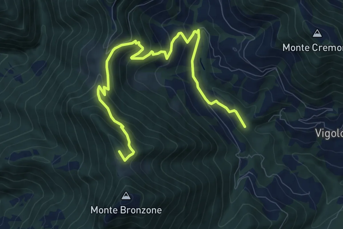
Medium · Summit
Valle delle Tombe – Gombo Alto
11.0 km · ↑ 703 m · 4 h 7 min · 13 km away
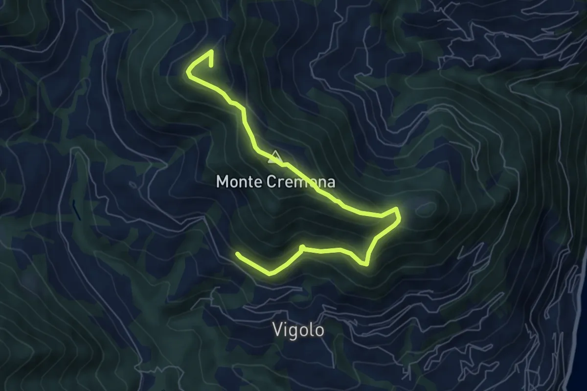
Medium · Summit
Recursone (Vigolo) – Punta del Bert
7.5 km · ↑ 551 m · 2 h 58 min · 13 km away
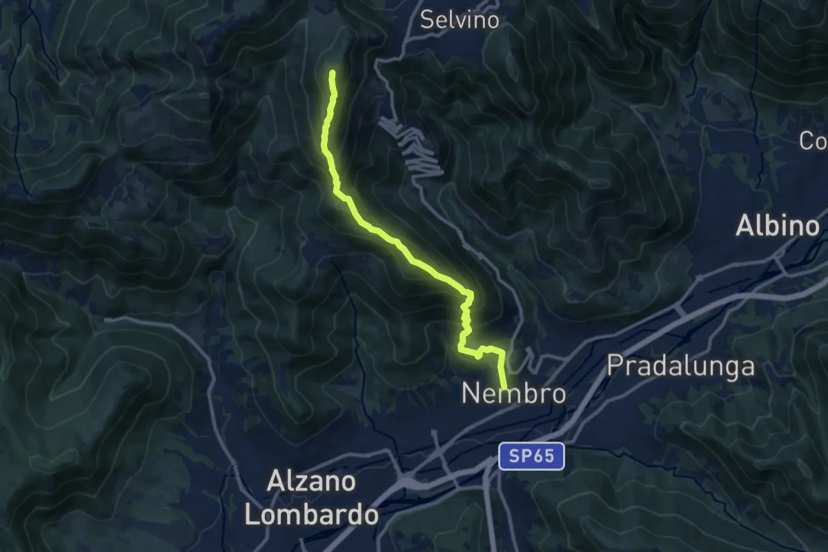
Demanding · Summit
Nembro – Salmezza
10.3 km · ↑ 993 m · 4 h 34 min · 13 km away
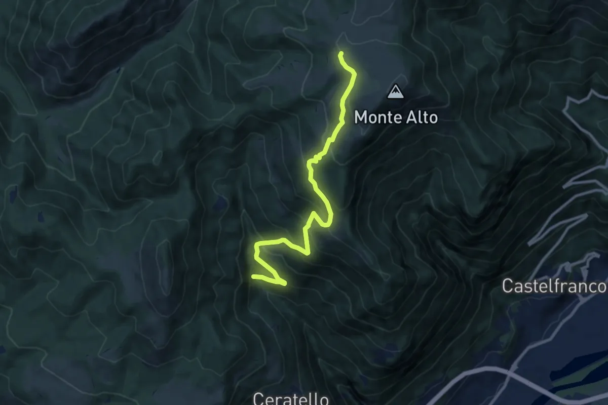
Medium · Cabin
Cascina Ai Ciar (Ceratello) – Rifugio Magnolini
9.3 km · ↑ 784 m · 3 h 54 min · 14 km away
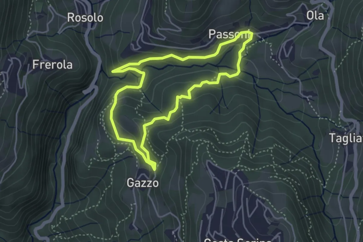
Medium · Trail
Sentiero Azzurro
3.6 km · ↑ 138 m · 1 h 12 min · 14 km away
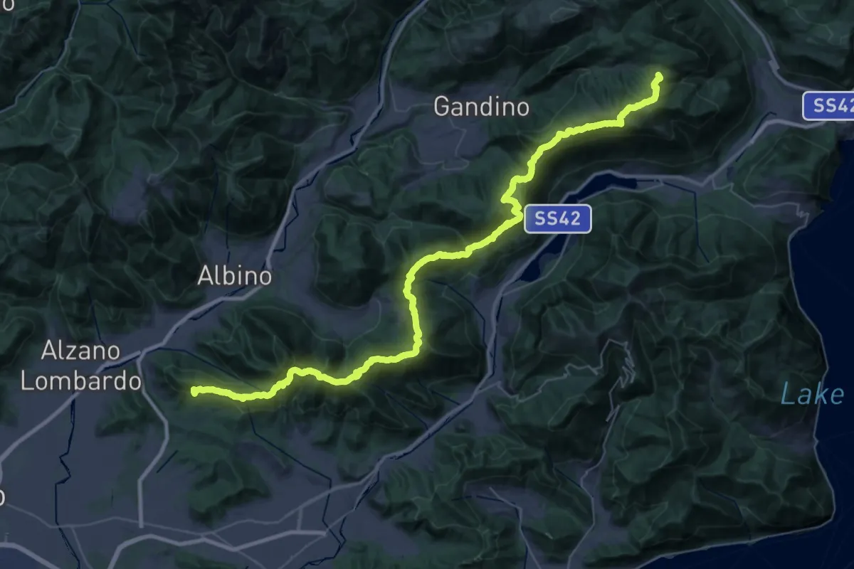
Demanding · Summit
Sentiero Andrea Caslini "Rocco"
53.0 km · ↑ 3005 m · 19 h 2 min · 14 km away
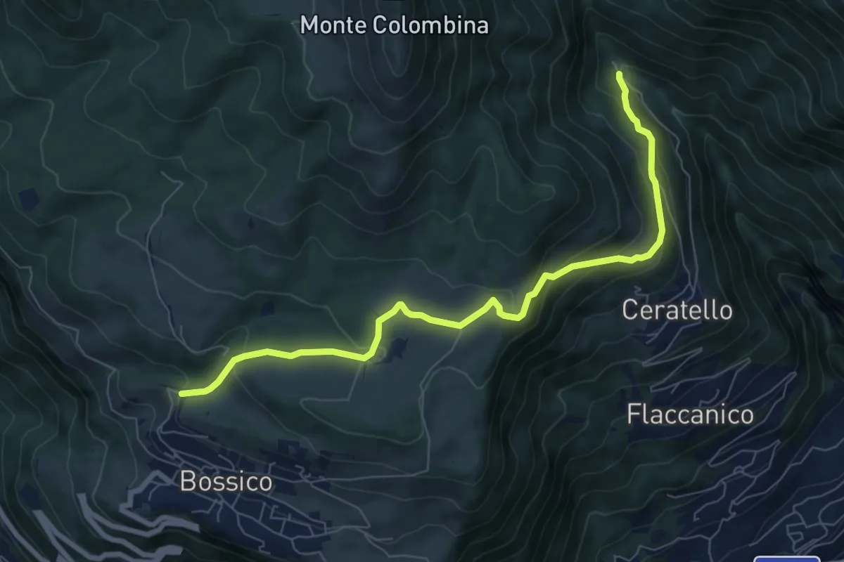
Medium · Trail
Chiosco
7.8 km · ↑ 387 m · 2 h 41 min · 14 km away
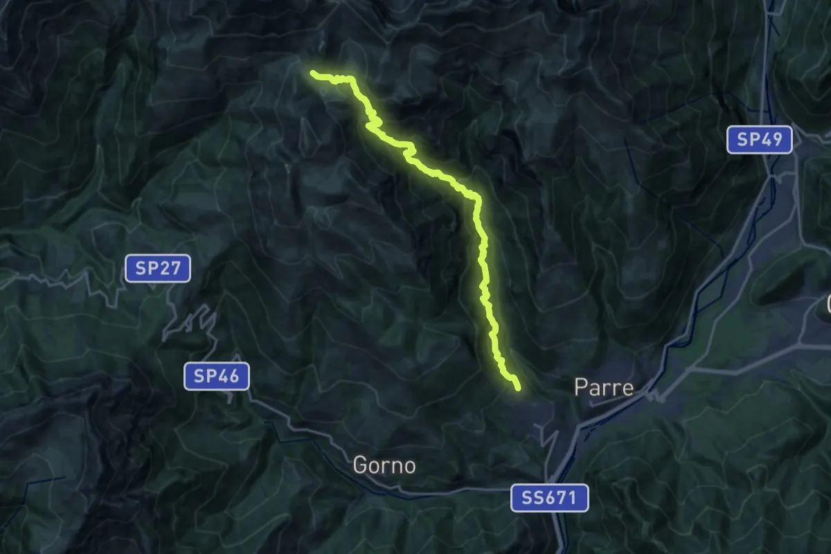
Demanding · Trail
Bratte (Premolo) – Camplano (sentiero 240)
17.4 km · ↑ 1708 m · 7 h 49 min · 14 km away
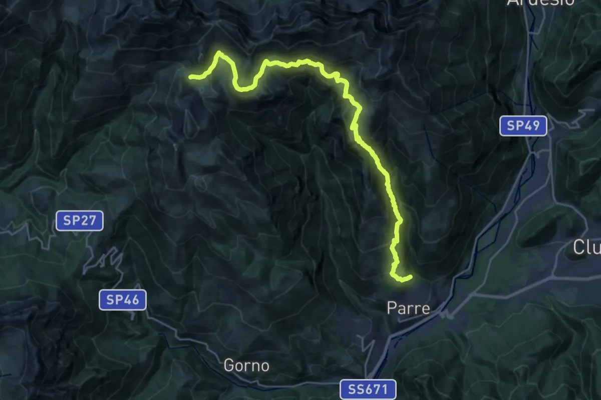
Medium · Trail
Parre – Baita Camplano
11.6 km · ↑ 418 m · 4 h 23 min · 14 km away
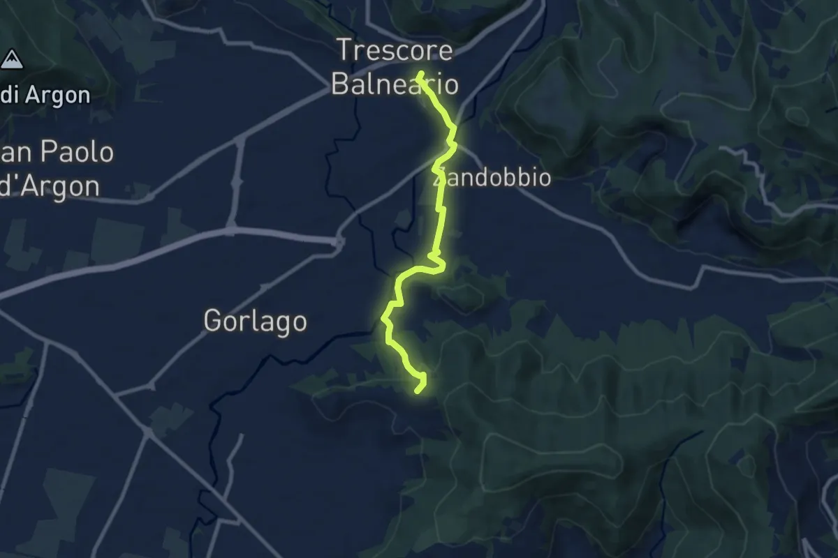
Easy · Trail
Trescore Balneario – Carobbio degli Angeli (incrocio 650)
7.6 km · ↑ 174 m · 2 h 10 min · 14 km away
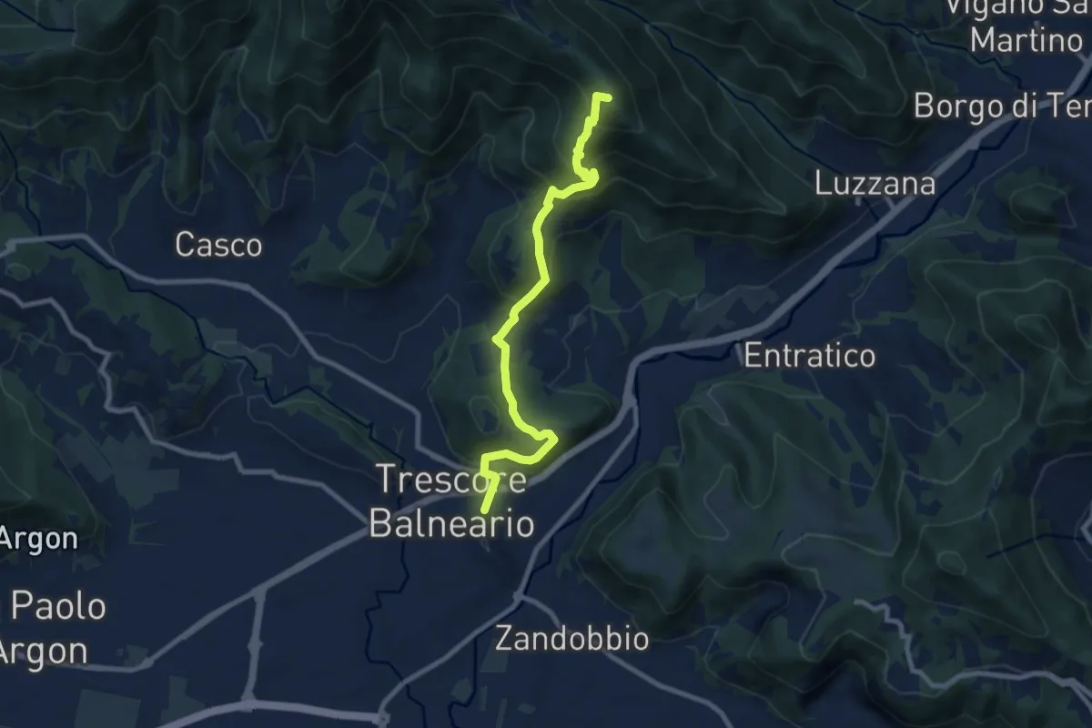
Medium · Summit
Trescore Balneario – Pizzo Casgnola
8.8 km · ↑ 574 m · 3 h 19 min · 14 km away
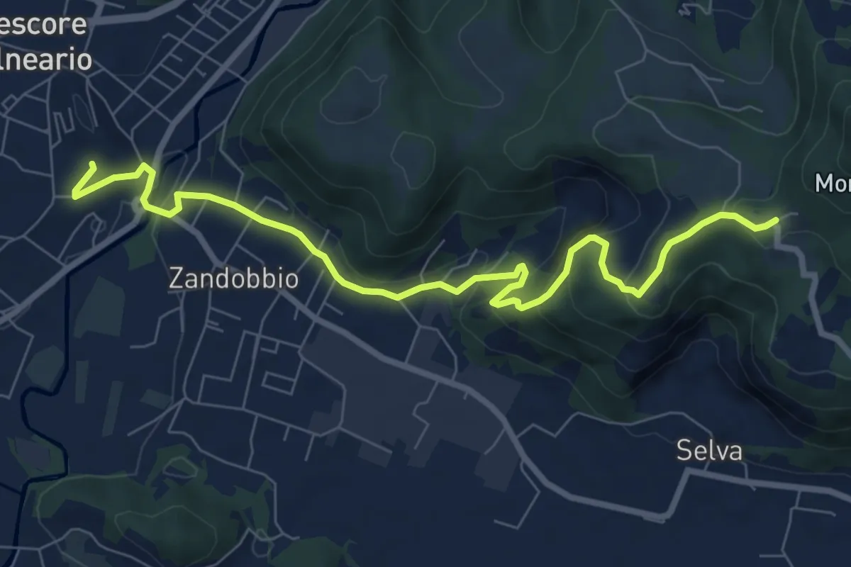
Medium · Trail
Trescore Balneario – Buca del Corno
8.6 km · ↑ 380 m · 2 h 52 min · 14 km away
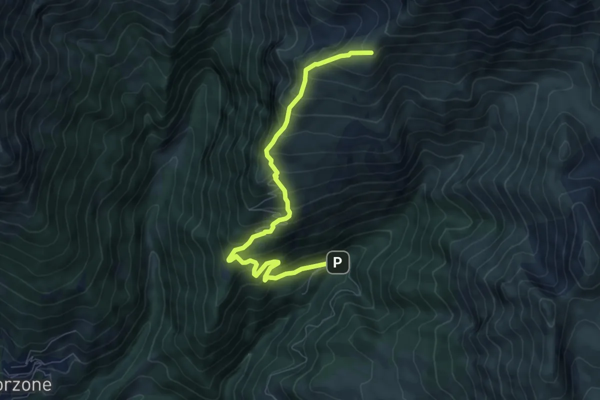
Demanding · Cabin
Zambla – Rifugio Capanna 2000
7.9 km · ↑ 847 m · 3 h 43 min · 14 km away
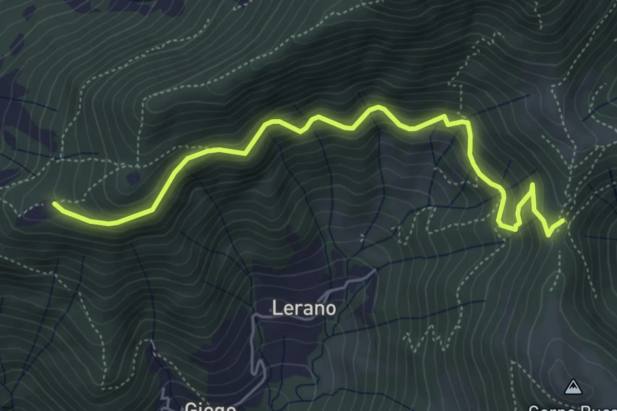
Medium · Trail
Incrocio 719 – Colle di Oregia
5.6 km · ↑ 536 m · 2 h 29 min · 14 km away
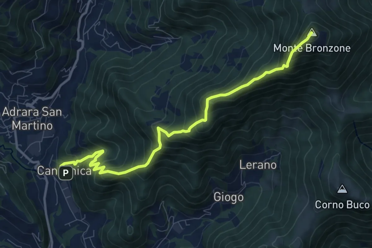
Demanding · Summit
Canzanica (Adrara San Martino) – Monte Bronzone
9.7 km · ↑ 1041 m · 4 h 33 min · 14 km away
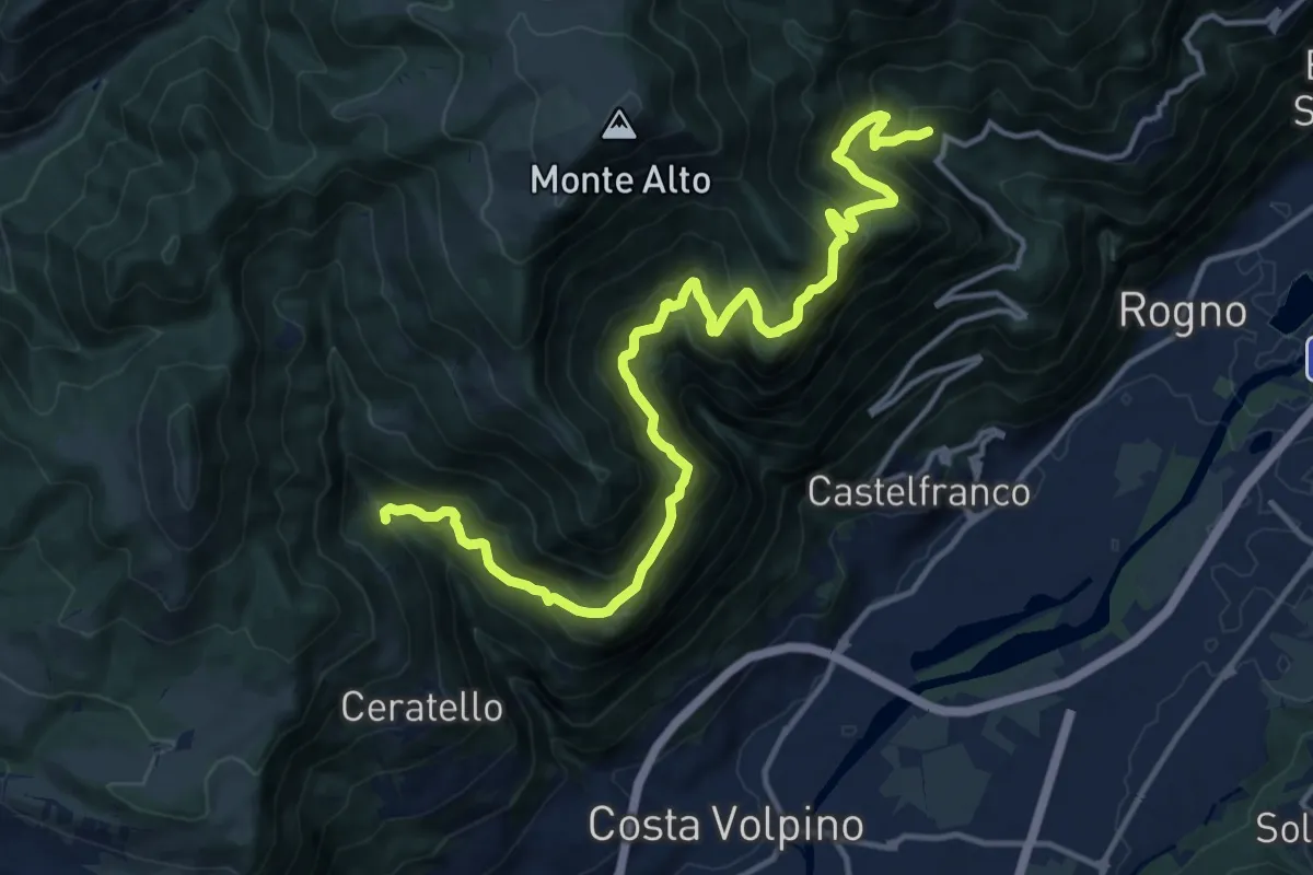
Demanding · Trail
Cascina Ai Ciar (Ceratello) – Incrocio 559
16.6 km · ↑ 1476 m · 7 h 6 min · 14 km away
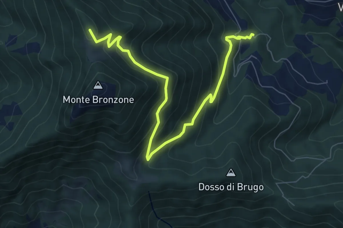
Medium · Summit
Campolerone (Vigolo) – Gombo alto
8.2 km · ↑ 642 m · 3 h 19 min · 14 km away
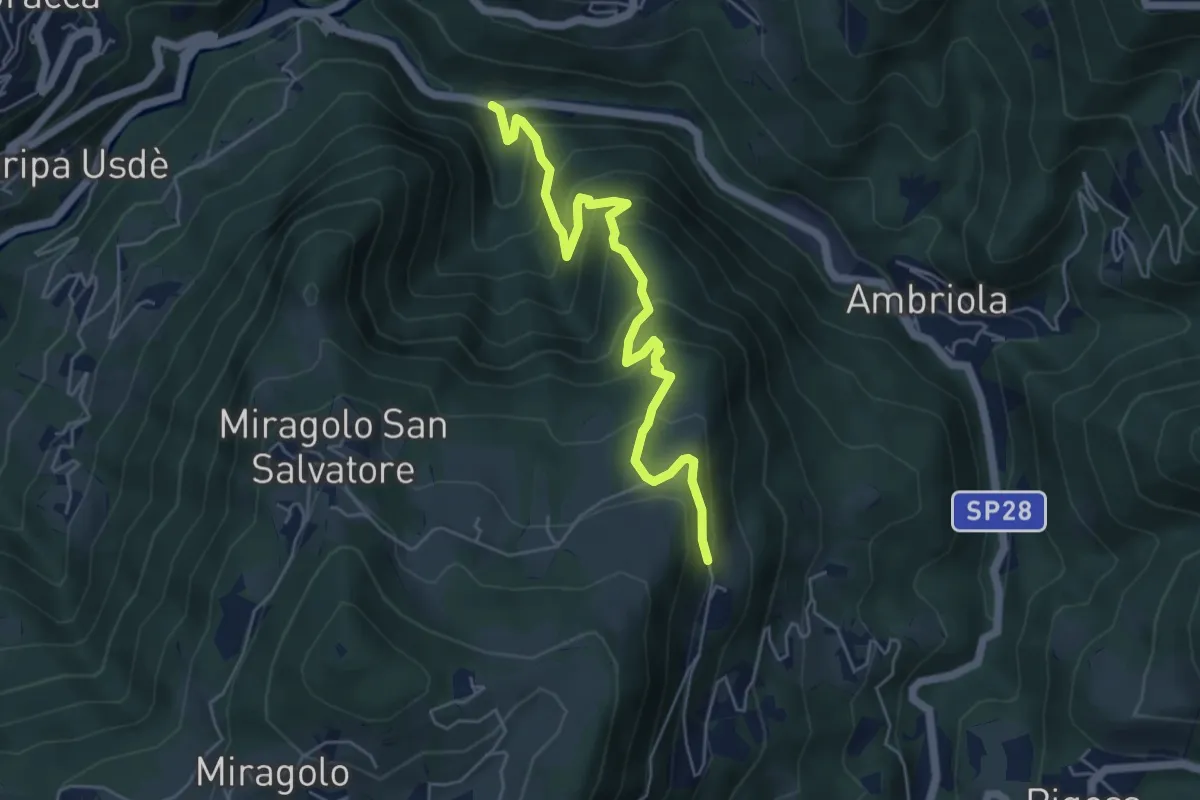
Medium · Trail
Algua – Sambusita alta (Case di Sopra)
5.6 km · ↑ 528 m · 2 h 28 min · 14 km away
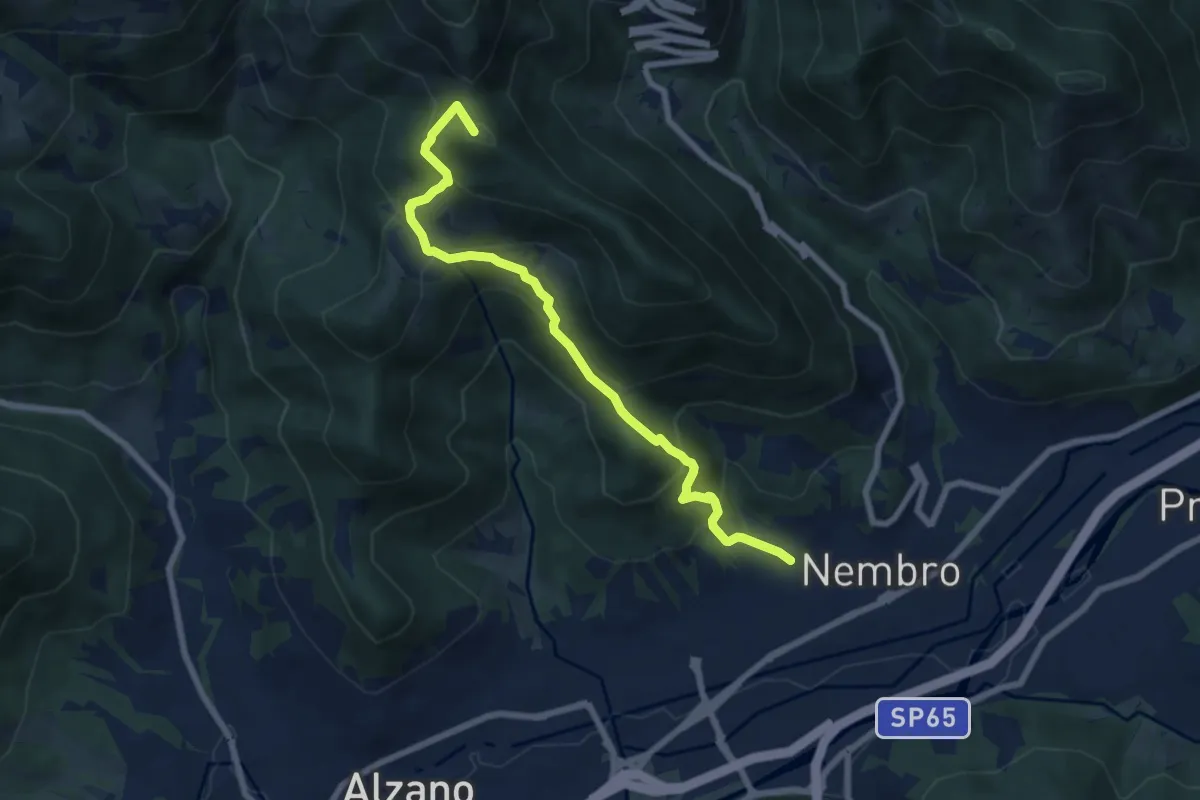
Medium · Summit
Madonna dello Zuccarello (Nembro) – Selvino
7.5 km · ↑ 583 m · 3 h 3 min · 14 km away
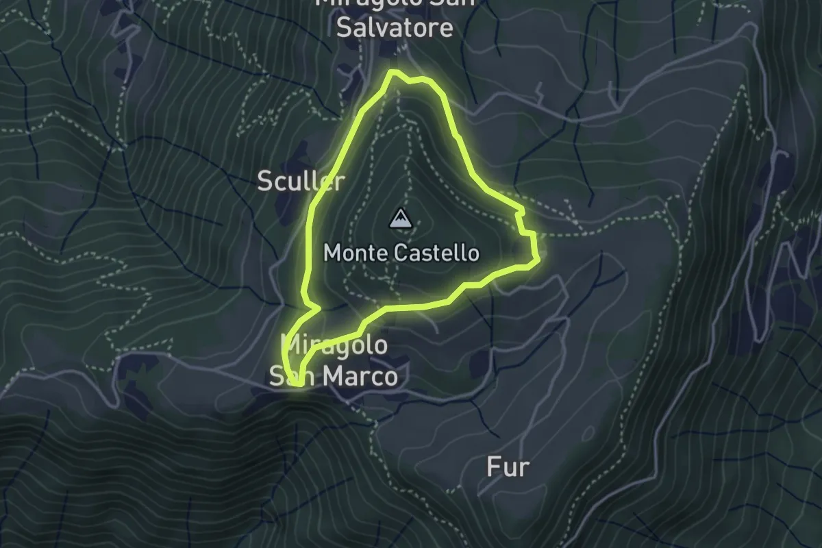
Easy · Trail
Giro del Monte Castello
2.9 km · ↑ 111 m · 58 min · 14 km away
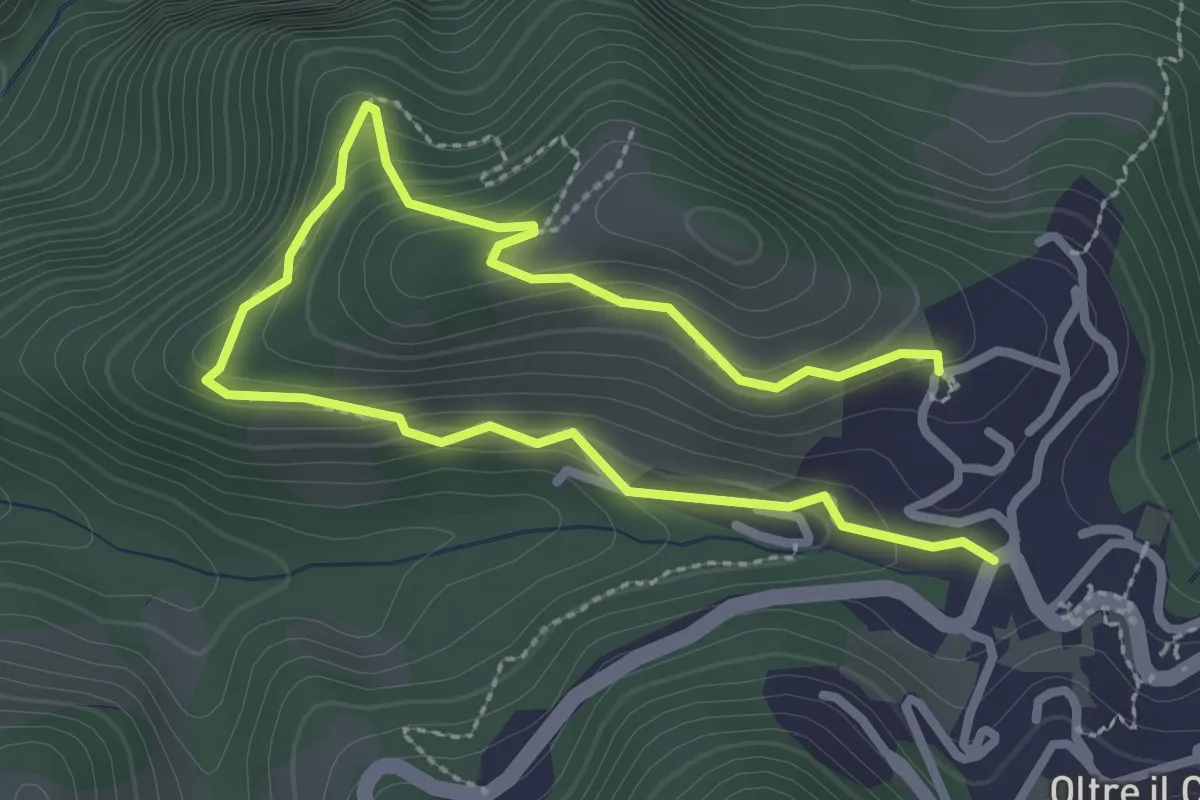
Easy · Trail
Oltre il Colle – S. Bartolomeo
4.0 km · ↑ 279 m · 1 h 33 min · 14 km away
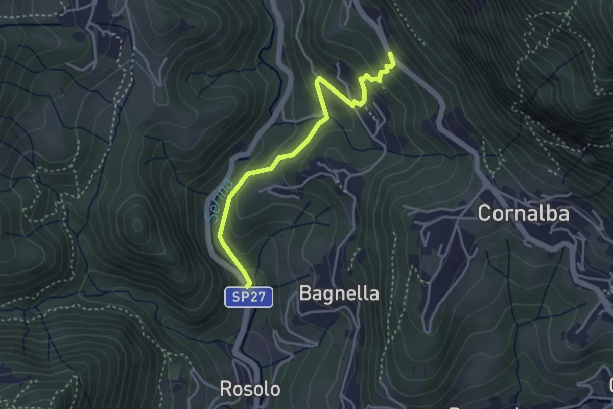
Easy · Trail
Rosolo – San Pantaleone
3.3 km · ↑ 200 m · 1 h 13 min · 14 km away
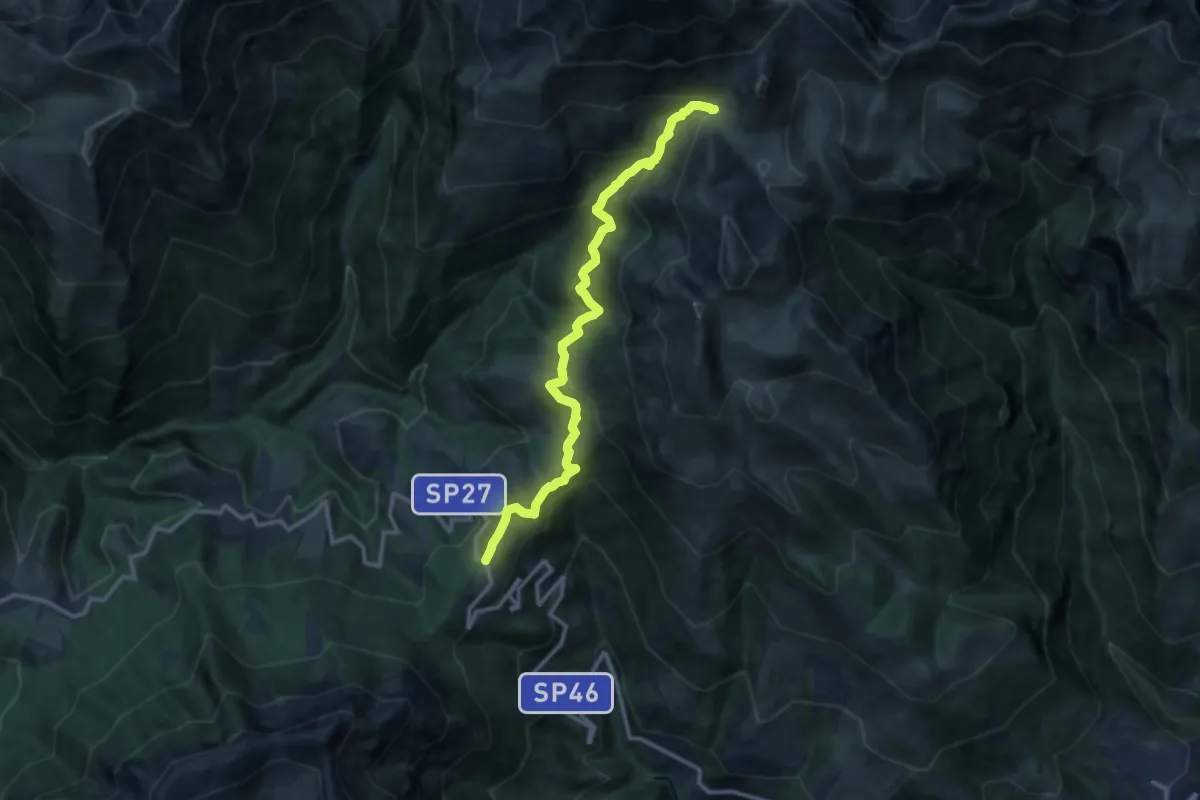
Medium · Trail
Colle di Zambla – Baita Camplano
12.4 km · ↑ 759 m · 4 h 35 min · 14 km away
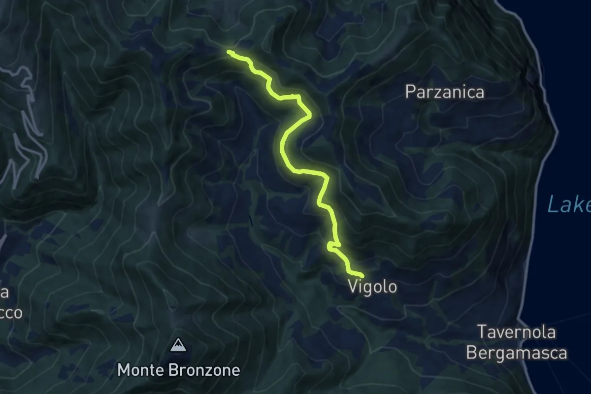
Medium · Trail
Vigolo – Colle Cargadura
9.4 km · ↑ 590 m · 3 h 29 min · 14 km away