Trails near Gardone Val Trompia
328 hikes starting within 15 km, nearest first.
Nearest first, page 1 of 7
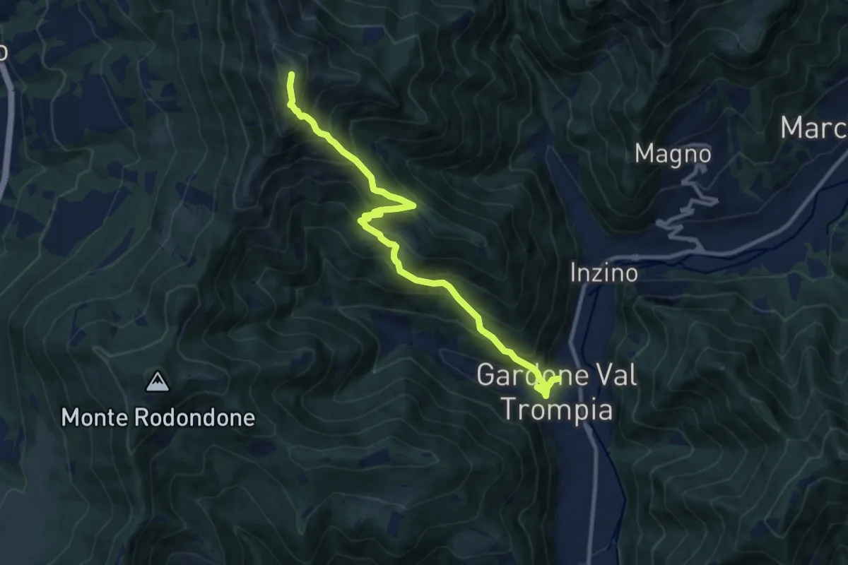
Demanding · Summit
Gardone Val Trompia (Piazzetto / Centro storico) – Punta Almana
10.5 km · ↑ 1088 m · 4 h 51 min · under 1 km away
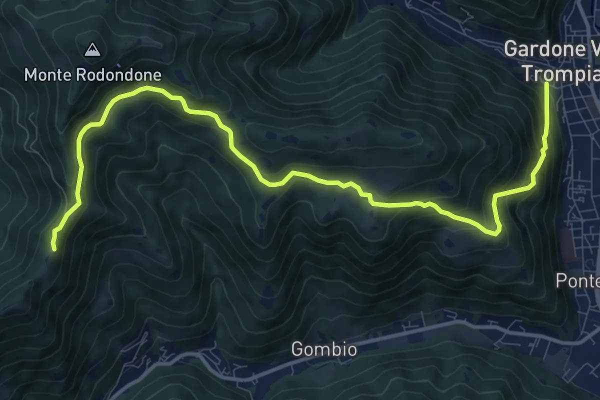
Medium · Cabin
Gardone Val Trompia (Via Santa Maria) – Santa Maria del Giogo
12.2 km · ↑ 728 m · 4 h 27 min · under 1 km away
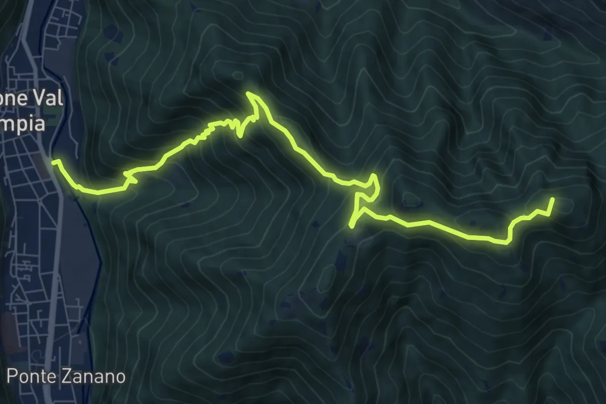
Demanding · Summit
Gardone Val Trompia (Arsenale) – Forcella di Vandeno
10.3 km · ↑ 972 m · 4 h 33 min · under 1 km away
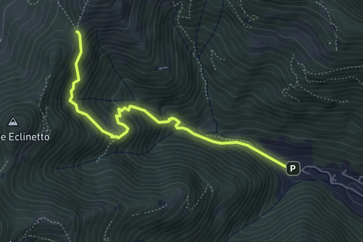
Medium · Trail
Gardone Val Trompia (Valle di Gardone) – Croce di Pezzolo
5.3 km · ↑ 534 m · 2 h 25 min · 1 km away
Medium · Trail
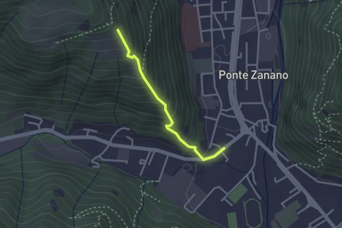
Sarezzo (Seradello) - Paule di Sotto
2.2 km · ↑ 283 m · 1 h 8 min · 2 km away
Medium · Trail
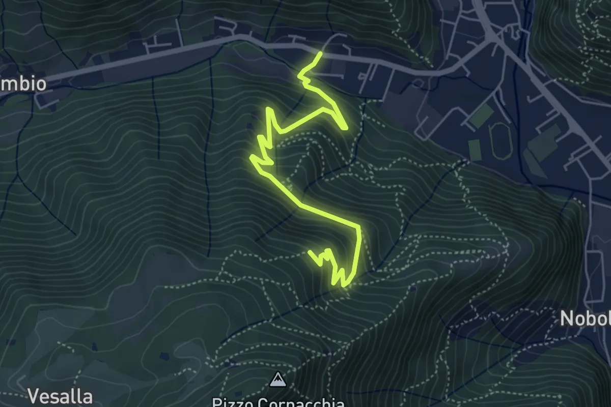
Sarezzo (Seradello) - La Baita
5.4 km · ↑ 549 m · 2 h 29 min · 2 km away
Medium · Trail
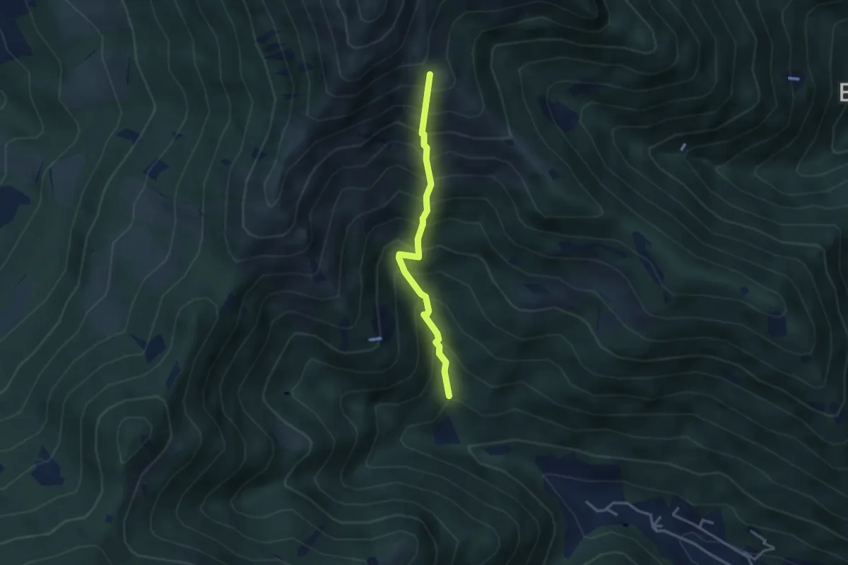
Vertical - Valle di Gardone
3.0 km · ↑ 567 m · 1 h 57 min · 2 km away
Medium · Trail
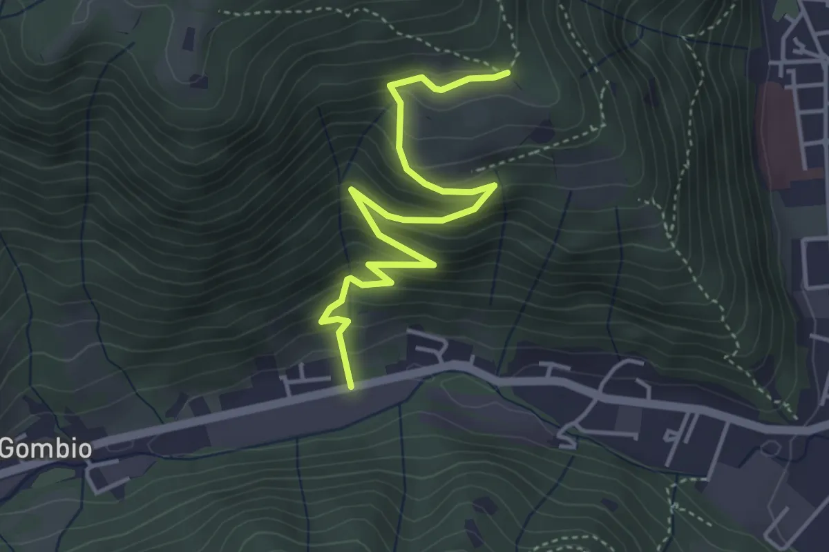
Sarezzo (San Martino) - Paule di Sopra
4.3 km · ↑ 349 m · 1 h 46 min · 2 km away
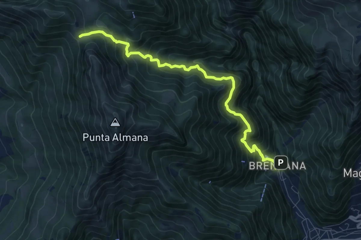
Demanding · Trail
Gardone Val Trompia (Valle di Inzino - Gorga) – Forcella di Sale
9.4 km · ↑ 904 m · 4 h 11 min · 2 km away
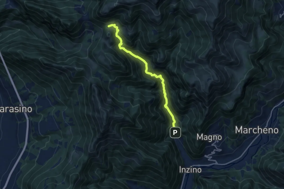
Demanding · Cabin
Gardone Val Trompia (Valle di Inzino - Gorga) – Croce di Marone
10.3 km · ↑ 837 m · 4 h 14 min · 2 km away
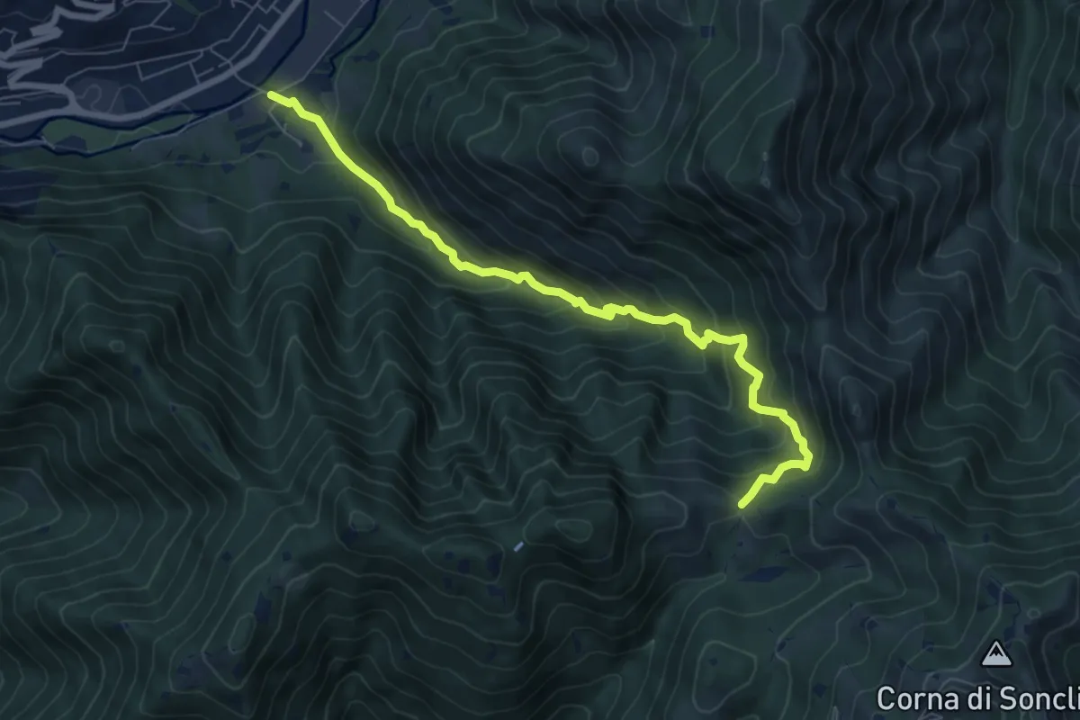
Medium · Trail
Marcheno (Rovedolo) – Forcella di Vandeno
7.6 km · ↑ 730 m · 3 h 23 min · 2 km away
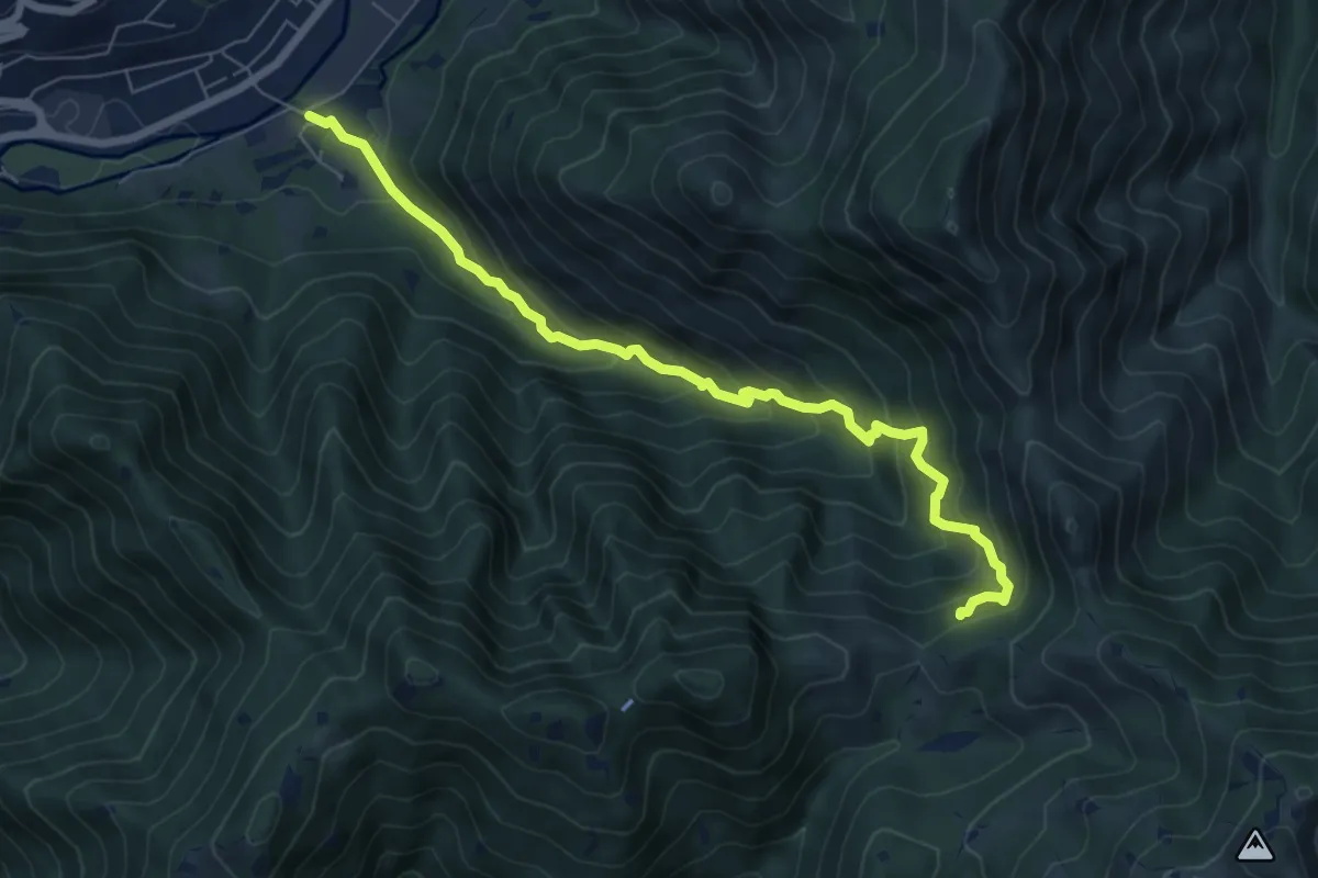
Medium · Trail
Sentiero storico naturalistico Valle di Vandeno
7.2 km · ↑ 684 m · 3 h 11 min · 2 km away
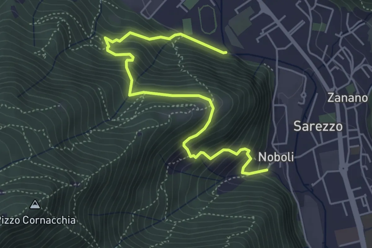
Medium · Trail
Sentiero 3 BIS - Variante C
5.6 km · ↑ 517 m · 2 h 26 min · 3 km away
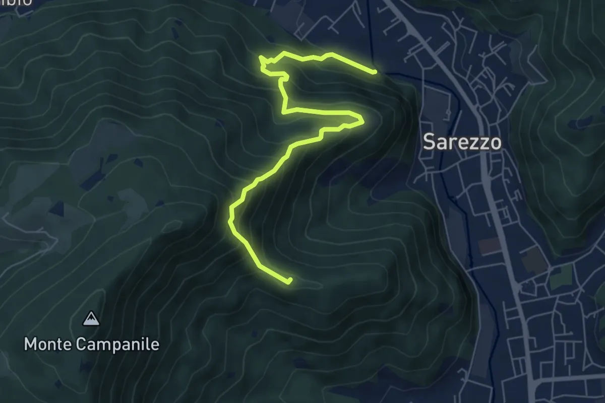
Medium · Summit
Sarezzo (Noboli) - Gelè
6.7 km · ↑ 703 m · 3 h 7 min · 3 km away
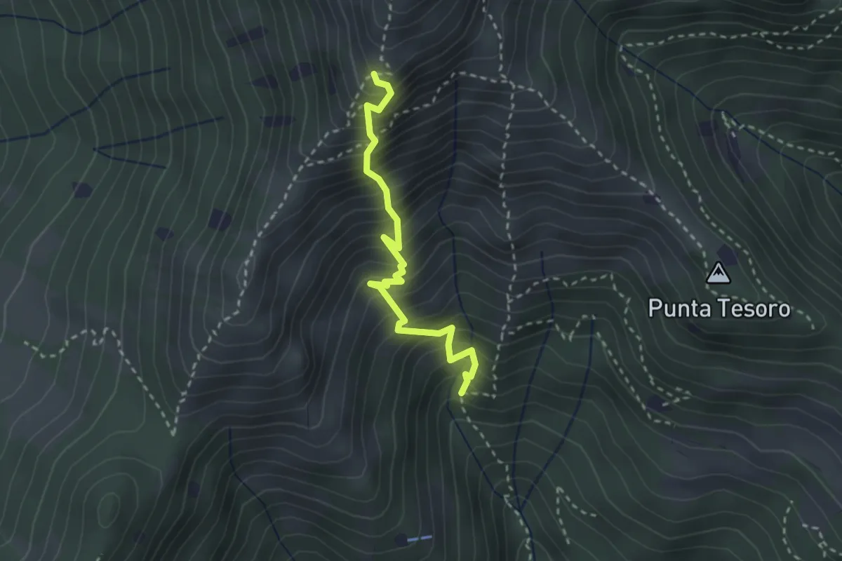
Expert · Trail
Diretta Corna Büsa - Punta Almana (Innesto Sentiero 3V)
2.7 km · ↑ 554 m · 1 h 50 min · 3 km away
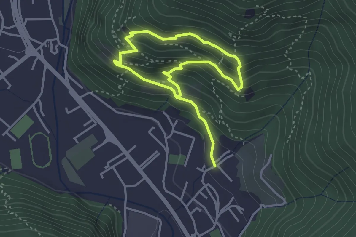
Medium · Trail
Sarezzo (Irle) - Stalla delle Secade - Sarezzo (Irle)
2.3 km · ↑ 269 m · 1 h 9 min · 3 km away
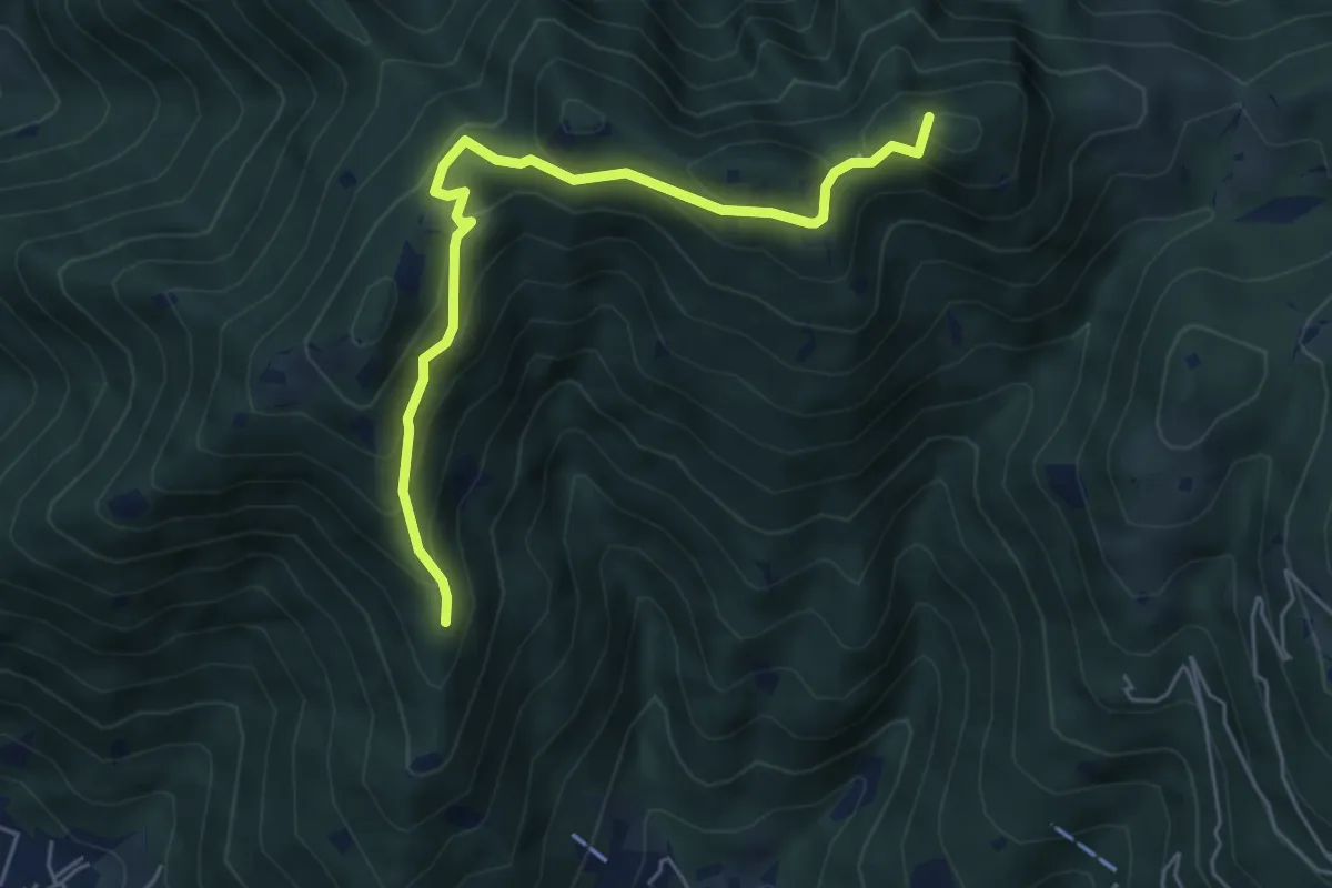
Medium · Summit
Sarezzo (Passata) - Sant'Emiliano
5.6 km · ↑ 377 m · 2 h 9 min · 3 km away
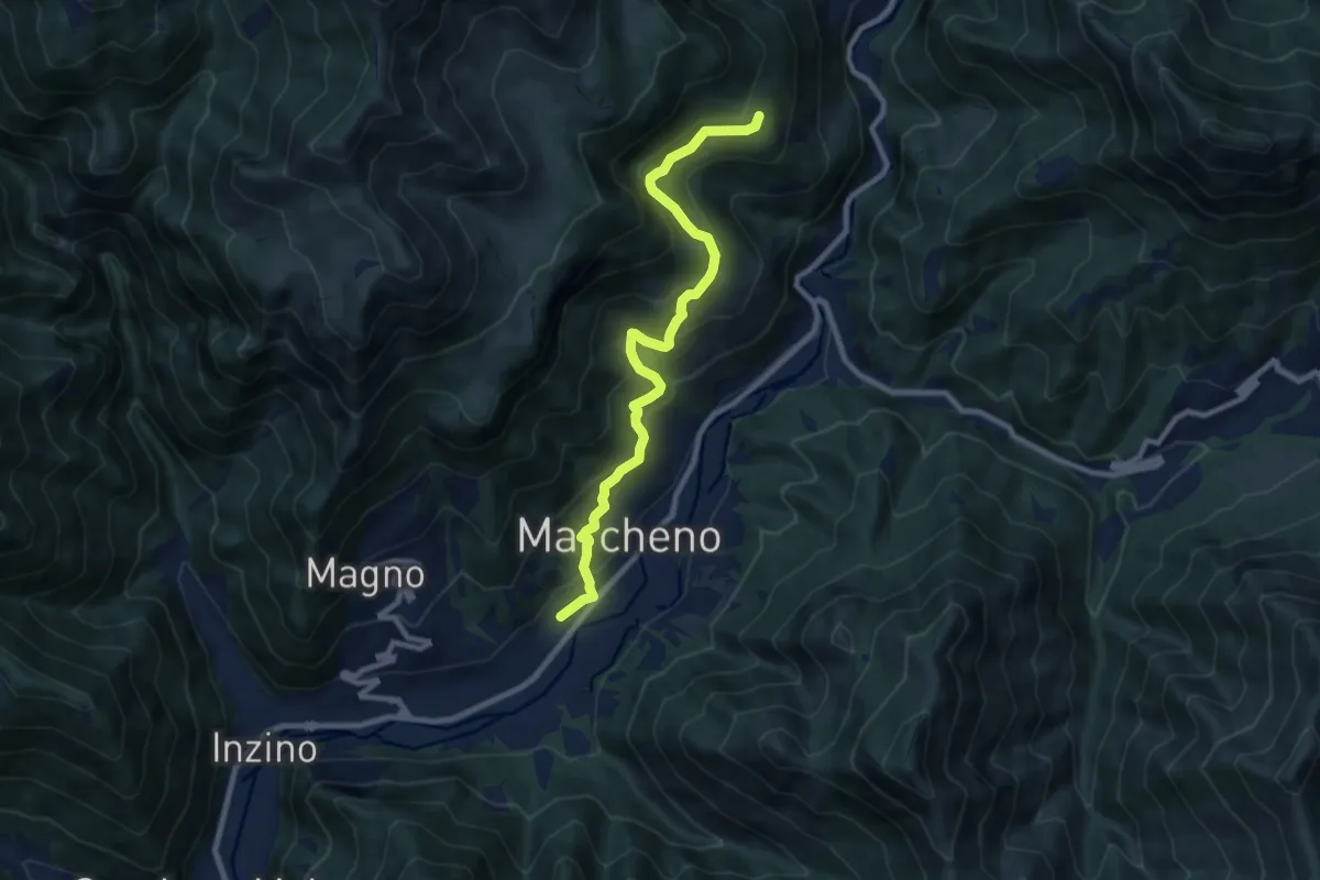
Medium · Trail
Sentiero Franco Moretti
9.1 km · ↑ 551 m · 3 h 20 min · 3 km away
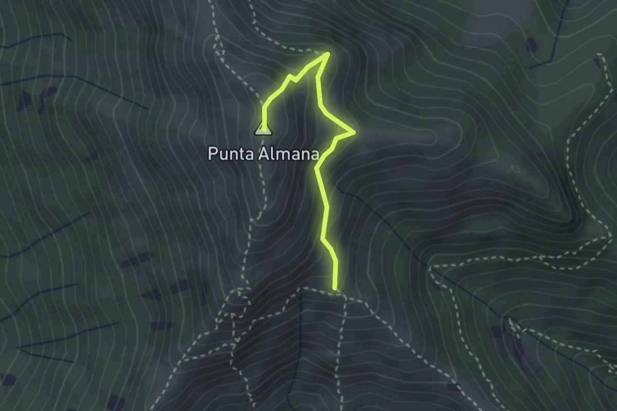
Medium · Summit
Gardone Val Trompia (Bivio Sentiero 313) – Punta Almana
2.4 km · ↑ 309 m · 1 h 14 min · 3 km away
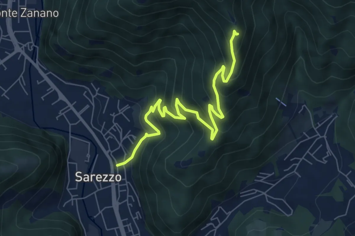
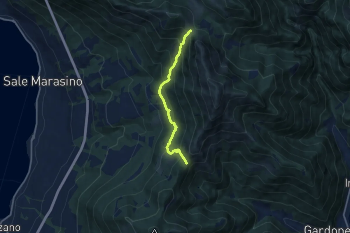
Medium · Trail
Sarezzo (Zanano) - Passata
7.2 km · ↑ 615 m · 3 h 1 min · 3 km away
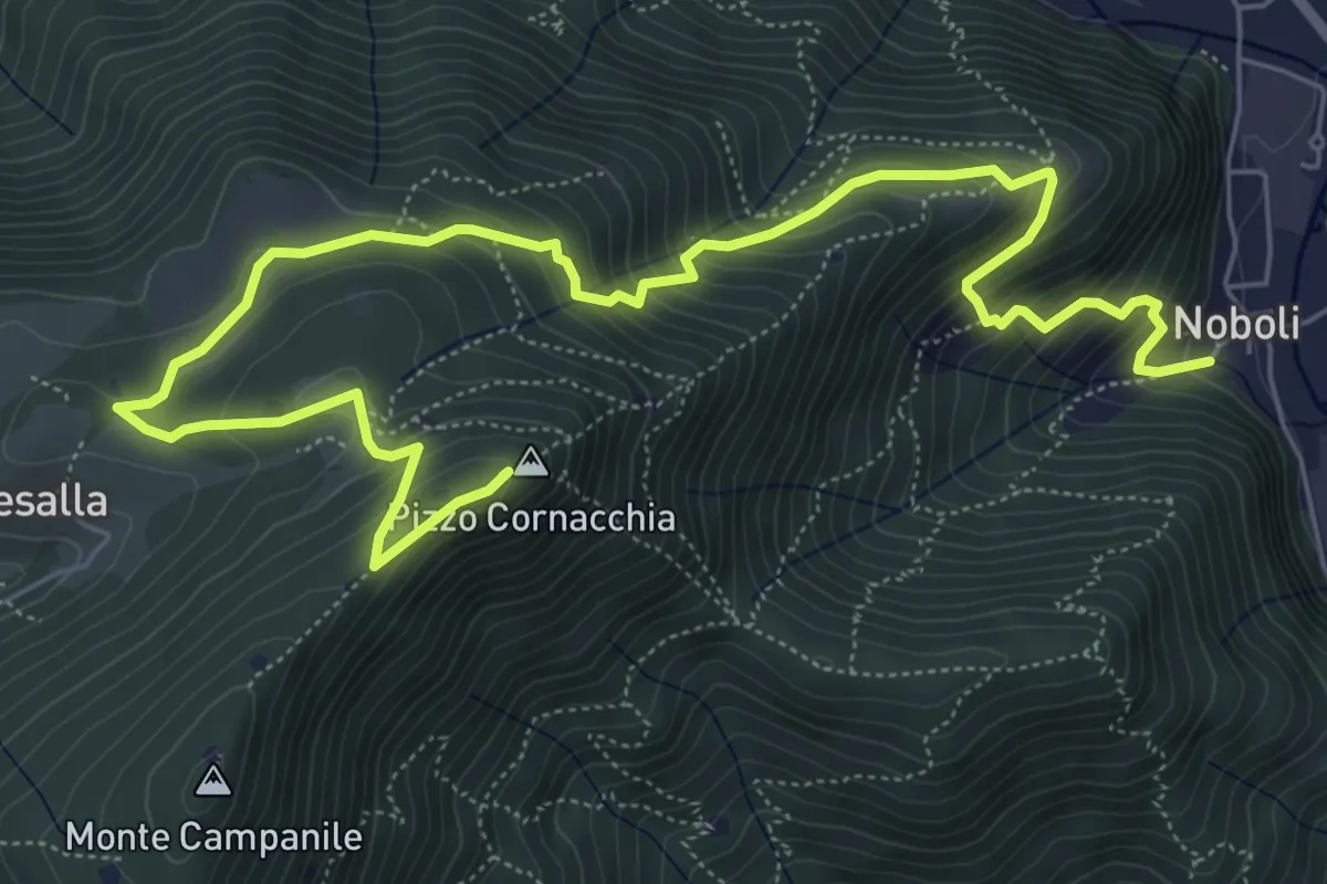
Medium · Trail
Sentiero 3V - Tappa 7 (Variante bassa)
6.7 km · ↑ 568 m · 2 h 48 min · 3 km away
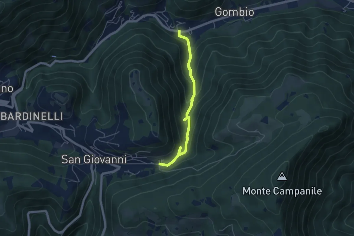
Medium · Summit
Sarezzo (Noboli) - Pizzo Cornacchia
9.1 km · ↑ 682 m · 3 h 37 min · 3 km away
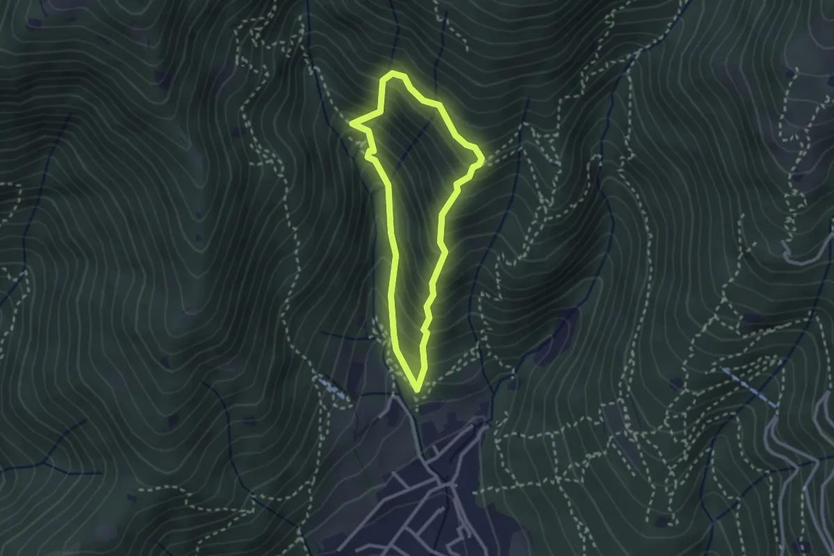
Medium · Trail
Sentiero delle Sorgenti e dei Lupi
4.4 km · ↑ 275 m · 1 h 38 min · 3 km away
Medium · Trail
Sarezzo (Ponte dei Gromi) - Gromi Bassi
2.2 km · ↑ 307 m · 1 h 13 min · 3 km away
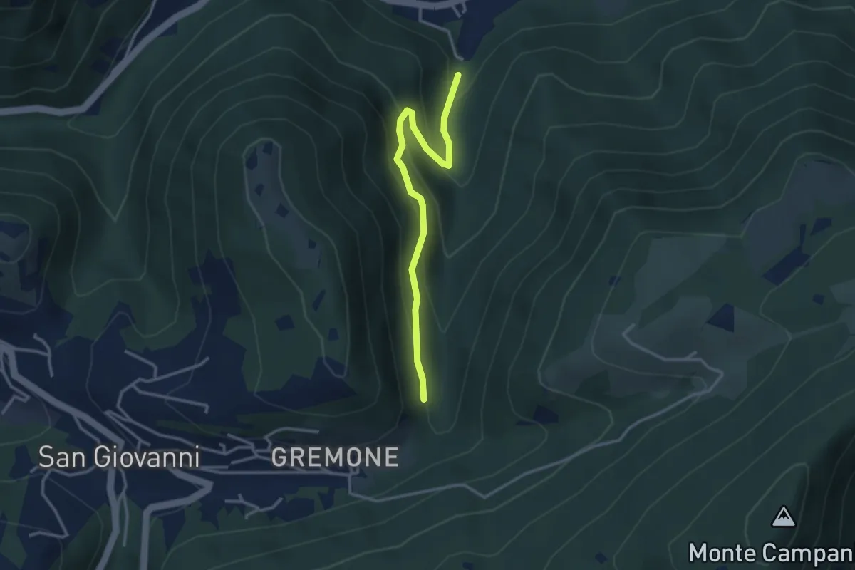
Easy · Trail
Sentiero dei Mulini
3.1 km · ↑ 239 m · 1 h 15 min · 3 km away
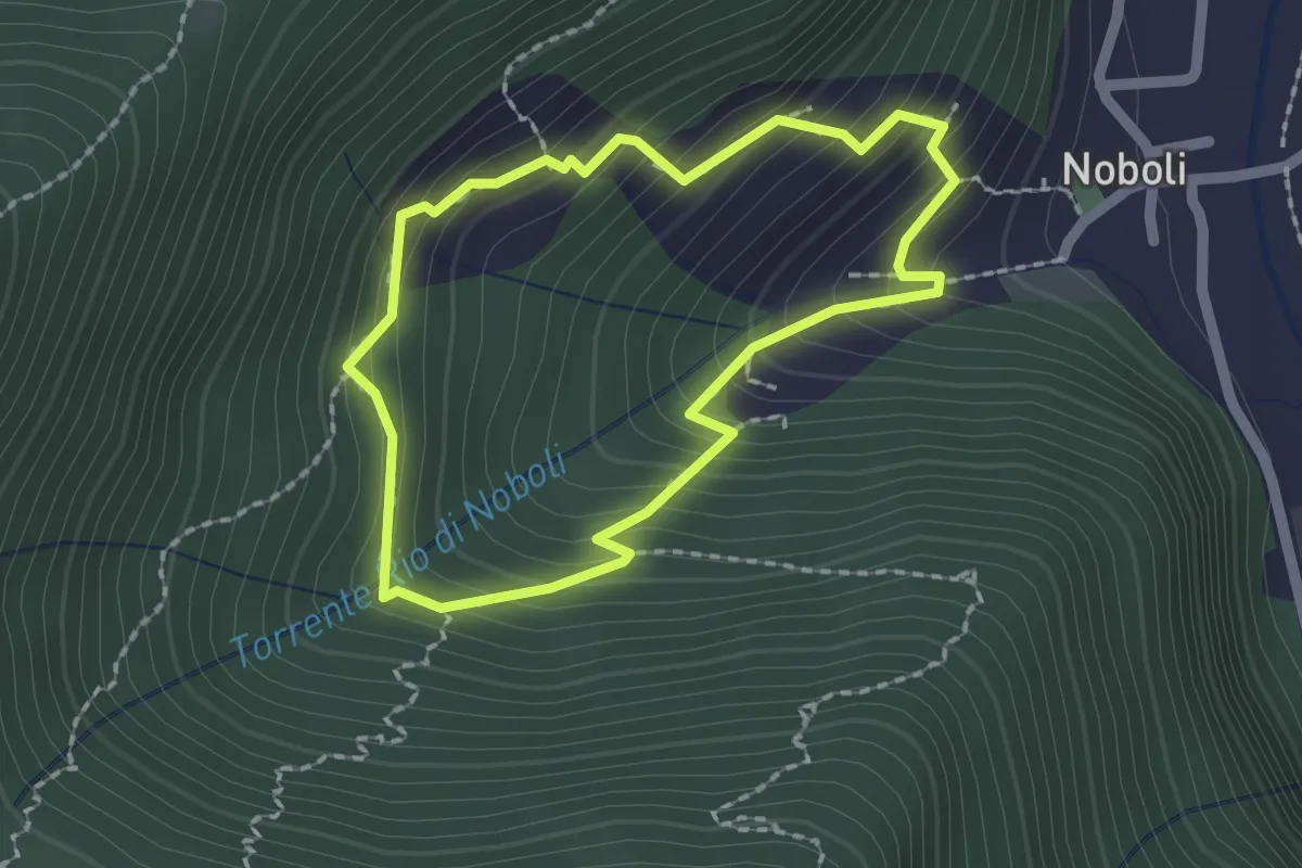
Medium · Trail
La Via dei marù
1.8 km · ↑ 182 m · 50 min · 3 km away
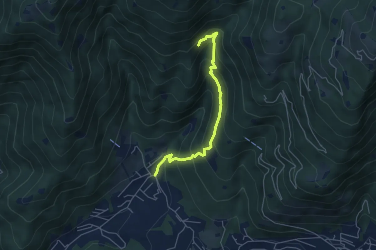
Medium · Trail
Sarezzo - Val Redocla
4.3 km · ↑ 392 m · 1 h 52 min · 4 km away
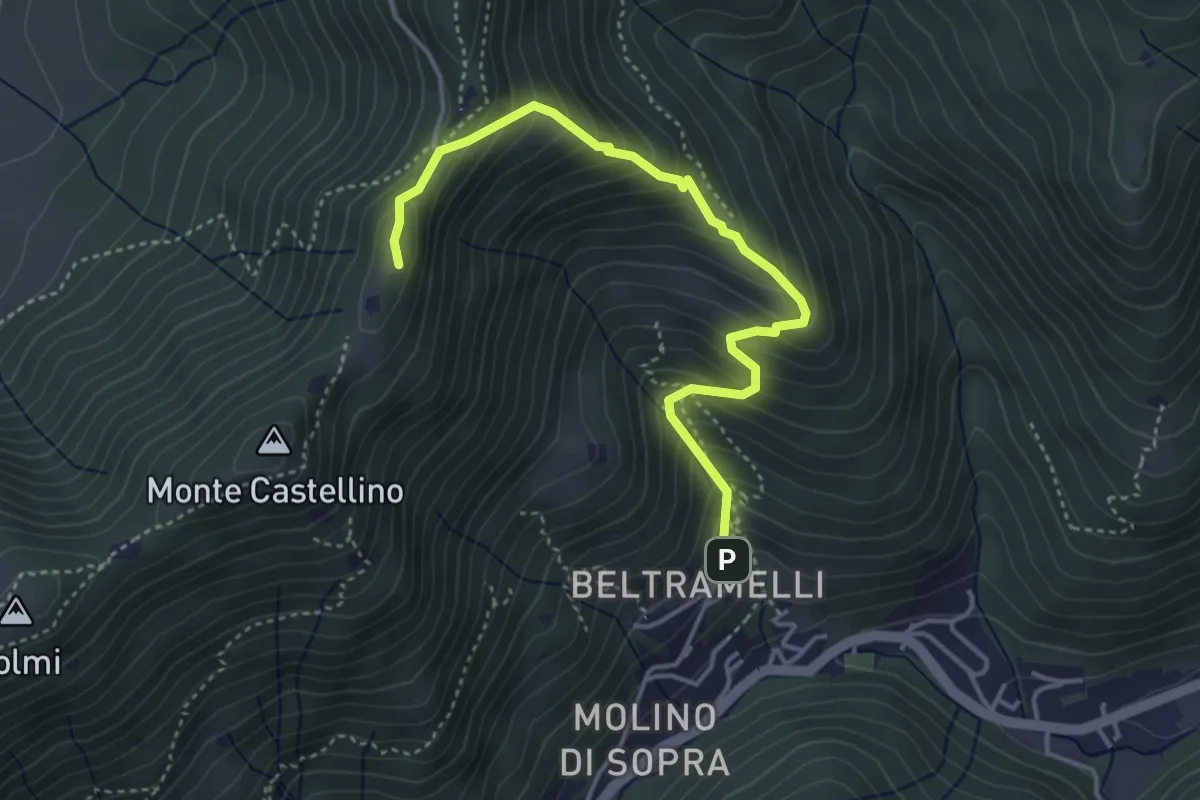
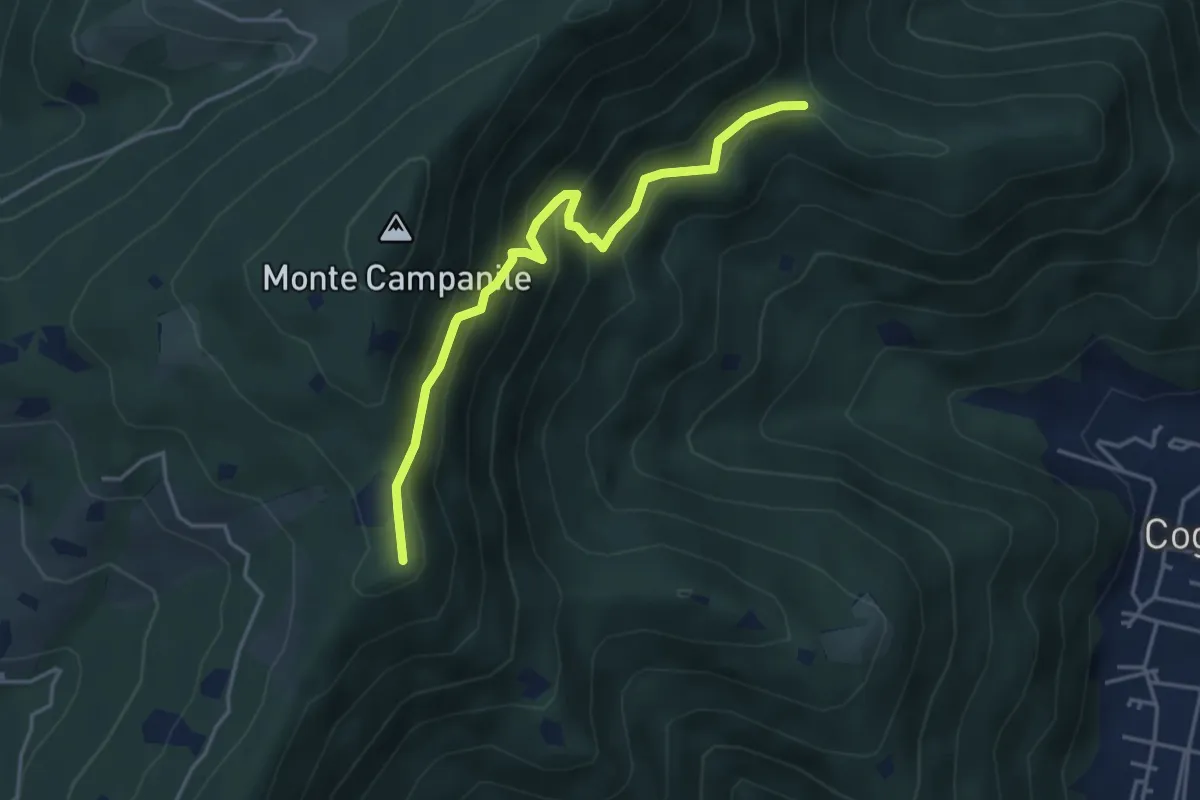
Medium · Cabin
Polaveno (Gombio) - Santa Maria del Giogo
4.3 km · ↑ 452 m · 2 h · 4 km away
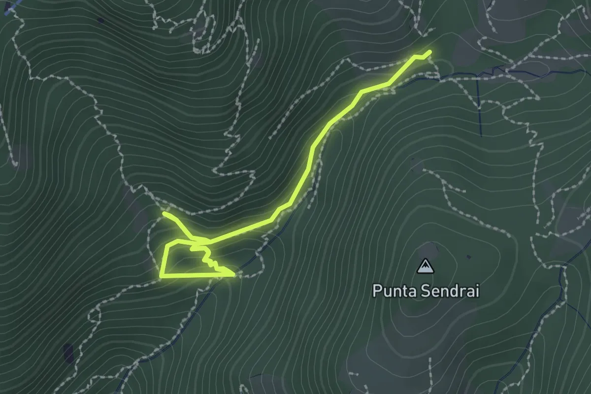
Medium · Summit
Villa Carcina (Sella Alta) – Cascina Tre Pauli
4.1 km · ↑ 337 m · 1 h 42 min · 4 km away
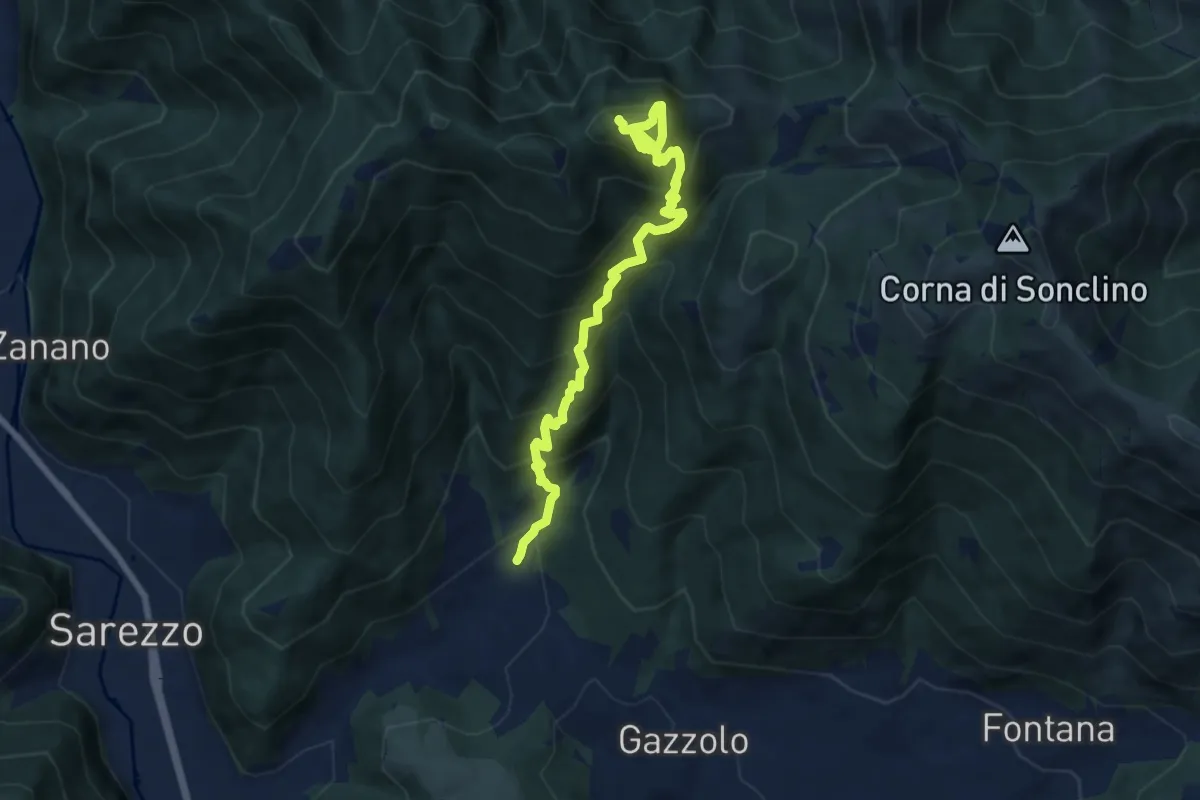
Easy · Trail
Sarezzo - Collegamento sentiero 362 - 359
2.9 km · ↑ 217 m · 1 h 9 min · 4 km away
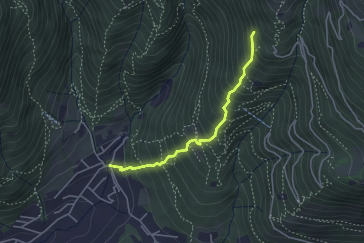
Demanding · Summit
Sarezzo (Santella Valle di Sarezzo) – Monte Sant'Emiliano
8.1 km · ↑ 962 m · 4 h · 4 km away
Medium · Trail
Sarezzo (La Santella) - Via Antica
3.0 km · ↑ 421 m · 1 h 38 min · 4 km away
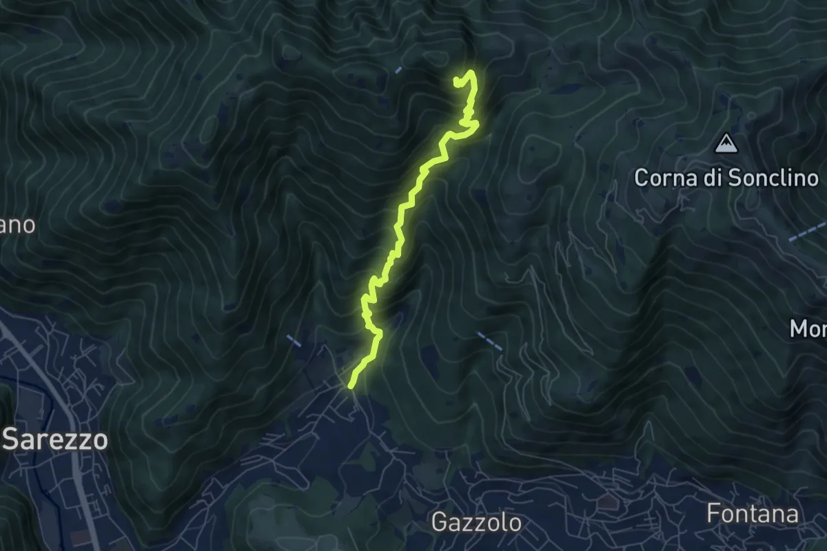
Medium · Cabin
Sarezzo (La Cava) - Sant'Emiliano
6.3 km · ↑ 758 m · 3 h 8 min · 4 km away
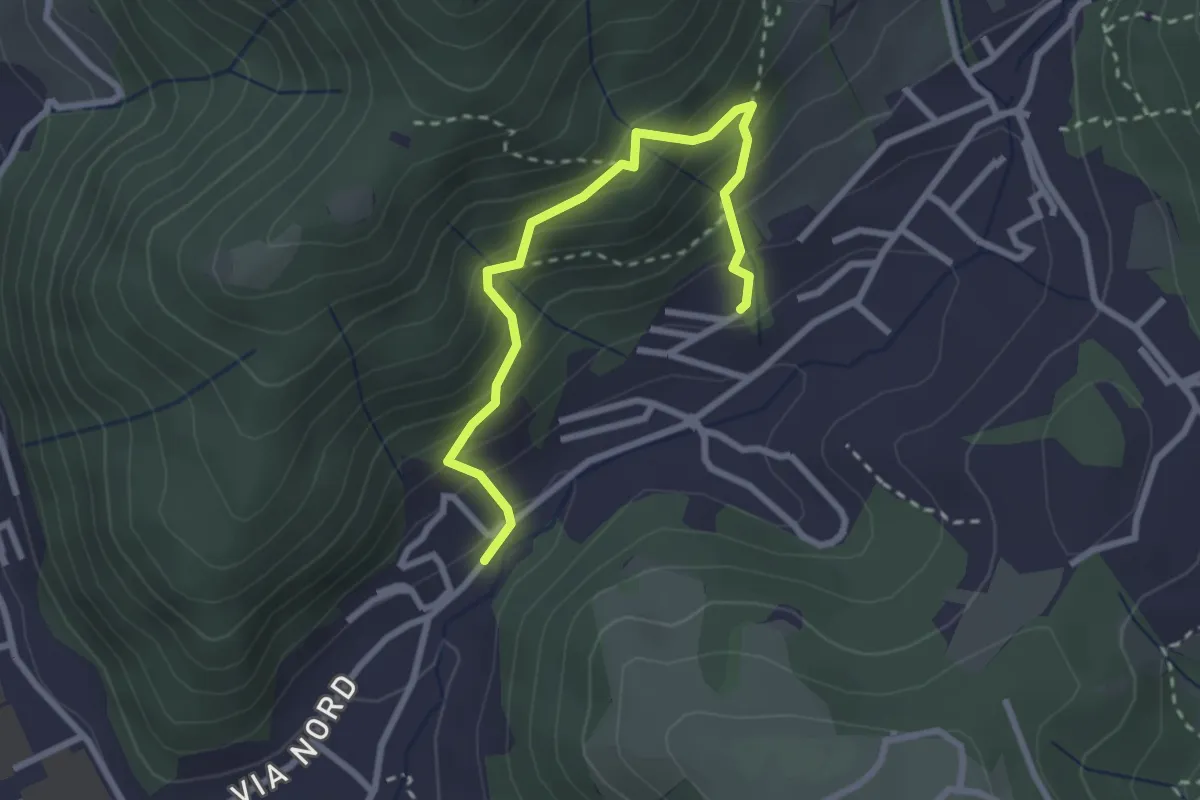
Medium · Trail
Sentiero del Dosalì
2.9 km · ↑ 340 m · 1 h 25 min · 4 km away
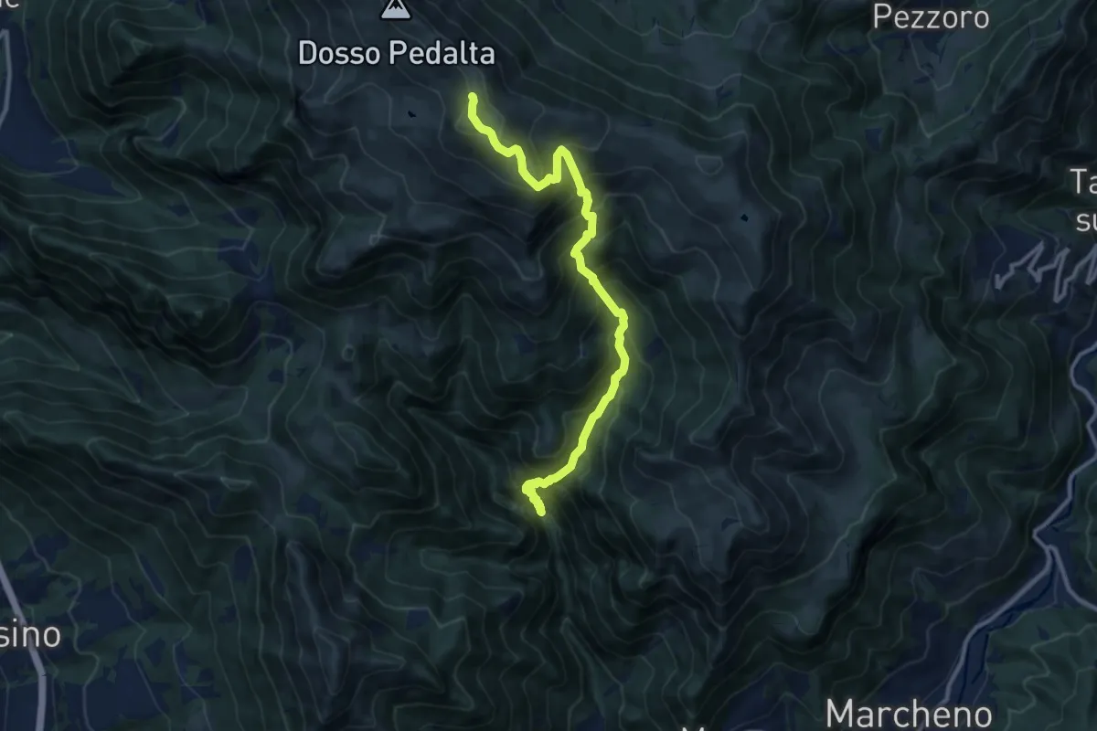
Demanding · Summit
Gardone Val Trompia (Valle di Inzino - Passo del Diavolo) – Monte Guglielmo
11.2 km · ↑ 1307 m · 5 h 28 min · 4 km away
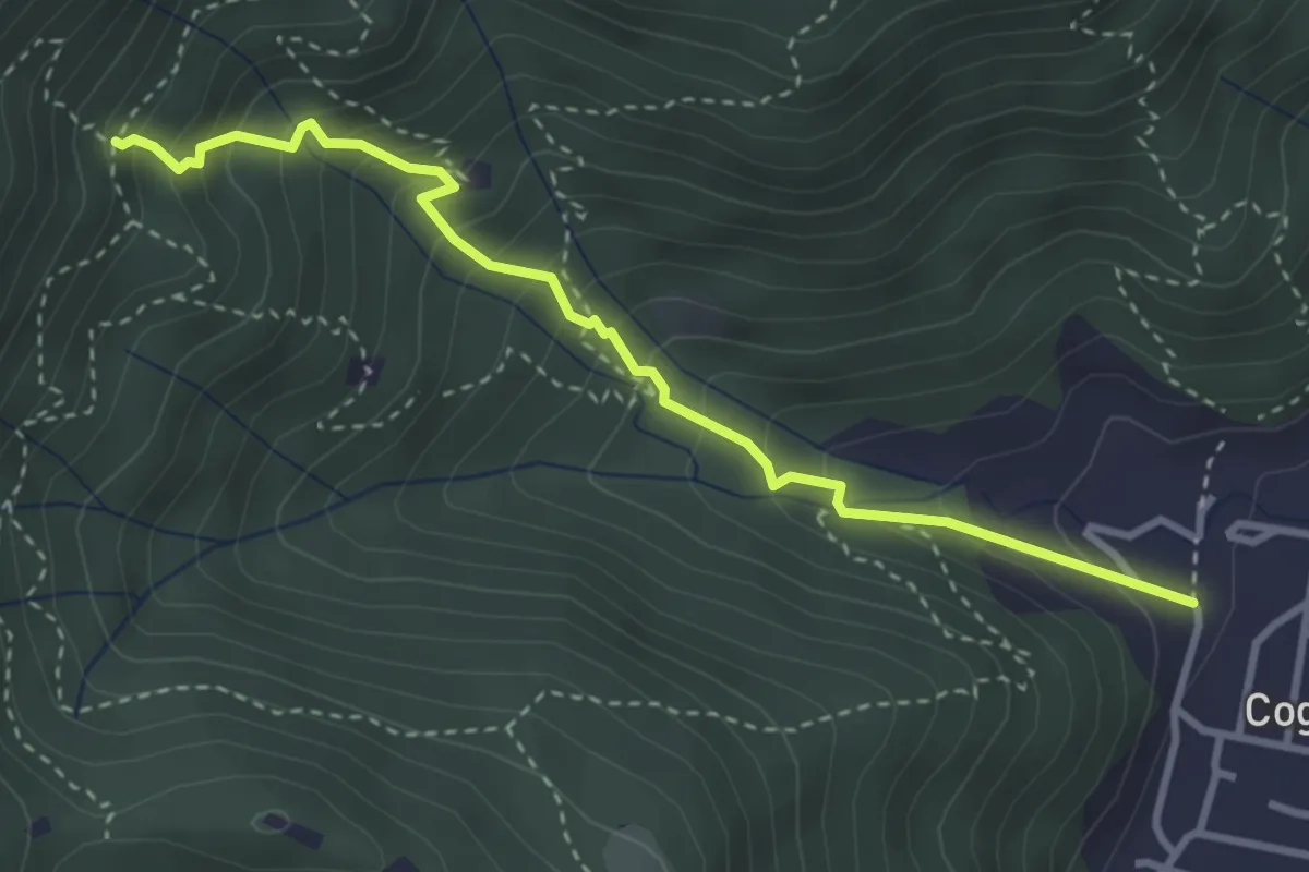
Medium · Trail
Sentiero 1 - Variante 1F
3.5 km · ↑ 394 m · 1 h 42 min · 4 km away
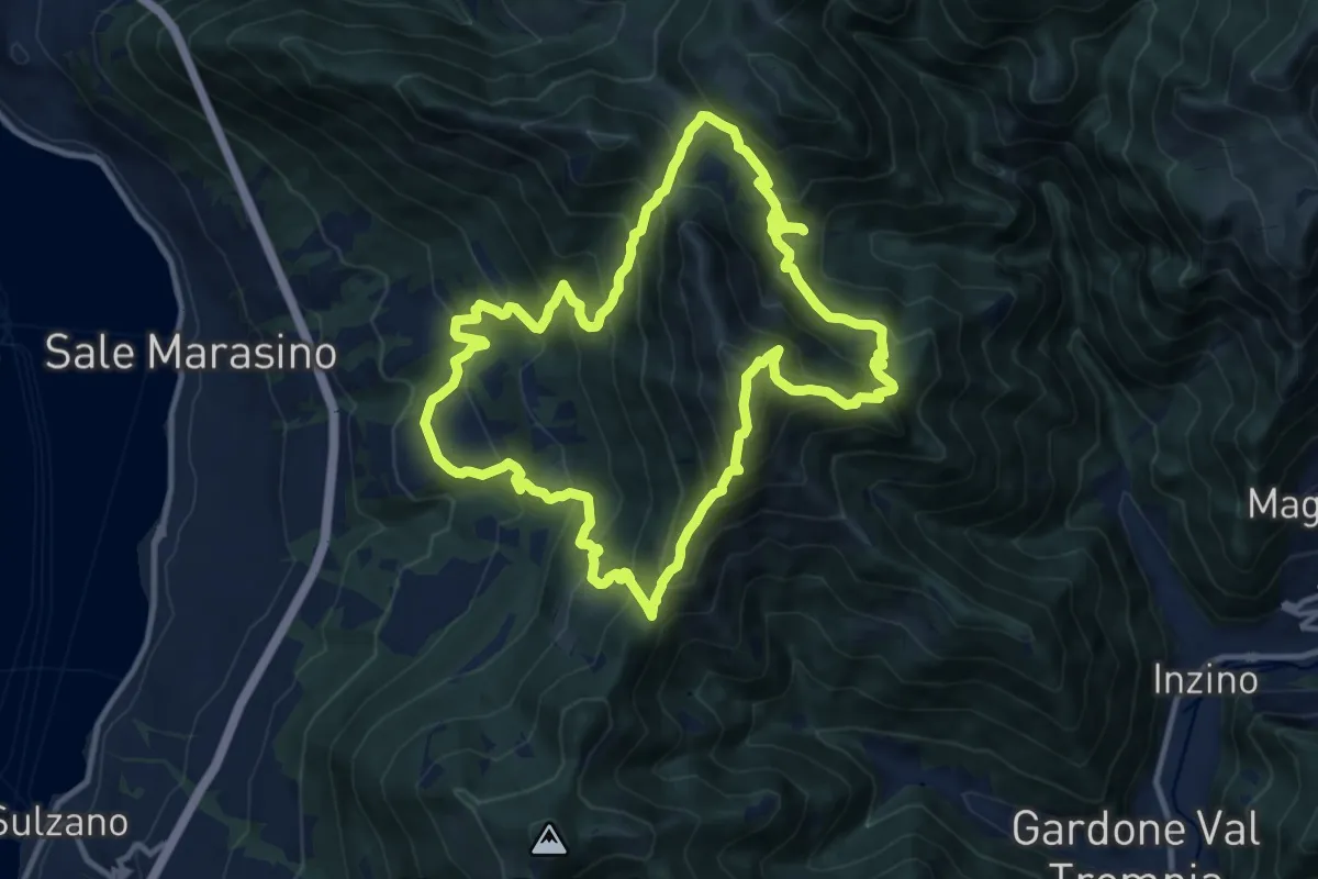
Demanding · Summit
Malghe in Rete - Anello 1 - Punta Almana
12.2 km · ↑ 1122 m · 5 h 30 min · 4 km away
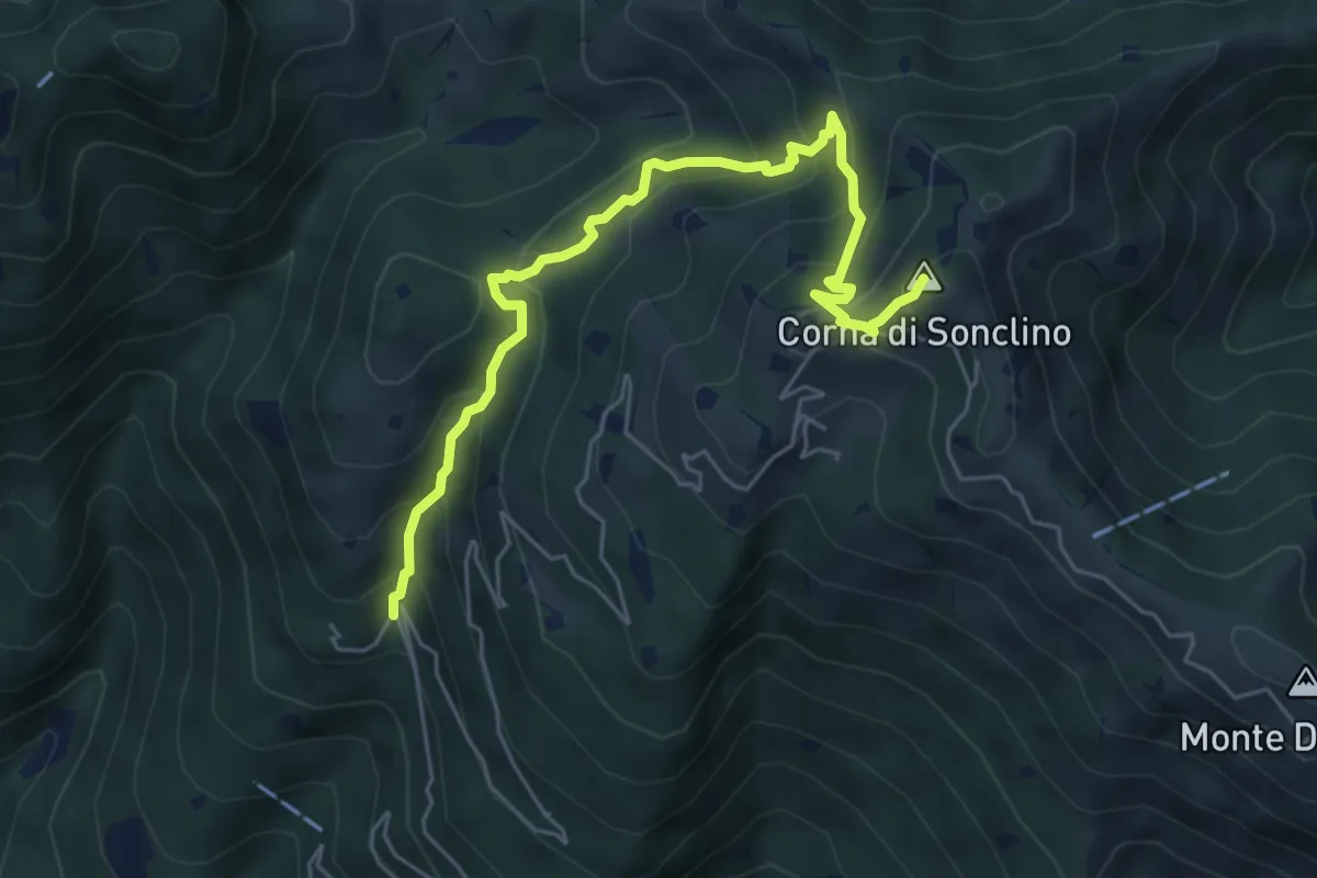
Medium · Summit
Lumezzane (Buca di Porticelle) - Corna di Sonclino
6.1 km · ↑ 583 m · 2 h 41 min · 4 km away
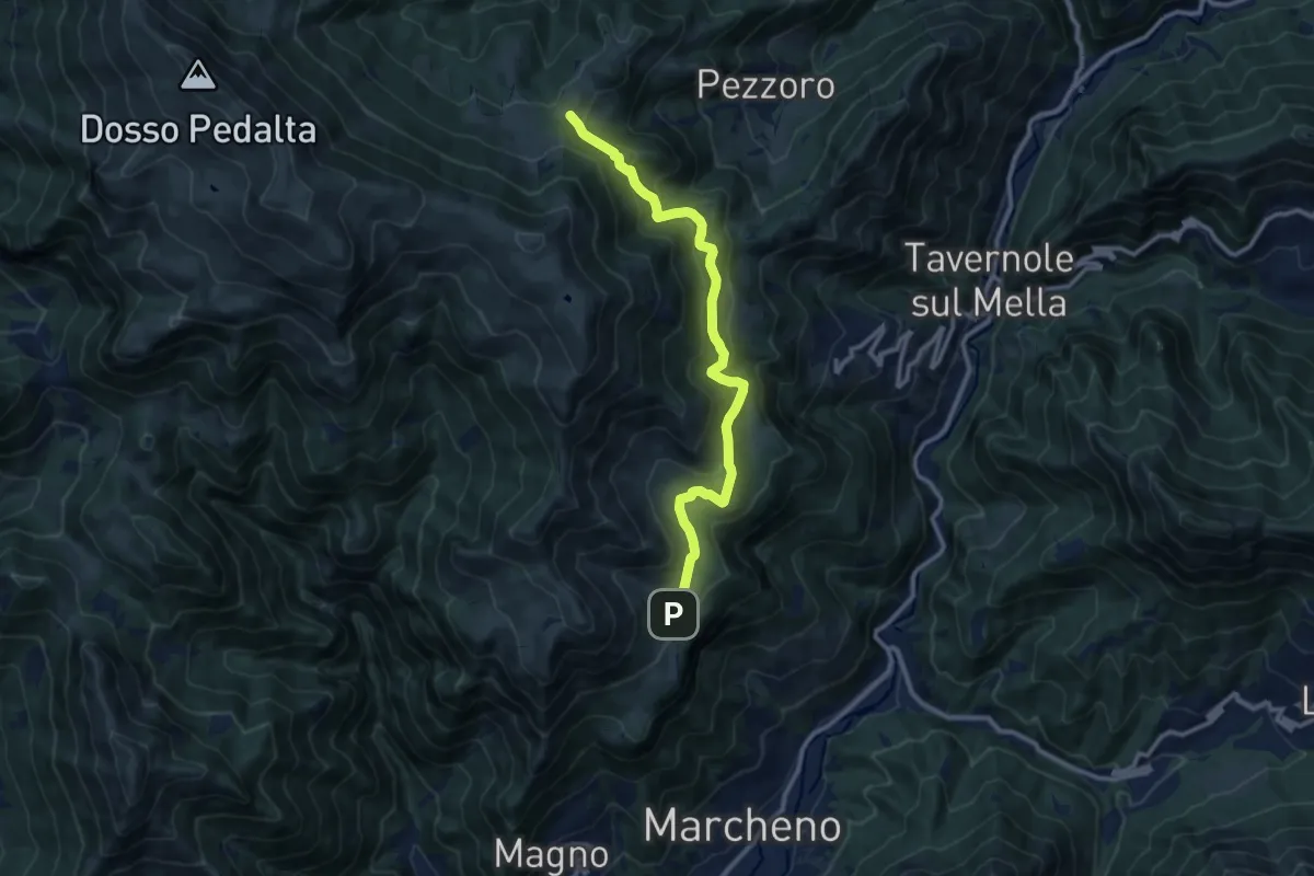
Medium · Cabin
Marcheno (Piani di Caregno) – Pozza Lavacolo (Bivio Sentiero 325)
10.9 km · ↑ 601 m · 3 h 53 min · 4 km away
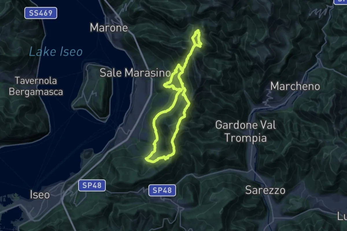
Demanding · Summit
Sentiero Brigata Giustizia e Libertà - Barnaba
18.2 km · ↑ 1346 m · 7 h 21 min · 4 km away
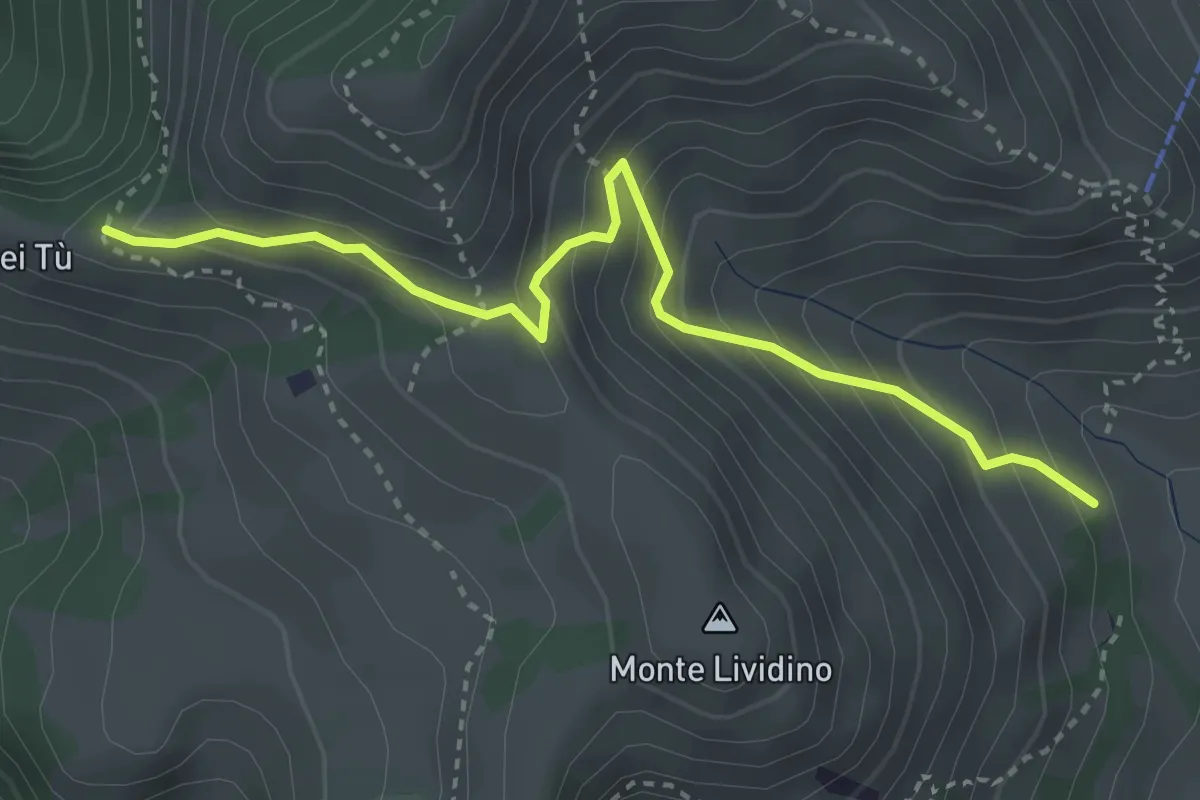
Medium · Trail
Marcheno (Piani di Caregno - Chiesetta degli Alpini) – Corni dei Tù (Bivio Sentiero 317)
3.5 km · ↑ 357 m · 1 h 37 min · 4 km away
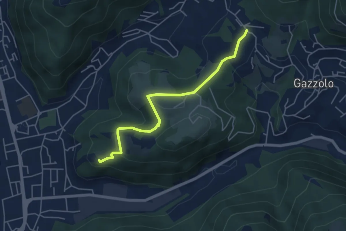
Medium · Trail
Sarezzo (Via Cagnaghe) - Castello
4.1 km · ↑ 134 m · 1 h 15 min · 5 km away
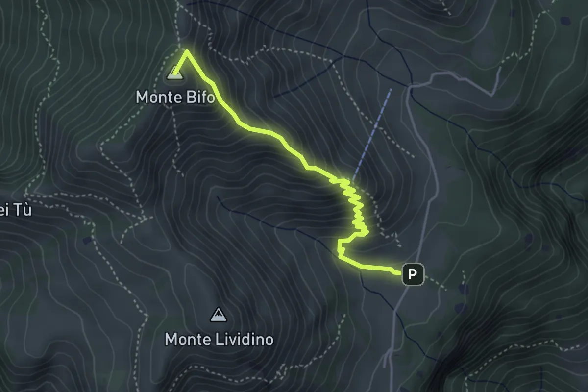
Medium · Summit
Marcheno (Piani di Caregno) – Malga Stalletti Alti (Bivio Sentiero 325)
4.1 km · ↑ 418 m · 1 h 53 min · 5 km away
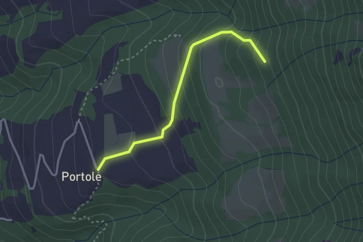
Easy · Trail
Portole – Percorso 238
2.4 km · ↑ 216 m · 1 h 2 min · 5 km away
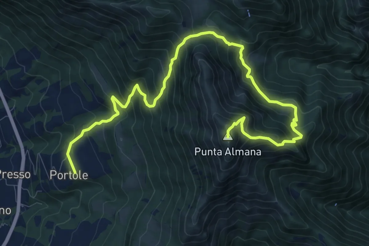
Demanding · Summit
Portole – Punta Almana
13.6 km · ↑ 1282 m · 5 h 59 min · 5 km away
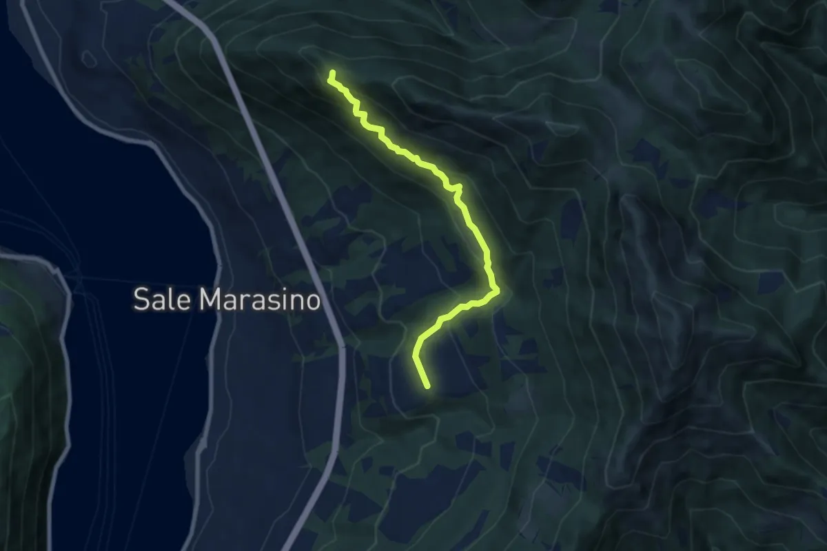
Medium · Summit
Portole – Punta dei Dossi
6.8 km · ↑ 576 m · 2 h 51 min · 5 km away
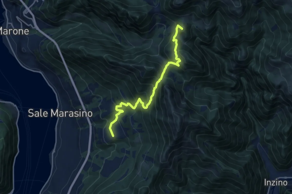
Demanding · Summit
Malghe in Rete - Trekking - Le Valli Tappa 2
11.5 km · ↑ 939 m · 4 h 45 min · 5 km away
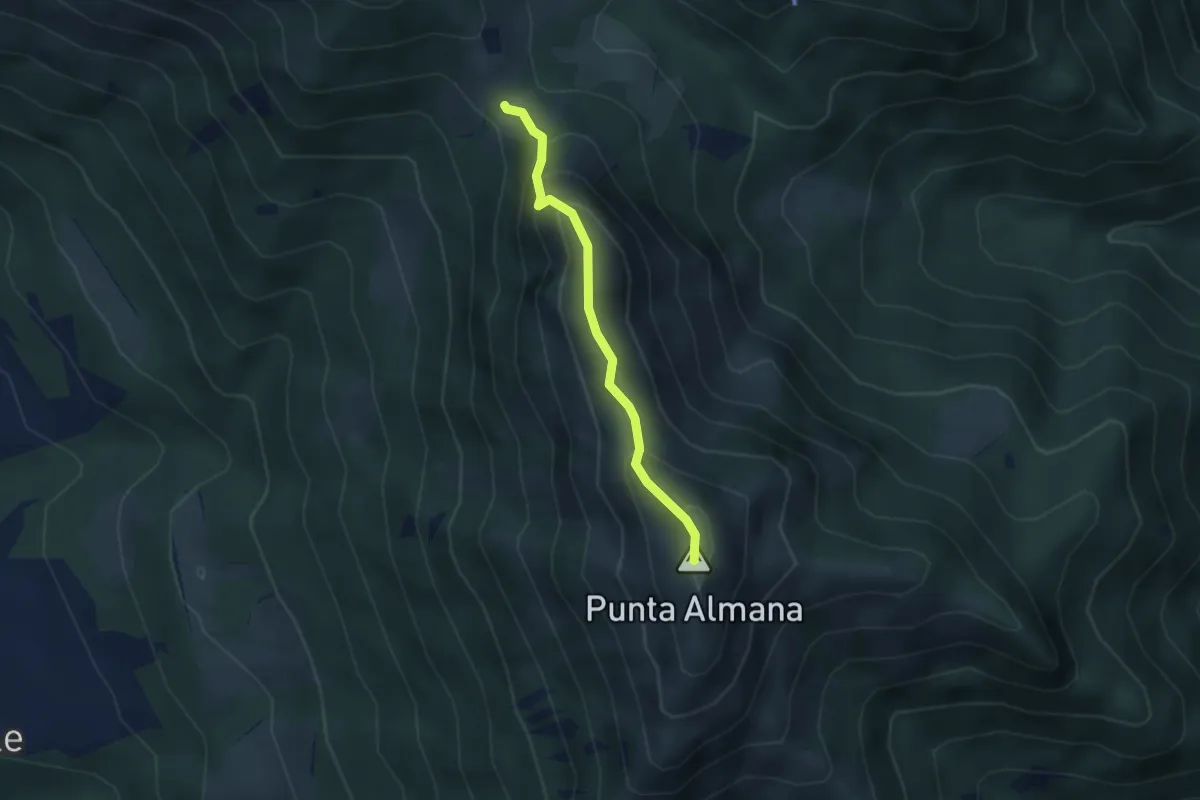
Expert · Summit
Sentiero Filippo Benedetti
2.8 km · ↑ 244 m · 1 h 12 min · 5 km away