Trails near Gardone Val Trompia
328 hikes starting within 15 km, nearest first.
Nearest first, page 2 of 7
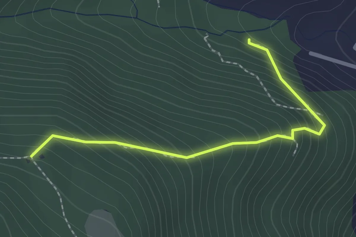
Medium · Trail
Sentiero 1 - Variante 1D
2.0 km · ↑ 239 m · 59 min · 5 km away
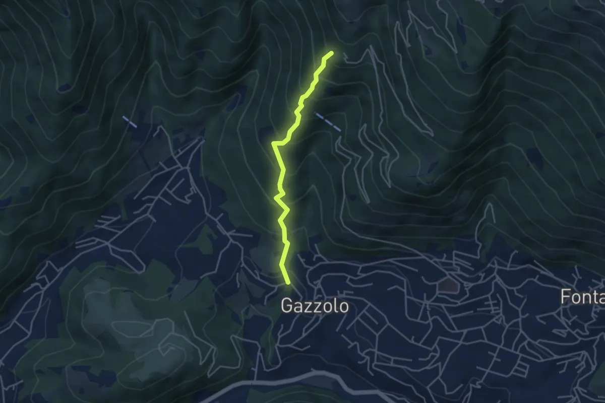
Medium · Trail
Lumezzane (Gazzolo) - Santella dei Giori
3.5 km · ↑ 418 m · 1 h 43 min · 5 km away
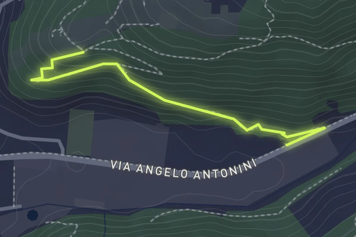
Easy · Trail
Sentiero di Mezzo
2.2 km · ↑ 171 m · 53 min · 5 km away
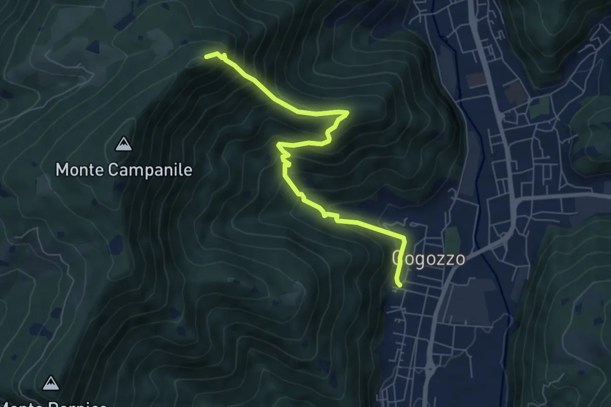
Demanding · Summit
Villa Carcina – Pizzo Cornacchia
6.7 km · ↑ 672 m · 3 h 2 min · 5 km away
Medium · Trail
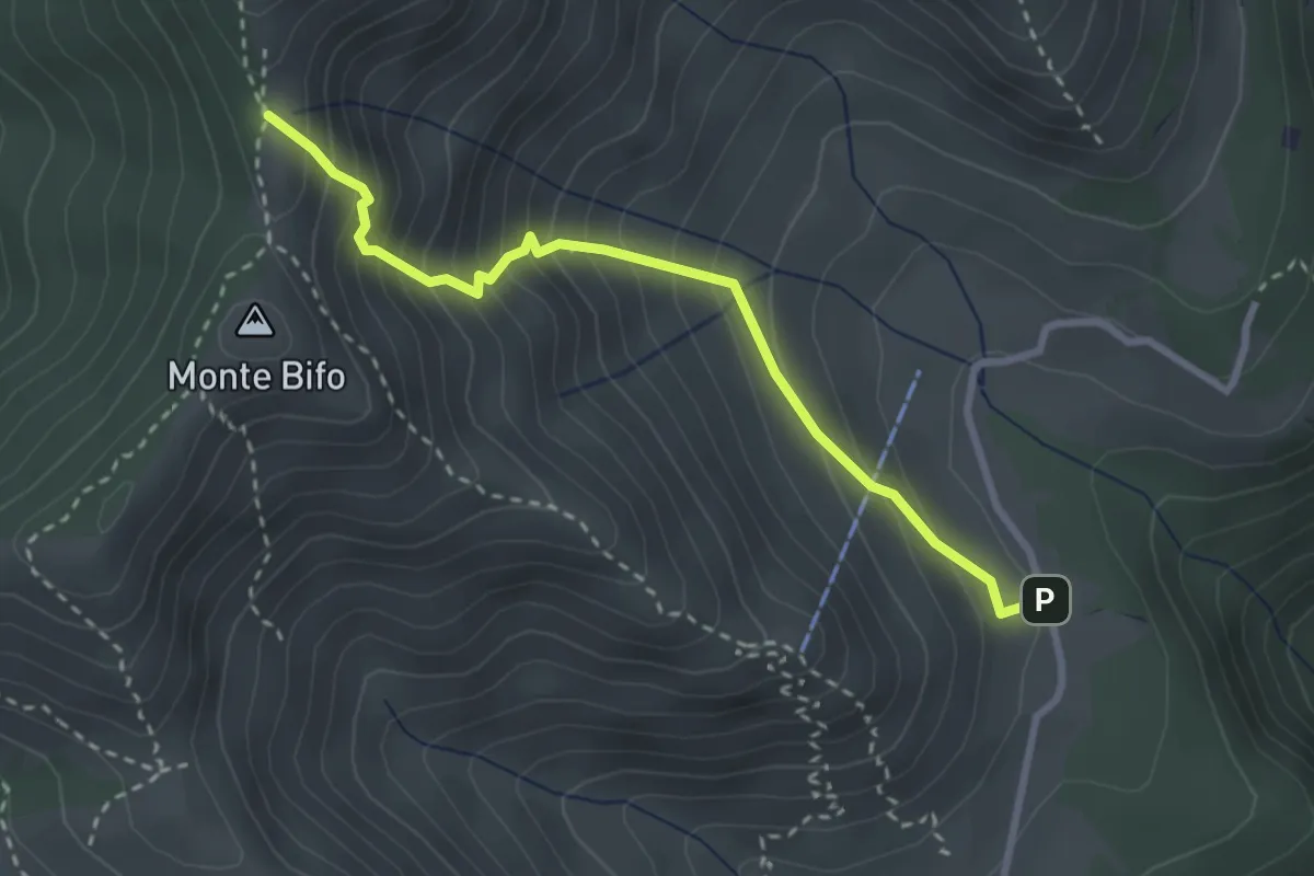
Marcheno (Piani di Caregno - Bivio Sentiero 320) – Passo dell Sabbione (Bivio Sentiero 318)
3.0 km · ↑ 387 m · 1 h 32 min · 5 km away
Medium · Summit
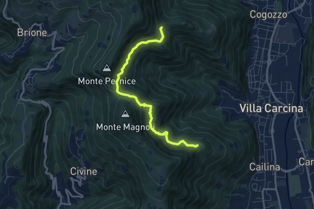
Sentiero Alberto Antonelli
7.0 km · ↑ 463 m · 2 h 40 min · 5 km away
Demanding · Summit
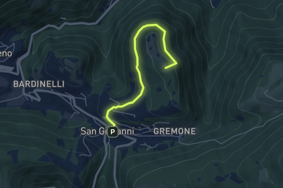
Sentiero della Pugna
4.4 km · ↑ 219 m · 1 h 30 min · 5 km away
Easy · Trail
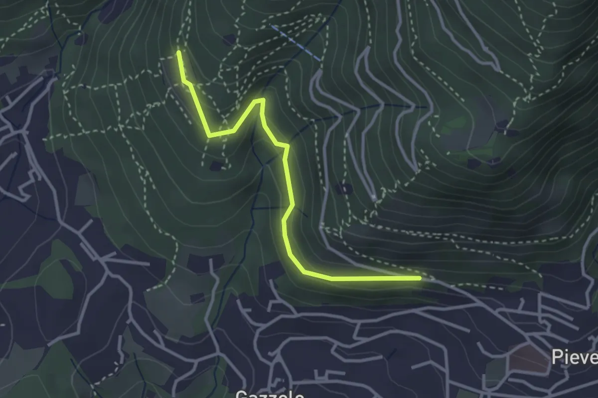
Lumezzane (Pieve) - Dosso Castolo
3.0 km · ↑ 153 m · 1 h 3 min · 5 km away
Medium · Trail
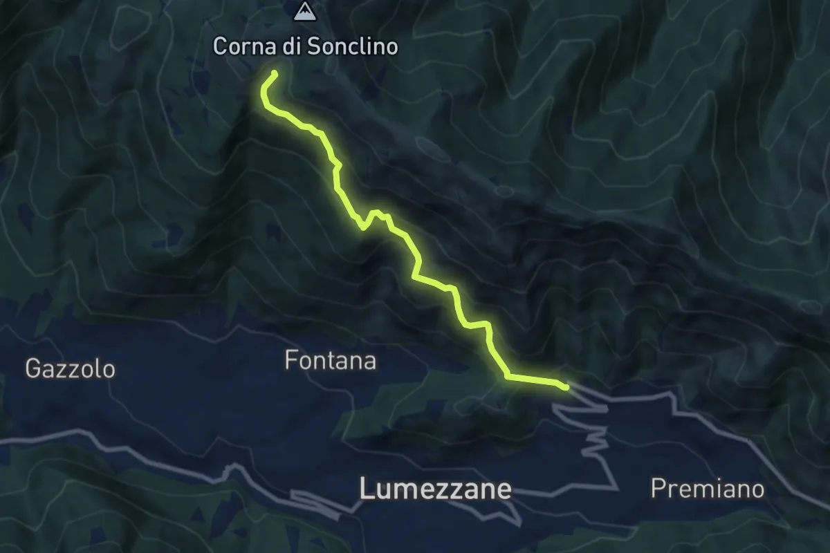
Lumezzane (Ver) – Malga Artecle
7.2 km · ↑ 618 m · 3 h 2 min · 5 km away
Medium · Trail
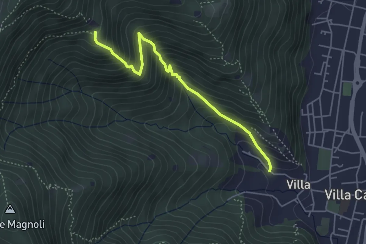
Villa Carcina (Villa) - Büs del Torcol
4.2 km · ↑ 438 m · 1 h 56 min · 5 km away
Easy · Trail
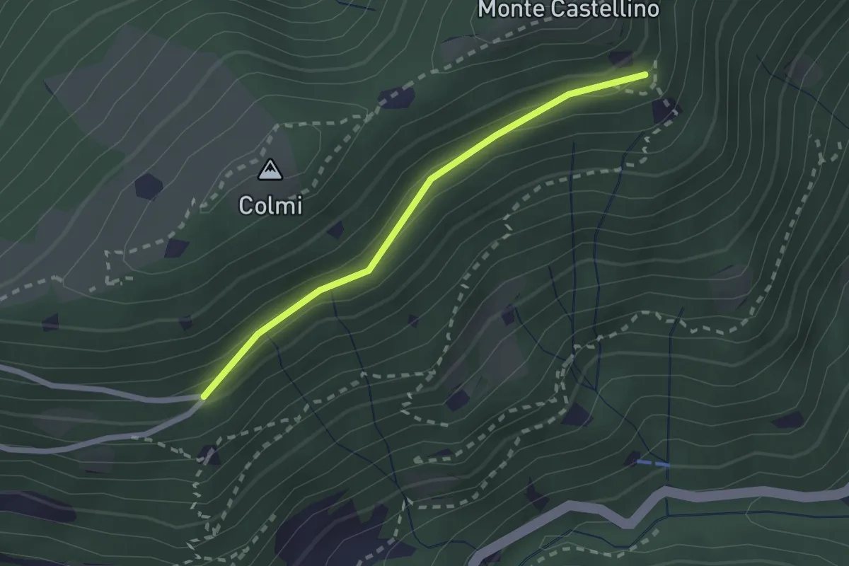
Sentiero 310 - Variante 310A
2.0 km · ↑ 104 m · 42 min · 5 km away
Demanding · Trail
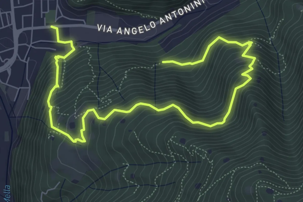
La Vià Antiga
9.3 km · ↑ 858 m · 4 h 3 min · 5 km away
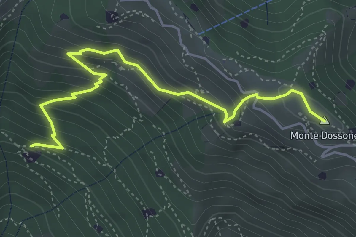
Medium · Summit
Lumezzane (Cascina Al Colonel) - Monte Dossone
4.3 km · ↑ 469 m · 2 h 3 min · 5 km away
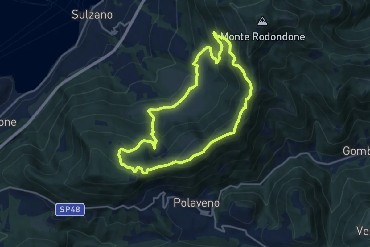
Medium · Summit
Sentiero degli Elfi
8.9 km · ↑ 450 m · 3 h 12 min · 5 km away
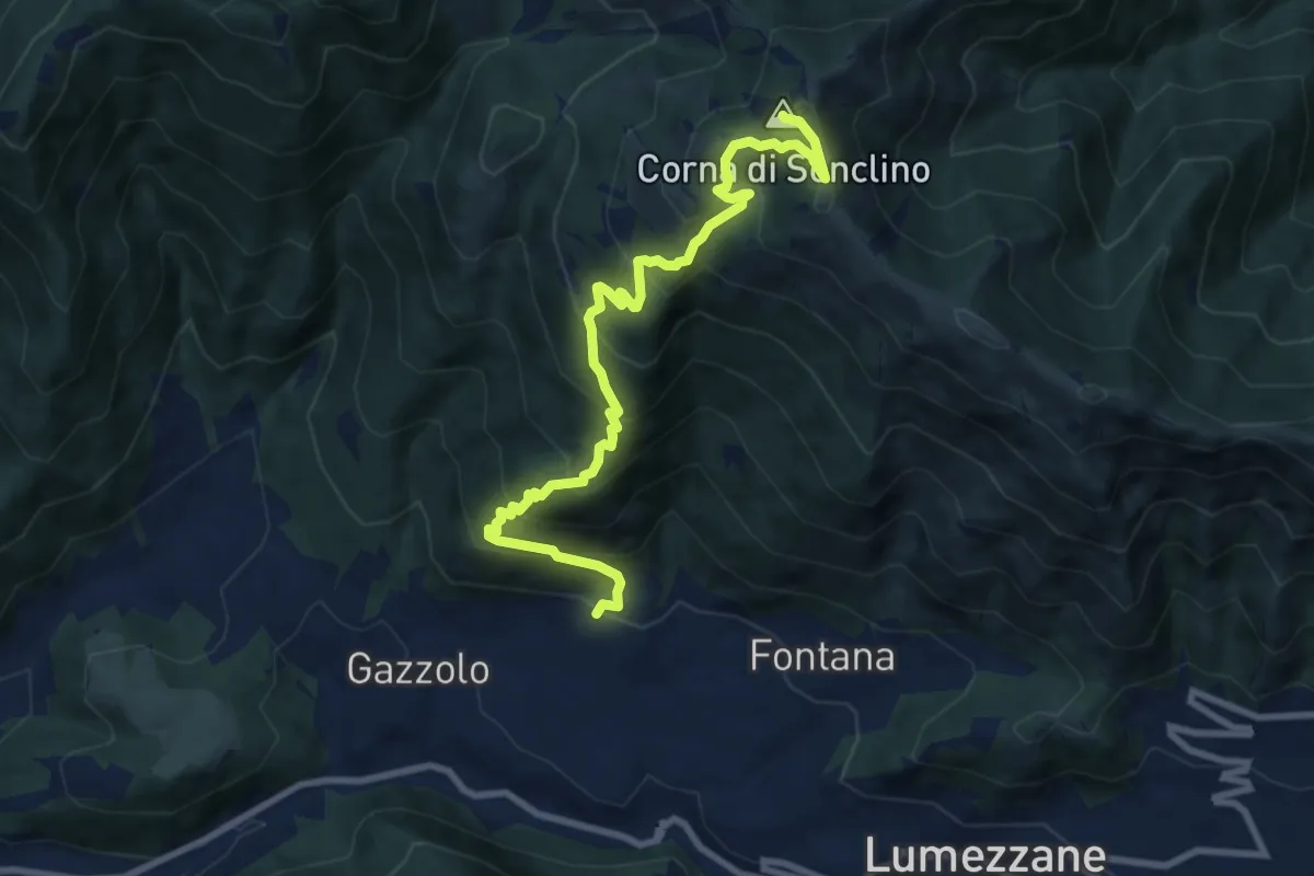
Demanding · Summit
Lumezzane (Pieve) – Corna di Sonclino
9.9 km · ↑ 853 m · 4 h 11 min · 6 km away
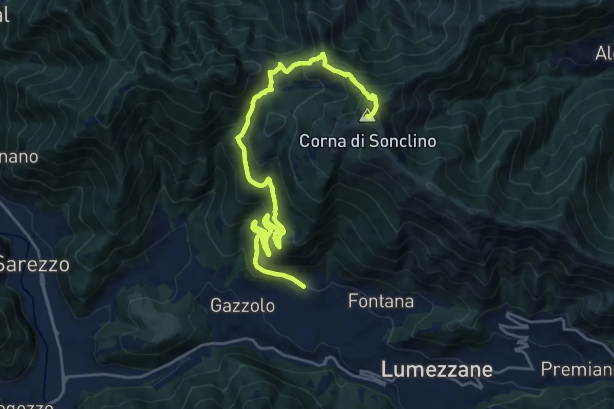
Demanding · Summit
Lumezzane (Pieve) – Corna di Sonclino
16.0 km · ↑ 1116 m · 6 h 11 min · 6 km away
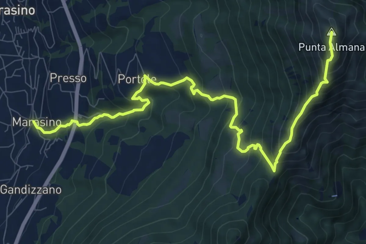
Demanding · Summit
Marasino – Punta Almana
11.4 km · ↑ 1126 m · 5 h 9 min · 6 km away
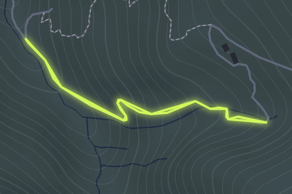
Easy · Trail
Sentiero 122ª Brigata Garibaldi - Variante 3
1.1 km · ↑ 138 m · 34 min · 6 km away
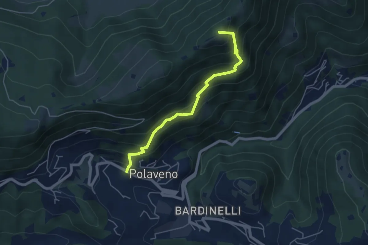
Medium · Summit
Polaveno - Santa Maria del Giogo
4.2 km · ↑ 463 m · 2 h · 6 km away
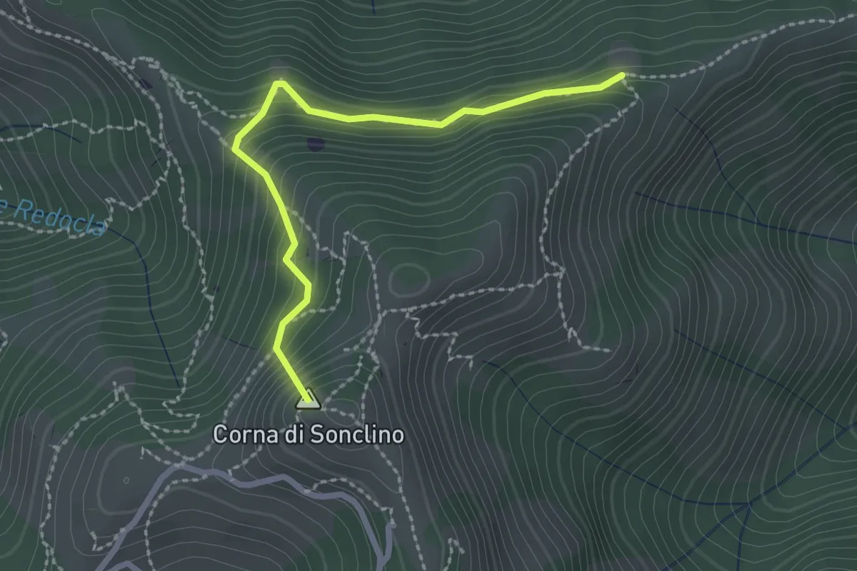
Easy · Summit
Marcheno (Tesa Guizzi) - Lumezzane (Parcheggio Sonclino)
2.3 km · ↑ 229 m · 1 h 3 min · 6 km away
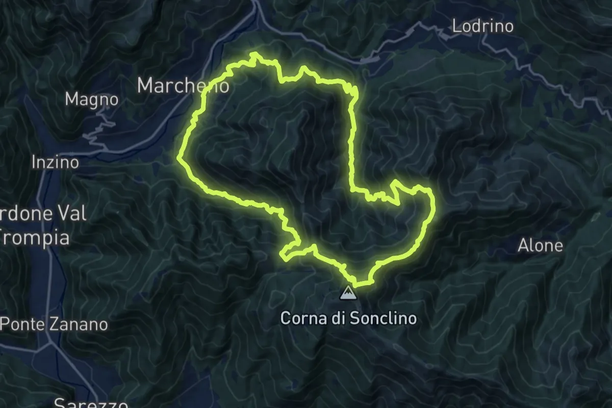
Demanding · Summit
Sentiero 122ª Brigata Garibaldi
17.5 km · ↑ 1345 m · 7 h 17 min · 6 km away
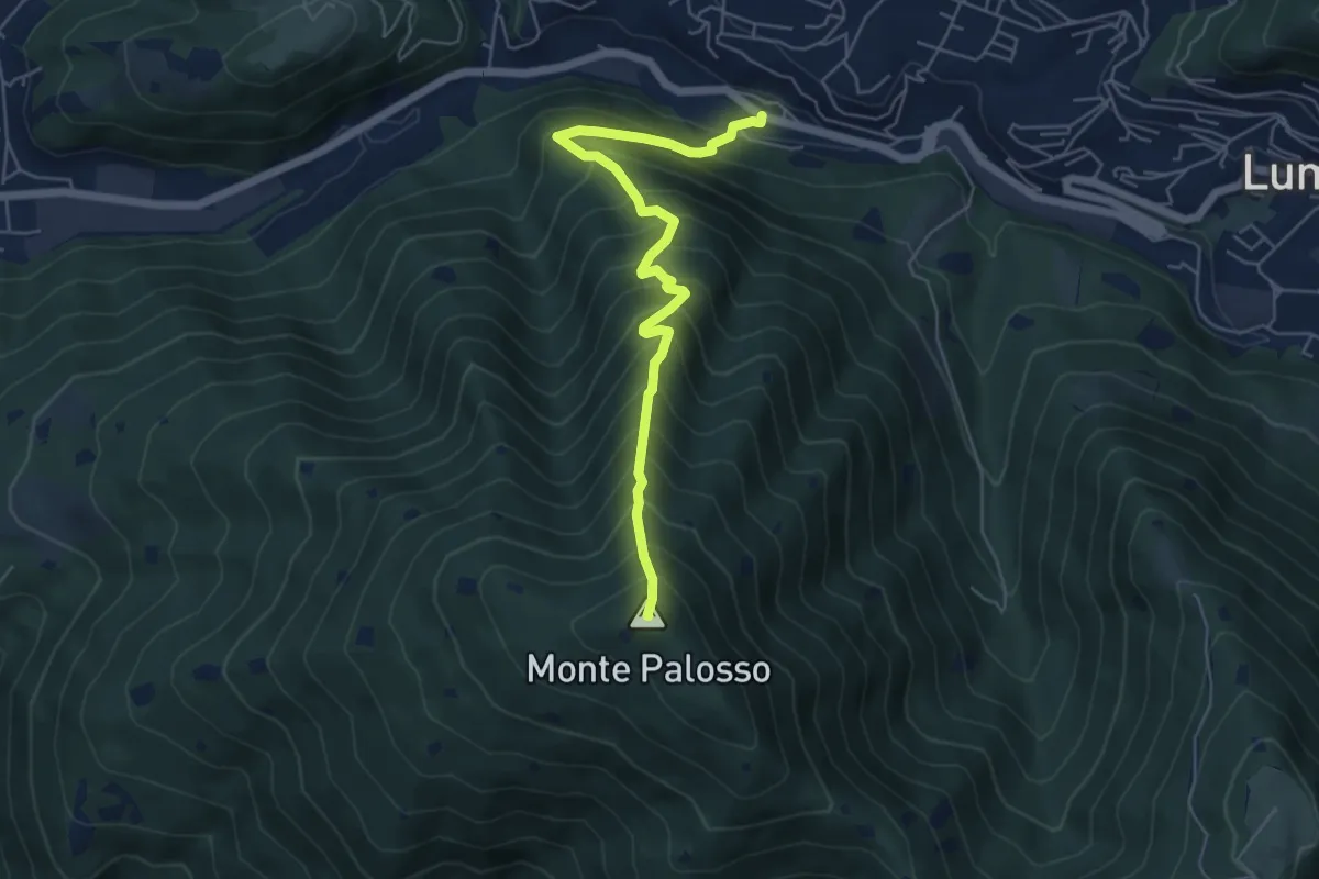
Medium · Summit
Lumezzane (Valle) – Cascina Cocca
5.8 km · ↑ 798 m · 3 h 5 min · 6 km away
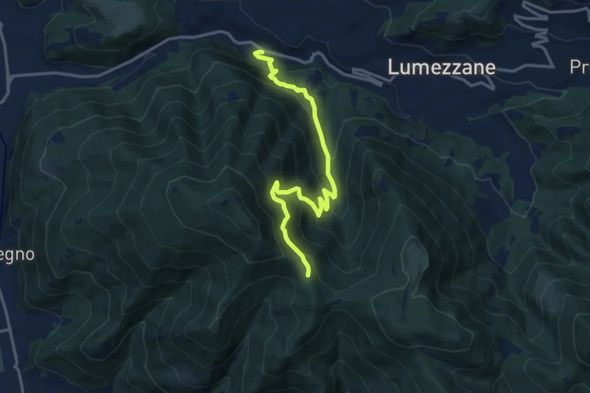
Medium · Trail
Lumezzane (Valle) – Sconfoia
9.7 km · ↑ 716 m · 3 h 50 min · 6 km away
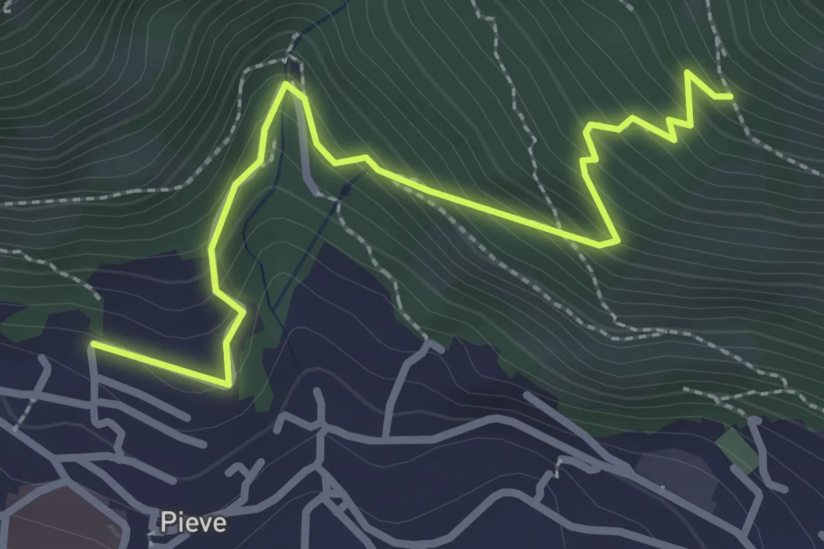
Medium · Trail
Lumezzane (Pieve) - Valle dei Fiori - Dossello
2.9 km · ↑ 292 m · 1 h 19 min · 6 km away
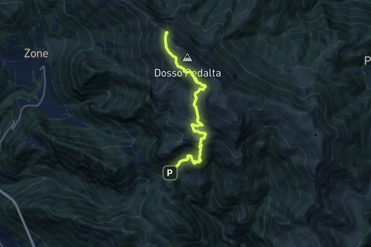
Demanding · Summit
Malghe in Rete - Trekking - Le Creste Tappa 2
11.3 km · ↑ 842 m · 4 h 29 min · 6 km away
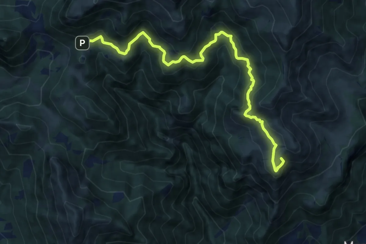
Demanding · Summit
Marcheno (Piani di Caregno) – Croce di Marone
13.2 km · ↑ 836 m · 4 h 56 min · 6 km away
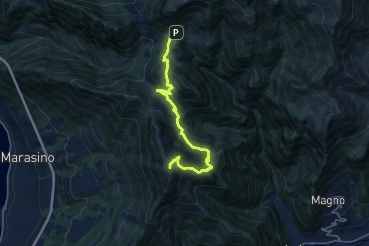
Demanding · Summit
Malghe in Rete - Trekking - Le Creste Tappa 1
11.5 km · ↑ 881 m · 4 h 37 min · 6 km away
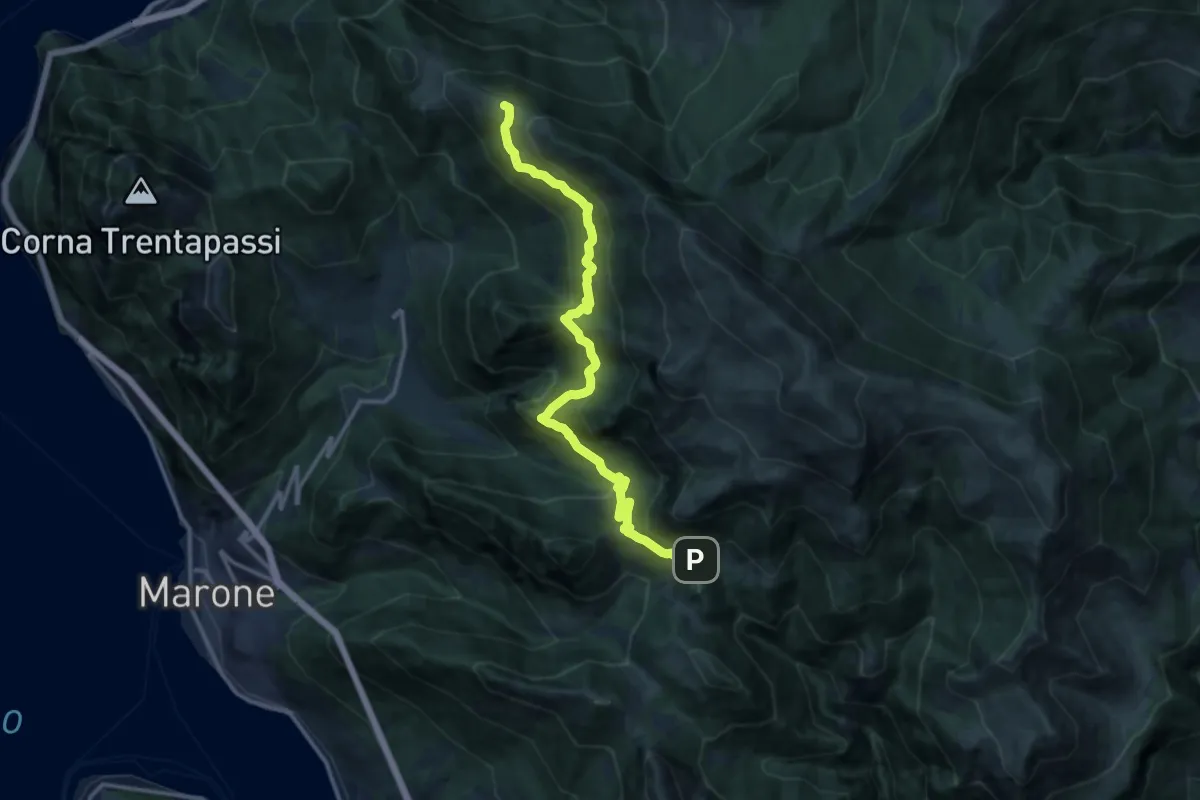
Expert · Summit
Sentiero dell'Uccellatore
14.4 km · ↑ 920 m · 5 h 24 min · 6 km away
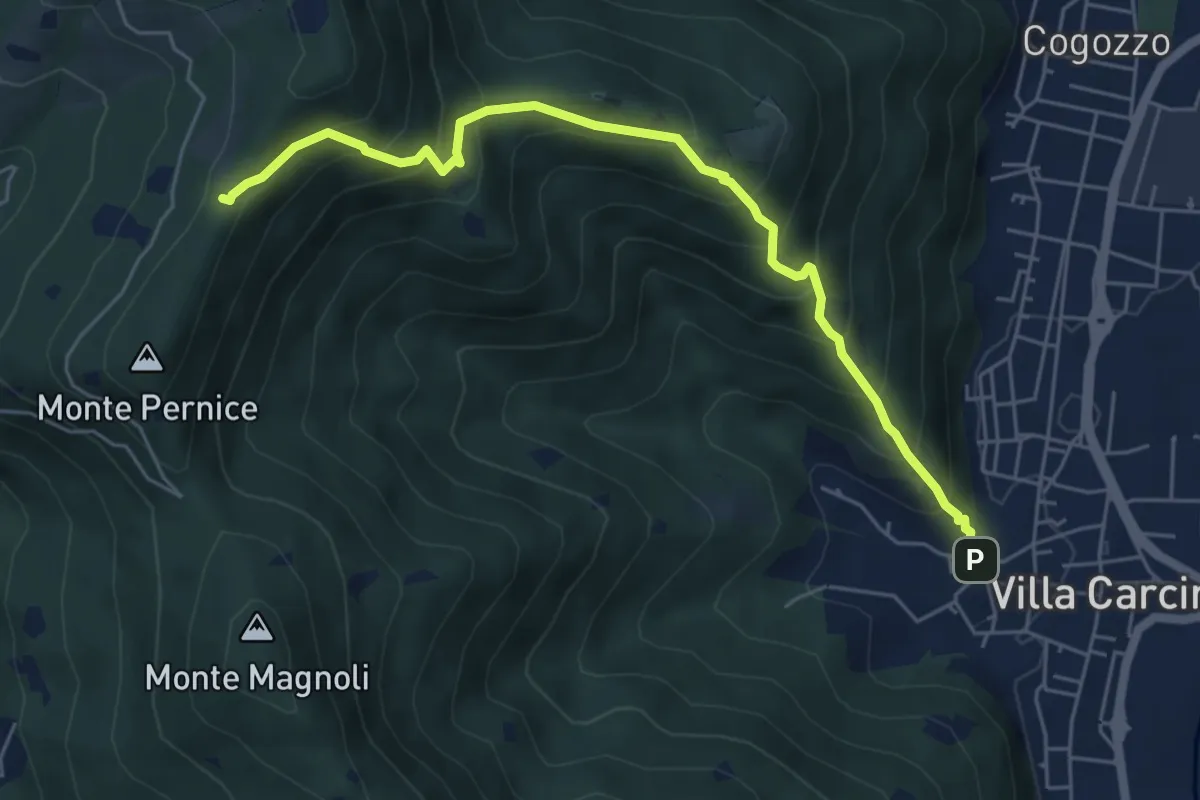
Medium · Trail
Sentiero Domenico Cancarini e Antonio Giubileo
6.1 km · ↑ 617 m · 2 h 46 min · 6 km away
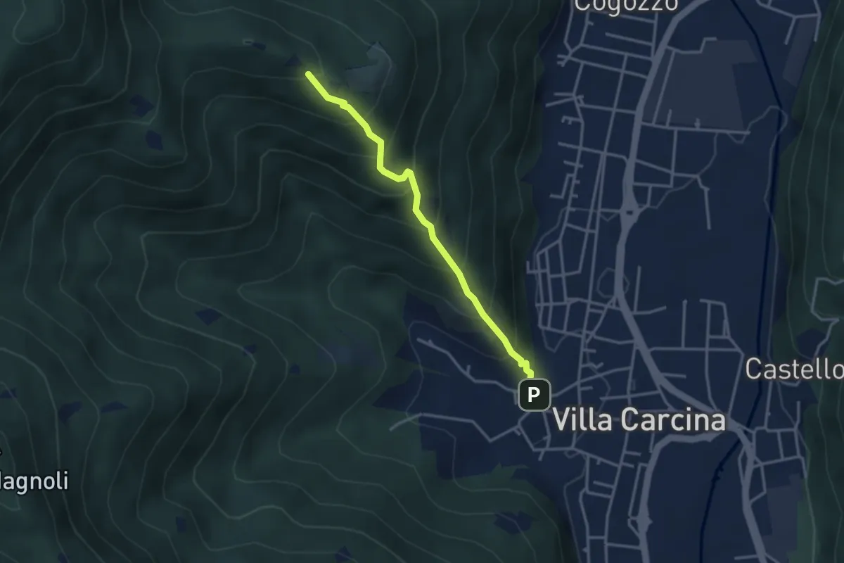
Medium · Trail
Villa Carcina - Campo Lupo
3.1 km · ↑ 389 m · 1 h 34 min · 6 km away
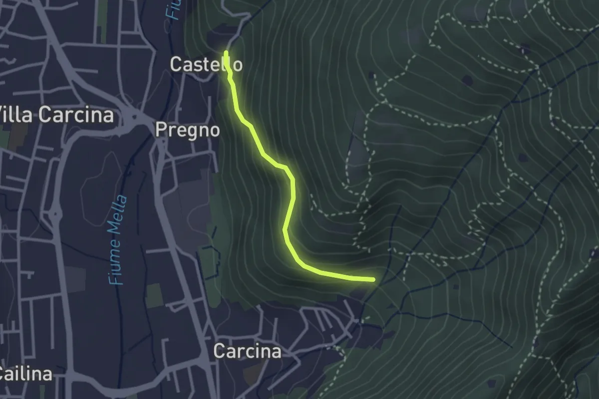
Medium · Trail
Villa Carcina (Carcina) - Pregno
2.2 km · ↑ 165 m · 53 min · 6 km away
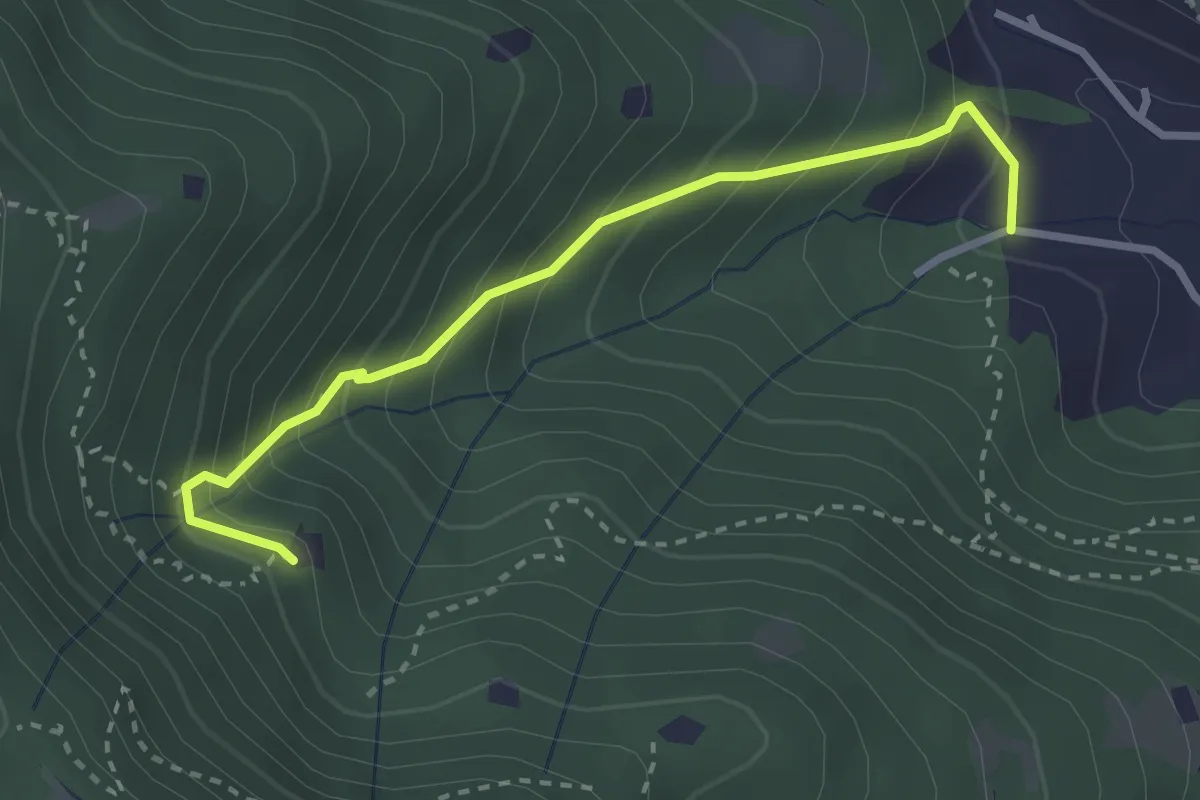
Medium · Trail
Villa Carcina (Villa) - Roccolo del Prete
2.9 km · ↑ 320 m · 1 h 23 min · 6 km away
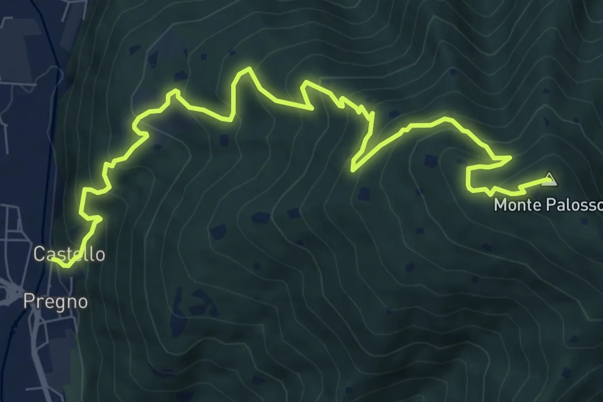
Demanding · Summit
Sentiero n° 2
10.4 km · ↑ 895 m · 4 h 24 min · 6 km away
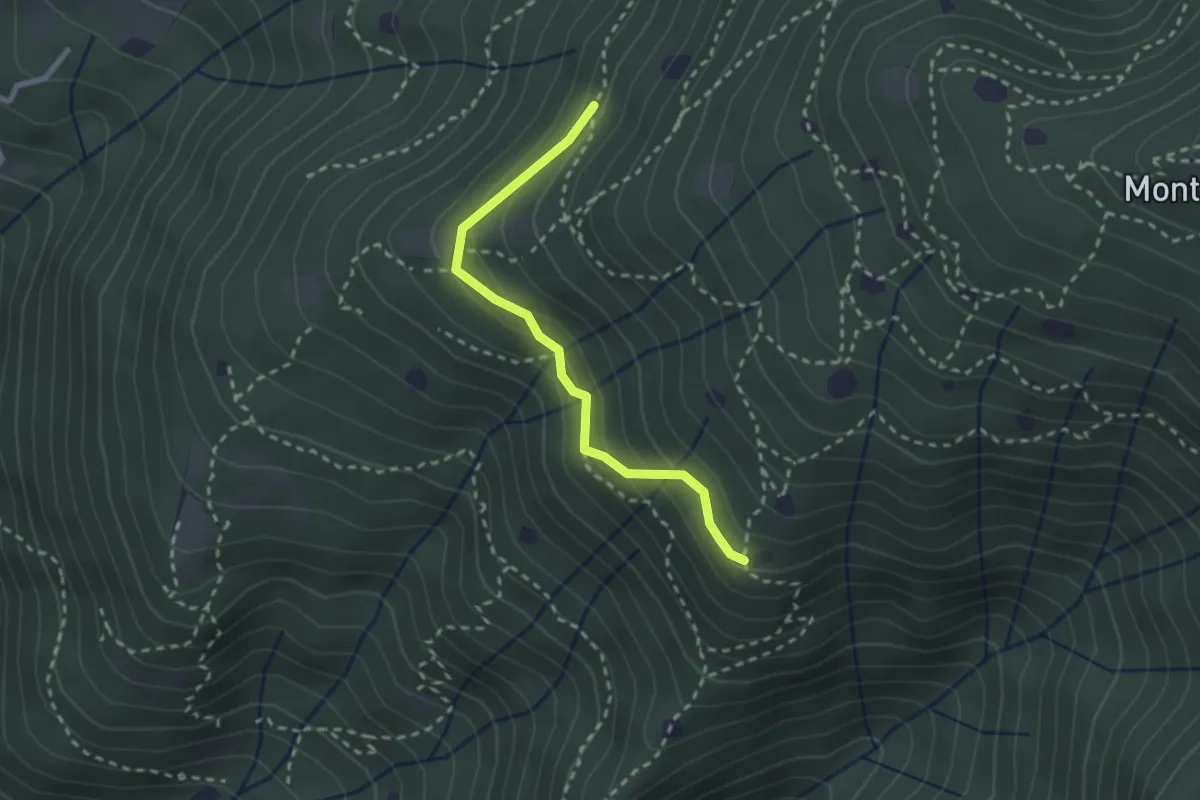
Easy · Trail
Villa Carcina - Sentiero 20
2.4 km · ↑ 169 m · 56 min · 6 km away
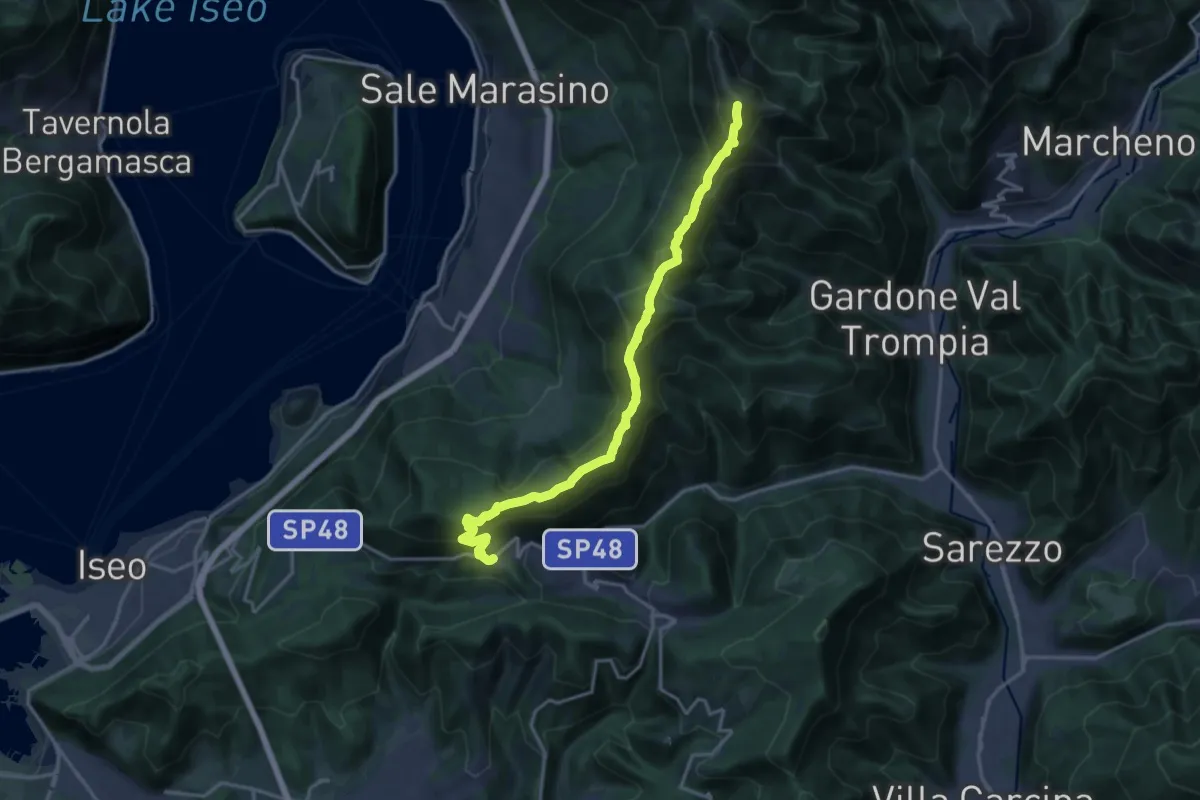
Demanding · Summit
Sentiero 3V - Tappa 7
17.5 km · ↑ 1361 m · 7 h 5 min · 6 km away
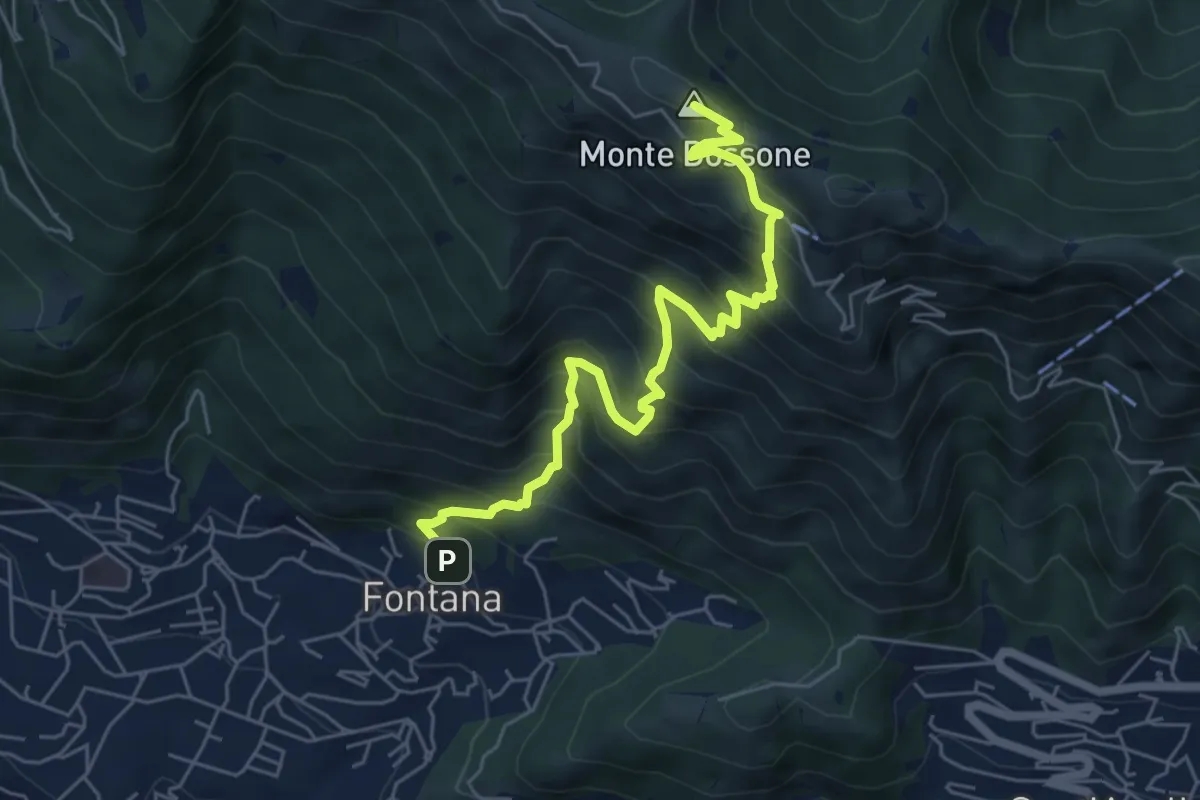
Medium · Summit
Lumezzane (Fontana) - Monte Dossone
6.5 km · ↑ 760 m · 3 h 11 min · 6 km away
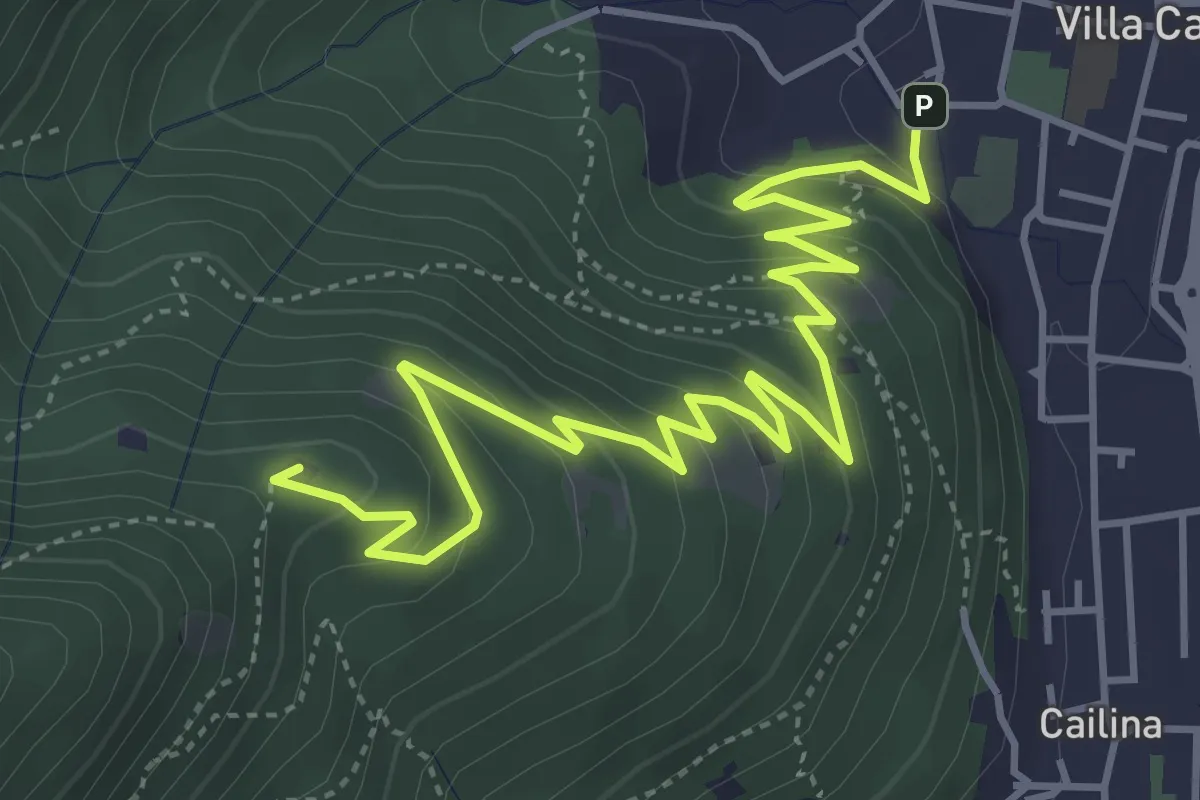
Medium · Summit
Villa Carcina – Sella dell'Oca
6.1 km · ↑ 364 m · 2 h 14 min · 6 km away
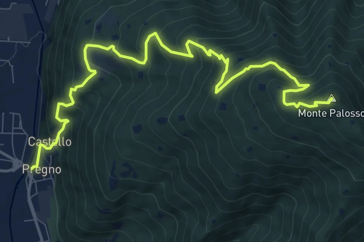
Demanding · Summit
Villa Carcina (Pregno) – Monte Palosso
11.1 km · ↑ 912 m · 4 h 36 min · 6 km away
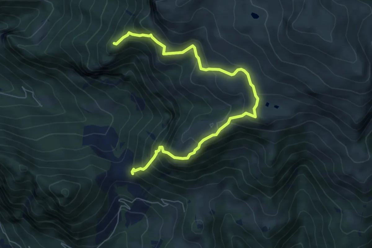
Demanding · Summit
Gasso – Rucca
7.3 km · ↑ 813 m · 3 h 30 min · 6 km away
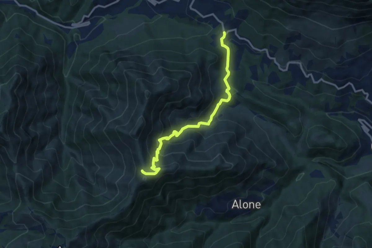
Medium · Trail
Sentiero 3V - Tappa 2 (Variante bassa)
8.4 km · ↑ 653 m · 3 h 24 min · 7 km away
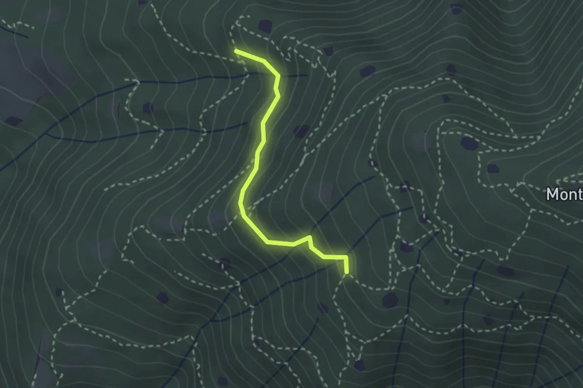
Easy · Trail
Villa Carcina - Sentiero 19
2.3 km · ↑ 210 m · 59 min · 7 km away
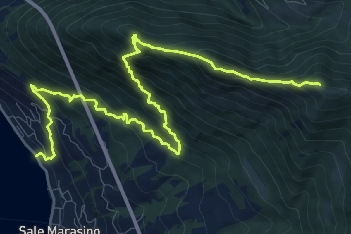
Demanding · Summit
Sale Marasino – Forcella di Sale
12.6 km · ↑ 1245 m · 5 h 40 min · 7 km away
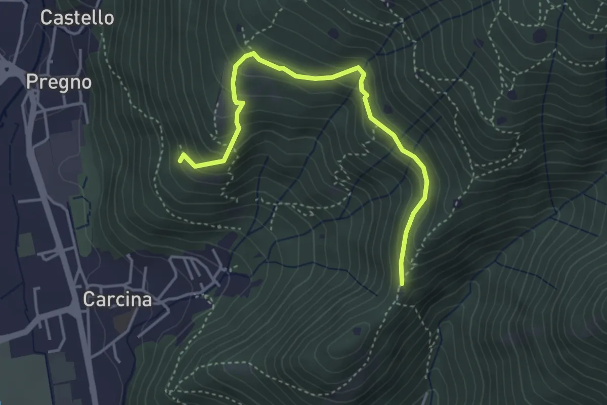
Demanding · Trail
Villa Carcina - Sentiero 16
4.0 km · ↑ 321 m · 1 h 38 min · 7 km away
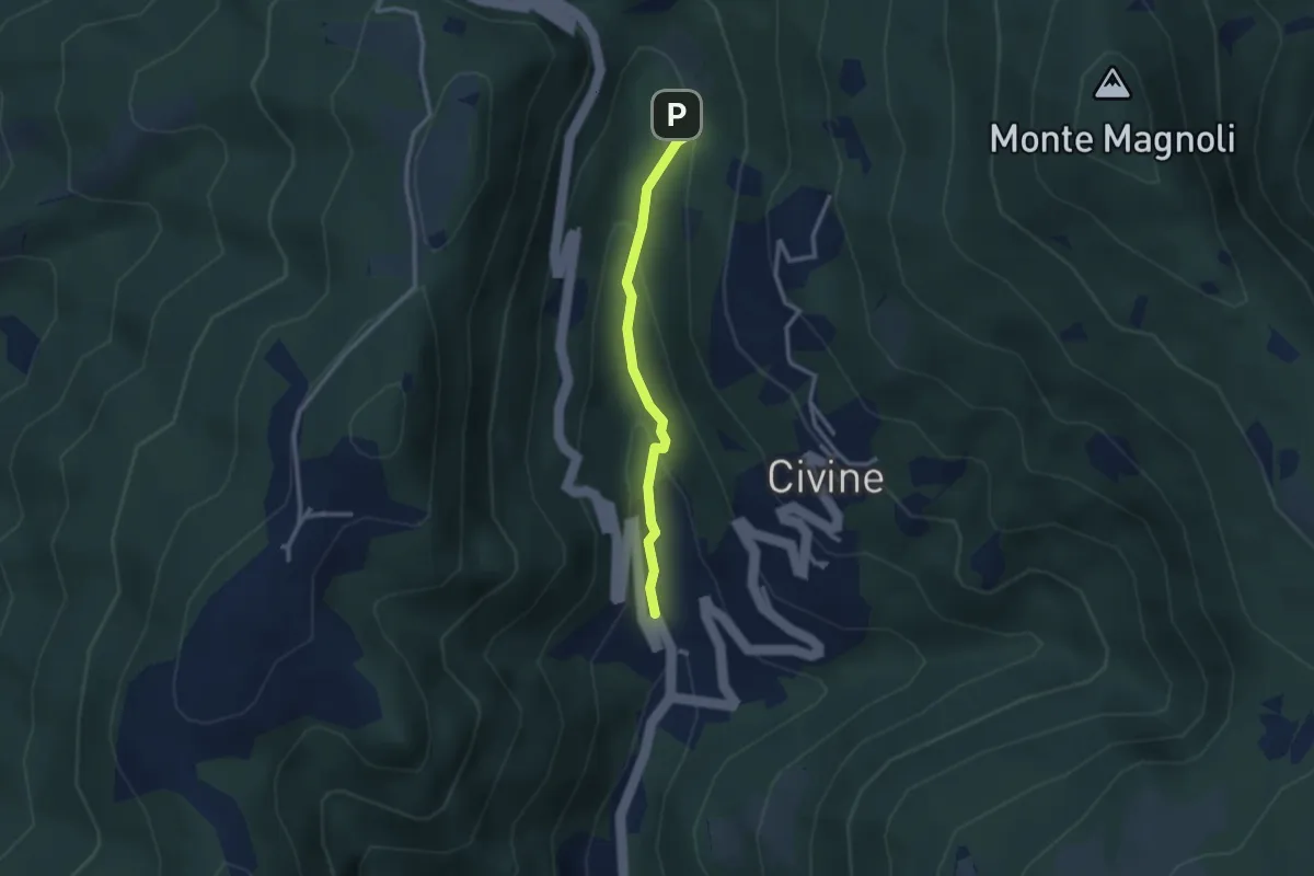
Medium · Trail
Sentiero Battista e Nicolina Drera
2.5 km · ↑ 124 m · 51 min · 7 km away
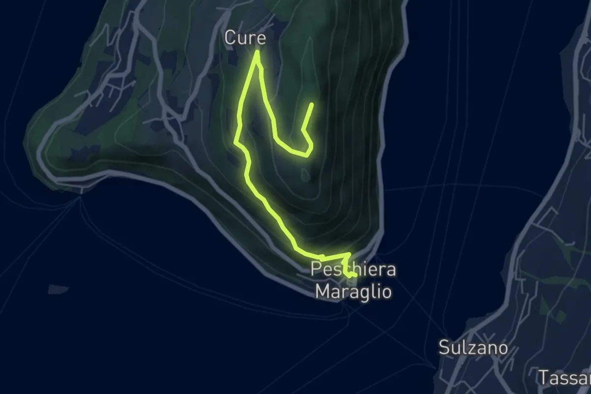
Medium · Summit
Pescheria Maraglio - Santuario della Ceriola
5.7 km · ↑ 392 m · 2 h 11 min · 7 km away
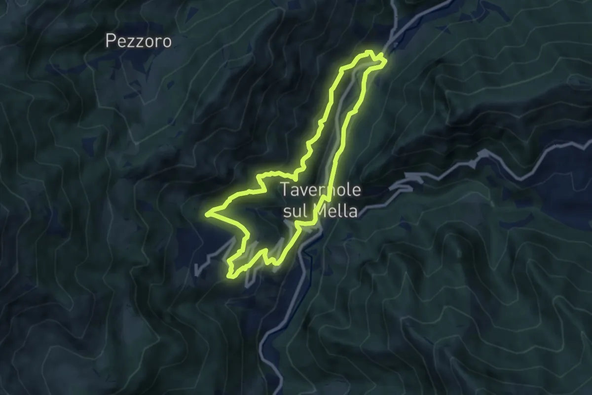
Medium · Trail
Sentiero 2 (La Pergua)
7.4 km · ↑ 437 m · 2 h 47 min · 7 km away
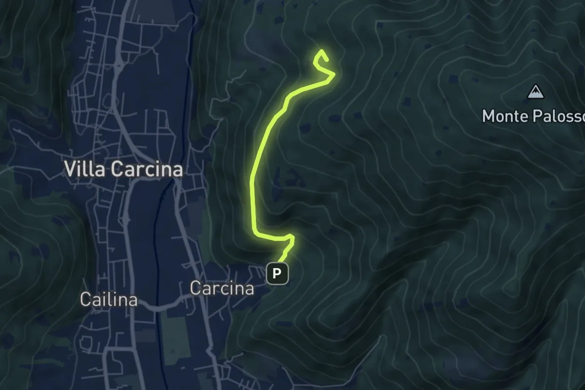
Medium · Summit
Villa Carcina - Sentiero 17
4.5 km · ↑ 395 m · 1 h 56 min · 7 km away
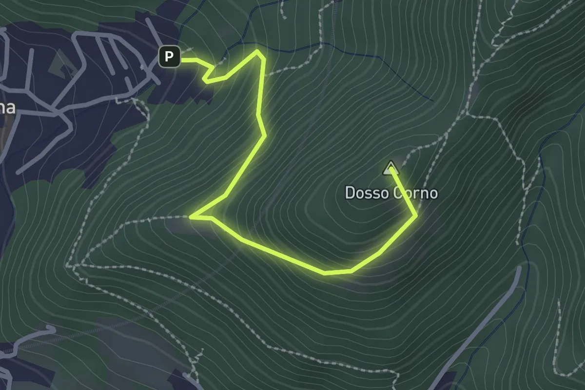
Medium · Summit
Villa Carcina (Caricatore) – Crusal
2.7 km · ↑ 292 m · 1 h 16 min · 7 km away