Trails near Gardone Val Trompia
328 hikes starting within 15 km, nearest first.
Nearest first, page 3 of 7
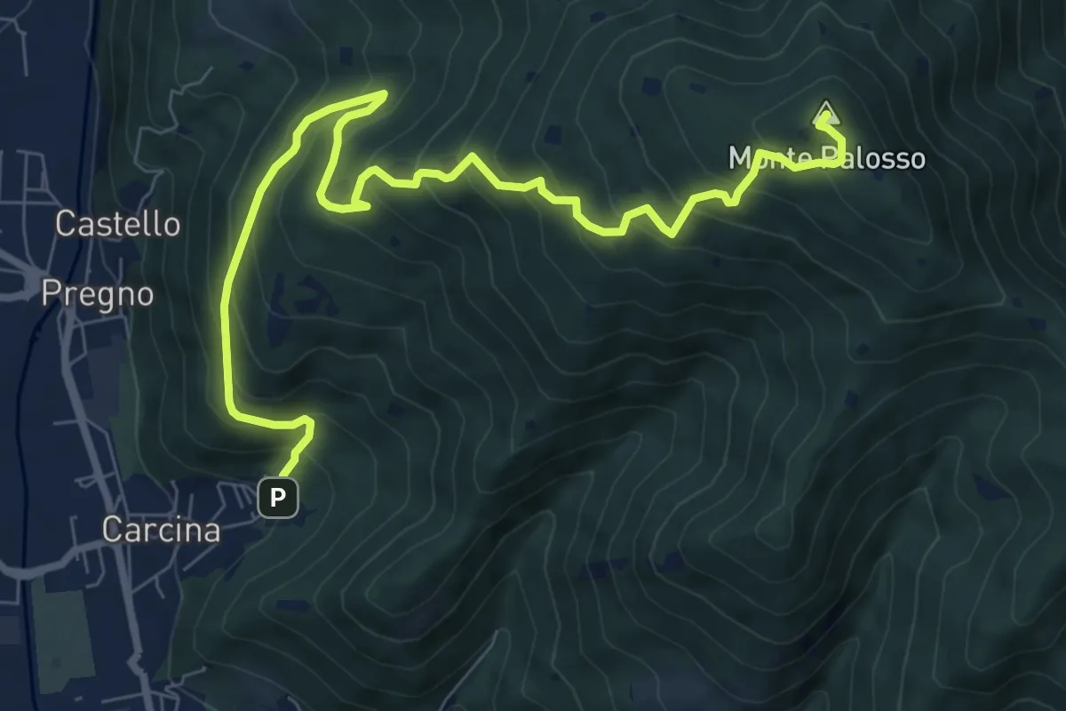
Demanding · Summit
Villa Carcina (Caricatore) – Monte Palosso
9.9 km · ↑ 908 m · 4 h 18 min · 7 km away
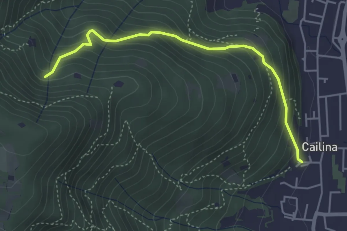
Medium · Trail
Villa Carcina (Cailina) – Roccolo del Prete
4.0 km · ↑ 379 m · 1 h 45 min · 7 km away
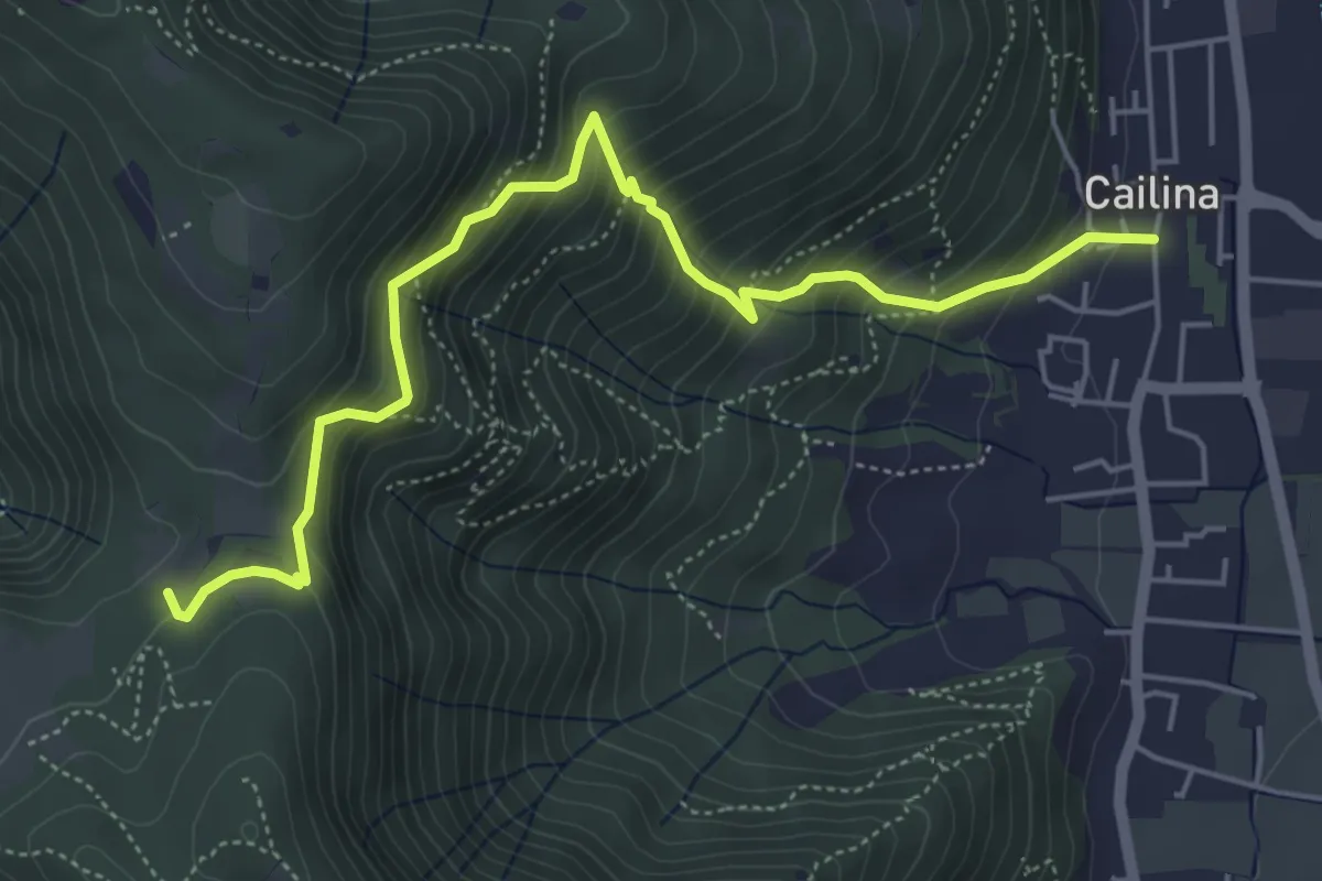
Medium · Trail
Villa Carcina (Cailina) – Quarone
5.8 km · ↑ 607 m · 2 h 42 min · 7 km away
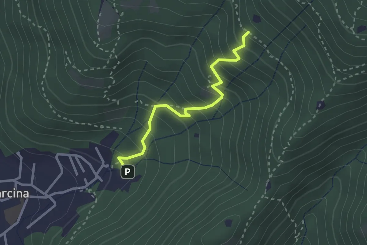
Medium · Trail
Villa Carcina - Sentiero 22
2.3 km · ↑ 303 m · 1 h 12 min · 7 km away
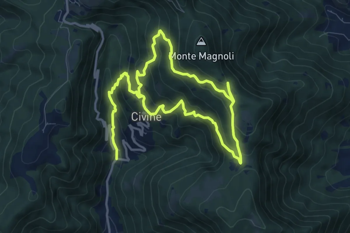
Medium · Trail
Sentiero Aldo Giacomini
7.5 km · ↑ 375 m · 2 h 49 min · 7 km away
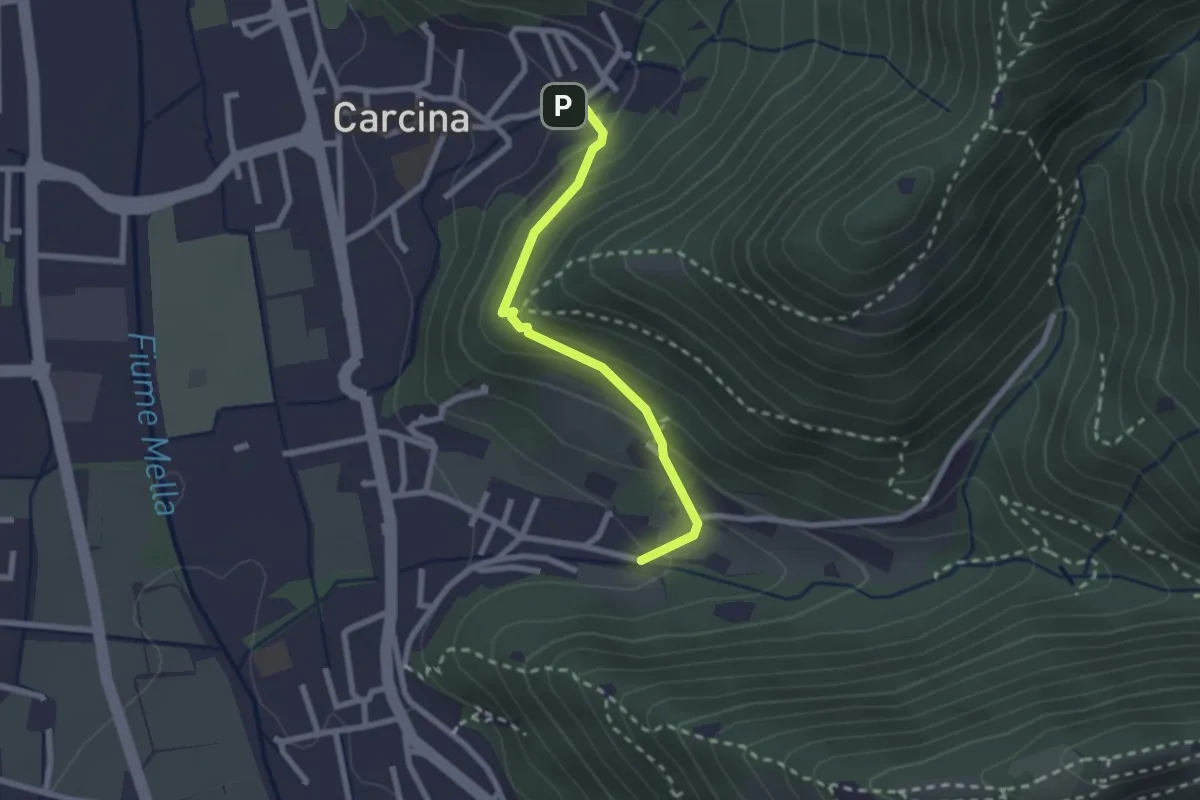
Easy · Trail
Villa Carcina (Carcina) - Costorio
2.2 km · ↑ 126 m · 48 min · 7 km away
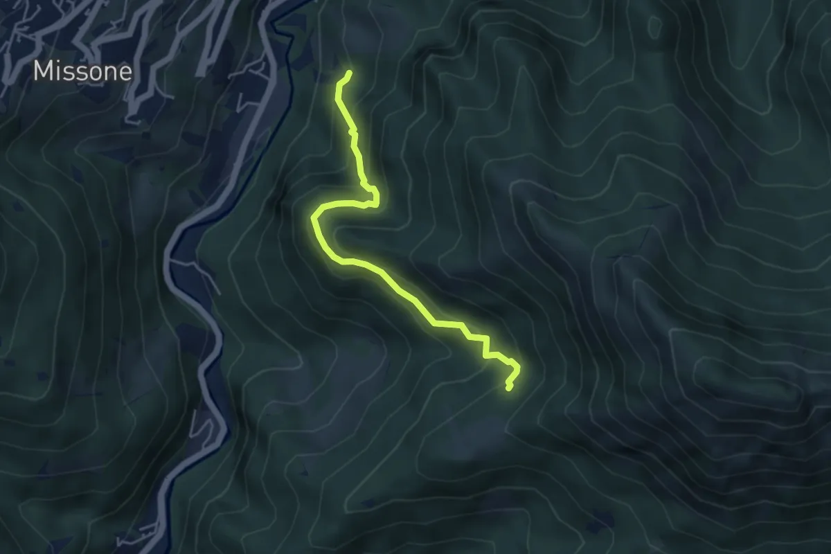
Medium · Trail
Antica Strada della Viola Alta
4.2 km · ↑ 367 m · 1 h 47 min · 7 km away
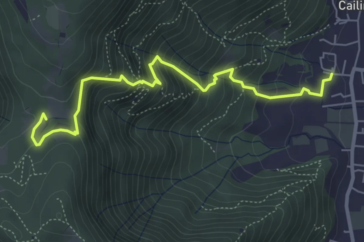
Medium · Trail
Villa Carcina (Cailina) – Quarone
5.7 km · ↑ 534 m · 2 h 30 min · 8 km away
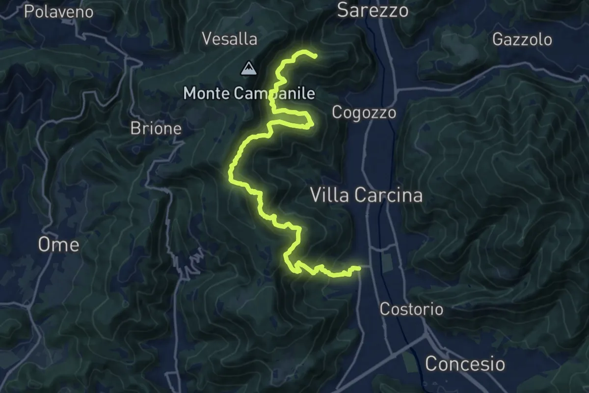
Demanding · Summit
Sentiero n° 1
19.4 km · ↑ 1506 m · 7 h 50 min · 8 km away
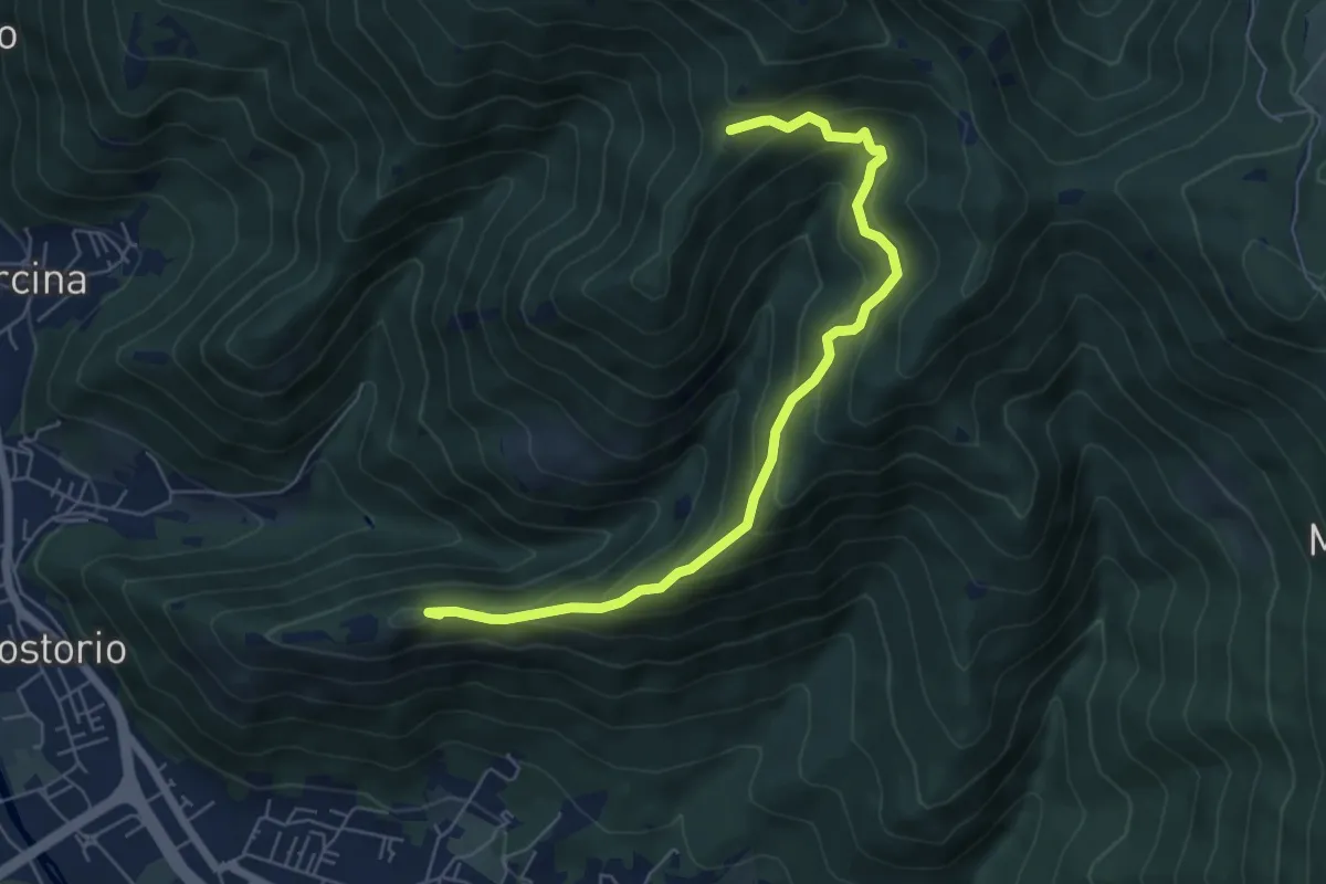
Medium · Summit
Concesio (Costorio) – Tesa del Condigolo (Innesto sentiero 378)
6.4 km · ↑ 468 m · 2 h 32 min · 8 km away
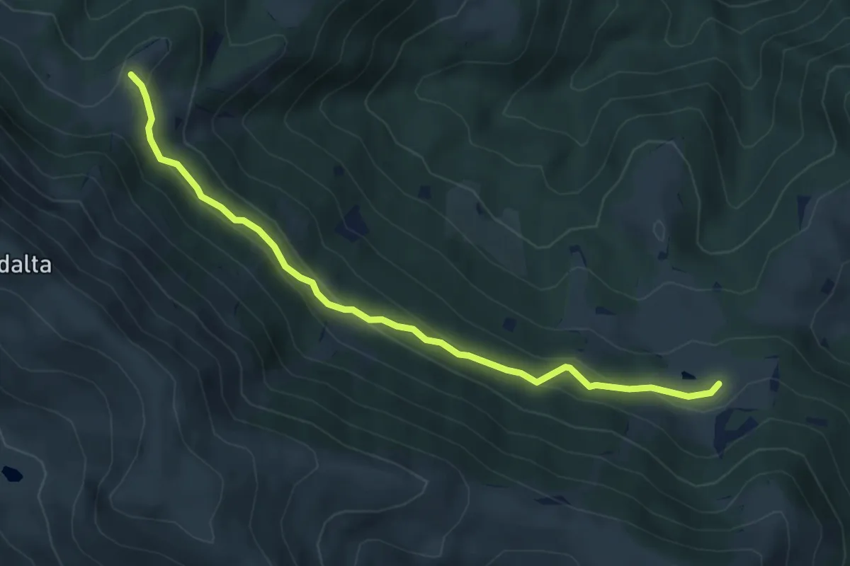
Easy · Trail
Tavernole Sul Mella (Malga Pontogna - Bivio Sentiero 325) – Malga Gale (Bivio Sentiero 393 3V)
5.4 km · ↑ 222 m · 1 h 46 min · 8 km away
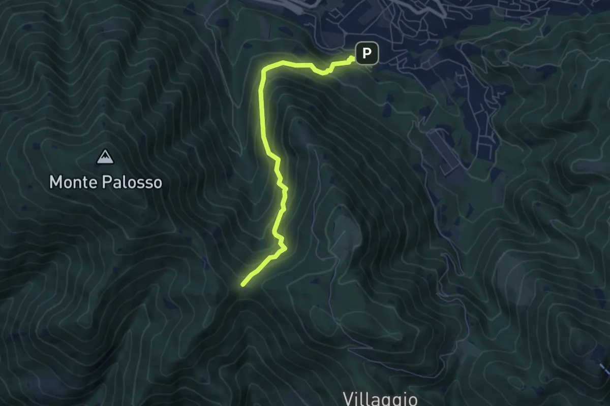
Medium · Trail
Lumezzane (Faidana) - Innesto Sentiero 371
6.4 km · ↑ 552 m · 2 h 43 min · 8 km away
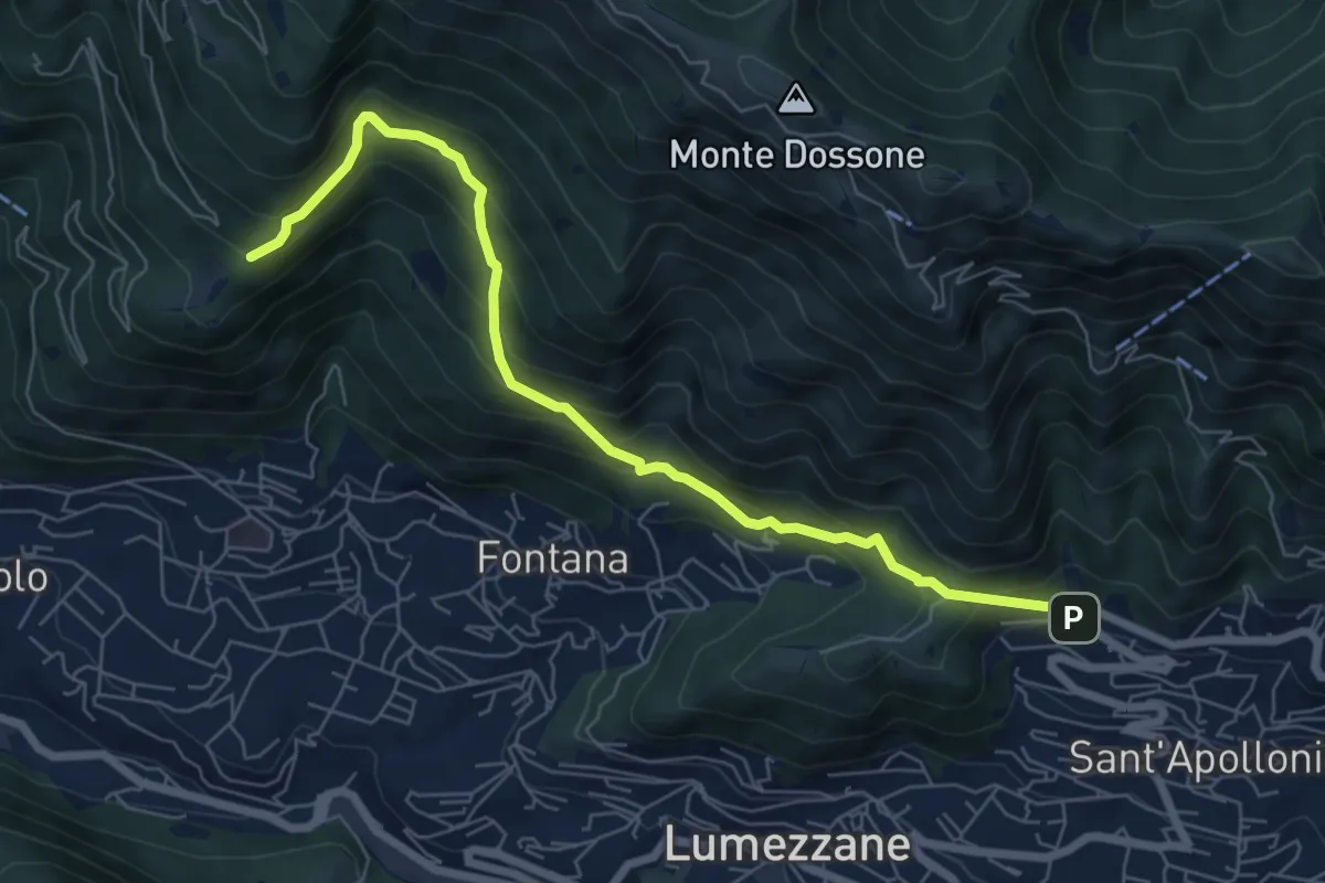
Demanding · Trail
Lumezzane (Ver) – San Bernardo (Bivio Zani Achille)
7.2 km · ↑ 587 m · 2 h 58 min · 8 km away
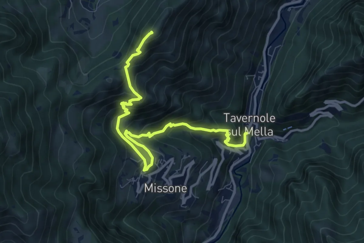
Demanding · Summit
Sentiero 1 (Monte Pergua)
9.5 km · ↑ 818 m · 4 h 1 min · 8 km away
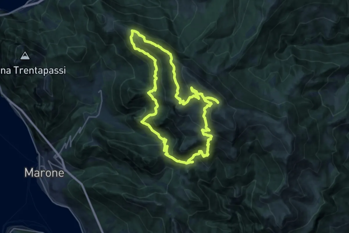
Demanding · Summit
Malghe in Rete - Anello 2 - Monte Guglielmo
18.2 km · ↑ 1257 m · 7 h 16 min · 8 km away
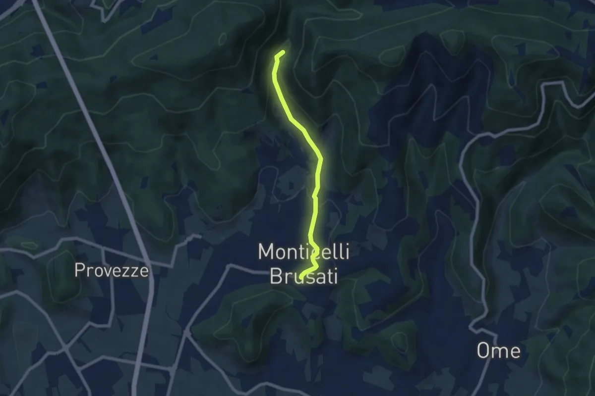
Easy · Trail
Sentiero delle Cascate (Percorso Principale)
5.2 km · ↑ 150 m · 1 h 34 min · 8 km away
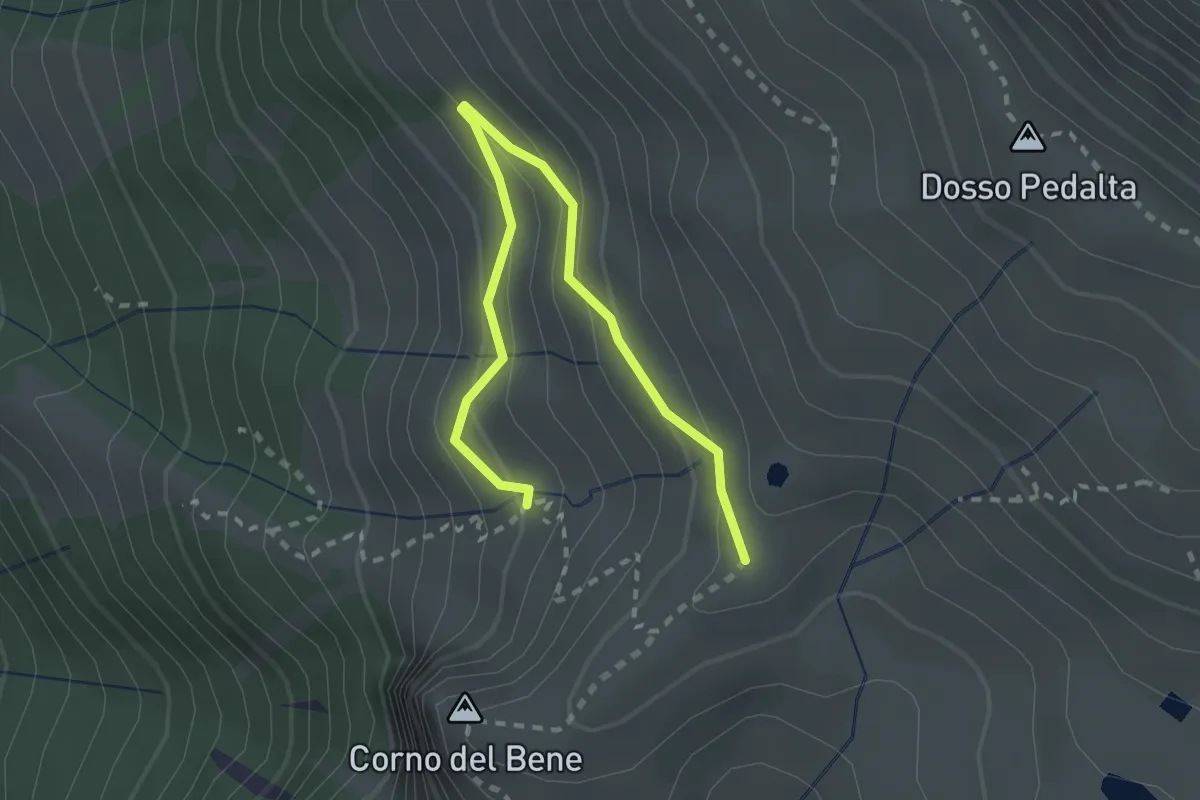
Easy · Cabin
Sentiero del Monte Guglielmo
2.8 km · ↑ 189 m · 1 h 4 min · 8 km away
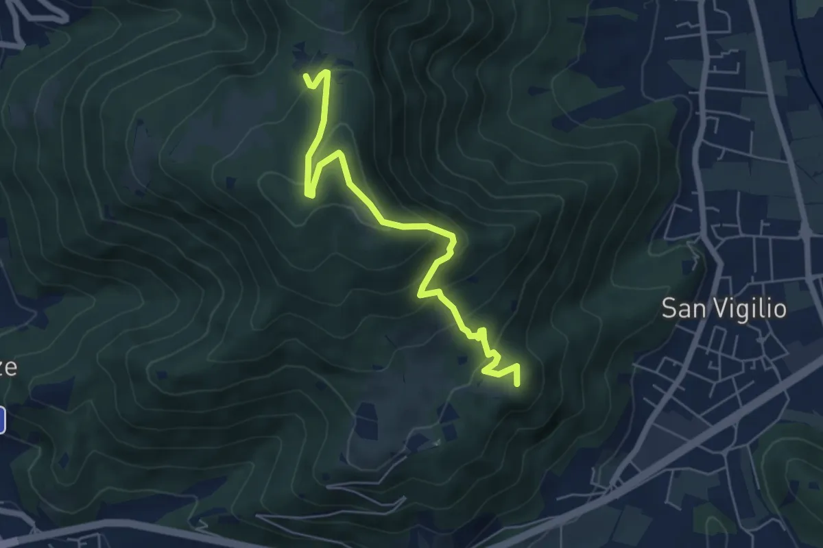
Medium · Summit
Concesio (San Vigilio) – Quarone di Sopra
5.8 km · ↑ 392 m · 2 h 13 min · 8 km away
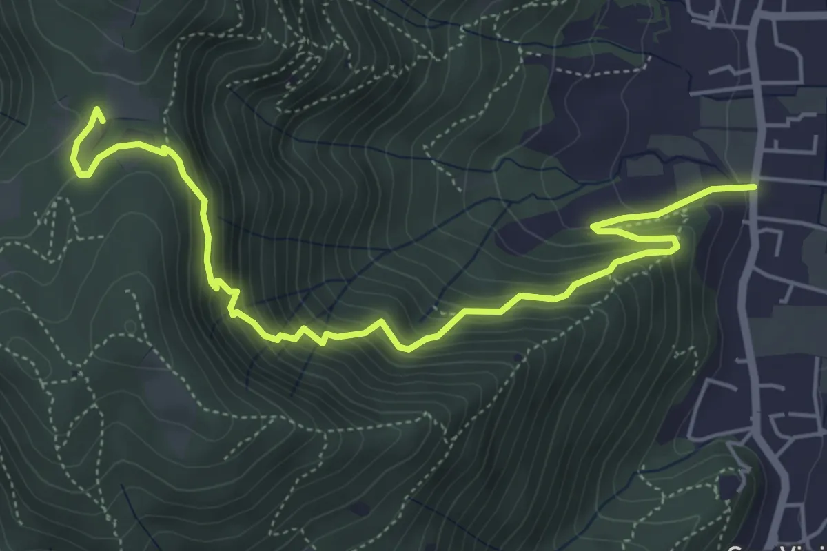
Medium · Trail
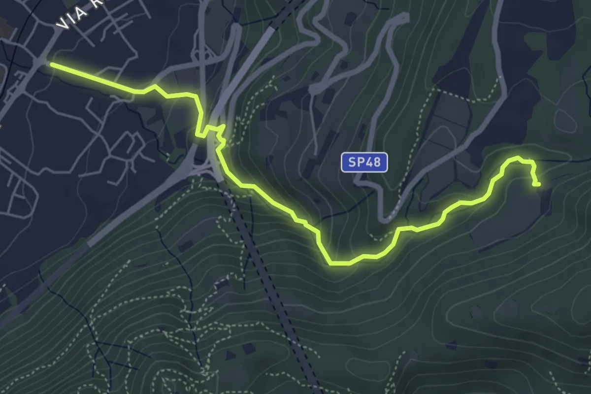
Concesio (Via Mandò) - Quarone di Sopra
6.2 km · ↑ 571 m · 2 h 42 min · 8 km away
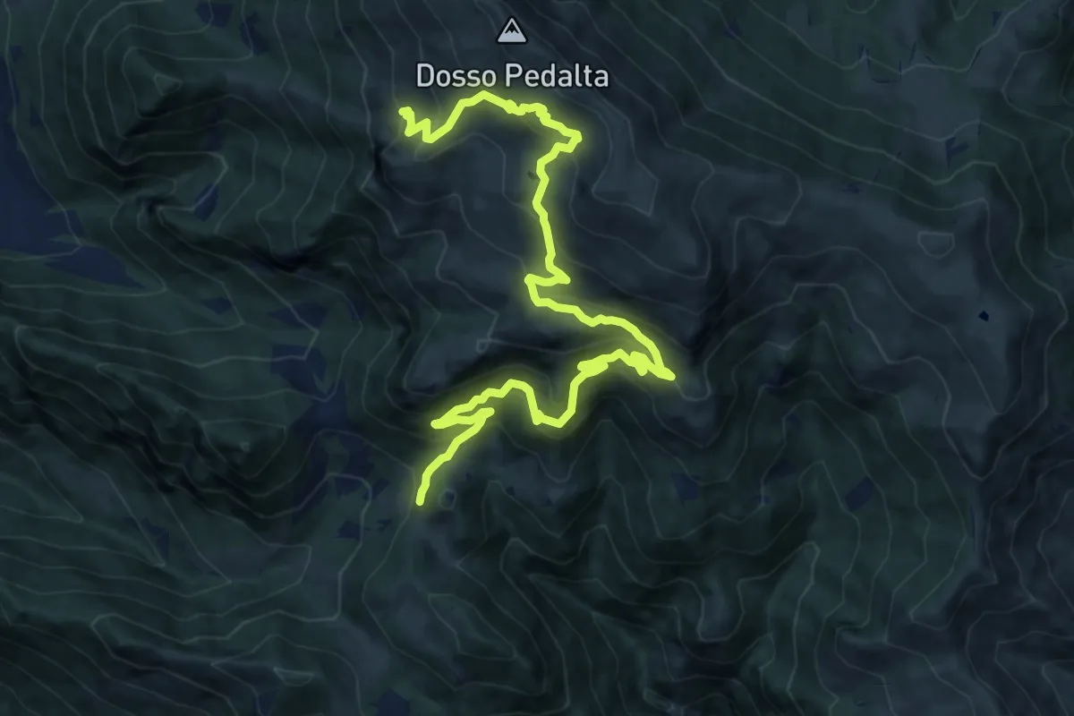
Medium · Summit
Sentiero naturalistico del Sebino
8.0 km · ↑ 356 m · 3 h 1 min · 8 km away
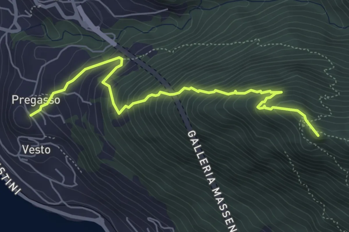
Demanding · Summit
Pregasso – Punta dei Dossi
5.8 km · ↑ 629 m · 2 h 43 min · 8 km away
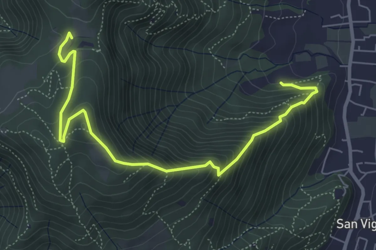
Medium · Trail
Concesio (Via Mandò) - Costa - Quarone di Sopra
6.6 km · ↑ 592 m · 2 h 50 min · 8 km away
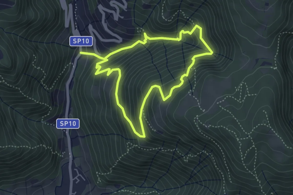
Medium · Trail
Sentiero della Valle Gandine
4.1 km · ↑ 358 m · 1 h 48 min · 8 km away
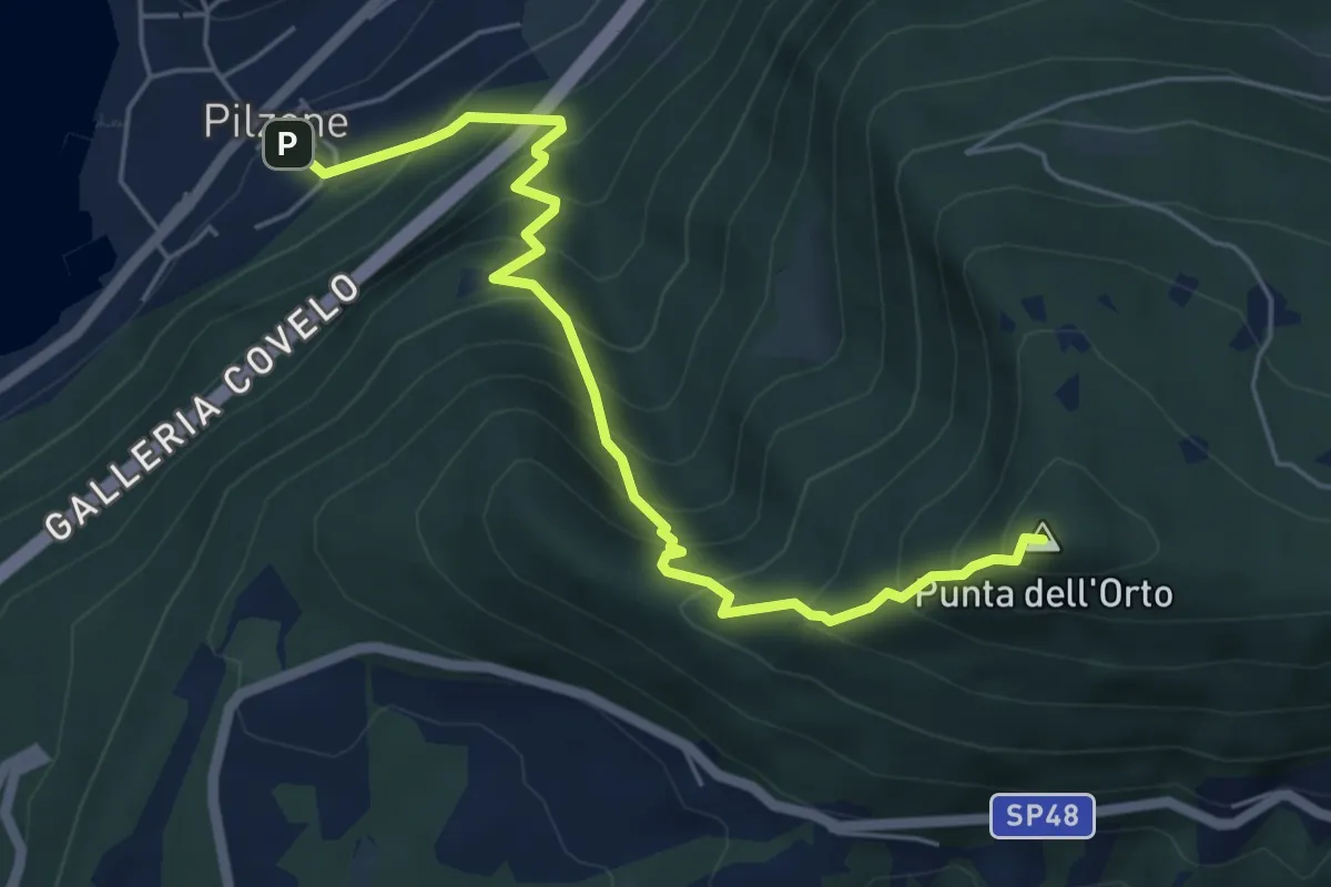
Medium · Summit
Pilzone – Punta dell'Orto
6.0 km · ↑ 762 m · 3 h 3 min · 8 km away
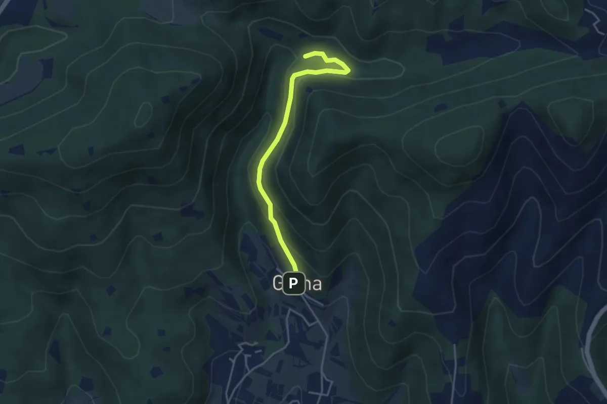
Medium · Trail
Sentiero delle Cascate - Variante B
3.6 km · ↑ 217 m · 1 h 20 min · 8 km away
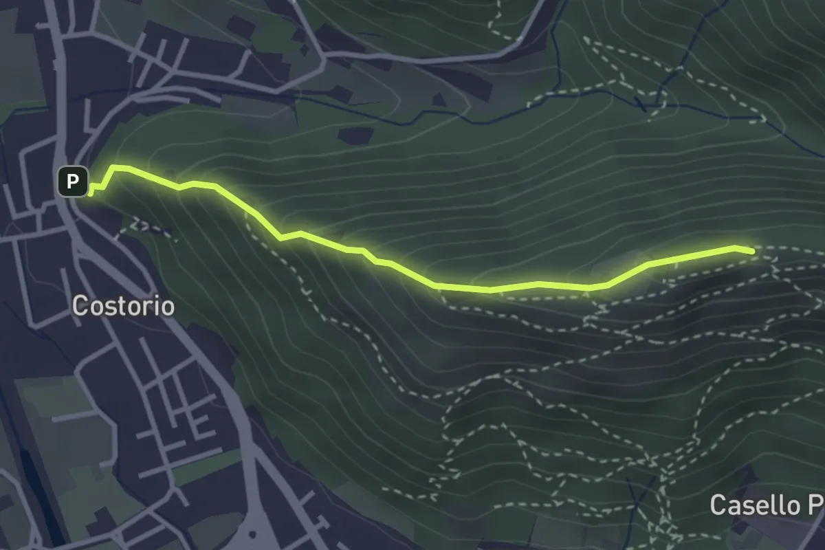
Medium · Summit
Concesio (Costorio) - Grassi Carpini
3.0 km · ↑ 329 m · 1 h 25 min · 8 km away
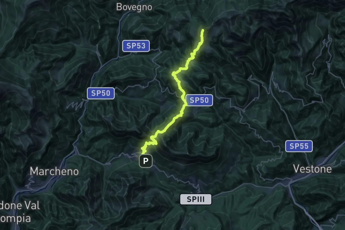
Demanding · Summit
Sentiero 3V - Tappa 3
25.5 km · ↑ 1895 m · 10 h 8 min · 8 km away
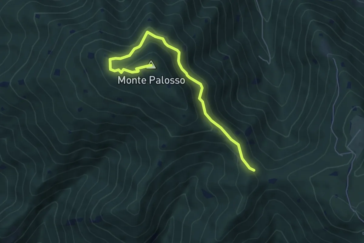
Medium · Summit
Sentiero Gnutti Cirillo
5.8 km · ↑ 302 m · 2 h 2 min · 8 km away
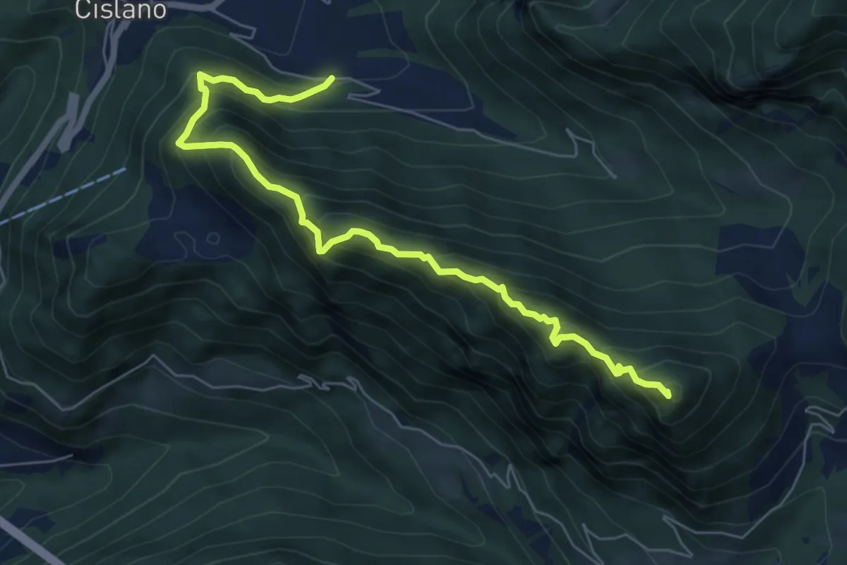
Medium · Summit
Sentiero di Monte Pura
6.9 km · ↑ 733 m · 3 h 13 min · 8 km away
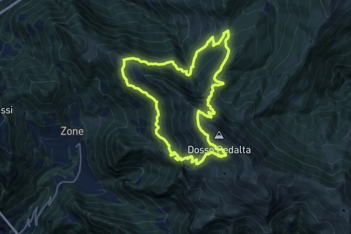
Demanding · Summit
Malghe in Rete - Anello 4 - Punta Caravina
13.5 km · ↑ 1036 m · 5 h 37 min · 8 km away
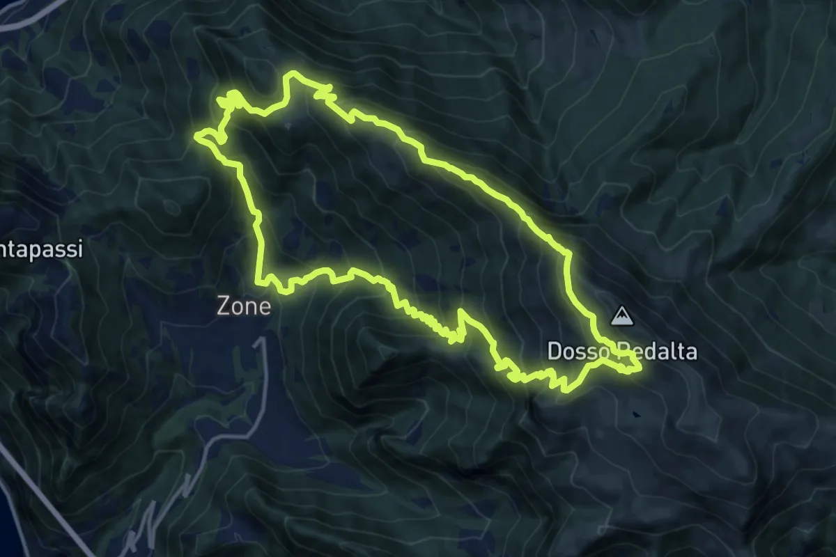
Demanding · Summit
Malghe in Rete - Anello 3 - Tredici Piante
15.1 km · ↑ 1310 m · 6 h 36 min · 8 km away
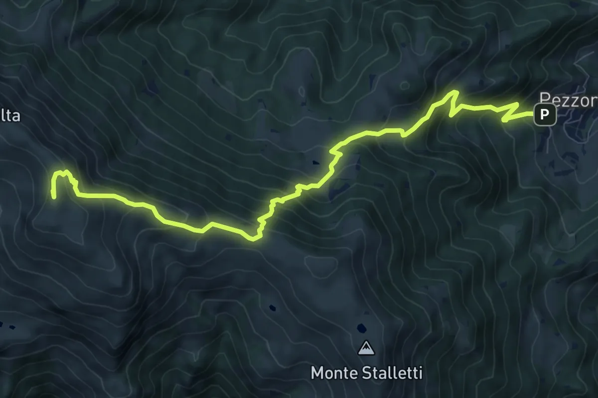
Demanding · Summit
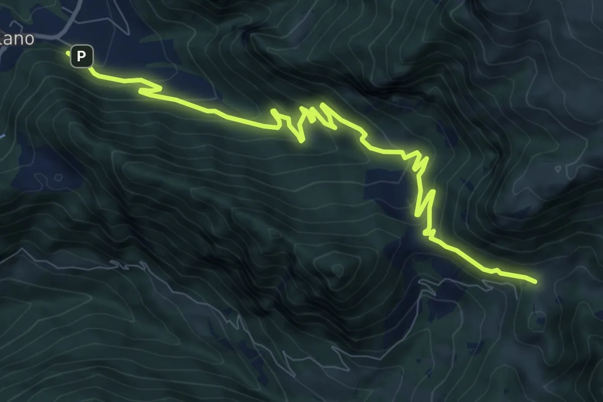
Tavernole sul Mella (Pezzoro) – Monte Guglielmo
11.0 km · ↑ 1020 m · 4 h 48 min · 8 km away
Medium · Cabin
Sentiero della Valle di Gasso
11.2 km · ↑ 592 m · 3 h 56 min · 9 km away
Medium · Summit
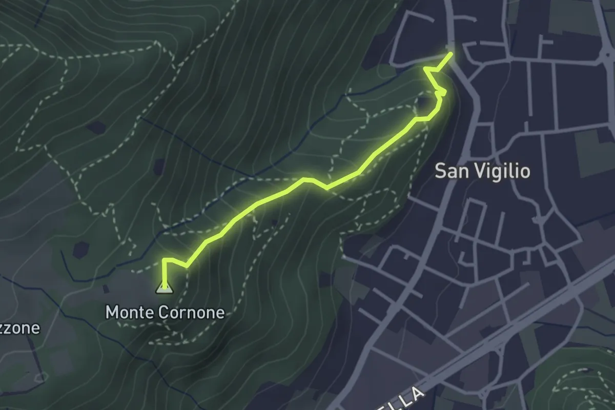
Concesio (San Vigilio) - Quarone di Sopra
2.6 km · ↑ 259 m · 1 h 11 min · 9 km away
Expert · Summit
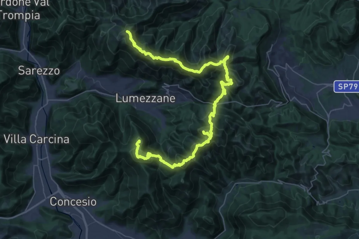
Via del Sacro
42.2 km · ↑ 2976 m · 16 h 24 min · 9 km away
Medium · Trail
Sentér del Gat
5.9 km · ↑ 306 m · 2 h 4 min · 9 km away
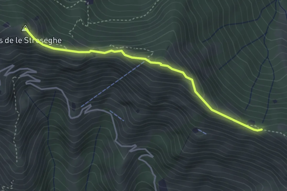
Expert · Summit
Sentiero 3V - Tappa 2 (Variante alta)
3.5 km · ↑ 313 m · 1 h 30 min · 9 km away
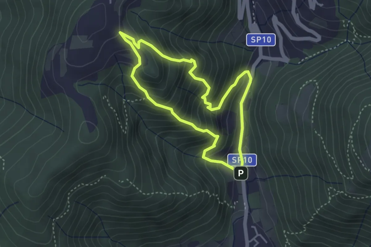
Medium · Trail
Sentiero Dosso di Mezzane - Barche - Andreolo
3.3 km · ↑ 357 m · 1 h 35 min · 9 km away
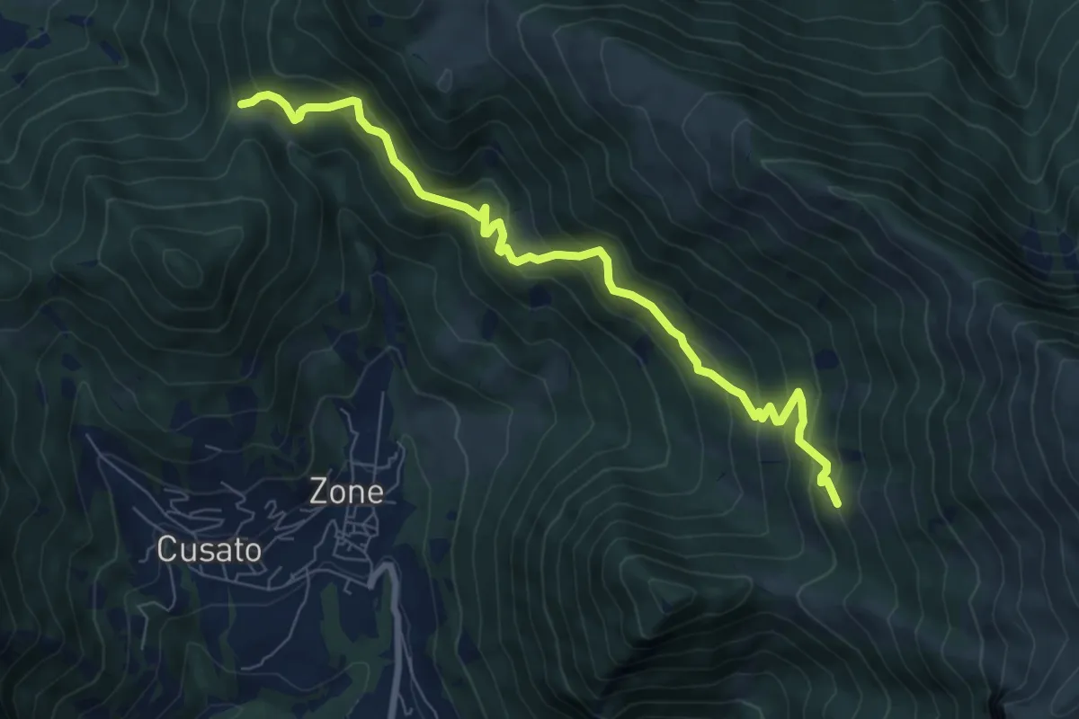
Medium · Trail
Sentiero dei Grap
7.9 km · ↑ 666 m · 3 h 19 min · 9 km away
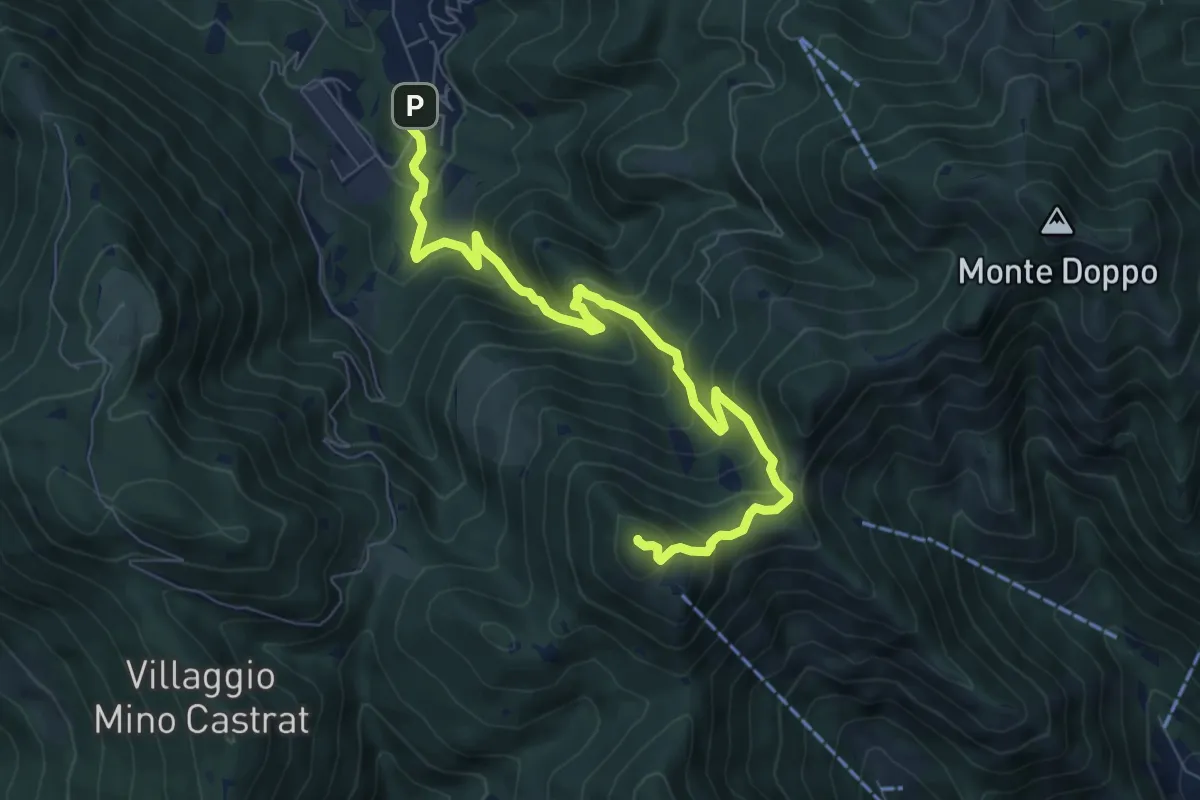
Medium · Summit
Lumezzane (Via Ruca) – Cascina Cocca
8.4 km · ↑ 670 m · 3 h 26 min · 9 km away
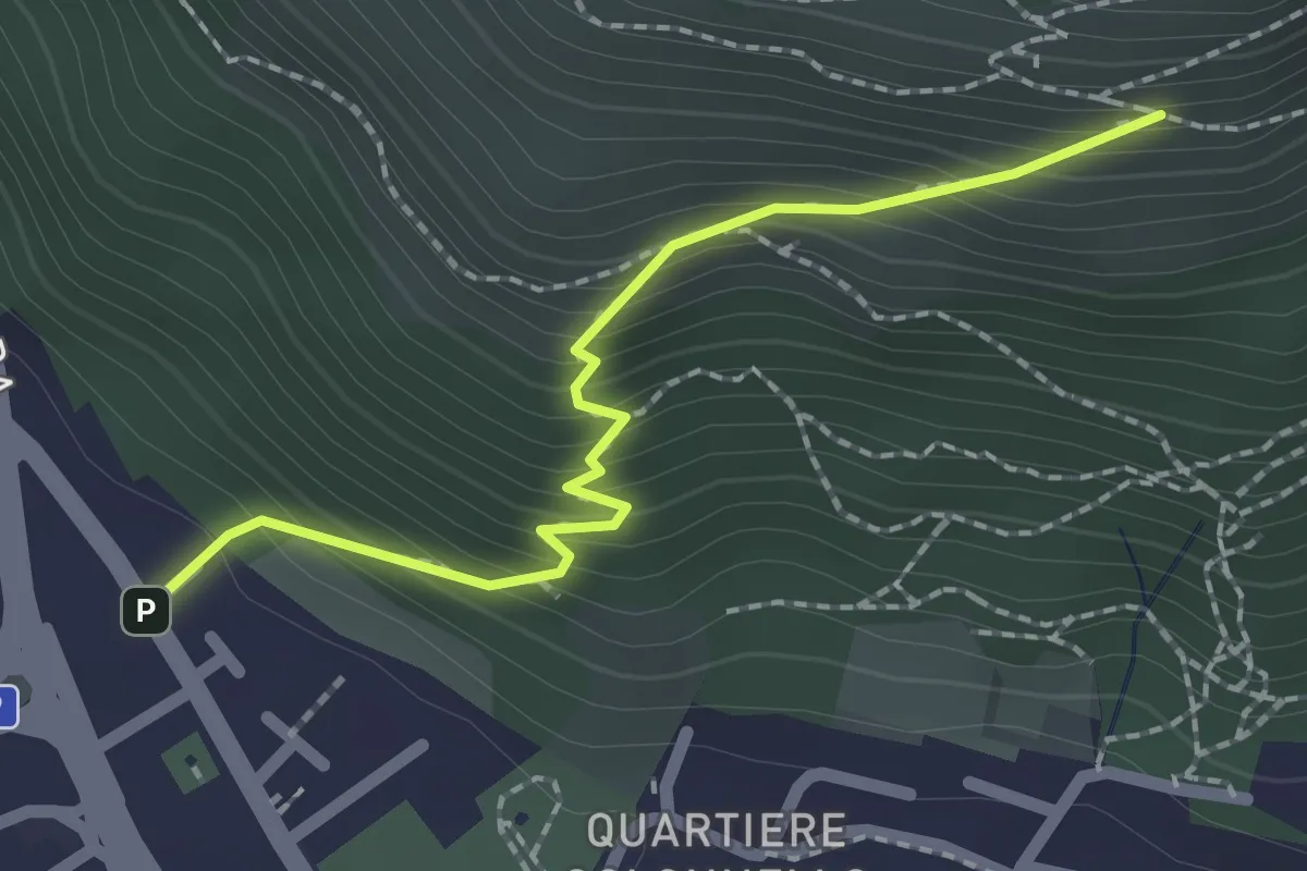
Medium · Cabin
Concesio (Vicolo Verdura) - Monte Verdura (Innesto Sentiero da Pieve)
2.1 km · ↑ 271 m · 1 h 5 min · 9 km away
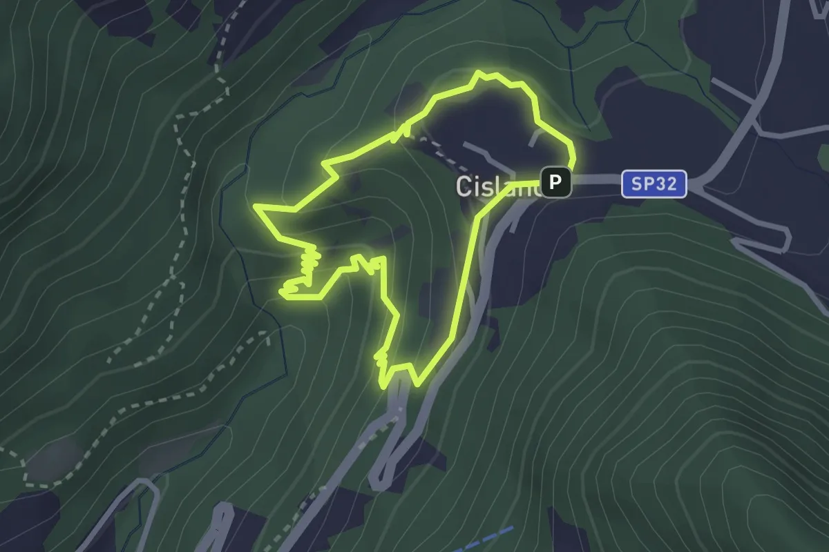
Medium · Trail
Sentiero delle Piramidi di Zone
2.4 km · ↑ 160 m · 57 min · 9 km away
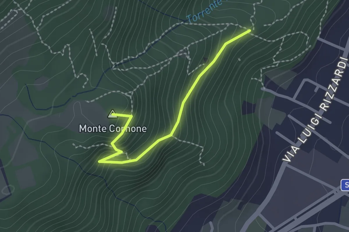
Demanding · Summit
Sentiero D - Variante Monte Cornone
2.1 km · ↑ 170 m · 52 min · 9 km away
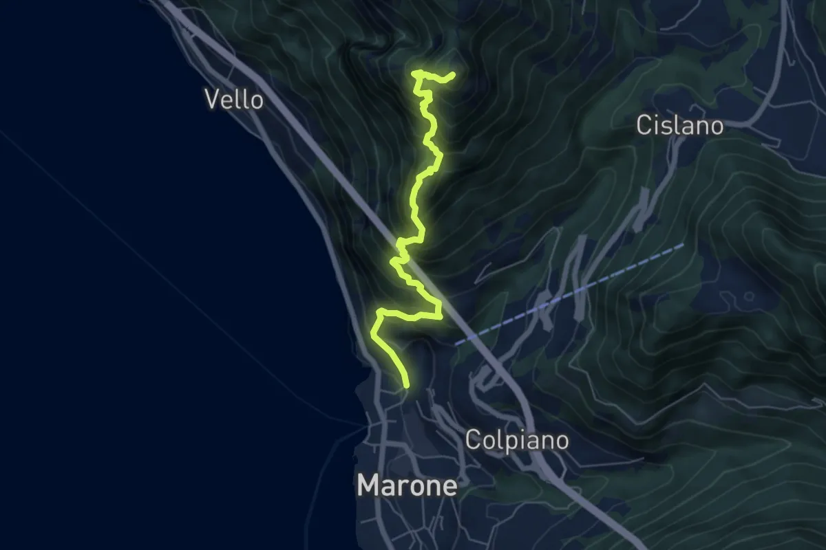
Expert · Summit
Sentiero Punta Cunicolo
5.8 km · ↑ 919 m · 3 h 22 min · 9 km away
Medium · Trail
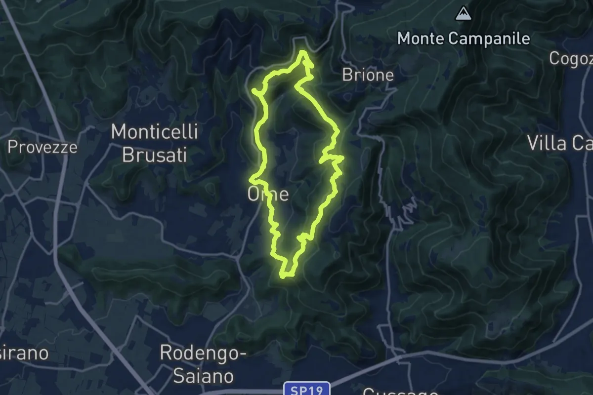
Sentiero dei funghi
12.1 km · ↑ 736 m · 4 h 37 min · 9 km away
Medium · Summit
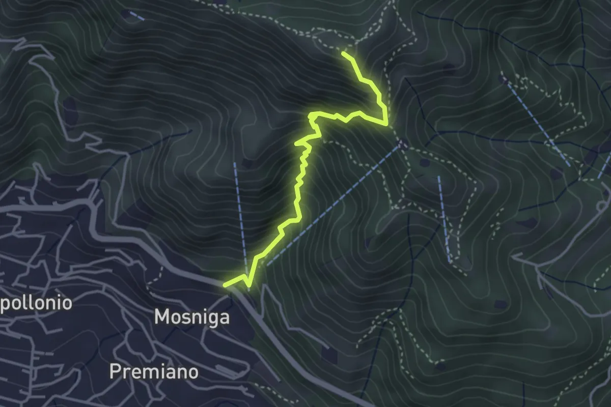
Lumezzane (Mosniga) - Punta Camoghera
3.4 km · ↑ 515 m · 1 h 55 min · 9 km away
Easy · Trail
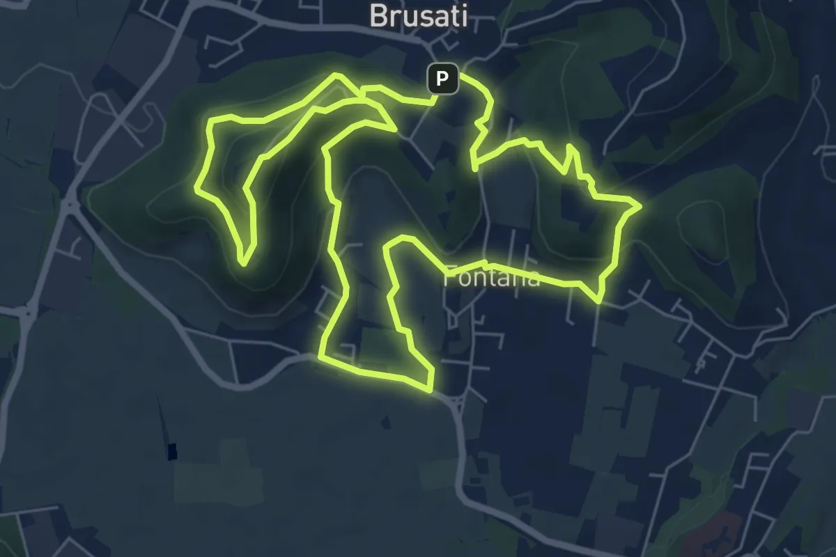
Tra il vecchio castello e la Madonna della Rosa
7.0 km · ↑ 299 m · 2 h 24 min · 9 km away
Medium · Trail
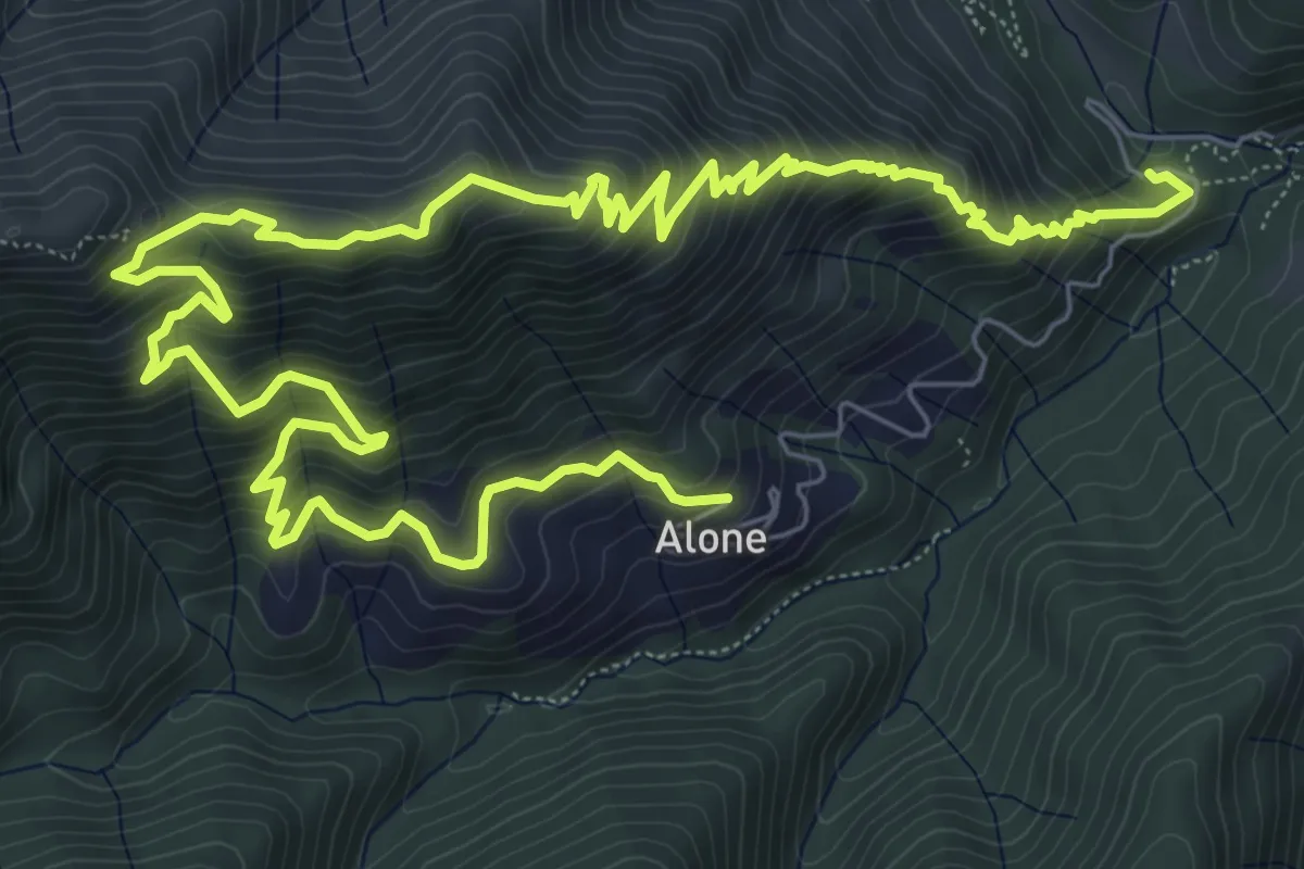
Sapei - Santa Caterina - Fo del Gal - San Rocco
6.4 km · ↑ 705 m · 3 h 4 min · 9 km away