Trails near Gardone Val Trompia
328 hikes starting within 15 km, nearest first.
Nearest first, page 4 of 7
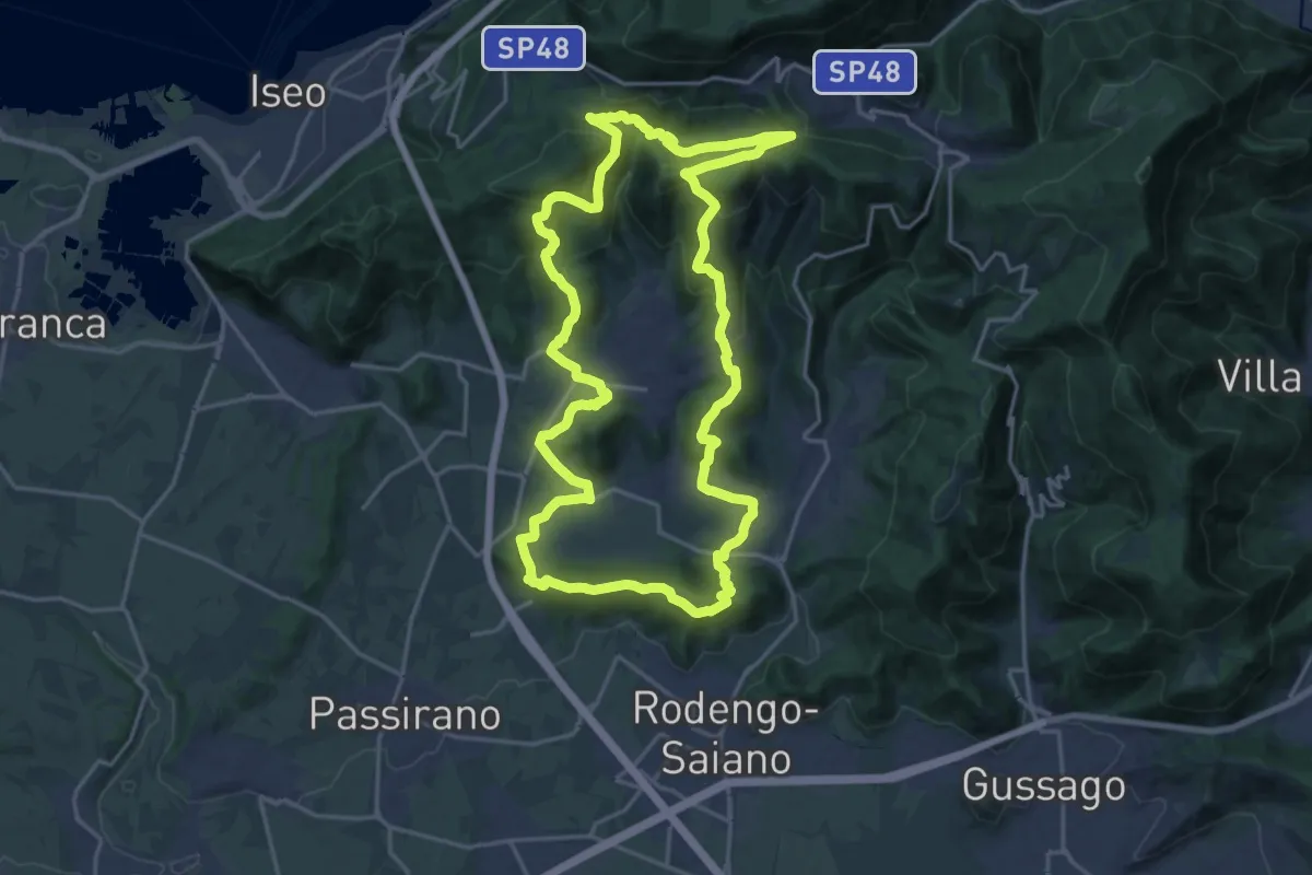
Demanding · Summit
El gir del Muntasel
20.5 km · ↑ 865 m · 6 h 59 min · 9 km away
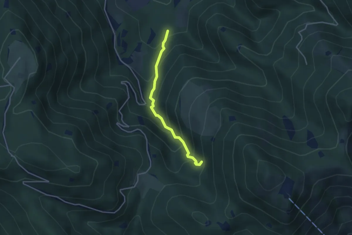
Medium · Trail
Lumezzane (Innesto Sentiero 374) - Fontanì de A'bie - Innesto Sentiero 375
2.7 km · ↑ 300 m · 1 h 18 min · 9 km away
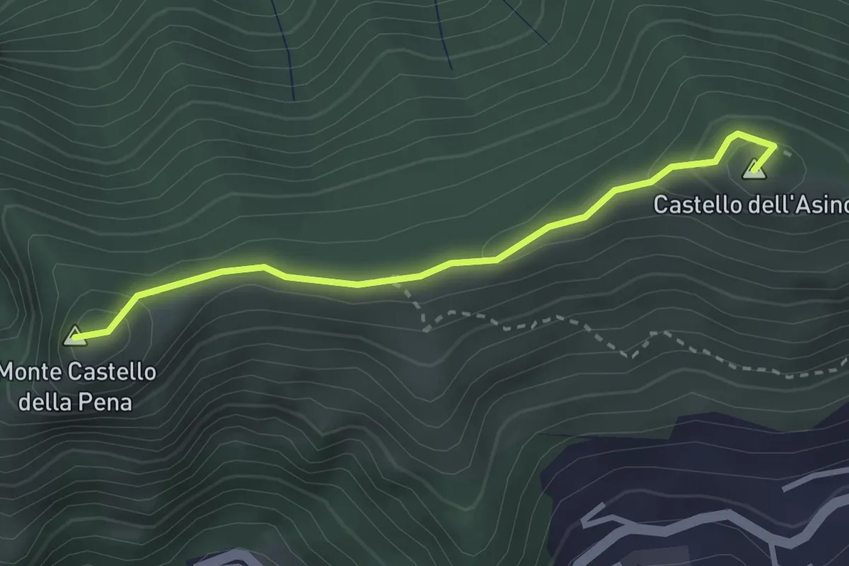
Medium · Summit
Marmentino - Monte Castello della Pena
2.7 km · ↑ 143 m · 57 min · 9 km away
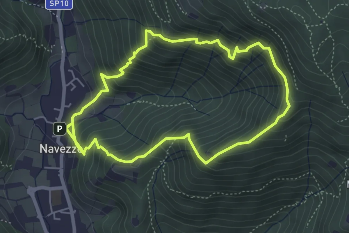
Medium · Trail
Sentiero della Valle di Faidolo
4.3 km · ↑ 452 m · 2 h 2 min · 9 km away
Medium · Trail
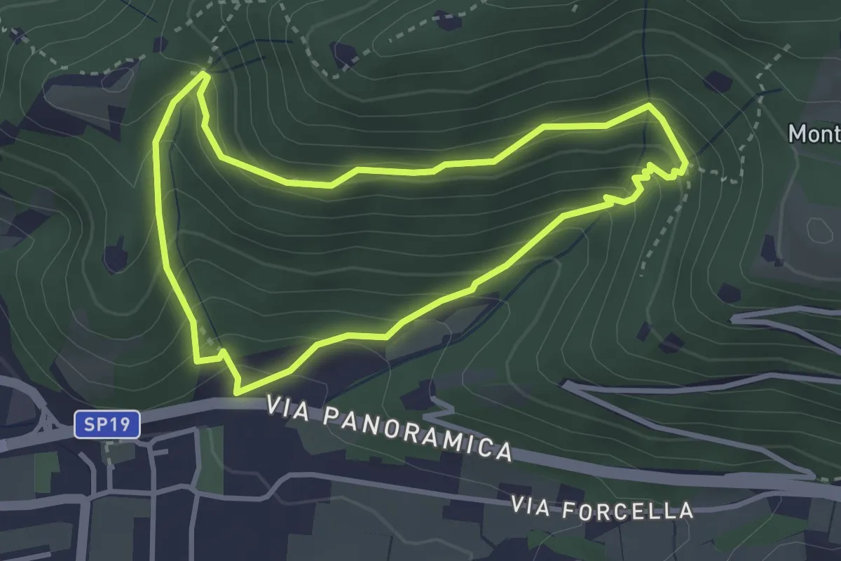
Sentiero della Val Volpera
3.0 km · ↑ 258 m · 1 h 18 min · 9 km away
Medium · Cabin
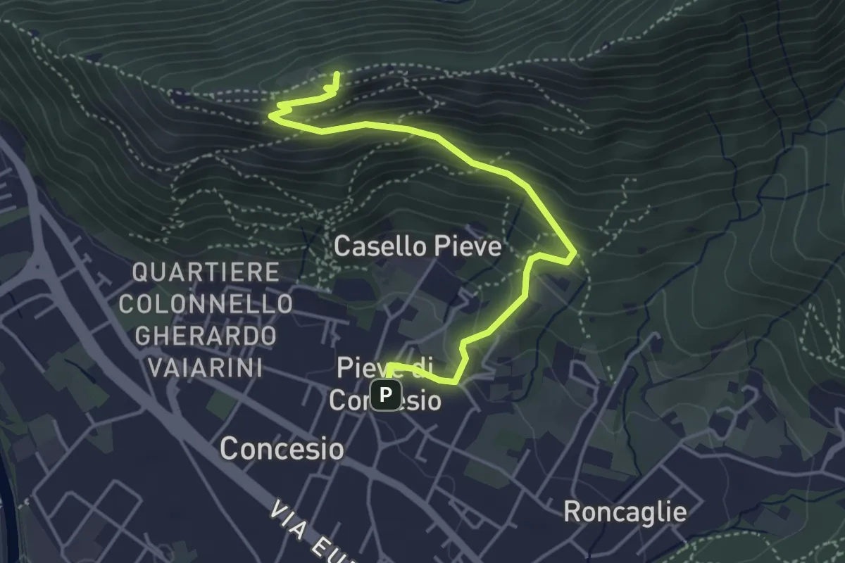
Concesio (Pieve) – Monte Verdura
4.4 km · ↑ 333 m · 1 h 46 min · 10 km away
Medium · Cabin
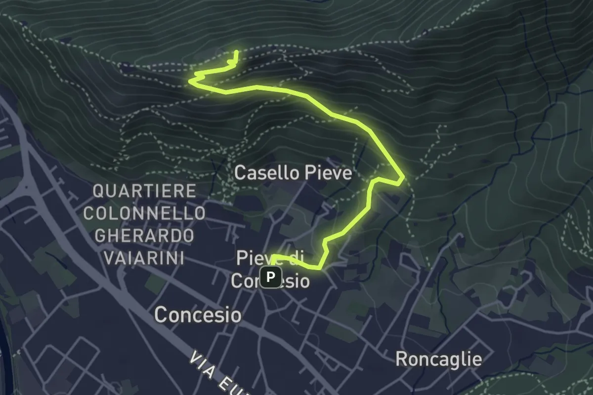
Concesio (Pieve) - Monte Verdura
4.4 km · ↑ 333 m · 1 h 46 min · 10 km away
Medium · Summit
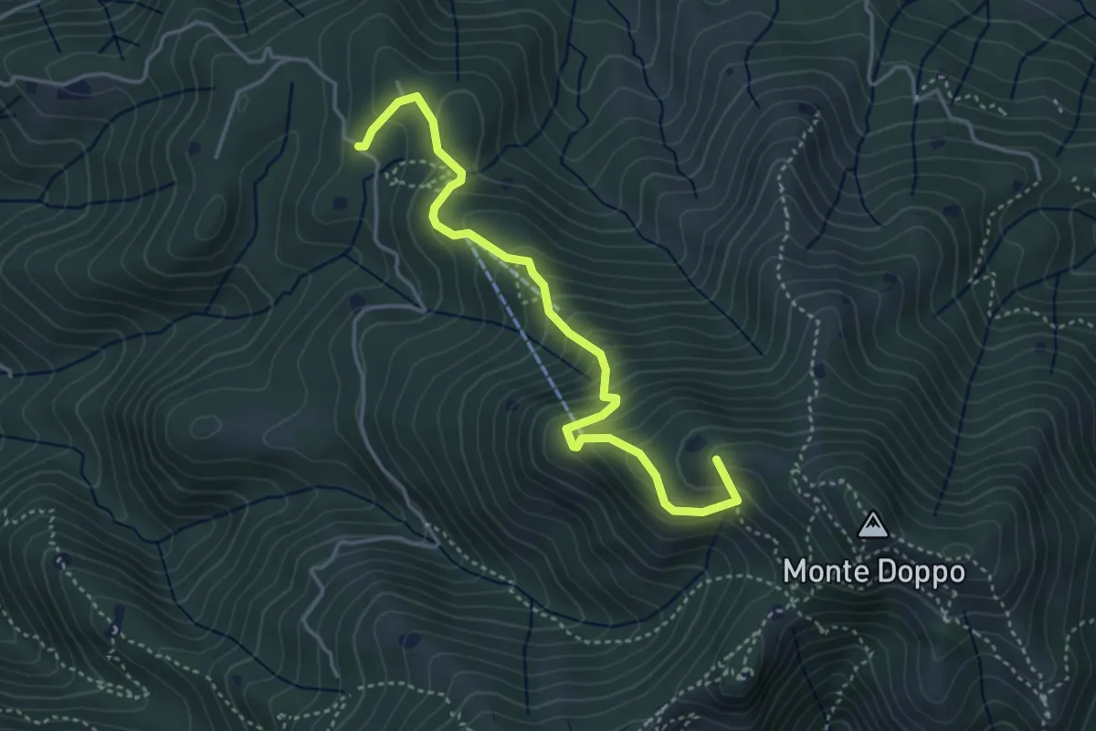
Lumezzane (Burio) - Bivio per San Giorgio
4.2 km · ↑ 376 m · 1 h 48 min · 10 km away
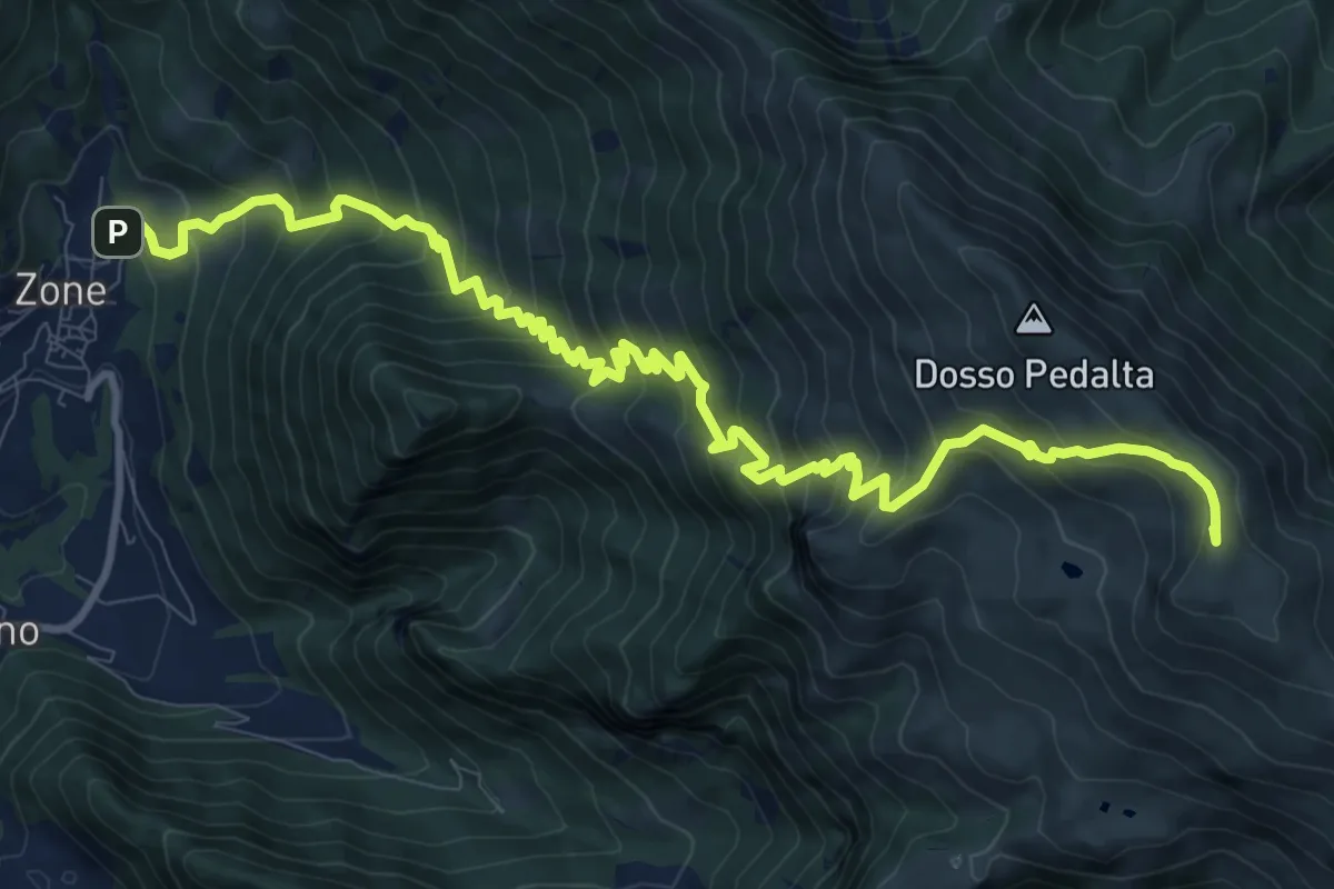
Demanding · Summit
Sentiero del Monte Guglielmo
13.9 km · ↑ 1311 m · 6 h 8 min · 10 km away
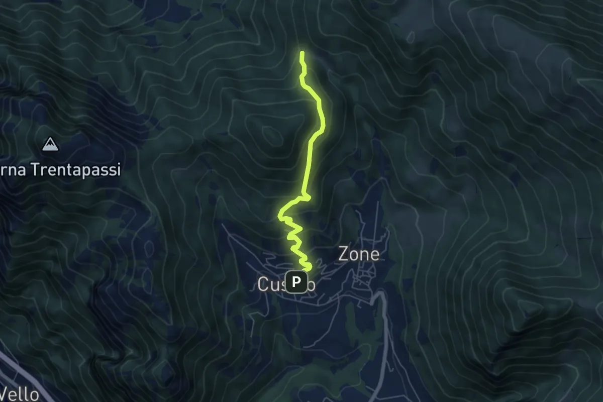
Medium · Trail
Sentiero delle Terre Rosse
5.0 km · ↑ 427 m · 2 h 6 min · 10 km away
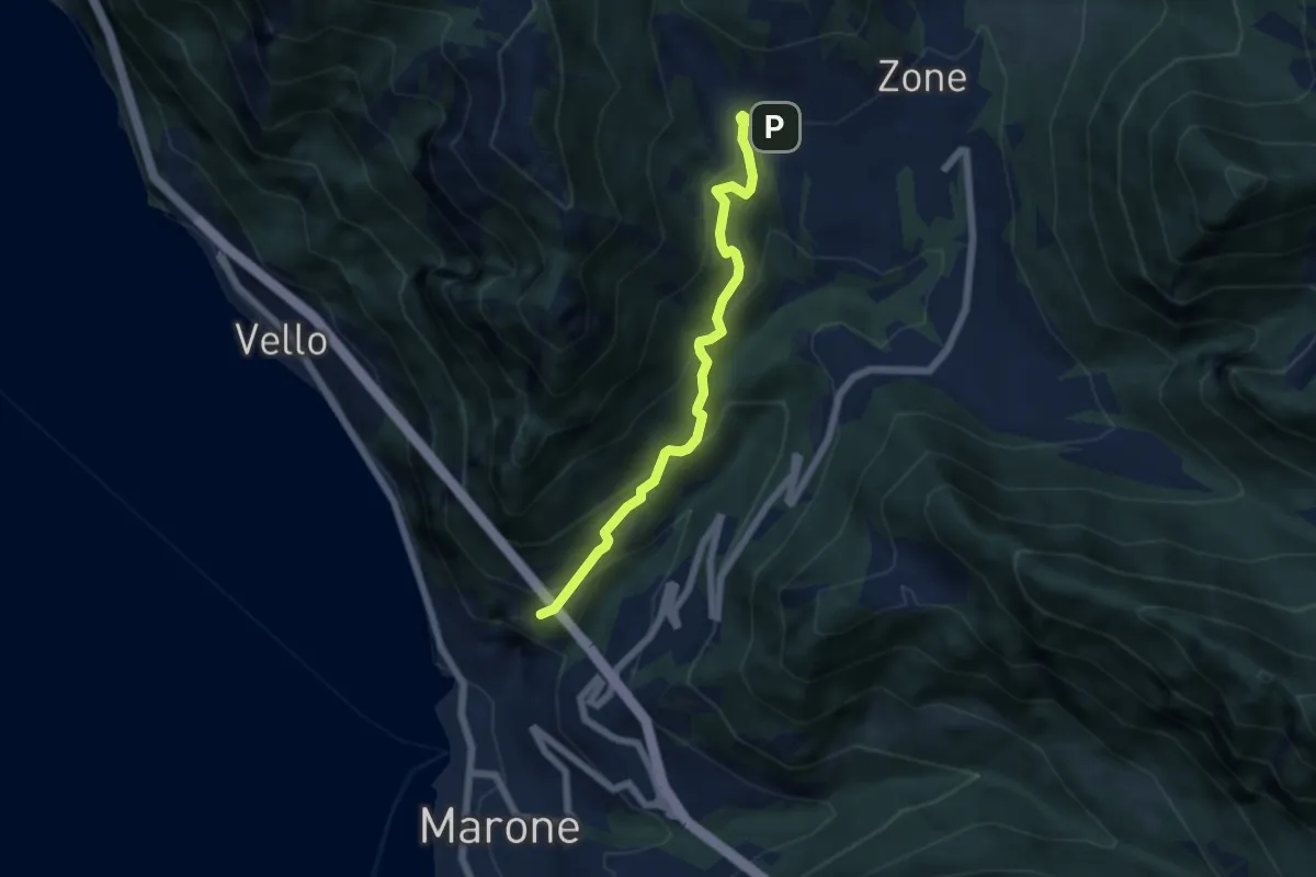
Medium · Trail
Monte Marone – Cusato
5.7 km · ↑ 428 m · 2 h 16 min · 10 km away
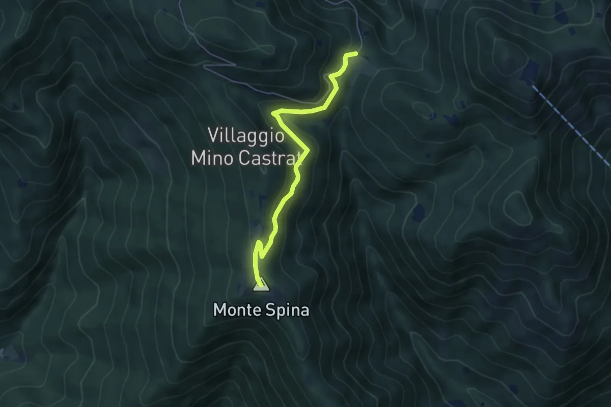
Medium · Summit
Nave (Sacca) - Cascina Cocca
4.7 km · ↑ 209 m · 1 h 33 min · 10 km away
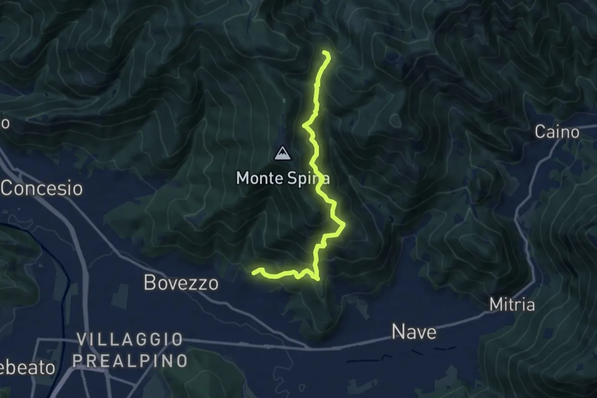
Demanding · Trail
Nave (Cortine) - Cascina Cocca
10.8 km · ↑ 913 m · 4 h 32 min · 10 km away
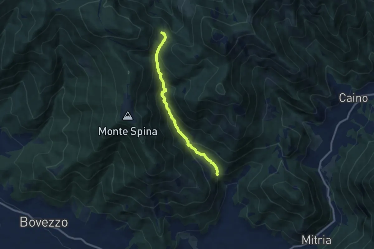
Demanding · Trail
Nave (La Corna) - Cascina Cocca
6.6 km · ↑ 417 m · 2 h 27 min · 10 km away
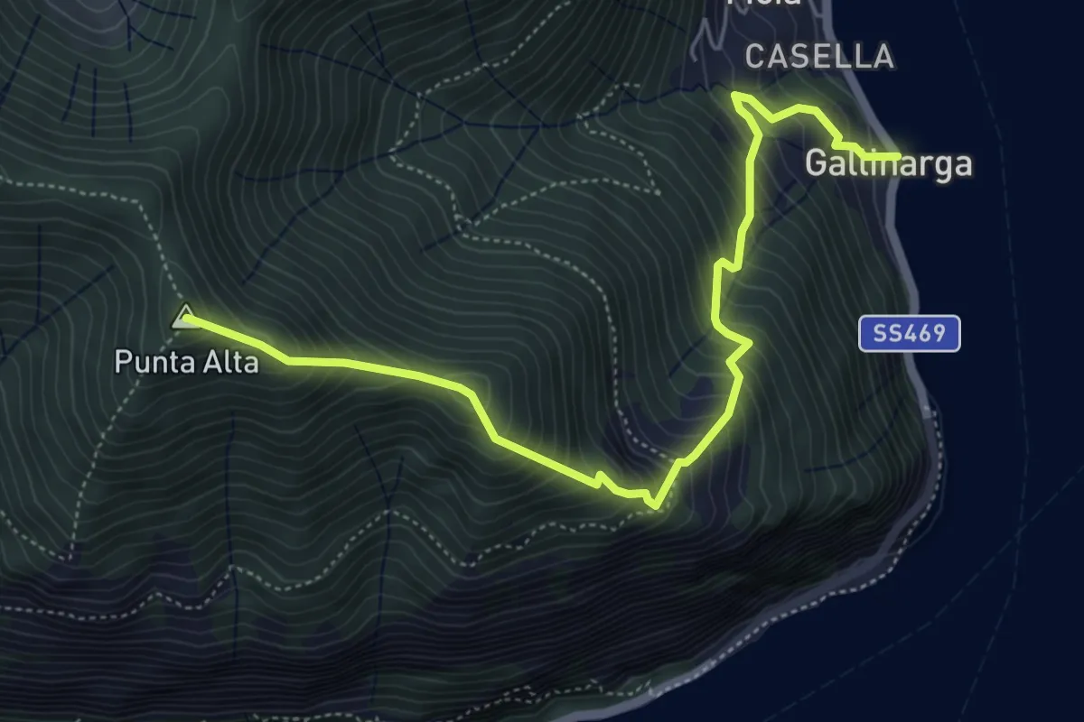
Demanding · Summit
Gallinarga – Colle del Giogo
5.9 km · ↑ 744 m · 3 h · 10 km away
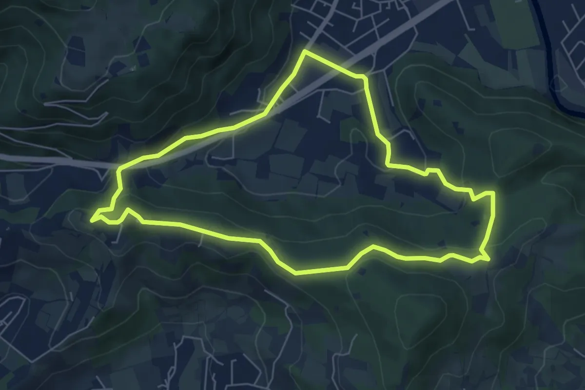
Easy · Trail
Concesio - Valsorda
6.0 km · ↑ 208 m · 1 h 57 min · 10 km away
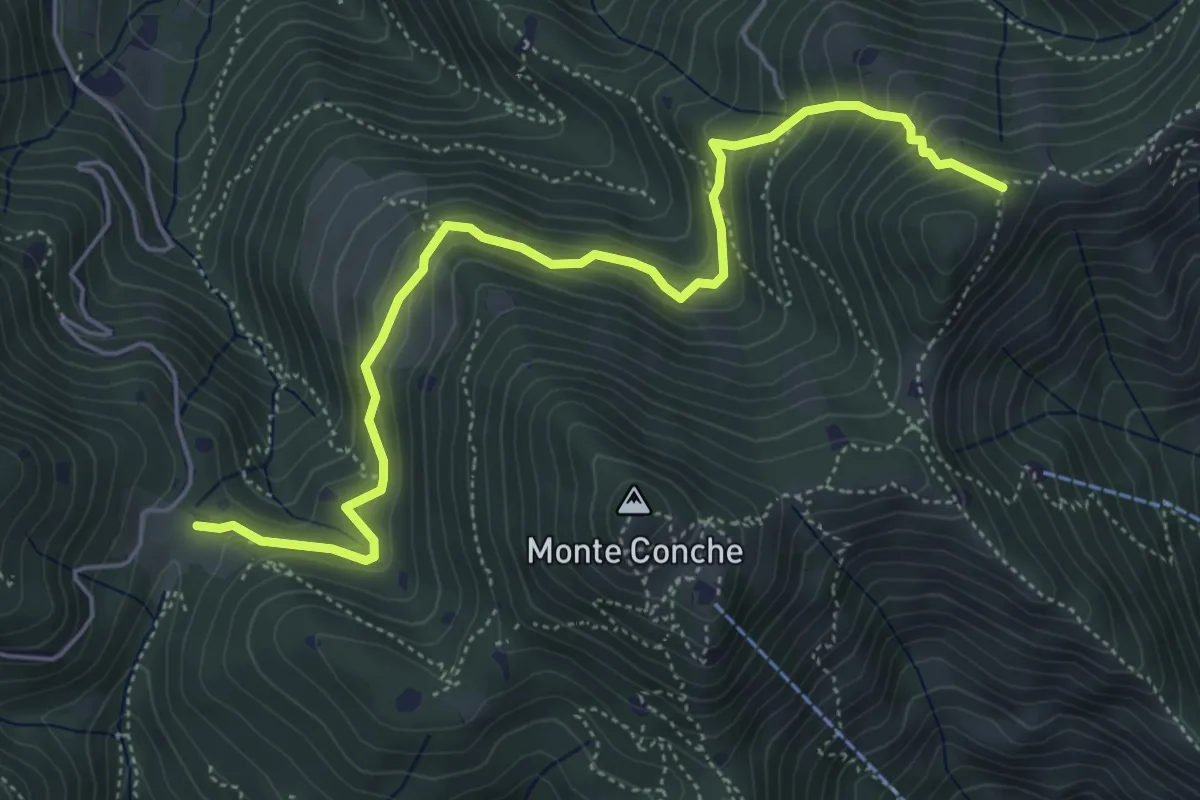
Medium · Trail
Lumezzane (Cascina Cocca) – Forcella di Calone
5.8 km · ↑ 474 m · 2 h 24 min · 10 km away
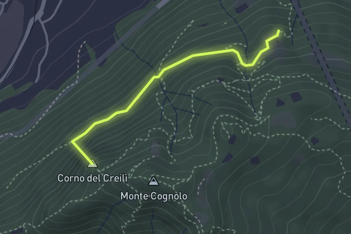
Easy · Summit
Senterù - Sentiero delle Terre Rosse
2.9 km · ↑ 284 m · 1 h 18 min · 10 km away
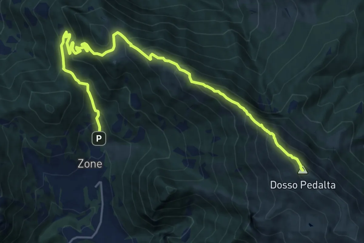
Demanding · Summit
Zone – Monte Guglielmo
17.0 km · ↑ 1277 m · 6 h 47 min · 10 km away
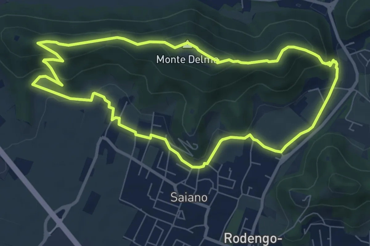
Medium · Summit
Giro del Monte Delma
6.9 km · ↑ 224 m · 2 h 12 min · 10 km away
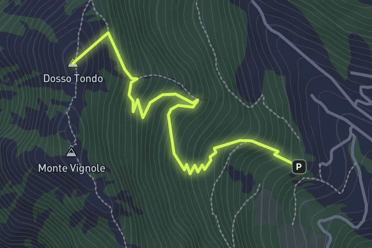
Medium · Summit
Variante Sentiero di Monte Vignole
3.2 km · ↑ 380 m · 1 h 35 min · 10 km away
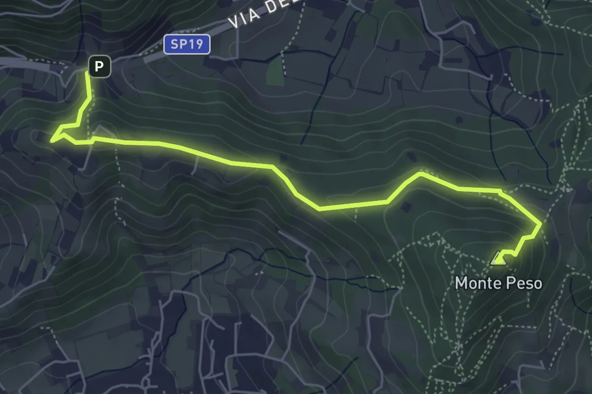
Medium · Summit
Sentiero 3V - Tappa 8b
6.0 km · ↑ 266 m · 1 h 59 min · 10 km away
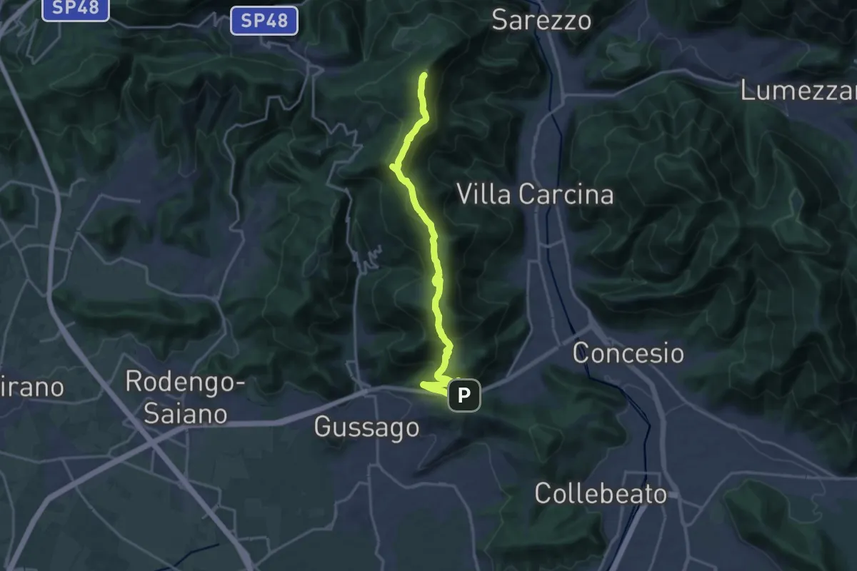
Demanding · Summit
Sentiero 3V - Tappa 8a
18.2 km · ↑ 1158 m · 6 h 48 min · 10 km away
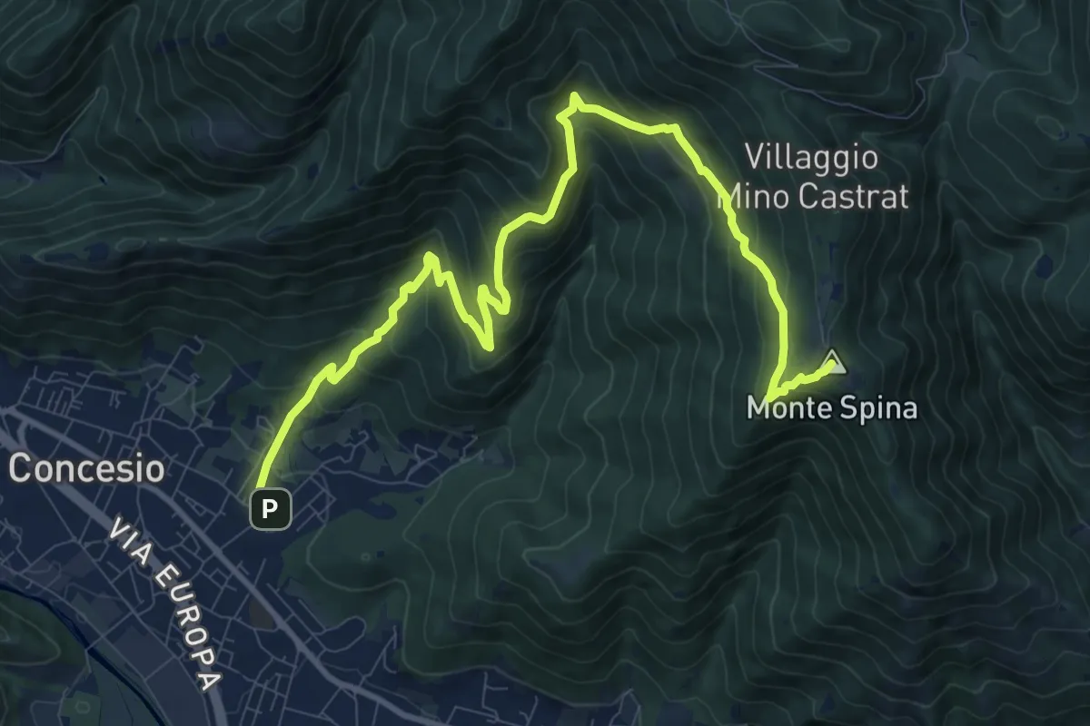
Demanding · Summit
Concesio (Roncaglie) - Sant'Onofrio
13.1 km · ↑ 861 m · 4 h 57 min · 10 km away
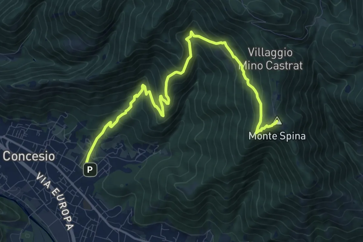
Demanding · Summit
Concesio (Roncaglie - Via Cadizzone) – Sant'Onofrio
13.1 km · ↑ 861 m · 4 h 57 min · 10 km away
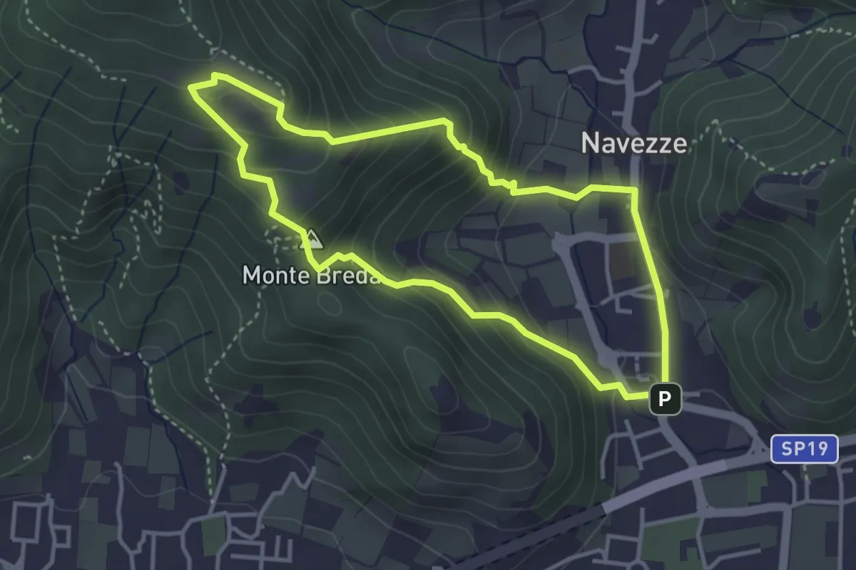
Medium · Summit
Le due Tese - Batoccolo
3.4 km · ↑ 256 m · 1 h 24 min · 10 km away
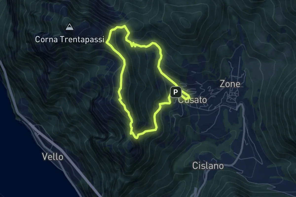
Expert · Summit
Sentiero di Monte Vignole
5.3 km · ↑ 415 m · 2 h 13 min · 10 km away
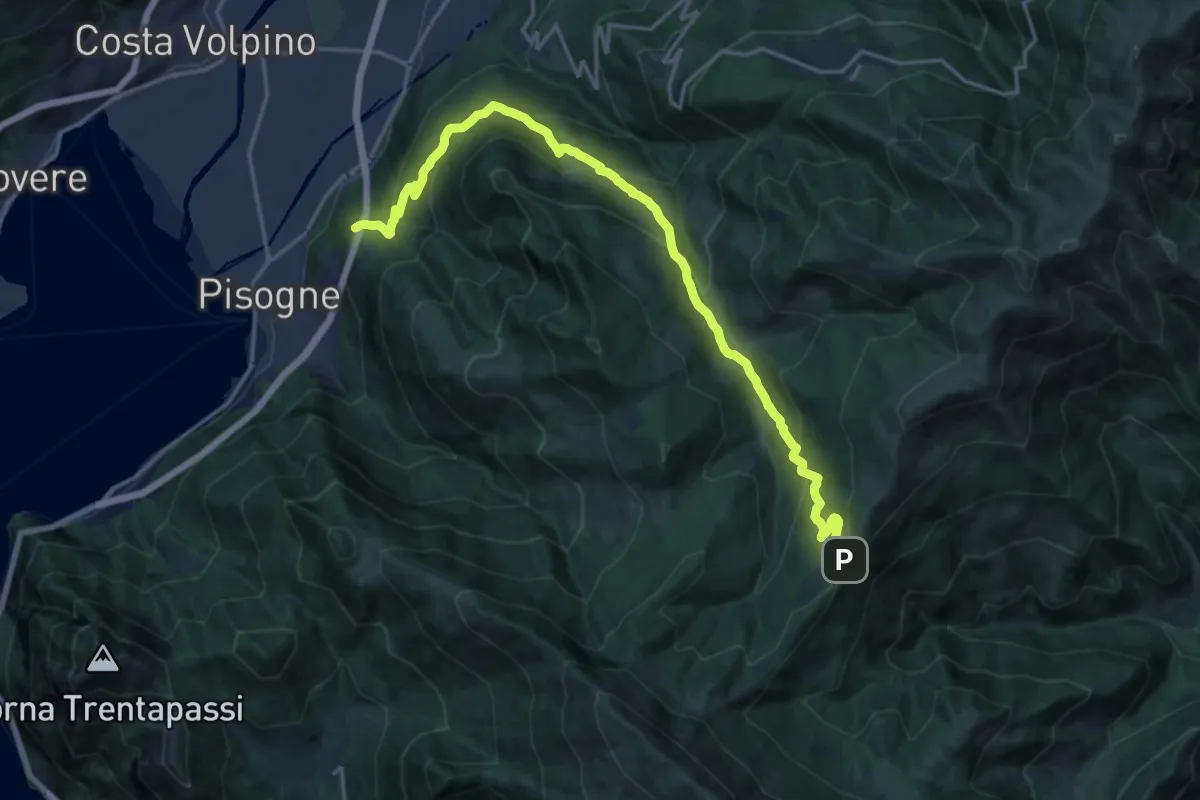
Demanding · Trail
Pisogne – Colle di San Zeno
19.8 km · ↑ 1206 m · 7 h 17 min · 10 km away
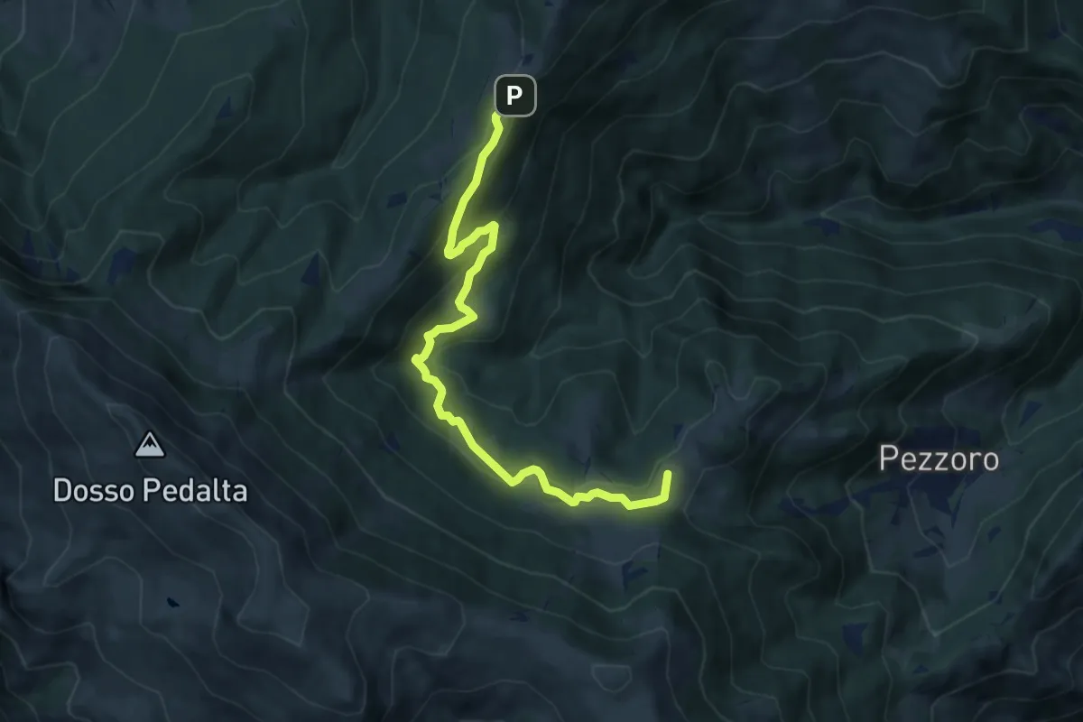
Medium · Summit
Tavernole Sul Mella (Pozza Lavacolo - Bivio Sentiero 325) – Colle di San Zeno (Bivio Sentiero 393 3V)
9.2 km · ↑ 437 m · 3 h 7 min · 10 km away
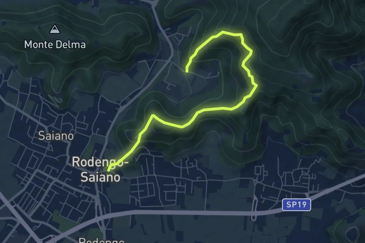
Medium · Trail
Rodengo Saiano (Ponte Cigoli) – Rodengo Saiano (Corneto - Innesto Sentiero 279)
7.5 km · ↑ 561 m · 2 h 59 min · 10 km away
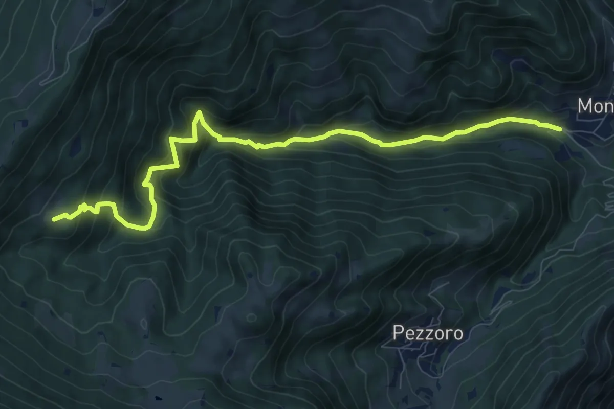
Demanding · Trail
Sentiero dei Carbonai
9.9 km · ↑ 858 m · 4 h 11 min · 10 km away
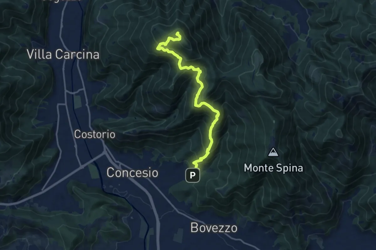
Demanding · Summit
Concesio (Roncaglie) - Monte Palosso
12.8 km · ↑ 1042 m · 5 h 17 min · 10 km away
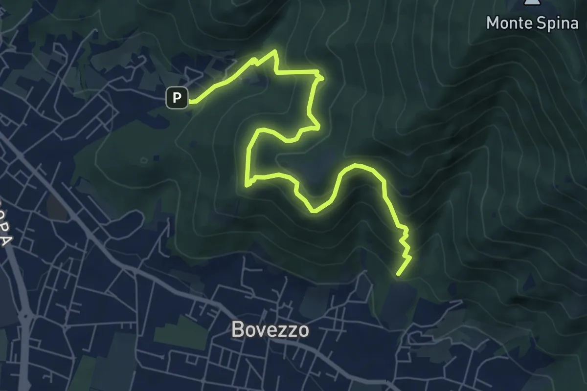
Medium · Trail
Concesio (Roncaglie - Via Sant'Onofrio) – Valle Prignole (Fontanino - Innesto Sentiero 351)
7.9 km · ↑ 704 m · 3 h 24 min · 10 km away
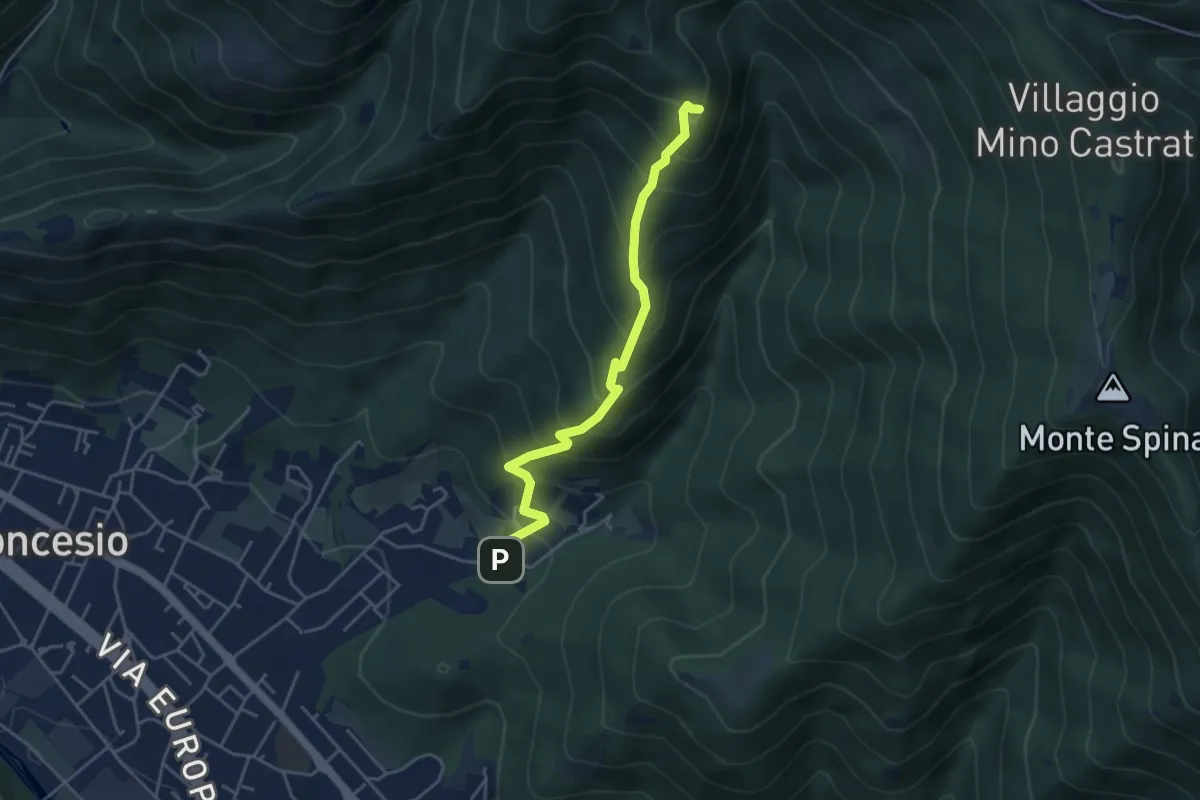
Medium · Summit
Concesio (Roncaglie) – Monte Palosso (Innesto Sentiero 377)
4.3 km · ↑ 481 m · 2 h 3 min · 10 km away
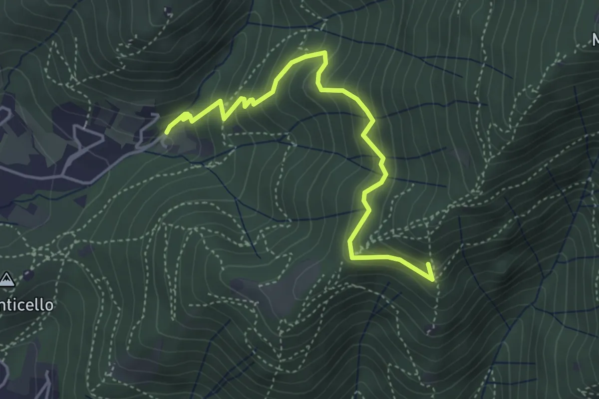
Medium · Summit
Concesio (Roncaglie - Via Sant'Onofrio) – Castagnotta
4.4 km · ↑ 408 m · 1 h 56 min · 10 km away
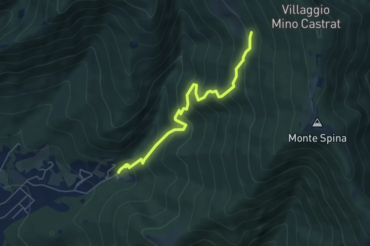
Medium · Trail
Concesio (Roncaglie - Via Sant'Onofrio) – Grassi de le Còle (Innesto Sentiero 390)
4.9 km · ↑ 474 m · 2 h 10 min · 10 km away
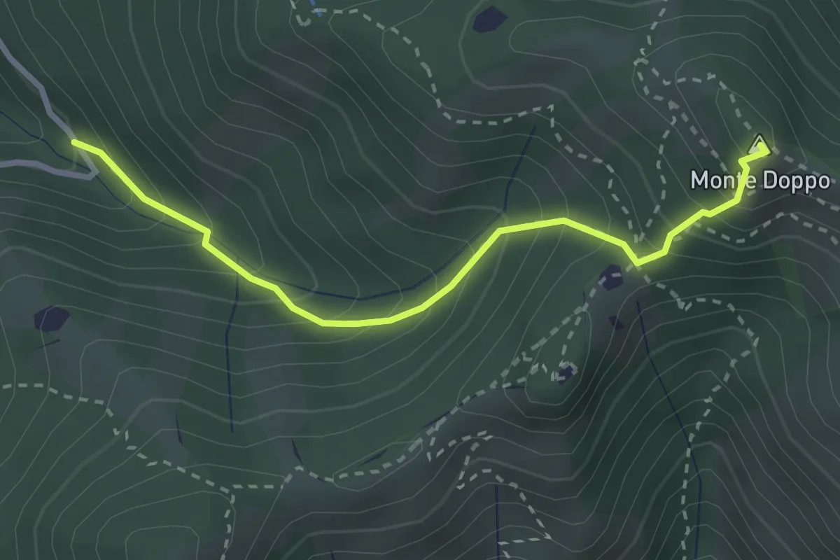
Expert · Summit
Lumezzane (Valle San Giorgio) - Monte Doppo
2.8 km · ↑ 348 m · 1 h 25 min · 10 km away
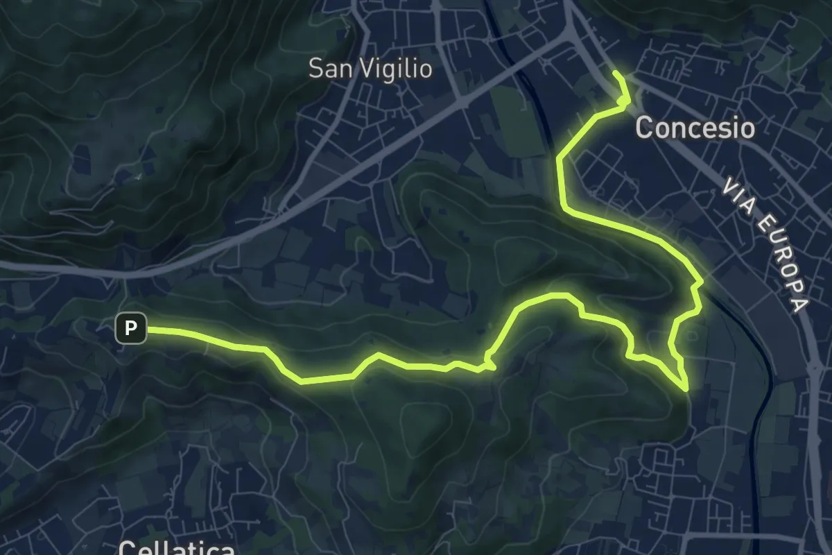
Medium · Trail
Sentiero Pietro Ottaviani
12.8 km · ↑ 333 m · 3 h 44 min · 10 km away
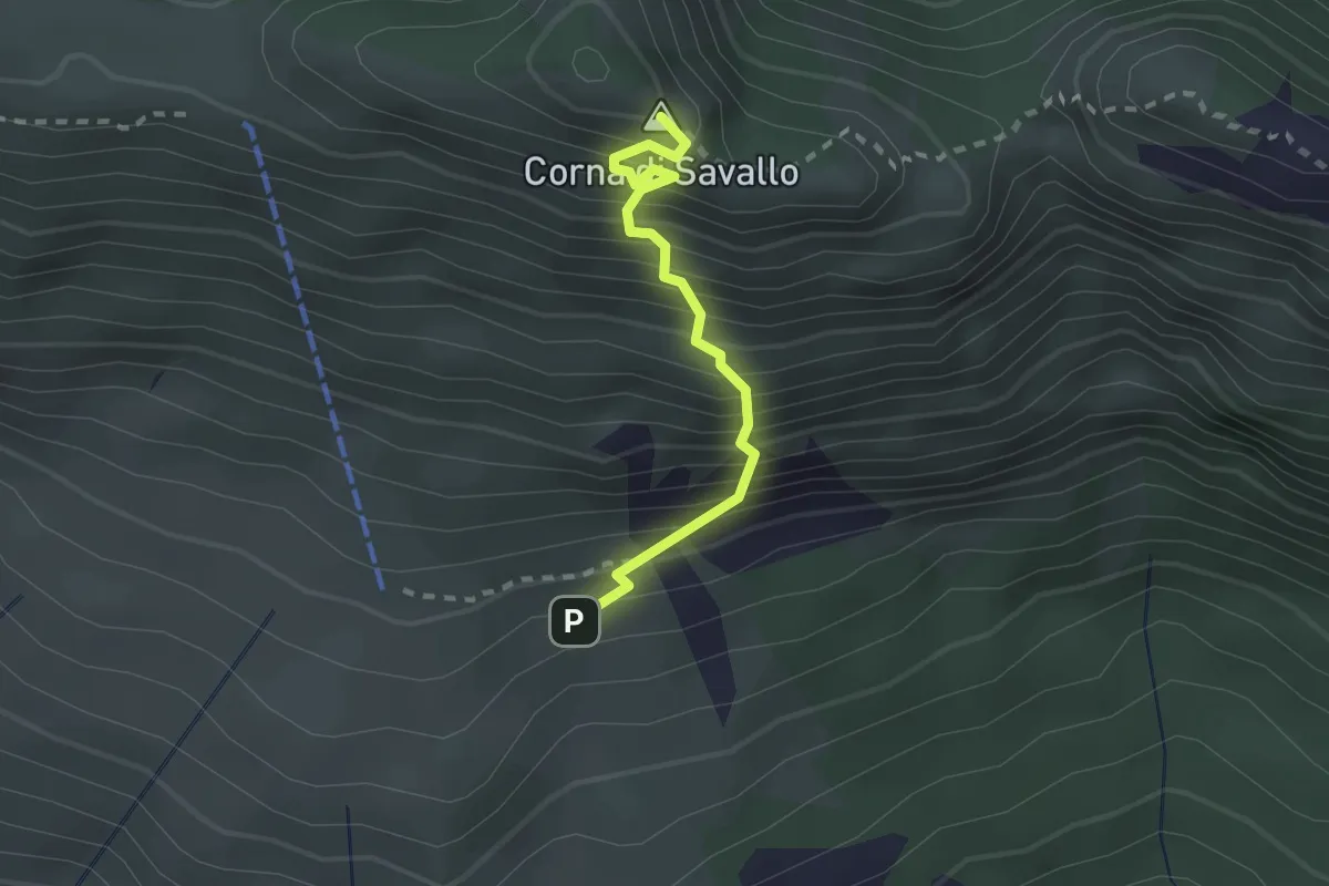
Medium · Summit
Sentiero Attrezzato Ferrata Nasego
2.1 km · ↑ 412 m · 1 h 23 min · 10 km away
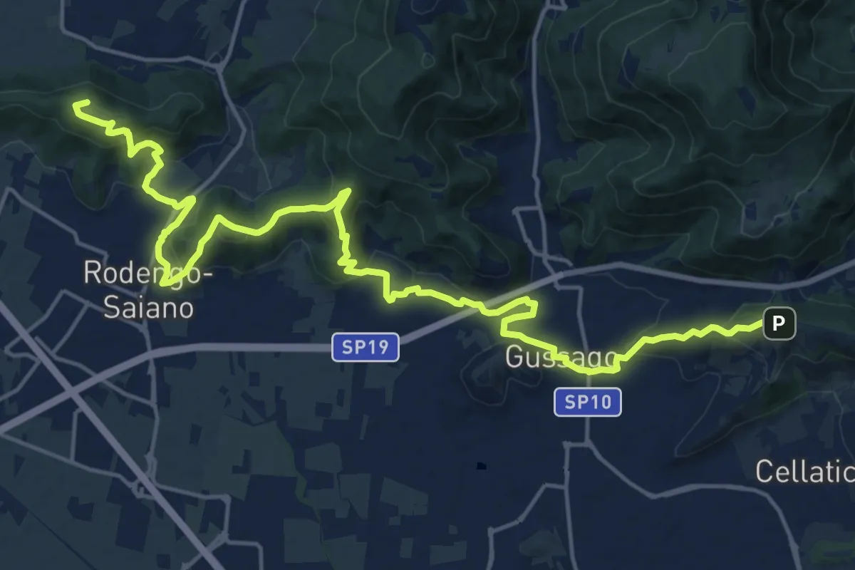
Demanding · Summit
Sentiero della Franciacorta
21.9 km · ↑ 913 m · 7 h 9 min · 10 km away
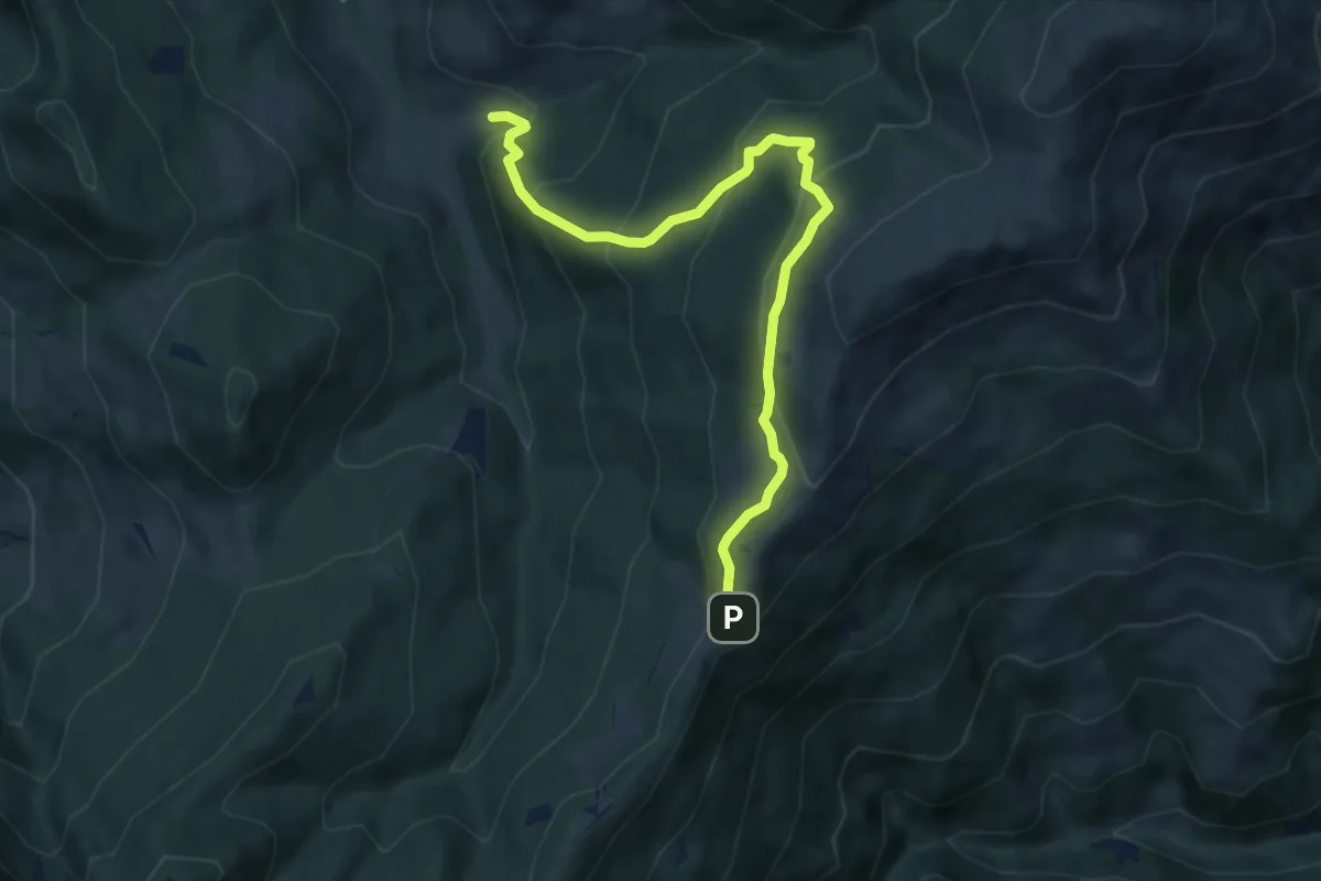
Medium · Trail
Palot - Colle di San Zeno
8.5 km · ↑ 588 m · 3 h 17 min · 10 km away
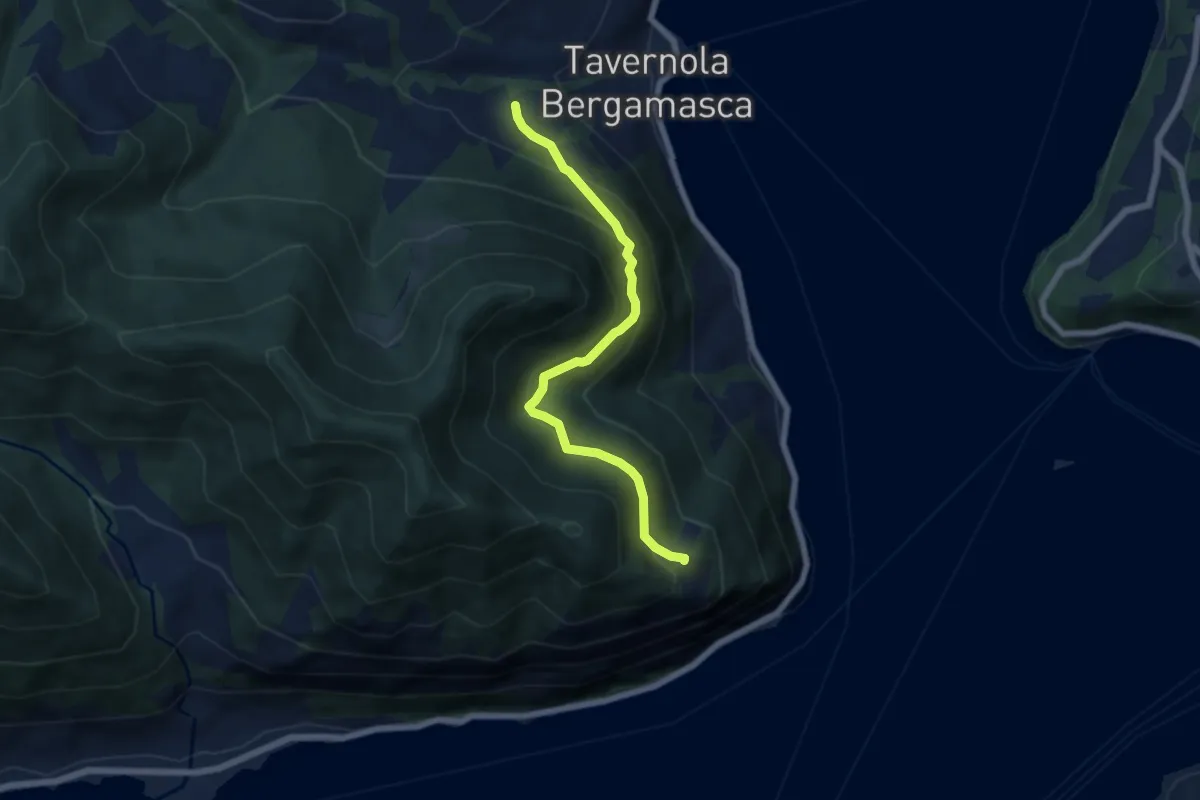
Demanding · Trail
Bianica – Case il Monte
6.1 km · ↑ 457 m · 2 h 26 min · 10 km away
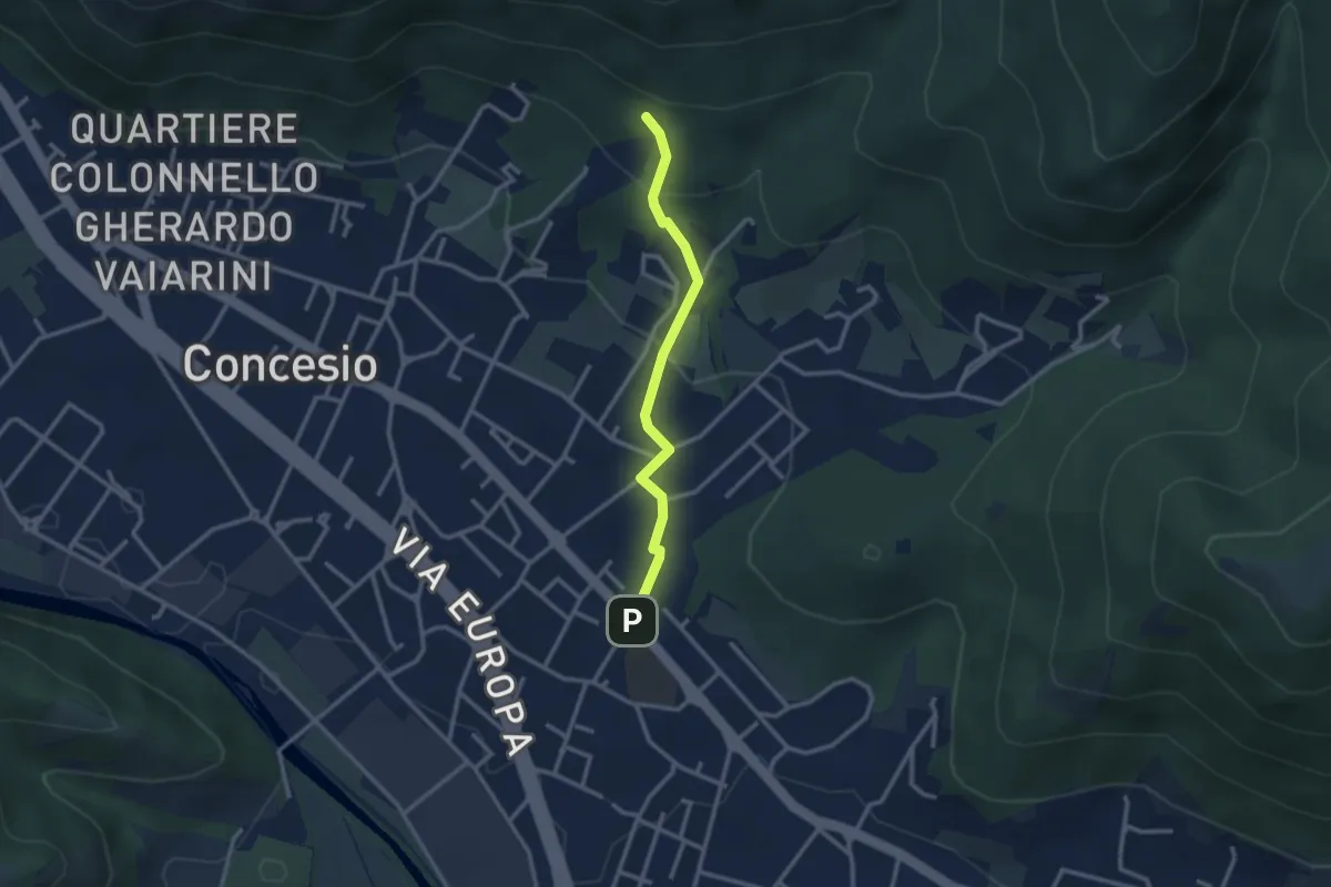
Easy · Trail
Concesio (Sant'Andrea) - Monte Verdura (Innesto Sentiero da Pieve)
2.6 km · ↑ 114 m · 52 min · 10 km away
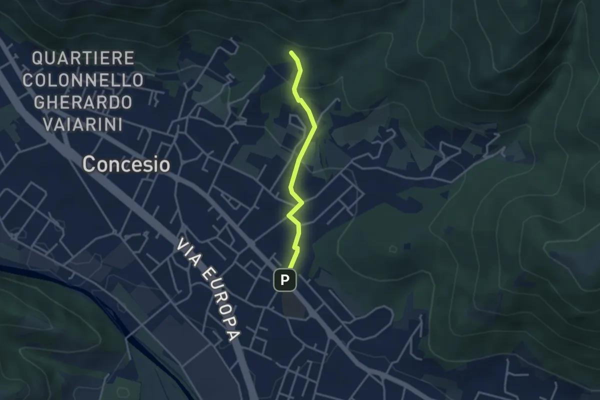
Easy · Trail
Concesio (Sant'Andrea) - Monte Verdura (Innesto Sentiero G)
2.6 km · ↑ 114 m · 52 min · 10 km away
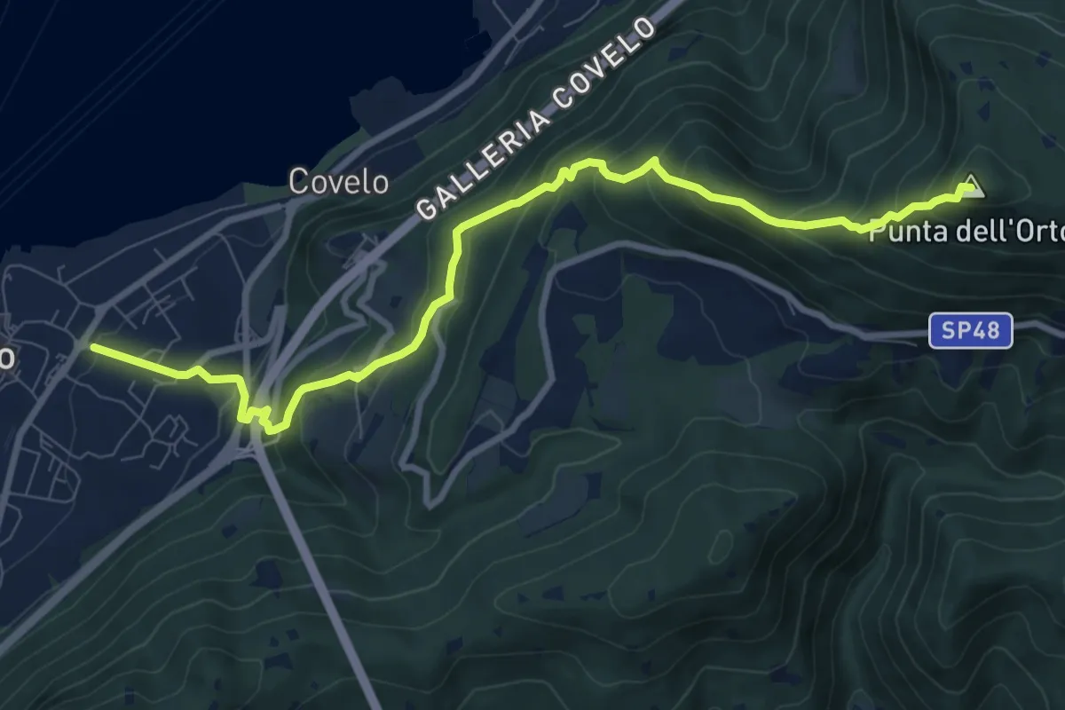
Medium · Summit
Iseo – Punta dell'Orto
9.6 km · ↑ 800 m · 4 h · 10 km away
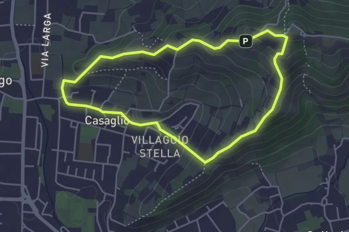
Easy · Trail
Via Crucis - San Rocco - Stella
3.7 km · ↑ 201 m · 1 h 21 min · 10 km away
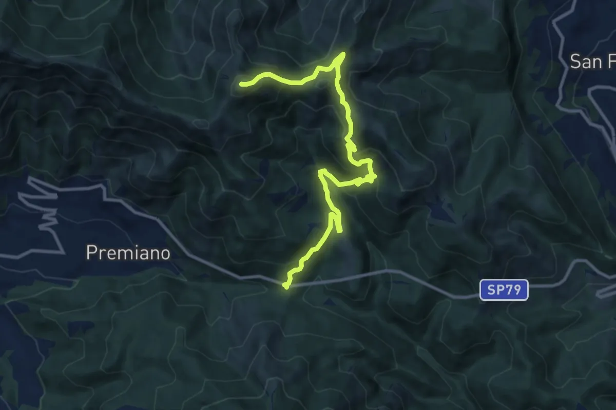
Demanding · Summit
Lumezzane (Passo del Cavallo) – Punta Camoghera
10.5 km · ↑ 734 m · 4 h 4 min · 10 km away
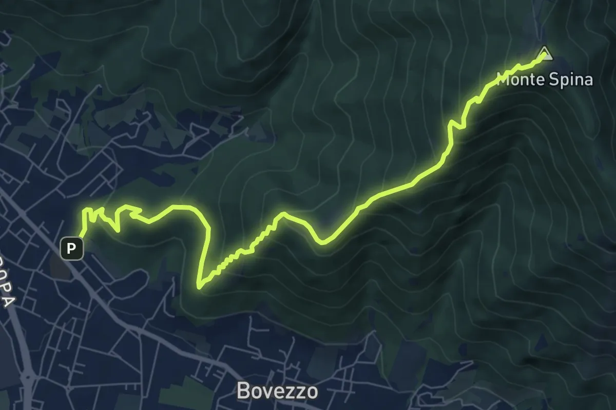
Medium · Summit
Concesio (Sant'Andrea) - Sant'Onofrio
9.4 km · ↑ 736 m · 3 h 48 min · 11 km away