Trails near Gardone Val Trompia
328 hikes starting within 15 km, nearest first.
Nearest first, page 5 of 7
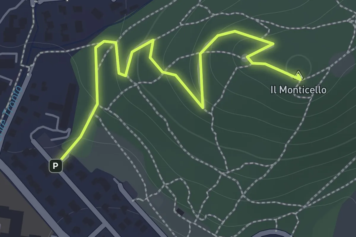
Easy · Summit
Concesio (Monticello) - Sentiero 1
2.0 km · ↑ 76 m · 38 min · 11 km away
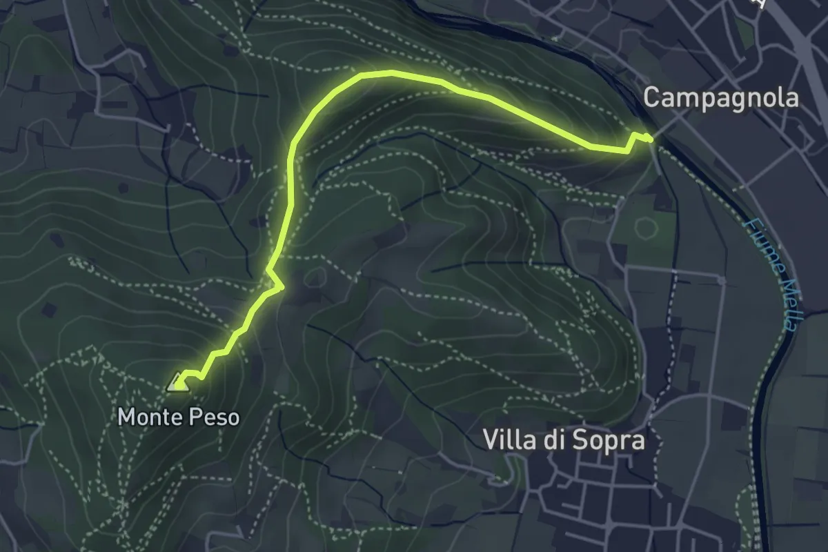
Demanding · Summit
Collebeato (Le Bocche) – Monte Peso
4.4 km · ↑ 346 m · 1 h 48 min · 11 km away
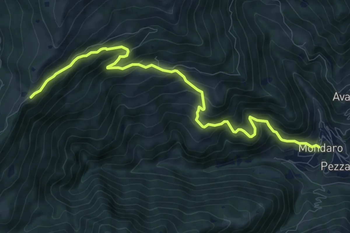
Demanding · Trail
Pezzaze (Mondaro) – Colle di San Zeno
11.4 km · ↑ 856 m · 4 h 33 min · 11 km away
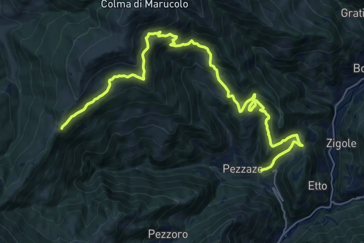
Demanding · Trail
Pezzaze (Pezzazole) – Colle di San Zeno
11.3 km · ↑ 1163 m · 4 h 56 min · 11 km away
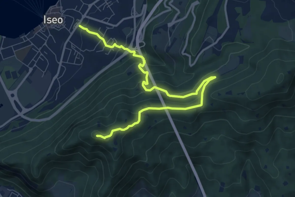
Medium · Summit
Giro delle Culme
9.9 km · ↑ 516 m · 3 h 28 min · 11 km away
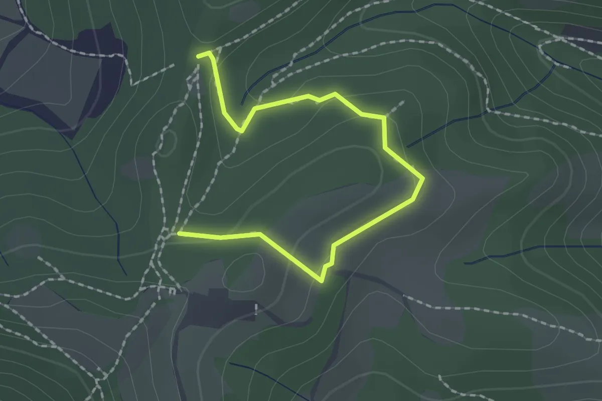
Medium · Trail
Collebeato (Roccolo Polonioli) – Sella del Madì (Innesto Sentiero 248)
2.1 km · ↑ 64 m · 38 min · 11 km away
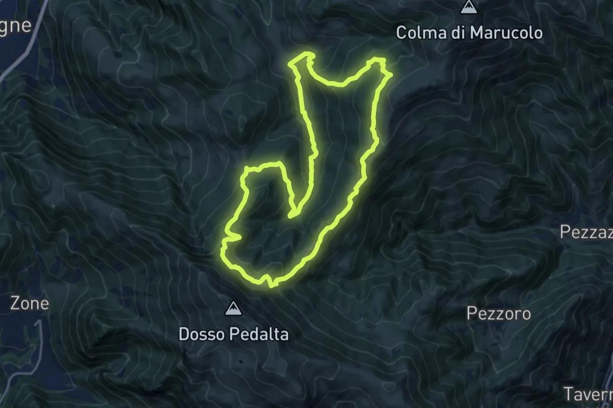
Medium · Summit
Malghe in Rete - Anello 5 - Val Palot
14.9 km · ↑ 756 m · 5 h 22 min · 11 km away
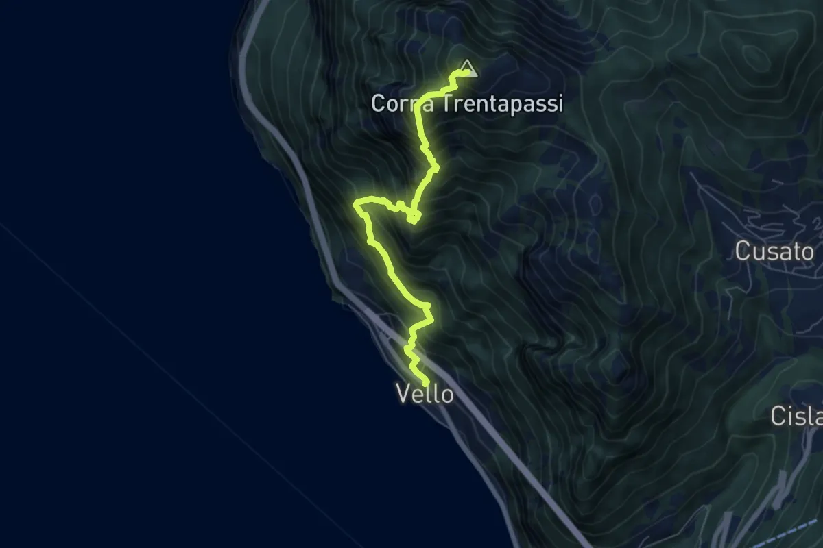
Demanding · Summit
Vello – Corna Trentapassi
6.3 km · ↑ 1160 m · 4 h · 11 km away
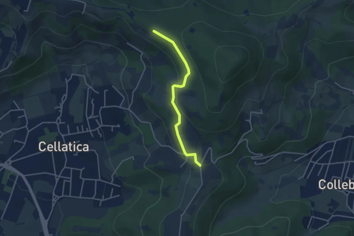
Easy · Trail
Sentiero 3V - Tappa 8 (Variante bassa)
2.9 km · ↑ 95 m · 54 min · 11 km away
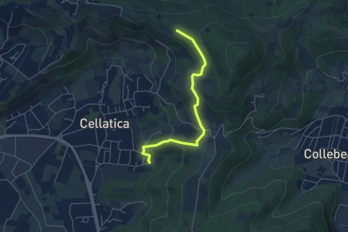
Easy · Trail
Cellatica (Cantone) – Cascina Monte Grande (Innesto Sentiero 3V)
4.5 km · ↑ 213 m · 1 h 31 min · 11 km away
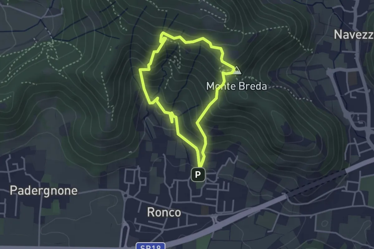
Medium · Summit
Gussago (Ronco) - Tesa di Sotto - Valle Bianca
2.9 km · ↑ 248 m · 1 h 16 min · 11 km away
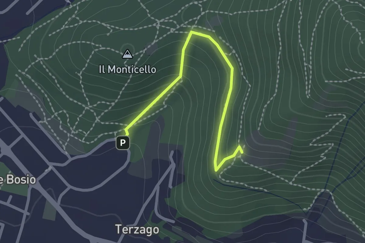
Medium · Trail
Sentiero del Marrone (Variante Concesio)
2.2 km · ↑ 137 m · 49 min · 11 km away
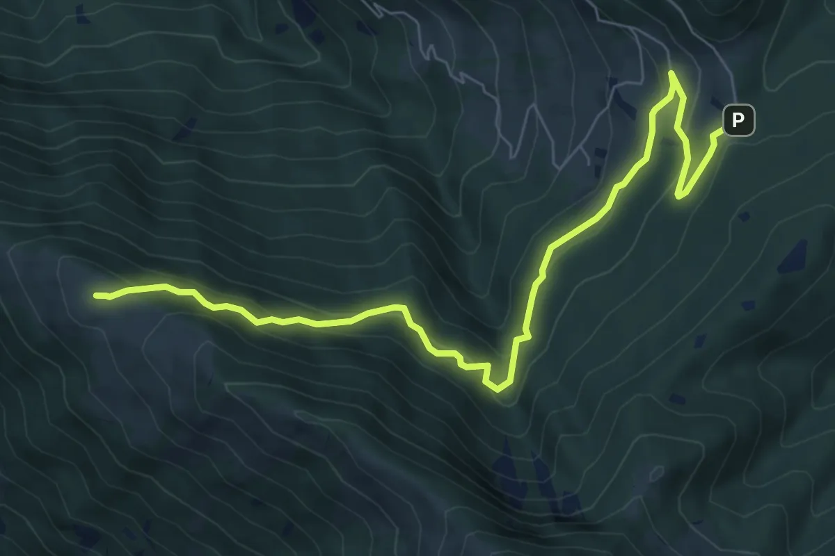
Medium · Summit
Passabocche – Pozzette Agolo
8.5 km · ↑ 448 m · 2 h 58 min · 11 km away
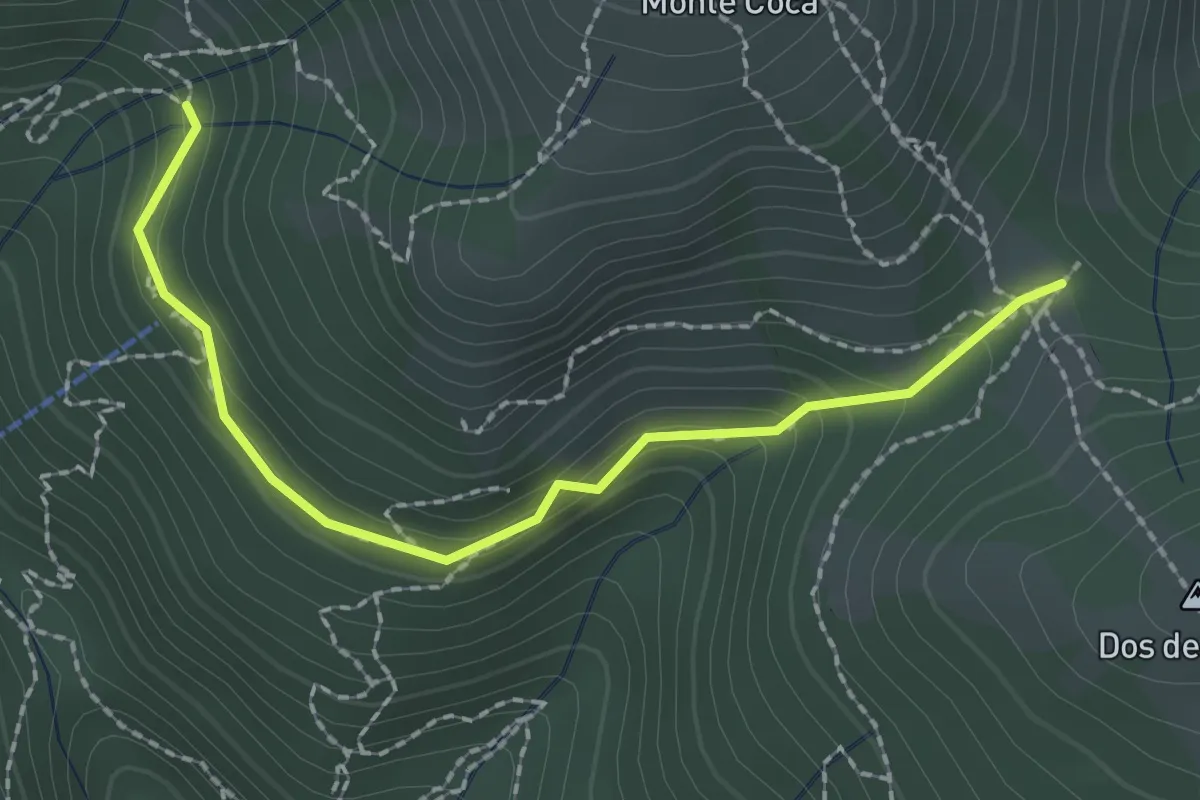
Medium · Trail
Lumezzane (Innesto sentiero 370) - Cocca di Bione
2.2 km · ↑ 106 m · 45 min · 11 km away
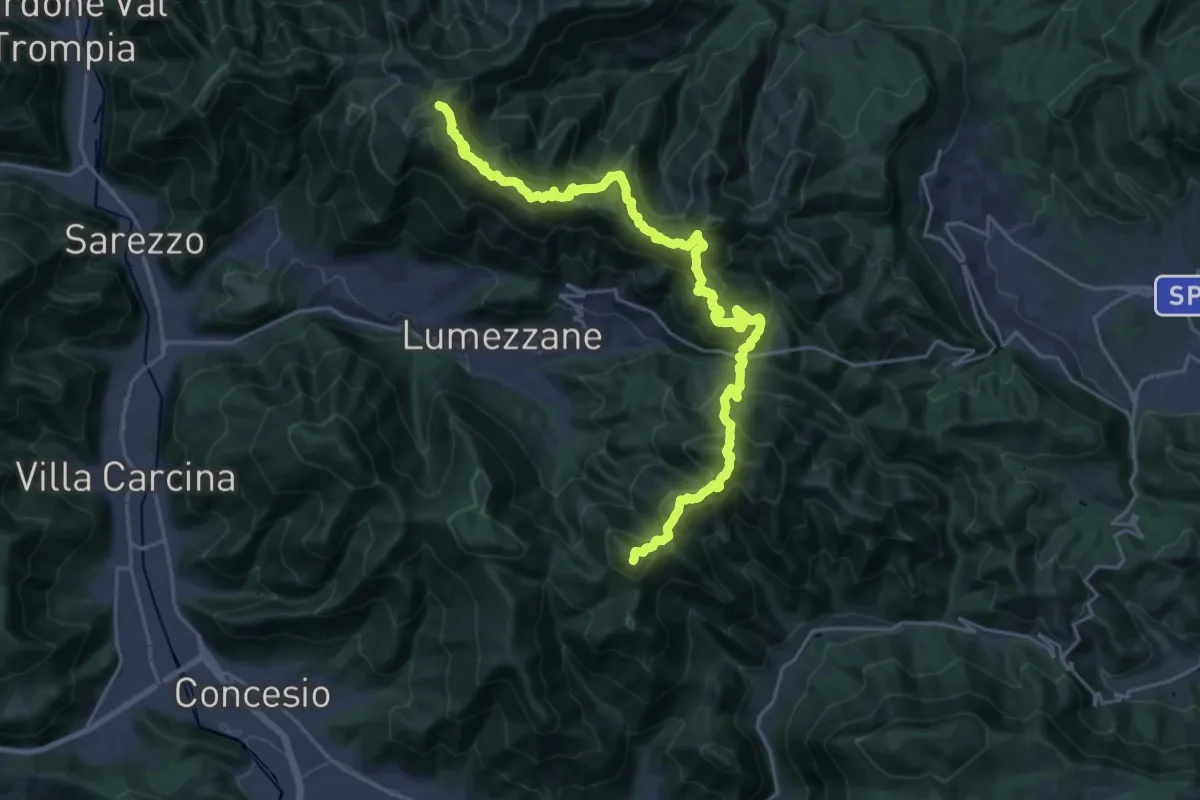
Demanding · Summit
Sentiero 3V - Tappa 2
27.2 km · ↑ 2052 m · 10 h 52 min · 11 km away
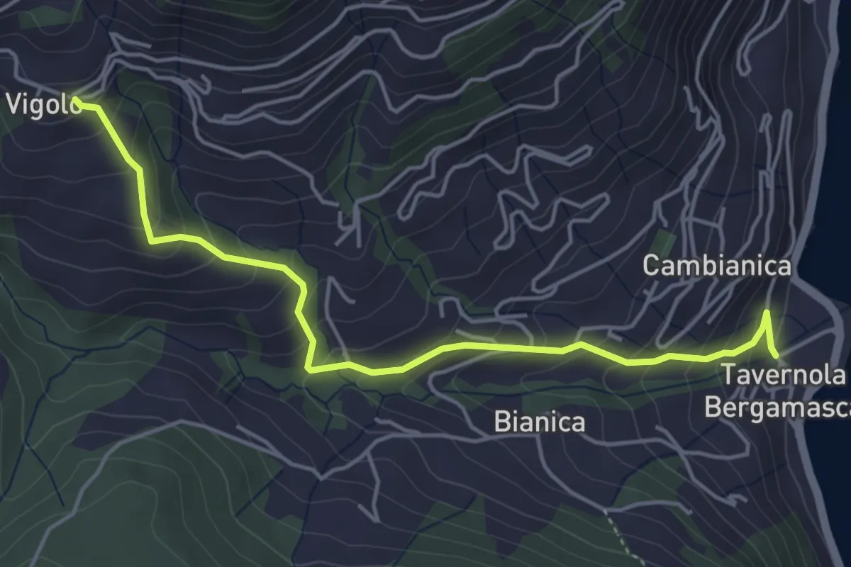
Medium · Trail
Tavernola – Vigolo
4.8 km · ↑ 407 m · 2 h 1 min · 11 km away
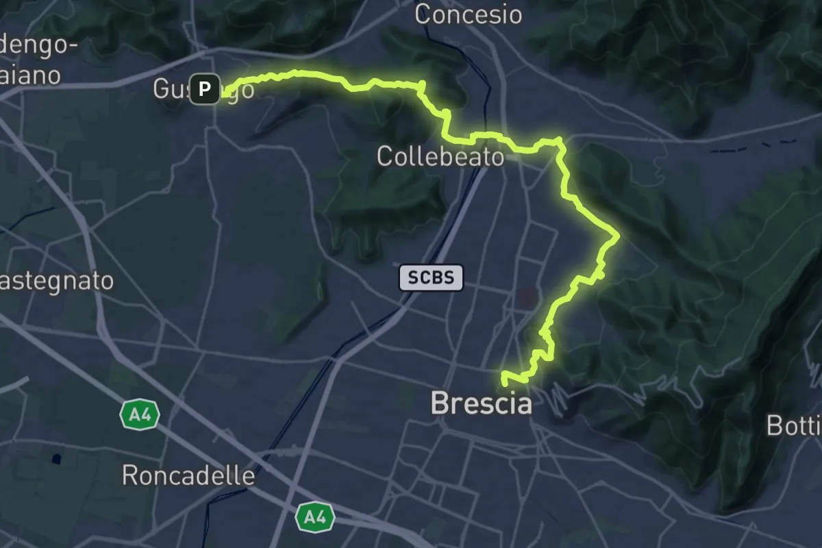
Medium · Summit
La Via delle Sorelle - Tappa 1 variante bassa
16.4 km · ↑ 431 m · 5 h · 11 km away
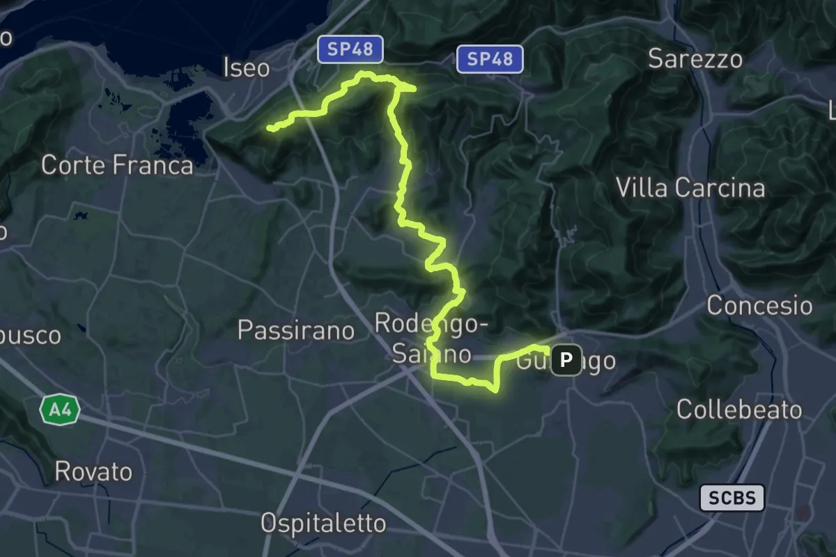
Demanding · Summit
La Via delle Sorelle - Tappa 2
20.0 km · ↑ 651 m · 6 h 10 min · 11 km away
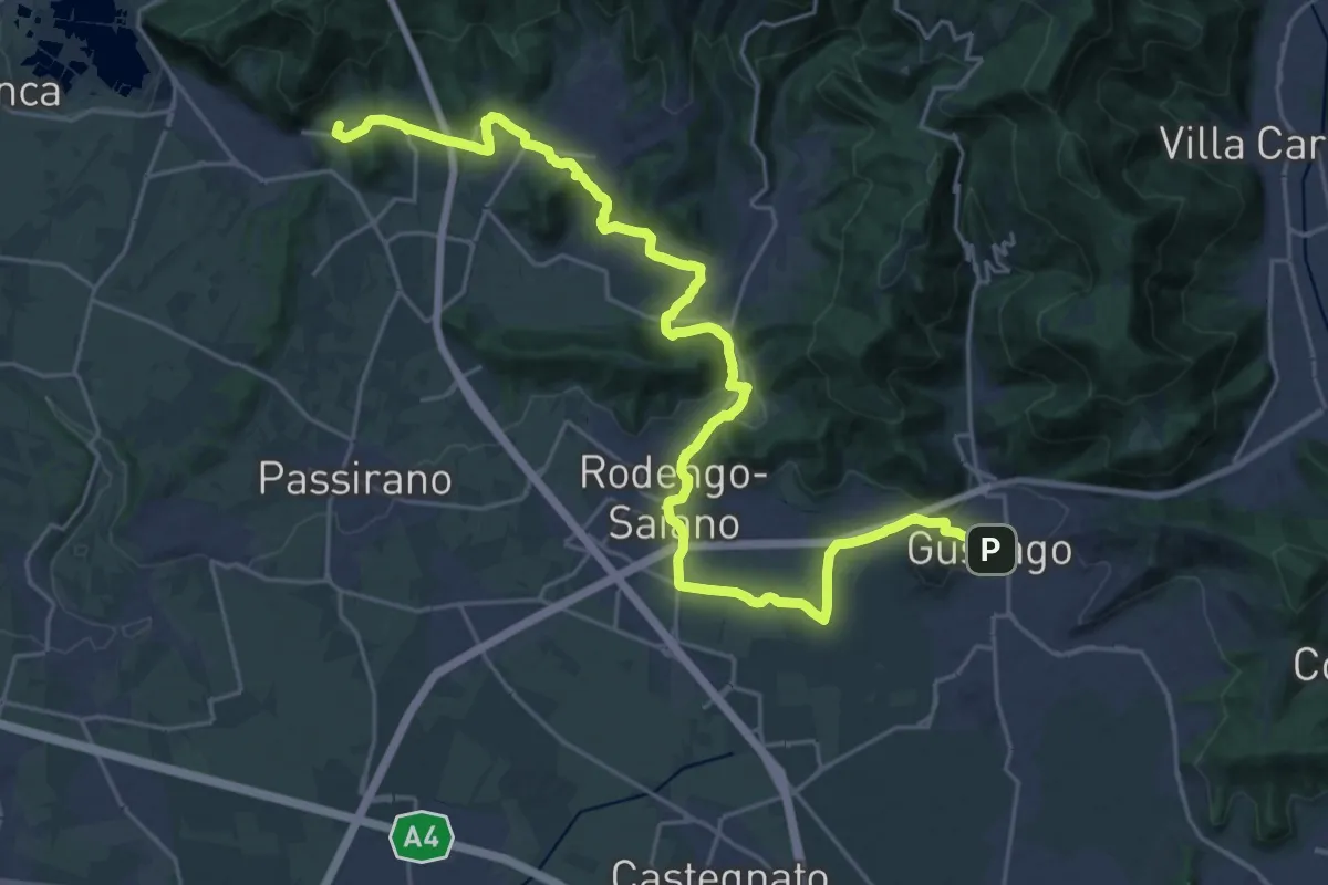
Medium · Summit
La Via delle Sorelle - Tappa 2 variante bassa
15.3 km · ↑ 256 m · 4 h 19 min · 11 km away
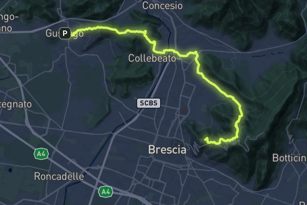
Medium · Summit
La Via delle Sorelle - Tappa 1
16.8 km · ↑ 713 m · 5 h 37 min · 11 km away
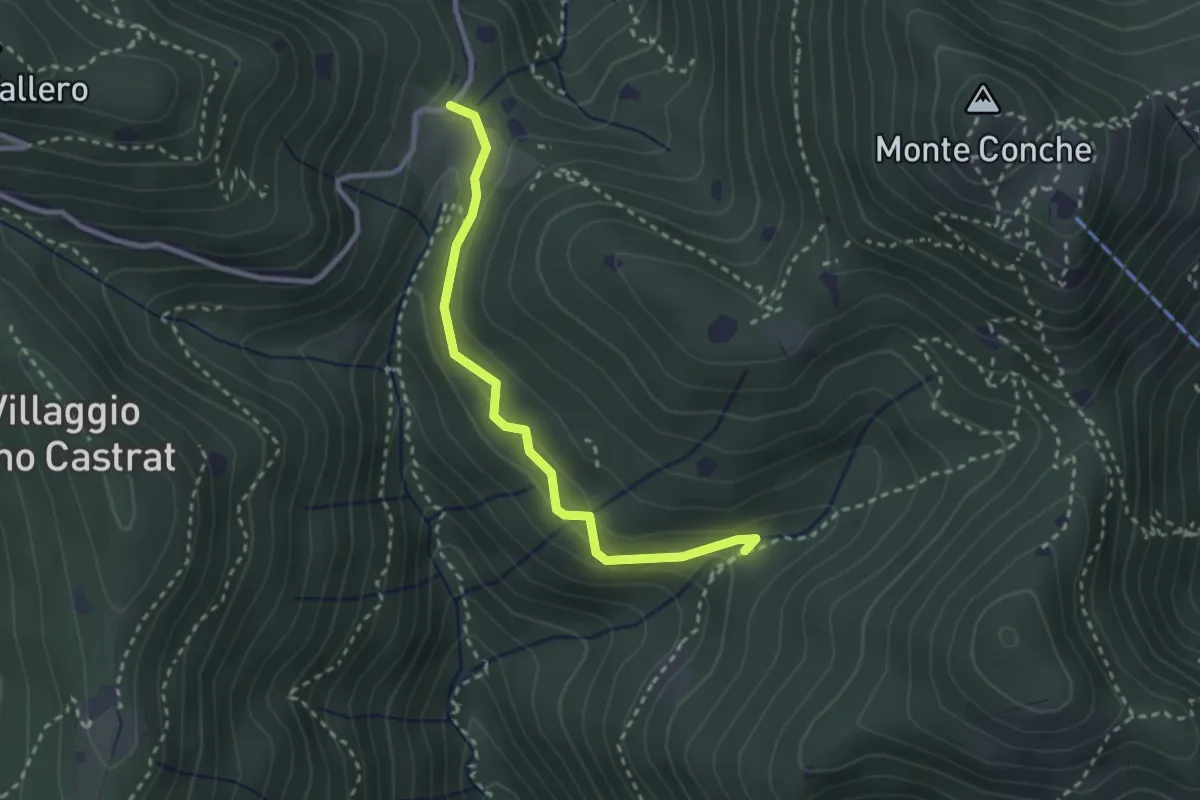
Medium · Trail
Nave (Valle delle Monache) - Cascina Cocca
2.7 km · ↑ 112 m · 53 min · 11 km away
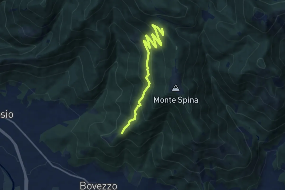
Medium · Trail
Bovezzo (Santella delle Pentere) – Strada del Sant'Onofrio
8.5 km · ↑ 469 m · 3 h 1 min · 11 km away
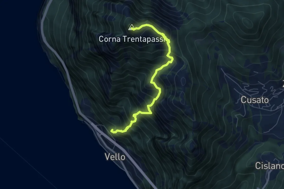
Demanding · Summit
Vello (SPBS510) – Corna Trentapassi
6.2 km · ↑ 917 m · 3 h 28 min · 11 km away
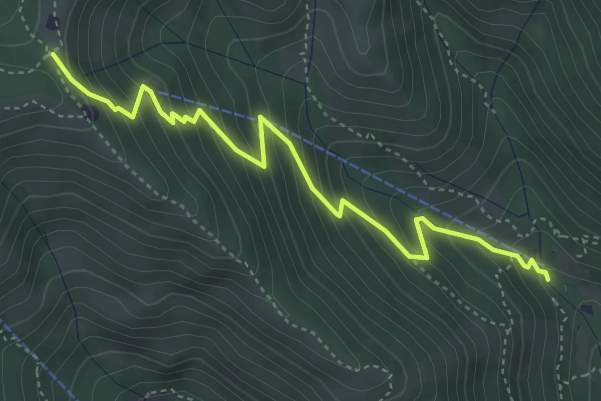
Medium · Trail
Caino (Madonna delle Fontane) – Monte Conche (Innesto Sentiero 381)
4.2 km · ↑ 450 m · 1 h 58 min · 11 km away
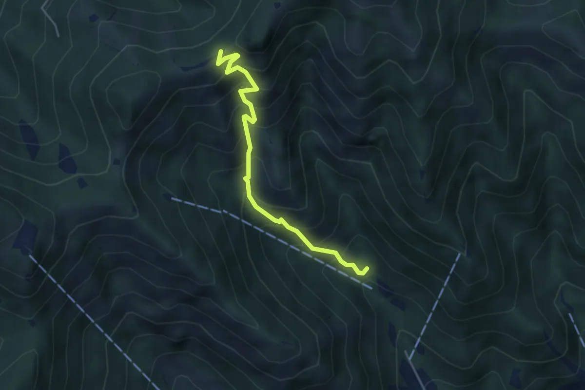
Medium · Trail
Caino (Madonna delle Fontane) – San Giorgio (Innesto Sentiero 381)
3.9 km · ↑ 503 m · 2 h 1 min · 11 km away
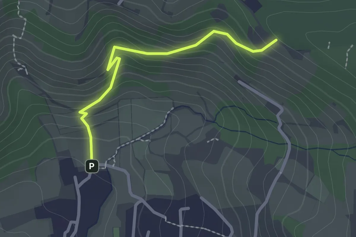
Easy · Trail
Cellatica (Palas) – Cascina Monte Grande (Innesto Sentiero 3V)
2.1 km · ↑ 186 m · 55 min · 11 km away
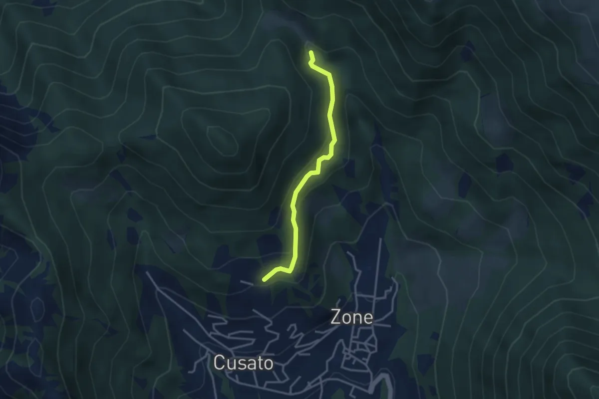
Easy · Trail
Sentiero della Salve Regina
2.9 km · ↑ 148 m · 1 h · 11 km away
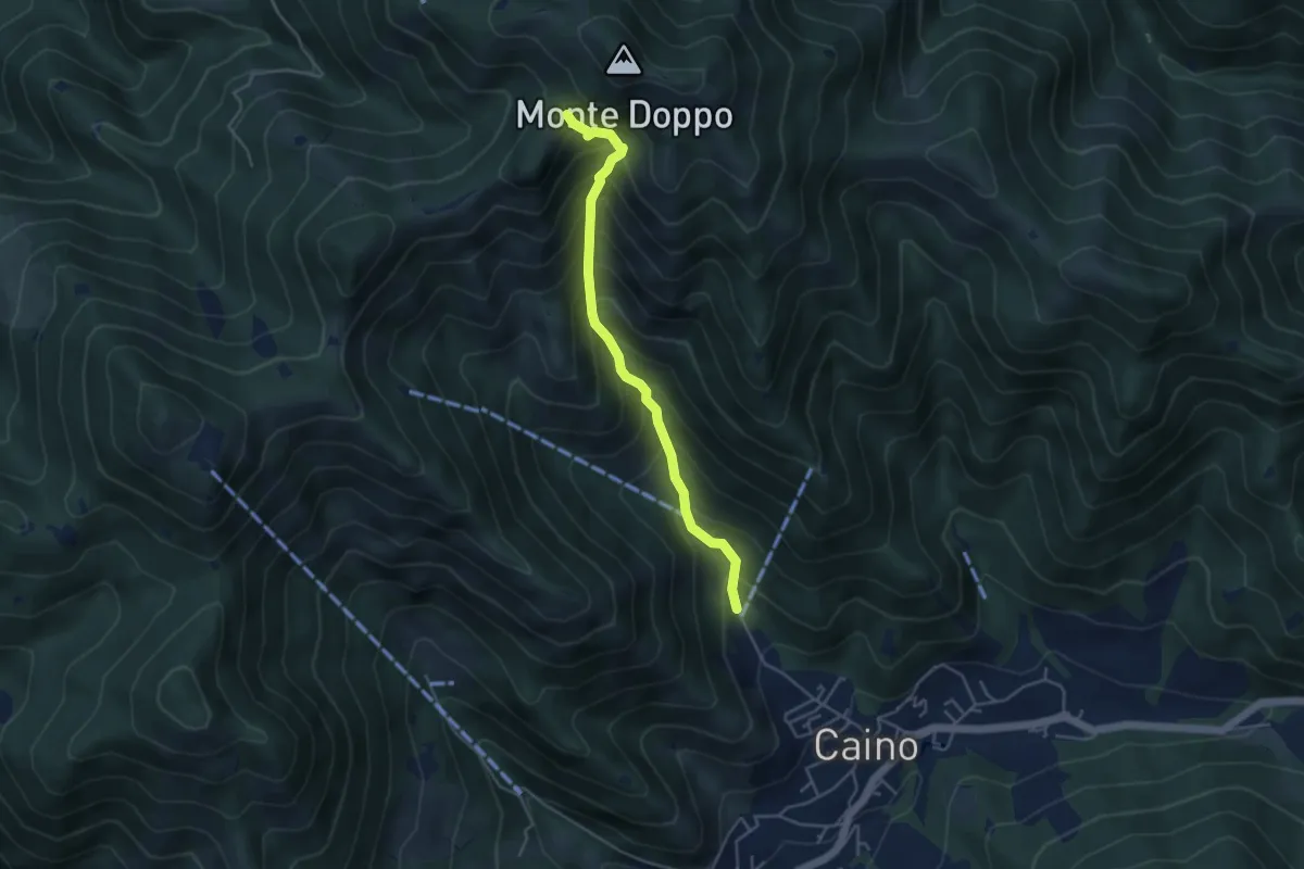
Medium · Trail
Caino (Pian delle Castagne) – Eremo di San Giorgio (Innesto Sentiero 381)
4.3 km · ↑ 584 m · 2 h 16 min · 11 km away
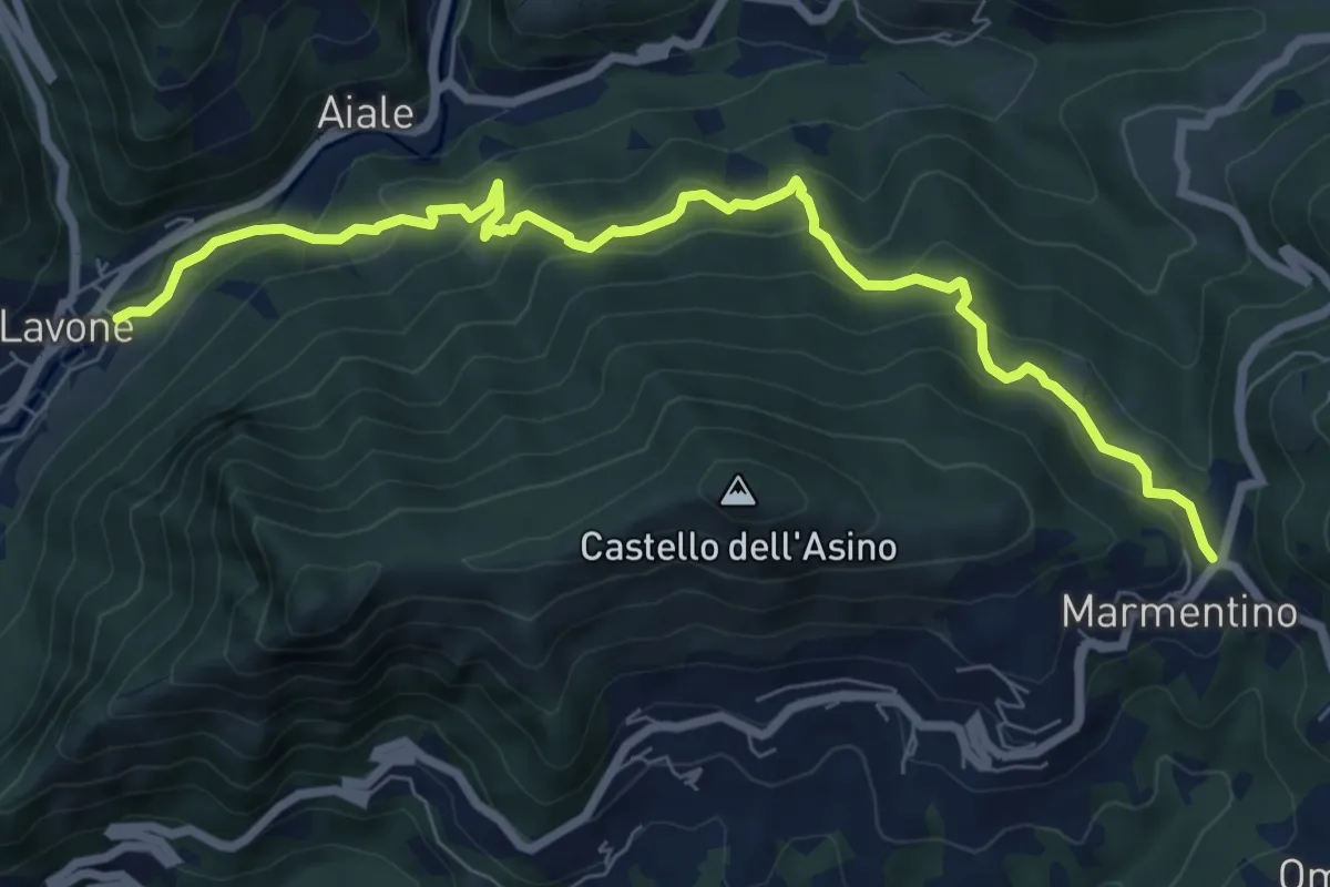
Medium · Trail
Marmentino - Lavone
8.2 km · ↑ 547 m · 3 h 8 min · 11 km away
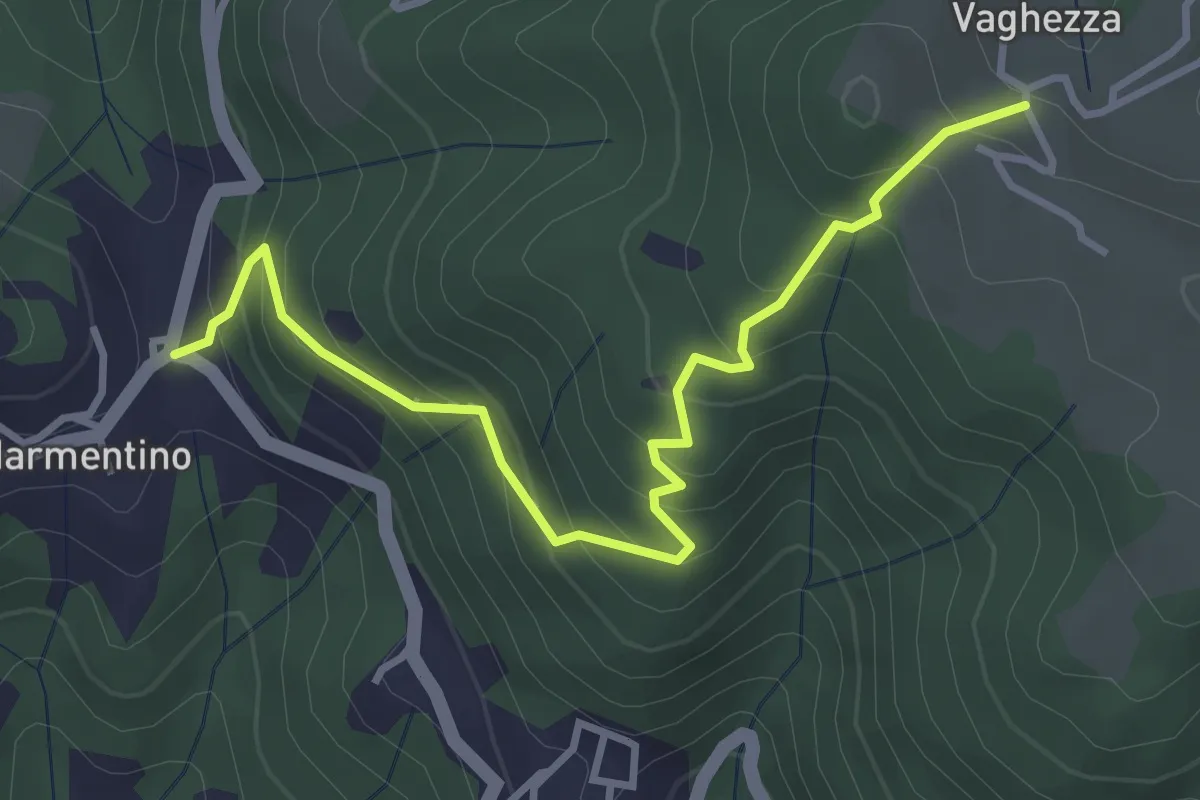
Medium · Trail
Marmentino (Dosso) - Vaghezza
3.8 km · ↑ 329 m · 1 h 36 min · 11 km away
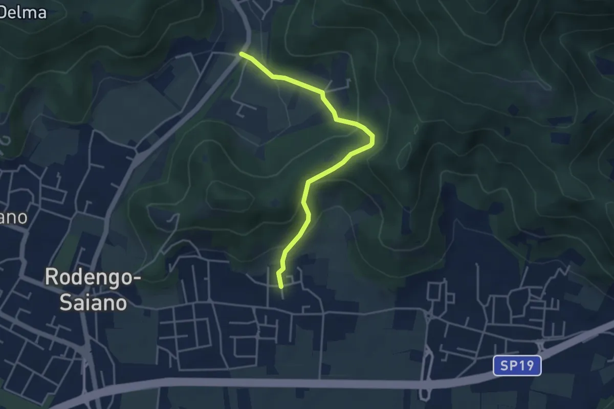
Medium · Trail
Rodengo Saiano (Padergnone - Via Montello incrocio Via Monte Nero) – Corneto
3.7 km · ↑ 194 m · 1 h 18 min · 11 km away
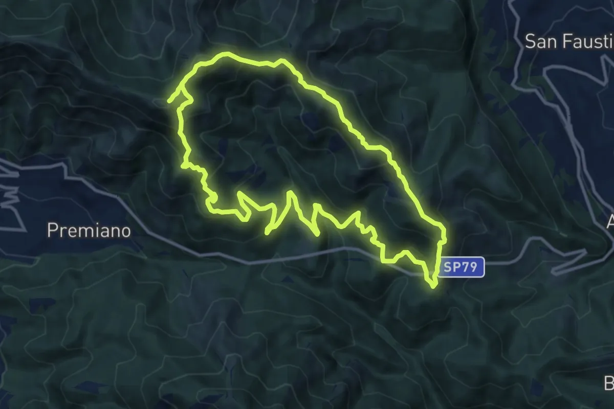
Demanding · Summit
Sentiero Tranquillo Bianchi e Caduti per la Libertà di Lumezzane - Tronco B
10.9 km · ↑ 840 m · 4 h 33 min · 11 km away
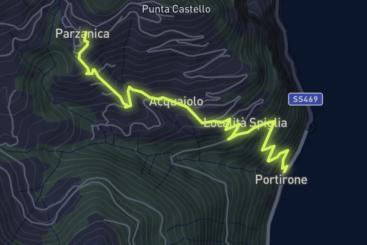
Medium · Trail
Portirone – Parzanica
5.8 km · ↑ 617 m · 2 h 42 min · 11 km away
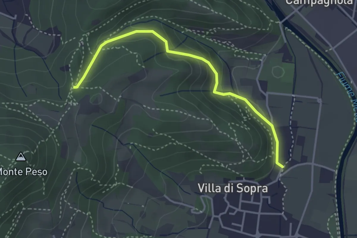
Medium · Trail
Collebeato (La Noia) – Sella del Madì (Innesto Sentiero 247)
3.5 km · ↑ 192 m · 1 h 15 min · 11 km away
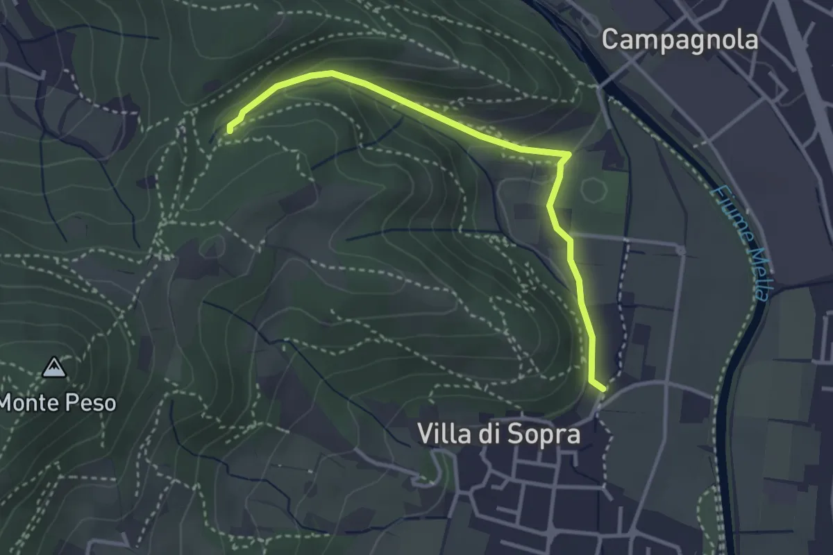
Medium · Trail
Collebeato (La Noia) – Monte Zuccolotto (Innesto Sentiero 248)
3.3 km · ↑ 135 m · 1 h 4 min · 11 km away
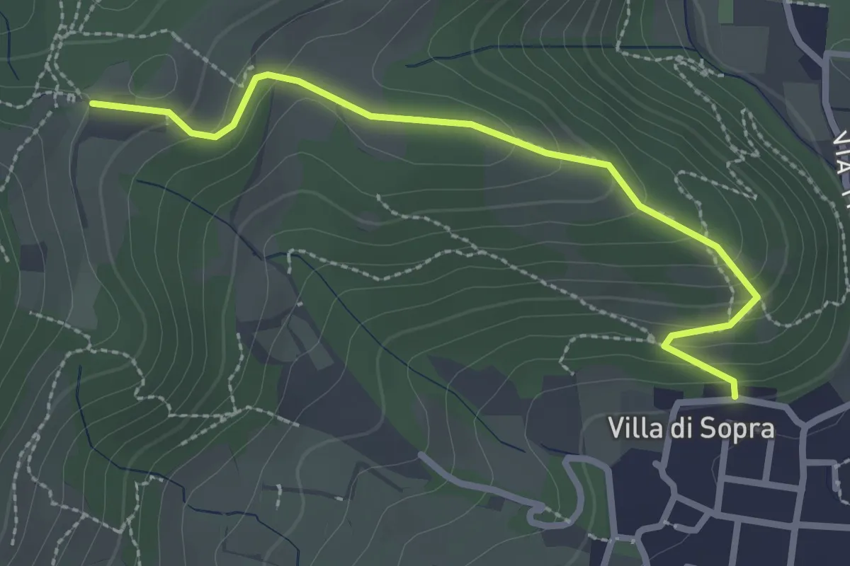
Medium · Trail
Collebeato (Villa Sopra) – Ex Convento di Santo Stefano
2.7 km · ↑ 146 m · 58 min · 11 km away
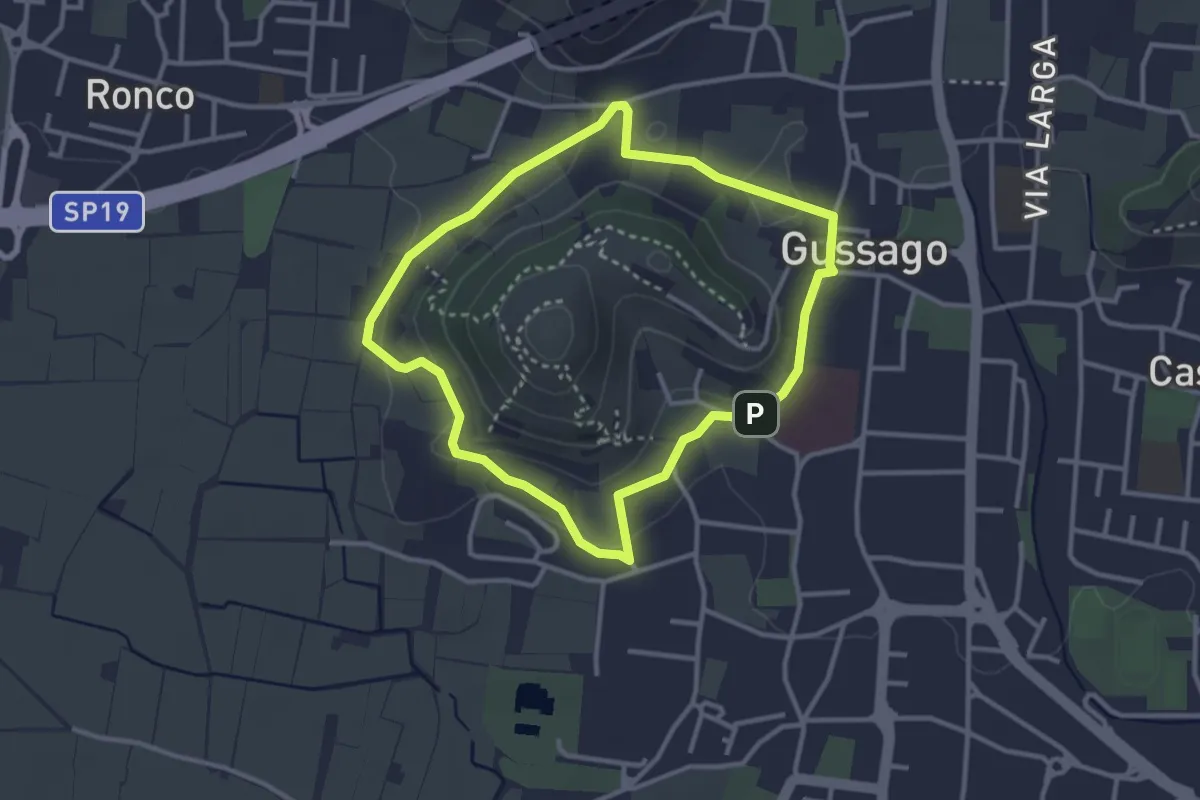
Easy · Trail
Periplo della Santissima
3.0 km · ↑ 70 m · 54 min · 11 km away
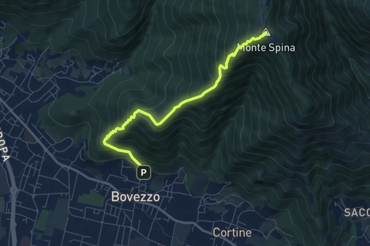
Medium · Summit
Bovezzo (Via Castello) – Sant'Onofrio
6.9 km · ↑ 705 m · 3 h 10 min · 11 km away
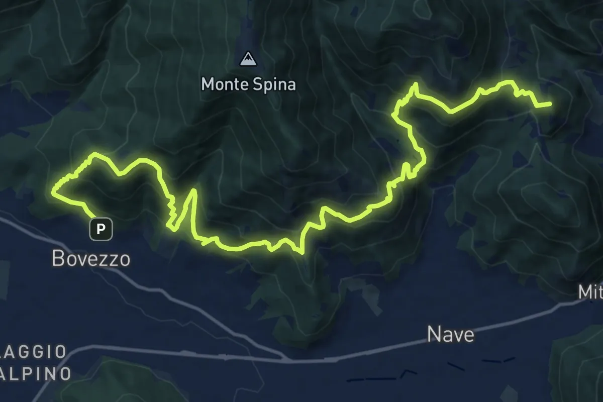
Demanding · Summit
Sentiero del Marrone
20.2 km · ↑ 1796 m · 8 h 40 min · 11 km away
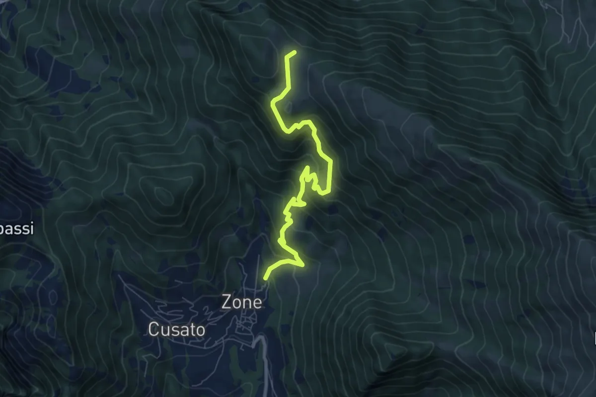
Medium · Trail
Sentiero di Bombolone - Aguina
7.7 km · ↑ 647 m · 3 h 13 min · 11 km away
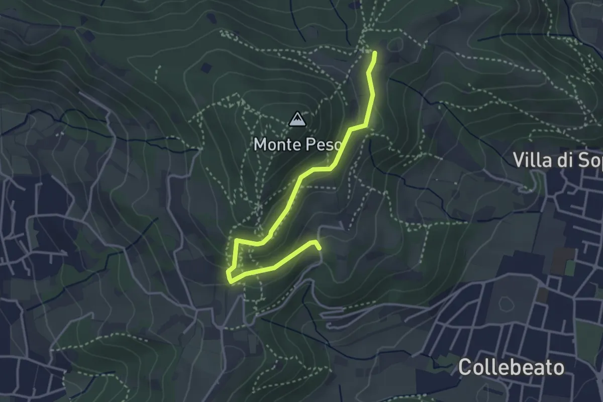
Easy · Trail
Collebeato (Campianelli di Sotto) – Ex Convento dii Santo Stefano
3.5 km · ↑ 158 m · 1 h 10 min · 12 km away
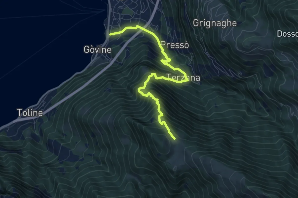
Demanding · Trail
Pisogne – Malga Aguina
9.5 km · ↑ 1120 m · 4 h 40 min · 12 km away
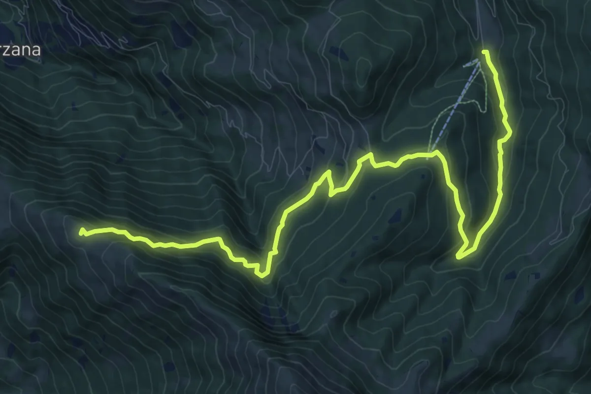
Medium · Summit
Malghe in Rete - Trekking - Le Valli Tappa 1
14.9 km · ↑ 754 m · 5 h 9 min · 12 km away
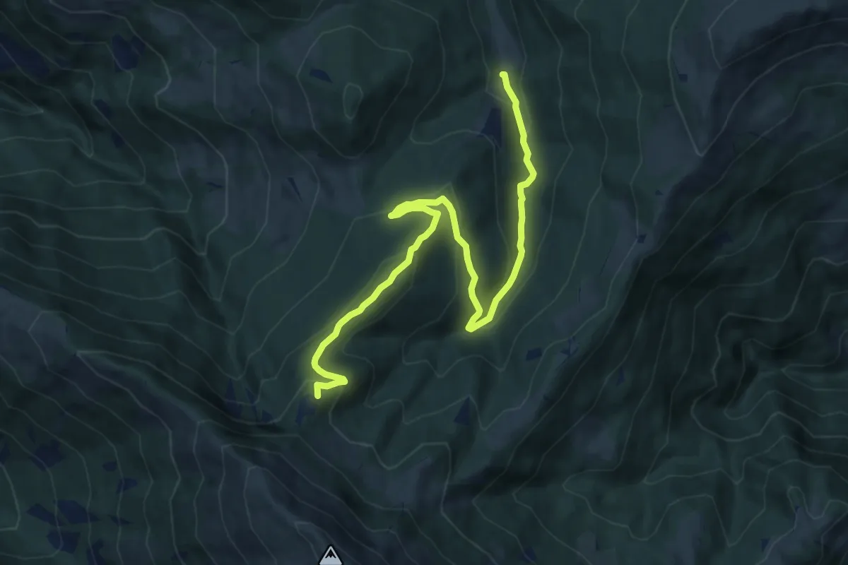
Medium · Summit
Duadell – Roccolo Caravina
11.3 km · ↑ 544 m · 3 h 51 min · 12 km away
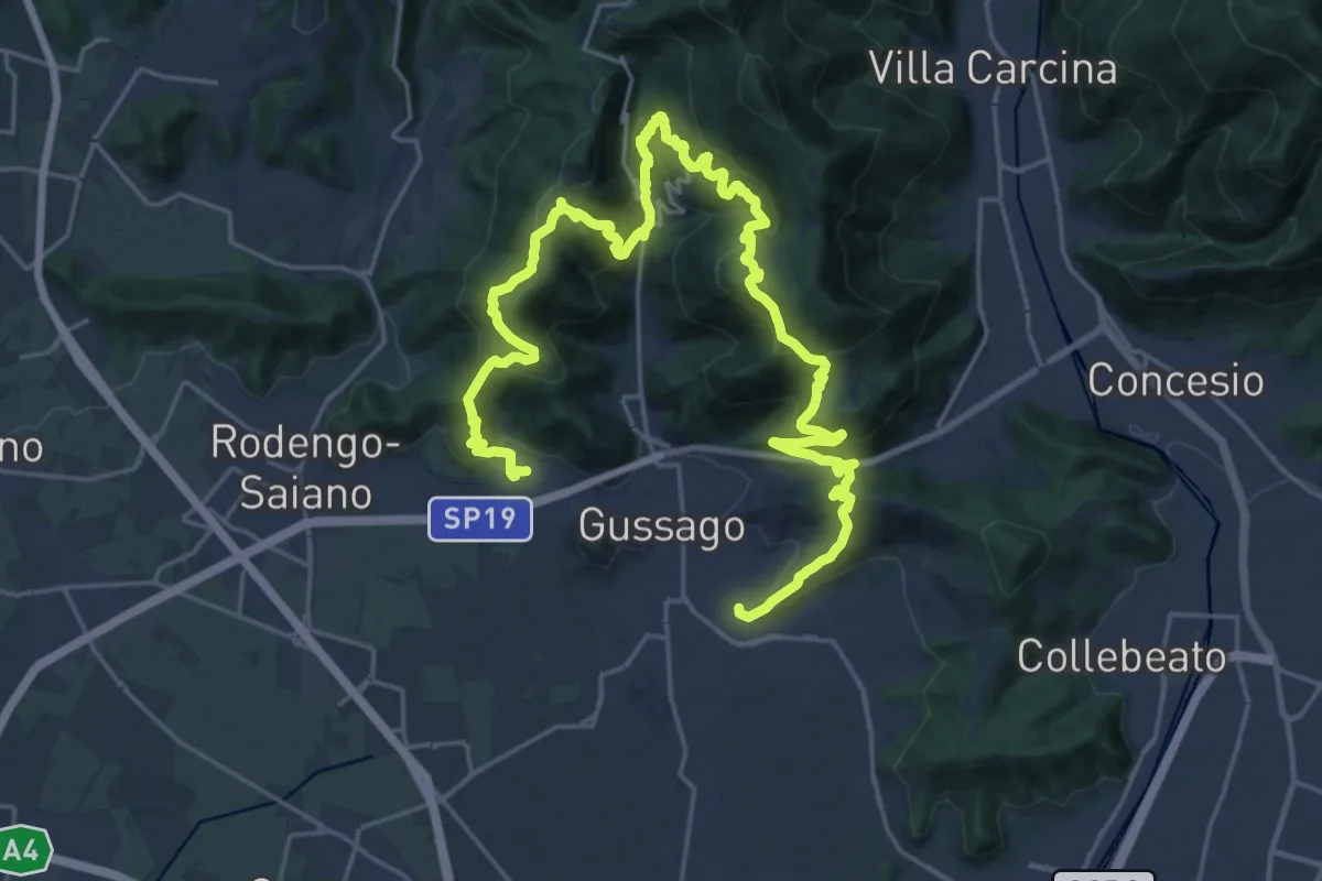
Demanding · Summit
Giro delle Colline
16.7 km · ↑ 1170 m · 6 h 43 min · 12 km away
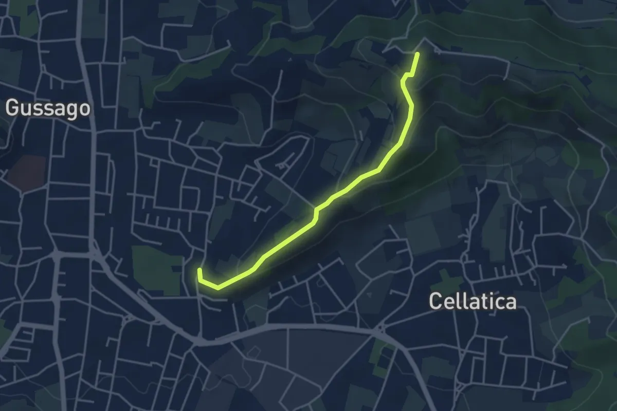
Easy · Trail
Cellatica (Casaglio) – Santuario della Stella
3.6 km · ↑ 213 m · 1 h 19 min · 12 km away
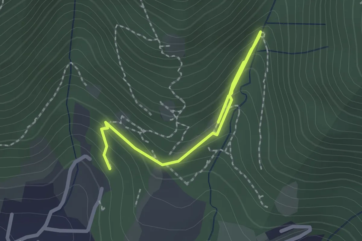
Medium · Trail
Percorso botanico
2.7 km · ↑ 231 m · 1 h 9 min · 12 km away
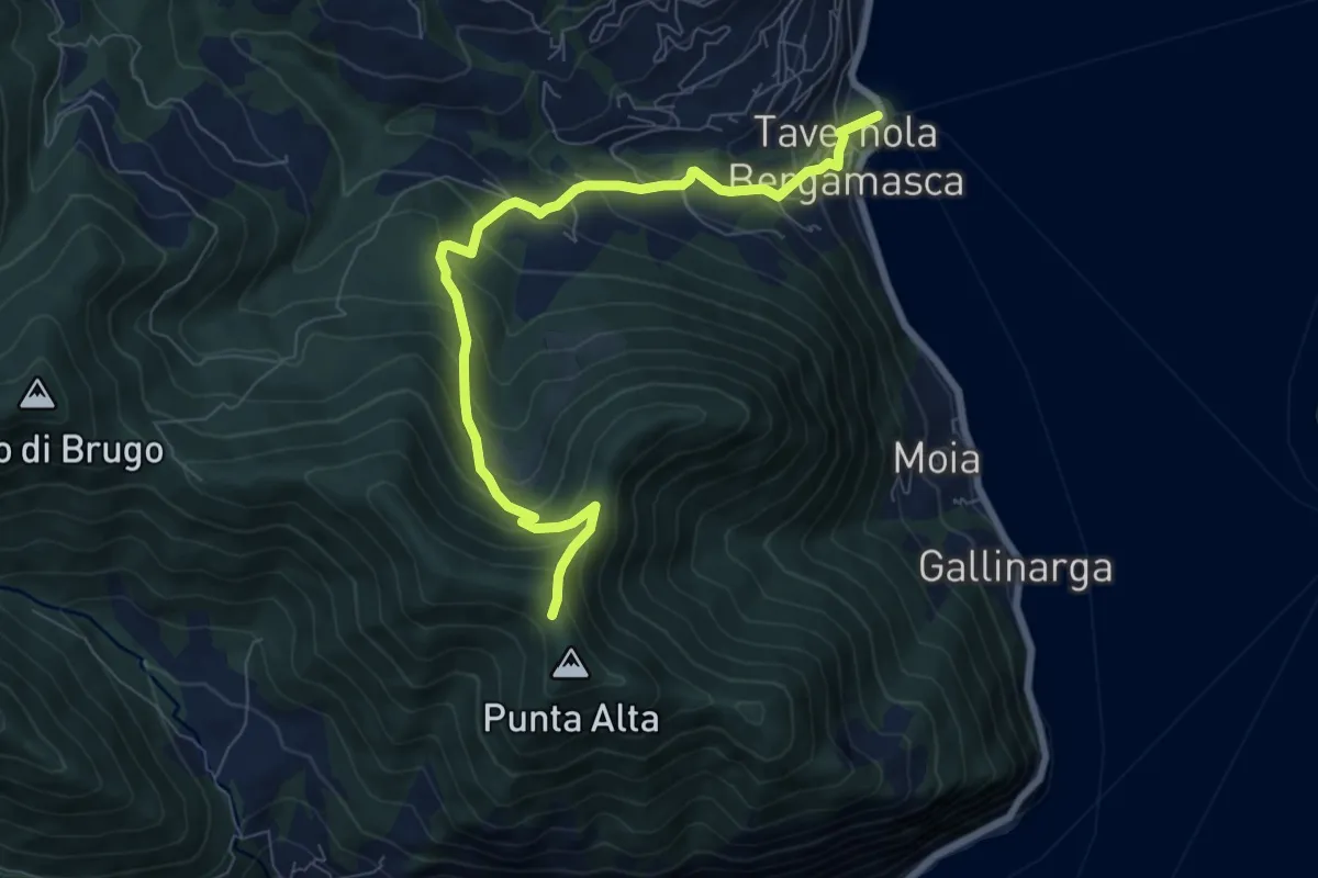
Medium · Trail
Tavernola Bergamasca – Punta Alta
7.9 km · ↑ 732 m · 3 h 28 min · 12 km away