Trails near Gardone Val Trompia
328 hikes starting within 15 km, nearest first.
Nearest first, page 6 of 7
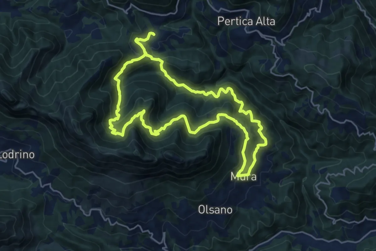
Demanding · Trail
Mura - Noffo - Nasego - Mura
14.7 km · ↑ 1109 m · 6 h 4 min · 12 km away
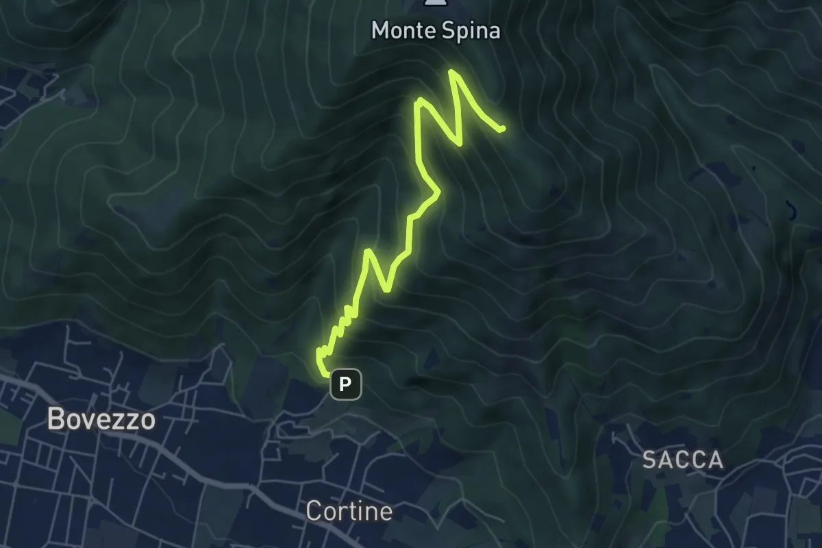
Medium · Cabin
Nave (Cortine - Albergo dei Poveri) – Roccolo Squassina
6.2 km · ↑ 586 m · 2 h 45 min · 12 km away
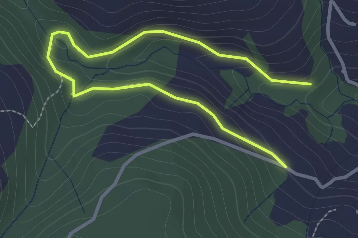
Easy · Trail
Madonna di Cortinica – Ponte di Lughel
3.2 km · ↑ 101 m · 59 min · 12 km away
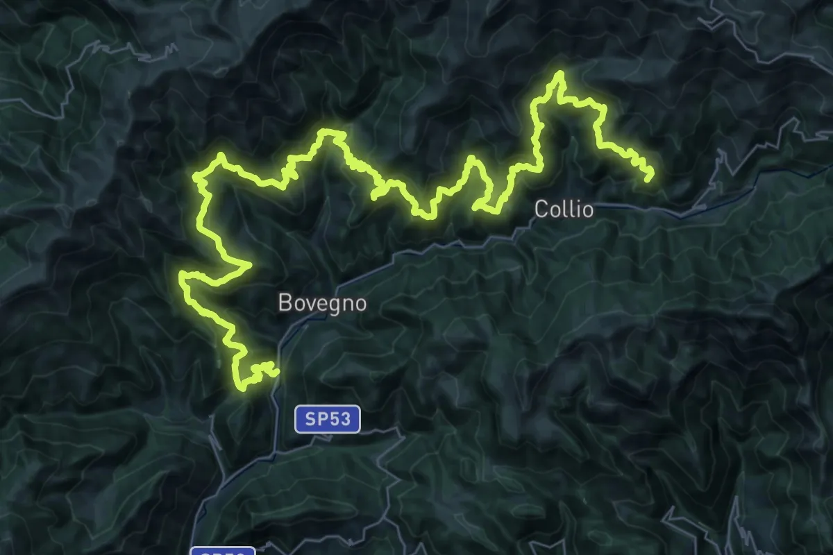
Demanding · Summit
Sentiero Solivo Alta Valle Trompia
59.2 km · ↑ 4432 m · 23 h 36 min · 12 km away
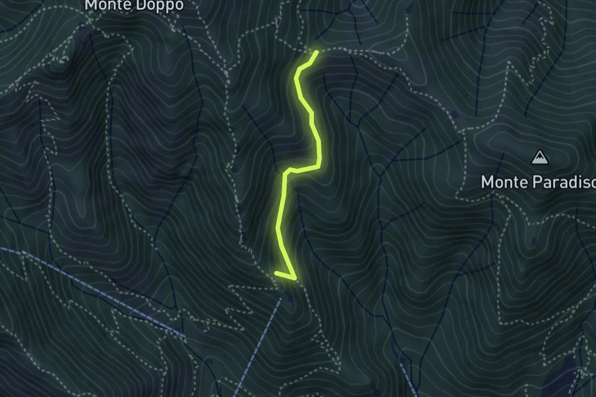
Medium · Summit
Caino (Pian delle Castagne) – Boatica (Innesto Sentiero 381)
2.6 km · ↑ 259 m · 1 h 10 min · 12 km away
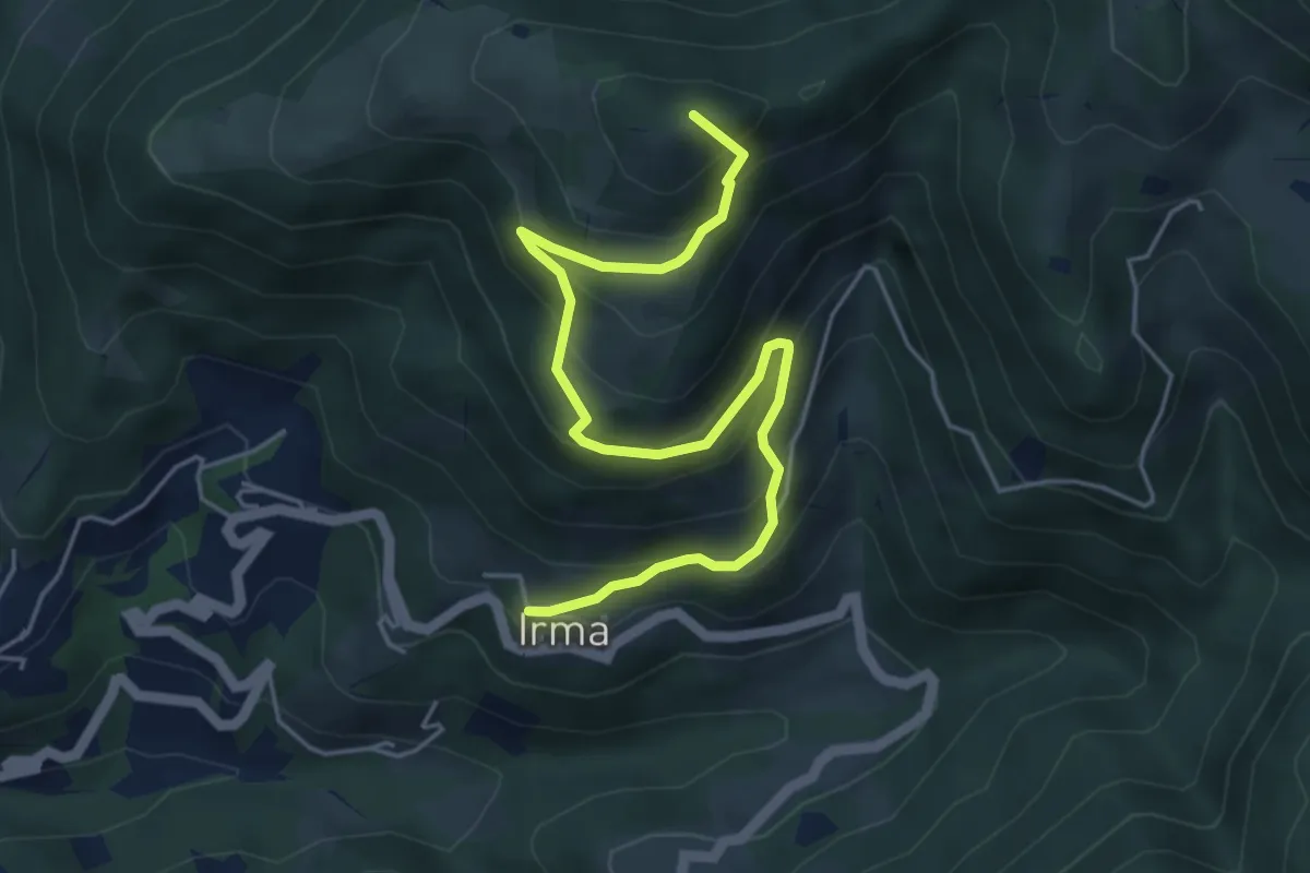
Medium · Summit
Irma (Cimitero) – Monte Ario (Passo del Cavalletto - Innesto Sentiero 345)
5.7 km · ↑ 483 m · 2 h 23 min · 12 km away
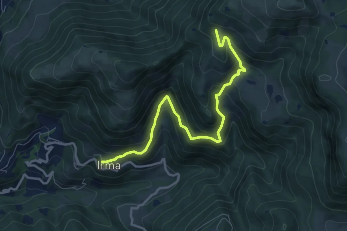
Medium · Trail
Irma (Cimitero) – Monte Ario - (Malga Confine - Innesto Sentiero 345)
7.7 km · ↑ 546 m · 3 h 1 min · 12 km away
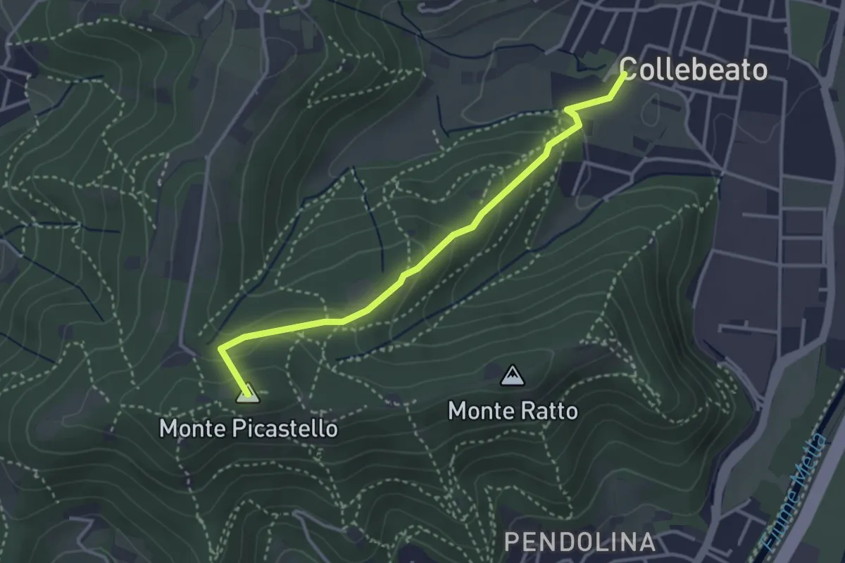
Medium · Summit
Collebeato (Via Angolo di Sotto) – Campiani (Il Merlo)
3.3 km · ↑ 178 m · 1 h 10 min · 12 km away
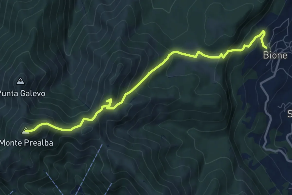
Medium · Summit
Bione (Pieve) - Eremo di San Vigilio - Monte Prealba
8.7 km · ↑ 716 m · 3 h 36 min · 12 km away
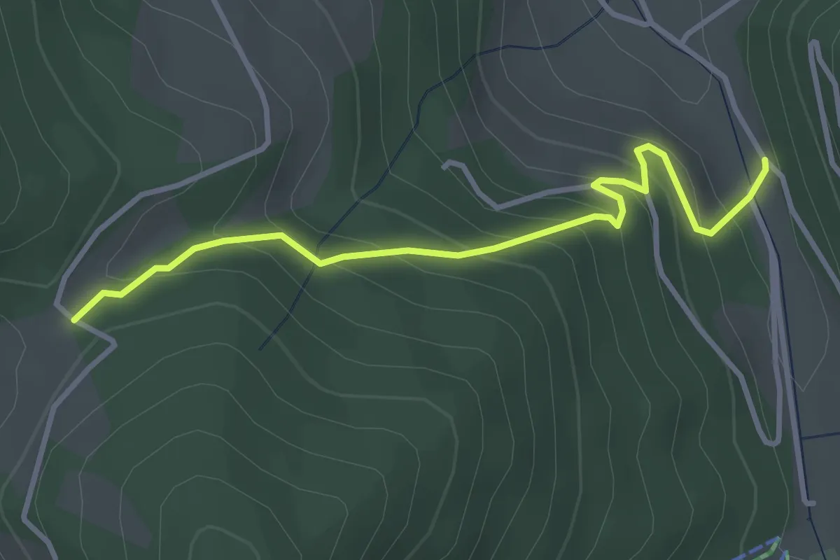
Easy · Trail
Palot – Passabocche
3.4 km · ↑ 268 m · 1 h 23 min · 12 km away
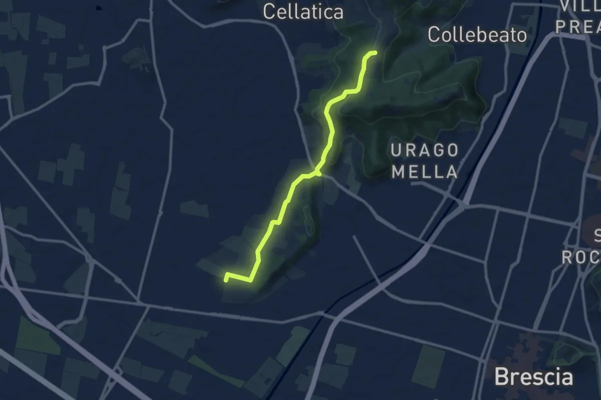
Medium · Trail
Brescia (Via del Santellone) – Campiani (Crosette, innesto sentiero 3V)
8.8 km · ↑ 209 m · 2 h 31 min · 12 km away
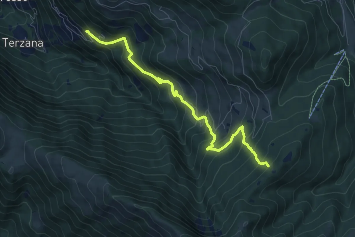
Medium · Trail
Pontasio – Passabocche
8.3 km · ↑ 715 m · 3 h 30 min · 12 km away
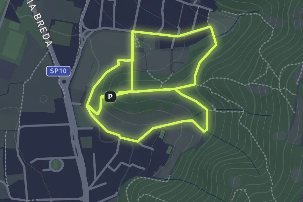
Easy · Trail
Percorso del Colle San Rocco
3.3 km · ↑ 89 m · 1 h 1 min · 12 km away
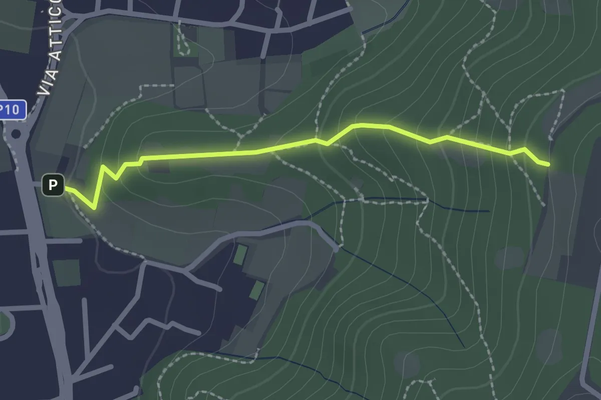
Medium · Trail
Cellatica (Via San Rocco) – Campiani (Innesto Sentiero 219)
2.1 km · ↑ 157 m · 50 min · 12 km away
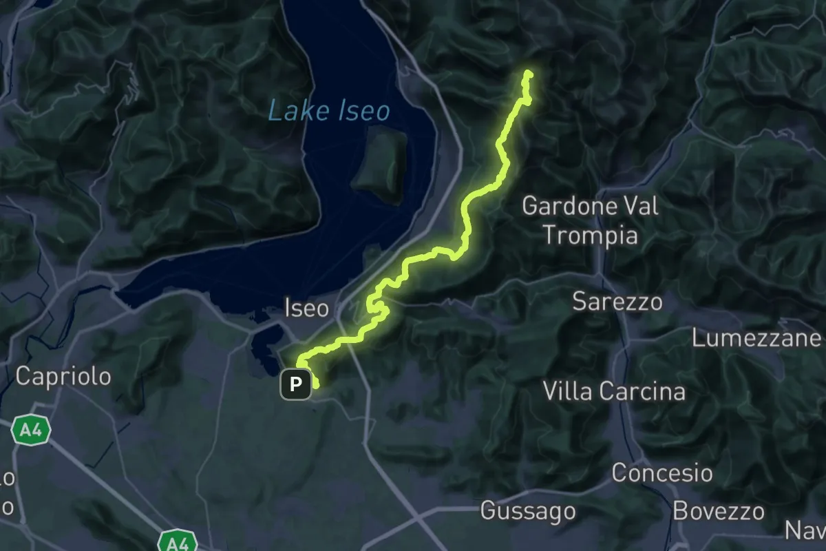
Demanding · Summit
Proai Gölem
44.7 km · ↑ 2342 m · 15 h 38 min · 12 km away
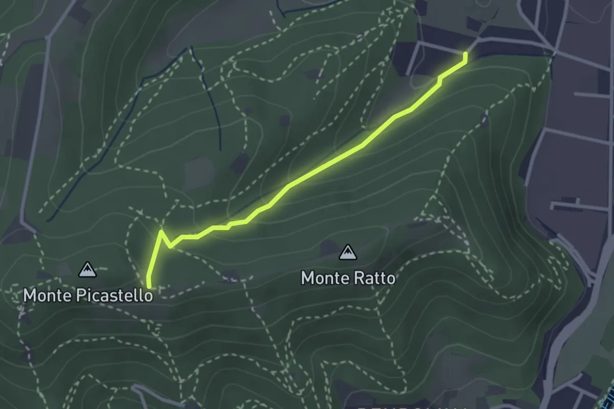
Easy · Trail
Collebeato (Campo de Carlì) – Innesto Sentiero 217
2.5 km · ↑ 158 m · 56 min · 12 km away
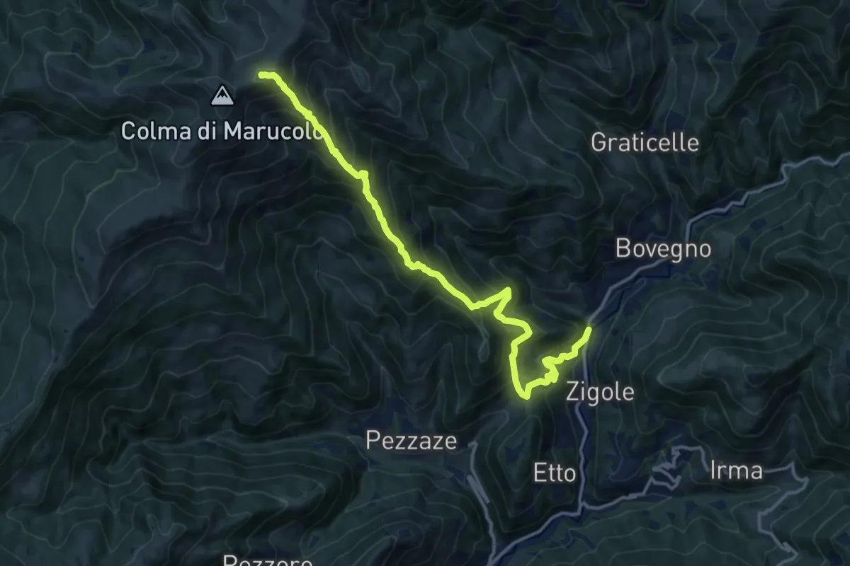
Demanding · Summit
Montecampione
14.9 km · ↑ 1354 m · 6 h 27 min · 12 km away
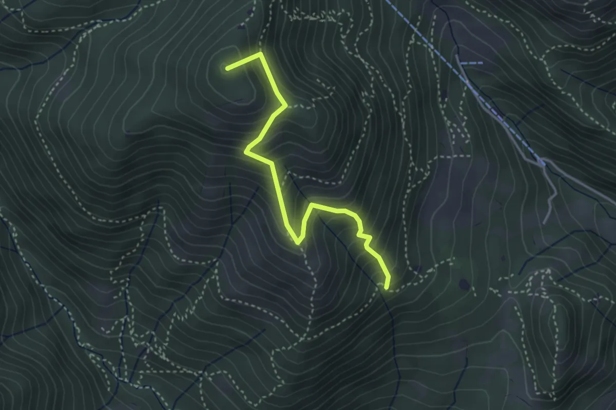
Medium · Summit
Sentiero Nunzio Tocchini
3.4 km · ↑ 371 m · 1 h 36 min · 12 km away
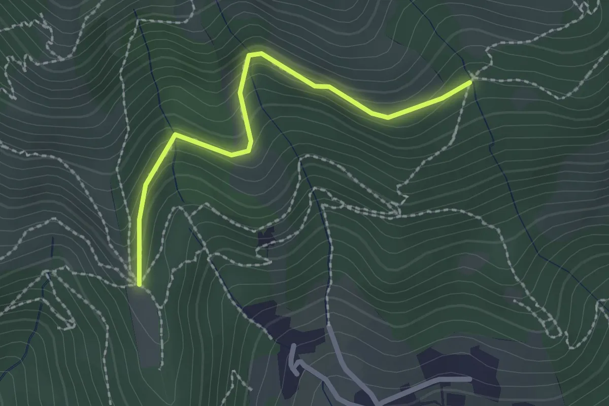
Easy · Trail
Nave (Cascina Mezzana) - Pozza Cà del Lì (Innesto Sentiero 392)
2.1 km · ↑ 177 m · 53 min · 13 km away
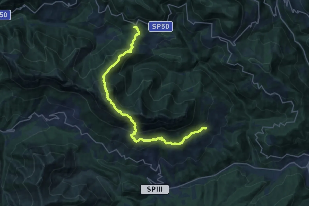
Demanding · Summit
Mura - Nasego - Passo del Termine
17.4 km · ↑ 1334 m · 7 h · 13 km away
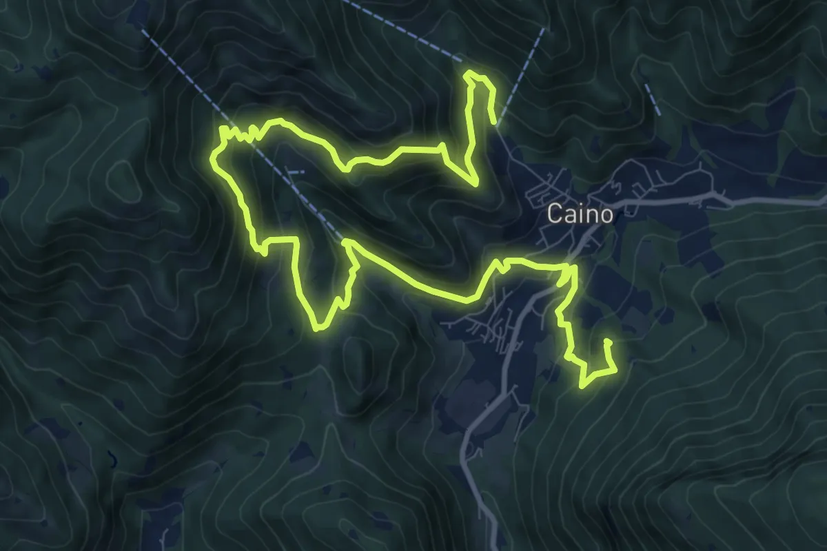
Demanding · Summit
Caino (Pian delle Castagne) – Val Bertone
15.5 km · ↑ 1050 m · 5 h 56 min · 13 km away
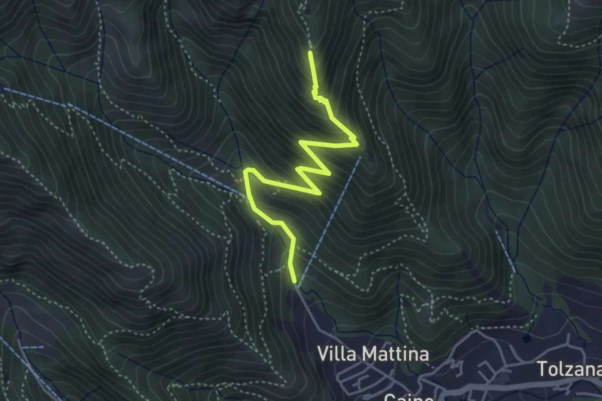
Medium · Summit
Caino (Pian delle Castagne) – Monte Doppo (Innesto Sentiero 381)
4.1 km · ↑ 407 m · 1 h 50 min · 13 km away
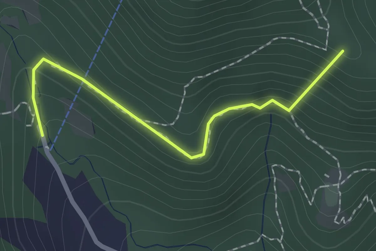
Easy · Summit
Sentiero dei Papi
1.7 km · ↑ 130 m · 42 min · 13 km away
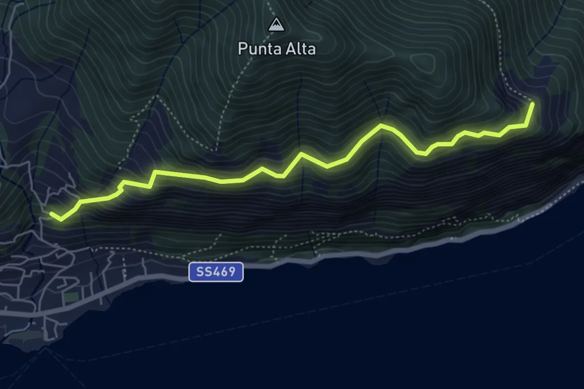
Medium · Trail
Sentiero dei Fiori
5.3 km · ↑ 518 m · 2 h 22 min · 13 km away
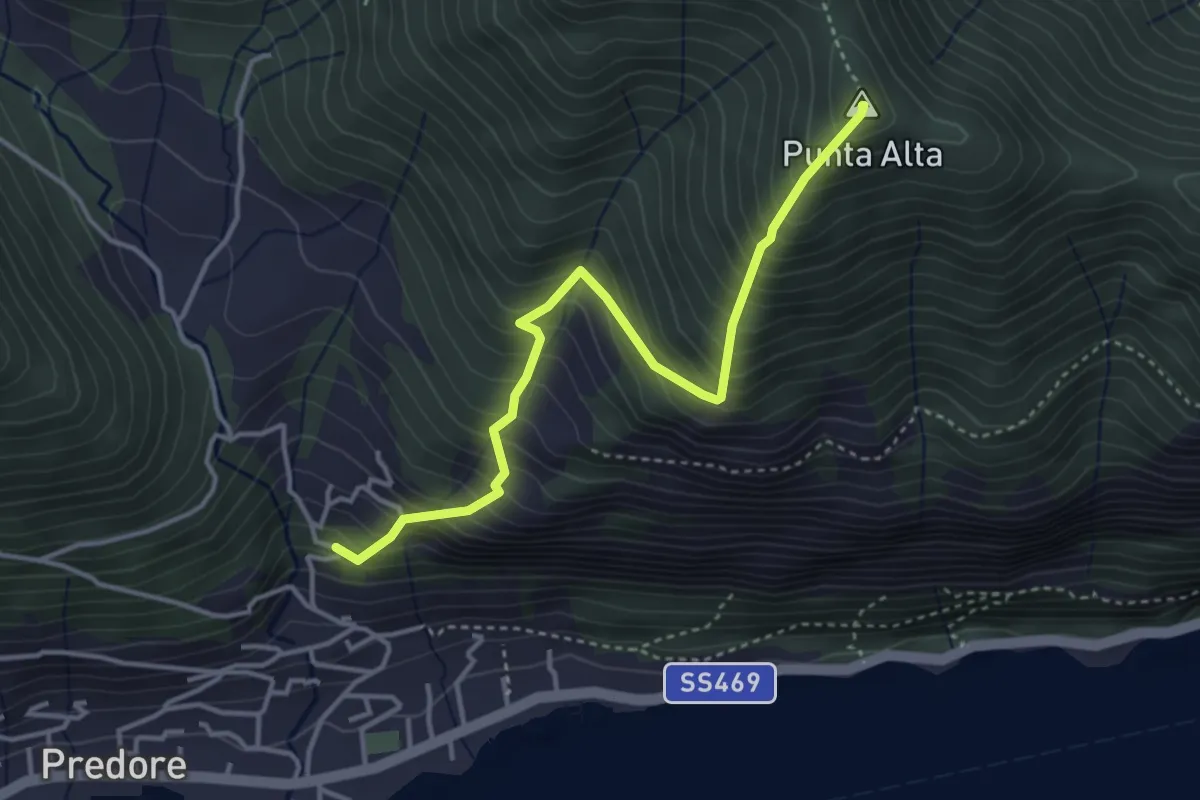
Medium · Summit
San Gregorio (Predore) – Punta Alta
3.9 km · ↑ 634 m · 2 h 18 min · 13 km away
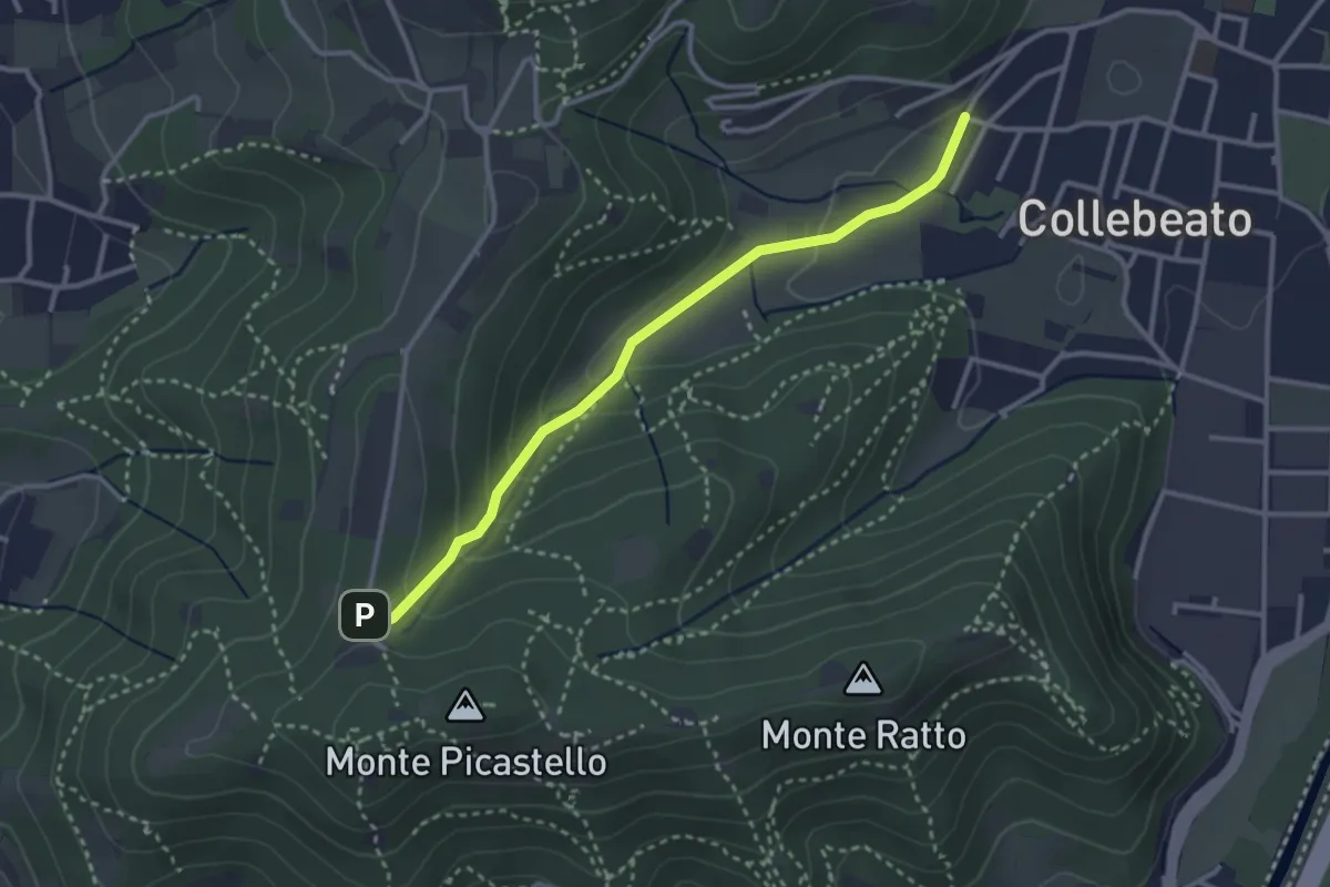
Medium · Trail
Collebeato (Angolo di Sopra) – Campiani (Il Merlo)
3.1 km · ↑ 131 m · 1 h 1 min · 13 km away
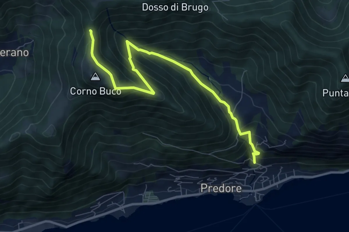
Medium · Trail
Predore – Colle di Oregia
8.7 km · ↑ 661 m · 3 h 29 min · 13 km away
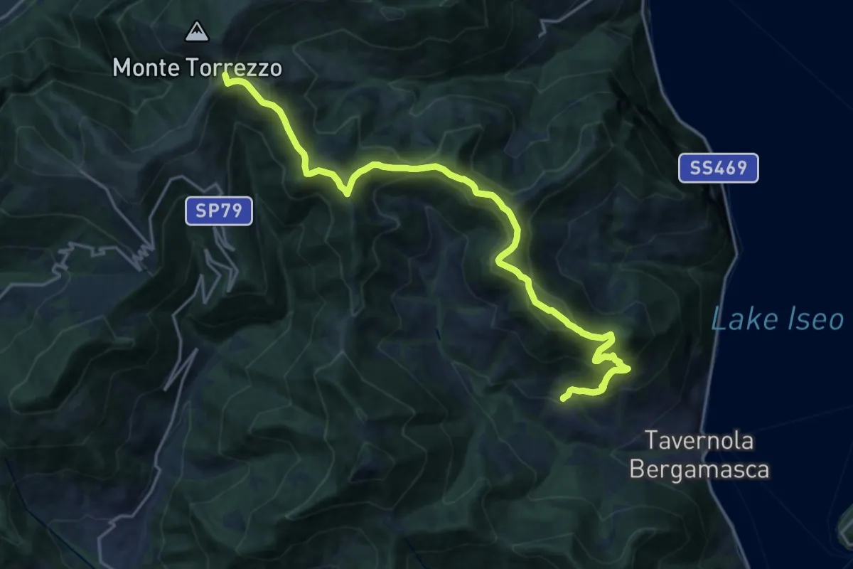
Demanding · Summit
Sentiero tra i monti e il lago - Tappa 2
19.5 km · ↑ 1222 m · 7 h 15 min · 13 km away
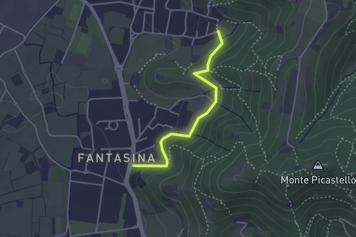
Easy · Trail
Cellatica (Fantasina) – Cellatica (Cantone)
2.9 km · ↑ 101 m · 54 min · 13 km away
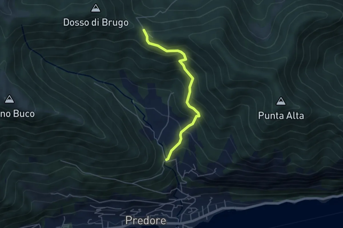
Medium · Trail
San Gregorio (incrocio 708) – Colle del Giogo (incrocio 707)
4.1 km · ↑ 382 m · 1 h 47 min · 13 km away
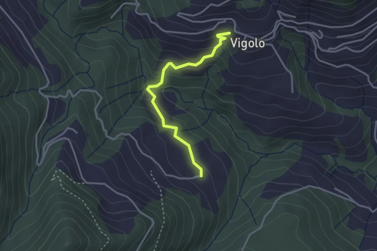
Easy · Trail
Vigolo – Pressana
2.7 km · ↑ 142 m · 57 min · 13 km away
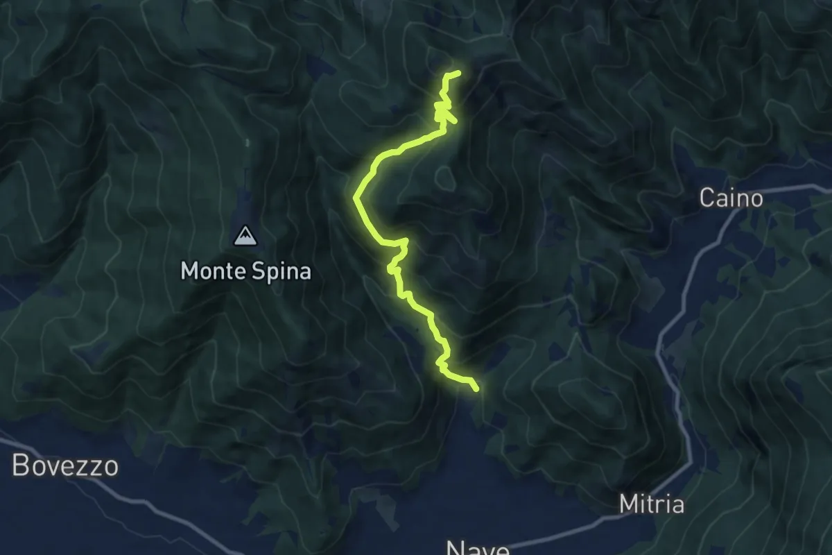
Demanding · Summit
Nave (Piezze) - Santuario di Conche
9.1 km · ↑ 901 m · 4 h 6 min · 13 km away
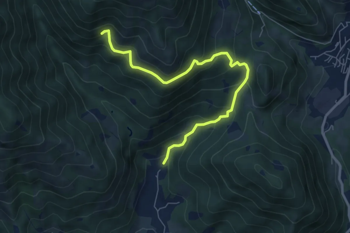
Medium · Trail
Nave (Piezze) - Sant'Antonio - Innesto Sentiero 354
6.7 km · ↑ 527 m · 2 h 44 min · 13 km away
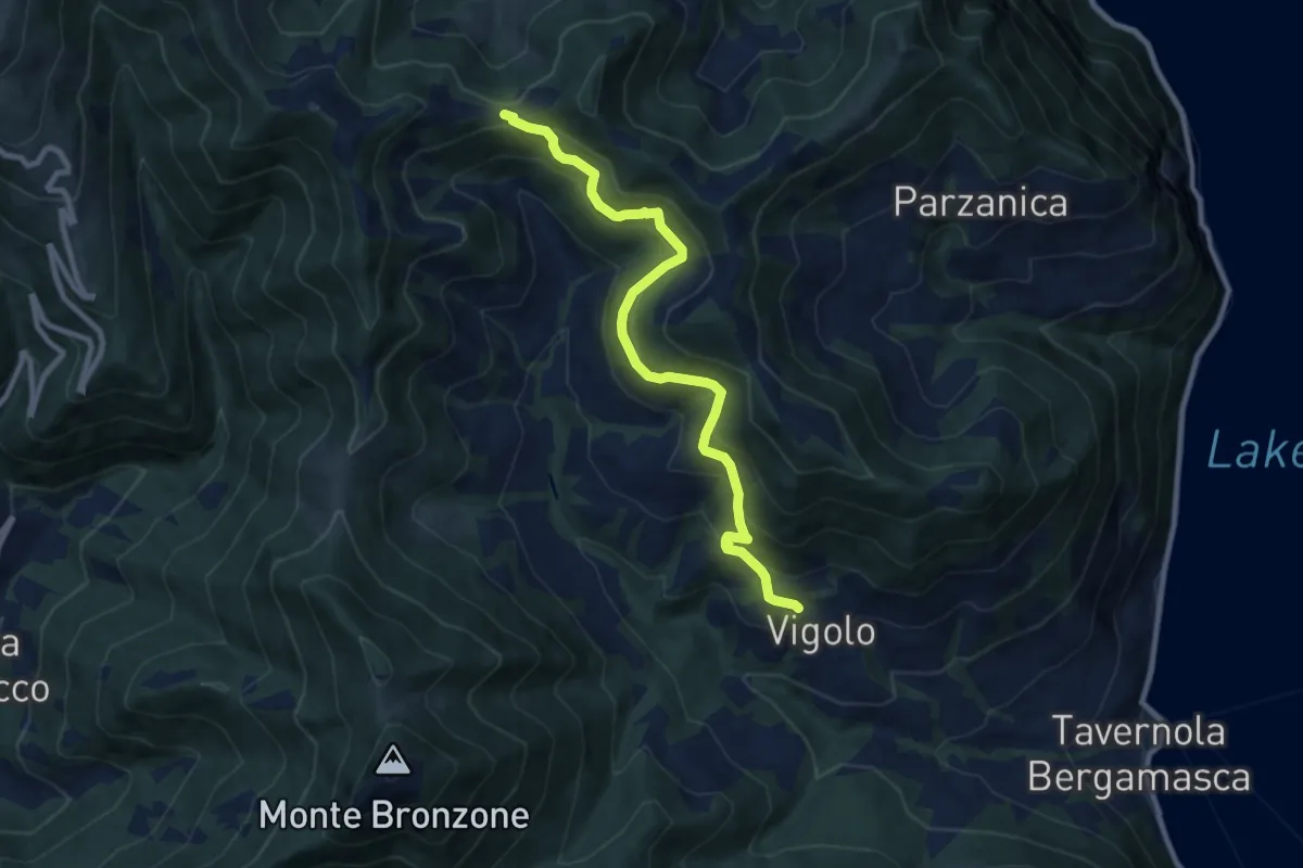
Medium · Trail
Vigolo – Colle Cargadura
9.4 km · ↑ 590 m · 3 h 29 min · 13 km away
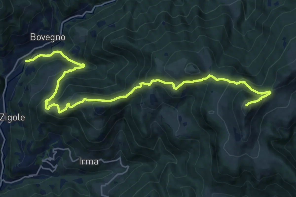
Demanding · Summit
Bovegno (San Rocco) – Monte Ario
17.0 km · ↑ 1199 m · 6 h 37 min · 13 km away
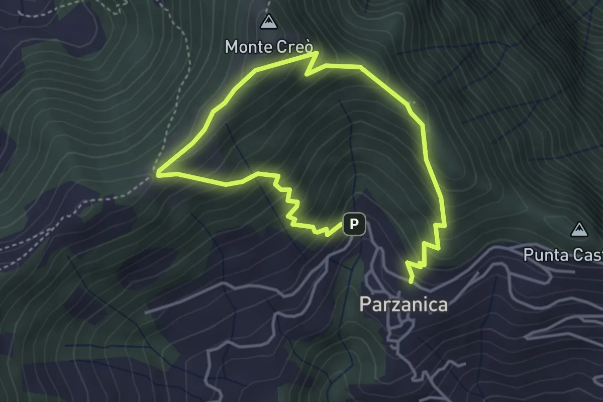
Easy · Trail
Parzanica – Parzanica
2.9 km · ↑ 278 m · 1 h 20 min · 13 km away
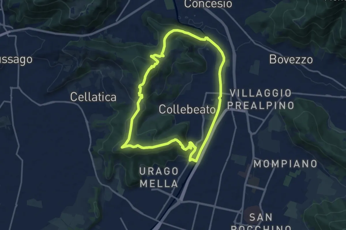
Demanding · Summit
Periplo di Collebeato - Sentiero del Gian (Gianpietro Nicolini)
11.3 km · ↑ 415 m · 3 h 44 min · 13 km away
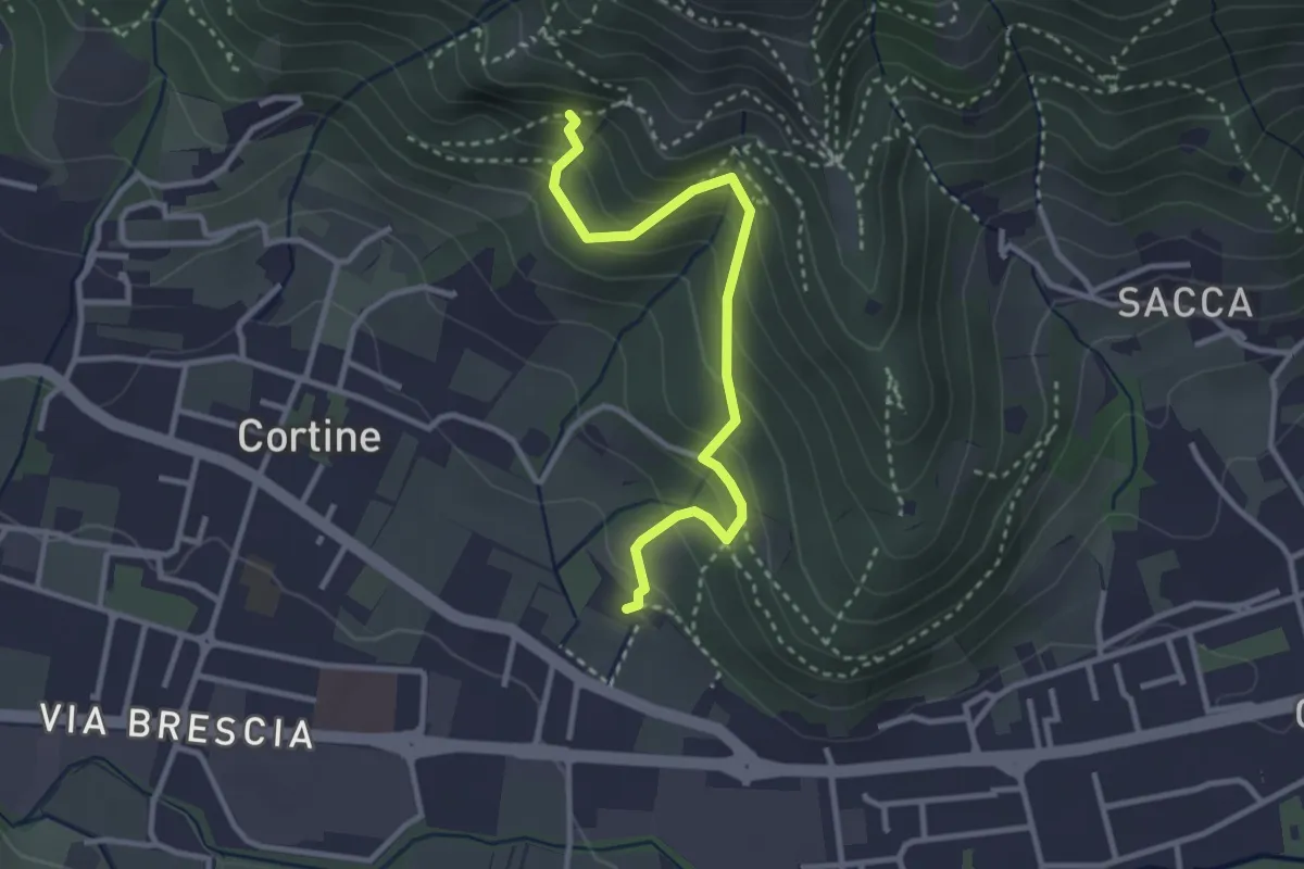
Easy · Trail
Sentiero del Marrone (Variante Nave)
3.1 km · ↑ 314 m · 1 h 25 min · 13 km away
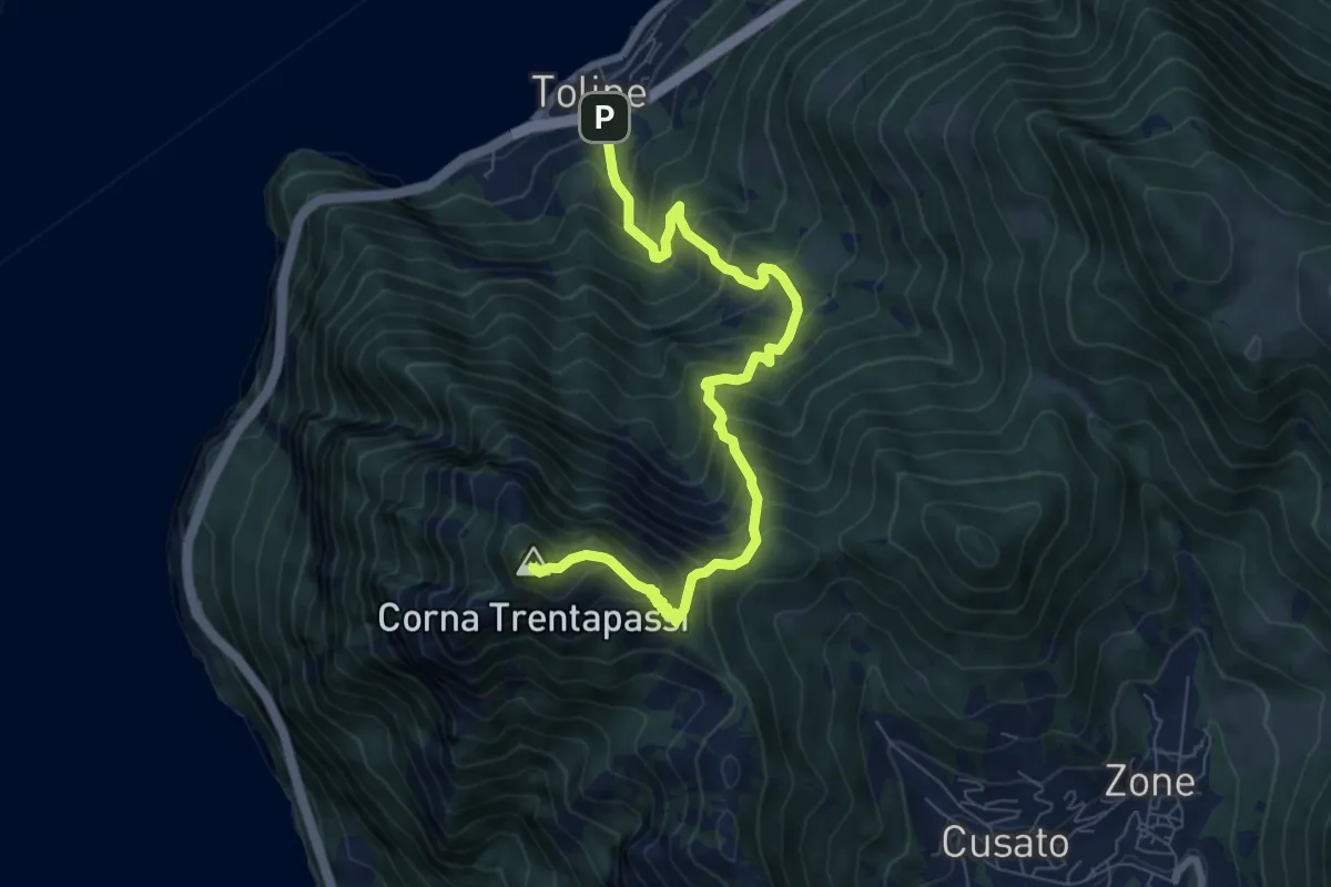
Demanding · Summit
Toline – Corna Trentapassi
8.2 km · ↑ 985 m · 4 h 5 min · 13 km away
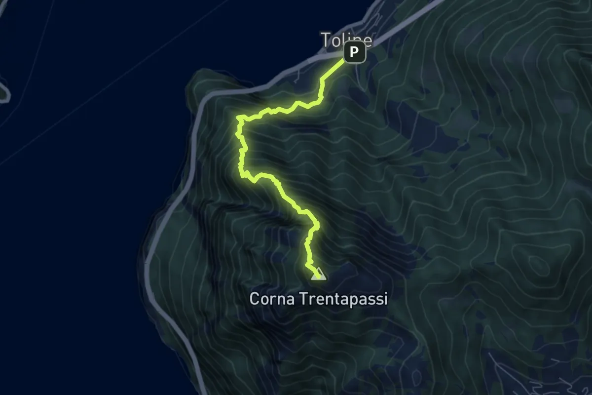
Expert · Summit
Toline – Corna Trentapassi
6.4 km · ↑ 1069 m · 3 h 50 min · 13 km away
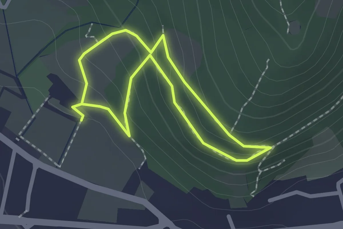
Easy · Trail
Sentiero Zanardelli percorso alto
1.5 km · ↑ 68 m · 32 min · 13 km away
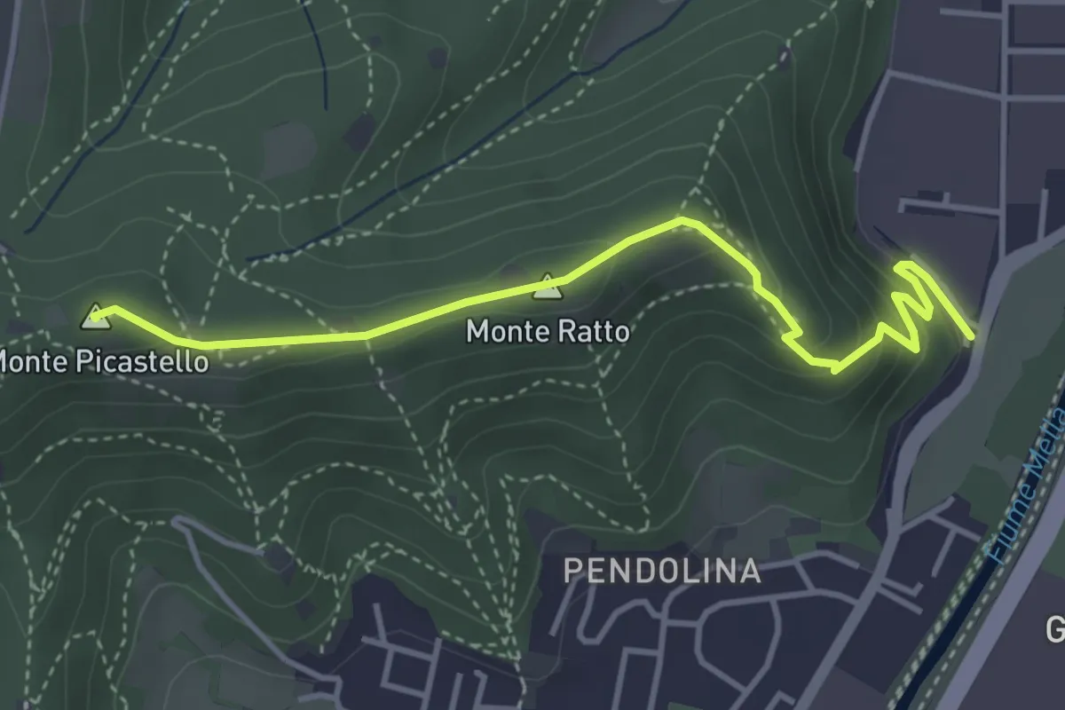
Medium · Summit
Collebeato (Via Roma) – Monte Picastello
4.1 km · ↑ 191 m · 1 h 24 min · 13 km away
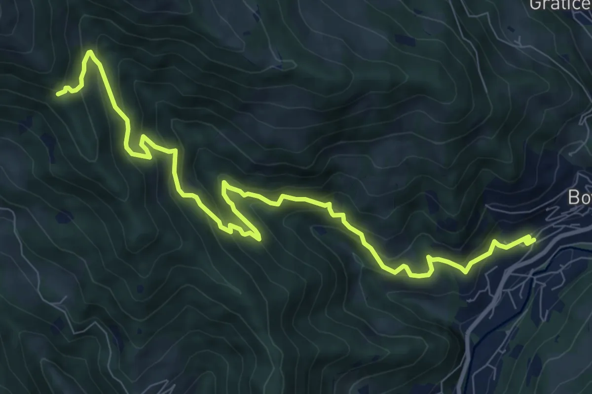
Demanding · Trail
Val di Mèola
10.8 km · ↑ 827 m · 4 h 21 min · 13 km away
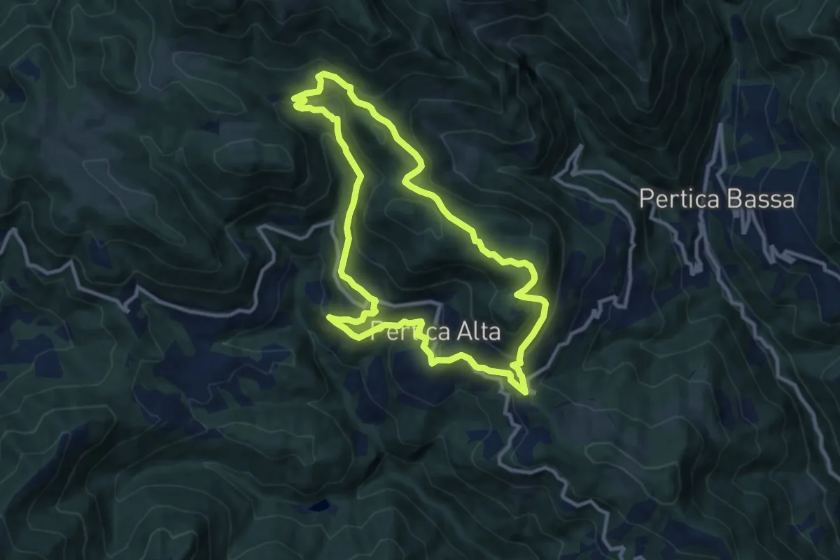
Medium · Summit
Pertica Alta (Livemmo - Passo San Rocco) – Passo San Rocco
9.8 km · ↑ 504 m · 3 h 32 min · 13 km away
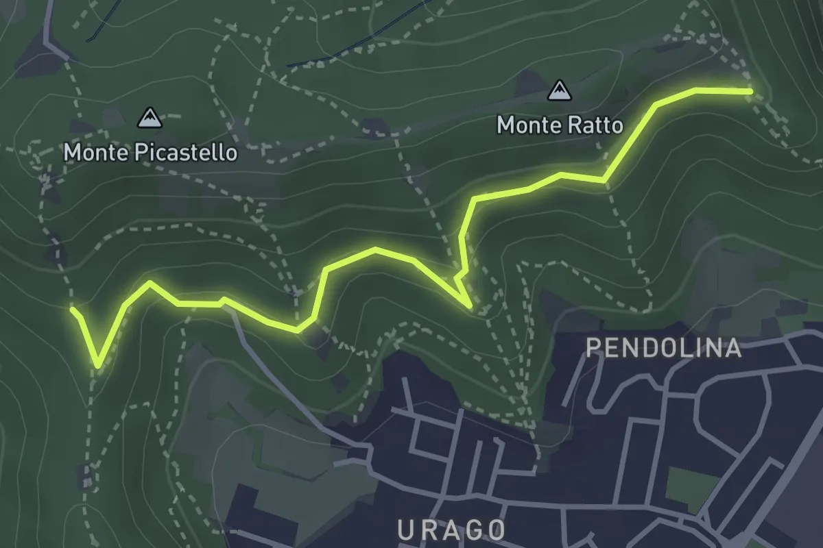
Easy · Trail
Brescia (Valle Bresciana - Innesto Sentiero 218) – Dosso degli Olmi (Innesdto sentiero n. 217)
3.6 km · ↑ 205 m · 1 h 18 min · 13 km away
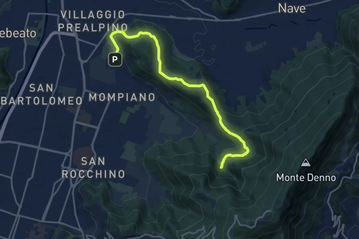
Medium · Cabin
Brescia (Via San Cristoforo) – Rifugio Valle di Mompiano
12.0 km · ↑ 345 m · 3 h 35 min · 13 km away
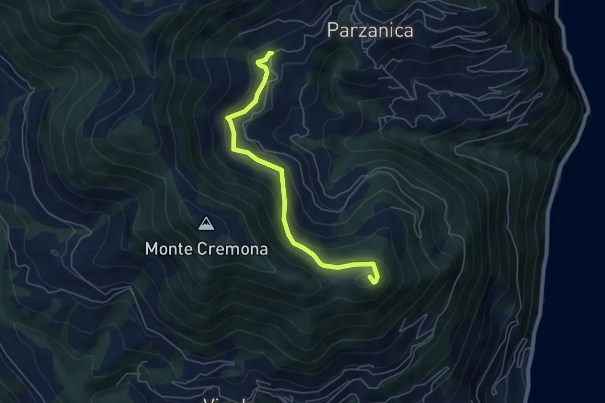
Medium · Summit
Gromolo (incrocio 722) – Monte Soresano (incrocio 724)
4.9 km · ↑ 337 m · 1 h 53 min · 13 km away
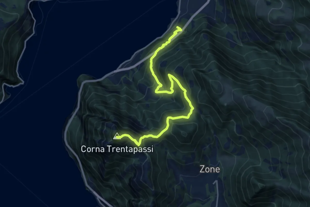
Demanding · Summit
Pisogne – Corna Trentapassi
14.2 km · ↑ 1215 m · 6 h · 13 km away