Trails near Gardone Val Trompia
328 hikes starting within 15 km, nearest first.
Nearest first, page 7 of 7
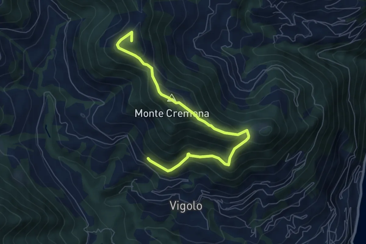
Medium · Summit
Recursone (Vigolo) – Punta del Bert
7.5 km · ↑ 551 m · 2 h 58 min · 13 km away
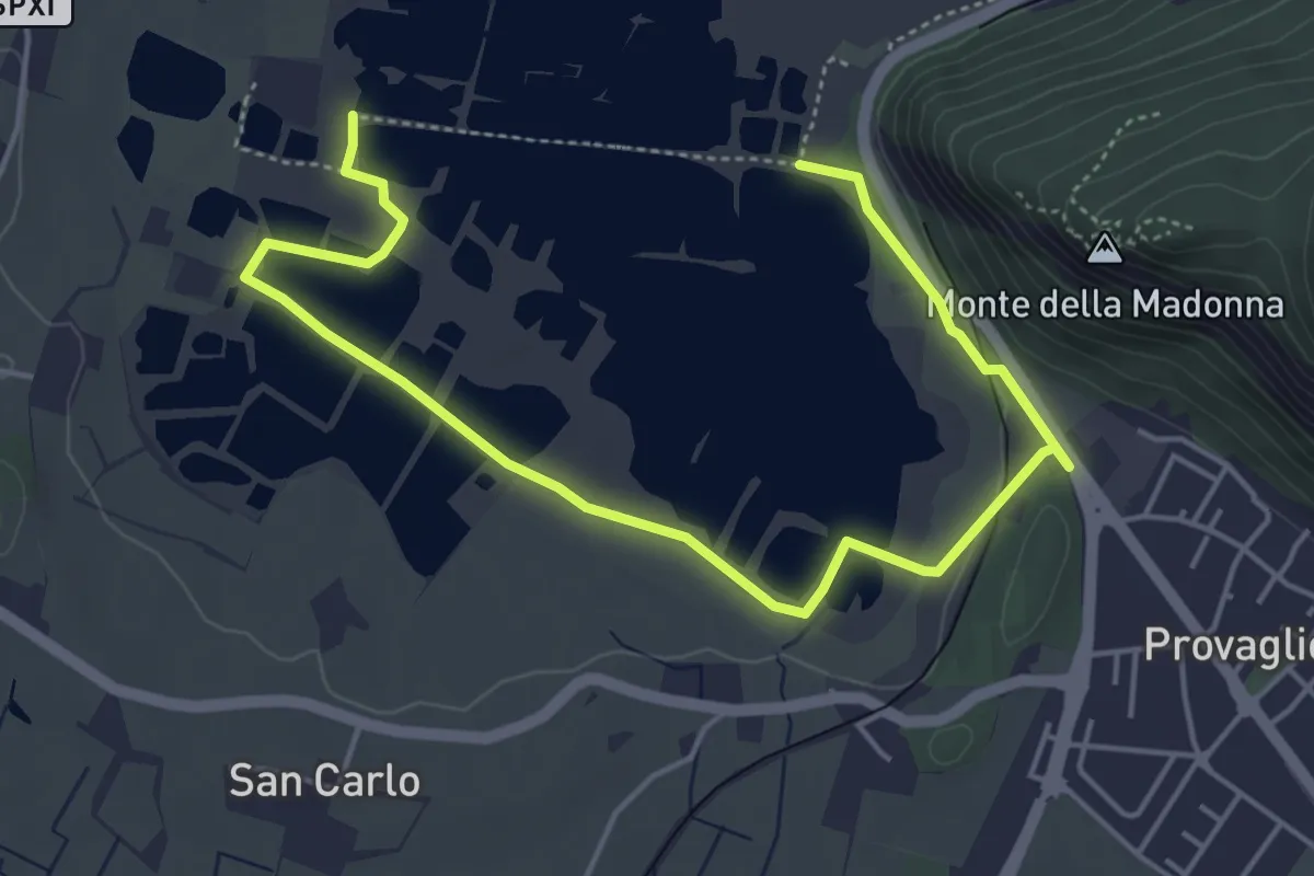
Easy · Trail
Percorso Pedonale Sud
6.4 km · ↑ 61 m · 1 h 39 min · 13 km away
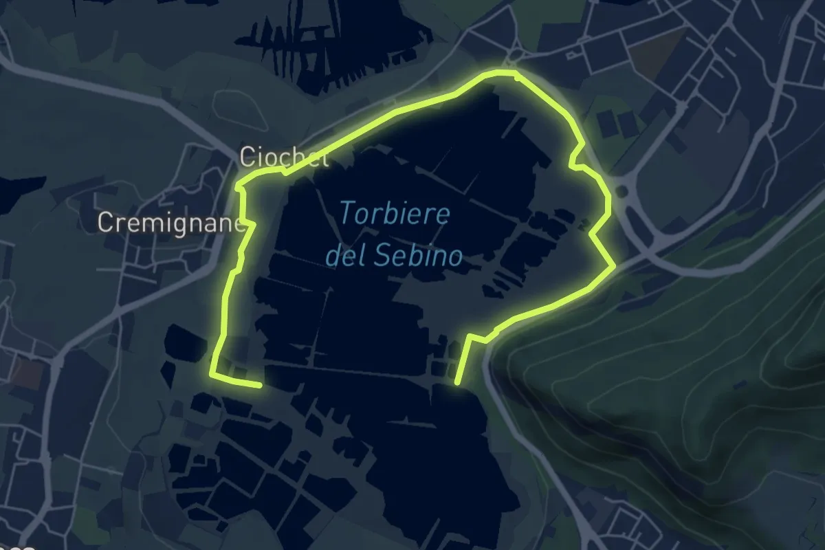
Medium · Trail
Percorso Pedonale Nord
8.5 km · ↑ 18 m · 2 h 3 min · 13 km away
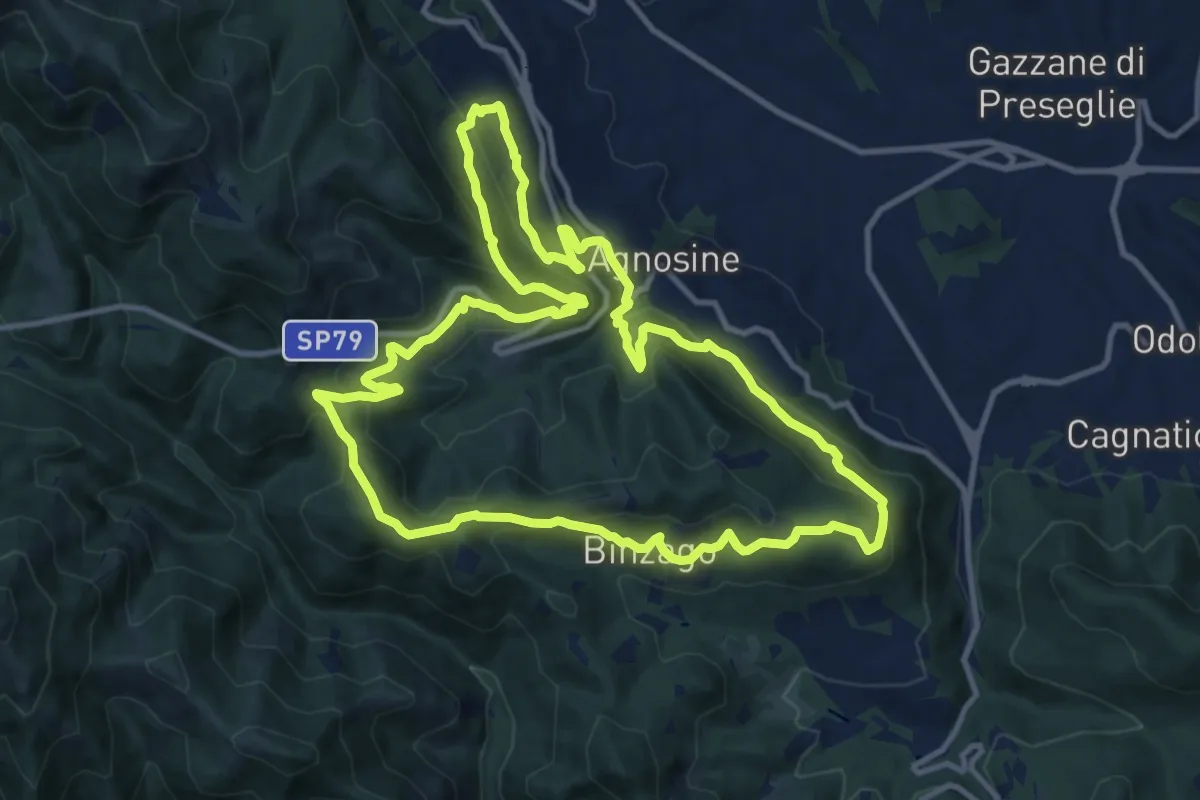
Medium · Summit
Sentiero Tranquillo Bianchi e Caduti per la Libertà di Lumezzane - Tronco A
12.3 km · ↑ 658 m · 4 h 31 min · 14 km away
Medium · Trail
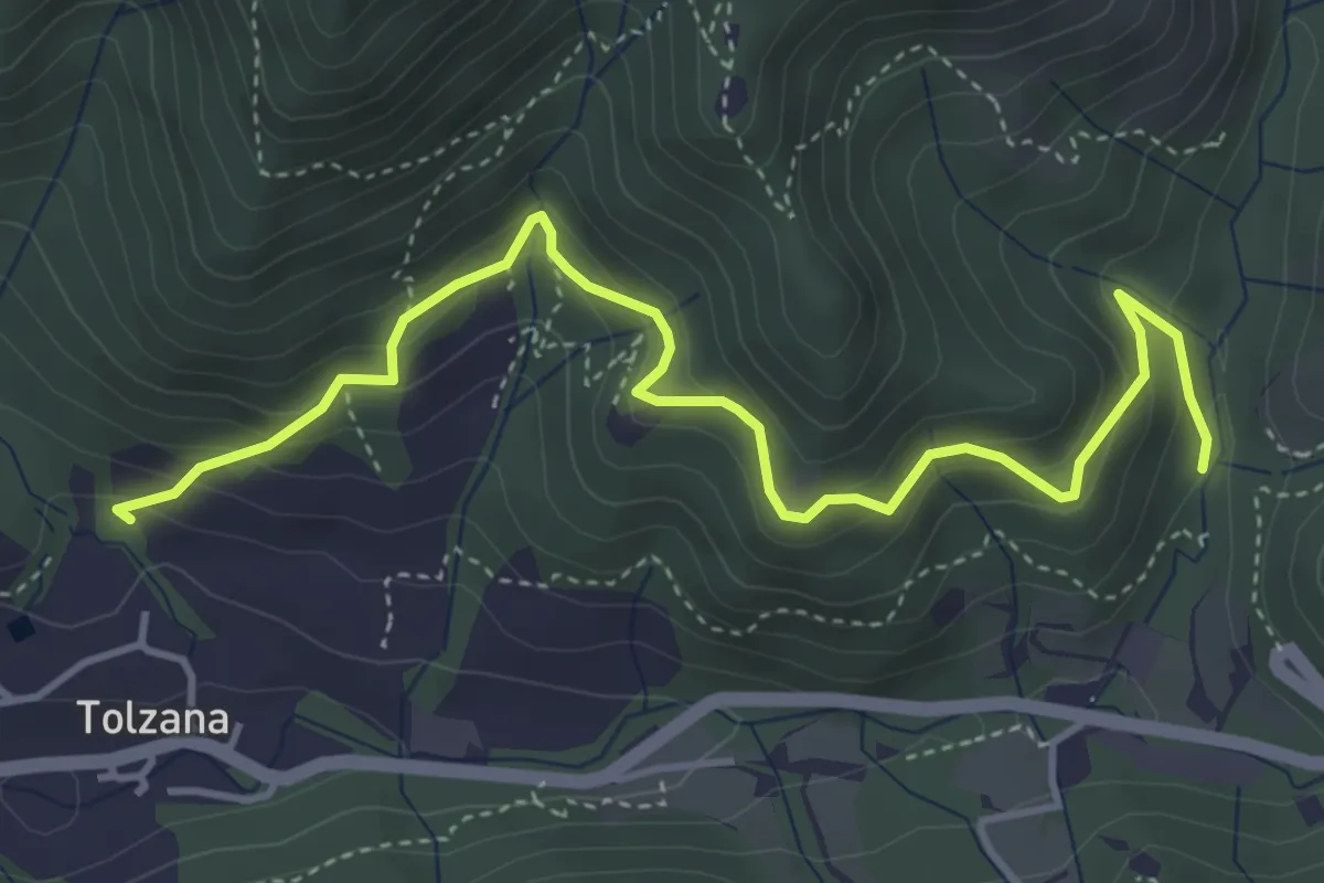
Caino (San Cap) – Val Bertone
4.9 km · ↑ 452 m · 2 h 9 min · 14 km away
Medium · Trail
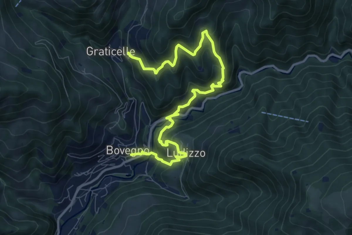
Bovegno - Ludizzo - Graticelle
10.5 km · ↑ 788 m · 4 h 11 min · 14 km away
Demanding · Summit
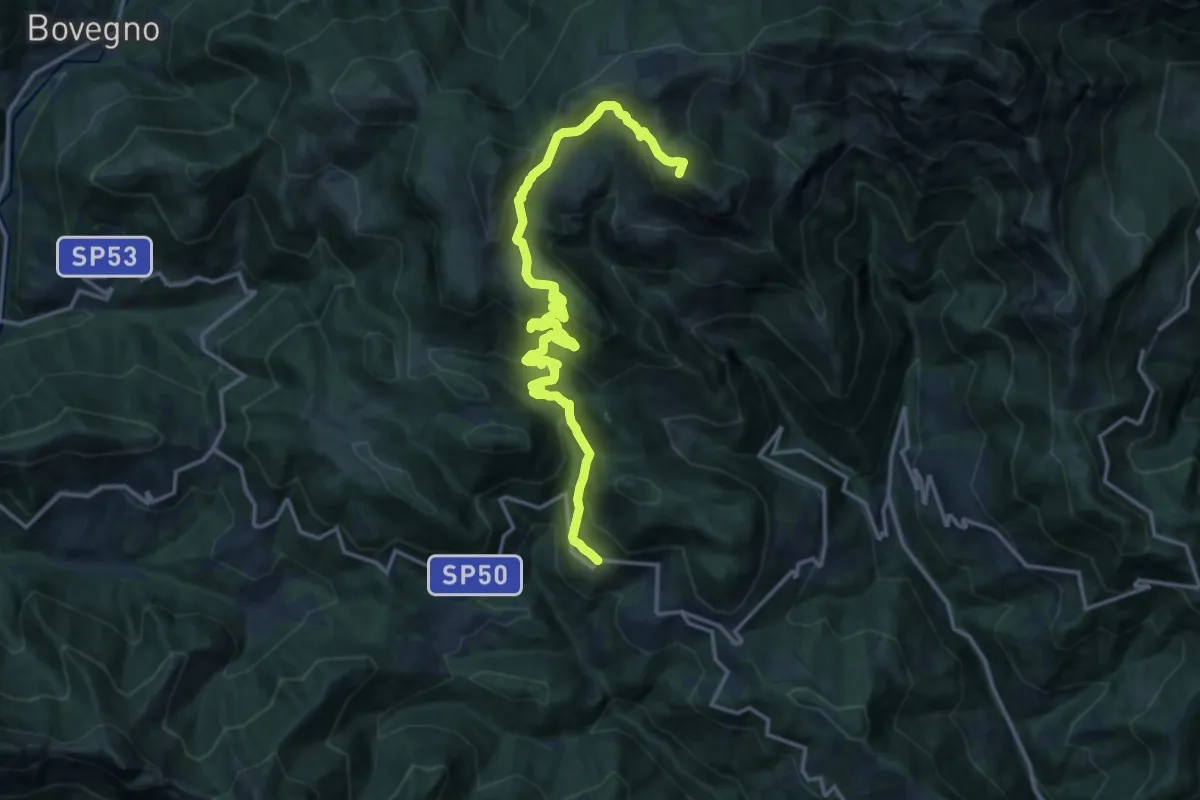
Odeno - Passo Pezzeda
18.0 km · ↑ 1105 m · 6 h 38 min · 14 km away
Medium · Summit
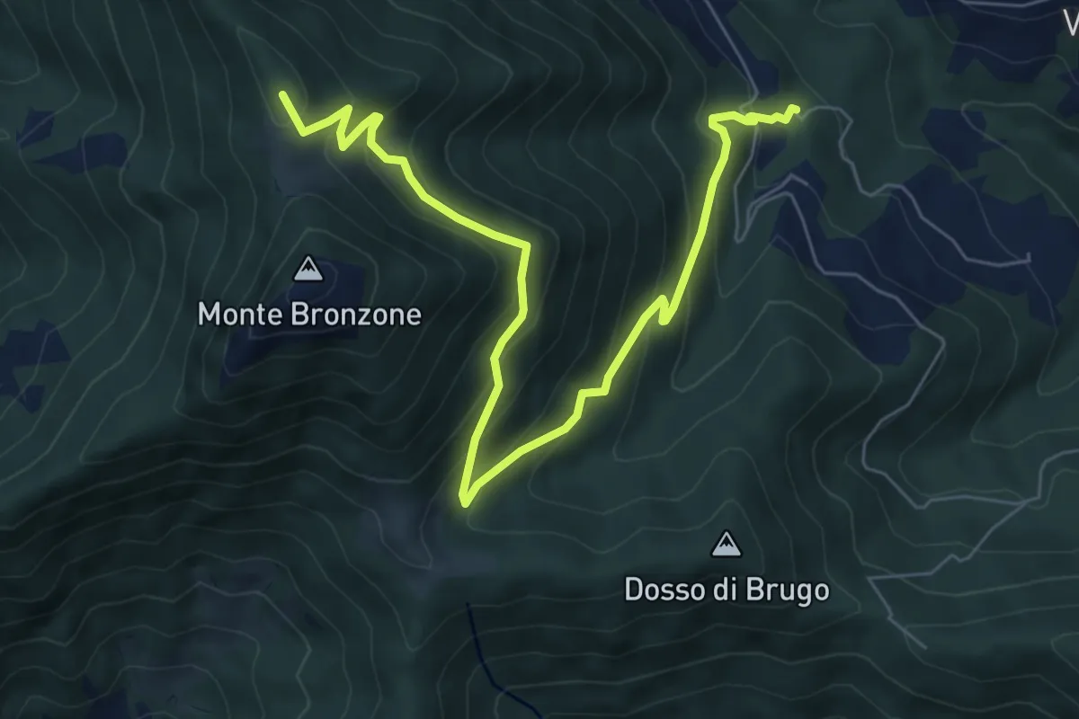
Campolerone (Vigolo) – Gombo alto
8.2 km · ↑ 642 m · 3 h 19 min · 14 km away
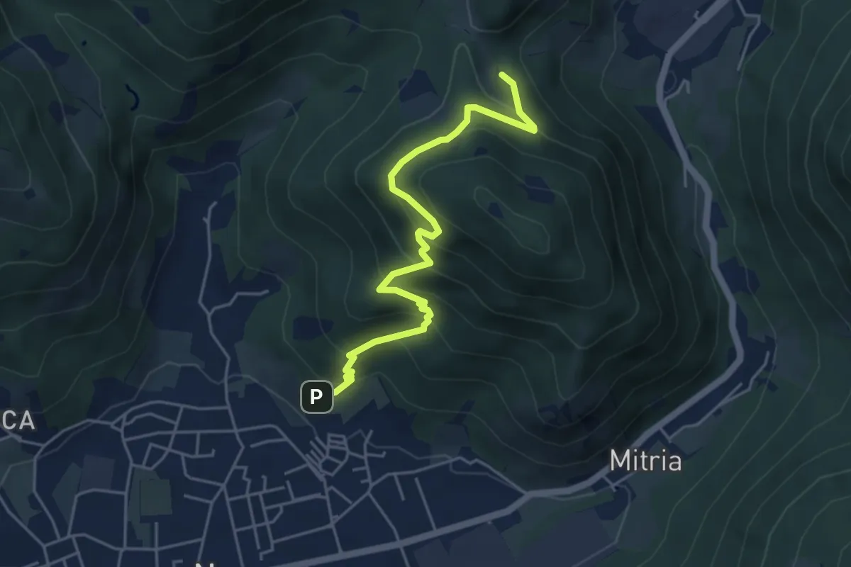
Medium · Trail
Sentiero delle miniere
4.9 km · ↑ 425 m · 2 h 5 min · 14 km away
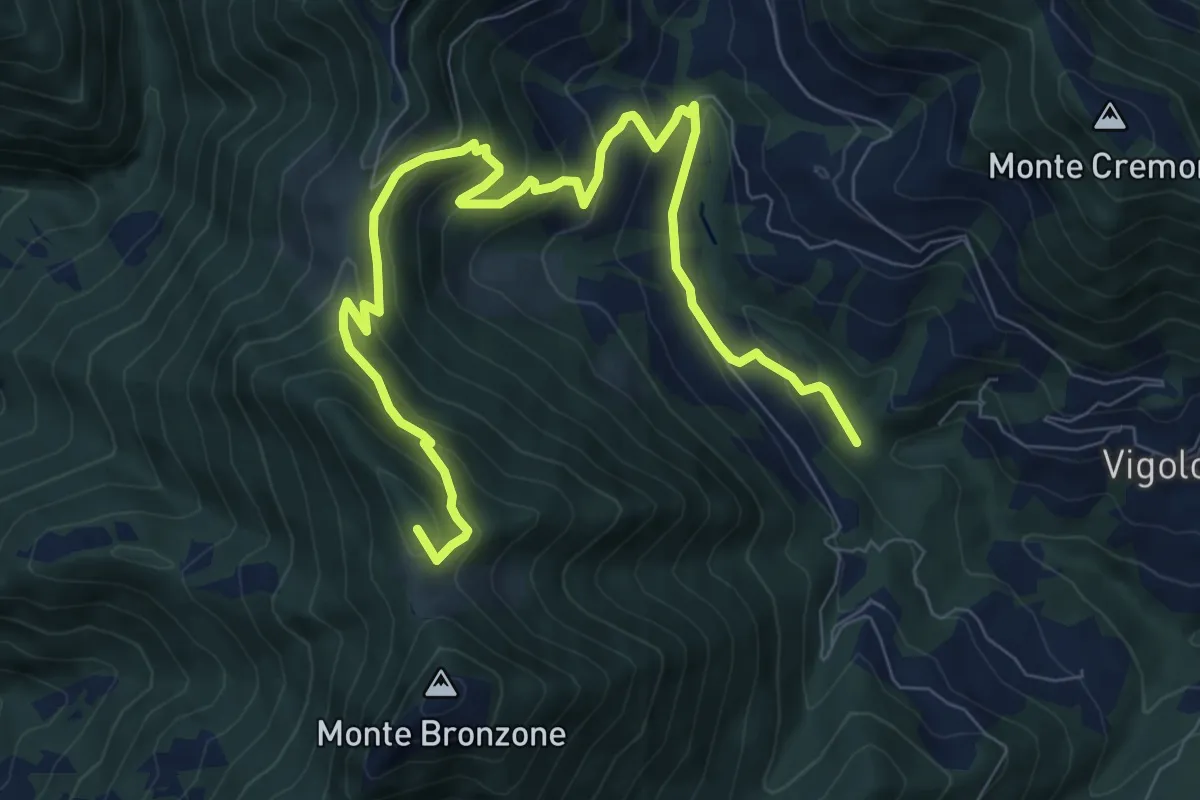
Medium · Summit
Valle delle Tombe – Gombo Alto
11.0 km · ↑ 703 m · 4 h 7 min · 14 km away
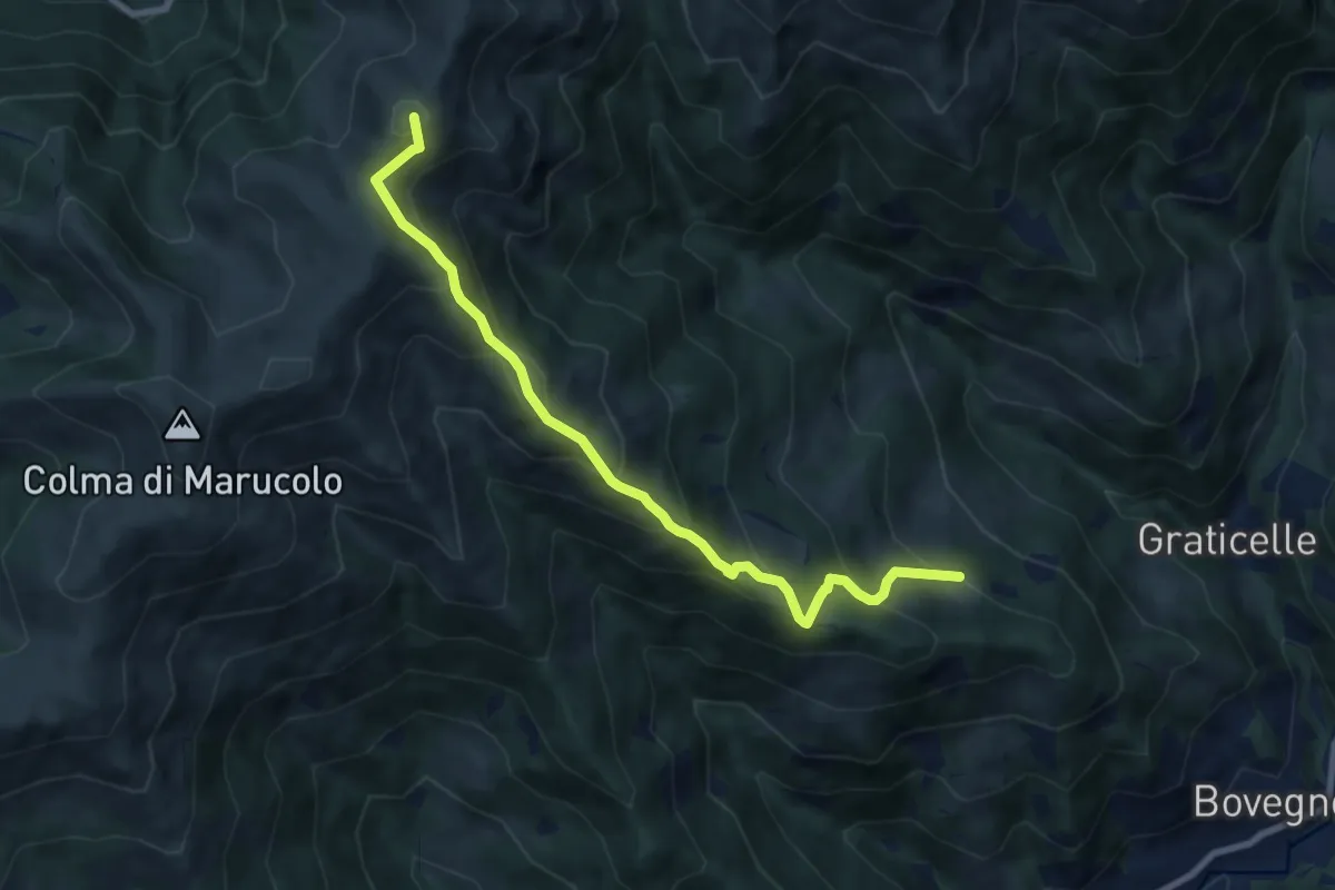
Medium · Summit
Sentiero di Redicampo
8.5 km · ↑ 725 m · 3 h 34 min · 14 km away
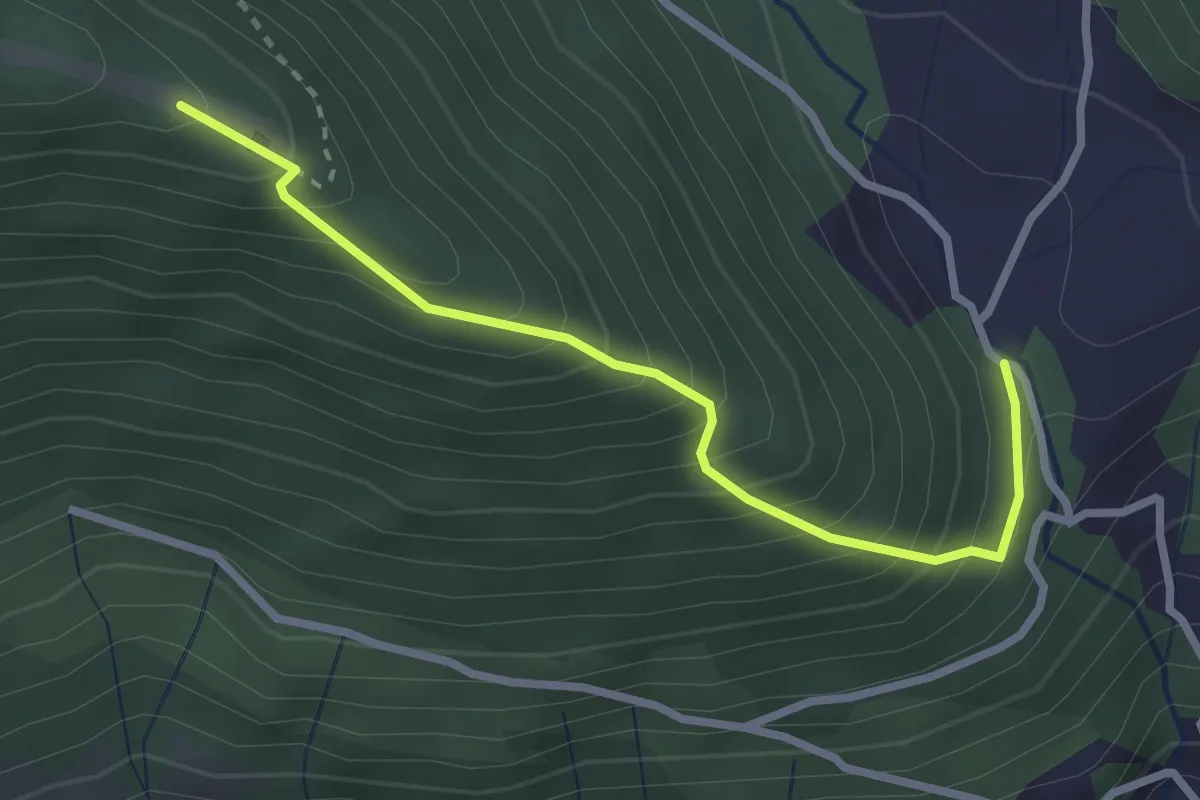
Medium · Trail
San Gregorio (incrocio 708) – Casello Col Giera
2.8 km · ↑ 363 m · 1 h 27 min · 14 km away
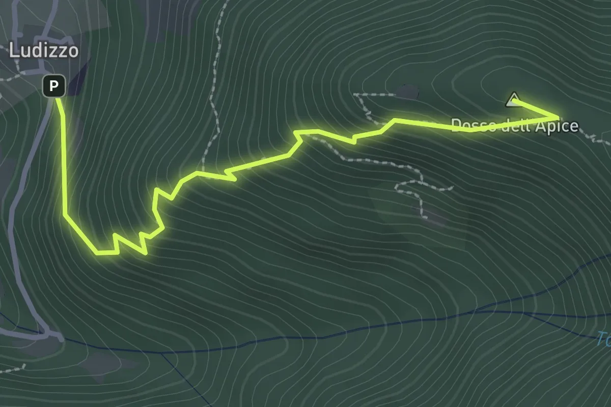
Medium · Summit
Bovegno (Ludizzo) – Passo Croce (Monte Ario - Innesto Sentiero 345)
3.1 km · ↑ 389 m · 1 h 34 min · 14 km away
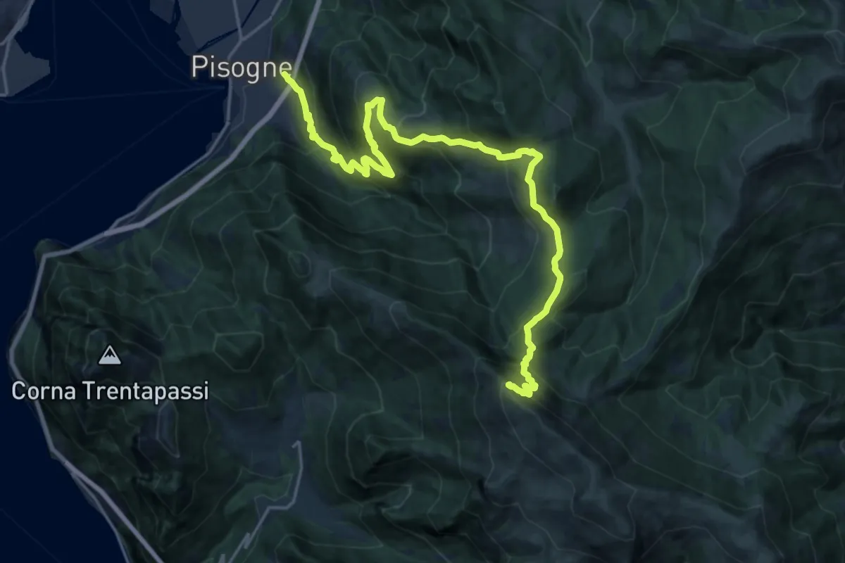
Demanding · Summit
Pisogne – Monte Guglielmo
23.1 km · ↑ 1717 m · 9 h 10 min · 14 km away
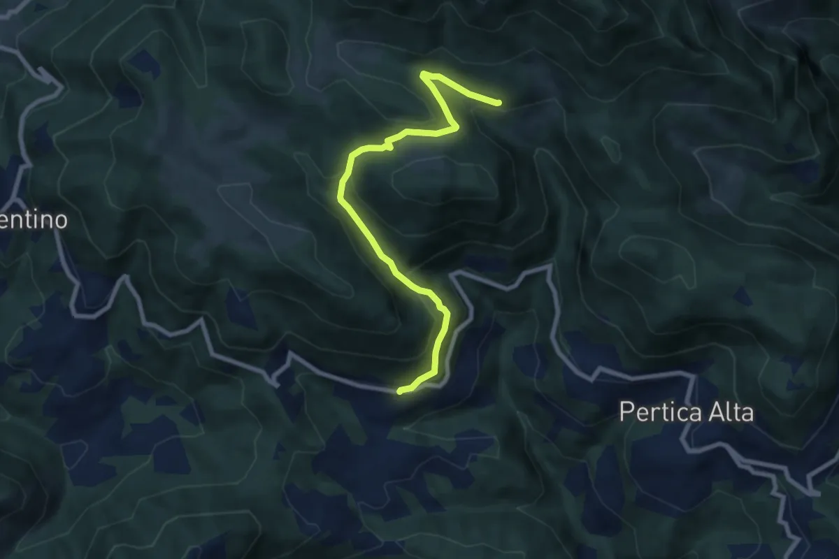
Medium · Trail
Pertica Alta (Lavino) – Ronchi (Innesto con sentiero 446 e 447)
7.3 km · ↑ 387 m · 2 h 34 min · 14 km away
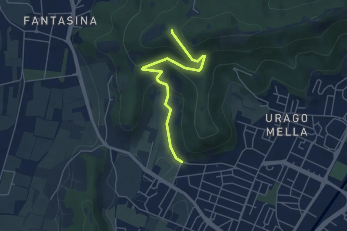
Easy · Trail
Brescia (Via Valle Bresciana) – Passo delle Crosette (Innesto Sentiero 3V)
4.0 km · ↑ 204 m · 1 h 24 min · 14 km away
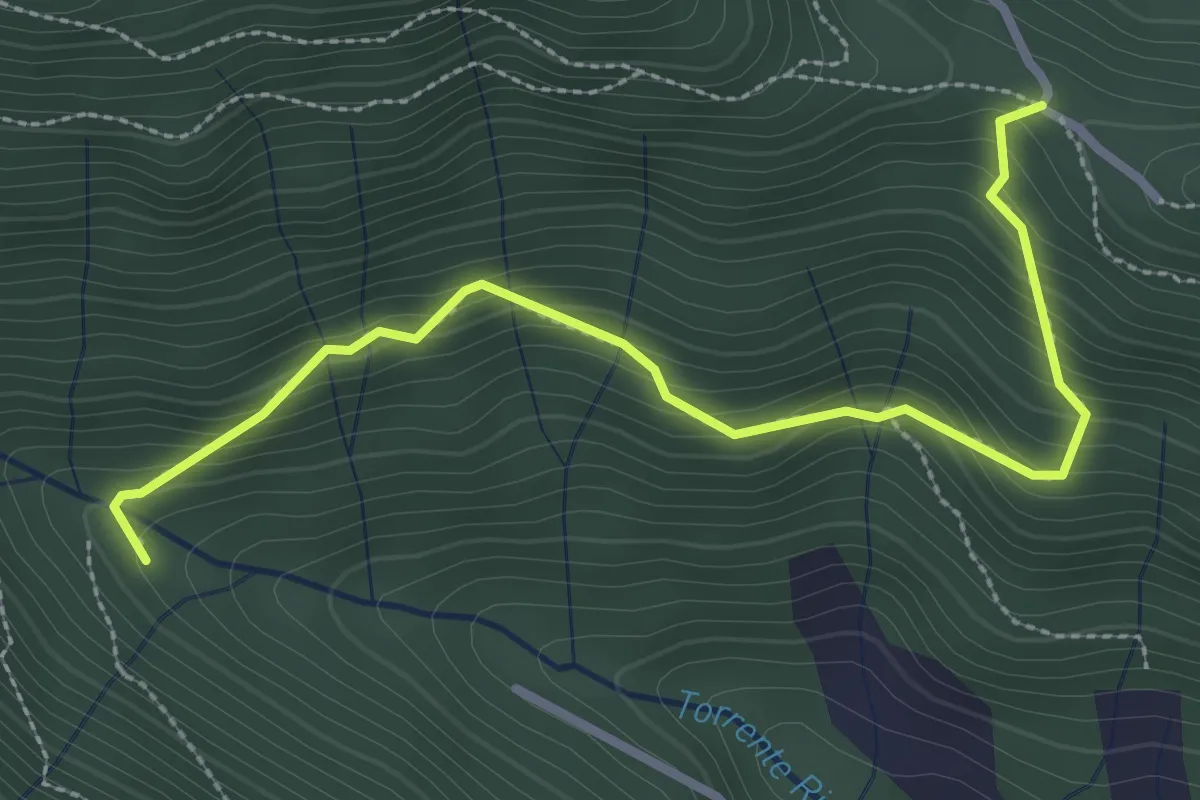
Medium · Trail
Col del Giogo – Incrocio 708
3.2 km · ↑ 264 m · 1 h 19 min · 14 km away
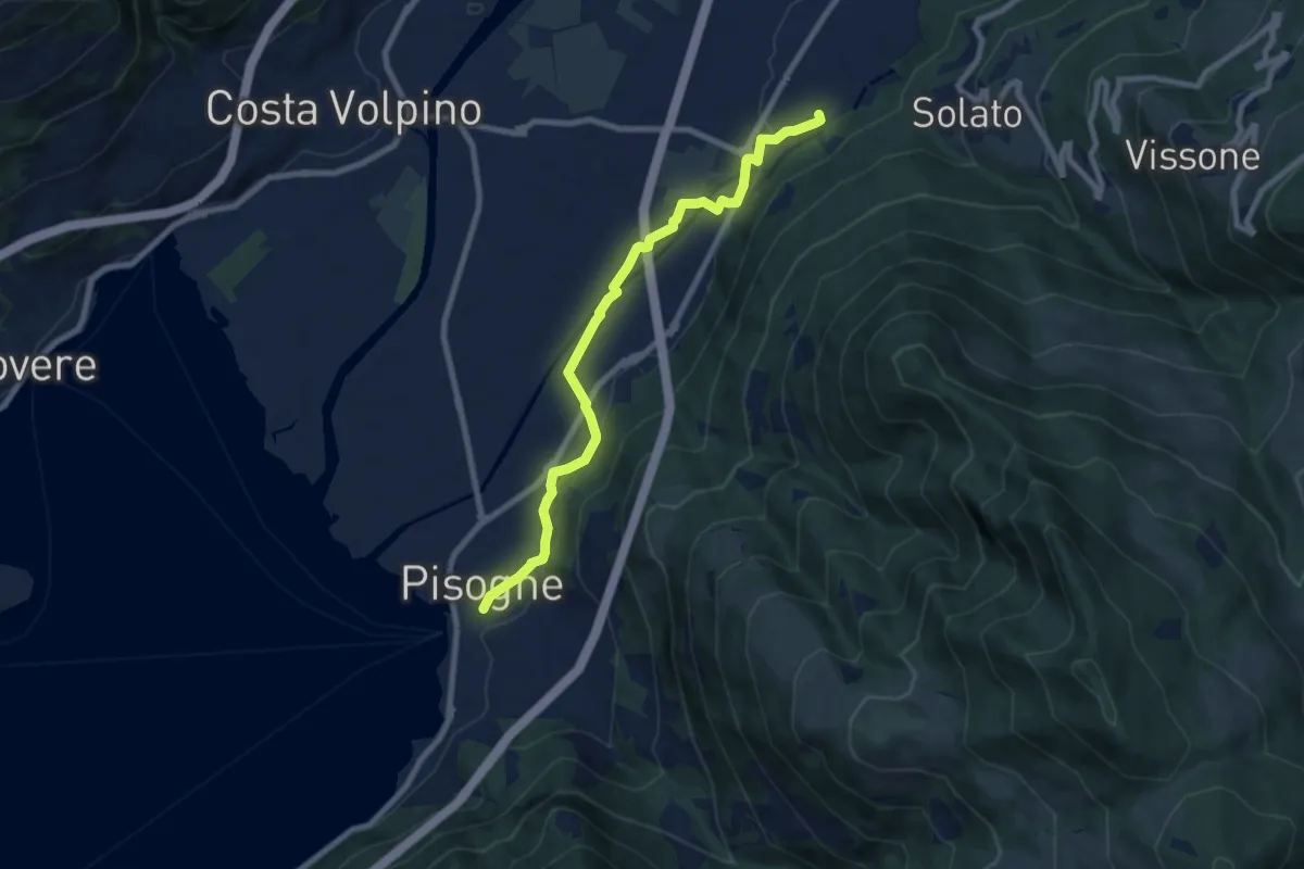
Medium · Trail
Antica strada Valeriana
8.3 km · ↑ 99 m · 2 h 10 min · 14 km away
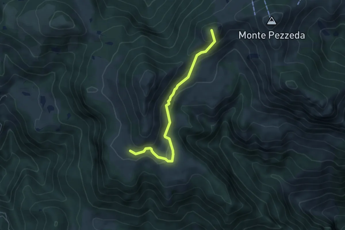
Easy · Summit
Sentiero 3V - Tappa 3 (Variante bassa)
5.1 km · ↑ 298 m · 1 h 51 min · 14 km away
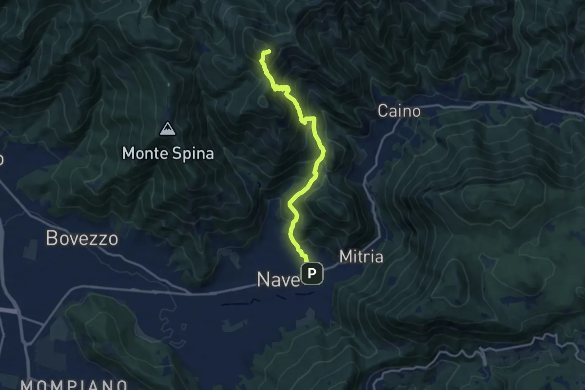
Demanding · Summit
Sentiero 3V - Tappa 1b
11.1 km · ↑ 932 m · 4 h 39 min · 14 km away
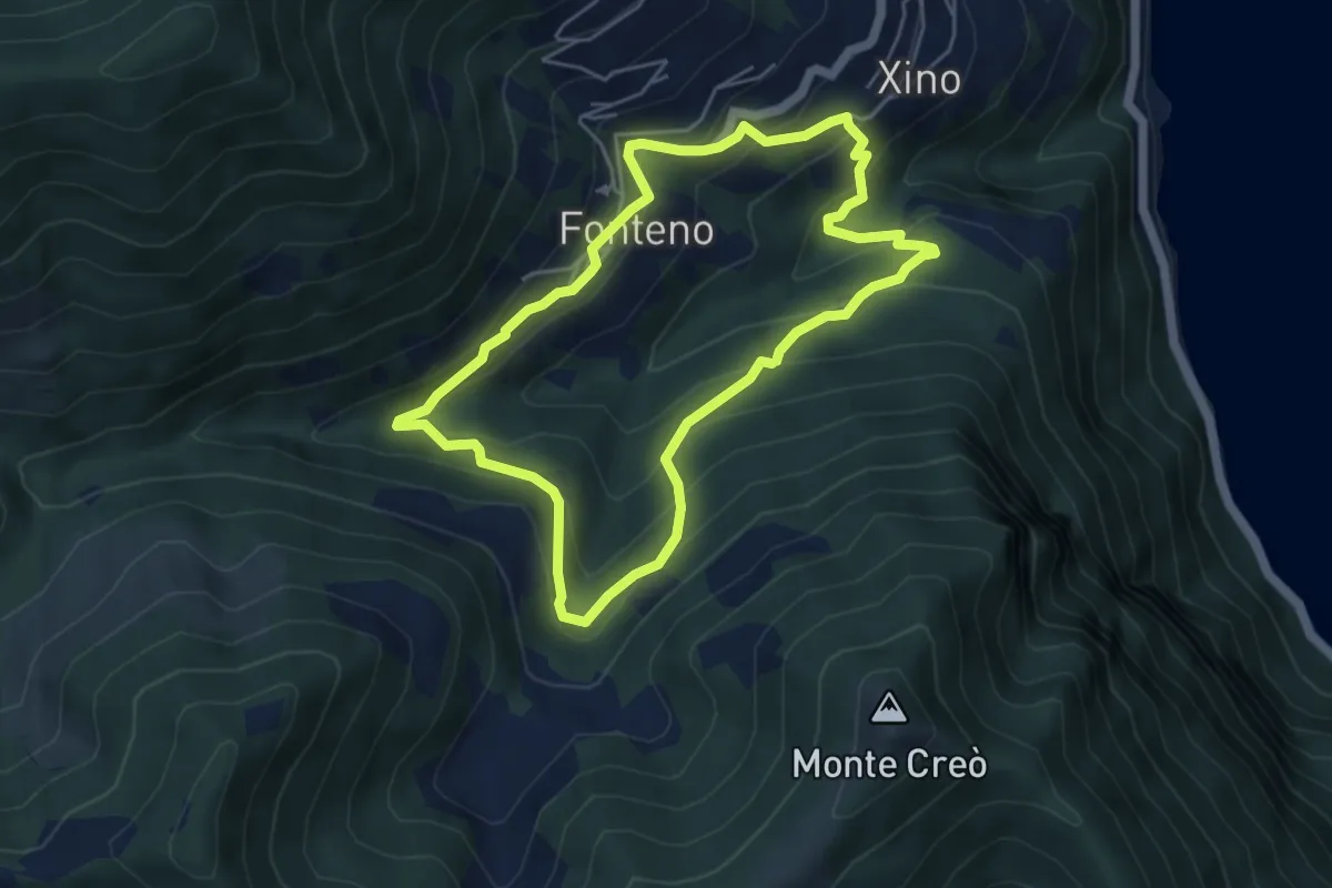
Medium · Trail
Alle Falde Del Creo
4.8 km · ↑ 392 m · 2 h 3 min · 14 km away
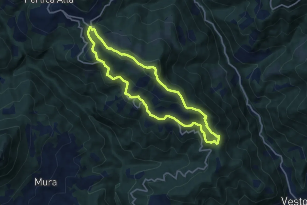
Medium · Summit
Pertica Alta (Belprato - San Bernardo) – San Bernardo
7.8 km · ↑ 404 m · 2 h 49 min · 14 km away
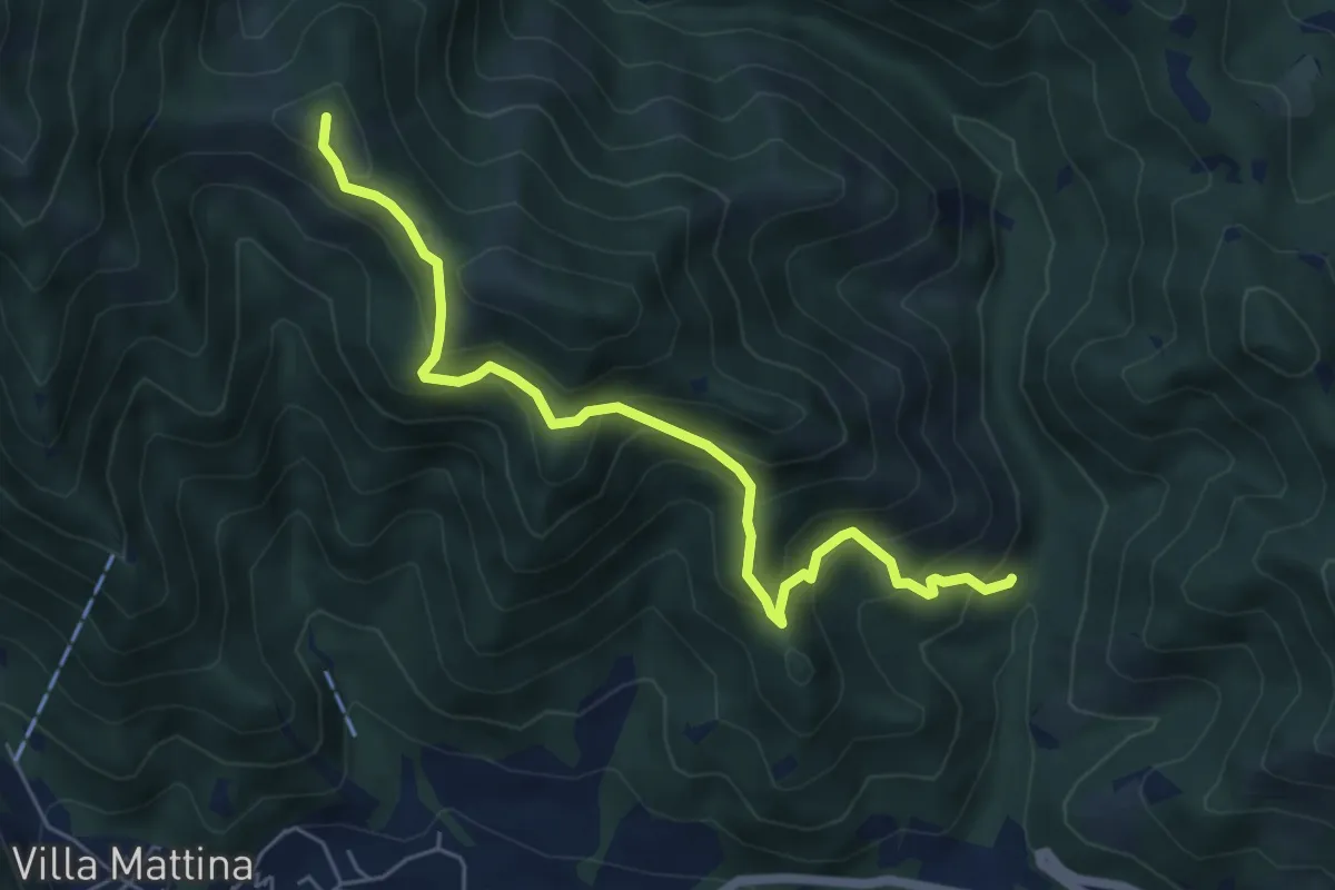
Medium · Summit
Caino (Val Bertone) – Boatica (Innesto Sentiero 381)
6.1 km · ↑ 507 m · 2 h 32 min · 14 km away
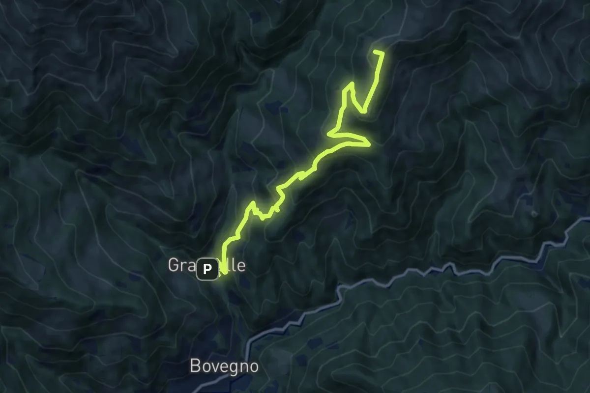
Demanding · Summit
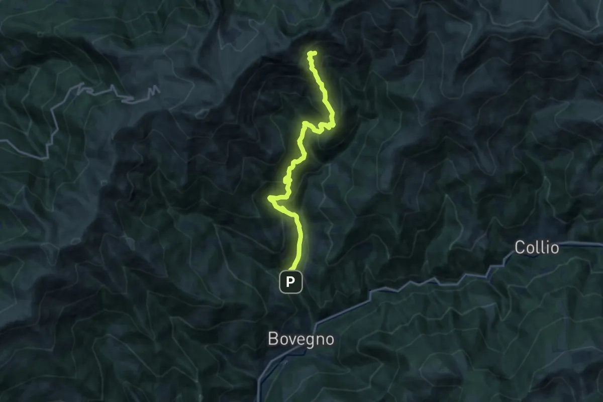
Bovegno (Graticelle) – Foppa del Mercato (Innesto Sentiero 358)
12.1 km · ↑ 845 m · 4 h 41 min · 14 km away
Demanding · Cabin
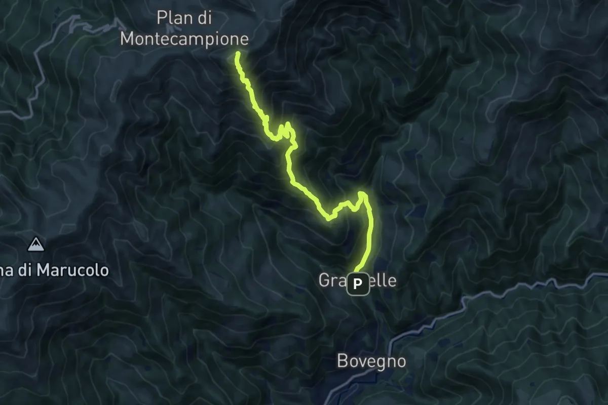
Bovegno (Graticelle) – Baita Prada
14.1 km · ↑ 1262 m · 6 h 4 min · 14 km away
Demanding · Summit
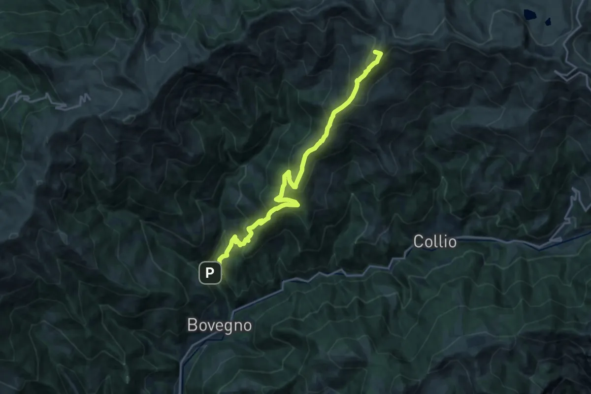
Bovegno (Graticelle) – Monte Muffetto
12.7 km · ↑ 1347 m · 5 h 55 min · 14 km away
Demanding · Summit
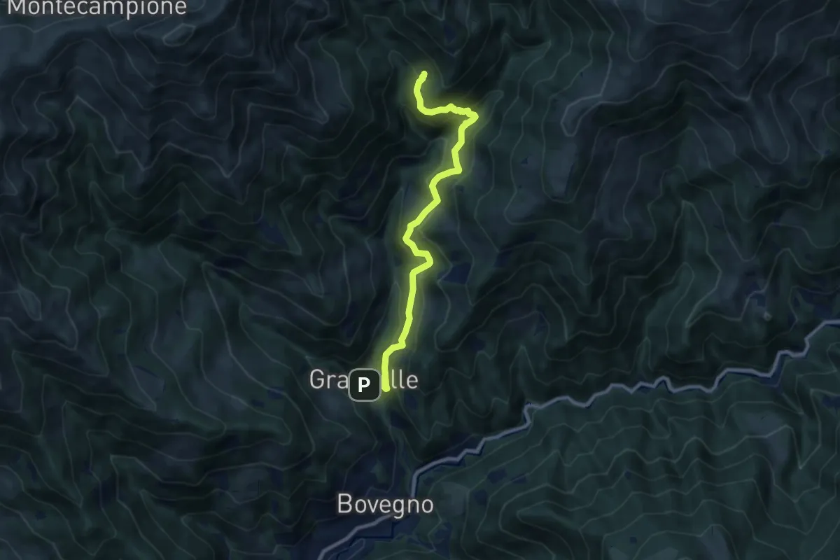
Bovegno (Graticelle) – Passo Sette Crocette
17.9 km · ↑ 1413 m · 7 h 18 min · 14 km away
Medium · Trail
Capanna Gianni e Mario Remedio
9.5 km · ↑ 667 m · 3 h 42 min · 14 km away
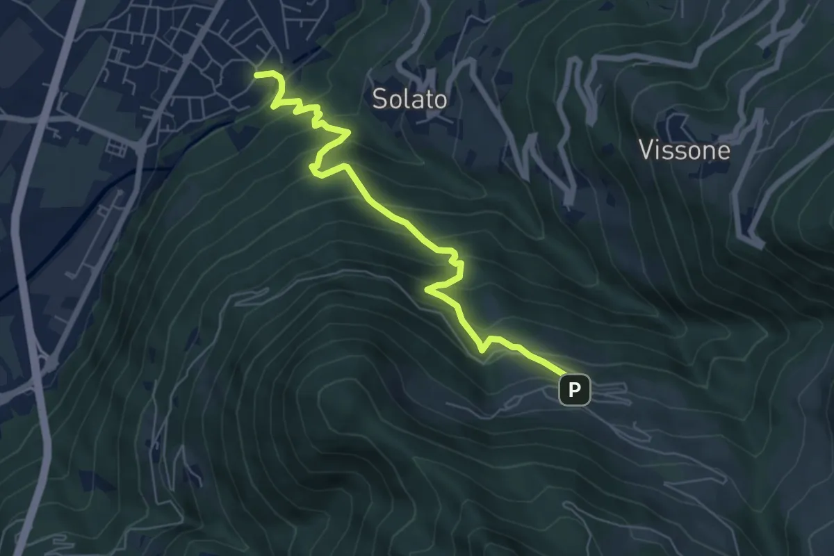
Medium · Trail
Gratacasolo – Innesto Sentiero 202 - Fraine
6.3 km · ↑ 593 m · 2 h 47 min · 15 km away
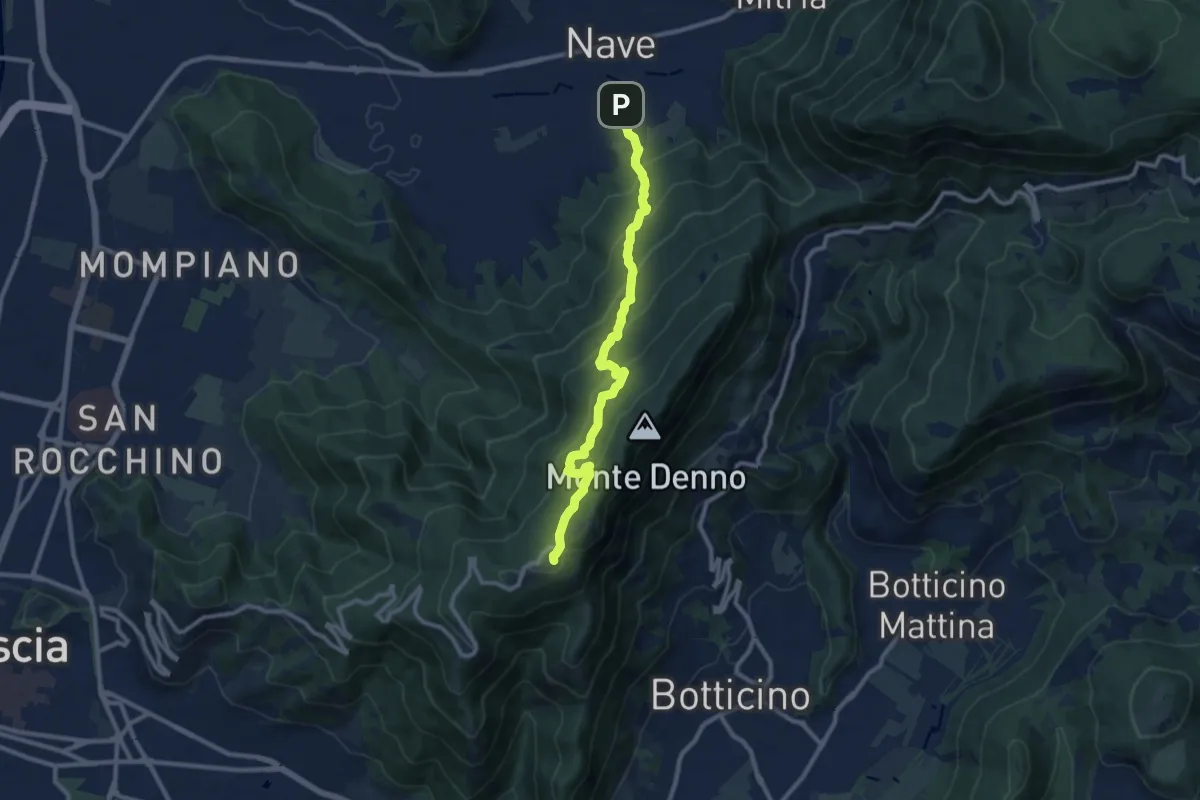
Medium · Trail
Nave (Via Piedimonte) – Chiesetta Monte Maddalena
10.1 km · ↑ 665 m · 3 h 49 min · 15 km away
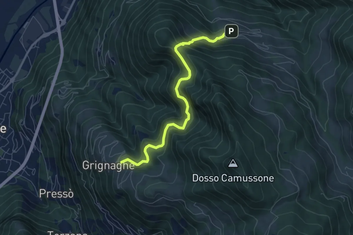
Medium · Trail
Innesto Sentiero 201 - Grignaghe – Innesto Sentiero 203 - Fraine
7.2 km · ↑ 505 m · 2 h 47 min · 15 km away
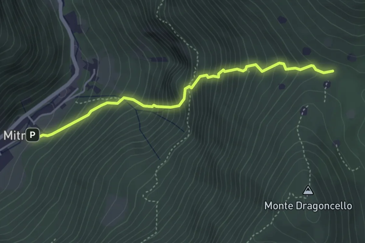
Demanding · Trail
Sentiero della dieta
4.1 km · ↑ 675 m · 2 h 26 min · 15 km away
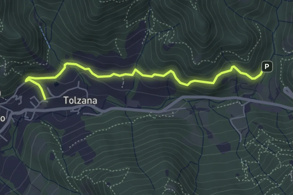
Easy · Trail
Caino – Val Bertone
4.7 km · ↑ 261 m · 1 h 41 min · 15 km away
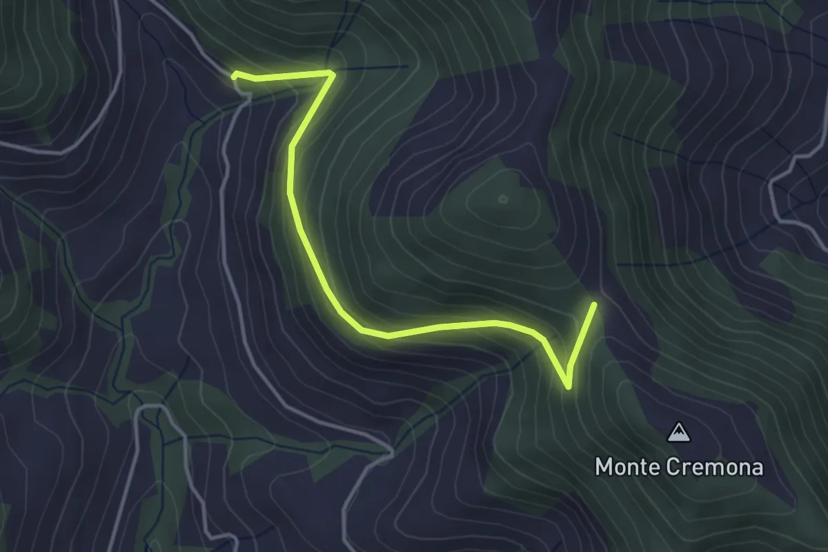
Easy · Trail
Bratta (incrocio 726) – Colderone (incrocio 724)
3.8 km · ↑ 249 m · 1 h 26 min · 15 km away
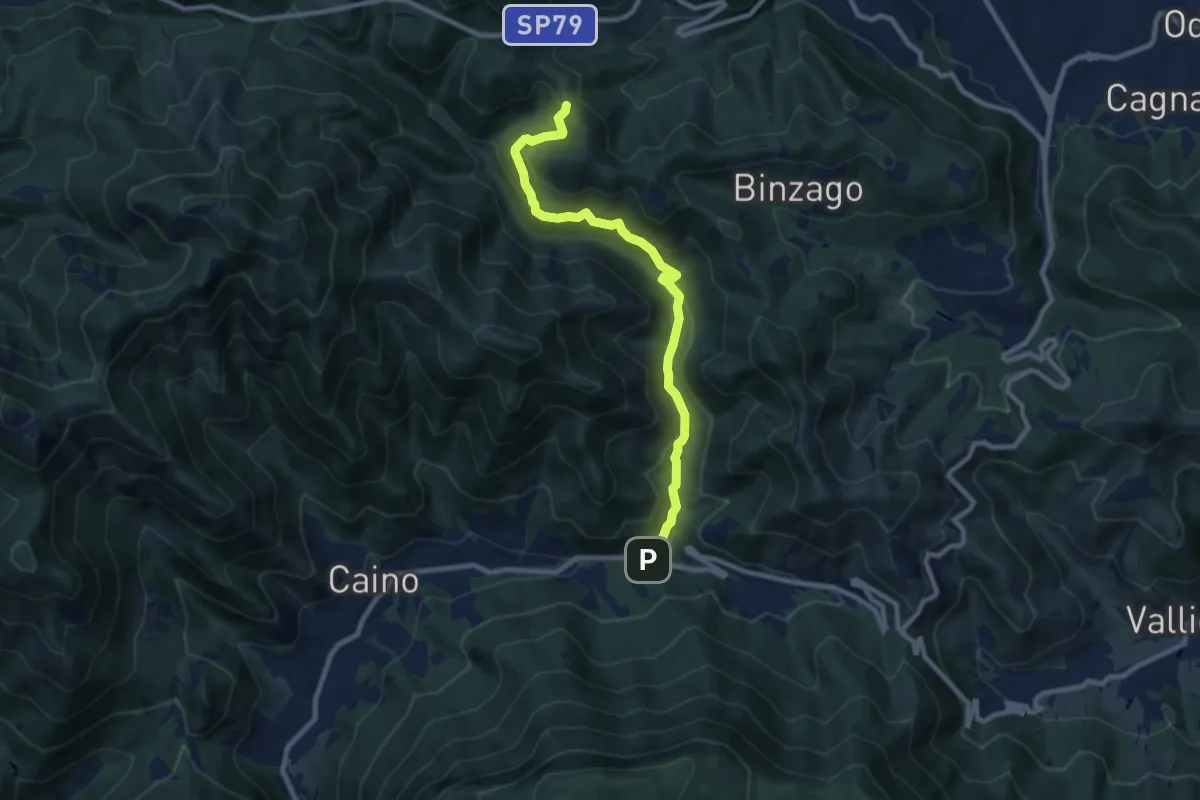
Medium · Trail
Caino (Val Bertone) – Passo Viglio
8.9 km · ↑ 525 m · 3 h 14 min · 15 km away
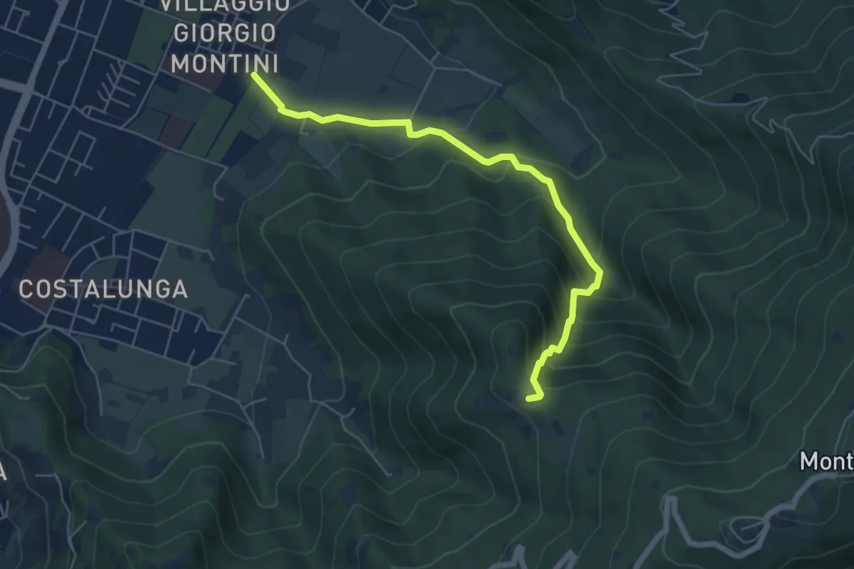
Medium · Trail
Brescia (Mompiano - Via Egidio Dabbeni) – Cascina Margherita
5.8 km · ↑ 398 m · 2 h 14 min · 15 km away
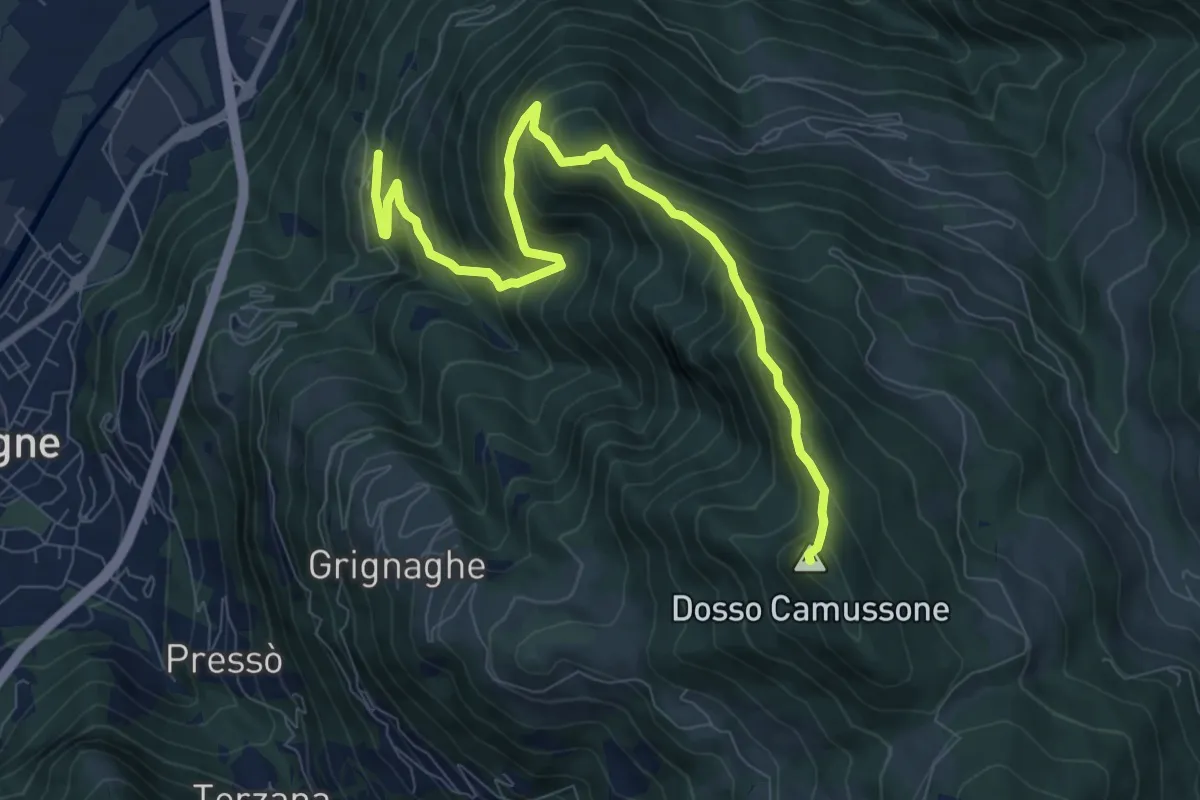
Demanding · Summit
Sonvico - Croce Marino
9.6 km · ↑ 900 m · 4 h 13 min · 15 km away
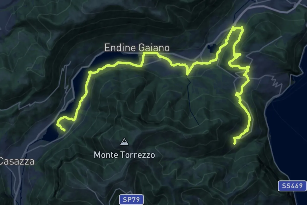
Demanding · Trail
Cammino dei tre laghi - Tappa 2
19.5 km · ↑ 378 m · 5 h 50 min · 15 km away
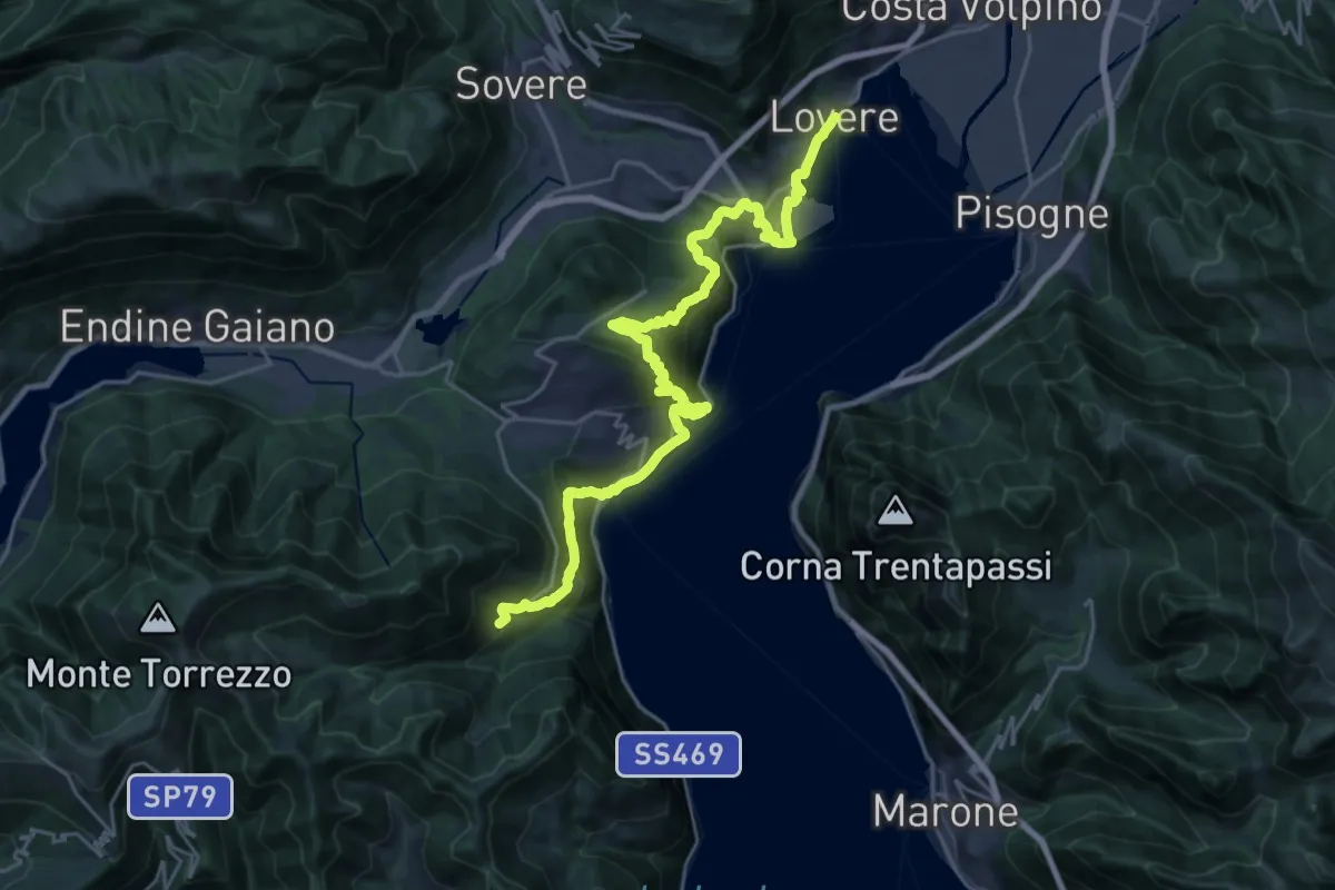
Medium · Trail
Cammino dei tre laghi - Tappa 3
14.3 km · ↑ 751 m · 5 h 26 min · 15 km away
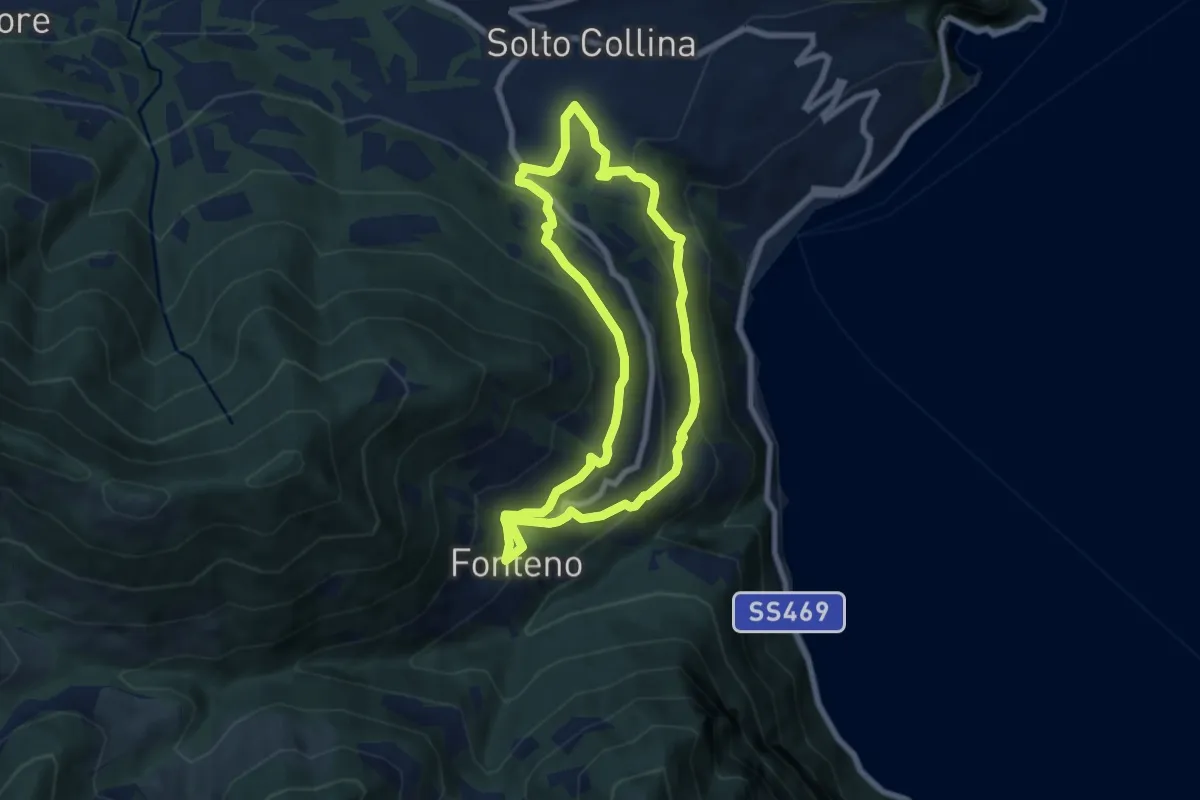
Medium · Trail
Riva di Solto – Riva di Solto
6.8 km · ↑ 410 m · 2 h 35 min · 15 km away