Trails near Gavardo
240 hikes starting within 15 km, nearest first.
Nearest first, page 3 of 5
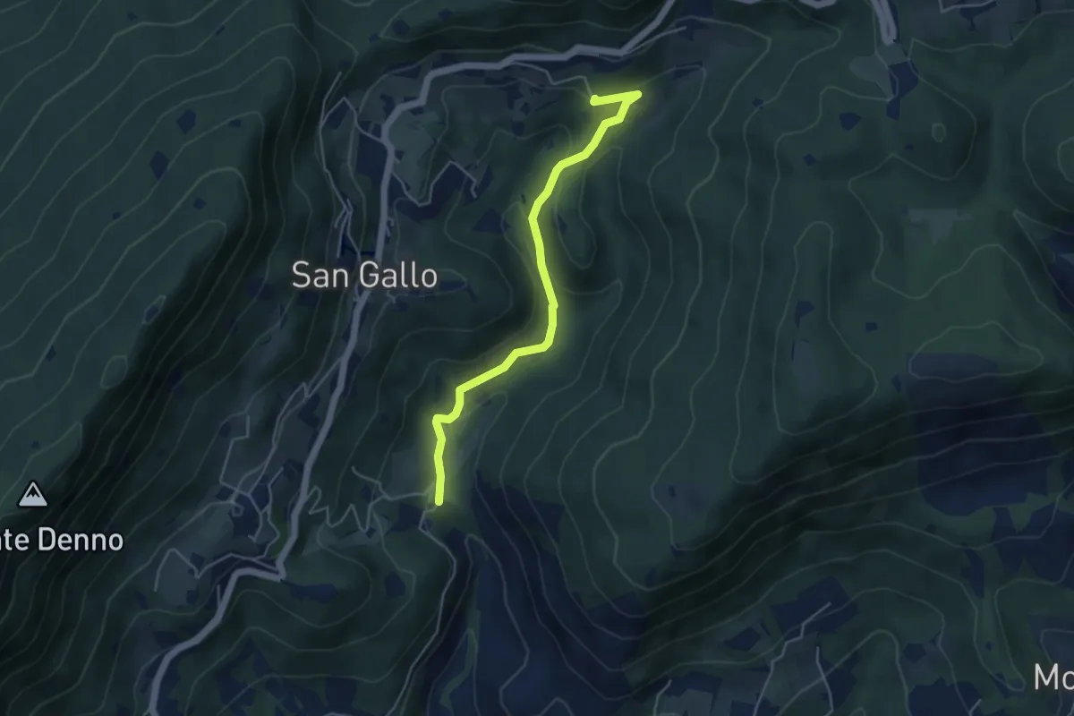
Medium · Summit
La Via del marmo - Botticino (Molino dell'Ora- Castello di Serle)
4.5 km · ↑ 178 m · 1 h 27 min · 10 km away
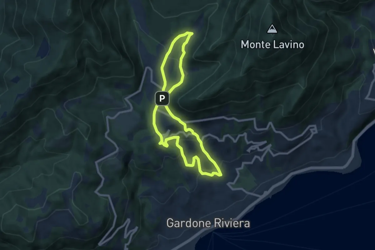
Medium · Trail
Percorso Rosa Gardone Riviera
6.3 km · ↑ 310 m · 2 h 16 min · 10 km away
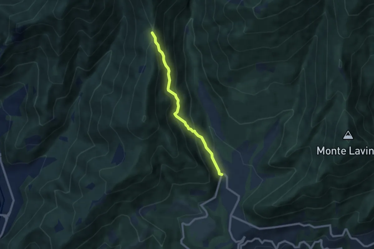
Medium · Trail
Sentiero della Selva
5.1 km · ↑ 471 m · 2 h 14 min · 10 km away
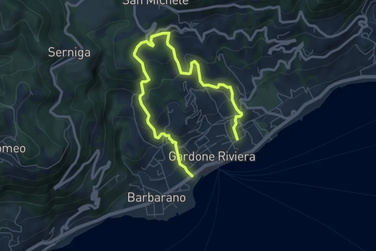
Medium · Trail
Percorso Arancio Gardone Riviera
8.4 km · ↑ 603 m · 3 h 17 min · 10 km away
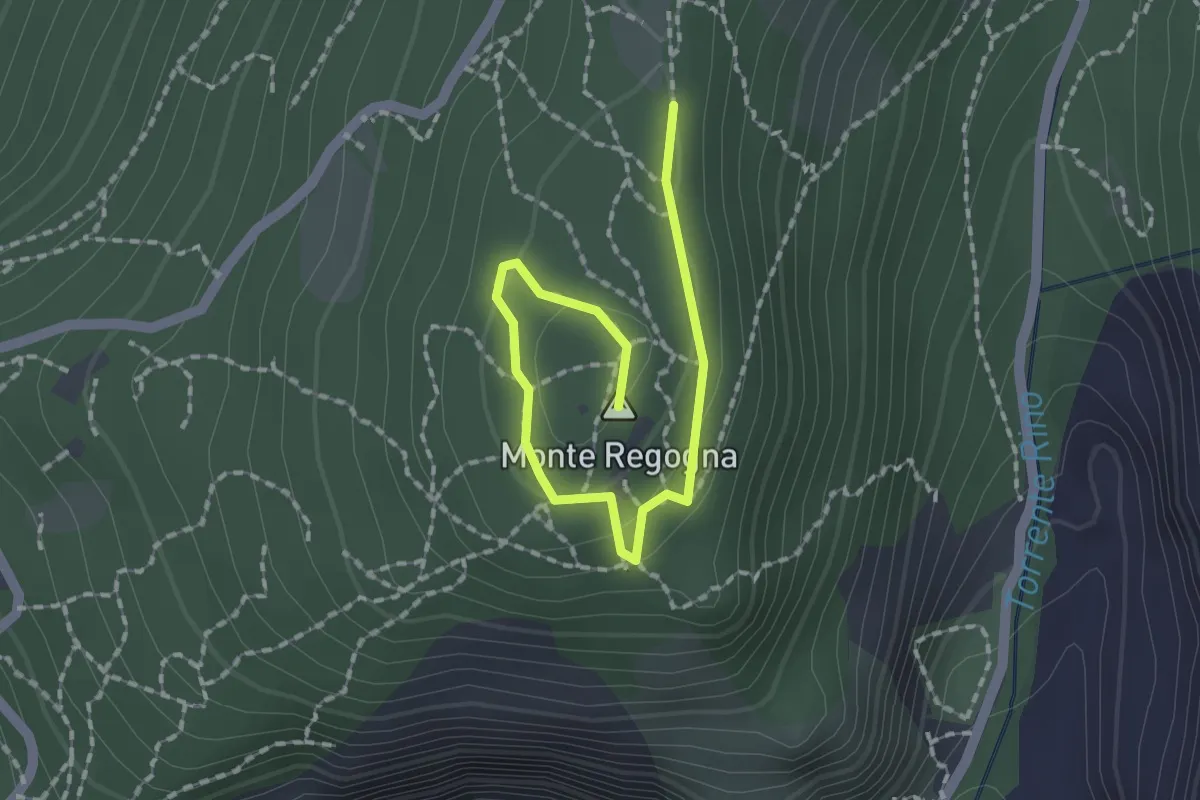
Easy · Summit
Sentiero didattico (Monte Regogna)
2.0 km · ↑ 54 m · 35 min · 11 km away
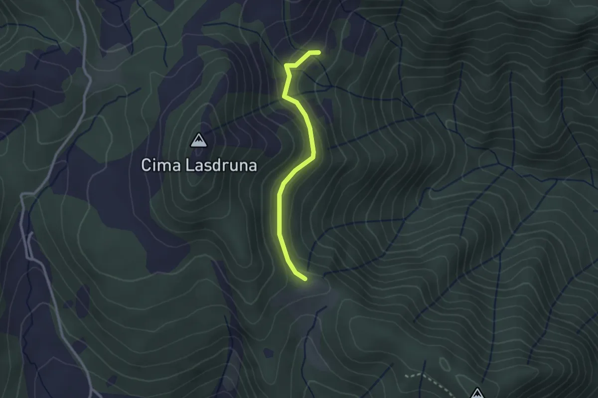
Medium · Trail
Dusina - Ludrio
2.2 km · ↑ 85 m · 43 min · 11 km away
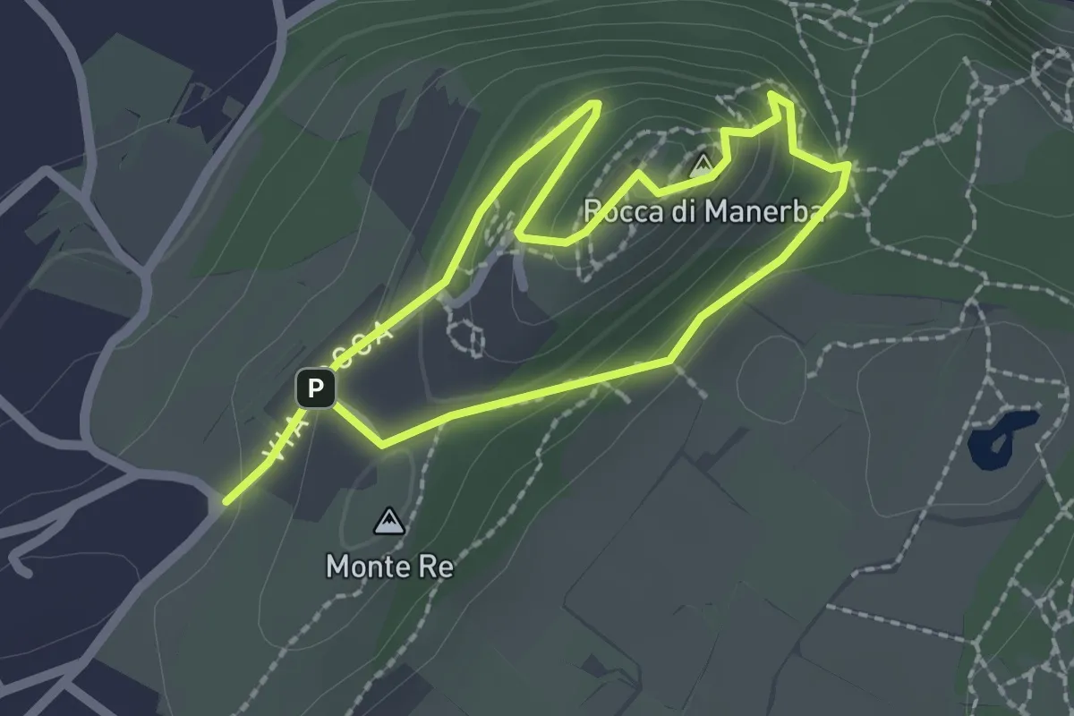
Expert · Summit
Sentiero 4 - Rocca di Manerba del Garda
1.8 km · ↑ 79 m · 37 min · 11 km away
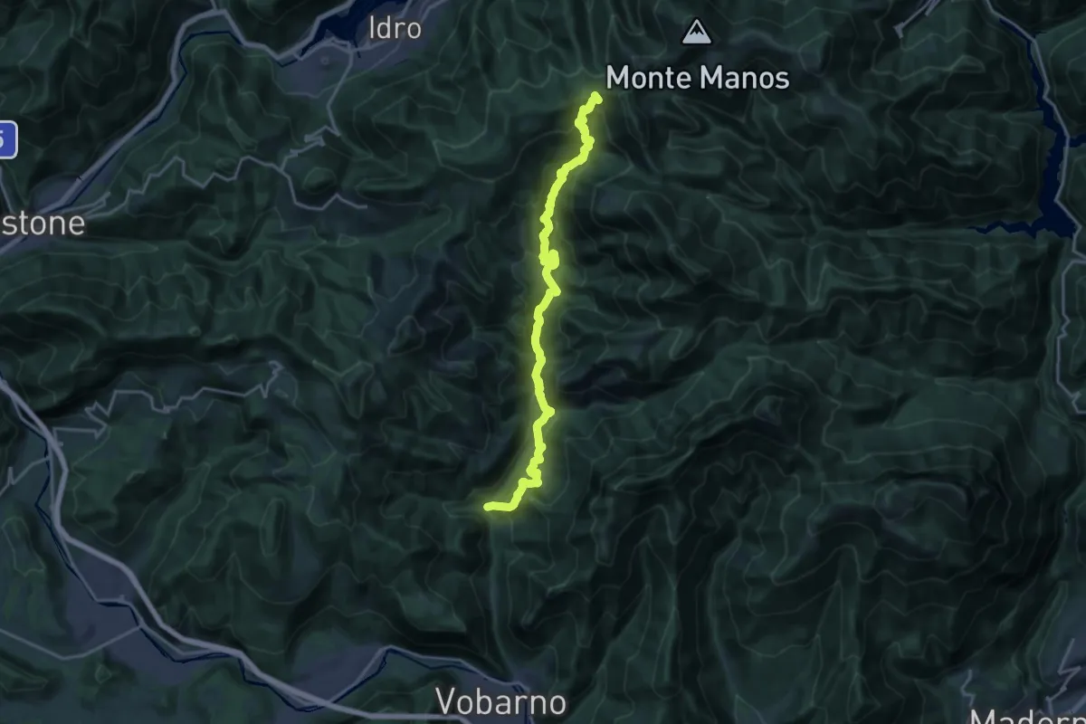
Demanding · Trail
Sentiero dei Lanzichenecchi
18.6 km · ↑ 1408 m · 7 h 27 min · 11 km away
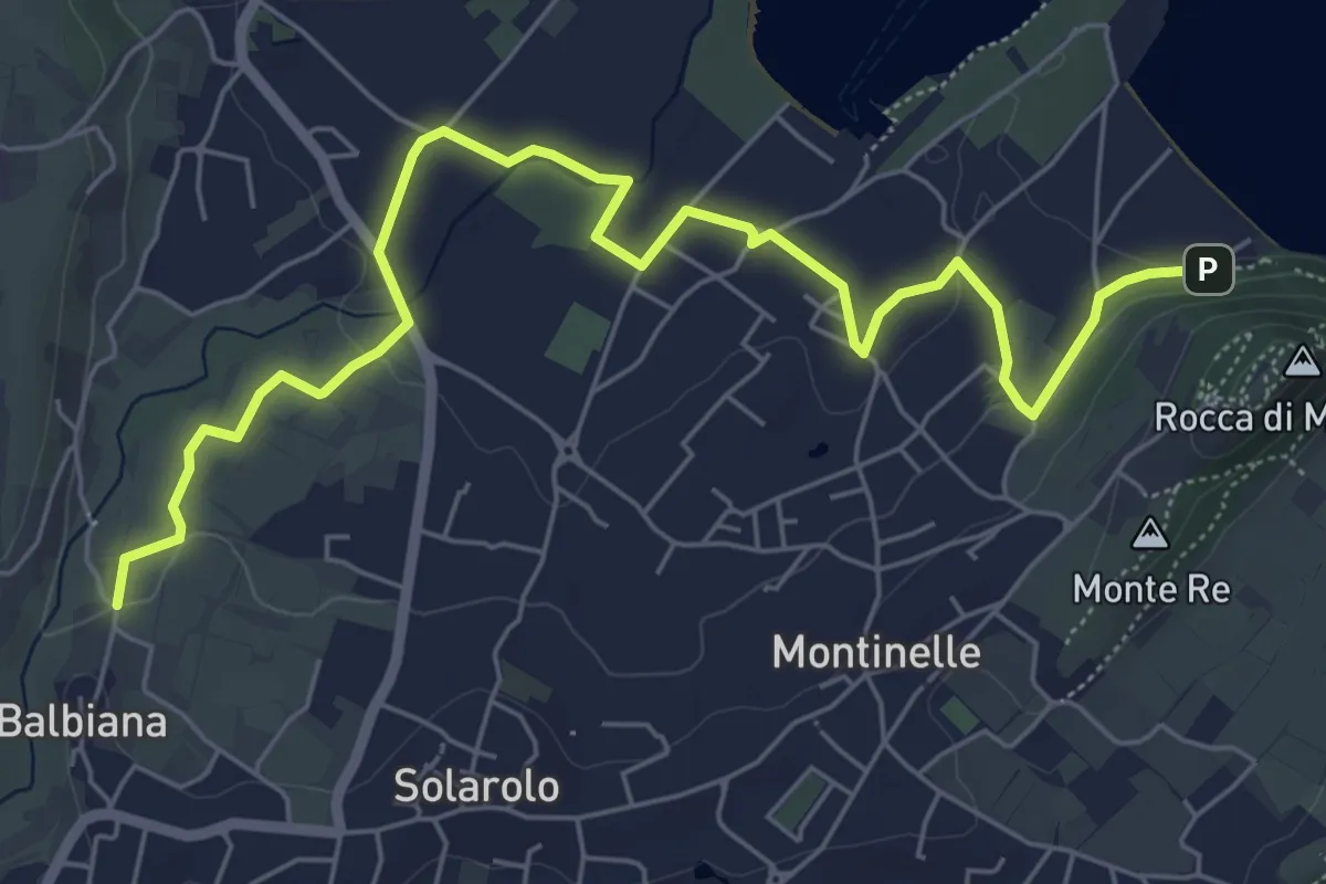
Easy · Trail
Manerba del Garda (Balbiana) – Parcheggio spiaggia di Pisenze
7.6 km · ↑ 65 m · 1 h 57 min · 11 km away
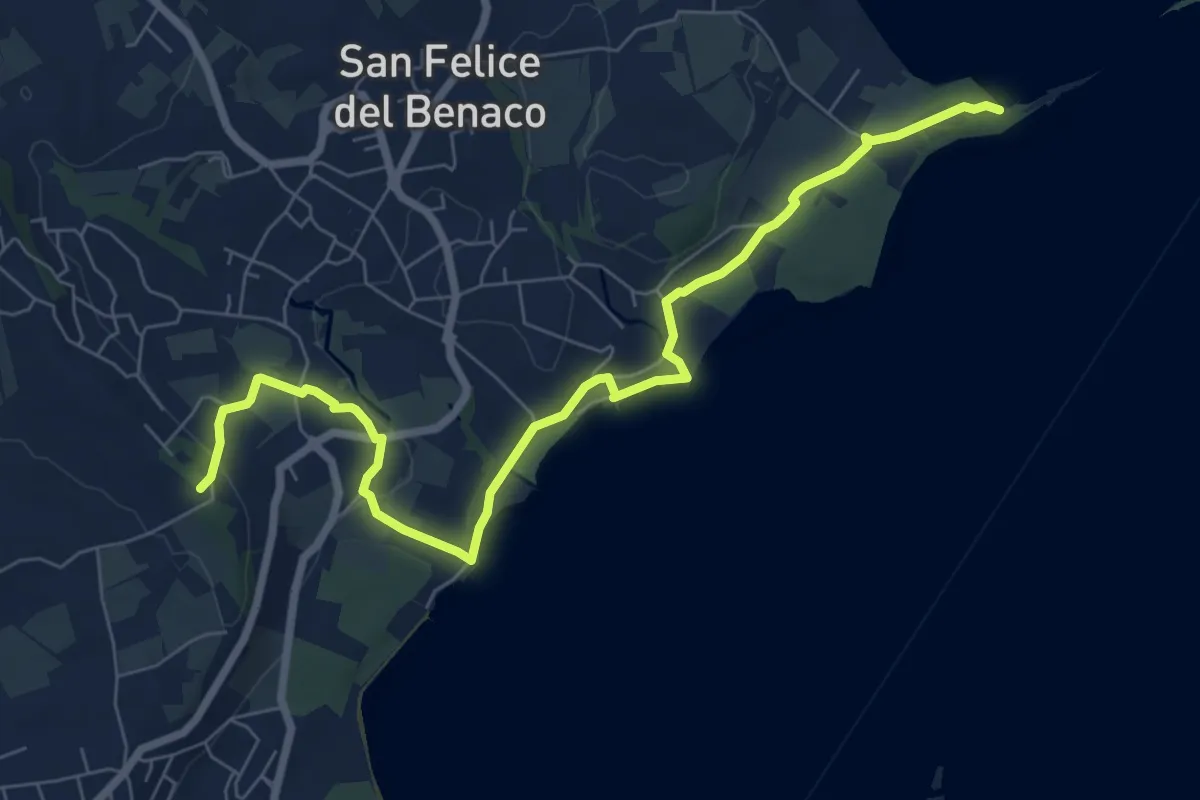
Medium · Summit
2 San Felice del Benaco
8.5 km · ↑ 171 m · 2 h 23 min · 11 km away
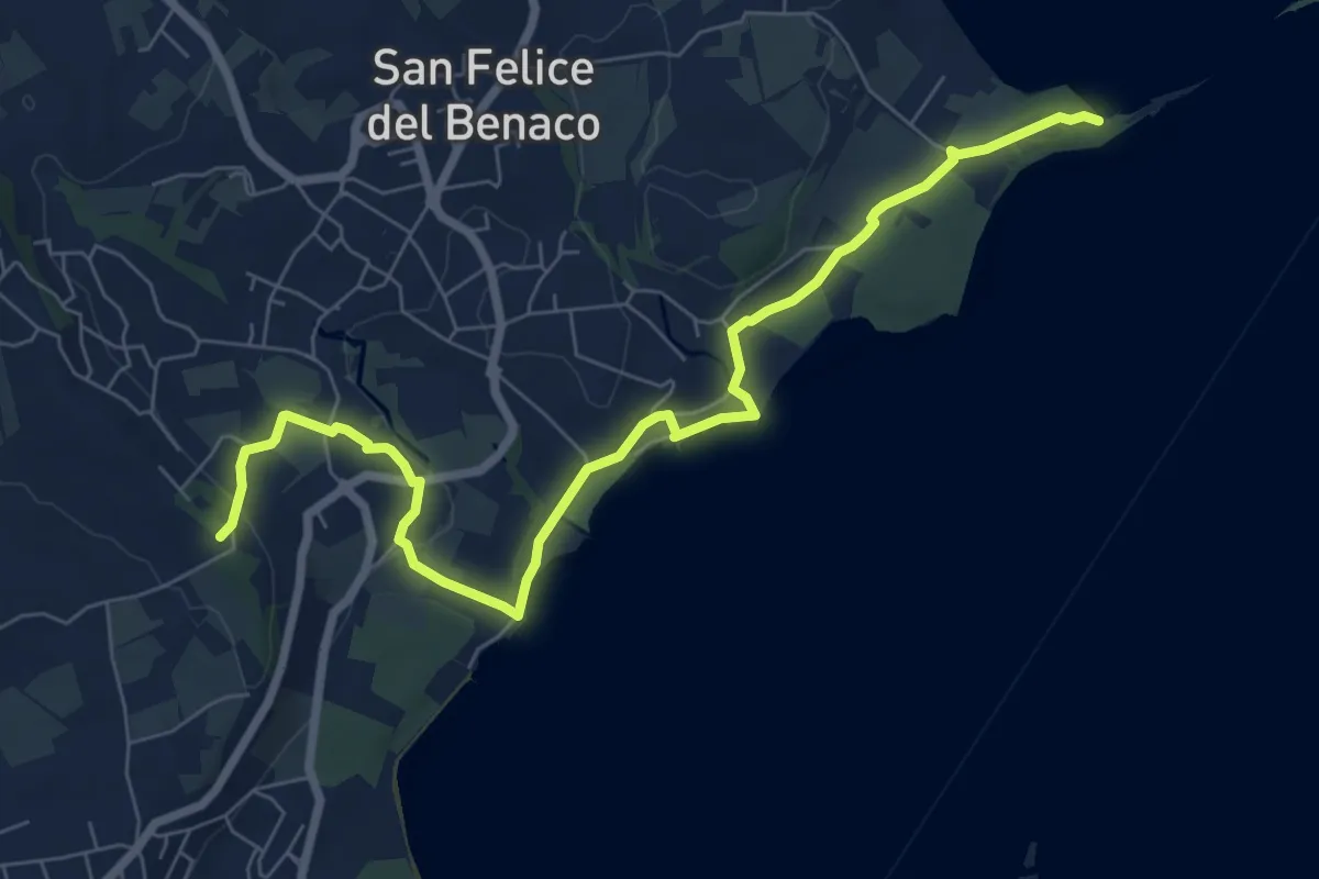
Medium · Summit
San Fermo - Monte Forca
8.5 km · ↑ 171 m · 2 h 23 min · 11 km away
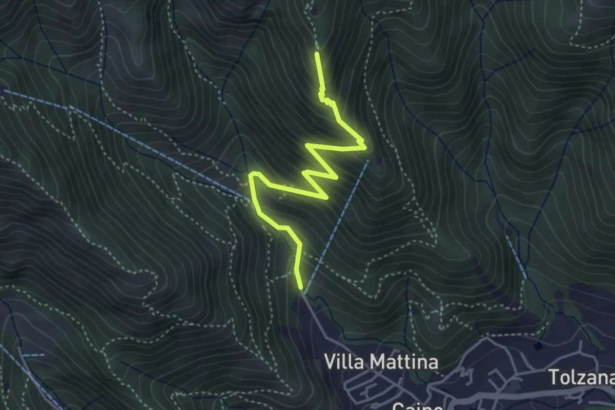
Medium · Summit
Caino (Pian delle Castagne) – Monte Doppo (Innesto Sentiero 381)
4.1 km · ↑ 407 m · 1 h 50 min · 11 km away
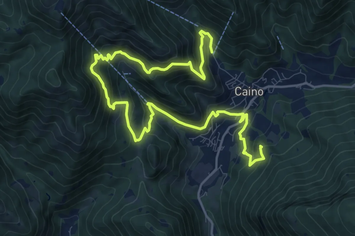
Demanding · Summit
Caino (Pian delle Castagne) – Val Bertone
15.5 km · ↑ 1050 m · 5 h 56 min · 11 km away
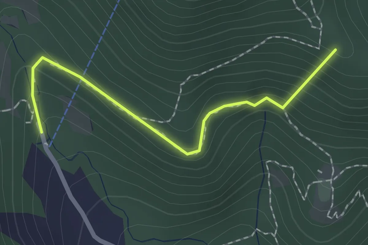
Easy · Summit
Sentiero dei Papi
1.7 km · ↑ 130 m · 42 min · 11 km away
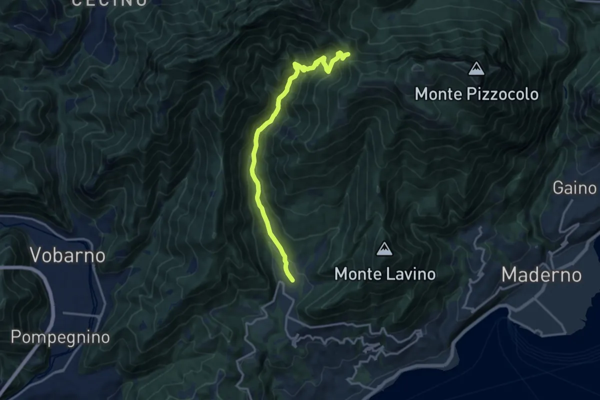
Demanding · Trail
Sentiero Egidio Bosio
12.1 km · ↑ 846 m · 4 h 42 min · 11 km away
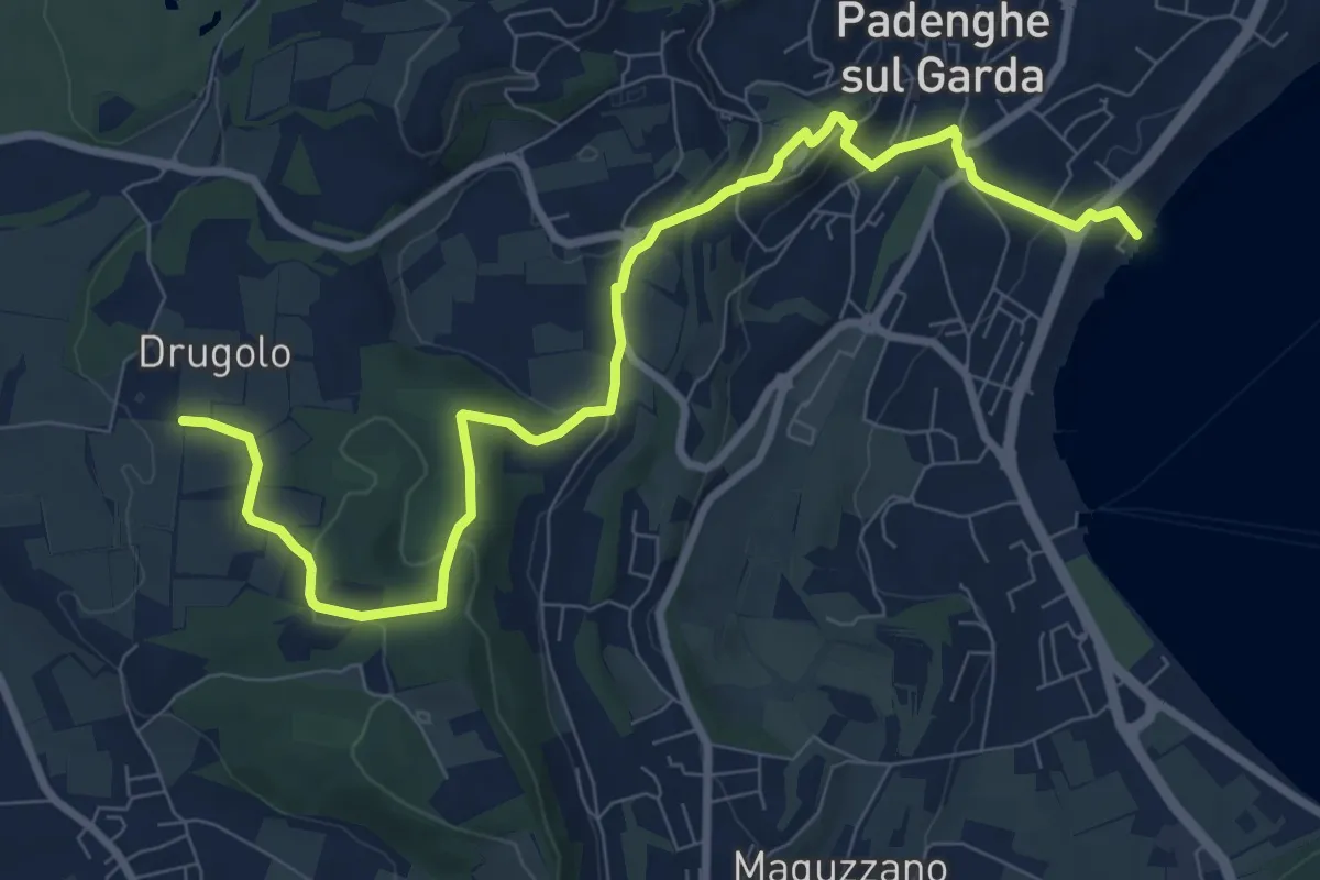
Medium · Trail
Drugolo – Padenghe lido
10.3 km · ↑ 240 m · 2 h 58 min · 11 km away
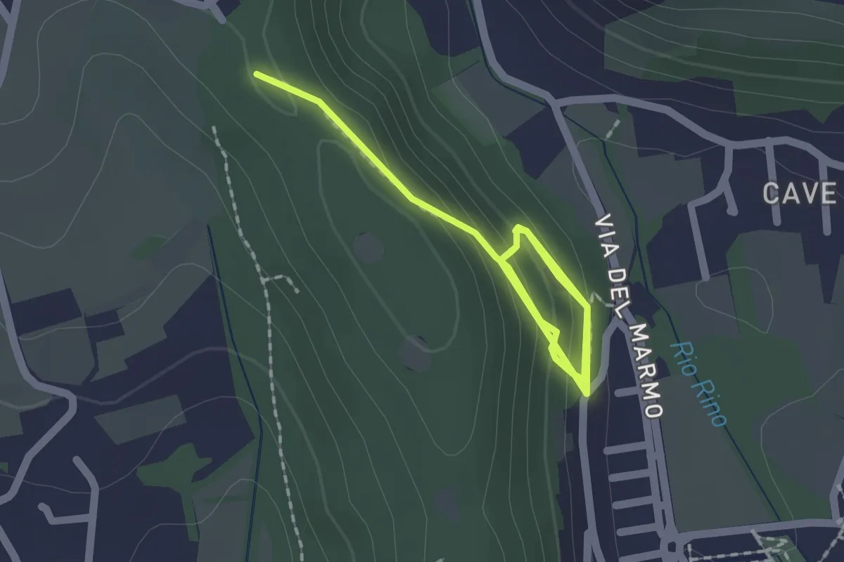
Demanding · Trail
La Via del marmo - Botticino (Castagneto)
2.5 km · ↑ 123 m · 52 min · 11 km away
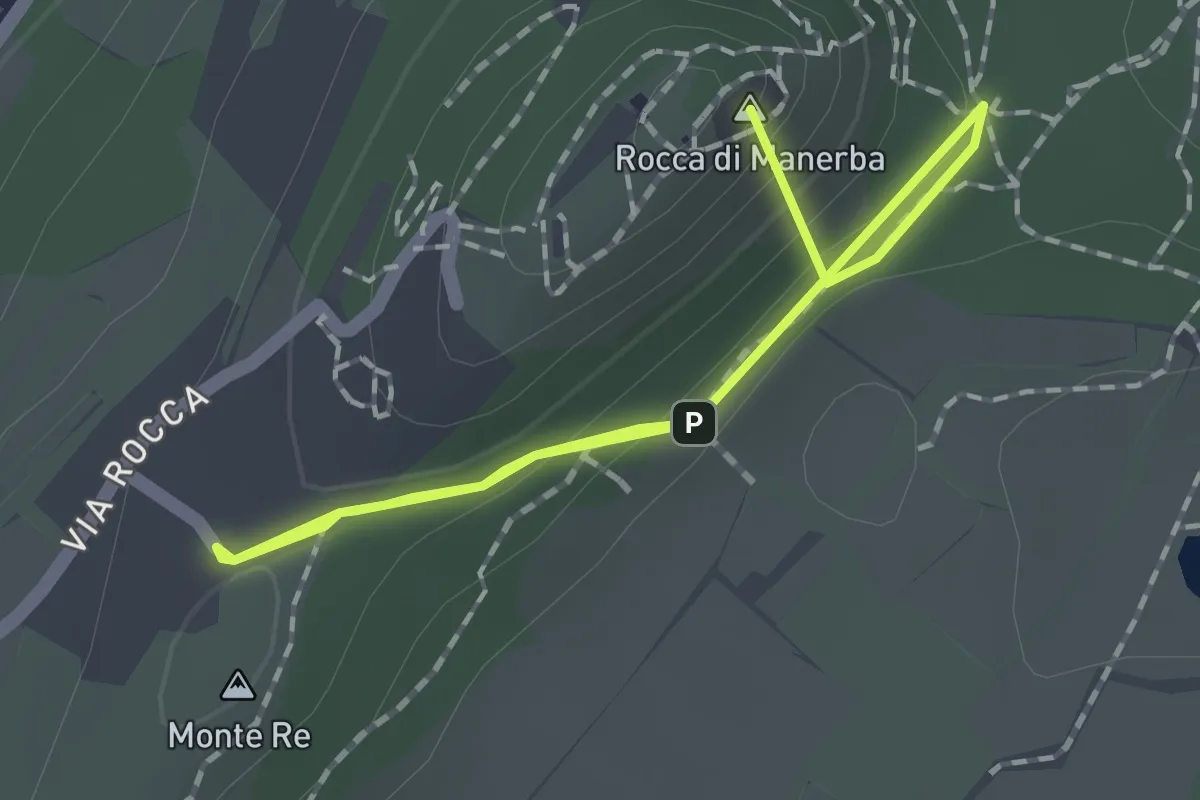
Easy · Summit
Sentiero 3 - Rocca di Manerba del Garda
2.2 km · ↑ 69 m · 40 min · 11 km away
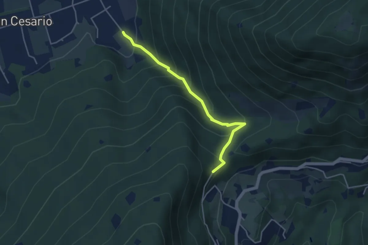
Demanding · Summit
Nave (Calasa) – Colle San Vito
3.4 km · ↑ 343 m · 1 h 32 min · 11 km away
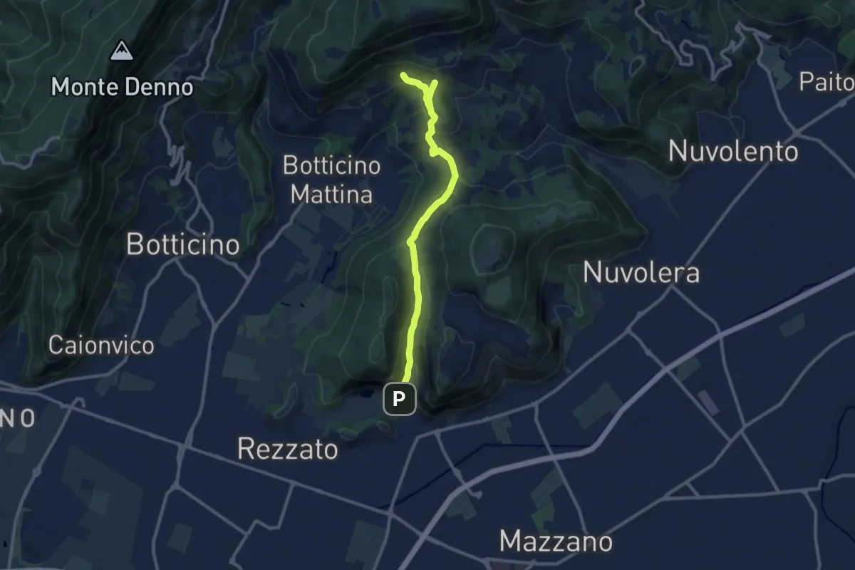
Medium · Cabin
La Via del marmo - Rezzato (Valle di Virle)
10.9 km · ↑ 399 m · 3 h 27 min · 11 km away
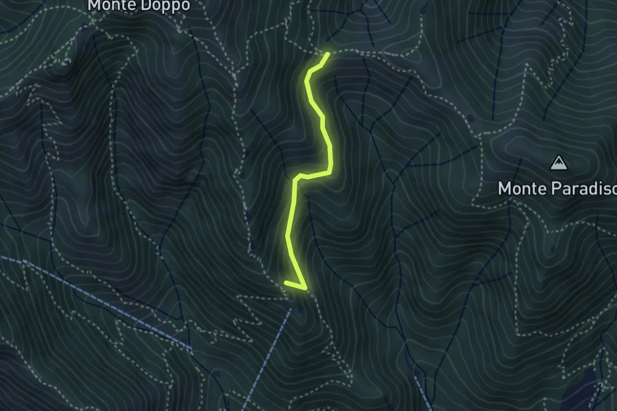
Medium · Summit
Caino (Pian delle Castagne) – Boatica (Innesto Sentiero 381)
2.6 km · ↑ 259 m · 1 h 10 min · 11 km away
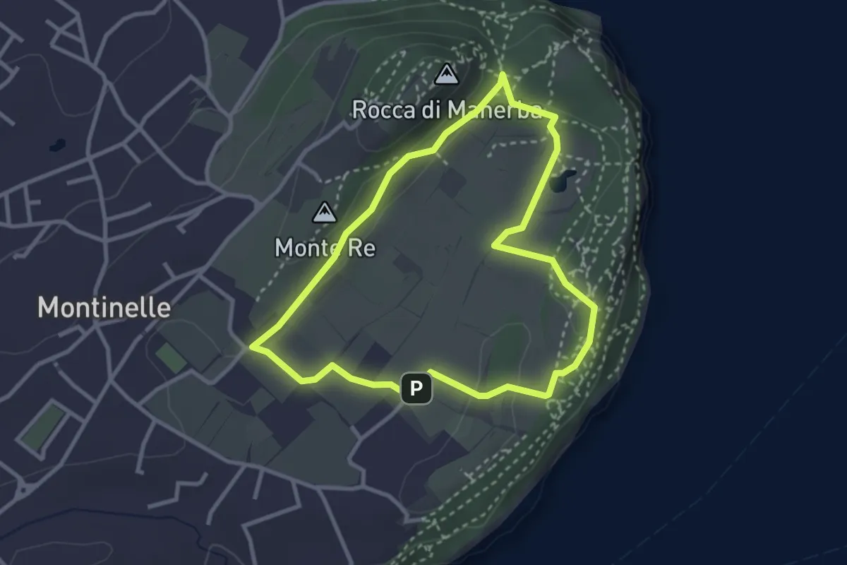
Easy · Summit
Sentiero 5 - Rocca di Manerba del Garda
2.9 km · ↑ 50 m · 50 min · 11 km away
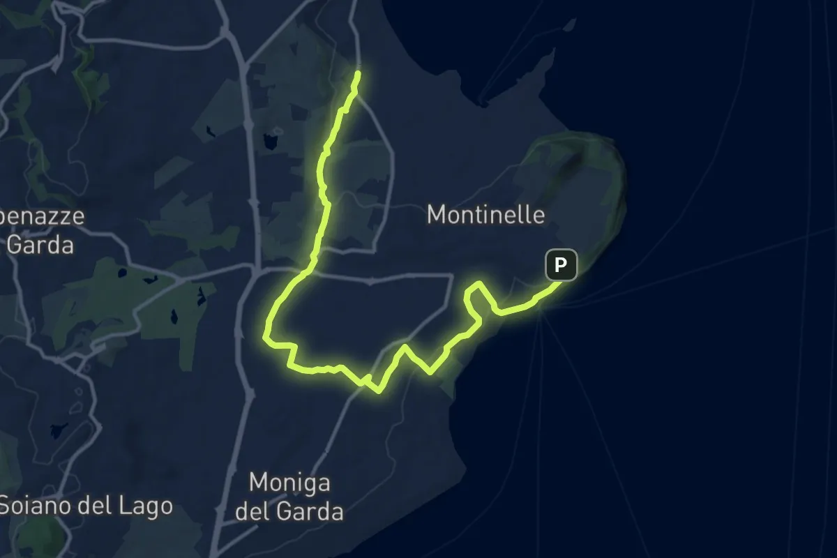
Medium · Trail
Pieve Vecchia – Chiesa di San Giorgio
15.3 km · ↑ 218 m · 4 h 6 min · 11 km away
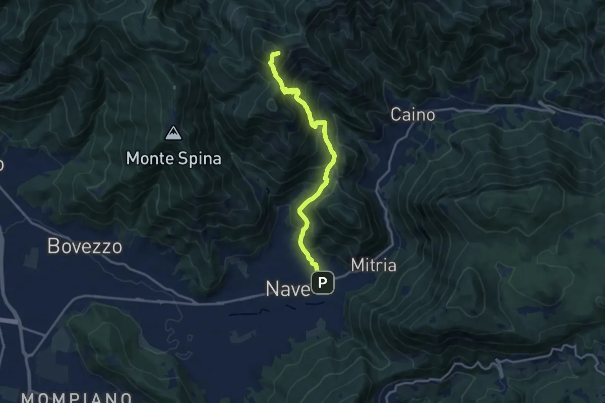
Demanding · Summit
Sentiero 3V - Tappa 1b
11.1 km · ↑ 932 m · 4 h 39 min · 11 km away
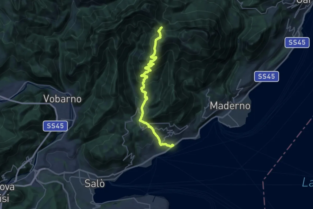
Demanding · Trail
Alta Via n. 10 - Gardone Riviera, Passo di Spino
20.1 km · ↑ 1358 m · 7 h 41 min · 11 km away
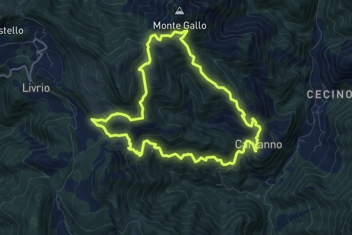
Medium · Summit
Carvanno – Carvanno
9.2 km · ↑ 665 m · 3 h 45 min · 11 km away
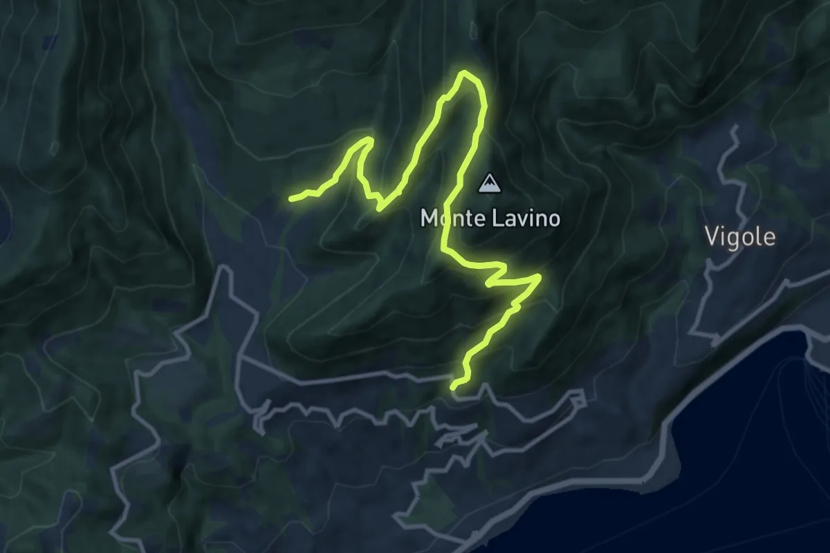
Demanding · Trail
Sentiero del Buelino - Lavino
11.7 km · ↑ 983 m · 4 h 54 min · 11 km away
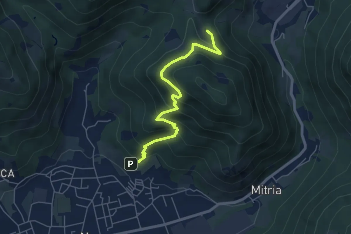
Medium · Trail
Sentiero delle miniere
4.9 km · ↑ 425 m · 2 h 5 min · 11 km away
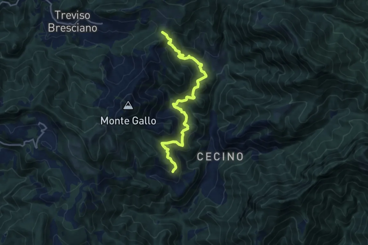
Demanding · Summit
Antica Strada Romana
12.3 km · ↑ 906 m · 4 h 52 min · 12 km away
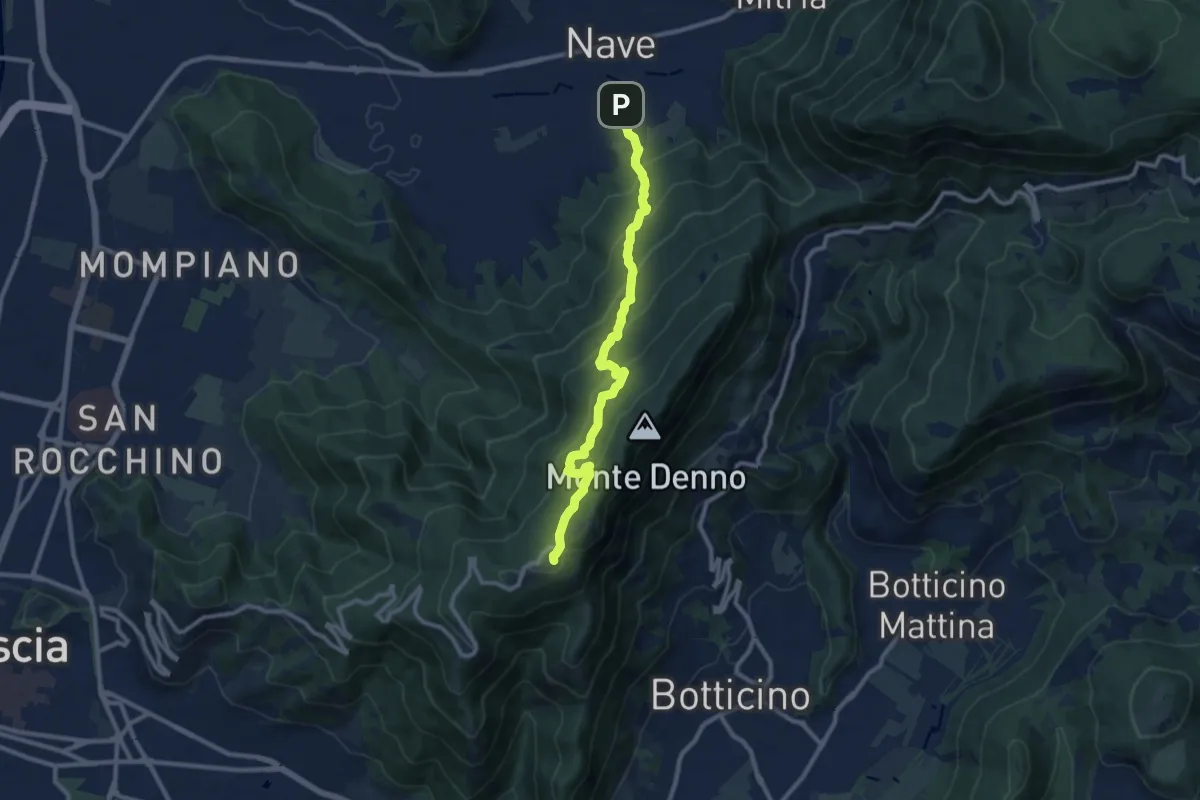
Medium · Trail
Nave (Via Piedimonte) – Chiesetta Monte Maddalena
10.1 km · ↑ 665 m · 3 h 49 min · 12 km away
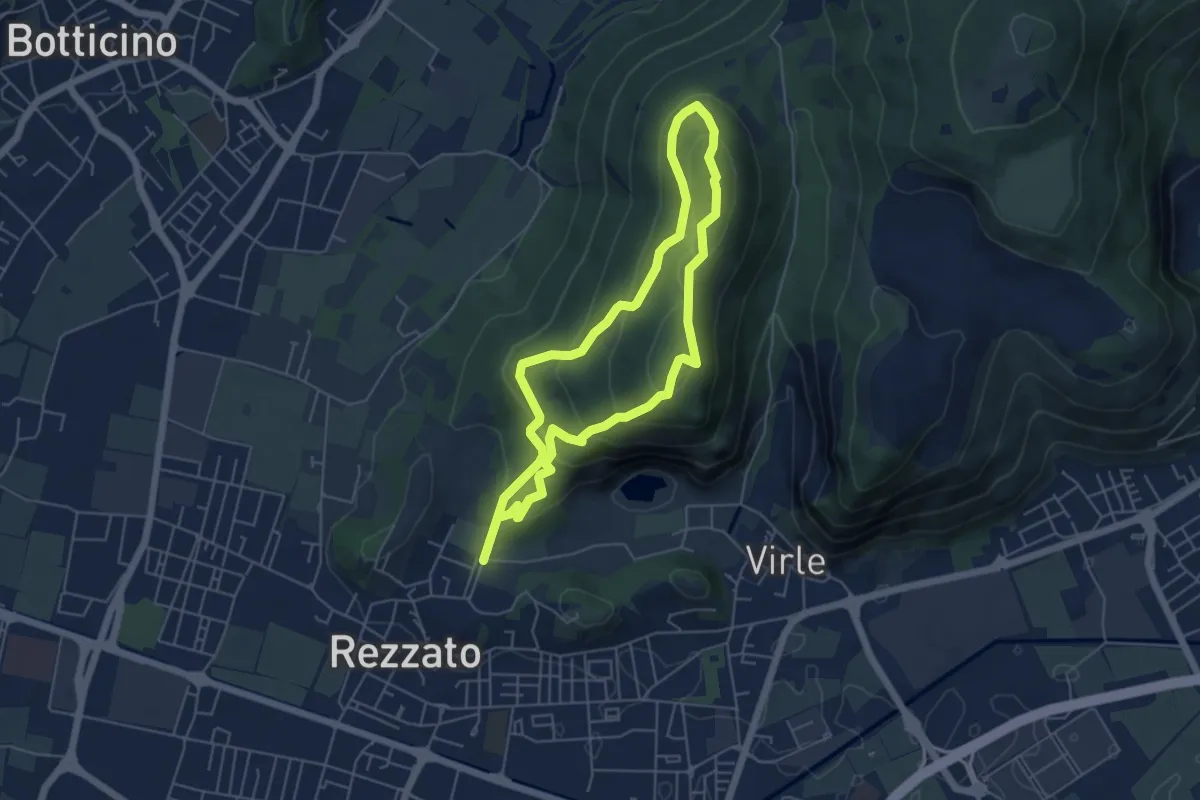
Medium · Summit
Sentiero dei fiori
4.8 km · ↑ 271 m · 1 h 48 min · 12 km away
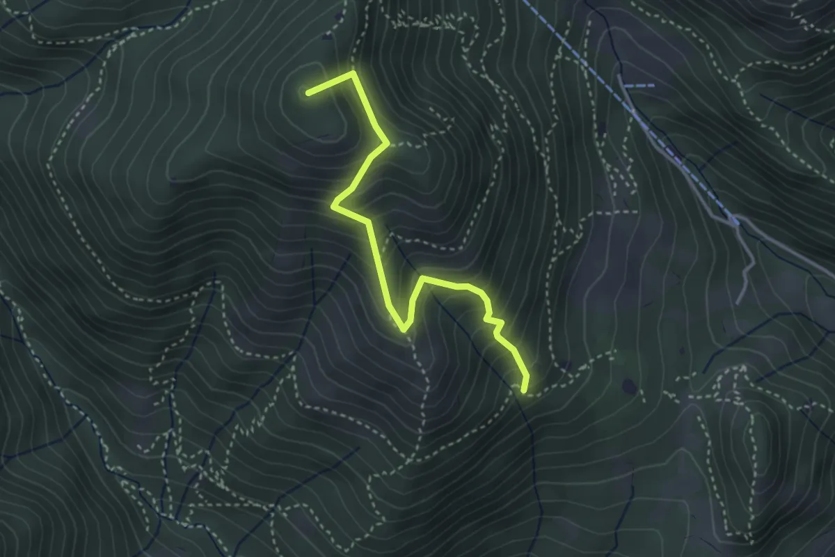
Medium · Summit
Sentiero Nunzio Tocchini
3.4 km · ↑ 371 m · 1 h 36 min · 12 km away
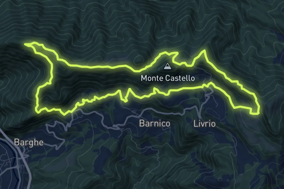
Medium · Summit
Sentiero della Resistenza 7^ Brigata Matteotti
13.1 km · ↑ 767 m · 4 h 57 min · 12 km away
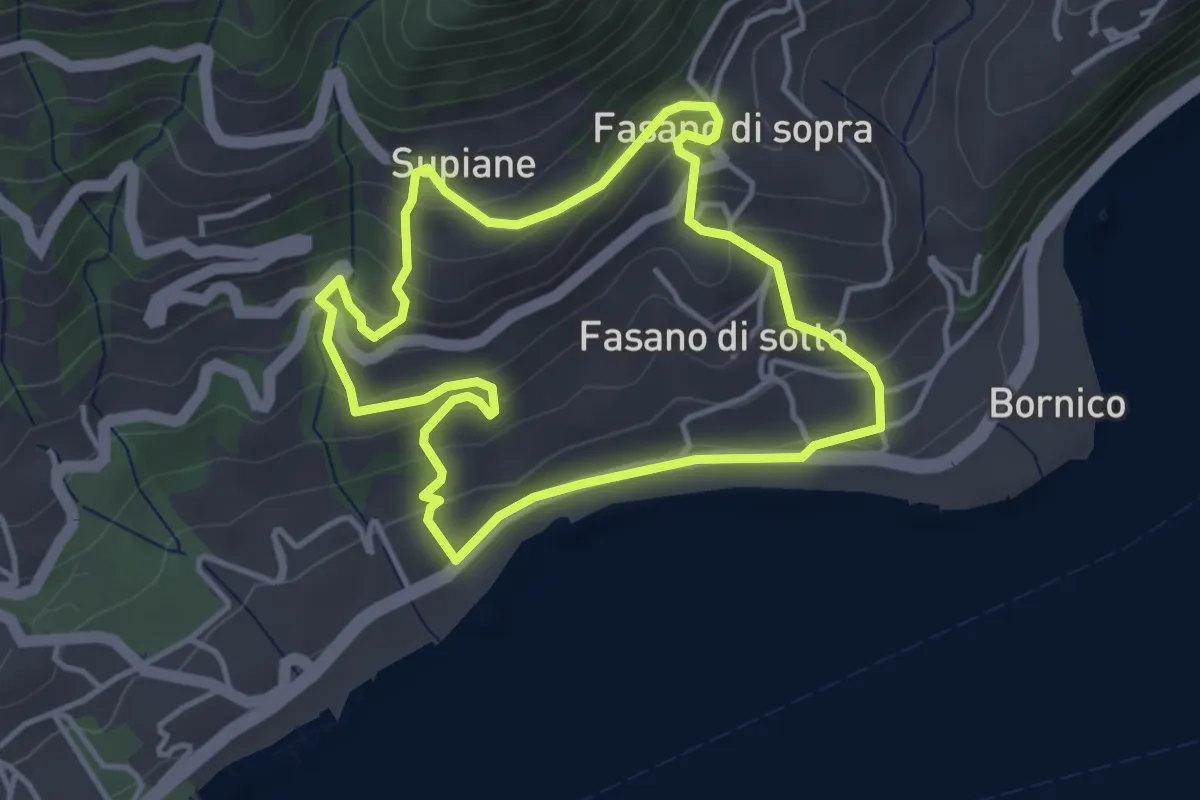
Easy · Trail
Percorso Rosso Gardone Riviera
3.8 km · ↑ 246 m · 1 h 28 min · 12 km away
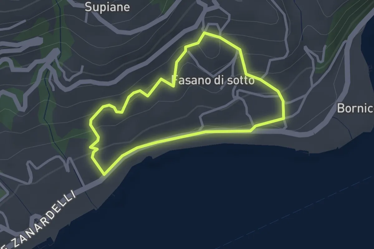
Easy · Trail
Percorso Cobalto Gardone Riviera
2.4 km · ↑ 129 m · 53 min · 12 km away
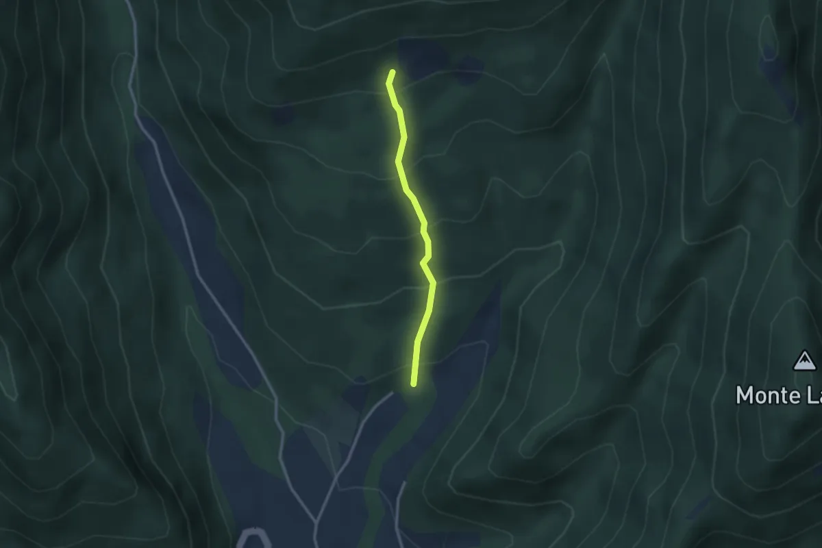
Easy · Trail
Gardone in Bike
2.2 km · ↑ 230 m · 1 h 1 min · 12 km away
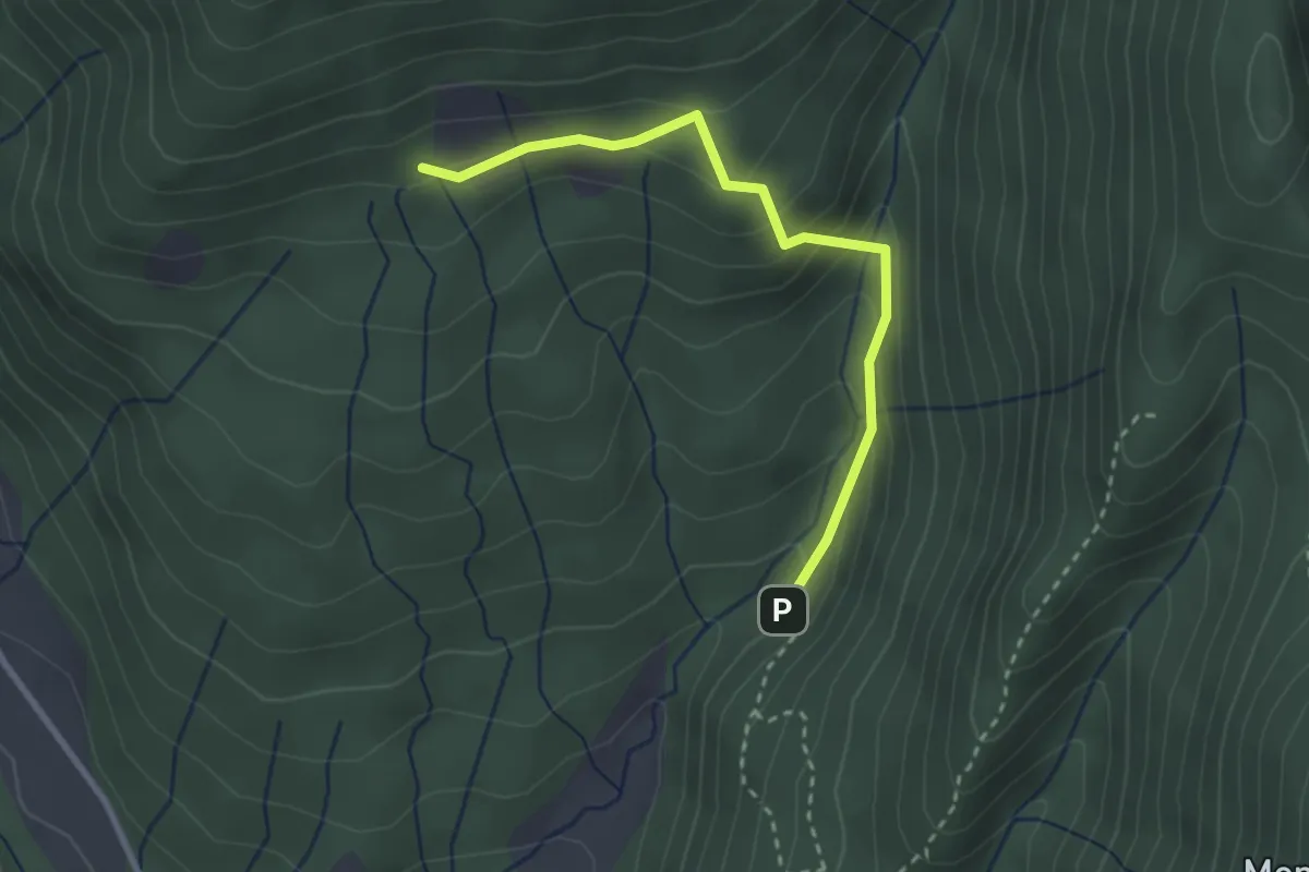
Easy · Trail
Valle del Poiano
2.8 km · ↑ 210 m · 1 h 7 min · 12 km away
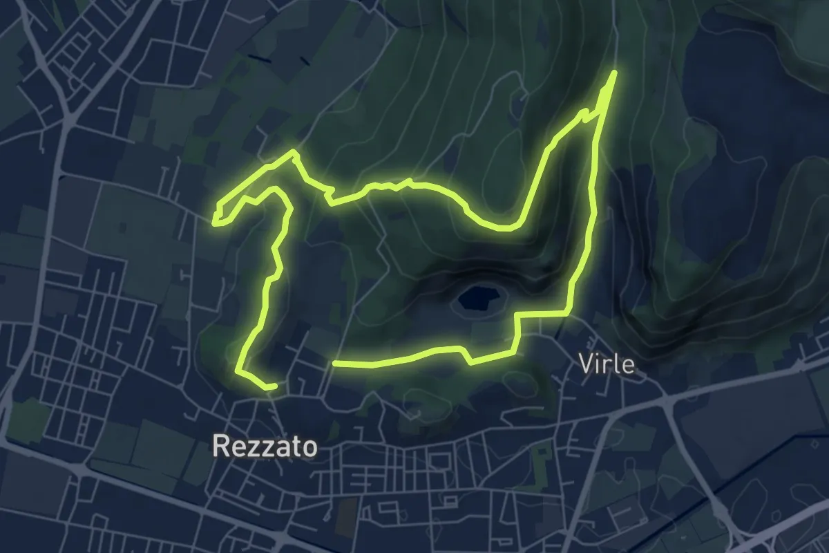
Medium · Summit
Sentiero della storia
6.4 km · ↑ 306 m · 2 h 16 min · 12 km away
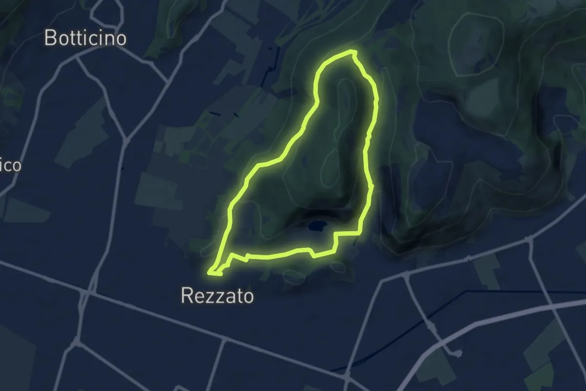
Medium · Summit
Sentiero della Rasa
6.3 km · ↑ 203 m · 2 h 1 min · 12 km away
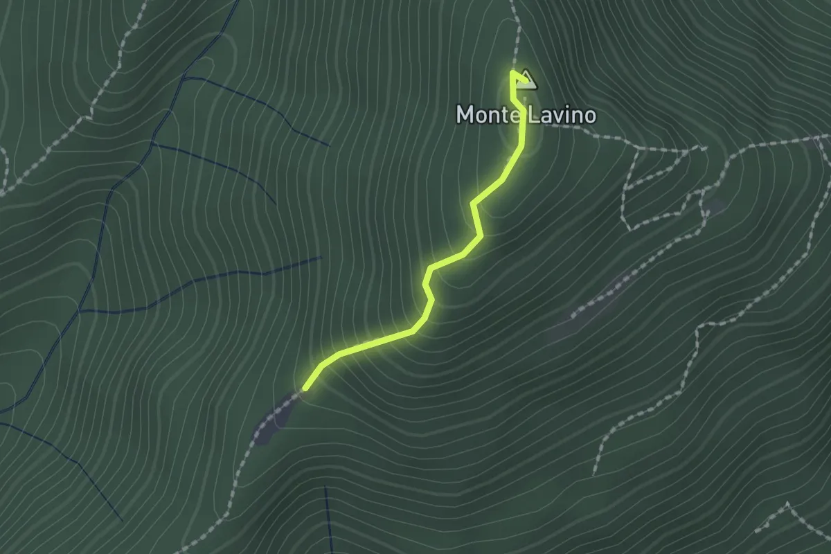
Medium · Summit
Sentiero di Monte Lavino
1.3 km · ↑ 142 m · 37 min · 12 km away
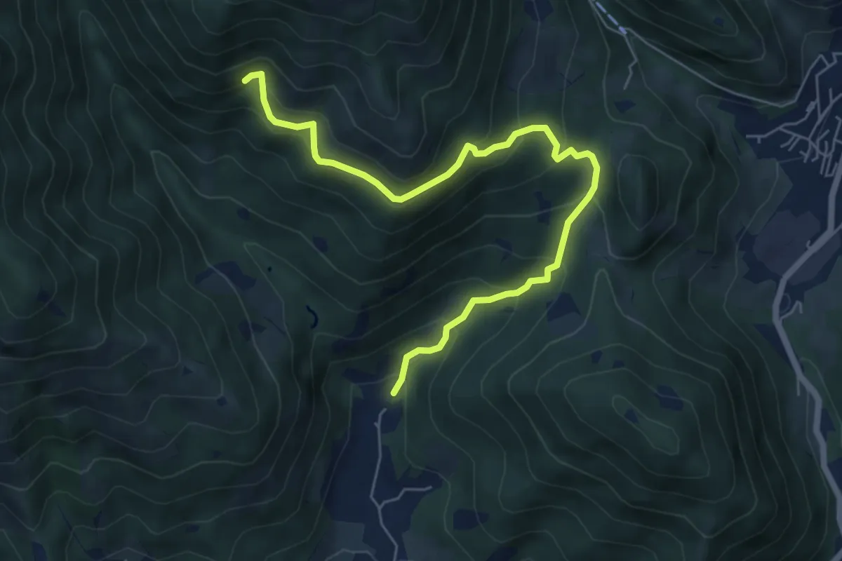
Medium · Trail
Nave (Piezze) - Sant'Antonio - Innesto Sentiero 354
6.7 km · ↑ 527 m · 2 h 44 min · 12 km away
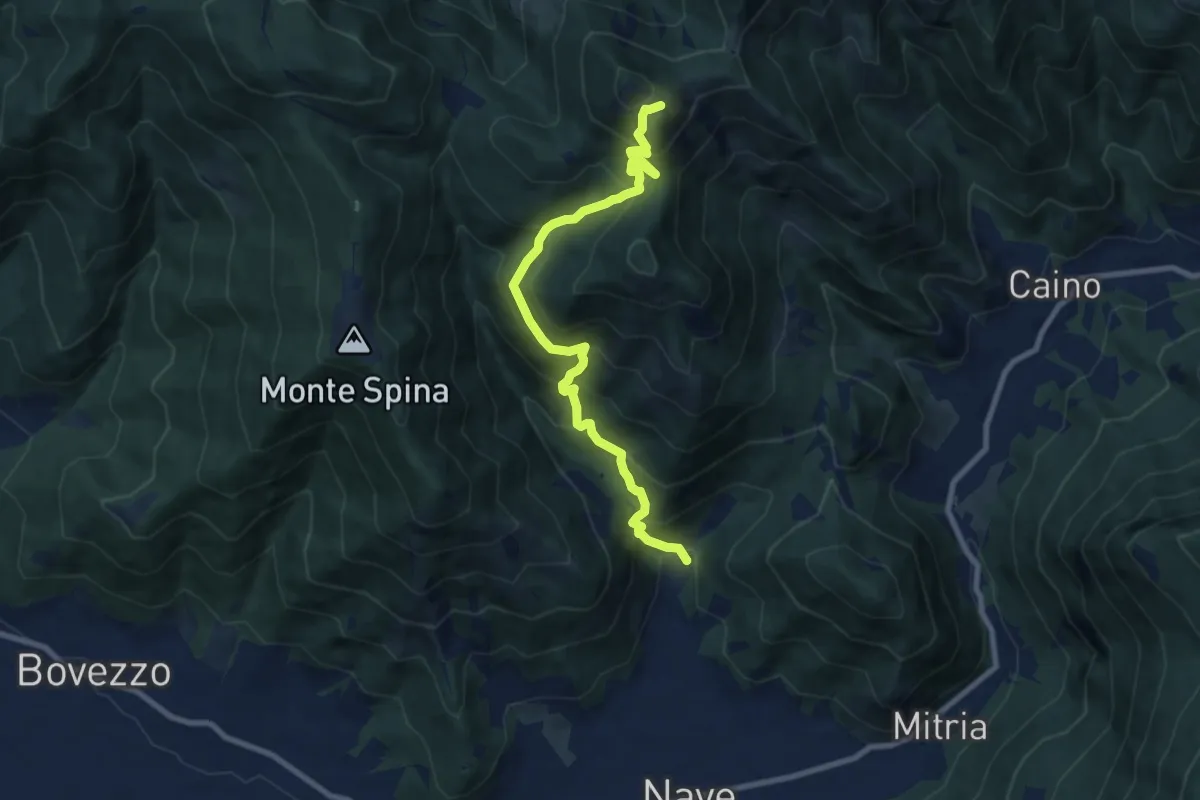
Demanding · Summit
Nave (Piezze) - Santuario di Conche
9.1 km · ↑ 901 m · 4 h 6 min · 12 km away
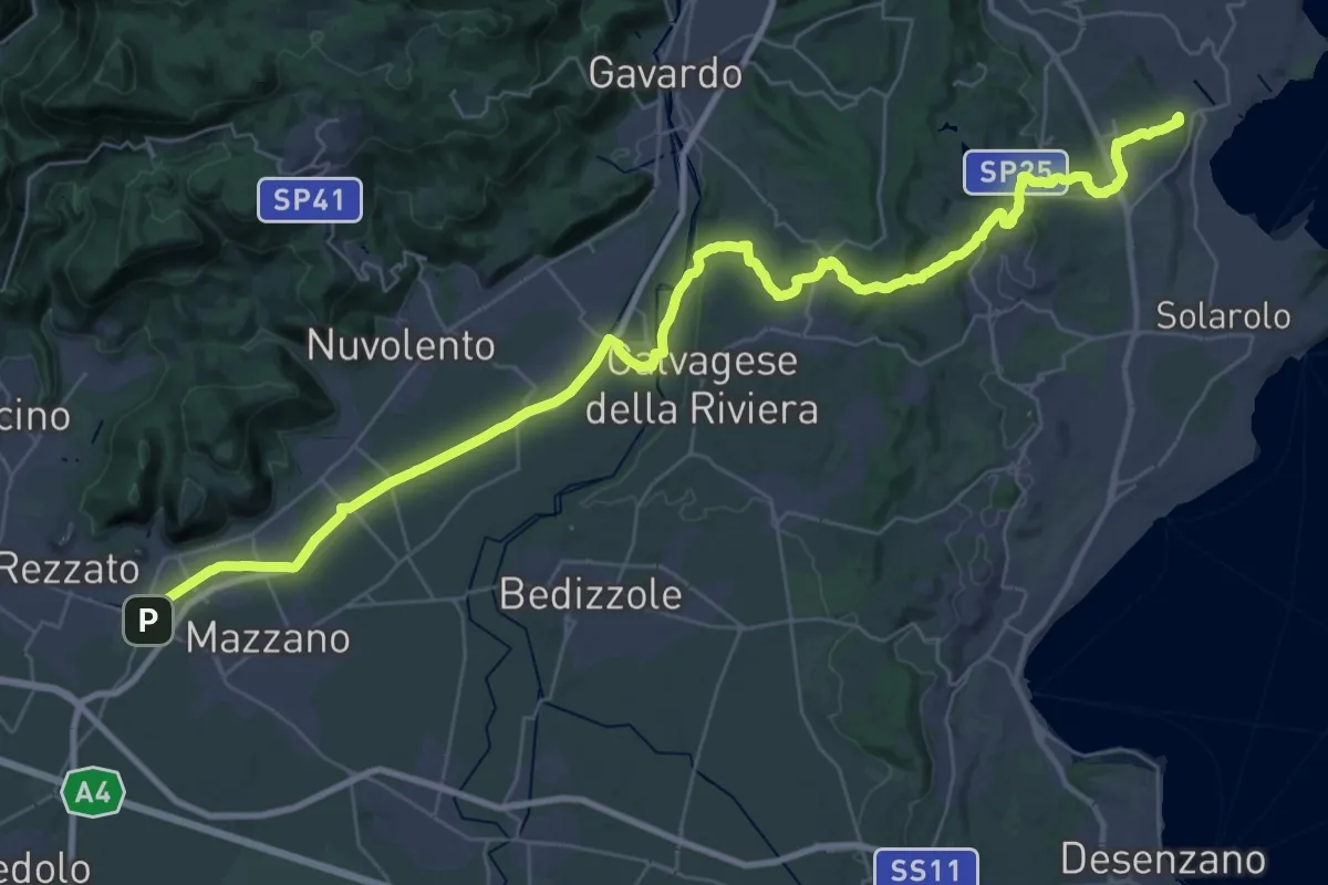
Demanding · Summit
Via della Valtenesi
46.5 km · ↑ 468 m · 11 h 59 min · 12 km away
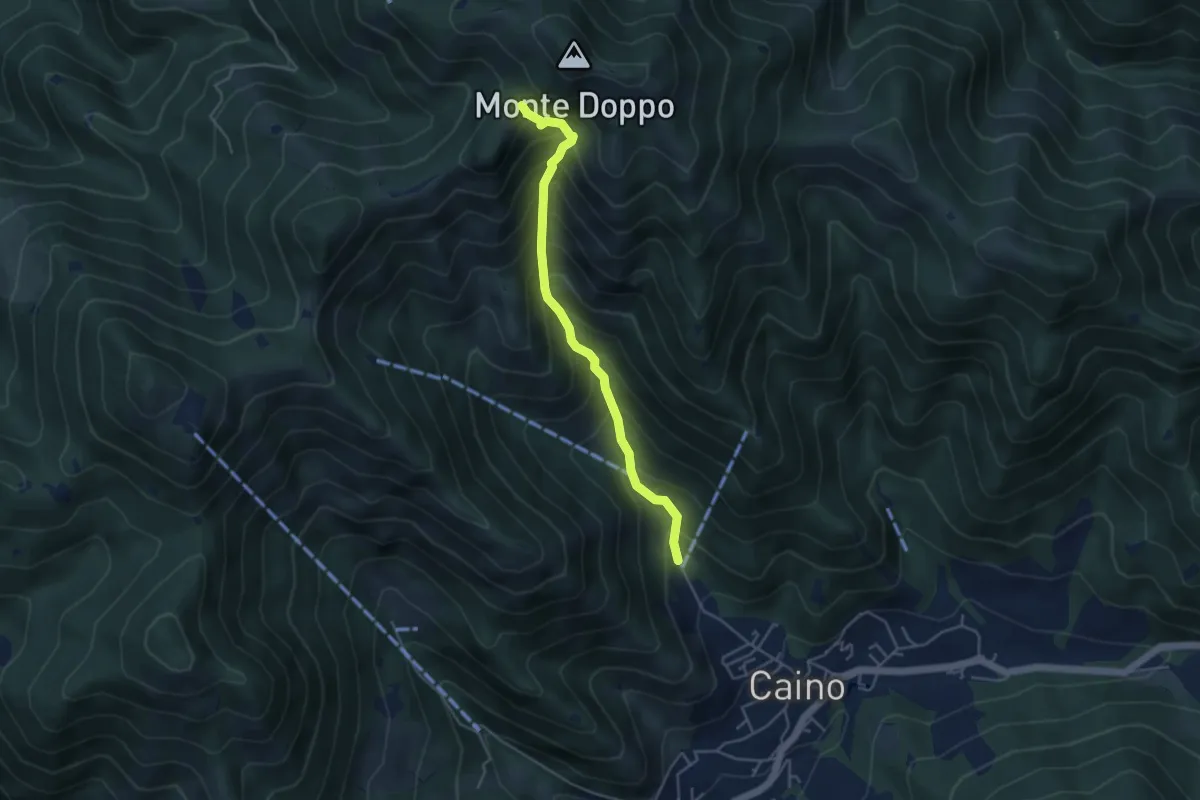
Medium · Trail
Caino (Pian delle Castagne) – Eremo di San Giorgio (Innesto Sentiero 381)
4.3 km · ↑ 584 m · 2 h 16 min · 12 km away
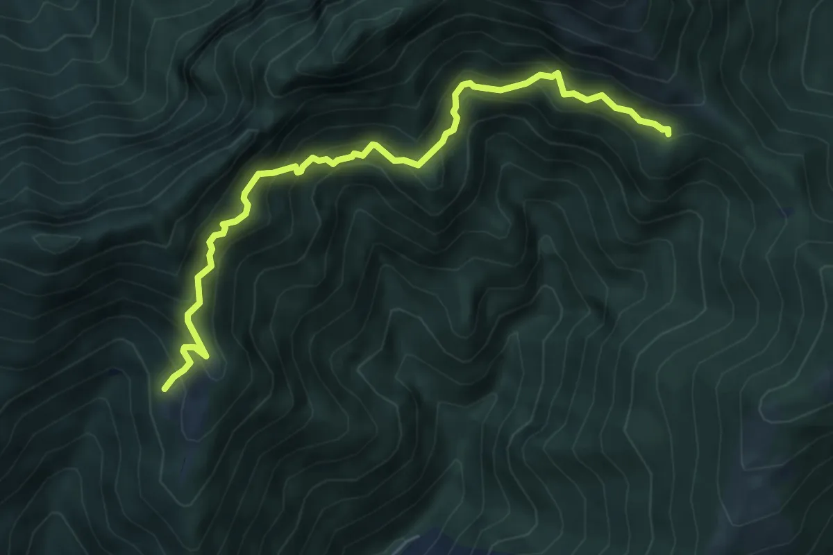
Demanding · Cabin
Sentiero delle Marmere
6.3 km · ↑ 712 m · 3 h 2 min · 12 km away
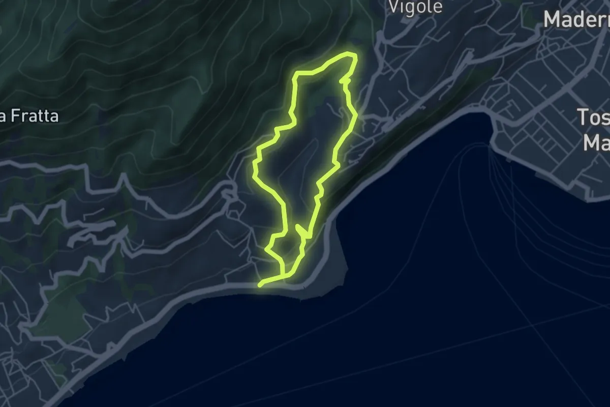
Easy · Trail
Percorso Marrone Gardone Riviera
3.9 km · ↑ 227 m · 1 h 28 min · 12 km away
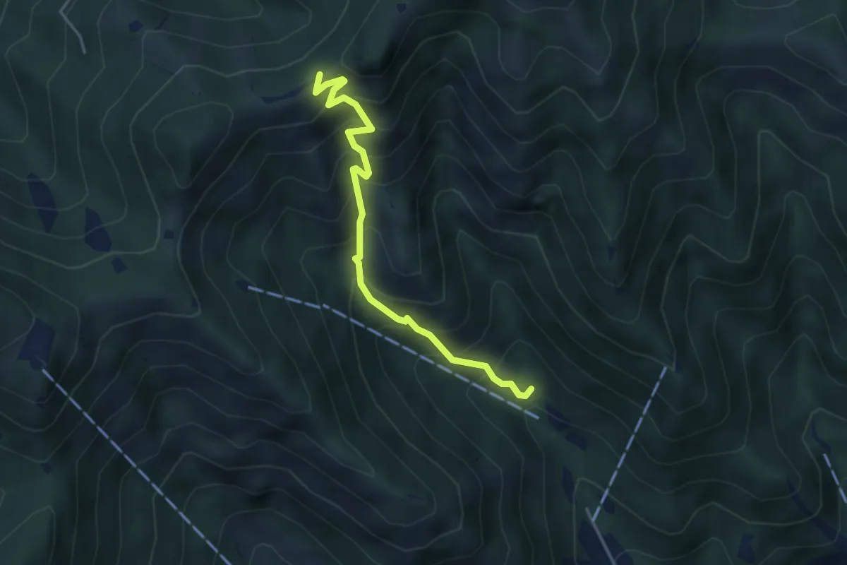
Medium · Trail
Caino (Madonna delle Fontane) – San Giorgio (Innesto Sentiero 381)
3.9 km · ↑ 503 m · 2 h 1 min · 12 km away
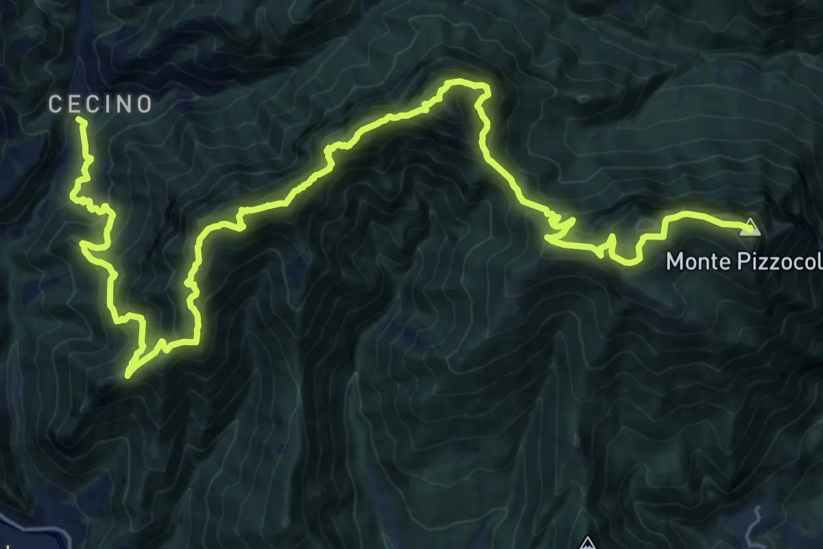
Expert · Summit
Cecino - Ortello
30.9 km · ↑ 2690 m · 13 h 7 min · 12 km away