Trails near Gavardo
240 hikes starting within 15 km, nearest first.
Nearest first, page 4 of 5
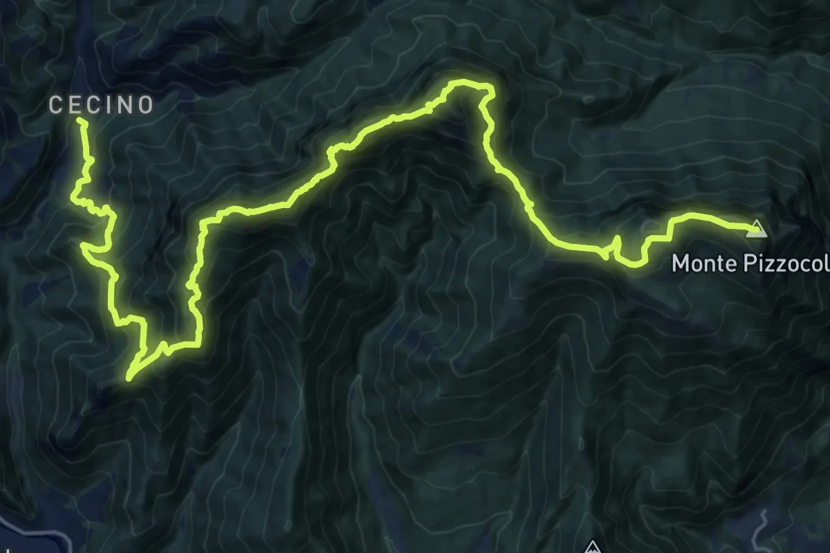
Expert · Summit
Sentiero delle Creste
29.7 km · ↑ 2608 m · 12 h 40 min · 12 km away
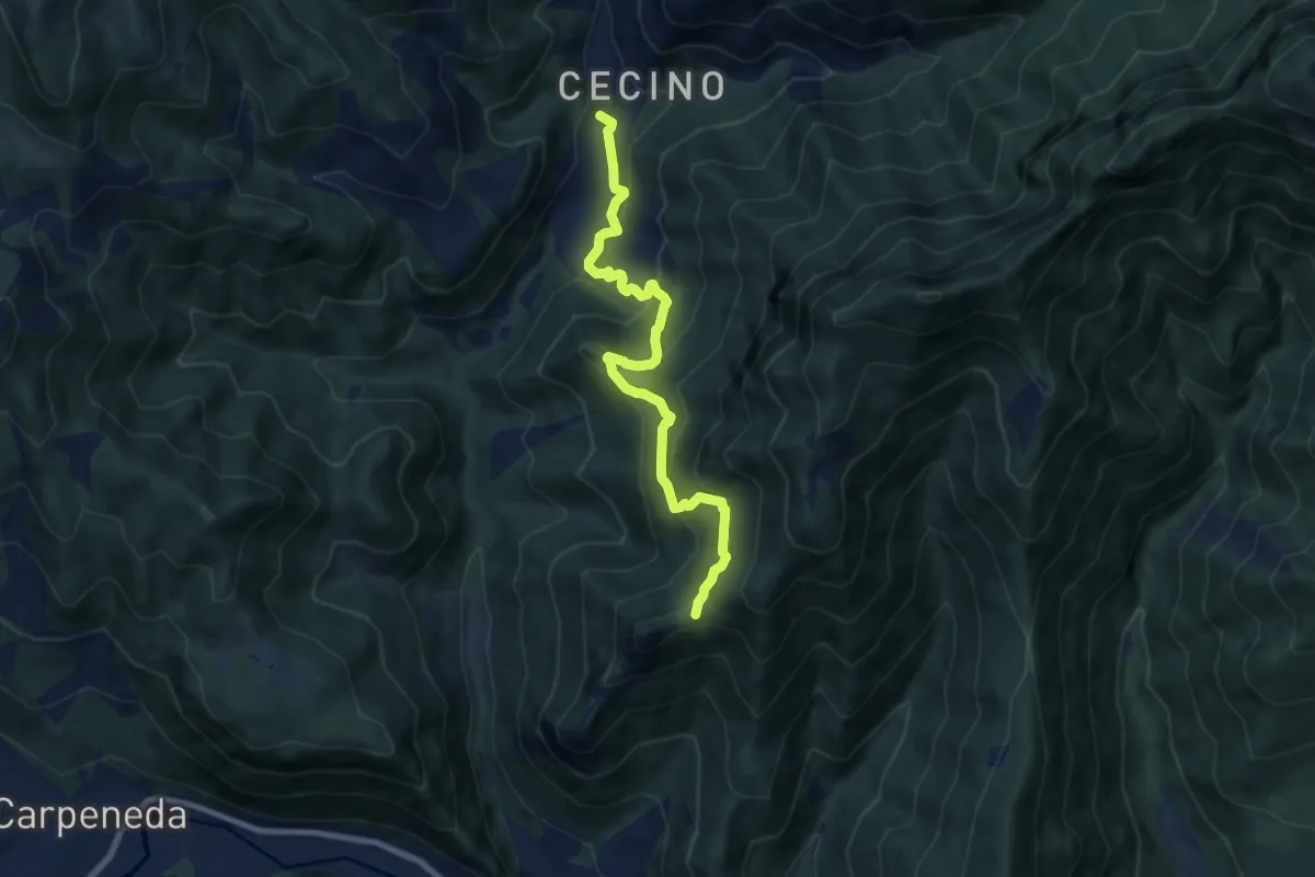
Medium · Trail
Sentiero di Ceresola
8.1 km · ↑ 507 m · 3 h 1 min · 12 km away
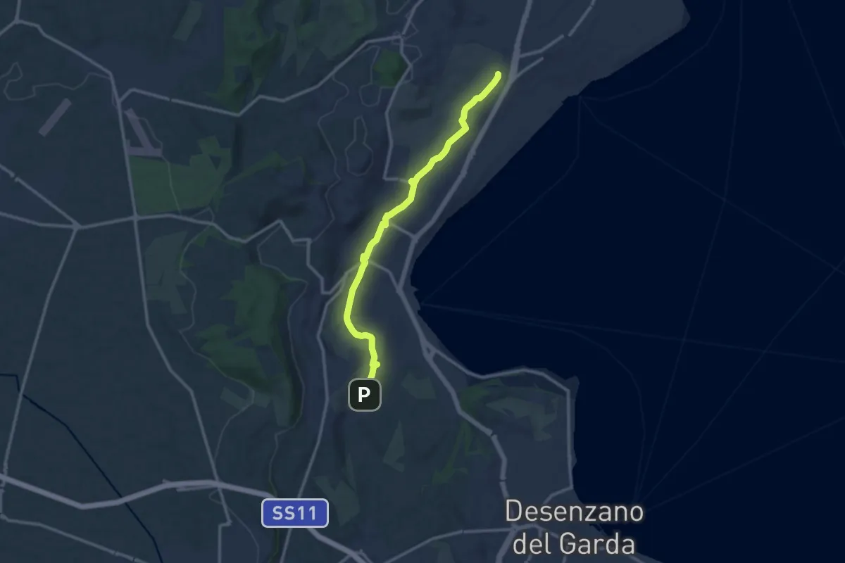
Medium · Trail
Maguzzano – Moniga
11.3 km · ↑ 61 m · 2 h 48 min · 12 km away
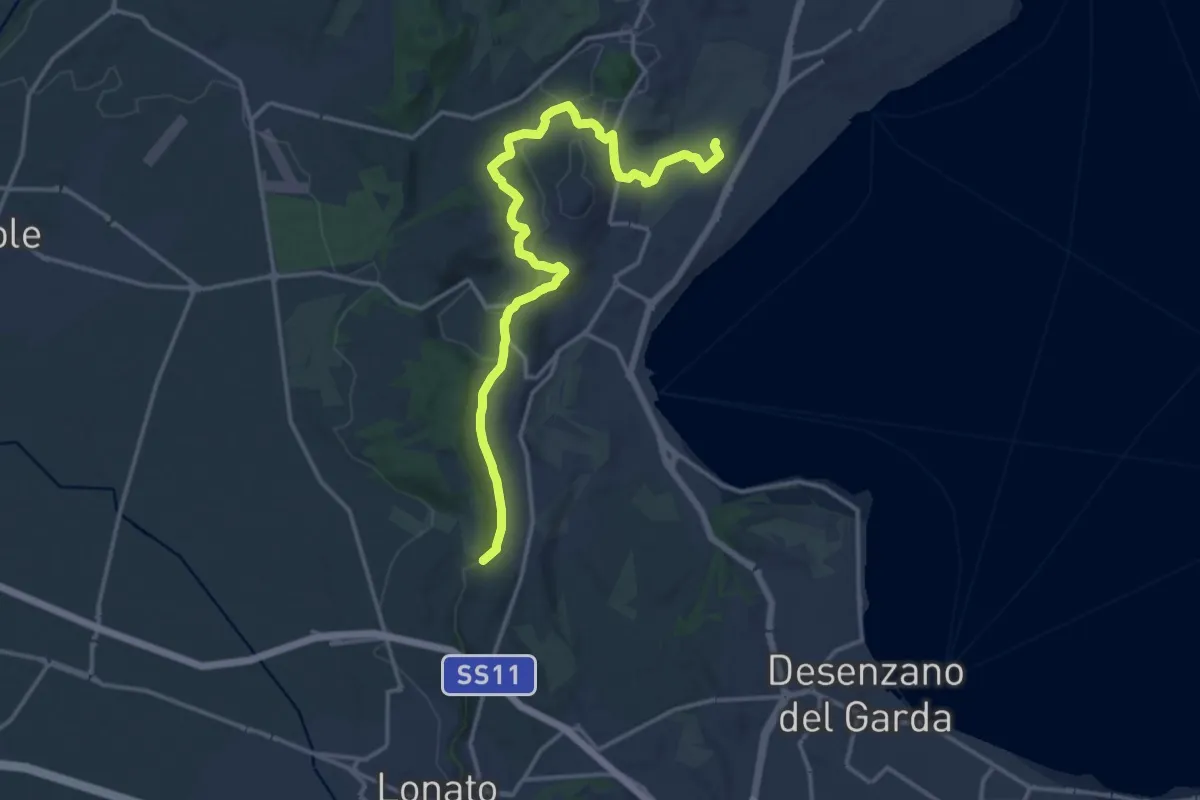
Medium · Trail
Barcuzzi – Balosse
17.4 km · ↑ 263 m · 4 h 40 min · 12 km away
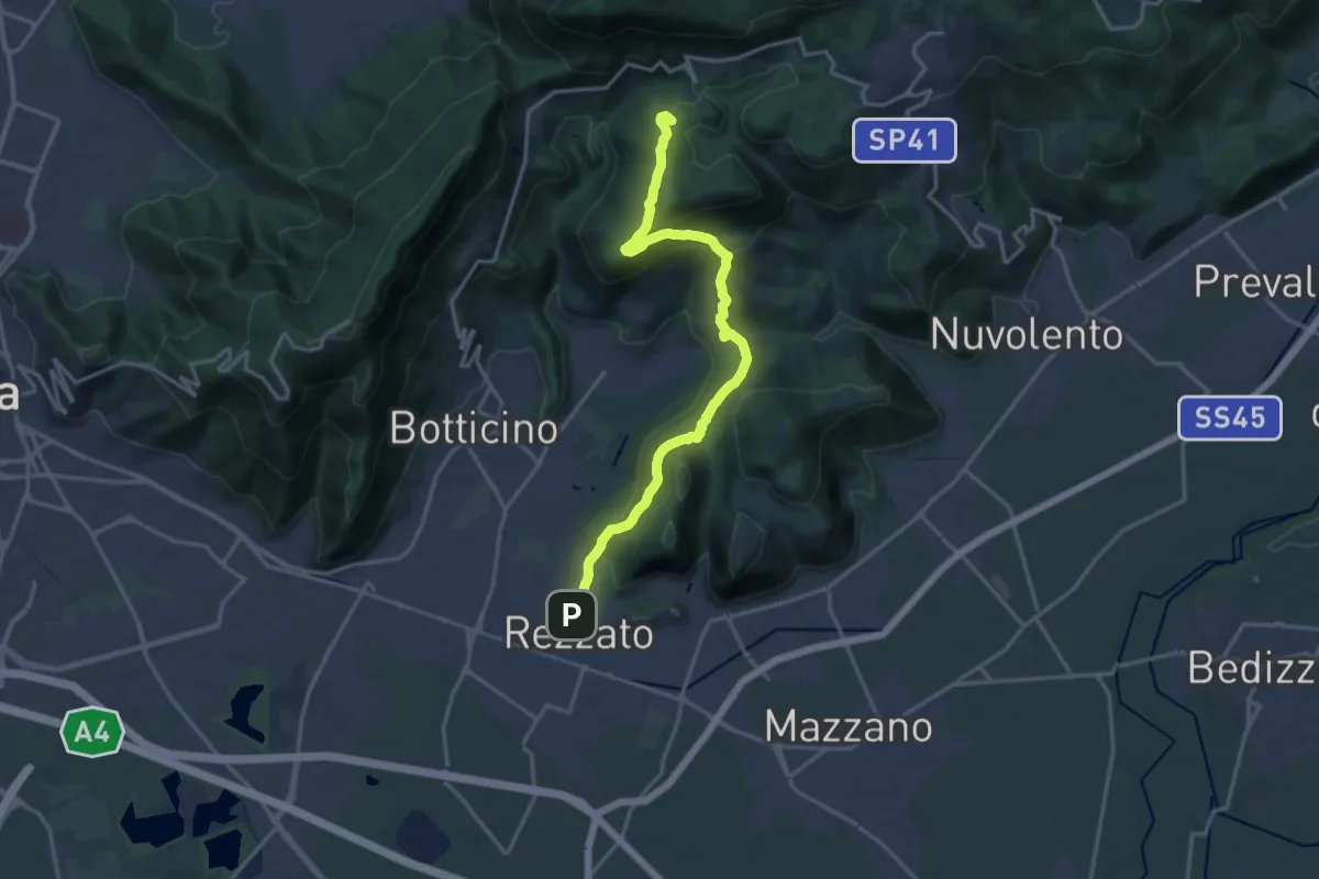
Demanding · Summit
Sentiero principale Valverde
17.5 km · ↑ 748 m · 5 h 45 min · 12 km away
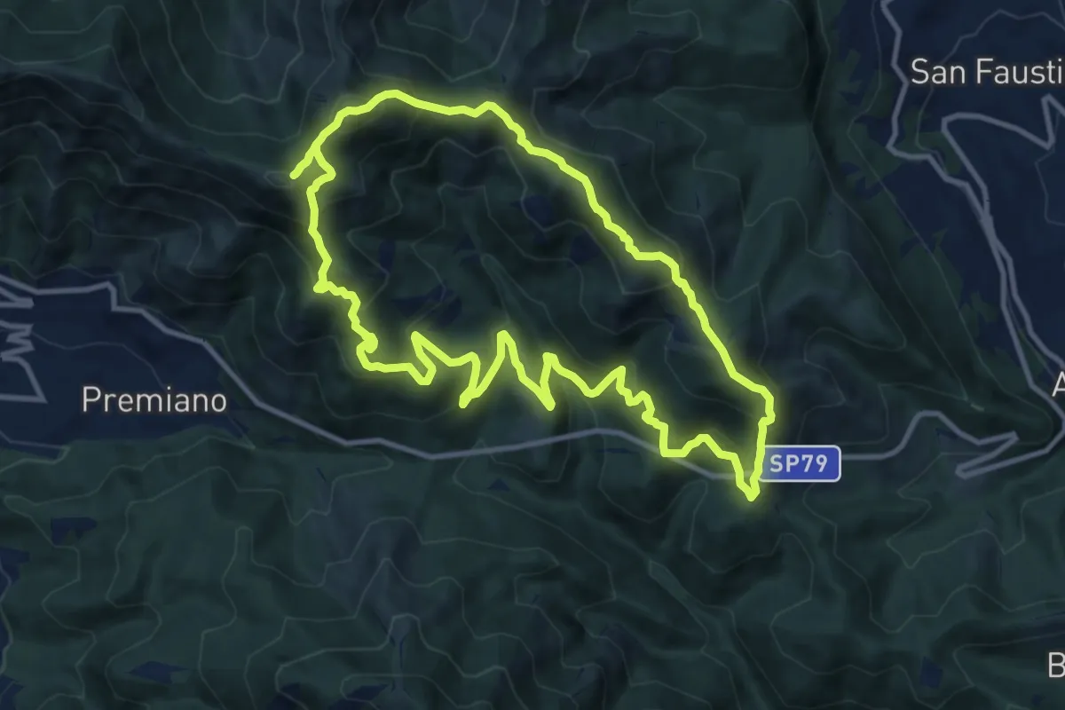
Demanding · Summit
Sentiero Tranquillo Bianchi e Caduti per la Libertà di Lumezzane - Tronco B
10.9 km · ↑ 840 m · 4 h 33 min · 12 km away
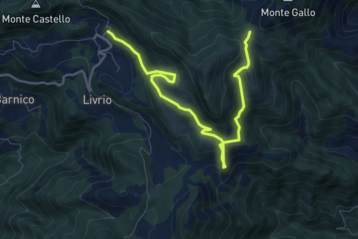
Medium · Trail
Arveaco - Passo del Cul
9.5 km · ↑ 674 m · 3 h 43 min · 12 km away
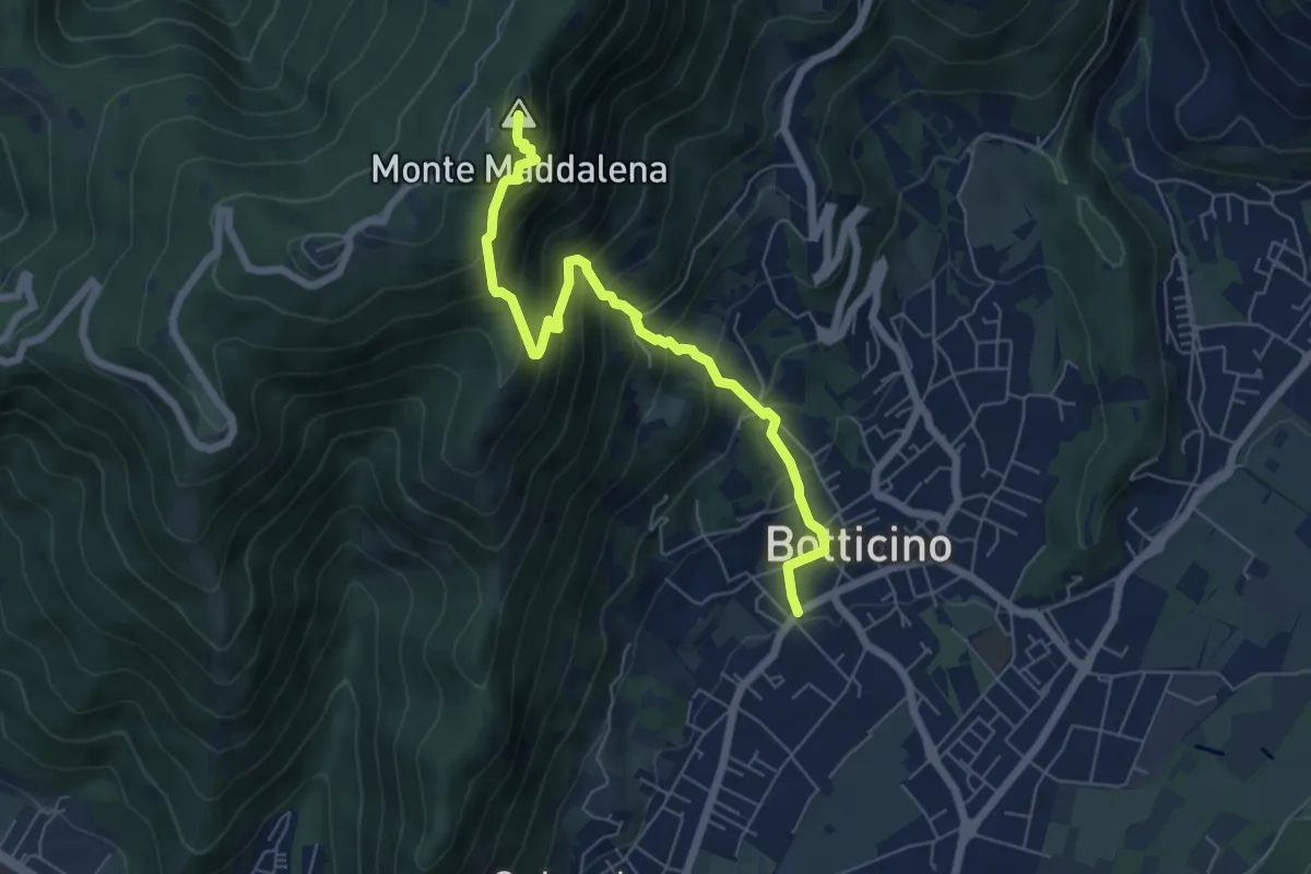
Medium · Summit
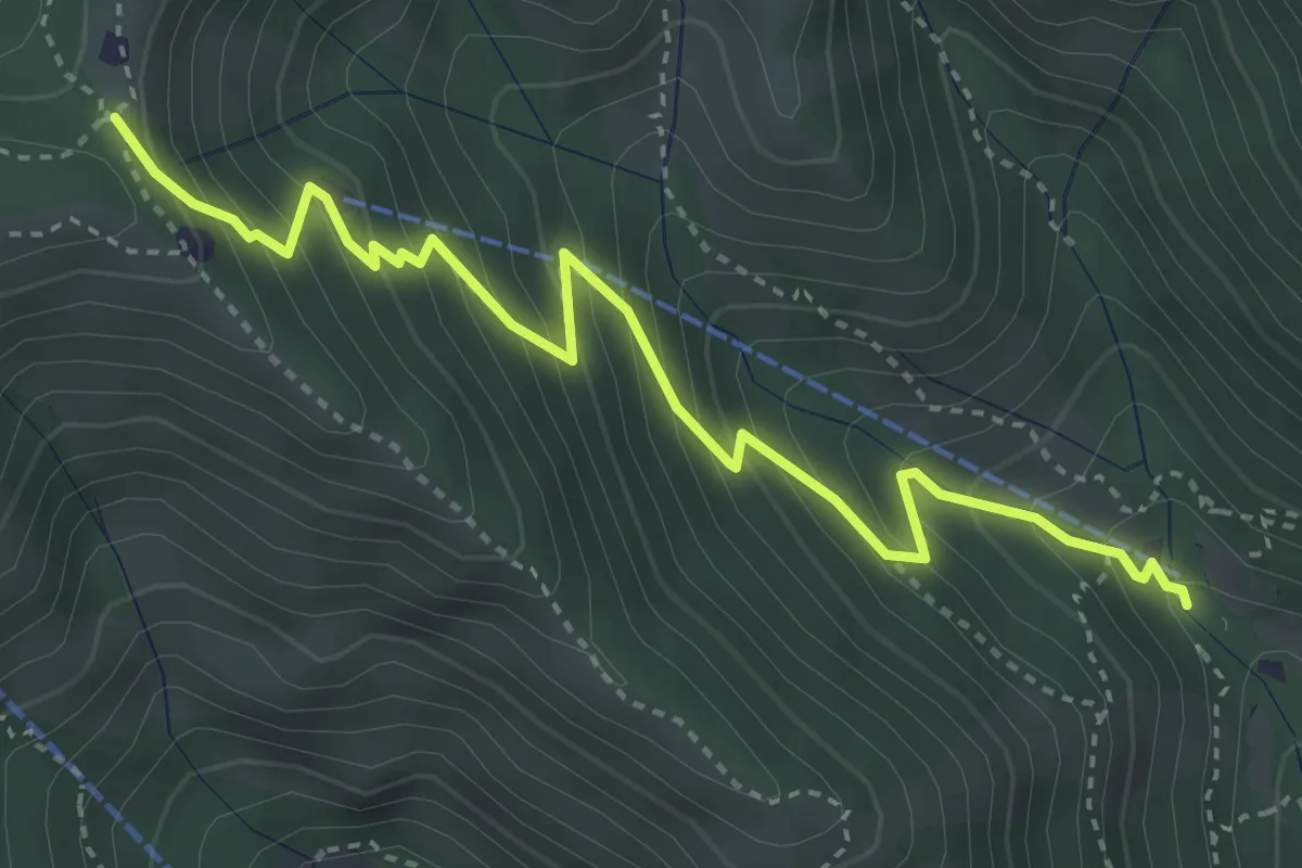
Botticino (Via Gioacchino Rossini) – Ex Rifugio Monte Maddalena
6.6 km · ↑ 756 m · 3 h 12 min · 12 km away
Medium · Trail
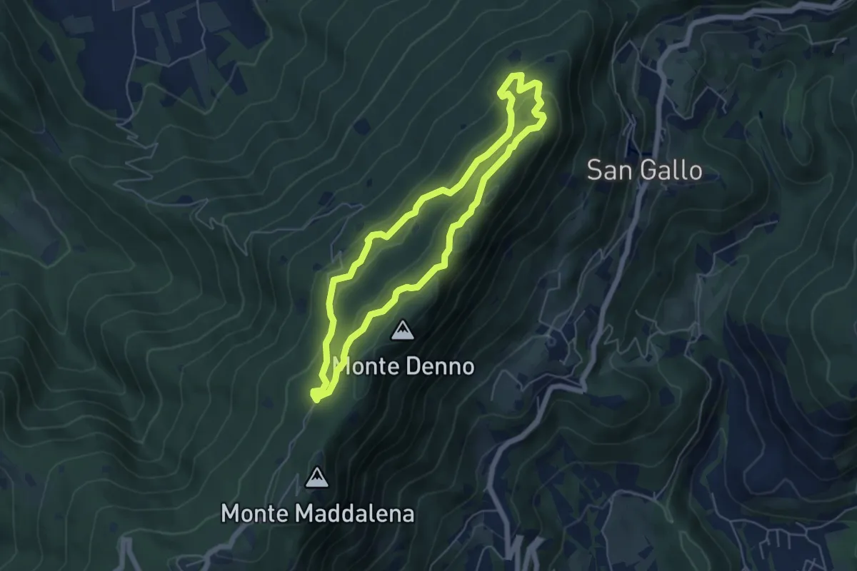
Caino (Madonna delle Fontane) – Monte Conche (Innesto Sentiero 381)
4.2 km · ↑ 450 m · 1 h 58 min · 12 km away
Medium · Summit
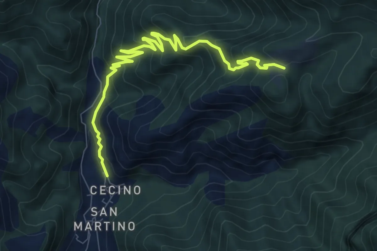
Sentiero Brigata Fiamme Verdi Dieci Giornate
5.0 km · ↑ 254 m · 1 h 48 min · 12 km away
Medium · Trail
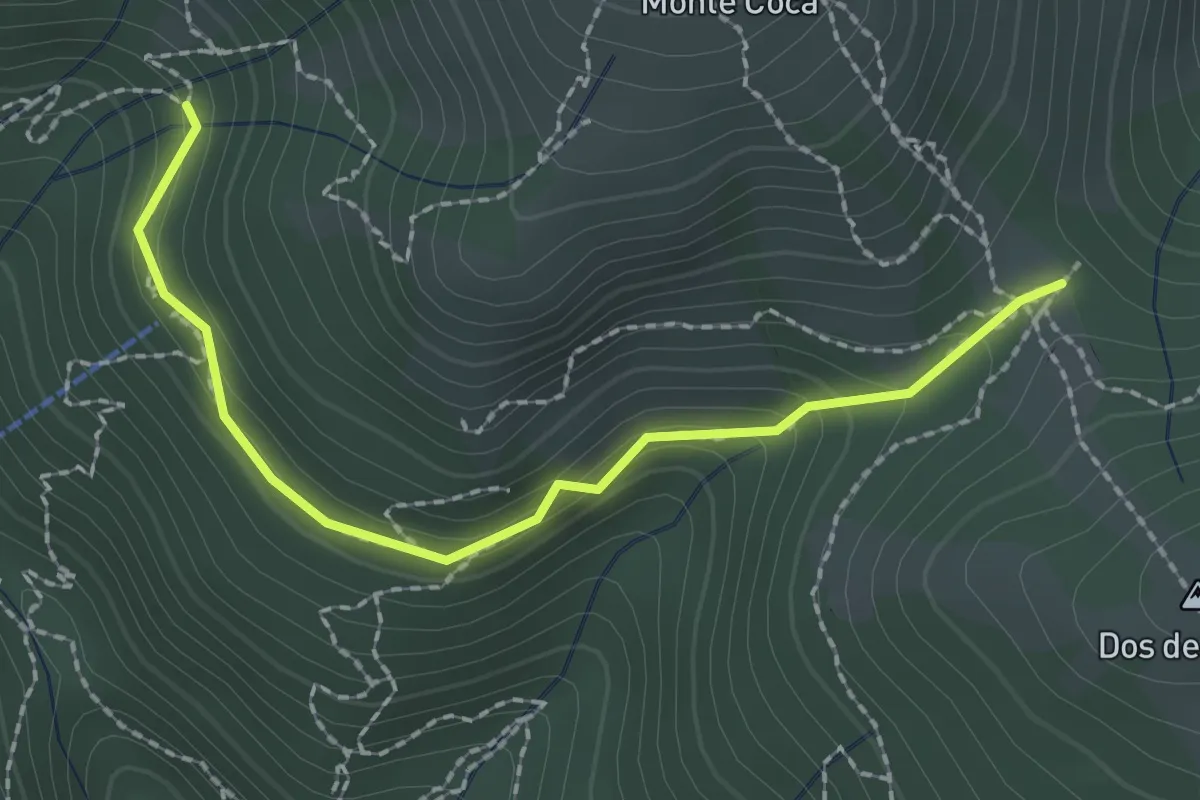
Cecino - Ponte Sacca - Cascina Brasassio
4.6 km · ↑ 642 m · 2 h 16 min · 12 km away
Medium · Trail
Lumezzane (Innesto sentiero 370) - Cocca di Bione
2.2 km · ↑ 106 m · 45 min · 12 km away
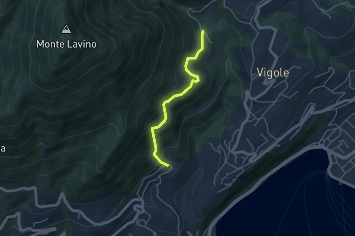
Medium · Trail
Bezzuglio - Pezzuglio
3.1 km · ↑ 345 m · 1 h 29 min · 12 km away
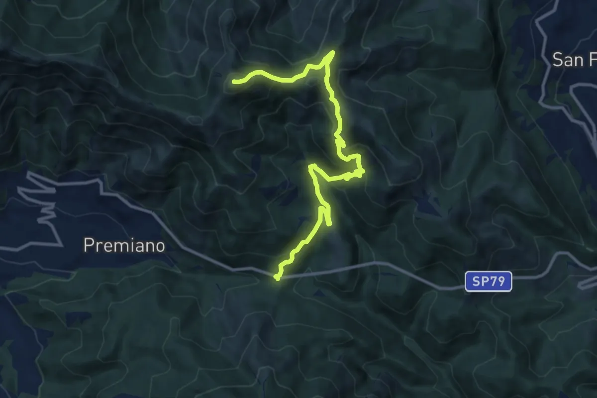
Demanding · Summit
Lumezzane (Passo del Cavallo) – Punta Camoghera
10.5 km · ↑ 734 m · 4 h 4 min · 13 km away
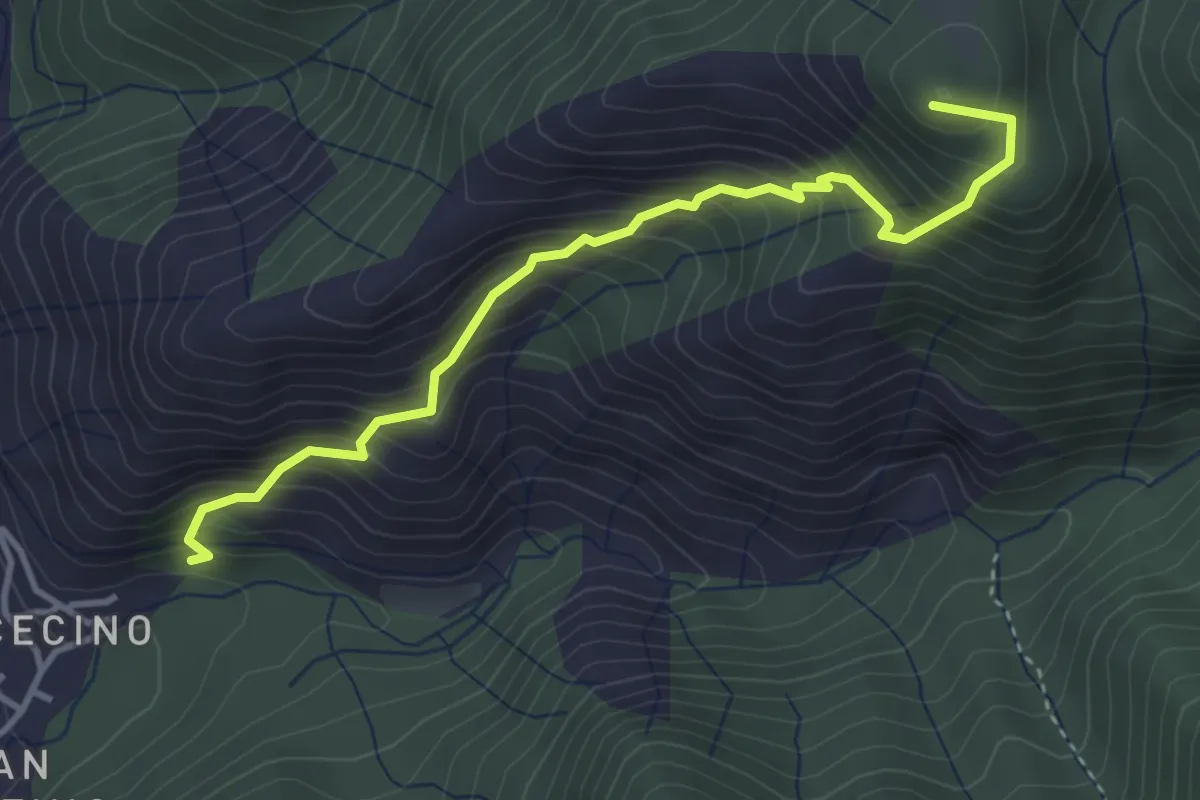
Demanding · Summit
Cecino (Vobarno) – Campei de Sima (Toscolano Maderno)
3.9 km · ↑ 541 m · 2 h 5 min · 13 km away
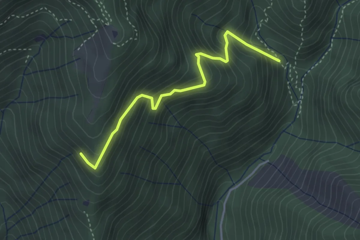
Medium · Trail
Mulattiera variante Senter Lonc
3.4 km · ↑ 399 m · 1 h 41 min · 13 km away
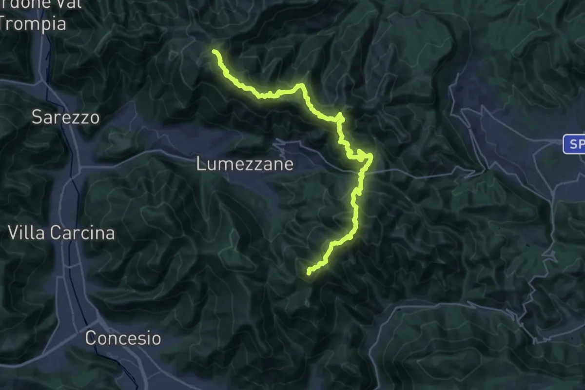
Demanding · Summit
Sentiero 3V - Tappa 2
27.2 km · ↑ 2052 m · 10 h 52 min · 13 km away
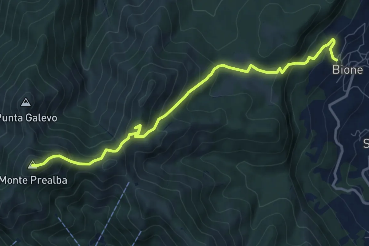
Medium · Summit
Bione (Pieve) - Eremo di San Vigilio - Monte Prealba
8.7 km · ↑ 716 m · 3 h 36 min · 13 km away
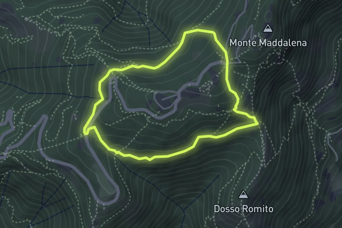
Demanding · Trail
Anello delle Pozze
3.4 km · ↑ 182 m · 1 h 15 min · 13 km away
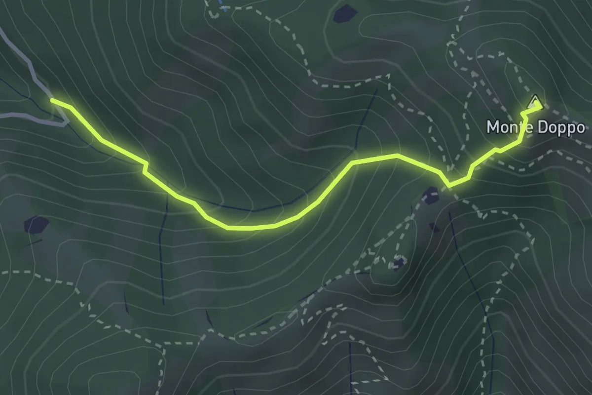
Expert · Summit
Lumezzane (Valle San Giorgio) - Monte Doppo
2.8 km · ↑ 348 m · 1 h 25 min · 13 km away
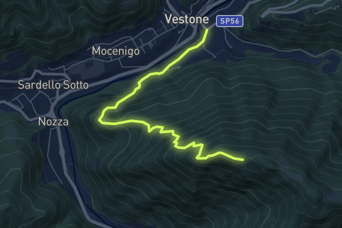
Medium · Trail
Monte Colmo – Vestone
7.1 km · ↑ 619 m · 3 h 1 min · 13 km away
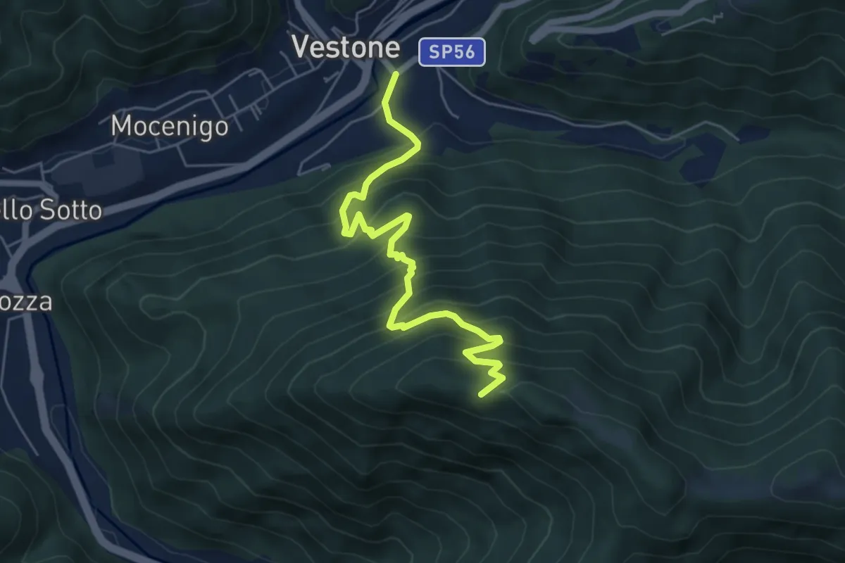
Medium · Trail
Vestone – Monte Colmo
5.7 km · ↑ 693 m · 2 h 52 min · 13 km away
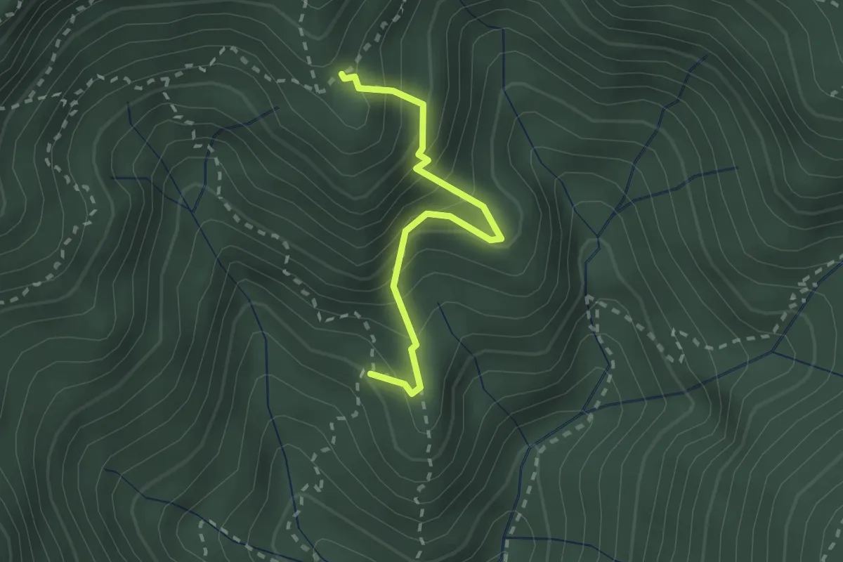
Medium · Trail
Mulattiera dei Carbonai - Est
2.1 km · ↑ 314 m · 1 h 11 min · 13 km away
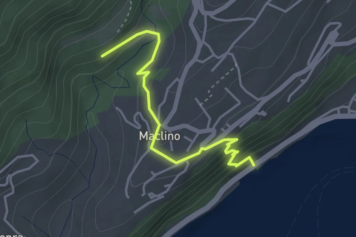
Medium · Trail
Sentiero dei Proch
3.1 km · ↑ 184 m · 1 h 8 min · 13 km away
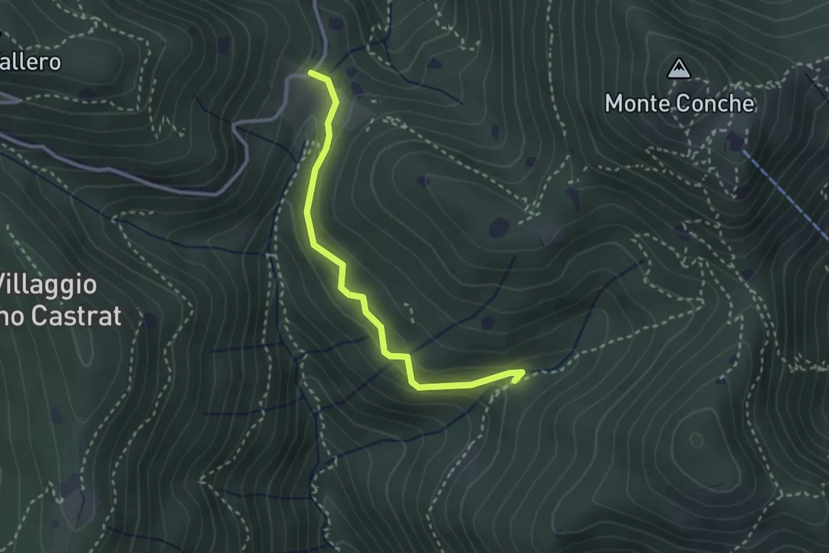
Medium · Trail
Nave (Valle delle Monache) - Cascina Cocca
2.7 km · ↑ 112 m · 53 min · 13 km away
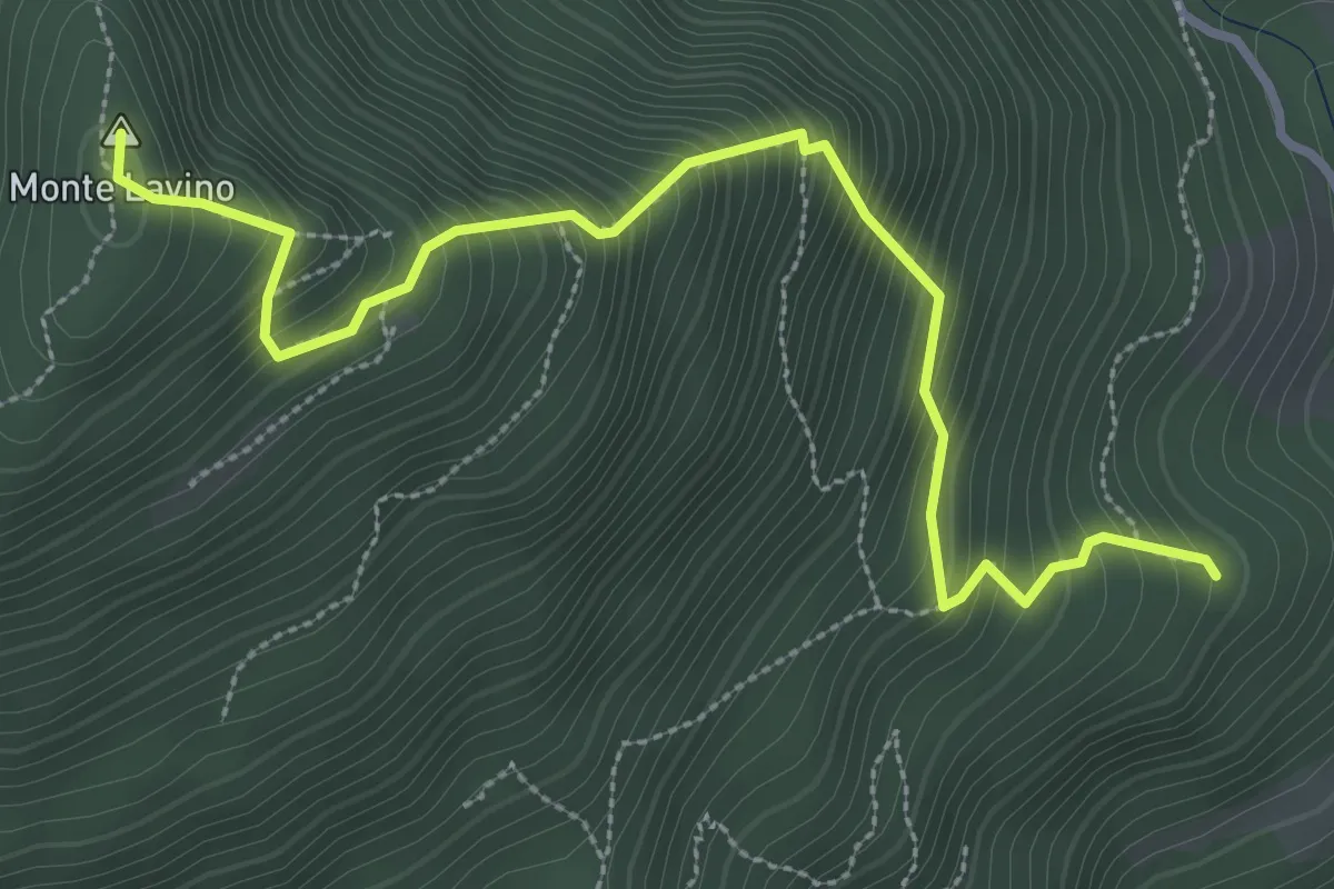
Medium · Summit
Sentiero del Lavino - Percorso 26 Toscolano Maderno
3.6 km · ↑ 538 m · 2 h 1 min · 13 km away
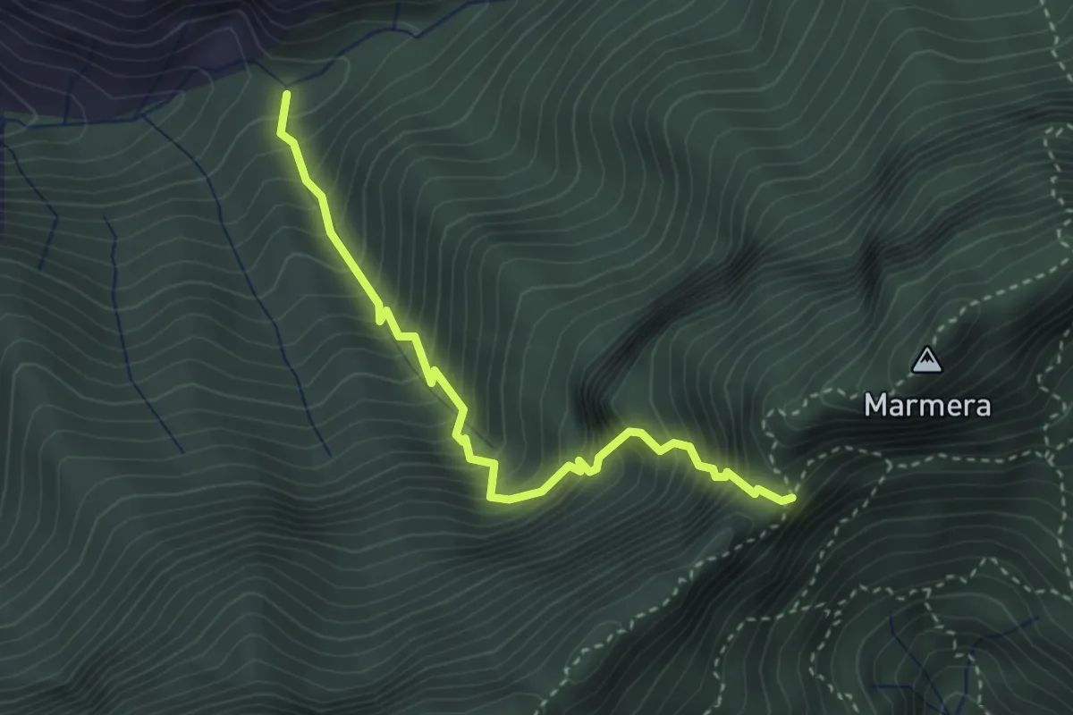
Demanding · Trail
Sentiero del Passo del Buco del Tedesco
3.3 km · ↑ 649 m · 2 h 11 min · 13 km away
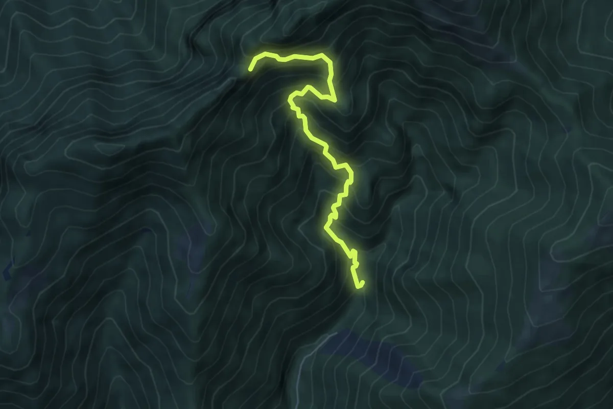
Demanding · Trail
Mulattiera dei Carbonai
5.6 km · ↑ 675 m · 2 h 46 min · 13 km away
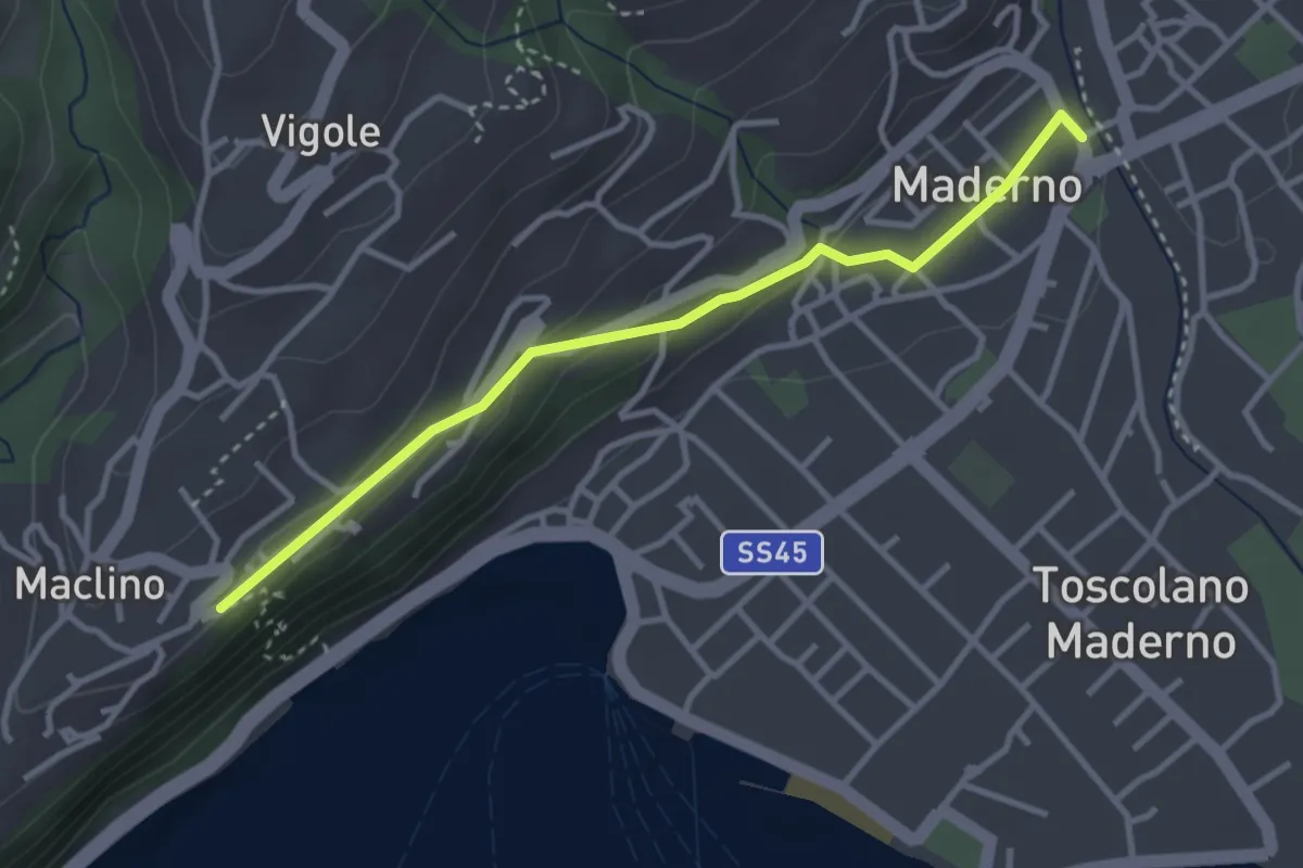
Easy · Trail
Ponte Vecchio - Montemaderno
3.3 km · ↑ 111 m · 1 h 1 min · 13 km away
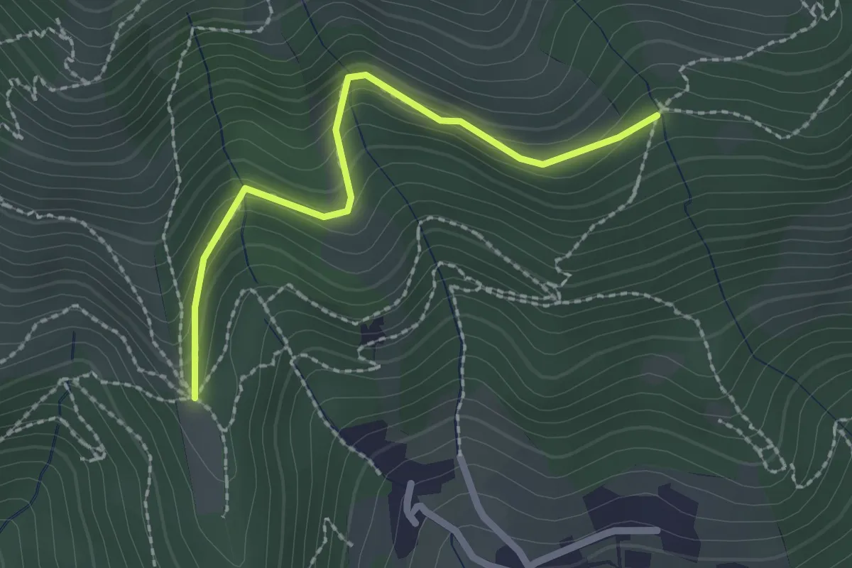
Easy · Trail
Nave (Cascina Mezzana) - Pozza Cà del Lì (Innesto Sentiero 392)
2.1 km · ↑ 177 m · 53 min · 13 km away
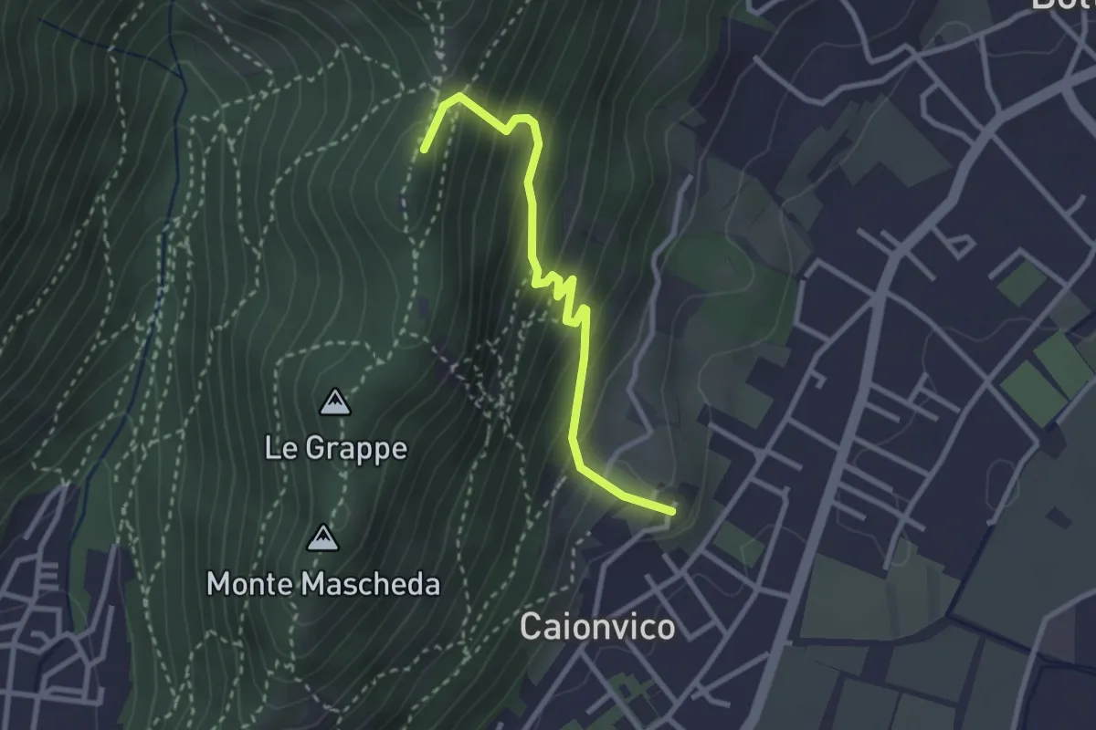
Demanding · Summit
Caionvico (Cimitero) – Sella della Poffa (Innesto Sentiero 901)
2.7 km · ↑ 293 m · 1 h 17 min · 13 km away
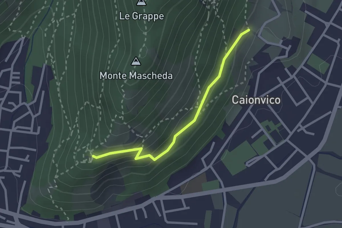
Medium · Trail
Sentiero della Ruta
2.1 km · ↑ 95 m · 42 min · 13 km away
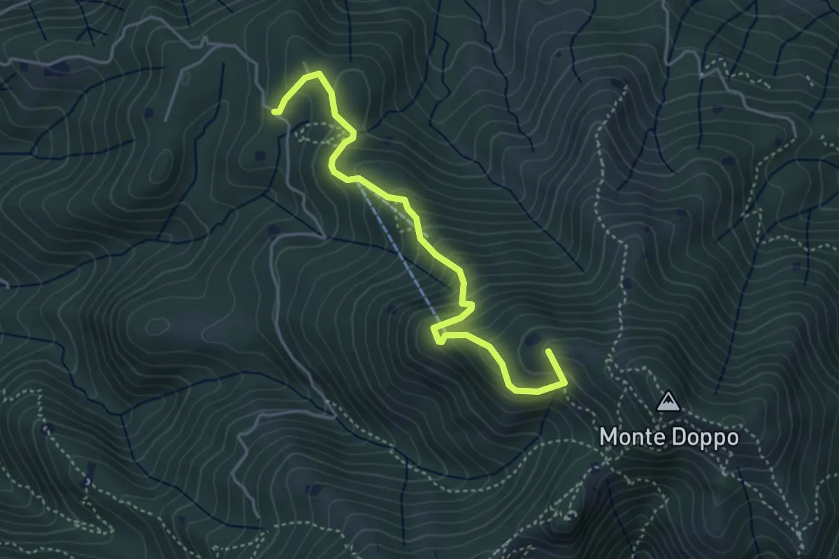
Medium · Summit
Lumezzane (Burio) - Bivio per San Giorgio
4.2 km · ↑ 376 m · 1 h 48 min · 13 km away
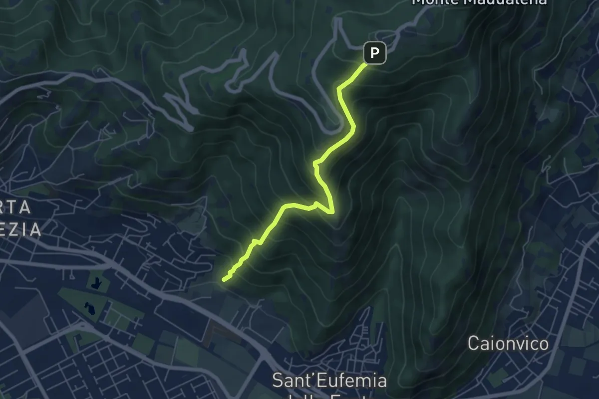
Medium · Trail
Sentiero Pastori 2
5.2 km · ↑ 637 m · 2 h 36 min · 13 km away
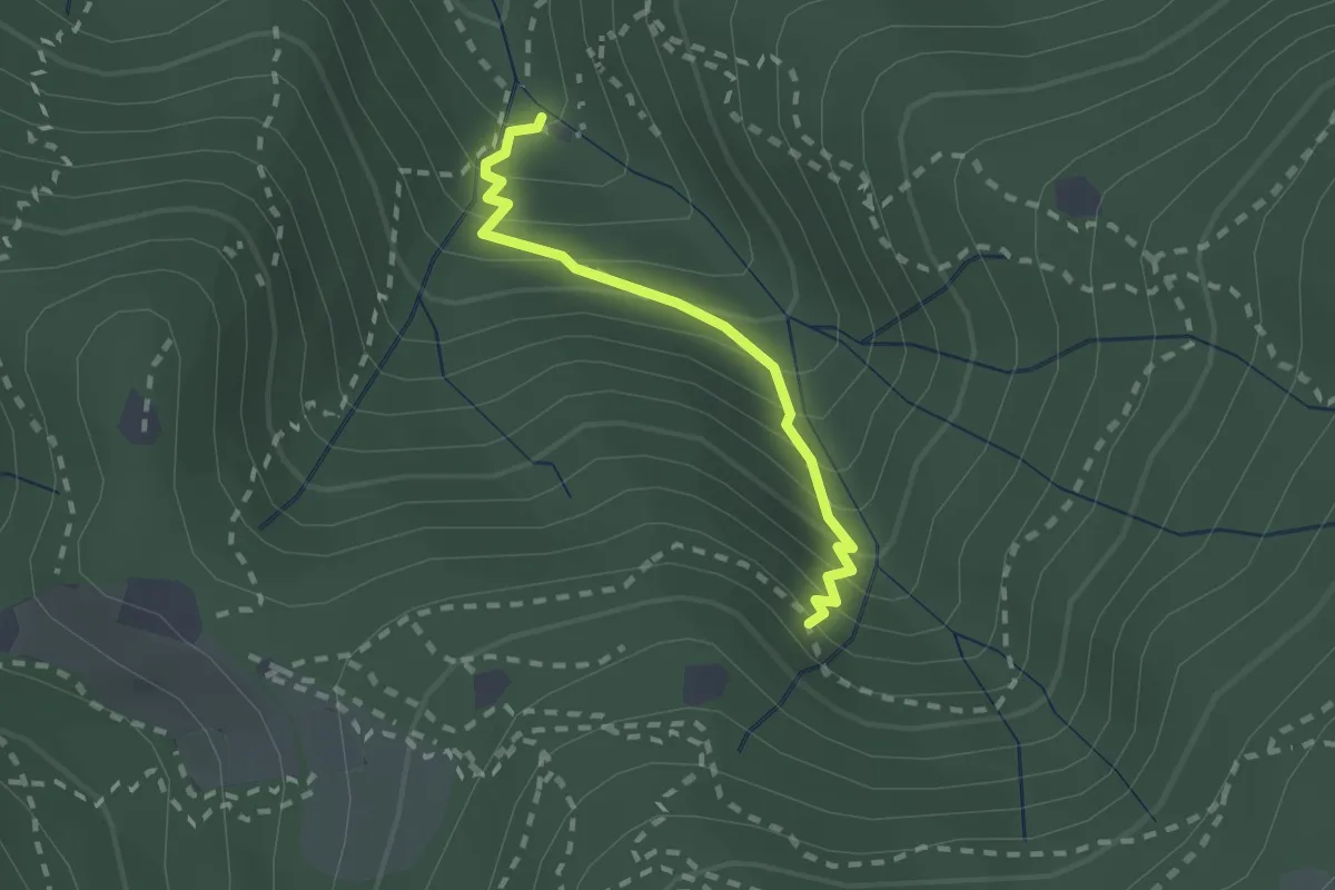
Medium · Cabin
Sentiero di Jago
1.9 km · ↑ 249 m · 59 min · 13 km away
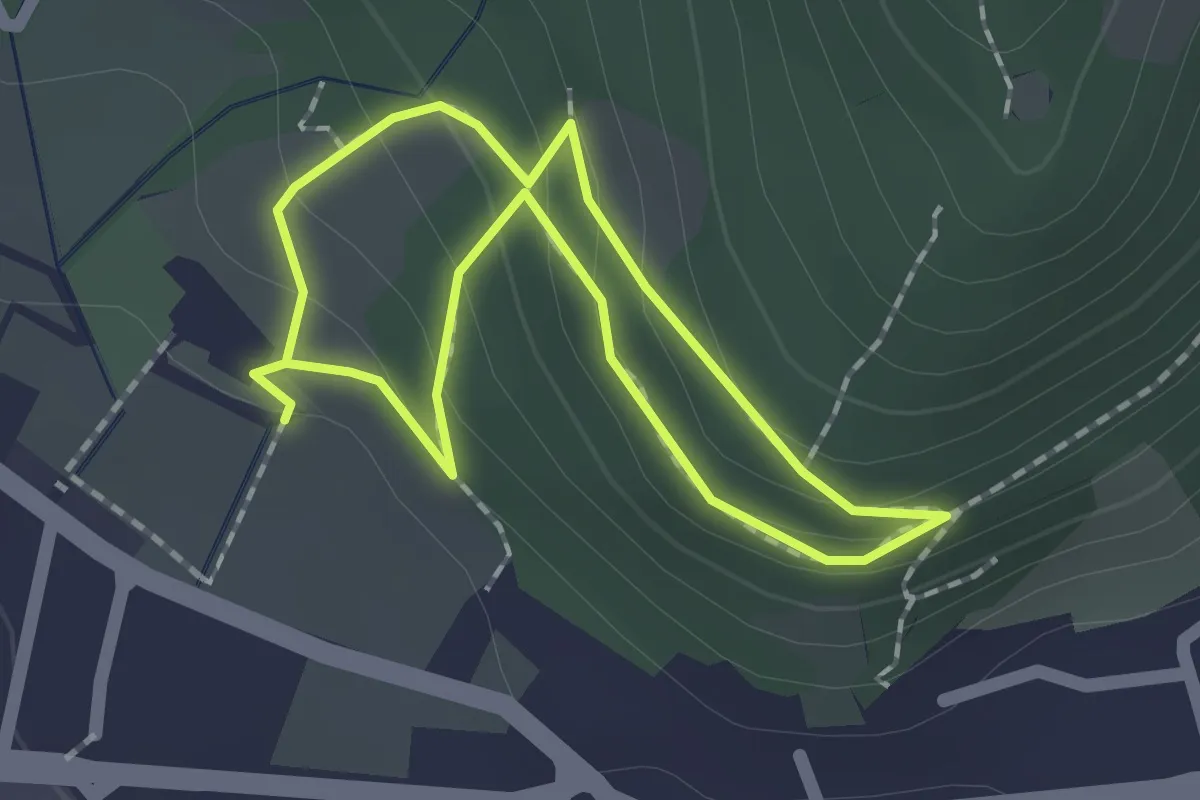
Easy · Trail
Sentiero Zanardelli percorso alto
1.5 km · ↑ 68 m · 32 min · 13 km away
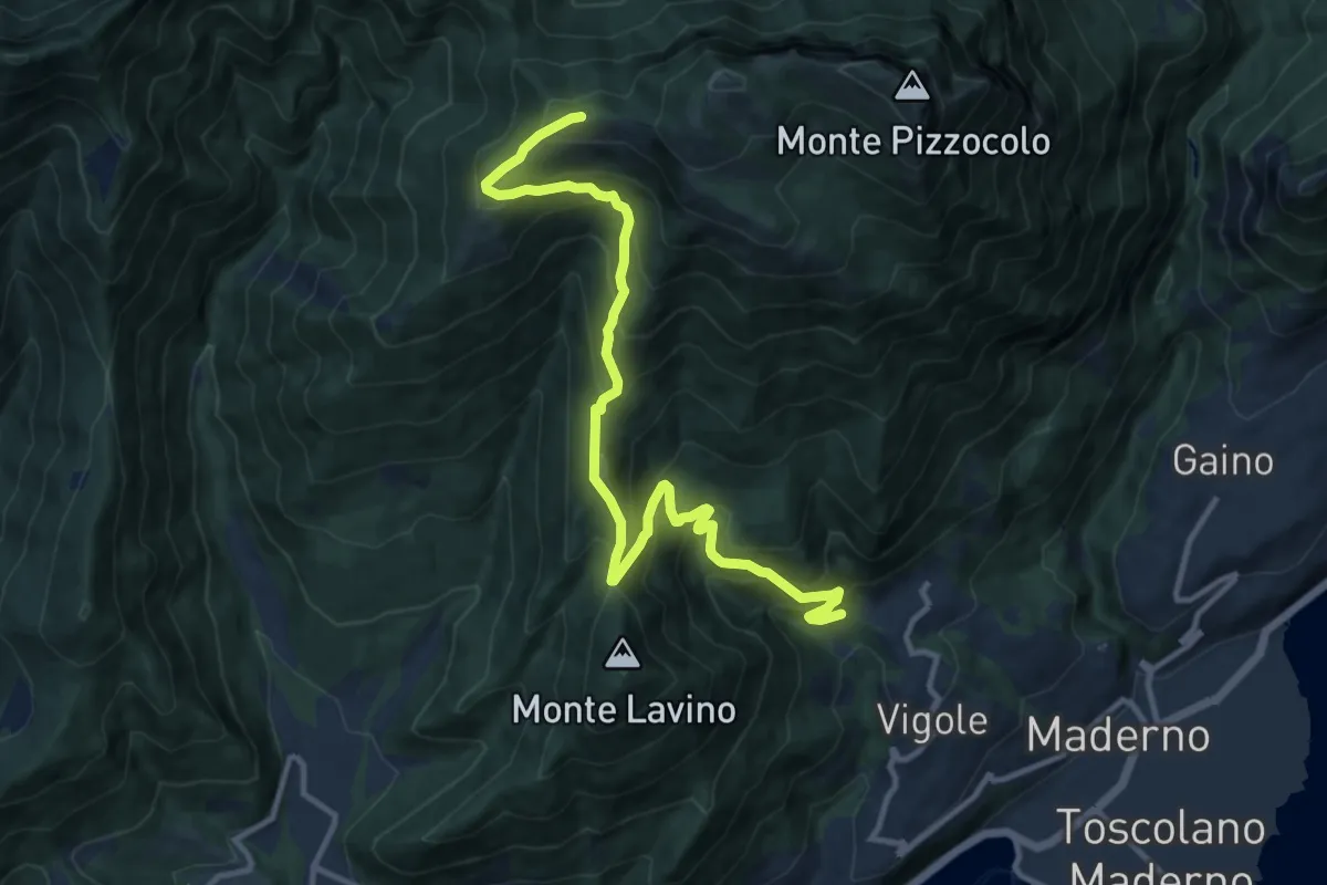
Demanding · Trail
Dos delle Prade - Magnico
12.9 km · ↑ 1066 m · 5 h 22 min · 13 km away
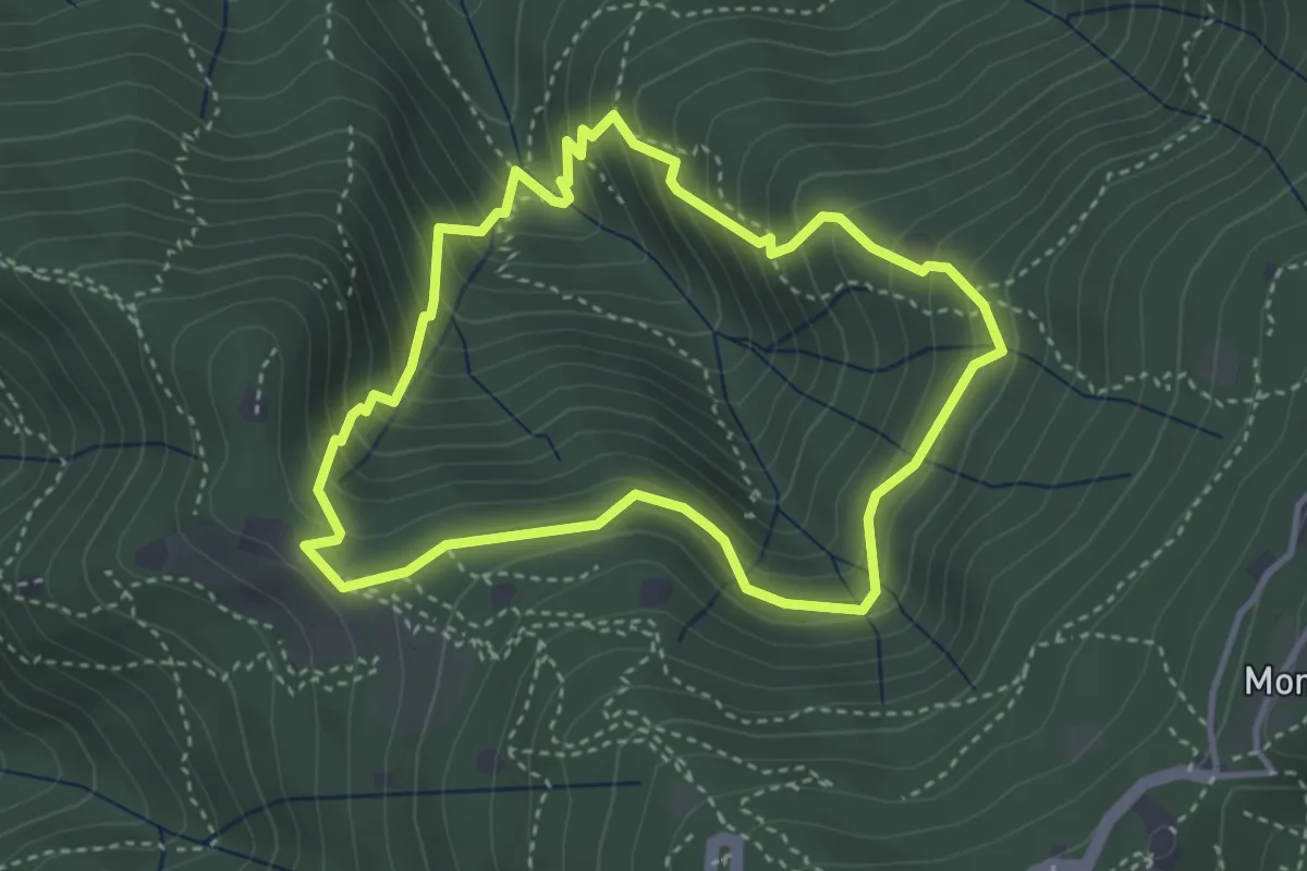
Medium · Cabin
Anello dei Brüsàcc
3.5 km · ↑ 335 m · 1 h 36 min · 13 km away
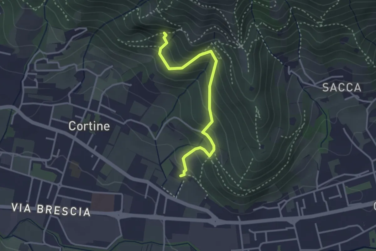
Easy · Trail
Sentiero del Marrone (Variante Nave)
3.1 km · ↑ 314 m · 1 h 25 min · 13 km away
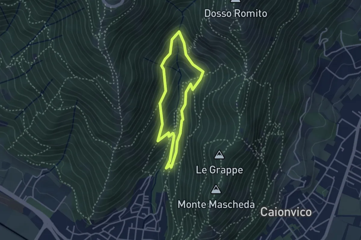
Medium · Trail
Sentiero dei Bucaneve
2.6 km · ↑ 240 m · 1 h 10 min · 14 km away
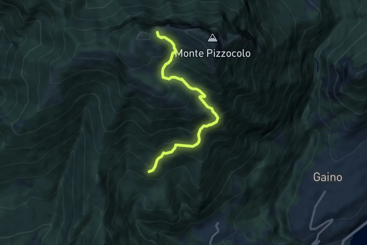
Medium · Trail
Sentiero di Malga Valle
7.5 km · ↑ 716 m · 3 h 19 min · 14 km away
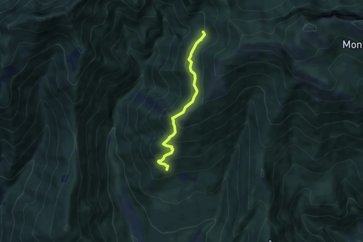
Medium · Trail
Percorso Ossero Ruche
5.5 km · ↑ 462 m · 2 h 18 min · 14 km away
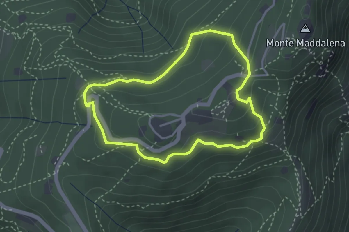
Medium · Trail
Anello della Maddalena
2.7 km · ↑ 144 m · 59 min · 14 km away
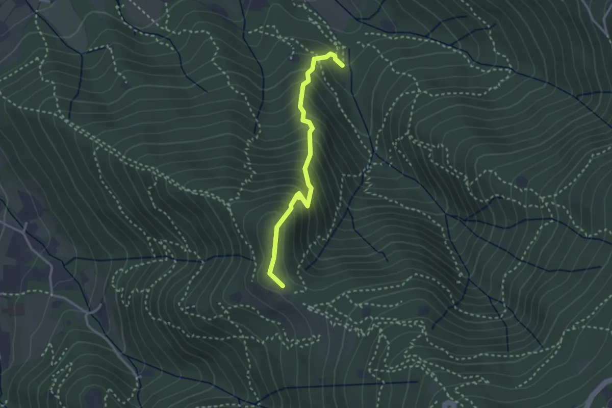
Medium · Trail
Sentiero dei Gnari
2.7 km · ↑ 330 m · 1 h 21 min · 14 km away
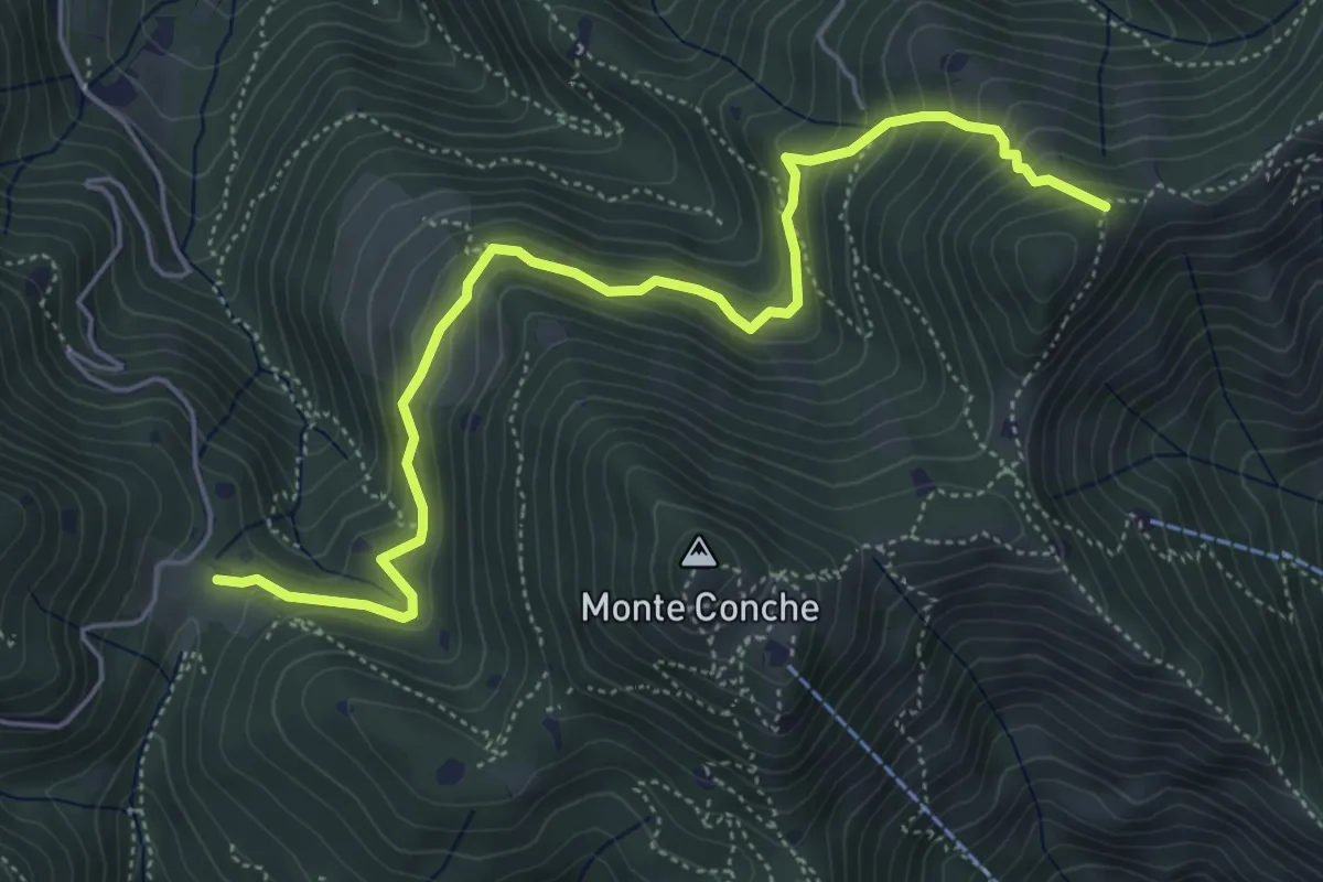
Medium · Trail
Lumezzane (Cascina Cocca) – Forcella di Calone
5.8 km · ↑ 474 m · 2 h 24 min · 14 km away
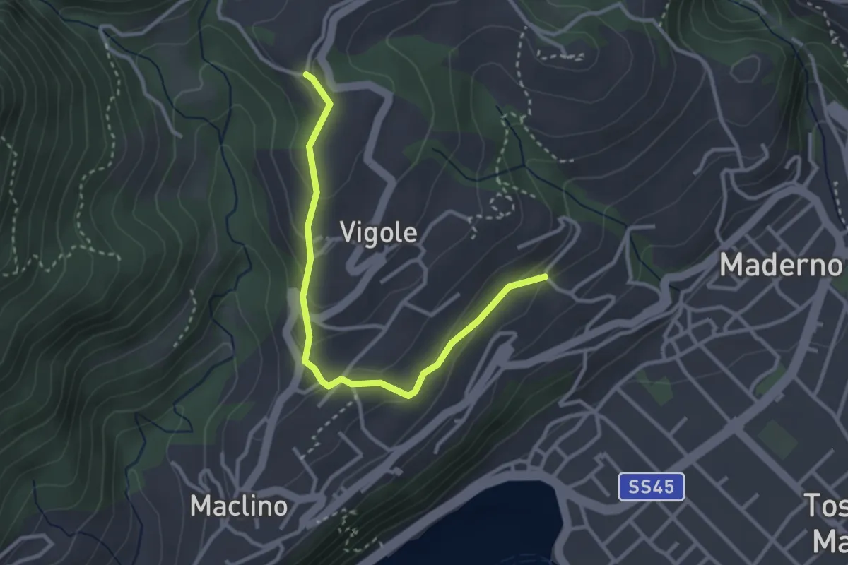
Easy · Trail
Oriolo - Rosei
3.2 km · ↑ 159 m · 1 h 5 min · 14 km away
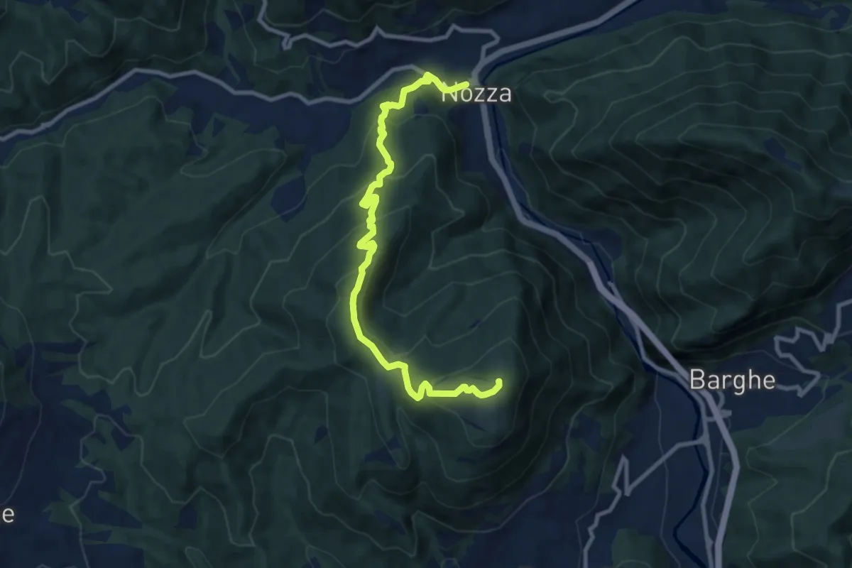
Medium · Summit
Nozza – Monte Poffe
9.7 km · ↑ 605 m · 3 h 37 min · 14 km away
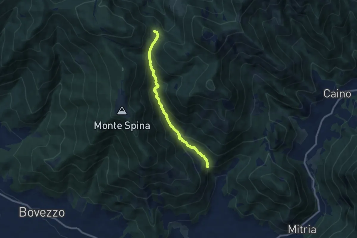
Demanding · Trail
Nave (La Corna) - Cascina Cocca
6.6 km · ↑ 417 m · 2 h 27 min · 14 km away