Trails near Gavardo
240 hikes starting within 15 km, nearest first.
Nearest first, page 5 of 5
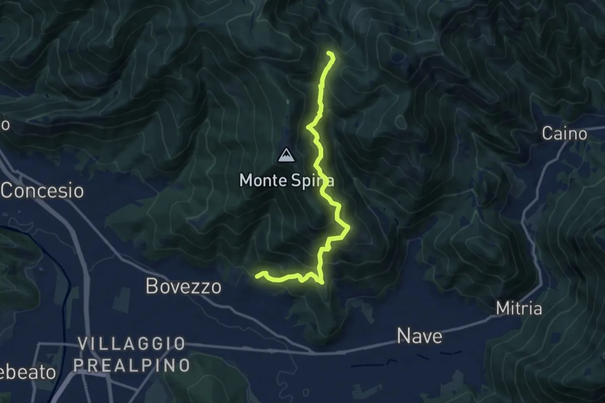
Demanding · Trail
Nave (Cortine) - Cascina Cocca
10.8 km · ↑ 913 m · 4 h 32 min · 14 km away
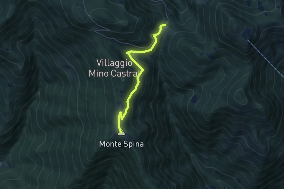
Medium · Summit
Nave (Sacca) - Cascina Cocca
4.7 km · ↑ 209 m · 1 h 33 min · 14 km away
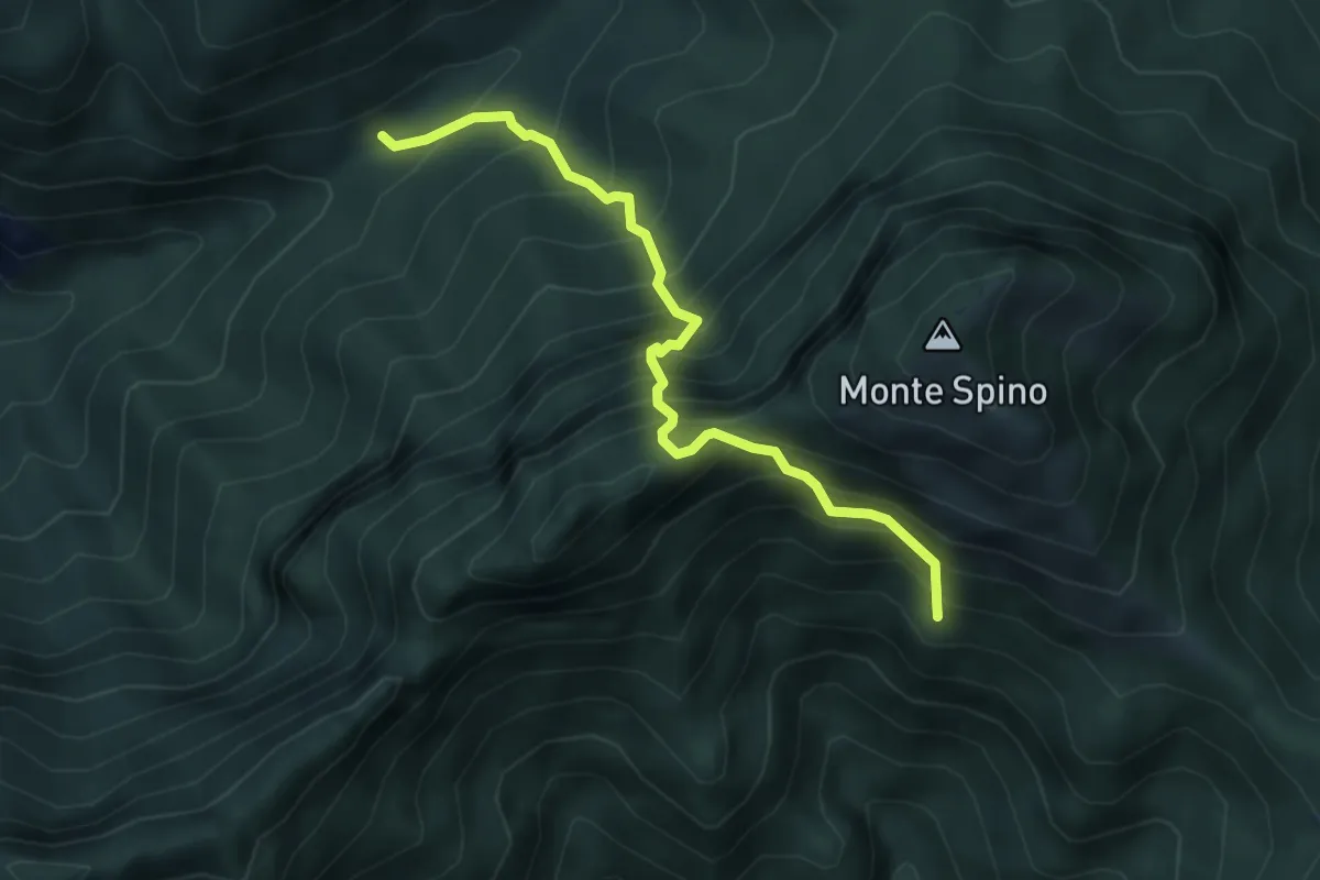
Expert · Trail
Sentiero del Buco del Gatto
4.3 km · ↑ 785 m · 2 h 43 min · 14 km away
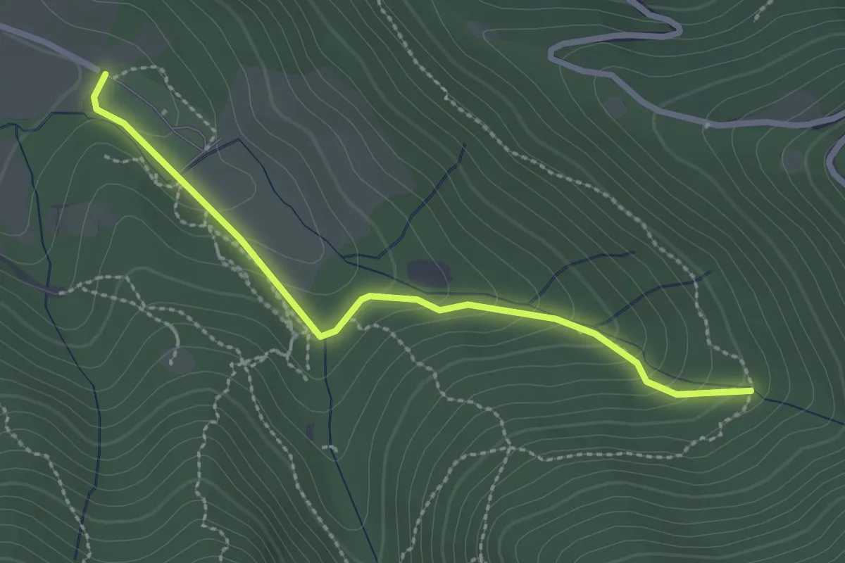
Easy · Trail
Sentiero Val Persane
2.6 km · ↑ 152 m · 57 min · 14 km away
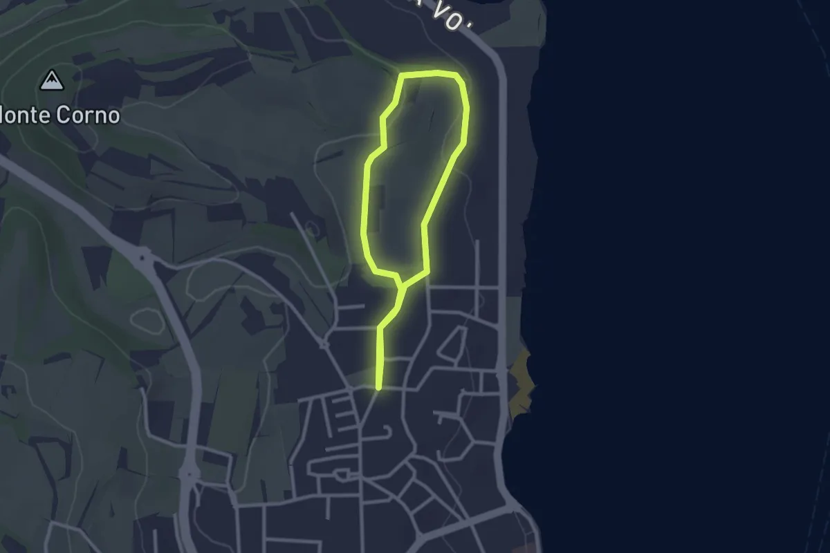
Easy · Trail
Anello del Madergnago
2.2 km · ↑ 21 m · 35 min · 14 km away
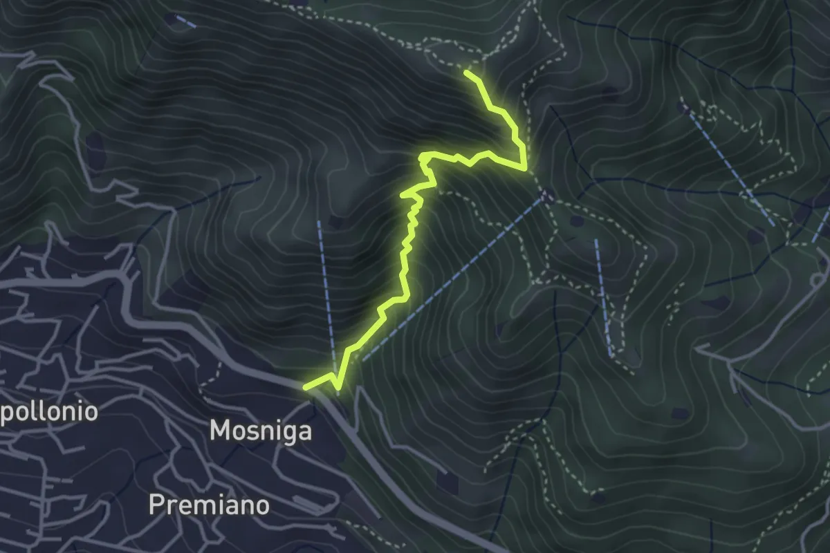
Medium · Summit
Lumezzane (Mosniga) - Punta Camoghera
3.4 km · ↑ 515 m · 1 h 55 min · 14 km away
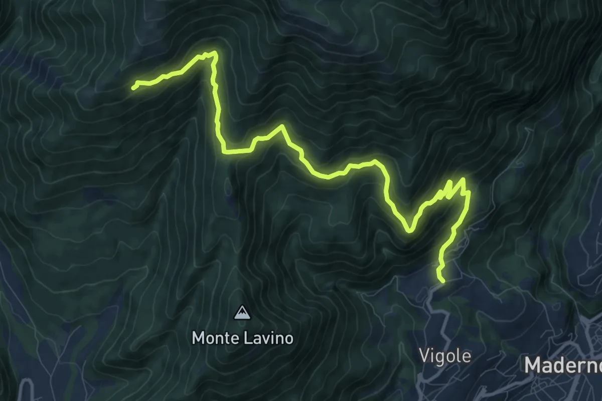
Demanding · Trail
Pirelo - Sanico
12.2 km · ↑ 847 m · 4 h 43 min · 14 km away
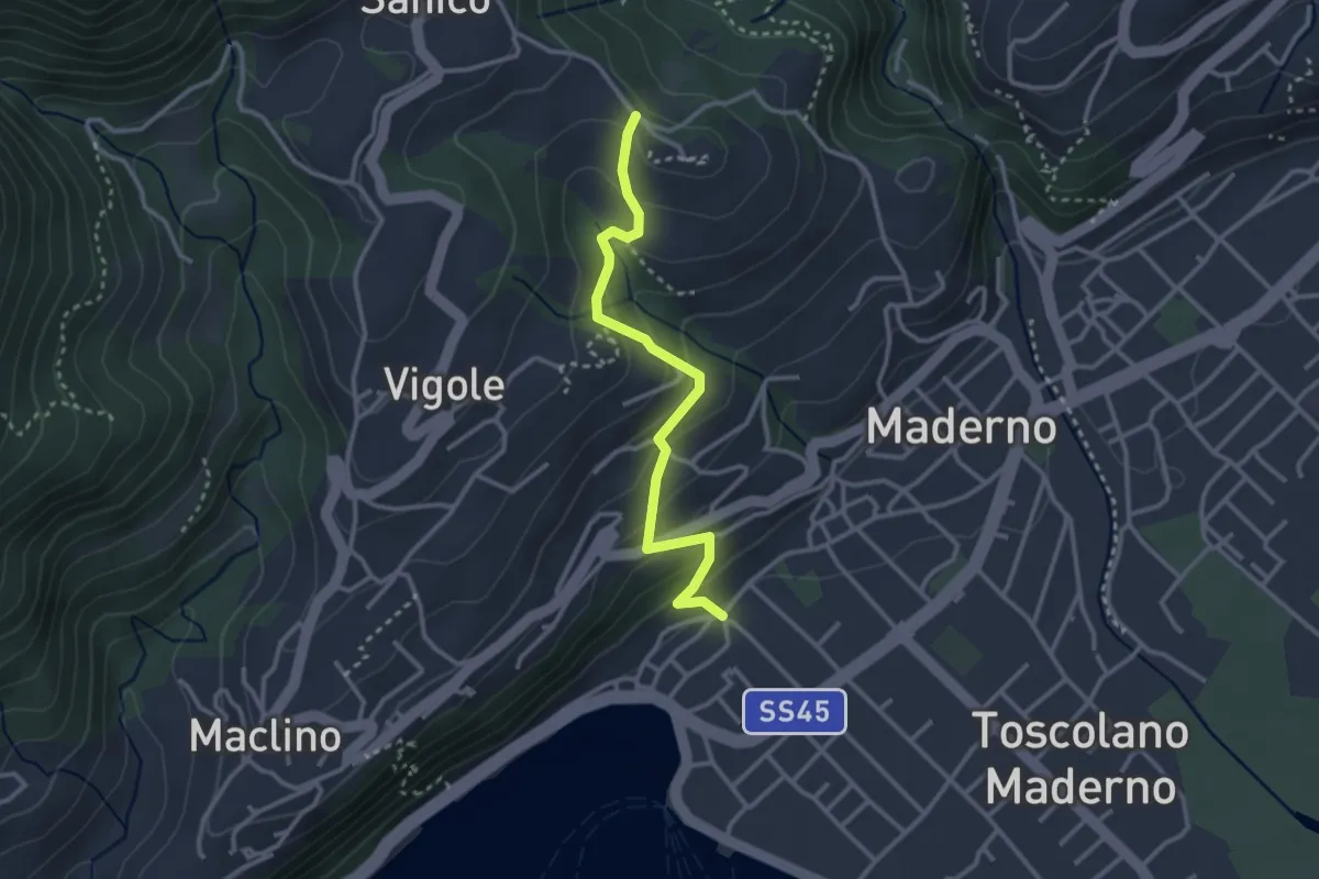
Easy · Trail
Sentiero di San Martino
3.0 km · ↑ 202 m · 1 h 9 min · 14 km away
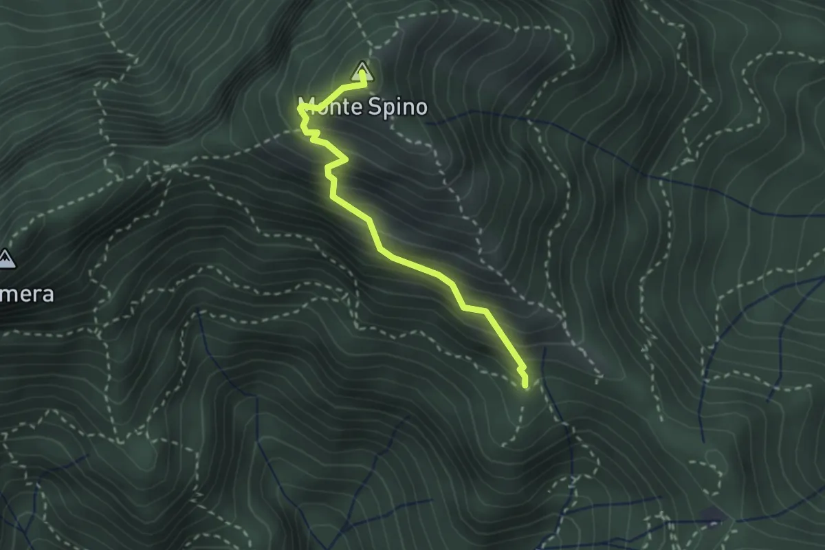
Demanding · Summit
Sentiero del Monte Spino
2.4 km · ↑ 335 m · 1 h 17 min · 14 km away
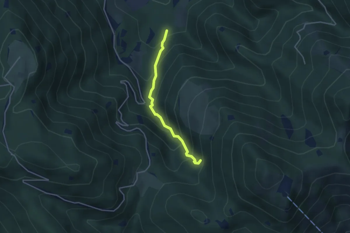
Medium · Trail
Lumezzane (Innesto Sentiero 374) - Fontanì de A'bie - Innesto Sentiero 375
2.7 km · ↑ 300 m · 1 h 18 min · 14 km away
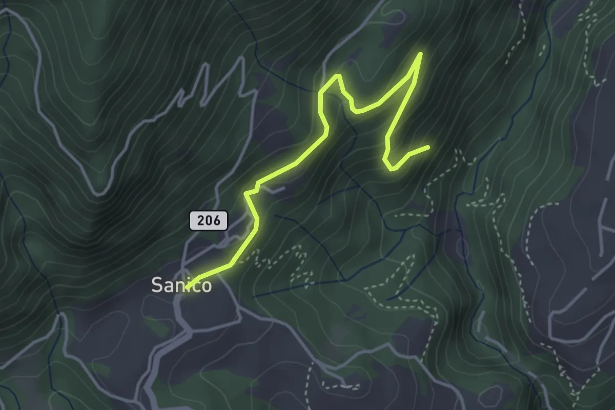
Easy · Trail
Sentiero della Maina
3.8 km · ↑ 244 m · 1 h 26 min · 14 km away
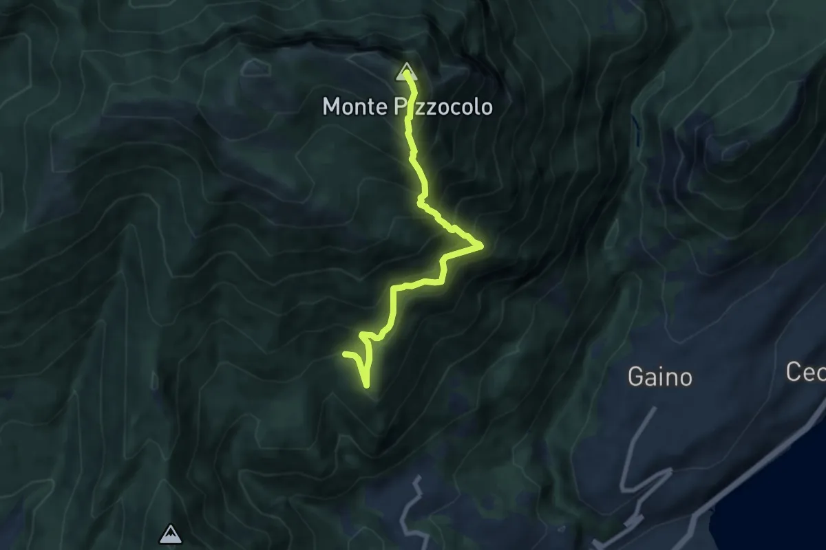
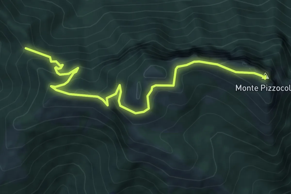
Expert · Summit
Cresta sud-est Pizzocolo
6.9 km · ↑ 972 m · 3 h 45 min · 14 km away
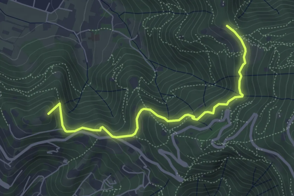
Medium · Summit
Passo Spino – Cima Pizzocolo
7.9 km · ↑ 625 m · 3 h 13 min · 14 km away
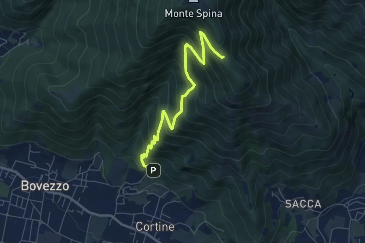
Medium · Summit
Brescia (Via del Goletto) – Cascina Margherita
5.9 km · ↑ 306 m · 2 h 3 min · 14 km away
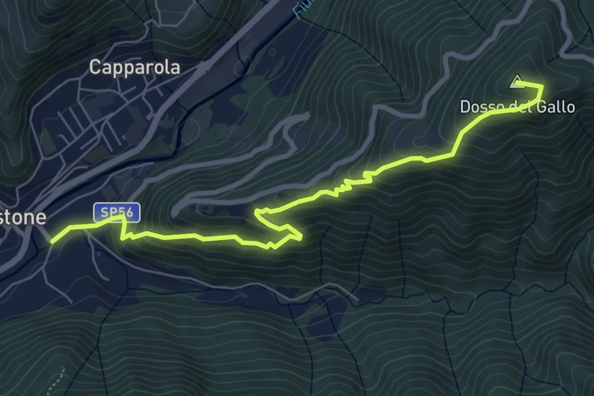
Medium · Cabin
Nave (Cortine - Albergo dei Poveri) – Roccolo Squassina
6.2 km · ↑ 586 m · 2 h 45 min · 14 km away
Medium · Summit
Vestone – Treviso B.no, San Liberale
6.6 km · ↑ 510 m · 2 h 40 min · 14 km away
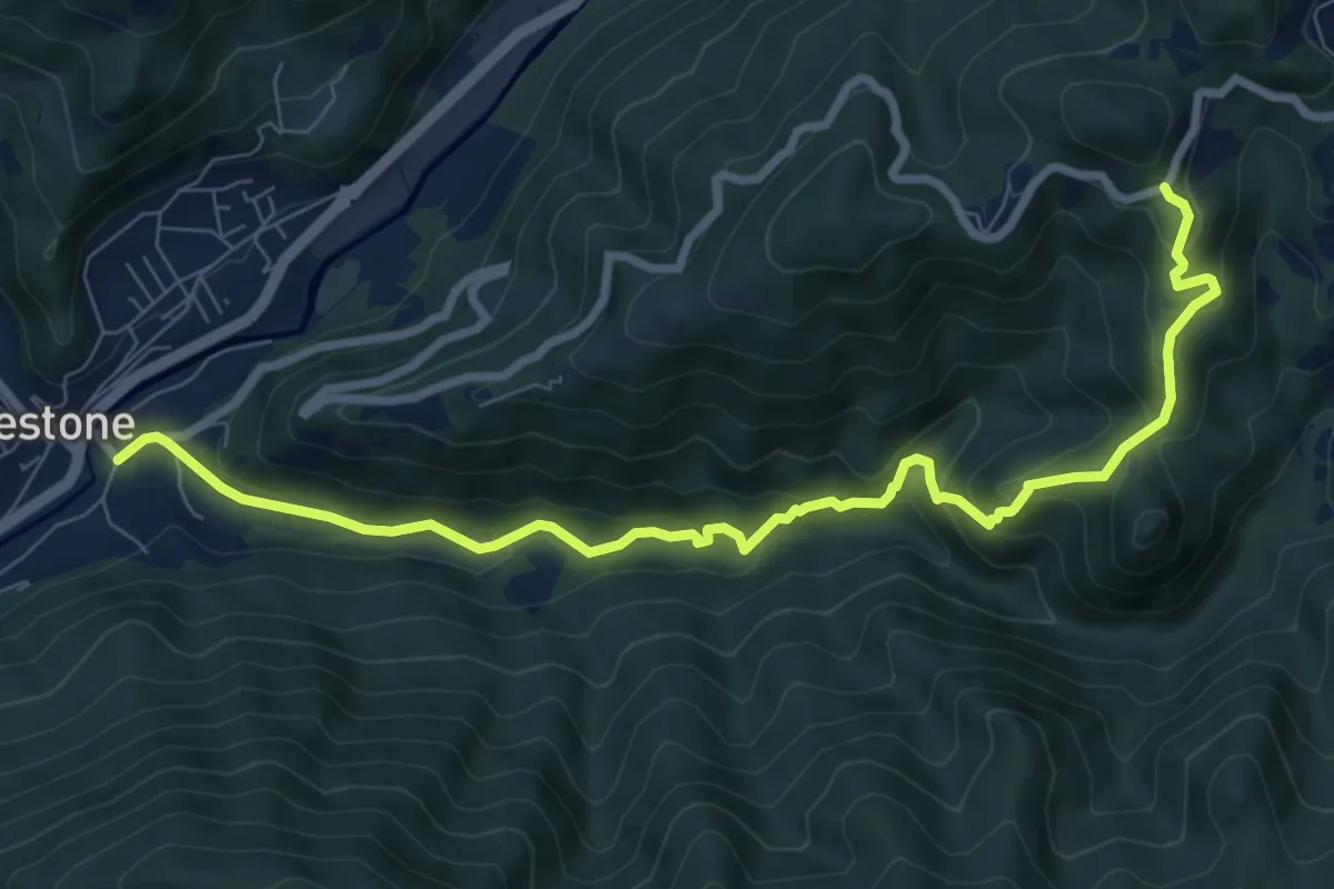
Medium · Trail
Vestone – San Liberale
9.3 km · ↑ 509 m · 3 h 18 min · 14 km away
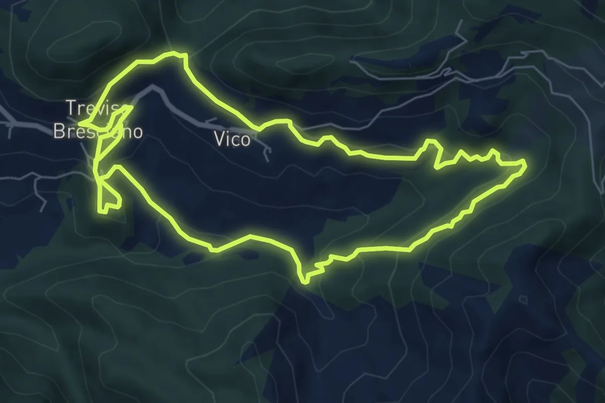
Medium · Trail
Valle dei Morti
6.5 km · ↑ 407 m · 2 h 30 min · 14 km away
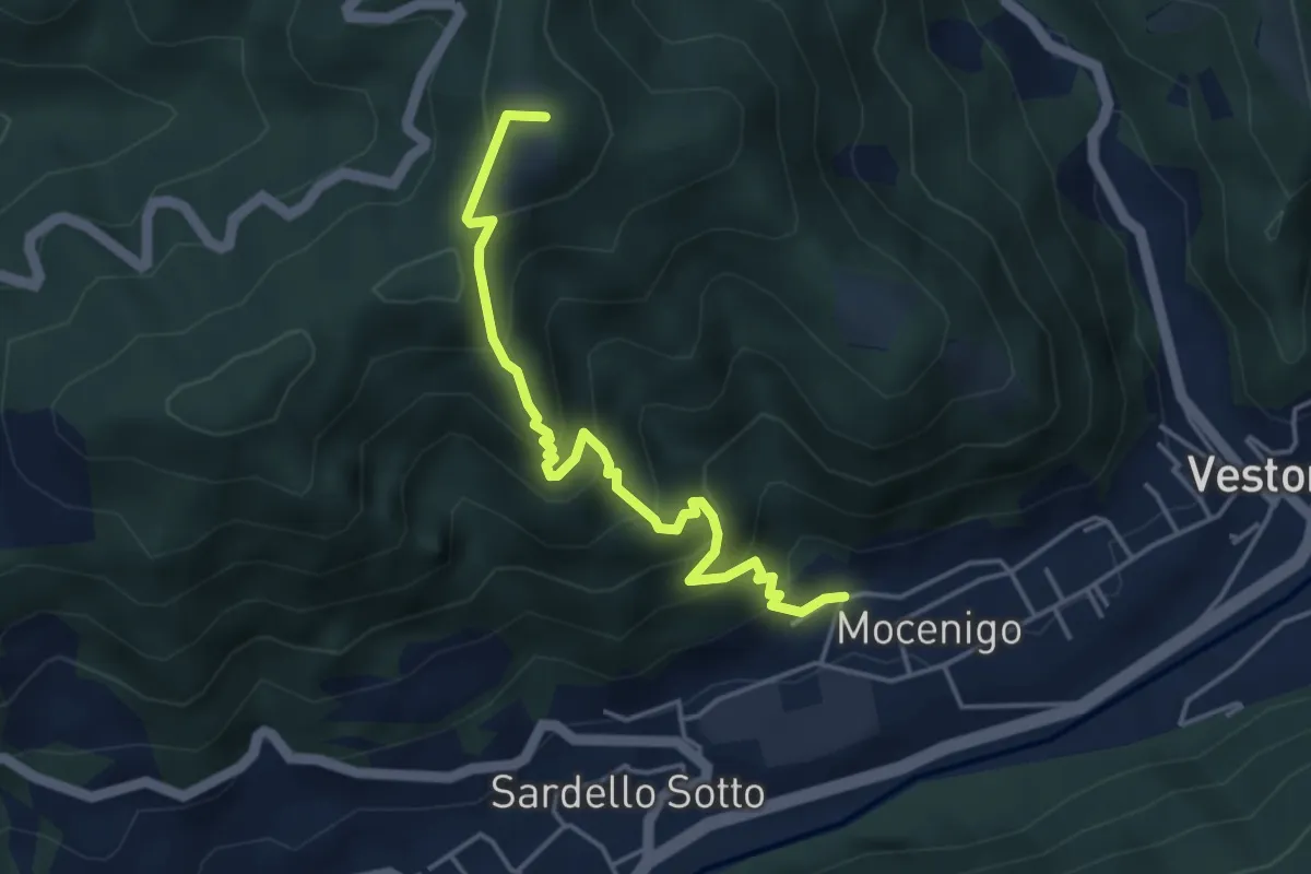
Medium · Summit
San Bernardo – Vestone
4.3 km · ↑ 424 m · 1 h 56 min · 14 km away
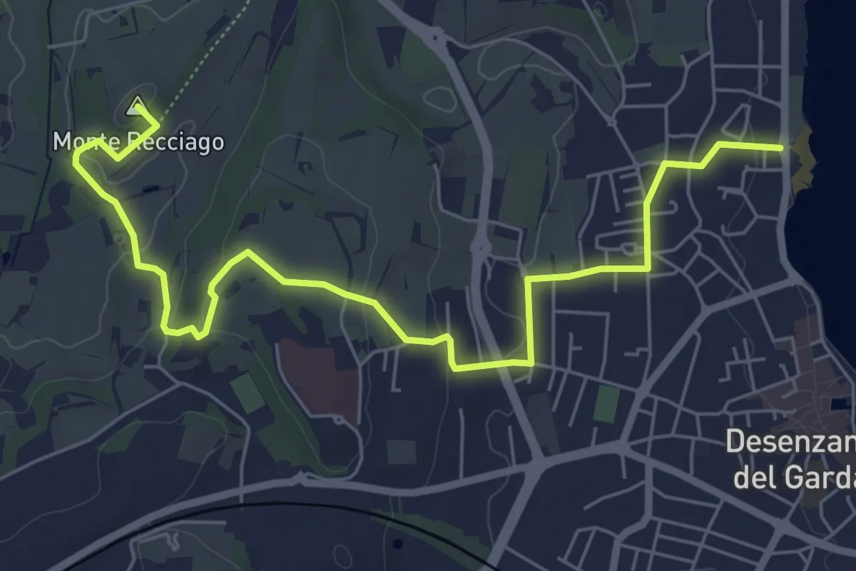
Easy · Summit
Barcuzzi (Via Valsorda) – Desenzano del Garda (Desenzanino)
7.6 km · ↑ 133 m · 2 h 4 min · 14 km away
Medium · Summit
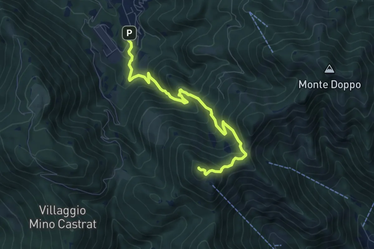
Lumezzane (Via Ruca) – Cascina Cocca
8.4 km · ↑ 670 m · 3 h 26 min · 14 km away
Demanding · Summit
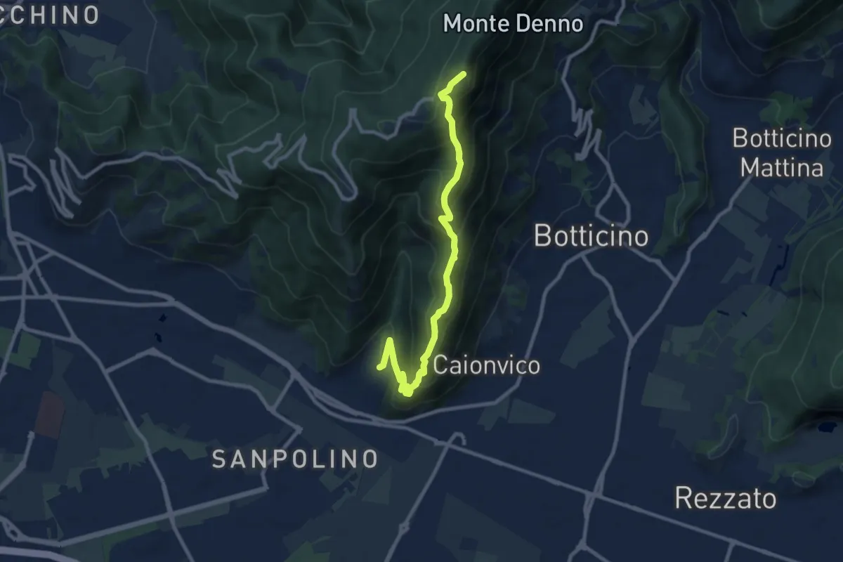
Brescia (Sant'Eufemia - Via Cesare Noventa) – Ex Rifugio Monte Maddalena
9.1 km · ↑ 718 m · 3 h 42 min · 14 km away
Medium · Summit
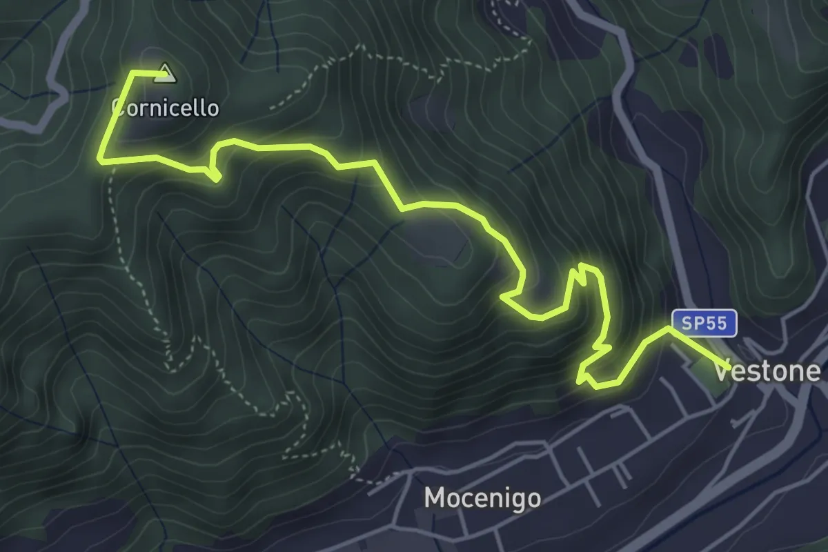
Vestone – San Bernardo
5.9 km · ↑ 514 m · 2 h 31 min · 14 km away
Medium · Trail
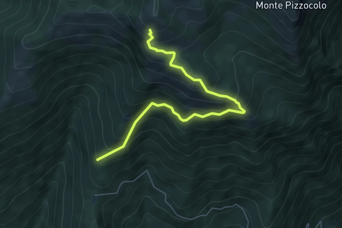
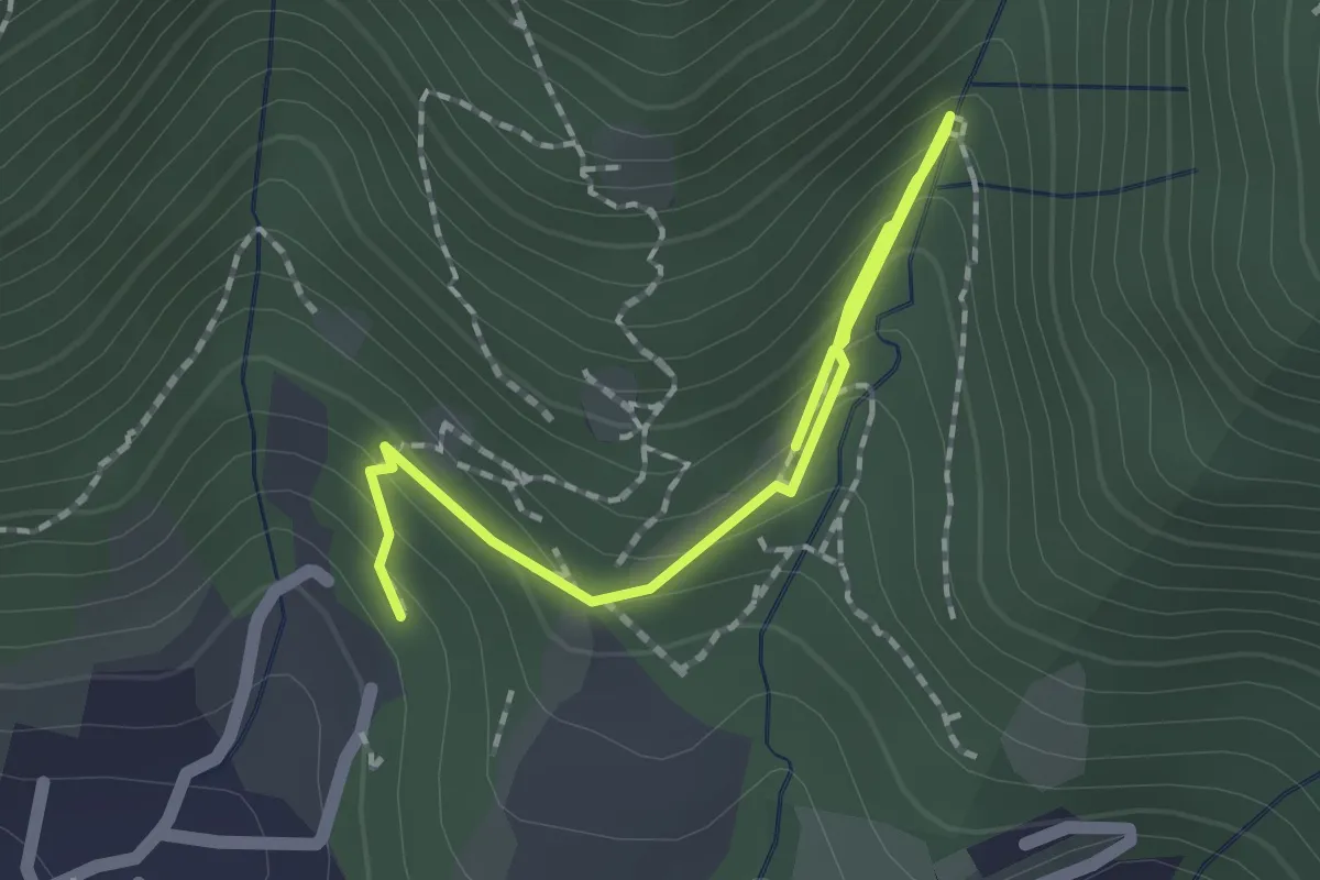
Sentiero del Casetto del Veronese
6.0 km · ↑ 605 m · 2 h 44 min · 14 km away
Medium · Trail
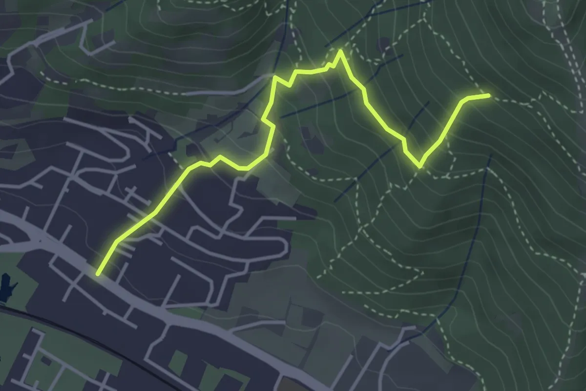
Percorso botanico
2.7 km · ↑ 231 m · 1 h 9 min · 14 km away
Medium · Trail
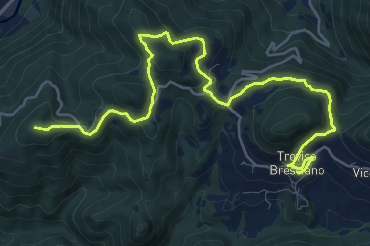
Brescia (Viale della Bornata) – Innesto Sentiero 912
3.9 km · ↑ 337 m · 1 h 39 min · 14 km away
Medium · Summit
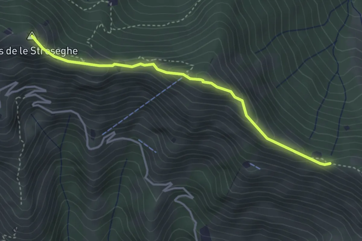
550V AVS variante
11.9 km · ↑ 593 m · 4 h 5 min · 14 km away
Expert · Summit
Sentiero 3V - Tappa 2 (Variante alta)
3.5 km · ↑ 313 m · 1 h 30 min · 14 km away
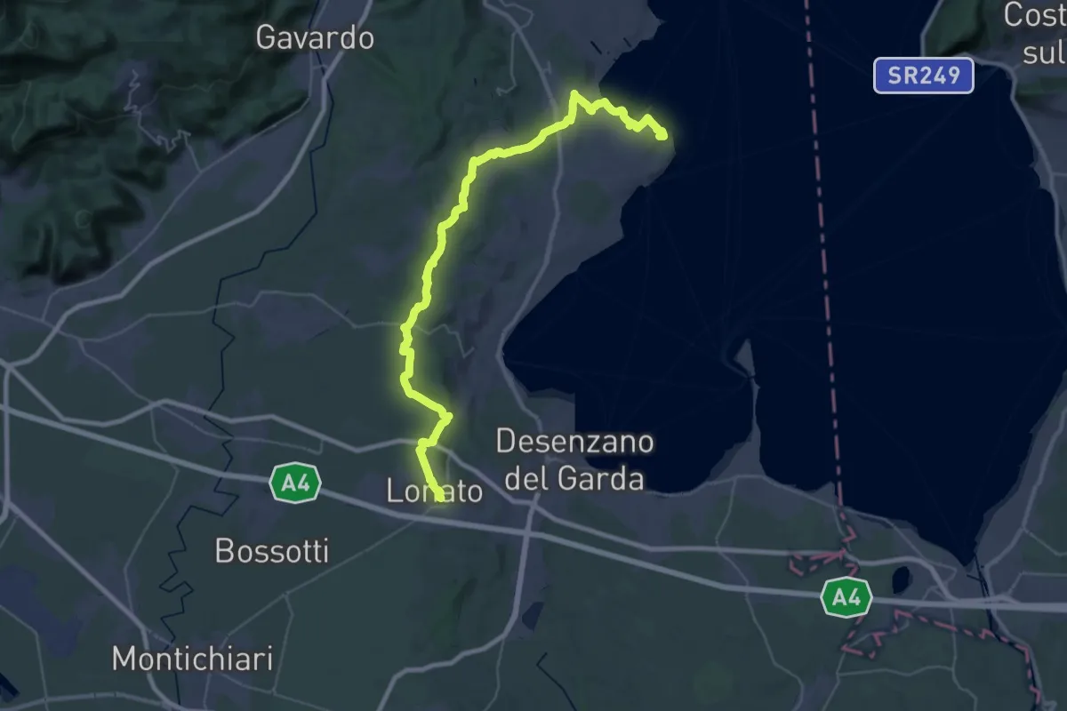
Demanding · Summit
Manerba del Garda (San Giorgio) – Lonato del Garda
44.2 km · ↑ 707 m · 11 h 58 min · 14 km away
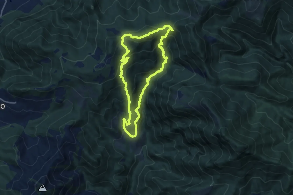
Medium · Summit
Eno – Eno
8.3 km · ↑ 684 m · 3 h 34 min · 14 km away
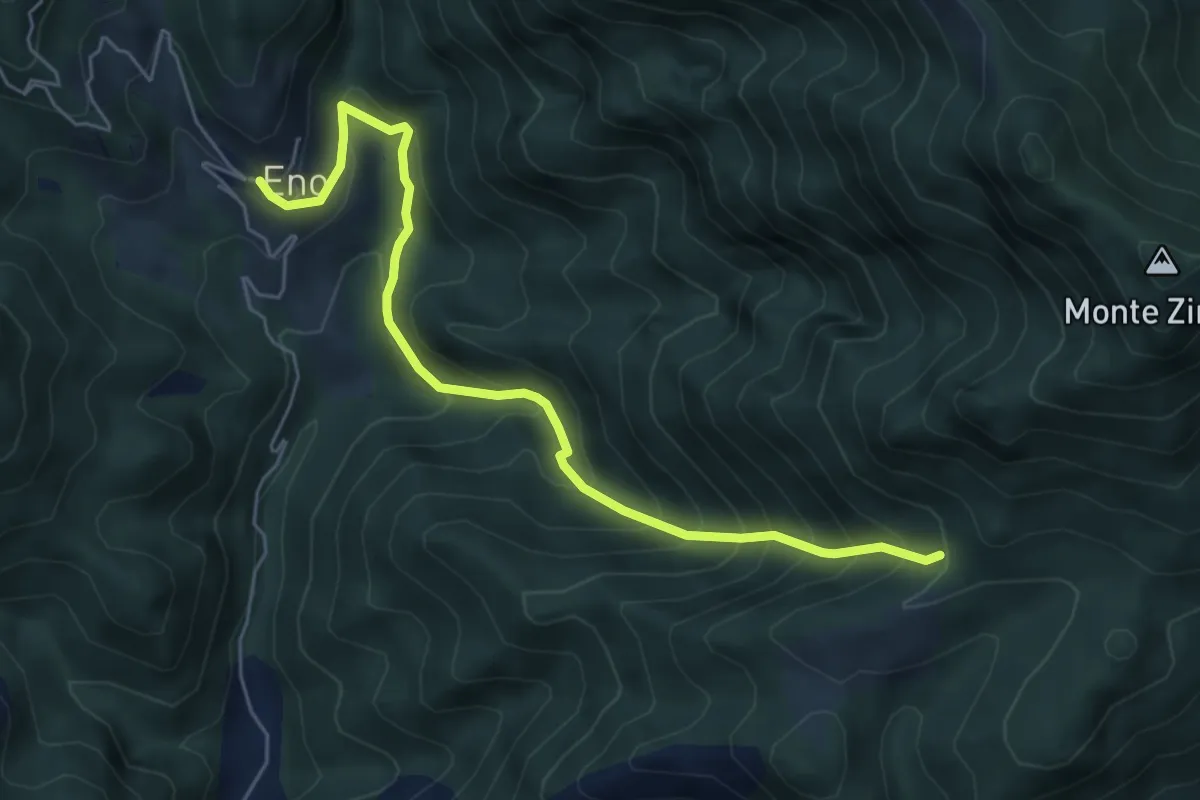
Medium · Trail
Sentiero della Valle di Faeno
6.0 km · ↑ 622 m · 2 h 46 min · 14 km away
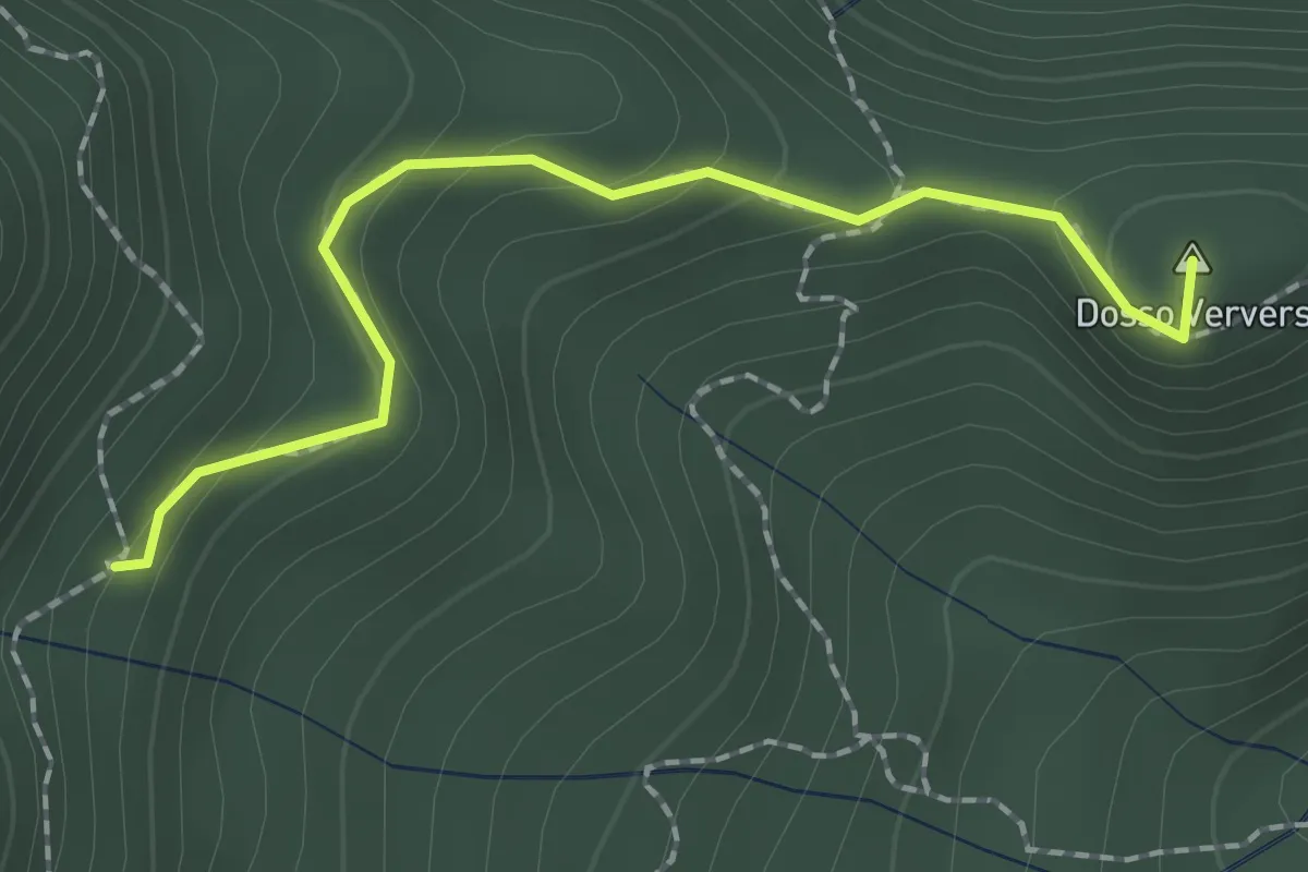
Medium · Summit
Sentiero di Dosso Verver
1.9 km · ↑ 176 m · 50 min · 15 km away
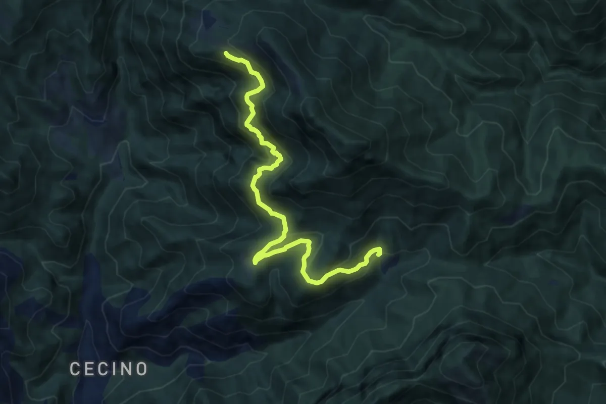
Demanding · Trail
Sentiero dello Zingla
9.9 km · ↑ 837 m · 4 h 9 min · 15 km away
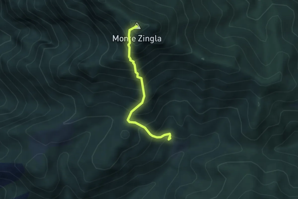
Medium · Summit
Sentiero dello Zingla
3.2 km · ↑ 552 m · 1 h 57 min · 15 km away
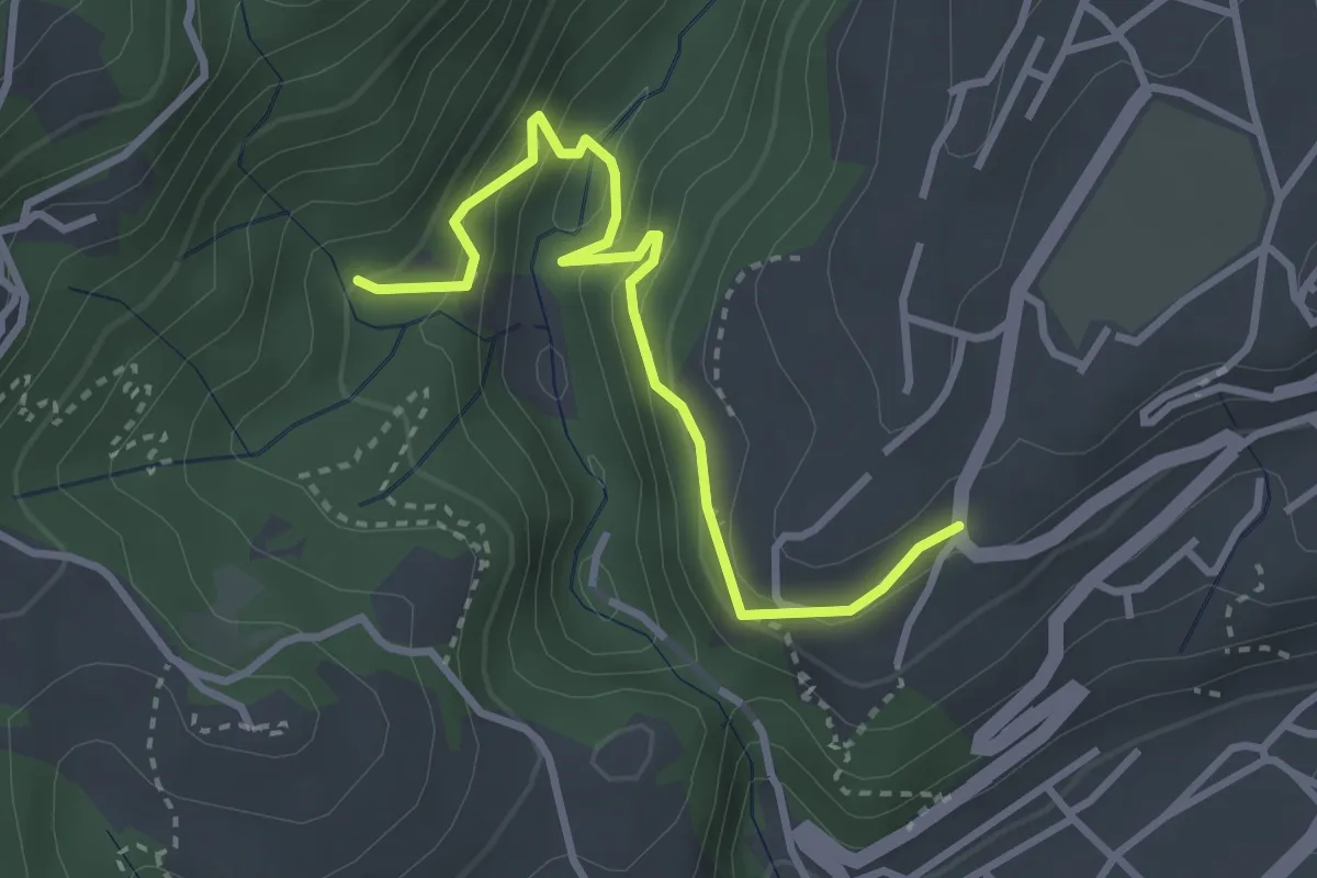
Easy · Trail
BVG, Maina Superiore, Camistero
3.3 km · ↑ 251 m · 1 h 20 min · 15 km away
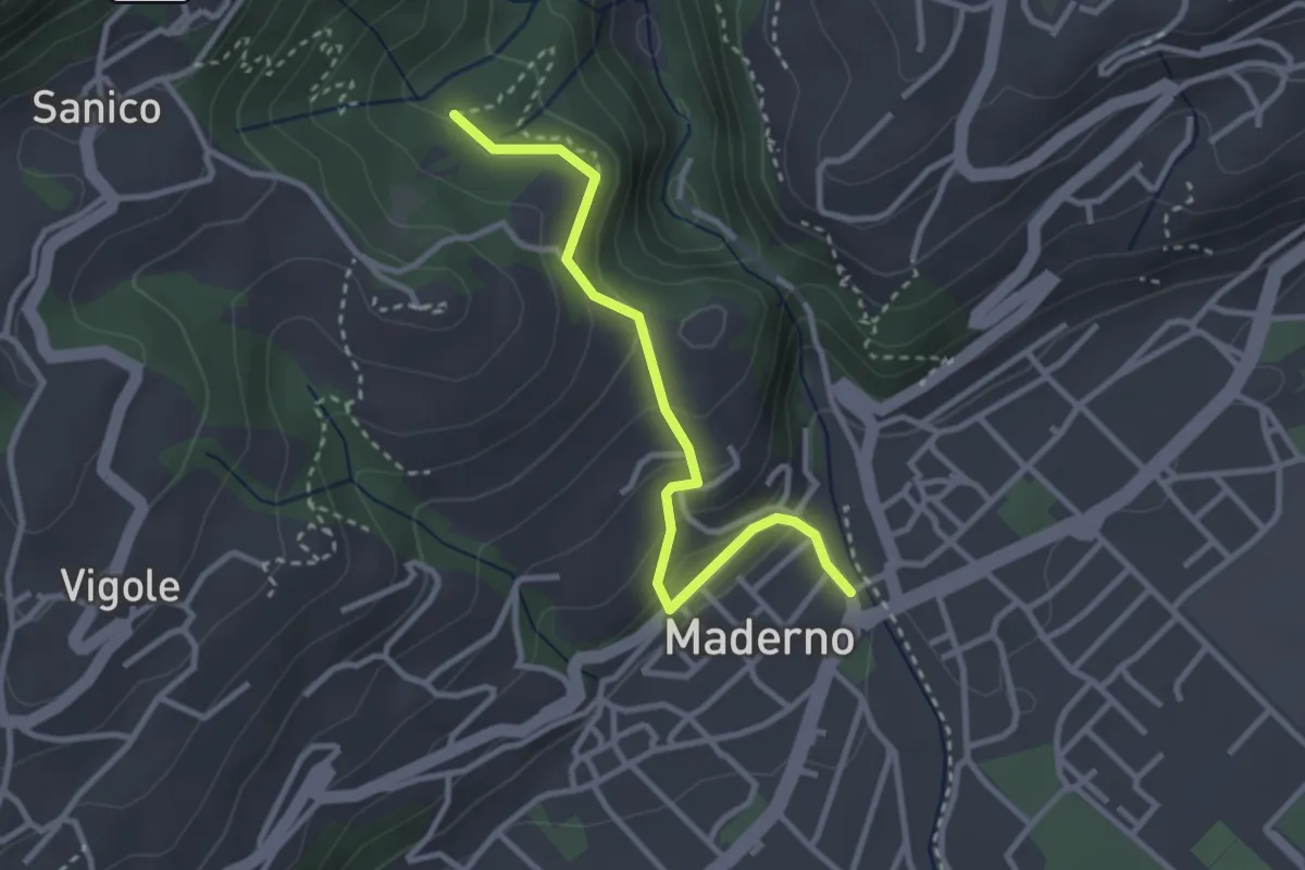
Easy · Trail
Maderno, BVG
3.0 km · ↑ 169 m · 1 h 5 min · 15 km away
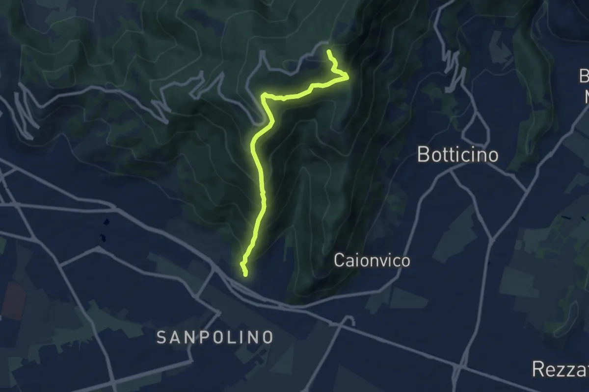
Demanding · Trail
Brescia (Via del Triinale) – Chiesetta della Maddalena
7.4 km · ↑ 760 m · 3 h 24 min · 15 km away
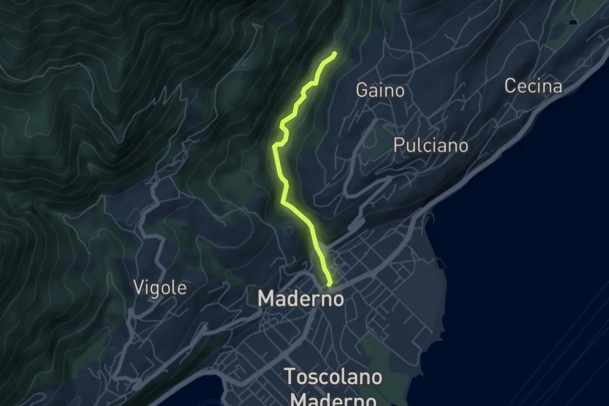
Easy · Trail
Valle delle Cartiere
4.2 km · ↑ 192 m · 1 h 24 min · 15 km away
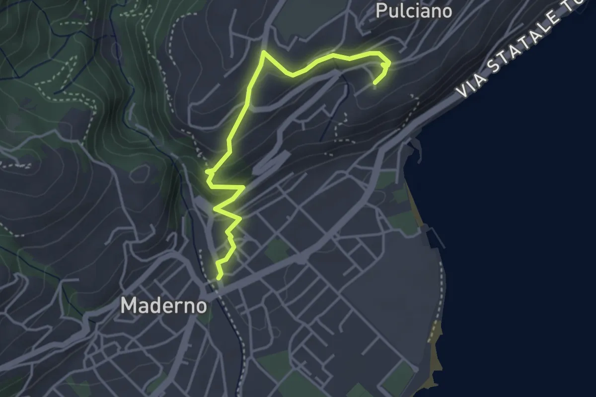
Easy · Trail
Percorso 06 Toscolano Maderno
3.8 km · ↑ 220 m · 1 h 23 min · 15 km away
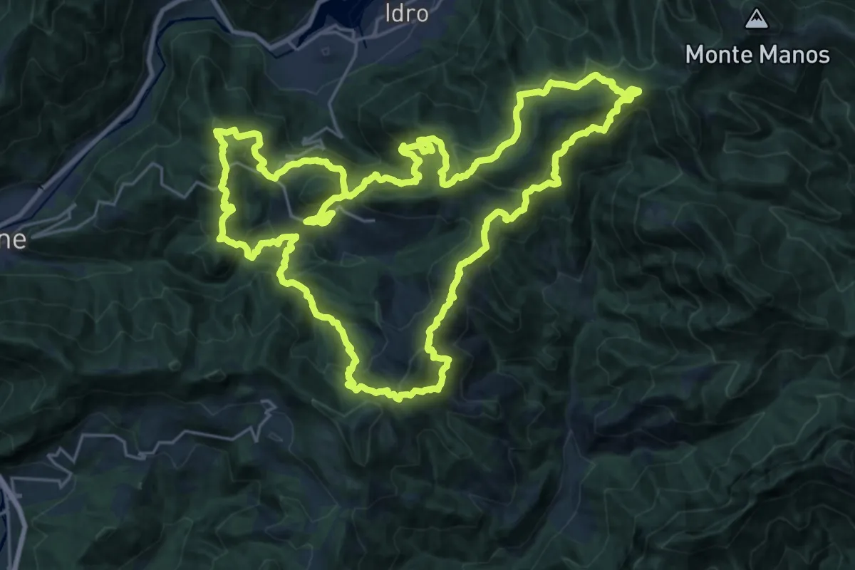
Demanding · Summit
Sentiero della Resistenza dei Caduti Trevigiani
25.6 km · ↑ 1574 m · 9 h 51 min · 15 km away
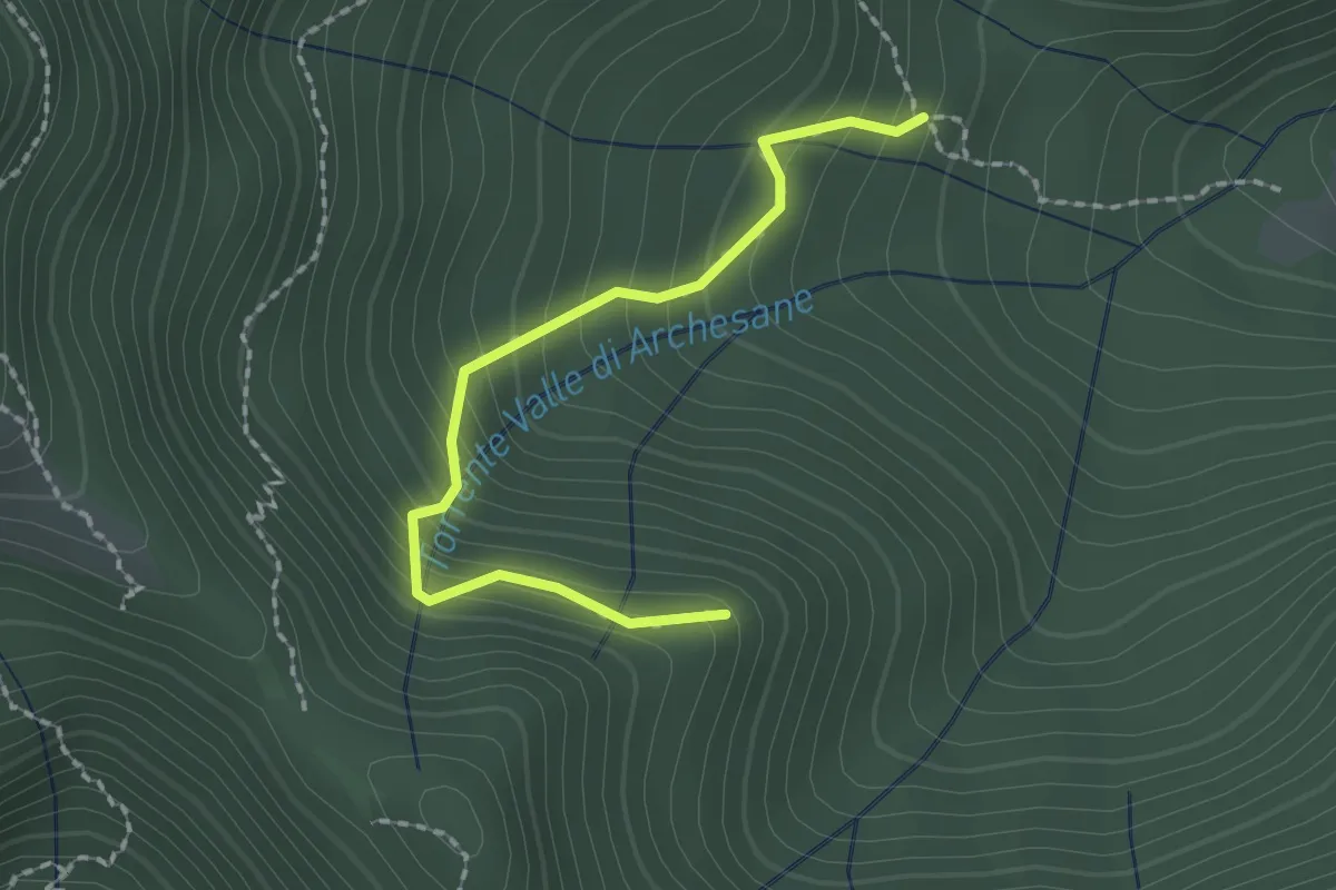
Easy · Trail
Sentiero del Poiat
2.0 km · ↑ 261 m · 1 h 2 min · 15 km away
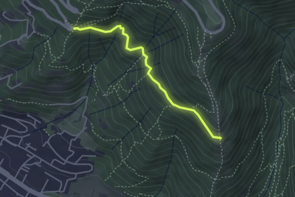
Medium · Trail
Innesto sentiero n. 902 – Innesto sentiero3V n.993
3.2 km · ↑ 233 m · 1 h 16 min · 15 km away
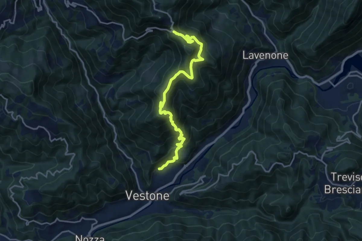
Demanding · Trail
Promo – La Passata
12.9 km · ↑ 936 m · 5 h 4 min · 15 km away
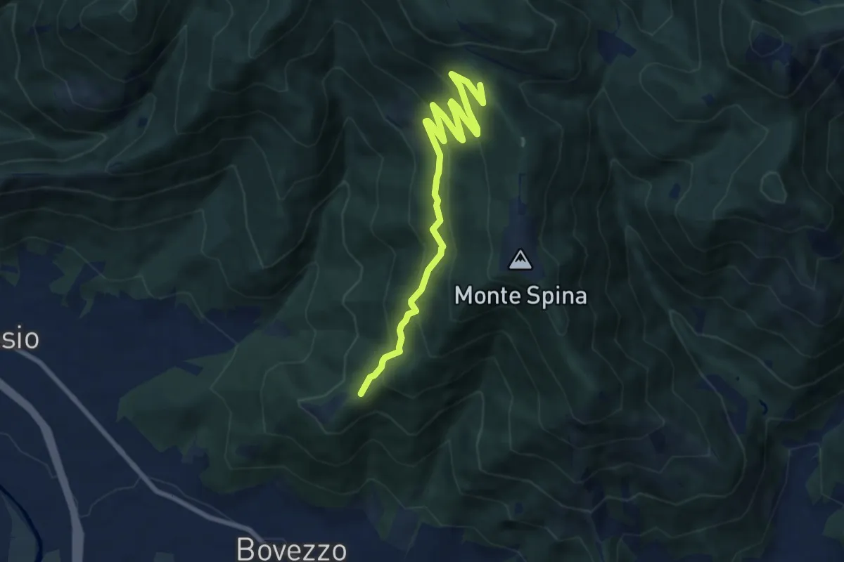
Medium · Trail
Bovezzo (Santella delle Pentere) – Strada del Sant'Onofrio
8.5 km · ↑ 469 m · 3 h 1 min · 15 km away
Medium · Trail
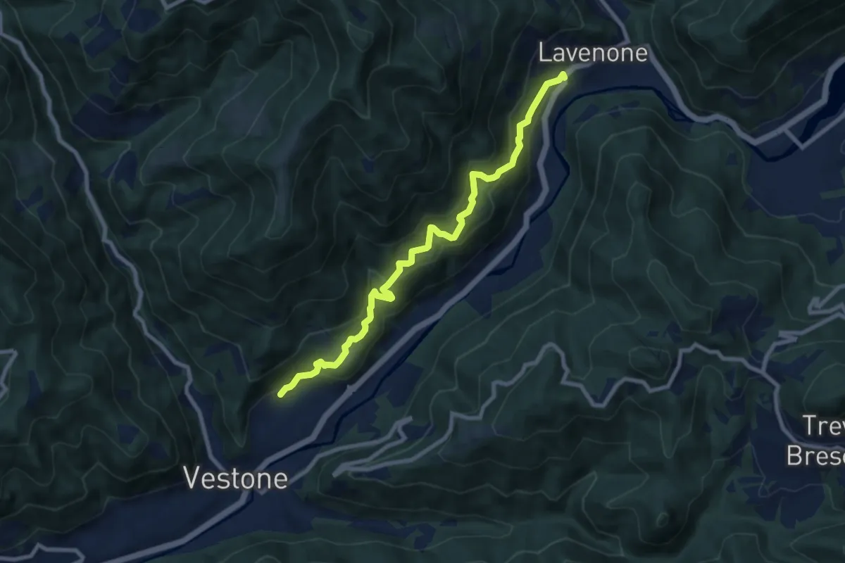
Vestone (Promo) – Lavenone
8.5 km · ↑ 632 m · 3 h 22 min · 15 km away
Medium · Trail
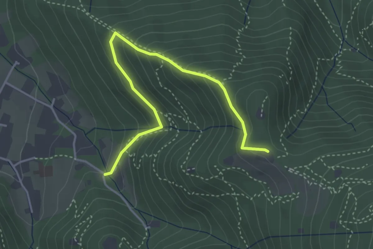
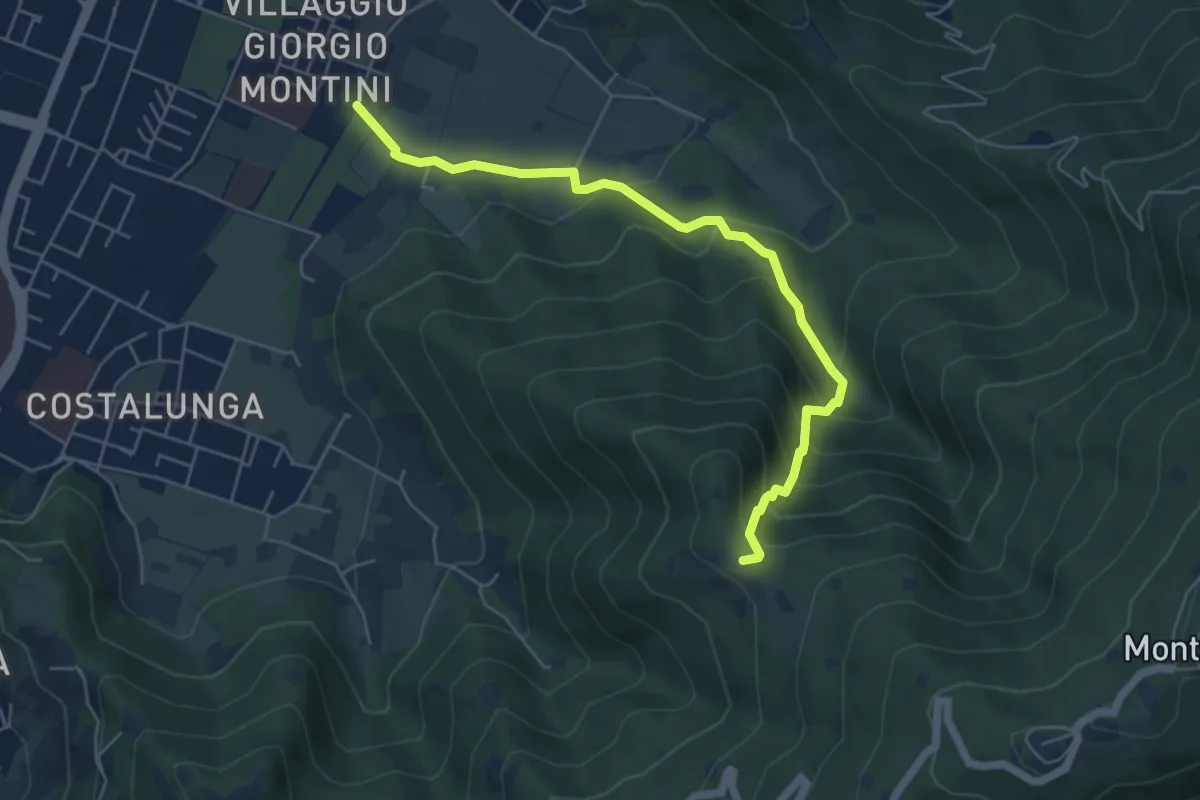
Brescia (Costalunga - Via Monte della Valle) – Monte Maddalena (Cascina Margherita - Innesto Sentiero 907)
4.0 km · ↑ 301 m · 1 h 36 min · 15 km away
Expert · Summit
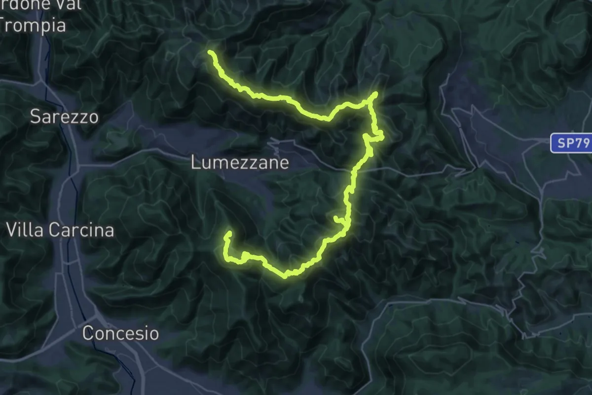
Via del Sacro
42.2 km · ↑ 2976 m · 16 h 24 min · 15 km away
Medium · Trail
Brescia (Mompiano - Via Egidio Dabbeni) – Cascina Margherita
5.8 km · ↑ 398 m · 2 h 14 min · 15 km away