Trails near Gemona del Friuli
84 hikes starting within 15 km, nearest first.
Nearest first, page 1 of 2
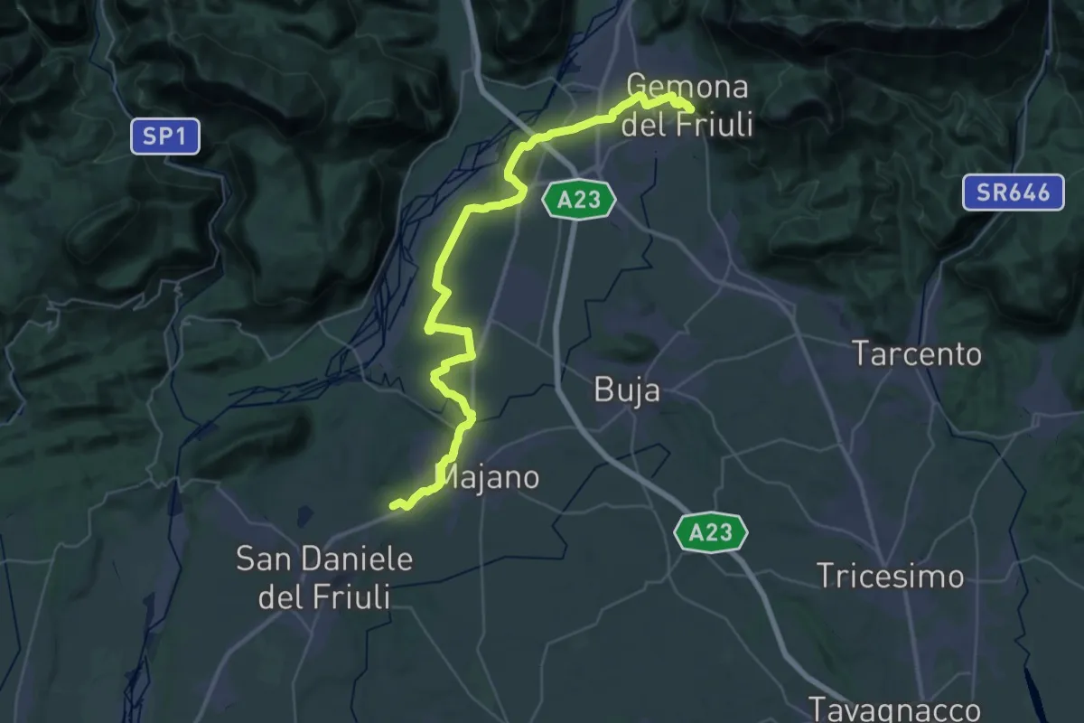
Demanding · Trail
Romea Strata in Italia - Tappa RSIT05
21.6 km · ↑ 92 m · 5 h 38 min · under 1 km away
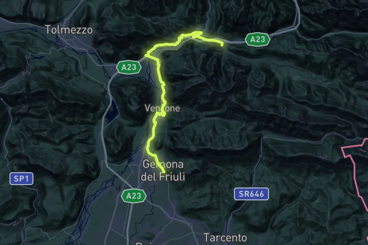
Demanding · Trail
Romea Strata in Italia - Tappa RSIT04
27.4 km · ↑ 478 m · 7 h 52 min · under 1 km away
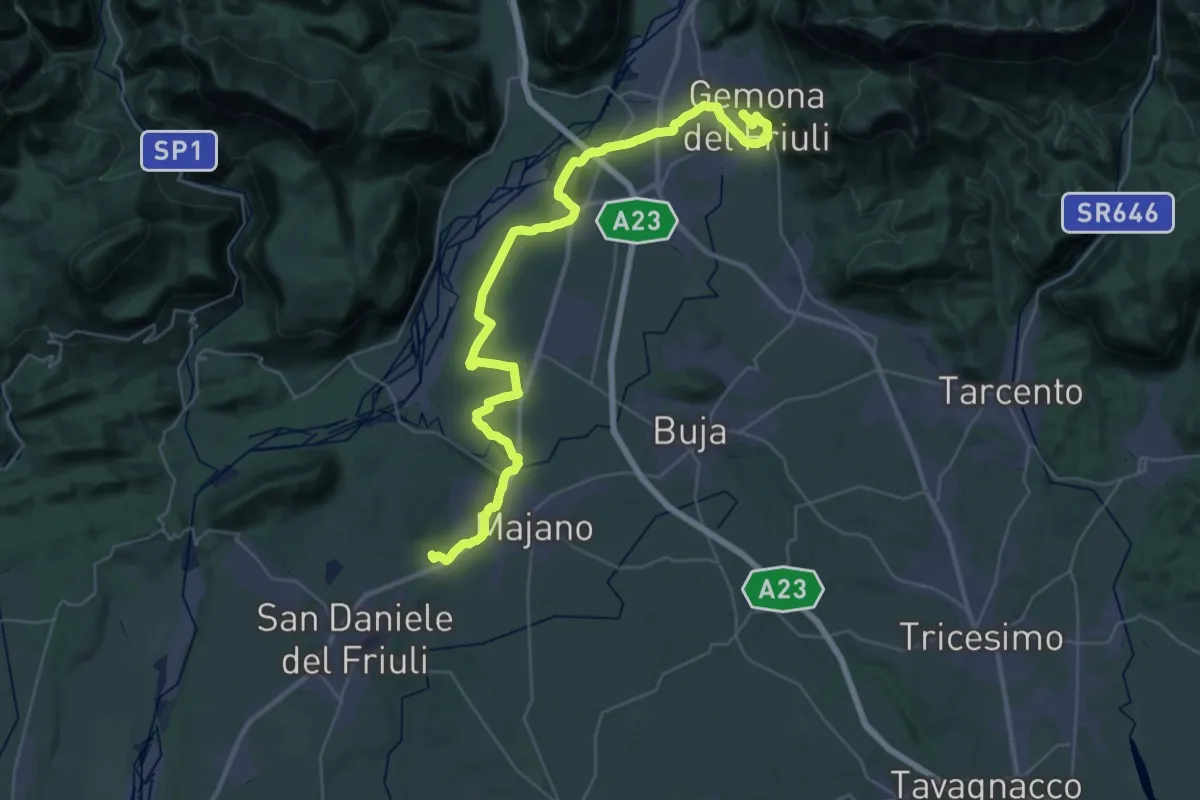
Demanding · Trail
Il Cammino di Sant'Antonio - Tappa 01G
23.1 km · ↑ 139 m · 6 h 6 min · under 1 km away
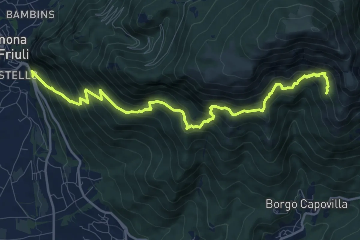
Demanding · Trail
Gemona (il Vallo) SP20 bivio strada per Maniaglia (quota 254 m) – Lis Presis (quota 1000 m)
10.8 km · ↑ 1021 m · 4 h 45 min · under 1 km away
Medium · Trail
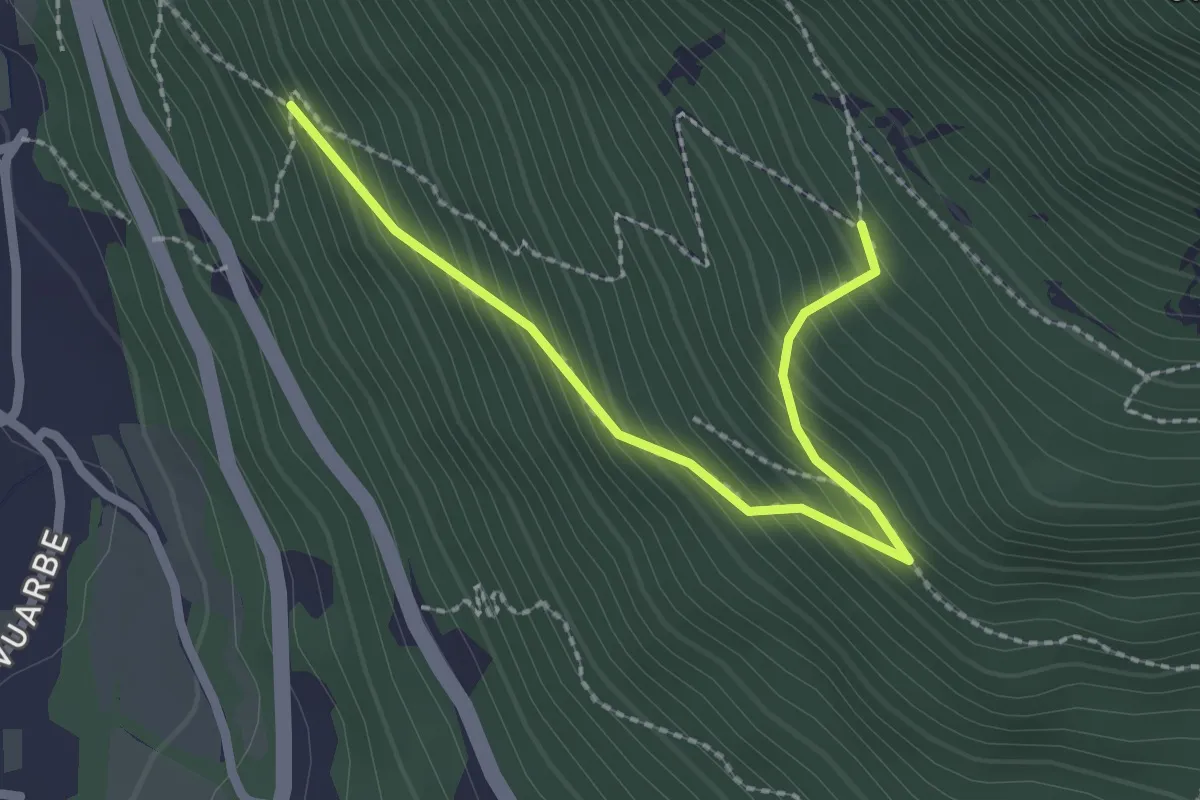
Primo tornante del sentiero 716 con progressione N-S (quota 300 m) – Ricongiungimento sul sentiero 716 (quota 600 m)
2.4 km · ↑ 265 m · 1 h 9 min · 1 km away
Demanding · Summit
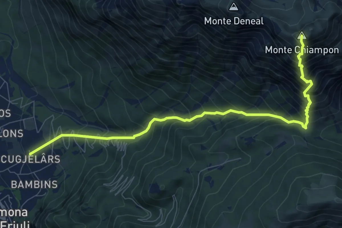
Gemona – Località Scugjelârs (quota 370 m) – Forca di Ledis (quota 752 m)
9.0 km · ↑ 1349 m · 5 h 2 min · 1 km away
Easy · Trail
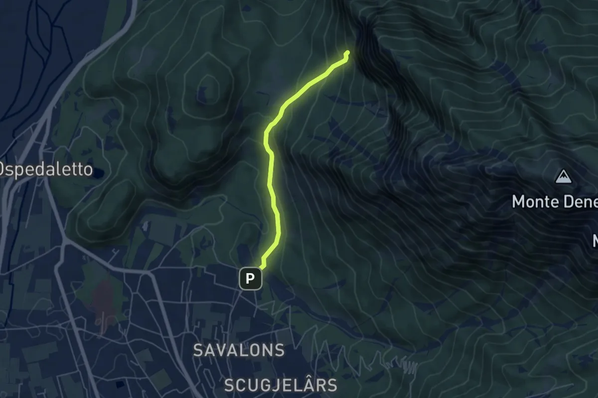
Sentiero del Ventaglio
4.3 km · ↑ 275 m · 1 h 37 min · 1 km away
Medium · Trail
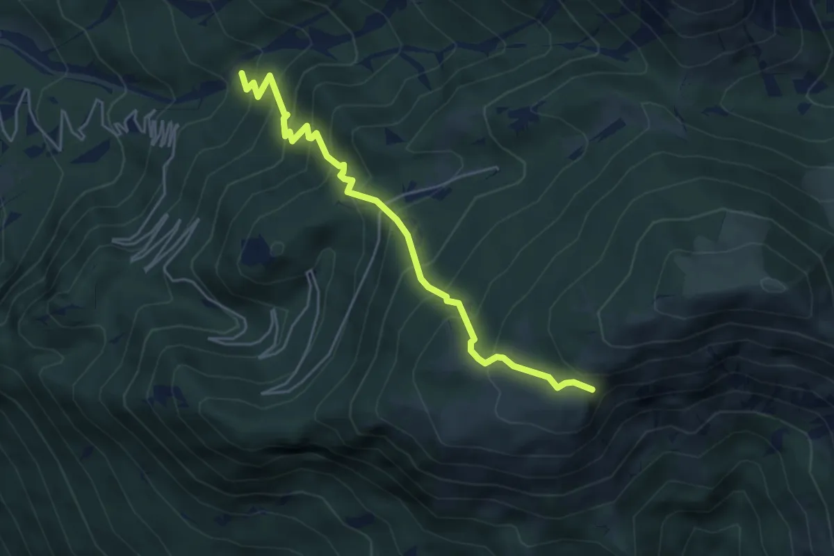
Bivio sentiero n. 713 (quota 615 m) – Ors di Cuarnan – Bivio sentiero n. 715 (quota 1152 m)
4.8 km · ↑ 569 m · 2 h 22 min · 2 km away
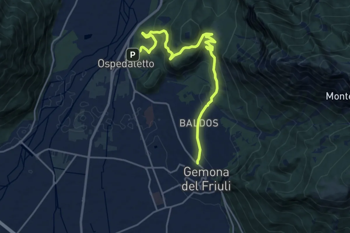
Medium · Trail
Romea Strata in Italia - Tappa RSIT04var
13.8 km · ↑ 607 m · 4 h 34 min · 3 km away
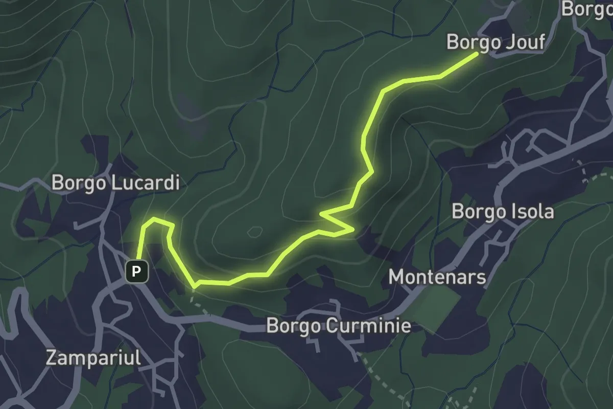
Easy · Trail
Troi dai çucs
3.0 km · ↑ 171 m · 1 h 5 min · 3 km away
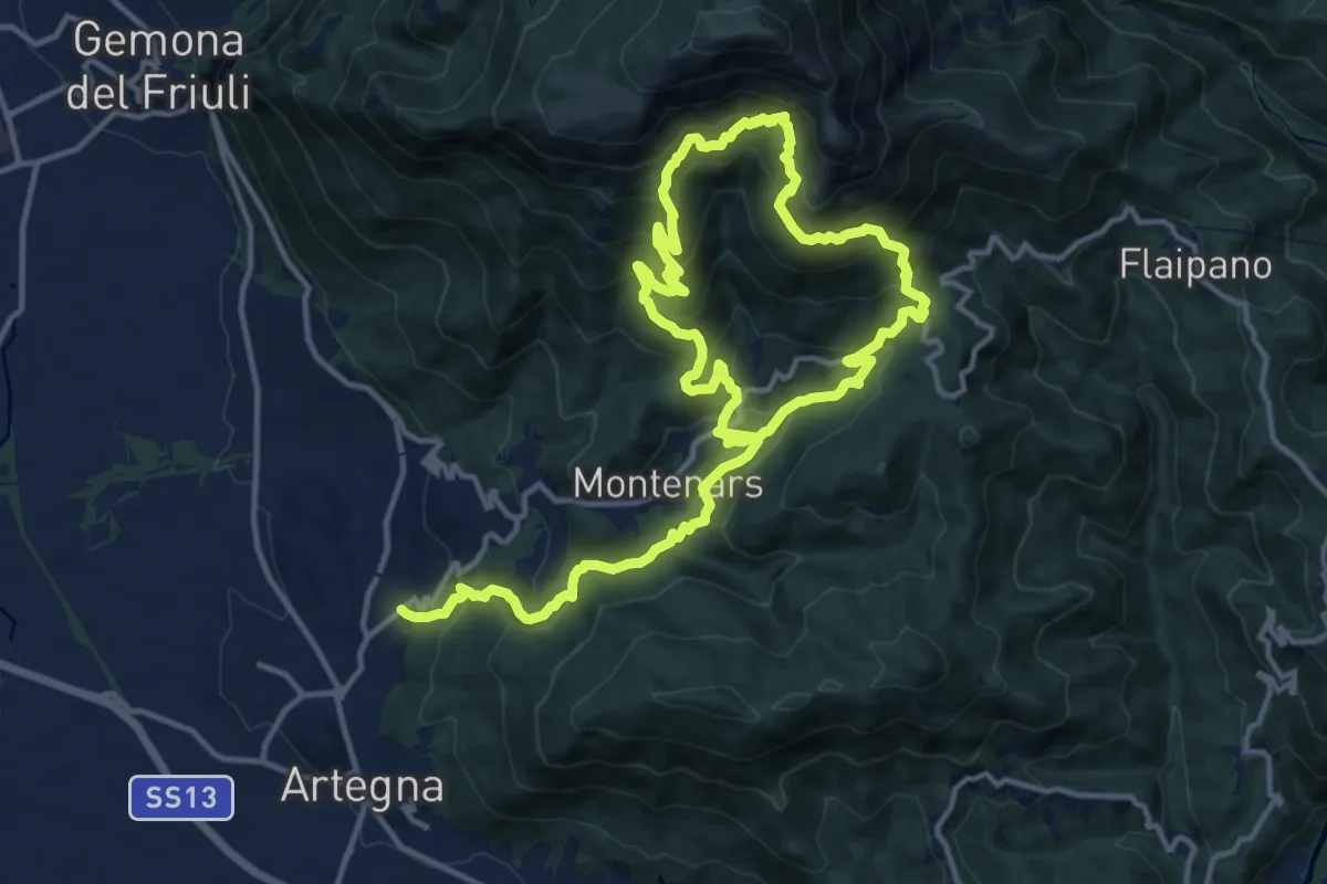
Demanding · Trail
Percorso didattico dalle risorgive al torrente Orvenco
11.7 km · ↑ 939 m · 4 h 50 min · 3 km away
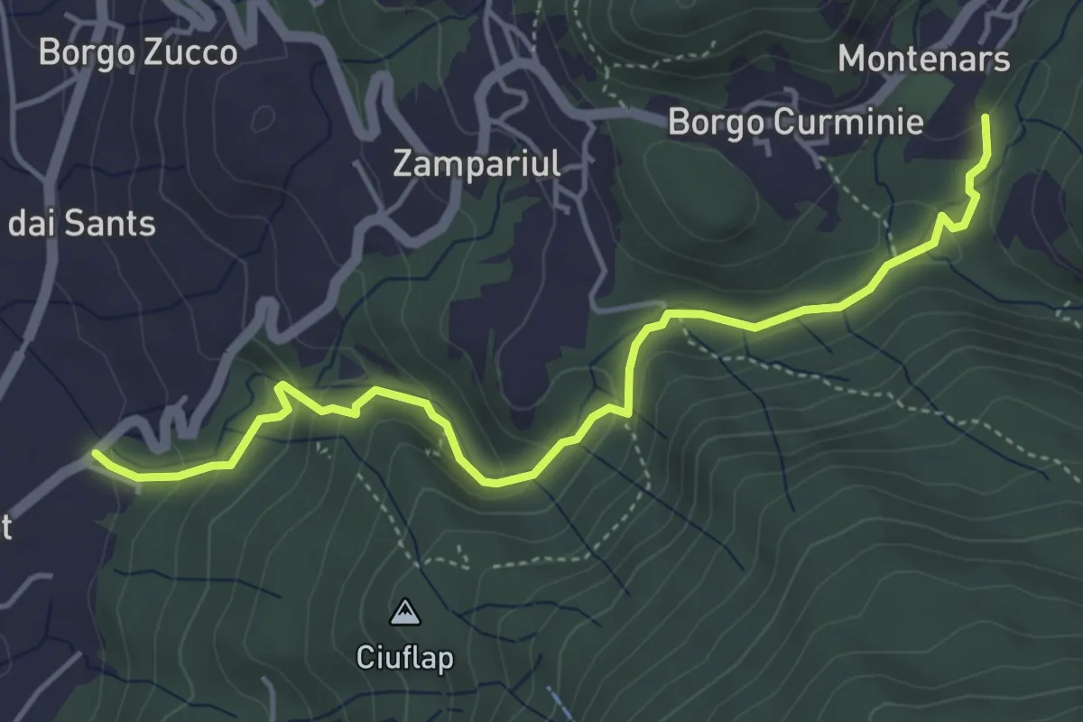
Medium · Trail
Troi des cascades
4.8 km · ↑ 215 m · 1 h 37 min · 3 km away
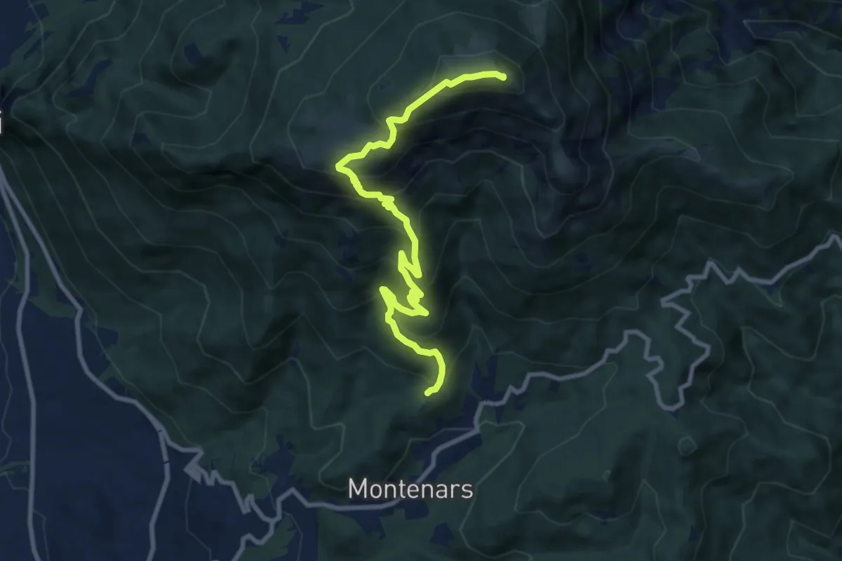
Demanding · Summit
Montenars, Iôuf (quota 598 m) – M. Cuarnan Chiesetta del Redentore Forcella dell’Asta (quota 1372 m)
9.2 km · ↑ 856 m · 4 h 2 min · 4 km away
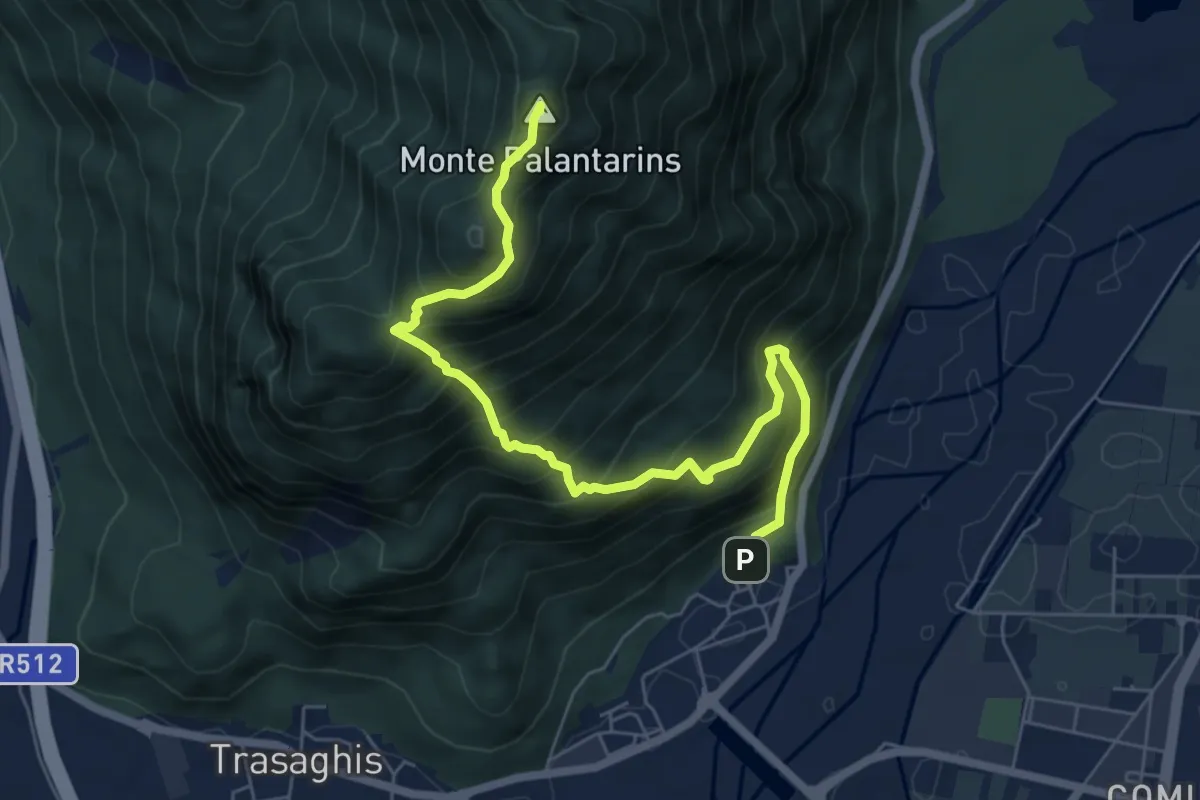
Demanding · Summit
Braulins (quota 210 m) – Interneppo (quota 270 m)
7.1 km · ↑ 904 m · 3 h 38 min · 4 km away
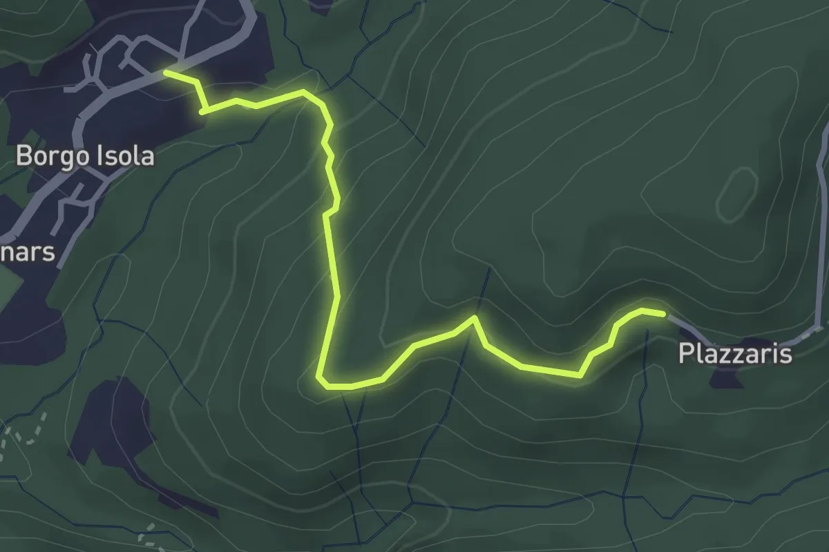
Easy · Trail
Troi di Fêse
3.0 km · ↑ 203 m · 1 h 9 min · 4 km away
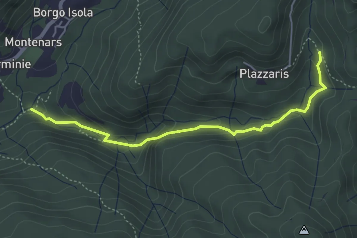
Easy · Trail
Sentiero del Rio Confine
4.1 km · ↑ 188 m · 1 h 23 min · 4 km away
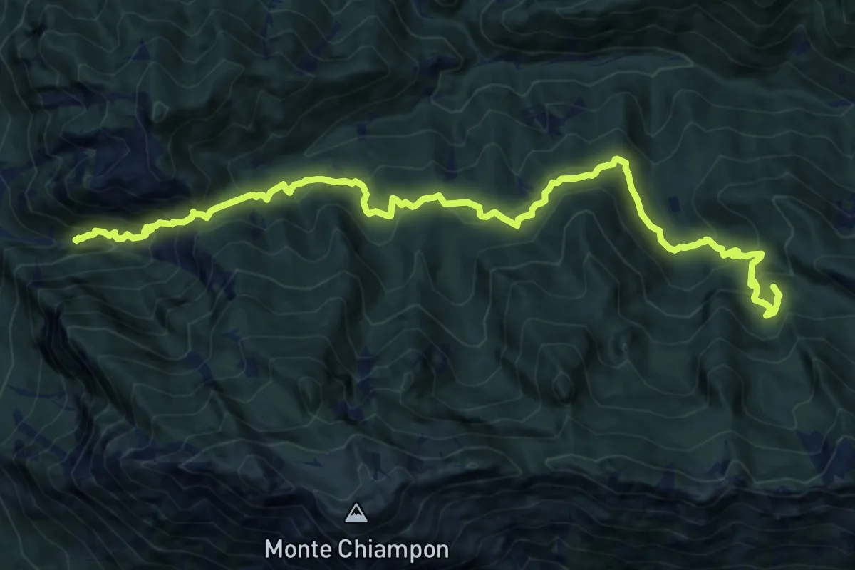
Demanding · Summit
Venzone – Rivoli Bianchi (quota 364 m) – Forcella Tacia (quota 1089 m)
15.9 km · ↑ 1279 m · 6 h 32 min · 4 km away
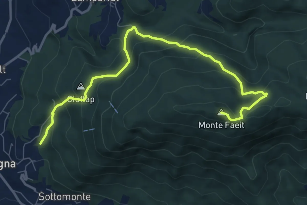
Medium · Summit
Sentiero monte Faeit
7.8 km · ↑ 531 m · 2 h 59 min · 4 km away
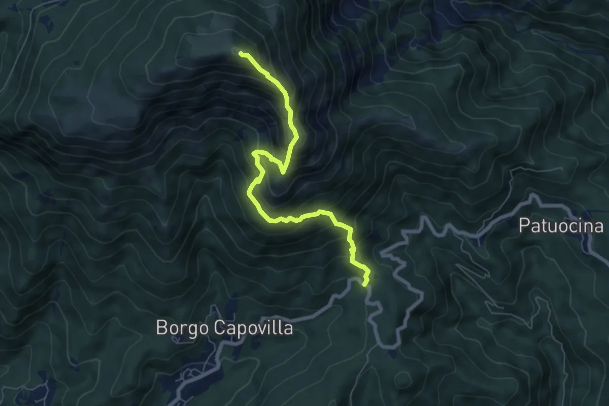
Medium · Summit
Roccolo di Montenars (quota 650 m) – Sella Foredôr
6.3 km · ↑ 756 m · 3 h 8 min · 5 km away
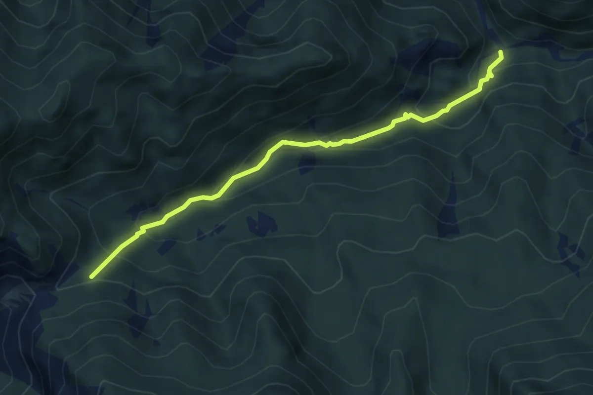
Medium · Trail
Bivio sentiero n.708 – Chiesetta di Ledis (quota 730 m) – Bivio sentiero n. 704 (quota 600 m)
4.8 km · ↑ 322 m · 1 h 50 min · 5 km away
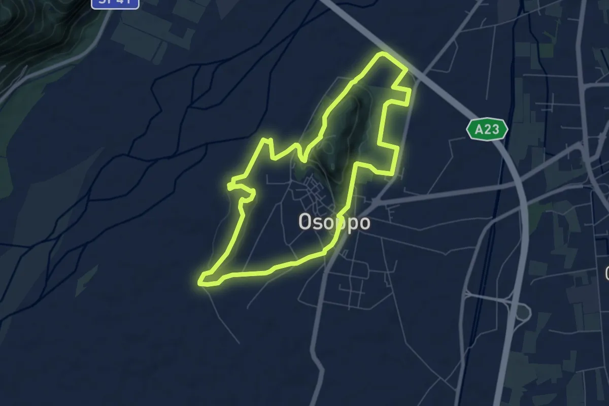
Medium · Trail
Sede del C.A.I. (quota 180 m) – Sede del C.A.I. (quota 180 m)
7.3 km · ↑ 131 m · 2 h 7 min · 5 km away
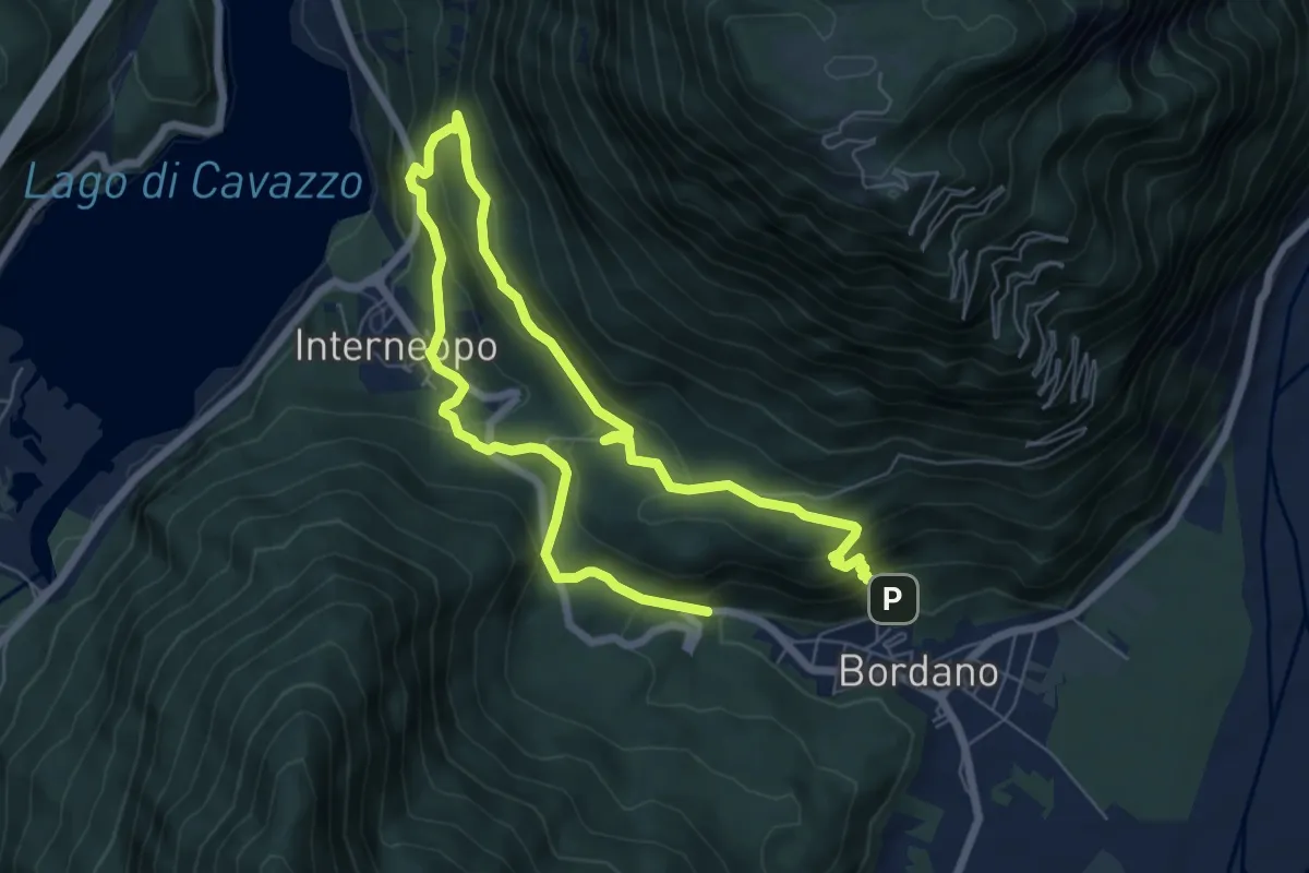
Medium · Trail
Sentiero delle farfalle
10.9 km · ↑ 648 m · 3 h 59 min · 5 km away
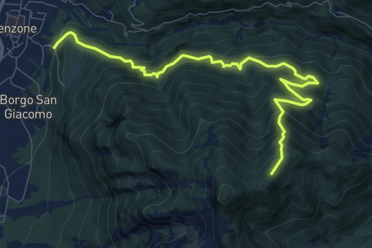
Demanding · Trail
Sentiero Monte Bedede
8.9 km · ↑ 986 m · 4 h 14 min · 6 km away
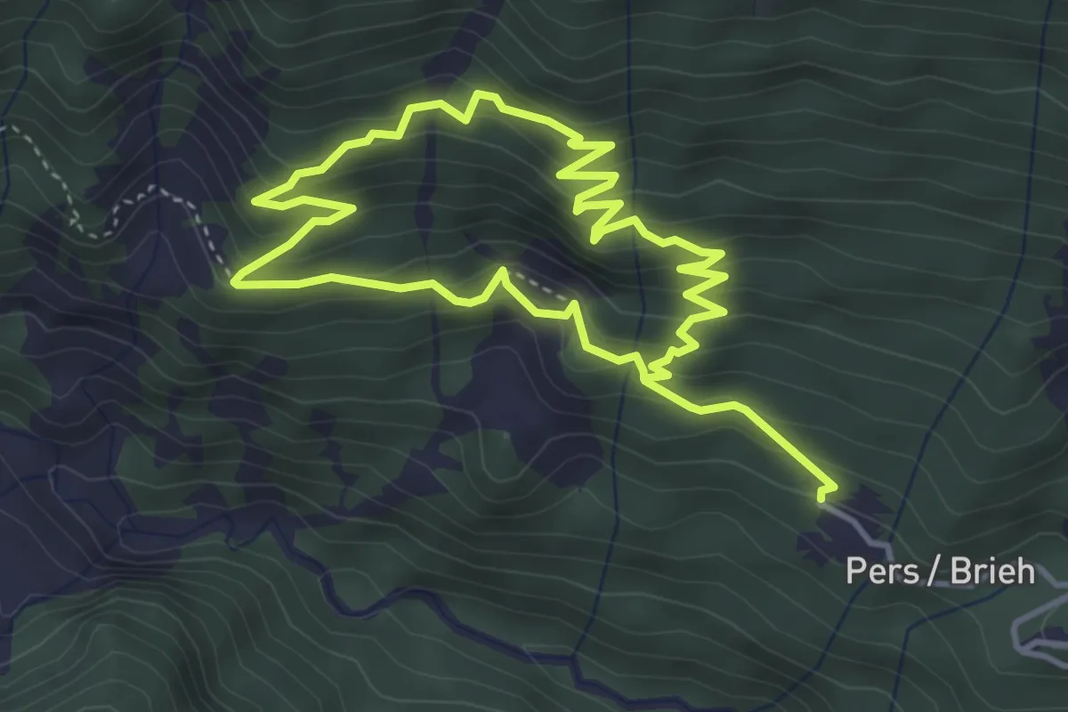
Medium · Trail
Sentiero di rio Leria
7.1 km · ↑ 626 m · 3 h 2 min · 6 km away
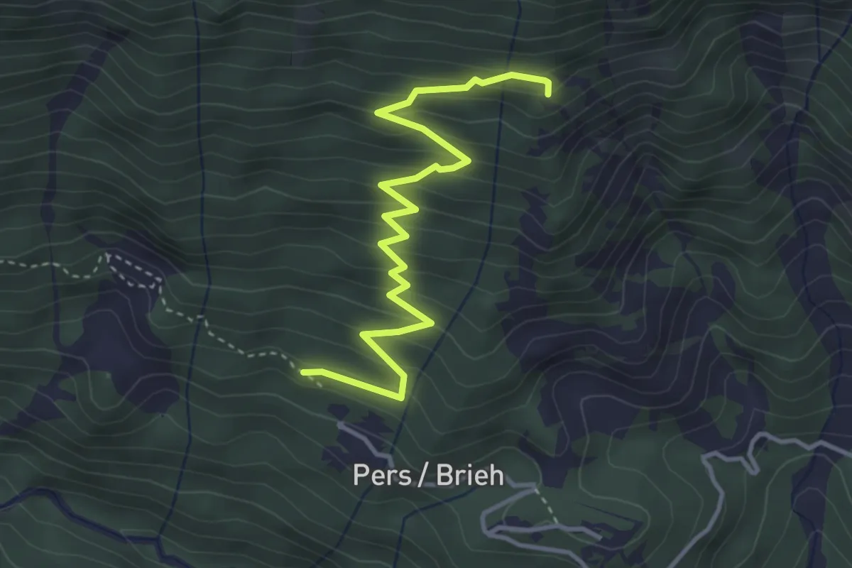
Medium · Trail
Sentiero della Lopata
4.0 km · ↑ 357 m · 1 h 43 min · 6 km away
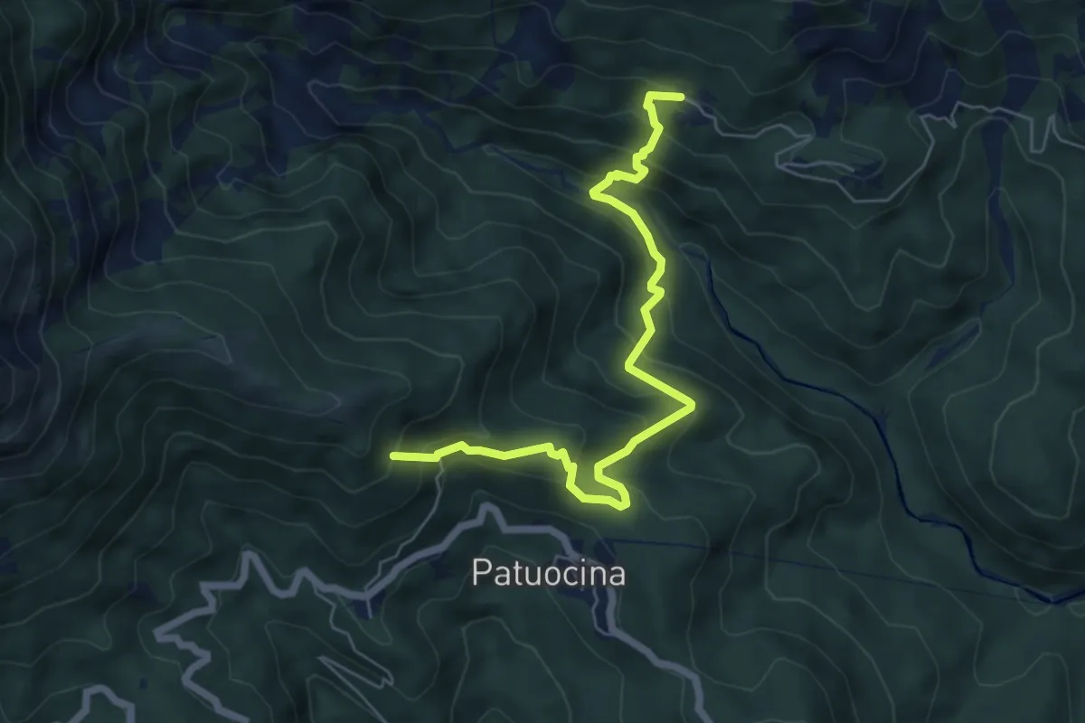
Medium · Summit
Sentiero Pers Ponte Romano
6.3 km · ↑ 584 m · 2 h 45 min · 6 km away
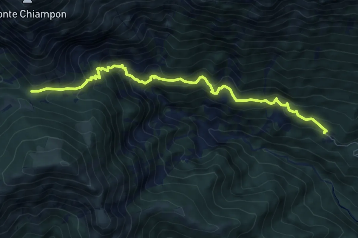
Medium · Trail
Troi da Vedronge
8.4 km · ↑ 772 m · 3 h 39 min · 6 km away
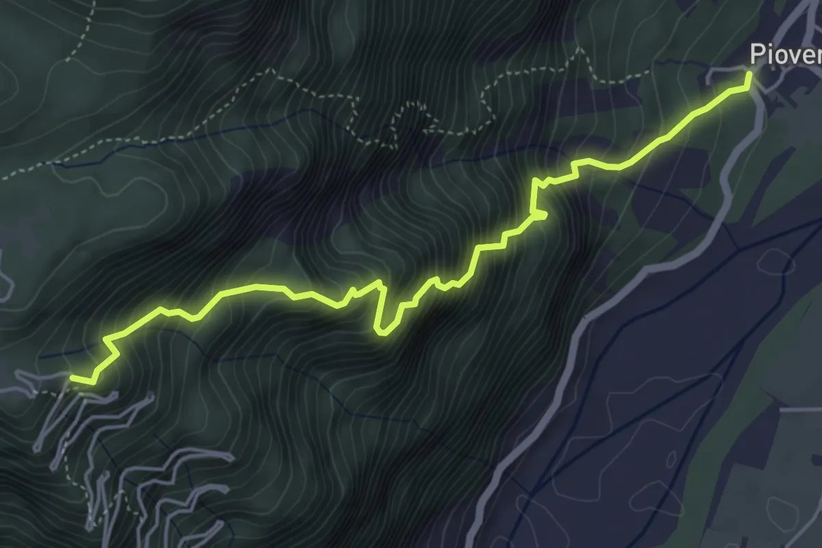
Demanding · Trail
Troi par Cjstjel
5.3 km · ↑ 898 m · 3 h 12 min · 6 km away
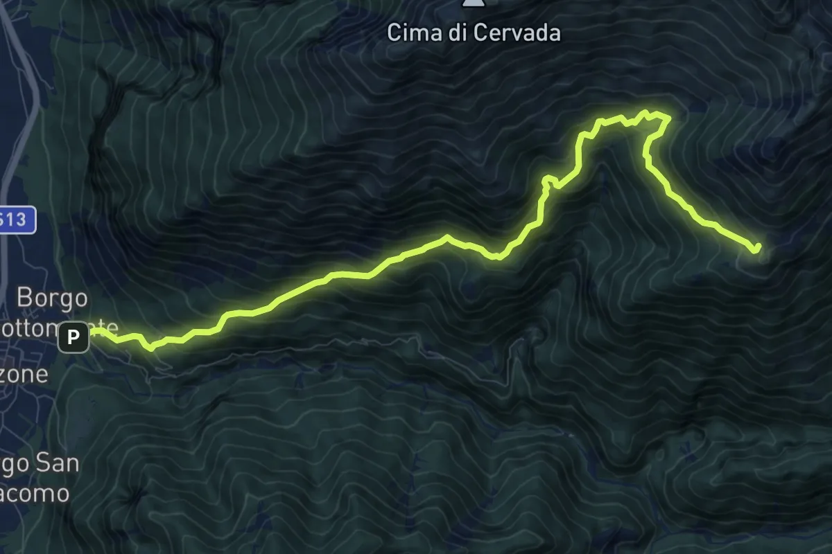
Demanding · Trail
Venzone – Borgo Pragiel (quota 250 m) – Casera Ungarina (quota 1296 m)
12.1 km · ↑ 1408 m · 5 h 54 min · 7 km away
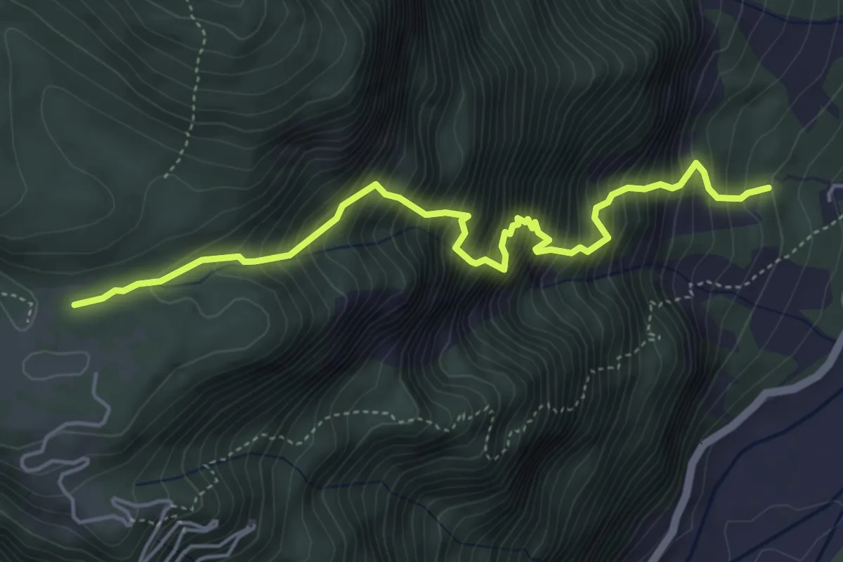
Expert · Trail
Via delle Lavare
5.1 km · ↑ 1017 m · 3 h 25 min · 7 km away
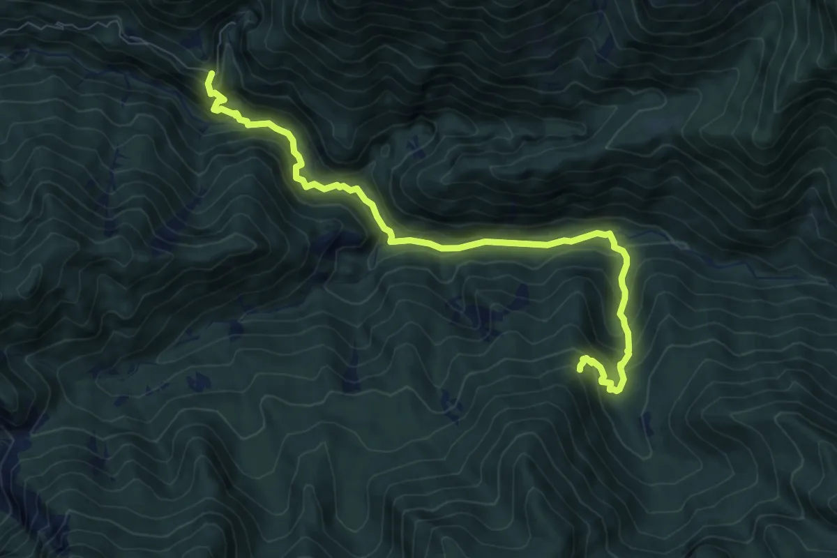
Medium · Trail
Rotabile Val Venzonassa (curva Del Gran Rio 3.5 km da Venzone) (quota 525 m) – Bivio sentiero n. 708 (quota 800 m)
9.1 km · ↑ 692 m · 3 h 39 min · 7 km away
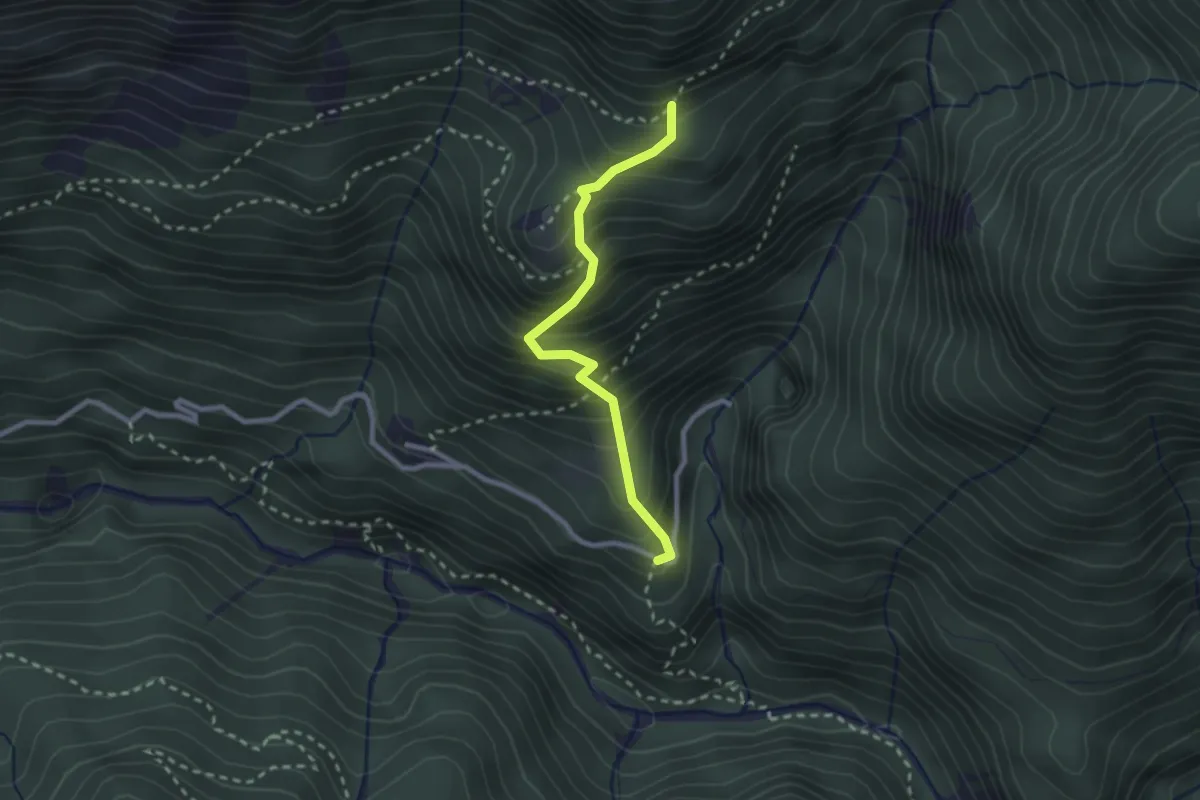
Medium · Trail
Borgo Costa (quota 534 m) – Bivio sentiero n. 705 (quota 885 m)
2.3 km · ↑ 384 m · 1 h 23 min · 7 km away
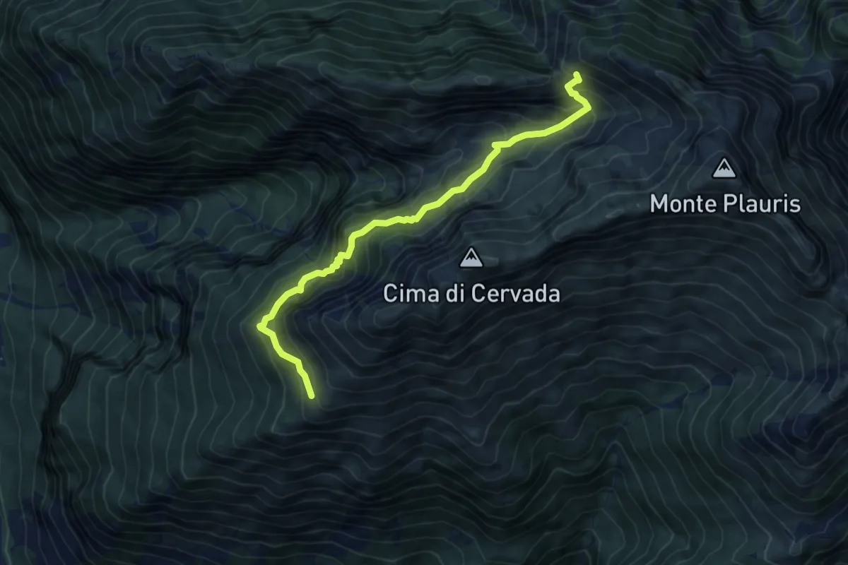
Medium · Trail
Bivacco Coi (quota 1308 m) – Bivio sentiero 701 (quota 1600 m)
6.5 km · ↑ 681 m · 3 h · 8 km away
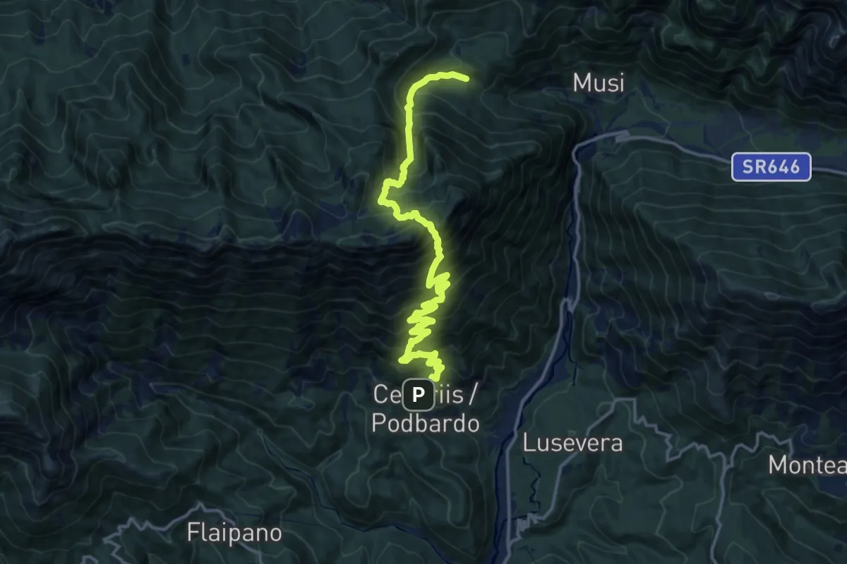
Demanding · Trail
Cesariis (quota 539 m) – Plan di Tapou (quota 886 m)
15.9 km · ↑ 1675 m · 7 h 23 min · 8 km away
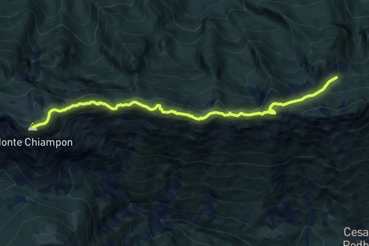
Expert · Summit
Alta Via C.A.I. Gemona
11.1 km · ↑ 1034 m · 4 h 52 min · 8 km away
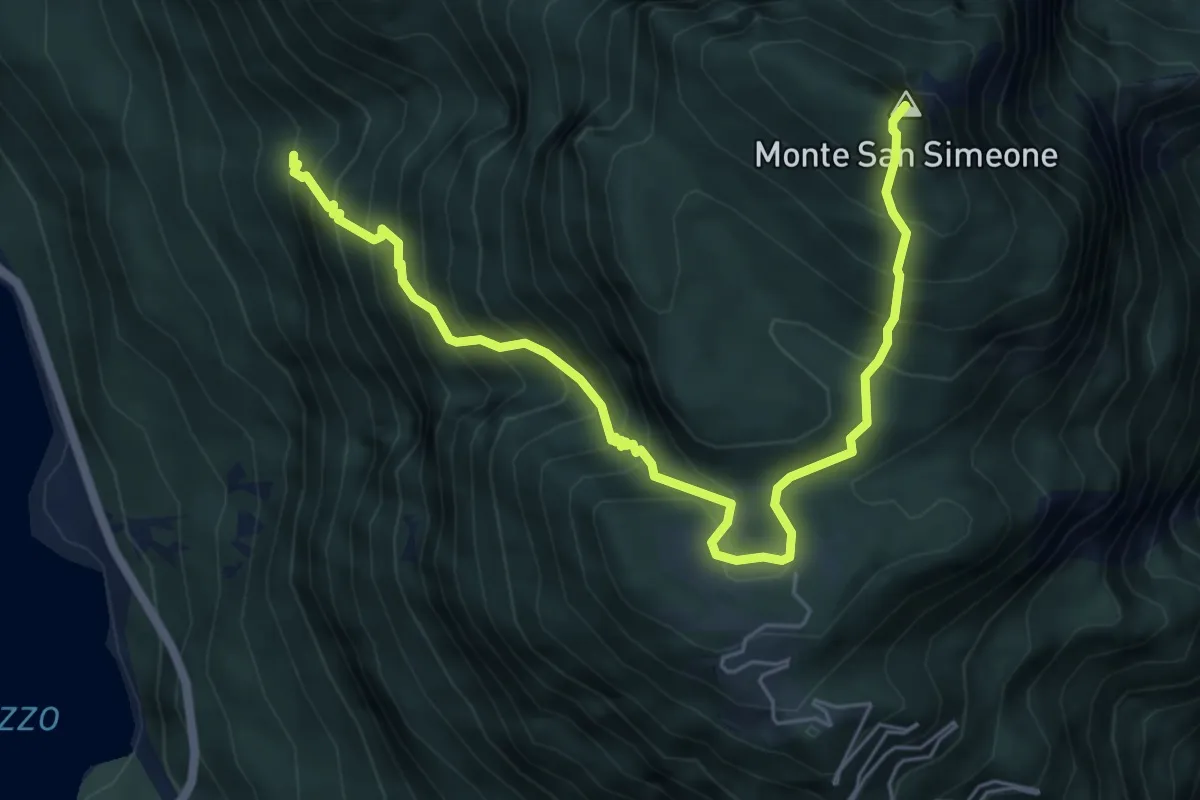
Demanding · Summit
Bivio sentiero n. 838 (q. 643 m) – Monte San Simeone (q. 1505 m)
6.8 km · ↑ 852 m · 3 h 28 min · 8 km away
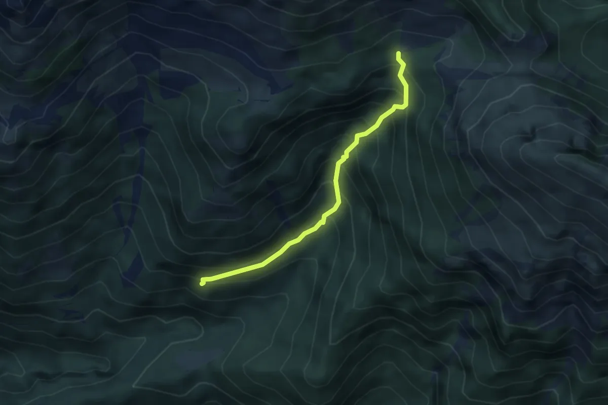
Medium · Trail
Borgo Prabunello (quota 900 m) – Bivio sentiero n. 726 (quota 1309 m)
3.5 km · ↑ 441 m · 1 h 47 min · 8 km away
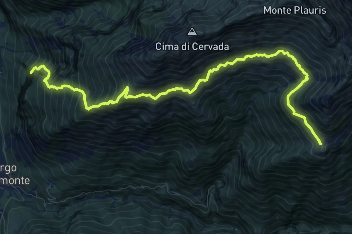
Demanding · Summit
SS13 Portis (quota 250 m) – Casera Ungarina (quota 1298 m)
13.3 km · ↑ 1693 m · 6 h 49 min · 8 km away
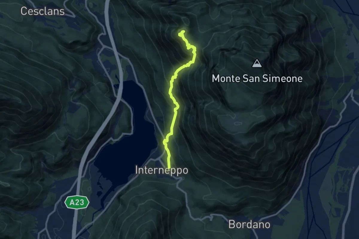
Demanding · Trail
Interneppo (q. 257 m) – Monte San Simeone (q. 1505 m)
7.7 km · ↑ 909 m · 3 h 48 min · 9 km away
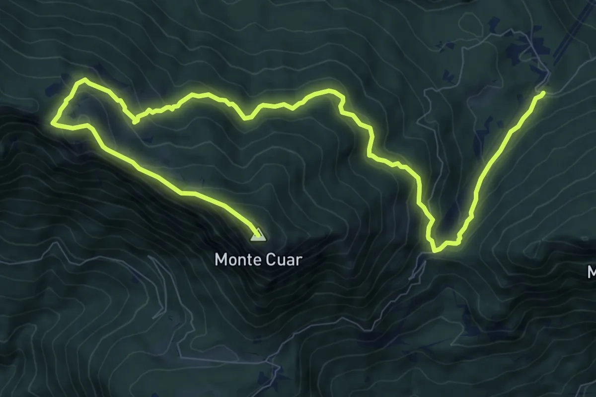
Demanding · Summit
Stavoli Grignes (quota 720 m) – Monte Cuâr (quota 1478 m)
14.6 km · ↑ 1118 m · 5 h 53 min · 9 km away
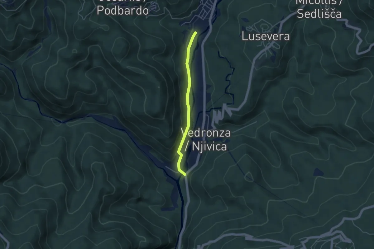
Easy · Trail
Sentiero delle pod Ledina
3.5 km · ↑ 64 m · 58 min · 9 km away
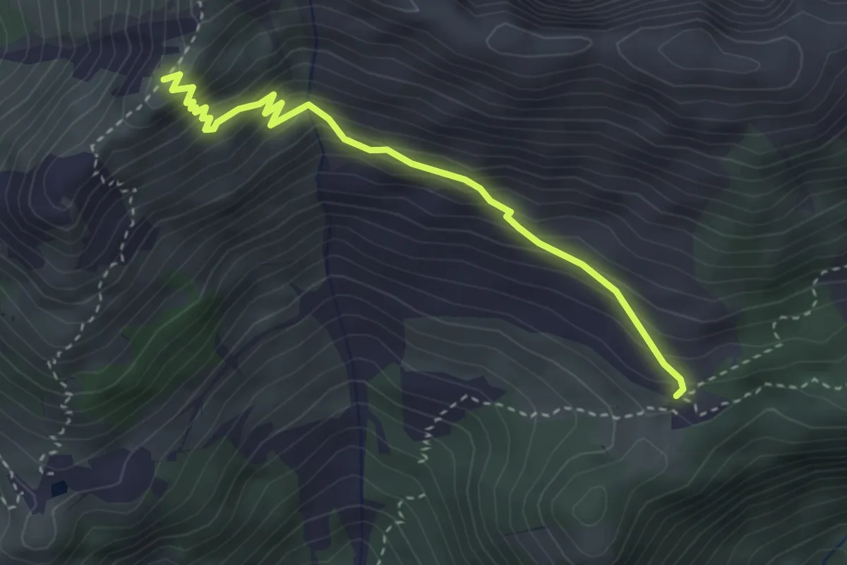
Medium · Cabin
Malga Confin (quota 1331 m) – Bivio sentiero n. 702 (quota 1761 m)
3.3 km · ↑ 335 m · 1 h 31 min · 9 km away
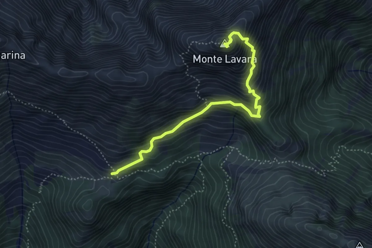
Expert · Summit
Anello del monte Lavara
4.6 km · ↑ 595 m · 2 h 23 min · 9 km away
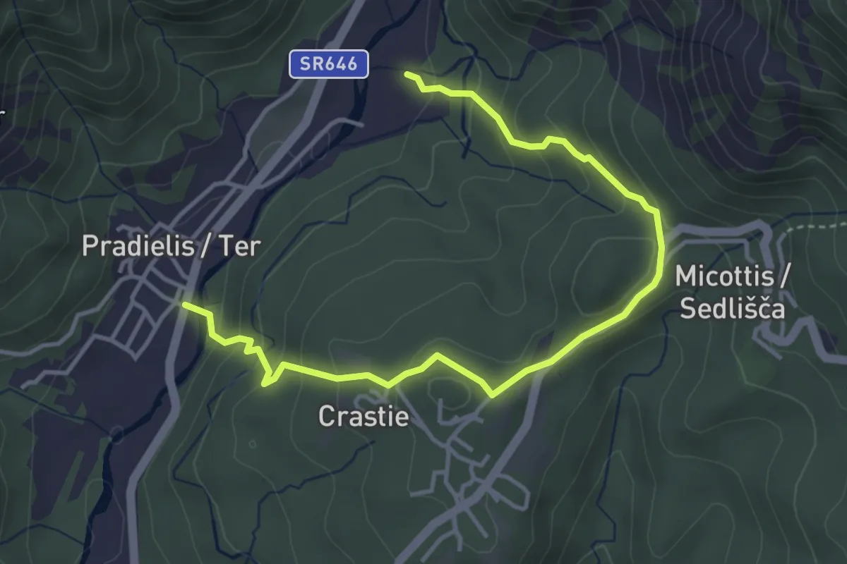
Easy · Trail
Anello Pradielis - Micottis
2.3 km · ↑ 140 m · 53 min · 10 km away
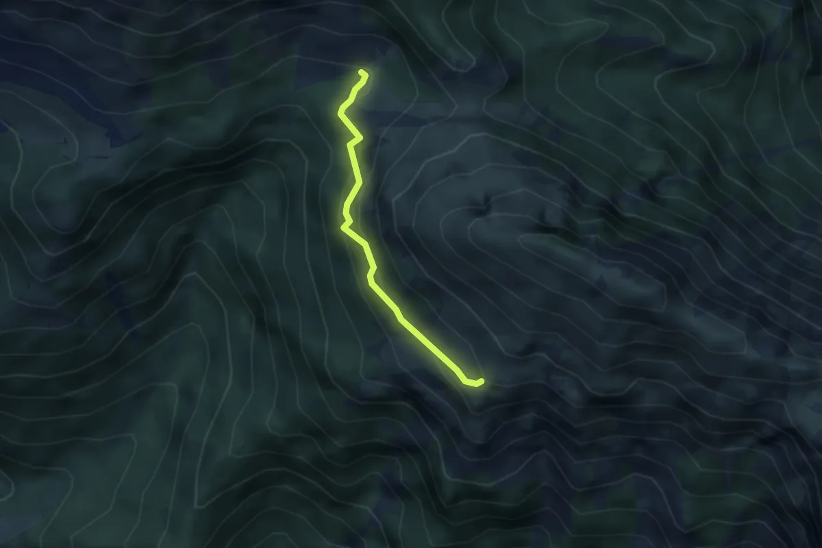
Medium · Trail
Forca Campitello – bivio sent. n. 726 (q. 1303 m) – Forca Stiliza – bivio sent. n. 740a (q. 1799 m)
2.7 km · ↑ 267 m · 1 h 14 min · 10 km away
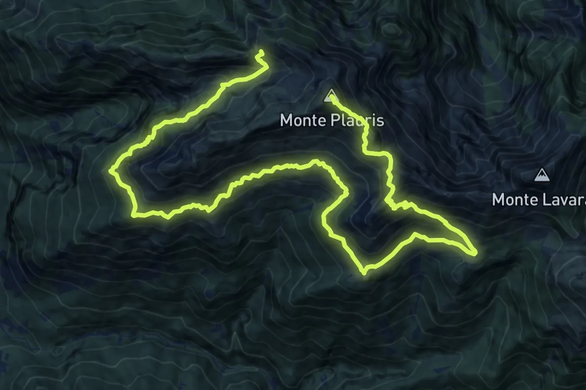
Demanding · Summit
Percorso botanico del monte Plauris
25.7 km · ↑ 2433 m · 11 h 20 min · 10 km away
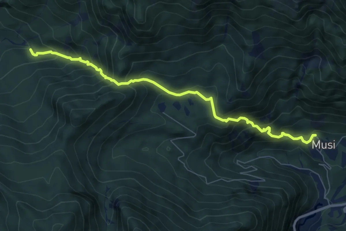
Medium · Trail
Tanataviele (quota 627 m) – Strada forestale Val Venzonassa (quota 717 m)
7.2 km · ↑ 730 m · 3 h 17 min · 11 km away
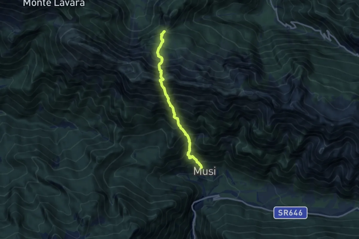
Expert · Trail
La Forchia Bivio sentiero n. 703 (quota 1192 m) – Tanataviele (quota 627 m)
8.0 km · ↑ 1580 m · 5 h 19 min · 11 km away