Trails near Gemona del Friuli
84 hikes starting within 15 km, nearest first.
Nearest first, page 2 of 2
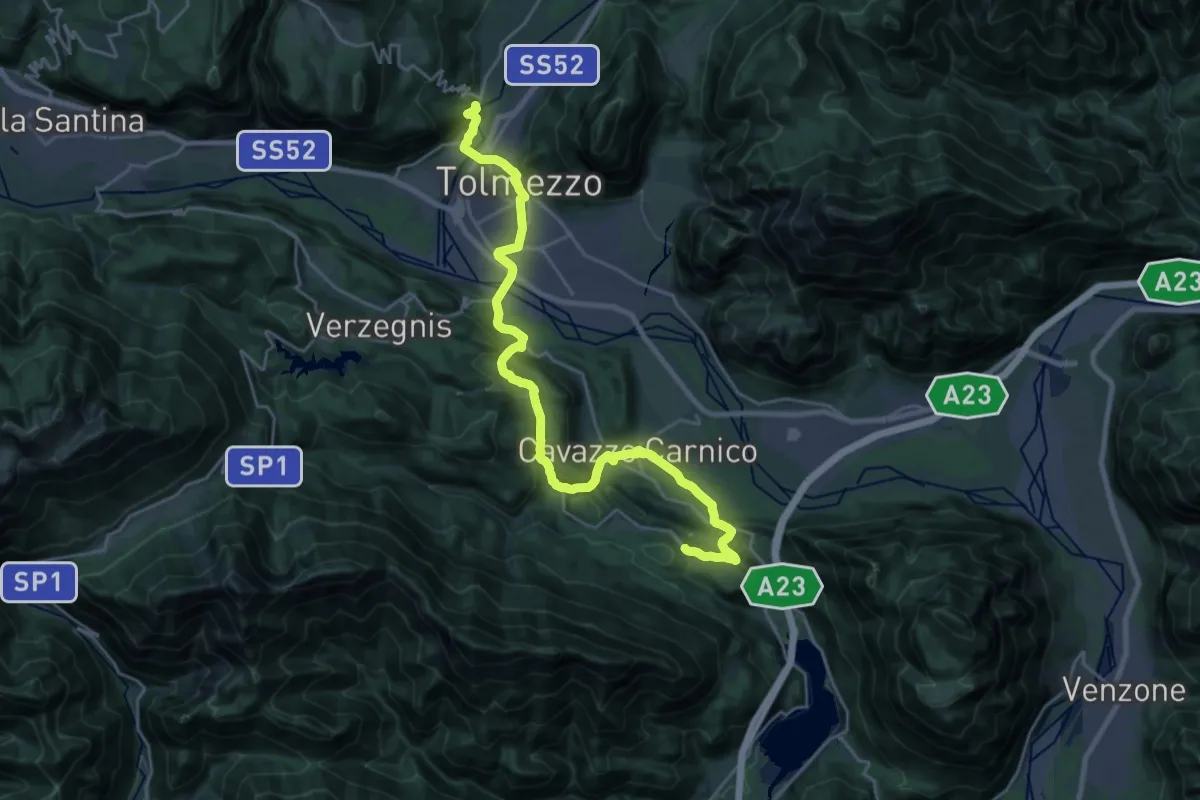
Demanding · Trail
Cammino delle Pievi - Tappa 03
27.1 km · ↑ 651 m · 7 h 49 min · 11 km away
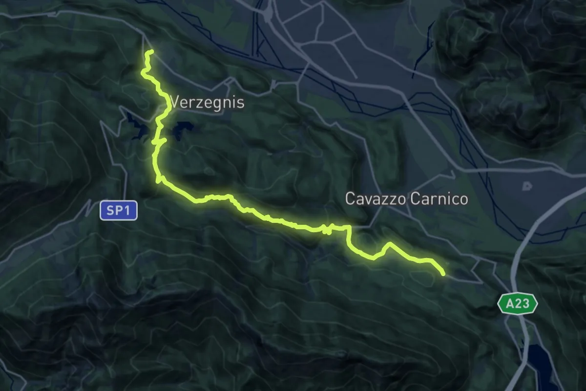
Demanding · Trail
Cammino delle Pievi - Tappa 04
22.6 km · ↑ 998 m · 7 h 30 min · 11 km away
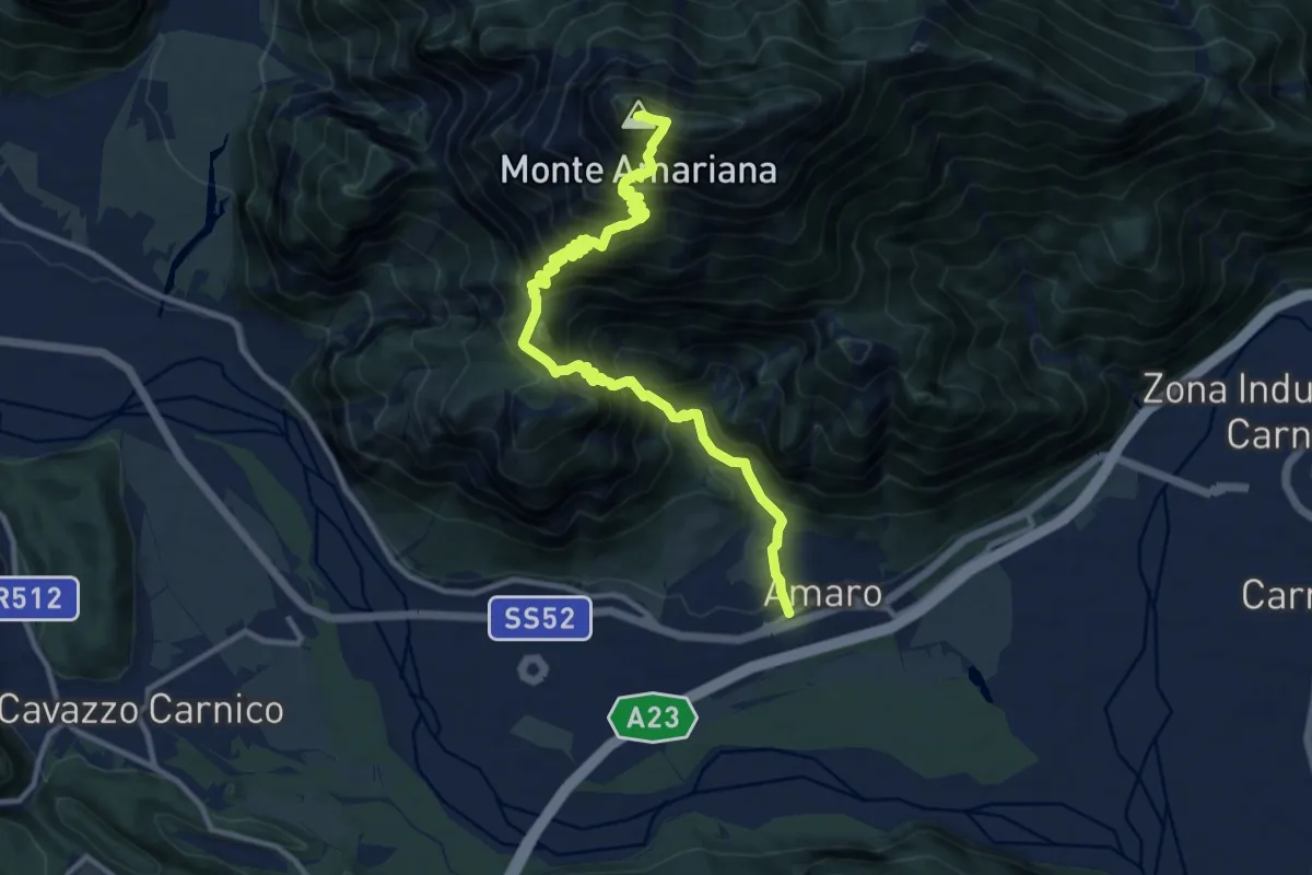
Expert · Summit
Amaro (quota 290 m) – Monte Amariana (quota 1907 m)
12.6 km · ↑ 1760 m · 6 h 47 min · 11 km away
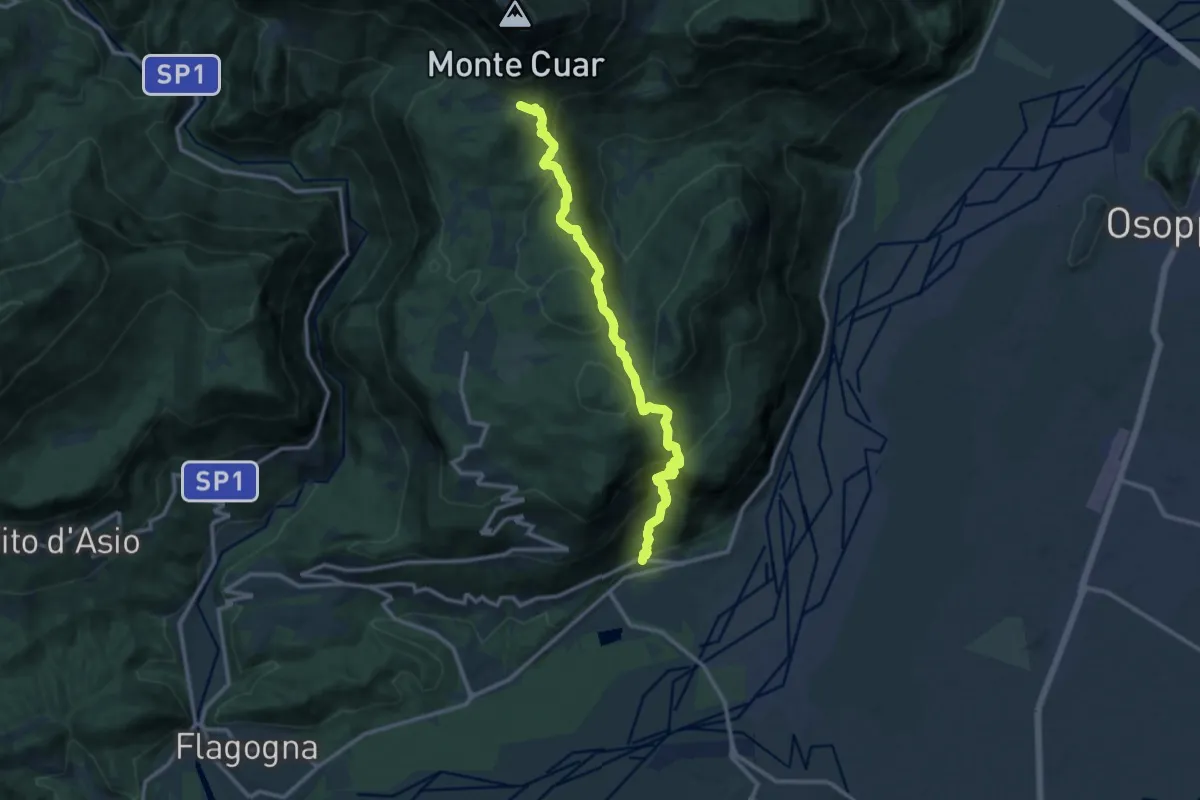
Demanding · Trail
Somp Cornino (quota 186 m) – Val Tochel (quota 894 m)
12.7 km · ↑ 913 m · 4 h 58 min · 11 km away
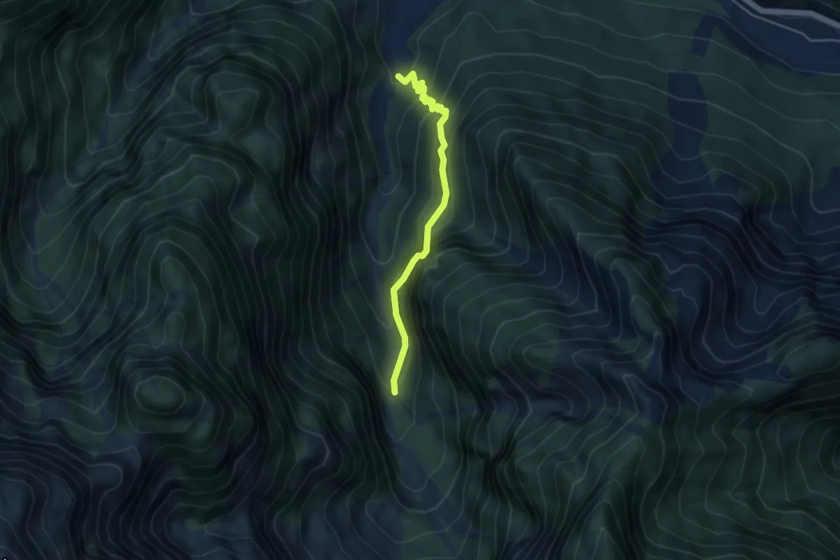
Expert · Trail
bivio sent 702 (quota 400 m) – bivio sent 702 (quota 620 m)
3.8 km · ↑ 522 m · 2 h 1 min · 12 km away
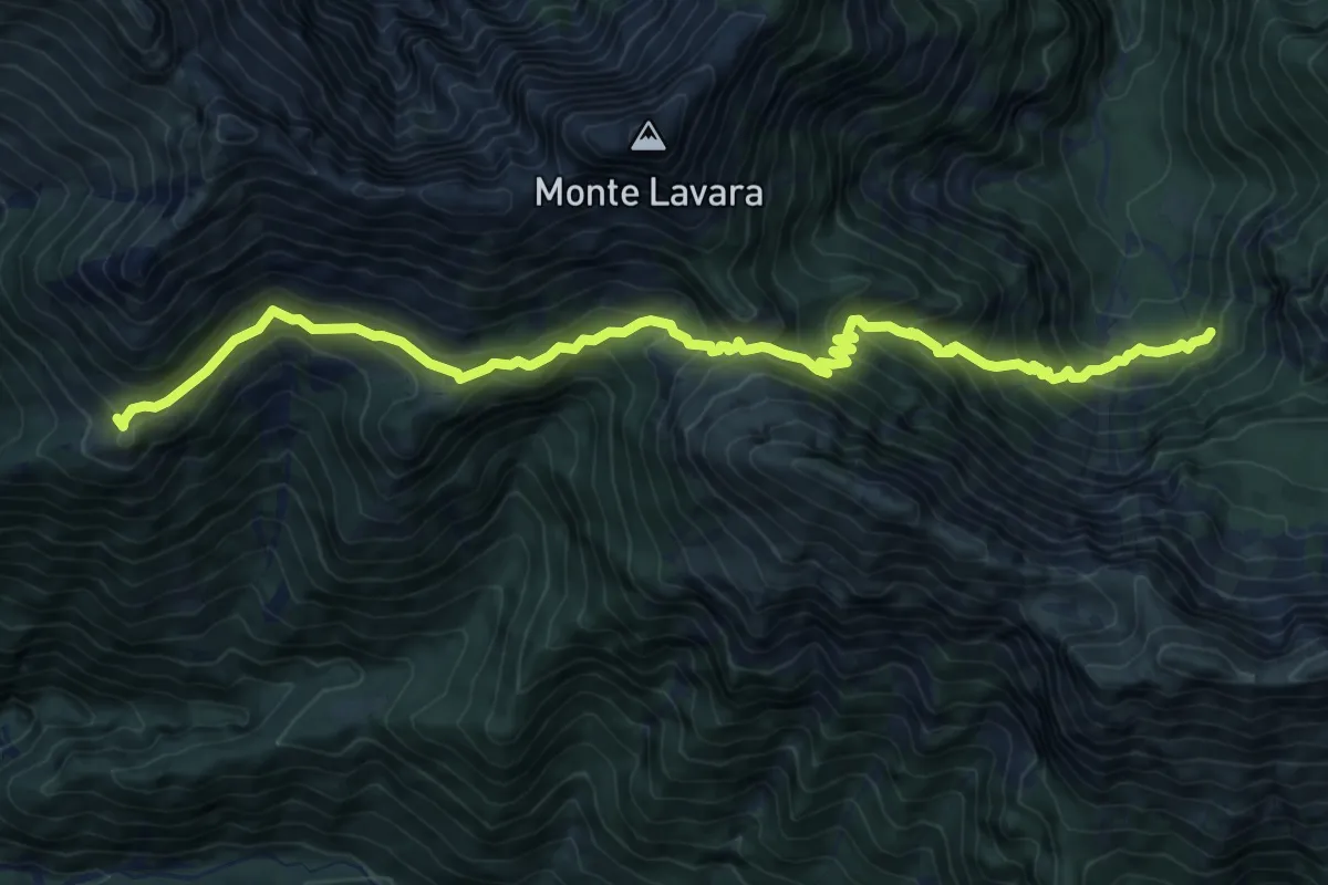
Demanding · Trail
Casera Ungarina (quota 1296 m) – Bivio sentiero n. 703 (quota 908 m)
11.2 km · ↑ 878 m · 4 h 32 min · 12 km away
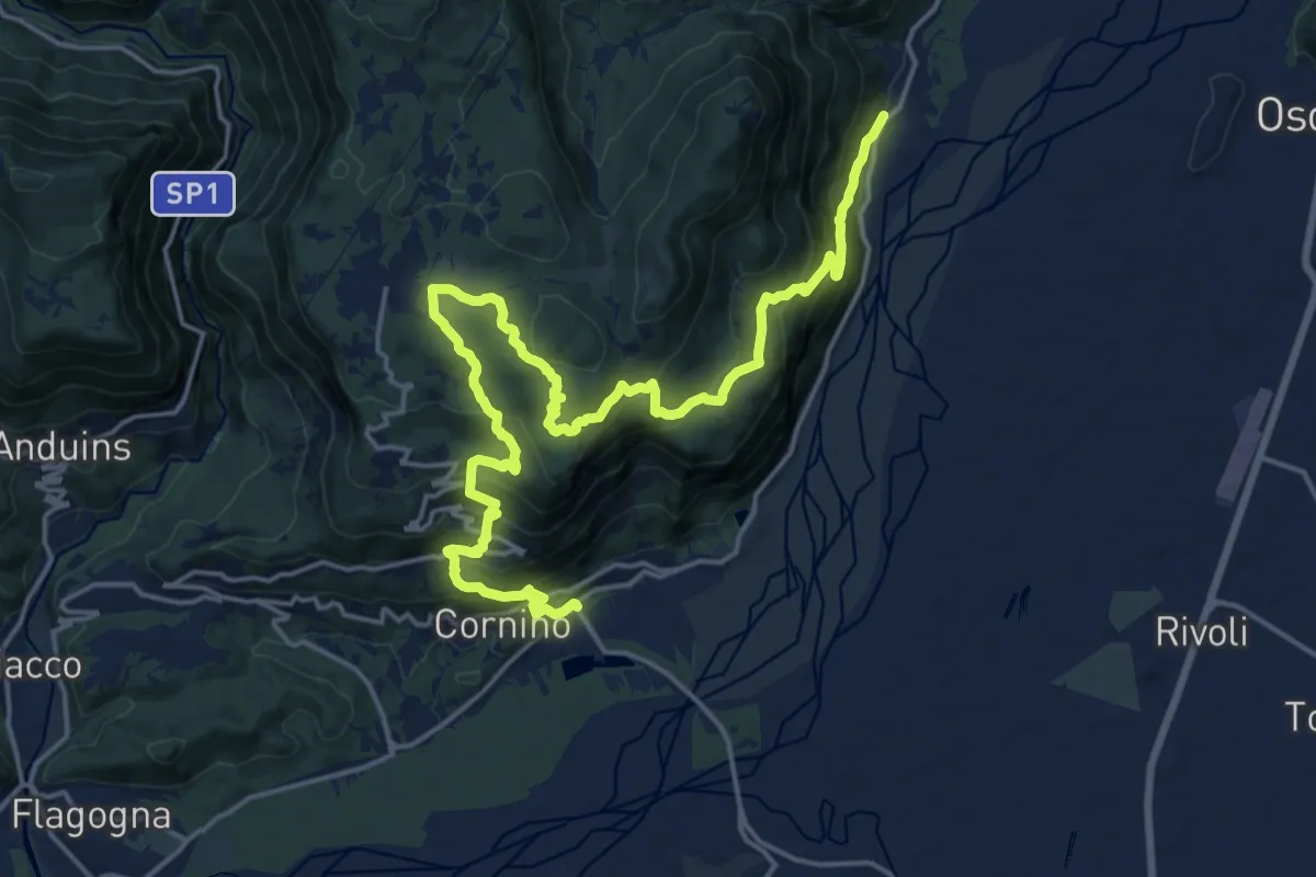
Medium · Trail
Peonis (quota 190 m) – Cornino (quota 157 m)
11.4 km · ↑ 665 m · 4 h 16 min · 12 km away
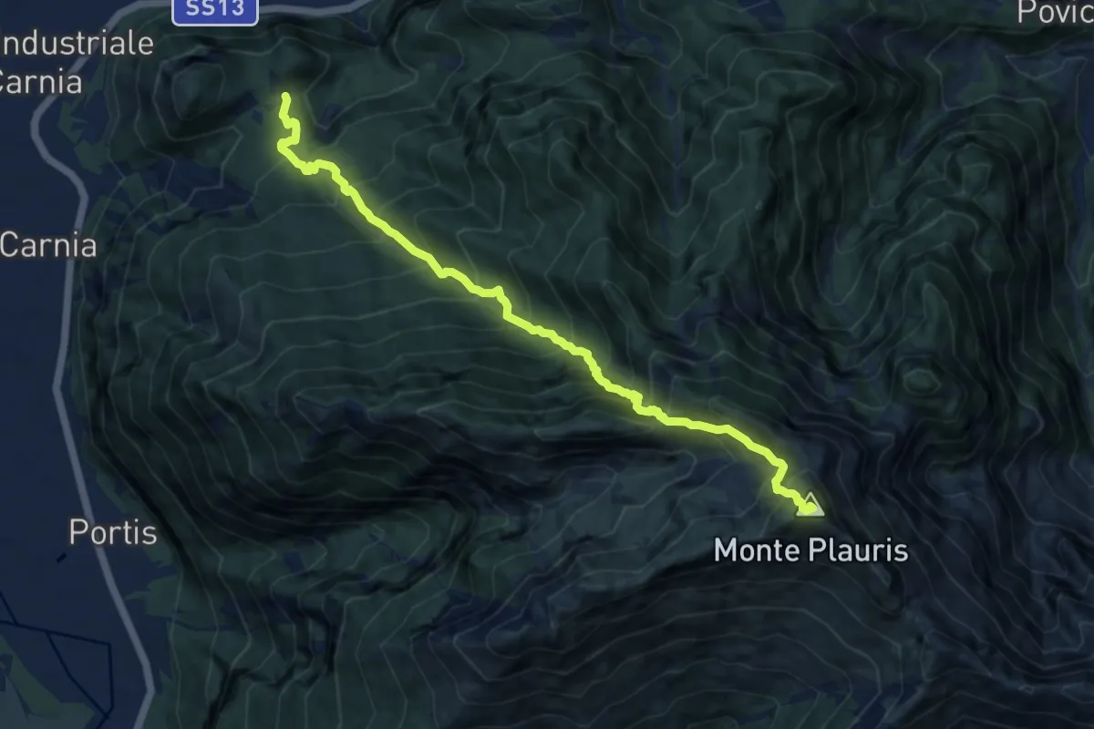
Demanding · Summit
Stavoli Tugliezzo (quota 450 m) – Forca Slips
10.5 km · ↑ 1403 m · 5 h 32 min · 12 km away
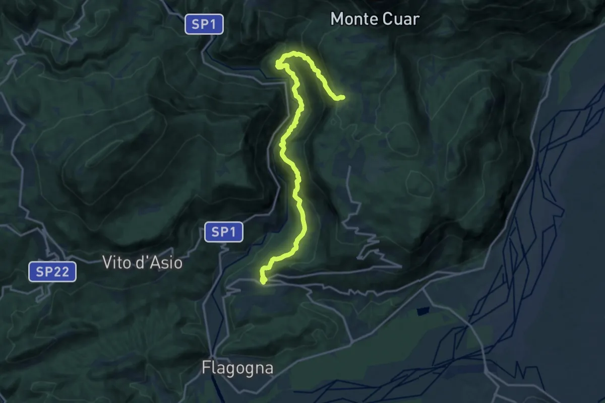
Demanding · Trail
Forgaria (quota 263 m) – Val Borgna – Bivio sentiero n. 816 (quota 826 m)
15.3 km · ↑ 1396 m · 6 h 38 min · 12 km away
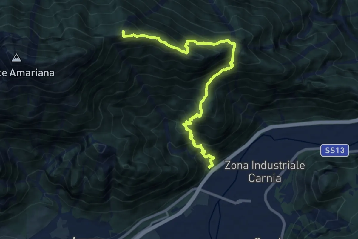
Expert · Summit
Ponte Rio Favarins (quota 270 m) – Bivio sentiero n. 414 (quota 1850 m)
11.5 km · ↑ 1326 m · 5 h 35 min · 12 km away
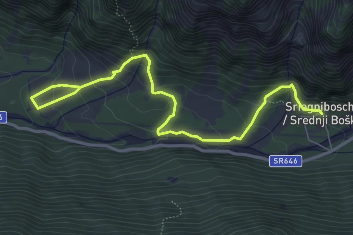
Medium · Trail
Sentiero Natura Valle Musi
7.0 km · ↑ 391 m · 2 h 30 min · 12 km away
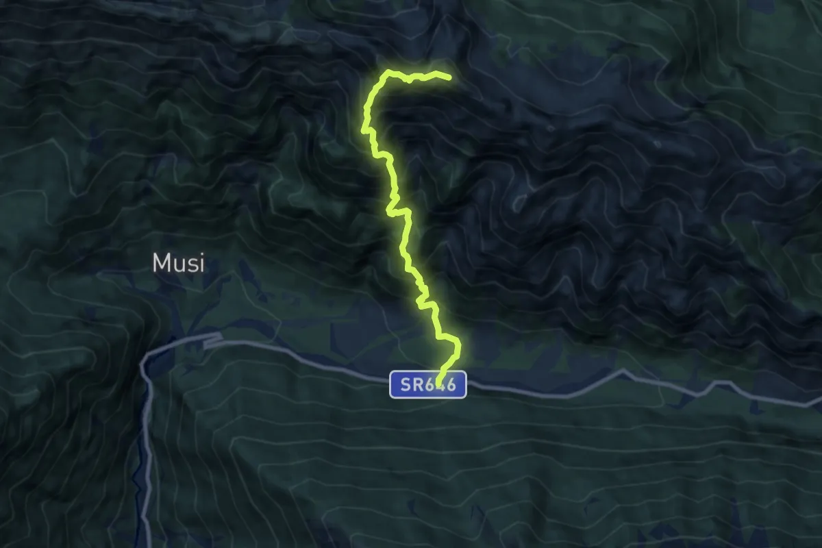
Expert · Summit
S.R. n. 646 Tarcento – Uccea (quota 691 m) – Sella Carnizza (quota 1086 m)
8.0 km · ↑ 1254 m · 4 h 36 min · 13 km away
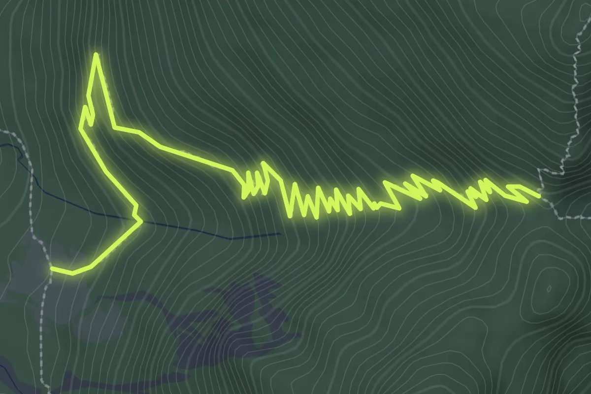
Medium · Cabin
Casera Rio Nero (quota 865 m) – Forca Tasacuzzer (quota 1231 m)
5.7 km · ↑ 437 m · 2 h 18 min · 13 km away
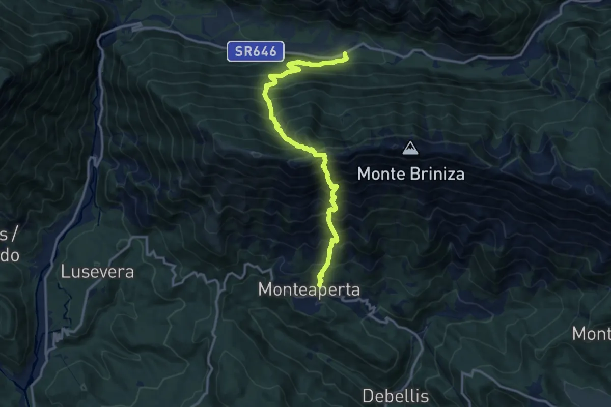
Demanding · Trail
S.R. 646 Tarcento – Uccea (quota 720 m) – Monteaperta (quota 608 m)
11.6 km · ↑ 1695 m · 6 h 24 min · 13 km away
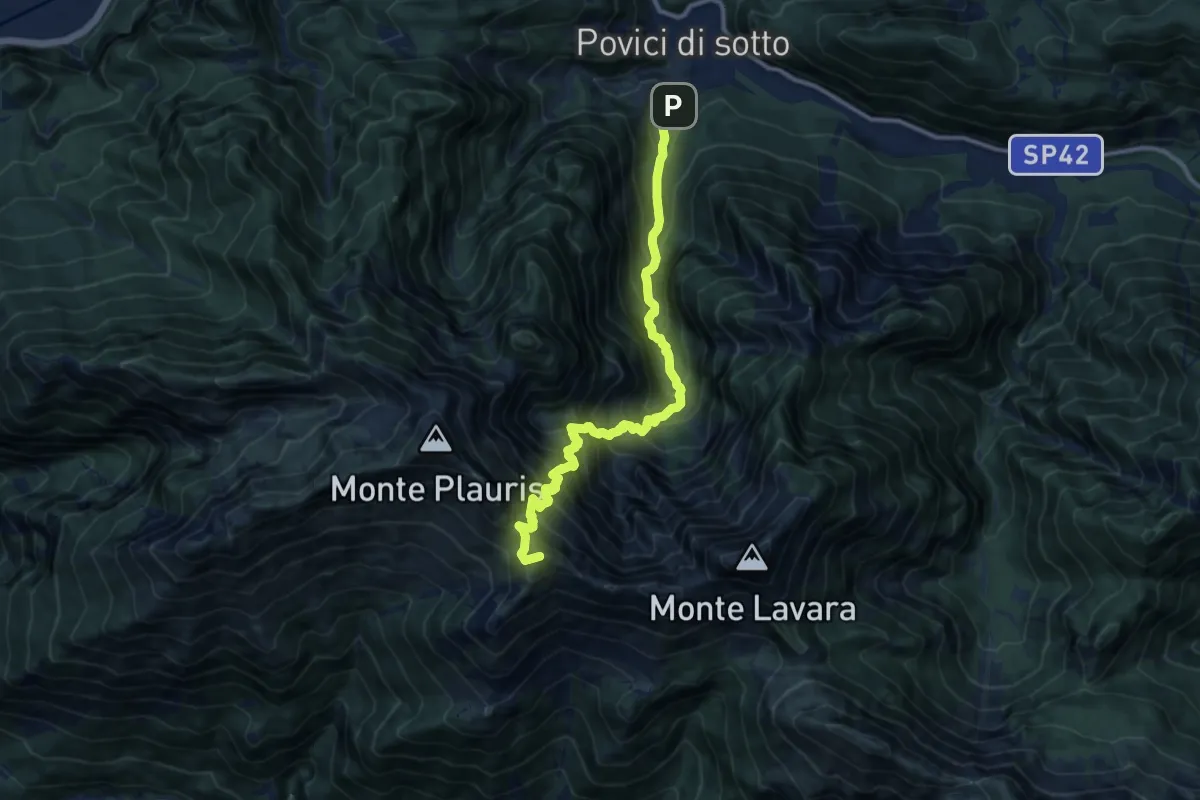
Demanding · Summit
Borgo Povici di Sopra (quota 400 m) – Casera Ungarina (quota 1300 m)
11.5 km · ↑ 1412 m · 5 h 47 min · 13 km away
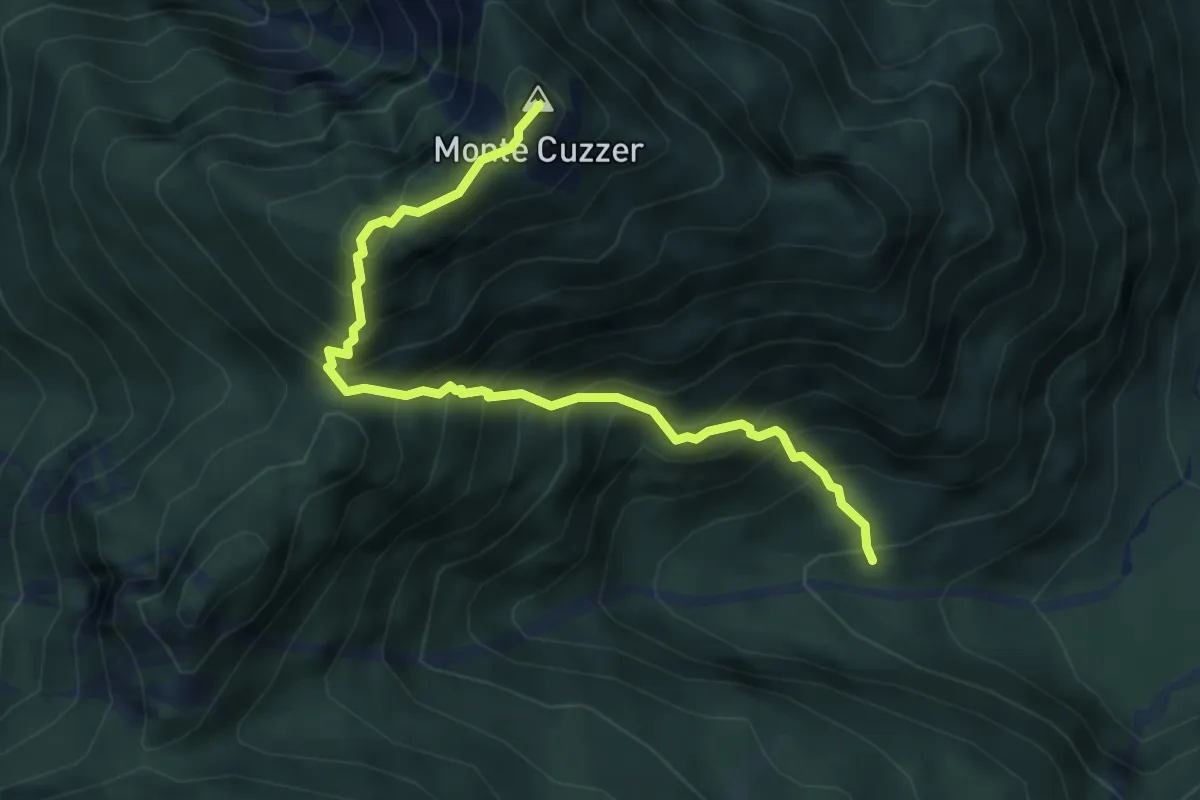
Demanding · Summit
Sentiero Claudio Vogric
4.9 km · ↑ 715 m · 2 h 43 min · 13 km away
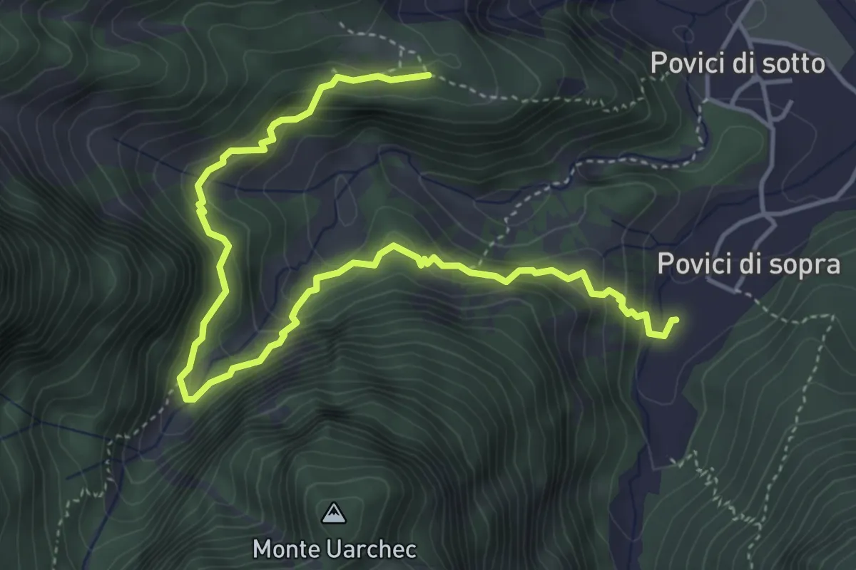
Medium · Trail
Borgo Cros Bivio sentiero n. 743 (quota 530 m) – Borgo Povici (quota 334 m)
5.5 km · ↑ 405 m · 2 h 11 min · 13 km away
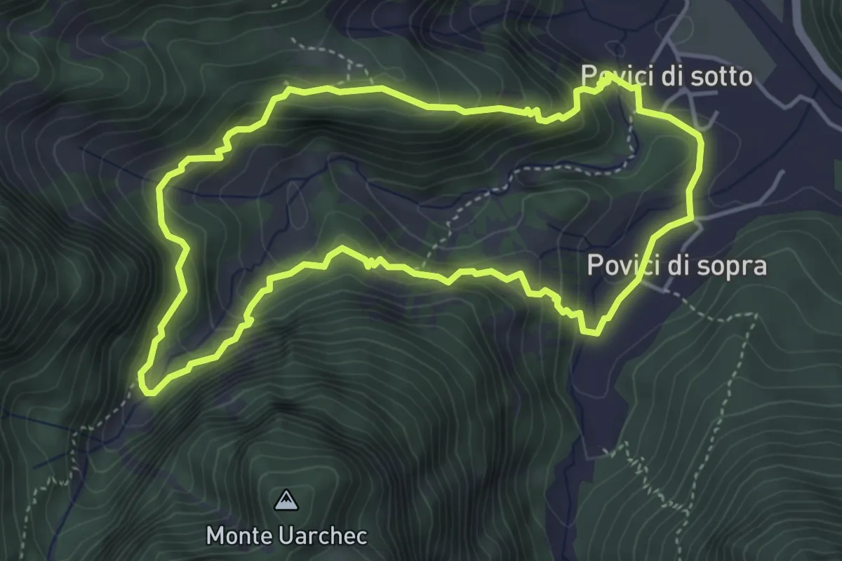
Medium · Trail
Anello borgo Cros - rio Serai
4.3 km · ↑ 331 m · 1 h 47 min · 13 km away
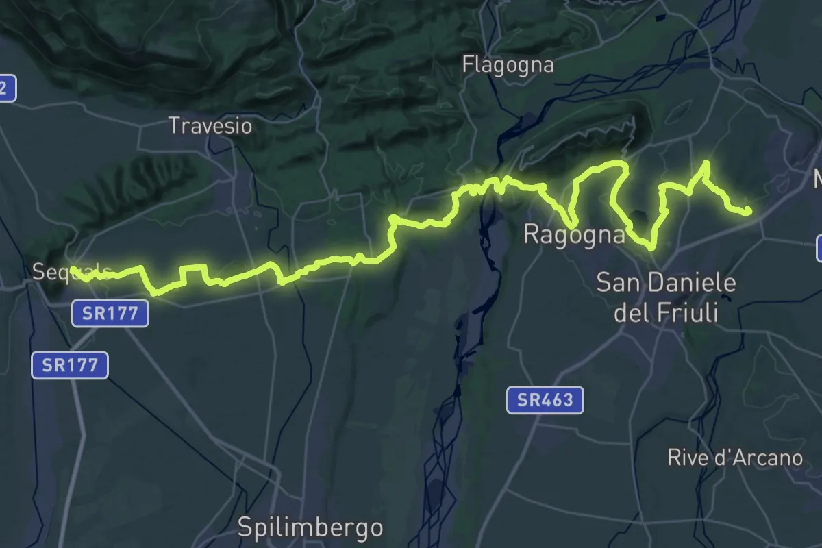
Demanding · Trail
Il Cammino di Sant'Antonio - Tappa 02G
27.6 km · ↑ 331 m · 7 h 37 min · 14 km away
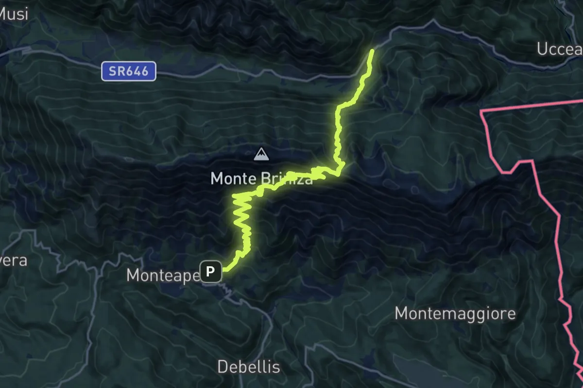
Demanding · Trail
Monteaperta (quota 608 m) – Passo Tanamea (quota 851 m)
9.7 km · ↑ 994 m · 4 h 27 min · 14 km away
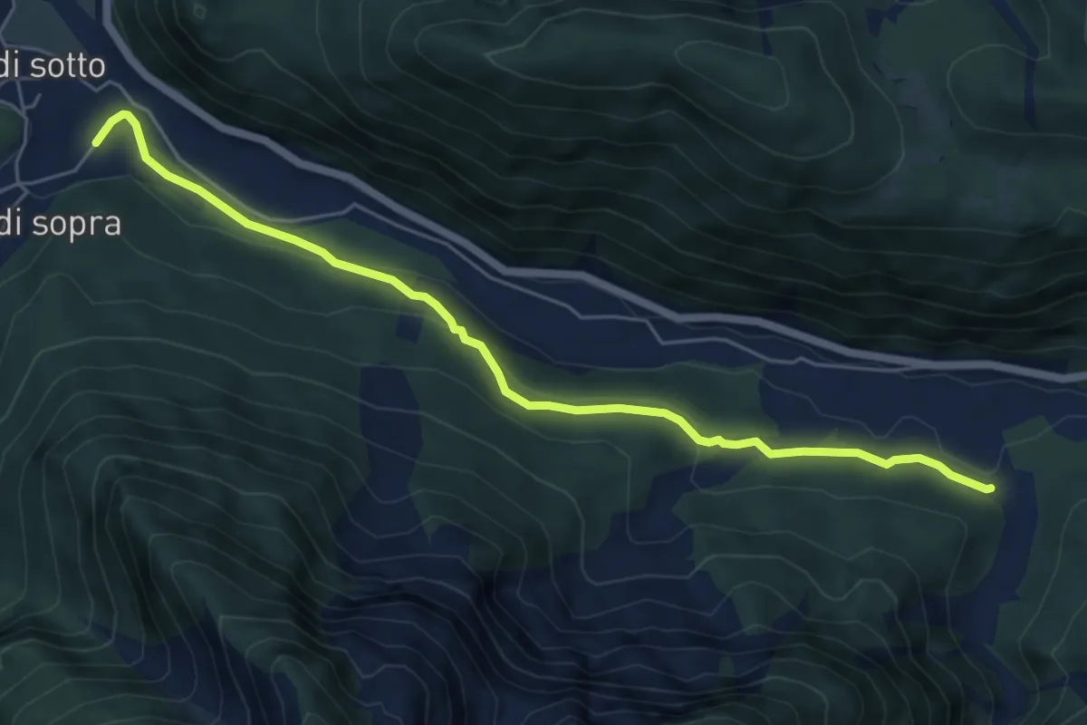
Easy · Trail
Stalli Cialze (quota 350 m) – Povici di Sopra (quota 330 m)
6.1 km · ↑ 180 m · 1 h 50 min · 14 km away
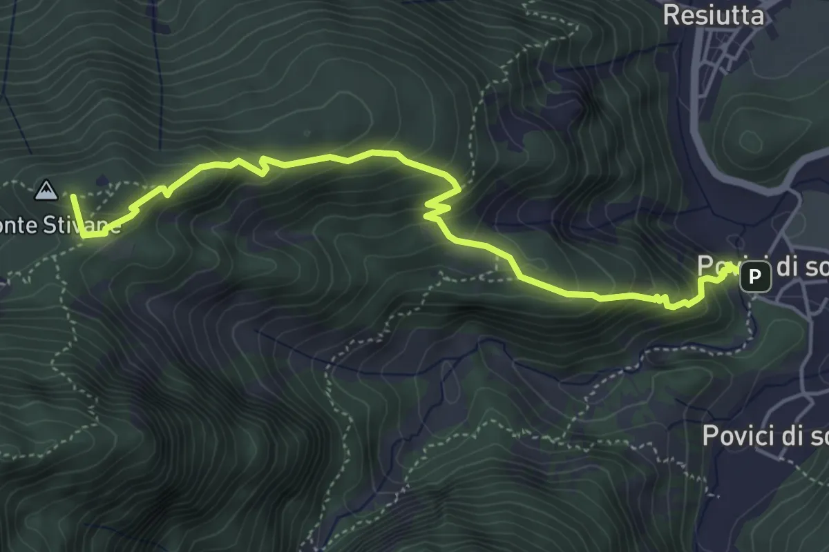
Medium · Summit
Borgo Povici di Sotto (quota 323 m) – Bivio 701 (quota 610 m)
5.3 km · ↑ 472 m · 2 h 16 min · 14 km away
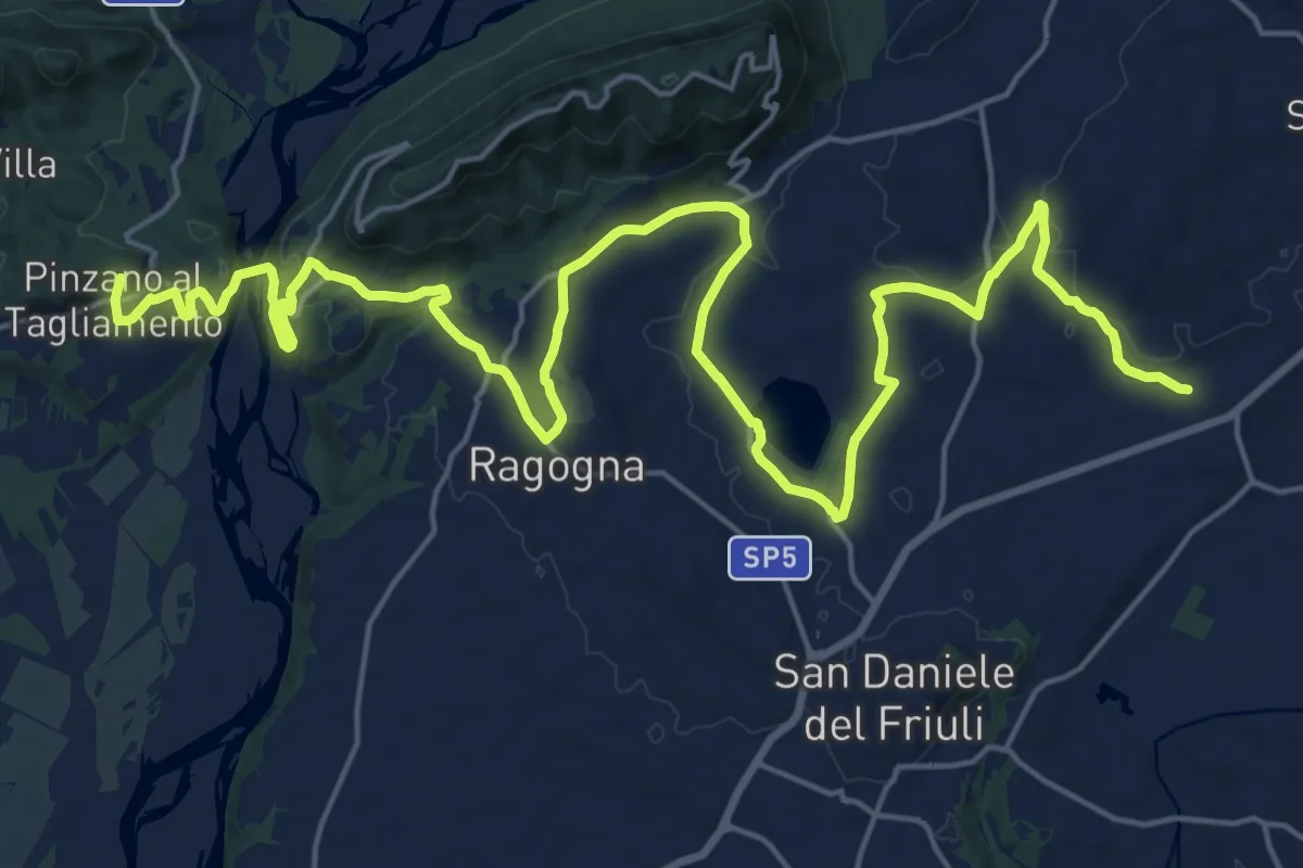
Demanding · Summit
Romea Strata in Italia - Tappa RSIT06
30.6 km · ↑ 435 m · 8 h 10 min · 14 km away
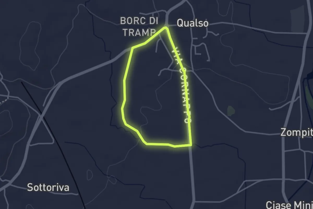
Easy · Trail
10mila passi Reana del Rojale
2.4 km · ↑ 14 m · 38 min · 14 km away
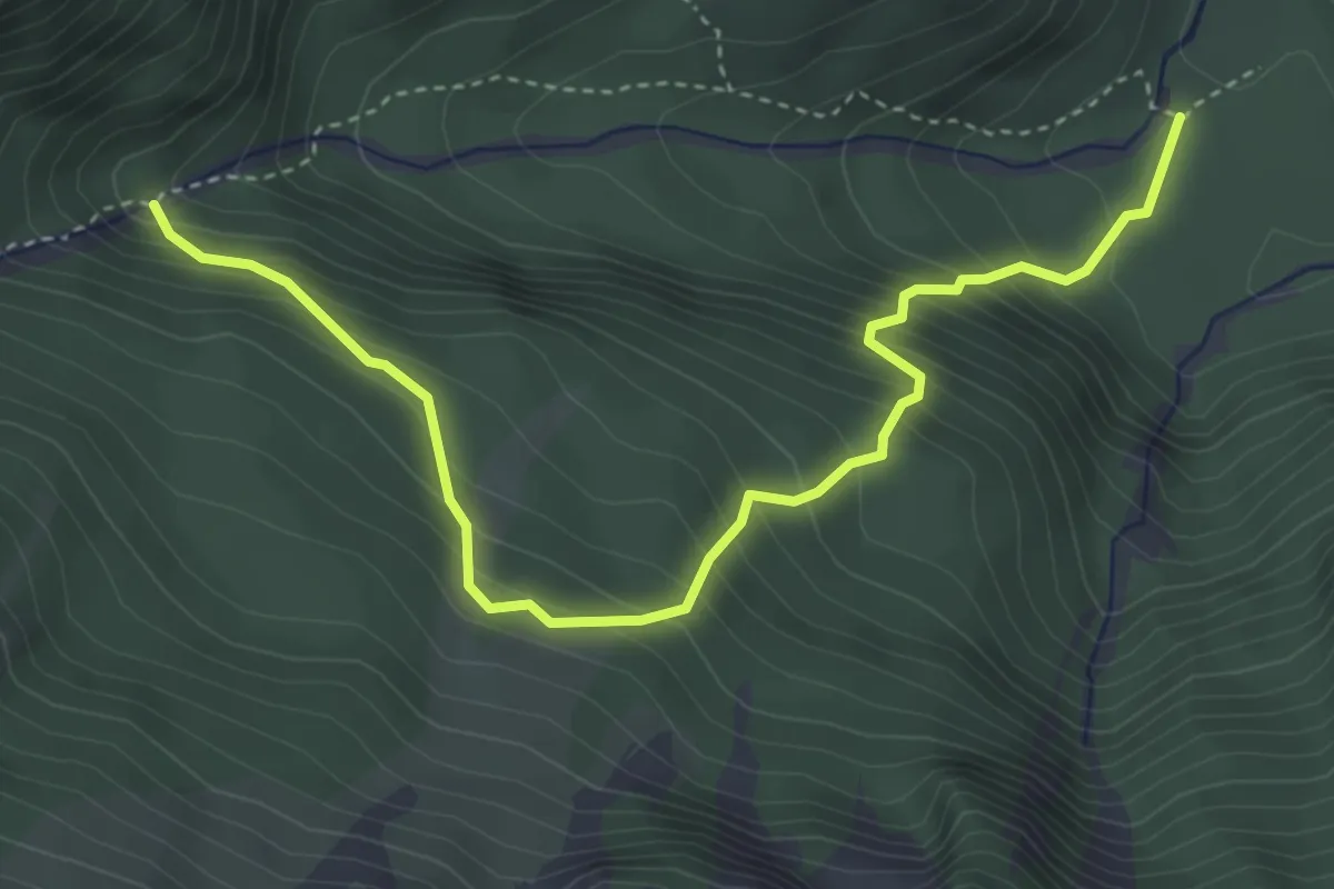
Medium · Trail
Lischiazze (quota 575 m) – Bivio sentiero n. 703(quota 876 m)>
4.4 km · ↑ 530 m · 2 h 11 min · 14 km away
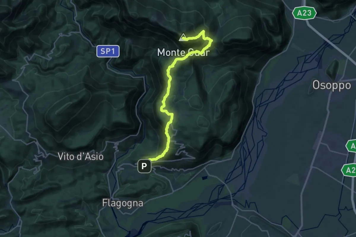
Demanding · Summit
Forgaria (quota 263 m) – Monte Cuâr (quota 1478 m)
20.4 km · ↑ 1466 m · 8 h · 14 km away
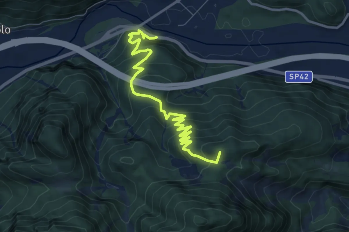
Medium · Summit
Moggio Udinese (quota 306 m) – Stalli Stivane (quota 747 m)
8.3 km · ↑ 589 m · 3 h 14 min · 14 km away
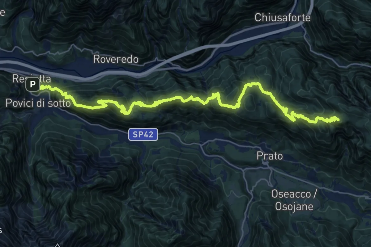
Demanding · Summit
Resiutta Calvario (quota 340 m) – Bivio sentiero n. 632 (quota 1220 m)
28.6 km · ↑ 1792 m · 10 h 38 min · 14 km away
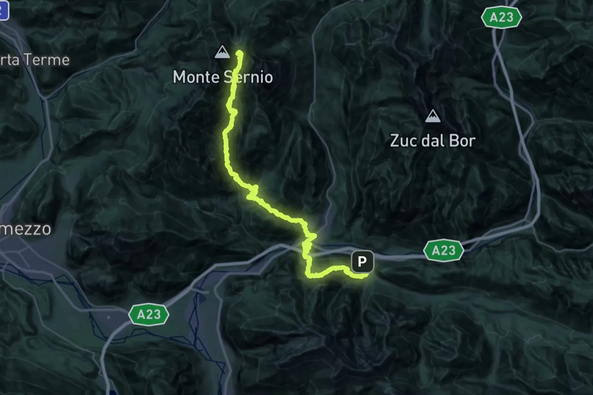
Expert · Summit
Via Alpina Yellow B11
45.3 km · ↑ 3912 m · 19 h 10 min · 14 km away
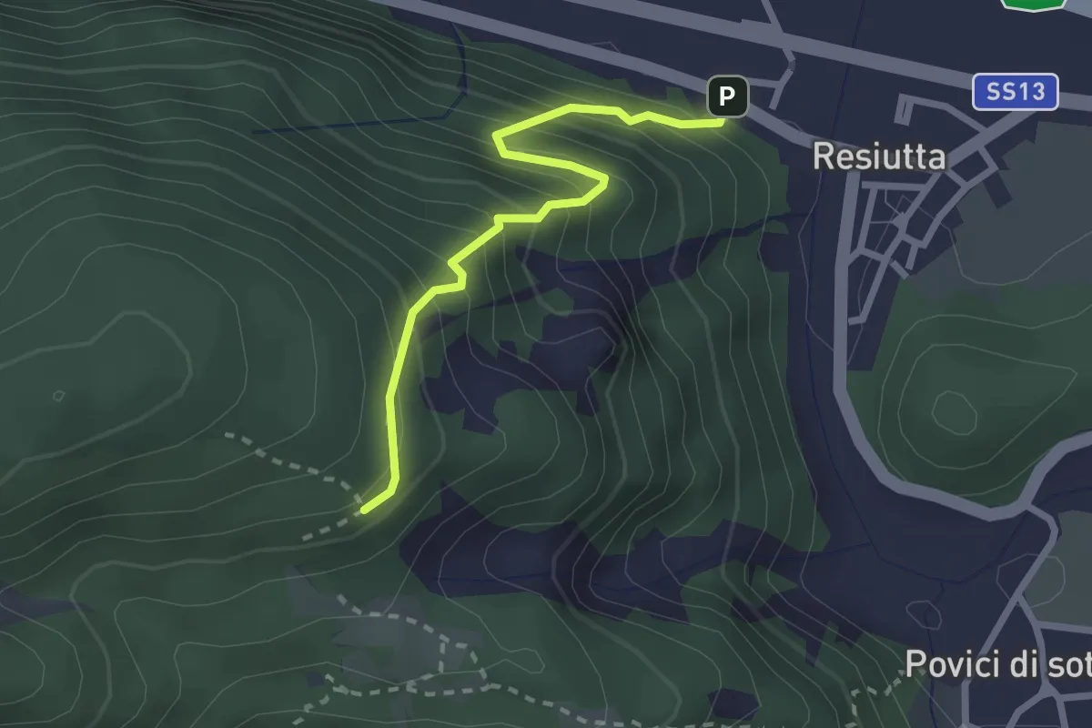
Medium · Trail
Resiutta bivio strada nord ex stazione (q. 318 m) – Bivio sent. 743 (q. 538 m)
2.3 km · ↑ 355 m · 1 h 19 min · 14 km away
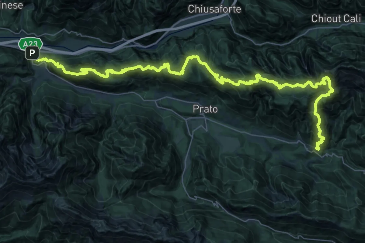
Demanding · Summit
JK18
22.9 km · ↑ 1749 m · 9 h 23 min · 14 km away
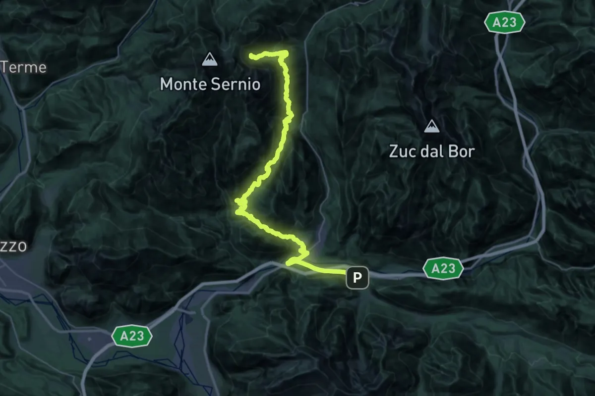
Demanding · Summit
JK19
20.7 km · ↑ 1965 m · 8 h 58 min · 14 km away
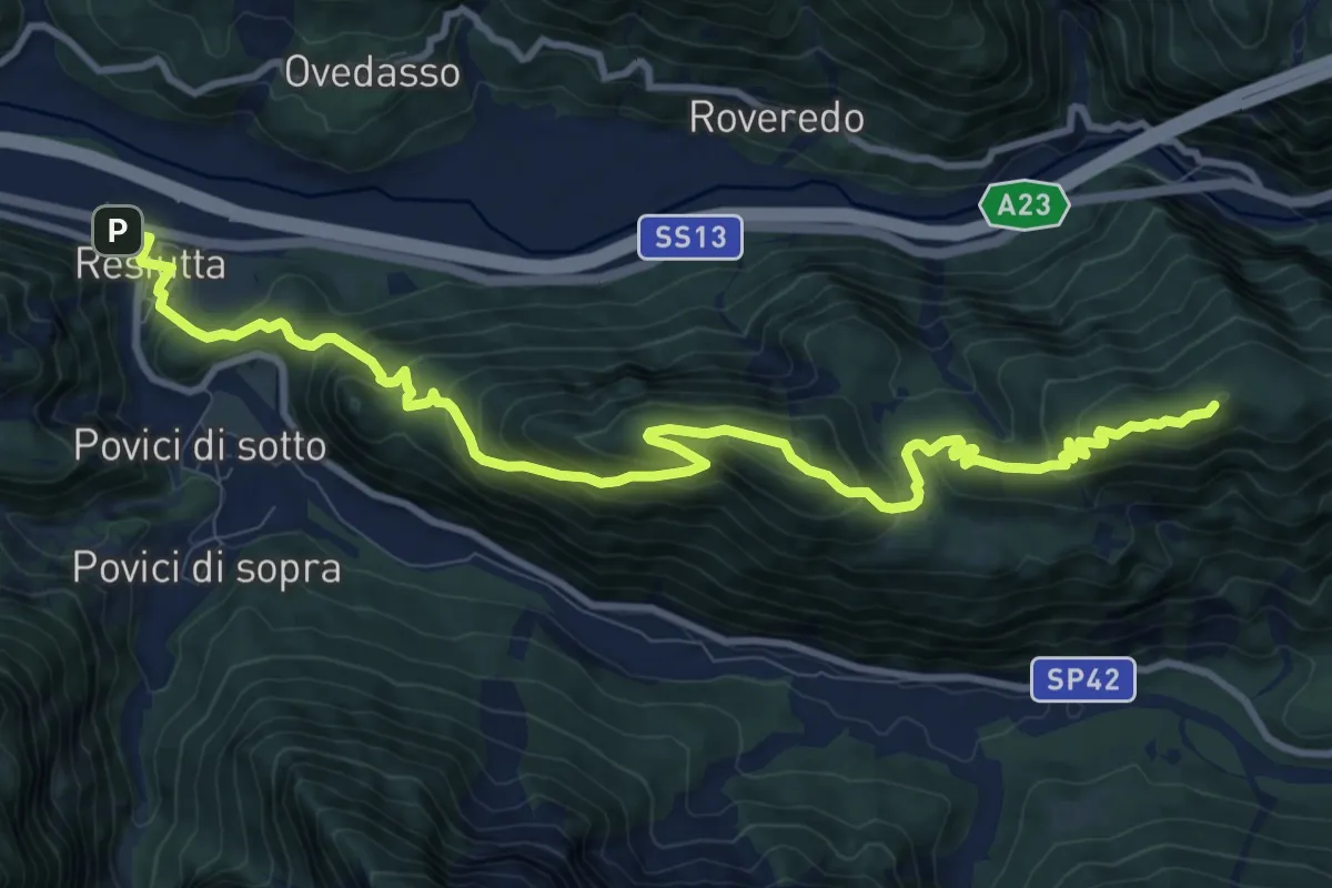
Medium · Summit
Hst. Chiusaforte – Resiutta/Albergo
12.7 km · ↑ 785 m · 4 h 42 min · 14 km away
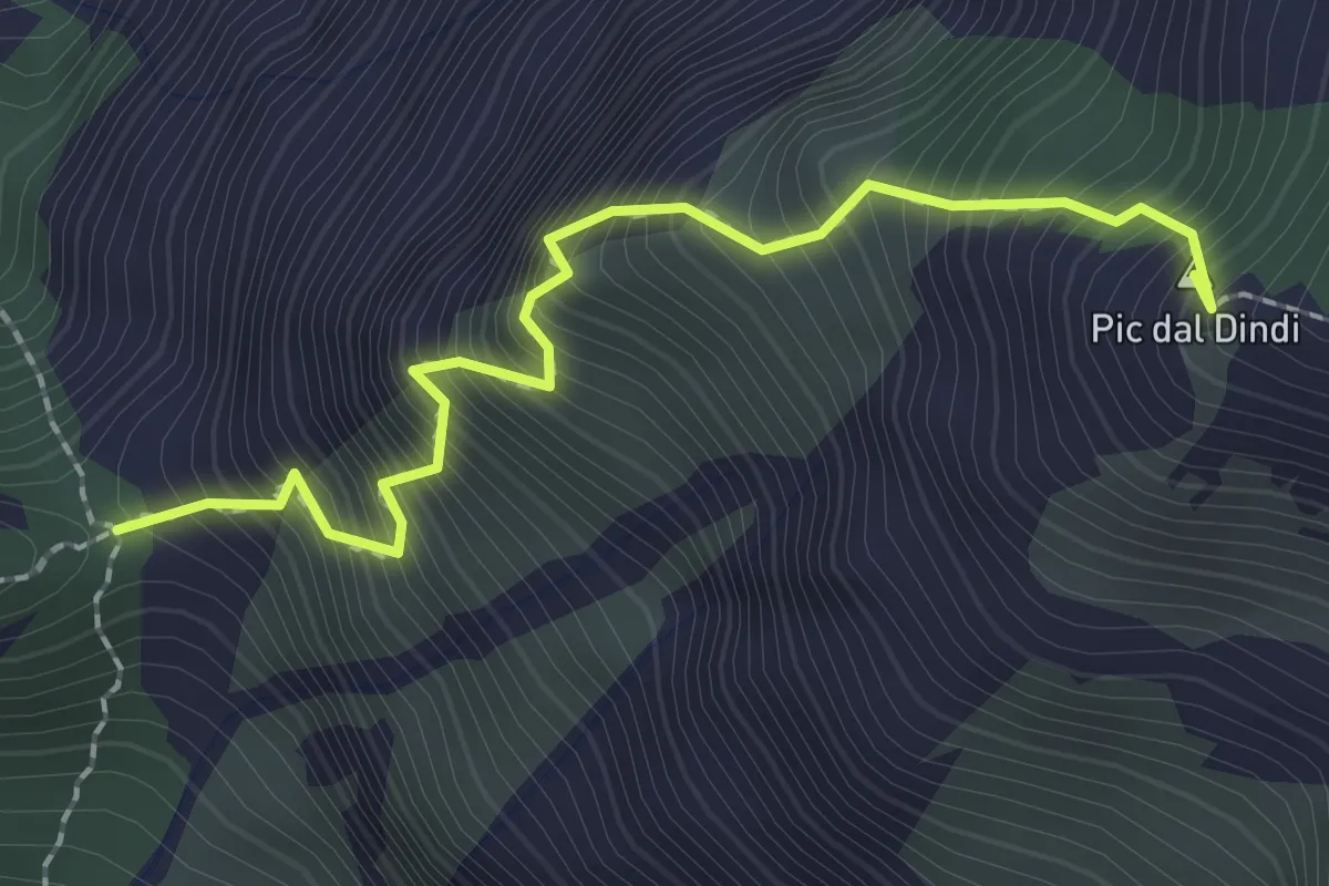
Expert · Summit
Sentiero alpinistico Mario Dalla Marta
2.2 km · ↑ 672 m · 1 h 58 min · 15 km away
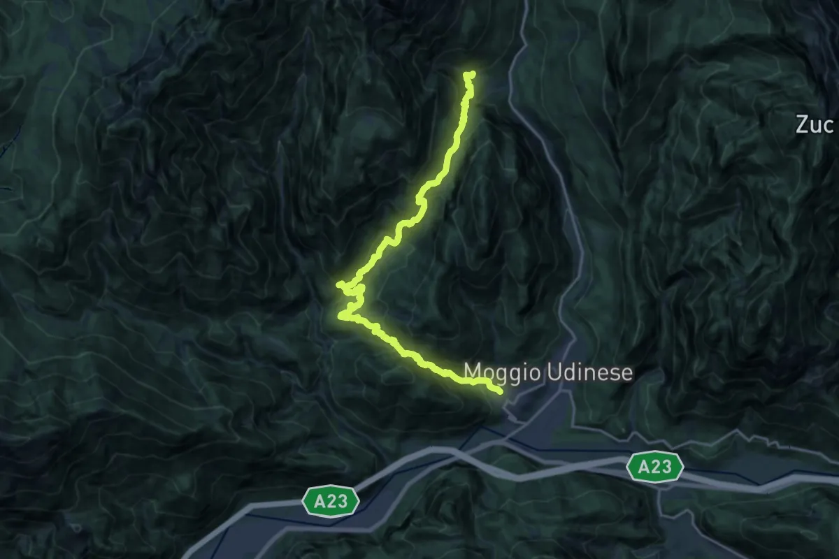
Demanding · Trail
Moggio di Sopra località Costa (quota 420 m) – Frazione Grauzaria (quota 516 m)
9.9 km · ↑ 876 m · 4 h 16 min · 15 km away
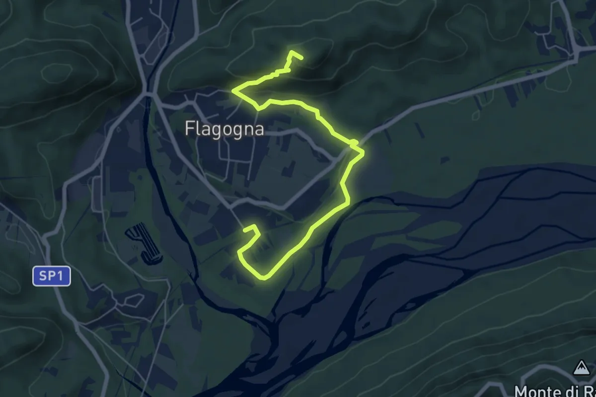
Easy · Trail
Troi di Meni
6.5 km · ↑ 177 m · 1 h 55 min · 15 km away