Trails near Genova
156 hikes starting within 15 km, nearest first.
Nearest first, page 1 of 4
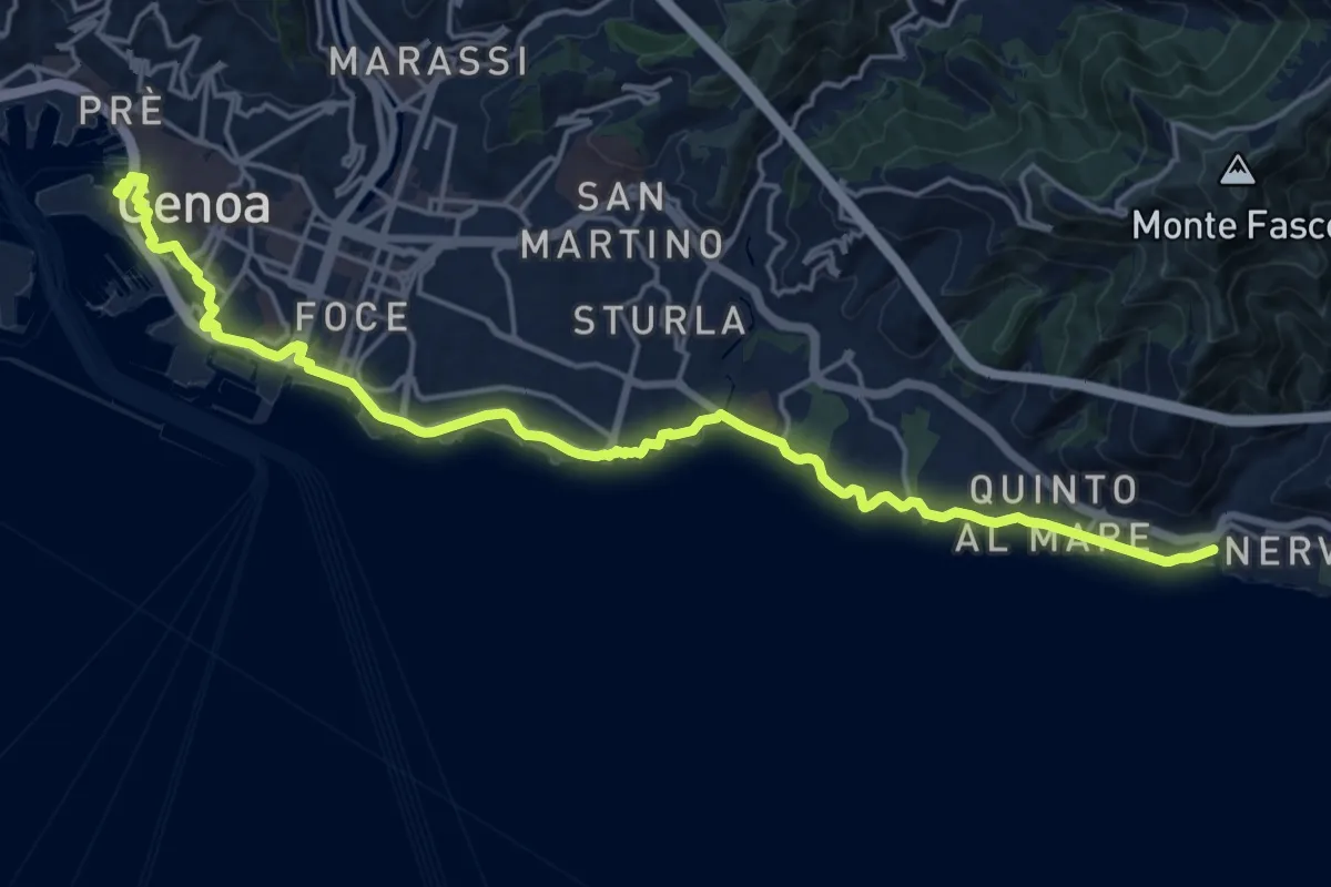
Demanding · Trail
Sentiero Liguria - Tappa 12
22.2 km · ↑ 312 m · 5 h 55 min · 1 km away
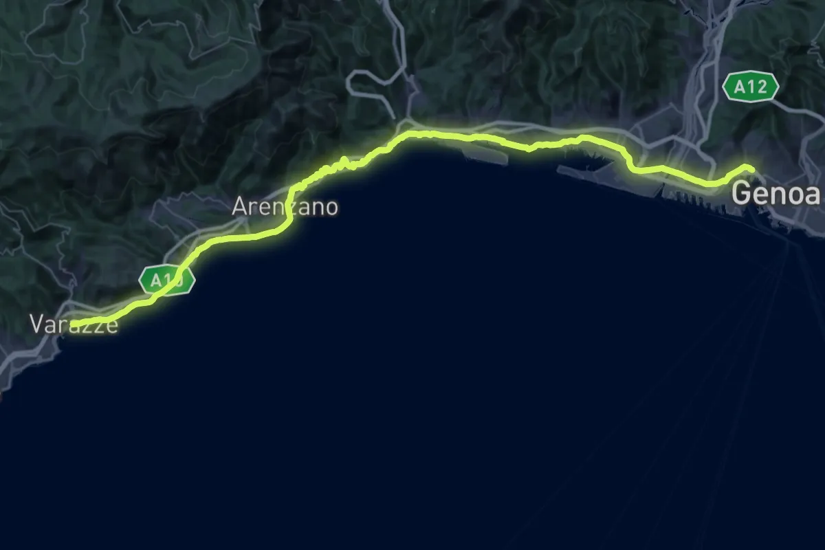
Demanding · Trail
Via della Costa - tappa 7
34.7 km · ↑ 593 m · 9 h 58 min · 1 km away
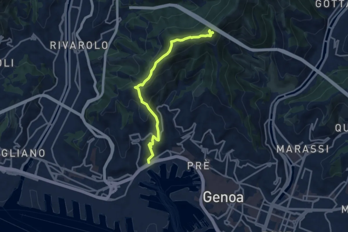
Medium · Trail
San Teodoro – Forte Sperone
10.1 km · ↑ 619 m · 3 h 43 min · 2 km away
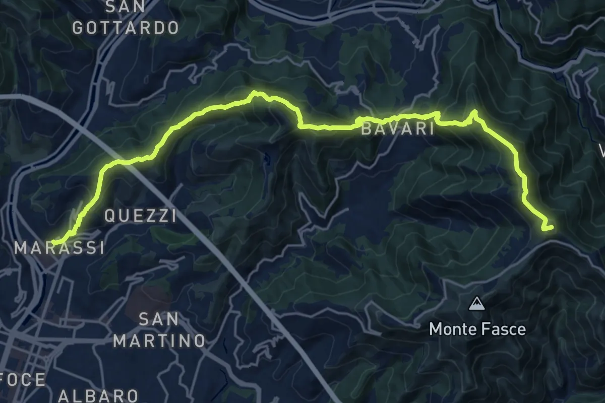
Demanding · Summit
Marassi – Monte Fasce
21.8 km · ↑ 1521 m · 8 h 27 min · 2 km away
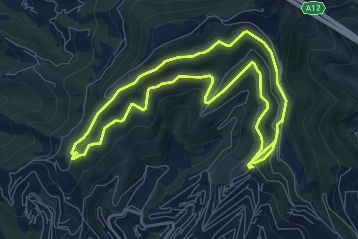
Medium · Trail
I3 - Anello della Zona a Sud
13.4 km · ↑ 711 m · 4 h 43 min · 2 km away
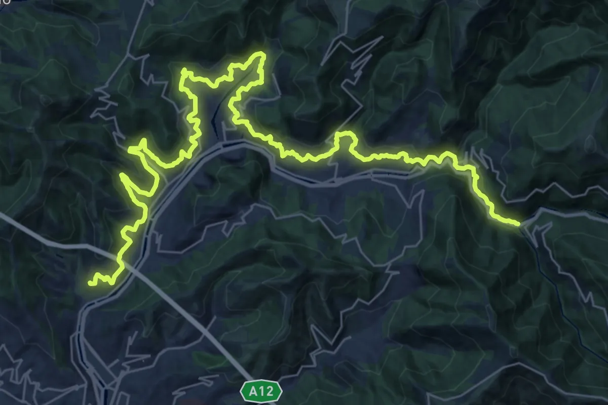
Demanding · Trail
Acquedotto storico di Genova
21.2 km · ↑ 969 m · 7 h 21 min · 3 km away
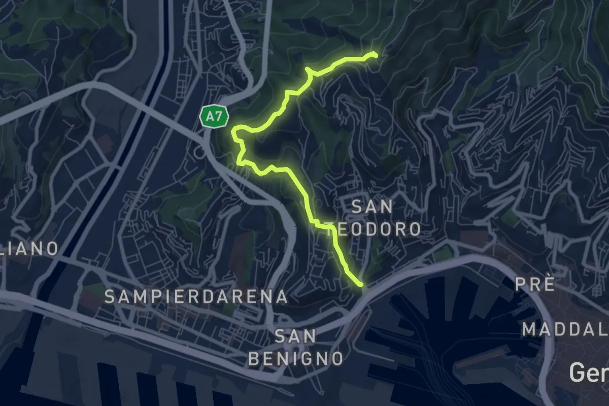
Medium · Trail
Salita degli Angeli - Porta di Granarolo
7.1 km · ↑ 397 m · 2 h 32 min · 3 km away
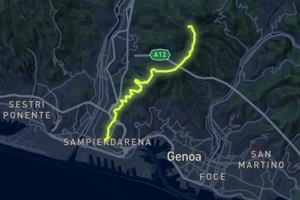
Demanding · Summit
Sampierdarena – Forte Diamante
18.0 km · ↑ 1131 m · 6 h 43 min · 3 km away
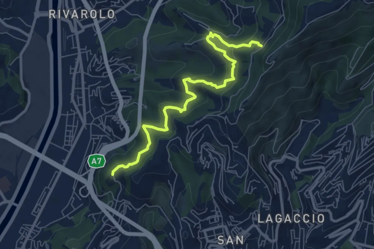
Medium · Trail
D6 - Forte Crocetta - Garbo - Fregoso
7.0 km · ↑ 551 m · 2 h 51 min · 4 km away
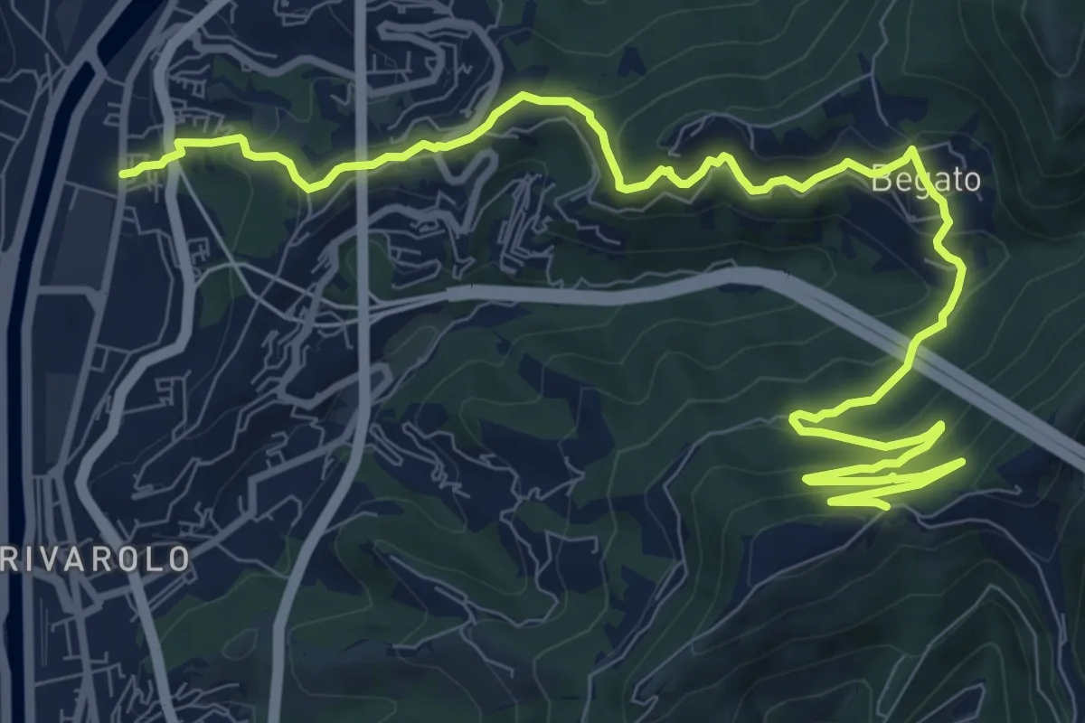
Medium · Trail
Teglia – Cancello dell'Avvocato
13.3 km · ↑ 695 m · 4 h 38 min · 4 km away
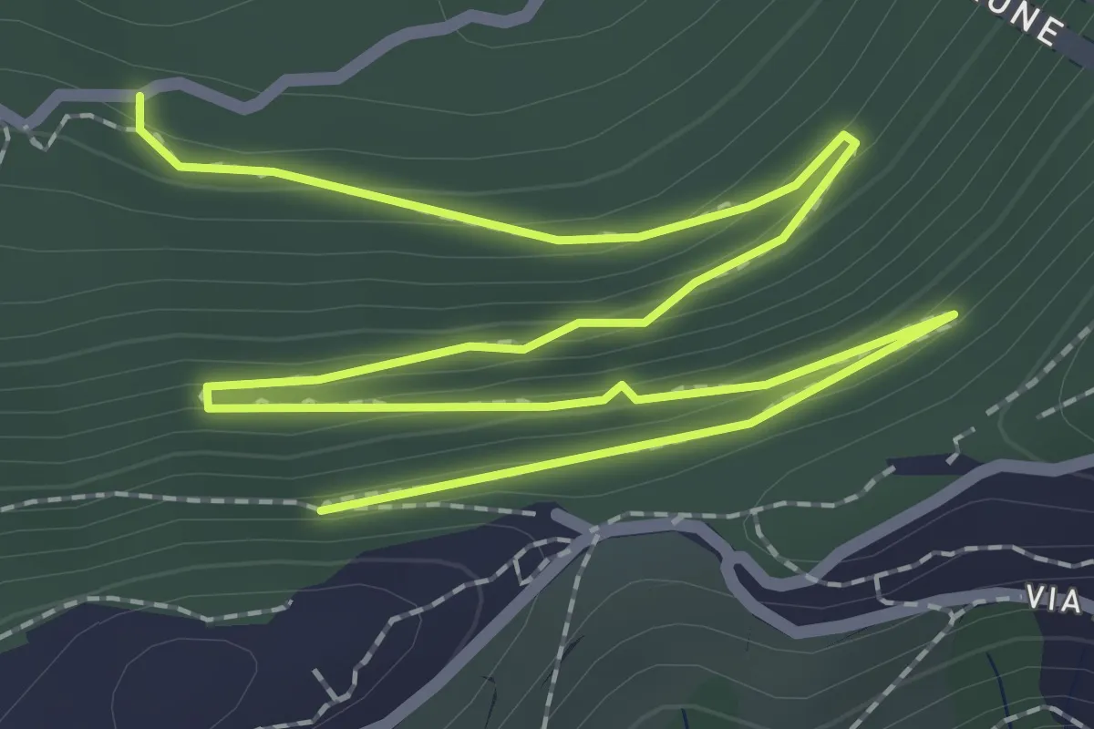
Easy · Trail
D5 - Fregoso - Forte Begato
4.0 km · ↑ 175 m · 1 h 19 min · 4 km away
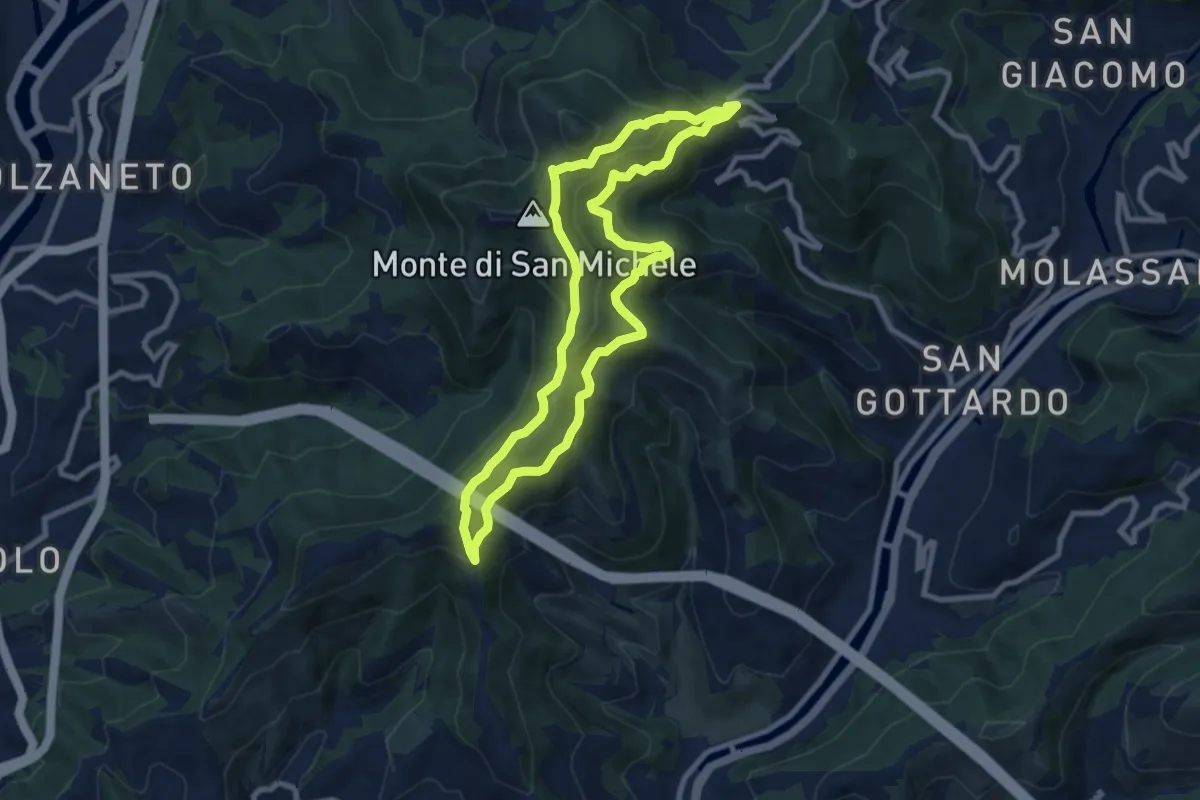
Medium · Summit
I2 - Anello Valbisagno
8.5 km · ↑ 543 m · 3 h 18 min · 4 km away
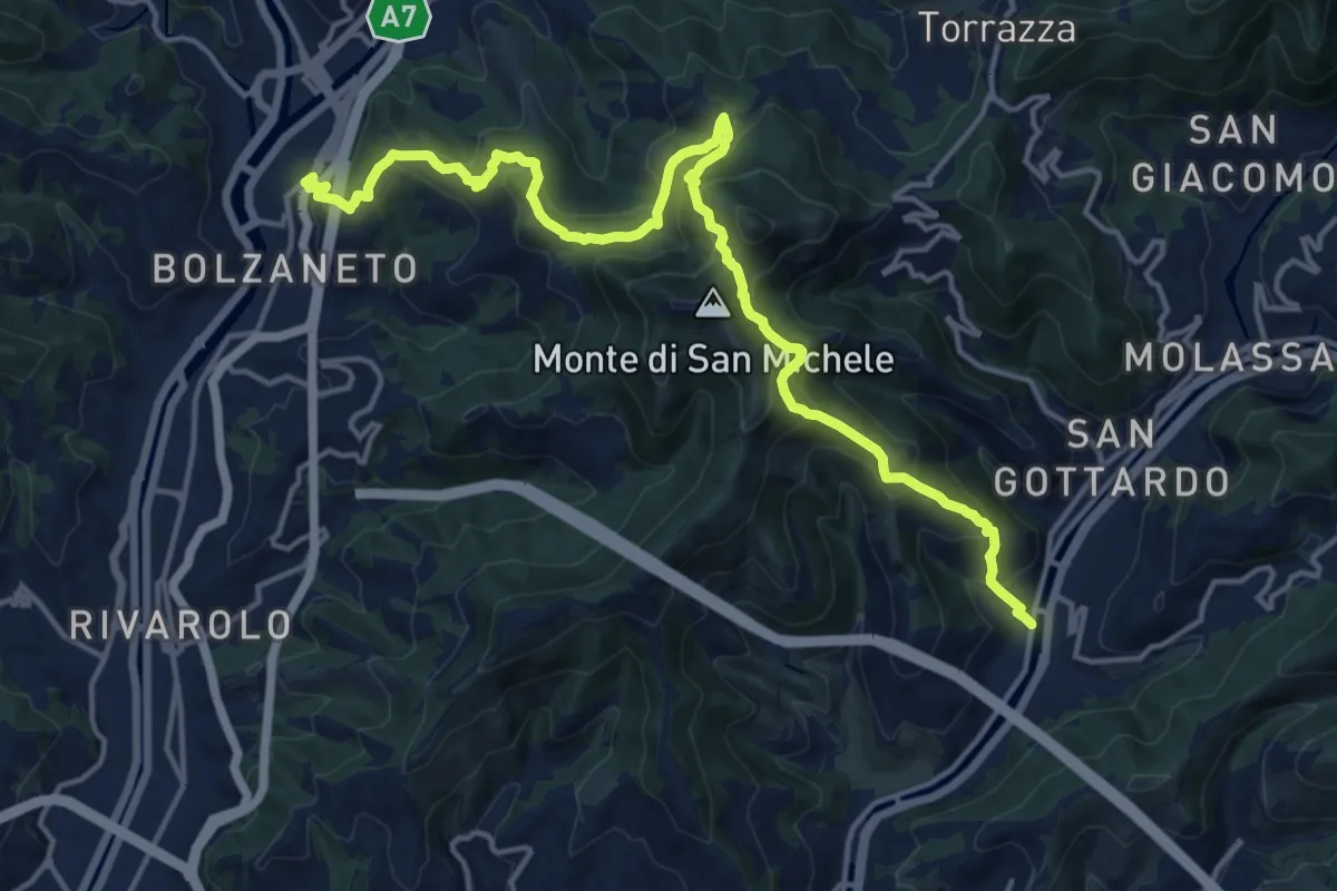
Demanding · Trail
San Sebastiano – Bolzaneto
18.6 km · ↑ 1273 m · 7 h 9 min · 4 km away
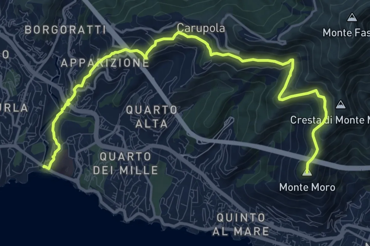
Medium · Summit
Sentiero Liguria - Tappa 12 Variante
14.0 km · ↑ 687 m · 4 h 48 min · 4 km away
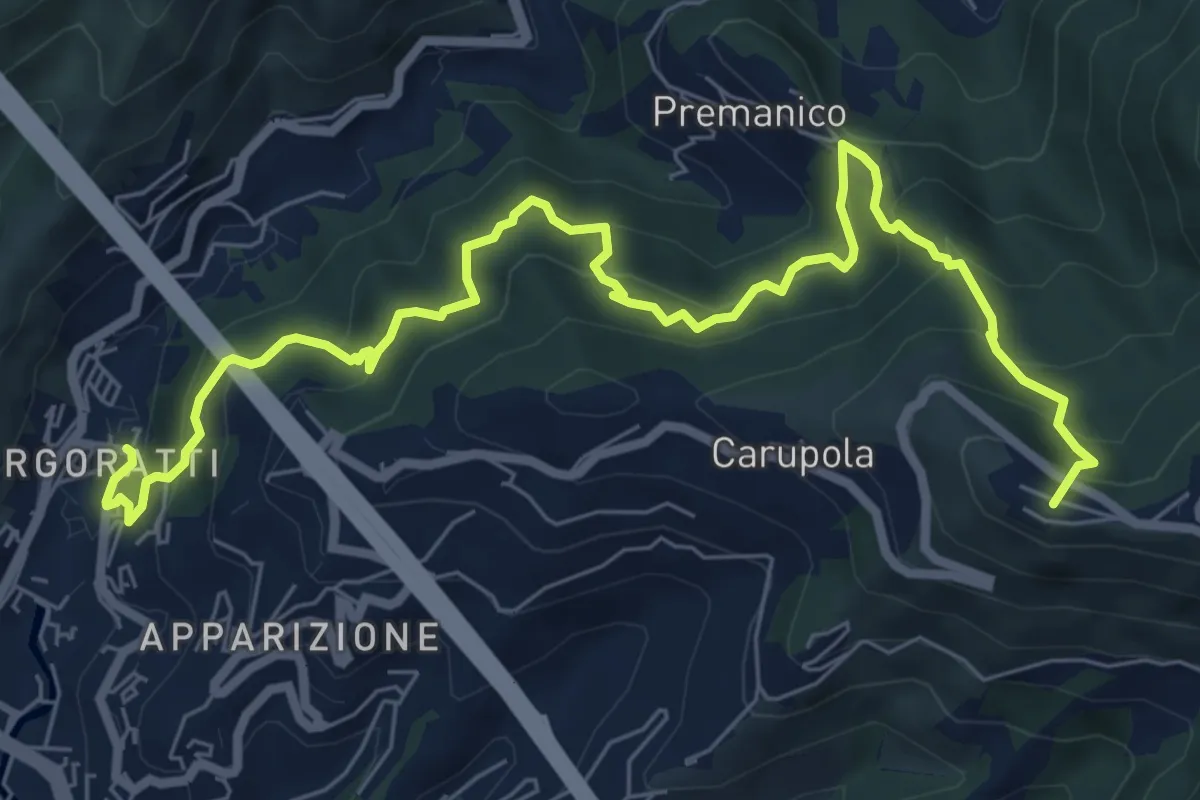
Demanding · Summit
Nervi - Monte Fasce - Premanico - Borgoratti
9.3 km · ↑ 848 m · 4 h 2 min · 4 km away
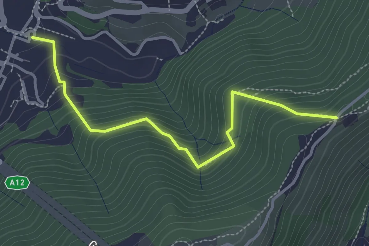
Medium · Trail
Ponte Carrega - Leamara
3.1 km · ↑ 269 m · 1 h 19 min · 4 km away
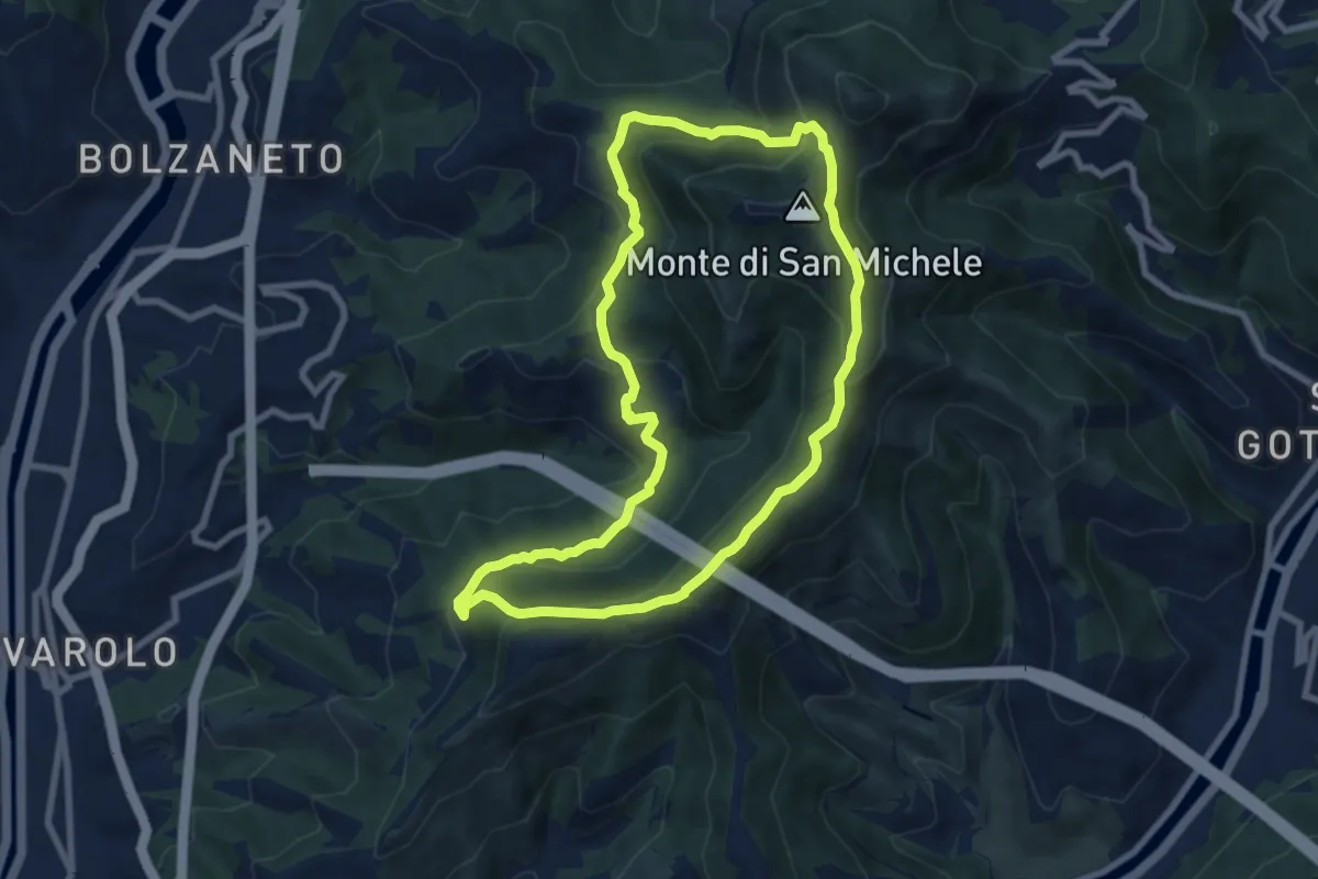
Medium · Summit
I1 - Anello Maggiore
8.0 km · ↑ 417 m · 2 h 55 min · 5 km away
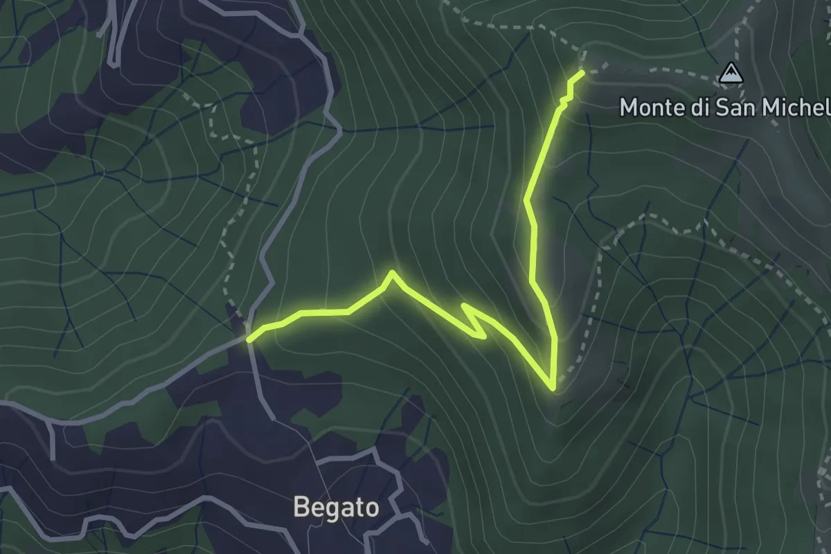
Medium · Trail
D3 - Begato - Forte Fratello Minore
3.1 km · ↑ 279 m · 1 h 19 min · 5 km away
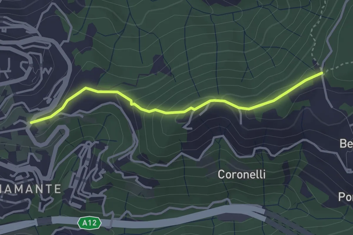
Easy · Trail
D4 - Costa di Begato
3.1 km · ↑ 155 m · 1 h 4 min · 5 km away
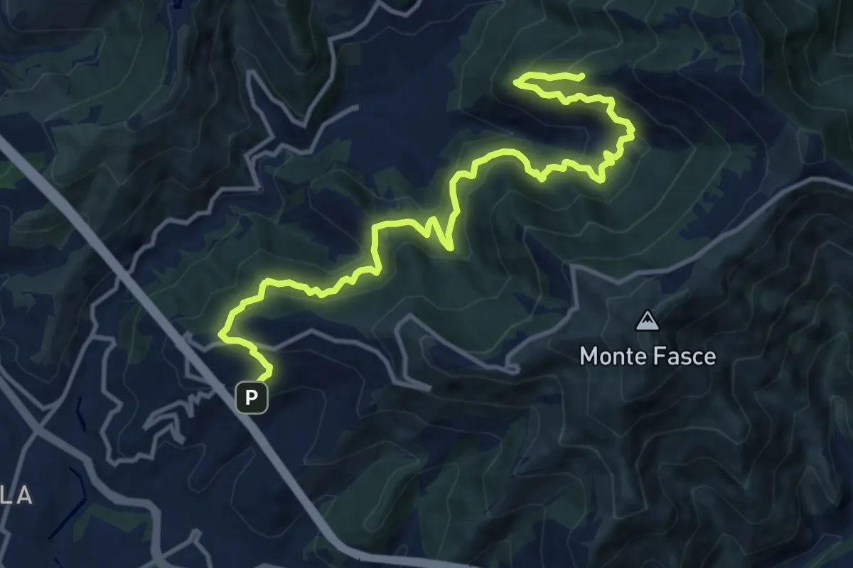
Demanding · Summit
Bavari – Apparizione
13.8 km · ↑ 1152 m · 5 h 45 min · 5 km away
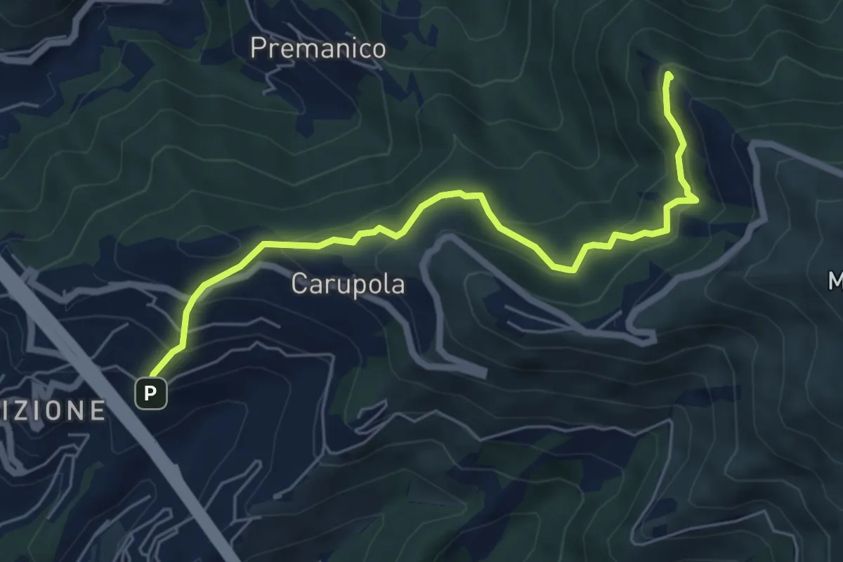
Medium · Summit
Apparizione - Punta Crovino
6.2 km · ↑ 445 m · 2 h 26 min · 5 km away
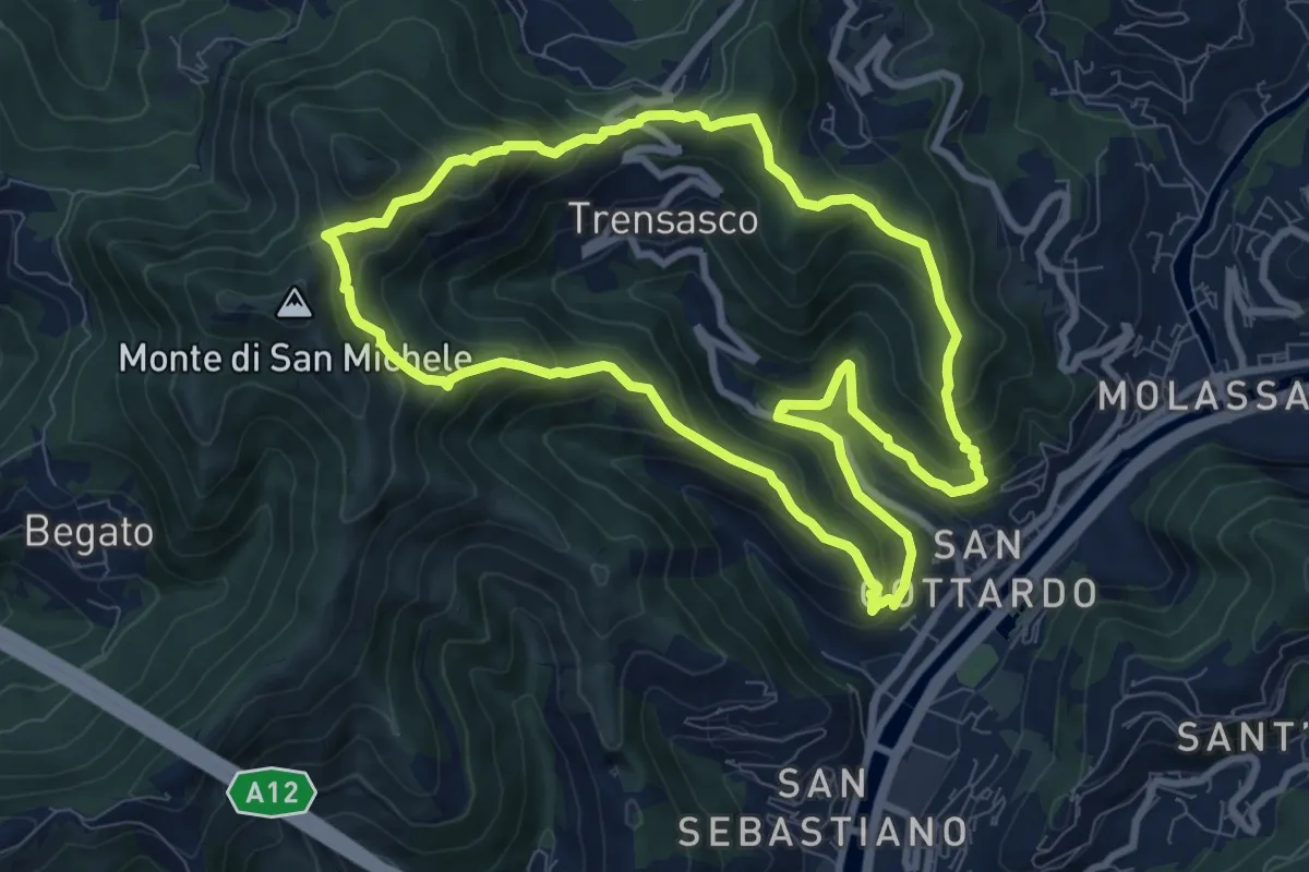
Medium · Summit
Anello dell'Acquedotto 1
9.0 km · ↑ 627 m · 3 h 36 min · 5 km away
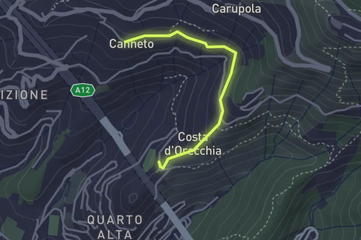
Easy · Trail
Quarto Alta - Canneto di Apparizione
2.8 km · ↑ 136 m · 58 min · 5 km away
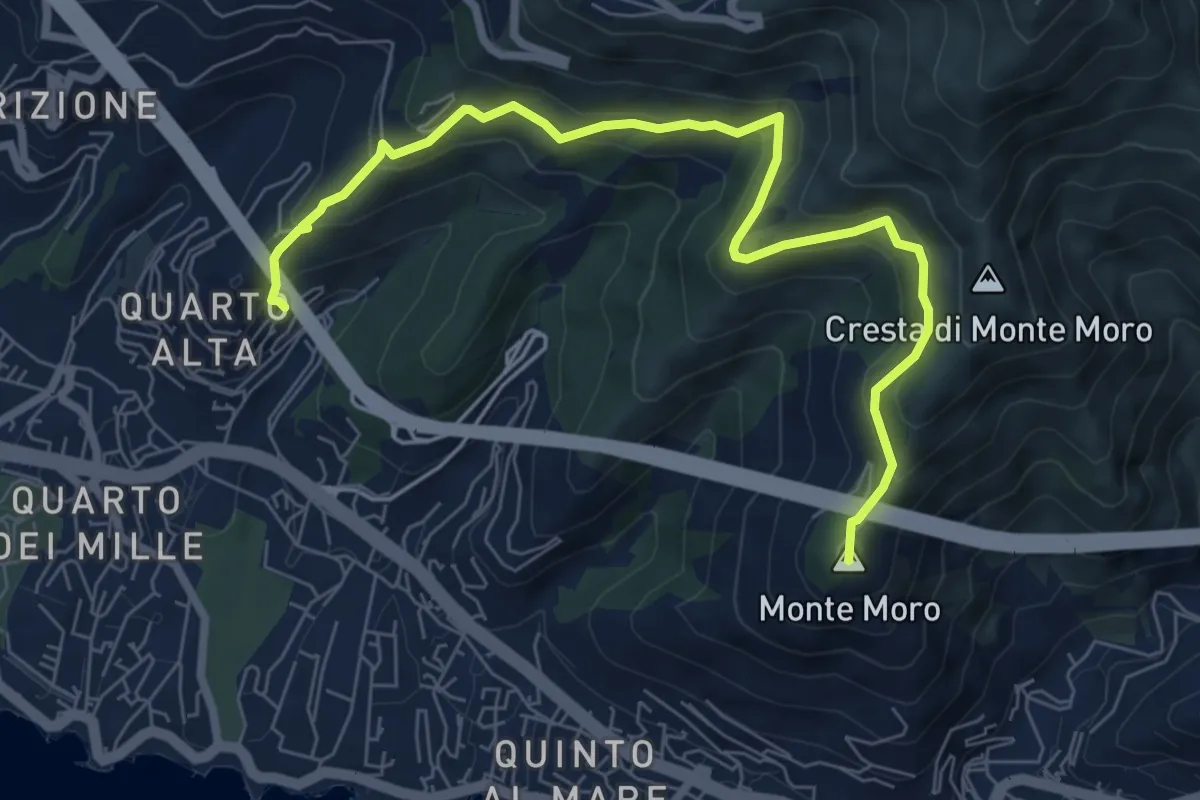
Medium · Summit
Nervi - Quarto Alta
8.4 km · ↑ 481 m · 3 h 2 min · 6 km away
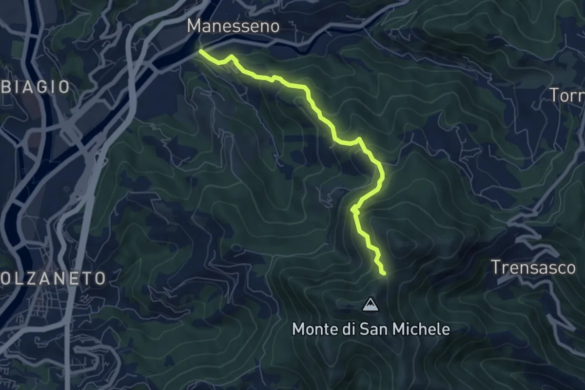
Medium · Trail
Manesseno - Colletto del Diamante
6.7 km · ↑ 519 m · 2 h 42 min · 6 km away
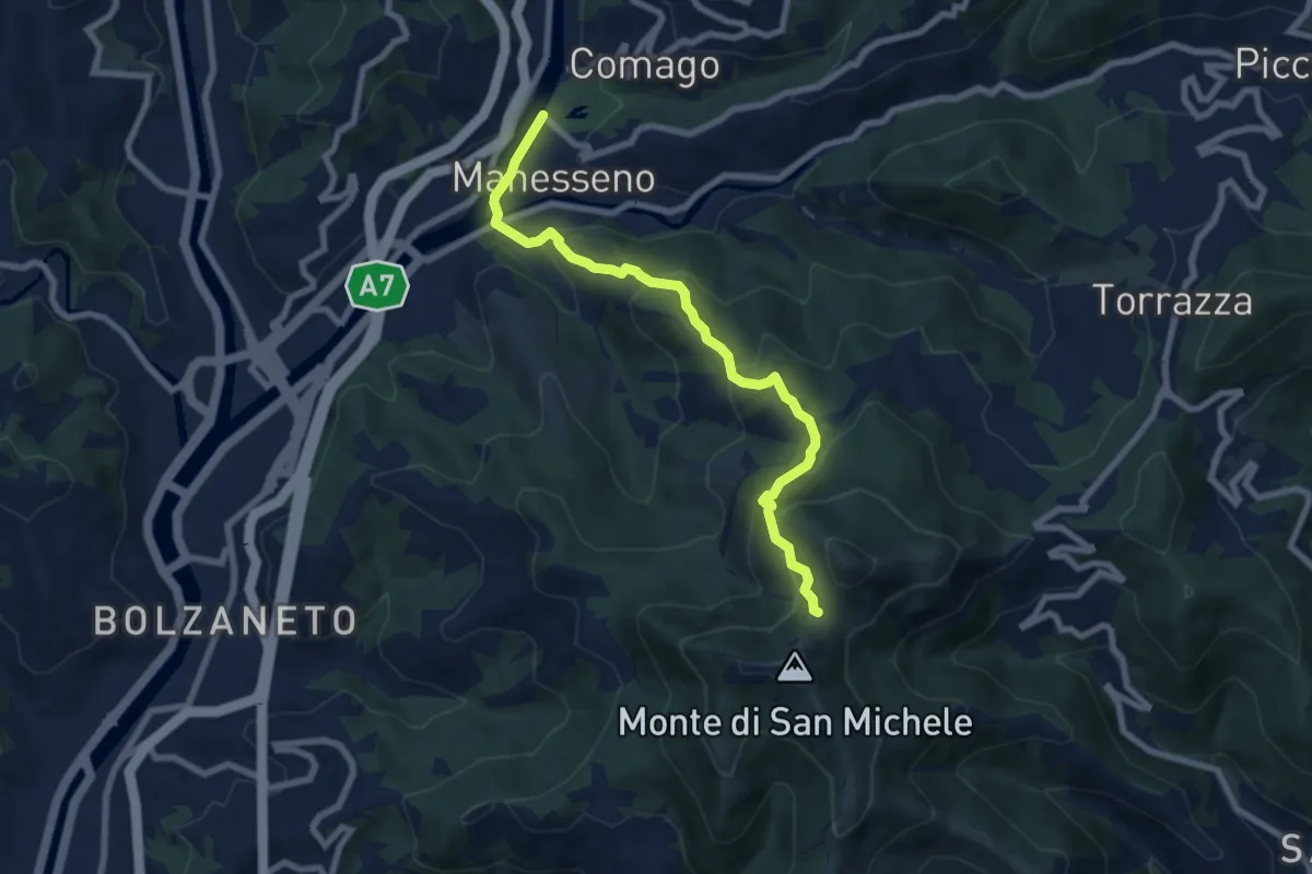
Medium · Trail
Collegamento "D" - Nordic Walking Croce di Vie
7.9 km · ↑ 528 m · 3 h · 6 km away
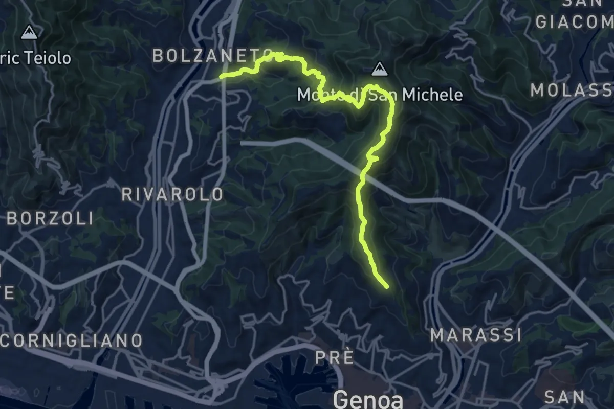
Demanding · Trail
Bolzaneto – Righi
16.8 km · ↑ 922 m · 5 h 58 min · 6 km away
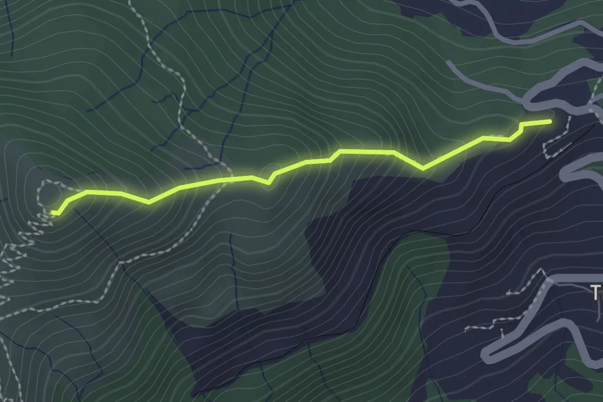
Medium · Trail
Baita del Diamante - Forte Diamante
2.1 km · ↑ 231 m · 1 h · 6 km away
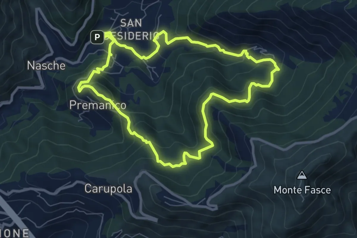
Medium · Trail
San Desiderio – San Desiderio
7.0 km · ↑ 474 m · 2 h 46 min · 6 km away
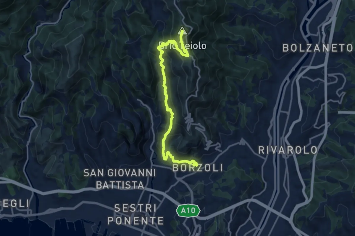
Demanding · Summit
Borzoli - Rocca dei Corvi Nord - Fossa Luea
11.7 km · ↑ 877 m · 4 h 39 min · 6 km away
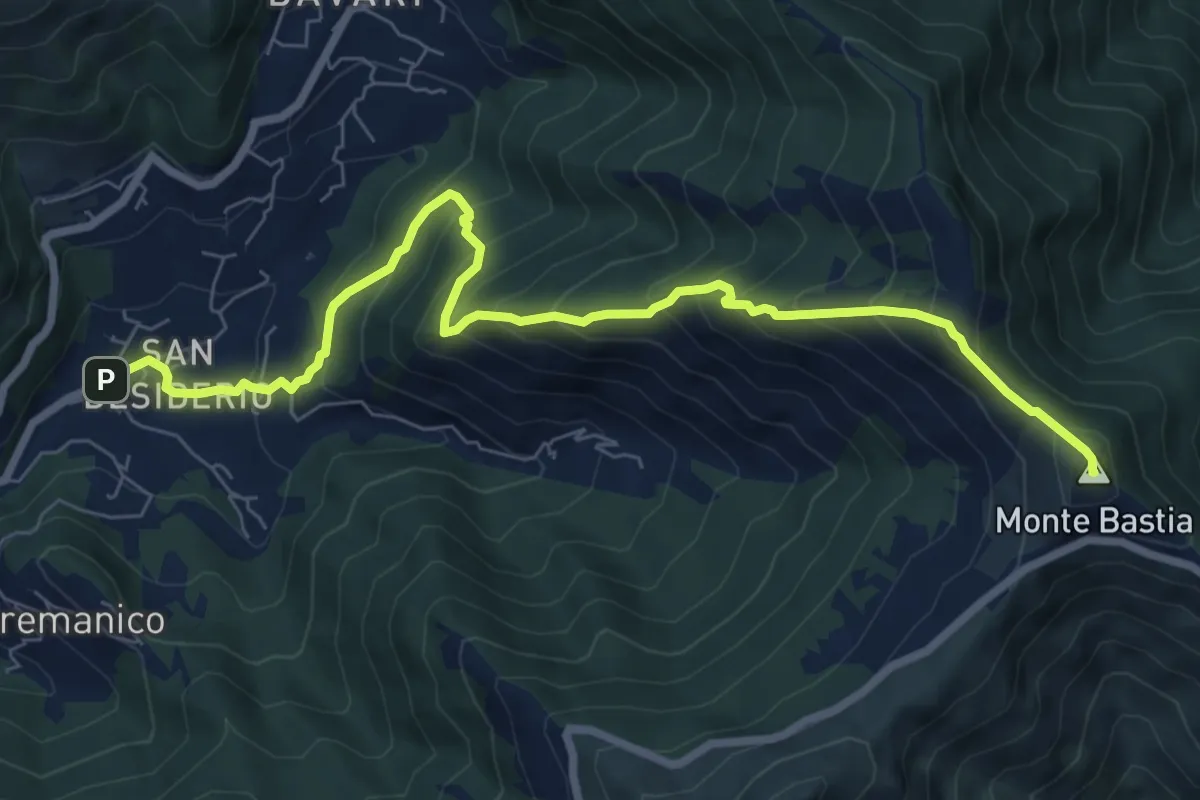
Medium · Summit
S. Desiderio - Monte Bastia
8.7 km · ↑ 791 m · 3 h 46 min · 6 km away
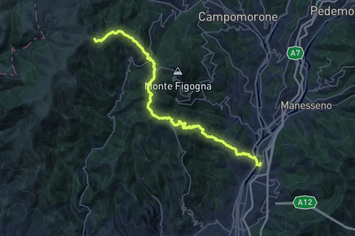
Demanding · Summit
Bolzaneto – Piani di Praglia
22.9 km · ↑ 1425 m · 8 h 30 min · 6 km away
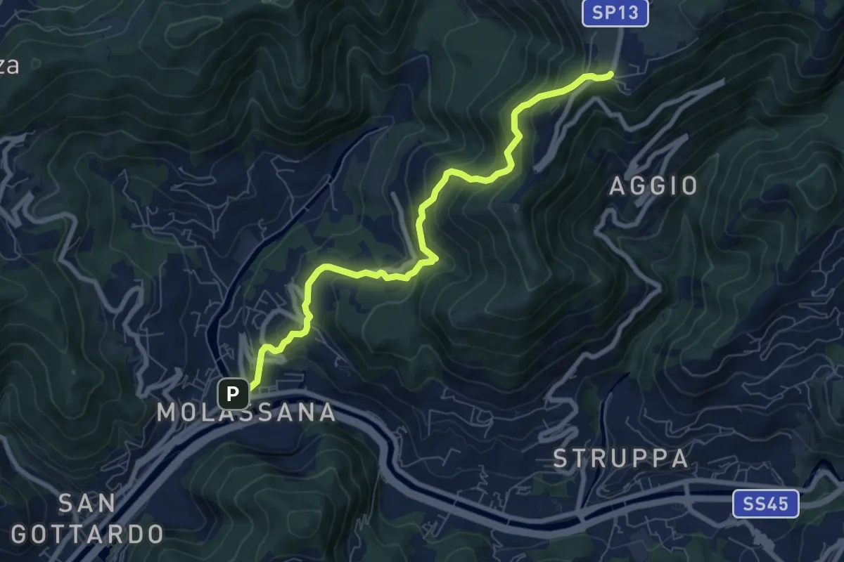
Medium · Trail
Molassana - Creto
8.1 km · ↑ 641 m · 3 h 18 min · 6 km away
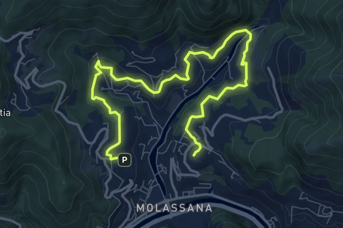
Medium · Trail
Giro del Geirato
10.8 km · ↑ 372 m · 3 h 22 min · 6 km away
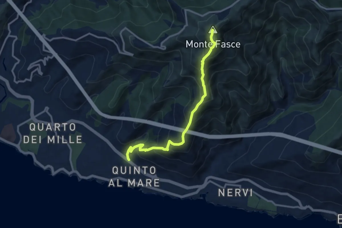
Medium · Summit
Quinto – Monte Fasce
7.9 km · ↑ 779 m · 3 h 34 min · 7 km away
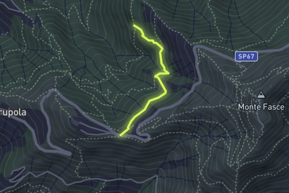
Medium · Trail
Liberale - Ciapon
2.5 km · ↑ 253 m · 1 h 8 min · 7 km away
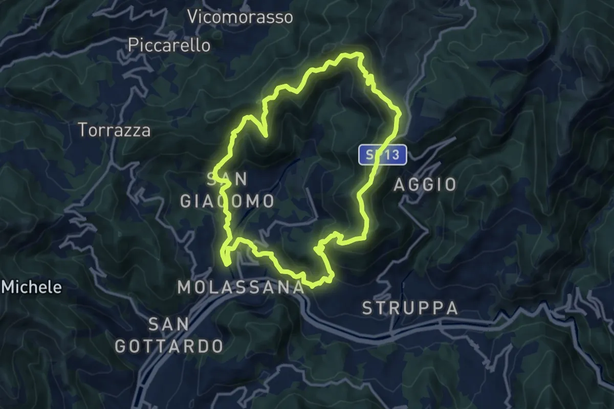
Demanding · Summit
Anello Acquedotto Storico di Genova (AQ2)
12.1 km · ↑ 844 m · 4 h 51 min · 7 km away
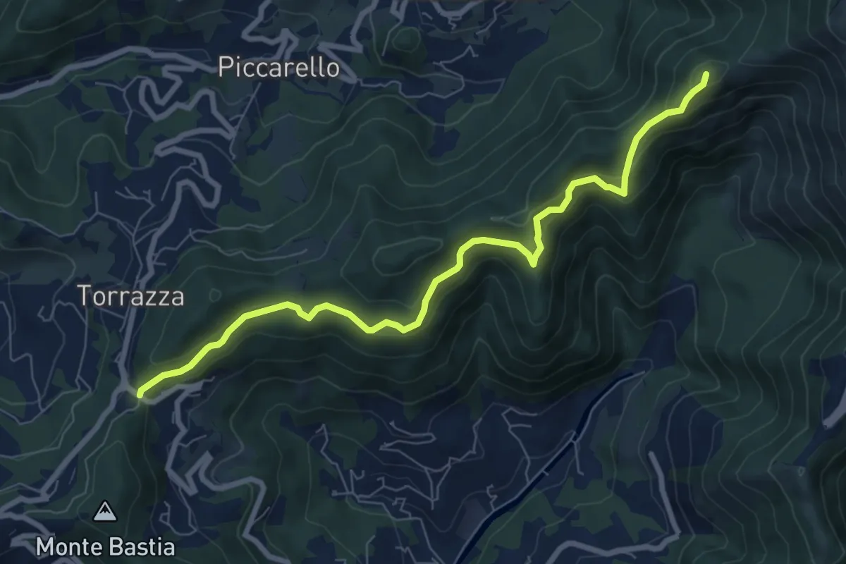
Medium · Summit
Crociera di Pino – Creto
8.3 km · ↑ 463 m · 2 h 57 min · 7 km away
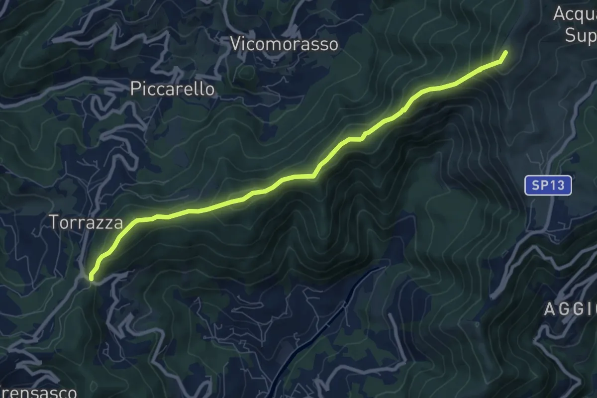
Medium · Summit
Sentiero della Fornace
8.6 km · ↑ 679 m · 3 h 30 min · 7 km away
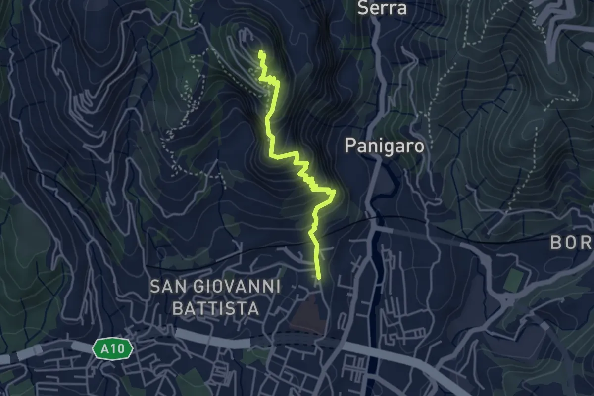
Medium · Trail
Sestri Ponente – Santuario Nostra Signora del Monte Gazzo
3.4 km · ↑ 341 m · 1 h 32 min · 7 km away
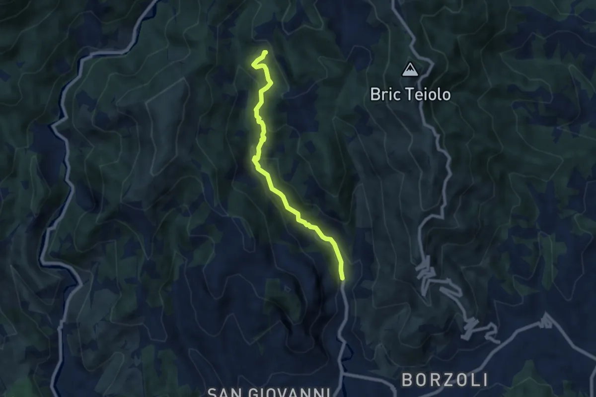
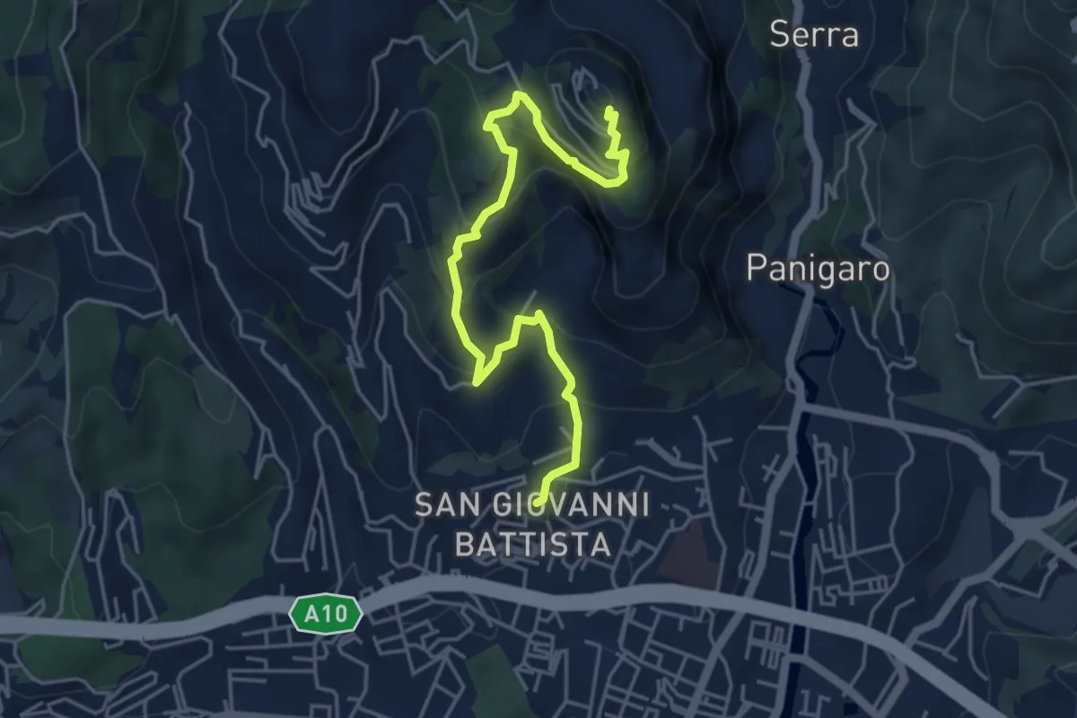
Medium · Trail
Panigaro – San Pietro ai Prati
6.1 km · ↑ 425 m · 2 h 22 min · 7 km away
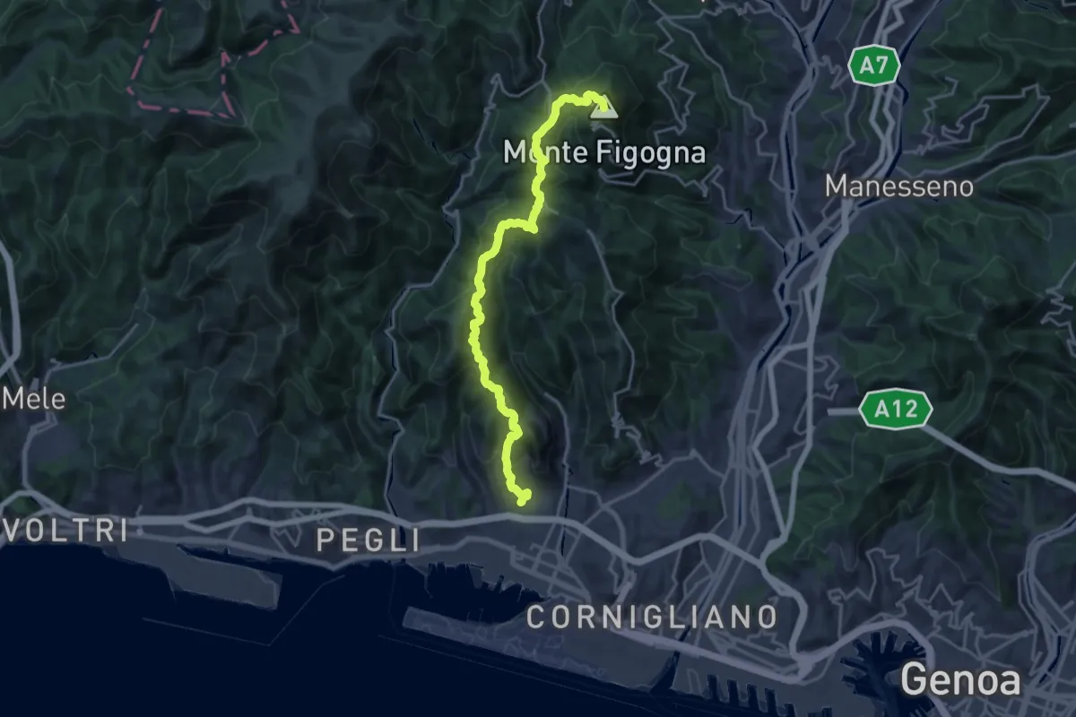
Medium · Trail
Sestri Ponente – Santuario Nostra Signora del Monte Gazzo
5.2 km · ↑ 397 m · 2 h 5 min · 8 km away
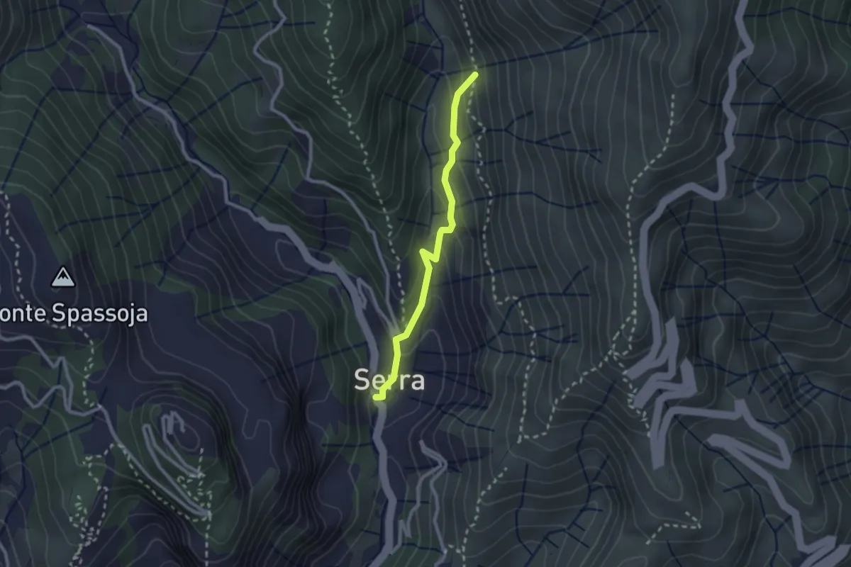
Demanding · Summit
Sestri Ponente – Santuario Madonna della Guardia
19.4 km · ↑ 1036 m · 6 h 49 min · 8 km away
Easy · Trail
Panigaro - Serra di Panigaro - Bivio sentiero per Cassinelle
2.3 km · ↑ 157 m · 52 min · 8 km away
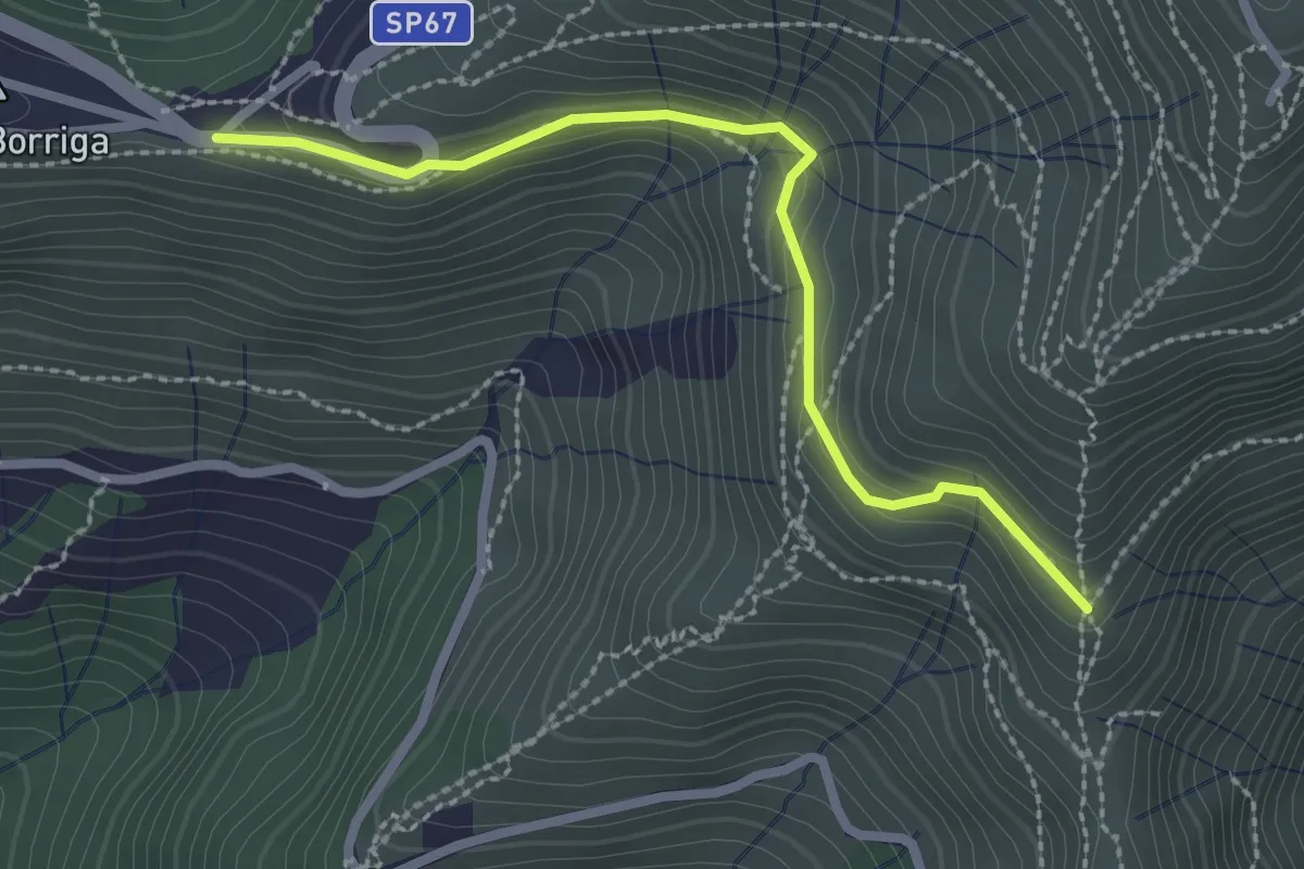
Easy · Trail
Bivio Liberale - Innesto su percorso Quinto-M. Fasce
2.6 km · ↑ 220 m · 1 h 5 min · 8 km away
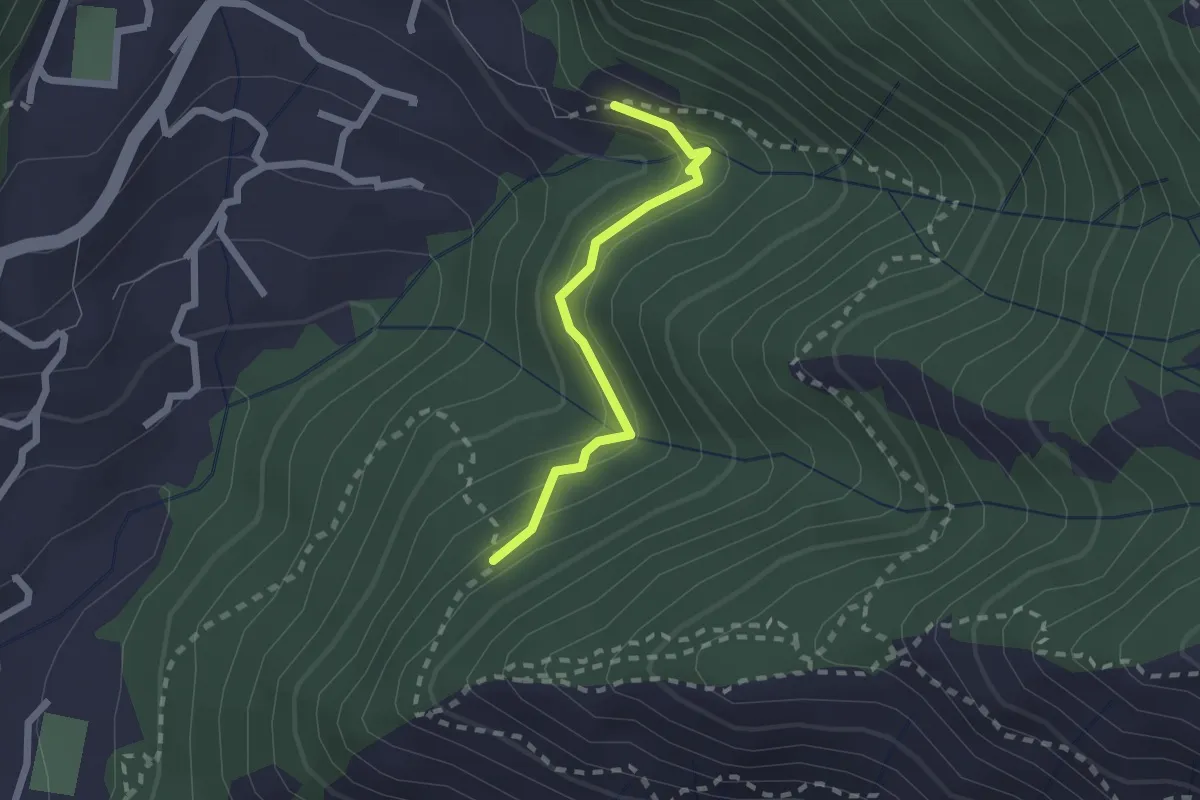
Easy · Trail
Eremita - Bavari
1.9 km · ↑ 136 m · 45 min · 8 km away
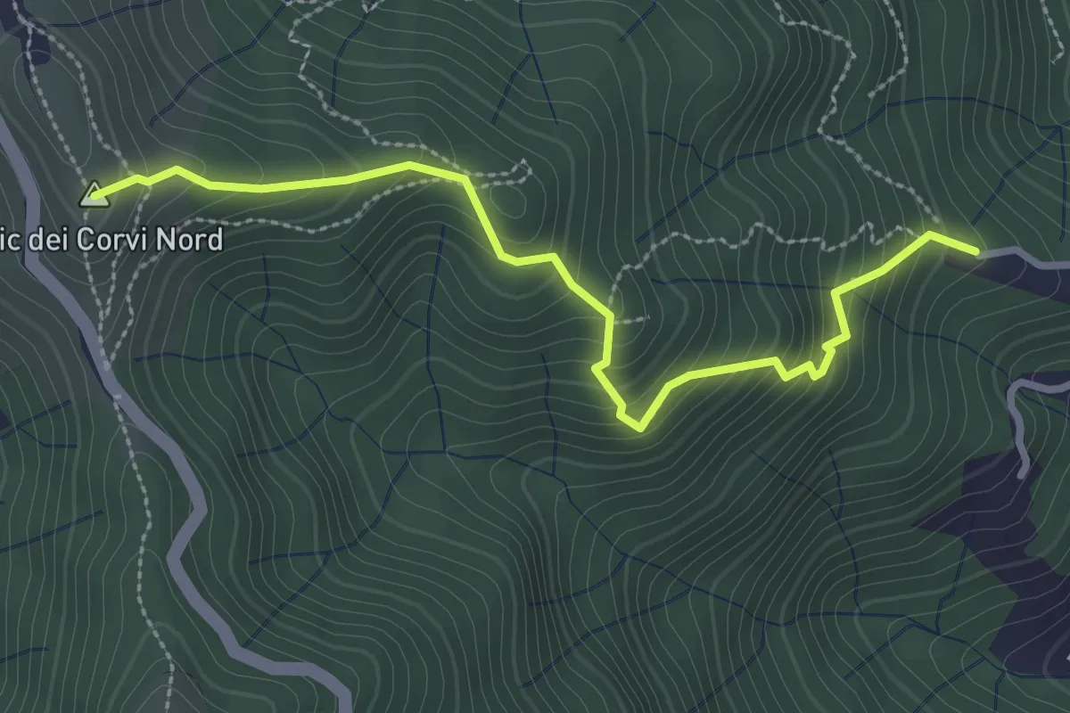
Medium · Summit
Sentiero dell'Asosto
3.1 km · ↑ 347 m · 1 h 29 min · 8 km away
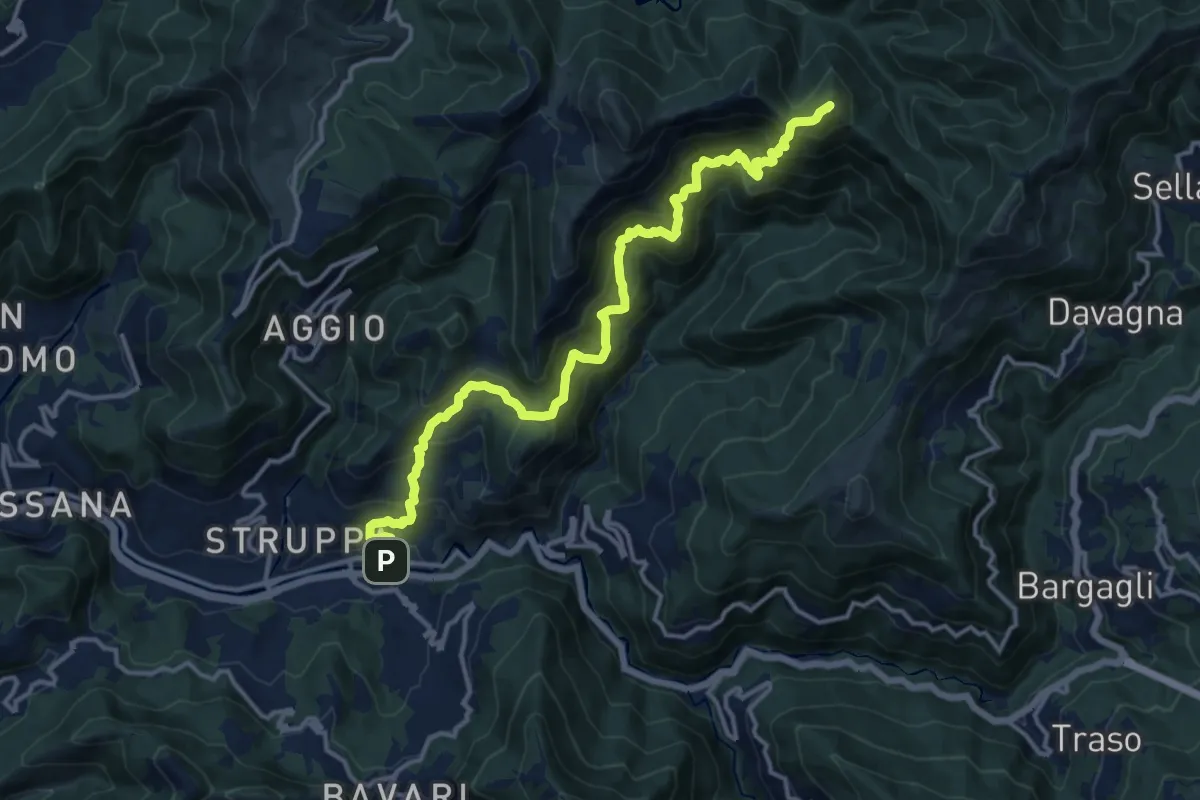
Demanding · Summit
Prato- Canate di Marsiglia - Capenardo
15.5 km · ↑ 1439 m · 6 h 47 min · 8 km away