Trails near Genova
156 hikes starting within 15 km, nearest first.
Nearest first, page 2 of 4
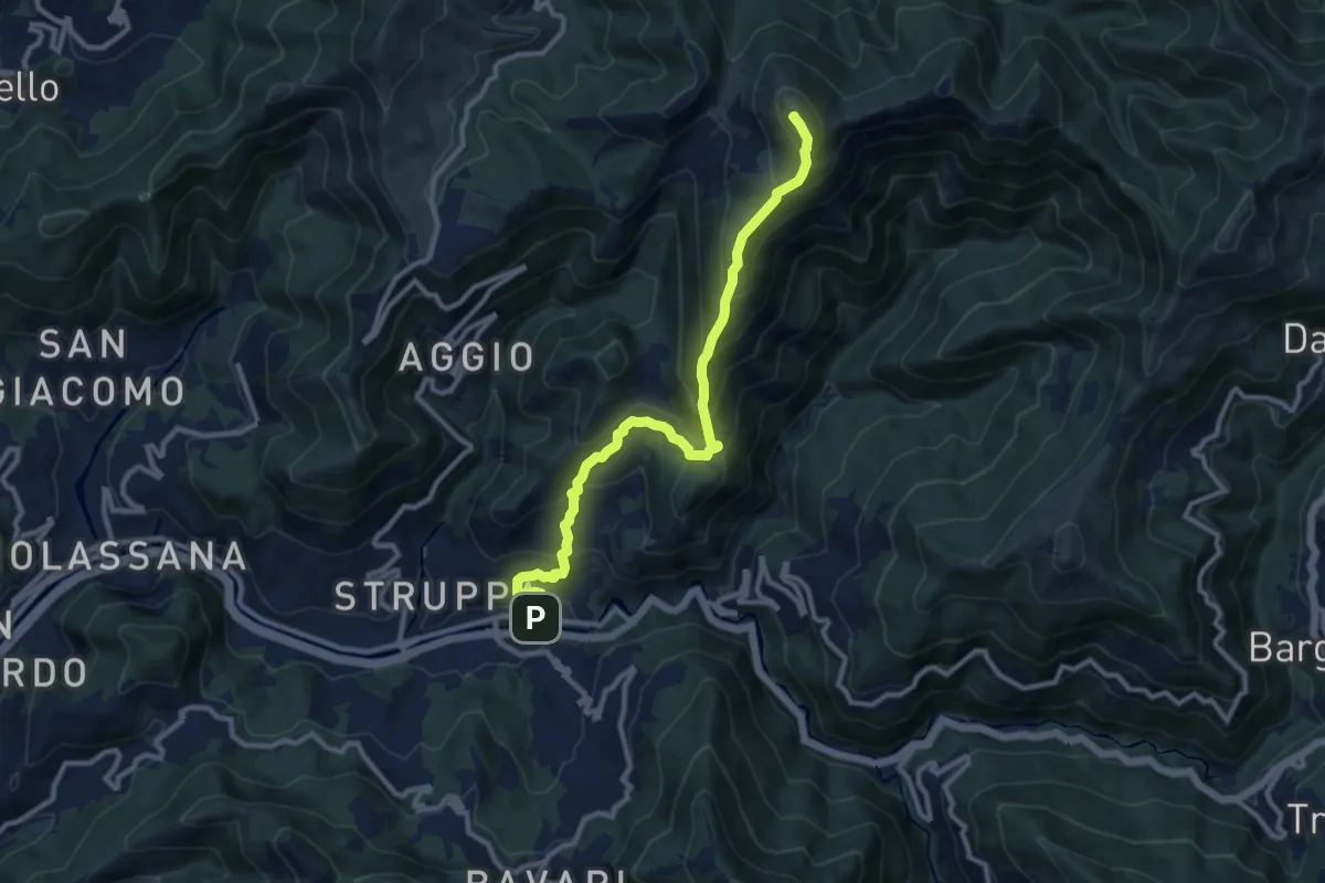
Demanding · Summit
Prato - Monte Alpesisa
11.1 km · ↑ 877 m · 4 h 31 min · 8 km away
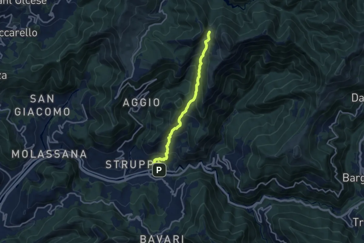
Medium · Trail
Prato - Gola di Sisa - Tre Fontane
9.6 km · ↑ 671 m · 3 h 44 min · 8 km away
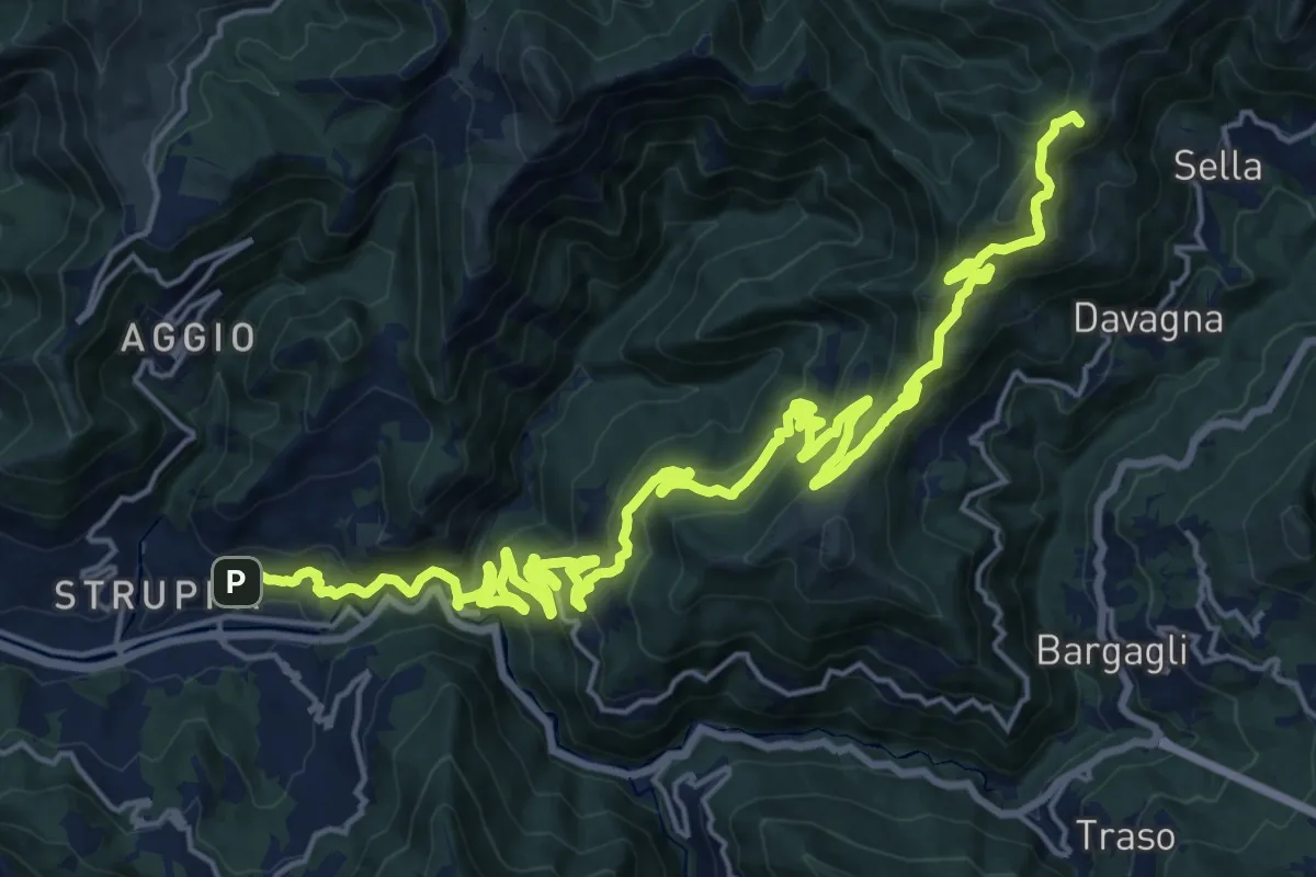
Demanding · Summit
Sentiero Giorgio Governa
30.1 km · ↑ 1643 m · 10 h 40 min · 8 km away
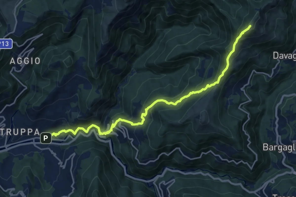
Demanding · Summit
Prato – Monte Candelozzo
14.9 km · ↑ 1209 m · 6 h 8 min · 8 km away
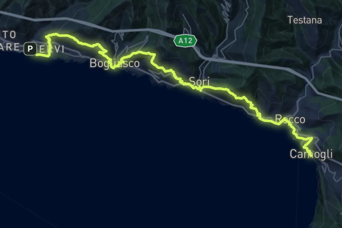
Demanding · Trail
Sentiero Liguria - Tappa 11
16.1 km · ↑ 982 m · 6 h 10 min · 8 km away
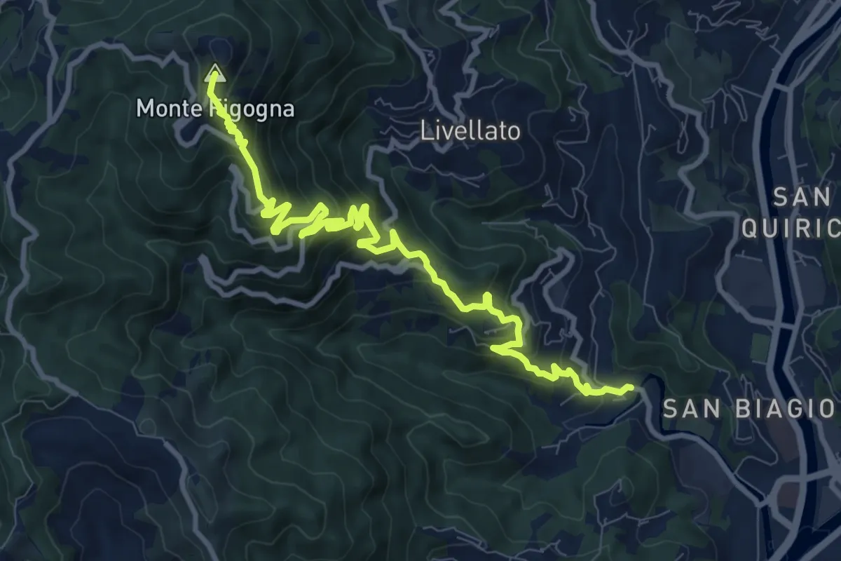
Demanding · Summit
Geo – Santuario Madonna della Guardia
11.1 km · ↑ 842 m · 4 h 27 min · 8 km away
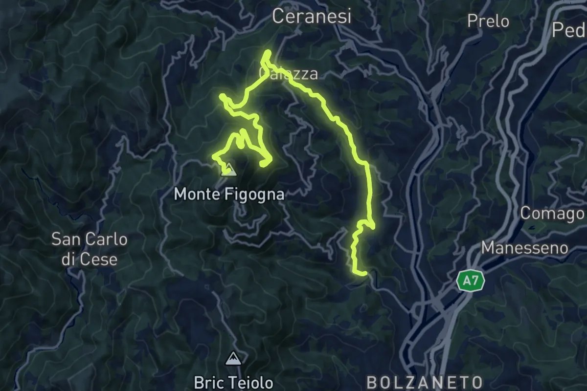
Demanding · Summit
Geo - Guidovia - Madonna della Guardia
21.3 km · ↑ 1031 m · 7 h 16 min · 8 km away
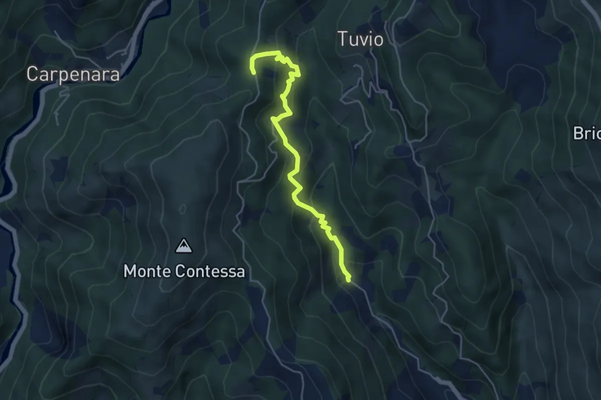
Medium · Trail
Bianchetta - Gneo - Coppo
4.3 km · ↑ 385 m · 1 h 51 min · 9 km away
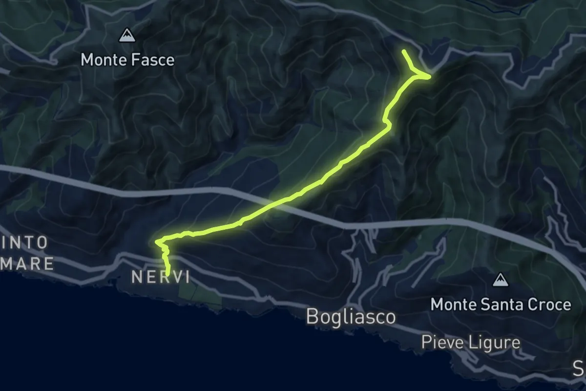
Medium · Summit
Nervi – Monte Cordona
10.4 km · ↑ 730 m · 4 h 2 min · 9 km away
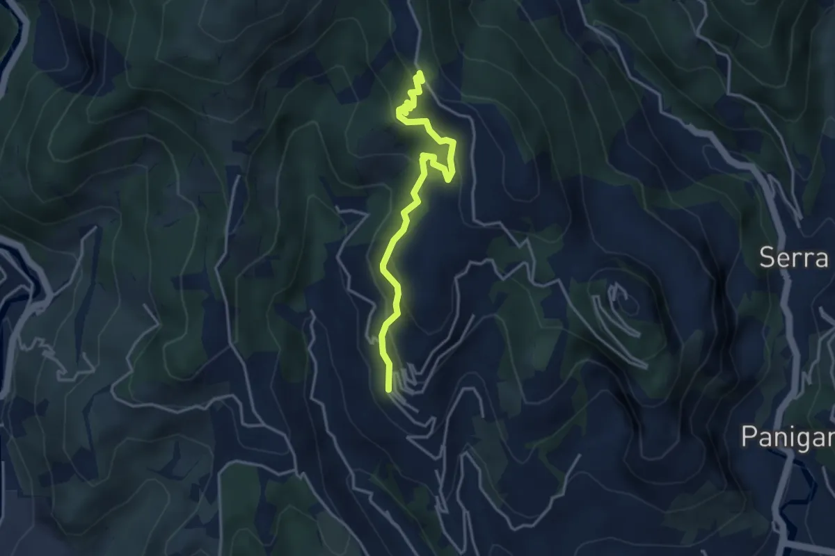
Easy · Trail
Capolinea 51 - Pian di Croce
3.6 km · ↑ 268 m · 1 h 26 min · 9 km away
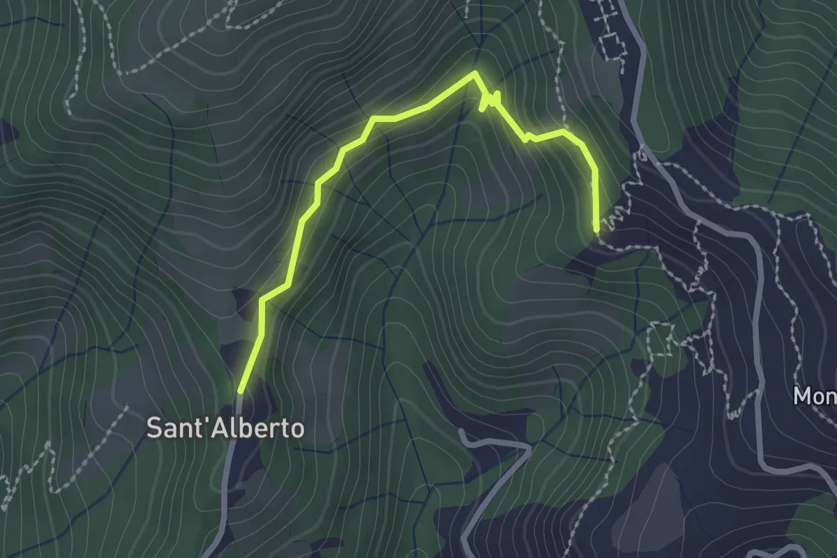
Easy · Trail
Eremo di Sant'Alberto - Bivio a Monte del Bosco dei Frati
2.3 km · ↑ 145 m · 52 min · 9 km away
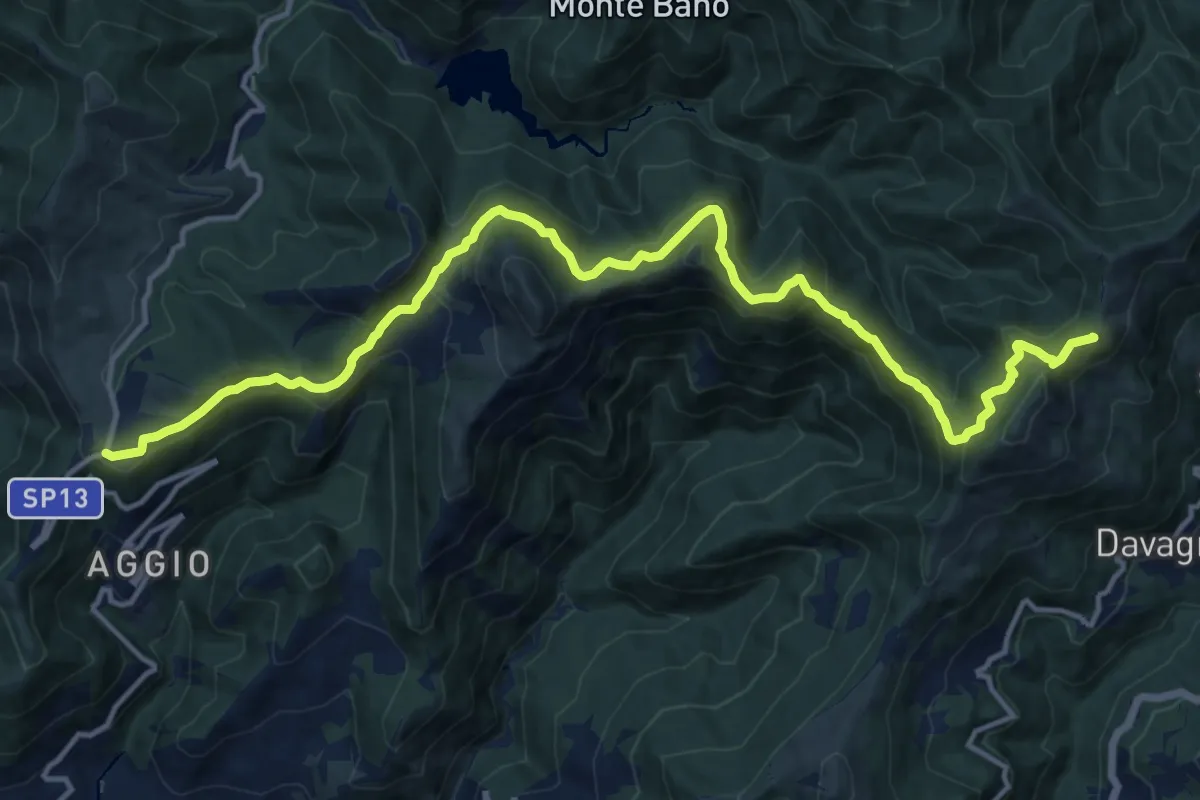
Demanding · Summit
Colle di Creto - Passo della Scoffera
17.4 km · ↑ 1078 m · 6 h 27 min · 9 km away
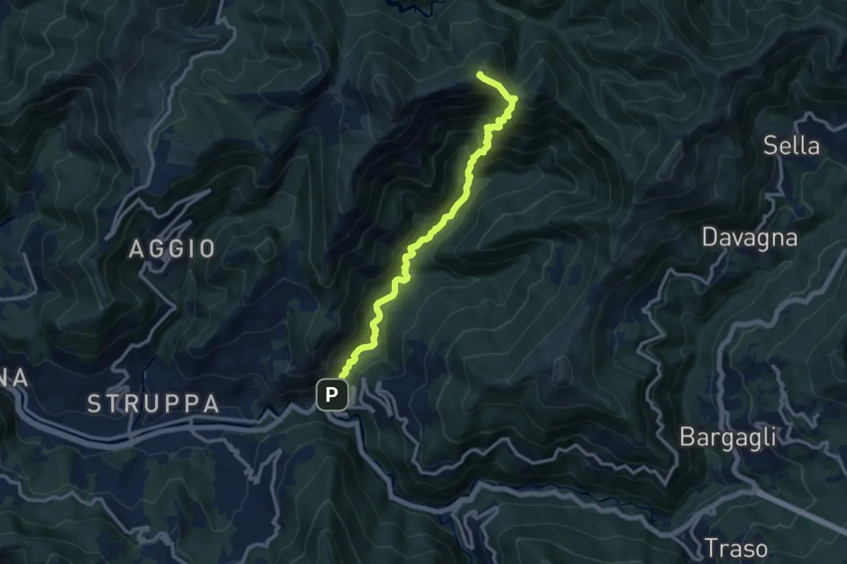
Demanding · Summit
Cavassolo - Monte Lago
10.3 km · ↑ 845 m · 4 h 15 min · 9 km away
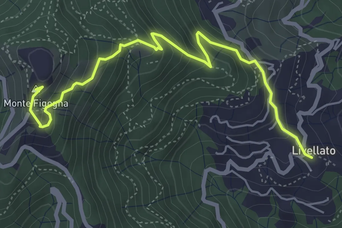
Medium · Summit
Livellato - Santuario Madonna della Guardia
5.3 km · ↑ 455 m · 2 h 14 min · 10 km away
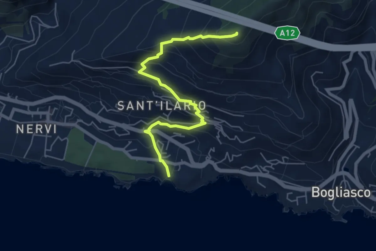
Medium · Summit
Nervi - Monte Giugo
5.3 km · ↑ 472 m · 2 h 16 min · 10 km away
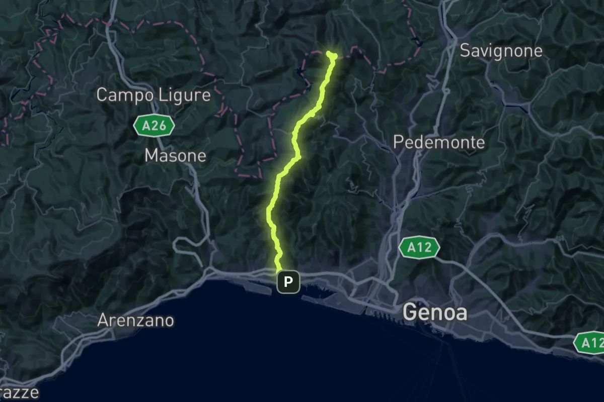
Demanding · Summit
Sentiero europeo E1 - Variante di Pegli
40.1 km · ↑ 1947 m · 13 h 41 min · 10 km away
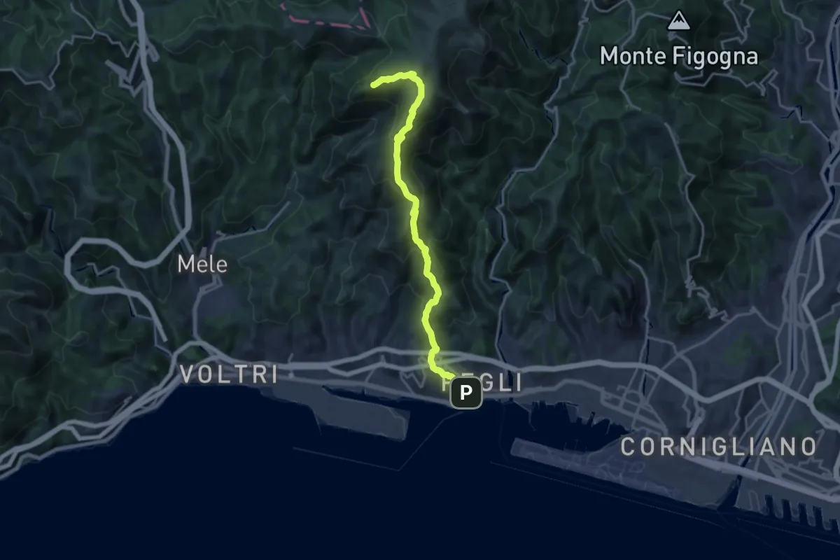
Demanding · Summit
Pegli – Punta Martin
17.0 km · ↑ 1025 m · 6 h 13 min · 10 km away
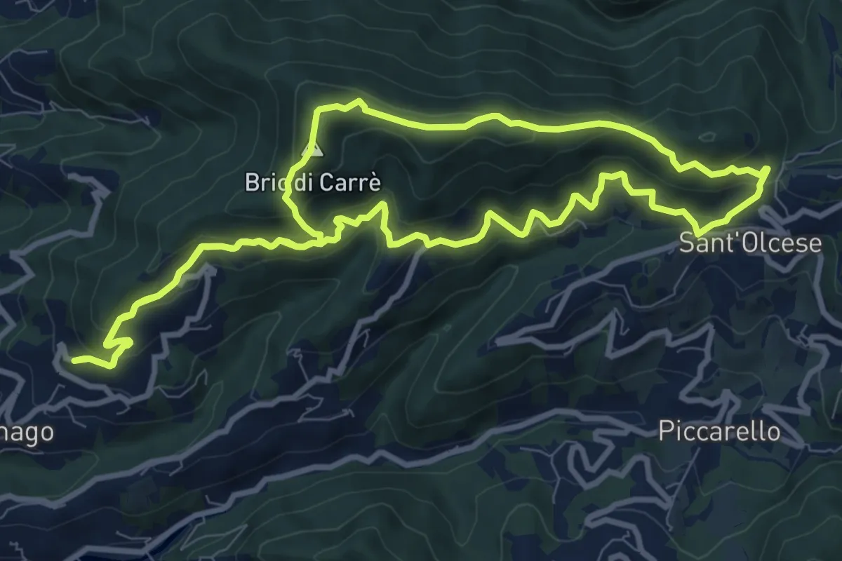
Medium · Summit
Circuito della Dominante - Nordic Walking Croce di Vie
9.6 km · ↑ 595 m · 3 h 41 min · 10 km away
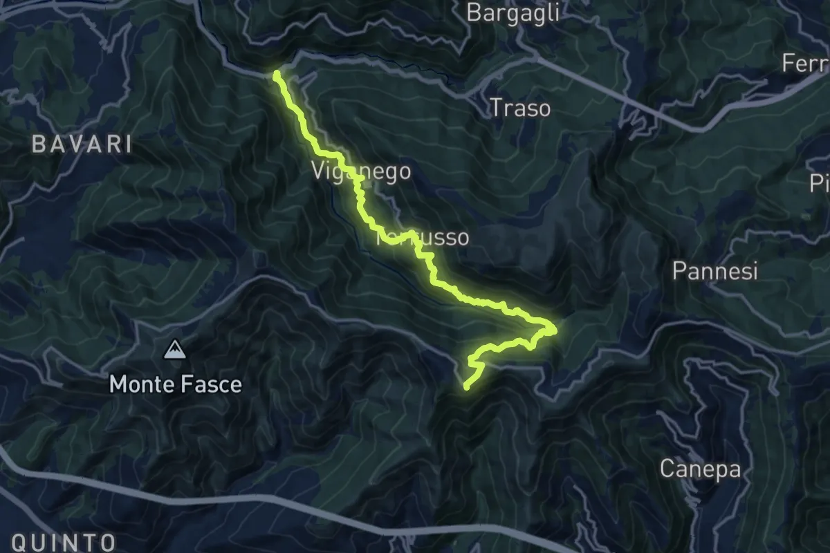
Demanding · Trail
Preli - Passo Cordona
16.5 km · ↑ 1290 m · 6 h 42 min · 10 km away
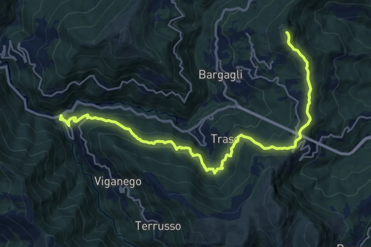
Demanding · Summit
La Presa - S. Alberto - Monte Croce di Bragalla
17.3 km · ↑ 979 m · 6 h 12 min · 10 km away
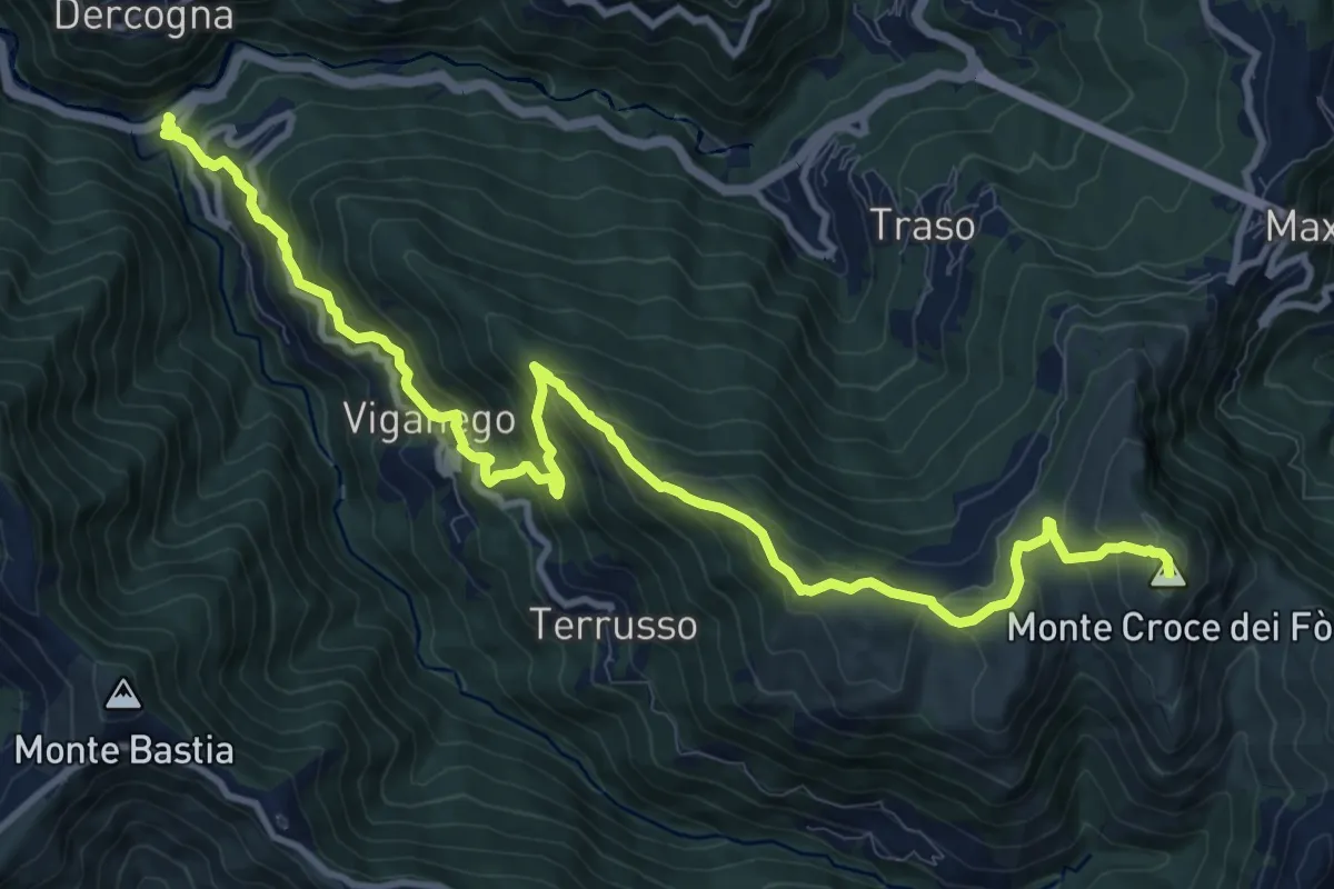
Demanding · Summit
La Presa – Monte Croce dei Fo
13.8 km · ↑ 1012 m · 5 h 27 min · 10 km away
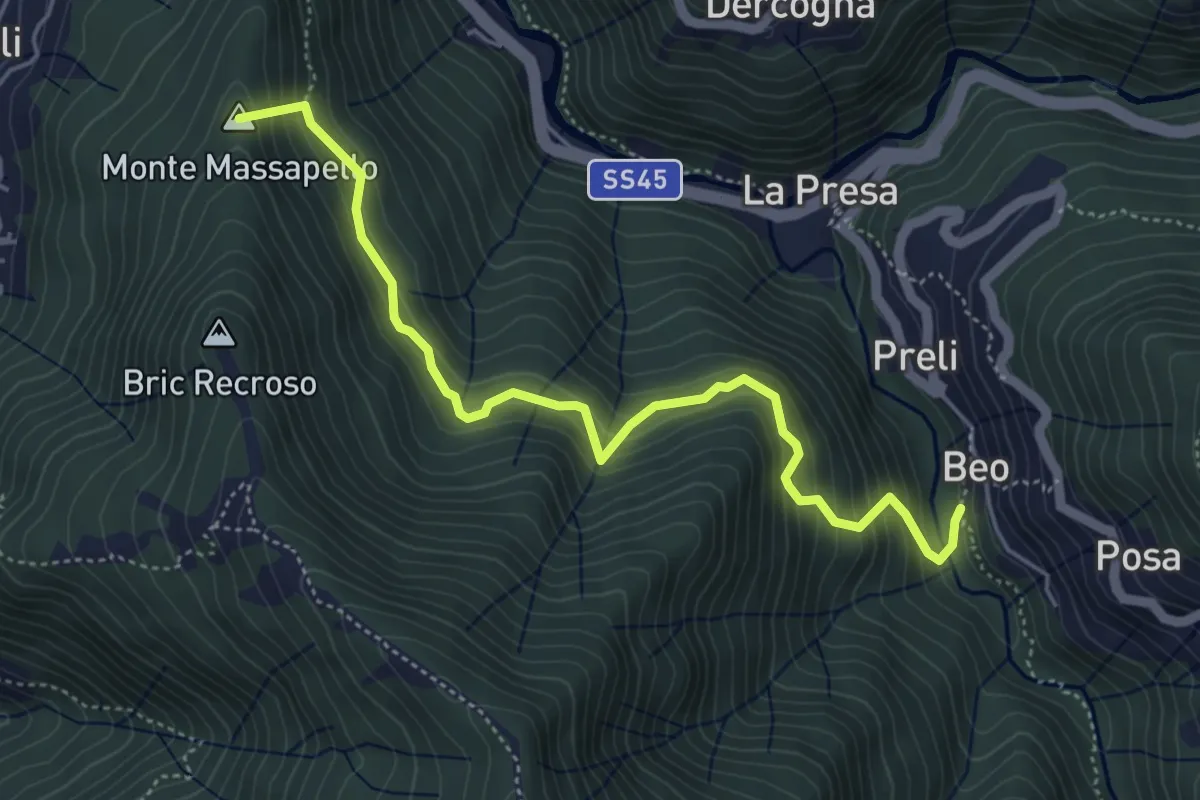
Medium · Summit
Fontanegli - Fisi
5.4 km · ↑ 495 m · 2 h 21 min · 10 km away
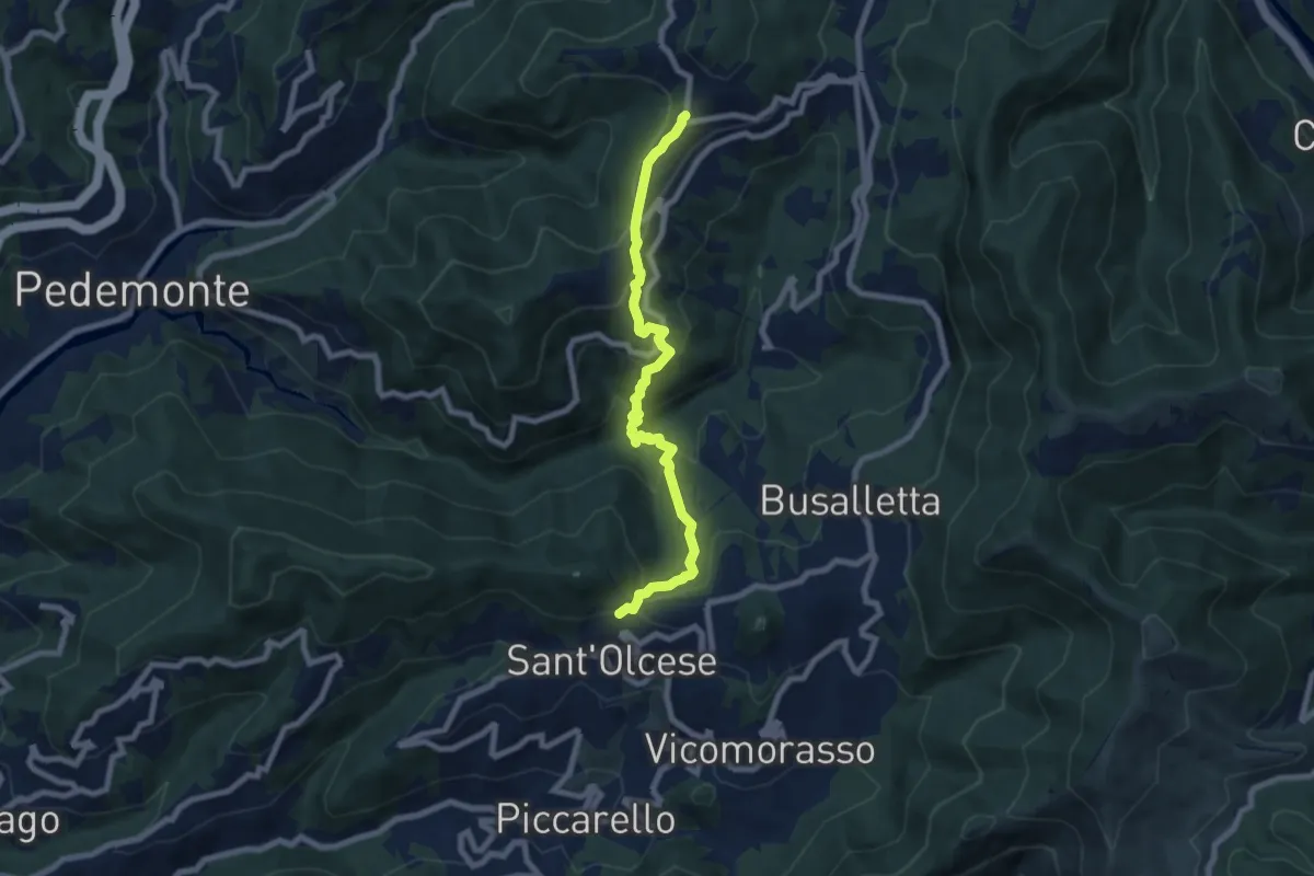
Medium · Trail
Collegamento "C" - Nordic Walking Croce di Vie
7.7 km · ↑ 446 m · 2 h 47 min · 10 km away
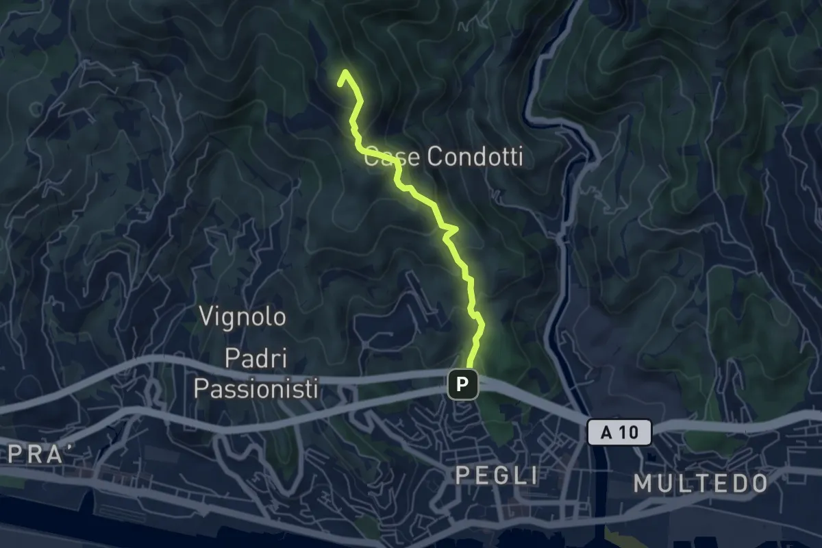
Medium · Summit
Via Vespucci - Fossa del Lupo
4.7 km · ↑ 354 m · 1 h 52 min · 10 km away
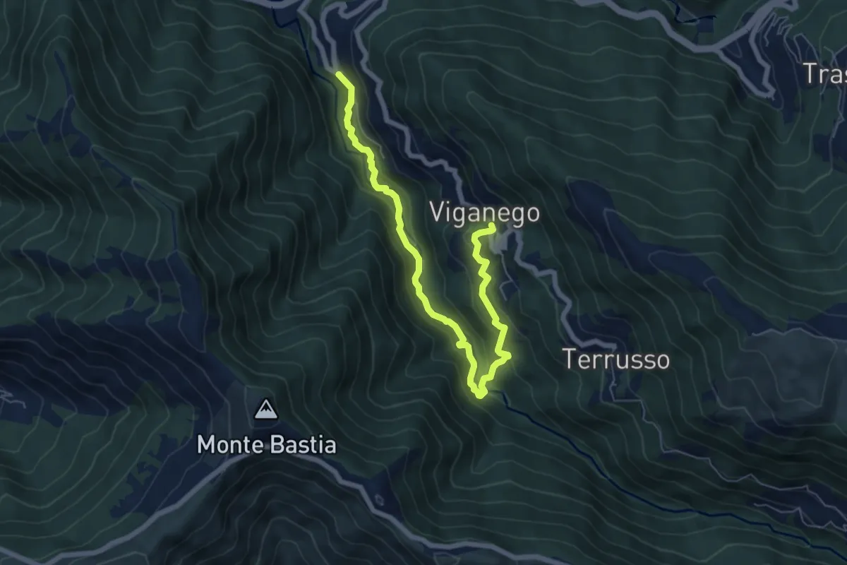
Medium · Trail
Preli - Viganego
7.3 km · ↑ 413 m · 2 h 37 min · 10 km away
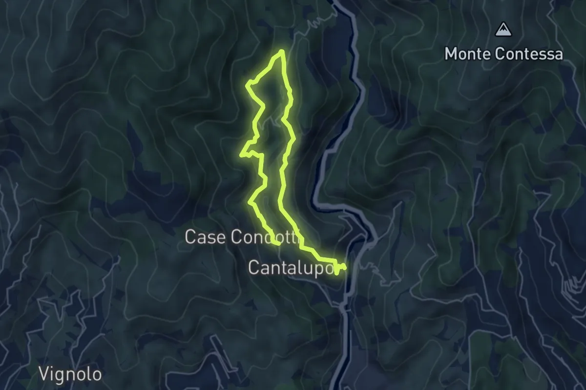
Medium · Trail
Sentiero EC1
7.1 km · ↑ 382 m · 2 h 31 min · 10 km away
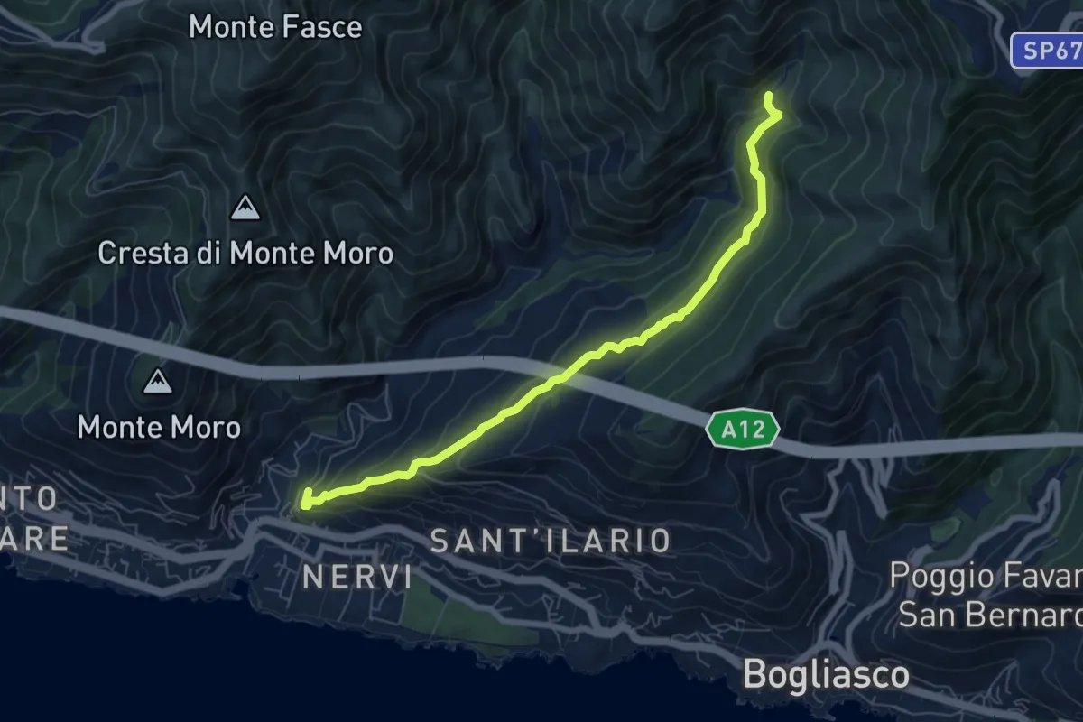
Medium · Trail
Pro Canyon - Torrente Nervi
7.2 km · ↑ 386 m · 2 h 32 min · 10 km away
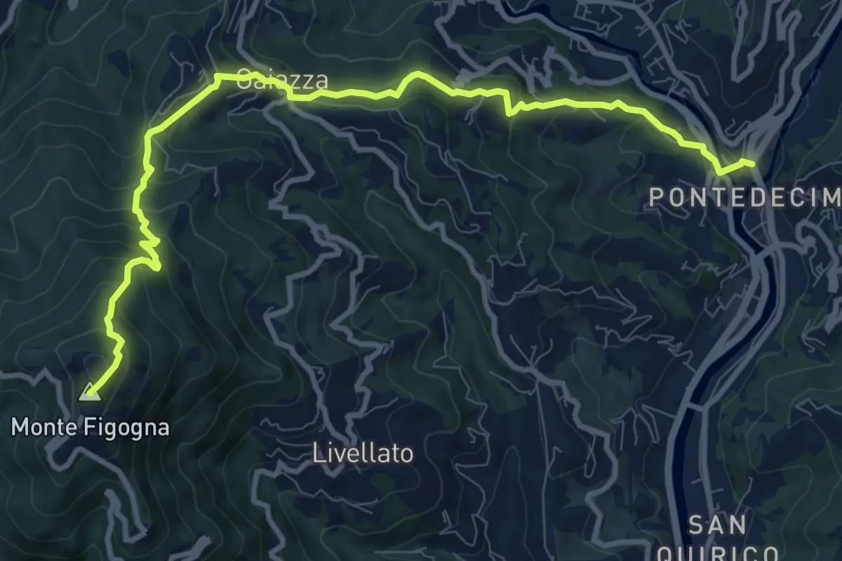
Medium · Summit
Pontedecimo - Gaiazza - Santuario Madonna della Guardia
10.7 km · ↑ 752 m · 4 h 9 min · 11 km away
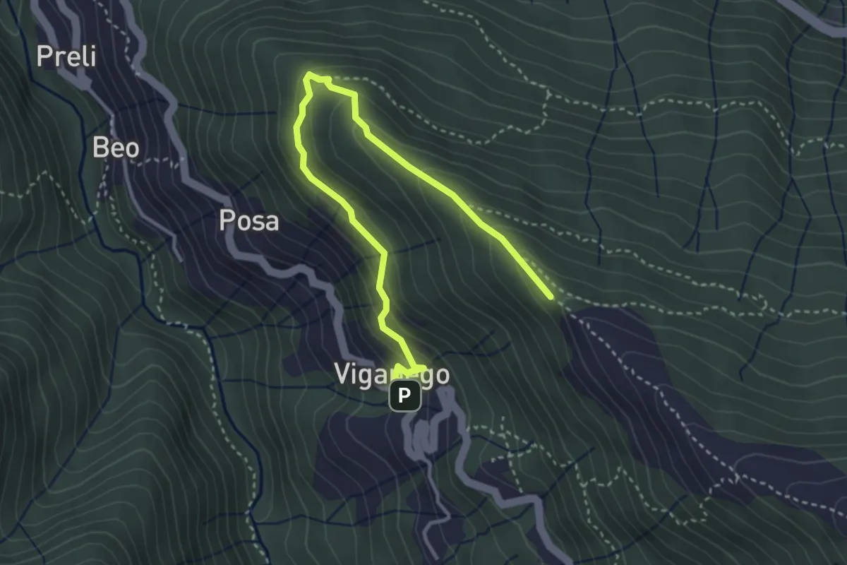
Medium · Trail
Viganego - costa Lione
4.2 km · ↑ 291 m · 1 h 37 min · 11 km away
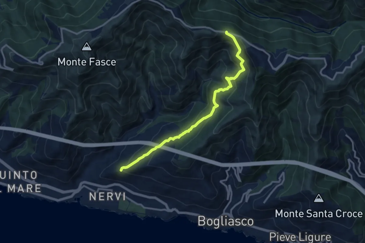
Medium · Trail
S. Ilario - Monte Fasce
9.2 km · ↑ 650 m · 3 h 34 min · 11 km away
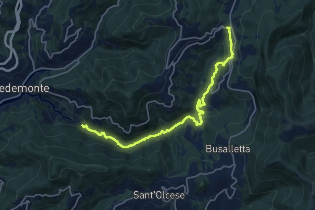
Demanding · Trail
Pedemonte - Crocetta d'Orero
11.3 km · ↑ 390 m · 3 h 31 min · 11 km away
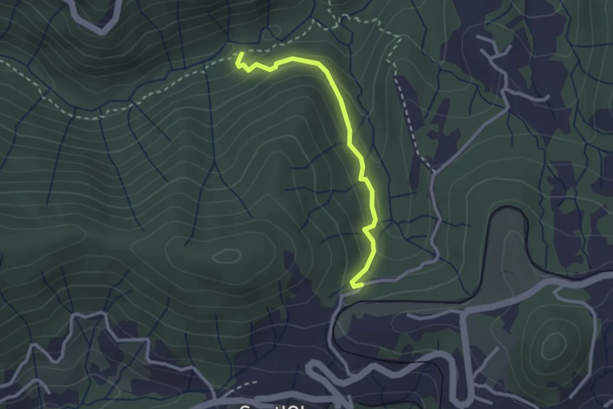
Medium · Trail
Sentiero dell'Orto Botanico
2.3 km · ↑ 154 m · 53 min · 11 km away
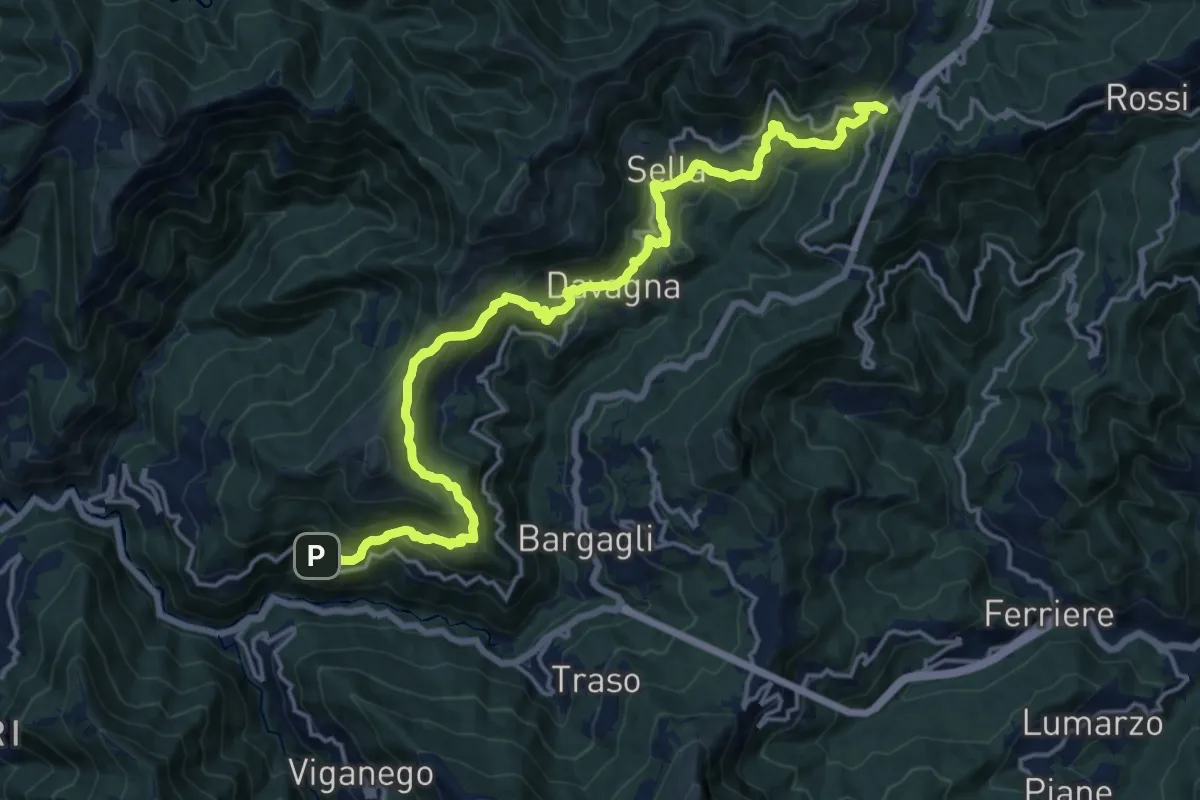
Demanding · Trail
Meco – Scoffera
19.9 km · ↑ 1074 m · 7 h 2 min · 11 km away
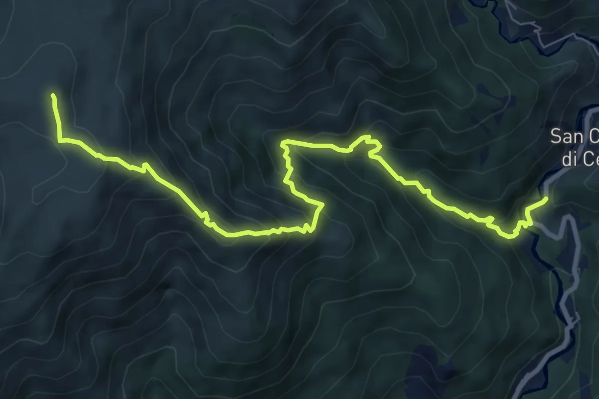
Demanding · Summit
San Carlo di Cese – Monte Penello
8.7 km · ↑ 827 m · 3 h 51 min · 11 km away
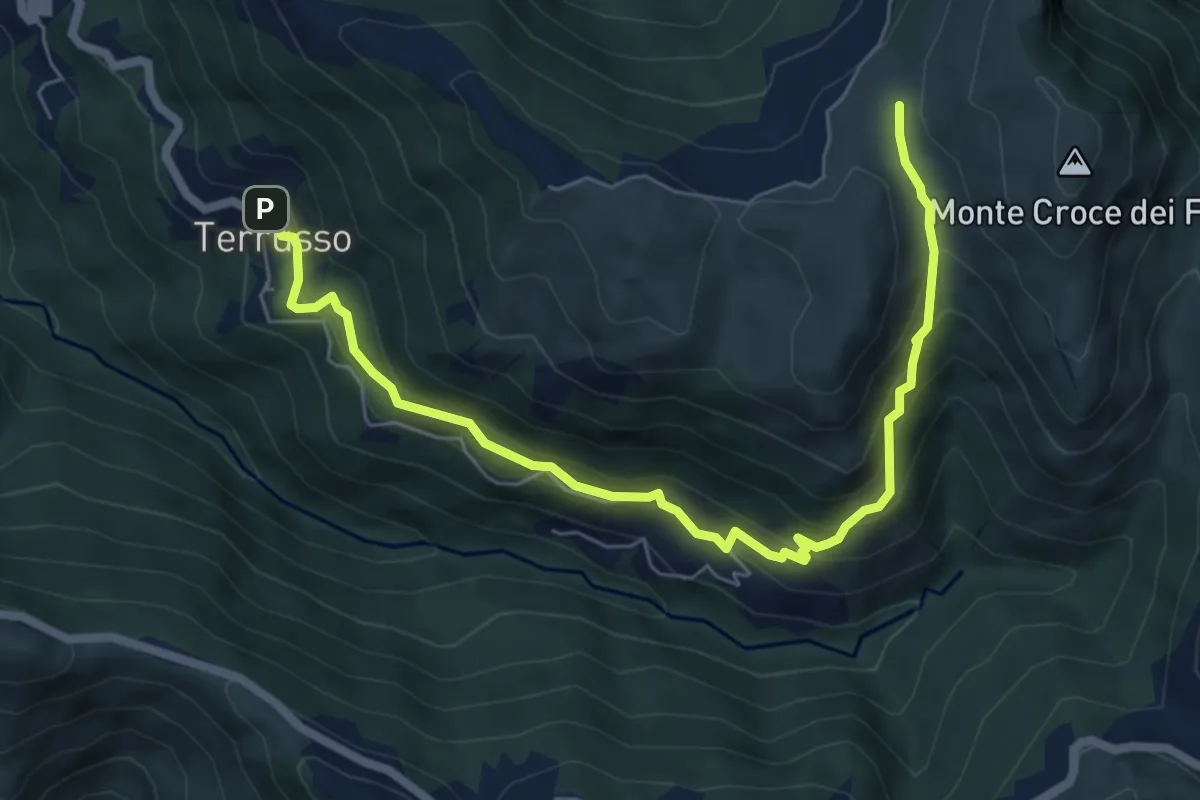
Medium · Trail
Terrusso - Cisiano - Piano della Speranza
7.6 km · ↑ 492 m · 2 h 51 min · 11 km away
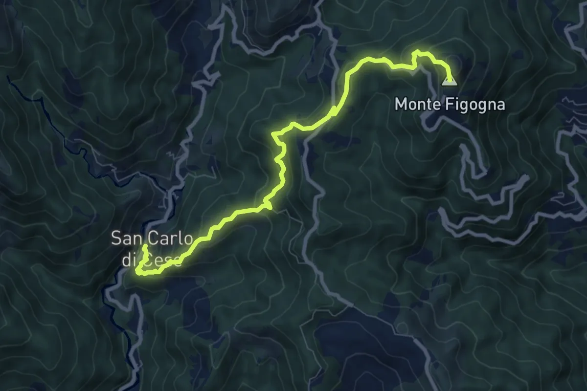
Medium · Summit
San Carlo di Cese – Madonna della Guardia
8.5 km · ↑ 556 m · 3 h 13 min · 11 km away
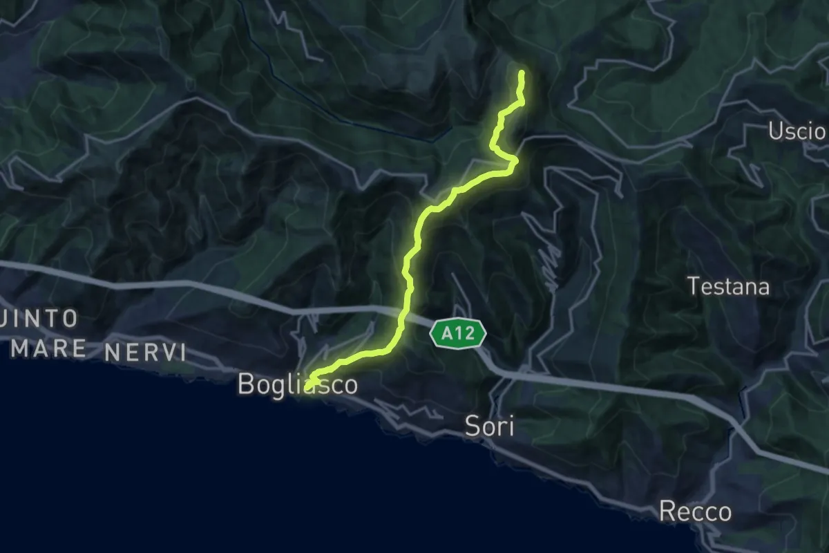
Demanding · Summit
Bogliasco – Monte Bado
14.9 km · ↑ 1201 m · 6 h 7 min · 11 km away
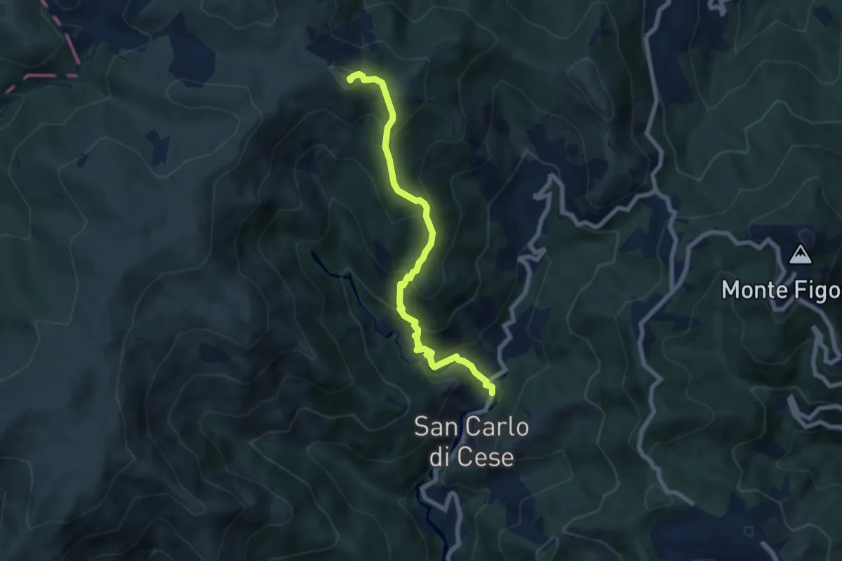
Medium · Summit
San Carlo di Cese – Monte Proratado
6.5 km · ↑ 587 m · 2 h 49 min · 11 km away
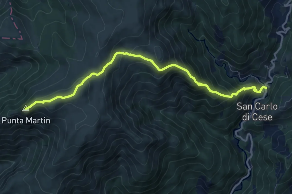
Medium · Summit
San Carlo di Cese - Punta Martin
9.5 km · ↑ 703 m · 3 h 46 min · 11 km away
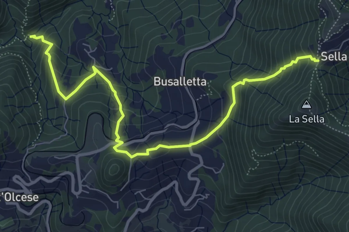
Medium · Cabin
Rifugio Ciaè – Sella
7.8 km · ↑ 510 m · 2 h 56 min · 12 km away
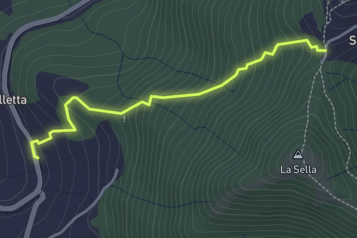
Demanding · Trail
Busalletta - Cappelletta del Sella
2.6 km · ↑ 269 m · 1 h 12 min · 12 km away
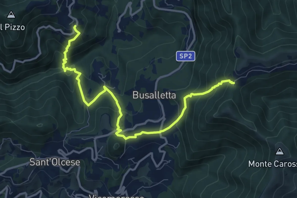
Medium · Trail
Sentiero dell'Orto Botanico
9.5 km · ↑ 696 m · 3 h 45 min · 12 km away
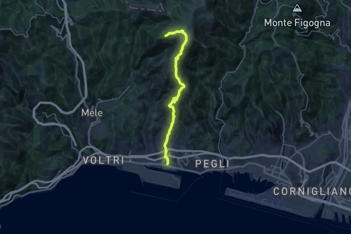
Demanding · Summit
Prà – Punta Martin
17.2 km · ↑ 1094 m · 6 h 26 min · 12 km away
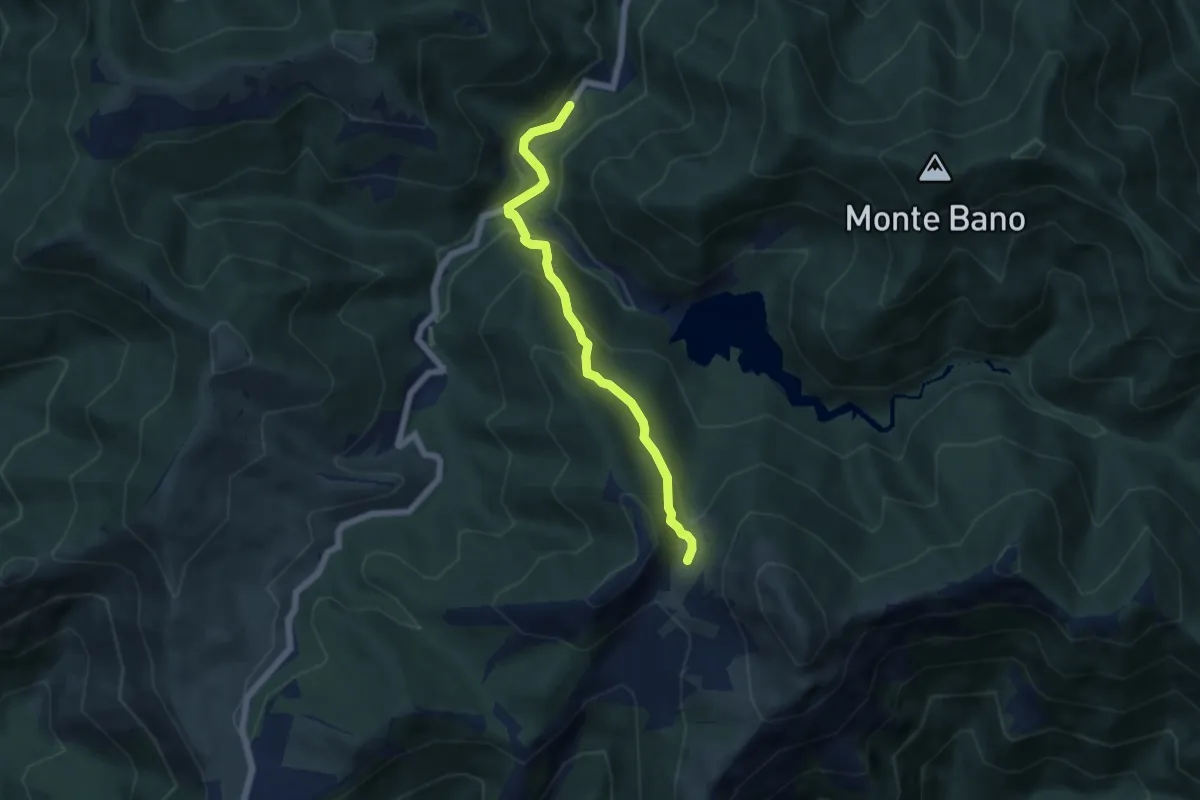
Medium · Trail
Gola di Sisa - Tre Fontane
5.6 km · ↑ 315 m · 2 h · 12 km away
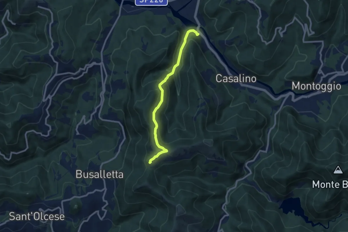
Medium · Trail
Allacciamento Sella-Avosso
7.3 km · ↑ 441 m · 2 h 40 min · 12 km away
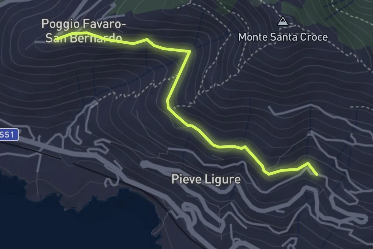
Easy · Trail
Pieve Alta - San Bernardo
3.6 km · ↑ 198 m · 1 h 17 min · 12 km away
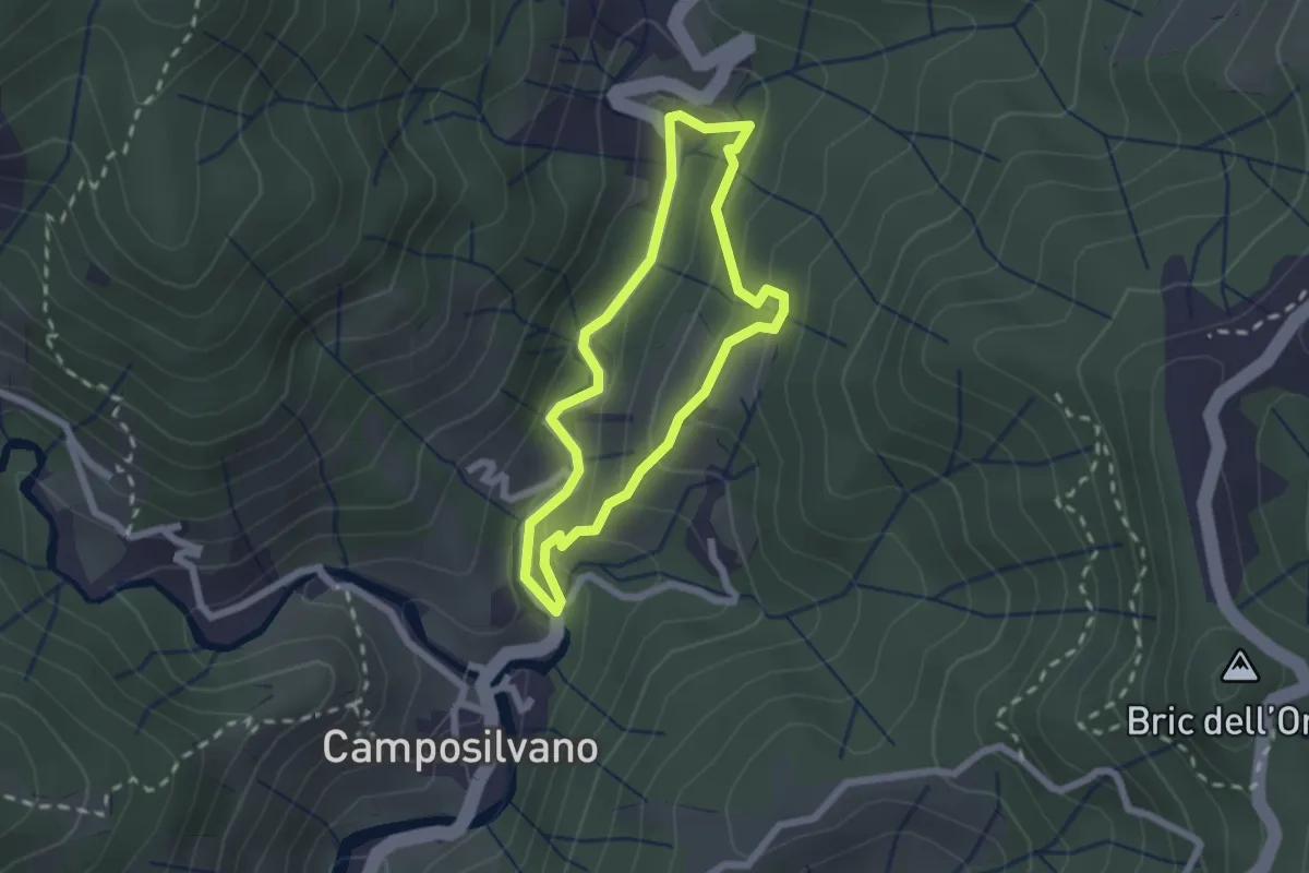
Easy · Trail
Sentiero EC3
1.9 km · ↑ 110 m · 43 min · 12 km away
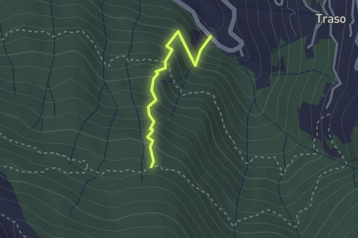
Medium · Trail
Traso - Trapena
1.9 km · ↑ 328 m · 1 h 10 min · 12 km away