Trails near Genova
156 hikes starting within 15 km, nearest first.
Nearest first, page 3 of 4
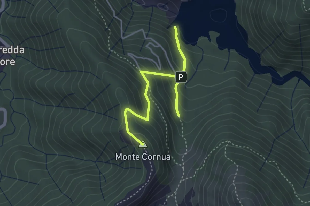
Medium · Summit
Anello del Monte Cornua
4.6 km · ↑ 441 m · 2 h 3 min · 12 km away
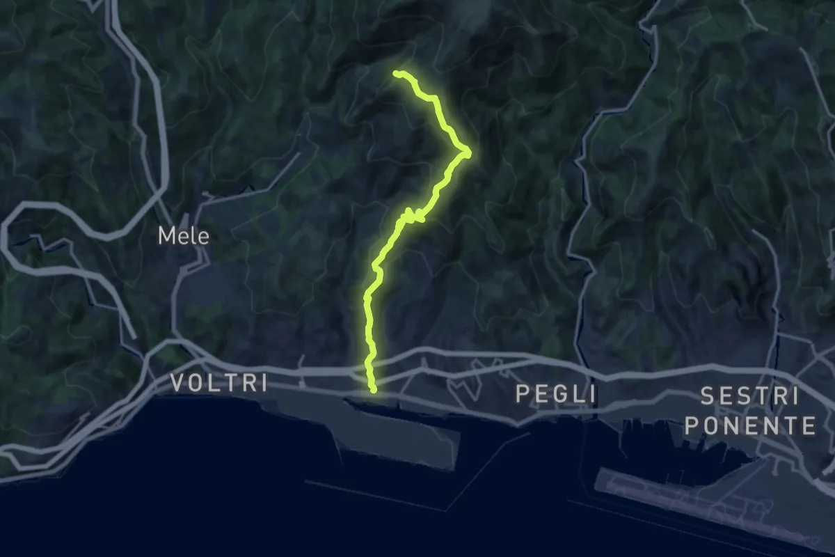
Demanding · Summit
Prà - Cappellina Baiarda
13.6 km · ↑ 899 m · 5 h 10 min · 12 km away
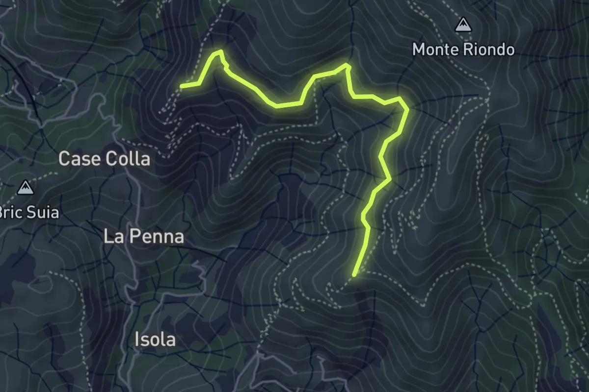
Medium · Trail
Raccordo Lische Alte
4.5 km · ↑ 326 m · 1 h 47 min · 12 km away
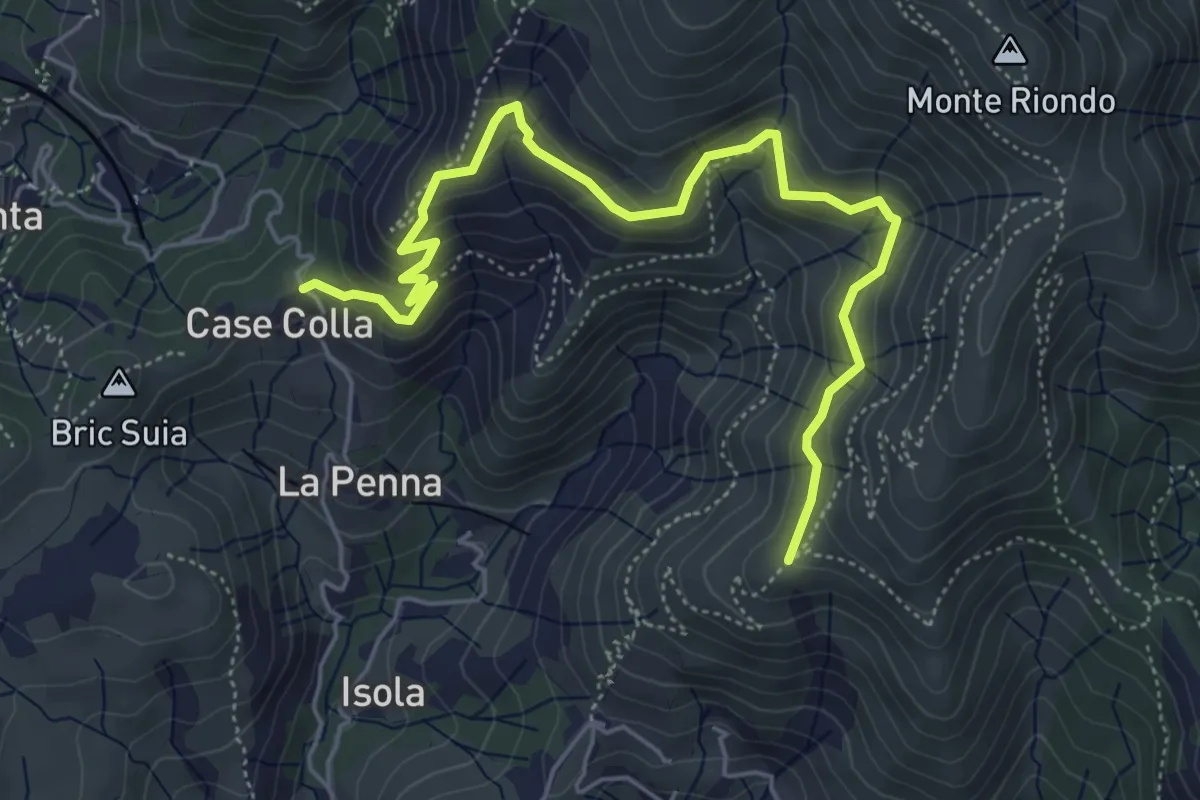
Medium · Trail
Sentiero Lische Alte
6.3 km · ↑ 488 m · 2 h 33 min · 12 km away
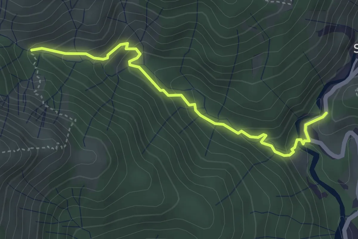
Medium · Trail
Sentiero EC2
3.9 km · ↑ 279 m · 1 h 31 min · 12 km away
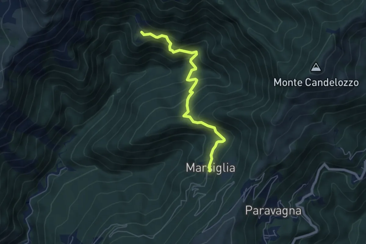
Medium · Trail
Marsiglia - Canate
5.3 km · ↑ 560 m · 2 h 29 min · 12 km away
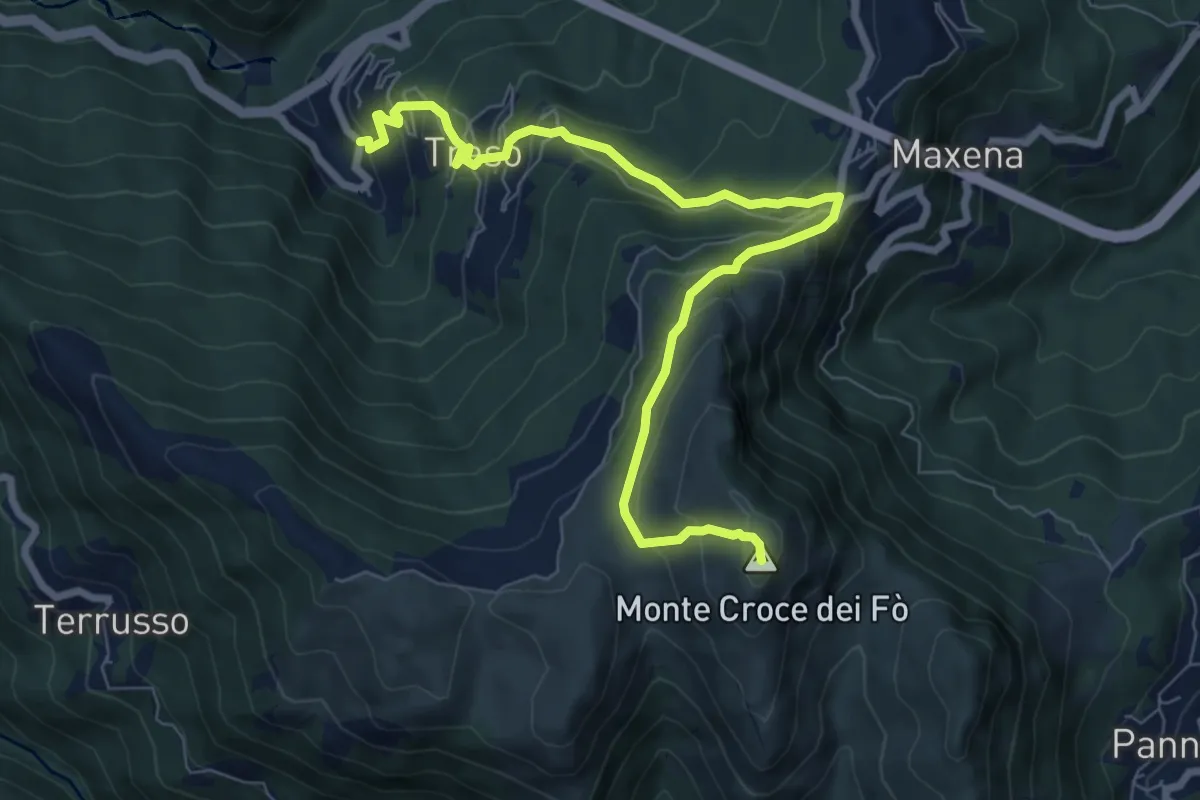
Medium · Summit
Traso - Sant'Alberto - Monte Croce dei Fo
8.8 km · ↑ 631 m · 3 h 27 min · 12 km away
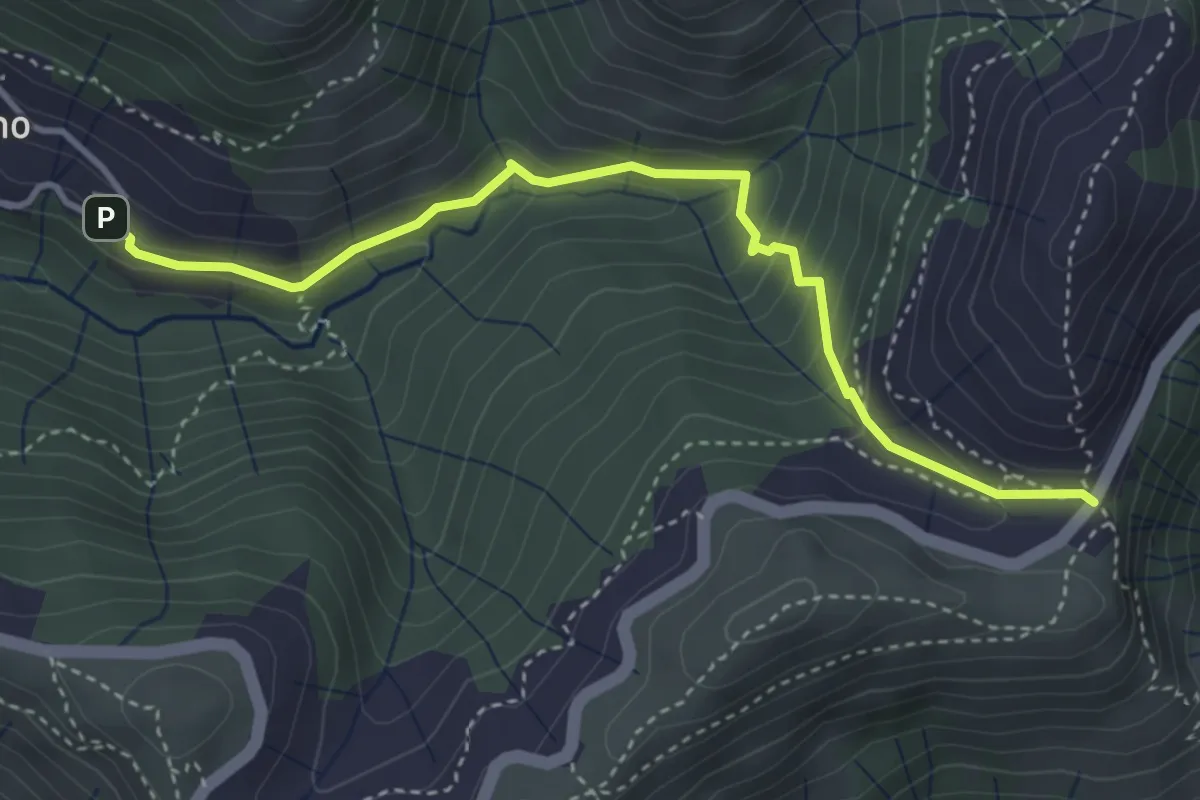
Medium · Trail
Cisiano - Case Becco
4.1 km · ↑ 280 m · 1 h 34 min · 12 km away
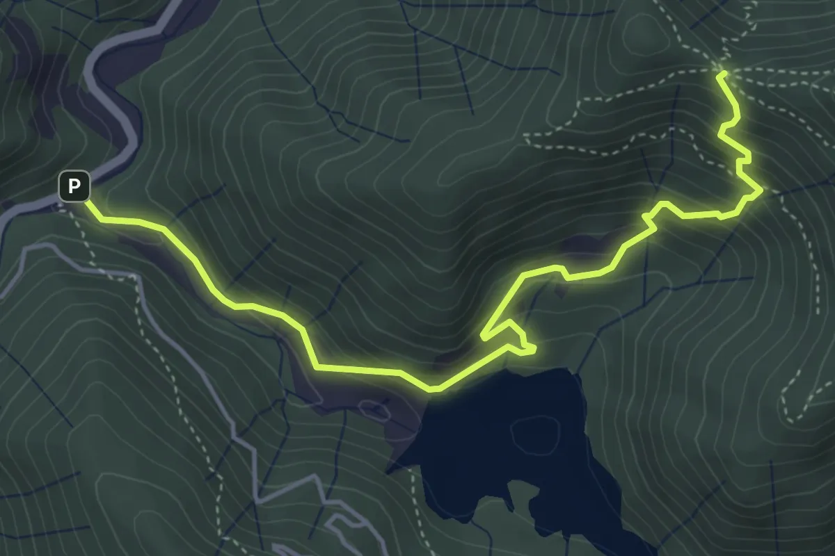
Medium · Trail
SP13 (Ponte Ledde) - Case Fontane - Valico di Monte Bano
5.4 km · ↑ 409 m · 2 h 10 min · 12 km away
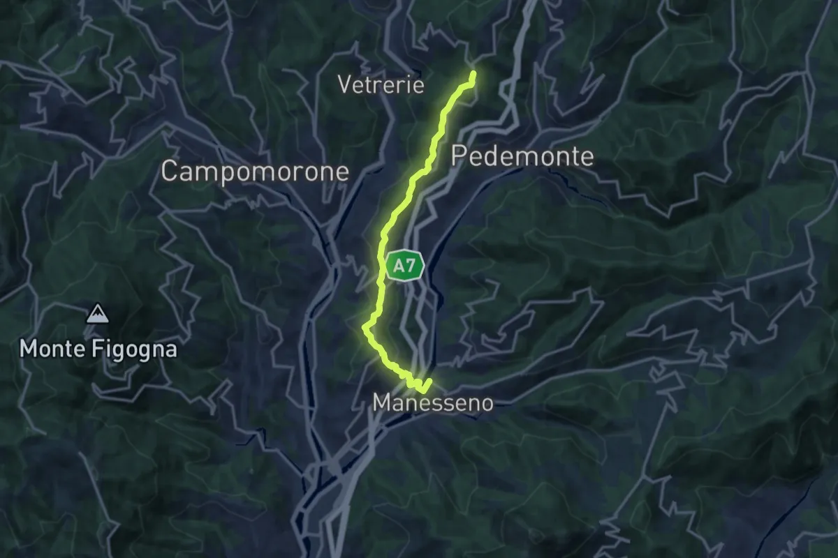
Medium · Trail
Collegamento "A" - Nordic Walking Croce di Vie
12.0 km · ↑ 449 m · 3 h 49 min · 12 km away
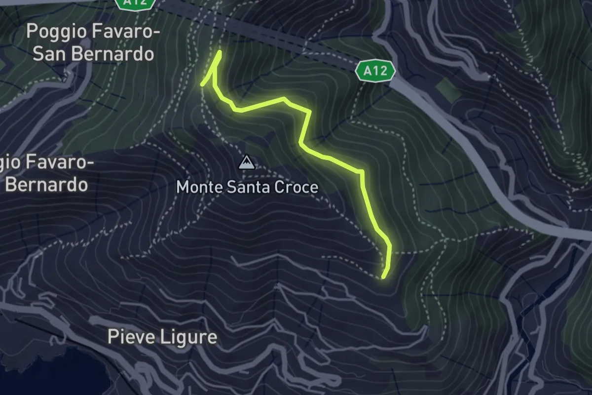
Easy · Trail
Costa - Cramoesi
3.4 km · ↑ 206 m · 1 h 15 min · 12 km away
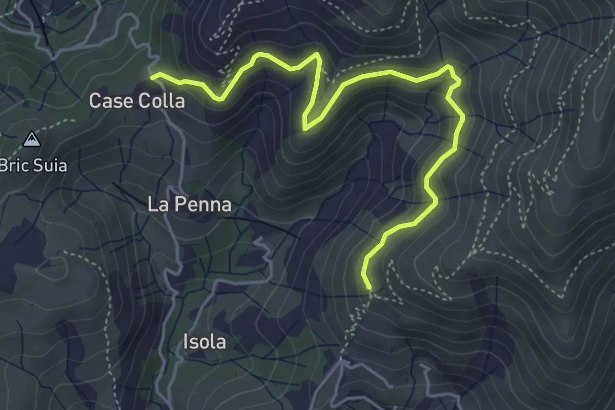
Medium · Trail
Sentiero Lische Basse
4.9 km · ↑ 360 m · 1 h 57 min · 13 km away
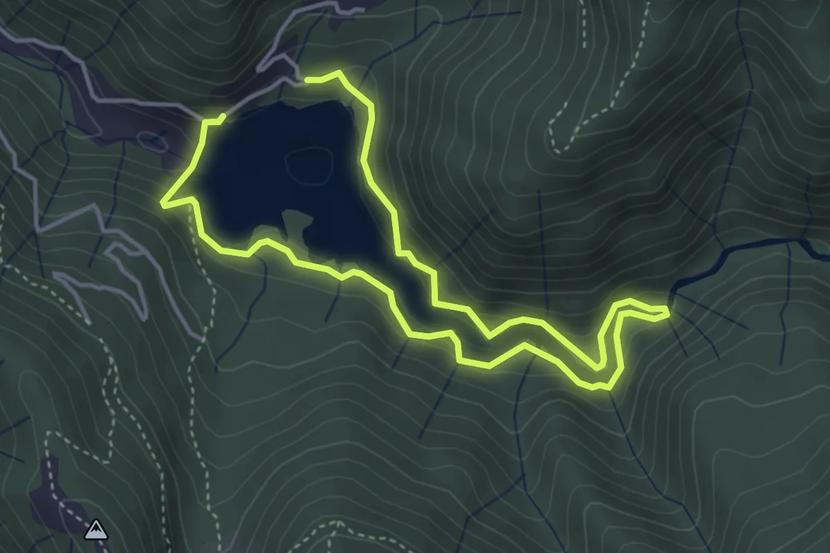
Medium · Trail
Anello del Lago di Val di Noci
6.8 km · ↑ 363 m · 2 h 23 min · 13 km away
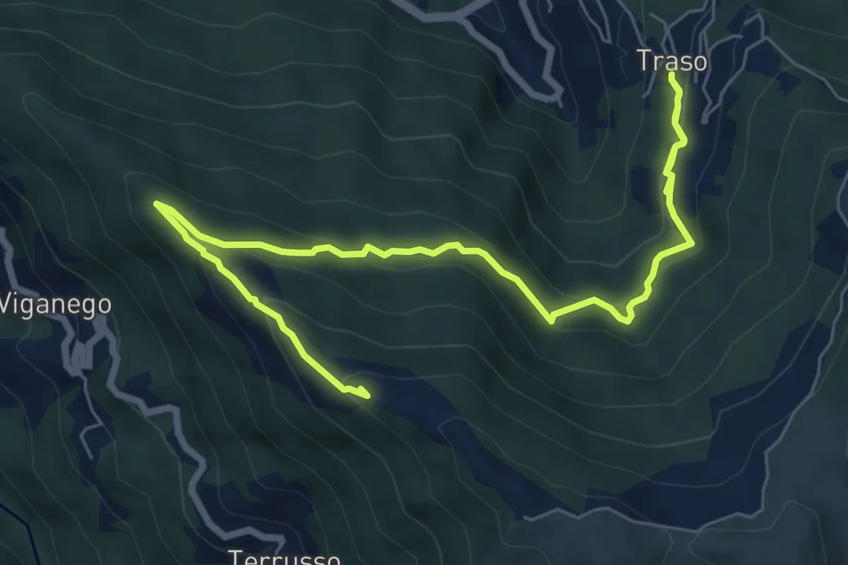
Medium · Summit
Traso - Colle Speranza
8.5 km · ↑ 567 m · 3 h 14 min · 13 km away
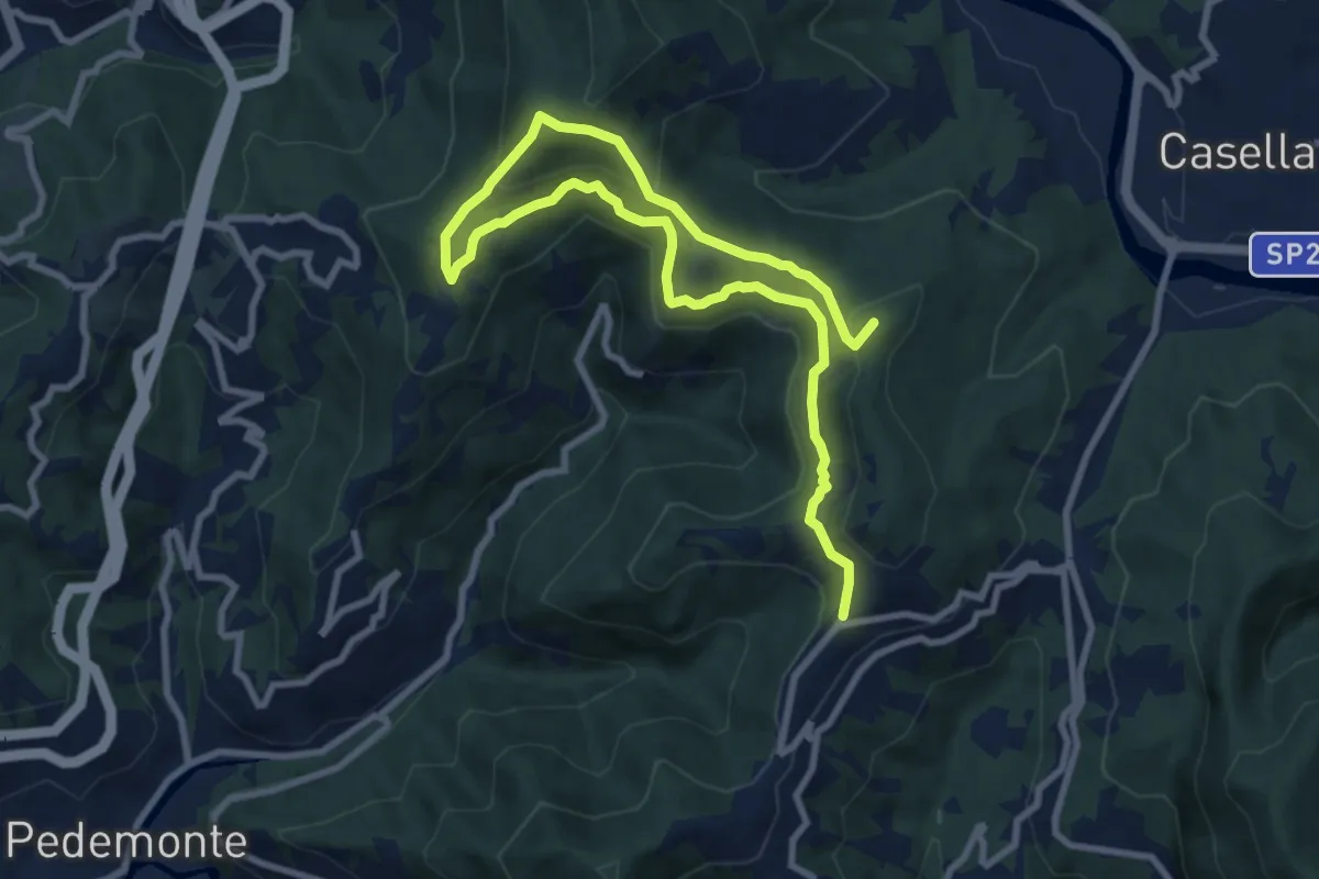
Medium · Summit
Circuito dei Fontanini - Nordic Walking Croce di Vie
12.8 km · ↑ 586 m · 4 h 17 min · 13 km away
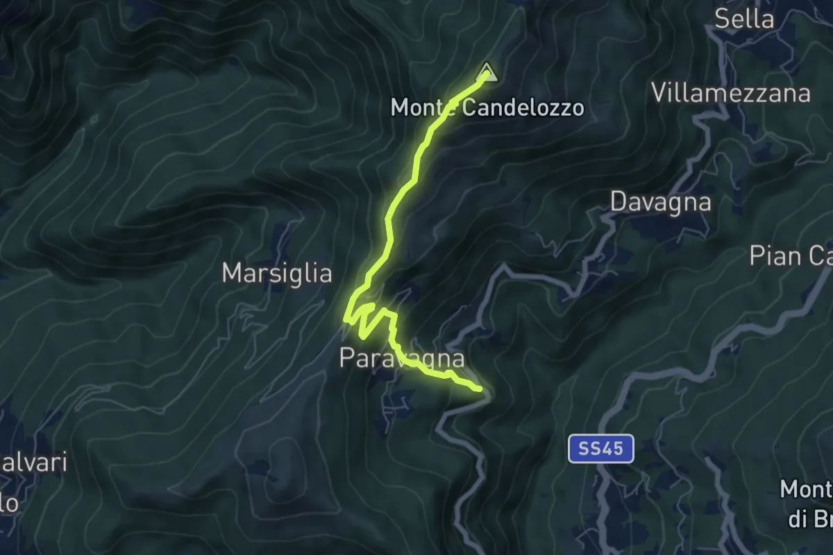
Medium · Summit
Davagna - Capenardo - Monte Candelozzo
6.1 km · ↑ 485 m · 2 h 29 min · 13 km away
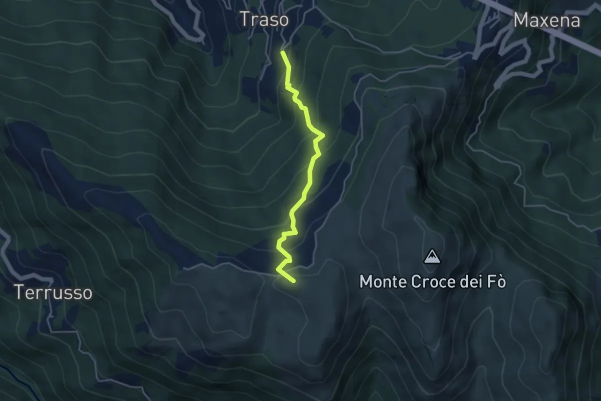
Medium · Summit
Traso Alta - Colle Speranza
3.5 km · ↑ 341 m · 1 h 34 min · 13 km away
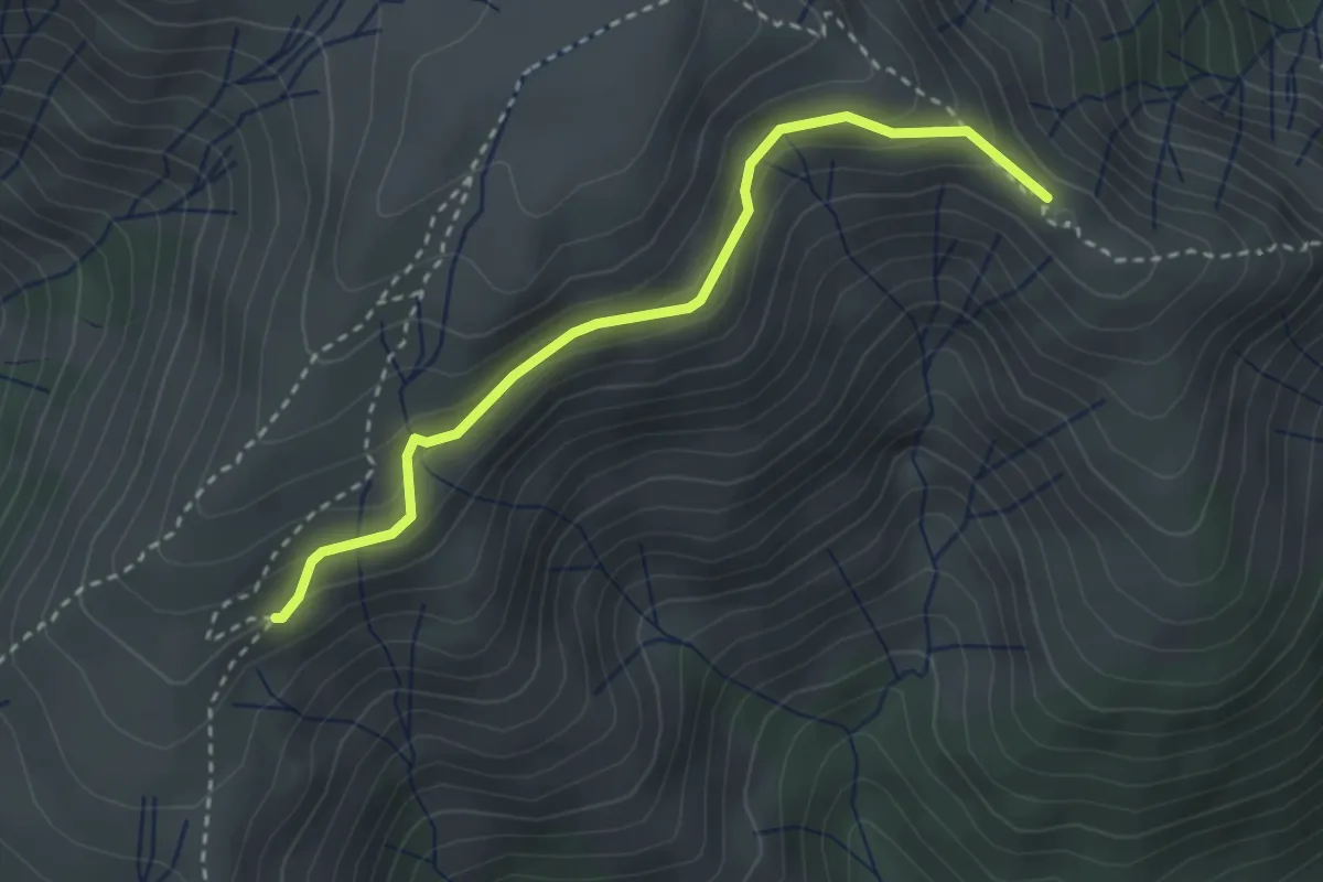
Medium · Summit
Collegamento Monte Cuccio - Punta del Corno
3.1 km · ↑ 238 m · 1 h 15 min · 13 km away
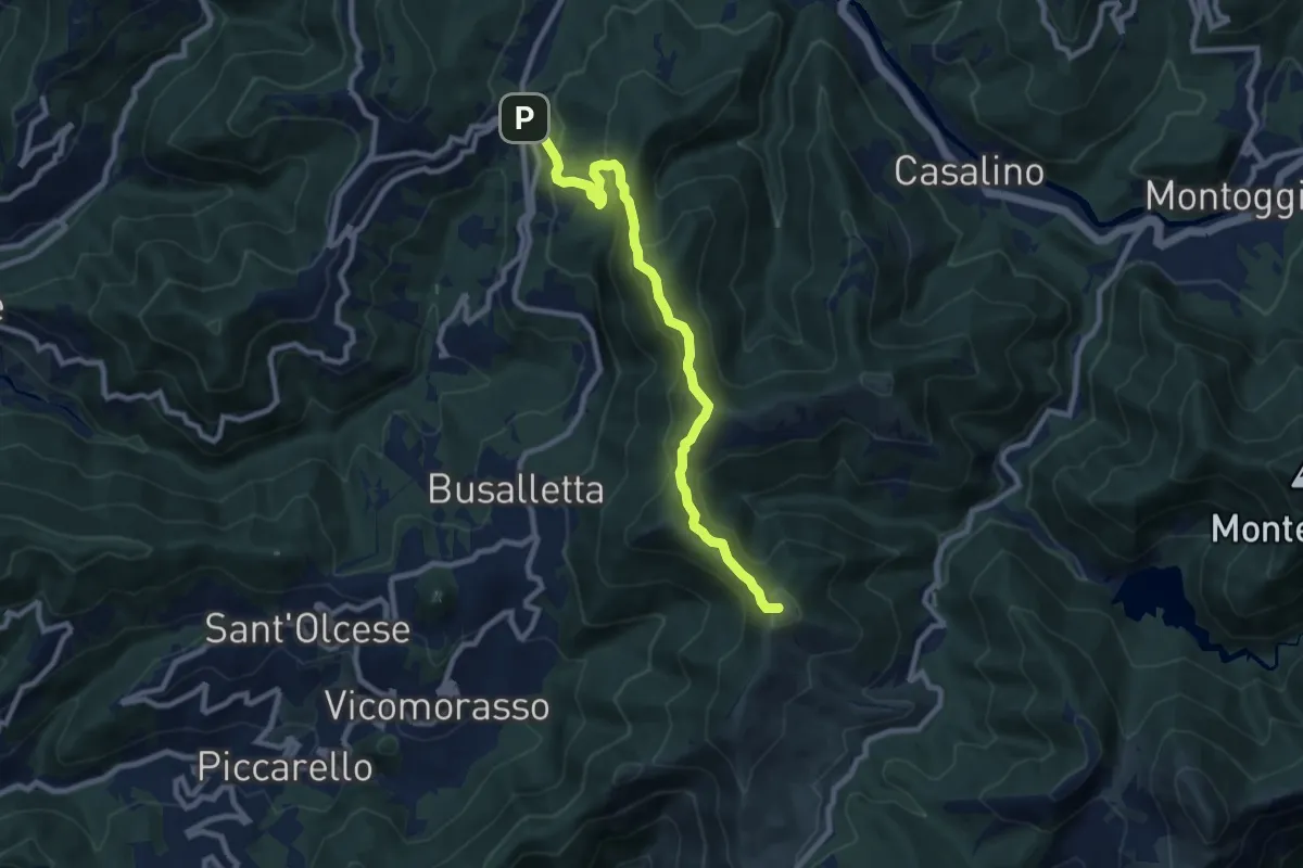
Medium · Summit
Crocetta d'Orero - Colle di Creto
9.3 km · ↑ 542 m · 3 h 22 min · 13 km away
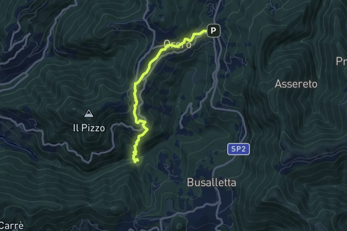
Medium · Cabin
Rifugio Ciaè – Crocetta d'Orero
6.7 km · ↑ 372 m · 2 h 24 min · 13 km away
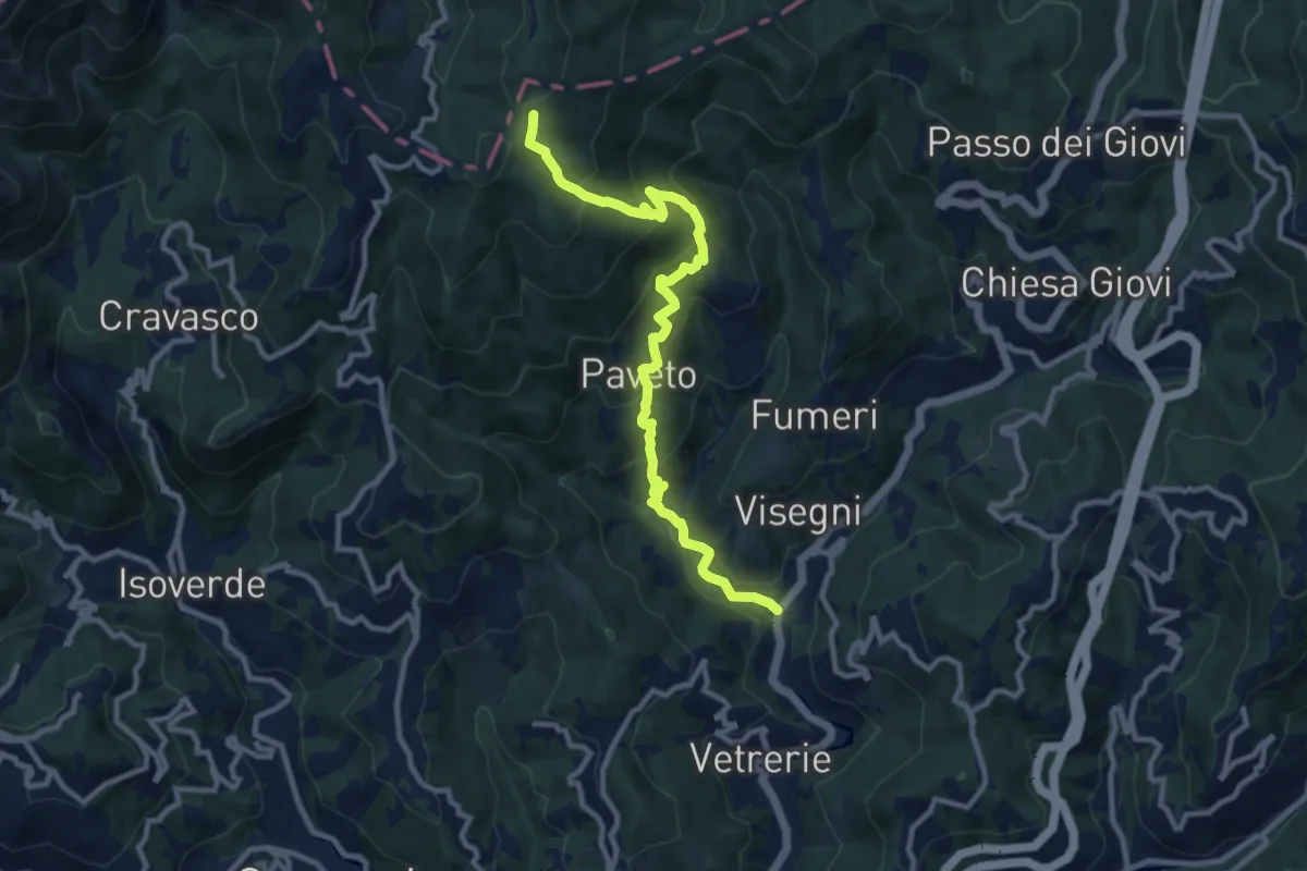
Medium · Trail
Ponte dell'Acqua – Pian di Reste
11.0 km · ↑ 723 m · 4 h 10 min · 13 km away
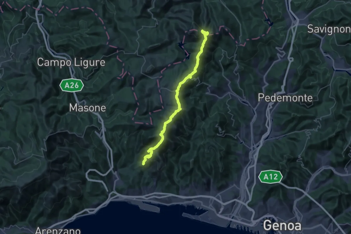
Demanding · Summit
Sentiero Liguria - Tappa 13 Variante 2
34.7 km · ↑ 1790 m · 12 h 4 min · 13 km away
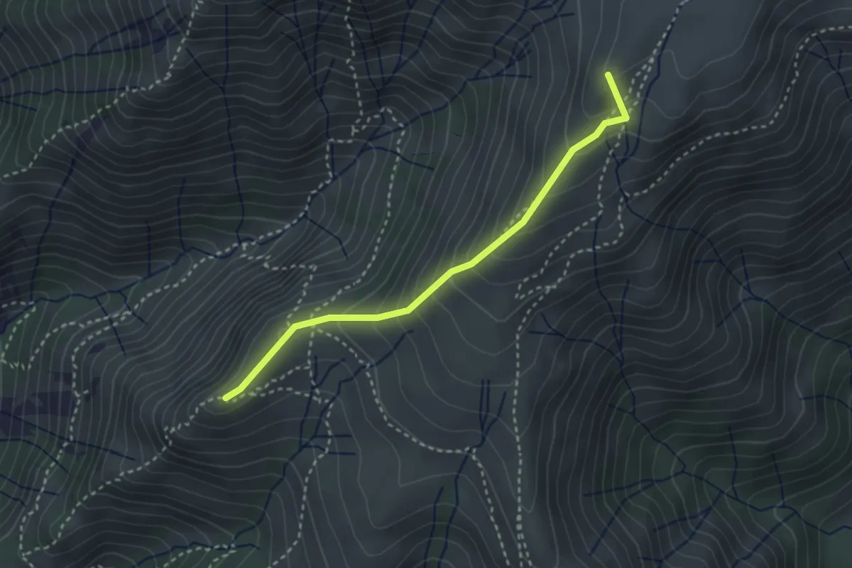
Medium · Summit
Cappellina Baiarda - Pendici Monte Fontana Buona
3.1 km · ↑ 298 m · 1 h 22 min · 14 km away
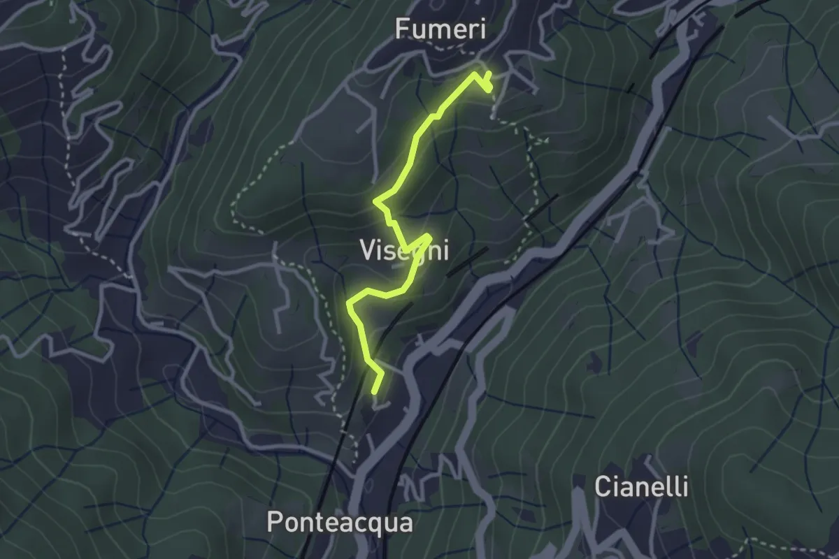
Medium · Trail
Mignanego - Visegni - Fumeri
2.7 km · ↑ 148 m · 58 min · 14 km away
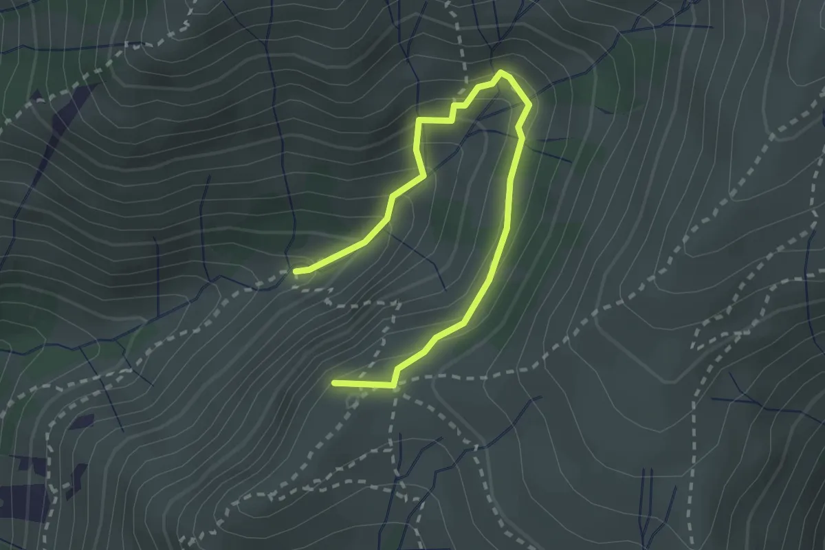
Medium · Summit
Sentiero Carlo Poggio
2.9 km · ↑ 323 m · 1 h 23 min · 14 km away
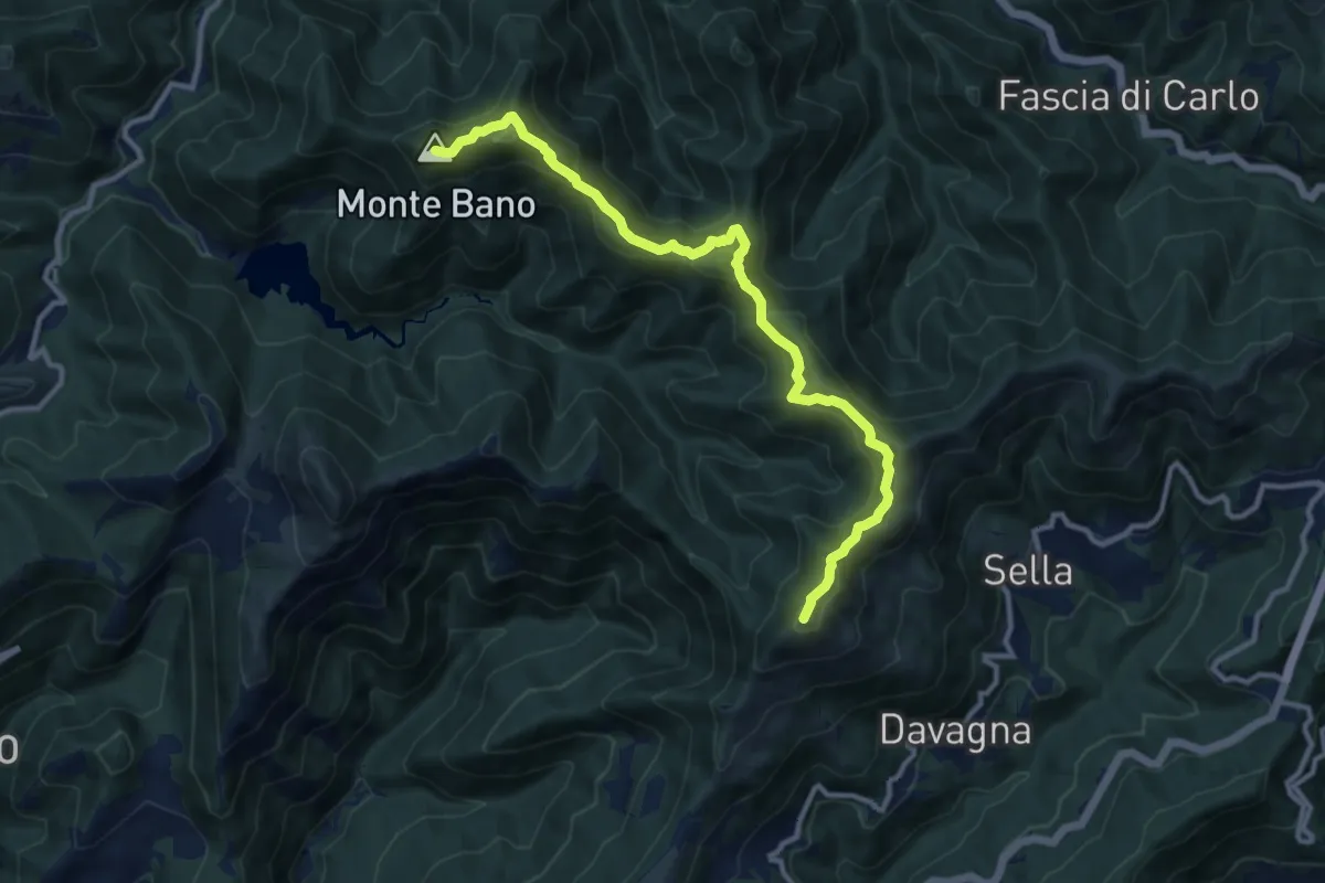
Medium · Summit
Monte Bano – Monte Candelozzo
11.6 km · ↑ 680 m · 4 h 13 min · 14 km away
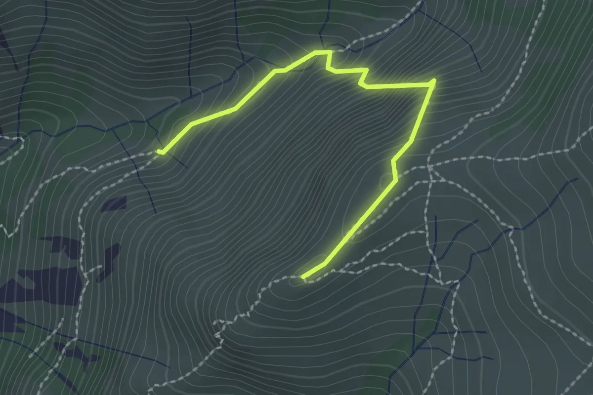
Expert · Summit
Sentiero Frassati F1
1.1 km · ↑ 266 m · 44 min · 14 km away
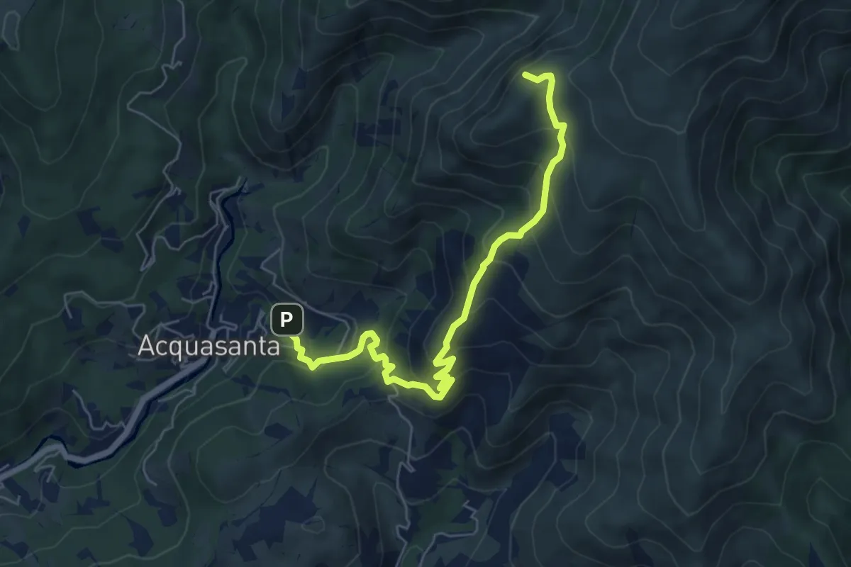
Medium · Summit
Stazione FS Acquasanta - Cappellina Baiarda
6.6 km · ↑ 619 m · 2 h 54 min · 14 km away
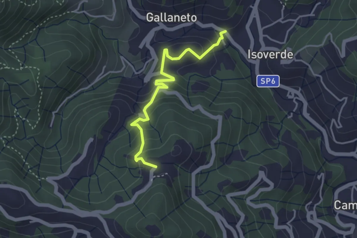
Medium · Trail
Gallaneto (N.S. delle Grazie) – Case Giutta
3.5 km · ↑ 229 m · 1 h 19 min · 14 km away
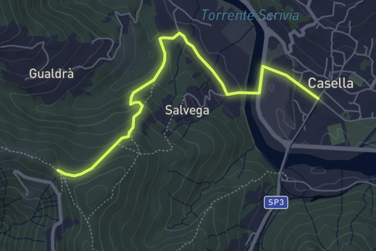
Easy · Trail
Casella – Costa dei Fontanini
5.7 km · ↑ 214 m · 1 h 49 min · 14 km away
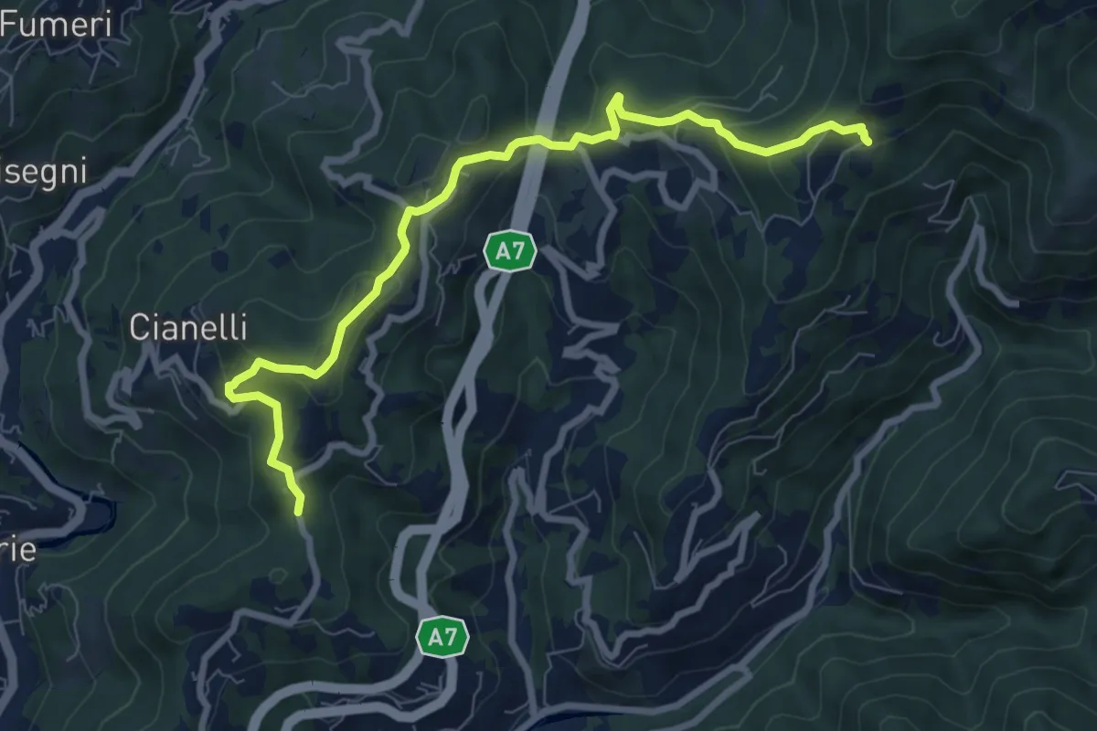
Medium · Trail
Collegamento "B" - Nordic Walking Croce di Vie
8.6 km · ↑ 426 m · 2 h 57 min · 14 km away
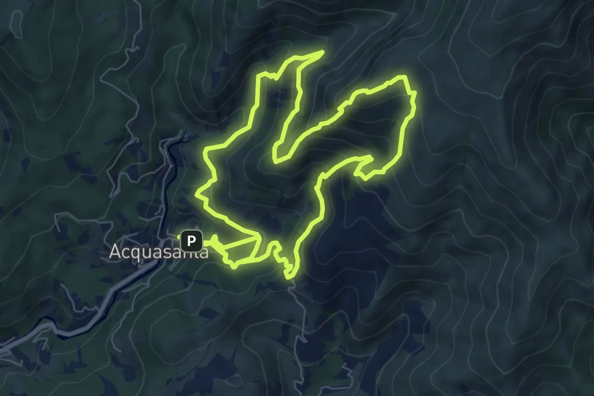
Demanding · Summit
Sentiero Frassati
8.4 km · ↑ 706 m · 3 h 37 min · 14 km away
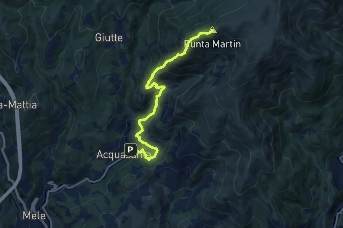
Expert · Summit
Acquasanta - Punta Martin
9.5 km · ↑ 923 m · 4 h 15 min · 14 km away
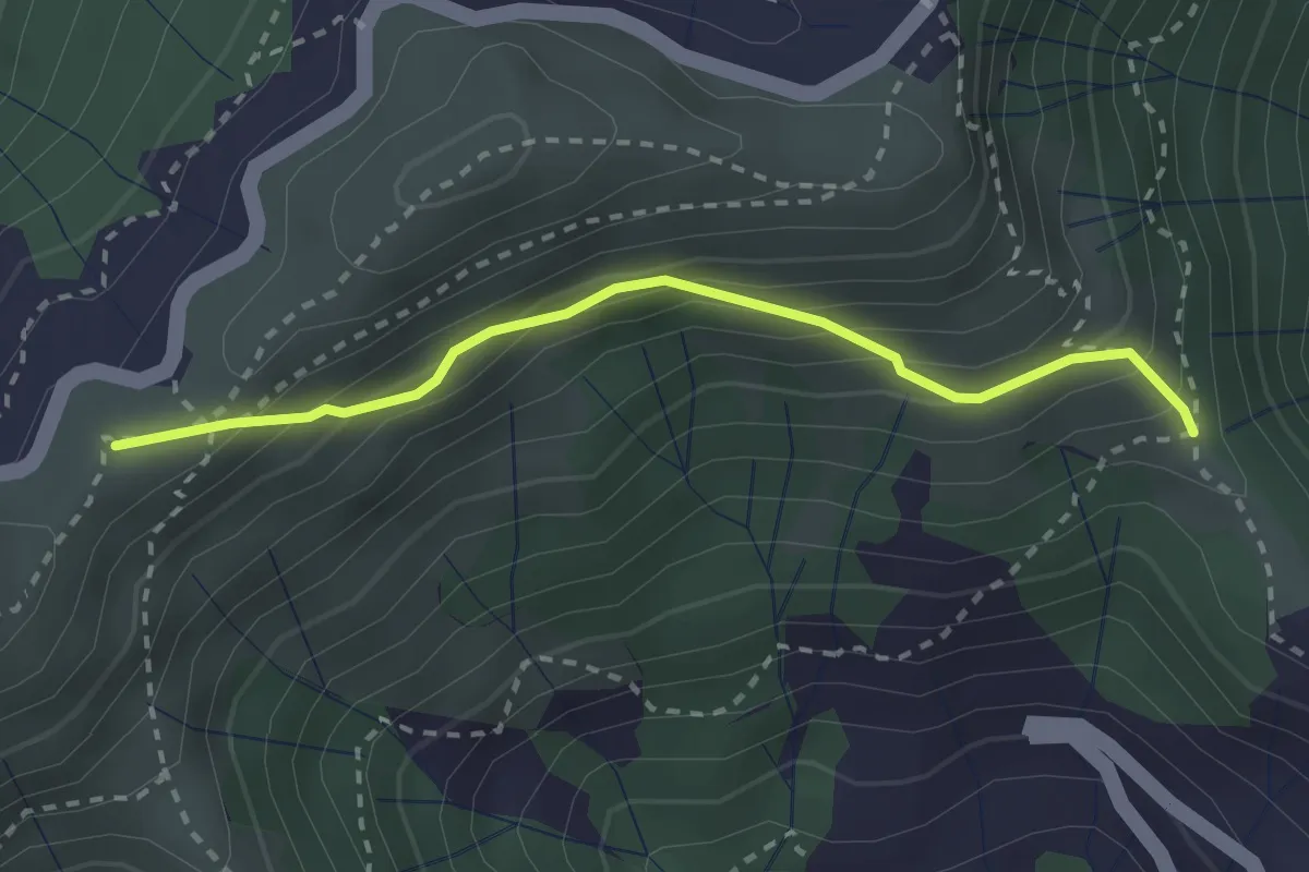
Easy · Summit
Croce - Bocchin di Levà
2.6 km · ↑ 222 m · 1 h 6 min · 14 km away
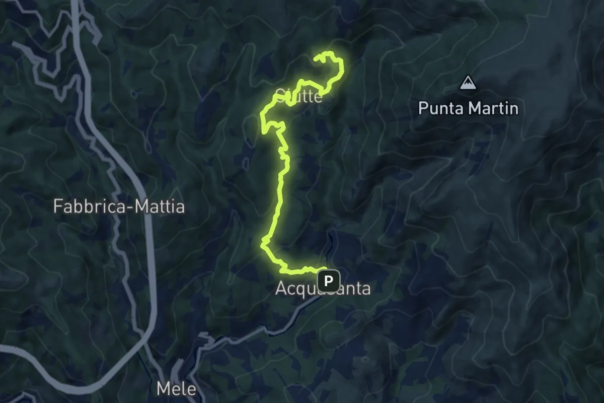
Medium · Summit
Santuario dell'Acquasanta – Pietra di Issel
11.1 km · ↑ 569 m · 3 h 52 min · 14 km away
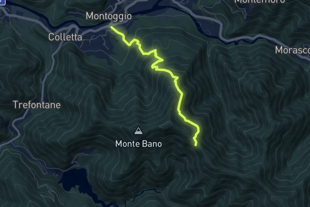
Medium · Trail
Sentiero della Resistenza
6.5 km · ↑ 535 m · 2 h 41 min · 14 km away
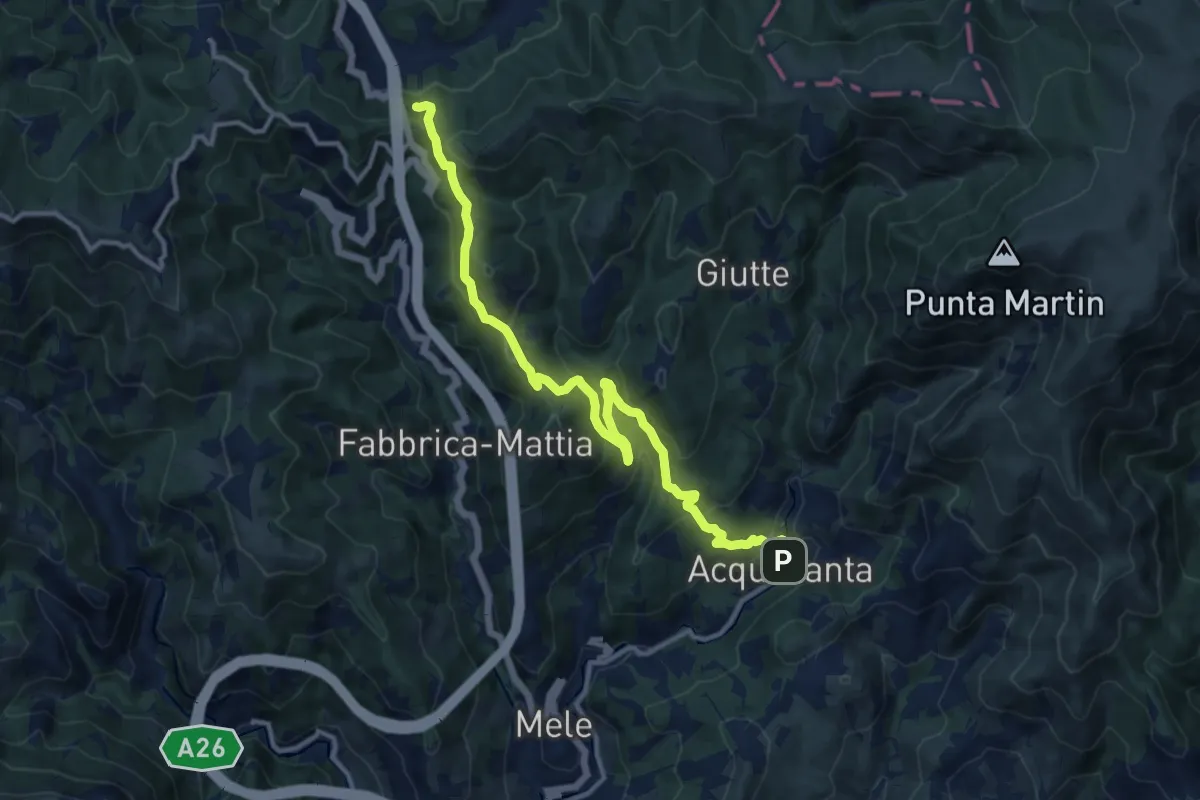
Medium · Trail
Acquasanta - Passo del Turchino
13.3 km · ↑ 680 m · 4 h 37 min · 14 km away
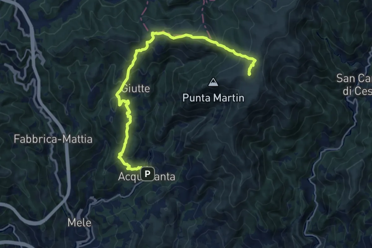
Demanding · Summit
Acquasanta – Monte Penello
17.2 km · ↑ 947 m · 6 h 7 min · 14 km away
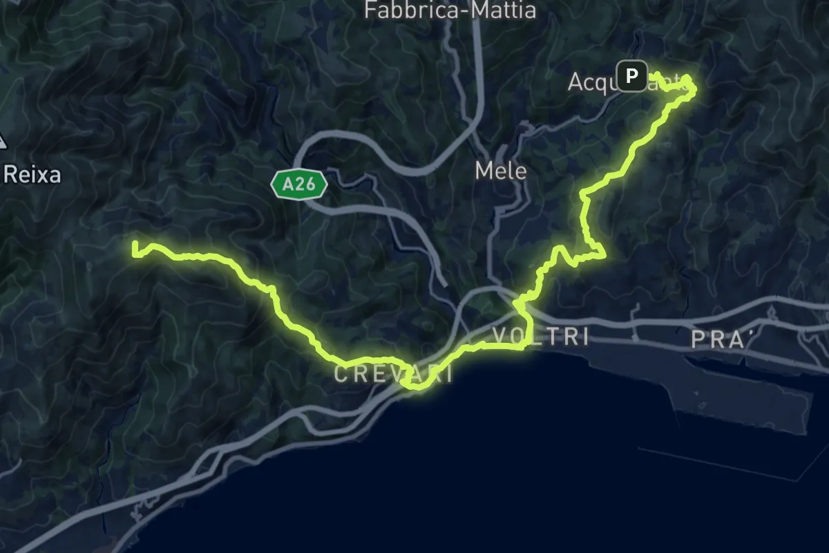
Demanding · Summit
Sentiero Liguria - Tappa 14
28.3 km · ↑ 1506 m · 9 h 57 min · 14 km away
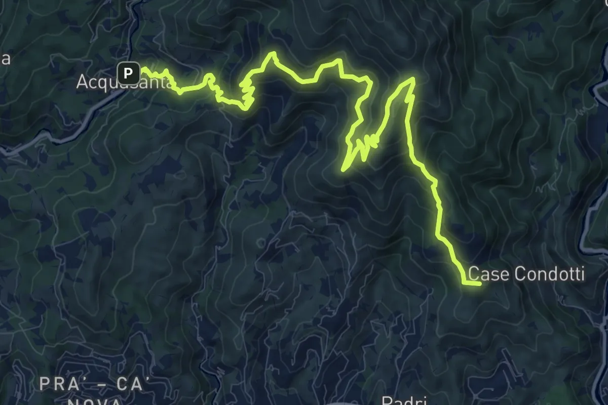
Demanding · Summit
Sentiero Liguria - Tappa 13
16.8 km · ↑ 1189 m · 6 h 32 min · 14 km away
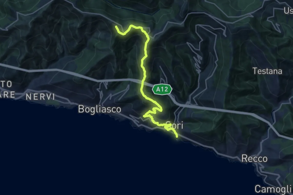
Demanding · Summit
Sori - Pieve Ligure - Monte S. Croce - Cian da Cola - Monte Cordona
17.2 km · ↑ 1135 m · 6 h 32 min · 14 km away
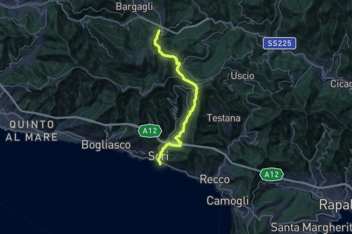
Demanding · Trail
Sori – S. Alberto
11.2 km · ↑ 1114 m · 4 h 54 min · 14 km away
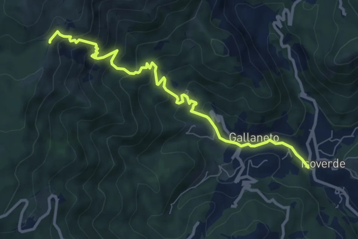
Medium · Trail
Isoverde (Acquedotto Galliera) – Passo Prato Leone
7.4 km · ↑ 600 m · 3 h 3 min · 14 km away
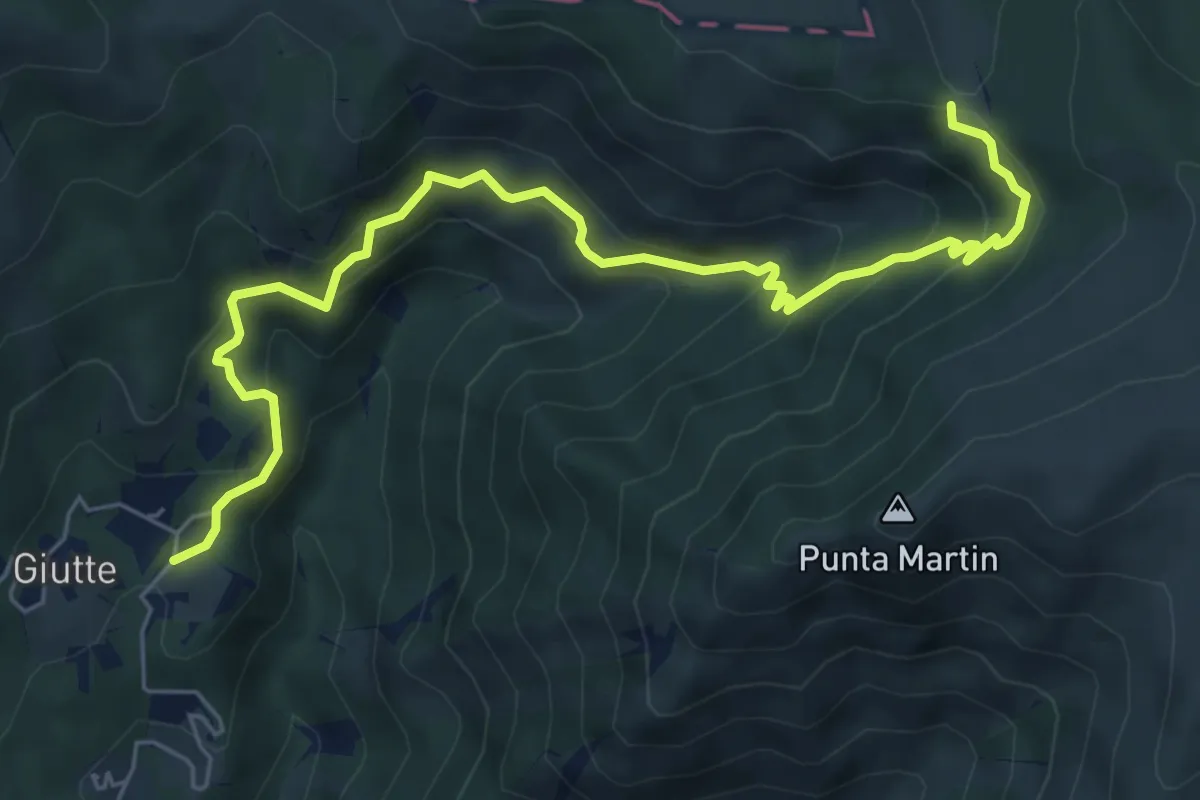
Medium · Trail
Sentiero C4
7.4 km · ↑ 526 m · 2 h 54 min · 14 km away
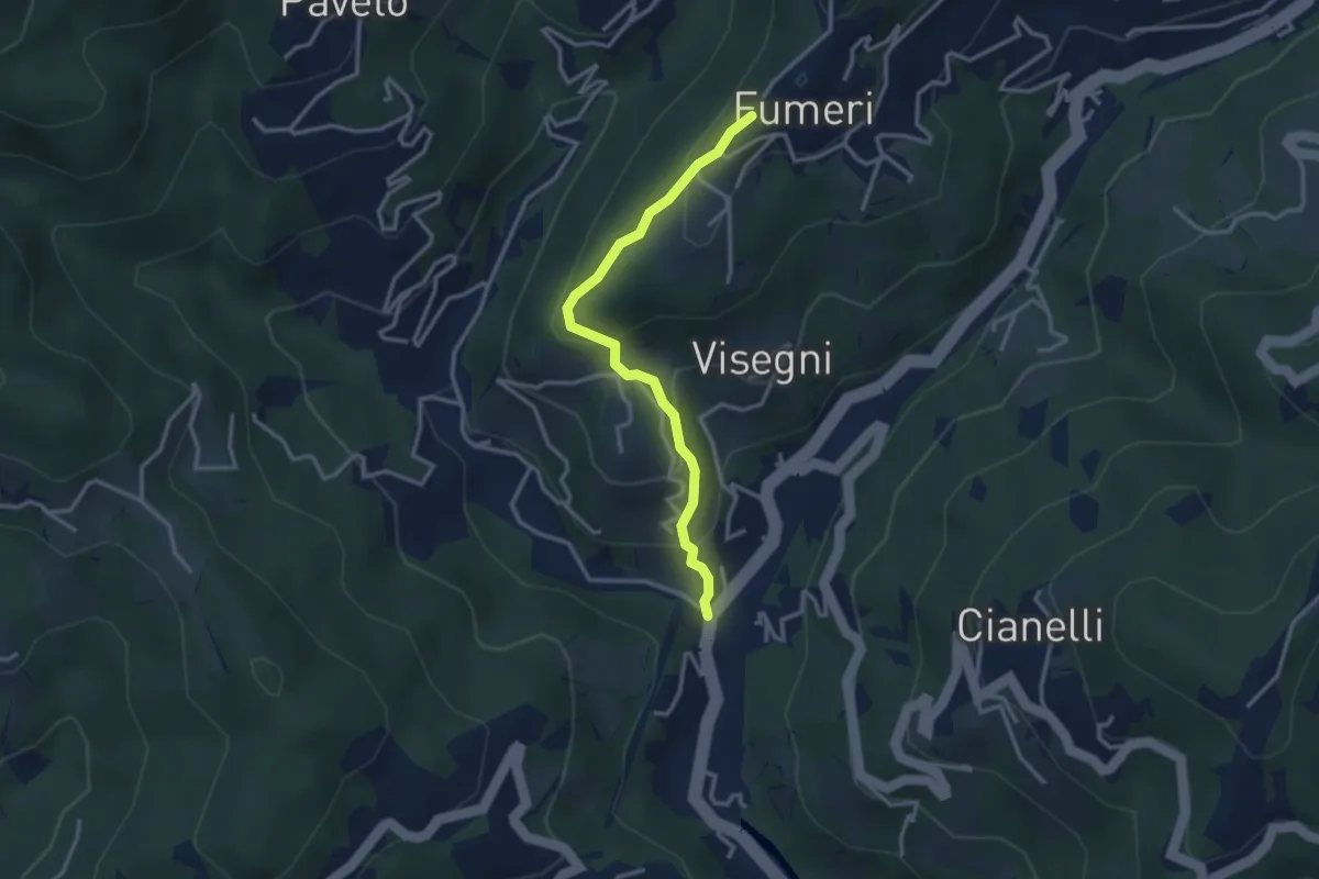
Medium · Trail
Ponteacqua – Fumeri
3.1 km · ↑ 198 m · 1 h 10 min · 14 km away
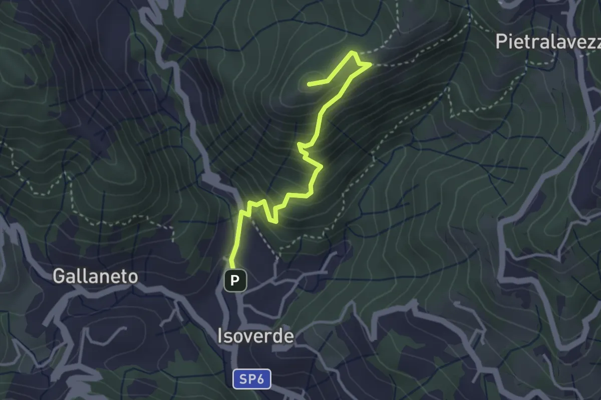
Medium · Summit
Isoverde – Monte Carlo
3.3 km · ↑ 318 m · 1 h 28 min · 15 km away
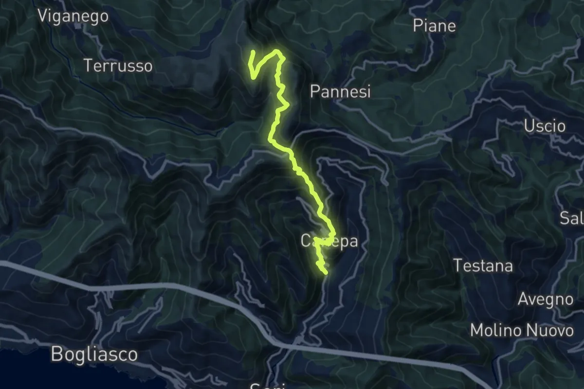
Demanding · Summit
Lago (Sori) – Monte Croce dei Fò
13.1 km · ↑ 1149 m · 5 h 34 min · 15 km away
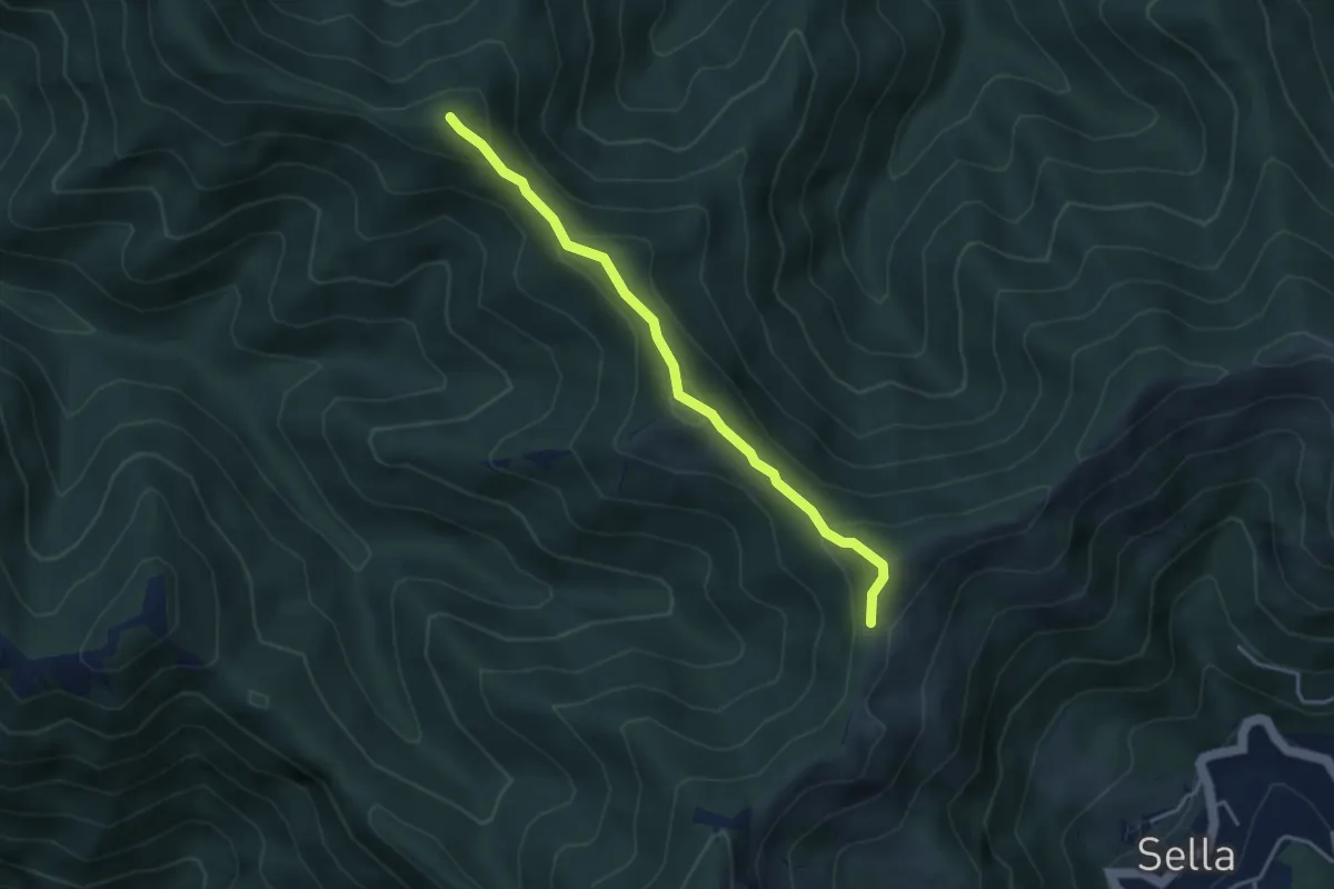
Medium · Summit
Trivio Sella Noci – Sella del Carmo
3.7 km · ↑ 336 m · 1 h 36 min · 15 km away