Trails near Giaveno
179 hikes starting within 15 km, nearest first.
Nearest first, page 1 of 4
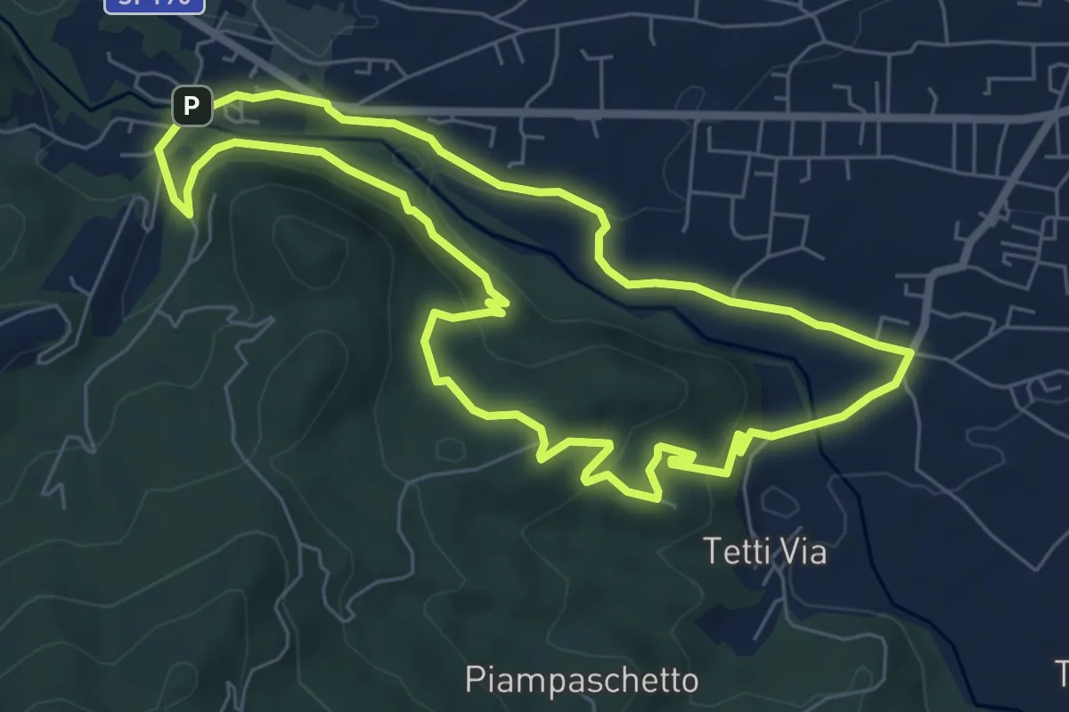
Easy · Summit
Anello Pontepietra
6.8 km · ↑ 179 m · 2 h 5 min · 3 km away
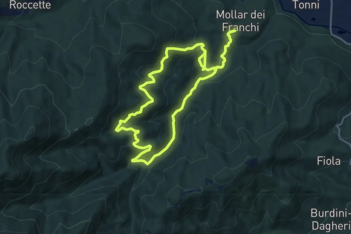
Medium · Trail
Sentiero Augusto monti
9.1 km · ↑ 477 m · 3 h 17 min · 3 km away
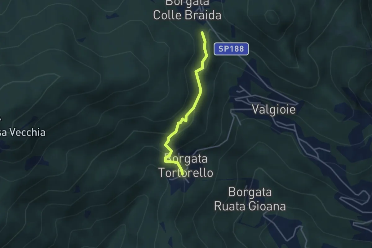
Medium · Trail
Bivio 435-435A, Borgata Colle Braida – Bivio 435A-438, Borgata Tortorello
2.7 km · ↑ 213 m · 1 h 6 min · 4 km away
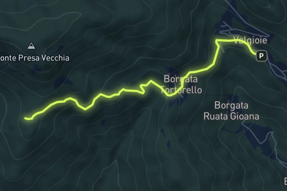
Easy · Trail
Borgata Chiodrero – Bivio 436-438
6.1 km · ↑ 292 m · 2 h 4 min · 4 km away
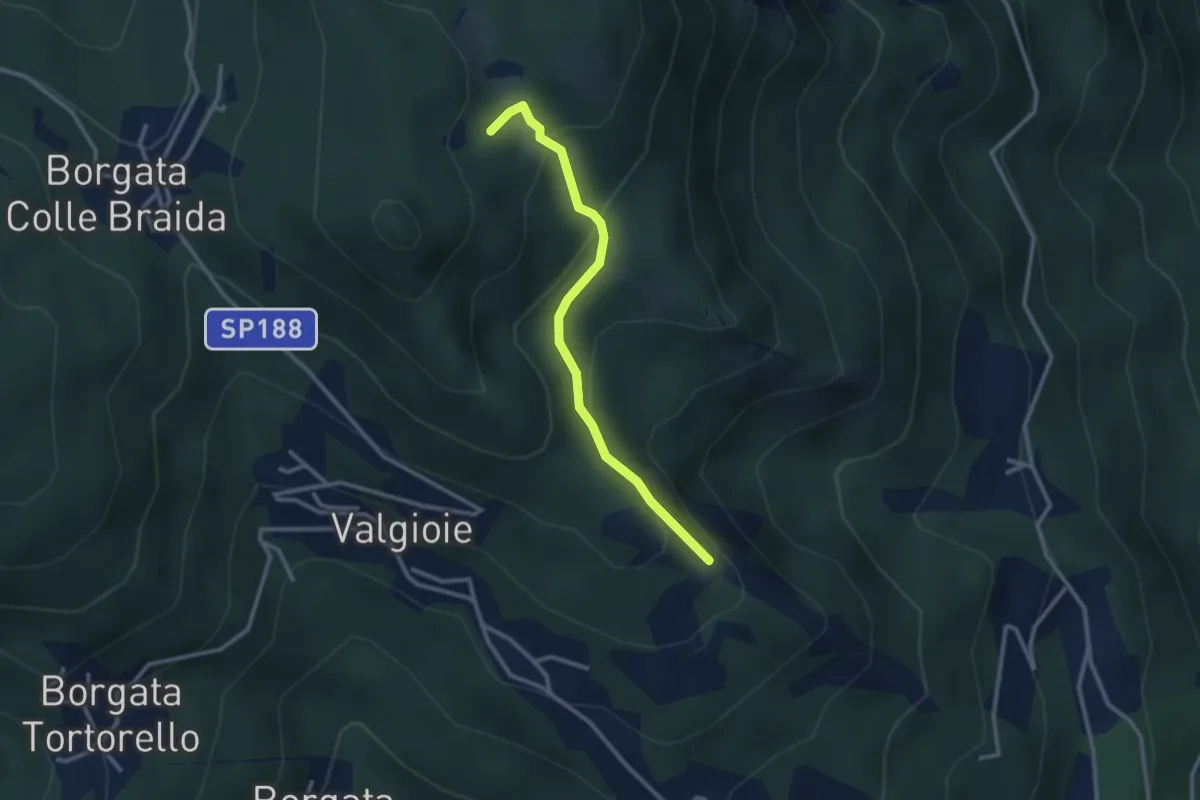
Easy · Trail
Bivio TOS451-TOS451A – Cima Castiglione, bivio TOS451-TOS451A
2.7 km · ↑ 179 m · 1 h 2 min · 4 km away
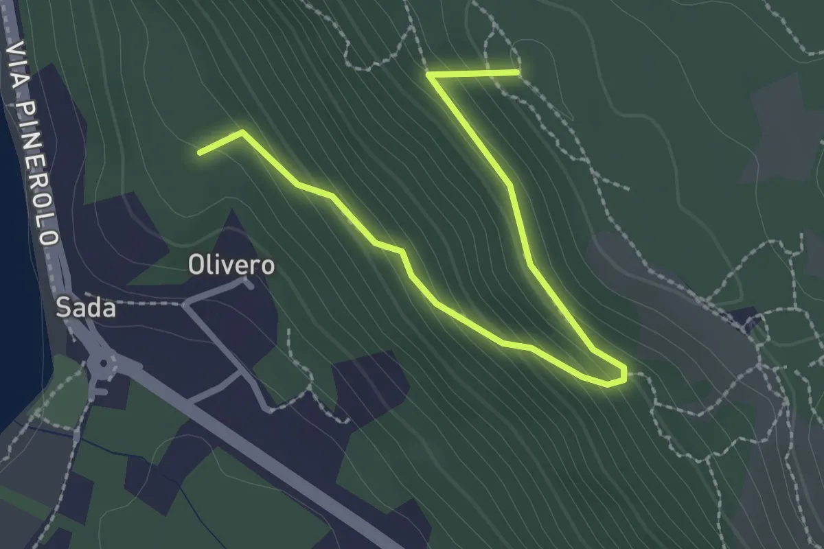
Medium · Summit
Bivio TOS451-TOS451B – Colle del Bal dl'e Masche, Bivio TOS451B-TOP201B
2.8 km · ↑ 182 m · 1 h 3 min · 4 km away
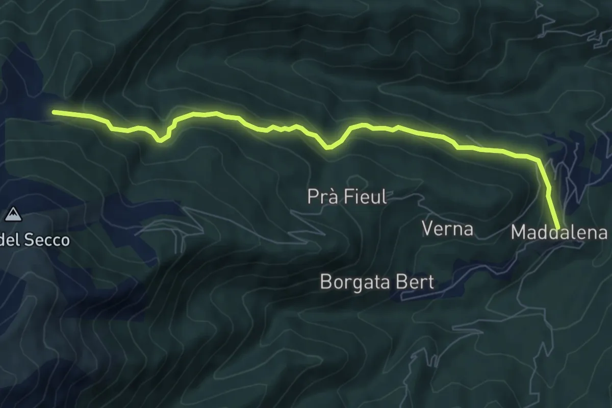
Medium · Trail
Giaveno, Borgata Maddalena – Giaveno, Colletto del Forno, bivio TOS453-TOS413
7.8 km · ↑ 382 m · 2 h 41 min · 4 km away
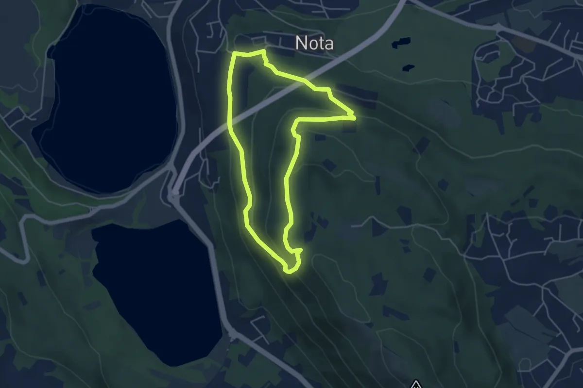
Medium · Trail
Sentiero Gianfranco Salotti
4.3 km · ↑ 194 m · 1 h 29 min · 4 km away
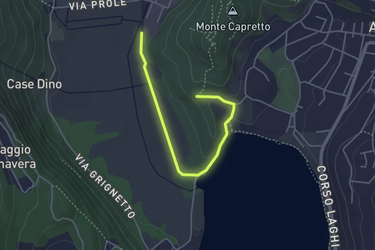
Easy · Trail
Avigliana, Pilone di San Michele, bivio TOS501-TOS501B – Bivio TOS501-TOS501B
3.7 km · ↑ 56 m · 1 h · 4 km away
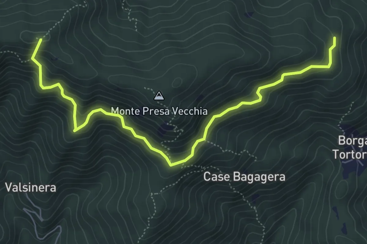
Medium · Summit
Bivio 435-435B, Borgata Presa delle Rose – Bivio 435-435C, Colle Remondetto
7.0 km · ↑ 443 m · 2 h 37 min · 4 km away
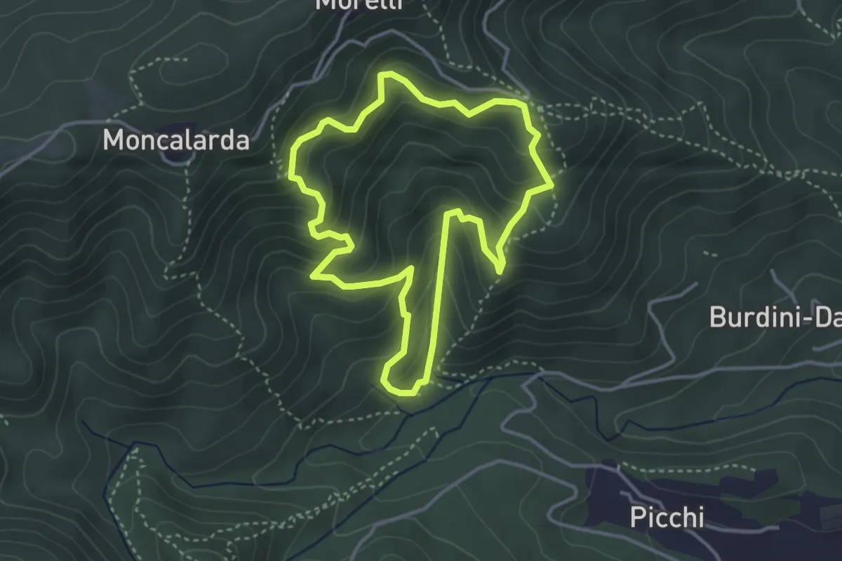
Medium · Trail
Anello Pietre Bianche
3.5 km · ↑ 291 m · 1 h 30 min · 5 km away
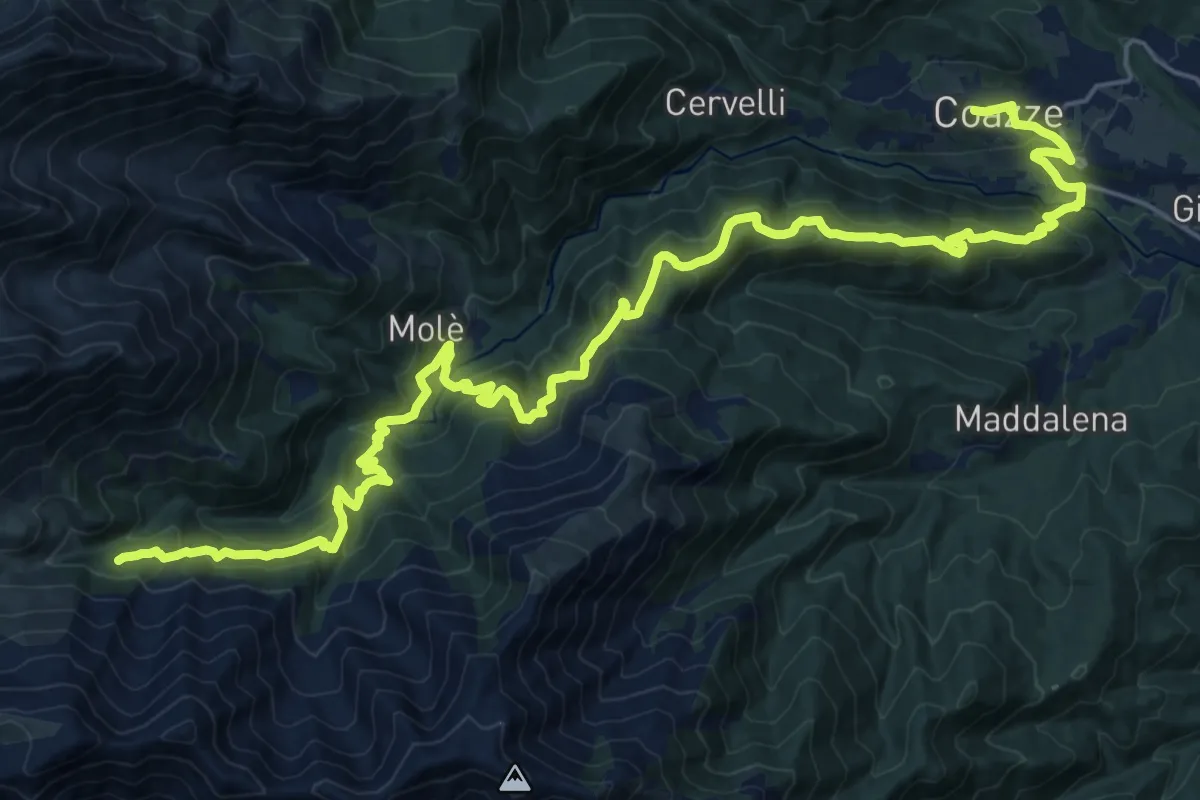
Demanding · Cabin
Sentieri della Resistenza - Tappa 08
15.6 km · ↑ 1222 m · 6 h 12 min · 5 km away
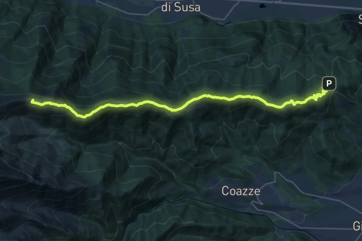
Demanding · Summit
Colle Braida, bivioTOS435-TOS451-TOS503A – Pian Peiroel, bivio TOS420-TOS435
23.3 km · ↑ 1076 m · 7 h 50 min · 5 km away
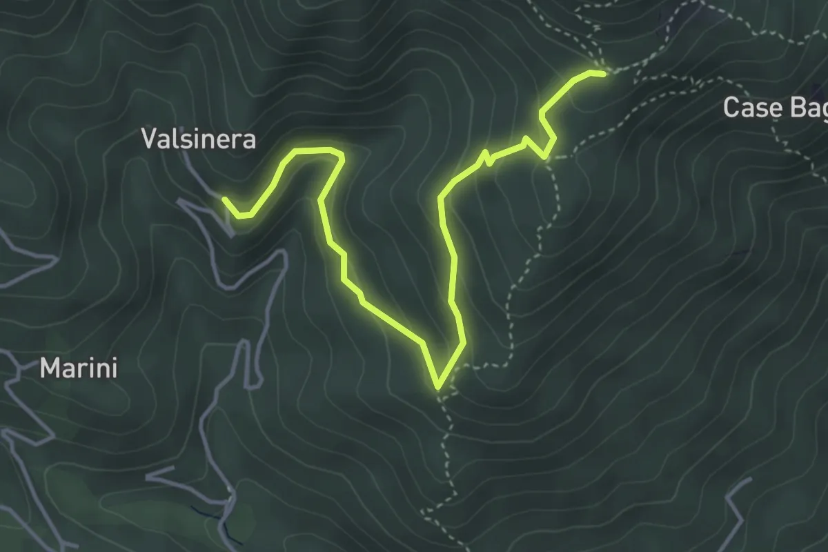
Easy · Trail
Valsinera – Bivio 435B-436
4.5 km · ↑ 283 m · 1 h 41 min · 5 km away
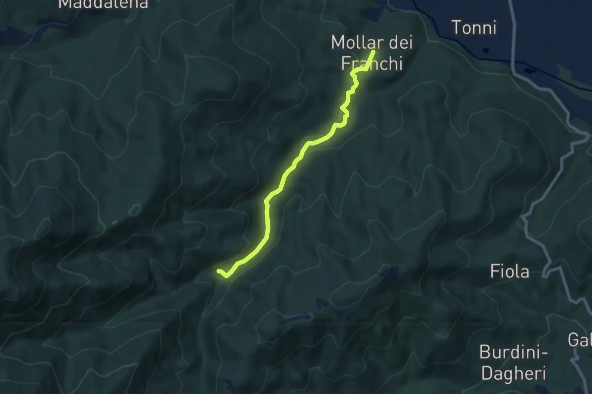
Easy · Trail
Giaveno, Mollar dei Franchi – Case Galletto, bivio TOS450-TOS452-TOS452A
6.4 km · ↑ 164 m · 1 h 52 min · 5 km away
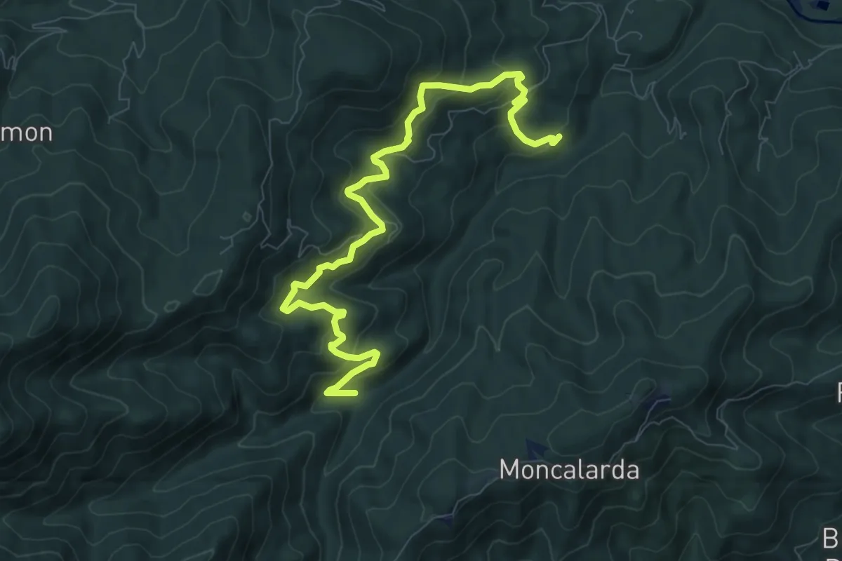
Medium · Trail
Bivio TOS452-TOS452A presso Borgata Gentina – Case Galletto, bivio TOS450-TOS452-TOS452A
10.1 km · ↑ 661 m · 3 h 49 min · 5 km away
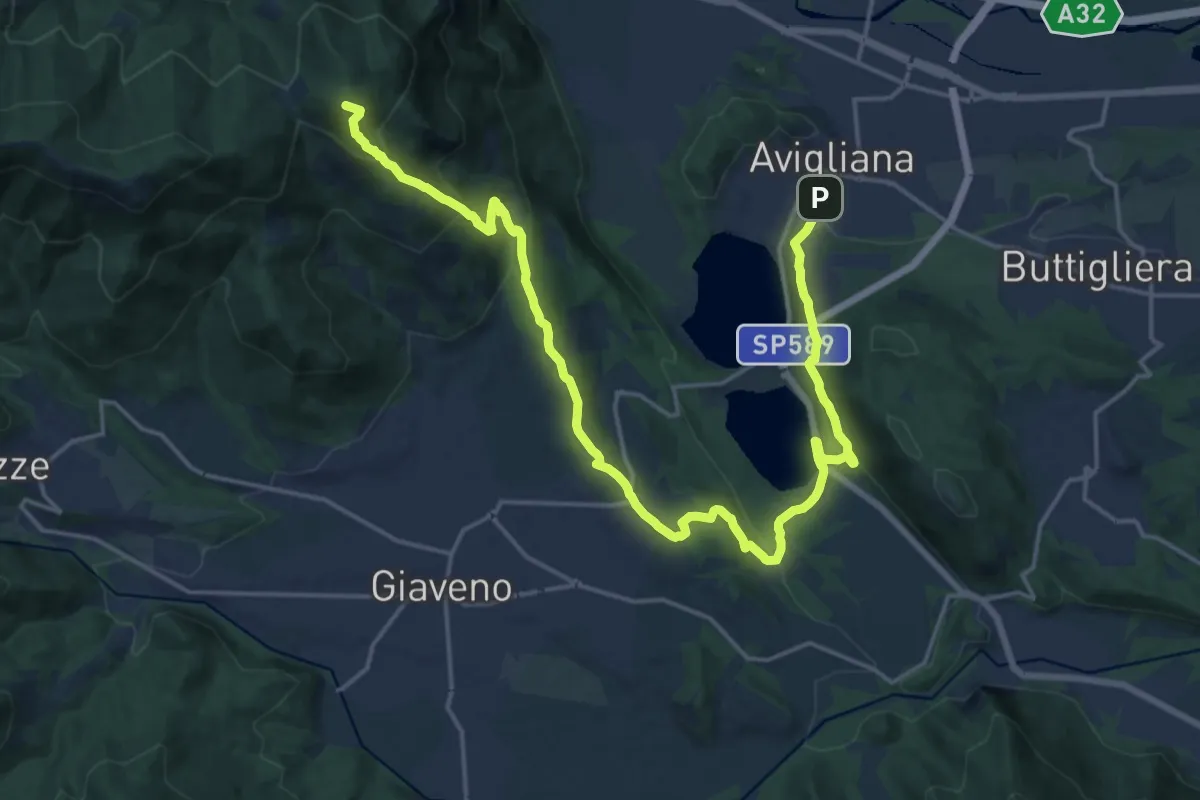
Demanding · Summit
Avigliana, Case San Pietro – Colle Braida, bivio TOS435-TOS503A
24.7 km · ↑ 1015 m · 8 h 2 min · 5 km away
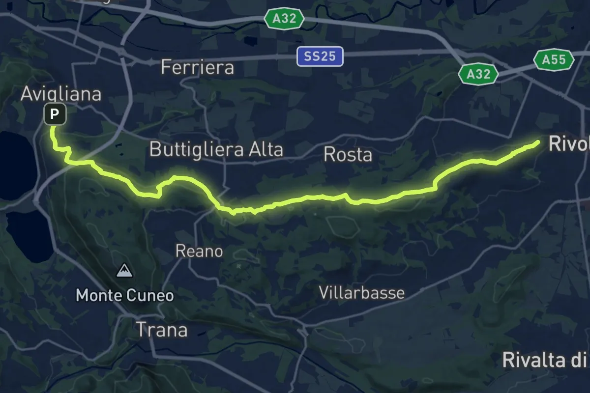
Demanding · Trail
Rivoli – Avigliana, case San Pietro
22.6 km · ↑ 475 m · 6 h 22 min · 5 km away
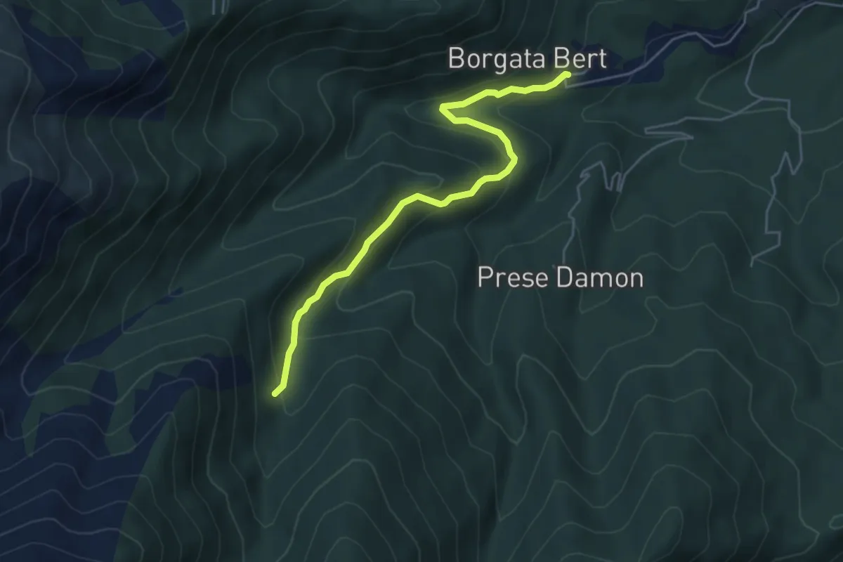
Easy · Trail
Balangero – Bivio 409-410
5.0 km · ↑ 312 m · 1 h 51 min · 5 km away
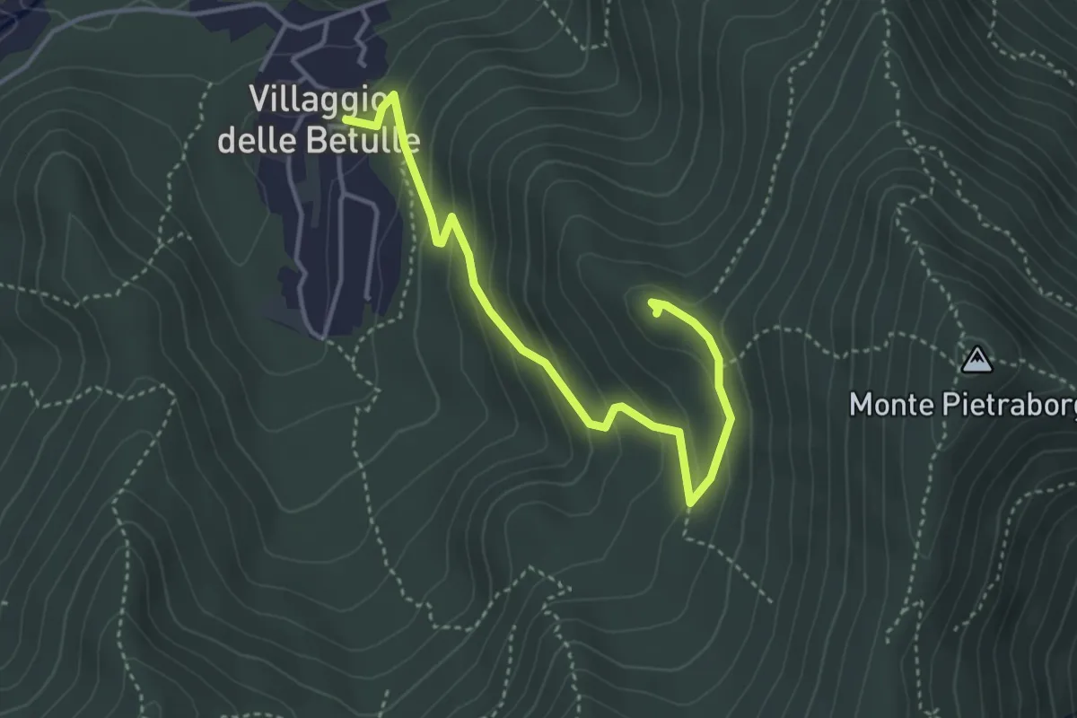
Easy · Trail
Percorso alla Croce degli Alpini di Trana
4.2 km · ↑ 258 m · 1 h 34 min · 5 km away
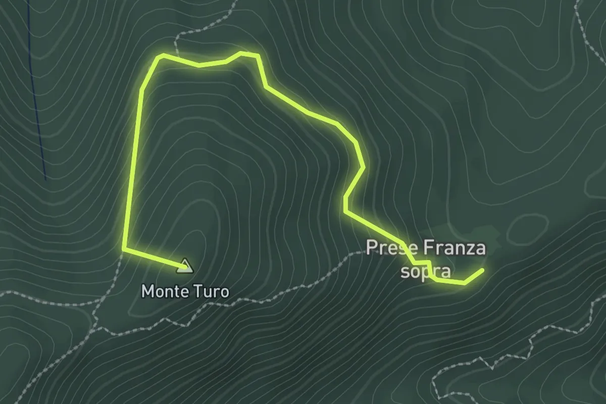
Medium · Summit
Prese della Franza sopra – Bivio TOS408-TOS409
3.1 km · ↑ 271 m · 1 h 20 min · 5 km away
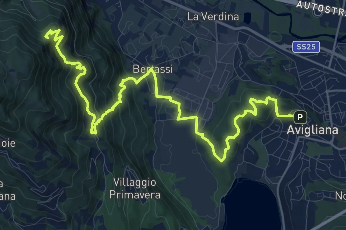
Demanding · Summit
Avigliana, Piazza del Popolo – Colle di Croce Nera presso Sacra di San Michele
17.7 km · ↑ 953 m · 6 h 14 min · 5 km away
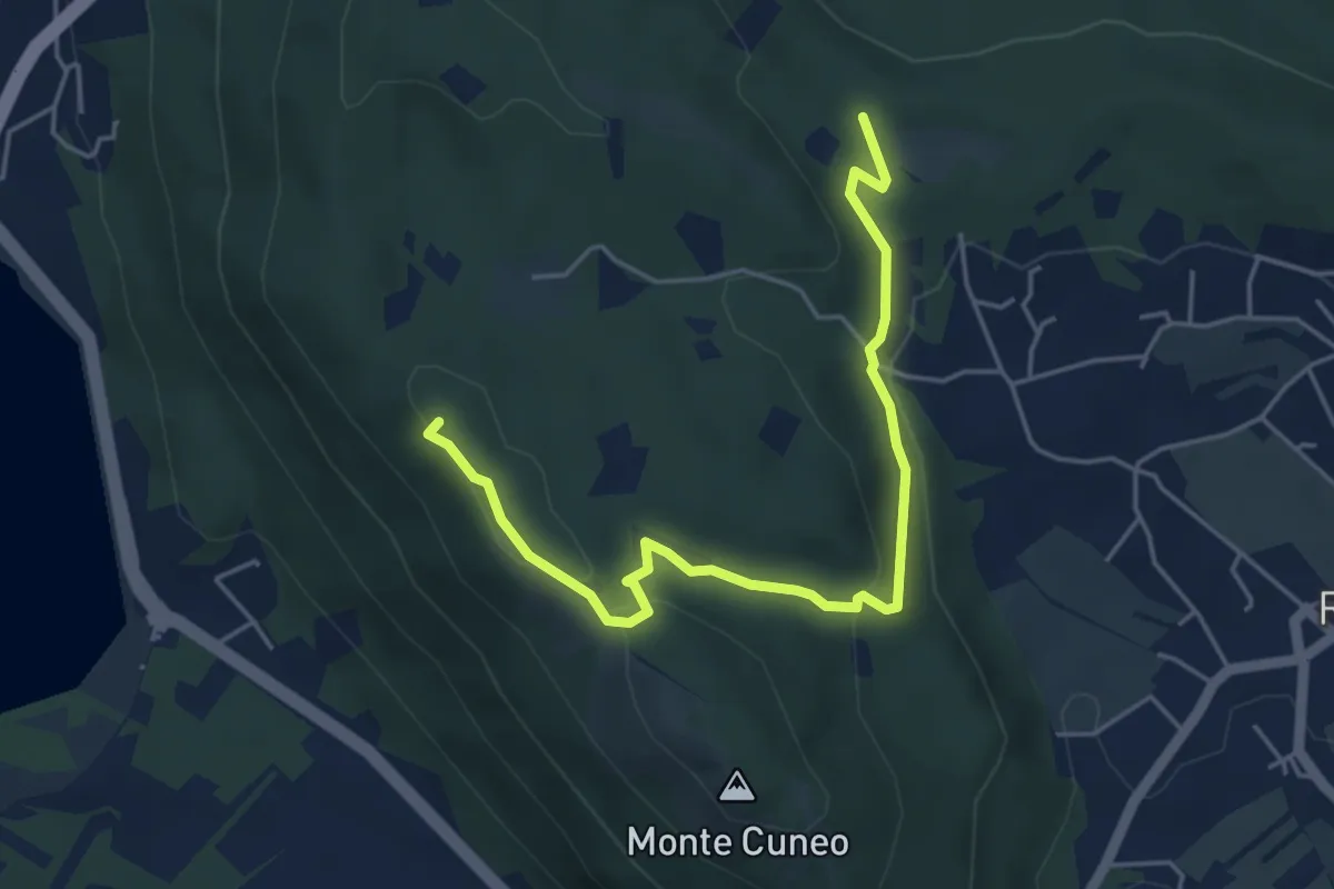
Medium · Summit
Borgata Fiori di Reano, Bivio TOP201-TOP201B – Bivio TOP201-TOP201B
5.4 km · ↑ 141 m · 1 h 35 min · 6 km away
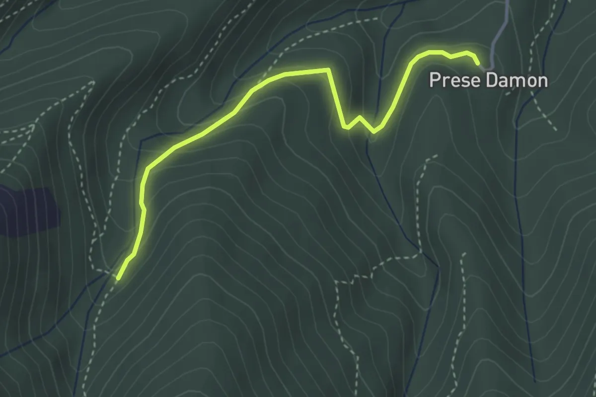
Easy · Trail
Giaveno, Prese Damon, Bivio TOS408 – Bivio TOS408A-TOS409
3.5 km · ↑ 216 m · 1 h 17 min · 6 km away
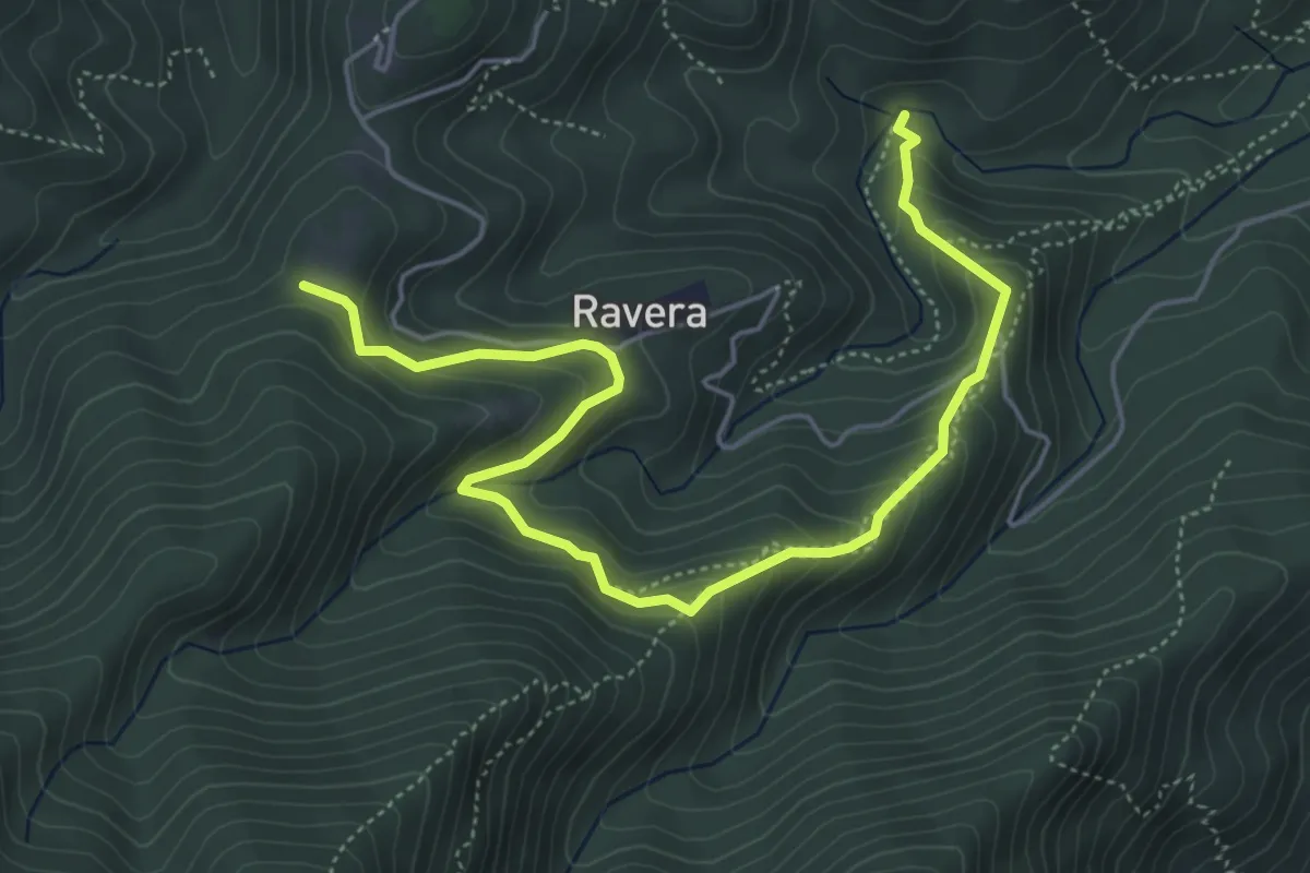
Medium · Trail
Ponte Magnina, bivio TOS009-TOS004 – Pian delle Benne, bivio TOS005-TOS008
6.2 km · ↑ 413 m · 2 h 22 min · 6 km away
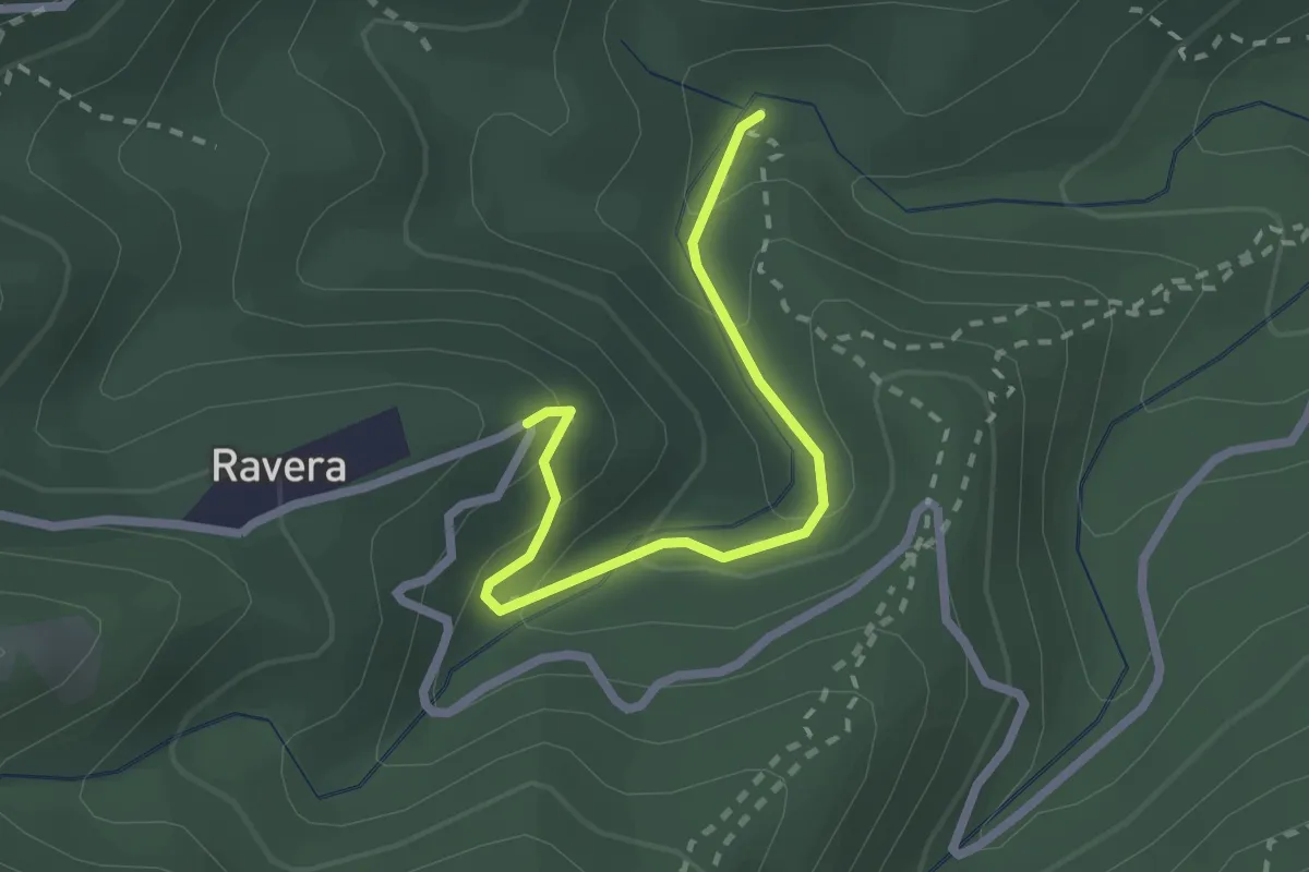
Easy · Trail
Ponte Magnina, bivio TOS004A-TOS004 – Strada Loc Borgata Ravera
2.3 km · ↑ 142 m · 52 min · 6 km away
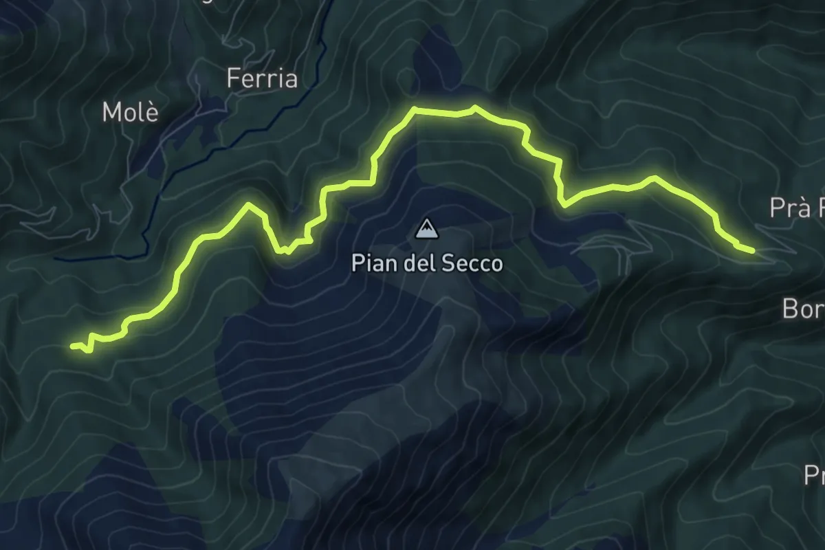
Medium · Trail
Giaveno, Borgata Pra Fieul, località Presa del Luj – Rio Comba Secca, bivio TOS413-TOS414
10.8 km · ↑ 493 m · 3 h 38 min · 6 km away
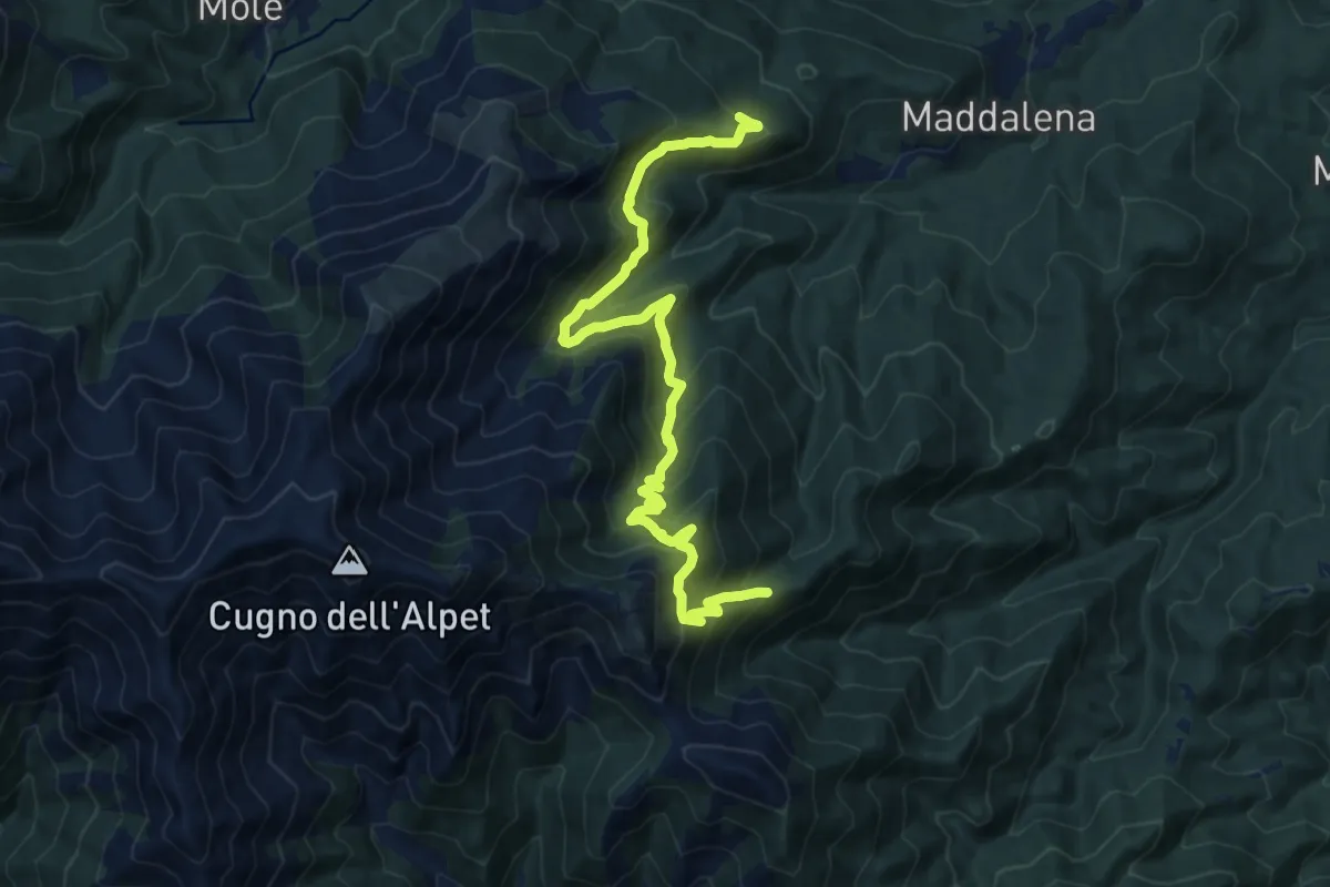
Demanding · Trail
Strada Maddalena - Prese del LuJ, bivio TOS413 – Bivio 408 - 407
15.4 km · ↑ 1148 m · 6 h 8 min · 6 km away
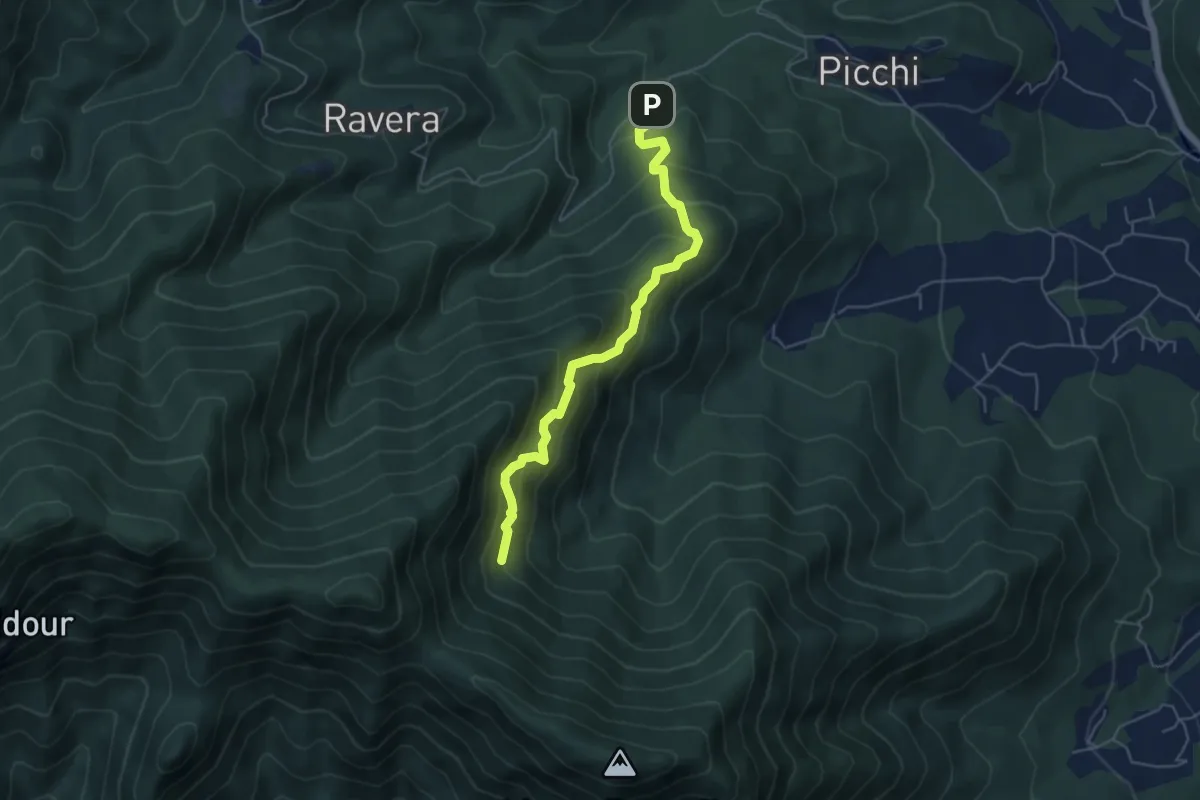
Medium · Trail
Strada Ravera presso vasca AIB – Fontana del Prete, bivio TOS002
5.2 km · ↑ 525 m · 2 h 22 min · 6 km away
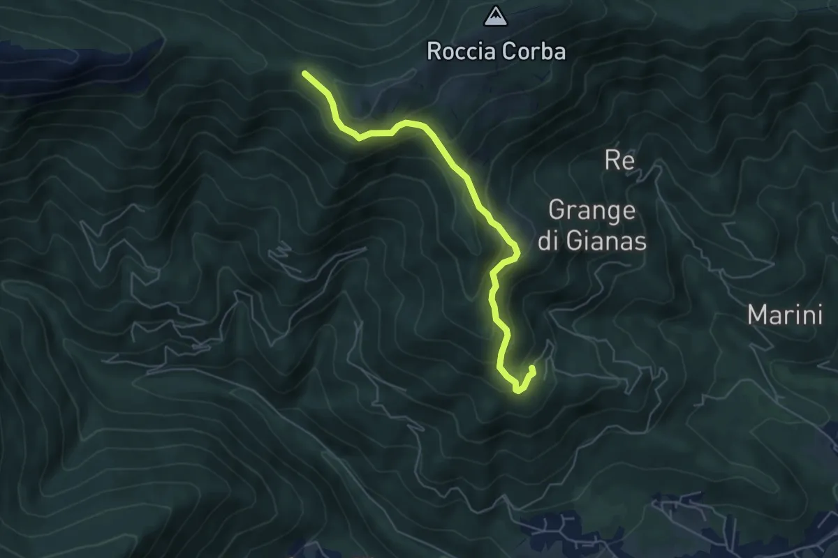
Medium · Trail
Mattonera, Grangia Melia – Bivio 425-435, Colle Bione
5.4 km · ↑ 357 m · 2 h 3 min · 6 km away
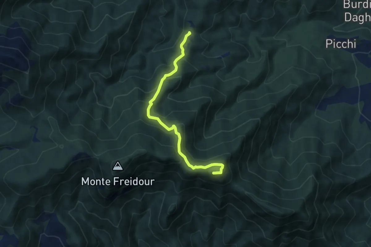
Demanding · Summit
Bastianoni, bivio TOS005-TOS009 – bivio TOS005-TOS002
7.7 km · ↑ 598 m · 3 h 7 min · 6 km away
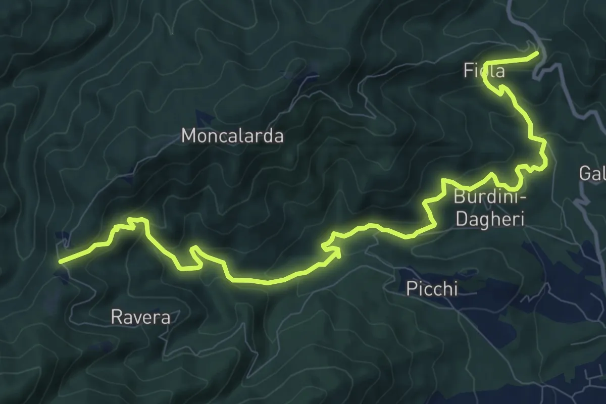
Medium · Trail
Colletta di Cumiana, bivio TOS009-TOS45 – Bastianoni, bivio TOS005-TOS009
12.9 km · ↑ 704 m · 4 h 34 min · 6 km away
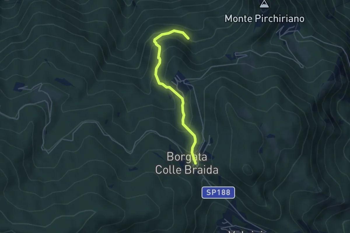
Medium · Trail
Colle Braida, bivio TOS435-TOS503A – Presso Case Giacosa, bivio TOS503-TOS503A
3.9 km · ↑ 306 m · 1 h 35 min · 6 km away
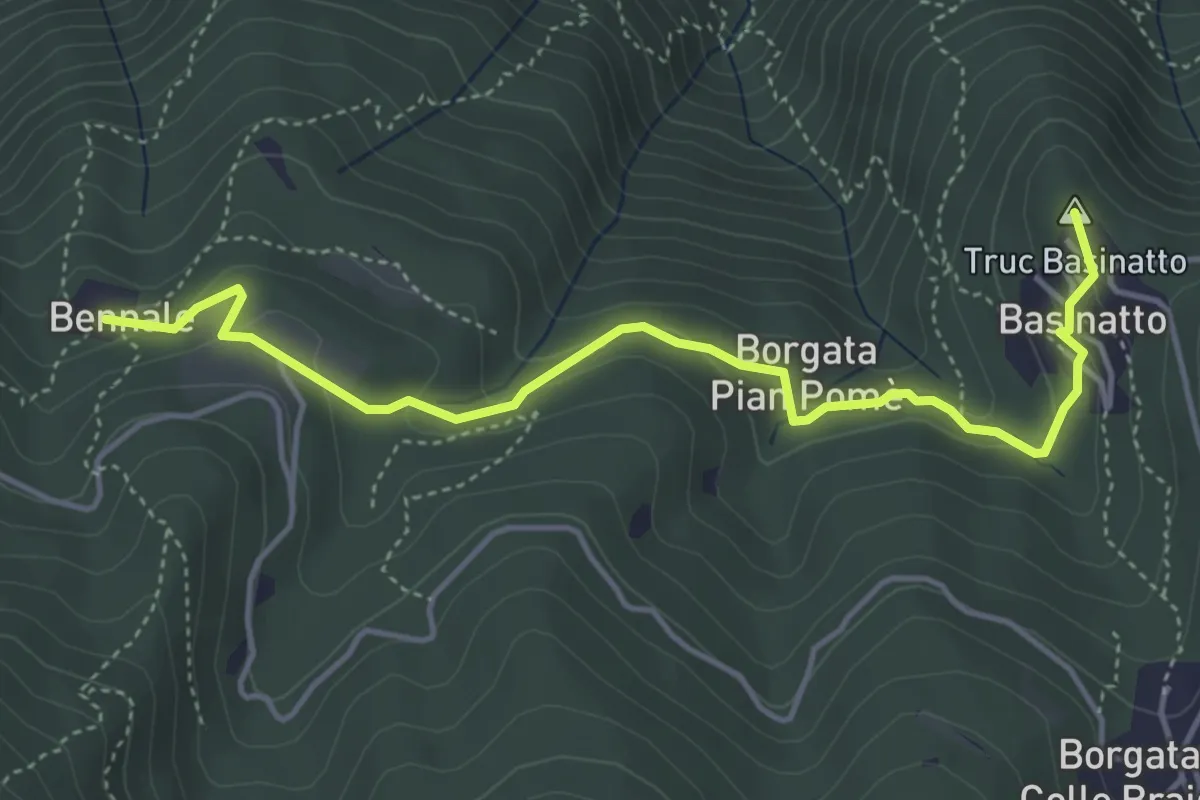
Easy · Summit
Bennale, bivio TOS561-TOS504 – Piazzale di Croce Nera, bivio TOS561-TOS502
4.9 km · ↑ 193 m · 1 h 34 min · 6 km away
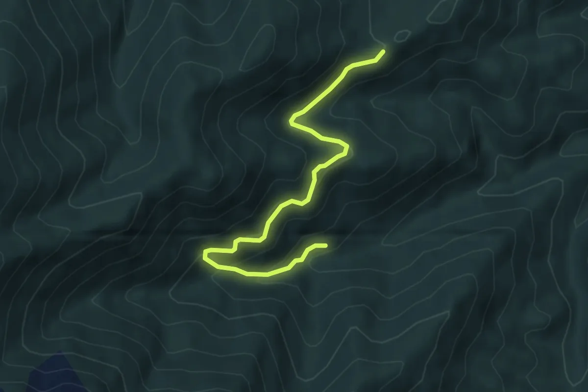
Medium · Trail
Giaveno, Case Merlera – Prese della Franza sopra, bivio TOS406-TOS407
5.4 km · ↑ 345 m · 2 h 1 min · 6 km away
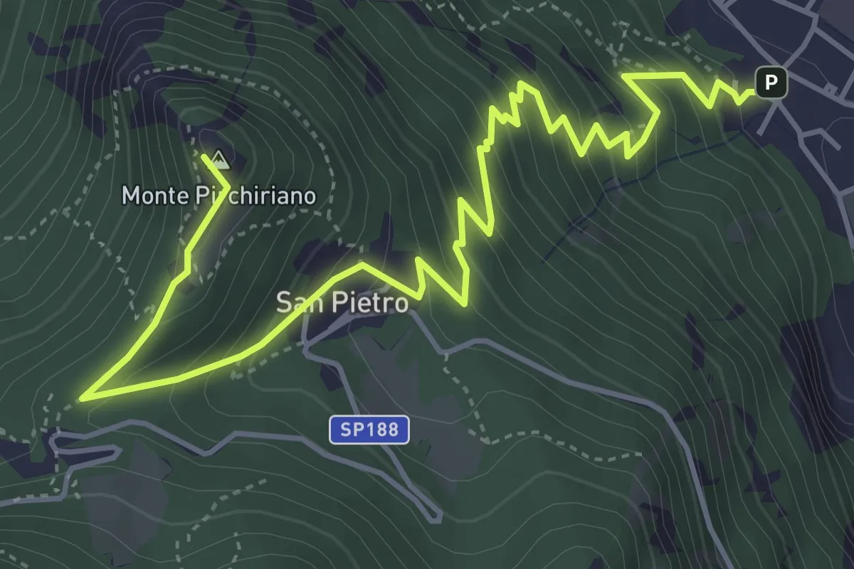
Medium · Summit
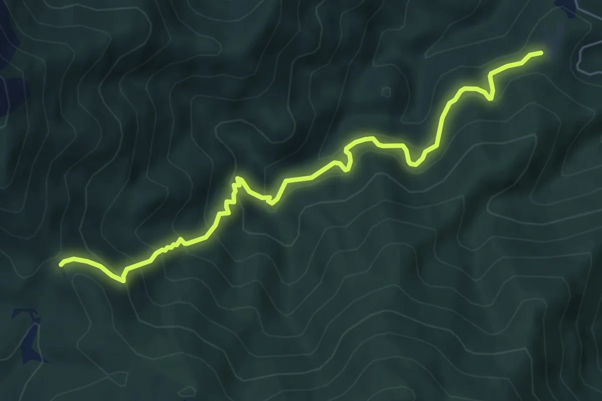
Sant'Ambrogio – Sacra San Michele
6.2 km · ↑ 579 m · 2 h 43 min · 6 km away
Medium · Trail
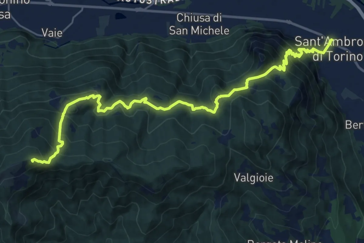
Pian delle Benne, bivio TOS004-TOS005-TOS008 – Bivio TOS008-TOS450, Colle Ceresera
6.9 km · ↑ 598 m · 2 h 56 min · 6 km away
Demanding · Summit
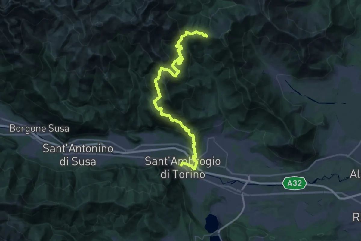
Sentieri della Resistenza - Tappa 07
20.3 km · ↑ 1446 m · 7 h 55 min · 7 km away
Demanding · Trail
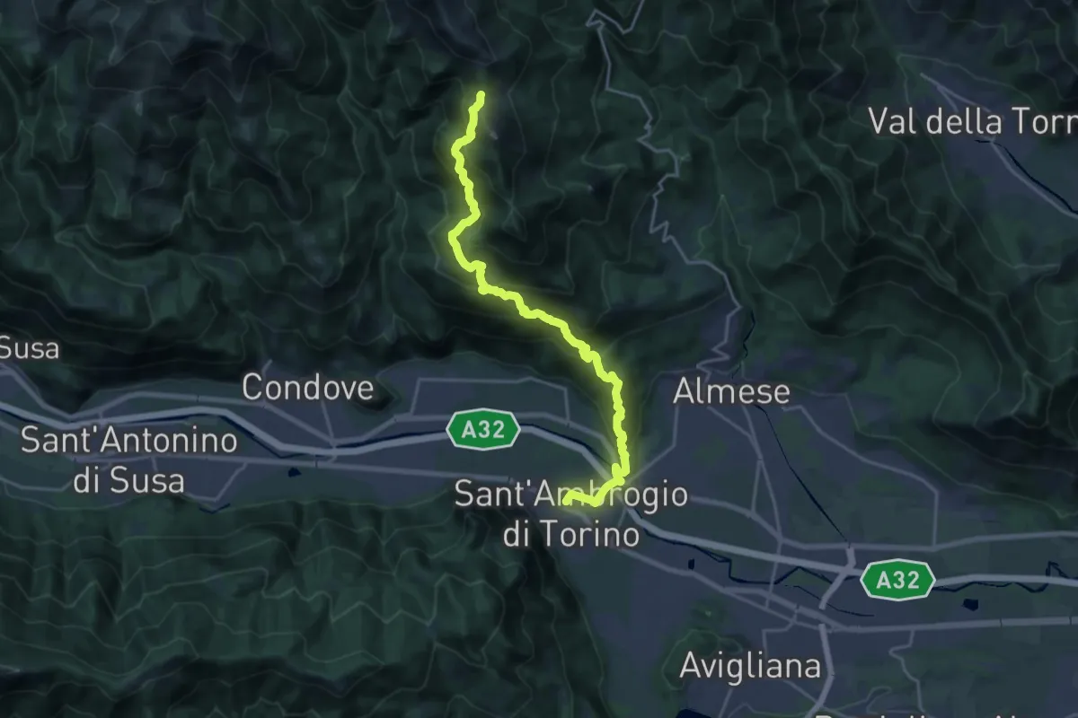
Sentieri della Resistenza - Tappa 06
20.3 km · ↑ 1606 m · 8 h 4 min · 7 km away
Demanding · Trail
Sant'Ambrogio – Bivio 571-577, Colle della Bassa
21.2 km · ↑ 1289 m · 7 h 48 min · 7 km away
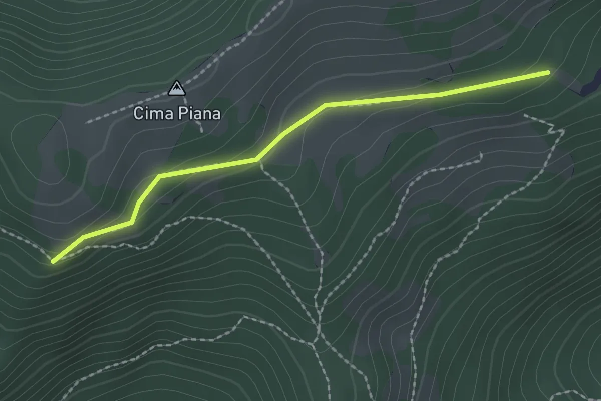
Medium · Trail
Bivio TOS425A-TOS425C, presso presa Brunetto – Bivio TOS425-TOS425C
2.0 km · ↑ 48 m · 34 min · 7 km away
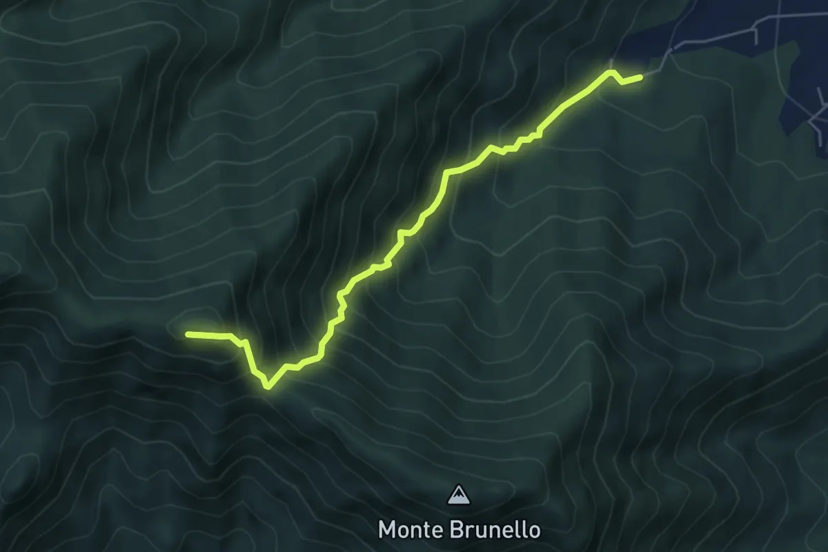
Demanding · Summit
Ciom, bivio TOS002-TOS001A – MonteTre Denti orientale, Cappella
5.5 km · ↑ 746 m · 2 h 55 min · 7 km away
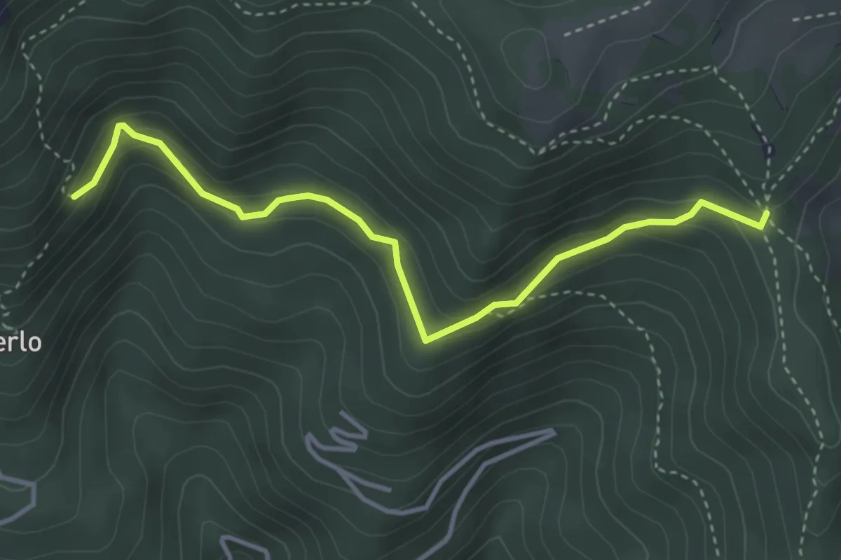
Medium · Trail
Bivio TOS425-TOS425B – Bivio TOS422-TOS425B
3.8 km · ↑ 232 m · 1 h 24 min · 7 km away
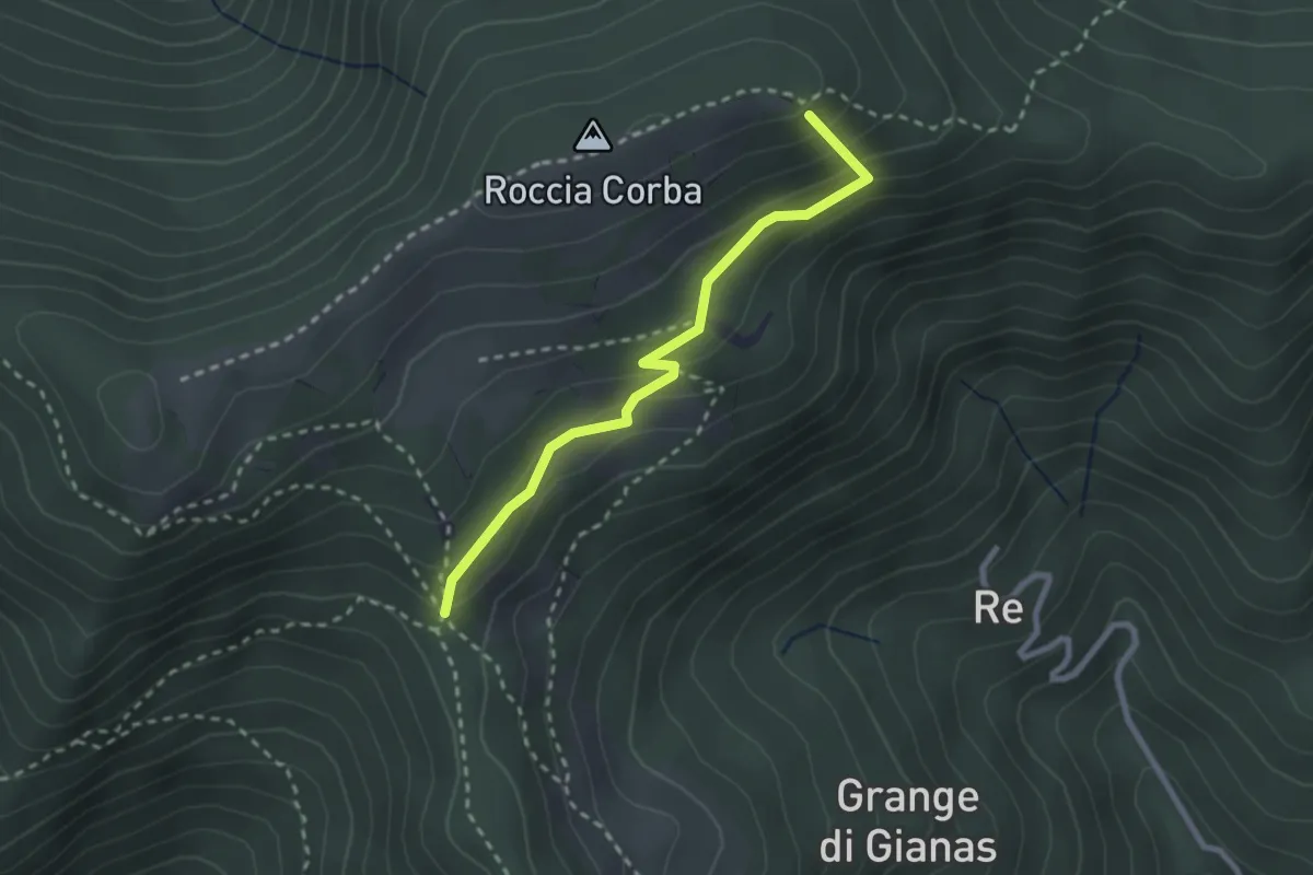
Easy · Summit
Bivio TOS425 - TOS425A – Bivio TOS435 - TOS425A
2.5 km · ↑ 166 m · 57 min · 7 km away
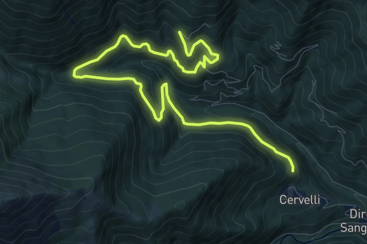
Medium · Trail
Borgata Giovalera, bivio TOS418-TOS420B – Bivio TOS420-TOS420B presso Borgata Tonda
13.2 km · ↑ 681 m · 4 h 35 min · 7 km away
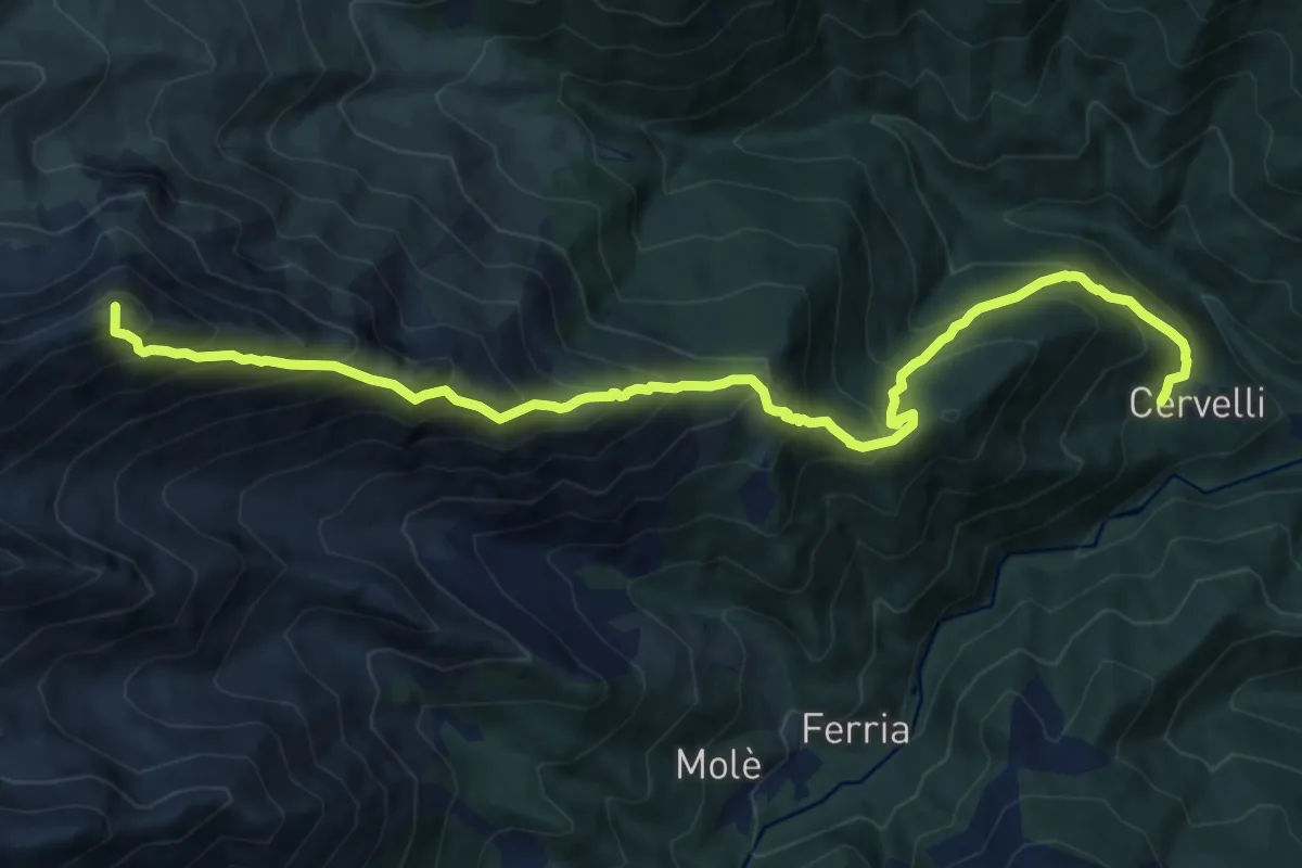
Demanding · Summit
Borgata Cervelli – Bivio 415B-418
14.7 km · ↑ 1520 m · 6 h 46 min · 7 km away
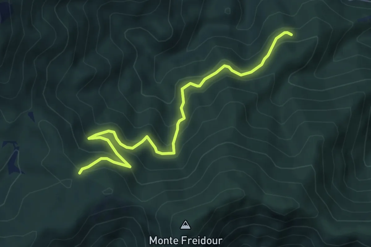
Medium · Trail
Località Pian di Chele, bivio TOS005-TOS006 – Colle Prà l'Abbà
6.9 km · ↑ 466 m · 2 h 38 min · 7 km away
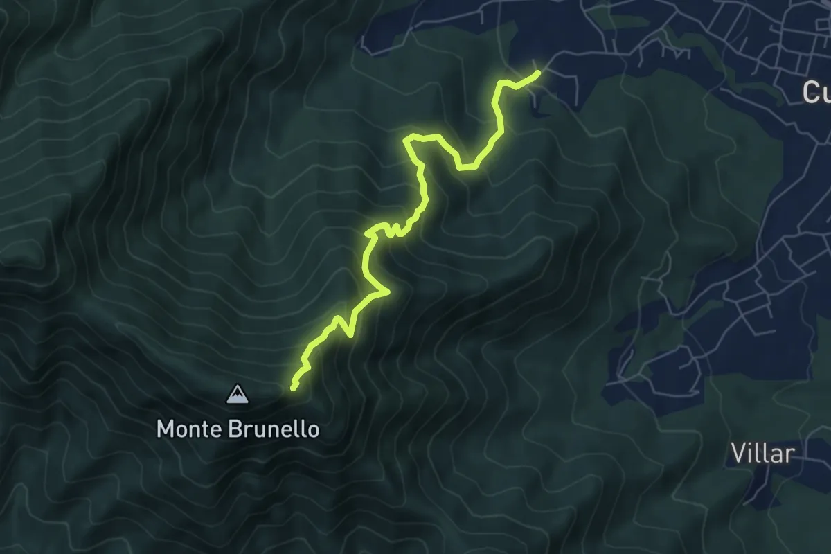
Medium · Trail
Oreglia, Bivio Porta – Bivio TOS021-TOS001
6.4 km · ↑ 722 m · 3 h 4 min · 7 km away