Trails near Giaveno
179 hikes starting within 15 km, nearest first.
Nearest first, page 2 of 4
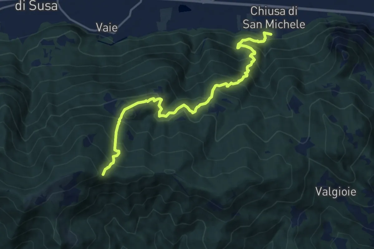
Demanding · Trail
Chiusa di San Michele (Borgata Paschè) – Colle Remondetto (Trei Roc)
12.9 km · ↑ 1093 m · 5 h 25 min · 7 km away
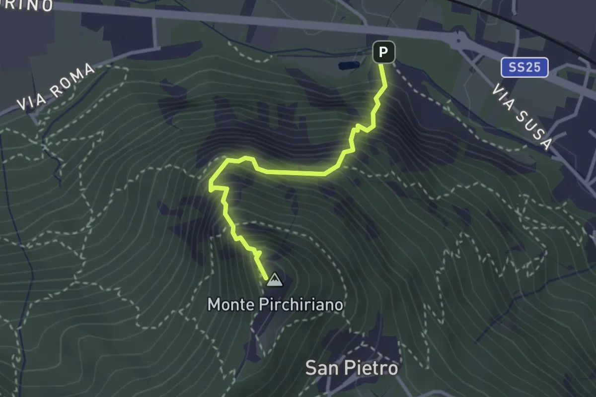
Medium · Summit
Via Ferrata Carlo Giorda
2.6 km · ↑ 675 m · 2 h 5 min · 7 km away
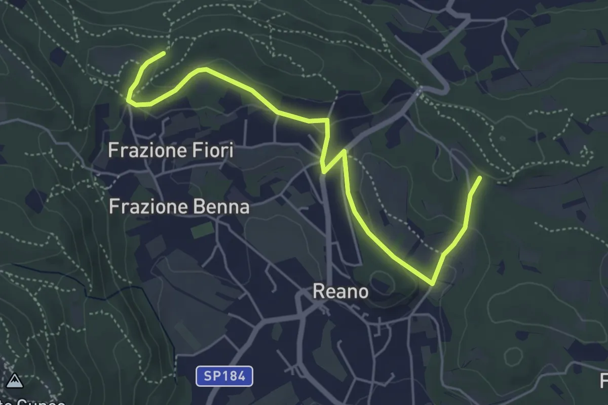
Easy · Trail
Casermette militari – Bivio TOS201
5.5 km · ↑ 115 m · 1 h 33 min · 7 km away
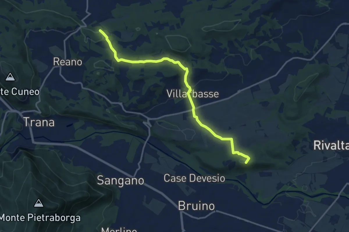
Medium · Summit
Rivalta – Buttigliera
11.7 km · ↑ 181 m · 3 h 10 min · 7 km away
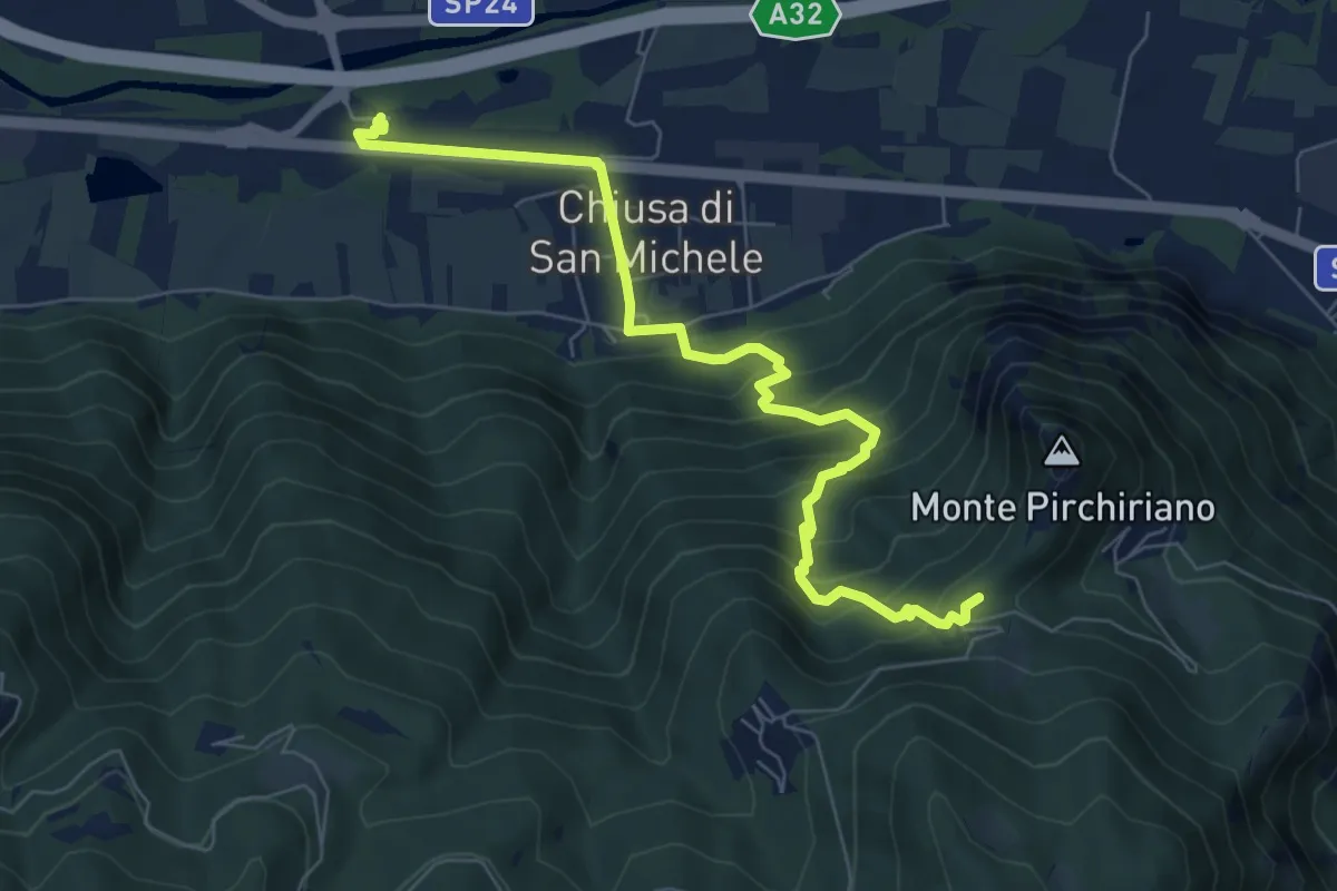
Medium · Trail
Chiusa di San Michele, stazione ferroviaria di Condove – Bivio 502-503, Sacra di San Michele
7.9 km · ↑ 520 m · 2 h 59 min · 8 km away
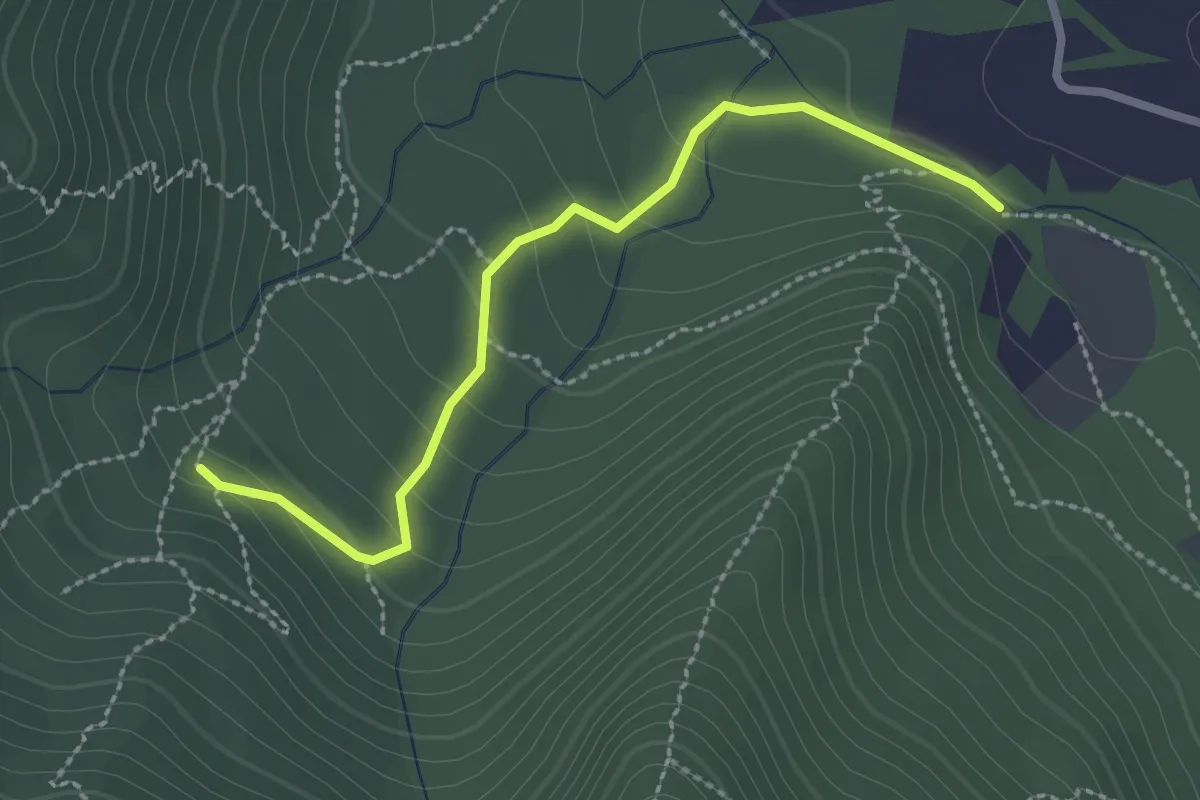
Easy · Trail
Bivio TOP301-TOP303 strada bianca per frazione Galli – Fonte Guraj
2.6 km · ↑ 108 m · 51 min · 8 km away
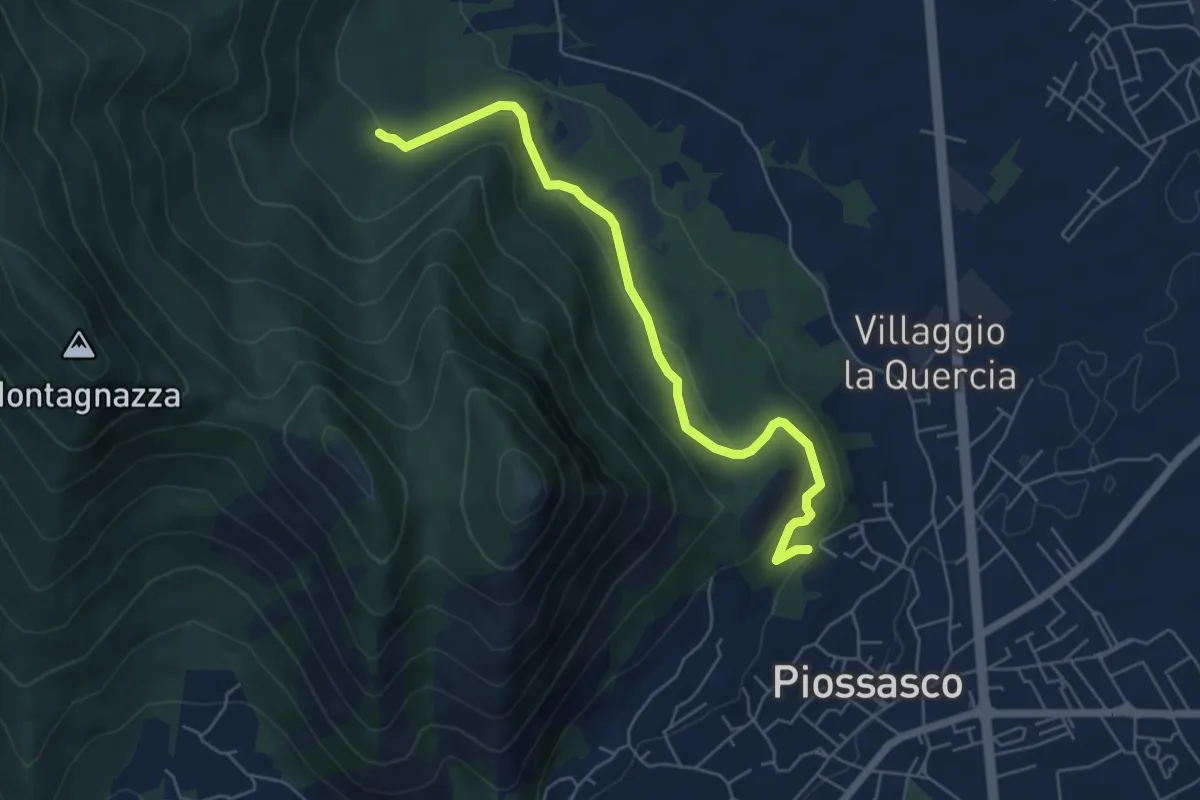
Easy · Trail
Sbarra della strada della cava, bivio TOP301-TOP302 – Bvio TOP302-TOP303
6.1 km · ↑ 236 m · 1 h 56 min · 8 km away
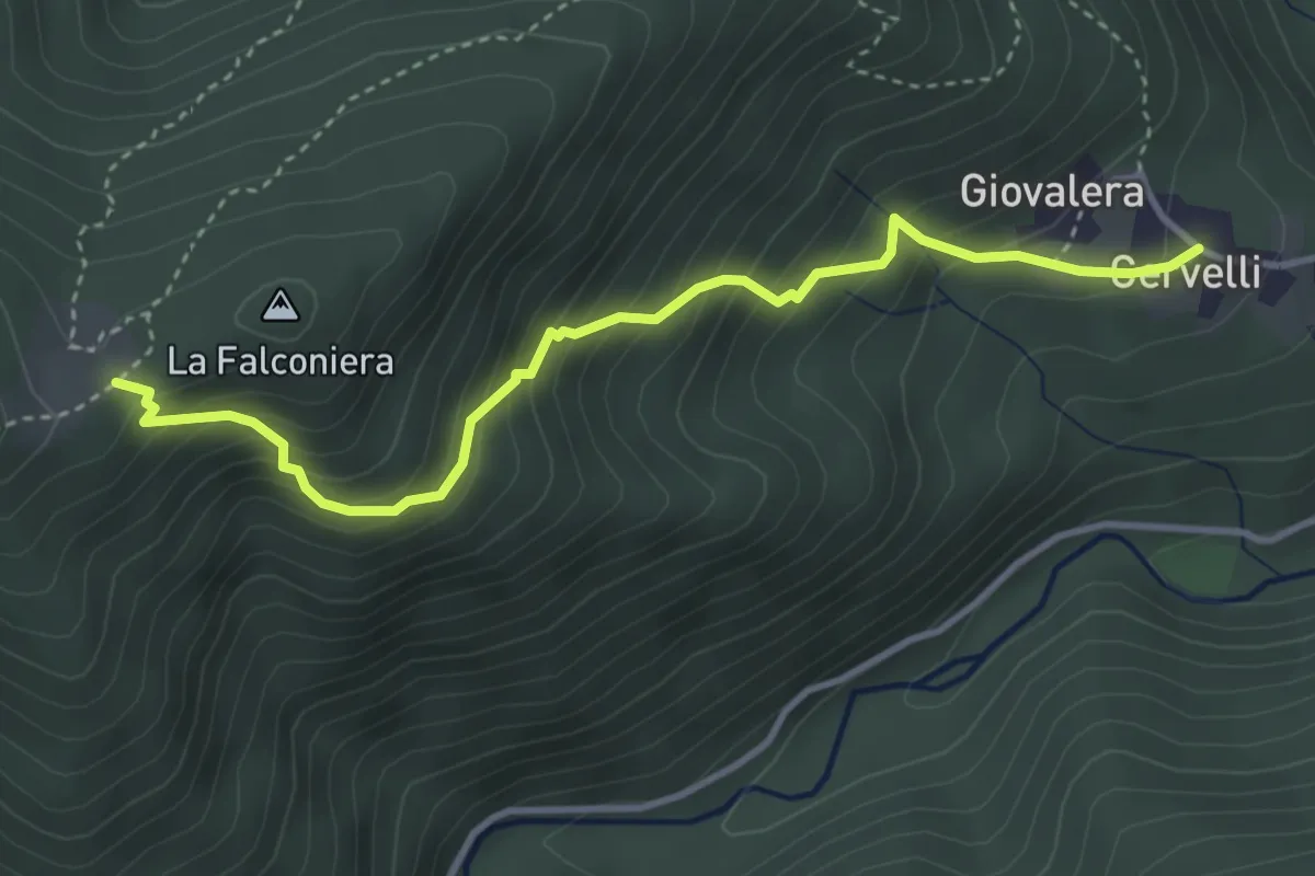
Medium · Trail
Cervelli di Coazze (Bivio 418) – Ciargiur (Bivio 418)
3.9 km · ↑ 431 m · 1 h 52 min · 8 km away
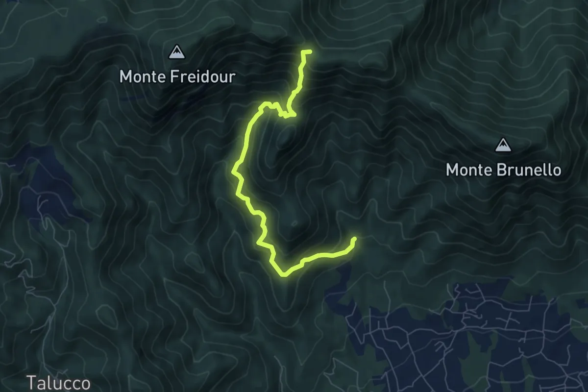
Medium · Trail
Fontana Calda, località Scrivanda – Colle Aragno Est, bivio TOS005-007-053
7.1 km · ↑ 702 m · 3 h 11 min · 8 km away
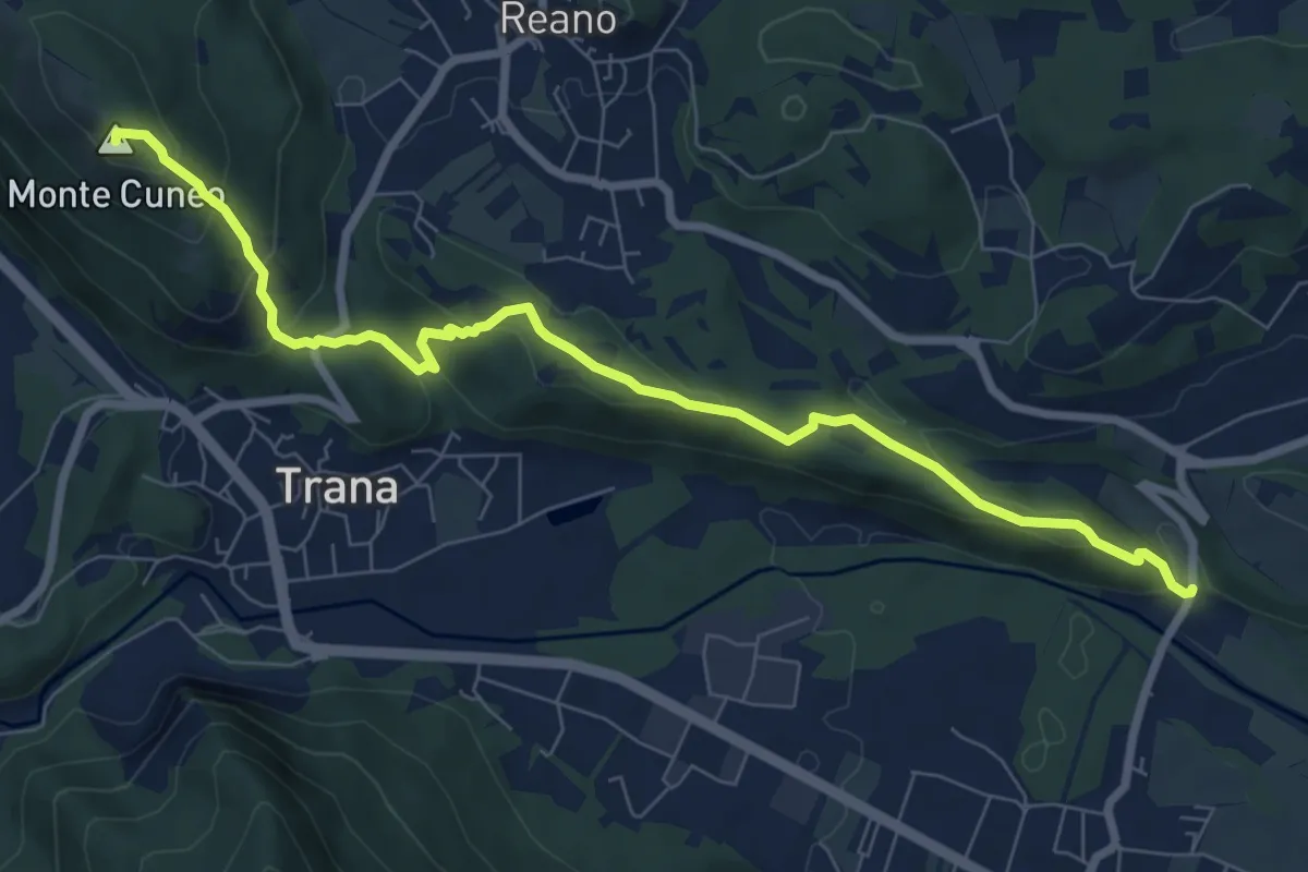
Medium · Summit
Col Buchet, bivio TOS454 - TOS201B – Sangano, bivio TOS454-TOP206
8.8 km · ↑ 403 m · 2 h 57 min · 8 km away
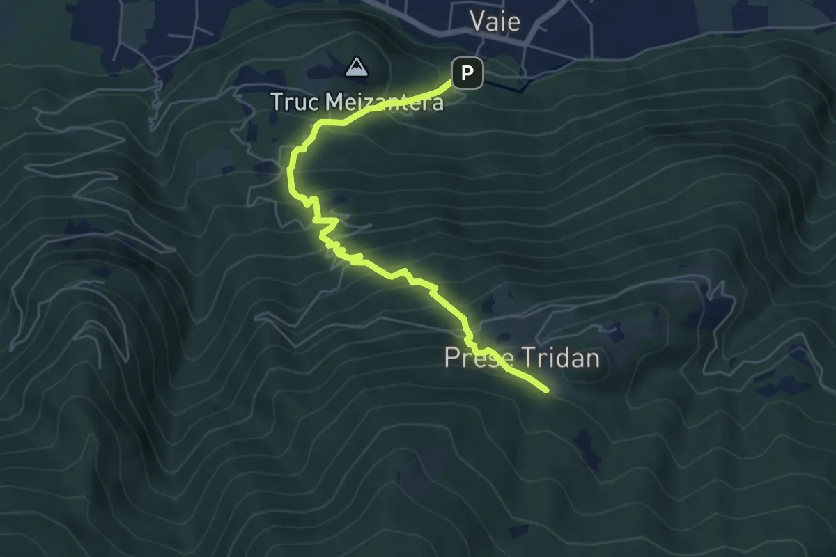
Medium · Trail
Vaie - San Pancrazio, bivio TOS562A-TOS561 – Mura, bivio TOS562A-TOS504
6.0 km · ↑ 696 m · 2 h 56 min · 8 km away
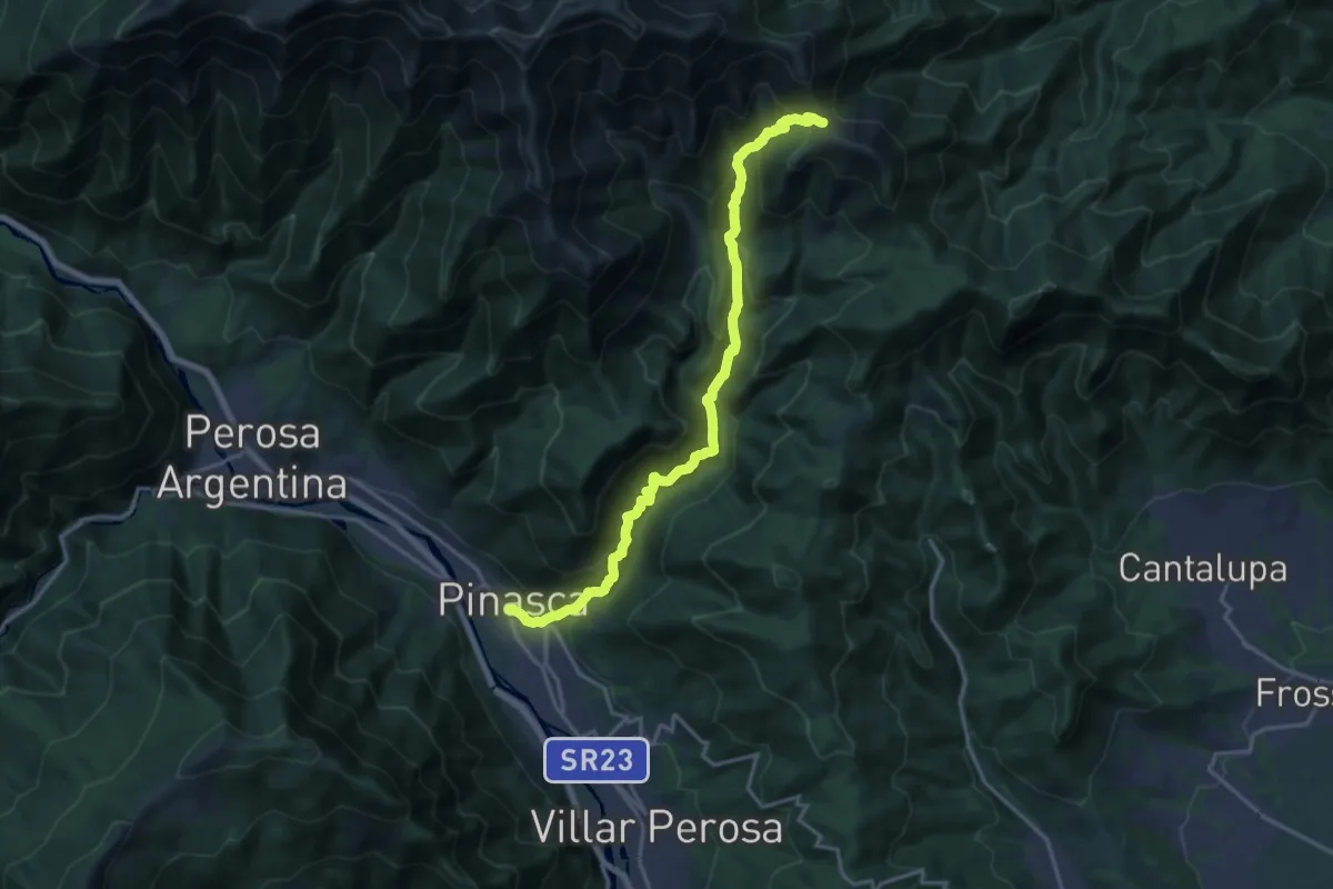
Demanding · Trail
Dubbione – Biovio 347-408-412, Colle del Besso
17.9 km · ↑ 1261 m · 6 h 57 min · 8 km away
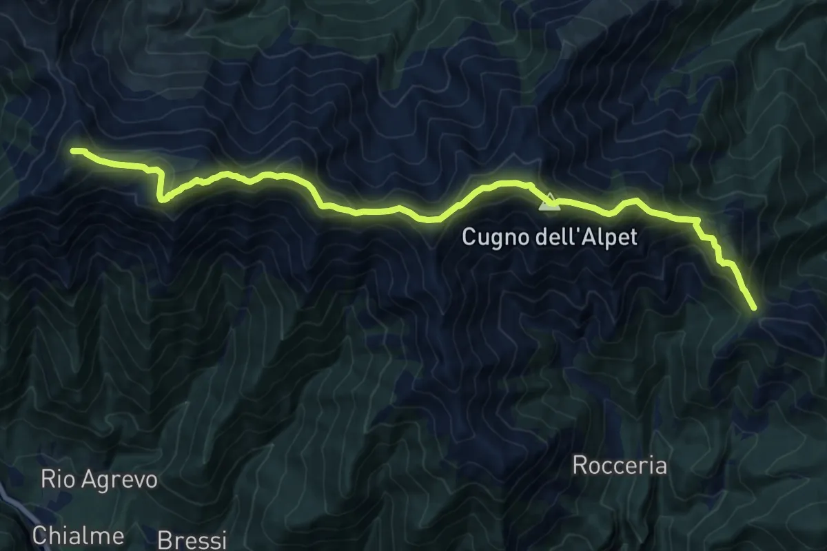
Demanding · Summit
Colle del Besso, bivio TOS408-TOS412 – Colle La Roussa, bivio TOS414-TOS412
18.1 km · ↑ 1495 m · 7 h 30 min · 8 km away
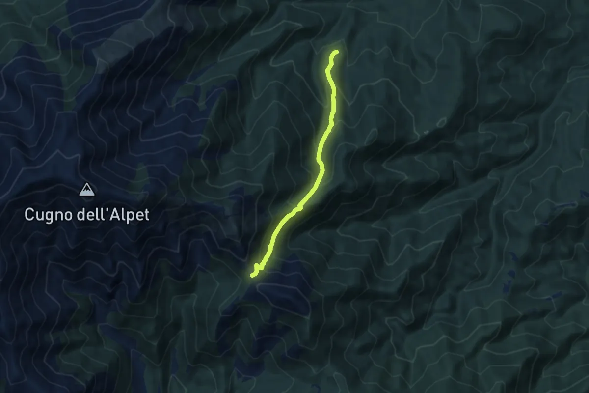
Medium · Trail
Giaveno, Prese Damon – Colle del Besso, bivio TOS408-TOS412-TOS450
7.1 km · ↑ 541 m · 2 h 51 min · 8 km away
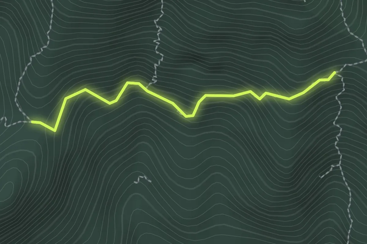
Medium · Trail
Fontana Ellena, bivio TOS051A-051 – Passo Castellar, bivio TOS051A-053
2.1 km · ↑ 227 m · 1 h · 8 km away
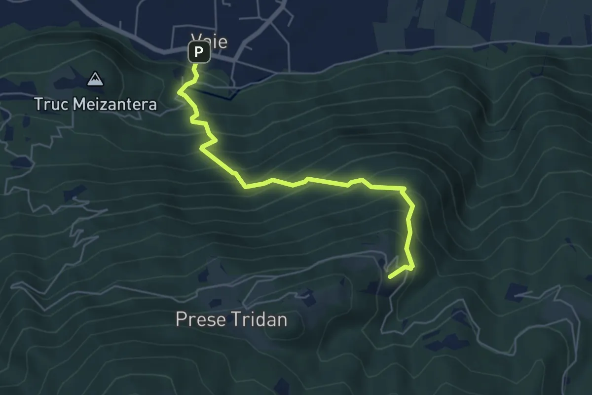
Medium · Trail
Vaie (Piazza) – Folatone, bivio TOS562-TOS504
5.1 km · ↑ 598 m · 2 h 31 min · 8 km away
Medium · Trail
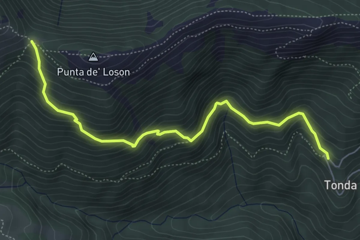
Coazze, Borgata Tonda, bivio TOS420-TOS446 – Coazze, Colle Ben Mulè, bivio TOS420A-TOS435-TOS446
5.8 km · ↑ 515 m · 2 h 29 min · 8 km away
Medium · Summit
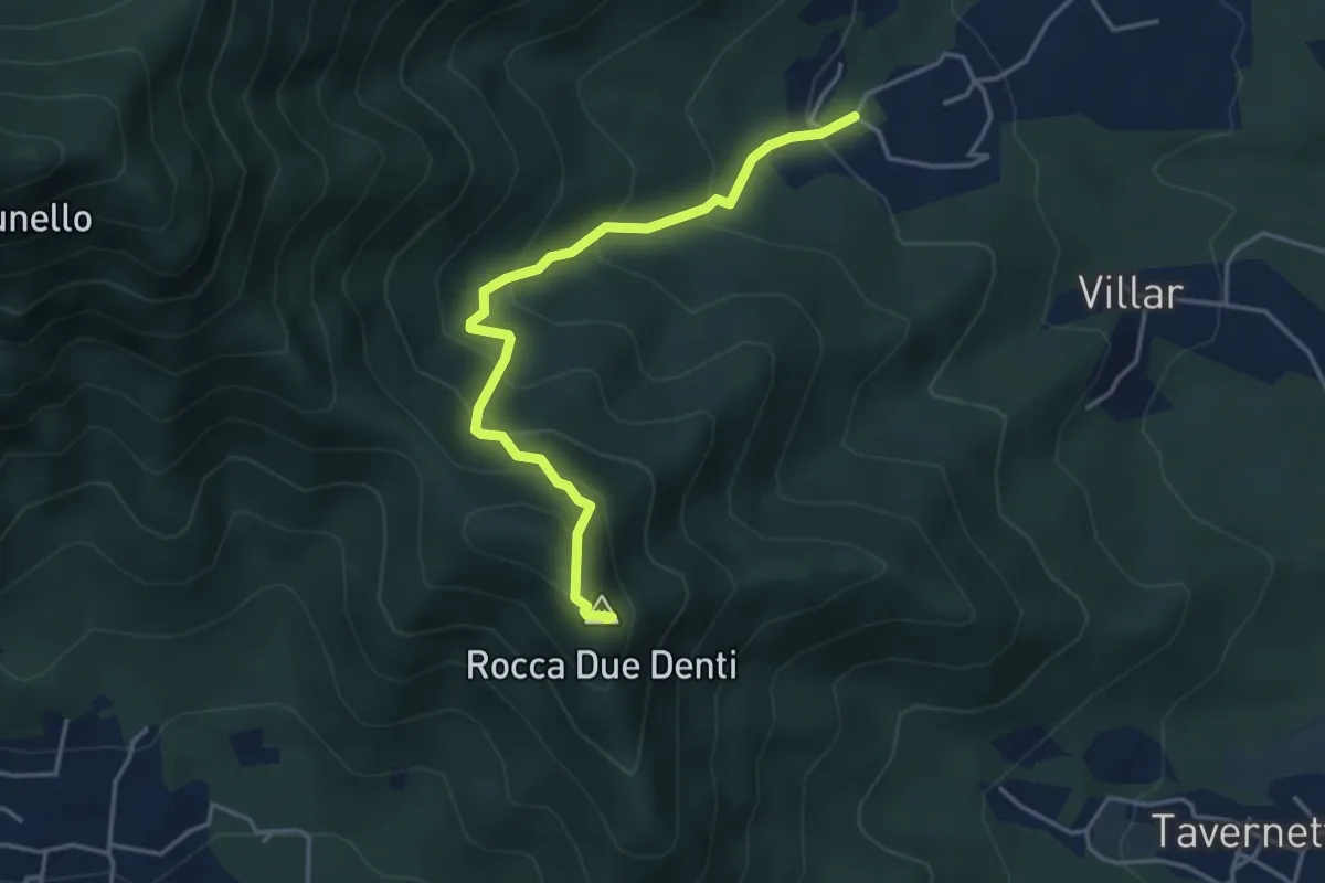
San Gervasio Superiore – Rocca Due Denti
4.1 km · ↑ 410 m · 1 h 52 min · 8 km away
Medium · Trail
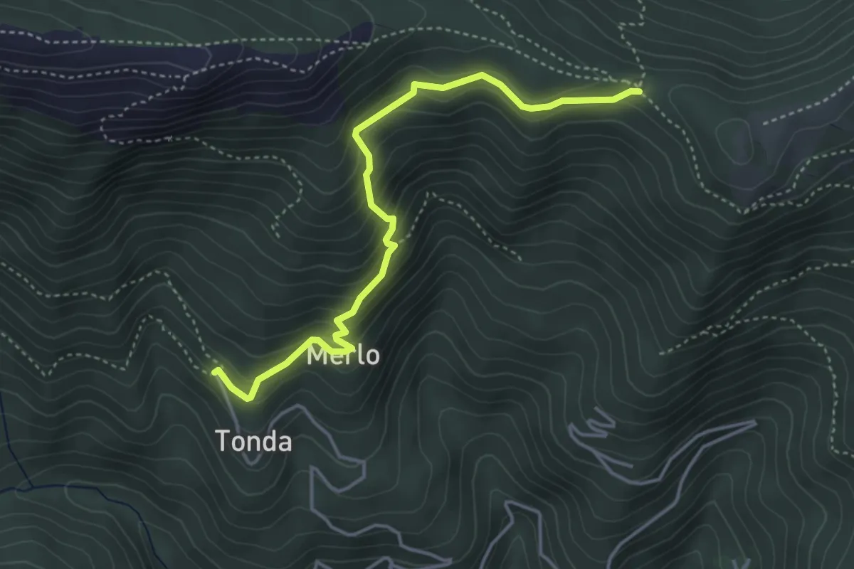
Coazze, Borgata Tonda, bivio TOS420-TOS422 – Colle Bione, bivio TOS435-TOS422-TOS505
4.3 km · ↑ 332 m · 1 h 45 min · 8 km away
Demanding · Trail
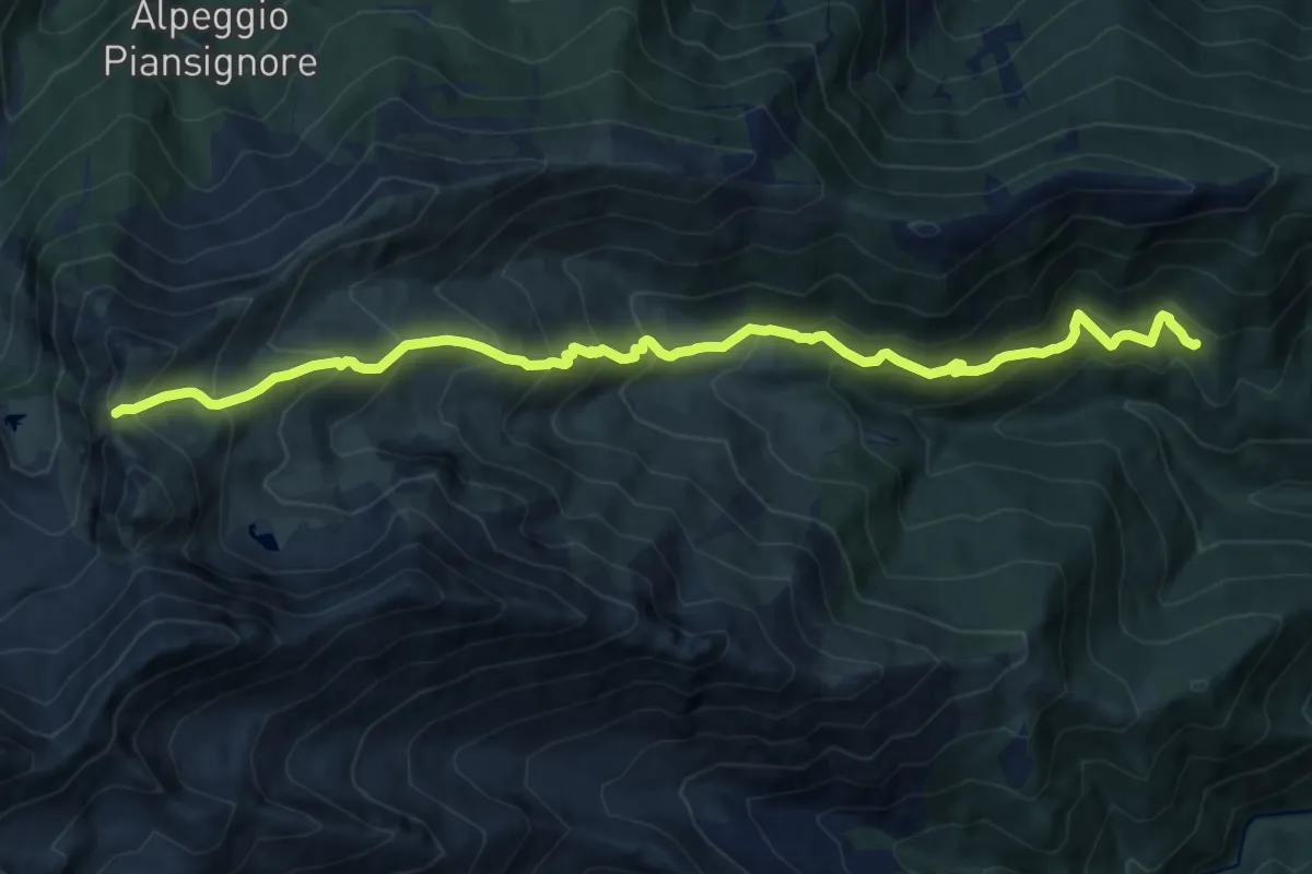
Coazze, Borgata Tonda, bivio TOS420-TOS446 – Colle del Vento, bivio TOS420-TOS444-TOS506
14.2 km · ↑ 1295 m · 6 h 9 min · 8 km away
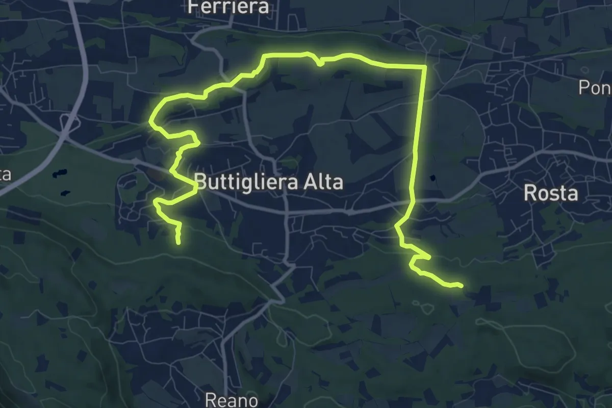
Medium · Trail
Le fronde di Buttigliera alta, bivio TOP201-TOP201A – Bivio TOP201-TOP201A
14.6 km · ↑ 272 m · 4 h 2 min · 8 km away
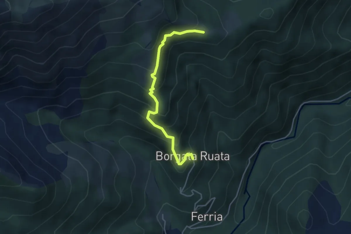
Medium · Cabin
Forno di Coazze, Borgata Rualla – Forno di Coazze, Borgata Ciargiur di Mezzo, Rifugio Coazze
3.7 km · ↑ 340 m · 1 h 37 min · 8 km away
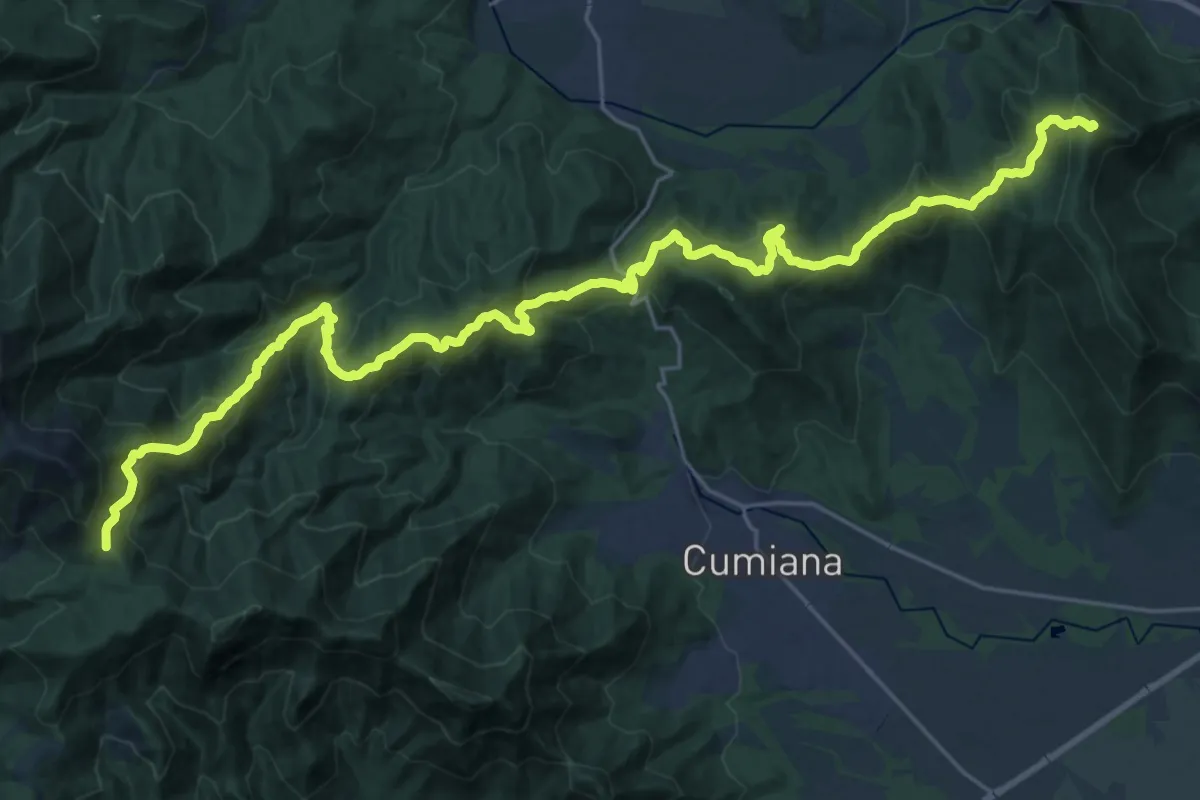
Demanding · Summit
Sangano – Colle Ceresera, bivio TOS008-TOS450
33.6 km · ↑ 2139 m · 12 h 34 min · 8 km away
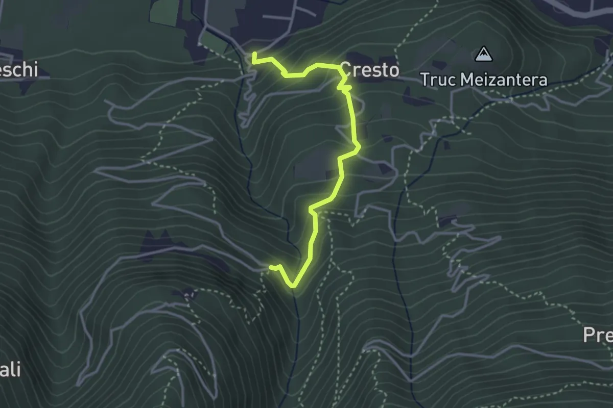
Medium · Trail
Località Maisonetta, bivio TOS505-TOS505A – Località Couloumbata, bivio TOS505-TOS505A
3.2 km · ↑ 300 m · 1 h 24 min · 9 km away
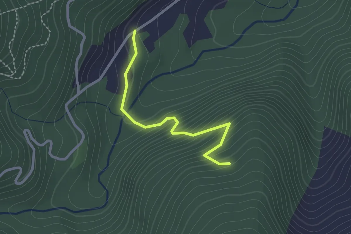
Easy · Trail
Bivio per Forno di Coazze, case Prablin, Madonna di Lourdes – Coazze, Frazione Forno di Coazze, bivio TOS412A-TOS414
2.1 km · ↑ 173 m · 53 min · 9 km away
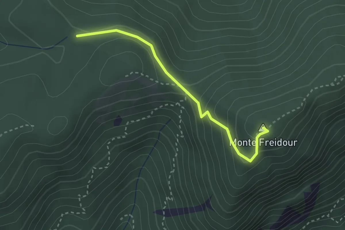
Medium · Summit
Bivio TOS006-TOS007, Colle Prà l'Abbà – Colle Aragno Est, bivio TOS005A-TOS007-TOS053
2.6 km · ↑ 157 m · 57 min · 9 km away
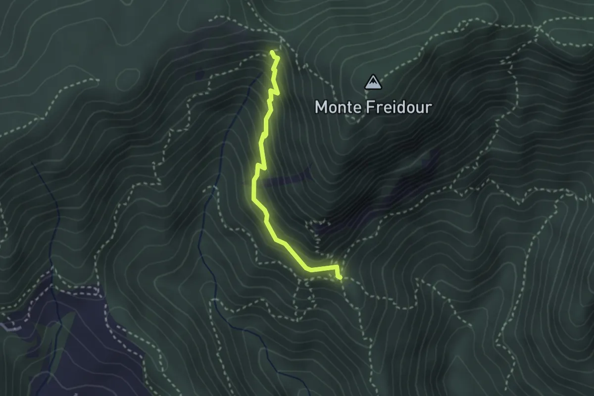
Medium · Cabin
Casa Canada, bivio TOS054-052-060 – Bivio TOS049-052B presso Colle Sperina
2.4 km · ↑ 245 m · 1 h 6 min · 9 km away
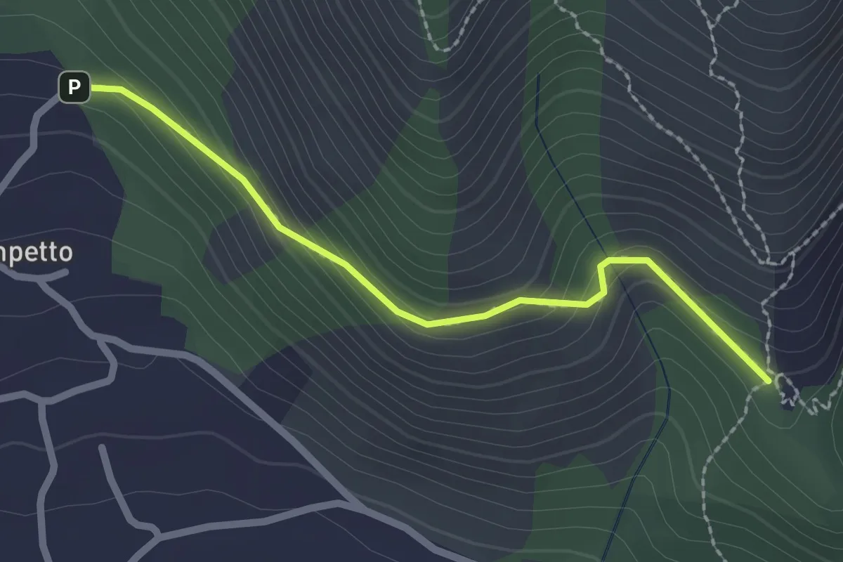
Easy · Trail
Bivio TOP308-TOP307A presso Campetto – Bivio TOP307A-TOP307
2.2 km · ↑ 148 m · 51 min · 9 km away
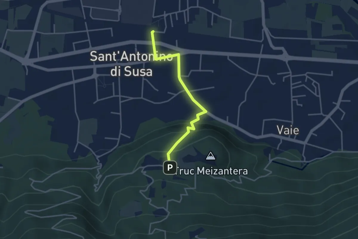
Medium · Trail
S. Antonino (stazione) – S. Antonino di Susa, loc. Cresto, bivio TOS505A-TOS505B
3.2 km · ↑ 162 m · 1 h 6 min · 9 km away
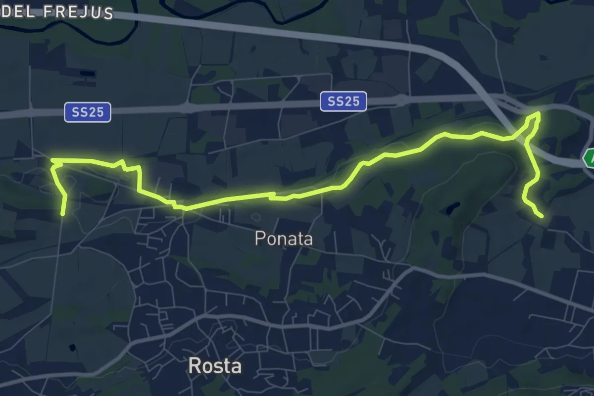
Medium · Trail
Rivoli, Borgo Nuovo, bivio TOP203-TOP205 – Sant'Antonio di Ranverso, bivio TOP201A-TOP205
10.7 km · ↑ 98 m · 2 h 44 min · 9 km away
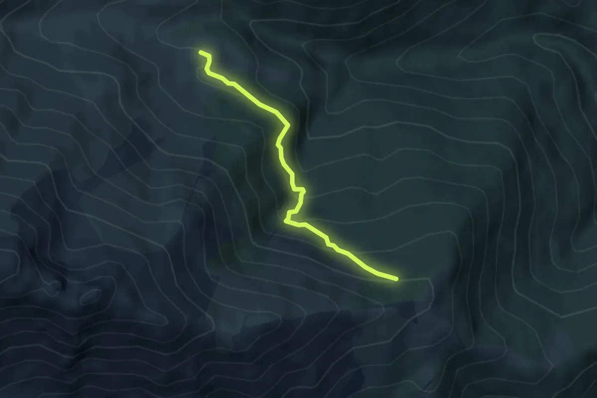
Easy · Trail
Roch Jermu, bivio 419A-419B – Palé, bivio 419-419B
3.9 km · ↑ 262 m · 1 h 29 min · 9 km away
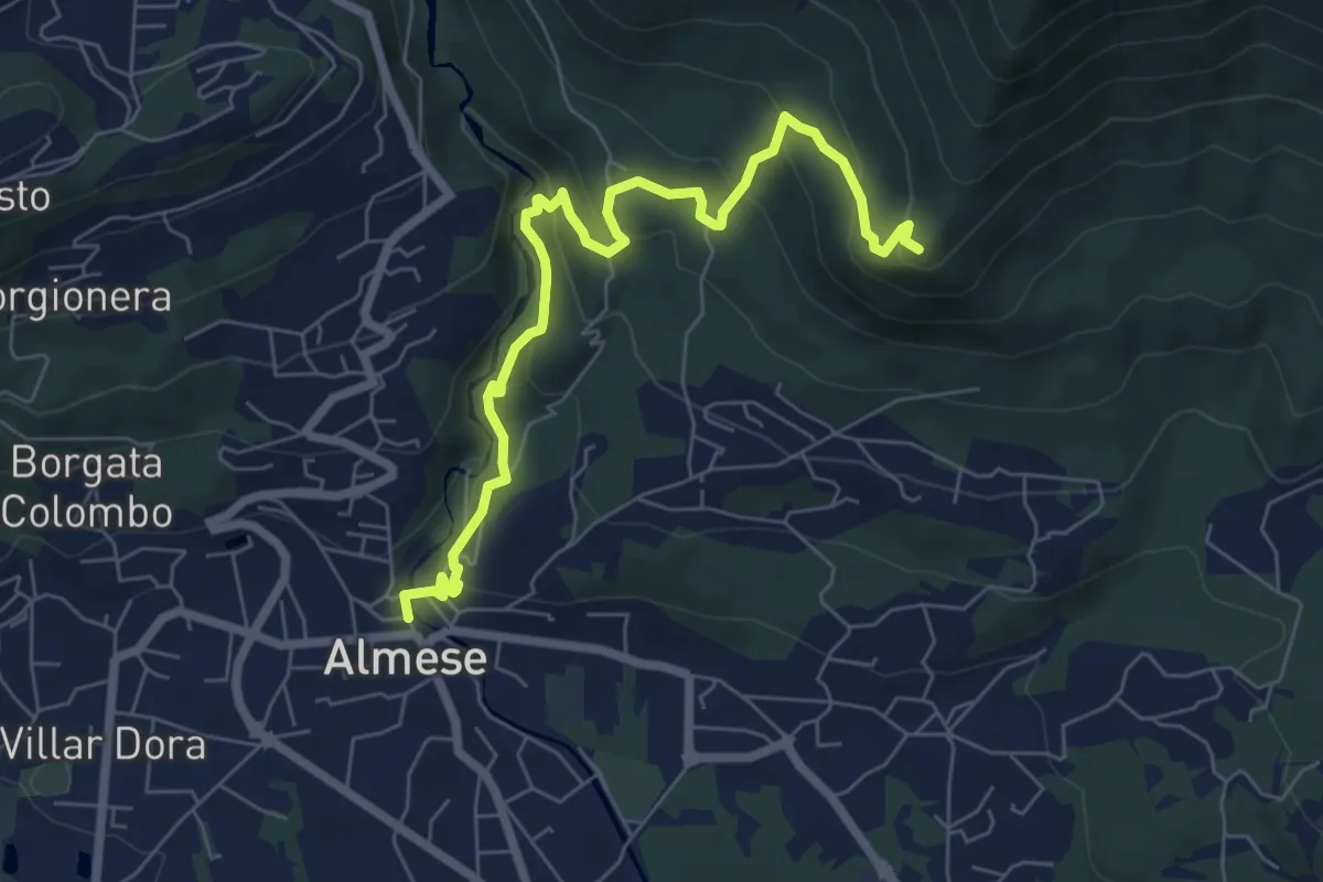
Medium · Summit
Almese, centro paese – Pian ed la Sisterna, bivio TOS574-TOS578
7.5 km · ↑ 411 m · 2 h 39 min · 9 km away
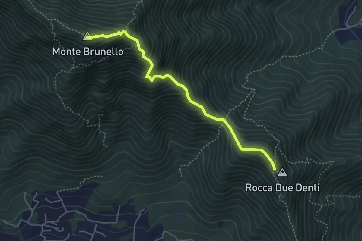
Demanding · Summit
Colletto Rocca Due Denti – Colle della Bessa (Rumiano)
4.1 km · ↑ 546 m · 2 h 9 min · 9 km away
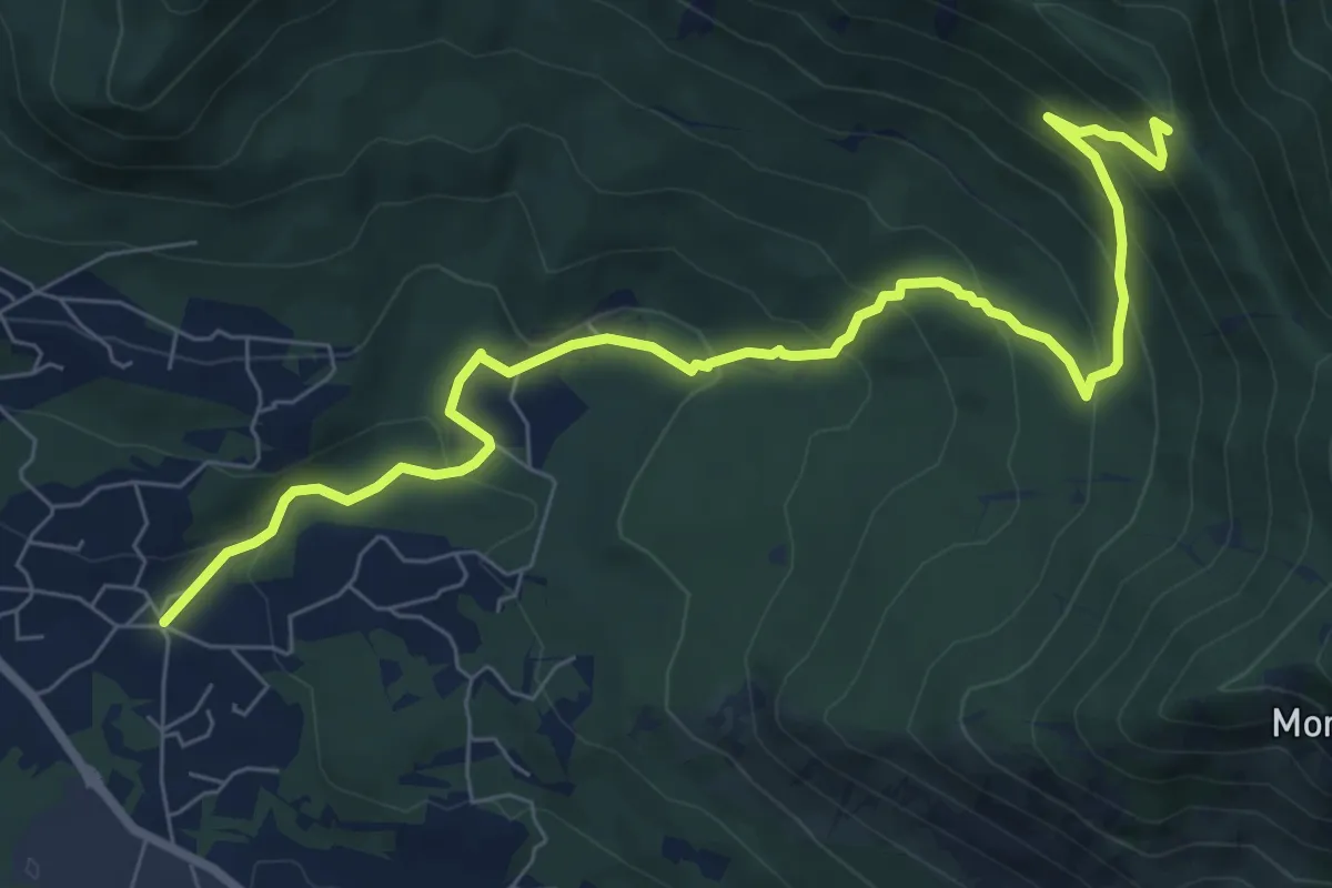
Medium · Trail
Almese, Frazione Rivera – Almese, bivio TOS578-TOS583
9.2 km · ↑ 552 m · 3 h 21 min · 9 km away
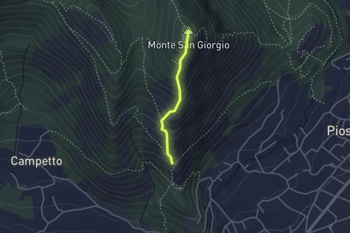
Medium · Summit
Piazza San Vito – Monte San Giorgio, bivio TOP304-TOP306
2.1 km · ↑ 314 m · 1 h 11 min · 9 km away
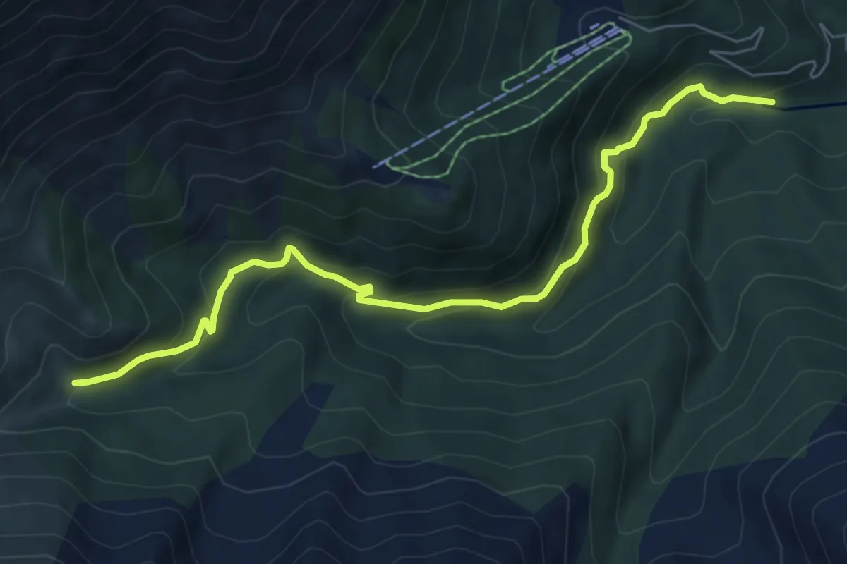
Medium · Trail
Bivio 414-414A, guado torrente Sangone – Bivio 414-414A, bivio per Palazzina Sertorio
7.0 km · ↑ 428 m · 2 h 35 min · 9 km away
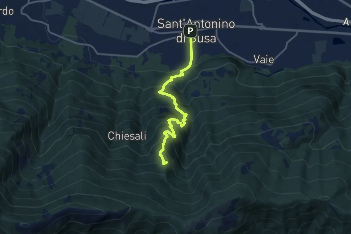
Medium · Summit
Sant'Antonino – Colle Bione
8.6 km · ↑ 794 m · 3 h 45 min · 10 km away
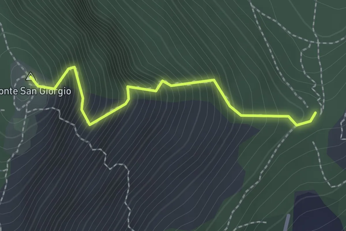
Demanding · Summit
Bivio TOP304-TOP305 – Monte San Giorgio, bivio TOP304-TOP305
2.0 km · ↑ 374 m · 1 h 17 min · 10 km away
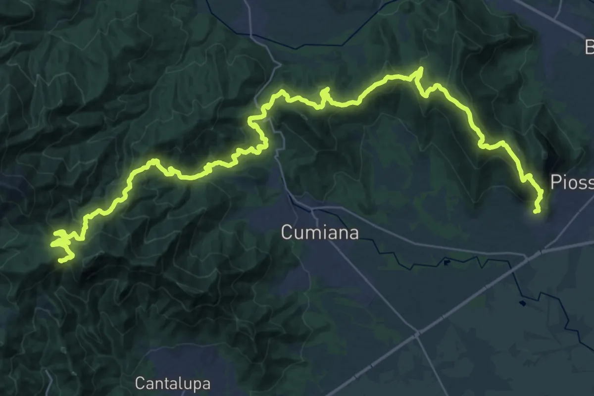
Demanding · Summit
Sentiero David Bertrand
48.3 km · ↑ 2704 m · 17 h 15 min · 10 km away
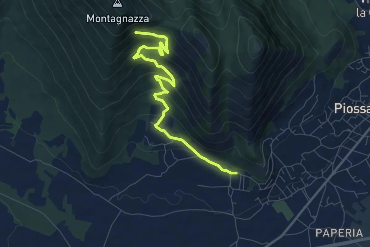
Medium · Trail
Casa Martignona, bivio TOP307-TOP308 – Colle di Prè, bivio TOP307-TOP308
8.2 km · ↑ 396 m · 2 h 47 min · 10 km away
Medium · Summit
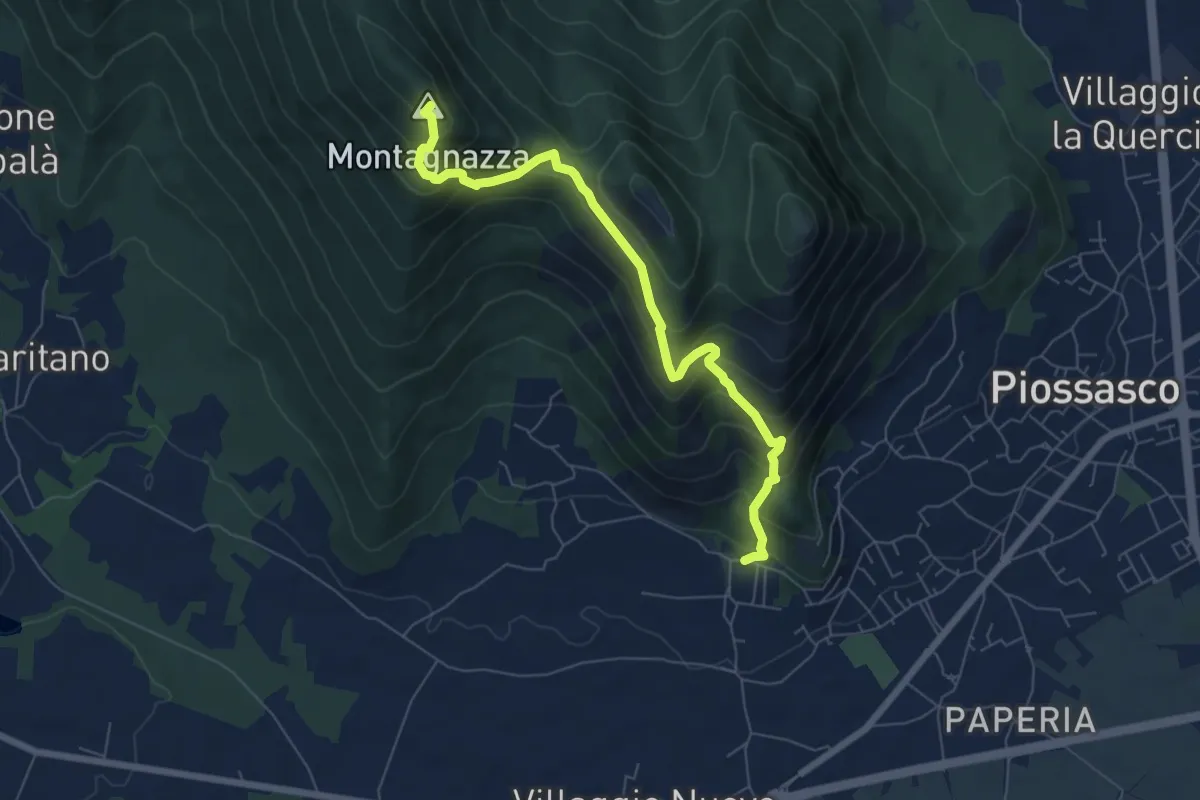
Bivio TOP306-TOP308, località Martignone – Bivio TOP307-TOS450 presso Colletto di Damone
7.0 km · ↑ 576 m · 2 h 55 min · 10 km away
Medium · Summit
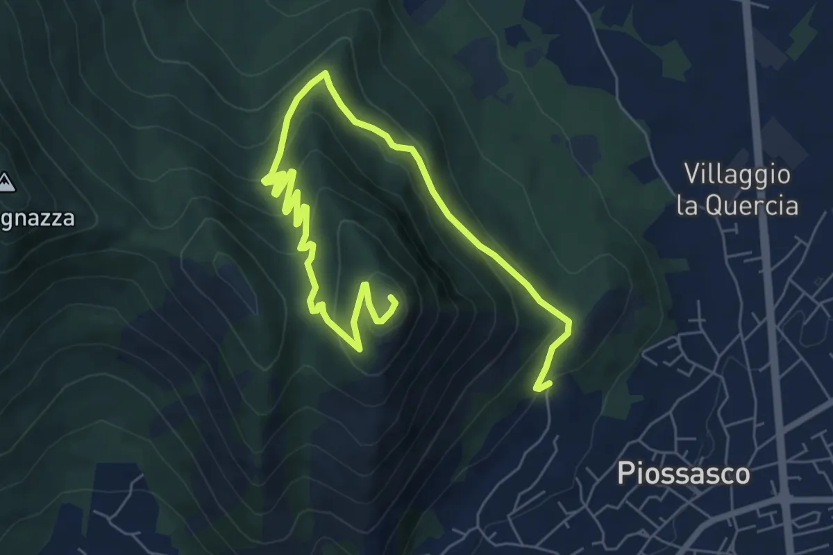
Cà Dorina – Bivio TOP304-TOP305, Monte San Giorgio
9.1 km · ↑ 466 m · 3 h 10 min · 10 km away
Medium · Trail
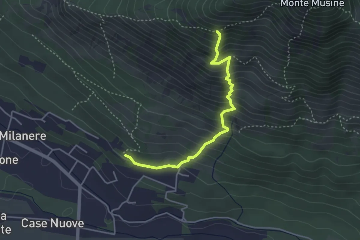
Almese. C. Brunalli, bivio TOS590A-TOS590C – Almese, bivio TOS590-TOS590C
3.5 km · ↑ 487 m · 1 h 53 min · 10 km away
Medium · Trail
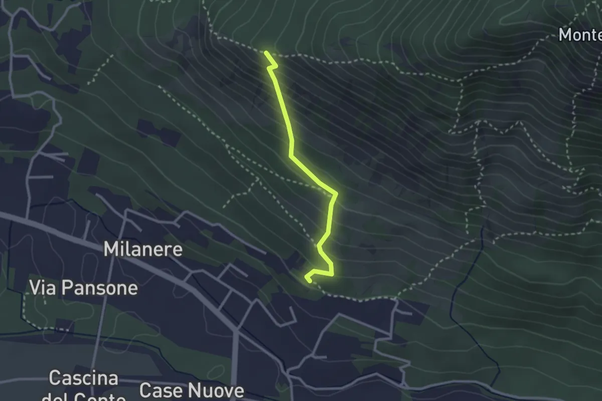
Almese. C. Brunalli, bivio TOS590A-TOS590C – Almese, bivio TOS590-TOS590A presso Truc Vandolera
2.3 km · ↑ 261 m · 1 h 7 min · 10 km away
Medium · Trail
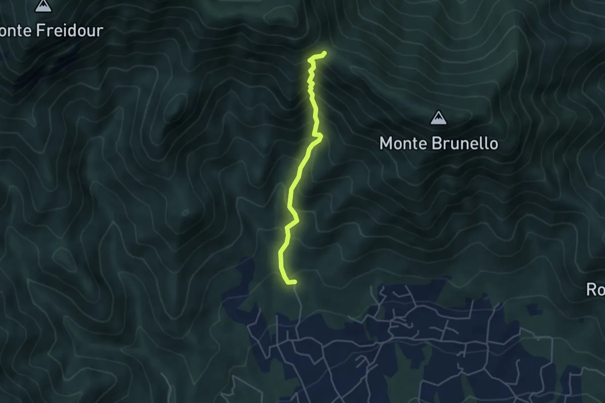
San Martino, Cantalupa – Bivio 002-021-051, colle della Bessa, Rumiano
3.8 km · ↑ 531 m · 2 h 3 min · 10 km away
Medium · Trail
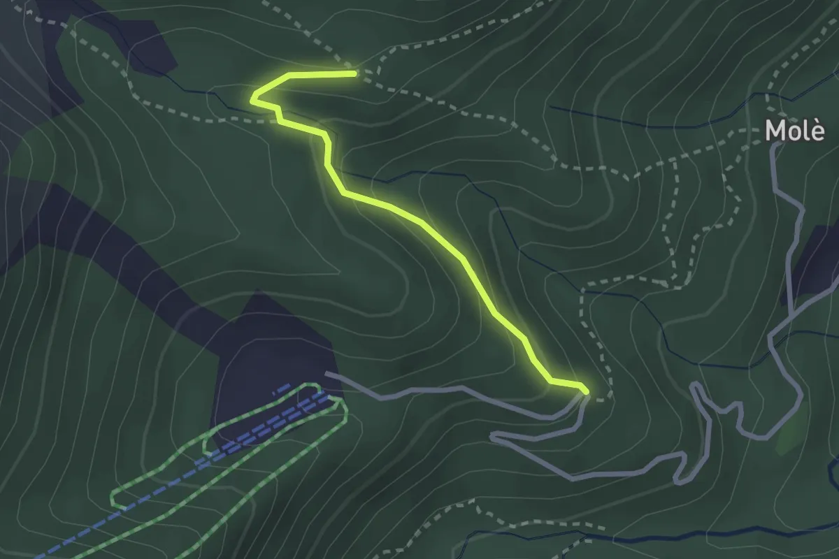
Coazze, Cara t'Aie', bivio TOS415D-TOS415A – Coazze, bivio TOS415-TOS415D
2.3 km · ↑ 163 m · 54 min · 10 km away
Easy · Trail
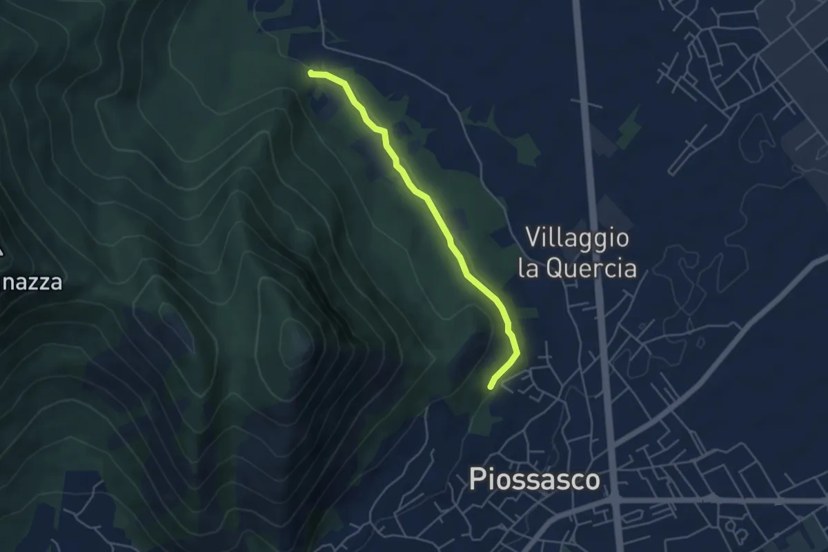
Sbarra della strada della cava, bivio TOP301-TOP302 – Strada bianca per frazione Galli, bivio TOP301-TOP303
4.2 km · ↑ 54 m · 1 h 7 min · 10 km away
Medium · Trail
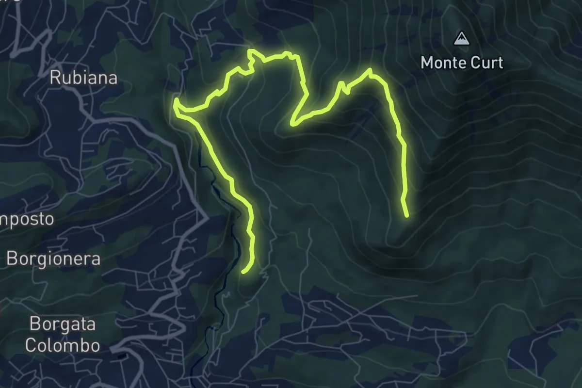
Almese, bivio TOS578-TOS578A presso torrente Messa – Almese, bivio TOS578-TOS578A presso pilone Mollar
10.8 km · ↑ 677 m · 4 h · 10 km away