Trails near Gualdo Tadino
64 hikes starting within 15 km, nearest first.
Nearest first, page 1 of 2
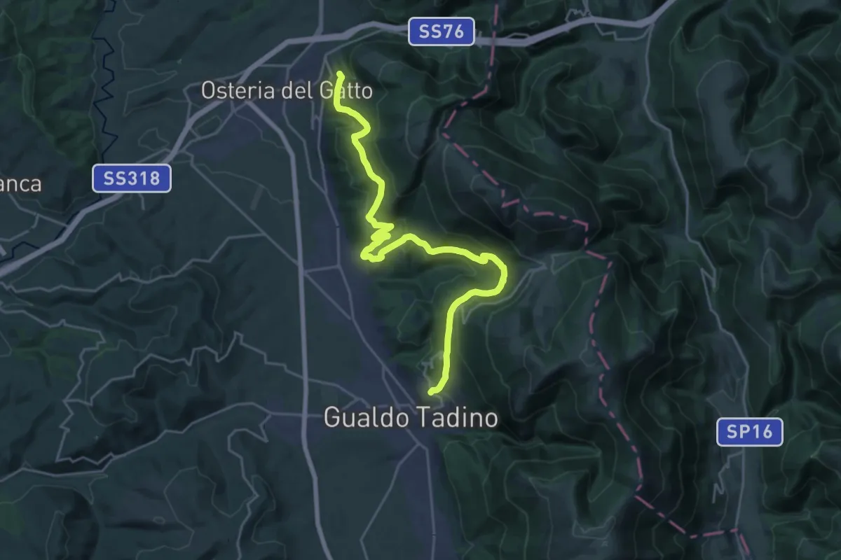
Medium · Trail
Gualdo Tadino – Fossato di Vico
12.4 km · ↑ 494 m · 4 h 11 min · 1 km away
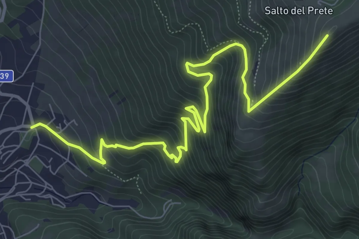
Demanding · Cabin
Sentiero della Spina
9.7 km · ↑ 838 m · 4 h 6 min · 1 km away
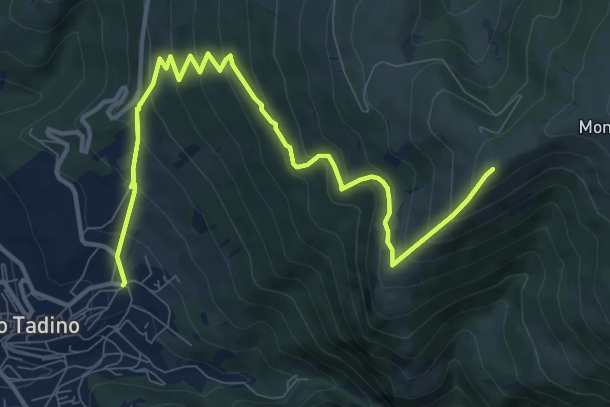
Medium · Cabin
Sentiero Razzipante
9.9 km · ↑ 786 m · 4 h 2 min · 1 km away
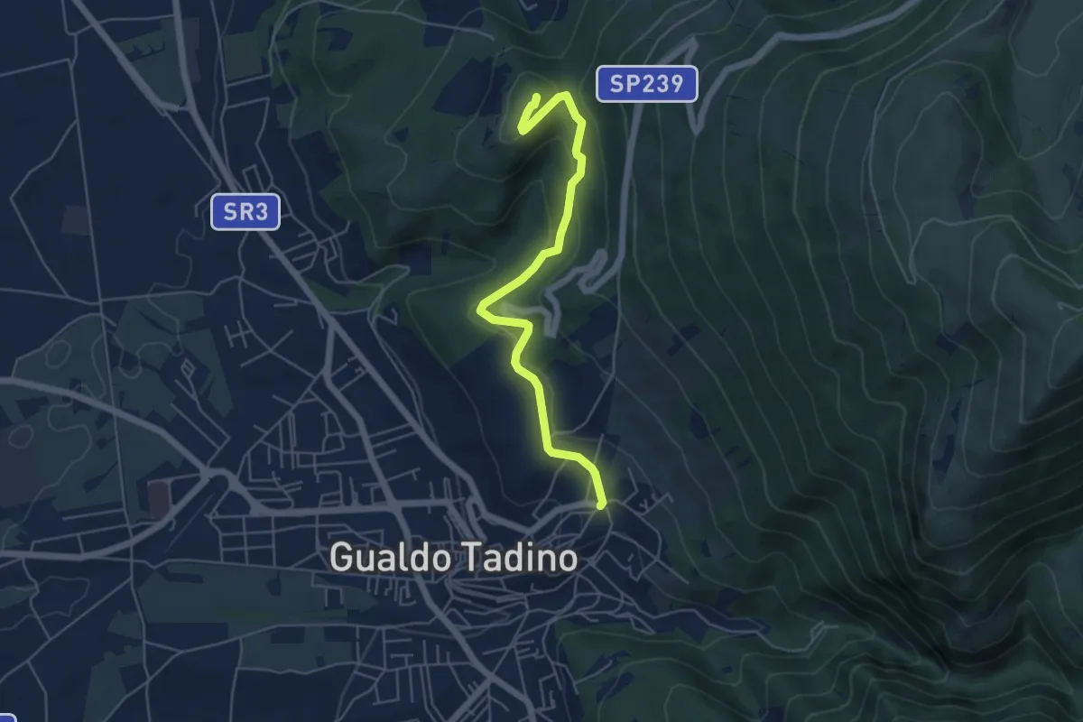
Easy · Summit
Intersezione percorso 218 – Gualdo Tadino
5.7 km · ↑ 215 m · 1 h 48 min · 1 km away
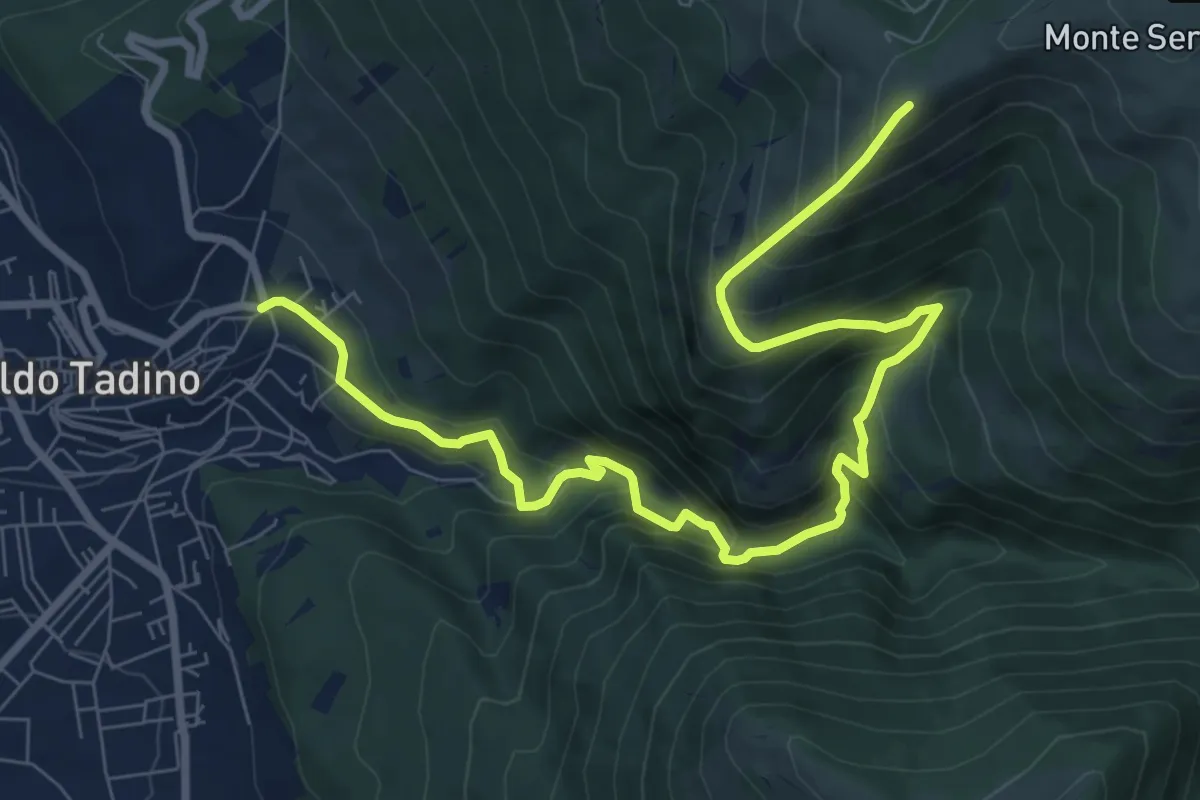
Demanding · Cabin
Fontanile di Campitella
10.7 km · ↑ 858 m · 4 h 23 min · 1 km away
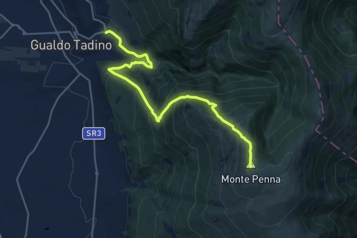
Demanding · Summit
Giro dei Monti
12.8 km · ↑ 1000 m · 5 h 11 min · 1 km away
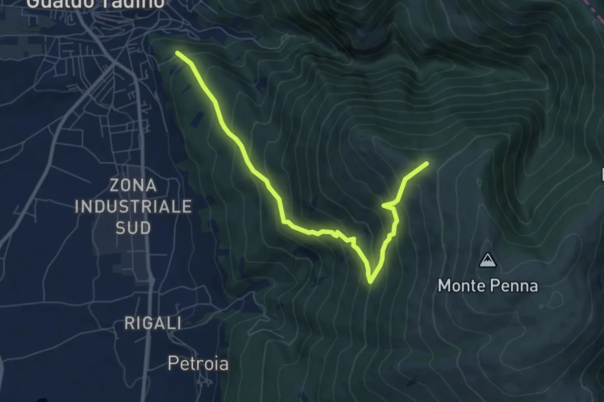
Medium · Trail
Strada dei Renacci
8.3 km · ↑ 713 m · 3 h 30 min · 1 km away
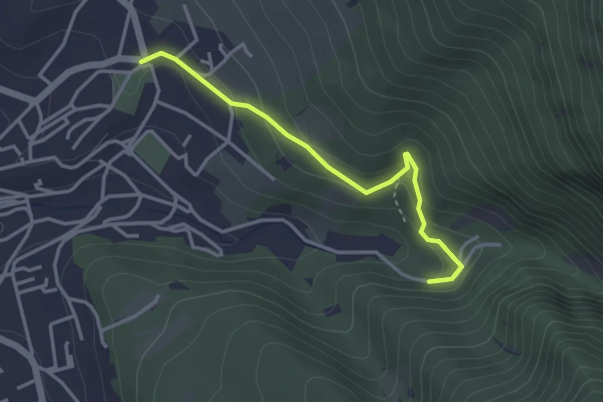
Easy · Trail
Bretella Paoletti
3.0 km · ↑ 174 m · 1 h 5 min · 2 km away
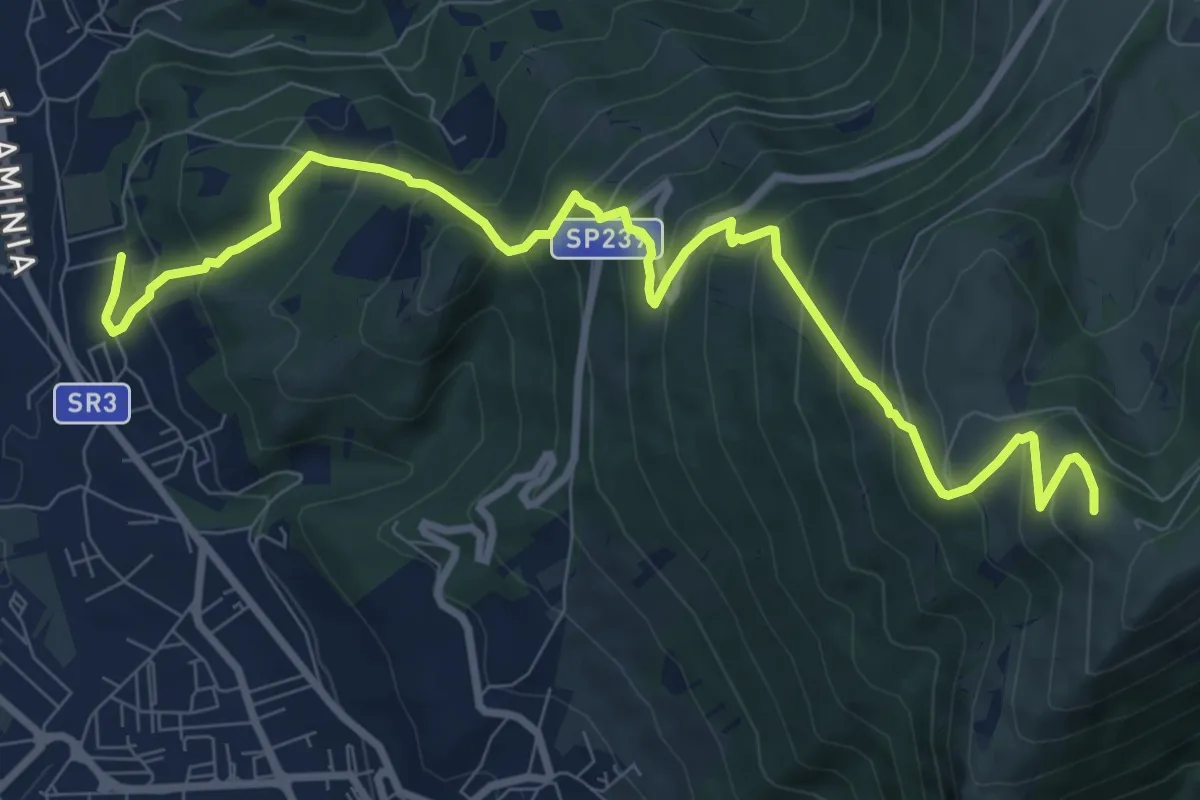
Demanding · Summit
Sentiero dei Santi
11.5 km · ↑ 822 m · 4 h 30 min · 2 km away
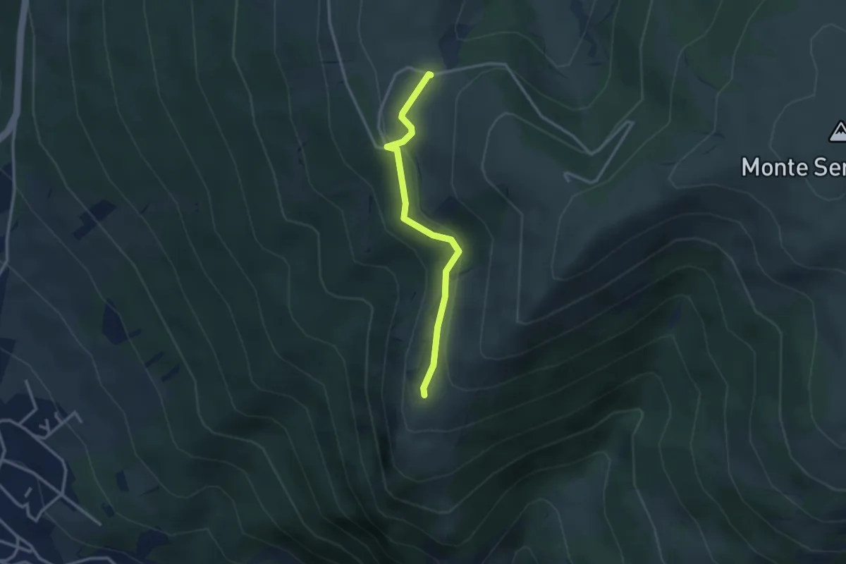
Easy · Trail
Rimboschimento
2.8 km · ↑ 98 m · 52 min · 2 km away
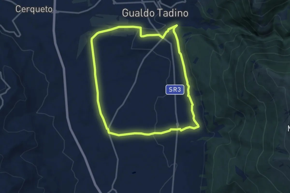
Medium · Trail
Anello di Taino
8.5 km · ↑ 127 m · 2 h 24 min · 3 km away
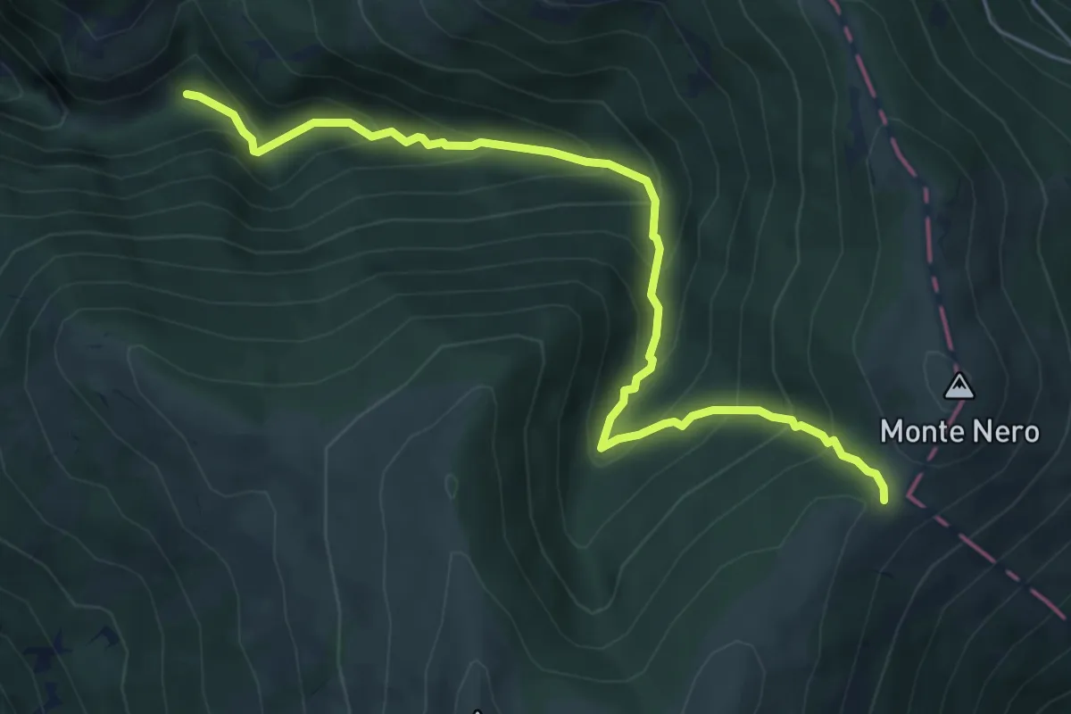
Medium · Trail
Valle del Fonno
6.4 km · ↑ 593 m · 2 h 48 min · 3 km away
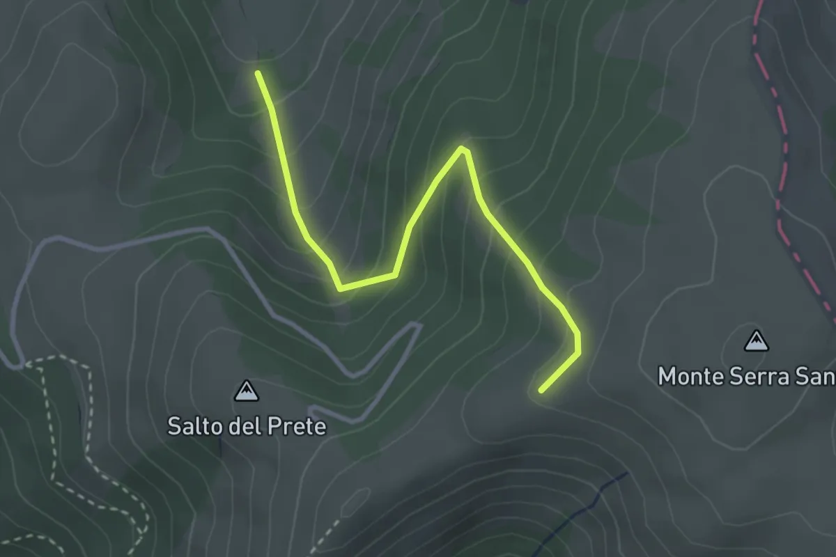
Easy · Cabin
Sentiero Codalina
3.2 km · ↑ 281 m · 1 h 21 min · 3 km away
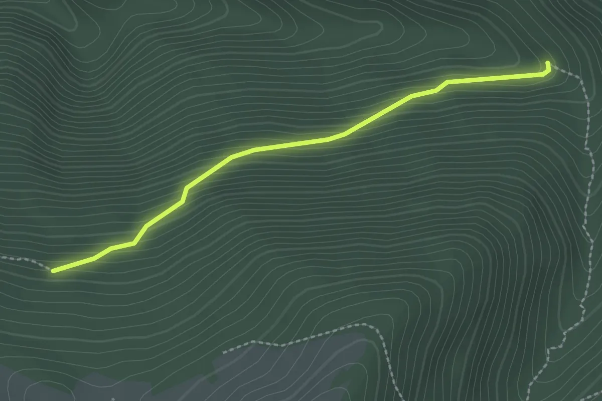
Easy · Trail
Strada dei Nacchi
2.4 km · ↑ 214 m · 1 h 2 min · 4 km away
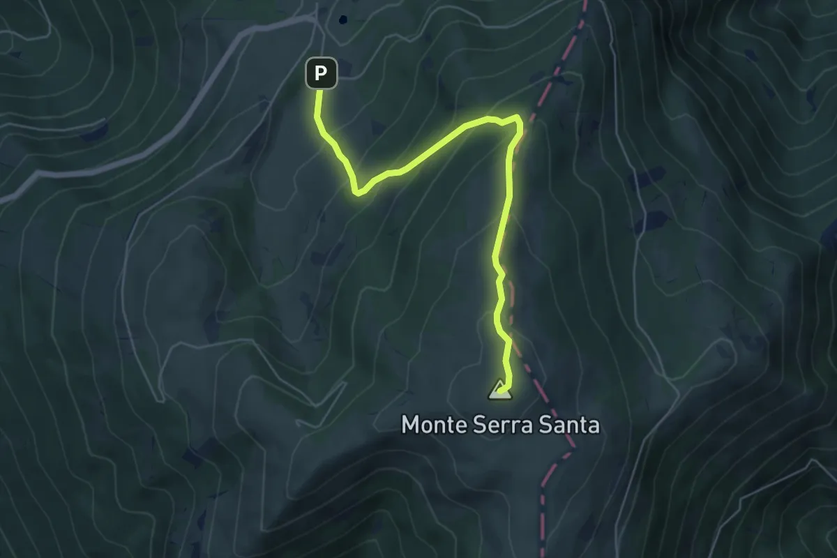
Medium · Summit
Costa dei Quarti
5.8 km · ↑ 404 m · 2 h 14 min · 4 km away
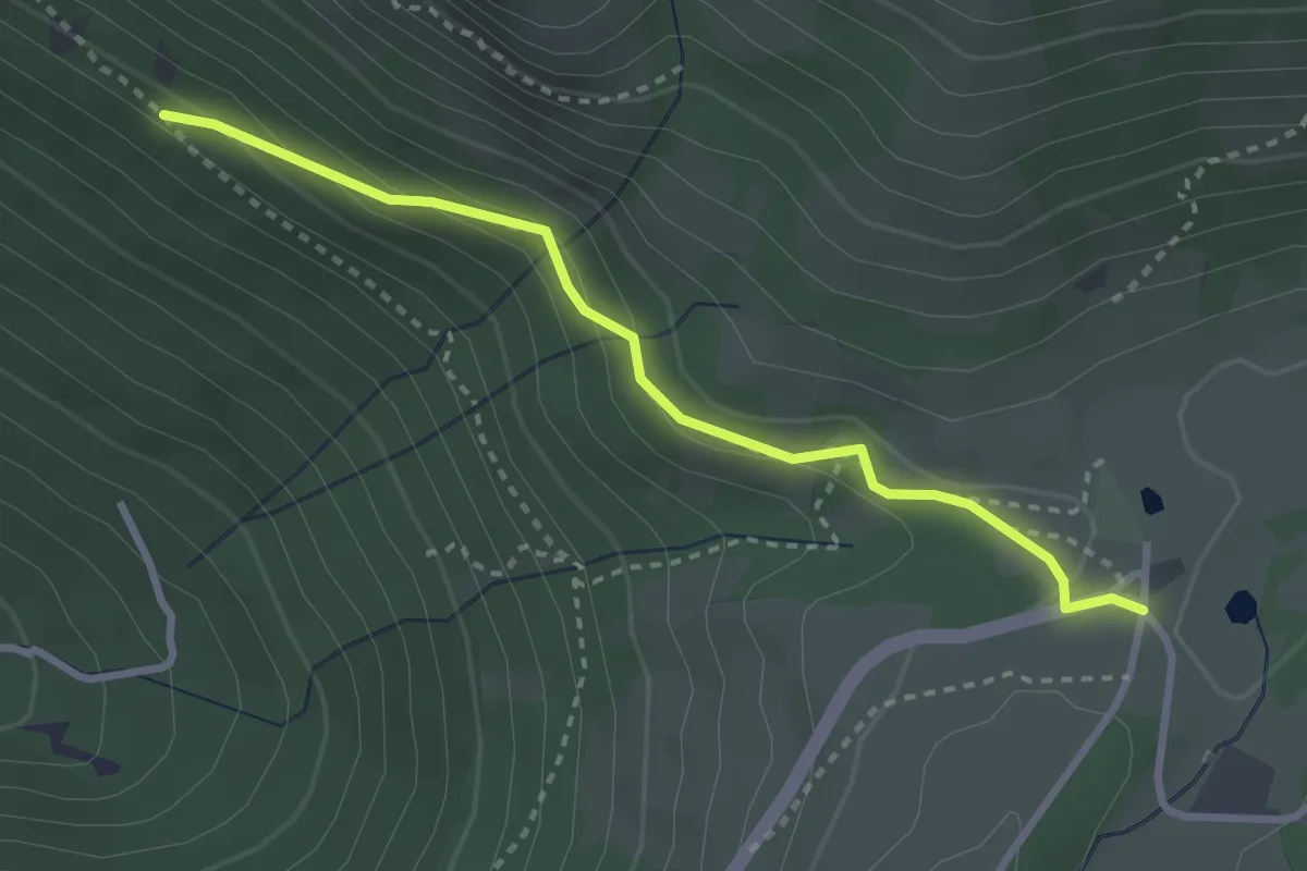
Easy · Cabin
Valsorda – Intersezione percorso 222
3.1 km · ↑ 150 m · 1 h 4 min · 4 km away
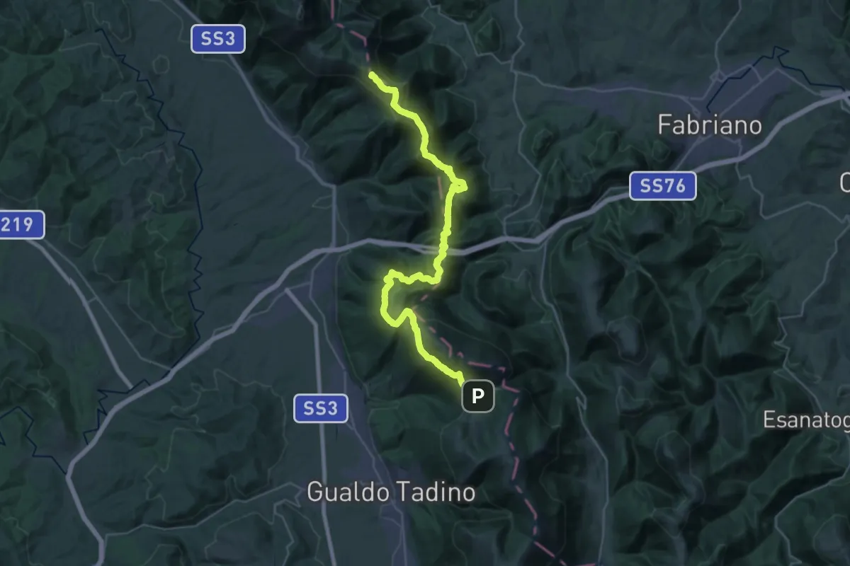
Expert · Summit
Valsorda (Rifugio Monte Maggio) – Val di Ranco
35.3 km · ↑ 2154 m · 13 h 1 min · 4 km away
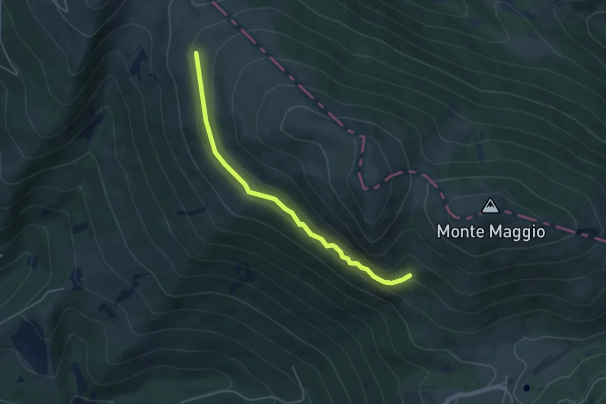
Expert · Trail
Passaiola bassa
4.4 km · ↑ 243 m · 1 h 34 min · 4 km away
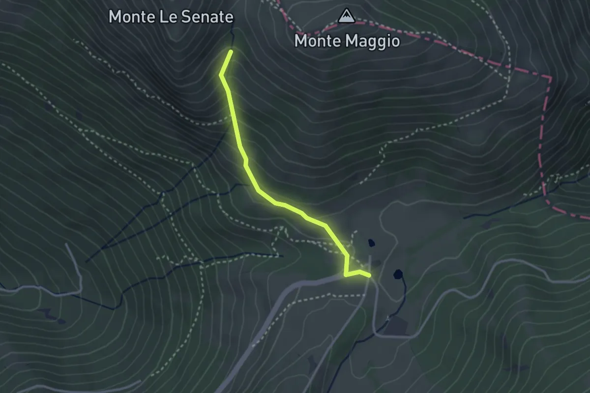
Easy · Cabin
Sentiero delle Passaiole
2.7 km · ↑ 220 m · 1 h 7 min · 5 km away
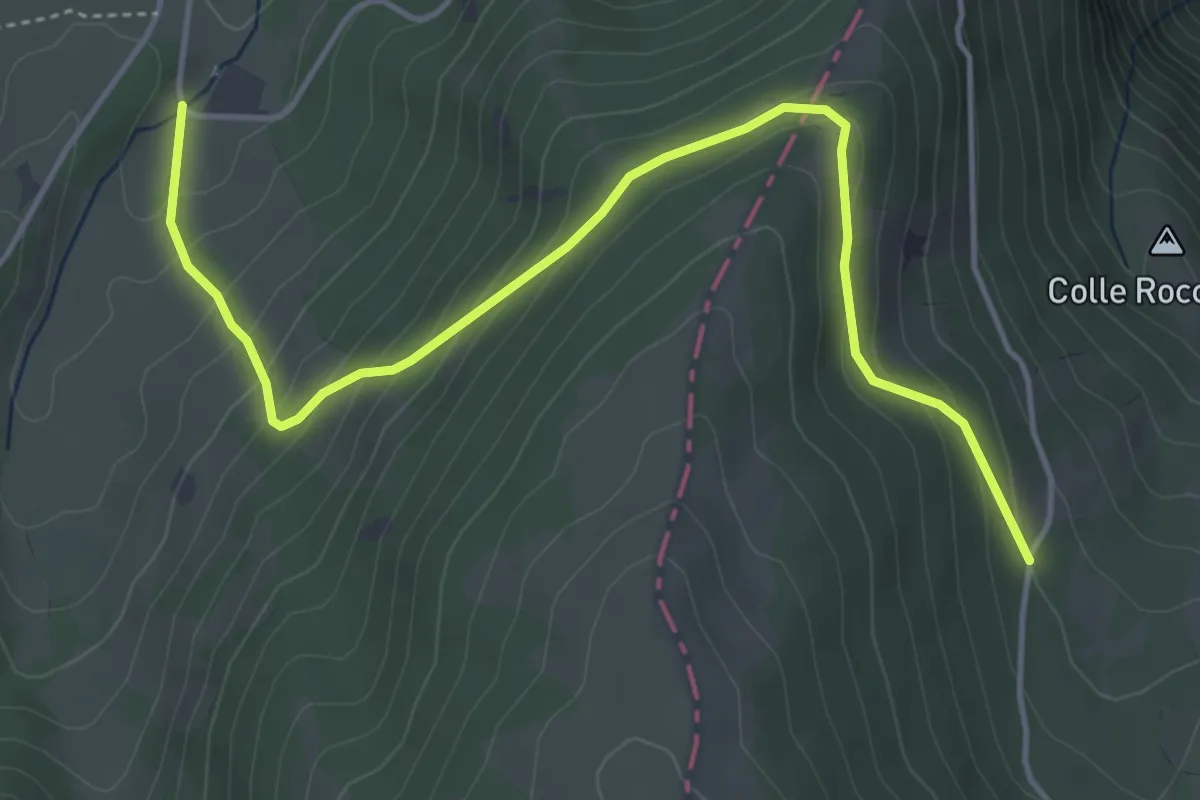
Easy · Cabin
Sentiero delle Fragole
5.5 km · ↑ 309 m · 1 h 58 min · 5 km away
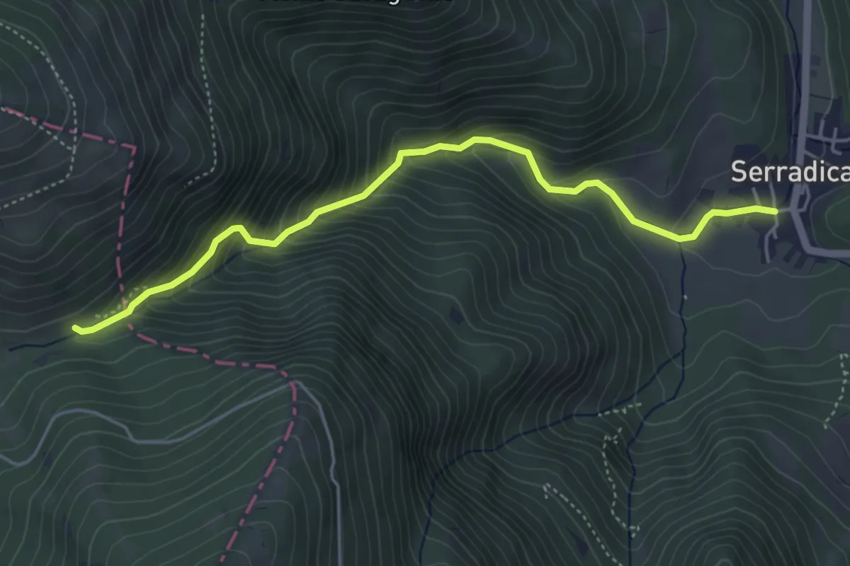
Demanding · Trail
Valsorda - Sentiero 125A – Serradica
5.1 km · ↑ 484 m · 2 h 16 min · 5 km away
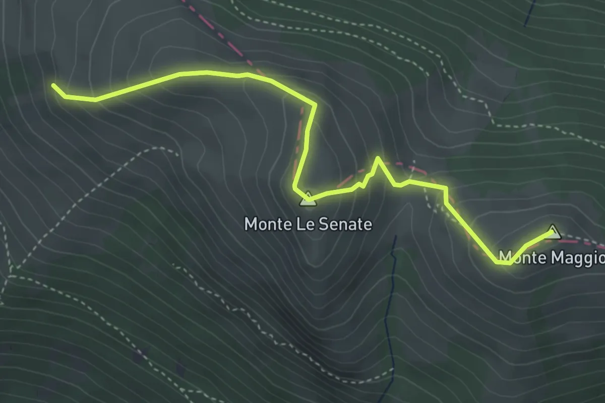
Medium · Summit
Le creste
4.5 km · ↑ 379 m · 1 h 53 min · 5 km away
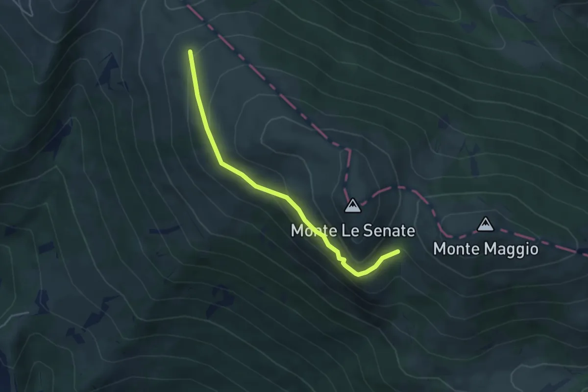
Expert · Trail
Passaiola alta
4.1 km · ↑ 190 m · 1 h 22 min · 5 km away
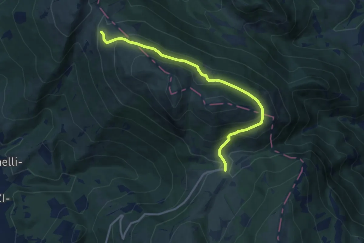
Medium · Cabin
Valsorda – Troscia Valmare
9.3 km · ↑ 437 m · 3 h 9 min · 5 km away
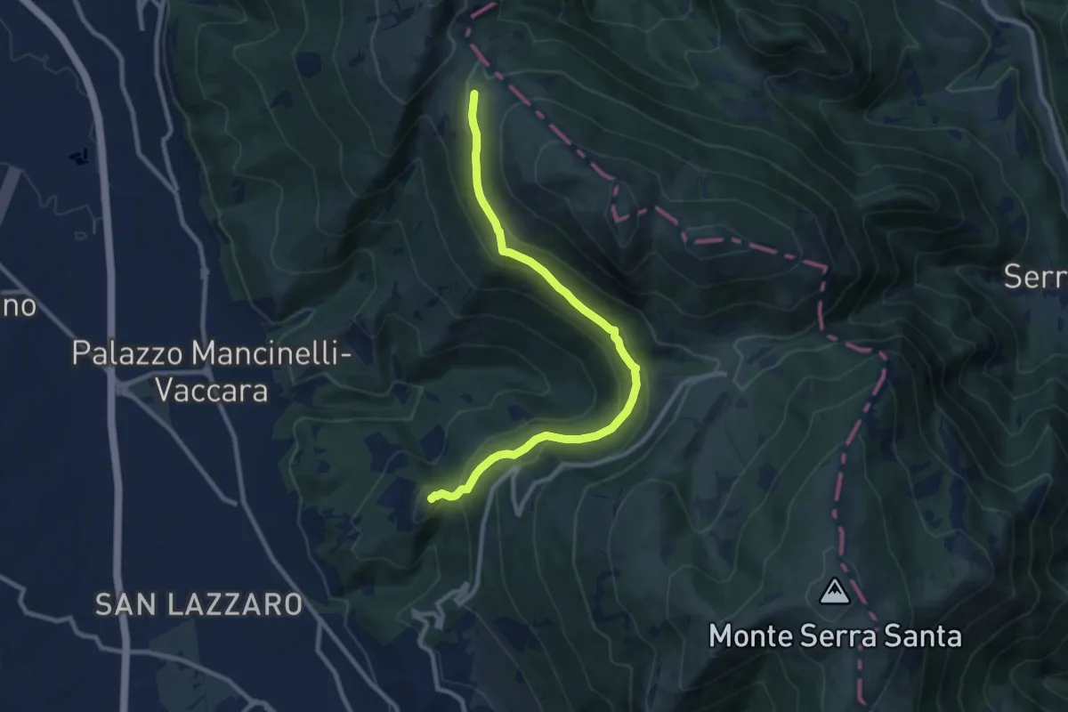
Medium · Summit
Sentiero delle 2 Valli
10.1 km · ↑ 414 m · 3 h 17 min · 5 km away
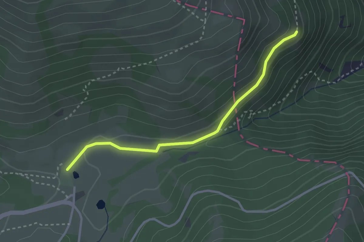
Medium · Cabin
Valsorda – 125
2.8 km · ↑ 92 m · 52 min · 5 km away
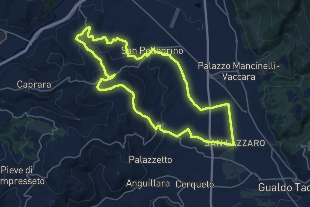
Medium · Trail
Strada provinciale 242 di San Pellegrino – Strada provinciale 242 di San Pellegrino
14.2 km · ↑ 361 m · 4 h 20 min · 6 km away
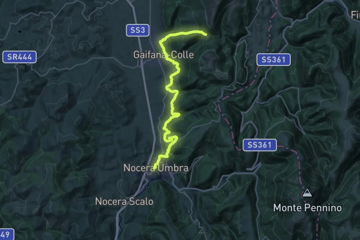
Medium · Trail
Nocera Umbra – Trivio Luticchio
14.1 km · ↑ 411 m · 4 h 36 min · 7 km away
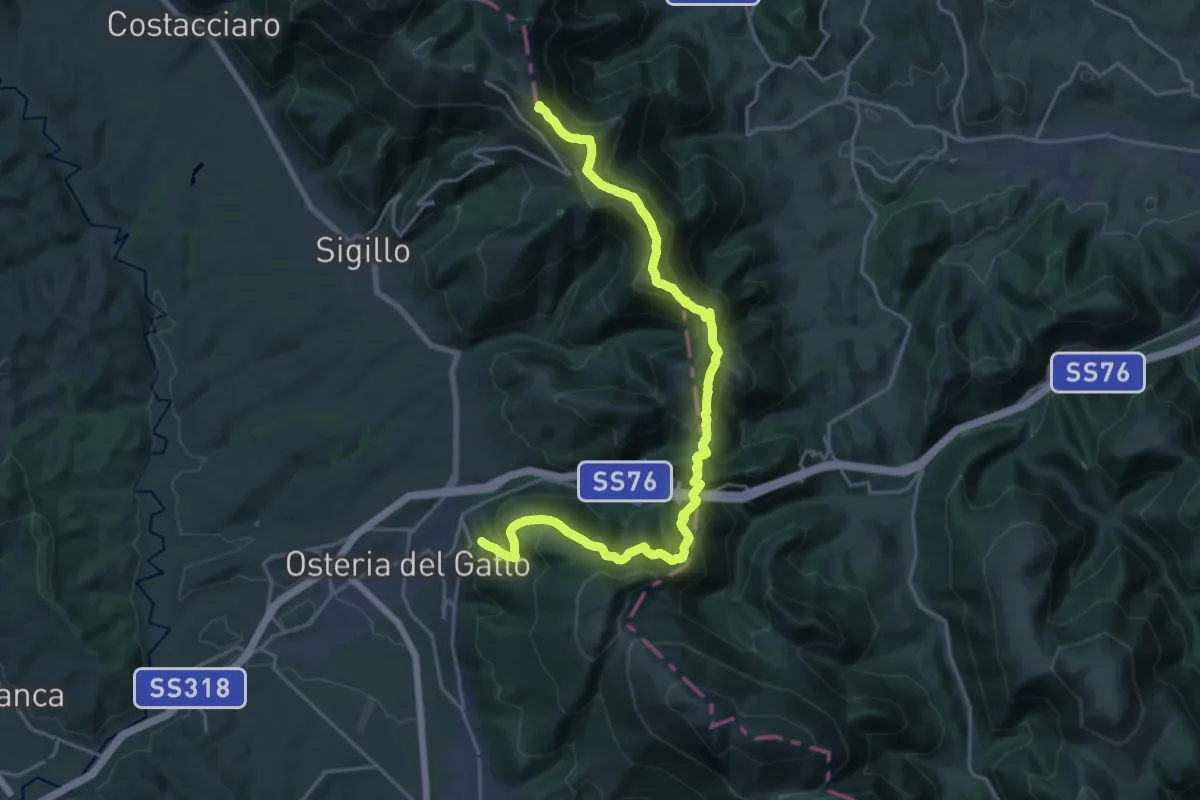
Demanding · Summit
Fossato di Vico – Valico di Fossato
24.9 km · ↑ 1564 m · 9 h 16 min · 7 km away
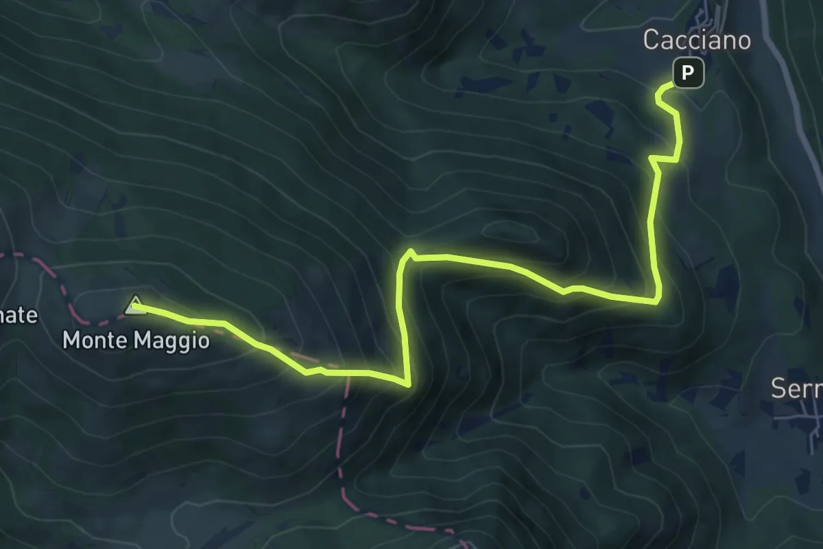
Demanding · Summit
Cacciano – Monte Maggio
8.1 km · ↑ 804 m · 3 h 40 min · 7 km away
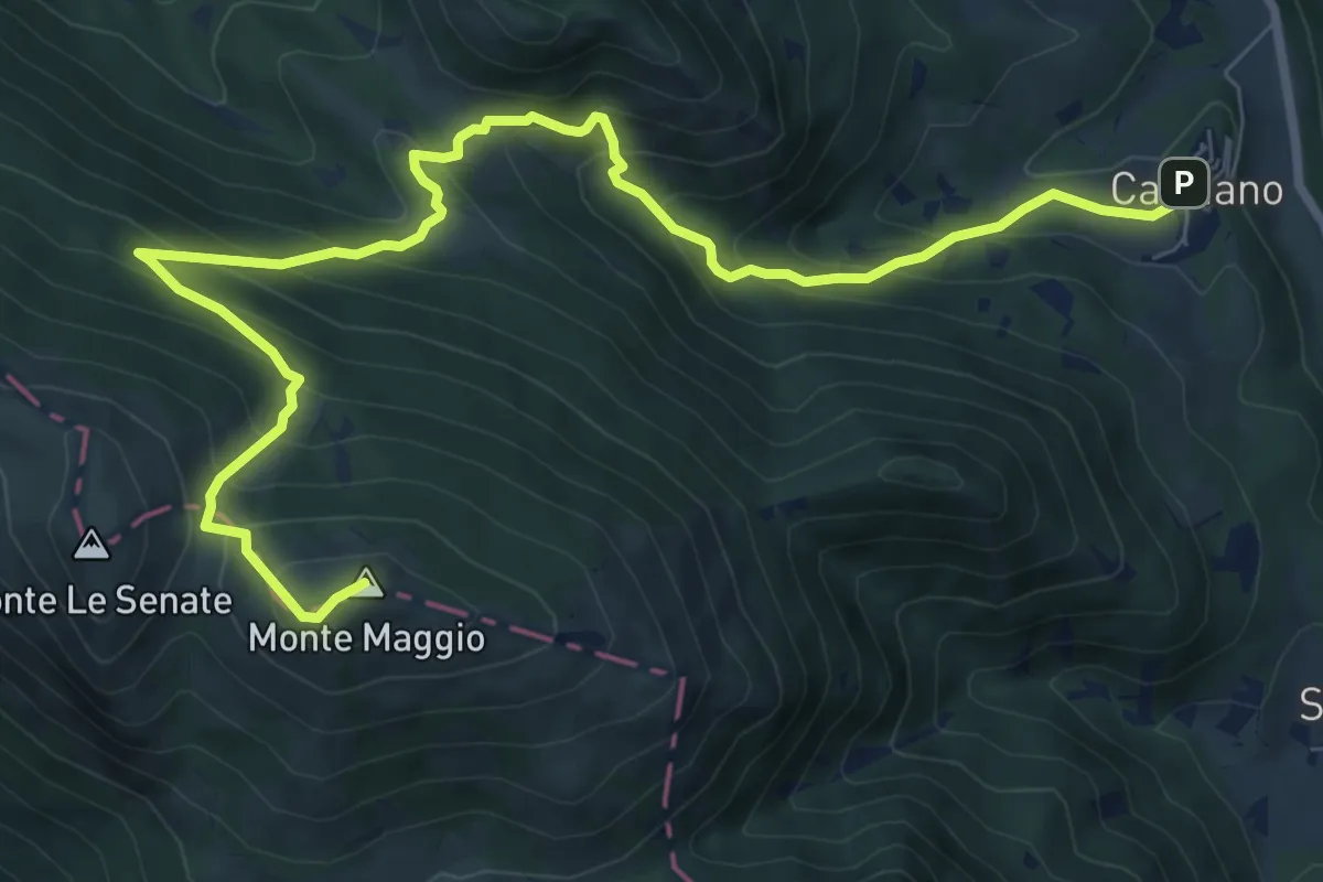
Demanding · Summit
Cacciano – Monte Maggio
11.1 km · ↑ 852 m · 4 h 28 min · 7 km away
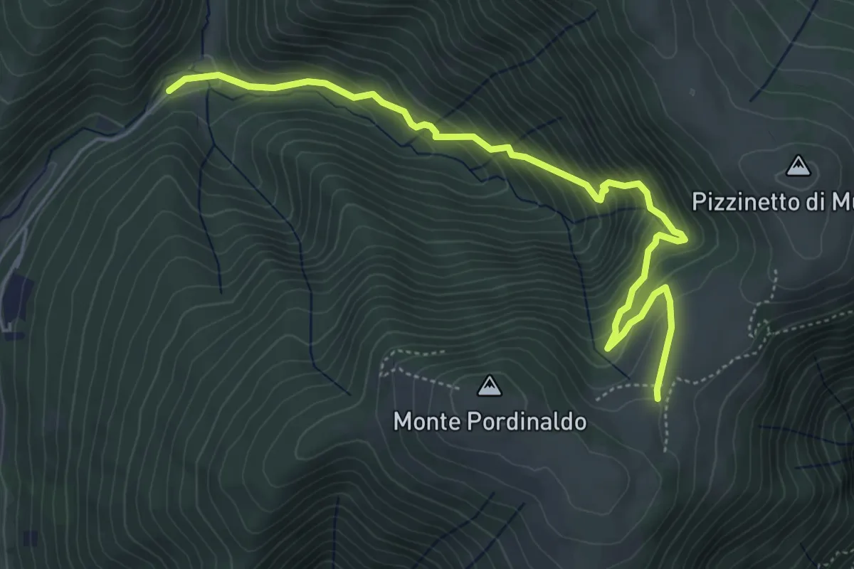
Medium · Trail
Abbazia San Biagio in Caprile – Intersezione Sentiero 120
6.0 km · ↑ 517 m · 2 h 33 min · 8 km away
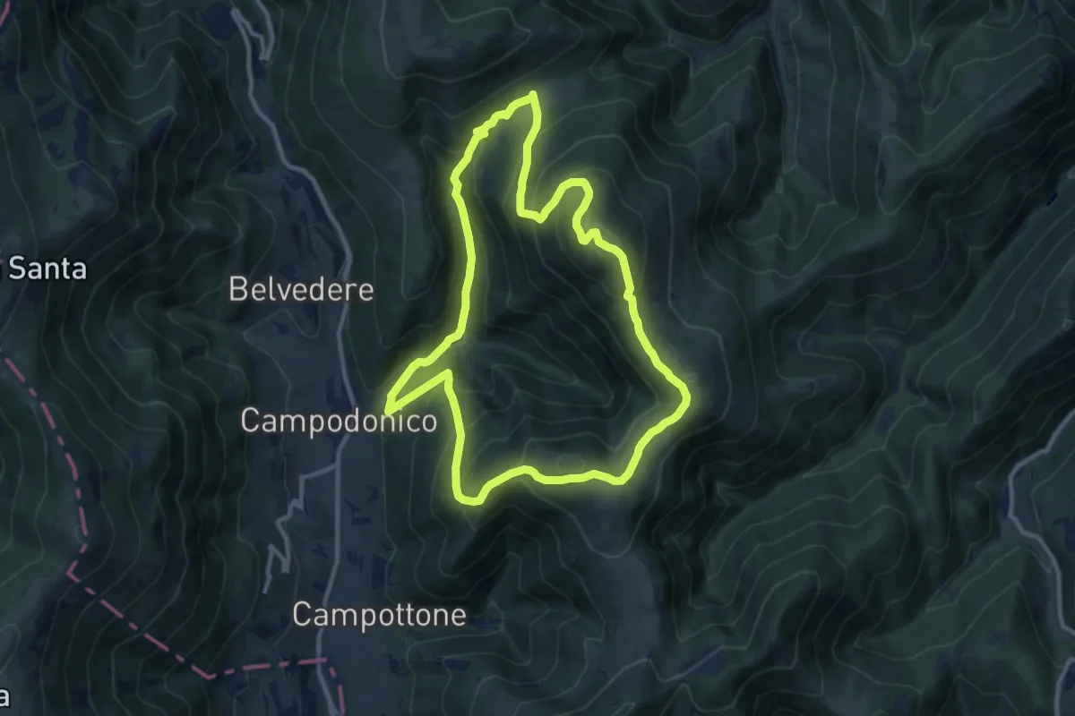
Medium · Summit
Campodonico – Campodonico
11.2 km · ↑ 705 m · 4 h 20 min · 8 km away
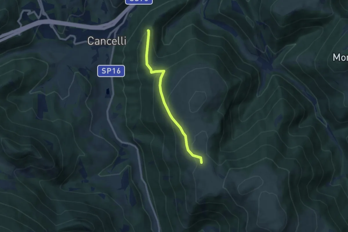
Medium · Trail
Bivio sentiero della Carta – Bivio sentiero 100 (Le Calate)
5.7 km · ↑ 314 m · 2 h 2 min · 8 km away
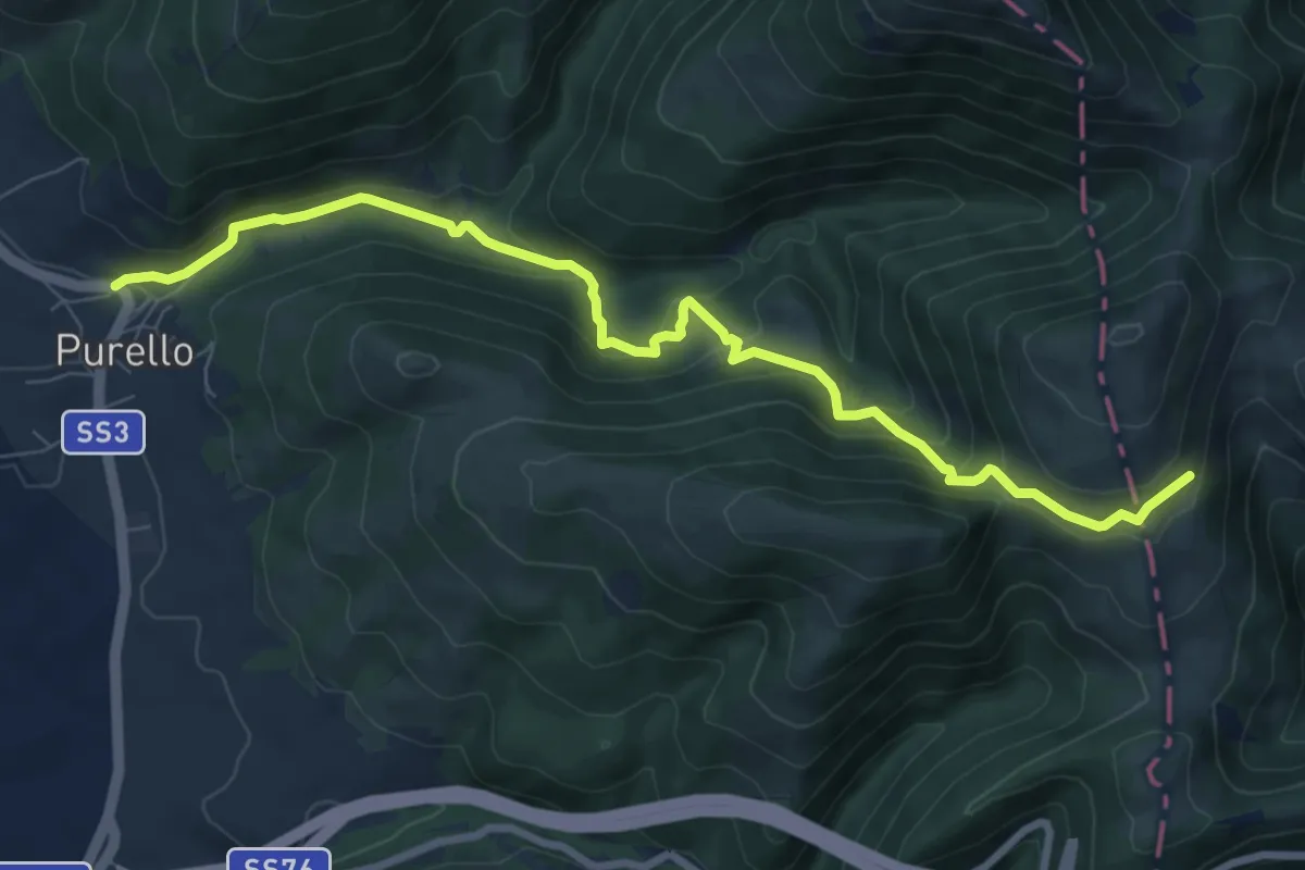
Medium · Trail
Purello – Intersezione Sentiero Italia
9.3 km · ↑ 497 m · 3 h 17 min · 10 km away
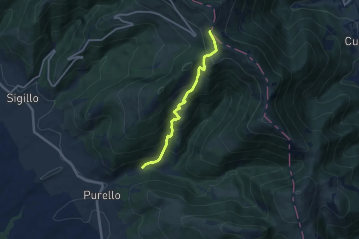
Medium · Trail
Intersezione percorso 286 – Intersezione Sentiero Italia
6.6 km · ↑ 548 m · 2 h 45 min · 10 km away
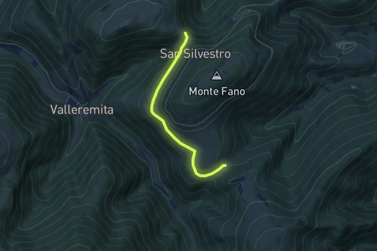
Easy · Trail
Valico M. Linatro, Pratelle – 100A, sella di Capretta
4.8 km · ↑ 107 m · 1 h 22 min · 11 km away
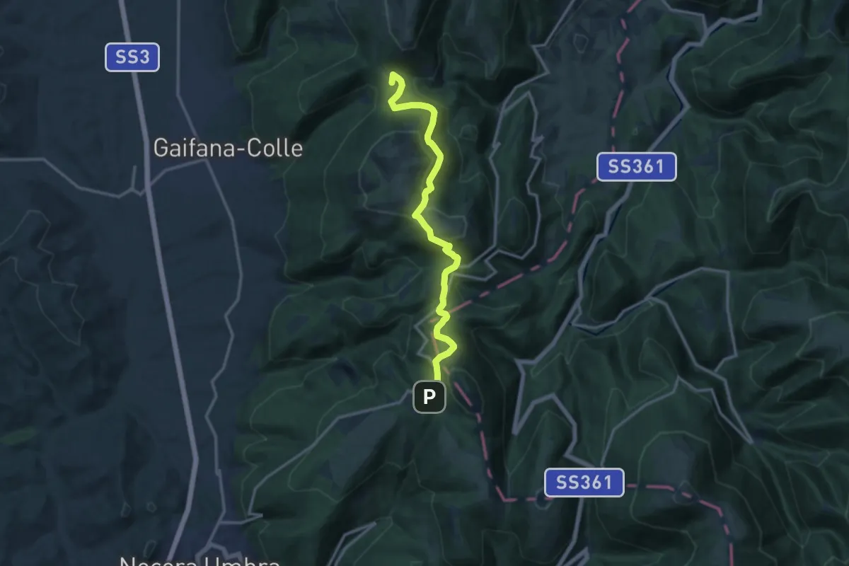
Medium · Summit
Val del Pero – Strada provinciale Monte Alago
13.3 km · ↑ 522 m · 4 h 16 min · 11 km away
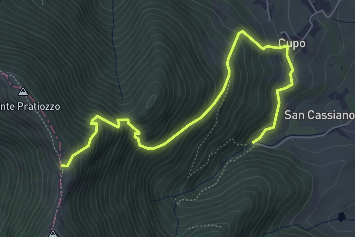
Medium · Trail
Sella Monte Pratiozzo – Tenuta San Cassiano
6.6 km · ↑ 635 m · 2 h 57 min · 12 km away
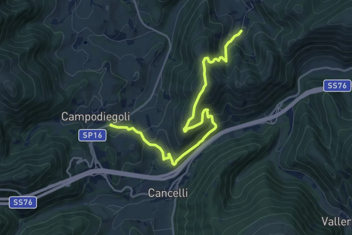
Medium · Summit
Varano – Campodiegoli
5.5 km · ↑ 389 m · 2 h 12 min · 12 km away
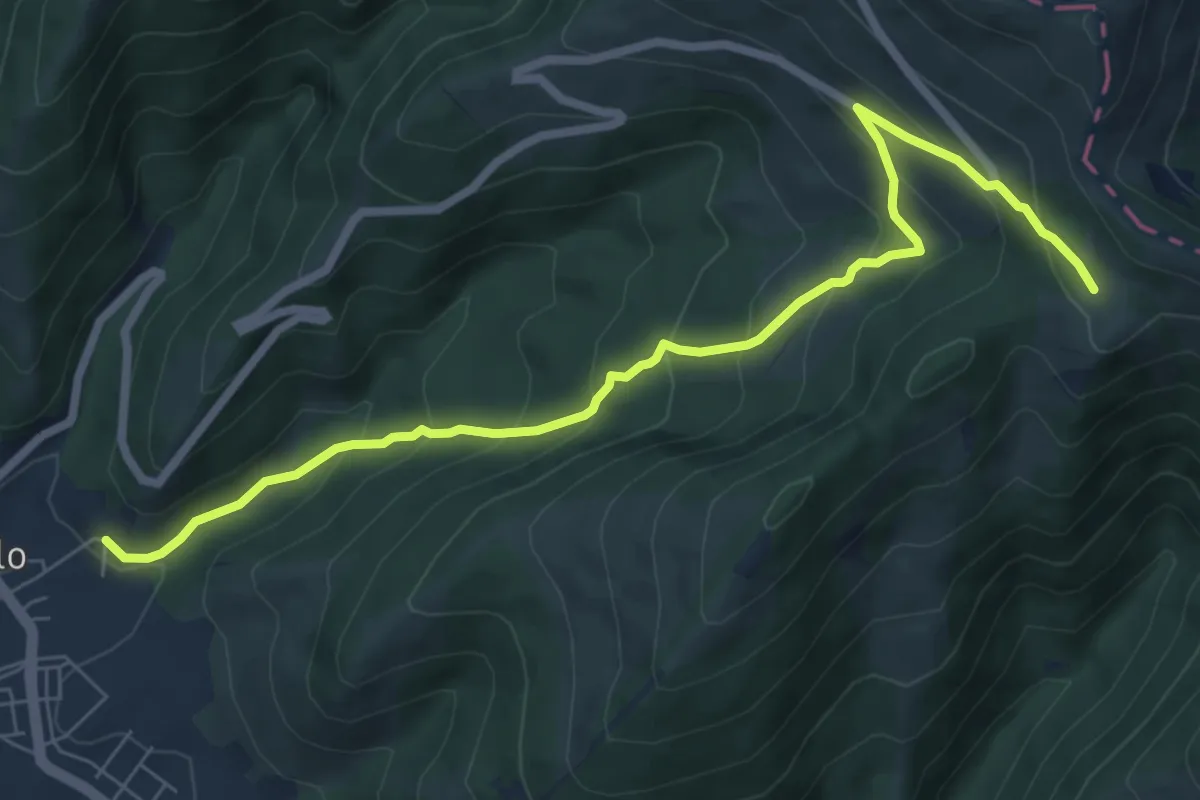
Medium · Trail
Sigillo – Le Cese (Sent. n. 281)
8.2 km · ↑ 545 m · 3 h 6 min · 12 km away
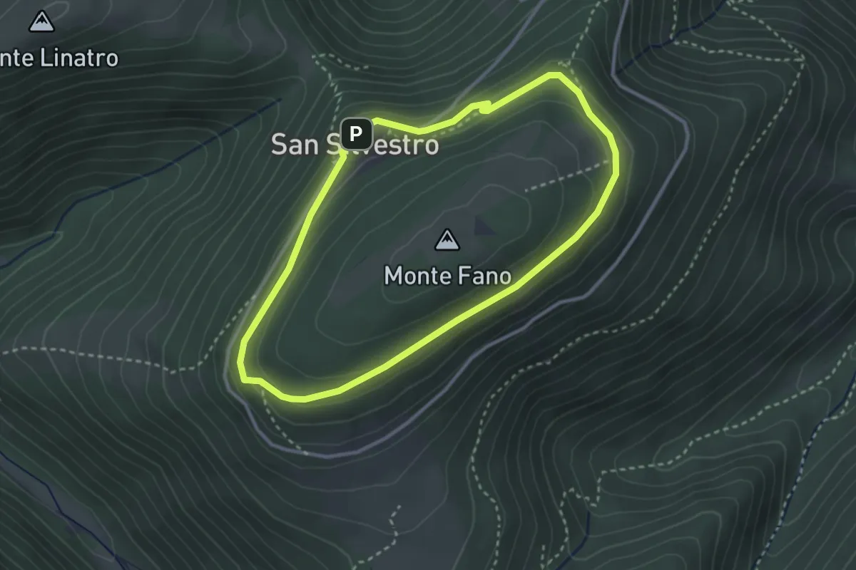
Medium · Trail
Anello di S. Silvestro (M. Fano)
3.0 km · ↑ 107 m · 59 min · 12 km away
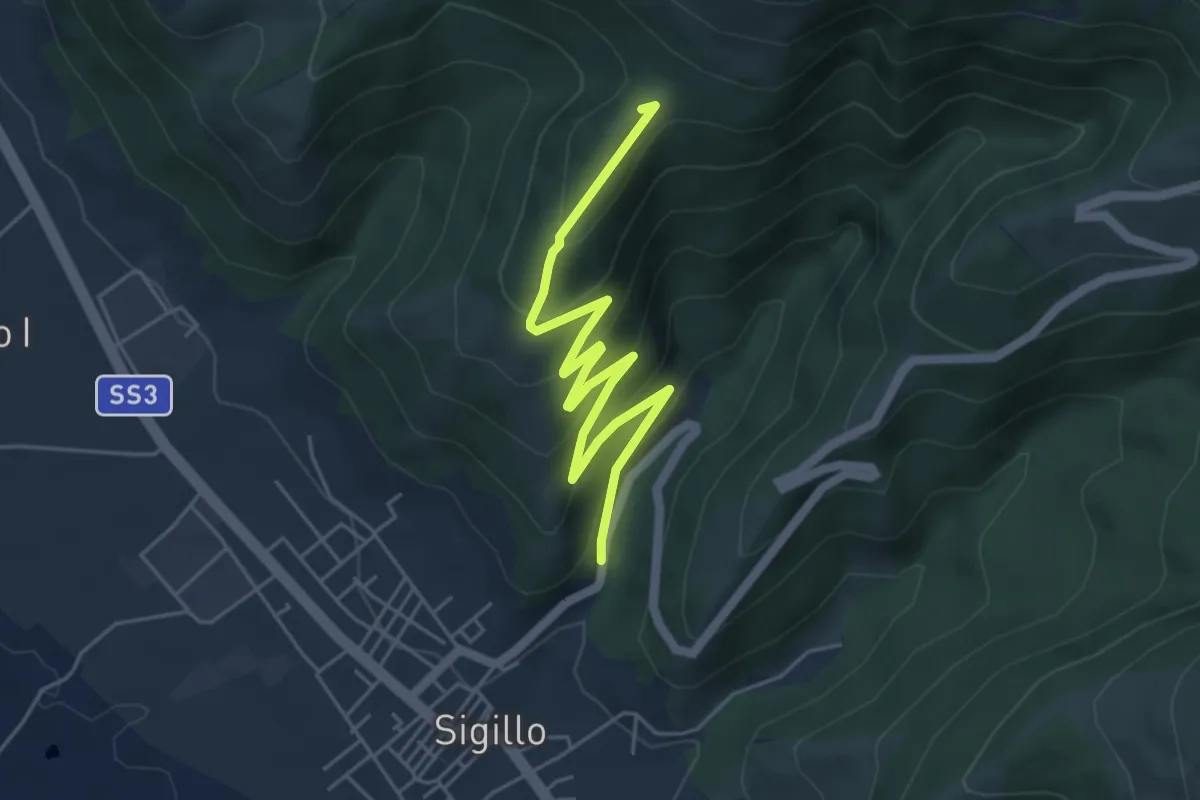
Easy · Summit
Intersezione percorso 292 – Sigillo
5.9 km · ↑ 311 m · 2 h 4 min · 12 km away
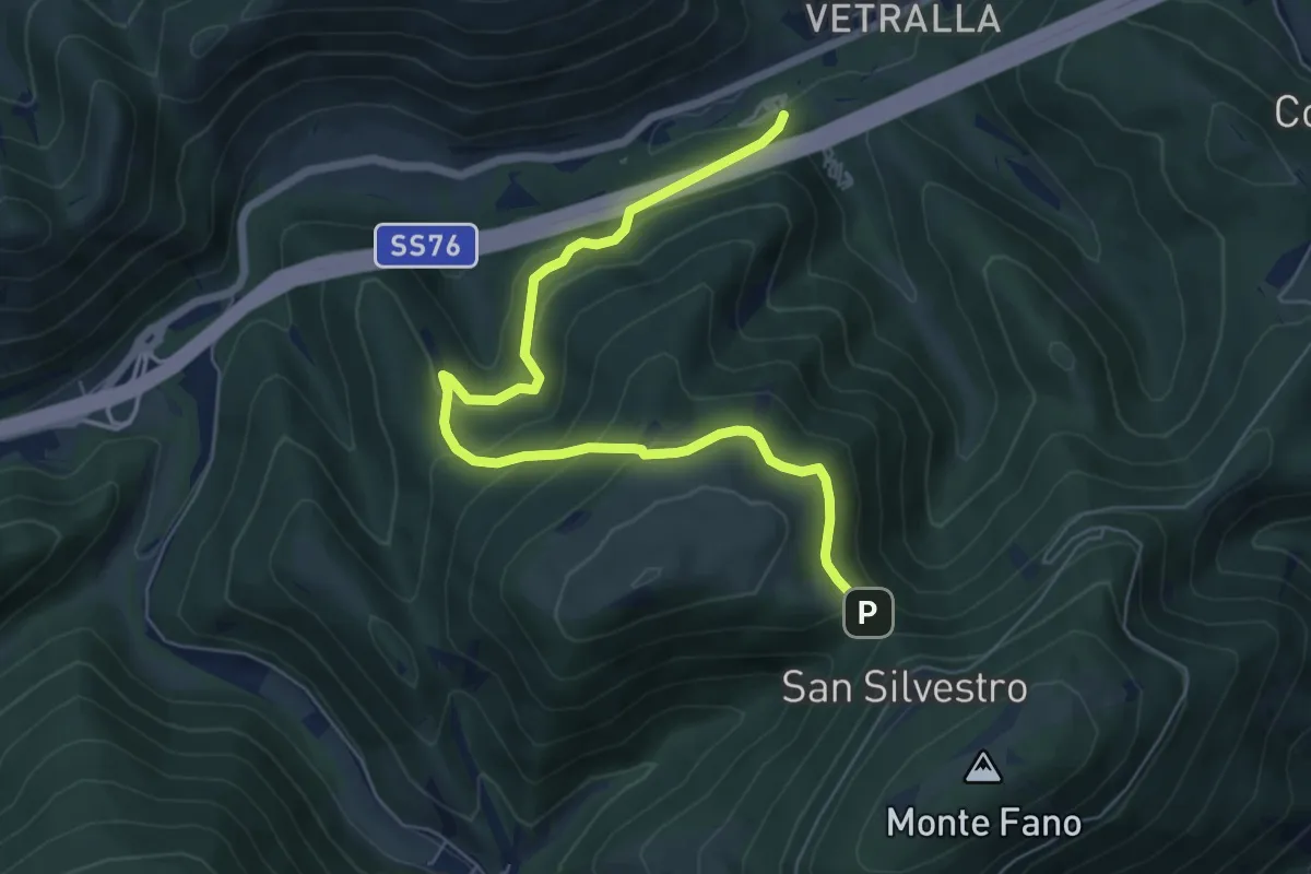
Medium · Trail
Sentiero Casa Malfaiera - Sella Monte Linatro
7.5 km · ↑ 441 m · 2 h 44 min · 12 km away
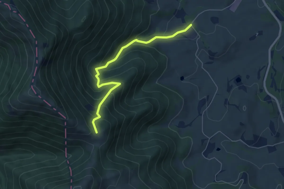
Demanding · Trail
Tenuta San Cassiano – Passo Chiaromonte
5.6 km · ↑ 456 m · 2 h 19 min · 12 km away
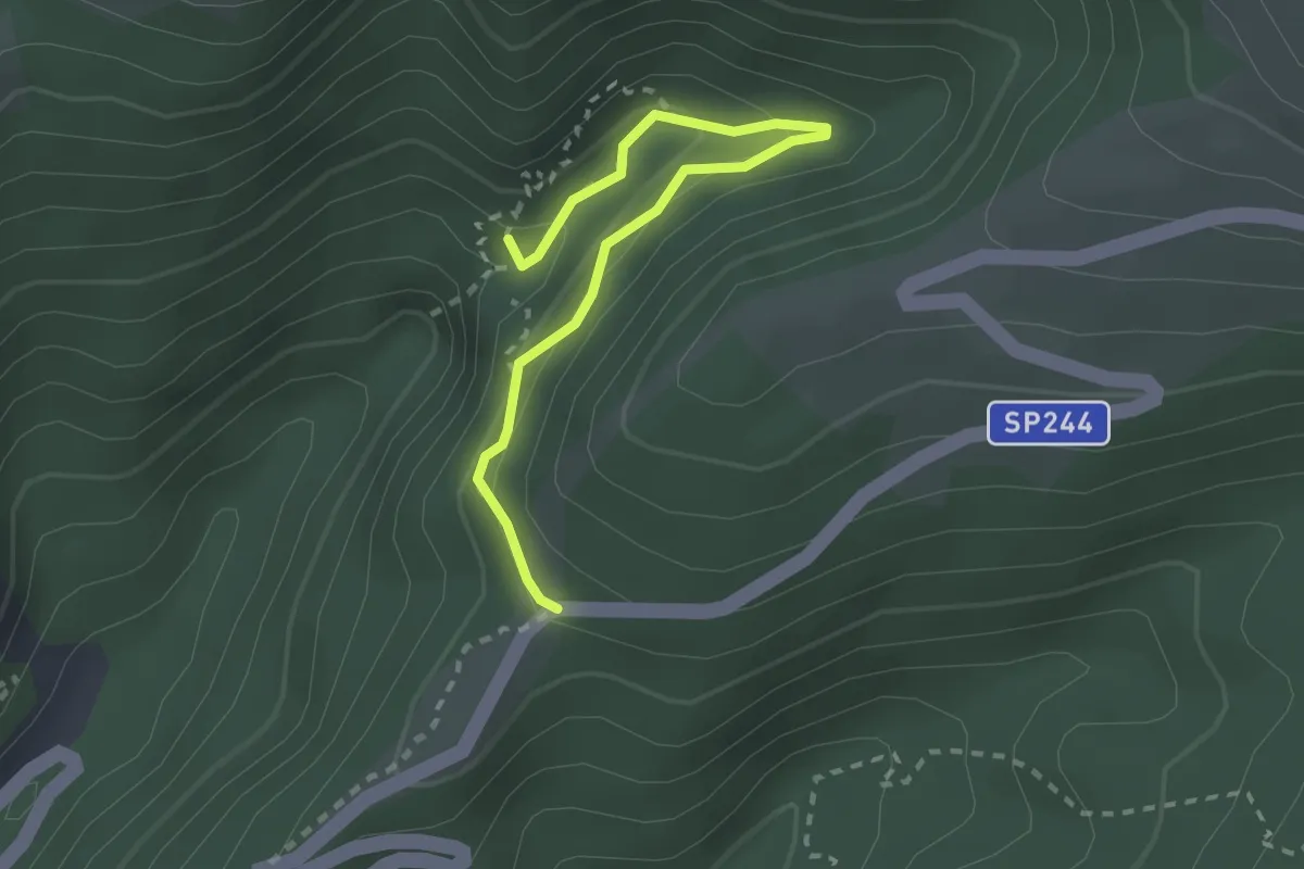
Demanding · Summit
Torrente Le Gorghe – Strada prov. Monte Cucco
2.8 km · ↑ 198 m · 1 h 5 min · 12 km away
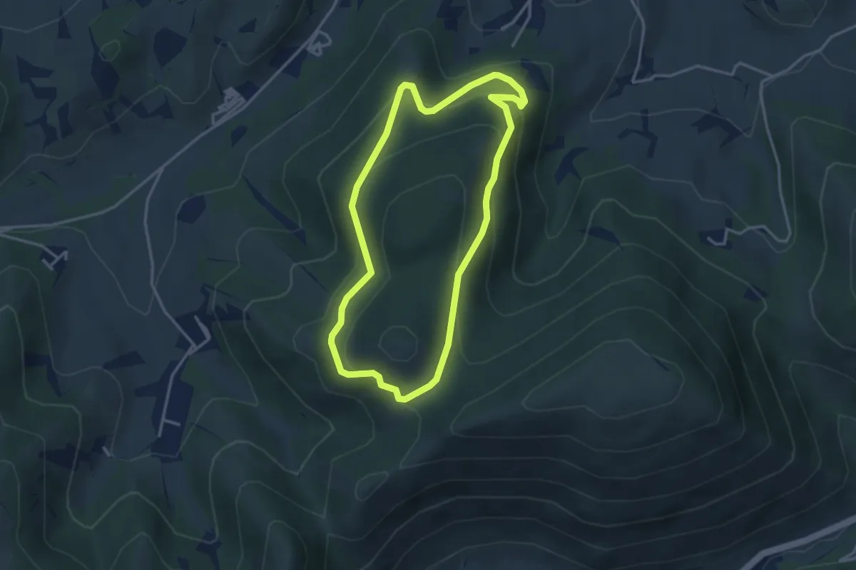
Medium · Summit
Anello della Pineta di Marischio
3.4 km · ↑ 193 m · 1 h 16 min · 13 km away
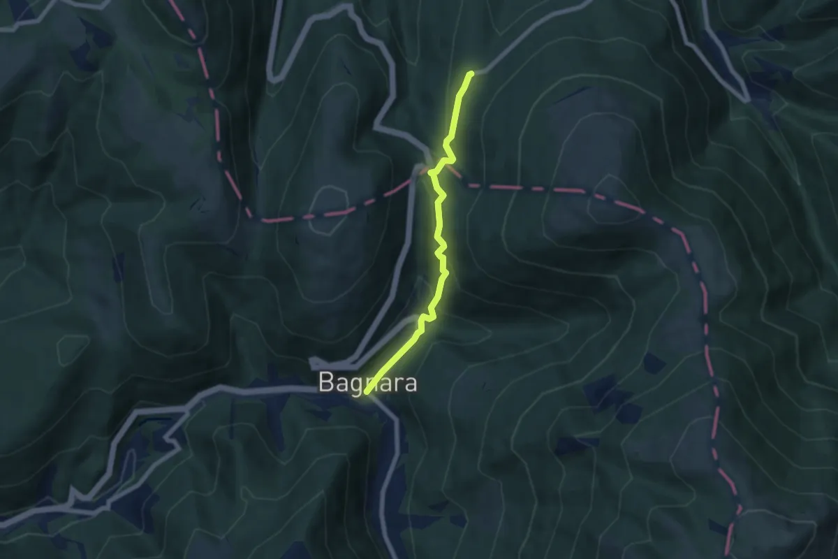
Easy · Trail
Passo Cornello – Bagnara
5.7 km · ↑ 299 m · 1 h 59 min · 13 km away