Trails near Gualdo Tadino
64 hikes starting within 15 km, nearest first.
Nearest first, page 2 of 2
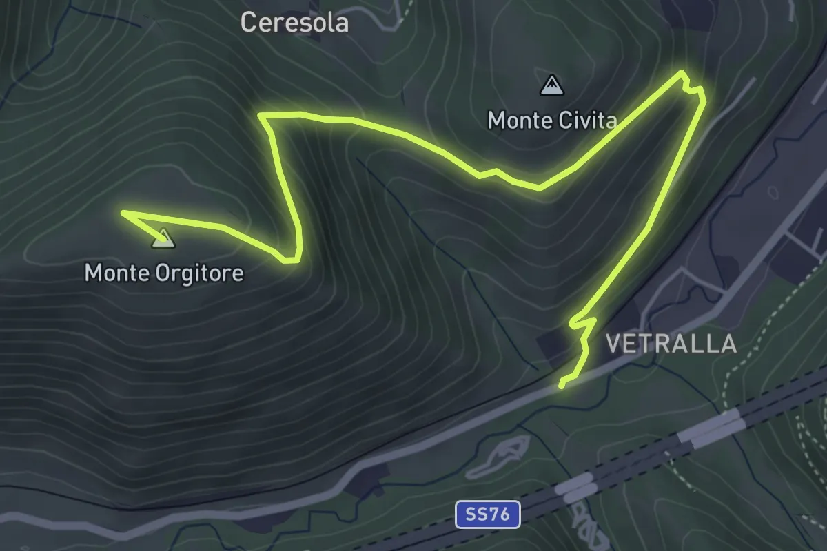
Medium · Summit
Sentiero Monte Orgitore - Varano
6.7 km · ↑ 407 m · 2 h 27 min · 13 km away
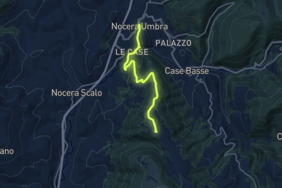
Medium · Summit
Nocera Umbra – Cariè
9.6 km · ↑ 503 m · 3 h 22 min · 13 km away
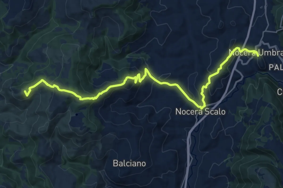
Demanding · Summit
Italia Coast to Coast-Tappa 7
22.1 km · ↑ 923 m · 7 h 13 min · 13 km away
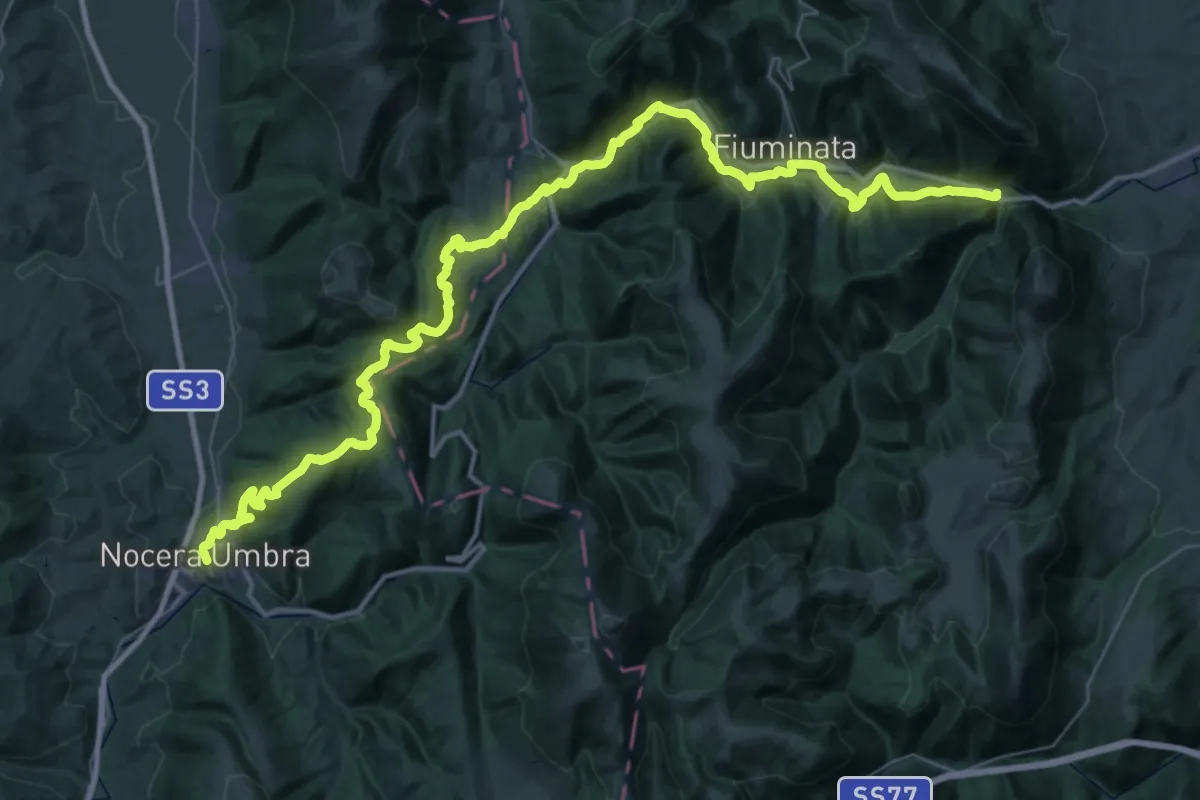
Demanding · Trail
Italia Coast to Coast-Tappa 6
27.8 km · ↑ 781 m · 8 h 40 min · 13 km away
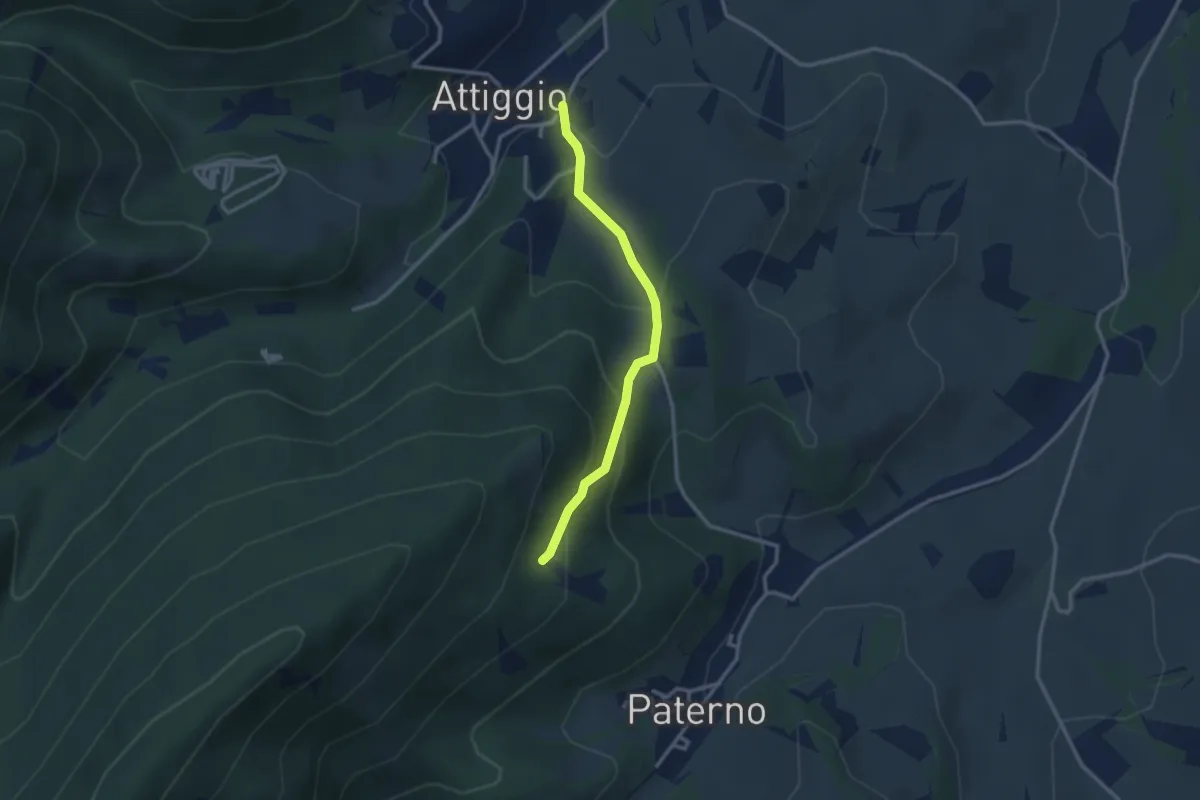
Medium · Trail
Castiglioni – Sentiero 128
2.8 km · ↑ 178 m · 1 h 3 min · 13 km away
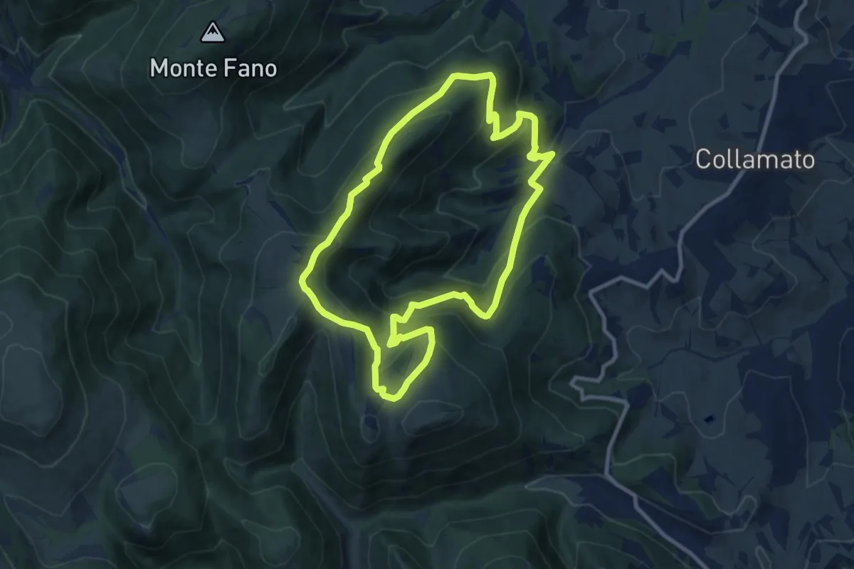
Medium · Trail
Paterno – Paterno
9.5 km · ↑ 617 m · 3 h 42 min · 13 km away
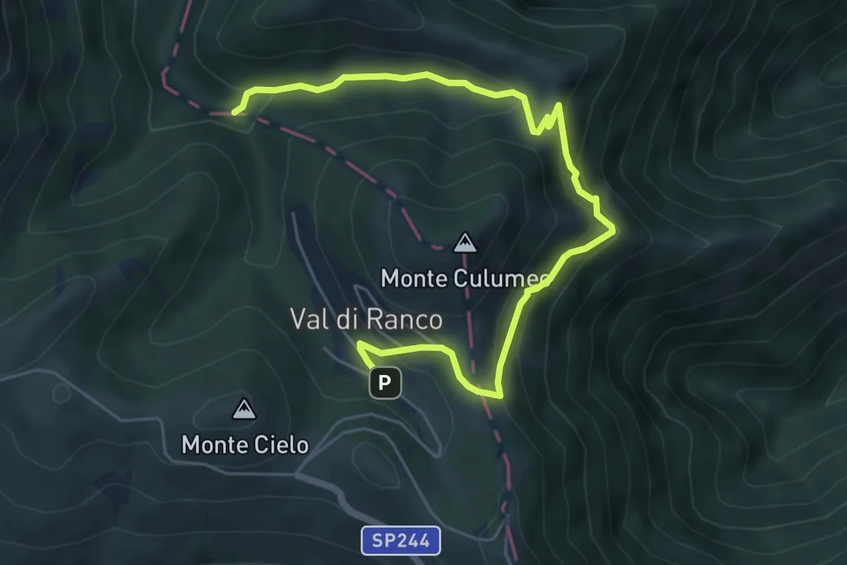
Medium · Trail
Croce dei fossi – Decollo nord
6.7 km · ↑ 381 m · 2 h 24 min · 14 km away
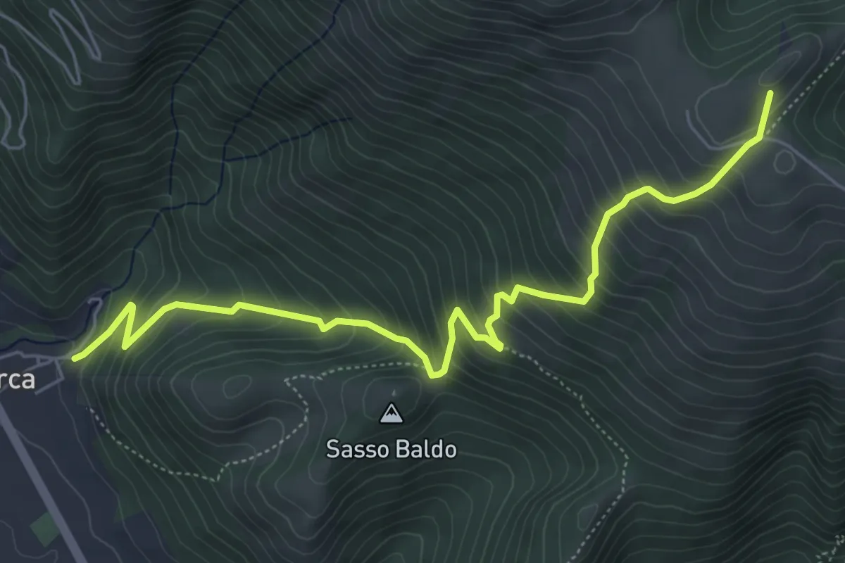
Medium · Summit
Pian di Monte (Sent. n. 226) – Villa Scirca
6.8 km · ↑ 686 m · 3 h 6 min · 14 km away
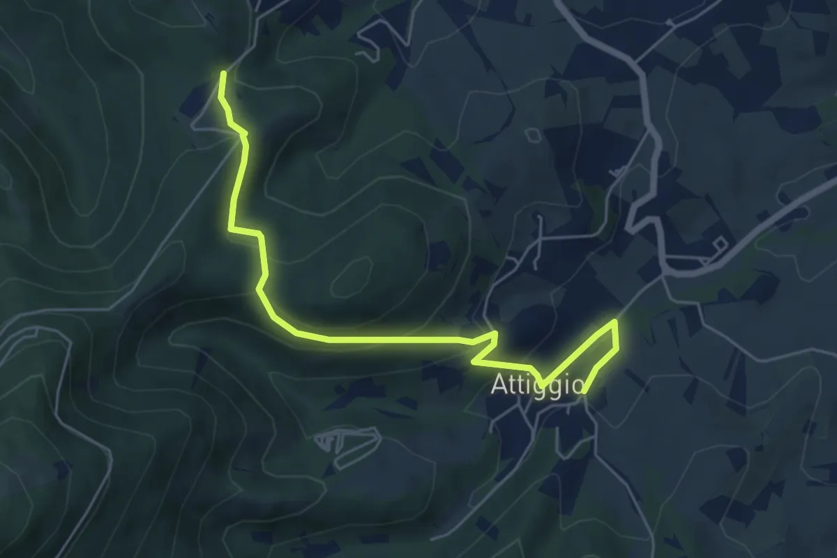
Medium · Trail
128A, Castiglioni – 100,100A, Collepaganello
5.9 km · ↑ 264 m · 1 h 59 min · 14 km away
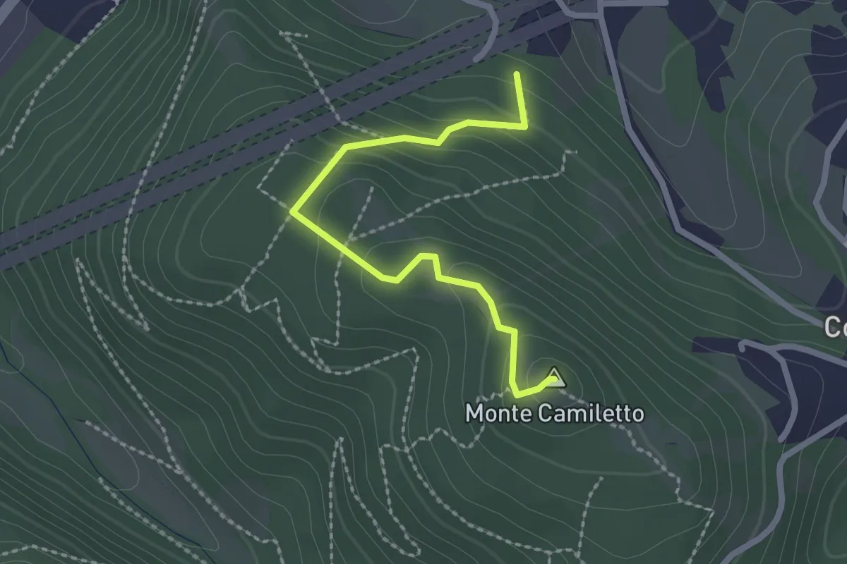
Medium · Summit
Sentiero delle vette dei Monticelli
2.3 km · ↑ 133 m · 50 min · 14 km away
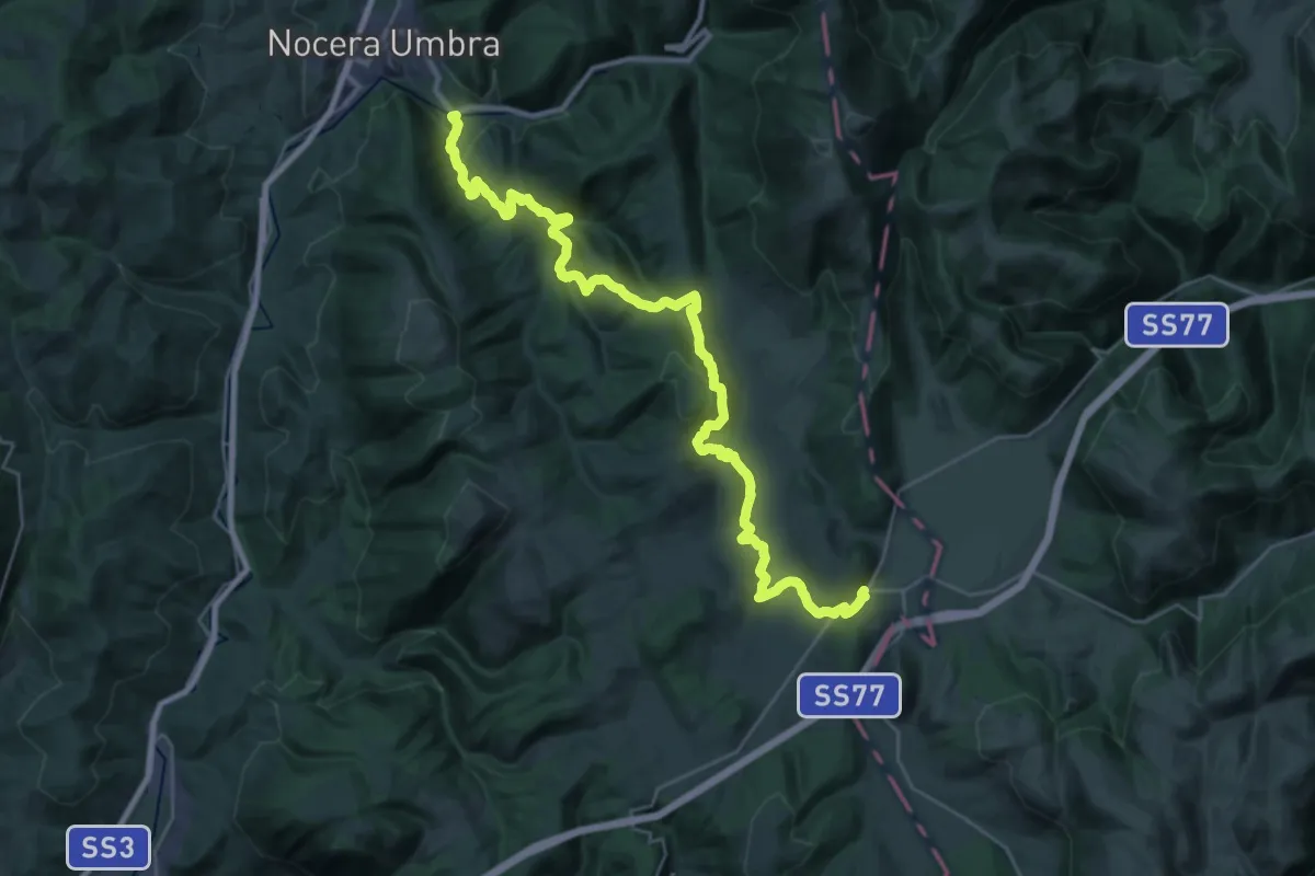
Demanding · Trail
Case Basse – Colfiorito
18.5 km · ↑ 777 m · 6 h 10 min · 14 km away
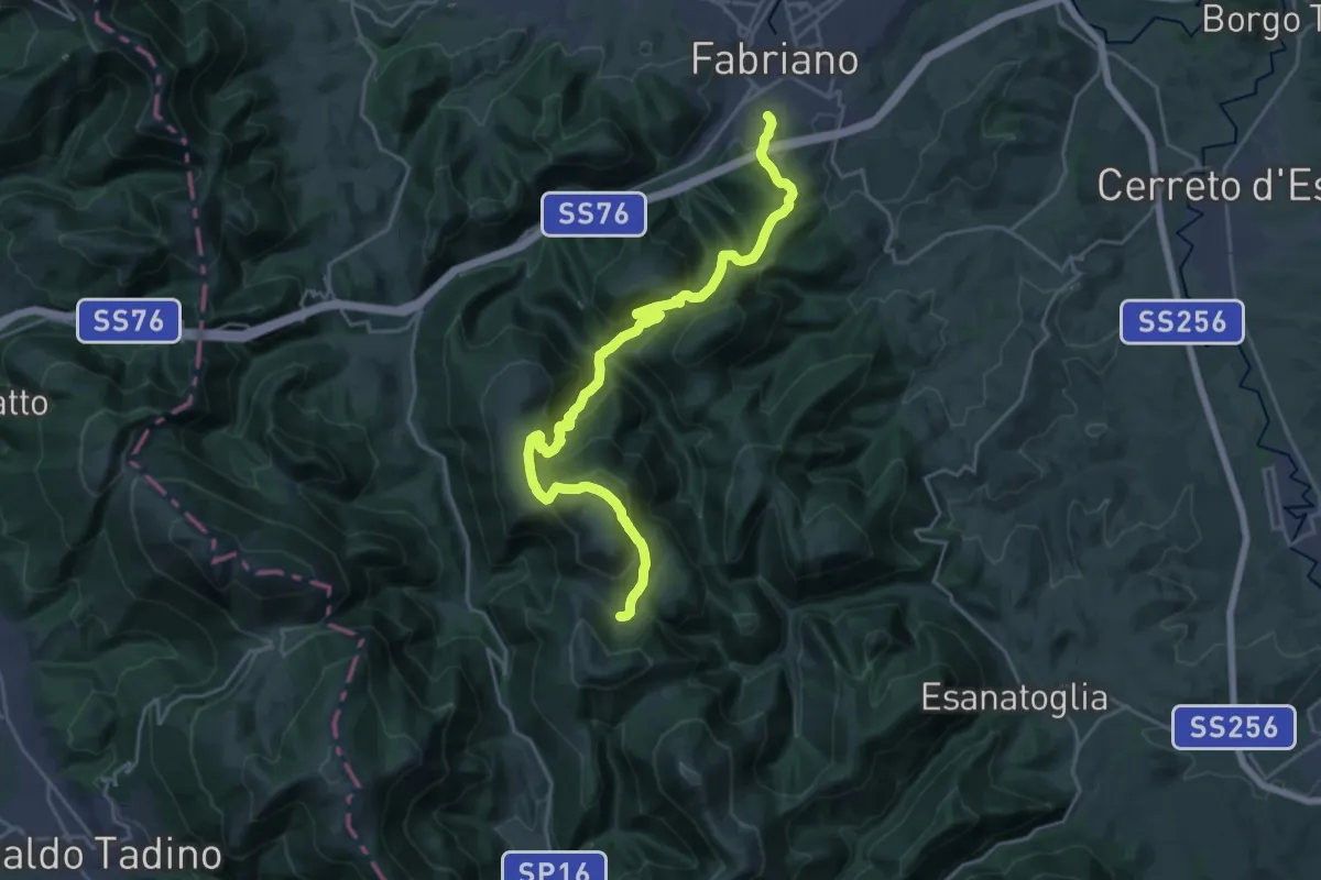
Demanding · Trail
Fabriano - Via Fagioli – Casa Lentino - Sentiero 119
12.9 km · ↑ 987 m · 5 h 7 min · 15 km away
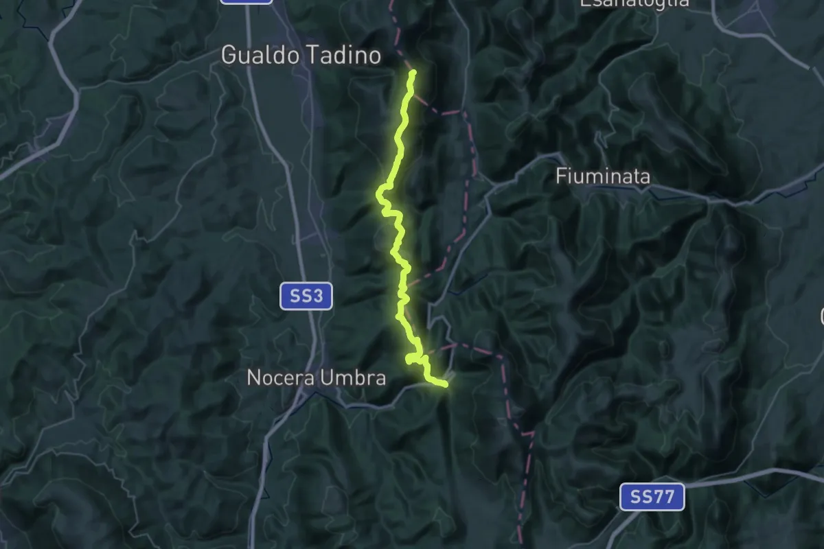
Demanding · Summit
Bagnara – Valsorda (Rifugio Monte Maggio)
35.7 km · ↑ 1530 m · 11 h 45 min · 15 km away
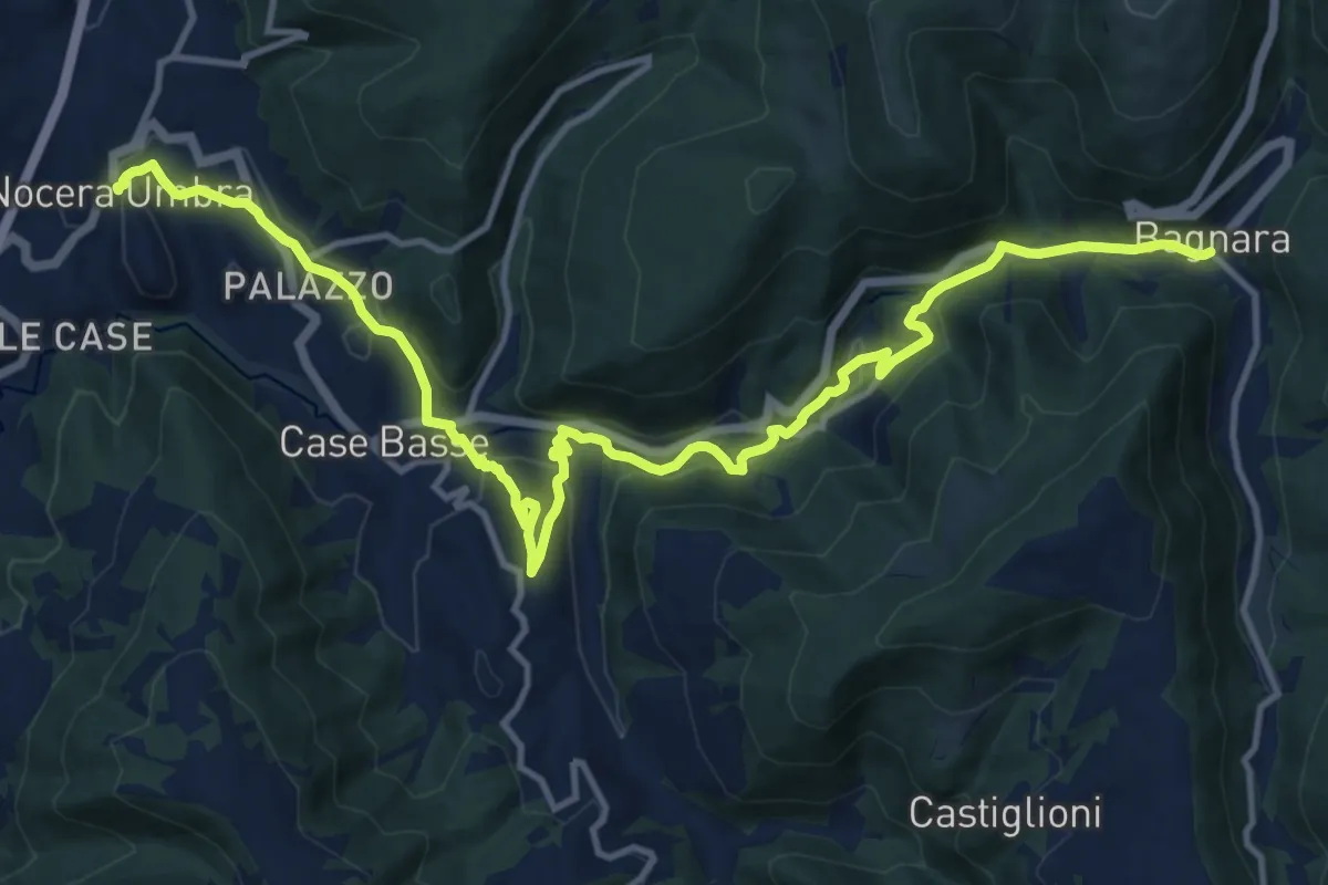
Medium · Trail
Nocera Umbra – Bagnara
17.4 km · ↑ 563 m · 5 h 19 min · 15 km away
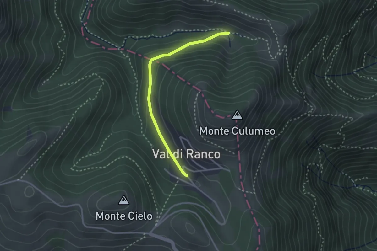
Medium · Trail
Intersezione percorso 236 – Val di Ranco
2.8 km · ↑ 84 m · 50 min · 15 km away
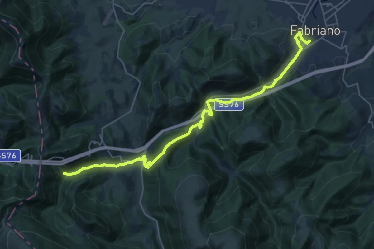
Demanding · Trail
Sentiero della Carta
23.5 km · ↑ 703 m · 7 h 5 min · 15 km away