Trails near Impruneta
92 hikes starting within 15 km, nearest first.
Nearest first, page 1 of 2
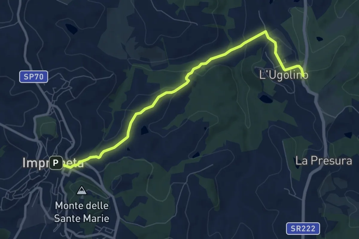
Medium · Trail
L'Ugolino – Impruneta
8.4 km · ↑ 269 m · 2 h 34 min · under 1 km away
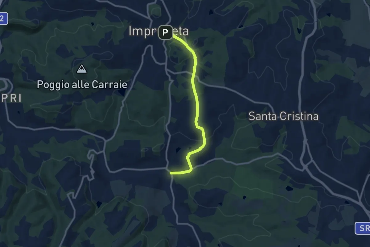
Medium · Trail
Il Ferrone – Impruneta
8.1 km · ↑ 191 m · 2 h 20 min · under 1 km away
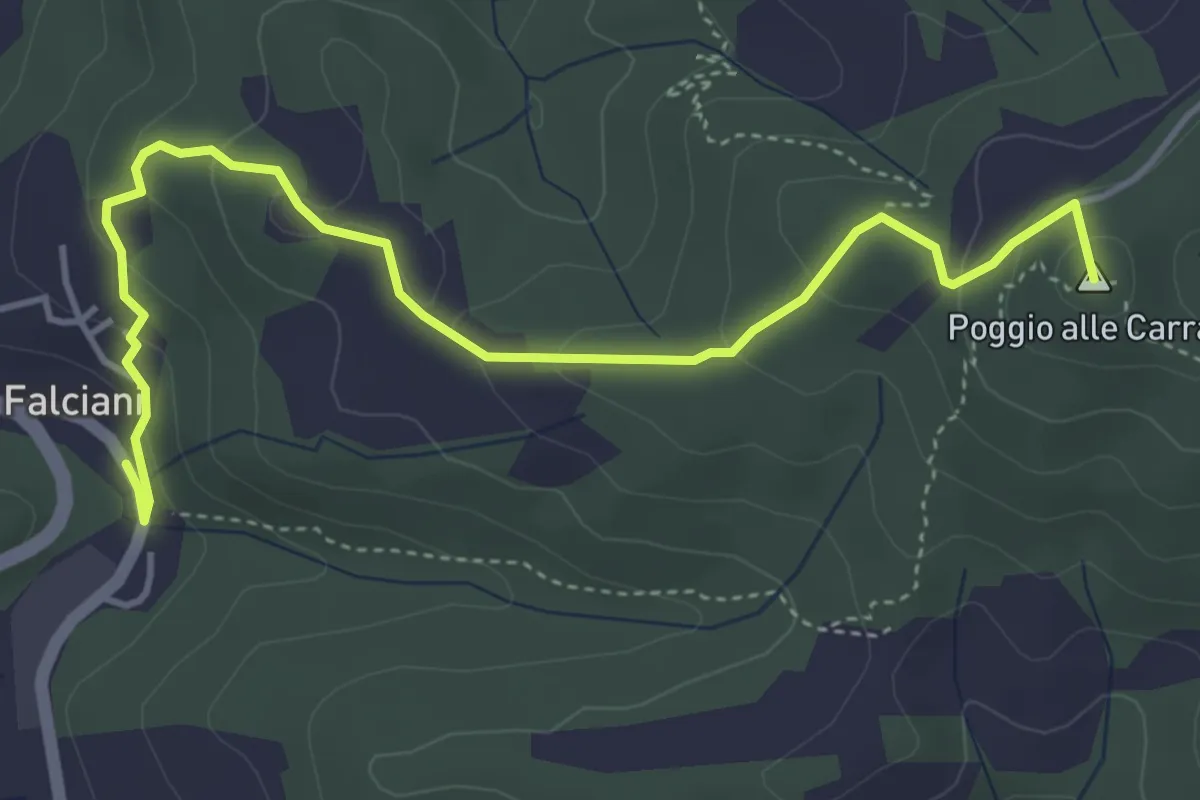
Easy · Summit
Falciani – Impruneta
5.3 km · ↑ 220 m · 1 h 44 min · 3 km away
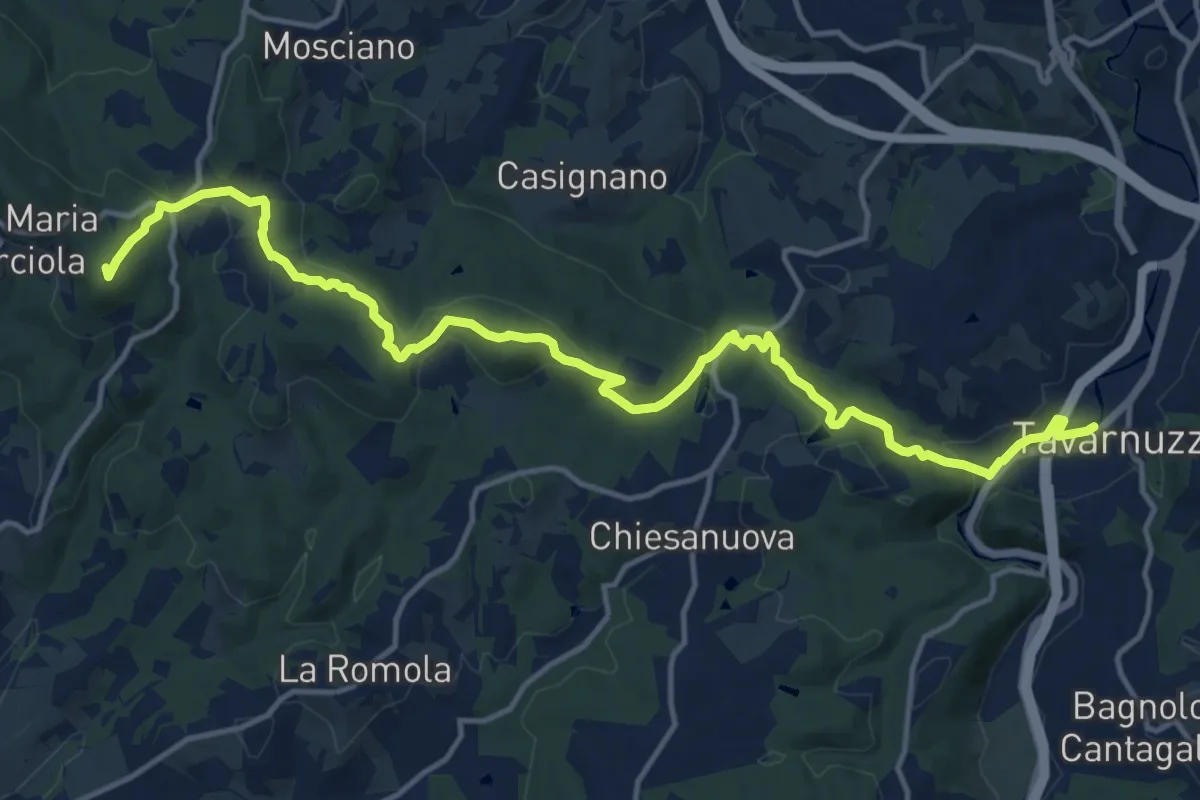
Medium · Summit
Lastra a Signa – Tavarnuzze
17.9 km · ↑ 527 m · 5 h 22 min · 4 km away
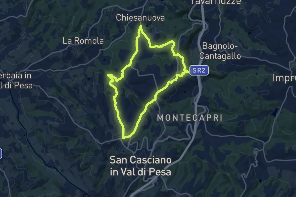
Medium · Trail
Anello del Principe
12.6 km · ↑ 326 m · 3 h 51 min · 4 km away
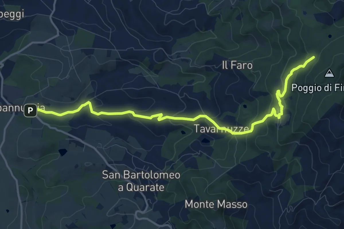
Medium · Cabin
Capannuccia (Grassina) – Sorgente di Fonte Santa
12.7 km · ↑ 509 m · 4 h 5 min · 5 km away
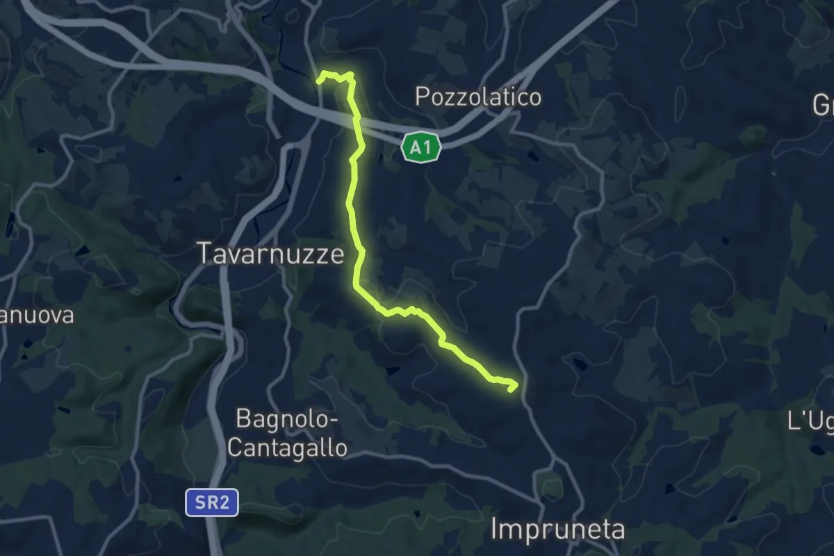
Medium · Summit
Bottai – Impruneta
9.6 km · ↑ 257 m · 2 h 50 min · 5 km away
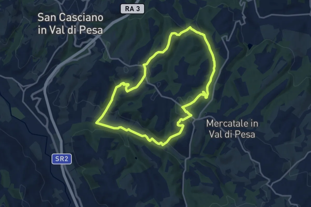
Medium · Trail
Anello di Calcinaia
10.3 km · ↑ 283 m · 3 h 11 min · 6 km away
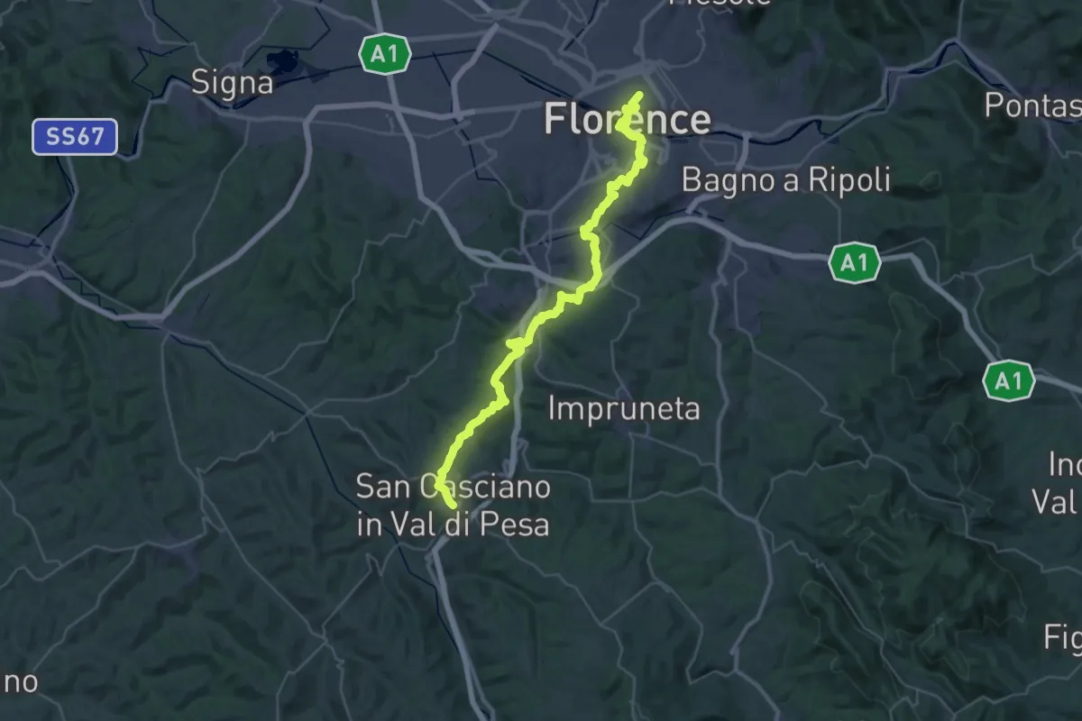
Demanding · Trail
Via Romea Sanese - Tappa 1
22.0 km · ↑ 484 m · 6 h 40 min · 6 km away
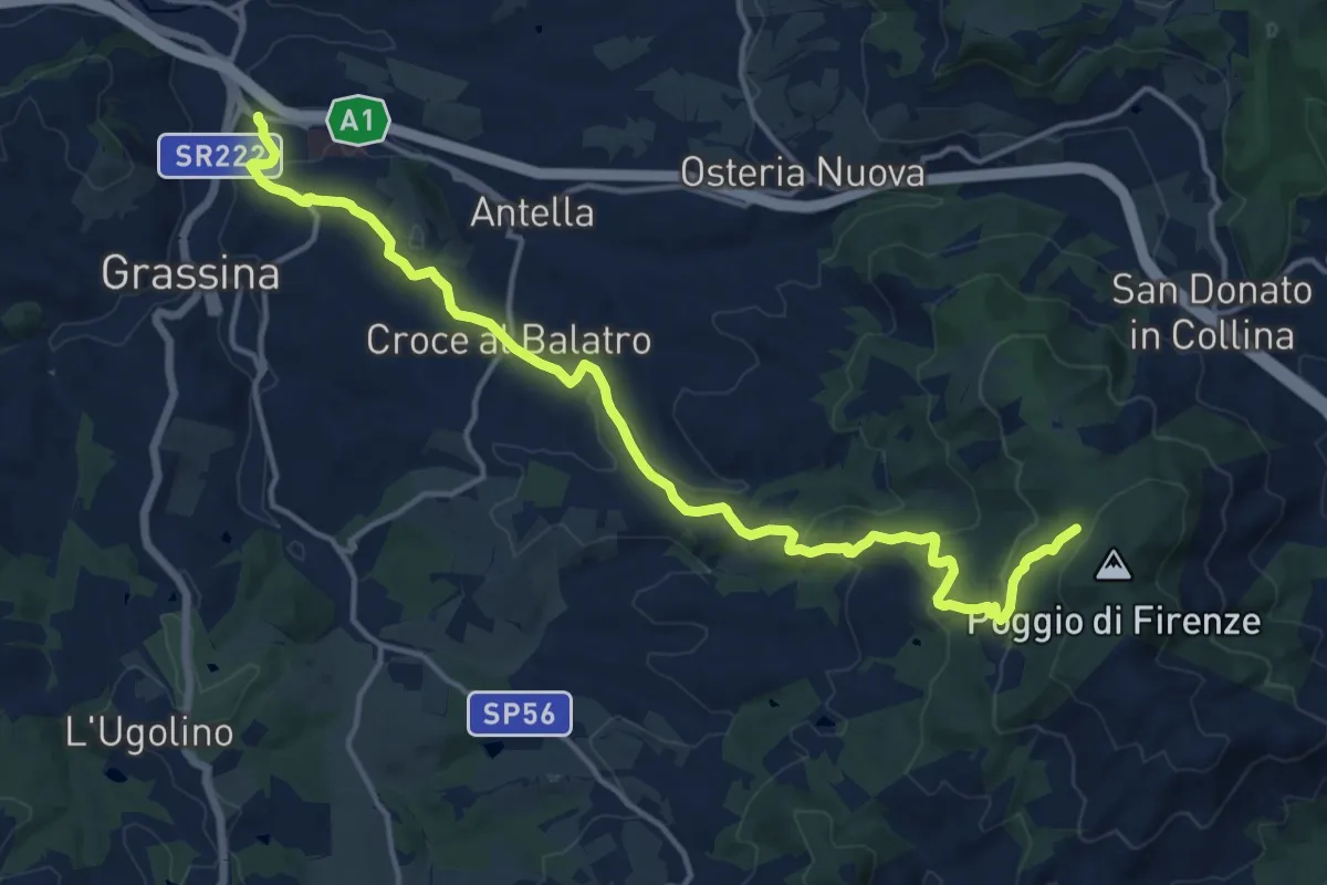
Demanding · Cabin
Ponte a Ema – Sorgente Fonte Santa
18.1 km · ↑ 559 m · 5 h 30 min · 6 km away
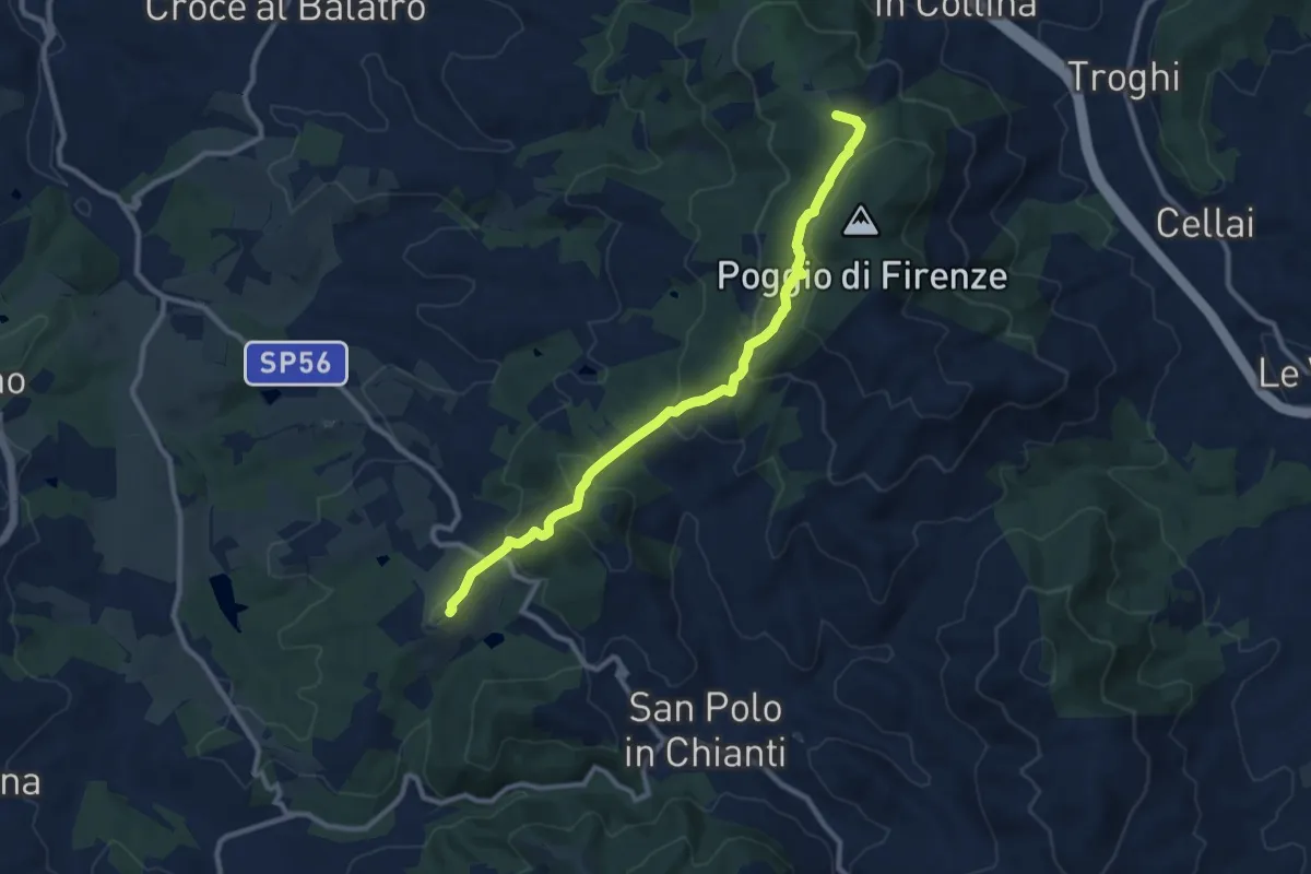
Medium · Summit
San Donato in Collina – SantoStefano a Tizzano
10.7 km · ↑ 474 m · 3 h 33 min · 7 km away
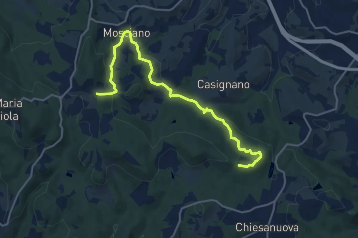
Medium · Trail
Sentiero 730 (Podere Leone) – Il Cerro
10.7 km · ↑ 364 m · 3 h 19 min · 7 km away
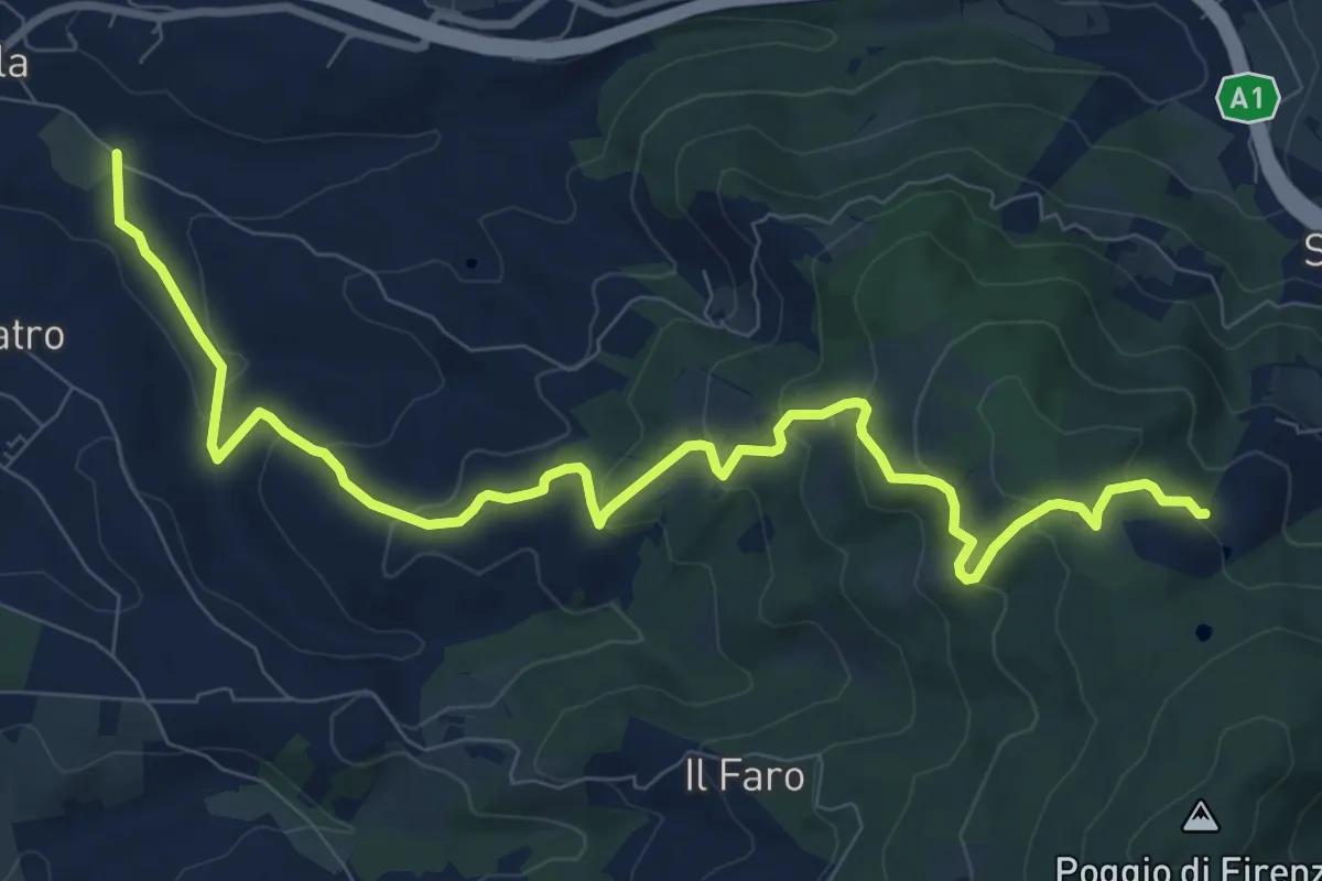
Medium · Trail
Antella – Poggio Piglie
11.5 km · ↑ 524 m · 3 h 51 min · 7 km away
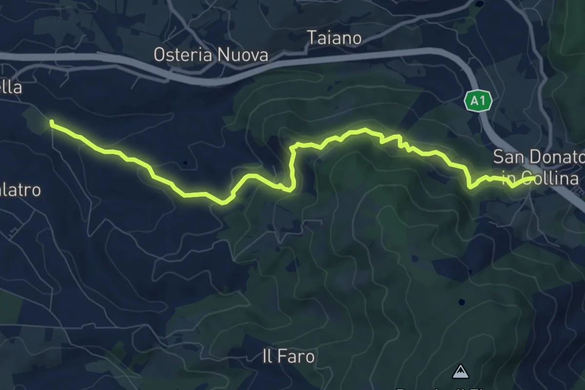
Medium · Trail
Antella – San Donato in Collina
10.9 km · ↑ 473 m · 3 h 35 min · 7 km away
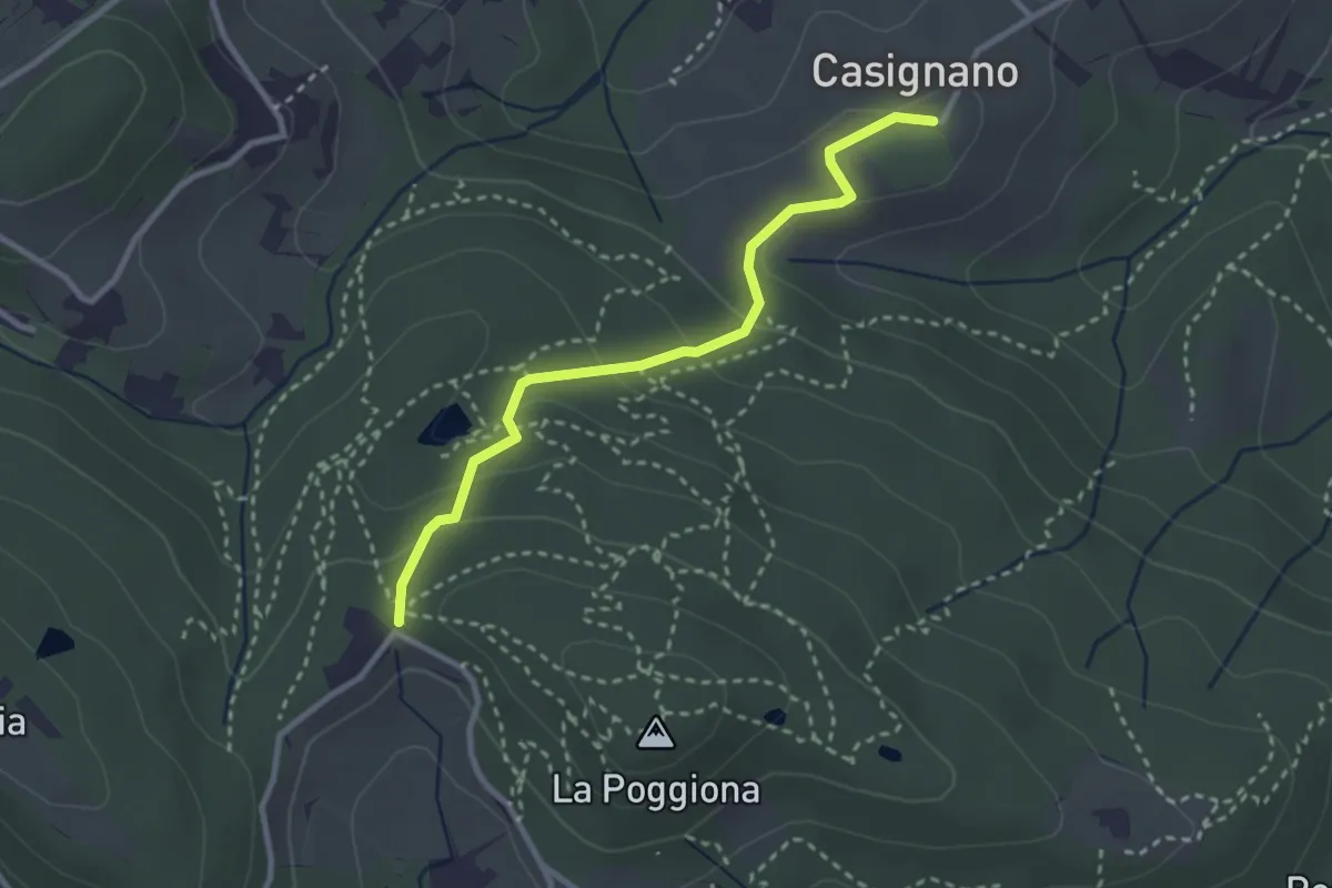
Easy · Trail
Casignano – La Catena
3.0 km · ↑ 126 m · 58 min · 8 km away
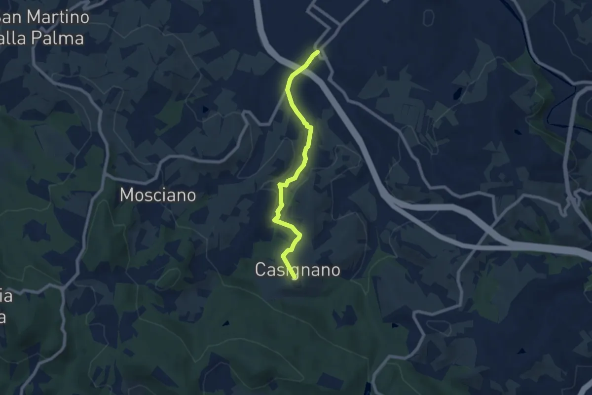
Easy · Trail
Vingone – Casignano (innesto Percorso 736)
6.3 km · ↑ 161 m · 1 h 51 min · 8 km away
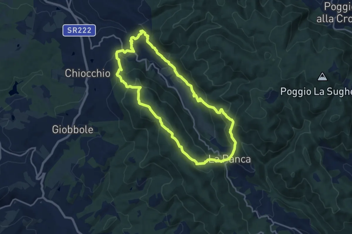
Medium · Trail
Anello di Cintoia
11.4 km · ↑ 596 m · 4 h 9 min · 8 km away
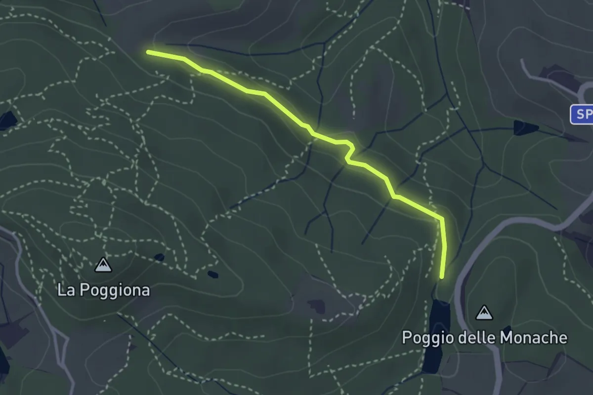
Easy · Trail
Casignano – Lago di Chiesanuova
3.0 km · ↑ 68 m · 51 min · 8 km away
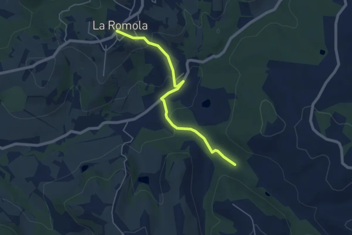
Easy · Trail
Romola Sequoia Sugana
4.2 km · ↑ 141 m · 1 h 18 min · 8 km away
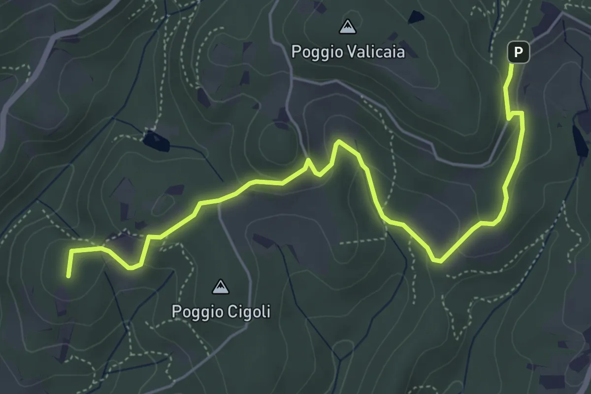
Easy · Summit
Castellare – Poggio Valicaia
6.3 km · ↑ 220 m · 1 h 57 min · 8 km away
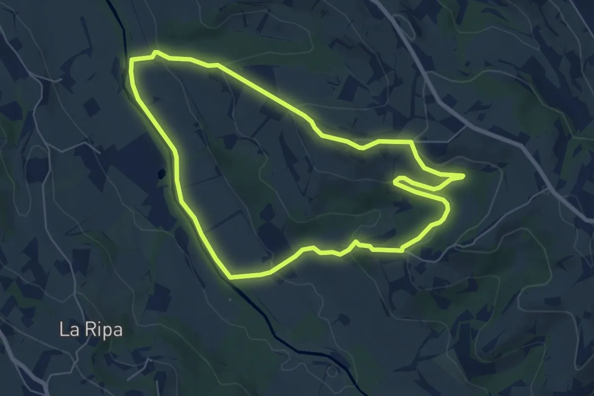
Easy · Trail
Anello di Montepaldi
6.4 km · ↑ 171 m · 1 h 59 min · 8 km away
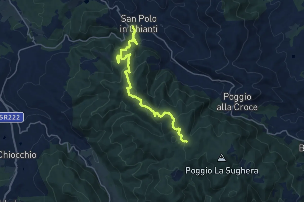
Medium · Trail
San Polo in Chianti – Croce ai Trogoli
13.6 km · ↑ 767 m · 4 h 53 min · 8 km away
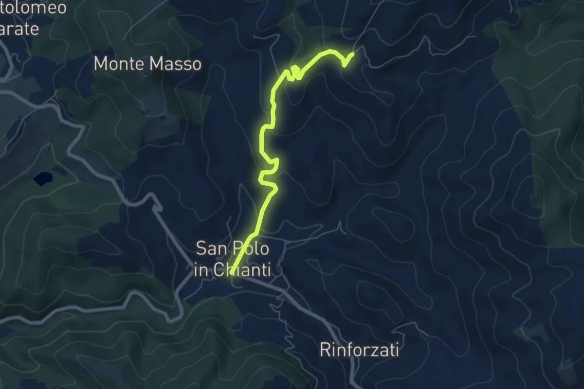
Easy · Trail
San Polo in Chianti – San Clemente in Panzalla
6.1 km · ↑ 234 m · 1 h 57 min · 8 km away
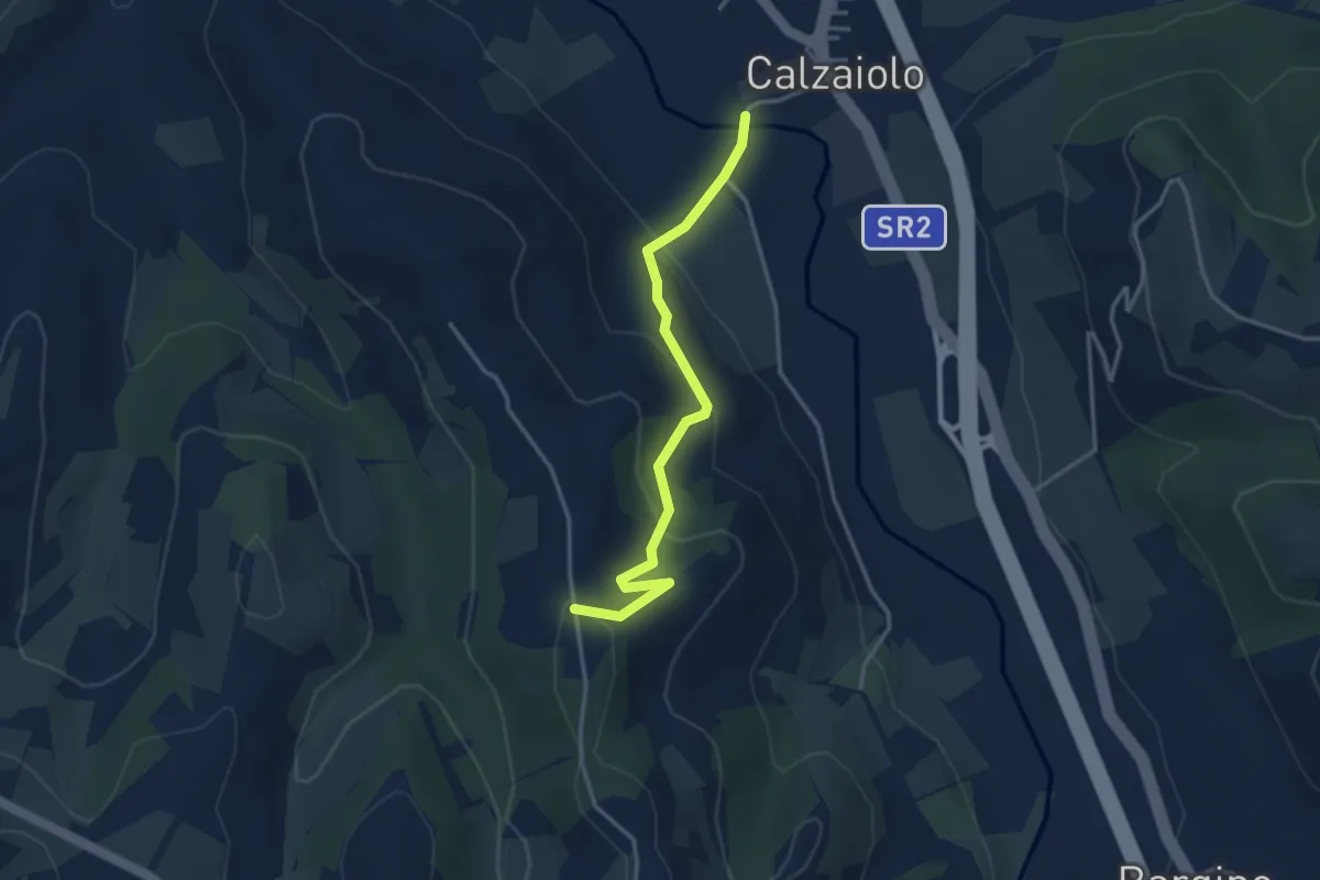
Easy · Trail
Variante anello di San Pancrazio
3.6 km · ↑ 183 m · 1 h 15 min · 9 km away
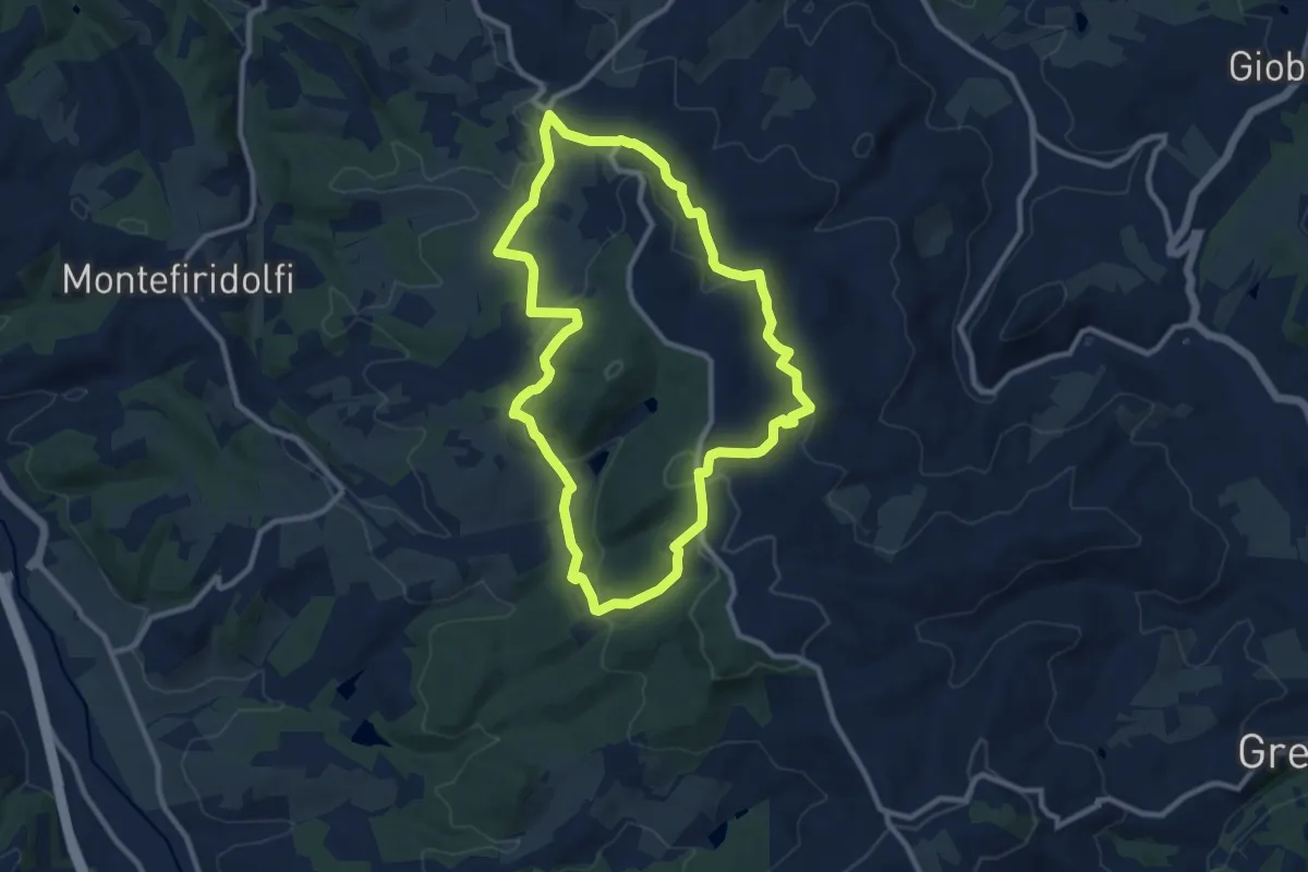
Medium · Trail
Quattro Strade Valigondoli Torre Luciana
10.2 km · ↑ 315 m · 3 h 14 min · 9 km away
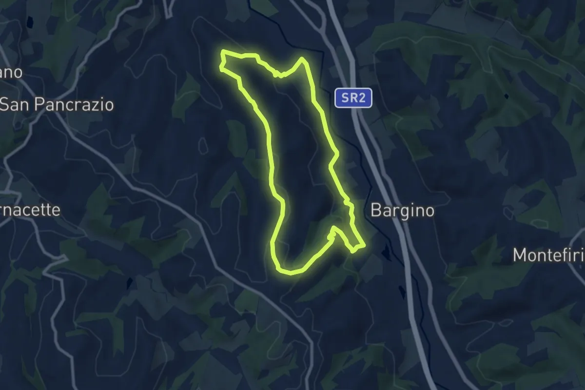
Easy · Trail
Anello di Calzaiolo
8.0 km · ↑ 235 m · 2 h 30 min · 9 km away
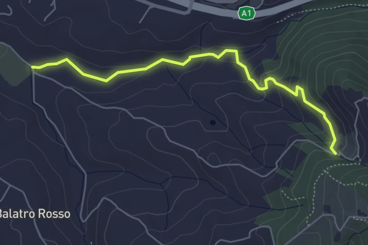
Easy · Trail
Antella – Montisoni
5.3 km · ↑ 184 m · 1 h 39 min · 9 km away
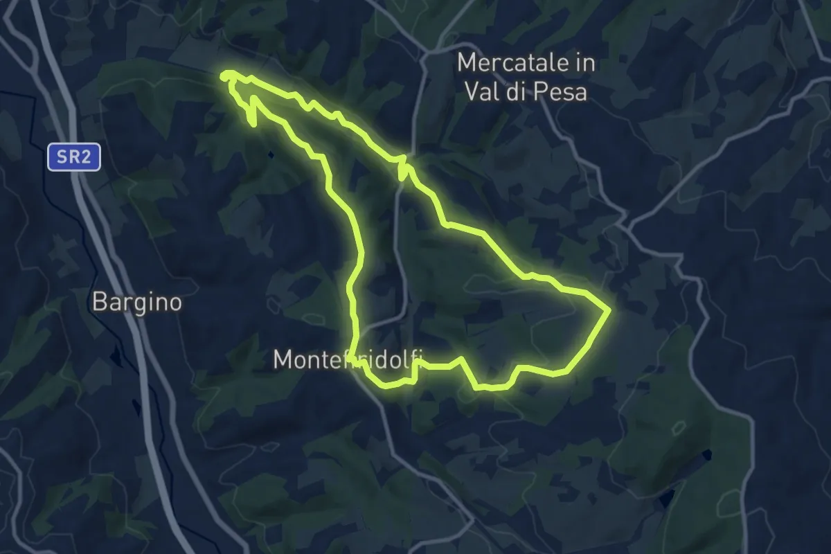
Medium · Trail
Anello del Terzona
11.6 km · ↑ 259 m · 3 h 28 min · 9 km away
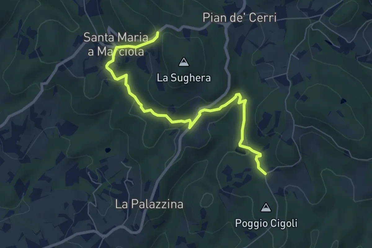
Easy · Trail
Le Calle – Le Croci
7.3 km · ↑ 237 m · 2 h 14 min · 9 km away
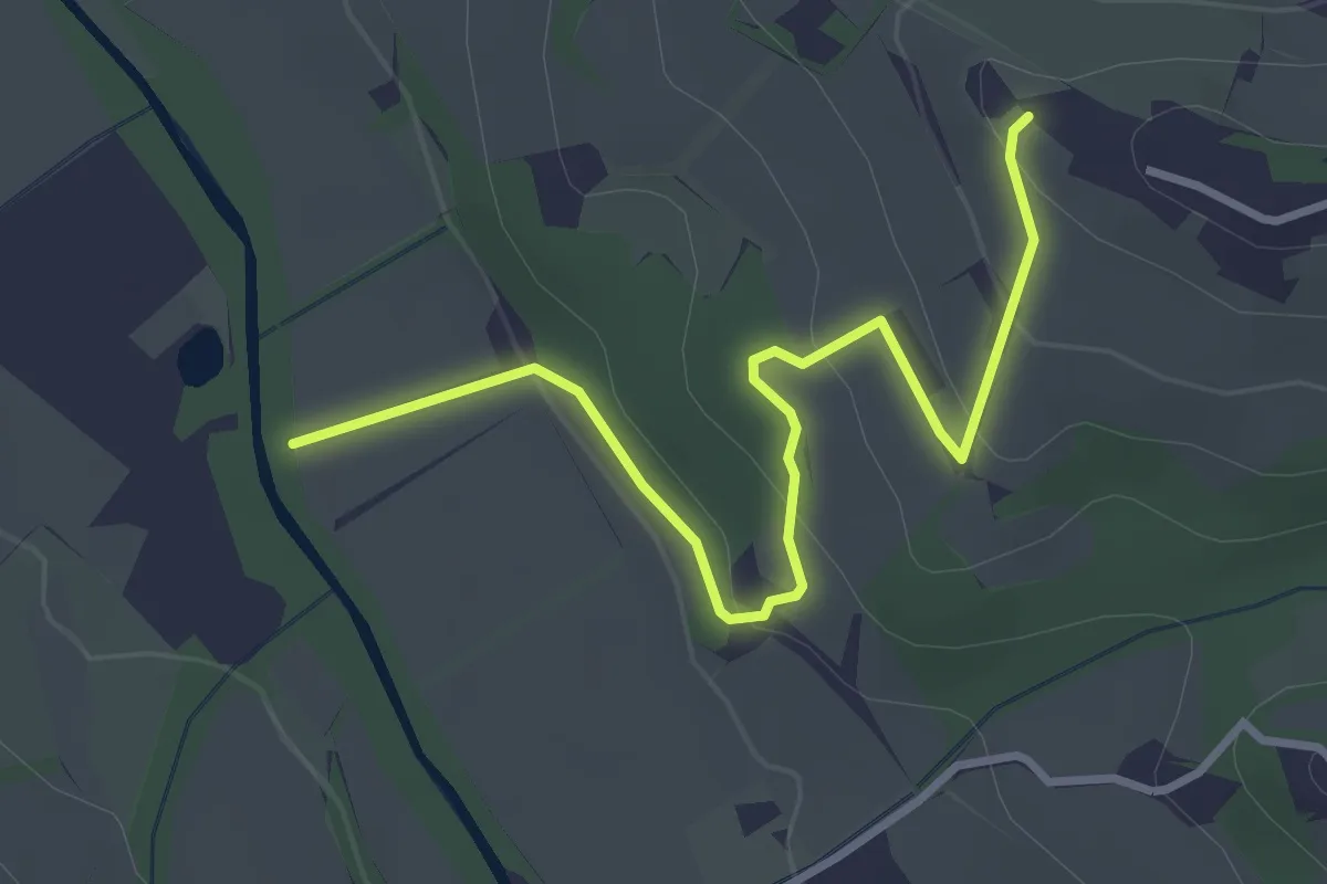
Easy · Trail
Colombaia – Torrente Pesa
3.7 km · ↑ 133 m · 1 h 10 min · 9 km away
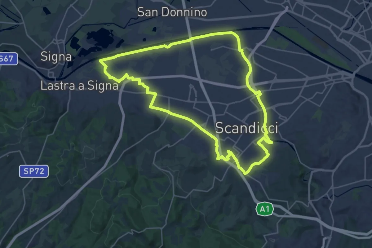
Demanding · Trail
La via dei tre fiumi
22.0 km · ↑ 70 m · 5 h 39 min · 9 km away
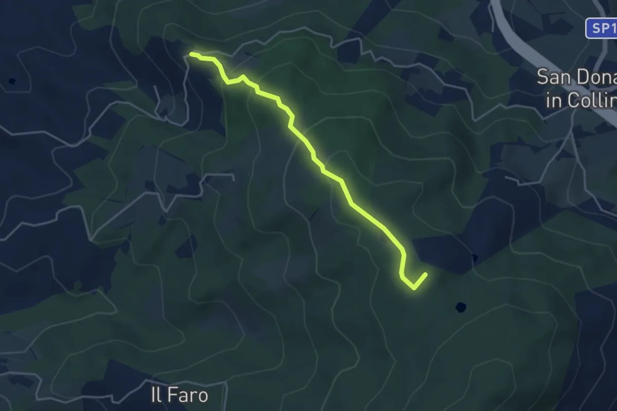
Easy · Summit
Montisoni – Poggio Piglie
4.0 km · ↑ 222 m · 1 h 25 min · 9 km away
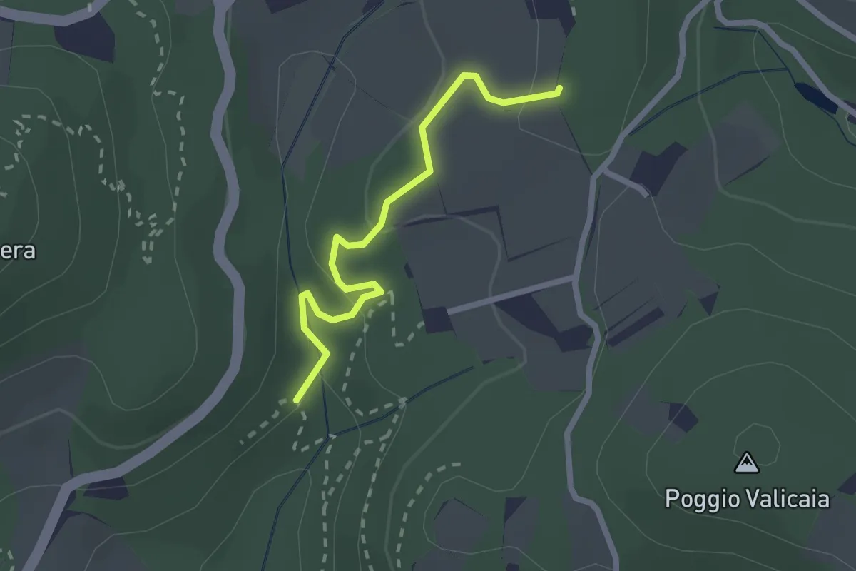
Easy · Trail
Sentiero 730 (Spazzavento) – Sentiero 732 (Lago delle Ninfee)
2.3 km · ↑ 59 m · 40 min · 9 km away
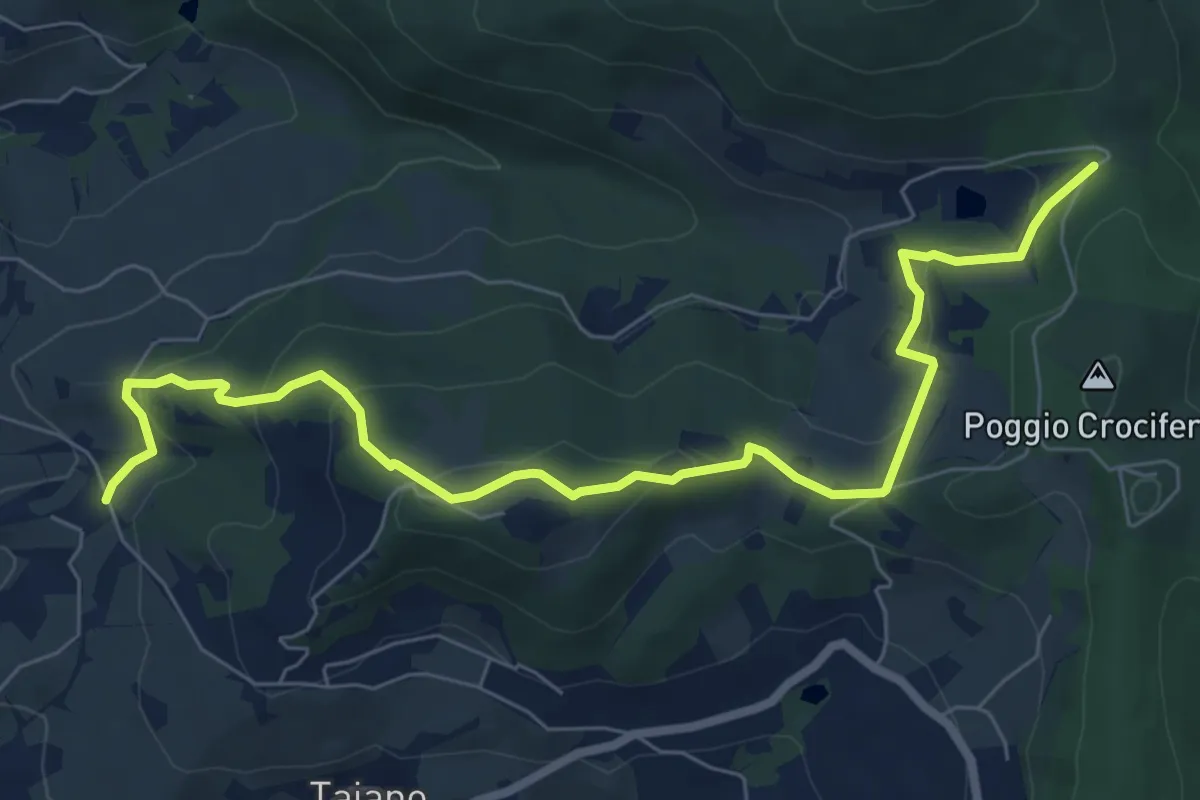
Medium · Trail
Bigallo – Valico Di Terzano
8.7 km · ↑ 343 m · 2 h 48 min · 10 km away
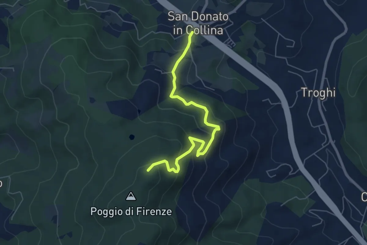
Medium · Trail
San Donato in Collina – Poggio di Firenze
5.9 km · ↑ 378 m · 2 h 13 min · 10 km away
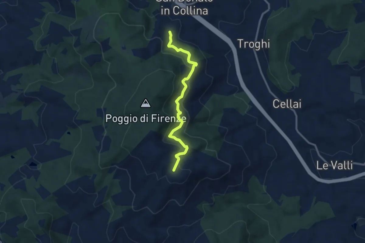
Medium · Trail
S. Donato in Collina – Casa al Monte
7.1 km · ↑ 427 m · 2 h 36 min · 10 km away
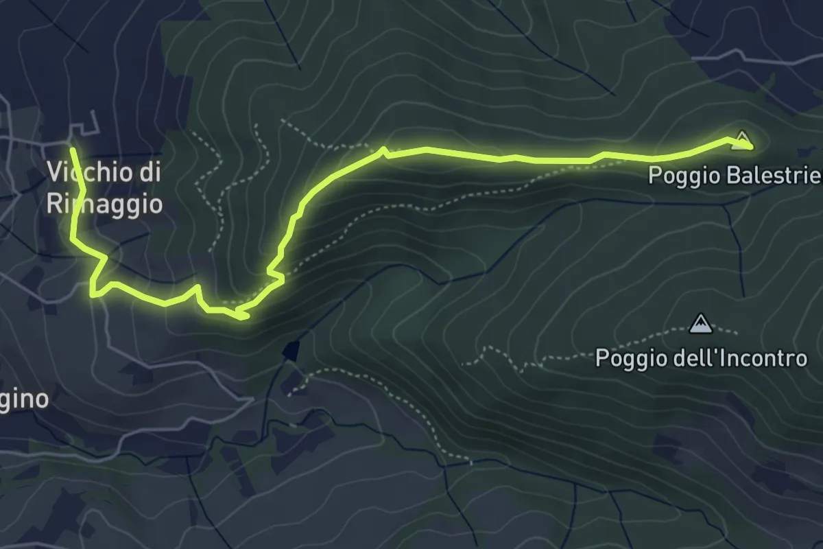
Easy · Summit
Vicchi Di Rimaggio – Poggio Incontro
6.5 km · ↑ 309 m · 2 h 12 min · 11 km away
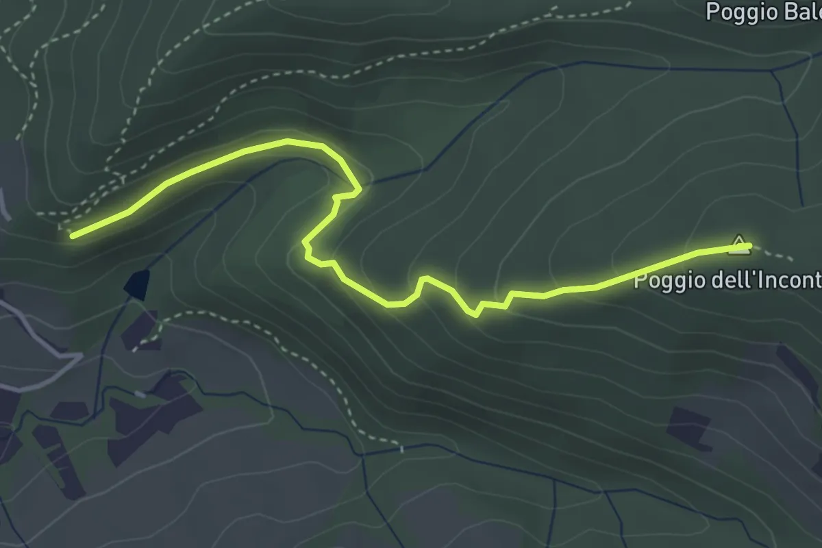
Easy · Summit
Vicchio Di Rimaggio-Vernalese – Poggio Incontro
4.2 km · ↑ 211 m · 1 h 27 min · 11 km away
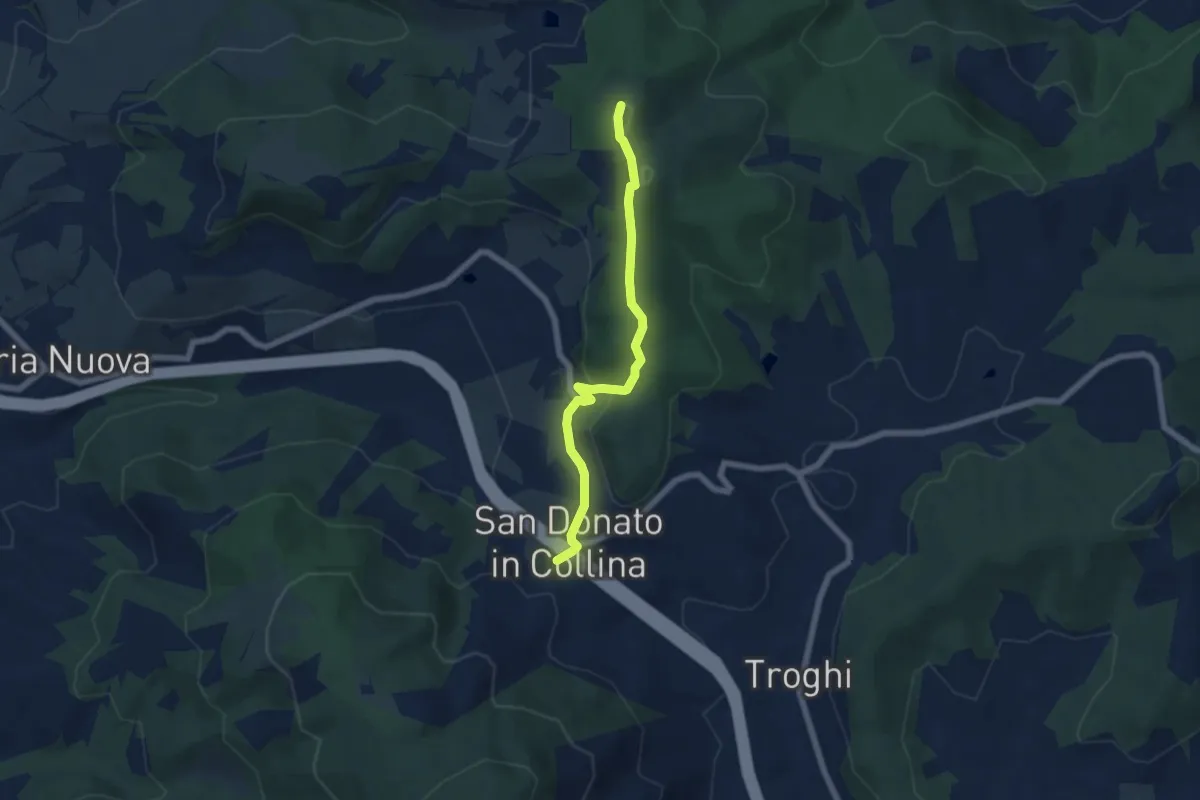
Easy · Summit
Sentiero 0 – da Poggio a Luco a San Donato in Collina
6.1 km · ↑ 172 m · 1 h 48 min · 11 km away
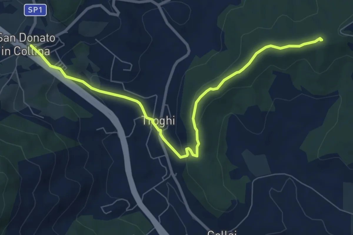
Easy · Summit
Rignano sull'Arno – Troghi
8.0 km · ↑ 250 m · 2 h 25 min · 11 km away
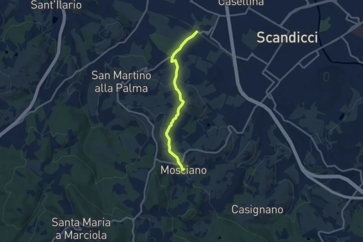
Easy · Trail
ponte del ristoro Scandicci, innesto CAI 746 (3 Fiumi) – Mosciano, innesto sentiero CAI 735
7.0 km · ↑ 188 m · 2 h 3 min · 11 km away
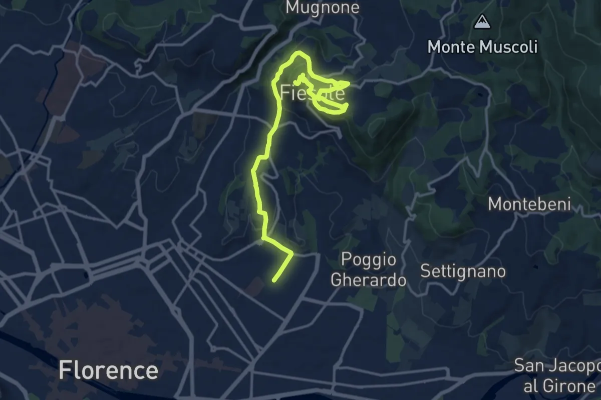
Medium · Summit
Tappa 7 - Da Firenze a Fiesole
15.1 km · ↑ 507 m · 4 h 39 min · 11 km away
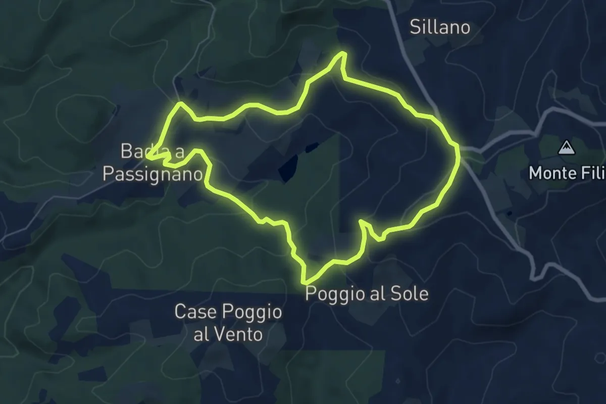
Easy · Trail
Badia a Passignano – Badia a Passignano
6.6 km · ↑ 227 m · 2 h 9 min · 11 km away
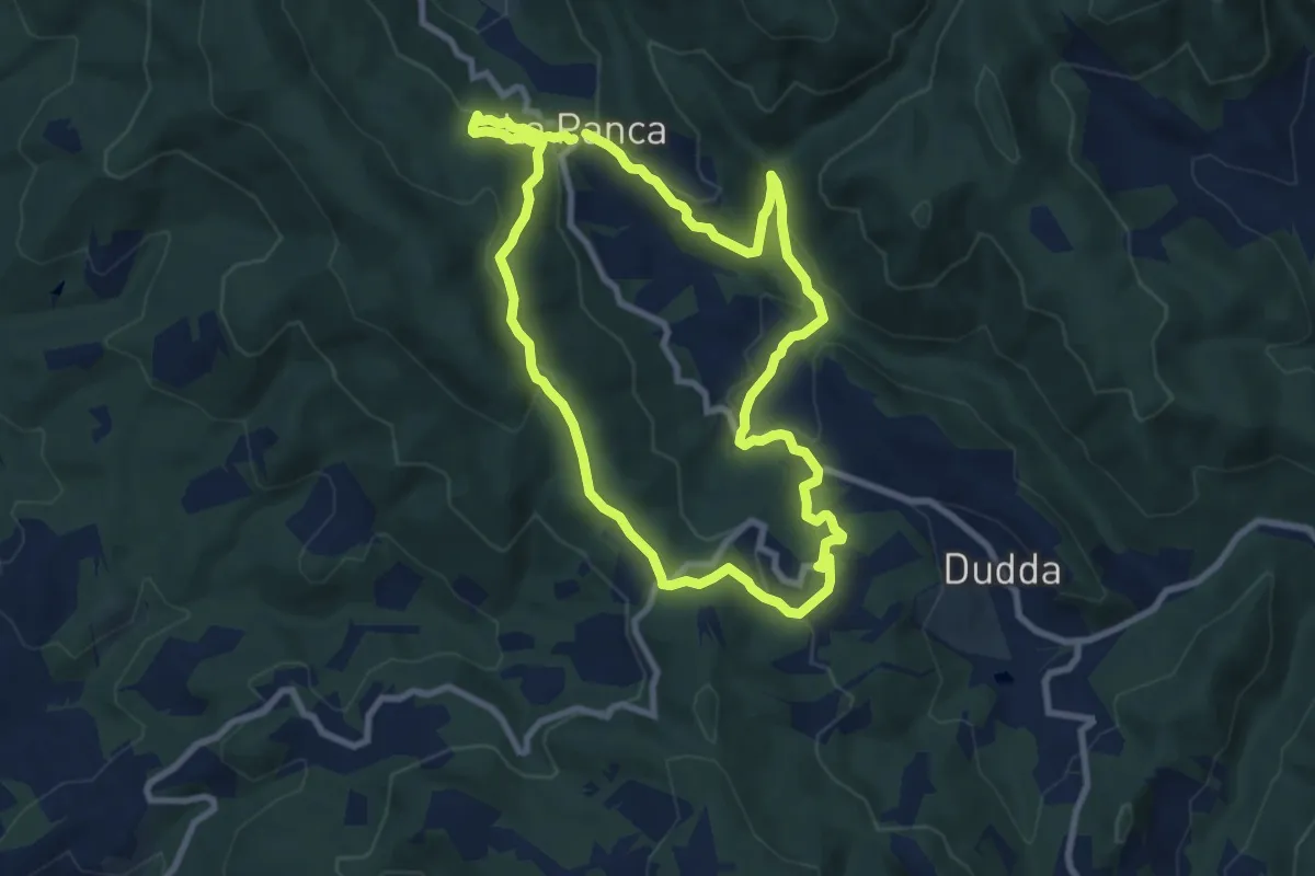
Medium · Trail
Sentiero della Memoria Greve
8.8 km · ↑ 307 m · 2 h 51 min · 11 km away
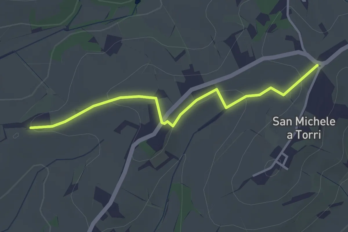
Easy · Trail
San Michele a Torri – innesto 731 - Mulinaccio
3.2 km · ↑ 69 m · 55 min · 11 km away
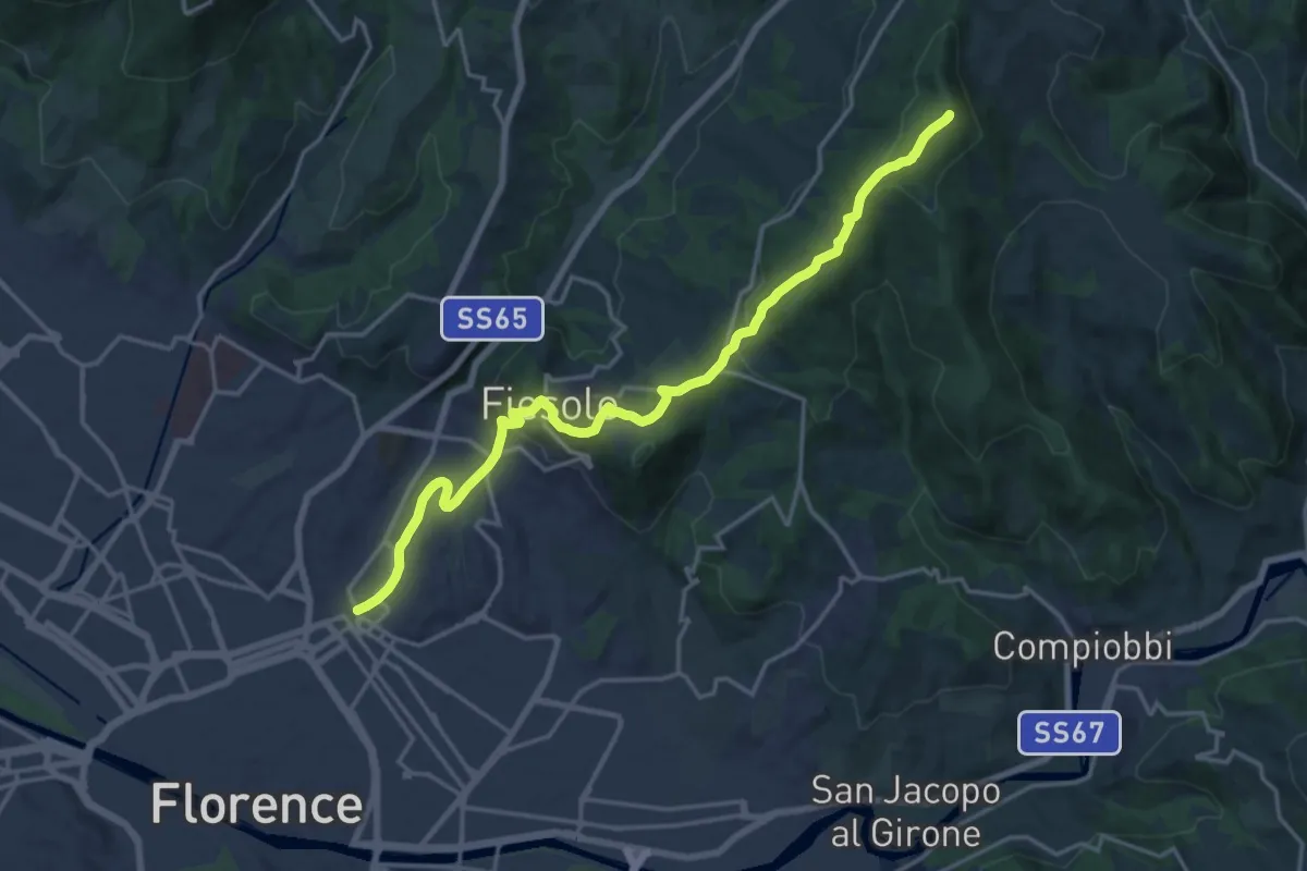
Demanding · Summit
Via degli Dei: Tappa 6
20.1 km · ↑ 708 m · 6 h 17 min · 11 km away
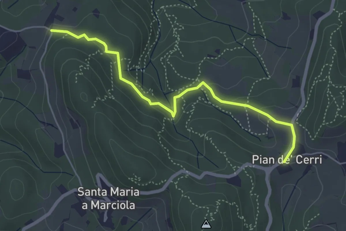
Easy · Trail
Pian de' Cerri – Roncigliano
4.9 km · ↑ 122 m · 1 h 25 min · 11 km away
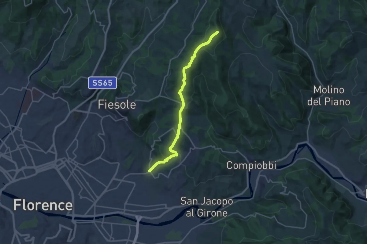
Medium · Summit
Ponte a Mensola – Vetta le Croci
15.2 km · ↑ 644 m · 4 h 59 min · 12 km away