Trails near Impruneta
92 hikes starting within 15 km, nearest first.
Nearest first, page 2 of 2
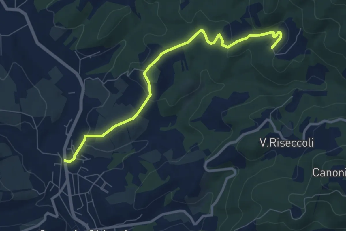
Easy · Trail
Greve – Le Caselle
7.3 km · ↑ 182 m · 2 h 7 min · 12 km away
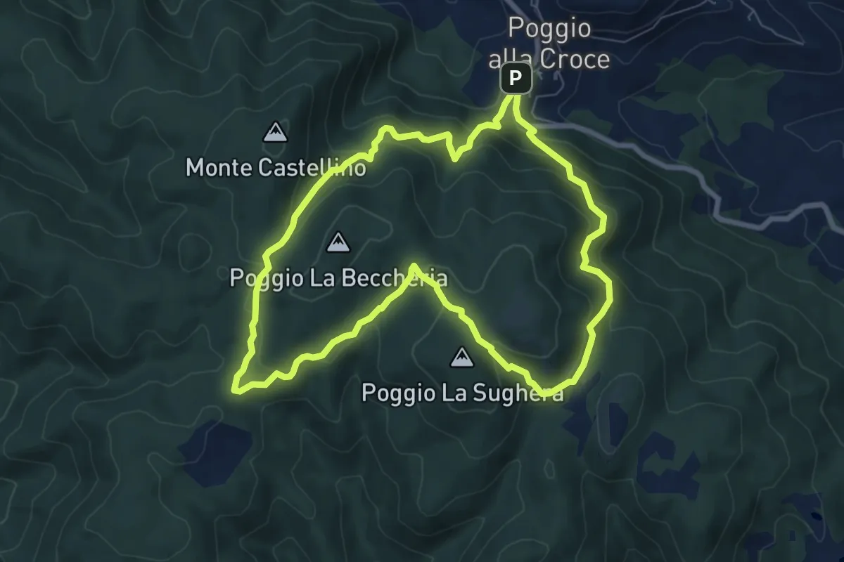
Demanding · Summit
SM1 Sentiero della Memoria Monti Scalari e Pian d'Albero
7.5 km · ↑ 394 m · 2 h 43 min · 12 km away
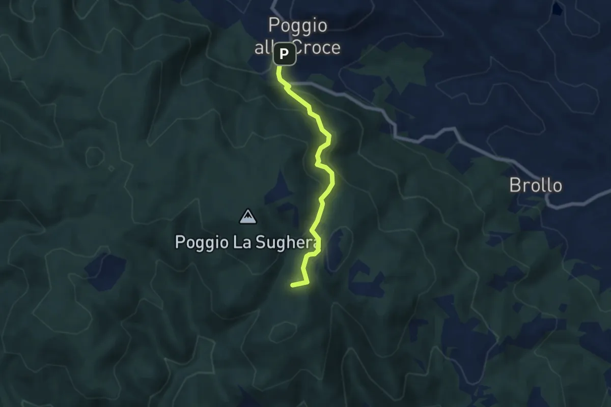
Demanding · Summit
Poggio alla Croce – Celle
5.6 km · ↑ 296 m · 1 h 57 min · 12 km away
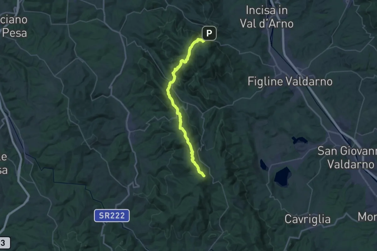
Demanding · Summit
Poggio alla Croce – Badiaccia a Montemuro
30.7 km · ↑ 1259 m · 9 h 58 min · 12 km away
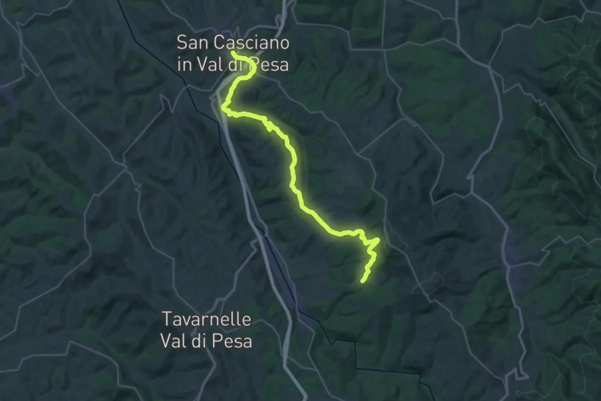
Medium · Trail
Via Romea Sanese - Tappa 2
15.6 km · ↑ 340 m · 4 h 39 min · 12 km away
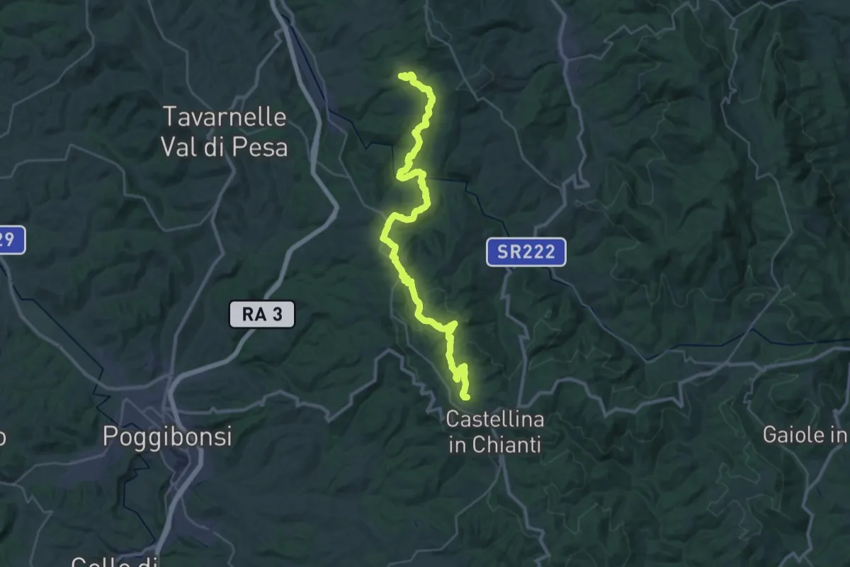
Demanding · Summit
Via Romea Sanese - Tappa 3
37.6 km · ↑ 1127 m · 11 h 19 min · 12 km away
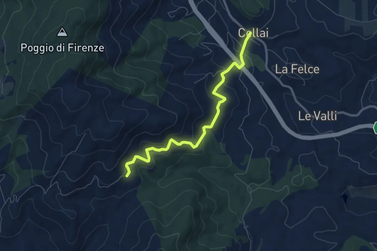
Medium · Trail
Cellai – Fabiano
7.1 km · ↑ 347 m · 2 h 25 min · 12 km away
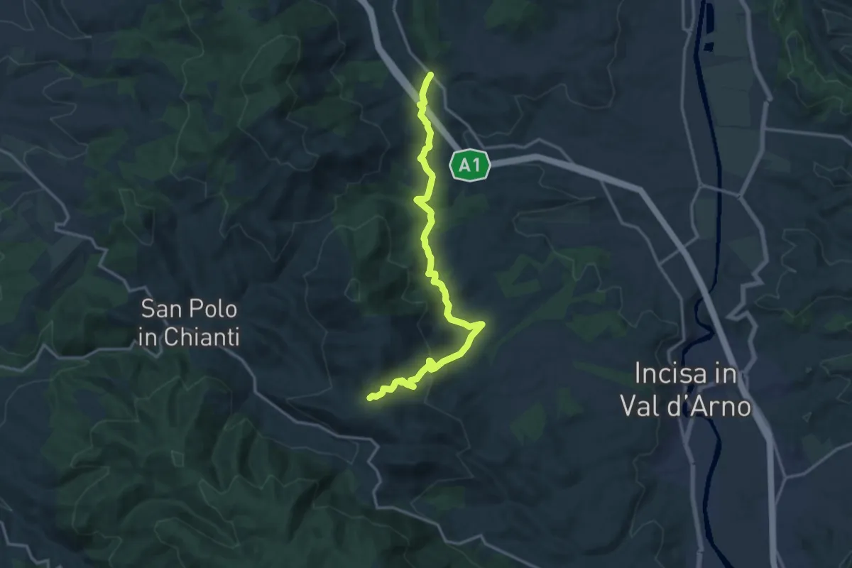
Medium · Trail
Cellai – sent. 00
15.0 km · ↑ 470 m · 4 h 34 min · 12 km away
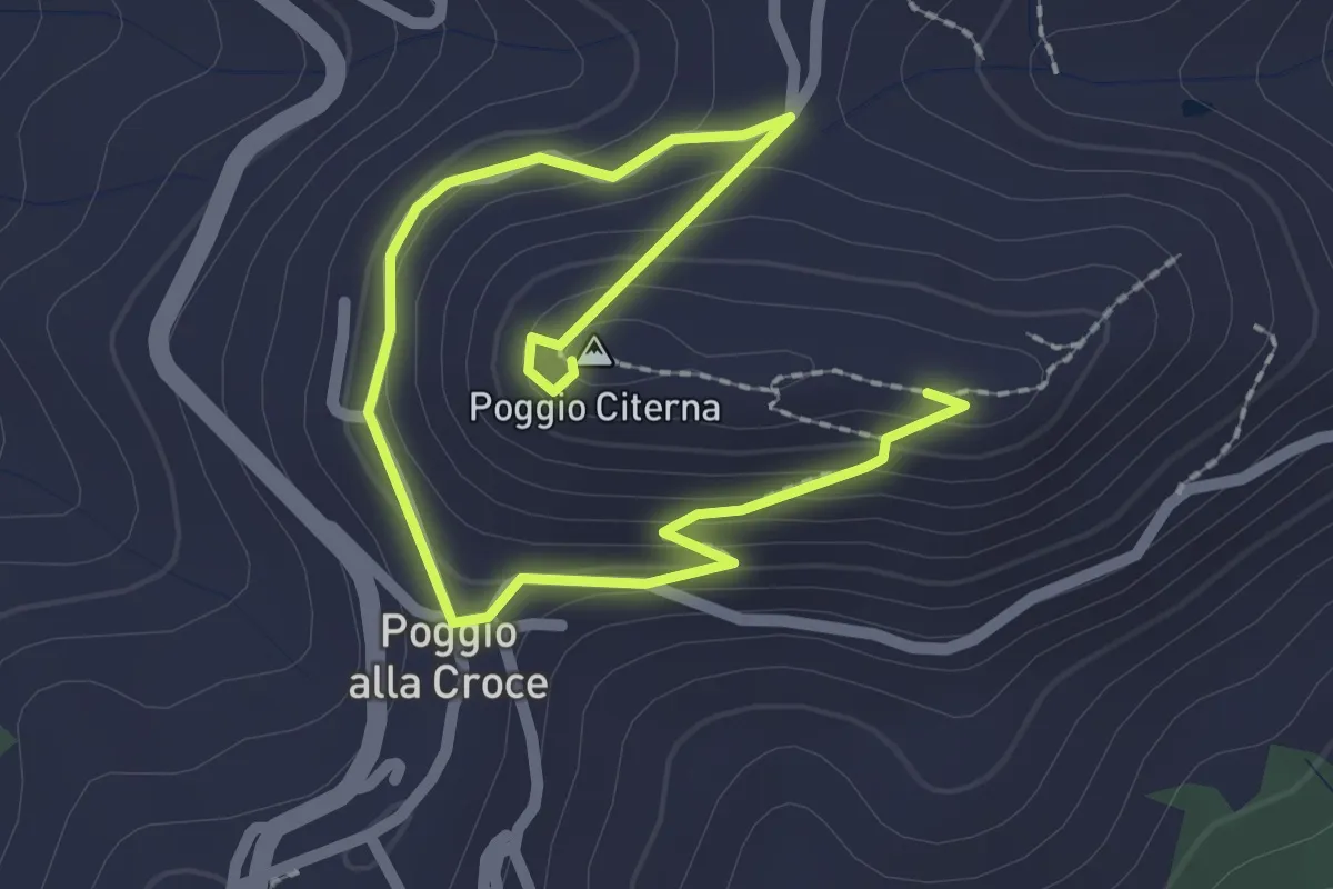
Medium · Summit
Sentiero naturalistico di Poggio Citerna
1.6 km · ↑ 73 m · 34 min · 12 km away
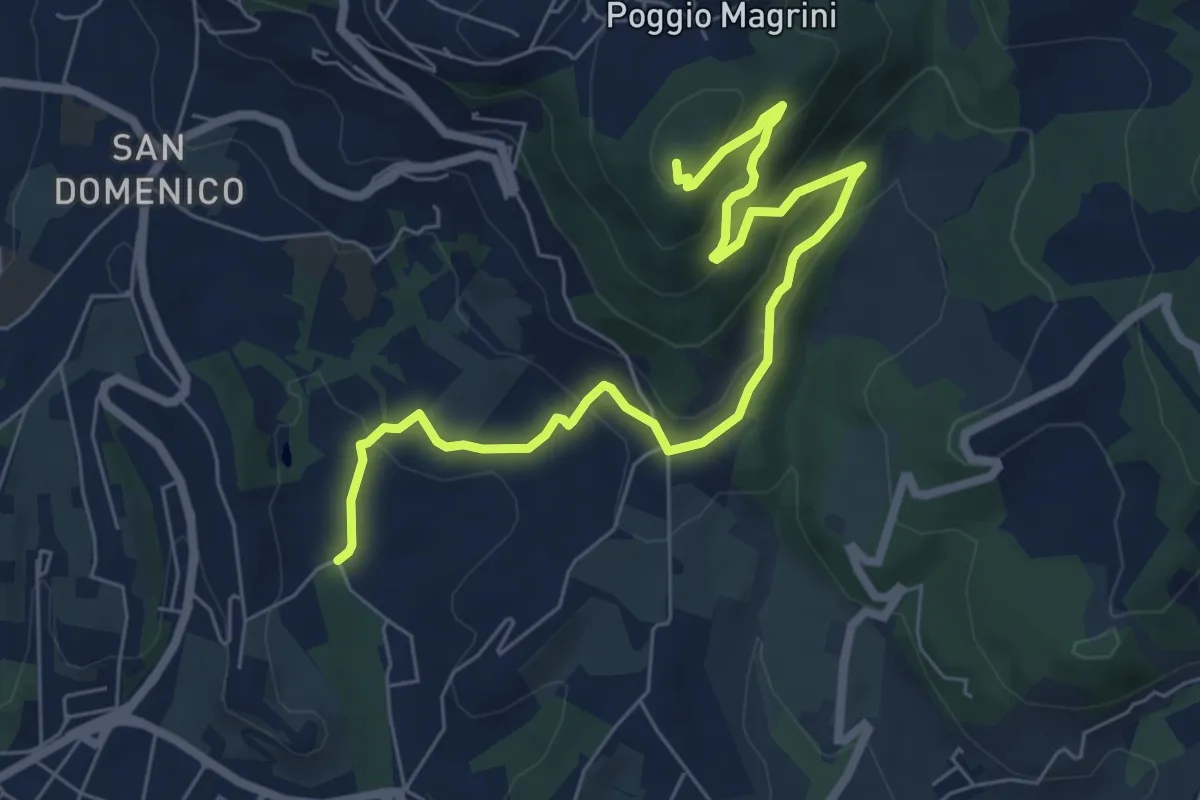
Medium · Summit
Salviatino – Monte Ceceri
8.2 km · ↑ 388 m · 2 h 46 min · 12 km away
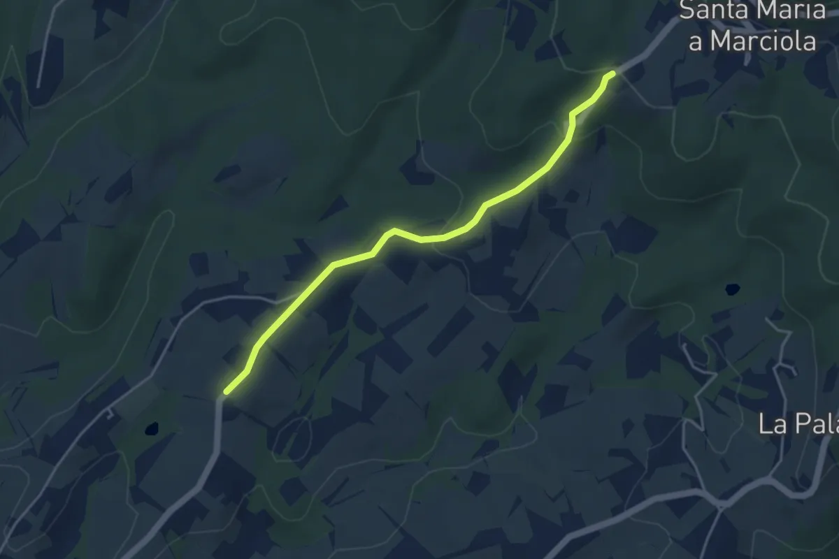
Easy · Trail
Bivio Azienda agricola Brunelli, innesto CAI 740 – Località San Niccolò a Torri, innesto CAI 731
4.2 km · ↑ 129 m · 1 h 16 min · 12 km away
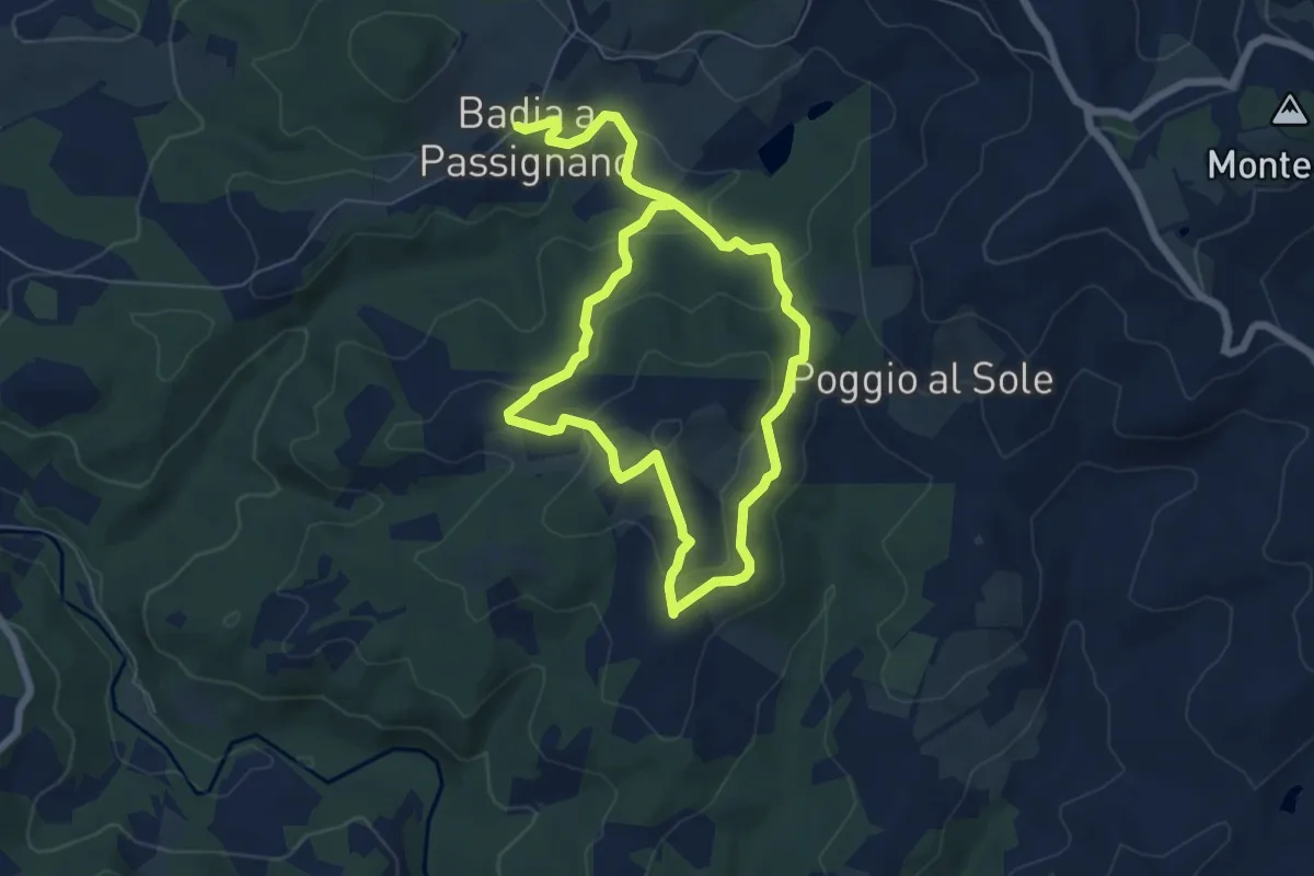
Easy · Trail
Anello Maggiociondolo
5.6 km · ↑ 235 m · 1 h 53 min · 12 km away
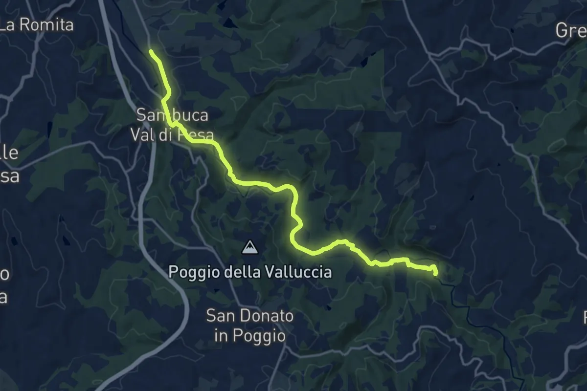
Medium · Trail
Percorso della Pesa
17.1 km · ↑ 193 m · 4 h 27 min · 12 km away
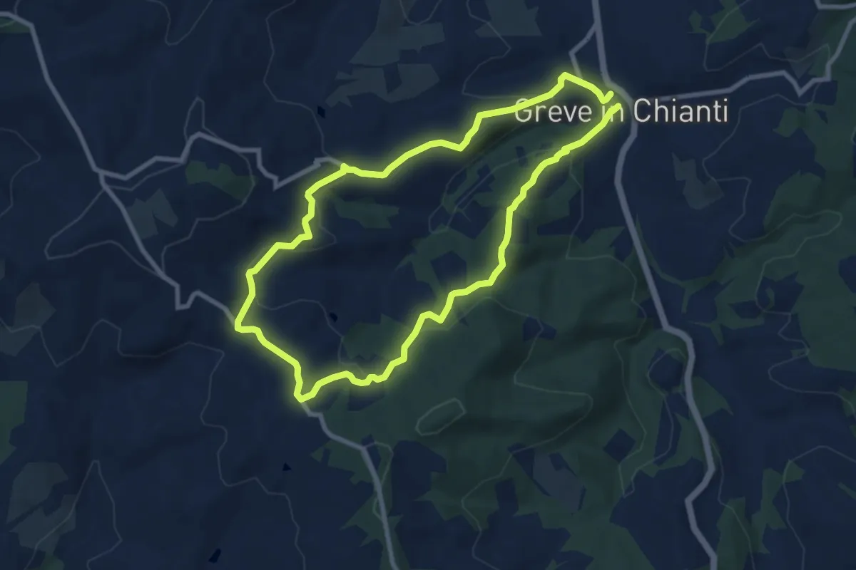
Easy · Trail
Anello Montefioralle
7.8 km · ↑ 290 m · 2 h 35 min · 12 km away
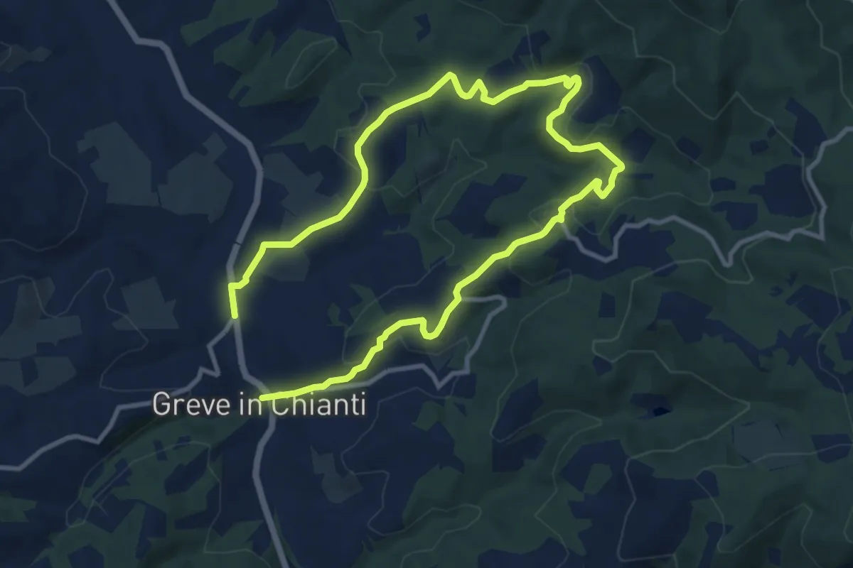
Medium · Trail
Anello di Uzzano
16.2 km · ↑ 504 m · 4 h 54 min · 12 km away
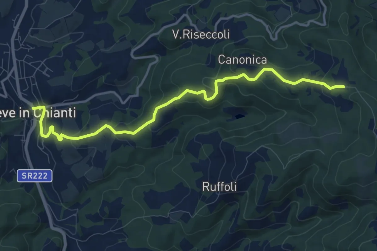
Medium · Trail
Greve – Piano di Canonica
10.7 km · ↑ 415 m · 3 h 26 min · 12 km away
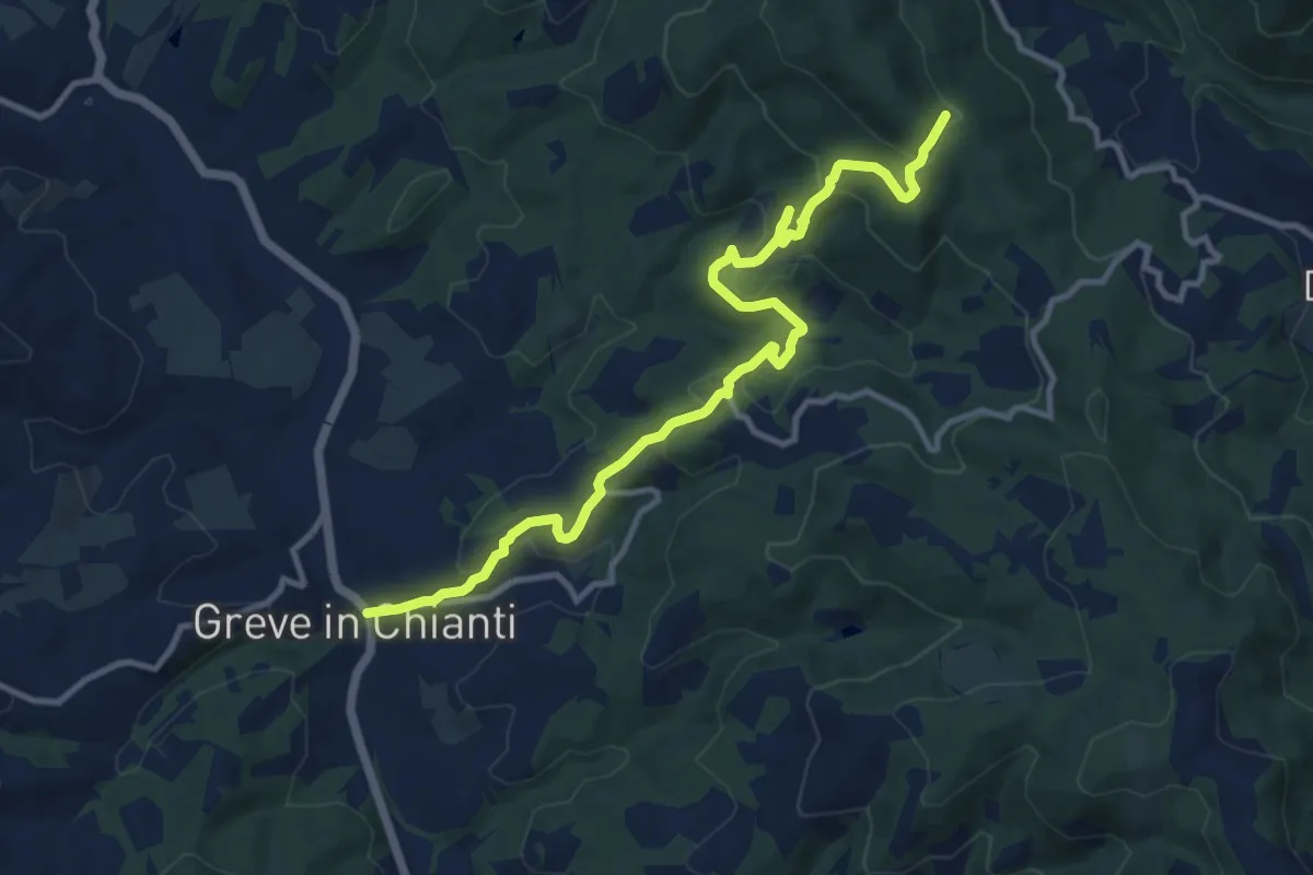
Medium · Trail
Greve – Rugliana
13.0 km · ↑ 602 m · 4 h 22 min · 12 km away
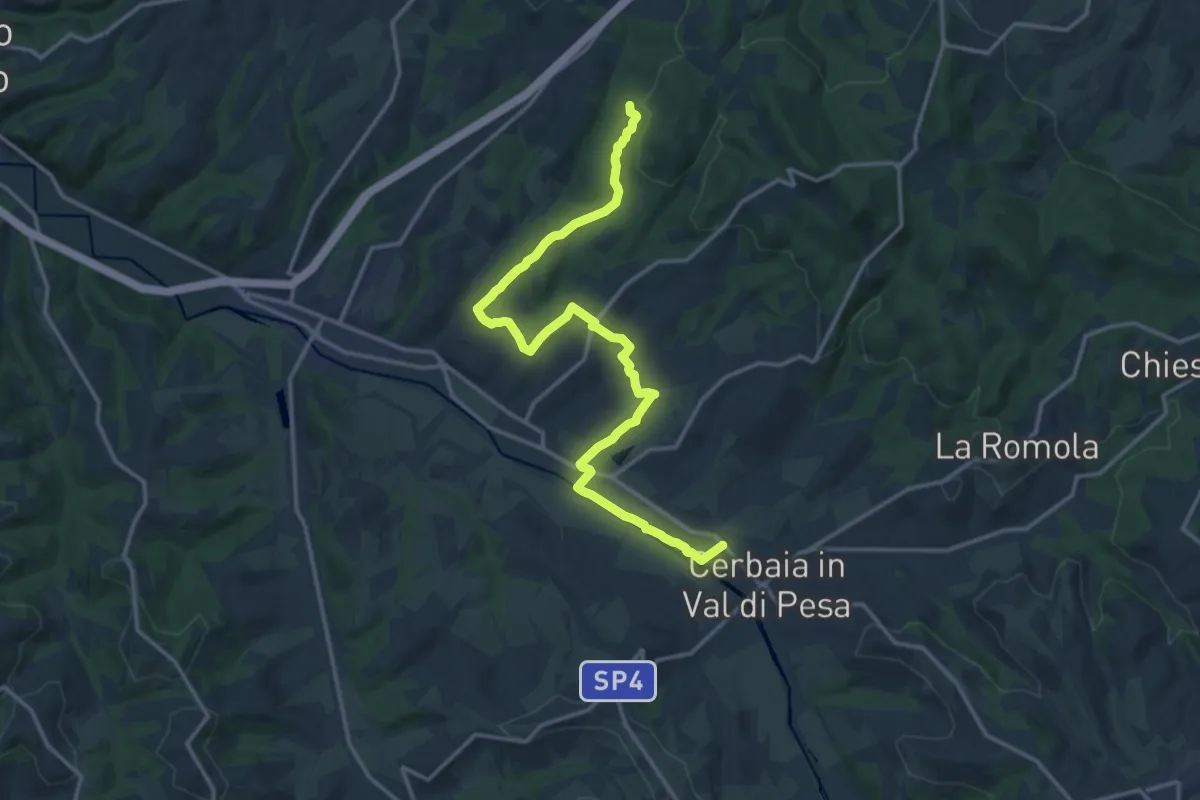
Demanding · Trail
Castellare – Roveta
18.2 km · ↑ 334 m · 5 h 1 min · 12 km away
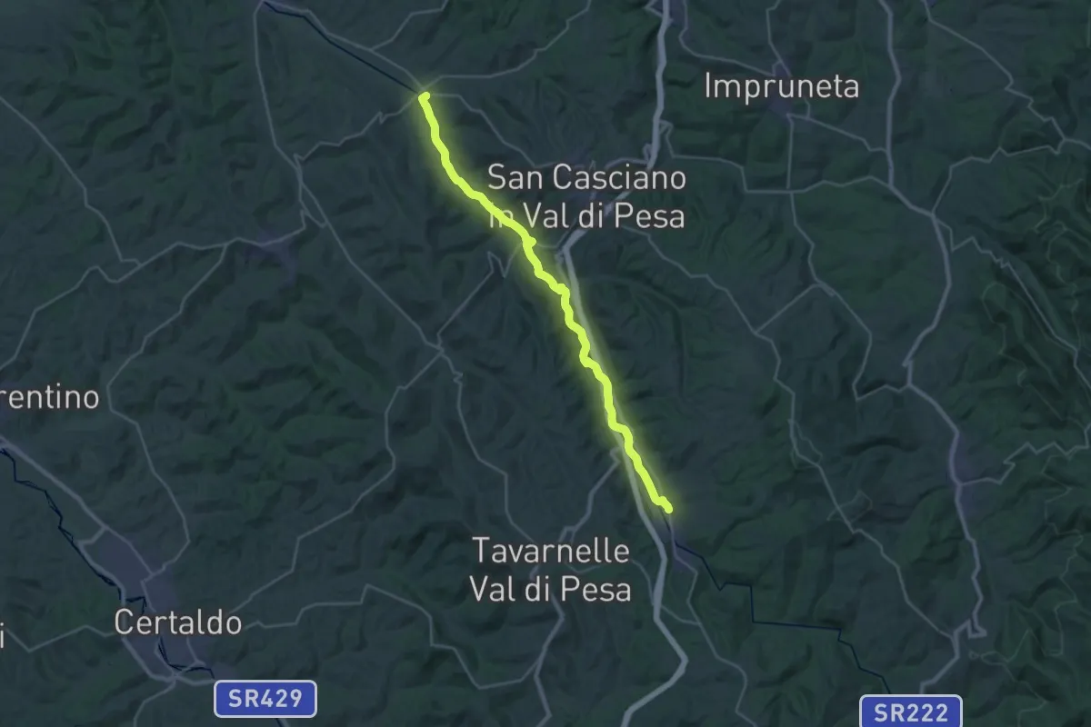
Demanding · Trail
Cerbaia – Sambuca
30.8 km · ↑ 126 m · 7 h 33 min · 13 km away
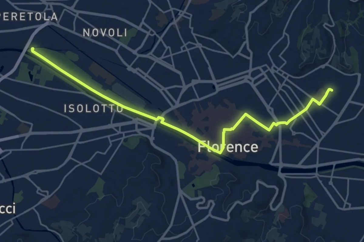
Demanding · Trail
Tappa 6 - Attraverso Firenze
18.6 km · ↑ 58 m · 4 h 31 min · 13 km away
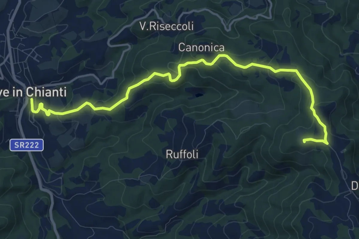
Medium · Summit
Anello di Ruffoli
13.6 km · ↑ 503 m · 4 h 19 min · 13 km away
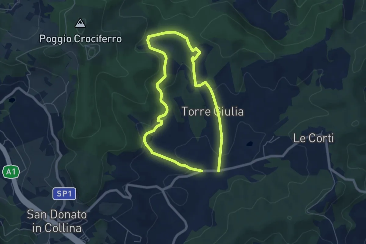
Medium · Trail
Il Fossato – Badiuzza
9.5 km · ↑ 264 m · 2 h 50 min · 13 km away
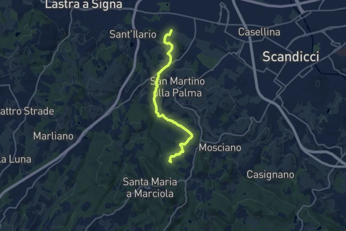
Medium · Trail
sentiero CAI 746 3 fiumi in località Castelpulci - Torrente Vingone – sentiero CAI 734 in località Sevoli
11.6 km · ↑ 315 m · 3 h 25 min · 13 km away
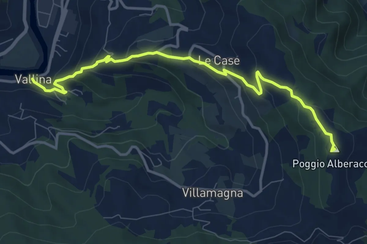
Medium · Summit
Sentiero 0–da Vallina a Poggio a Luco
8.9 km · ↑ 442 m · 3 h 4 min · 13 km away
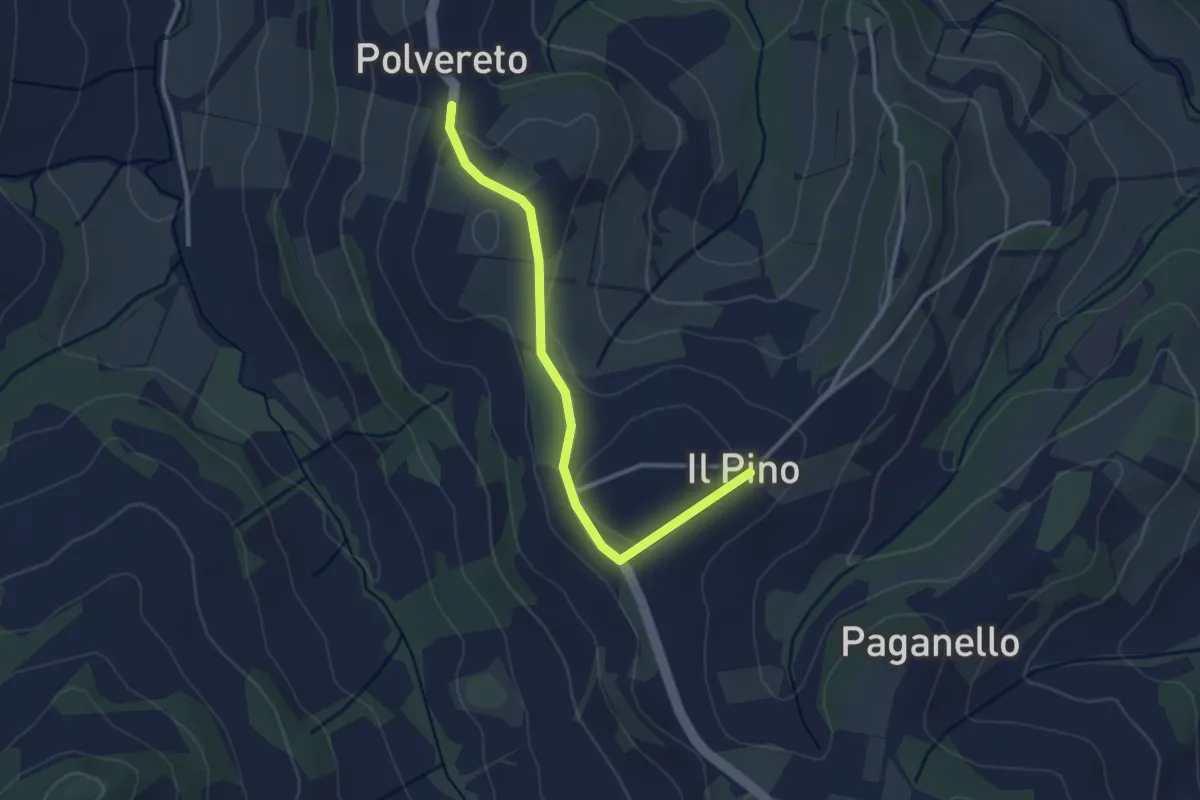
Easy · Trail
CIMITERO DEL PINO – SAN MICHELE A POLVERETO
3.1 km · ↑ 70 m · 53 min · 13 km away
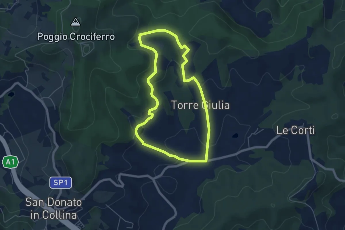
Easy · Trail
Percorso della Memoria
5.0 km · ↑ 143 m · 1 h 33 min · 13 km away
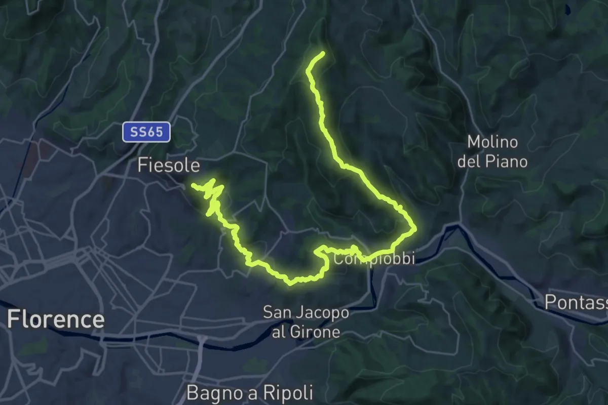
Demanding · Summit
Olmo – Fiesole
37.8 km · ↑ 1561 m · 12 h 18 min · 13 km away
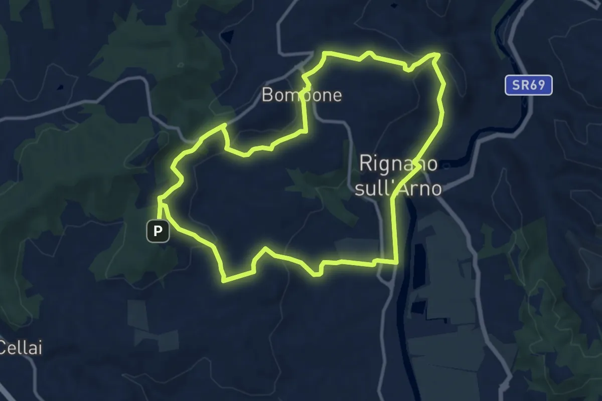
Medium · Trail
Percorso "Pievi, Chiese e Castelli"
10.6 km · ↑ 279 m · 3 h 16 min · 14 km away
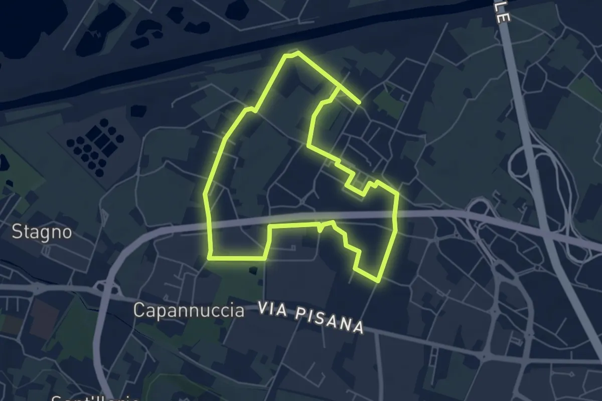
Easy · Trail
Badia a Settimo - Variante sentiero dei 3 Fiumi
5.8 km · ↑ 0 m · 1 h 26 min · 14 km away
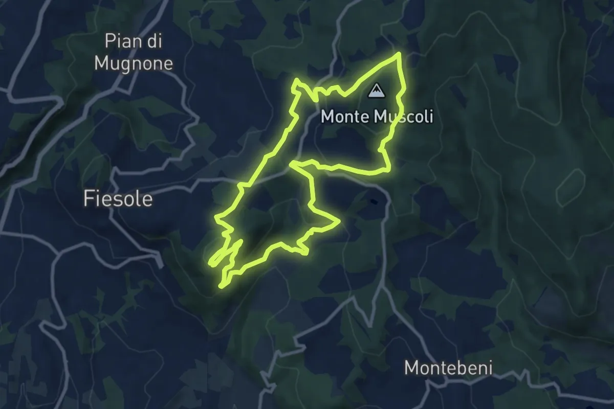
Medium · Summit
Fiesole – Fiesole
9.6 km · ↑ 409 m · 3 h 17 min · 14 km away
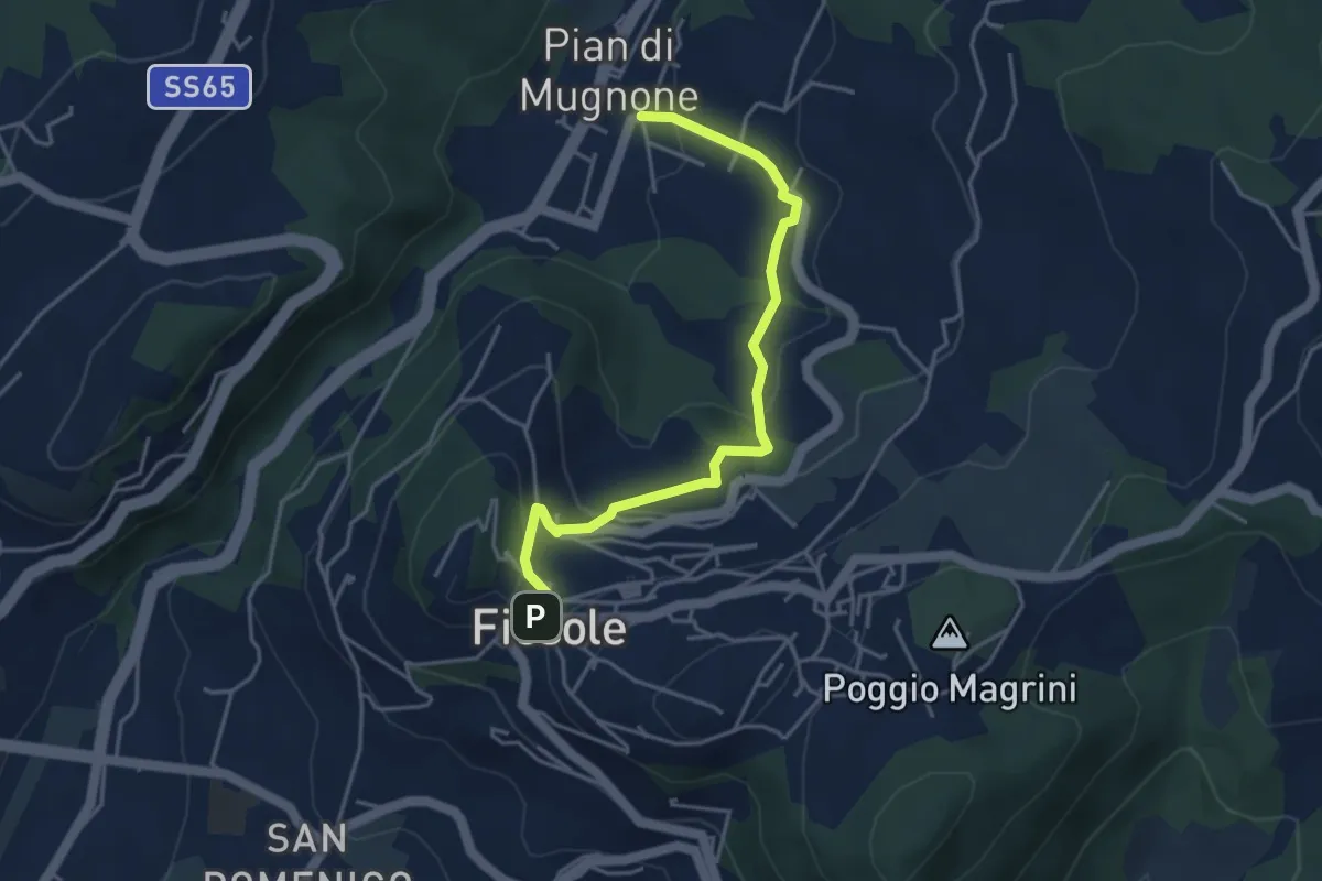
Easy · Trail
Fiesole – Indicatorio
4.4 km · ↑ 177 m · 1 h 26 min · 14 km away
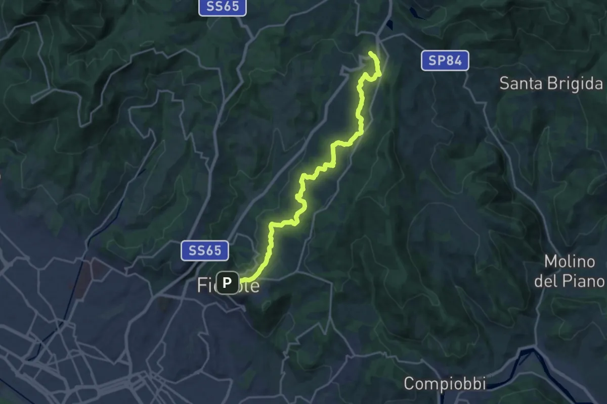
Demanding · Trail
Fiesole – Sentiero 00
19.7 km · ↑ 654 m · 6 h 4 min · 14 km away
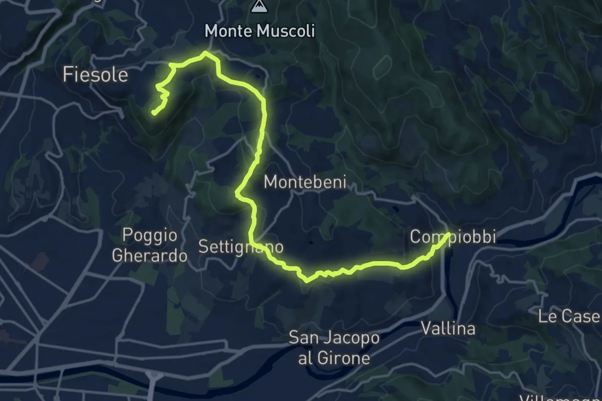
Demanding · Summit
Fiesole – Settignano Compiobbi
18.3 km · ↑ 586 m · 5 h 36 min · 14 km away
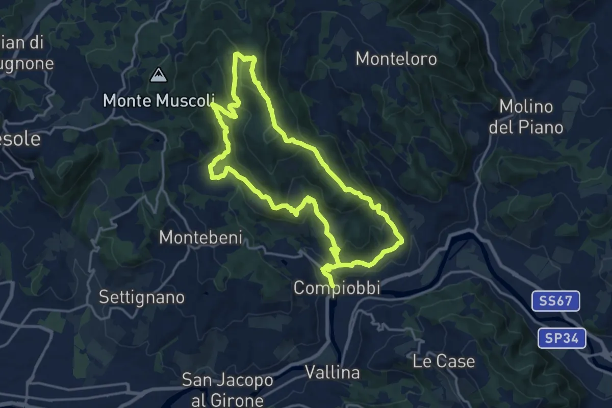
Medium · Trail
Compiobbi – Compiobbi
14.0 km · ↑ 611 m · 4 h 48 min · 14 km away
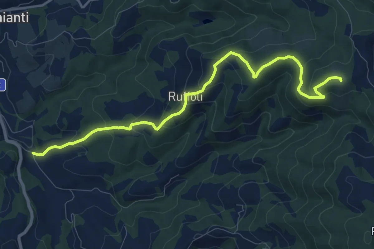
Medium · Summit
Greve – Monte Domini
10.6 km · ↑ 504 m · 3 h 35 min · 14 km away
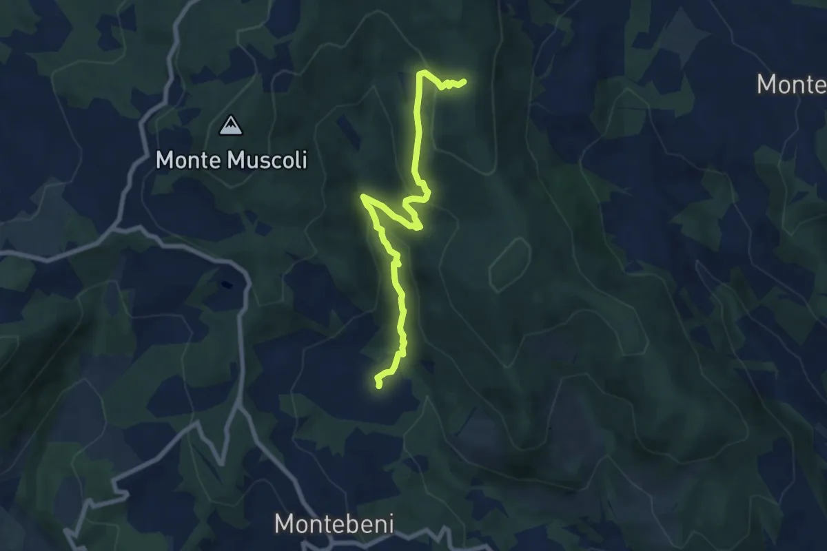
Medium · Trail
Ontignano – Casa le Sorti
7.2 km · ↑ 324 m · 2 h 24 min · 14 km away
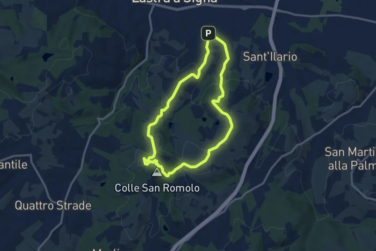
Easy · Summit
Anello di San-Romolo
6.6 km · ↑ 247 m · 2 h 11 min · 14 km away
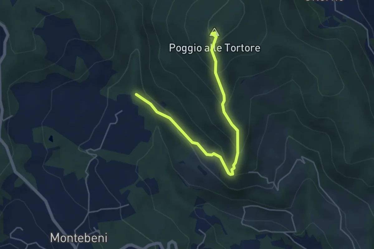
Demanding · Summit
Incrocio Sentiero 708 – Incrocio Sentiero 703
4.6 km · ↑ 273 m · 1 h 41 min · 15 km away
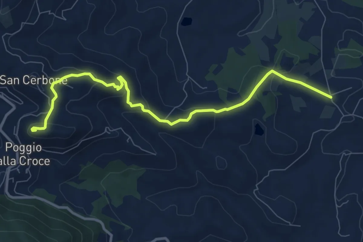
Medium · Summit
Loppiano – Poggio alla Croce
8.7 km · ↑ 351 m · 2 h 49 min · 15 km away
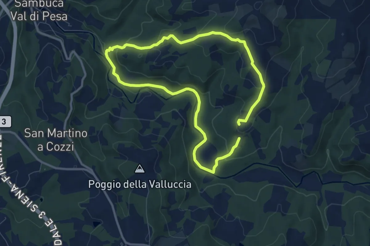
Easy · Trail
Le Pedate di San Giovanni Gualberto
7.1 km · ↑ 214 m · 2 h 15 min · 15 km away
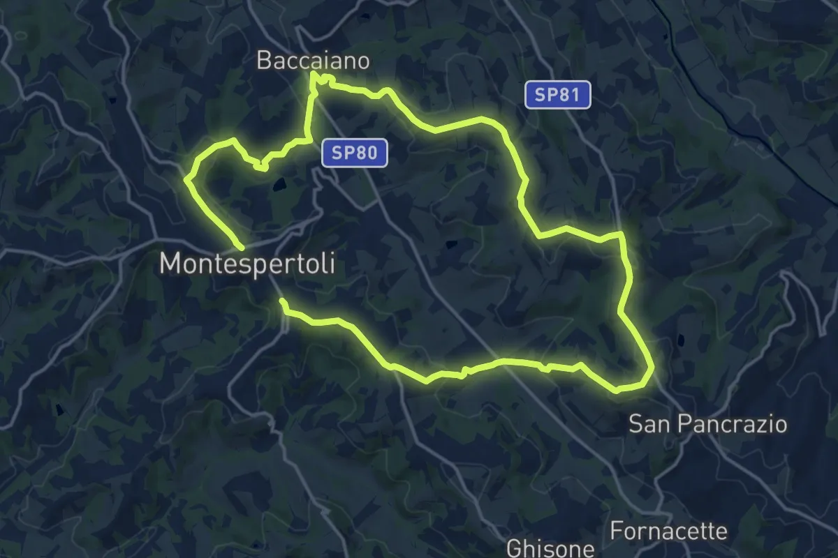
Medium · Trail
Dolce campagna, antiche mura 1
15.3 km · ↑ 366 m · 4 h 38 min · 15 km away
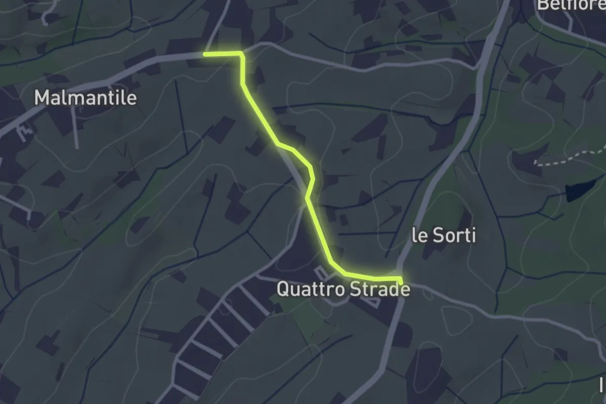
Easy · Trail
Innesto sentiero741, incrocio Via Vecchia Pisana con Via S. Salvadore – Innesto sentiero CAI 745, incrocio Via Maremmana con Via del Pollaiolo
2.4 km · ↑ 36 m · 38 min · 15 km away
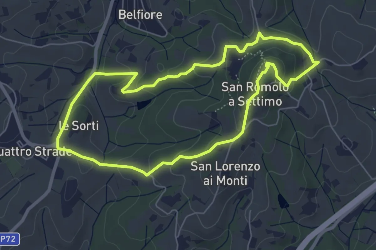
Easy · Summit
Anello della Guerrina
5.2 km · ↑ 181 m · 1 h 42 min · 15 km away
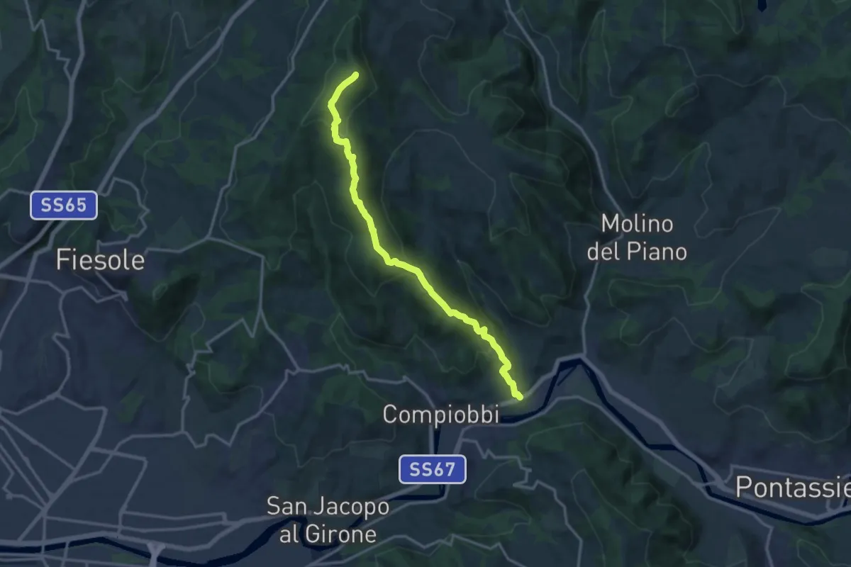
Medium · Summit
Poggio Pratone – Le Falle
14.5 km · ↑ 678 m · 4 h 53 min · 15 km away