Trails near Induno Olona
260 hikes starting within 15 km, nearest first.
Nearest first, page 3 of 6
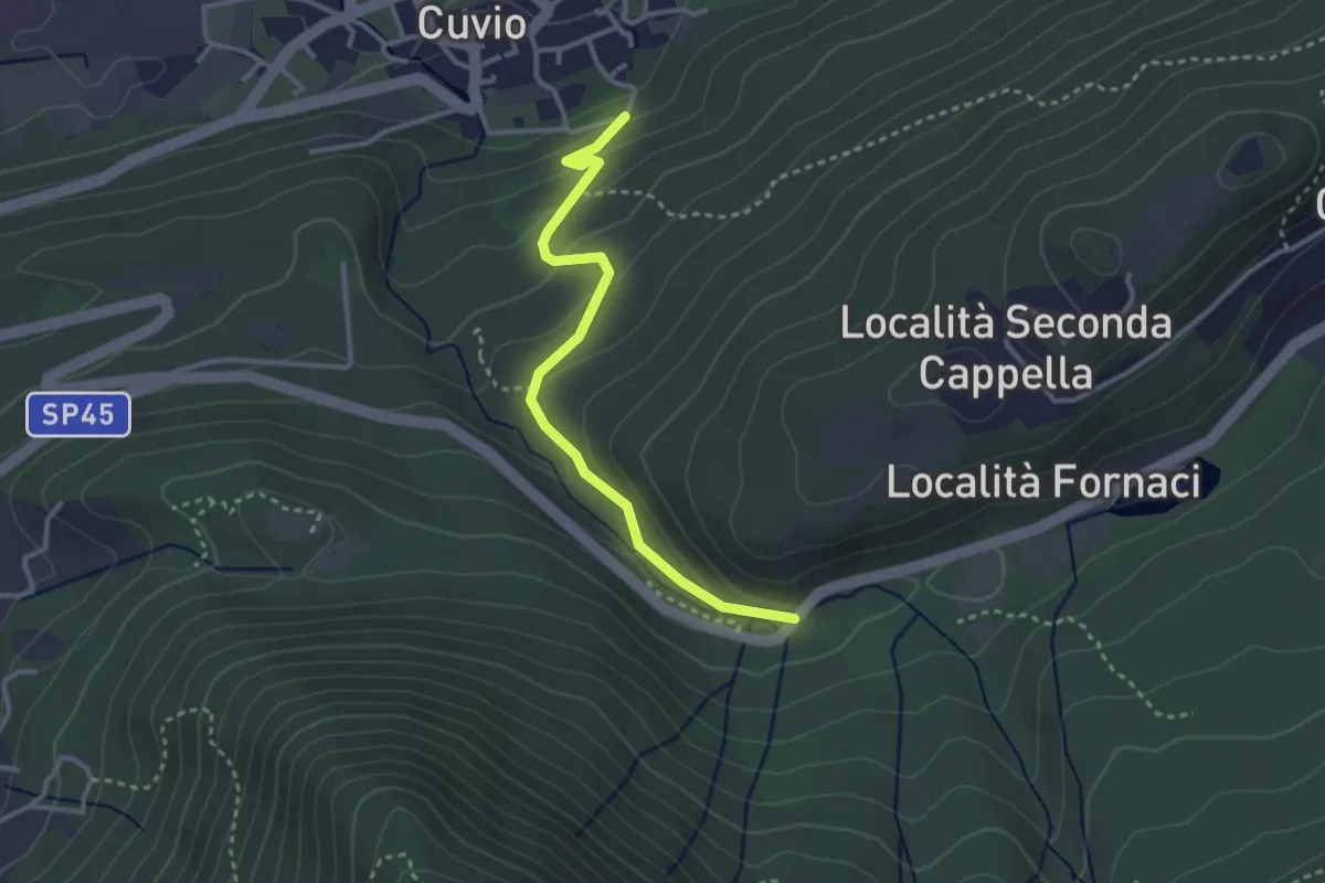
Easy · Trail
Cuvio – Fornaci
3.1 km · ↑ 163 m · 1 h 5 min · 9 km away
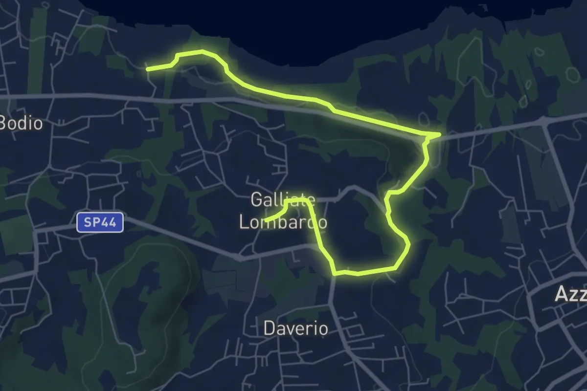
Medium · Trail
Piane Viscontee - Anello di Galliate Lombardo
8.0 km · ↑ 138 m · 2 h 12 min · 9 km away
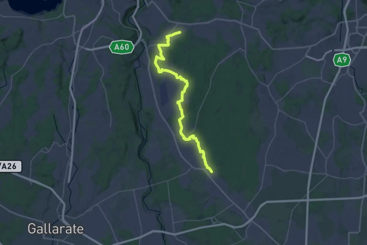
Medium · Trail
Sentiero 540LP
16.5 km · ↑ 81 m · 4 h 21 min · 9 km away
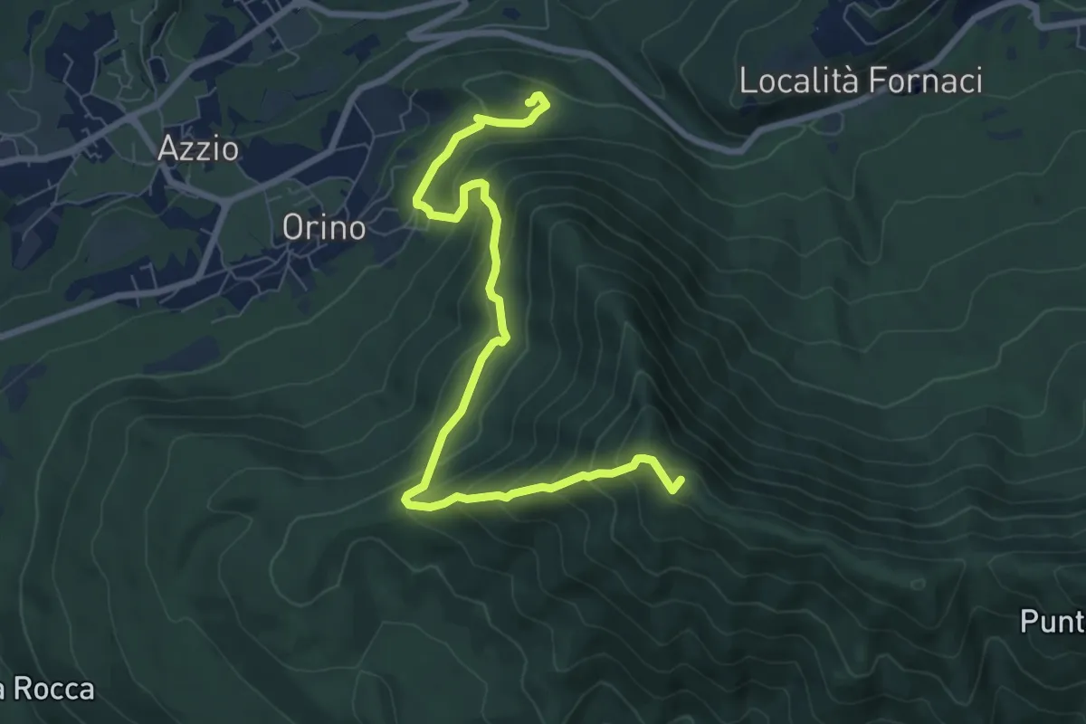
Medium · Summit
Rocca di Orino – Forte di Orino
8.4 km · ↑ 685 m · 3 h 28 min · 9 km away
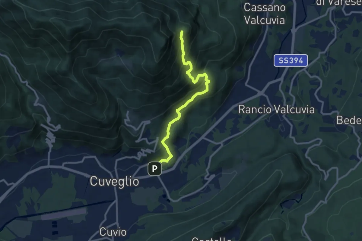
Medium · Trail
Cuveglio – Vallalta
7.9 km · ↑ 614 m · 3 h 12 min · 10 km away
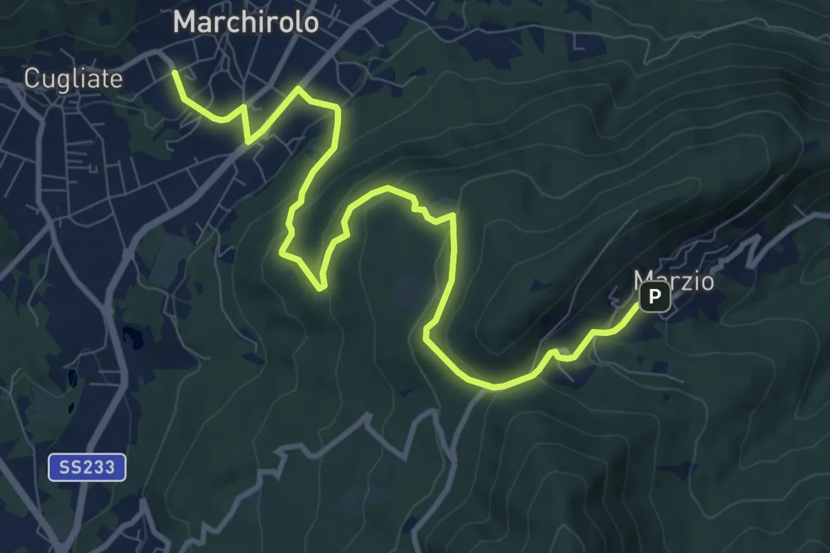
Medium · Trail
Marchirolo – Marzio
10.8 km · ↑ 456 m · 3 h 32 min · 10 km away
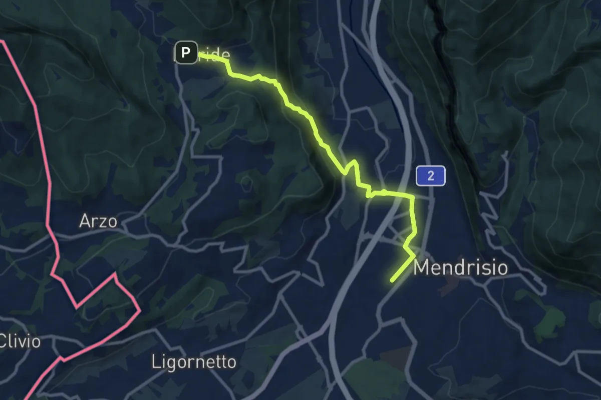
Medium · Trail
Meride – Mendrisio Stazione
8.9 km · ↑ 326 m · 2 h 48 min · 10 km away
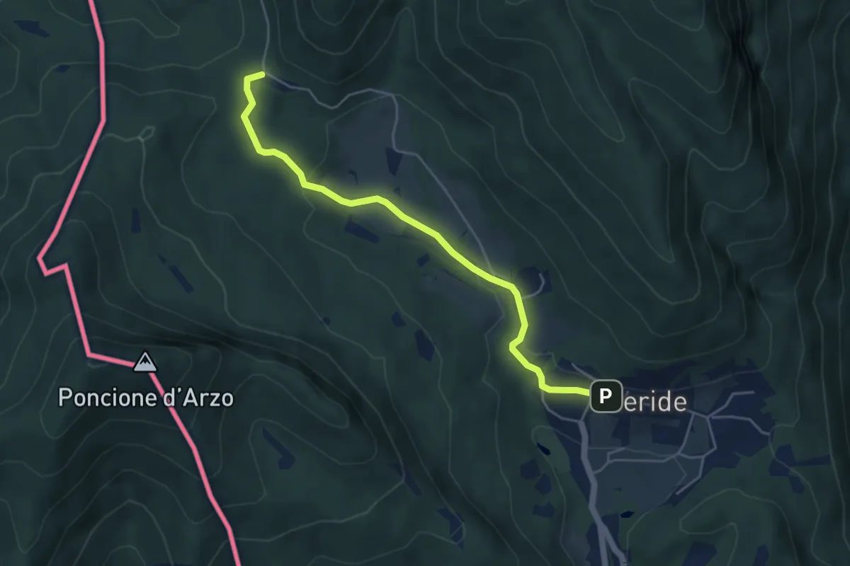
Easy · Trail
Crocifisso – Meride
4.8 km · ↑ 121 m · 1 h 23 min · 10 km away
Easy · Trail
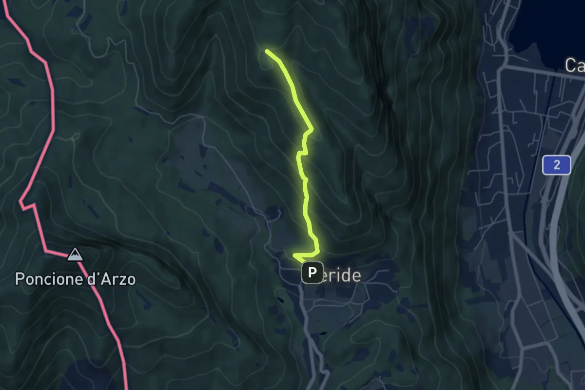
Meride – Cassina
4.6 km · ↑ 309 m · 1 h 45 min · 10 km away
Medium · Trail
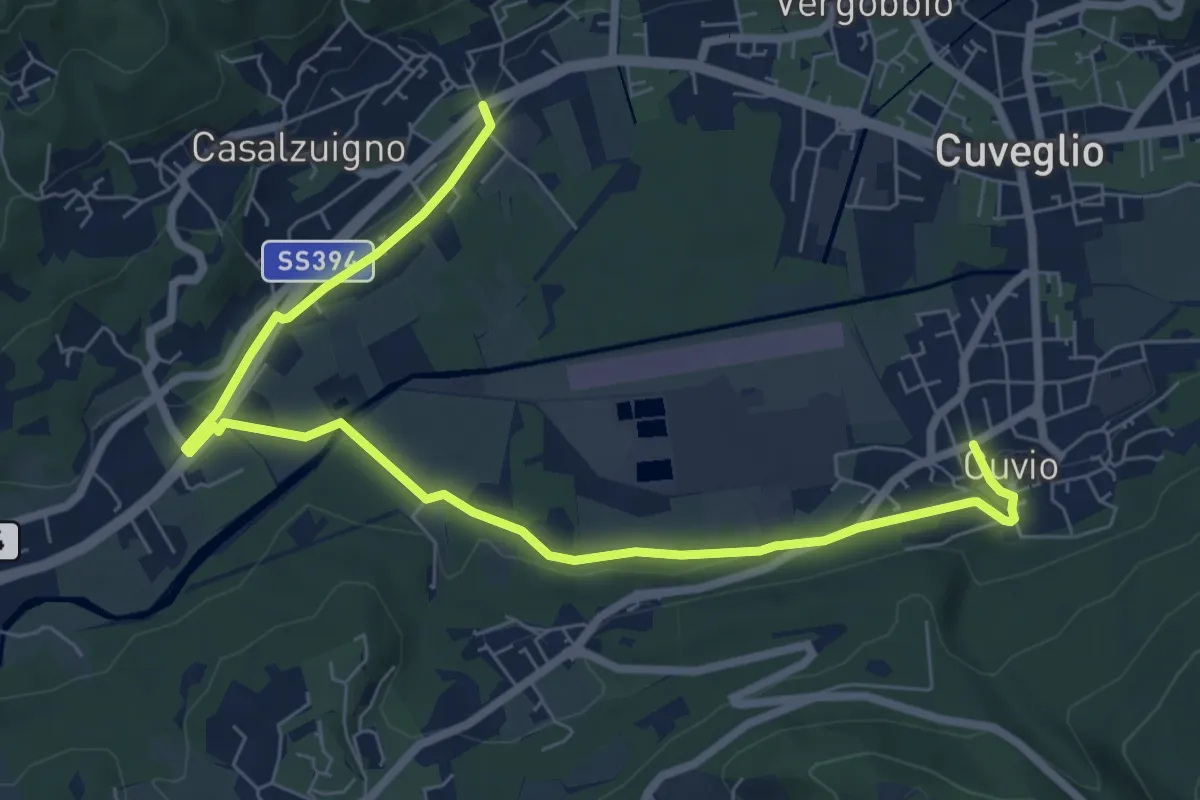
Villa Bozzolo – Cuvio
8.7 km · ↑ 92 m · 2 h 15 min · 10 km away
Easy · Trail
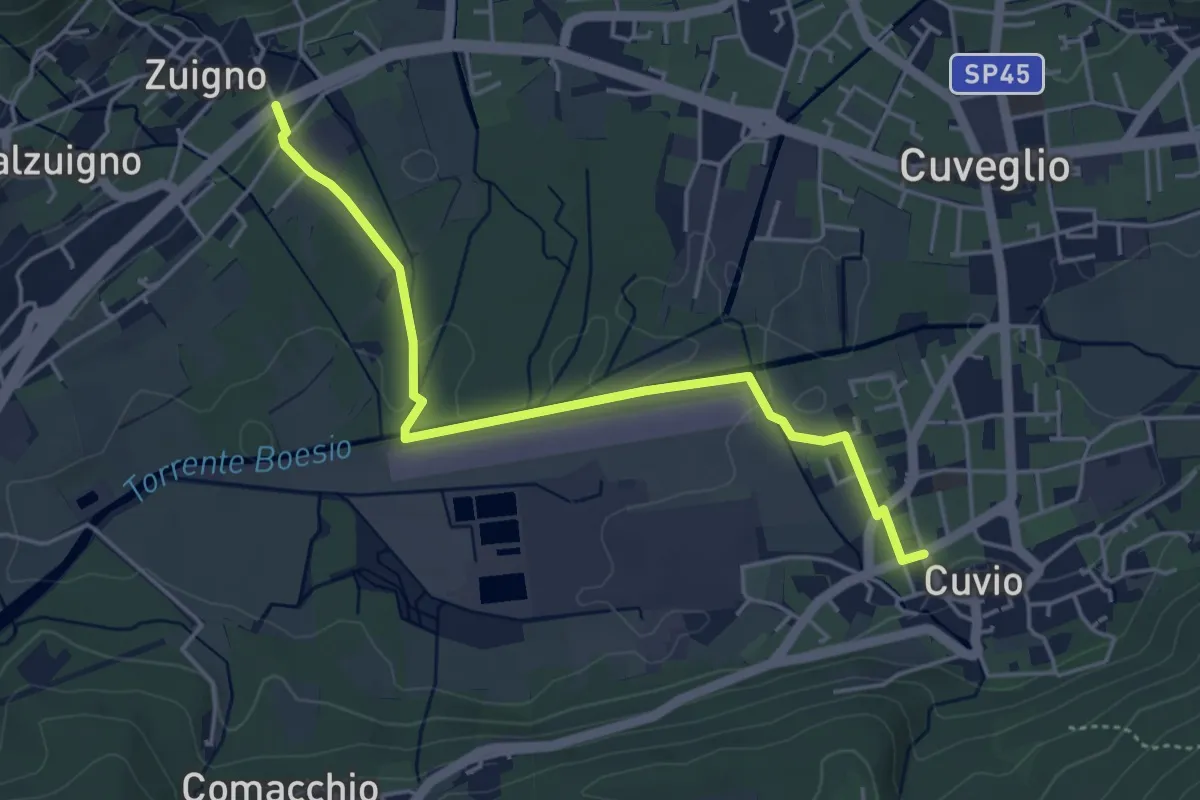
Cuvio – Villa Bozzolo
4.6 km · ↑ 33 m · 1 h 10 min · 10 km away
Easy · Trail
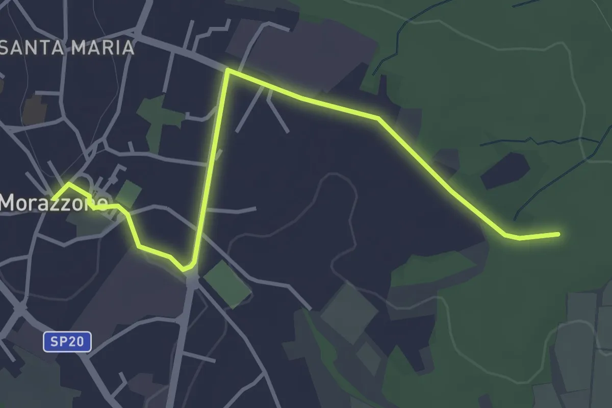
520C Collegmaento Morazzone-Dorsale RTO
3.8 km · ↑ 31 m · 58 min · 10 km away
Medium · Trail
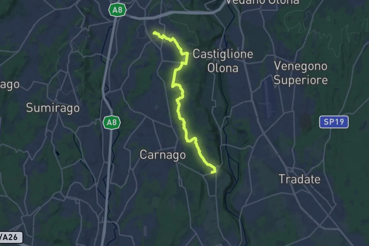
522 Sentiero del Tenore
17.2 km · ↑ 164 m · 4 h 25 min · 10 km away
Medium · Trail
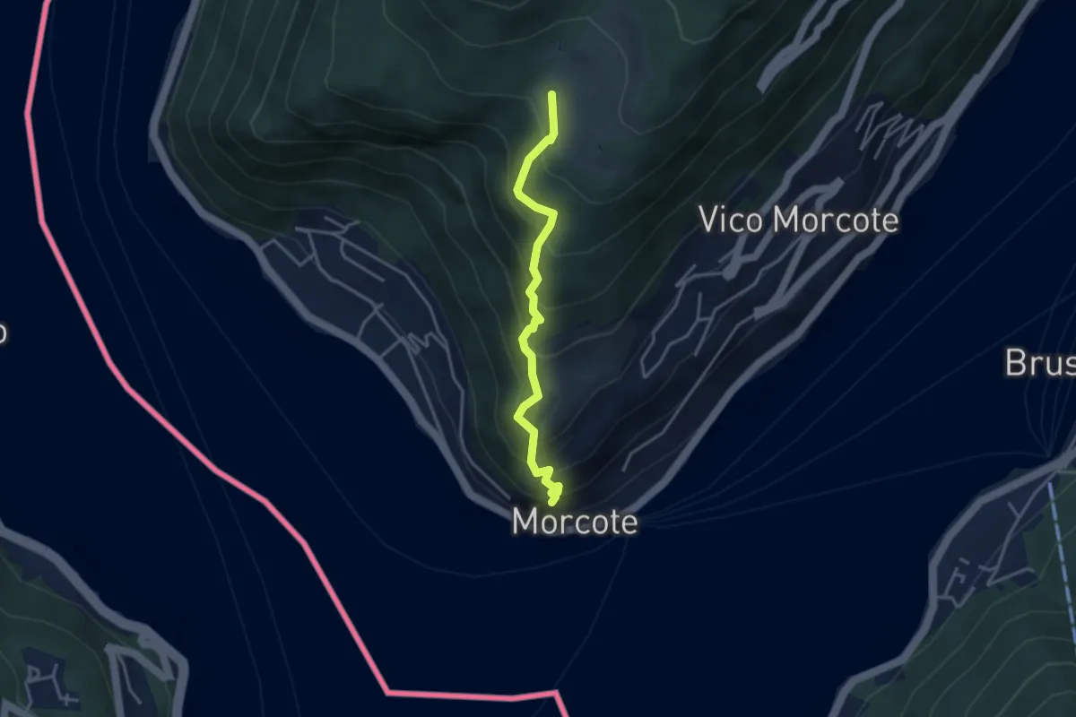
Alpe Vicania – Santa Maria del Sasso
3.3 km · ↑ 400 m · 1 h 39 min · 10 km away
Medium · Trail
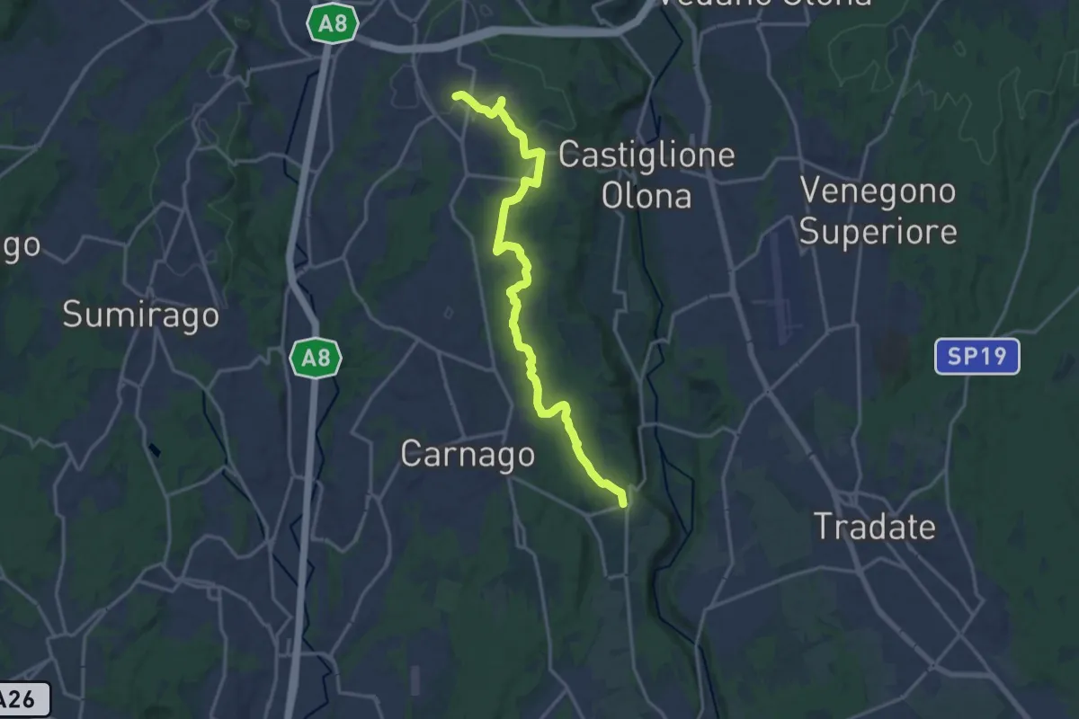
Sentiero del Tenore
16.7 km · ↑ 149 m · 4 h 16 min · 10 km away
Medium · Trail
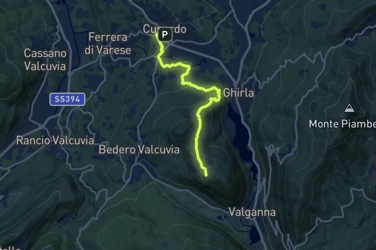
Cunardo – Mondonico
10.6 km · ↑ 412 m · 3 h 24 min · 10 km away
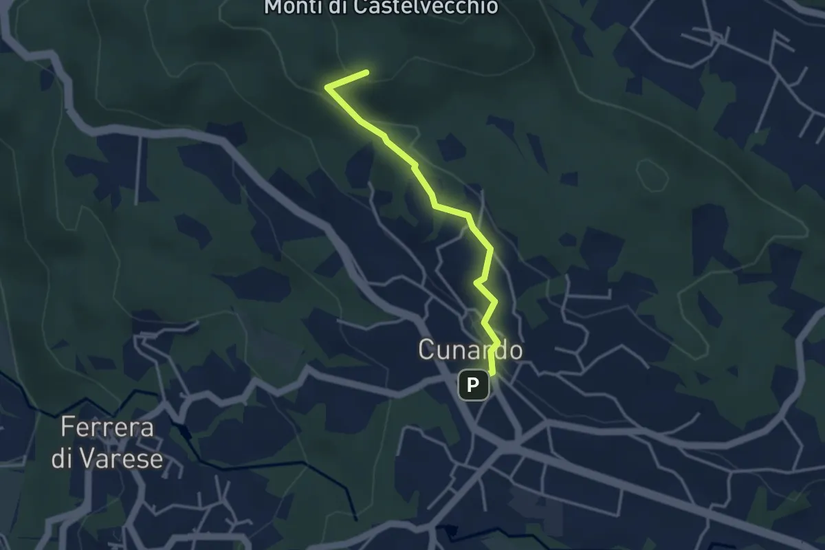
Medium · Summit
Cugliate Fabiasco – Cunardo
3.1 km · ↑ 120 m · 59 min · 10 km away
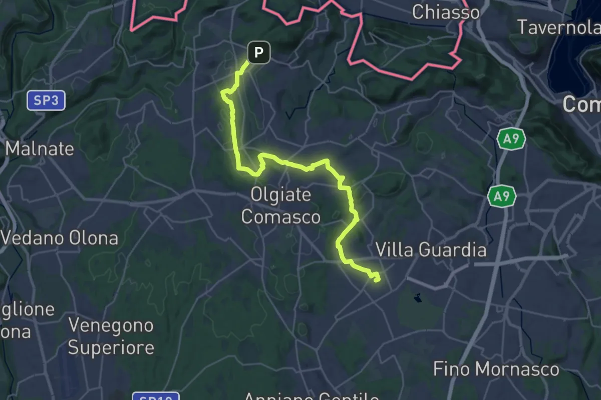
Demanding · Trail
Lurate Caccivio – Bizzarrone confine (CH)
25.7 km · ↑ 211 m · 6 h 31 min · 10 km away
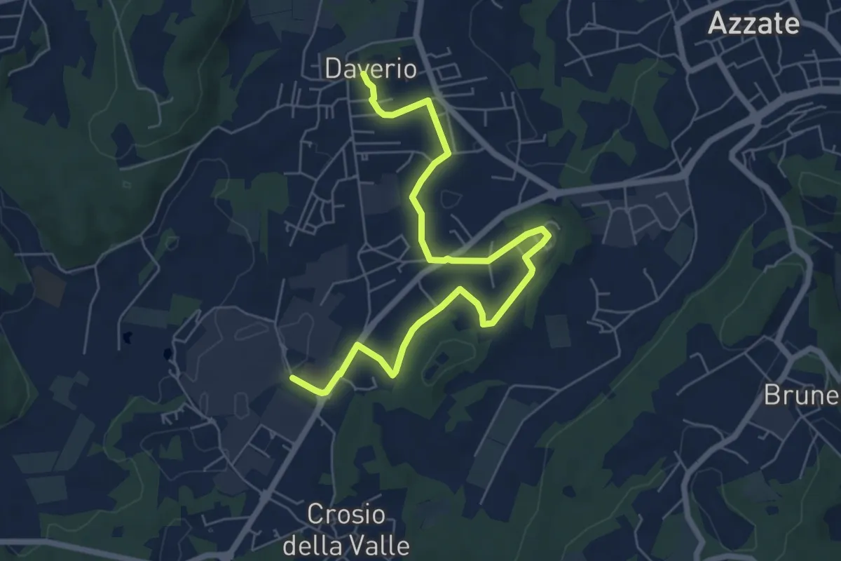
Easy · Trail
Piane Viscontee - Anello di Daverio
7.4 km · ↑ 105 m · 1 h 58 min · 10 km away
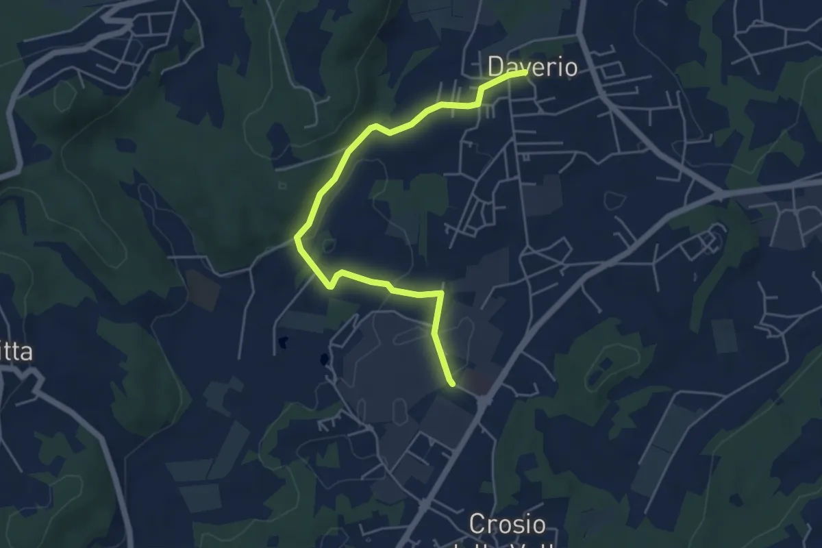
Easy · Trail
Piane Viscontee - Anello di Daverio
5.1 km · ↑ 66 m · 1 h 21 min · 10 km away
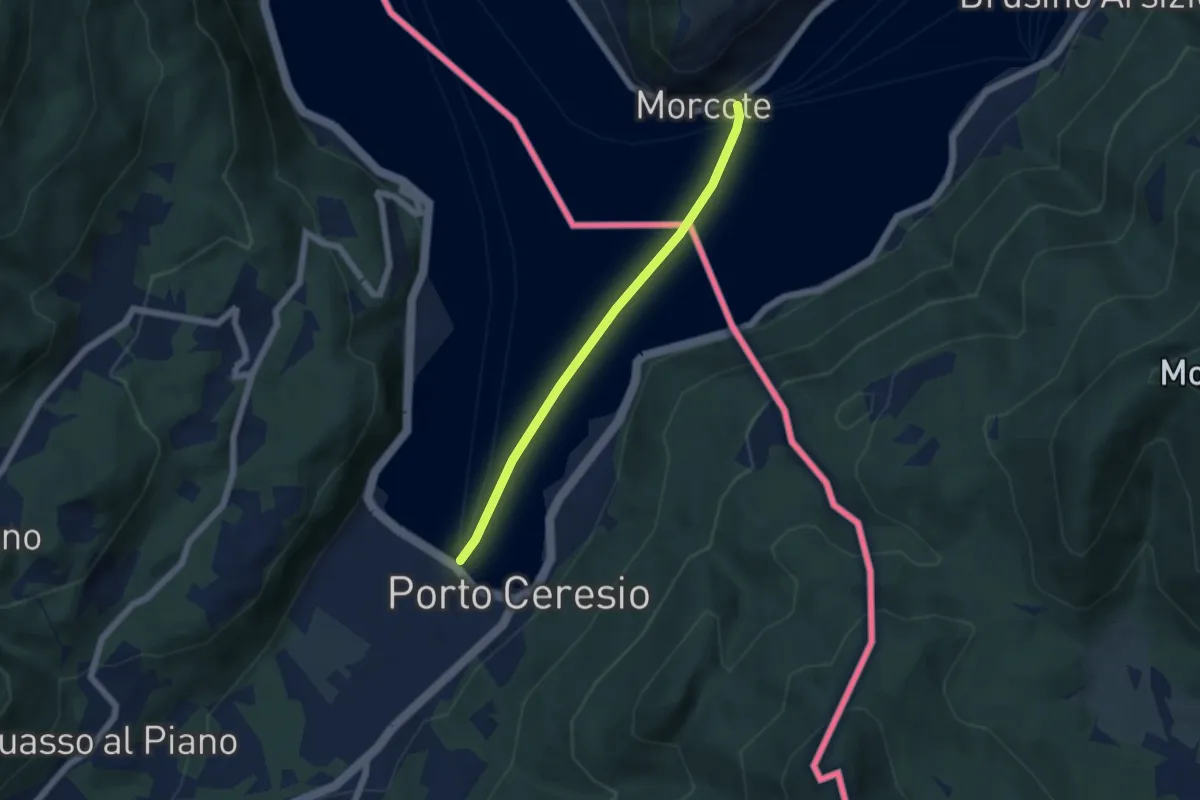
Easy · Trail
European Long distance path E1 - part Switzerland
4.9 km · ↑ 0 m · 1 h 9 min · 10 km away
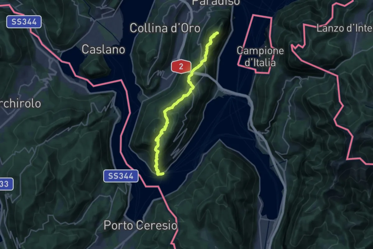
Demanding · Summit
ViaGottardo
18.2 km · ↑ 1119 m · 6 h 44 min · 10 km away
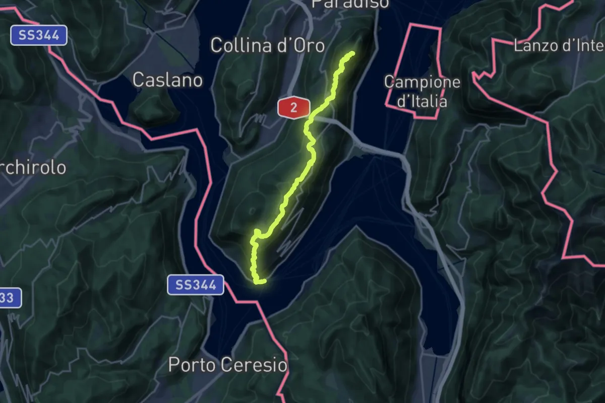
Demanding · Summit
Trans Swiss Trail
18.5 km · ↑ 1189 m · 6 h 56 min · 10 km away
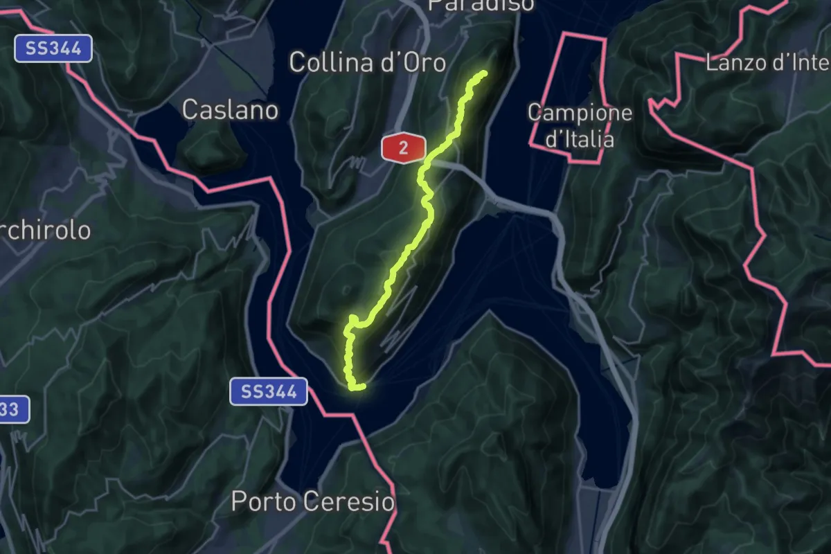
Demanding · Summit
Sentiero Lago di Lugano
18.5 km · ↑ 1189 m · 6 h 56 min · 10 km away
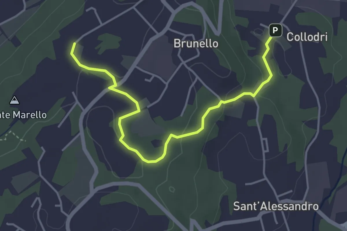
Easy · Trail
Piane Viscontee - Anello di Brunello
4.3 km · ↑ 111 m · 1 h 15 min · 10 km away
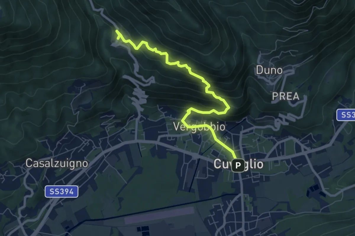
Medium · Trail
Cuveglio – Cascine-Vergobbio-Arcumeggia
7.4 km · ↑ 561 m · 2 h 58 min · 10 km away
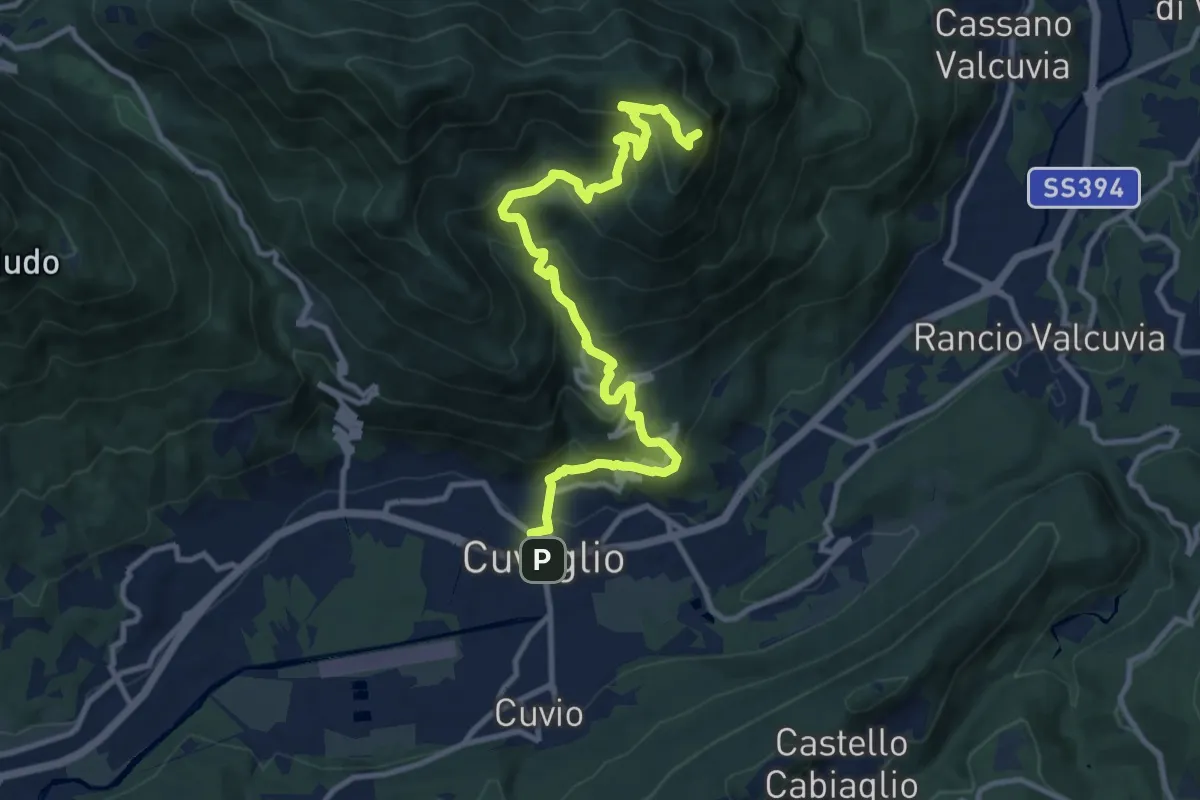
Demanding · Summit
Cuveglio – San Martino
12.5 km · ↑ 834 m · 4 h 45 min · 10 km away
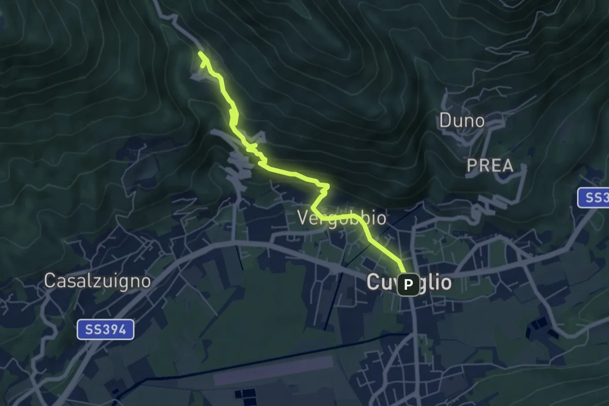
Medium · Trail
Cuveglio – Arcumeggia
5.9 km · ↑ 325 m · 2 h 6 min · 10 km away
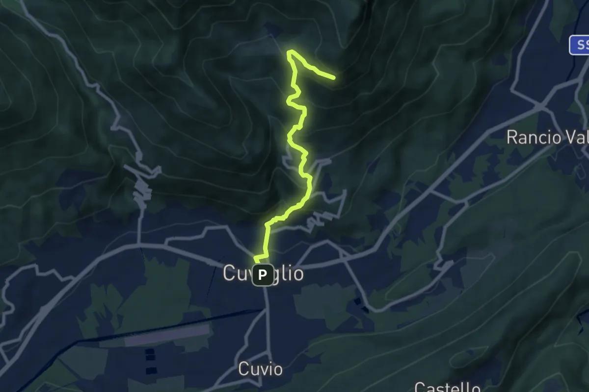
Demanding · Trail
Cuveglio – Vallalta
7.0 km · ↑ 577 m · 2 h 53 min · 10 km away
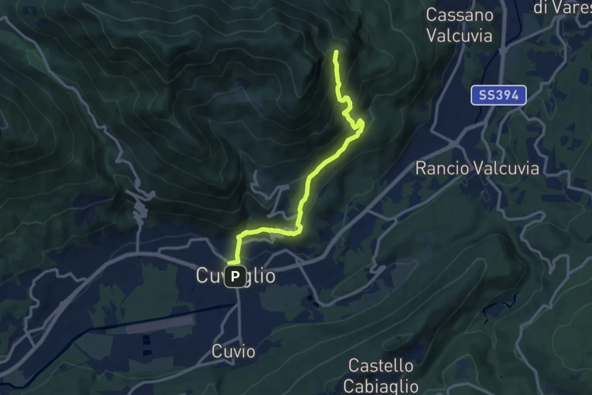
Medium · Trail
Cuveglio – Vallalta
8.7 km · ↑ 612 m · 3 h 23 min · 10 km away
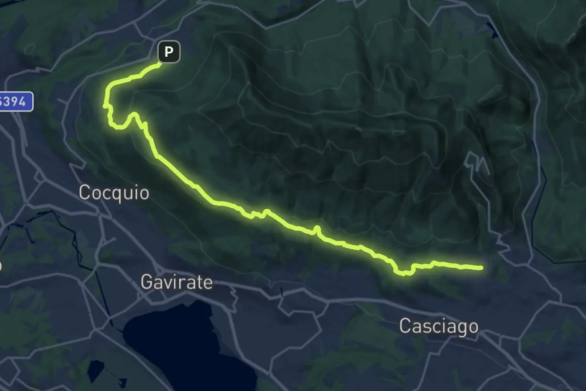
Demanding · Trail
Velate – Orino
22.5 km · ↑ 569 m · 6 h 33 min · 10 km away
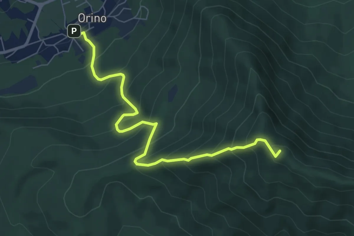
Medium · Summit
Orino – Forte di Orino
6.7 km · ↑ 692 m · 3 h 5 min · 10 km away
Demanding · Summit
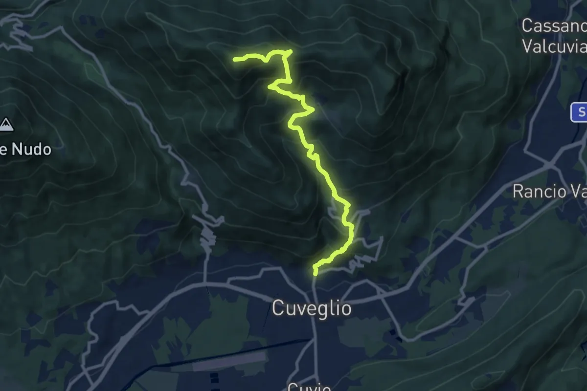
Direttissima Monte della Colonna
9.5 km · ↑ 910 m · 4 h 13 min · 10 km away
Medium · Summit
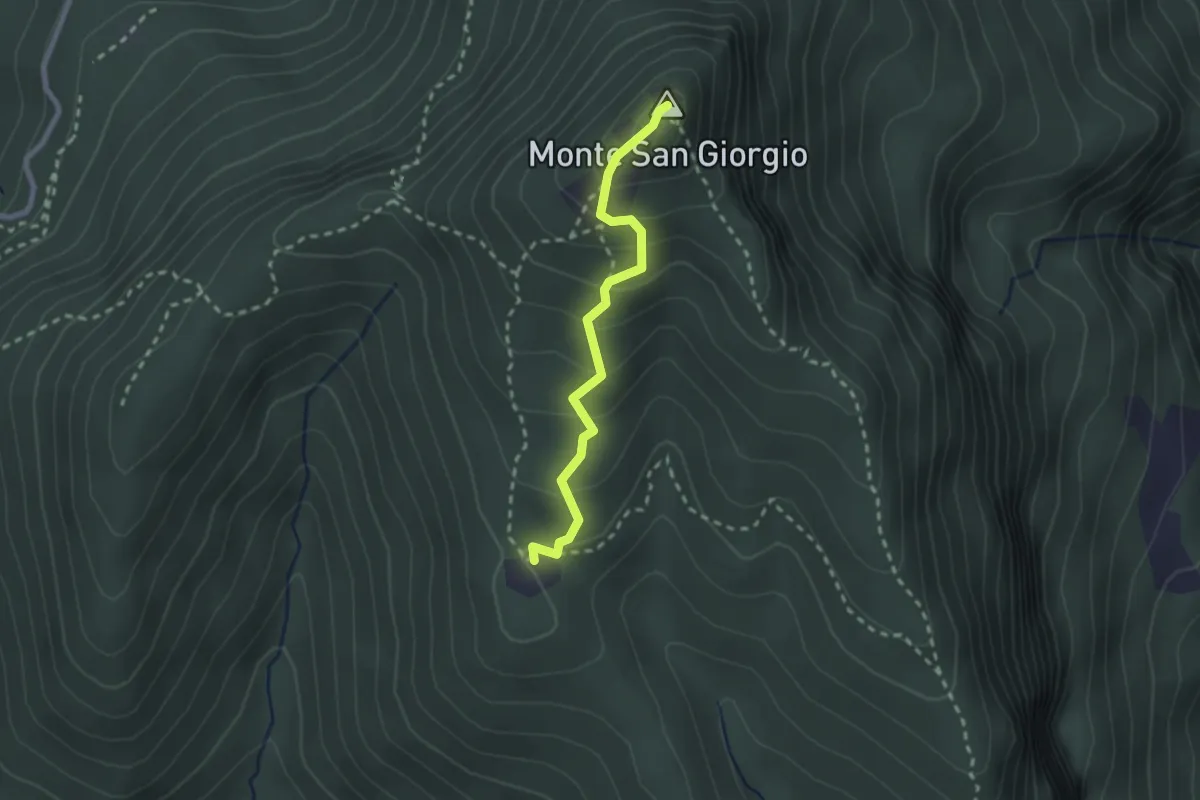
Monte San Giorgio – Cassina
2.2 km · ↑ 179 m · 55 min · 10 km away
Demanding · Trail
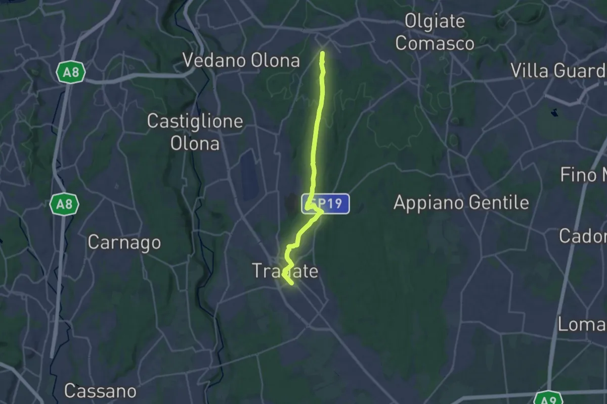
Binago – Tradate
18.1 km · ↑ 185 m · 4 h 41 min · 10 km away
Easy · Trail
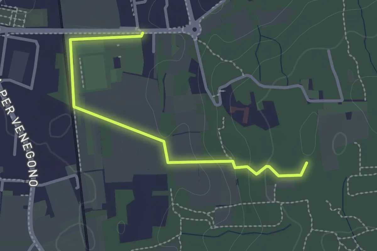
Vedano Olona – Innesto su sentiero 540
2.7 km · ↑ 58 m · 46 min · 10 km away
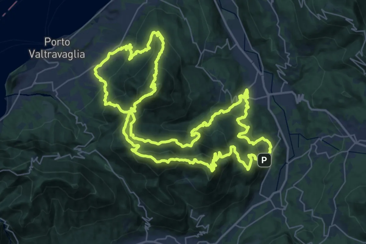
Demanding · Summit
Valli del Verbano Trail
32.3 km · ↑ 2314 m · 13 h 3 min · 10 km away
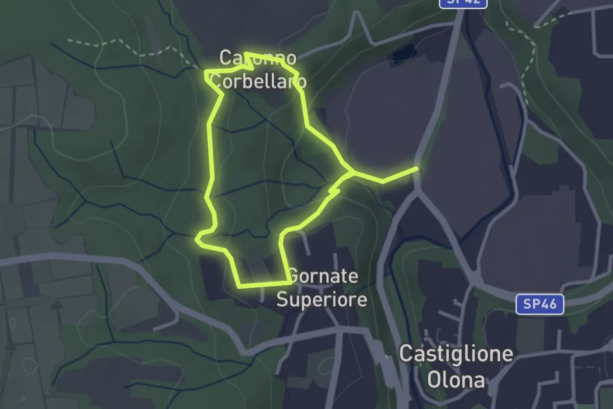
Easy · Trail
Anello dei Lavatoi
2.3 km · ↑ 61 m · 42 min · 10 km away
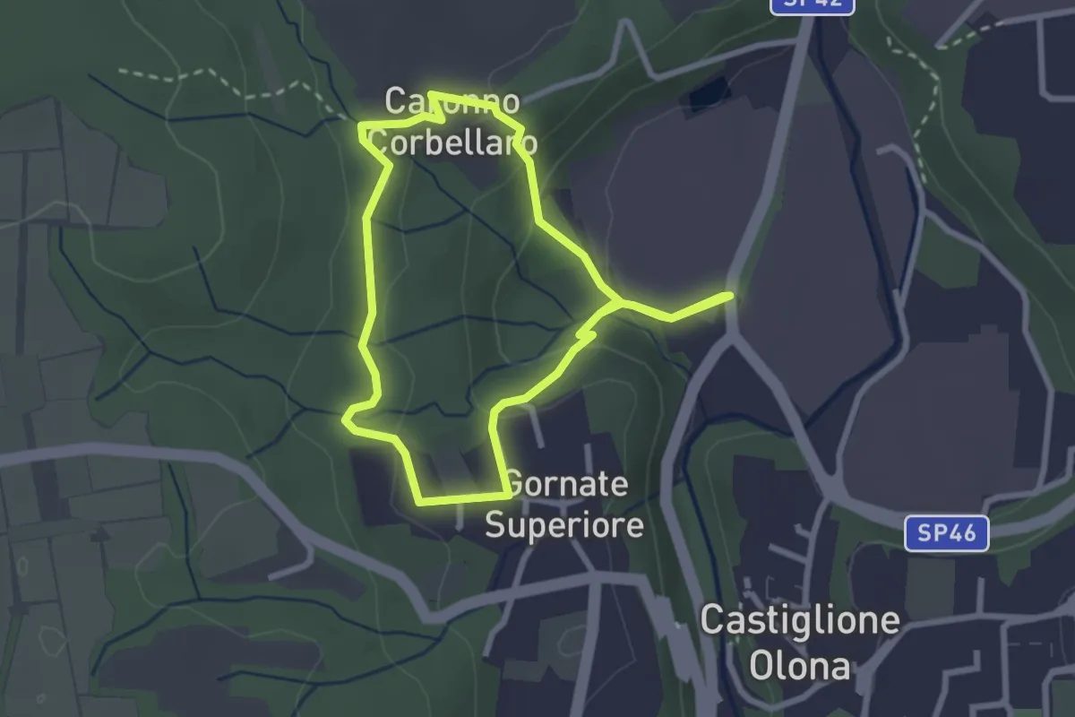
Easy · Trail
521 Anello dei Lavatoi
2.4 km · ↑ 66 m · 45 min · 10 km away
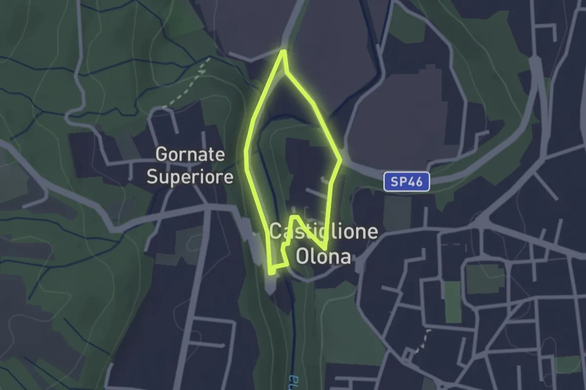
Easy · Trail
Anello Storico di Castiglione
1.6 km · ↑ 38 m · 29 min · 10 km away
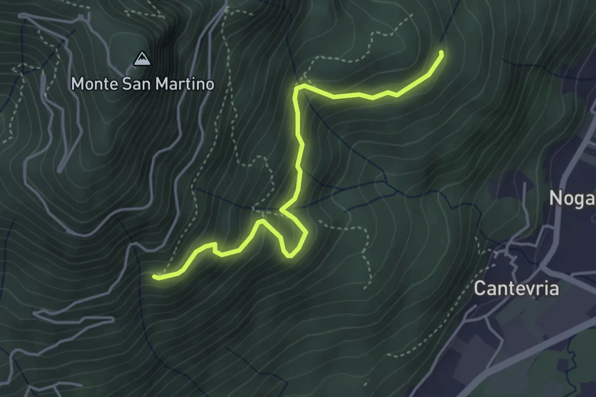
Medium · Trail
Collegamento 263 – Collegamento 264B
4.0 km · ↑ 369 m · 1 h 45 min · 10 km away
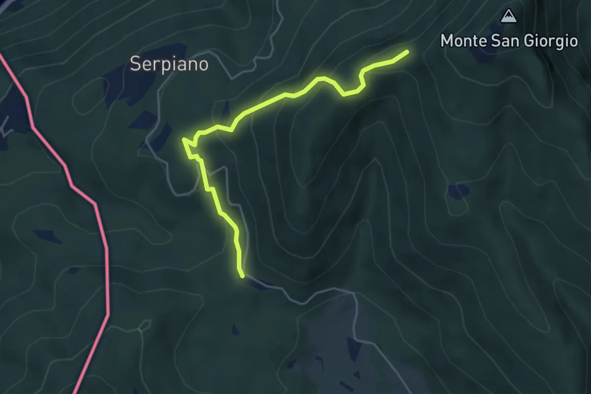
Medium · Trail
Punto 902 – Crocifisso
4.3 km · ↑ 290 m · 1 h 39 min · 10 km away
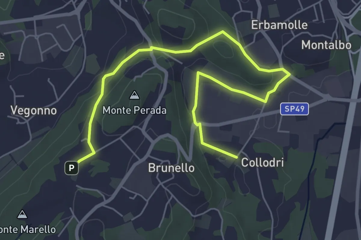
Easy · Trail
Piane Viscontee - Anello di Brunello
6.9 km · ↑ 139 m · 1 h 56 min · 10 km away
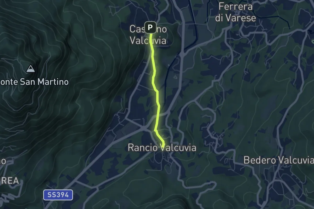
Easy · Trail
Cassano Valcuvia – Rancio Valcuvia
3.9 km · ↑ 82 m · 1 h 6 min · 10 km away
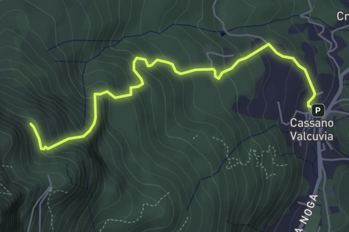
Medium · Trail
Cassano Valcuvia – Vallalta
5.4 km · ↑ 513 m · 2 h 23 min · 10 km away
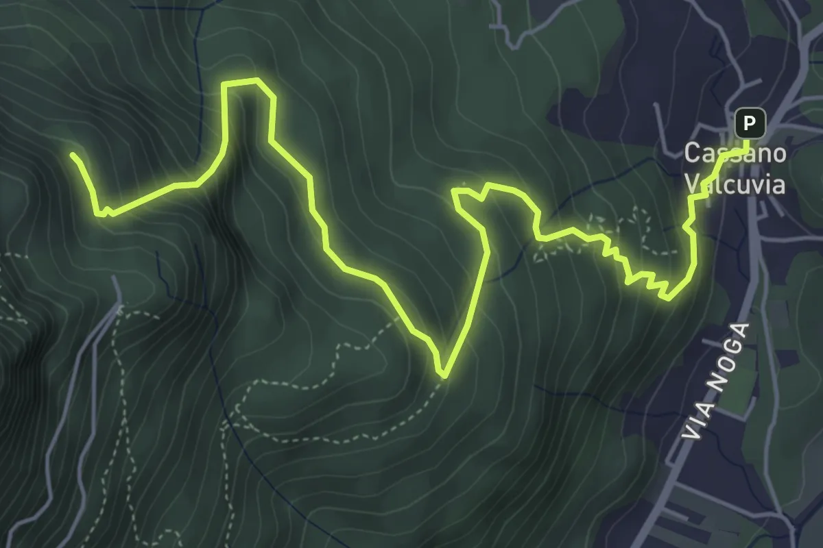
Medium · Trail
Cassano Valcuvia – Vallalta
7.2 km · ↑ 580 m · 2 h 57 min · 10 km away
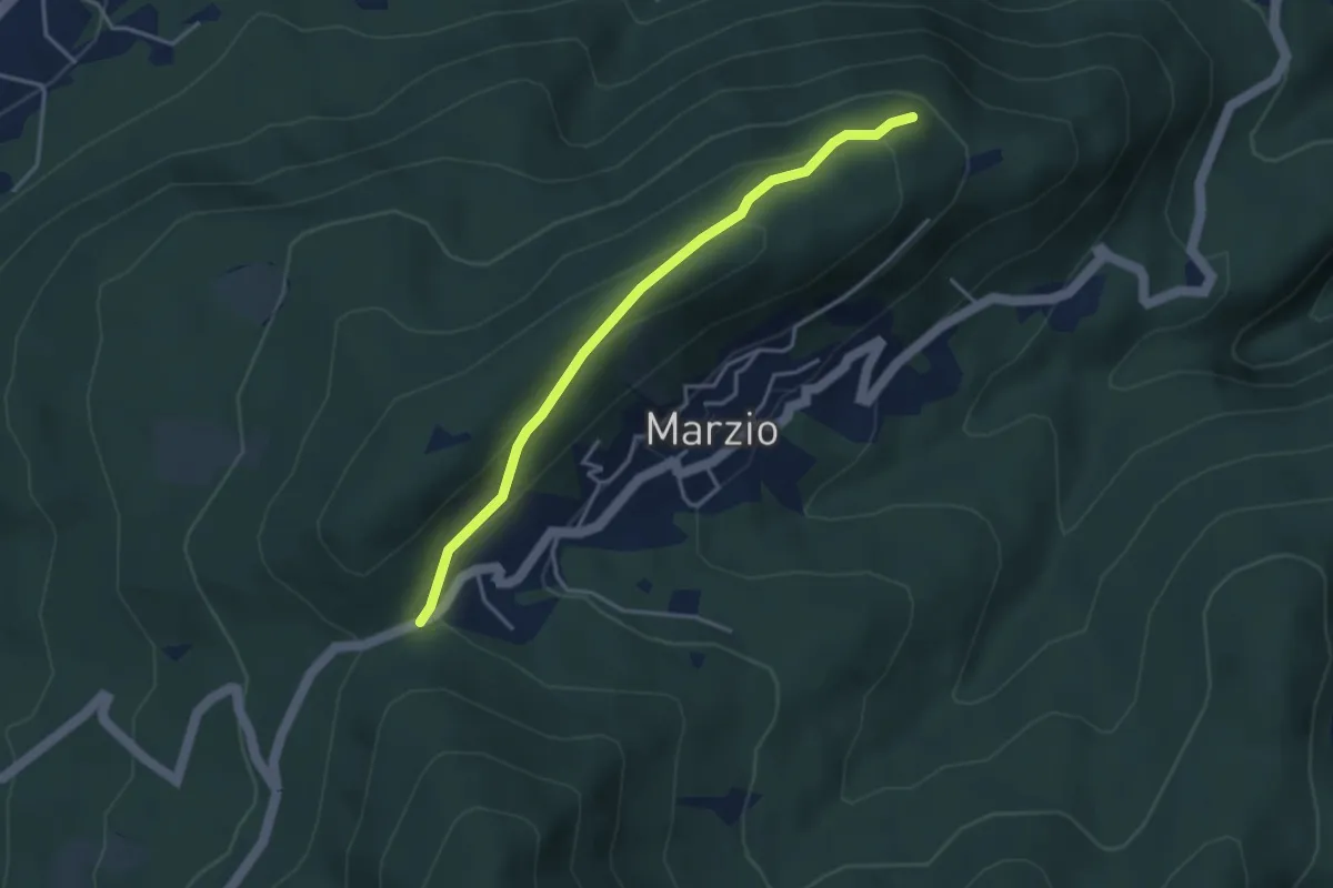
Easy · Trail
Variante Monte Marzio belvedere – Forcorella
3.6 km · ↑ 141 m · 1 h 10 min · 11 km away
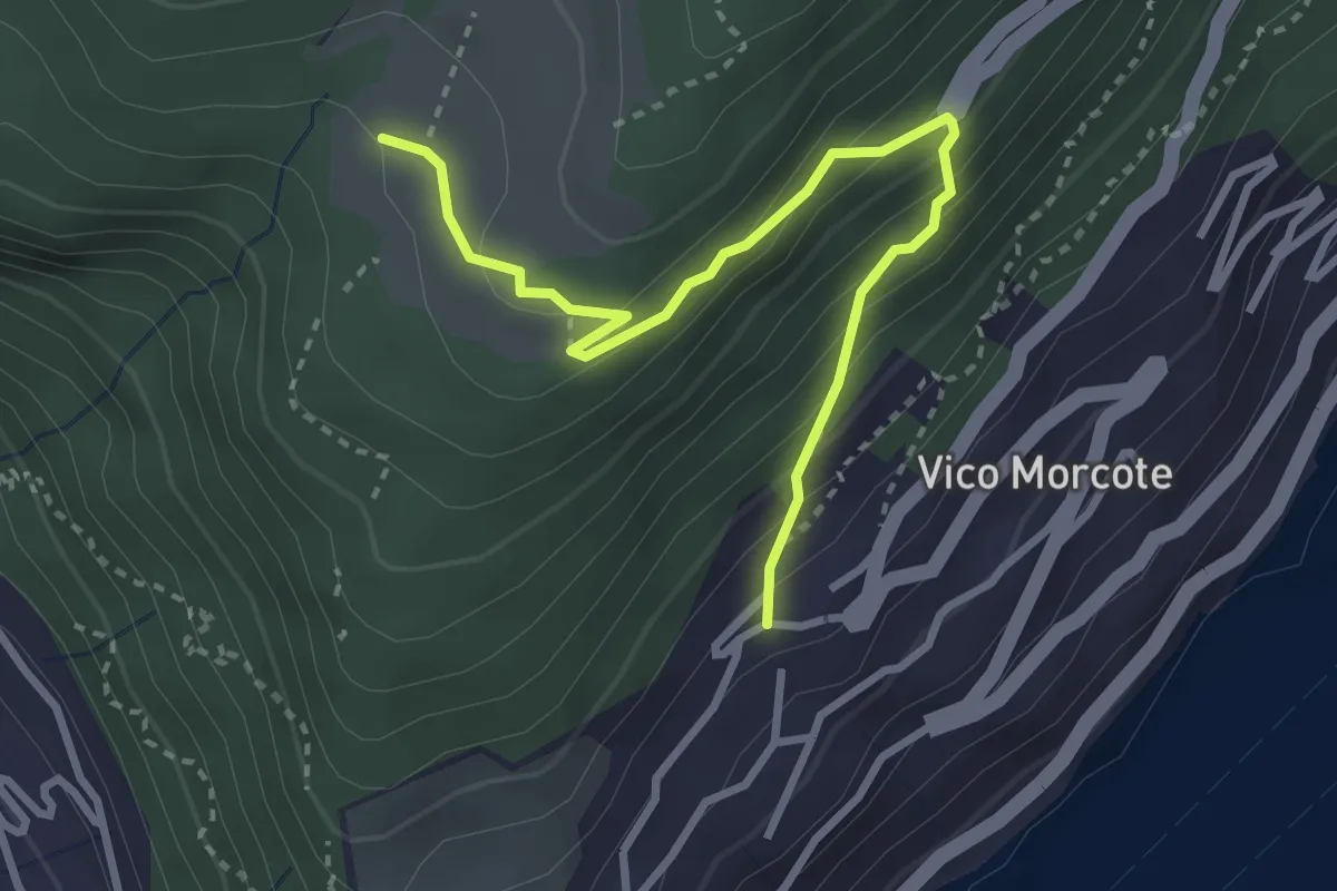
Medium · Trail
Alpe Vicania – Vico Morcote
3.4 km · ↑ 261 m · 1 h 22 min · 11 km away