Trails near Induno Olona
260 hikes starting within 15 km, nearest first.
Nearest first, page 4 of 6
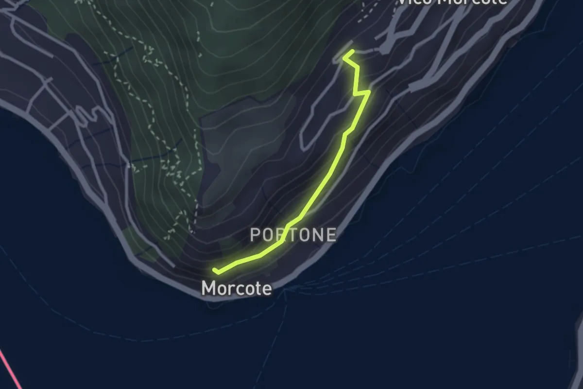
Easy · Trail
Vico Morcote – Santa Maria del Sasso
2.1 km · ↑ 161 m · 51 min · 11 km away
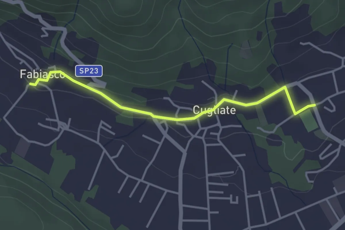
Easy · Trail
Campo sportivo Marchirolo – Parcheggio Cugliate Fabiasco
3.3 km · ↑ 75 m · 57 min · 11 km away
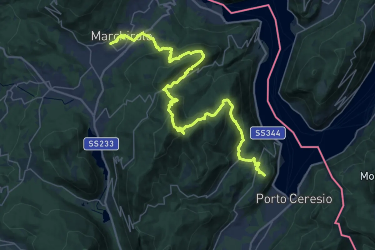
Demanding · Summit
Marchirolo – Porto Ceresio
29.4 km · ↑ 1473 m · 10 h 8 min · 11 km away
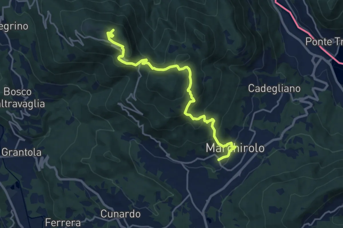
Medium · Summit
Marchirolo – Monte Sette Termini
12.8 km · ↑ 765 m · 4 h 41 min · 11 km away
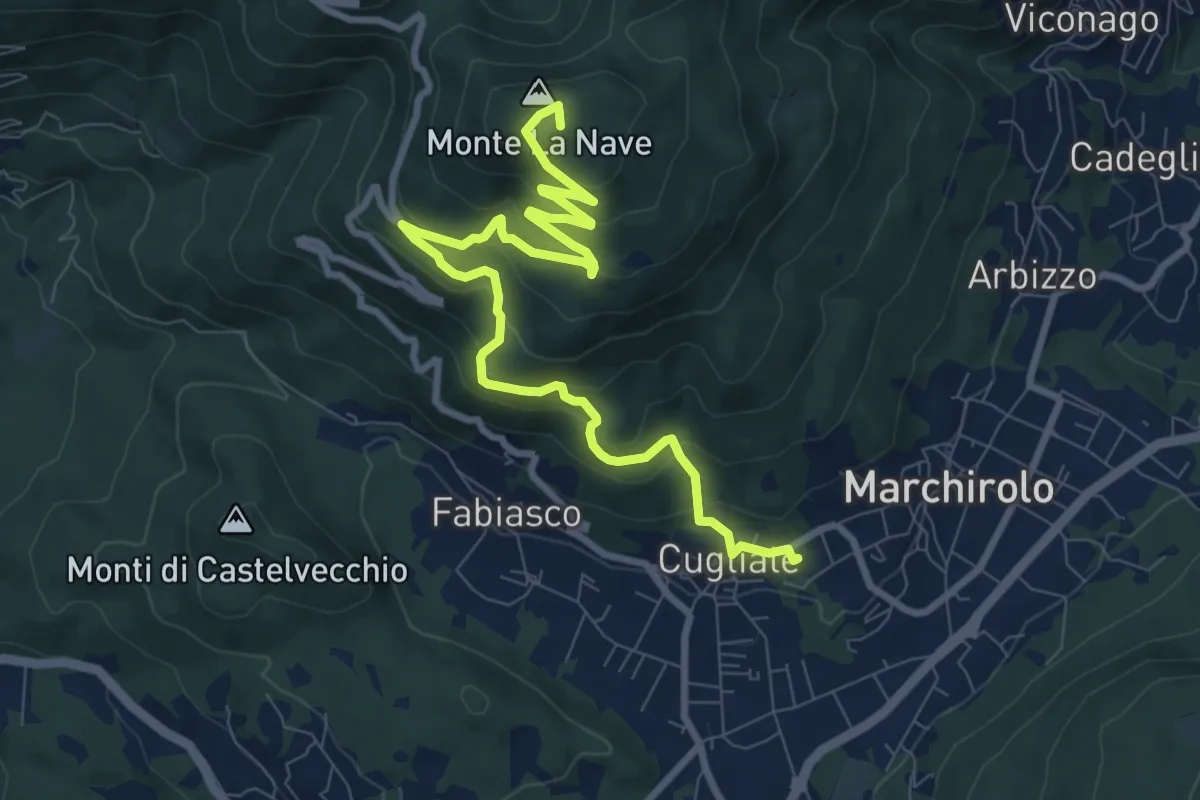
Medium · Summit
Cugliate Fabiasco – Monte la Nave
10.5 km · ↑ 615 m · 3 h 49 min · 11 km away
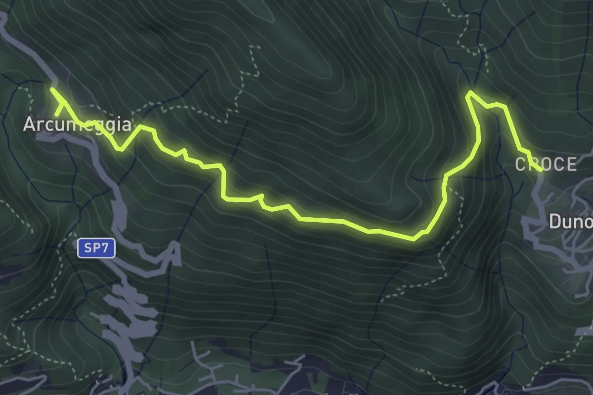
Medium · Trail
Arcumeggia – Duno
5.4 km · ↑ 366 m · 2 h 5 min · 11 km away
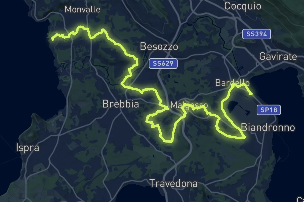
Medium · Trail
Sentiero dei Mulini
17.8 km · ↑ 250 m · 5 h 1 min · 11 km away
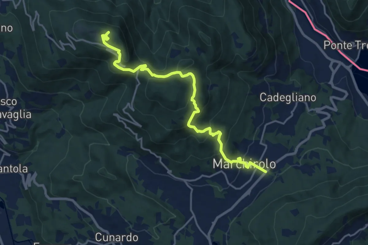
Demanding · Summit
Diga di Creva (Luino) – Marchirolo
13.1 km · ↑ 771 m · 4 h 45 min · 11 km away
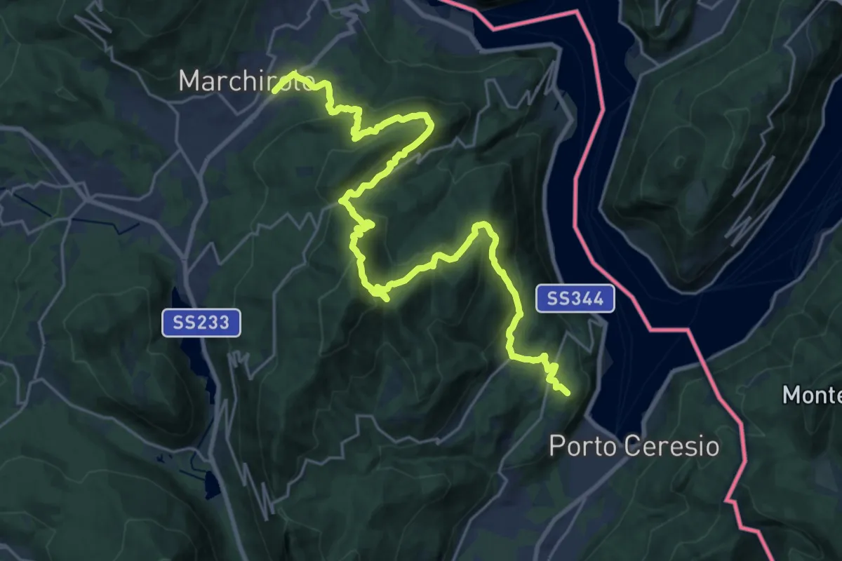
Demanding · Summit
Marchirolo – Porto Ceresio
27.6 km · ↑ 1465 m · 9 h 42 min · 11 km away
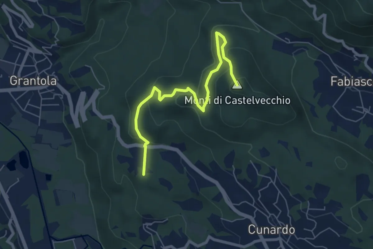
Medium · Summit
Fornaci – Cunardo
5.7 km · ↑ 299 m · 2 h · 11 km away
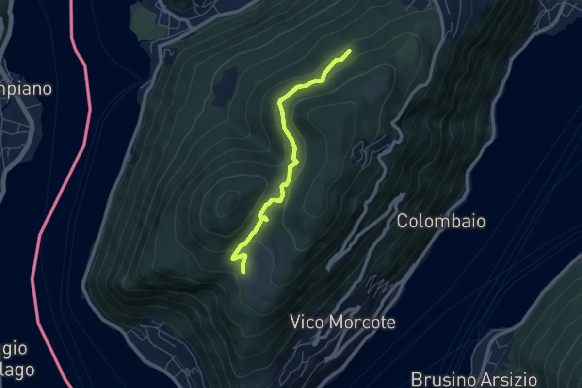
Easy · Trail
Alpe Vicania – Madonna d'Ongero
5.1 km · ↑ 213 m · 1 h 40 min · 11 km away
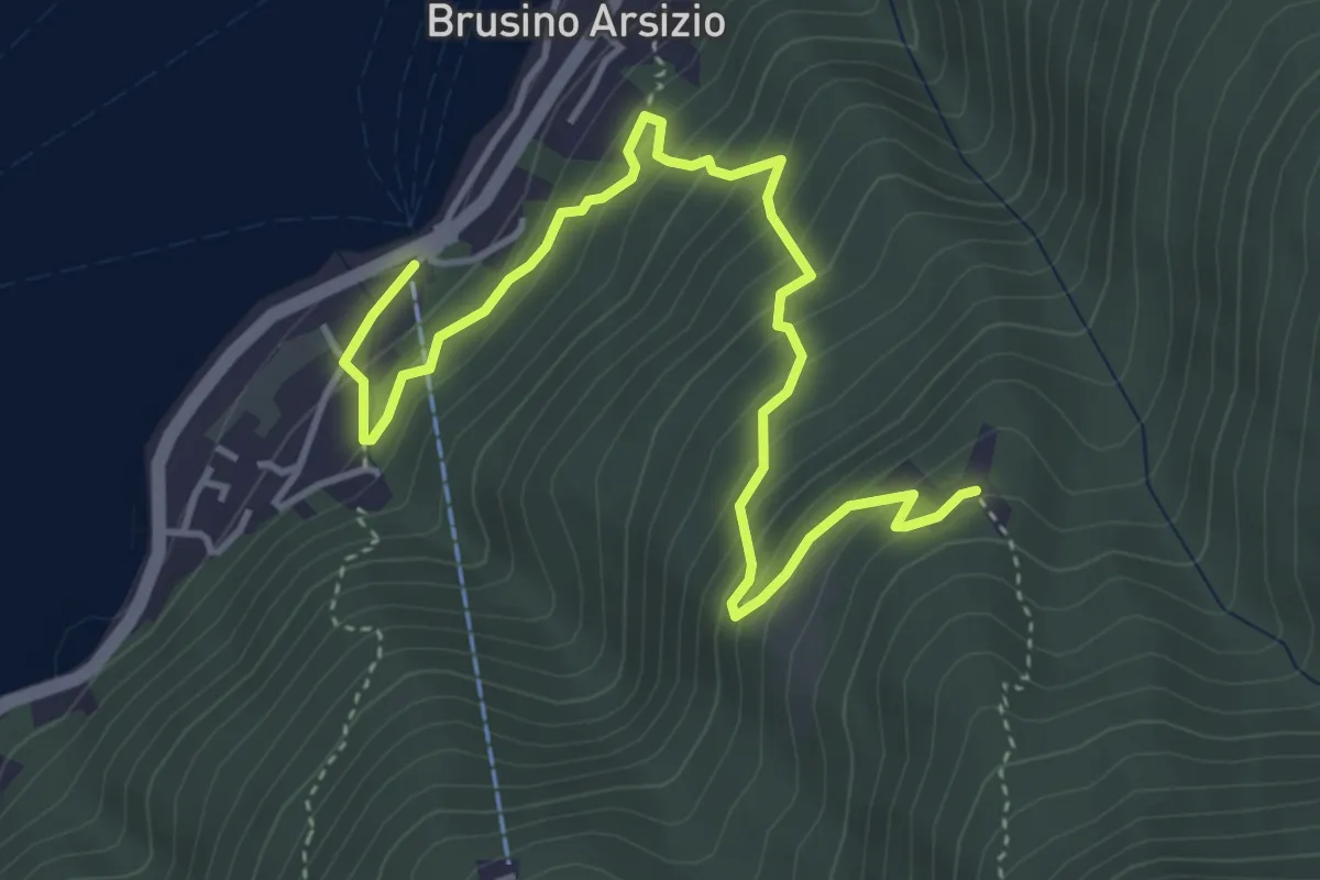
Medium · Trail
Brusino Arsizio Statione – Alpe di Brusino
5.1 km · ↑ 442 m · 2 h 9 min · 11 km away
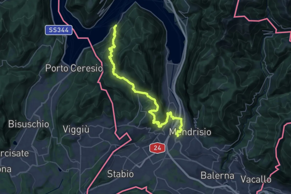
Medium · Trail
ViaGottardo
13.4 km · ↑ 576 m · 4 h 34 min · 11 km away
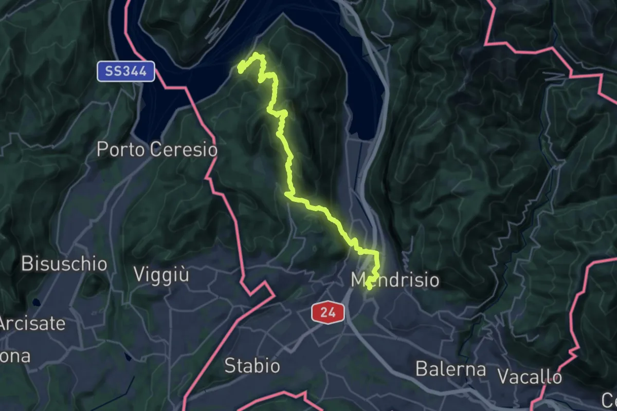
Demanding · Trail
Trans Swiss Trail
12.0 km · ↑ 809 m · 4 h 47 min · 11 km away
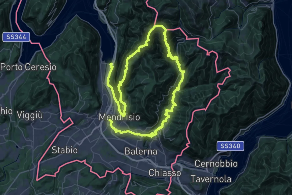
Demanding · Trail
Sentiero Lago di Lugano
32.4 km · ↑ 2076 m · 12 h 38 min · 11 km away
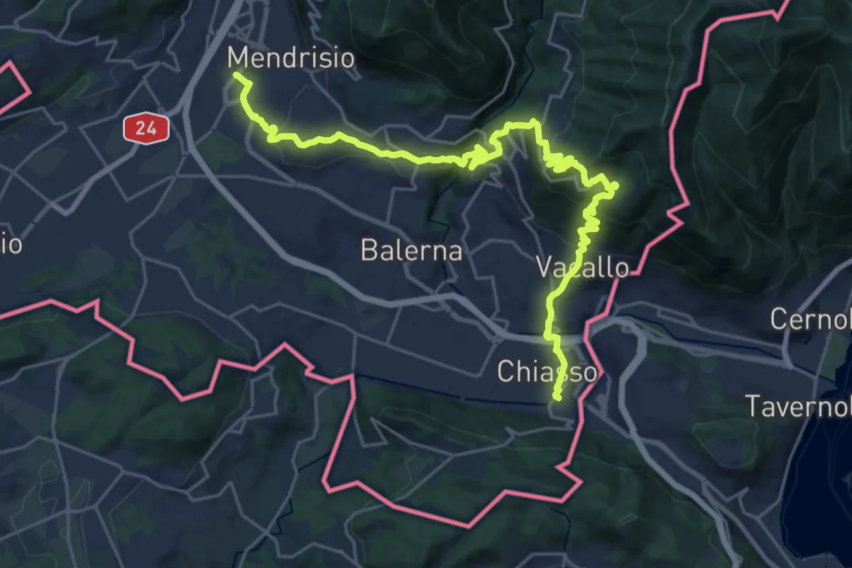
Medium · Trail
ViaGottardo
12.7 km · ↑ 559 m · 4 h 26 min · 11 km away
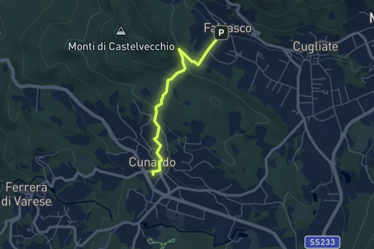
Easy · Trail
Cugliate Fabiasco – Cunardo
4.3 km · ↑ 154 m · 1 h 21 min · 11 km away
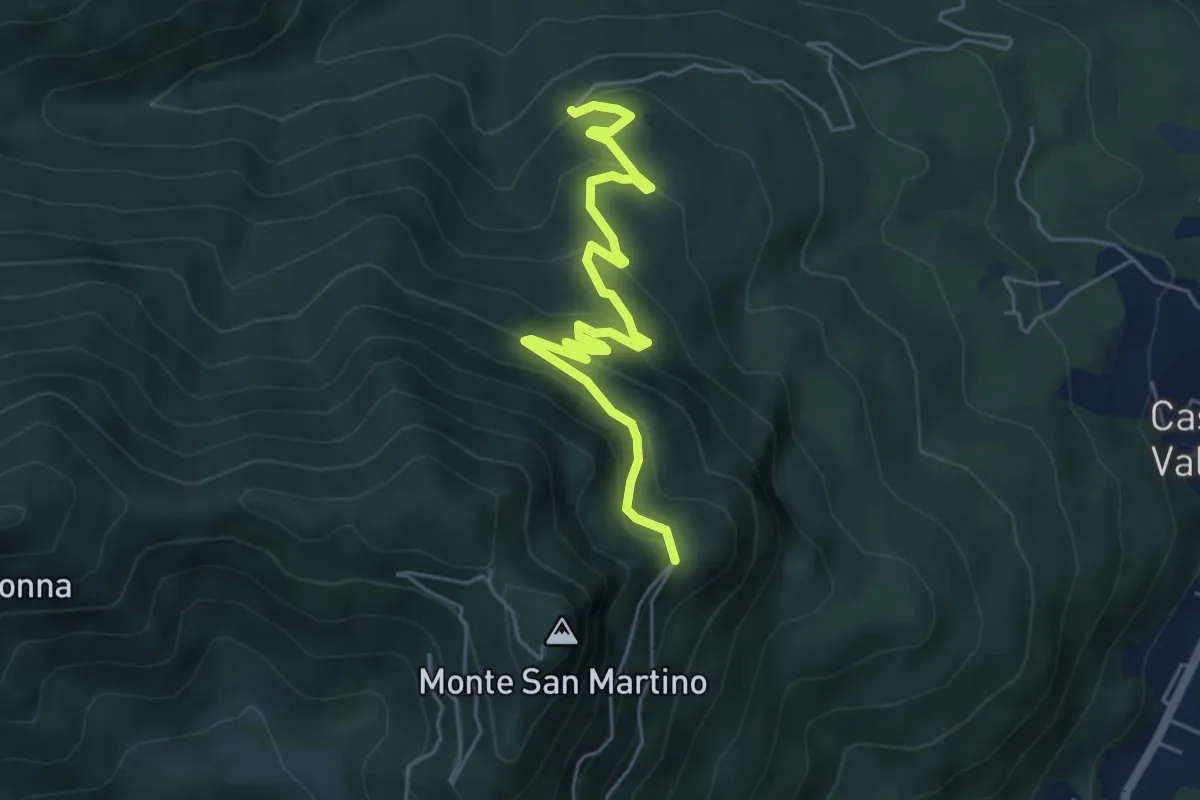
Medium · Trail
Mesenzana – Vallalta
5.8 km · ↑ 354 m · 2 h 8 min · 11 km away
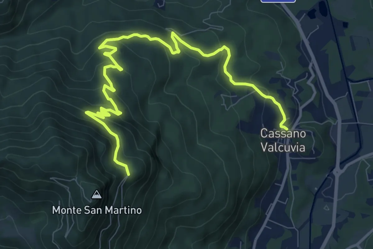
Medium · Trail
Cassano Valcuvia – Villa San Giuseppe
11.6 km · ↑ 624 m · 4 h 6 min · 11 km away
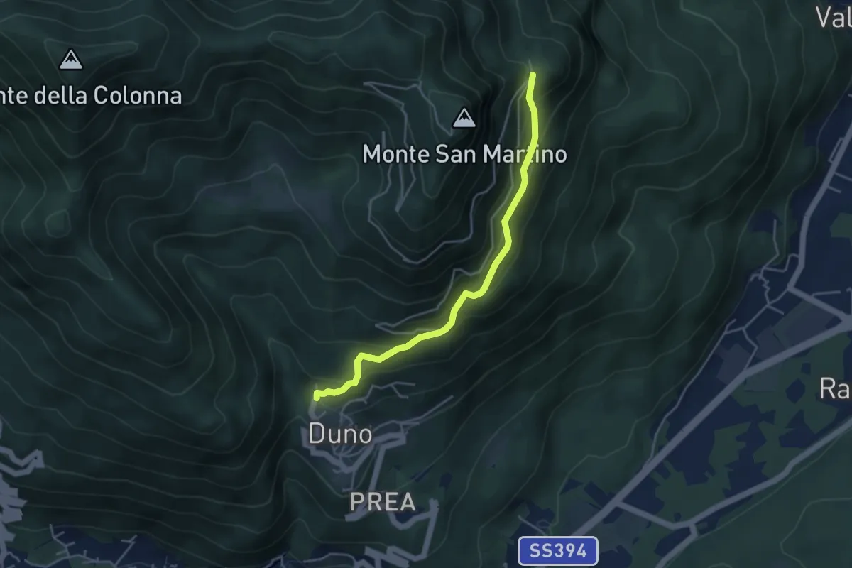
Medium · Trail
Duno – Vallalta
4.1 km · ↑ 303 m · 1 h 38 min · 11 km away
Easy · Trail
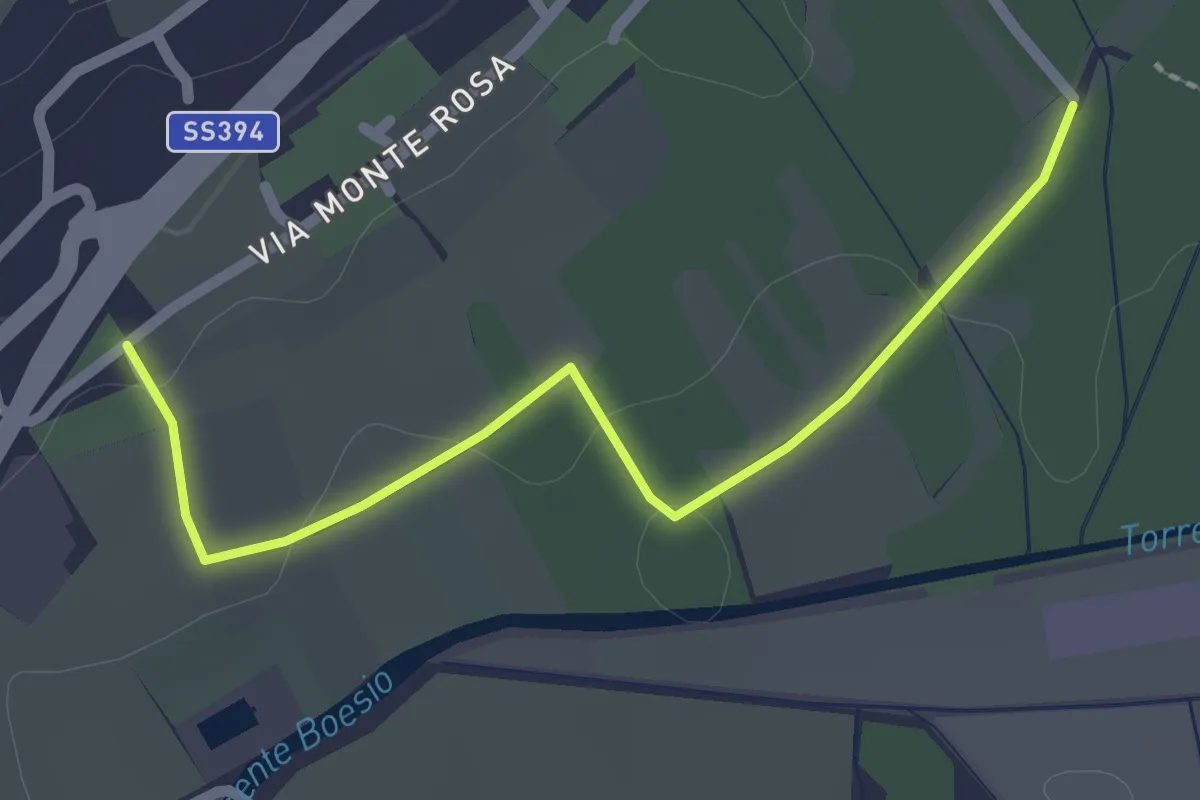
Raccordo 302 – Raccordo 302C
2.3 km · ↑ 21 m · 35 min · 11 km away
Medium · Trail
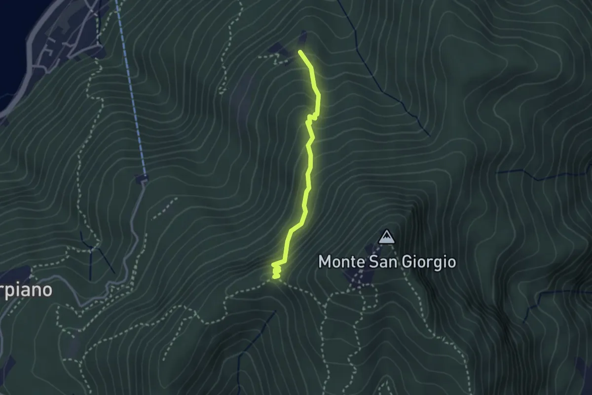
Alpe di Brusino – Punto 902
2.4 km · ↑ 262 m · 1 h 8 min · 11 km away
Easy · Trail
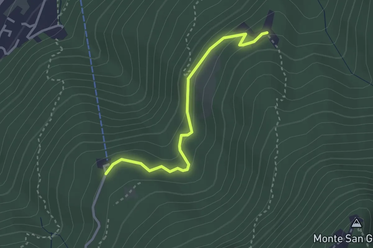
Serpiano Statione – Alpe di Brusino
2.7 km · ↑ 164 m · 1 h · 11 km away
Easy · Trail
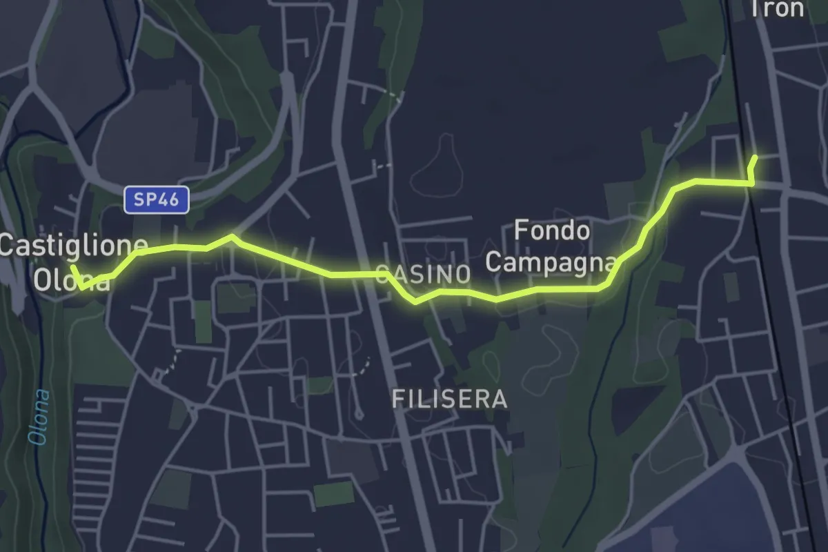
Collegamento Castiglione Olona-Trenord
4.6 km · ↑ 63 m · 1 h 13 min · 11 km away
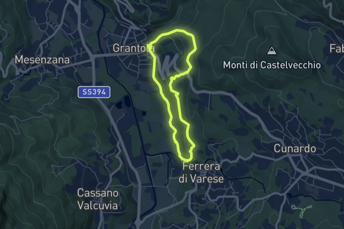
Easy · Trail
Grantola – Grantola
4.5 km · ↑ 187 m · 1 h 32 min · 11 km away
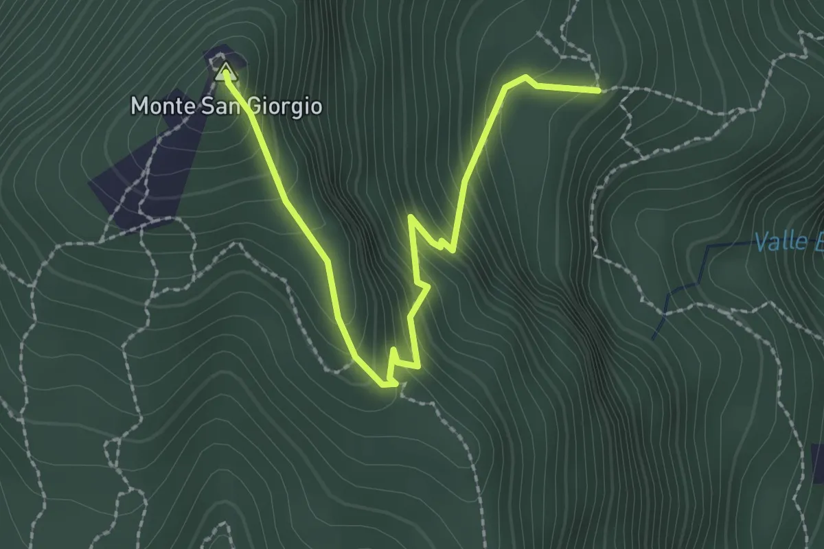
Easy · Summit
M.te San Giorgio - Pozzo? - fixme
2.6 km · ↑ 257 m · 1 h 11 min · 11 km away
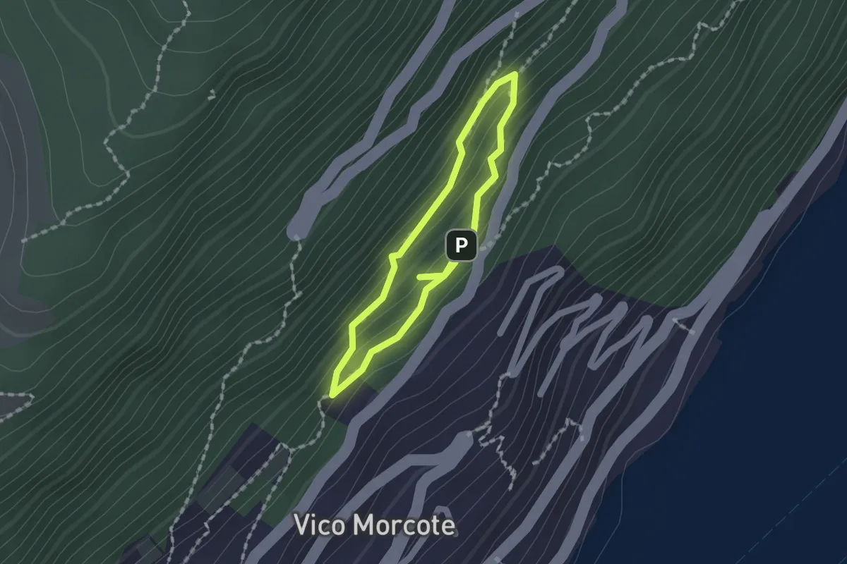
Medium · Trail
Sentiero dei Sensi
1.2 km · ↑ 96 m · 30 min · 11 km away
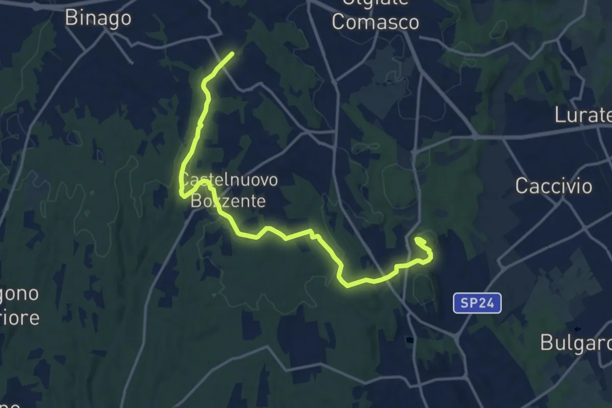
Medium · Trail
Sentiero 846
13.8 km · ↑ 196 m · 3 h 41 min · 11 km away
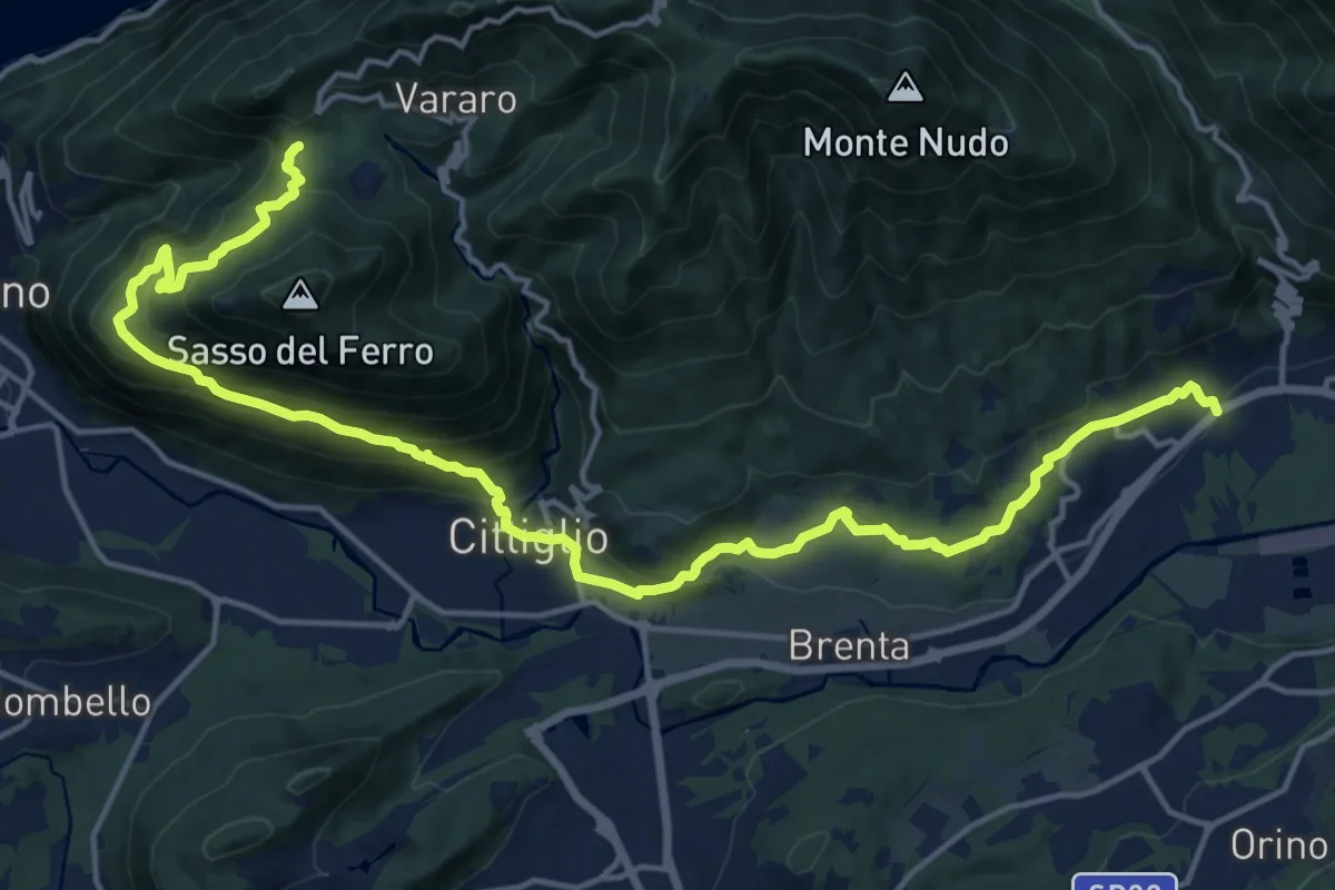
Demanding · Trail
Casalzuigno – Cittiglio-Vararo
21.0 km · ↑ 1143 m · 7 h 26 min · 11 km away
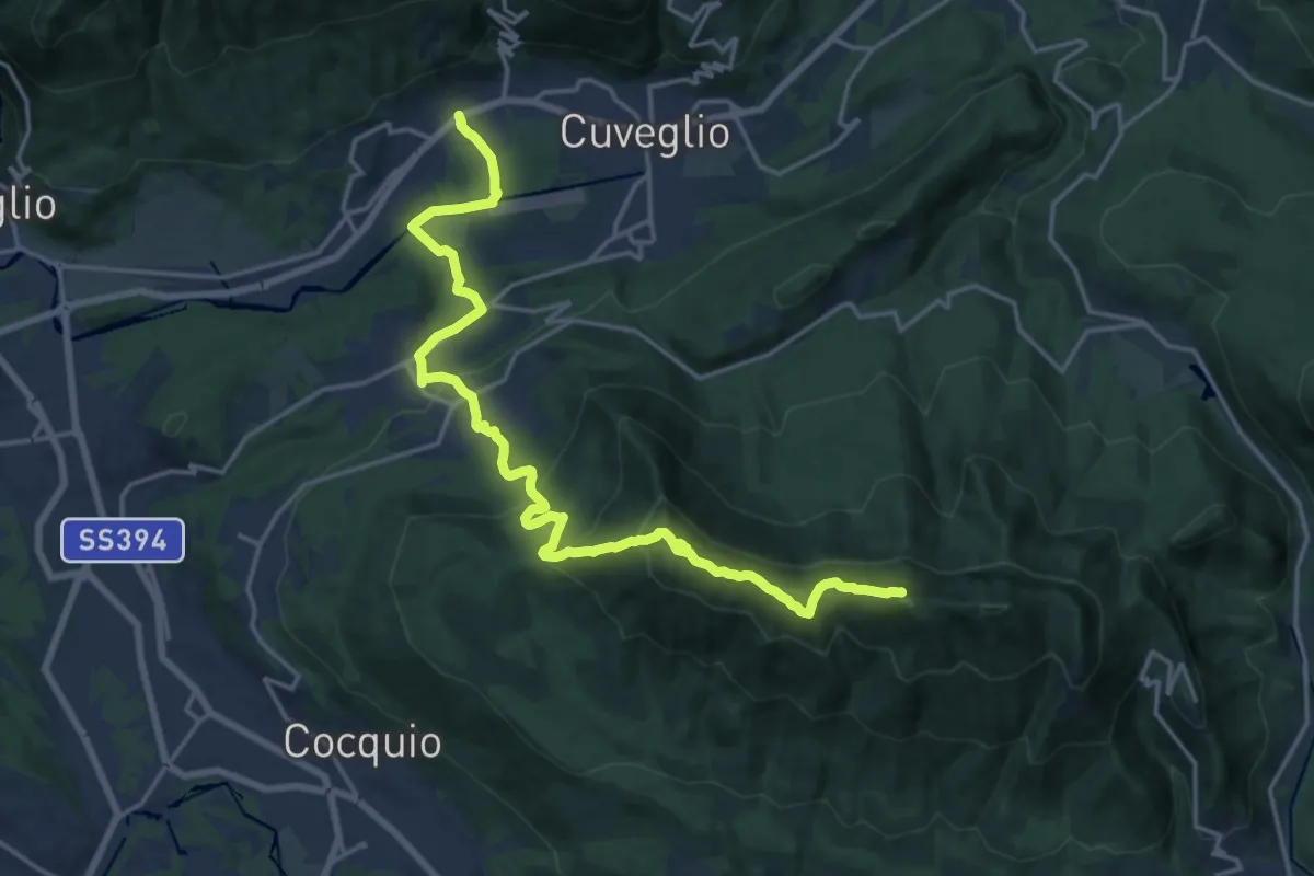
Demanding · Summit
Via Verde Varesina Tappa 3
20.6 km · ↑ 1094 m · 7 h 14 min · 11 km away
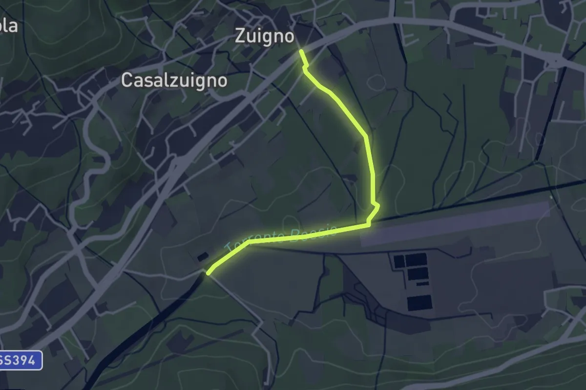
Easy · Trail
Casalzuigno – Località Prada
3.2 km · ↑ 27 m · 49 min · 11 km away
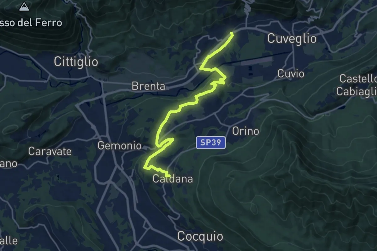
Medium · Trail
Villa Bozzolo – Caldana
15.6 km · ↑ 281 m · 4 h 17 min · 11 km away
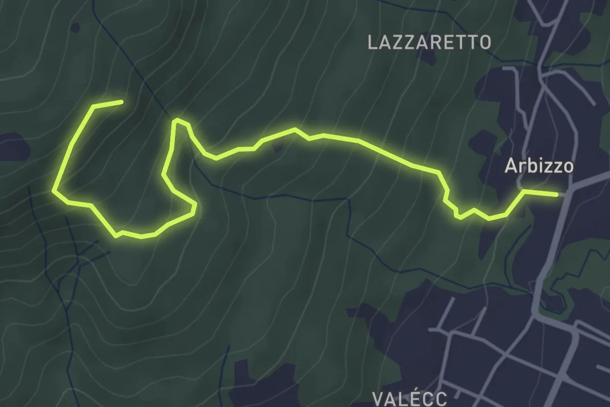
Medium · Trail
Arbizzo – Chiesa di San Paolo
4.9 km · ↑ 456 m · 2 h 8 min · 12 km away
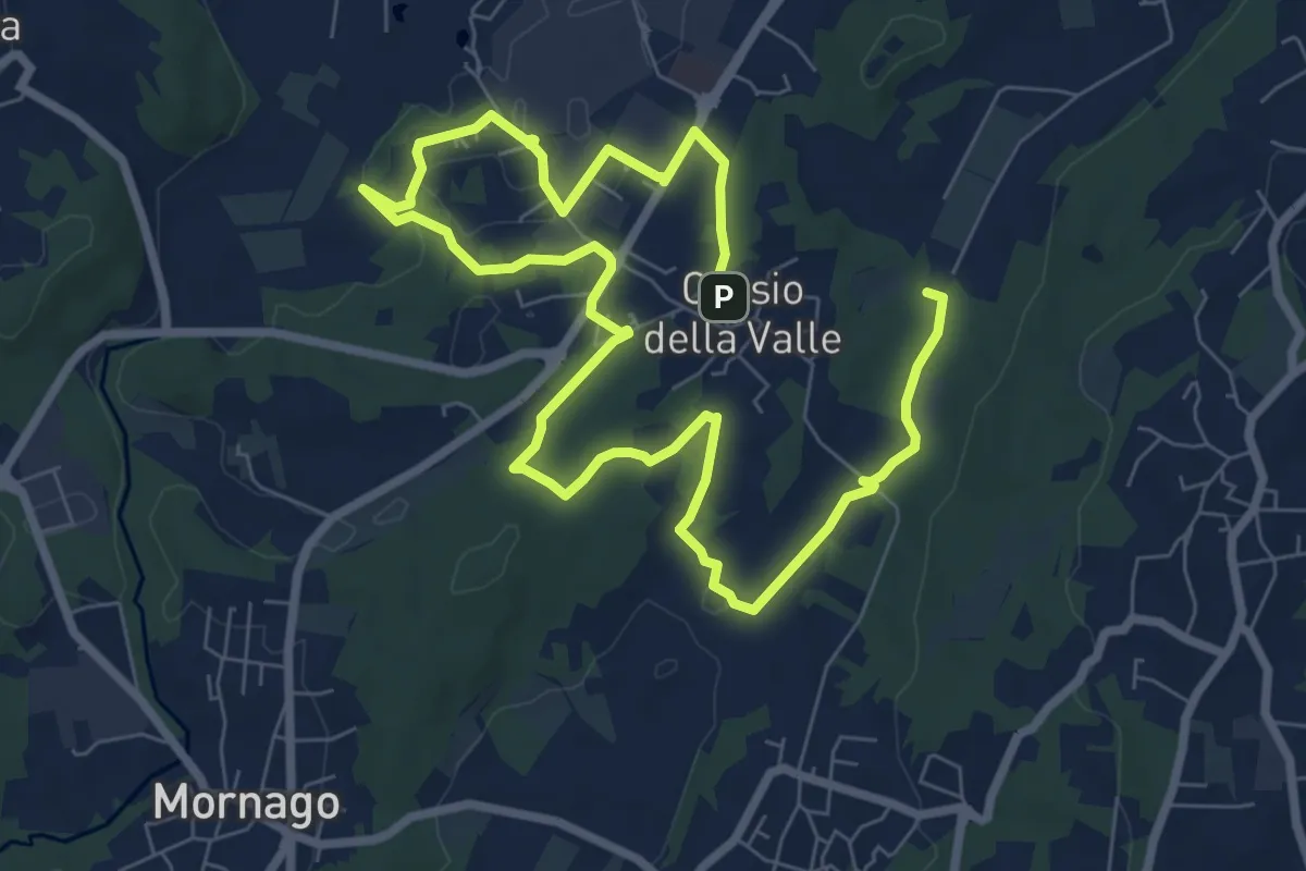
Medium · Trail
Piane Viscontee - Anello di Crosio della Valle
12.8 km · ↑ 141 m · 3 h 19 min · 12 km away
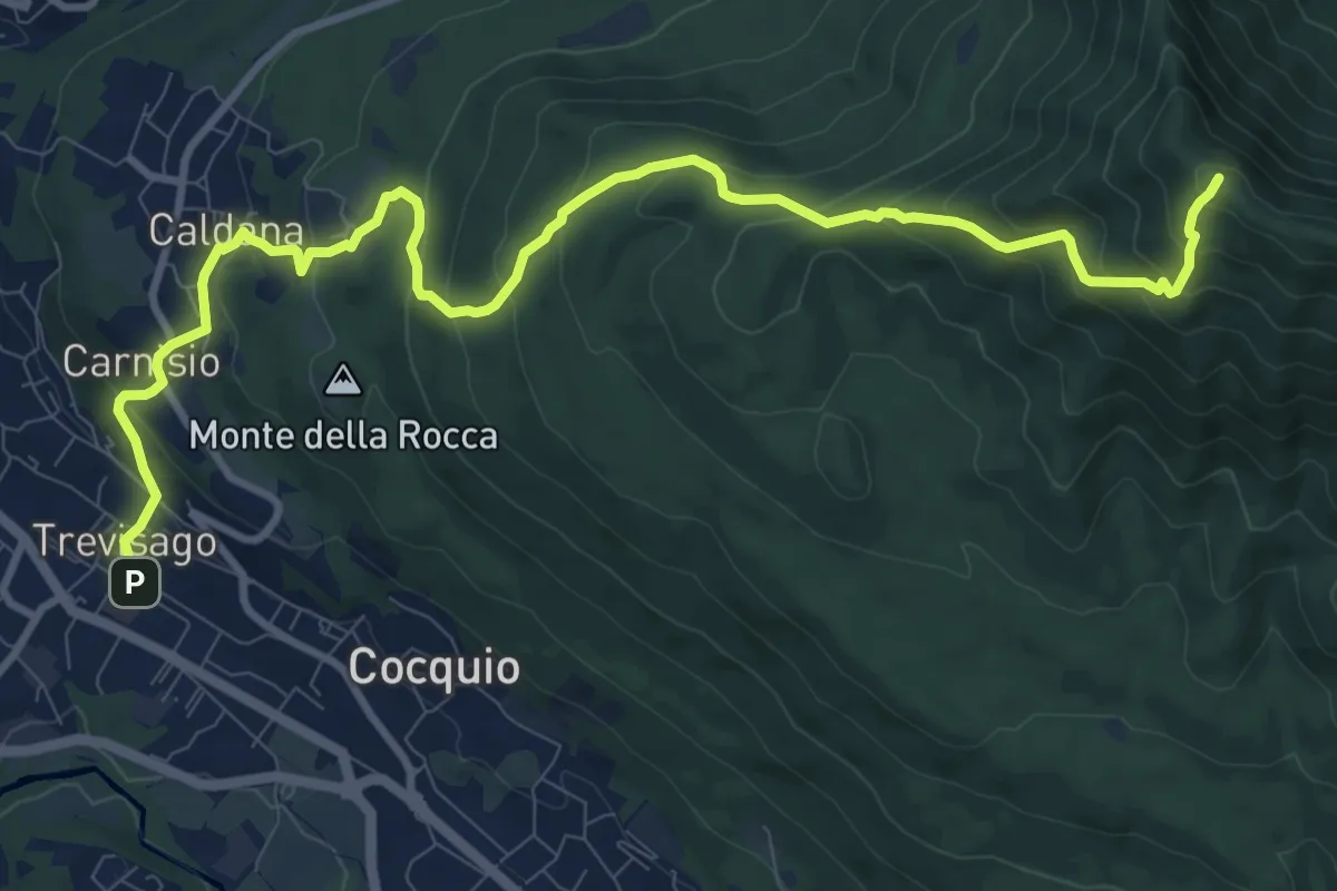
Demanding · Summit
Cocquio Trevisago – Forte di Orino
12.6 km · ↑ 832 m · 4 h 47 min · 12 km away
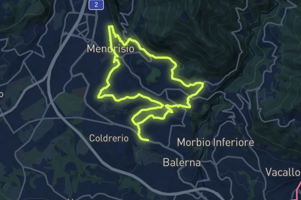
Medium · Trail
Itinerario "L’uomo e la vite"
10.9 km · ↑ 309 m · 3 h 24 min · 12 km away
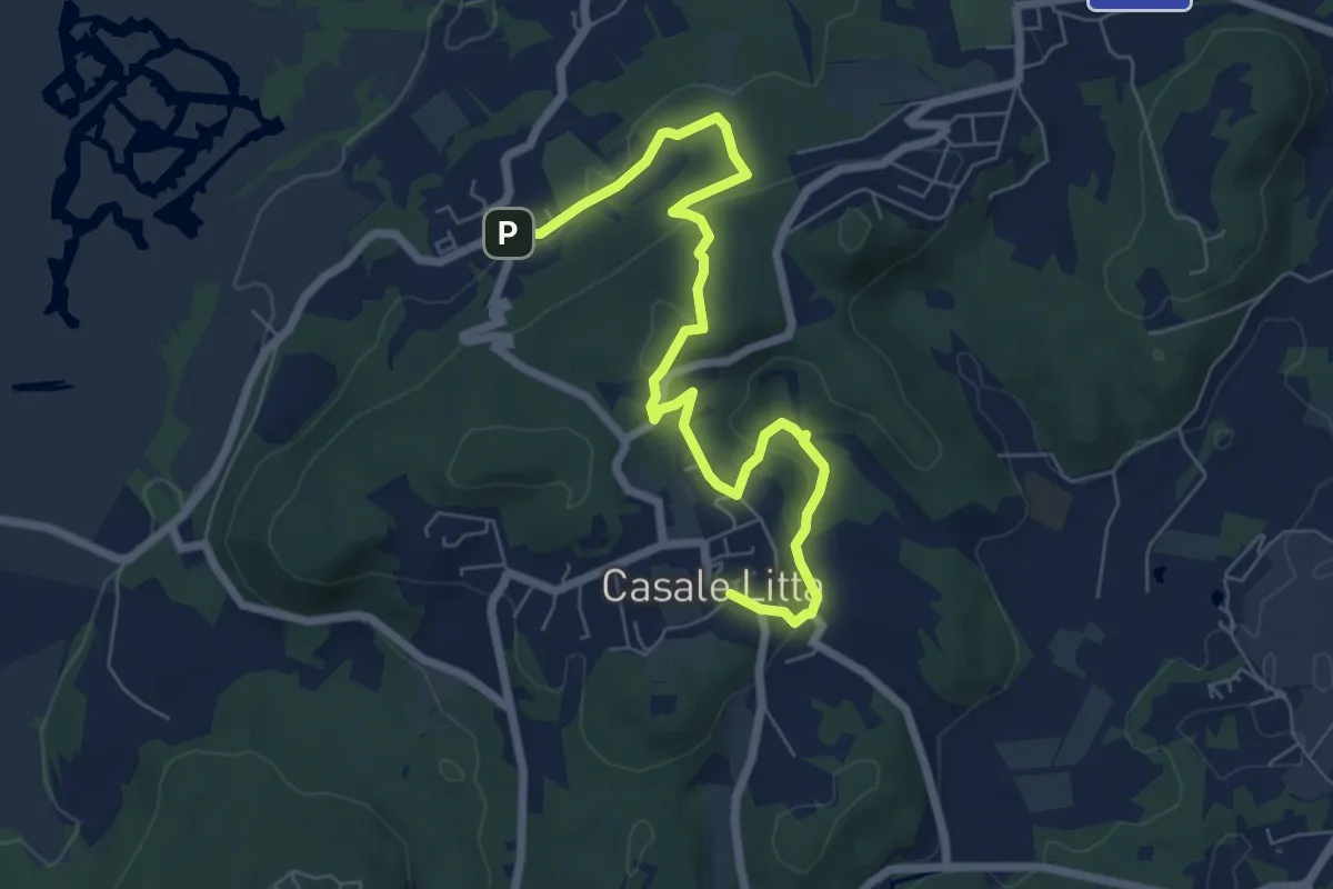
Easy · Trail
Piane Viscontee - Anello di Casale Litta
7.7 km · ↑ 219 m · 2 h 18 min · 12 km away
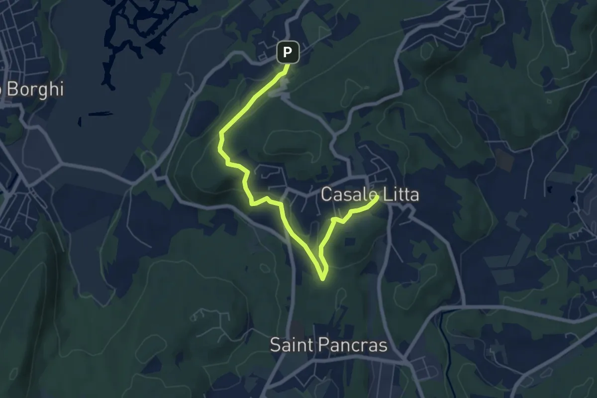
Easy · Trail
Piane Viscontee - Anello di Casale Litta
6.7 km · ↑ 183 m · 1 h 59 min · 12 km away
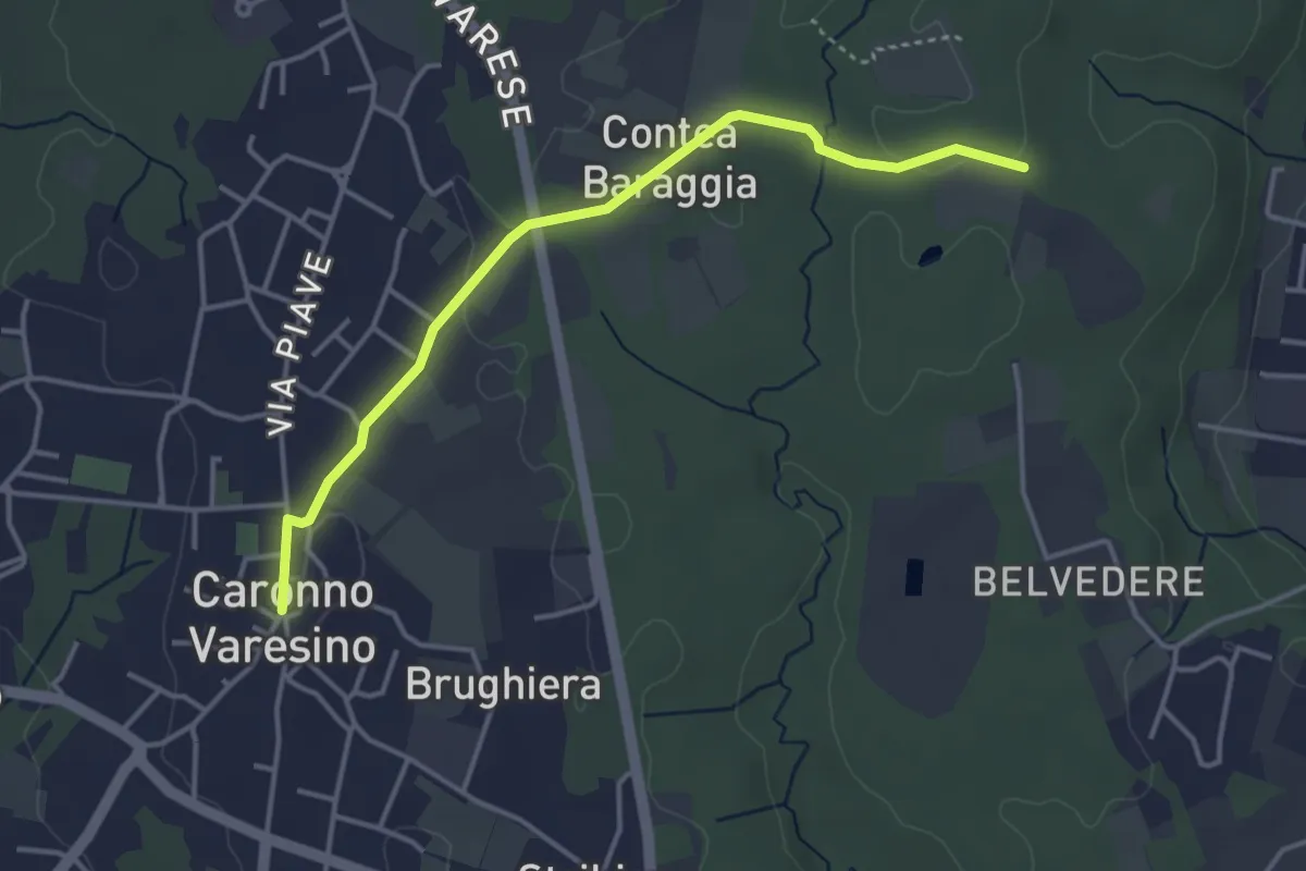
Easy · Trail
520D Collegamento Caronno Varesino-Dorsale RTO
4.0 km · ↑ 32 m · 1 h · 12 km away
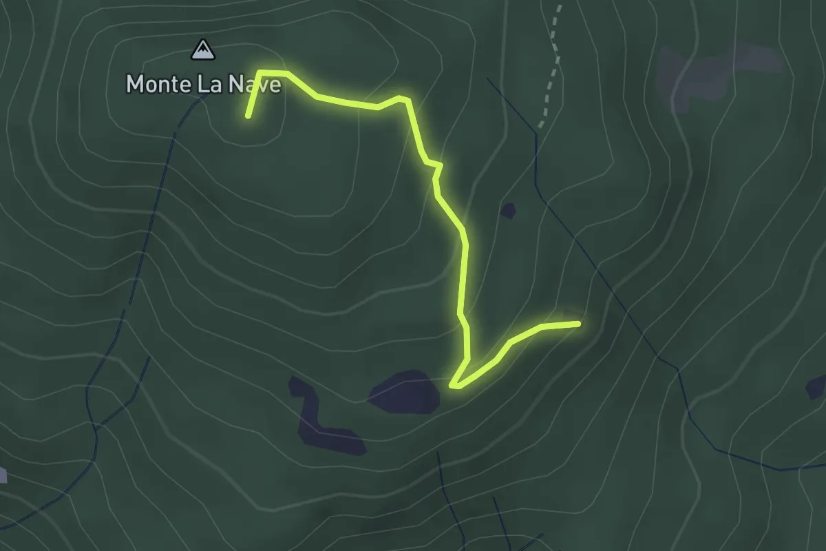
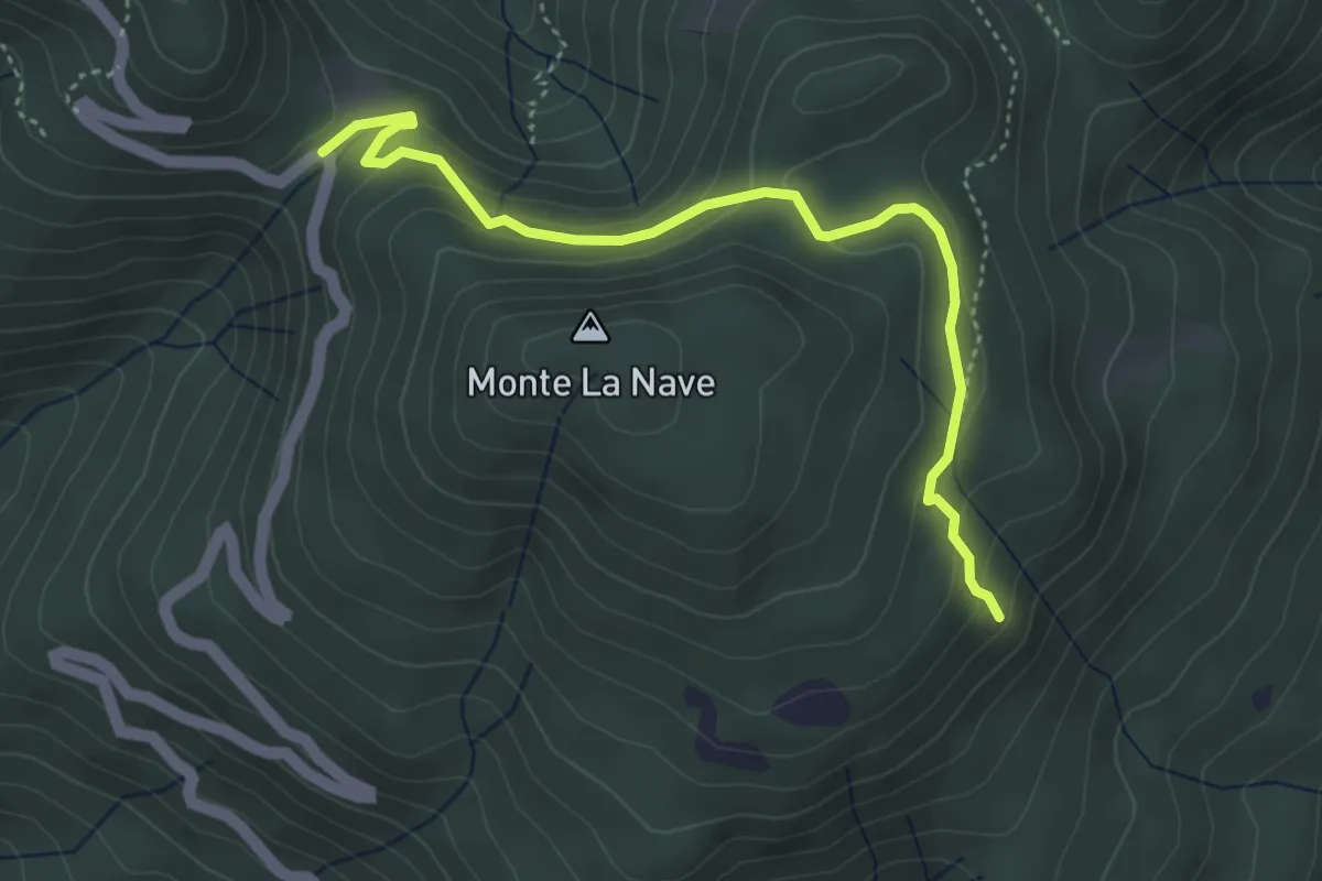
Easy · Summit
Chiesa di San Paolo – Monte la Nave
2.5 km · ↑ 153 m · 55 min · 12 km away
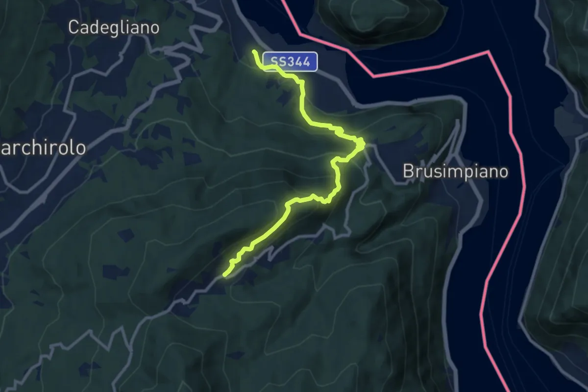
Easy · Trail
3 Valli Varesine
4.3 km · ↑ 227 m · 1 h 30 min · 12 km away
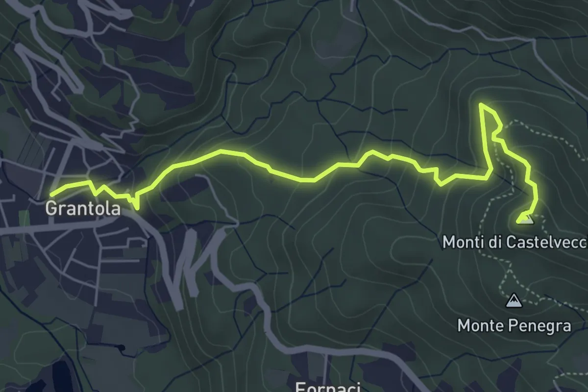
Medium · Trail
Lavena Ponte tresa – Marzio
9.1 km · ↑ 570 m · 3 h 23 min · 12 km away
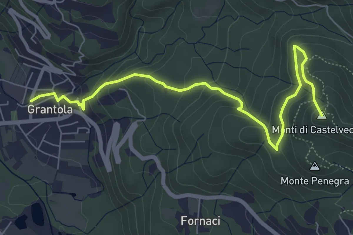
Medium · Summit
Grantola – Cugliate Fabiasco
6.2 km · ↑ 392 m · 2 h 19 min · 12 km away
Medium · Summit
Grantola – Cunardo
6.8 km · ↑ 417 m · 2 h 30 min · 12 km away
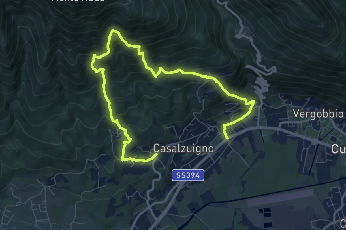
Demanding · Trail
Casale – Aga-Villa Bozzolo
11.5 km · ↑ 1072 m · 5 h 3 min · 12 km away
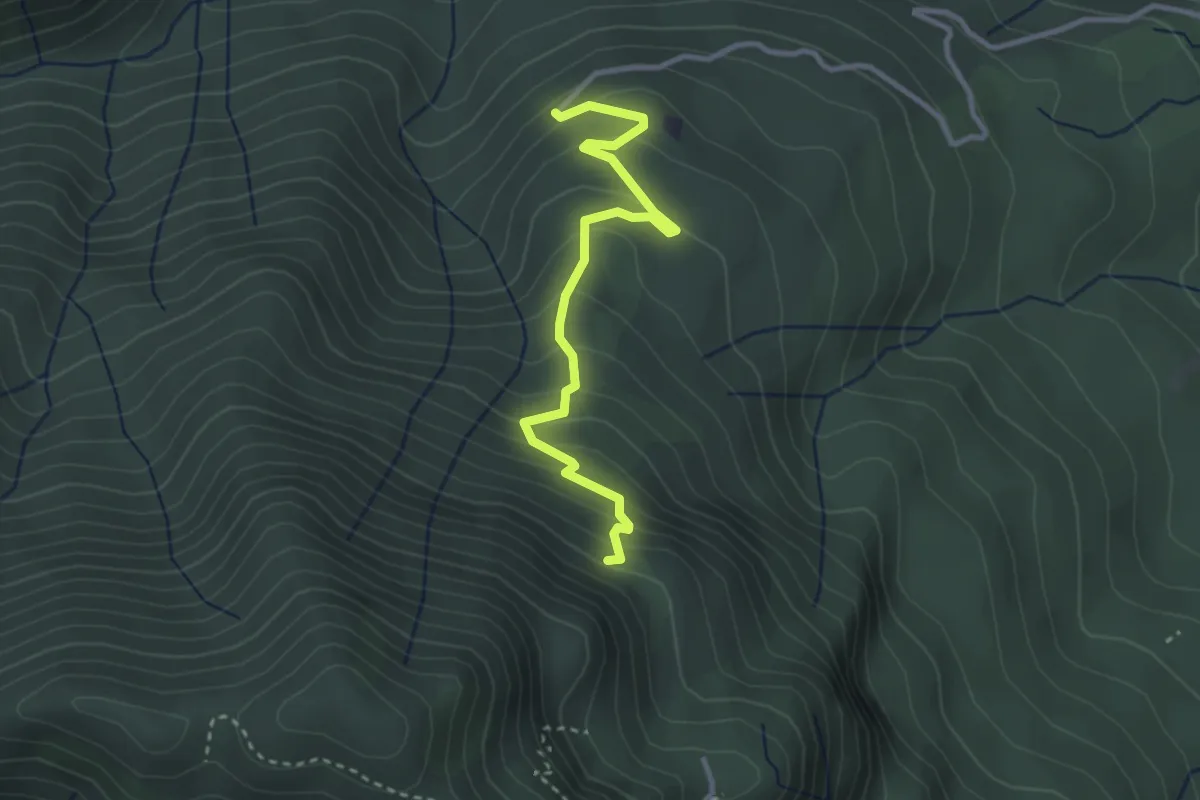
Easy · Trail
260B Sentiero delle Trincee
3.1 km · ↑ 266 m · 1 h 19 min · 12 km away
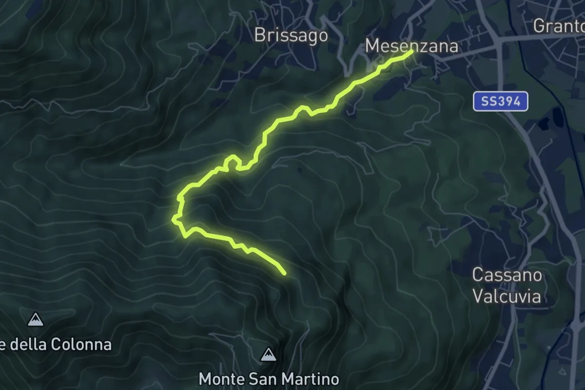
Medium · Trail
250A Strada dei Moianchi
7.6 km · ↑ 710 m · 3 h 19 min · 12 km away
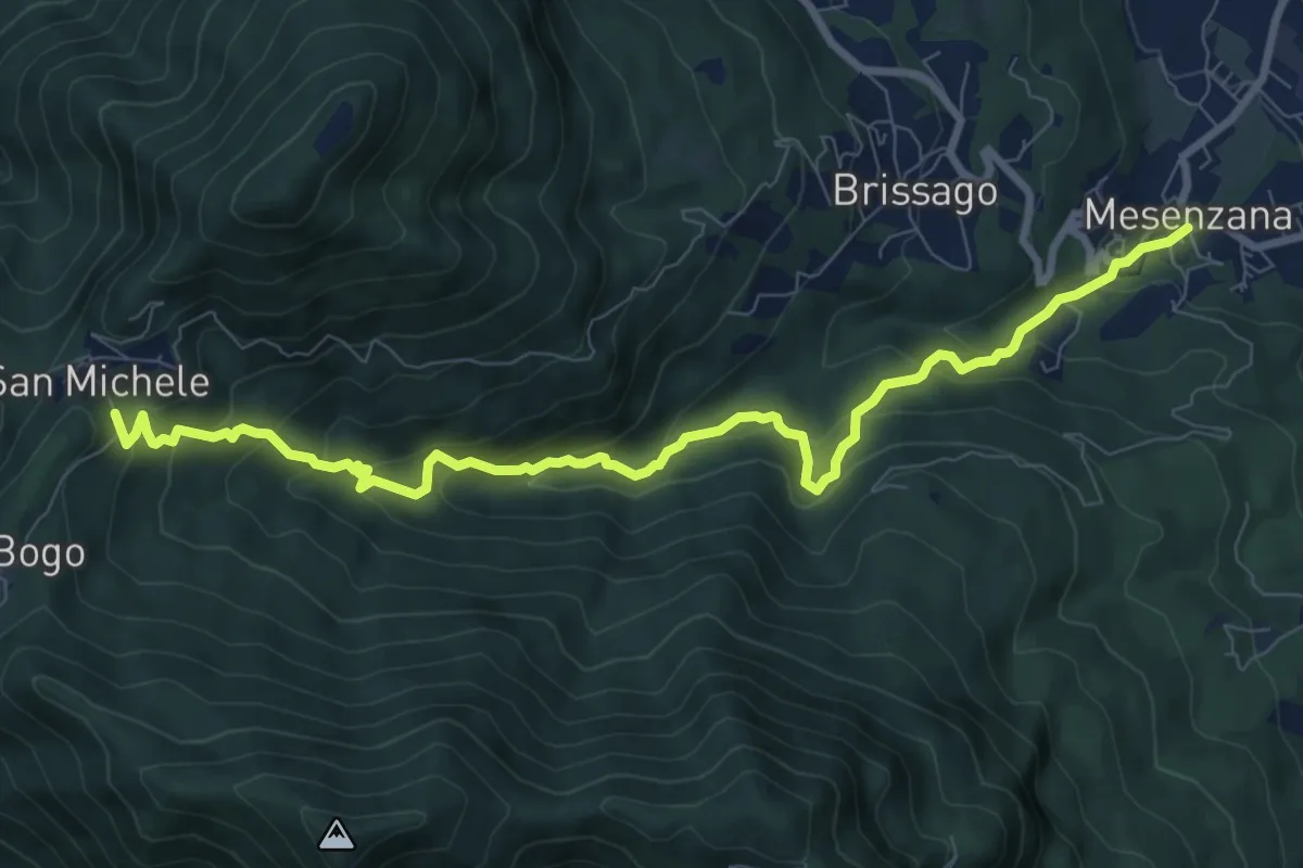
Medium · Trail
250 Sentiero Insubrico
9.8 km · ↑ 740 m · 3 h 55 min · 12 km away