Trails near Innichen - San Candido
95 hikes starting within 15 km, nearest first.
Nearest first, page 1 of 2
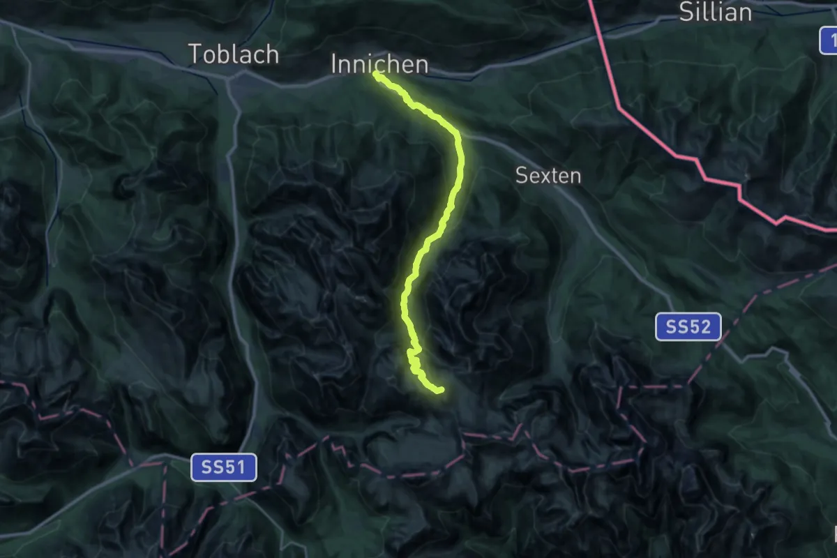
Demanding · Summit
Innichen - San Candido – rif. Auronzo, parcheggio ovest
28.0 km · ↑ 1530 m · 9 h 55 min · under 1 km away
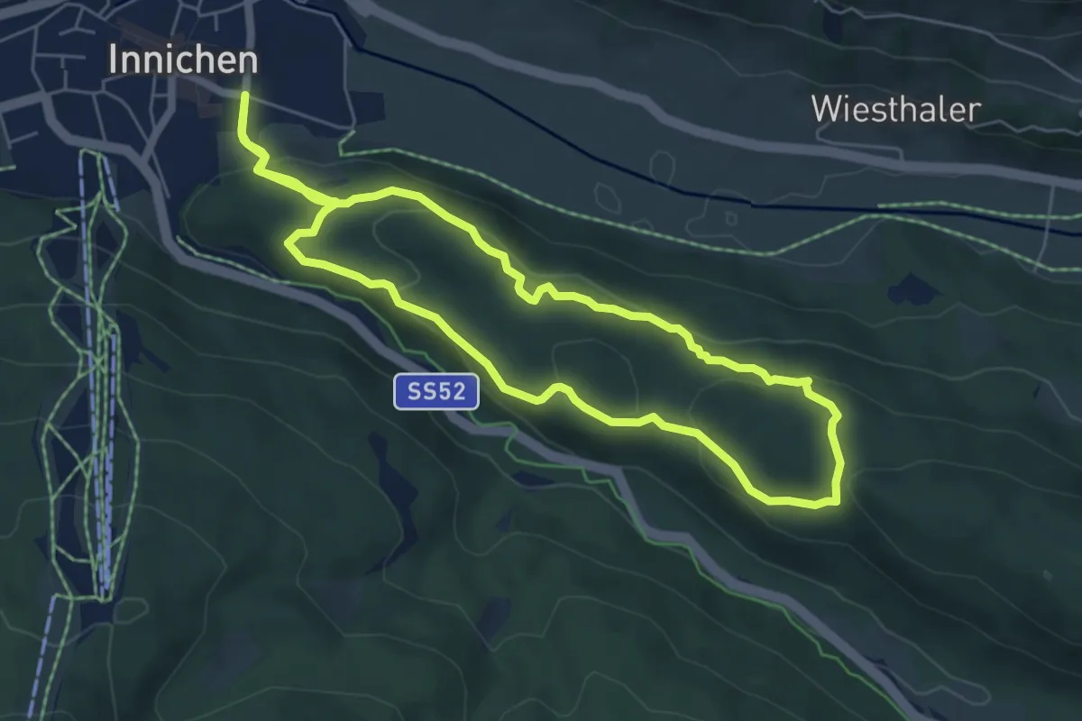
Easy · Trail
Rundweg Burg
5.7 km · ↑ 249 m · 1 h 57 min · under 1 km away
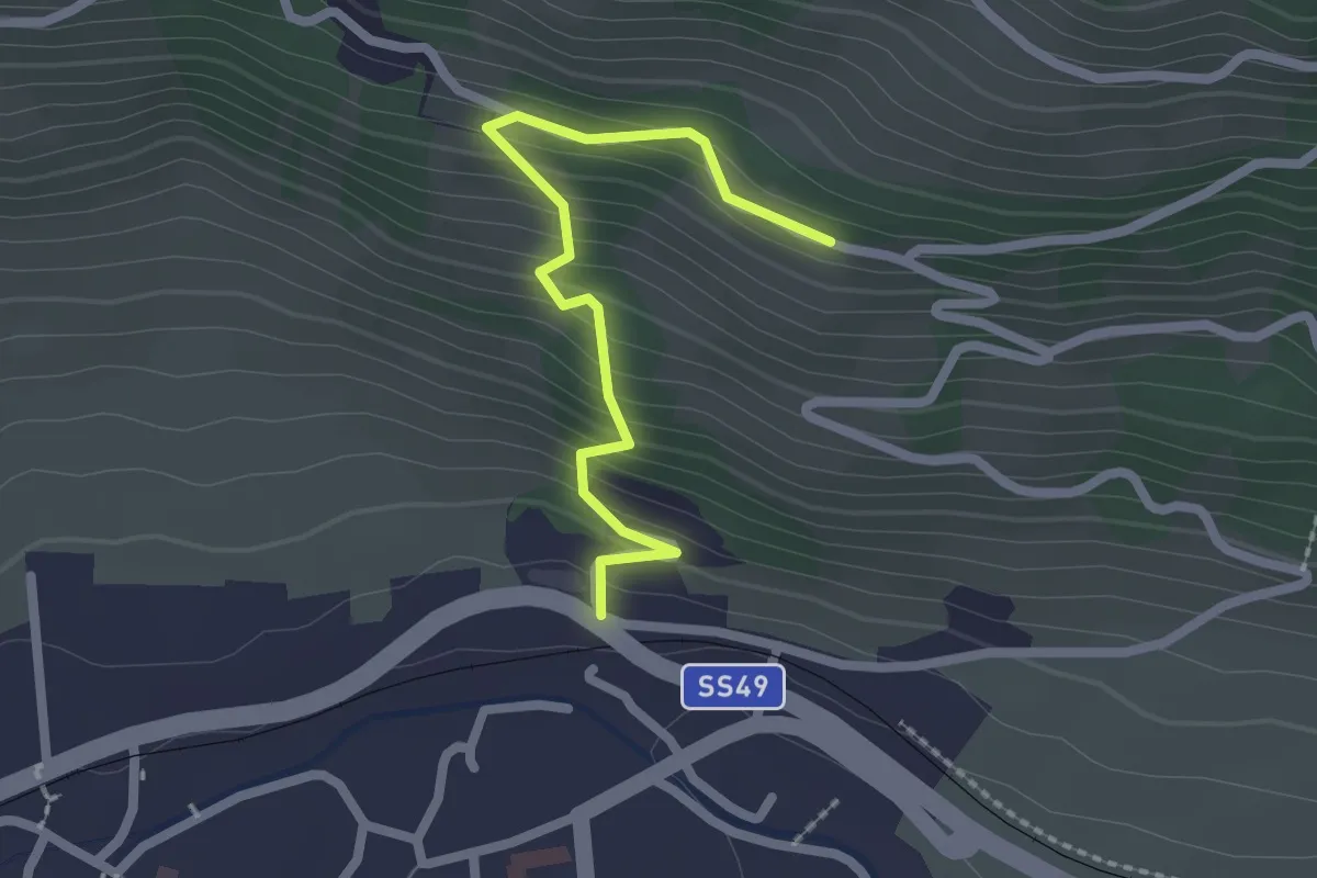
Easy · Trail
Kirchsteig
2.2 km · ↑ 227 m · 1 h · 1 km away
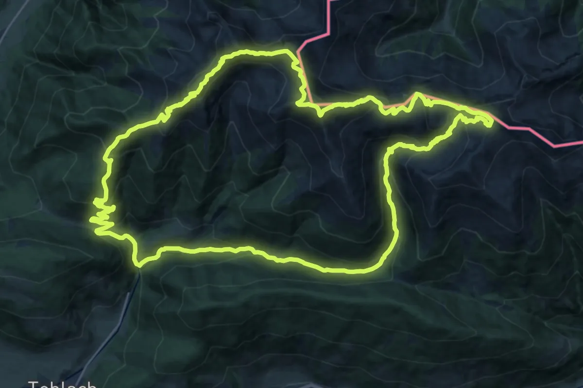
Demanding · Summit
Toblacher Höhenweg
26.1 km · ↑ 1599 m · 9 h 59 min · 4 km away
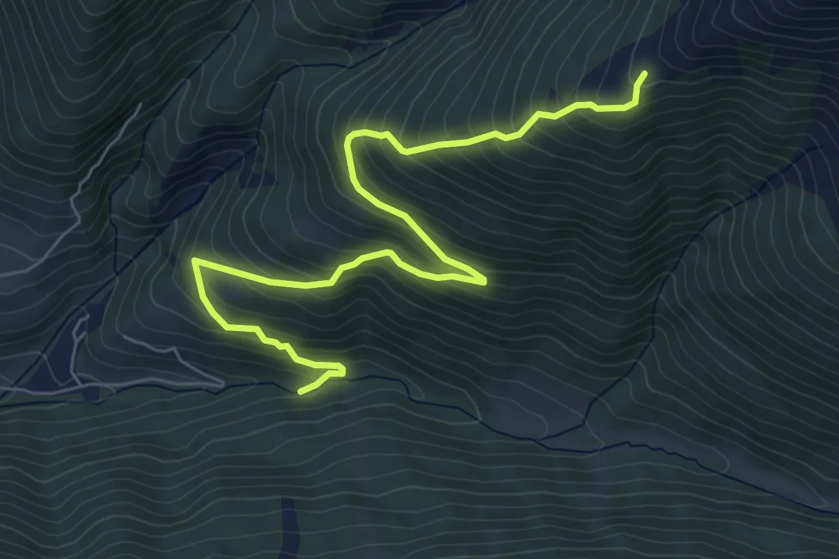
Medium · Trail
Schnegga Säge - Hühnerspiel
7.0 km · ↑ 577 m · 2 h 54 min · 4 km away
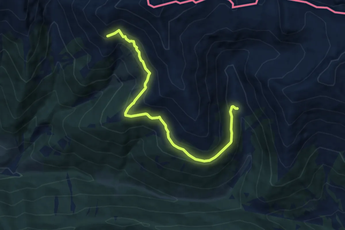
Medium · Cabin
Bonnerhütte - Steinbergalm
9.6 km · ↑ 604 m · 3 h 35 min · 4 km away
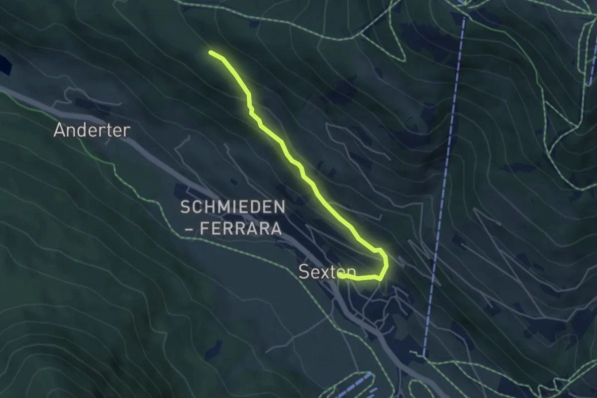
Easy · Trail
Besinnungsweg
4.2 km · ↑ 293 m · 1 h 38 min · 5 km away
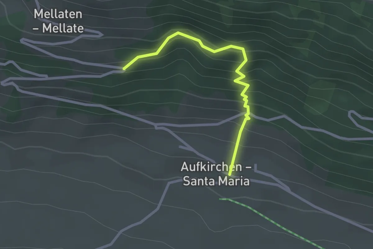
Easy · Trail
Besinnungsweg
2.2 km · ↑ 250 m · 1 h 4 min · 6 km away
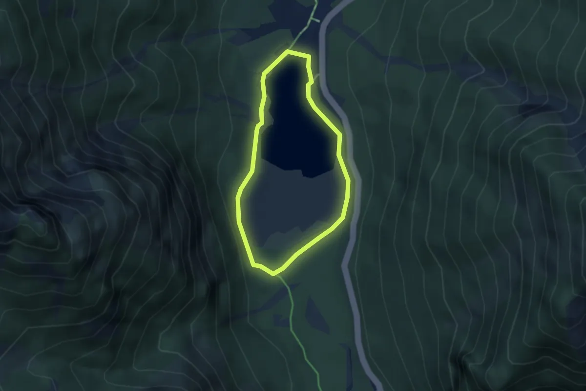
Easy · Trail
Naturlehrpfad
2.5 km · ↑ 38 m · 43 min · 6 km away
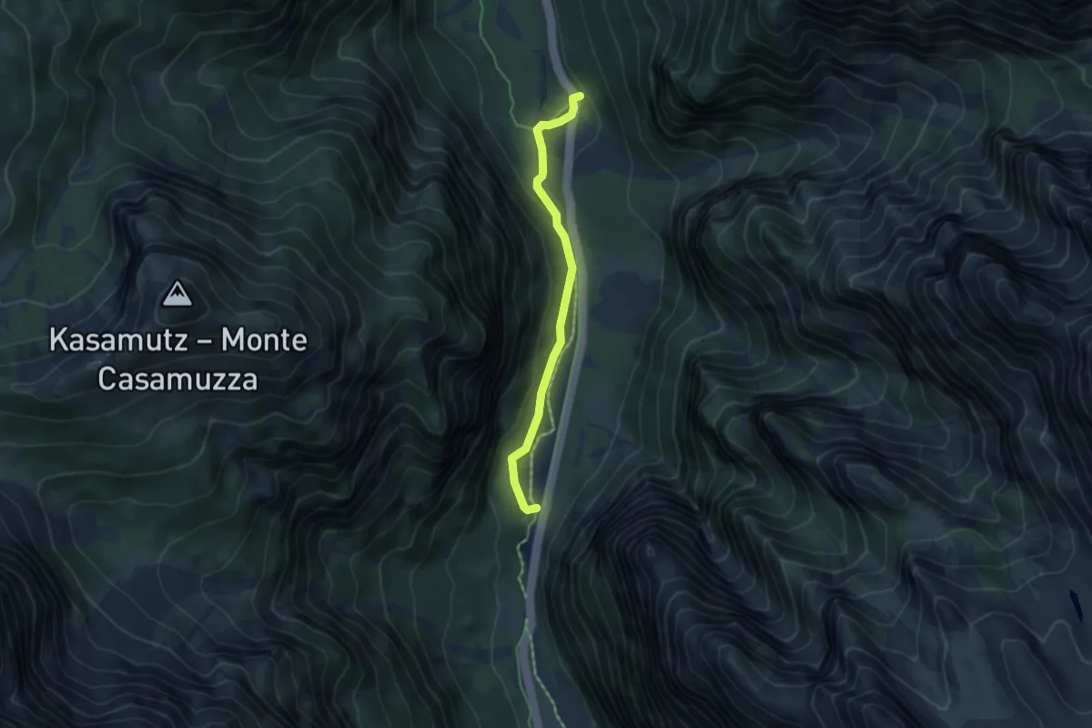
Easy · Trail
Schmelzöfen
4.2 km · ↑ 139 m · 1 h 18 min · 6 km away
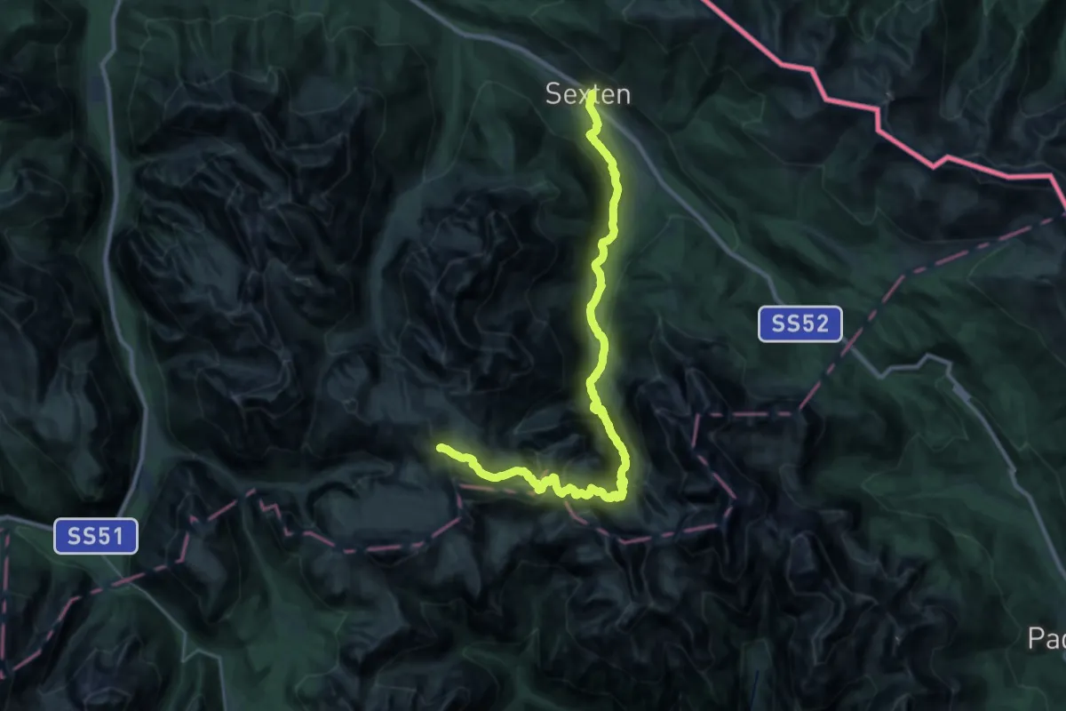
Demanding · Cabin
Dolomites World Heritage Geotrail 16
15.4 km · ↑ 1461 m · 6 h 28 min · 6 km away
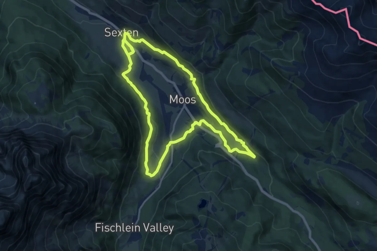
Medium · Trail
Sextener Rundweg
11.4 km · ↑ 371 m · 3 h 38 min · 6 km away
Expert · Trail
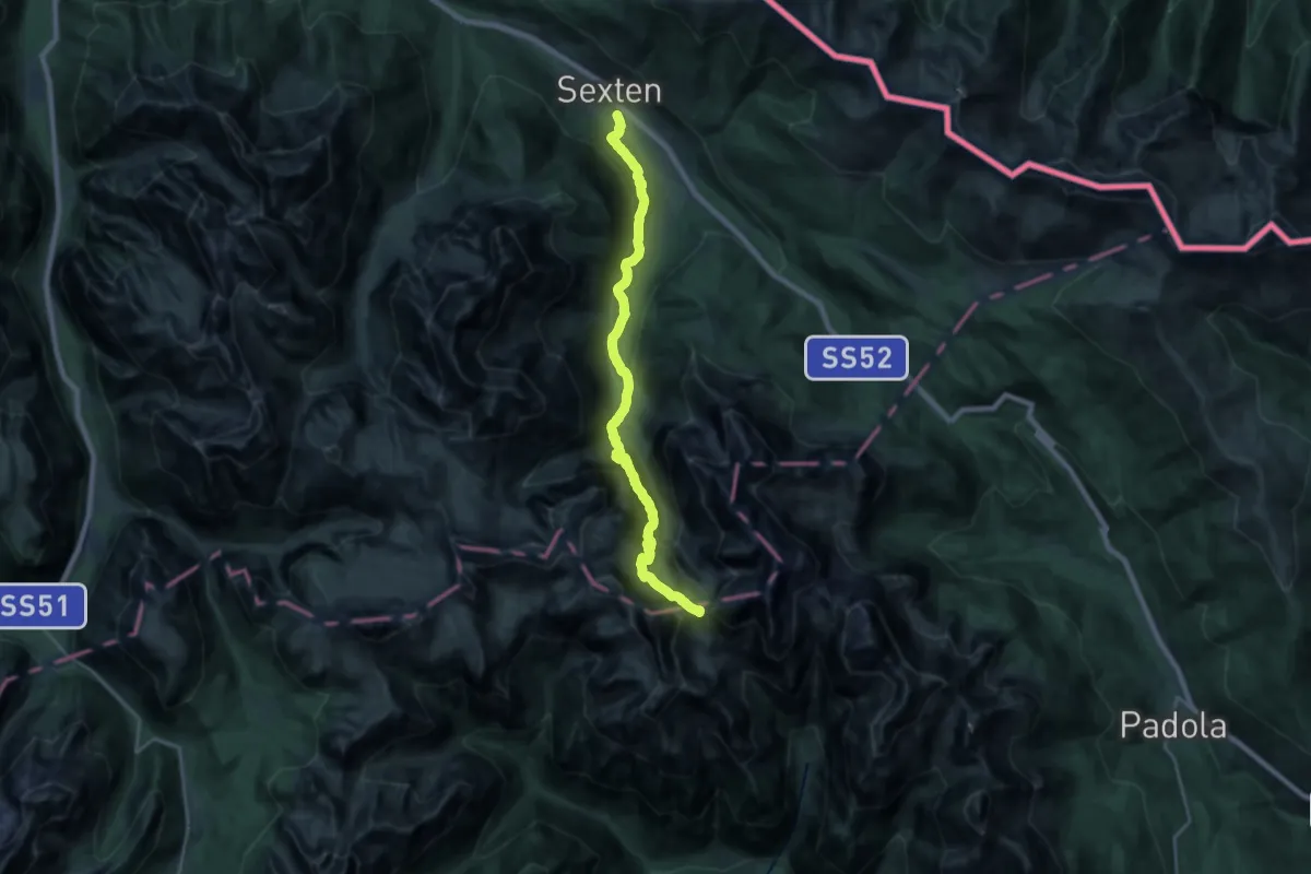
Alta via n. 5 delle Dolomiti - I Tappa
11.4 km · ↑ 1269 m · 5 h 3 min · 7 km away
Medium · Summit
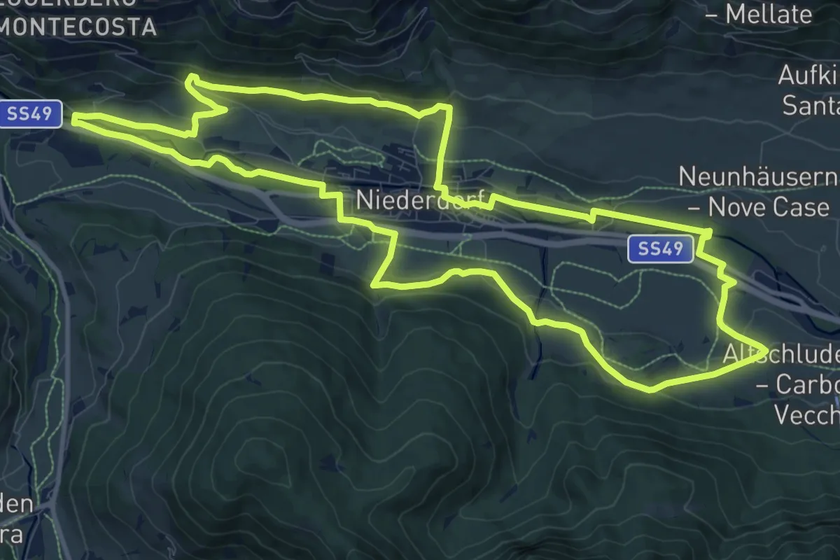
Themenweg Niederdorf
12.0 km · ↑ 248 m · 3 h 33 min · 8 km away
Medium · Summit
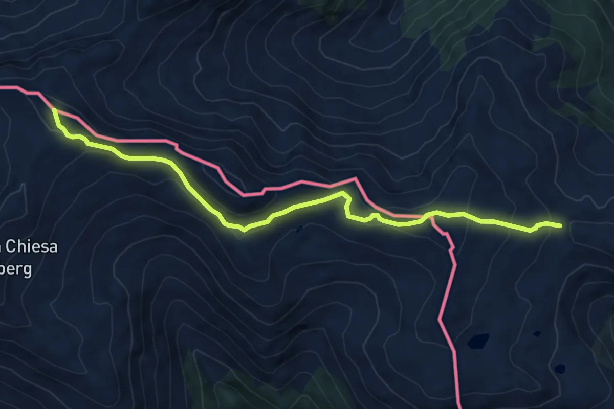
Bonner Höhenweg
7.2 km · ↑ 323 m · 2 h 24 min · 8 km away
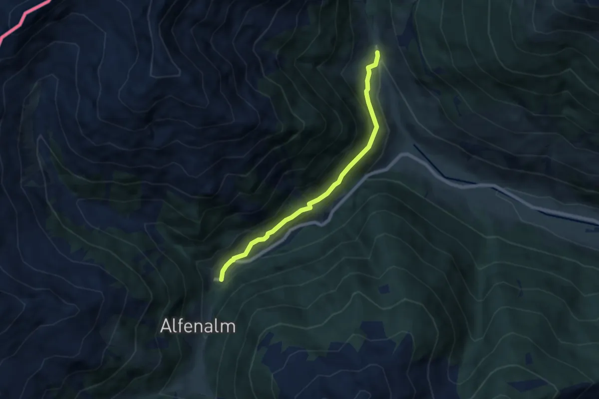
Easy · Trail
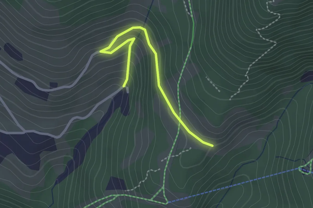
Heimatsteig
2.2 km · ↑ 120 m · 47 min · 8 km away
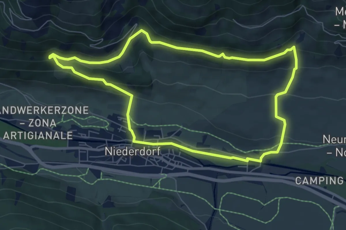
Easy · Trail
Peststeig
5.7 km · ↑ 178 m · 1 h 43 min · 8 km away
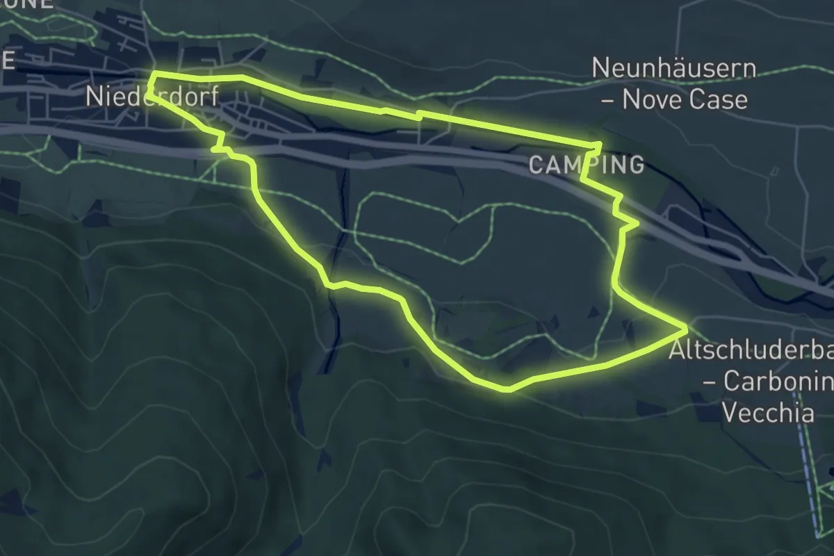
Easy · Trail
Lanerweg
6.4 km · ↑ 278 m · 2 h 12 min · 9 km away
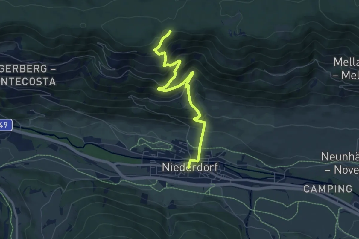
Easy · Summit
Maistattweg
5.8 km · ↑ 97 m · 1 h 40 min · 9 km away
Medium · Trail
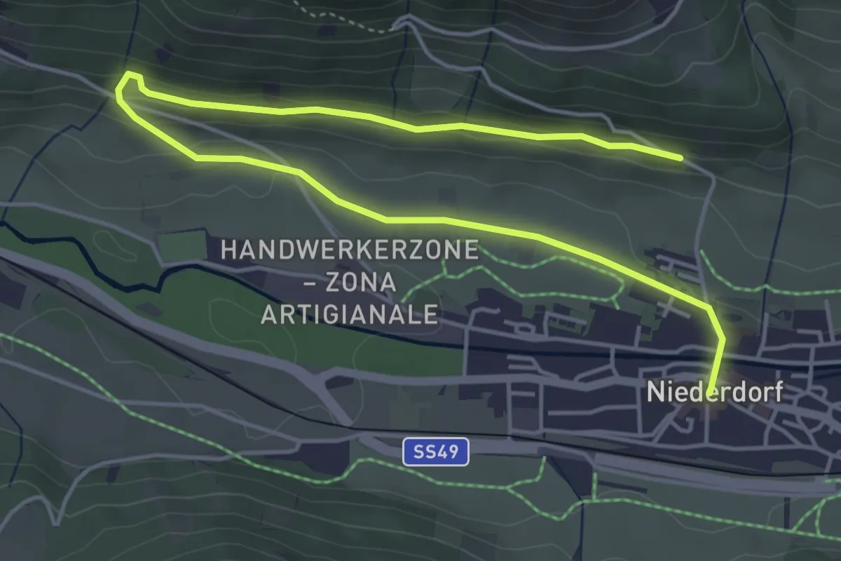
Niederdorf - Villabassa – Abzweigung Römerweg - Incrocio Via Romana
6.8 km · ↑ 508 m · 2 h 43 min · 9 km away
Easy · Trail
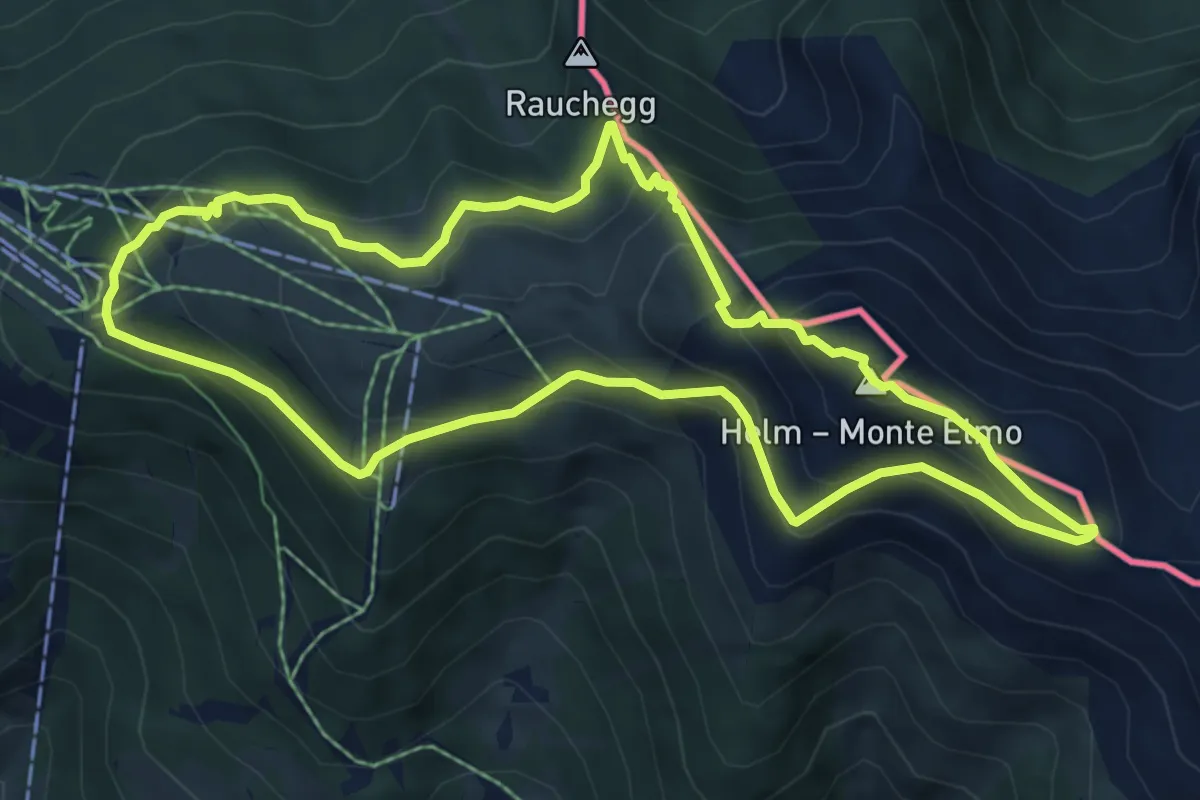
Moosweg
6.3 km · ↑ 124 m · 1 h 46 min · 9 km away
Medium · Summit
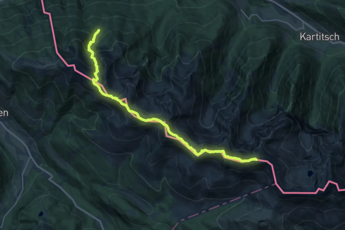
Hüttensteig
6.5 km · ↑ 432 m · 2 h 34 min · 9 km away
Demanding · Summit
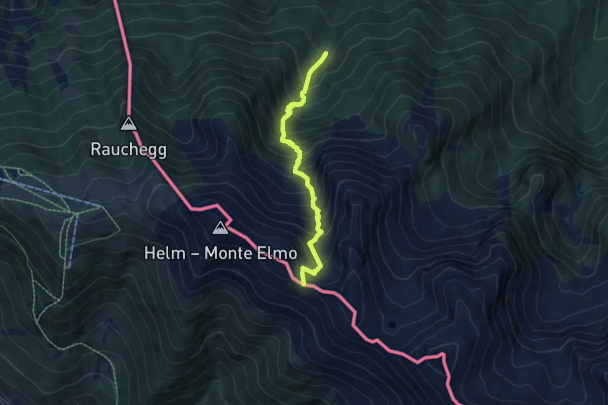
Südalpenweg 03 - Etappe 25
19.6 km · ↑ 1521 m · 7 h 55 min · 9 km away
Medium · Trail
Karnischer Höhenweg (KHW)
5.1 km · ↑ 660 m · 2 h 39 min · 9 km away
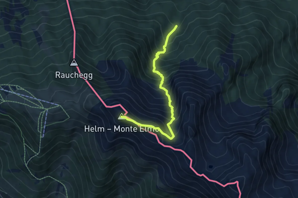
Demanding · Summit
Heimatsteig
6.3 km · ↑ 747 m · 3 h 7 min · 9 km away
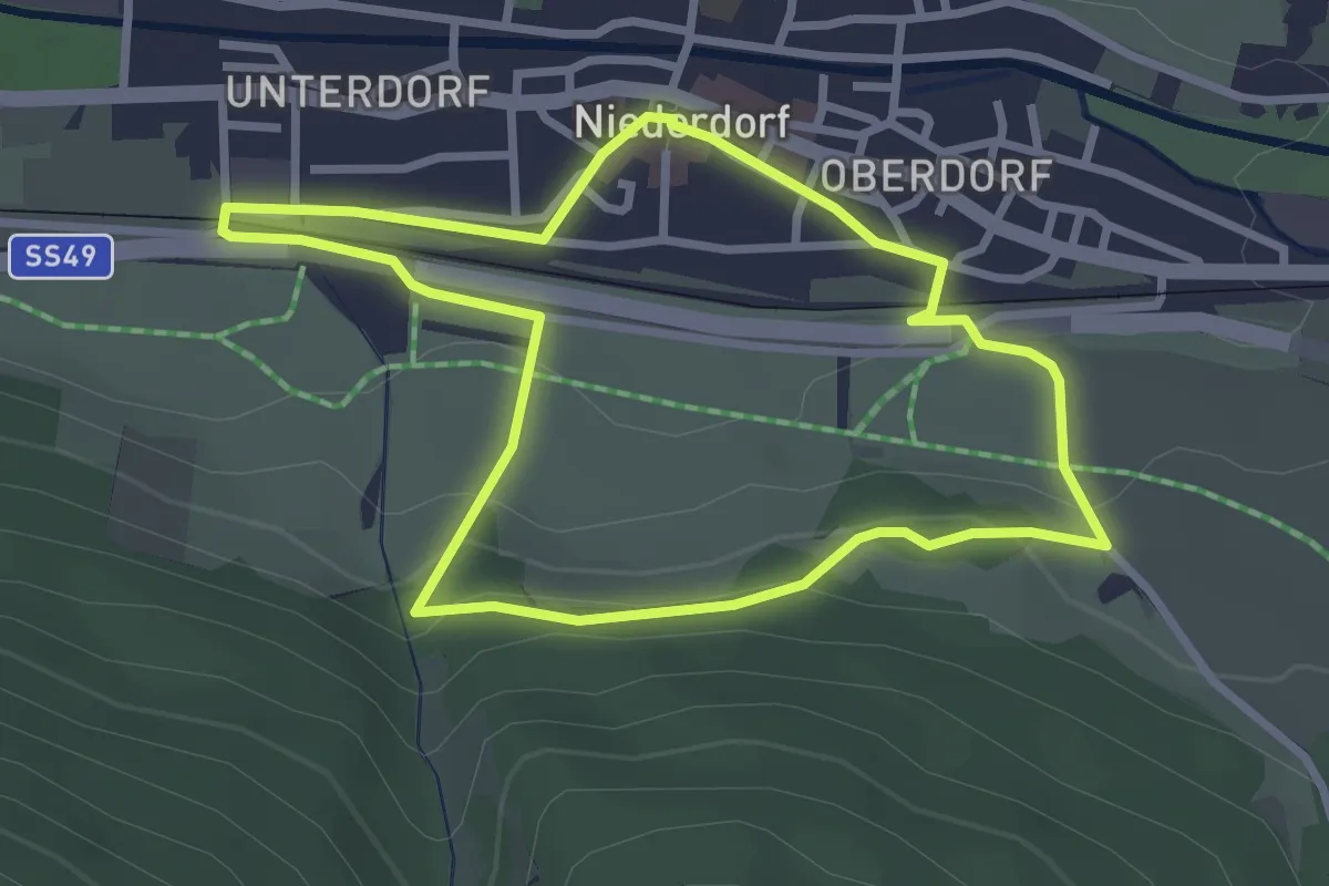
Easy · Trail
Lang-Erl-Weg
2.8 km · ↑ 68 m · 51 min · 9 km away
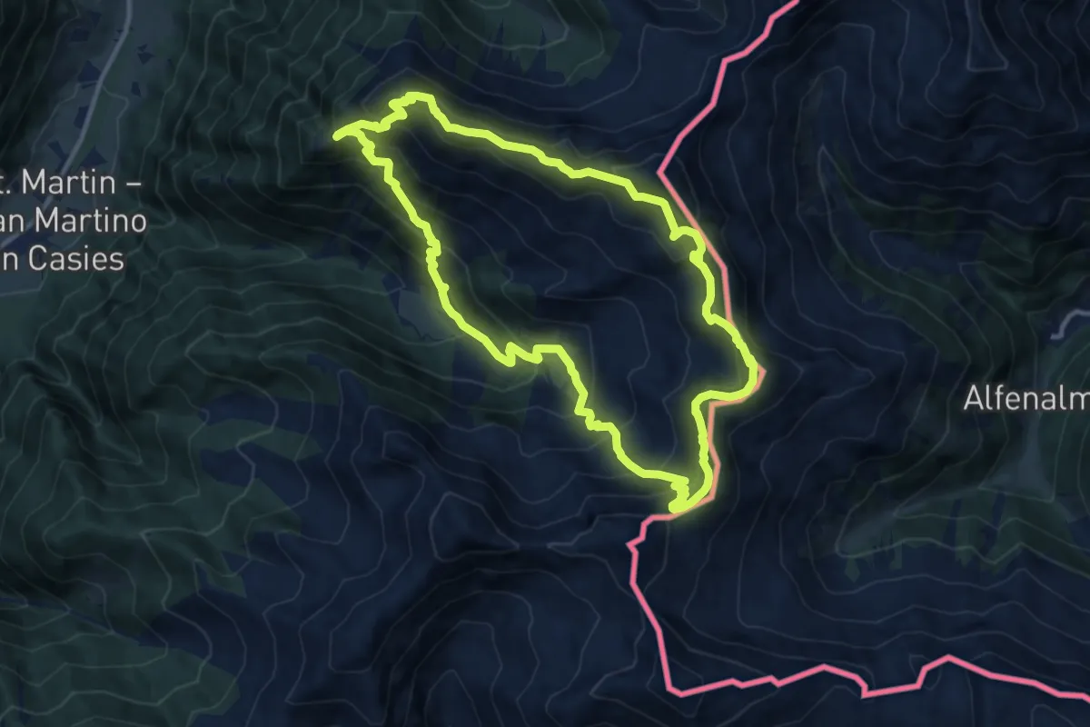
Demanding · Summit
Verseller Steig
11.0 km · ↑ 886 m · 4 h 41 min · 9 km away
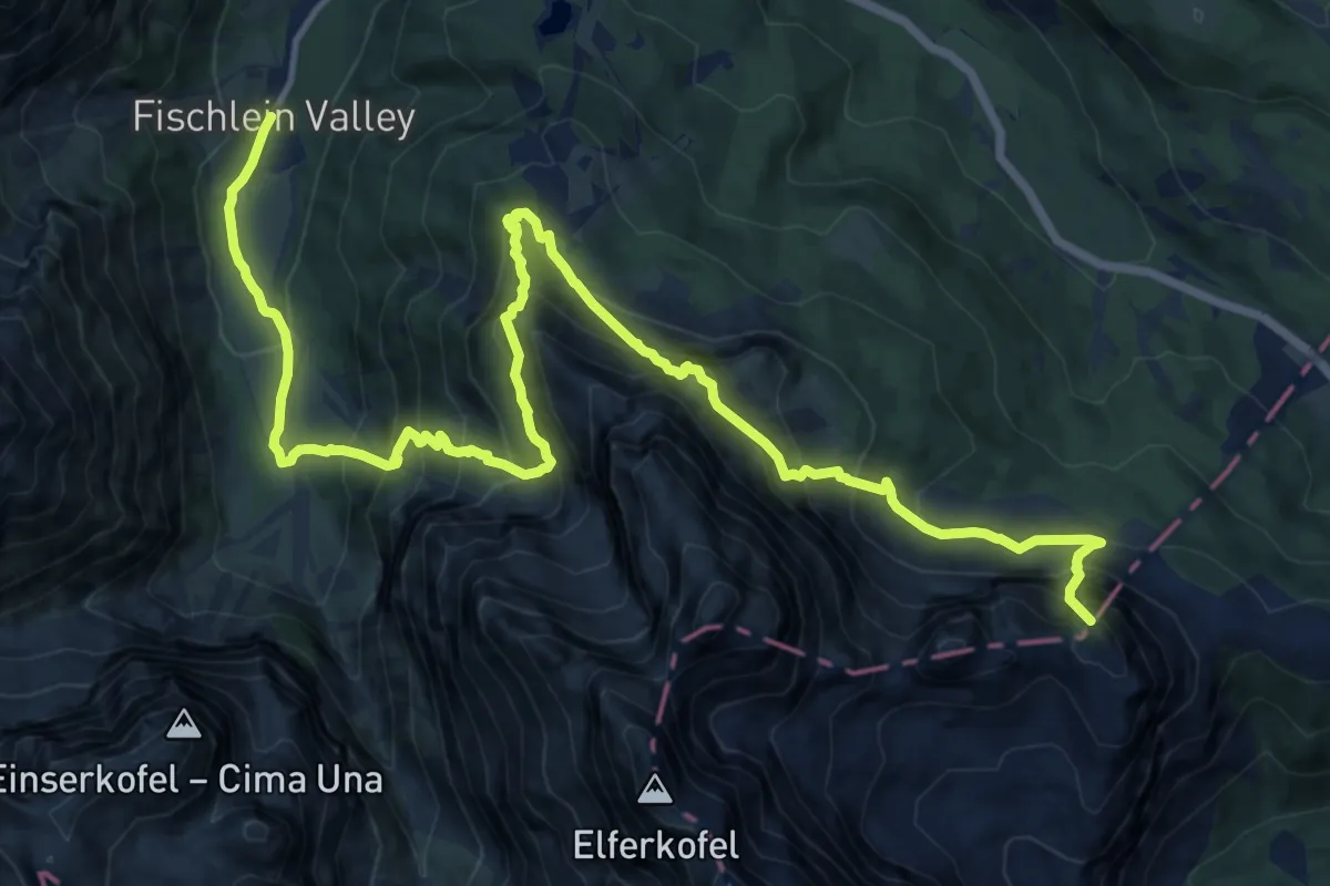
Demanding · Summit
Dolomites World Heritage Geotrail 17
18.9 km · ↑ 2048 m · 8 h 54 min · 9 km away
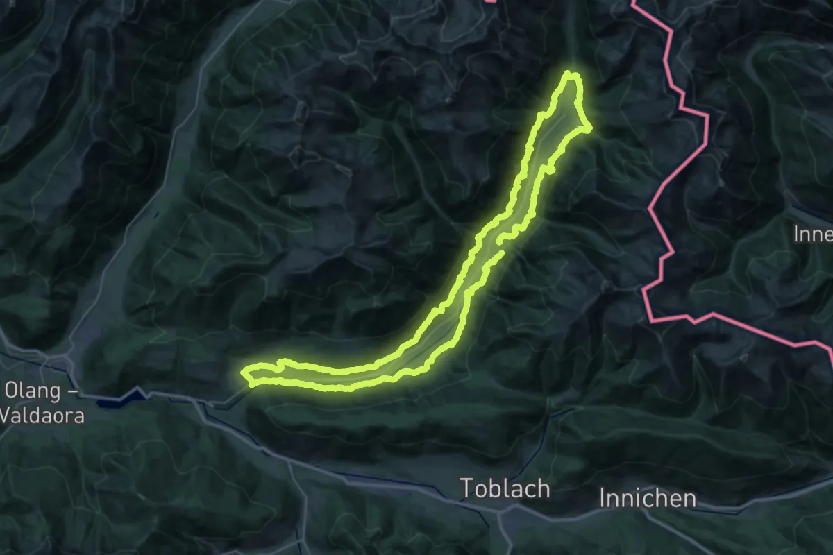
Demanding · Trail
Gsieser Talblickweg
37.0 km · ↑ 1311 m · 12 h 5 min · 9 km away
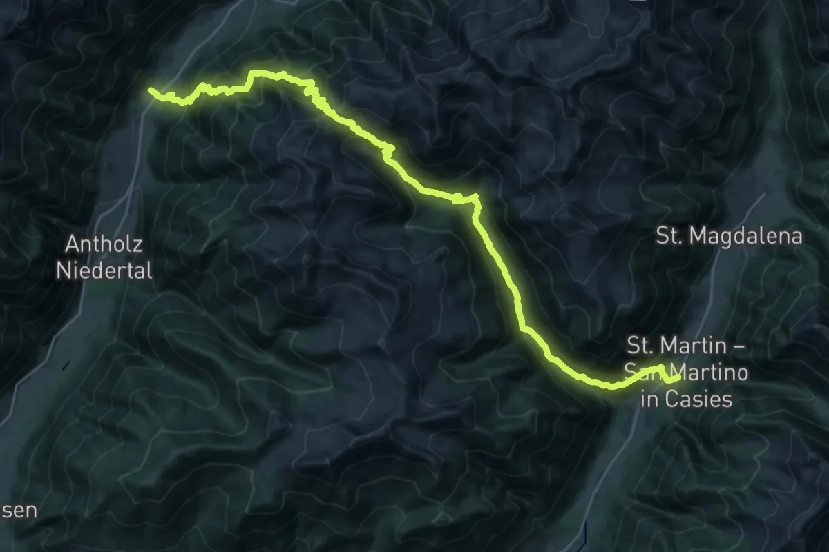
Demanding · Trail
Via Alpina Red R30
16.1 km · ↑ 1218 m · 6 h 40 min · 10 km away
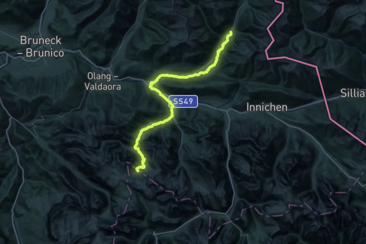
Demanding · Cabin
Via Alpina Red R29
30.9 km · ↑ 1646 m · 10 h 46 min · 10 km away
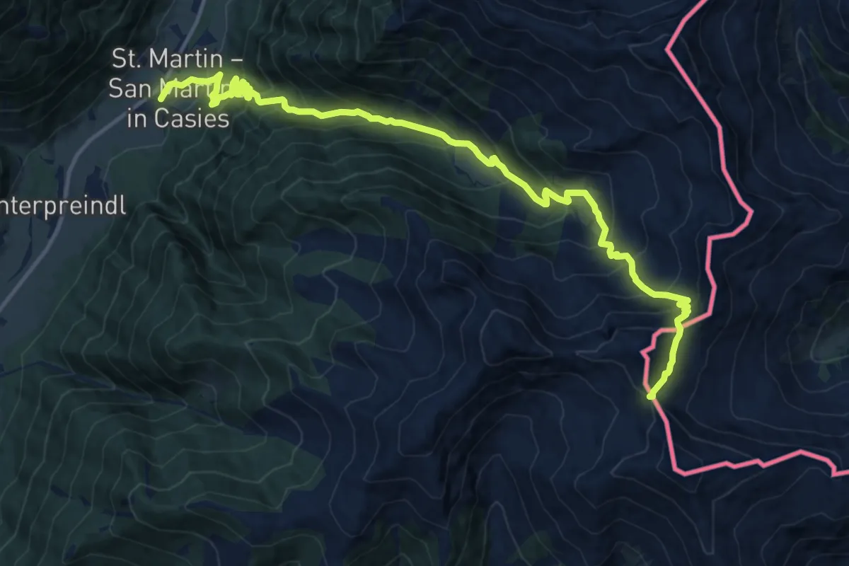
Demanding · Trail
Über die Jöcher
16.1 km · ↑ 1414 m · 6 h 52 min · 10 km away
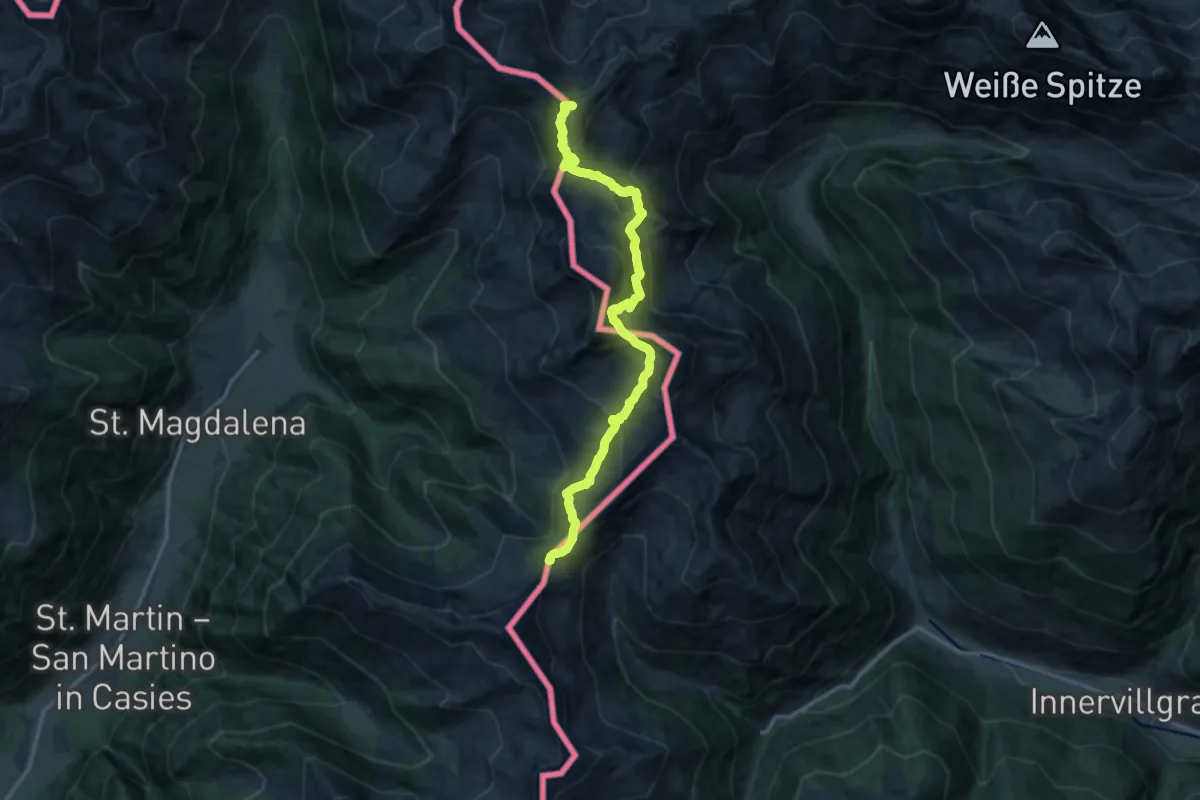
Demanding · Summit
Bonner Höhenweg
14.1 km · ↑ 1000 m · 5 h 30 min · 10 km away
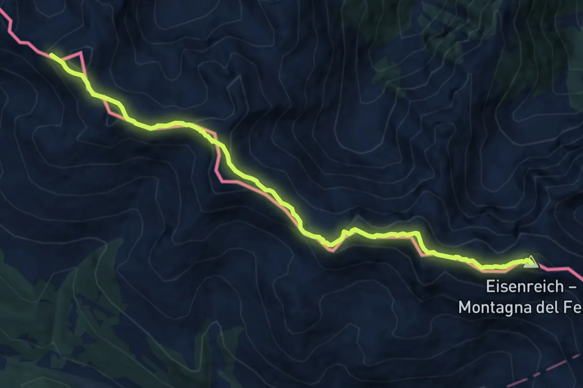
Medium · Summit
Via Alpina Red R25
12.2 km · ↑ 750 m · 4 h 30 min · 10 km away
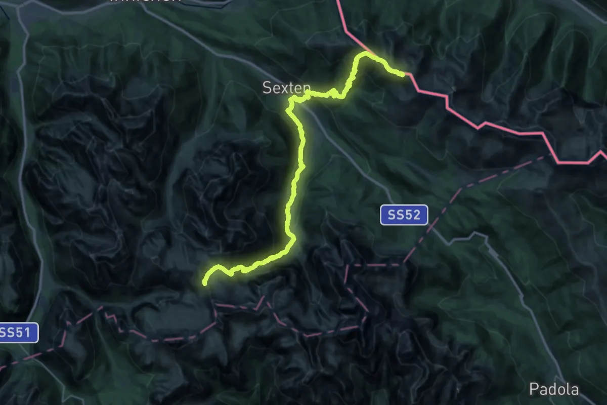
Demanding · Cabin
Via Alpina
18.1 km · ↑ 1219 m · 7 h 11 min · 10 km away
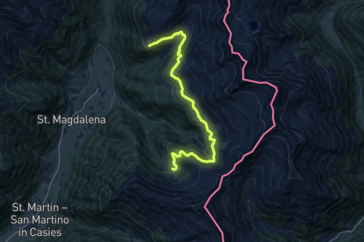
Demanding · Trail
Almweg 2000
13.9 km · ↑ 803 m · 5 h 1 min · 10 km away
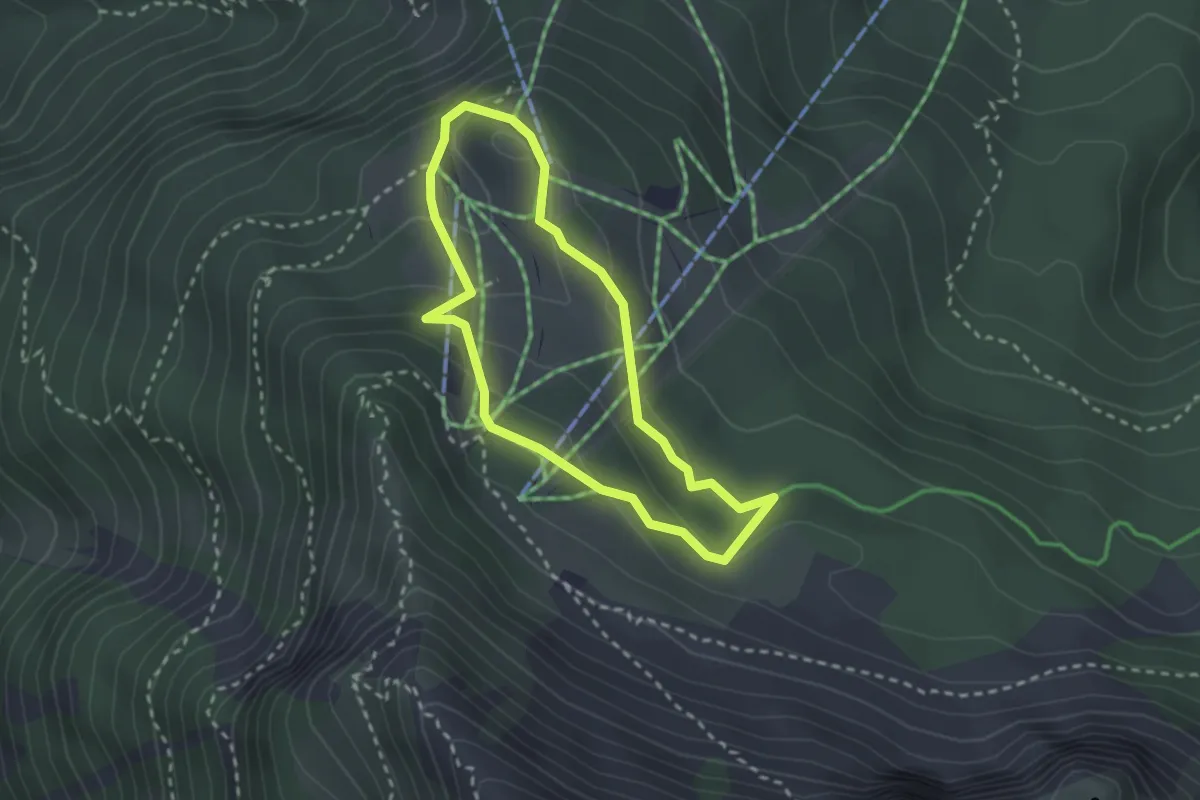
Easy · Trail
Familienrundweg
2.3 km · ↑ 106 m · 48 min · 10 km away
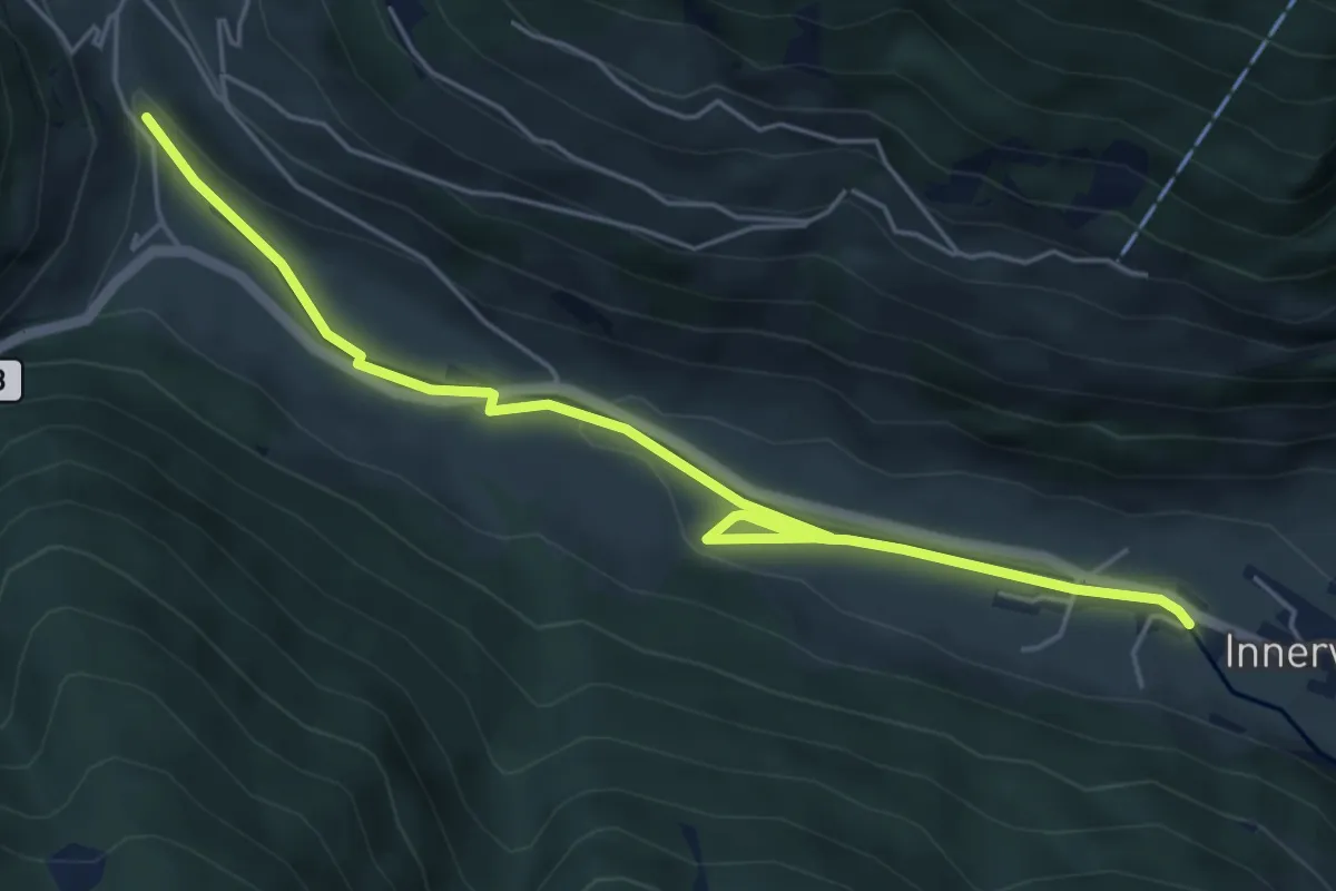
Easy · Trail
Wasserweg
5.9 km · ↑ 79 m · 1 h 34 min · 11 km away
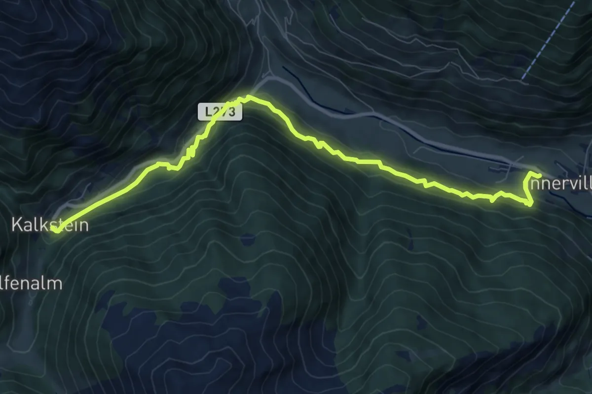
Medium · Trail
Wanderweg Kalkstein
10.1 km · ↑ 569 m · 3 h 37 min · 11 km away
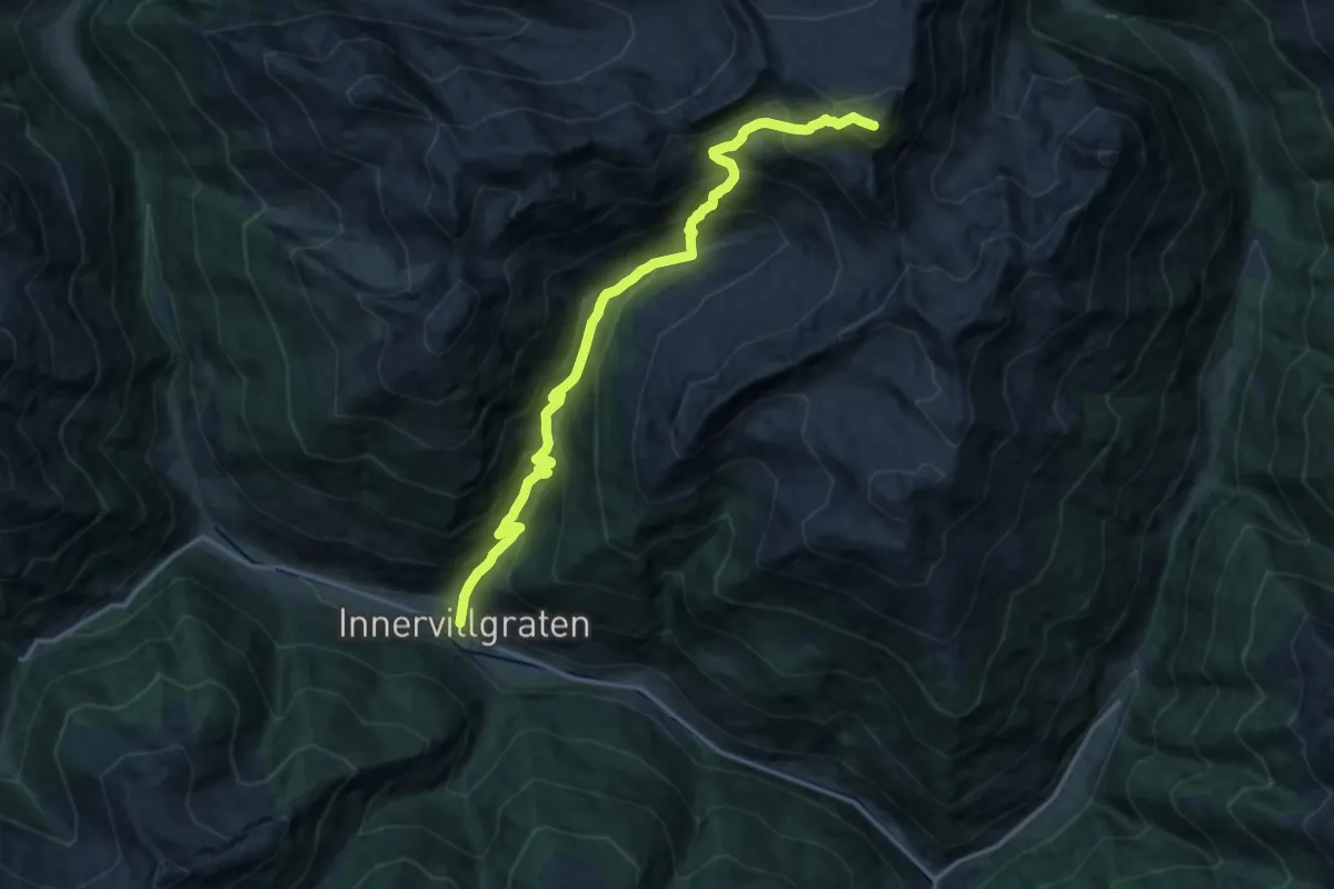
Demanding · Summit
AV Weg 327
16.3 km · ↑ 1555 m · 7 h 14 min · 11 km away
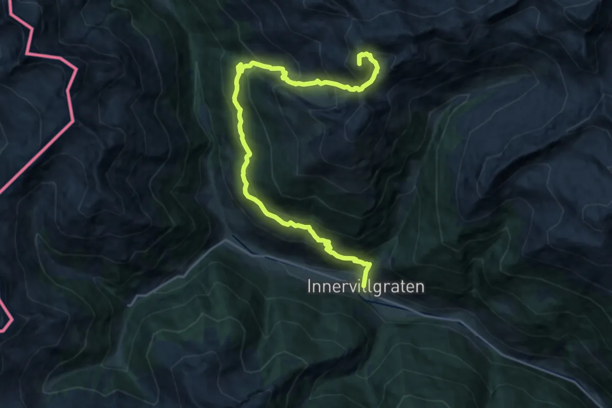
Expert · Summit
[1] Innervillgraten - Rotel Kinkele
18.9 km · ↑ 1443 m · 7 h 35 min · 11 km away
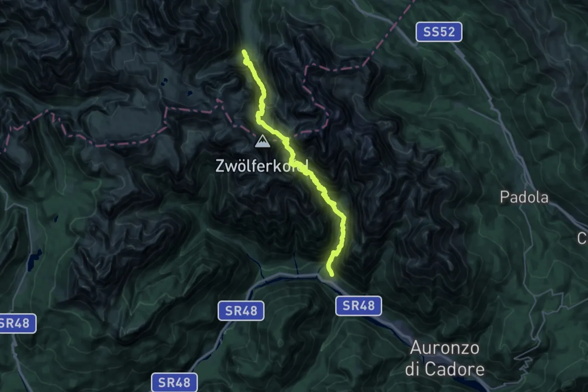
Expert · Trail
Rifugio Fondo Valle;Talschlusshütte – Pian de la Velma
13.1 km · ↑ 1030 m · 5 h 49 min · 11 km away
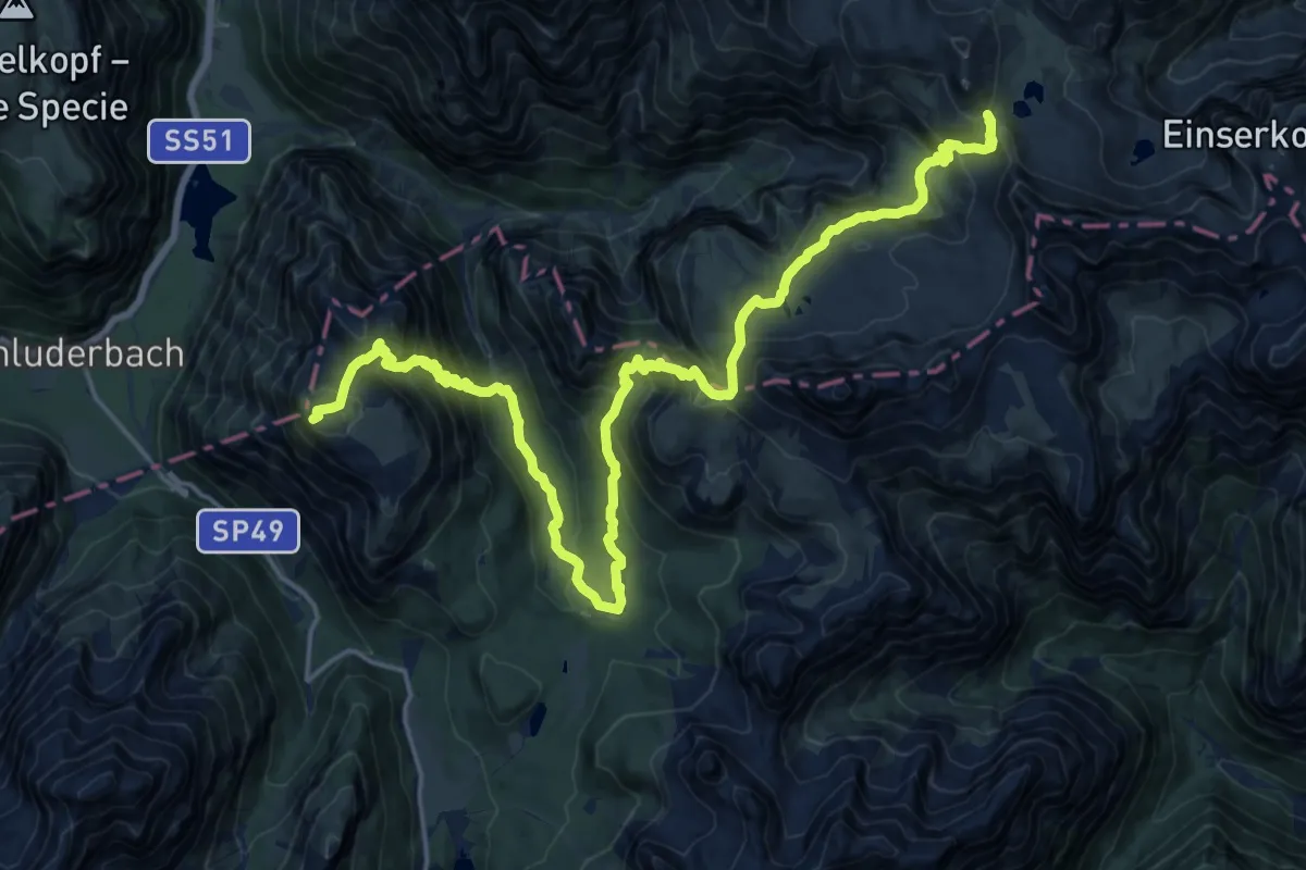
Demanding · Summit
Misurina – Rifugio Locatelli alle Tre Cime di Lavaredo (Dreizinnenhutte)
24.4 km · ↑ 1727 m · 9 h 30 min · 11 km away
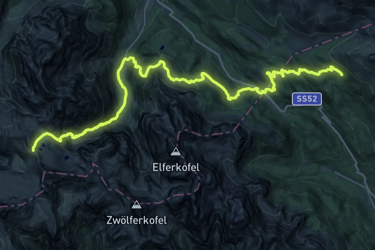
Demanding · Cabin
Rifugio Locatelli alle Tre Cime di Lavaredo (Dreizinnenhutte) – Rifugio Casera Rinfredo
20.0 km · ↑ 890 m · 7 h 11 min · 11 km away
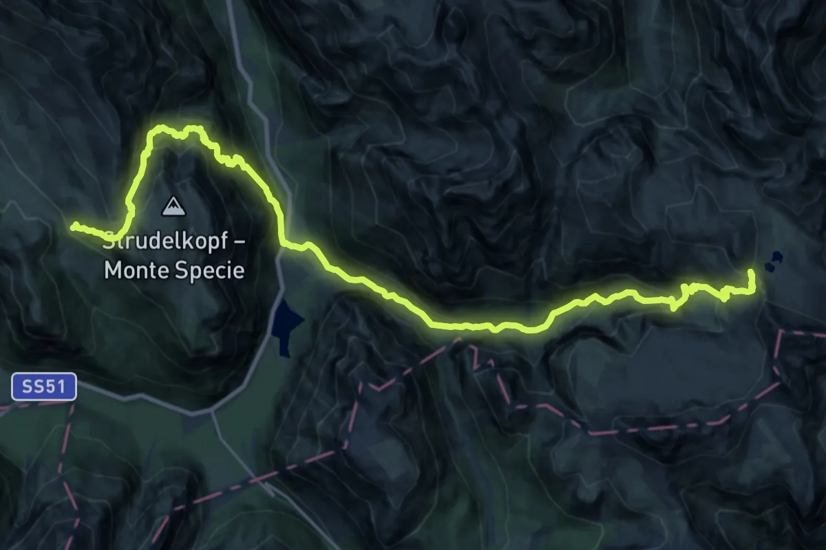
Demanding · Cabin
Via Alpina Red R27
14.0 km · ↑ 1000 m · 5 h 51 min · 11 km away
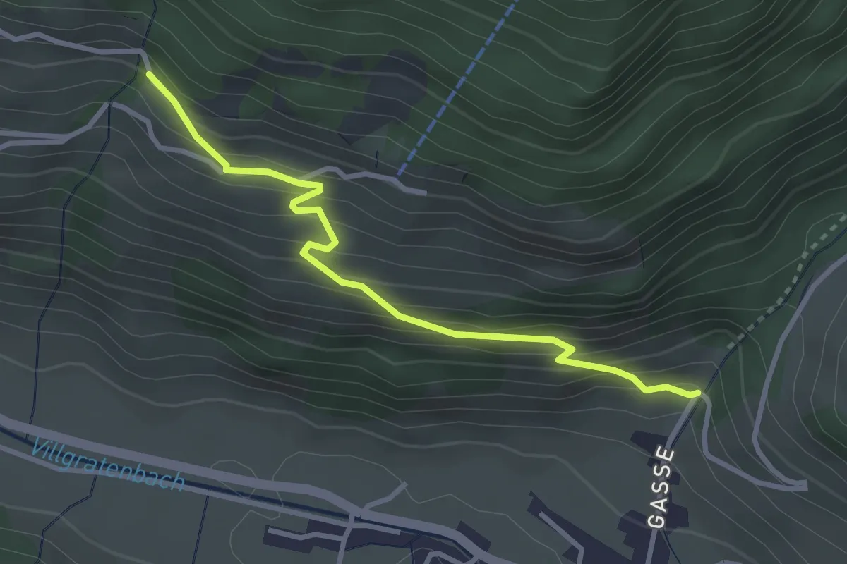
Easy · Trail
Berger Kirchweg
3.1 km · ↑ 256 m · 1 h 17 min · 11 km away
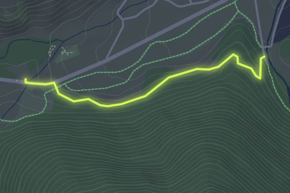
Easy · Trail
Rundweg Schmieden
2.6 km · ↑ 89 m · 49 min · 11 km away
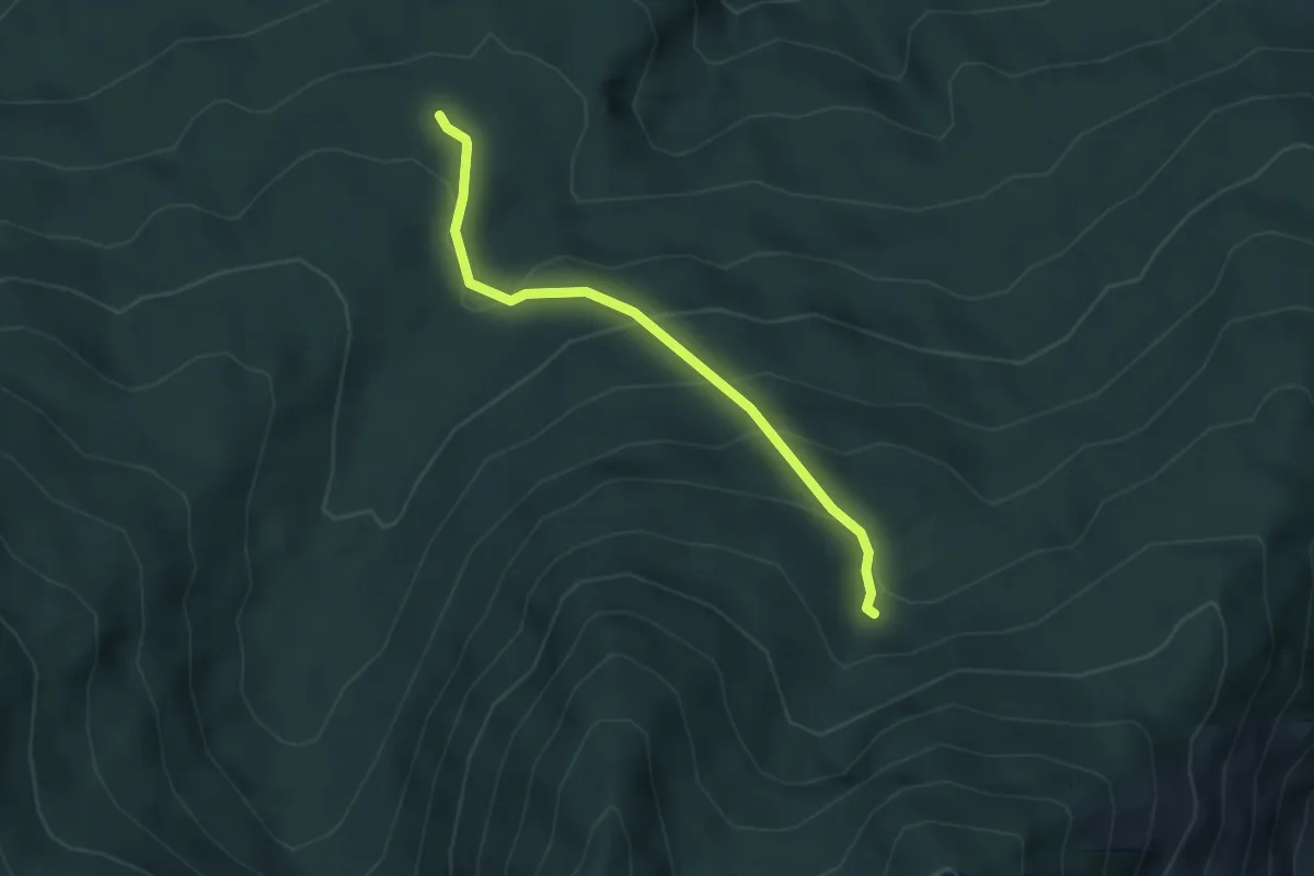
Easy · Trail
15
3.3 km · ↑ 234 m · 1 h 18 min · 11 km away