Trails near Innichen - San Candido
95 hikes starting within 15 km, nearest first.
Nearest first, page 2 of 2
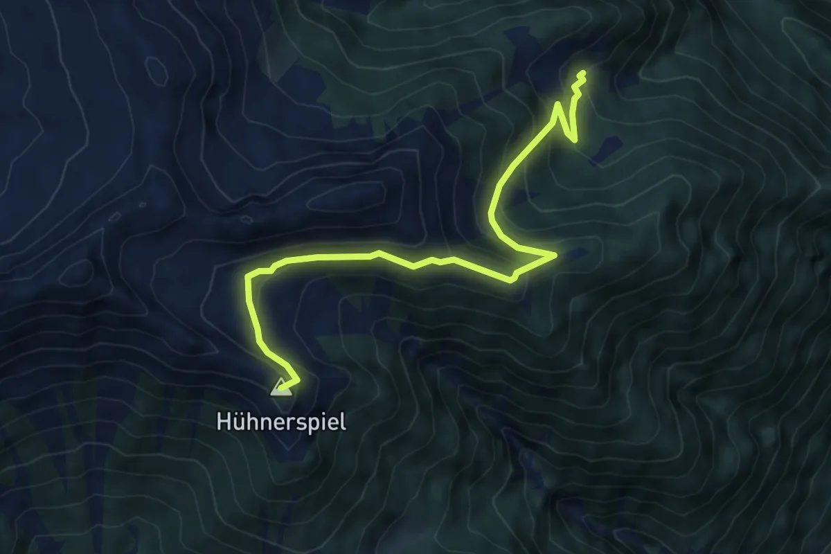
Demanding · Summit
Dolomitenblicksteig
7.4 km · ↑ 517 m · 2 h 53 min · 11 km away
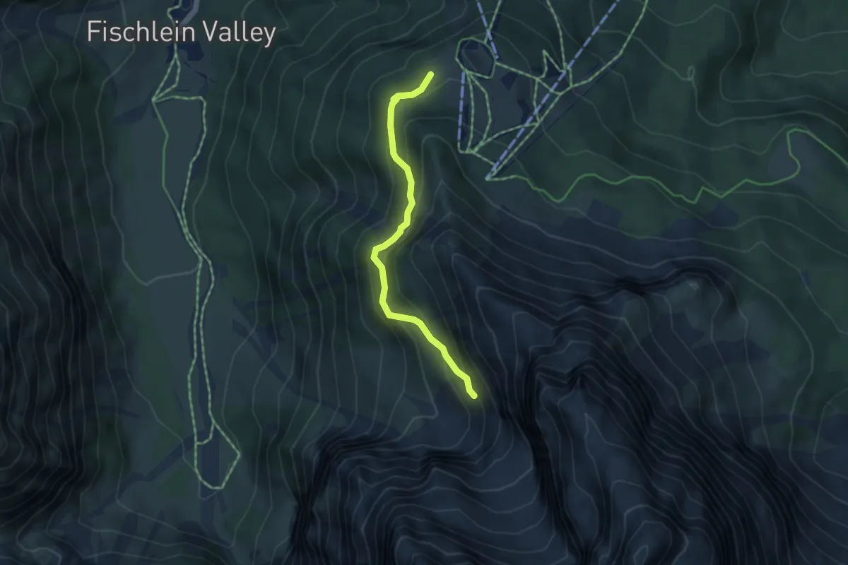
Medium · Trail
Gamssteig - Sentiero dei camosci
3.9 km · ↑ 377 m · 1 h 45 min · 11 km away
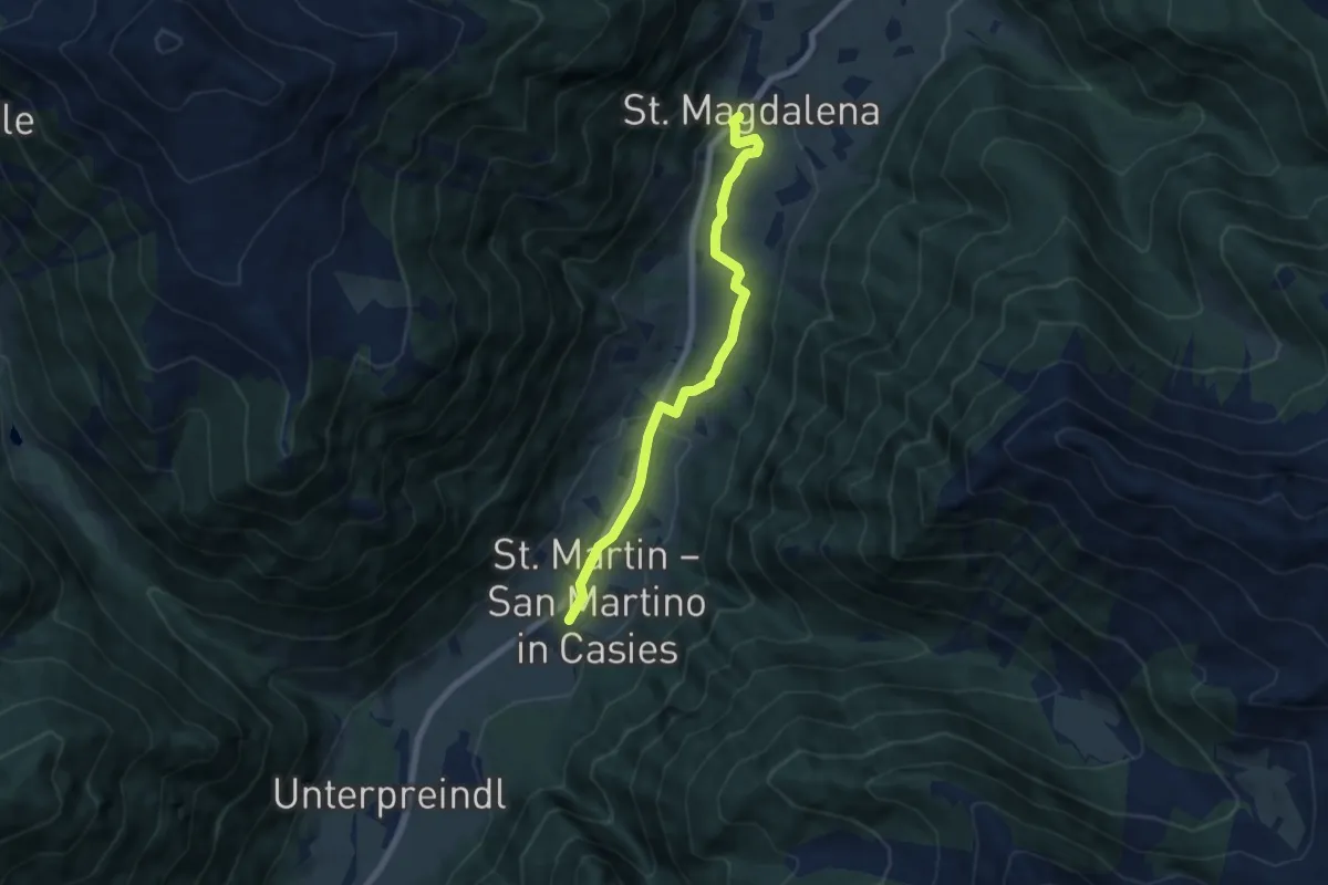
Easy · Trail
Besinnungsweg
6.6 km · ↑ 146 m · 1 h 53 min · 12 km away
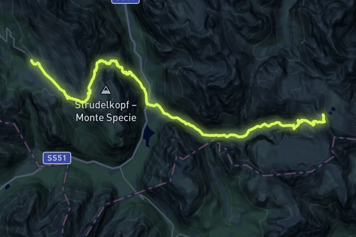
Demanding · Cabin
Dolomites World Heritage Geotrail 15
16.1 km · ↑ 1431 m · 6 h 54 min · 12 km away
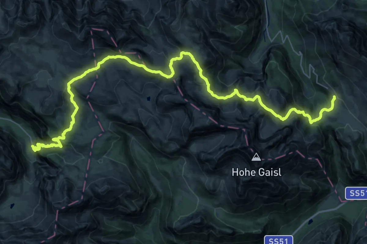
Demanding · Trail
Dolomites World Heritage Geotrail 14
18.8 km · ↑ 927 m · 6 h 56 min · 12 km away
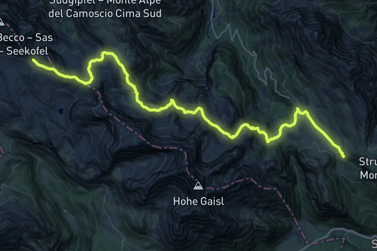
Demanding · Cabin
Via Alpina Red R28
13.3 km · ↑ 835 m · 4 h 58 min · 12 km away
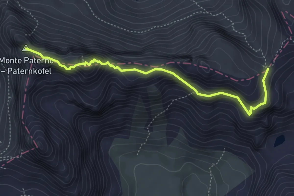
Expert · Summit
Sentiero attrezzato "delle Forcelle" al Paterno - Gamsschartensteig
4.6 km · ↑ 607 m · 2 h 24 min · 12 km away
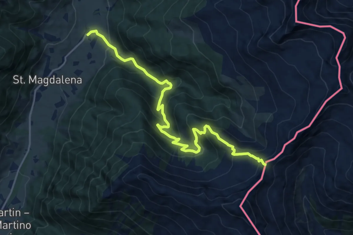
Demanding · Trail
Über die Jöcher
13.4 km · ↑ 930 m · 5 h 11 min · 12 km away
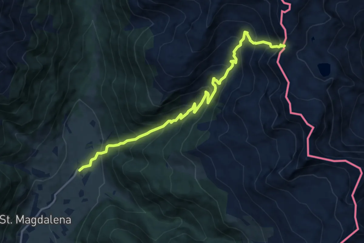
Demanding · Trail
Über die Jöcher
11.2 km · ↑ 1098 m · 5 h 1 min · 12 km away
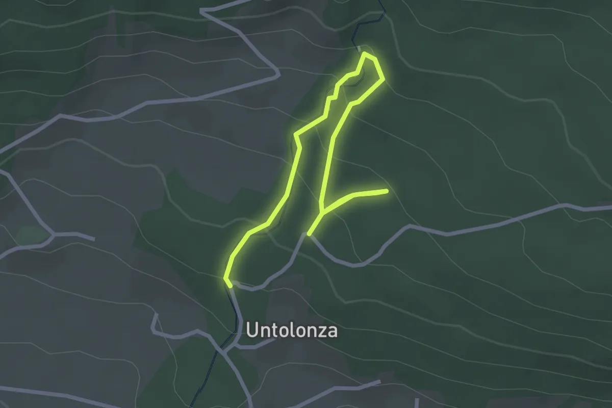
Easy · Trail
Kneippweg
3.2 km · ↑ 189 m · 1 h 10 min · 12 km away
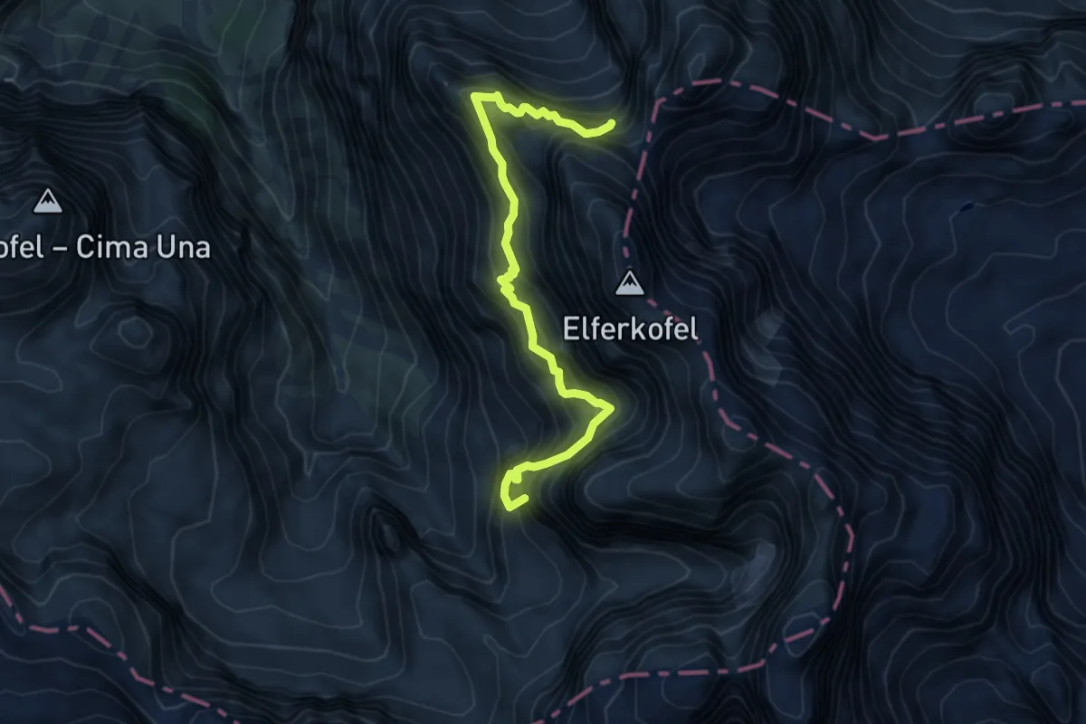
Expert · Summit
Alpinisteig - Strada degli Alpini
6.1 km · ↑ 1037 m · 3 h 42 min · 12 km away
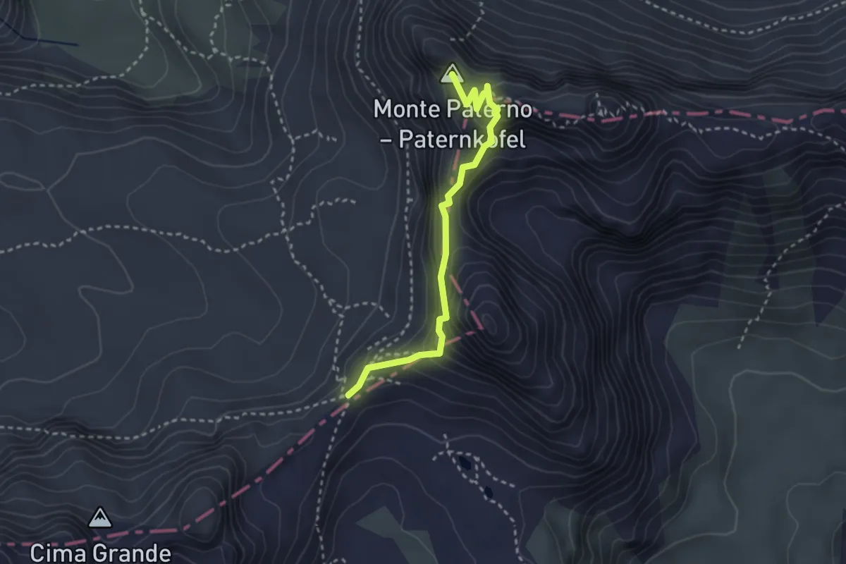
Expert · Summit
Ferrata De Luca - Innerkofler Klettersteig
2.8 km · ↑ 267 m · 1 h 15 min · 12 km away
Expert · Summit
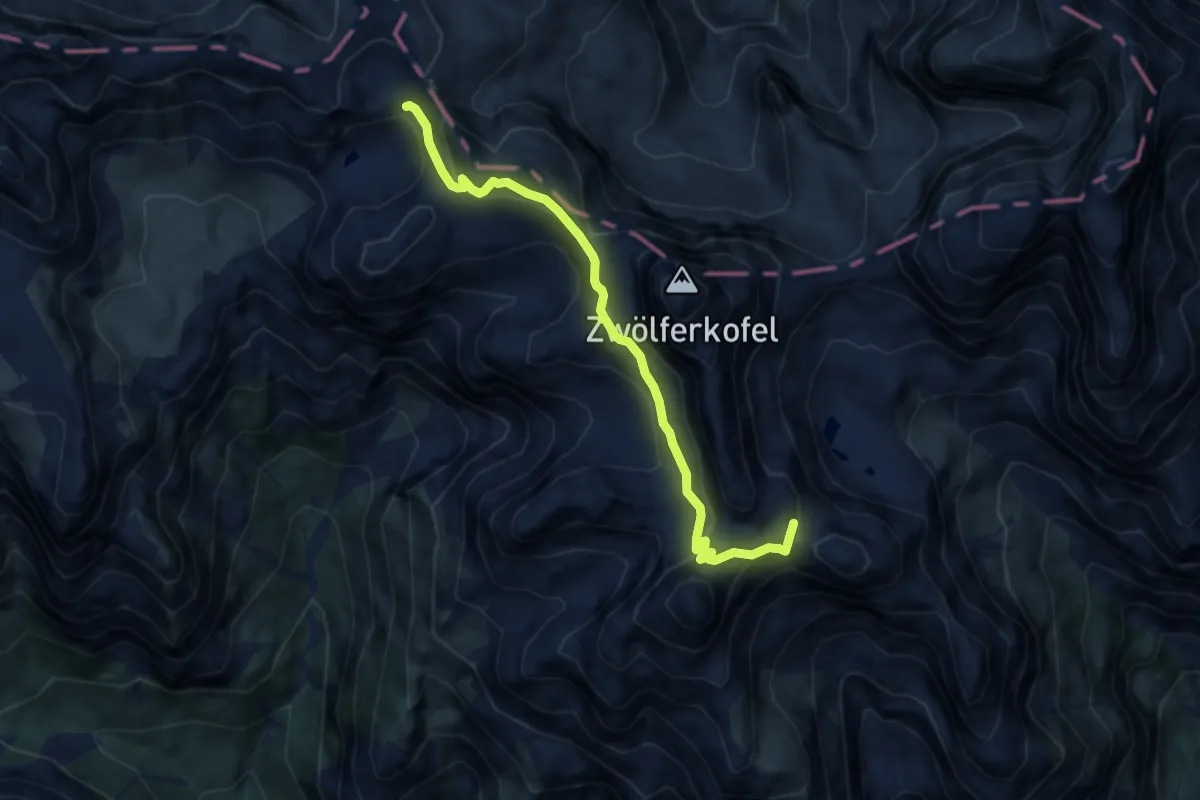
Sopra Lago di Cengia inn. sent. 104 – Rifugio Carducci inn. sent. 103
7.7 km · ↑ 1058 m · 4 h 6 min · 13 km away
Demanding · Trail
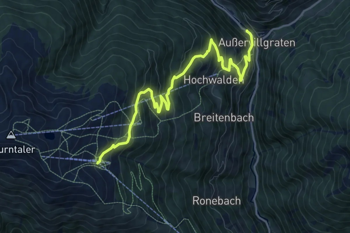
Herzass Abstieg Ausservillgraten
11.8 km · ↑ 833 m · 4 h 35 min · 13 km away
Demanding · Trail
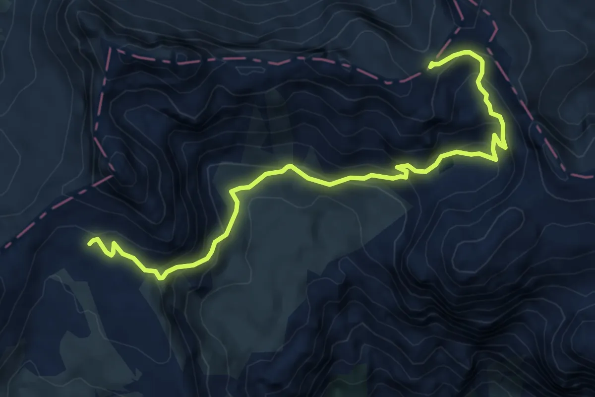
sopra Rifugio Lavaredo da sentiero 101 – Forcella Pian di Cengia innesto su sentiero 101
7.8 km · ↑ 554 m · 3 h 2 min · 13 km away
Expert · Summit
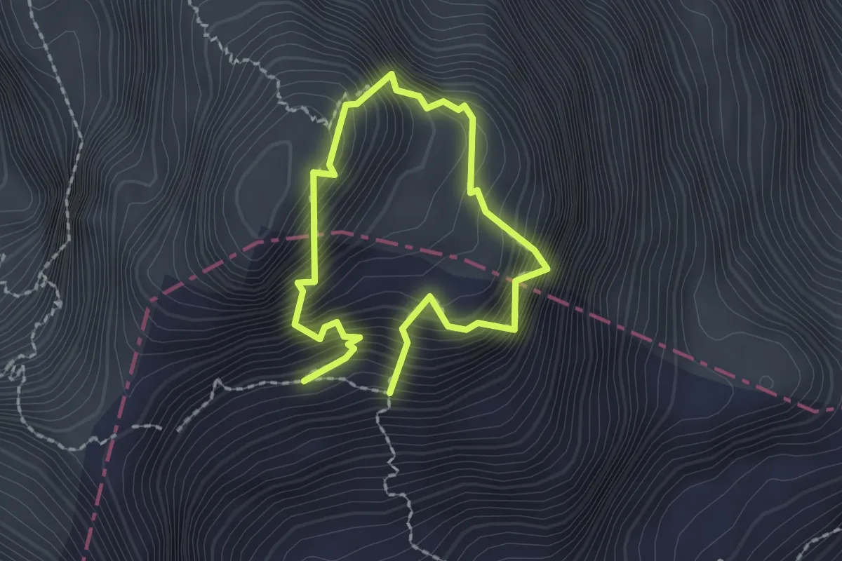
Via Ferrata Zandonella
1.4 km · ↑ 290 m · 58 min · 13 km away
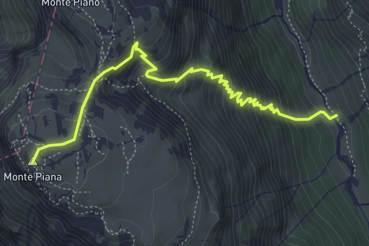
Demanding · Summit
Val de Rinbianco, da sent. 108 – Monte Piana, Piramide Carducci
5.3 km · ↑ 693 m · 2 h 46 min · 13 km away
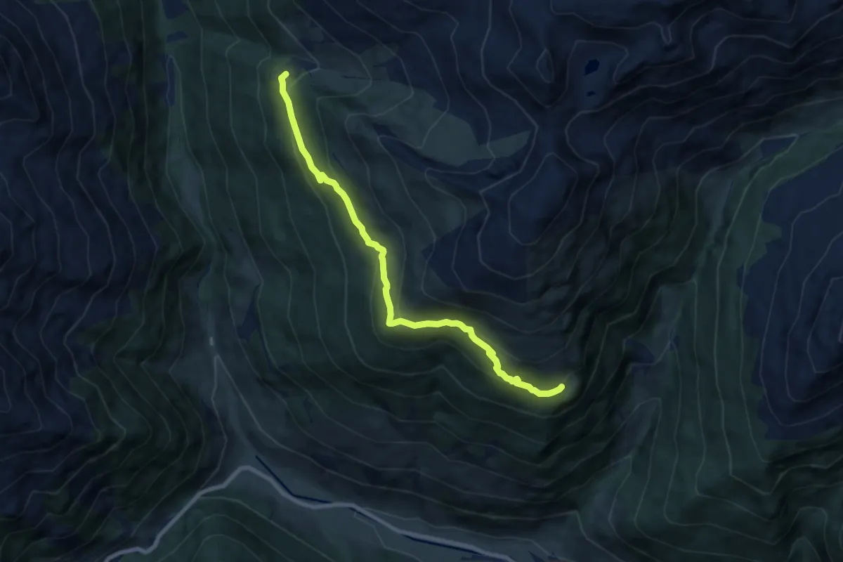
Medium · Trail
[1d] Kamelisenalm - Bergeltalm
7.9 km · ↑ 386 m · 2 h 43 min · 13 km away
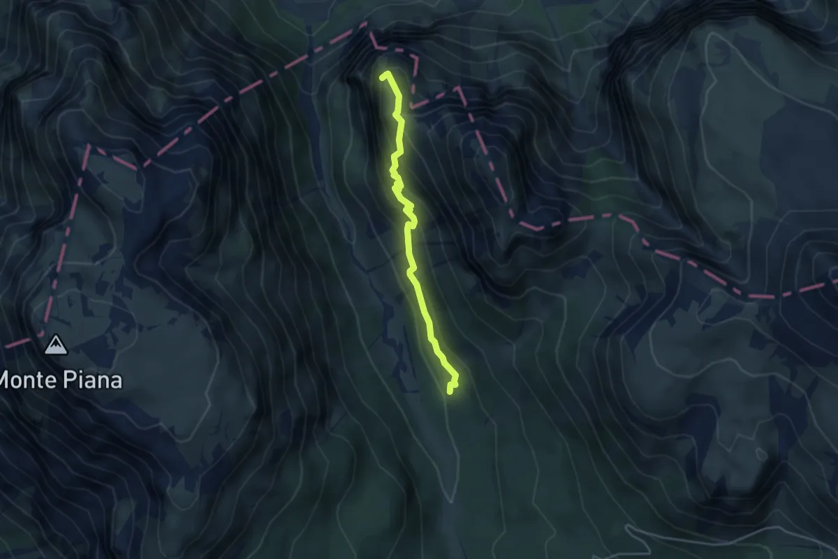
Medium · Summit
Silvano De Romedi
3.6 km · ↑ 261 m · 1 h 25 min · 13 km away
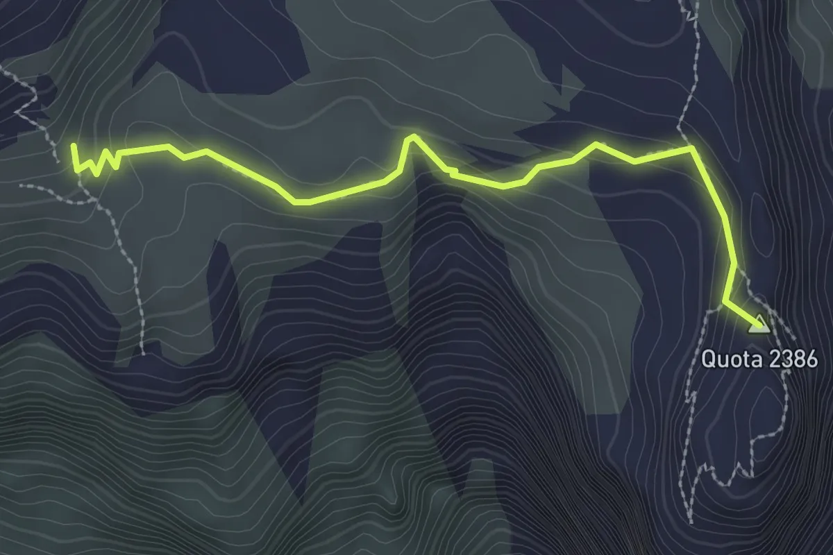
Medium · Summit
Chiesetta Madonna della Croda, da sentiero 101 – Elevazione conosciuta nella Grande Guerra come "Quota 2386"
2.8 km · ↑ 159 m · 1 h · 13 km away
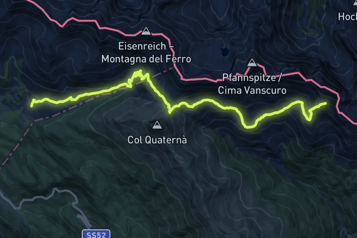
Demanding · Trail
Rifugio Malga di Nemes – Ghiaione del Cavallino - innesto sentiero 145
20.4 km · ↑ 1109 m · 7 h 13 min · 13 km away
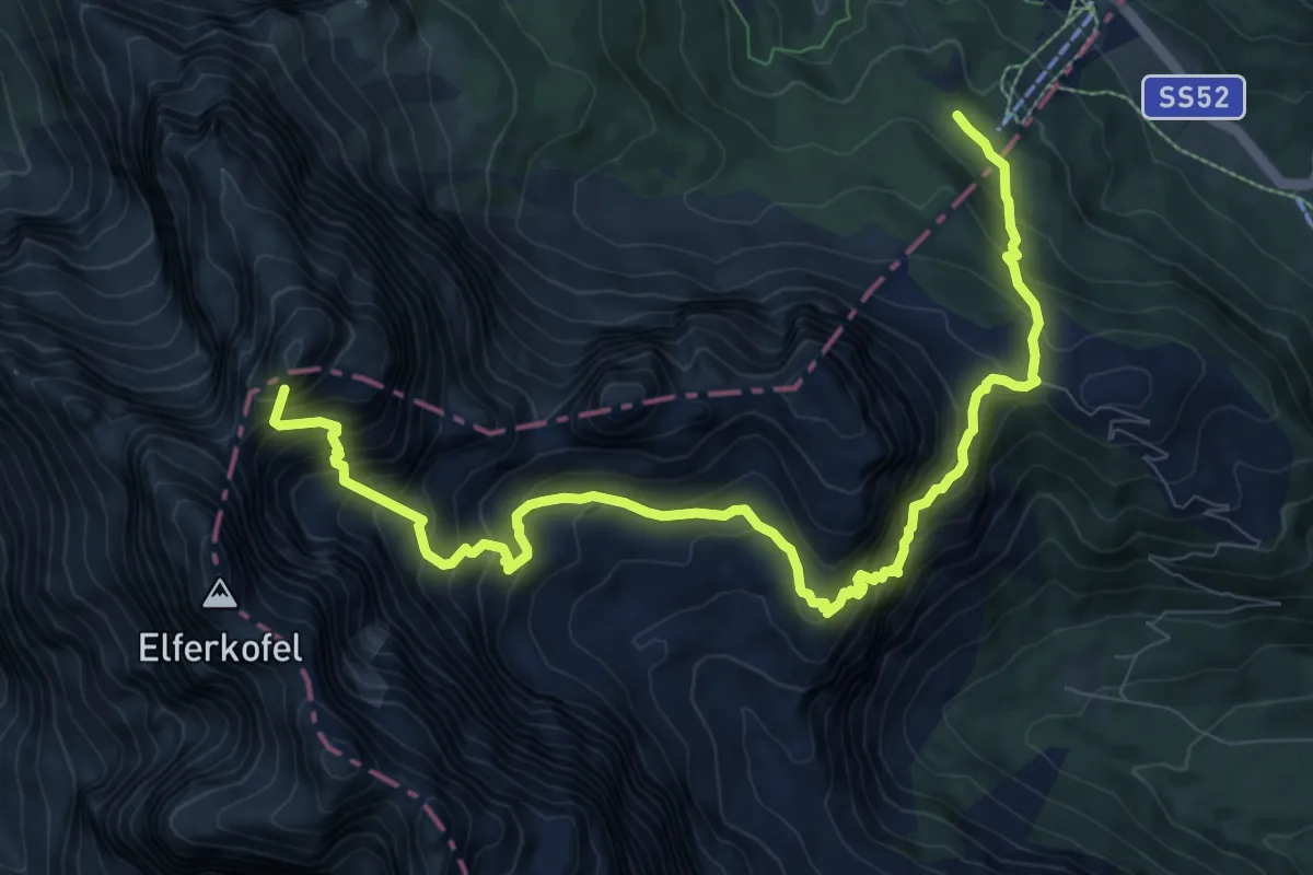
Expert · Summit
Kreuzbergpass - Passo di Monte Croce di Comélico – Fischleinbodenhütte - Rifugio Piano Fiscalino
11.4 km · ↑ 1353 m · 5 h 38 min · 13 km away
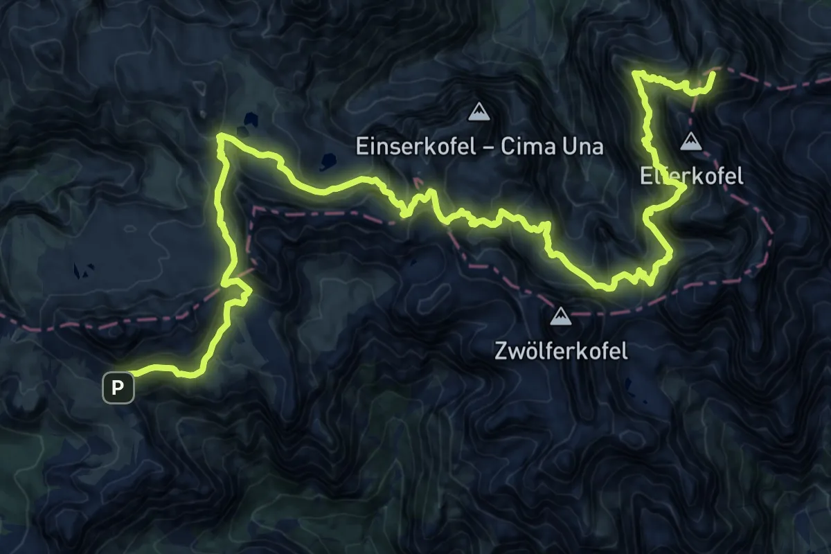
Expert · Summit
Rifugio Lunelli a Selvapiana – Rifugio Auronzo
31.6 km · ↑ 2841 m · 13 h 37 min · 13 km away
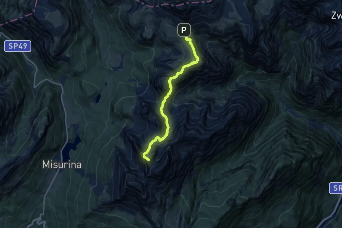
Expert · Summit
Sentiero Bonacossa
10.2 km · ↑ 1073 m · 4 h 45 min · 13 km away
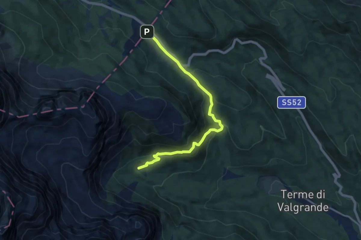
Medium · Cabin
Rifugio Lunelli a Selvapiana – Passo Monte Croce Comelico
8.6 km · ↑ 373 m · 2 h 51 min · 14 km away
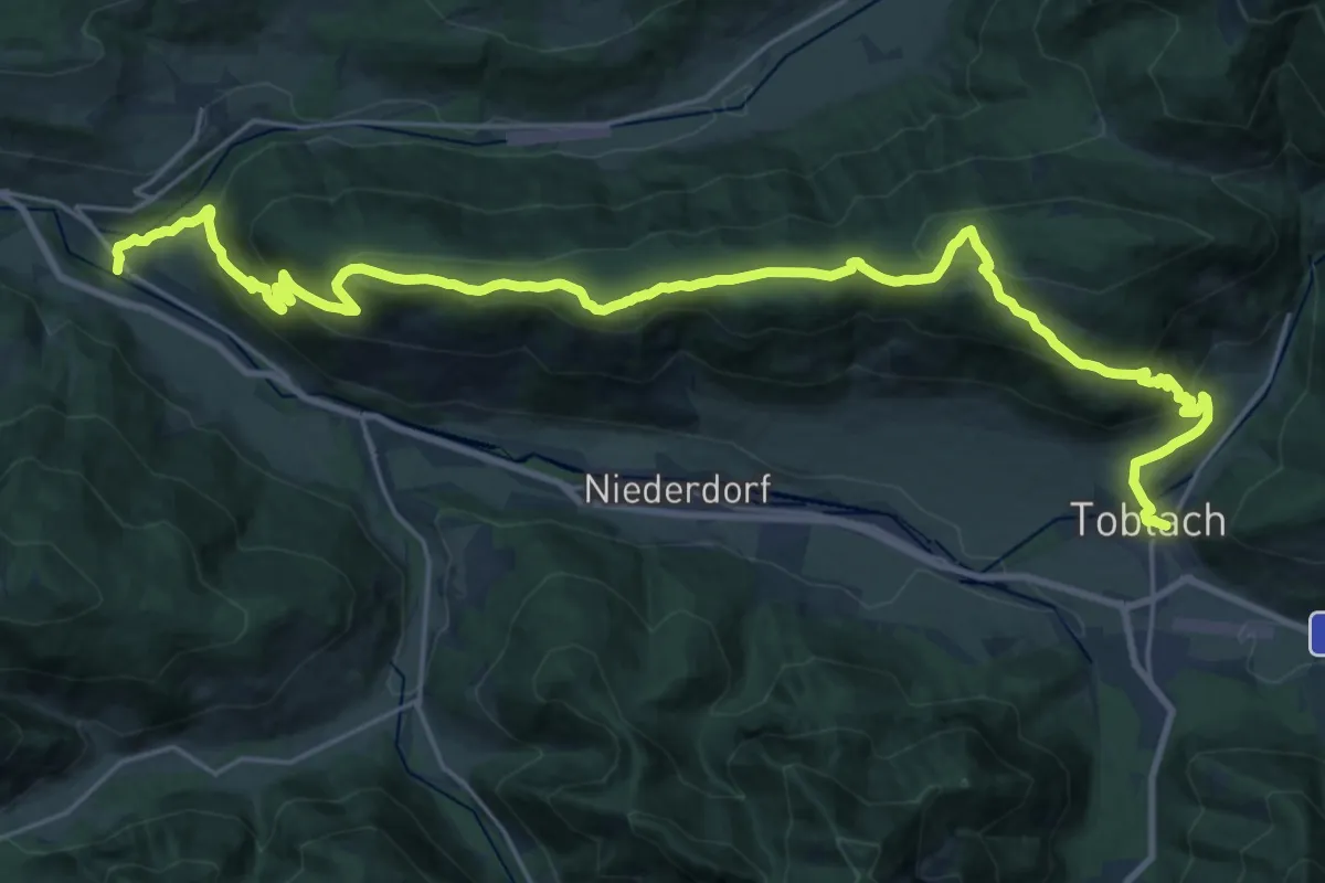
Demanding · Trail
Römerweg - Via Romana
15.4 km · ↑ 823 m · 5 h 34 min · 14 km away
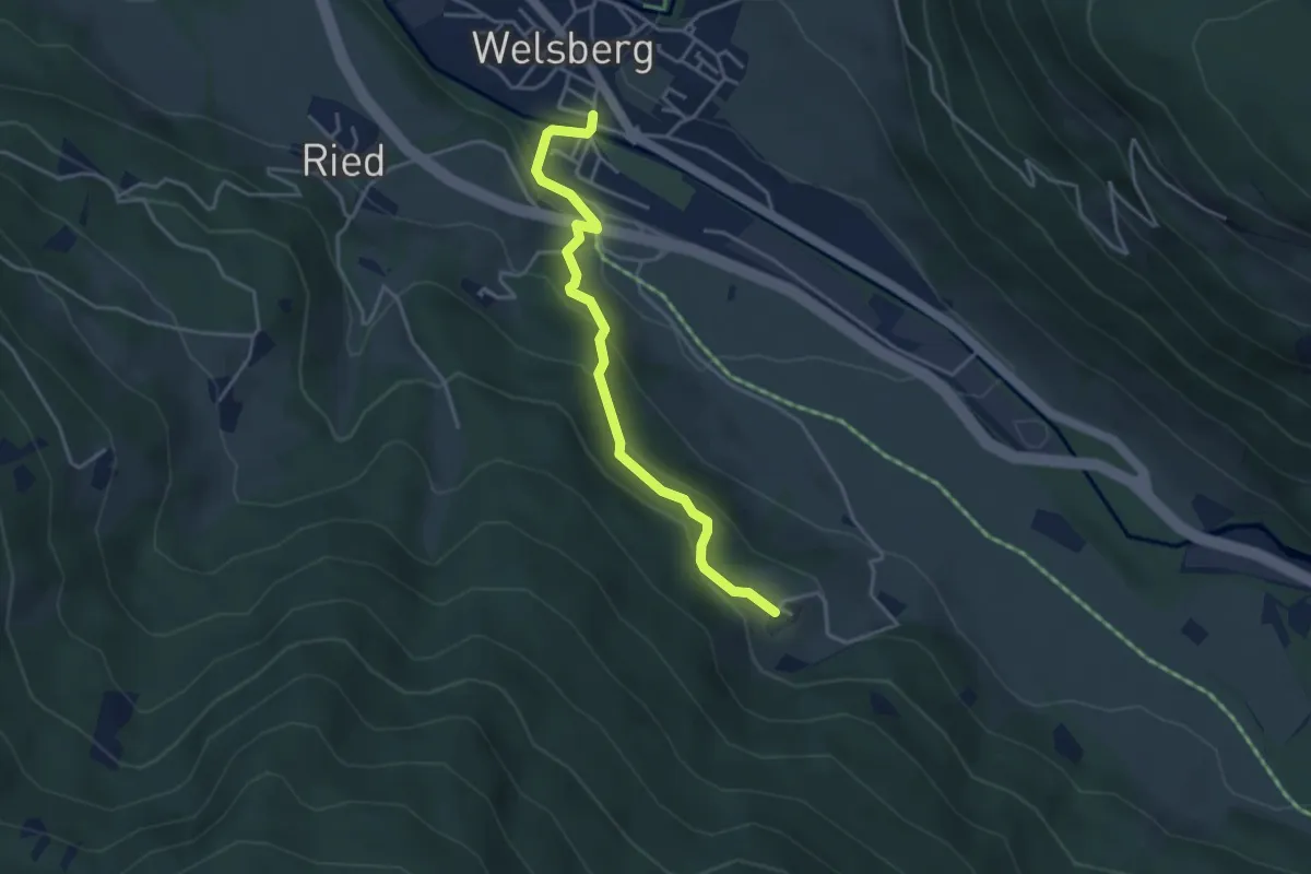
Easy · Trail
Kirchsteig
3.8 km · ↑ 204 m · 1 h 21 min · 14 km away
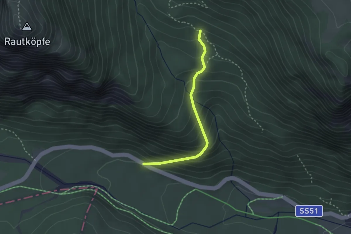
Medium · Trail
Troi dei Milezinche
2.5 km · ↑ 265 m · 1 h 9 min · 14 km away
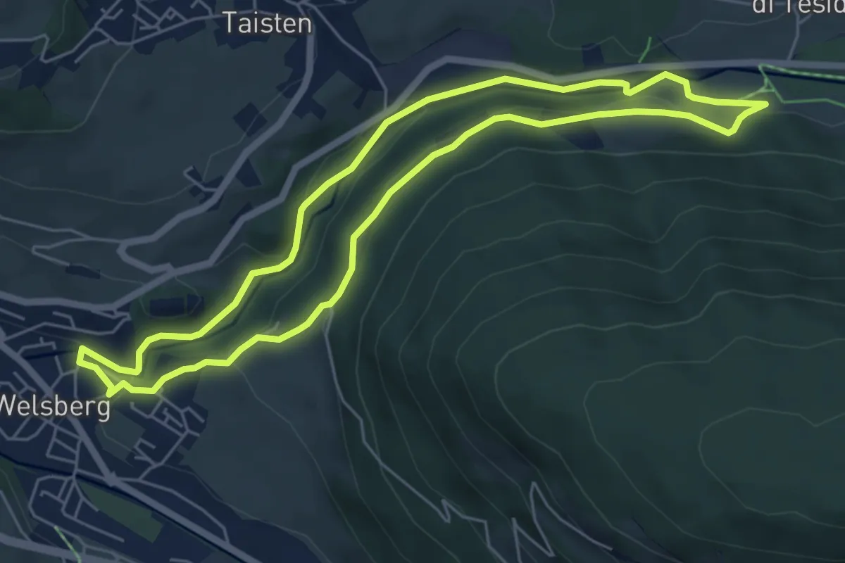
Easy · Trail
Große Schlossrunde
5.5 km · ↑ 147 m · 1 h 41 min · 14 km away
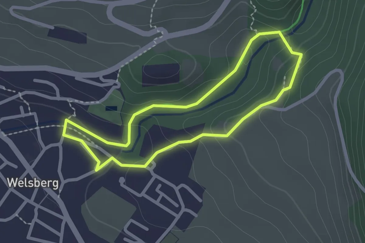
Easy · Trail
Kleine Schlossrunde
1.9 km · ↑ 66 m · 36 min · 14 km away
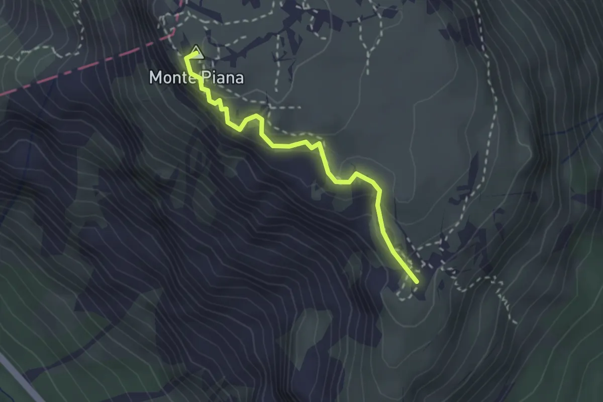
Demanding · Summit
Rifugio Bosi al Monte Piana da sentiero 122 – Piramide Carducci
2.3 km · ↑ 136 m · 51 min · 14 km away
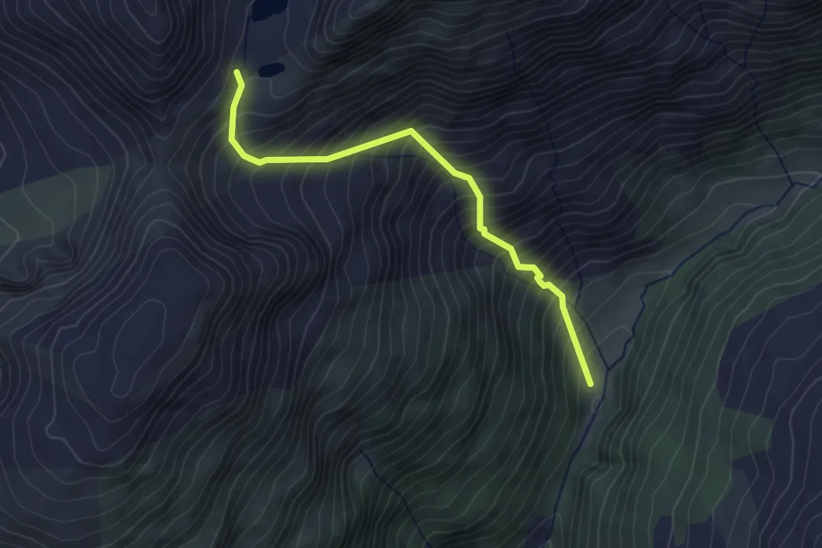
Medium · Trail
Wanderweg 18 Villgratental
3.5 km · ↑ 601 m · 2 h 8 min · 14 km away
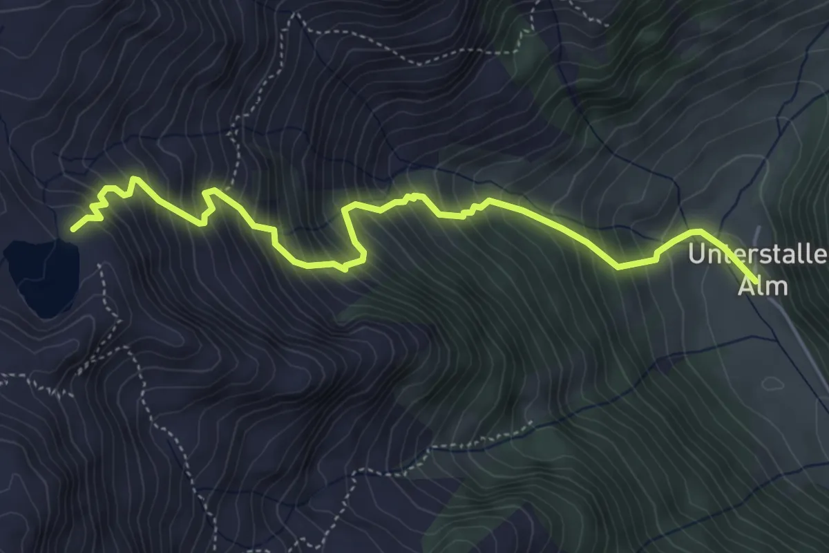
Medium · Trail
Wanderweg 15
5.4 km · ↑ 784 m · 2 h 58 min · 14 km away
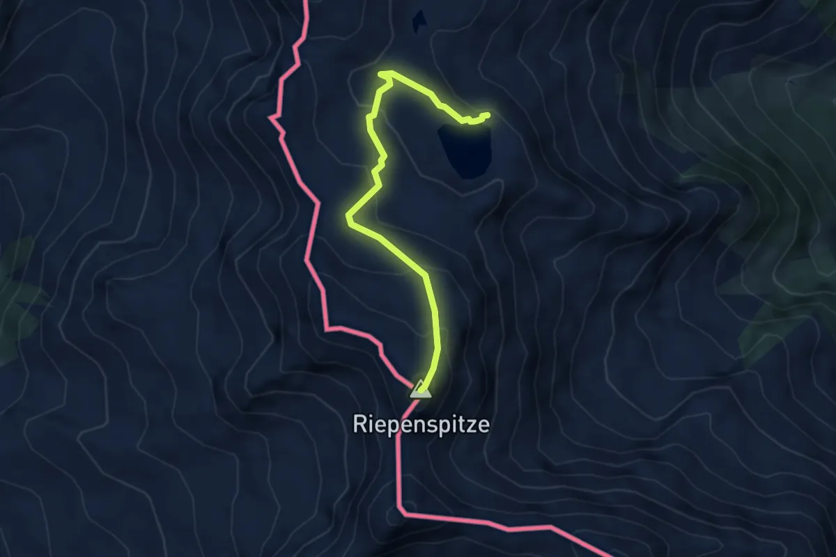
Demanding · Summit
Herzass Trumpfvariante Riepenspitze
4.0 km · ↑ 367 m · 1 h 44 min · 14 km away
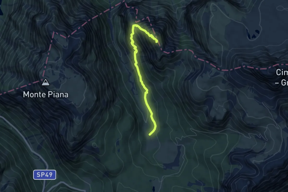
Demanding · Summit
Valle di Rinbianco, da sentiero 108 – Malga Rinbianco
5.9 km · ↑ 498 m · 2 h 29 min · 14 km away
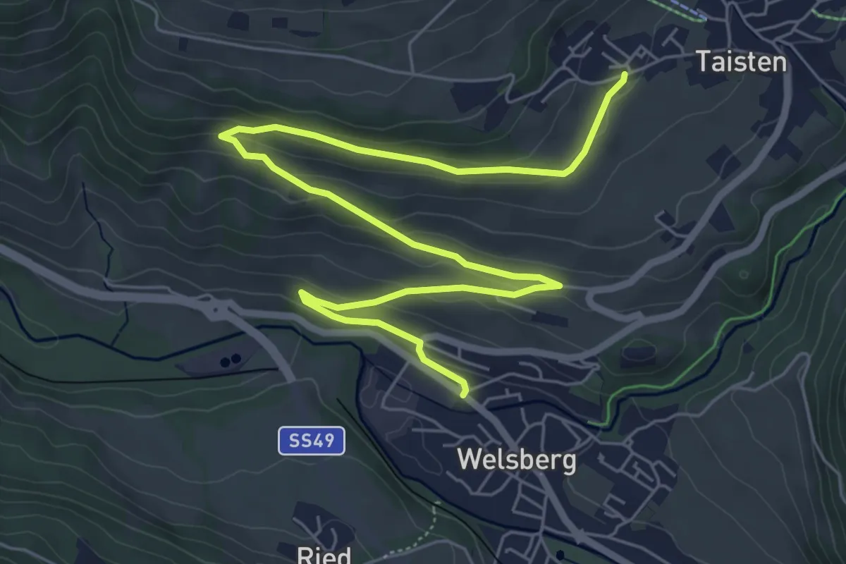
Medium · Trail
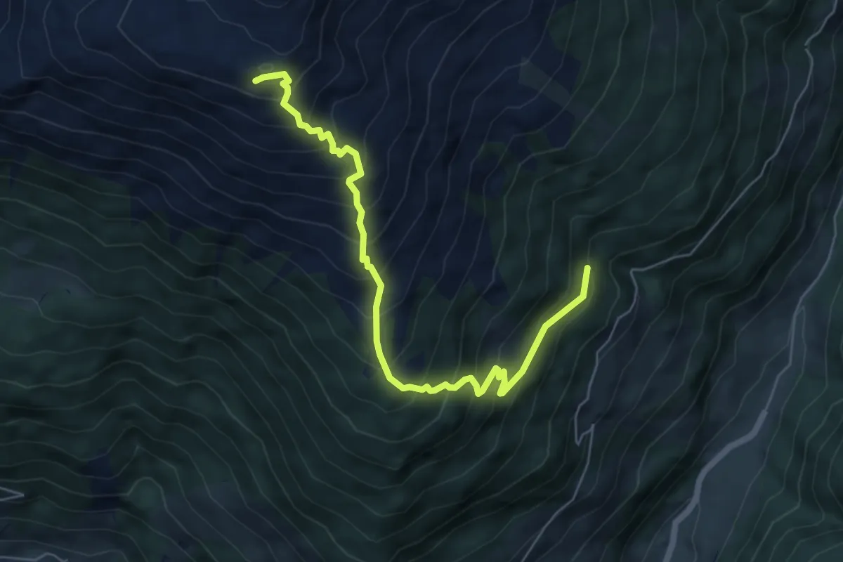
Dolomitenpanoramaweg
8.1 km · ↑ 233 m · 2 h 25 min · 14 km away
Medium · Trail
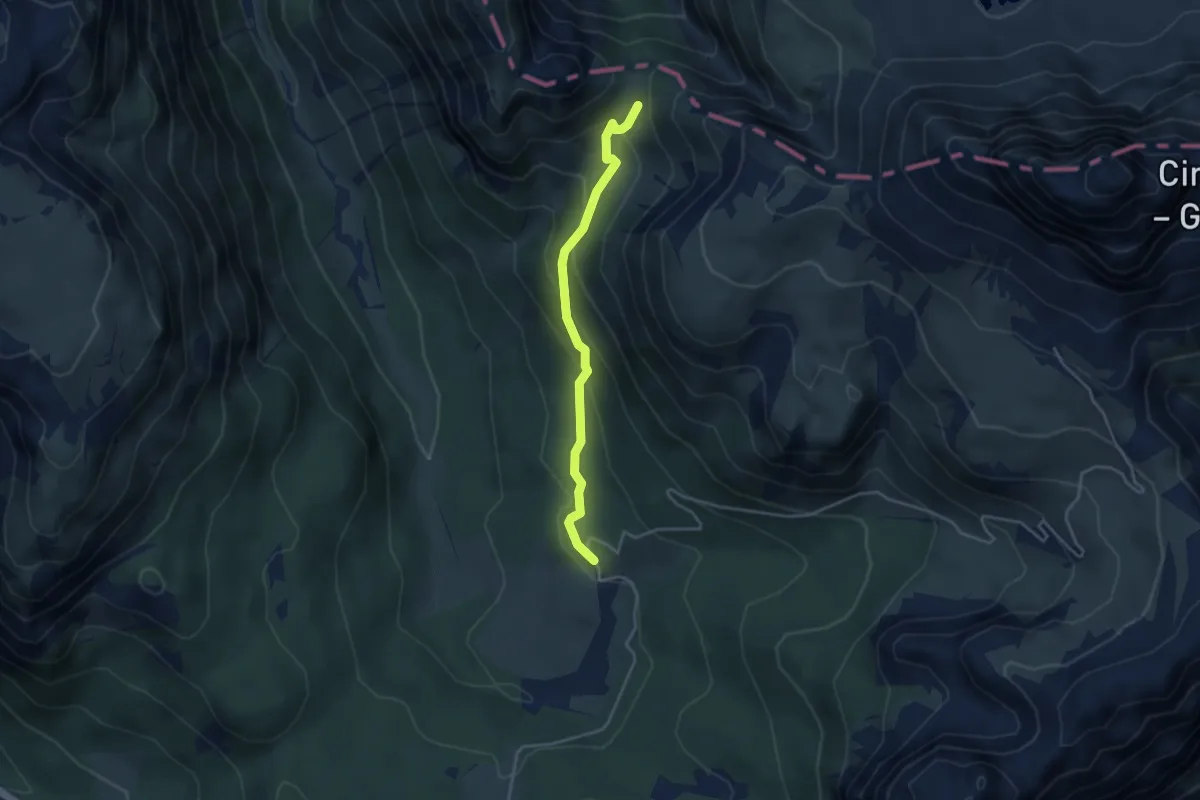
Wanderweg 123
6.3 km · ↑ 750 m · 3 h 7 min · 14 km away
Medium · Trail
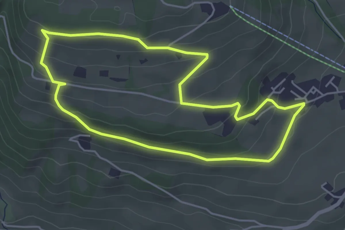
Dai pressi di Malga Rinbianco, da strada per le Tre CIme – Sotto Forcella de l Arghéna – innesto sentiero 108a
3.6 km · ↑ 243 m · 1 h 22 min · 14 km away
Easy · Trail
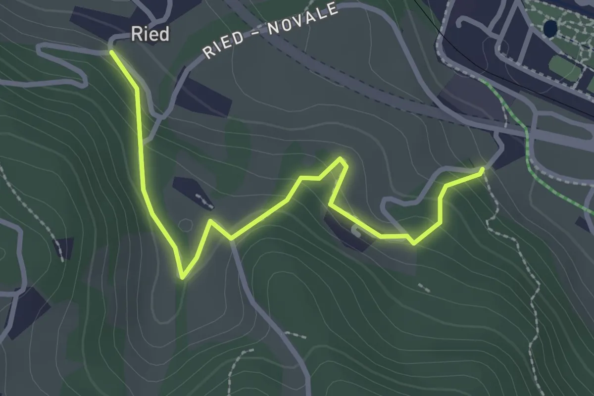
Taistner Sagenweg - Sentiero delle fiabe di Tesido
4.1 km · ↑ 163 m · 1 h 22 min · 14 km away
Easy · Trail
Themenweg vom Korn zum Brot
2.6 km · ↑ 153 m · 57 min · 14 km away
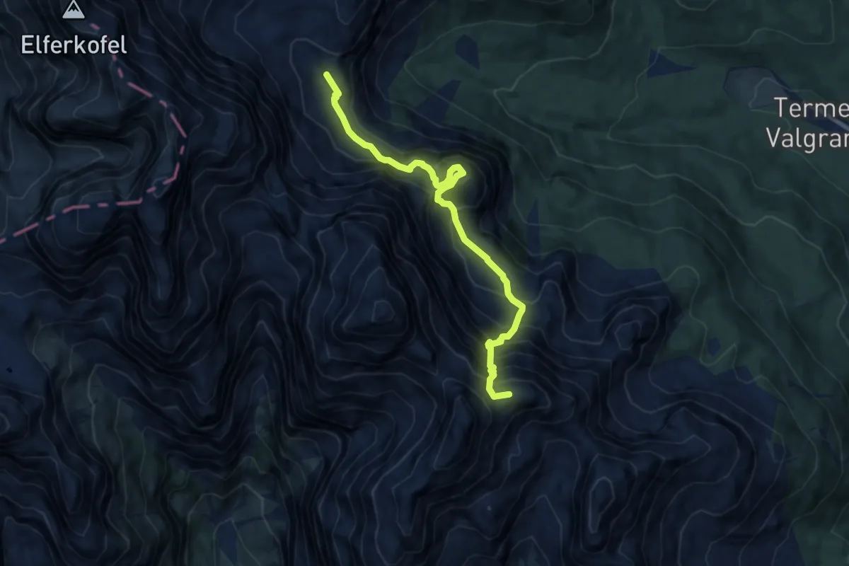
Demanding · Summit
Rif. A. Berti – Bivacco Gera
8.7 km · ↑ 1257 m · 4 h 46 min · 15 km away
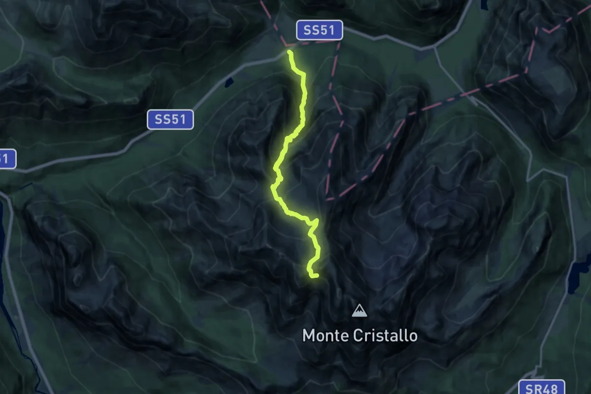
Expert · Summit
Cimabanche – Forcella Grande
12.2 km · ↑ 1431 m · 5 h 59 min · 15 km away
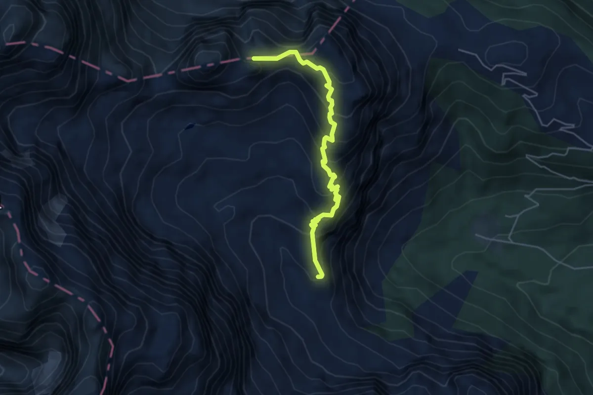
Demanding · Summit
Rifugio Berti – Forcella Popera
4.6 km · ↑ 437 m · 2 h 1 min · 15 km away
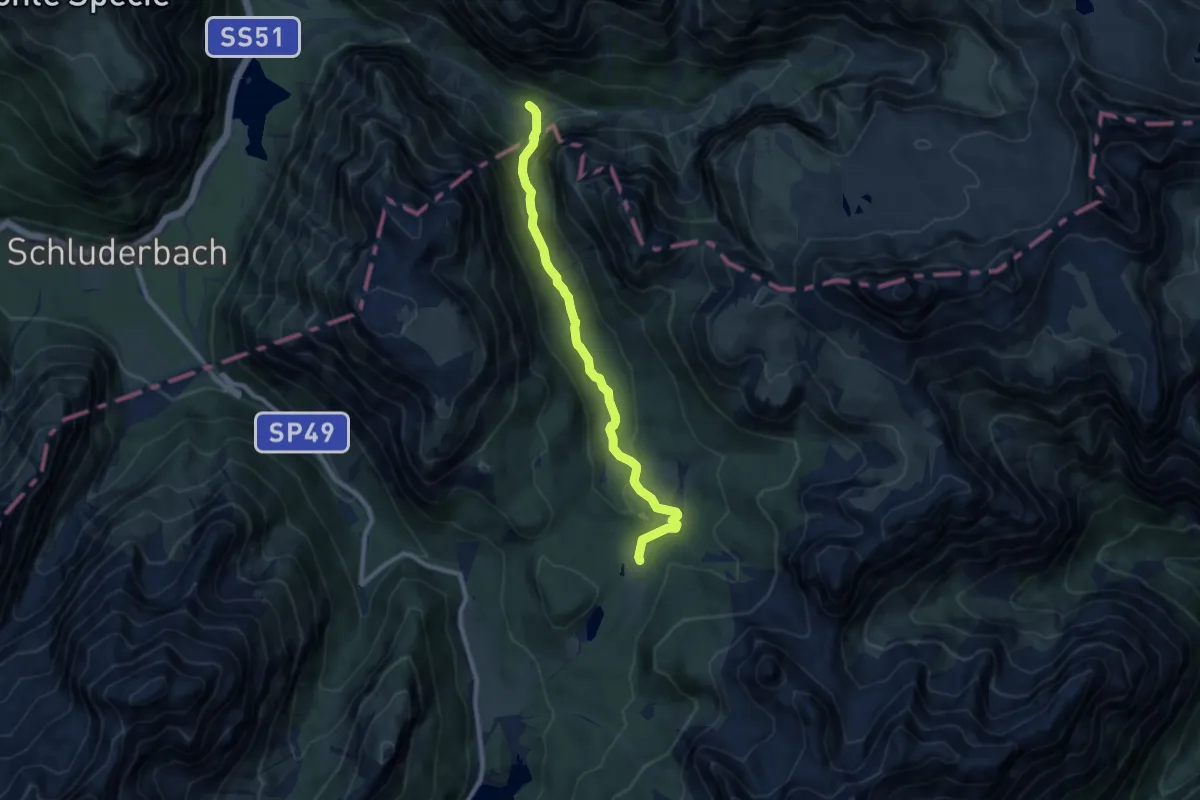
Medium · Trail
Misurina, casello strada Tre Cime – Valle della Rienza, innesto su sent. 102
8.6 km · ↑ 341 m · 2 h 46 min · 15 km away
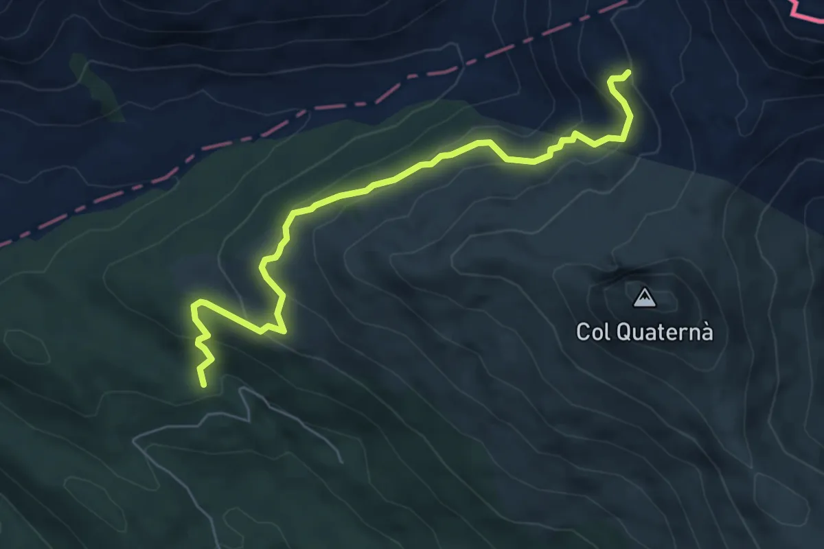
Medium · Trail
Sopra Casera Coltrondo - da sentiero 156 – Sotto Passo Silvella - innesto sentiero 146
6.2 km · ↑ 390 m · 2 h 19 min · 15 km away
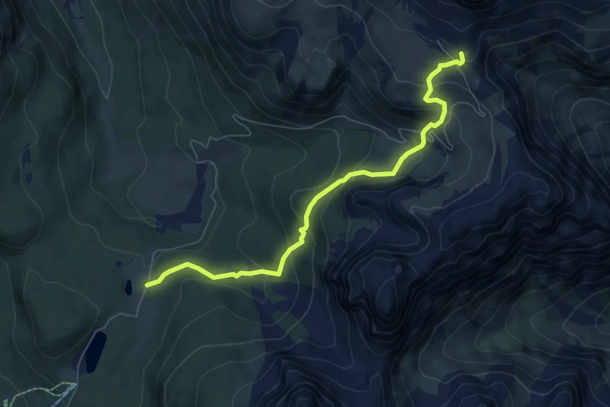
Medium · Cabin
Misurina Casello - Rifugio Auronzo
6.5 km · ↑ 471 m · 2 h 33 min · 15 km away
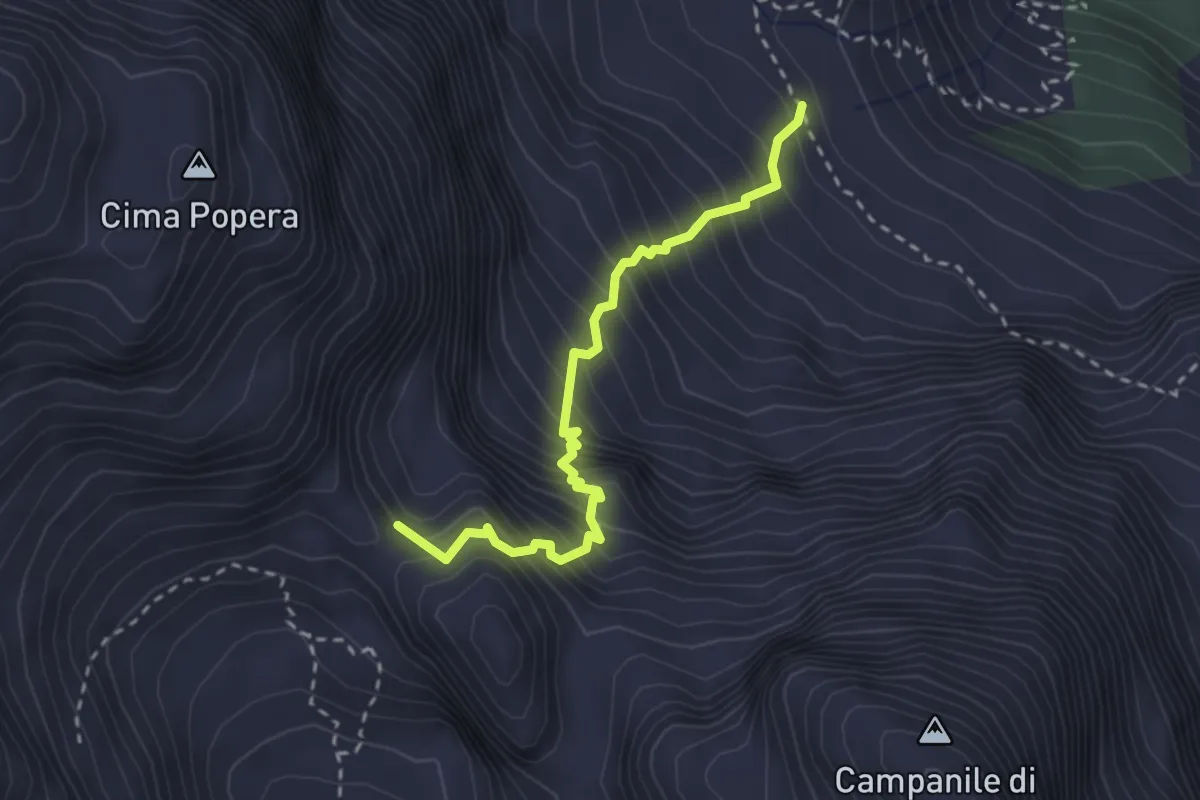
Expert · Summit
Ferrata Roghel
2.7 km · ↑ 596 m · 1 h 56 min · 15 km away