Trails near Iseo
257 hikes starting within 15 km, nearest first.
Nearest first, page 1 of 6
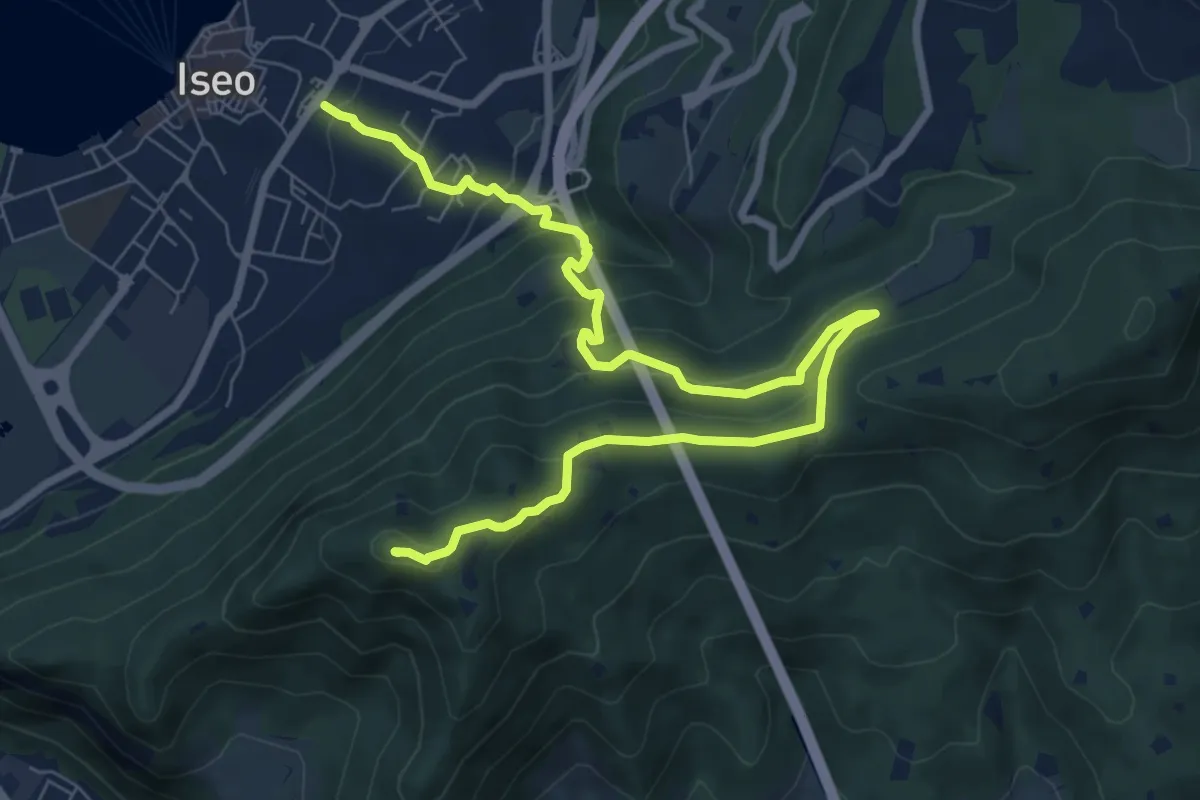
Medium · Summit
Giro delle Culme
9.9 km · ↑ 516 m · 3 h 28 min · under 1 km away
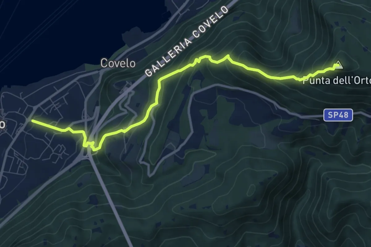
Medium · Summit
Iseo – Punta dell'Orto
9.6 km · ↑ 800 m · 4 h · under 1 km away
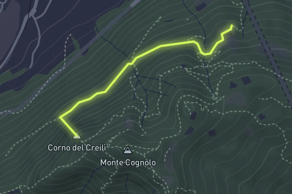
Easy · Summit
Senterù - Sentiero delle Terre Rosse
2.9 km · ↑ 284 m · 1 h 18 min · 1 km away
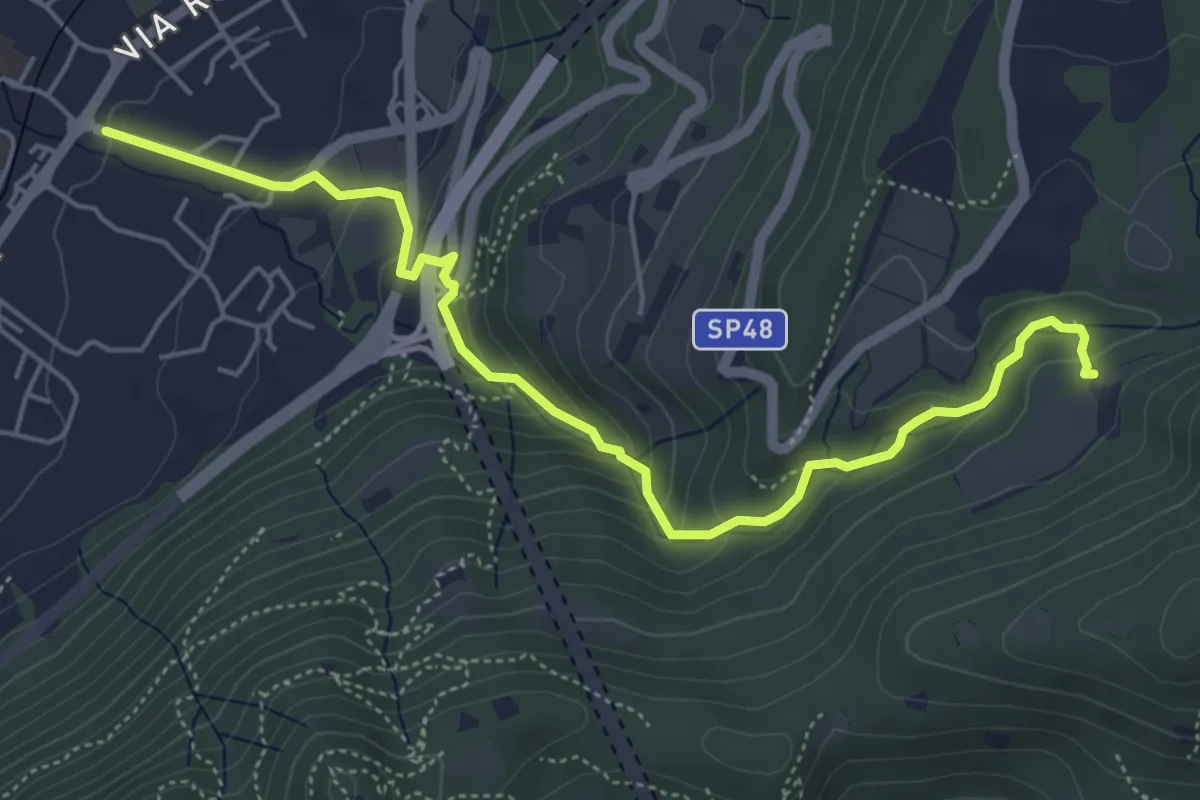
Medium · Trail
Sentér del Gat
5.9 km · ↑ 306 m · 2 h 4 min · 3 km away
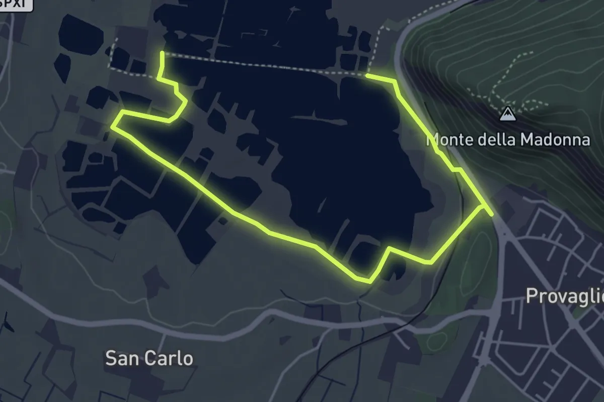
Easy · Trail
Percorso Pedonale Sud
6.4 km · ↑ 61 m · 1 h 39 min · 3 km away
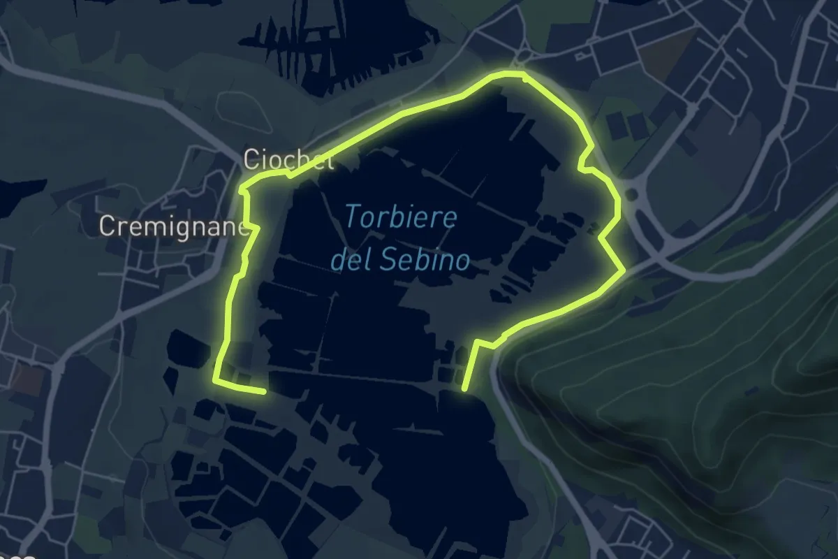
Medium · Trail
Percorso Pedonale Nord
8.5 km · ↑ 18 m · 2 h 3 min · 3 km away
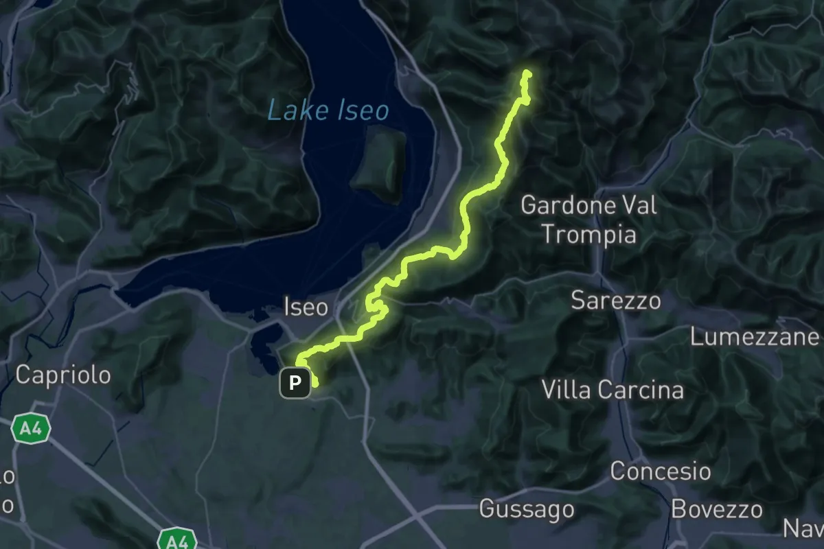
Demanding · Summit
Proai Gölem
44.7 km · ↑ 2342 m · 15 h 38 min · 3 km away
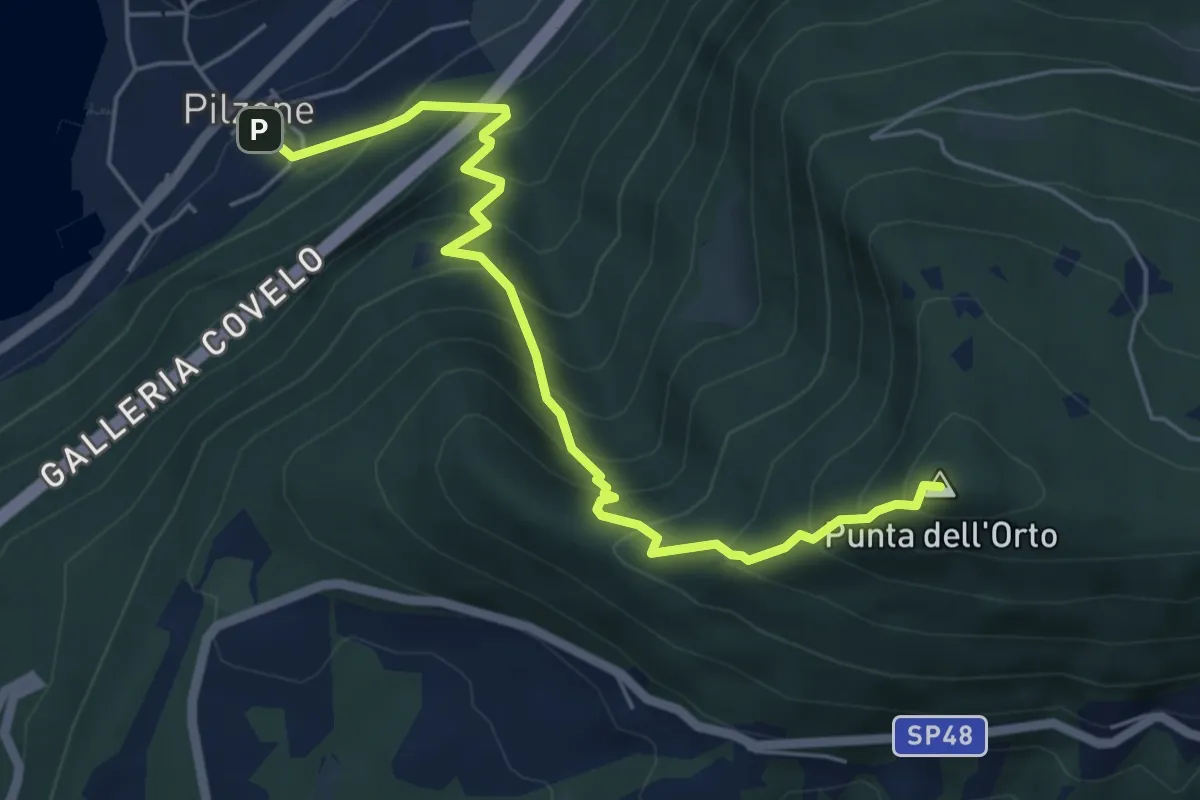
Medium · Summit
Pilzone – Punta dell'Orto
6.0 km · ↑ 762 m · 3 h 3 min · 3 km away
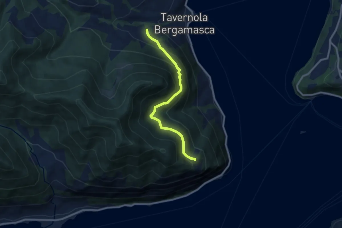
Demanding · Trail
Bianica – Case il Monte
6.1 km · ↑ 457 m · 2 h 26 min · 3 km away
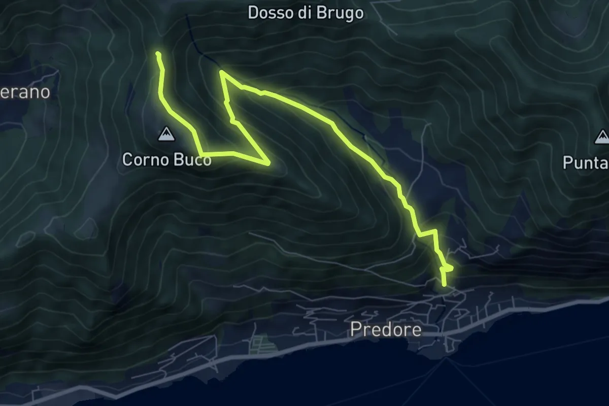
Medium · Trail
Predore – Colle di Oregia
8.7 km · ↑ 661 m · 3 h 29 min · 3 km away
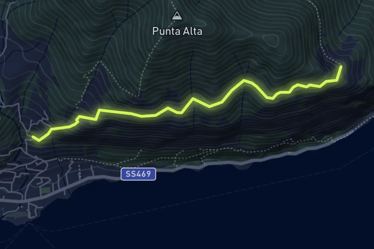
Medium · Trail
Sentiero dei Fiori
5.3 km · ↑ 518 m · 2 h 22 min · 4 km away
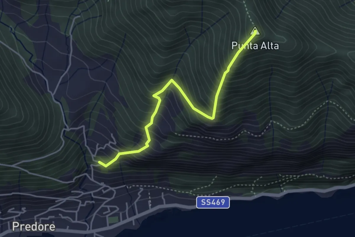
Medium · Summit
San Gregorio (Predore) – Punta Alta
3.9 km · ↑ 634 m · 2 h 18 min · 4 km away
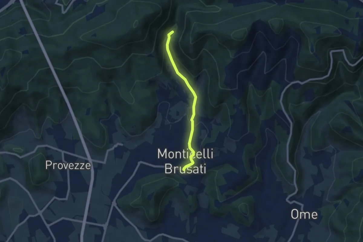
Easy · Trail
Sentiero delle Cascate (Percorso Principale)
5.2 km · ↑ 150 m · 1 h 34 min · 4 km away
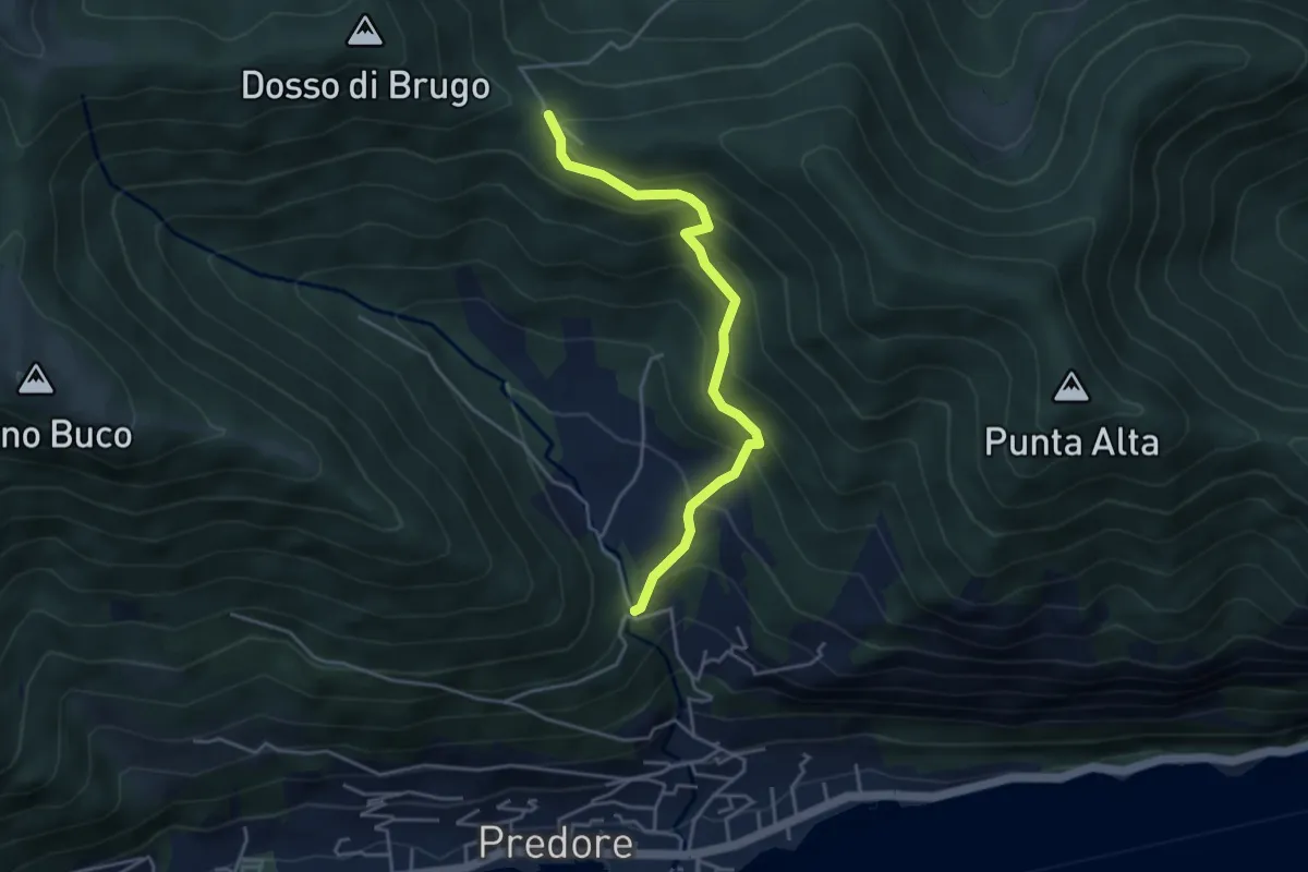
Medium · Trail
San Gregorio (incrocio 708) – Colle del Giogo (incrocio 707)
4.1 km · ↑ 382 m · 1 h 47 min · 4 km away
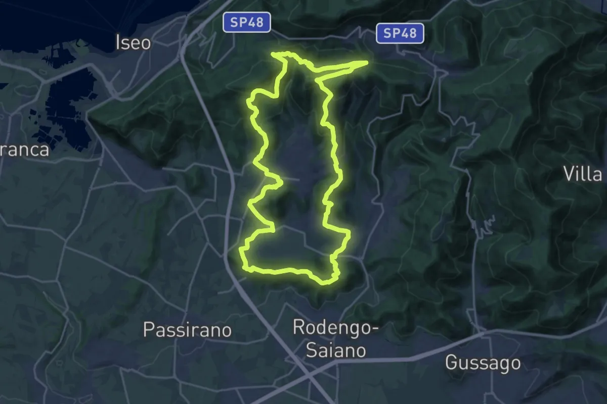
Demanding · Summit
El gir del Muntasel
20.5 km · ↑ 865 m · 6 h 59 min · 4 km away
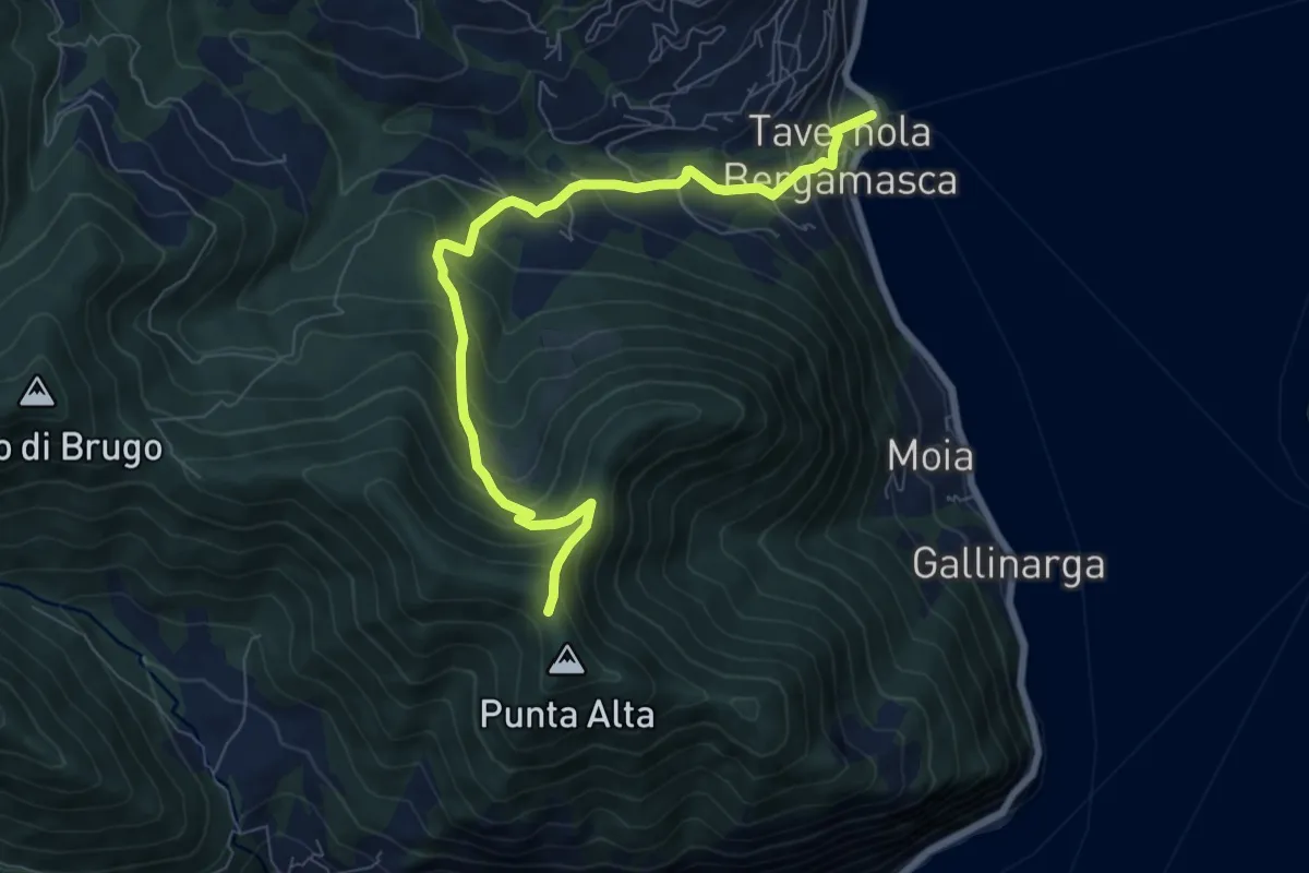
Medium · Trail
Tavernola Bergamasca – Punta Alta
7.9 km · ↑ 732 m · 3 h 28 min · 4 km away
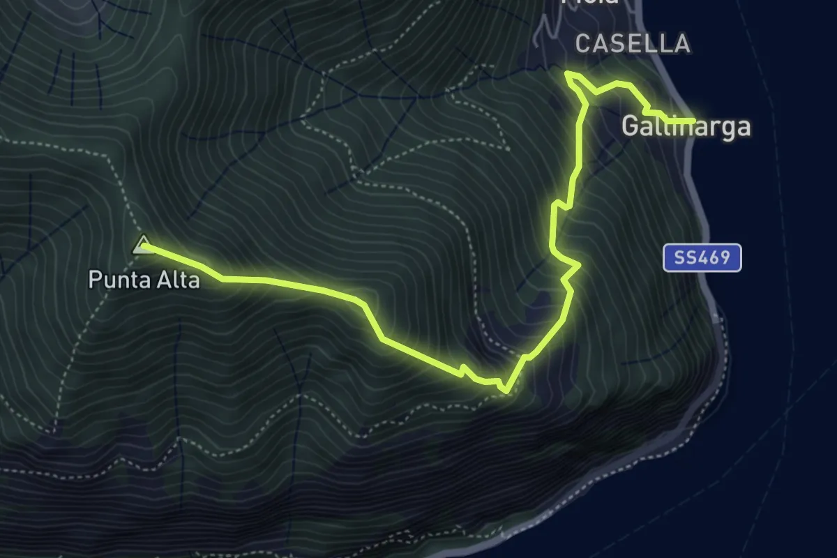
Demanding · Summit
Gallinarga – Colle del Giogo
5.9 km · ↑ 744 m · 3 h · 4 km away
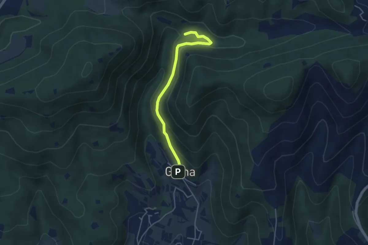
Medium · Trail
Sentiero delle Cascate - Variante B
3.6 km · ↑ 217 m · 1 h 20 min · 4 km away
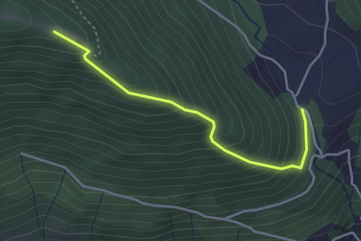
Medium · Trail
San Gregorio (incrocio 708) – Casello Col Giera
2.8 km · ↑ 363 m · 1 h 27 min · 5 km away
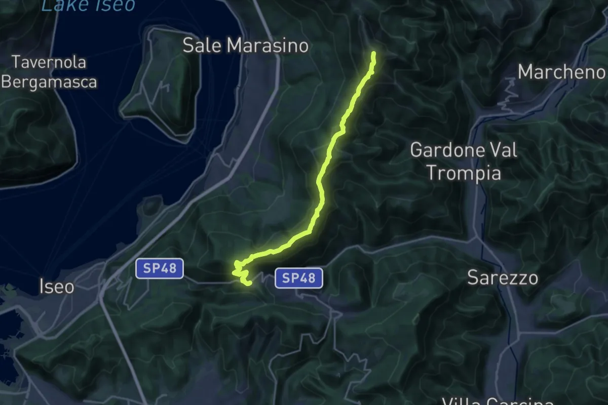
Demanding · Summit
Sentiero 3V - Tappa 7
17.5 km · ↑ 1361 m · 7 h 5 min · 5 km away
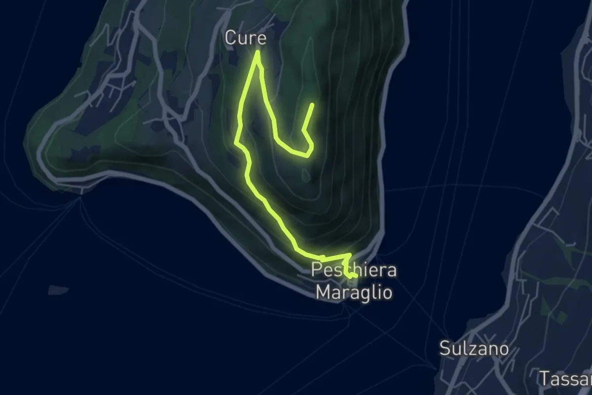
Medium · Summit
Pescheria Maraglio - Santuario della Ceriola
5.7 km · ↑ 392 m · 2 h 11 min · 5 km away
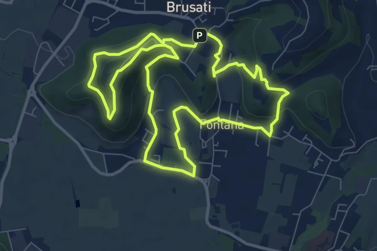
Easy · Trail
Tra il vecchio castello e la Madonna della Rosa
7.0 km · ↑ 299 m · 2 h 24 min · 5 km away
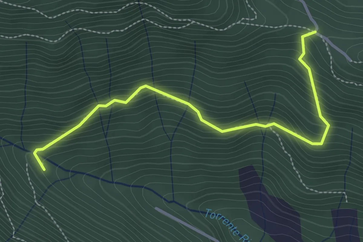
Medium · Trail
Col del Giogo – Incrocio 708
3.2 km · ↑ 264 m · 1 h 19 min · 5 km away
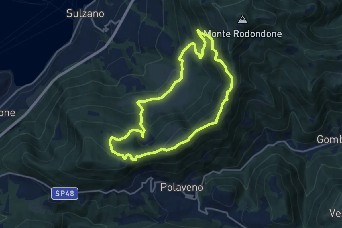
Medium · Summit
Sentiero degli Elfi
8.9 km · ↑ 450 m · 3 h 12 min · 6 km away
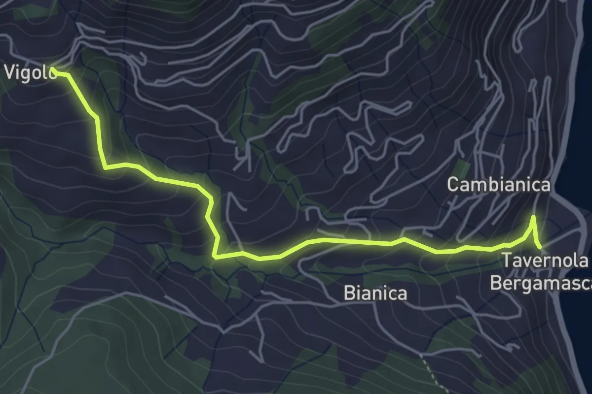
Medium · Trail
Tavernola – Vigolo
4.8 km · ↑ 407 m · 2 h 1 min · 6 km away
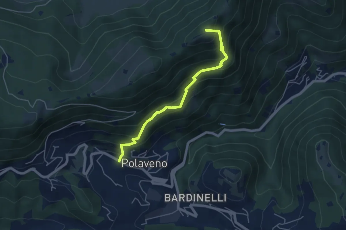
Medium · Summit
Polaveno - Santa Maria del Giogo
4.2 km · ↑ 463 m · 2 h · 6 km away
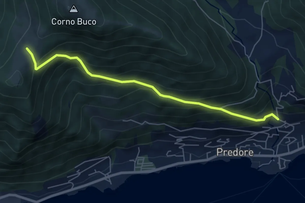
Medium · Trail
Predore – Colle Cambline
5.3 km · ↑ 504 m · 2 h 20 min · 6 km away
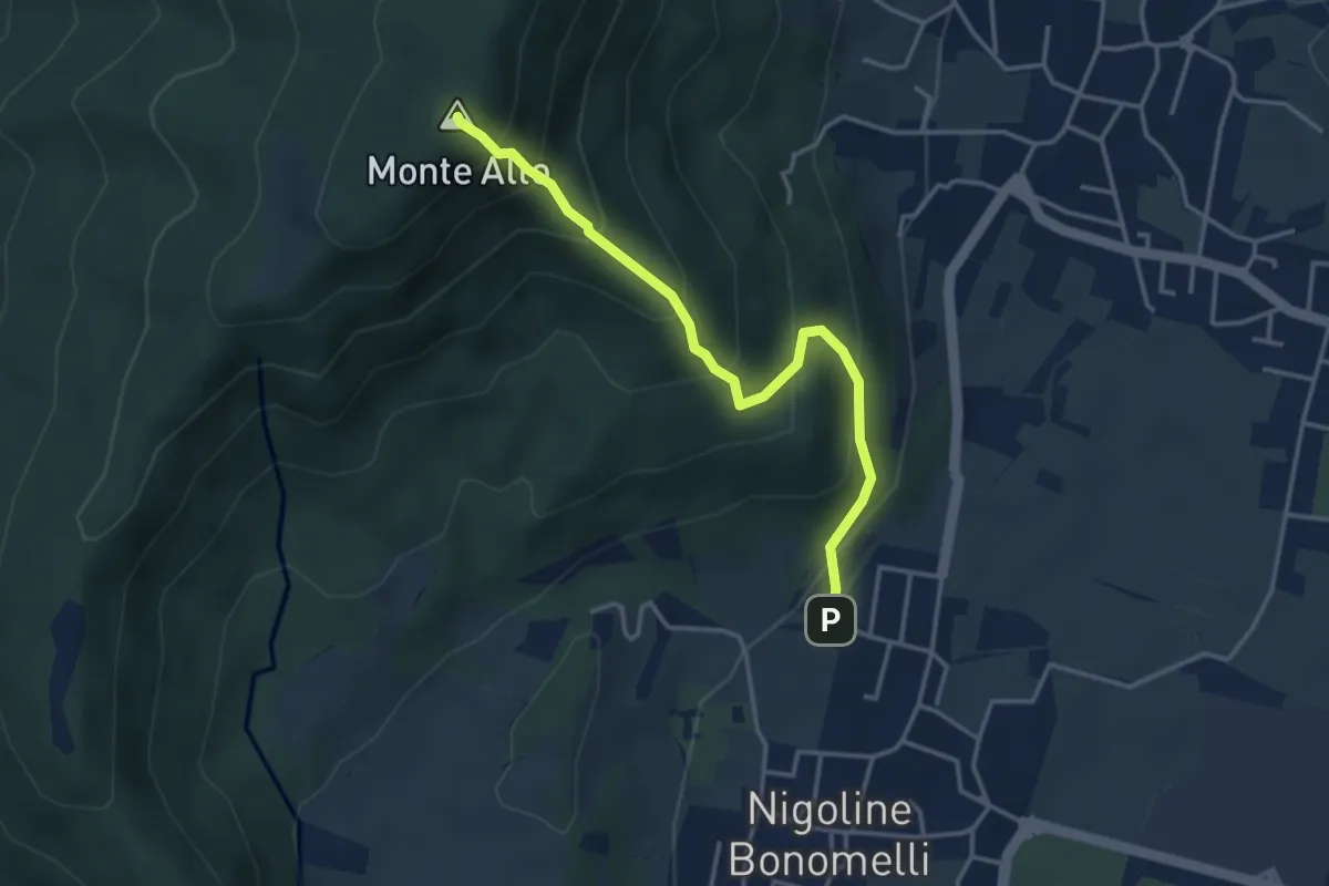
Medium · Summit
Sentiero della Scala Santa
3.7 km · ↑ 398 m · 1 h 44 min · 6 km away
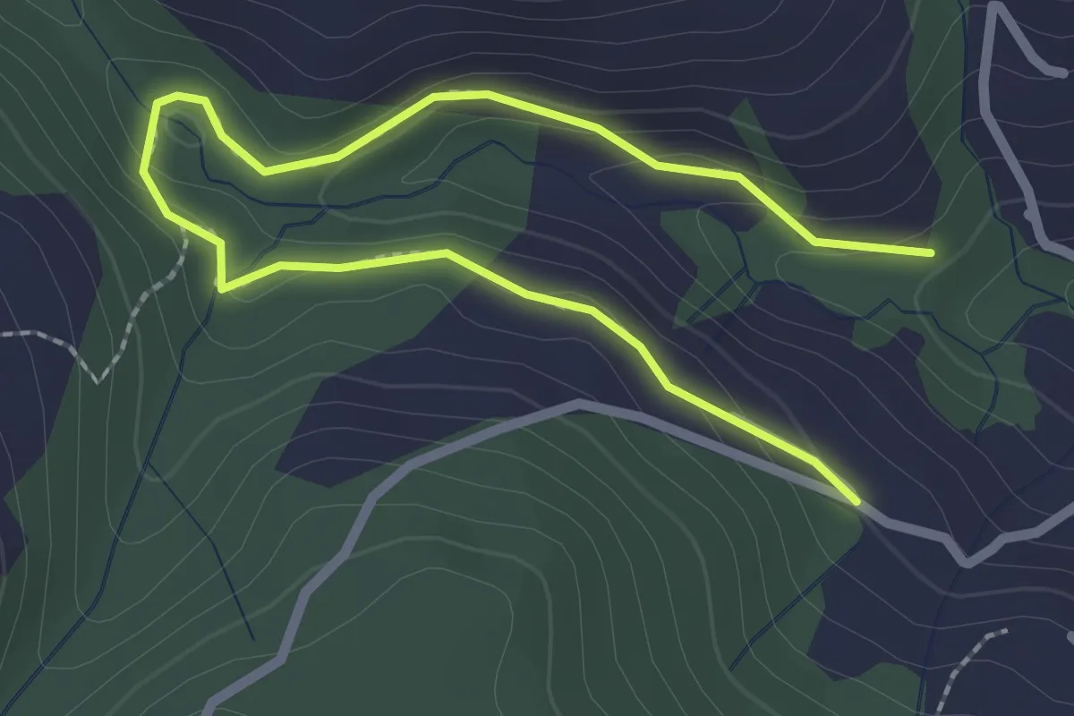
Easy · Trail
Madonna di Cortinica – Ponte di Lughel
3.2 km · ↑ 101 m · 59 min · 6 km away
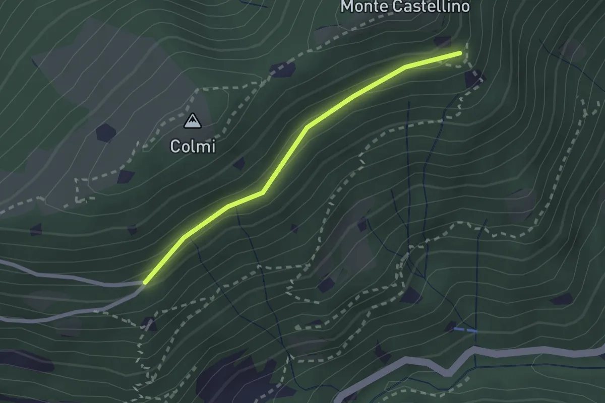
Easy · Trail
Sentiero 310 - Variante 310A
2.0 km · ↑ 104 m · 42 min · 6 km away
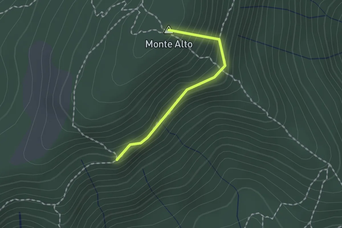
Easy · Summit
Sentiero Traversante
1.3 km · ↑ 126 m · 35 min · 6 km away
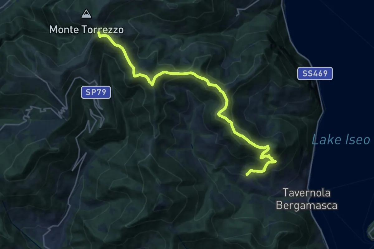
Demanding · Summit
Sentiero tra i monti e il lago - Tappa 2
19.5 km · ↑ 1222 m · 7 h 15 min · 7 km away
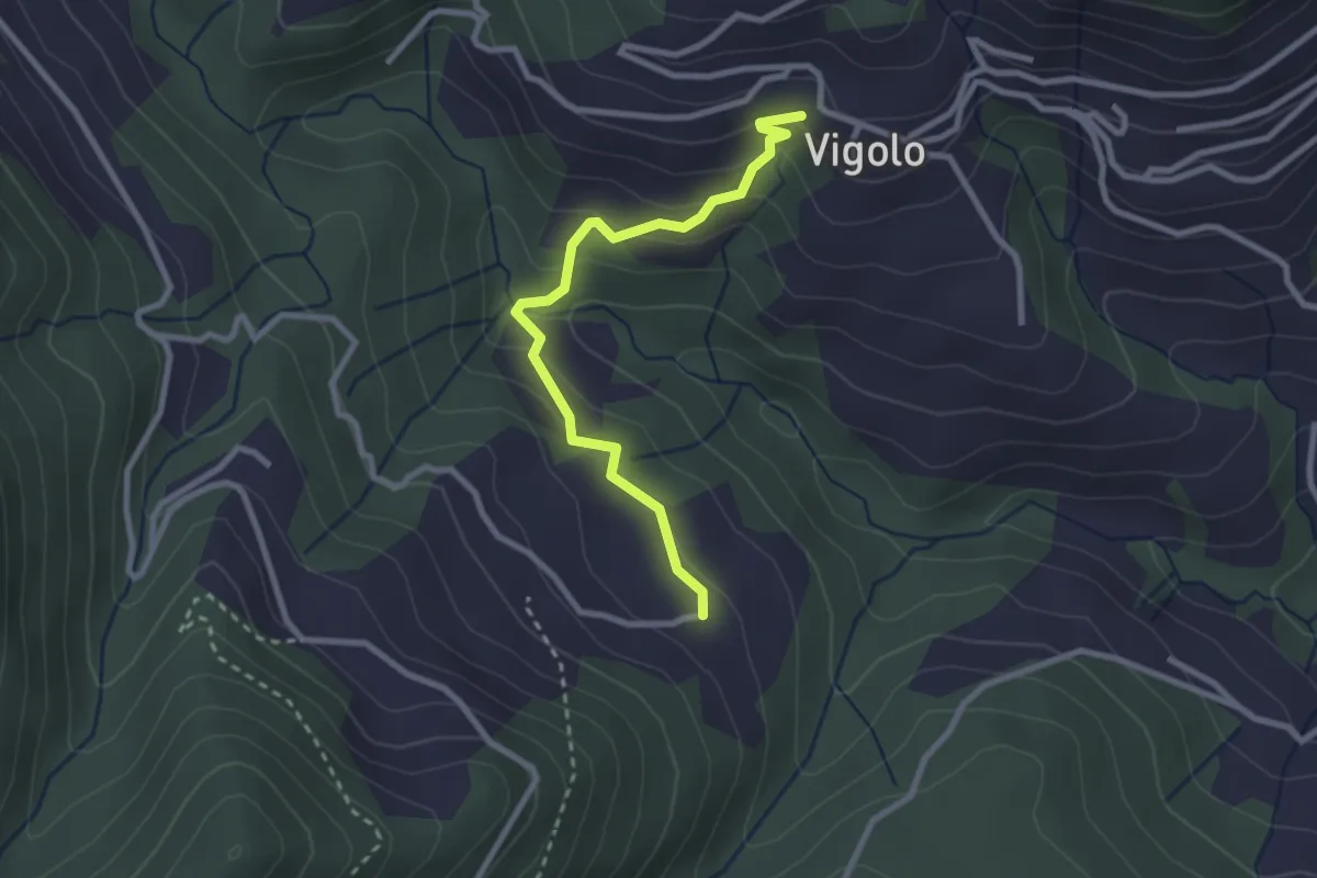
Easy · Trail
Vigolo – Pressana
2.7 km · ↑ 142 m · 57 min · 7 km away
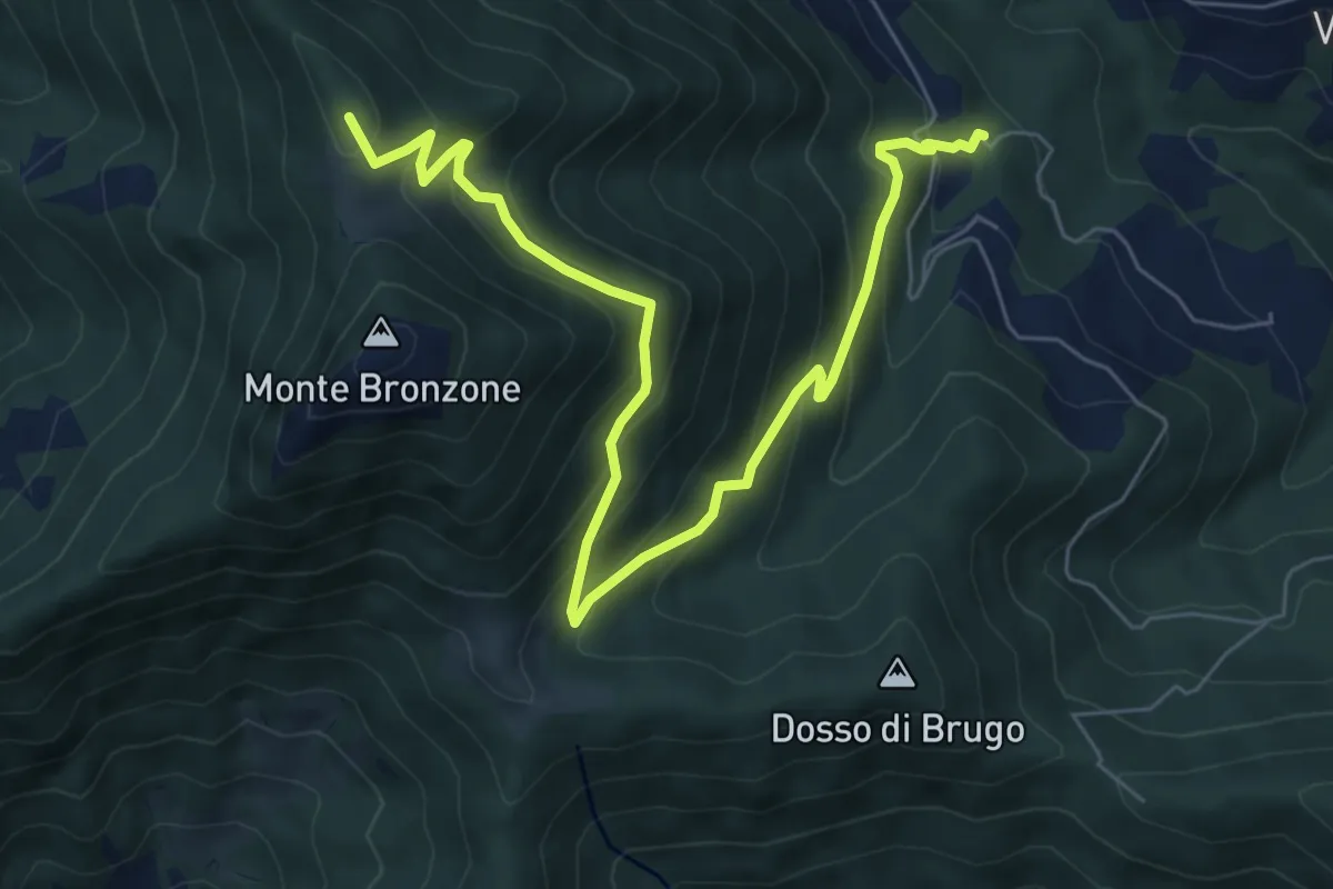
Medium · Summit
Campolerone (Vigolo) – Gombo alto
8.2 km · ↑ 642 m · 3 h 19 min · 7 km away
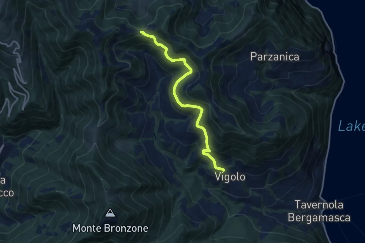
Medium · Trail
Vigolo – Colle Cargadura
9.4 km · ↑ 590 m · 3 h 29 min · 7 km away
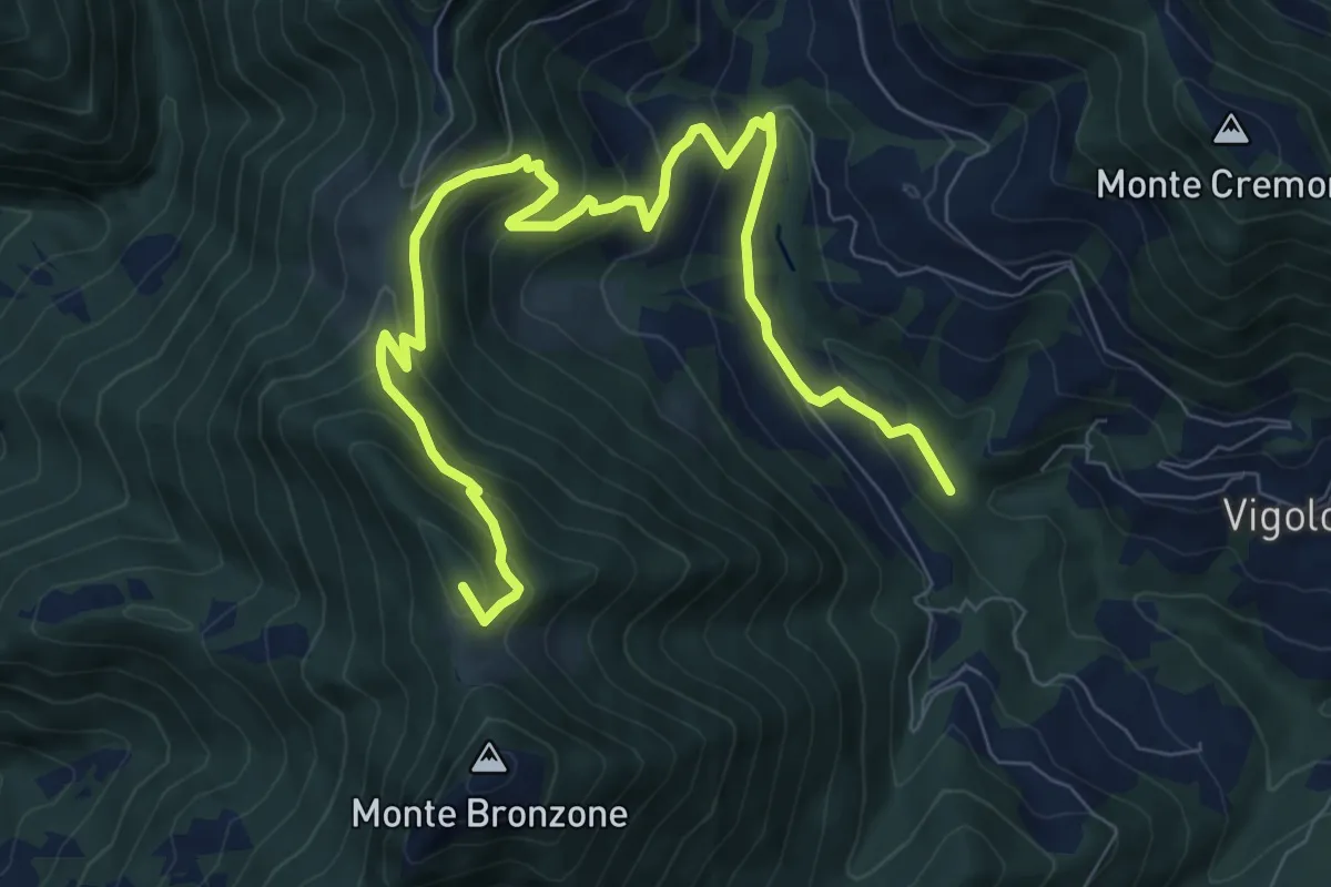
Medium · Summit
Valle delle Tombe – Gombo Alto
11.0 km · ↑ 703 m · 4 h 7 min · 7 km away
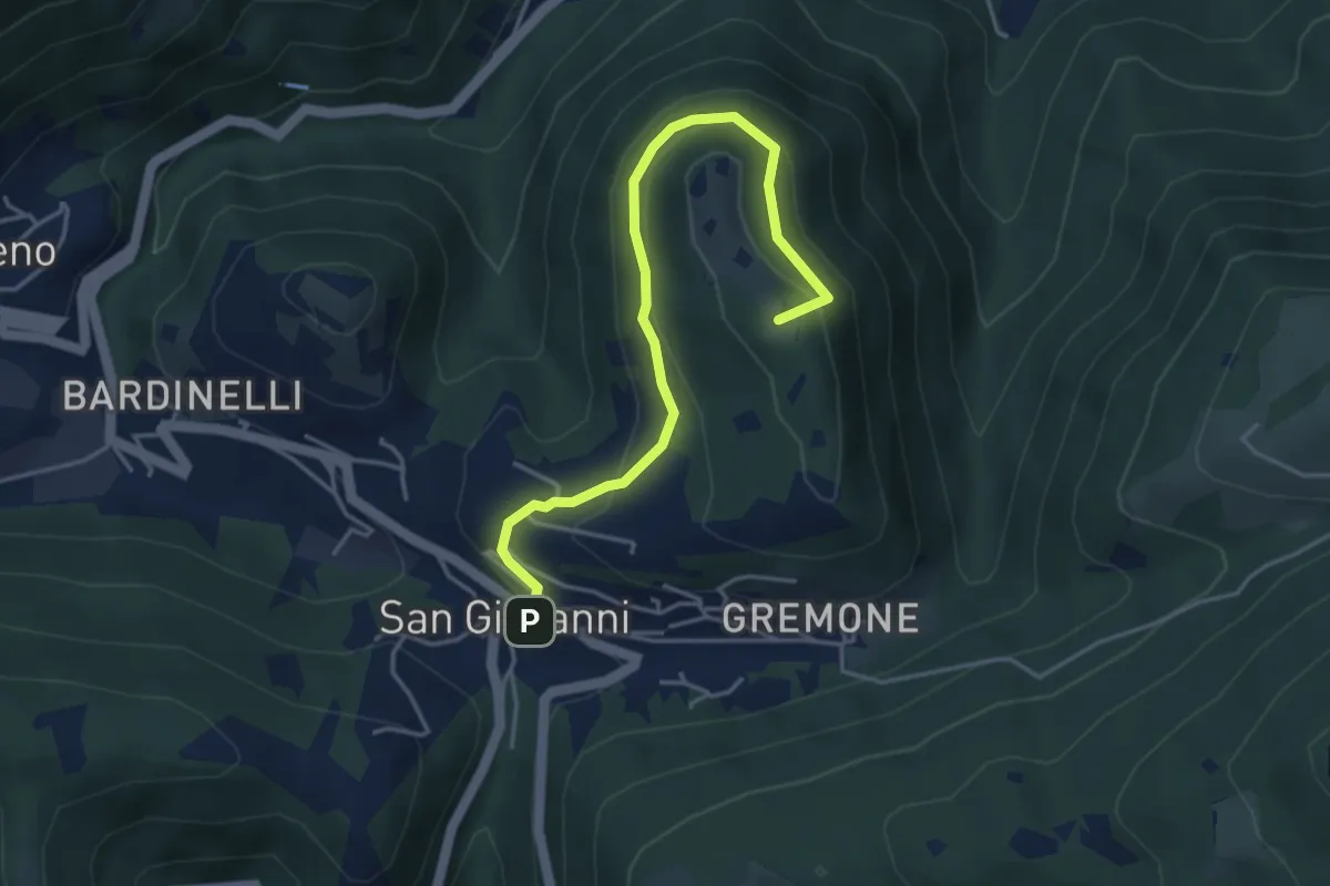
Demanding · Summit
Sentiero della Pugna
4.4 km · ↑ 219 m · 1 h 30 min · 7 km away
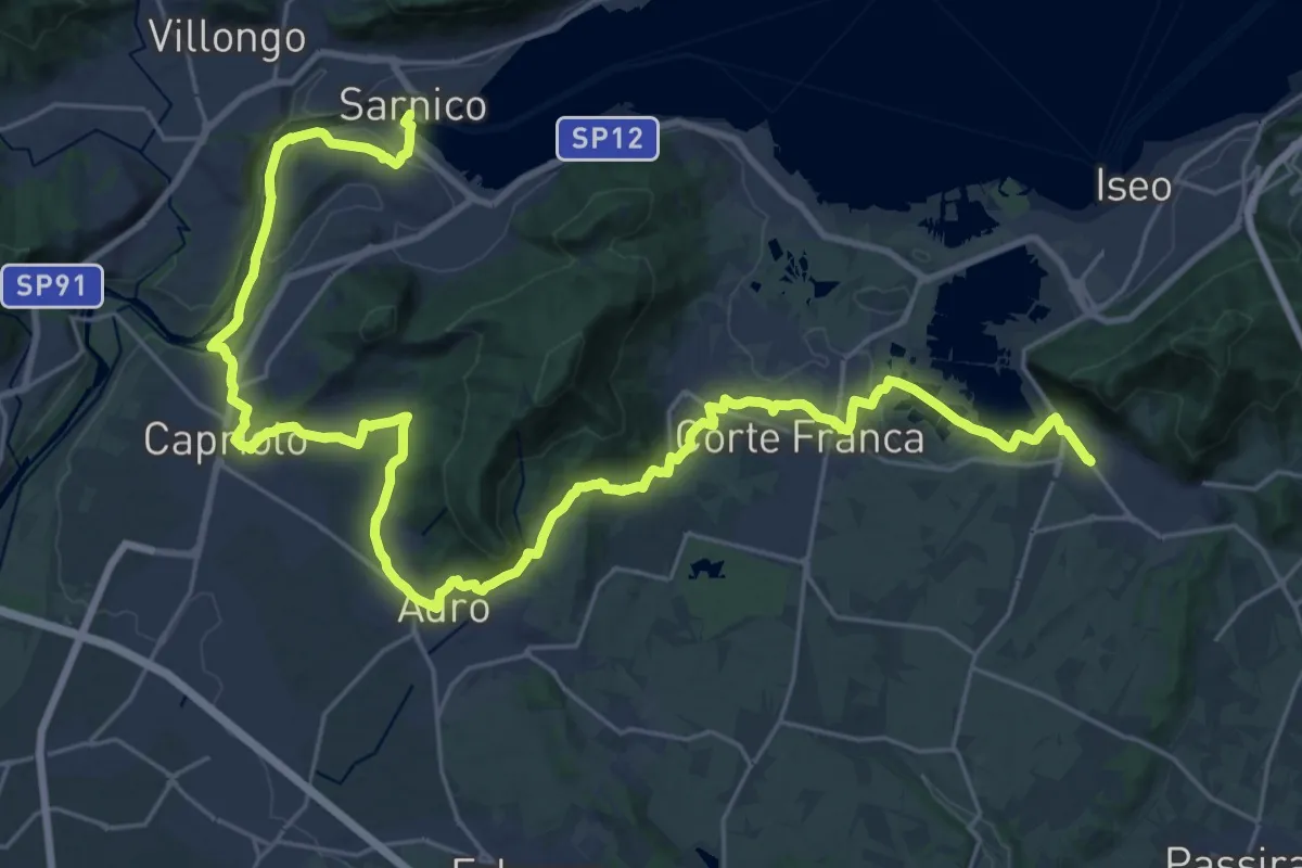
Demanding · Pilgrim path
La Via delle Sorelle - Tappa 3
18.9 km · ↑ 335 m · 5 h 26 min · 7 km away
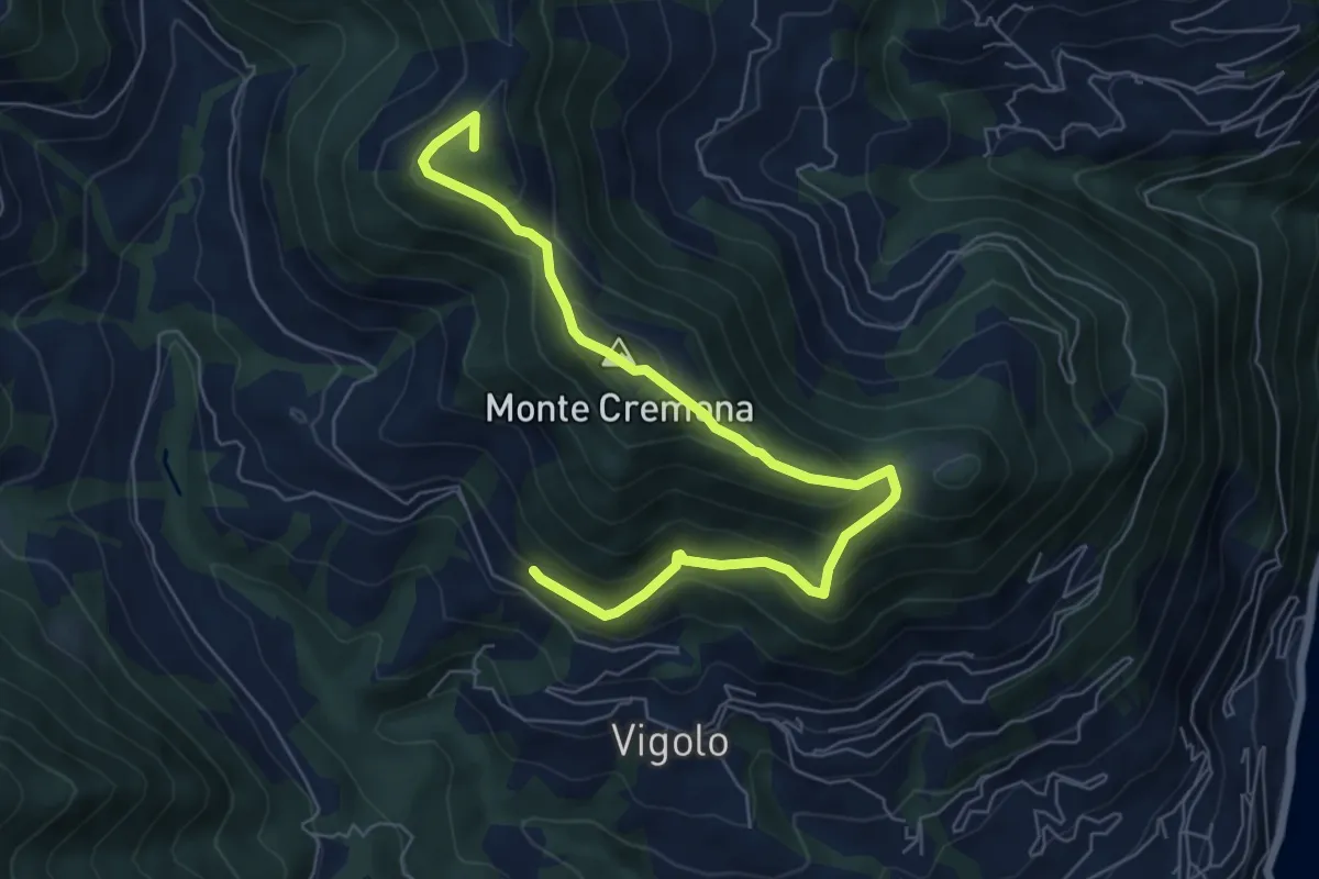
Medium · Summit
Recursone (Vigolo) – Punta del Bert
7.5 km · ↑ 551 m · 2 h 58 min · 7 km away
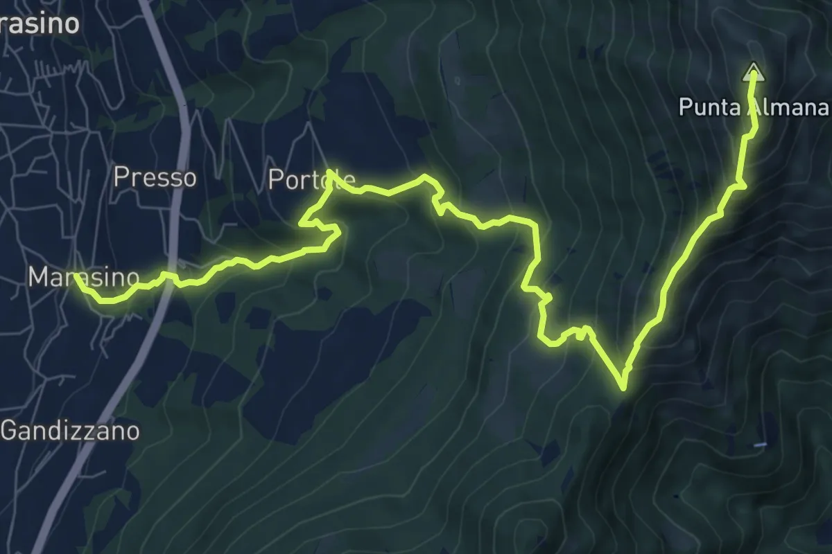
Demanding · Summit
Marasino – Punta Almana
11.4 km · ↑ 1126 m · 5 h 9 min · 7 km away
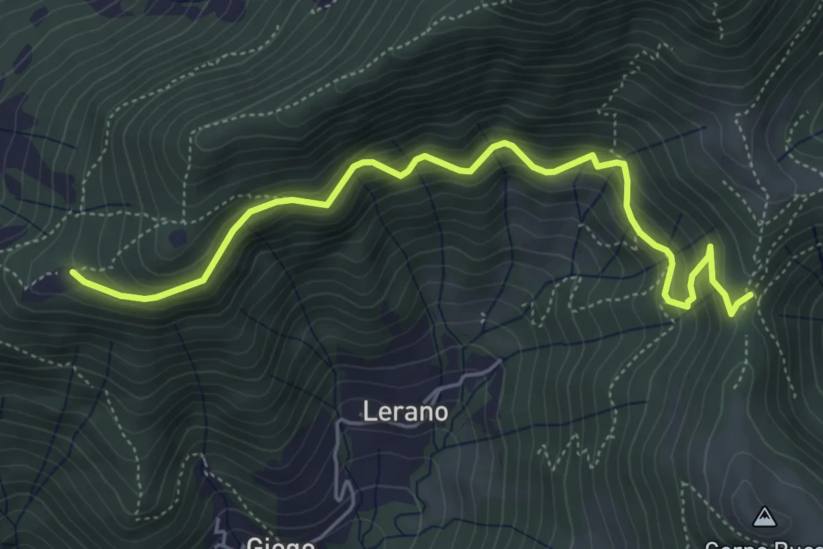
Medium · Trail
Incrocio 719 – Colle di Oregia
5.6 km · ↑ 536 m · 2 h 29 min · 7 km away
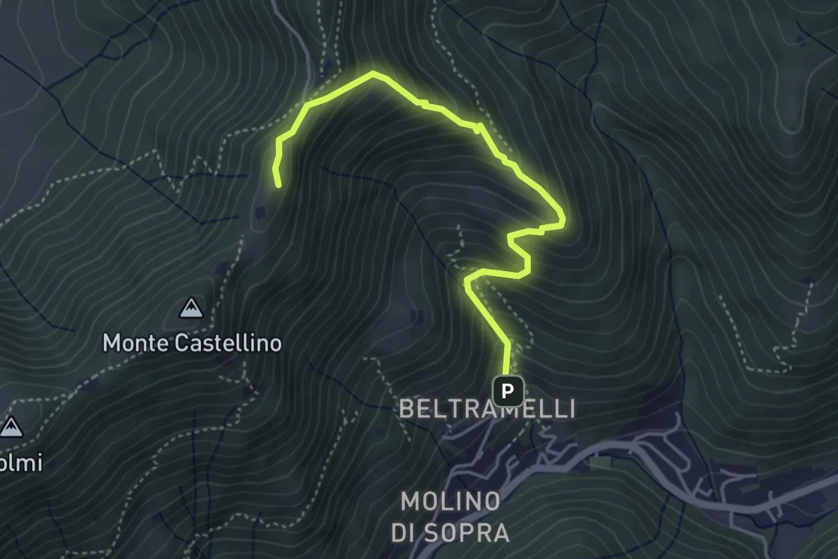
Medium · Cabin
Polaveno (Gombio) - Santa Maria del Giogo
4.3 km · ↑ 452 m · 2 h · 7 km away
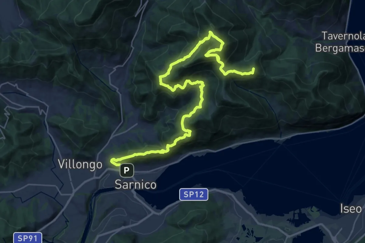
Demanding · Summit
Sentiero tra i monti e il lago - Tappa 3
29.8 km · ↑ 2339 m · 12 h 6 min · 7 km away
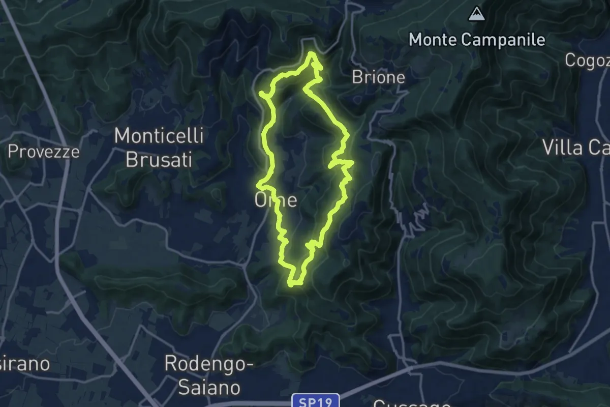
Medium · Trail
Sentiero dei funghi
12.1 km · ↑ 736 m · 4 h 37 min · 8 km away
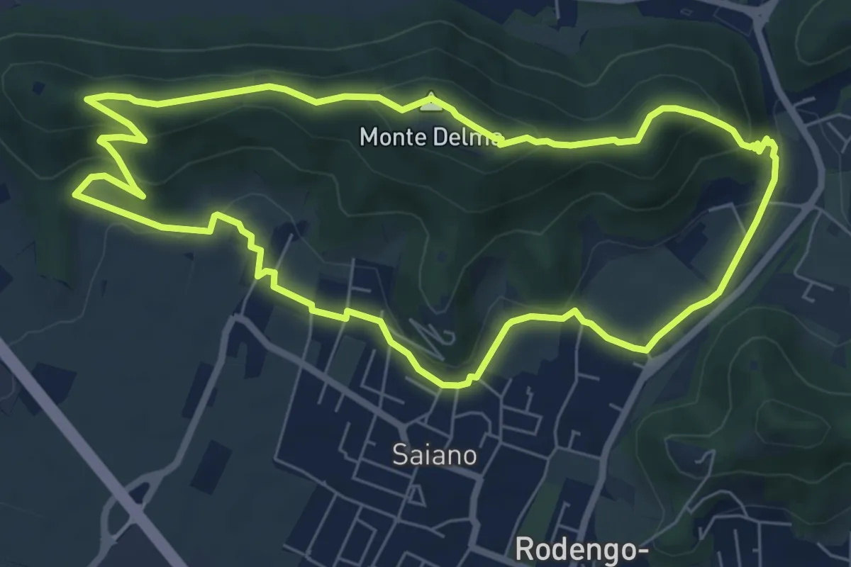
Medium · Summit
Giro del Monte Delma
6.9 km · ↑ 224 m · 2 h 12 min · 8 km away
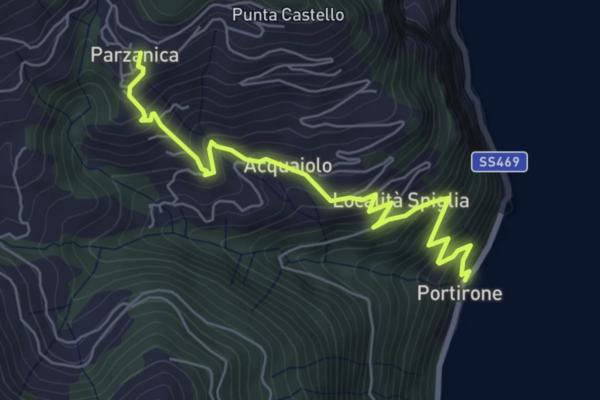
Medium · Trail
Portirone – Parzanica
5.8 km · ↑ 617 m · 2 h 42 min · 8 km away
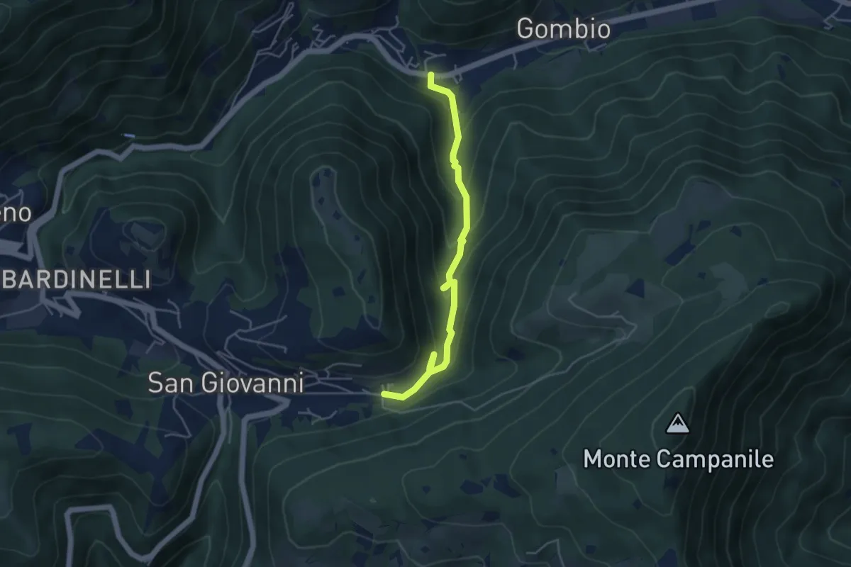
Medium · Trail
Sentiero delle Sorgenti e dei Lupi
4.4 km · ↑ 275 m · 1 h 38 min · 8 km away
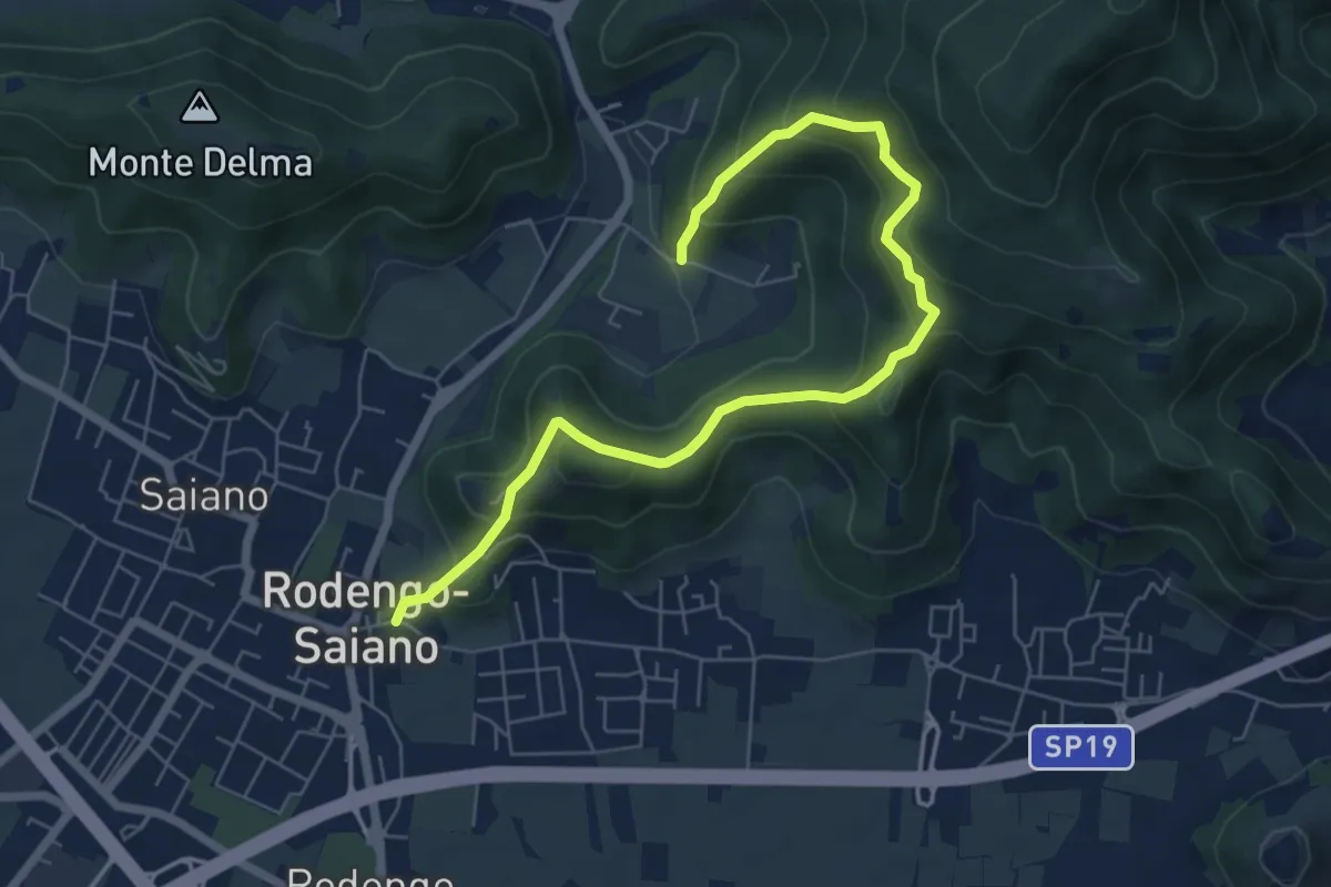
Medium · Trail
Rodengo Saiano (Ponte Cigoli) – Rodengo Saiano (Corneto - Innesto Sentiero 279)
7.5 km · ↑ 561 m · 2 h 59 min · 8 km away