Trails near Iseo
257 hikes starting within 15 km, nearest first.
Nearest first, page 2 of 6
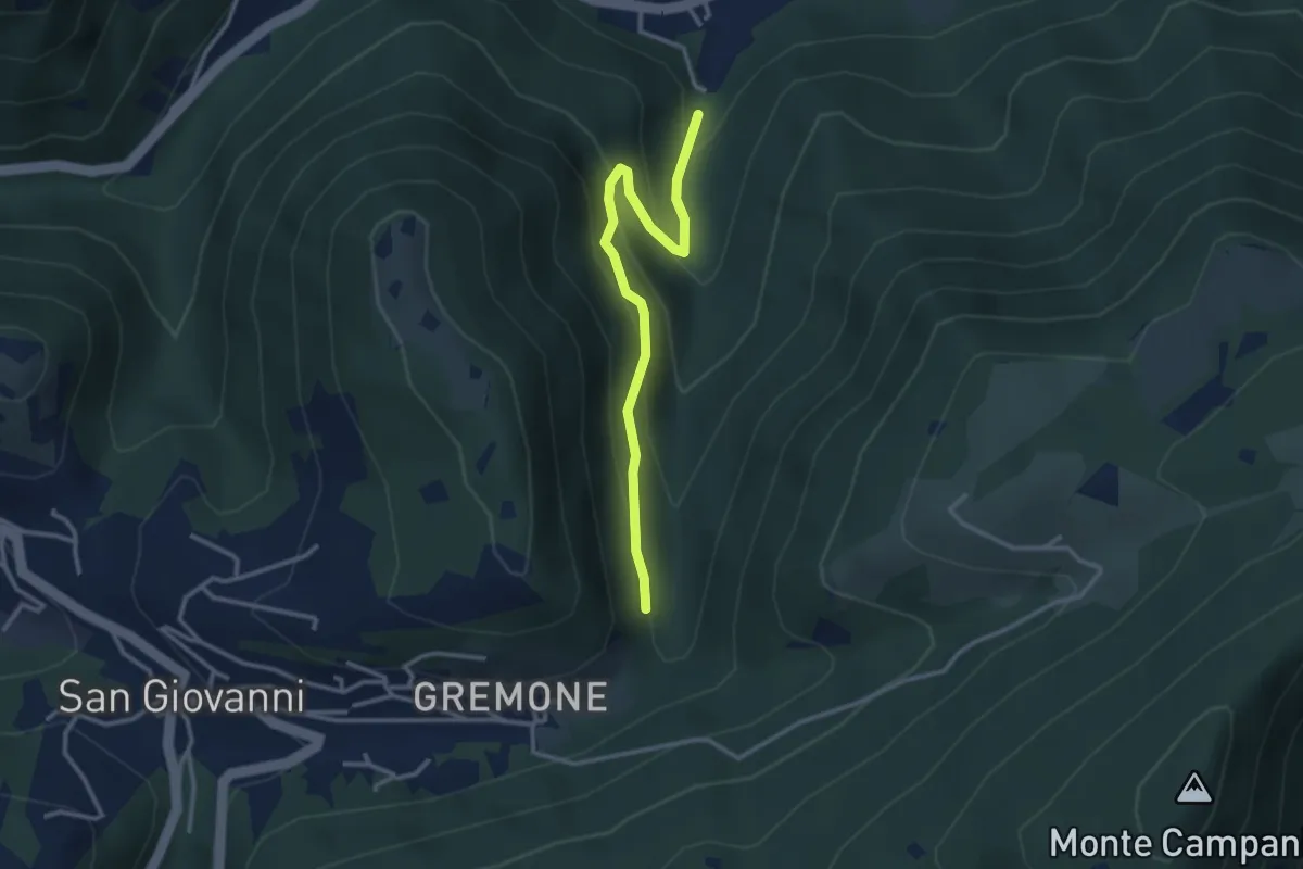
Easy · Trail
Sentiero dei Mulini
3.1 km · ↑ 239 m · 1 h 15 min · 8 km away
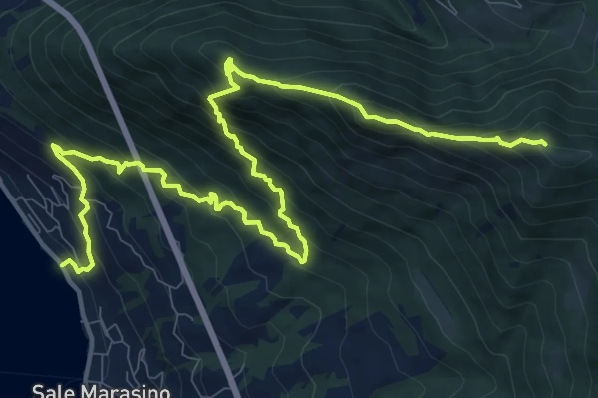
Demanding · Summit
Sale Marasino – Forcella di Sale
12.6 km · ↑ 1245 m · 5 h 40 min · 8 km away
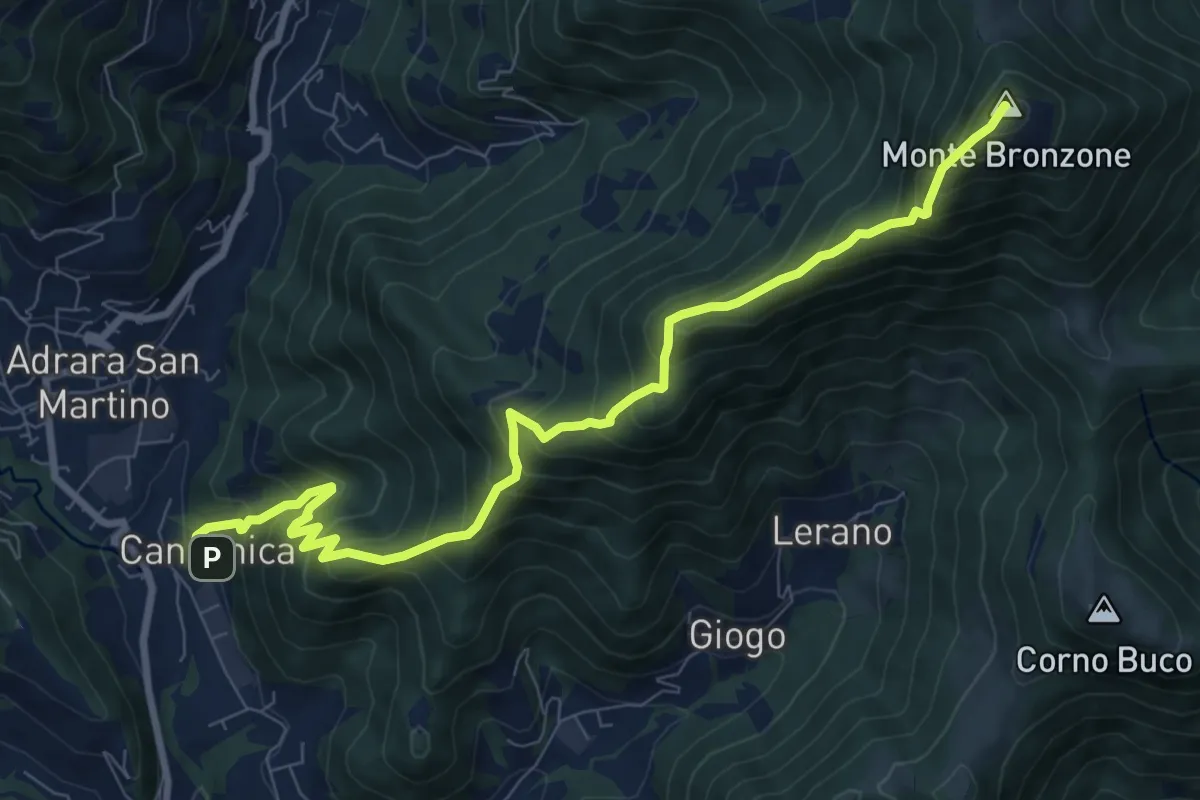
Demanding · Summit
Canzanica (Adrara San Martino) – Monte Bronzone
9.7 km · ↑ 1041 m · 4 h 33 min · 8 km away
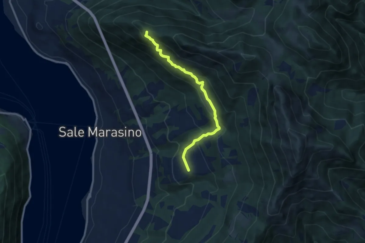
Medium · Summit
Portole – Punta dei Dossi
6.8 km · ↑ 576 m · 2 h 51 min · 8 km away
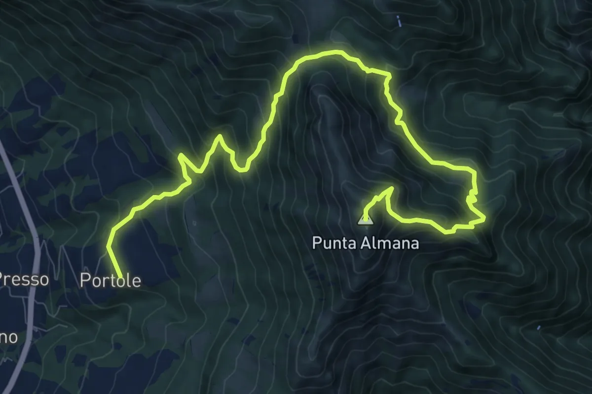
Demanding · Summit
Portole – Punta Almana
13.6 km · ↑ 1282 m · 5 h 59 min · 8 km away
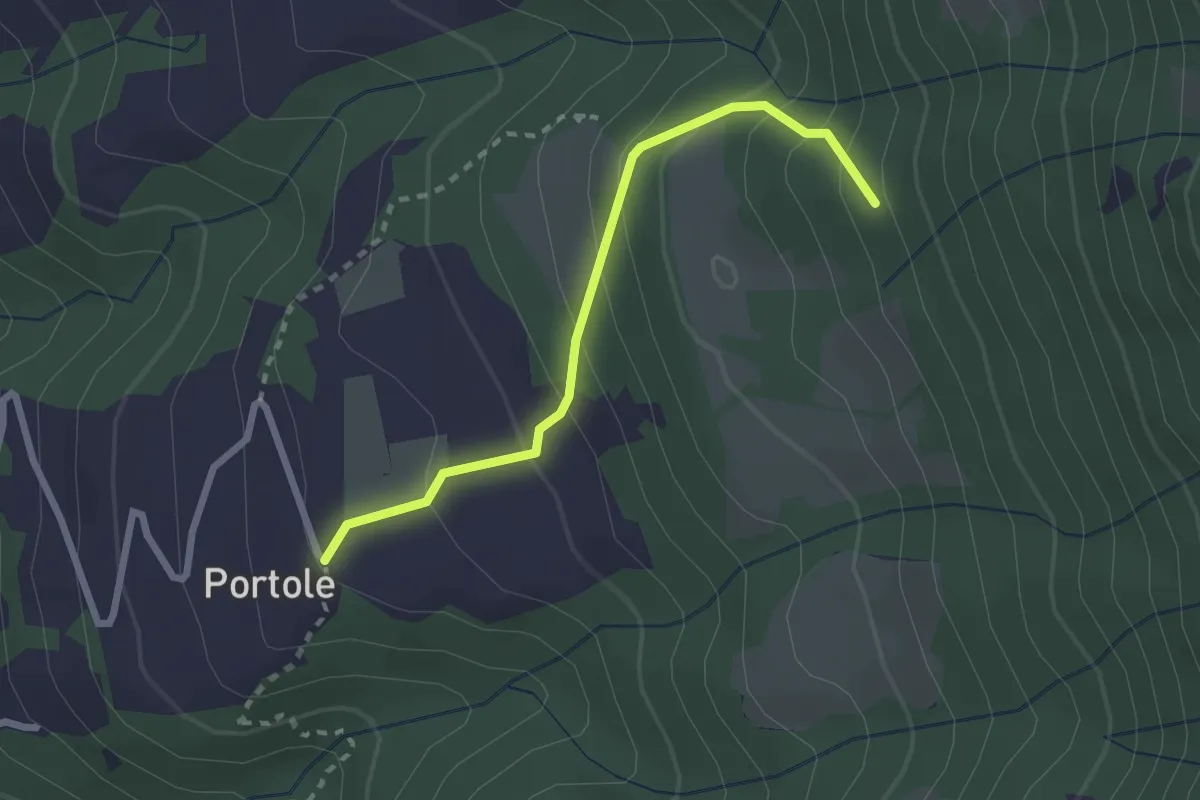
Easy · Trail
Portole – Percorso 238
2.4 km · ↑ 216 m · 1 h 2 min · 8 km away
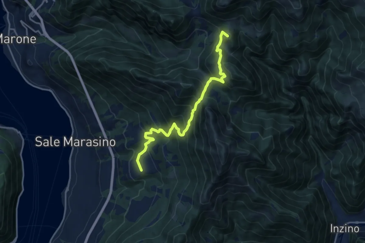
Demanding · Summit
Malghe in Rete - Trekking - Le Valli Tappa 2
11.5 km · ↑ 939 m · 4 h 45 min · 8 km away
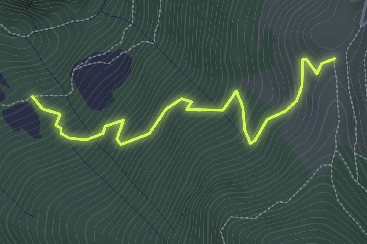
Medium · Trail
Pozzi (incrocio 744) – Colle Dedine
3.2 km · ↑ 397 m · 1 h 38 min · 9 km away
Medium · Trail
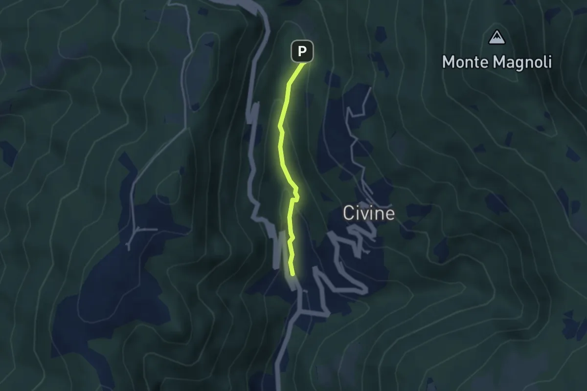
Sentiero Battista e Nicolina Drera
2.5 km · ↑ 124 m · 51 min · 9 km away
Easy · Trail
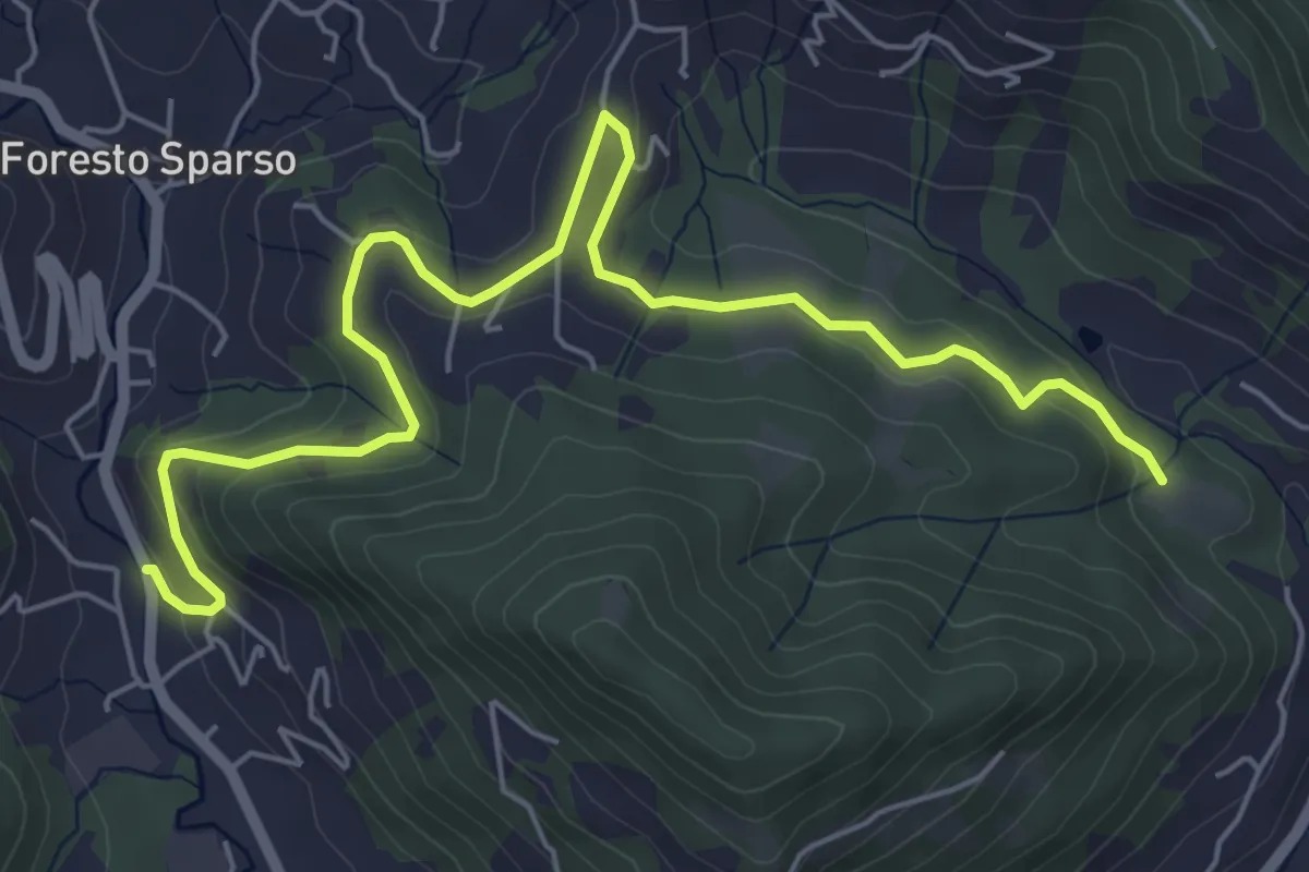
L'Immacolata – Dosso dell'Era
7.0 km · ↑ 215 m · 2 h 8 min · 9 km away
Medium · Trail
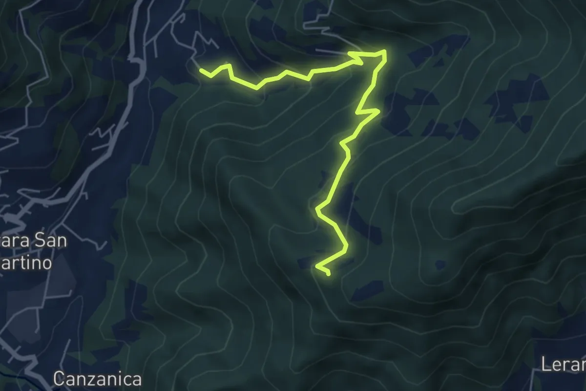
Madonna del Monte Uliveto (Adrara San Martino) – Incrocio 701
5.3 km · ↑ 391 m · 2 h 6 min · 9 km away
Medium · Summit
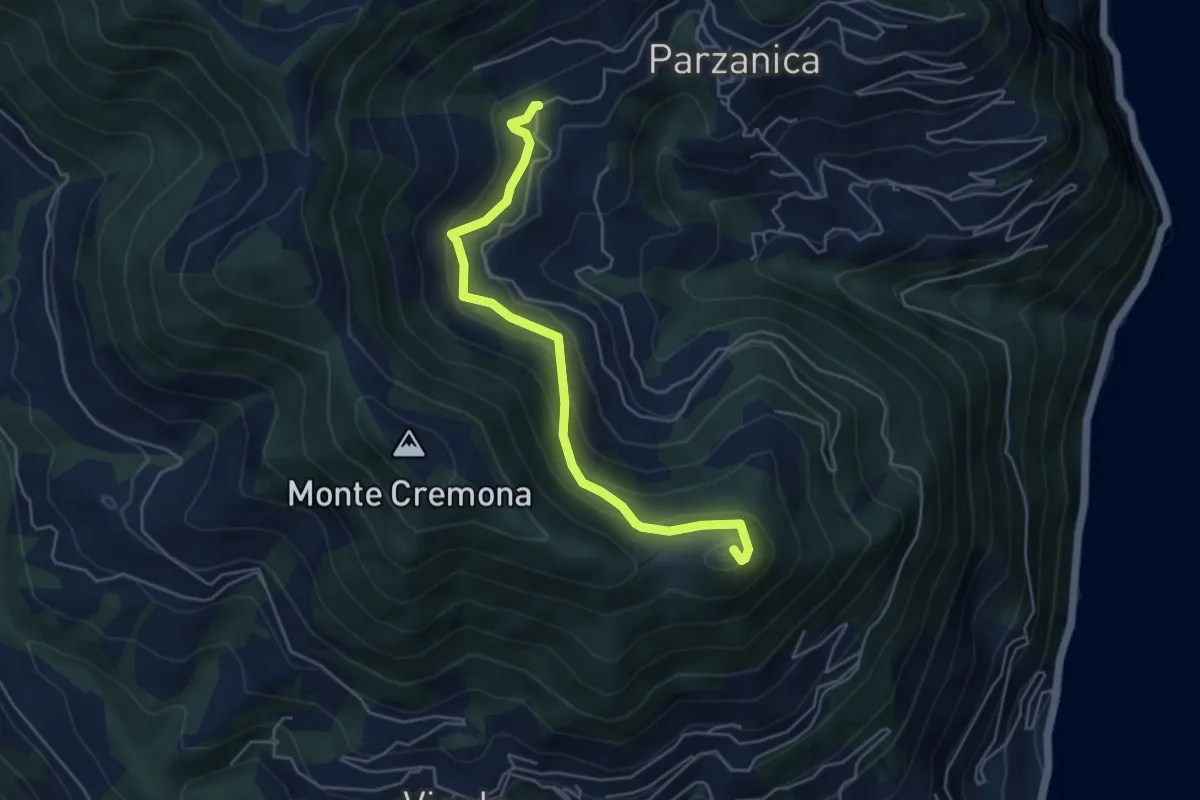
Gromolo (incrocio 722) – Monte Soresano (incrocio 724)
4.9 km · ↑ 337 m · 1 h 53 min · 9 km away
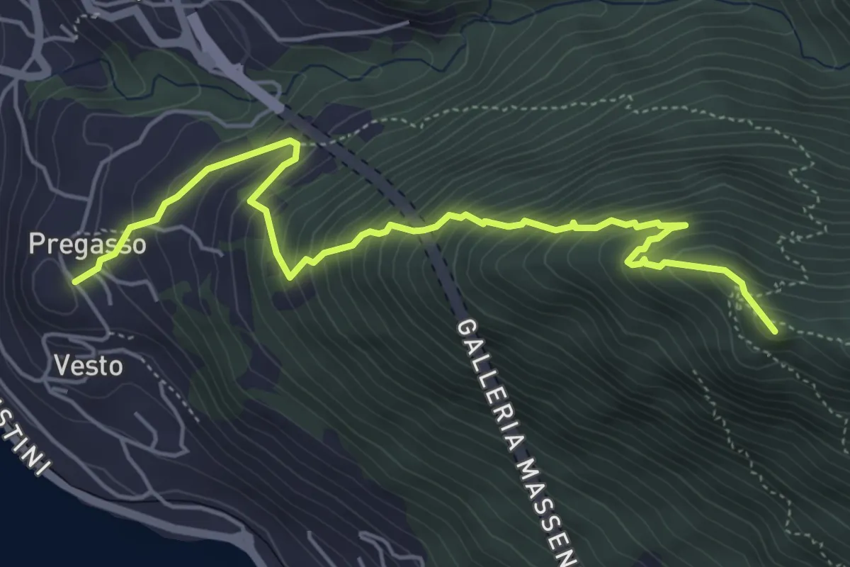
Demanding · Summit
Pregasso – Punta dei Dossi
5.8 km · ↑ 629 m · 2 h 43 min · 9 km away
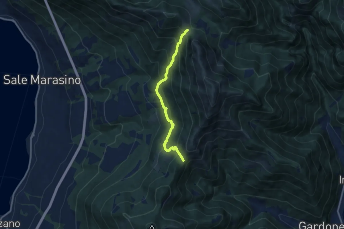
Medium · Trail
Sentiero 3V - Tappa 7 (Variante bassa)
6.7 km · ↑ 568 m · 2 h 48 min · 9 km away
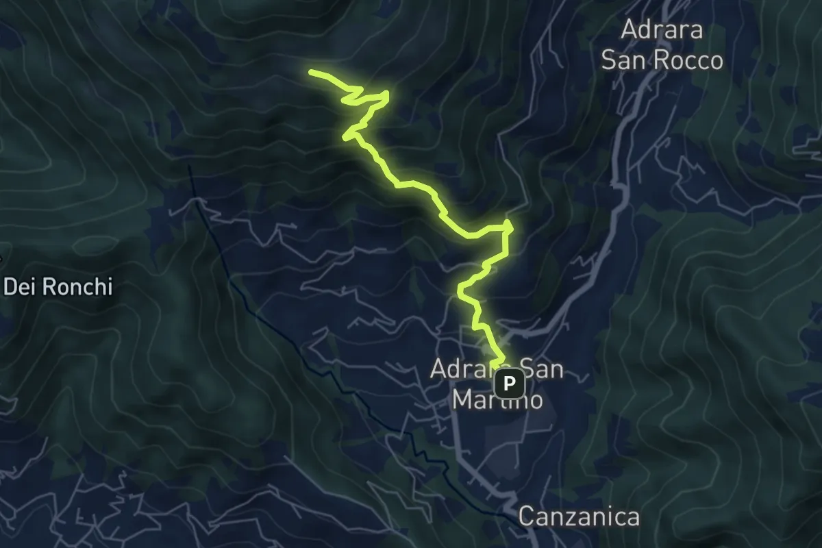
Medium · Cabin
Adrara San Martino – Fienili di Gaiana
6.0 km · ↑ 598 m · 2 h 43 min · 9 km away
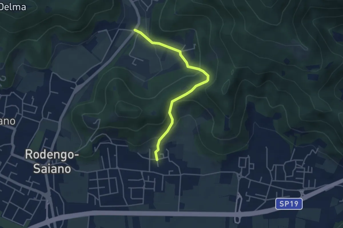
Medium · Trail
Rodengo Saiano (Padergnone - Via Montello incrocio Via Monte Nero) – Corneto
3.7 km · ↑ 194 m · 1 h 18 min · 9 km away
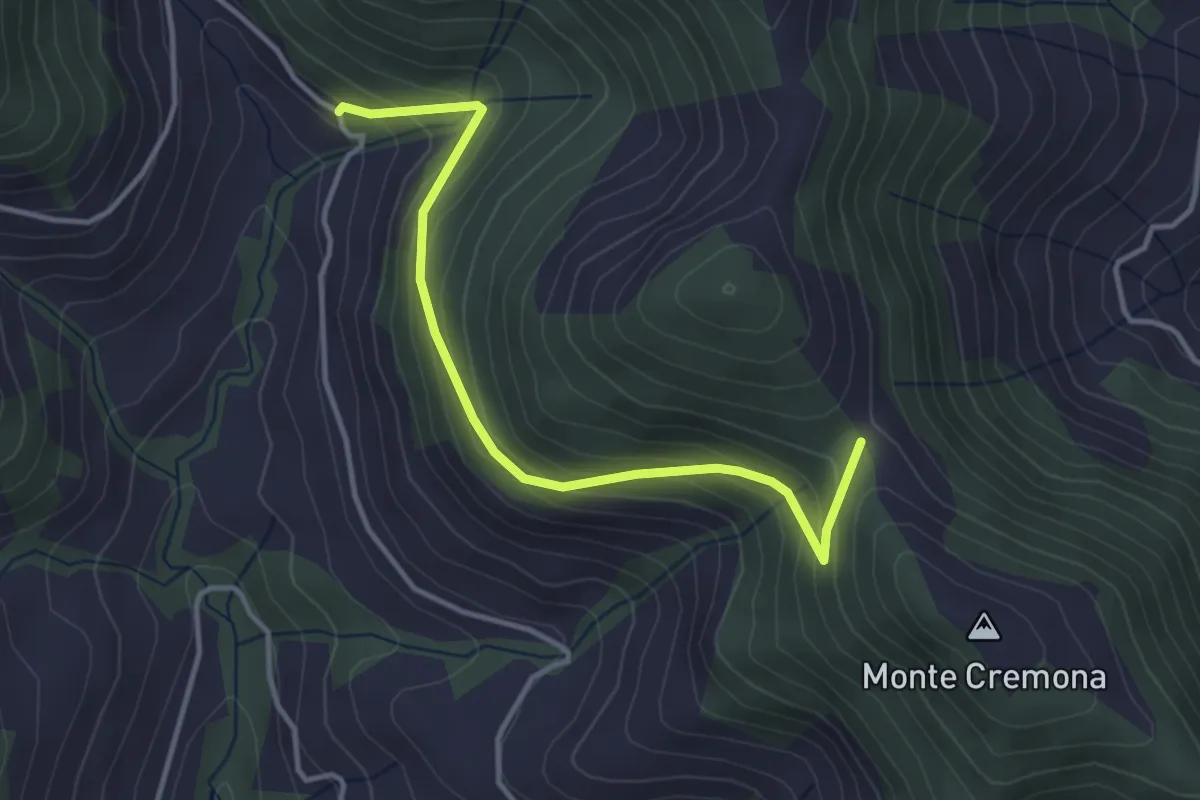
Easy · Trail
Bratta (incrocio 726) – Colderone (incrocio 724)
3.8 km · ↑ 249 m · 1 h 26 min · 9 km away
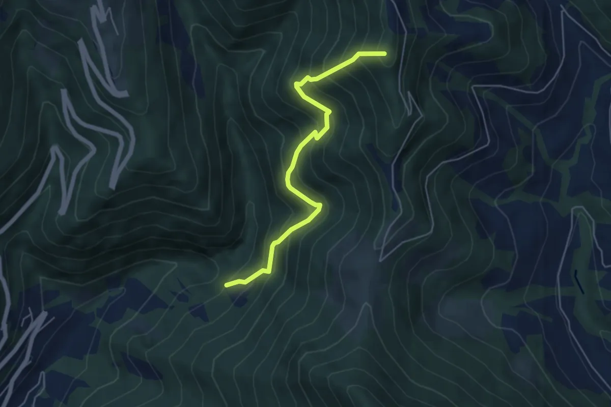
Medium · Summit
Incrocio 744 – Sella (incrocio 701)
4.9 km · ↑ 615 m · 2 h 29 min · 9 km away
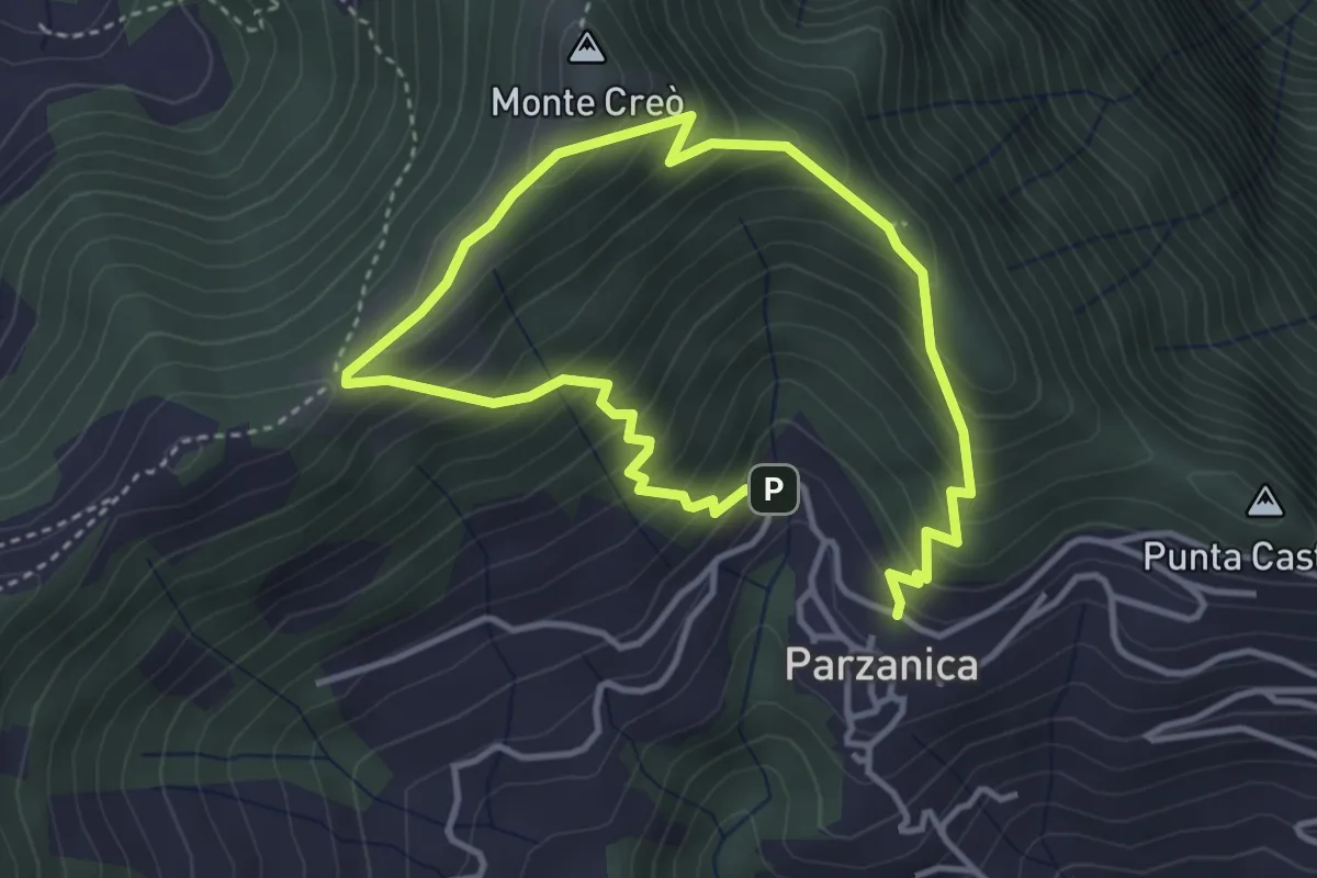
Easy · Trail
Parzanica – Parzanica
2.9 km · ↑ 278 m · 1 h 20 min · 9 km away
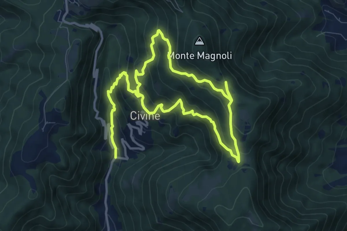
Medium · Trail
Sentiero Aldo Giacomini
7.5 km · ↑ 375 m · 2 h 49 min · 9 km away
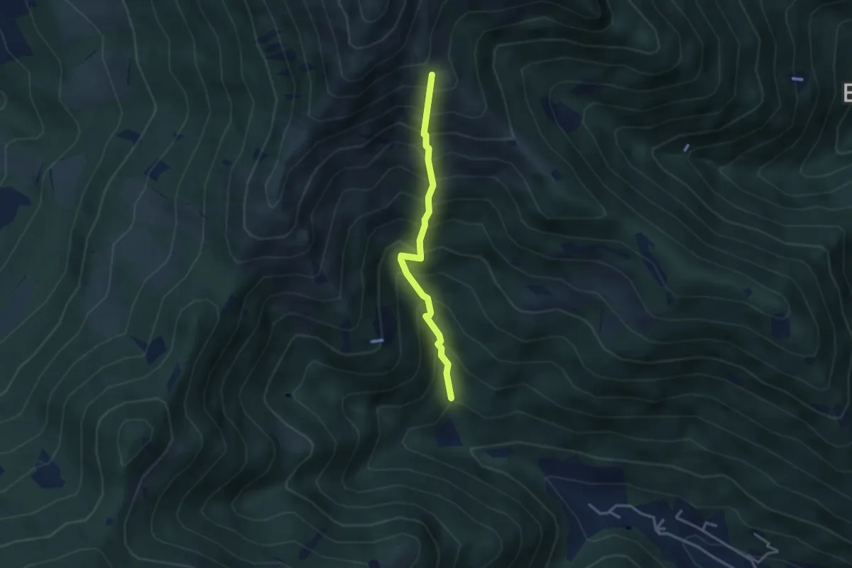
Medium · Trail
Vertical - Valle di Gardone
3.0 km · ↑ 567 m · 1 h 57 min · 9 km away
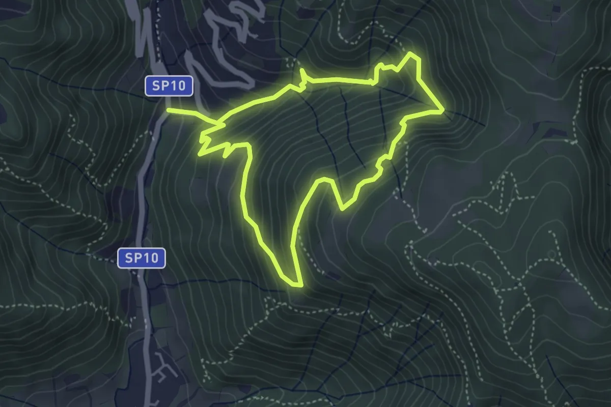
Medium · Trail
Sentiero della Valle Gandine
4.1 km · ↑ 358 m · 1 h 48 min · 9 km away
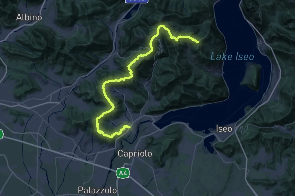
Demanding · Summit
Sentiero Flavio Tasca - Tappa 1
54.4 km · ↑ 2600 m · 18 h 29 min · 9 km away
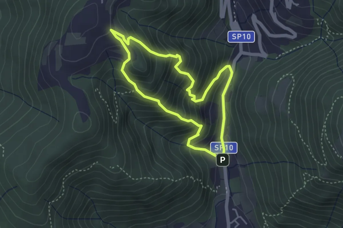
Medium · Trail
Sentiero Dosso di Mezzane - Barche - Andreolo
3.3 km · ↑ 357 m · 1 h 35 min · 9 km away
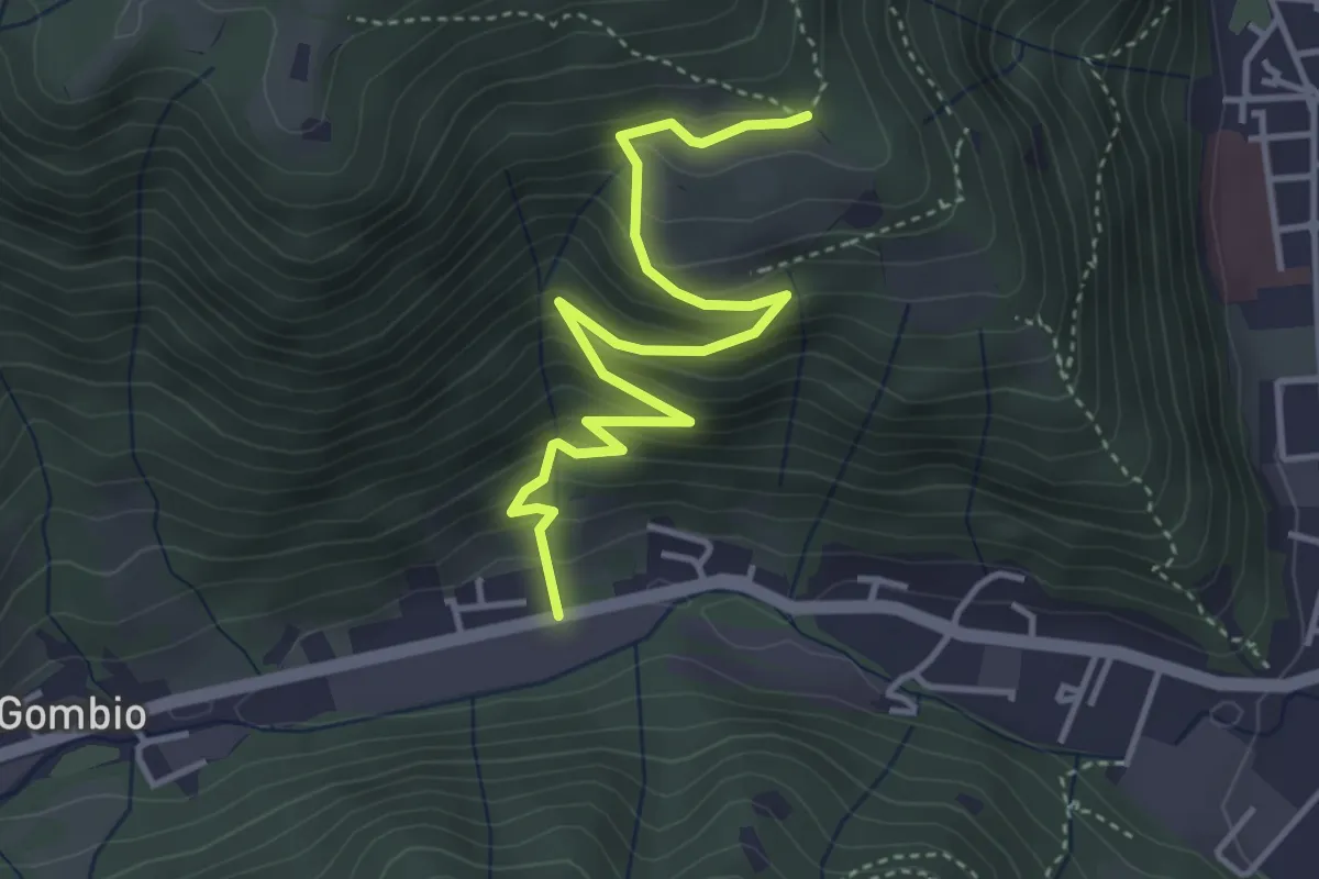
Medium · Trail
Sarezzo (San Martino) - Paule di Sopra
4.3 km · ↑ 349 m · 1 h 46 min · 10 km away
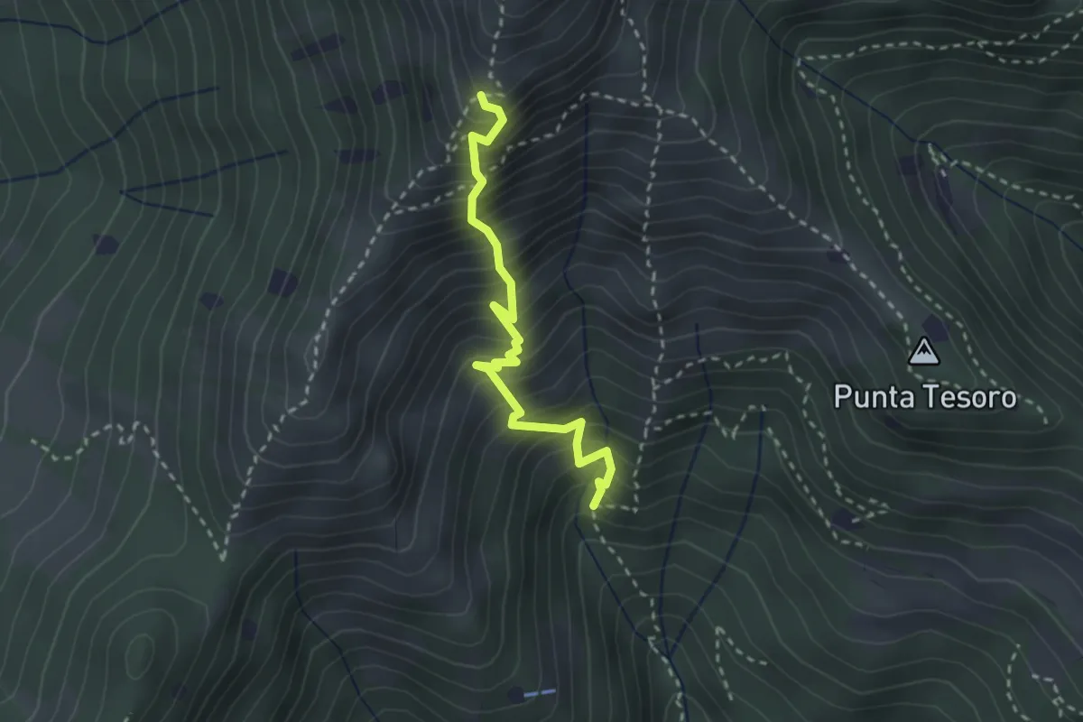
Expert · Trail
Diretta Corna Büsa - Punta Almana (Innesto Sentiero 3V)
2.7 km · ↑ 554 m · 1 h 50 min · 10 km away
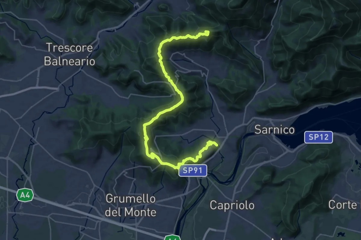
Demanding · Summit
Sentiero tra i monti e il lago - Tappa 1
28.2 km · ↑ 1238 m · 9 h 20 min · 10 km away
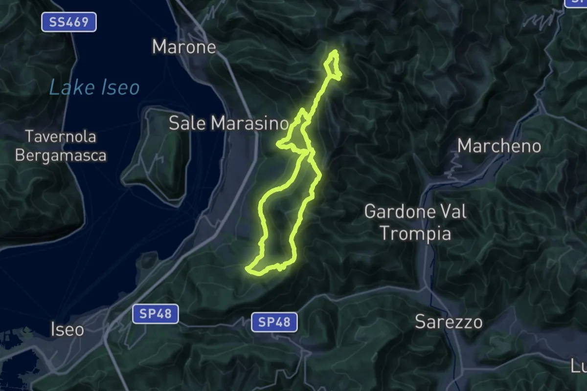
Demanding · Summit
Sentiero Brigata Giustizia e Libertà - Barnaba
18.2 km · ↑ 1346 m · 7 h 21 min · 10 km away
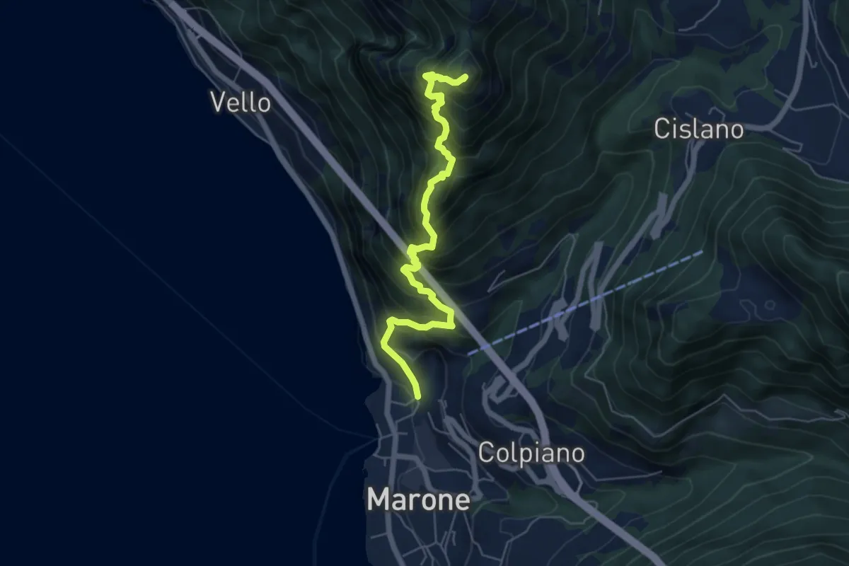
Expert · Summit
Sentiero Punta Cunicolo
5.8 km · ↑ 919 m · 3 h 22 min · 10 km away
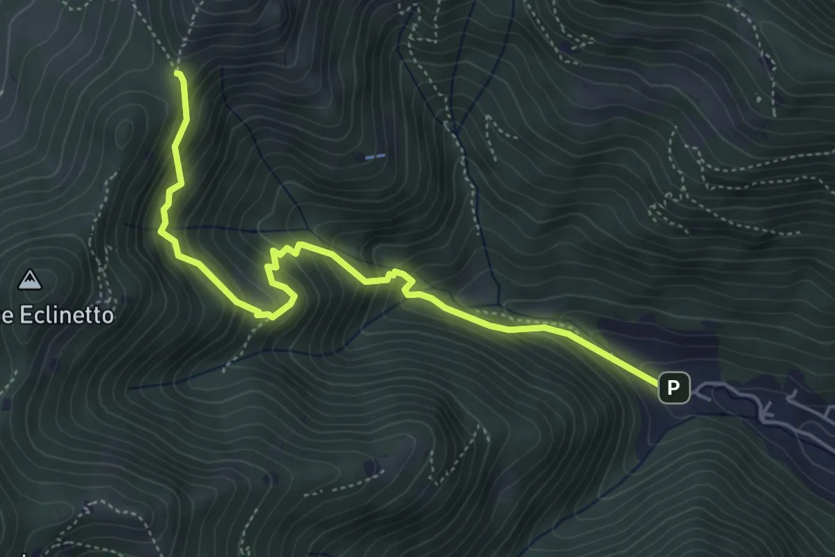
Medium · Trail
Gardone Val Trompia (Valle di Gardone) – Croce di Pezzolo
5.3 km · ↑ 534 m · 2 h 25 min · 10 km away
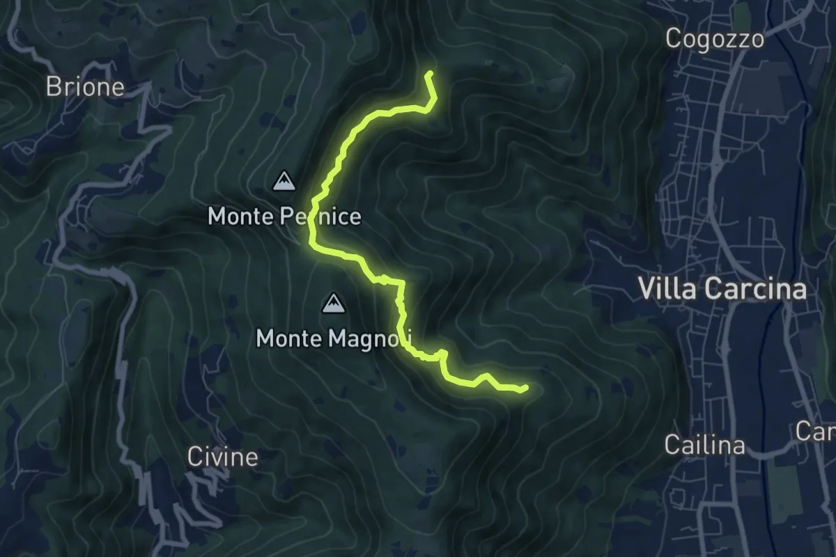
Medium · Summit
Sentiero Alberto Antonelli
7.0 km · ↑ 463 m · 2 h 40 min · 10 km away
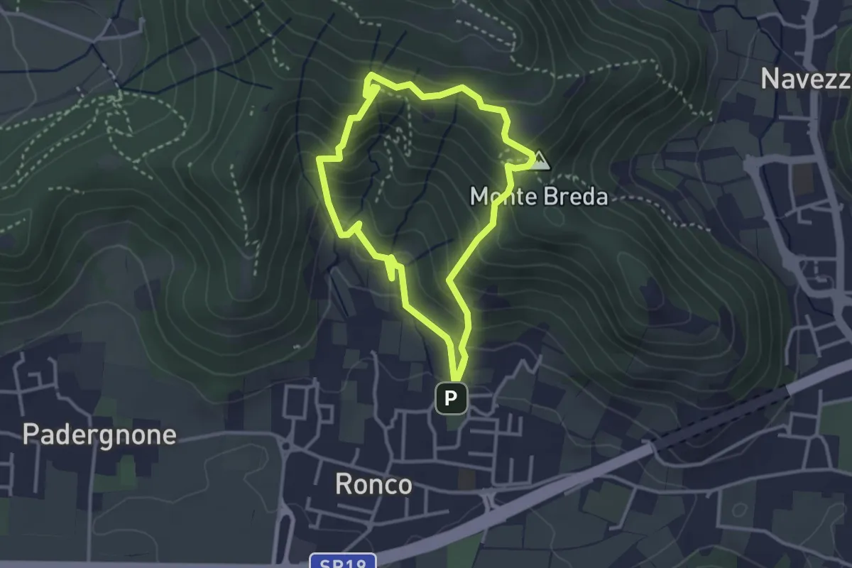
Medium · Summit
Gussago (Ronco) - Tesa di Sotto - Valle Bianca
2.9 km · ↑ 248 m · 1 h 16 min · 10 km away
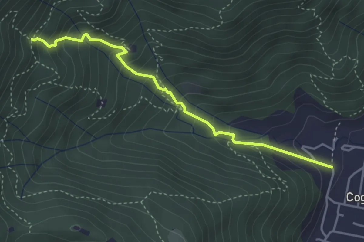
Medium · Trail
Sentiero 1 - Variante 1F
3.5 km · ↑ 394 m · 1 h 42 min · 10 km away
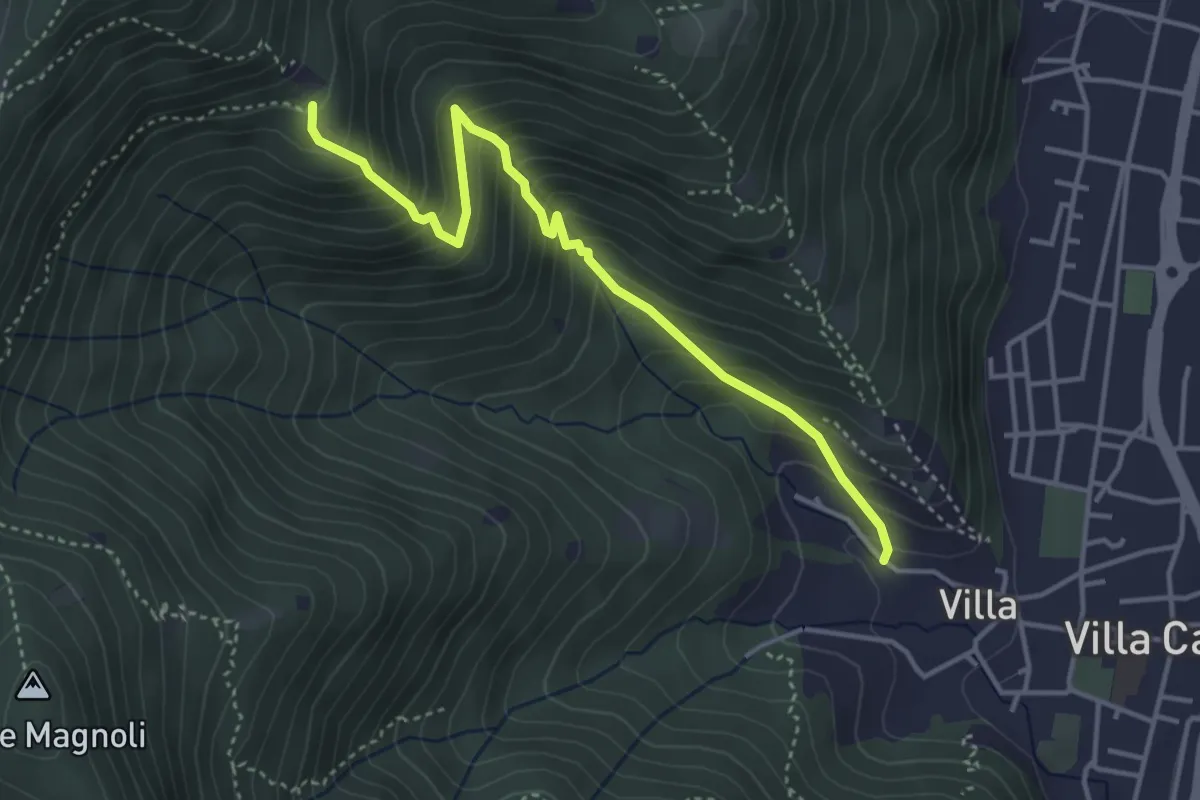
Medium · Trail
Villa Carcina (Villa) - Büs del Torcol
4.2 km · ↑ 438 m · 1 h 56 min · 10 km away
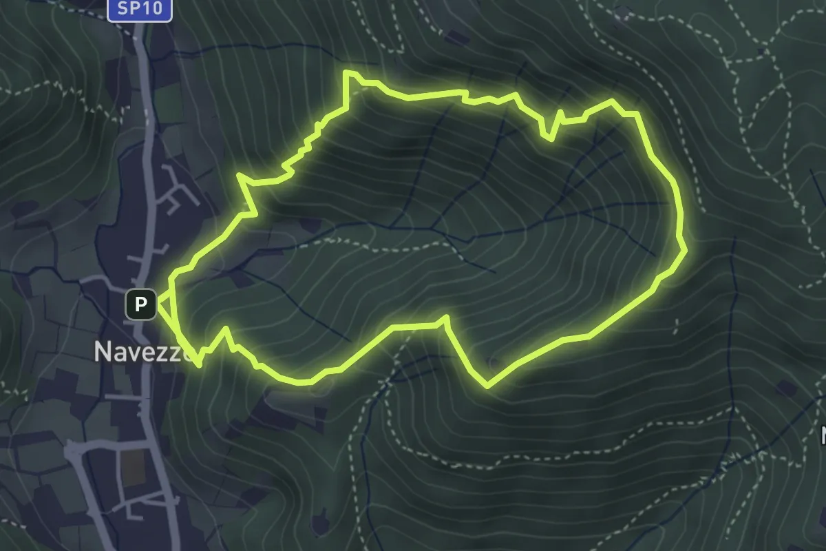
Medium · Trail
Sentiero della Valle di Faidolo
4.3 km · ↑ 452 m · 2 h 2 min · 10 km away
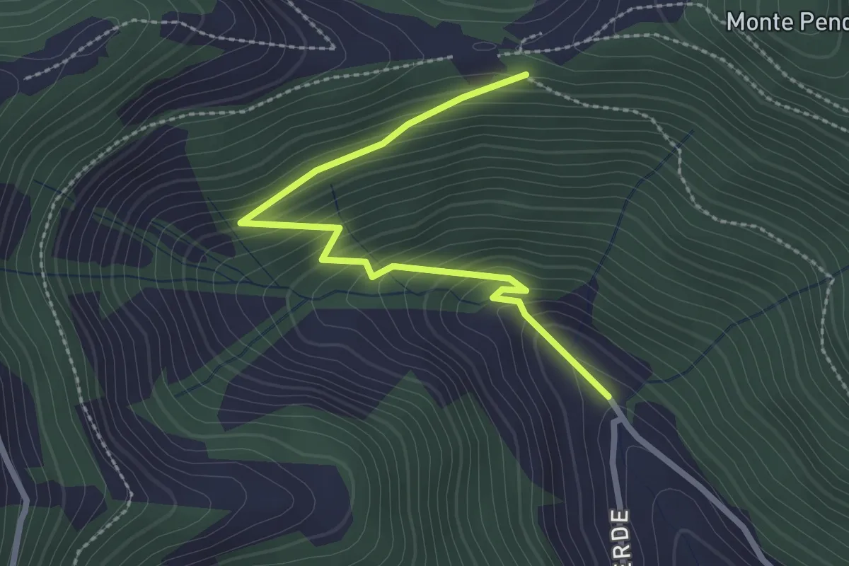
Easy · Trail
Bratta (incrocio 725) – Colle Cargadura (incrocio 704)
2.7 km · ↑ 216 m · 1 h 6 min · 10 km away
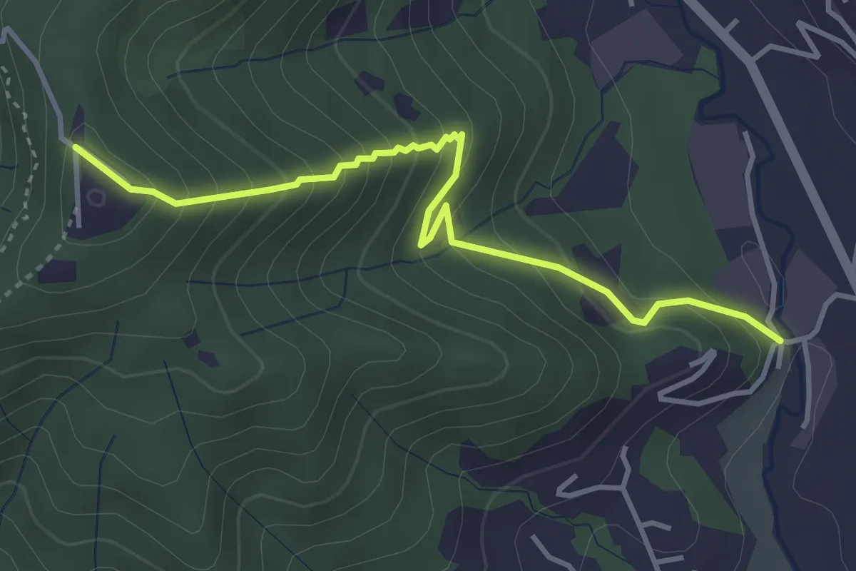
Medium · Trail
Fornace – San Giovanni delle Formiche
3.8 km · ↑ 345 m · 1 h 38 min · 10 km away
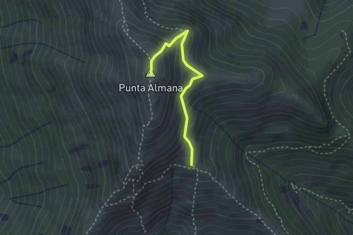
Medium · Summit
Gardone Val Trompia (Bivio Sentiero 313) – Punta Almana
2.4 km · ↑ 309 m · 1 h 14 min · 10 km away
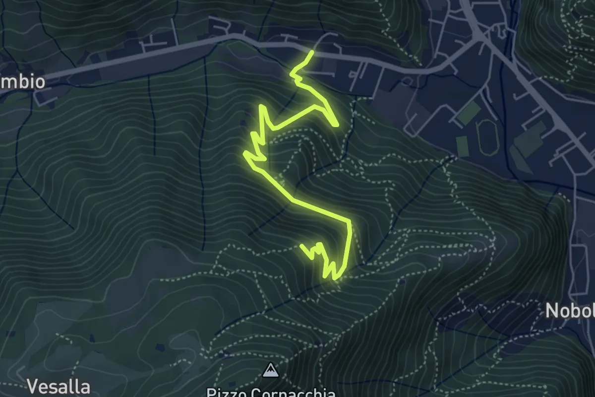
Medium · Trail
Sarezzo (Seradello) - La Baita
5.4 km · ↑ 549 m · 2 h 29 min · 10 km away
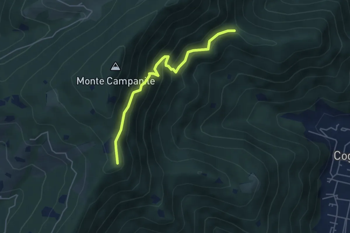
Medium · Summit
Villa Carcina (Sella Alta) – Cascina Tre Pauli
4.1 km · ↑ 337 m · 1 h 42 min · 10 km away
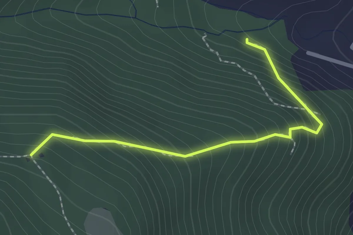
Medium · Trail
Sentiero 1 - Variante 1D
2.0 km · ↑ 239 m · 59 min · 10 km away
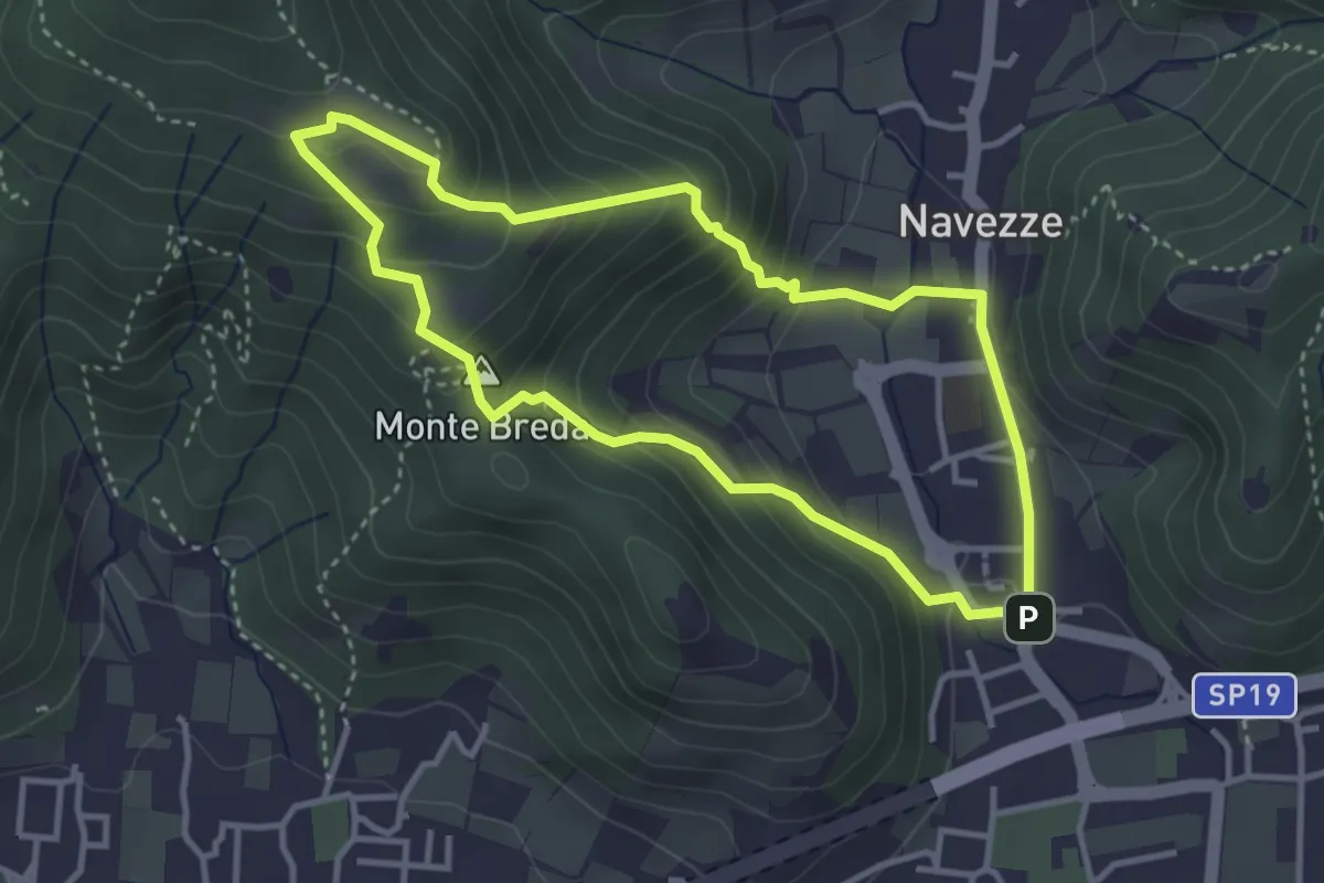
Medium · Summit
Le due Tese - Batoccolo
3.4 km · ↑ 256 m · 1 h 24 min · 10 km away
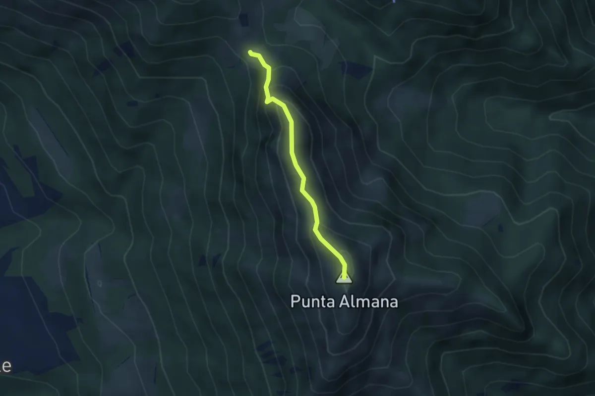
Expert · Summit
Sentiero Filippo Benedetti
2.8 km · ↑ 244 m · 1 h 12 min · 10 km away
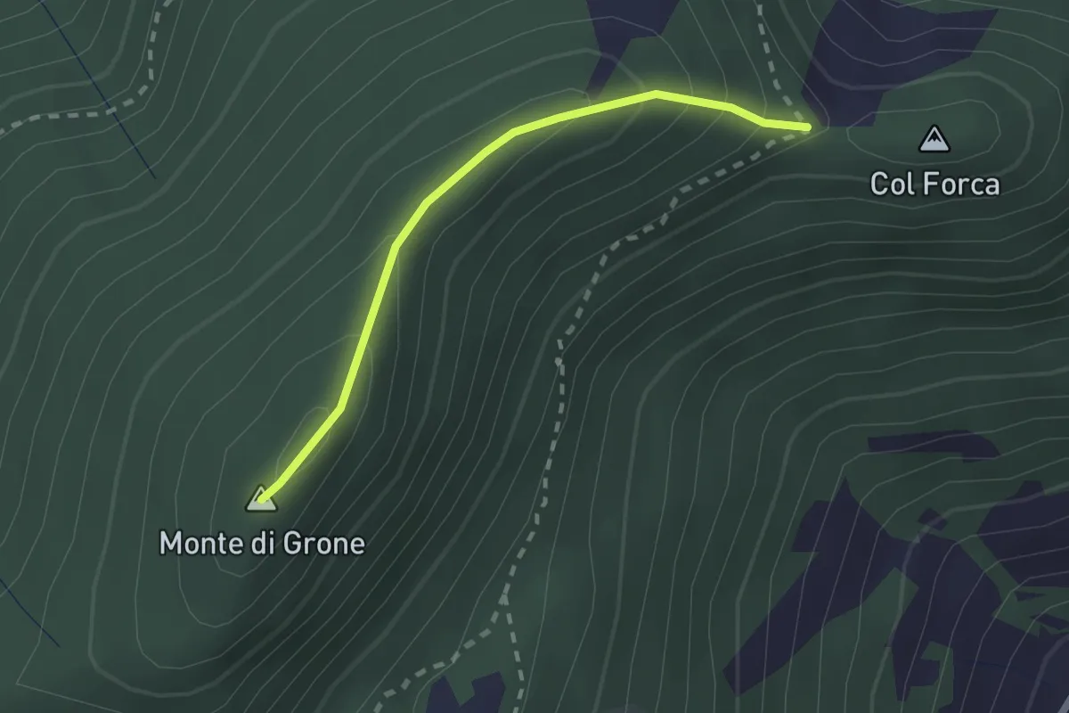
Easy · Summit
Cascina Fagiolo – Passo Colle Forca (Adrara San Martino)
2.0 km · ↑ 164 m · 50 min · 10 km away
Medium · Trail
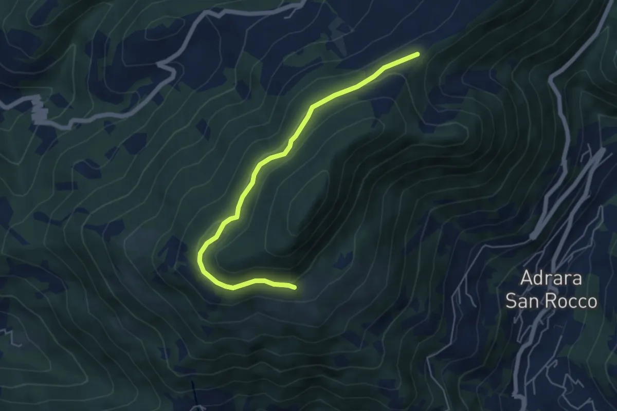
Incrocio 717 – Incrocio 717
5.2 km · ↑ 198 m · 1 h 39 min · 10 km away
Medium · Trail
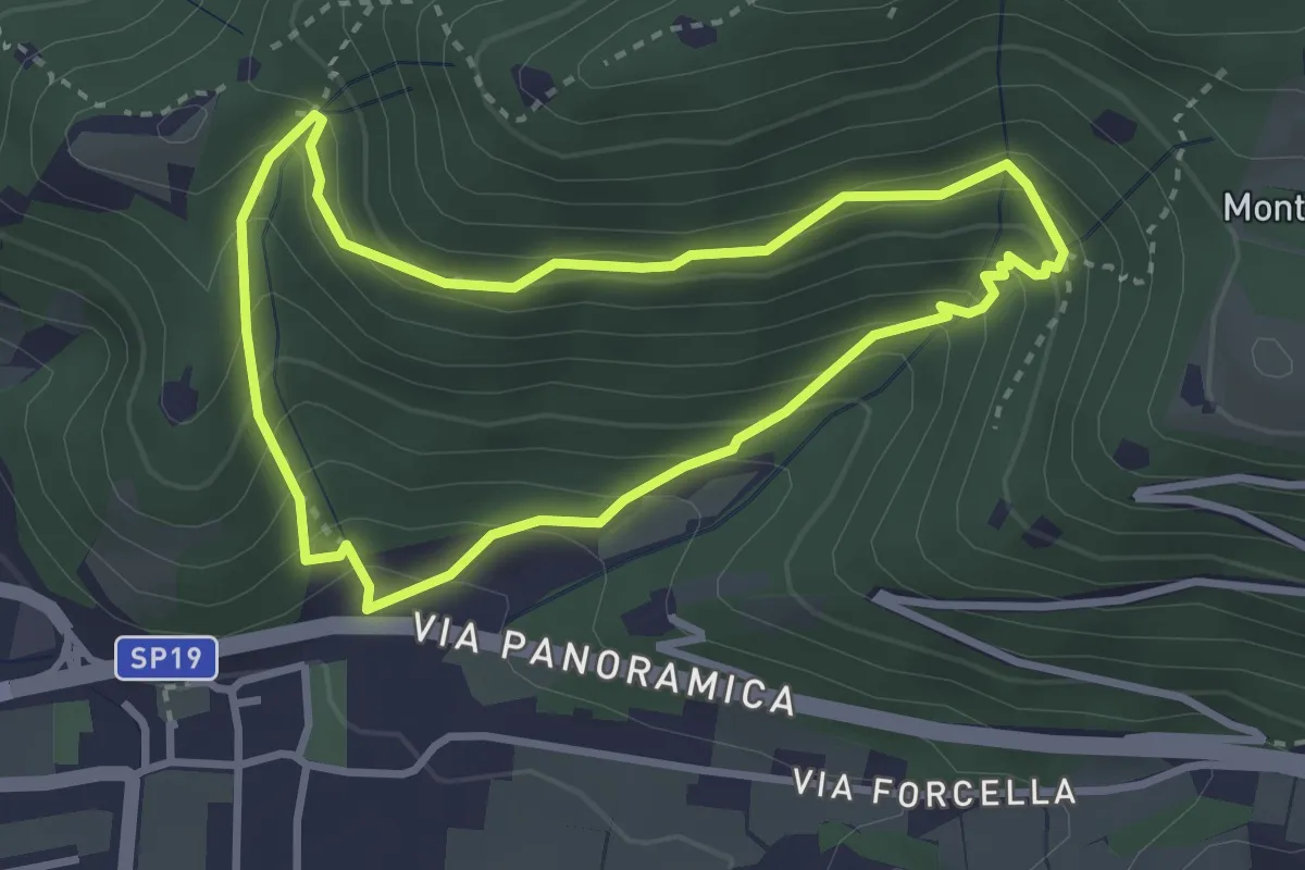
Sentiero della Val Volpera
3.0 km · ↑ 258 m · 1 h 18 min · 10 km away
Medium · Summit
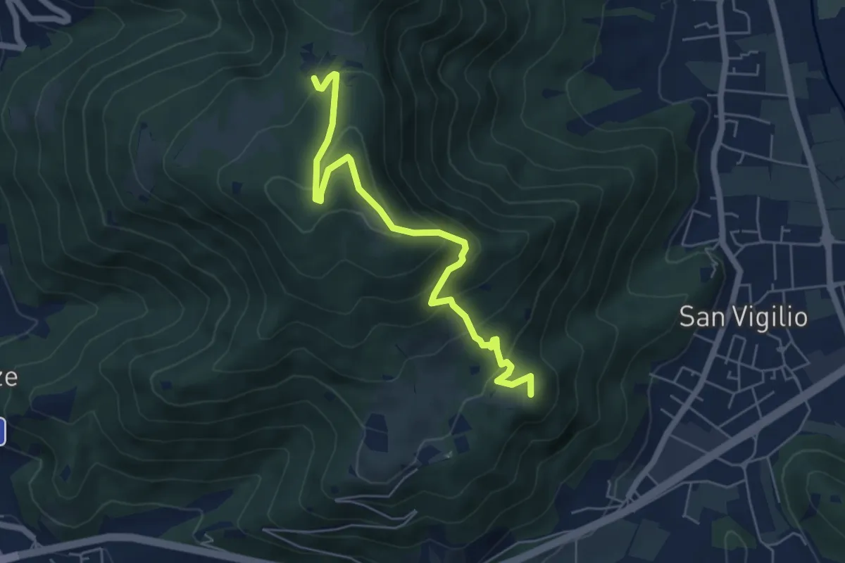
Concesio (San Vigilio) – Quarone di Sopra
5.8 km · ↑ 392 m · 2 h 13 min · 11 km away
Easy · Trail
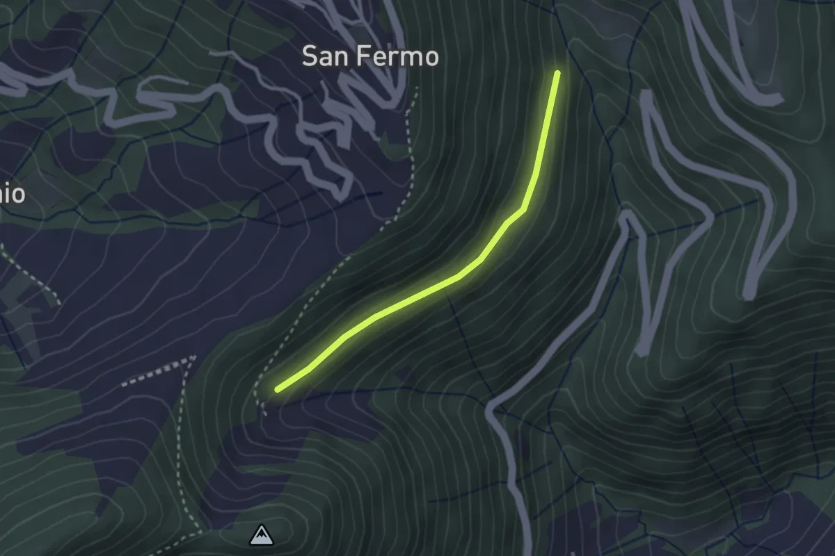
Incrocio 748 – Bondo (incrocio ASR02)
2.5 km · ↑ 83 m · 46 min · 11 km away