Trails near Iseo
257 hikes starting within 15 km, nearest first.
Nearest first, page 4 of 6
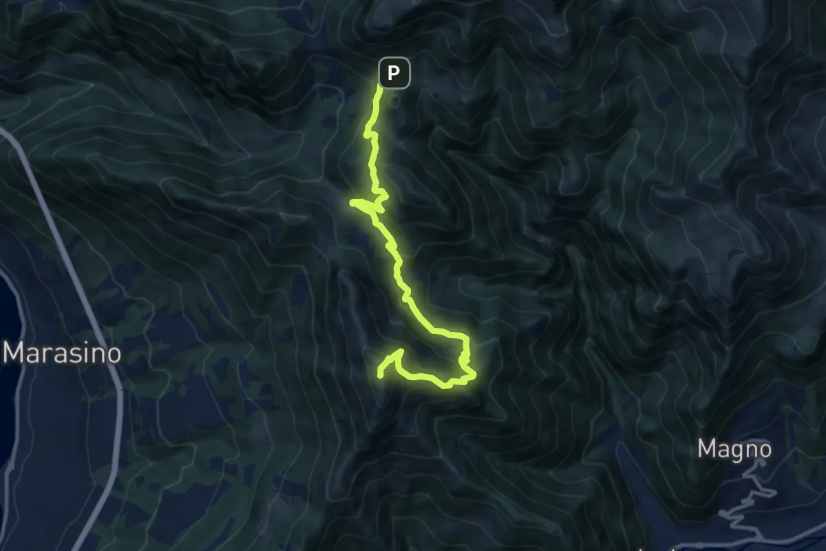
Demanding · Summit
Malghe in Rete - Trekking - Le Creste Tappa 1
11.5 km · ↑ 881 m · 4 h 37 min · 12 km away
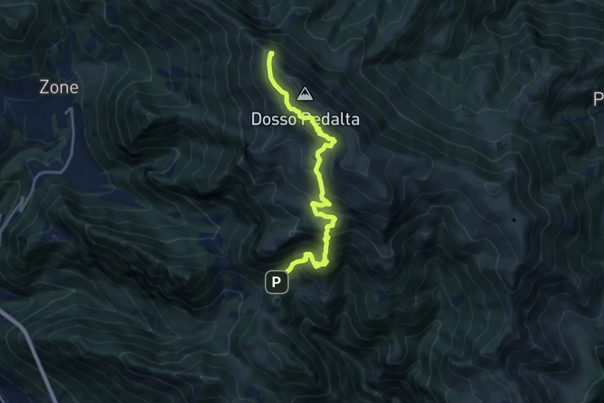
Demanding · Summit
Malghe in Rete - Trekking - Le Creste Tappa 2
11.3 km · ↑ 842 m · 4 h 29 min · 12 km away
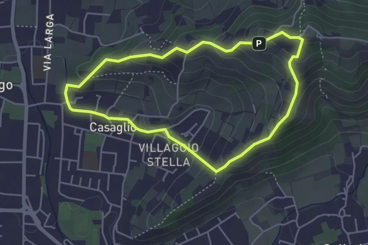
Easy · Trail
Via Crucis - San Rocco - Stella
3.7 km · ↑ 201 m · 1 h 21 min · 12 km away
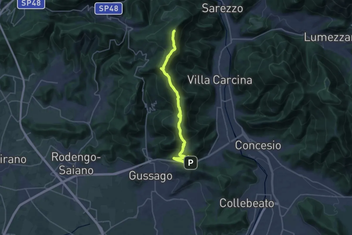
Demanding · Summit
Sentiero 3V - Tappa 8a
18.2 km · ↑ 1158 m · 6 h 48 min · 12 km away
Medium · Summit
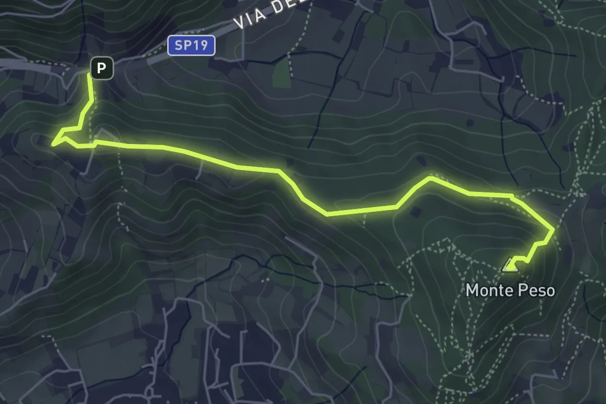
Sentiero 3V - Tappa 8b
6.0 km · ↑ 266 m · 1 h 59 min · 12 km away
Demanding · Summit
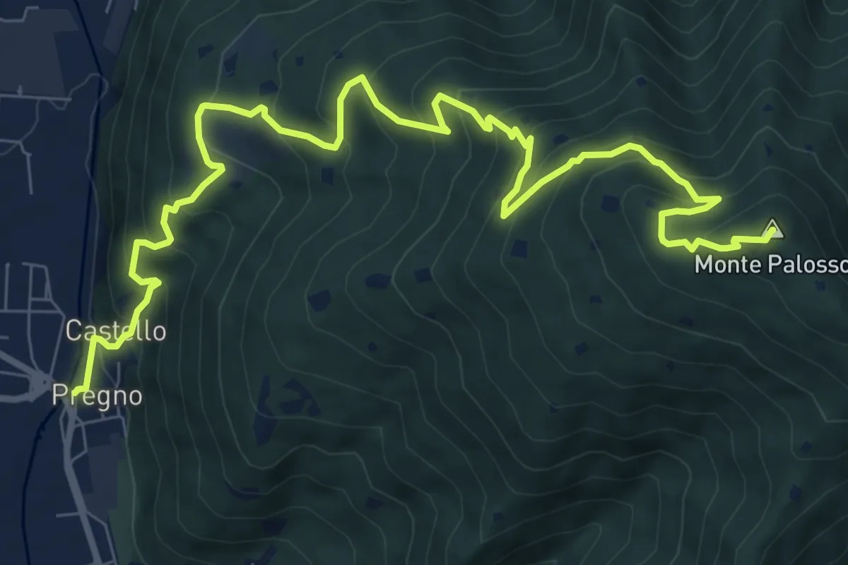
Villa Carcina (Pregno) – Monte Palosso
11.1 km · ↑ 912 m · 4 h 36 min · 12 km away
Easy · Trail
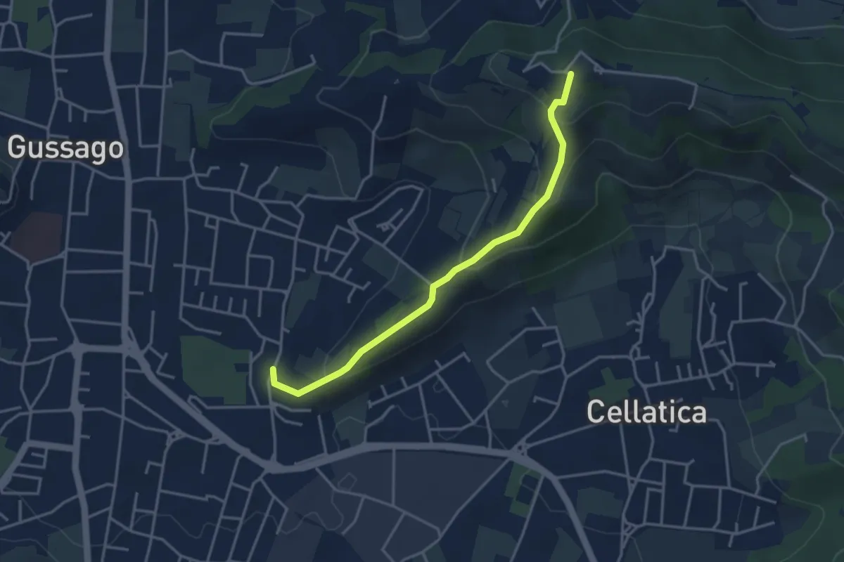
Cellatica (Casaglio) – Santuario della Stella
3.6 km · ↑ 213 m · 1 h 19 min · 12 km away
Demanding · Summit
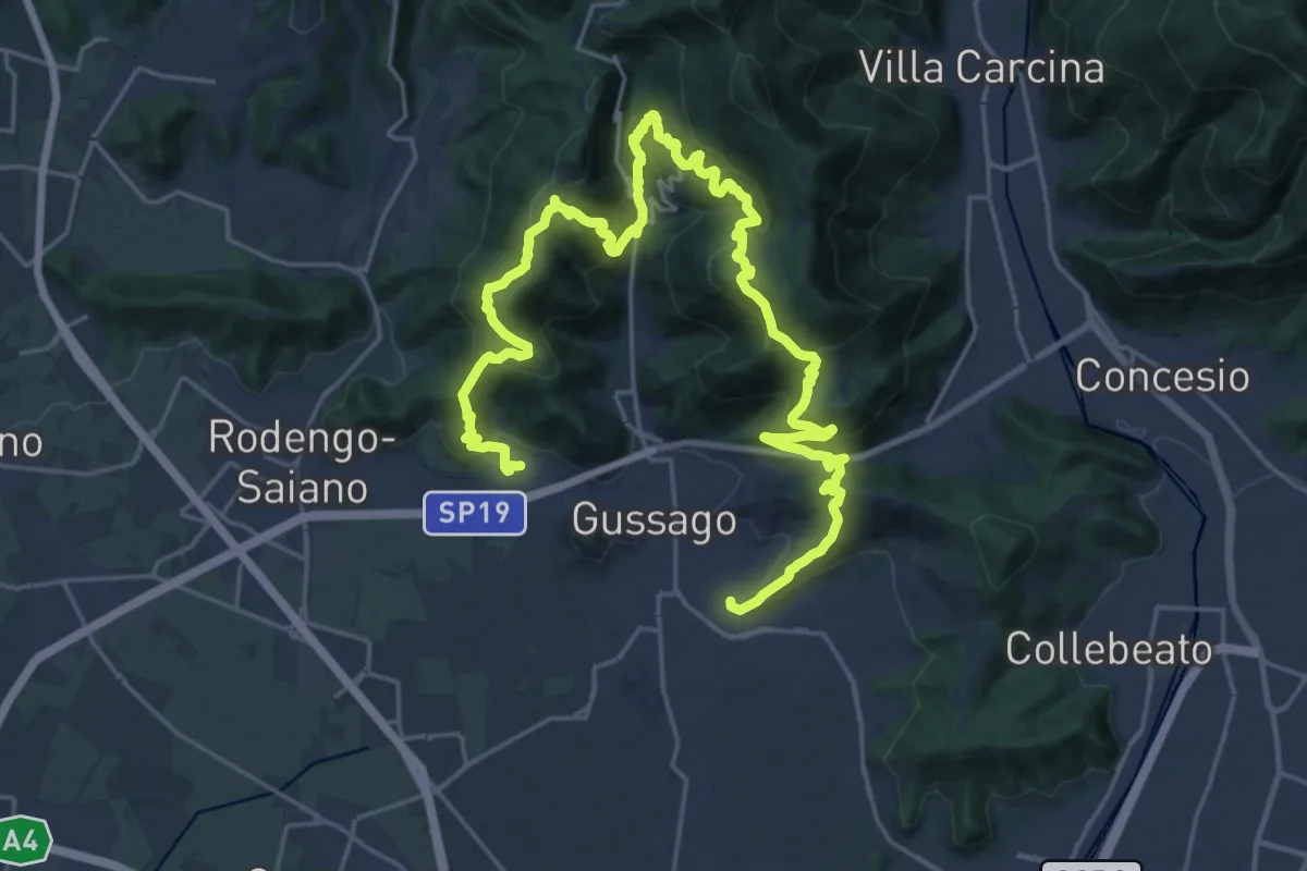
Giro delle Colline
16.7 km · ↑ 1170 m · 6 h 43 min · 12 km away
Demanding · Summit
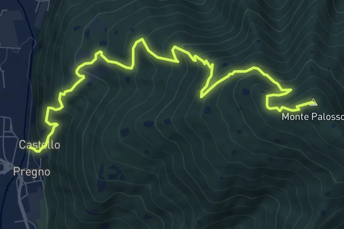
Sentiero n° 2
10.4 km · ↑ 895 m · 4 h 24 min · 12 km away
Medium · Trail
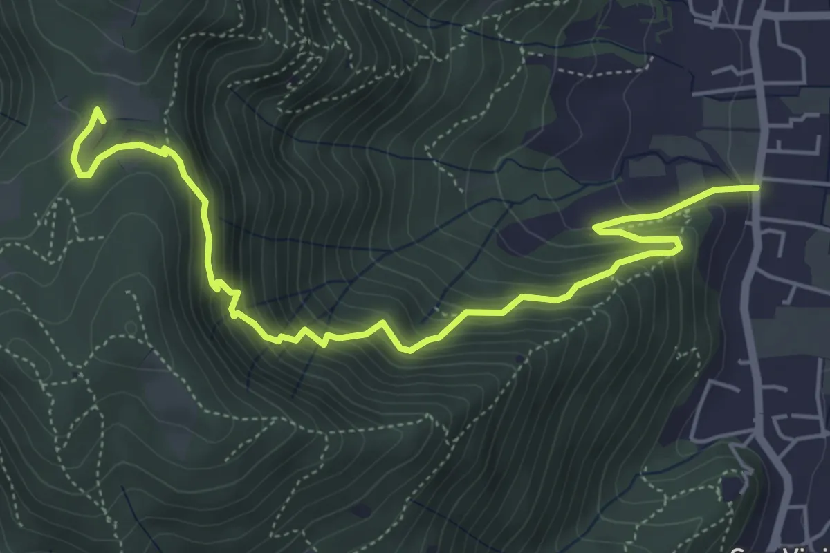
Concesio (Via Mandò) - Quarone di Sopra
6.2 km · ↑ 571 m · 2 h 42 min · 12 km away
Demanding · Summit
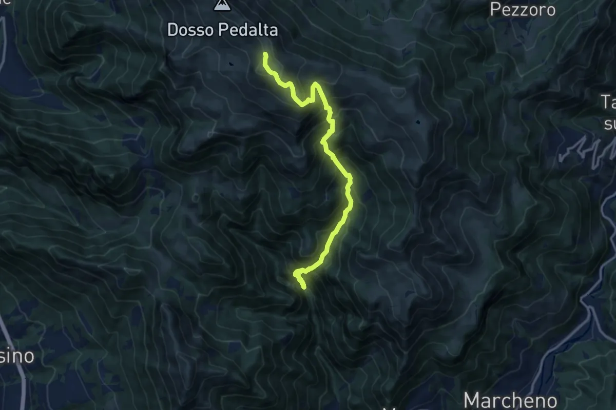
Gardone Val Trompia (Valle di Inzino - Passo del Diavolo) – Monte Guglielmo
11.2 km · ↑ 1307 m · 5 h 28 min · 12 km away
Medium · Trail
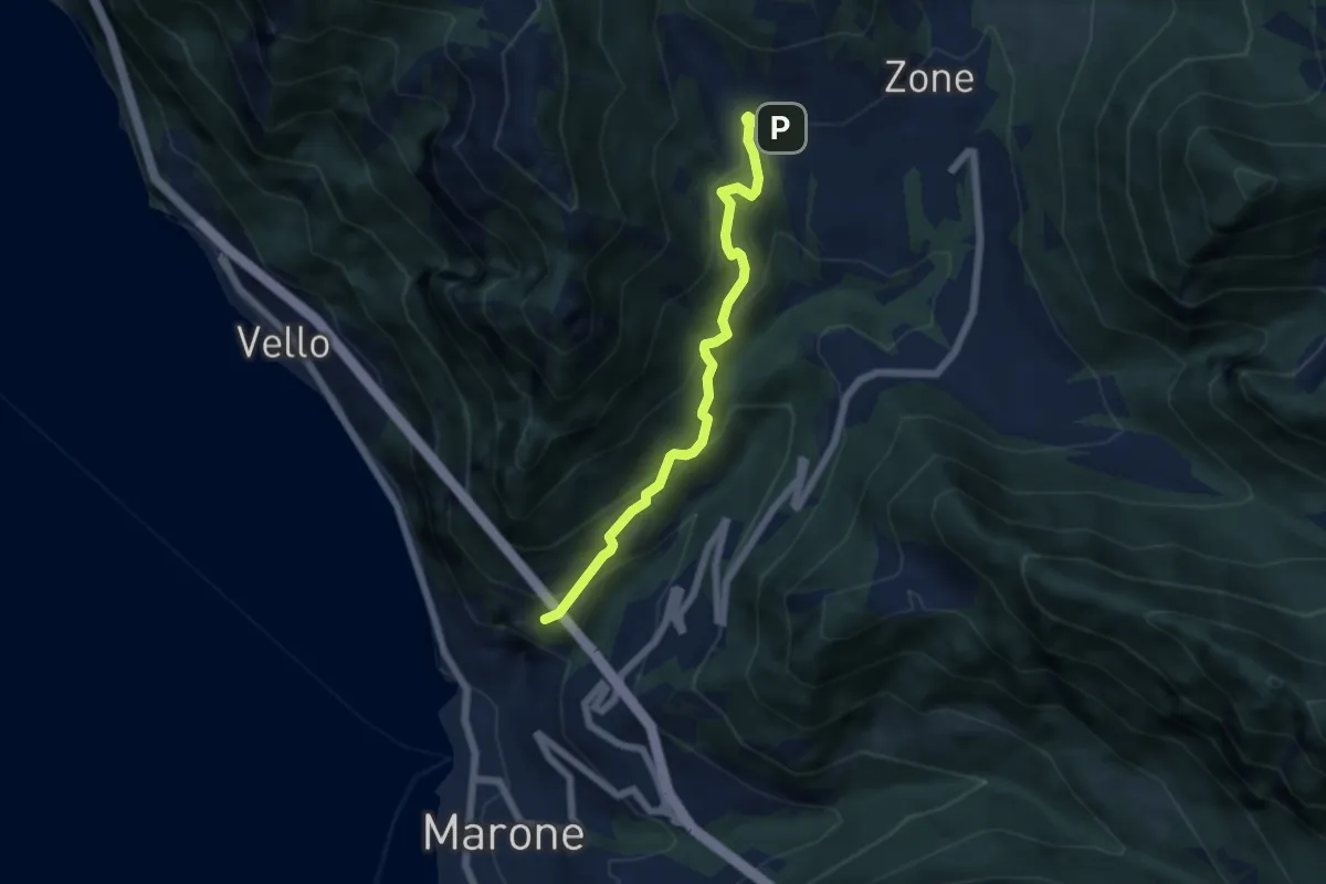
Monte Marone – Cusato
5.7 km · ↑ 428 m · 2 h 16 min · 12 km away
Expert · Summit
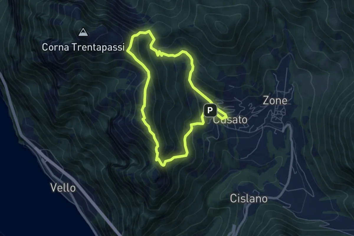
Sentiero di Monte Vignole
5.3 km · ↑ 415 m · 2 h 13 min · 12 km away
Medium · Trail
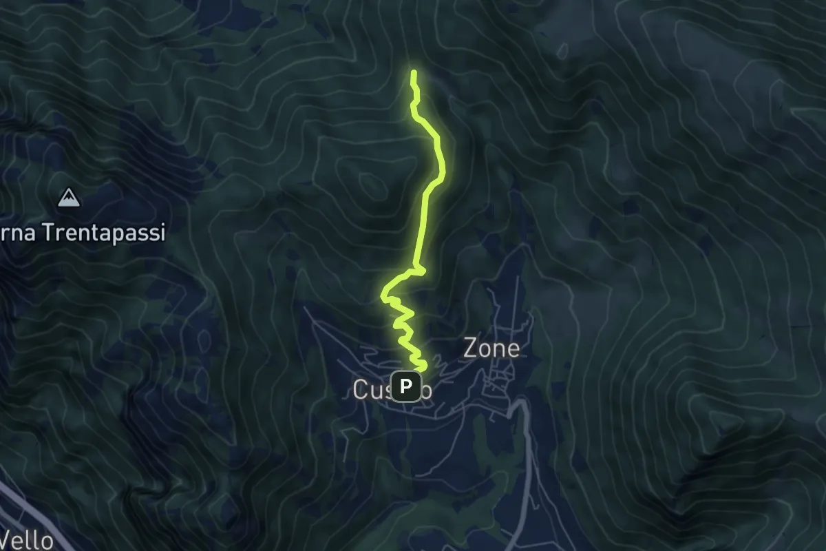
Sentiero delle Terre Rosse
5.0 km · ↑ 427 m · 2 h 6 min · 12 km away
Demanding · Summit
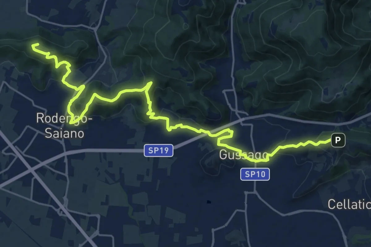
Sentiero della Franciacorta
21.9 km · ↑ 913 m · 7 h 9 min · 12 km away
Medium · Trail
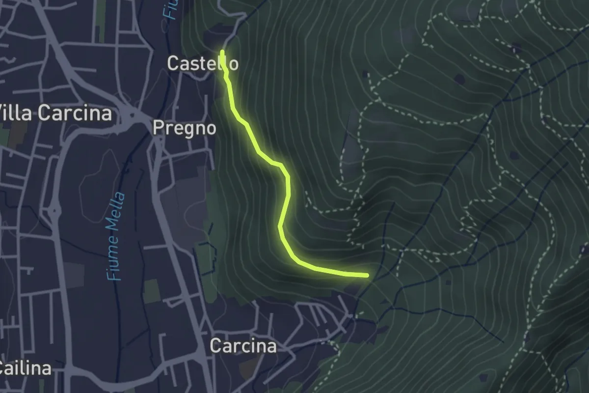
Villa Carcina (Carcina) - Pregno
2.2 km · ↑ 165 m · 53 min · 12 km away
Medium · Trail
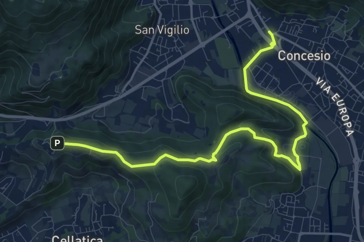
Sentiero Pietro Ottaviani
12.8 km · ↑ 333 m · 3 h 44 min · 12 km away
Demanding · Summit
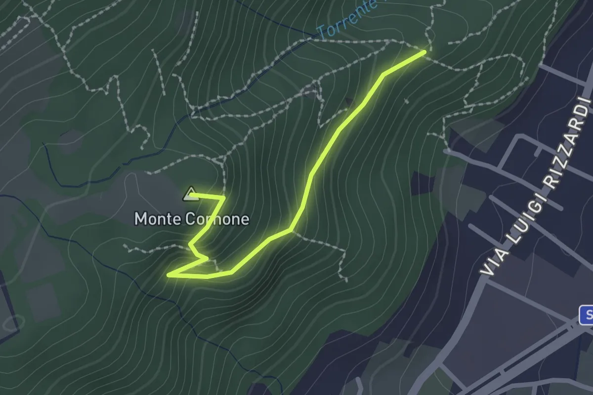
Sentiero D - Variante Monte Cornone
2.1 km · ↑ 170 m · 52 min · 12 km away
Medium · Trail
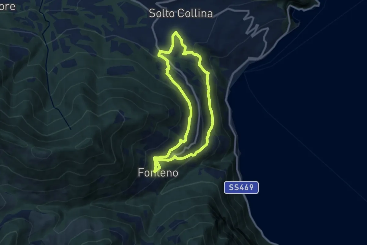
Riva di Solto – Riva di Solto
6.8 km · ↑ 410 m · 2 h 35 min · 12 km away
Medium · Summit
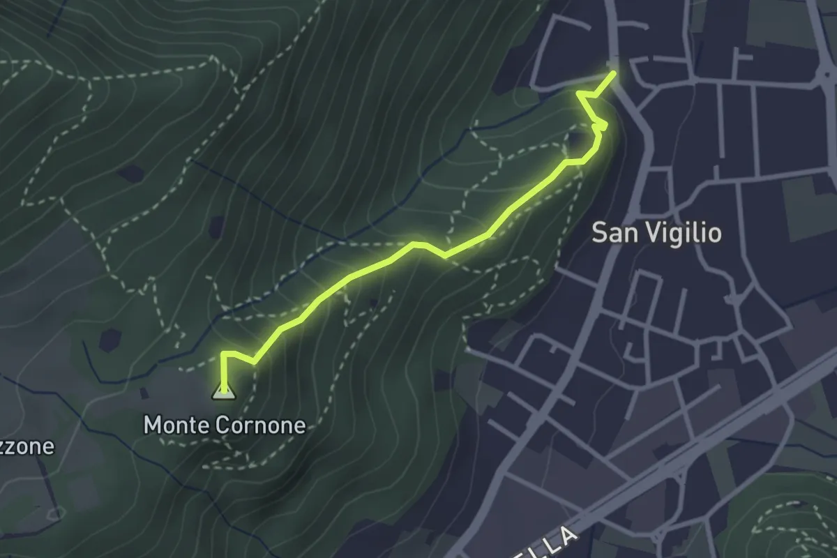
Concesio (San Vigilio) - Quarone di Sopra
2.6 km · ↑ 259 m · 1 h 11 min · 12 km away
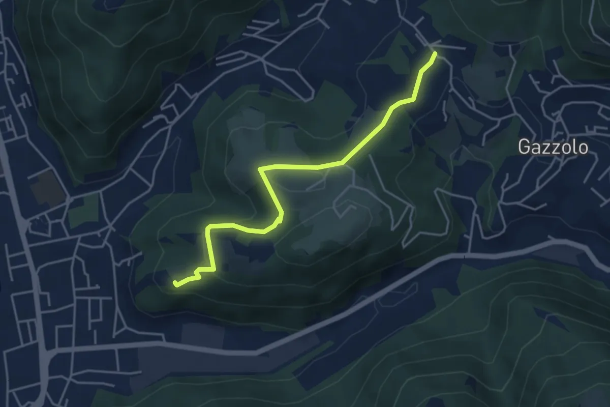
Medium · Trail
Sarezzo (Via Cagnaghe) - Castello
4.1 km · ↑ 134 m · 1 h 15 min · 12 km away
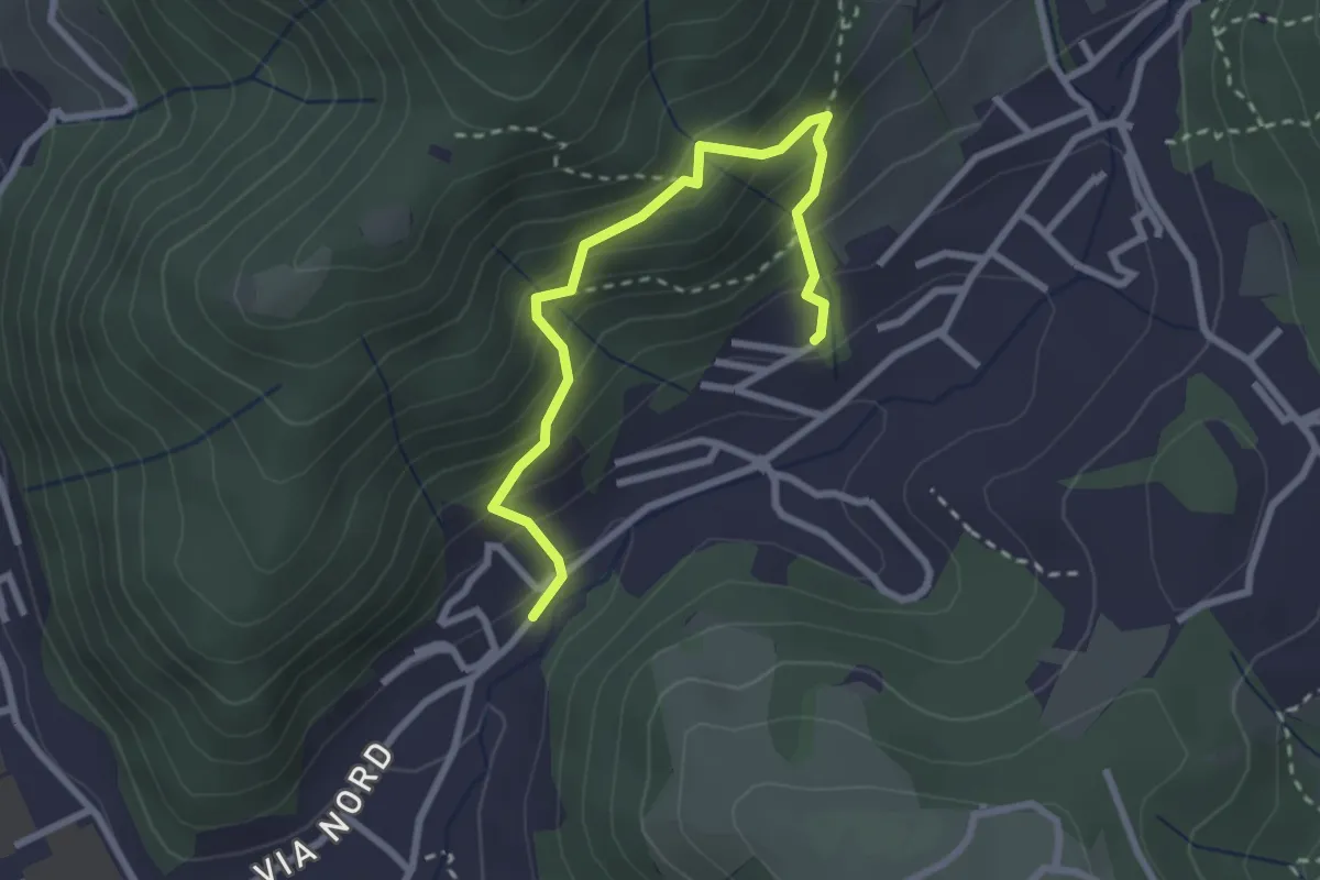
Medium · Trail
Sentiero del Dosalì
2.9 km · ↑ 340 m · 1 h 25 min · 12 km away
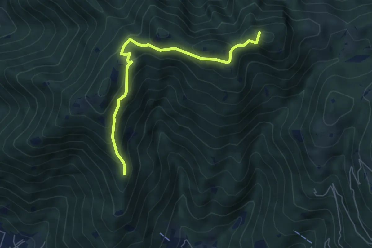
Medium · Summit
Sarezzo (Passata) - Sant'Emiliano
5.6 km · ↑ 377 m · 2 h 9 min · 13 km away
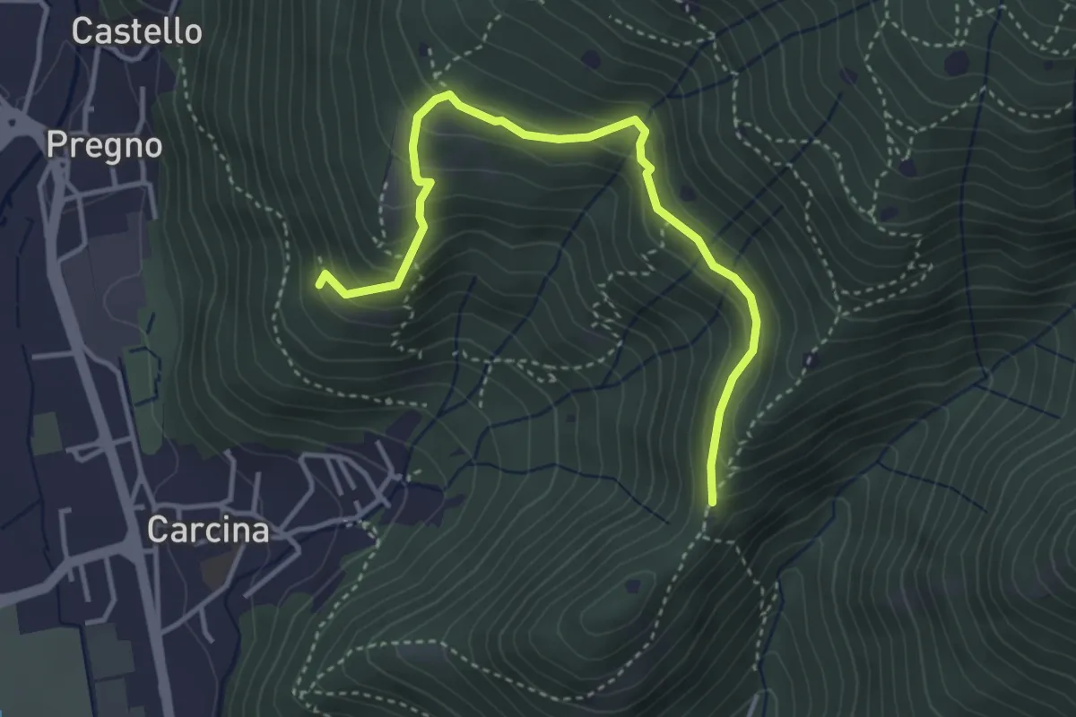
Demanding · Trail
Villa Carcina - Sentiero 16
4.0 km · ↑ 321 m · 1 h 38 min · 13 km away
Easy · Trail
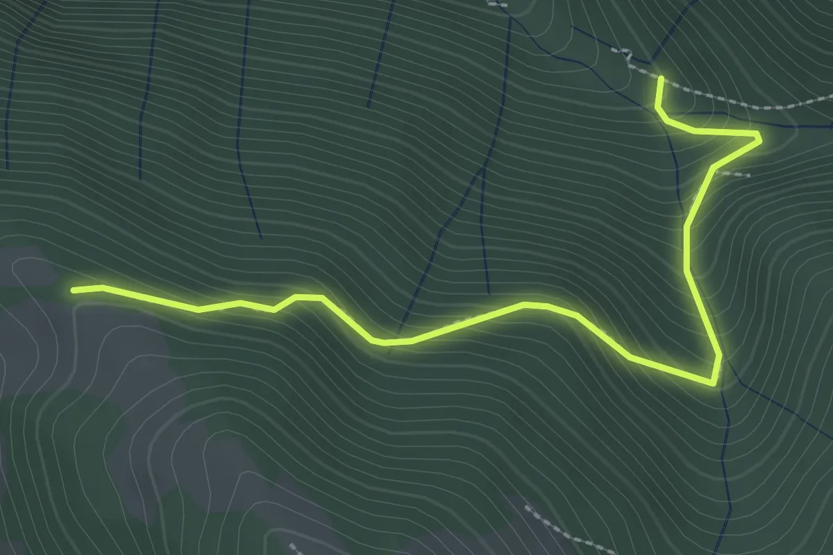
Incrocio 612 – Incrocio 612A
2.9 km · ↑ 301 m · 1 h 21 min · 13 km away
Medium · Trail
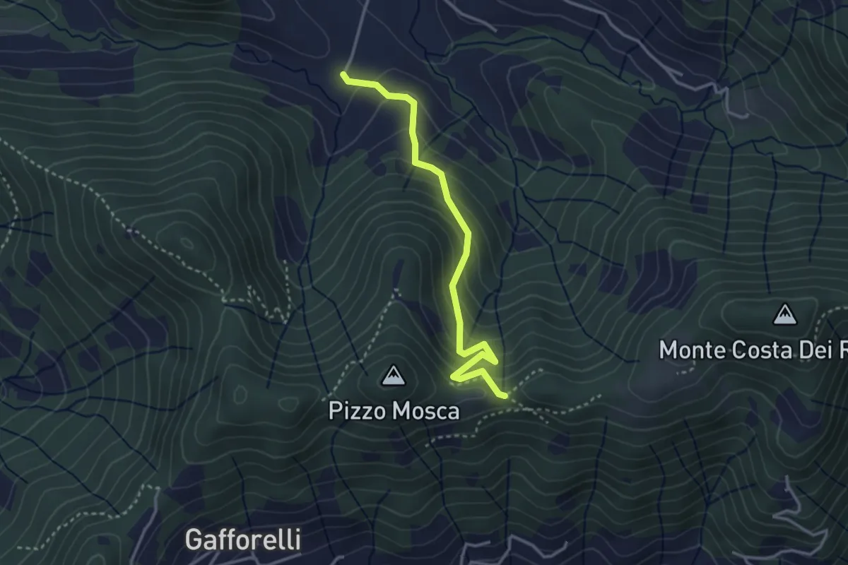
Cascina Barberino – Pizzo Mosca (Foresto Sparso)
3.2 km · ↑ 313 m · 1 h 26 min · 13 km away
Demanding · Summit
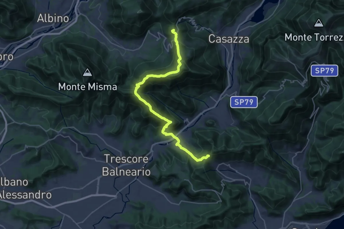
Sentiero Flavio Tasca - Tappa 8
22.8 km · ↑ 1433 m · 8 h 29 min · 13 km away
Demanding · Trail
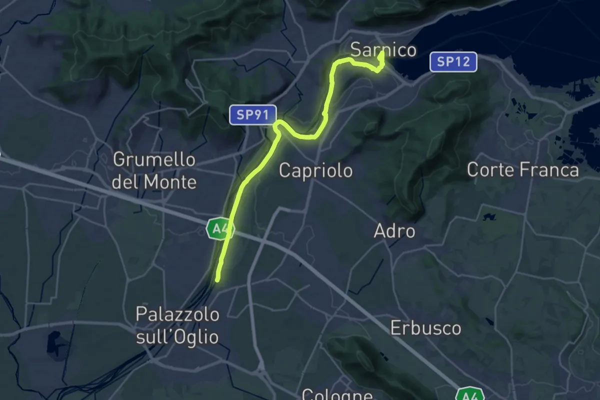
Sentiero Verde dell'Oglio
21.0 km · ↑ 317 m · 5 h 39 min · 13 km away
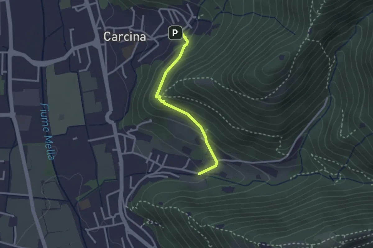
Easy · Trail
Villa Carcina (Carcina) - Costorio
2.2 km · ↑ 126 m · 48 min · 13 km away
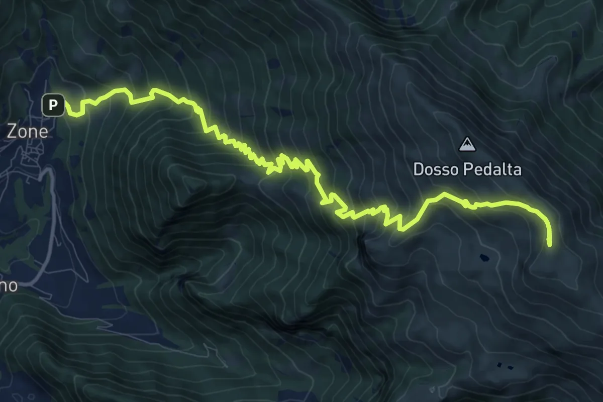
Demanding · Summit
Sentiero del Monte Guglielmo
13.9 km · ↑ 1311 m · 6 h 8 min · 13 km away
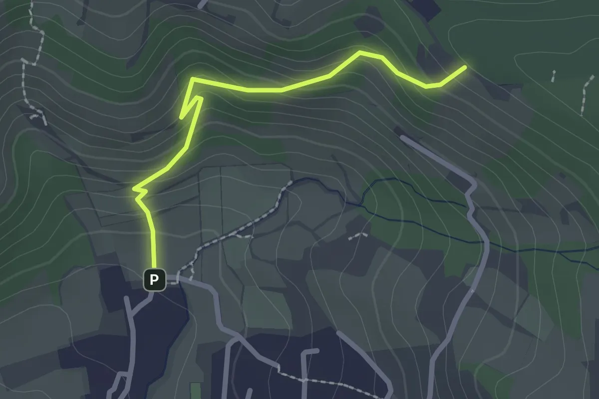
Easy · Trail
Cellatica (Palas) – Cascina Monte Grande (Innesto Sentiero 3V)
2.1 km · ↑ 186 m · 55 min · 13 km away
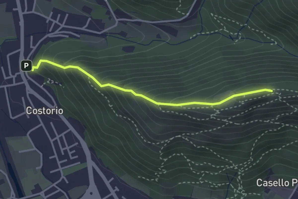
Medium · Summit
Concesio (Costorio) - Grassi Carpini
3.0 km · ↑ 329 m · 1 h 25 min · 13 km away
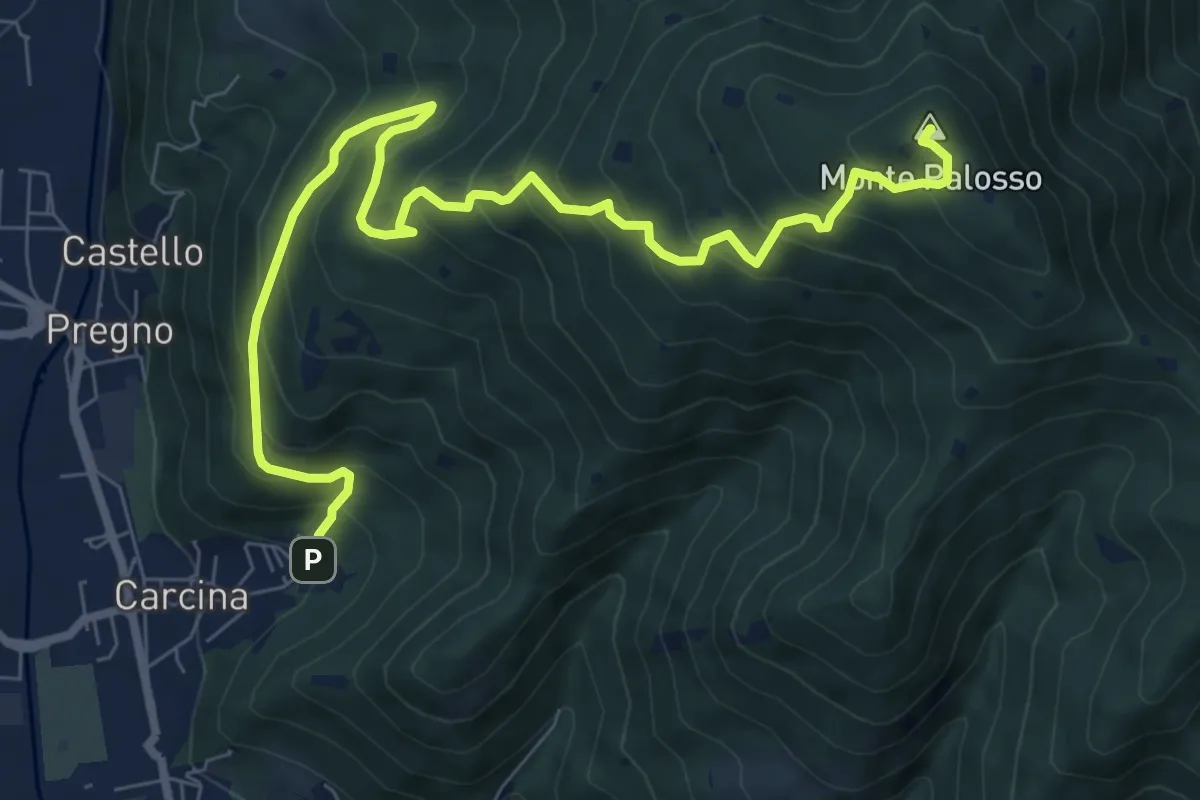
Demanding · Summit
Villa Carcina (Caricatore) – Monte Palosso
9.9 km · ↑ 908 m · 4 h 18 min · 13 km away
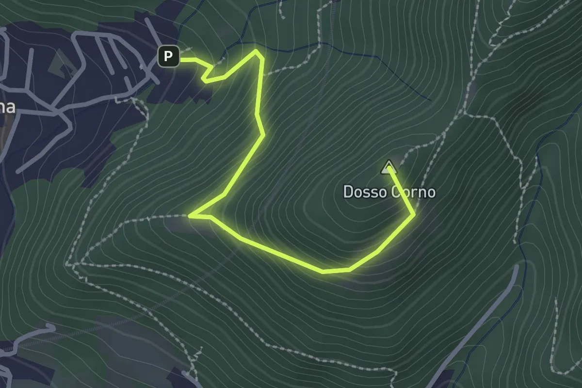
Medium · Summit
Villa Carcina (Caricatore) – Crusal
2.7 km · ↑ 292 m · 1 h 16 min · 13 km away
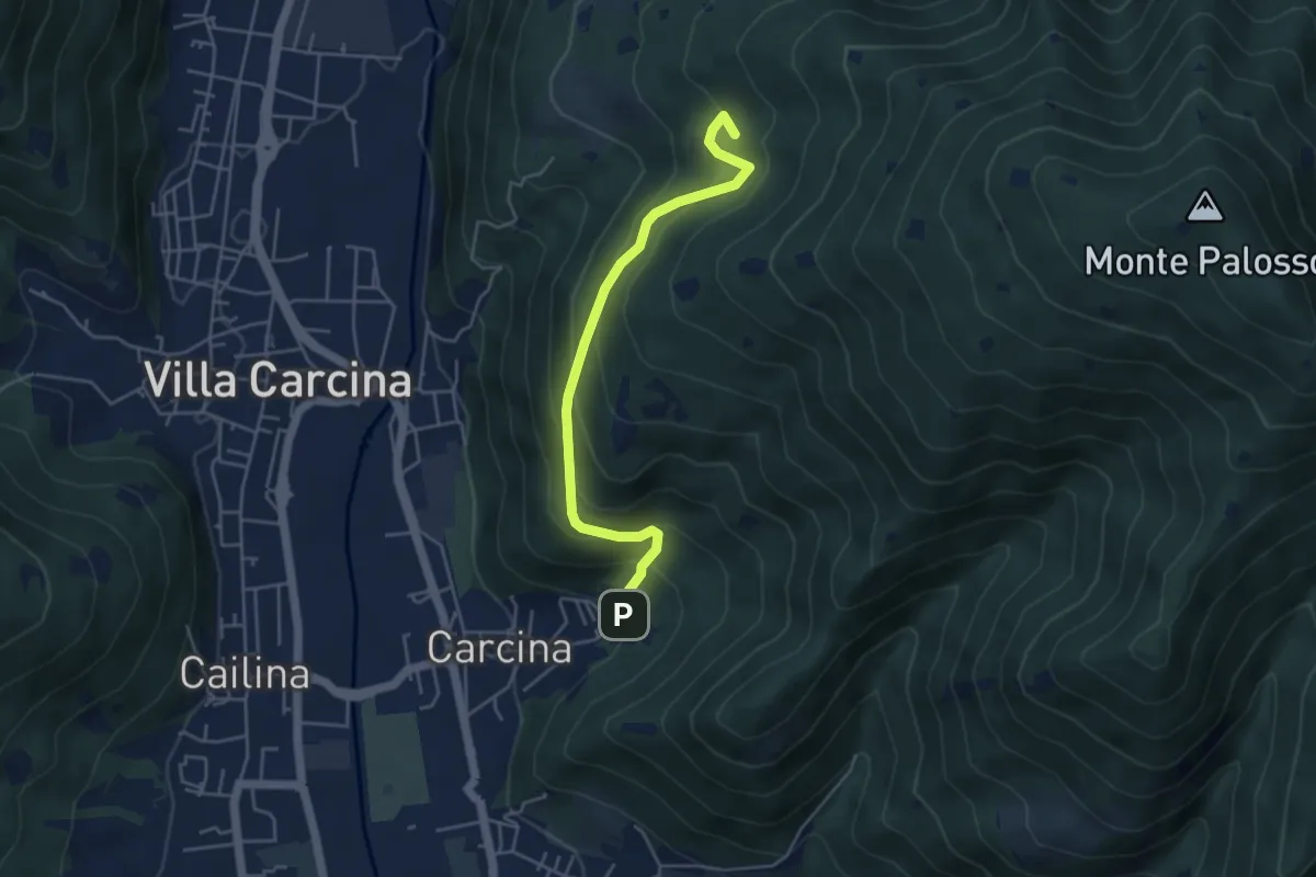
Medium · Summit
Villa Carcina - Sentiero 17
4.5 km · ↑ 395 m · 1 h 56 min · 13 km away
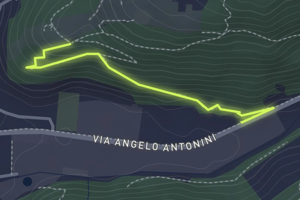
Easy · Trail
Sentiero di Mezzo
2.2 km · ↑ 171 m · 53 min · 13 km away
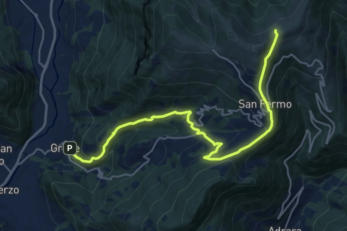
Demanding · Trail
Grone – Foppelle
14.1 km · ↑ 944 m · 5 h 22 min · 13 km away
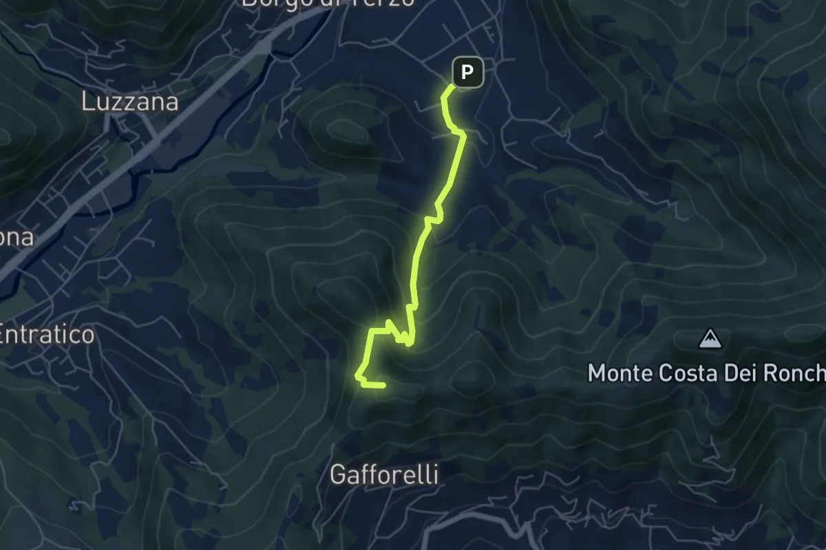
Medium · Summit
Berzo San Fermo – Il Casino
4.8 km · ↑ 328 m · 1 h 51 min · 13 km away
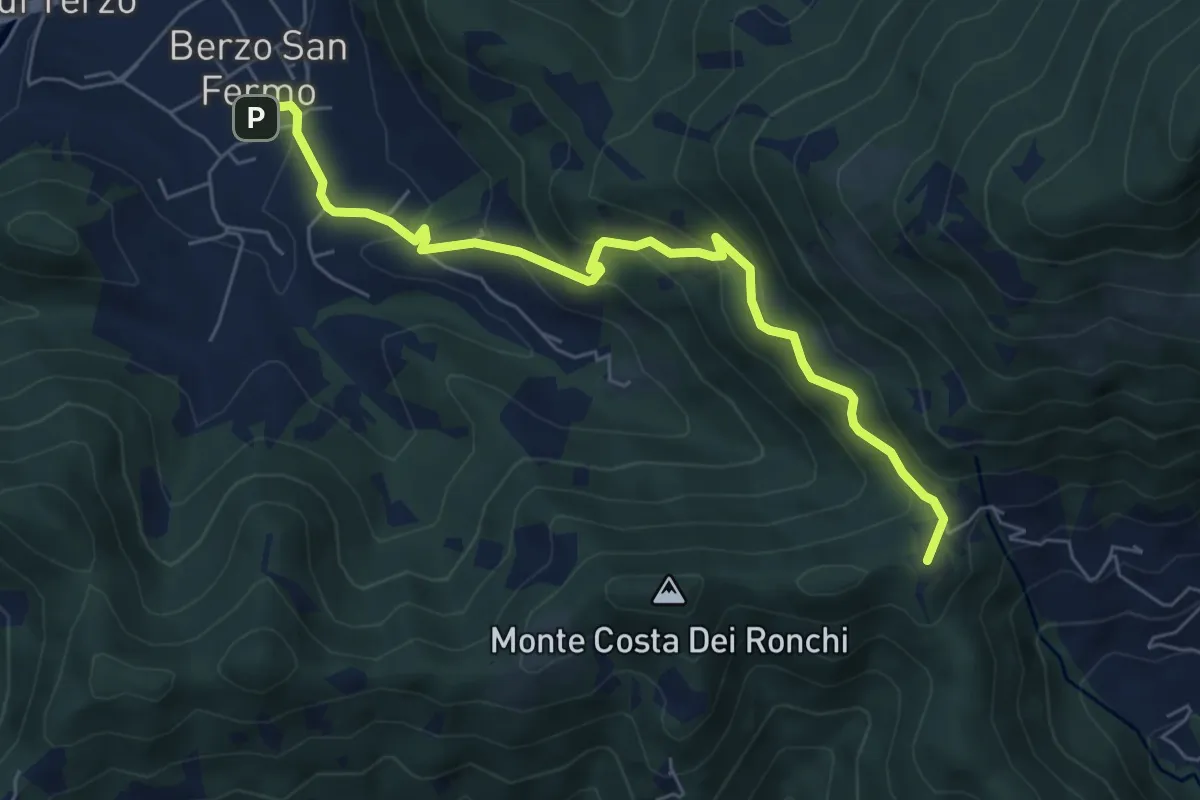
Medium · Summit
Berzo San Fermo – Col Croce
6.6 km · ↑ 444 m · 2 h 31 min · 13 km away
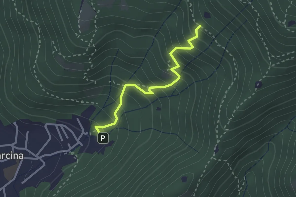
Medium · Trail
Villa Carcina - Sentiero 22
2.3 km · ↑ 303 m · 1 h 12 min · 13 km away
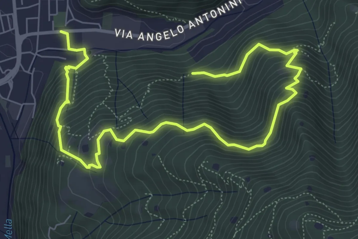
Demanding · Trail
La Vià Antiga
9.3 km · ↑ 858 m · 4 h 3 min · 13 km away
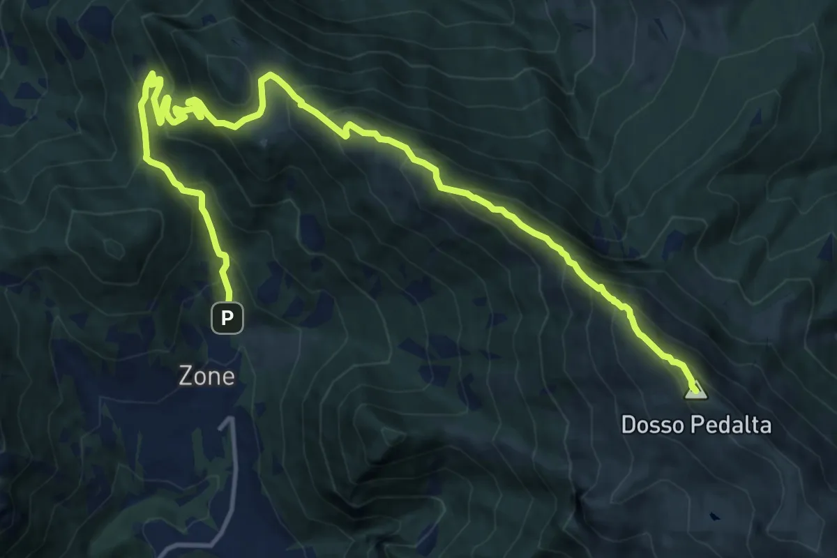
Demanding · Summit
Zone – Monte Guglielmo
17.0 km · ↑ 1277 m · 6 h 47 min · 13 km away
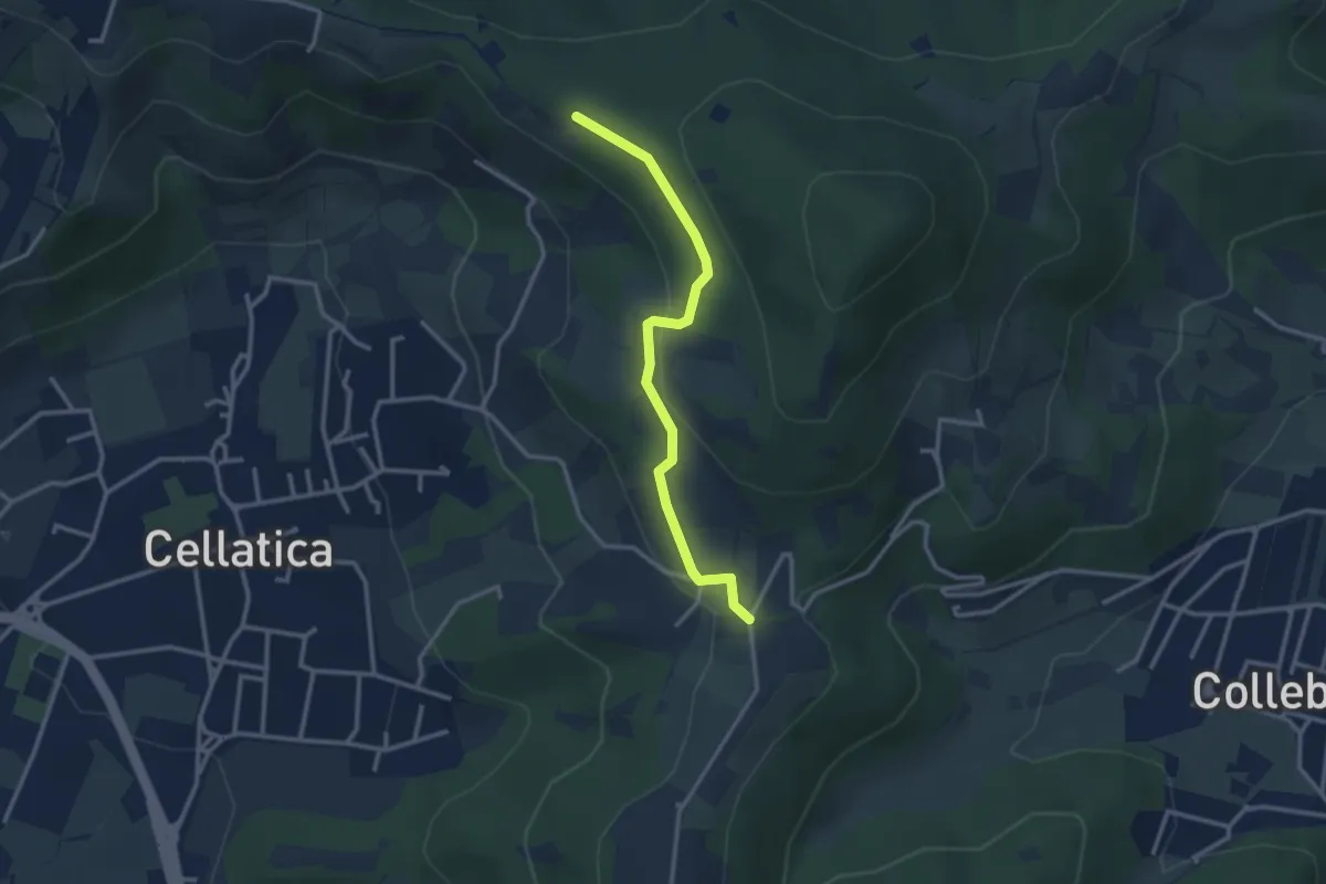
Easy · Trail
Sentiero 3V - Tappa 8 (Variante bassa)
2.9 km · ↑ 95 m · 54 min · 13 km away
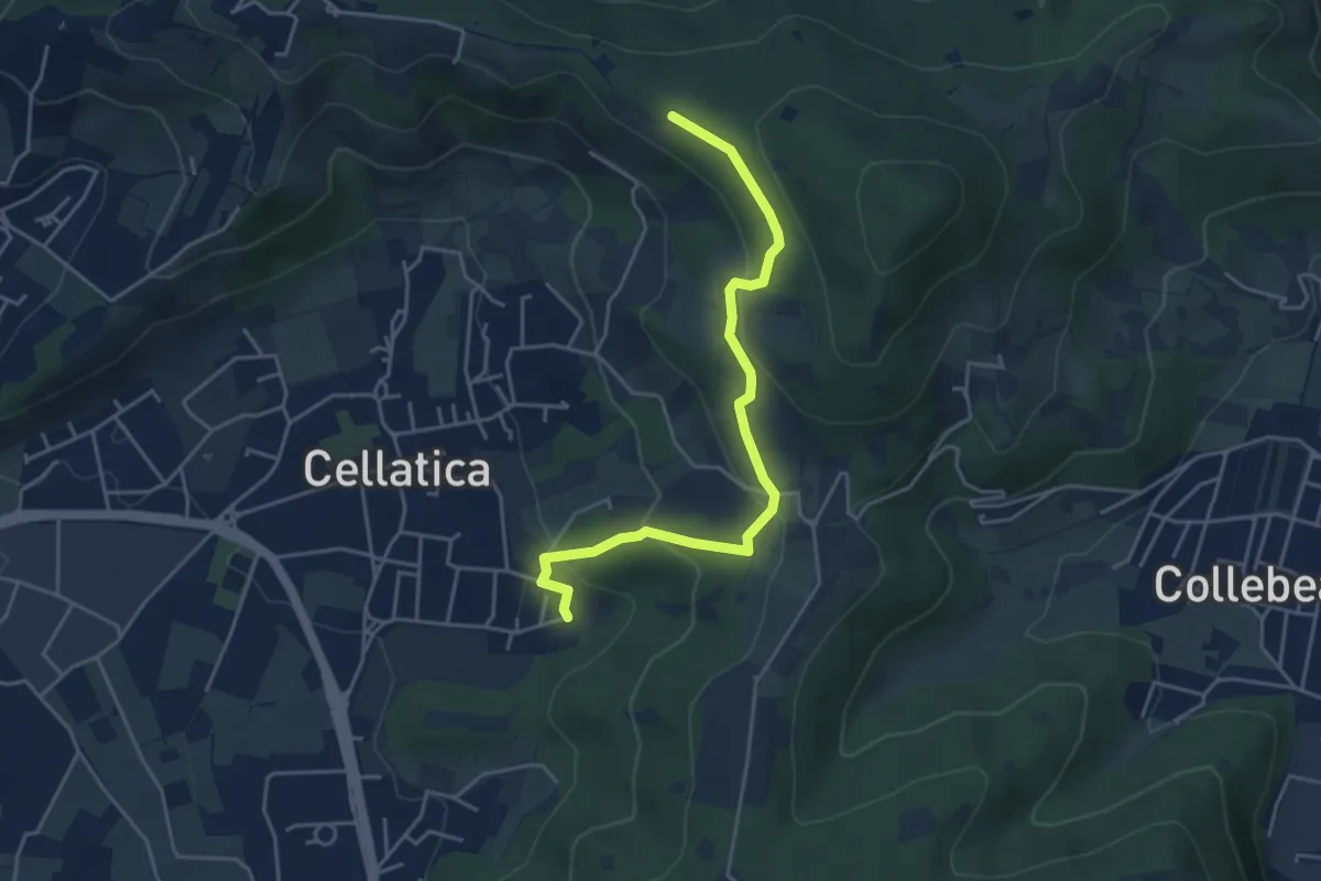
Easy · Trail
Cellatica (Cantone) – Cascina Monte Grande (Innesto Sentiero 3V)
4.5 km · ↑ 213 m · 1 h 31 min · 13 km away
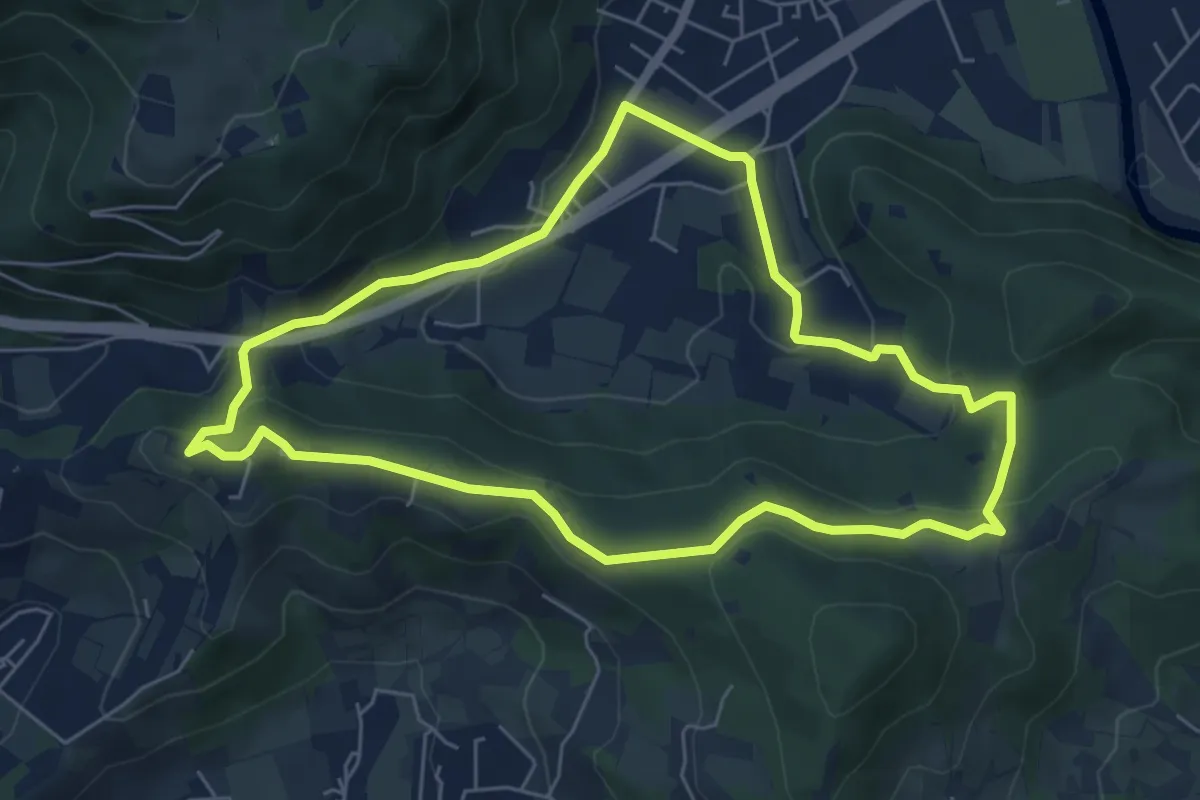
Easy · Trail
Concesio - Valsorda
6.0 km · ↑ 208 m · 1 h 57 min · 13 km away
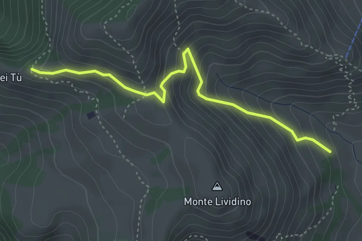
Medium · Trail
Marcheno (Piani di Caregno - Chiesetta degli Alpini) – Corni dei Tù (Bivio Sentiero 317)
3.5 km · ↑ 357 m · 1 h 37 min · 13 km away
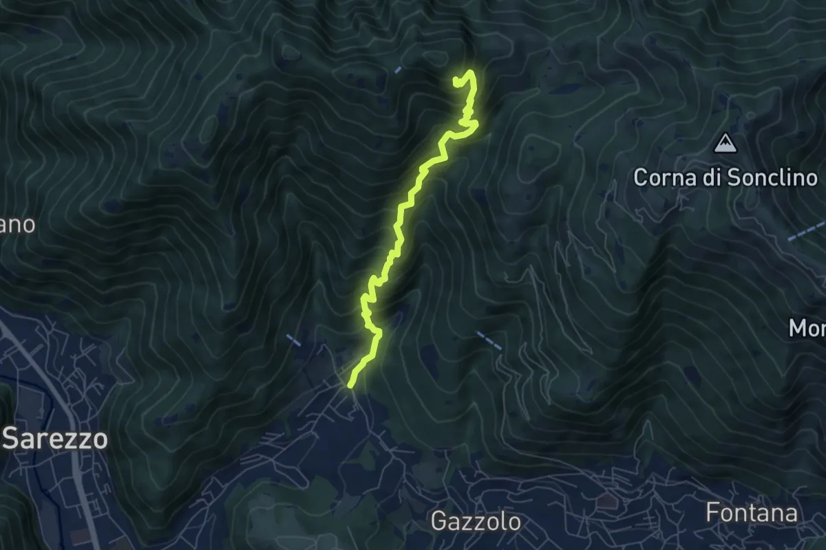
Medium · Cabin
Sarezzo (La Cava) - Sant'Emiliano
6.3 km · ↑ 758 m · 3 h 8 min · 13 km away
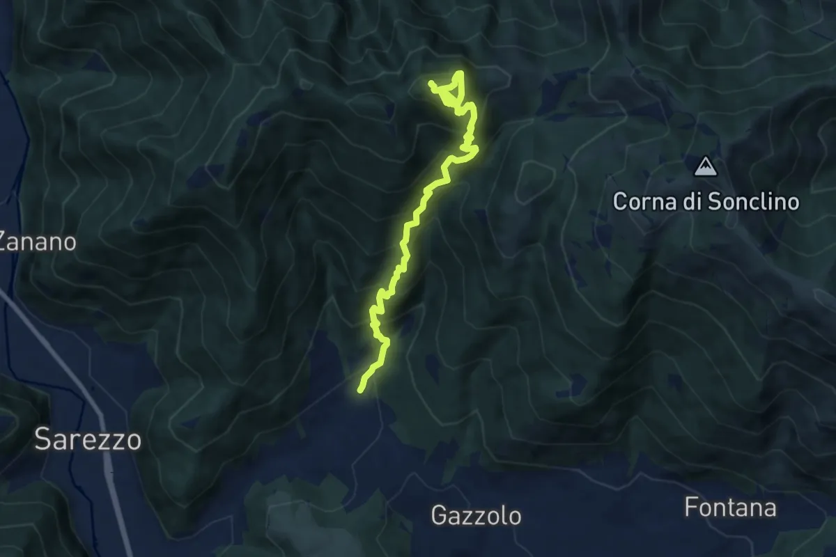
Demanding · Summit
Sarezzo (Santella Valle di Sarezzo) – Monte Sant'Emiliano
8.1 km · ↑ 962 m · 4 h · 13 km away