Trails near Iseo
257 hikes starting within 15 km, nearest first.
Nearest first, page 5 of 6
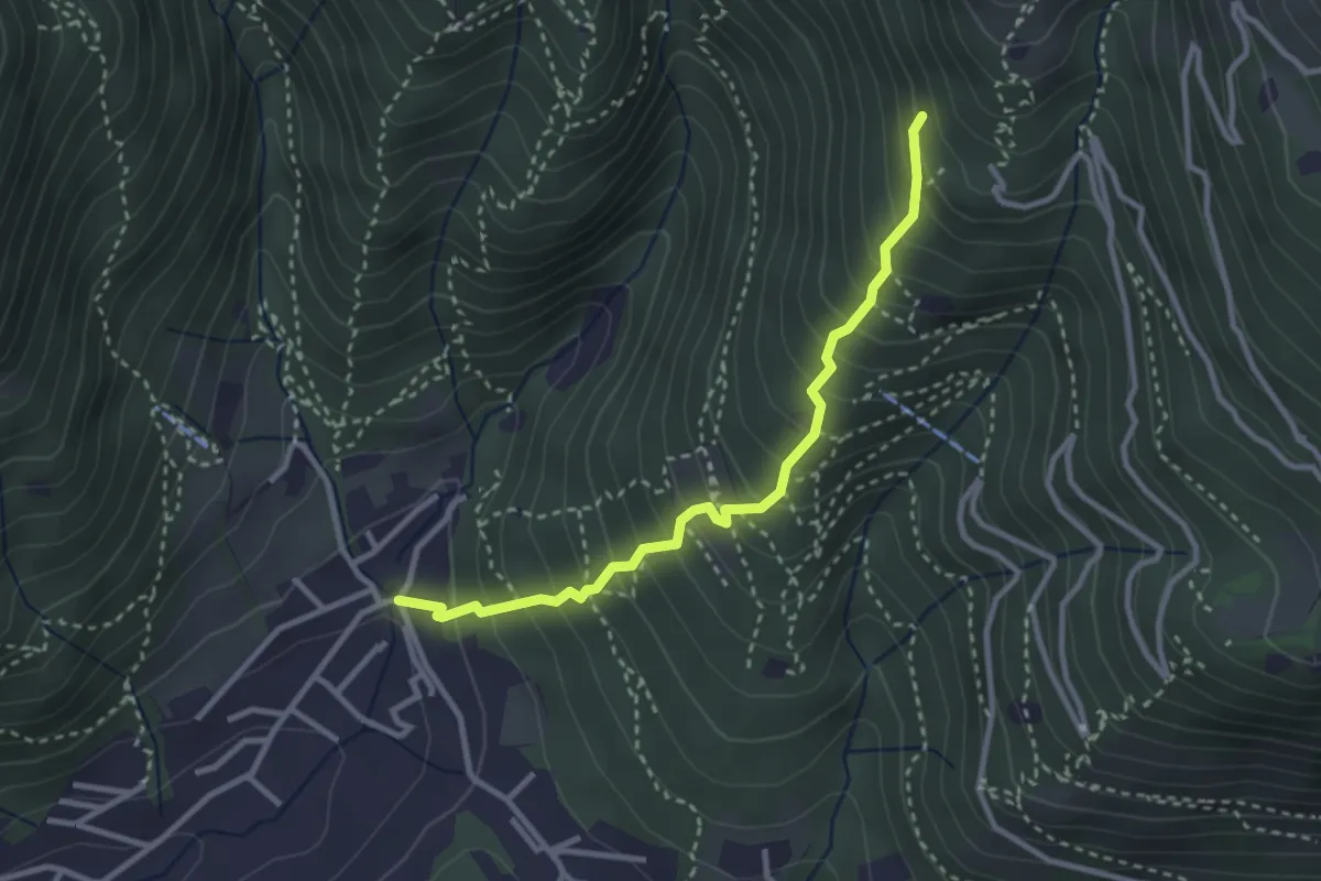
Medium · Trail
Sarezzo (La Santella) - Via Antica
3.0 km · ↑ 421 m · 1 h 38 min · 13 km away
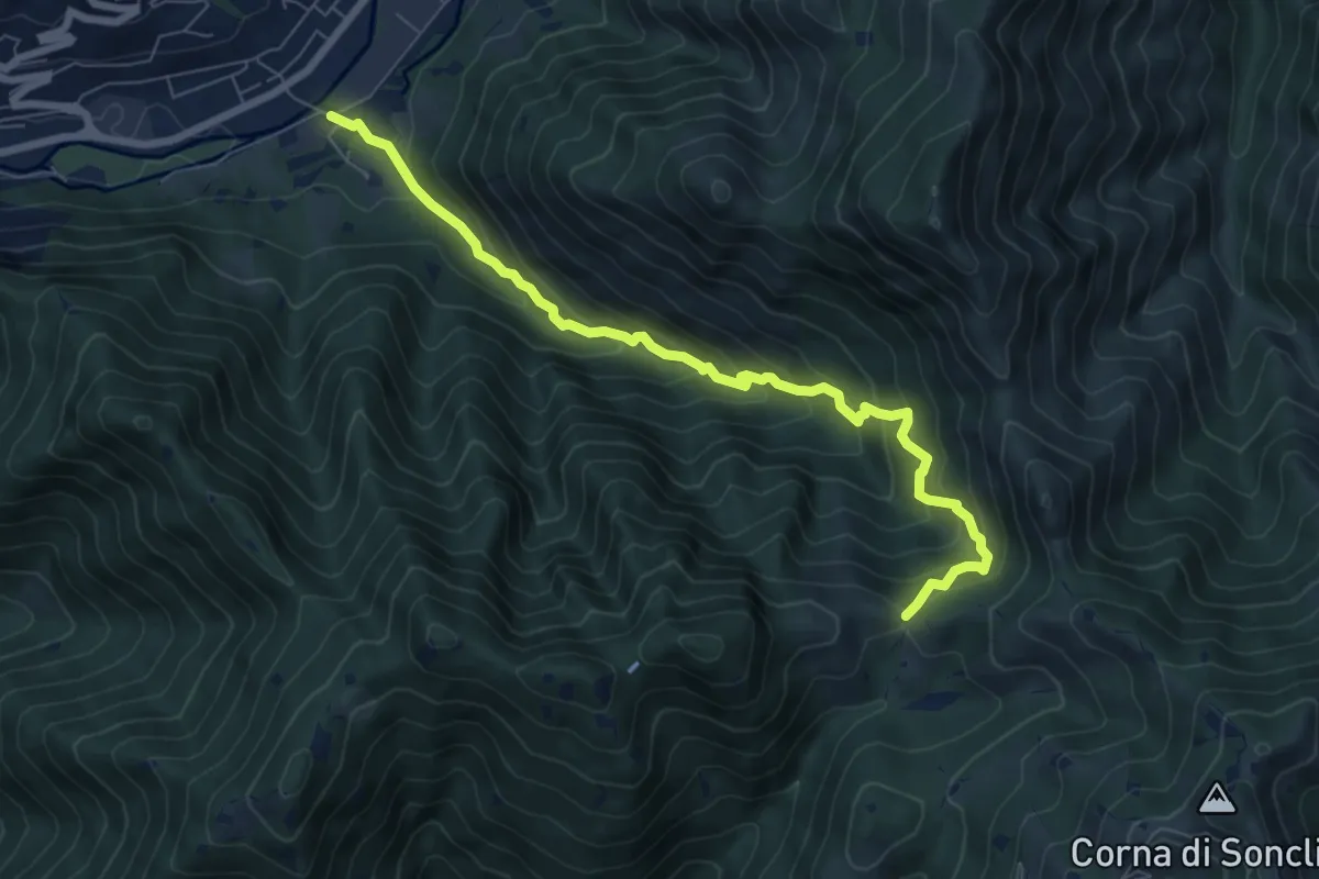
Medium · Trail
Marcheno (Rovedolo) – Forcella di Vandeno
7.6 km · ↑ 730 m · 3 h 23 min · 13 km away
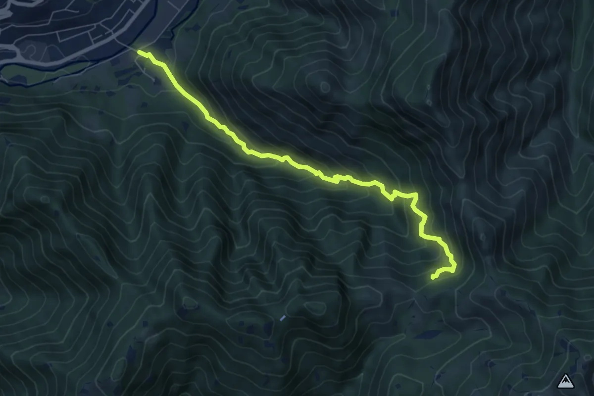
Medium · Trail
Sentiero storico naturalistico Valle di Vandeno
7.2 km · ↑ 684 m · 3 h 11 min · 13 km away
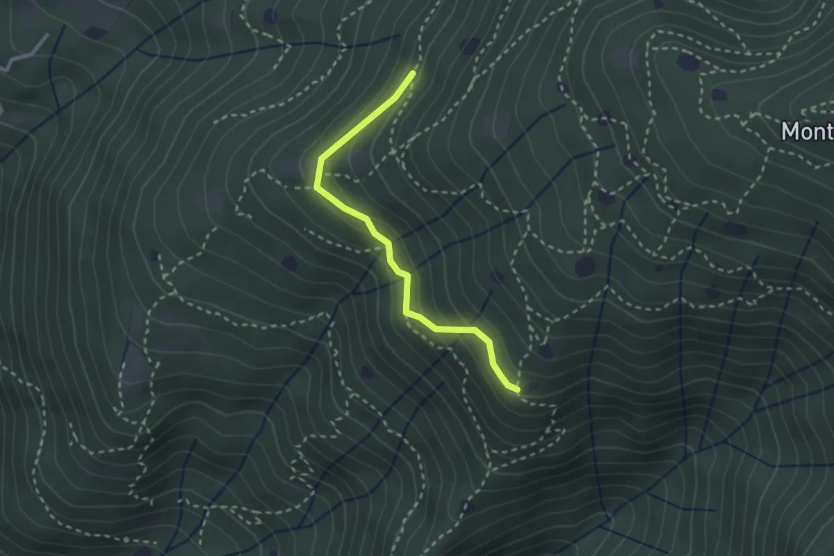
Easy · Trail
Villa Carcina - Sentiero 20
2.4 km · ↑ 169 m · 56 min · 13 km away
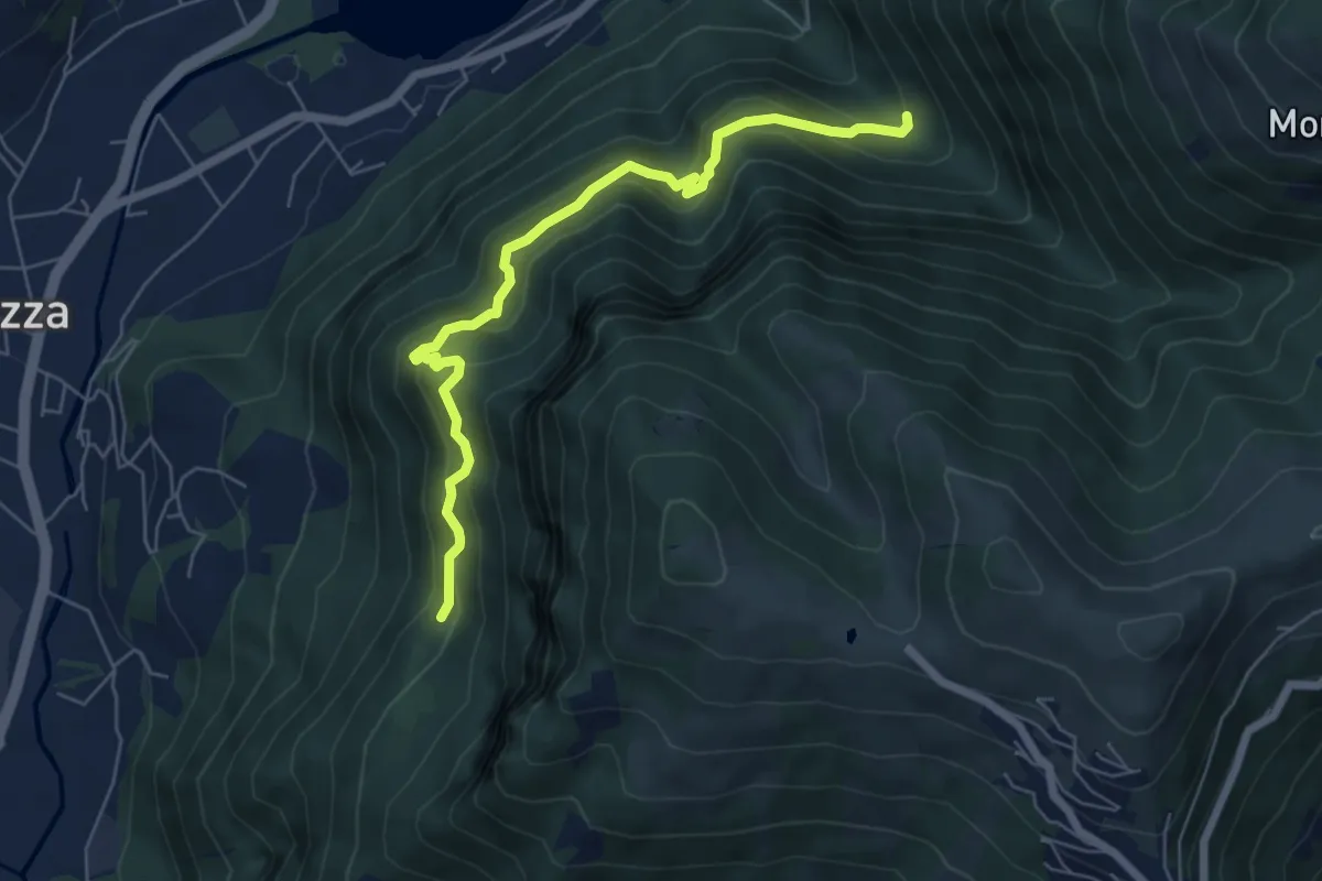
Medium · Trail
Cummia (Colognola di Casazza) – Fontanello
6.4 km · ↑ 498 m · 2 h 36 min · 13 km away
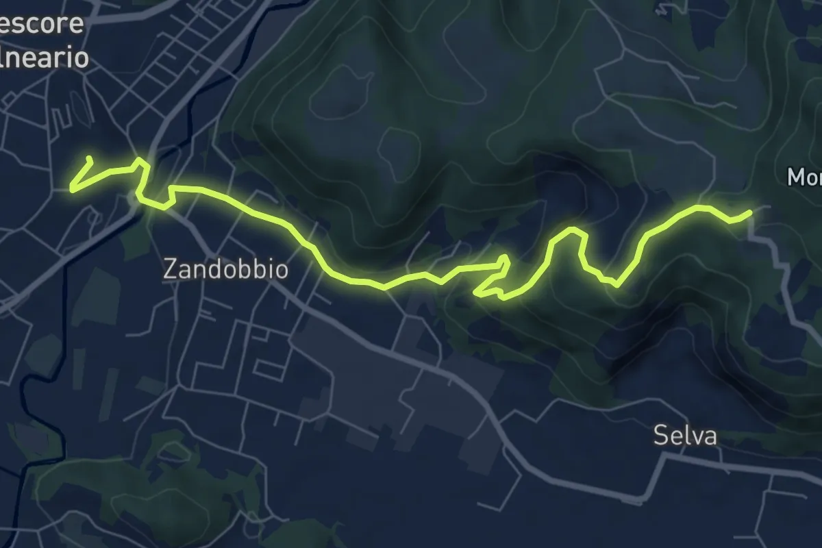
Medium · Trail
Trescore Balneario – Buca del Corno
8.6 km · ↑ 380 m · 2 h 52 min · 13 km away
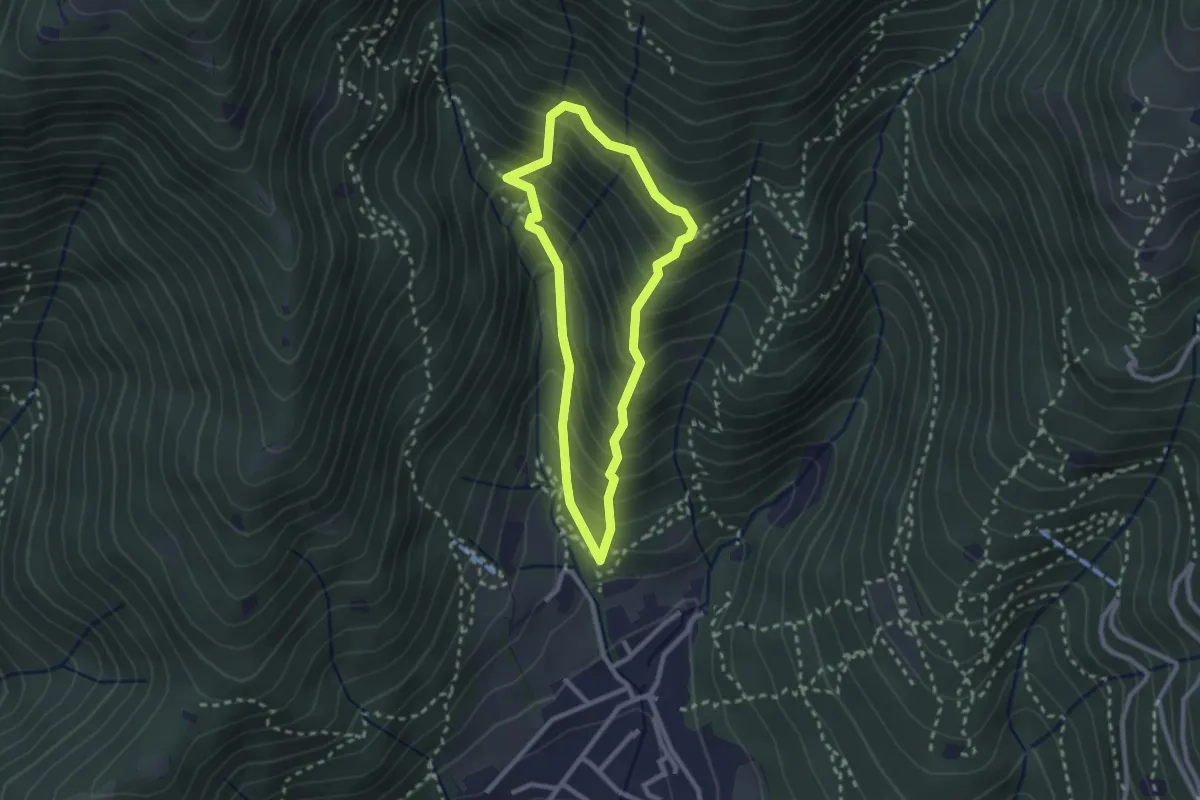
Medium · Trail
Sarezzo (Ponte dei Gromi) - Gromi Bassi
2.2 km · ↑ 307 m · 1 h 13 min · 13 km away
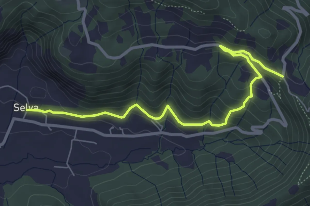
Medium · Trail
Selva – Colle San Giovanni
6.1 km · ↑ 362 m · 2 h 14 min · 13 km away
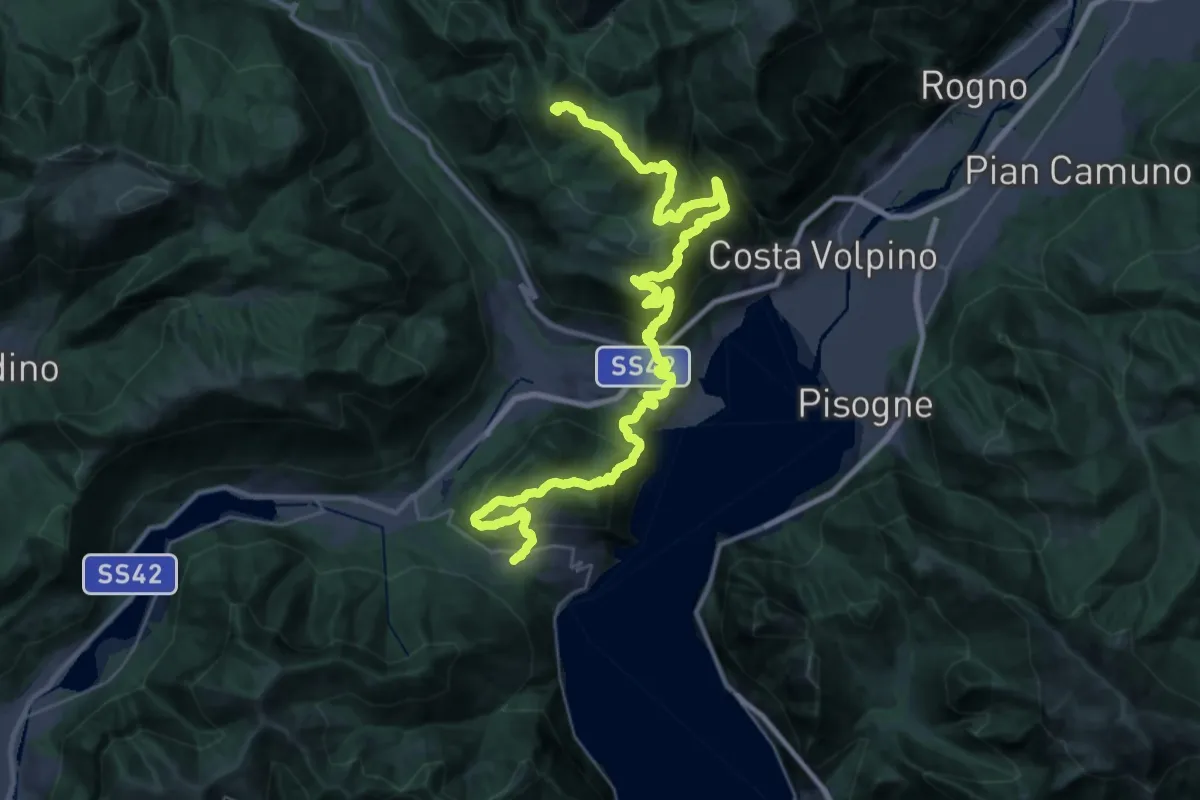
Expert · Summit
Sentiero Flavio Tasca - Tappa 3
41.4 km · ↑ 2341 m · 14 h 50 min · 13 km away
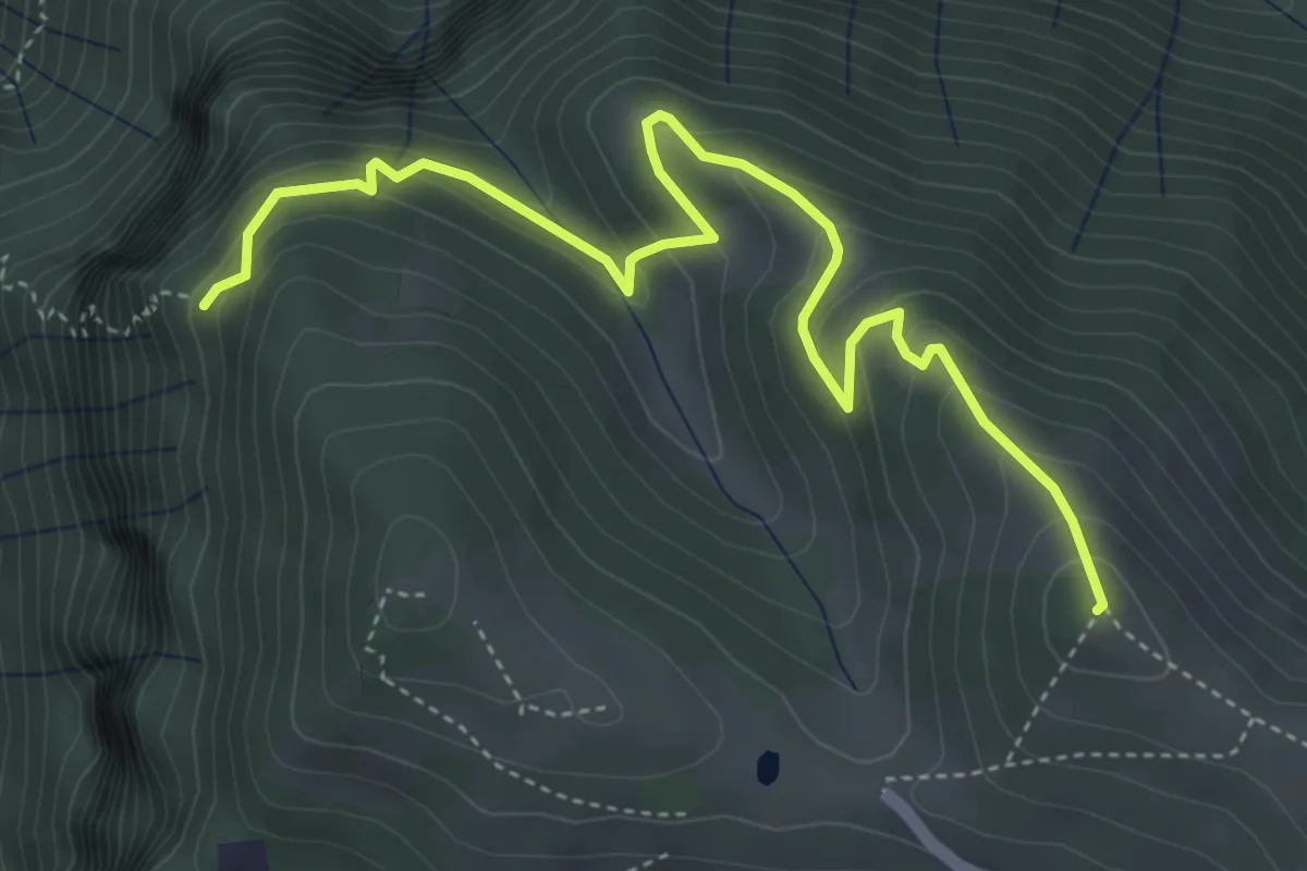
Medium · Summit
Colle di Caf – Foppalupo (Colli di San Fermo)
5.2 km · ↑ 372 m · 2 h 2 min · 14 km away
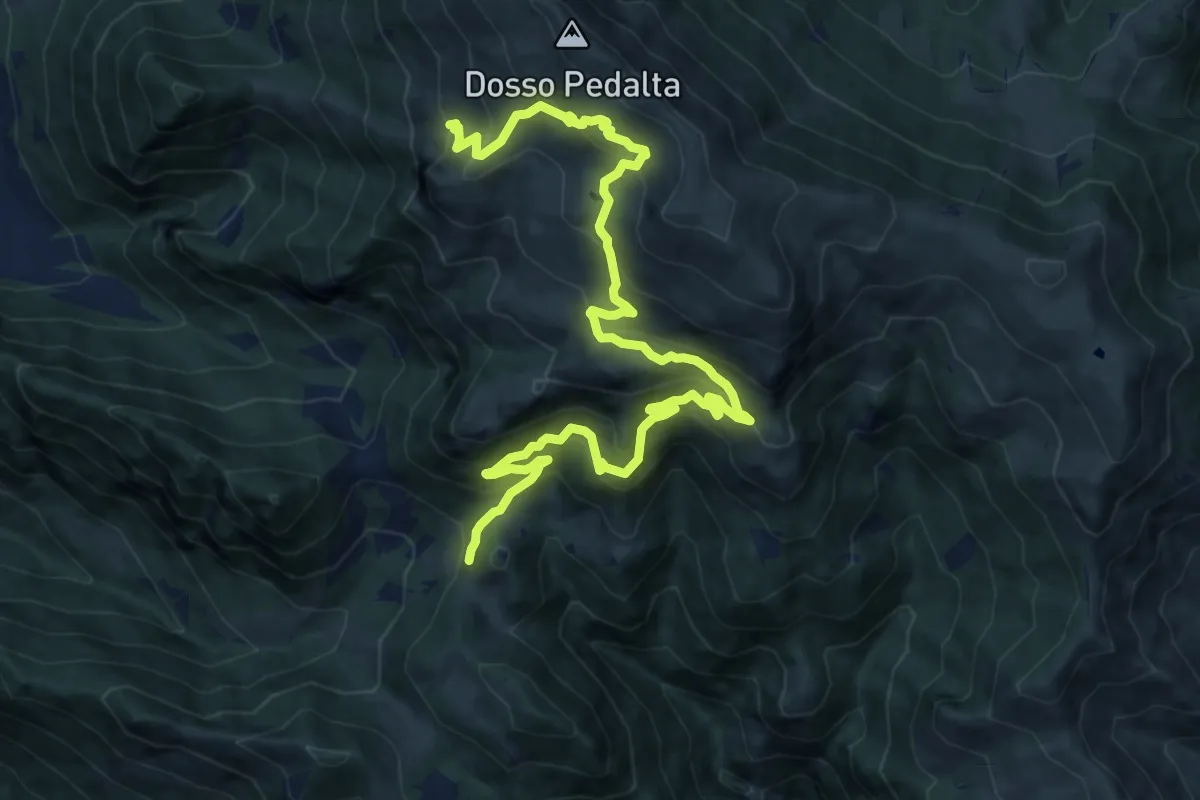
Medium · Summit
Sentiero naturalistico del Sebino
8.0 km · ↑ 356 m · 3 h 1 min · 14 km away
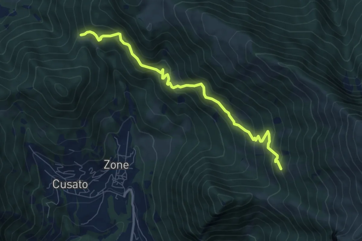
Medium · Trail
Sentiero dei Grap
7.9 km · ↑ 666 m · 3 h 19 min · 14 km away
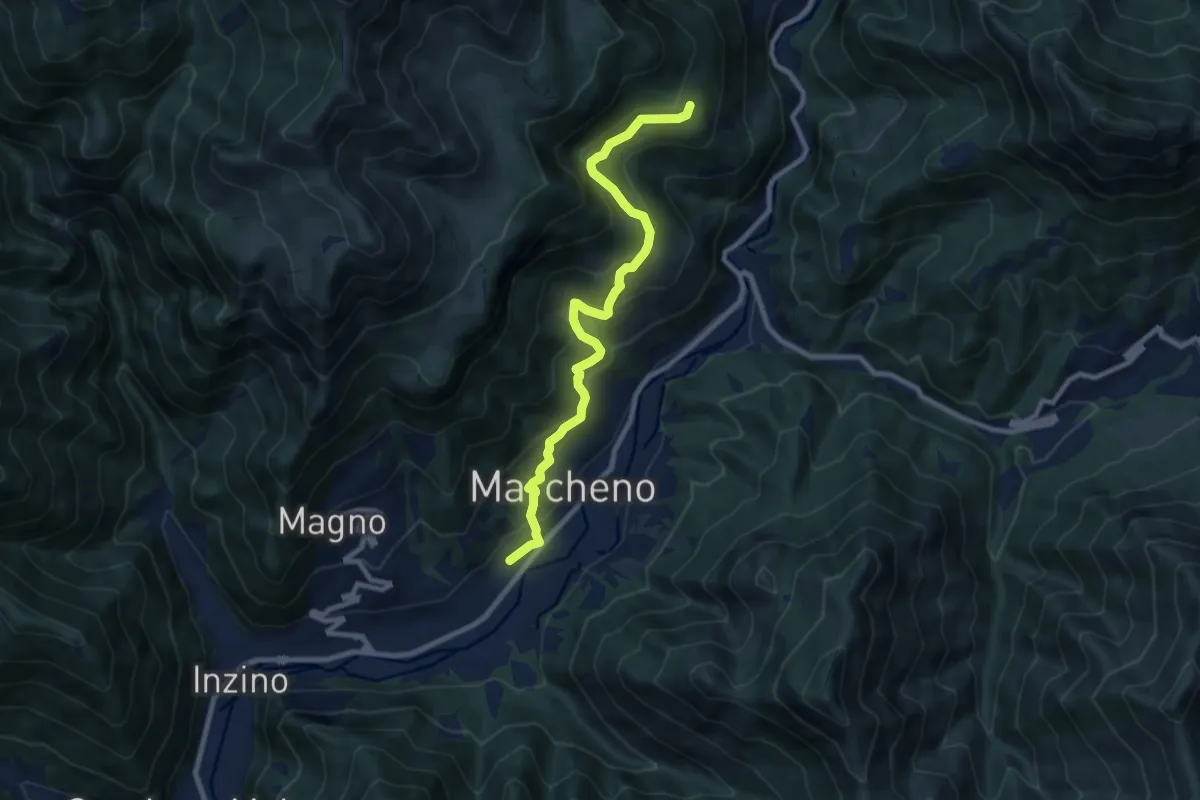
Medium · Trail
Sentiero Franco Moretti
9.1 km · ↑ 551 m · 3 h 20 min · 14 km away
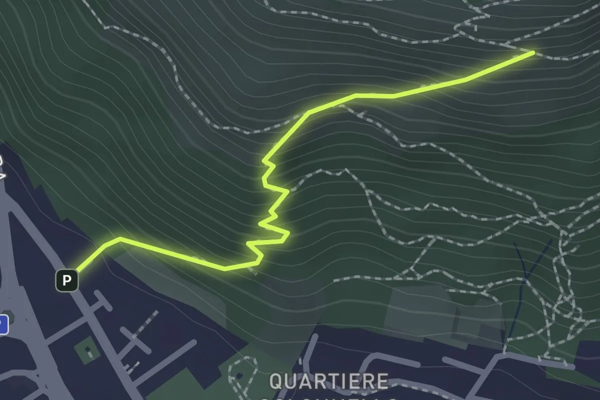
Medium · Cabin
Concesio (Vicolo Verdura) - Monte Verdura (Innesto Sentiero da Pieve)
2.1 km · ↑ 271 m · 1 h 5 min · 14 km away
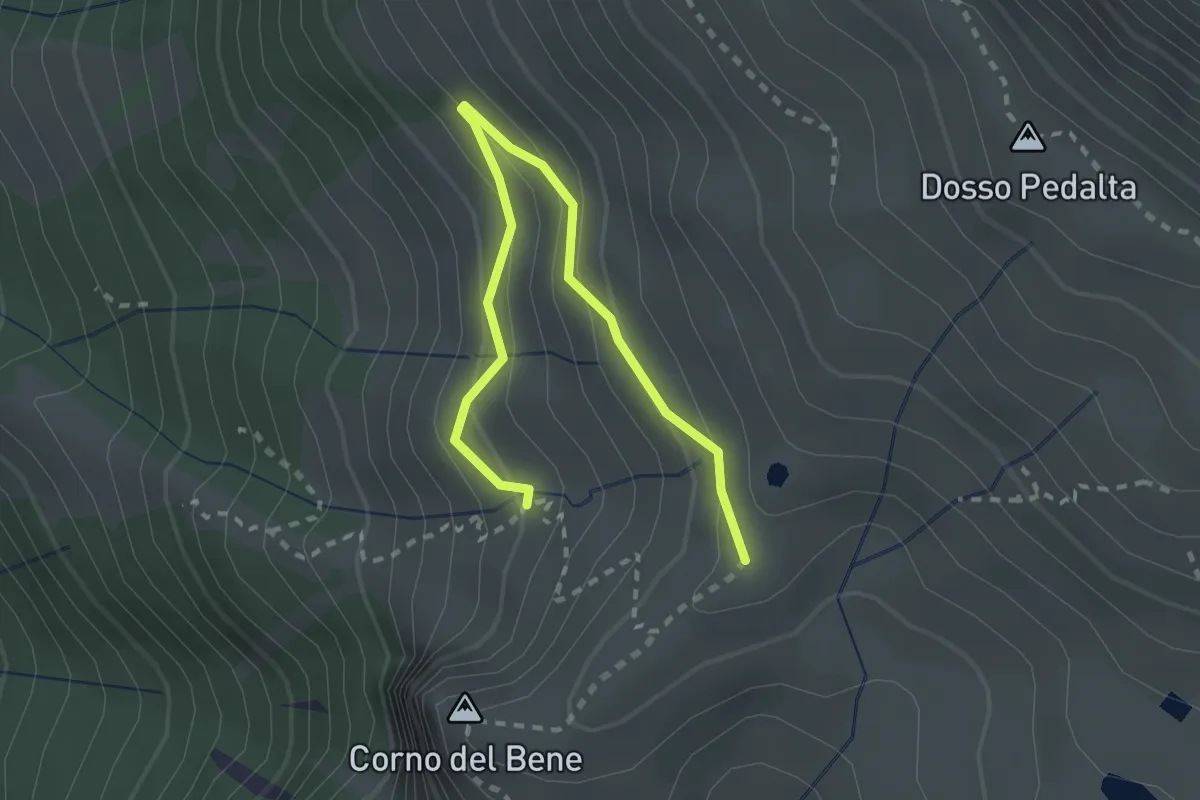
Easy · Cabin
Sentiero del Monte Guglielmo
2.8 km · ↑ 189 m · 1 h 4 min · 14 km away
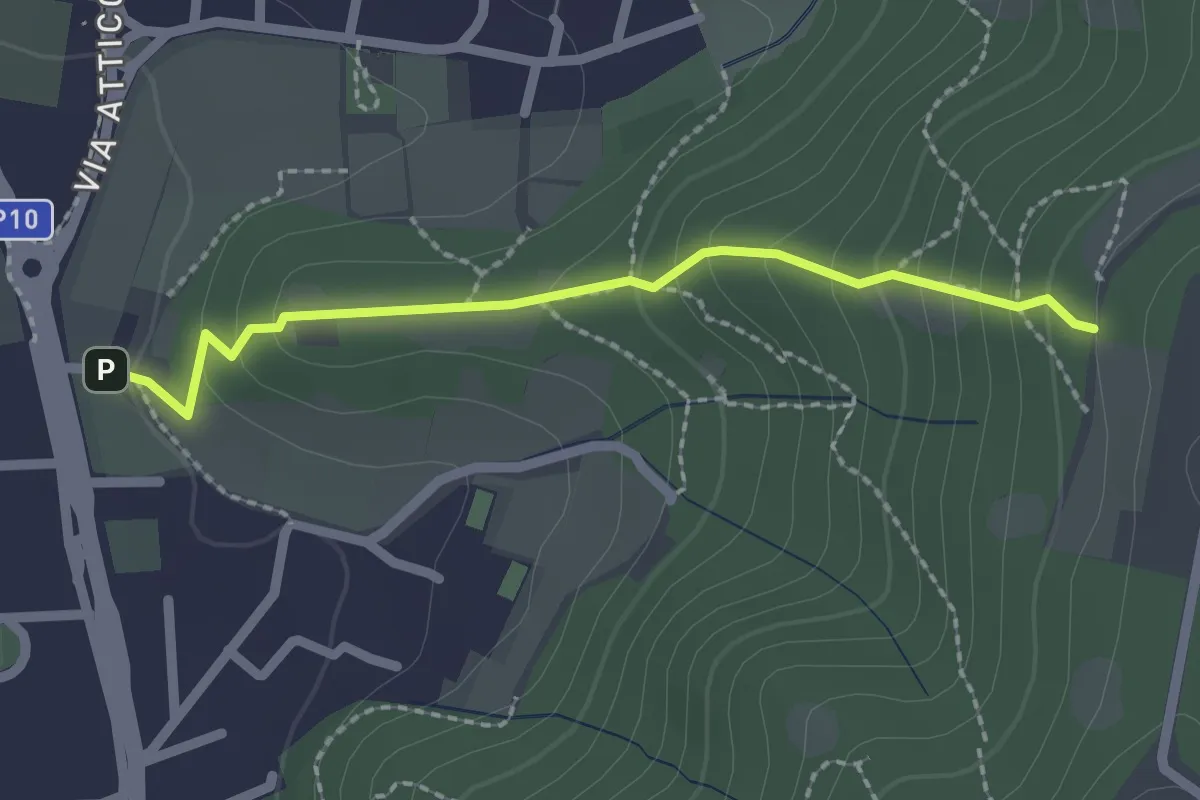
Medium · Trail
Cellatica (Via San Rocco) – Campiani (Innesto Sentiero 219)
2.1 km · ↑ 157 m · 50 min · 14 km away
Easy · Trail
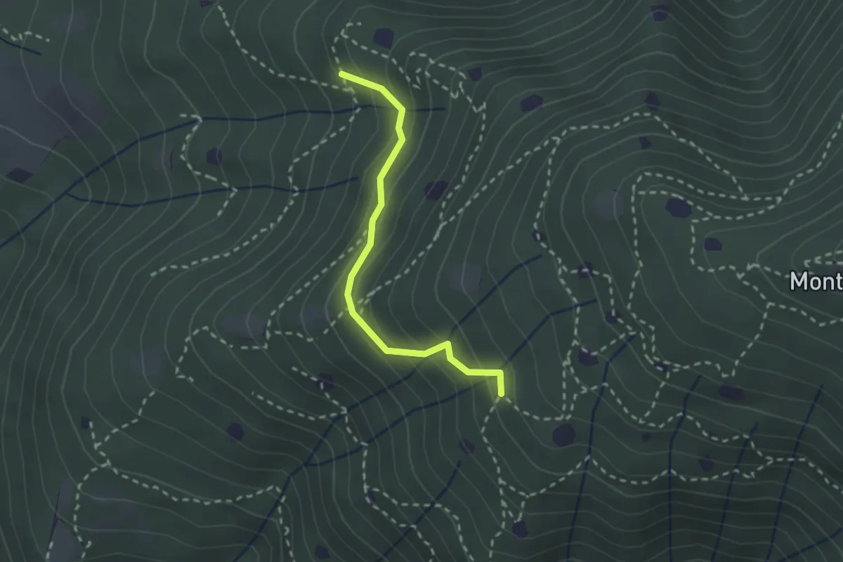
Villa Carcina - Sentiero 19
2.3 km · ↑ 210 m · 59 min · 14 km away
Easy · Trail
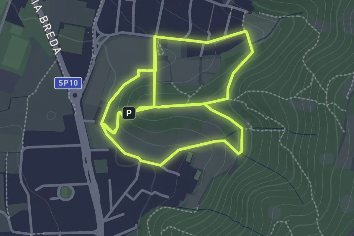
Percorso del Colle San Rocco
3.3 km · ↑ 89 m · 1 h 1 min · 14 km away
Medium · Trail
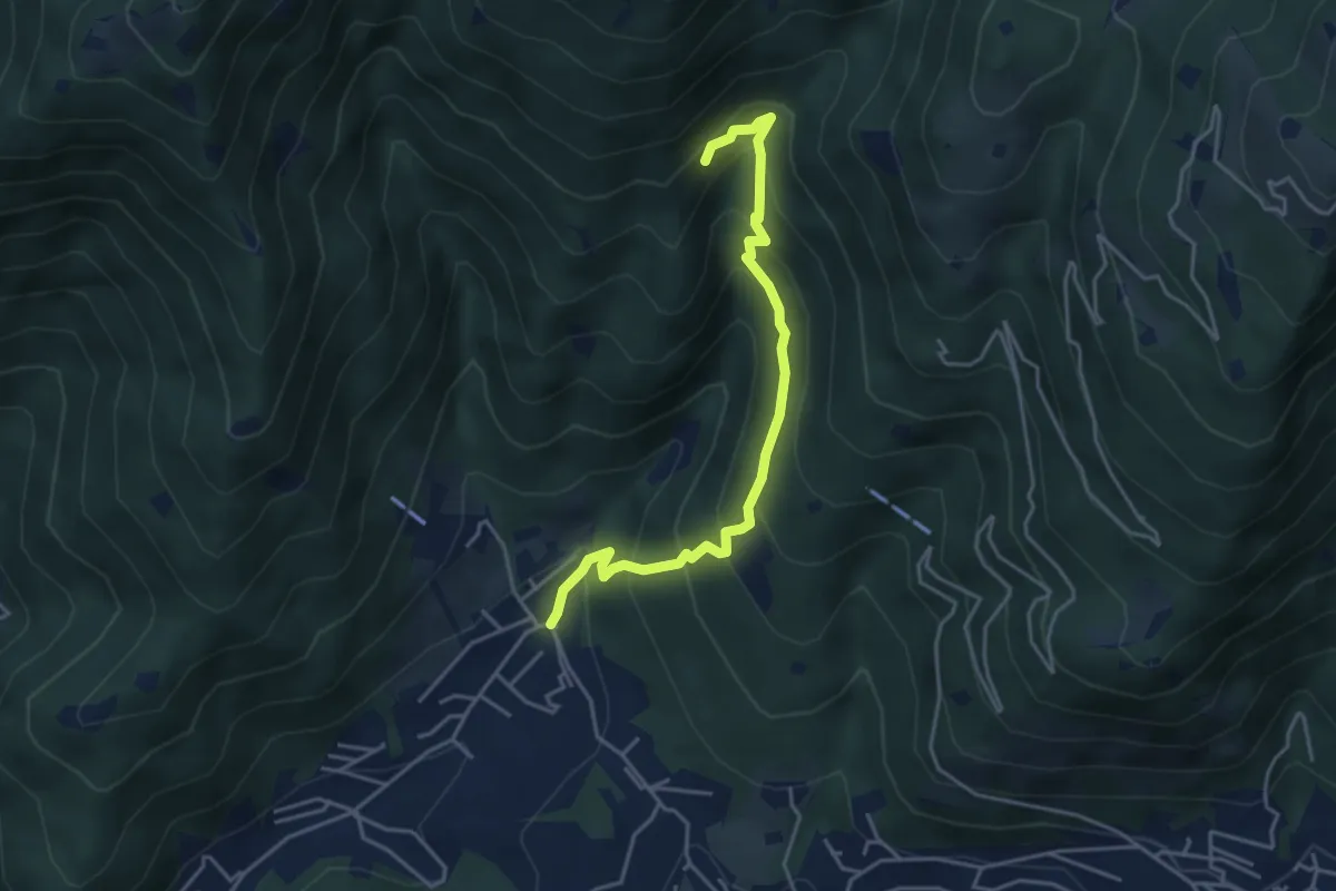
Sarezzo - Val Redocla
4.3 km · ↑ 392 m · 1 h 52 min · 14 km away
Easy · Trail
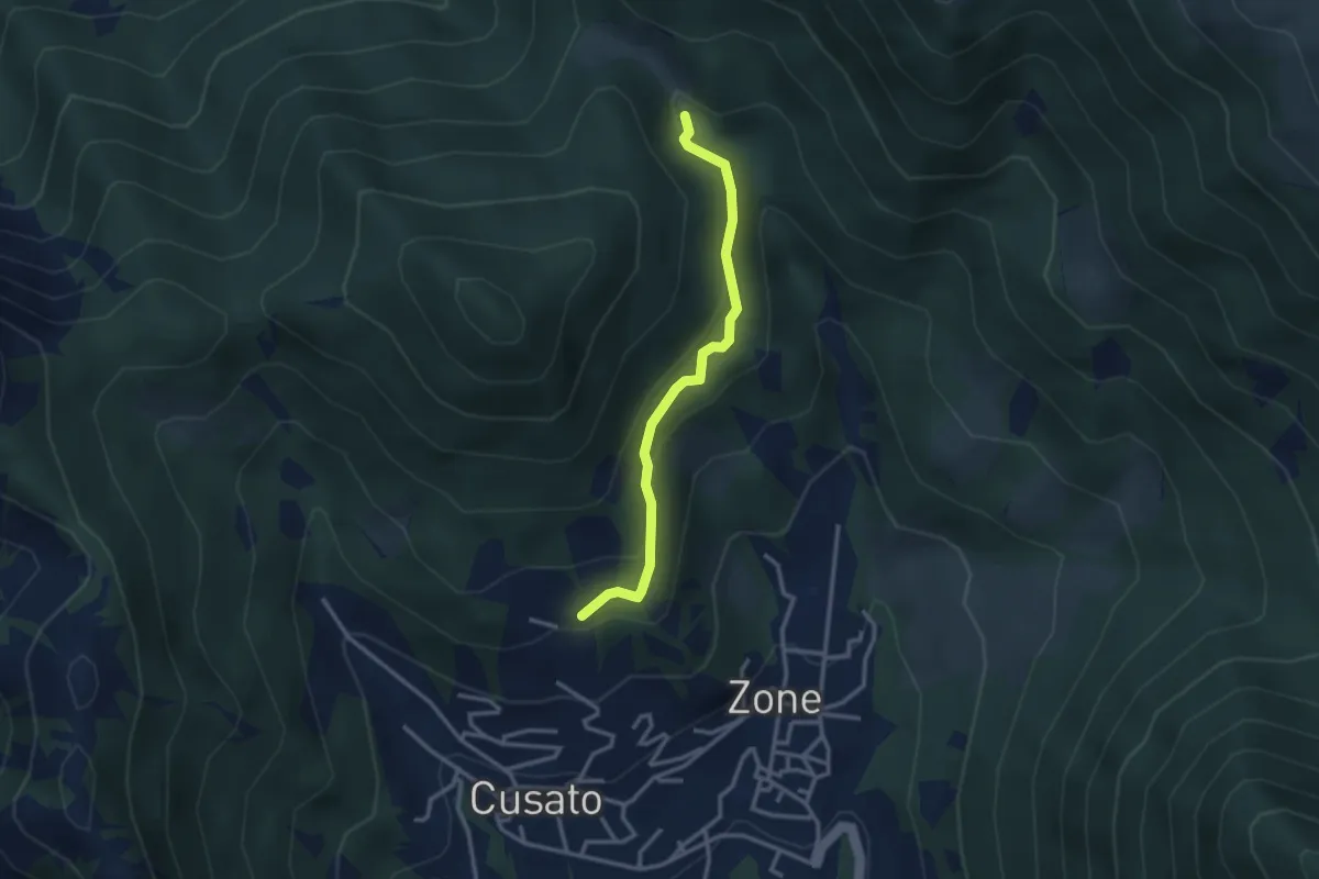
Sentiero della Salve Regina
2.9 km · ↑ 148 m · 1 h · 14 km away
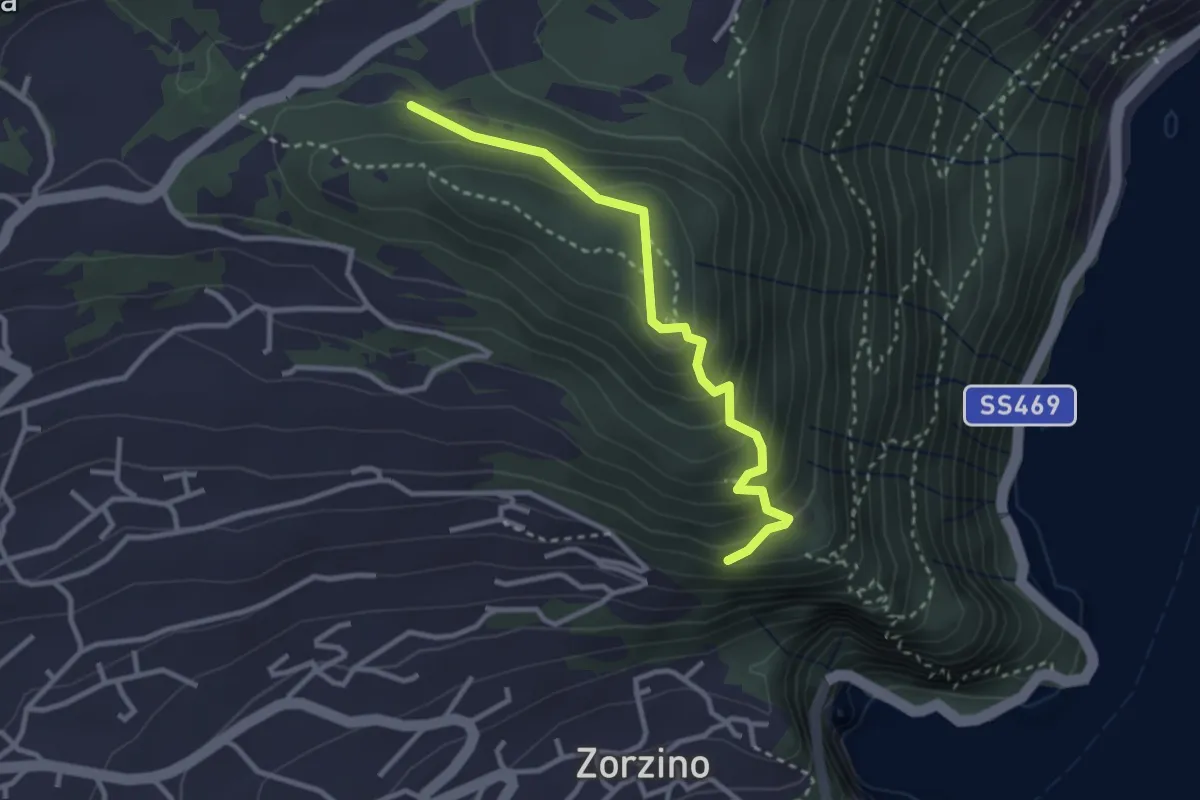
Medium · Trail
Chiesetta di S.Rocco – Incrocio 565
3.0 km · ↑ 233 m · 1 h 12 min · 14 km away
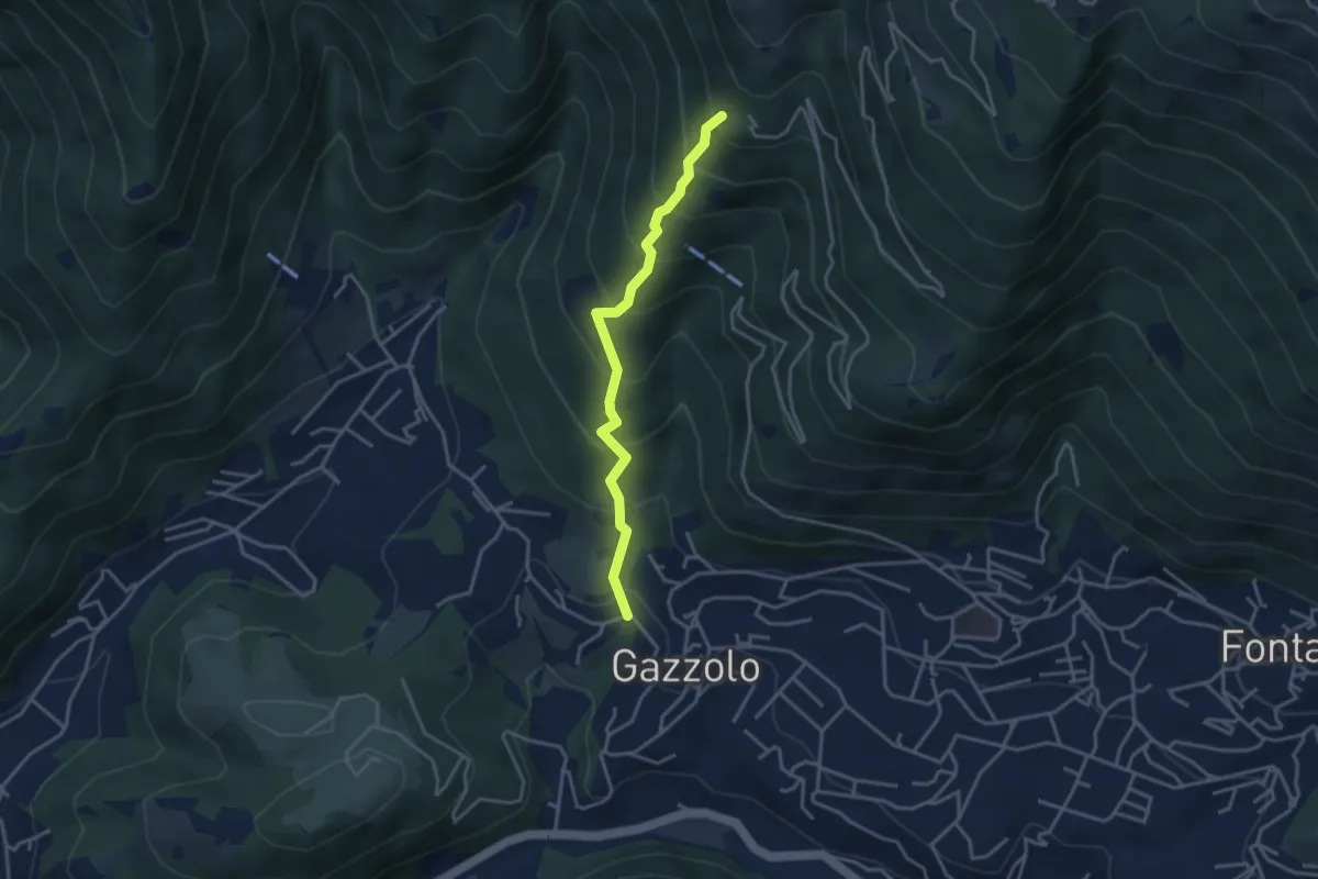
Medium · Trail
Lumezzane (Gazzolo) - Santella dei Giori
3.5 km · ↑ 418 m · 1 h 43 min · 14 km away
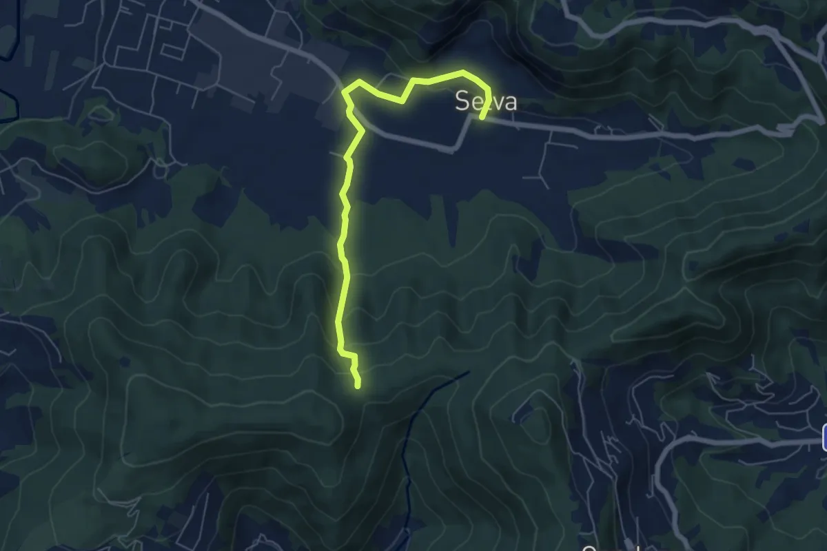
Easy · Trail
Selva – Boca di senter
5.8 km · ↑ 261 m · 1 h 56 min · 14 km away
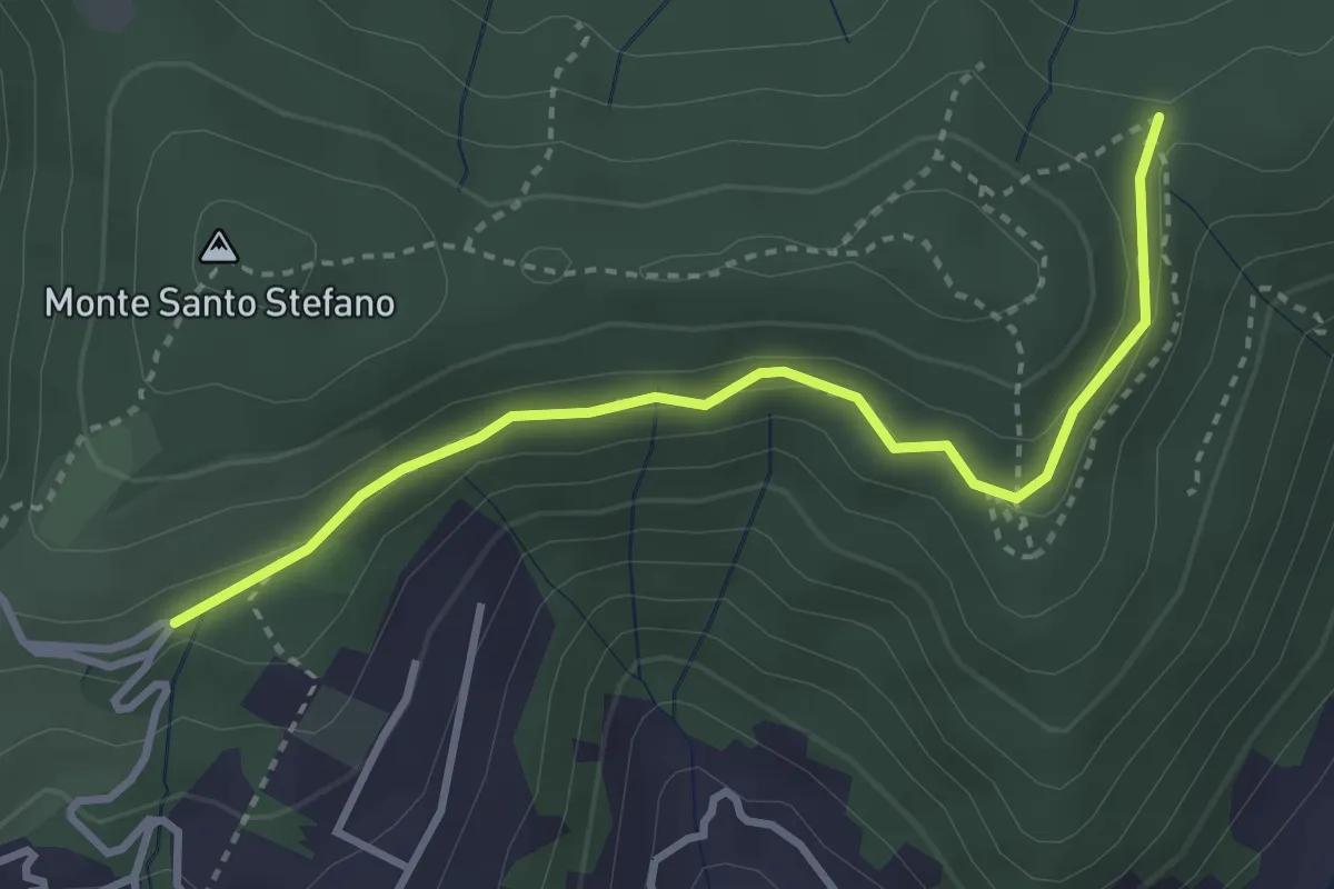
Medium · Trail
Cascina Pedrini – Boca di senter
3.4 km · ↑ 120 m · 1 h 4 min · 14 km away
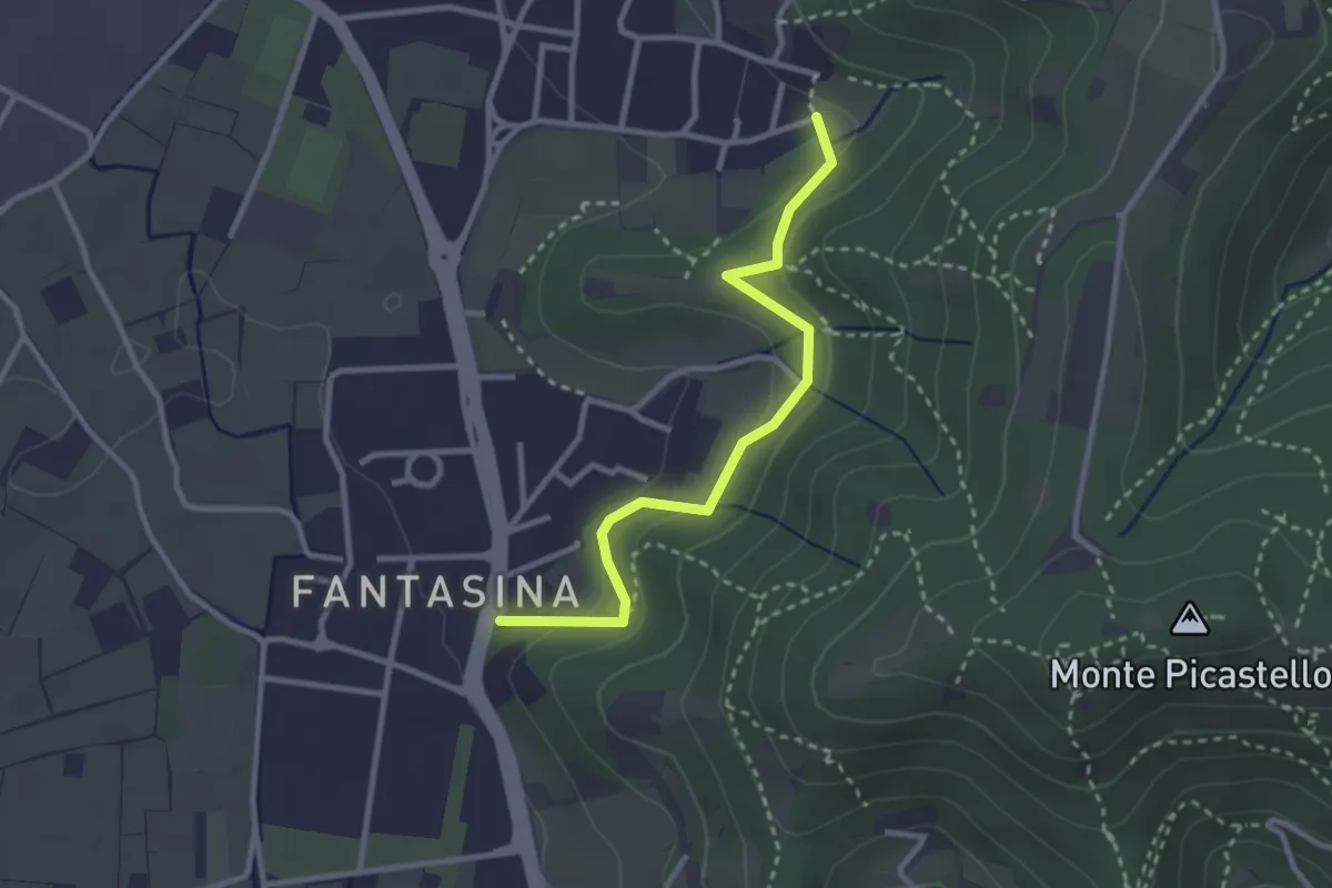
Easy · Trail
Cellatica (Fantasina) – Cellatica (Cantone)
2.9 km · ↑ 101 m · 54 min · 14 km away
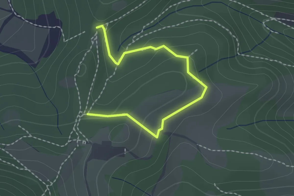
Medium · Trail
Collebeato (Roccolo Polonioli) – Sella del Madì (Innesto Sentiero 248)
2.1 km · ↑ 64 m · 38 min · 14 km away
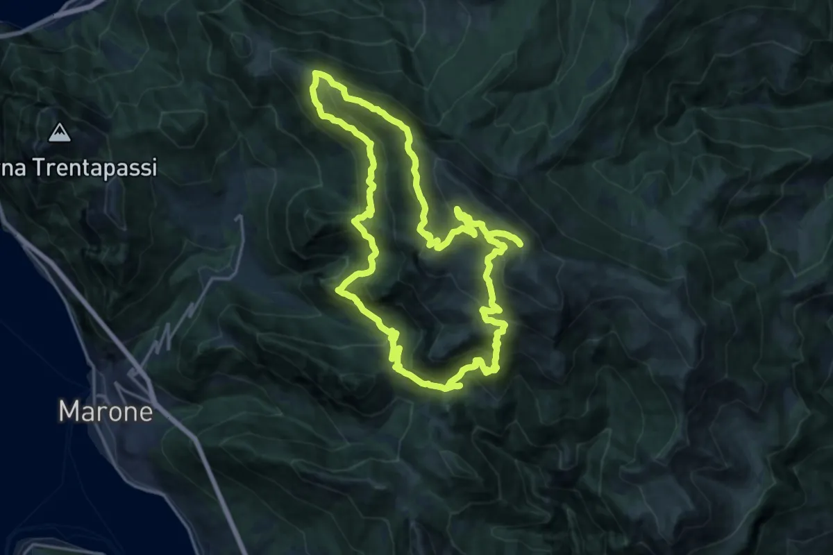
Demanding · Summit
Malghe in Rete - Anello 2 - Monte Guglielmo
18.2 km · ↑ 1257 m · 7 h 16 min · 14 km away
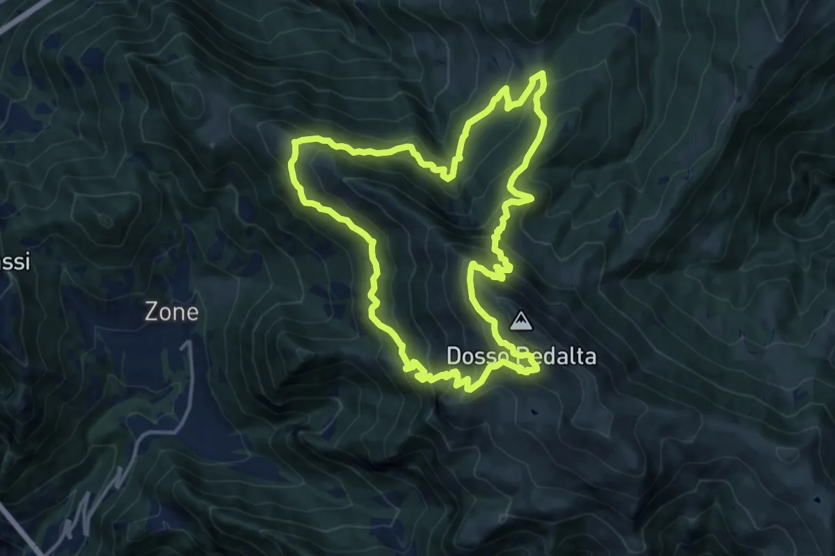
Demanding · Summit
Malghe in Rete - Anello 4 - Punta Caravina
13.5 km · ↑ 1036 m · 5 h 37 min · 14 km away
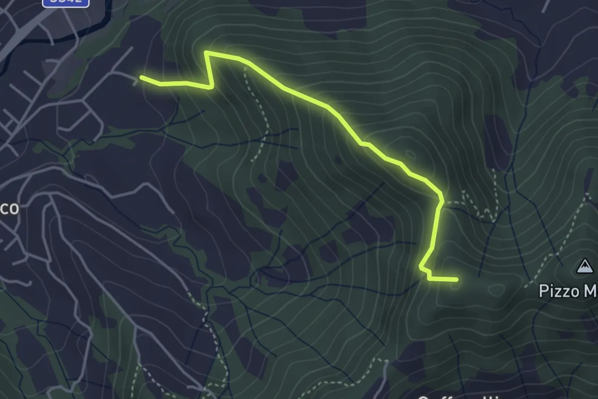
Medium · Summit
Maico (Entratico) – Il Casino (Foresto Sparso)
3.7 km · ↑ 394 m · 1 h 44 min · 14 km away
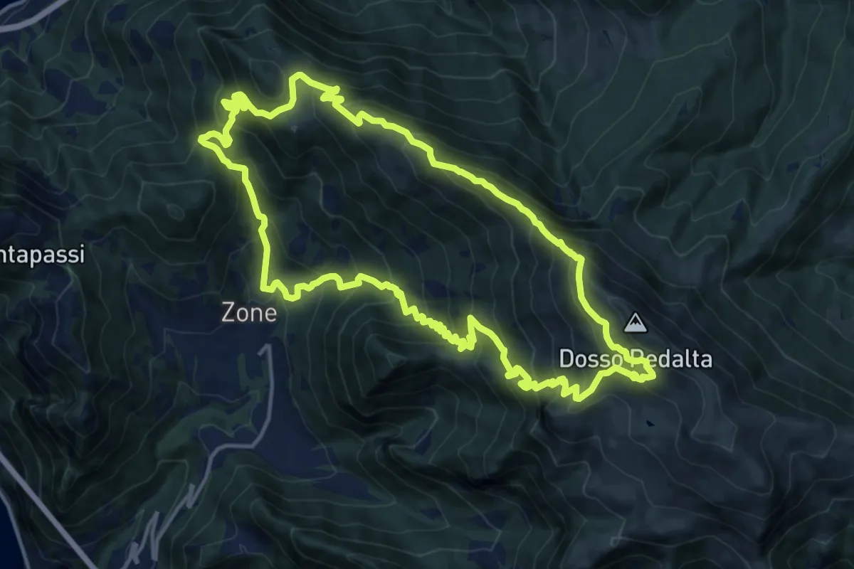
Demanding · Summit
Malghe in Rete - Anello 3 - Tredici Piante
15.1 km · ↑ 1310 m · 6 h 36 min · 14 km away
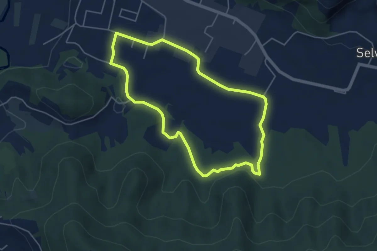
Easy · Trail
San Giorgio (Zandobbio) – San Giorgio (Zandobbio)
3.8 km · ↑ 48 m · 1 h 3 min · 14 km away
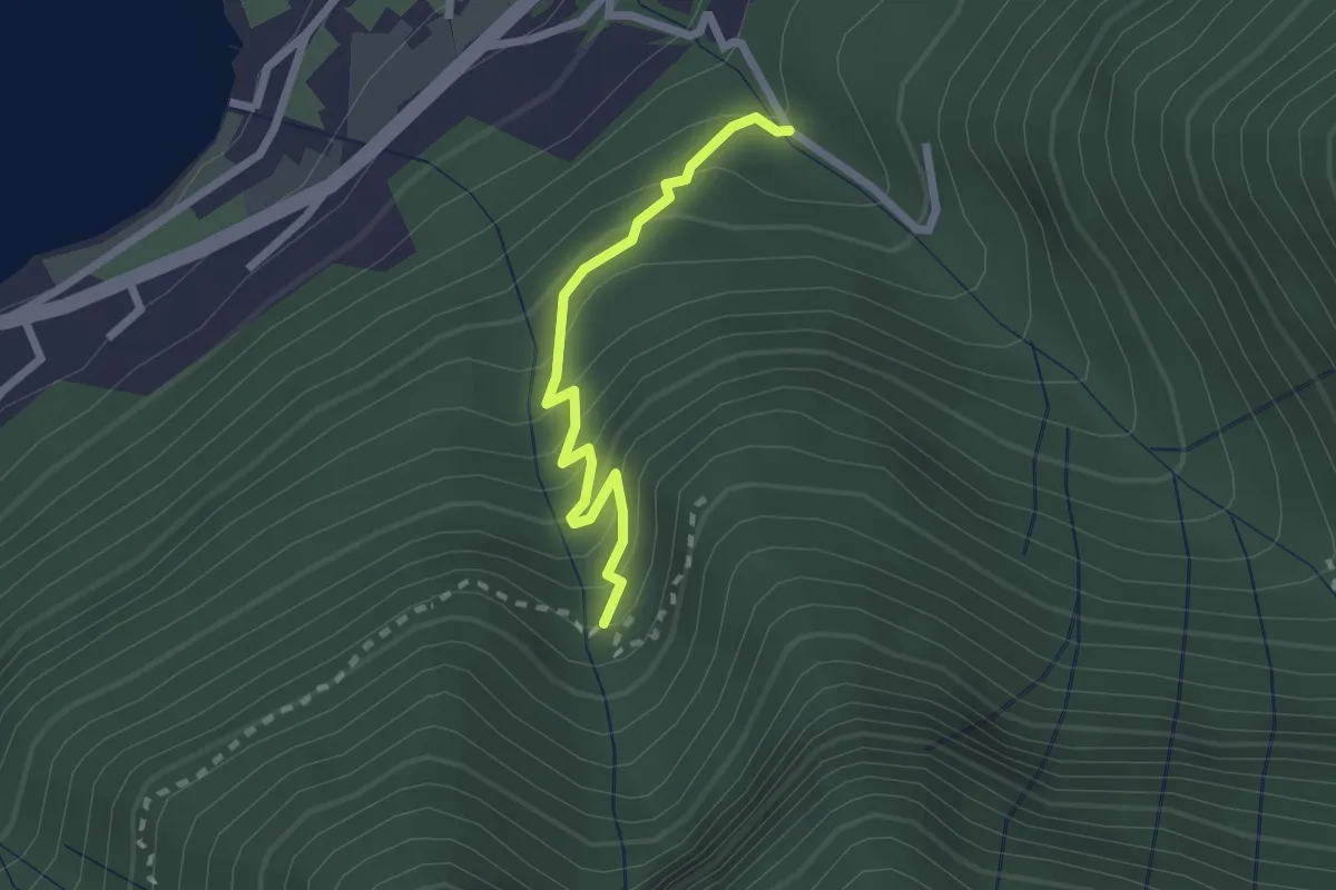
Easy · Trail
Monasterolo del Castello – Val Spirola
2.1 km · ↑ 224 m · 59 min · 14 km away
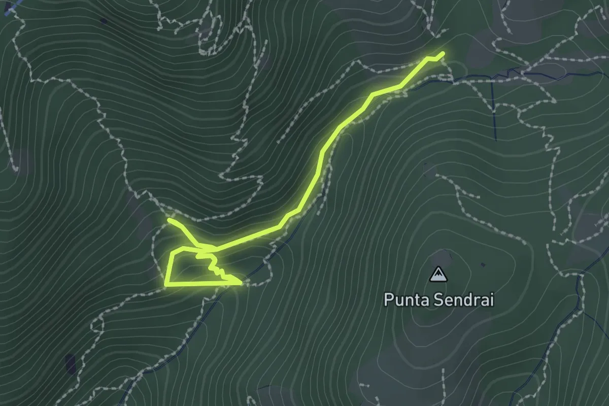
Easy · Trail
Sarezzo - Collegamento sentiero 362 - 359
2.9 km · ↑ 217 m · 1 h 9 min · 14 km away
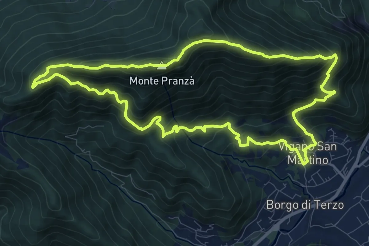
Demanding · Summit
Vigano San Martino – Vigano San Martino
10.4 km · ↑ 875 m · 4 h 29 min · 14 km away
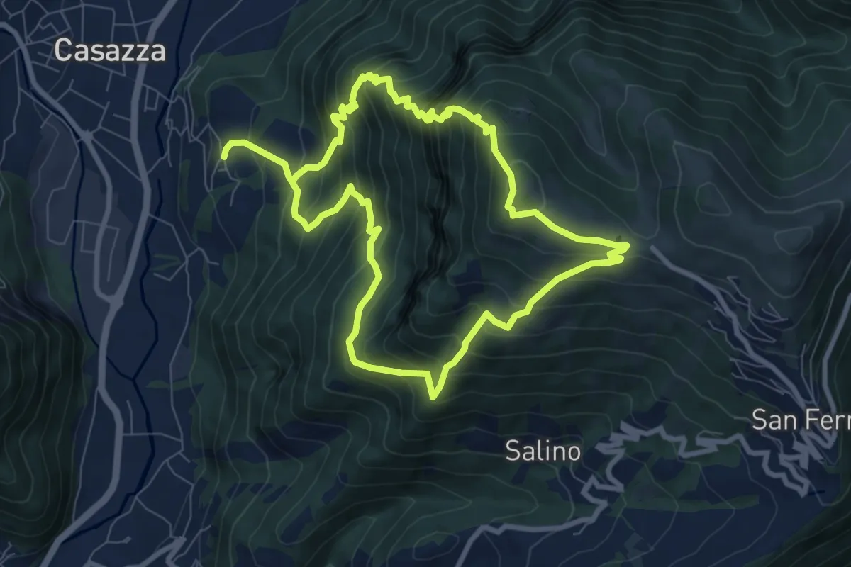
Demanding · Summit
Colognola (Casazza) – Colognola (Casazza)
7.6 km · ↑ 865 m · 3 h 44 min · 14 km away
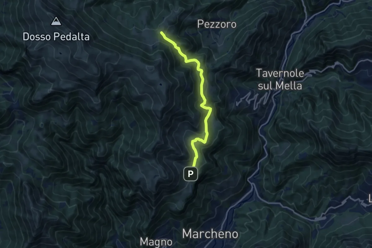
Medium · Cabin
Marcheno (Piani di Caregno) – Pozza Lavacolo (Bivio Sentiero 325)
10.9 km · ↑ 601 m · 3 h 53 min · 14 km away
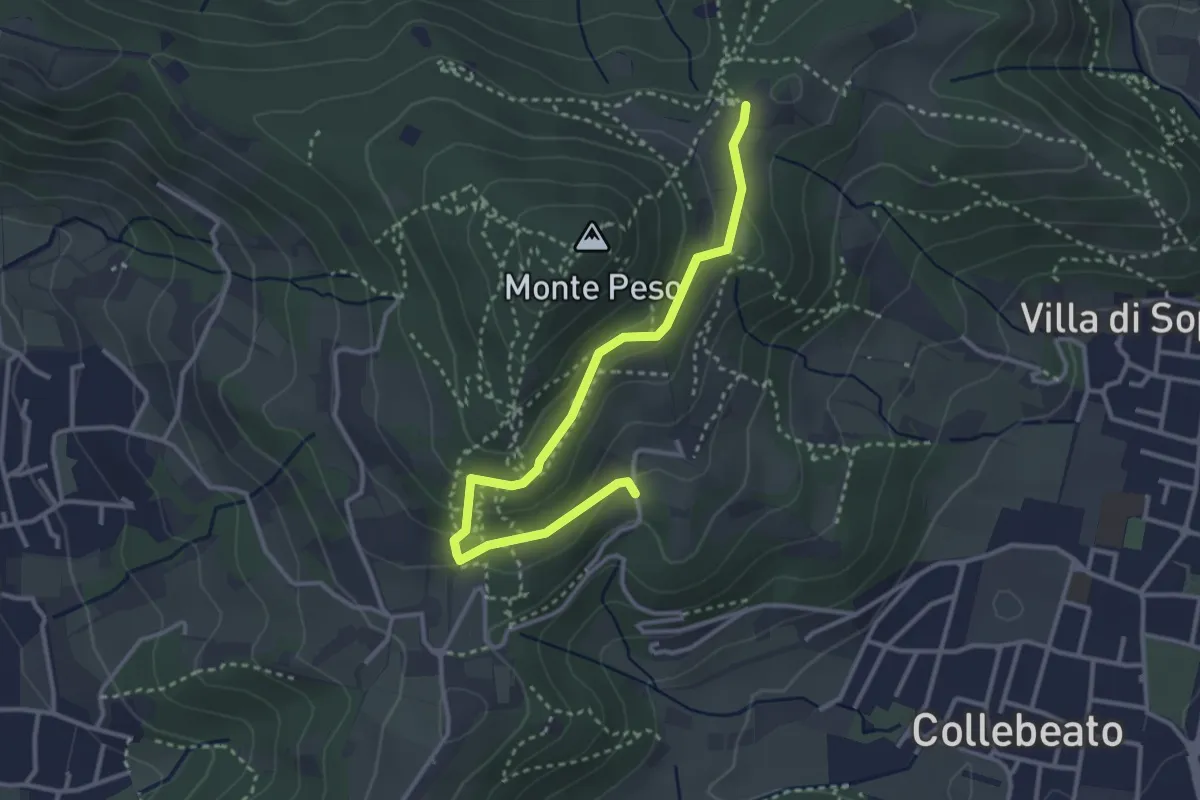
Easy · Trail
Collebeato (Campianelli di Sotto) – Ex Convento dii Santo Stefano
3.5 km · ↑ 158 m · 1 h 10 min · 14 km away
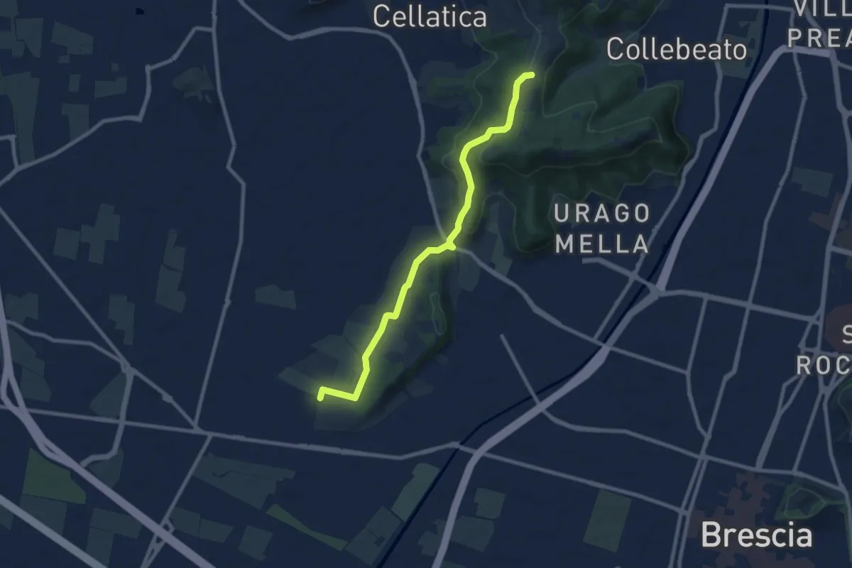
Medium · Trail
Brescia (Via del Santellone) – Campiani (Crosette, innesto sentiero 3V)
8.8 km · ↑ 209 m · 2 h 31 min · 14 km away
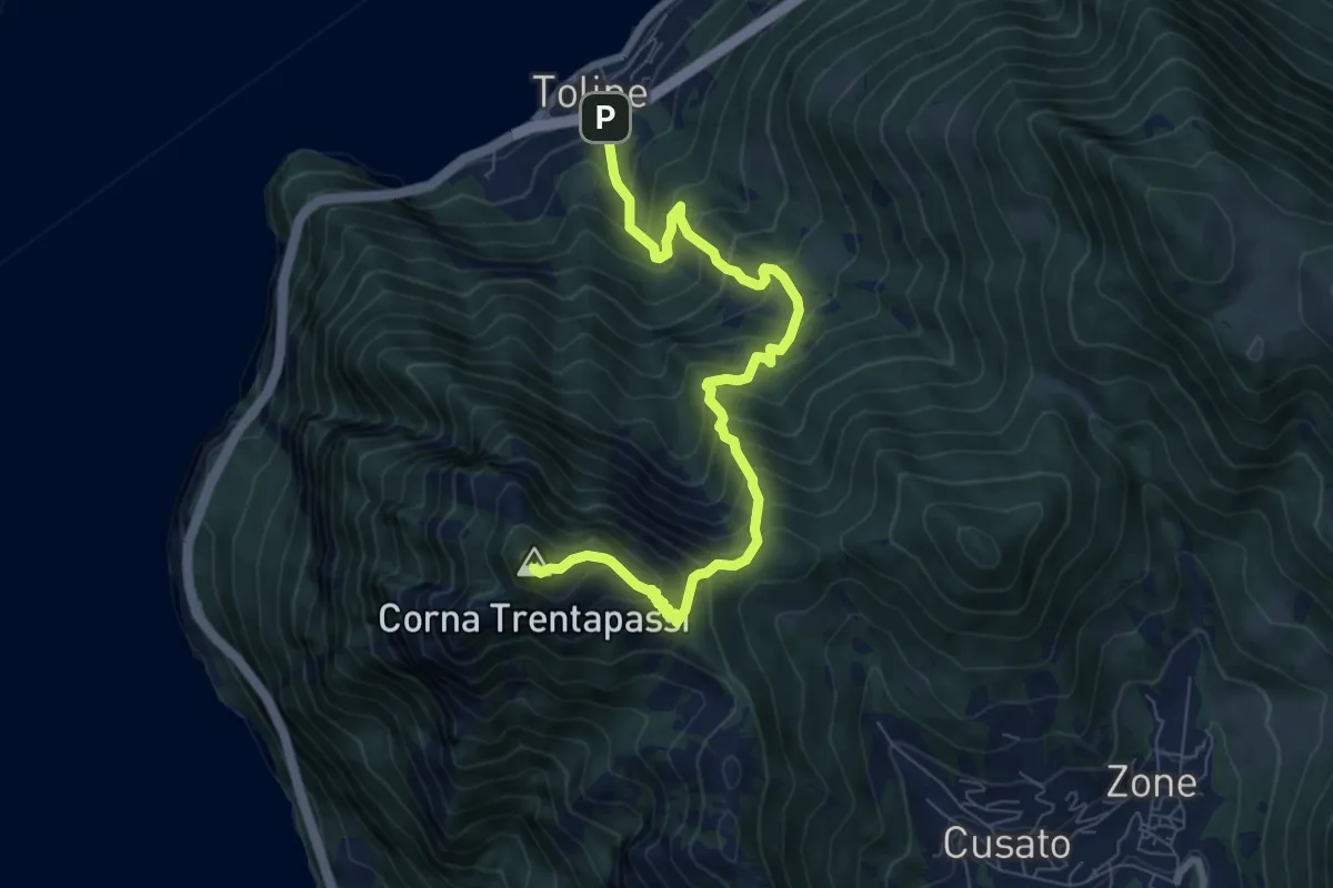
Demanding · Summit
Toline – Corna Trentapassi
8.2 km · ↑ 985 m · 4 h 5 min · 14 km away
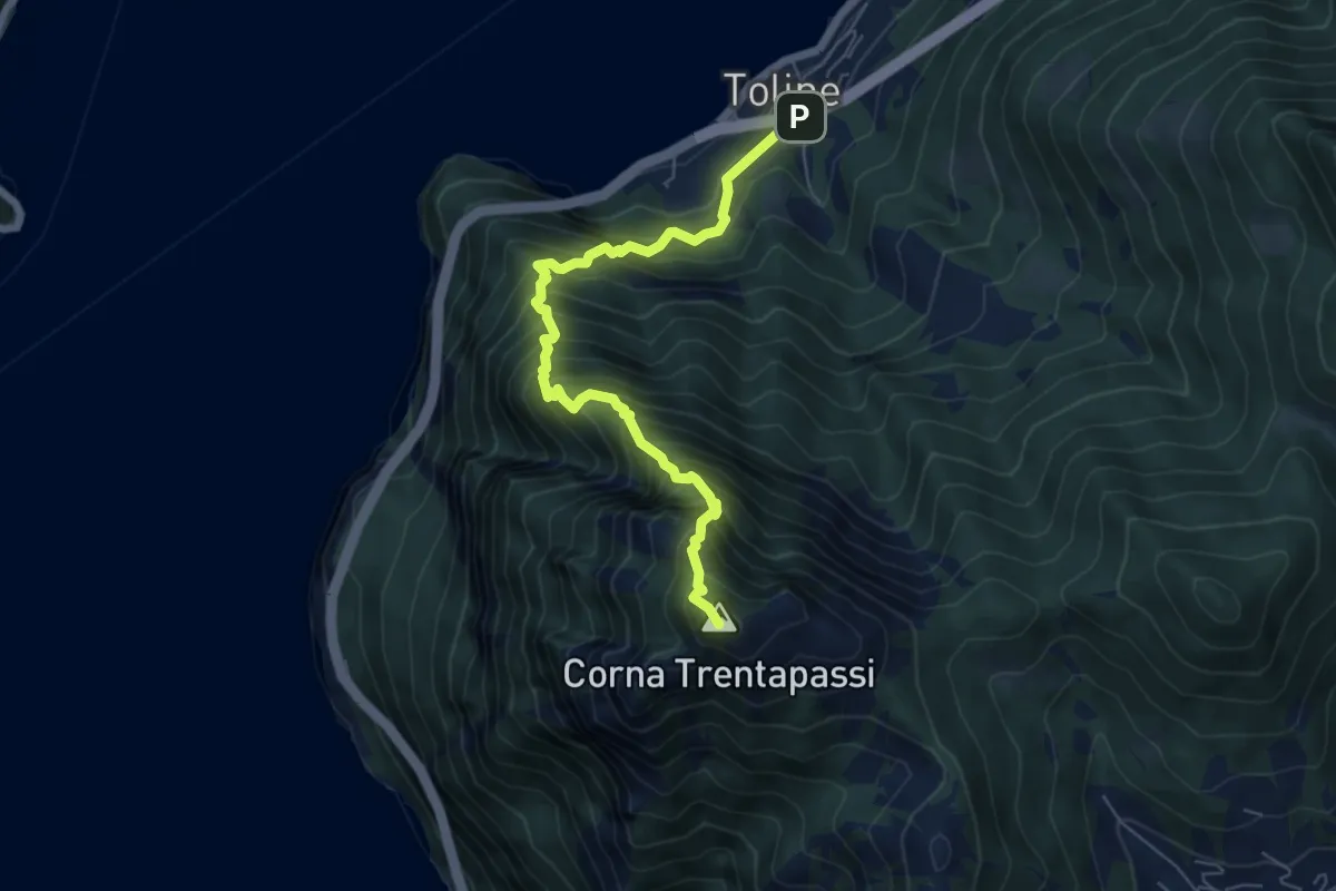
Expert · Summit
Toline – Corna Trentapassi
6.4 km · ↑ 1069 m · 3 h 50 min · 14 km away
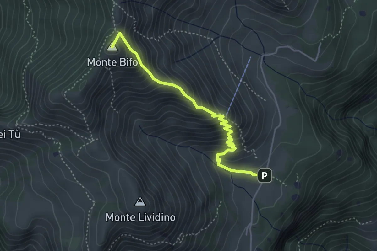
Medium · Summit
Marcheno (Piani di Caregno) – Malga Stalletti Alti (Bivio Sentiero 325)
4.1 km · ↑ 418 m · 1 h 53 min · 14 km away
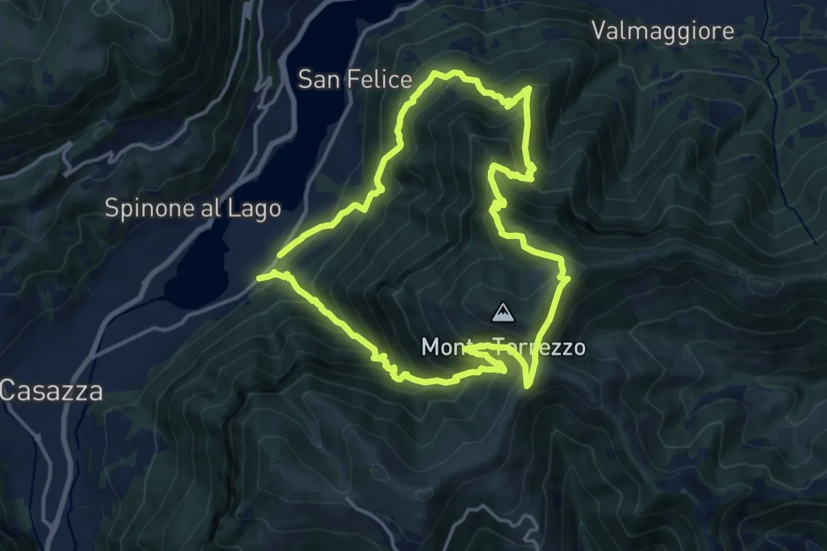
Demanding · Summit
Monasterolo del Castello – Monasterolo del Castello
12.8 km · ↑ 1048 m · 5 h 28 min · 14 km away
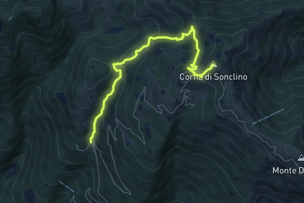
Medium · Summit
Lumezzane (Buca di Porticelle) - Corna di Sonclino
6.1 km · ↑ 583 m · 2 h 41 min · 14 km away
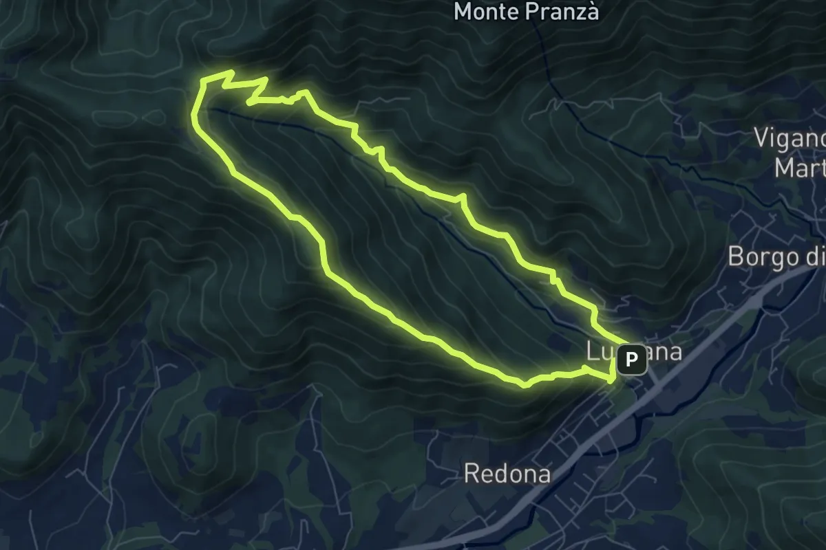
Medium · Summit
Luzzana – Luzzana
7.3 km · ↑ 506 m · 2 h 55 min · 14 km away
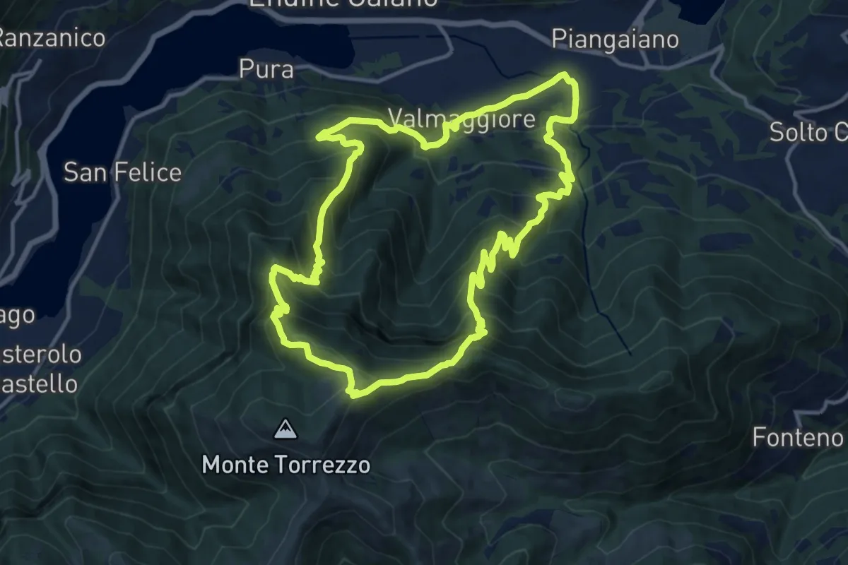
Demanding · Summit
Valmaggiore (Endine Gaiano) – Valmaggiore (Endine Gaiano)
12.6 km · ↑ 1053 m · 5 h 26 min · 15 km away
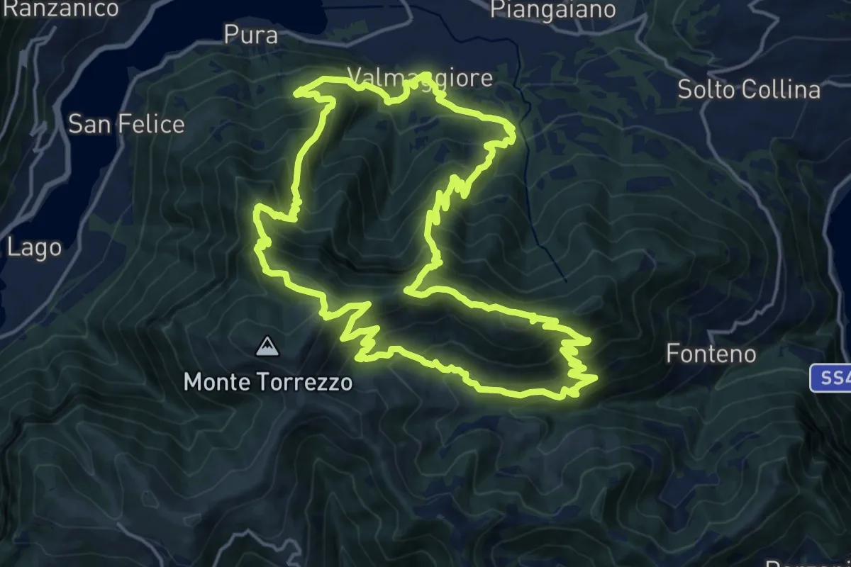
Demanding · Summit
Sentiero delle Grotte
19.1 km · ↑ 1528 m · 8 h 5 min · 15 km away
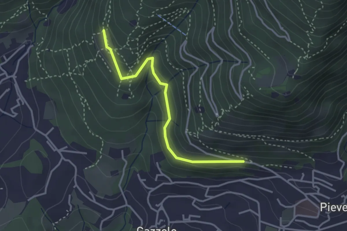
Easy · Trail
Lumezzane (Pieve) - Dosso Castolo
3.0 km · ↑ 153 m · 1 h 3 min · 15 km away
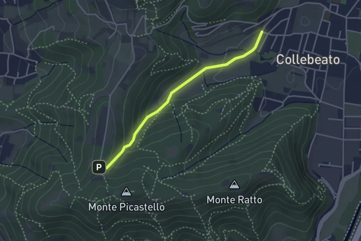
Medium · Trail
Collebeato (Angolo di Sopra) – Campiani (Il Merlo)
3.1 km · ↑ 131 m · 1 h 1 min · 15 km away