Trails near Iseo
257 hikes starting within 15 km, nearest first.
Nearest first, page 6 of 6
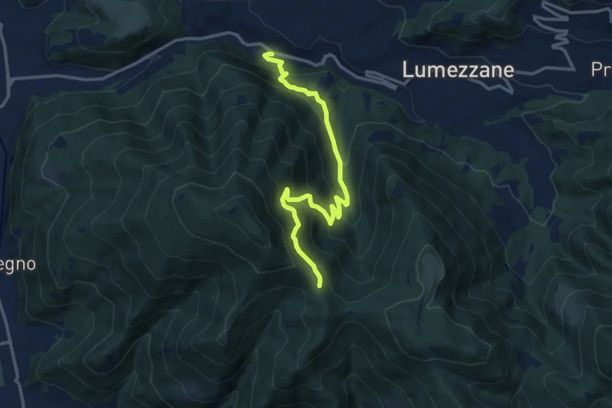
Medium · Trail
Lumezzane (Valle) – Sconfoia
9.7 km · ↑ 716 m · 3 h 50 min · 15 km away
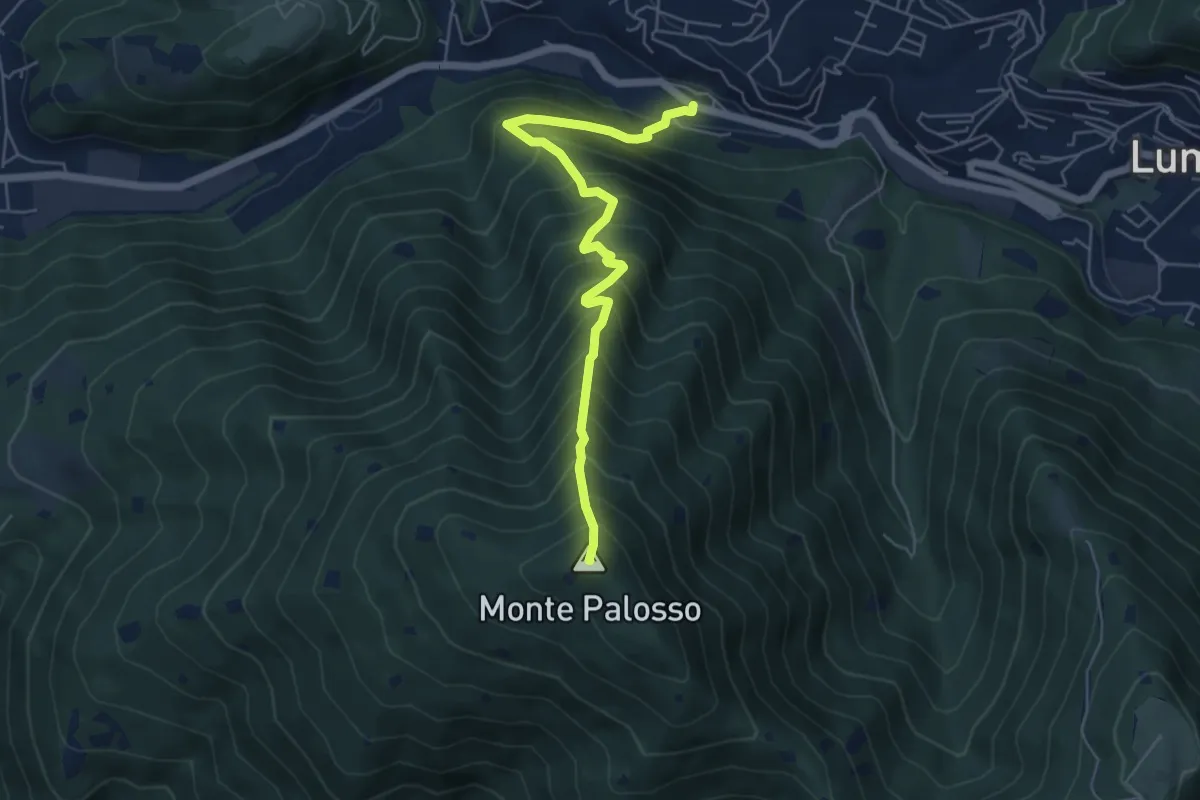
Medium · Summit
Lumezzane (Valle) – Cascina Cocca
5.8 km · ↑ 798 m · 3 h 5 min · 15 km away
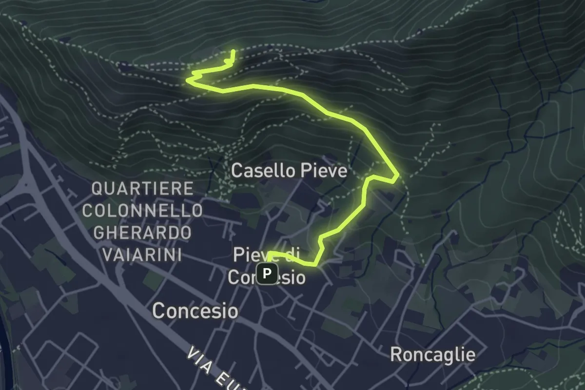
Medium · Cabin
Concesio (Pieve) - Monte Verdura
4.4 km · ↑ 333 m · 1 h 46 min · 15 km away
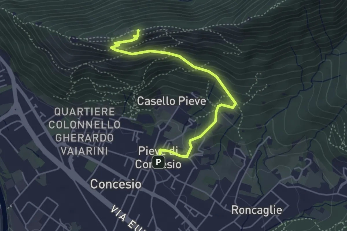
Medium · Cabin
Concesio (Pieve) – Monte Verdura
4.4 km · ↑ 333 m · 1 h 46 min · 15 km away
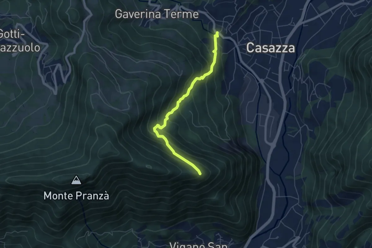
Expert · Trail
Mologno di Casazza – Cesulì
5.6 km · ↑ 492 m · 2 h 23 min · 15 km away
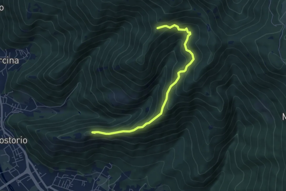
Medium · Summit
Concesio (Costorio) – Tesa del Condigolo (Innesto sentiero 378)
6.4 km · ↑ 468 m · 2 h 32 min · 15 km away
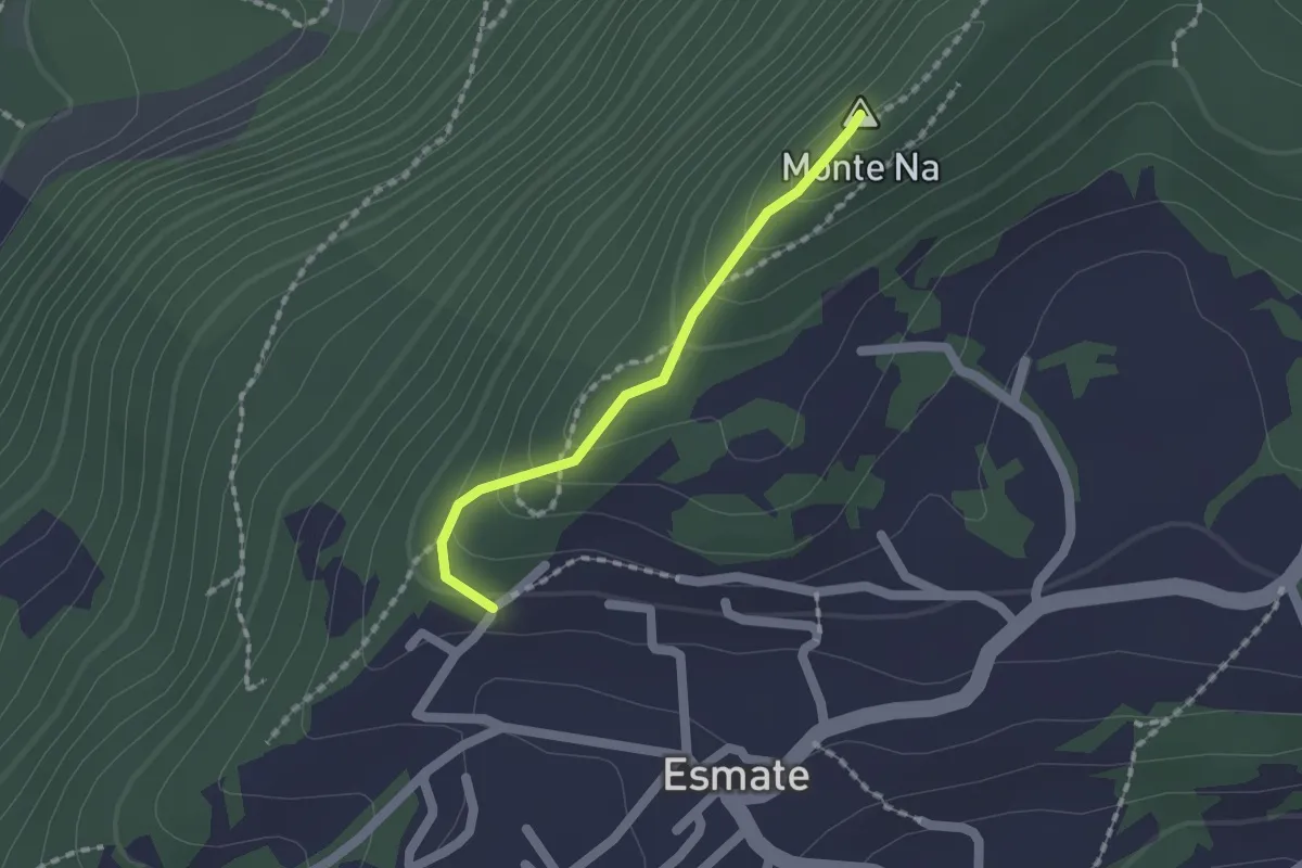
Easy · Summit
Incrocio 565 – Case del Cerrete
1.4 km · ↑ 84 m · 31 min · 15 km away
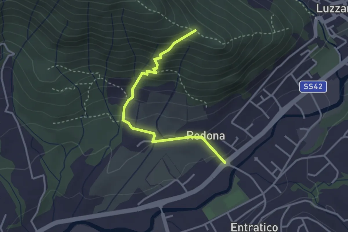
Medium · Trail
Redona (Entratico) – Costa del Colle (incrocio 611)
2.9 km · ↑ 245 m · 1 h 13 min · 15 km away
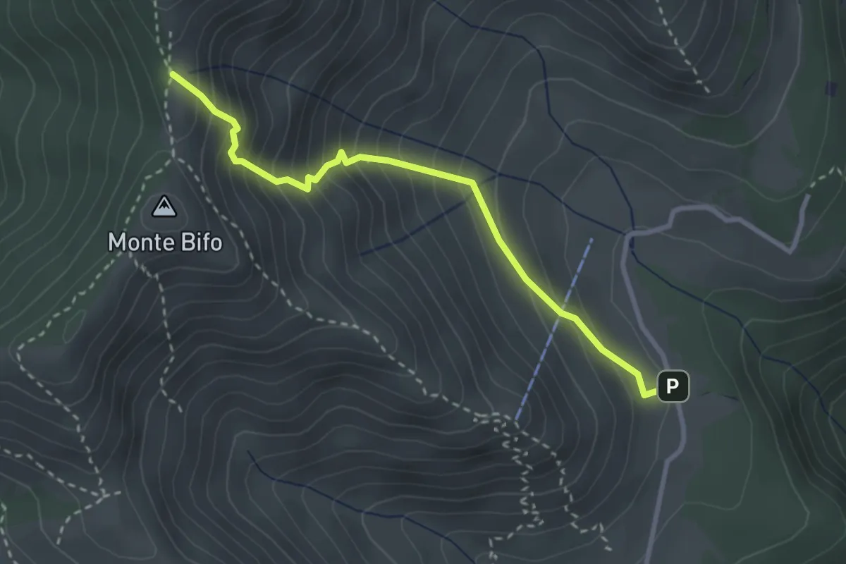
Medium · Trail
Marcheno (Piani di Caregno - Bivio Sentiero 320) – Passo dell Sabbione (Bivio Sentiero 318)
3.0 km · ↑ 387 m · 1 h 32 min · 15 km away
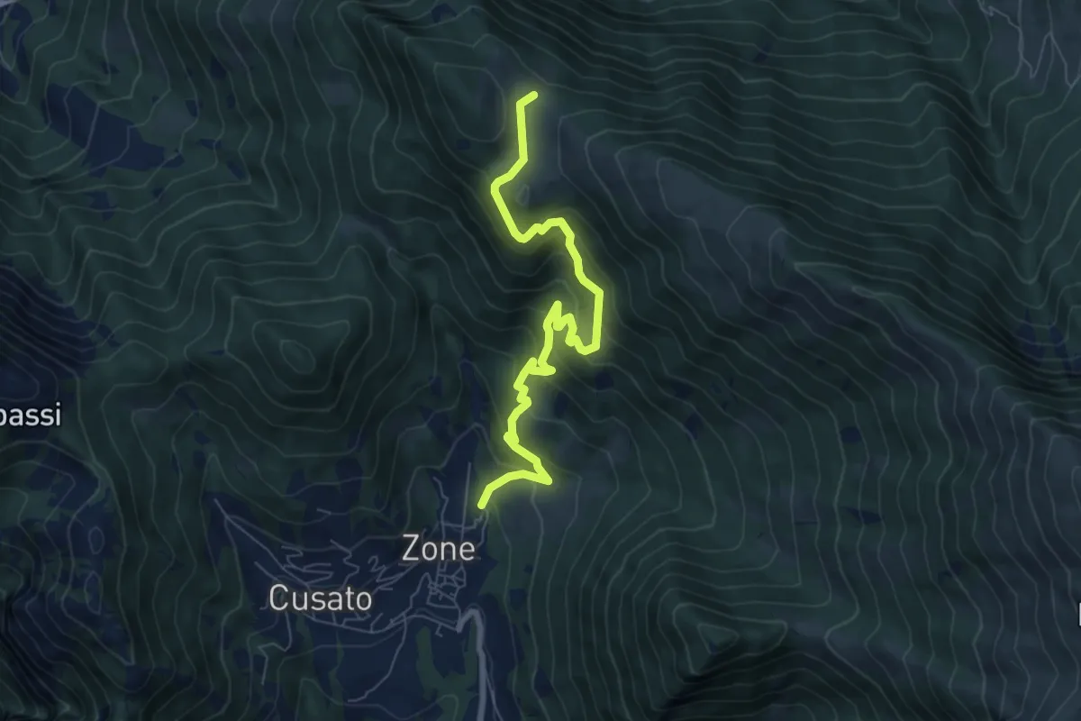
Medium · Trail
Sentiero di Bombolone - Aguina
7.7 km · ↑ 647 m · 3 h 13 min · 15 km away
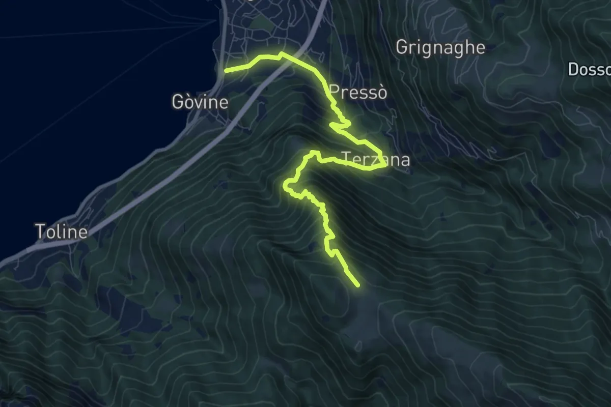
Demanding · Trail
Pisogne – Malga Aguina
9.5 km · ↑ 1120 m · 4 h 40 min · 15 km away
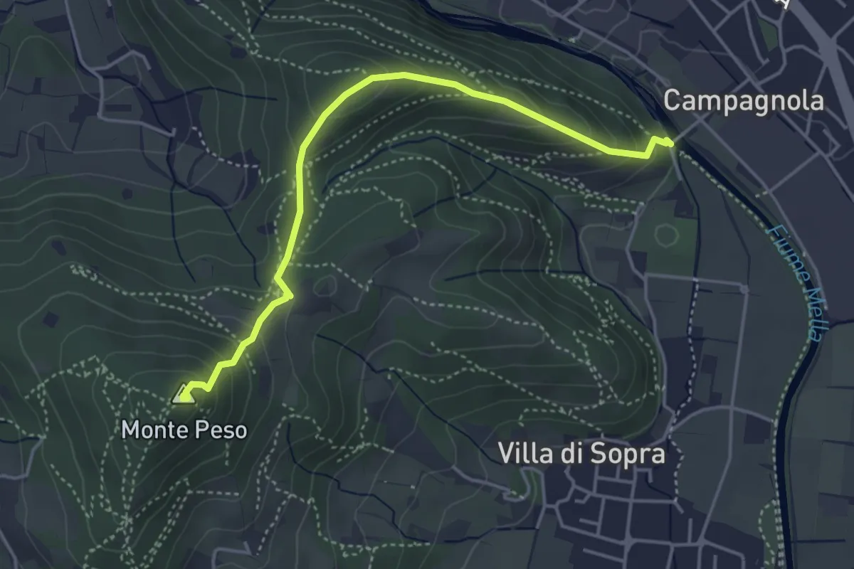
Demanding · Summit
Collebeato (Le Bocche) – Monte Peso
4.4 km · ↑ 346 m · 1 h 48 min · 15 km away
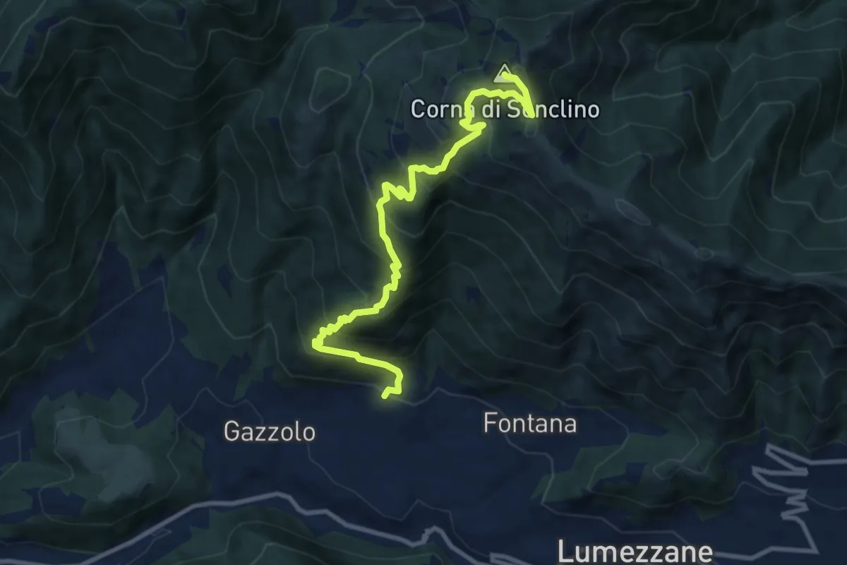
Demanding · Summit
Lumezzane (Pieve) – Corna di Sonclino
9.9 km · ↑ 853 m · 4 h 11 min · 15 km away
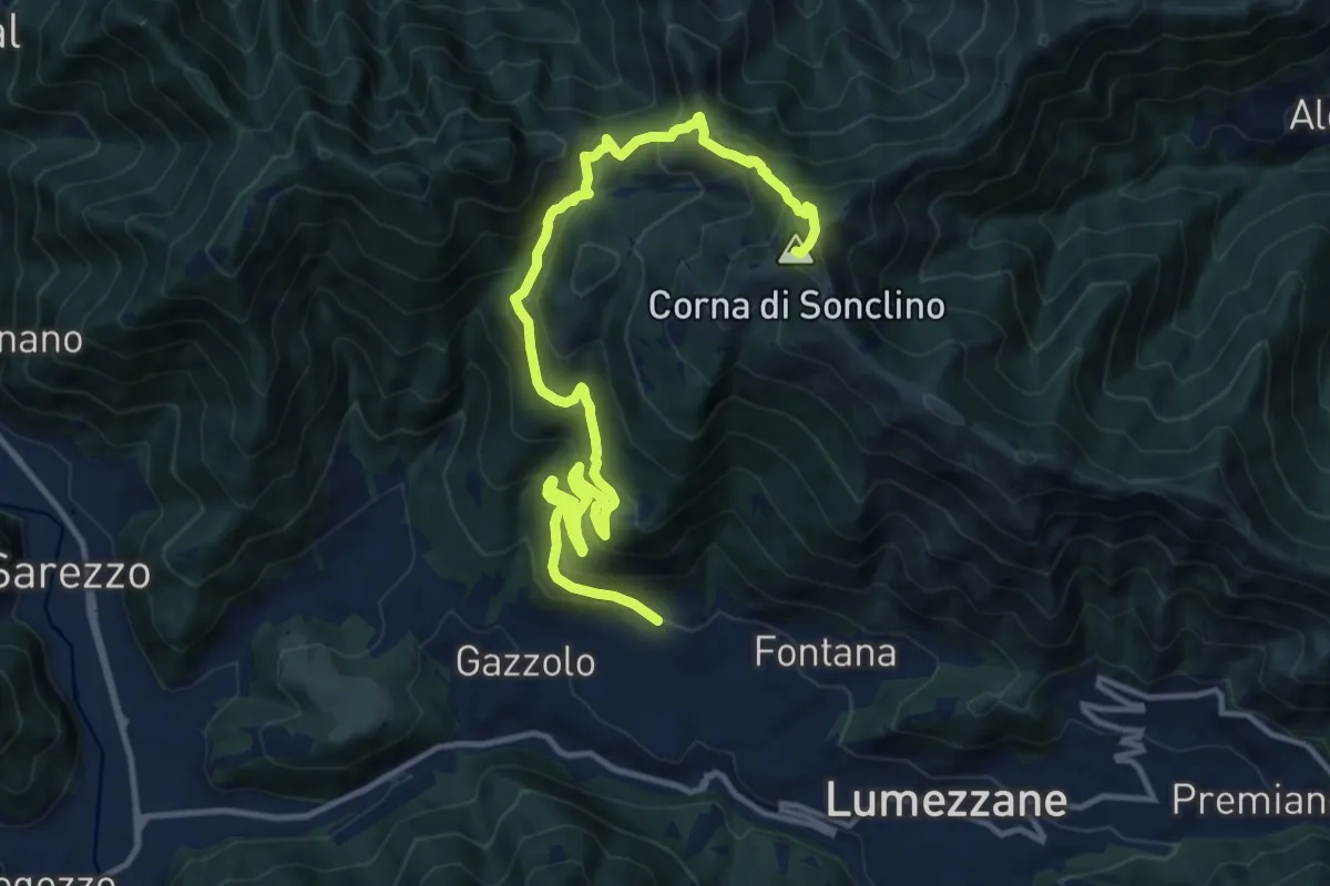
Demanding · Summit
Lumezzane (Pieve) – Corna di Sonclino
16.0 km · ↑ 1116 m · 6 h 11 min · 15 km away
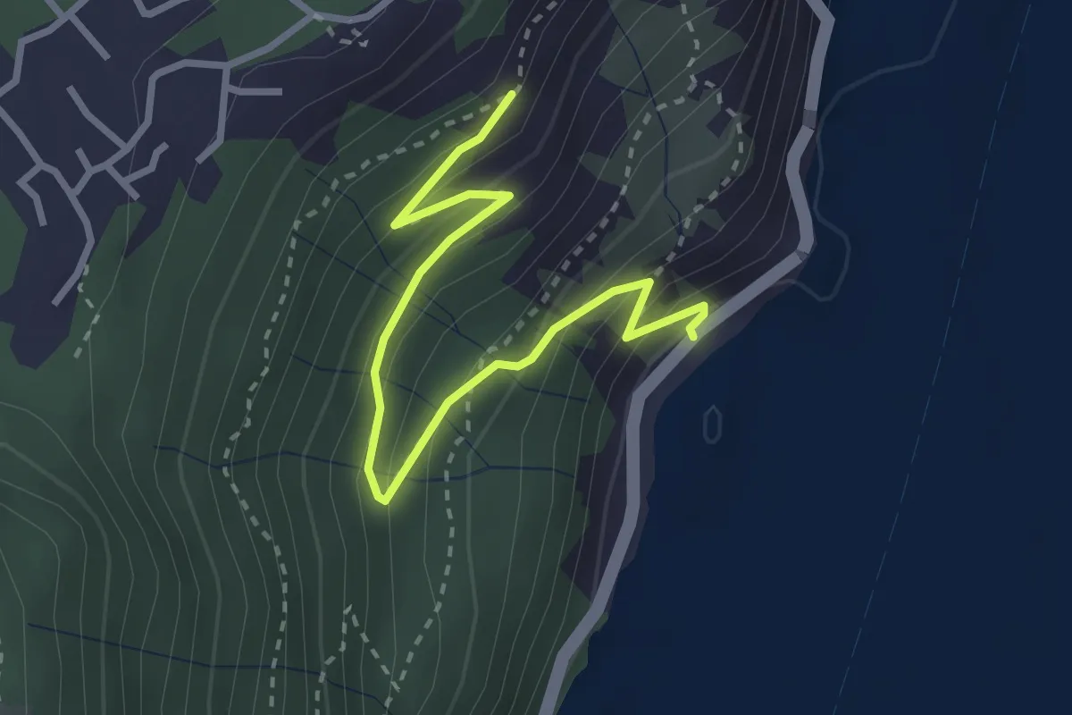
Medium · Trail
Gre' (Castro) – Incrocio 565
3.2 km · ↑ 251 m · 1 h 18 min · 15 km away
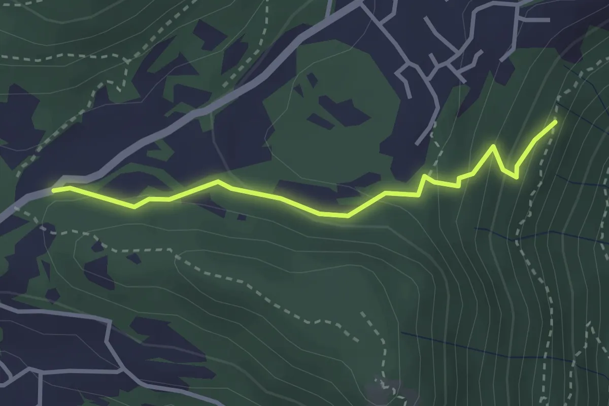
Easy · Trail
Chiesetta di S.Rocco – Incrocio 565
2.7 km · ↑ 158 m · 59 min · 15 km away
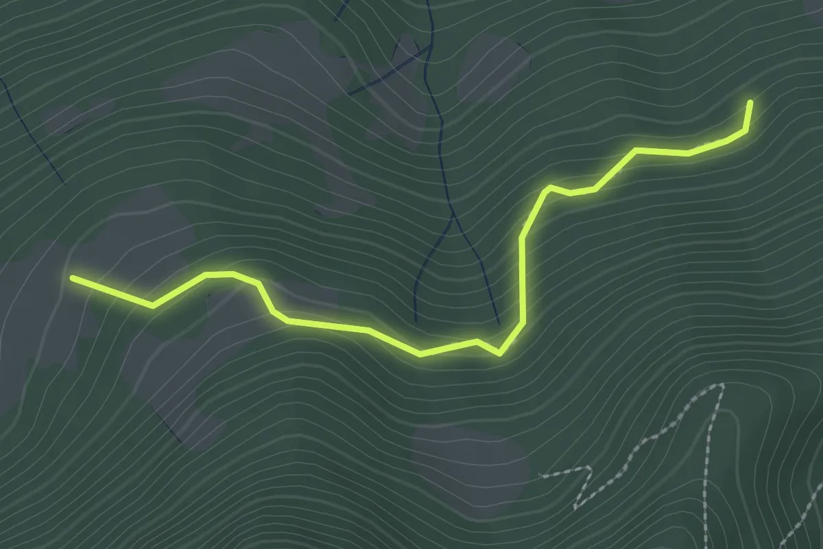
Medium · Trail
Rumignano – Pirola (S. Felice al Lago)
2.5 km · ↑ 204 m · 1 h 2 min · 15 km away