Trails near Ispra
229 hikes starting within 15 km, nearest first.
Nearest first, page 2 of 5
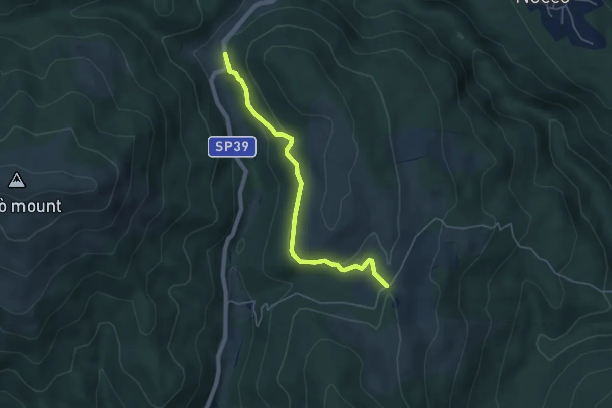
Easy · Trail
VH3 - Gignese - Alpe Canà
4.2 km · ↑ 161 m · 1 h 20 min · 8 km away
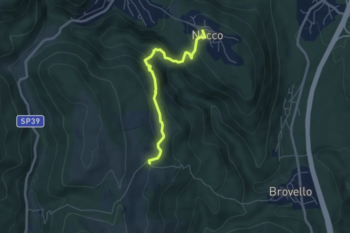
Medium · Trail
VL7a - Nocco - Alpe Martin
4.6 km · ↑ 259 m · 1 h 39 min · 8 km away
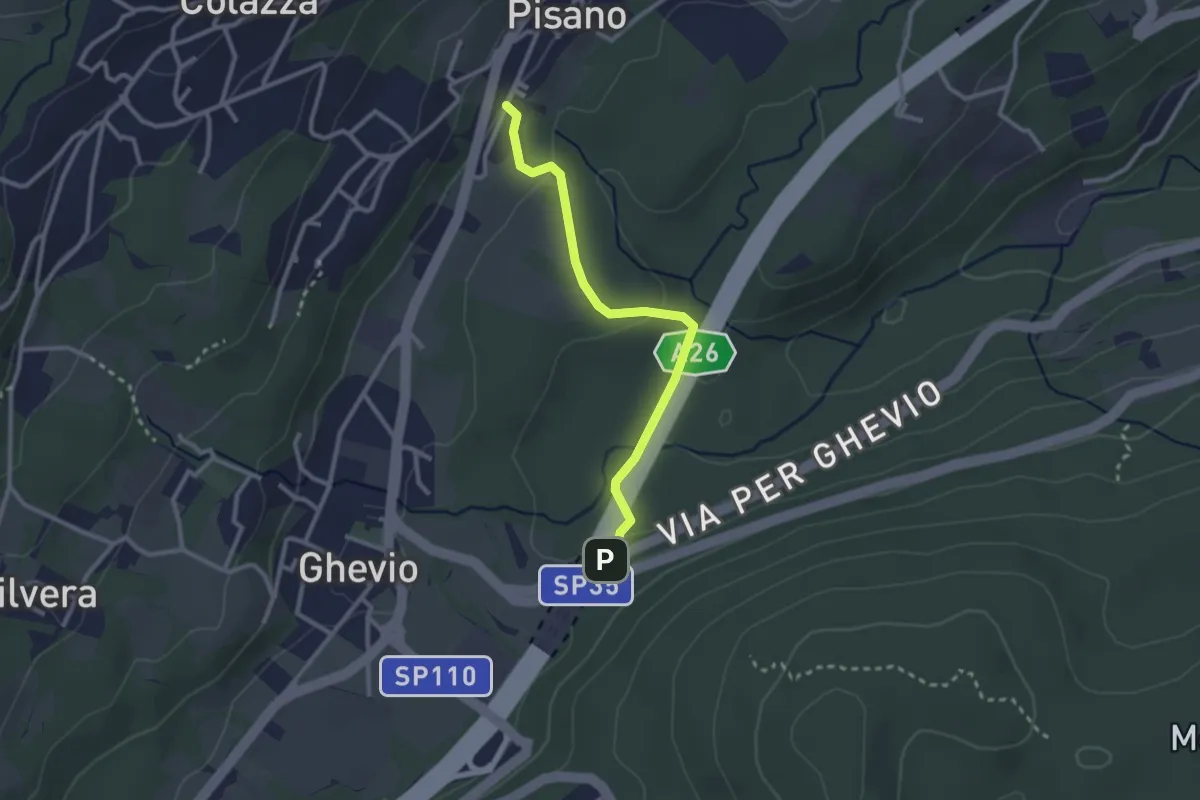
Easy · Trail
Meina – Pisano
2.6 km · ↑ 93 m · 49 min · 9 km away
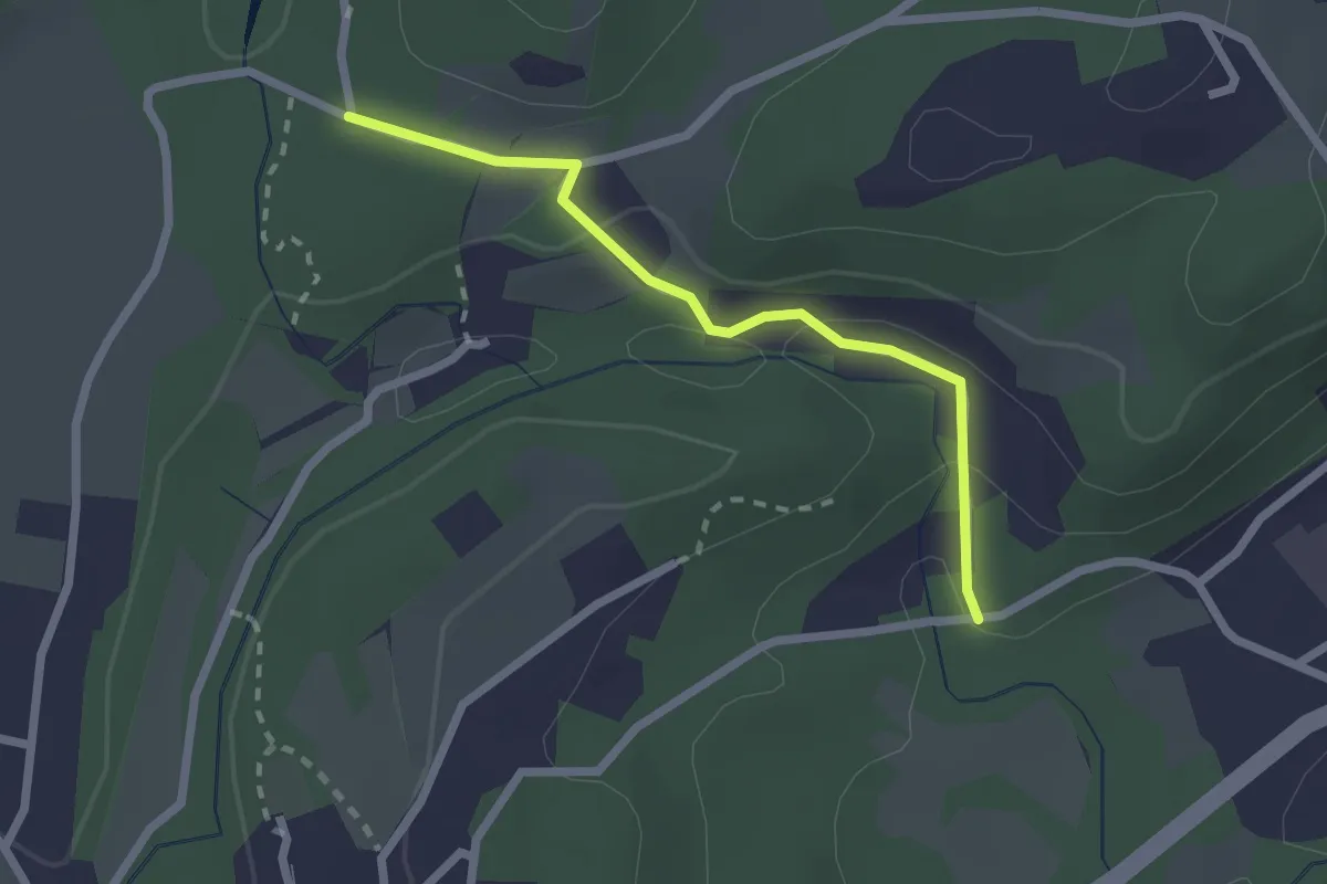
Easy · Trail
VA1a - Cascina Maglia - Cicognone di Sotto
2.2 km · ↑ 69 m · 40 min · 9 km away
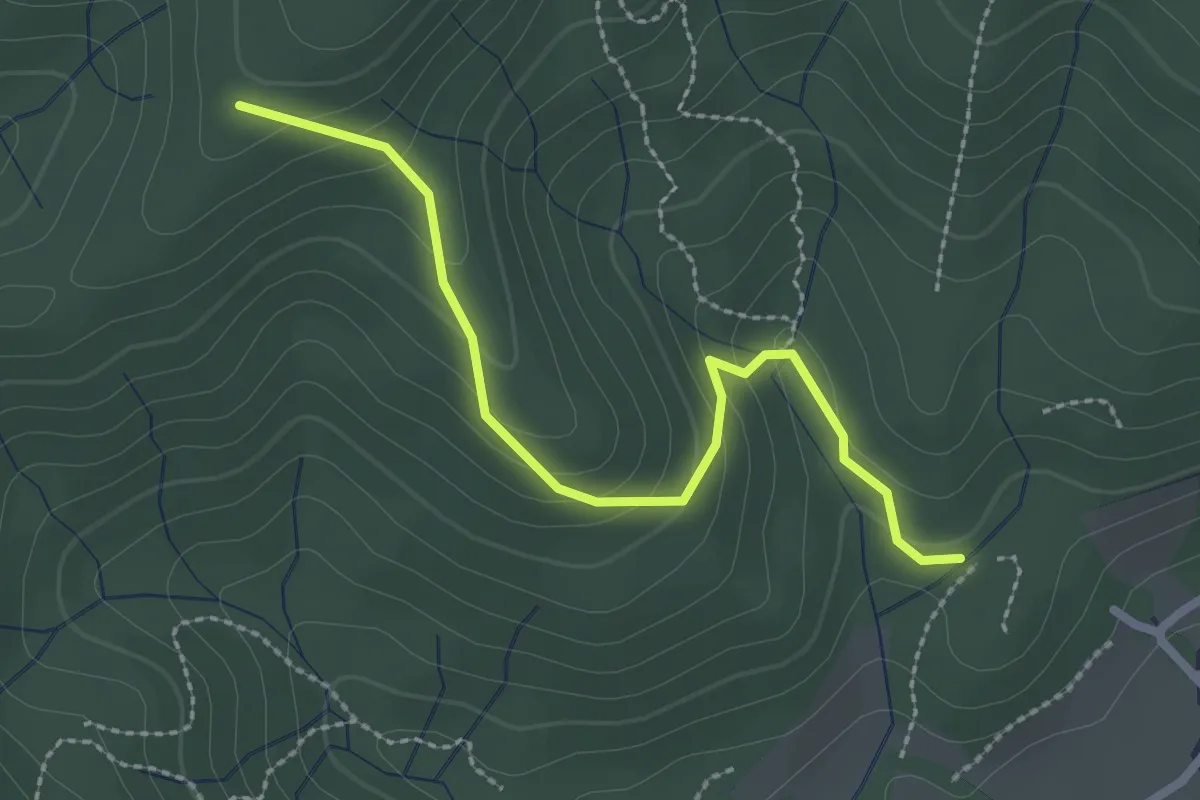
Easy · Trail
VF4 - Fosseno - Alpe Boccioli
2.6 km · ↑ 140 m · 55 min · 9 km away
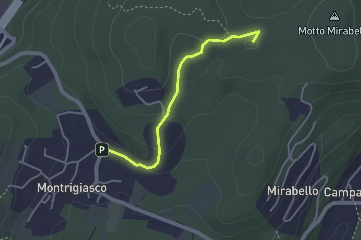
Easy · Summit
VA7 - Montrigiasco - Bivio VA8
2.7 km · ↑ 86 m · 50 min · 9 km away
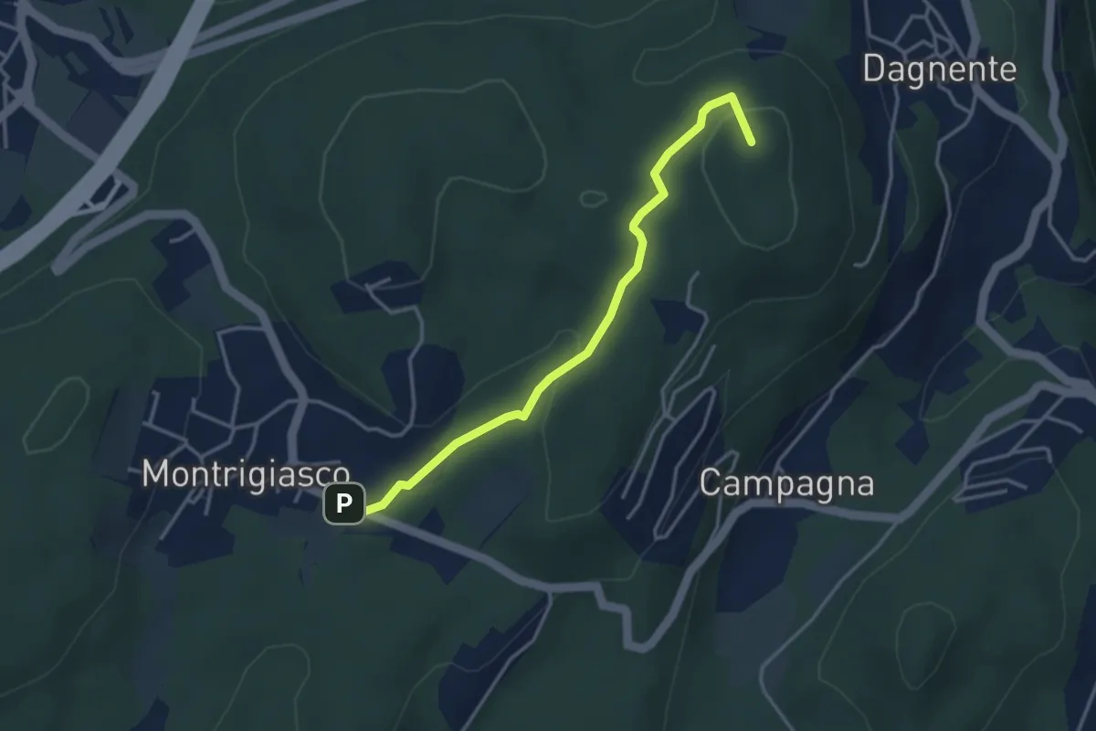
Medium · Summit
VA9 - Montrigiasco - Dagnente
3.6 km · ↑ 104 m · 1 h 4 min · 9 km away
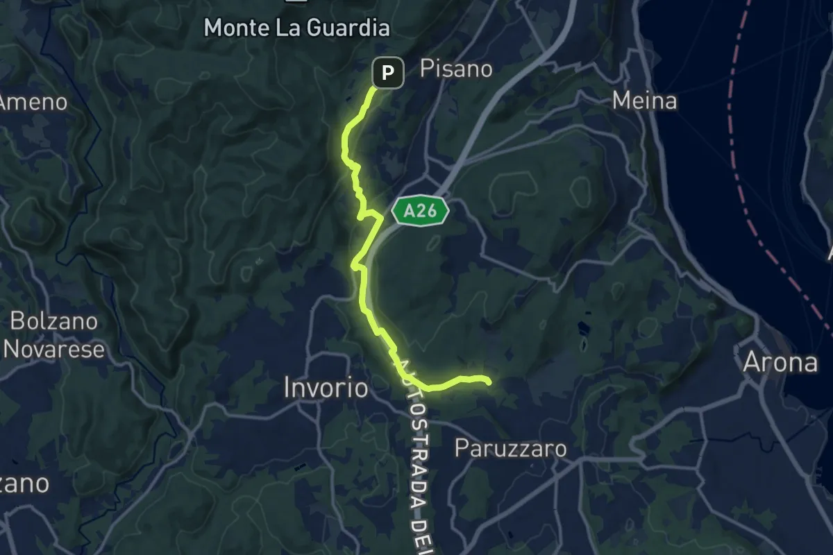
Medium · Trail
VA2 - Paruzzaro - Colazza
12.0 km · ↑ 334 m · 3 h 34 min · 9 km away
Easy · Trail
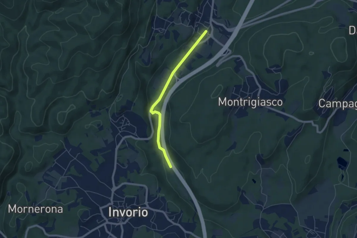
Bivio R08-S08, Meina – Bivio R05-R08, Ghevio
4.9 km · ↑ 82 m · 1 h 20 min · 9 km away
Easy · Trail
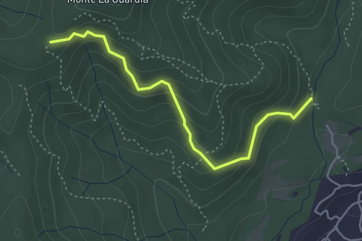
VE4 - Colazza - Alpe Gallone
3.6 km · ↑ 249 m · 1 h 23 min · 9 km away
Medium · Trail
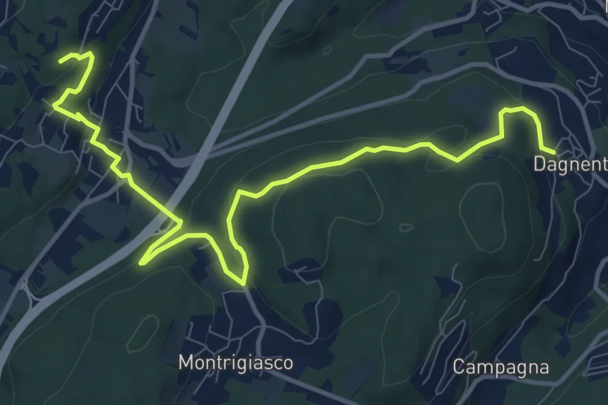
VA6 - Dagnente - Colazza
10.7 km · ↑ 321 m · 3 h 13 min · 9 km away
Easy · Summit
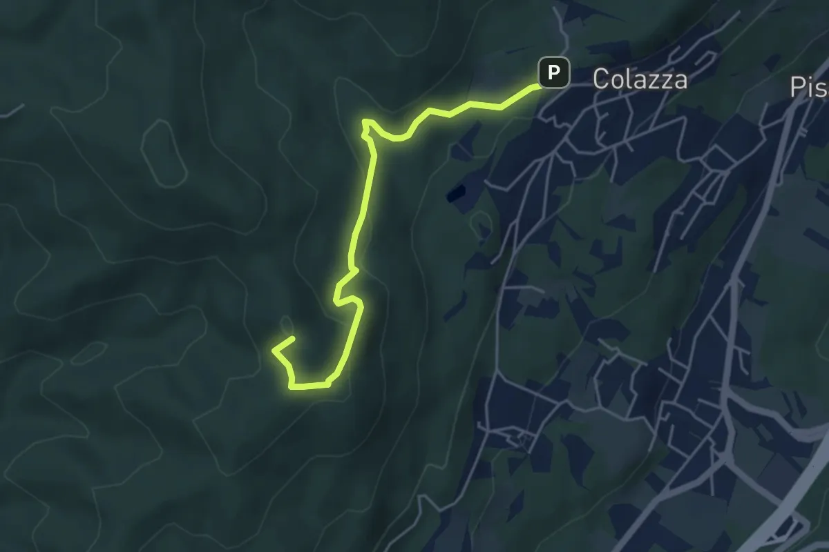
VE2 - Colazza - Cappella del Vago
4.5 km · ↑ 190 m · 1 h 28 min · 9 km away
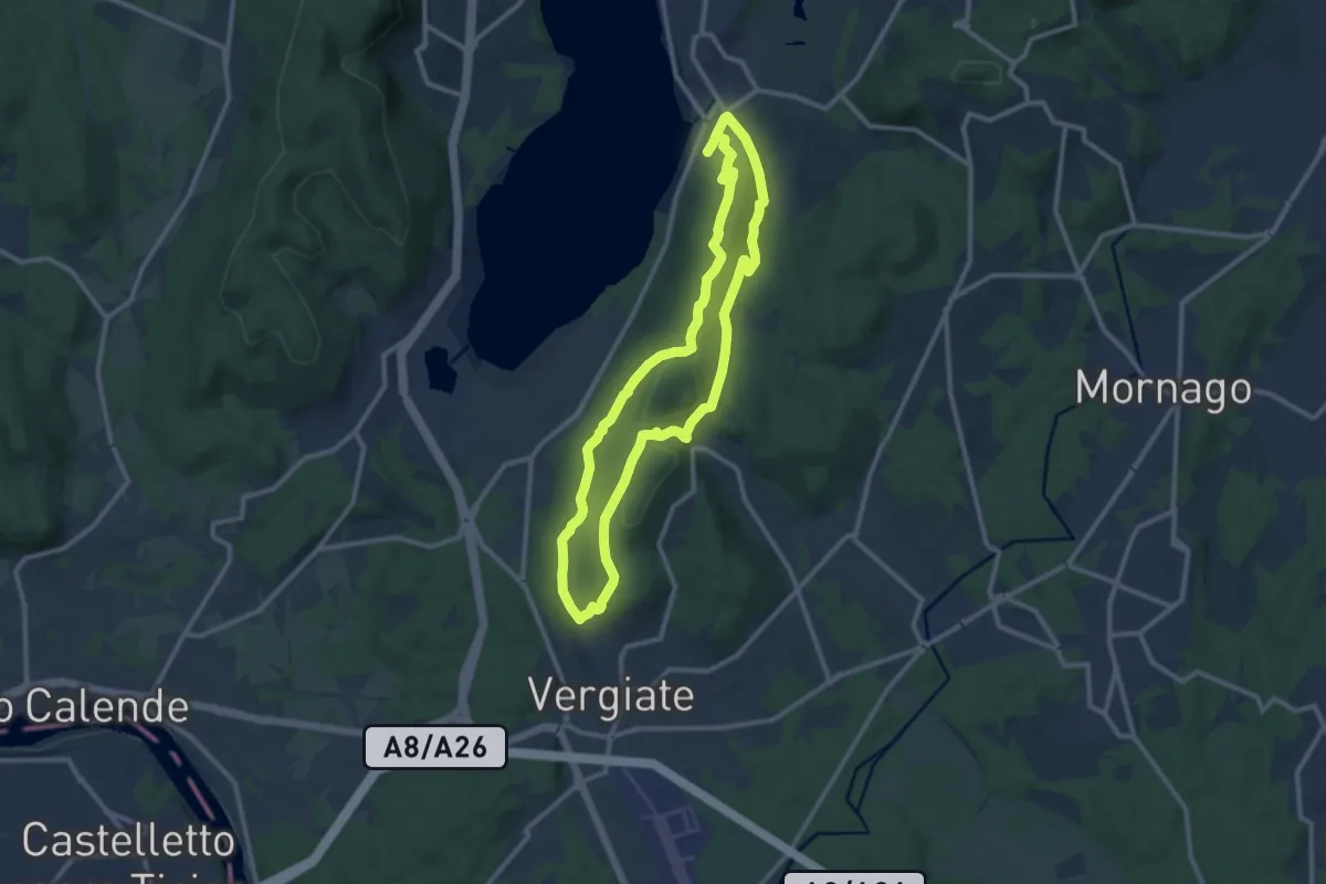
Medium · Trail
Anello Monte San Giacomo
10.6 km · ↑ 320 m · 3 h 20 min · 9 km away
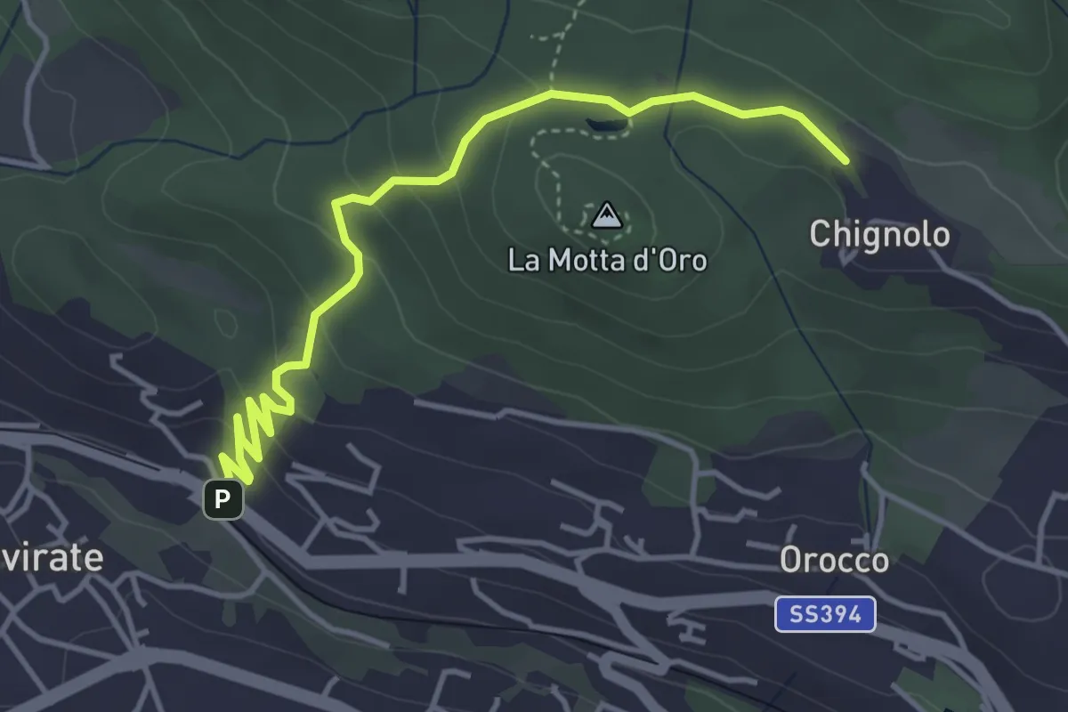
Easy · Trail
Gavirate – Percorso 311
4.3 km · ↑ 201 m · 1 h 26 min · 9 km away
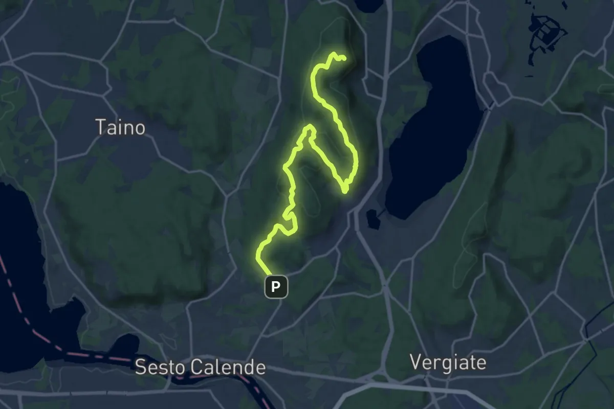
Demanding · Summit
Sentiero del Monte Pelada
18.9 km · ↑ 567 m · 5 h 41 min · 9 km away
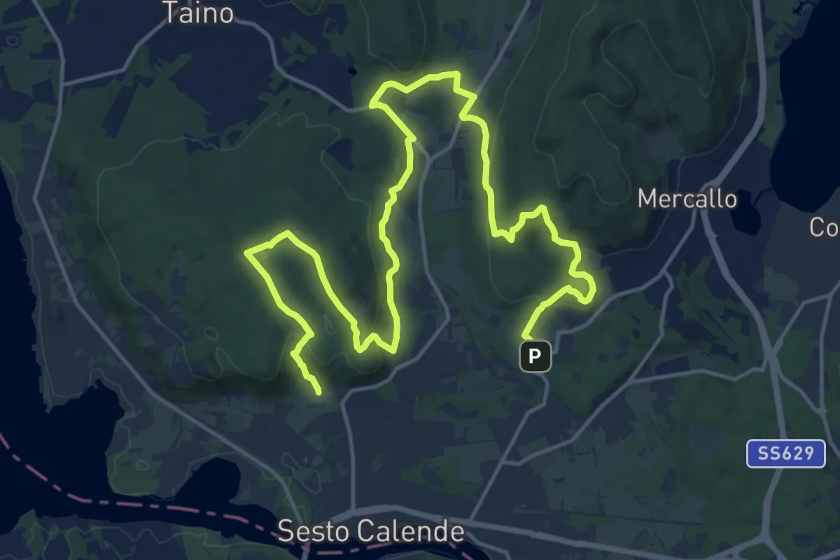
Demanding · Trail
Sentiero delle Meraviglie nascoste
22.9 km · ↑ 575 m · 6 h 40 min · 9 km away
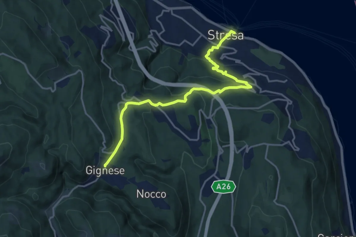
Medium · Trail
VL5 - Stresa - Gignese
12.2 km · ↑ 502 m · 3 h 59 min · 9 km away
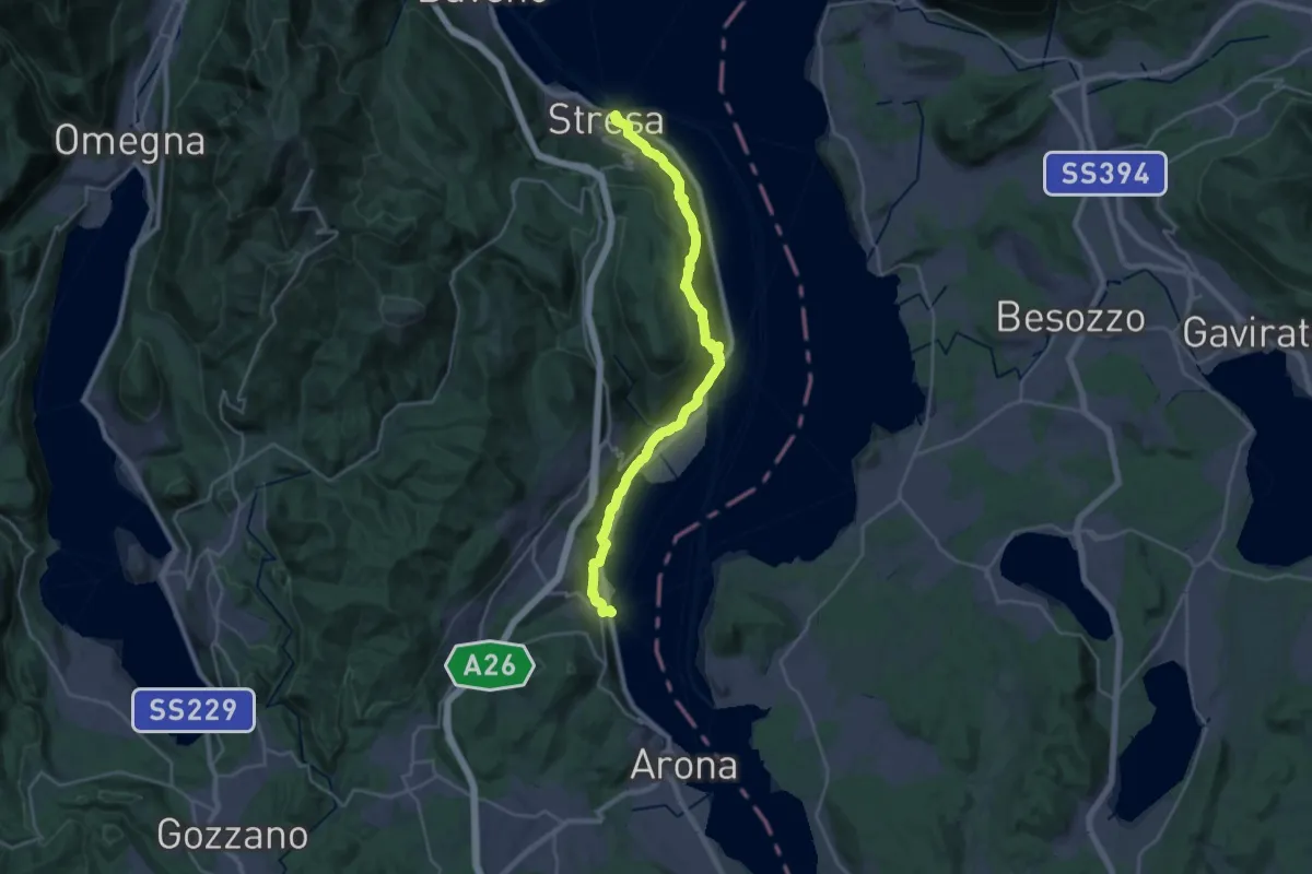
Medium · Trail
Grand Tour del Lago Maggiore ® - Tappa 2 - Stresa - Meina
13.8 km · ↑ 406 m · 4 h 20 min · 9 km away
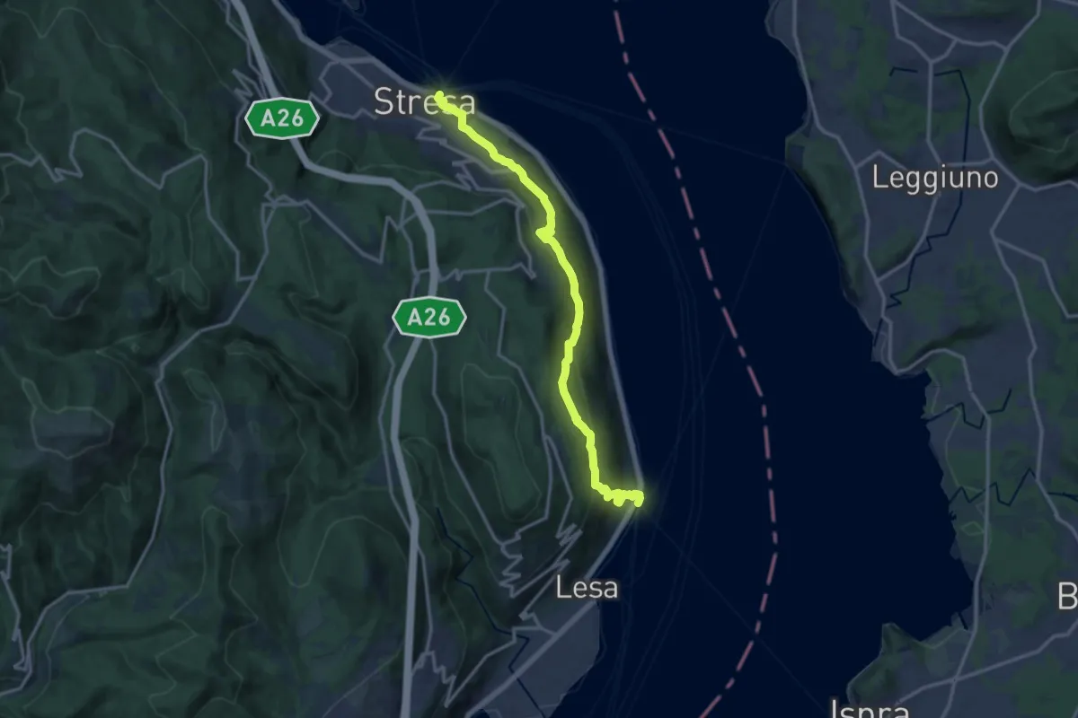
Medium · Trail
VL2 - Stresa - Belgirate
14.4 km · ↑ 634 m · 4 h 46 min · 9 km away
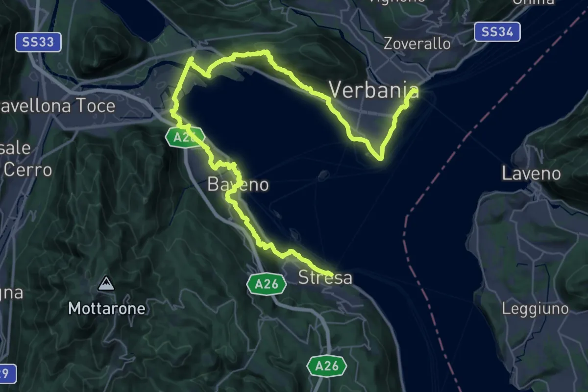
Demanding · Trail
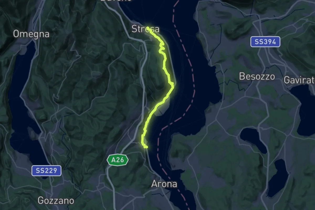
Cammino del Lago Maggiore
23.0 km · ↑ 579 m · 7 h · 9 km away
Medium · Trail
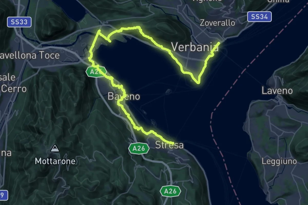
Cammino del Lago Maggiore
14.6 km · ↑ 450 m · 4 h 37 min · 9 km away
Demanding · Trail
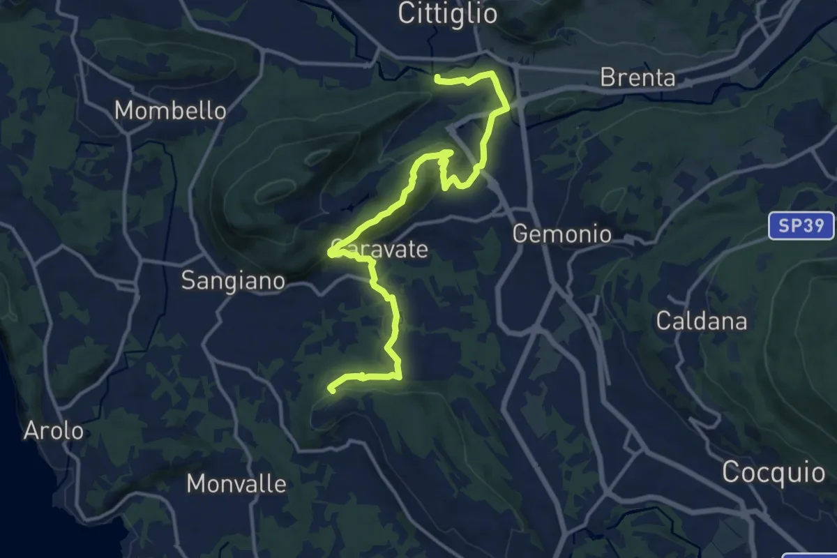
Grand Tour del Lago Maggiore ® - Tappa 1 - Verbania Intra - Stresa
23.6 km · ↑ 594 m · 7 h 11 min · 9 km away
Medium · Trail
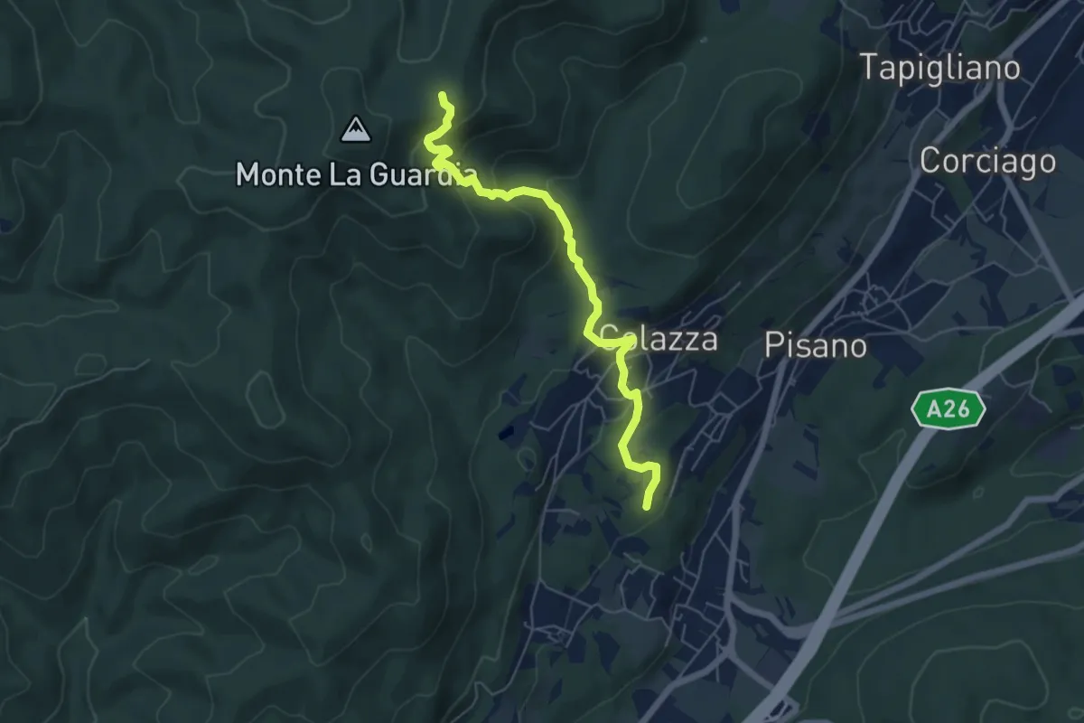
285 Cittiglio/Cascina Gravezzano
14.1 km · ↑ 394 m · 4 h 11 min · 9 km away
Medium · Trail
VE5 - Colazza - Alpe del Bosco
5.7 km · ↑ 319 m · 2 h 3 min · 10 km away
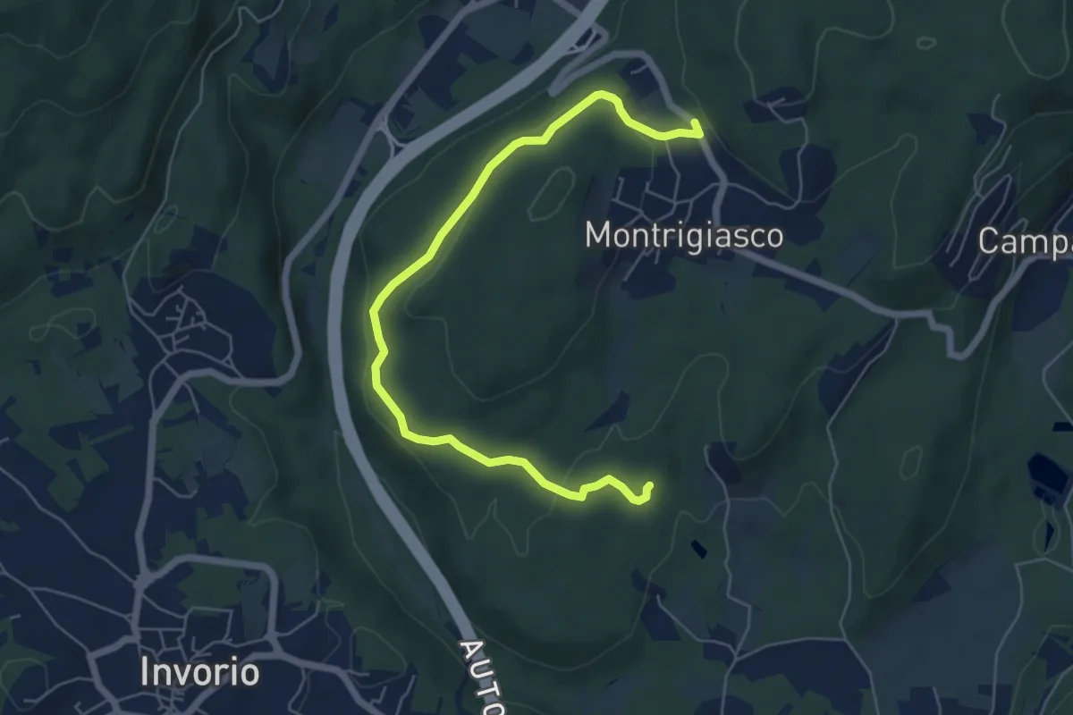
Easy · Trail
VA5 - Sant'Eufemia - Montrigiasco
6.6 km · ↑ 164 m · 1 h 55 min · 10 km away
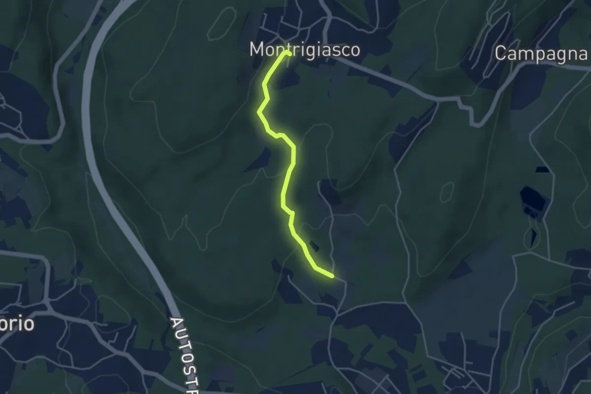
Easy · Trail
VA4 - Santa Eufemia - Montrigiasco
3.4 km · ↑ 118 m · 1 h 3 min · 10 km away
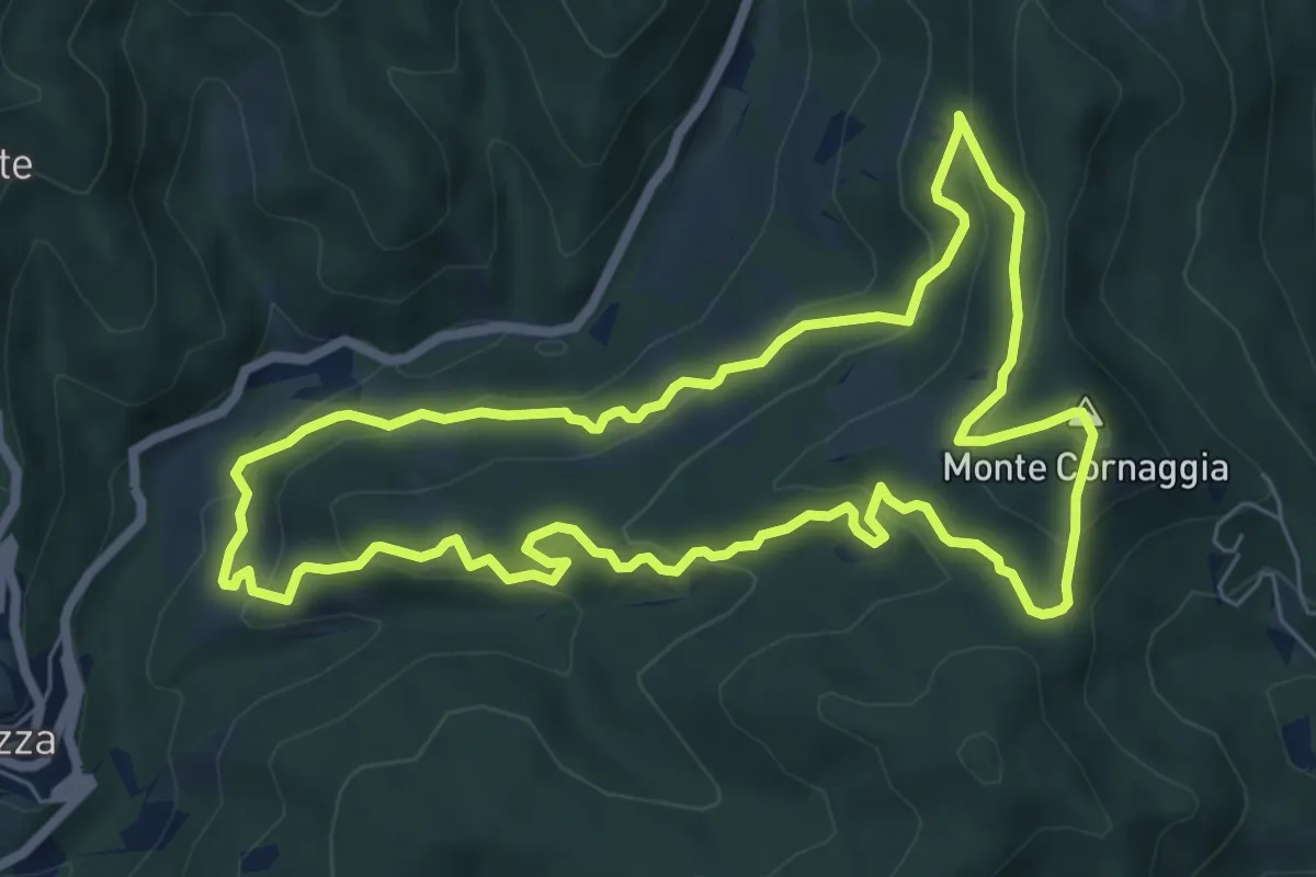
Medium · Summit
Sentiero degli Alpeggi
7.2 km · ↑ 373 m · 2 h 36 min · 10 km away
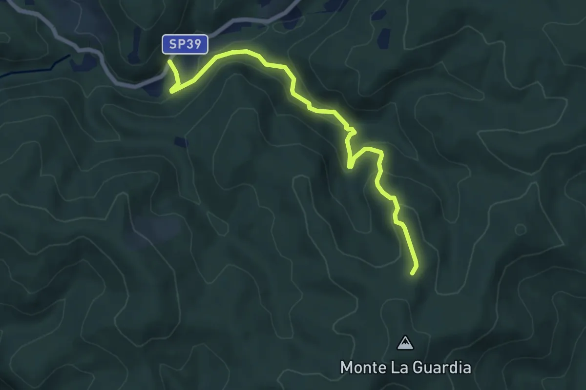
Easy · Trail
VS4 - Masseria Bernaggia - Alpe del Bosco
5.9 km · ↑ 272 m · 1 h 59 min · 10 km away
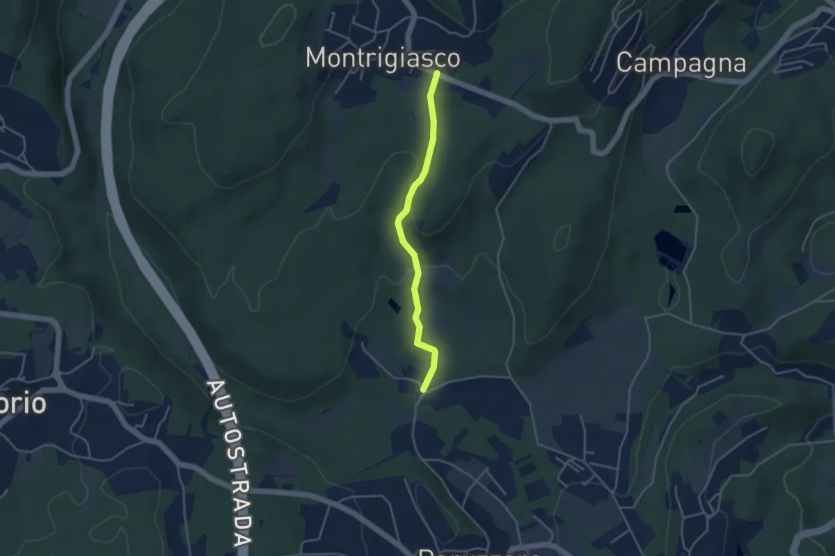
Easy · Trail
VA3 - Paruzzaro - Montrigiasco
3.3 km · ↑ 104 m · 1 h · 10 km away
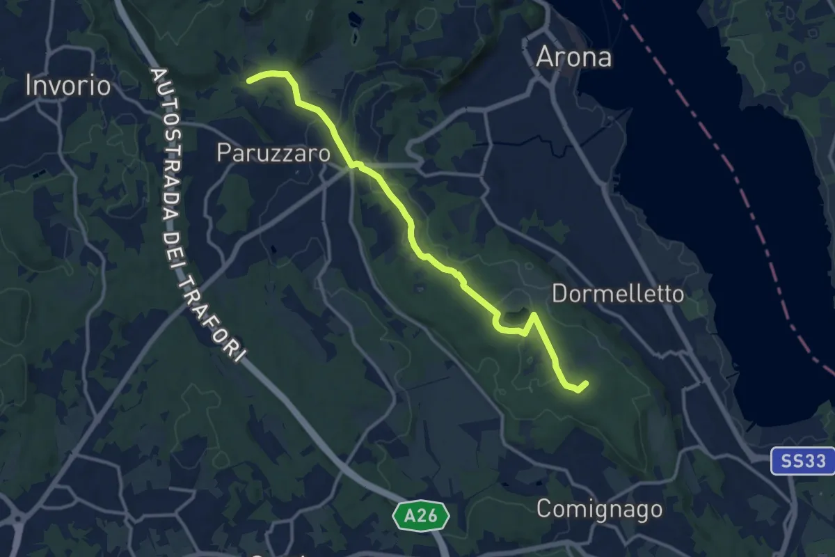
Medium · Summit
Sentiero Novara tappa 13
12.1 km · ↑ 108 m · 3 h 5 min · 10 km away
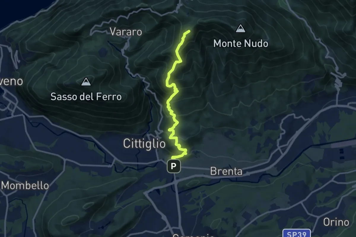
Demanding · Summit
Direttissima Crocetta
9.7 km · ↑ 851 m · 4 h 8 min · 10 km away
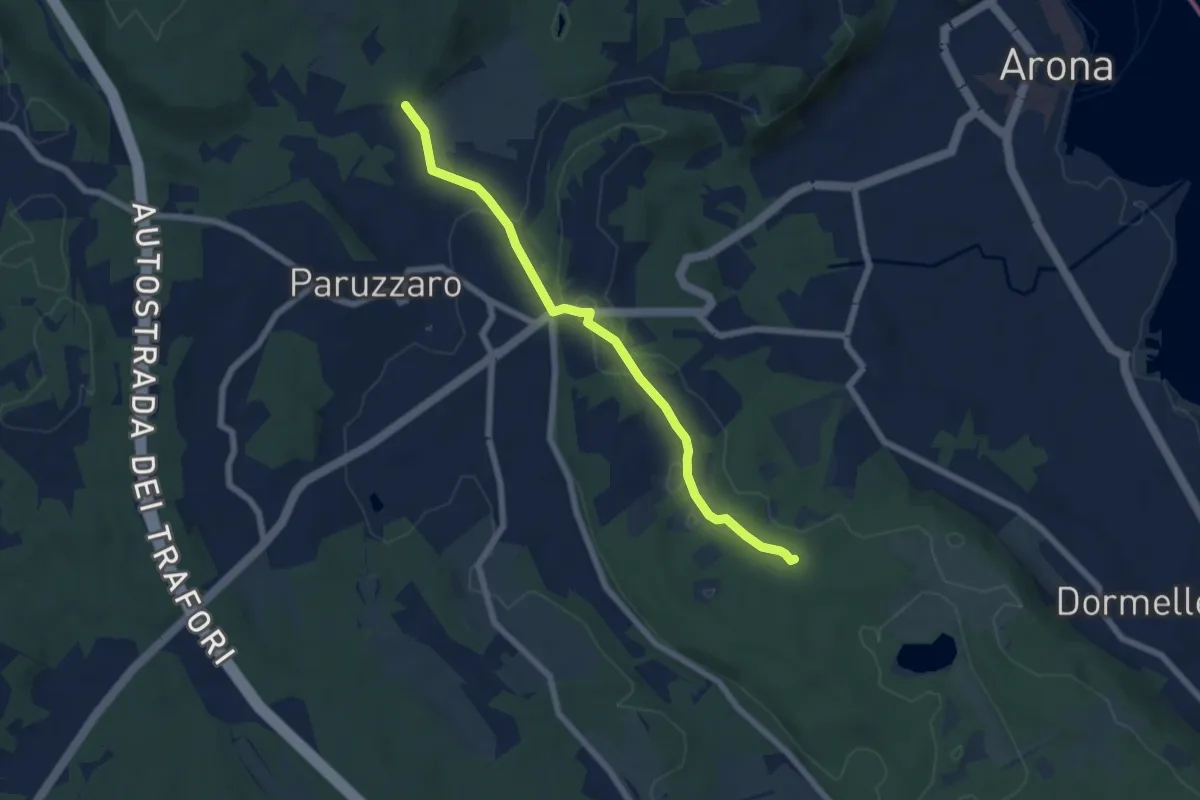
Easy · Trail
Oleggio Castello località Motto Lagone – Paruzzaro località San Eufemia, bivio NOAR09-NOAS08-NOAP02
6.4 km · ↑ 49 m · 1 h 37 min · 10 km away
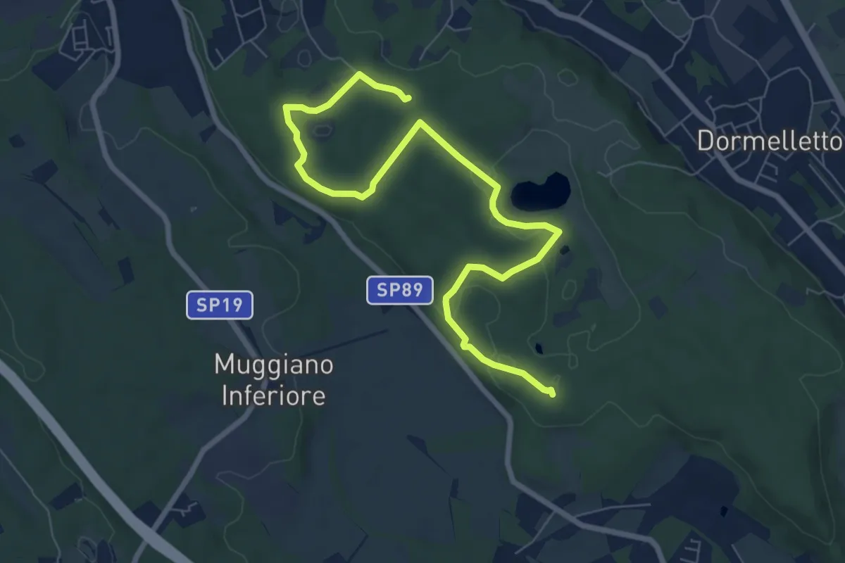
Medium · Summit
Le zone umide
8.7 km · ↑ 104 m · 2 h 17 min · 10 km away
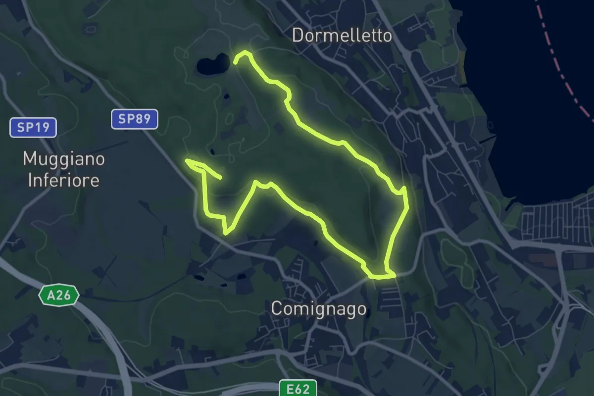
Medium · Summit
Le attività produttive
12.5 km · ↑ 194 m · 3 h 23 min · 10 km away
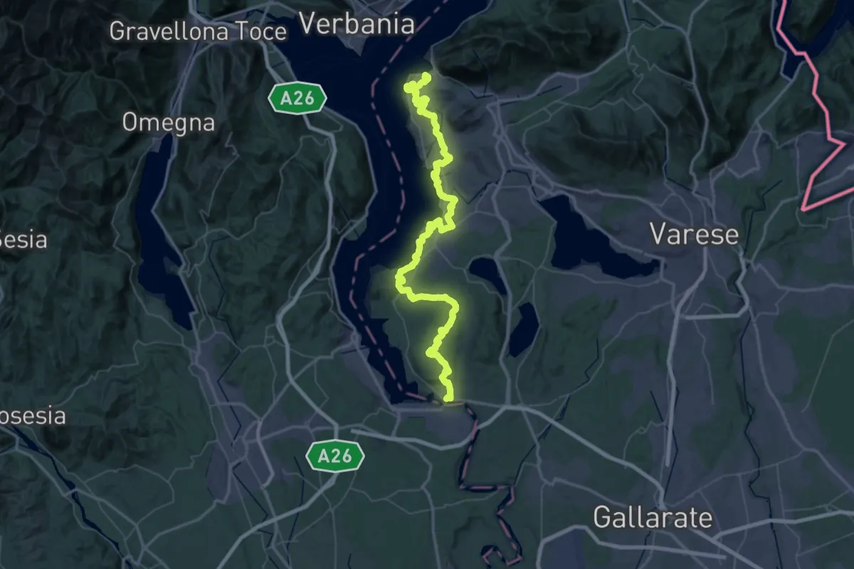
Demanding · Summit
289 Dorsale del Verbano - Agenda21Laghi
75.4 km · ↑ 1295 m · 20 h 37 min · 10 km away
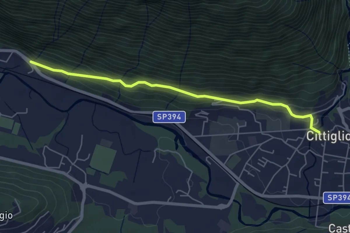
Easy · Trail
Cittiglio – Incrocio con Strada statale
4.7 km · ↑ 221 m · 1 h 36 min · 10 km away
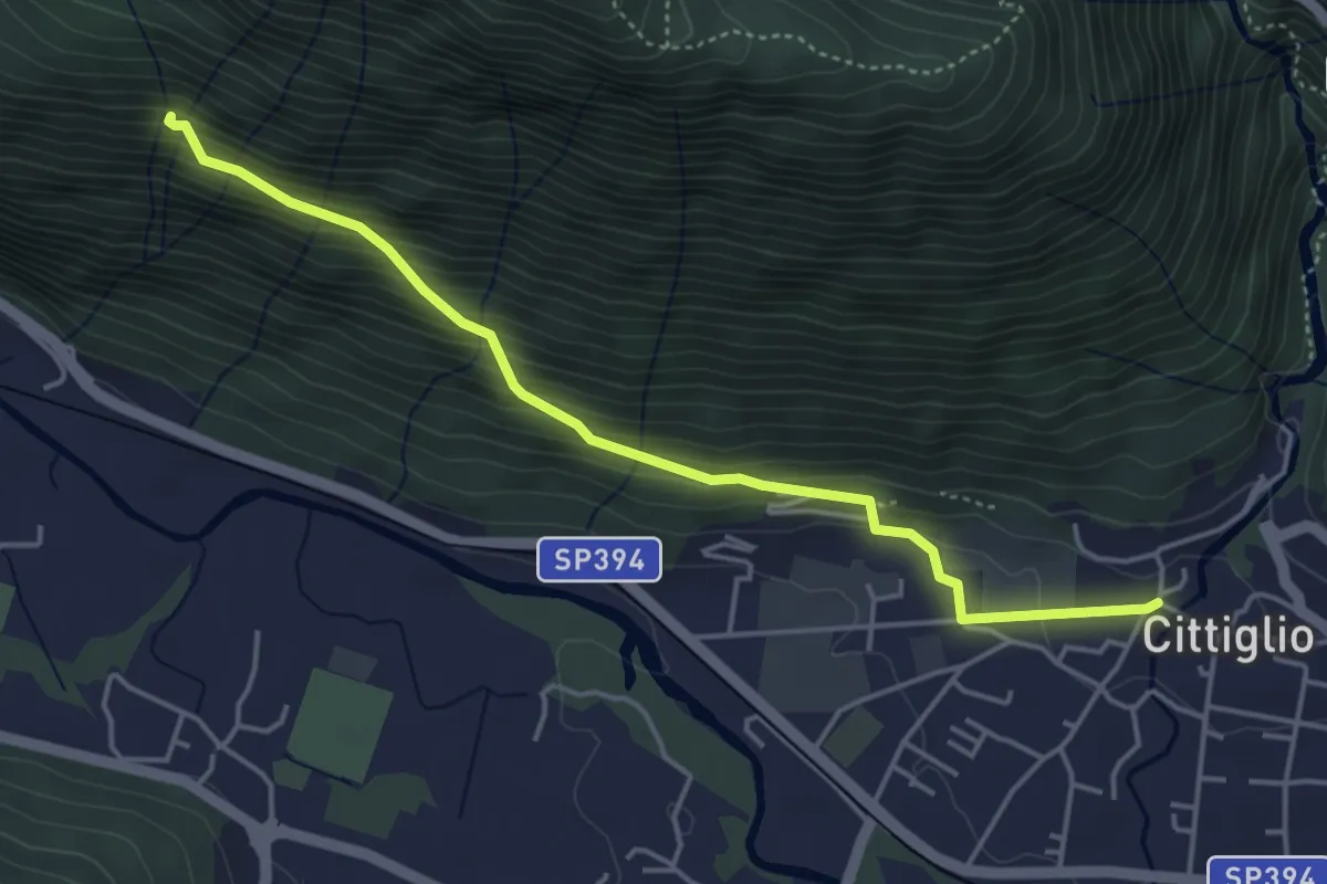
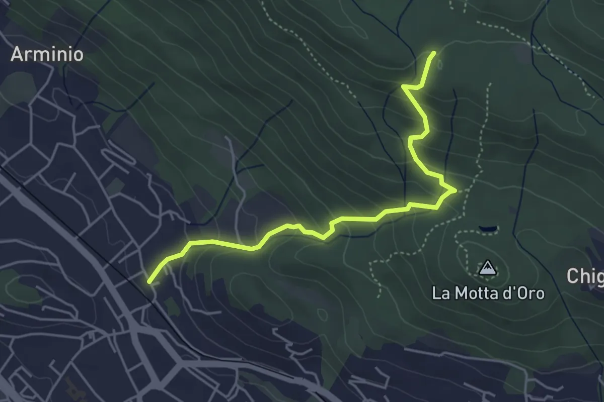
Medium · Trail
204 3V variante
4.6 km · ↑ 385 m · 1 h 55 min · 10 km away
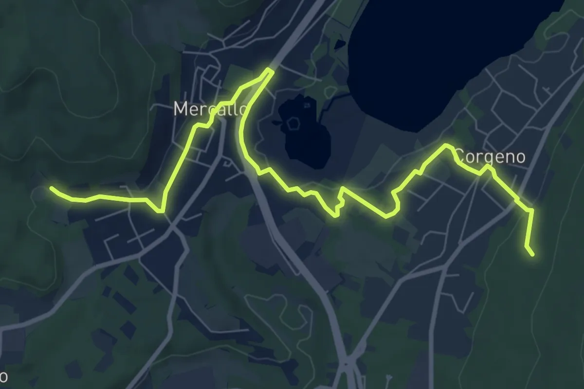
Easy · Trail
Gavirate – Forte di Orino (Percorso 310A)
4.6 km · ↑ 317 m · 1 h 46 min · 10 km away
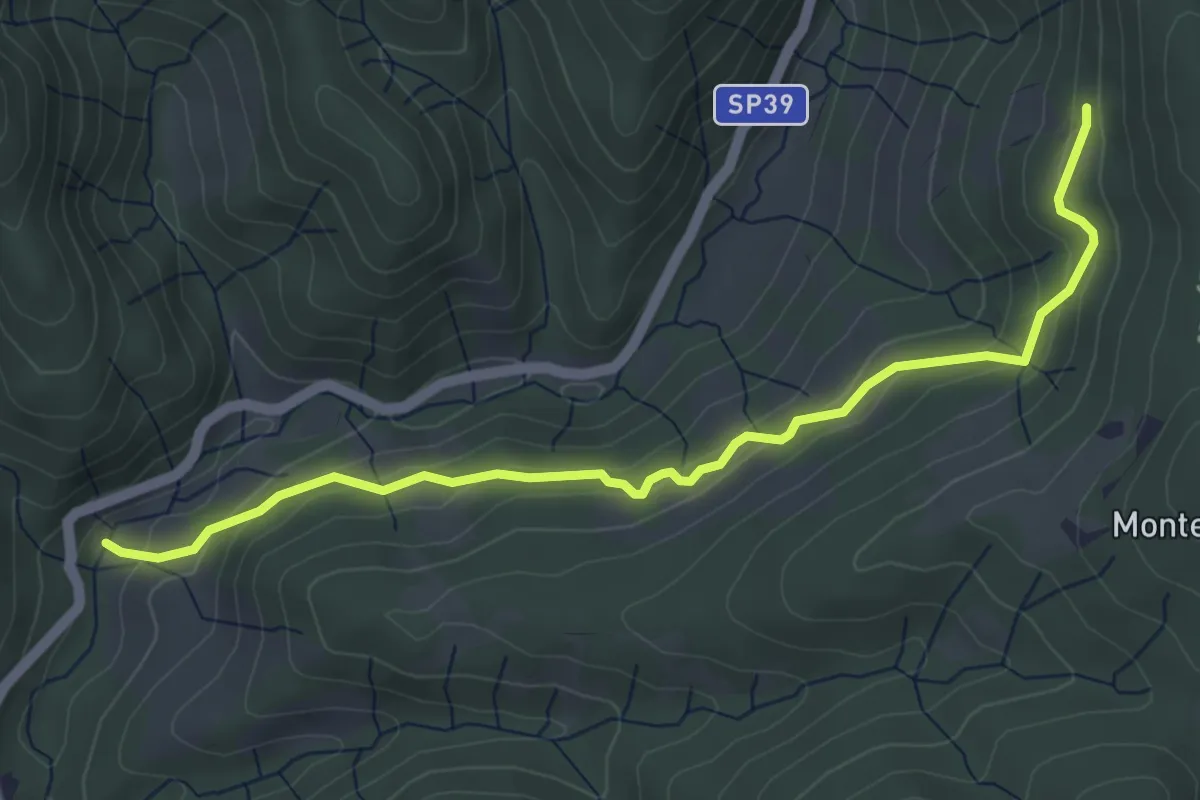
Medium · Trail
Collegamento Sentiero San Giacomo - Sentiero Monte Pelada
9.5 km · ↑ 183 m · 2 h 39 min · 10 km away
Easy · Trail
Sovazza ponte Agogna – Alpe Maioli
5.0 km · ↑ 260 m · 1 h 45 min · 10 km away
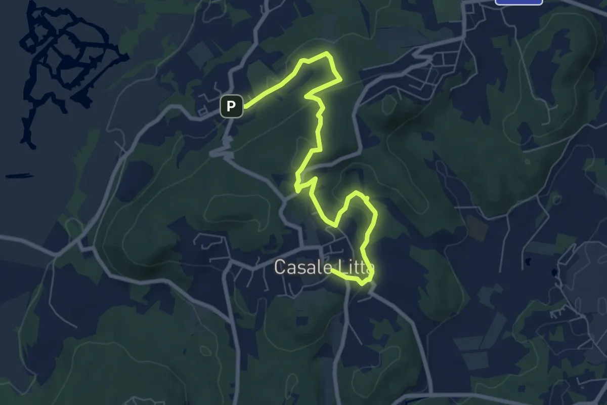
Easy · Trail
Piane Viscontee - Anello di Casale Litta
7.7 km · ↑ 219 m · 2 h 18 min · 10 km away
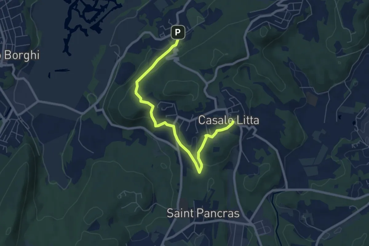
Easy · Trail
Piane Viscontee - Anello di Casale Litta
6.7 km · ↑ 183 m · 1 h 59 min · 10 km away
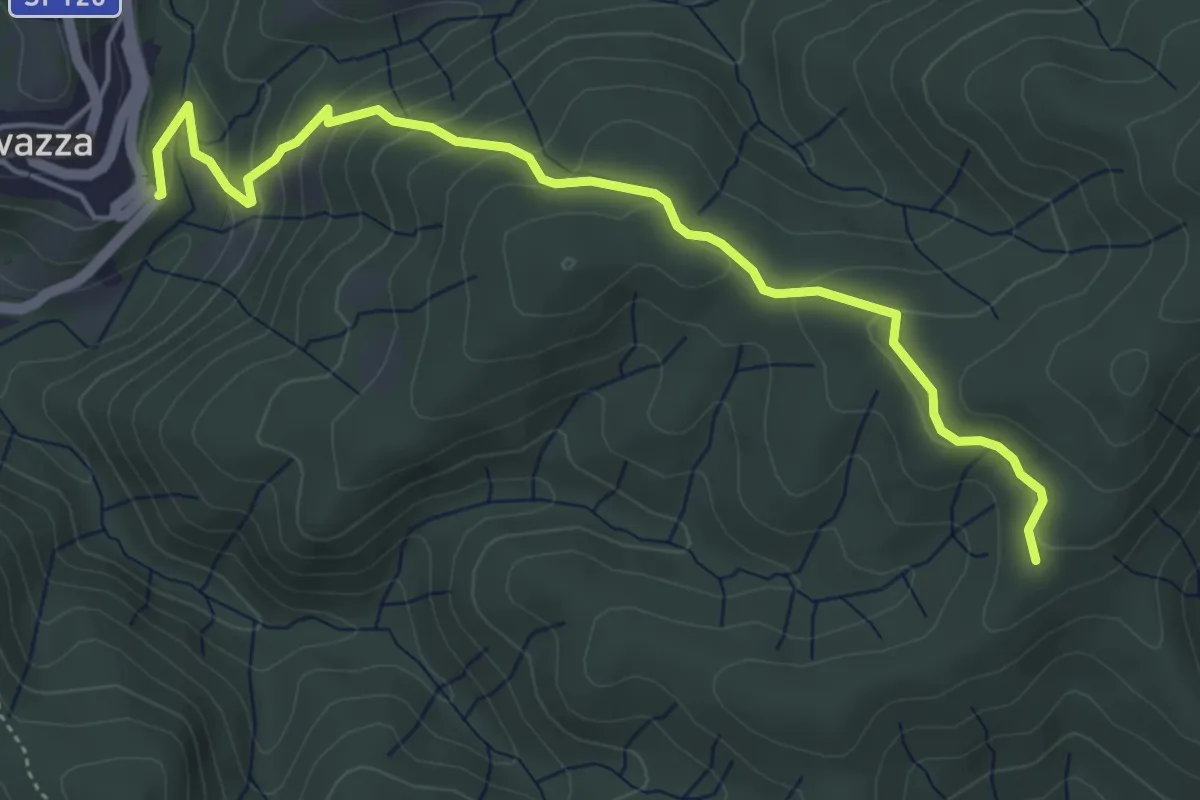
Easy · Trail
VS5 - Sovazza - Alpe Boccioli
5.2 km · ↑ 295 m · 1 h 52 min · 10 km away
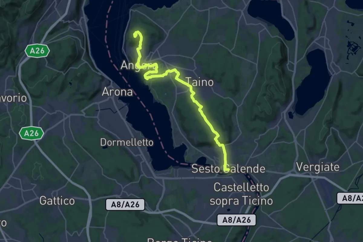
Demanding · Summit
Grand Tour del Lago Maggiore ® - Tappa 4 - Sesto Calende - lspra
27.4 km · ↑ 500 m · 7 h 34 min · 10 km away
Demanding · Summit
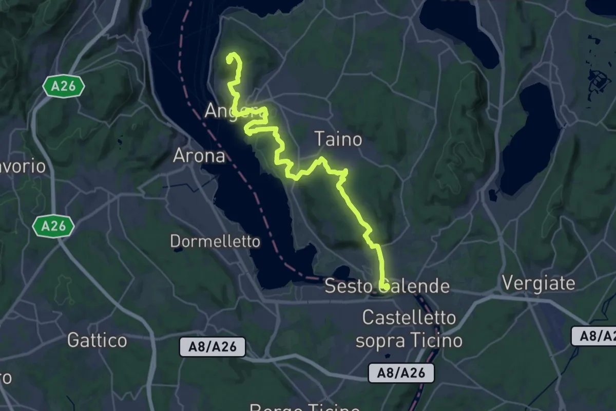
Cammino del Lago Maggiore
30.8 km · ↑ 501 m · 8 h 22 min · 10 km away
Demanding · Summit
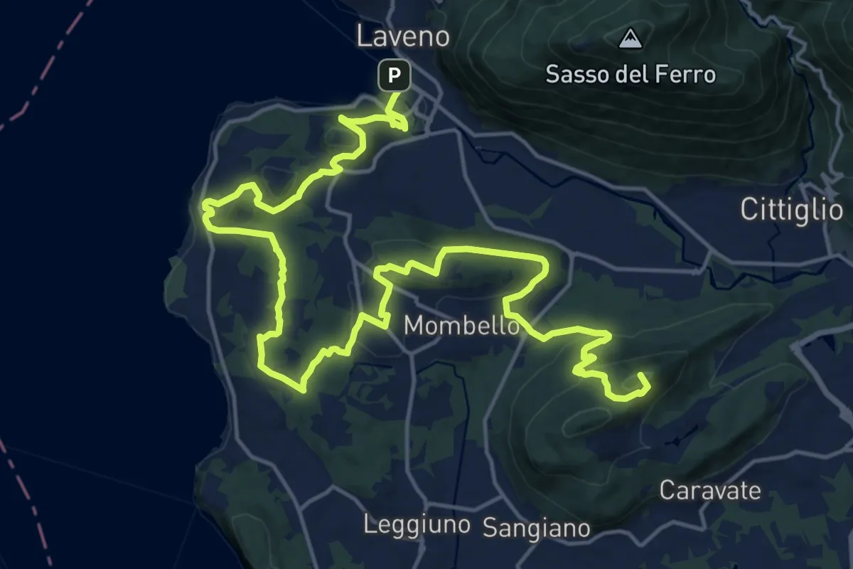
Cittiglio – Laveno Mombello
24.8 km · ↑ 830 m · 7 h 40 min · 10 km away
Medium · Trail
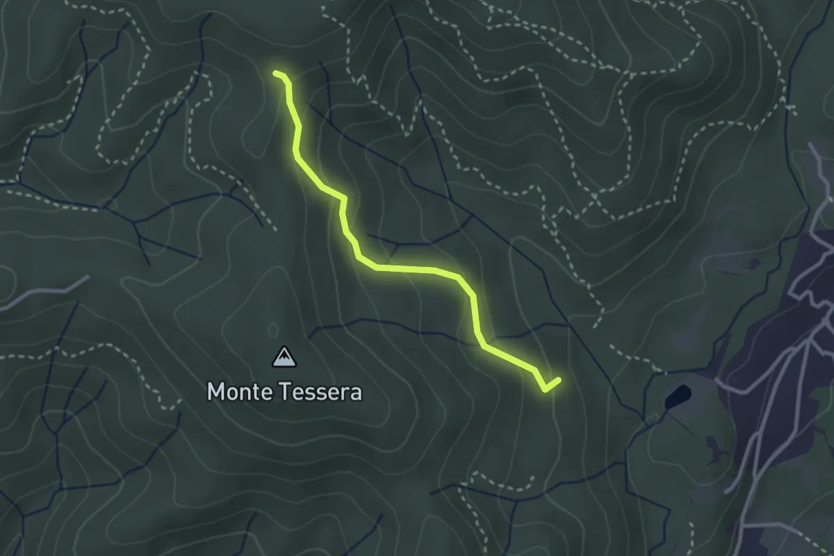
VE3 - Bivio VE2 - Viganate
2.6 km · ↑ 159 m · 57 min · 10 km away
Medium · Summit
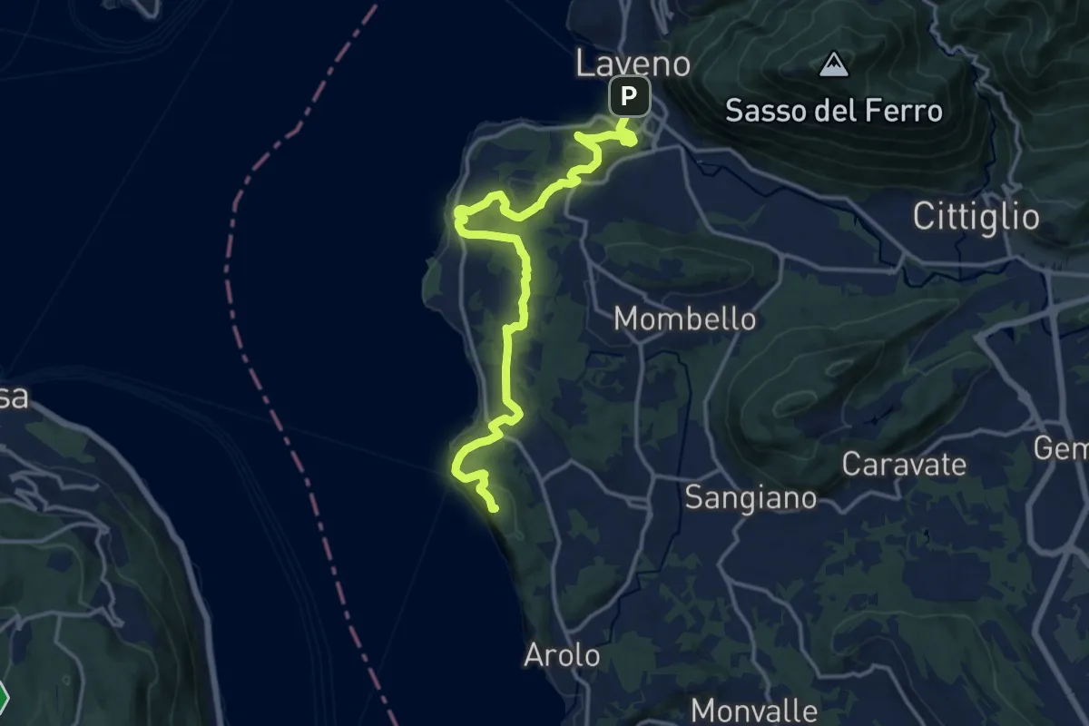
Grand Tour del Lago Maggiore ® - Tappa 5 - Ispra - Laveno
15.6 km · ↑ 492 m · 4 h 45 min · 10 km away