Trails near Ispra
229 hikes starting within 15 km, nearest first.
Nearest first, page 3 of 5
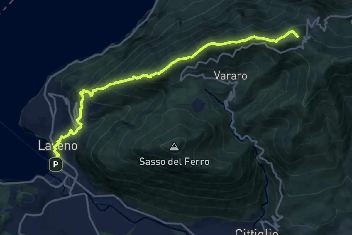
Demanding · Summit
Grand Tour del Lago Maggiore ® - Tappa 6 - Laveno - Porto Valtravaglia
11.8 km · ↑ 1067 m · 5 h 5 min · 10 km away
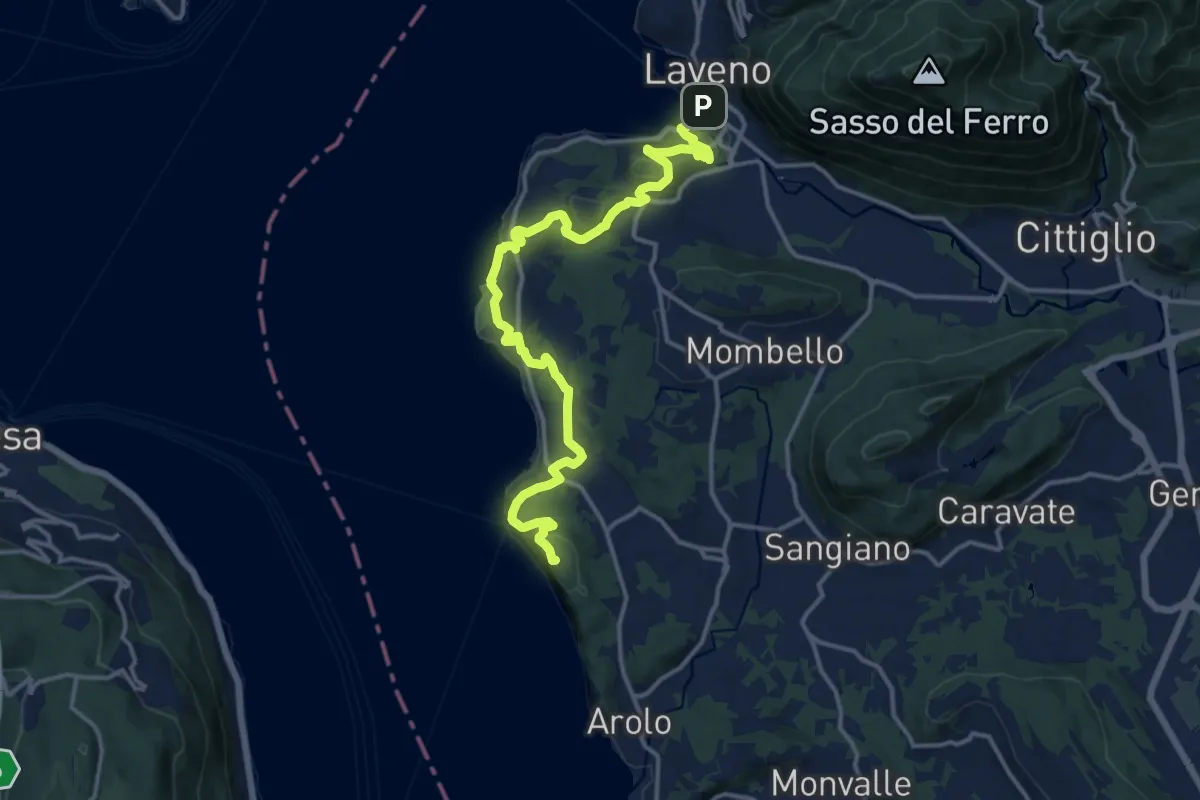
Medium · Summit
Cammino del Lago Maggiore
16.5 km · ↑ 528 m · 5 h 2 min · 10 km away
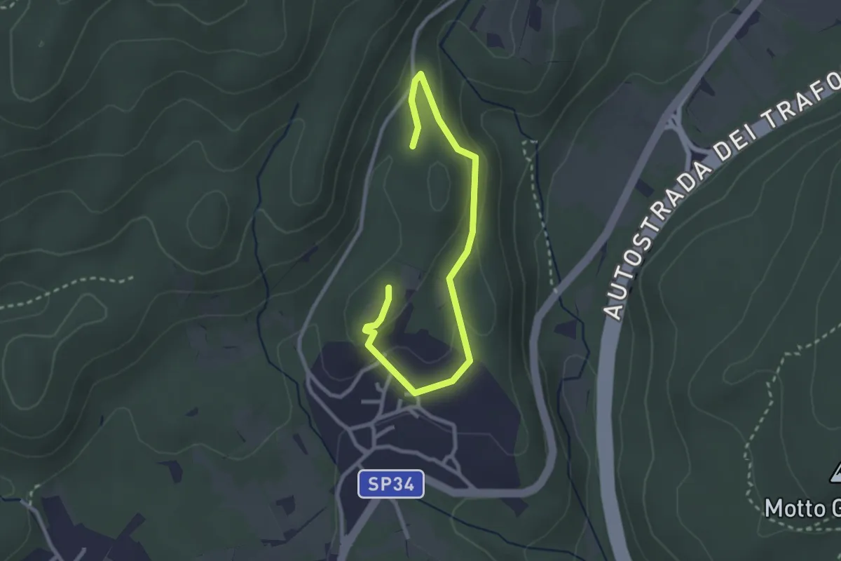
Easy · Trail
Un sentiero da favola - La via dei folletti
3.1 km · ↑ 87 m · 55 min · 10 km away
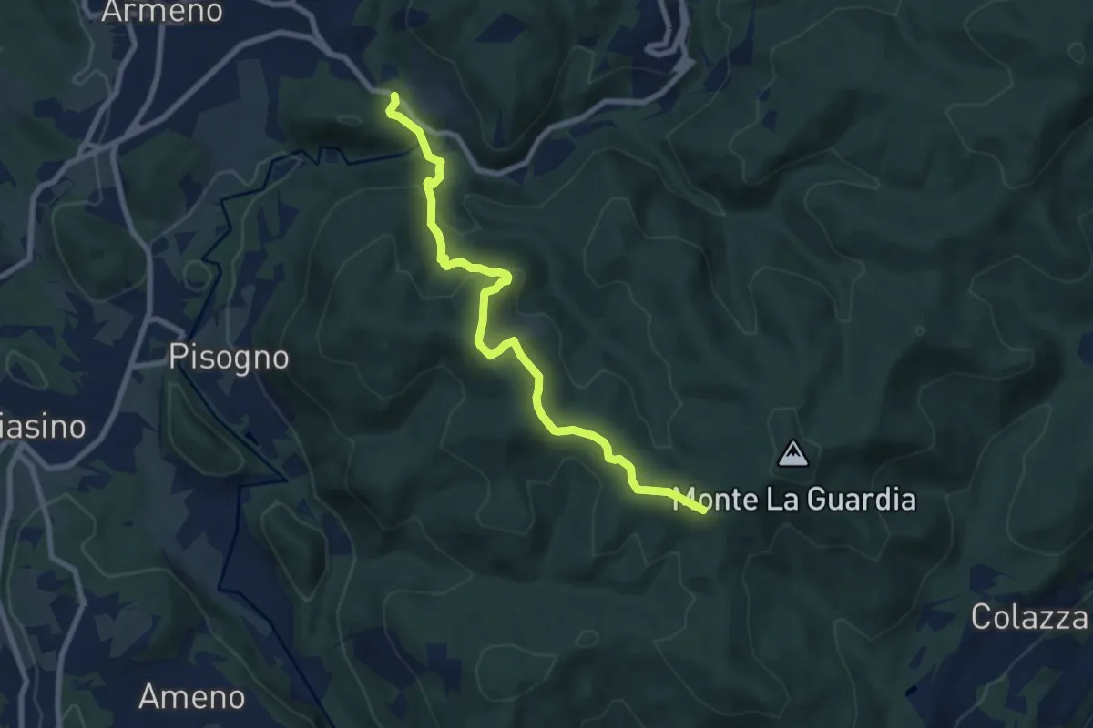
Medium · Trail
VS1 - Americano - Bivio V00
7.7 km · ↑ 437 m · 2 h 46 min · 10 km away
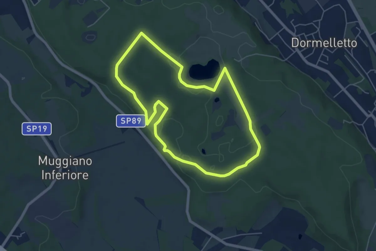
Easy · Summit
L'Archeologia
4.9 km · ↑ 73 m · 1 h 23 min · 10 km away
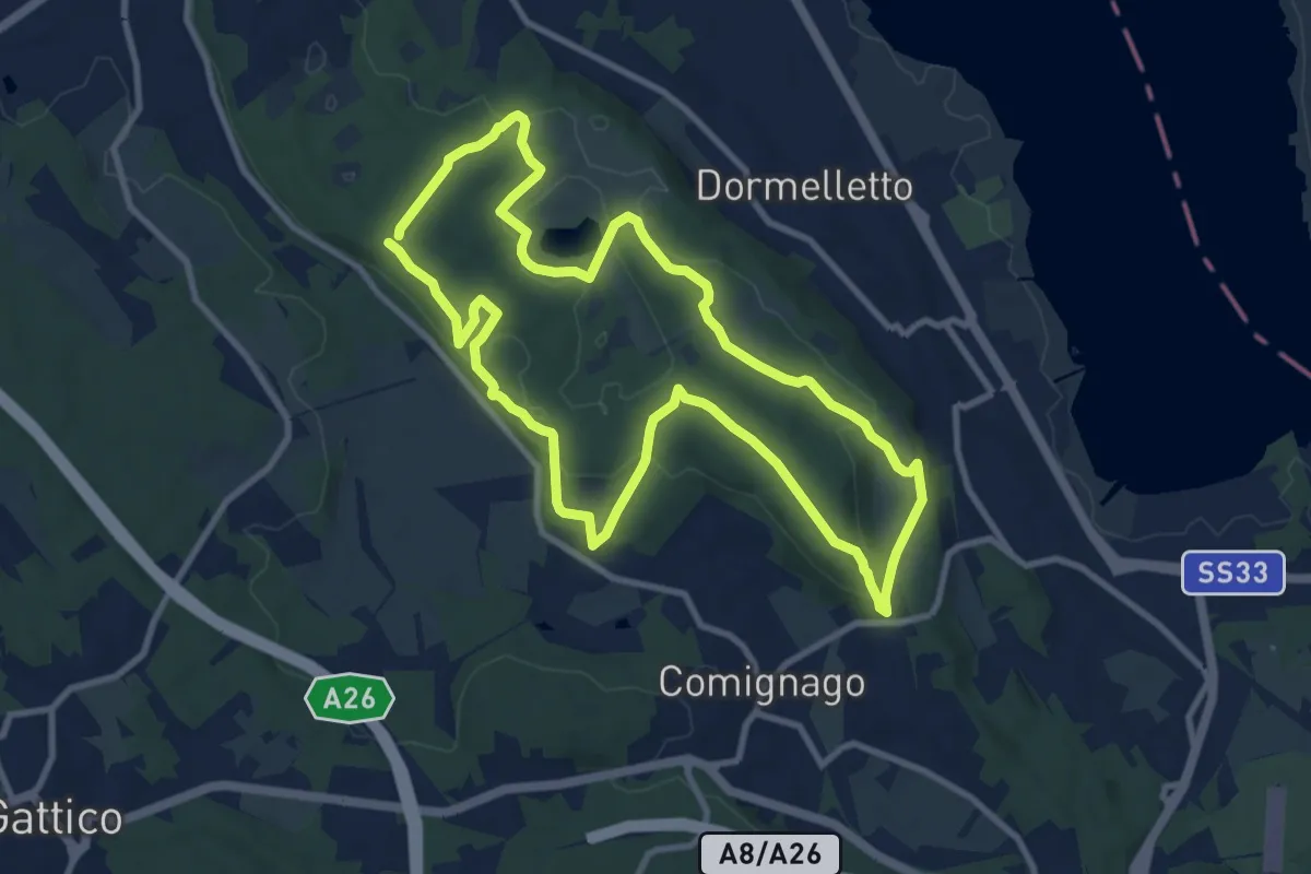
Medium · Summit
I boschi
10.1 km · ↑ 175 m · 2 h 53 min · 11 km away
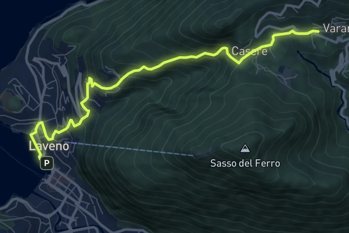
Medium · Trail
Laveno Mombello – Casere-Vararo
8.7 km · ↑ 637 m · 3 h 26 min · 11 km away
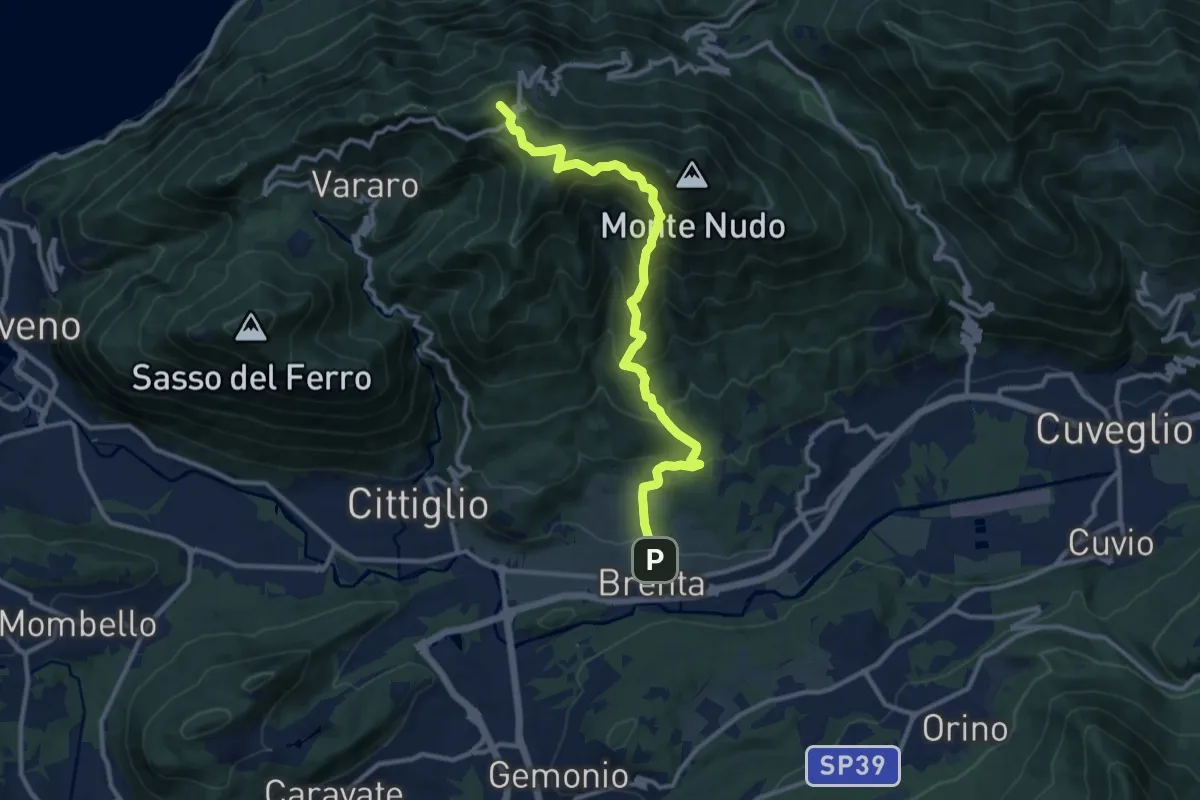
Demanding · Summit
Brenta – Passo Cuvignone
11.5 km · ↑ 1011 m · 4 h 55 min · 11 km away
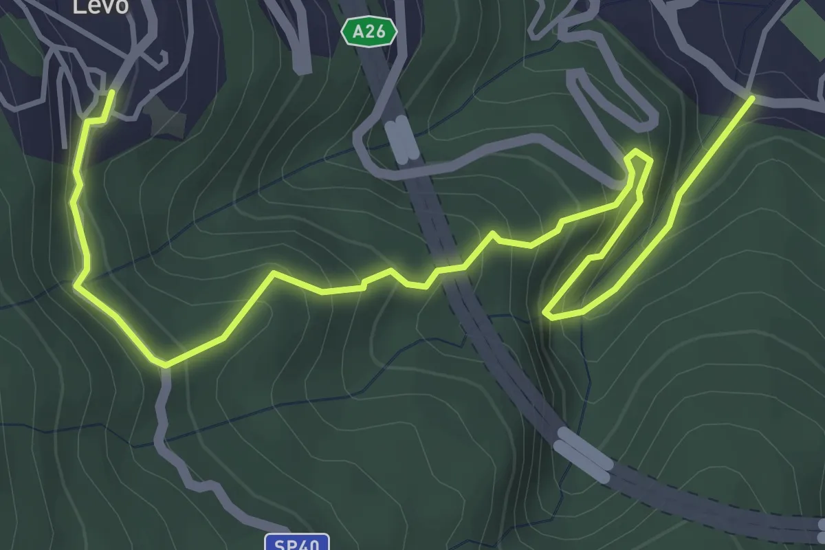
Medium · Trail
VL6 - Stresa - Levo
5.4 km · ↑ 565 m · 2 h 29 min · 11 km away
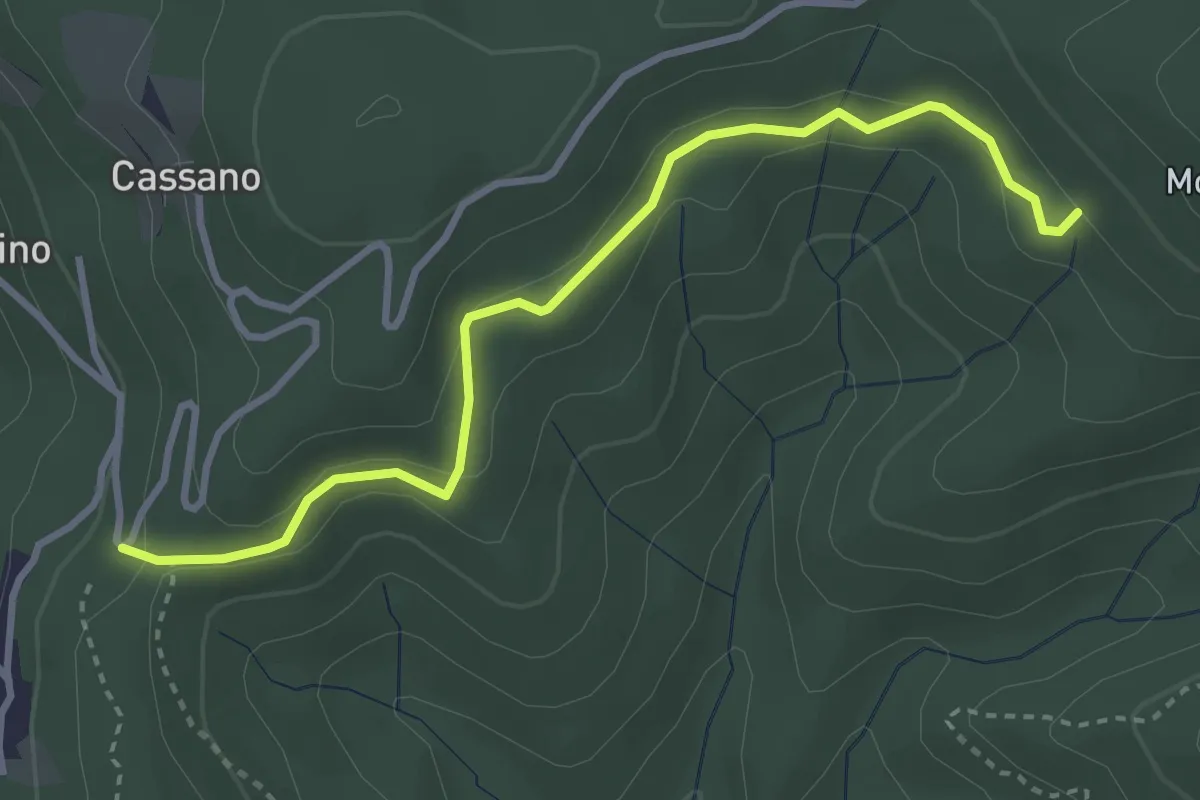
Easy · Trail
VE7 - Pecorino - Tre Fontane
3.6 km · ↑ 155 m · 1 h 11 min · 11 km away
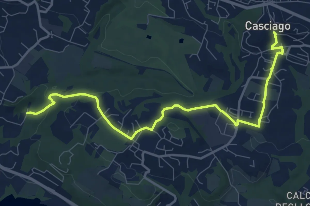
Medium · Trail
Sentiero 321
8.6 km · ↑ 236 m · 2 h 33 min · 11 km away
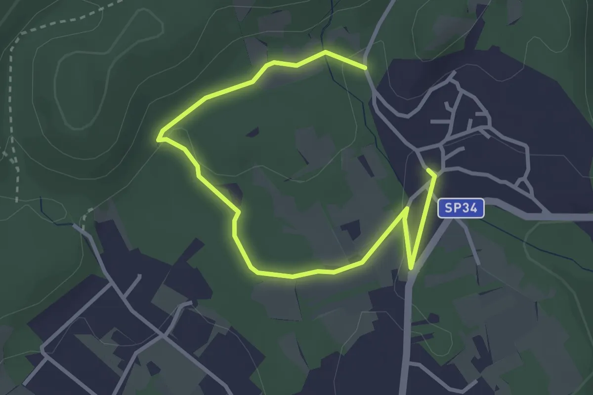
Easy · Trail
Un sentiero da favola - La via degli elfi
3.8 km · ↑ 51 m · 1 h · 11 km away
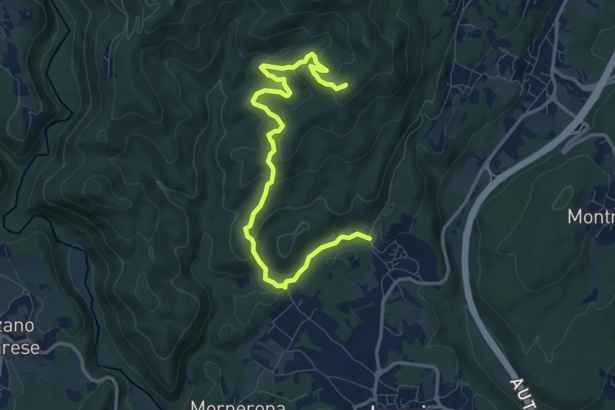
Demanding · Summit
VE1 - Invorio - Bocchetta Borsaga
9.8 km · ↑ 499 m · 3 h 23 min · 11 km away
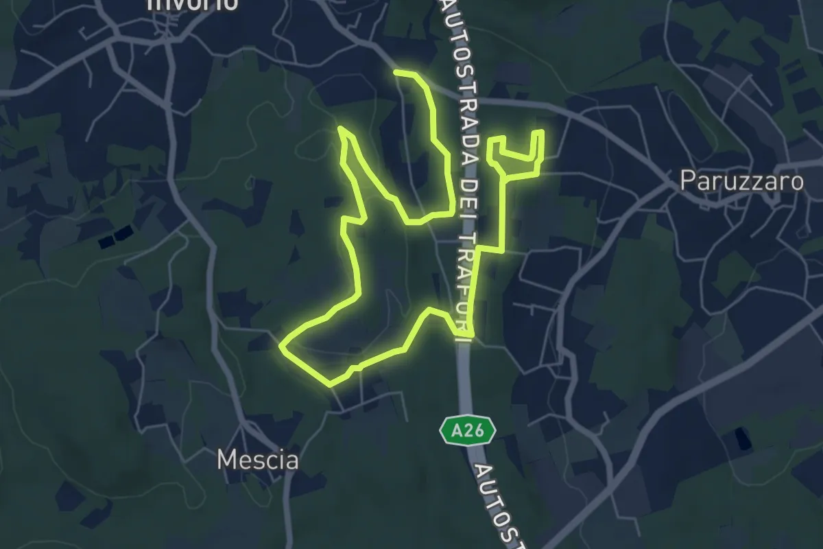
Easy · Trail
Percorso della Memoria
5.2 km · ↑ 55 m · 1 h 26 min · 11 km away
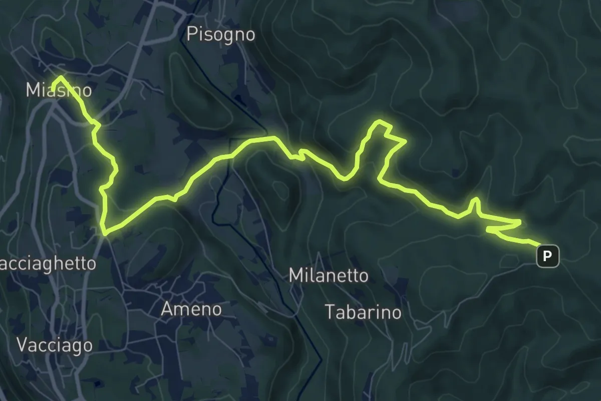
Medium · Trail
VU1 - Miasino - Cappella del Vago
12.9 km · ↑ 544 m · 4 h 13 min · 11 km away
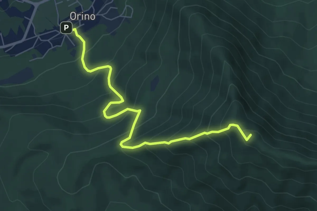
Medium · Summit
Orino – Forte di Orino
6.7 km · ↑ 692 m · 3 h 5 min · 11 km away
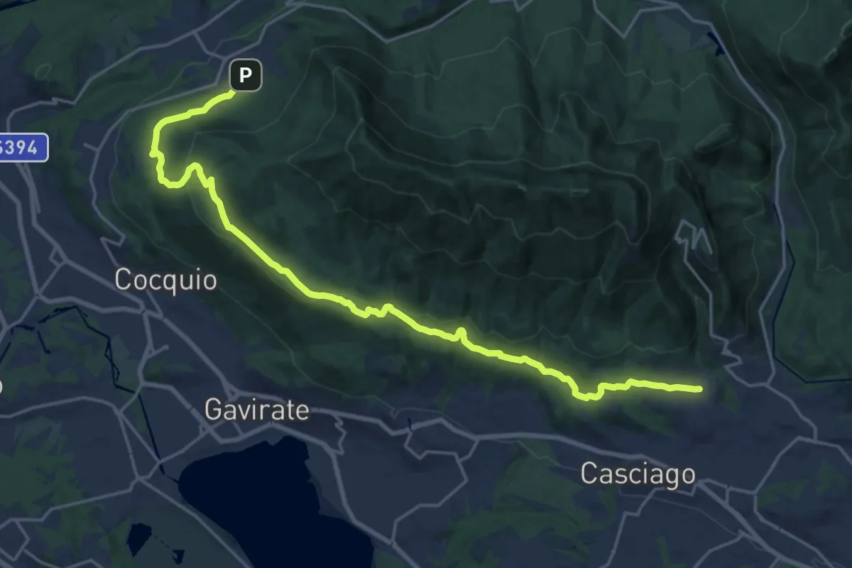
Demanding · Trail
Velate – Orino
22.5 km · ↑ 569 m · 6 h 33 min · 11 km away
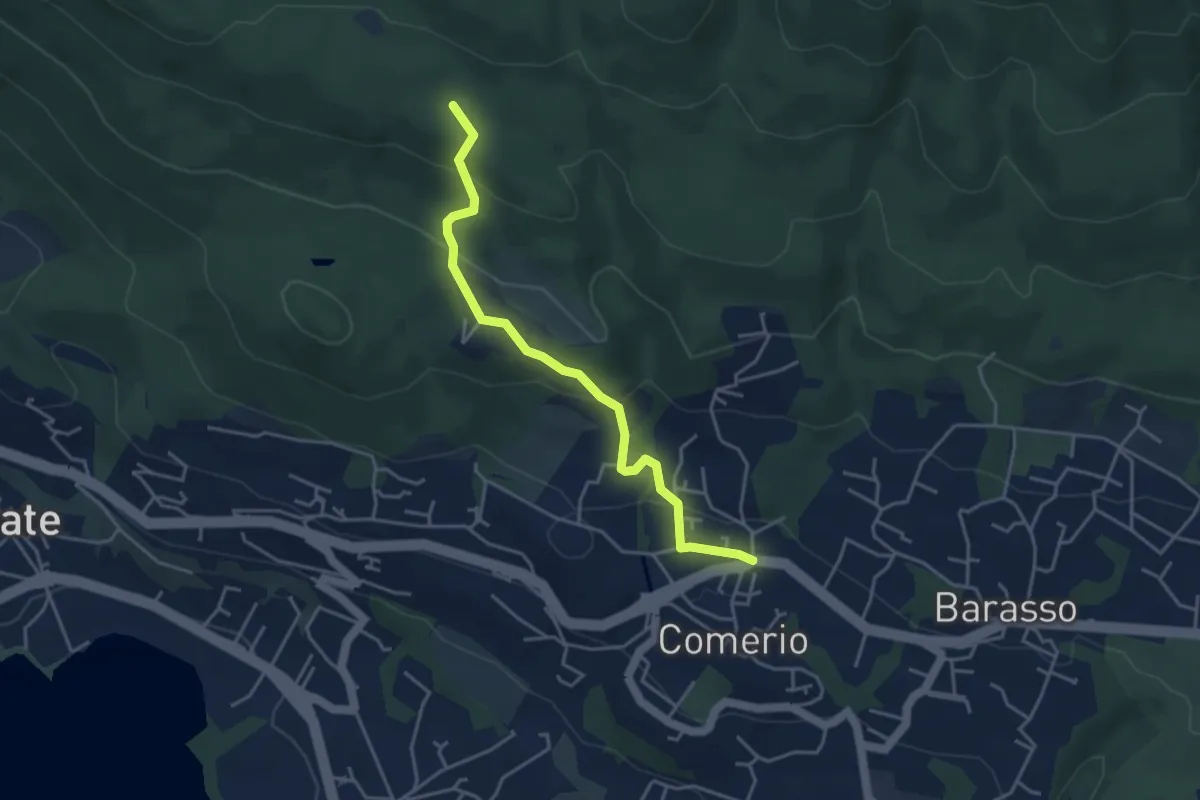
Easy · Trail
311 Comerio - Sentiero 310A
4.1 km · ↑ 197 m · 1 h 24 min · 11 km away
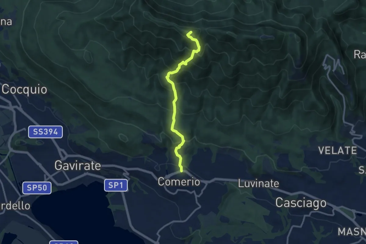
Medium · Summit
Comerio – Forte di Orino
8.2 km · ↑ 763 m · 3 h 36 min · 11 km away
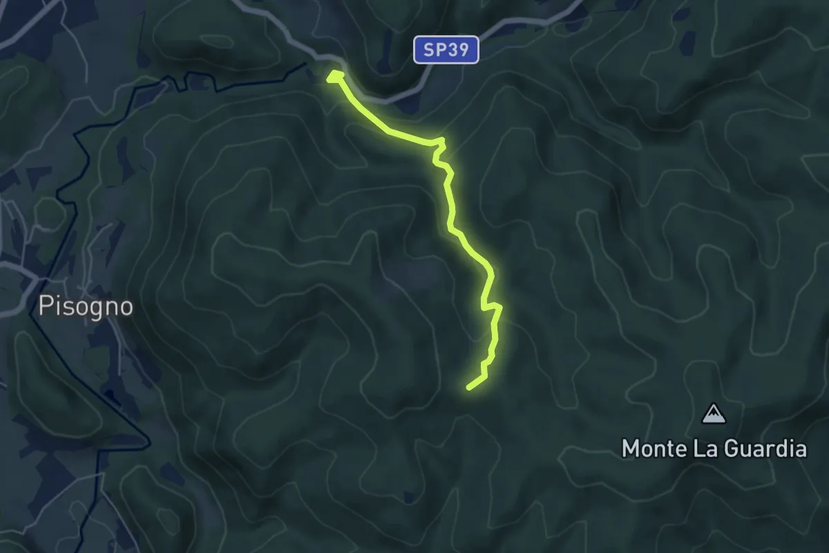
Easy · Trail
VS2 - Americano - Alpe Cascinone
4.6 km · ↑ 235 m · 1 h 35 min · 11 km away
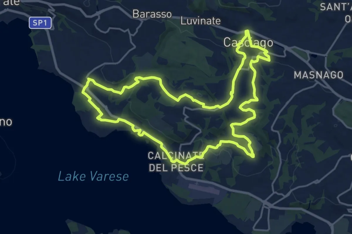
Medium · Trail
Tigros Gavirate – Tigros Gavirate
14.7 km · ↑ 280 m · 4 h 17 min · 11 km away
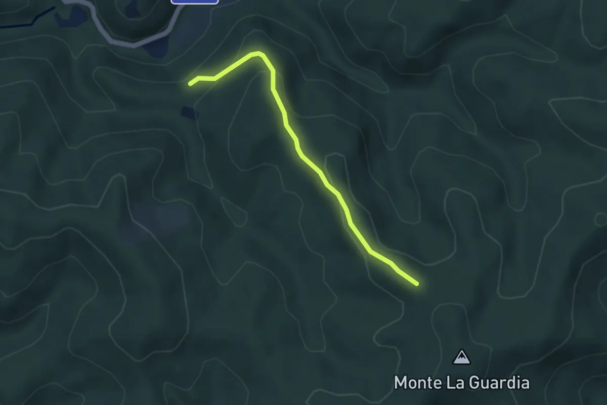
Easy · Trail
VS3 - Alpe Marzoli - Bivio V00
3.6 km · ↑ 161 m · 1 h 12 min · 11 km away
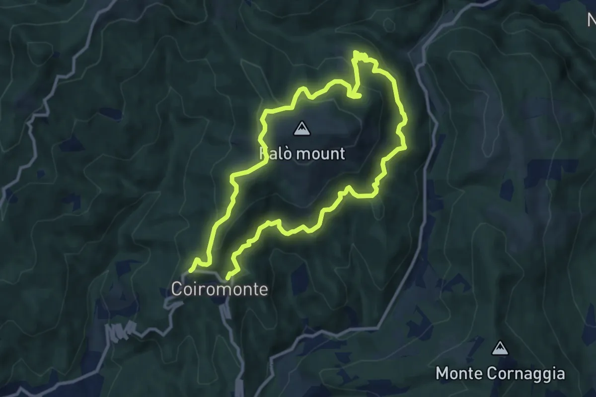
Medium · Summit
Armeno, anello Falò
8.3 km · ↑ 475 m · 3 h 6 min · 11 km away
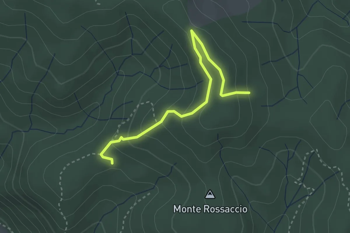
Easy · Trail
VU1b - Loc. Scullera - Alpe Cascinone
2.9 km · ↑ 126 m · 58 min · 11 km away
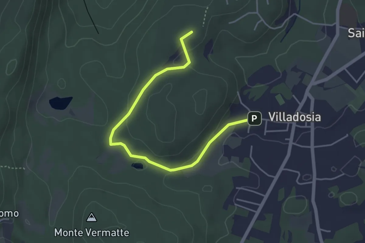
Easy · Trail
Via Santa Maria – Cascina Bruciata
4.3 km · ↑ 84 m · 1 h 12 min · 11 km away
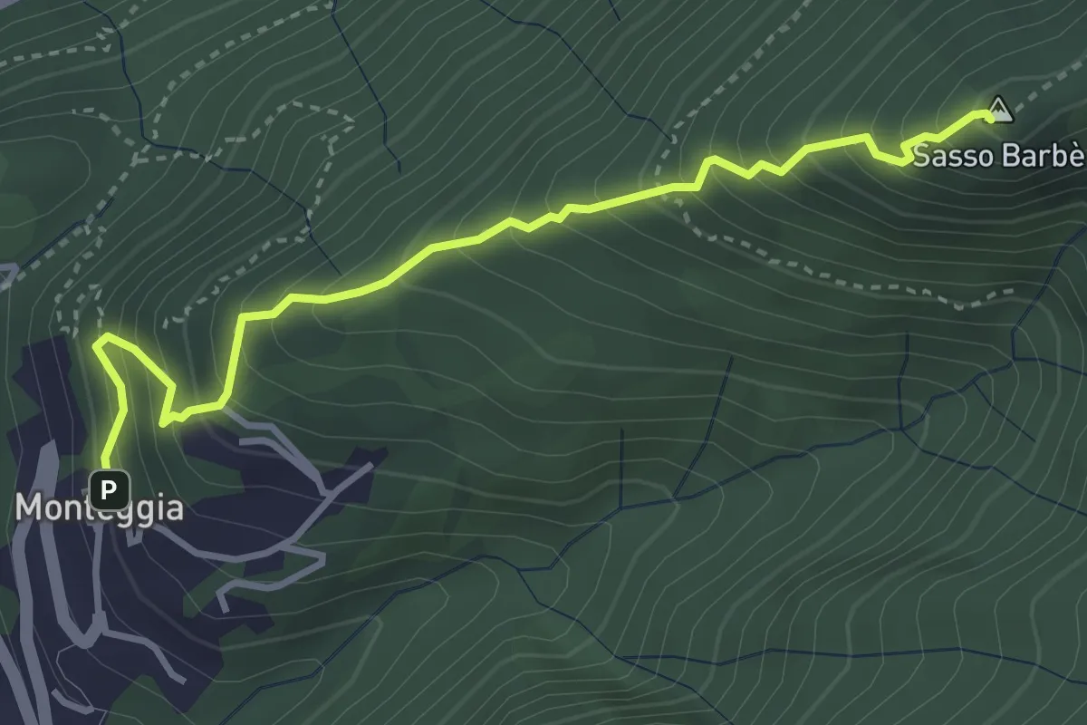
Demanding · Summit
Sasso Barbè
3.7 km · ↑ 558 m · 2 h 5 min · 11 km away
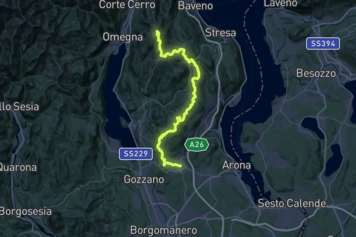
Demanding · Summit
V00 - Dorsale Vergante
57.1 km · ↑ 2393 m · 18 h 39 min · 12 km away
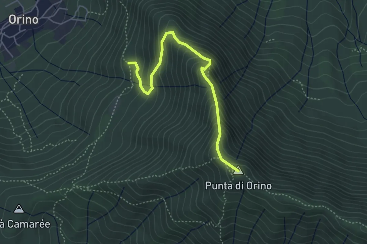
Demanding · Summit
Scarett
4.1 km · ↑ 393 m · 1 h 50 min · 12 km away
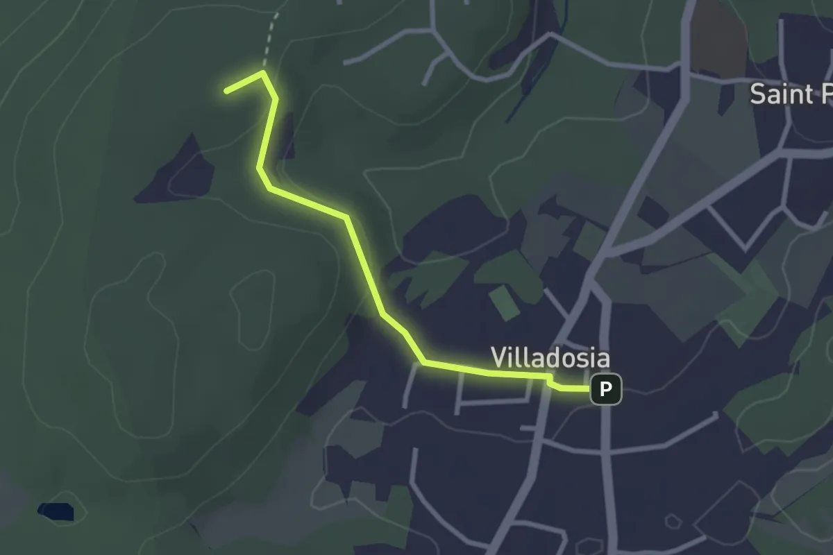
Easy · Trail
Villadosia – Cascina Bruciata
2.5 km · ↑ 56 m · 43 min · 12 km away
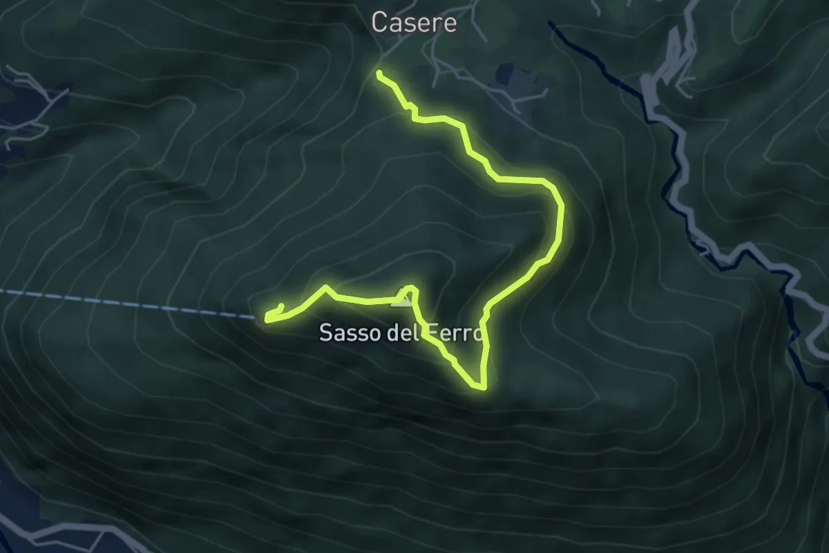
Medium · Summit
Casere – Sasso del Ferro-Casere
2.7 km · ↑ 320 m · 1 h 17 min · 12 km away
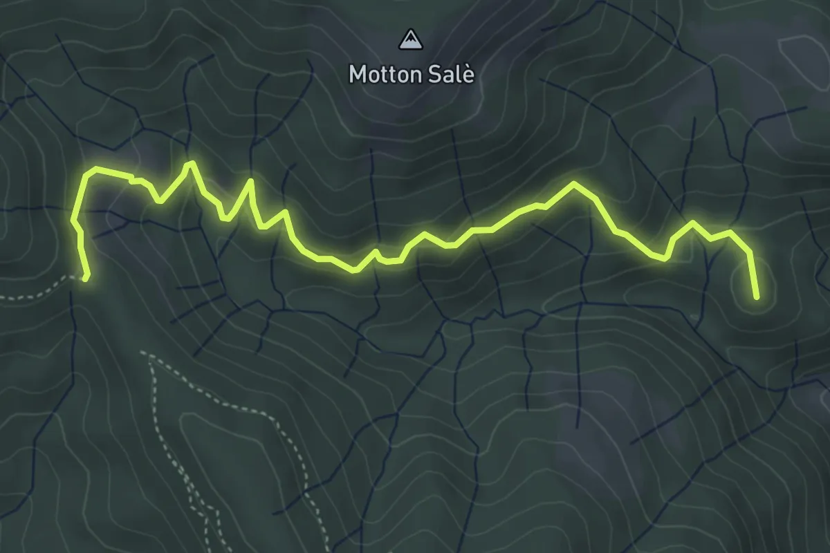
Medium · Summit
VR3a - Bivio VR3 - Bivio V00
5.6 km · ↑ 316 m · 2 h · 12 km away
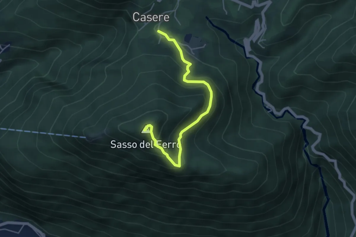
Medium · Summit
Casere – Piana-Sasso del Ferro
4.2 km · ↑ 298 m · 1 h 39 min · 12 km away
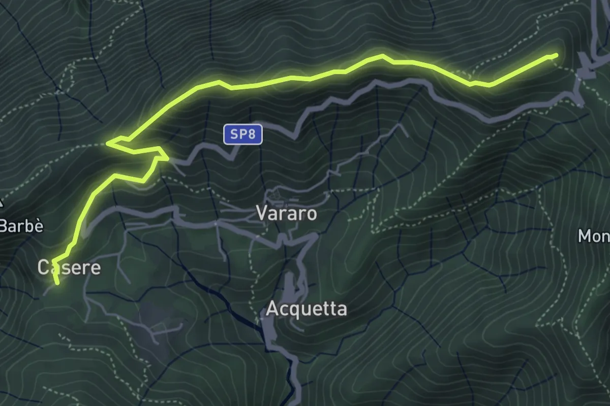
Demanding · Summit
Casere – P.so Cuvignone
6.1 km · ↑ 382 m · 2 h 16 min · 12 km away
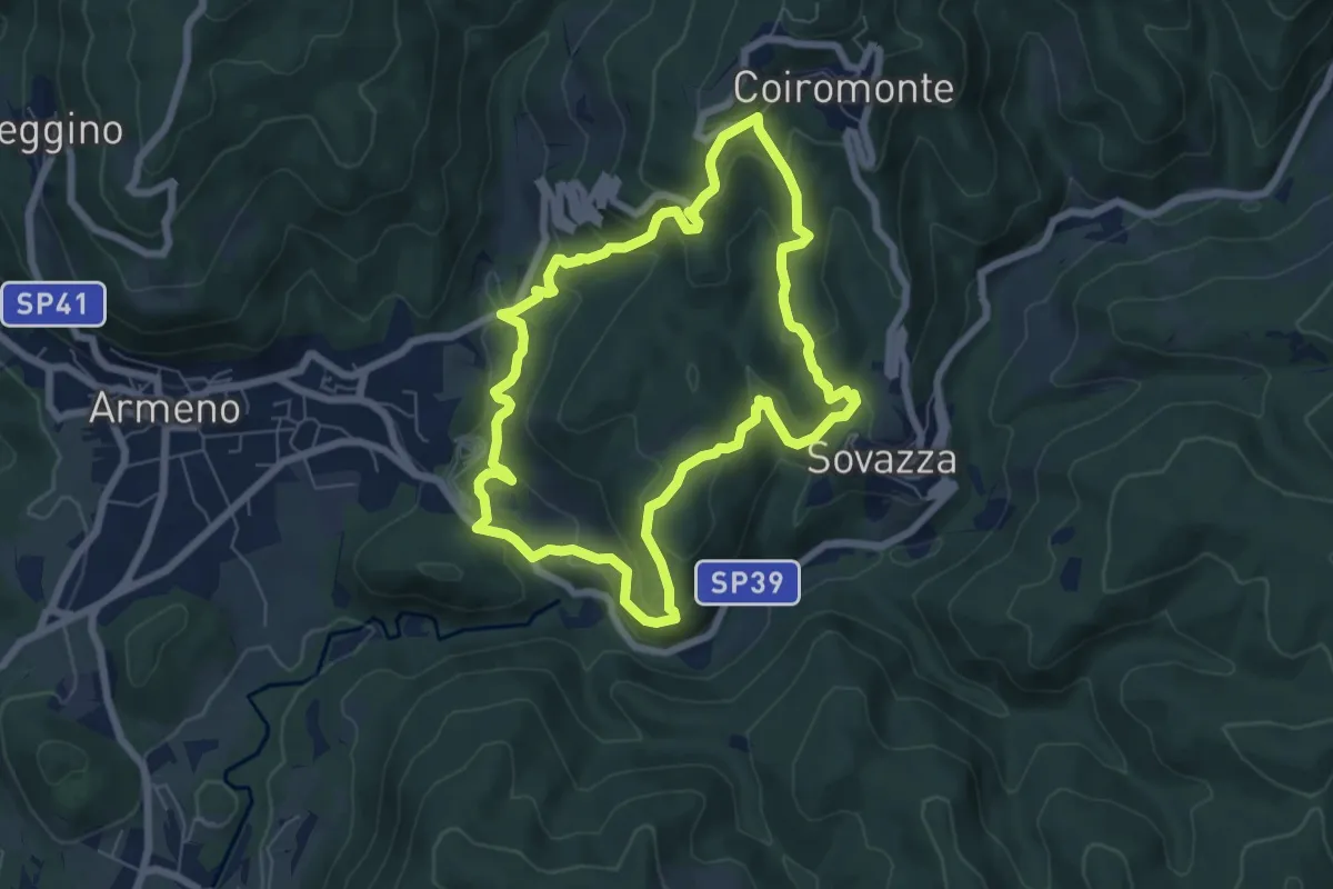
Medium · Trail
Armeno, anello Coiro-Sovazza
6.6 km · ↑ 355 m · 2 h 25 min · 12 km away
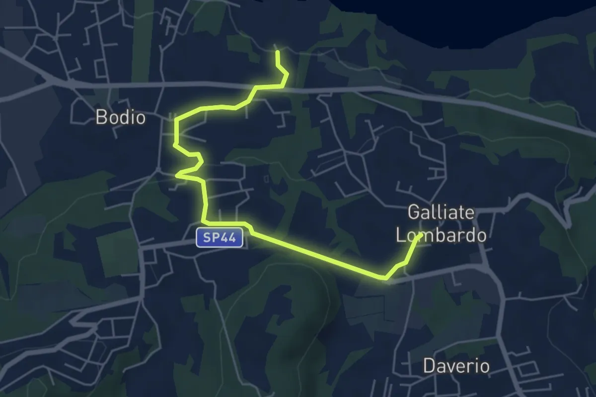
Easy · Trail
Piane Viscontee - Anello di Galliate Lombardo
5.5 km · ↑ 118 m · 1 h 33 min · 12 km away
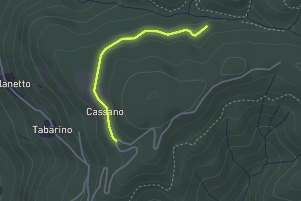
Easy · Trail
VU7 - Cassano - Cappella del Vago
2.3 km · ↑ 46 m · 39 min · 12 km away
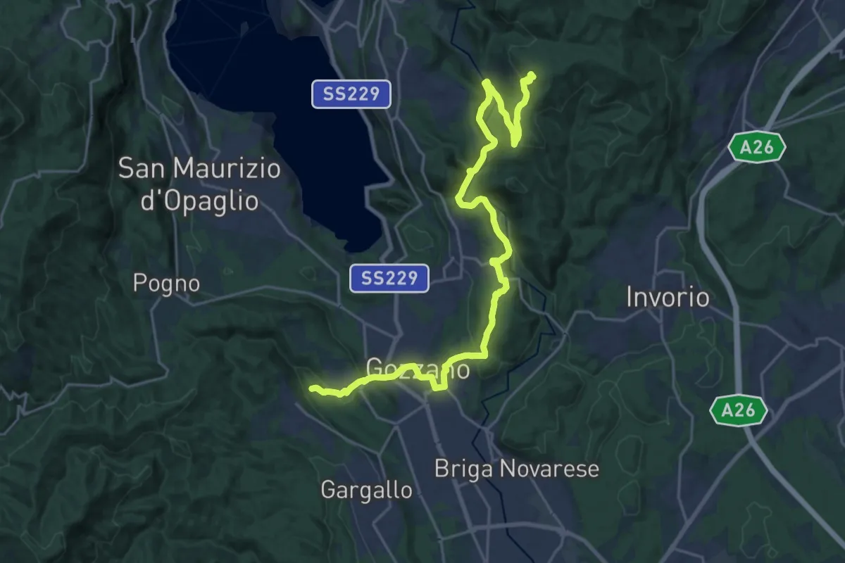
Demanding · Trail
Sentiero Novara tappa 16
24.5 km · ↑ 715 m · 7 h 20 min · 12 km away
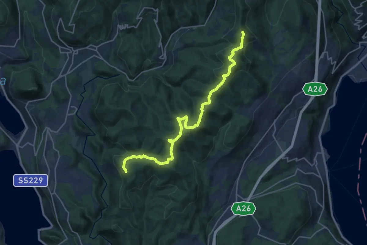
Medium · Summit
Sentiero Novara tappa 15
17.1 km · ↑ 641 m · 5 h 26 min · 12 km away
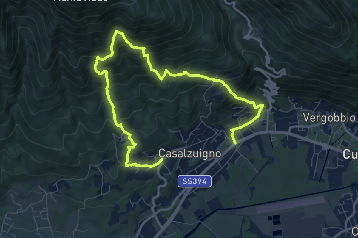
Demanding · Trail
Casale – Aga-Villa Bozzolo
11.5 km · ↑ 1072 m · 5 h 3 min · 12 km away
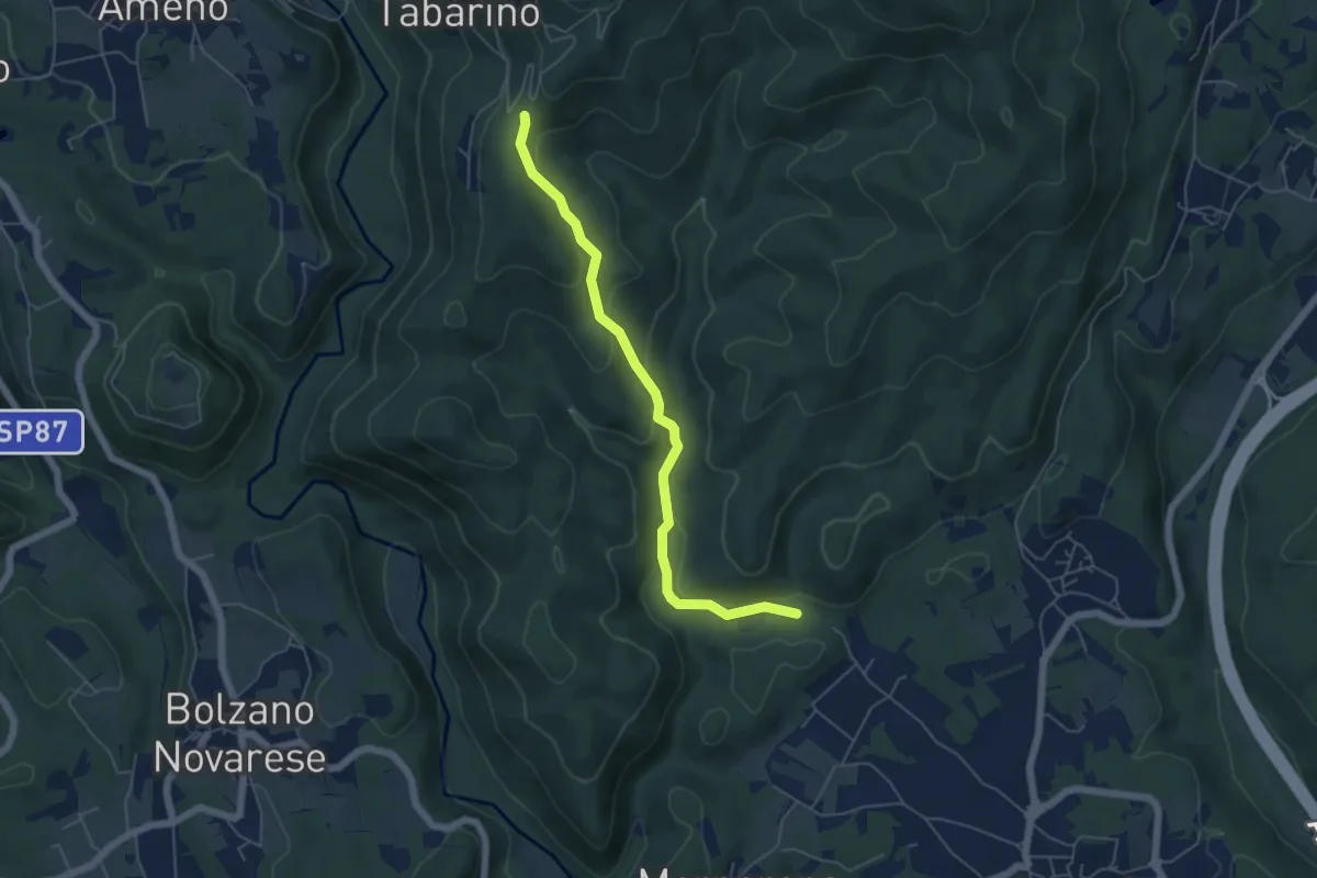
Easy · Trail
VE6 - Invorio - Pecorino
5.4 km · ↑ 193 m · 1 h 41 min · 12 km away
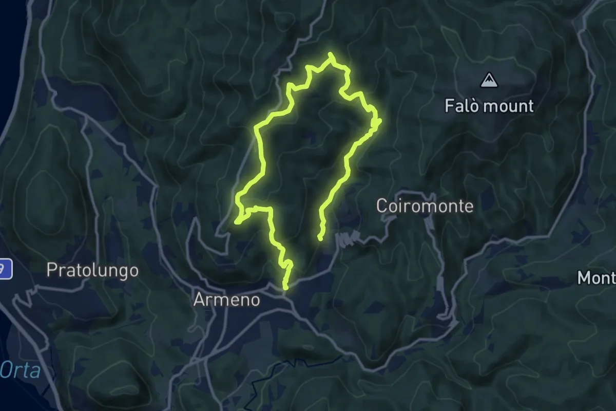
Medium · Trail
Armeno, anello Luciago
8.6 km · ↑ 486 m · 3 h 13 min · 12 km away
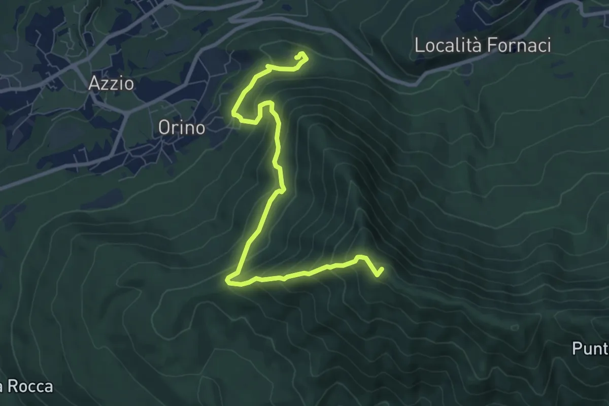
Medium · Summit
Rocca di Orino – Forte di Orino
8.4 km · ↑ 685 m · 3 h 28 min · 12 km away
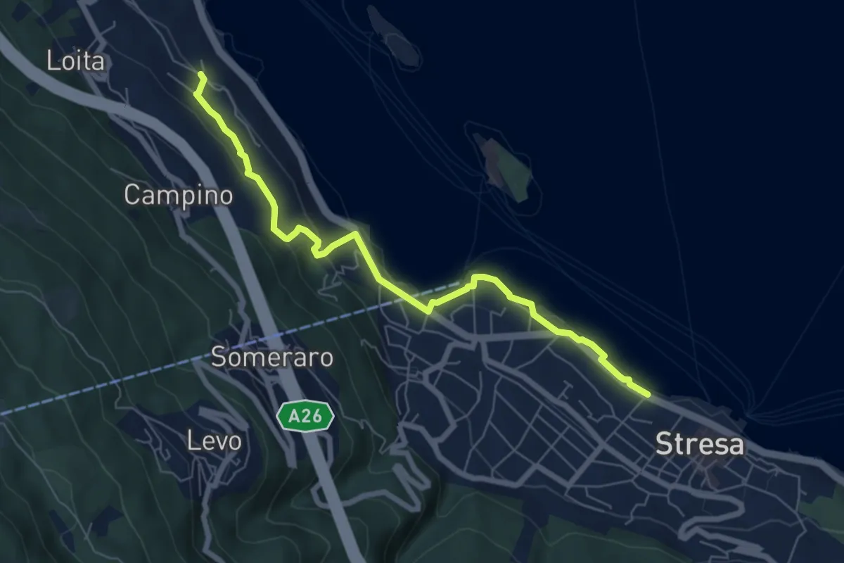
Easy · Trail
VM4 - Roncaro - Stresa
6.7 km · ↑ 236 m · 2 h 5 min · 12 km away
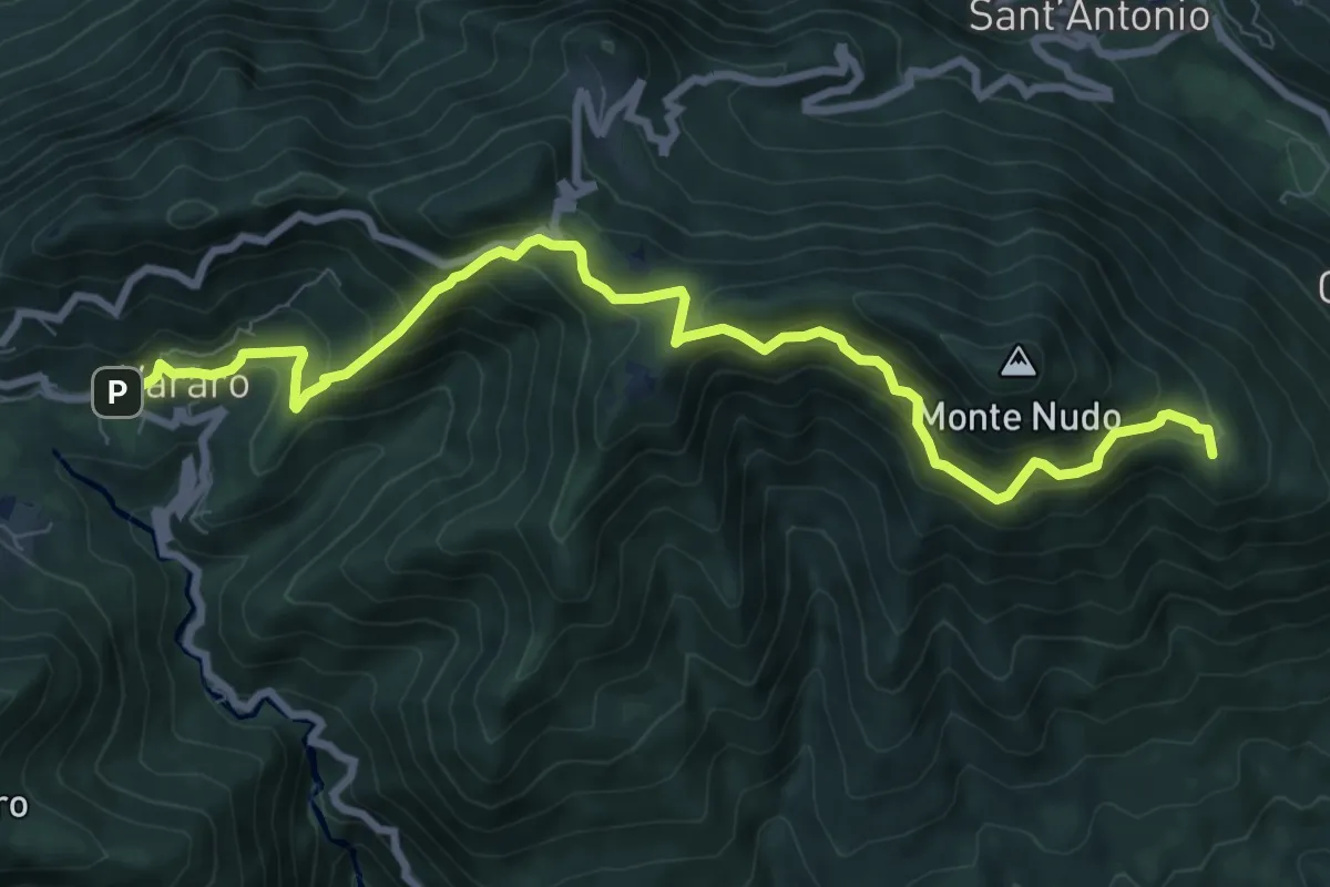
Medium · Summit
205 3V (Tappa 5 Via Verde Varesina)
9.7 km · ↑ 797 m · 4 h 1 min · 12 km away
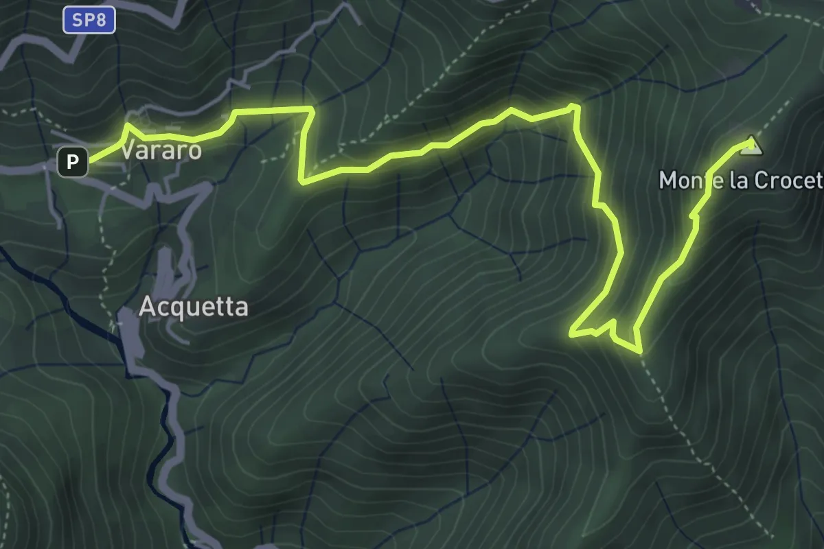
Medium · Summit
Vararo – Crocetta-P.so Cuvignone
6.2 km · ↑ 410 m · 2 h 21 min · 12 km away
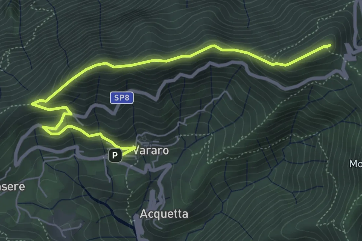
Demanding · Summit
Vararo – P.so Cuvignone
6.5 km · ↑ 418 m · 2 h 26 min · 12 km away
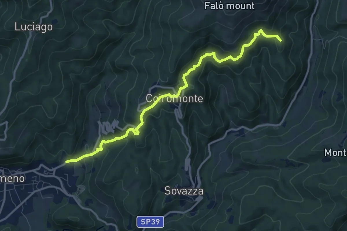
Medium · Summit
VR4 - Armeno - Gignese
9.6 km · ↑ 658 m · 3 h 41 min · 12 km away
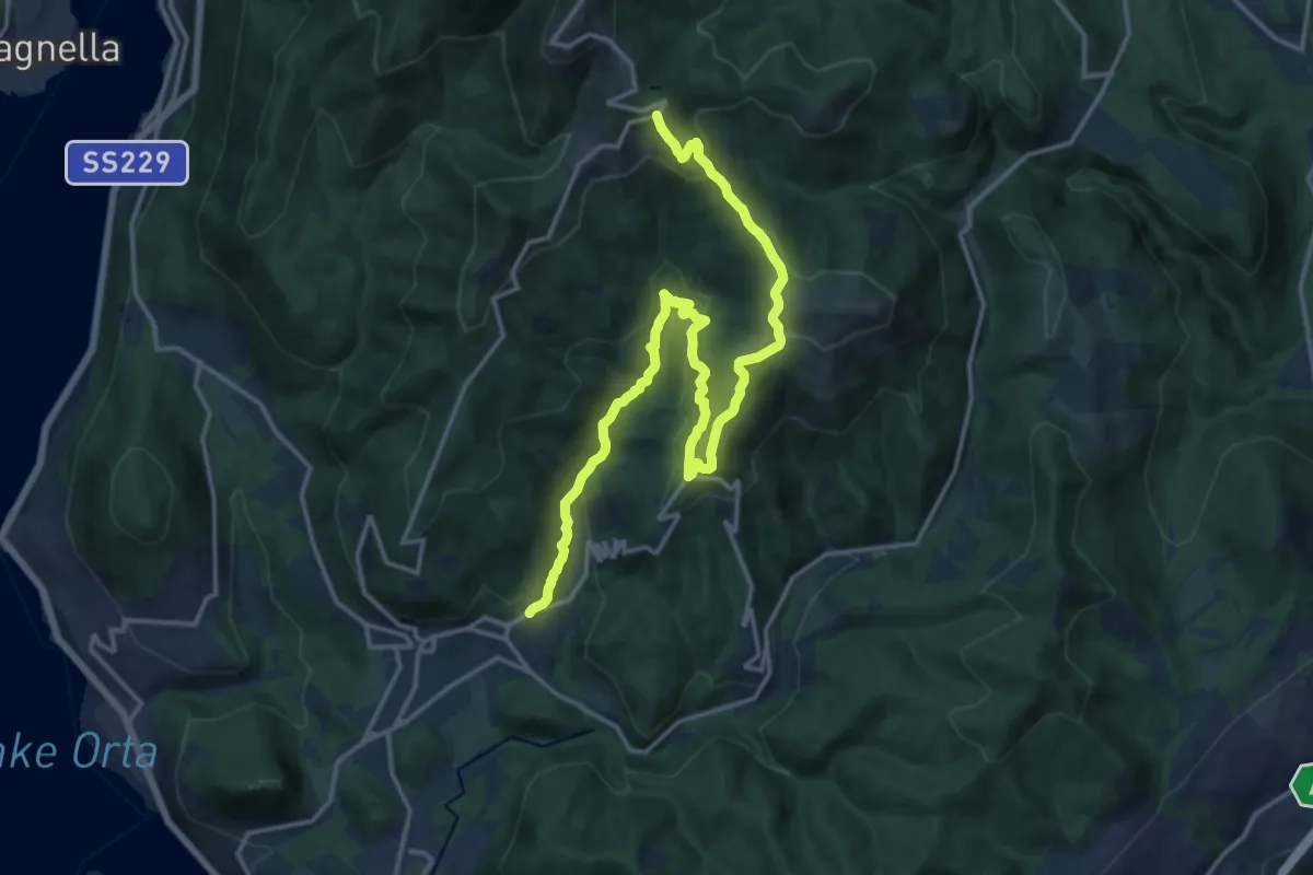
Demanding · Trail
VR3 - Armeno - Bivio V00
18.7 km · ↑ 862 m · 6 h 17 min · 12 km away