Trails near Ispra
229 hikes starting within 15 km, nearest first.
Nearest first, page 4 of 5
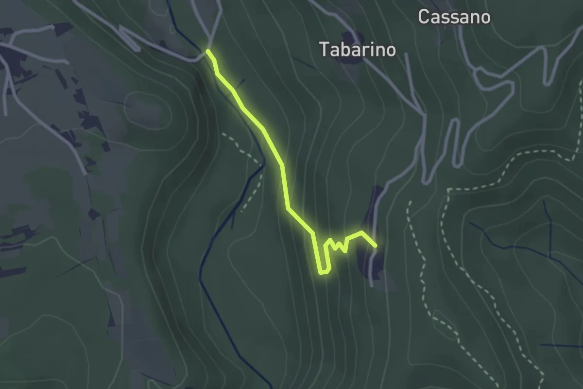
Easy · Trail
VU3 - Ameno - Pecorino
2.2 km · ↑ 158 m · 52 min · 12 km away
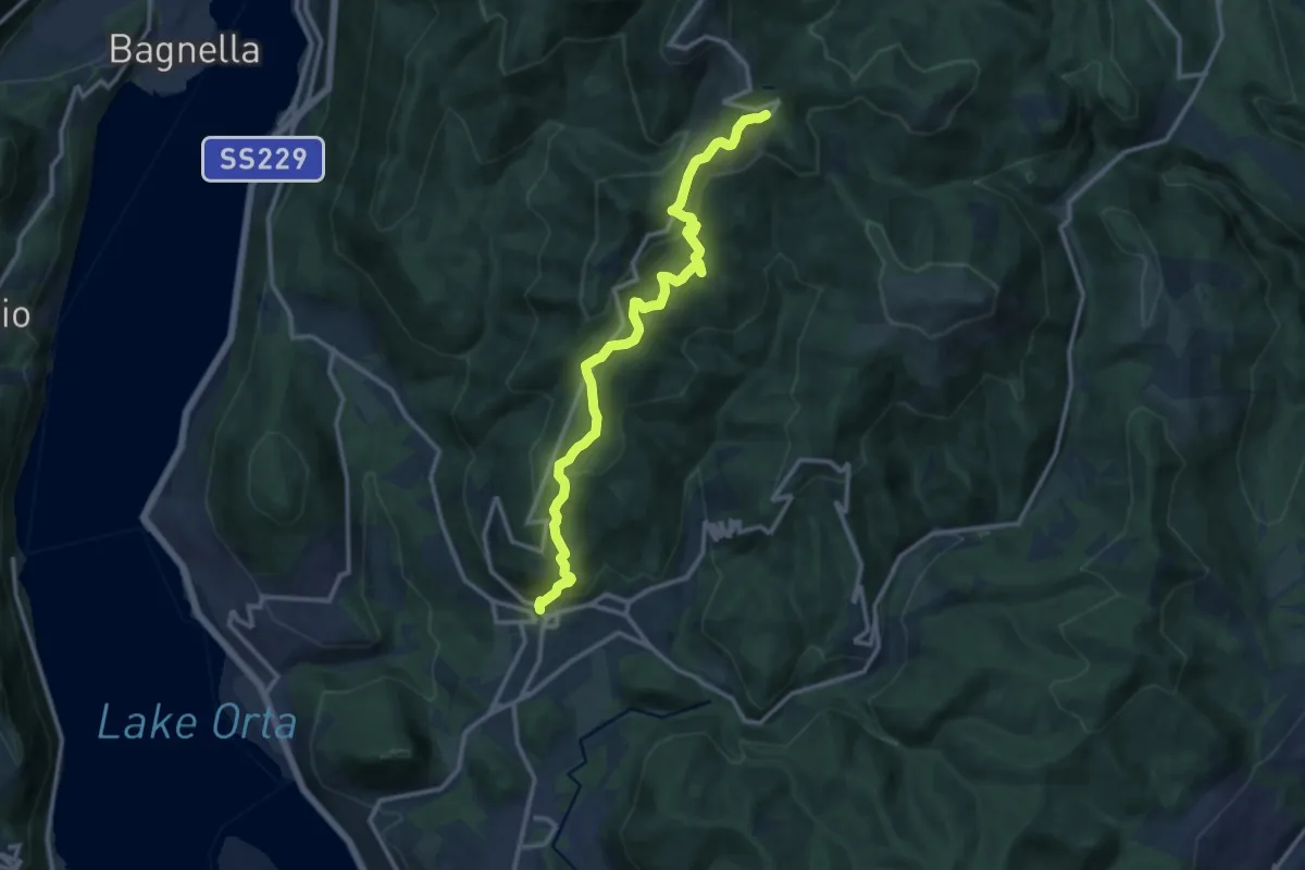
Medium · Trail
VR1 - Armeno - bivio V00 presso Alpe della Volpe
12.8 km · ↑ 754 m · 4 h 39 min · 12 km away
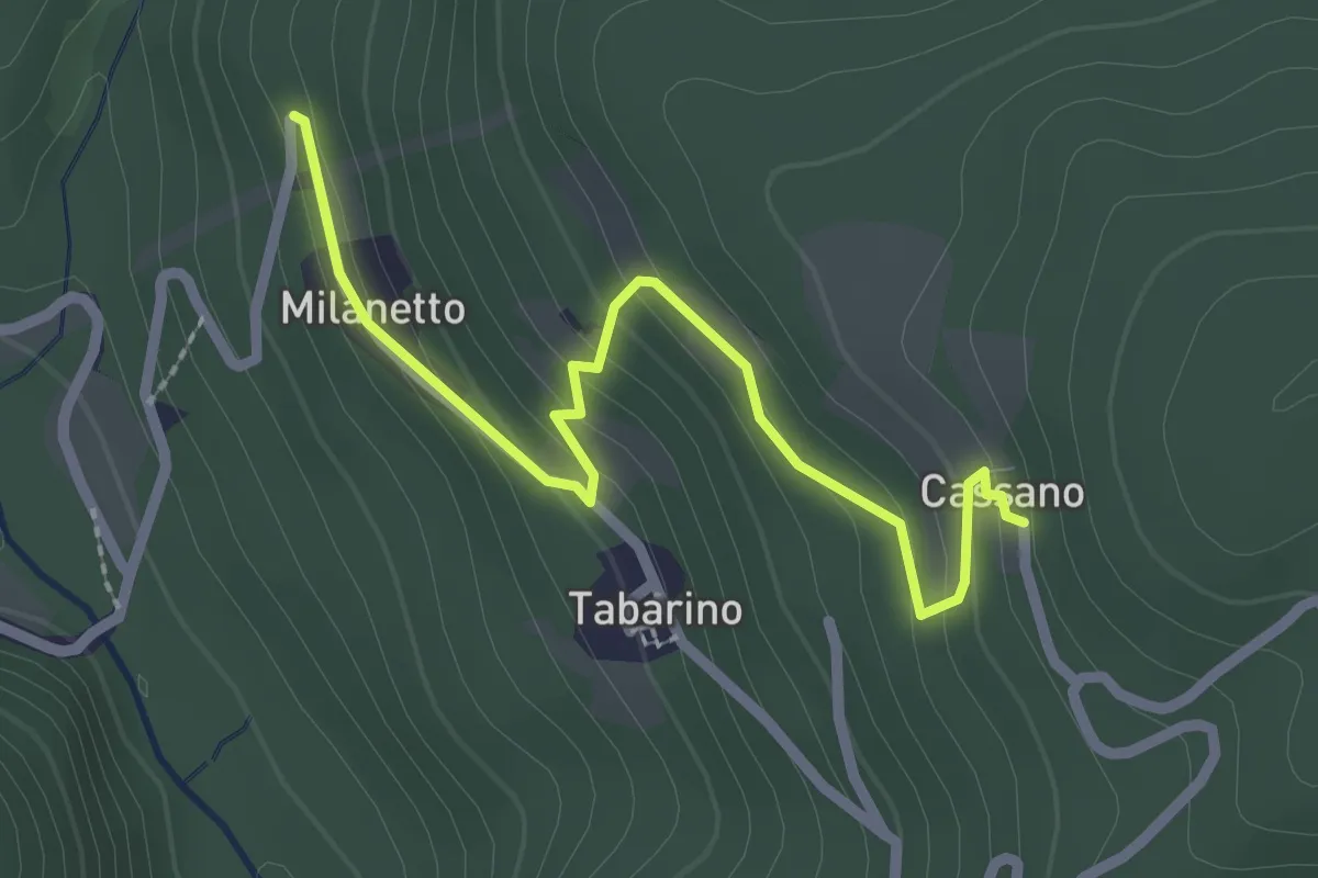
Easy · Trail
VU7a - Bivio VU5 - Cassano
2.5 km · ↑ 137 m · 54 min · 12 km away
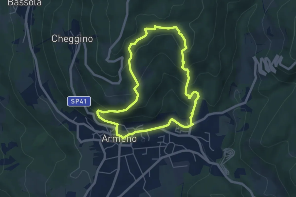
Easy · Trail
Armeno, anello Campei
4.3 km · ↑ 255 m · 1 h 38 min · 13 km away
Easy · Trail
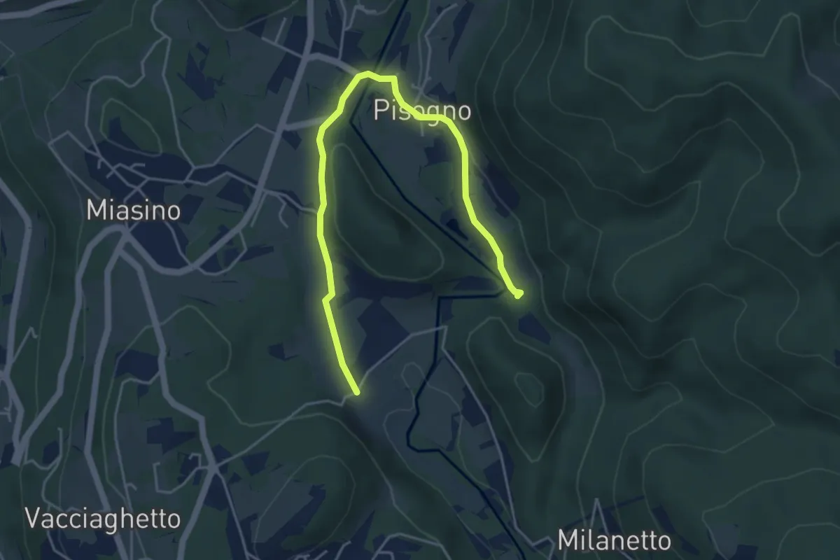
VU1a - Ameno - Ameno
5.0 km · ↑ 106 m · 1 h 24 min · 13 km away
Easy · Trail
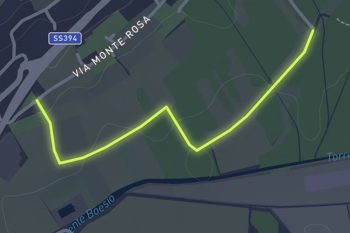
Raccordo 302 – Raccordo 302C
2.3 km · ↑ 21 m · 35 min · 13 km away
Easy · Trail
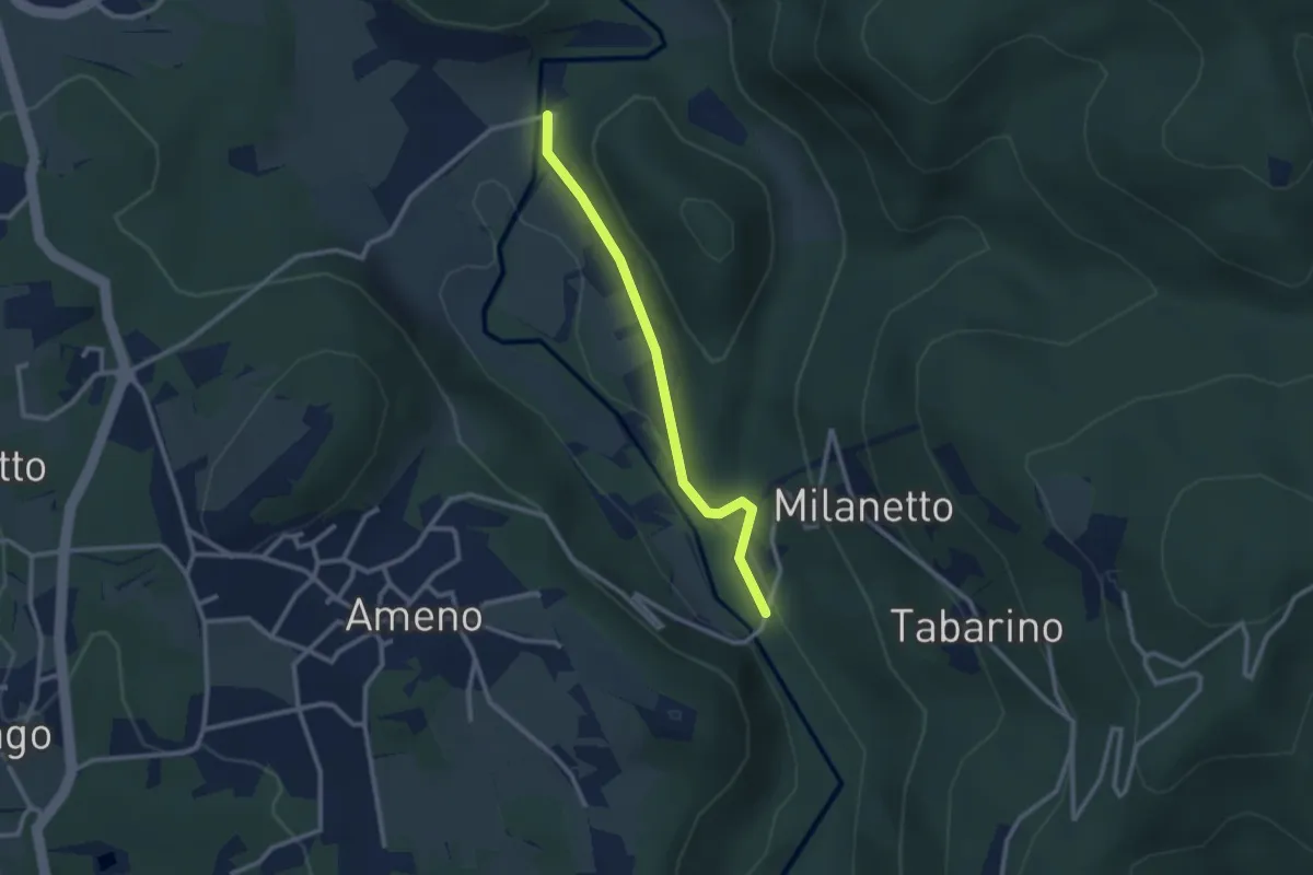
VU5c - Ameno - Ponte in Pietra
2.5 km · ↑ 61 m · 43 min · 13 km away
Easy · Trail
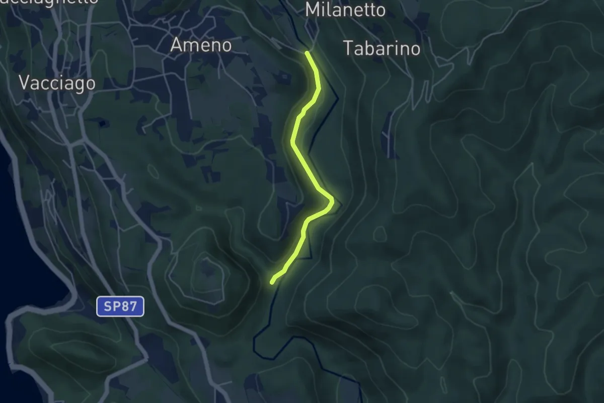
VU2b - La Fucina - Ameno
3.6 km · ↑ 104 m · 1 h 4 min · 13 km away
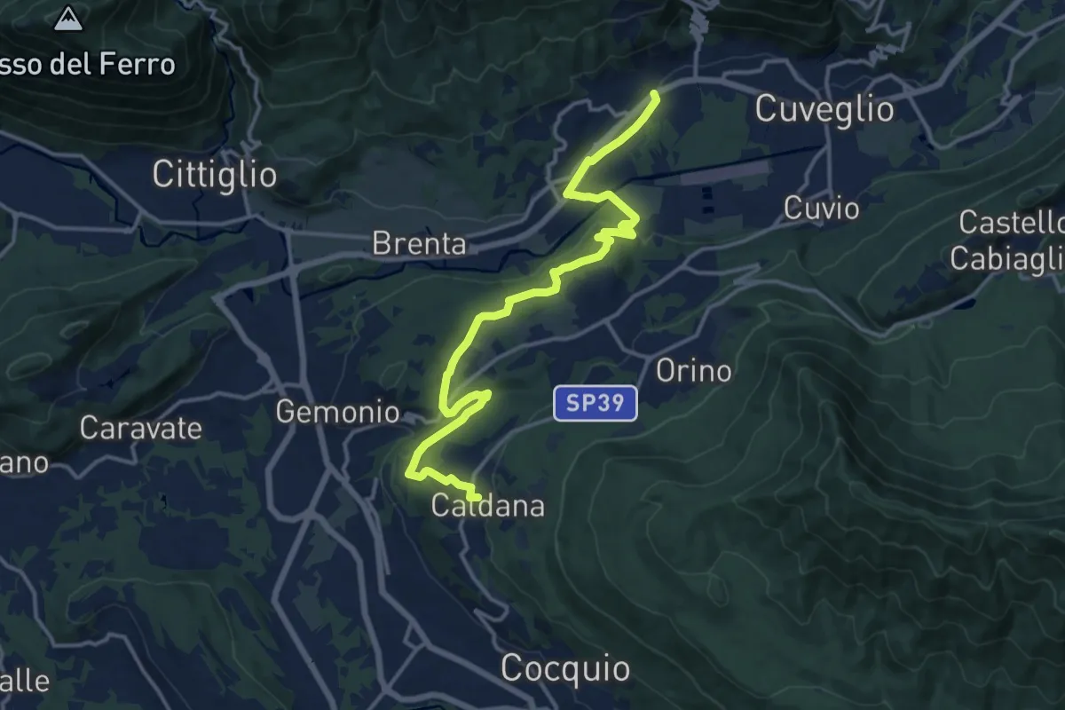
Medium · Trail
Villa Bozzolo – Caldana
15.6 km · ↑ 281 m · 4 h 17 min · 13 km away
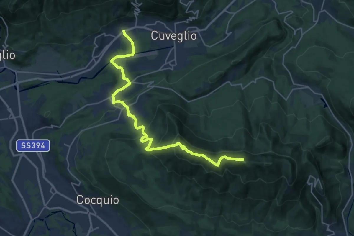
Demanding · Summit
Via Verde Varesina Tappa 3
20.6 km · ↑ 1094 m · 7 h 14 min · 13 km away
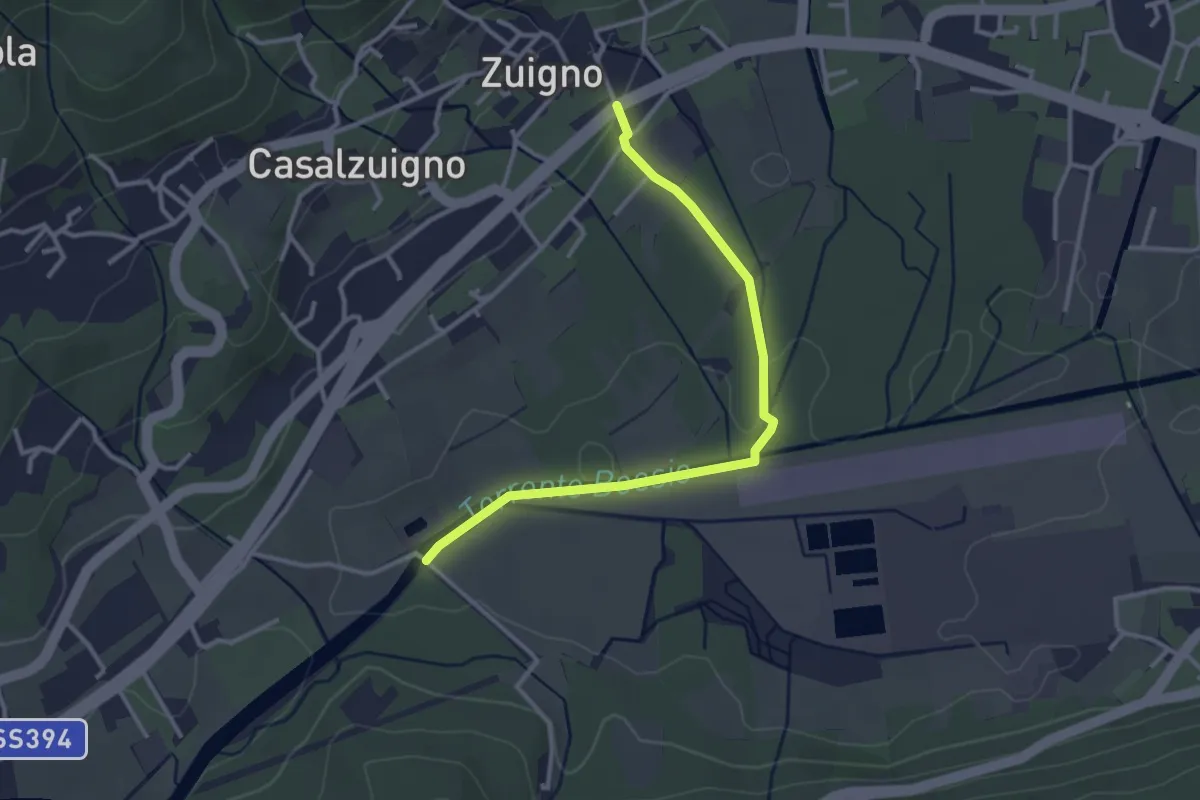
Easy · Trail
Casalzuigno – Località Prada
3.2 km · ↑ 27 m · 49 min · 13 km away
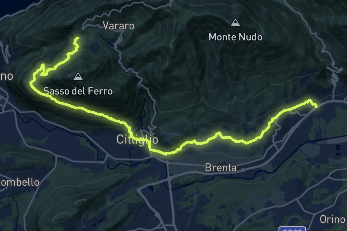
Demanding · Trail
Casalzuigno – Cittiglio-Vararo
21.0 km · ↑ 1143 m · 7 h 26 min · 13 km away
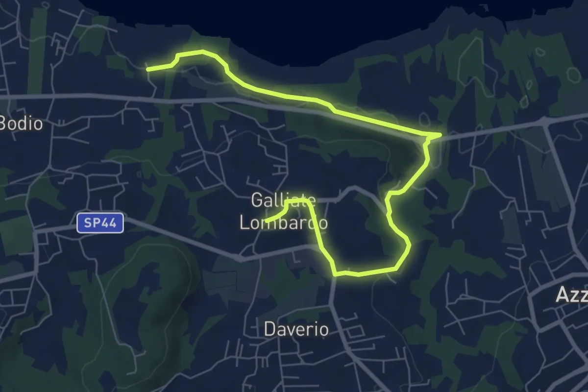
Medium · Trail
Piane Viscontee - Anello di Galliate Lombardo
8.0 km · ↑ 138 m · 2 h 12 min · 13 km away
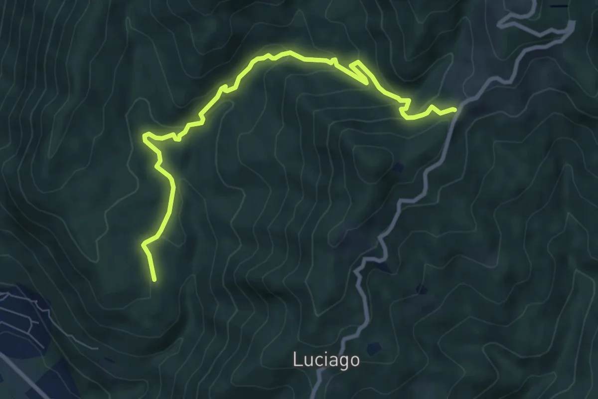
Medium · Trail
VP5 - Alpe Montepiano - Colle di Cortano
8.3 km · ↑ 450 m · 2 h 57 min · 13 km away
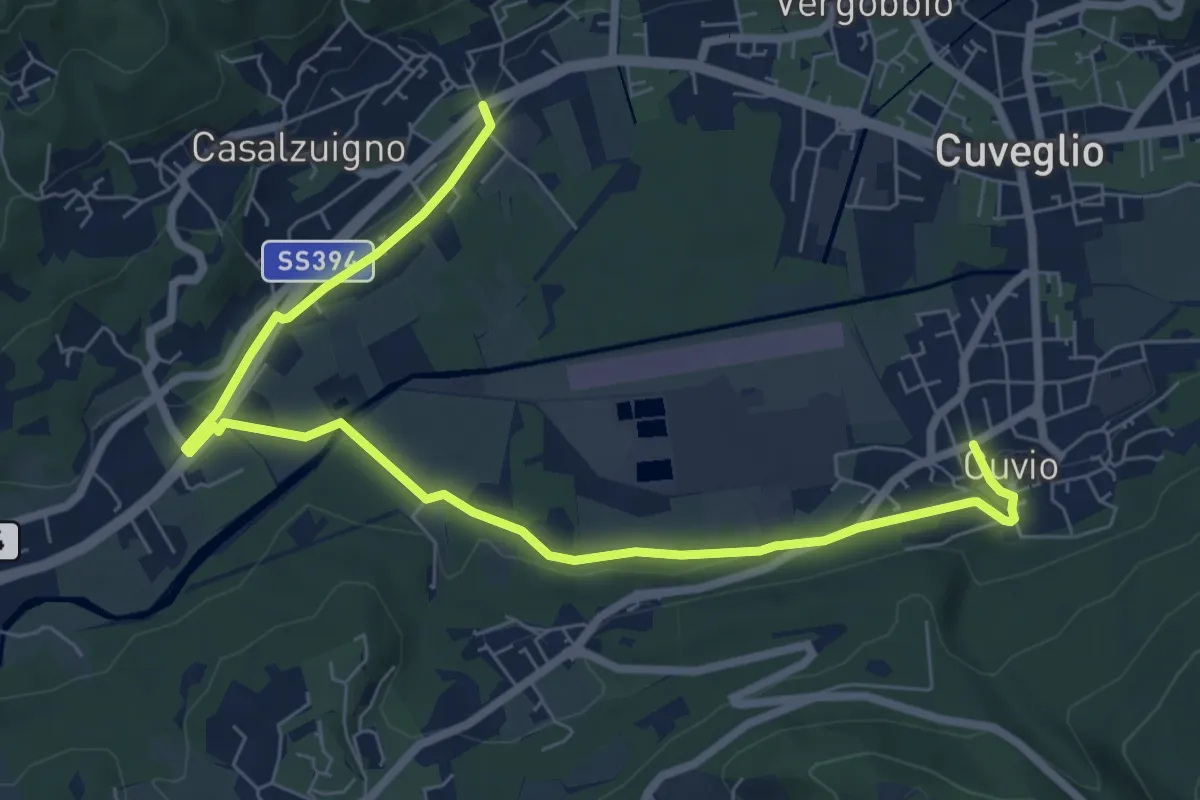
Medium · Trail
Villa Bozzolo – Cuvio
8.7 km · ↑ 92 m · 2 h 15 min · 13 km away
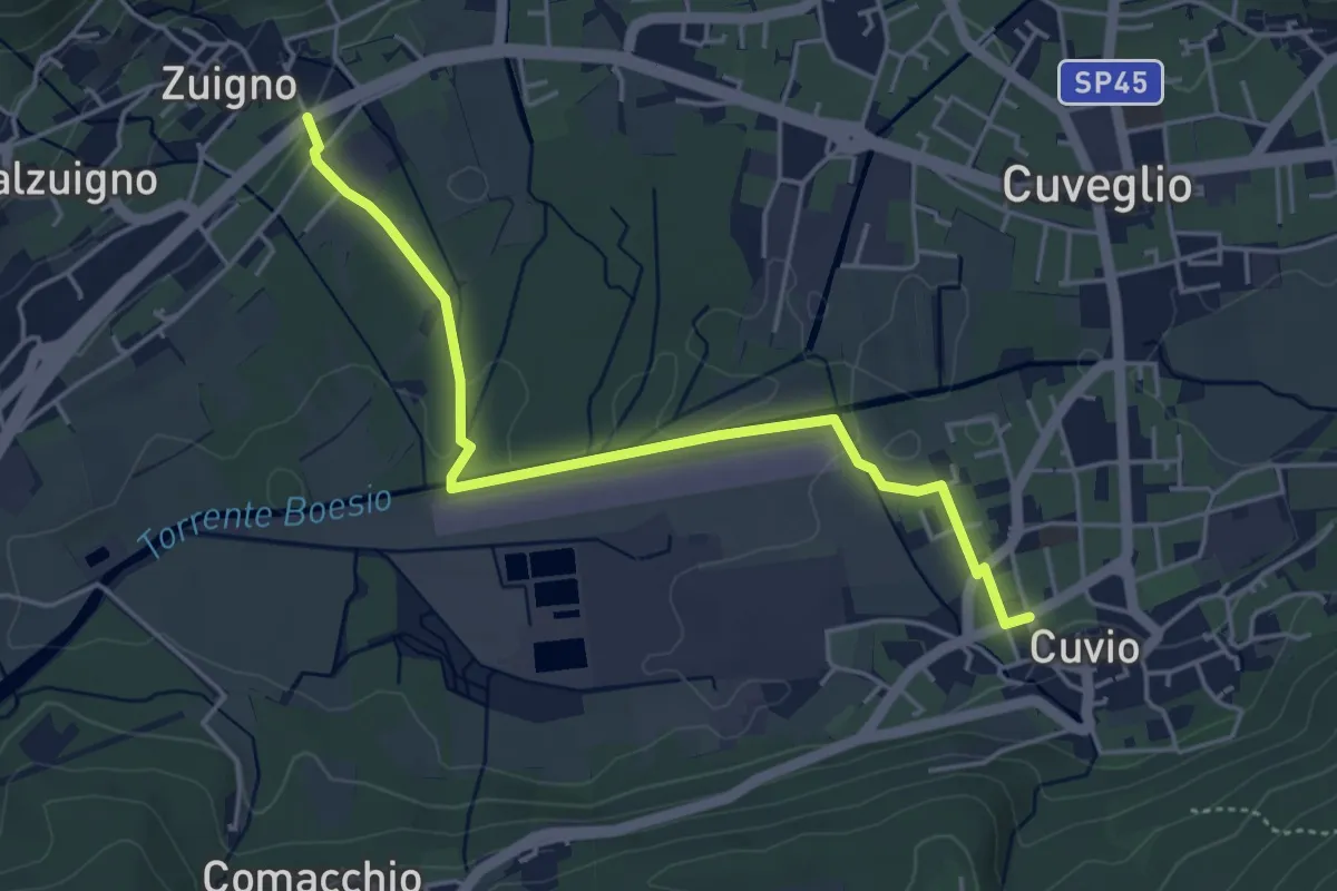
Easy · Trail
Cuvio – Villa Bozzolo
4.6 km · ↑ 33 m · 1 h 10 min · 13 km away
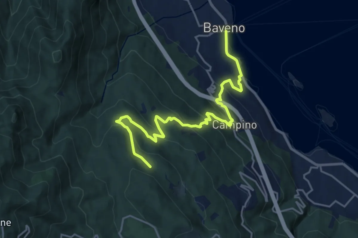
Medium · Trail
VM5 - Baveno - Bivio VL1
13.6 km · ↑ 709 m · 4 h 46 min · 13 km away
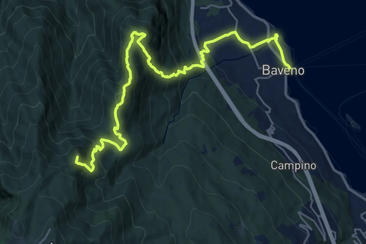
Demanding · Summit
VM3 - Baveno - Mottarone
18.0 km · ↑ 1317 m · 7 h 6 min · 13 km away
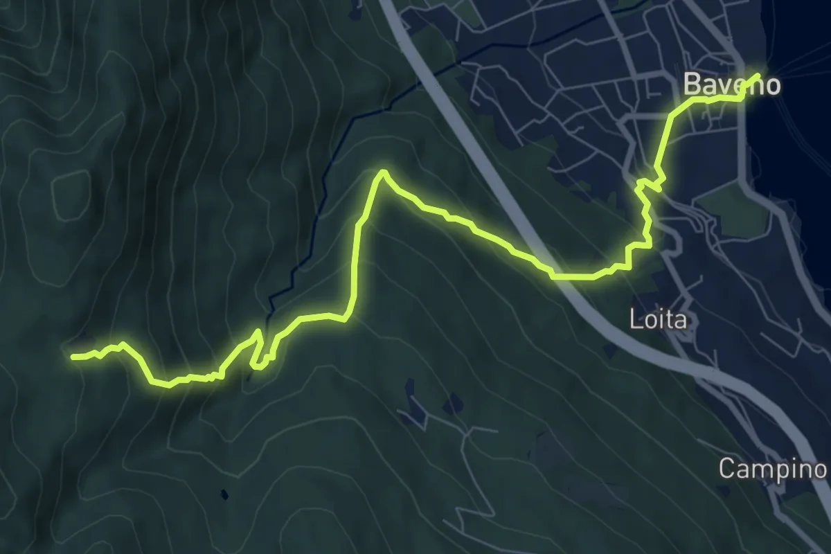
Demanding · Trail
VM2 - Baveno - Alpe Vedabia
9.8 km · ↑ 819 m · 4 h 6 min · 13 km away
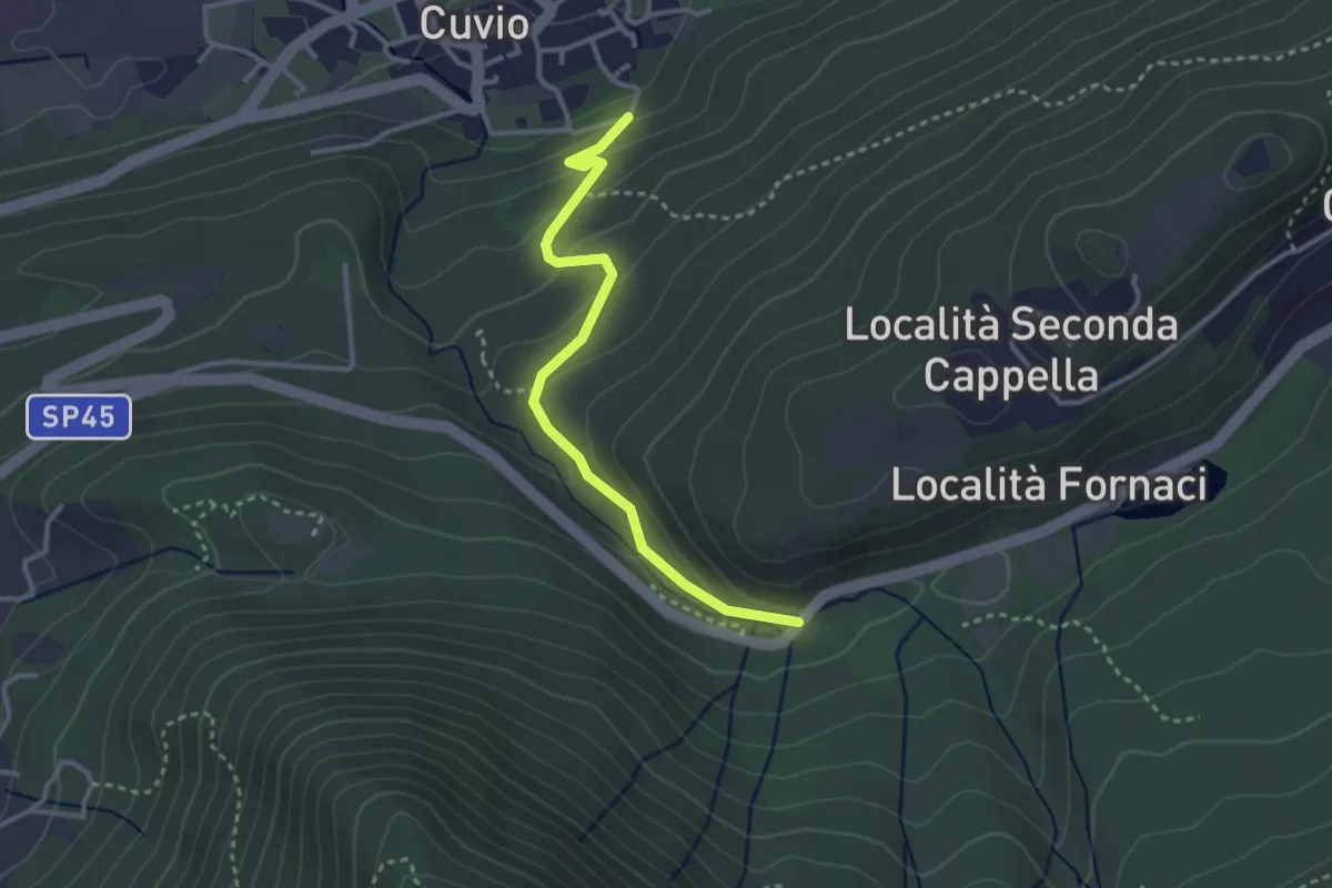
Easy · Trail
Cuvio – Fornaci
3.1 km · ↑ 163 m · 1 h 5 min · 13 km away
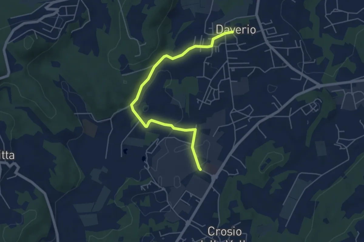
Easy · Trail
Piane Viscontee - Anello di Daverio
5.1 km · ↑ 66 m · 1 h 21 min · 13 km away
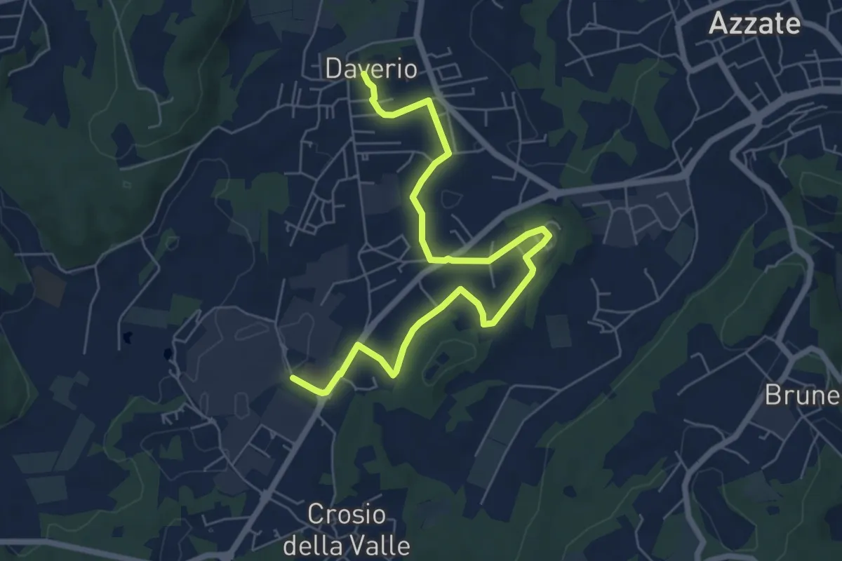
Easy · Trail
Piane Viscontee - Anello di Daverio
7.4 km · ↑ 105 m · 1 h 58 min · 13 km away
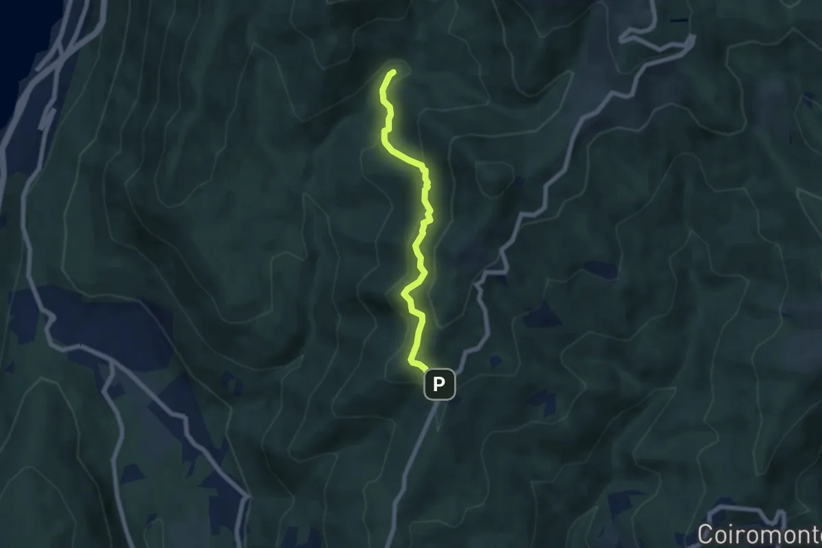
Medium · Trail
VP6 - Bivio VP5 - Madonna di Luciago
5.1 km · ↑ 338 m · 1 h 57 min · 13 km away
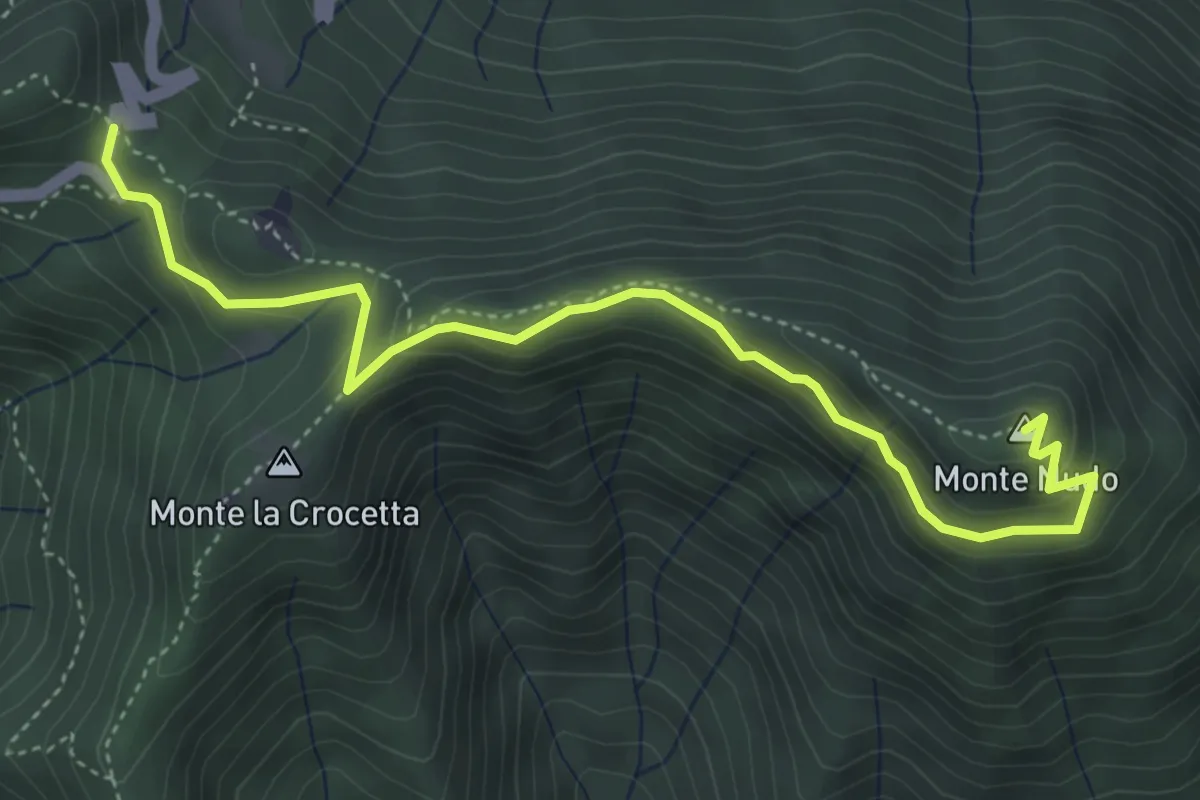
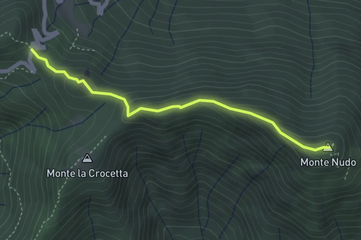
Expert · Summit
Passo Cuvignone – Monte Nudo
5.0 km · ↑ 271 m · 1 h 47 min · 13 km away
Demanding · Summit
Passo Cuvignone – Pozzopiano
3.5 km · ↑ 183 m · 1 h 13 min · 13 km away
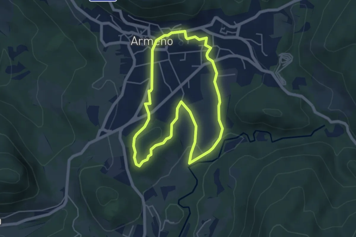
Easy · Trail
Armeno, anello Prati
4.2 km · ↑ 95 m · 1 h 16 min · 13 km away
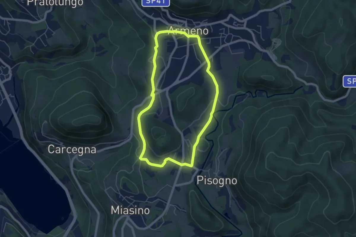
Easy · Trail
Armeno, anello Piscina
4.8 km · ↑ 105 m · 1 h 26 min · 13 km away
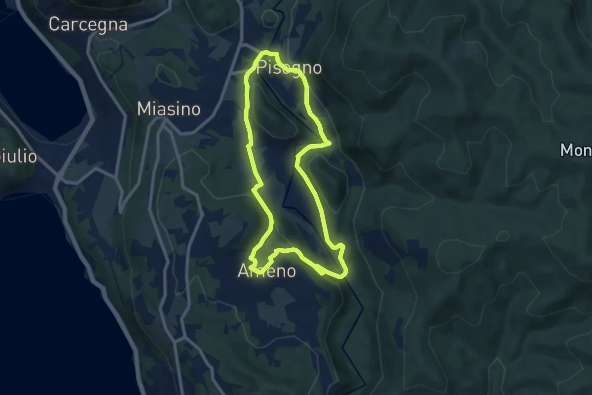
Easy · Trail
Anello Azzurro
6.3 km · ↑ 179 m · 1 h 58 min · 13 km away
Easy · Trail
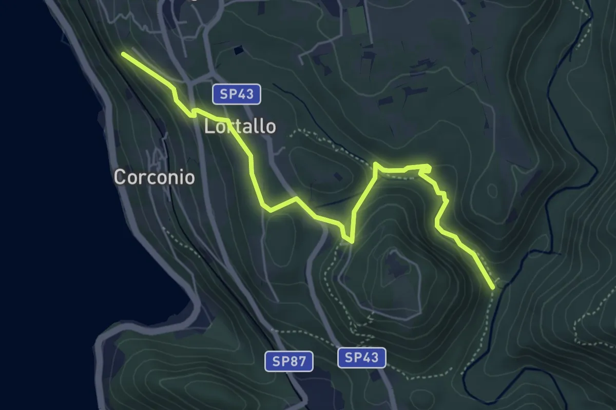
VU2 - Corconio - Località La Fucina
5.6 km · ↑ 189 m · 1 h 44 min · 13 km away
Easy · Trail
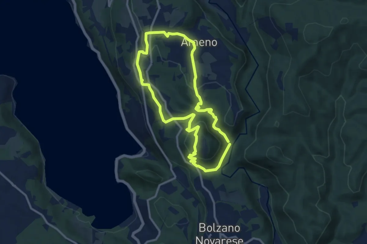
Anello Celeste
7.1 km · ↑ 230 m · 2 h 17 min · 13 km away
Easy · Trail
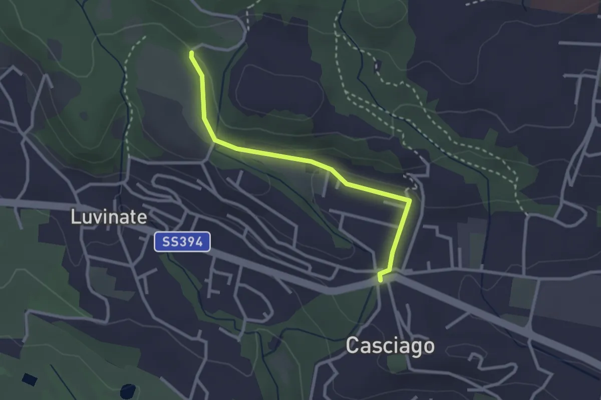
Casciago – Sentiero 310A
2.6 km · ↑ 51 m · 43 min · 13 km away
Demanding · Trail
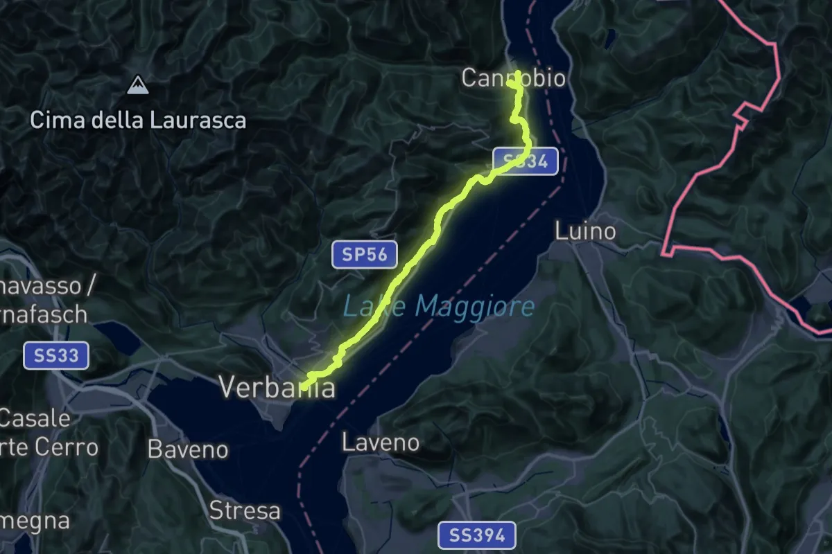
Cammino del Lago Maggiore
23.9 km · ↑ 1193 m · 8 h 33 min · 13 km away
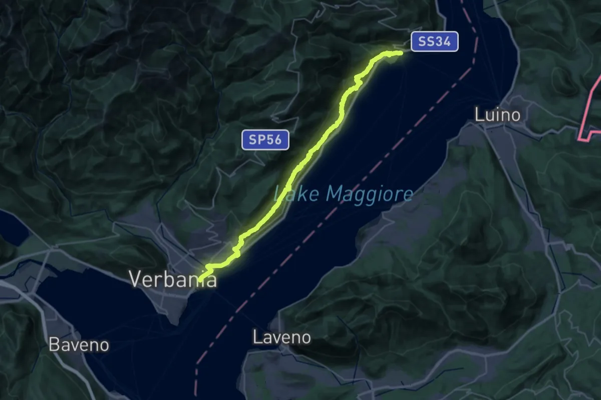
Demanding · Trail
R30 'Via delle Genti': tratto Cannero - Oggebbio - Sacro Monte SS.Trinità di Ghiffa - Verbania Intra
16.7 km · ↑ 839 m · 5 h 59 min · 13 km away
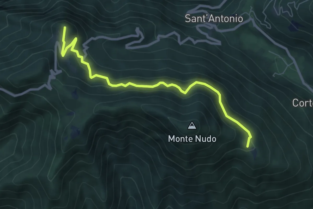
Medium · Summit
Rifugio Adamoli – Pozzo Piano
6.5 km · ↑ 408 m · 2 h 25 min · 13 km away
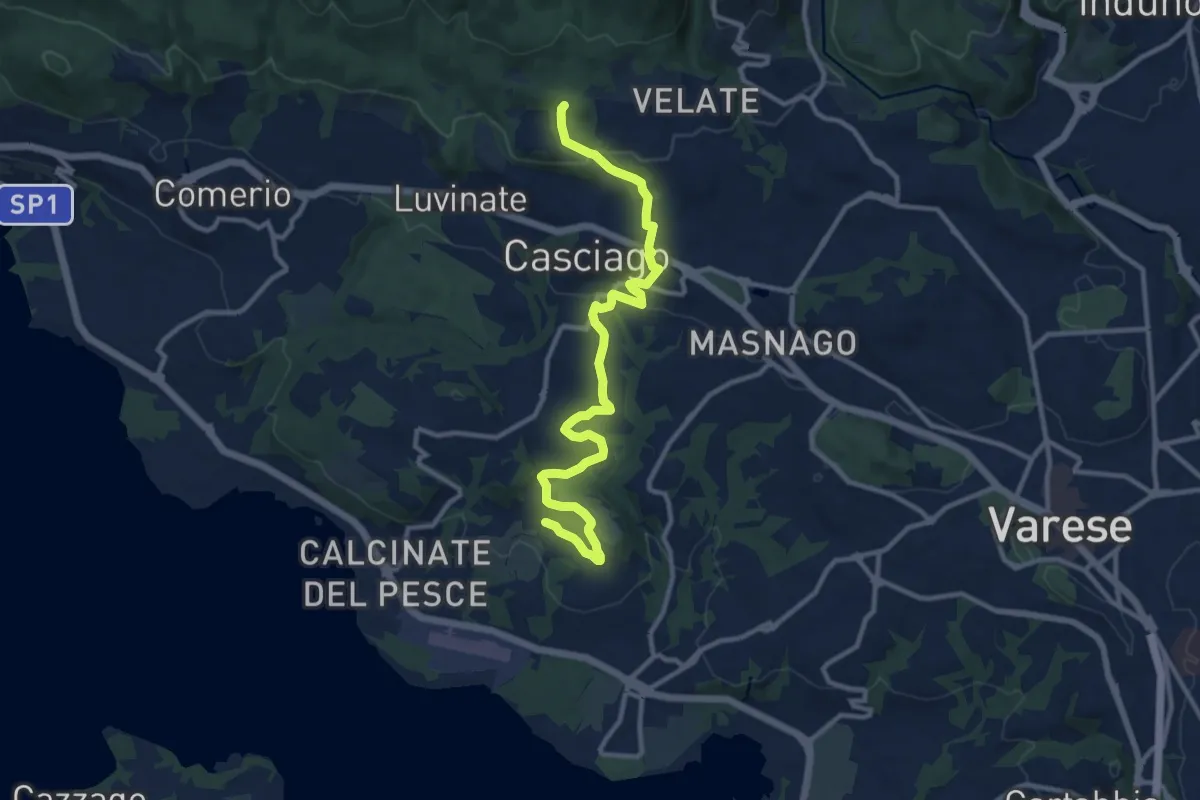
Medium · Trail
Morosolo – Sentiero 310A
12.2 km · ↑ 266 m · 3 h 28 min · 14 km away
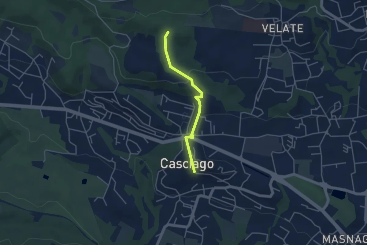
Easy · Trail
Sentiero 321C
3.0 km · ↑ 95 m · 54 min · 14 km away
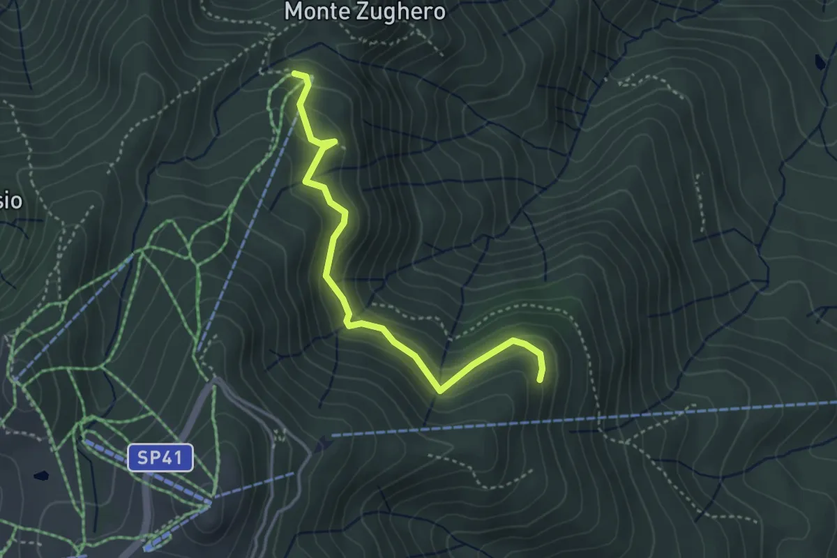
Medium · Cabin
VM3c - Alpe Nuovo - Bivio VL1
3.6 km · ↑ 263 m · 1 h 25 min · 14 km away
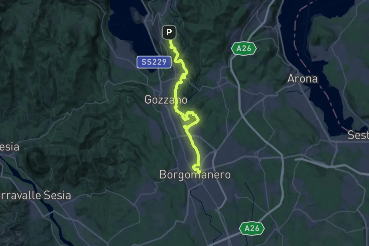
Medium · Trail
Grand Tour del Lago d'Orta - Tappa 1
16.4 km · ↑ 183 m · 4 h 37 min · 14 km away
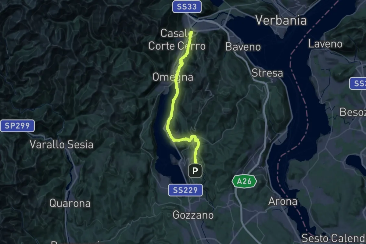
Demanding · Summit
Grand Tour del Lago d'Orta - Tappa 2
43.1 km · ↑ 1160 m · 12 h 41 min · 14 km away
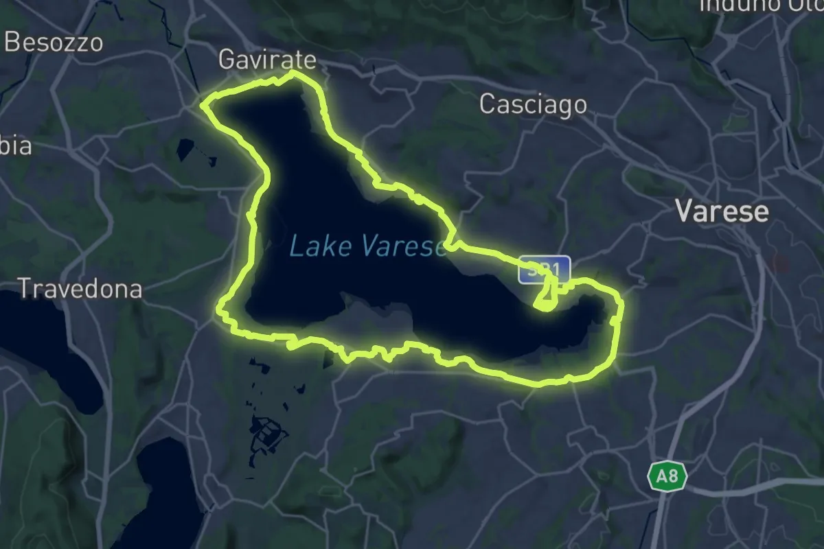
Demanding · Trail
Ciclopedonale Lago di Varese
29.9 km · ↑ 145 m · 7 h 47 min · 14 km away
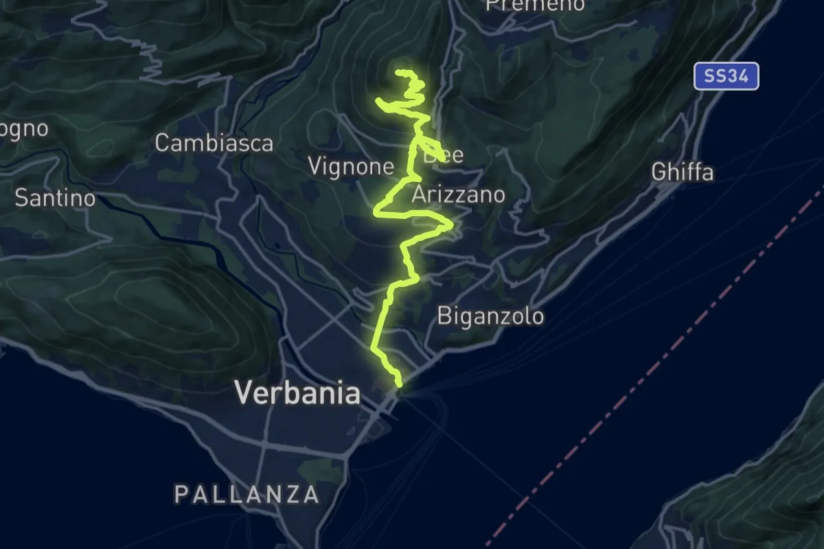
Medium · Summit
R04 Verbania Intra - Zoverallo - San Martino - Bèe - Monte Cimolo - Pian Nava
17.7 km · ↑ 765 m · 5 h 50 min · 14 km away
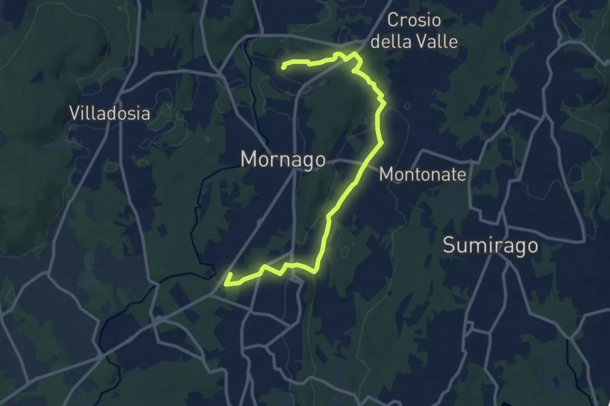
Medium · Trail
Piane Viscontee - Anello di Mornago
10.0 km · ↑ 100 m · 2 h 34 min · 14 km away
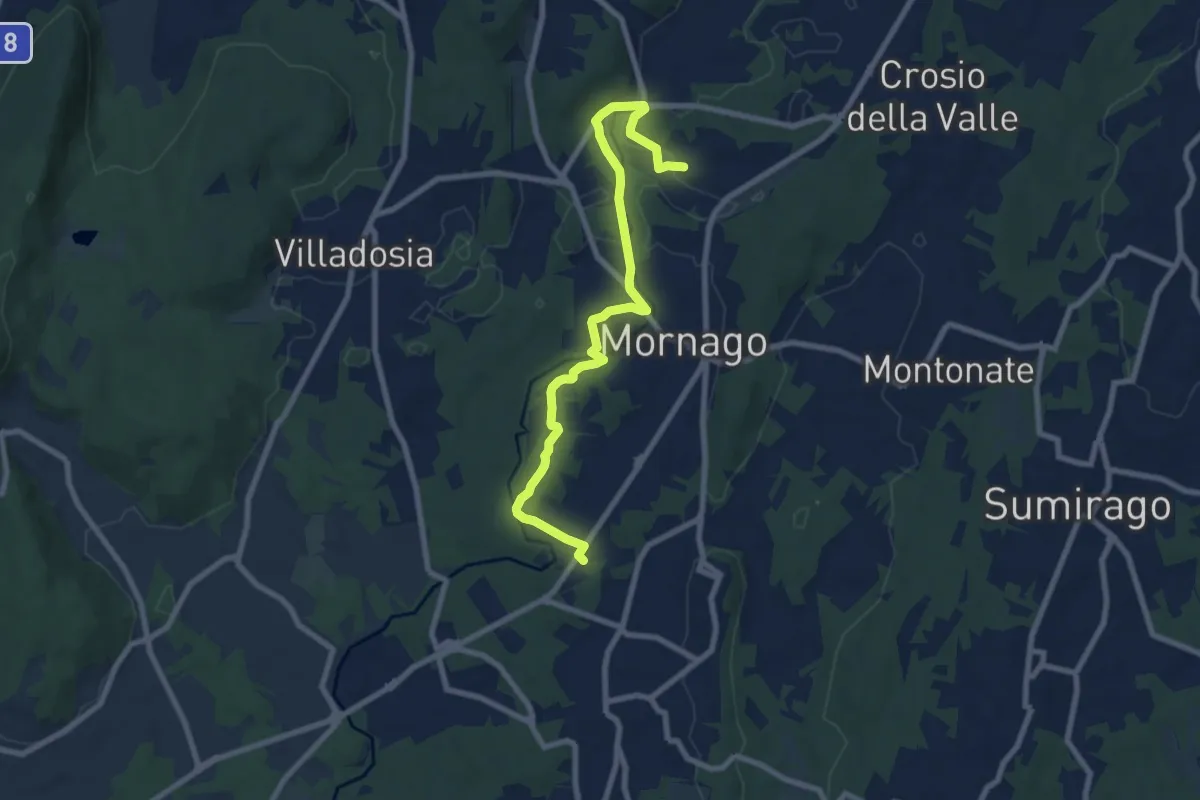
Medium · Trail
Piane Viscontee - Anello di Mornago
8.8 km · ↑ 63 m · 2 h 12 min · 14 km away
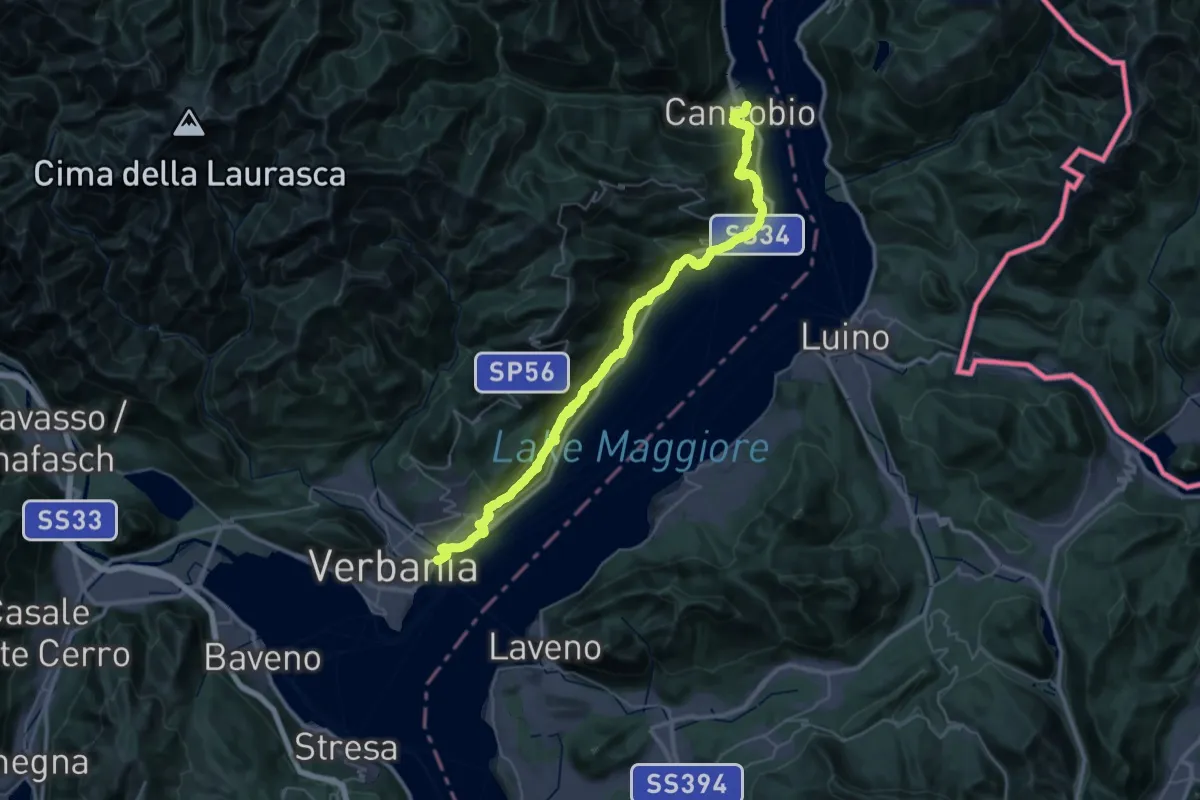
Demanding · Trail
Grand Tour del Lago Maggiore ® - Tappa 11 - Cannobio - Verbania lntra
23.3 km · ↑ 1160 m · 8 h 21 min · 14 km away
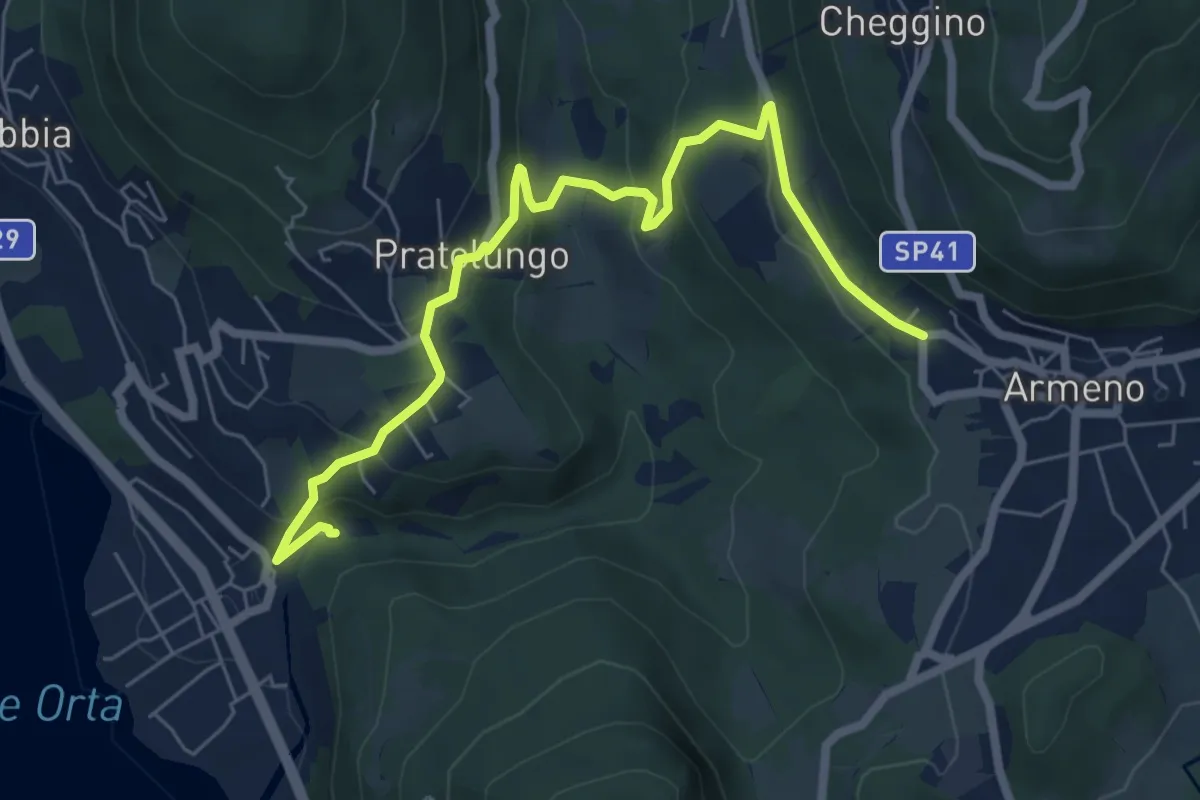
Medium · Trail
VP9 - Pettenasco - Armeno
7.4 km · ↑ 395 m · 2 h 36 min · 14 km away
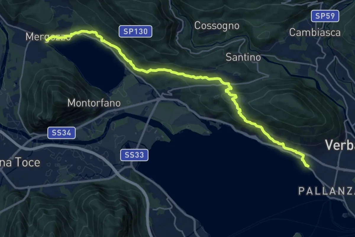
Demanding · Trail
A00 - Strada Romana (terza sezione)
20.0 km · ↑ 761 m · 6 h 23 min · 14 km away
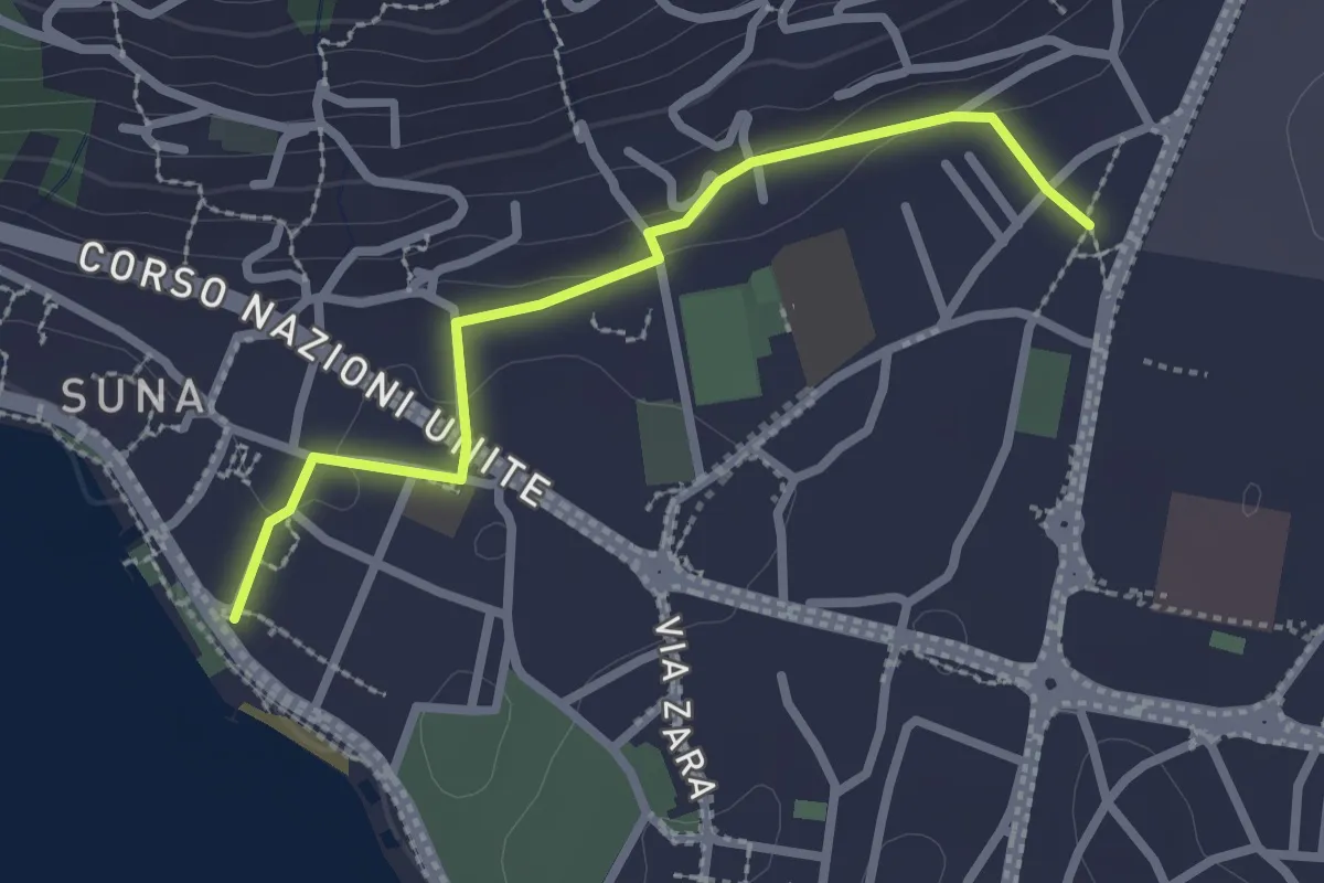
Easy · Trail
P00r - Raccordo pedemontano tra A00 e P00
2.5 km · ↑ 51 m · 42 min · 14 km away
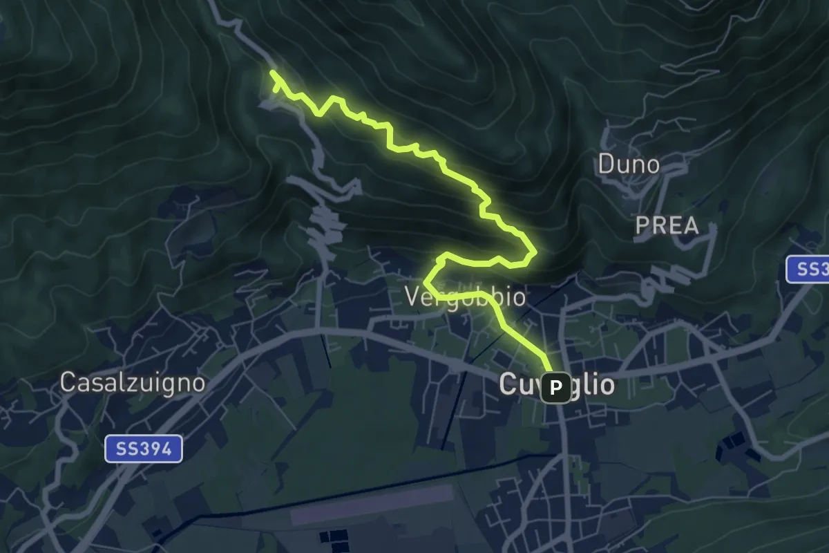
Medium · Trail
Cuveglio – Cascine-Vergobbio-Arcumeggia
7.4 km · ↑ 561 m · 2 h 58 min · 14 km away