Trails near Klausen - Chiusa
139 hikes starting within 15 km, nearest first.
Nearest first, page 2 of 3
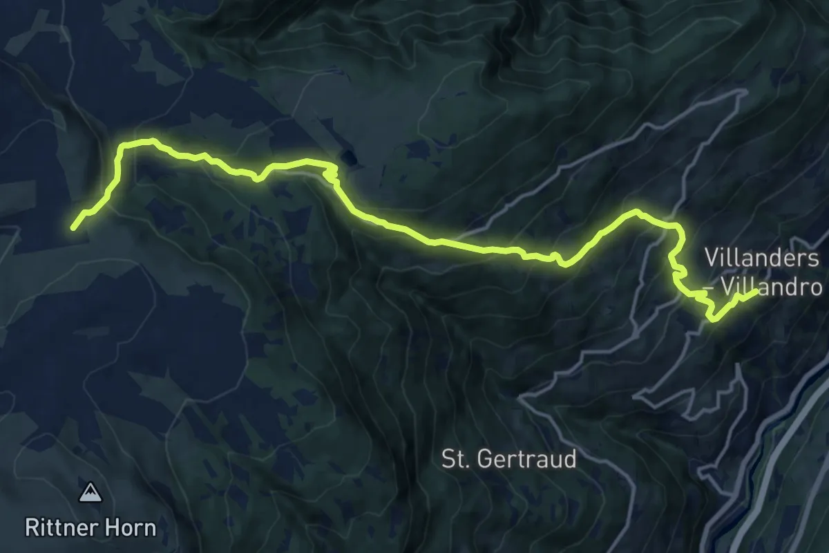
Demanding · Trail
7 - Villanders => Gasteiger Sattel
17.7 km · ↑ 1244 m · 6 h 52 min · 8 km away
Easy · Cabin
15A - Stofflhütte => 1
3.0 km · ↑ 105 m · 56 min · 8 km away
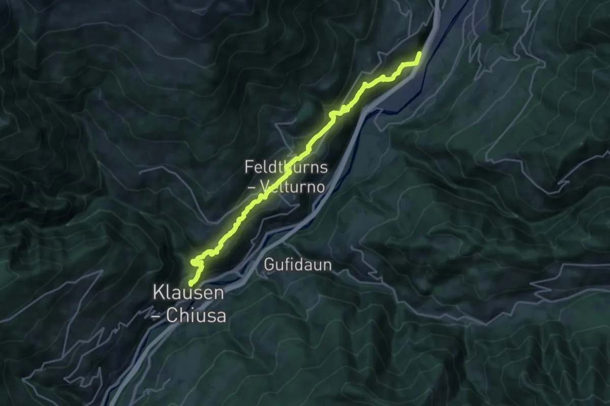
Medium · Summit
Jakobsweg Neustift => Villanders - Cammino di San Giacomo Novacella => Villandro
10.5 km · ↑ 668 m · 4 h 1 min · 9 km away
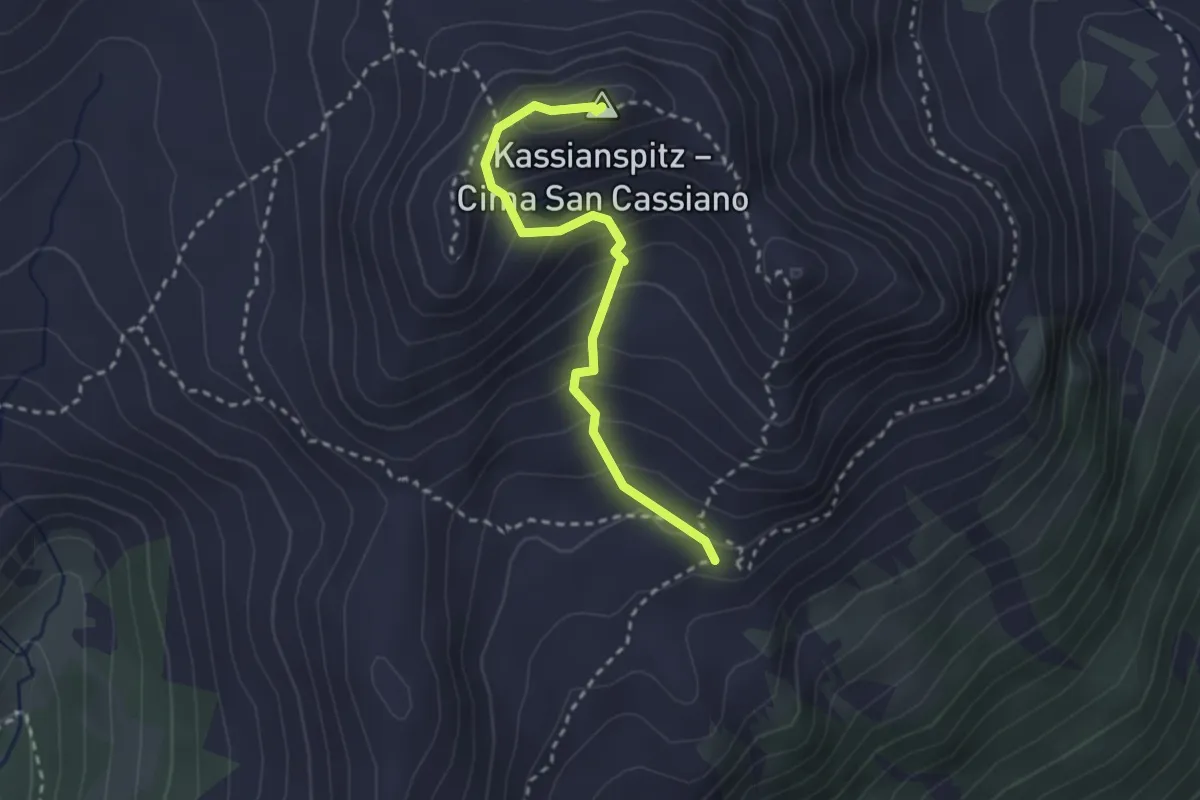
Medium · Summit
9 - Latzfonser Kreuz => Kassianspitz
2.6 km · ↑ 258 m · 1 h 11 min · 9 km away
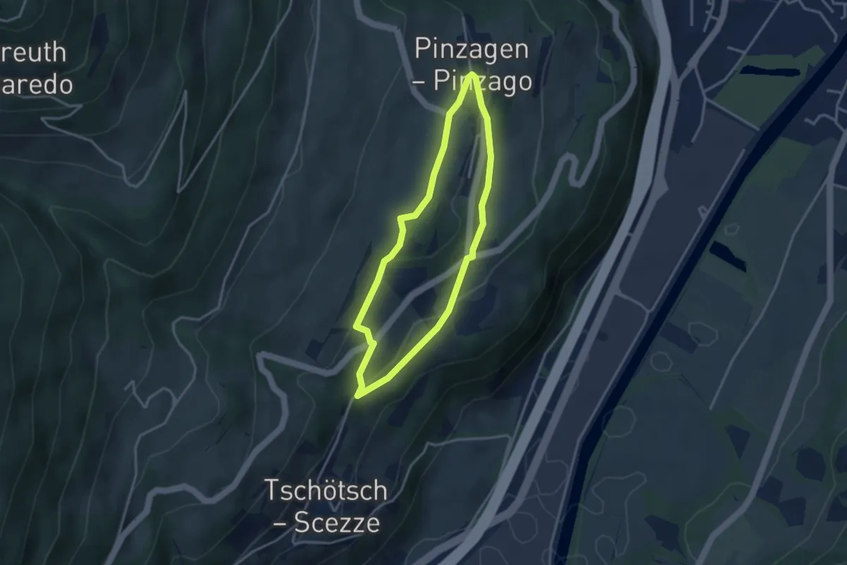
Easy · Trail
Rundweg Pinzagen
2.8 km · ↑ 86 m · 53 min · 9 km away
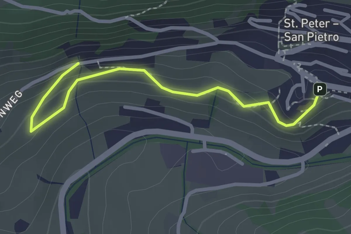
Easy · Trail
Bühlweg
2.3 km · ↑ 129 m · 49 min · 9 km away
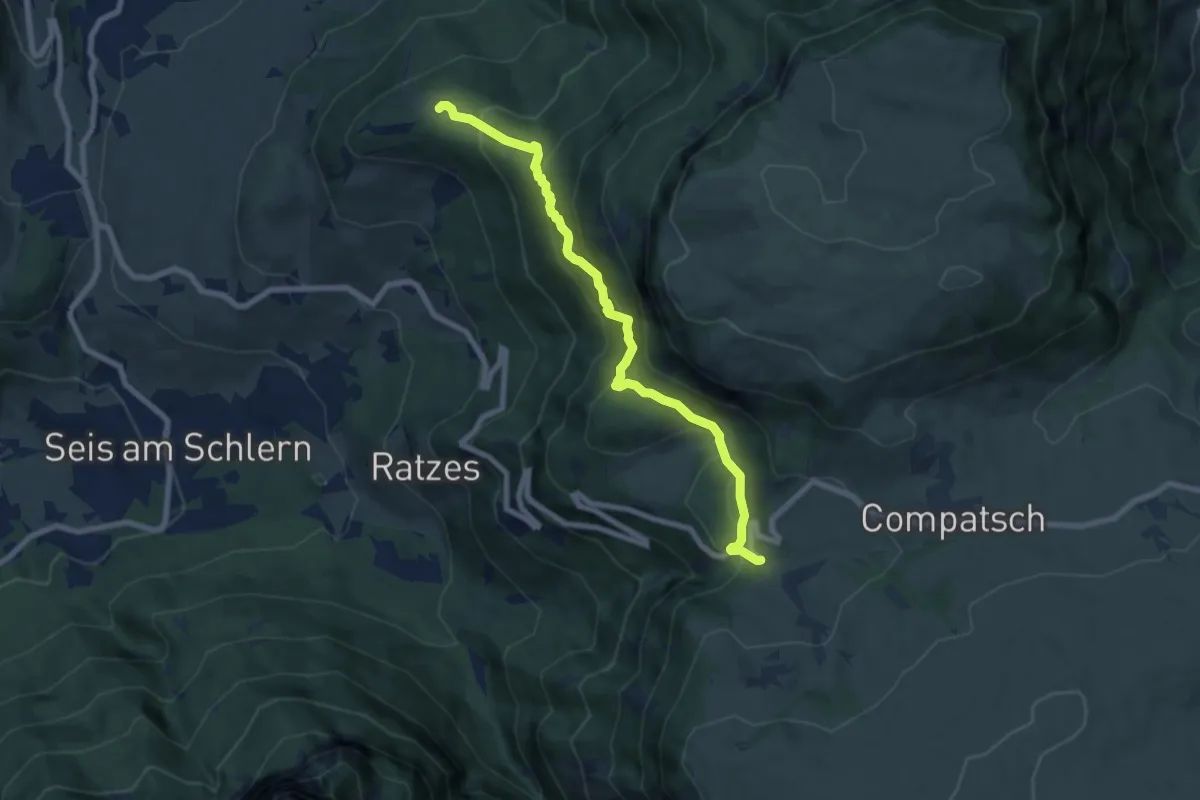
Medium · Trail
Seiser-Alm-Steig - Sentiero Alpe di Siusi
7.6 km · ↑ 572 m · 3 h 2 min · 9 km away
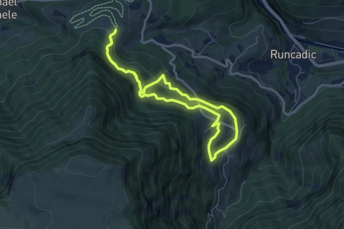
Medium · Trail
Geotrail Bula - Pufels - Bulla
5.3 km · ↑ 387 m · 2 h 10 min · 9 km away
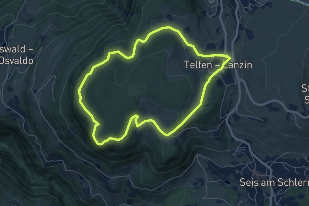
Easy · Trail
Rundweg Laranz - Giro Laranza
5.6 km · ↑ 226 m · 1 h 54 min · 9 km away
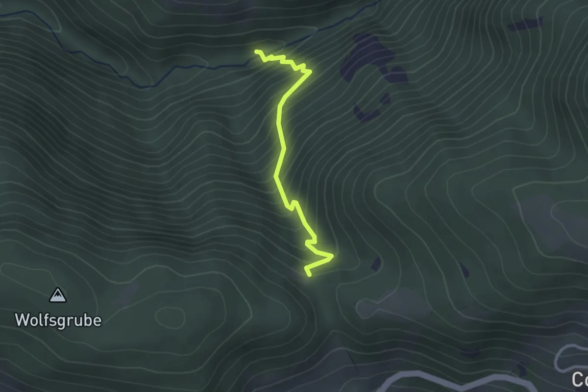
Medium · Trail
Katzenleiter
2.4 km · ↑ 344 m · 1 h 19 min · 9 km away
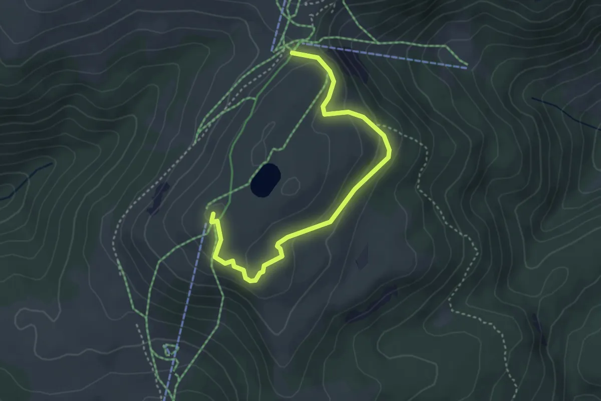
Medium · Summit
Panoramaweg
4.1 km · ↑ 155 m · 1 h 18 min · 9 km away
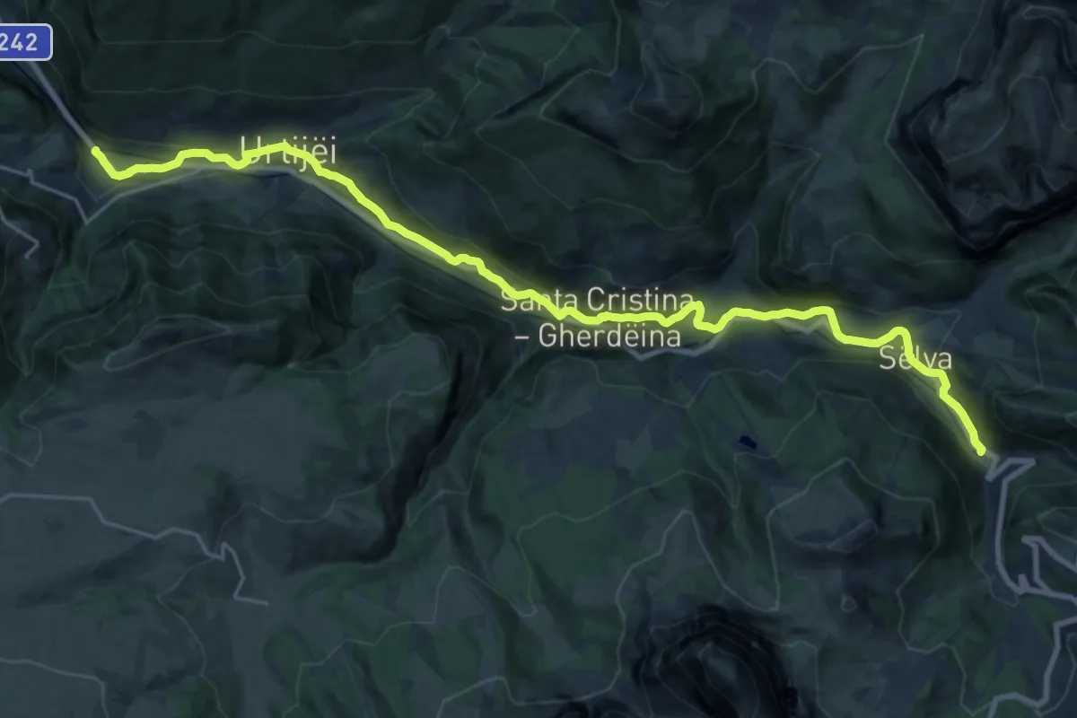
Demanding · Trail
La Ferata
24.5 km · ↑ 672 m · 7 h 14 min · 9 km away
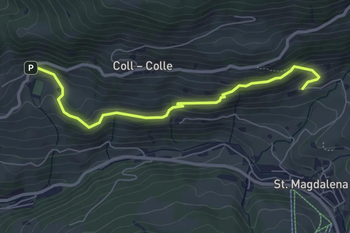
Easy · Trail
Panoramaweg (Villnöß) - Sentiero Panorama (Funes)
5.5 km · ↑ 308 m · 1 h 58 min · 9 km away
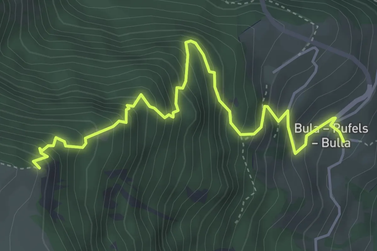
Demanding · Trail
Schnürlsteig
4.8 km · ↑ 659 m · 2 h 33 min · 10 km away
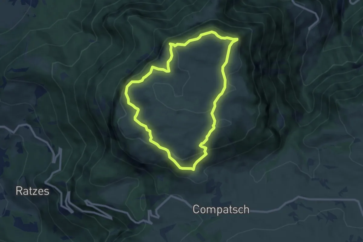
Easy · Summit
Puflatschumrundung - Giro del Bulacia
6.7 km · ↑ 288 m · 2 h 17 min · 10 km away
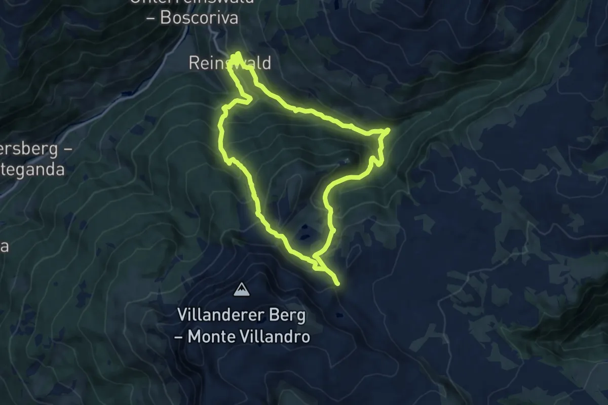
Medium · Trail
Rundweg "zum Toten"
11.4 km · ↑ 759 m · 4 h 30 min · 10 km away
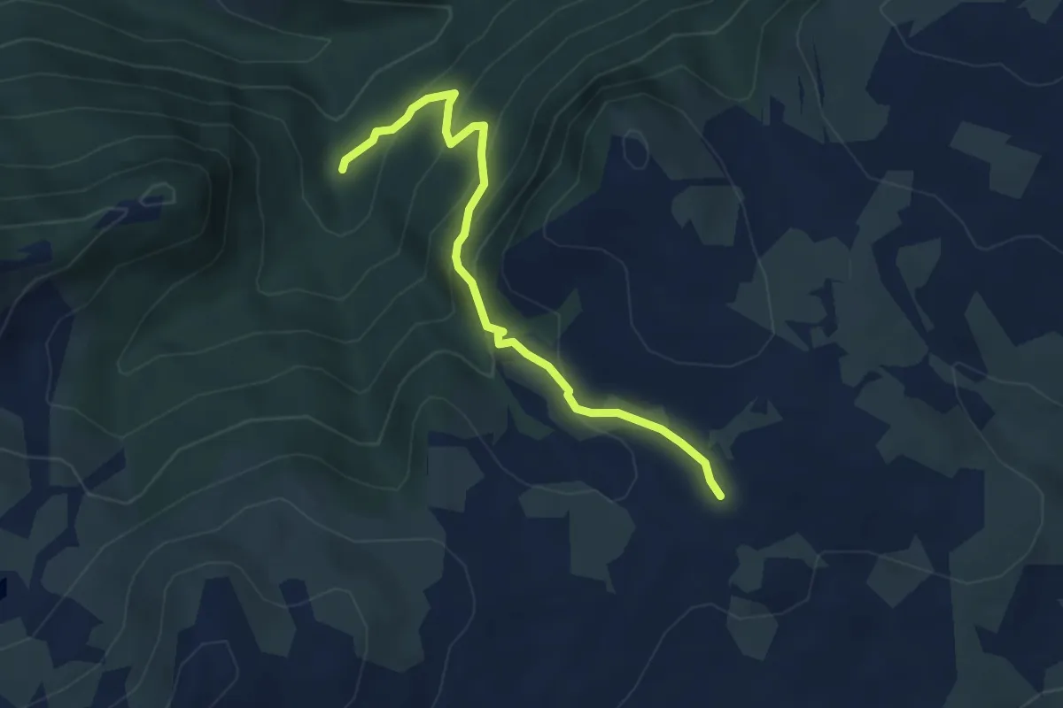
Medium · Trail
Schustersteig
4.3 km · ↑ 321 m · 1 h 43 min · 10 km away
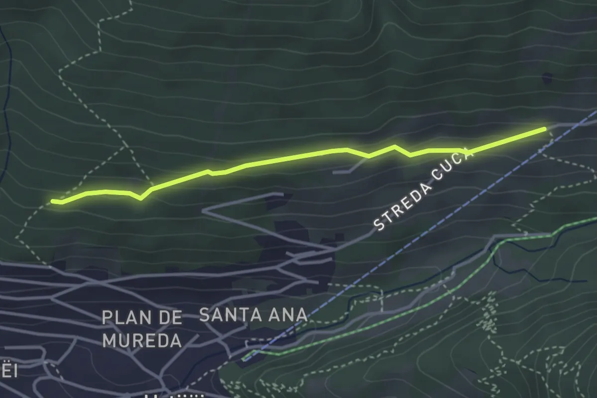
Medium · Trail
Troi da la Tambres
3.3 km · ↑ 127 m · 1 h 3 min · 10 km away
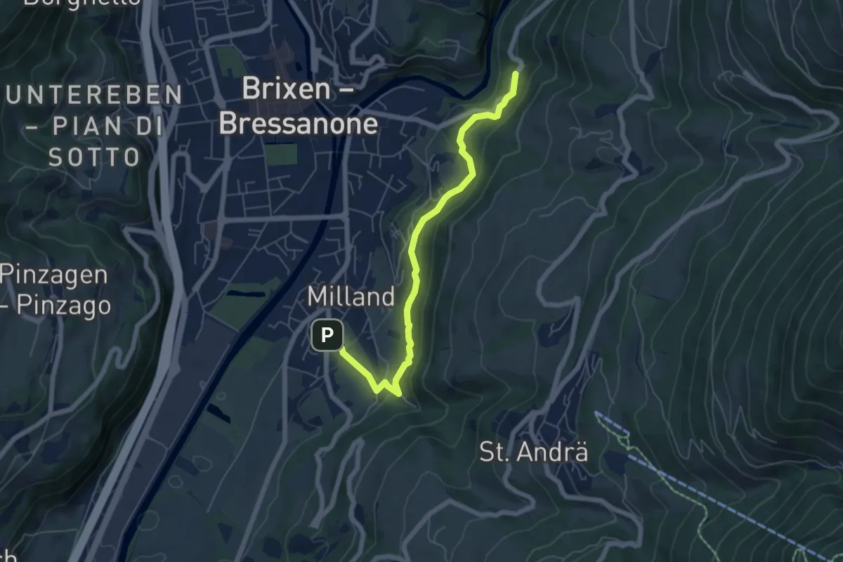
Medium · Trail
Karlspromenade
5.8 km · ↑ 370 m · 2 h 10 min · 10 km away
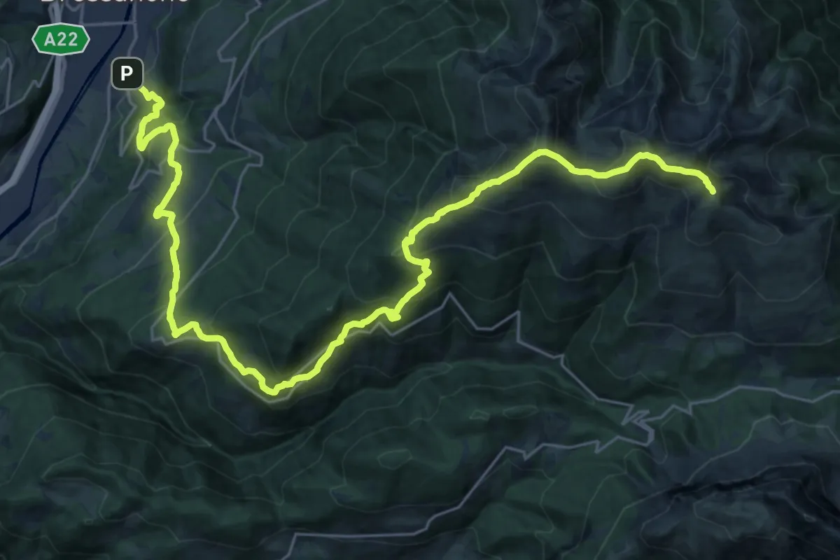
Demanding · Summit
7 - Gablersteig
32.5 km · ↑ 2382 m · 12 h 50 min · 10 km away
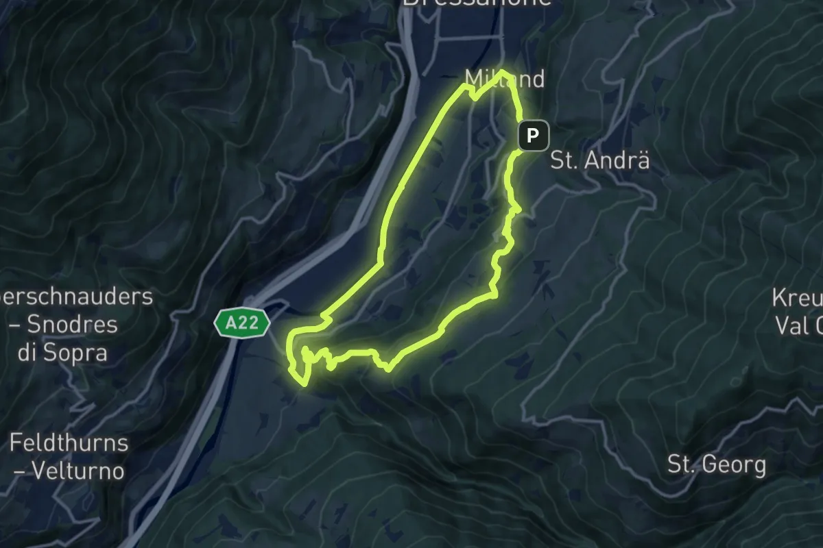
Medium · Summit
Albeins-Klerant-Milland - Albes-Cleran-Millan
11.5 km · ↑ 460 m · 3 h 53 min · 10 km away
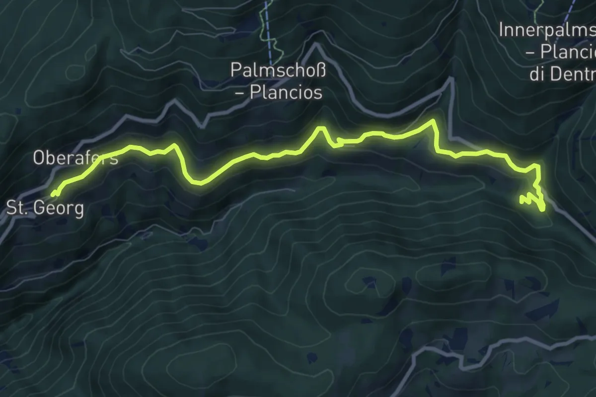
Medium · Trail
Panoramaweg (Afers)
9.6 km · ↑ 427 m · 3 h 12 min · 10 km away
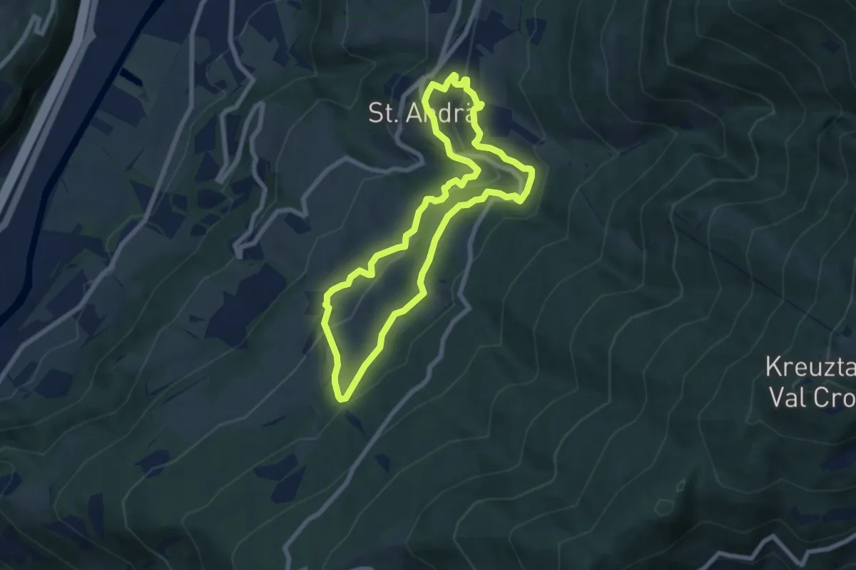
Easy · Trail
St.-Andrä-Rundweg
6.3 km · ↑ 294 m · 2 h 12 min · 11 km away
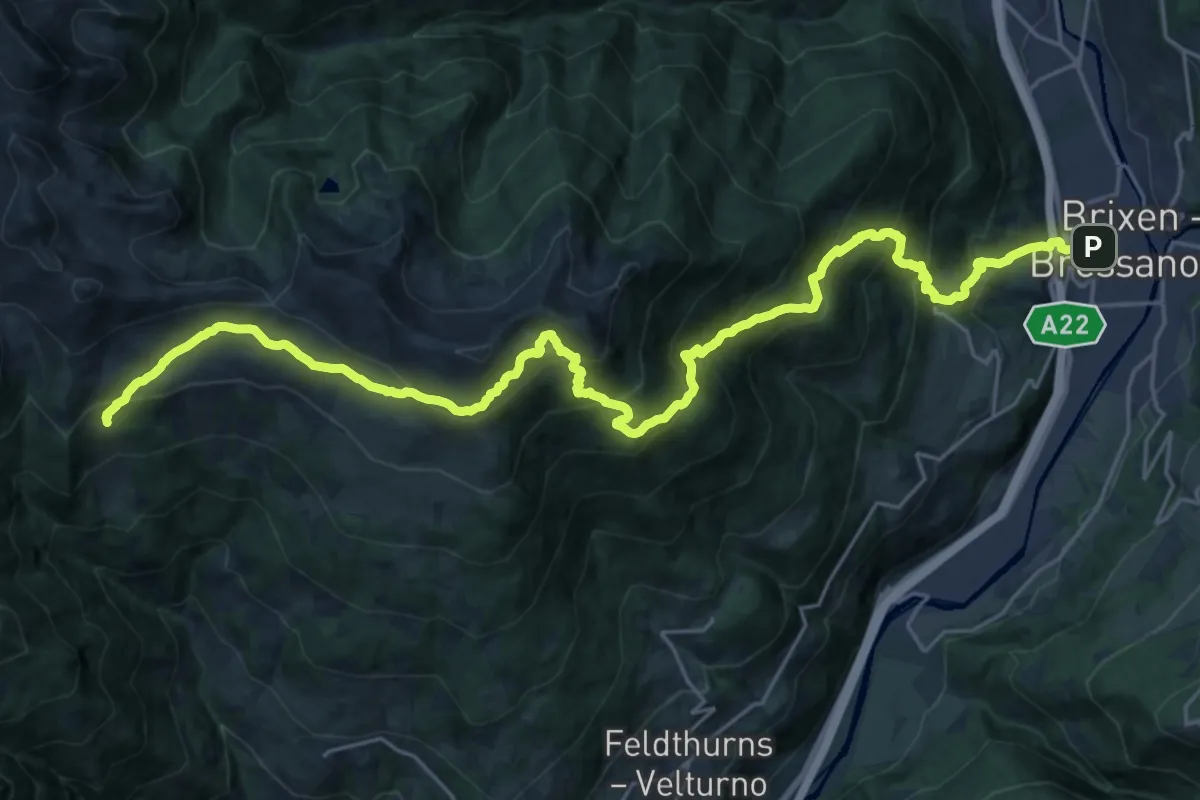
Demanding · Cabin
8 - Brixen => Radlseehütte => Klausner Hütte
14.8 km · ↑ 1822 m · 6 h 59 min · 11 km away
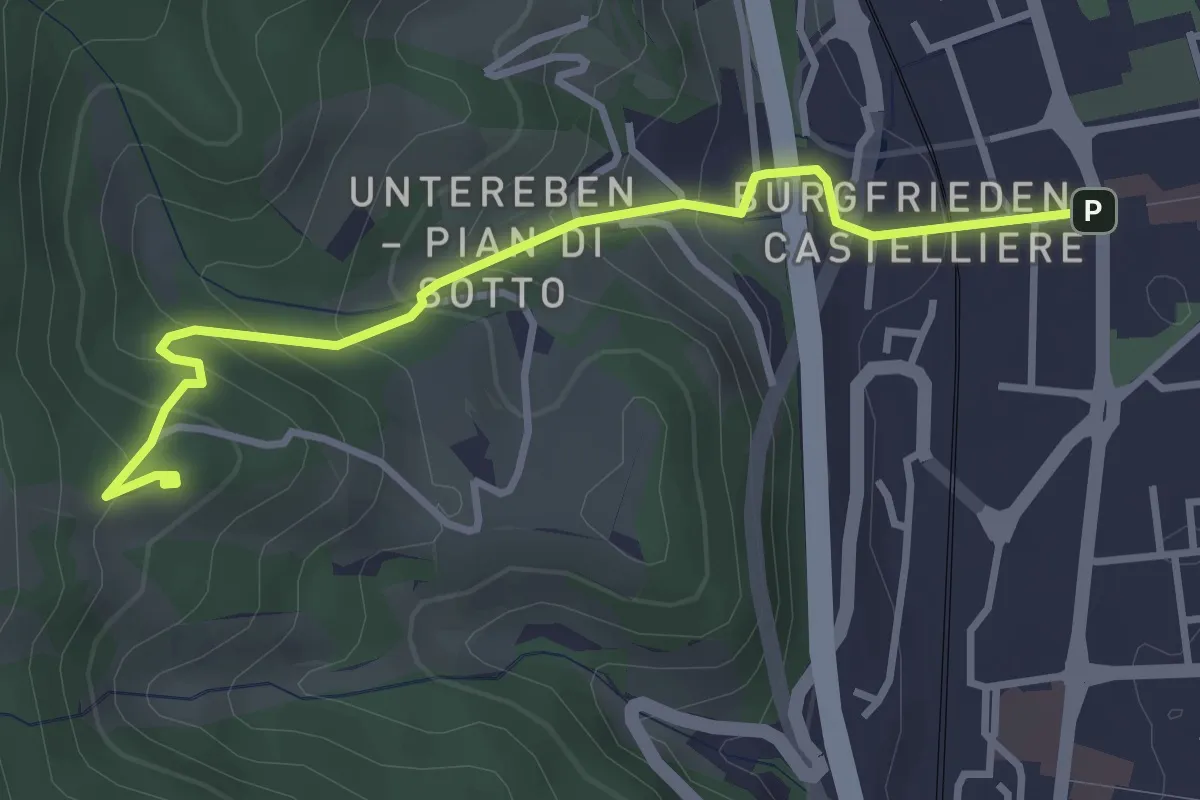
Easy · Trail
St.-Cyrillus-Weg - Itinerario S. Cirillo
3.5 km · ↑ 264 m · 1 h 24 min · 11 km away
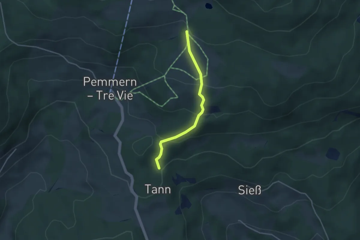
Easy · Trail
Hirtensteig
2.9 km · ↑ 171 m · 1 h 3 min · 11 km away
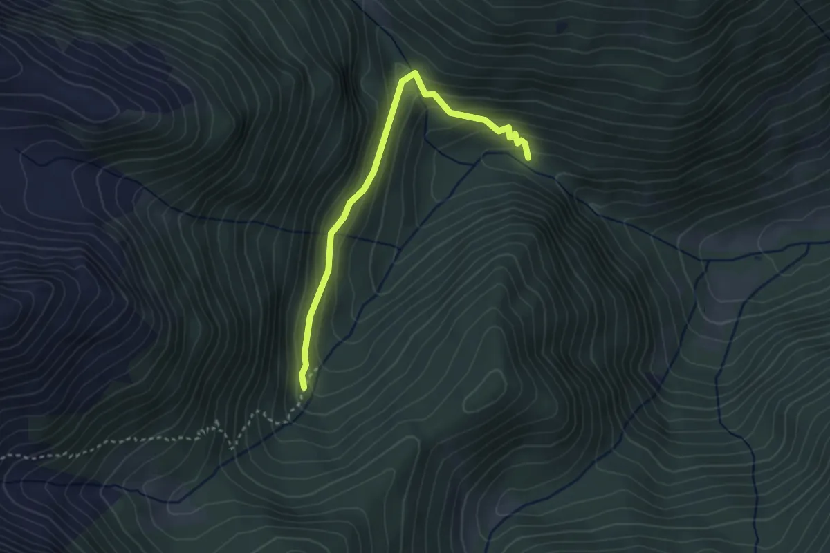
Easy · Trail
Wasserfallweg
3.2 km · ↑ 208 m · 1 h 12 min · 11 km away
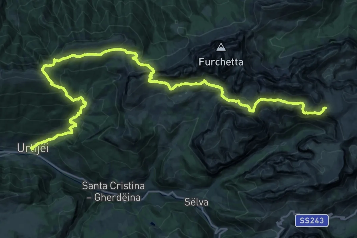
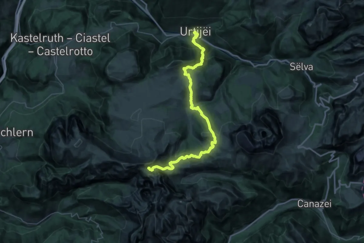
Demanding · Cabin
Dolomites World Heritage Geotrail 11
22.7 km · ↑ 2095 m · 9 h 35 min · 11 km away
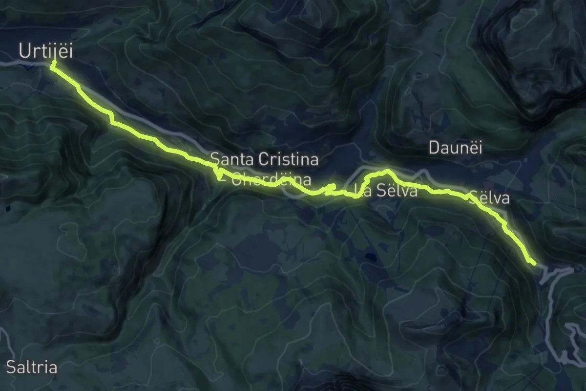
Demanding · Cabin
Dolomites World Heritage Geotrail 10
16.9 km · ↑ 1641 m · 7 h 10 min · 11 km away
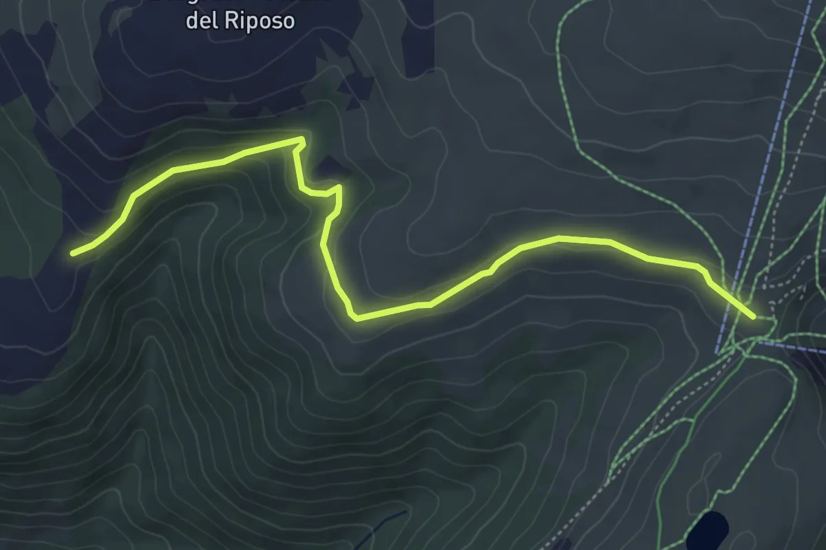
Demanding · Trail
Talweg
19.4 km · ↑ 605 m · 5 h 53 min · 11 km away
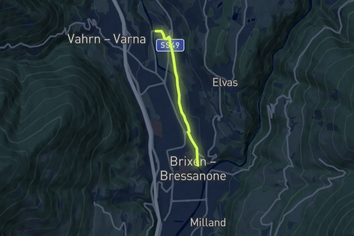
Easy · Trail
Heusteig
5.6 km · ↑ 206 m · 1 h 46 min · 11 km away
Easy · Trail
16 - Brixen => Neustift
6.3 km · ↑ 53 m · 1 h 36 min · 11 km away
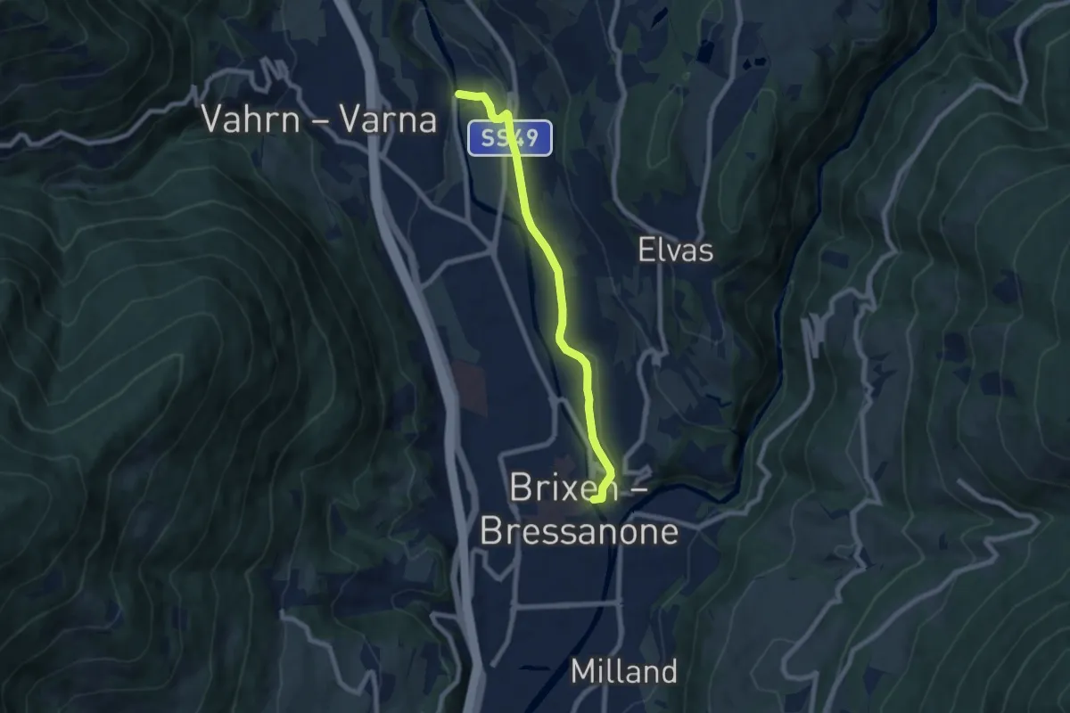
Easy · Trail
Weinweg Brixen-Neustift - Sentiero del Vino Bressanone-Novacella
6.7 km · ↑ 122 m · 1 h 50 min · 11 km away
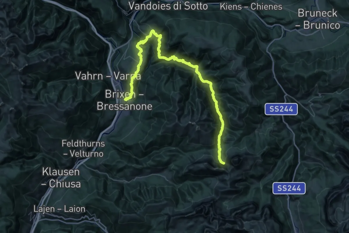
Demanding · Trail
1 - Brixen => Natz => Rodeneck => Lüsen => AV2
34.1 km · ↑ 2488 m · 13 h 12 min · 11 km away
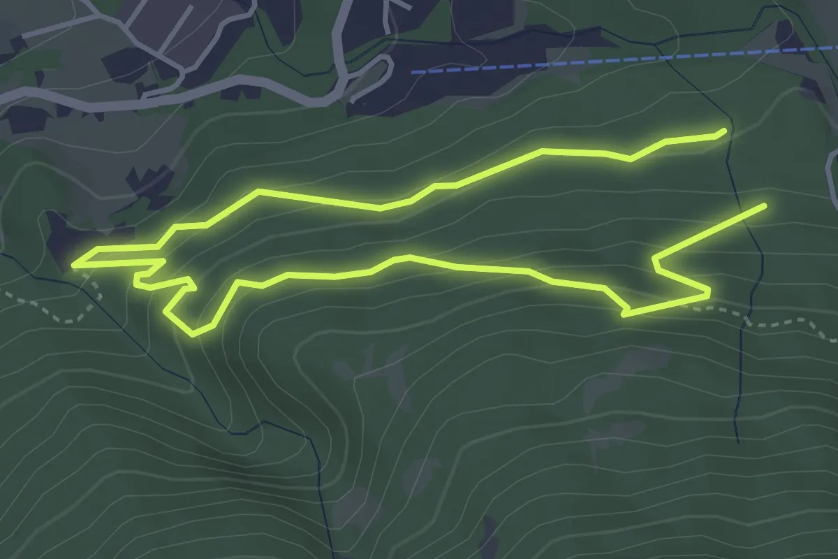
Easy · Trail
Oswald-von-Wolkenstein-Weg
3.2 km · ↑ 225 m · 1 h 16 min · 11 km away
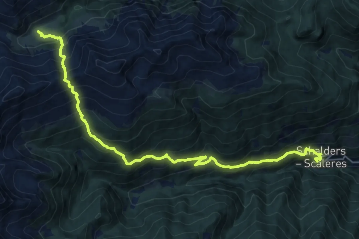
Demanding · Trail
19 - Schalders => Flaggeralm
9.3 km · ↑ 1305 m · 4 h 45 min · 11 km away
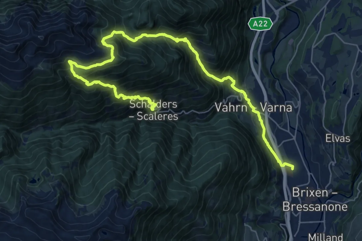
Demanding · Trail
2 - Brixen => Schalders
15.1 km · ↑ 1606 m · 6 h 58 min · 11 km away
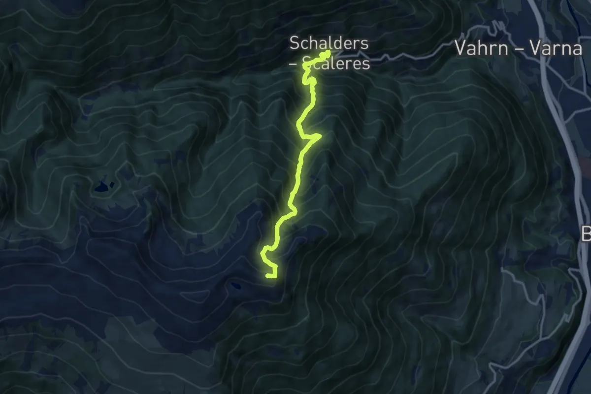
Demanding · Summit
18 - Schalders => Radlseehütte
10.5 km · ↑ 1362 m · 5 h 25 min · 11 km away
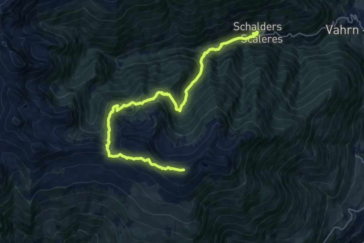
Demanding · Summit
7 - Schalders => Königsanger => Radlseehütte
20.0 km · ↑ 1605 m · 8 h 11 min · 11 km away
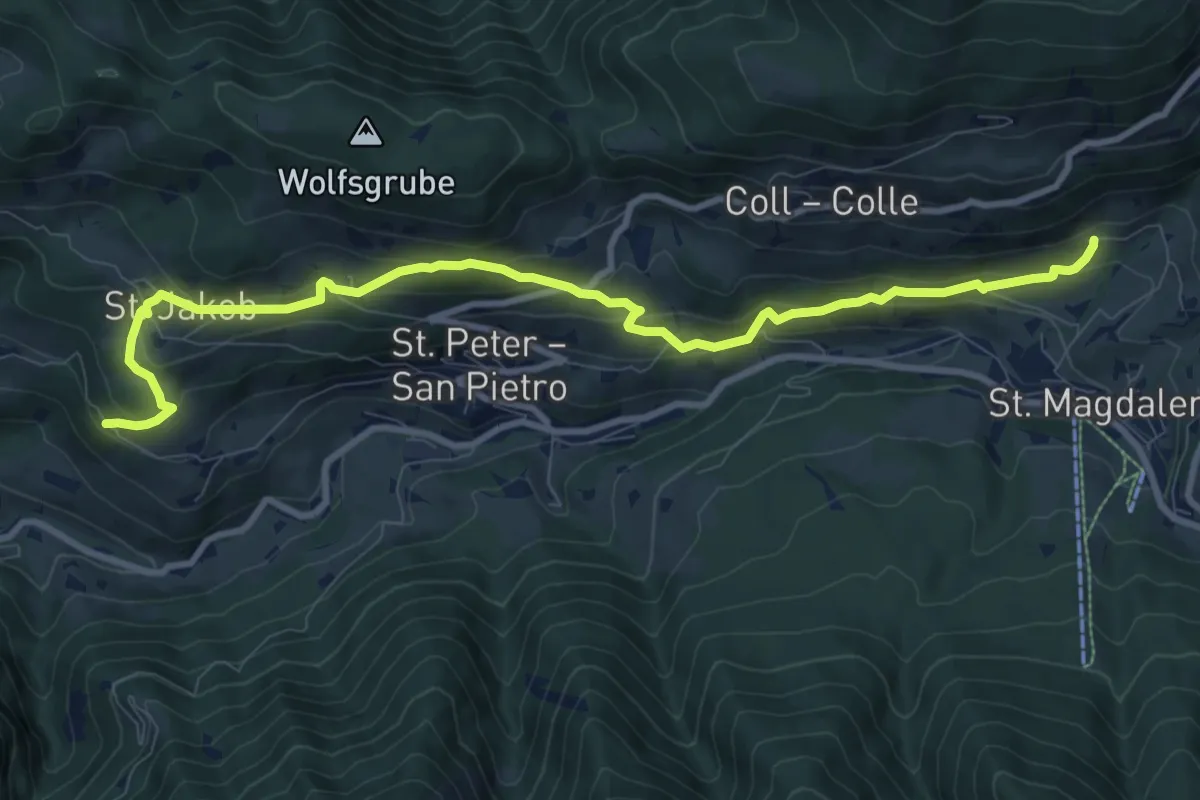
Medium · Trail
Sunnseitenweg
10.7 km · ↑ 610 m · 3 h 51 min · 11 km away
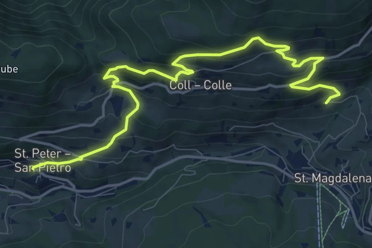
Medium · Trail
Bergbauernweg
11.4 km · ↑ 800 m · 4 h 25 min · 11 km away
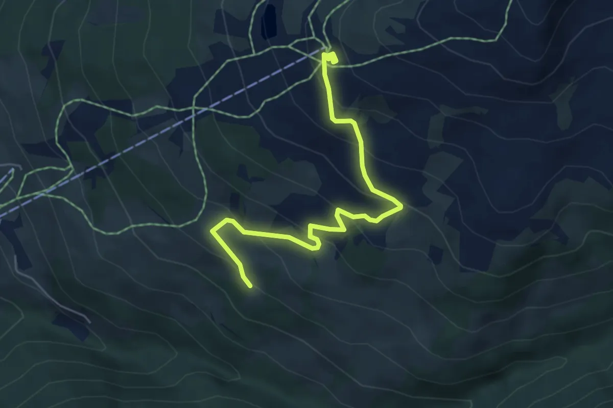
Medium · Trail
9 - => Pichlberg
5.3 km · ↑ 368 m · 2 h 3 min · 11 km away
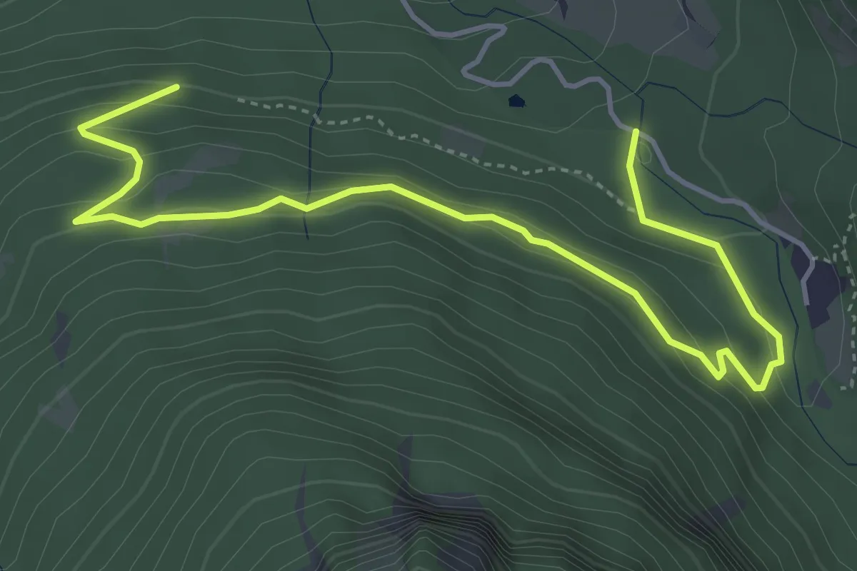
Easy · Trail
Bischofsweg - Sentiero del Vescovo
5.3 km · ↑ 276 m · 1 h 51 min · 11 km away
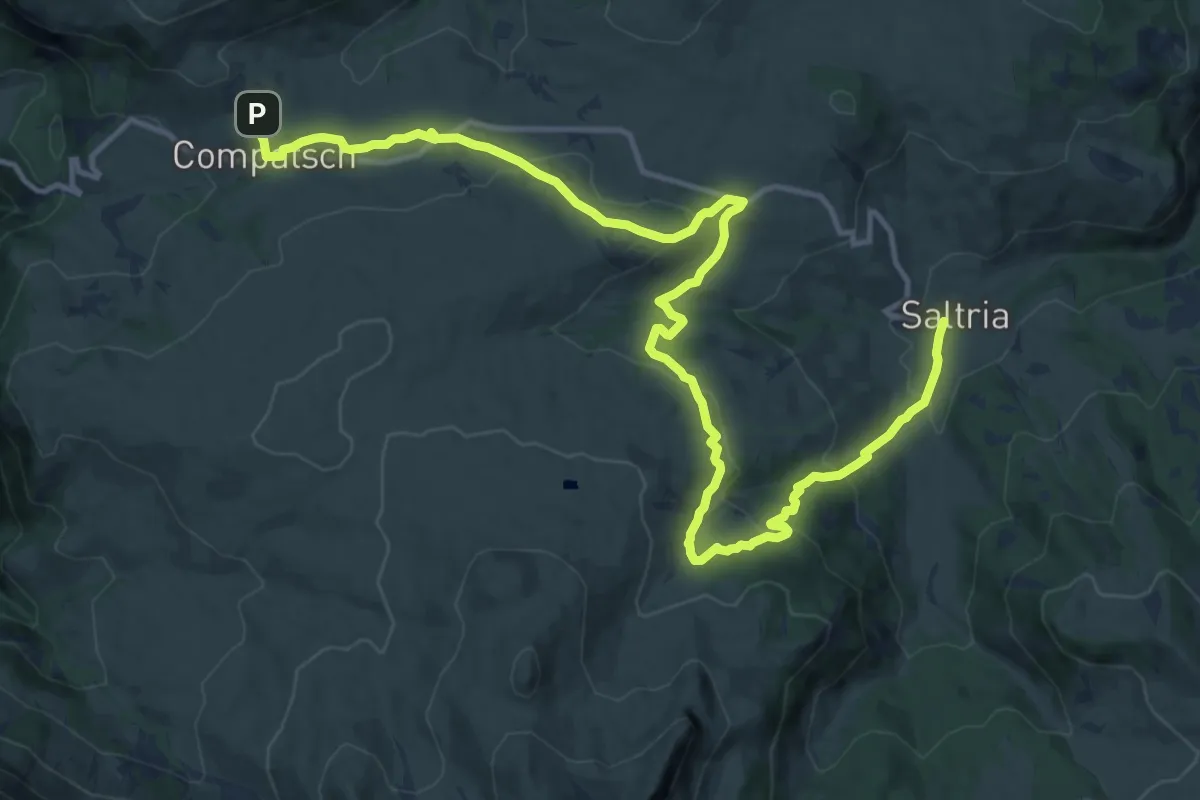
Medium · Trail
Hans und Paula Steger Weg - Sentiero Hans e Paula Steger
17.5 km · ↑ 631 m · 5 h 30 min · 12 km away
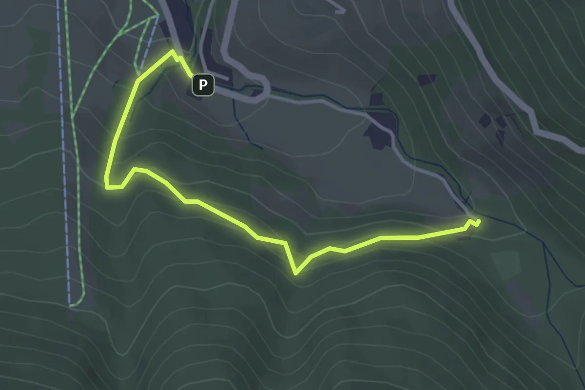
Easy · Trail
Rungg
3.6 km · ↑ 217 m · 1 h 19 min · 12 km away
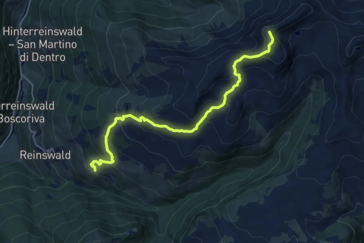
Demanding · Summit
8 - 7 => Plankenhorn => Bischofer
12.9 km · ↑ 857 m · 4 h 54 min · 12 km away
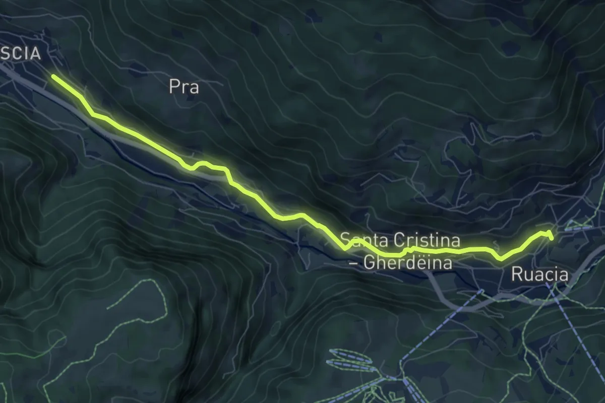
Medium · Trail
Planetenweg
8.7 km · ↑ 284 m · 2 h 40 min · 12 km away
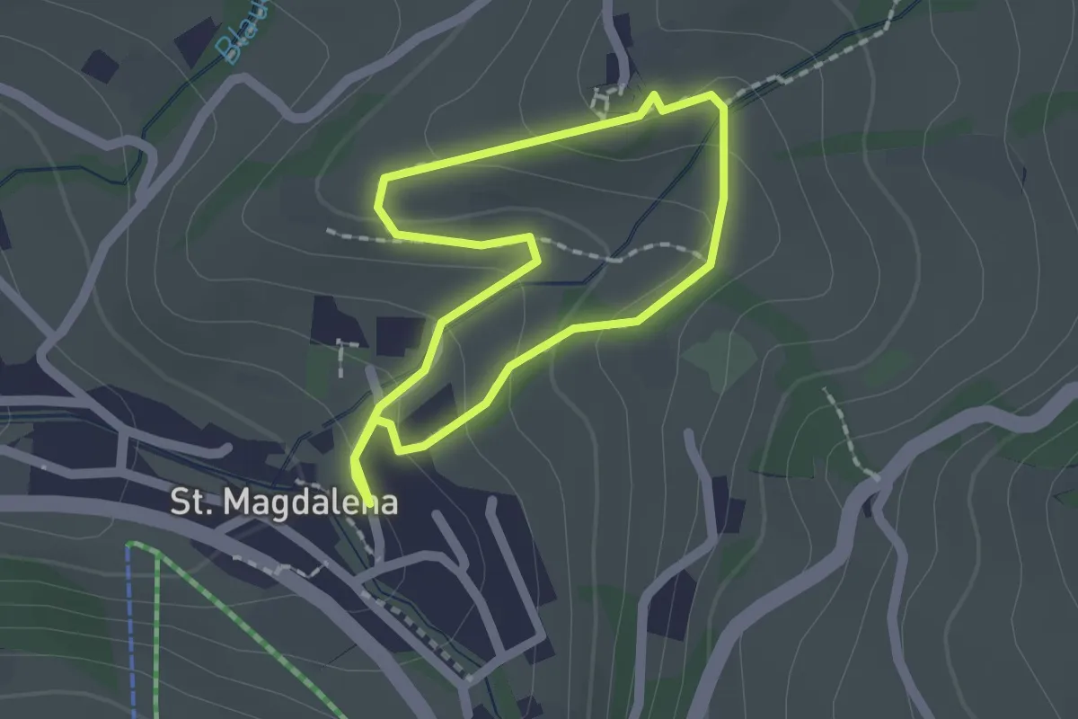
Easy · Trail
Rundweg St. Magdalena
1.5 km · ↑ 67 m · 31 min · 12 km away