Trails near Klausen - Chiusa
139 hikes starting within 15 km, nearest first.
Nearest first, page 3 of 3
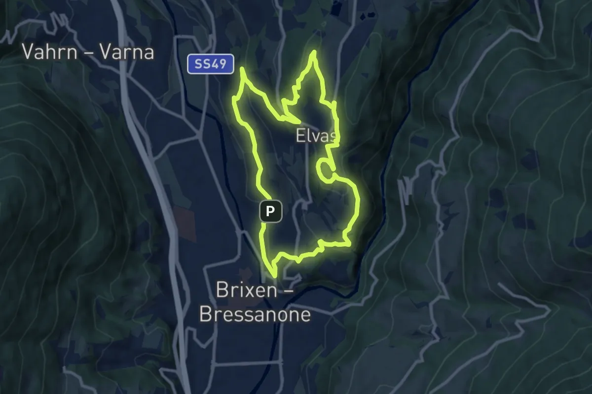
Medium · Trail
Pinazweg
8.8 km · ↑ 353 m · 2 h 58 min · 12 km away
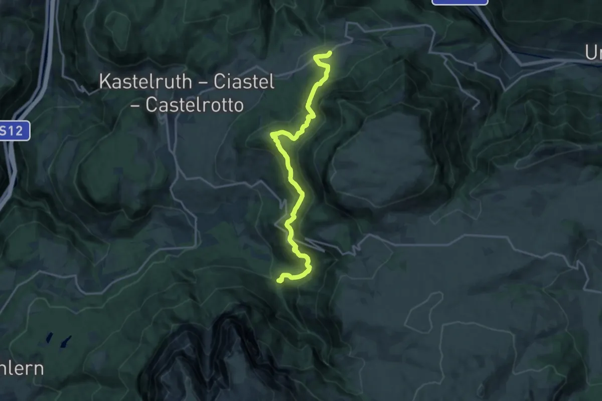
Demanding · Trail
Wassersteig
14.6 km · ↑ 923 m · 5 h 26 min · 12 km away
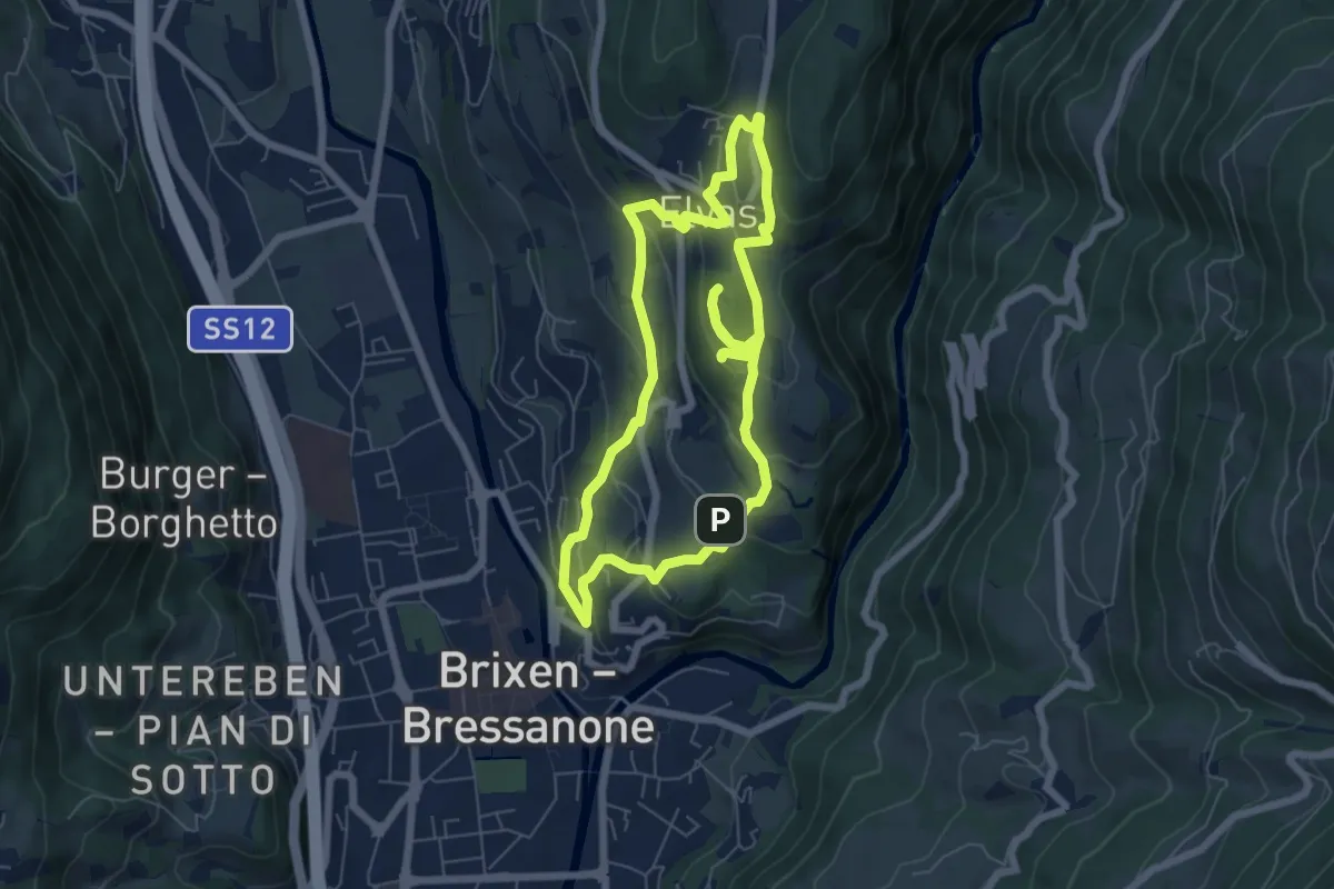
Easy · Trail
archeo
6.4 km · ↑ 279 m · 2 h 12 min · 12 km away
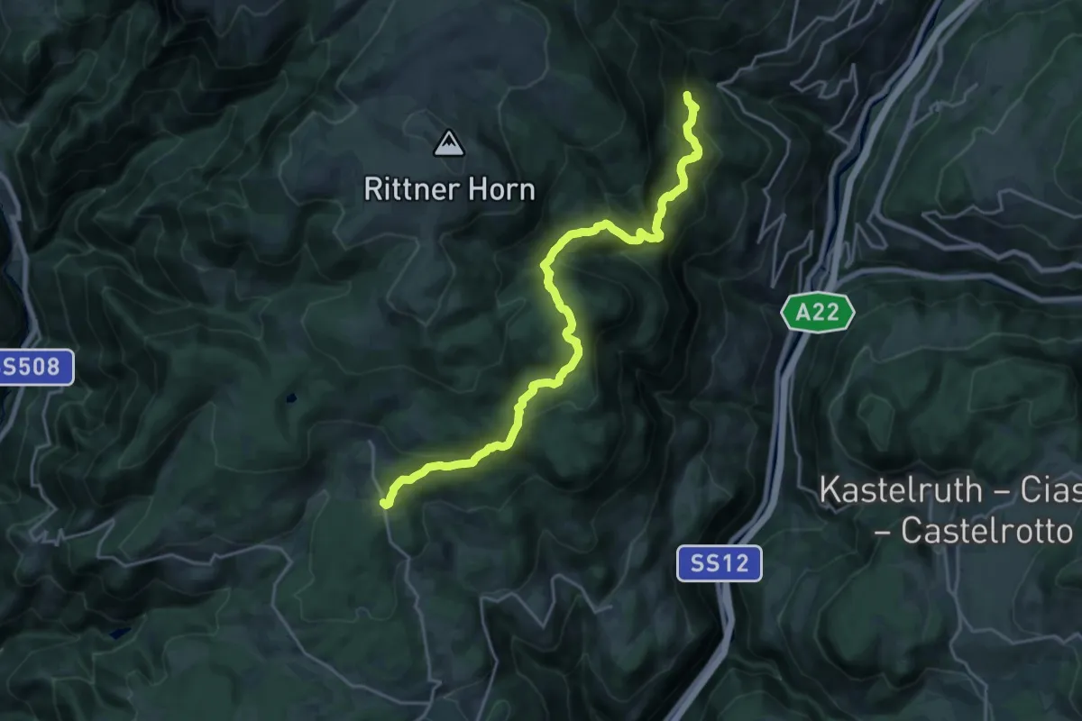
Demanding · Trail
27 - Tann => 11
21.0 km · ↑ 1213 m · 7 h 35 min · 12 km away
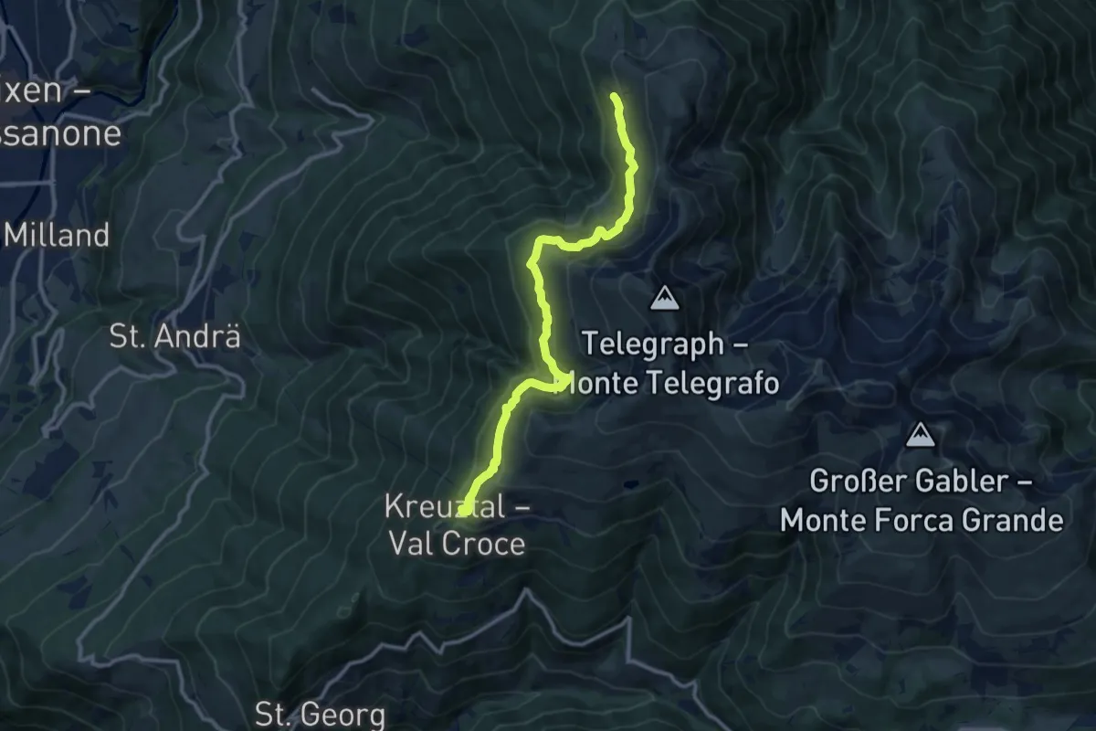
Medium · Trail
Brixener Höhenweg
10.9 km · ↑ 663 m · 4 h · 12 km away
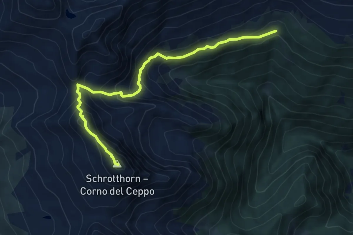
Demanding · Summit
4B - Pfannscharte => Schalderer Scharter
7.7 km · ↑ 661 m · 3 h 15 min · 12 km away
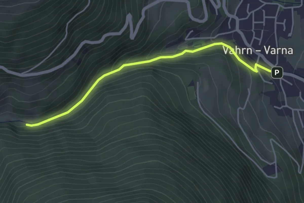
Easy · Trail
Georgssteig - Sentiero di S. Giorgio
3.9 km · ↑ 196 m · 1 h 21 min · 12 km away
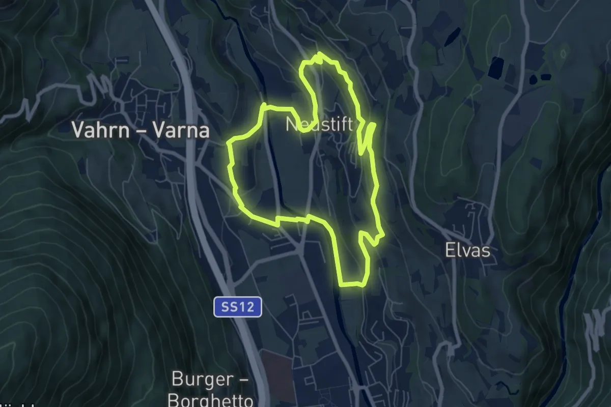
Easy · Trail
Törggeleweg
6.3 km · ↑ 209 m · 2 h 1 min · 12 km away
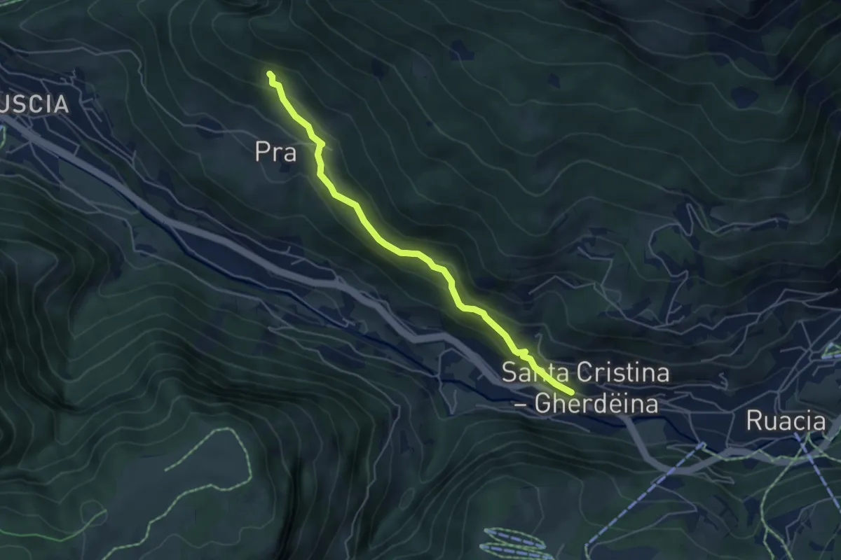
Medium · Trail
Legendenweg
4.9 km · ↑ 382 m · 1 h 59 min · 12 km away
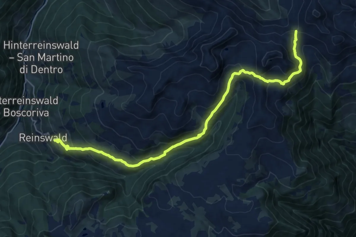
Demanding · Trail
7 - Reinswald => Latzfonser Kreuz
19.7 km · ↑ 1147 m · 7 h 9 min · 12 km away
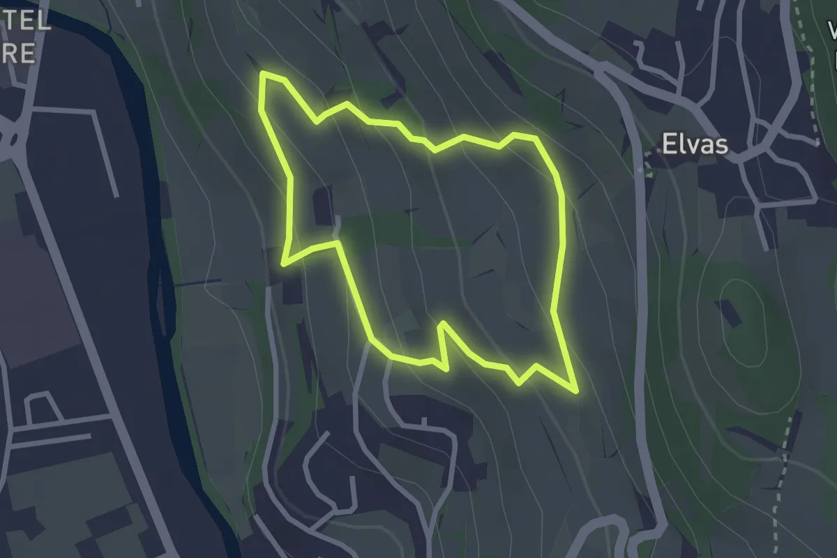
Easy · Trail
Rundwanderweg Kranebitt - Passeggiata Costa d'Elvas
2.3 km · ↑ 135 m · 52 min · 12 km away
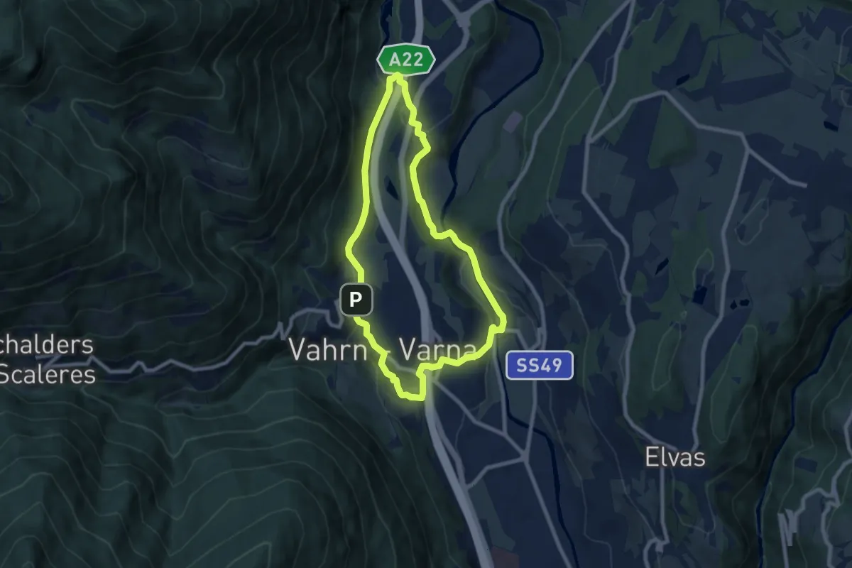
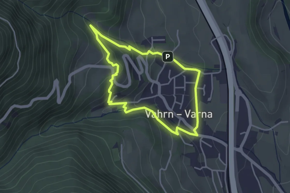
Easy · Trail
Vahrner Dorfrunde - Giro di Varna
7.0 km · ↑ 203 m · 2 h 12 min · 13 km away
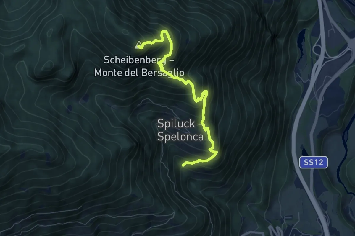
Easy · Trail
Carl-Toldt-Weg
3.0 km · ↑ 146 m · 1 h 3 min · 13 km away
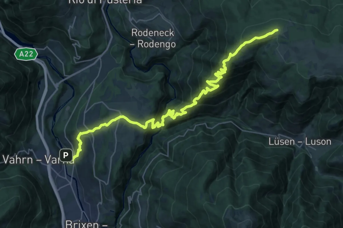
Demanding · Summit
2A - Spiluck => Zirmaitalm
7.3 km · ↑ 867 m · 3 h 36 min · 13 km away
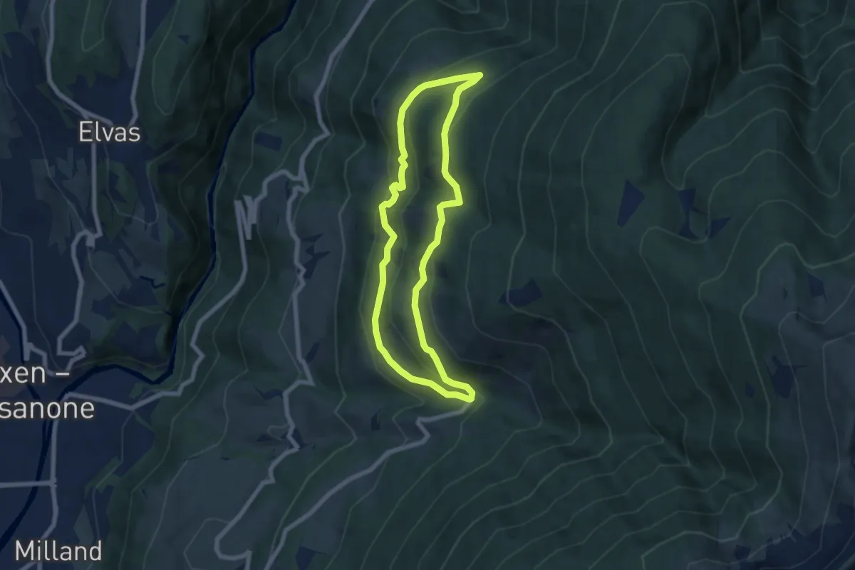
Demanding · Trail
Confinweg/Schöpfungsweg
15.8 km · ↑ 1586 m · 6 h 45 min · 13 km away
Medium · Trail
6A - St. Leonharder Rundweg
5.9 km · ↑ 343 m · 2 h 13 min · 13 km away
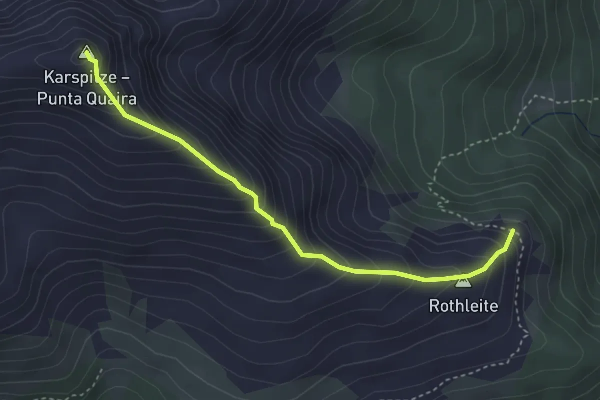
Medium · Summit
Gipfelsteig
3.4 km · ↑ 394 m · 1 h 40 min · 13 km away
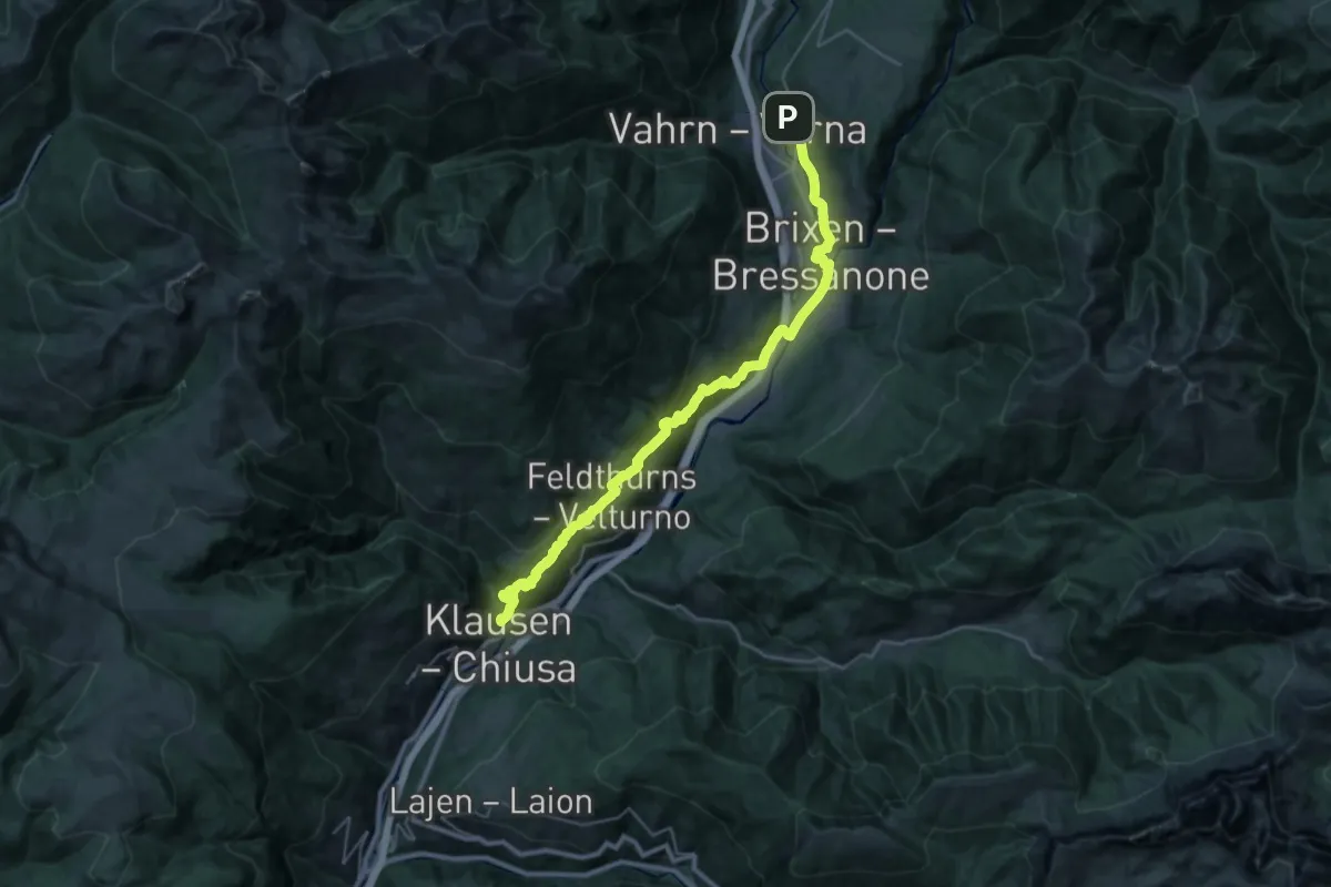
Demanding · Summit
Jakobsweg Klausen - Cammino di San Giacomo Chiusa
34.3 km · ↑ 1390 m · 11 h 7 min · 13 km away
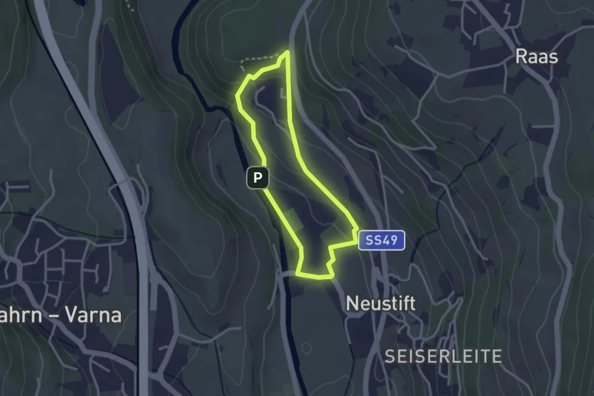
Easy · Trail
Herrnsteig
2.3 km · ↑ 89 m · 47 min · 13 km away
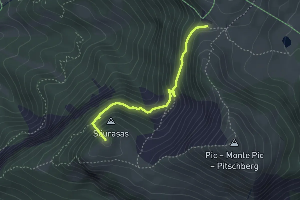
Medium · Summit
Troi di Tuei
3.1 km · ↑ 360 m · 1 h 31 min · 13 km away
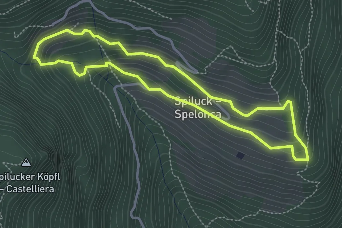
Easy · Trail
Spilucker Rundweg - Sentiero circolare Spelonca
2.7 km · ↑ 166 m · 1 h 1 min · 13 km away
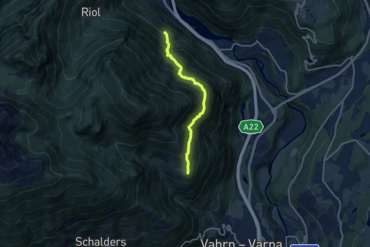
Medium · Trail
3A - Franzensfeste => Schalders
7.5 km · ↑ 765 m · 3 h 25 min · 13 km away
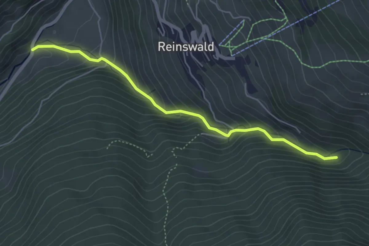
Medium · Trail
Mühlenweg
4.5 km · ↑ 335 m · 1 h 47 min · 14 km away
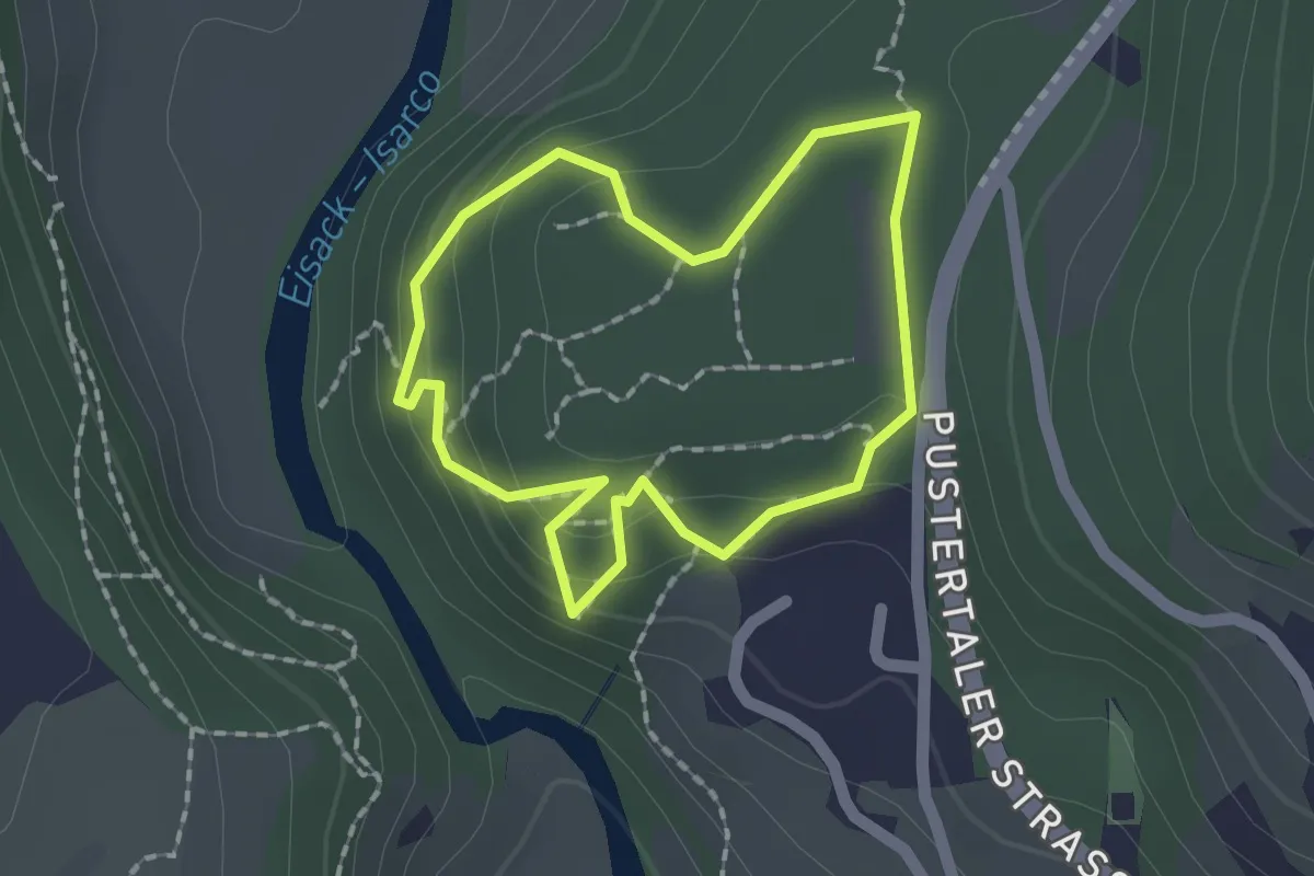
Easy · Trail
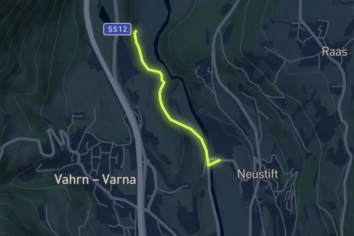
Nössingbühel
1.5 km · ↑ 82 m · 33 min · 14 km away
Easy · Trail
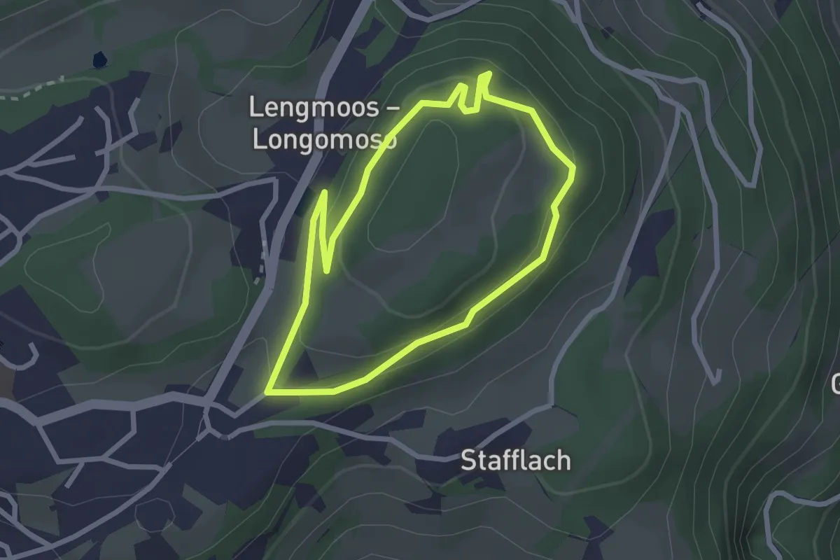
9A - Hartmannsteig
3.0 km · ↑ 91 m · 54 min · 14 km away
Easy · Trail
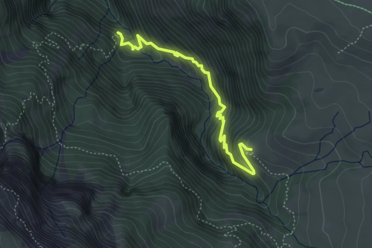
Fenn Promenade
2.2 km · ↑ 90 m · 45 min · 14 km away
Medium · Trail
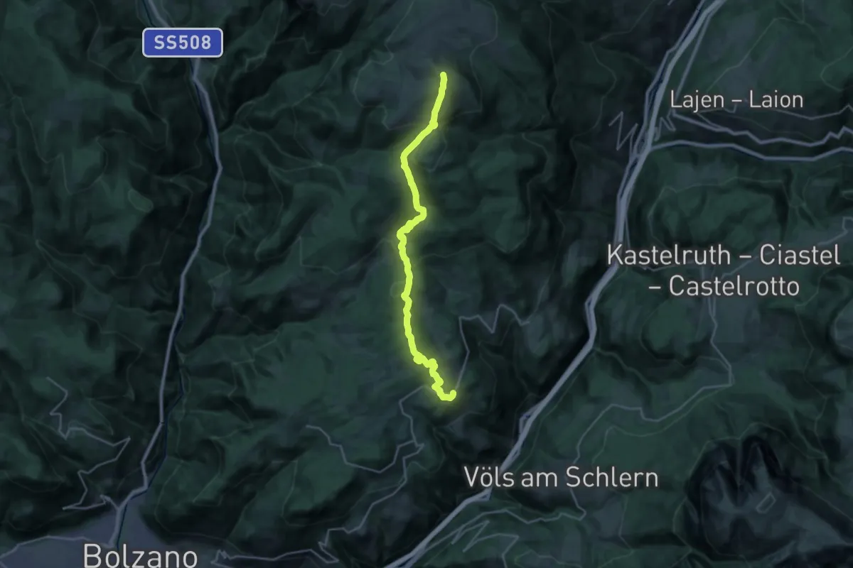
Geologensteig
4.3 km · ↑ 432 m · 1 h 56 min · 14 km away
Demanding · Summit
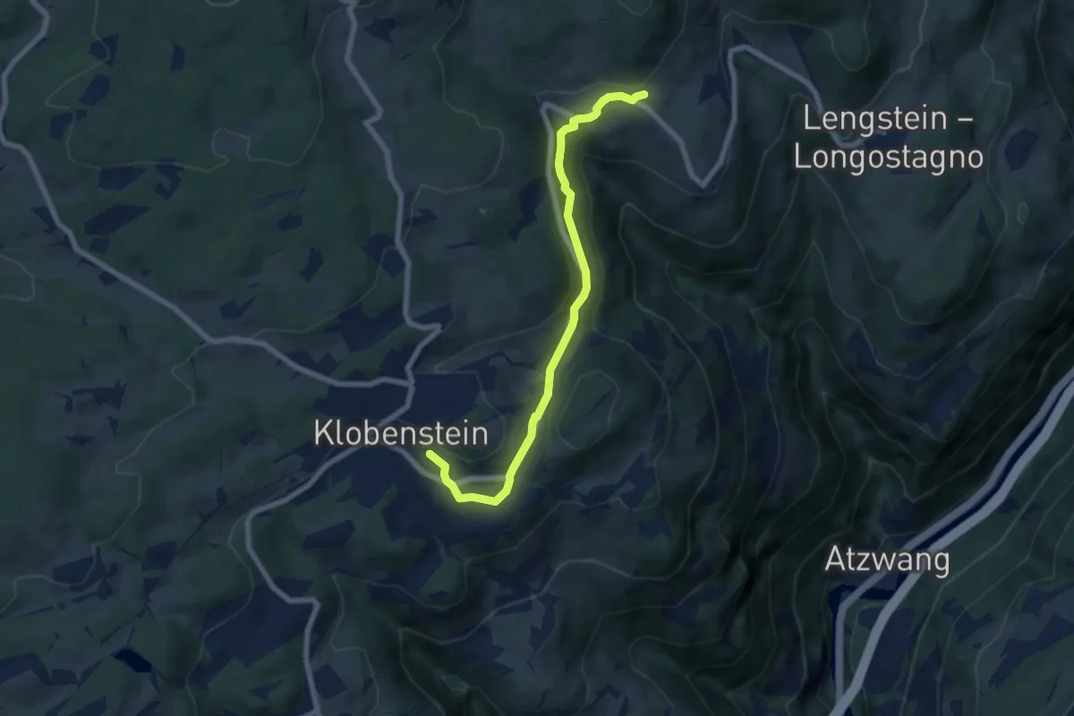
1 - Klobenstein => Rittner Horn
23.5 km · ↑ 1138 m · 8 h 1 min · 14 km away
Easy · Trail
Pyramidenweg
6.6 km · ↑ 177 m · 1 h 57 min · 14 km away
Easy · Trail
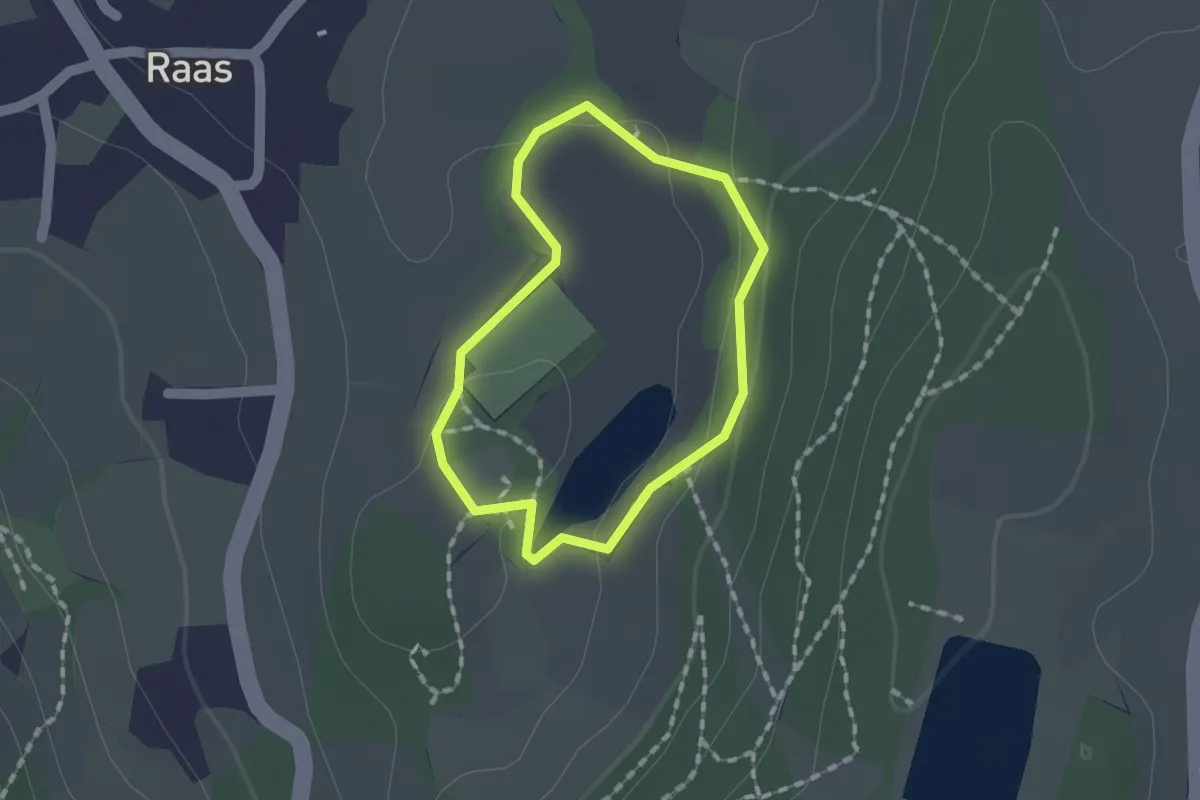
Naturerlebnisweg Raier Moos
1.2 km · ↑ 10 m · 19 min · 14 km away
Demanding · Summit
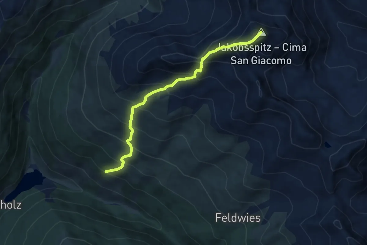
AVS 5A - Durnholz - Tellerjoch - Jakobsspitze
7.7 km · ↑ 915 m · 3 h 49 min · 14 km away
Easy · Summit
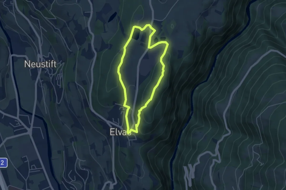
Rundweg Laugen Elvas
4.1 km · ↑ 113 m · 1 h 16 min · 14 km away
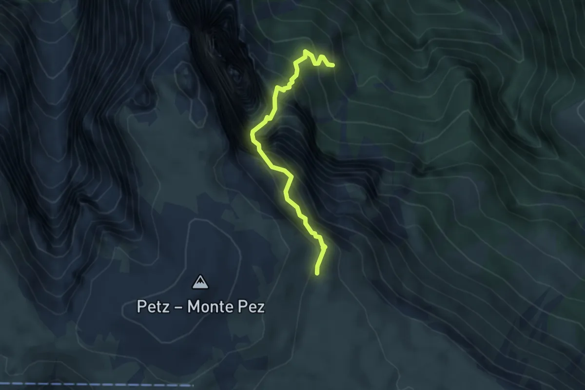
Expert · Cabin
Gamssteig
3.5 km · ↑ 748 m · 2 h 27 min · 14 km away
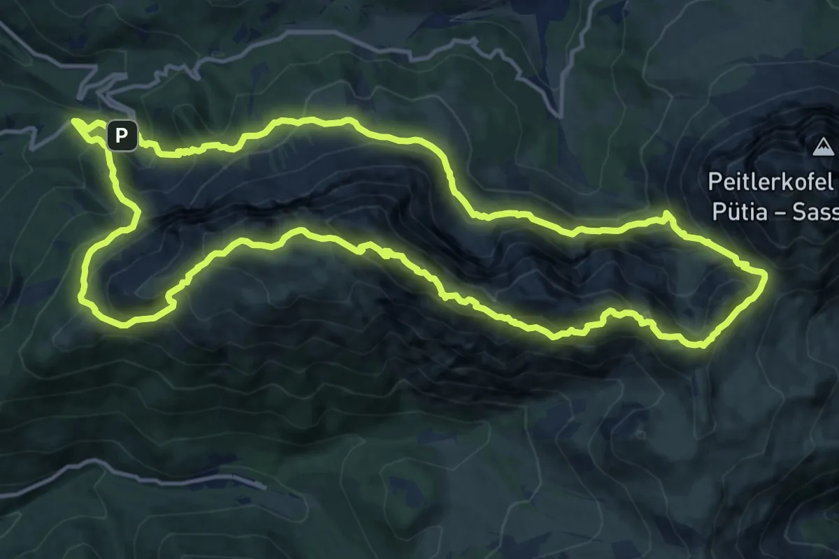
Demanding · Summit
Günther-Messner-Steig
14.9 km · ↑ 1244 m · 6 h 25 min · 14 km away
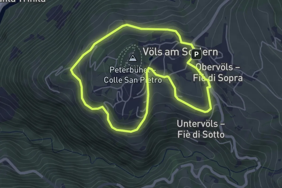
Easy · Trail
Weingartenweg
4.1 km · ↑ 166 m · 1 h 23 min · 14 km away
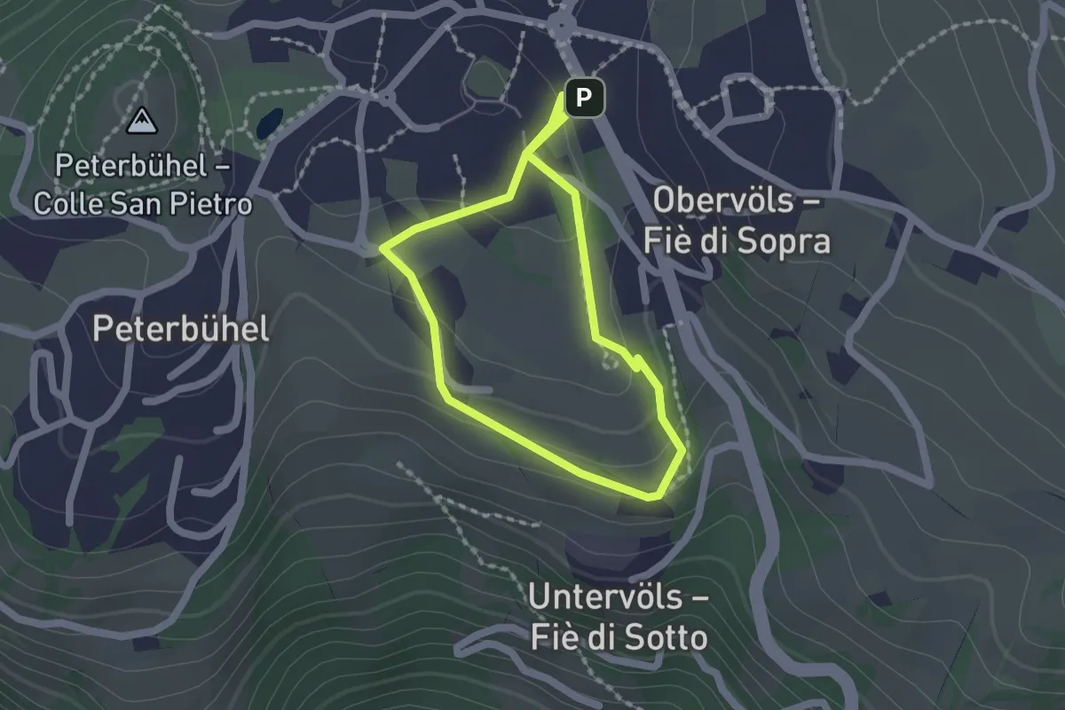
Easy · Trail
Rundweg Pfaffenbühl
1.6 km · ↑ 53 m · 30 min · 14 km away
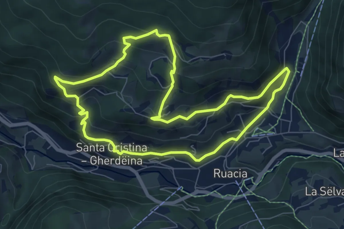
Medium · Trail
Raida di Mejes
6.7 km · ↑ 417 m · 2 h 34 min · 15 km away
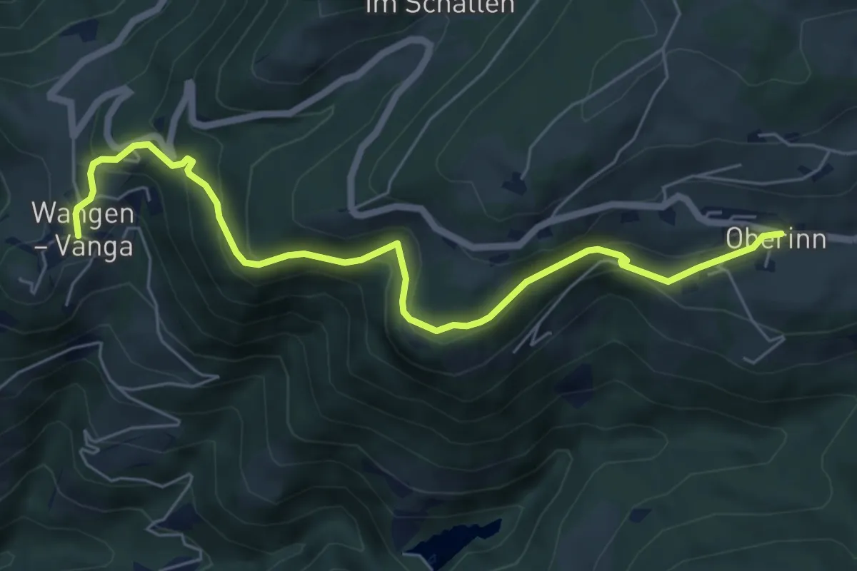
Medium · Trail
Brandsteig
6.4 km · ↑ 455 m · 2 h 29 min · 15 km away
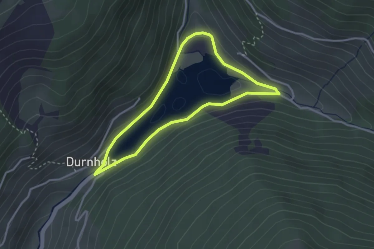
Easy · Trail
Seerundweg
2.5 km · ↑ 70 m · 46 min · 15 km away
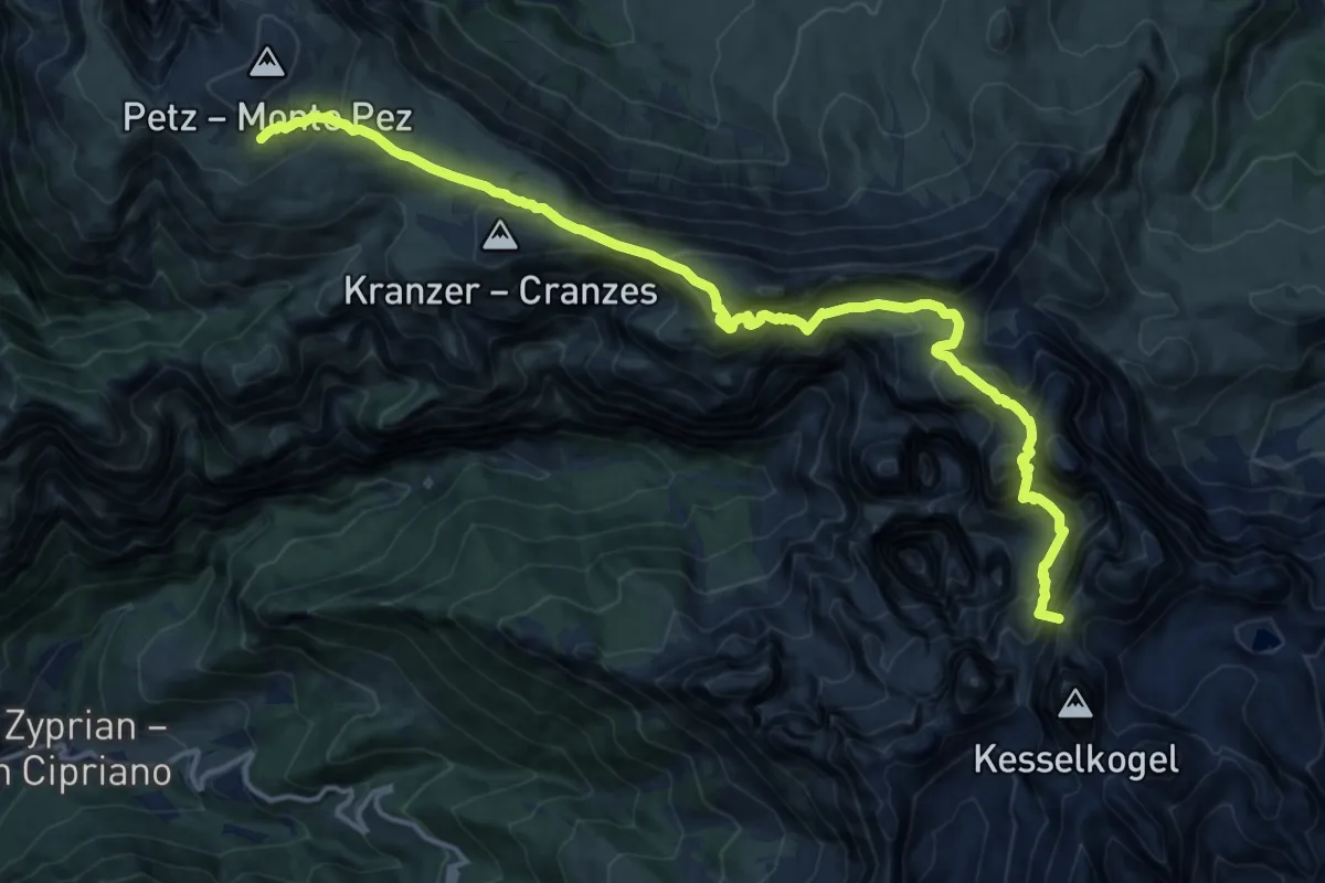
Demanding · Summit
Via Alpina Yellow B25
16.8 km · ↑ 1389 m · 6 h 59 min · 15 km away
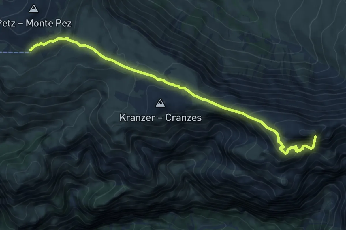
Medium · Summit
Rifugio Bolzano – Rifugio Alpe di Tires
8.6 km · ↑ 554 m · 3 h 14 min · 15 km away
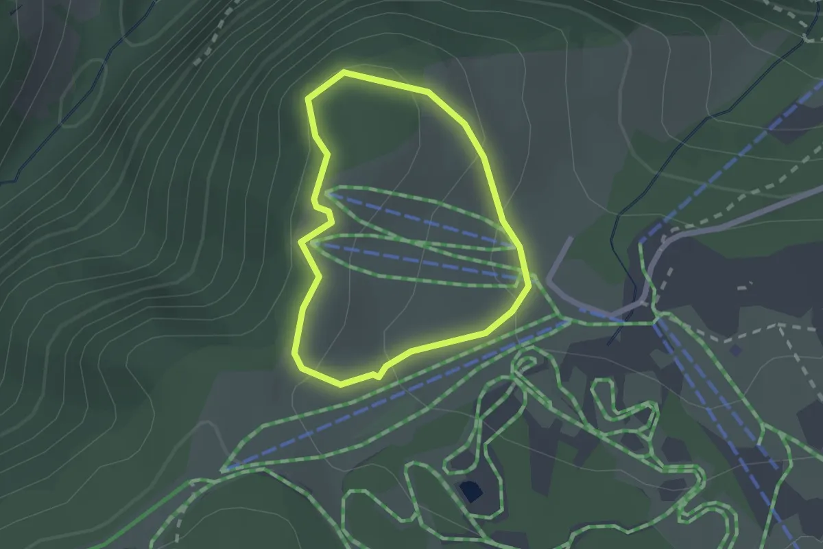
Easy · Trail
Troi uniKa
1.5 km · ↑ 43 m · 29 min · 15 km away
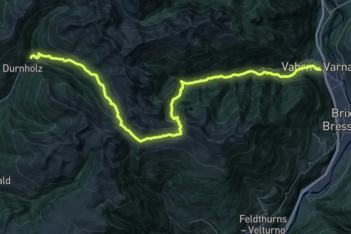
Demanding · Trail
AVS 5 - Vahrn - Bad Schalders - Lorenzischarte - Fortschellscharte - Durnholz
22.0 km · ↑ 938 m · 7 h 58 min · 15 km away