Trails near Lavagna
175 hikes starting within 15 km, nearest first.
Nearest first, page 1 of 4
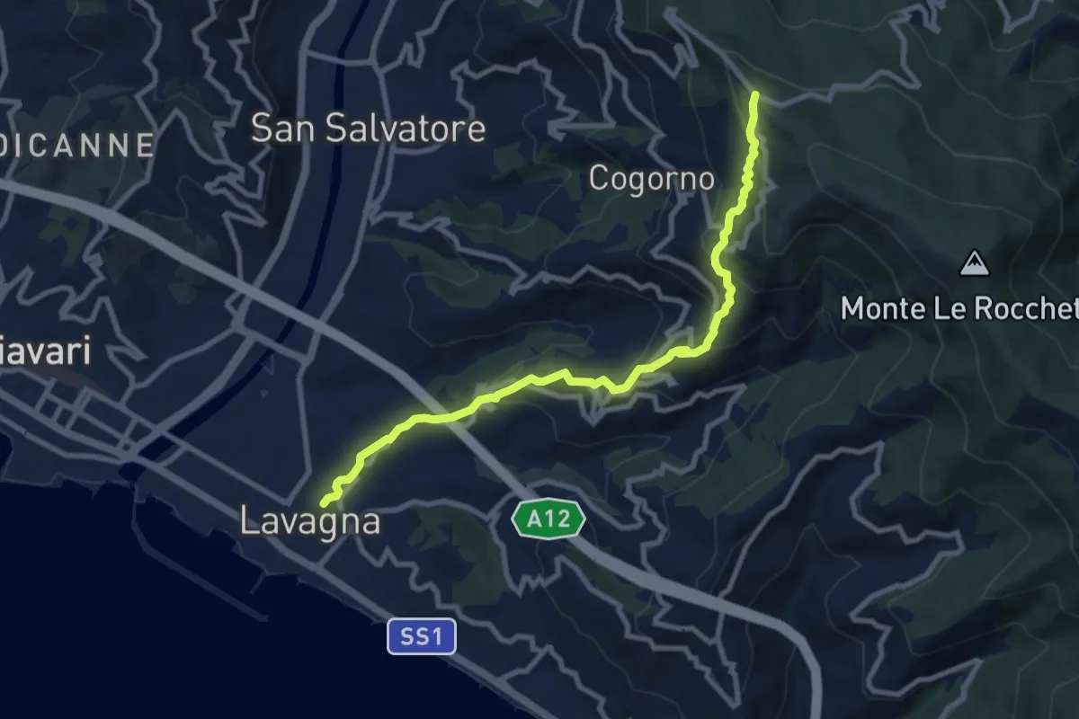
Medium · Trail
Lavagna - Cogorno - S. Giacomo
9.3 km · ↑ 511 m · 3 h 18 min · under 1 km away
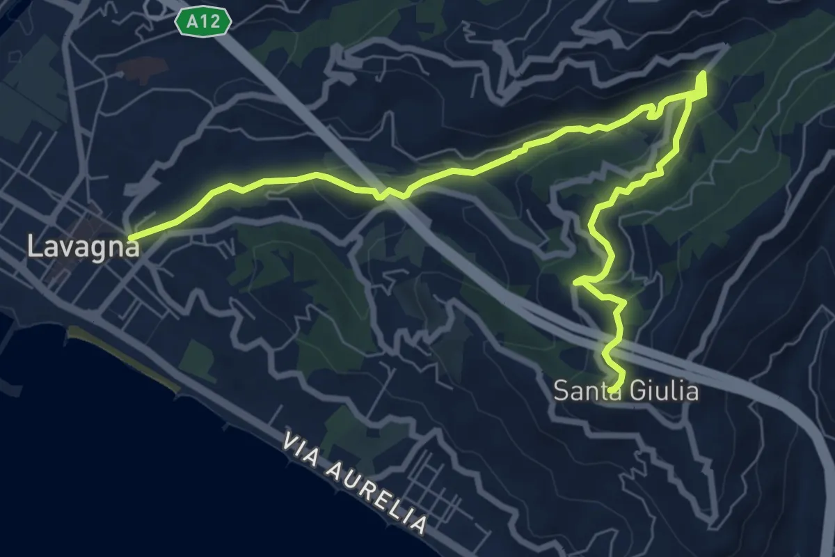
Medium · Trail
Lavagna - Valle dei Berissi - Santa Giulia
9.2 km · ↑ 384 m · 3 h · under 1 km away
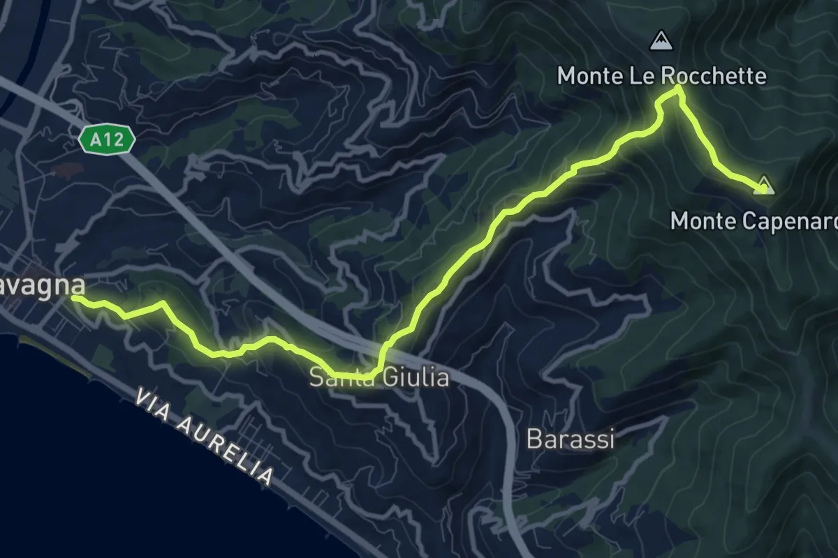
Medium · Summit
Lavagna - Santa Giulia di Centaura - Monte Capenardo
12.0 km · ↑ 739 m · 4 h 25 min · under 1 km away
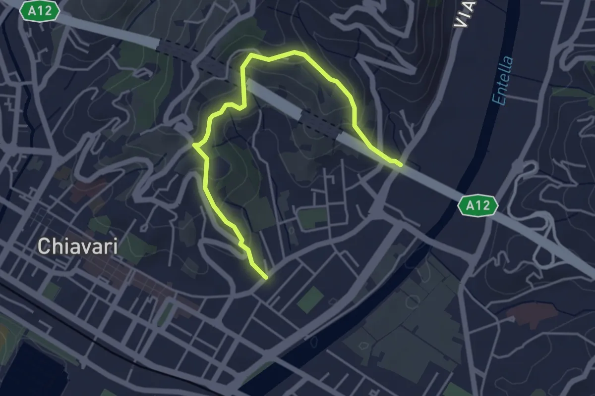
Easy · Trail
Salita Ceive - C. di Ri - Salita San Michele
4.3 km · ↑ 233 m · 1 h 32 min · 1 km away
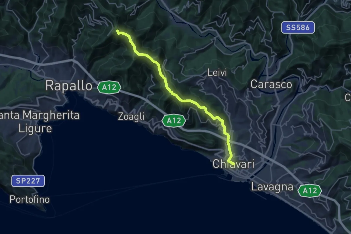
Demanding · Summit
Sentiero Liguria - Tappa 8 variante
18.6 km · ↑ 897 m · 6 h 20 min · 2 km away
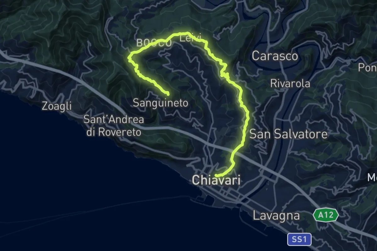
Demanding · Summit
Le Cinque Torri
20.1 km · ↑ 831 m · 6 h 33 min · 2 km away
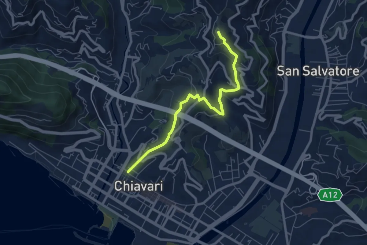
Medium · Trail
Variante al giro delle Cinque Torri fino al Curlo (Chiavari - Leivi)
6.0 km · ↑ 351 m · 2 h 11 min · 2 km away
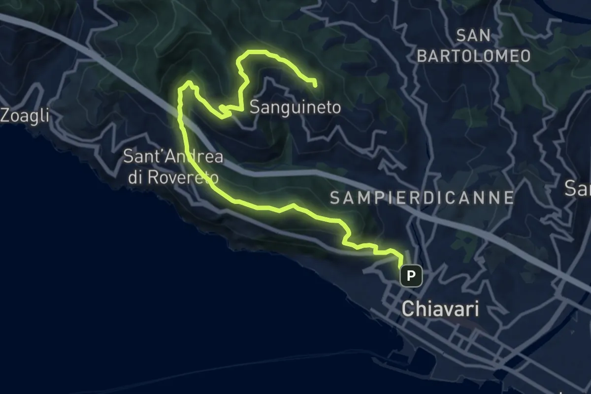
Demanding · Summit
Anello di Monte Telegrafo
13.7 km · ↑ 859 m · 5 h 5 min · 2 km away
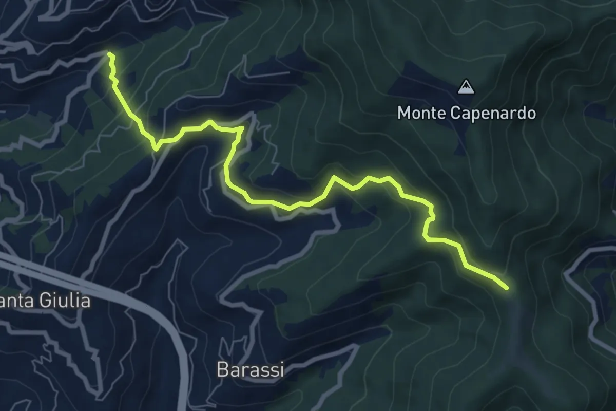
Medium · Trail
Chighina - Crocetta - Sorlana - Selva
7.4 km · ↑ 553 m · 2 h 57 min · 3 km away
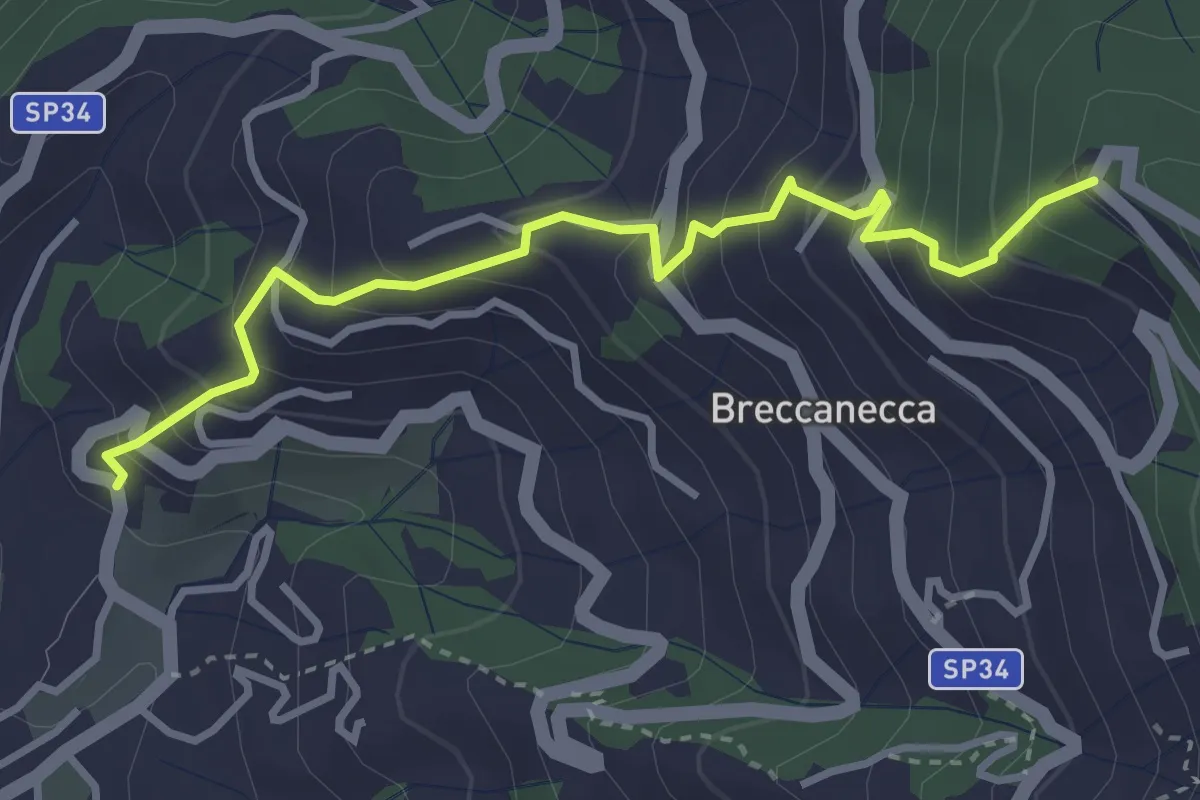
Medium · Trail
San Salvatore - San Giacomo
3.6 km · ↑ 395 m · 1 h 42 min · 3 km away
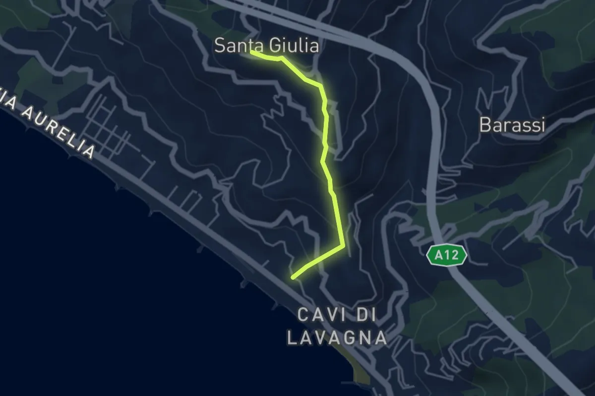
Easy · Trail
Cavi Borgo - S. Michele - S. Giulia
3.0 km · ↑ 233 m · 1 h 12 min · 3 km away
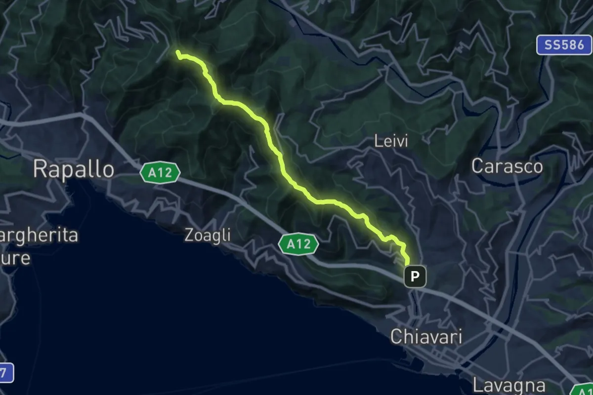
Demanding · Summit
S. Pier di Canne – Santuario di Montallegro
15.6 km · ↑ 863 m · 5 h 34 min · 3 km away
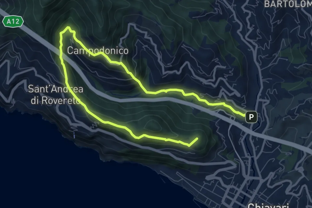
Medium · Summit
Chiavari - San Bernardo - San Pier di Canne
12.5 km · ↑ 638 m · 4 h 19 min · 3 km away
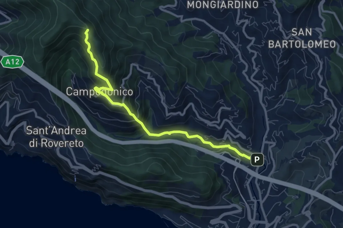
Medium · Trail
Chiavari - Anchetta
7.8 km · ↑ 509 m · 2 h 57 min · 3 km away
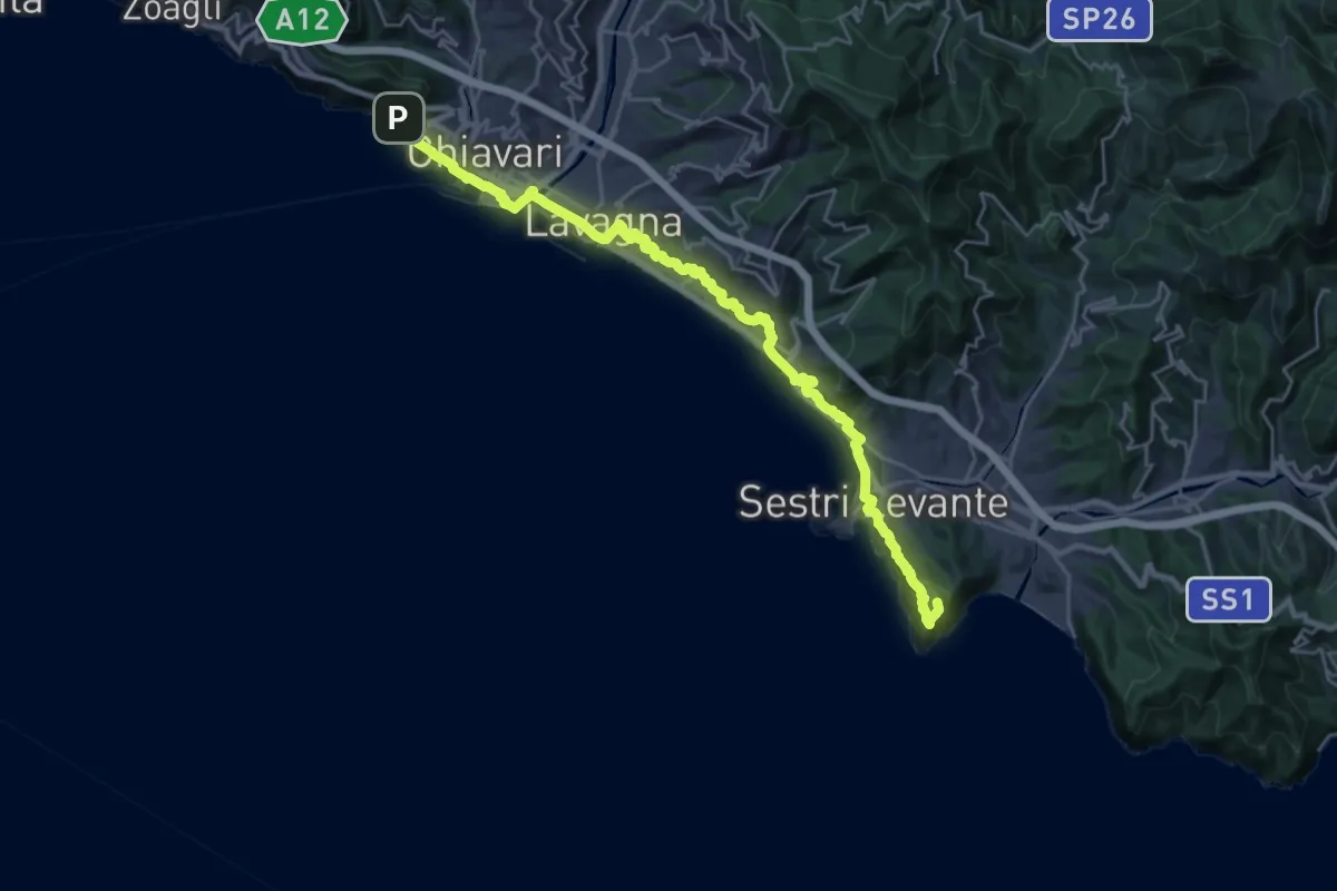
Expert · Summit
Sentiero Verdeazzurro
28.8 km · ↑ 937 m · 8 h 50 min · 3 km away
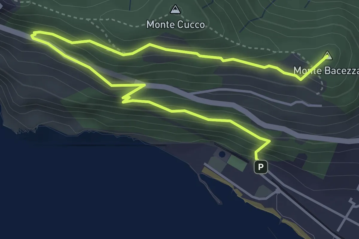
Medium · Summit
Anello panoramico "delle Grazie"
5.6 km · ↑ 400 m · 2 h 12 min · 3 km away
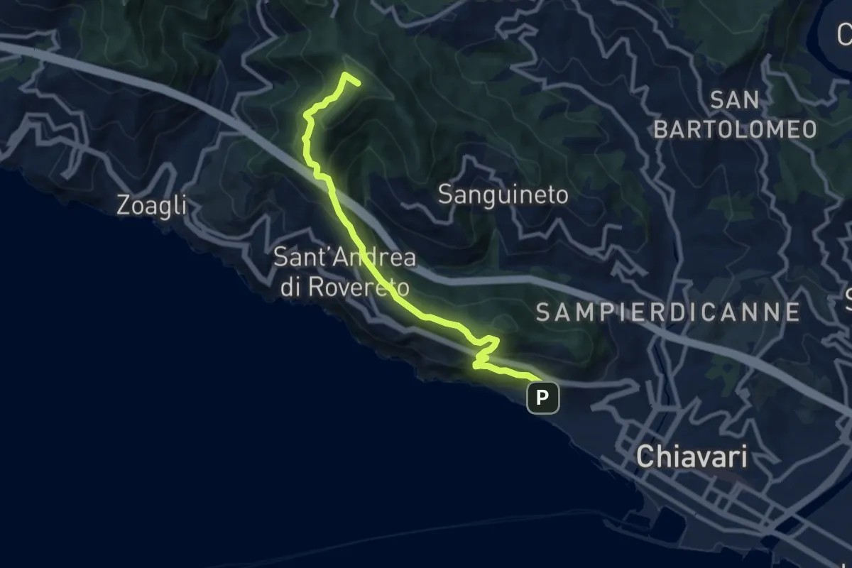
Medium · Summit
Chiavari - Passo dell'Anchetta
9.5 km · ↑ 754 m · 3 h 52 min · 3 km away
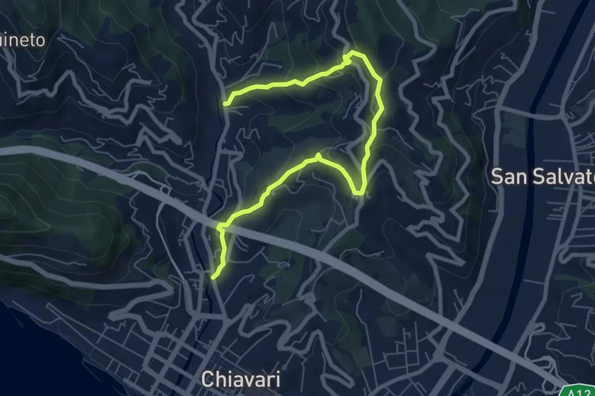
Medium · Trail
Casale di Bacezza - Curlo - Rostio
7.5 km · ↑ 501 m · 2 h 51 min · 3 km away
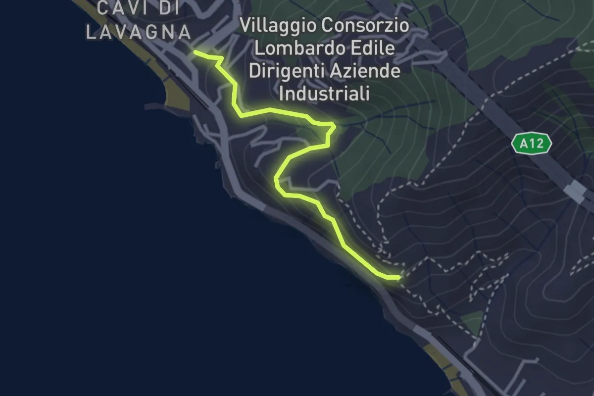
Medium · Trail
Cavi Borgo - S. Anna
2.9 km · ↑ 195 m · 1 h 6 min · 3 km away
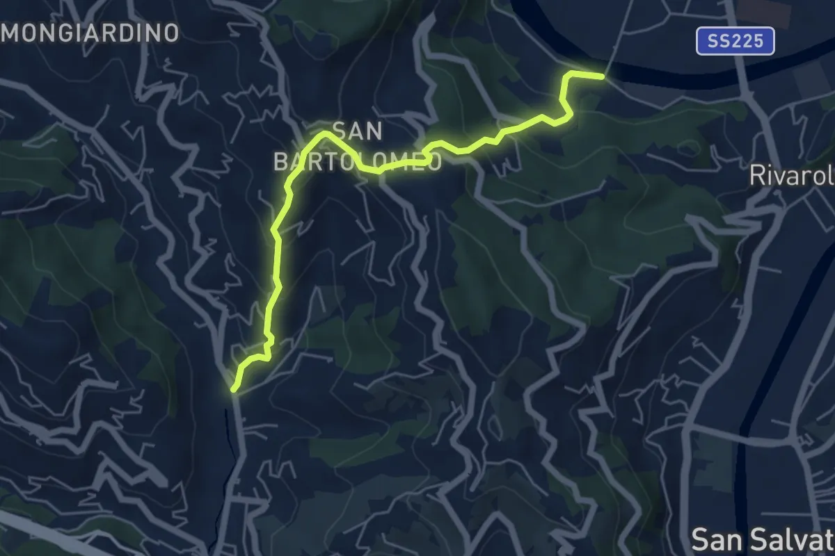
Medium · Trail
Rostio – Ponte Vecchio
5.4 km · ↑ 427 m · 2 h 12 min · 3 km away
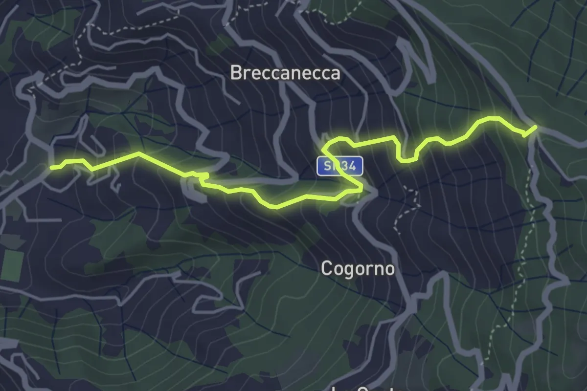
Medium · Trail
San Salvatore - San Giacomo
4.7 km · ↑ 542 m · 2 h 18 min · 4 km away
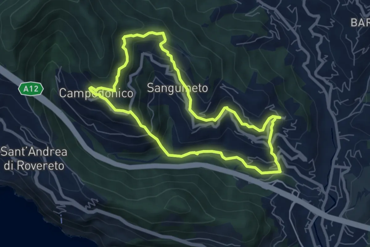
Medium · Trail
Anello delle Tre Frazioni
5.9 km · ↑ 419 m · 2 h 23 min · 4 km away
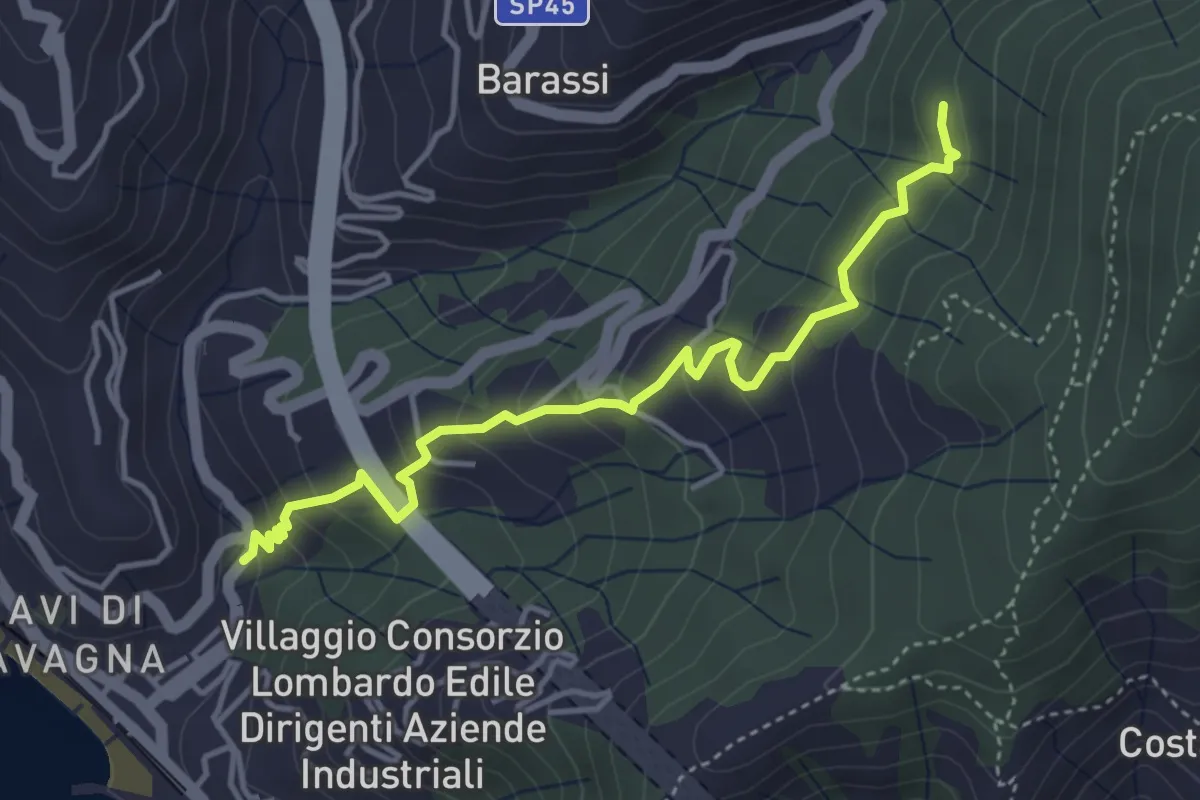
Easy · Trail
Cavi Borgo - Cerreto - S. Eufemiano
4.4 km · ↑ 294 m · 1 h 41 min · 4 km away
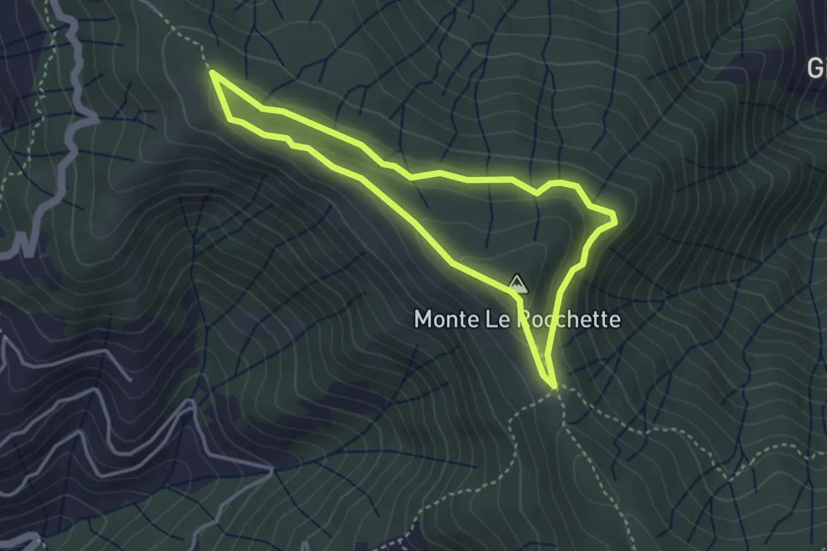
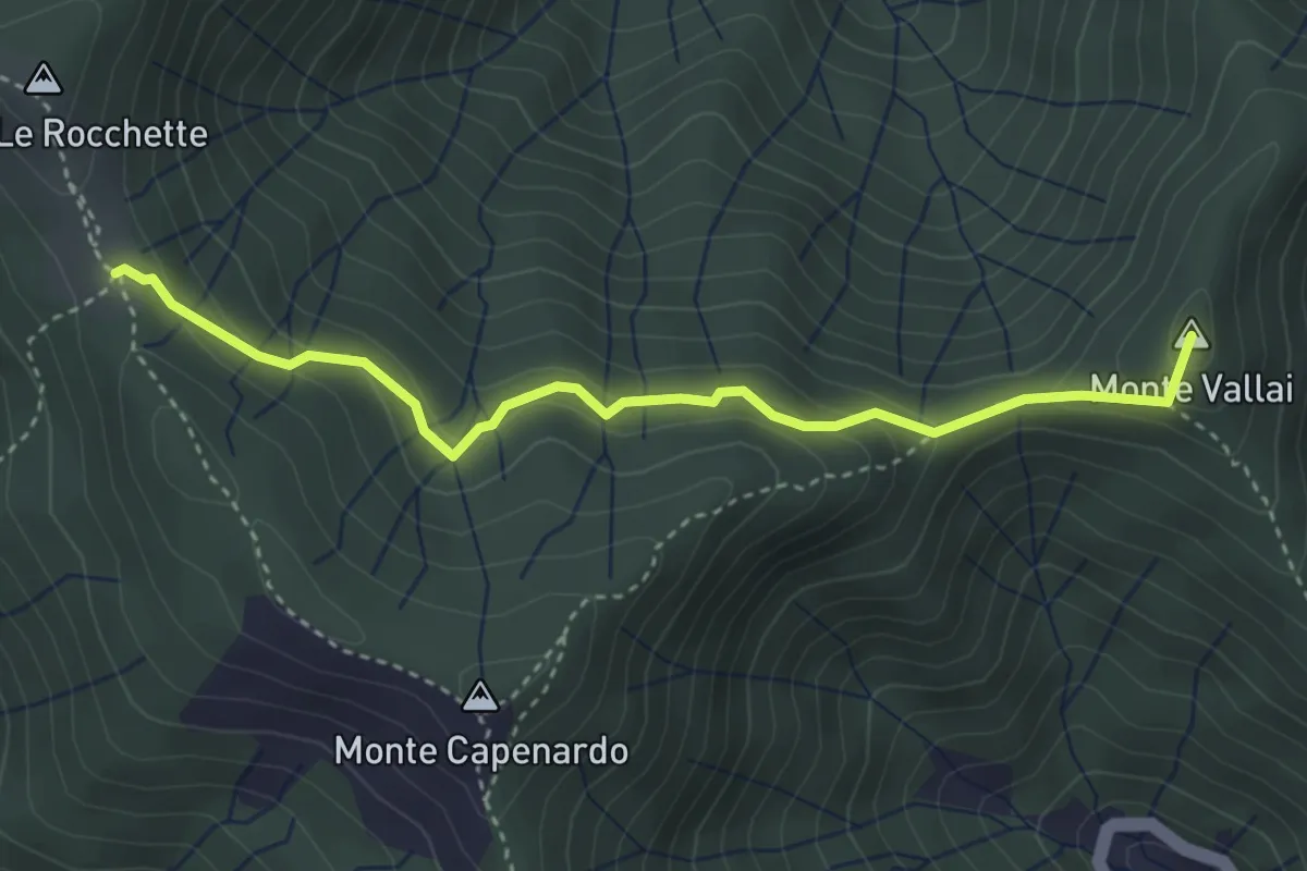
Medium · Summit
Anello del Massiccio San Giacomo
3.2 km · ↑ 99 m · 1 h 1 min · 4 km away
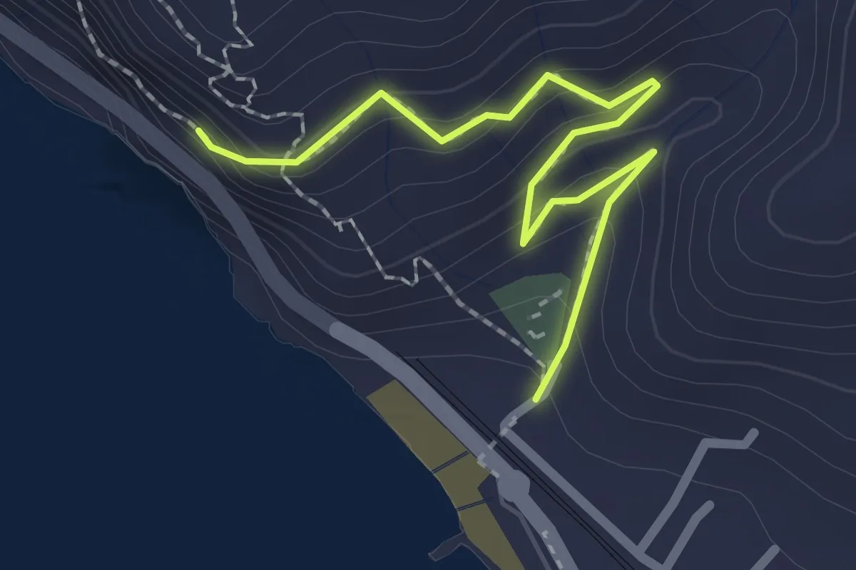
Easy · Summit
Azaro - Innesto Anello San Giacomo
3.8 km · ↑ 243 m · 1 h 25 min · 4 km away
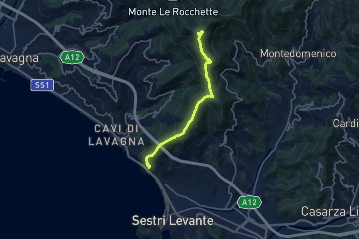
Medium · Trail
Sant'Anna
2.3 km · ↑ 164 m · 54 min · 4 km away
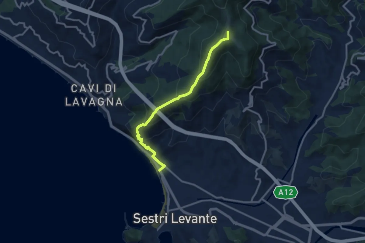
Medium · Summit
S. Anna - Monte Capenardo
9.8 km · ↑ 679 m · 3 h 47 min · 4 km away
Medium · Summit
Sestri Levante - Monte Costello
7.3 km · ↑ 516 m · 2 h 50 min · 5 km away
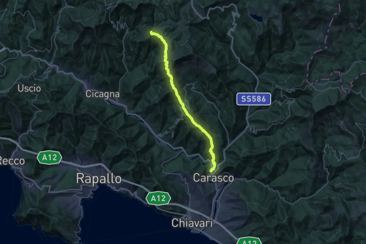
Demanding · Summit
Itinerario del 7 Passi
28.5 km · ↑ 1913 m · 10 h 53 min · 5 km away
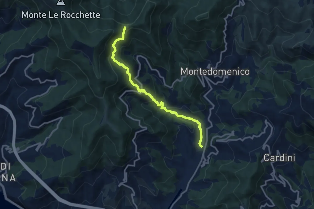
Medium · Trail
S. Vittoria - Ponzerone - Loto - Baixin
8.1 km · ↑ 580 m · 3 h 10 min · 5 km away
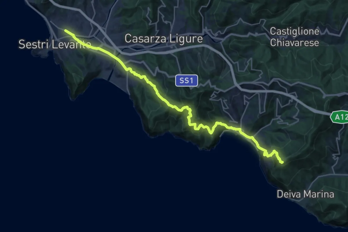
Expert · Summit
Via della Costa - tappa 10
26.0 km · ↑ 1445 m · 9 h 17 min · 6 km away
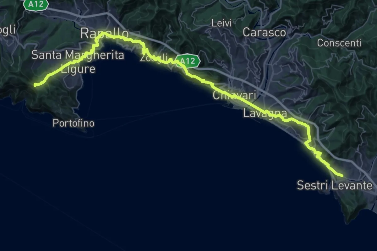
Demanding · Summit
Via della Costa - tappa 9
52.9 km · ↑ 2481 m · 17 h 51 min · 6 km away
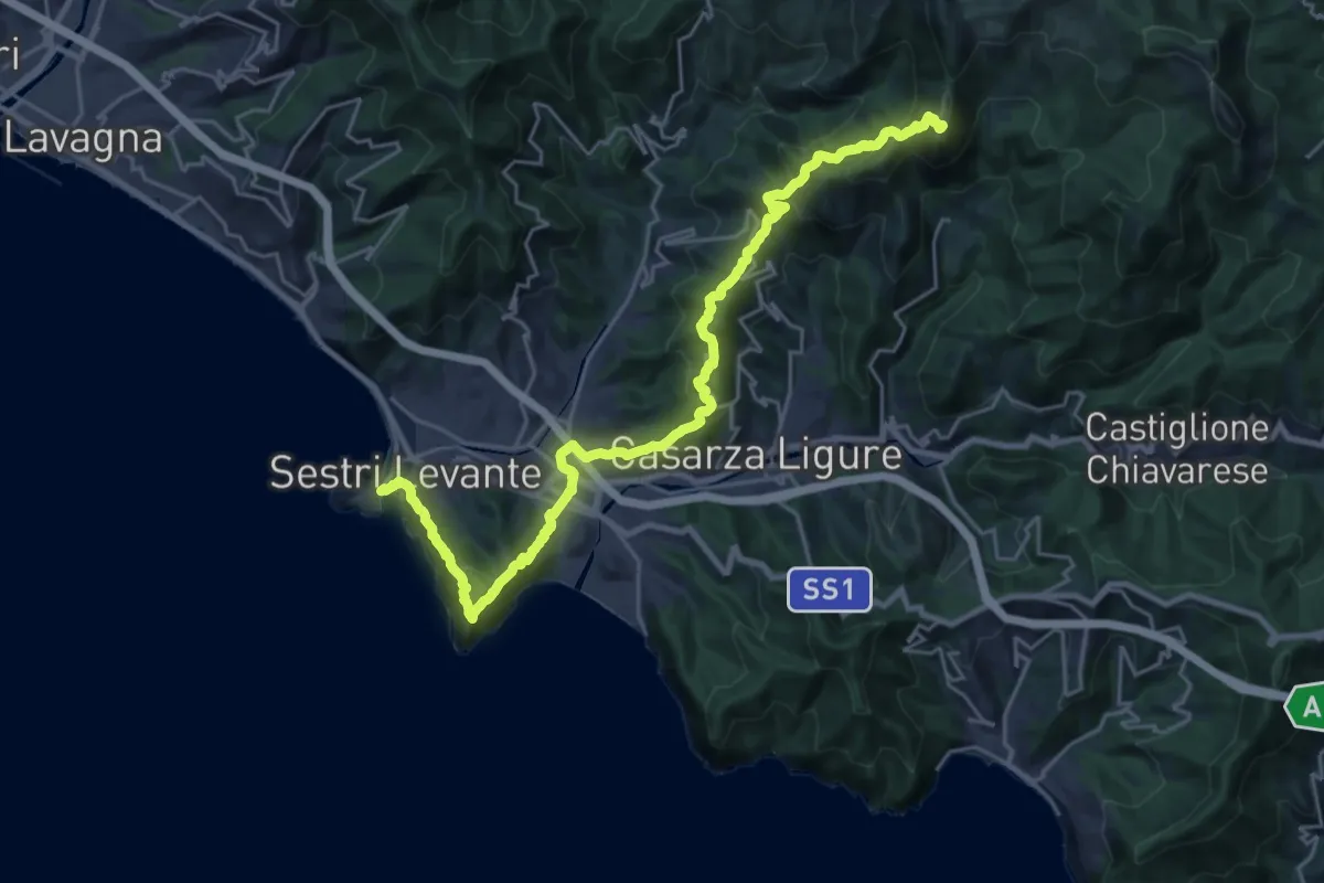
Demanding · Summit
Via dei Remi - tappa 5
27.8 km · ↑ 1626 m · 10 h 6 min · 6 km away
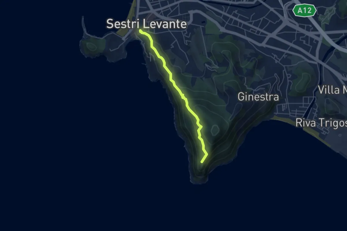
Medium · Trail
Sestri Levante - Casa Mandrella - Punta Manara
4.5 km · ↑ 278 m · 1 h 40 min · 6 km away
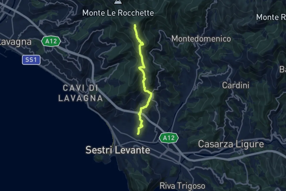
Medium · Summit
Sestri Levante - San Bernardo - Monte Capenardo
10.9 km · ↑ 774 m · 4 h 14 min · 6 km away
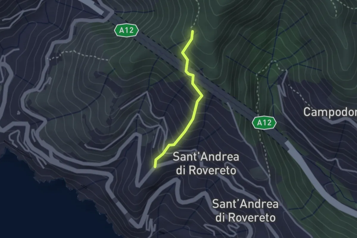
Easy · Trail
San Pietro - Madonnetta
2.0 km · ↑ 275 m · 1 h 5 min · 6 km away
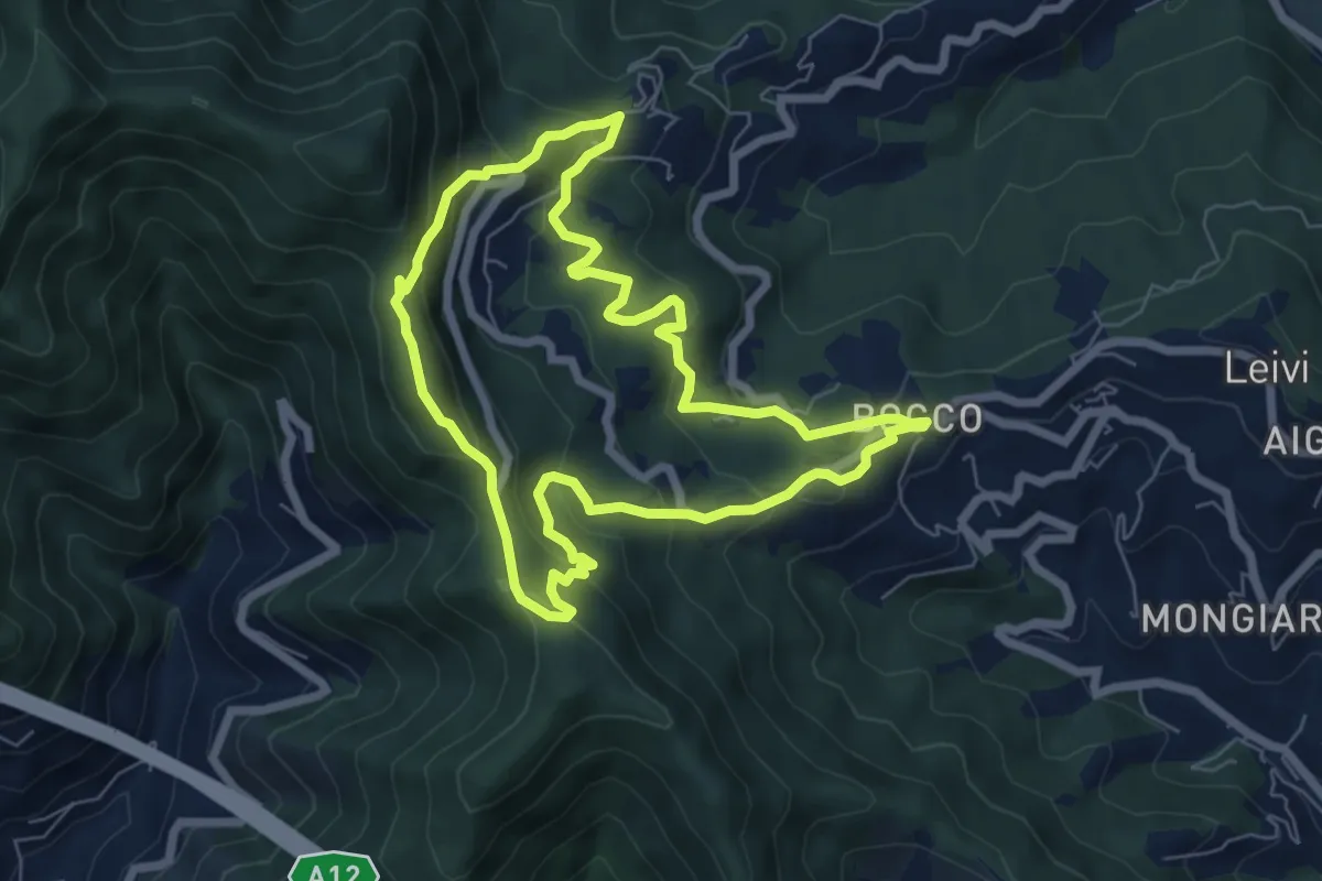
Medium · Summit
Anello di Villa Oneto e del Bocco di Leivi
6.6 km · ↑ 380 m · 2 h 29 min · 6 km away
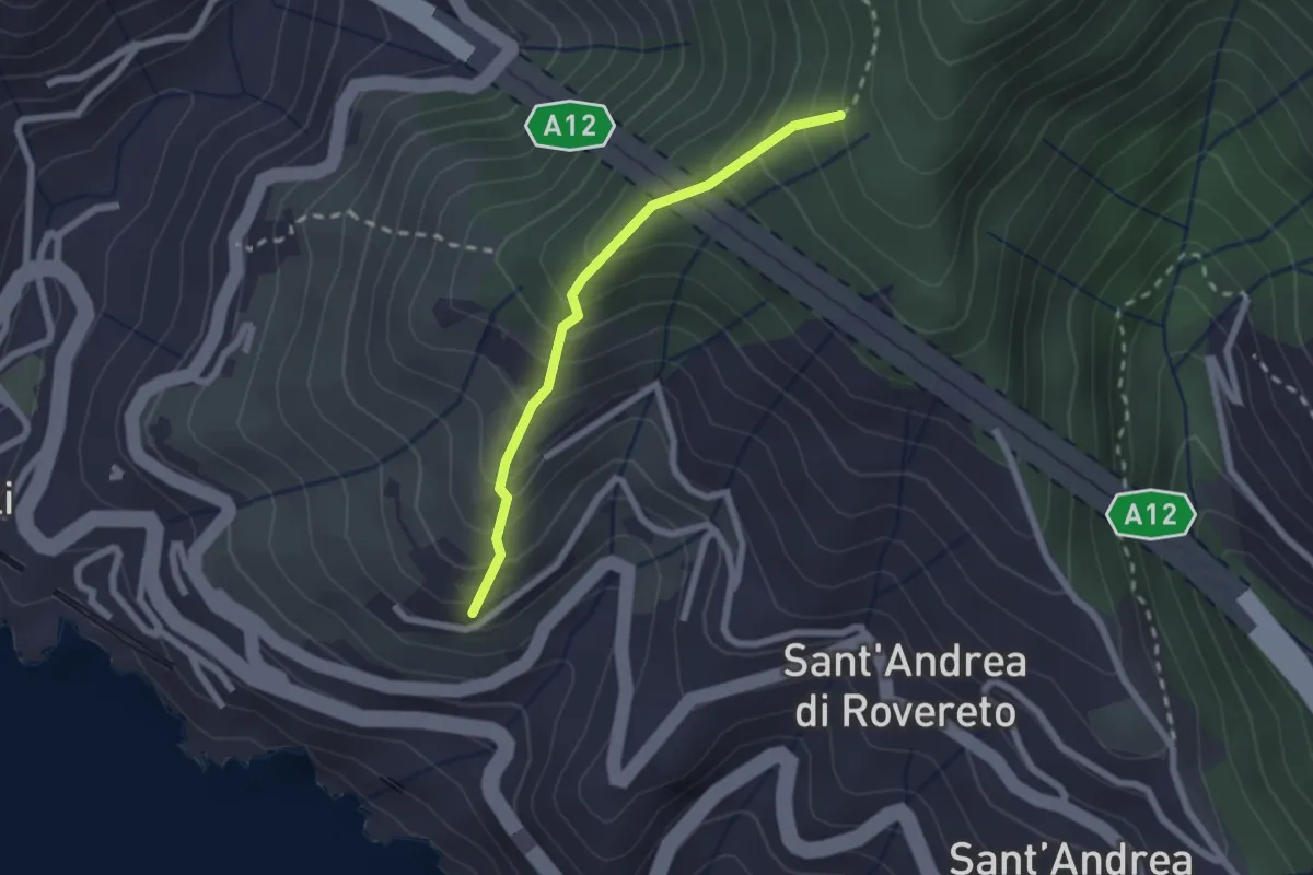
Easy · Trail
Via dei Tessitori - Via al Santuario della Madonnetta - Madonnetta
2.0 km · ↑ 258 m · 1 h 2 min · 6 km away
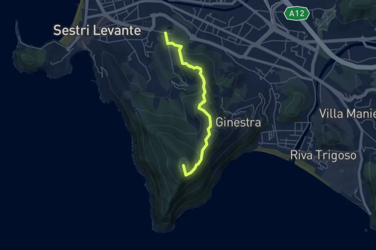
Medium · Summit
Sestri Levante - Cappelletta Sacra Famiglia - Punta Manara
4.4 km · ↑ 262 m · 1 h 37 min · 6 km away
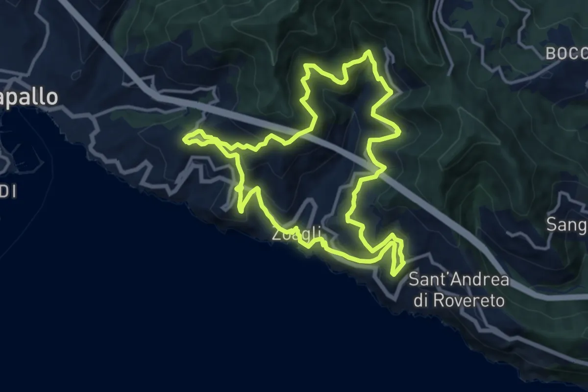
Medium · Trail
Giro dei cinque Campanili
11.0 km · ↑ 656 m · 4 h 10 min · 6 km away
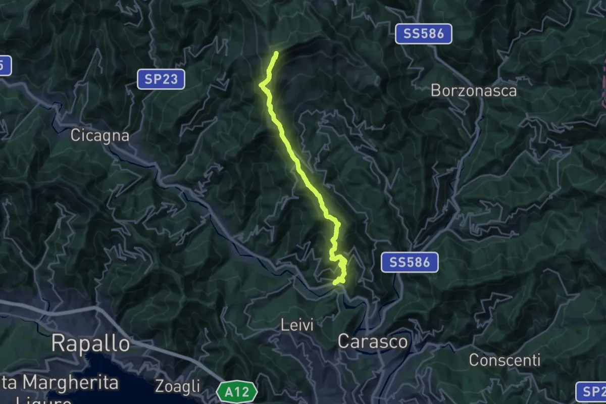
Demanding · Summit
San Colombano Certenoli – Monte Ramaceto
20.2 km · ↑ 1526 m · 8 h 4 min · 7 km away
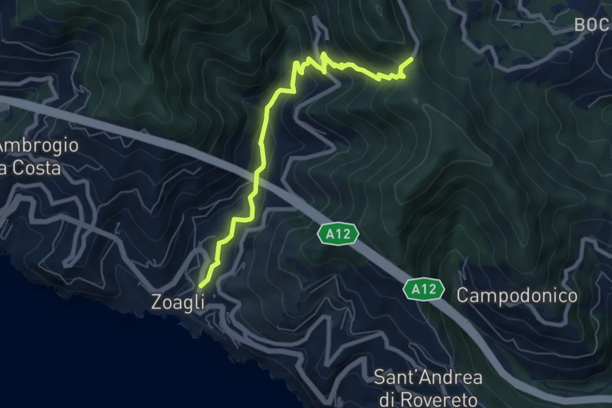
Medium · Trail
Via dei Mulini - Semorile - Passo dell'Anchetta
6.3 km · ↑ 529 m · 2 h 38 min · 7 km away
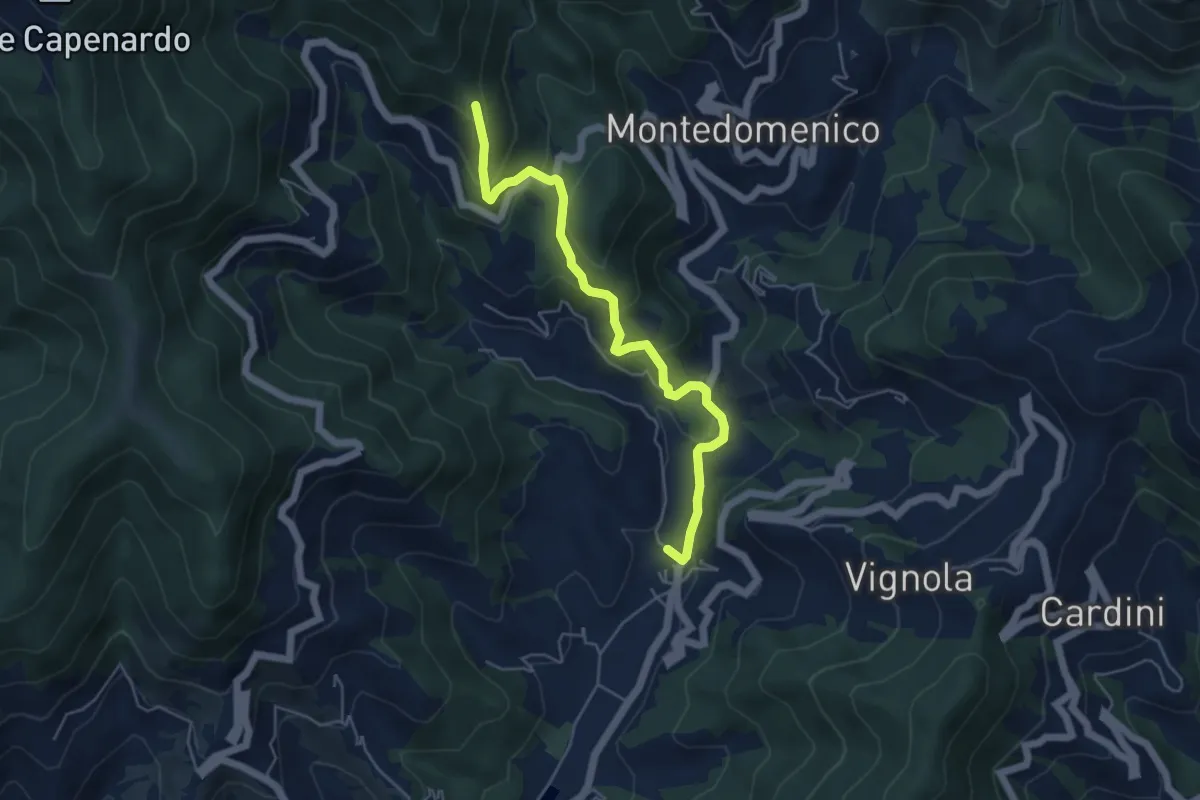
Medium · Trail
S. Vittoria - Campomoneto - Azaro
5.3 km · ↑ 267 m · 1 h 50 min · 7 km away
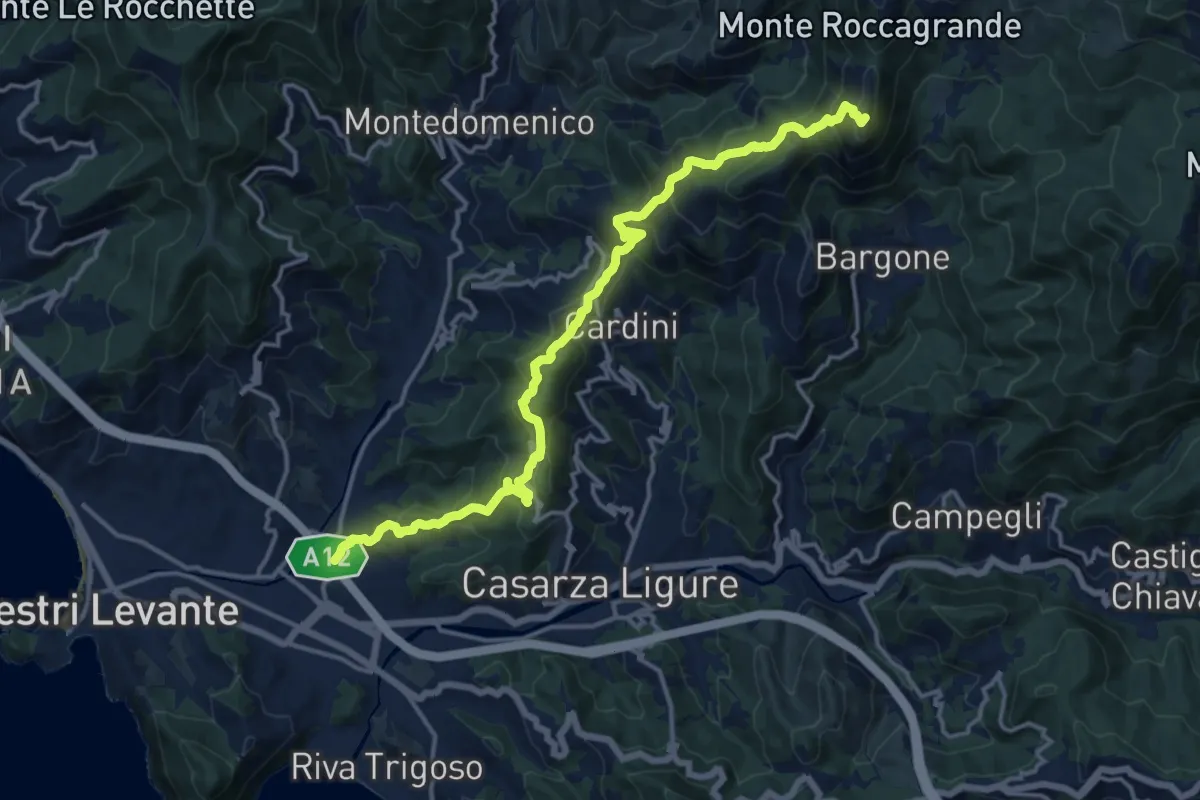
Demanding · Summit
Santa Margherita di Fossa Lupara - Colle Incisa - Monte Treggin
17.1 km · ↑ 1128 m · 6 h 29 min · 7 km away
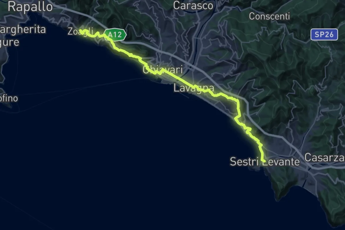
Medium · Trail
Sentiero Liguria - Tappa 8
16.9 km · ↑ 691 m · 5 h 45 min · 7 km away
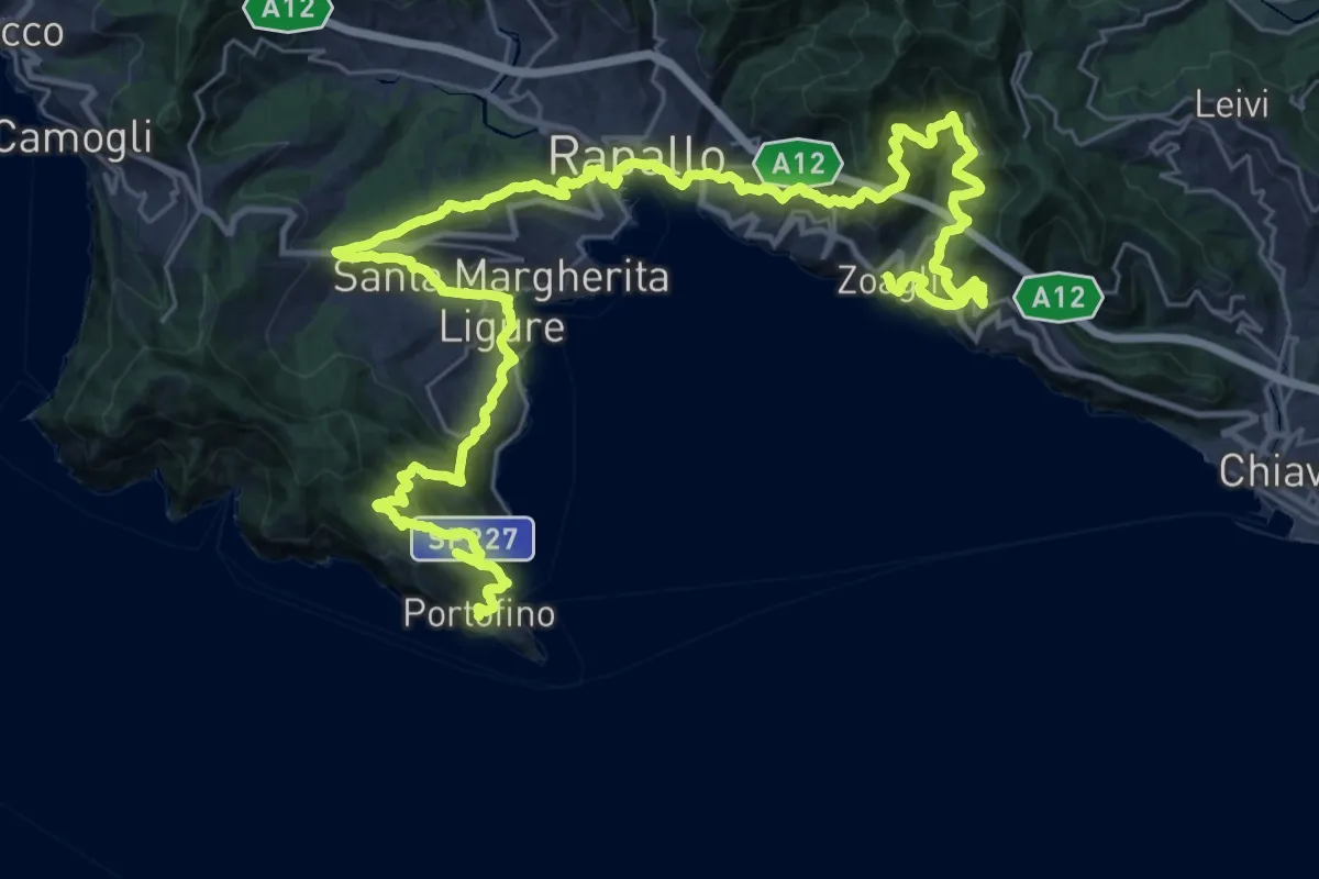
Demanding · Trail
Sentiero Liguria - Tappa 9
24.4 km · ↑ 1405 m · 9 h 8 min · 7 km away
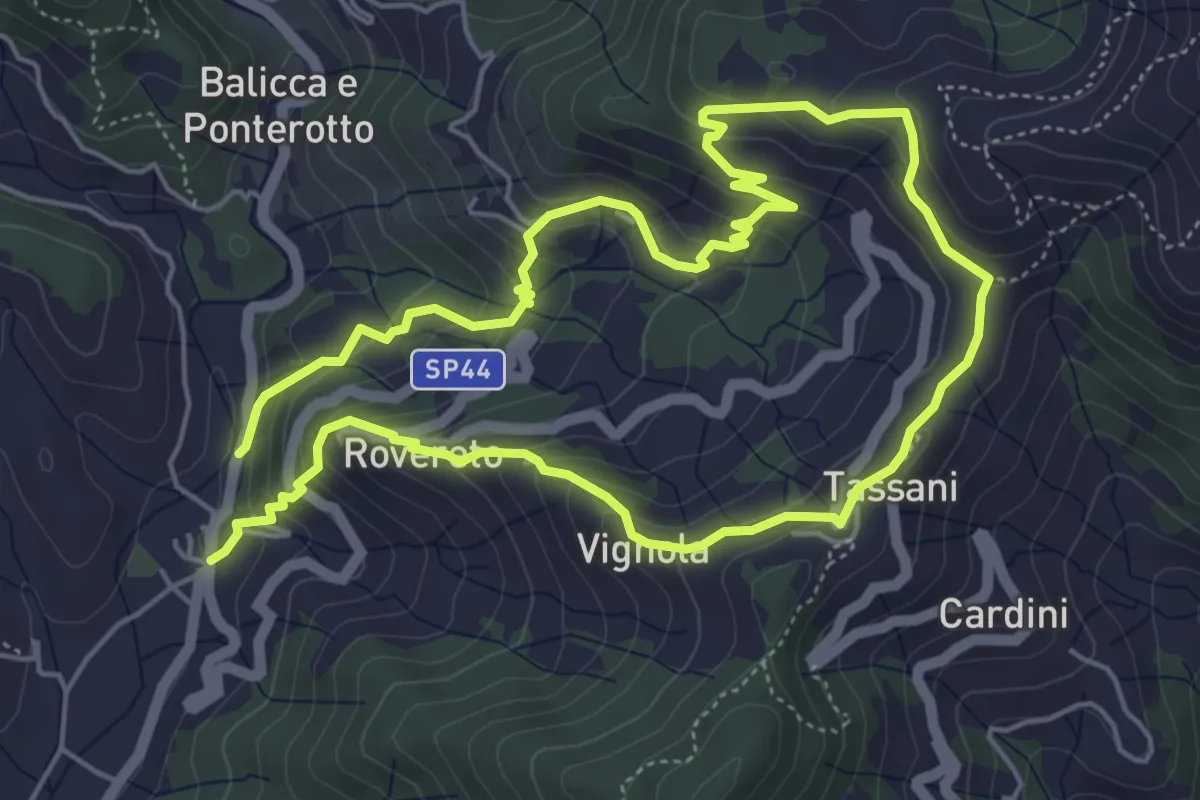
Medium · Trail
Anello di S. Vittoria
10.3 km · ↑ 688 m · 3 h 55 min · 7 km away
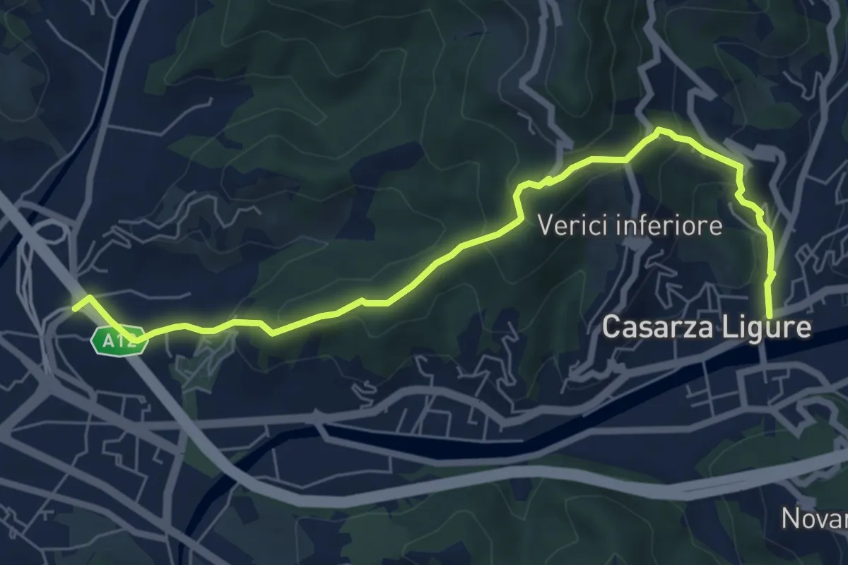
Medium · Trail
Fossa Lupara - Casarza Ligure
7.1 km · ↑ 422 m · 2 h 35 min · 7 km away