Trails near Lavagna
175 hikes starting within 15 km, nearest first.
Nearest first, page 2 of 4
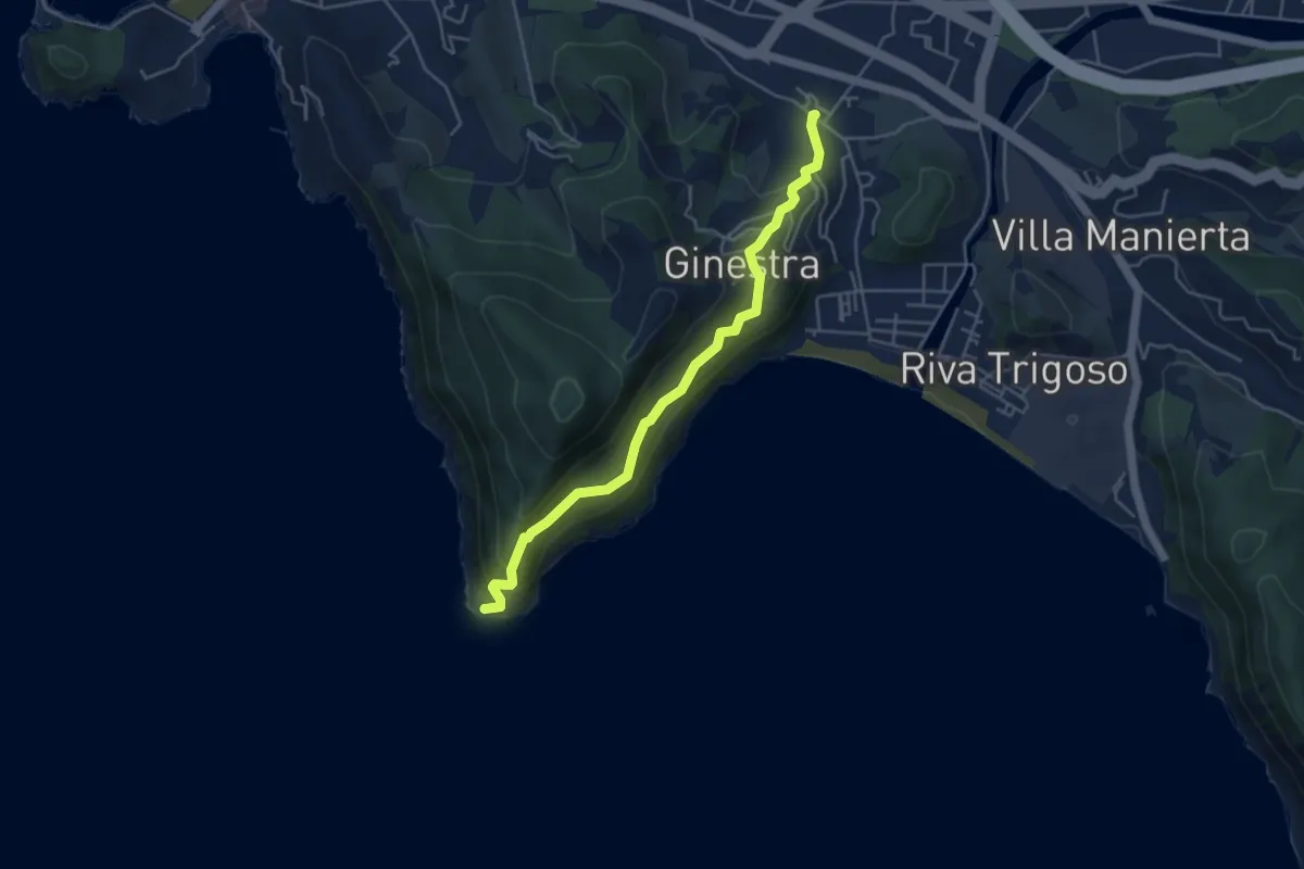
Expert · Trail
Riva Trigoso - Punta Manara
4.7 km · ↑ 398 m · 1 h 58 min · 7 km away
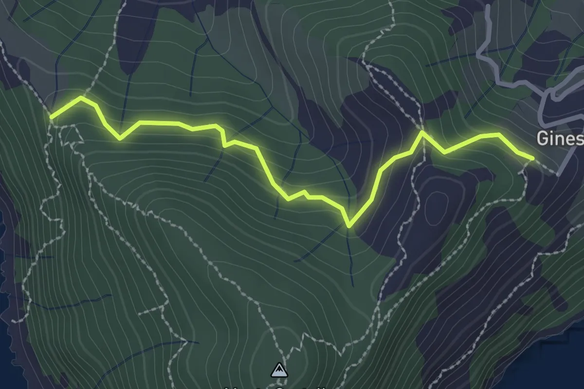
Medium · Trail
Colle Mandrella - Case Ginestra
2.6 km · ↑ 154 m · 57 min · 7 km away
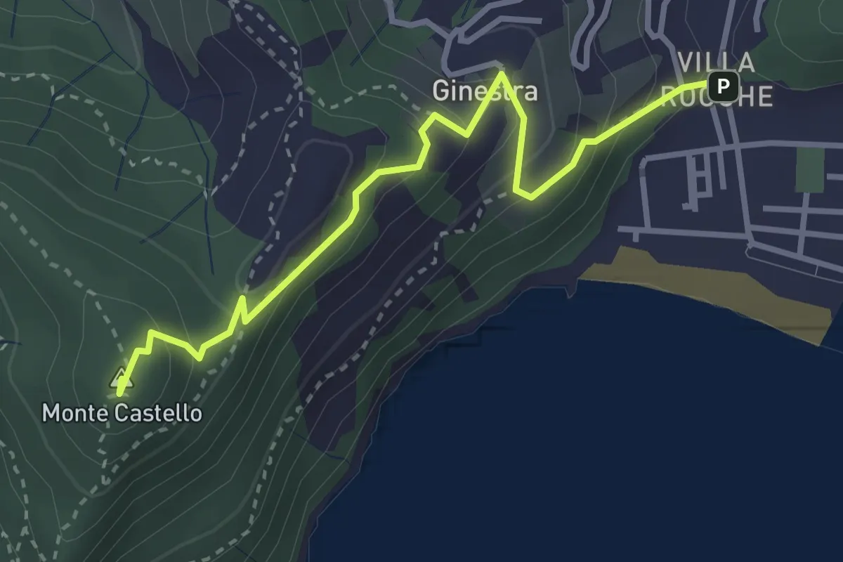
Medium · Summit
Riva Trigoso - Monte Castello
3.4 km · ↑ 226 m · 1 h 18 min · 8 km away
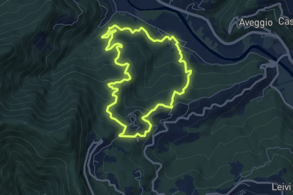
Medium · Trail
Anello di Camposasco e dell'Antica Abbazia
6.2 km · ↑ 386 m · 2 h 23 min · 8 km away
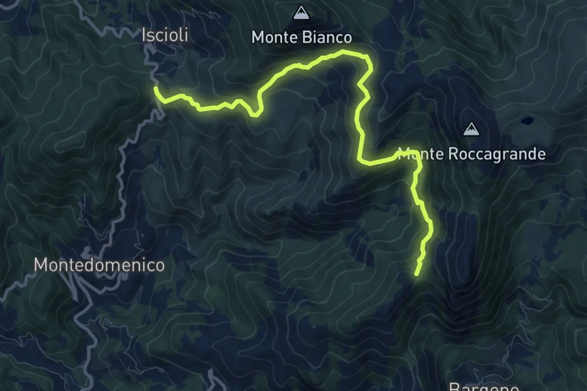
Medium · Summit
Bargone - Colla Isciolli
11.0 km · ↑ 744 m · 4 h 12 min · 8 km away
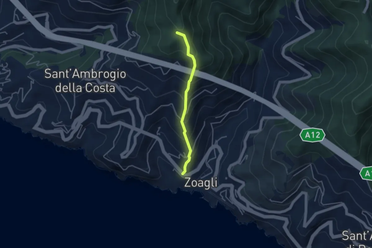
Medium · Trail
Via Scoglio - Intersezione con sentiero per monte Zuccarello
2.9 km · ↑ 393 m · 1 h 33 min · 8 km away
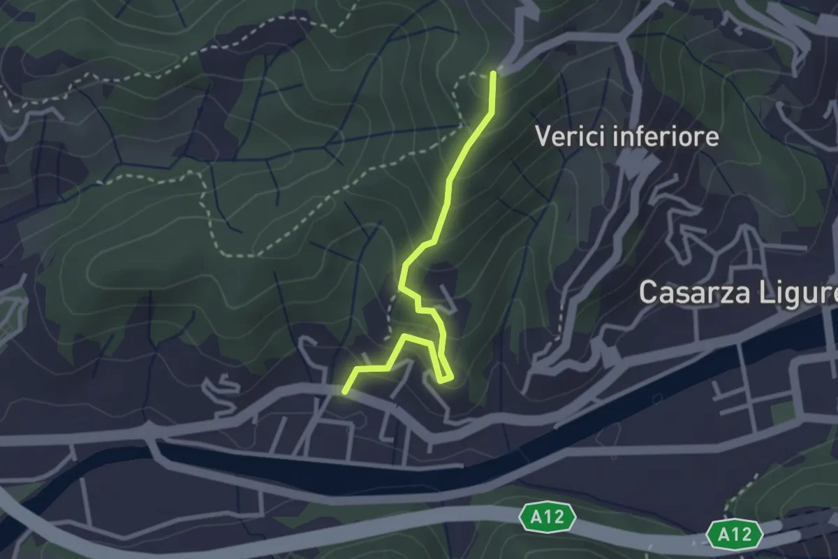
Easy · Trail
Francolano - Seiuo
2.5 km · ↑ 217 m · 1 h 4 min · 8 km away
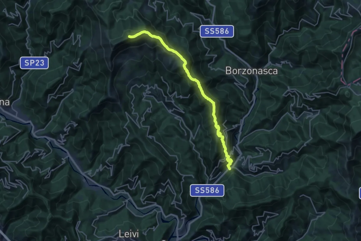
Demanding · Summit
Prati di Mezzanego – Monte Ramaceto
20.3 km · ↑ 1471 m · 7 h 58 min · 8 km away
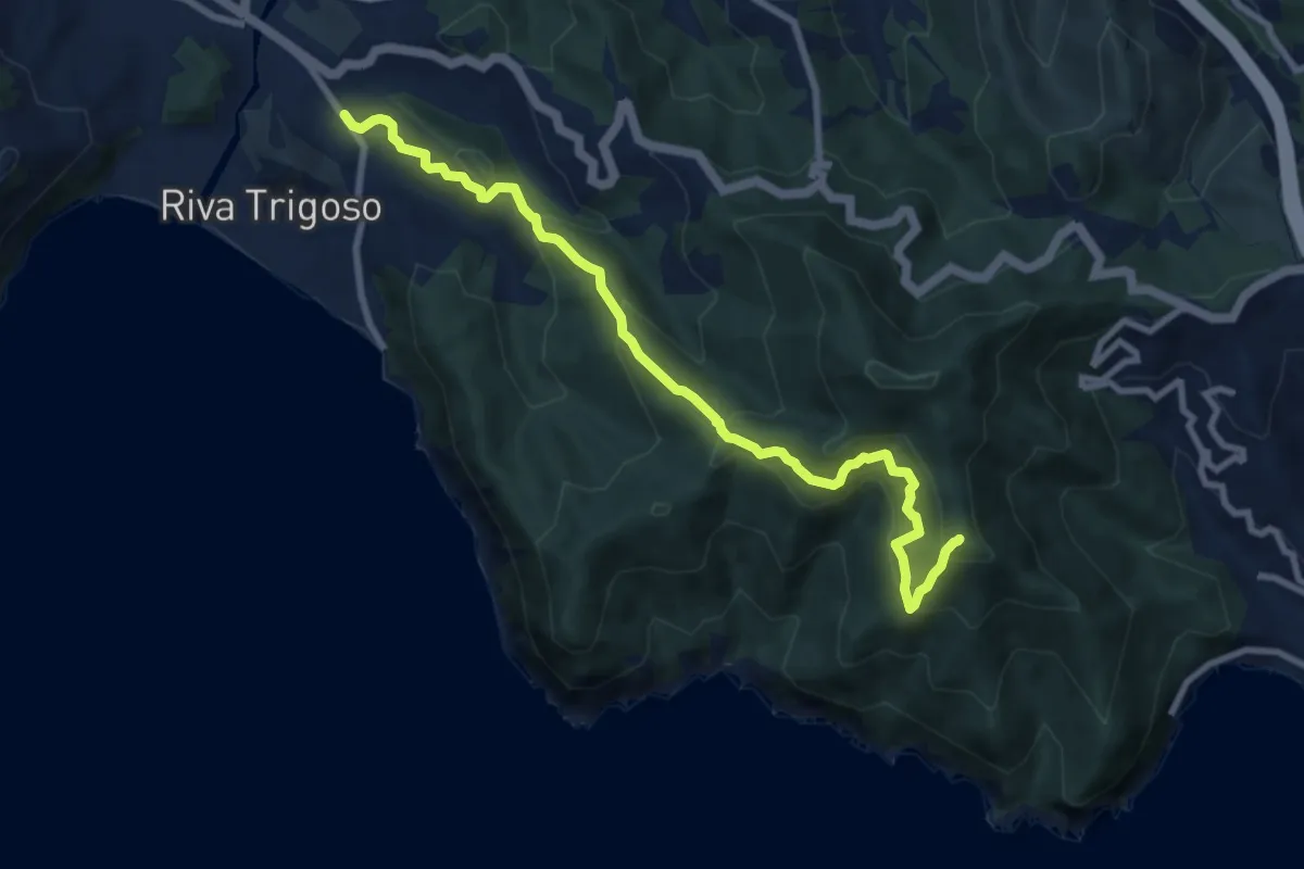
Medium · Summit
Riva Trigoso - Monte Comunaglia
9.5 km · ↑ 681 m · 3 h 44 min · 8 km away
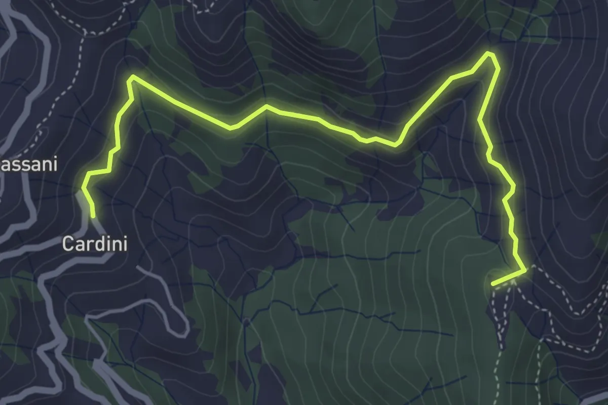
Medium · Summit
Cardini - Bargone
5.4 km · ↑ 273 m · 1 h 52 min · 9 km away
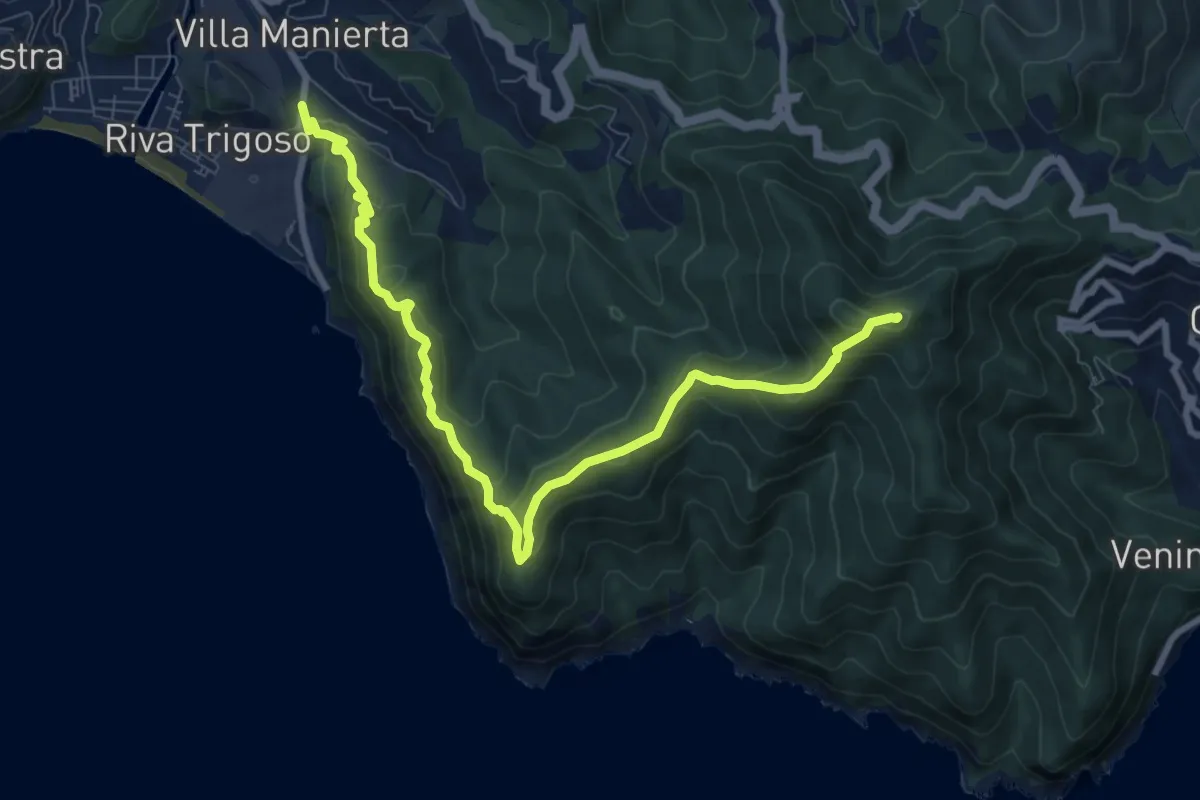
Medium · Summit
Riva Trigoso - Costa di Punta Baffe - Monte Moneglia
9.9 km · ↑ 556 m · 3 h 33 min · 9 km away
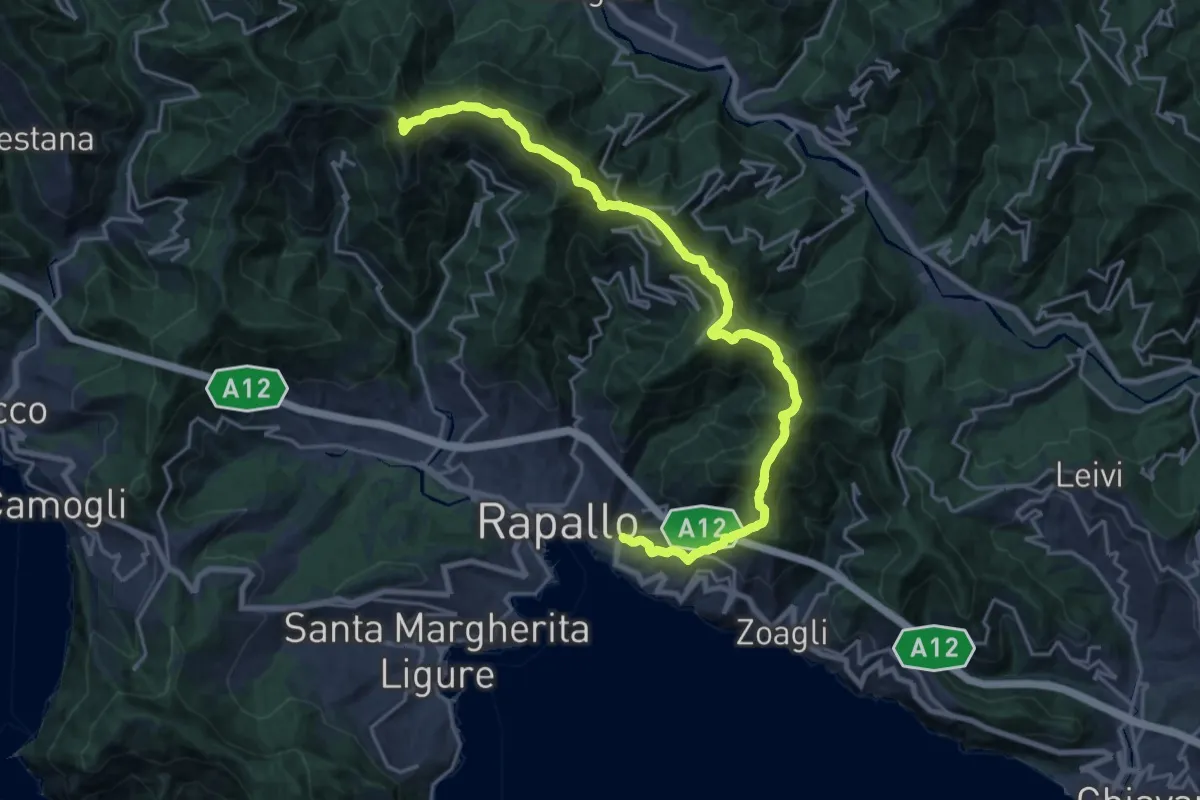
Demanding · Summit
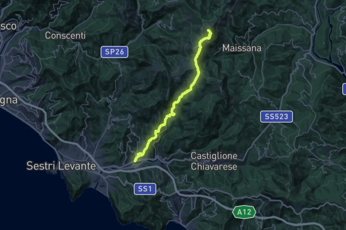
Rapallo – Monte Manico del Lume
23.1 km · ↑ 1379 m · 8 h 27 min · 9 km away
Demanding · Summit
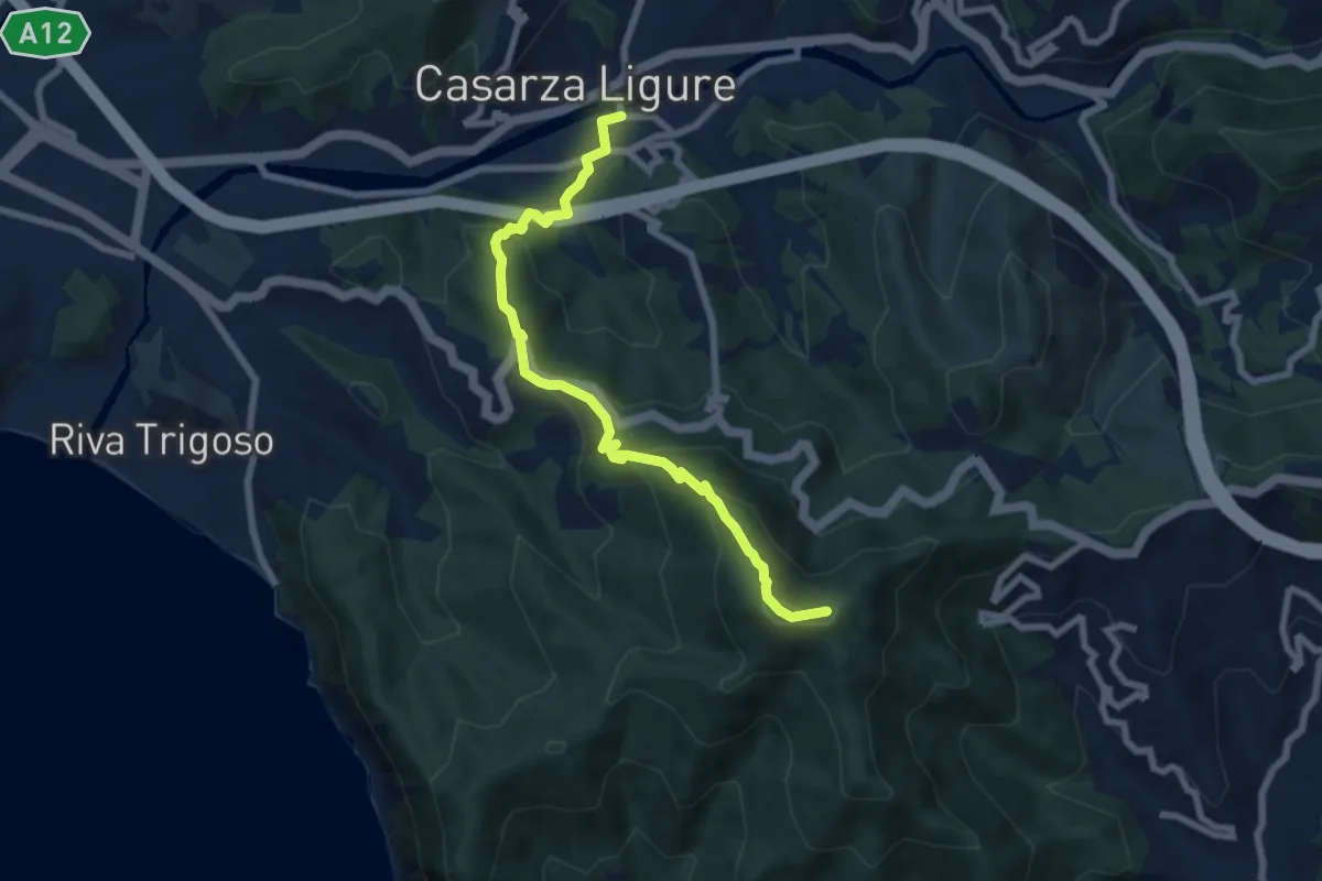
Casarza Ligure - Bargone - Passo del Bocco di Bargone - Monte Porcile
24.9 km · ↑ 1648 m · 9 h 27 min · 9 km away
Medium · Summit
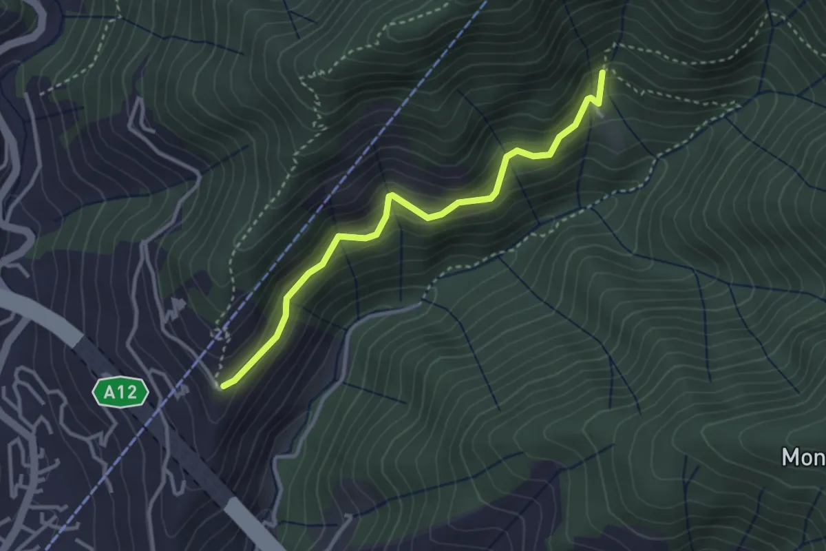
Casarza Ligure - Bivio di Ca' Bianca
7.8 km · ↑ 483 m · 2 h 53 min · 9 km away
Easy · Trail
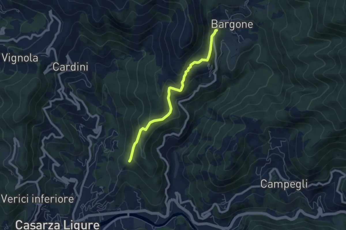
Case Costruccio - Il Pellegrino
3.2 km · ↑ 280 m · 1 h 22 min · 10 km away
Medium · Trail
S. Antonio - Bargone
5.3 km · ↑ 358 m · 2 h 1 min · 10 km away
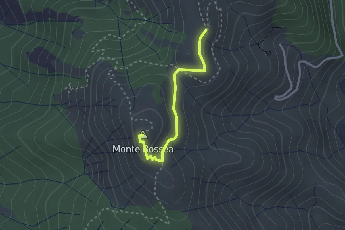
Medium · Summit
Sentiero Natura del Monte Bossea
2.1 km · ↑ 84 m · 41 min · 10 km away
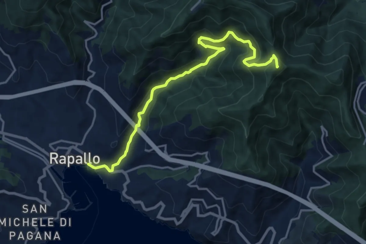
Medium · Summit
Rapallo - Rio Tuja - M. Castello
11.4 km · ↑ 733 m · 4 h 17 min · 10 km away
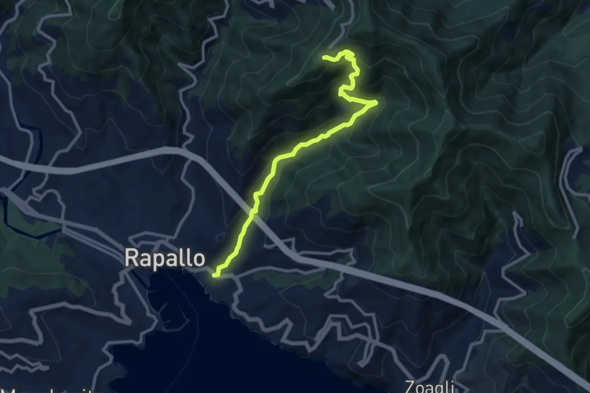
Medium · Trail
Rapallo - Santuario di Montallegro
8.6 km · ↑ 624 m · 3 h 22 min · 10 km away
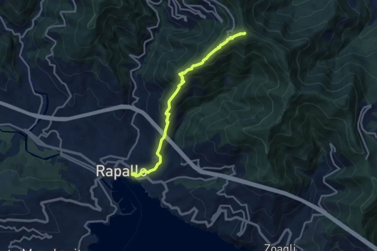
Medium · Summit
Rapallo – Monte Rosa
8.2 km · ↑ 654 m · 3 h 21 min · 10 km away
Medium · Summit
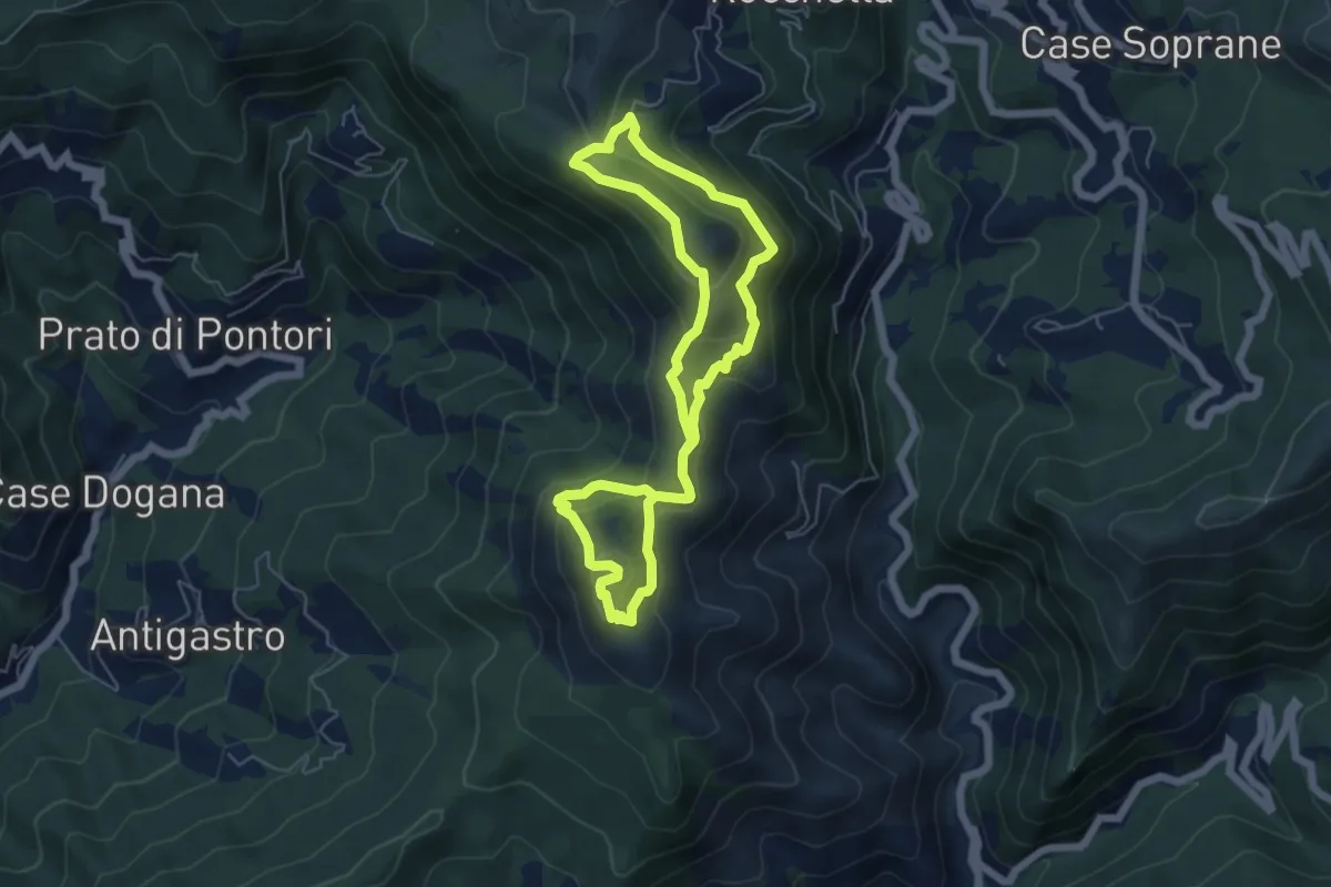
A12 - Anello del M. Bossea
5.5 km · ↑ 316 m · 2 h 3 min · 10 km away
Easy · Trail
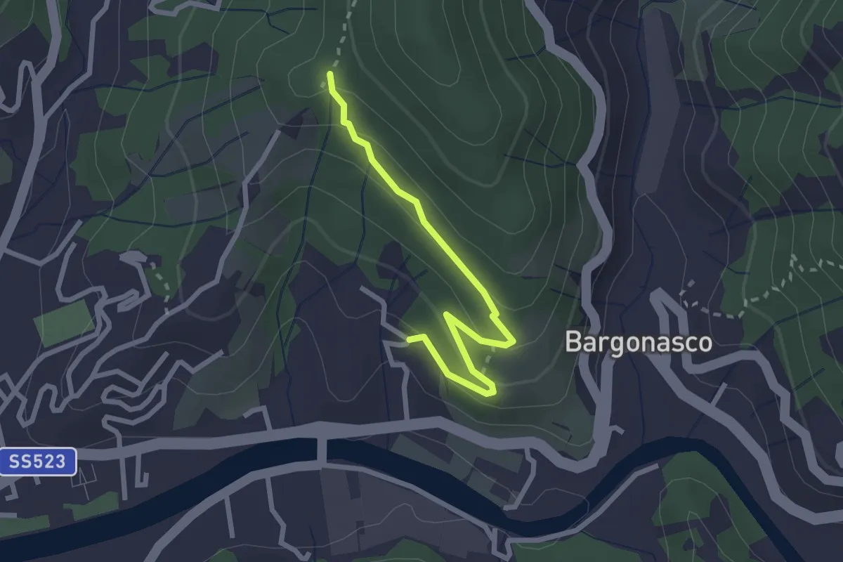
Rocce - S. Antonio
2.5 km · ↑ 112 m · 50 min · 10 km away
Medium · Trail
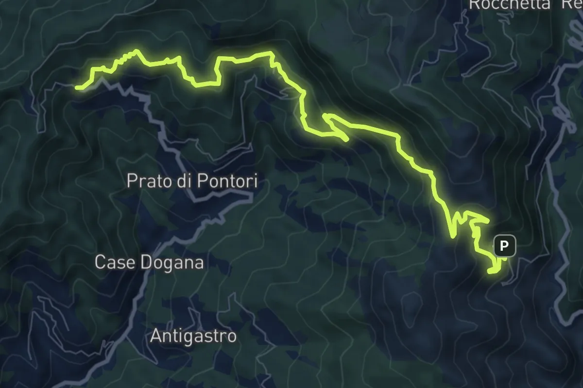
Terisso – Gambatesa
12.4 km · ↑ 794 m · 4 h 38 min · 10 km away
Demanding · Summit
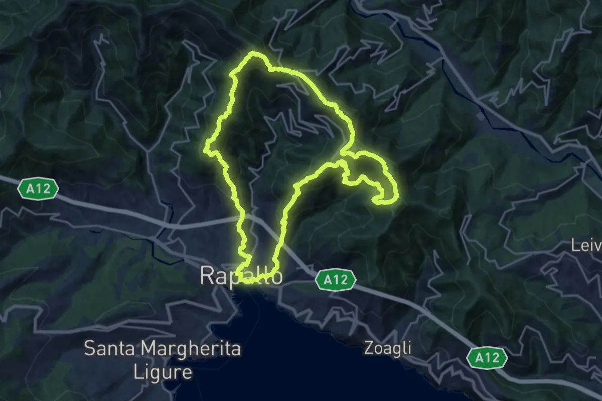
Trail di Rapallo
16.8 km · ↑ 1227 m · 6 h 52 min · 10 km away
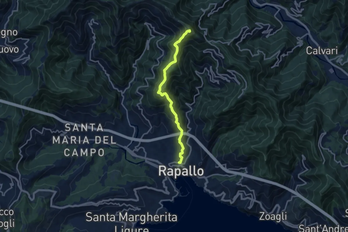
Medium · Summit
Rapallo – Monte Pegge
10.4 km · ↑ 730 m · 4 h 2 min · 10 km away
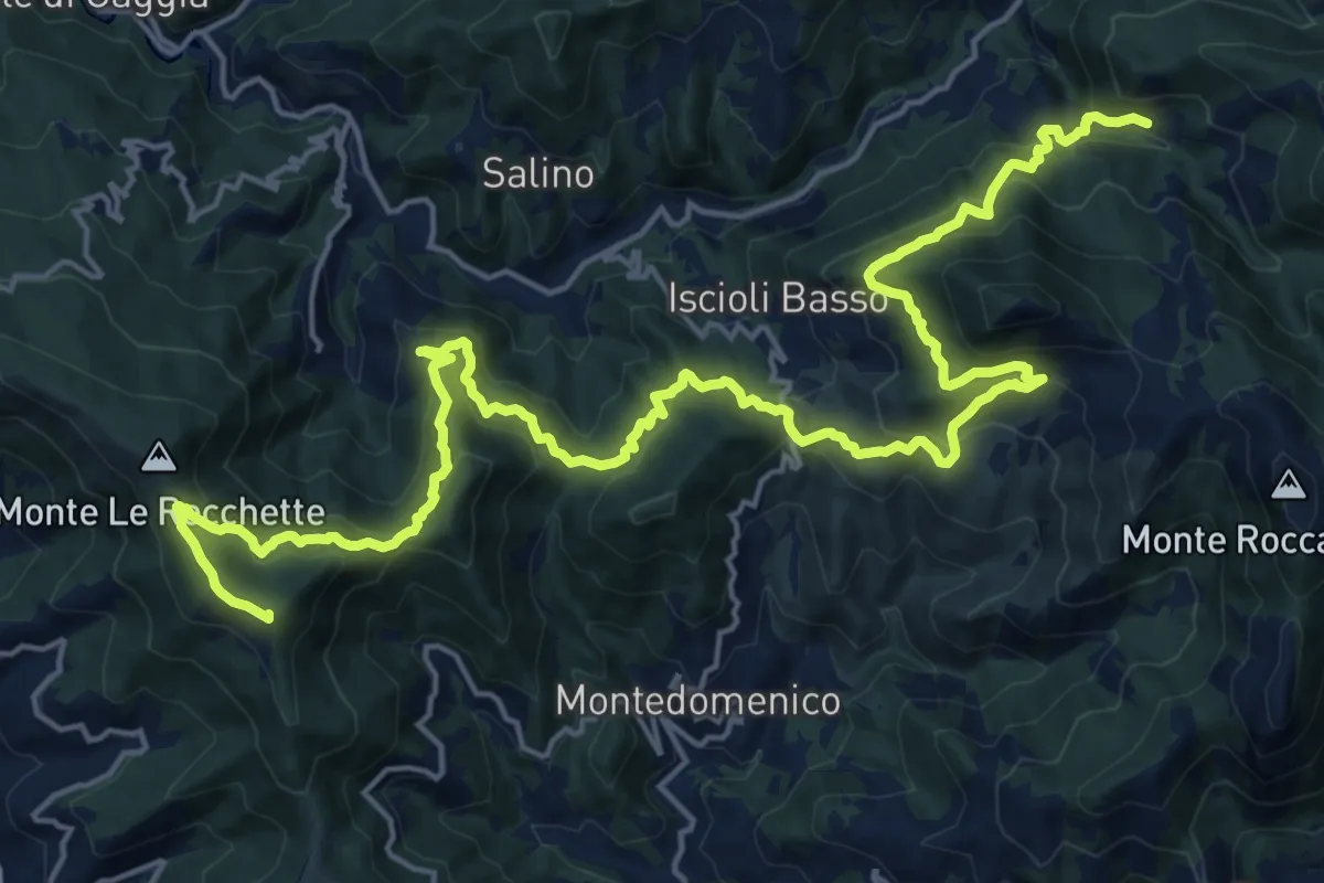
Demanding · Summit
Sentiero dei Celti e dei Liguri - tappa 10
26.8 km · ↑ 1650 m · 9 h 54 min · 10 km away
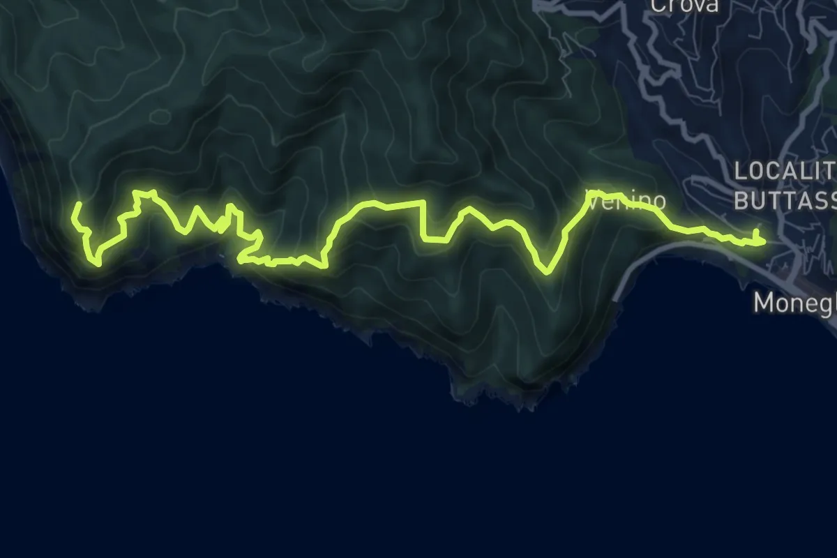
Expert · Trail
Moneglia-Punta Baffe
12.3 km · ↑ 1123 m · 5 h 20 min · 11 km away
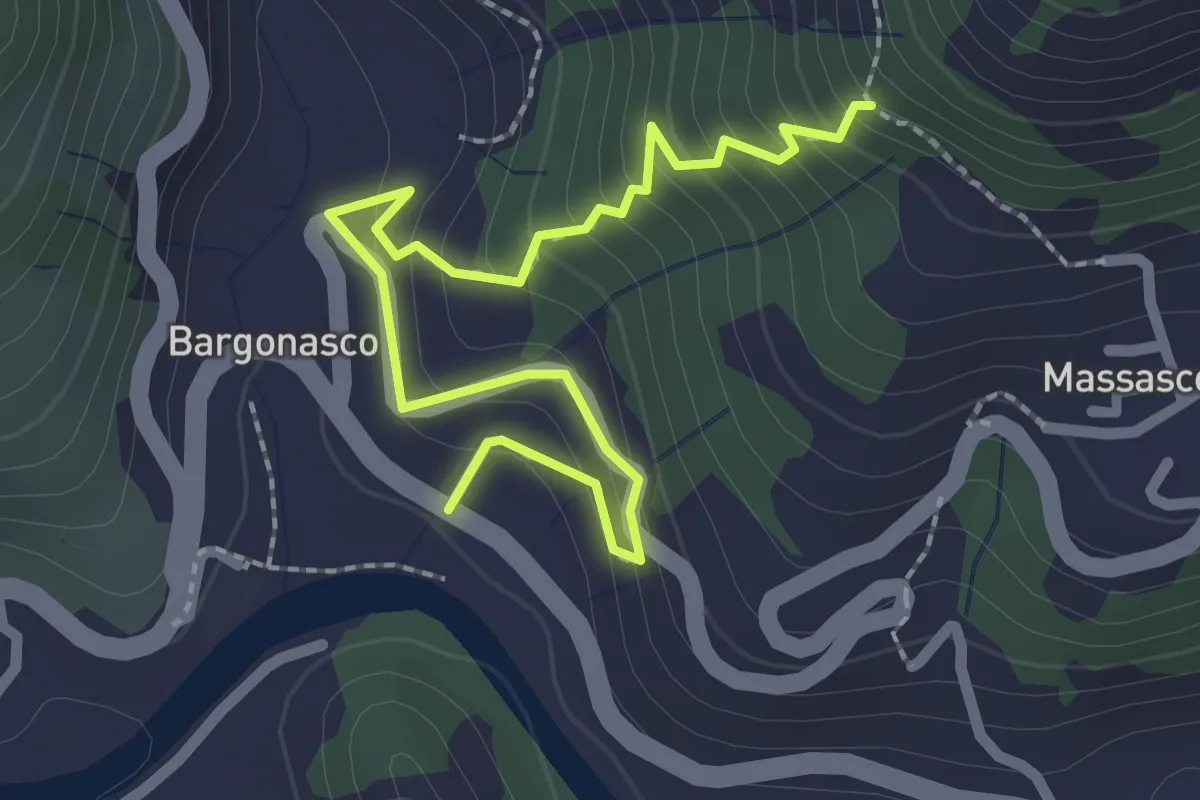
Medium · Trail
Bargonasco - Innesto sentiero Massasco-Bargone
2.9 km · ↑ 222 m · 1 h 10 min · 11 km away
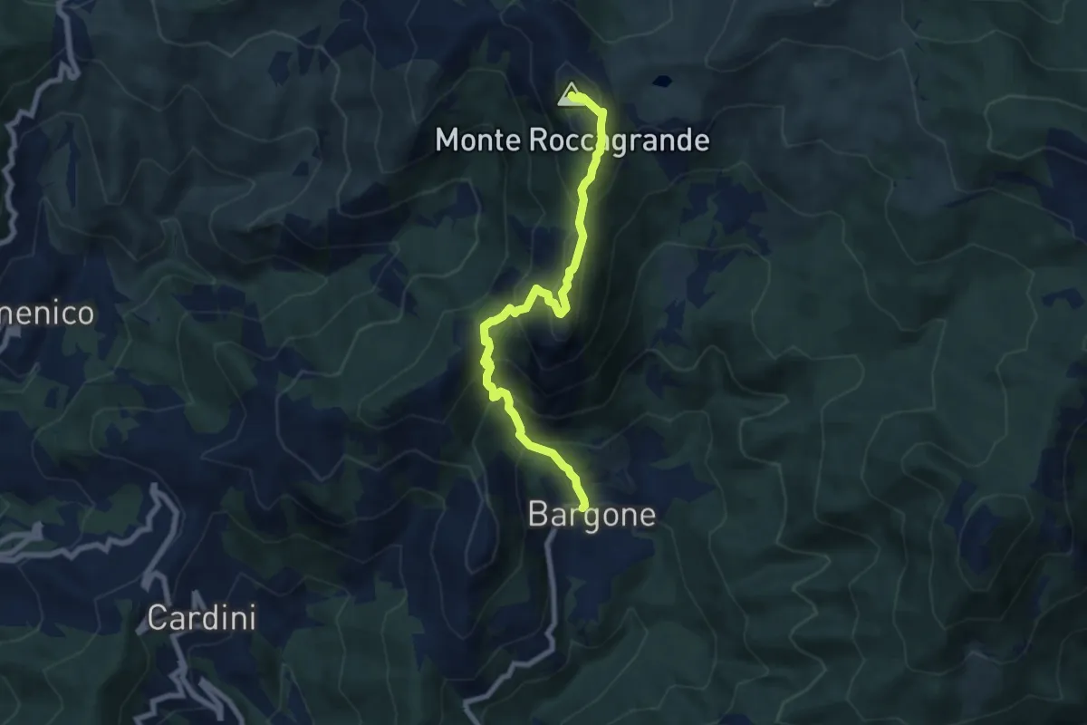
Demanding · Summit
Bargone - Monte Treggin - Monte Roccagrande
7.3 km · ↑ 726 m · 3 h 18 min · 11 km away
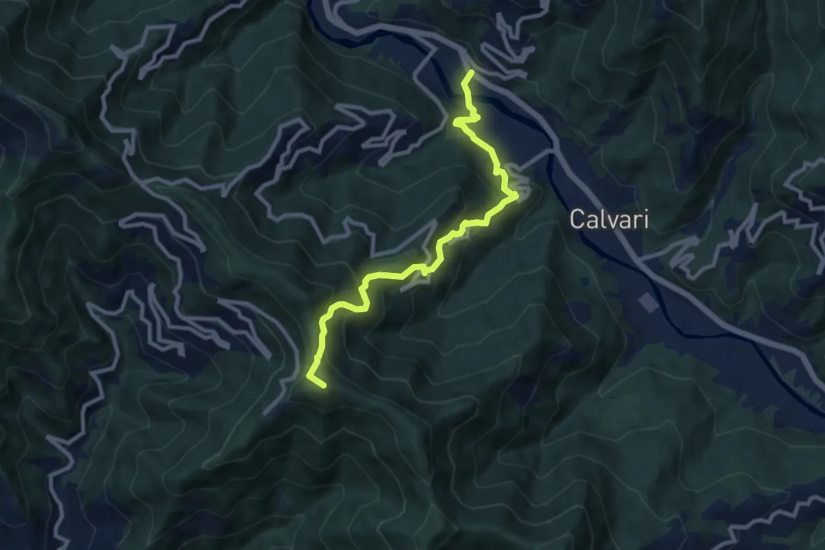
Medium · Summit
Sentiero Chichizola - Pian dei Ratti - Montallegro
8.2 km · ↑ 788 m · 3 h 39 min · 11 km away
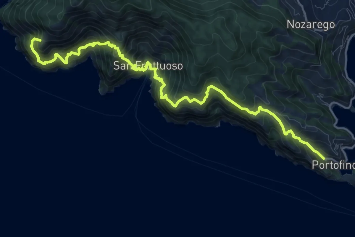
Demanding · Summit
Camogli - San Rocco - Passo del Bacio - San Fruttuoso - Portofino mare
14.8 km · ↑ 1797 m · 7 h 23 min · 11 km away
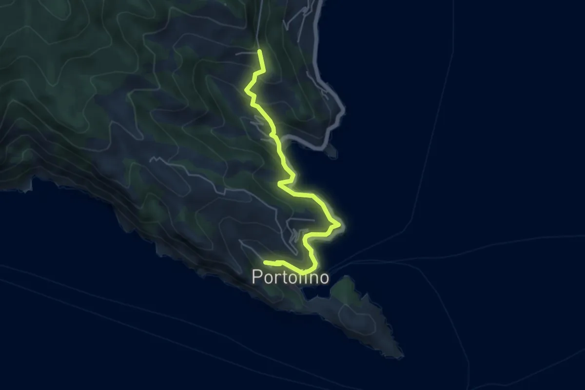
Medium · Trail
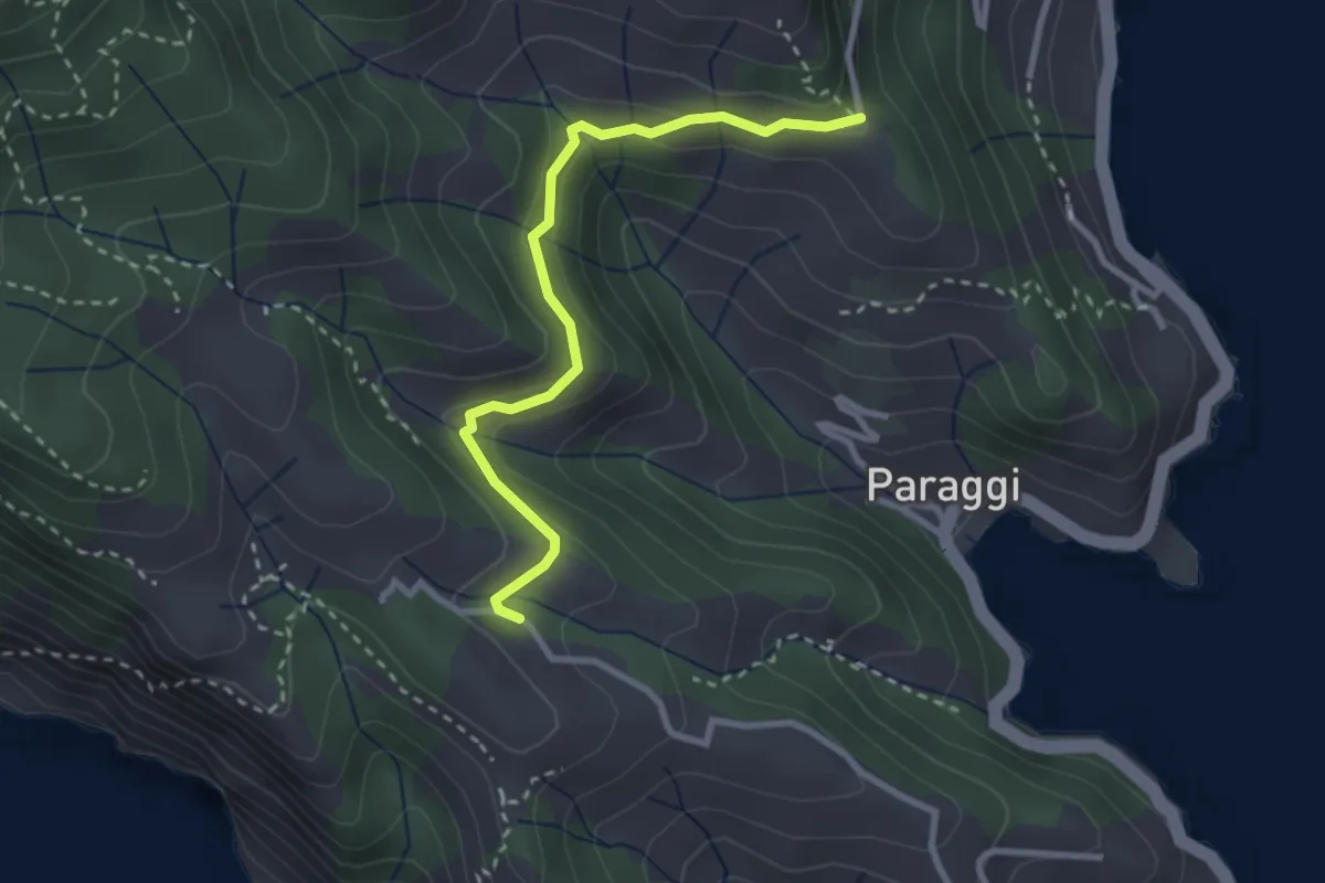
Portofino – Gave
5.0 km · ↑ 456 m · 2 h 10 min · 11 km away
Medium · Trail
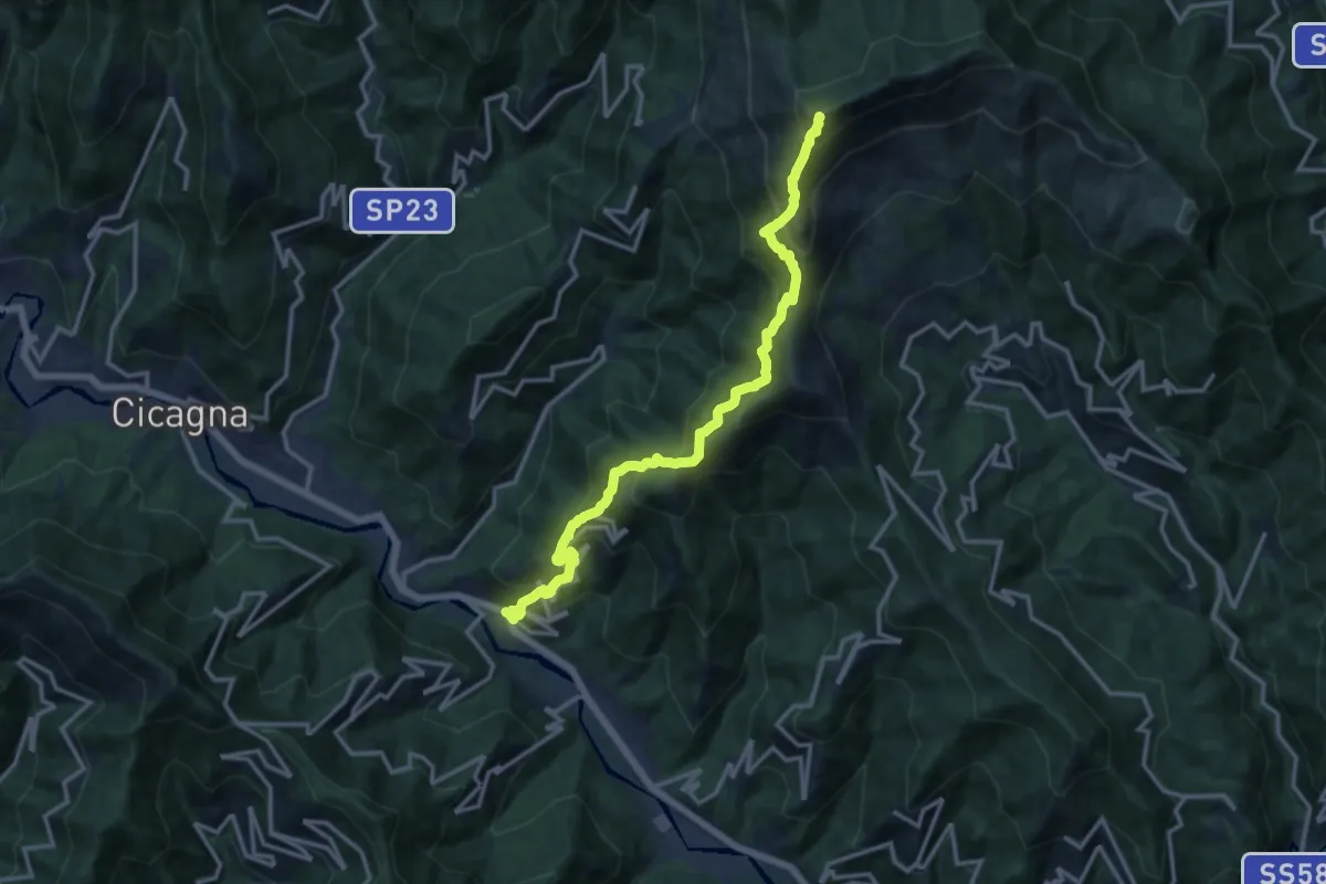
Terruzzo – Cappelletta delle Gave
2.9 km · ↑ 97 m · 54 min · 11 km away
Demanding · Summit
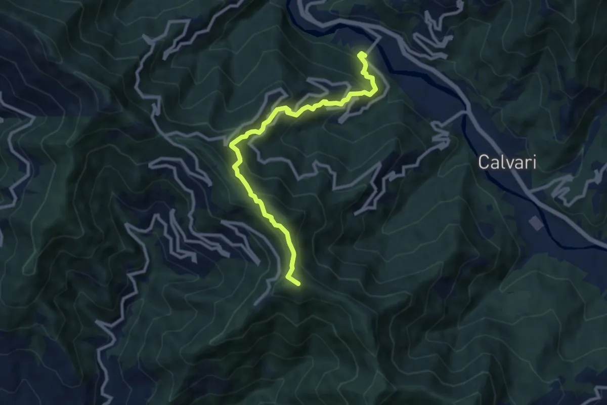
Pian dei Ratti – Monte Ramaceto
14.4 km · ↑ 1457 m · 6 h 33 min · 11 km away
Medium · Summit
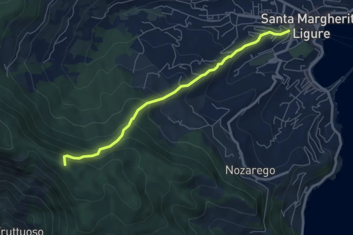
Pian dei Ratti - Coreglia Ligure - Santuario di Montallegro
8.4 km · ↑ 736 m · 3 h 34 min · 11 km away
Medium · Summit
Santa Margherita Ligure – Pietre Strette
5.6 km · ↑ 476 m · 2 h 21 min · 11 km away
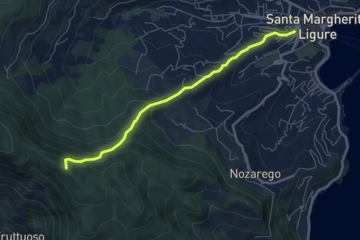
Medium · Summit
Antica Via del Cifalco - deviazione Santa Margherita Ligure
5.6 km · ↑ 476 m · 2 h 21 min · 11 km away
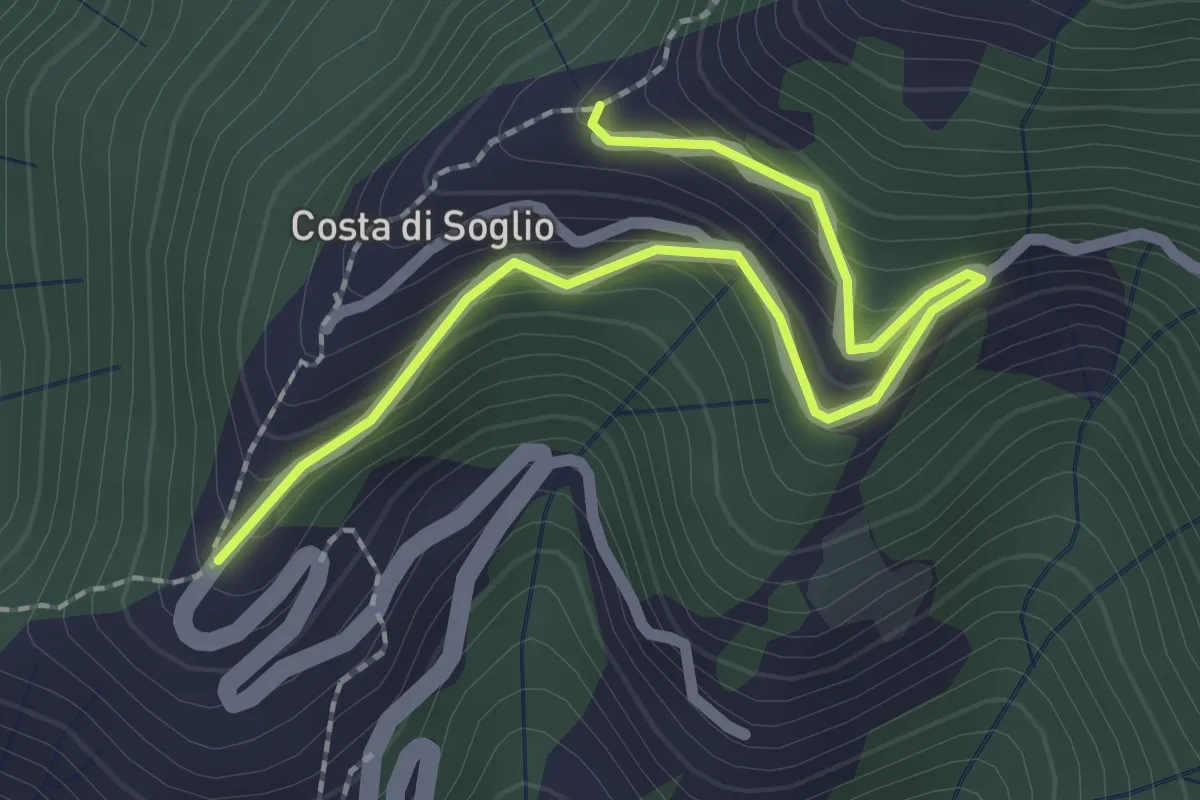
Easy · Trail
Variante Costa di Soglio
2.6 km · ↑ 252 m · 1 h 10 min · 11 km away
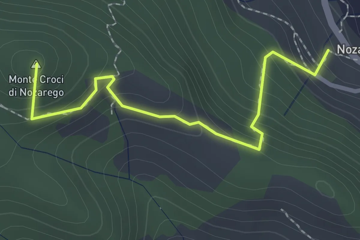
Medium · Summit
Antica Via del Cifalco - deviazione Nozarego
2.2 km · ↑ 215 m · 58 min · 11 km away
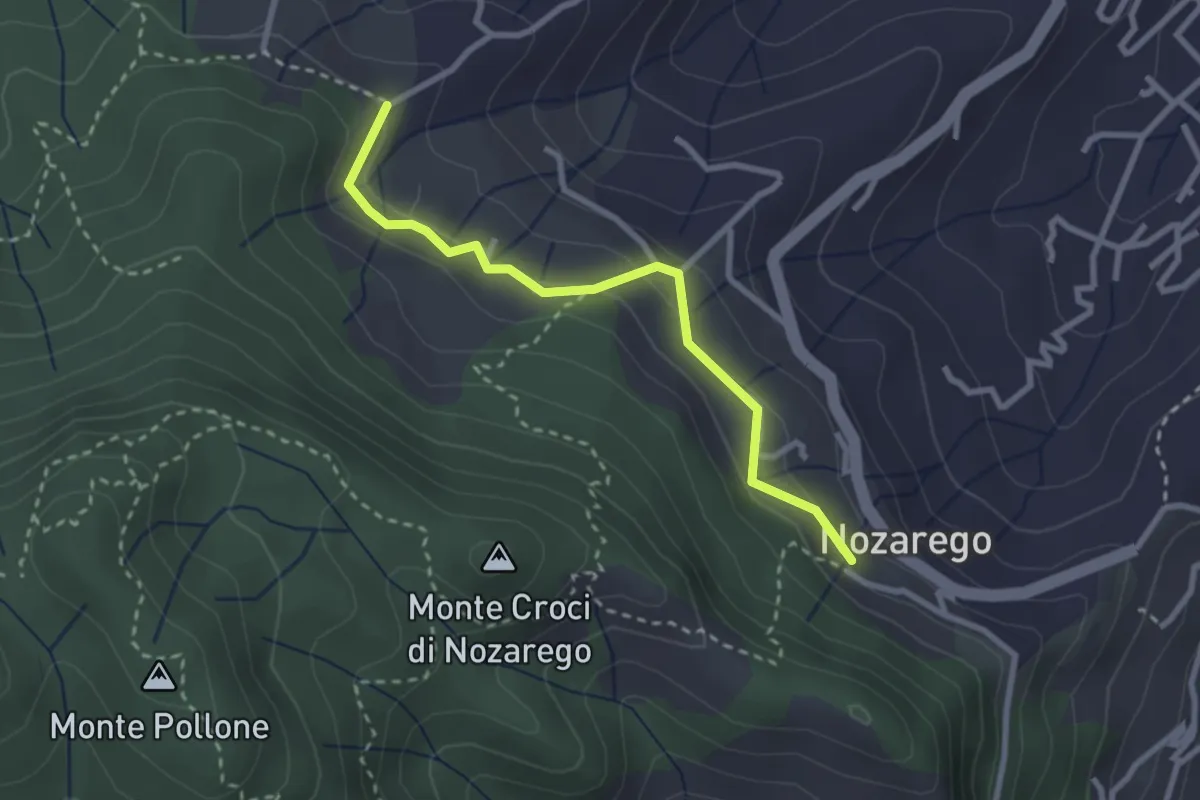
Easy · Trail
Nozarego – Costa Secca
2.8 km · ↑ 122 m · 55 min · 11 km away
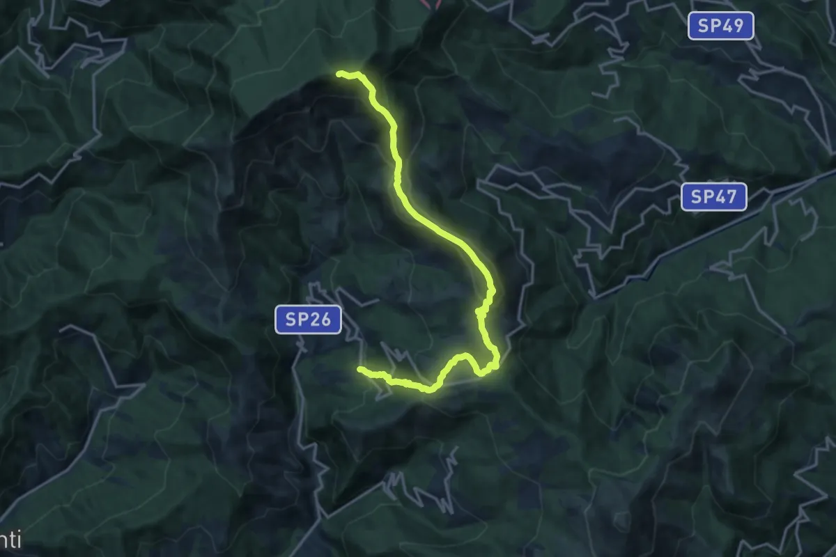
Demanding · Summit
Arzeno - Monte Chiappozzo - Monte Zatta
15.9 km · ↑ 1004 m · 5 h 56 min · 11 km away
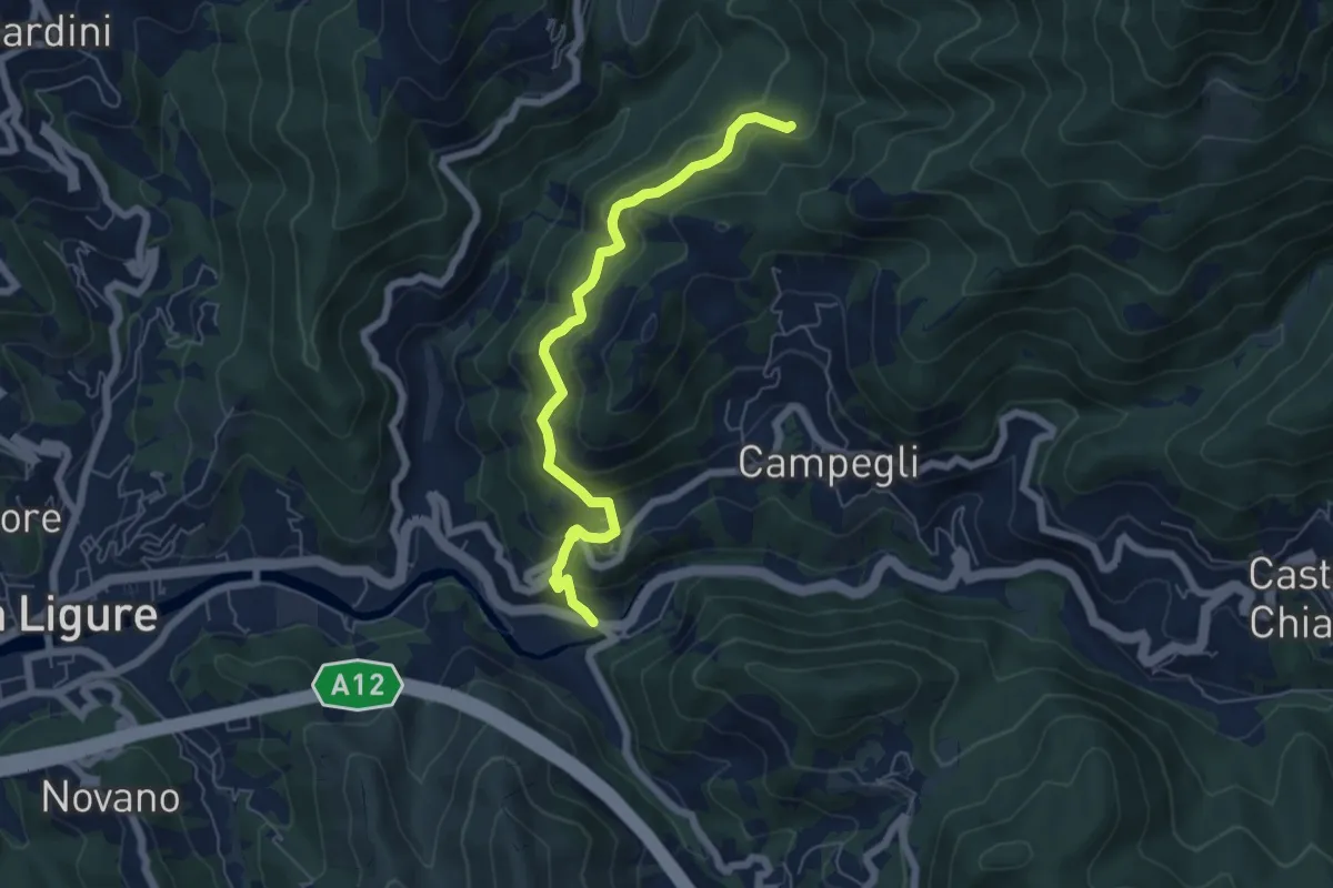
Medium · Trail
Battilana - Bargone
6.2 km · ↑ 412 m · 2 h 22 min · 11 km away
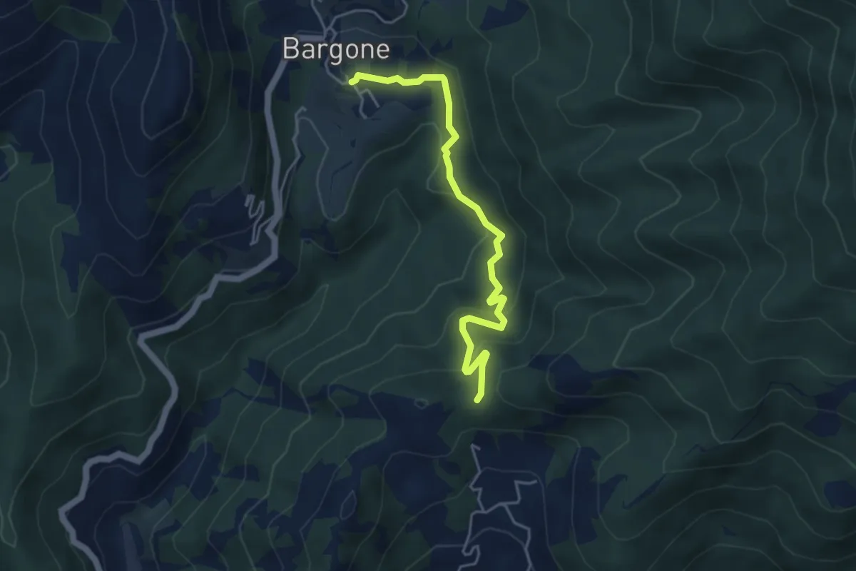
Easy · Trail
Bargone - Passo Colla di Campegli
4.5 km · ↑ 239 m · 1 h 34 min · 11 km away
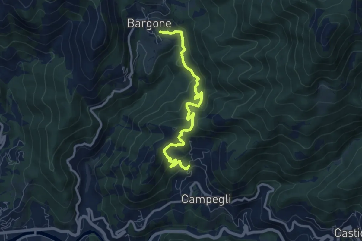
Medium · Trail
Bargone - Campegli
7.2 km · ↑ 389 m · 2 h 33 min · 12 km away
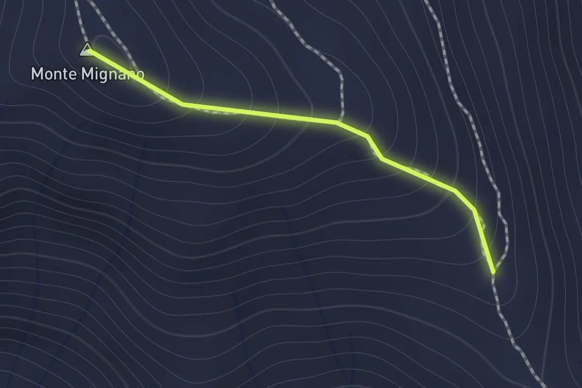
Medium · Summit
Sentiero di Monte Mignano
1.0 km · ↑ 117 m · 30 min · 12 km away
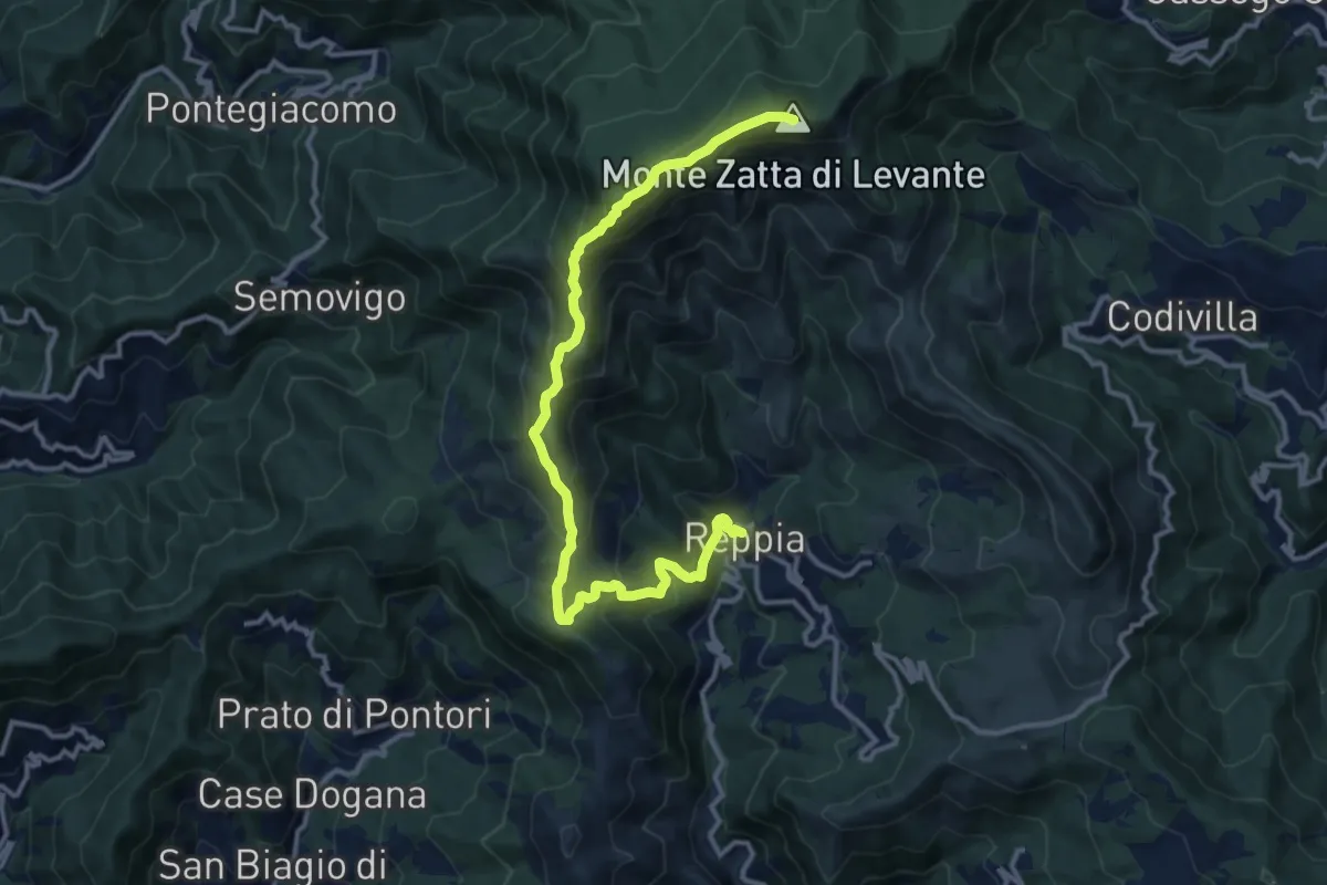
Demanding · Summit
Reppia - Monte Zatta
14.0 km · ↑ 985 m · 5 h 26 min · 12 km away
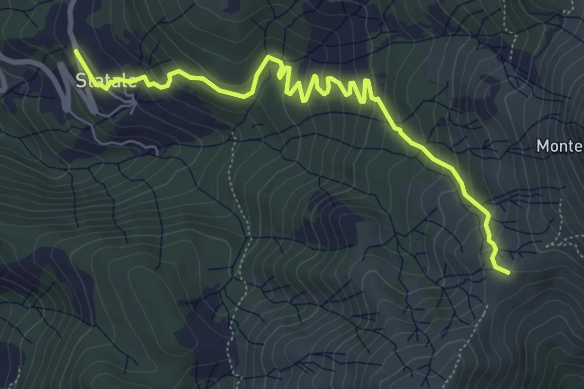
Medium · Trail
Statale - Coletta - Passo Broccheie
6.9 km · ↑ 401 m · 2 h 29 min · 12 km away
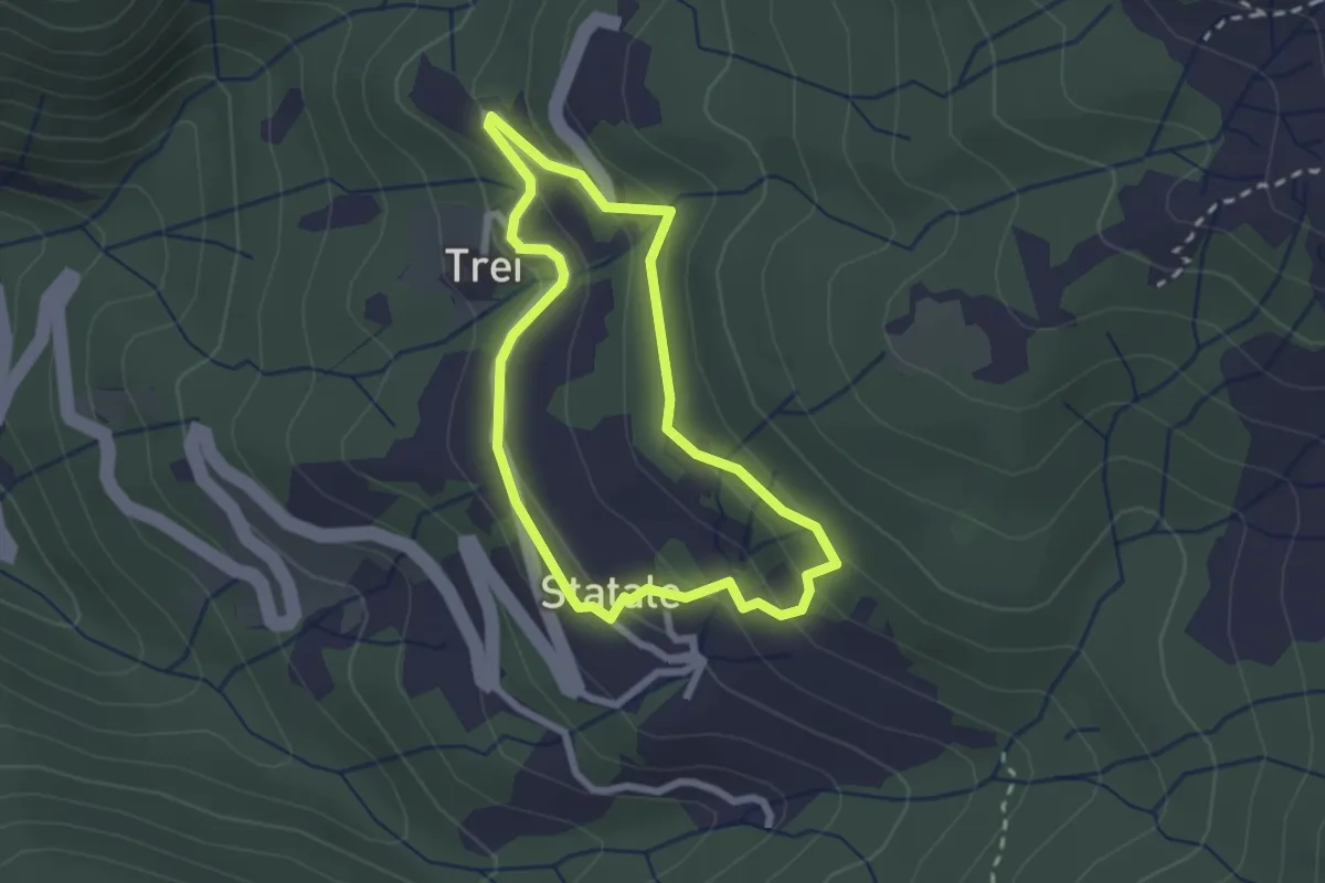
Easy · Trail
Statale - Coletta - Trei - Statale
2.2 km · ↑ 114 m · 48 min · 12 km away