Trails near Lecco
391 hikes starting within 15 km, nearest first.
Nearest first, page 3 of 9
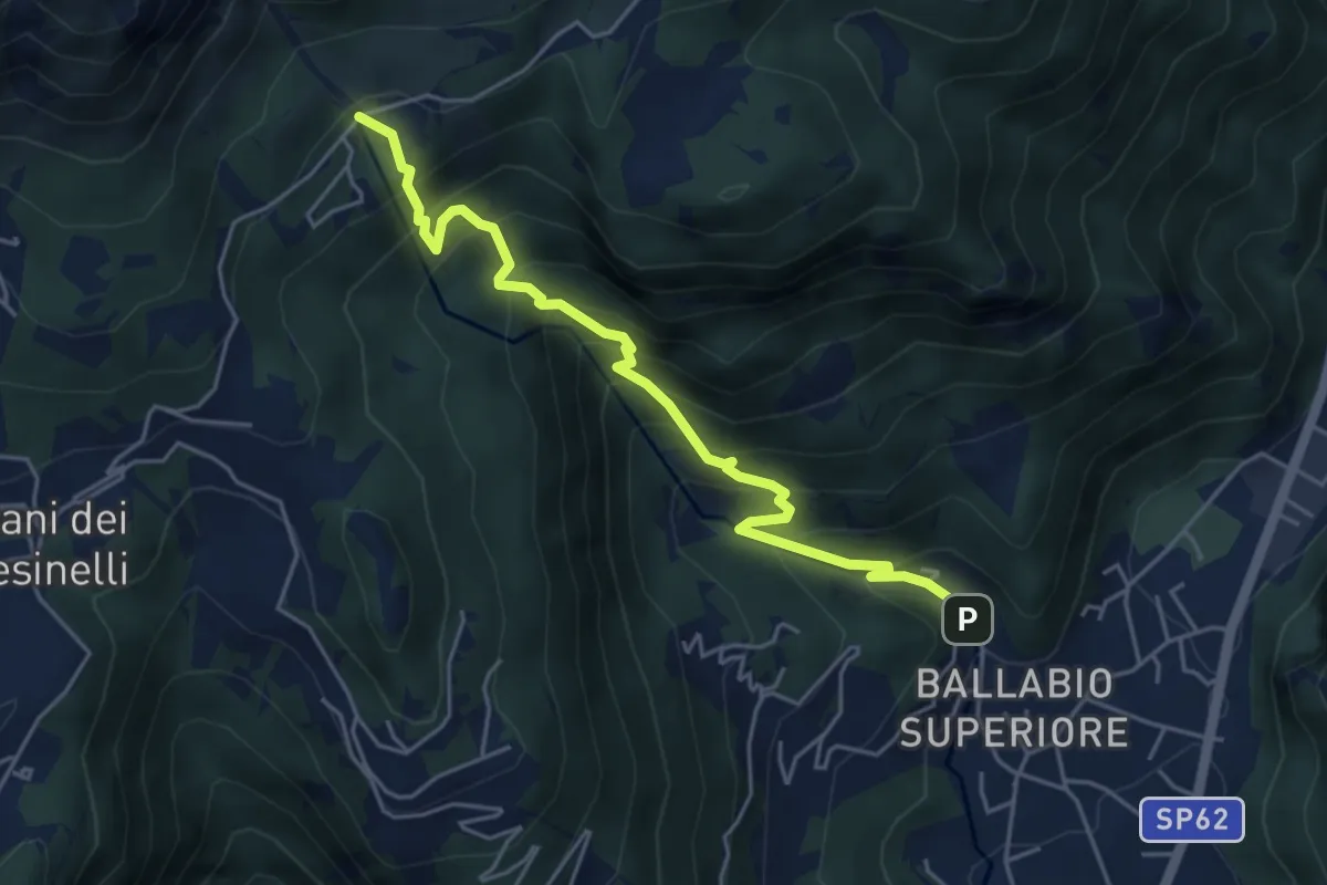
Medium · Trail
Sentiero 50: Ballabio - Piani Resinelli
5.1 km · ↑ 623 m · 2 h 33 min · 6 km away
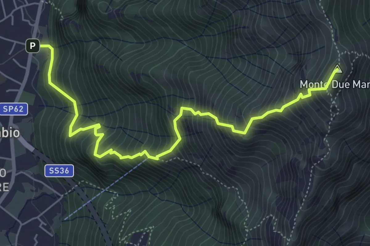
Demanding · Summit
Gera – Monte Due Mani
6.3 km · ↑ 961 m · 3 h 34 min · 6 km away
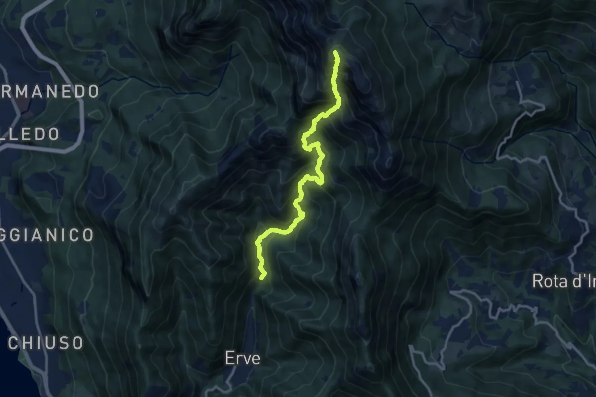
Expert · Summit
Erve – Rifugio Azzoni
9.6 km · ↑ 1242 m · 4 h 57 min · 6 km away
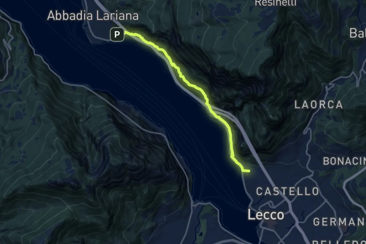
Medium · Summit
Sentiero del Viandante (Lecco - Abbadia Lariana)
11.1 km · ↑ 640 m · 4 h · 6 km away
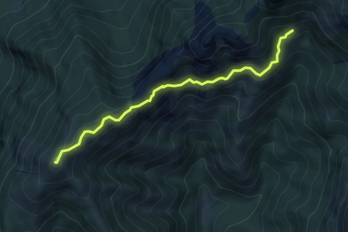
Demanding · Summit
Rif. Alpinisti Monzesi – Monte Magnodeno
5.1 km · ↑ 345 m · 1 h 57 min · 6 km away
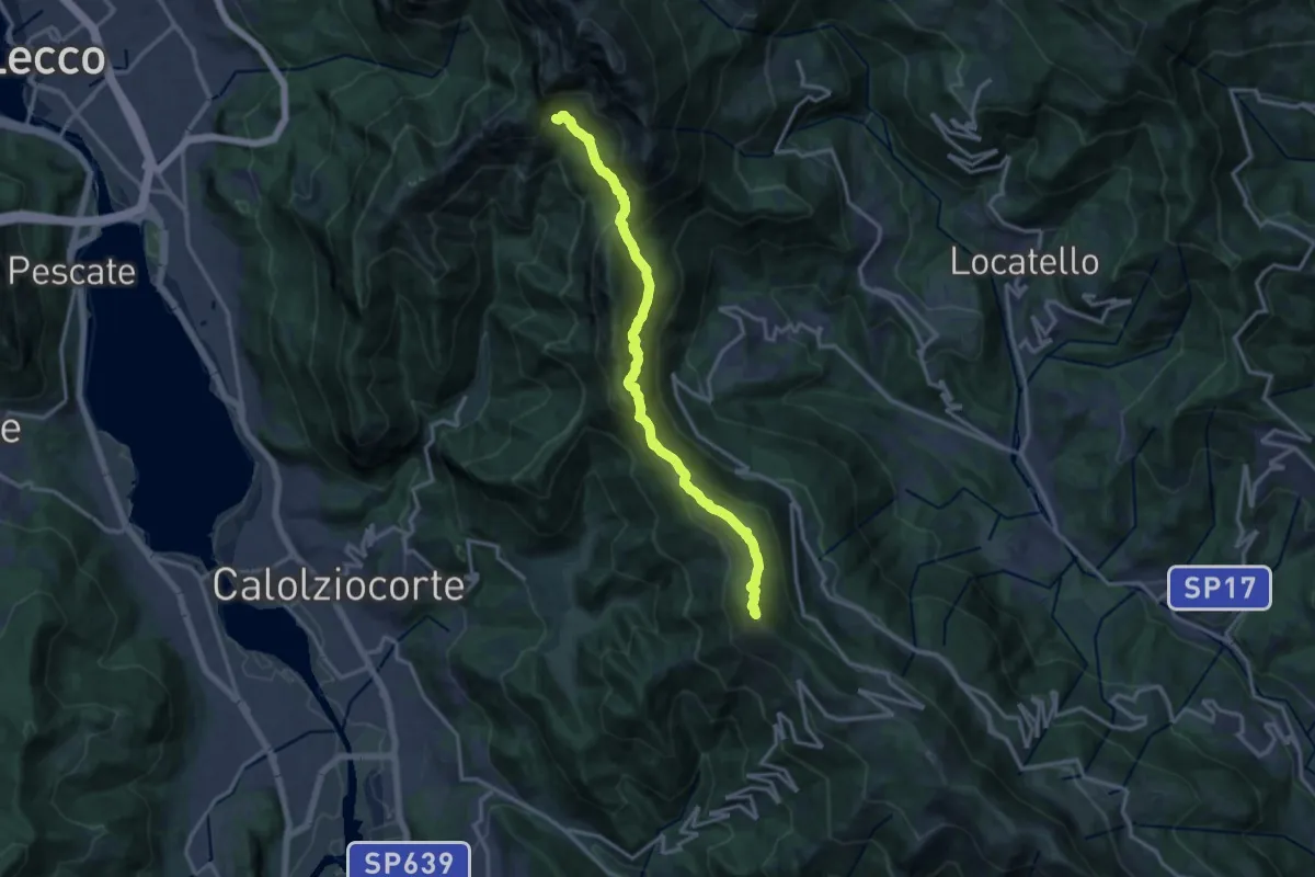
Demanding · Summit
Sentiero del 70° UOEI
14.5 km · ↑ 1044 m · 5 h 41 min · 6 km away
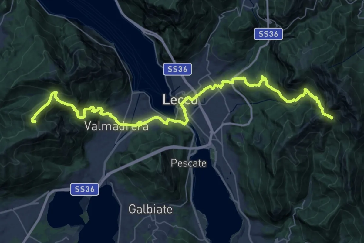
Demanding · Summit
CamminaForeste - Tappa 9C
38.3 km · ↑ 2417 m · 14 h 17 min · 6 km away
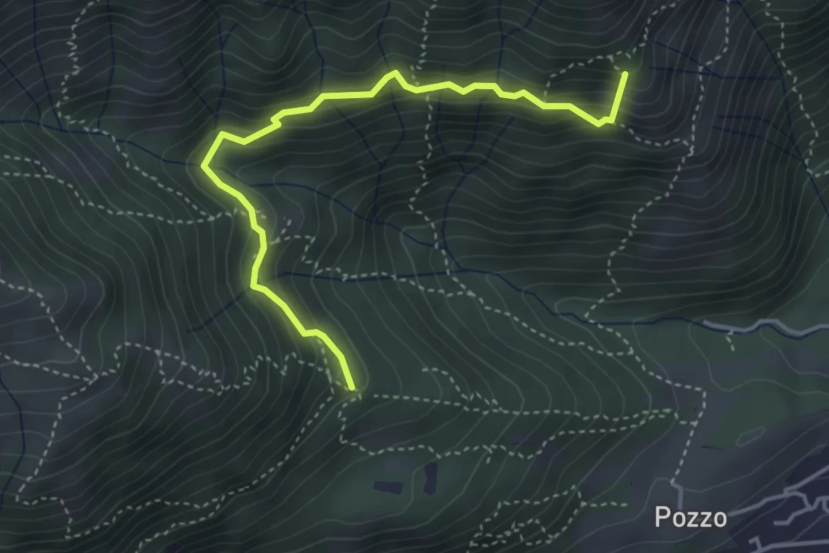
Medium · Summit
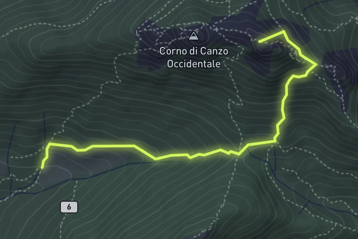
Tre Casott – Dosso della Guardia
4.1 km · ↑ 347 m · 1 h 43 min · 6 km away
Medium · Summit
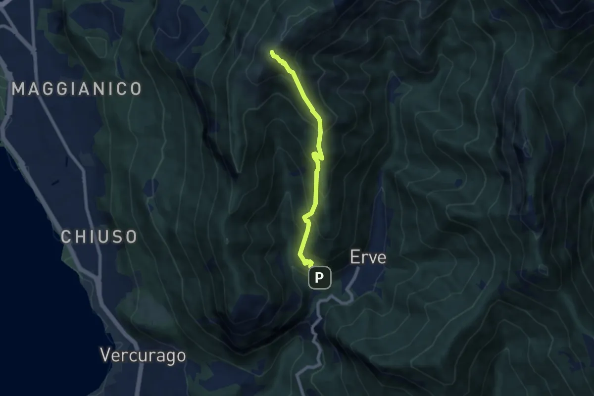
Terz'Alpe – Rifugio SEV Pianezzo
4.5 km · ↑ 519 m · 2 h 11 min · 6 km away
Medium · Summit
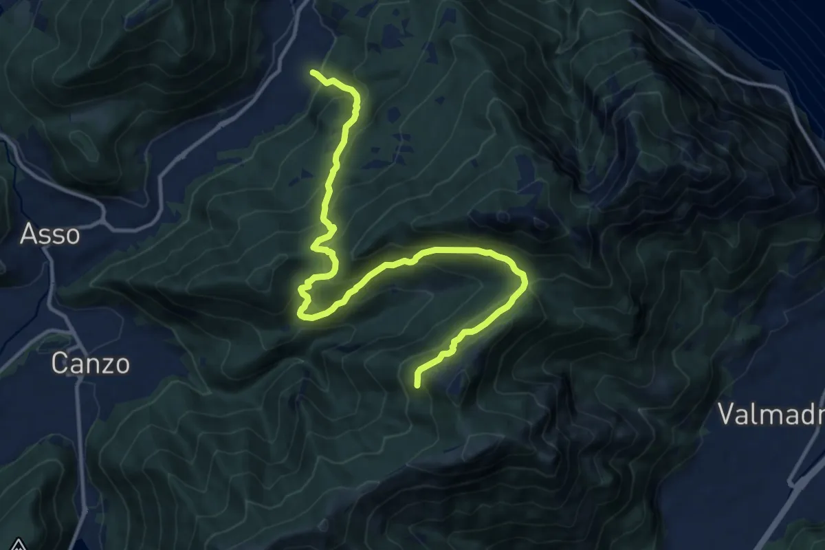
Erve – Monte Magnodeno
5.6 km · ↑ 626 m · 2 h 41 min · 6 km away
Demanding · Trail
Candalino – Alpe Alto
14.3 km · ↑ 1171 m · 5 h 55 min · 6 km away
Medium · Trail
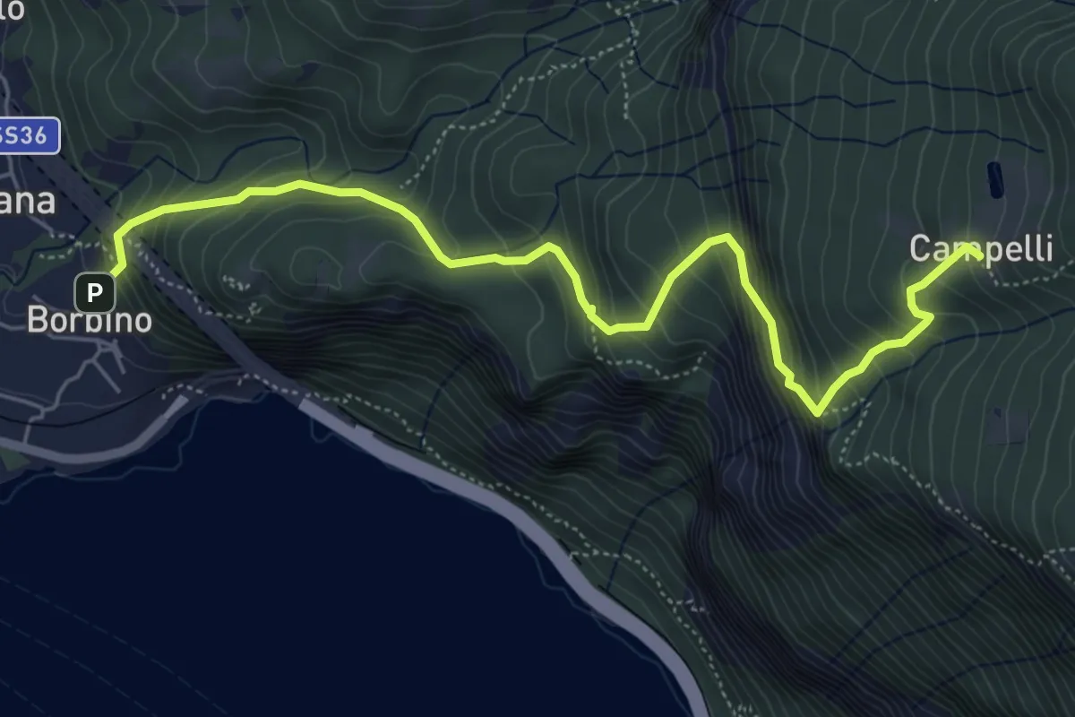
Borbino – Campelli, Chiesa di Santa Maria
6.3 km · ↑ 682 m · 2 h 58 min · 6 km away
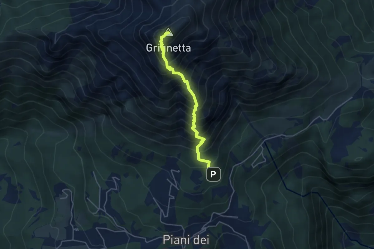
Demanding · Summit
Sentiero Cermenati
3.7 km · ↑ 670 m · 2 h 20 min · 6 km away
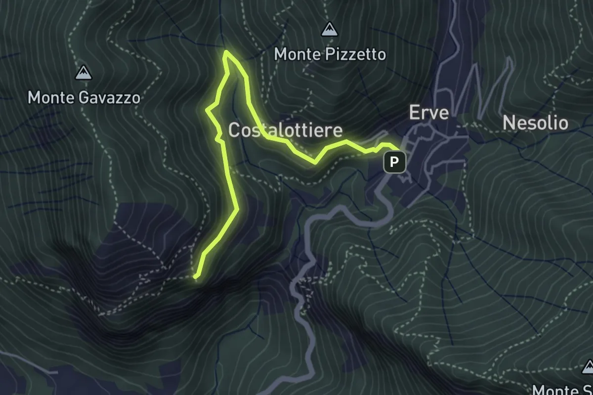
Easy · Trail
Erve – Croce di Vicerola
4.2 km · ↑ 219 m · 1 h 28 min · 6 km away
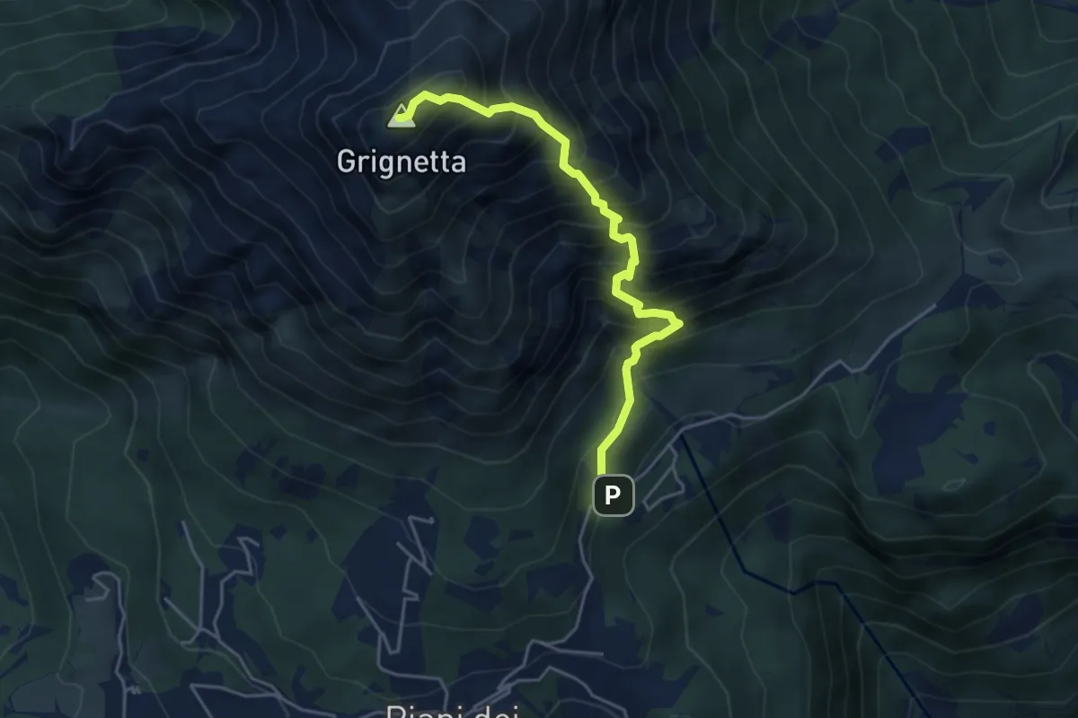
Expert · Summit
Cresta Sinigaglia
4.6 km · ↑ 824 m · 2 h 52 min · 6 km away
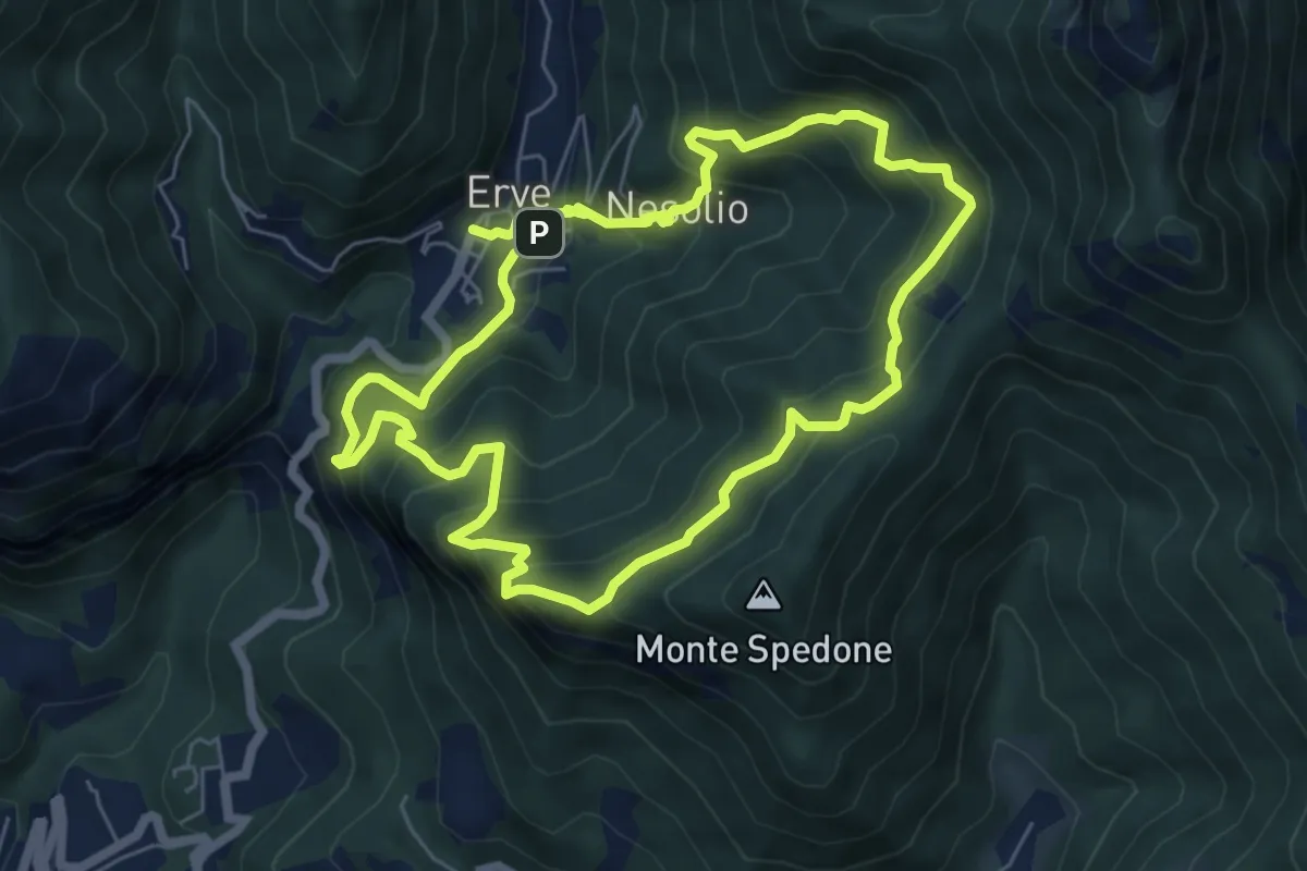
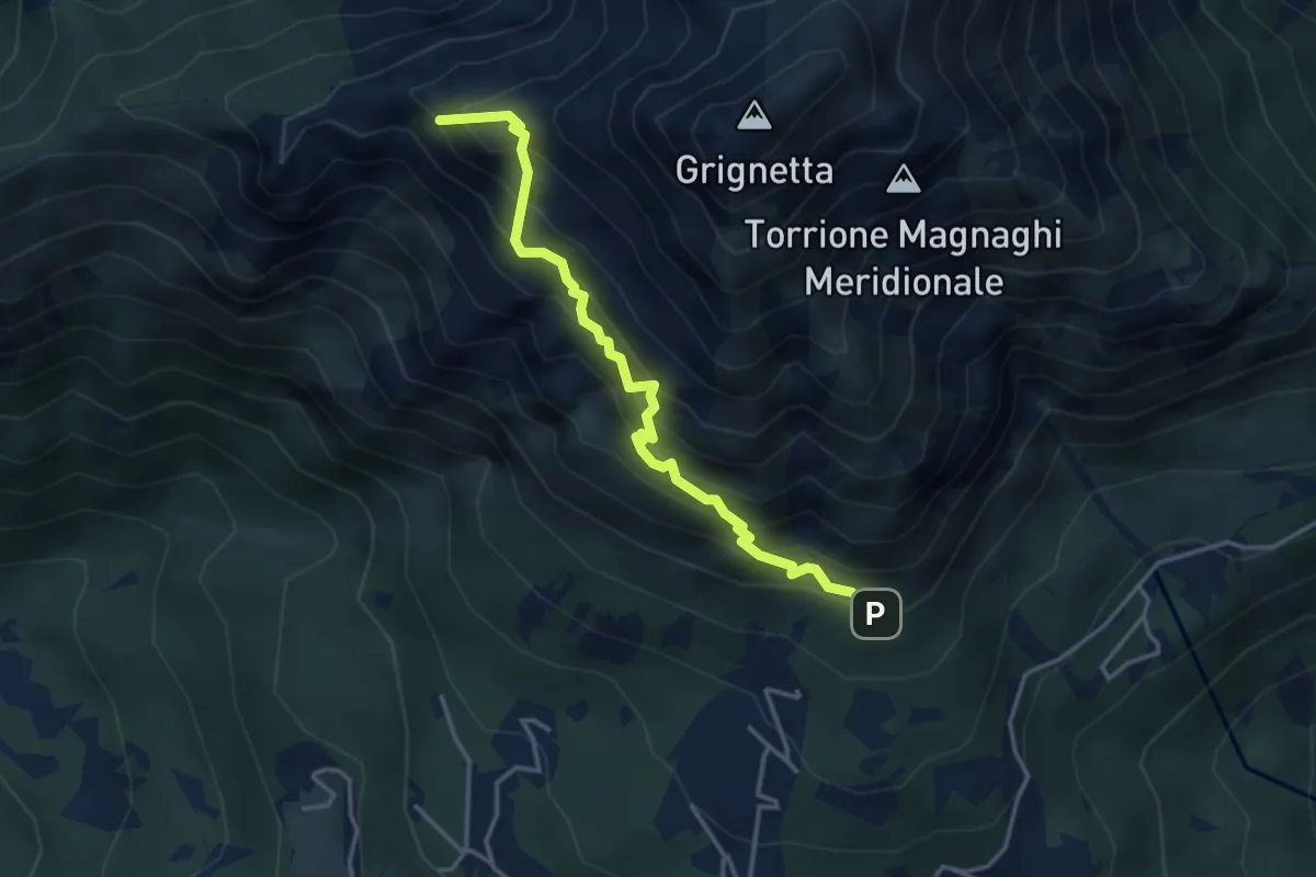
Demanding · Trail
Erve – Erve
6.1 km · ↑ 678 m · 3 h · 6 km away
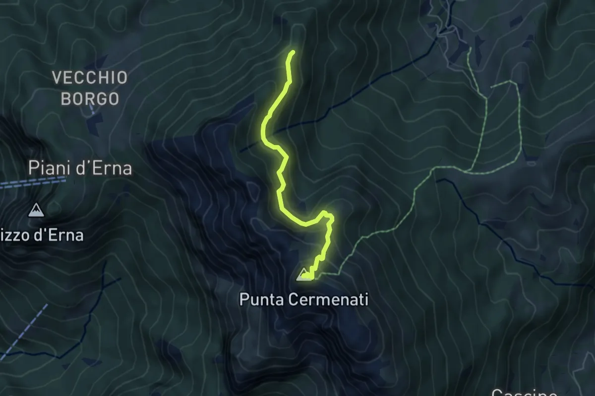
Expert · Summit
Direttissima
3.9 km · ↑ 621 m · 2 h 16 min · 6 km away
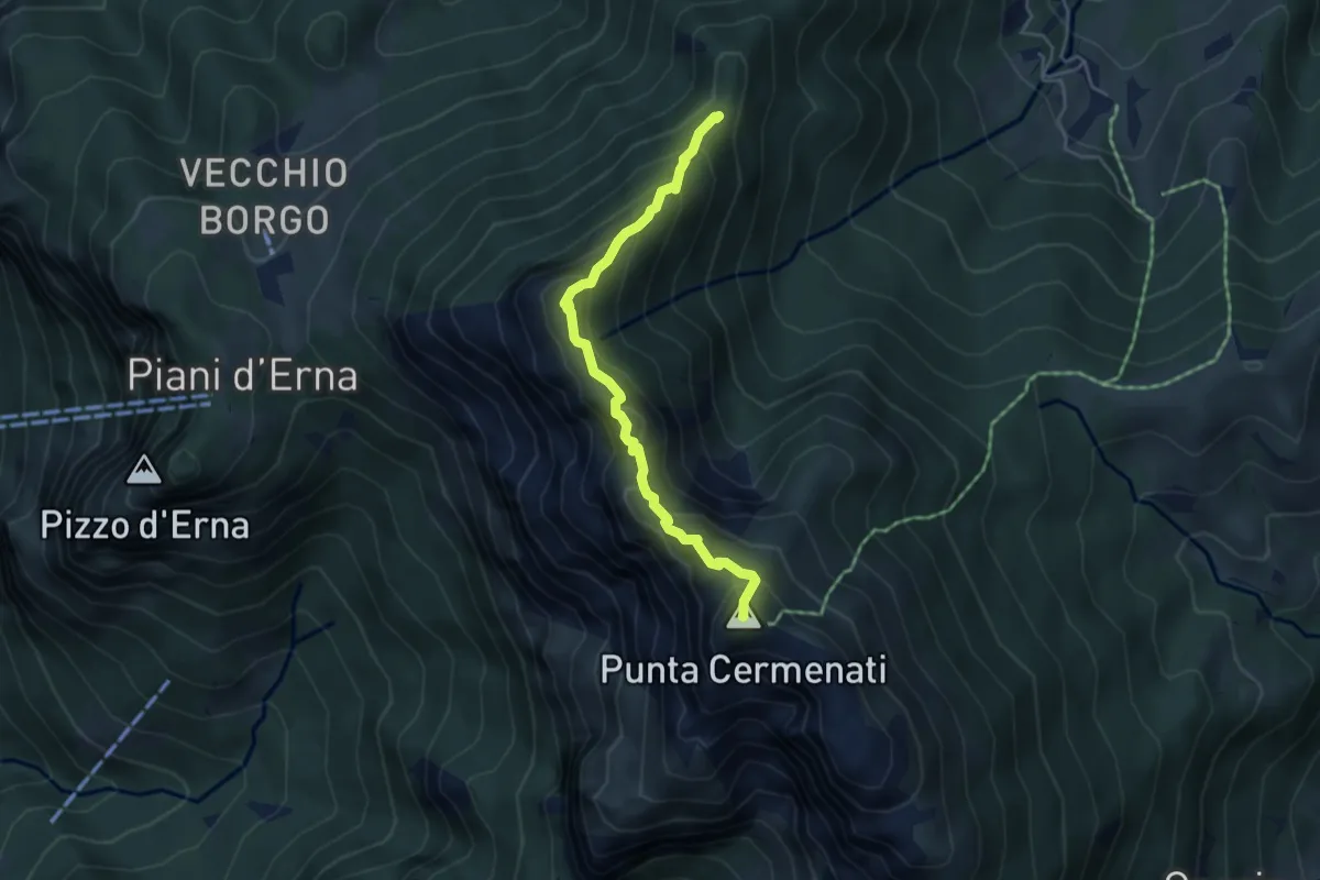
Demanding · Summit
Passo del Giuff – Monte Resegone
4.7 km · ↑ 410 m · 2 h · 6 km away
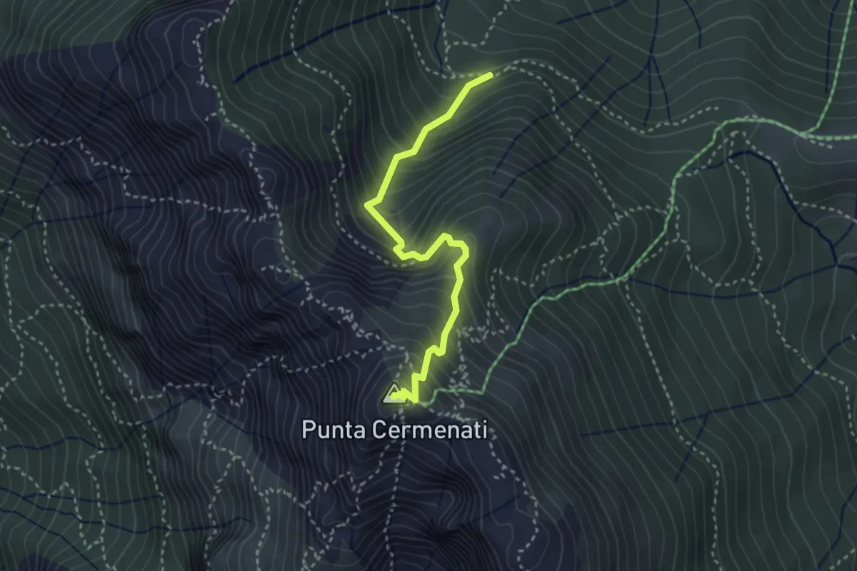
Expert · Summit
Sentiero delle Creste Nord
4.5 km · ↑ 323 m · 1 h 45 min · 6 km away
Demanding · Summit
Sorgente Forbesette – Monte Resegone
3.1 km · ↑ 458 m · 1 h 44 min · 7 km away
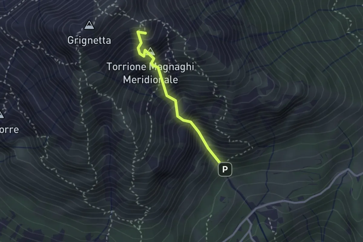
Expert · Summit
Canalone Porta
2.1 km · ↑ 606 m · 1 h 48 min · 7 km away
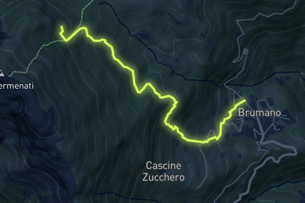
Medium · Trail
Brumano – Colletto di Brumano (incrocio 571)
6.4 km · ↑ 625 m · 2 h 52 min · 7 km away
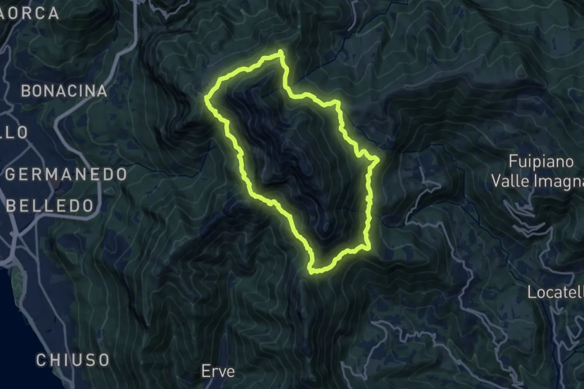
Demanding · Summit
Anello del Resegone
12.8 km · ↑ 1001 m · 5 h 21 min · 7 km away
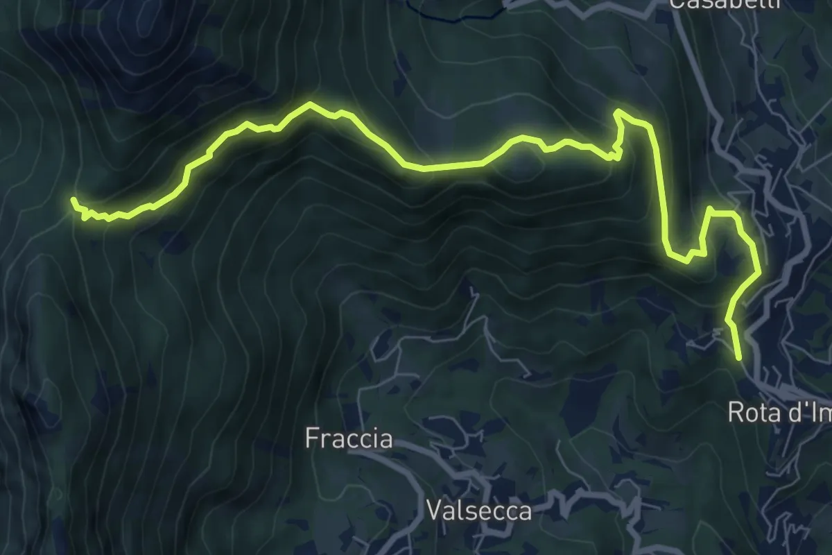
Medium · Trail
Rota d'Imagna – La Passata
9.3 km · ↑ 699 m · 3 h 43 min · 7 km away
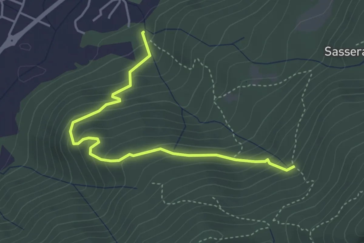
Easy · Trail
Ponte Castel – Sorgente (Valbrona)
4.0 km · ↑ 308 m · 1 h 37 min · 7 km away
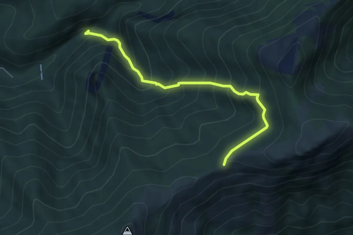
Medium · Trail
Sentiero Geologico (San Miro) – Pendici del Monte Rai
4.7 km · ↑ 531 m · 2 h 15 min · 7 km away
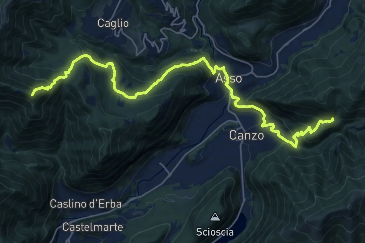
Demanding · Summit
CamminaForeste - Tappa 9B
20.9 km · ↑ 1286 m · 7 h 44 min · 7 km away
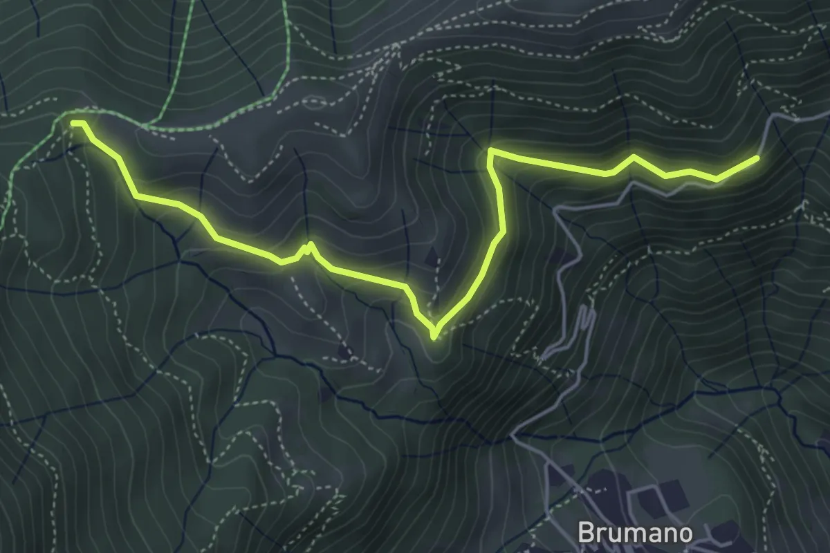
Medium · Trail
Strada Brumano/Fuipiano – Bocca di Palio
5.3 km · ↑ 363 m · 2 h 2 min · 7 km away
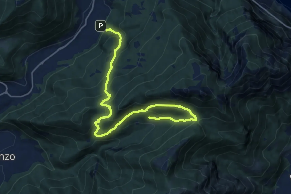
Demanding · Trail
Candalino – Terz'Alpe
13.4 km · ↑ 1138 m · 5 h 37 min · 7 km away
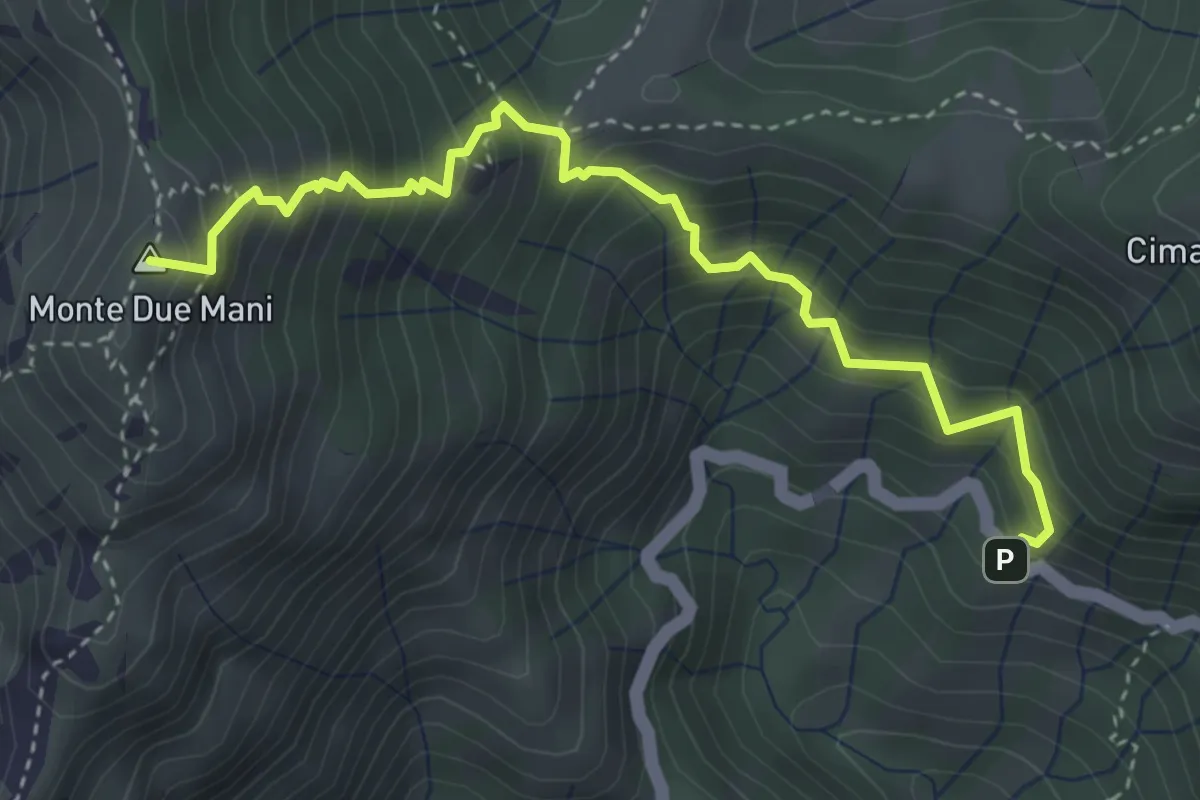
Medium · Summit
Innesto SP63 – Monte Due Mani
4.1 km · ↑ 587 m · 2 h 14 min · 7 km away
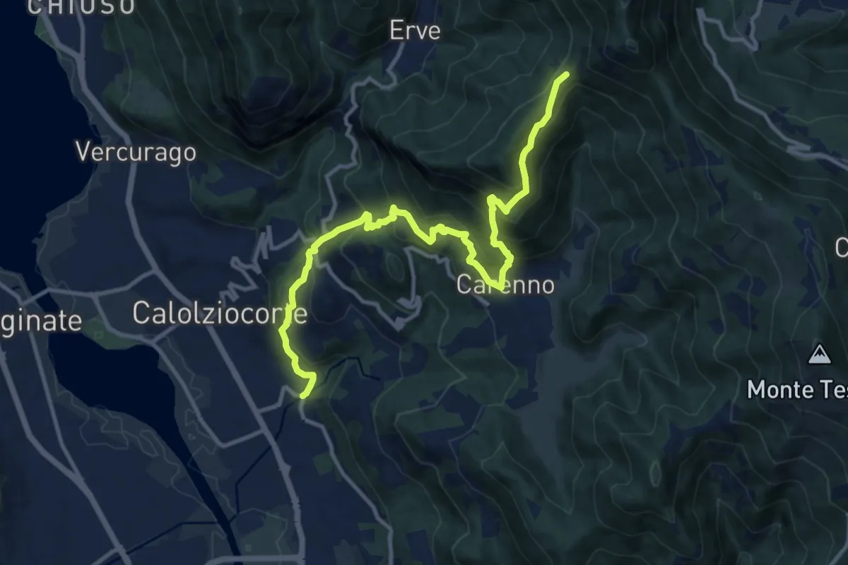
Demanding · Trail
Serta (Calolziocorte) – Passo della Pertulena
12.4 km · ↑ 967 m · 5 h 2 min · 7 km away
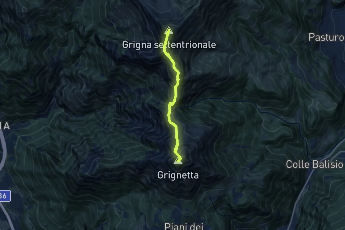
Expert · Summit
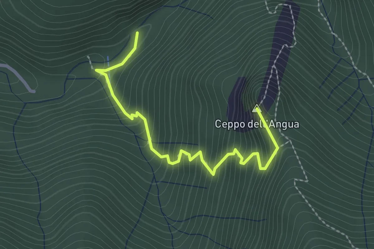
Traversata Alta delle Grigne
9.0 km · ↑ 1038 m · 4 h 22 min · 7 km away
Medium · Summit
Sentiero Geologico – Rifugio SEC "Marisa Consigliere"
2.5 km · ↑ 328 m · 1 h 18 min · 7 km away
Demanding · Trail
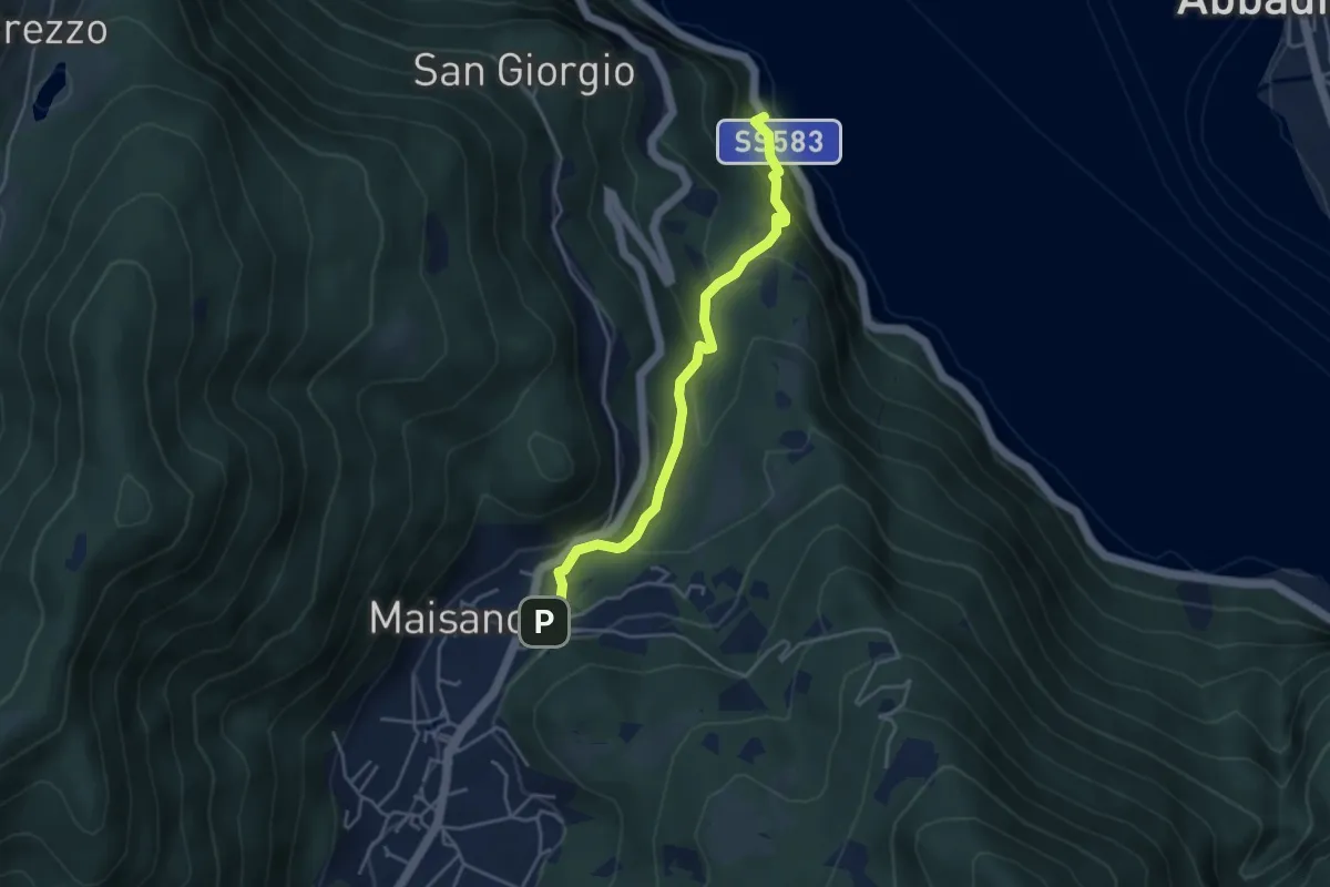
Caprante – San Rocco (Valbrona)
4.0 km · ↑ 284 m · 1 h 34 min · 7 km away
Medium · Summit
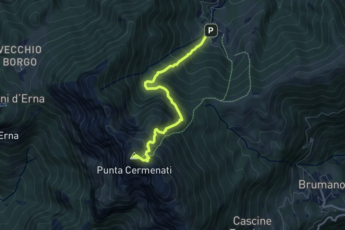
Morterone – Monte Resegone
6.5 km · ↑ 759 m · 3 h 11 min · 7 km away
Medium · Trail
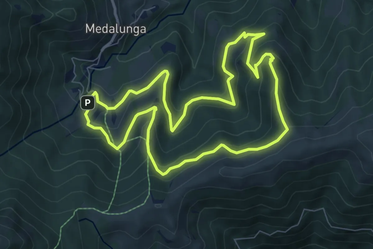
Sentiero dei Grandi Alberi - Anello
7.4 km · ↑ 485 m · 2 h 54 min · 7 km away
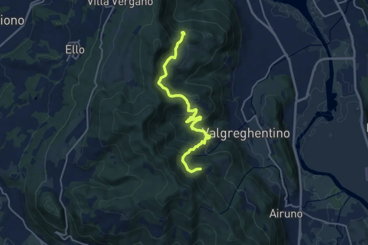
Medium · Trail
Campiano – Consonno
11.0 km · ↑ 534 m · 3 h 45 min · 7 km away
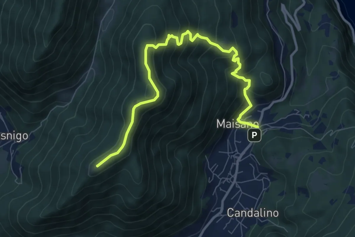
Medium · Summit
Valbrona - Maisano – Monte Megna
9.1 km · ↑ 626 m · 3 h 30 min · 7 km away
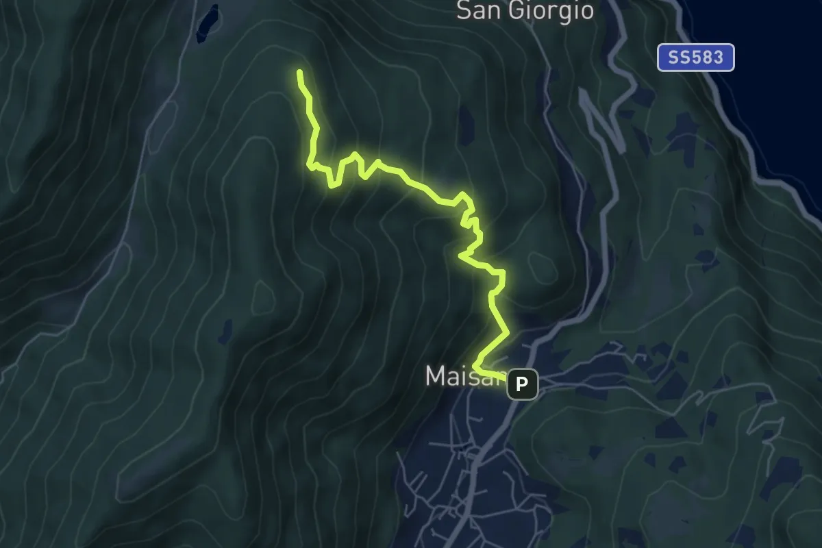
Medium · Trail
San Rocco (Valbrona) – Alpe di Piano
5.8 km · ↑ 478 m · 2 h 24 min · 7 km away
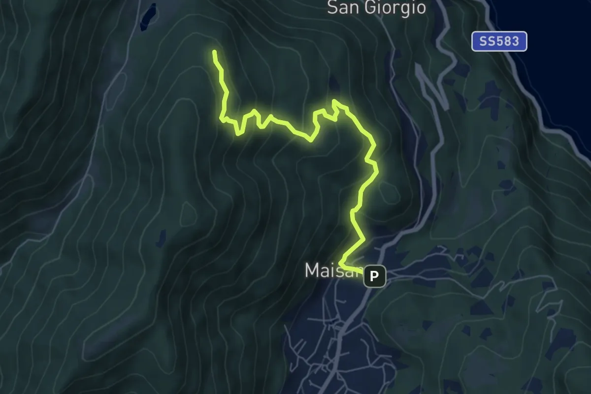
Medium · Trail
San Rocco (Valbrona) – Alpe di Piano
6.6 km · ↑ 472 m · 2 h 35 min · 7 km away
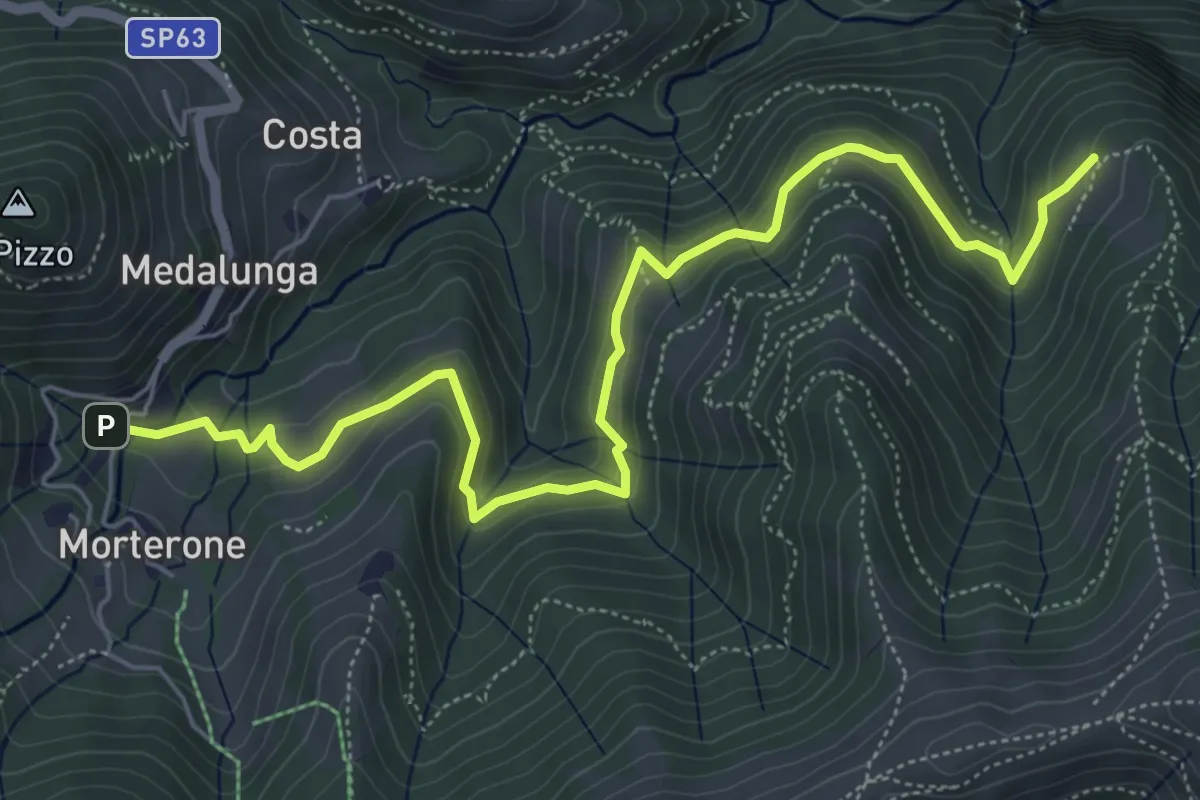
Medium · Trail
Morterone – Selvano
7.0 km · ↑ 331 m · 2 h 23 min · 7 km away
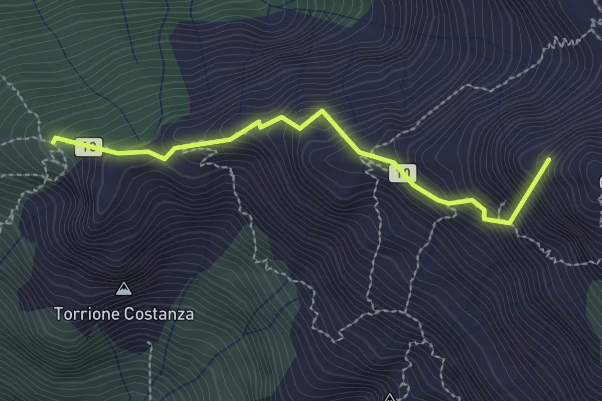
Expert · Summit
Sentiero Cecilia
2.4 km · ↑ 349 m · 1 h 19 min · 8 km away
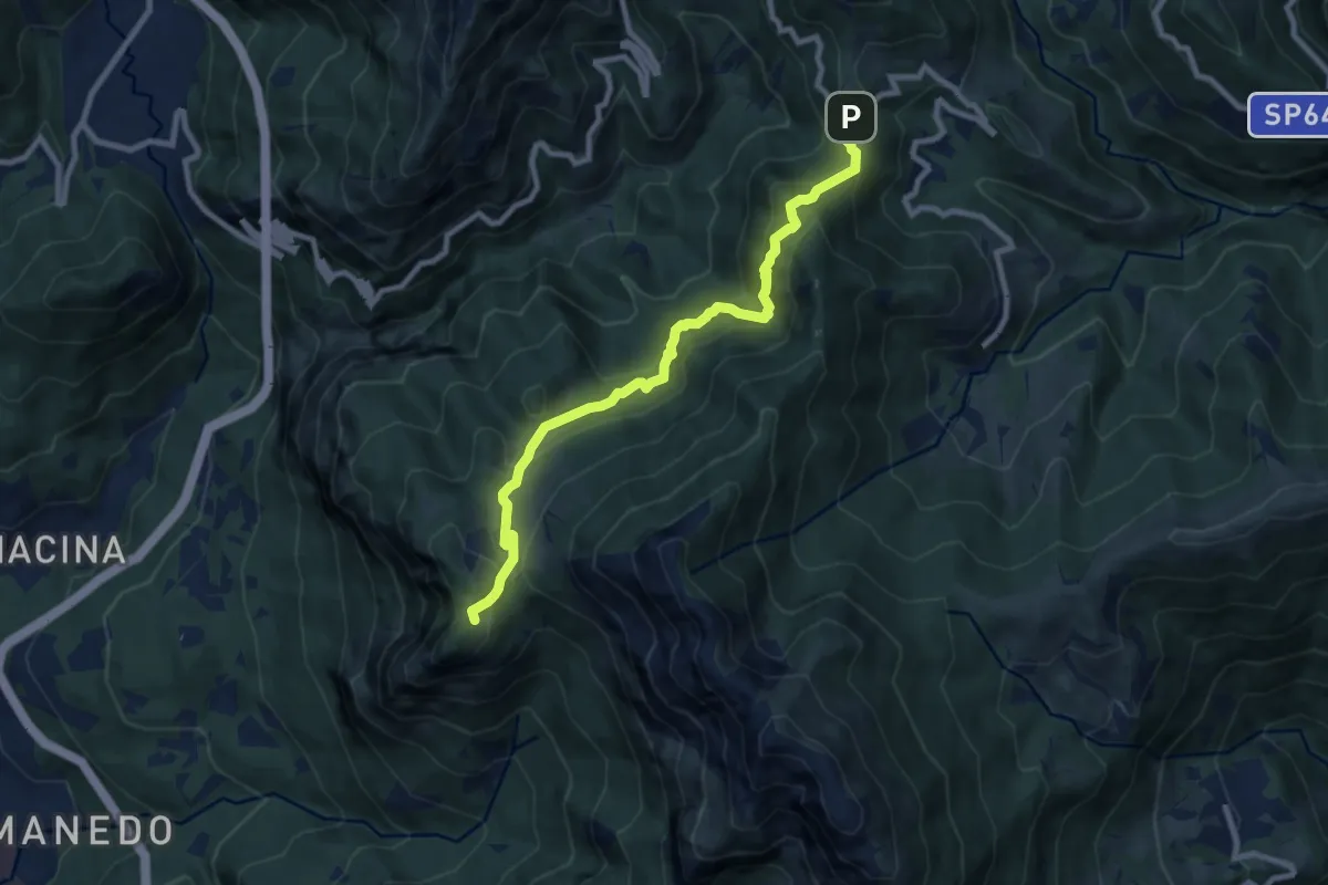
Expert · Trail
Pianid'Erna – Forcella di Olino
8.9 km · ↑ 659 m · 3 h 32 min · 8 km away
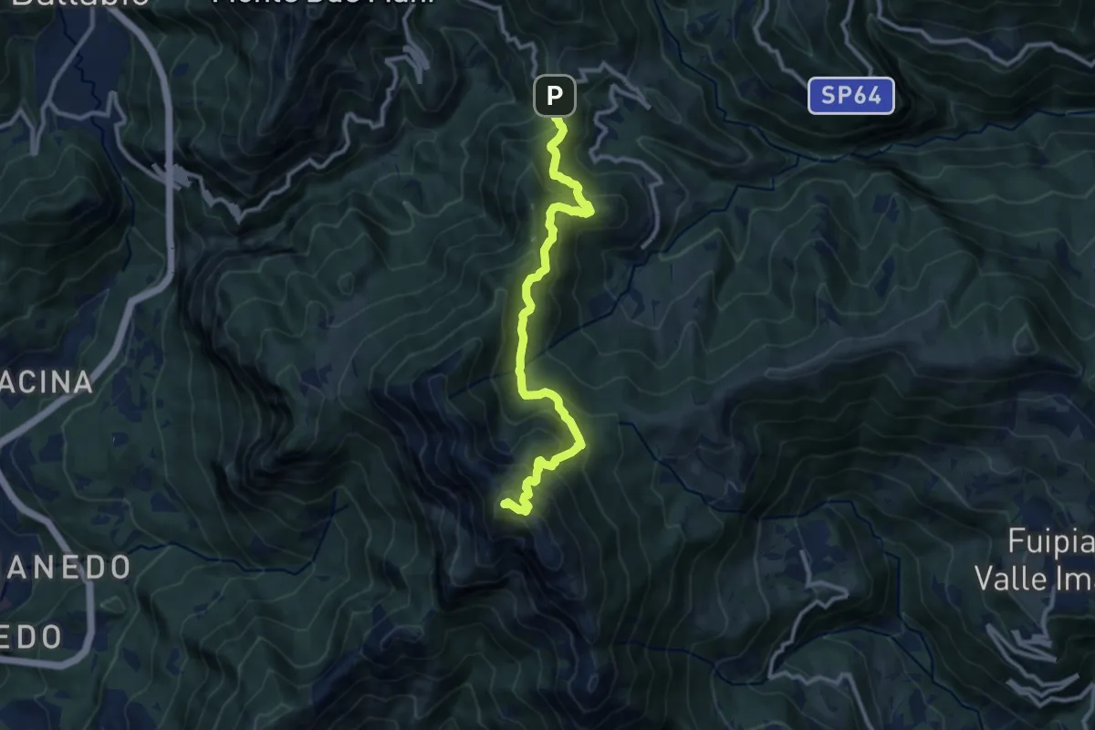
Demanding · Summit
Forcella di Olino – Monte Resegone
10.5 km · ↑ 866 m · 4 h 22 min · 8 km away
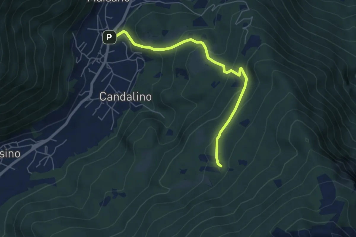
Medium · Trail
Osigo (Valbrona) – Valcerrina
5.4 km · ↑ 323 m · 1 h 58 min · 8 km away
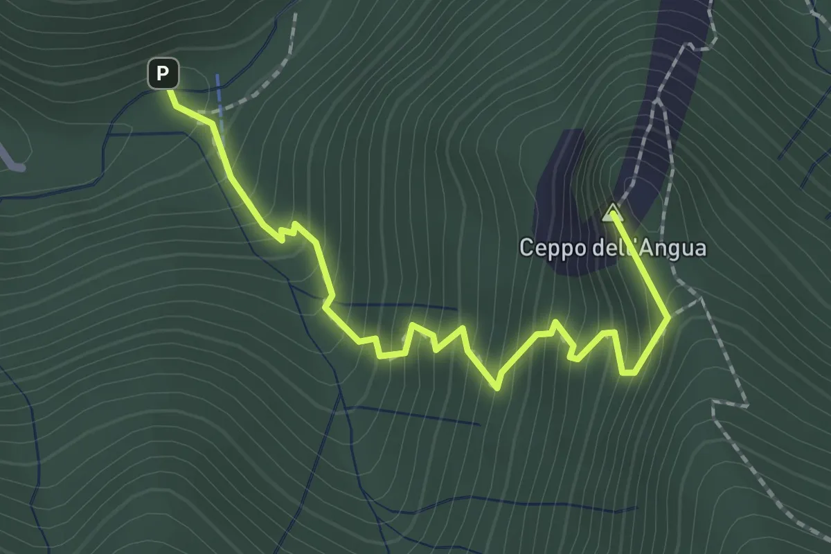
Medium · Summit
Sentiero Geologico – Rifugio SEC "Marisa Consigliere"
2.3 km · ↑ 312 m · 1 h 13 min · 8 km away
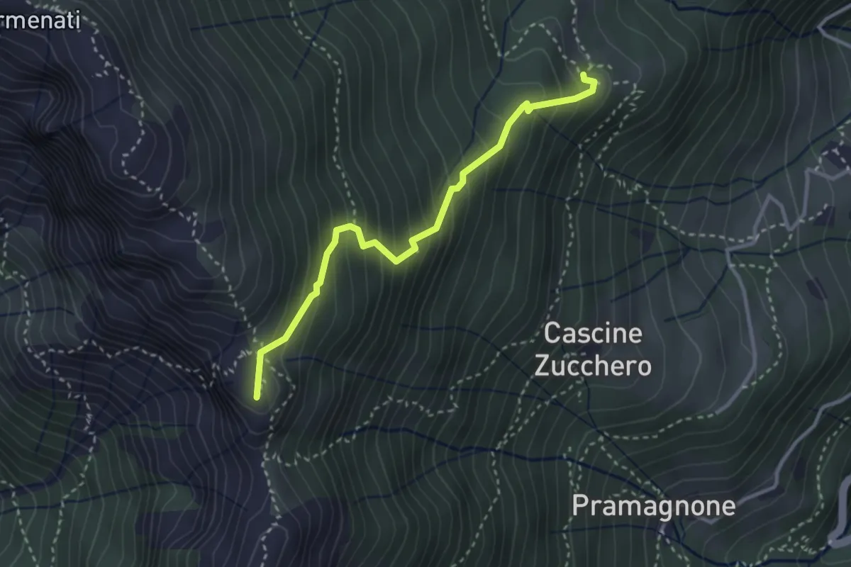
Demanding · Summit
Rifugio Resegone (incrocio 587) – Passo dei Solitari
3.1 km · ↑ 351 m · 1 h 29 min · 8 km away
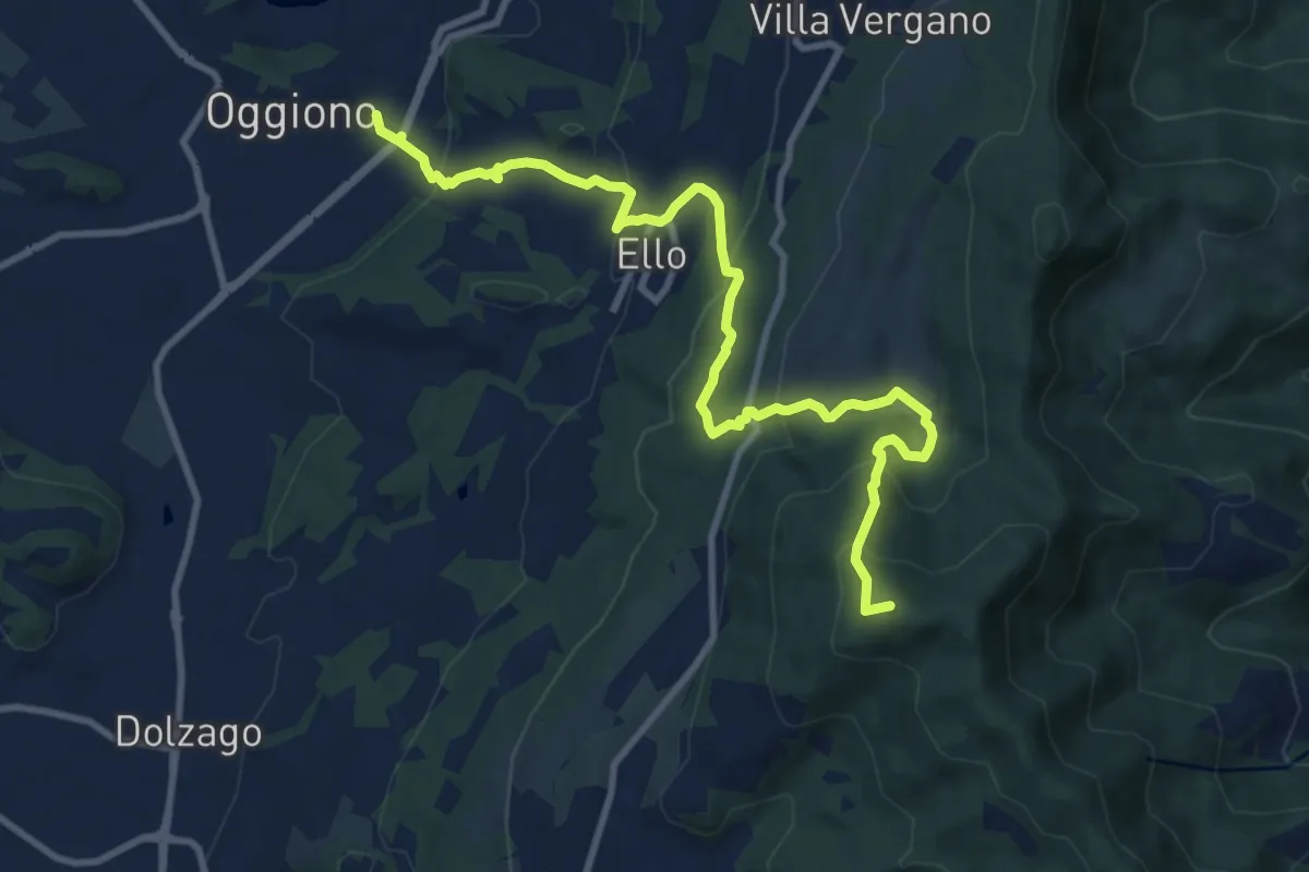
Medium · Summit
Oggiono – Monte Crocione
11.5 km · ↑ 618 m · 4 h 3 min · 8 km away