Trails near Lecco
391 hikes starting within 15 km, nearest first.
Nearest first, page 4 of 9
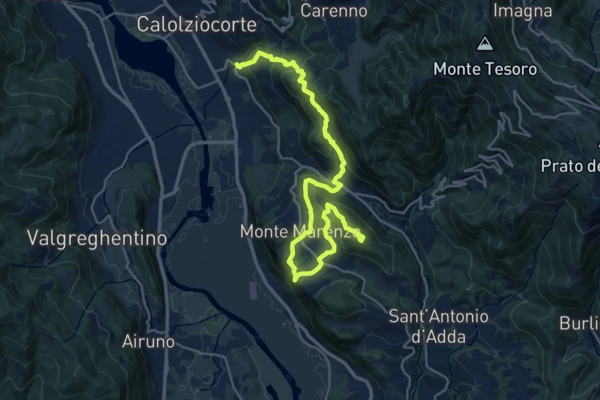
Demanding · Summit
Ponte Serta (Calolziocorte) – Ponte Contrada (Torre de' Busi)
18.8 km · ↑ 982 m · 6 h 34 min · 8 km away
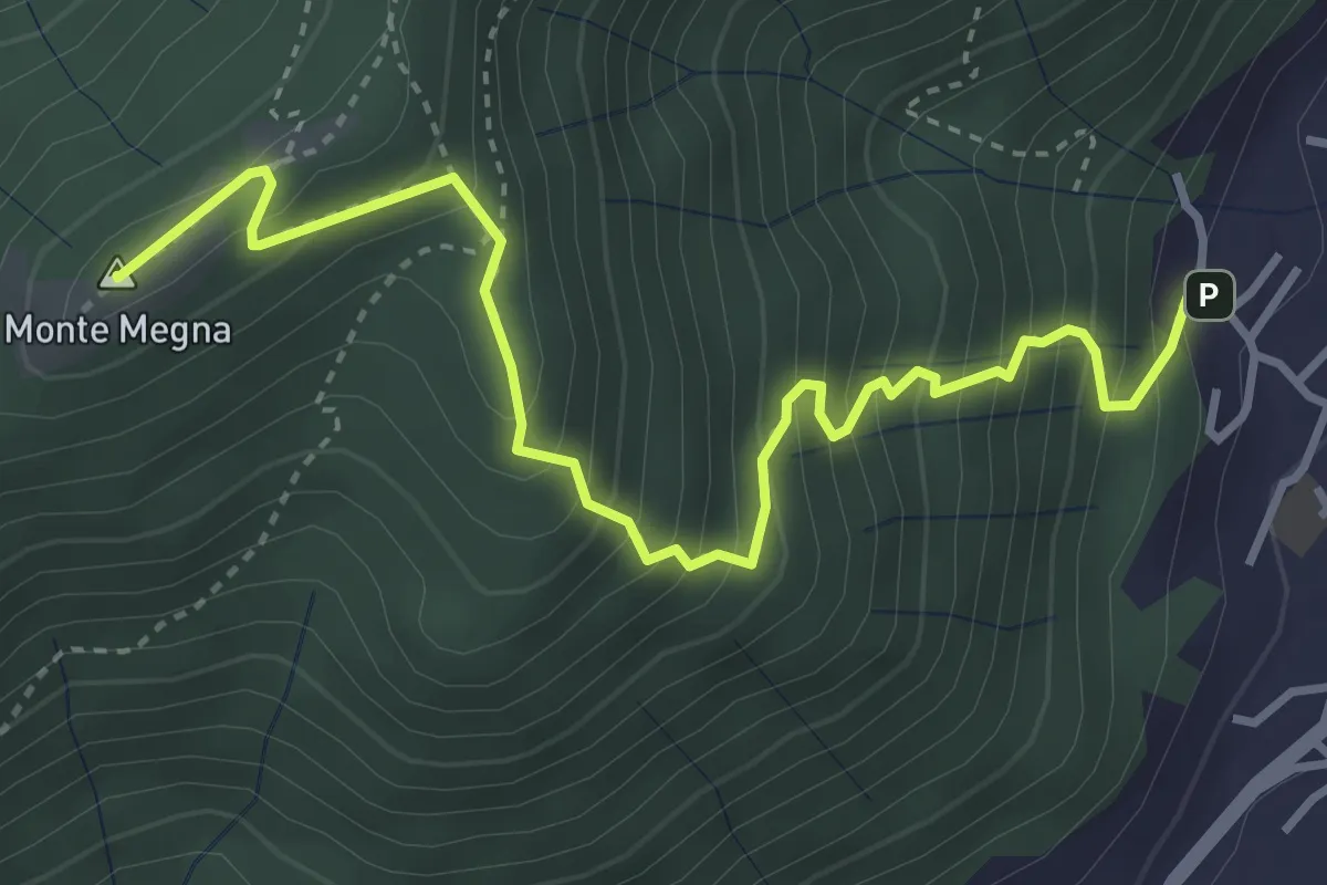
Demanding · Summit
Erta del Giubileo
4.3 km · ↑ 483 m · 2 h 3 min · 8 km away
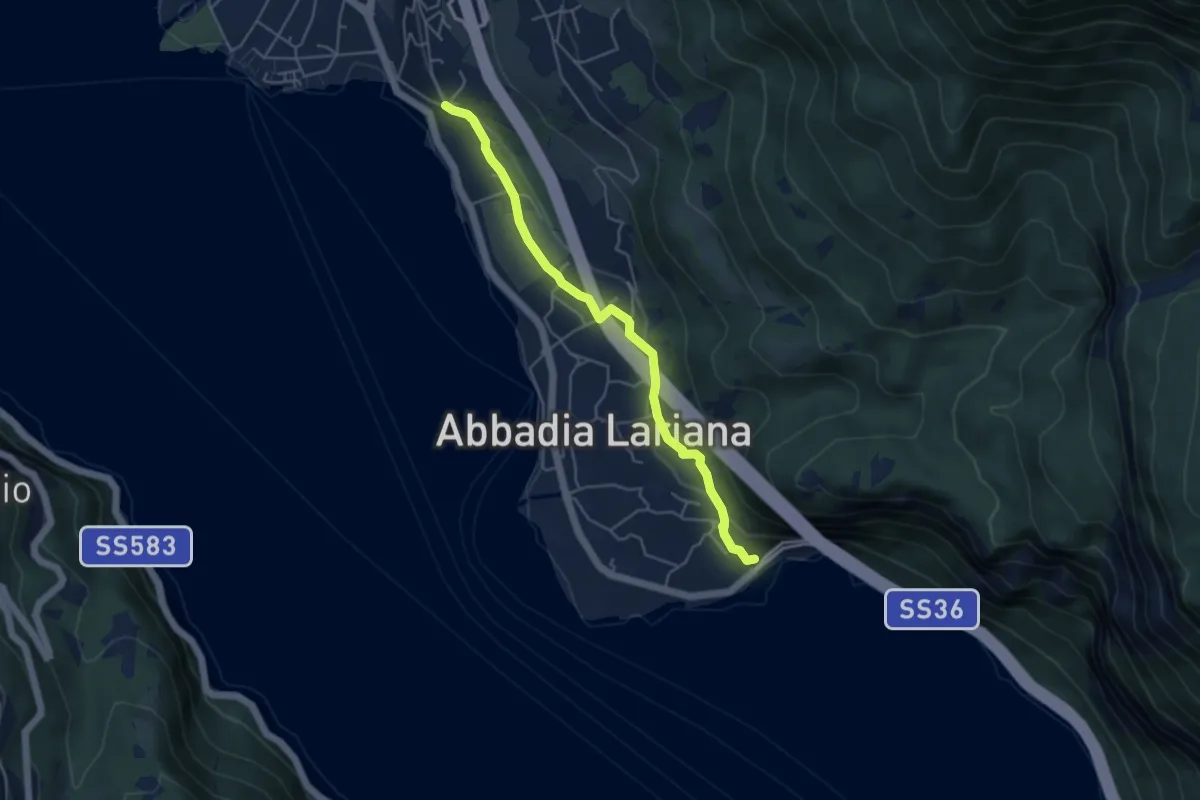
Easy · Trail
Sentiero del Viandante (Abbadia Lariana - Mandello del Lario)
4.6 km · ↑ 124 m · 1 h 22 min · 8 km away
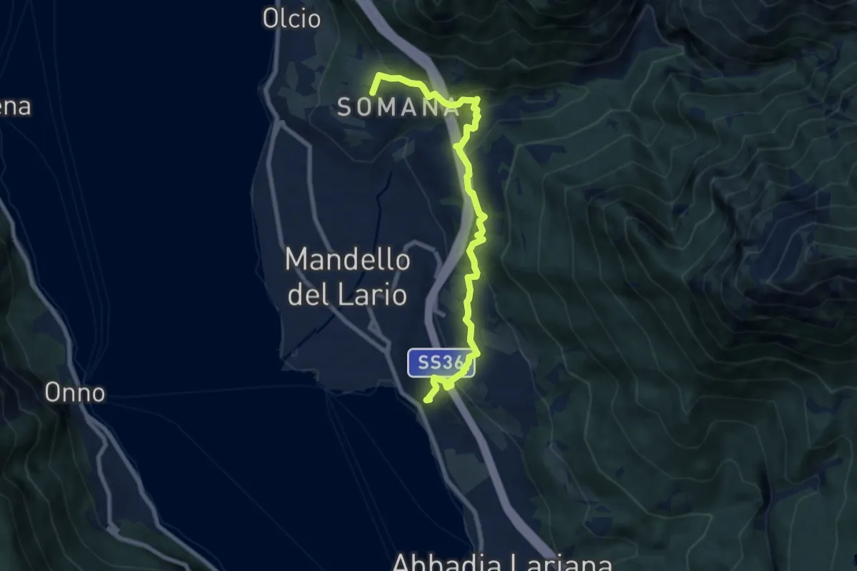
Medium · Summit
Sentiero del Viandante (Mandello del Lario - Lierna)
8.0 km · ↑ 430 m · 2 h 50 min · 8 km away
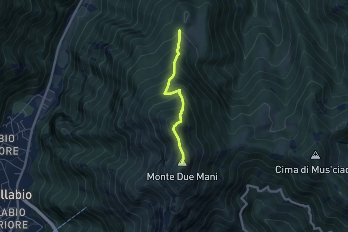
Medium · Summit
Casera di Bodega – Monte Due Mani
3.8 km · ↑ 424 m · 1 h 49 min · 8 km away
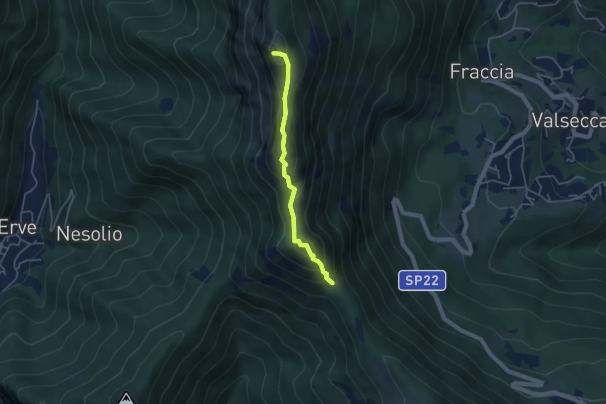
Demanding · Summit
Passo del Pertüs – La Passata
3.3 km · ↑ 339 m · 1 h 30 min · 8 km away
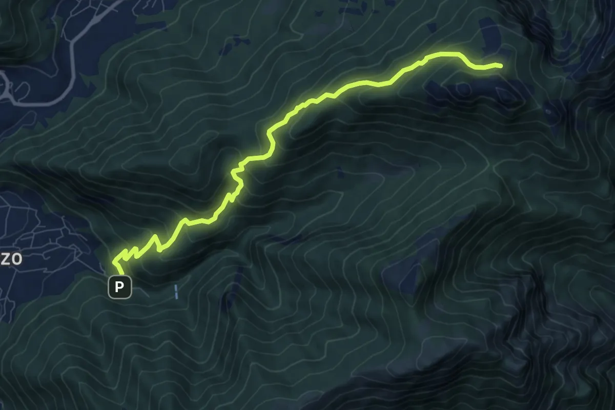
Medium · Cabin
Fonti di Gajum – Pianezzo
9.6 km · ↑ 780 m · 3 h 58 min · 8 km away
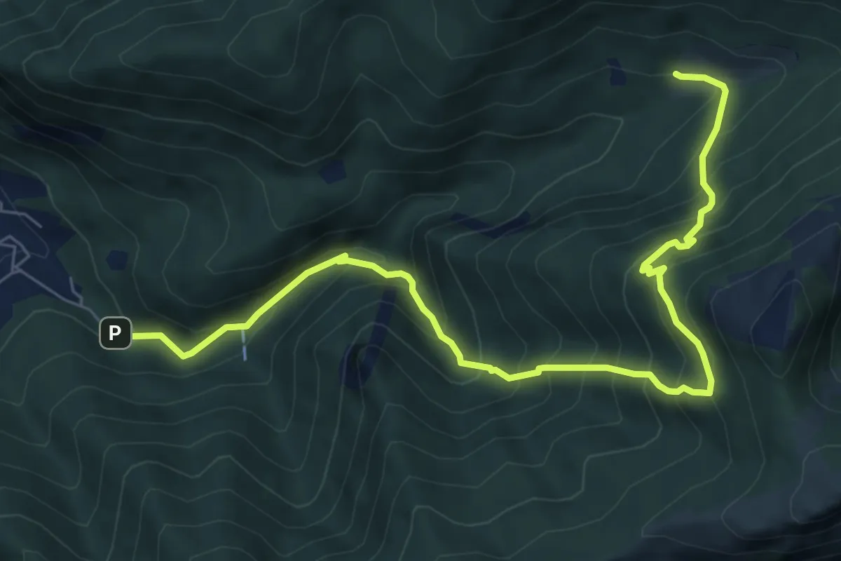
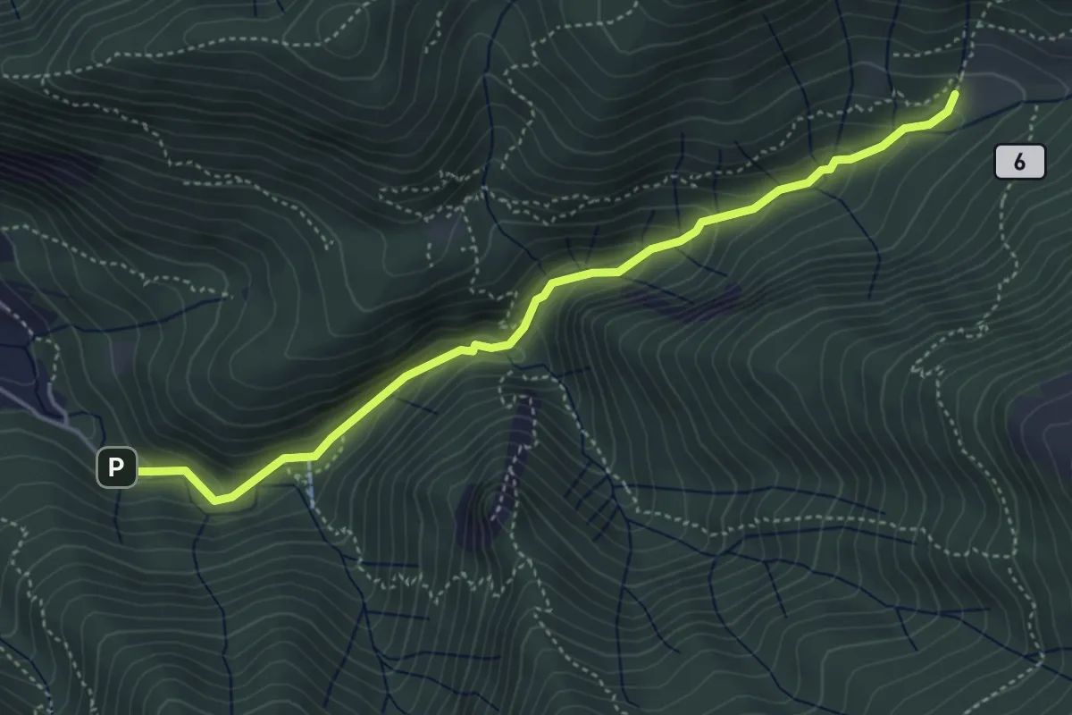
Demanding · Trail
Fonti di Gajum – Terz'Alpe
8.5 km · ↑ 900 m · 3 h 57 min · 8 km away
Medium · Trail
Sentiero Geologico Giorgio Achermann
4.7 km · ↑ 291 m · 1 h 45 min · 8 km away
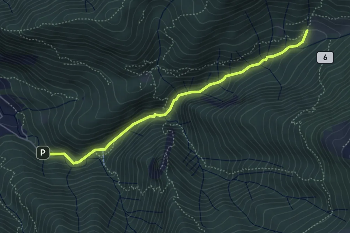
Medium · Trail
Fonti di Gajum – Terz'Alpe
4.8 km · ↑ 303 m · 1 h 47 min · 8 km away
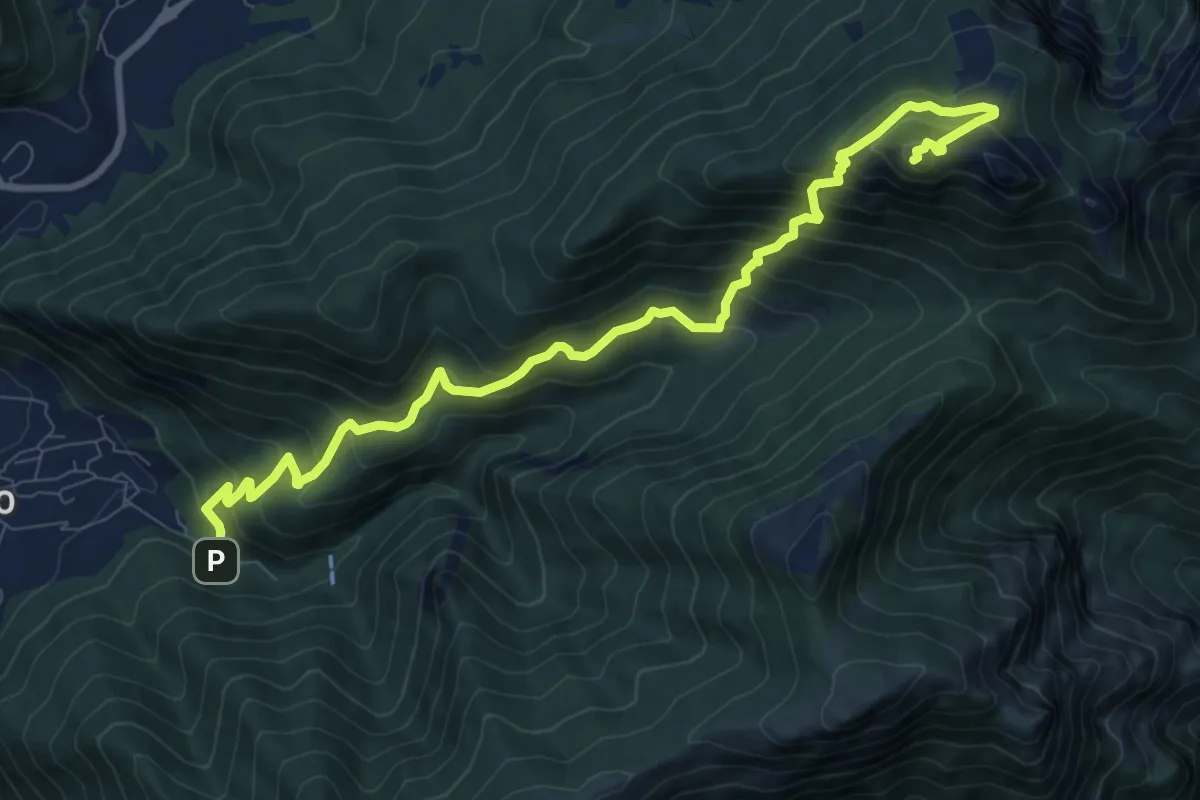
Expert · Summit
Fonti di Gajum – Vetta Corno Occidentale
10.7 km · ↑ 937 m · 4 h 33 min · 8 km away
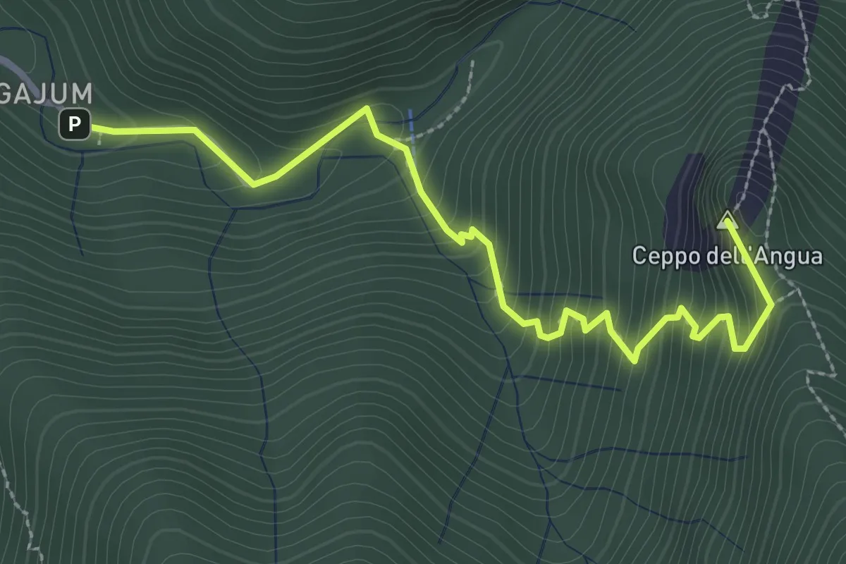
Medium · Summit
Fonti di Gajum – Rifugio Consiglieri
3.2 km · ↑ 370 m · 1 h 33 min · 8 km away
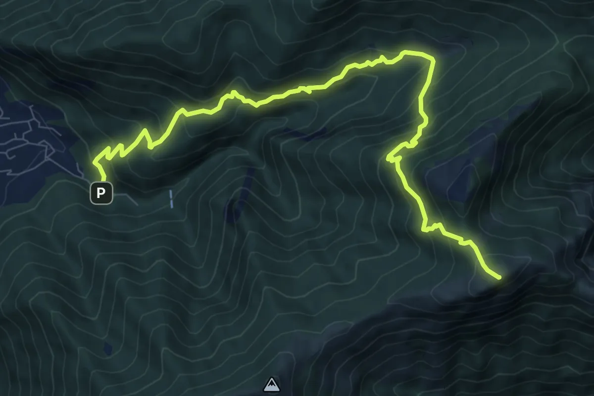
Demanding · Summit
Fonte di Gajum – Pendici del Monte Rai
10.9 km · ↑ 887 m · 4 h 30 min · 8 km away
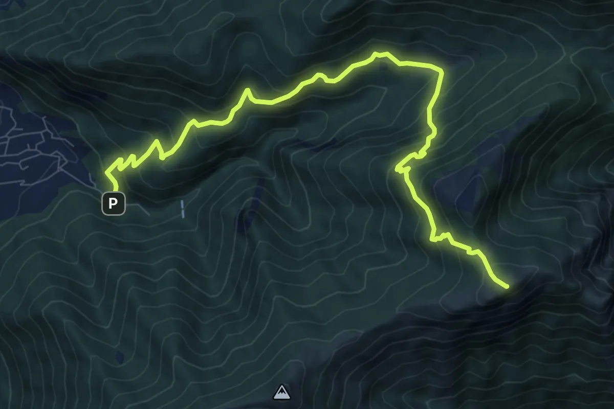
Demanding · Summit
Fonte di Gajum – Pendici del Monte Rai
10.9 km · ↑ 872 m · 4 h 28 min · 8 km away
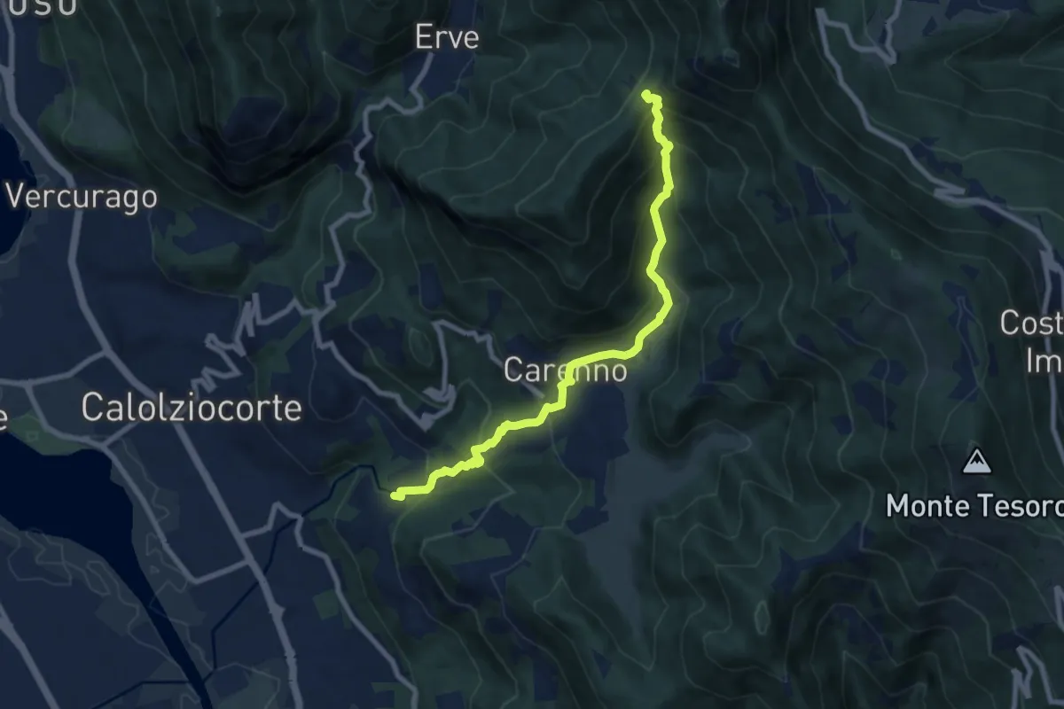
Medium · Trail
Lorentino (Calolziocorte) – Passo della Pertulena
8.1 km · ↑ 668 m · 3 h 21 min · 8 km away
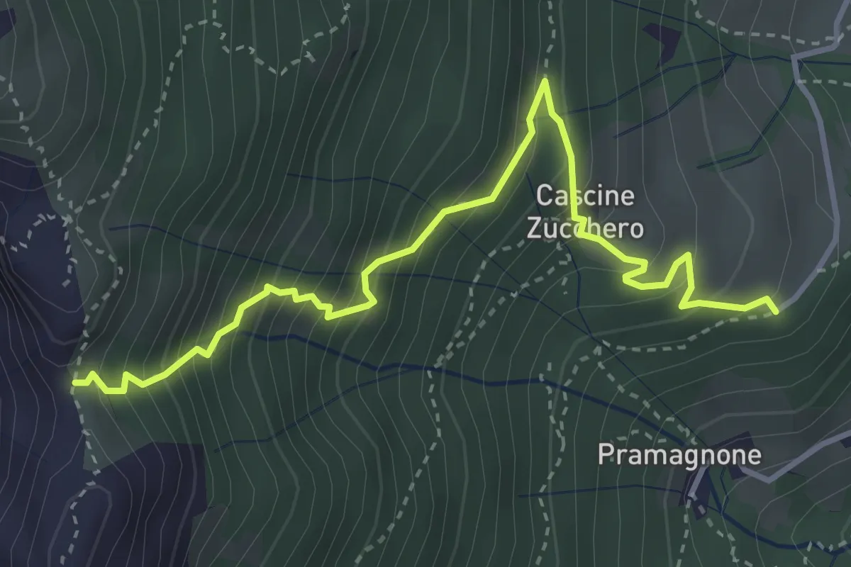
Demanding · Trail
Cascina Zucchero (Brumano) – Cima Piazzo
4.0 km · ↑ 518 m · 2 h 5 min · 8 km away
Medium · Trail
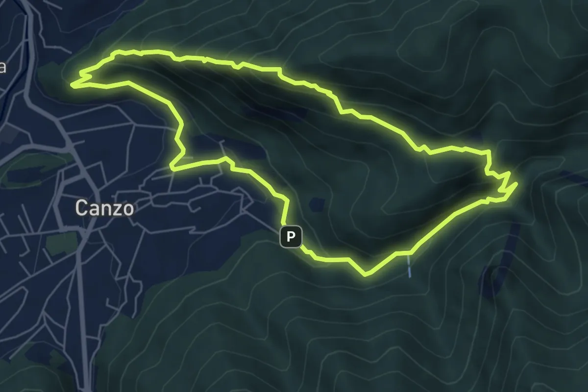
Sentiero Naturalistico dello Spaccasassi
5.9 km · ↑ 462 m · 2 h 29 min · 8 km away
Medium · Trail
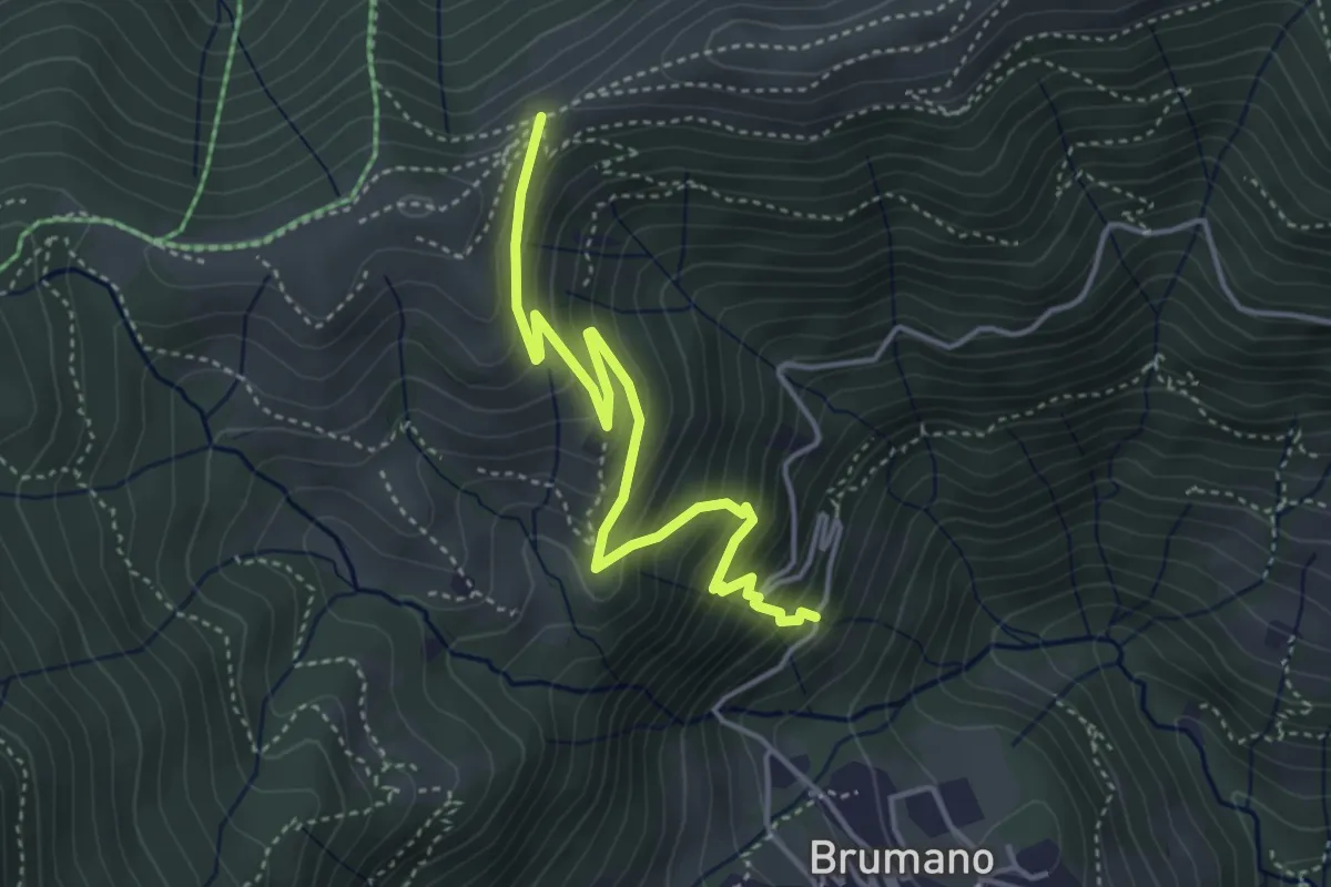
Brumano – Passo del Palio
4.3 km · ↑ 401 m · 1 h 54 min · 8 km away
Demanding · Summit
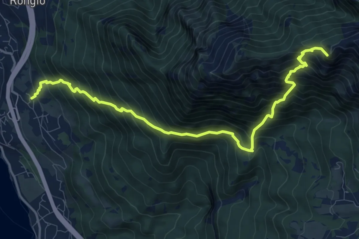
Maggiana or Rongio – Rifugio Rosalba
11.2 km · ↑ 1434 m · 5 h 45 min · 8 km away
Medium · Summit
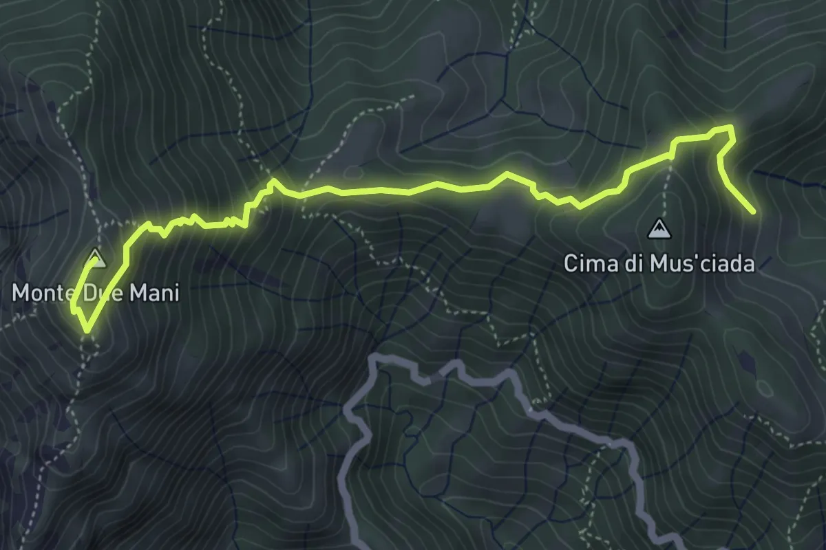
Casera di Musciada - Monte Due Mani
5.6 km · ↑ 485 m · 2 h 22 min · 8 km away
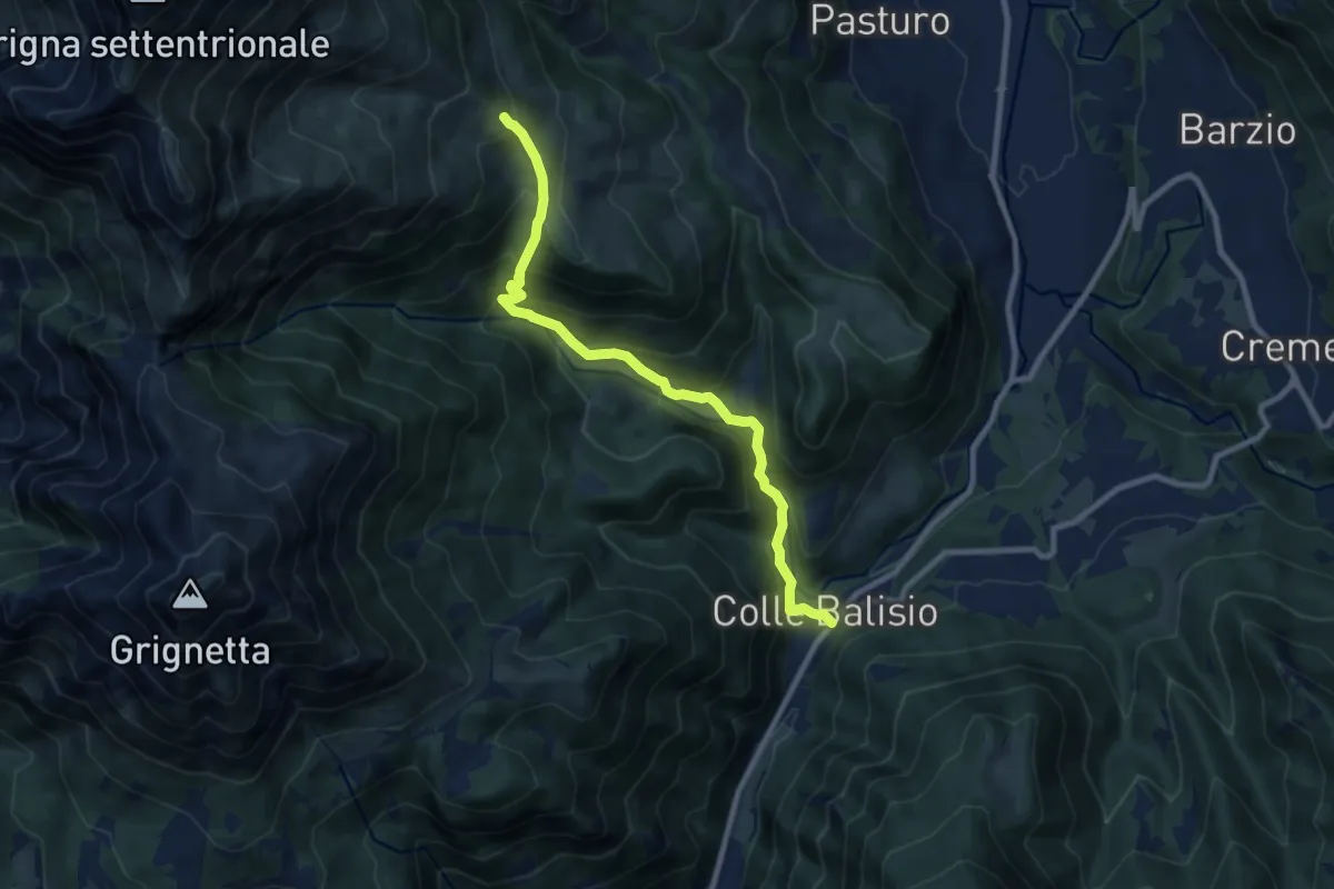
Medium · Trail
Balisio - Pialeral
9.0 km · ↑ 697 m · 3 h 38 min · 8 km away
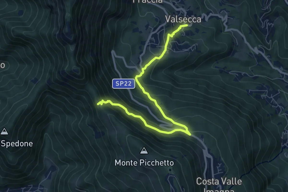
Medium · Trail
Valsecca – Pertüs
8.3 km · ↑ 616 m · 3 h 17 min · 8 km away
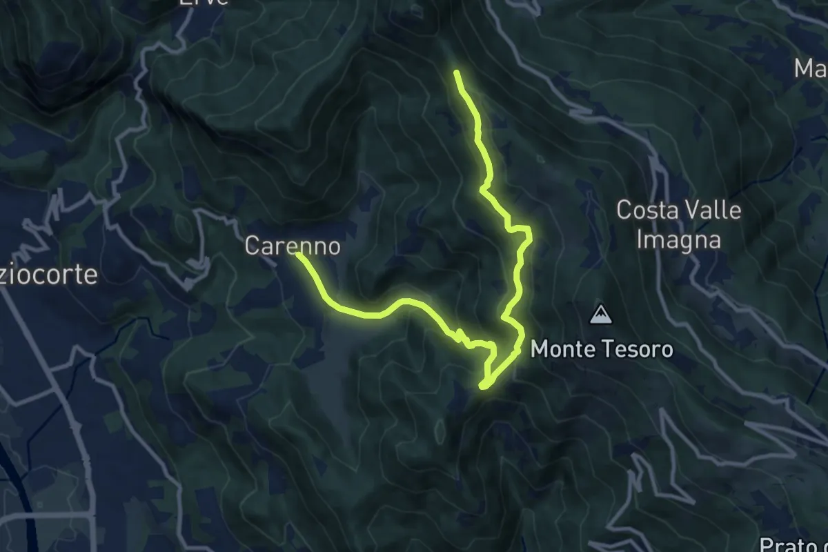
Medium · Trail
Carenno – Pertüs
11.3 km · ↑ 683 m · 4 h 9 min · 8 km away
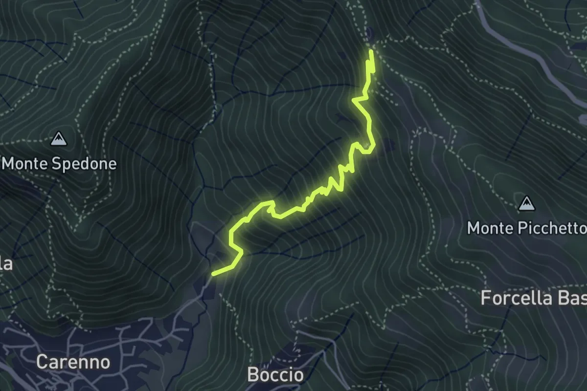
Medium · Trail
Carenno – Pertüs
4.2 km · ↑ 509 m · 2 h 6 min · 8 km away
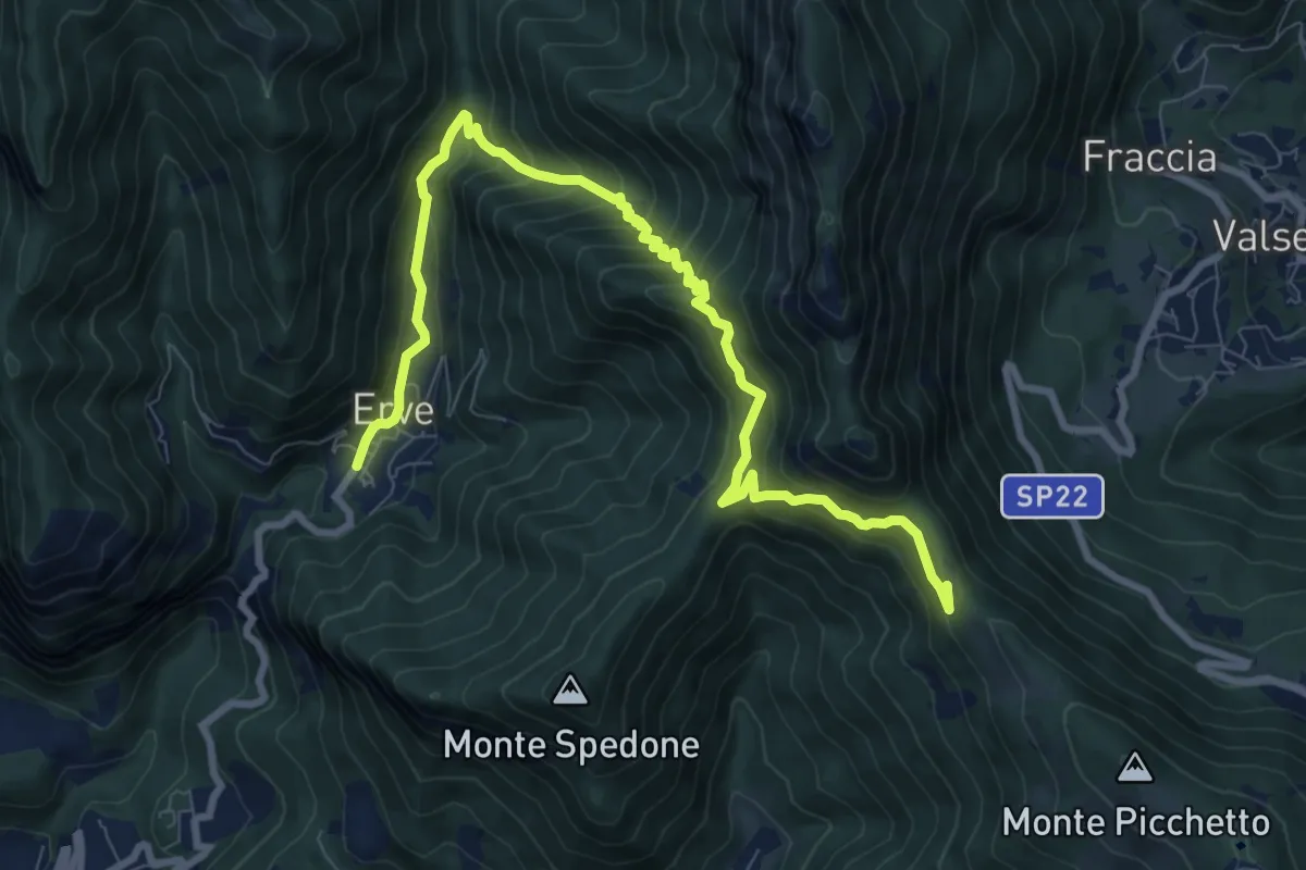
Demanding · Trail
Convento del Pertus – Erve, Piazza del Municipio
10.4 km · ↑ 869 m · 4 h 20 min · 8 km away
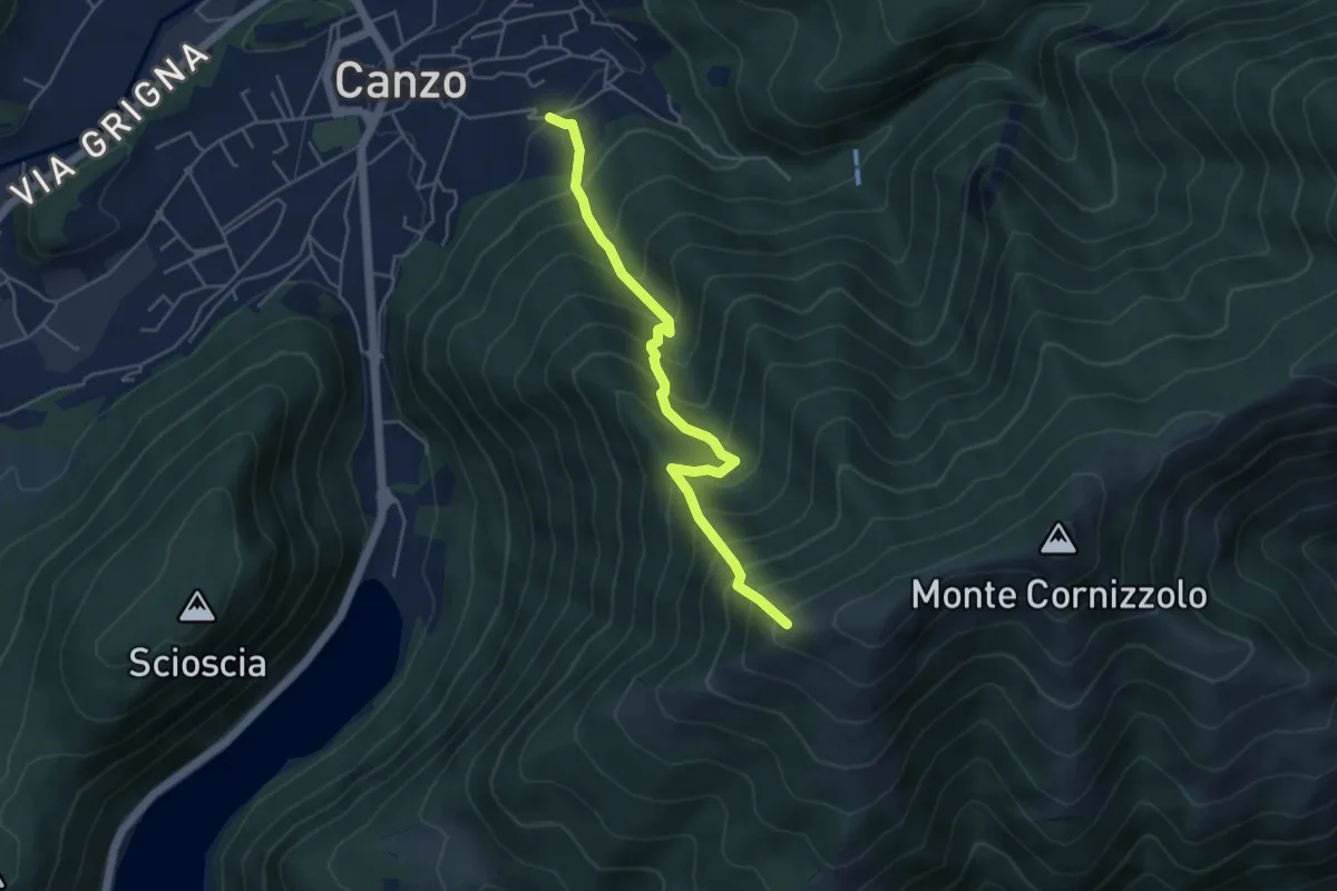
Medium · Trail
Lazzaretto (Canzo) – Monte Pesora
4.7 km · ↑ 667 m · 2 h 34 min · 8 km away
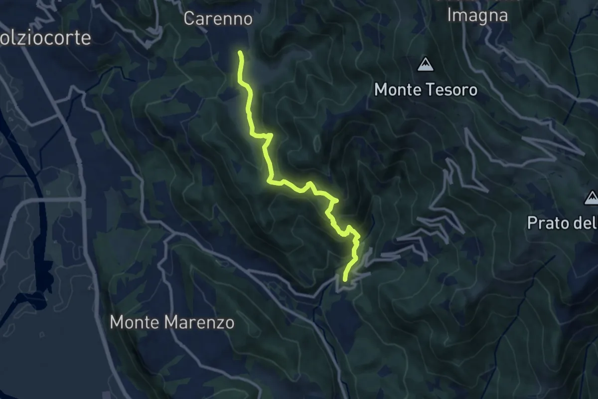
Medium · Trail
Carenno – Torre de' Busi
8.8 km · ↑ 708 m · 3 h 37 min · 9 km away
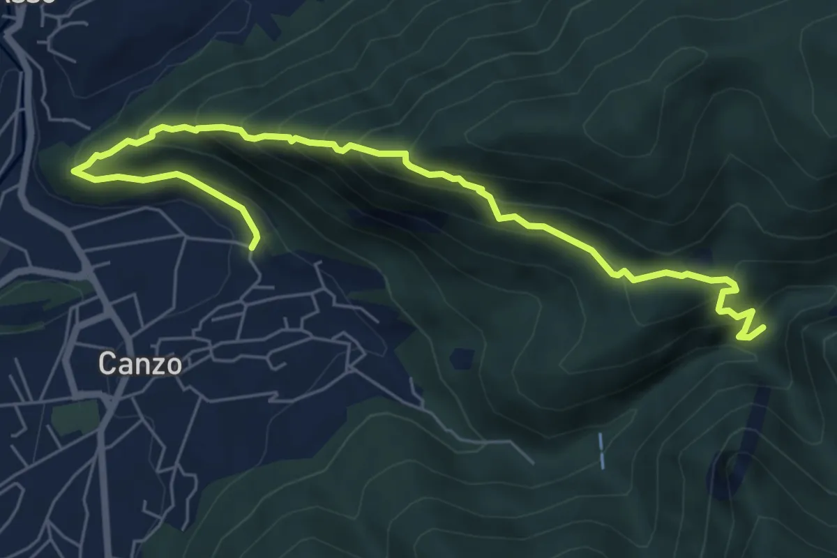
Medium · Trail
Ca' Bianca (Canzo) – Sentiero Geologico (San Miro)
7.2 km · ↑ 697 m · 3 h 12 min · 9 km away
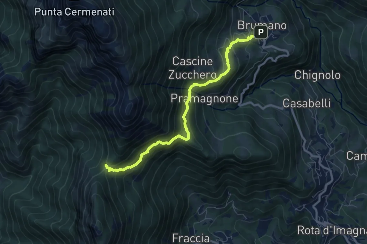
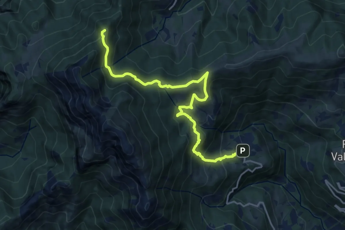
Medium · Trail
Brumano – La Passata
7.1 km · ↑ 520 m · 2 h 49 min · 9 km away
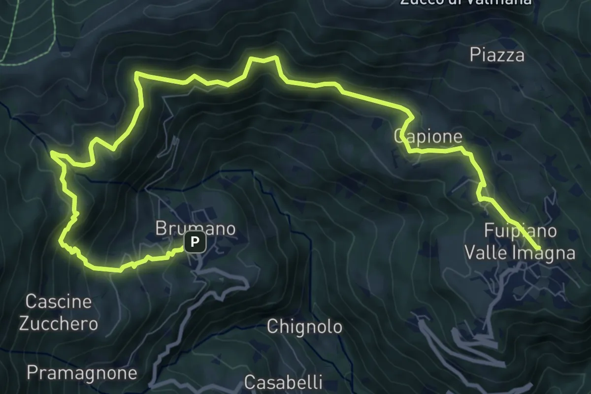
Demanding · Summit
Sentiero dei Laghi Basso - Tappa 1
13.1 km · ↑ 881 m · 5 h · 9 km away
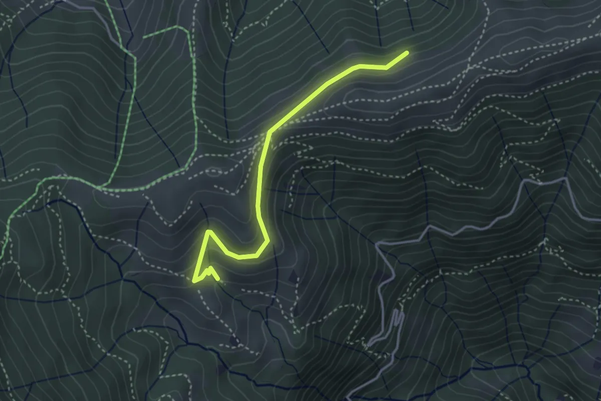
Demanding · Trail
Sentiero dei Laghi Basso- Tappa 2
13.6 km · ↑ 854 m · 5 h 3 min · 9 km away
Medium · Cabin
Sentiero dei Grandi Alberi - Variante per il Foo del Büs
3.5 km · ↑ 179 m · 1 h 13 min · 9 km away
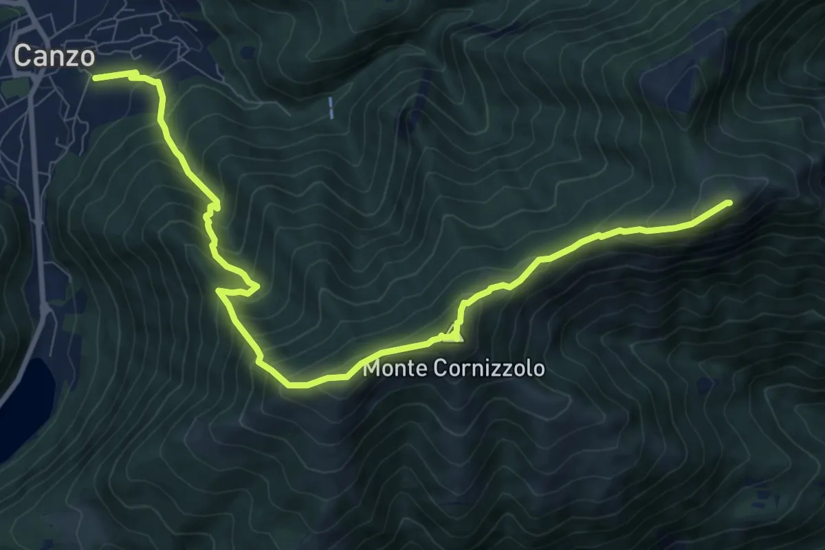
Demanding · Summit
Chiesa di San Francesco (Canzo) – La Colma (Rifugio Marisa Consiglieri)
11.0 km · ↑ 1087 m · 4 h 58 min · 9 km away
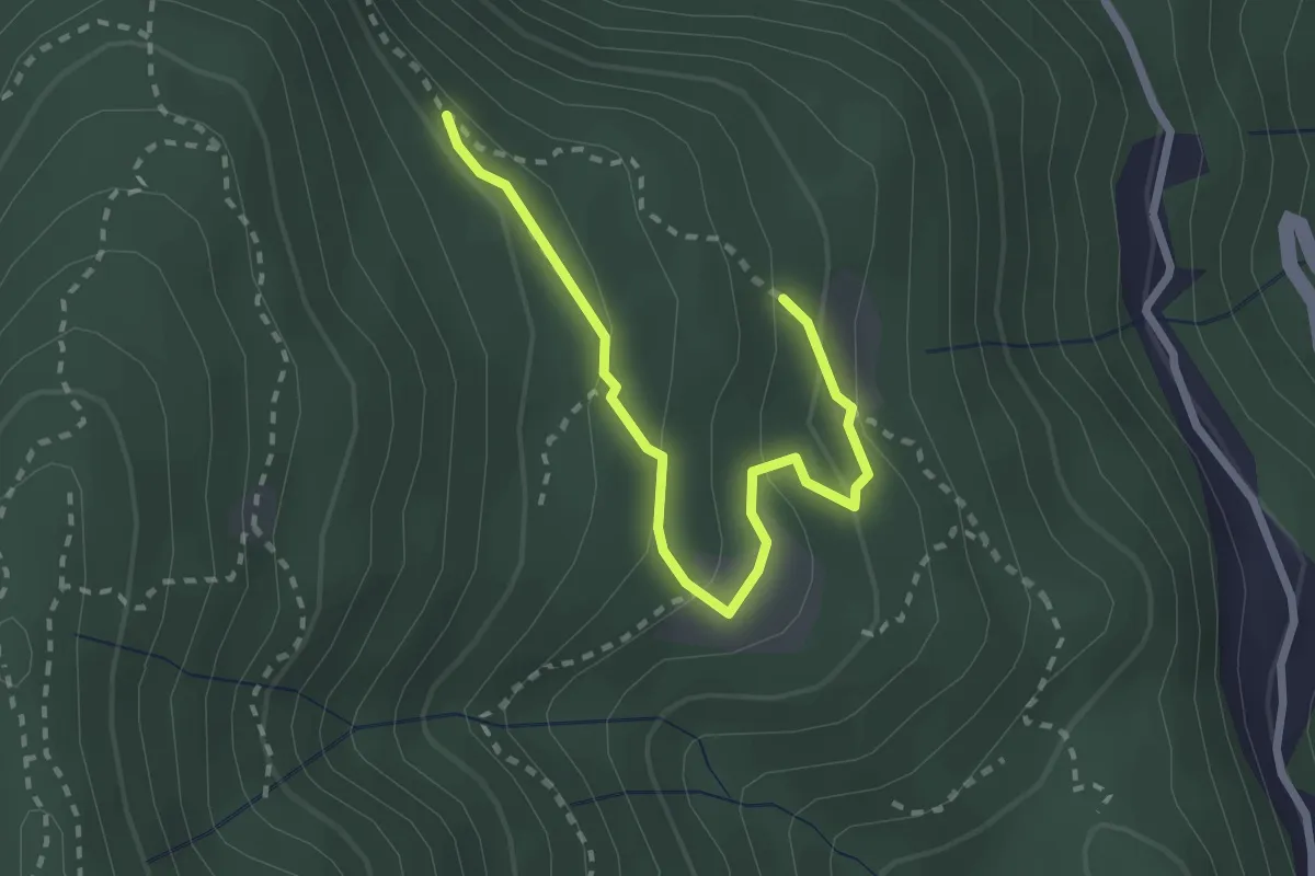
Easy · Trail
Alpe di Prezzapino – Alpe di Monte
2.7 km · ↑ 133 m · 55 min · 9 km away
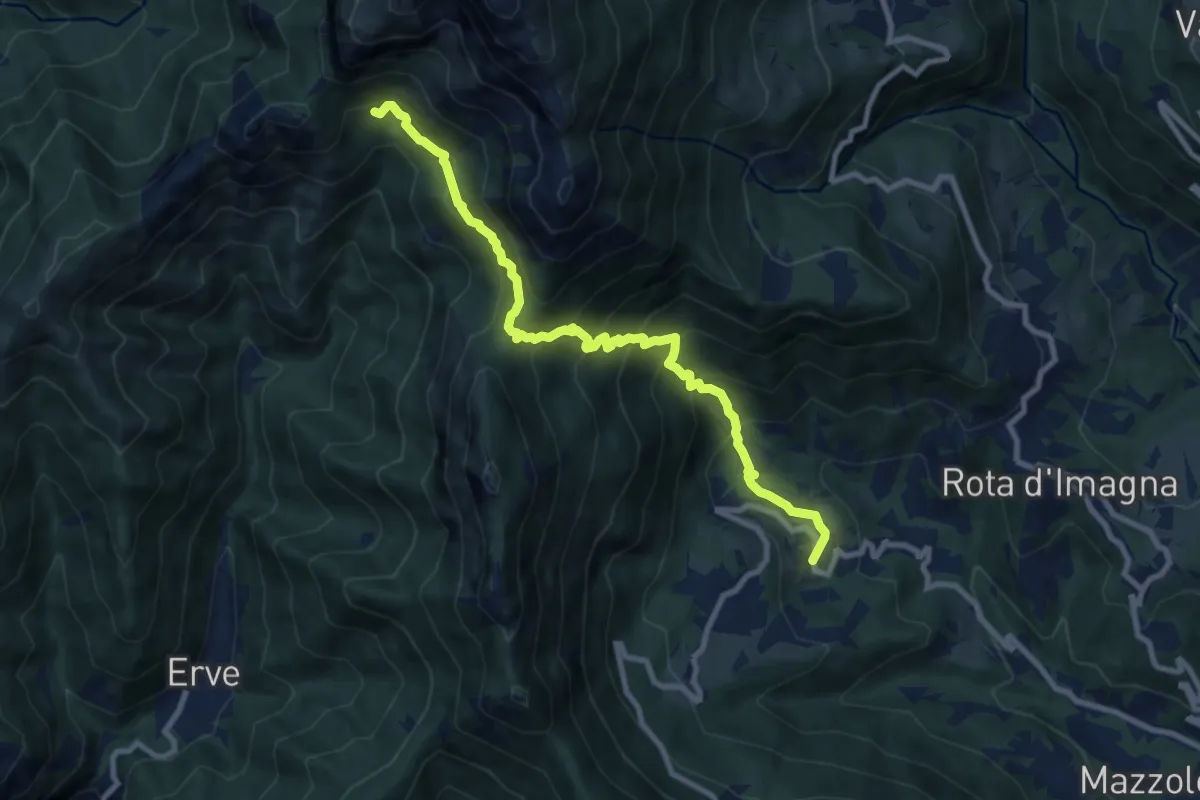
Demanding · Cabin
Valsecca – Capanna Alpinisti Monzesi
9.6 km · ↑ 868 m · 4 h 8 min · 9 km away
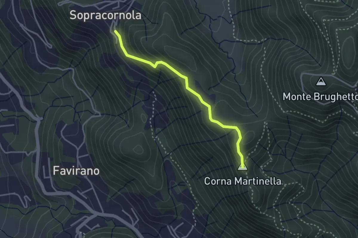
Easy · Summit
Torre de Busi – Sopracornola
2.9 km · ↑ 212 m · 1 h 9 min · 9 km away
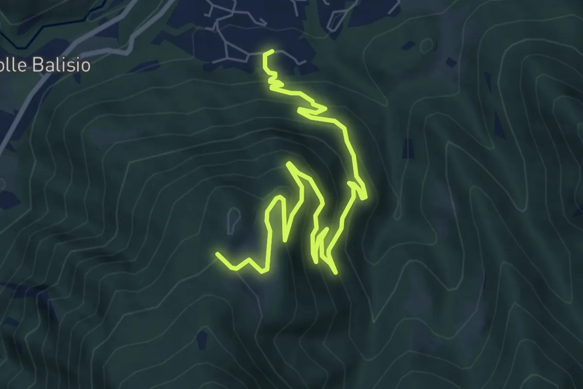
Medium · Trail
Casere di Maggio – La Foppa
8.4 km · ↑ 555 m · 3 h 11 min · 9 km away
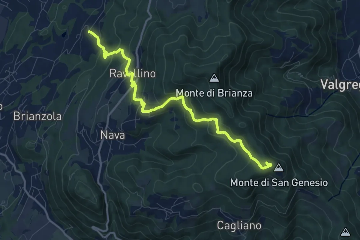
Medium · Summit
Marconaga – Monte di San Genesio
9.9 km · ↑ 516 m · 3 h 28 min · 9 km away
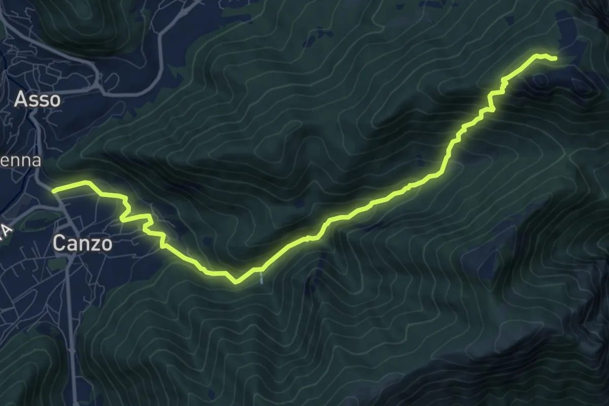
Demanding · Cabin
Stazione Canzo-Asso – Rifugio SEC "Marisa Consigliere"
11.9 km · ↑ 910 m · 4 h 46 min · 9 km away
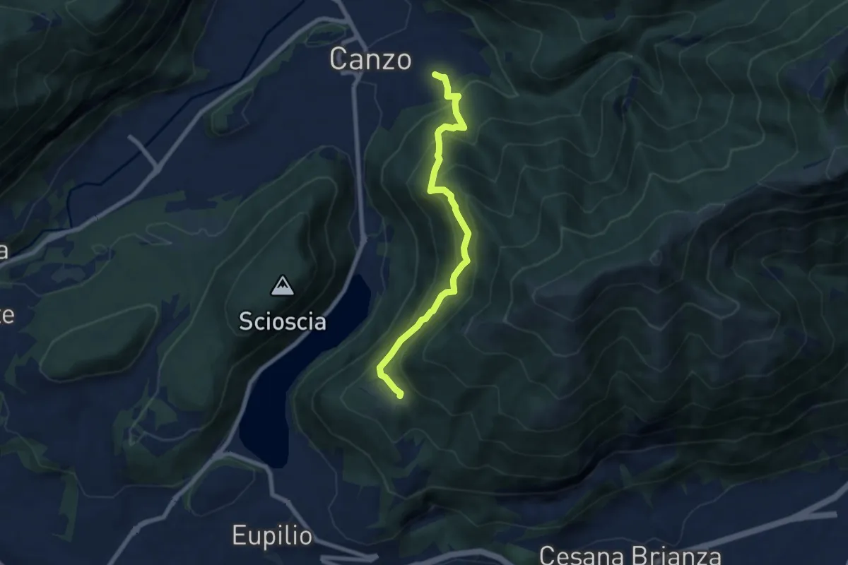
Medium · Trail
Senterun
6.7 km · ↑ 648 m · 2 h 59 min · 9 km away
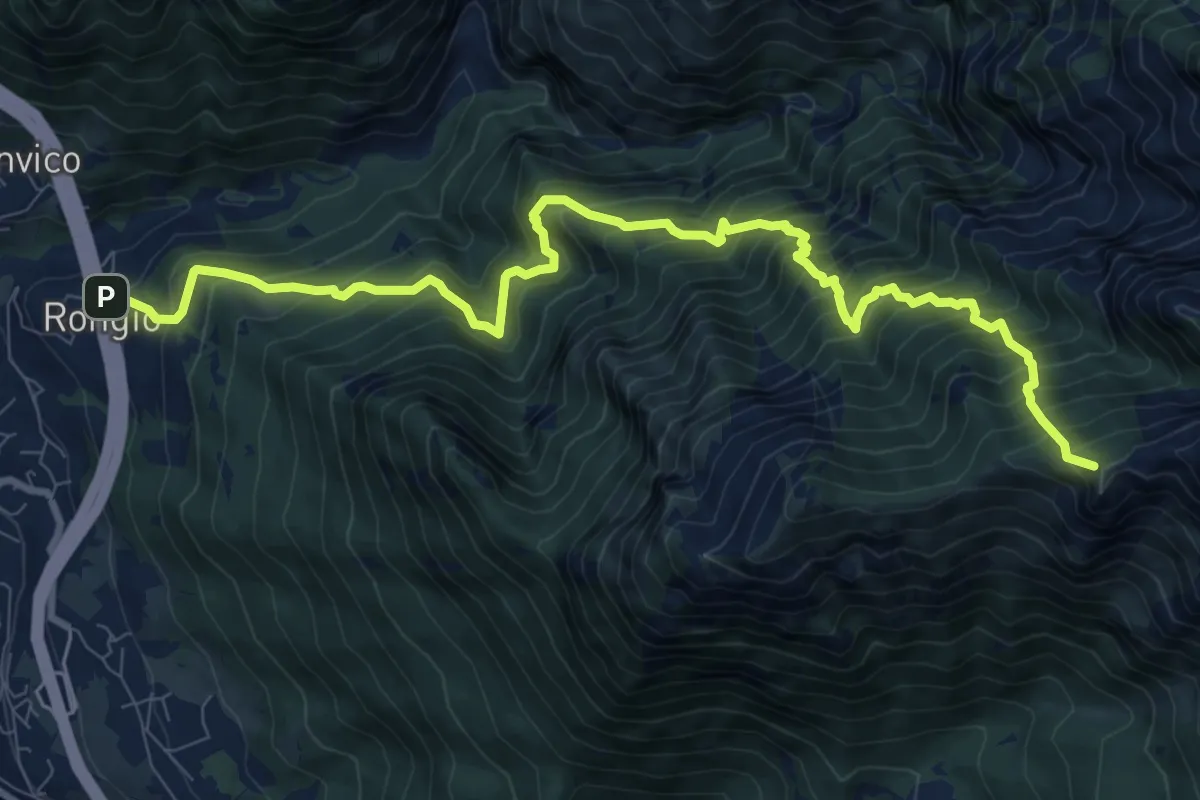
Demanding · Summit
Rongio – Rifugio Rosalba
11.2 km · ↑ 1537 m · 5 h 58 min · 9 km away
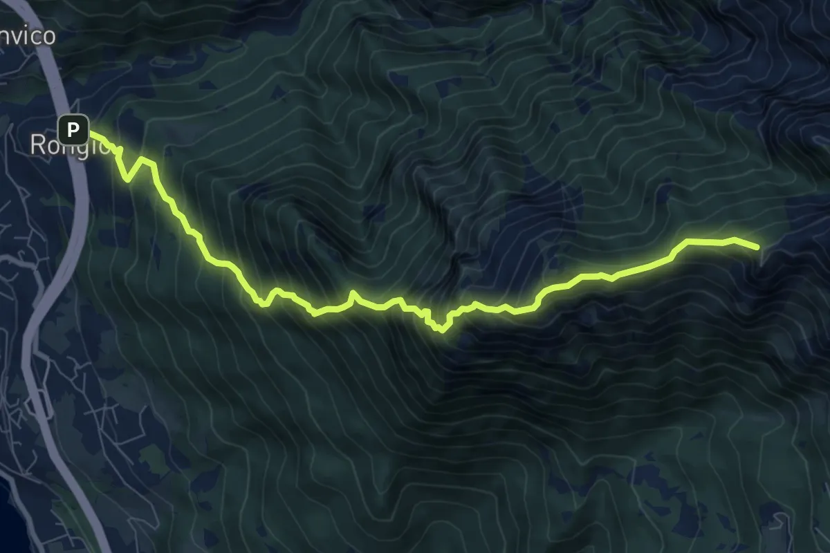
Demanding · Summit
Rongio – Rifugio Rosalba
9.7 km · ↑ 1345 m · 5 h 13 min · 9 km away
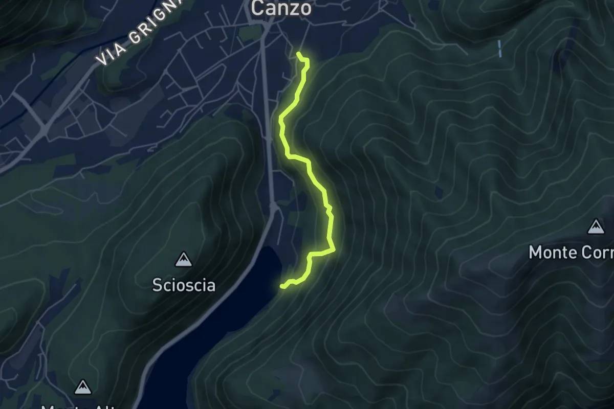
Medium · Trail
Lago del Segrino – Canzo
4.2 km · ↑ 399 m · 1 h 52 min · 9 km away
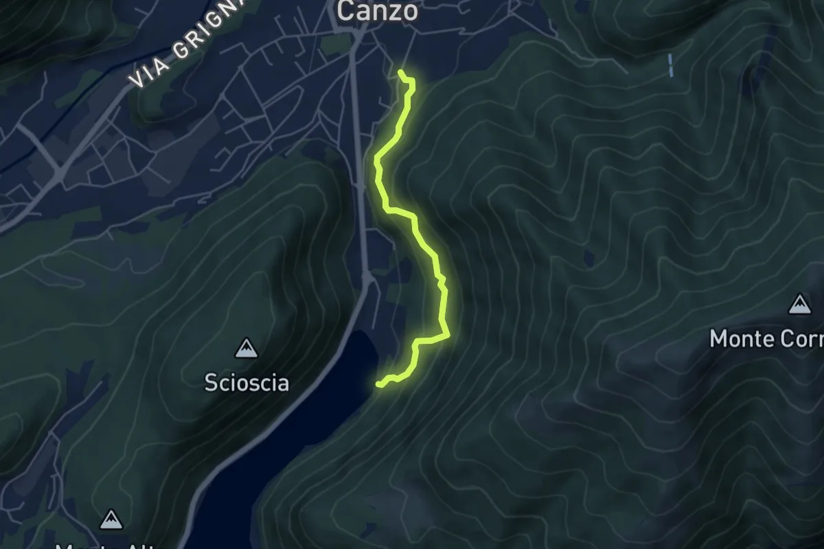
Medium · Trail
Sentiero di Budracch
4.2 km · ↑ 399 m · 1 h 52 min · 9 km away
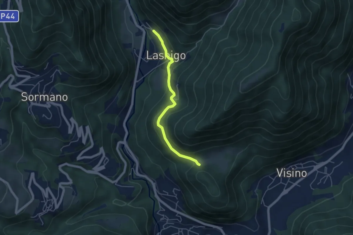
Easy · Trail
Lasnigo – Alpe Megna
4.1 km · ↑ 149 m · 1 h 18 min · 9 km away
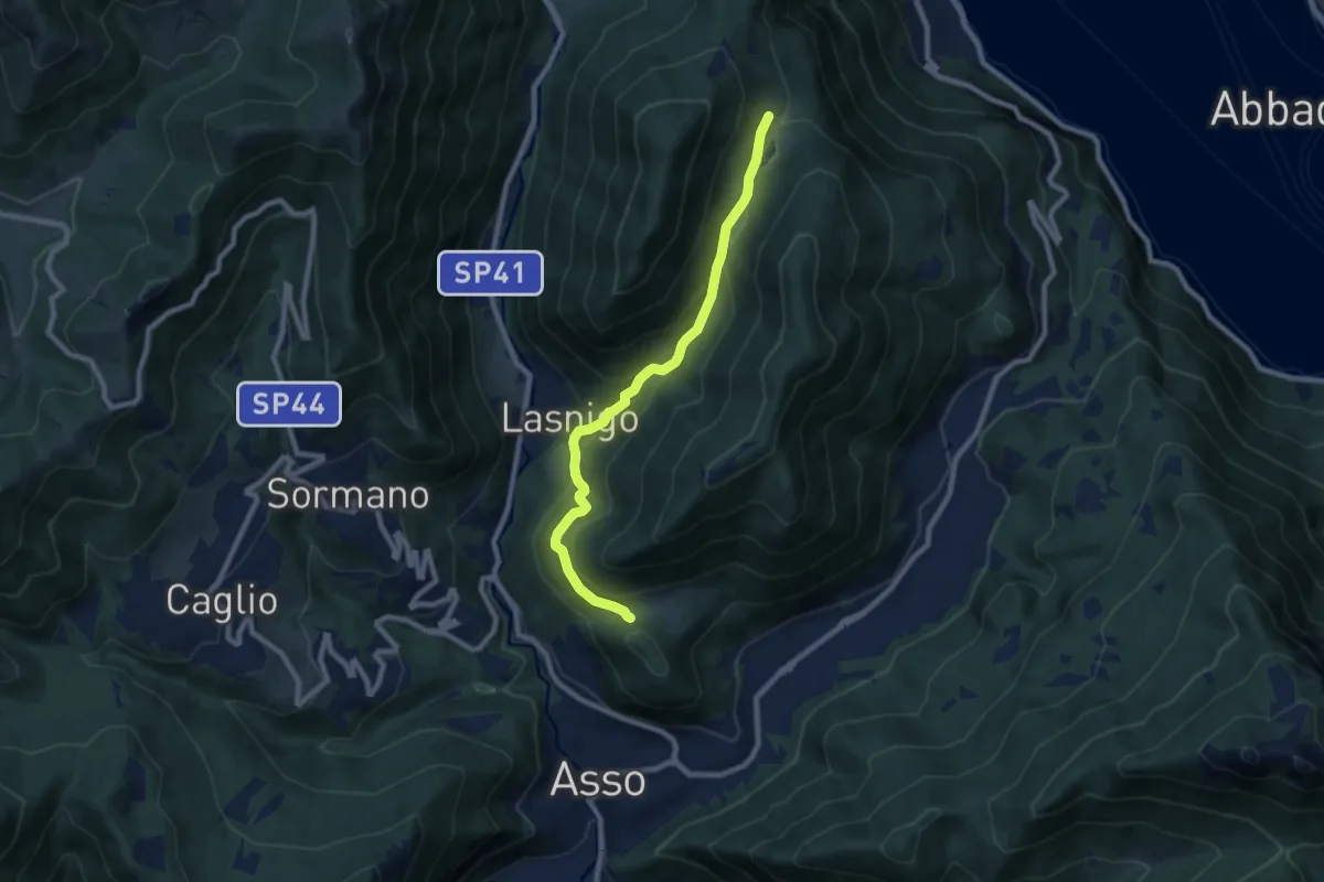
Medium · Trail
Piana di Crezzo – Alpe Megna
8.3 km · ↑ 390 m · 2 h 48 min · 9 km away
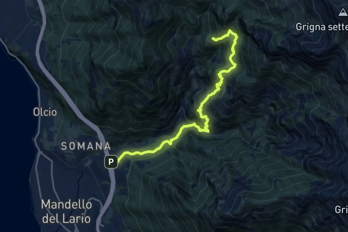
Demanding · Trail
Rongio – Alpe Cetra
12.0 km · ↑ 1353 m · 5 h 46 min · 9 km away
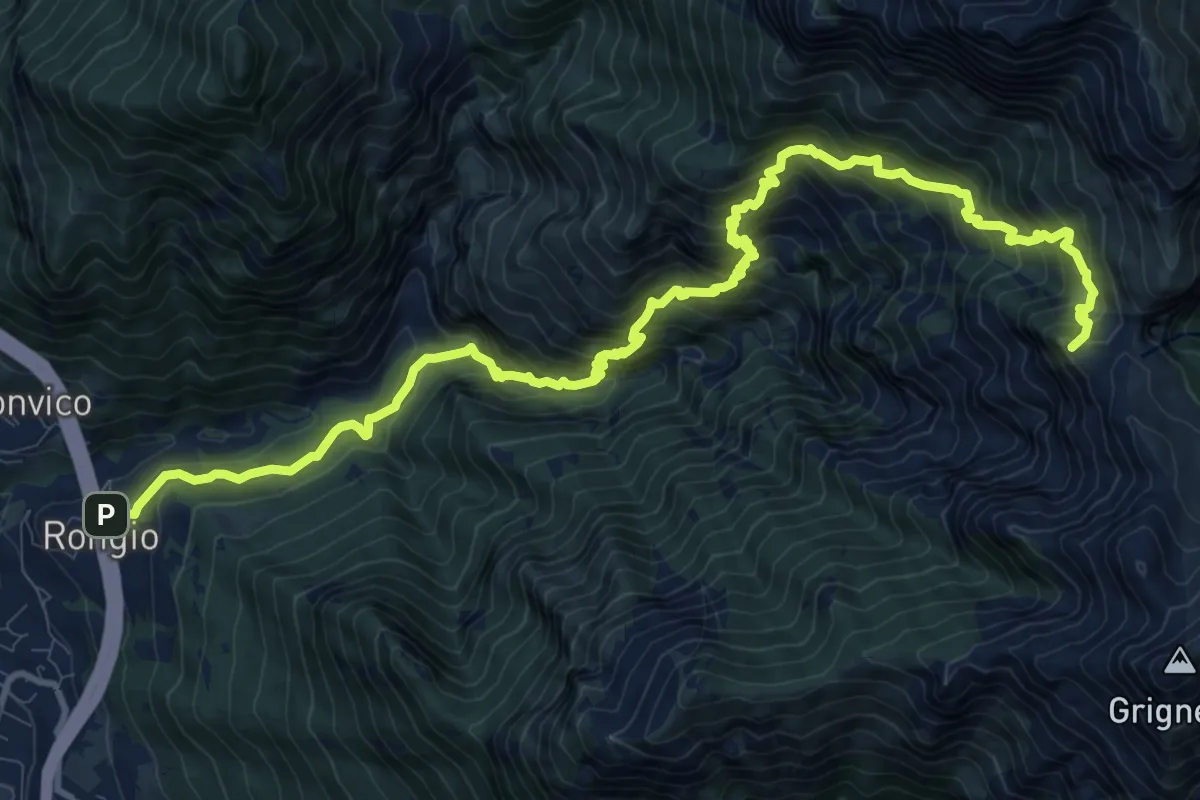
Demanding · Summit
Rongio – Buco di Grigna
14.8 km · ↑ 1871 m · 7 h 33 min · 9 km away