Trails near Lecco
391 hikes starting within 15 km, nearest first.
Nearest first, page 5 of 9
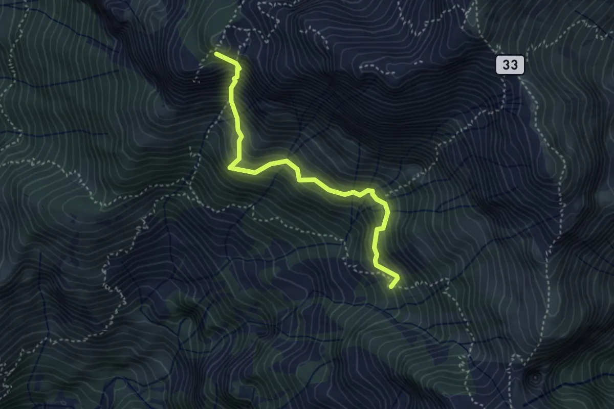
Expert · Summit
Rifugio Elisa – Rifugio Bietti
3.6 km · ↑ 580 m · 2 h 7 min · 9 km away
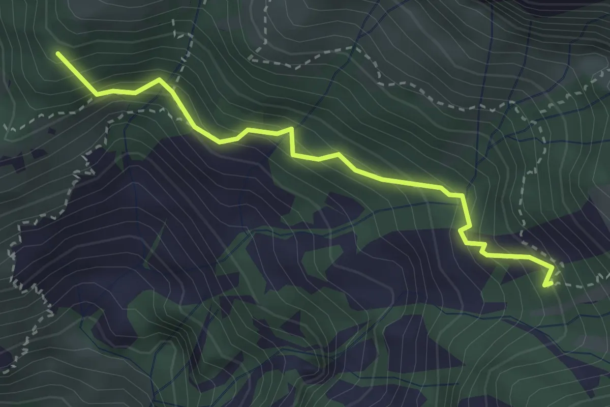
Medium · Summit
La Gardata - Rifugio Elisa
3.1 km · ↑ 395 m · 1 h 35 min · 9 km away
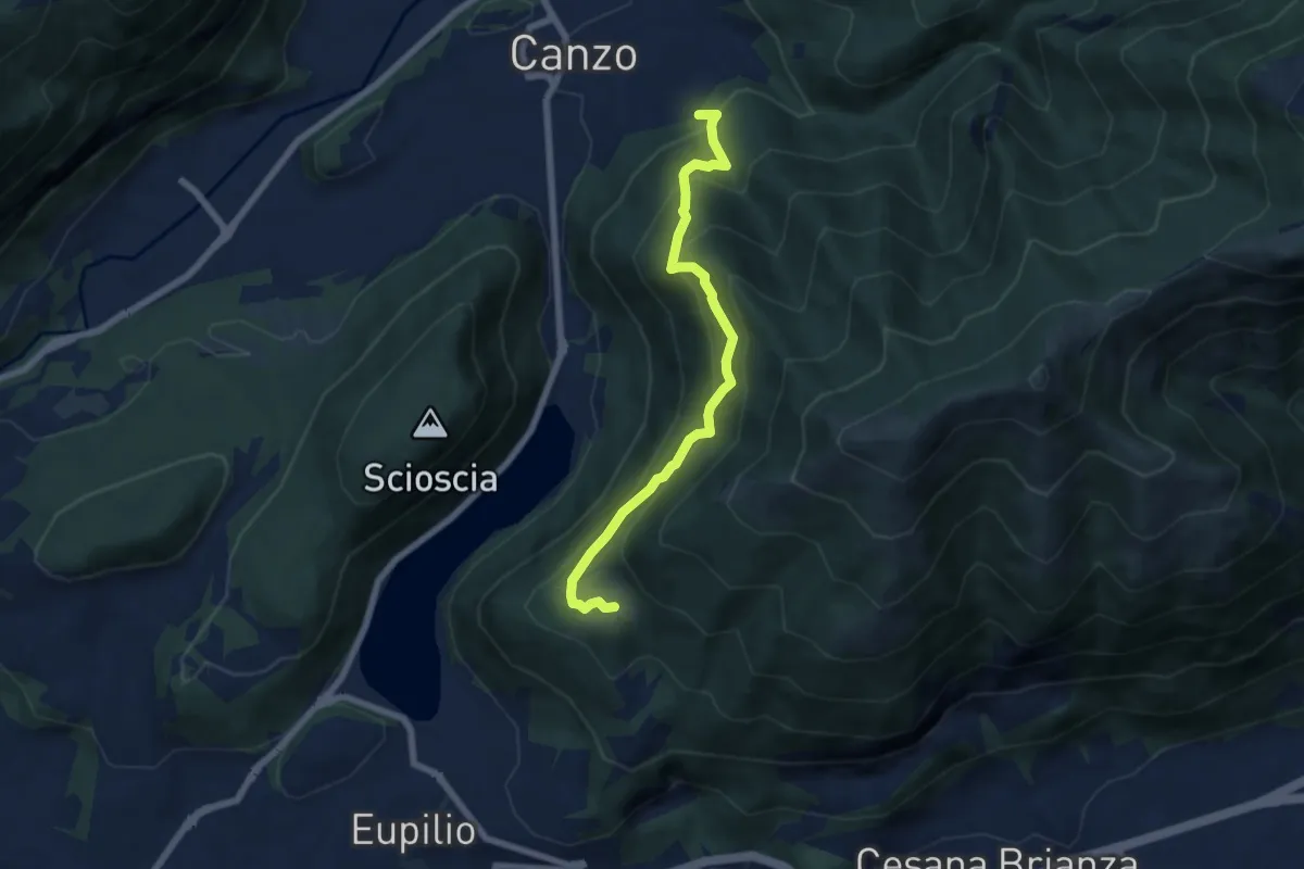
Medium · Trail
Rifugio SEC "Marisa Consigliere" – Alpe di Carella
6.6 km · ↑ 618 m · 2 h 54 min · 9 km away
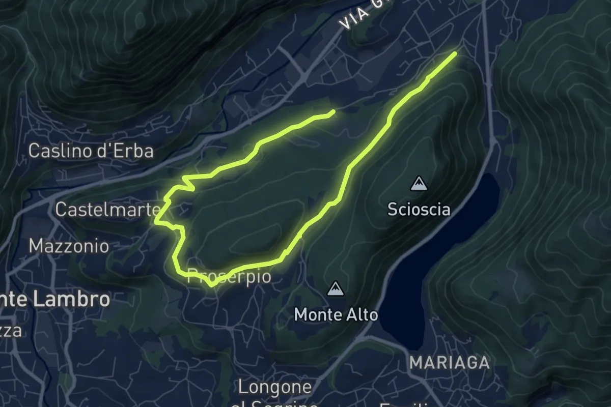
Medium · Trail
Canzo – C.na Emilia (Castelmarte)
11.8 km · ↑ 289 m · 3 h 24 min · 9 km away
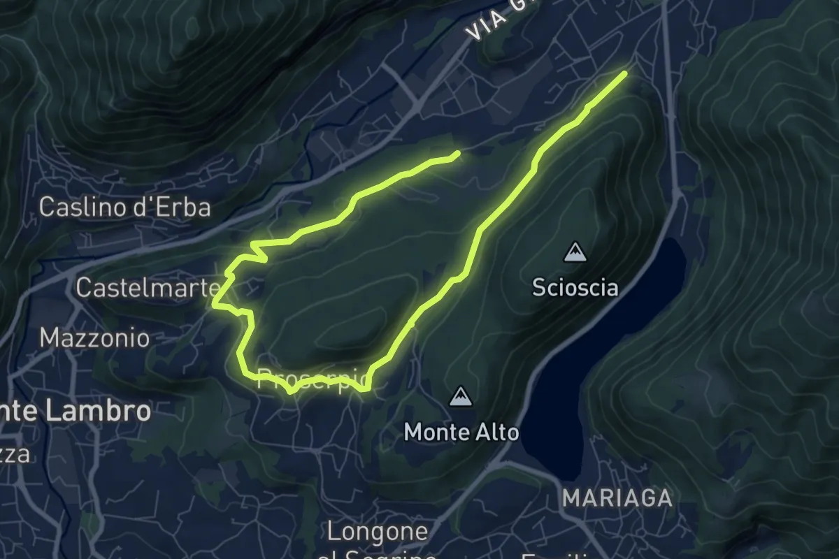
Medium · Trail
Canzo – C.na Emilia (Castelmarte)
12.0 km · ↑ 306 m · 3 h 30 min · 9 km away
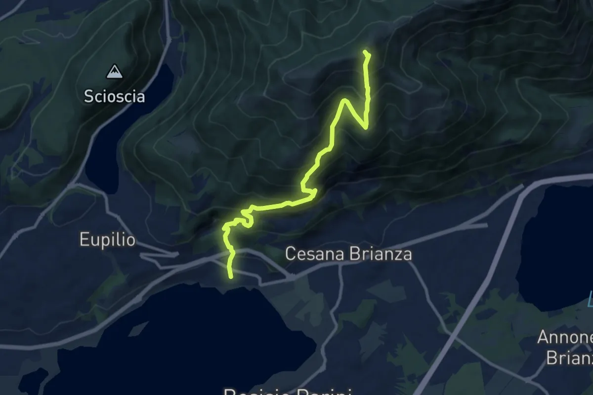
Demanding · Summit
Pusiano – Monte Cornizzolo
9.6 km · ↑ 1053 m · 4 h 32 min · 9 km away
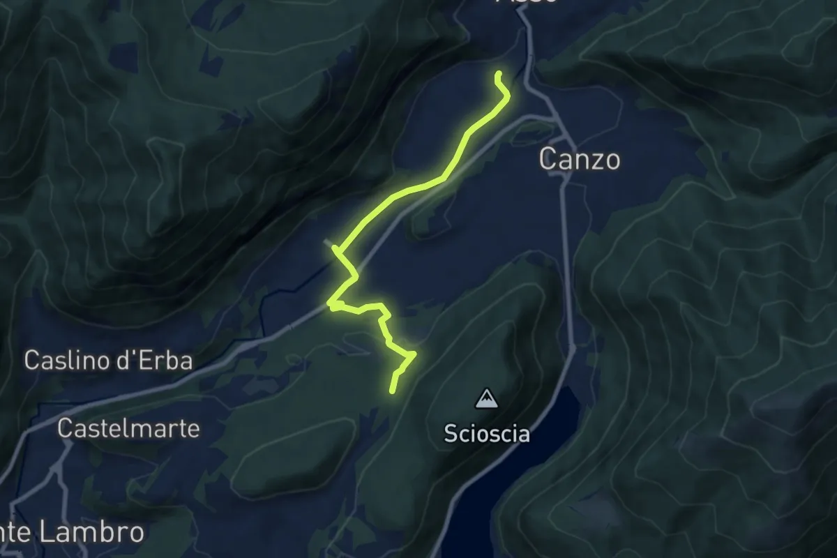
Easy · Trail
Scarenna (Asso) – Bosco della Gualdera
7.6 km · ↑ 145 m · 2 h 7 min · 10 km away
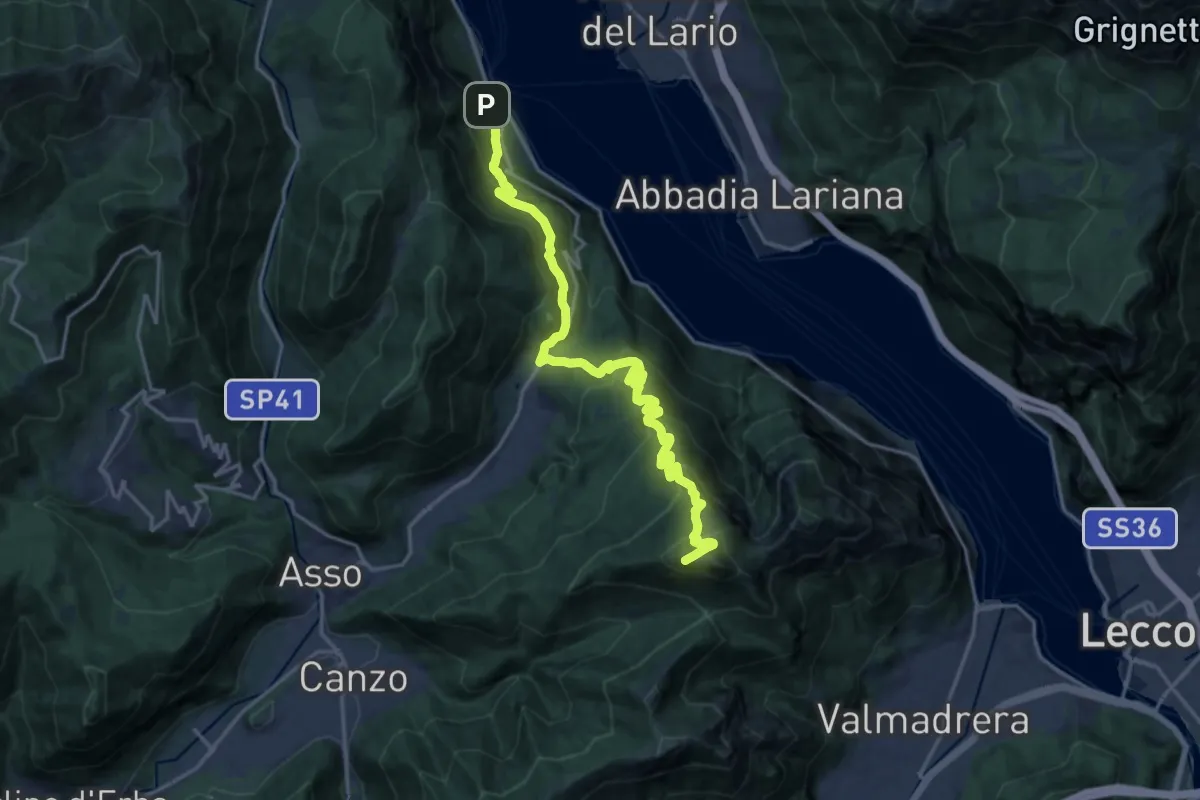
Demanding · Summit
Lago del Segrino – Onno (Oliveto Lario)
19.3 km · ↑ 1178 m · 7 h 7 min · 10 km away
Easy · Trail
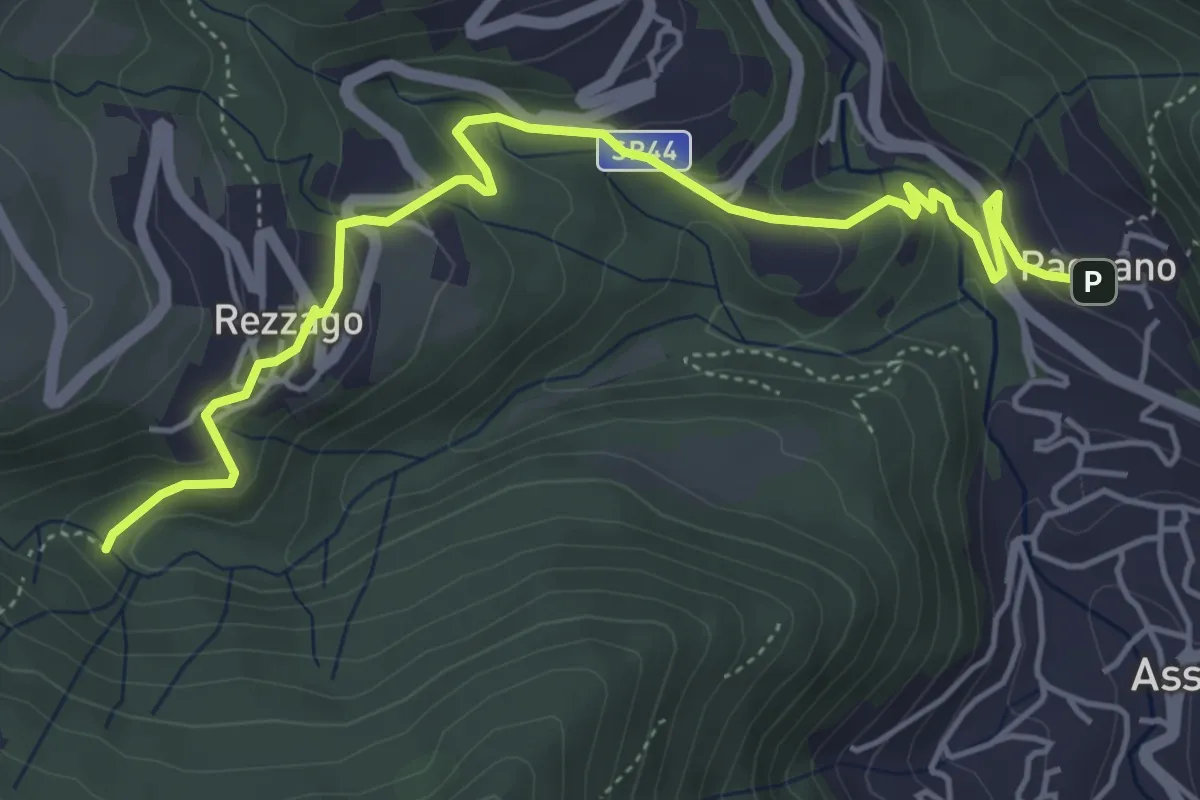
Pagnano – Madonna dei Morti
5.7 km · ↑ 281 m · 1 h 58 min · 10 km away
Medium · Trail
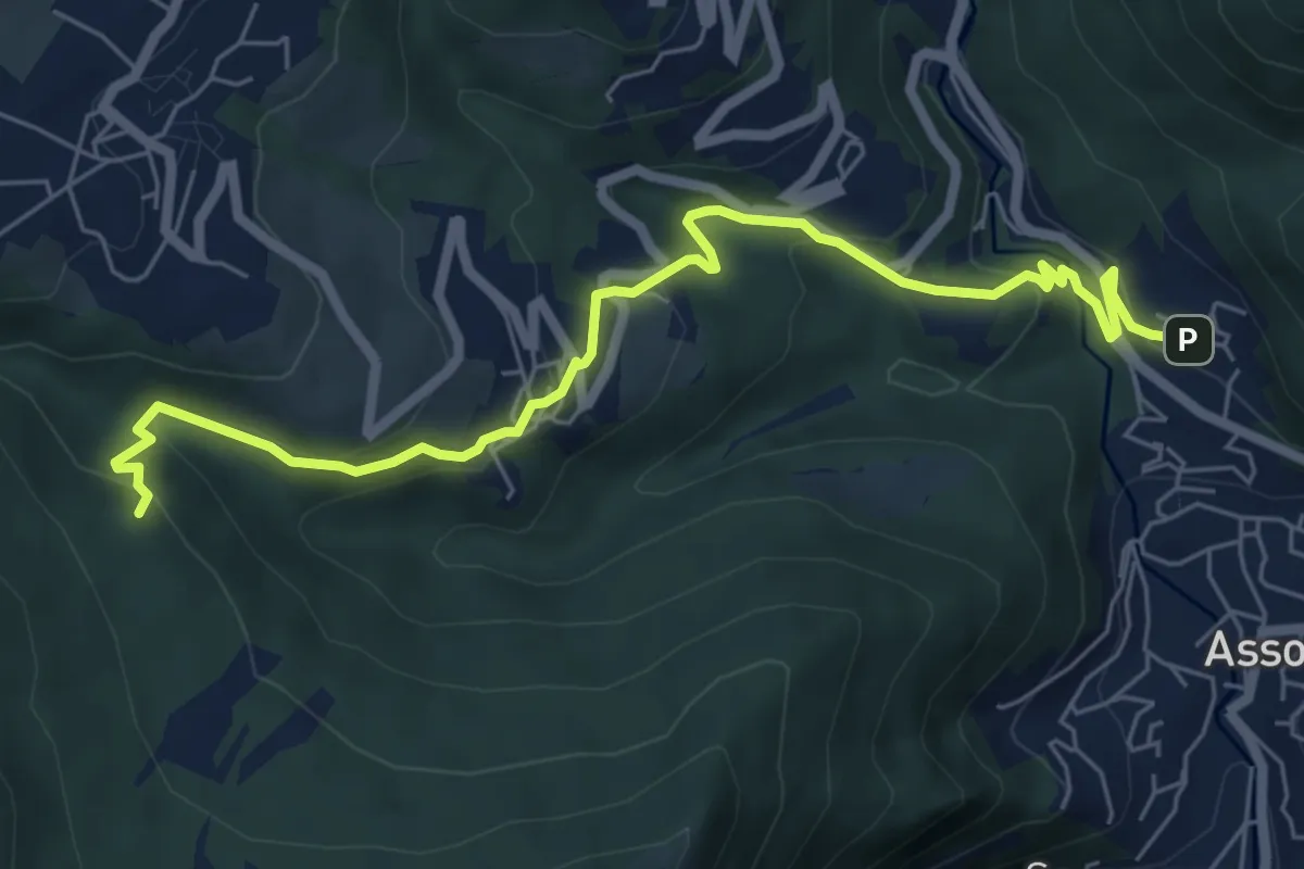
Pagnano – C.na Braga (Rezzago)
7.3 km · ↑ 340 m · 2 h 27 min · 10 km away
Medium · Summit
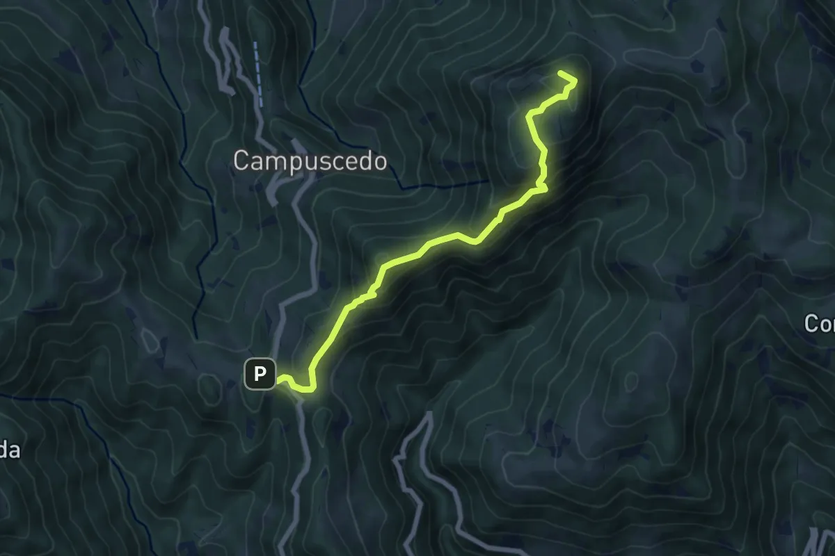
Culmine San Pietro – Area di sosta Maesimo
6.4 km · ↑ 504 m · 2 h 36 min · 10 km away
Medium · Trail
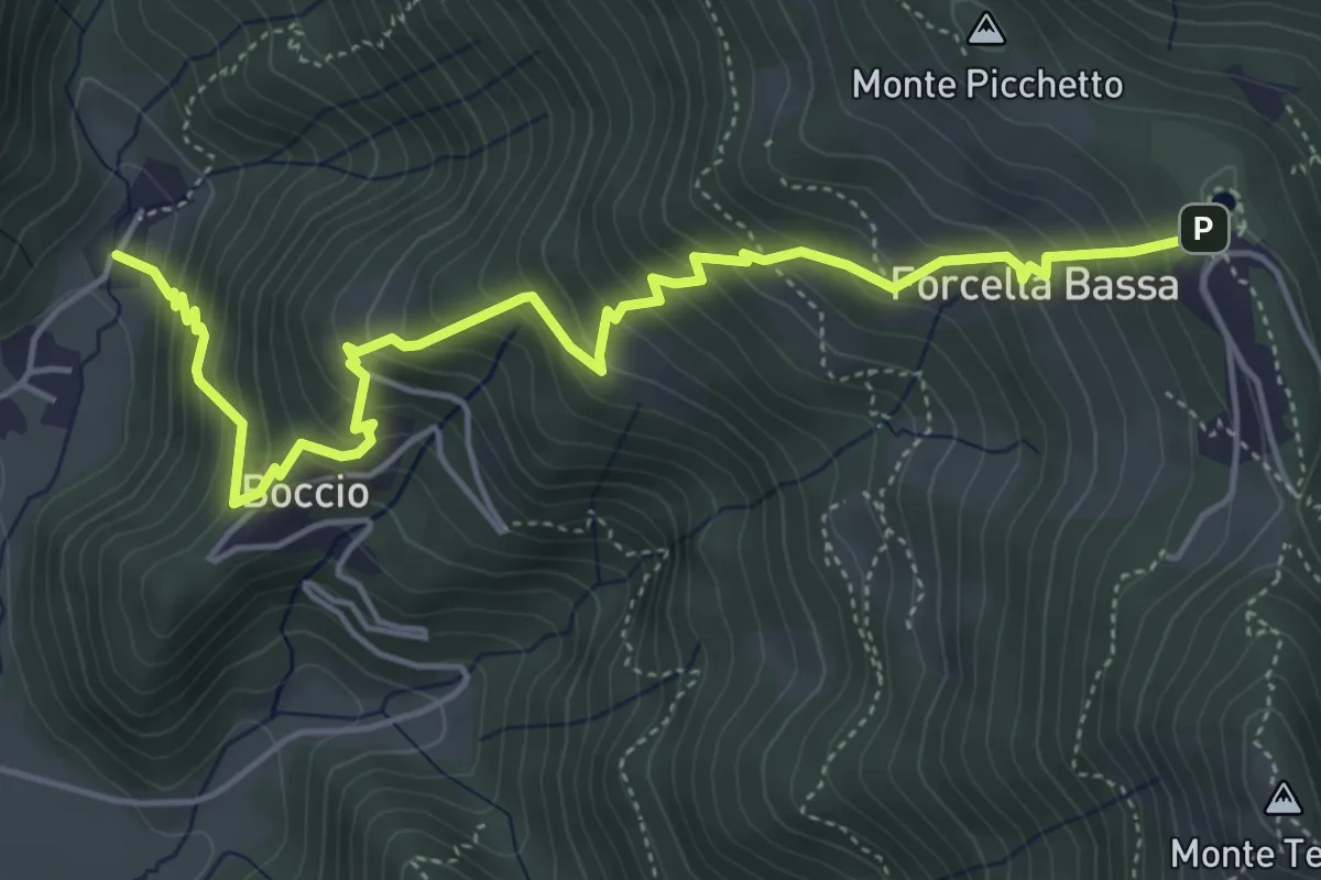
Carenno – Forcella Alta
5.8 km · ↑ 631 m · 2 h 45 min · 10 km away
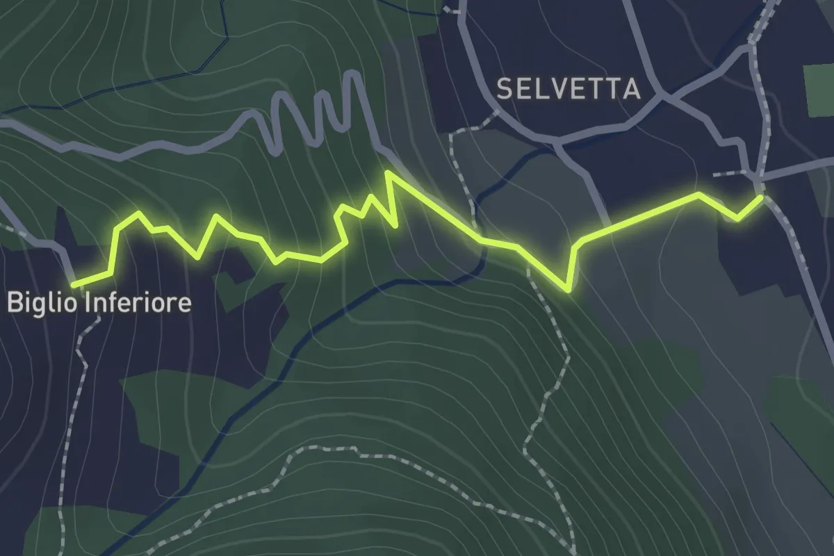
Easy · Trail
Valgreghentino – Biglio Inferiore
2.3 km · ↑ 184 m · 57 min · 10 km away
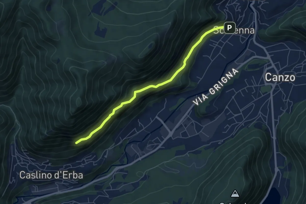
Demanding · Trail
Scarenna – Sentiero Falghèe
6.0 km · ↑ 565 m · 2 h 39 min · 10 km away
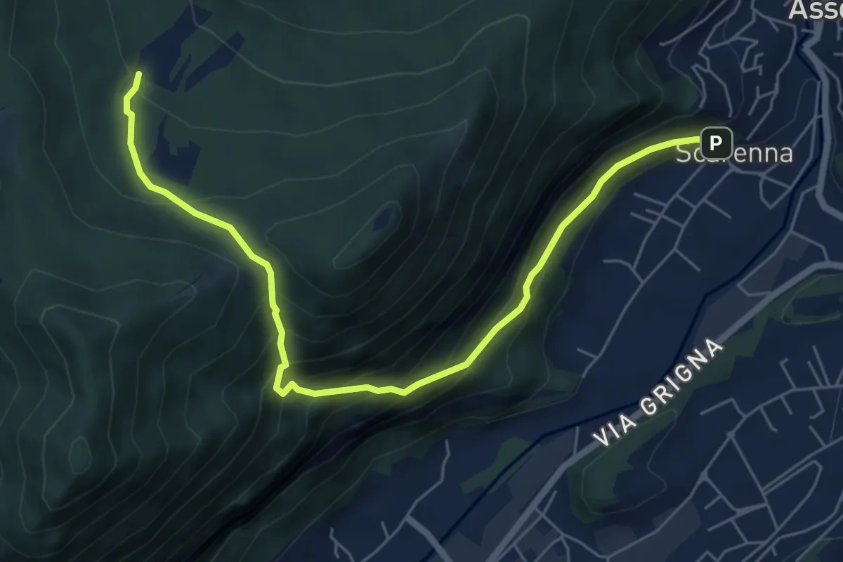
Demanding · Trail
Scarenna – Enco
6.7 km · ↑ 629 m · 2 h 57 min · 10 km away
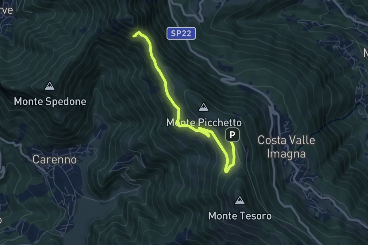
Medium · Trail
Percorso didattico naturalistico del Pertüs
7.0 km · ↑ 262 m · 2 h 13 min · 10 km away
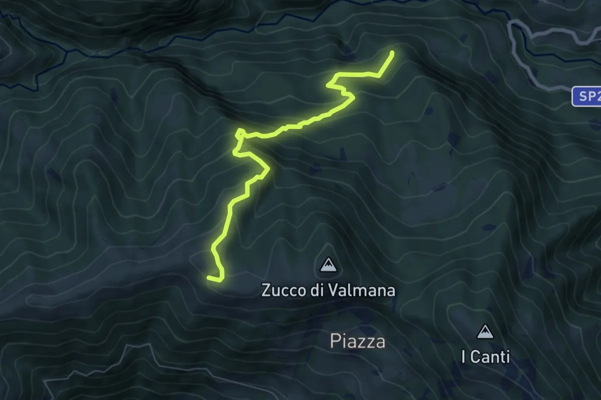
Expert · Trail
Incrocio 569B (Ponte Lavina) – Alpe Costa del Palio
6.6 km · ↑ 579 m · 2 h 49 min · 10 km away
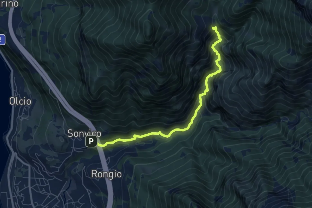
Expert · Trail
Sentiero del Fiume
7.2 km · ↑ 617 m · 3 h 2 min · 10 km away
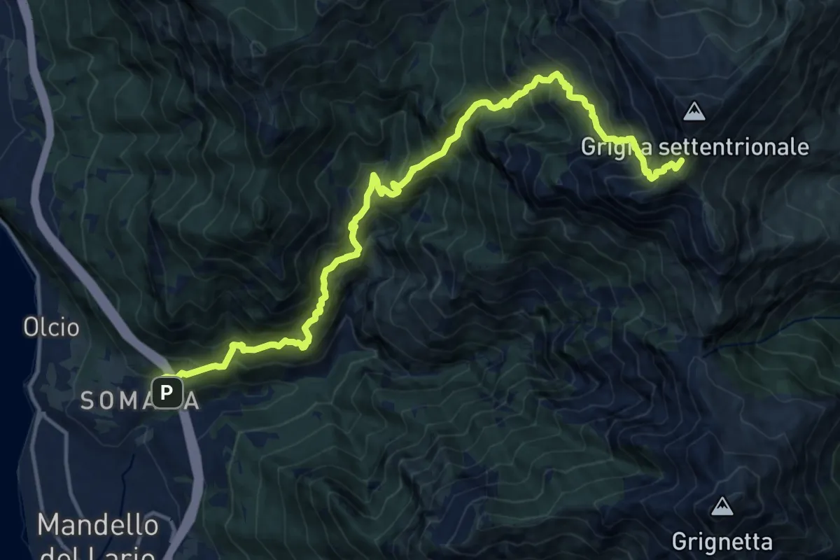
Demanding · Trail
Somana – Grignone
8.2 km · ↑ 2058 m · 5 h 35 min · 10 km away
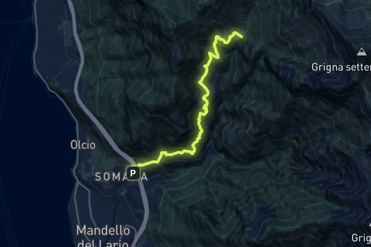
Demanding · Summit
Somana – Bocchetta di Prada
12.0 km · ↑ 1371 m · 5 h 48 min · 10 km away
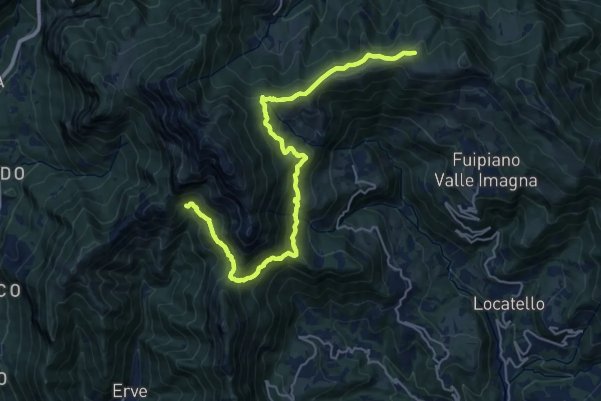
Demanding · Cabin
CamminaForeste - Tappa 9D
18.5 km · ↑ 1177 m · 6 h 55 min · 10 km away
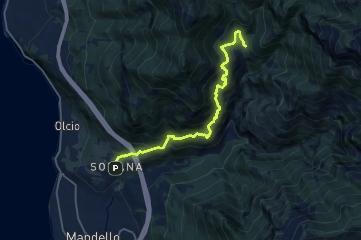
Demanding · Trail
Somana-Mandello – Rifugio Bietti Buzzi
9.3 km · ↑ 1082 m · 4 h 33 min · 10 km away
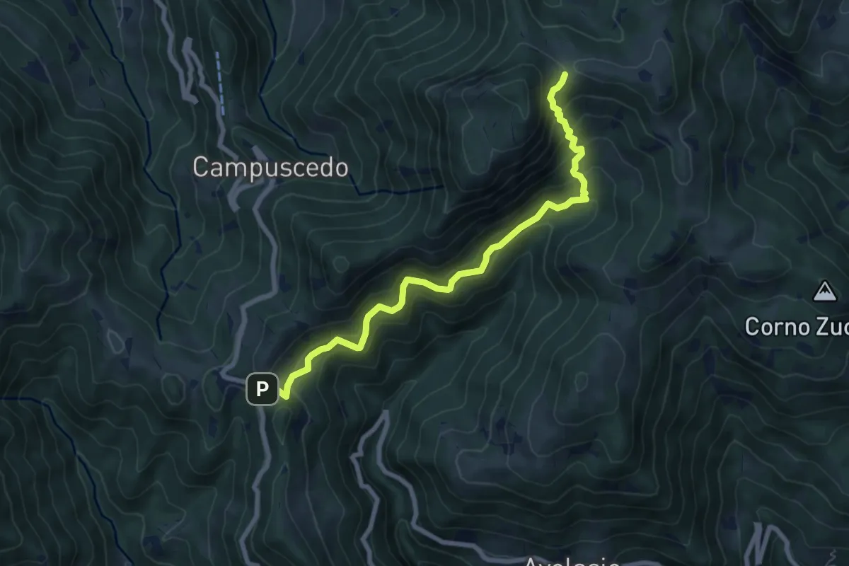
Medium · Trail
Innesto 730 – Area di sosta Maesimo
7.2 km · ↑ 661 m · 3 h 9 min · 10 km away
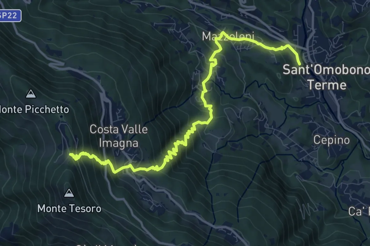
Demanding · Trail
Ca' Mazzoleni – Forcella Alta
12.2 km · ↑ 902 m · 4 h 50 min · 10 km away
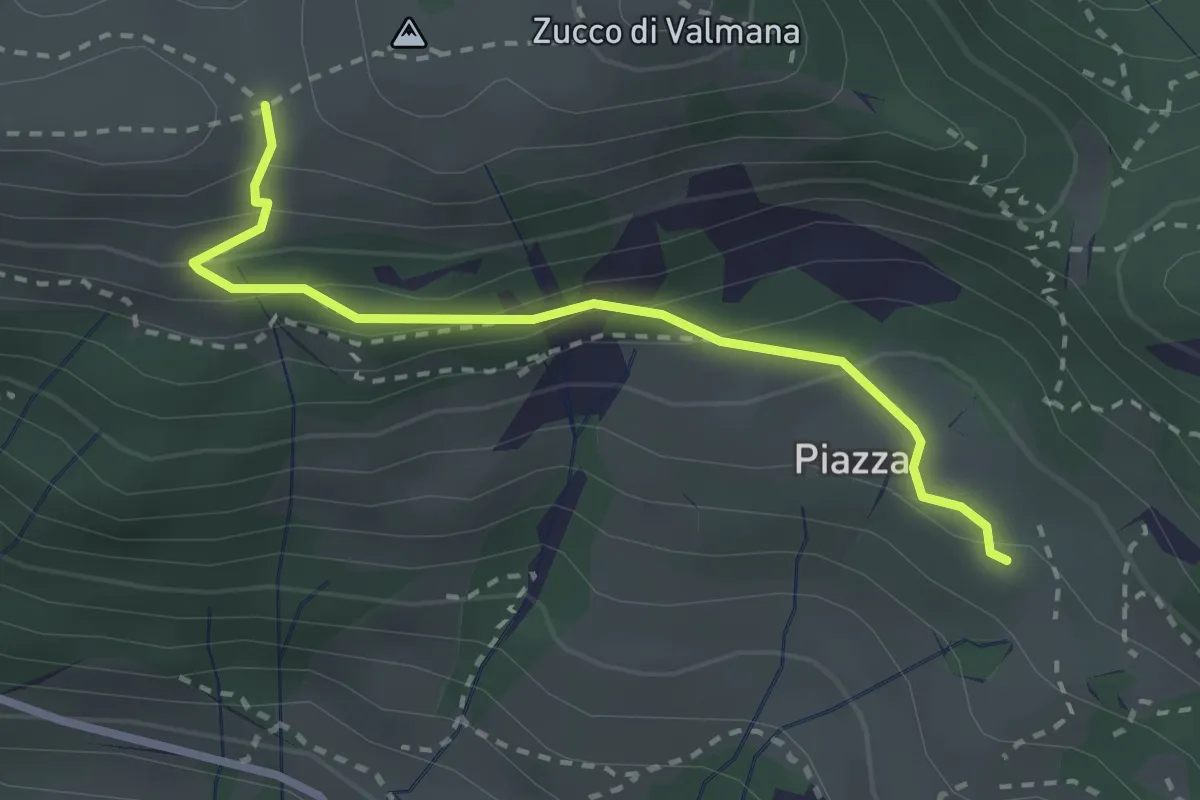
Easy · Trail
Fuipiano – Forcella di Valmana
2.6 km · ↑ 183 m · 1 h 1 min · 10 km away
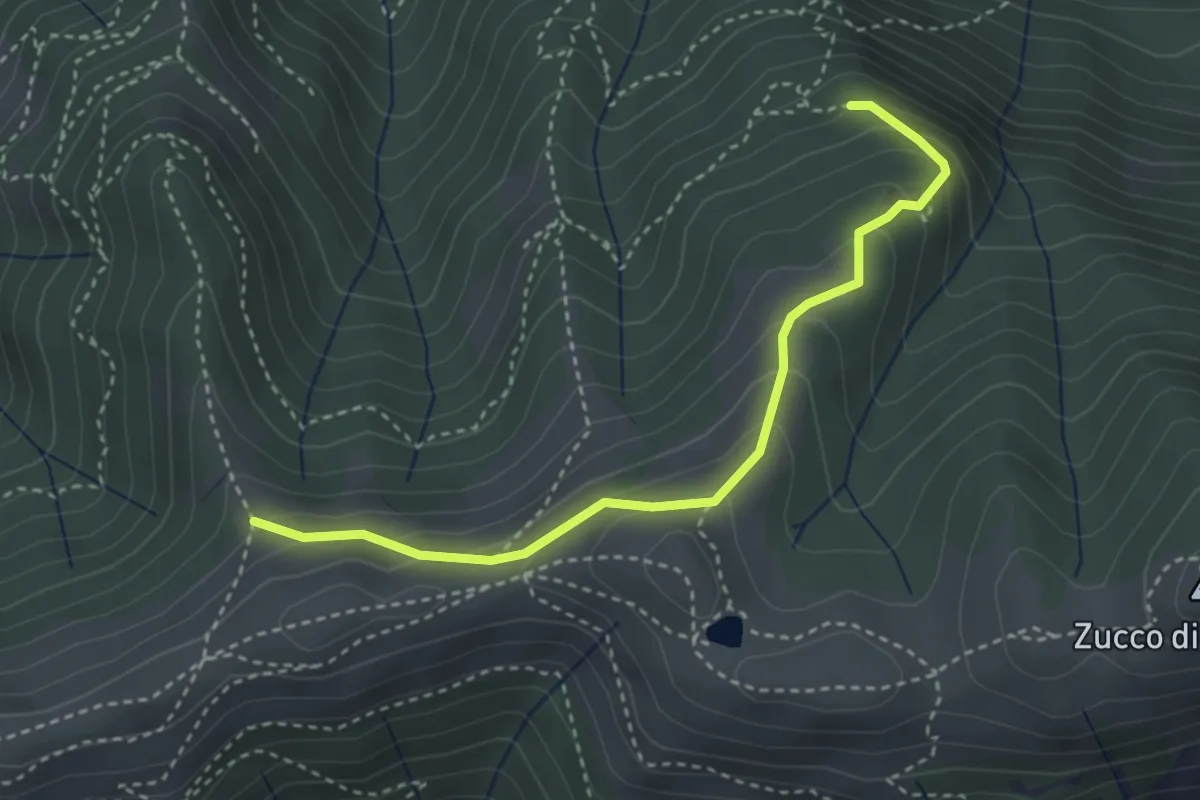
Medium · Trail
Sentiero dei Grandi Alberi - Variante per Alpeggio Costa del Palio e per il Foo di Valmana
3.5 km · ↑ 264 m · 1 h 23 min · 10 km away
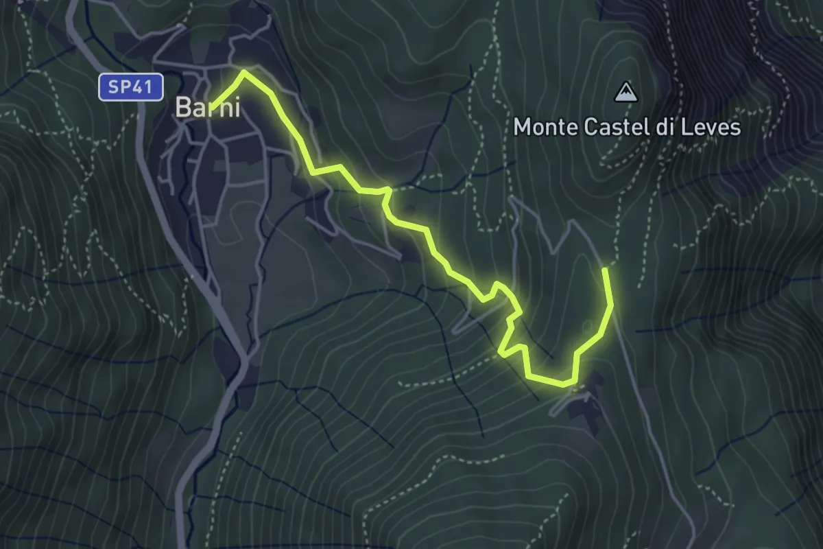
Easy · Trail
Barni – Caval di Barni
4.5 km · ↑ 262 m · 1 h 37 min · 10 km away
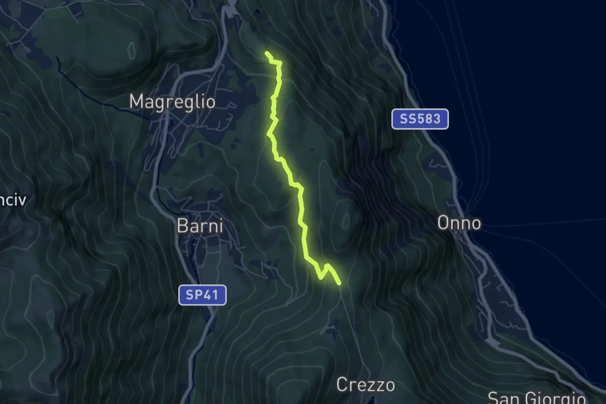
Easy · Trail
Caval di Barni – Alpetto
5.1 km · ↑ 253 m · 1 h 45 min · 10 km away
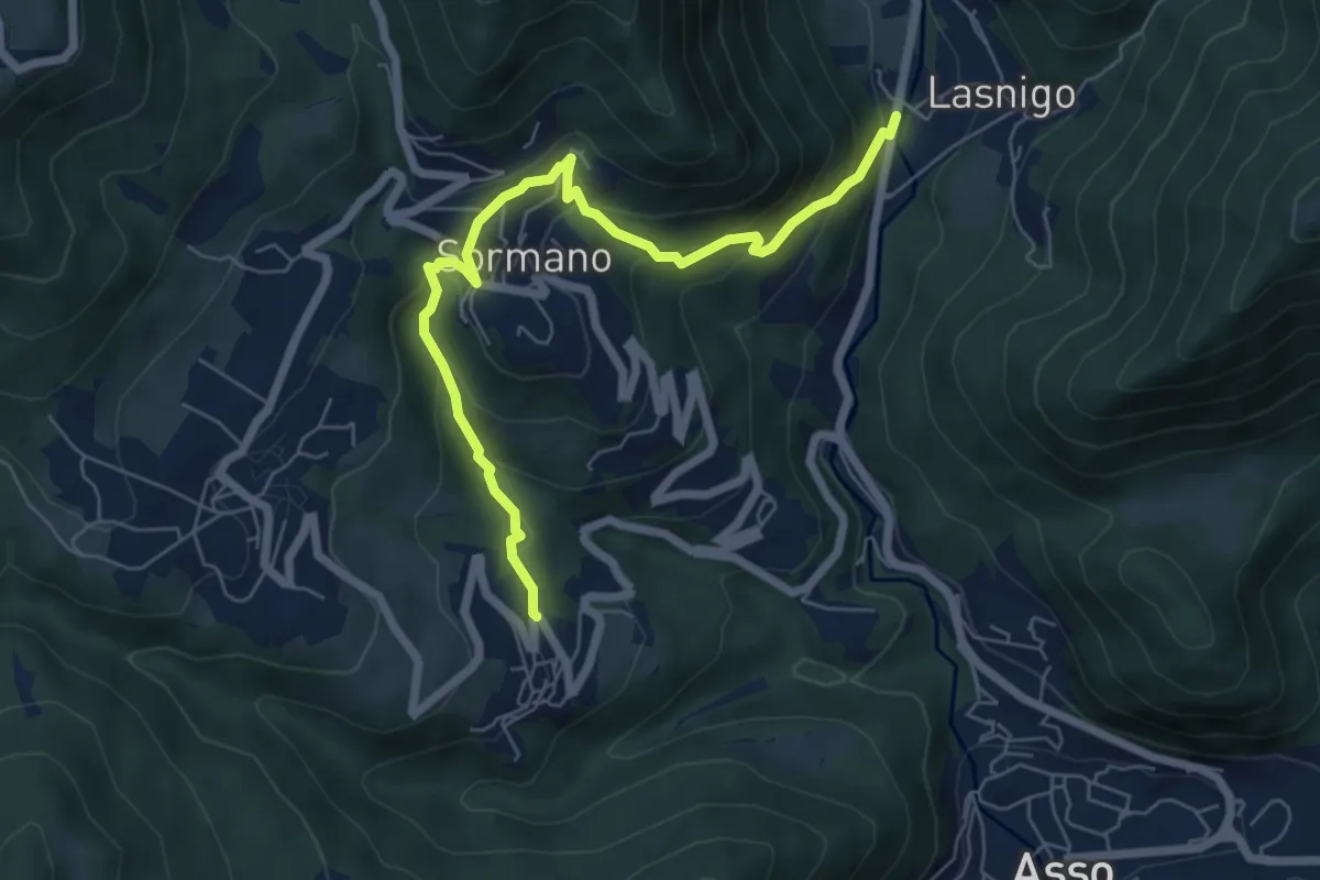
Medium · Trail
Bocchetta di Palanzo – Santi Cosma e Damiano (Rezzago)
6.8 km · ↑ 412 m · 2 h 30 min · 10 km away
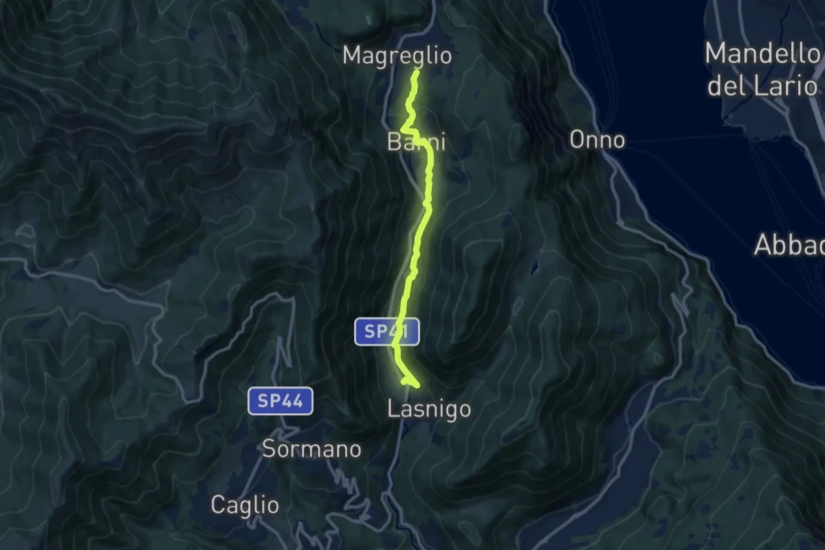
Medium · Trail
Sant'Alessandro (Lasnigo) – Paraguai (Magreglio)
9.3 km · ↑ 302 m · 2 h 51 min · 10 km away
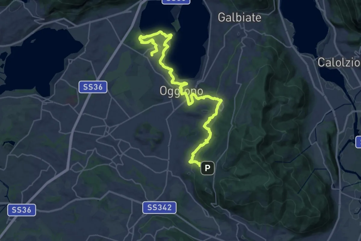
Medium · Trail
Antico Percorso di Fede dell'Alta Brianza
14.0 km · ↑ 200 m · 4 h 4 min · 10 km away
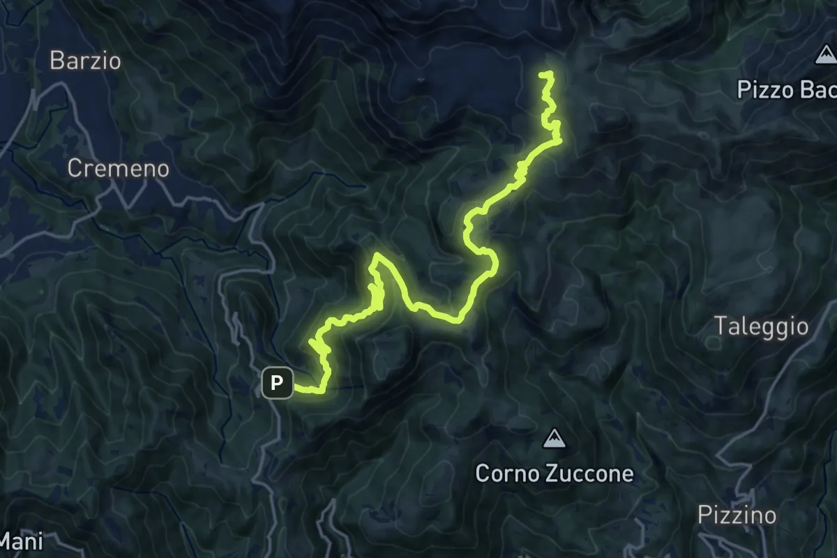
Demanding · Cabin
Campuscedo – Rifugio Cazzaniga-Merlini
19.7 km · ↑ 1105 m · 7 h 2 min · 10 km away
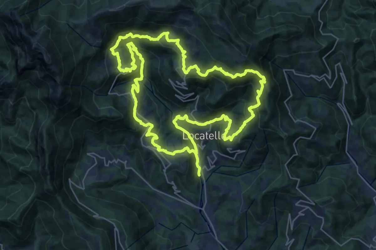
Demanding · Trail
Sentiero dei Giganti
25.1 km · ↑ 1336 m · 9 h 10 min · 11 km away
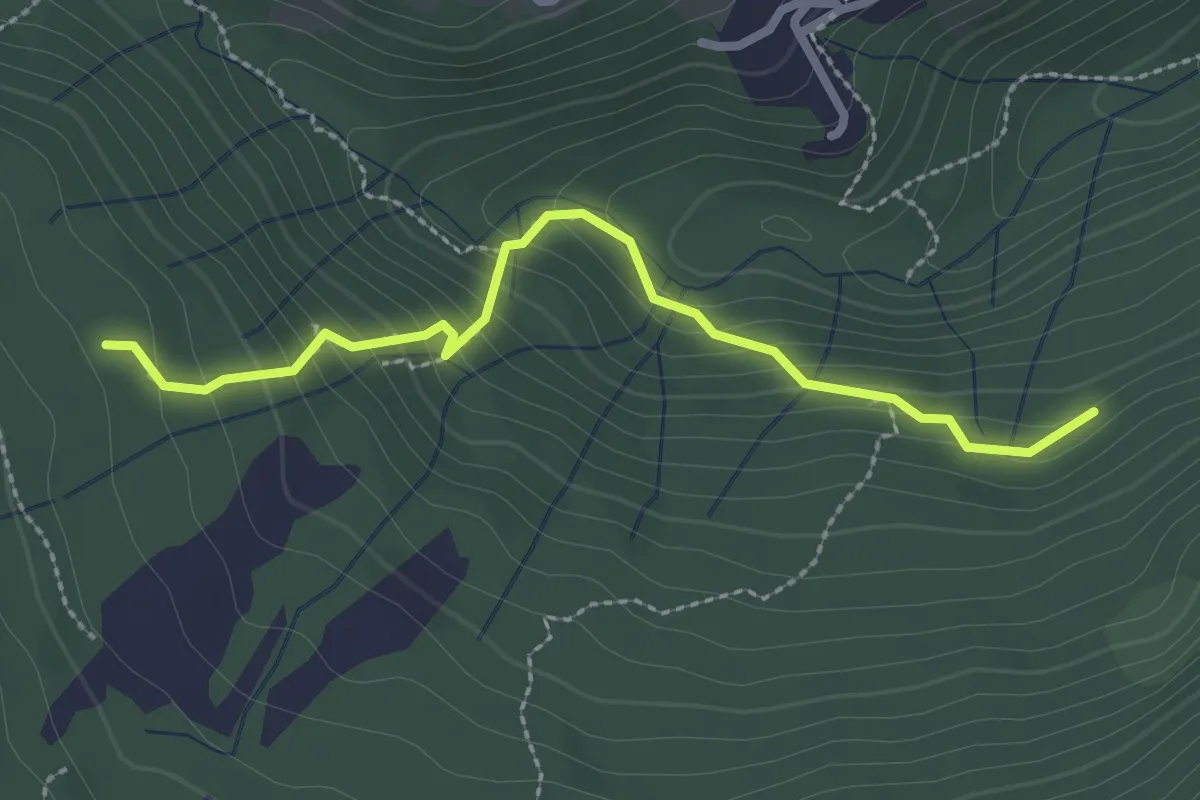
Medium · Trail
Funghi e boschi di Rezzago – Selva di Rezzago
2.6 km · ↑ 216 m · 1 h 5 min · 11 km away
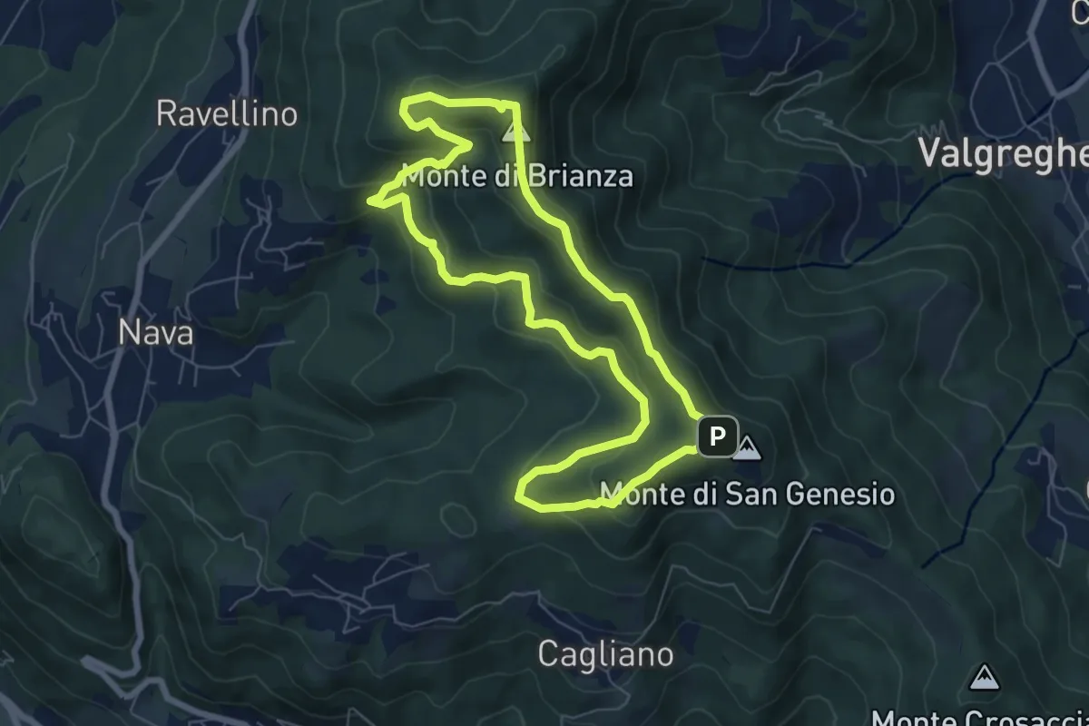
Medium · Summit
Sentiero Clorofillati!
6.5 km · ↑ 317 m · 2 h 19 min · 11 km away
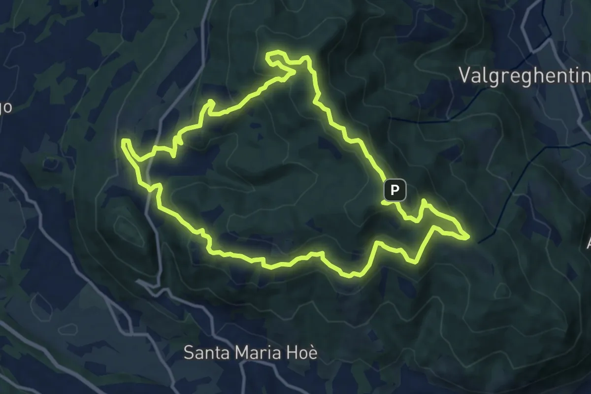
Medium · Summit
Percorso geologico naturalistico
12.1 km · ↑ 534 m · 4 h 12 min · 11 km away
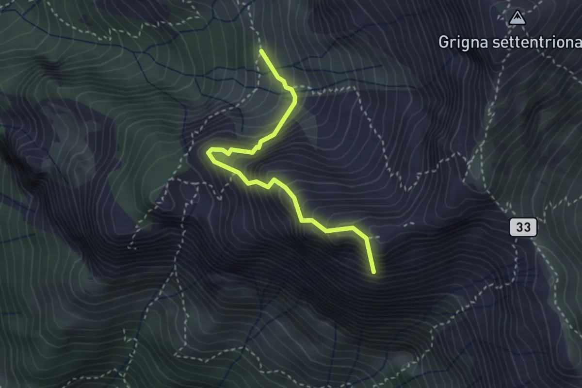
Expert · Summit
Ferrata del Sasso Carbonari
2.9 km · ↑ 483 m · 1 h 44 min · 11 km away
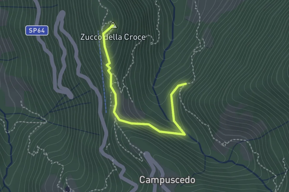
Medium · Summit
Baite Francetto – Rifugio Zucco della Croce
2.1 km · ↑ 115 m · 45 min · 11 km away
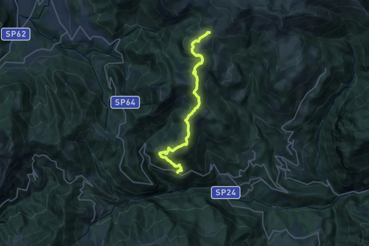
Medium · Trail
Avolasio (Vedeseta) – Piani di Artavaggio
14.8 km · ↑ 756 m · 5 h 8 min · 11 km away
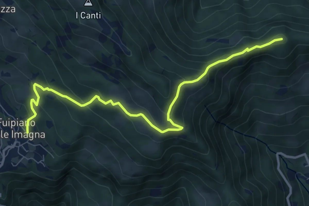
Medium · Summit
Sentiero dei Laghi Basso - Tappa 3
8.6 km · ↑ 491 m · 3 h 6 min · 11 km away
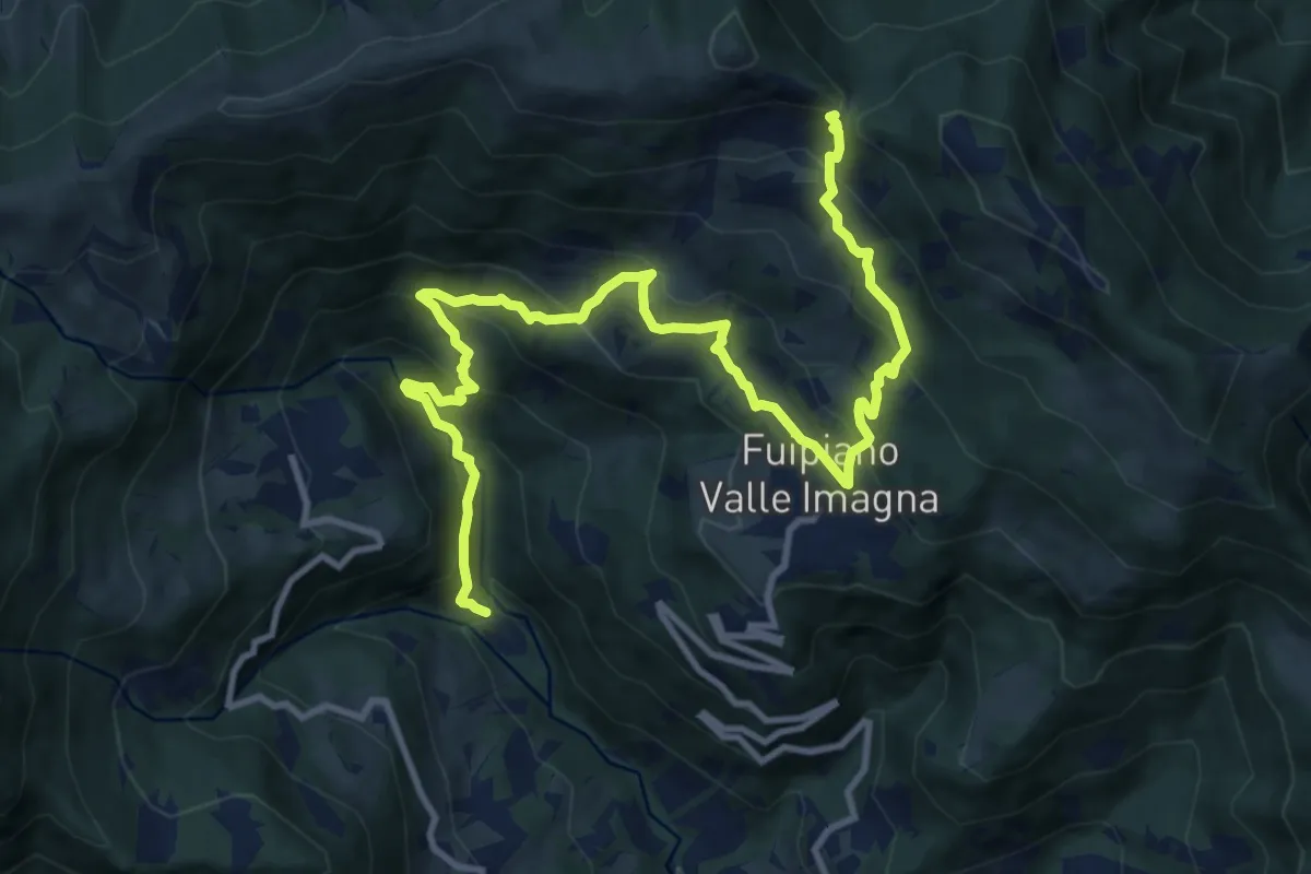
Demanding · Trail
Chignolo – Bocca del Grassello
13.5 km · ↑ 994 m · 5 h 21 min · 11 km away
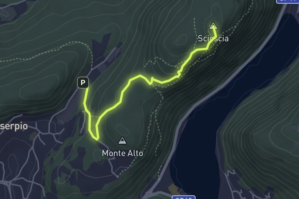
Demanding · Summit
Zona industriale di Proseprio – Canzo
4.1 km · ↑ 185 m · 1 h 21 min · 11 km away
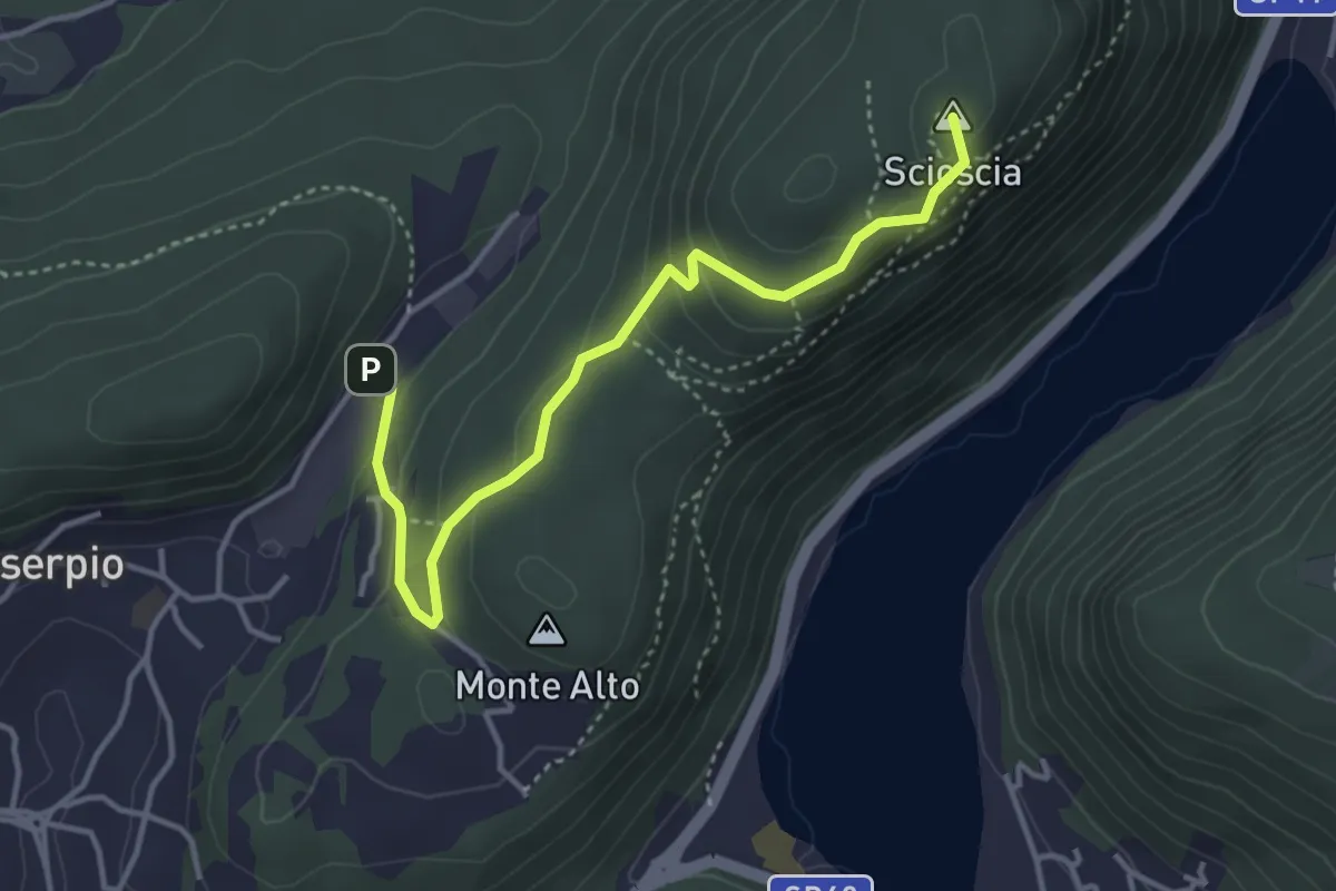
Easy · Summit
Zona industriale di Proseprio – Canzo
4.0 km · ↑ 173 m · 1 h 19 min · 11 km away
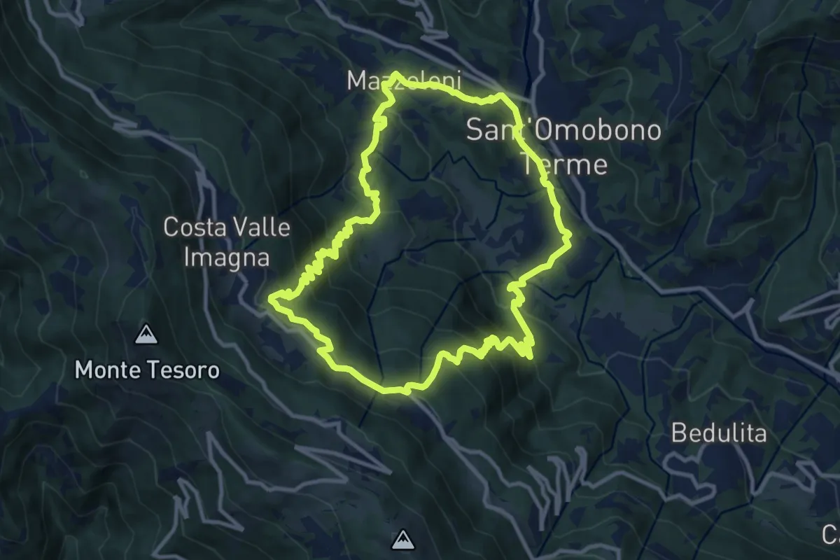
Medium · Trail
Sentiero del Dono
10.7 km · ↑ 707 m · 4 h 12 min · 11 km away
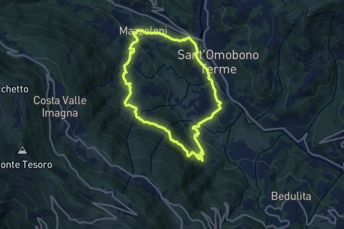
Medium · Trail
Cammino dei Petali
7.5 km · ↑ 428 m · 2 h 48 min · 11 km away
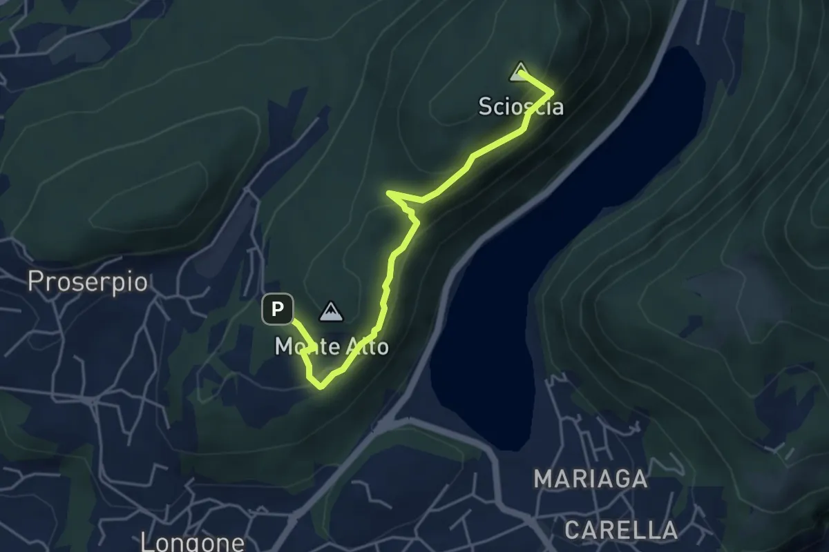
Demanding · Summit
Inarca (Proserpio) – Monte Scioscia
4.3 km · ↑ 243 m · 1 h 33 min · 11 km away
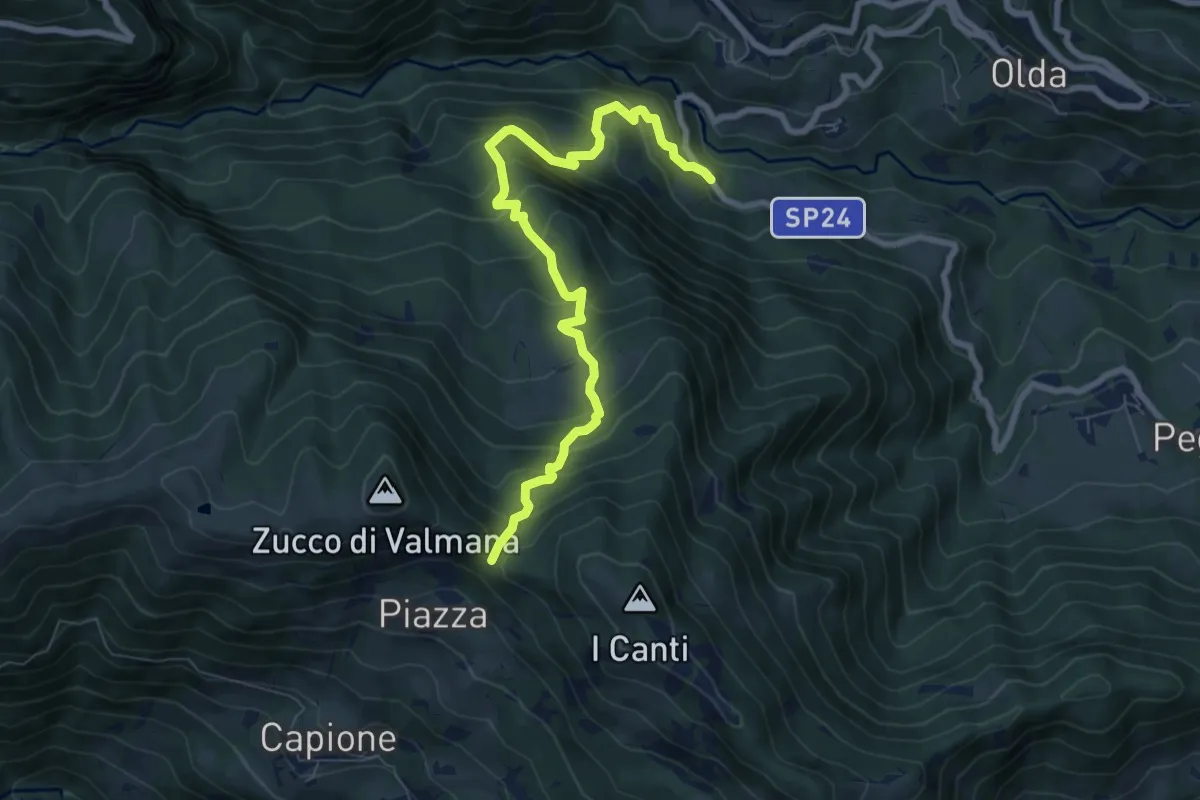
Medium · Trail
Ponte Lavina – Bocca del Grassello
8.2 km · ↑ 738 m · 3 h 32 min · 11 km away
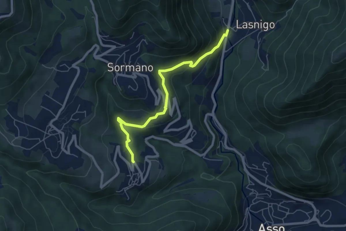
Easy · Trail
Bocchetta di Palanzo – Santi Cosma e Damiano (Rezzago)
5.5 km · ↑ 257 m · 1 h 52 min · 11 km away