Trails near Lecco
391 hikes starting within 15 km, nearest first.
Nearest first, page 6 of 9
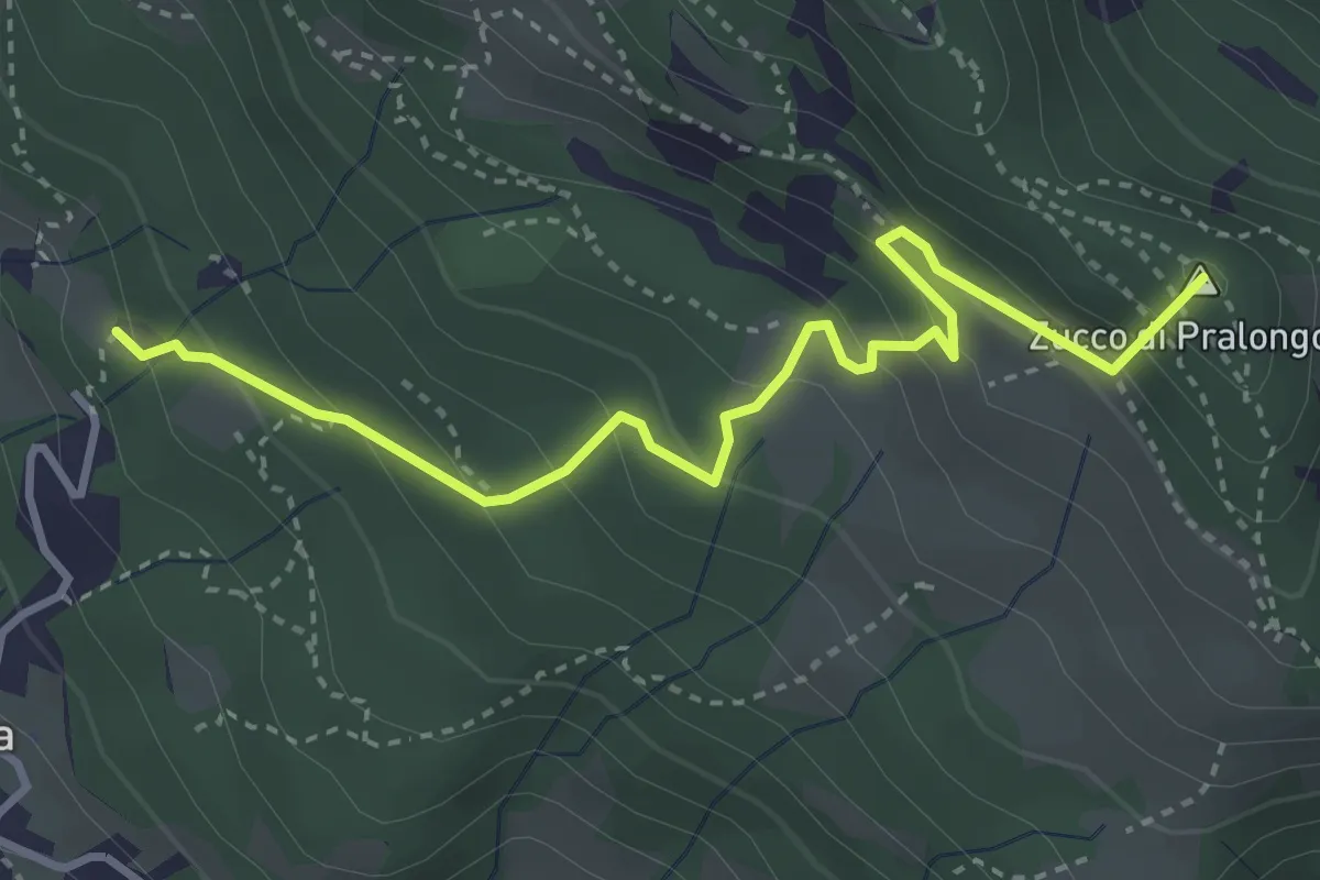
Medium · Summit
Fuipiano – Tre Faggi
3.8 km · ↑ 306 m · 1 h 34 min · 11 km away
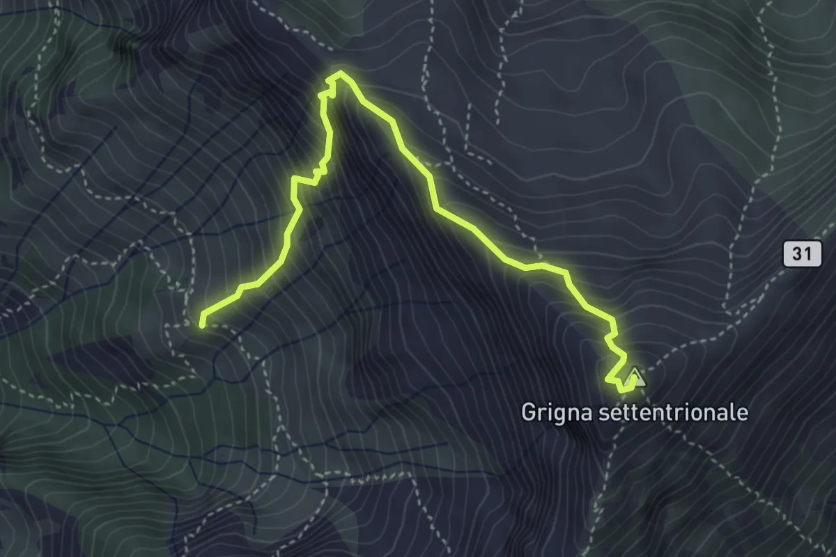
Demanding · Summit
Via Guzzi
4.3 km · ↑ 677 m · 2 h 29 min · 11 km away
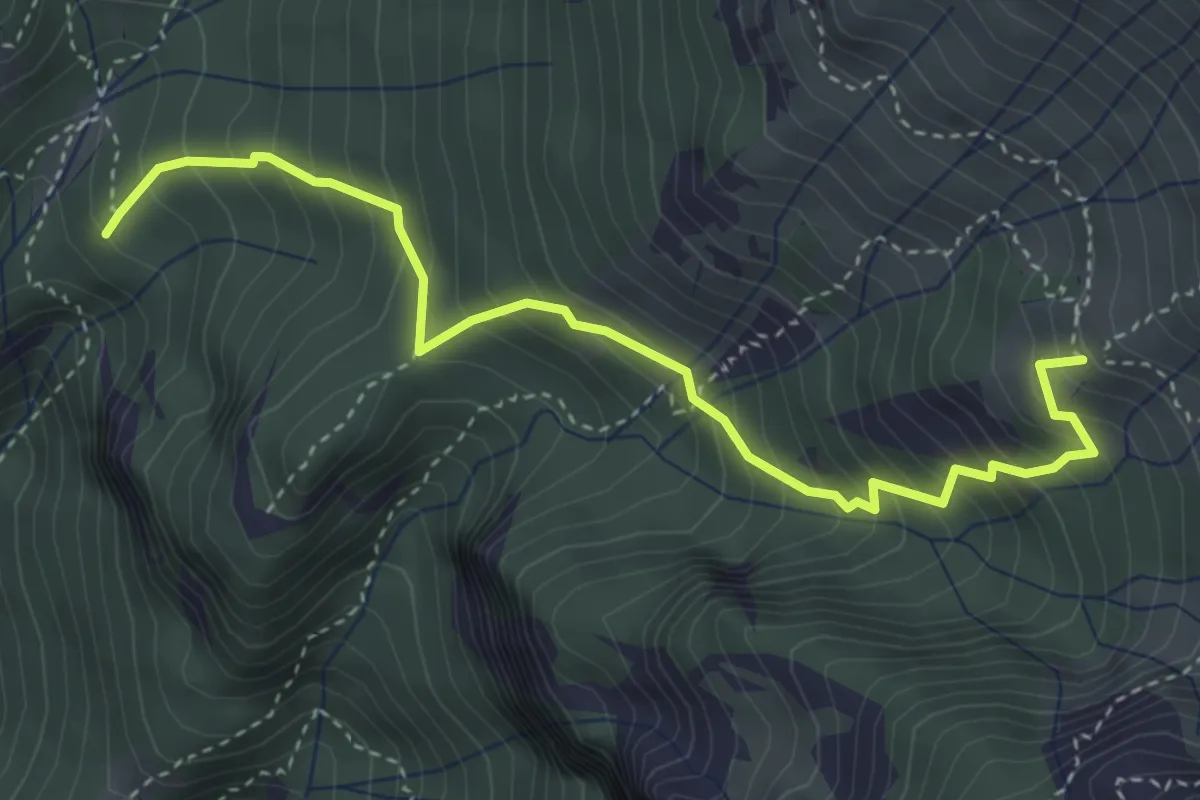
Medium · Summit
Alpe Calivazzo – Rifugio Bietti
4.1 km · ↑ 544 m · 2 h 9 min · 11 km away
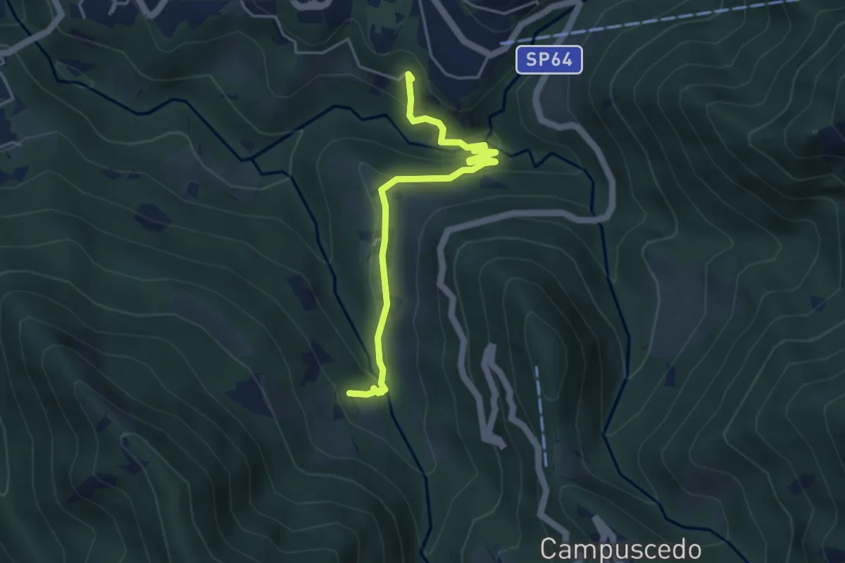
Easy · Trail
Moggio - Ussola
4.5 km · ↑ 162 m · 1 h 24 min · 11 km away
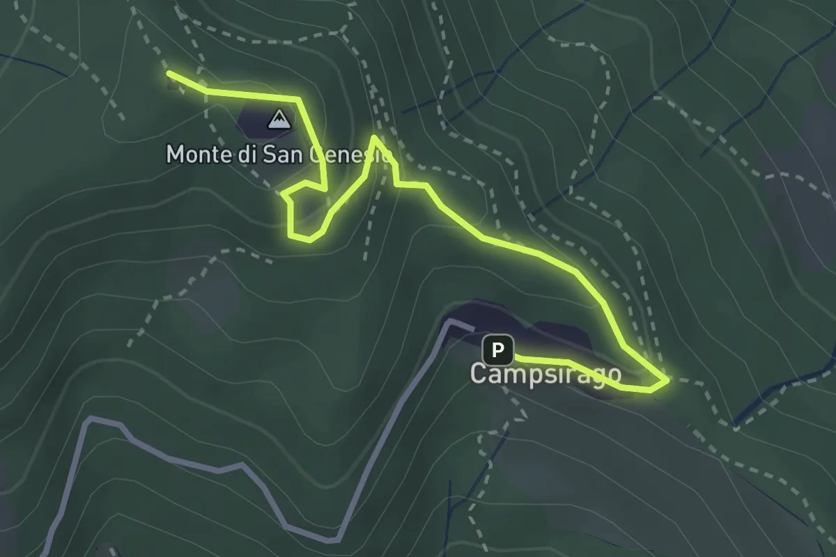
Medium · Summit
Il Sentiero di Giano
3.4 km · ↑ 182 m · 1 h 11 min · 11 km away
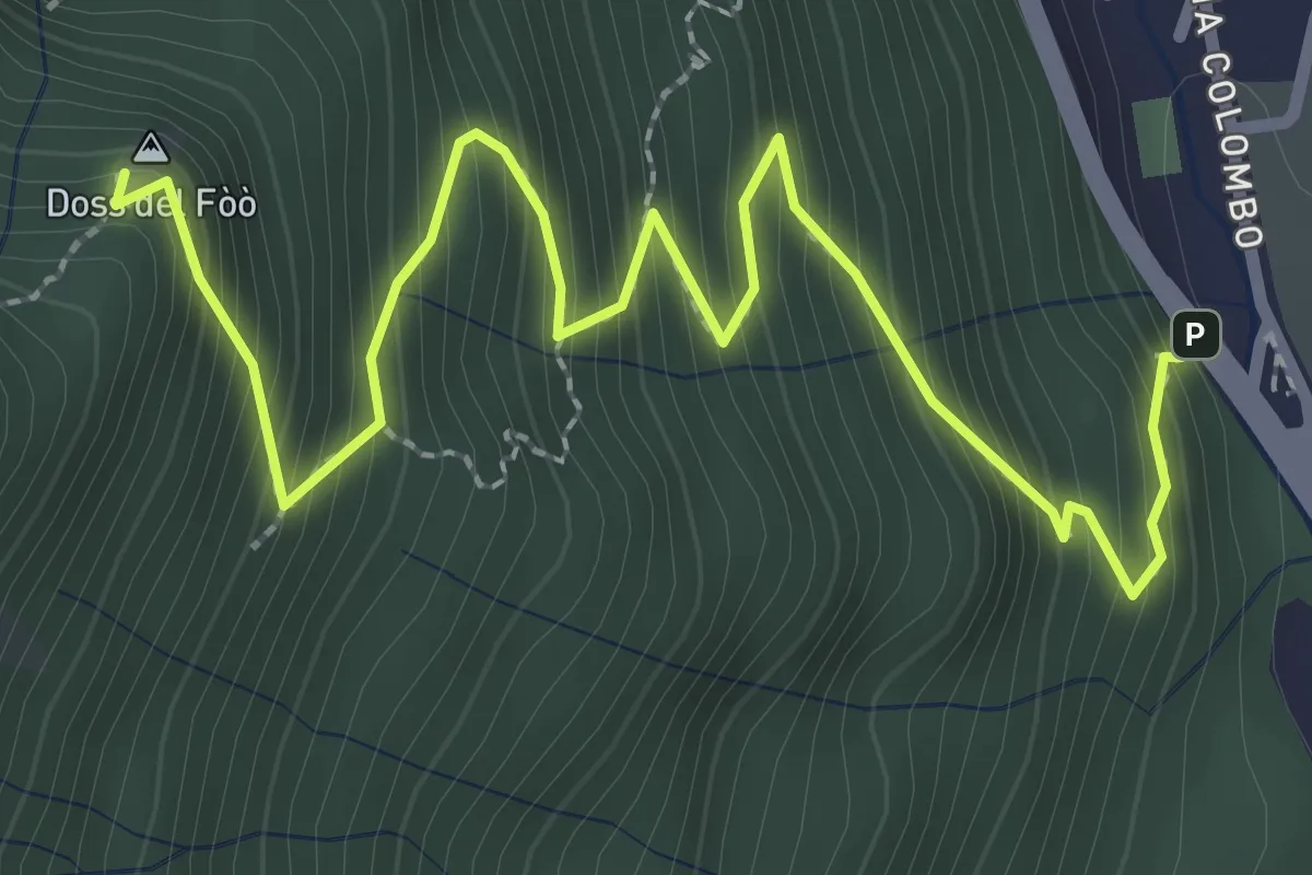
Medium · Summit
Barni – Bocchetta di Spessola
3.6 km · ↑ 433 m · 1 h 48 min · 11 km away
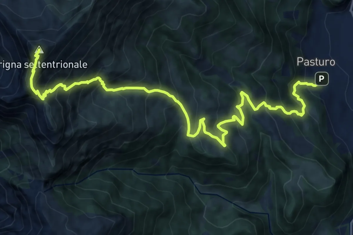
Demanding · Summit
Pasturo - Grignone (via estiva)
18.3 km · ↑ 1819 m · 8 h 15 min · 11 km away
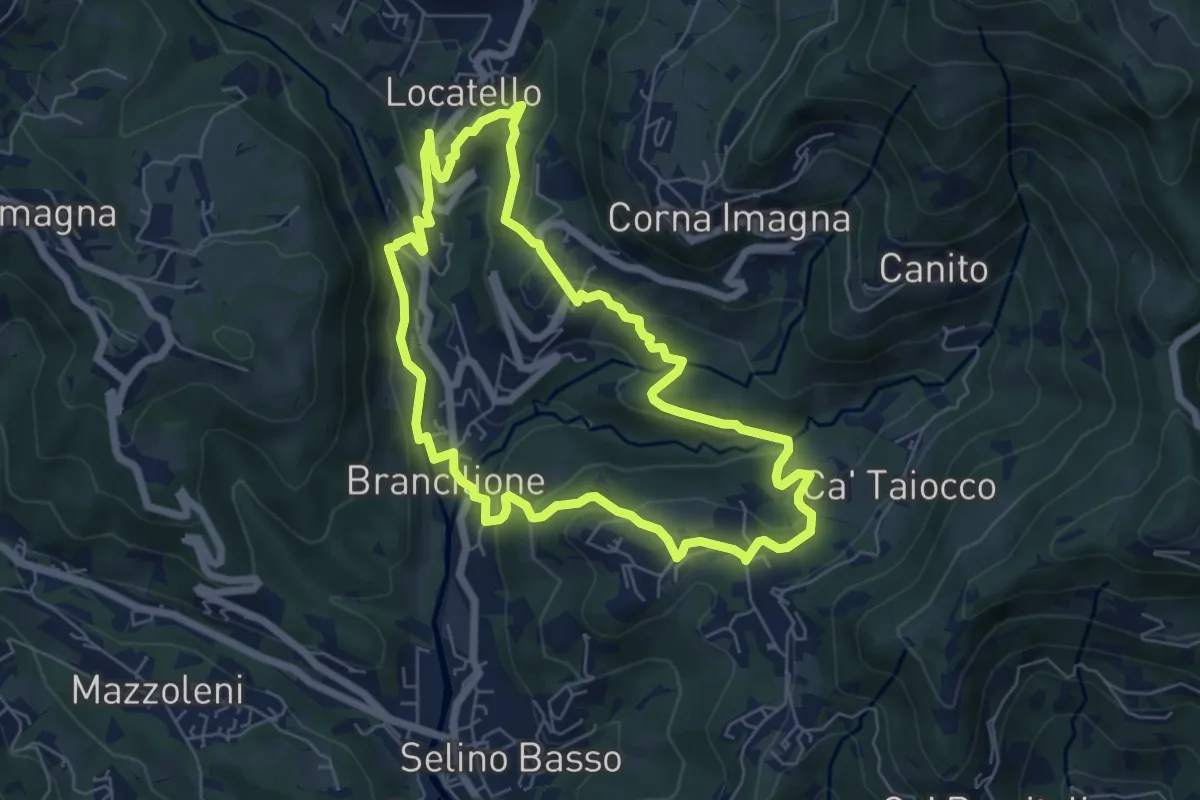
Medium · Trail
Sentiero dei Ponti
6.2 km · ↑ 229 m · 2 h 3 min · 11 km away
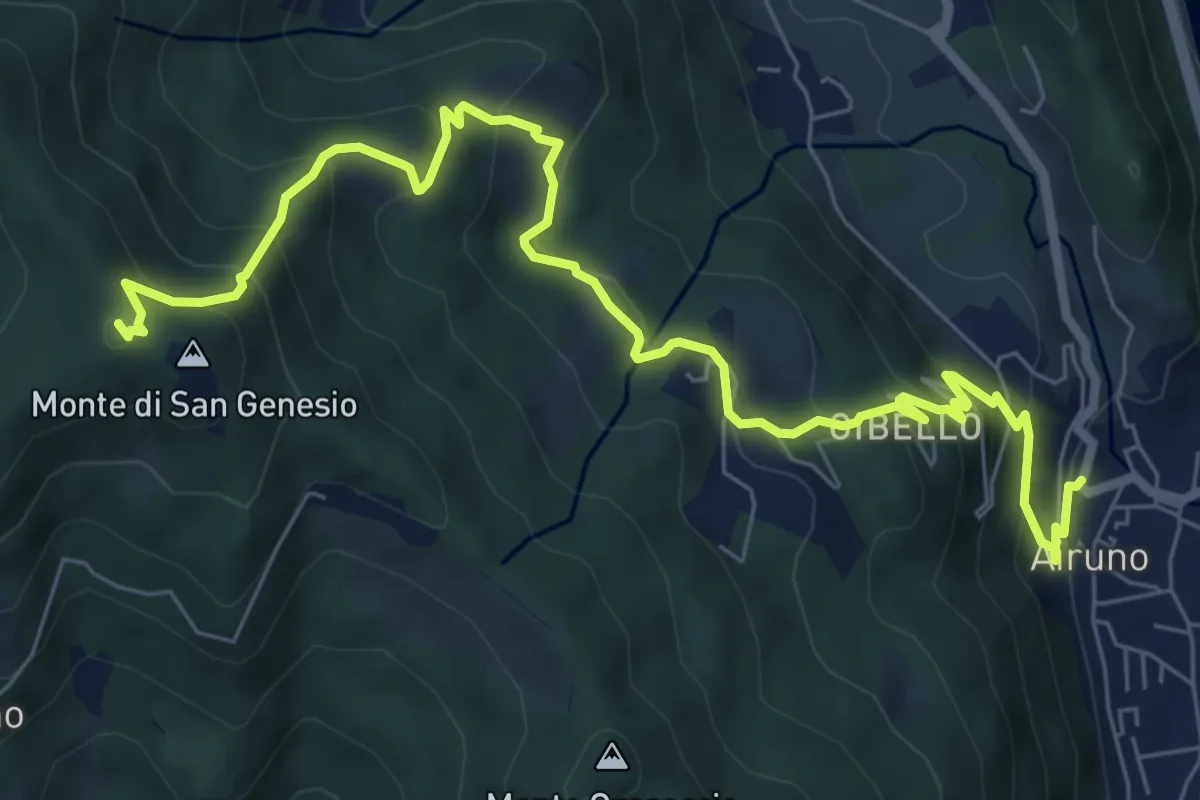
Medium · Summit
Airuno (FS) – Monte di San Genesio
9.2 km · ↑ 619 m · 3 h 31 min · 11 km away
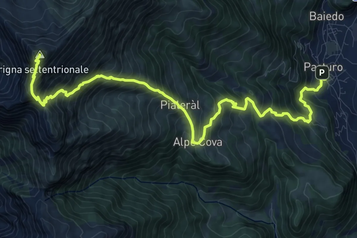
Demanding · Summit
Rifugio Luigi Brioschi – Pasturo
16.5 km · ↑ 1832 m · 7 h 52 min · 11 km away
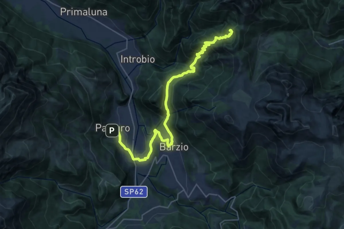
Demanding · Cabin
Pasturo – Rifugio Buzzoni
10.6 km · ↑ 1181 m · 4 h 46 min · 11 km away
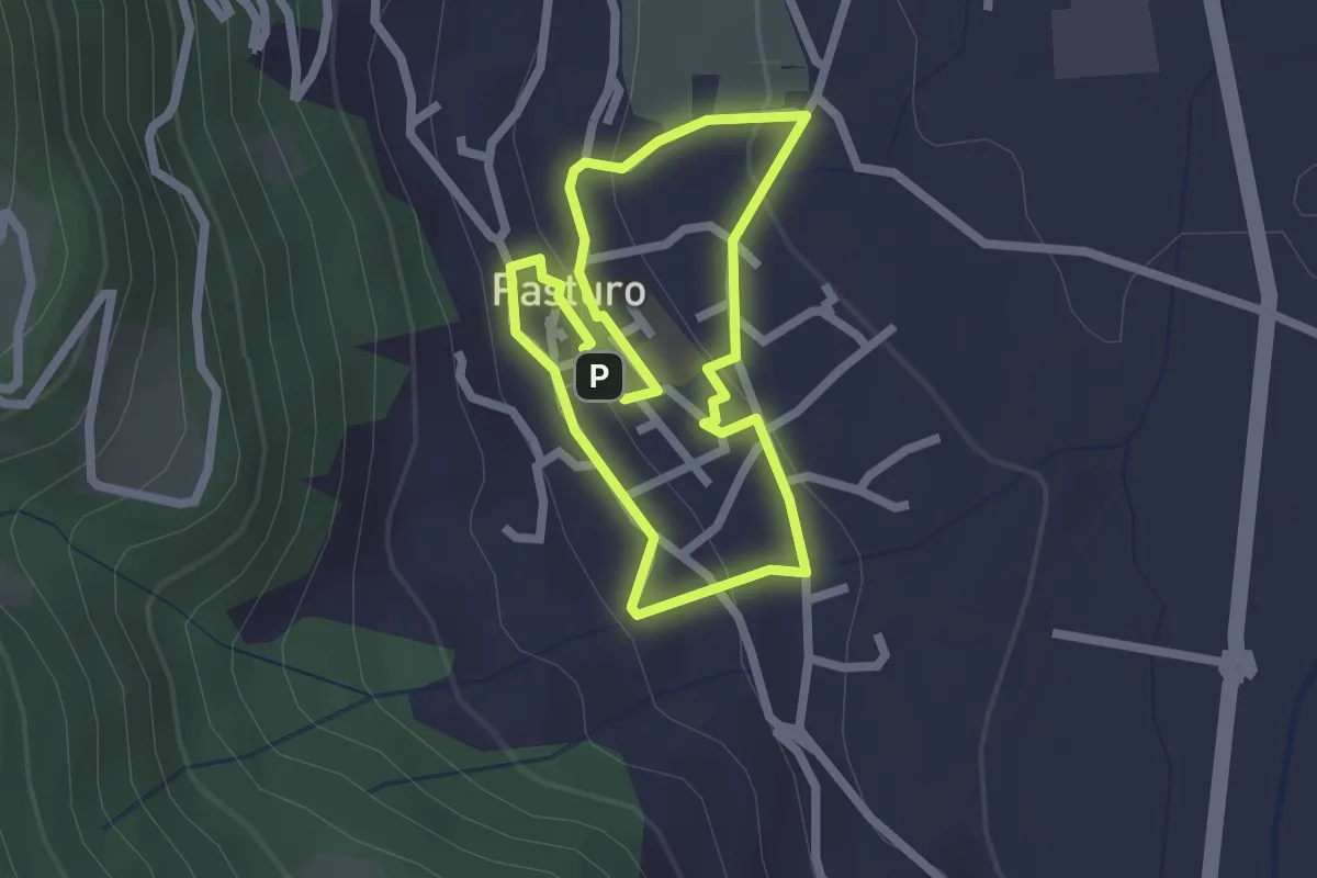
Easy · Trail
Percorso poetico di Antonia Pozzi
2.0 km · ↑ 69 m · 39 min · 11 km away
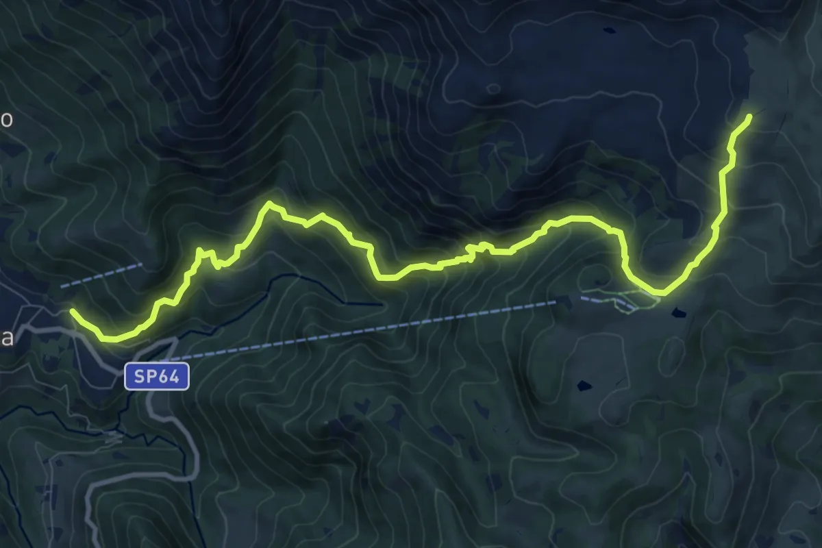
Demanding · Cabin
Moggio – Rifugio Nicola
12.4 km · ↑ 1120 m · 5 h 21 min · 11 km away
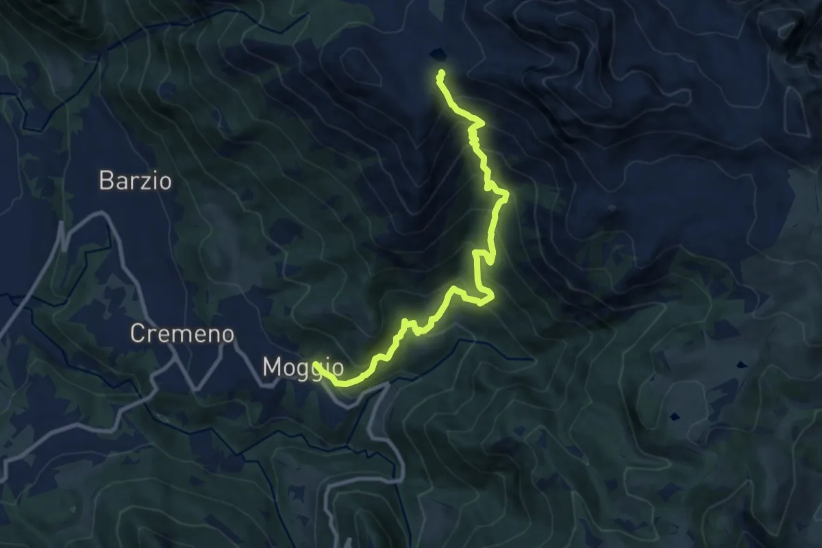
Demanding · Trail
Moggio – Bocchetta di Pesciola
9.9 km · ↑ 1046 m · 4 h 36 min · 11 km away
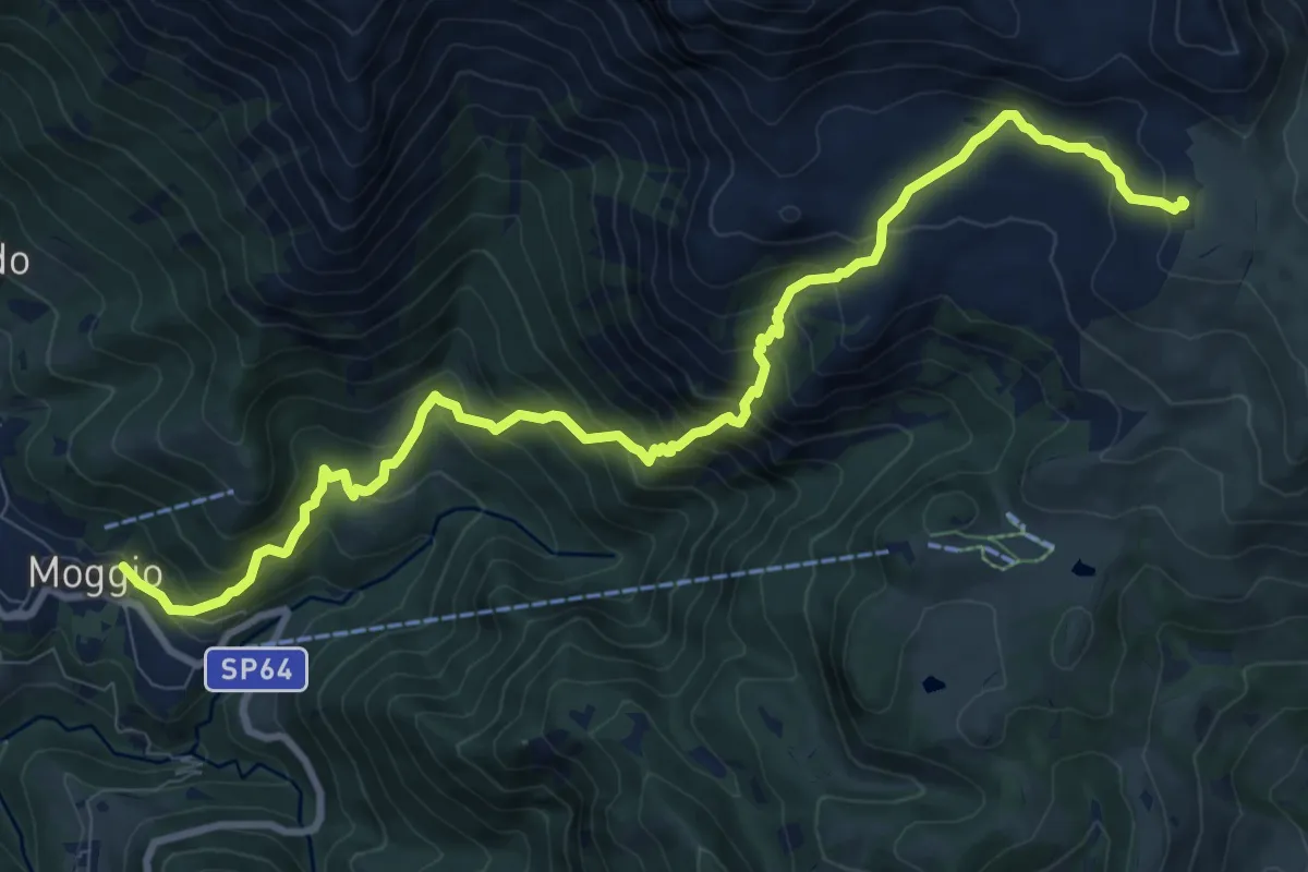
Demanding · Cabin
Sentiero del Canale di Bürei
11.4 km · ↑ 1068 m · 5 h 1 min · 11 km away
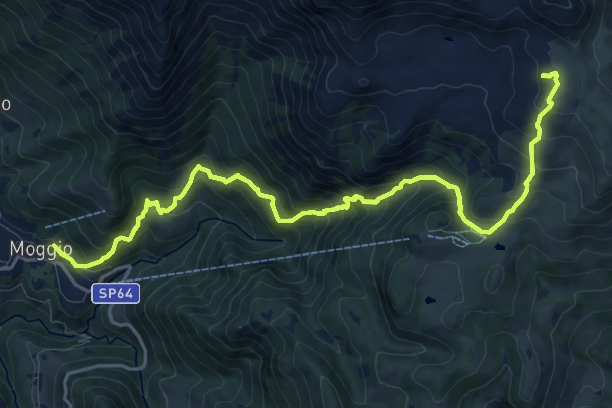
Demanding · Cabin
Moggio – Rifugio Cazzaniga-Merlini
13.2 km · ↑ 1135 m · 5 h 34 min · 11 km away
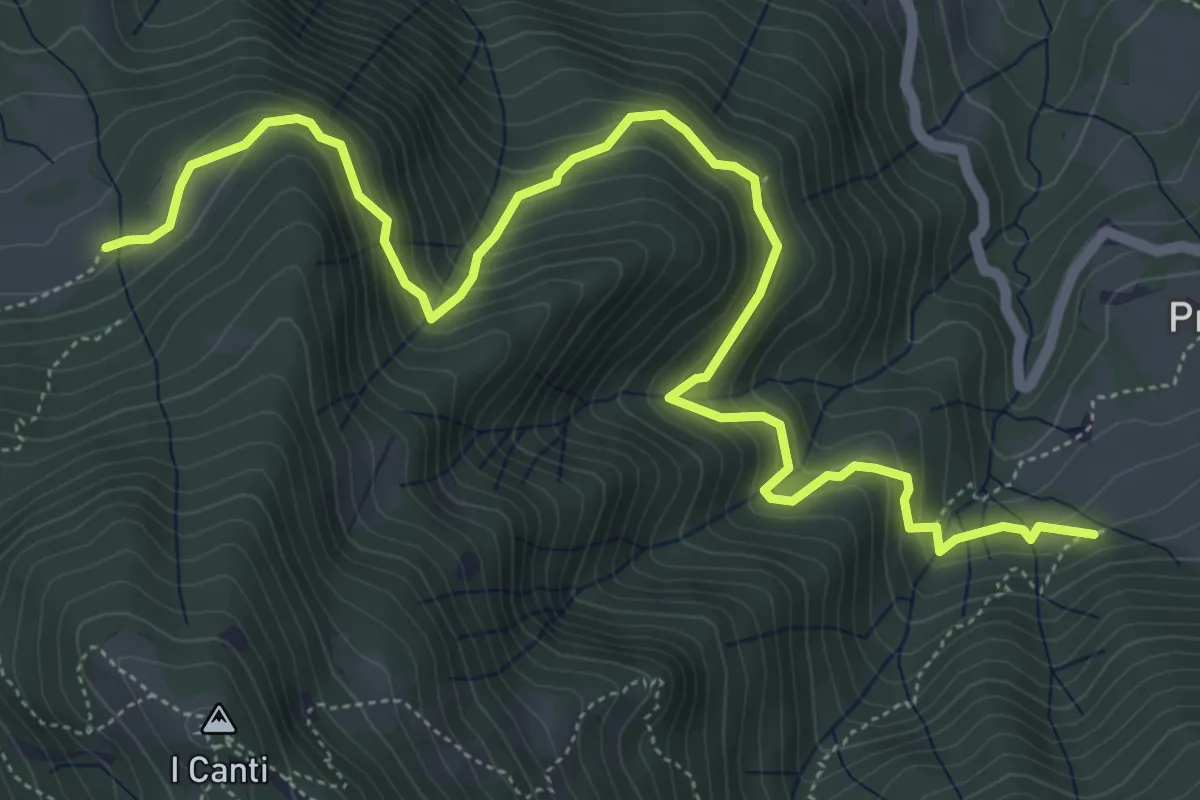
Demanding · Trail
Incrocio 569 (Peghera) – Incrocio 569B (Piazzoli)
7.2 km · ↑ 617 m · 3 h 3 min · 11 km away
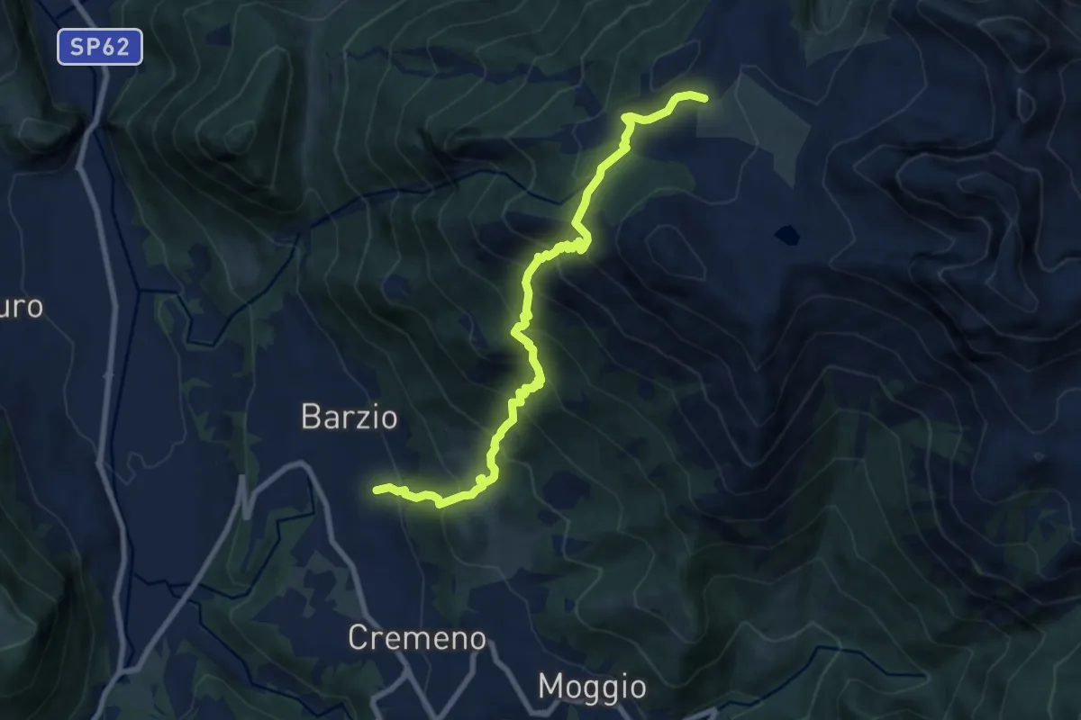
Demanding · Trail
Vallicello – Piani di Bobbio (Chiesa)
8.7 km · ↑ 919 m · 4 h 3 min · 12 km away
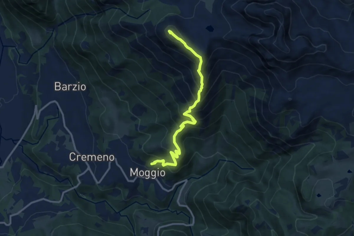
Demanding · Summit
Moggio – Zucco Orscellera
8.7 km · ↑ 996 m · 4 h 13 min · 12 km away
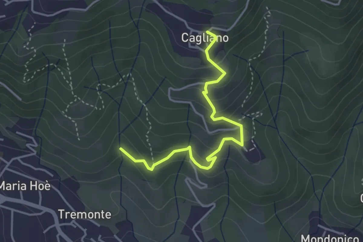
Easy · Trail
Ponte del Bordeà – Cagliano
3.6 km · ↑ 253 m · 1 h 25 min · 12 km away
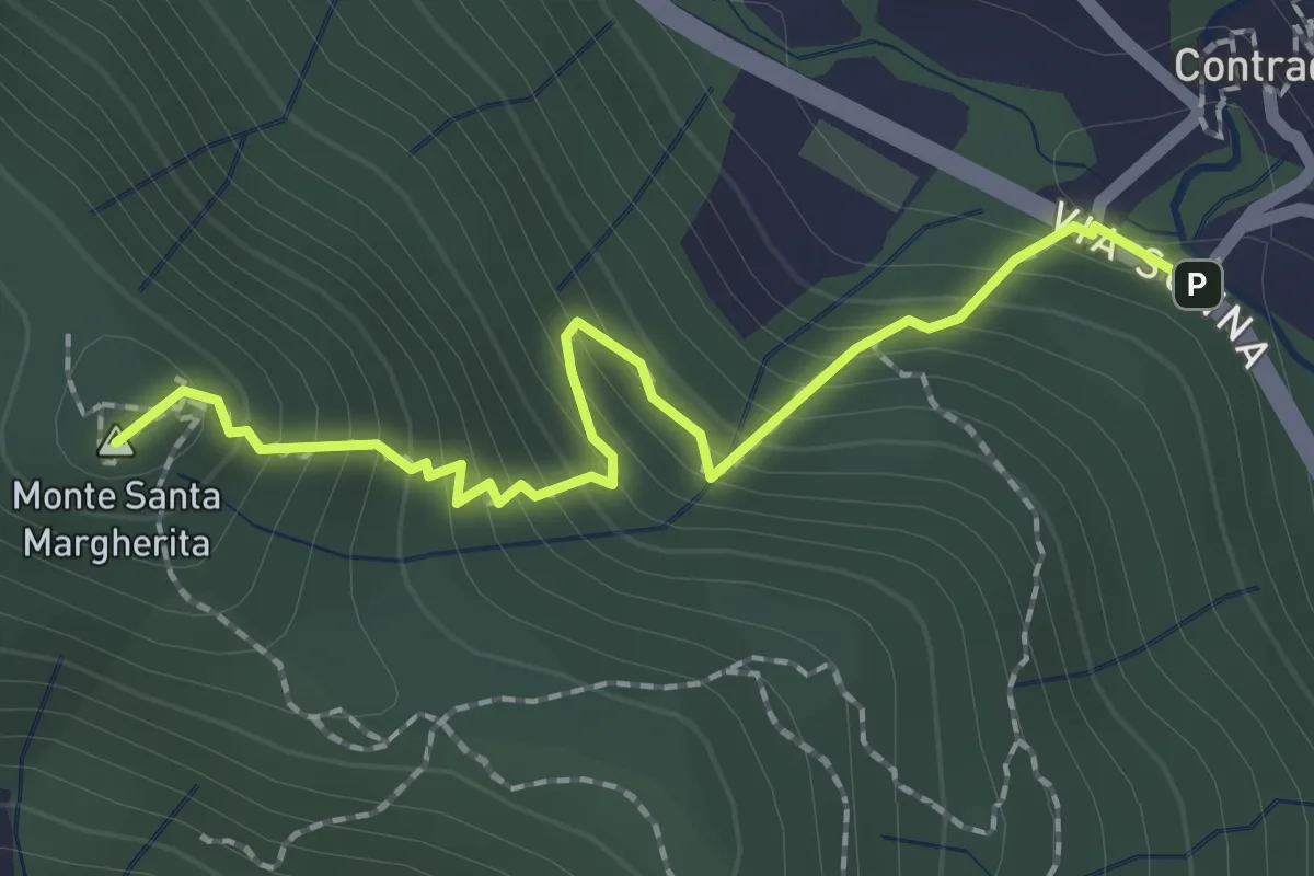
Medium · Summit
Contrada (Torre de' Busi) – S. Margherita (Monte Marenzo)
2.2 km · ↑ 259 m · 1 h 5 min · 12 km away
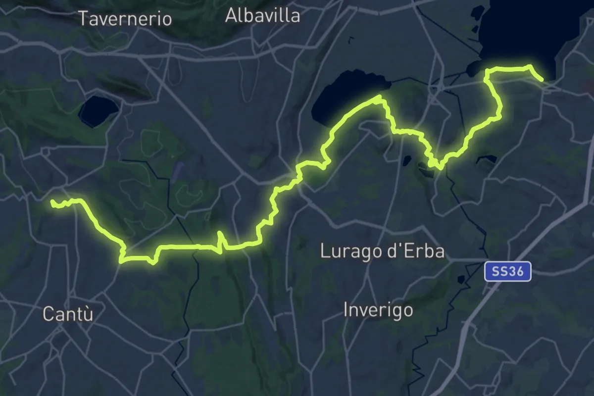
Demanding · Trail
Sentiero Pedemonte - Tappa 2
21.4 km · ↑ 377 m · 6 h 7 min · 12 km away
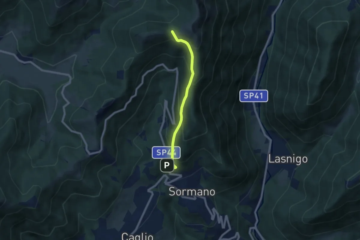
Medium · Trail
Sormano – Colma del Bosco
4.8 km · ↑ 392 m · 1 h 59 min · 12 km away
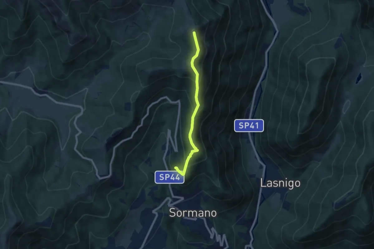
Medium · Summit
Salita per Colma del Bosco – Salita per Colma del Bosco
5.5 km · ↑ 398 m · 2 h 9 min · 12 km away
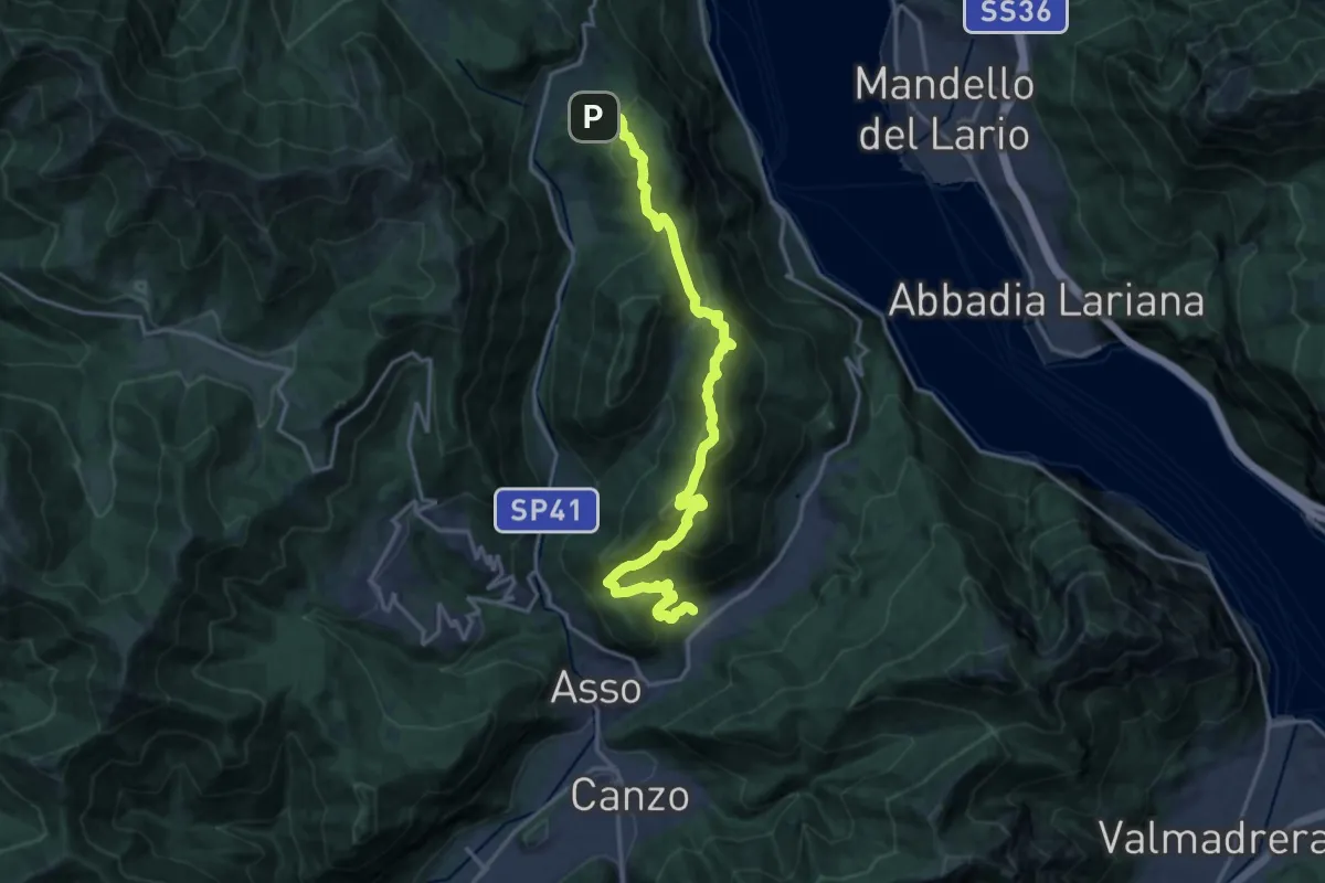
Demanding · Trail
Sentiero del Tivano
18.9 km · ↑ 1104 m · 6 h 52 min · 12 km away
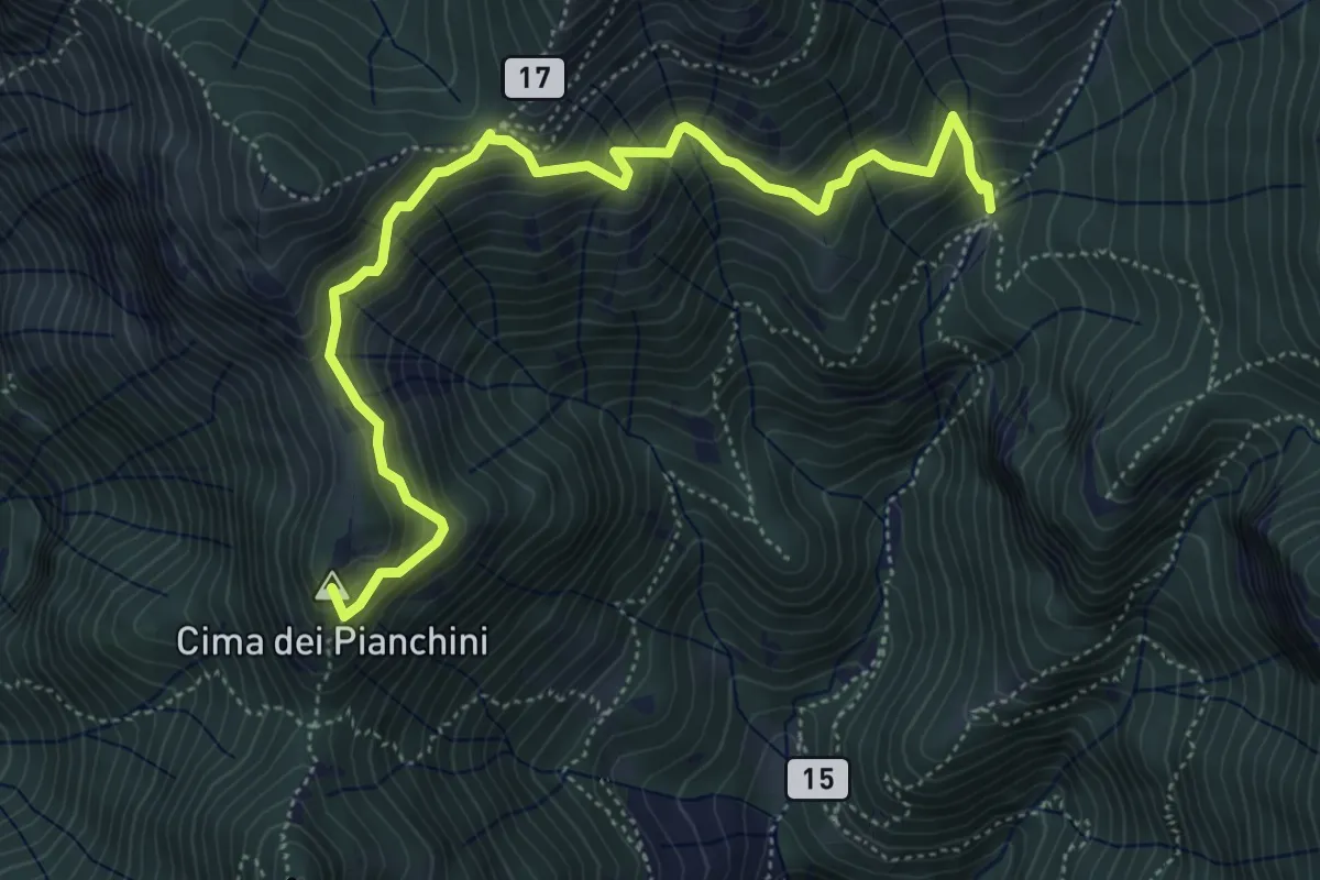
Medium · Summit
Somana – Alpe di Calivazzo
5.8 km · ↑ 549 m · 2 h 34 min · 12 km away
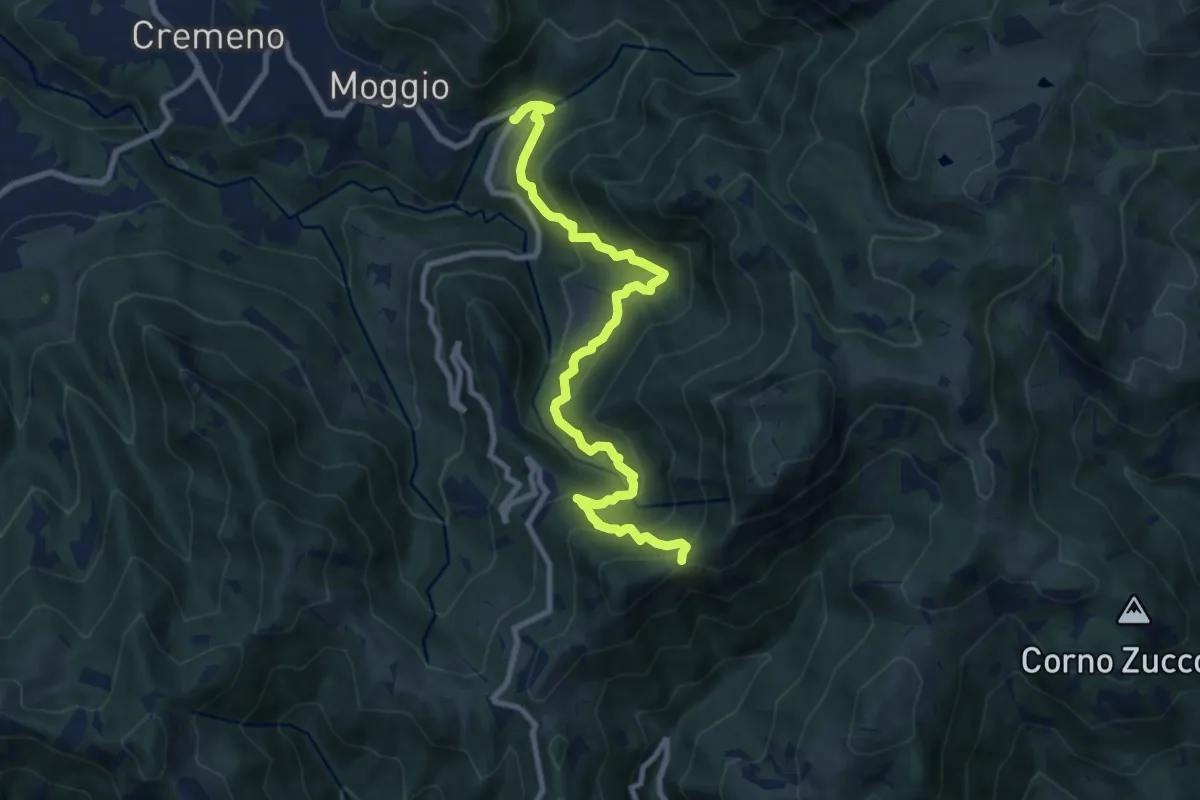
Demanding · Trail
Moggio (Mulino) – Baitel del Lozz
9.8 km · ↑ 912 m · 4 h 17 min · 12 km away
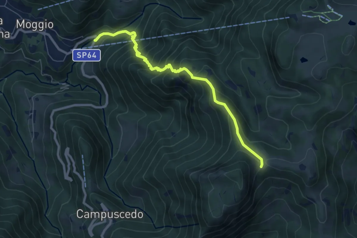
Medium · Trail
Moggio (Mulino) – Area di sosta Maesimo
6.7 km · ↑ 676 m · 3 h 2 min · 12 km away
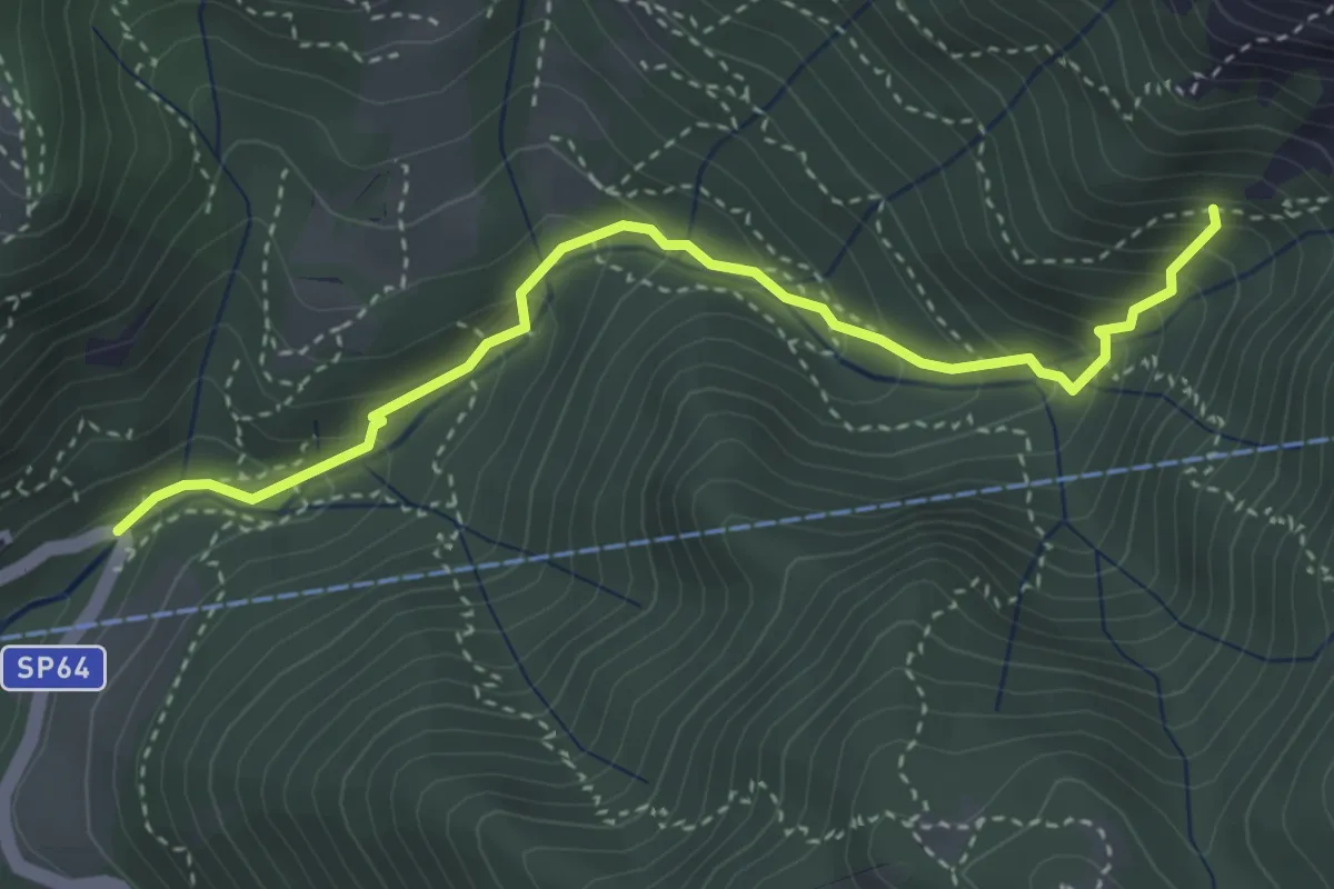
Medium · Trail
Moggio (Mulino) – Innesto 724
3.7 km · ↑ 354 m · 1 h 39 min · 12 km away
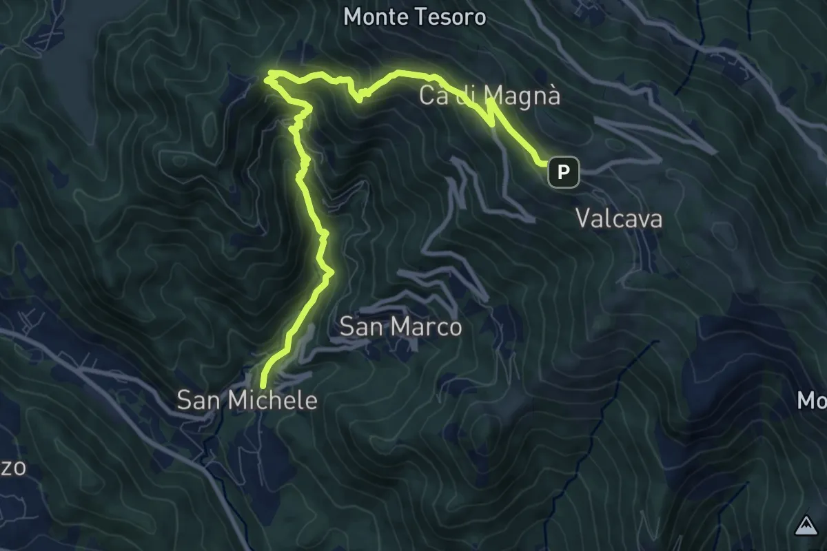
Demanding · Trail
Torre de' Busi – Valcava
10.8 km · ↑ 894 m · 4 h 29 min · 12 km away
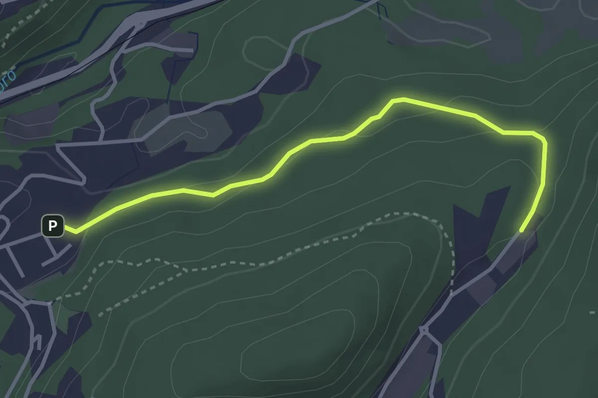
Easy · Trail
Sasso del Numero – Zona industriale di Proseprio
3.3 km · ↑ 99 m · 59 min · 12 km away
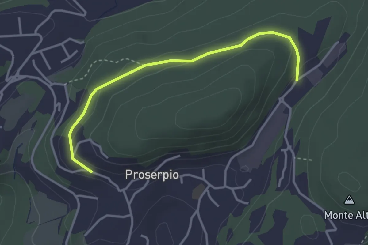
Easy · Trail
Rusera (Proserpio) – Zona industriale di Proseprio
3.1 km · ↑ 50 m · 51 min · 12 km away
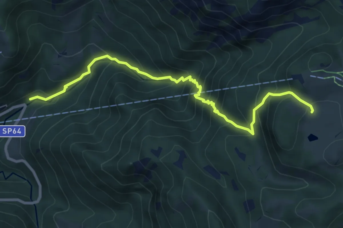
Medium · Cabin
Moggio (Mulino) – Ca' Rovellasca
6.8 km · ↑ 749 m · 3 h 14 min · 12 km away
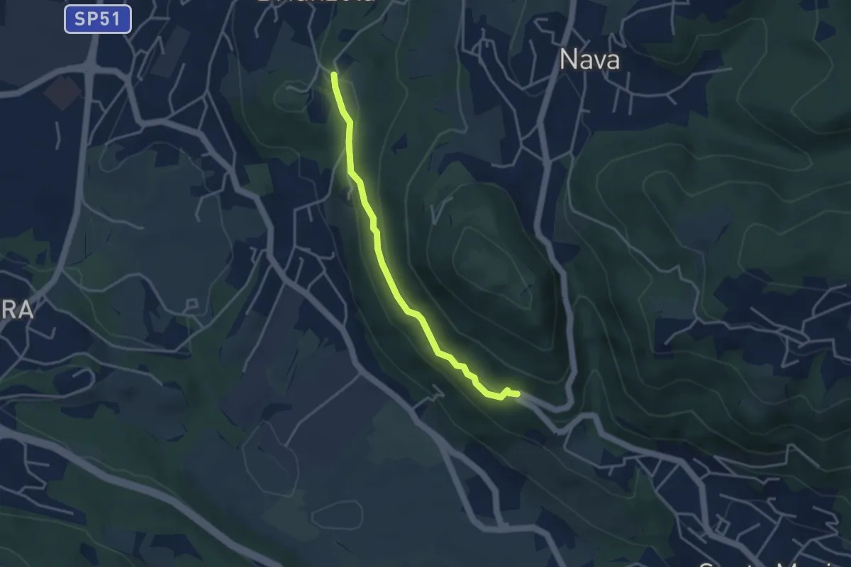
Easy · Trail
Brianzola – Ceppetto
3.3 km · ↑ 108 m · 1 h 1 min · 12 km away
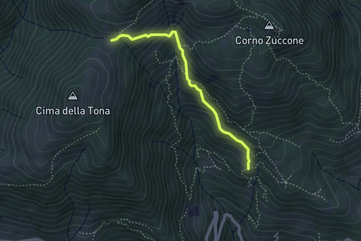
Medium · Trail
Baita Zucai (incrocio 152A) – Passo della Sella
3.5 km · ↑ 363 m · 1 h 36 min · 12 km away
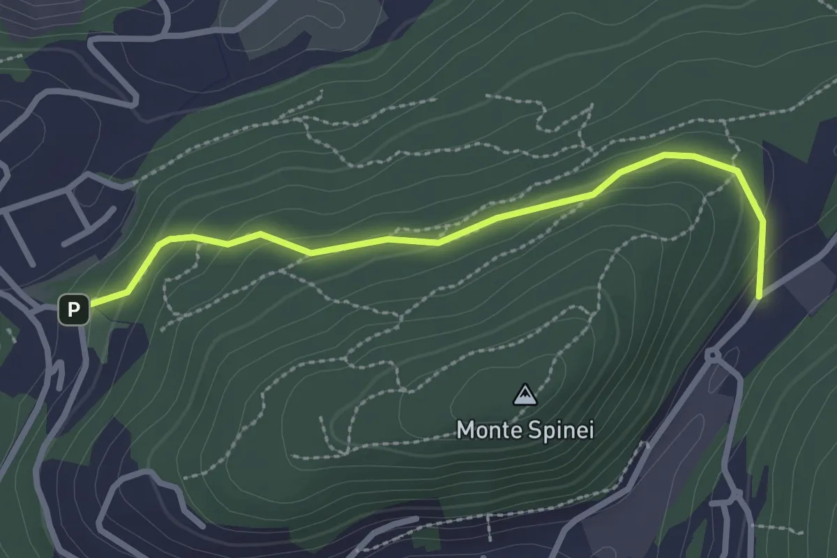
Easy · Trail
Bosco della Gualdera – Zona industriale di Proseprio
2.6 km · ↑ 85 m · 48 min · 12 km away
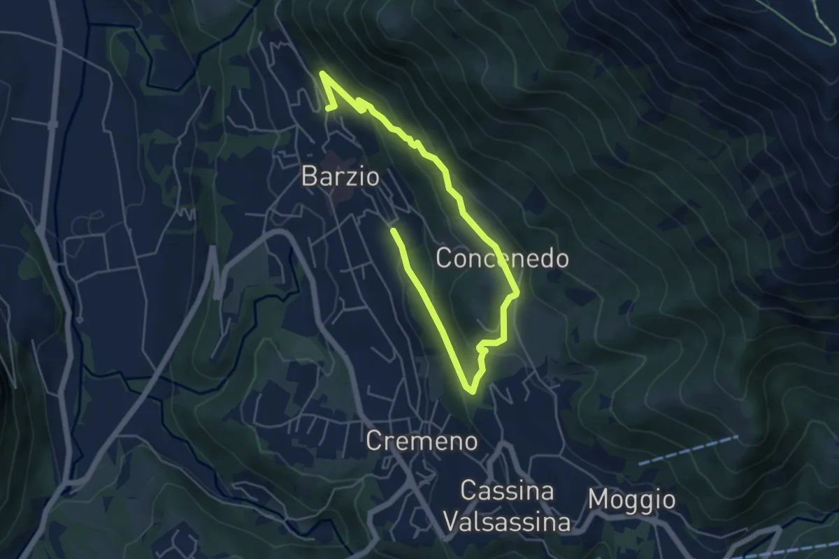
Easy · Trail
Robiasca – Berlendino
6.5 km · ↑ 287 m · 2 h 9 min · 12 km away
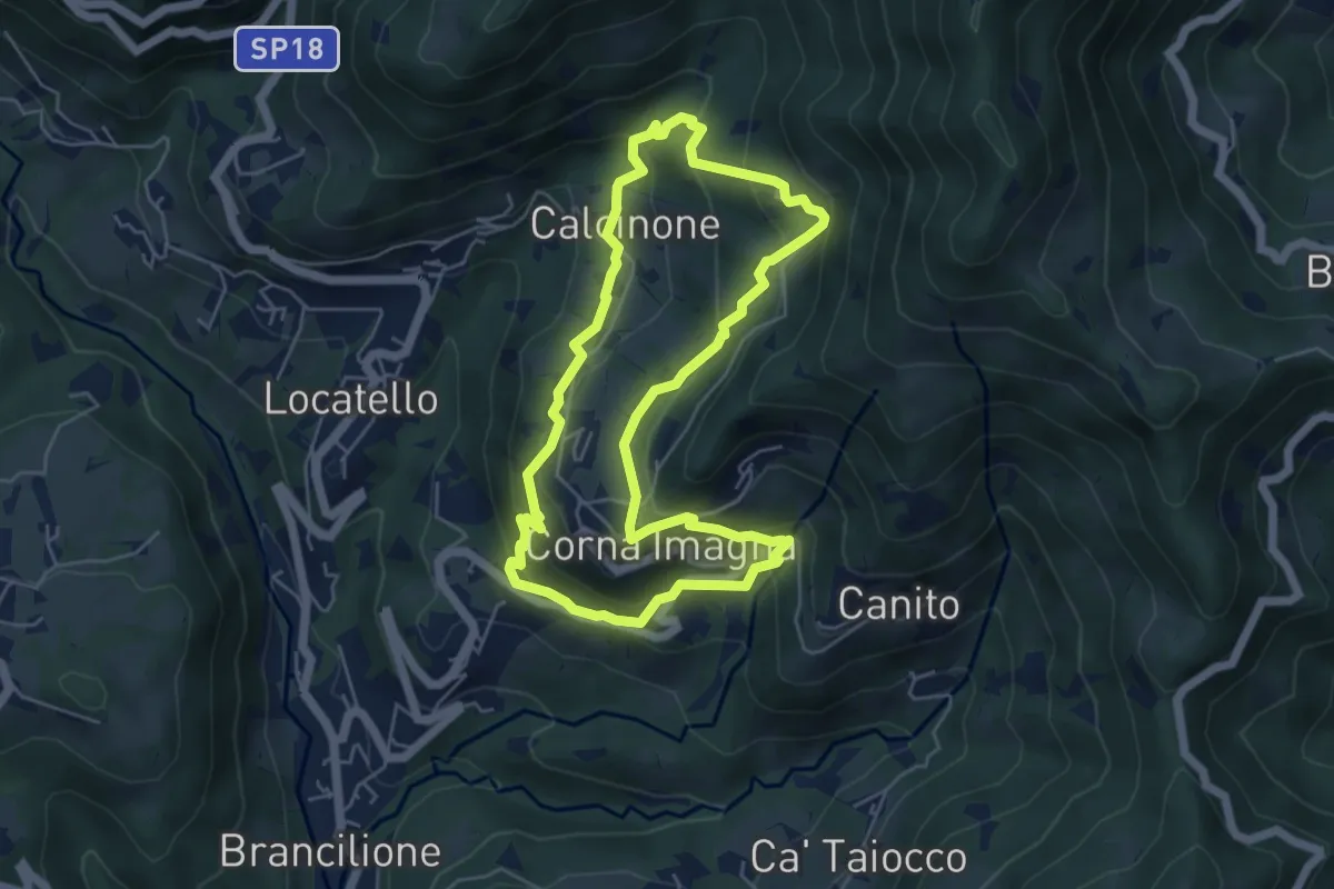
Easy · Trail
Sentiero del Castagno
5.2 km · ↑ 318 m · 2 h · 12 km away
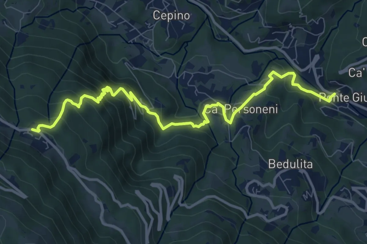
Medium · Trail
Ponte Giurino – Costa Imagna
9.8 km · ↑ 797 m · 4 h 2 min · 12 km away
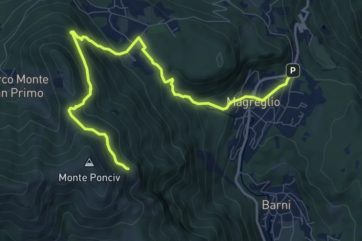
Expert · Trail
Madonna del Ghisallo (Magreglio) – Monte Ponciv
10.1 km · ↑ 657 m · 3 h 49 min · 12 km away
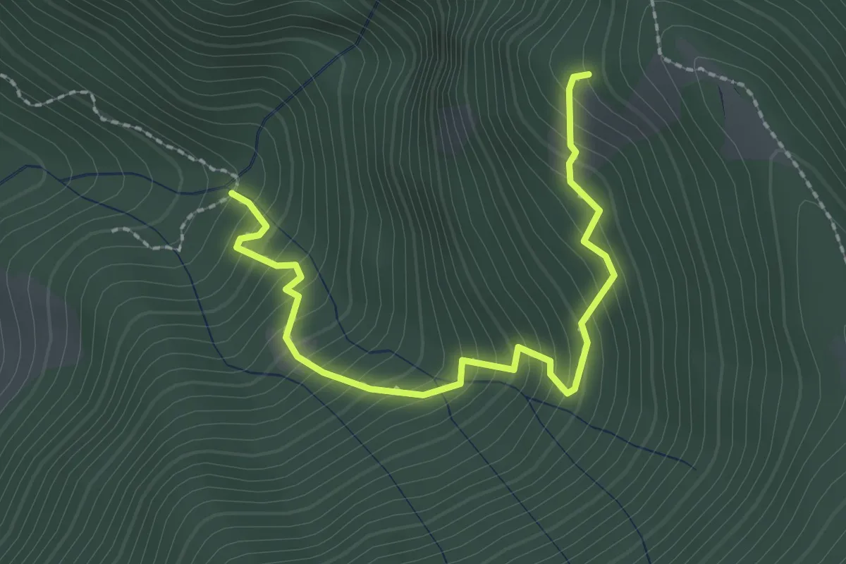
Medium · Trail
Innesto 728 – Innesto SASP58
2.5 km · ↑ 320 m · 1 h 17 min · 12 km away
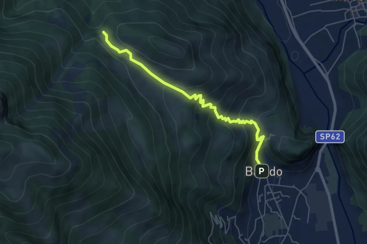
Medium · Trail
Sentiero 34: Baiedo - Rifugio Riva
5.2 km · ↑ 383 m · 2 h 4 min · 12 km away
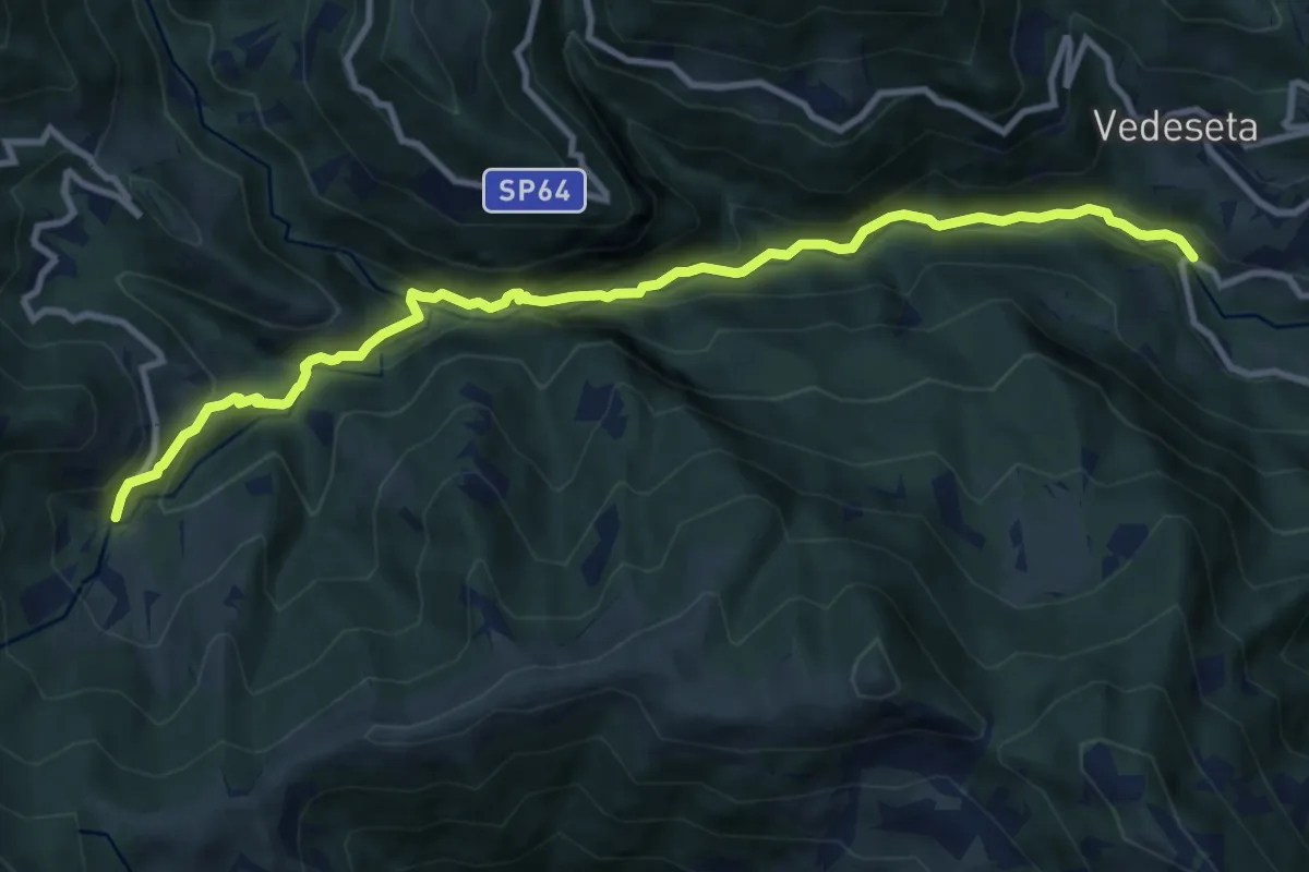
Medium · Trail
Ponte Lavina – Morterone
11.0 km · ↑ 607 m · 3 h 55 min · 12 km away
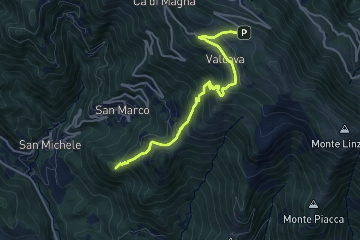
Medium · Summit
Torre de' Busi – Ripetitori (Valcava)
8.7 km · ↑ 620 m · 3 h 23 min · 12 km away
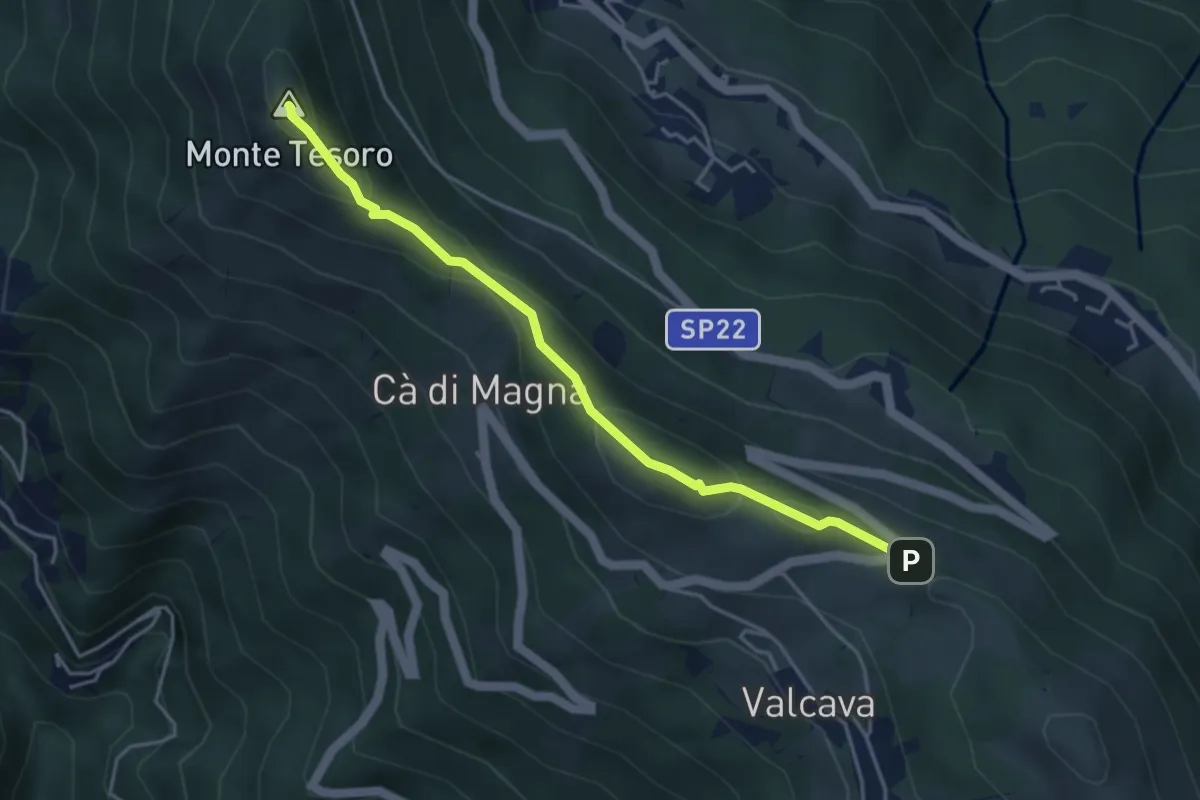
Medium · Summit
Ripetitori (Valcava) – Convento del Pertus
4.1 km · ↑ 216 m · 1 h 27 min · 12 km away
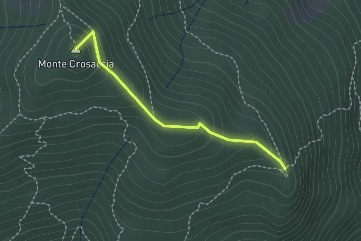
Easy · Summit
Crosaccia – Campsirago
1.7 km · ↑ 100 m · 37 min · 12 km away
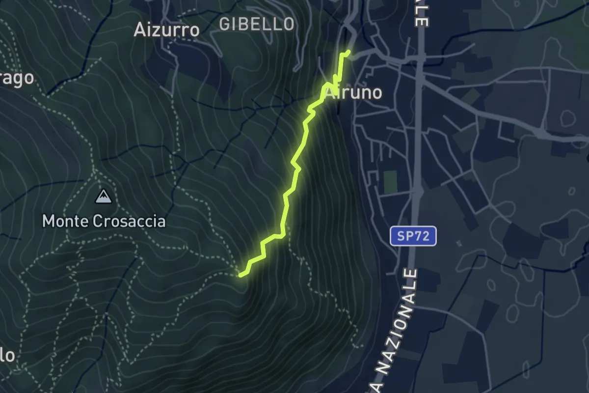
Medium · Trail
Airuno (FS) – Crosaccia
2.9 km · ↑ 356 m · 1 h 27 min · 12 km away
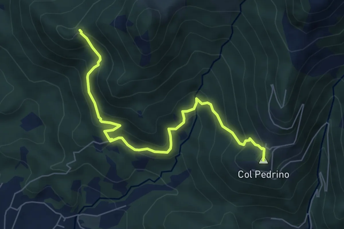
Medium · Summit
Località Foppa – Coldara
6.6 km · ↑ 509 m · 2 h 39 min · 12 km away