Trails near Lerici
183 hikes starting within 15 km, nearest first.
Nearest first, page 2 of 4
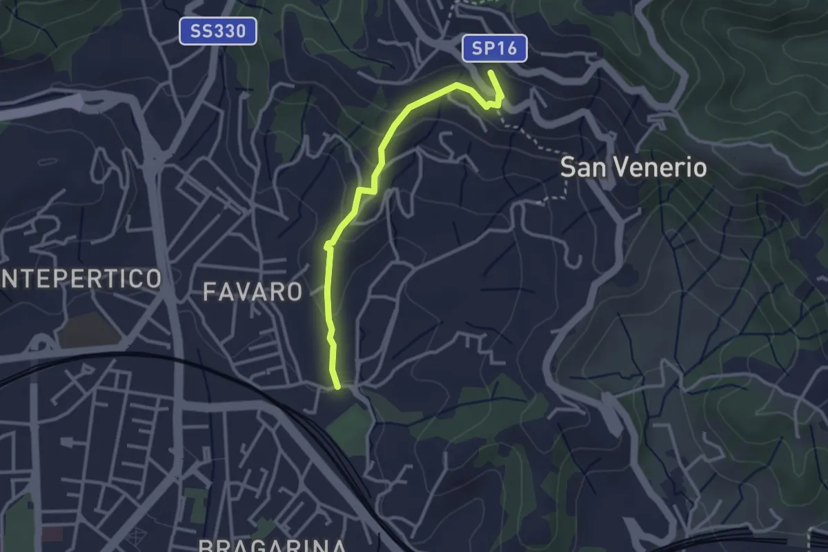
Easy · Trail
La Pieve – Carozzo (via della Lobbia)
2.9 km · ↑ 127 m · 57 min · 7 km away
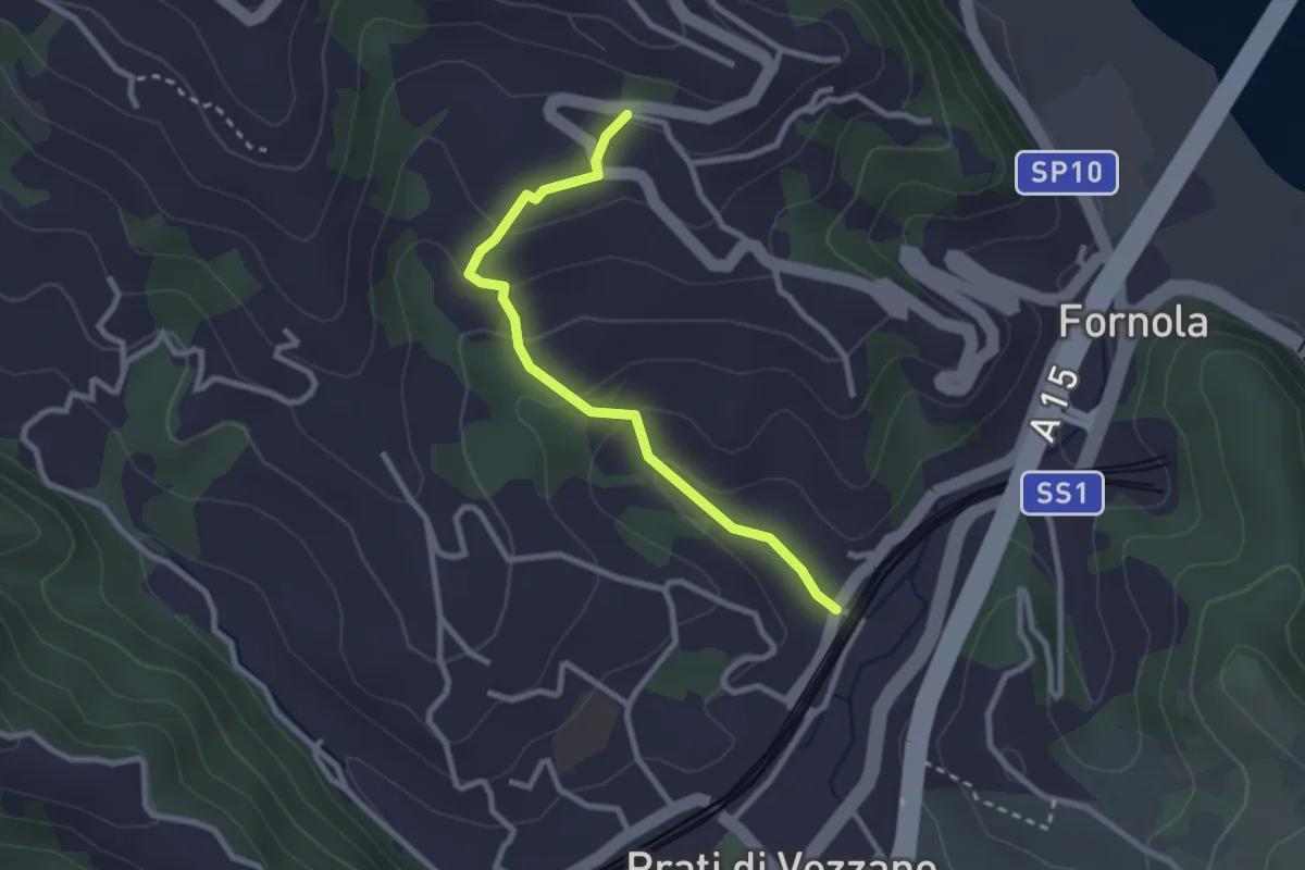
Easy · Trail
Fornola – Il Giardino – S. Maria
2.7 km · ↑ 134 m · 56 min · 7 km away
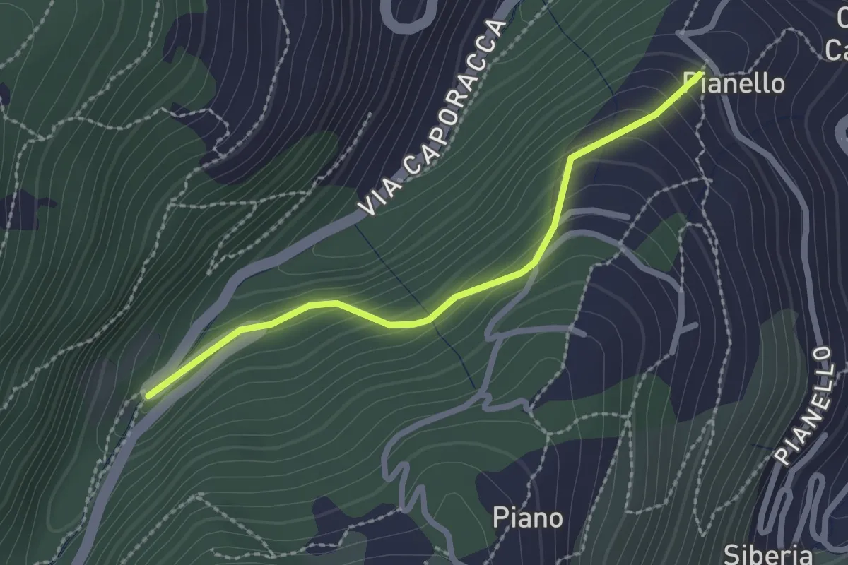
Easy · Trail
Montale – innesto sent. 528
2.2 km · ↑ 140 m · 50 min · 7 km away
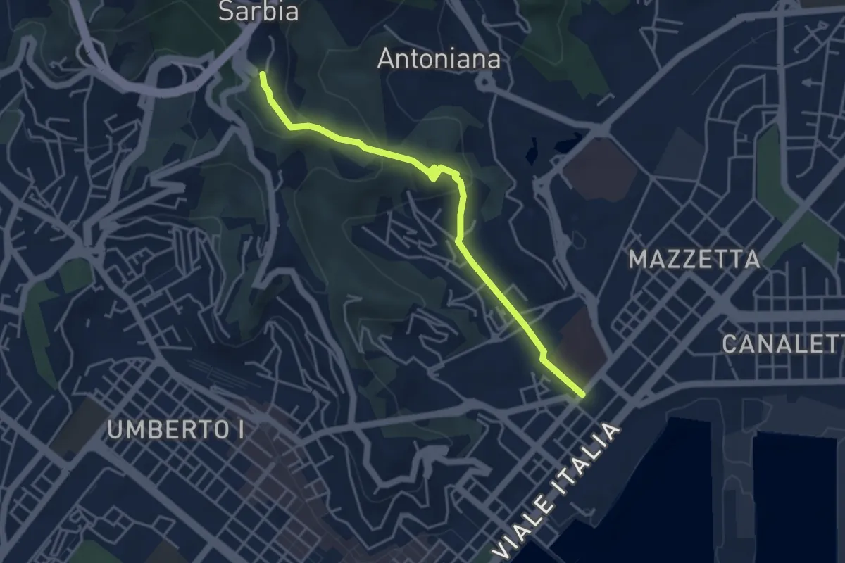
Easy · Trail
Via Veneto – Valdellora – Castellazzo – Sarbia
4.1 km · ↑ 153 m · 1 h 18 min · 8 km away
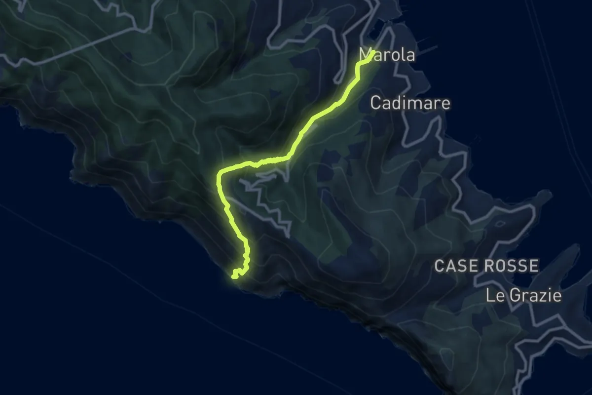
Medium · Trail
Acquasanta – Punta Persico
8.1 km · ↑ 787 m · 3 h 37 min · 8 km away
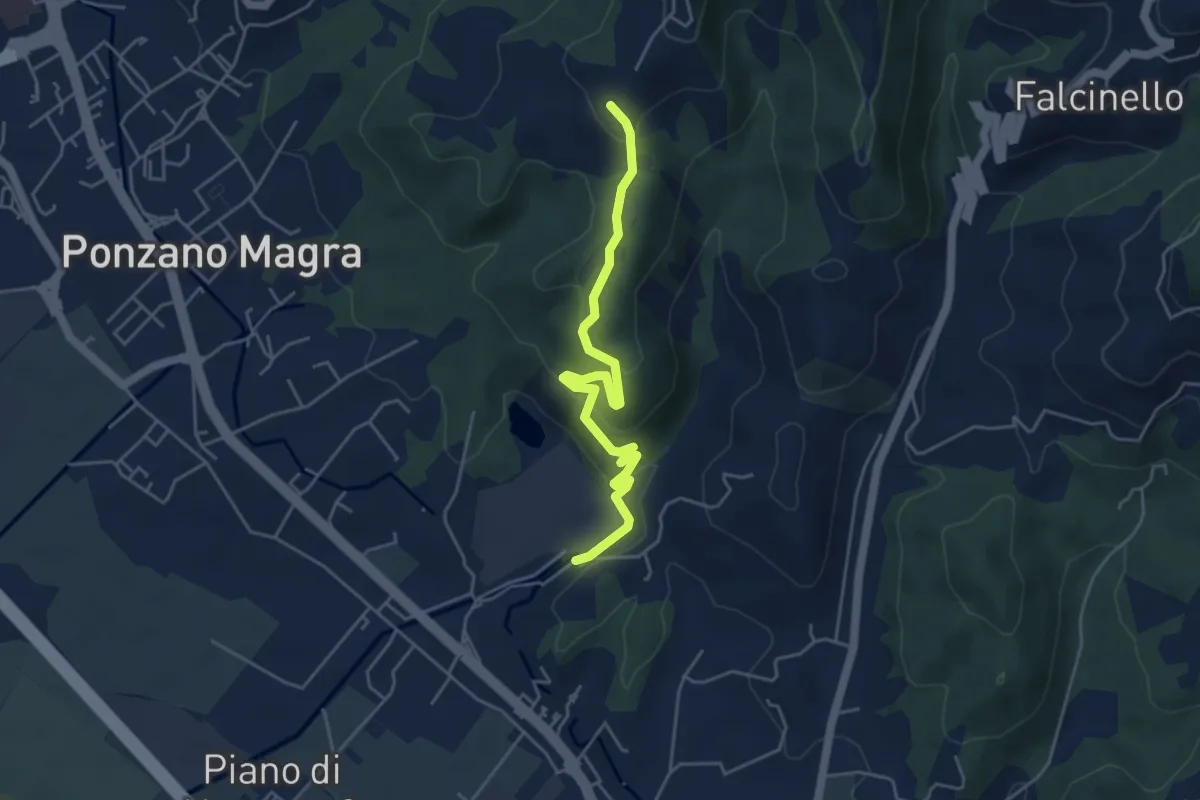
Easy · Trail
Percorso 341 – Percorso 343
5.0 km · ↑ 234 m · 1 h 41 min · 8 km away
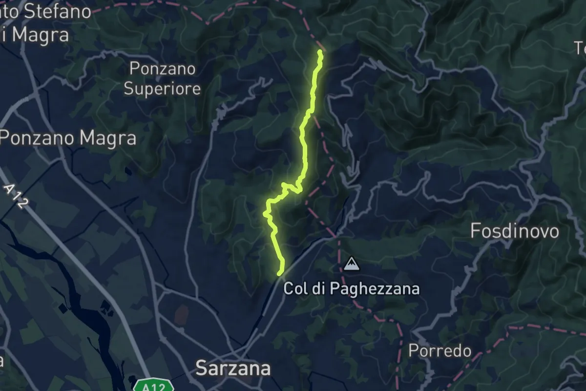
Medium · Trail
Ponte Budella – Percorso 290
9.7 km · ↑ 538 m · 3 h 28 min · 8 km away
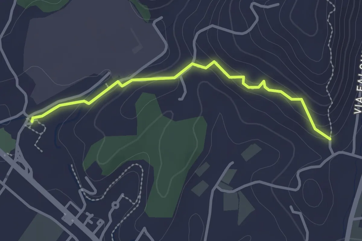
Easy · Trail
Ponzano Ceramica – Ponte Amola
2.7 km · ↑ 99 m · 51 min · 8 km away
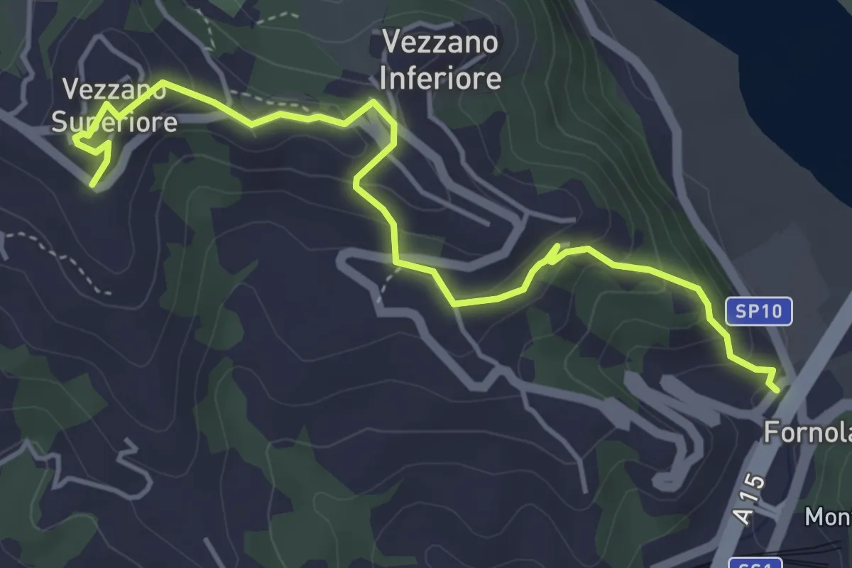
Easy · Trail
Fornola – Darola – Vezzano Ligure
5.0 km · ↑ 275 m · 1 h 46 min · 8 km away
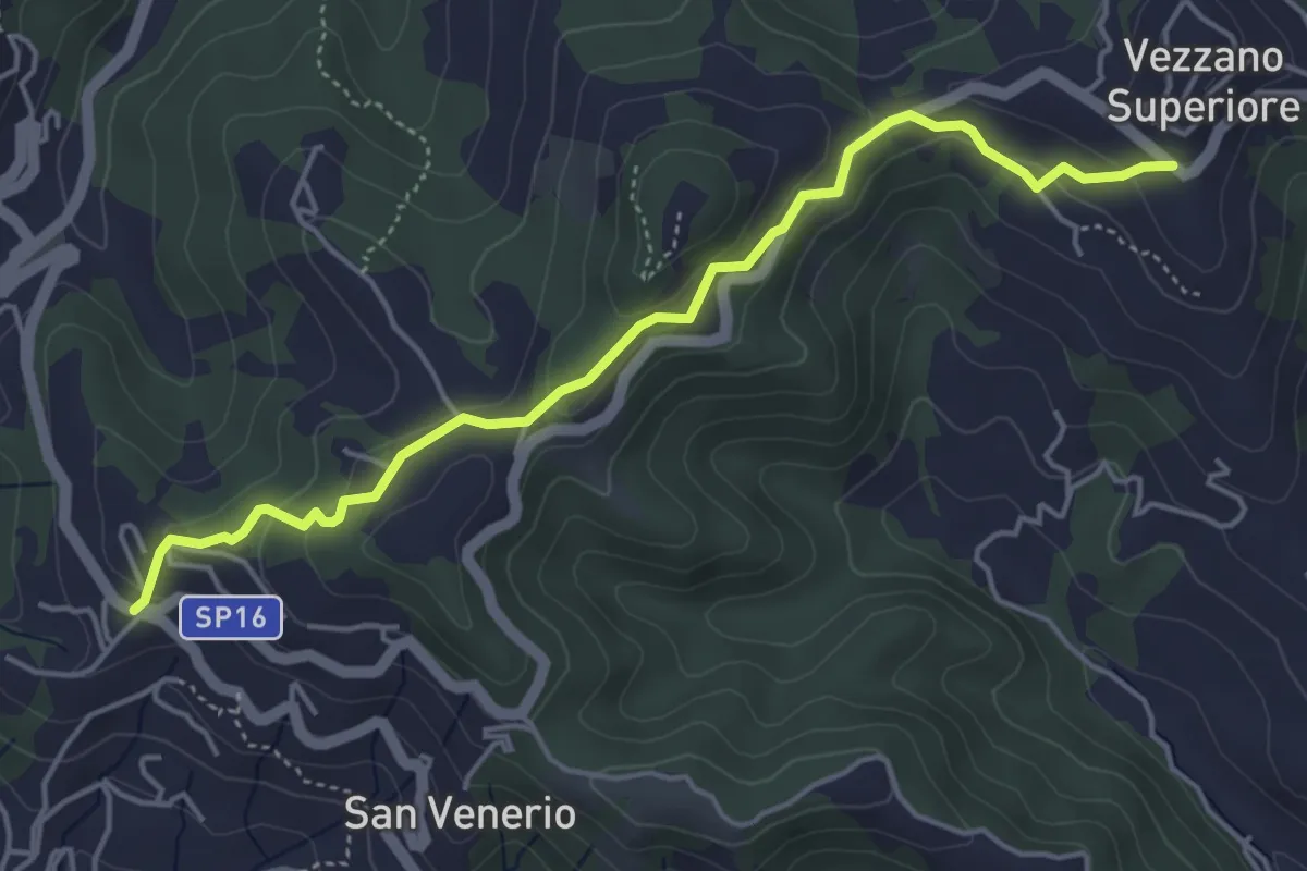
Easy · Trail
Vezzano Ligure – Forte Bastia – Beverone
5.0 km · ↑ 223 m · 1 h 40 min · 8 km away
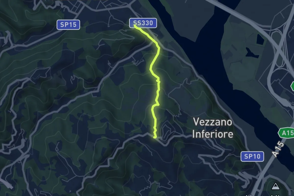
Easy · Trail
Bottagna – Vezzano Ligure
4.2 km · ↑ 228 m · 1 h 29 min · 8 km away
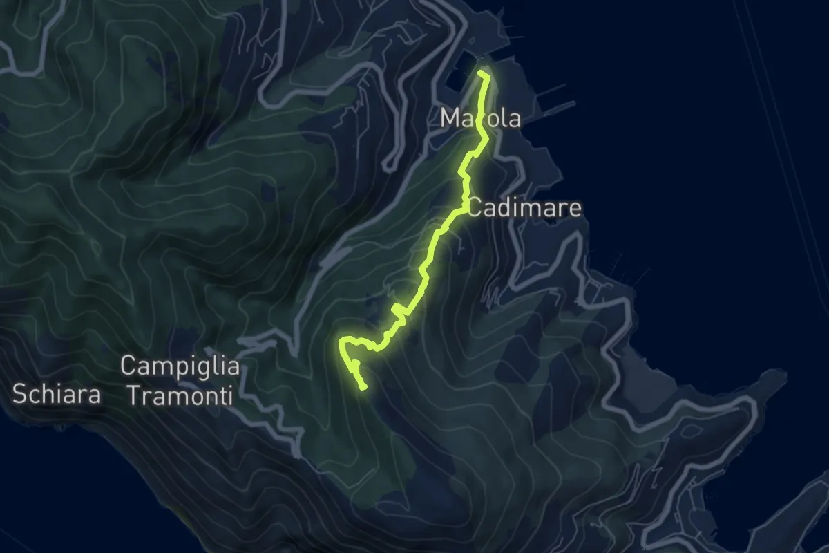
Medium · Trail
Marola – Il Piano – Cave del Piano
5.9 km · ↑ 437 m · 2 h 20 min · 8 km away
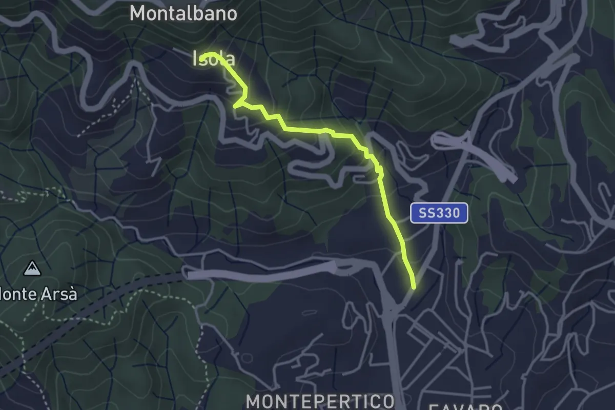
Easy · Trail
Felettino - Isola (Via dei Pilastri)
3.2 km · ↑ 238 m · 1 h 16 min · 8 km away
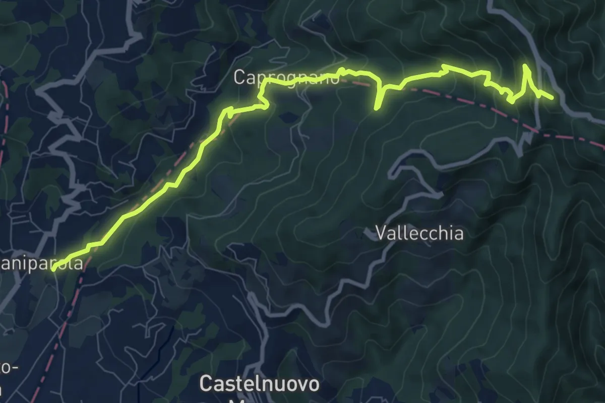
Medium · Summit
Caniparola – Strada Provinciale 51 - SP73
11.0 km · ↑ 629 m · 3 h 57 min · 8 km away
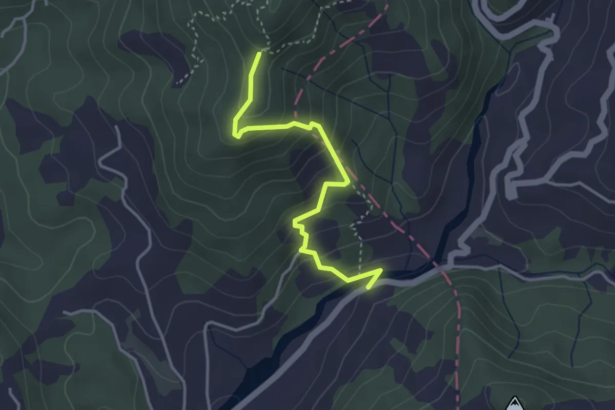
Easy · Trail
Via dei Molini – Percorso 325 - Prulla
3.3 km · ↑ 276 m · 1 h 23 min · 9 km away
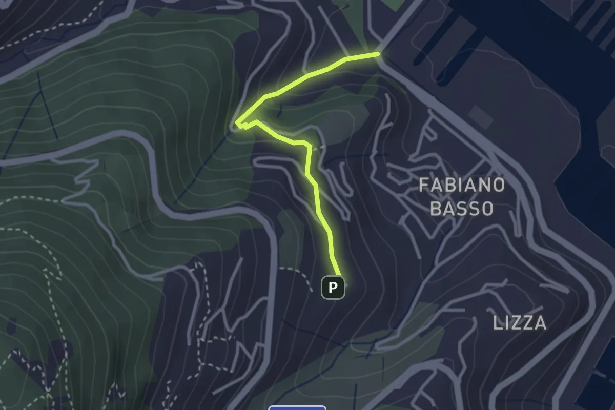
Easy · Trail
Buggi – Fabiano Alto
2.6 km · ↑ 178 m · 59 min · 9 km away
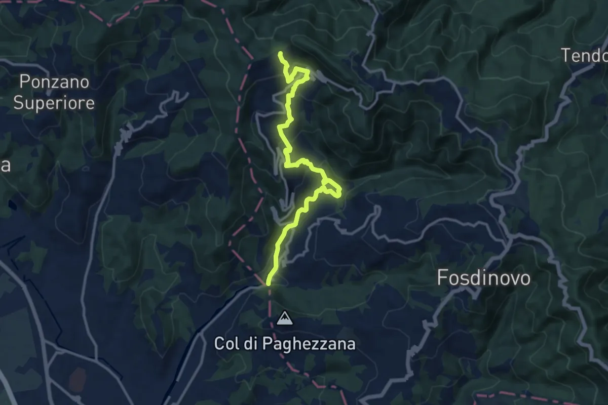
Demanding · Trail
Ponte Fabiano – Percorso 290
11.4 km · ↑ 536 m · 3 h 51 min · 9 km away
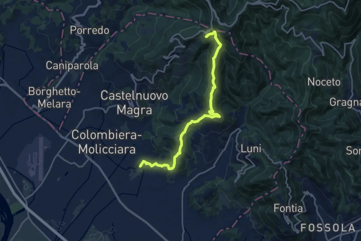
Medium · Trail
Coll. VF - Olmarello - Sarticola – Monticello – C. Bertella
12.1 km · ↑ 625 m · 4 h 13 min · 9 km away
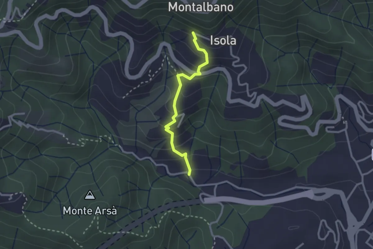
Easy · Trail
Felettino - Montalbano (Scalinata del Forno)
2.2 km · ↑ 220 m · 1 h · 9 km away
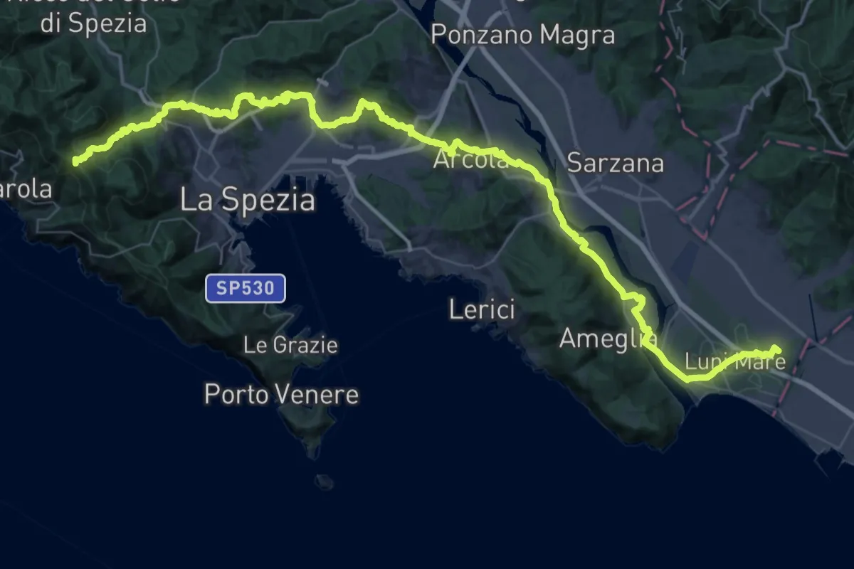
Expert · Summit
Via della Costa - Tappa 12
65.8 km · ↑ 1657 m · 19 h 7 min · 9 km away
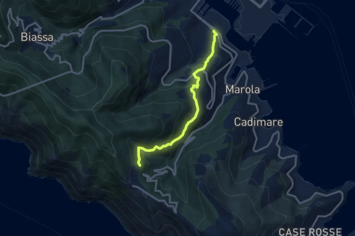
Demanding · Trail
Fabiano – Campiglia
6.8 km · ↑ 493 m · 2 h 40 min · 9 km away
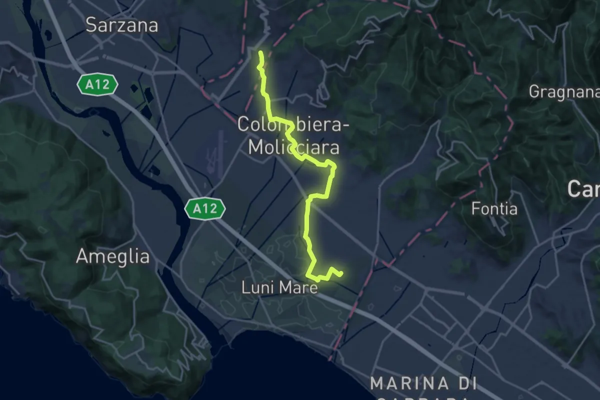
Medium · Trail
Sentiero dei Ducati Variante Luni
16.3 km · ↑ 61 m · 3 h 59 min · 9 km away
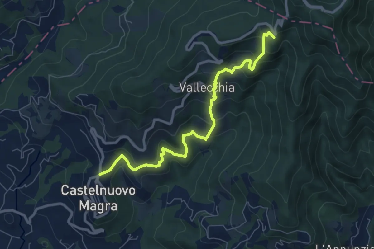
Medium · Trail
Castelnuovo Magra – Case Bertella
7.3 km · ↑ 567 m · 2 h 57 min · 9 km away
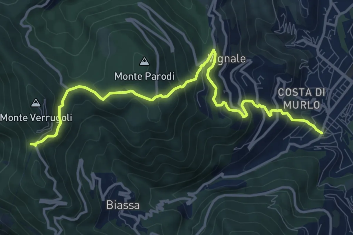
Demanding · Trail
Pegazzano – Bivio Bramapane
10.3 km · ↑ 802 m · 4 h 10 min · 9 km away
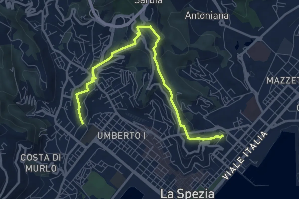
Medium · Trail
Giro delle Mura
7.8 km · ↑ 325 m · 2 h 33 min · 9 km away
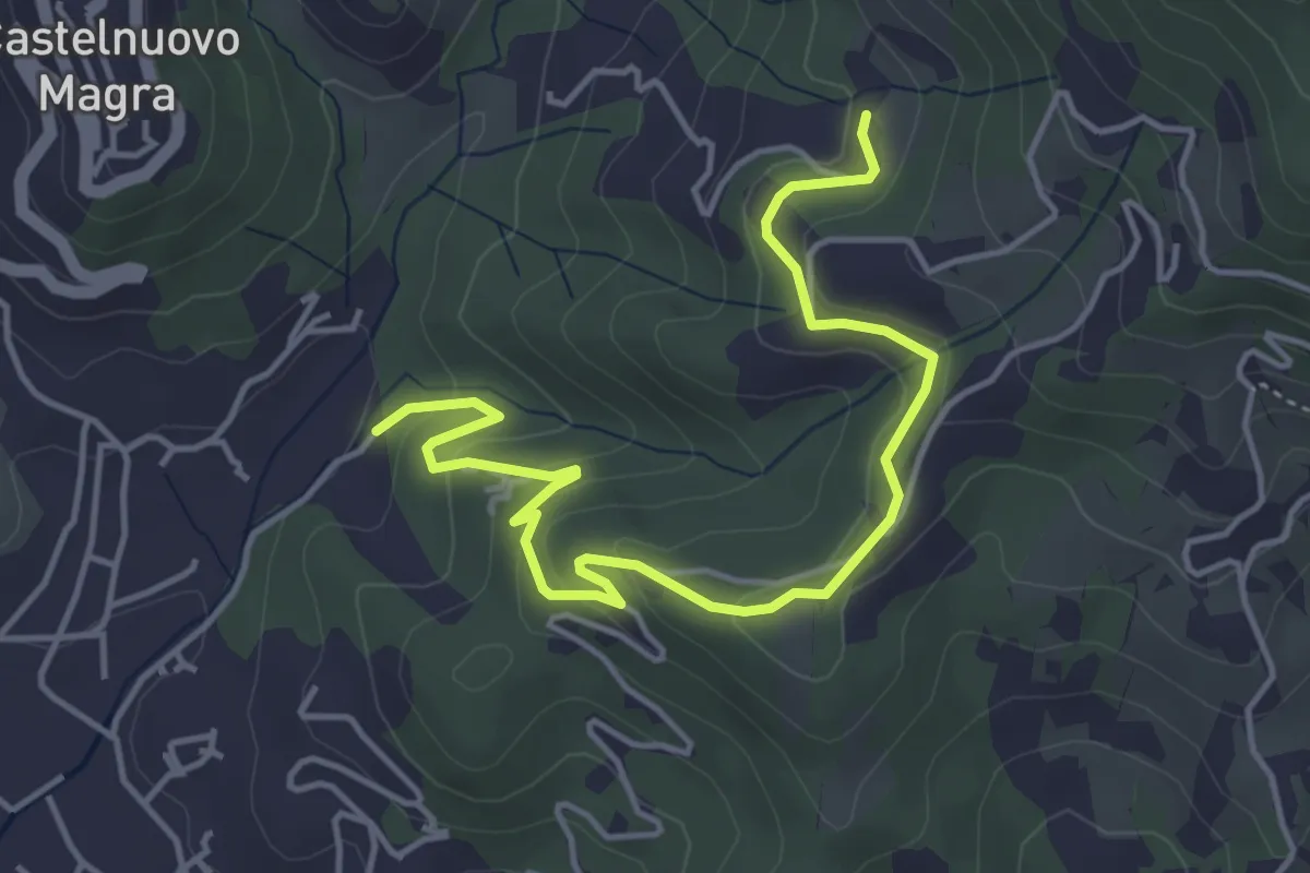
Easy · Trail
Bivio Molino Dogliotti - Marciano
5.4 km · ↑ 211 m · 1 h 44 min · 9 km away
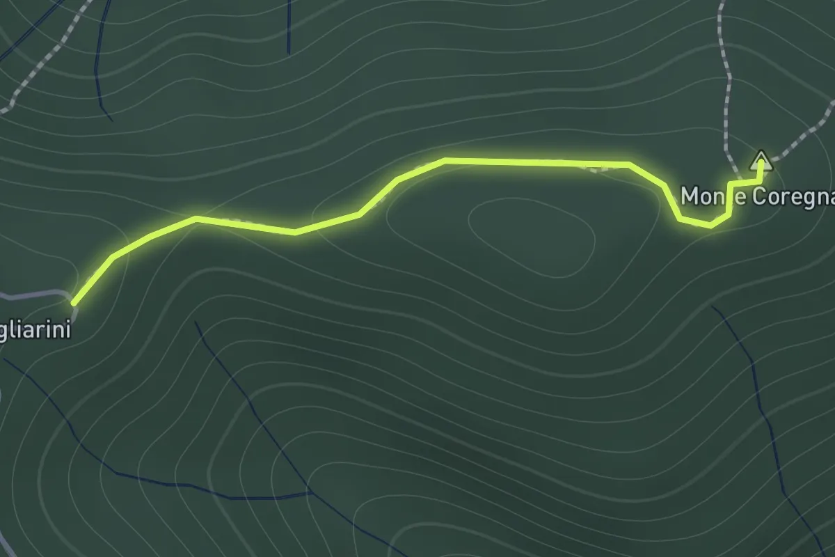
Expert · Summit
Coregna -P.ta Coregna – Sella Scogliarini
1.3 km · ↑ 49 m · 25 min · 9 km away
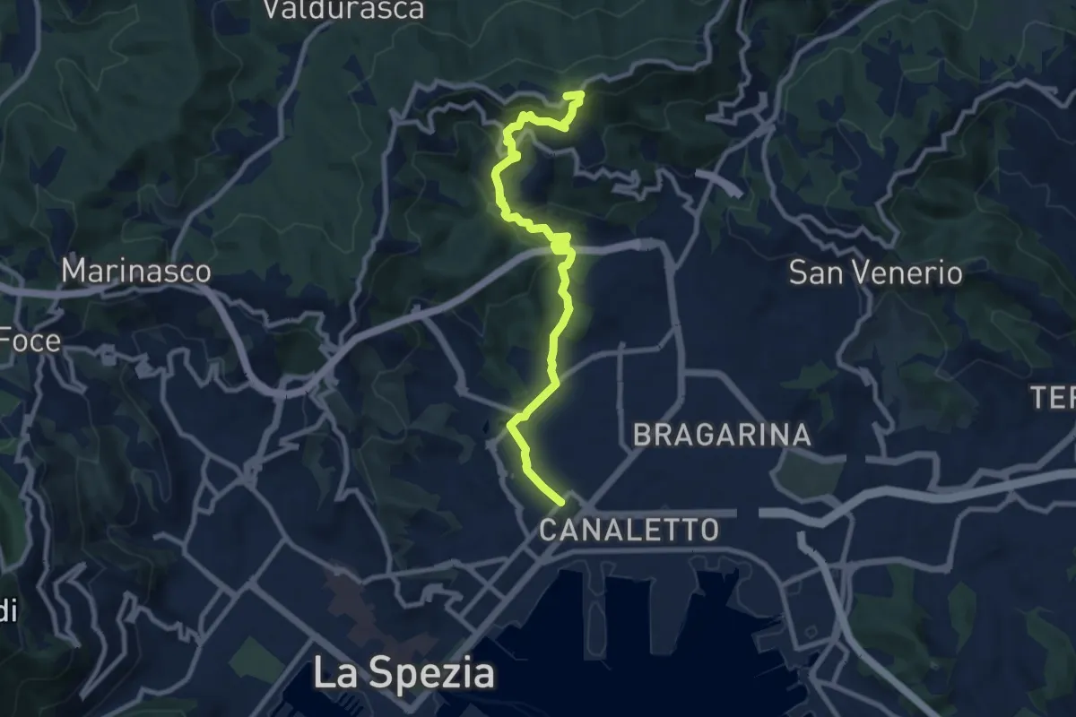
Medium · Trail
Via Veneto – Vailunga – Toracca – Isola – Montalbano
9.6 km · ↑ 452 m · 3 h 14 min · 9 km away
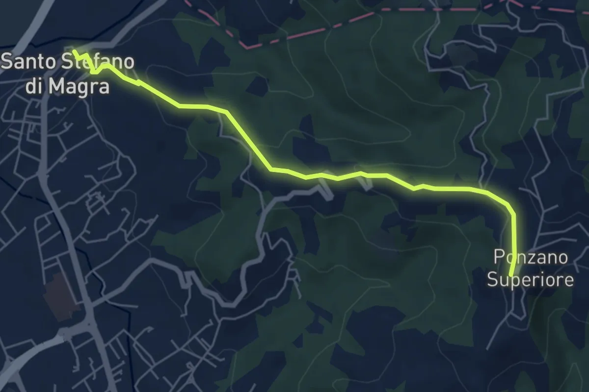
Easy · Trail
Santo Stefano di Magra – Ponzano Superiore
5.5 km · ↑ 219 m · 1 h 47 min · 10 km away
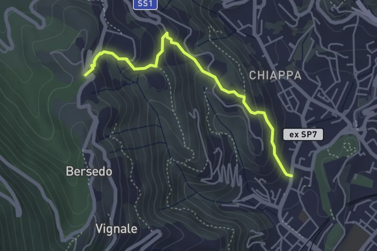
Easy · Trail
Rebocco – Sant'Anna
4.1 km · ↑ 270 m · 1 h 34 min · 10 km away
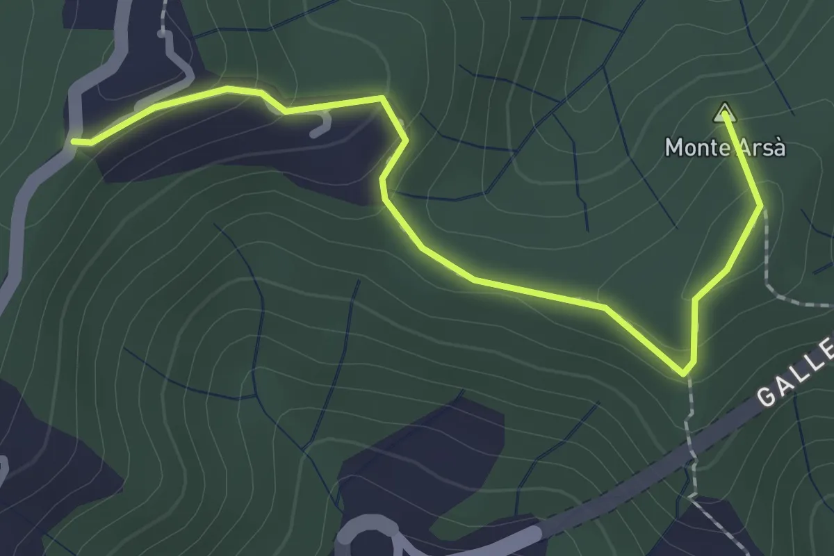
Easy · Summit
Montepertico – M. Arsà – La Moggia – innesto AVG
2.4 km · ↑ 122 m · 49 min · 10 km away
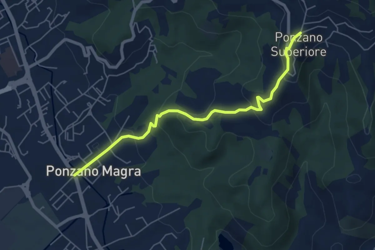
Easy · Trail
Ponzano Madonnetta – Ponzano Superiore
5.2 km · ↑ 255 m · 1 h 47 min · 10 km away
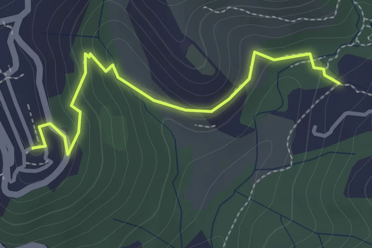
Easy · Trail
Sentiero 301 – Sentiero 302
2.6 km · ↑ 109 m · 50 min · 10 km away
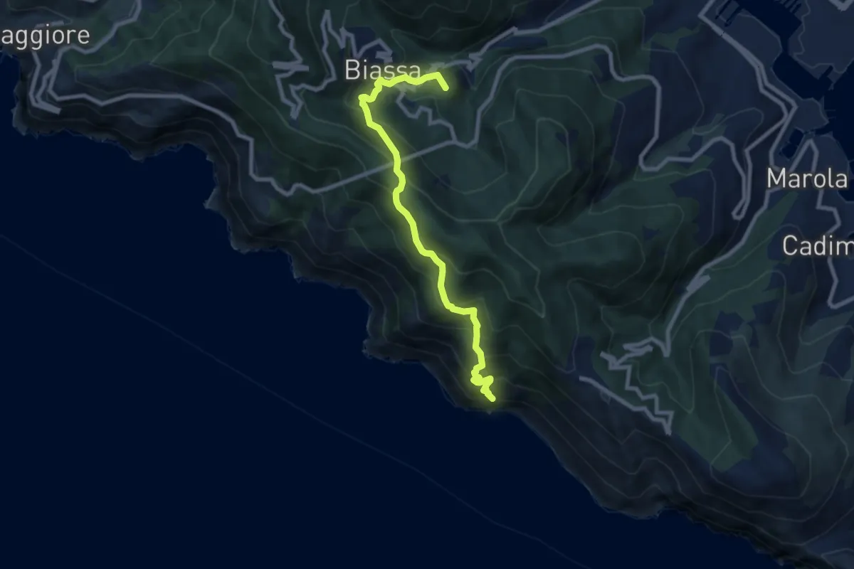
Medium · Summit
Pegazzano – Biassa – S.Antonio – Schiara
8.4 km · ↑ 746 m · 3 h 36 min · 10 km away
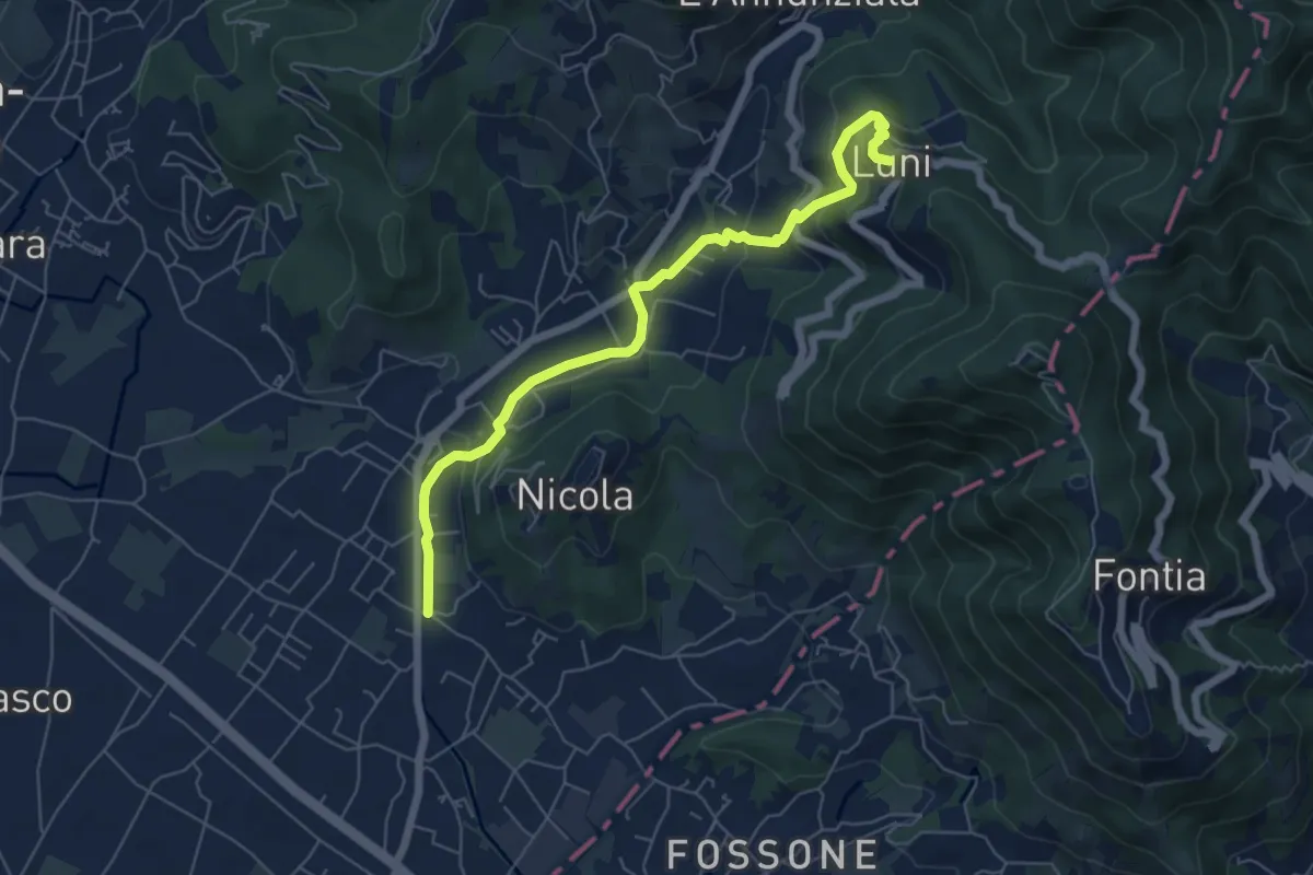
Easy · Trail
Isola - Lungo Parmignola - Ortonovo
6.6 km · ↑ 264 m · 2 h 8 min · 10 km away
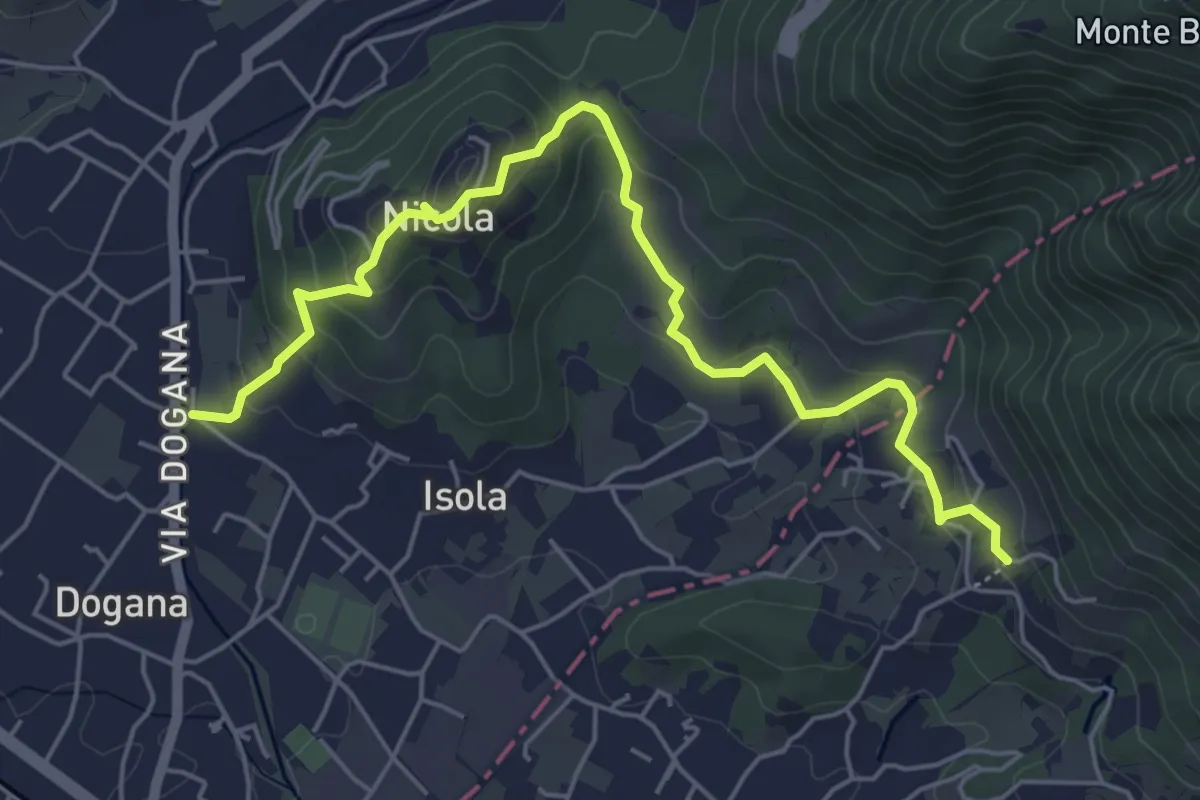
Easy · Trail
Isola – Fossola
6.3 km · ↑ 287 m · 2 h 6 min · 10 km away
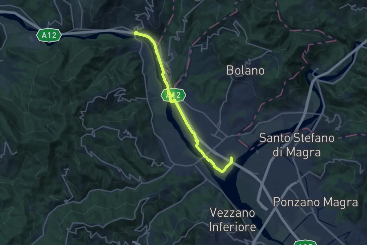
Medium · Trail
Ceparana – Piano di Madrignano
14.0 km · ↑ 32 m · 3 h 22 min · 10 km away
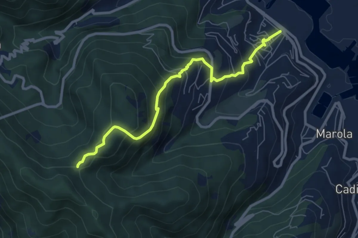
Expert · Trail
Fabiano – Mad.na dell'Olmo – Cà Pilloa – Sella Gesuela
6.6 km · ↑ 553 m · 2 h 46 min · 10 km away
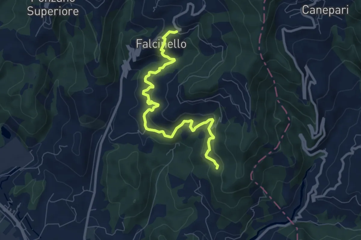
Medium · Trail
Falcinello – Percorso 325
8.0 km · ↑ 492 m · 2 h 57 min · 10 km away
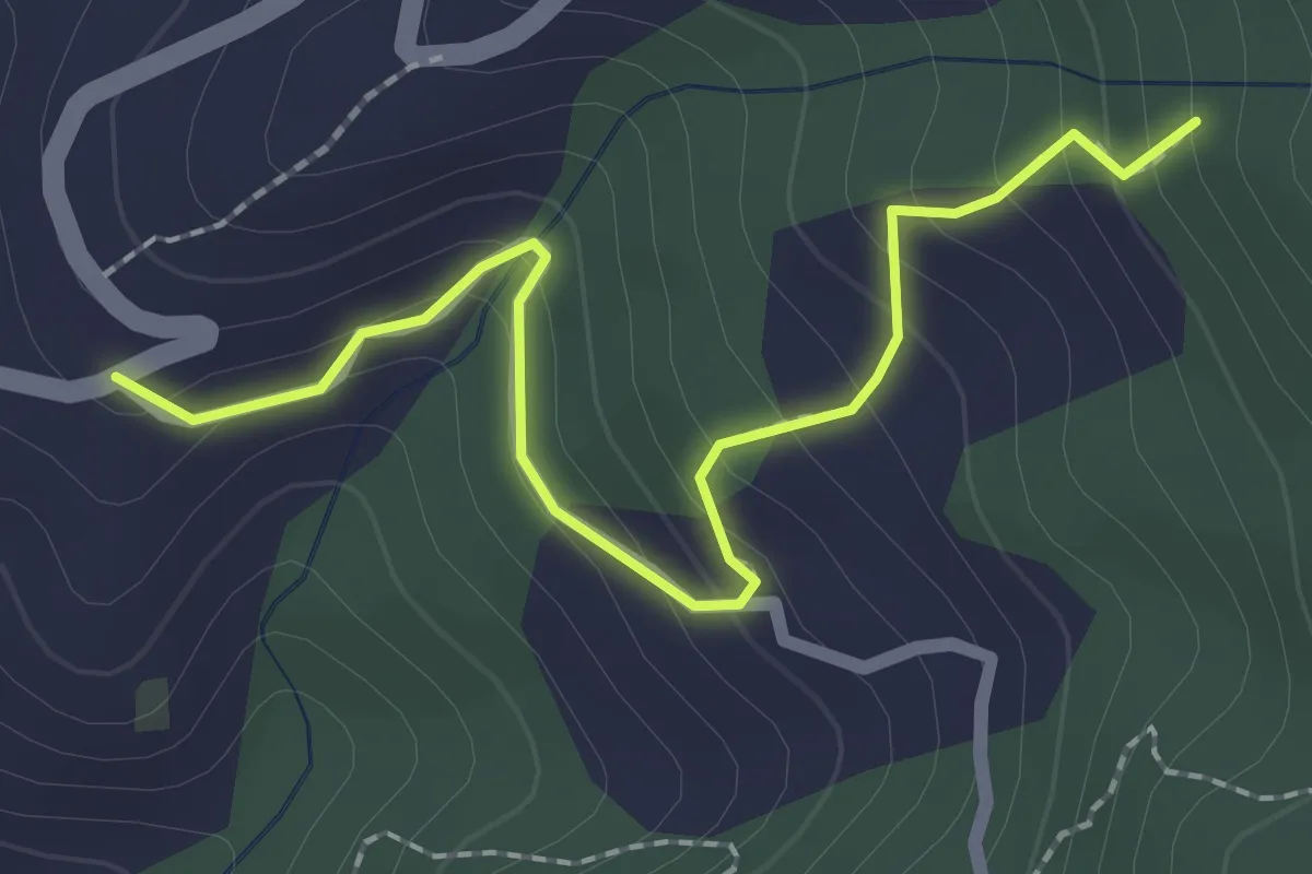
Easy · Trail
Località Falcinello (Percorso 322) – Percorso 327
2.4 km · ↑ 195 m · 1 h · 10 km away
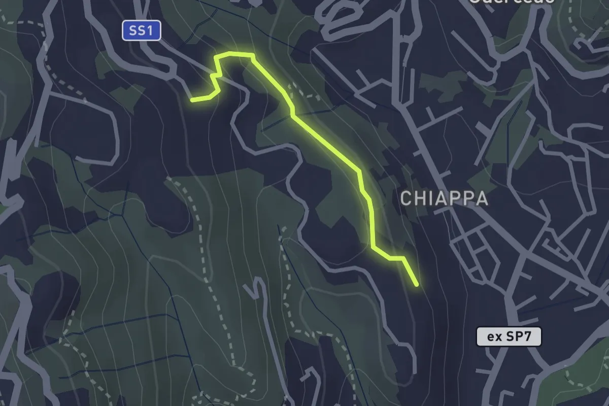
Easy · Trail
Maggiano – Bocca Lupara
2.1 km · ↑ 122 m · 46 min · 10 km away
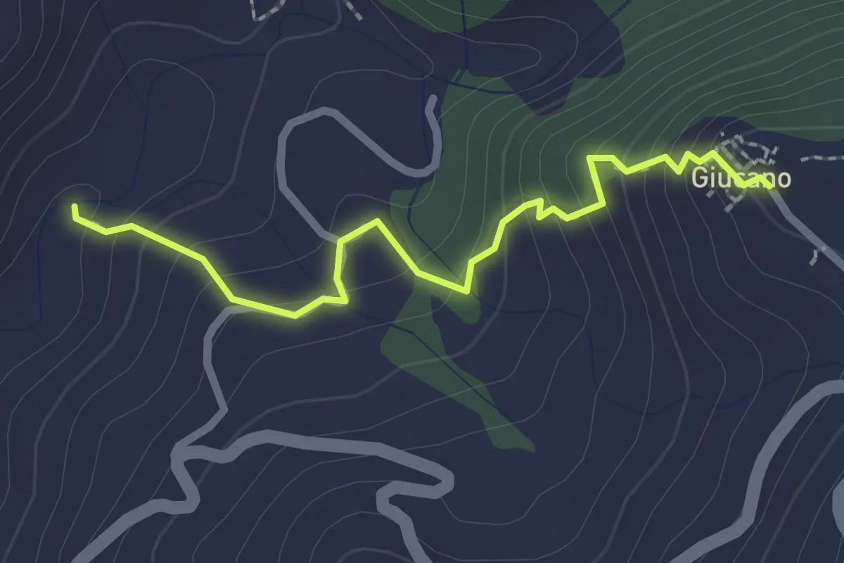
Easy · Trail
Percorso 288 – Giucano
2.4 km · ↑ 191 m · 58 min · 10 km away
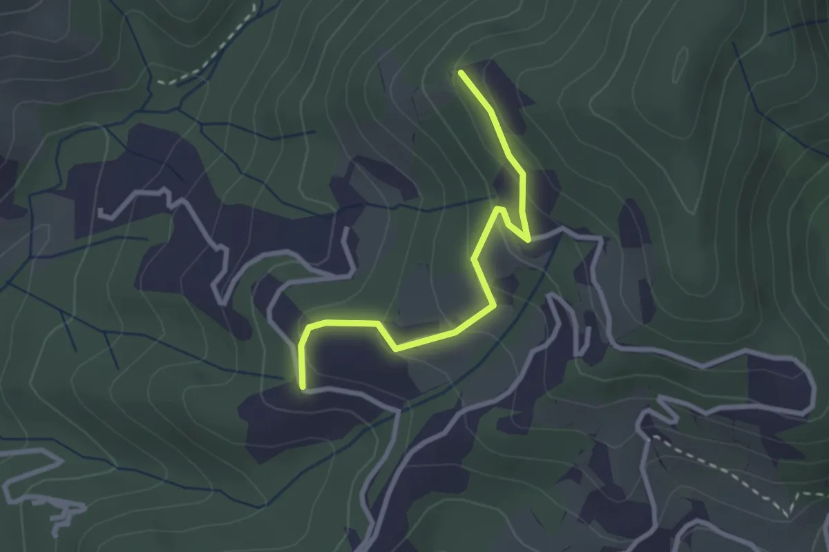
Easy · Trail
Santa Rosa (Percorso 308) – Orbagnano di Sopra
2.5 km · ↑ 130 m · 52 min · 10 km away
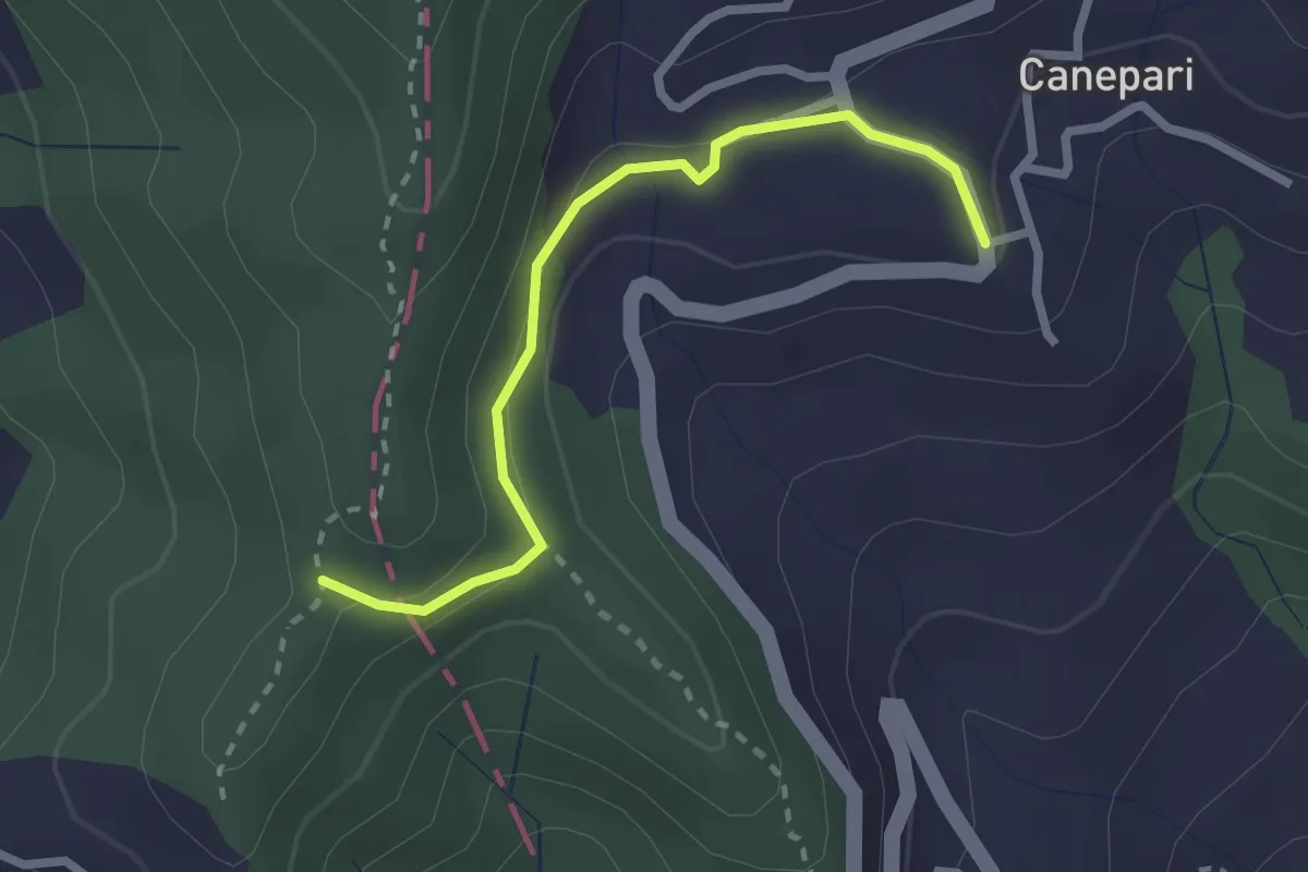
Easy · Trail
Canepari (Percorso 288) – Percorso 325
2.5 km · ↑ 90 m · 47 min · 10 km away
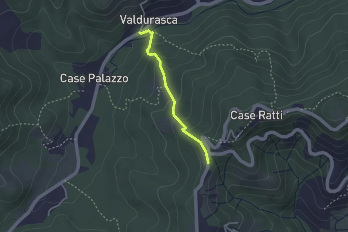
Easy · Trail
Durasca – Campasso – Serrolungo – innesto AVG
2.2 km · ↑ 128 m · 48 min · 10 km away
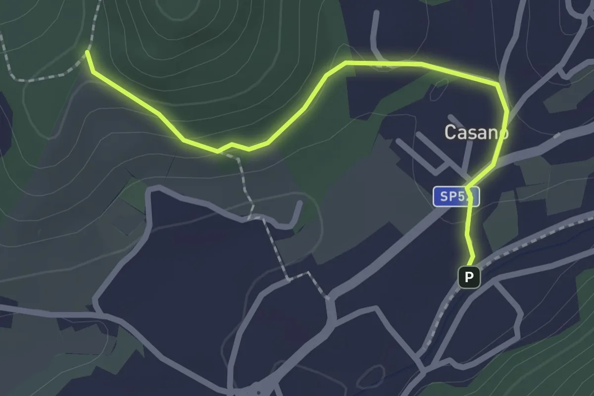
Easy · Trail
Serravalle – Monte dei Frati
2.2 km · ↑ 63 m · 40 min · 10 km away
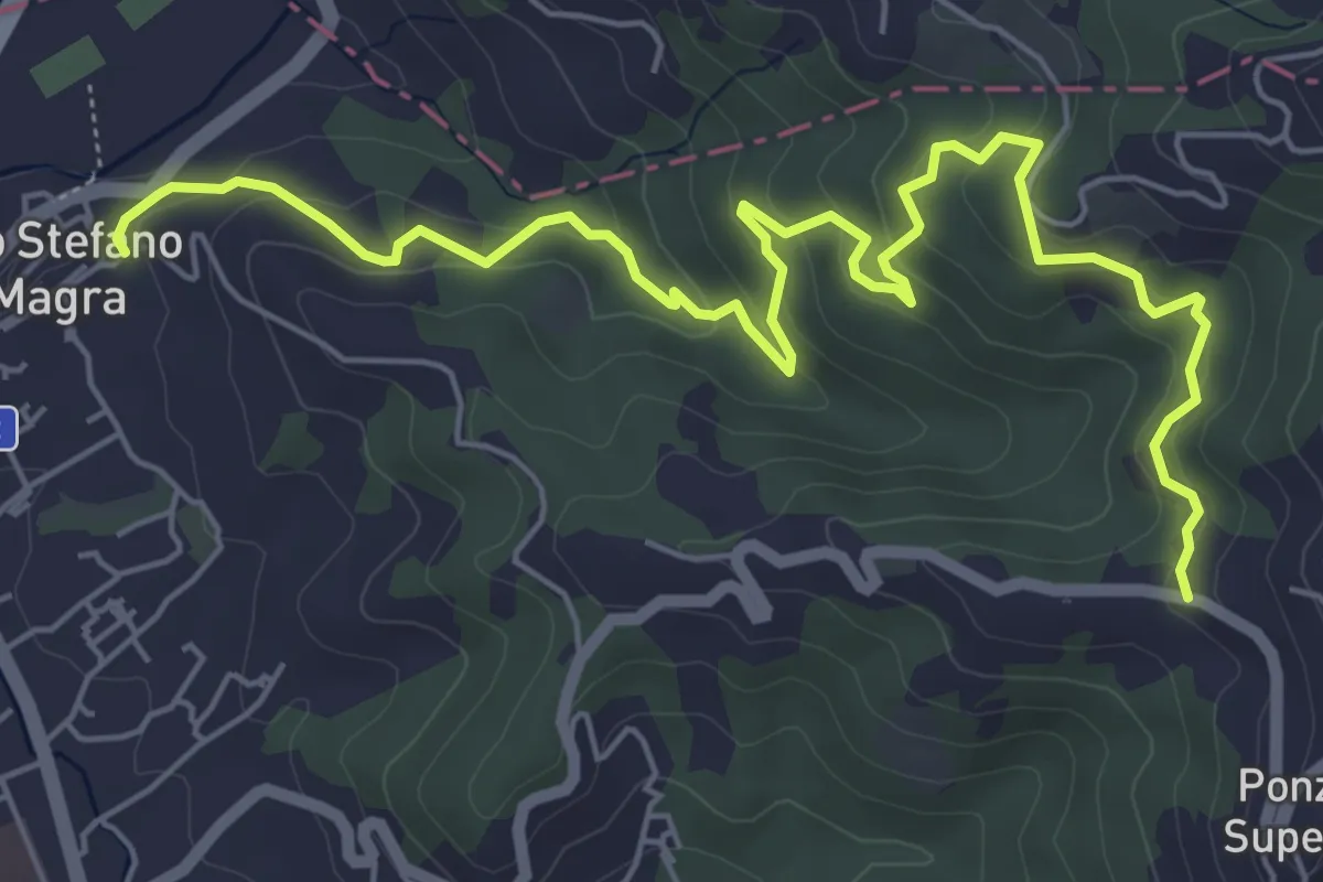
Medium · Trail
Santo Stefano di Magra – C. Volpara – C. Piazza
7.9 km · ↑ 378 m · 2 h 42 min · 10 km away
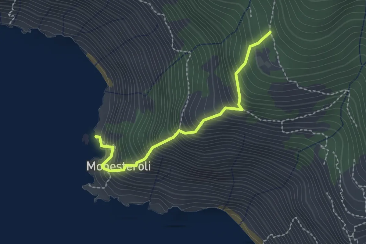
Medium · Trail
Scalinata Monesteroli
2.1 km · ↑ 434 m · 1 h 27 min · 10 km away