Trails near Lerici
183 hikes starting within 15 km, nearest first.
Nearest first, page 3 of 4
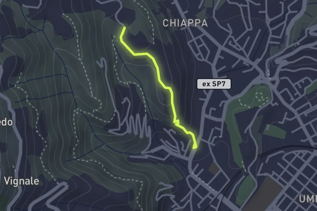
Easy · Trail
Rebocco – Torracca Inferiore
2.0 km · ↑ 99 m · 41 min · 10 km away
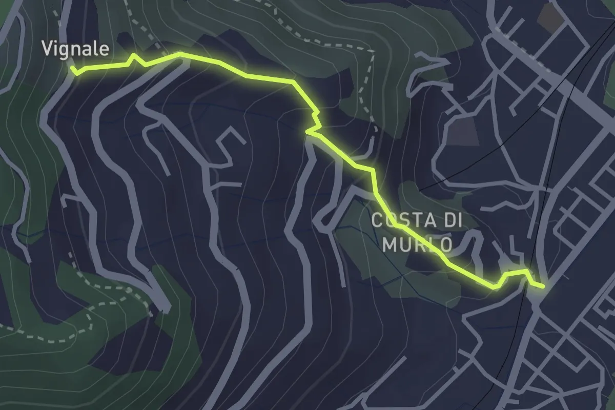
Easy · Trail
Pegazzano – Scalinata Costellino – Vignale
2.9 km · ↑ 284 m · 1 h 19 min · 10 km away
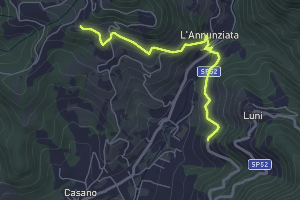
Easy · Trail
Santa Maria – Noceto
4.7 km · ↑ 307 m · 1 h 46 min · 10 km away
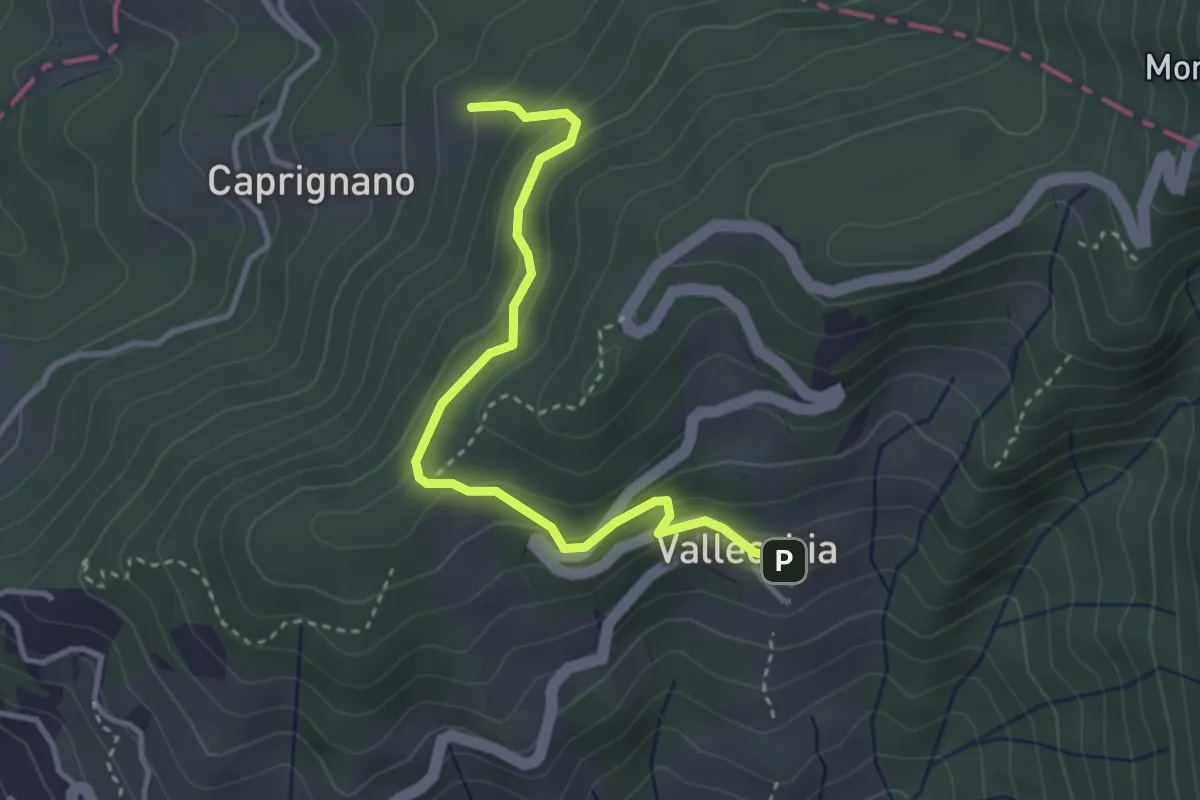
Easy · Trail
Vallecchia – M. Doglio - Il Tofo
3.5 km · ↑ 180 m · 1 h 14 min · 11 km away
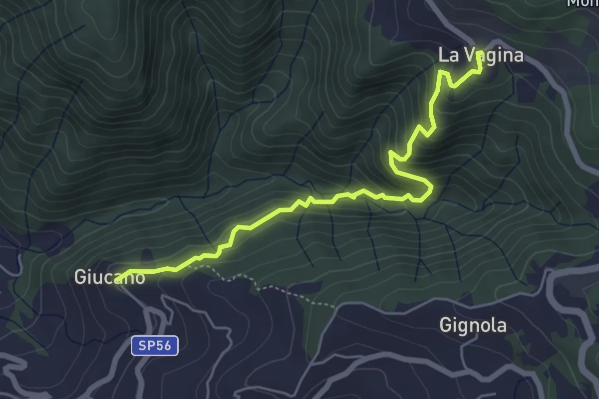
Medium · Trail
Giucano – Località La Vagina
5.1 km · ↑ 404 m · 2 h 5 min · 11 km away
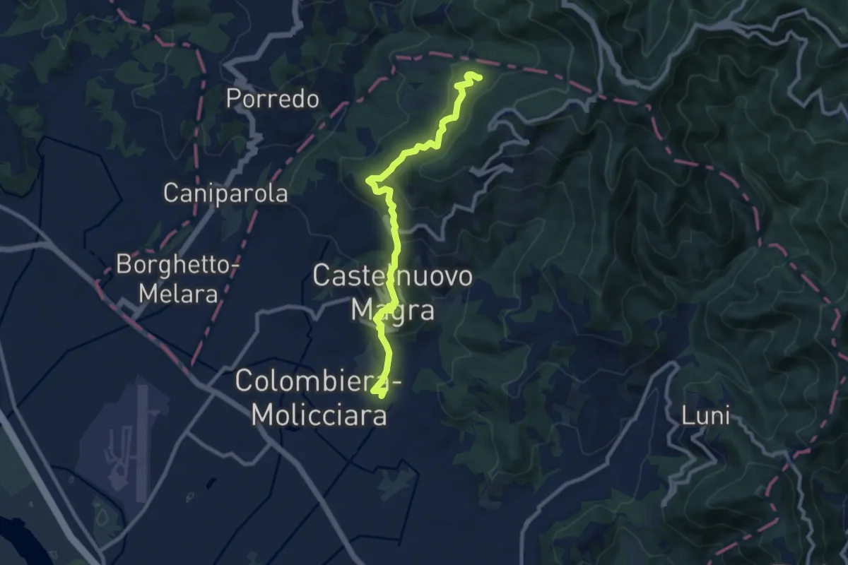
Medium · Trail
M.no del Piano - Castelnuovo Magra - Casala
9.1 km · ↑ 572 m · 3 h 23 min · 11 km away
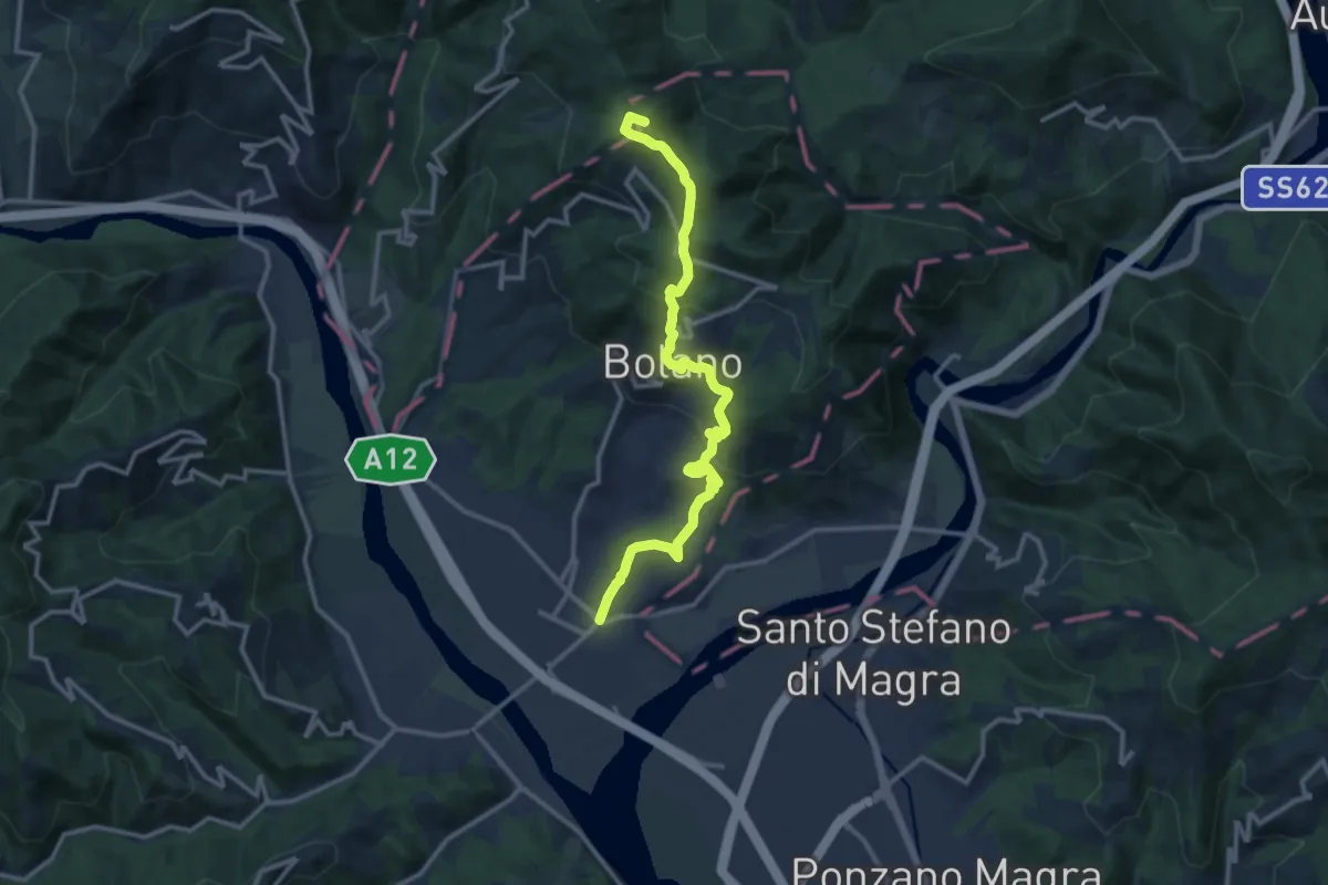
Medium · Summit
Valico dei Solini – Ceparana
13.9 km · ↑ 765 m · 4 h 56 min · 11 km away
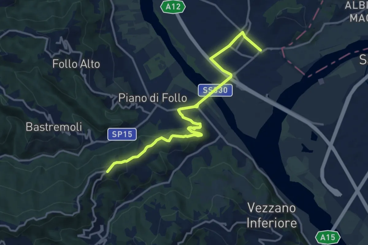
Medium · Trail
Collegamento AVG-AVML
11.7 km · ↑ 286 m · 3 h 22 min · 11 km away
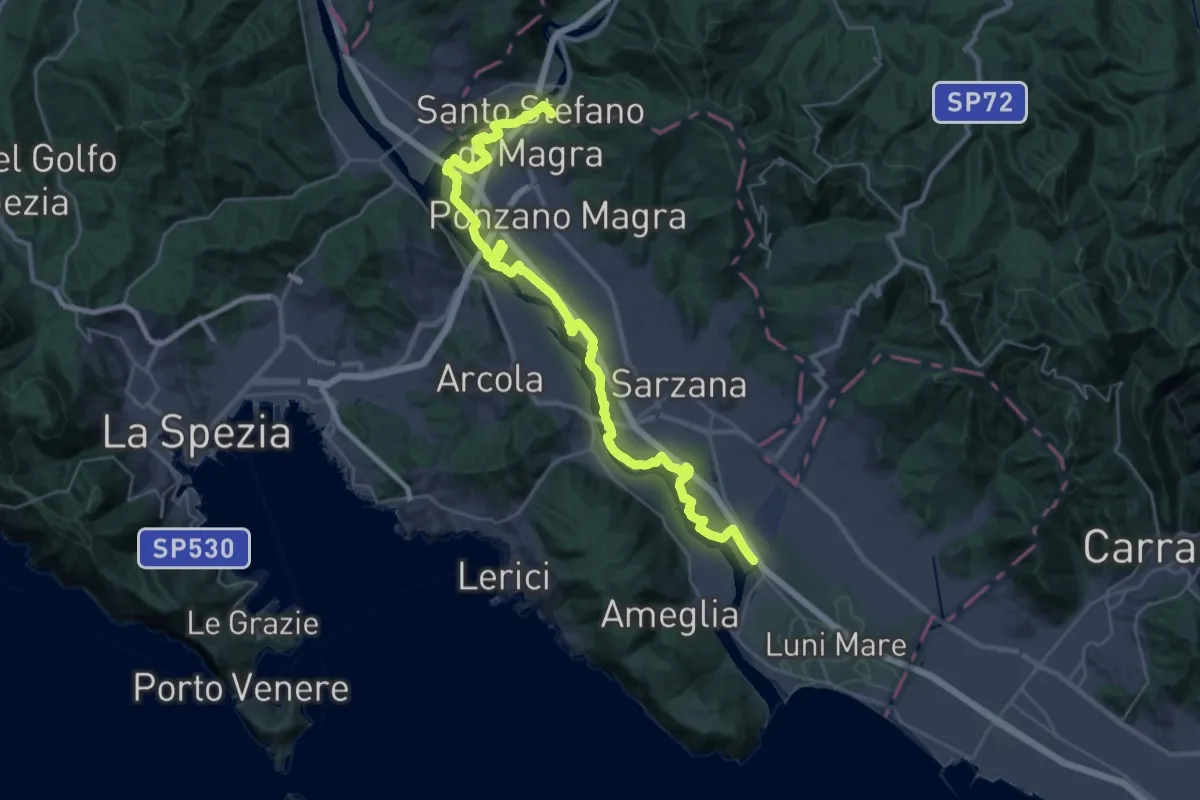
Demanding · Trail
Sarzana (Marina 3B) – Santo Stefano di Magra
20.2 km · ↑ 9 m · 5 h 5 min · 11 km away
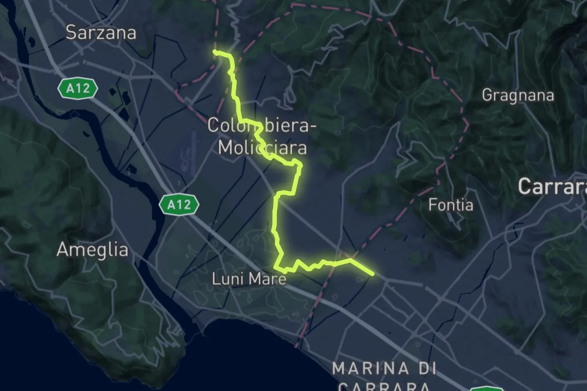
Medium · Pilgrim path
Via Francigena - 06 Toscana
10.5 km · ↑ 63 m · 2 h 44 min · 11 km away
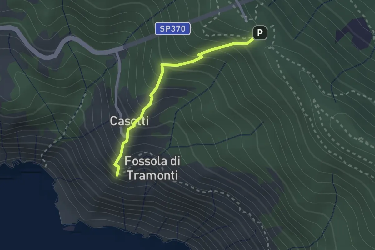
Easy · Trail
Sant'Antonio – Fossola
2.0 km · ↑ 315 m · 1 h 9 min · 11 km away
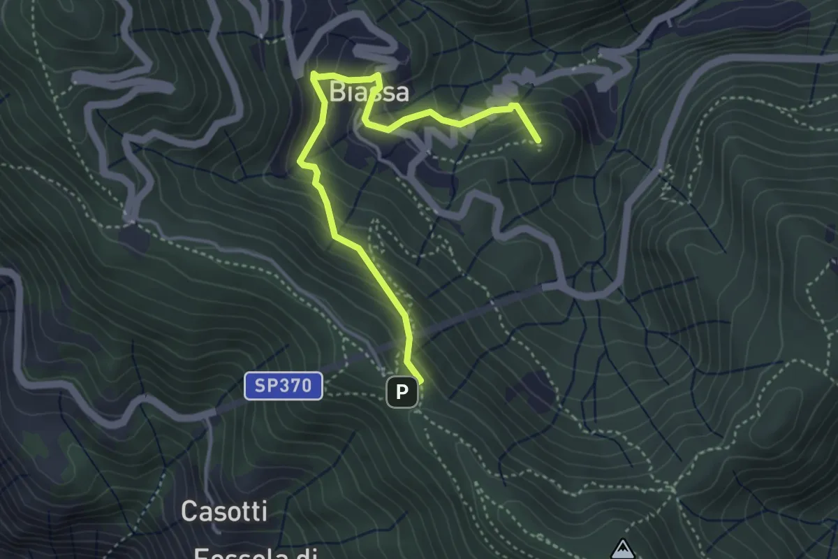
Medium · Summit
Sentiero Liguria - Tappa 3 - variante
4.3 km · ↑ 332 m · 1 h 44 min · 11 km away
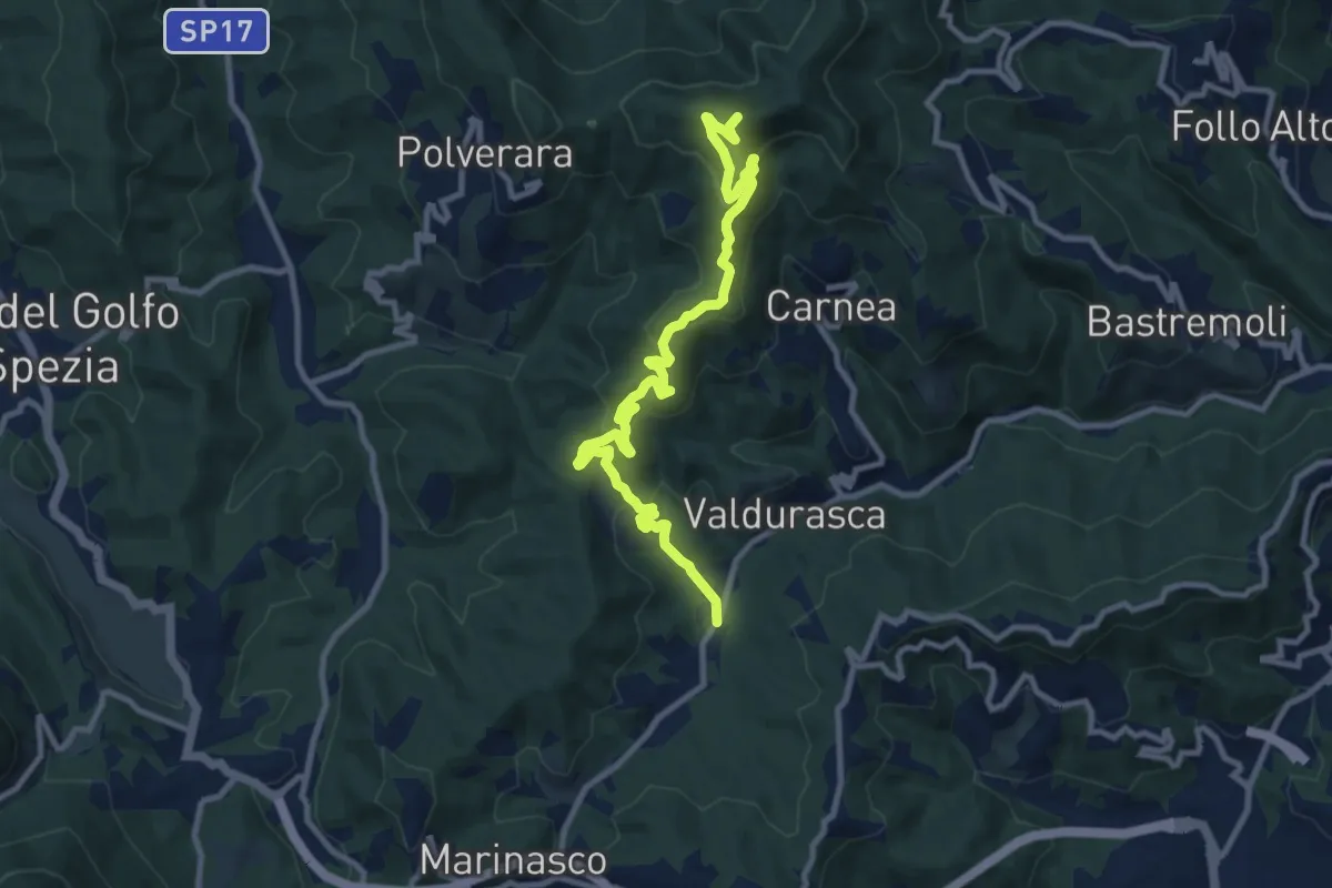
Medium · Summit
Case Palazzo – Passo di Ri – La Gretta – Monte Croce
11.8 km · ↑ 620 m · 4 h 8 min · 11 km away
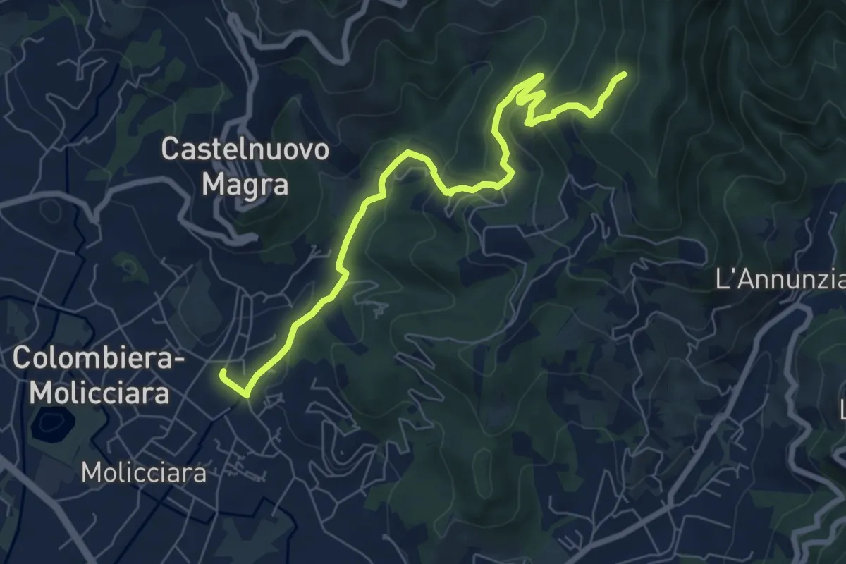
Medium · Trail
Molino del Piano – Vallecchia
7.9 km · ↑ 388 m · 2 h 43 min · 11 km away
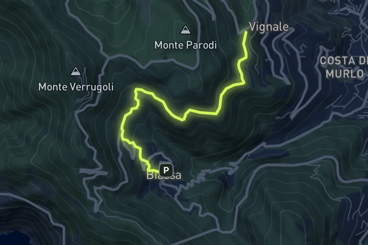
Medium · Trail
Bersedo – Biassa
7.0 km · ↑ 398 m · 2 h 30 min · 11 km away
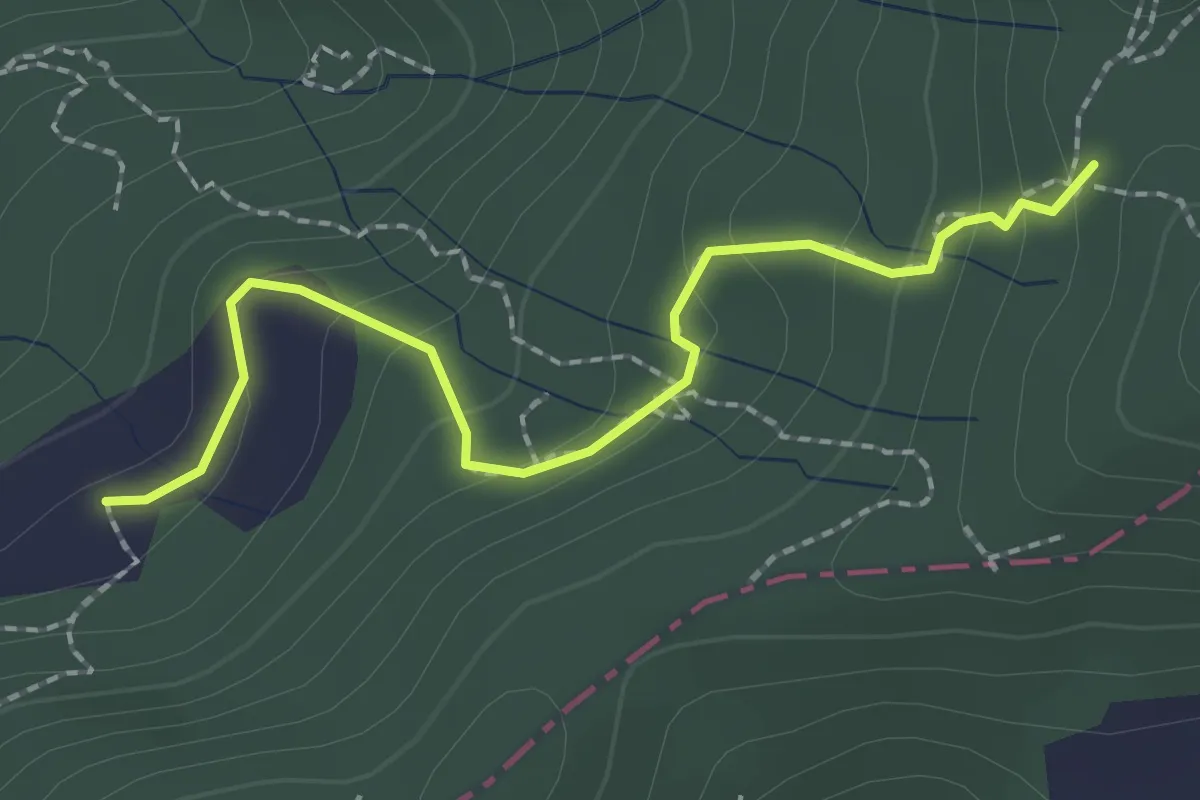
Easy · Trail
S2/bis Sentiero La bronzina - Quattro strade
2.2 km · ↑ 131 m · 49 min · 11 km away
Easy · Trail
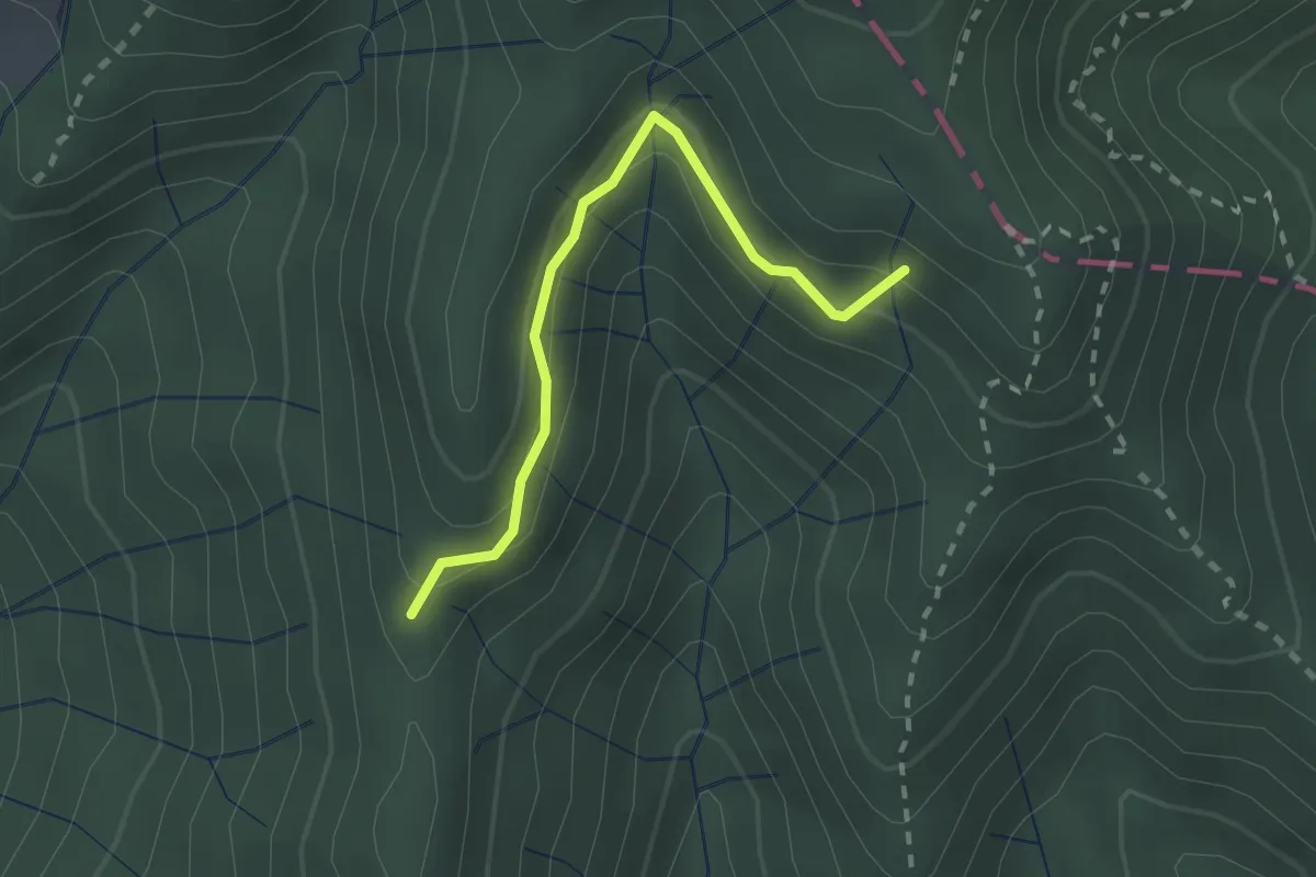
Percorso 373 – Percorso 304
2.2 km · ↑ 131 m · 48 min · 11 km away
Medium · Summit
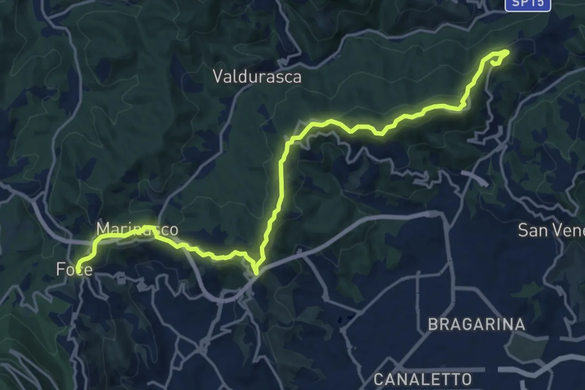
Alta Via del Golfo: Il Termo - La Foce
17.1 km · ↑ 574 m · 5 h 16 min · 11 km away
Easy · Trail
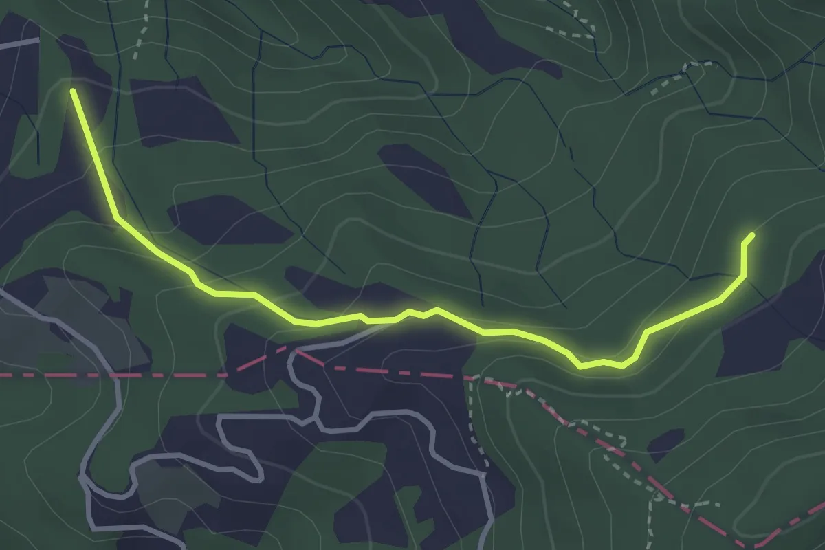
Caprigliola – Ar D 'ndre
3.4 km · ↑ 191 m · 1 h 13 min · 11 km away
Easy · Trail
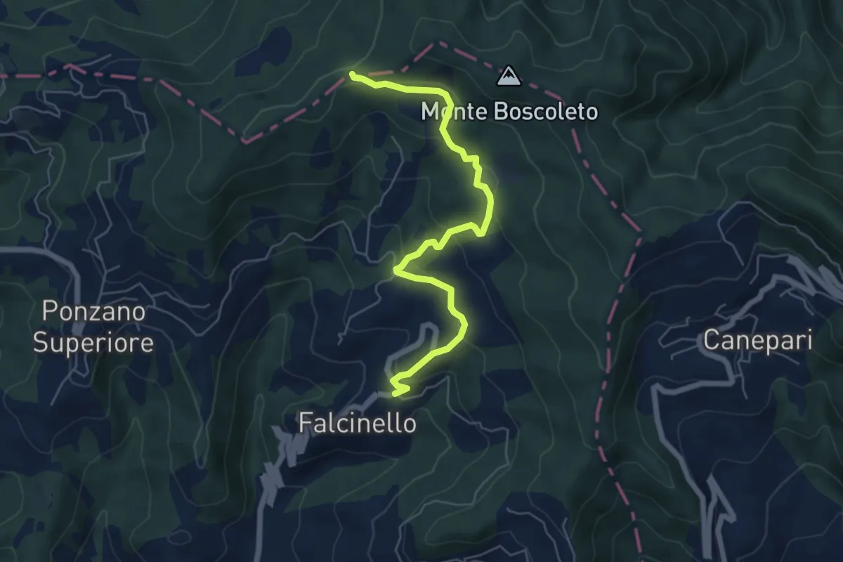
Falcinello – Via Francigena
6.0 km · ↑ 258 m · 1 h 59 min · 11 km away
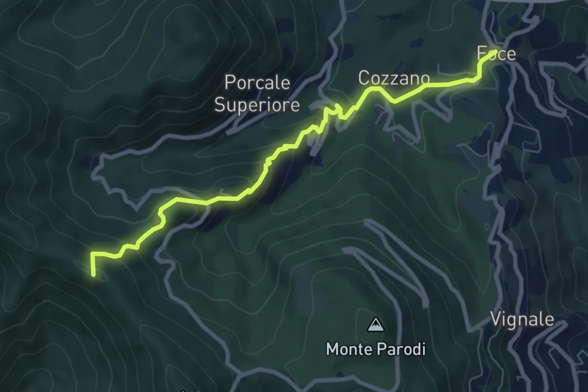
Medium · Summit
Sentiero 501 - Riomaggiore – Sella La Croce – Carpena – La Foce
7.1 km · ↑ 457 m · 2 h 40 min · 11 km away
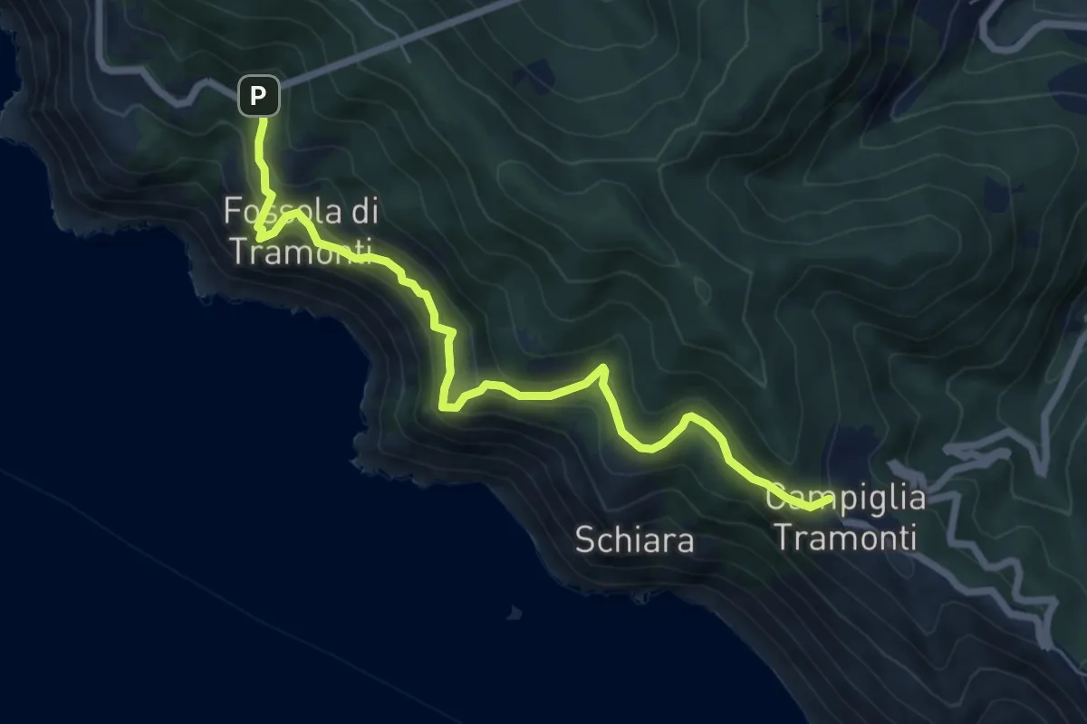
Medium · Trail
Campiglia - Fossola - S.P. 370 Litoranea
7.2 km · ↑ 626 m · 3 h 4 min · 11 km away
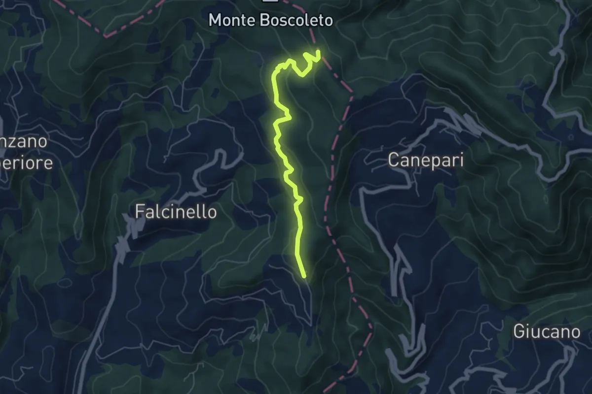
Easy · Trail
Percorso 325 – Percorso 290
5.3 km · ↑ 240 m · 1 h 47 min · 11 km away
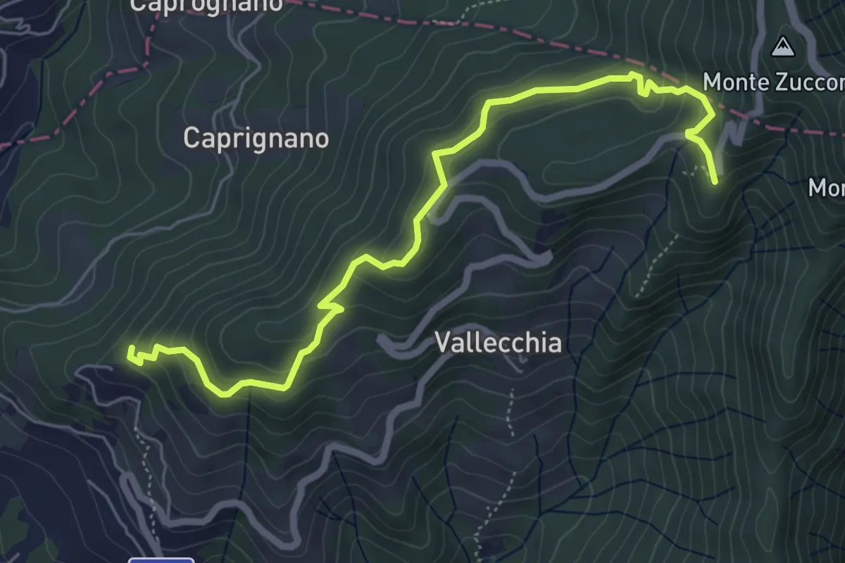
Medium · Trail
Monte Doglio – Case Bertella
6.4 km · ↑ 363 m · 2 h 18 min · 11 km away
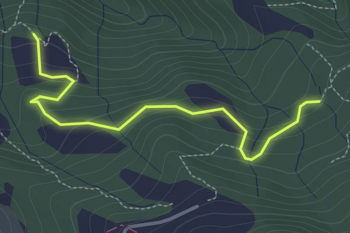
Easy · Trail
La Bastia – Castagni Grossi (bivio 231)
2.8 km · ↑ 159 m · 1 h · 11 km away
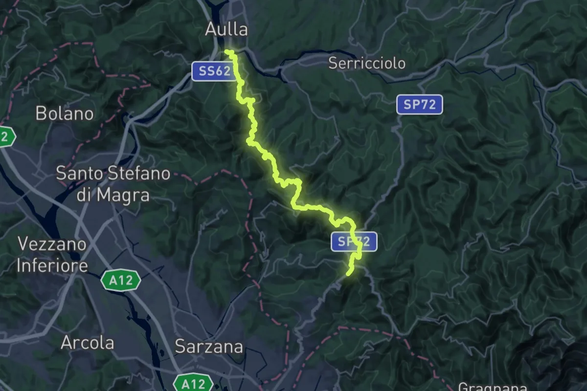
Demanding · Trail
Trekking Lunigiana 13
15.3 km · ↑ 597 m · 5 h 19 min · 11 km away
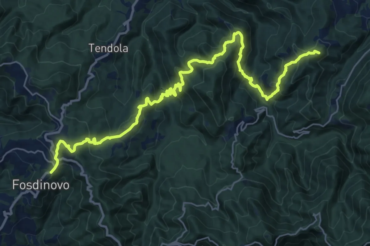
Demanding · Summit
Trekking Lunigiana 12
24.6 km · ↑ 1378 m · 8 h 48 min · 11 km away
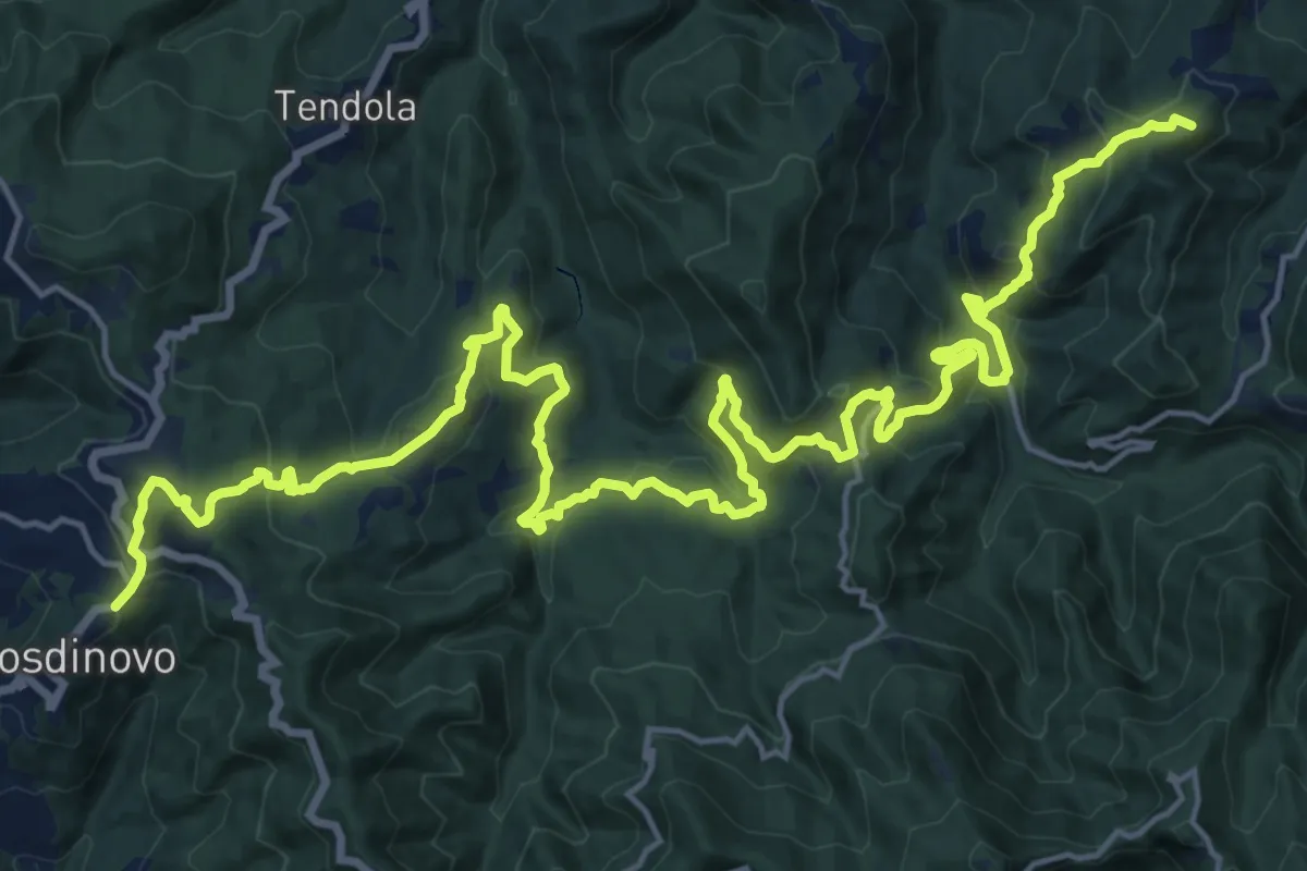
Demanding · Summit
Sentiero dei Ducati Tappa 11
28.7 km · ↑ 1420 m · 9 h 51 min · 11 km away
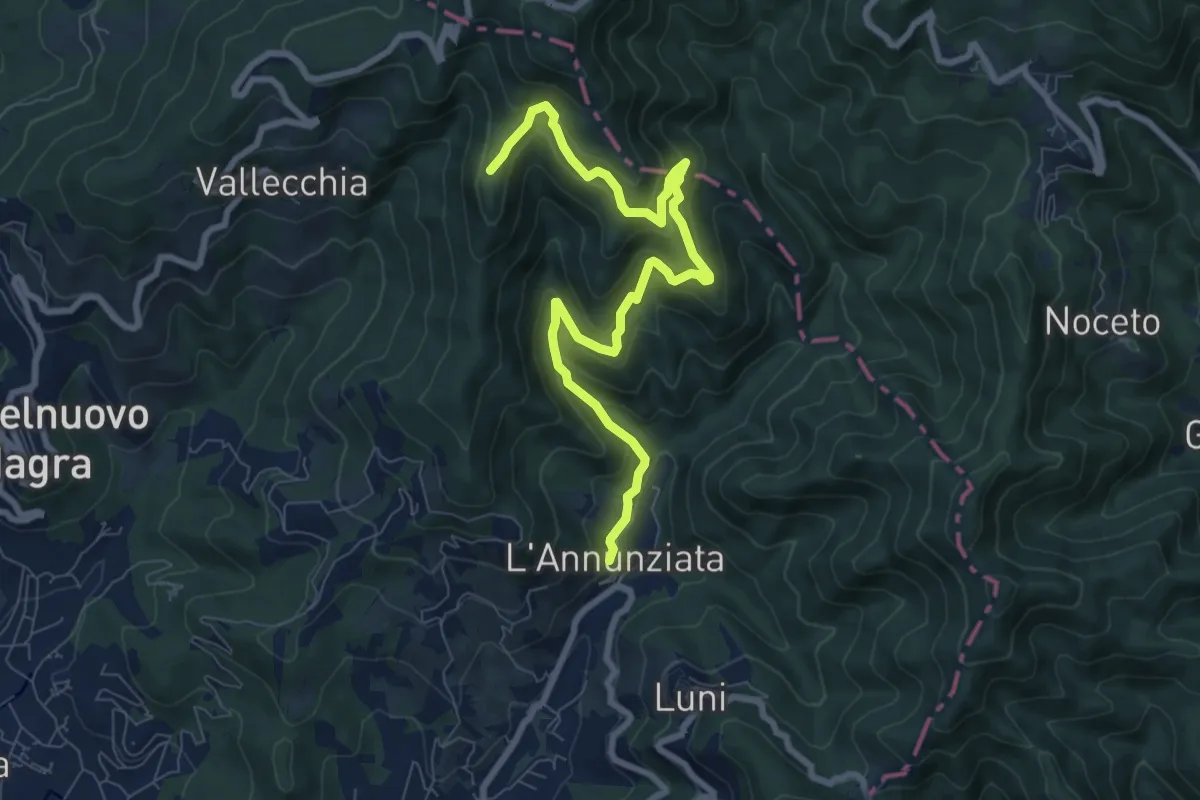
Medium · Trail
Percorso 364 - Località Annunziata – Percorso 304
9.3 km · ↑ 643 m · 3 h 36 min · 11 km away
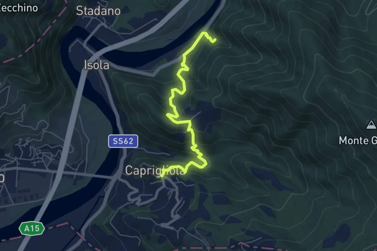
Demanding · Trail
S1 Caprigliola - Chiamici - Santuario Madonna del Ponte
6.1 km · ↑ 492 m · 2 h 30 min · 11 km away
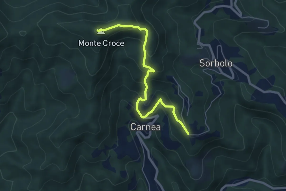
Demanding · Summit
Madonna dell’ Olivo – Carnea - Monte Croce
5.2 km · ↑ 410 m · 2 h 6 min · 11 km away
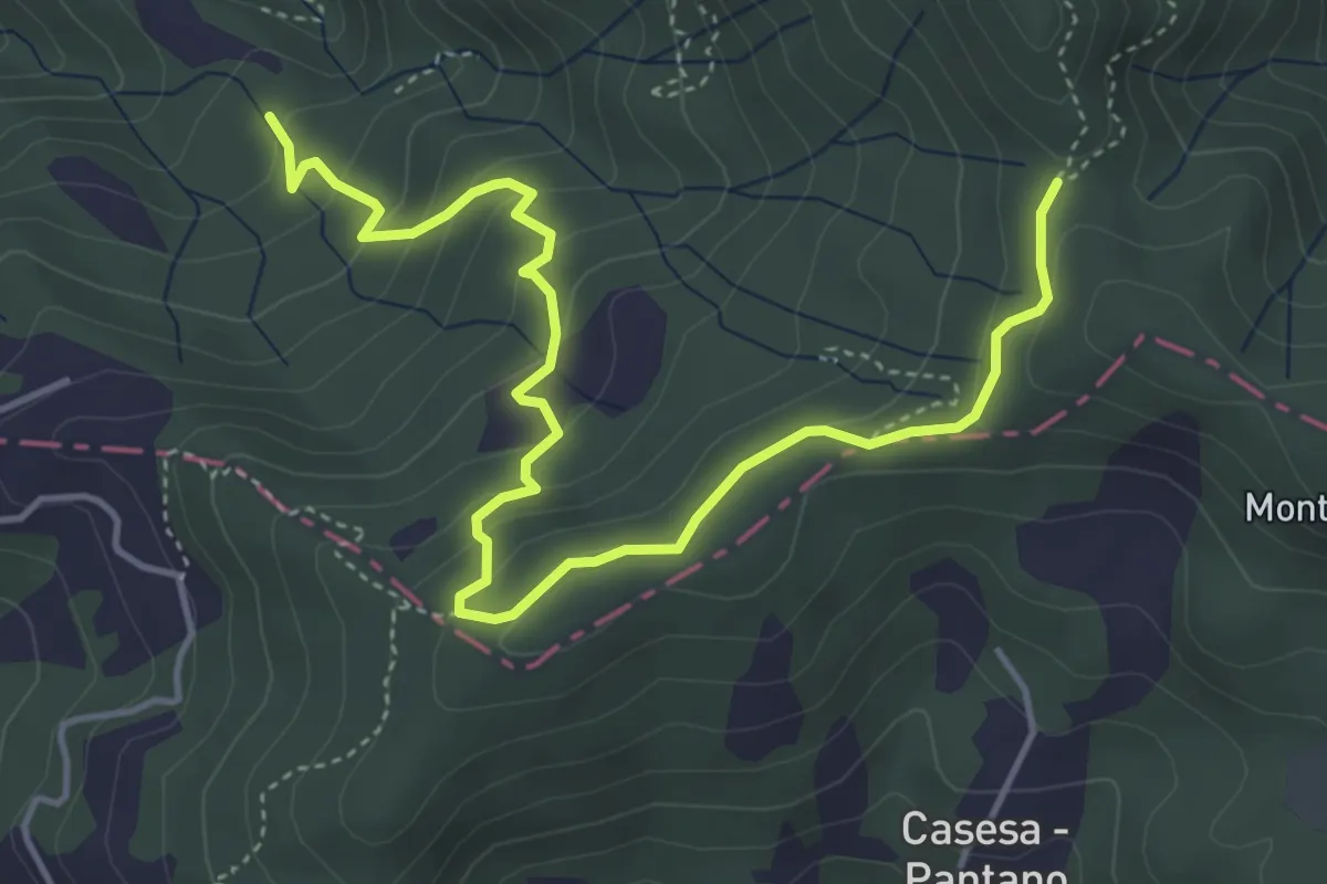
Easy · Trail
S2 Sentiero Valle dei Mulini- Quattro Strade
5.6 km · ↑ 305 m · 1 h 59 min · 11 km away
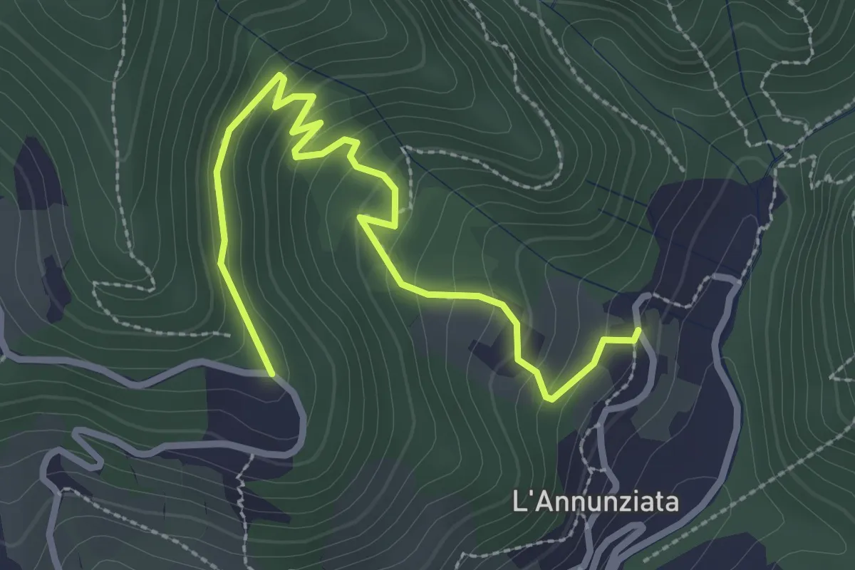
Easy · Trail
Percorso 373 – Percorso 304
3.2 km · ↑ 217 m · 1 h 14 min · 12 km away
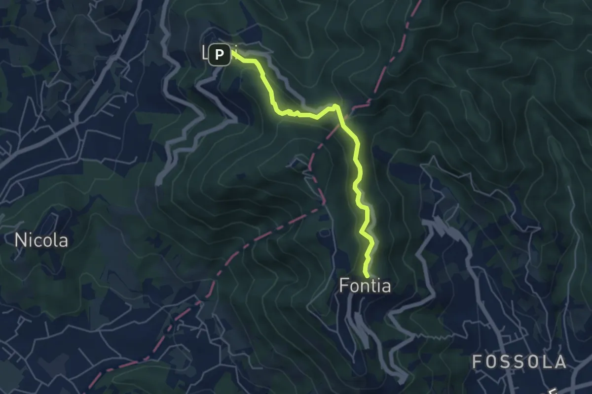
Easy · Trail
Ortonovo – Percorso 362
4.6 km · ↑ 238 m · 1 h 37 min · 12 km away
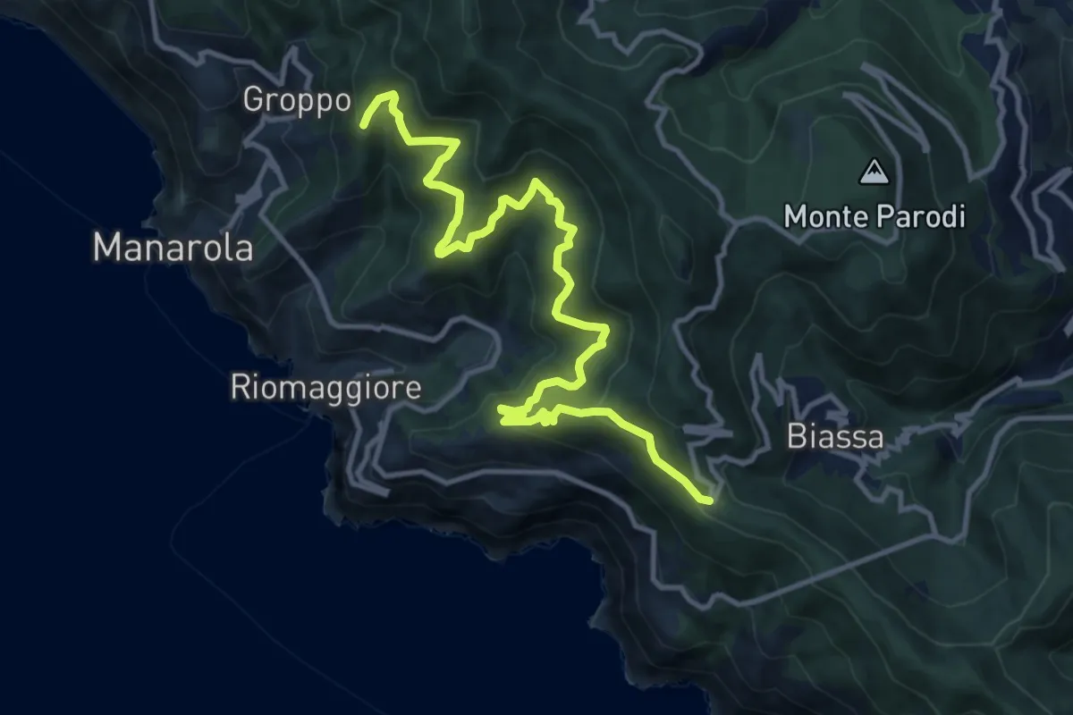
Demanding · Summit
Telegrafo – Volastra (Strada dei Santuari)
13.5 km · ↑ 1102 m · 5 h 34 min · 12 km away
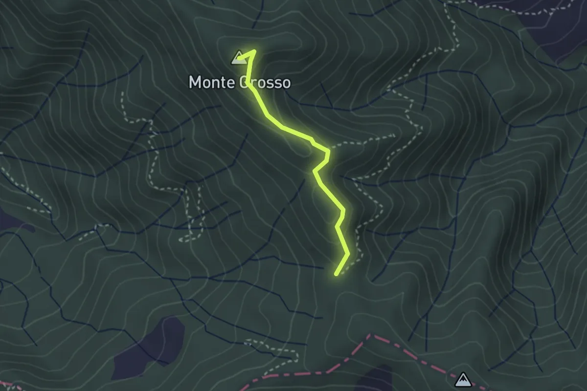
Easy · Summit
S5: Quattro Strade - Monte Grosso - La Tira
2.3 km · ↑ 113 m · 48 min · 12 km away
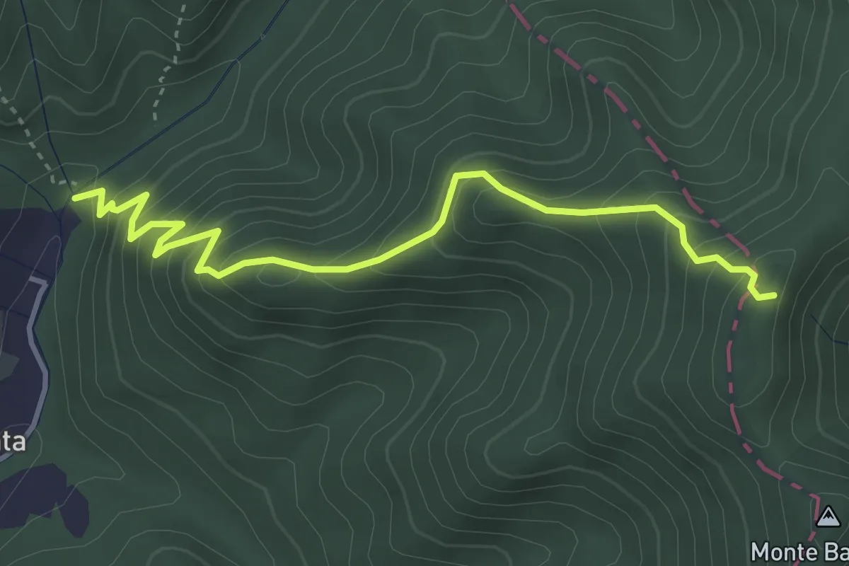
Medium · Trail
Molino del Lucco – Volpiglione
4.1 km · ↑ 419 m · 1 h 53 min · 12 km away
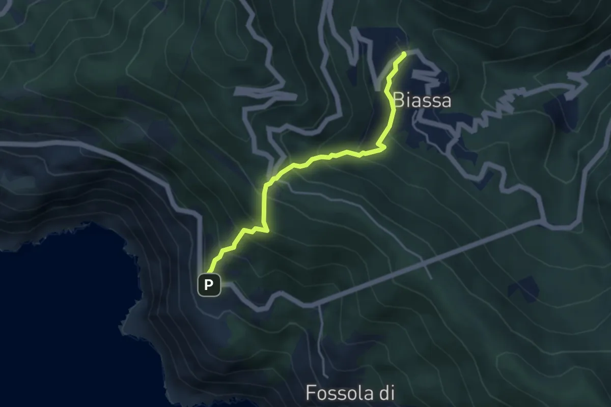
Medium · Trail
Biassa - Telegrafo – Campi - P.ta Pineda
3.8 km · ↑ 401 m · 1 h 46 min · 12 km away
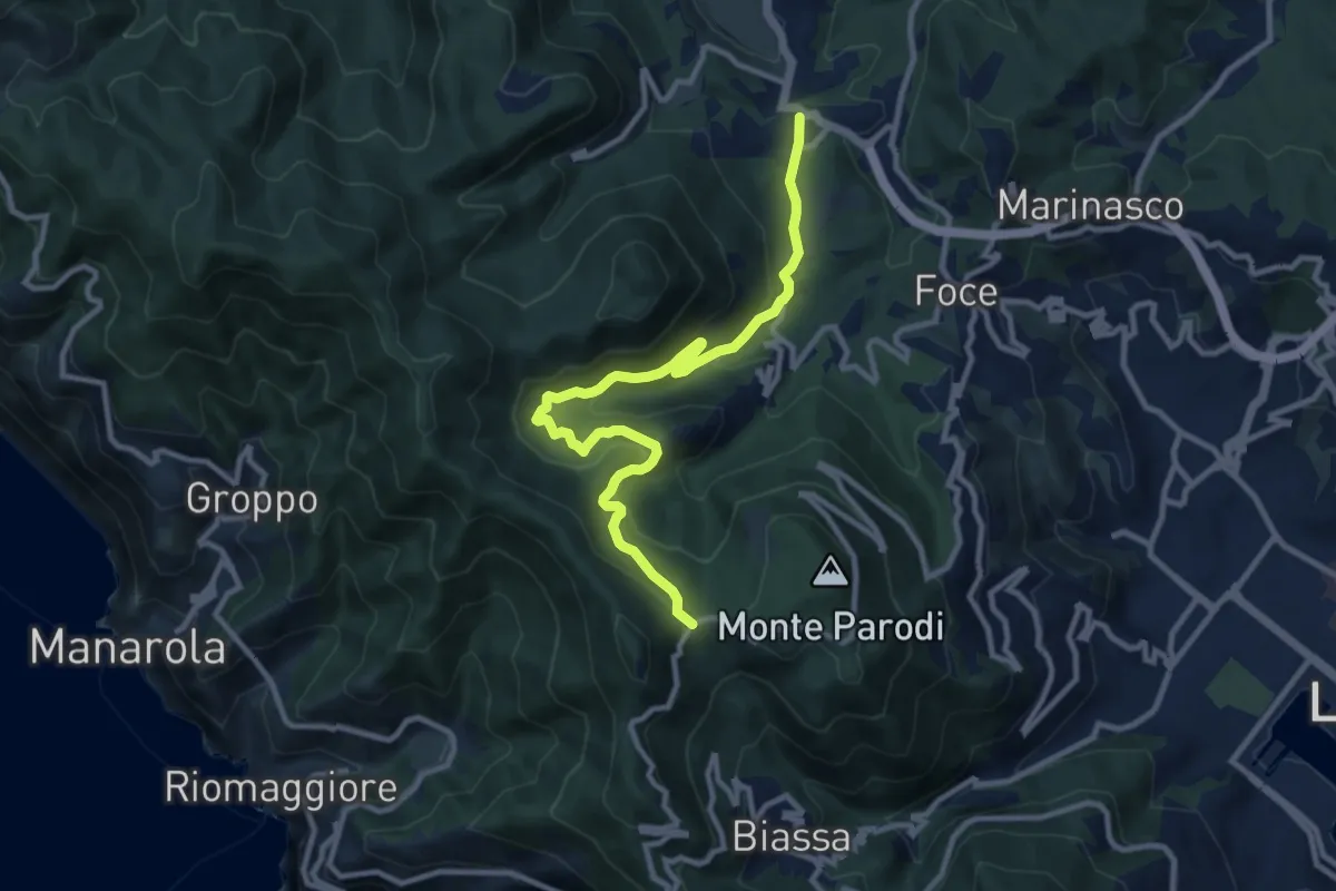
Medium · Trail
S.Benedetto – Porcale -Codeglia – Carpena – Sella di Carpena
11.4 km · ↑ 523 m · 3 h 50 min · 12 km away
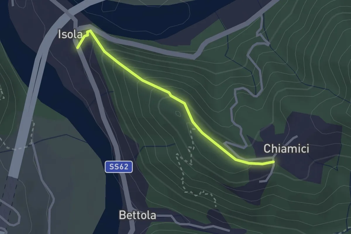
Easy · Trail
S6 Chiamici - Isola
2.4 km · ↑ 172 m · 57 min · 12 km away
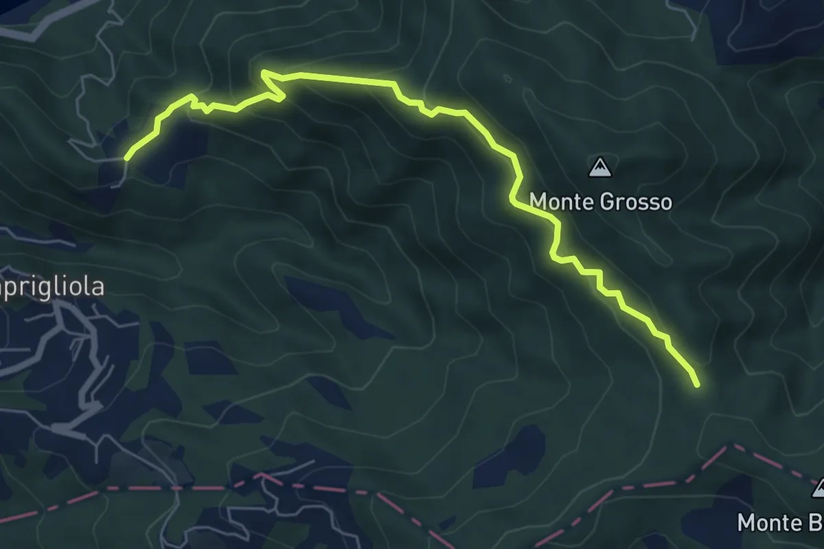
Medium · Trail
S3 Sentiero della Tira: Chiamici - Quattro strade
6.8 km · ↑ 538 m · 2 h 46 min · 12 km away
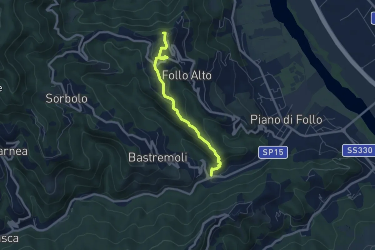
Easy · Trail
Val Durasca – Toracca – Follo
5.5 km · ↑ 297 m · 1 h 56 min · 12 km away
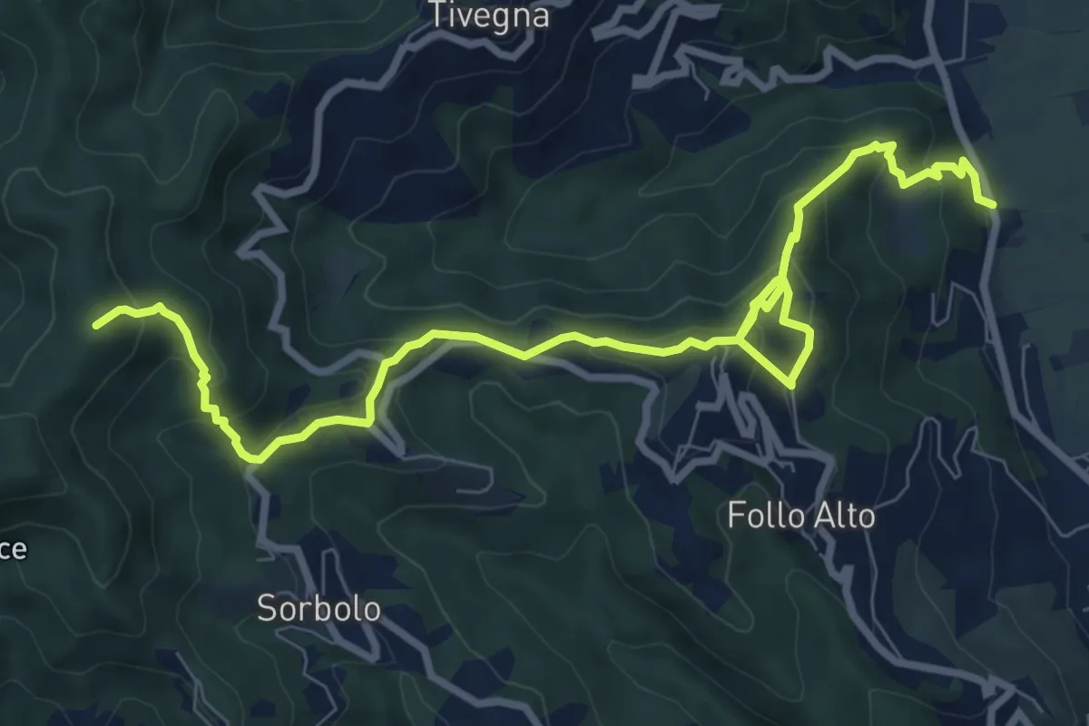
Medium · Summit
Panigara – Follo – Madonna del Carmine – Monte Termi Dritti
10.5 km · ↑ 787 m · 4 h 12 min · 12 km away
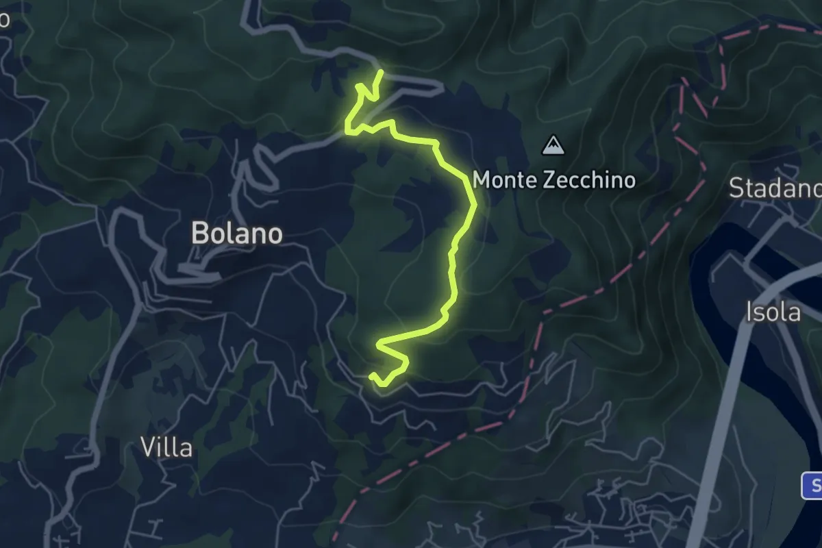
Easy · Trail
Bivio 285 – Case Cavanon
5.0 km · ↑ 186 m · 1 h 35 min · 12 km away
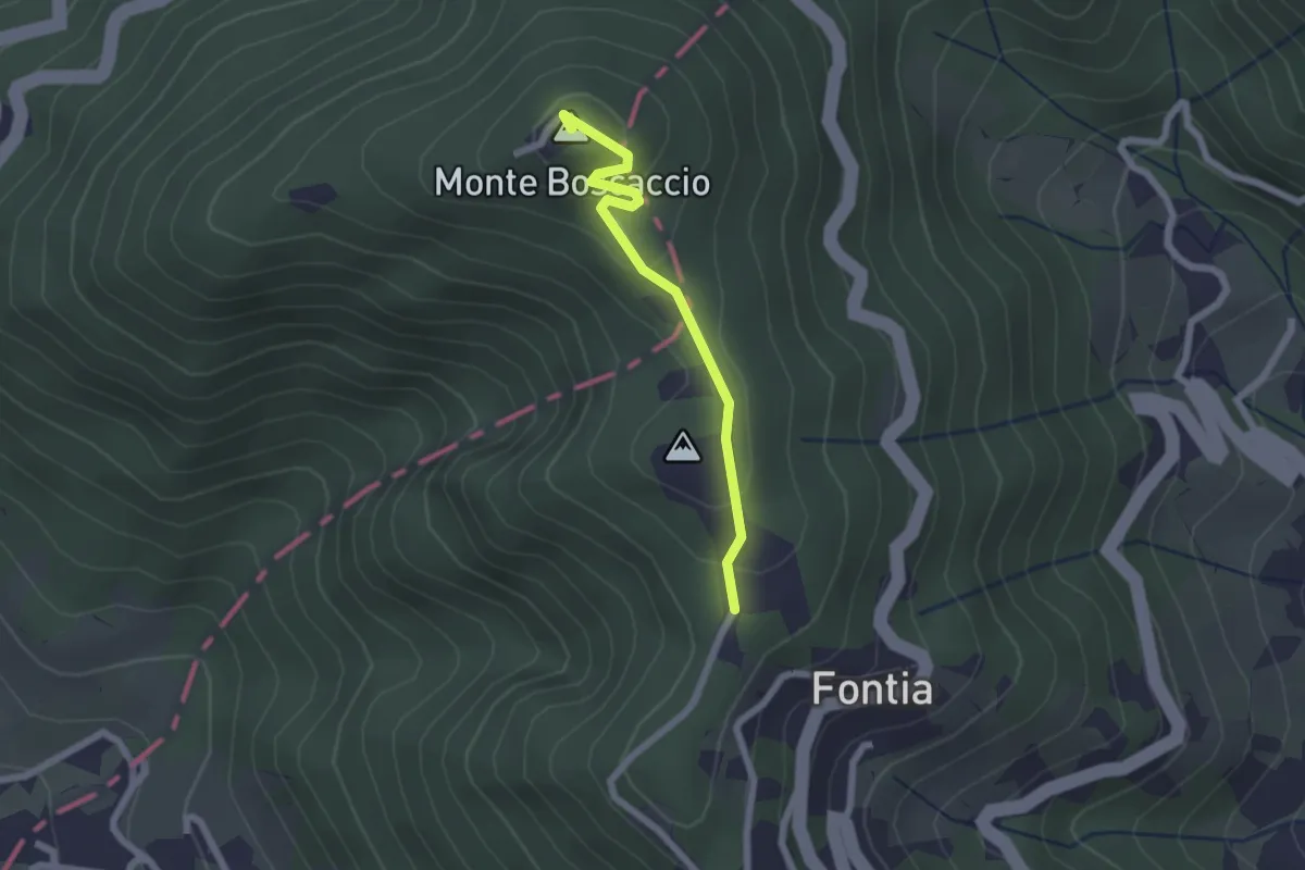
Easy · Summit
Percorso 370 – Percorso 368
2.0 km · ↑ 87 m · 39 min · 12 km away
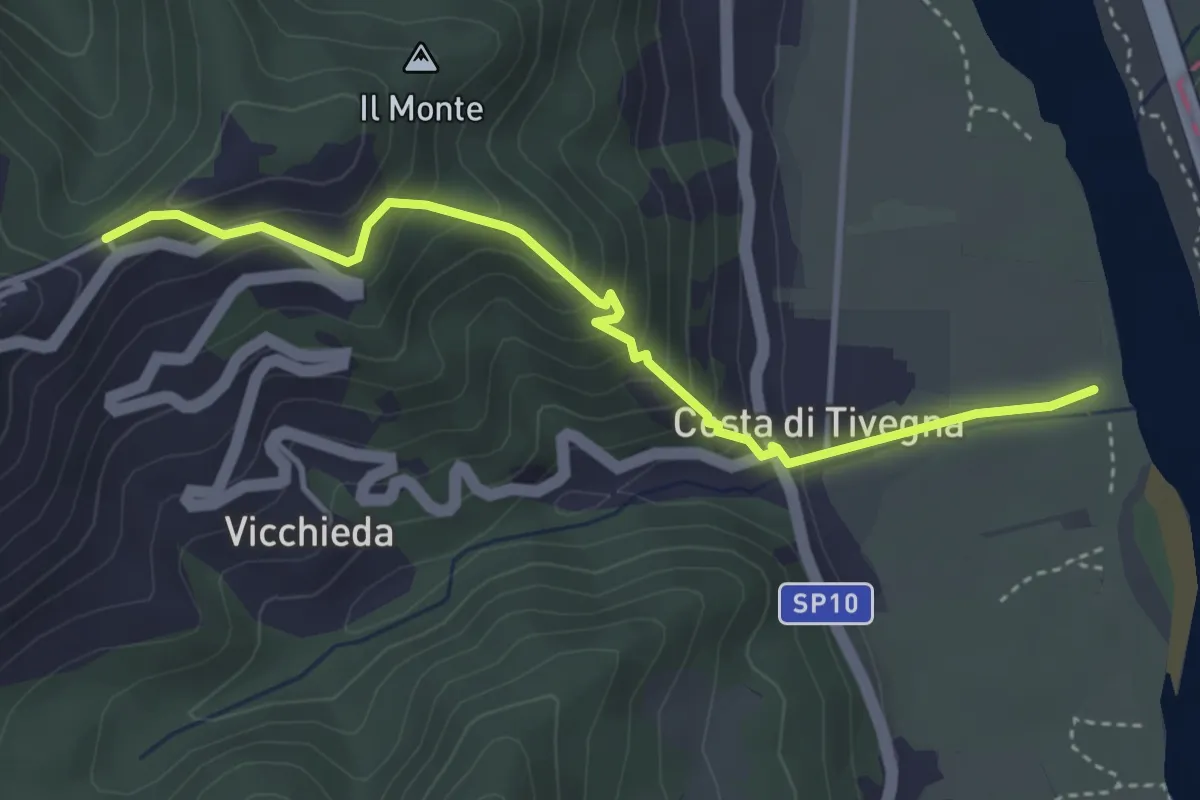
Easy · Trail
Vara – Pie’ di Foce
4.1 km · ↑ 292 m · 1 h 37 min · 12 km away
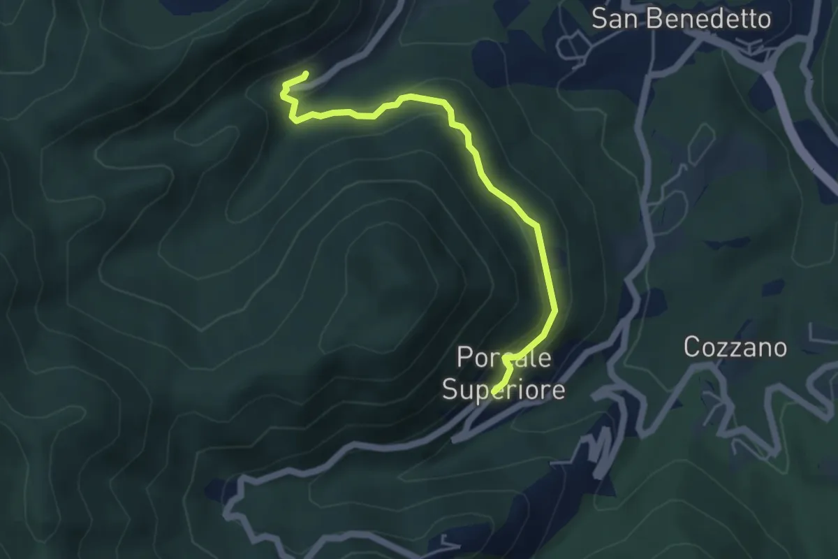
Medium · Trail
Quaratica – Porcale Superiore
4.2 km · ↑ 167 m · 1 h 22 min · 12 km away
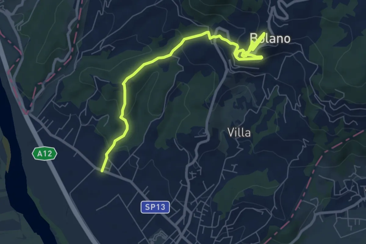
Medium · Trail
Ceparana – San Bartolomeo – Bolano (Bivio AVML)
7.9 km · ↑ 444 m · 2 h 49 min · 13 km away